| PalestineRemembered | About Us | Oral History | العربية | |
| Pictures | Zionist FAQs | Haavara | Maps | |
| Search |
| Camps |
| Districts |
| Acre |
| Baysan |
| Beersheba |
| Bethlehem |
| Gaza |
| Haifa |
| Hebron |
| Jaffa |
| Jericho |
| Jerusalem |
| Jinin |
| Nablus |
| Nazareth |
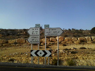
| Ramallah |
| al-Ramla |
| Safad |
| Tiberias |
| Tulkarm |
| Donate |
| Contact |
| Profile |
| Videos |
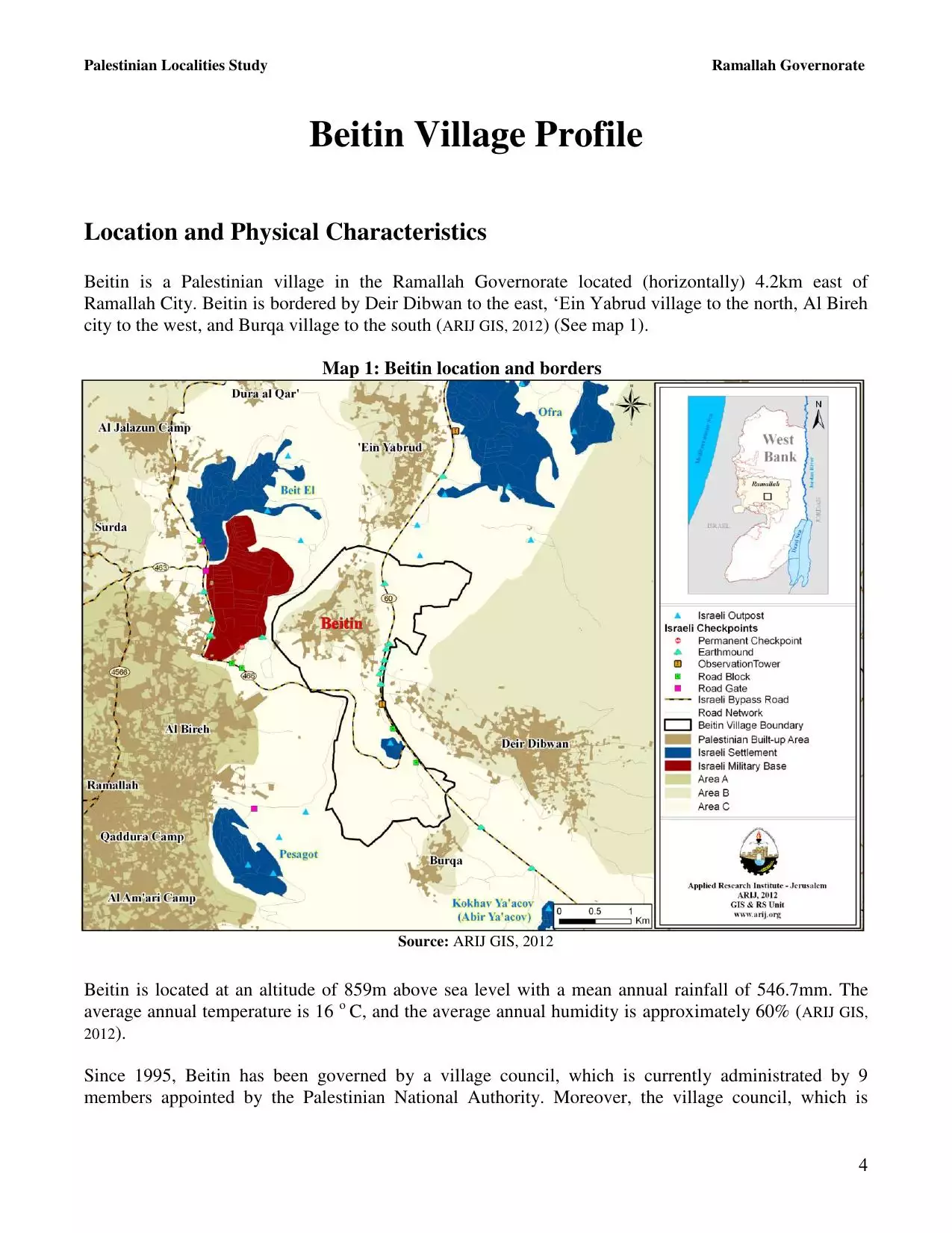
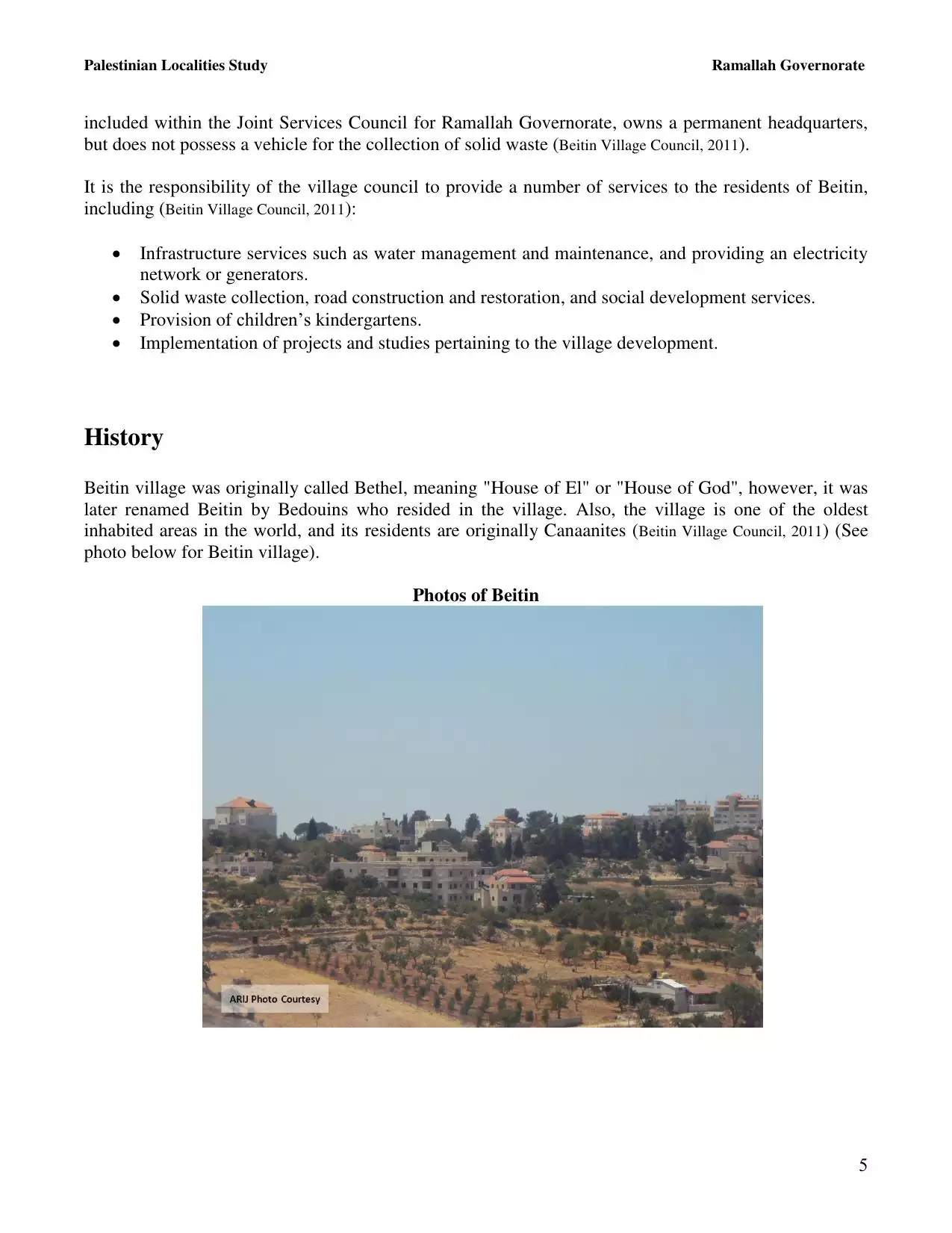
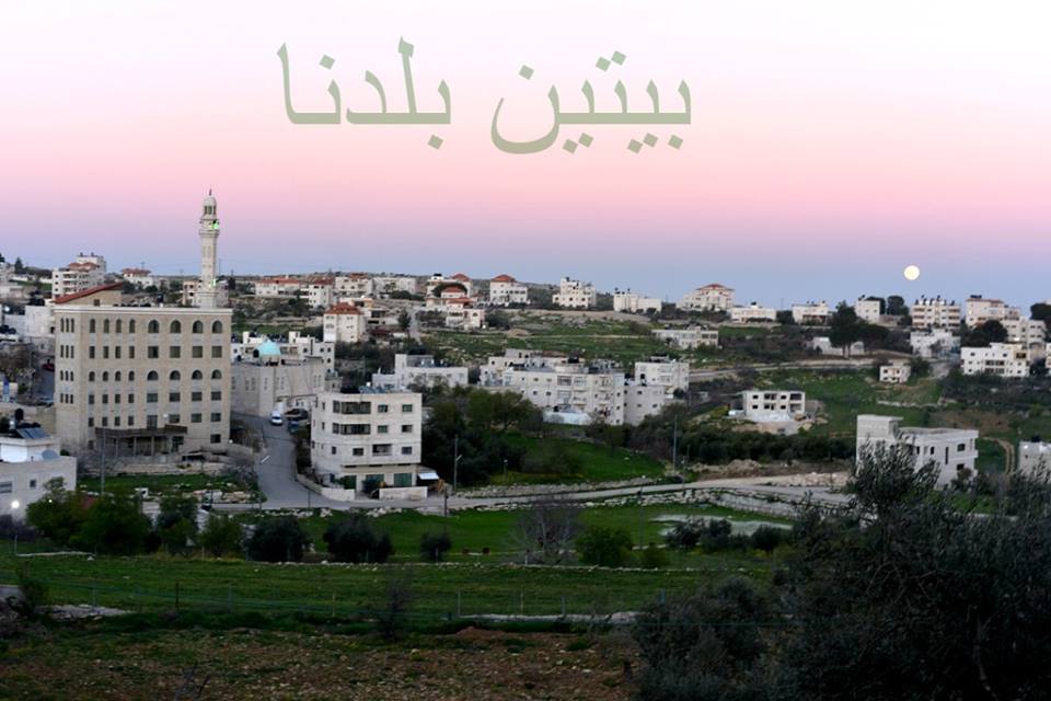
Welcome To Beitin - بيتين (ביתין)
|
District of Ramallah
Occupied days ago |
العربية Google Earth |
 |
Gallery (103) |
- Statistics & Facts
-
Before & After

- Satellite View
- Articles 1
- Pictures 103
- Aerial Views 1
- Mayrters & Prisoners 2
- Members 7
- Families
- Wikipedia
- ARIJ Guide
- Videos 3
- Guest Book 11
- Links
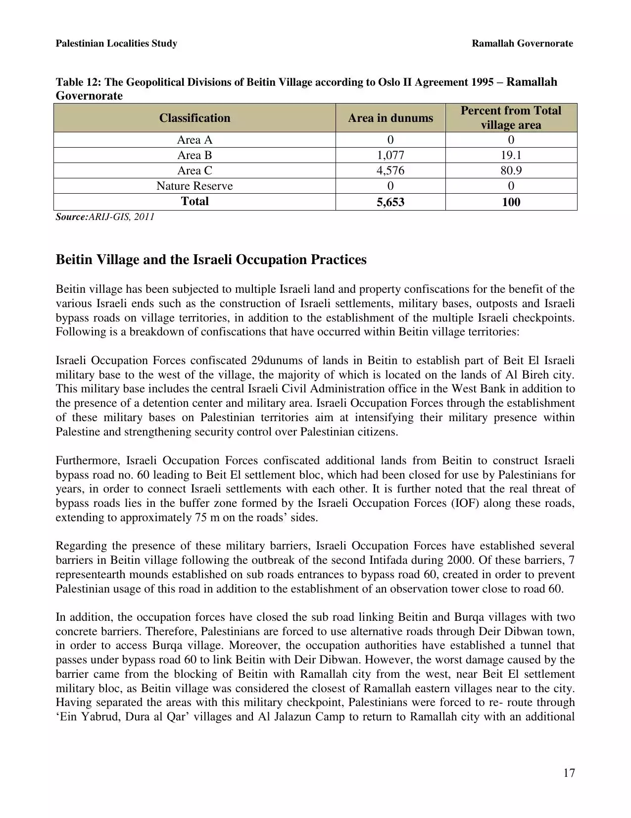
| Statistic & Fact | Value | ||||||||||||||||||||
| Distance From District | 5 km northeast of Ramallah | ||||||||||||||||||||
| Elevation | 894 meters | ||||||||||||||||||||
| Before & After Nakba, Click Map For Details |
|||||||||||||||||||||
|
|||||||||||||||||||||
| Land Ownership |
**Town Lands' Demarcation Maps |
||||||||||||||||||||
| Land Usage As of 1945 |
|
||||||||||||||||||||
| Population |
|
||||||||||||||||||||
| Near By Towns |
|||||||||||||||||||||
|
|||||||||||||||||||||
| Featured Video | |||||||||||||||||||||
| ARIJ Guide | |||||||||||||||||||||
3.
4. 
5. 
6. 
7. 
8. 
9. 
10. 
11. 
12. 
13. 
14. 
15. 
16. 
17. 
18. 
19. 
20. 
21. 
22. 
Click here to browse online. |
|||||||||||||||||||||
| Related Maps | Town Lands' Demarcation Maps خرائط للقضاء توضح حدود القرى والاودية View from satellite Town's map on MapQuest Help us map this town at WikiMapia |
||||||||||||||||||||
| Related Links | Wikipedia's Page Facebook Page ARIJ Guide Google Search Google For Images Google For Videos في كتاب بلادنا فلسطين دليل أريج المزيد من موقع هوية |
||||||||||||||||||||
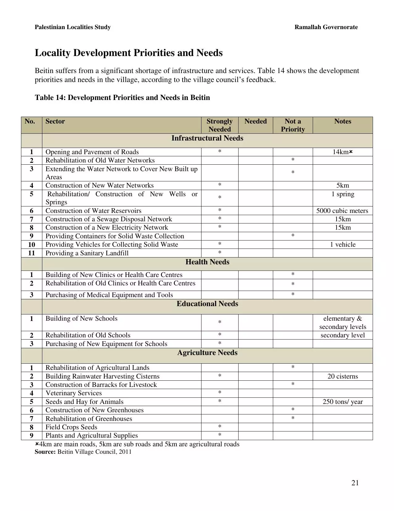
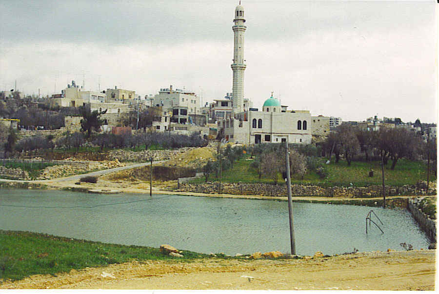
- صورة عامة للبلدة من الناحية الشرقية
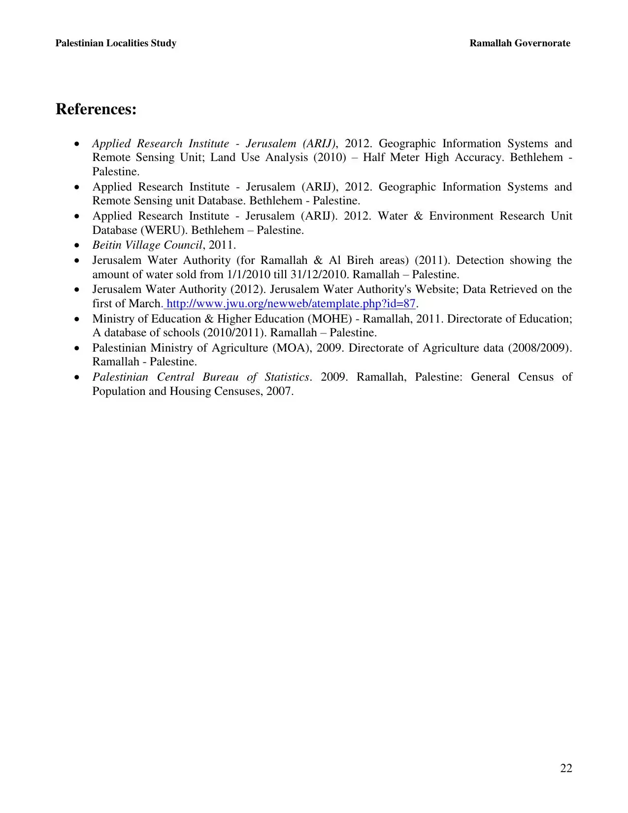
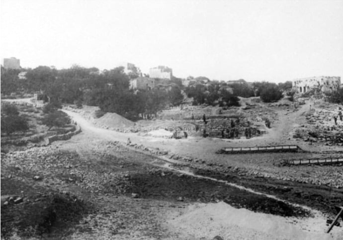
Posted by صائب 5 - The ruins of el-Burj in 1935
Posted by صائب - العين مليان بمية الشتوية
Posted by موسى حامد 4 - ايام الهناء
Posted by ابو عمر 1 - ايام العز
Posted by ابو عمر - من ايامها وهم يمكرون والله خير الماكرين
Posted by ابو عمر 1 - اّخ على ايام البيادر (الجرون)
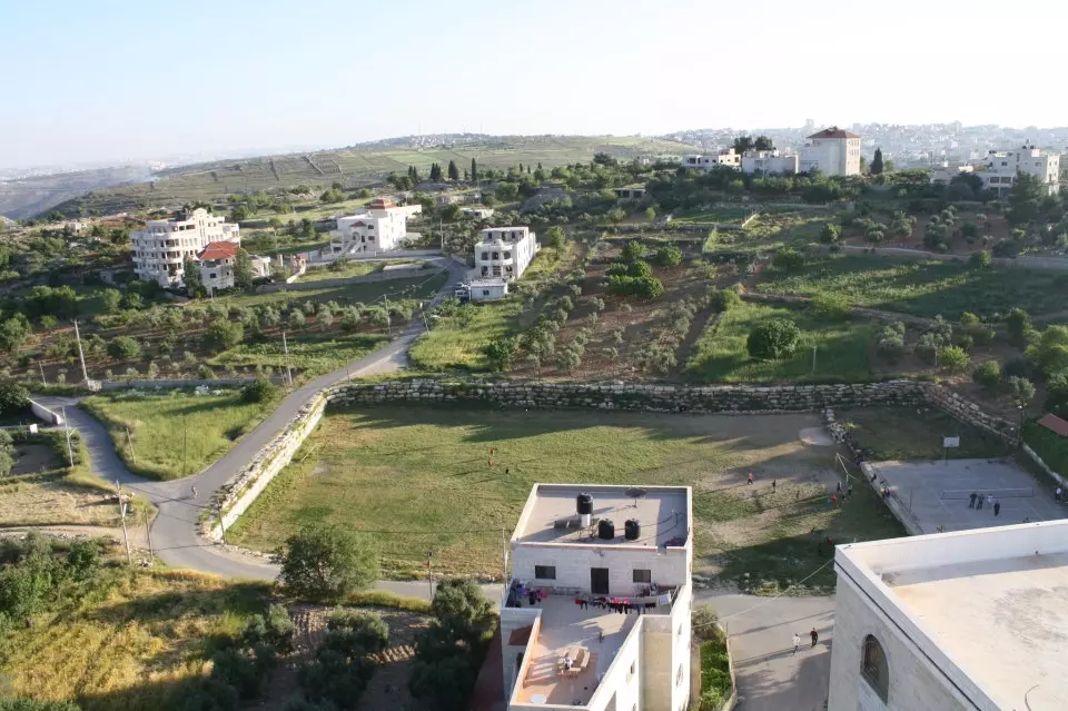
Posted by ابو عمر - بيتين من الجو
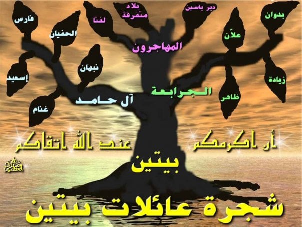
Posted by موسى حامد 1 - شجرة عائلات بيتين
Posted by موسى حامد 2 - والله يا هيك رؤسه المجالس ولابلاش
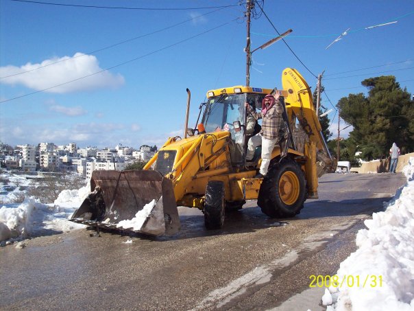
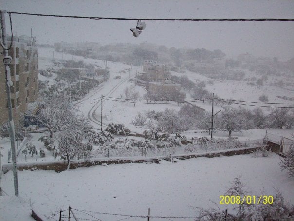
Posted by موسى حامد 4 - بيتين في الثلج
Posted by موسى حامد 8 - betin
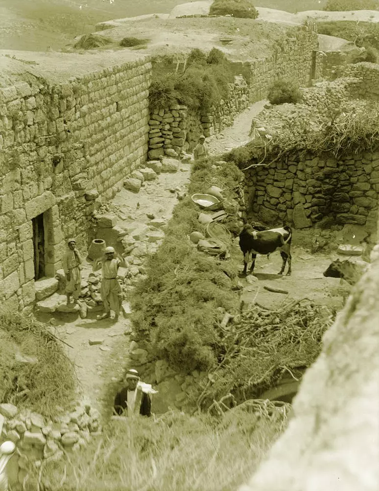
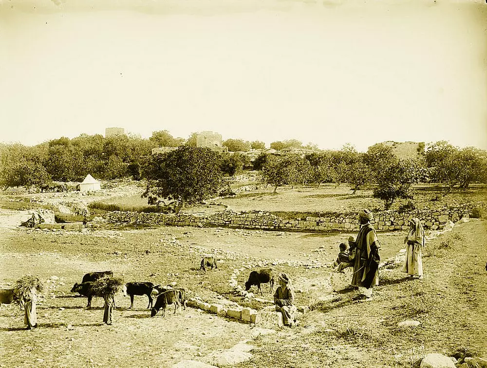
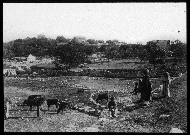
Posted by anzol 1 - BEITIN 1 - Matson Collection, late 19th, early 20th C.
Posted by Rami Atwan - BEITIN 2 - Matson Collection, late 19th, early 20th C.
Posted by Rami Atwan - BEITIN 3 - Matson Collection, late 19th, early 20th C.
Posted by Rami Atwan - BEITIN 4 - Matson Collection, late 19th, early 20th C.
Posted by Rami Atwan - BEITIN 5 - Matson Collection, late 19th, early 20th C.
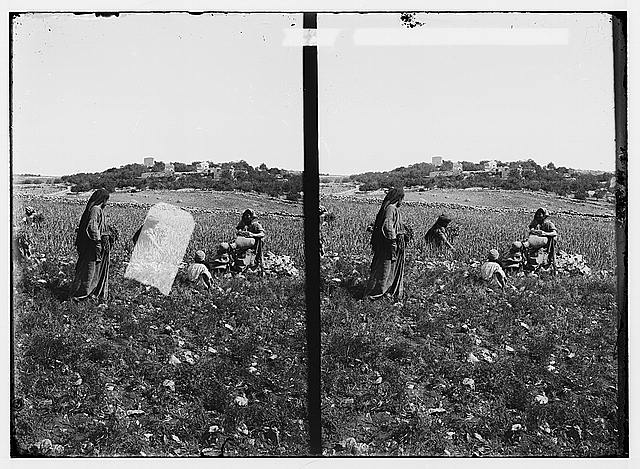
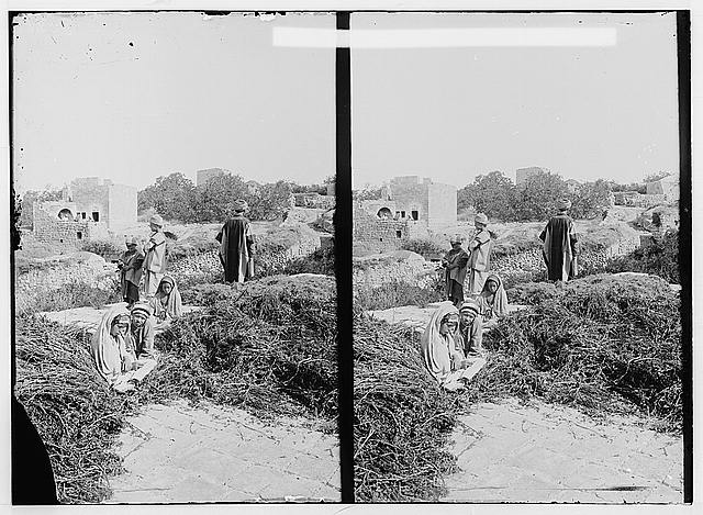
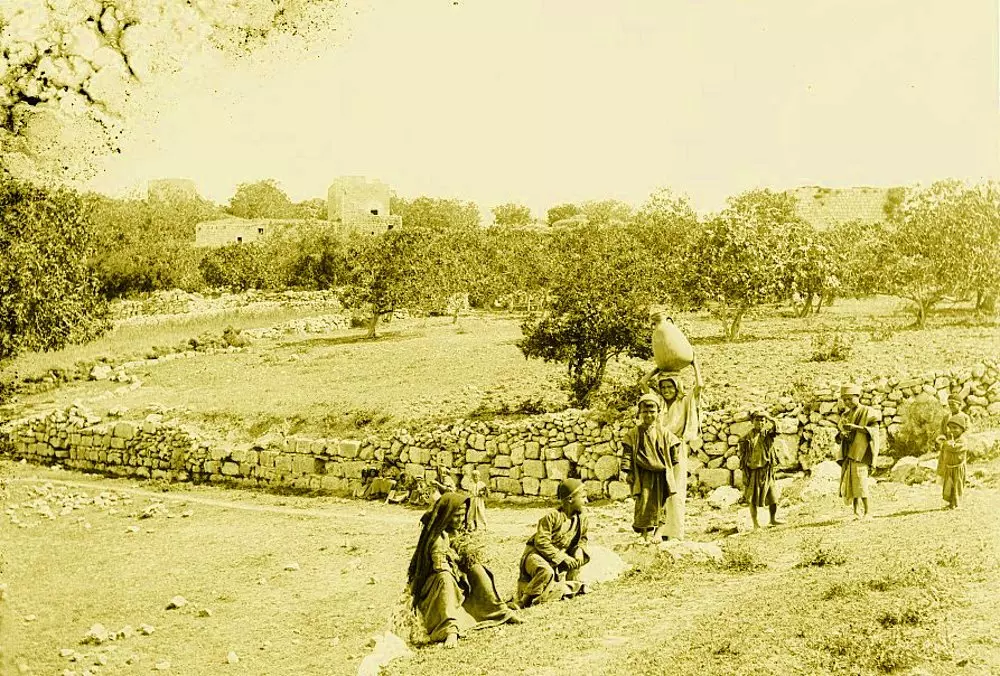
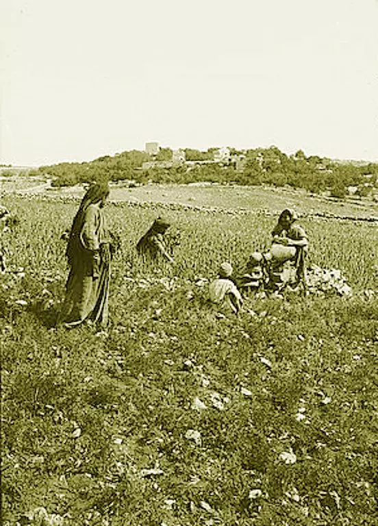
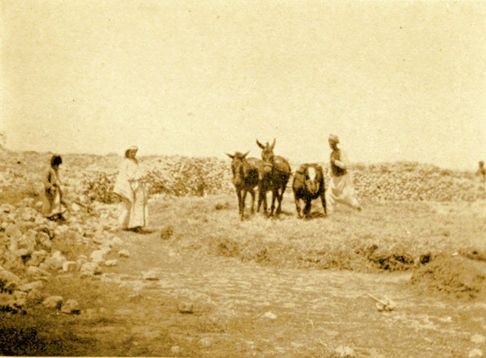
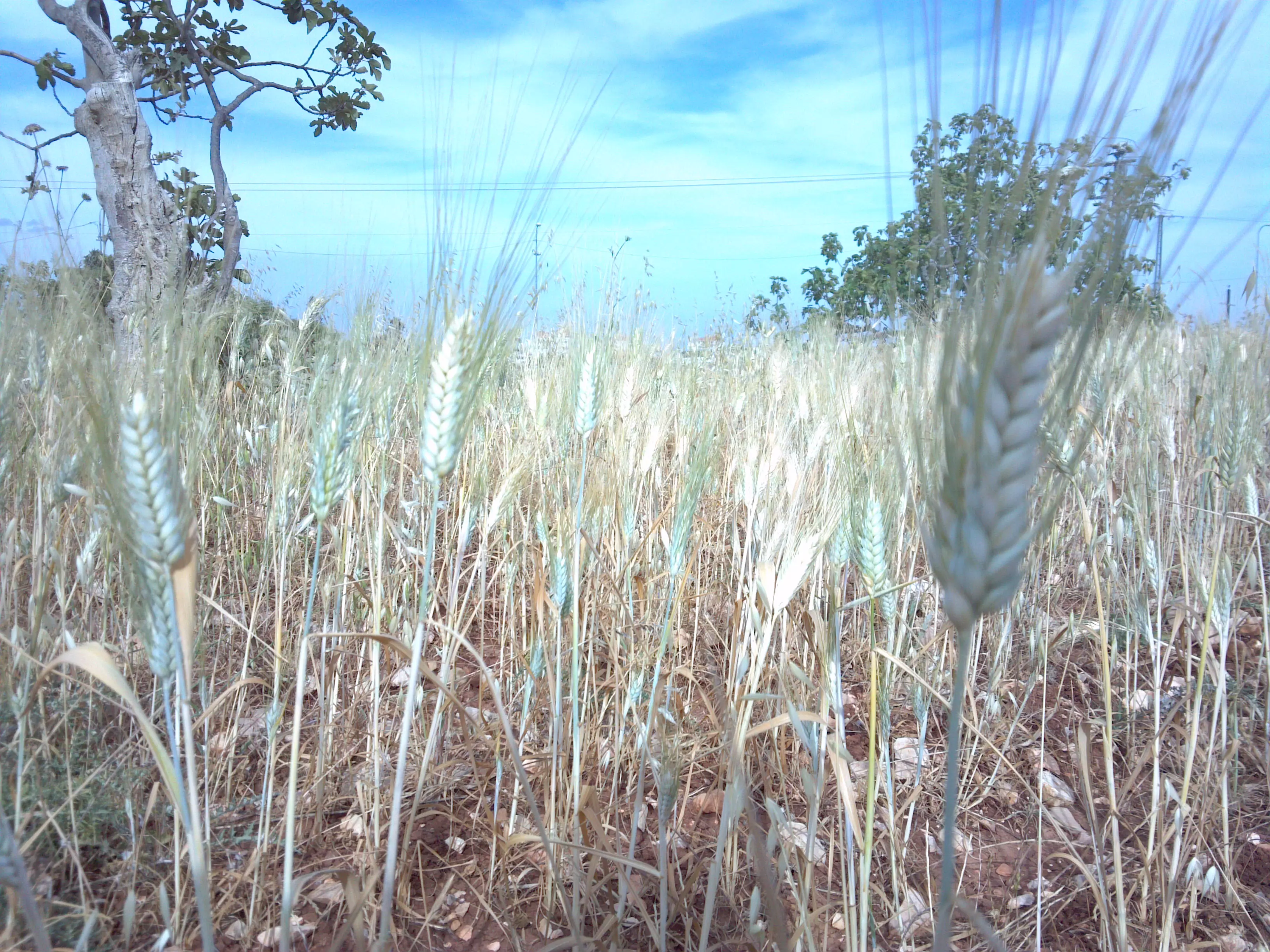
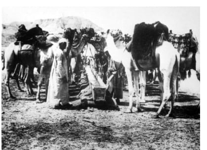
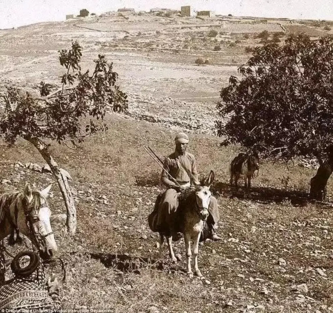
Posted by Rami Atwan 1 - BEITIN - Palestinian farmers Gathering Tares From Wheat at Beitin, circa 1890s (Per Reem Ackall)
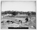
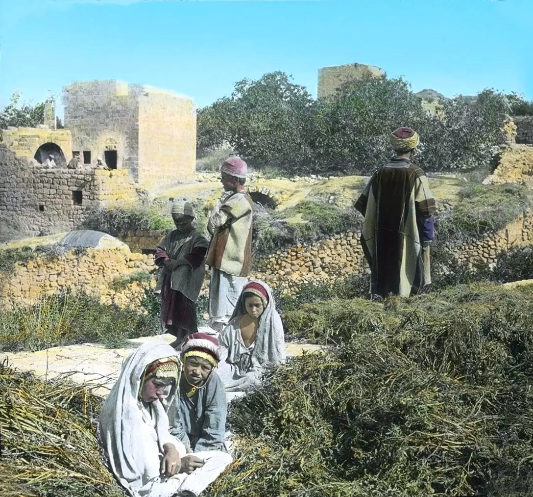
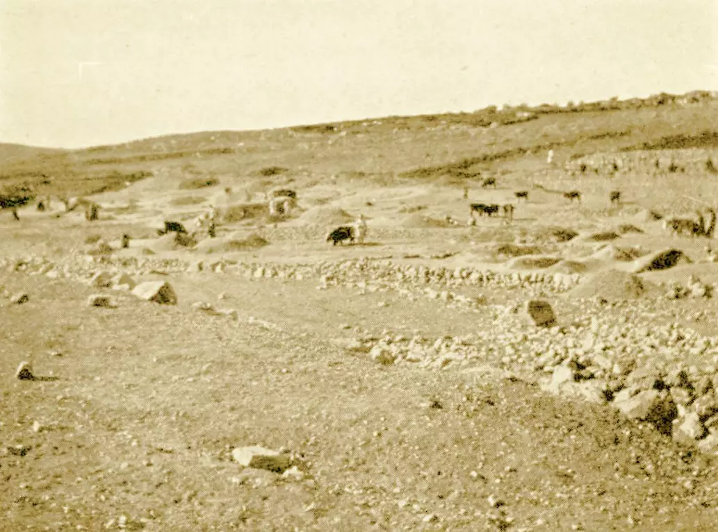
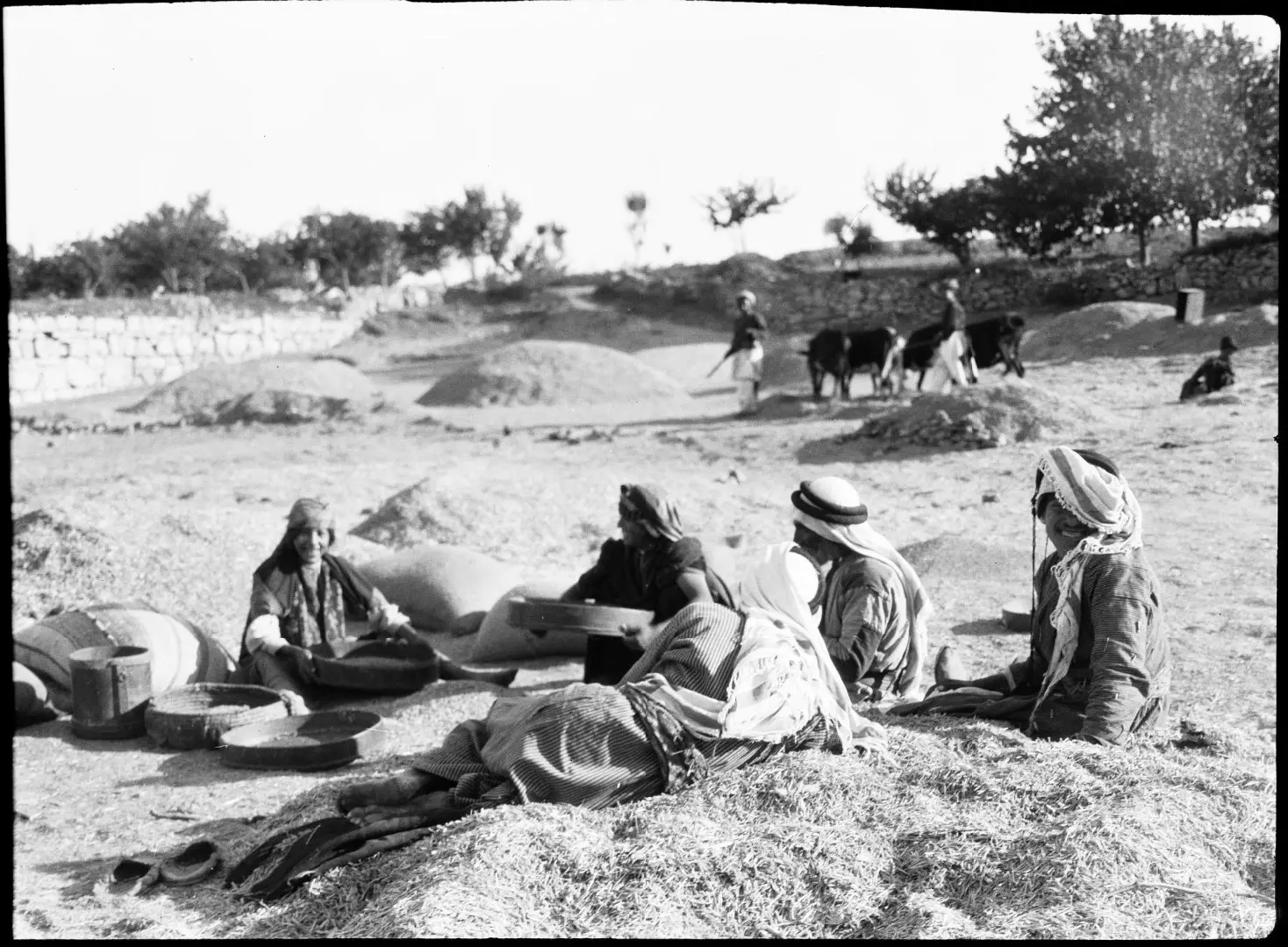
Posted by Rami Atwan - BEITIN - Palestinians whiling away a Summer's afternoon at the threshing floors (Al-Biader) of Beitin, circa 1900-20s - American Library of Congress (Colourised)
Posted by Rami Atwan - bitin 2011
Posted by شريف ابو عنتر - bitin summer 2011
Posted by شريف ابو عنتر - bitein summer
Posted by شريف ابو عنتر - bitin 2011 >
Posted by شريف ابو عنتر - bitin summer 2011
Posted by شريف ابو عنتر - bitin summer 2011
Posted by شريف ابو عنتر - bitin 2011

Posted by شريف ابو عنتر - betein palestine 2011
Posted by شريف ابو عنتر - betein palestine 2011
Posted by شريف ابو عنتر - betein palestine 2011
Posted by شريف ابو عنتر - betein palestine 2011
Posted by شريف ابو عنتر - betein palestine 2011
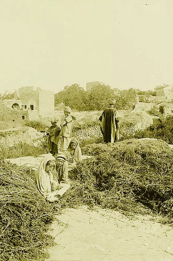
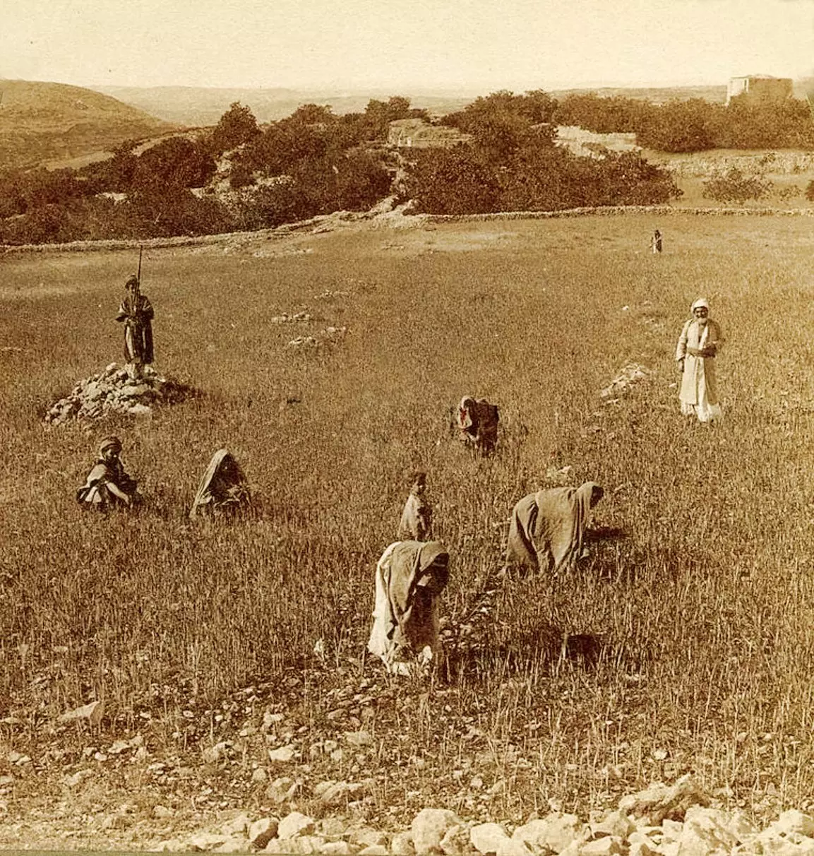
Posted by شريف ابو عنتر - BEITIN - A threshing floor in the Ramallah area (Possibly in Beitin), circa 1910s (Per Reem Ackall)
Posted by Rami Atwan 1 - BEITIN - A threshing scene in Beitin, circa 1910s (Per Reem Ackall)
Posted by Rami Atwan - بيتين من الشمال الشرقي
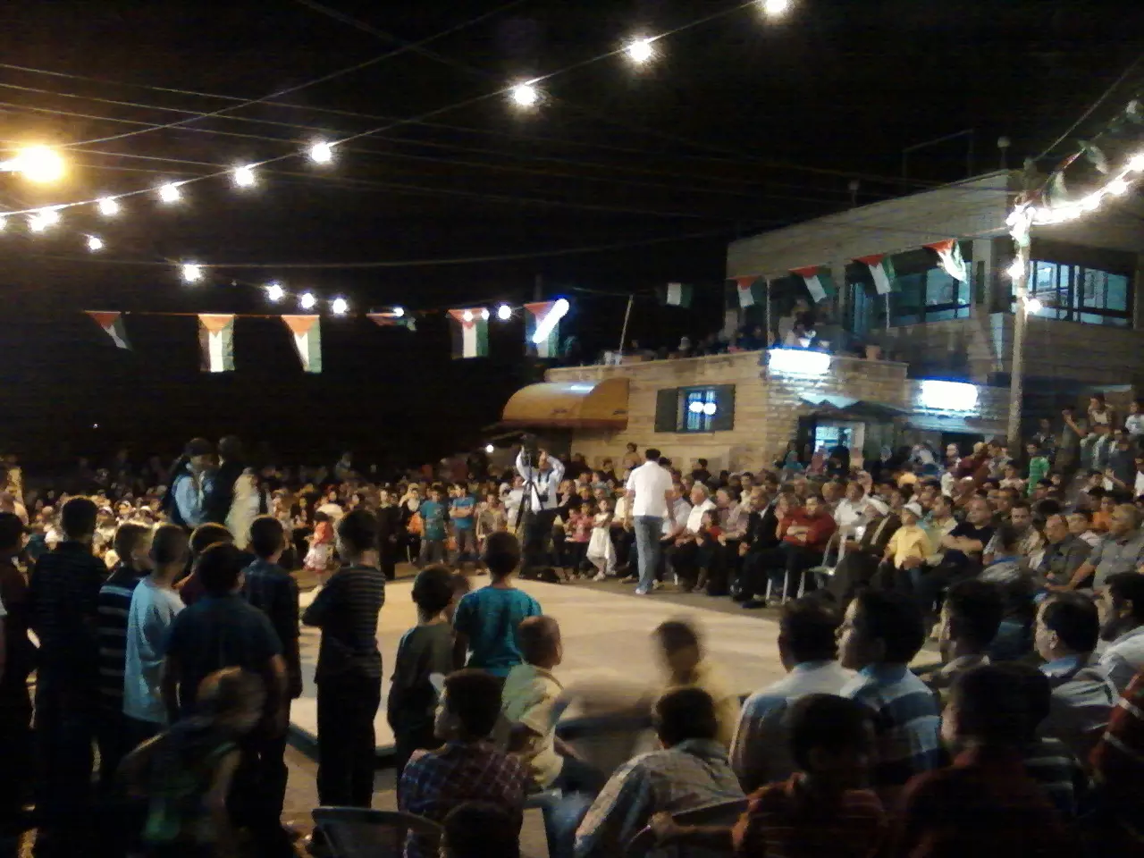
Posted by شريف ابو عنتر - مجلس قروي بيتين
Posted by شريف ابو عنتر - بيادر بيتين
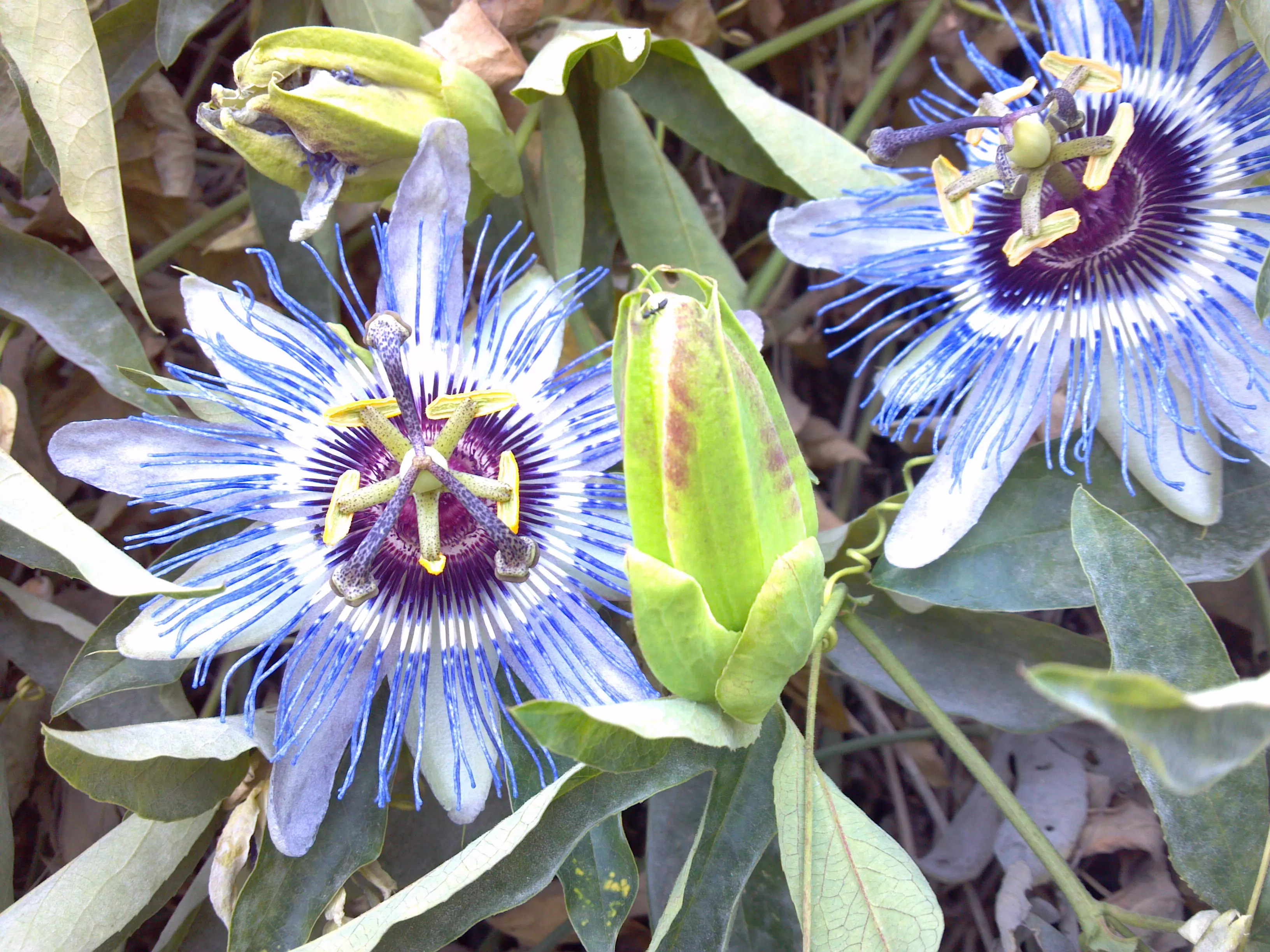
Posted by شريف ابو عنتر - beitin flowers
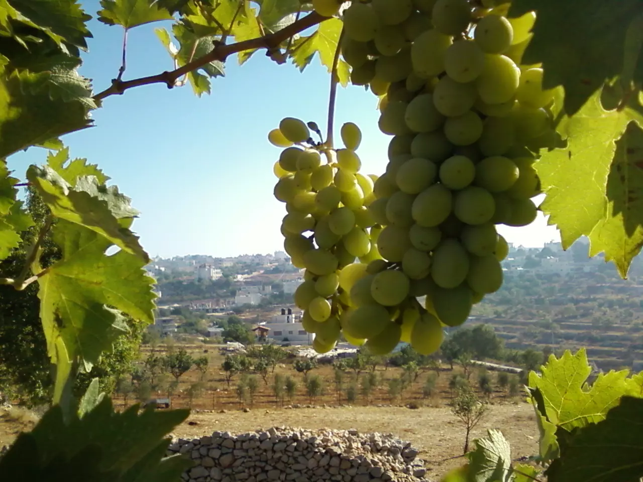
Posted by شريف ابو عنتر - بيتين و ازهارها
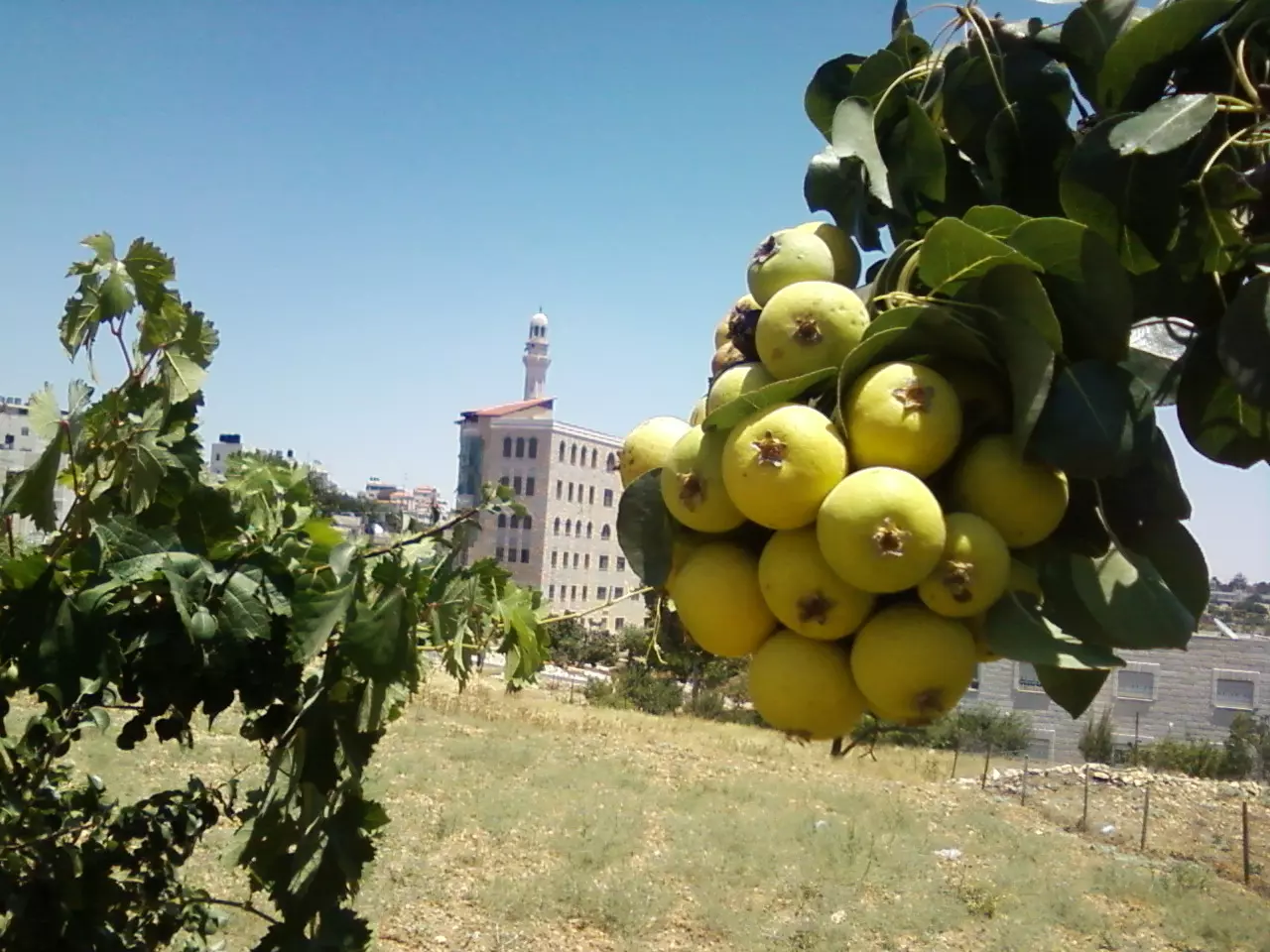
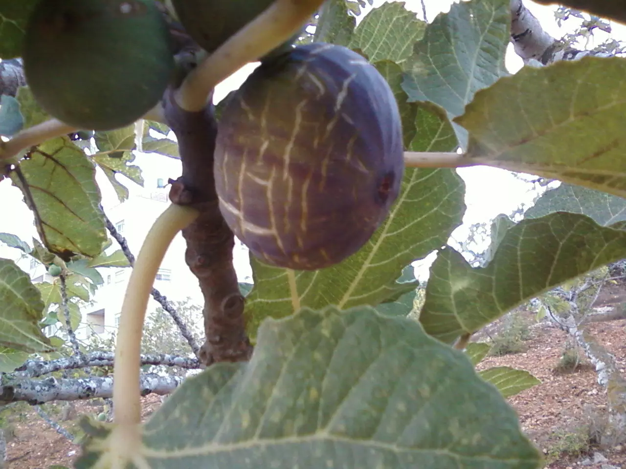
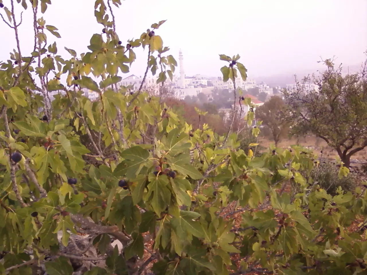
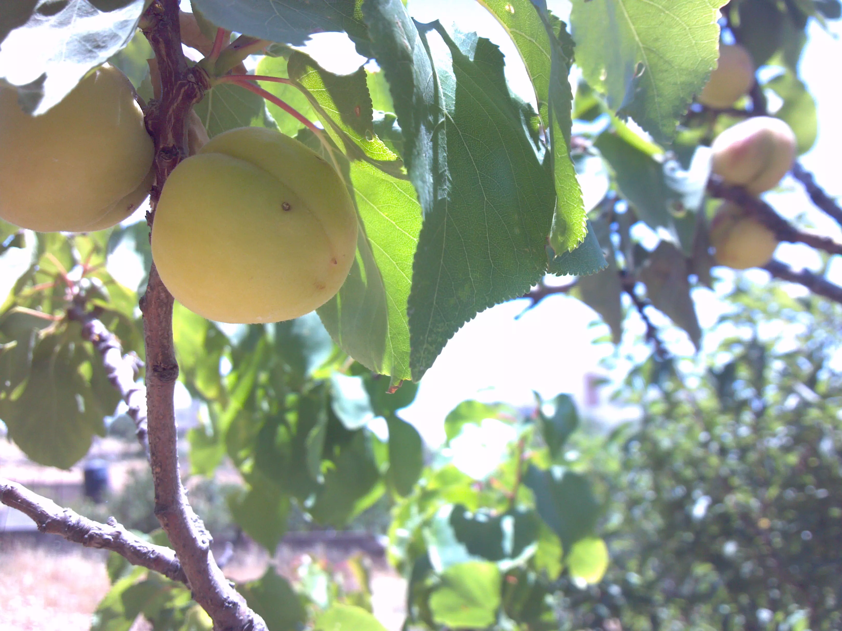
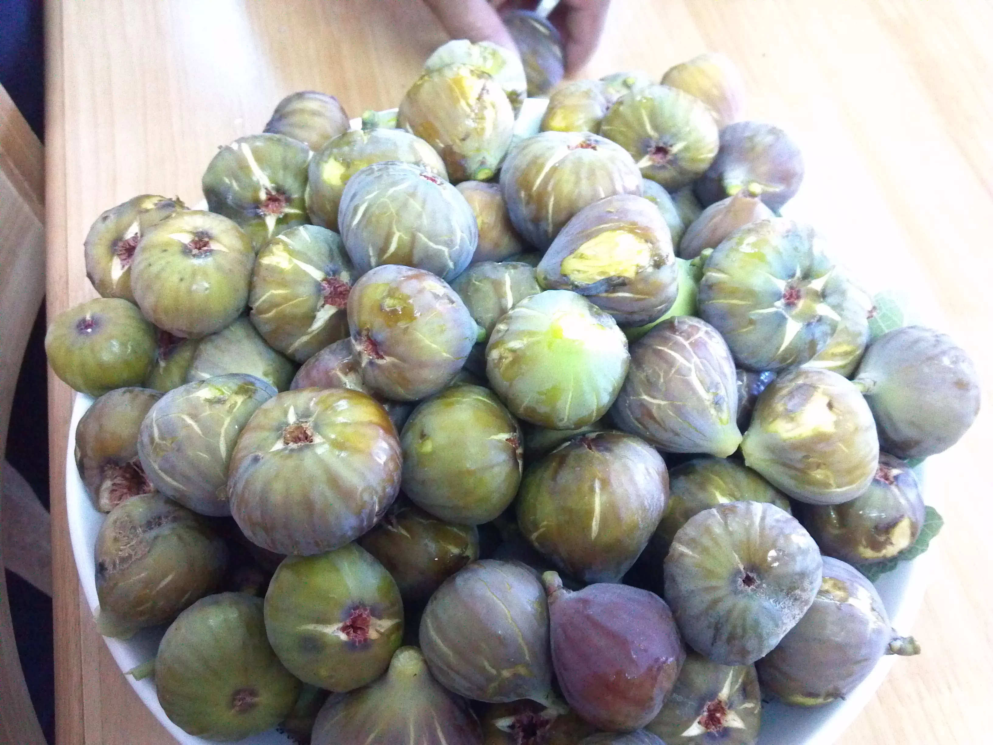
Posted by شريف ابو عنتر - مشمش بيتين
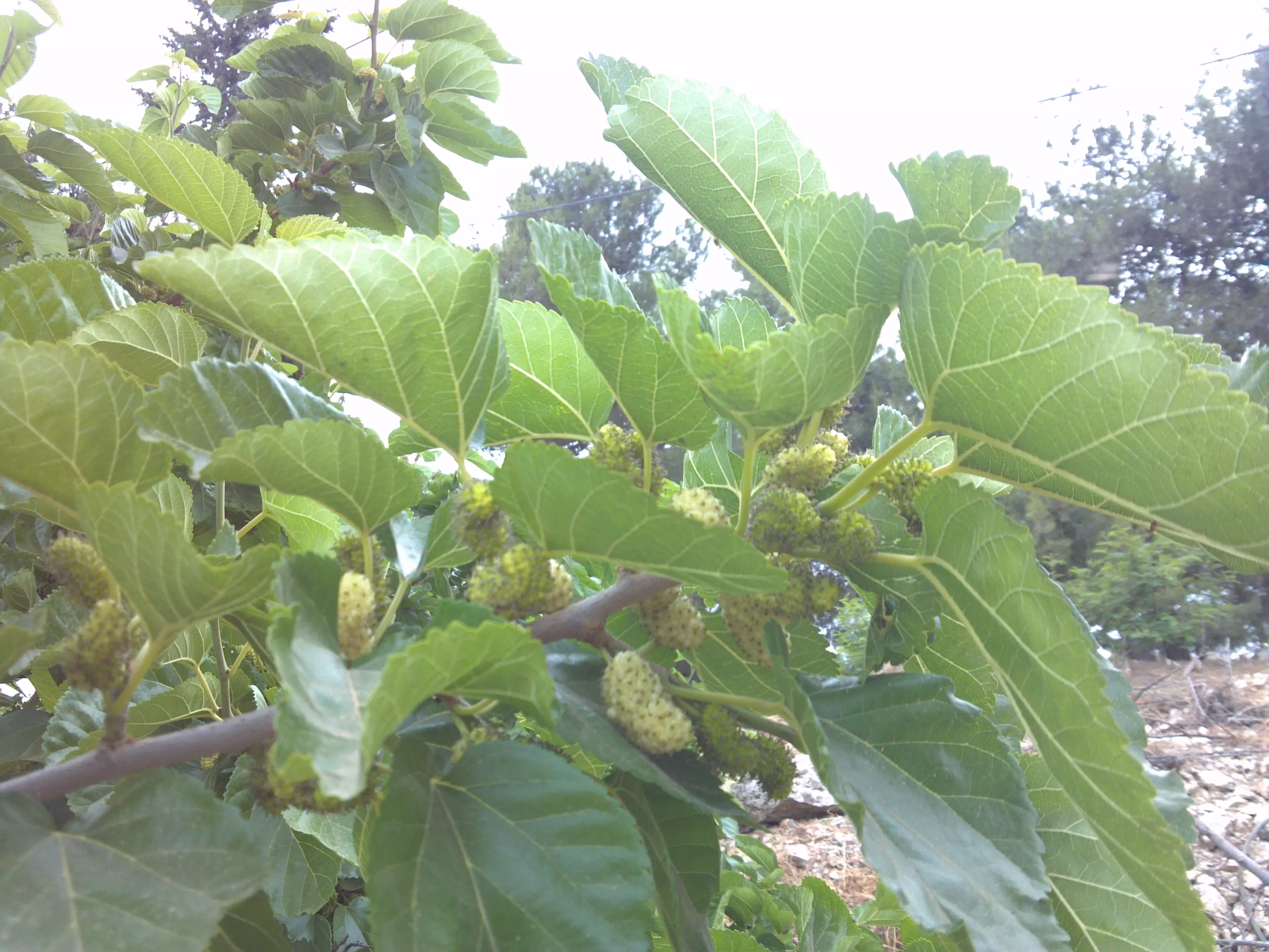
Posted by شريف ابو عنتر - توت بيتين mulberry
Posted by شريف ابو عنتر - بيتين فلسطين
Posted by شريف ابو عنتر - بيتين فلسطين
Posted by شريف ابو عنتر - بيتين فلسطين picture by s/j
Posted by شريف ابو عنتر - we all one

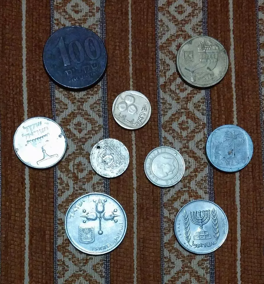
Posted by شريف ابو عنتر - old coins
Posted by شريف ابو عنتر - بيتين فلسطين
Posted by شريف ابو عنتر - بيتين فلسطين
Posted by شريف ابو عنتر 2 - مسجد بيتين من هنا ياتي النصر.....
Posted by شريف ابو عنتر 1 - بيتين ....
Posted by شريف ابو عنتر - بيتين ....بفضل الله وكرمه
Posted by شريف ابو عنتر 1 - قريه بيتين سنه 1918
Posted by abu raya - قريه بيتين سنه 1918
Posted by abu raya - بيتين 1910
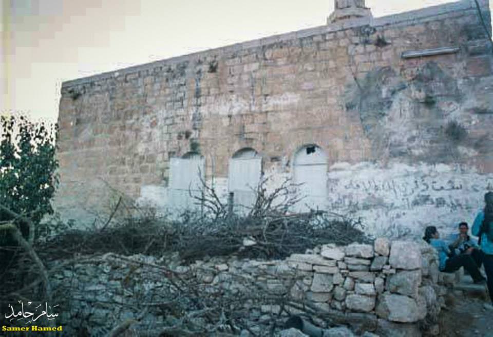
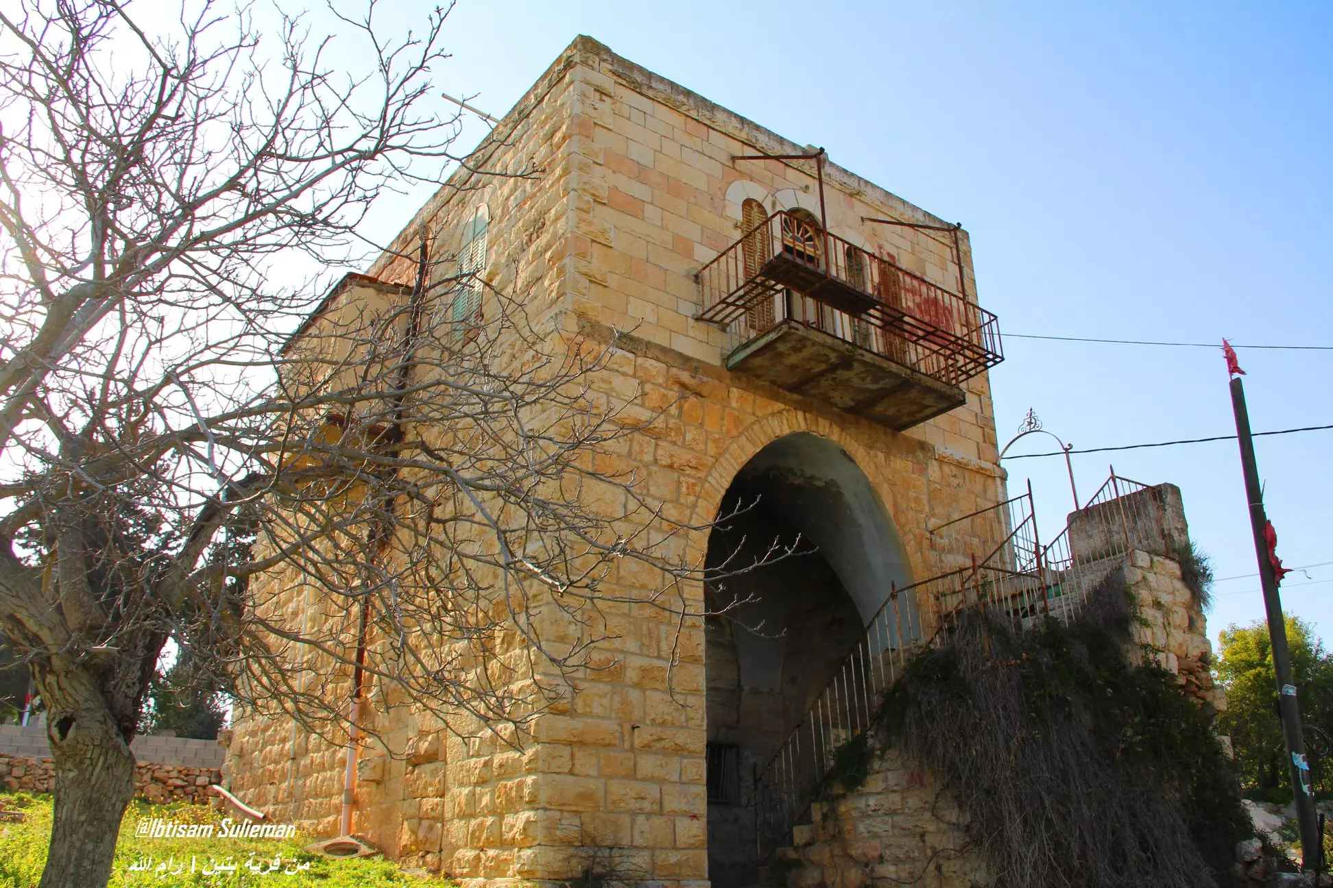
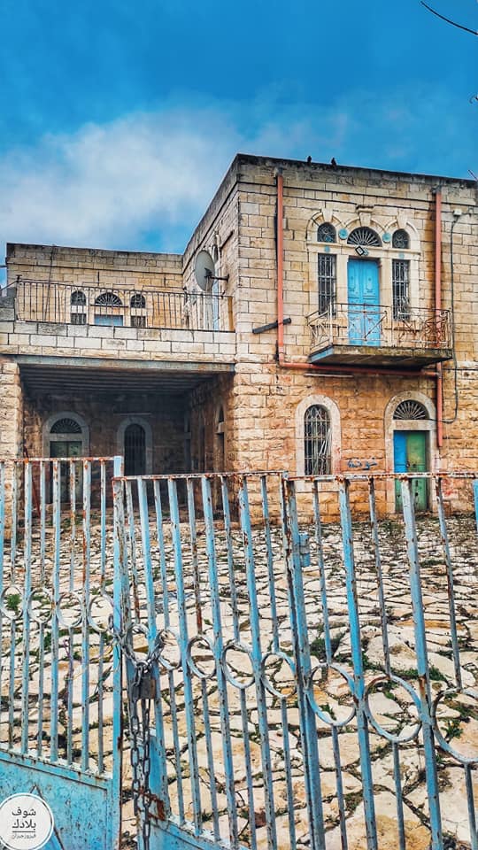
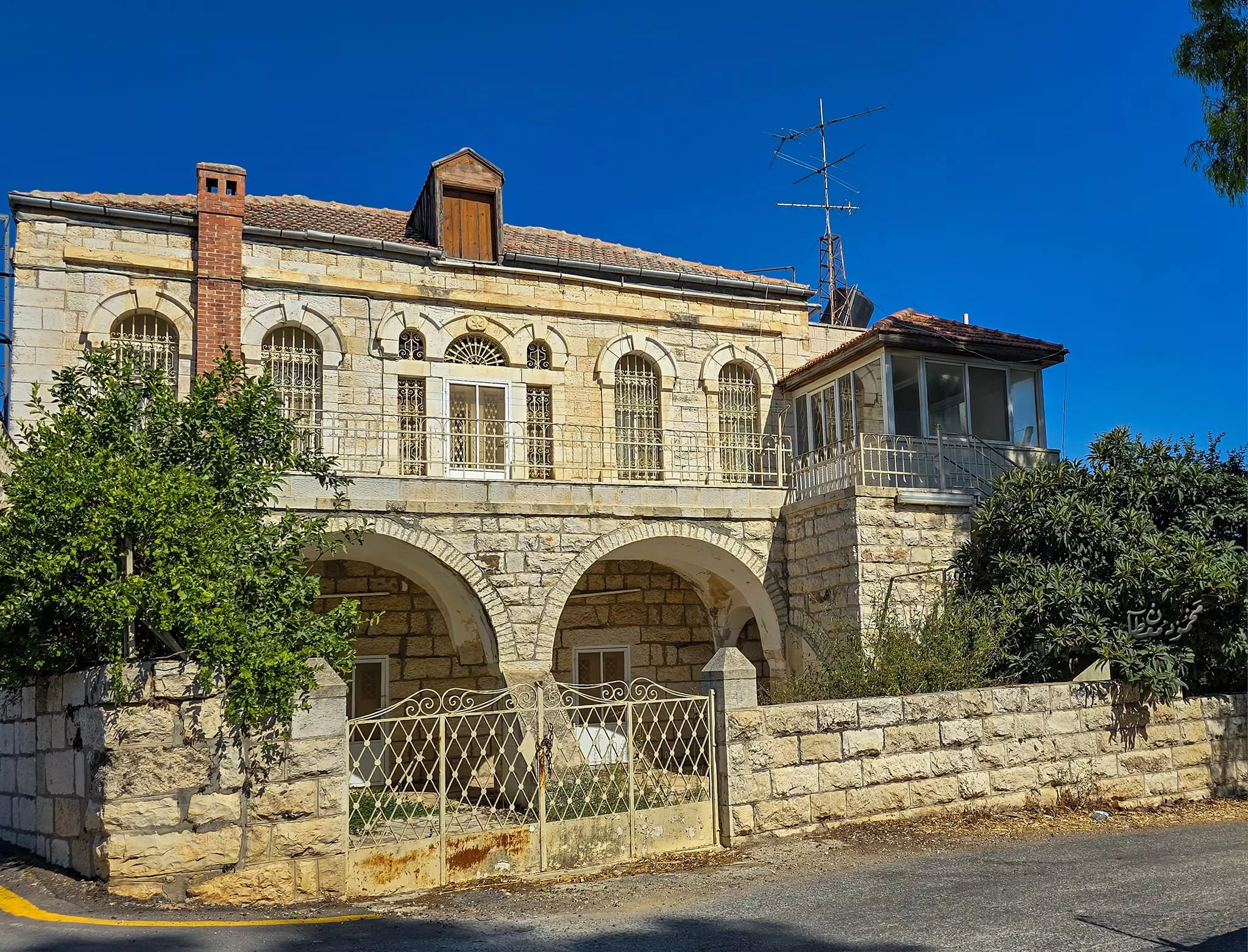
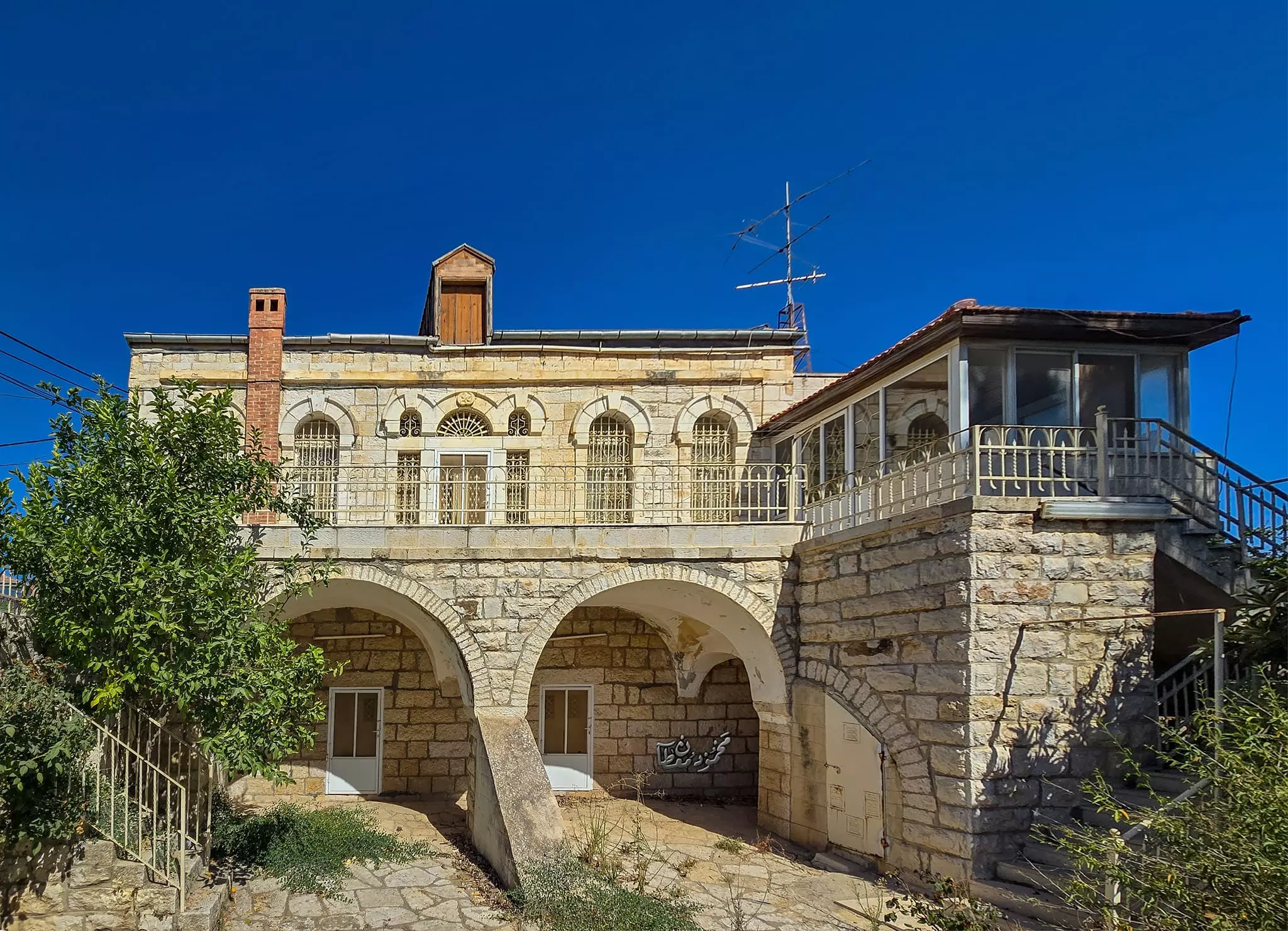
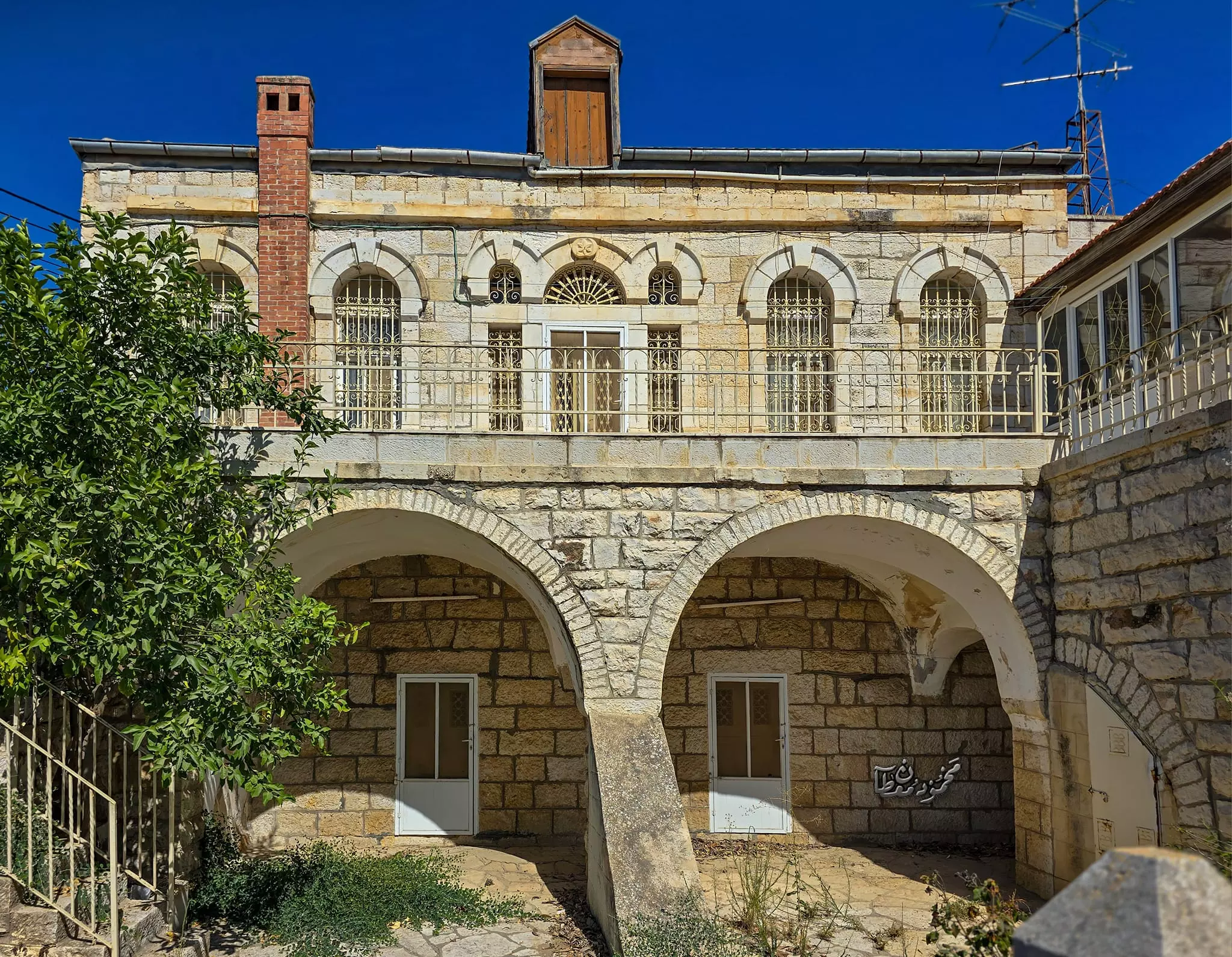
Posted by أبو اليزن السعافين - احد البيوت القديمة
- صورة من محيط قرية بيتين قضاء رام الله في بداية القرن العشرين.
- قرية بيتين في 1894م. على القمة بُرج بيتين في موقع صليبي بيزنطي.
- قبل 100 عام
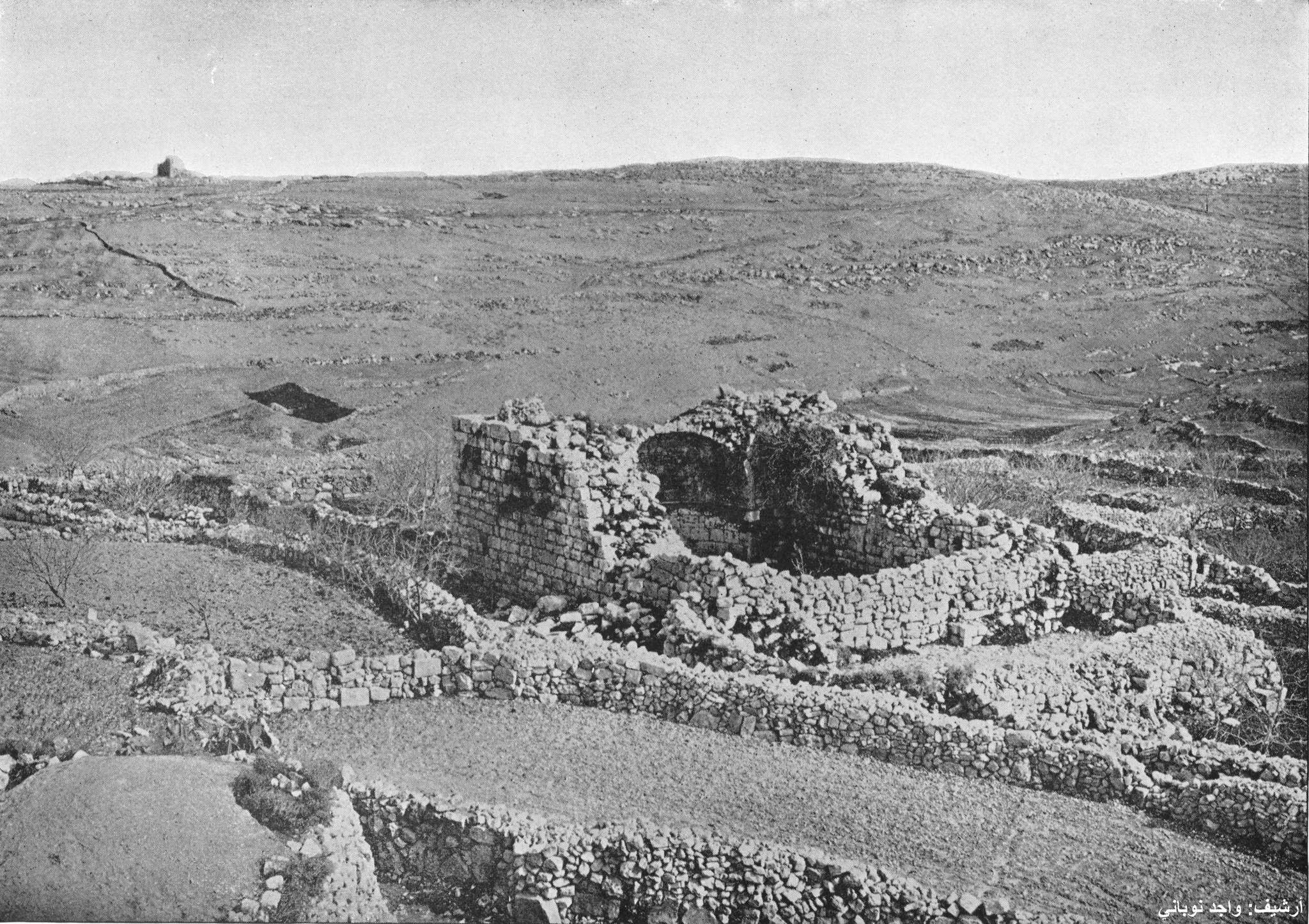
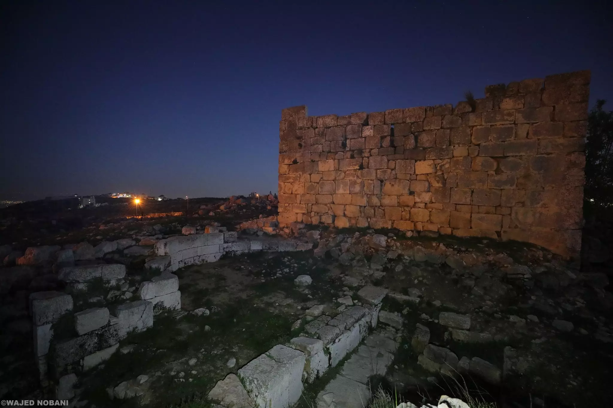
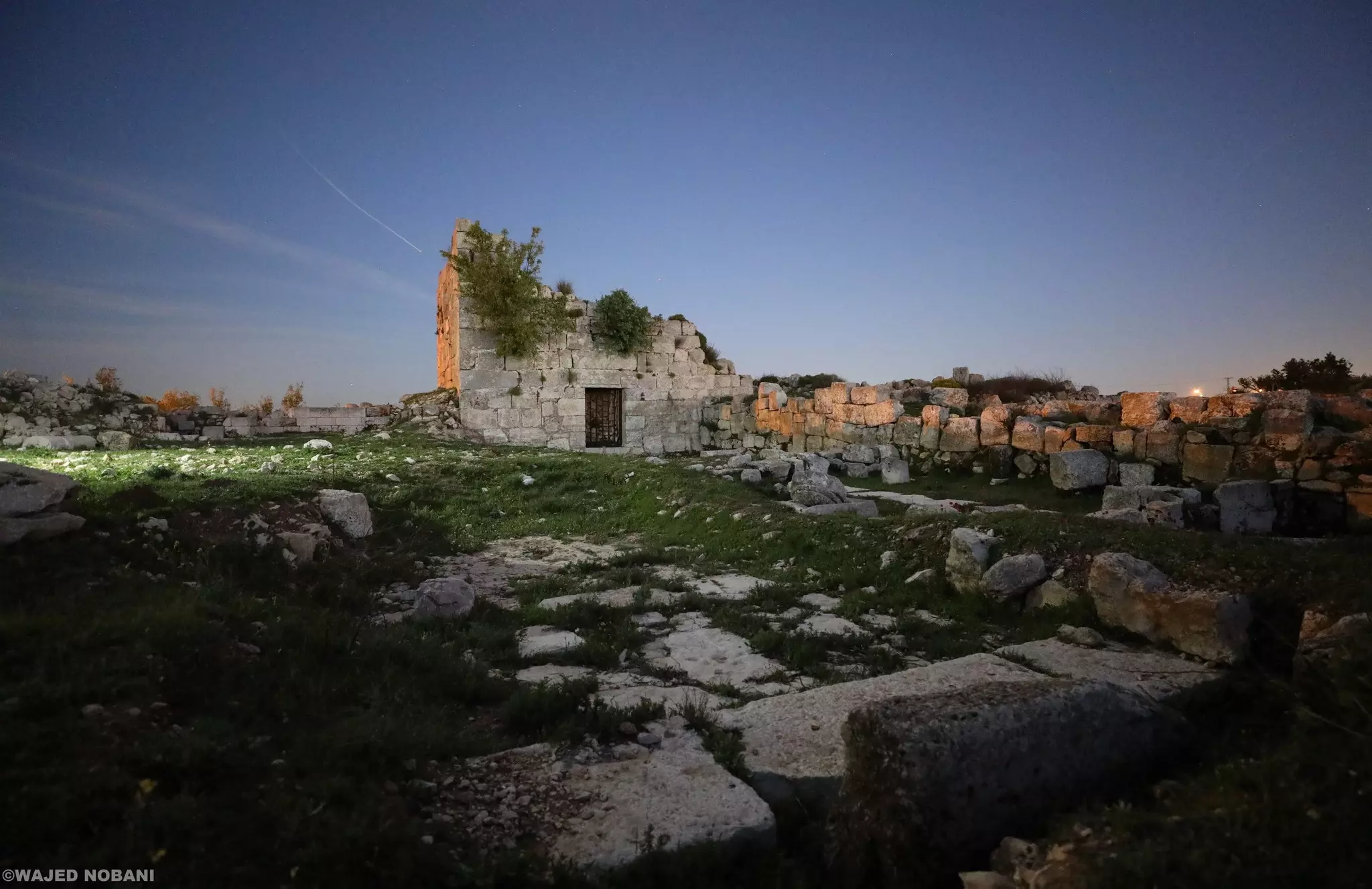
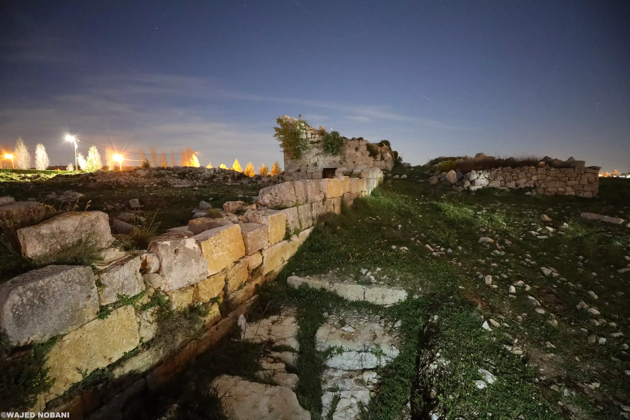
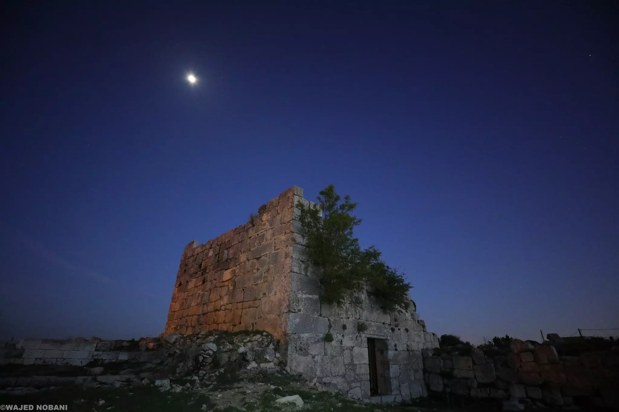
- بقايا الكنيسة البيزنطية وحِنْيَتها، وبجانبها برج من الفترة الصليبية -- واجد النوباني
- بقايا الكنيسة البيزنطية وحِنْيَتها، وبجانبها برج من الفترة الصليبية -- واجد النوباني #2
- بقايا الكنيسة البيزنطية وحِنْيَتها، وبجانبها برج من الفترة الصليبية -- واجد النوباني #3
- بقايا الكنيسة البيزنطية وحِنْيَتها، وبجانبها برج من الفترة الصليبية -- واجد النوباني #4
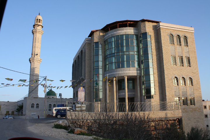
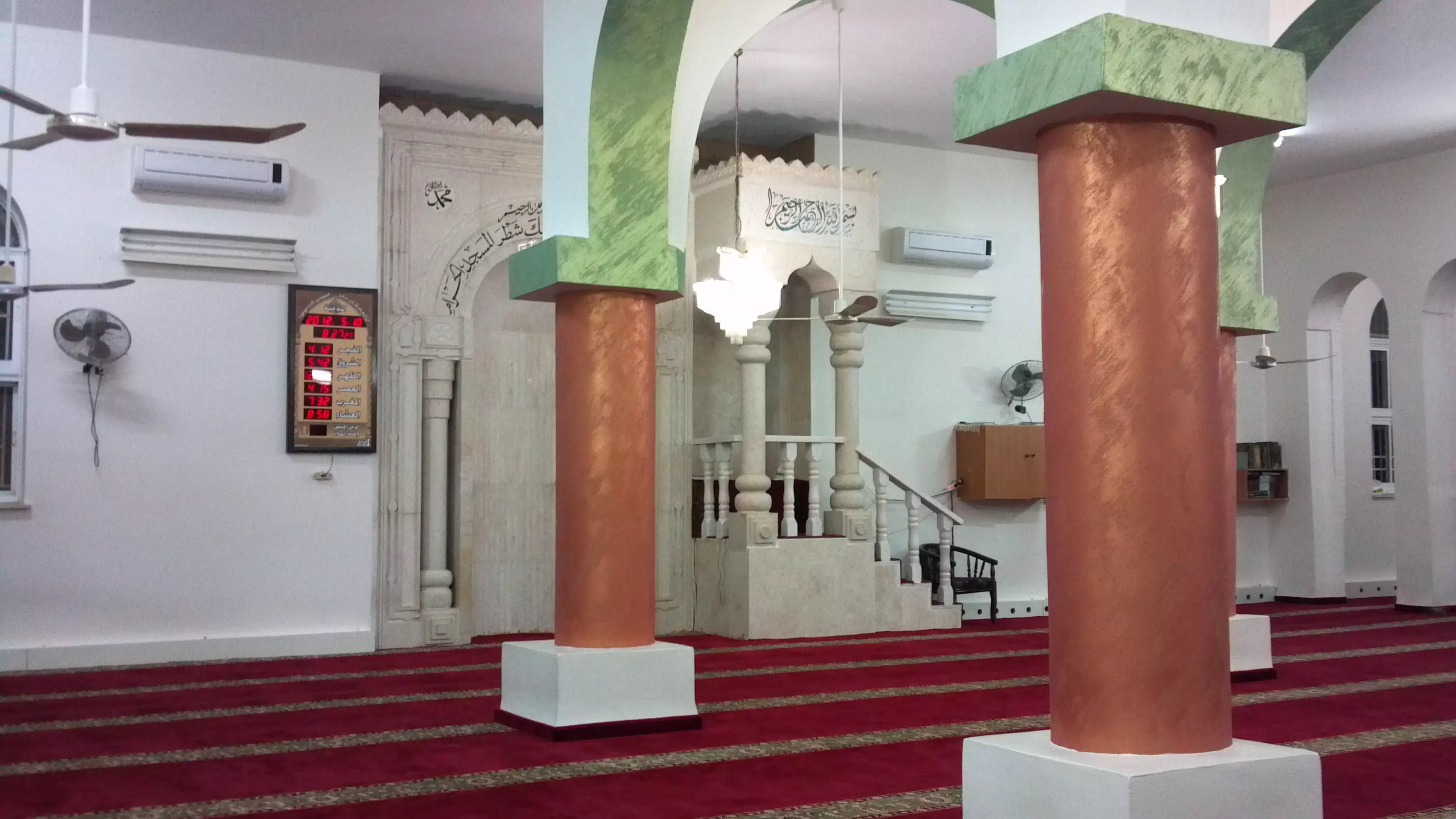
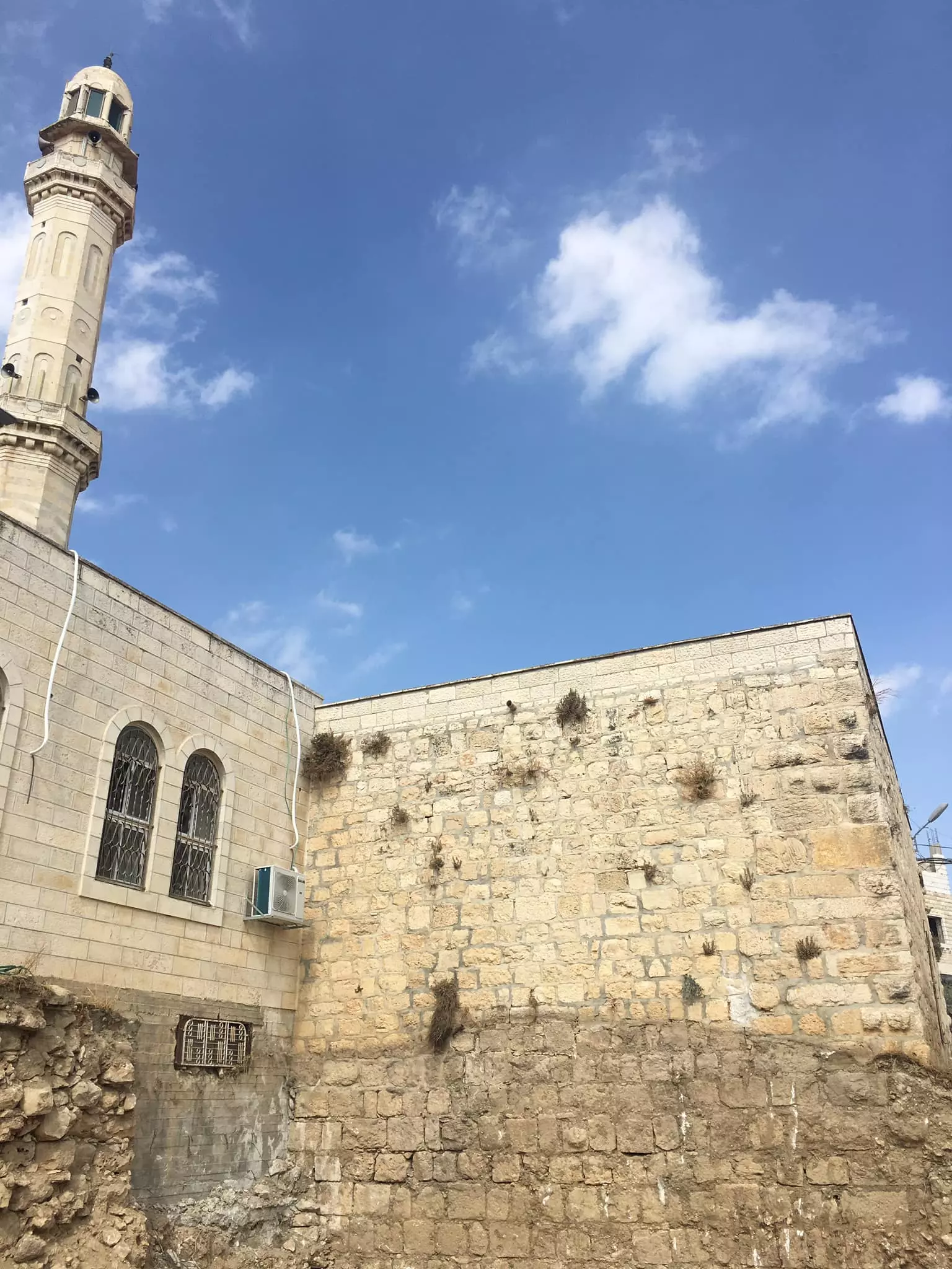
- جامع القرية
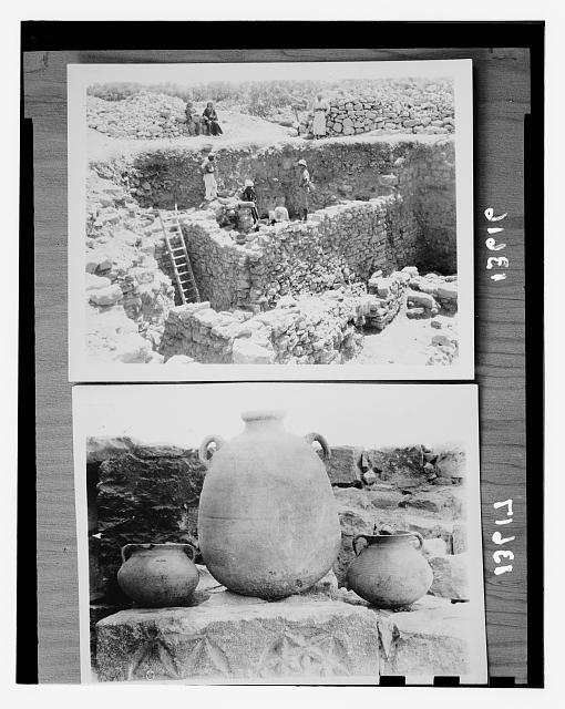
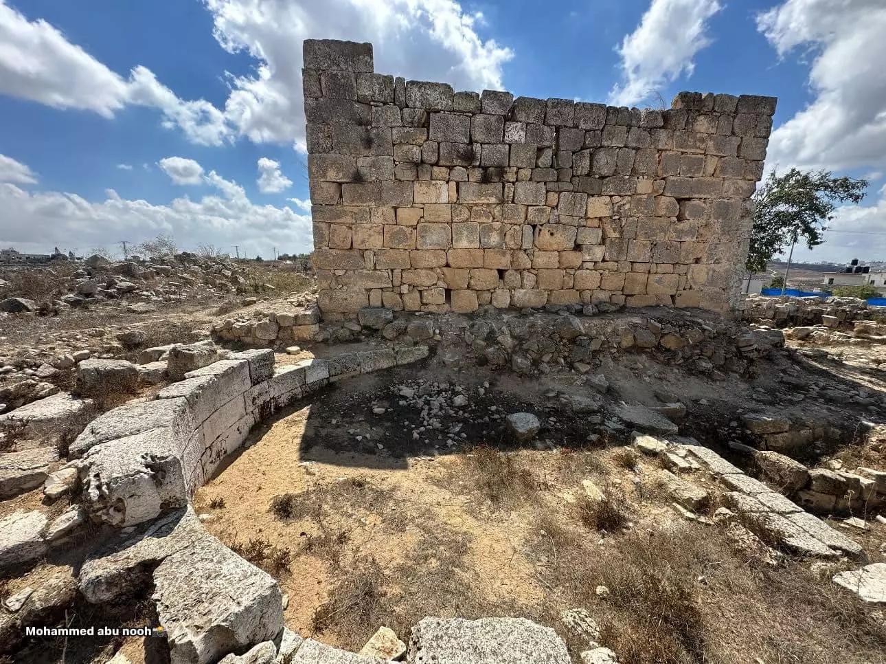
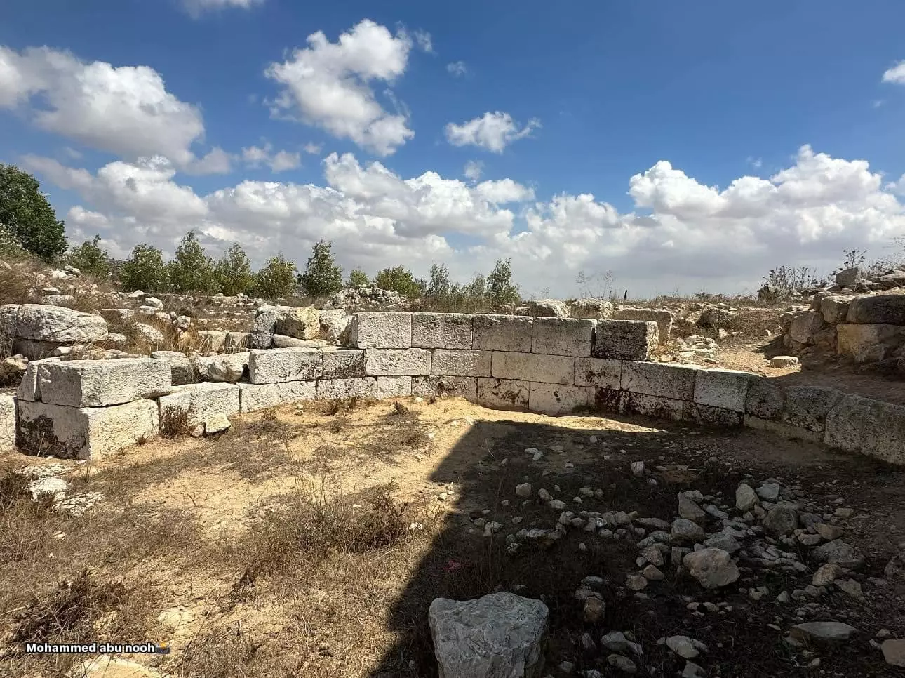
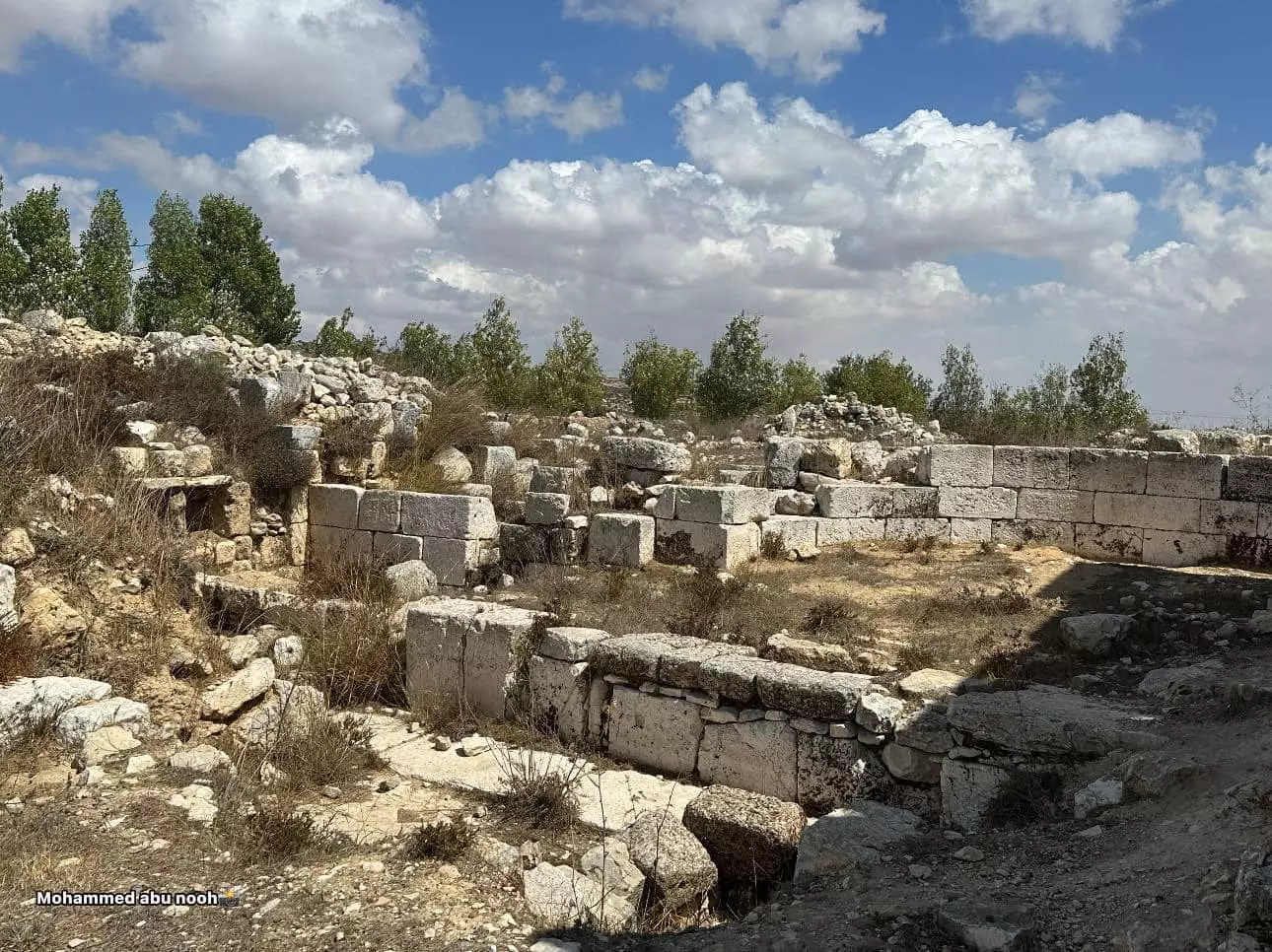
- جولة في خربة البرج الاثرية بيتين- رام الله--تصوير: محمد أبو نوح
- جولة في خربة البرج الاثرية بيتين- رام الله--تصوير: محمد أبو نوح #2
- جولة في خربة البرج الاثرية بيتين- رام الله--تصوير: محمد أبو نوح #3
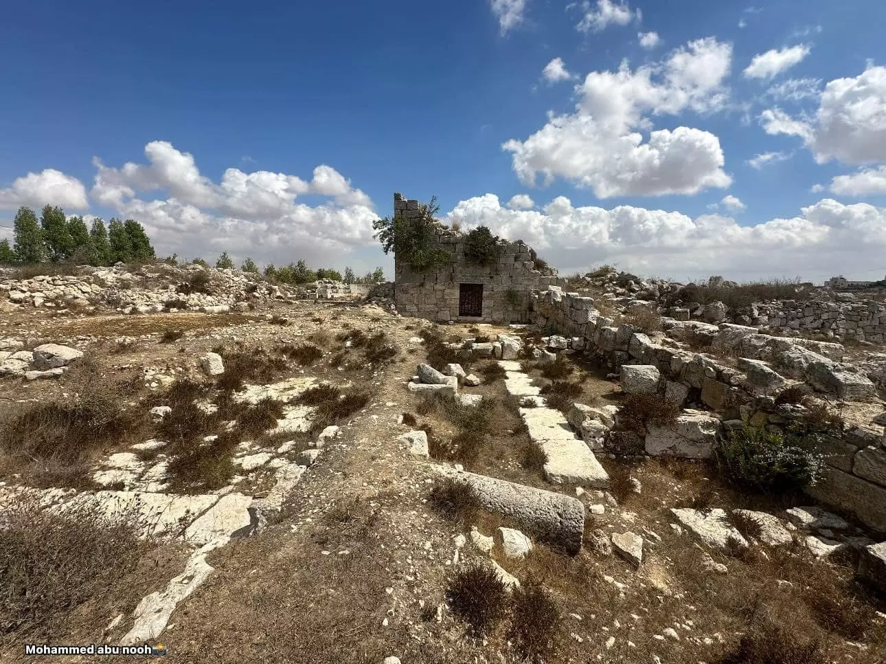
- جولة في خربة البرج الاثرية بيتين- رام الله--تصوير: محمد أبو نوح #4
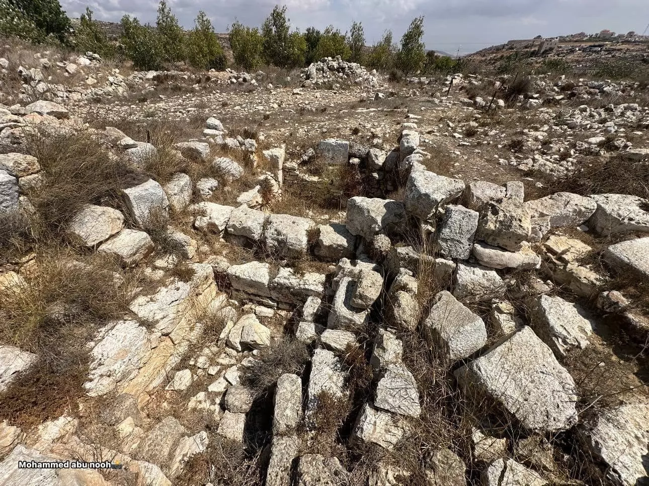
- جولة في خربة البرج الاثرية بيتين- رام الله--تصوير: محمد أبو نوح #5
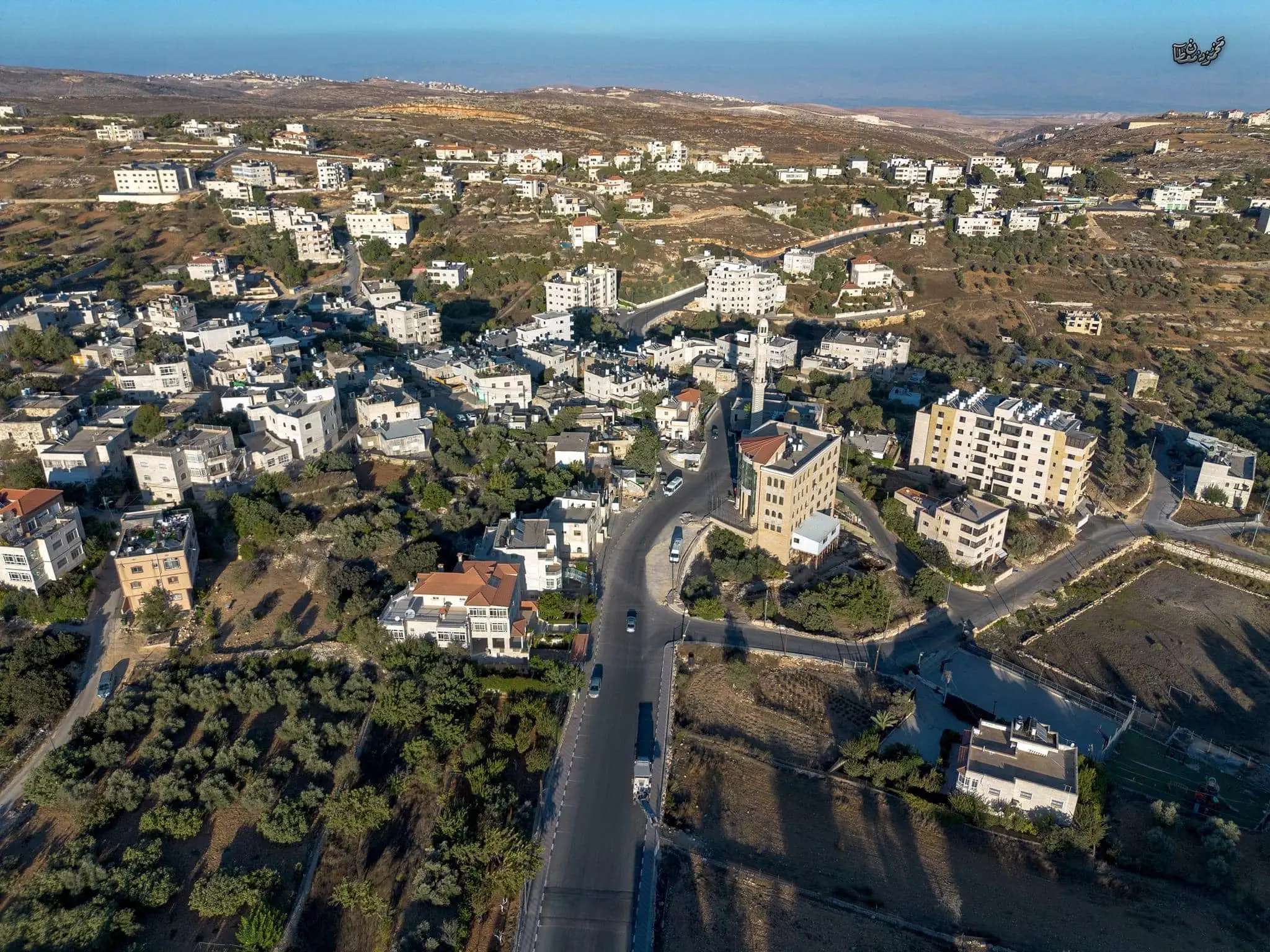
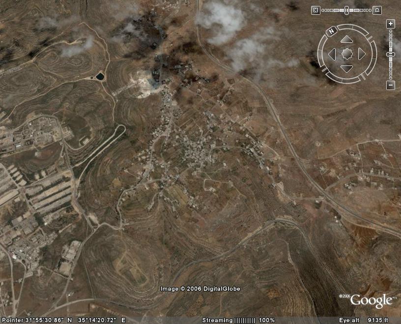
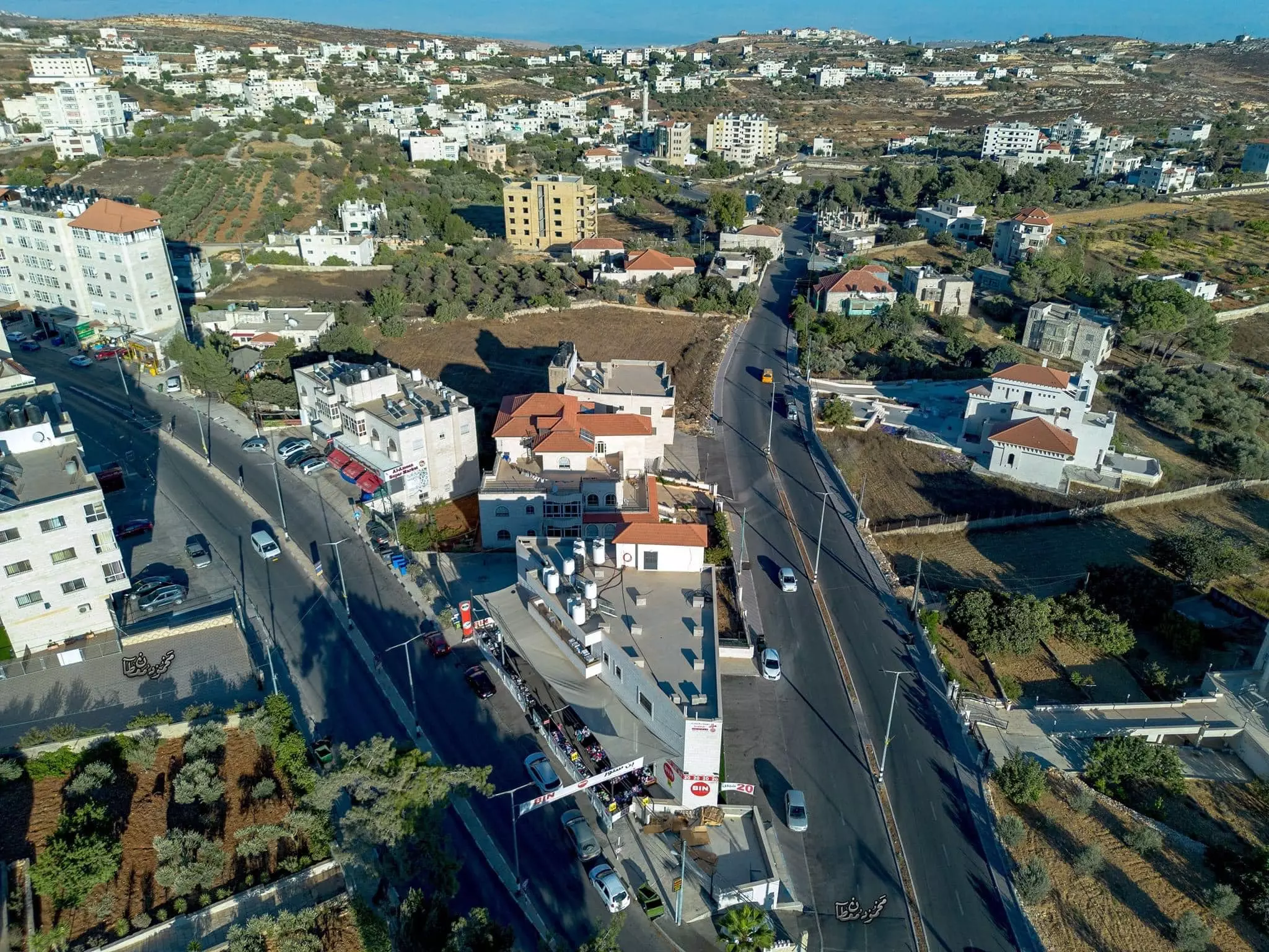
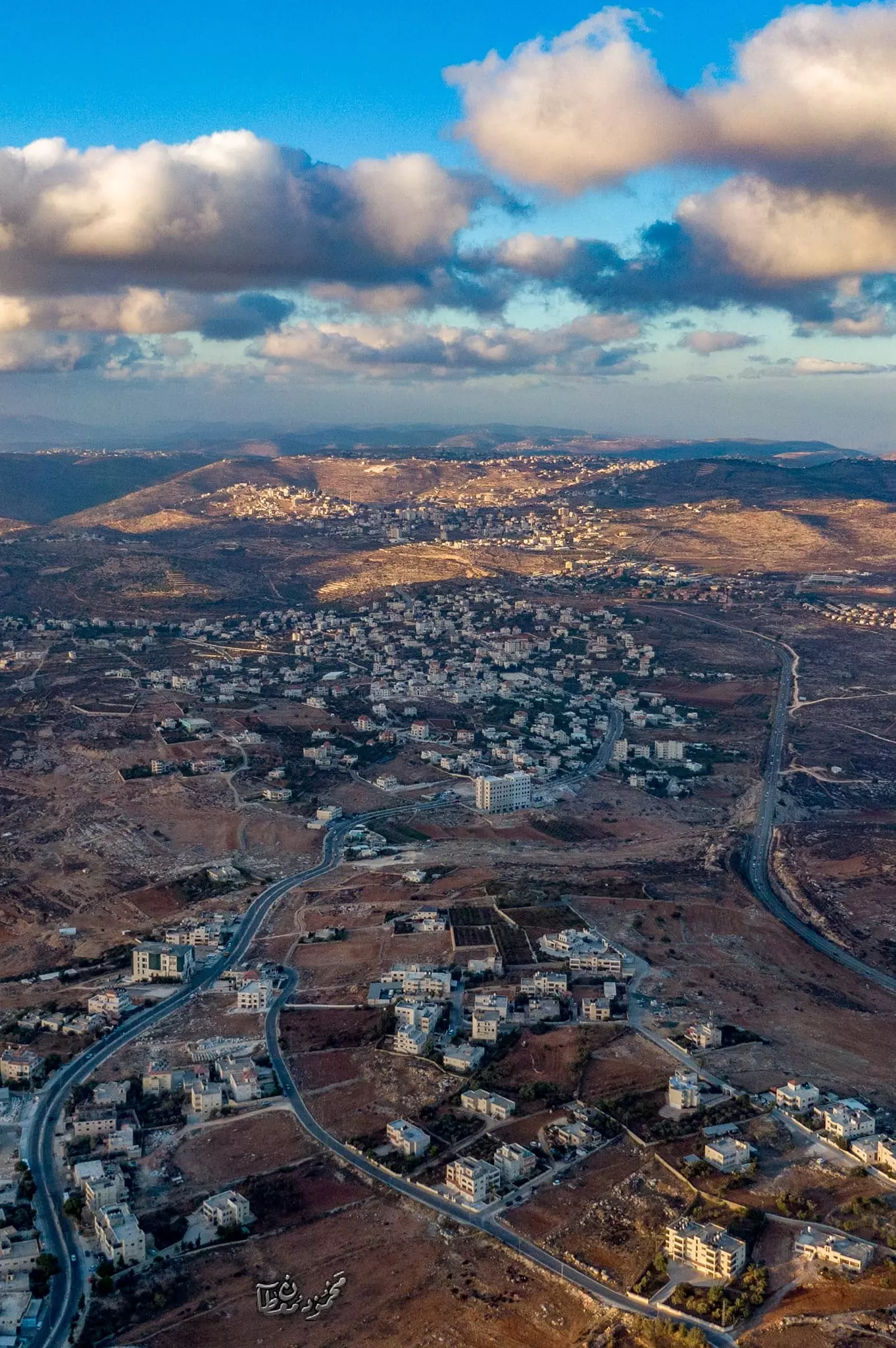
- صور جوية لقرية بيتين،، قضاء رام الله -- محمود معطان
- صور جوية لقرية بيتين،، قضاء رام الله -- محمود معطان #2
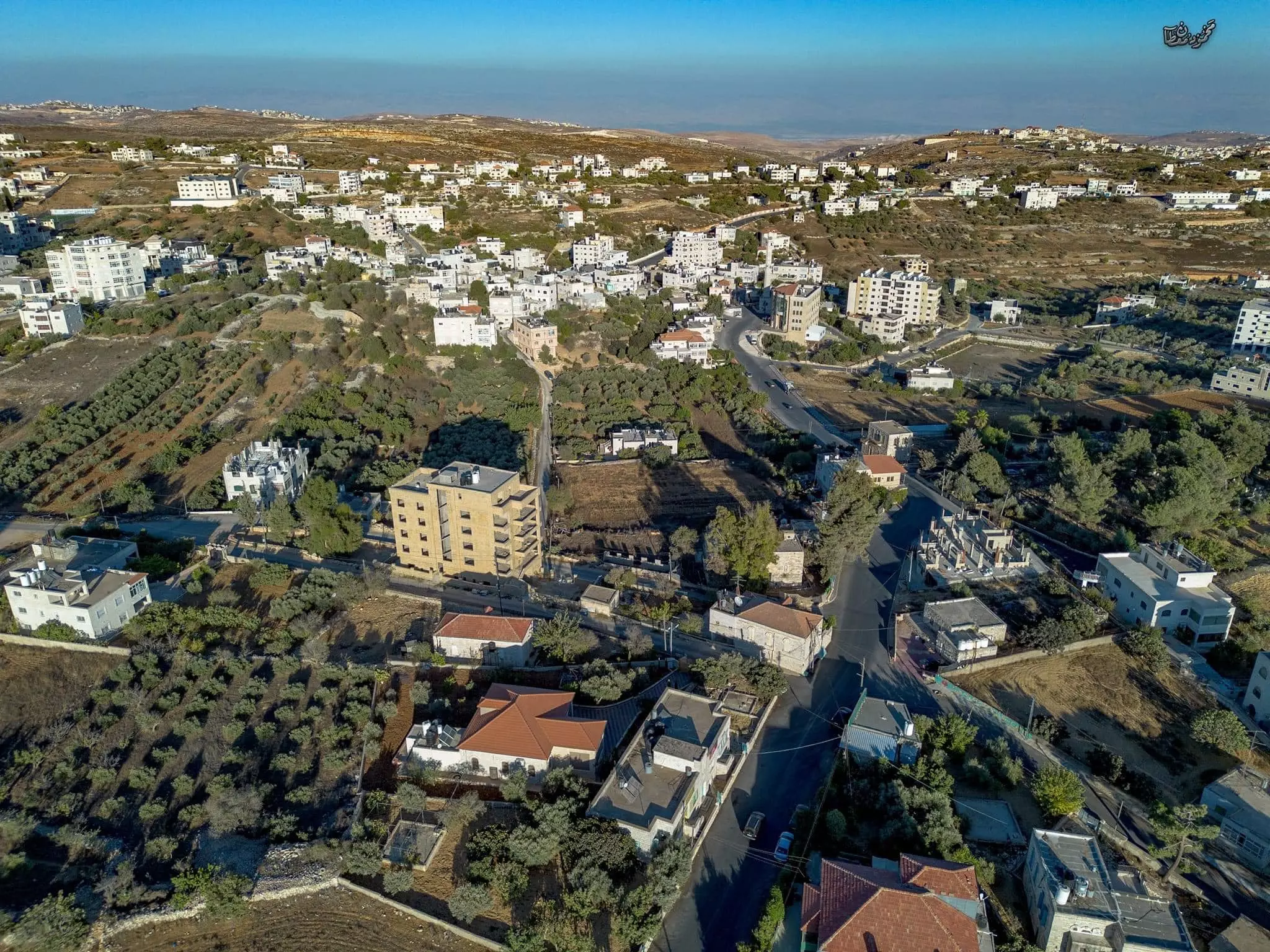
- صور جوية لقرية بيتين،، قضاء رام الله -- محمود معطان #3

- صور جوية لقرية بيتين،، قضاء رام الله -- محمود معطان #4
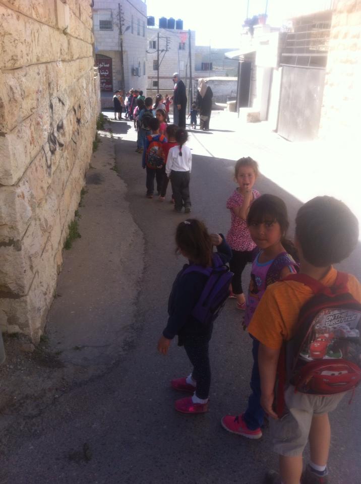
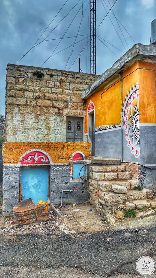
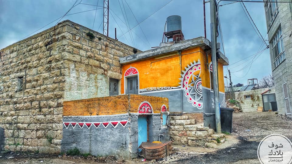
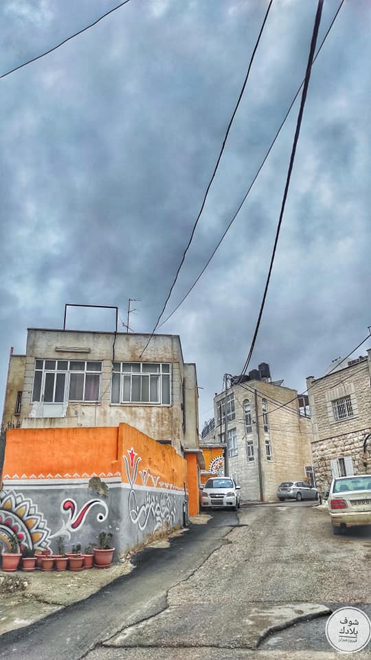
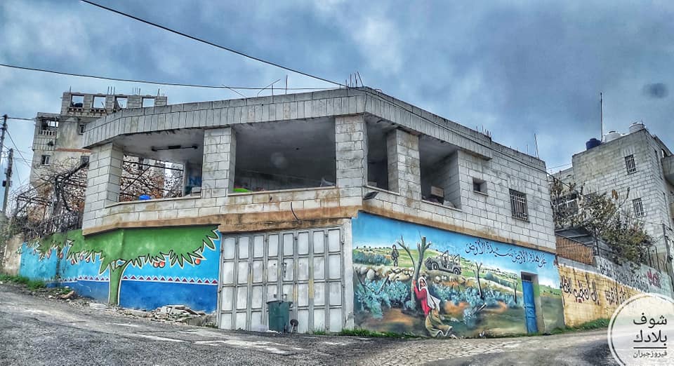
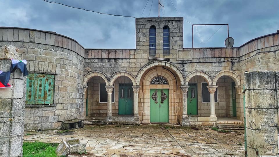
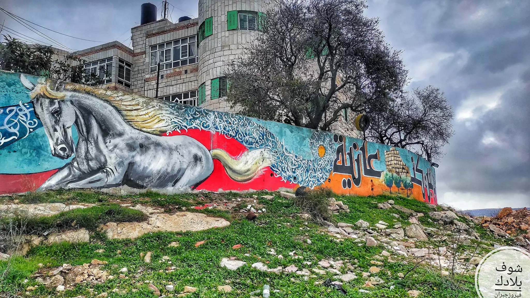
- جولة في حارت القرية Fairouz Jubran -- Jan. 2023
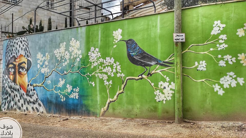
- جولة في حارت القرية Fairouz Jubran -- Jan. 2023 #2
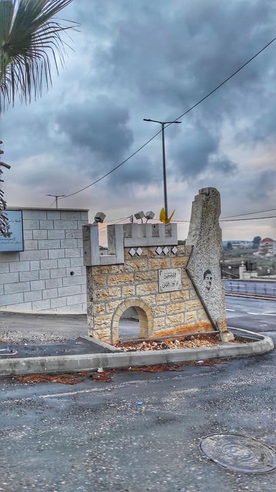
- جولة في حارت القرية Fairouz Jubran -- Jan. 2023 #3
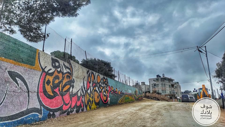
- جولة في حارت القرية Fairouz Jubran -- Jan. 2023 #4
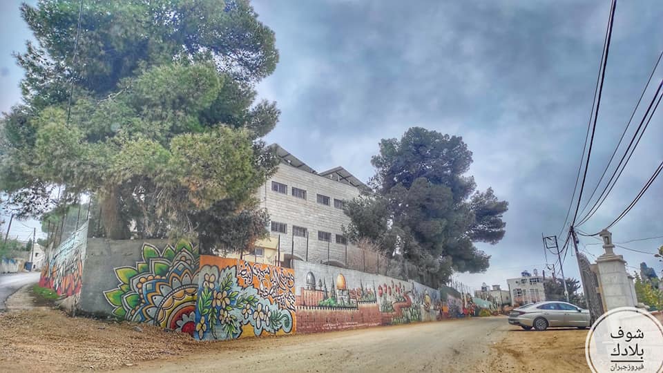
- جولة في حارت القرية Fairouz Jubran -- Jan. 2023 #5
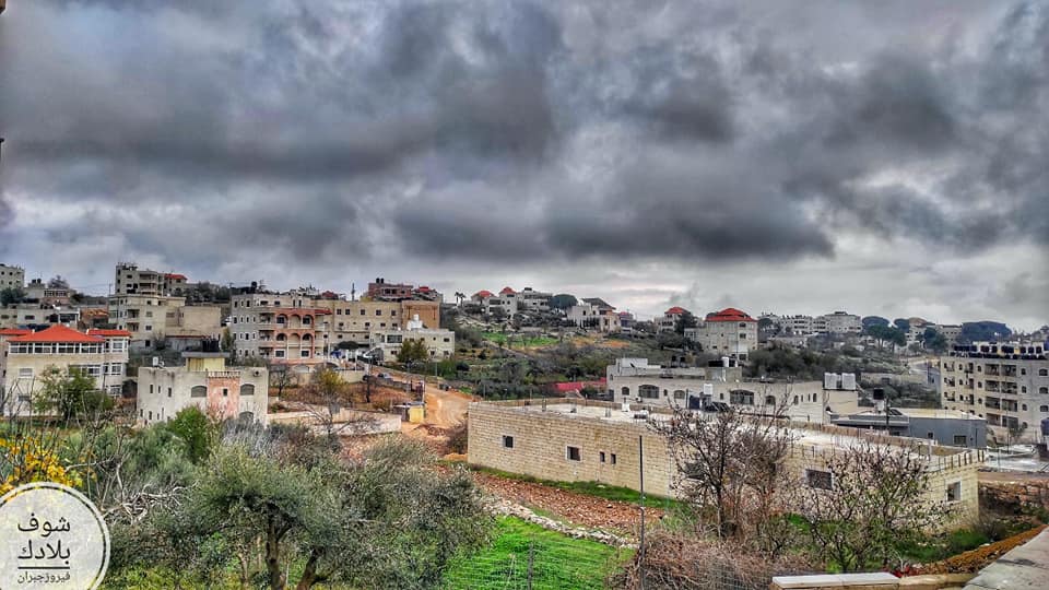
- جولة في حارت القرية Fairouz Jubran -- Jan. 2023 #6
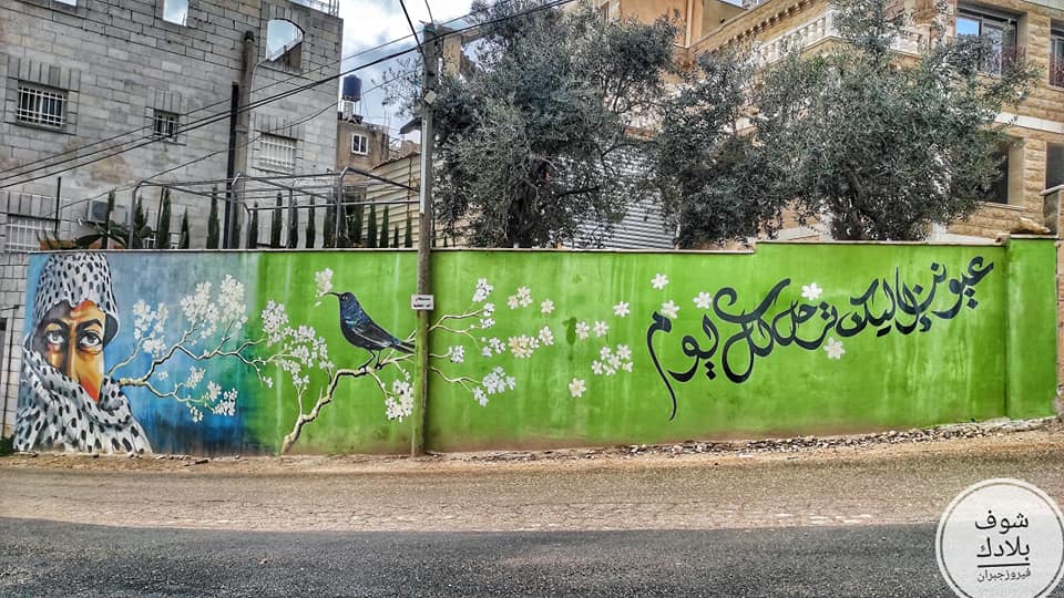
- جولة في حارت القرية Fairouz Jubran -- Jan. 2023 #7
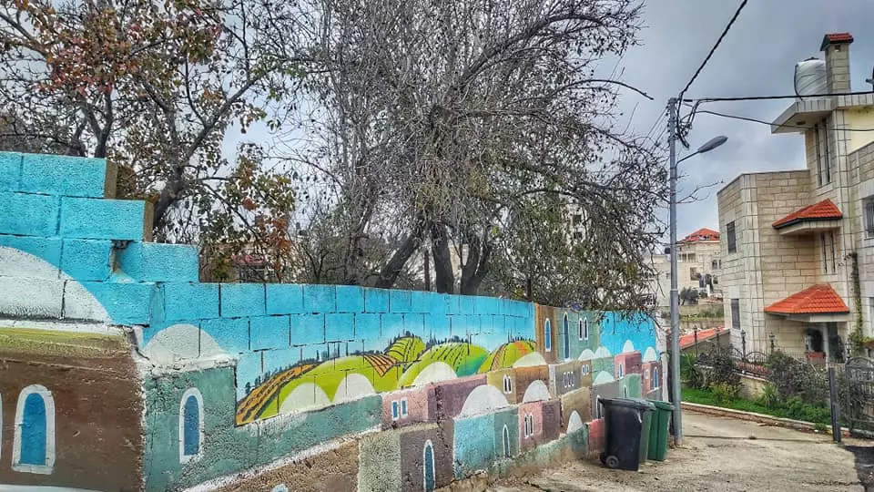
- جولة في حارت القرية Fairouz Jubran -- Jan. 2023 #8
- جولة في حارت القرية Fairouz Jubran -- Jan. 2023 #9
- جولة في حارت القرية Fairouz Jubran -- Jan. 2023 #10
- جولة في حارت القرية Fairouz Jubran -- Jan. 2023 #11
- جولة في حارت القرية Fairouz Jubran -- Jan. 2023 #12
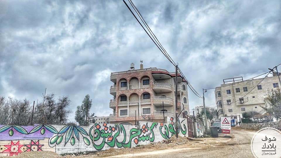
- جولة في حارت القرية Fairouz Jubran -- Jan. 2023 #13
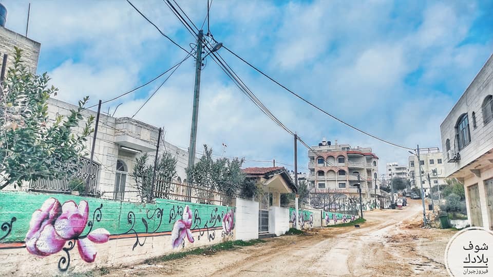
- جولة في حارت القرية Fairouz Jubran -- Jan. 2023 #14
- جولة في حارت القرية Fairouz Jubran -- Jan. 2023 #15
- جولة في حارت القرية Fairouz Jubran -- Jan. 2023 #16
- جولة في حارت القرية Fairouz Jubran -- Jan. 2023 #17
- بيت قديم -- Mahmoud Moutan
- بيت قديم -- Mahmoud Moutan #2
- بيت قديم -- Mahmoud Moutan #3
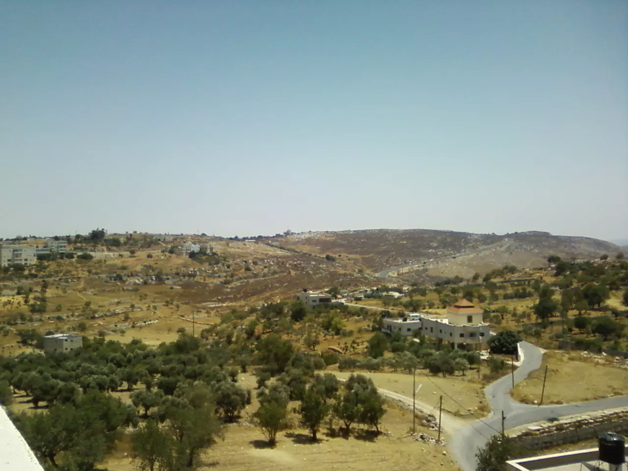
- غروب الشمس من قرية بتين

- أجزاء من قرية بتين وقرية عين يبرود وخلفهم بلدة سلواد -- June 2024 -- Mahmoud Moutan
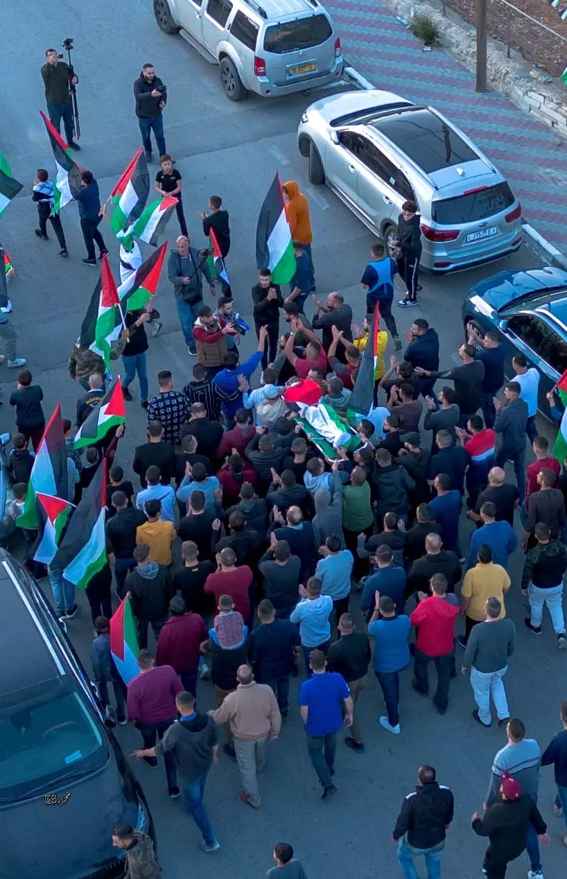
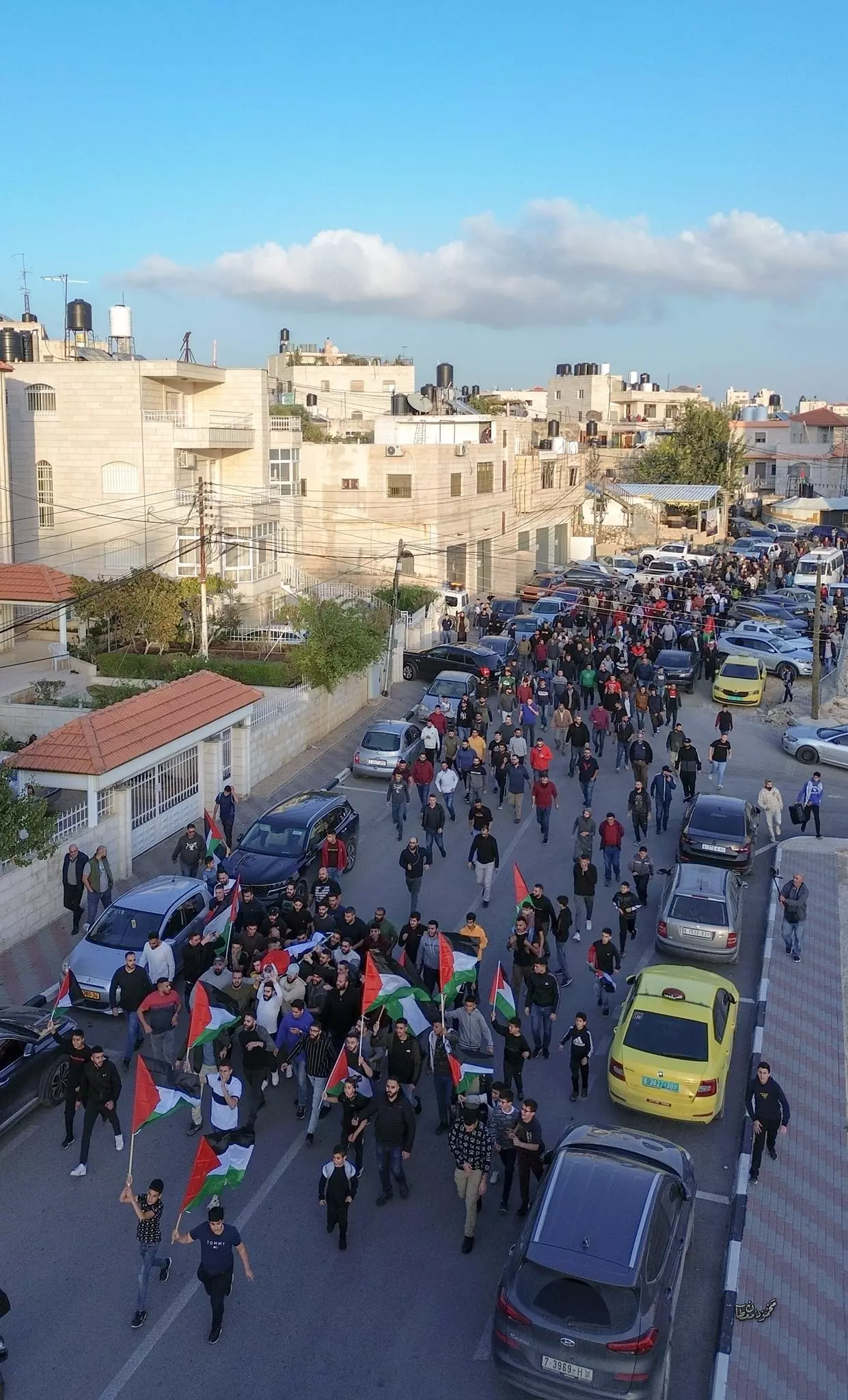
- جنازة الشهيد خضر السيد علي علوان (٤٦ عاماً) برصاص الاحتلال بتين قضاء رام الله-- Nov. 23rd, 2023 -- Mahmoud Moutan
- جنازة الشهيد خضر السيد علي علوان (٤٦ عاماً) برصاص الاحتلال بتين قضاء رام الله -- Nov. 23rd, 2023 -- Mahmoud Moutan #2

- جنازة الشهيد خضر السيد علي علوان (٤٦ عاماً) برصاص الاحتلال بتين قضاء رام الله -- Nov. 23rd, 2023 -- Mahmoud Moutan #3
- جنازة الشهيد خضر السيد علي علوان (٤٦ عاماً) برصاص الاحتلال بتين قضاء رام الله -- Nov. 23rd, 2023 -- Mahmoud Moutan #4
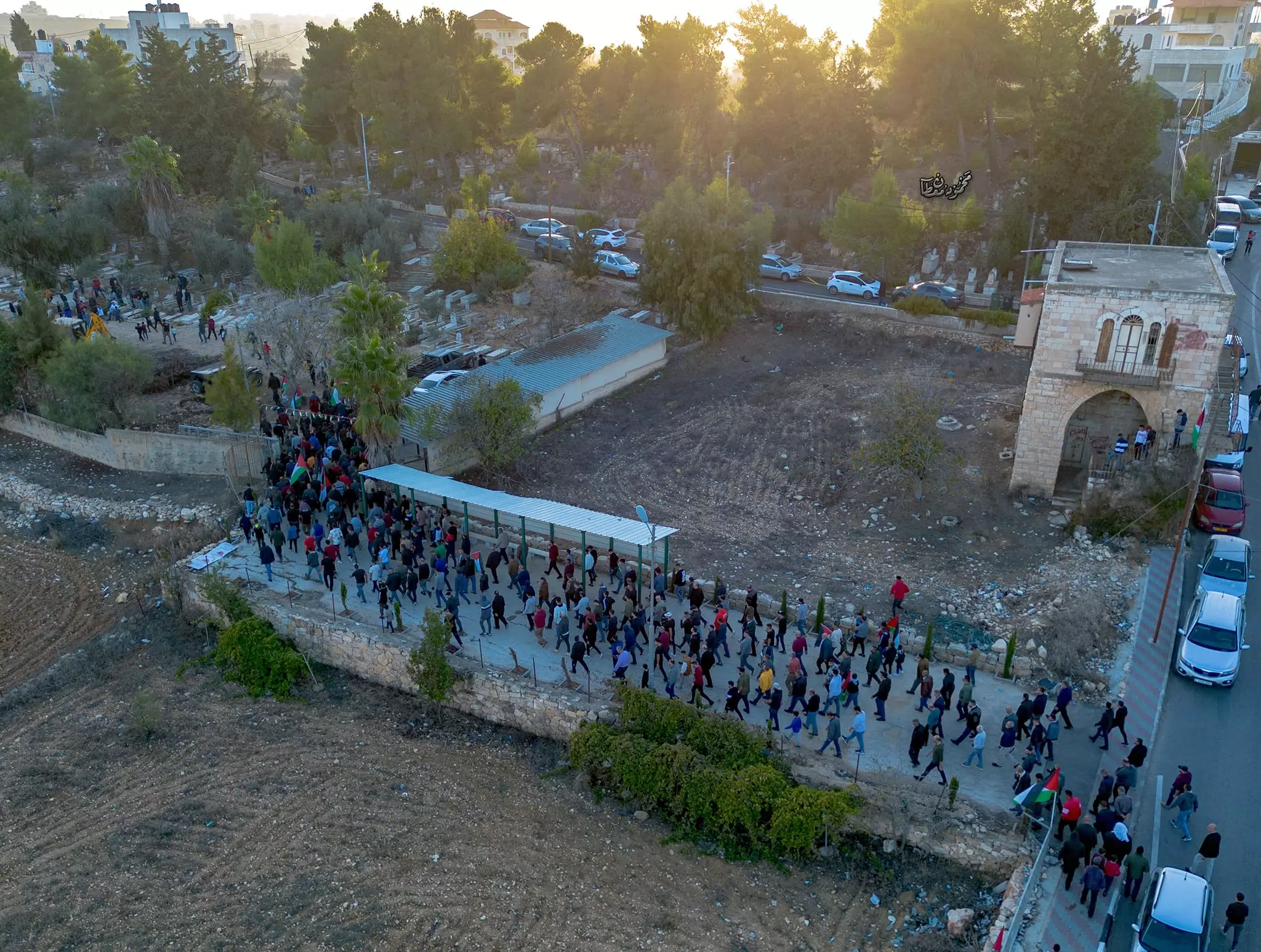
- جنازة الشهيد خضر السيد علي علوان (٤٦ عاماً) برصاص الاحتلال بتين قضاء رام الله -- Nov. 23rd, 2023 -- Mahmoud Moutan #5
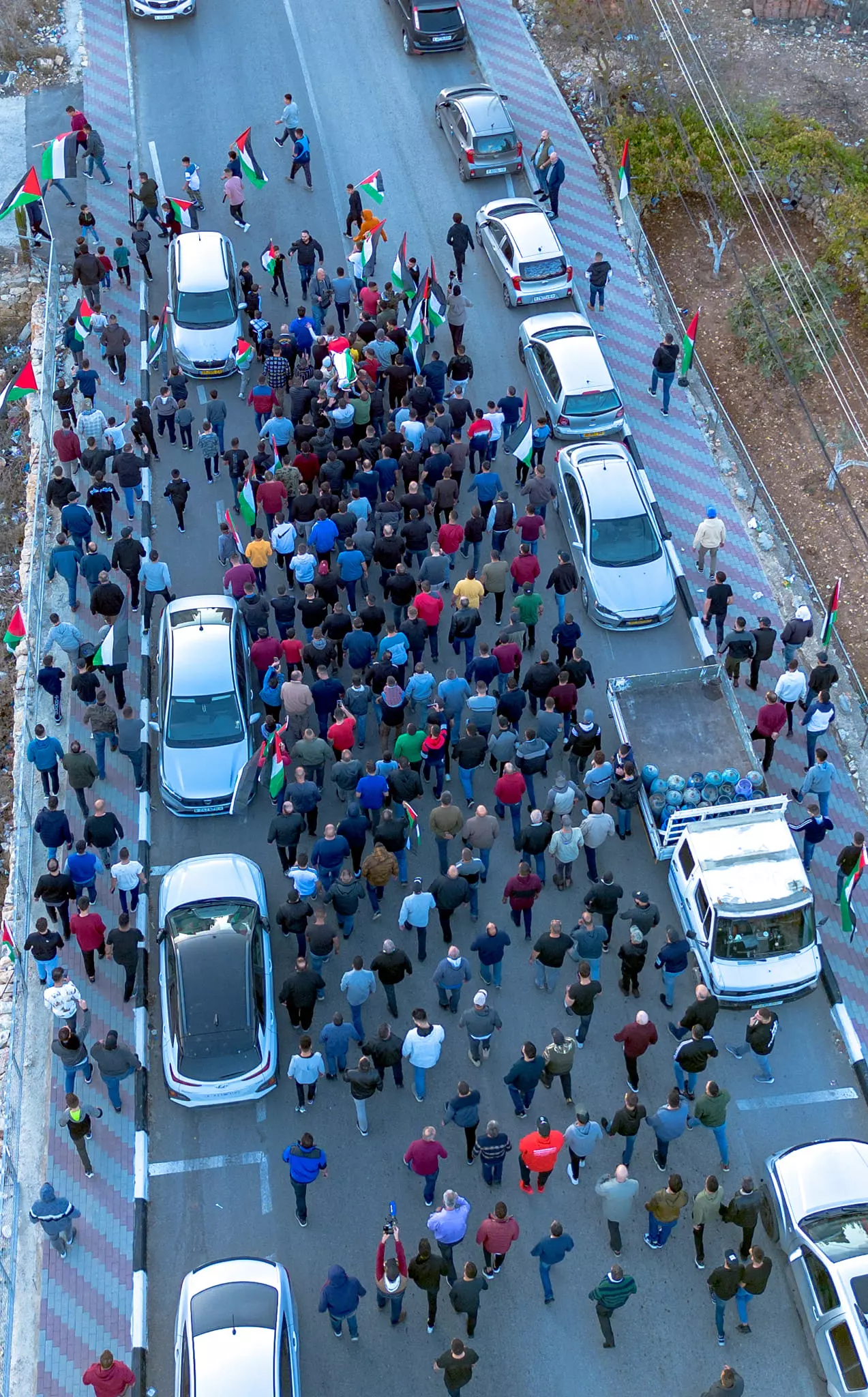
- جنازة الشهيد خضر السيد علي علوان (٤٦ عاماً) برصاص الاحتلال بتين قضاء رام الله -- Nov. 23rd, 2023 -- Mahmoud Moutan #6
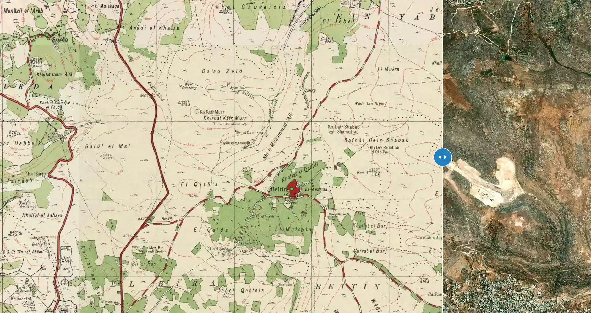
- خارطة تُظهِر الحدود والطرق بأنواعها والأماكن المقدسة والطبيعة الطوبغرافية من تلال وسهول ومنحدرات والتشكيلة الطبيعية للأرض وأنواع المزروعات. نُشرت الخريطة فترة الانتداب البريطاني، تم إضافة تعديلات عليها من قِبَل خدمة الخرائط والصور التابعة للقوات العسكرية الاسرائيلية فترة الأربعينيات.

- قرية بيتين -- 1996

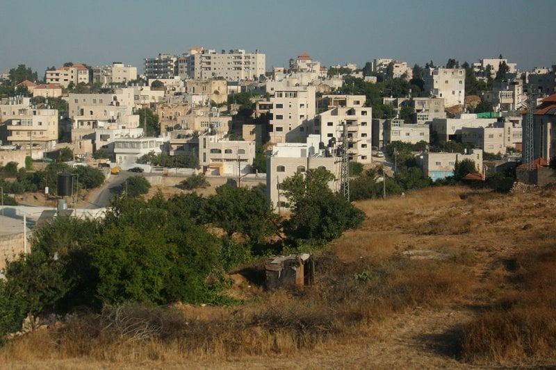
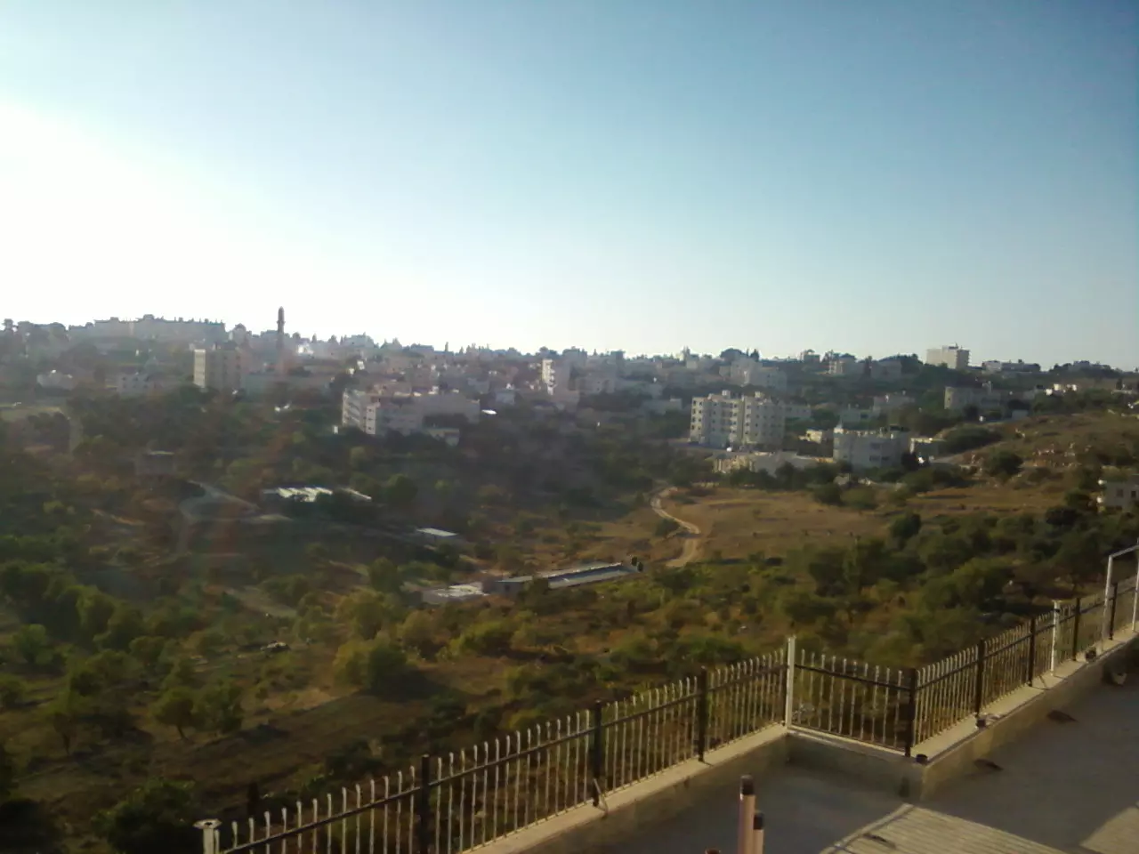
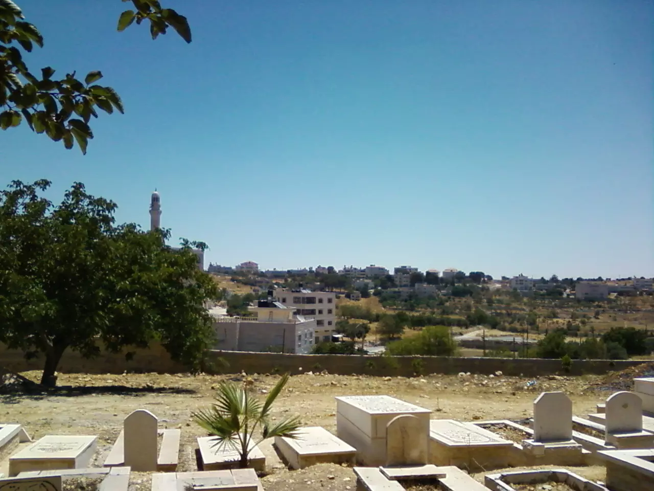
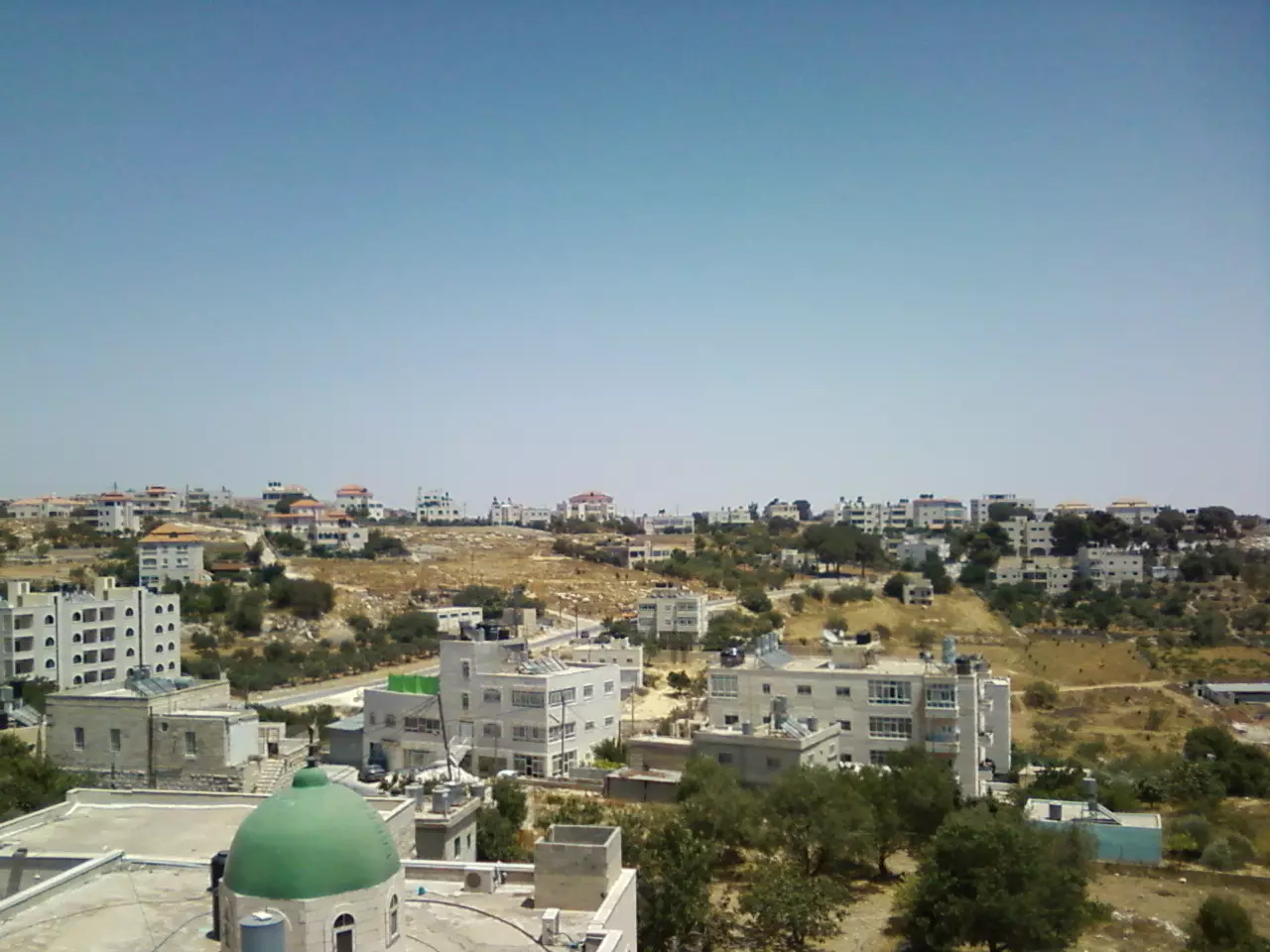
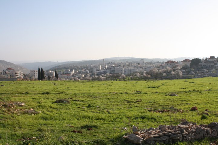
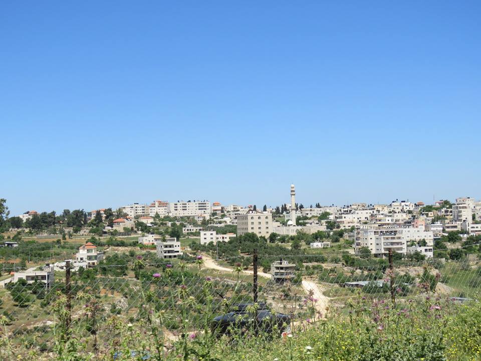
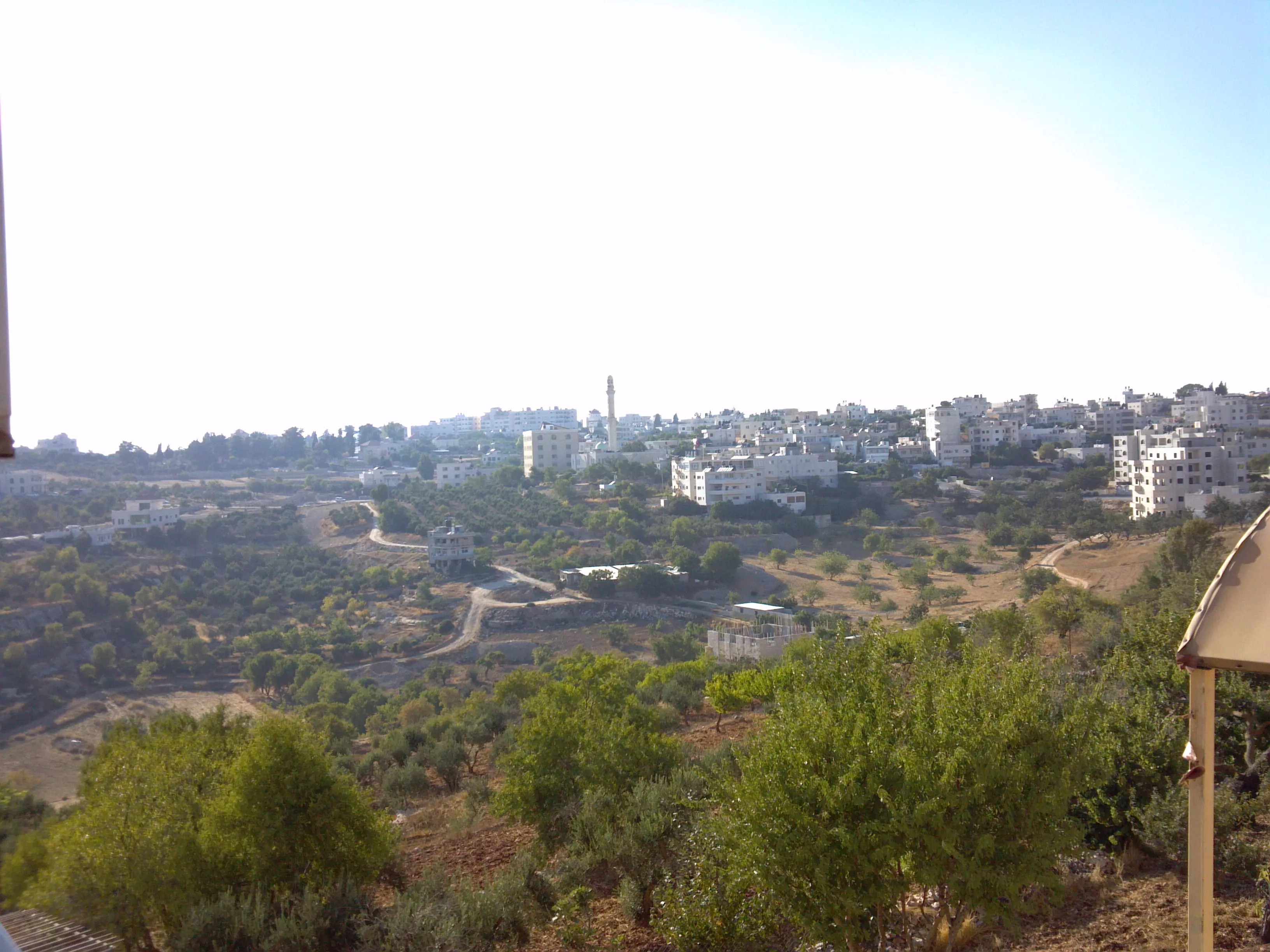
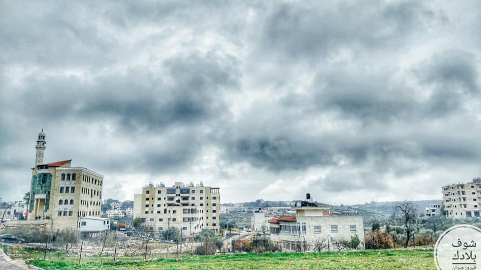
- منظر رائع للقرية

- الشهيد بإذن الل هيثم عز الدين عمر حميدة الذي ارتقى برصاص الجيش الإسرائيلي في قرية بيتين

Want to browse more? 80,000 pictures were grouped in these gallaries:
| Display Name | Clan/Hamolah | Country of Residence |
| ٍsamer.hamed | حامد | بيتين, بيتين |
| mohammad montaser asad ahmad hassan museitef | - | wisconsin,north carolina, usa |
| am ishaq | badwan | oh, usa |
| FUFU | حامد | رام الله , بيتين |
| Dala317 | Isaed | North Carolina, USA |
| موسى حامد | حامد | رام الله, بيتين |
| صائب | - | - |
- بيتين في الشتاء - شتاء عام 2015
- برنامج حلوة يا دنيا في بتين Duration: 12 min 31 sec
- مرورا من قرية بيتين العريقة Duration: 4 min 13 sec
No links have been shared yet, be free to the first to share the first link.
 Fake Valor: Why Did Zionist Jews Hoist Nazis Flag on Their Ships in the 1930s?
What is new?
-
Facts About Oct. 7th Gaza Raid
-
Remined Us Please: Who Did Rape Whom? Was it Palestinians who raped Israelis? Or, was the other way around? You'll be the judge
-
When Prof. Edward Said was invited to debate Bibi Netanyahu in the 1980s, watch what happened!
-
Ezra Klein of the NY Times on the "Jewish Race".
-
Abusing Blood Libel!
-
How and why Israeli Jewry has become the most hated cult?
-
Did Israeli Soldiers Activate The Hannibal Direective On Oct. 7th? You Be The Judge
-
Zionist FAQ: Isn't it true that Palestinians don't want peace? Palestinians never accepted the two-state solution
- Facts about Haavara (Transfer) Agreement between Ben-Gurion & Hitler
-
Haavara FAQs: Why Did Zionist Jews Hoist Nazis' Flags on Their Ships in the 1930s?
- Haavara FAQs: When Chaim Weizmann met FDR in mid-1943, why was he silent about rescuing European Jewry?
-
Dear ChatGPT: How did Palestinians resist Napoleon's invasion of their country in 1799?
-
Dear ChatGPT: Gaza had a vibrant Jewish community in the mid-17th century. What happened to them?
-
Dear ChatGPT: Why did the Jewish Agency suppress news of the Holocaust during WWII?
-
Video Playlist: Jews share their DNA tests to end the conflict for good.
-
A Tale of Two Conflicts: Examining the Definition of Genocide
-
Prof. Abraham Polak And The Suppressed History of the Khazars and European Jewry
-
How Ronald Reagan would have framed the genocide in Gaza if he were still alive?
-
Haavara FAQs: Let us do the math: how many German Jews did The Haavara Agreement save?
-
Zionist FAQs: The Hebron Massacre of 1929, "clearly proves" that Palestinians are antisemitic, how could you deny it?
-
Zionist FAQs: Why Anti-Zionist Is Not Antisemitism?
-
Zionist FAQs: Isn't it true that the KGB created Palestinian Nationalism in the early 1960s?
- Zionist FAQs: Muslims are killing Muslims all the time; why are Israeli Jews being singled out in the media?
- Zionist FAQs: How is Israel an apartheid state when 20% of its citizens are Arabs who enjoy full rights?
-
Haavara FAQs: Why Did Dorothy Thompson Flip From A Zionist Advocate to A Silenced Dissenter?
-
Haavara FAQs: Analysis of Herzl's Uganda Scheme and how it could have saved millions of Jews.
-
Haavara FAQs: Why did Hayim Greenberg describe American Jewry as "morally bankrupt" in early 1943?
-
Haavara FAQs: What if the Evian Conference was a resounding success? What would have been the impact of saving European Jewry on Zionism?
- Haavara FAQs: What if the six million were saved, how that would have impacted the Zionist project?
-
Haavara FAQs: How did Zionist leaders react when Europe's Jews lingered in the DP camps after WWII ended?
-
Why does the American Jewish community repeat lies that David Ben-Gurion had debunked before he died?
-
Who has the power to rename the Tatar/Khazar Gene Marker to Jewish IV?
-
Zionist FAQs: Why won't Egypt, Syria, and Jordan take their people back? Jews are indigenous to Palestine, and Arabs immigrated after Jews developed the country. Arabs should leave.
-
Haavara FAQs: Did Hitler and the Nazis conflate between Judaism and Zionist? If that wasn't case, then why?
-
Haavara FAQs: Winston Churchill and antisemitism, a collection of articles written Churchill.
-
Haavara FAQs: Broken by country, how many Jews survived vs. killed during the Holocaust?
-
Haavara FAQs: Why did European Jews vote with their feet and to immigrated to the Americas, not Palestine, after WWII?
-
Watch this American Jewish Girl describing Israeli Jews' cognitive dissonance like no other in under two minutes
-
Haavara FAQs: When the Nazis went out of their way to hide the Holocaust, Israeli Jews did the exact opposite by broadcasting their genocide of Gazans. But why?
-
Haavara FAQs: How Zionist Jews went out of their to show their appreciation to Nazism and Fascism?
- Haavara FAQs: Why Zionist leaders were against bombing the death camps & the Railroads leading to them?
-
Haavara FAQs: Hitler's message to the British and American people: If Jews are such noble citizens and you care about them, how come you're not letting them in? I will gladly ship them to you at my expense, even on luxury liners!
-
A shortlist of Zionist and Israeli false flag operations in the name Jews.
-
The Most Moral Army
- The Land of Kapos (Israel): Where the brave are boycotted and Kapos walk free.
- Why did early Zionists often named their communal enterprises "colonial"?
- Zionist Relations with Nazi Germany by Faris Glubb
-
Two NY Times advertisements by Zionists in the early 1943 that exposes Zionists' treason at the height of the calamity
- Facts Not Lies about the Palestinian-Israeli Conflict.
- Site's pictures have been categorized
- Campgain Against Lice
- A Survey of Palestine, the official source about Palestine before Nakba produced by the British Mandate; over 1200 pages.
- Satellite View & Google Earth: Over 6,000 placemarks identifying all destroyed towns, W. Bank & Gaza Strip Towns, & refugee camps.
- PalestineRemembered.com and its Nakba Oral History Project were featured on al-Jazeera Satellite TV.
- Nakba Oral History Video Podcast:
 Over 700 Oral History interviews (including 3,500+ hours of recording) can be viewed online.
 - Palestine Village Statistics Project
- Gaza Jail Break
- النسخة العربية للموقع الان متوفرة
- Videos: Documenting the destroyed villages in video: Tracing all that remains since Nakba.
- Videos: Responding to Zionist Propaganda
- Interview: The ethnic cleansing of Palestine: George Galloway interviews Israeli Historian Ilan Pappe.
- For Palestinians, memory matters. It provides a blueprint for their future By George Bisharat.
- Zionist FAQ now available in Hebrew שאלות שציונים שואלים, עכשיו בעברית
- Video: The Stephen Walt and John Mearsheimer report on the influence of the Israel Lobby on U.S. Foreign Policy
- The Palestinian-Israeli conflict for beginners
