| PalestineRemembered | About Us | Oral History | العربية | |
| Pictures | Zionist FAQs | Haavara | Maps | |
| Search |
| Camps |
| Districts |
| Acre |
| Baysan |
| Beersheba |
| Bethlehem |
| Gaza |
| Haifa |
| Hebron |
| Jaffa |
| Jericho |
| Jerusalem |
| Jinin |
| Nablus |
| Nazareth |
| Ramallah |
| al-Ramla |
| Safad |
| Tiberias |
| Tulkarm |
| Donate |
| Contact |
| Profile |
| Videos |
Welcome To al-Zuq al-Tahtani - الزوق التحتاني (א-זוק א-תחתאני)
|
District of Safad
Ethnically cleansed days ago |
العربية Google Earth |
 |
Gallery (47) |
- Statistics & Facts
-
Before & After

- Satellite View
- Articles 1
- Pictures 47
- Oral History 5
- Members 8
- All That Remains
- Wikipedia
- Videos 2
- Guest Book
- Links
| Statistic & Fact | Value | ||||||||||||||||||
| Occupation Date | May 11, 1948 | ||||||||||||||||||
| Distance From District | 30 (km) North East of Safad | ||||||||||||||||||
| Elevation | 100 (meters) | ||||||||||||||||||
| Before & After Nakba, Click Map For Details |
|||||||||||||||||||
|
|||||||||||||||||||
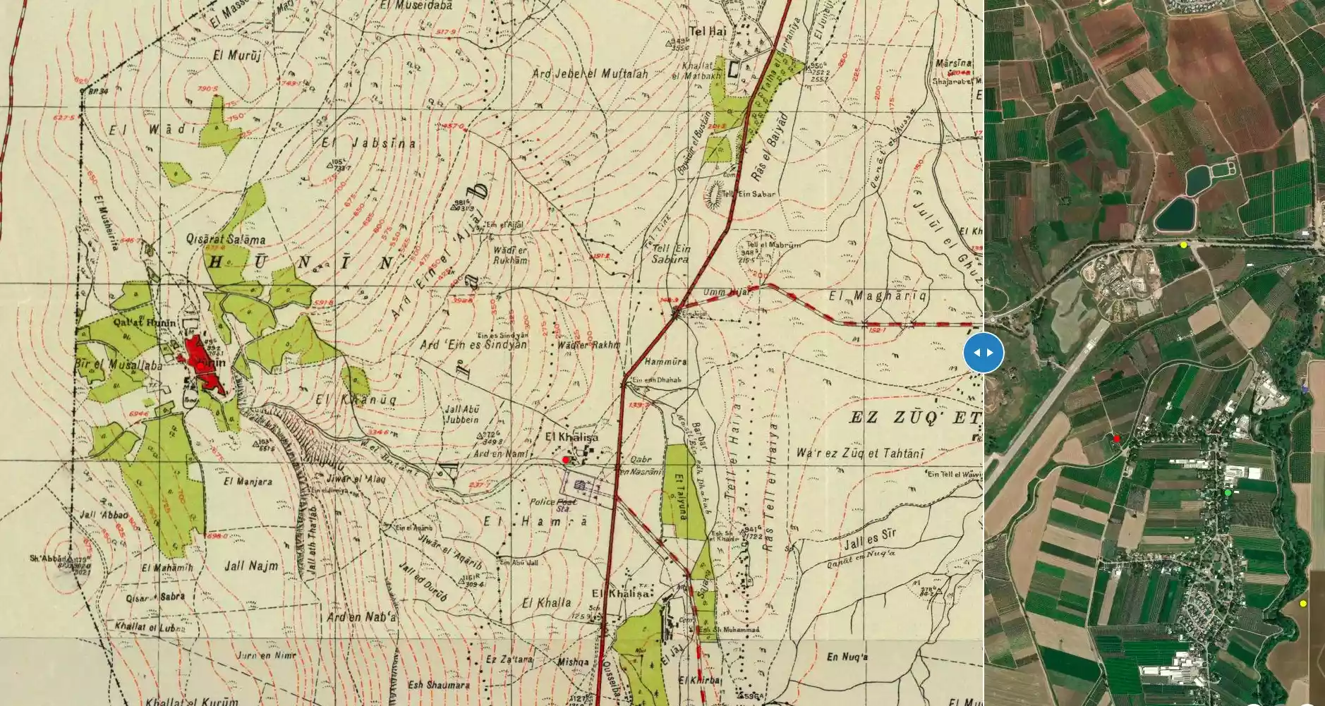
| Map Location | See location #9 on the map View from satellite |
||||||||||||||||||
| Military Operation | Operation Yiftach (commanded by the ethnic cleansing champion Yigal Allon) | ||||||||||||||||||
| Attacking Units | The Palmach's First Battalion | ||||||||||||||||||
| Exodus Cause | Influence of fall of, or exoduce from, neighboring town | ||||||||||||||||||
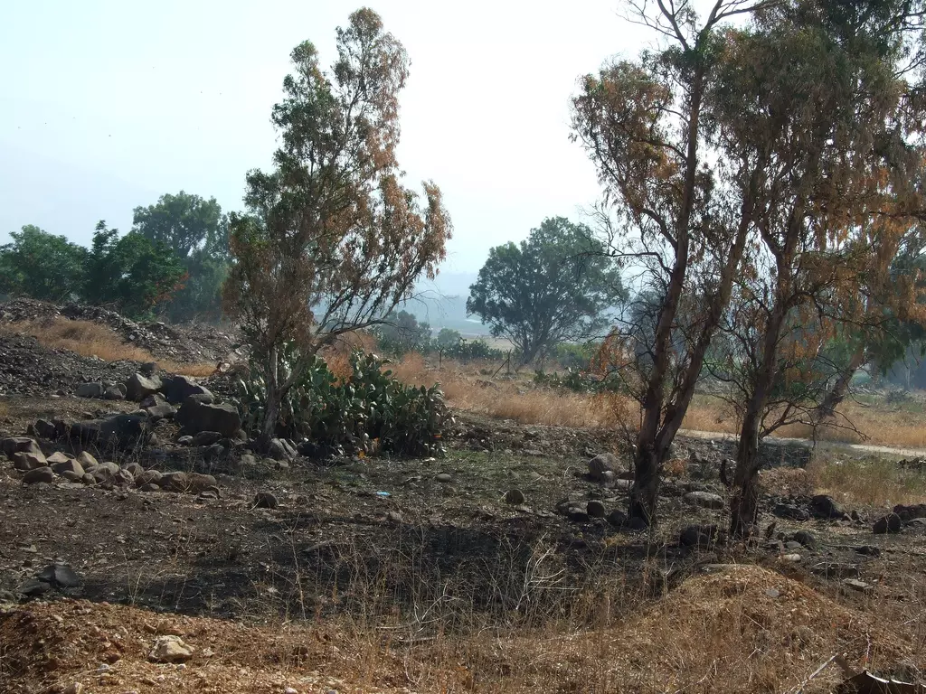
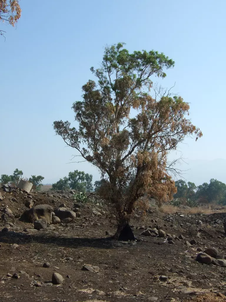
| Village Temains | The village has been completely destroyed, and only one house still standing. | ||||||||||||||||||
| Ethnically Cleansing | The village has been ethnically cleansed as a result of psychological warfare conducted on the 11th of May 1948. | ||||||||||||||||||
| Pre-Nakba Land Ownership |
**Town Lands' Demarcation Maps |
||||||||||||||||||
| Land Usage As of 1945 |
|
||||||||||||||||||
| Population |
|
||||||||||||||||||
| Number of Houses |
|
||||||||||||||||||
| Near By Towns |
|||||||||||||||||||
|
|
|||||||||||||||||||
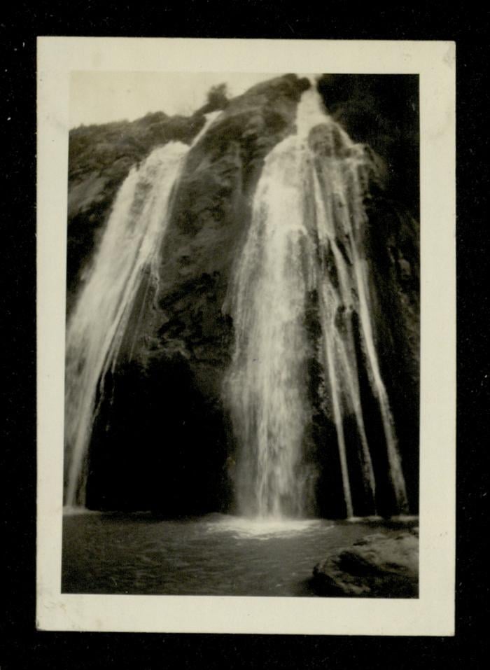
| Water Supply | The villagers drew water for domestic use from a nearby wadi and also operated several water-powered mills. | ||||||||||||||||||
| Exculsive Jewish Colonies That Usurped Village Lands |
Beyt Hillel | ||||||||||||||||||
| Featured Video | |||||||||||||||||||
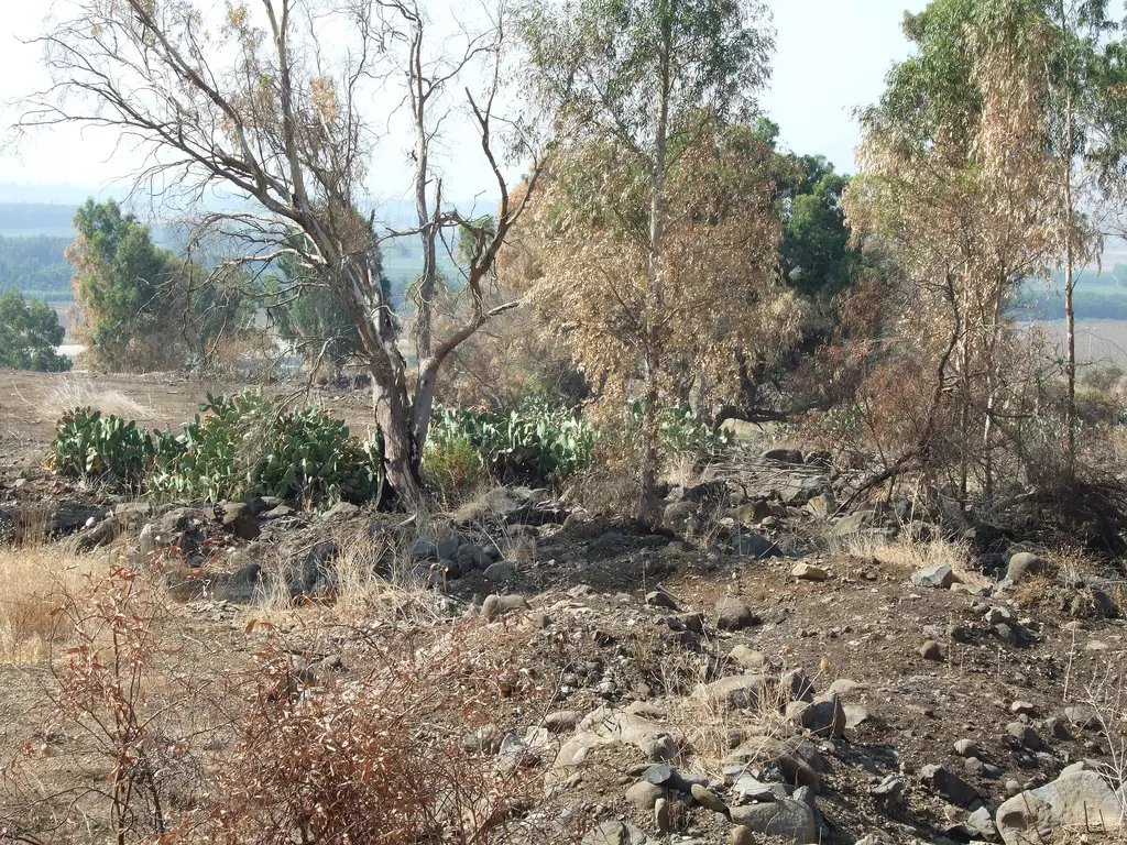
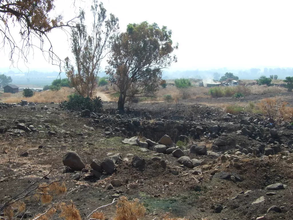
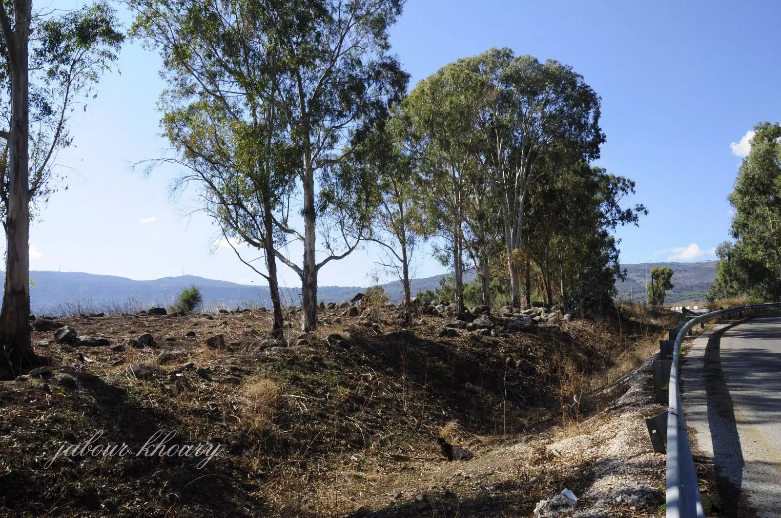
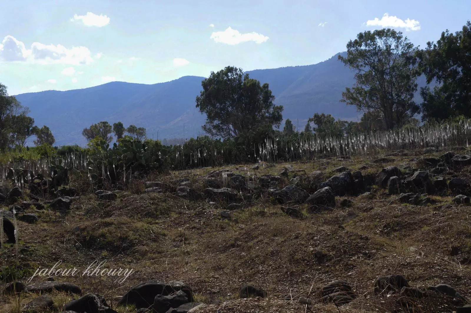
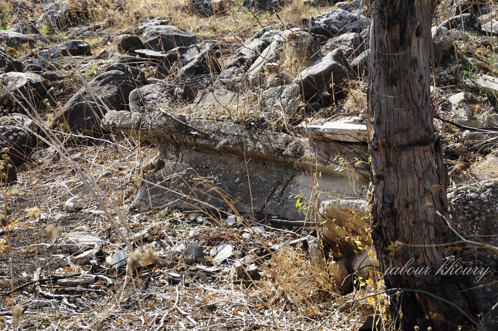
Village Before NakbaThe village was situated on a hill and faced broad, open areas on all sides; Mount Hermon (Jabal al-Shaykh) loomed in the northeast. A secondary road linked al-Zuq al-Tahtani to a highway that led to Safad and Tiberias, and graded roads connected it to neighboring villages. The etymology of the first part of the name, al-Zuq, has not been established; it may have been derived from the Syriac zuk, meaning 'town.' The second part, al-Tahtani, meant 'lower' in Arabic and distinguished it from al-Zuq al-Fawqani, the 'upper' village, to the northwest. In the late nineteenth century, al-Zuq al-Tahtani was a village built of stone and mud and surrounded by arable land. It had a population of about 100. There were older, ruined Arab houses and a mill on the north side, and a large stream ran near the village. [[SWP (1881) I:90]] The population of al-Zuq al-Tahtani was comprised of 626 Muslims and one Christian in 1931; no exact breakdown is available for 1945, but the population was predominantly Muslim. The villagers drew water for domestic use from a nearby wadi and operated water-powered mills north of the village. They worked mainly in agriculture, cultivating citrus and other fruits, especially on the lands to the south. In 1944/45 a total of 2,145 dunums was allotted to cereals; 5,547 dunums were irrigated or used for orchards. Al-Zuq al-Tahtani was considered an archaeological site, that is, an artificial mound where building foundations protruded from the surface. Remains of dry stone enclosures and pottery fragments could be found on the surface of the ground.Village Occupation and Ethnic CleaningIsraeli military sources claimed in a 1948 report that the villagers of al-Zuq al-Tahtani left their homes on 11 May 1948, under the impact of the fall of Safad the previous day. Israeli historian Benny Morris, who quotes the report, does not indicate whether there was an Israeli attack on the village during the course of Operation Yiftach (see Abil al-Qamh, Safad sub-disctrict), nor does he state when Israeli forces actually entered the villageZionists Colonies on Village LandsZionists established the settlement of Beyt Hillel (206290) south of the village in 1940. By 1944, the land occupied by Beyt Hillel had been administratively combined with the lands of a neighboring village, Lazzaza (207290). Subsequent land survey maps, however, show Beyt Hillel on land belonging to al-Zuq al-Tahtani; it lies about 1 km southeast of the village site.Village TodayOnly one house remains; it is made of stone and serves as an office for an airstrip. The grass and wild vegetation that cover the site are mowed. Tall al-Wawiyat (205201) is being excavated at the southern edge of the site, and a fenced-in area, containing a large number of cactuses and tall eucalyptus trees, lies west of the tell. A new airstrip is under construction northeast of the village site.SourceDr. Walid al-Khalidi, 1992: All That Remains. |
|||||||||||||||||||
| Related Maps | Town Lands' Demarcation Maps خرائط للقضاء توضح حدود القرى والاودية Town's map on MapQuest View from satellite Help us map this town at WikiMapia |
||||||||||||||||||
| Related Links | Wikipedia's Page Google Search Google For Images Google For Videos |
||||||||||||||||||
| More Information | في كتاب كي لا ننسى في كتاب بلادنا فلسطين المزيد من موقع هوية |
||||||||||||||||||
- East of the industrial zone - north of Kiriat Shmona
Posted by Uri Zackhem 1 - East of the industrial zone - north of Kiriat Shmona
Posted by Uri Zackhem 2 - East of the industrial zone - north of Kiriat Shmona
Posted by Uri Zackhem - East of the industrial zone - north of Kiriat Shmona
Posted by Uri Zackhem - اراضي الزوق من الناحيه الشماليه
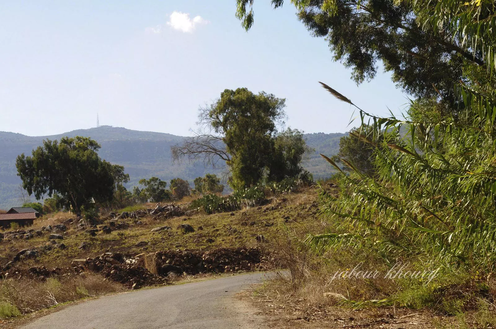
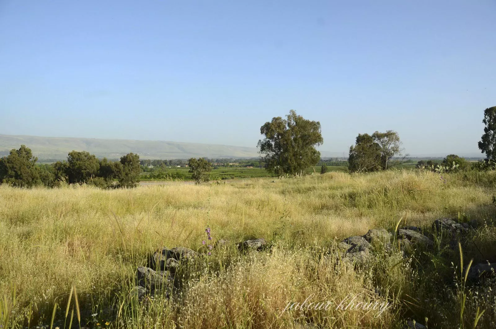
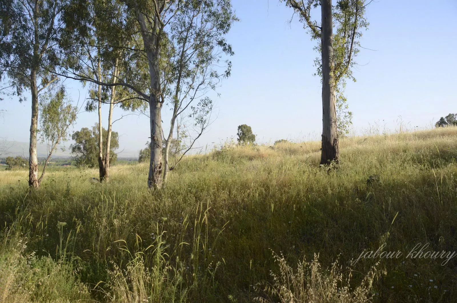
Posted by Jabour Khoury - موقع القريه
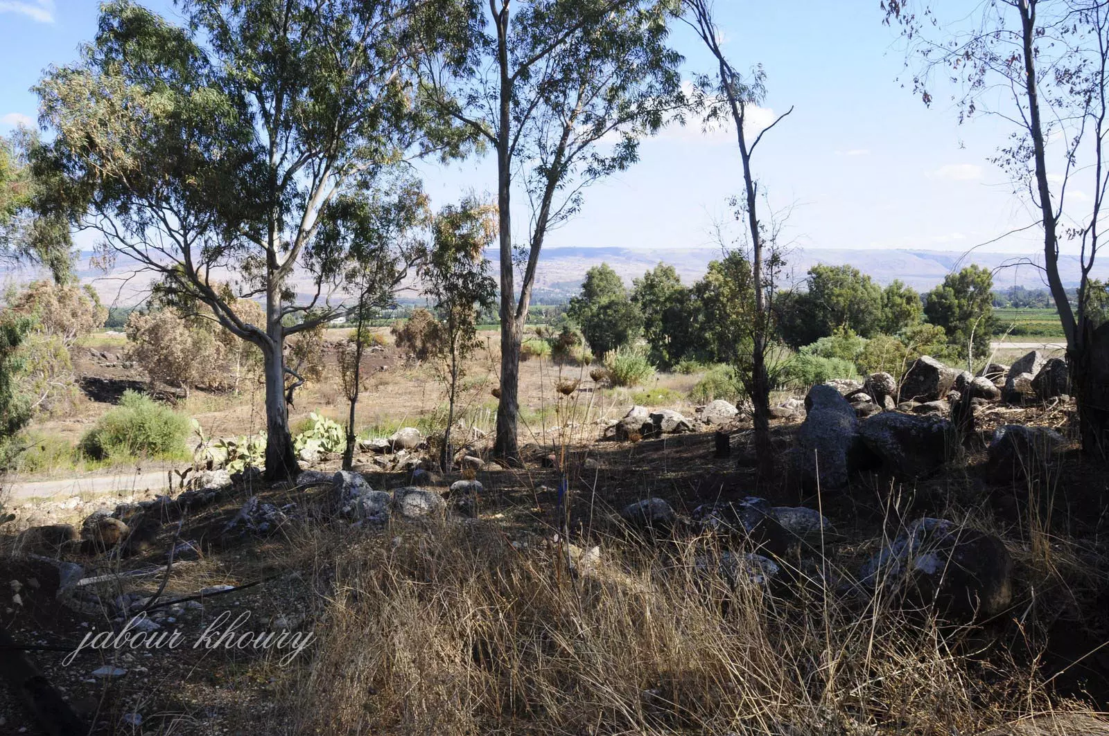
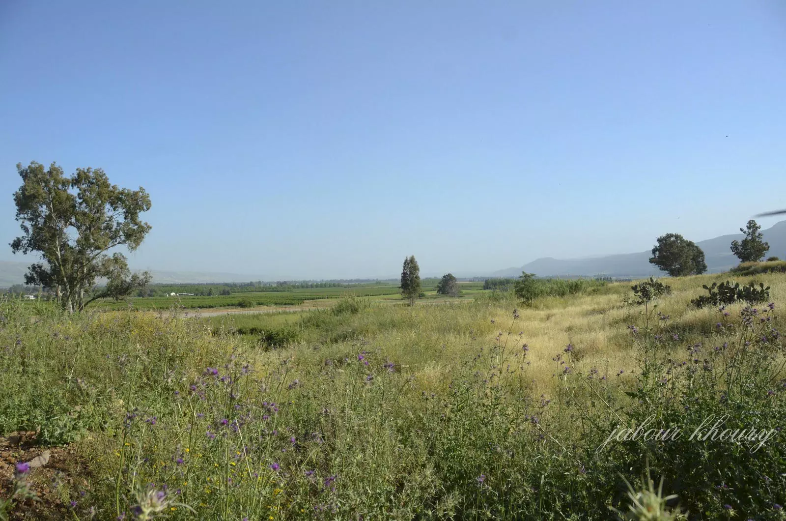
Posted by Jabour Khoury - موقع القريه وفي البعيد اراضي القريه اراضيها الزراعيه الخصبه
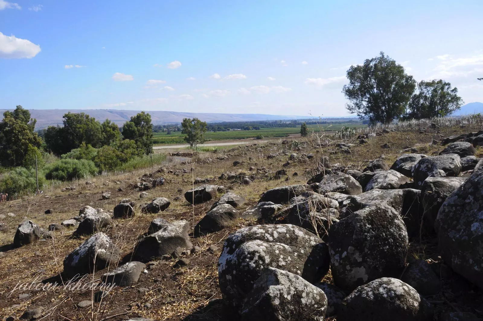
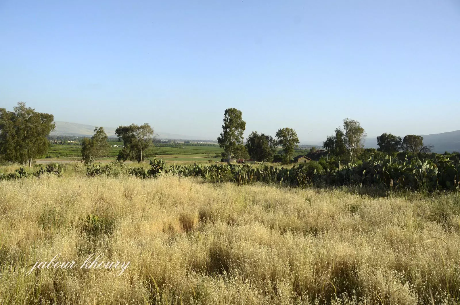
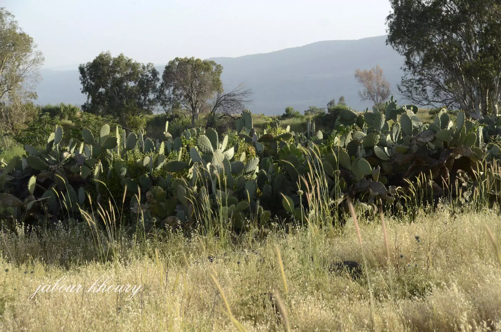
Posted by Jabour Khoury - موقع القريه ونبات الصبار المتواجد بكثره ليدل على حدود القريه

Posted by Jabour Khoury - موقع القريه ونبات الصبار المتواجد بكثره ليدل على حدود القريه
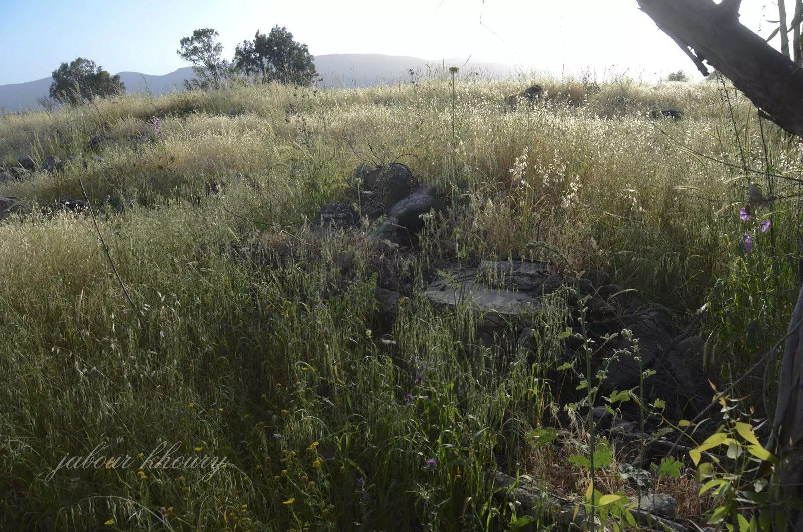
Posted by Jabour Khoury - ردم البيوت
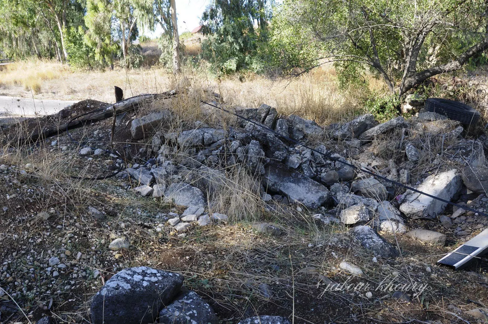
Posted by Jabour Khoury - ردم البيوت
Posted by Jabour Khoury - موقع القريه نظره من الشرق الى الغرب
Posted by Jabour Khoury - موقع القريه نظره باتجاه الجنوب
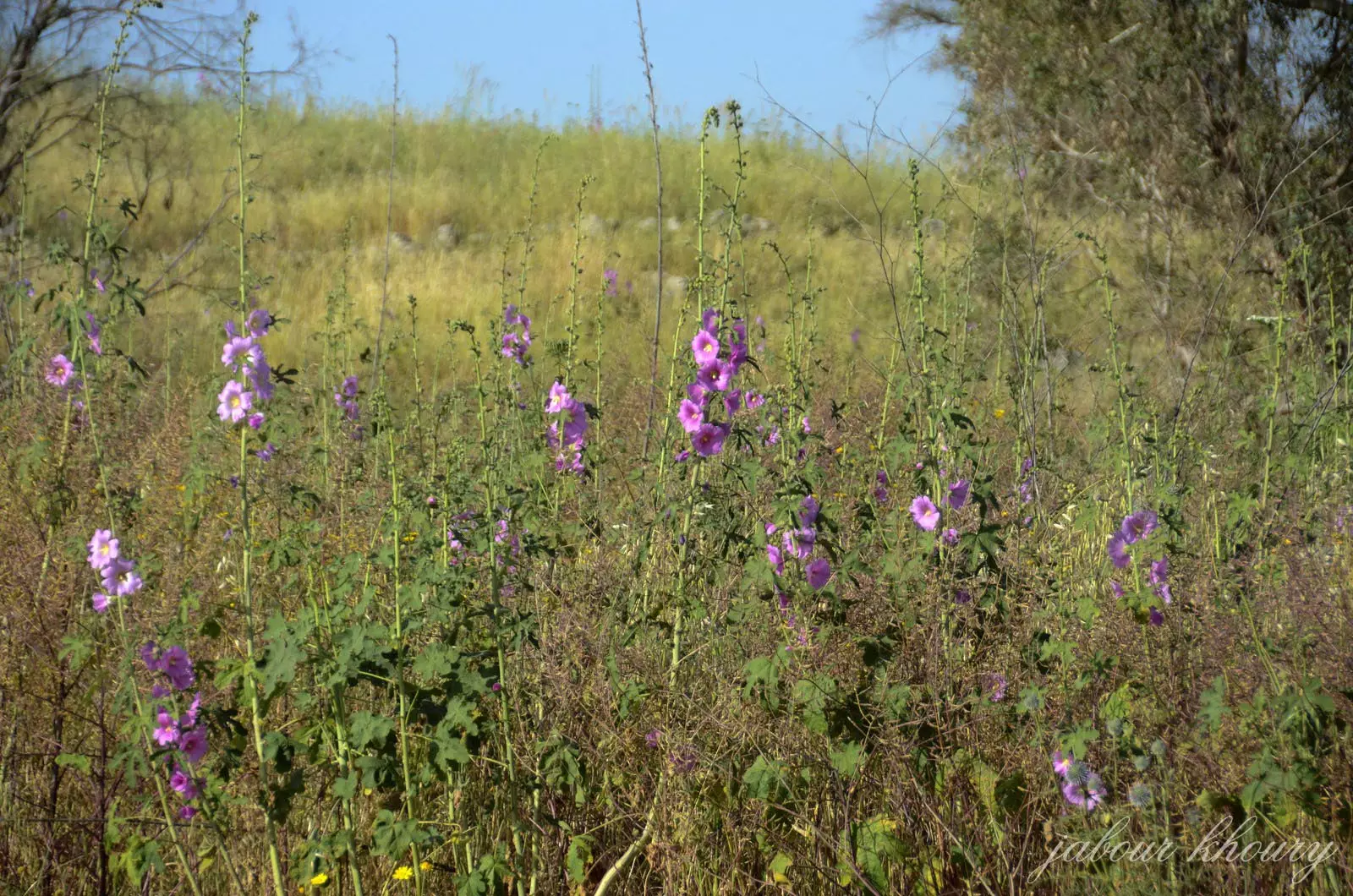
Posted by Jabour Khoury - زهره الخاتميه المتواجده بكثره غي اراضي القريه

Posted by Jabour Khoury - زهره الخاتميه على التل الشرقي للقريه
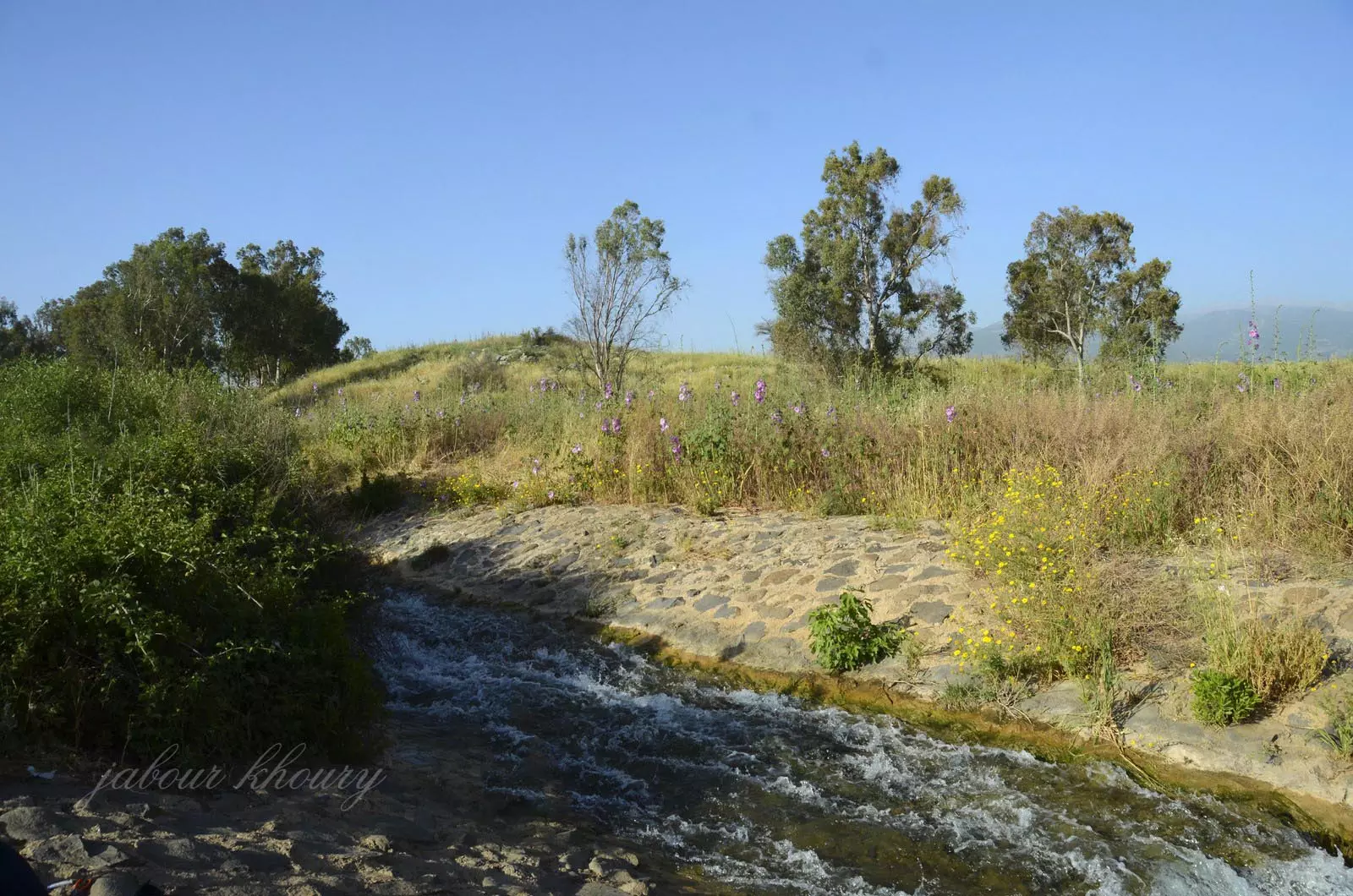
Posted by Jabour Khoury - وادي عيون الذي يمر باراضي القريه بعد ان يعبر اختها الزووق الفوقاني والشقسم الشرقي من القريه
Posted by Jabour Khoury - ردم المنازل
Posted by Jabour Khoury - موقع القريه
Posted by Jabour Khoury - موقع القريه
Posted by Jabour Khoury - نبات الصبار
Posted by Jabour Khoury - التله التي تقع عليها القريه
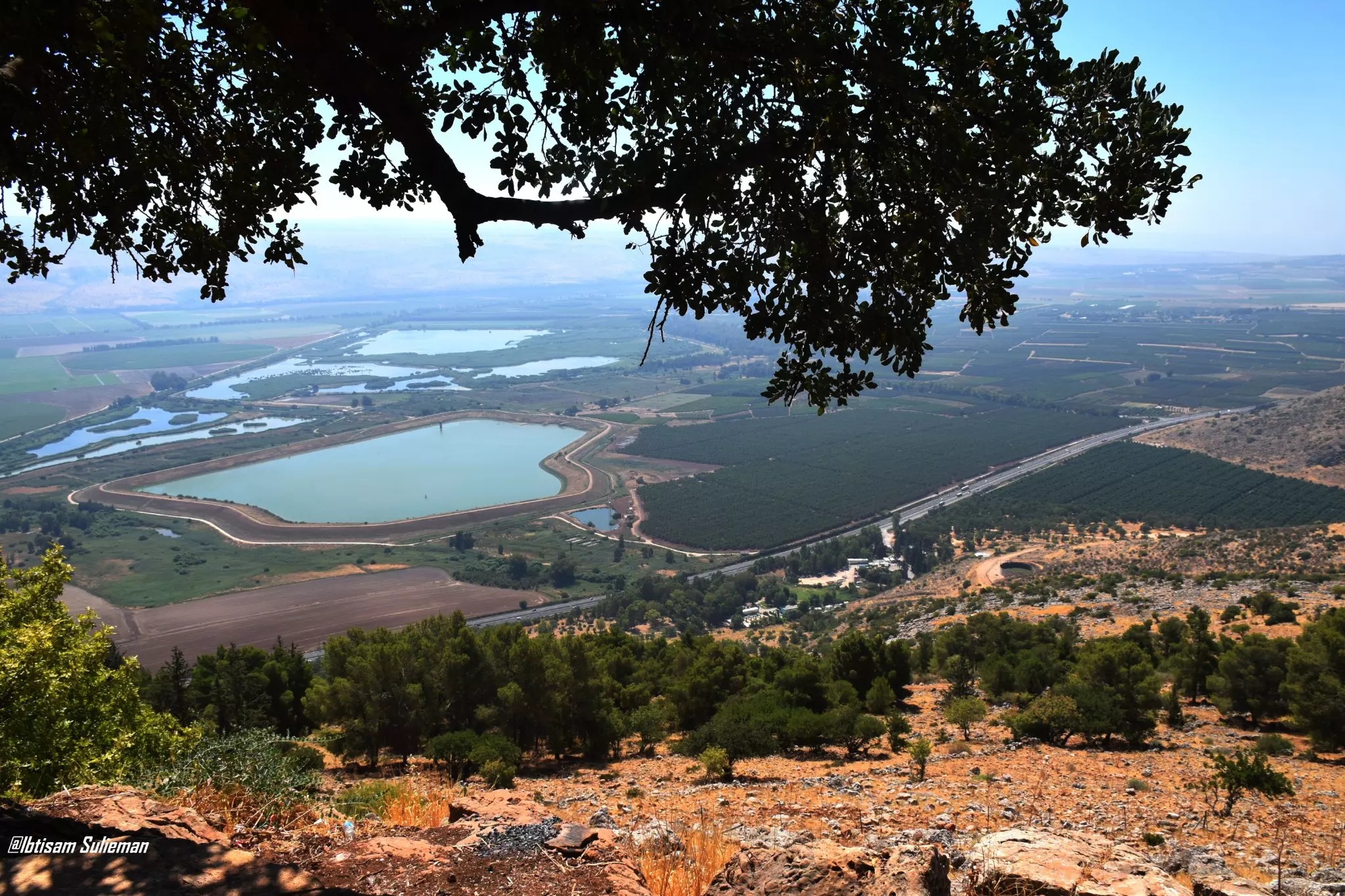
Posted by Jabour Khoury - سهل الحولة يقع في الزاوية الشمالية الشرقية من فلسطين،حيث كانت بحيرة سابقا قبل ان تقوم دولة الكيان بتجفيف البحيرة بدءاً من أبريل 1951 وحتى 30 أكتوبر 1957، وتحويلها إلى أرض زراعية. وتعتبر المنطقة محطة للطيور المهاجرة
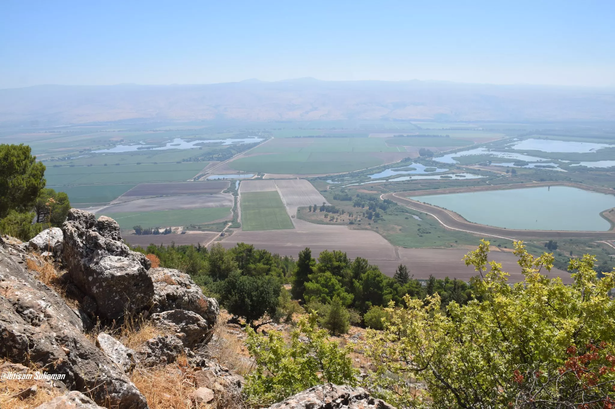
- سهل الحولة يقع في الزاوية الشمالية الشرقية من فلسطين،حيث كانت بحيرة سابقا قبل ان تقوم دولة الكيان بتجفيف البحيرة بدءاً من أبريل 1951 وحتى 30 أكتوبر 1957، وتحويلها إلى أرض زراعية. وتعتبر المنطقة محطة للطيور المهاجرة #2
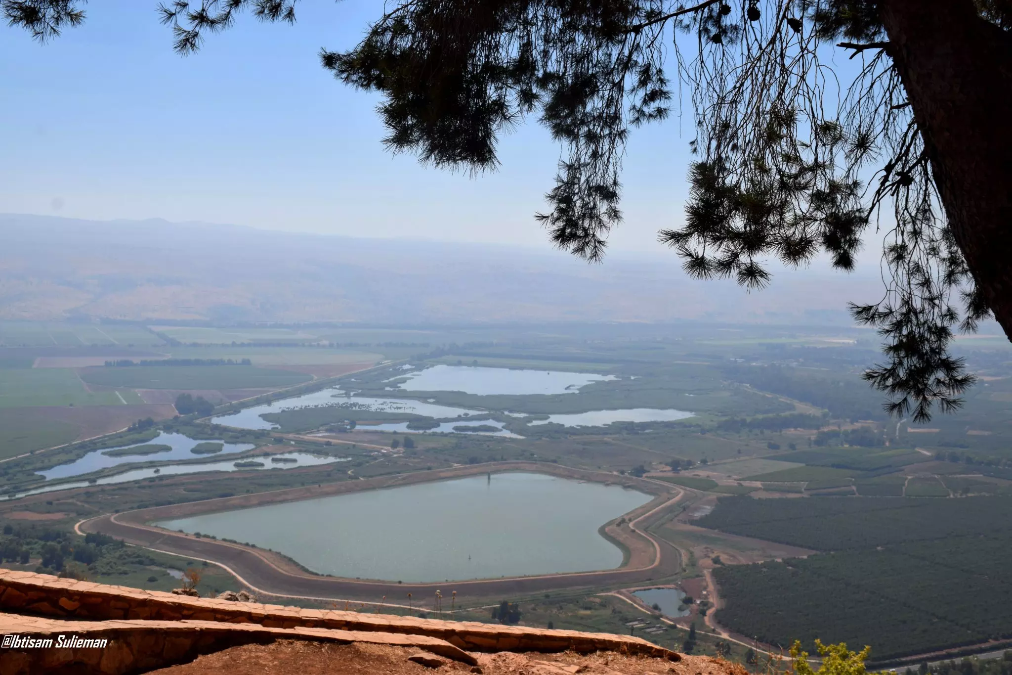
- سهل الحولة يقع في الزاوية الشمالية الشرقية من فلسطين،حيث كانت بحيرة سابقا قبل ان تقوم دولة الكيان بتجفيف البحيرة بدءاً من أبريل 1951 وحتى 30 أكتوبر 1957، وتحويلها إلى أرض زراعية. وتعتبر المنطقة محطة للطيور المهاجرة #3
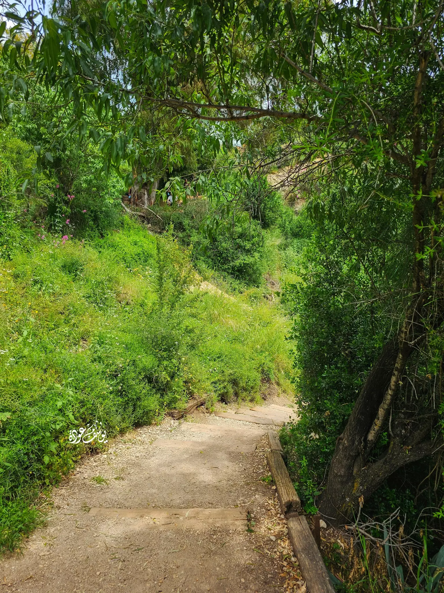
- وادي البراغيث-- قرية الزوق التحتاني -- Yousef Odeh
- وادي البراغيث-- قرية الزوق التحتاني -- Yousef Odeh #2
- وادي البراغيث-- قرية الزوق التحتاني -- Yousef Odeh #3
- وادي البراغيث-- قرية الزوق التحتاني -- Yousef Odeh #4
- وادي البراغيث-- قرية الزوق التحتاني -- Yousef Odeh #5
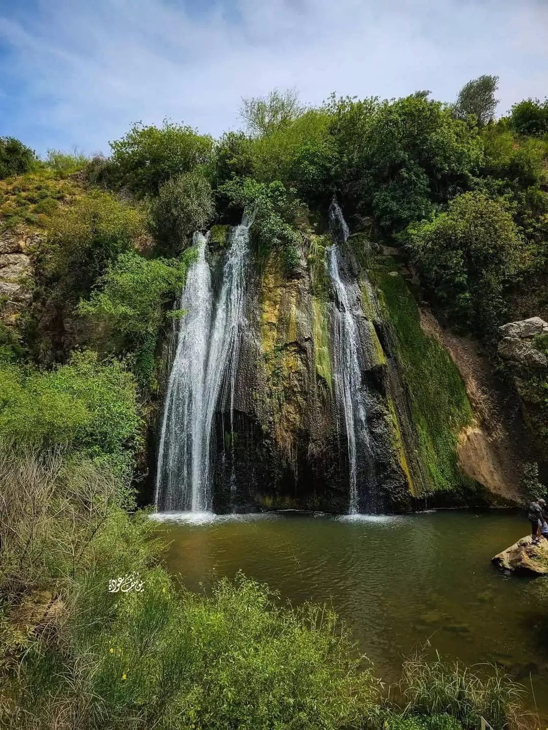
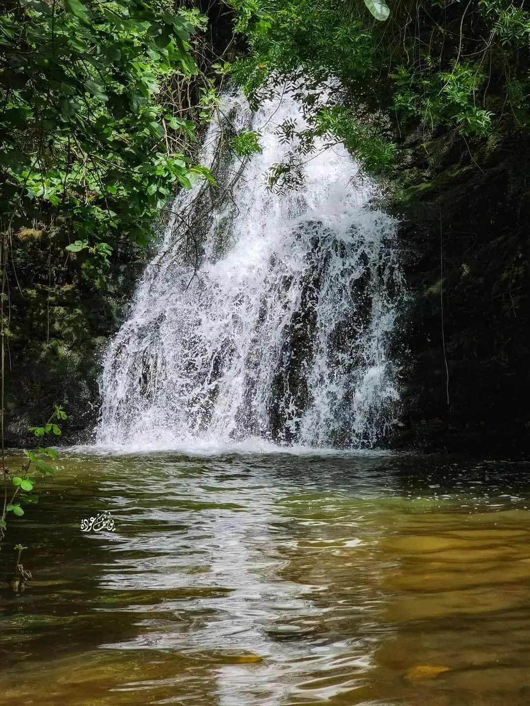
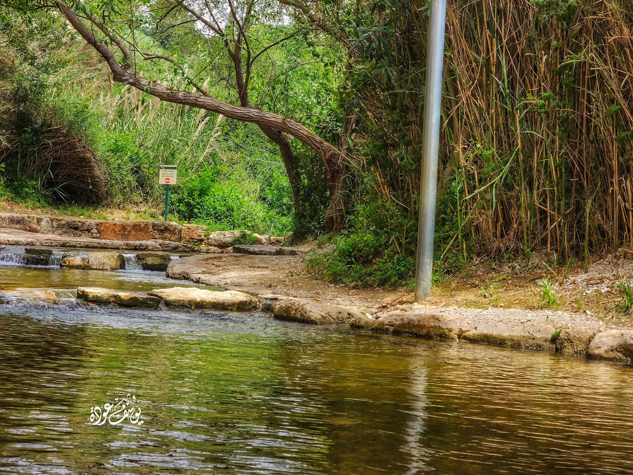
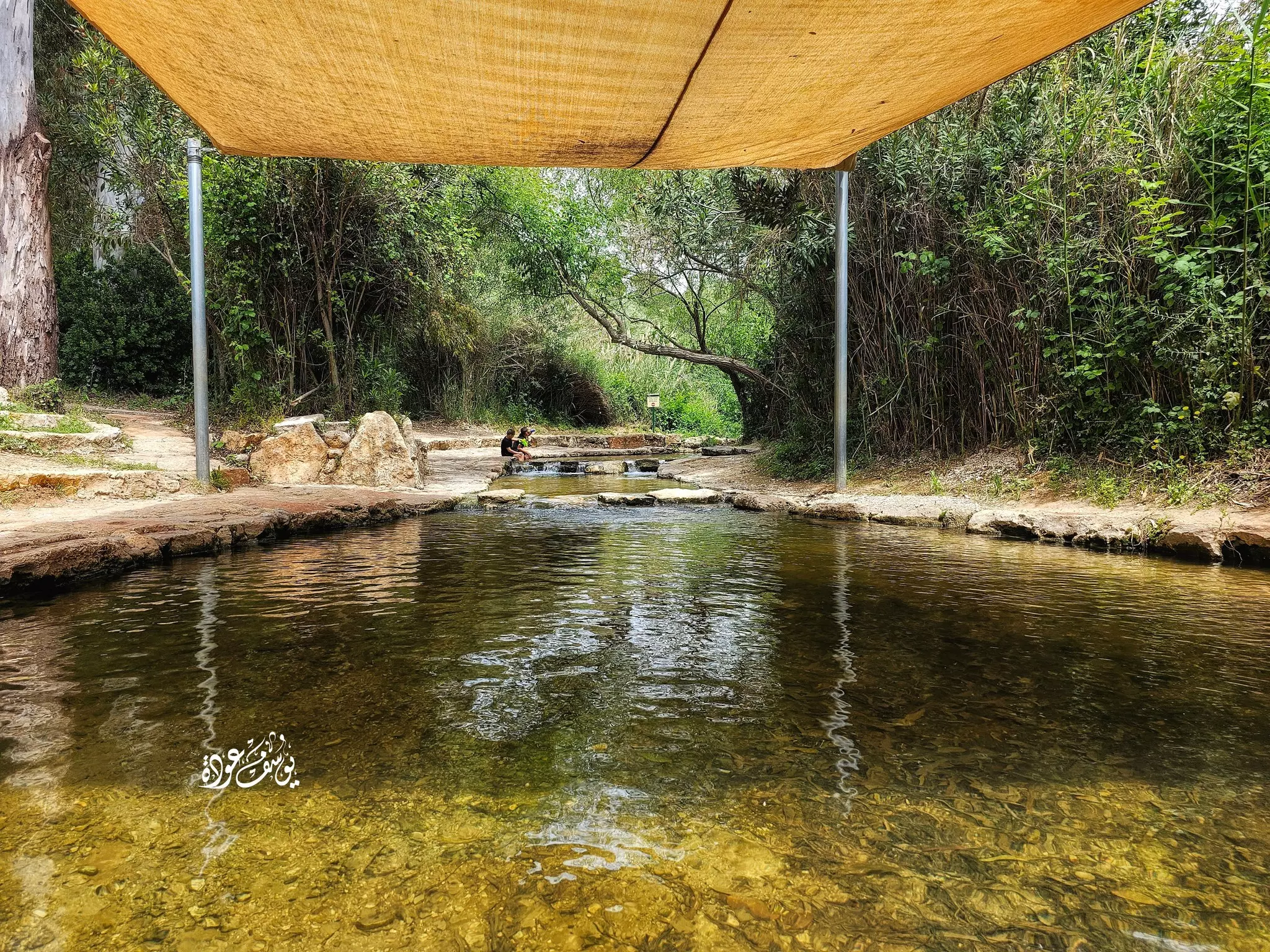
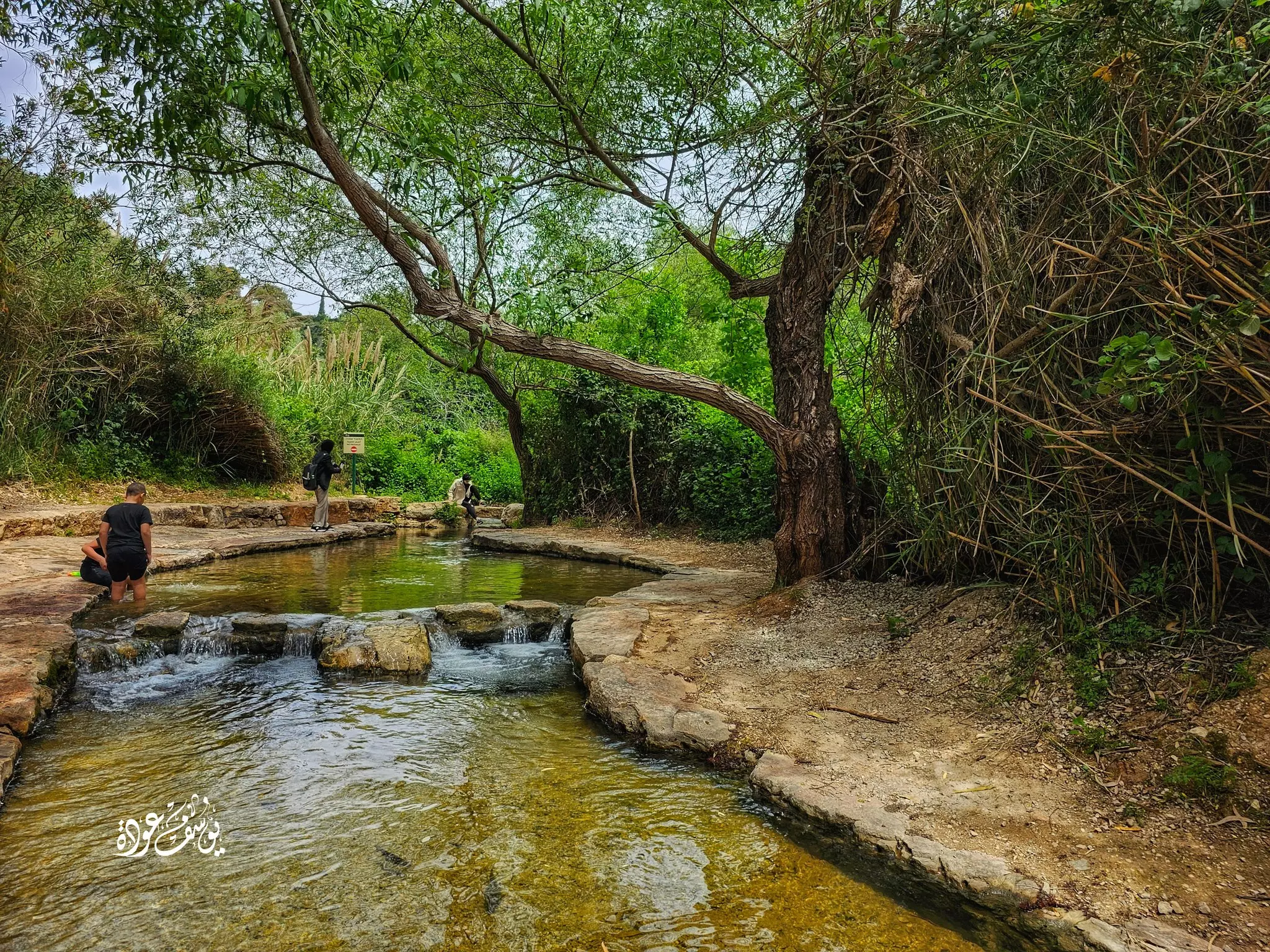
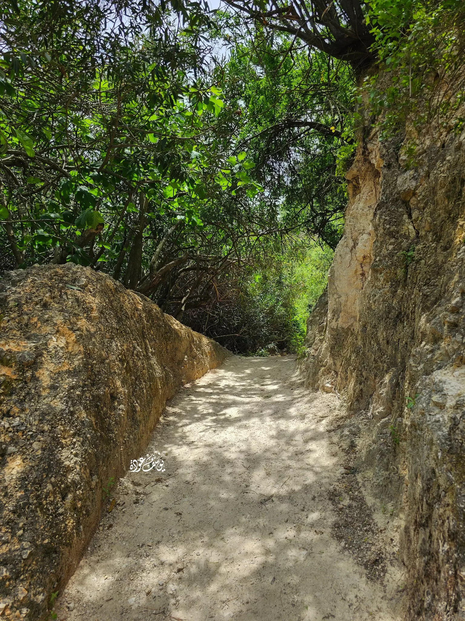
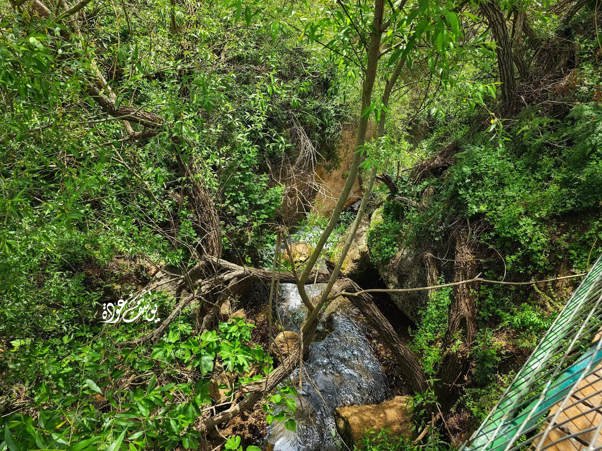
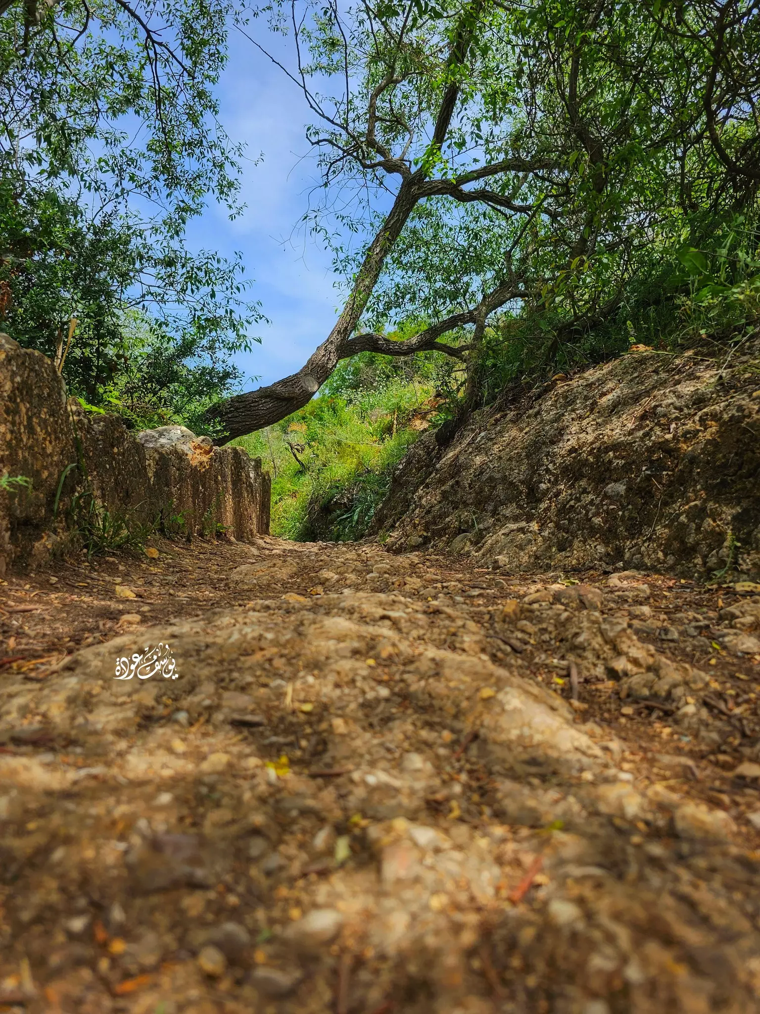
- وادي العيون: صورة التقطت في القرن العشرين لوادي البريغيث "وادي العيون" الذي يقع بالقرب من قرية الزوق التحتاني المهجرة والتابعة لقضاء صفد، حيث ينبع النهر من نهر مرجعيون في لبنان ويعد من روافد نهر الأردن ويصب في بحيرة الحولة.
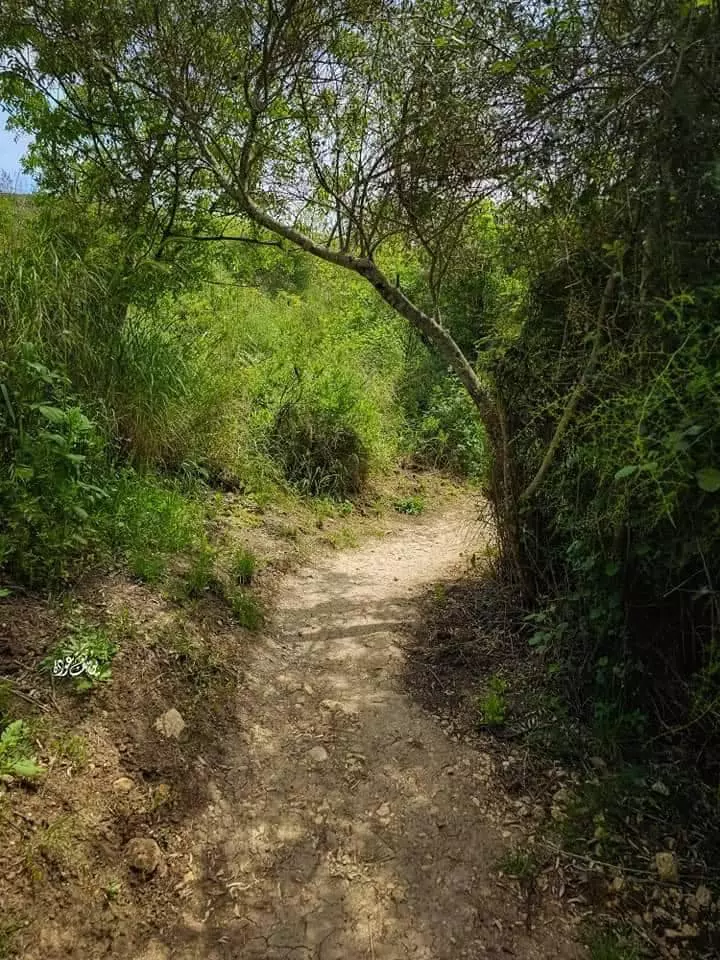
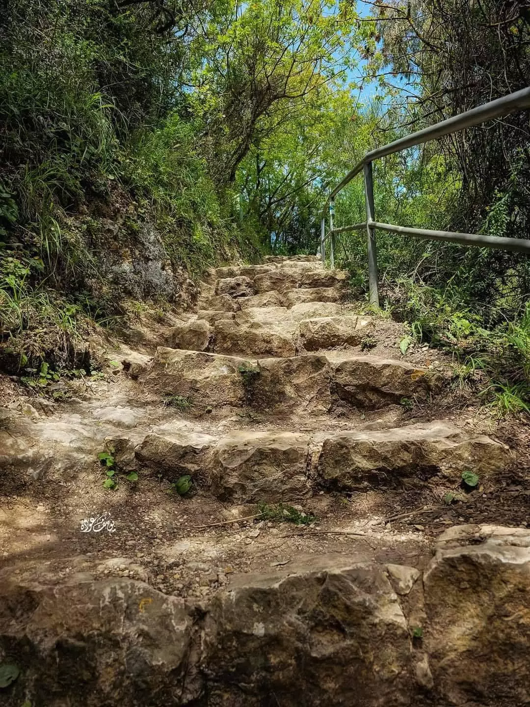
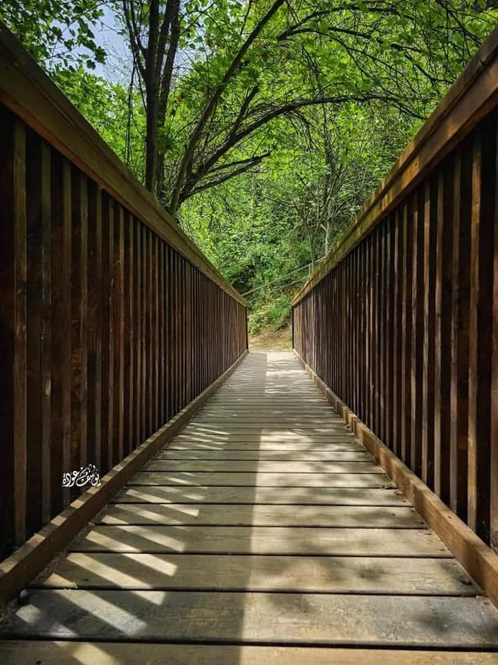
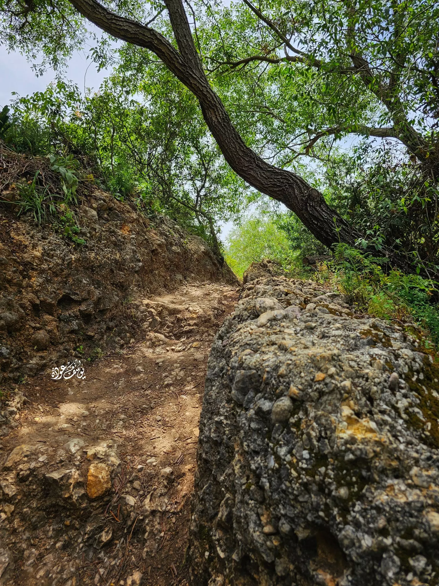
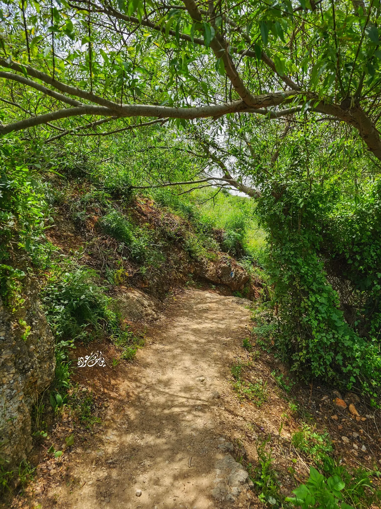
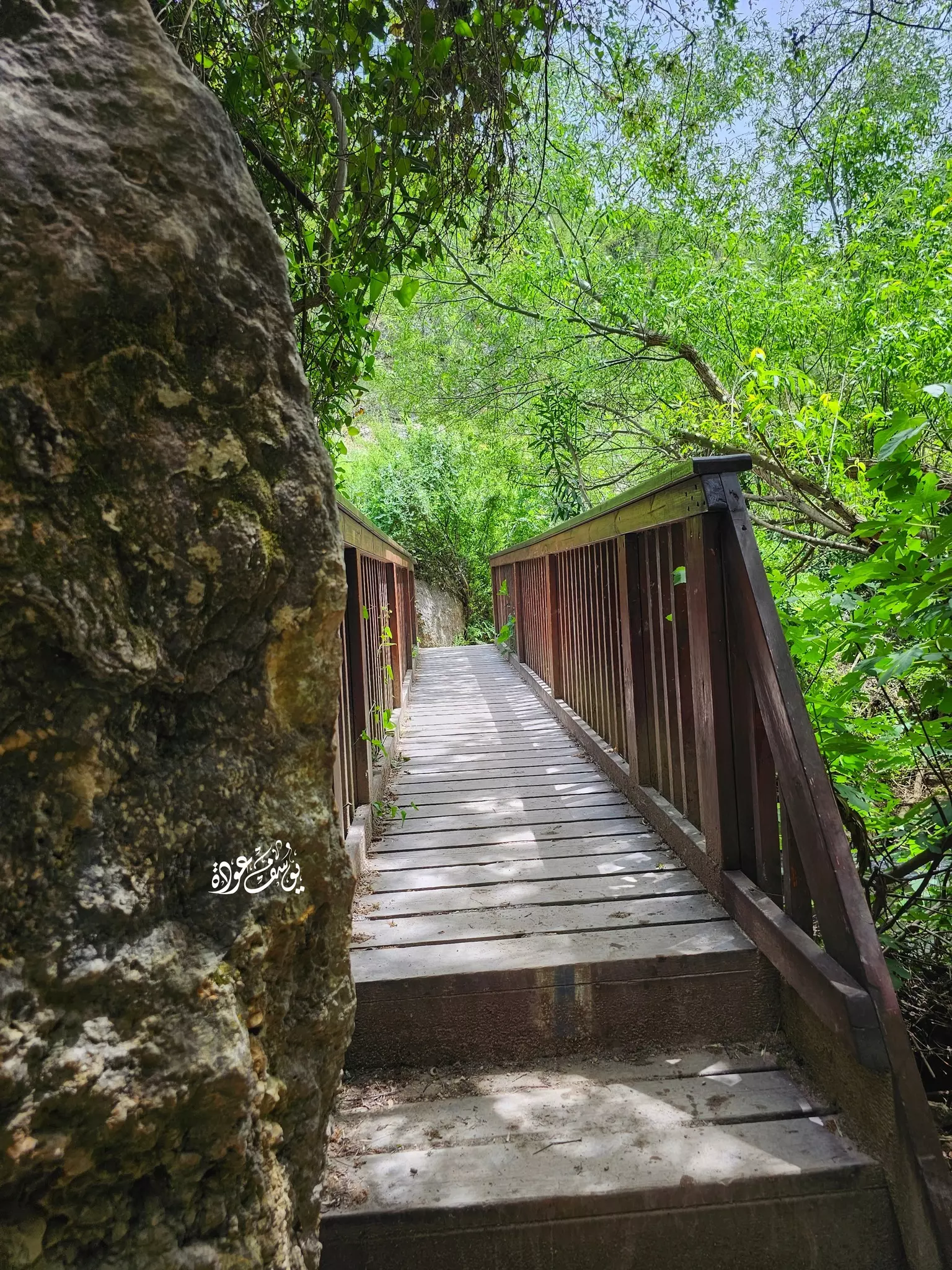
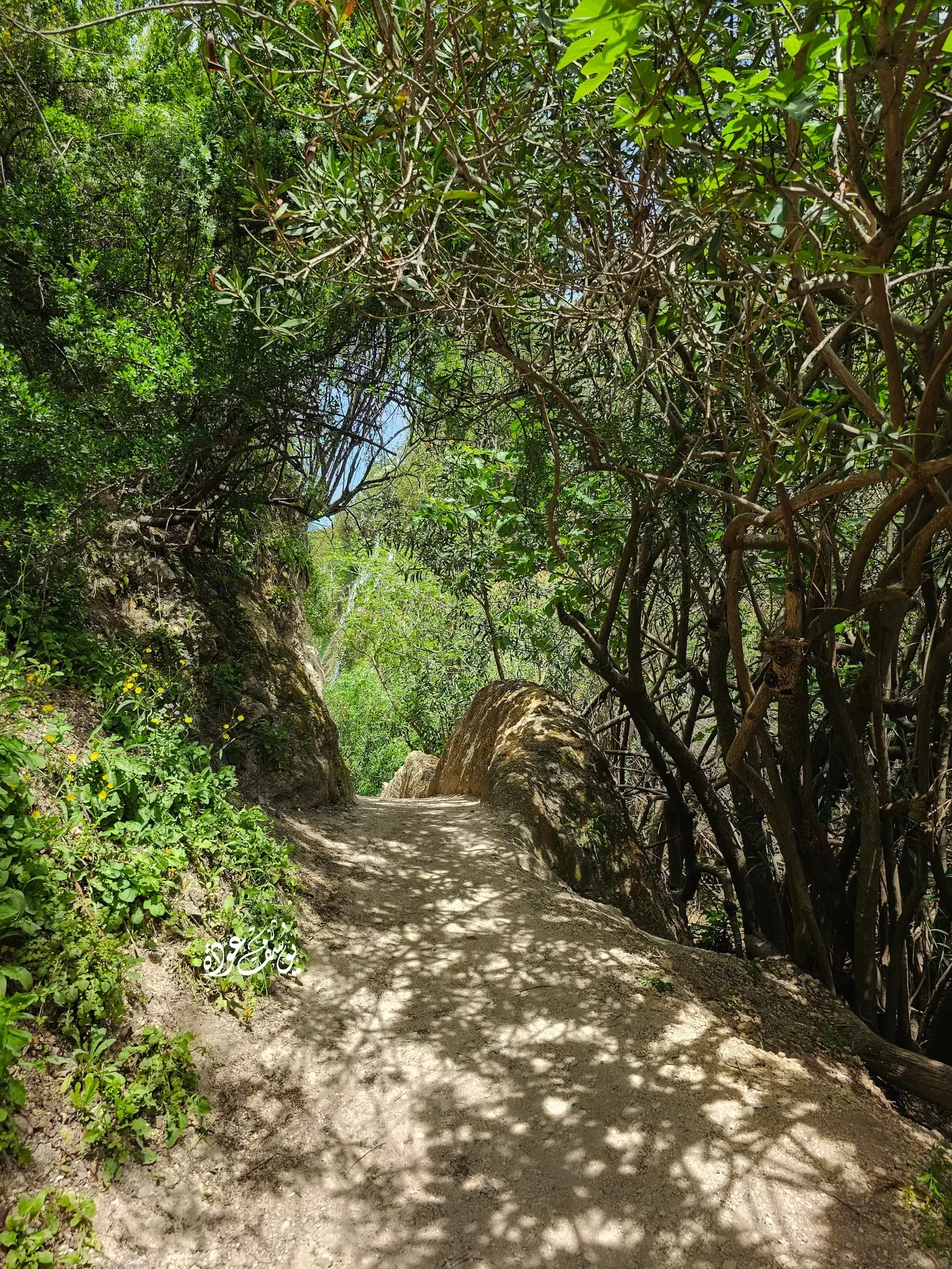
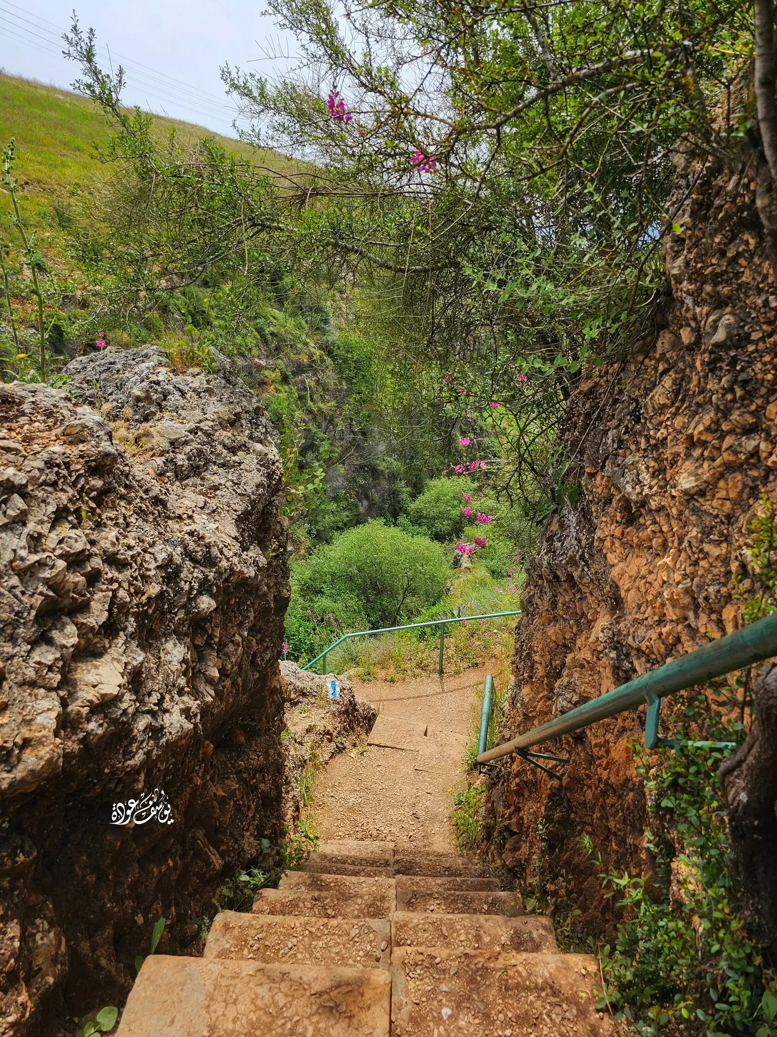
- من محمية "واد العيون" -- يوسف عودة
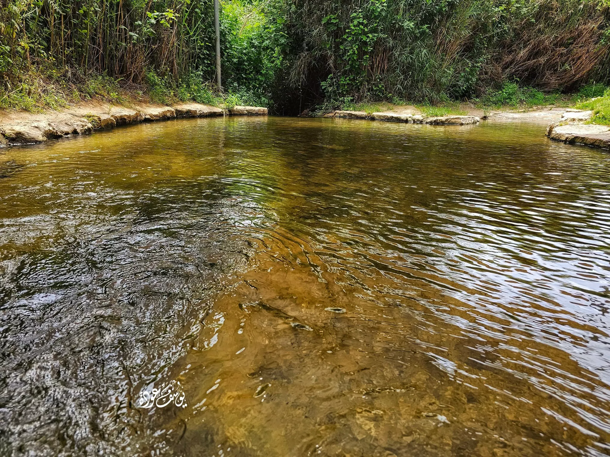
- من محمية "واد العيون" -- يوسف عودة #2
- من محمية "واد العيون" -- يوسف عودة #3
- من محمية "واد العيون" -- يوسف عودة #4
- من محمية "واد العيون" -- يوسف عودة
- من محمية "واد العيون" -- يوسف عودة #2
- من محمية "واد العيون" -- يوسف عودة #3
- من محمية "واد العيون" -- يوسف عودة #4
- من محمية "واد العيون" -- يوسف عودة #5
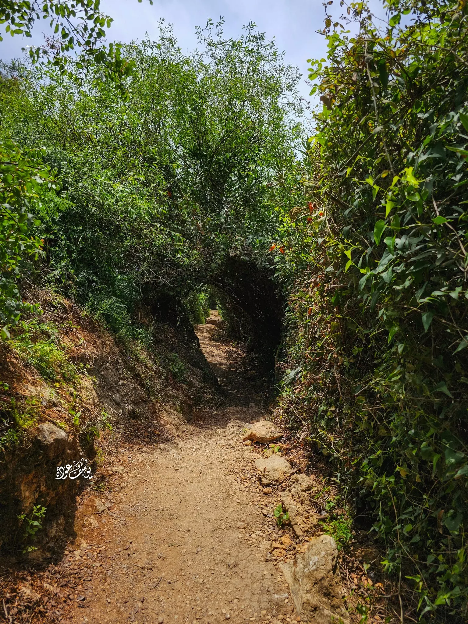
- من محمية "واد العيون" -- يوسف عودة #6
- من محمية "واد العيون" -- يوسف عودة #7
- من محمية "واد العيون" -- يوسف عودة #8
- من محمية "واد العيون" -- يوسف عودة #9
- من محمية "واد العيون" -- يوسف عودة #10
-
رسالة من مفتش المعارف الى المعلم جمعة محمود جمعة بخصوص تعيينه معلما اضافيا في قرية الزوق التحتاني -- 26-09-1946

-
المعلم جمعة جمعة يطالب بتسديد راتب 19 يوماً من فترة تعليمه في مدرسة الزوق التحتاني. --08-11-1947

-
رسالة من المعلم جمعة جمعة يشير فيها أنه كان معلماً في مدرسة الزوق التحتاني براتب عشرة جنيهات شهرياً على حساب القرية.. ويطالب بتسديد مستحقاته المالية
-- 06-11-1947

Want to browse more? 80,000 pictures were grouped in these gallaries:
| Display Name | Clan/Hamolah | Country of Residence |
| بلال منيف | المنايفة | صور, لبنان |
| محمد خليل | الحمادنة | sour, lebanon |
| يوسف الخليل | فريح | - |
| yasser al jumaa | Al Aas | pafos, cyprus |
| abou maher | bachir | - |
| Oussama El-Mahmoud | - | Dubai, United Arab Emirates |
| freih samir | - | gotengborg, sweden |
| Ziad | Al-Mahmoud | Abu Dhabi, United Arab Emirates |
- الذاكرة مفتاح العودة-الحلقة 17 - قرية الزوق التحتاني Duration: 23 min 22 sec
- سهل الحولة شمال فلسطين Duration: 26 sec
No links have been shared yet, be free to the first to share the first link.
 Fake Valor: Why Did Zionist Jews Hoist Nazis Flag on Their Ships in the 1930s?
What is new?
-
Facts About Oct. 7th Gaza Raid
-
Remined Us Please: Who Did Rape Whom? Was it Palestinians who raped Israelis? Or, was the other way around? You'll be the judge
-
When Prof. Edward Said was invited to debate Bibi Netanyahu in the 1980s, watch what happened!
-
Ezra Klein of the NY Times on the "Jewish Race".
-
Abusing Blood Libel!
-
How and why Israeli Jewry has become the most hated cult?
-
Did Israeli Soldiers Activate The Hannibal Direective On Oct. 7th? You Be The Judge
-
Zionist FAQ: Isn't it true that Palestinians don't want peace? Palestinians never accepted the two-state solution
- Facts about Haavara (Transfer) Agreement between Ben-Gurion & Hitler
-
Haavara FAQs: Why Did Zionist Jews Hoist Nazis' Flags on Their Ships in the 1930s?
- Haavara FAQs: When Chaim Weizmann met FDR in mid-1943, why was he silent about rescuing European Jewry?
-
Dear ChatGPT: How did Palestinians resist Napoleon's invasion of their country in 1799?
-
Dear ChatGPT: Gaza had a vibrant Jewish community in the mid-17th century. What happened to them?
-
Dear ChatGPT: Why did the Jewish Agency suppress news of the Holocaust during WWII?
-
Video Playlist: Jews share their DNA tests to end the conflict for good.
-
A Tale of Two Conflicts: Examining the Definition of Genocide
-
Prof. Abraham Polak And The Suppressed History of the Khazars and European Jewry
-
How Ronald Reagan would have framed the genocide in Gaza if he were still alive?
-
Haavara FAQs: Let us do the math: how many German Jews did The Haavara Agreement save?
-
Zionist FAQs: The Hebron Massacre of 1929, "clearly proves" that Palestinians are antisemitic, how could you deny it?
-
Zionist FAQs: Why Anti-Zionist Is Not Antisemitism?
-
Zionist FAQs: Isn't it true that the KGB created Palestinian Nationalism in the early 1960s?
- Zionist FAQs: Muslims are killing Muslims all the time; why are Israeli Jews being singled out in the media?
- Zionist FAQs: How is Israel an apartheid state when 20% of its citizens are Arabs who enjoy full rights?
-
Haavara FAQs: Why Did Dorothy Thompson Flip From A Zionist Advocate to A Silenced Dissenter?
-
Haavara FAQs: Analysis of Herzl's Uganda Scheme and how it could have saved millions of Jews.
-
Haavara FAQs: Why did Hayim Greenberg describe American Jewry as "morally bankrupt" in early 1943?
-
Haavara FAQs: What if the Evian Conference was a resounding success? What would have been the impact of saving European Jewry on Zionism?
- Haavara FAQs: What if the six million were saved, how that would have impacted the Zionist project?
-
Haavara FAQs: How did Zionist leaders react when Europe's Jews lingered in the DP camps after WWII ended?
-
Why does the American Jewish community repeat lies that David Ben-Gurion had debunked before he died?
-
Who has the power to rename the Tatar/Khazar Gene Marker to Jewish IV?
-
Zionist FAQs: Why won't Egypt, Syria, and Jordan take their people back? Jews are indigenous to Palestine, and Arabs immigrated after Jews developed the country. Arabs should leave.
-
Haavara FAQs: Did Hitler and the Nazis conflate between Judaism and Zionist? If that wasn't case, then why?
-
Haavara FAQs: Winston Churchill and antisemitism, a collection of articles written Churchill.
-
Haavara FAQs: Broken by country, how many Jews survived vs. killed during the Holocaust?
-
Haavara FAQs: Why did European Jews vote with their feet and to immigrated to the Americas, not Palestine, after WWII?
-
Watch this American Jewish Girl describing Israeli Jews' cognitive dissonance like no other in under two minutes
-
Haavara FAQs: When the Nazis went out of their way to hide the Holocaust, Israeli Jews did the exact opposite by broadcasting their genocide of Gazans. But why?
-
Haavara FAQs: How Zionist Jews went out of their to show their appreciation to Nazism and Fascism?
- Haavara FAQs: Why Zionist leaders were against bombing the death camps & the Railroads leading to them?
-
Haavara FAQs: Hitler's message to the British and American people: If Jews are such noble citizens and you care about them, how come you're not letting them in? I will gladly ship them to you at my expense, even on luxury liners!
-
A shortlist of Zionist and Israeli false flag operations in the name Jews.
-
The Most Moral Army
- The Land of Kapos (Israel): Where the brave are boycotted and Kapos walk free.
- Why did early Zionists often named their communal enterprises "colonial"?
- Zionist Relations with Nazi Germany by Faris Glubb
-
Two NY Times advertisements by Zionists in the early 1943 that exposes Zionists' treason at the height of the calamity
- Facts Not Lies about the Palestinian-Israeli Conflict.
- Site's pictures have been categorized
- Campgain Against Lice
- A Survey of Palestine, the official source about Palestine before Nakba produced by the British Mandate; over 1200 pages.
- Satellite View & Google Earth: Over 6,000 placemarks identifying all destroyed towns, W. Bank & Gaza Strip Towns, & refugee camps.
- PalestineRemembered.com and its Nakba Oral History Project were featured on al-Jazeera Satellite TV.
- Nakba Oral History Video Podcast:
 Over 700 Oral History interviews (including 3,500+ hours of recording) can be viewed online.
 - Palestine Village Statistics Project
- Gaza Jail Break
- النسخة العربية للموقع الان متوفرة
- Videos: Documenting the destroyed villages in video: Tracing all that remains since Nakba.
- Videos: Responding to Zionist Propaganda
- Interview: The ethnic cleansing of Palestine: George Galloway interviews Israeli Historian Ilan Pappe.
- For Palestinians, memory matters. It provides a blueprint for their future By George Bisharat.
- Zionist FAQ now available in Hebrew שאלות שציונים שואלים, עכשיו בעברית
- Video: The Stephen Walt and John Mearsheimer report on the influence of the Israel Lobby on U.S. Foreign Policy
- The Palestinian-Israeli conflict for beginners
