| PalestineRemembered | About Us | Oral History | العربية | |
| Pictures | Zionist FAQs | Haavara | Maps | |
| Search |
| Camps |
| Districts |
| Acre |
| Baysan |
| Beersheba |
| Bethlehem |
| Gaza |
| Haifa |
| Hebron |
| Jaffa |
| Jericho |
| Jerusalem |
| Jinin |
| Nablus |
| Nazareth |
| Ramallah |
| al-Ramla |
| Safad |
| Tiberias |
| Tulkarm |
| Donate |
| Contact |
| Profile |
| Videos |
Welcome To al-Kasayir, Khirbat - خربة الكساير (ח'ירבת אל-כסאיר)
|
District of Haifa
Ethnically cleansed days ago |
العربية Google Earth |
 |
Gallery (22) |
- Statistics & Facts
-
Before & After

- Satellite View
- Articles 2
- Pictures 22
- Oral History 7
- Members
- All That Remains
- Wikipedia
- Videos 1
- Guest Book 7
- Links
| Statistic & Fact | Value | |||||||||
| Occupation Date | April 16, 1948 | |||||||||
| Distance From District | 13 (km) East of Haifa | |||||||||
| Elevation | 100 (meters) | |||||||||
| Before & After Nakba, Click Map For Details |
||||||||||
|
||||||||||
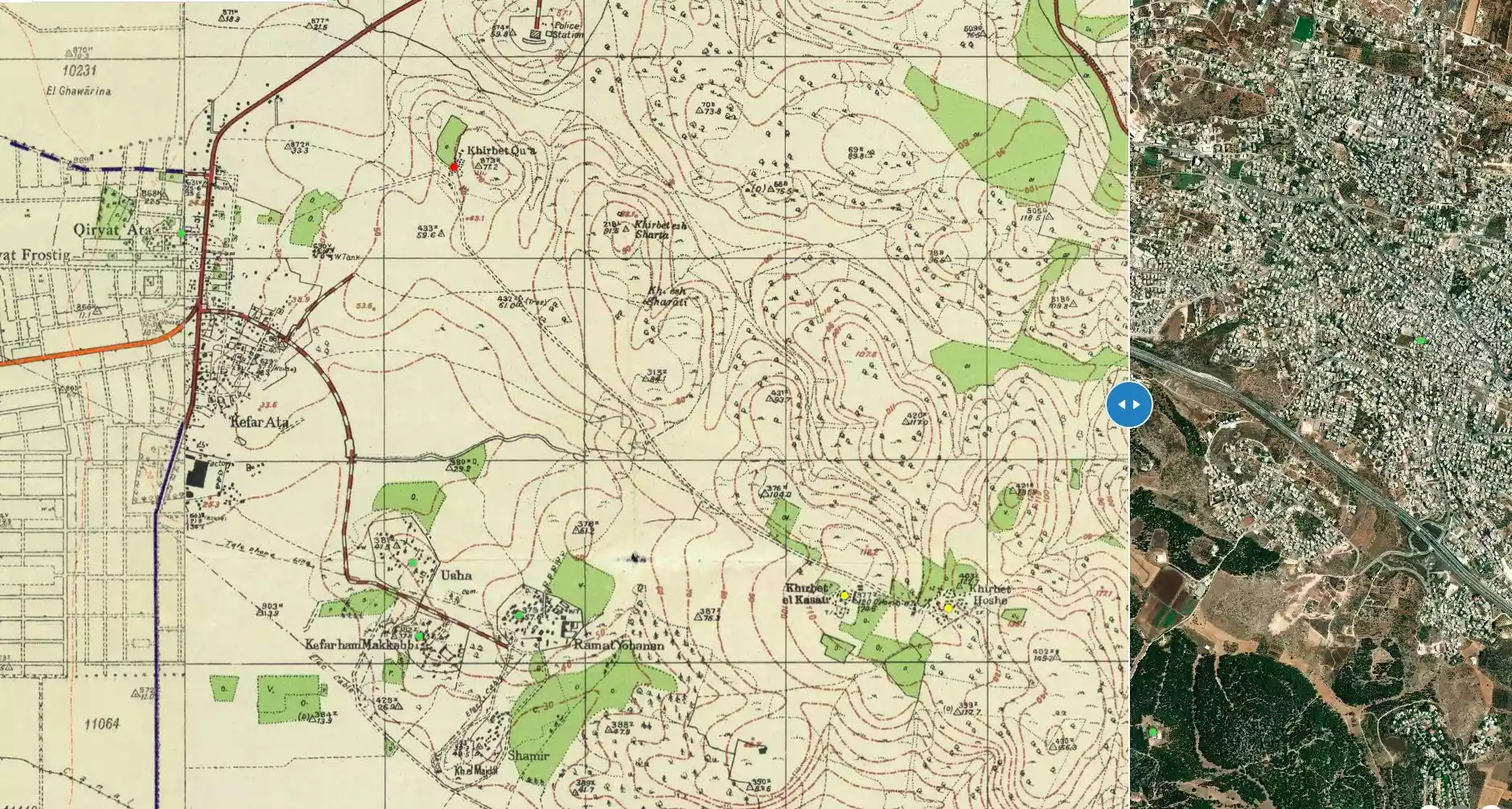
| Map Location | See location #2 on the map View from satellite |
|||||||||
| Military Operation | Mishmar Ha'emek Battle | |||||||||
| Attacking Units | Carmeli Brigade | |||||||||
| Defenders | Arab Liberation Army (headed by Fawzi al-Qawqgi) battalion made up of Syrian and Palestinian Druze volunteers. | |||||||||
| Exodus Cause | Military assault by Zionist troops | |||||||||
| Village Temains | The village has been completely destroyed, and only house walls and rubble left behind. | |||||||||
| Ethnically Cleansing | al-Kasayir, Khirbat inhabitants were completely ethnically cleansed. | |||||||||
| Near By Towns |
||||||||||
|
||||||||||
| Inhabitants Place of Origin | Khirbat al-Kasayir inhabitants were Muslims Arabs who traced their origins to North Africa. | |||||||||
| Exculsive Jewish Colonies That Usurped Village Lands |
The Palestinian Arab town of Shefa 'Amr. | |||||||||
| Featured Video | ||||||||||
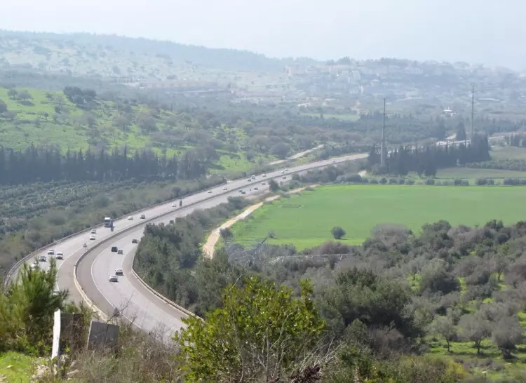
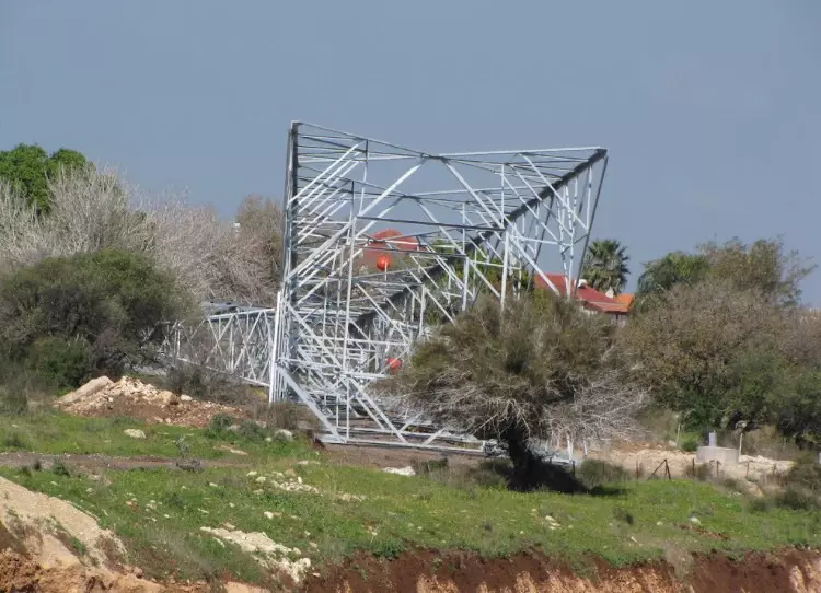
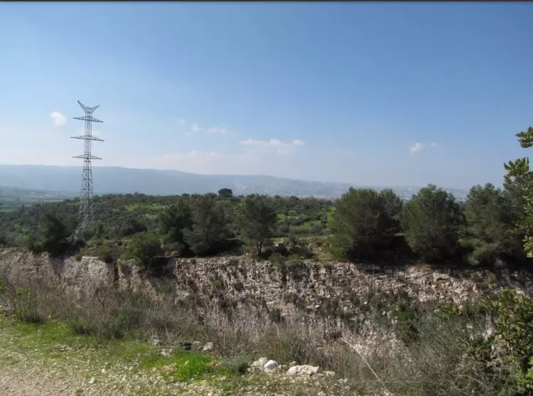
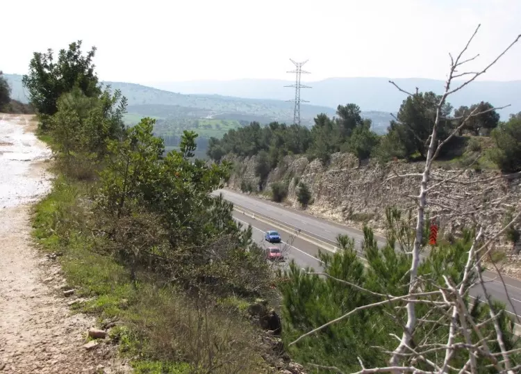
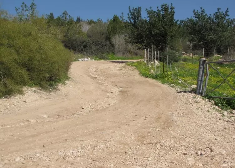
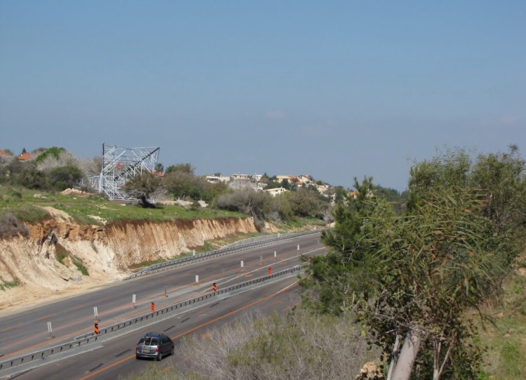
Village Before NakbaThe village was located on one of the hills that separated the Haifa Plain from Marj ibn Amir. It overlooked Mount Carmel to the west and was linked by a secondary road to a highway that led northwest to Haifa. Its Muslim residents traced their origins to North Africa.Village Occupation and Ethnic CleaningThis village was one of two that were the scene of a fierce engagement in mid-April. According to the History of the Haganah, the Arab Liberation Army (ALA) ordered one of its battalions to take up positions in the villages of Khirbat al-Kasayir and the adjacent Hawsha on 12 April 1948, during the height of the battle over Mishrnar ha-Emeq, in the Marj ibn Amir area further south The ALA's plan was to snipe at nearby Jewish settlements (perhaps Ramat Yochanan) so that reinforcements would be sent there, thus relieving the pressure on ALA units around Mishrnar ha-Emeq. A unit of the Haganah's Carmeli Brigade attacked the ALA positions in the two villages on 14 April, but was driven back.A second attack was mounted on 16 April. This time, the villages were occupied with ease, since they were left in the hands of a few guards. But during that same day, the ALA force, which the Haganah said consisted of Palestinian and Syrian soldiers from the Druze community, tried to recapture the villages nine separate times. The ensuing battles were marked by their ferocity and the bravery of the ALA Druze fighters, according to the testimony of Jewish soldiers. The New York Times reported that 'many Arabs' were killed in the fighting, including 'Druze tribesmen.' By the ninth attack, the Carmeli units were ordered to withdraw from Hawsha and retrench in Khirbat al-Kasayir. But after the arrival of a heavy machine-gun on the Haganah Side, the Arab units 'collapsed' and 'did not even attempt to return to Khirbet Kasayir,' in the words of the History of the Haganah. It is not clear when the Zionists returned to the village, although its inhabitants had probably left by that time, due to the fierce battles. The attack on the two villages may have facilitated the encirclement and occupation of Haifa, which took place the following week. Zionists Colonies on Village LandsThe lands formerly owned by the members of this village are now part of the Arab town of Shafa Amr (166245).Village TodayThe remains of bulldozed houses and collapsed cement walls, some covered with dirt, are scattered about the site. At the western corner of the site are a well and the remains of a house, whose girders are still visible. Another well is located at the eastern corner of the site. Cactus, as well as palm, mulberry, olive, and fig trees grow throughout the area. The entire area is fenced in and used as a cow pasture.SourceDr. Walid al-Khalidi, 1992: All That Remains. |
||||||||||
| Related Maps | Town Lands' Demarcation Maps خرائط للقضاء توضح حدود القرى والاودية Town's map on MapQuest View from satellite Help us map this town at WikiMapia |
|||||||||
| Related Links | Wikipedia's Page Google Search Google For Images Google For Videos |
|||||||||
| More Information | في كتاب كي لا ننسى في كتاب بلادنا فلسطين في كتاب النكبة والفردوس المفقود المزيد من موقع هوية |
|||||||||
- Remains Of Village Well In 1990
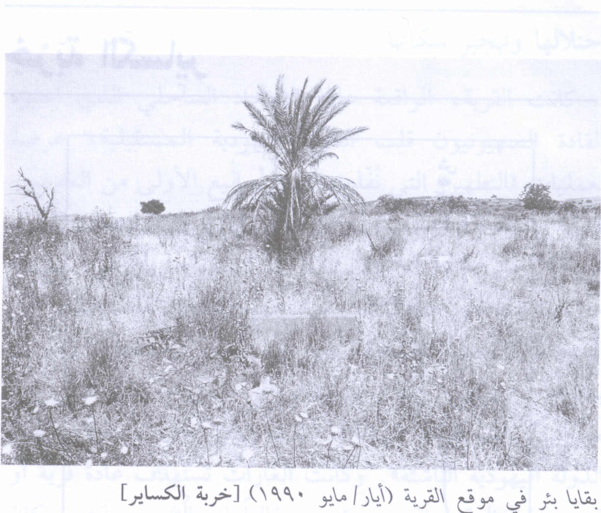
Scanned from "All That Remains" by Dr. Walid Khalidi 2 - Village Site In 1990
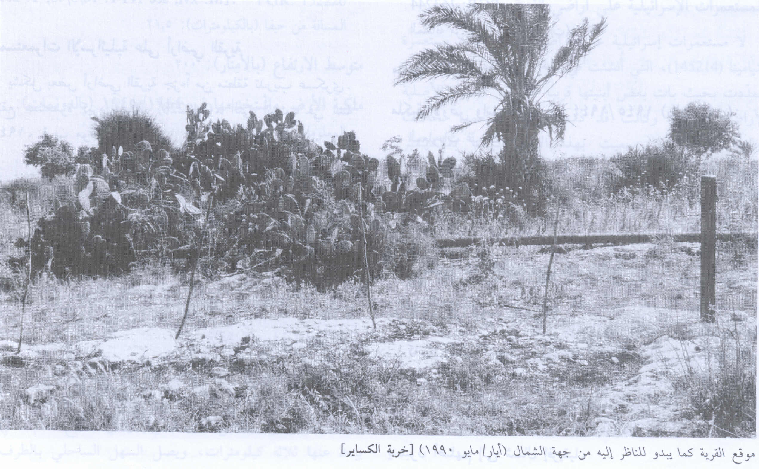
Scanned from "All That Remains" by Dr. Walid Khalidi 2 - اراضي القرية من الناحية الشرقية المحاذية لشارع حيفا, مغلقة بشريط شائك, تستخدم لرعي ابقار في المستوطنة غيفعات رم المقامة على القرية - ربيع 2003
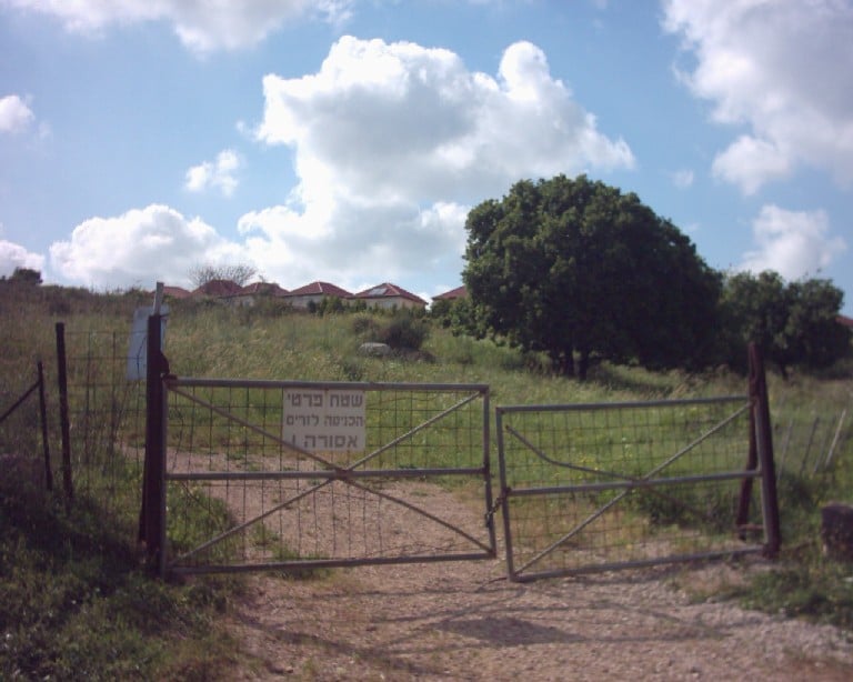
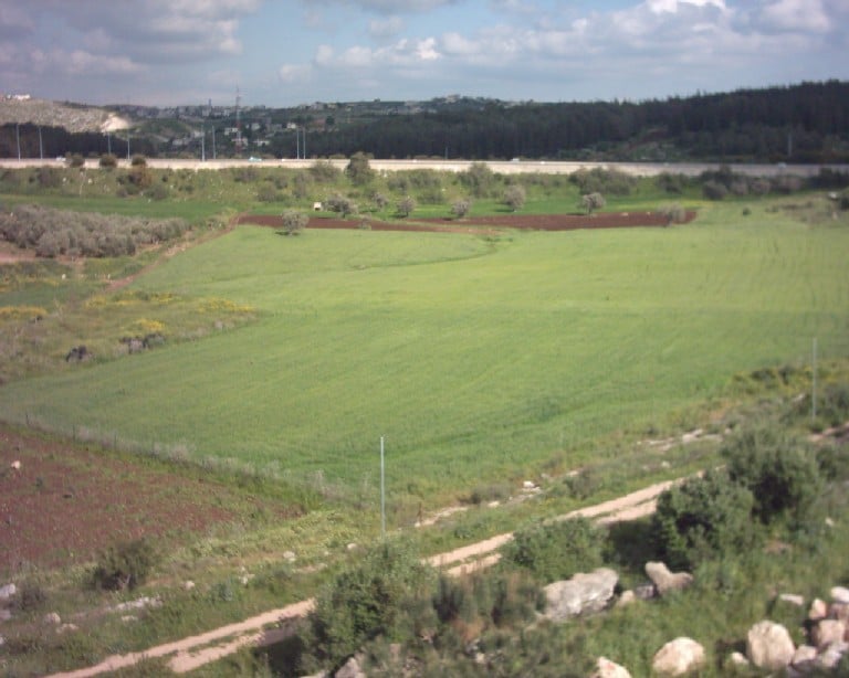
Posted by Makbula Nassar 3 - اراضي القرية من الناحية الشمالية, تظهر مستوطنة غيفعات رم المقامة على القرية - ربيع 2003
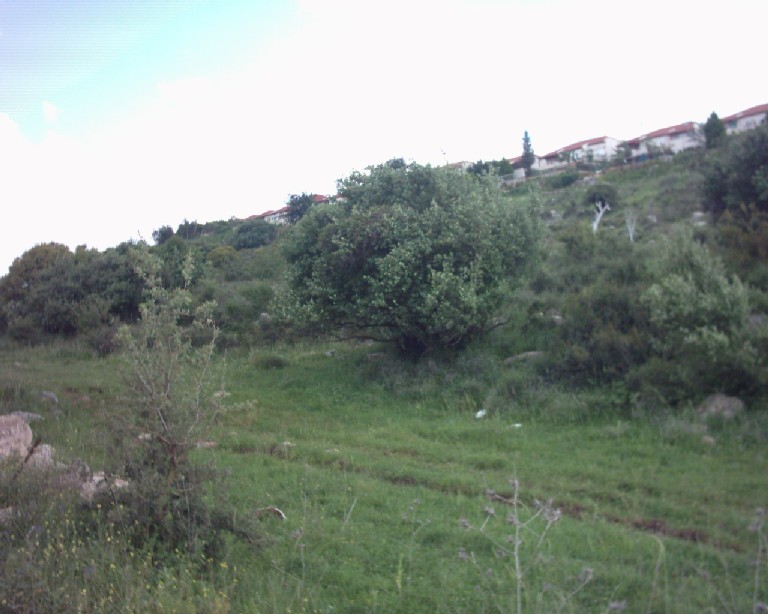
Posted by Makbula Nassar - راضي القرية من الناحية الشمالية, تظهر مستوطنة غيفعات رم المقامة على القرية - ربيع 2003
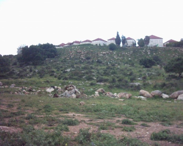
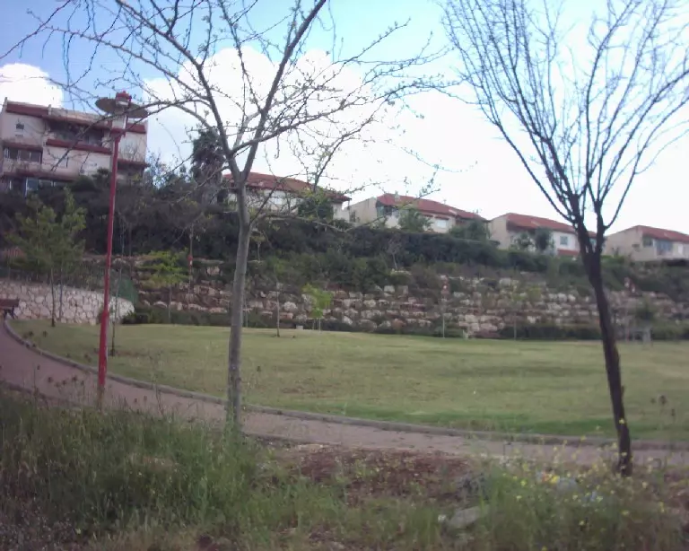
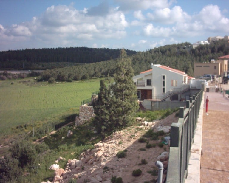
Posted by Makbula Nassar - مستوطنة غيفعات رم المقامة بالكامل على اراضي القرية التي ردمت أثارها وبني عليها - ربيع 2003
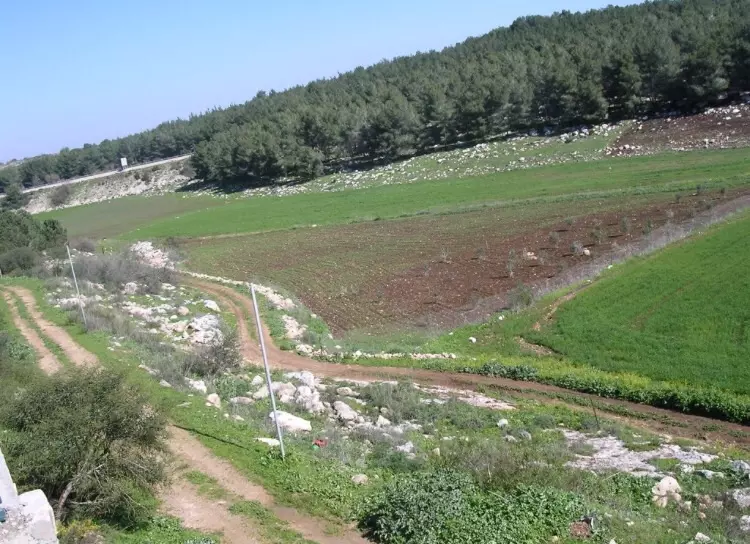
Posted by Makbula Nassar - اراضي القرية من الناحية الشرقية, يظهر شارع حيفا - ربيع 2003
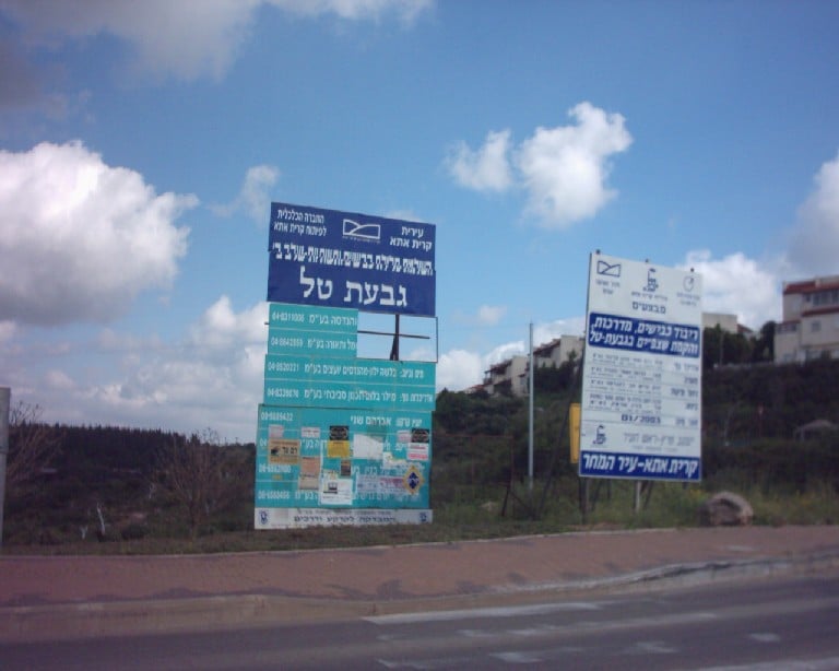
Posted by Makbula Nassar 1 - حي يسمى غيفعات تل, اقيم على الناحية الشمالية الشرقية للقرية- 2003
Posted by Makbula Nassar - اراضي القرية من الناحيةالشمالية الشرقية, ويظهر شارع حيفا - ربيع 2003
Posted by Makbula Nassar 2 - خربه الكساير
Posted by abu raya - خربه الكساير
Posted by abu raya - خربه الكساير
Posted by abu raya - خربه الكساير
Posted by abu raya - خربه الكساير
Posted by abu raya - خربه الكساير
Posted by abu raya - خربه الكساير
Posted by abu raya - خربه الكساير
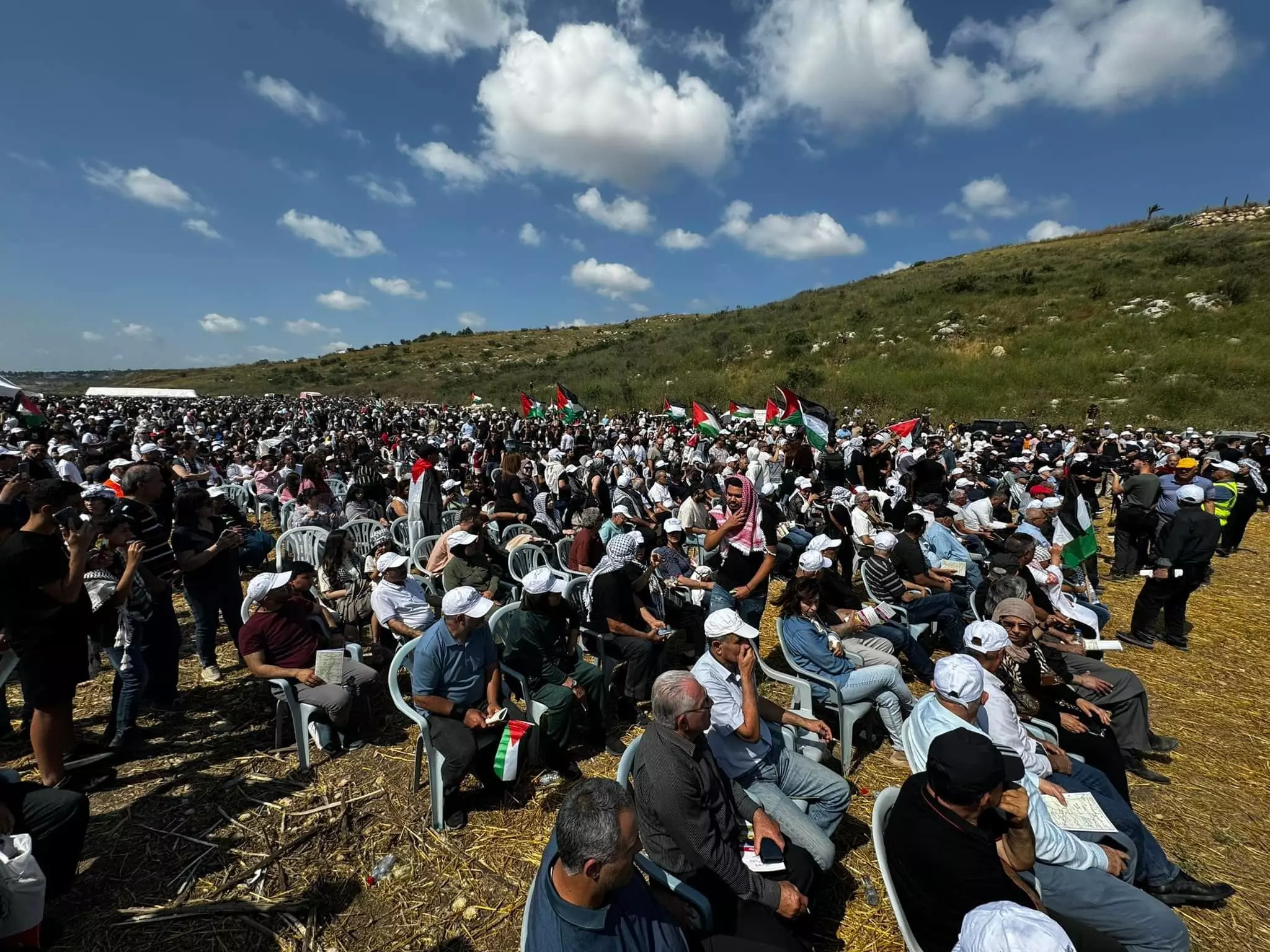
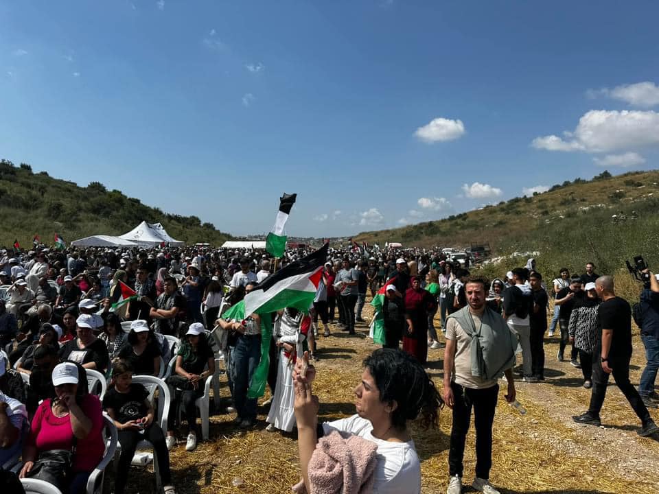
Posted by abu raya - من مسيرة العودة في هوشة والكساير - 2024 -- تصوير : الأستاذ ابراهيم أبو عمّار .
- من مسيرة العودة في هوشة والكساير - 2024 -- تصوير : الأستاذ ابراهيم أبو عمّار . #2
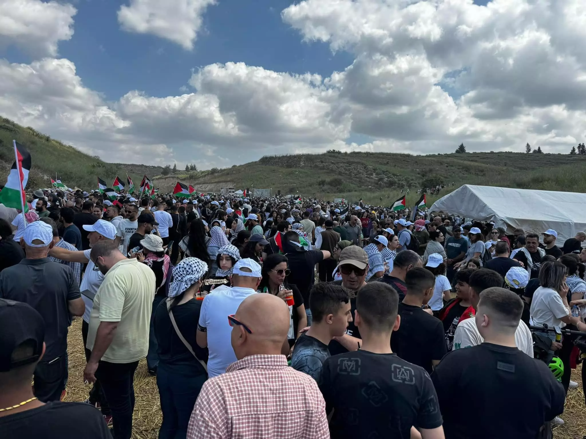
- من مسيرة العودة في هوشة والكساير - 2024 -- تصوير : الأستاذ ابراهيم أبو عمّار . #3
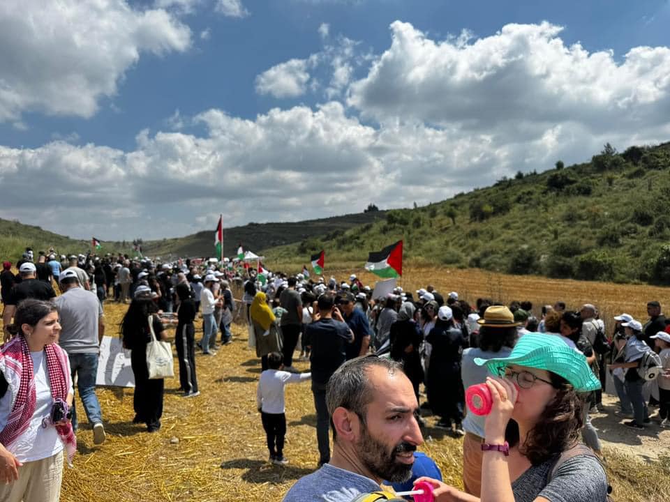
- من مسيرة العودة في هوشة والكساير - 2024 -- تصوير : الأستاذ ابراهيم أبو عمّار . #4
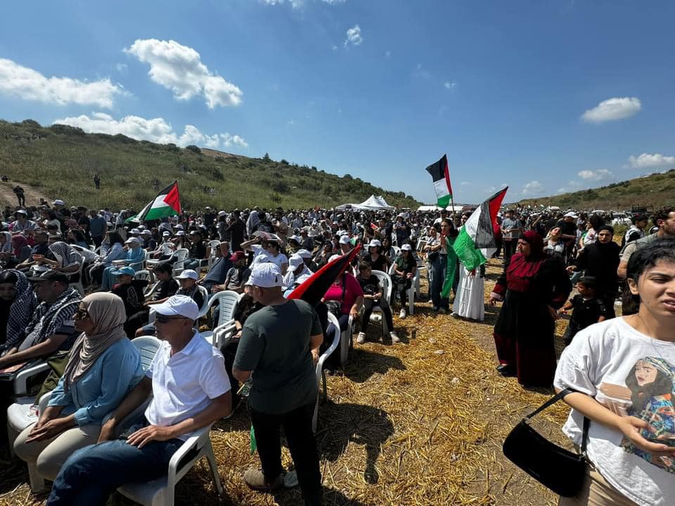
- من مسيرة العودة في هوشة والكساير - 2024 -- تصوير : الأستاذ ابراهيم أبو عمّار . #5
Want to browse more? 80,000 pictures were grouped in these gallaries:
| Display Name | Clan/Hamolah | Country of Residence |
No links have been shared yet, be free to the first to share the first link.
 Fake Valor: Why Did Zionist Jews Hoist Nazis Flag on Their Ships in the 1930s?
What is new?
-
Facts About Oct. 7th Gaza Raid
-
Remined Us Please: Who Did Rape Whom? Was it Palestinians who raped Israelis? Or, was the other way around? You'll be the judge
-
When Prof. Edward Said was invited to debate Bibi Netanyahu in the 1980s, watch what happened!
-
Ezra Klein of the NY Times on the "Jewish Race".
-
Abusing Blood Libel!
-
How and why Israeli Jewry has become the most hated cult?
-
Did Israeli Soldiers Activate The Hannibal Direective On Oct. 7th? You Be The Judge
-
Zionist FAQ: Isn't it true that Palestinians don't want peace? Palestinians never accepted the two-state solution
- Facts about Haavara (Transfer) Agreement between Ben-Gurion & Hitler
-
Haavara FAQs: Why Did Zionist Jews Hoist Nazis' Flags on Their Ships in the 1930s?
- Haavara FAQs: When Chaim Weizmann met FDR in mid-1943, why was he silent about rescuing European Jewry?
-
Dear ChatGPT: How did Palestinians resist Napoleon's invasion of their country in 1799?
-
Dear ChatGPT: Gaza had a vibrant Jewish community in the mid-17th century. What happened to them?
-
Dear ChatGPT: Why did the Jewish Agency suppress news of the Holocaust during WWII?
-
Video Playlist: Jews share their DNA tests to end the conflict for good.
-
A Tale of Two Conflicts: Examining the Definition of Genocide
-
Prof. Abraham Polak And The Suppressed History of the Khazars and European Jewry
-
How Ronald Reagan would have framed the genocide in Gaza if he were still alive?
-
Haavara FAQs: Let us do the math: how many German Jews did The Haavara Agreement save?
-
Zionist FAQs: The Hebron Massacre of 1929, "clearly proves" that Palestinians are antisemitic, how could you deny it?
-
Zionist FAQs: Why Anti-Zionist Is Not Antisemitism?
-
Zionist FAQs: Isn't it true that the KGB created Palestinian Nationalism in the early 1960s?
- Zionist FAQs: Muslims are killing Muslims all the time; why are Israeli Jews being singled out in the media?
- Zionist FAQs: How is Israel an apartheid state when 20% of its citizens are Arabs who enjoy full rights?
-
Haavara FAQs: Why Did Dorothy Thompson Flip From A Zionist Advocate to A Silenced Dissenter?
-
Haavara FAQs: Analysis of Herzl's Uganda Scheme and how it could have saved millions of Jews.
-
Haavara FAQs: Why did Hayim Greenberg describe American Jewry as "morally bankrupt" in early 1943?
-
Haavara FAQs: What if the Evian Conference was a resounding success? What would have been the impact of saving European Jewry on Zionism?
- Haavara FAQs: What if the six million were saved, how that would have impacted the Zionist project?
-
Haavara FAQs: How did Zionist leaders react when Europe's Jews lingered in the DP camps after WWII ended?
-
Why does the American Jewish community repeat lies that David Ben-Gurion had debunked before he died?
-
Who has the power to rename the Tatar/Khazar Gene Marker to Jewish IV?
-
Zionist FAQs: Why won't Egypt, Syria, and Jordan take their people back? Jews are indigenous to Palestine, and Arabs immigrated after Jews developed the country. Arabs should leave.
-
Haavara FAQs: Did Hitler and the Nazis conflate between Judaism and Zionist? If that wasn't case, then why?
-
Haavara FAQs: Winston Churchill and antisemitism, a collection of articles written Churchill.
-
Haavara FAQs: Broken by country, how many Jews survived vs. killed during the Holocaust?
-
Haavara FAQs: Why did European Jews vote with their feet and to immigrated to the Americas, not Palestine, after WWII?
-
Watch this American Jewish Girl describing Israeli Jews' cognitive dissonance like no other in under two minutes
-
Haavara FAQs: When the Nazis went out of their way to hide the Holocaust, Israeli Jews did the exact opposite by broadcasting their genocide of Gazans. But why?
-
Haavara FAQs: How Zionist Jews went out of their to show their appreciation to Nazism and Fascism?
- Haavara FAQs: Why Zionist leaders were against bombing the death camps & the Railroads leading to them?
-
Haavara FAQs: Hitler's message to the British and American people: If Jews are such noble citizens and you care about them, how come you're not letting them in? I will gladly ship them to you at my expense, even on luxury liners!
-
A shortlist of Zionist and Israeli false flag operations in the name Jews.
-
The Most Moral Army
- The Land of Kapos (Israel): Where the brave are boycotted and Kapos walk free.
- Why did early Zionists often named their communal enterprises "colonial"?
- Zionist Relations with Nazi Germany by Faris Glubb
-
Two NY Times advertisements by Zionists in the early 1943 that exposes Zionists' treason at the height of the calamity
- Facts Not Lies about the Palestinian-Israeli Conflict.
- Site's pictures have been categorized
- Campgain Against Lice
- A Survey of Palestine, the official source about Palestine before Nakba produced by the British Mandate; over 1200 pages.
- Satellite View & Google Earth: Over 6,000 placemarks identifying all destroyed towns, W. Bank & Gaza Strip Towns, & refugee camps.
- PalestineRemembered.com and its Nakba Oral History Project were featured on al-Jazeera Satellite TV.
- Nakba Oral History Video Podcast:
 Over 700 Oral History interviews (including 3,500+ hours of recording) can be viewed online.
 - Palestine Village Statistics Project
- Gaza Jail Break
- النسخة العربية للموقع الان متوفرة
- Videos: Documenting the destroyed villages in video: Tracing all that remains since Nakba.
- Videos: Responding to Zionist Propaganda
- Interview: The ethnic cleansing of Palestine: George Galloway interviews Israeli Historian Ilan Pappe.
- For Palestinians, memory matters. It provides a blueprint for their future By George Bisharat.
- Zionist FAQ now available in Hebrew שאלות שציונים שואלים, עכשיו בעברית
- Video: The Stephen Walt and John Mearsheimer report on the influence of the Israel Lobby on U.S. Foreign Policy
- The Palestinian-Israeli conflict for beginners
