| PalestineRemembered | About Us | Oral History | العربية | |
| Pictures | Zionist FAQs | Haavara | Maps | |
| Search |
| Camps |
| Districts |
| Acre |
| Baysan |
| Beersheba |
| Bethlehem |
| Gaza |
| Haifa |
| Hebron |
| Jaffa |
| Jericho |
| Jerusalem |
| Jinin |
| Nablus |
| Nazareth |
| Ramallah |
| al-Ramla |
| Safad |
| Tiberias |
| Tulkarm |
| Donate |
| Contact |
| Profile |
| Videos |
Welcome To Jarisha - جريشة (ג'רישה)
|
District of Jaffa
Ethnically cleansed days ago |
العربية Google Earth |
 |
Gallery (30) |
- Statistics & Facts
-
Before & After

- Satellite View
- Articles 1
- Pictures 30
- Aerial Views 1
- Members
- All That Remains
- Wikipedia
- Videos
- Guest Book
- Links 1
| Statistic & Fact | Value | ||||||||||||||||||
| Occupation Date | May 1, 1948 | ||||||||||||||||||
| Distance From District | 7 (km) Northeast of Jaffa | ||||||||||||||||||
| Elevation | 25 (meters) | ||||||||||||||||||
| Before & After Nakba, Click Map For Details |
|||||||||||||||||||
|
|||||||||||||||||||
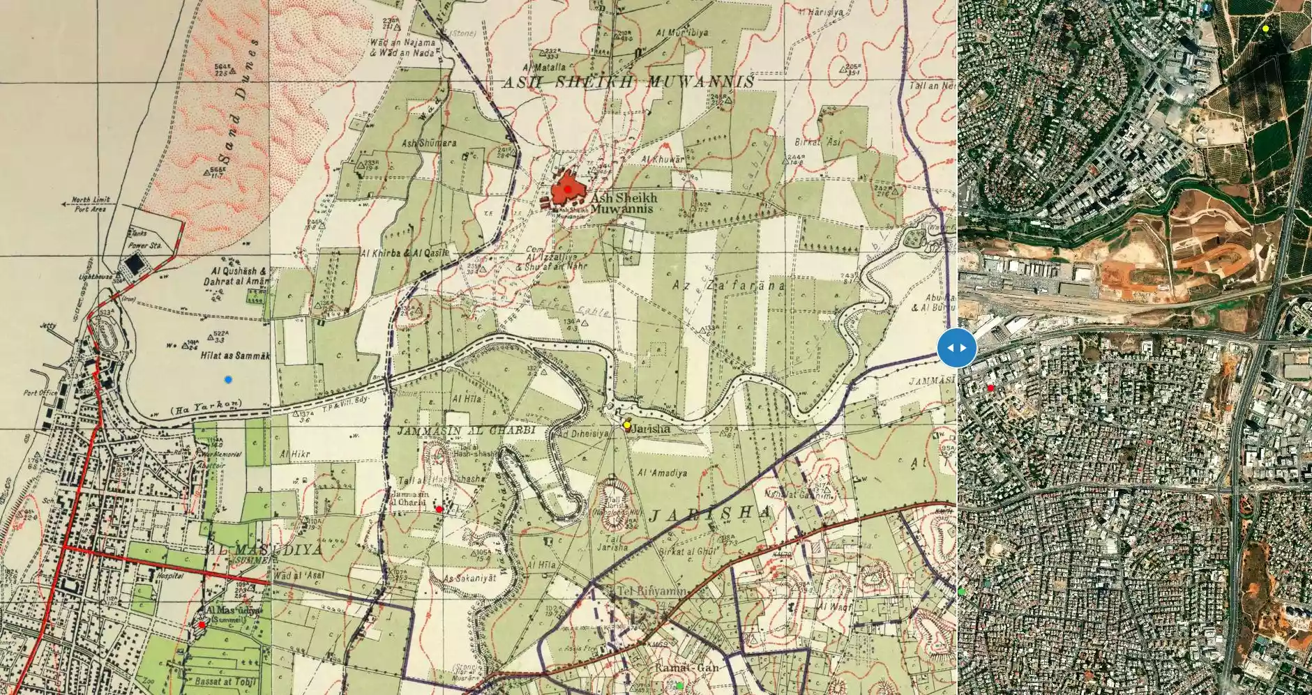
| Map Location | See location #11 on the map View from satellite |
||||||||||||||||||
| Acts of Terror | In March 1948, Irgun Zvai Leumi (IZL or ETZEL) kidnapped five of the village leaders despite of a truce between the villagers and the Haganah. | ||||||||||||||||||
| Exodus Cause | Expulsion by Zionist troops | ||||||||||||||||||
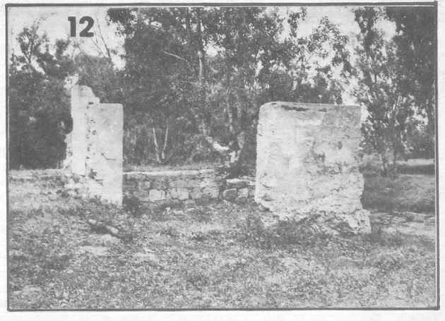
| Village Temains | Jarisha was completely obliterated. | ||||||||||||||||||
| Ethnically Cleansing | Jarisha inhabitants were completely ethnically cleansed. | ||||||||||||||||||
| Pre-Nakba Land Ownership |
**Town Lands' Demarcation Maps |
||||||||||||||||||
| Land Usage As of 1945 |
|
||||||||||||||||||
| Population |
|
||||||||||||||||||
| Number of Houses |
|
||||||||||||||||||
| Near By Towns |
|||||||||||||||||||
|
|||||||||||||||||||
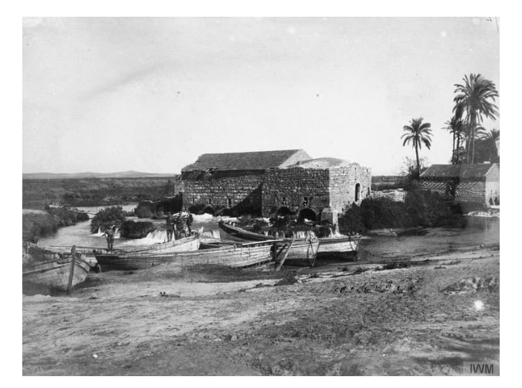
| Town's Name Through History | Jarisha may have picked its name from the nearby a grain mill. | ||||||||||||||||||
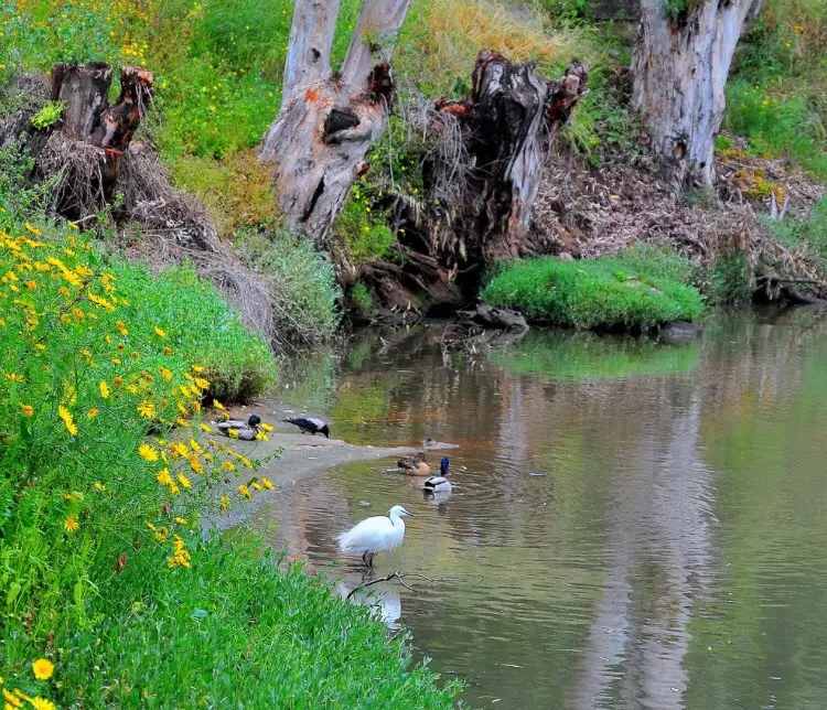
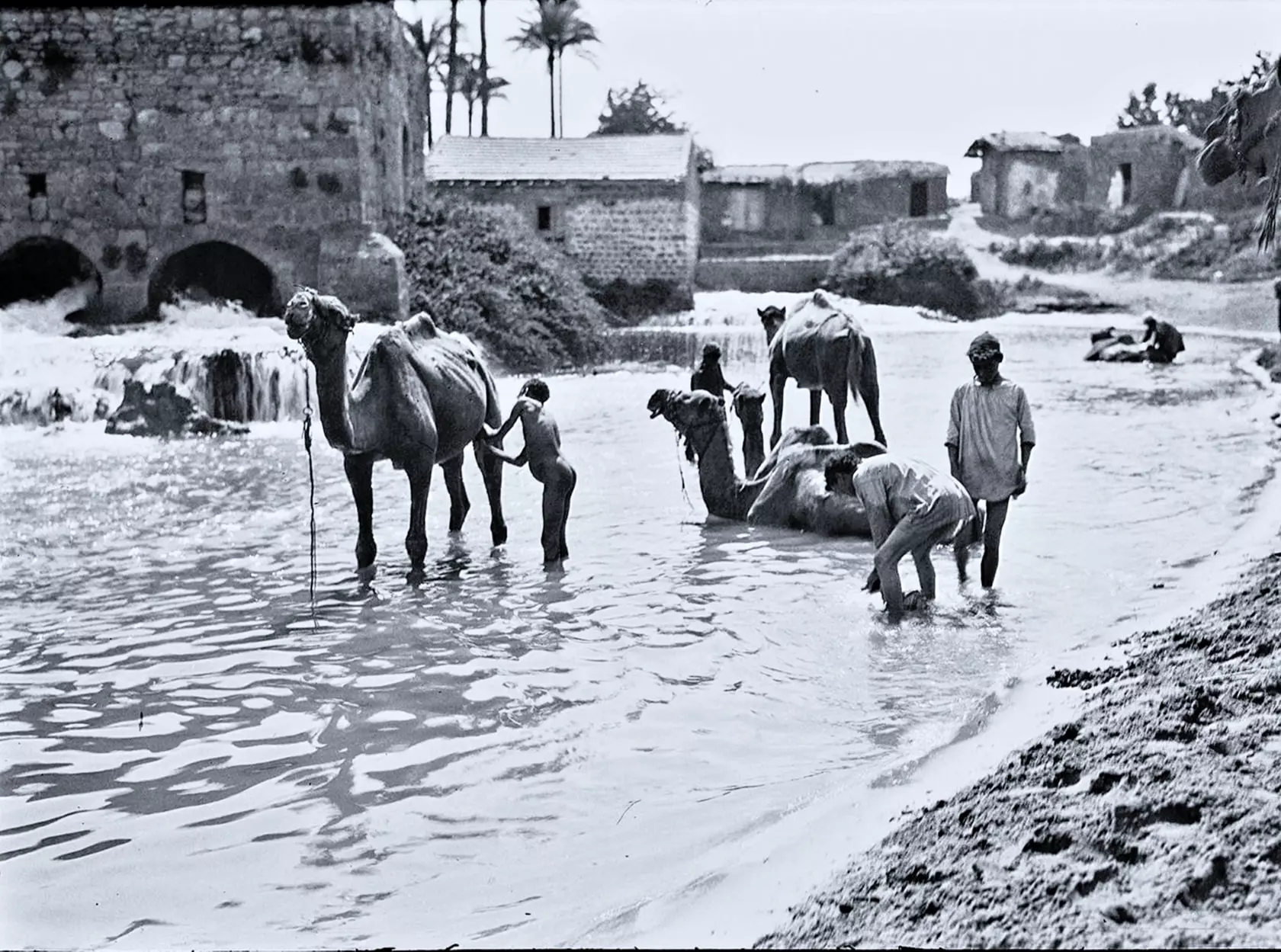
| Nearby Wadies & Rivers | Jarisha was situated on the south bank of the al-'Awja River. | ||||||||||||||||||
| Water Supply | Jarisha had its own well for drinking water and used the al-'Awja River water for irrigation. | ||||||||||||||||||
| Exculsive Jewish Colonies Who Usurped Village Lands |
The Israeli City of Ramat Gan has been encroaching on village lands. | ||||||||||||||||||
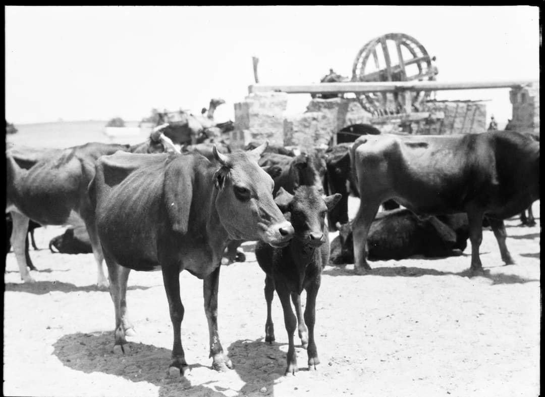
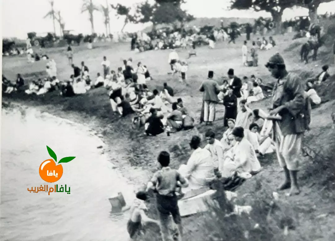
Village Before NakbaThe village was situated on a low hill on the central coastal plain, on the south bank of the al-'Awja River. It was linked to Jaffa and Haifa by the highway connecting the two cities. It was only 200 m from Tall Jarisha, an archaeological site dating to the Early Bronze II period (2800–2600 B.C.) In the Middle Bronze period (2000–1500 B.C.) the site became a fortified Hyksos town. The Philistine settlement that succeeded it dated to the twelfth century B.C. In 1596 Jarisha was a village in the nahiya of Bani Sa'b (liwa' of Nablus), with a population of 121. It paid taxes on buffalo, goats, and beehives. The village may have been called Jarisha (from the Arabic verb jarasha, 'to mill') because it was located near grain mills. In the late nineteenth century, Jarisha was a village built of adobe bricks and flanked by an olive grove. It had its own well and a mill (see photos sction).The modern population was entirely Muslim. With its convenient location, near woods, and its cafes, parks, and gardens, the village attracted Jaffans who came for recreation. Its outline was rectangular and its houses were made of cement, stone, and adobe. The residents worked in service industries but also grew fruits and vegetables; in 1944/45 a total of 302 dunums of village land was devoted to citrus and bananas and 89 dunums were irrigated or used for orchards. Village Occupation and Ethnic CleaningThe fall of Jarisha occurred some time before the end of the British Mandate on 15 May 1948 (see Abu Kishk, Jaffa sub-disctrict). It may have been affected by events in the adjacent village of al-Shaykh Muwannis. An earlier agreement between the villagers of al-Shaykh Muwannis and the Haganah to observe a truce in the area did not deter the Irgun Zvai Leumi (IZL) from striking at the community leaders. The IZL infiltrated into the village at the end of March 1948 and kidnapped five of the village leaders. The attack prompted a large flight of people from the surrounding coastal area (presumably including Jarisha).Zionists Colonies on Village LandsThere are no settlements on village lands, but Ramat Gan (133165), established in 1921, is very close by, southeast of the village. The land has been used for Israeli urban construction.Village TodayThe site has been completely covered over by highways and suburban houses.SourceDr. Walid al-Khalidi, 1992: All That Remains. |
|||||||||||||||||||
| Related Maps | Town Lands' Demarcation Maps خرائط للقضاء توضح حدود القرى والاودية Town's map on MapQuest View from satellite Help us map this town at WikiMapia |
||||||||||||||||||
| Related Links | Wikipedia's Page Facebook Page Google Search Google For Images Google For Videos |
||||||||||||||||||
| More Information | في كتاب كي لا ننسى في كتاب بلادنا فلسطين |
||||||||||||||||||
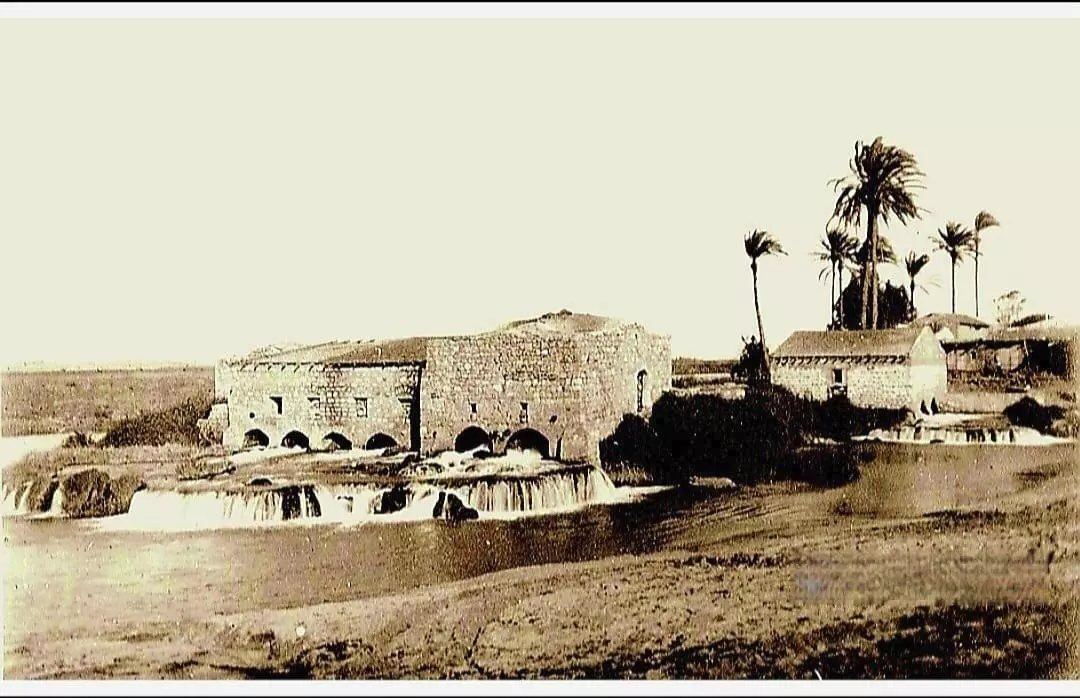
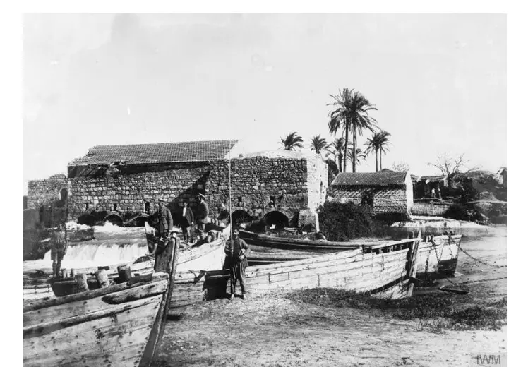
- Jarisha-Mill On The al-'Awja River In 1917

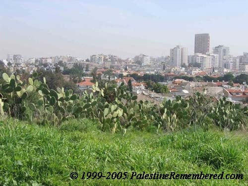
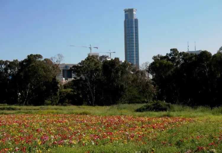
Scanned from "All That Remains" by Dr. Walid Khalidi - Jarisha's Cactus trees and Tel-Aviv in the background
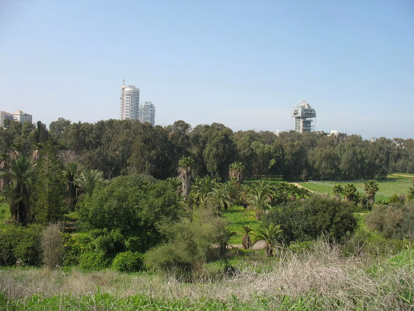
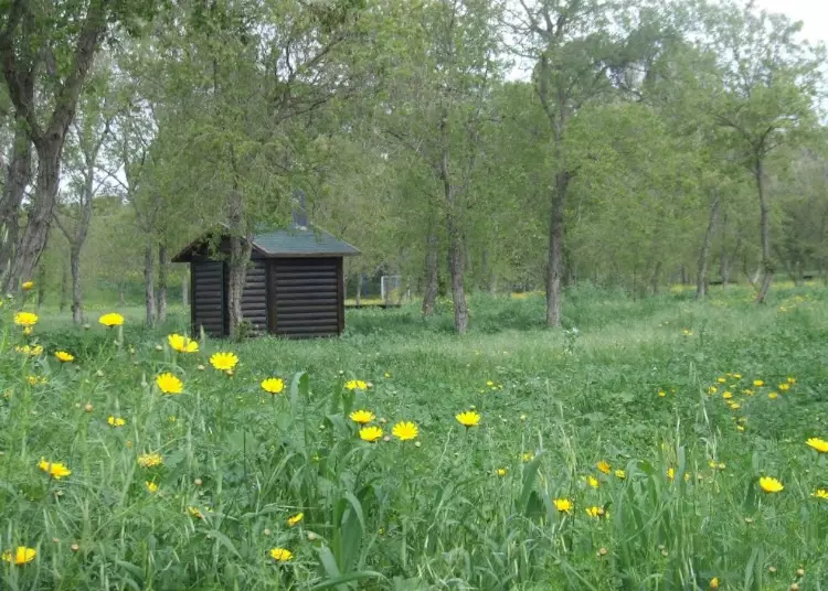
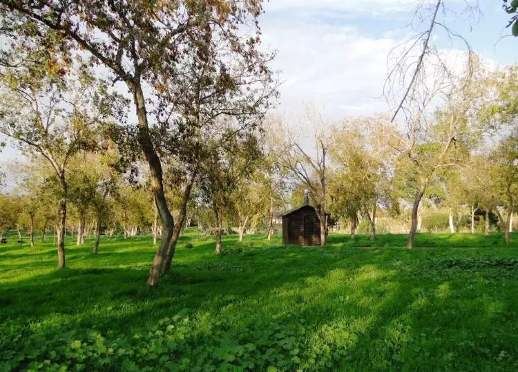
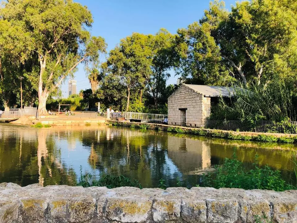
- General view for destroyed village's lands, now it serves the Israeli public (as usually done with most destroyed villages) as picnic park.
Posted by Noga Kadman - The famous mill (Tahouneh)
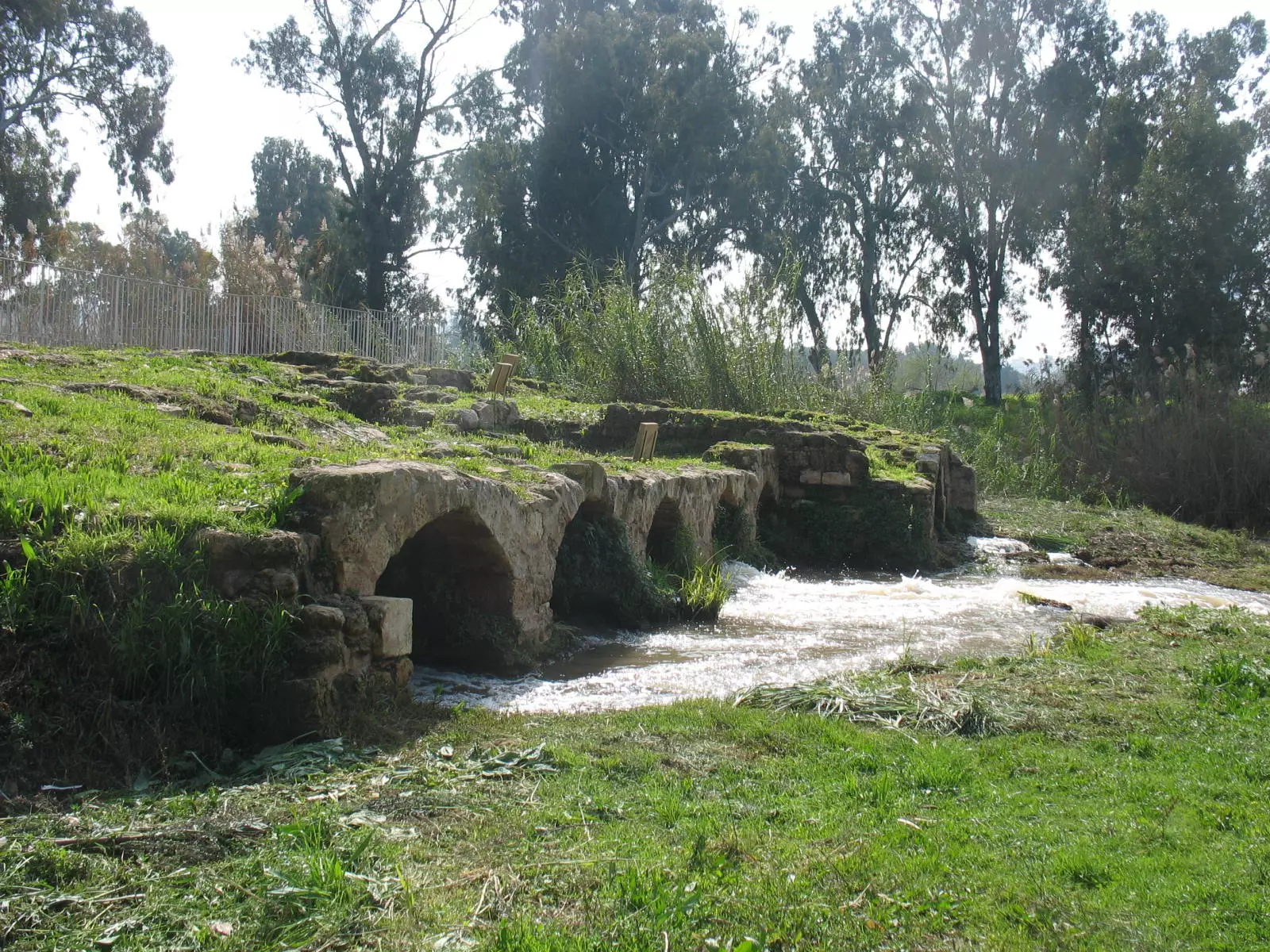
Posted by Noga Kadman - (منظر جوي بإتجاه الشرق ويهر نهر اليركون(العوجة

- قرية جريشة على نهر العوجا
Posted by فتحي ابو رضا \ العايدي - موقع القريه
Posted by abu raya - موقع القريه بين الاشجار
Posted by abu raya - موقع القريه
Posted by abu raya - القريه بالقرب من نهر العوجا
Posted by abu raya - القريه بالقرب من بنايات تل ابيب
Posted by abu raya - صوره قديمه لقريه الجريشه سنه 1918

Posted by abu raya - طواحين المياه في الجريشه سنه 1918
Posted by abu raya - صوره من القريه سنه 1918
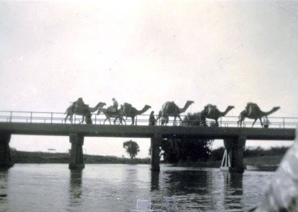
Posted by abu raya - قرية جريشة (الطواحين السبع )قضاء يافا سنة 1930- جسر على نهر العوجا

- جسر العوجا ..اليركون سنة 1946
- صورة ساحرة لجانب من قرية جريشة (السبع طواحين) على نهر العوجا قضاء يافا عام 1925..
- Pictures taken in Jarisha during the pre-Nakba period
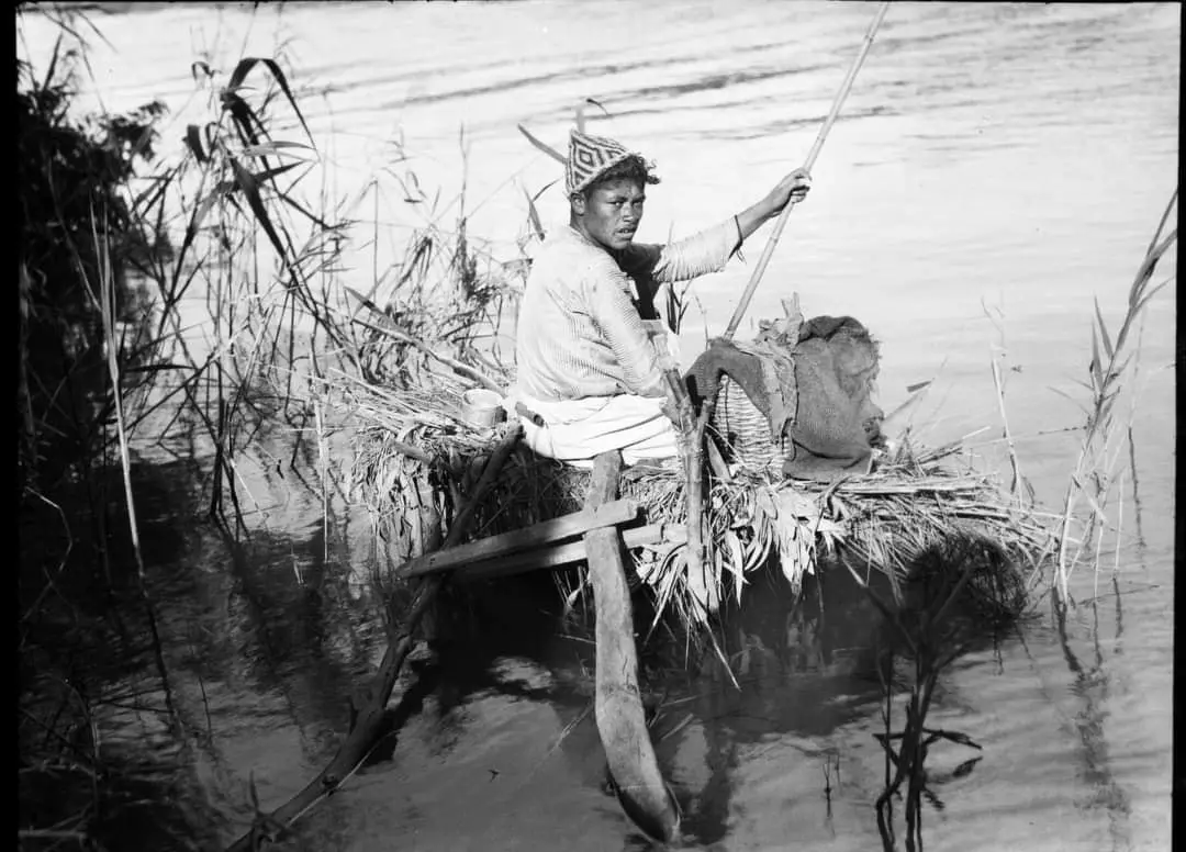
- Pictures taken in Jarisha during the pre-Nakba period #2
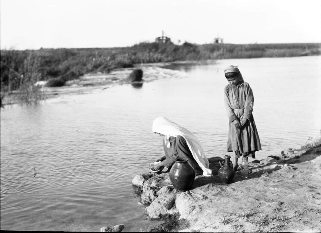
- Pictures taken in Jarisha during the pre-Nakba period #3
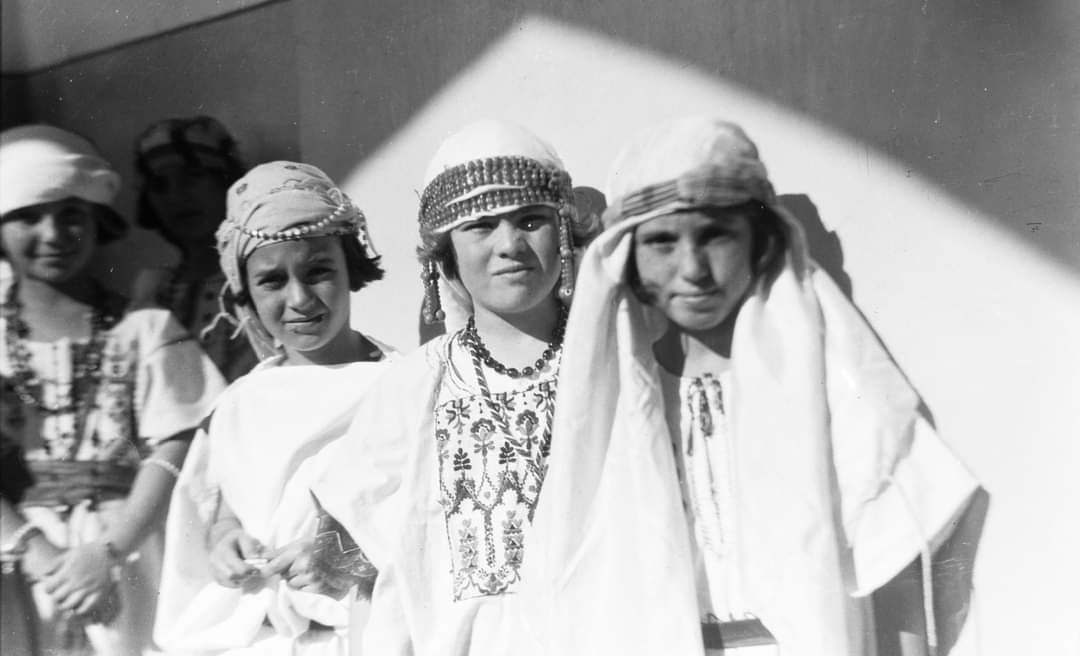
- Pictures taken in Jarisha during the pre-Nakba period #4
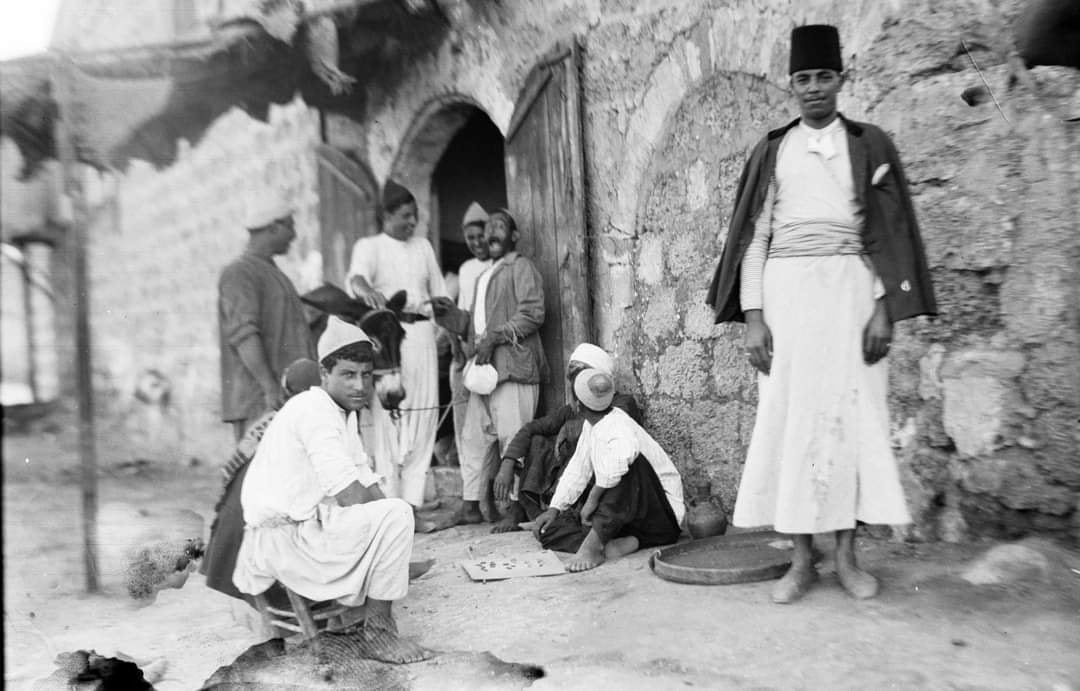
- Pictures taken in Jarisha during the pre-Nakba period #5
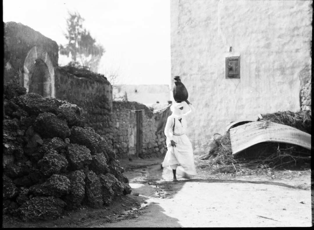
- Pictures taken in Jarisha during the pre-Nakba period #6
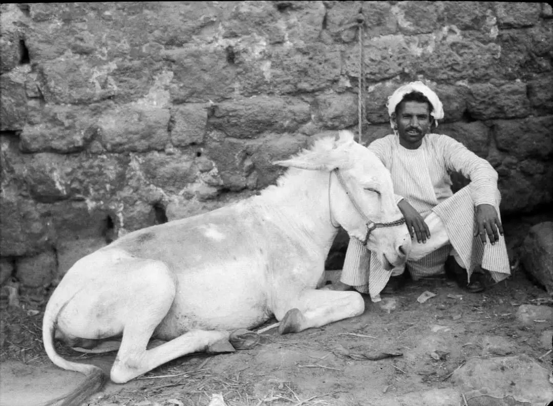
- Pictures taken in Jarisha during the pre-Nakba period #7
- شباب قرية اجريشة قضاء يافا يسبحون مع جمالهم على ضفاف نهر العوجا--1934
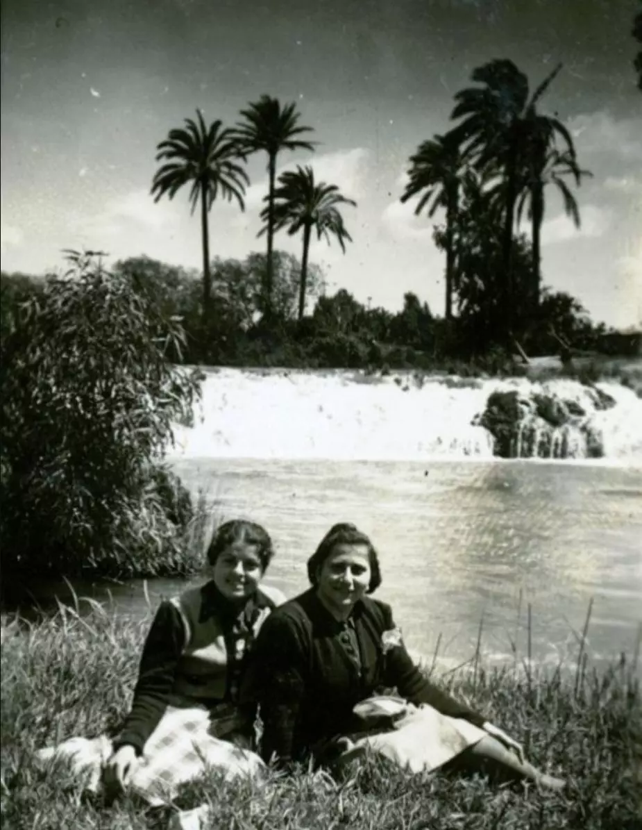
- معلمات المدرسة الارمنية من مدينة يافا يلتقطن صورة جميلة على ضفاف نهر العوجا قضاء يافا سنة 1940.
- صورة نادرة جدا لأهالي يافا يجتمعون في الأعياد في نهر العوجا -- جريشة
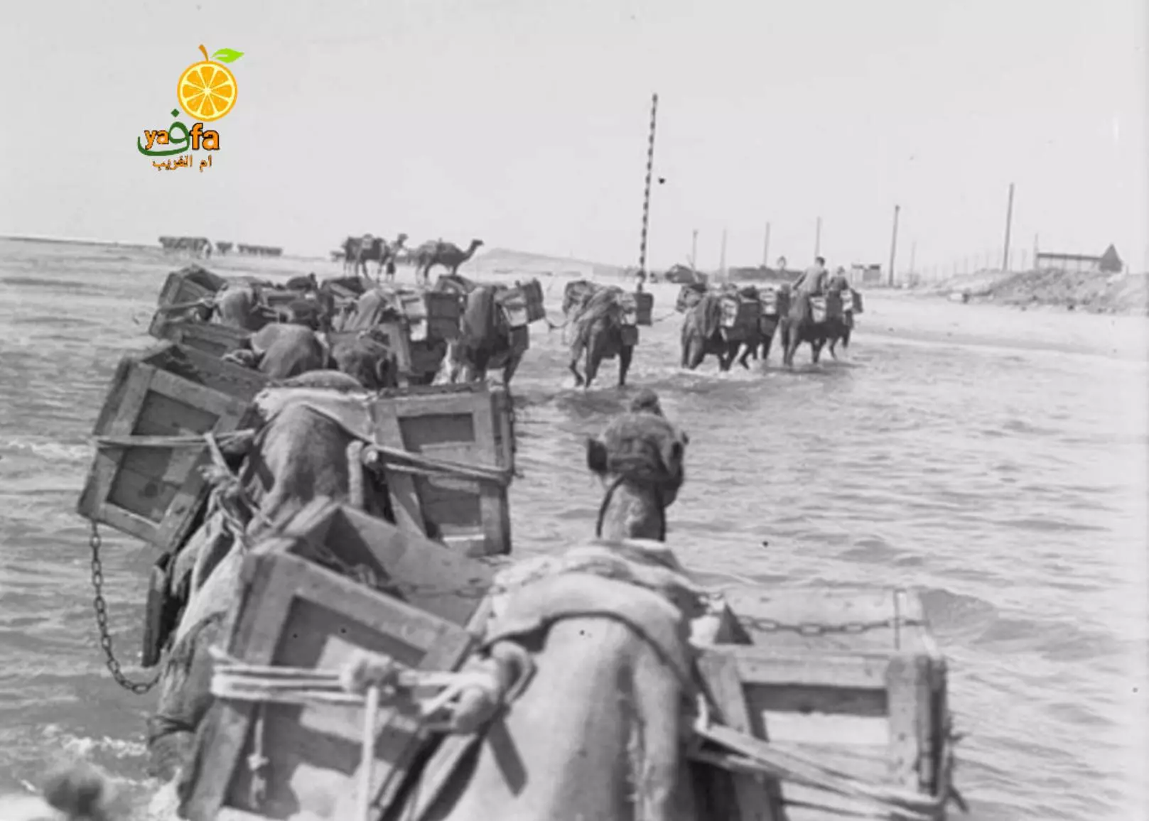
- قافلة جمال محملة بمواد بناء تقطع نهر العوجا قضاء يافا ..متجه نحو محطة الكهرباء المركزية التابعة ليافا -- 1937
- منظر عام رائع للقرية -- Iyad Jaber
- خارطة تُظهِر الحدود والطرق بأنواعها والأماكن المقدسة والطبيعة الطوبغرافية من تلال وسهول ومنحدرات والتشكيلة الطبيعية للأرض وأنواع المزروعات. نُشرت الخريطة فترة الانتداب البريطاني، تم إضافة تعديلات عليها من قِبَل خدمة الخرائط والصور التابعة للقوات العسكرية الاسرائيلية فترة الأربعينيات.

Want to browse more? 80,000 pictures were grouped in these gallaries:
| Display Name | Clan/Hamolah | Country of Residence |
 Fake Valor: Why Did Zionist Jews Hoist Nazis Flag on Their Ships in the 1930s?
What is new?
-
Facts About Oct. 7th Gaza Raid
-
Remined Us Please: Who Did Rape Whom? Was it Palestinians who raped Israelis? Or, was the other way around? You'll be the judge
-
When Prof. Edward Said was invited to debate Bibi Netanyahu in the 1980s, watch what happened!
-
Ezra Klein of the NY Times on the "Jewish Race".
-
Abusing Blood Libel!
-
How and why Israeli Jewry has become the most hated cult?
-
Did Israeli Soldiers Activate The Hannibal Direective On Oct. 7th? You Be The Judge
-
Zionist FAQ: Isn't it true that Palestinians don't want peace? Palestinians never accepted the two-state solution
- Facts about Haavara (Transfer) Agreement between Ben-Gurion & Hitler
-
Haavara FAQs: Why Did Zionist Jews Hoist Nazis' Flags on Their Ships in the 1930s?
- Haavara FAQs: When Chaim Weizmann met FDR in mid-1943, why was he silent about rescuing European Jewry?
-
Dear ChatGPT: How did Palestinians resist Napoleon's invasion of their country in 1799?
-
Dear ChatGPT: Gaza had a vibrant Jewish community in the mid-17th century. What happened to them?
-
Dear ChatGPT: Why did the Jewish Agency suppress news of the Holocaust during WWII?
-
Video Playlist: Jews share their DNA tests to end the conflict for good.
-
A Tale of Two Conflicts: Examining the Definition of Genocide
-
Prof. Abraham Polak And The Suppressed History of the Khazars and European Jewry
-
How Ronald Reagan would have framed the genocide in Gaza if he were still alive?
-
Haavara FAQs: Let us do the math: how many German Jews did The Haavara Agreement save?
-
Zionist FAQs: The Hebron Massacre of 1929, "clearly proves" that Palestinians are antisemitic, how could you deny it?
-
Zionist FAQs: Why Anti-Zionist Is Not Antisemitism?
-
Zionist FAQs: Isn't it true that the KGB created Palestinian Nationalism in the early 1960s?
- Zionist FAQs: Muslims are killing Muslims all the time; why are Israeli Jews being singled out in the media?
- Zionist FAQs: How is Israel an apartheid state when 20% of its citizens are Arabs who enjoy full rights?
-
Haavara FAQs: Why Did Dorothy Thompson Flip From A Zionist Advocate to A Silenced Dissenter?
-
Haavara FAQs: Analysis of Herzl's Uganda Scheme and how it could have saved millions of Jews.
-
Haavara FAQs: Why did Hayim Greenberg describe American Jewry as "morally bankrupt" in early 1943?
-
Haavara FAQs: What if the Evian Conference was a resounding success? What would have been the impact of saving European Jewry on Zionism?
- Haavara FAQs: What if the six million were saved, how that would have impacted the Zionist project?
-
Haavara FAQs: How did Zionist leaders react when Europe's Jews lingered in the DP camps after WWII ended?
-
Why does the American Jewish community repeat lies that David Ben-Gurion had debunked before he died?
-
Who has the power to rename the Tatar/Khazar Gene Marker to Jewish IV?
-
Zionist FAQs: Why won't Egypt, Syria, and Jordan take their people back? Jews are indigenous to Palestine, and Arabs immigrated after Jews developed the country. Arabs should leave.
-
Haavara FAQs: Did Hitler and the Nazis conflate between Judaism and Zionist? If that wasn't case, then why?
-
Haavara FAQs: Winston Churchill and antisemitism, a collection of articles written Churchill.
-
Haavara FAQs: Broken by country, how many Jews survived vs. killed during the Holocaust?
-
Haavara FAQs: Why did European Jews vote with their feet and to immigrated to the Americas, not Palestine, after WWII?
-
Watch this American Jewish Girl describing Israeli Jews' cognitive dissonance like no other in under two minutes
-
Haavara FAQs: When the Nazis went out of their way to hide the Holocaust, Israeli Jews did the exact opposite by broadcasting their genocide of Gazans. But why?
-
Haavara FAQs: How Zionist Jews went out of their to show their appreciation to Nazism and Fascism?
- Haavara FAQs: Why Zionist leaders were against bombing the death camps & the Railroads leading to them?
-
Haavara FAQs: Hitler's message to the British and American people: If Jews are such noble citizens and you care about them, how come you're not letting them in? I will gladly ship them to you at my expense, even on luxury liners!
-
A shortlist of Zionist and Israeli false flag operations in the name Jews.
-
The Most Moral Army
- The Land of Kapos (Israel): Where the brave are boycotted and Kapos walk free.
- Why did early Zionists often named their communal enterprises "colonial"?
- Zionist Relations with Nazi Germany by Faris Glubb
-
Two NY Times advertisements by Zionists in the early 1943 that exposes Zionists' treason at the height of the calamity
- Facts Not Lies about the Palestinian-Israeli Conflict.
- Site's pictures have been categorized
- Campgain Against Lice
- A Survey of Palestine, the official source about Palestine before Nakba produced by the British Mandate; over 1200 pages.
- Satellite View & Google Earth: Over 6,000 placemarks identifying all destroyed towns, W. Bank & Gaza Strip Towns, & refugee camps.
- PalestineRemembered.com and its Nakba Oral History Project were featured on al-Jazeera Satellite TV.
- Nakba Oral History Video Podcast:
 Over 700 Oral History interviews (including 3,500+ hours of recording) can be viewed online.
 - Palestine Village Statistics Project
- Gaza Jail Break
- النسخة العربية للموقع الان متوفرة
- Videos: Documenting the destroyed villages in video: Tracing all that remains since Nakba.
- Videos: Responding to Zionist Propaganda
- Interview: The ethnic cleansing of Palestine: George Galloway interviews Israeli Historian Ilan Pappe.
- For Palestinians, memory matters. It provides a blueprint for their future By George Bisharat.
- Zionist FAQ now available in Hebrew שאלות שציונים שואלים, עכשיו בעברית
- Video: The Stephen Walt and John Mearsheimer report on the influence of the Israel Lobby on U.S. Foreign Policy
- The Palestinian-Israeli conflict for beginners
