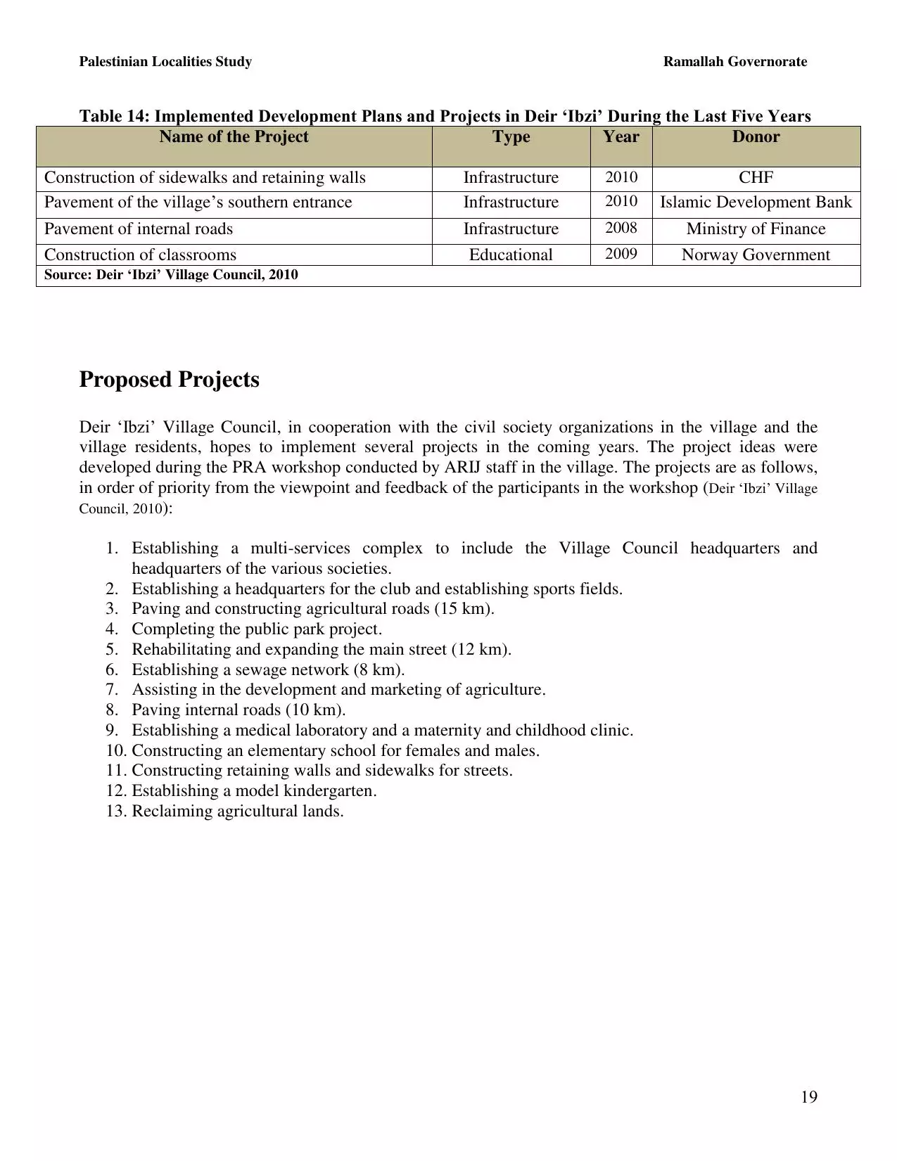
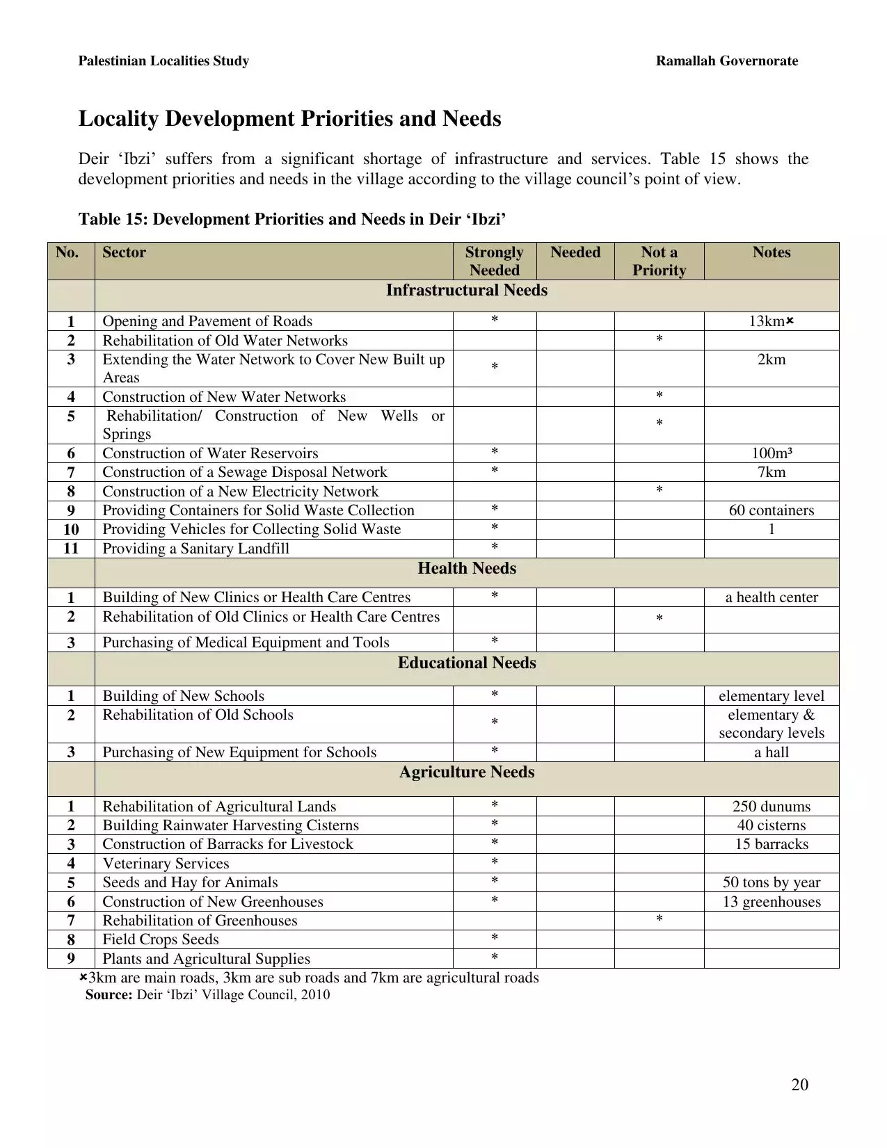
| PalestineRemembered | About Us | Oral History | العربية | |
| Pictures | Zionist FAQs | Haavara | Maps | |
| Search |
| Camps |
| Districts |
| Acre |
| Baysan |
| Beersheba |
| Bethlehem |
| Gaza |
| Haifa |
| Hebron |
| Jaffa |
| Jericho |
| Jerusalem |
| Jinin |
| Nablus |
| Nazareth |
| Ramallah |
| al-Ramla |
| Safad |
| Tiberias |
| Tulkarm |
| Donate |
| Contact |
| Profile |
| Videos |
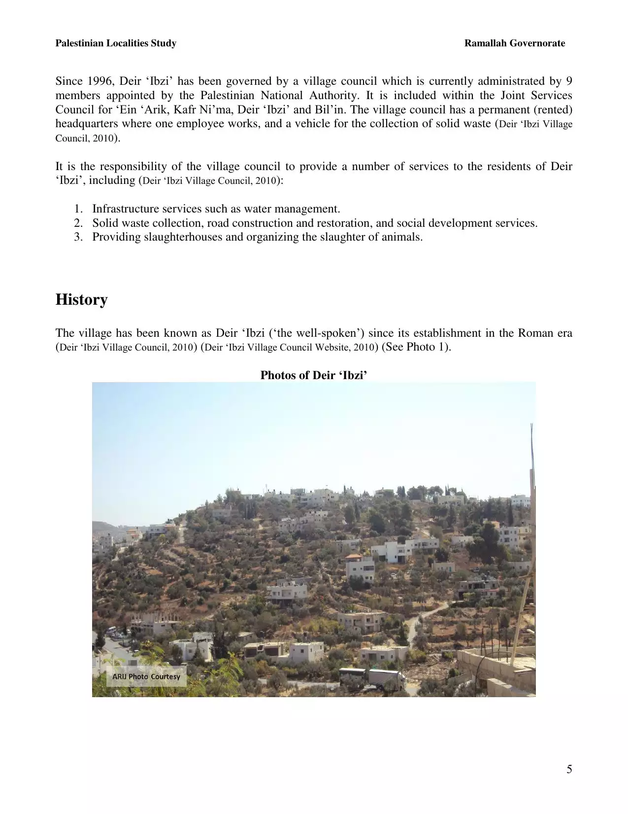
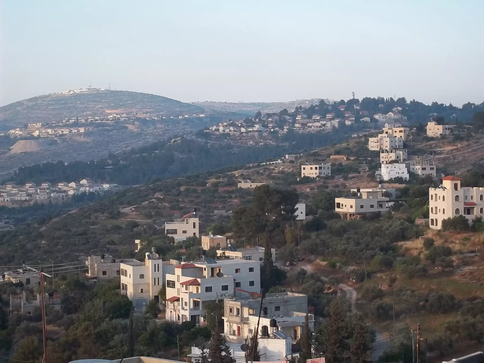
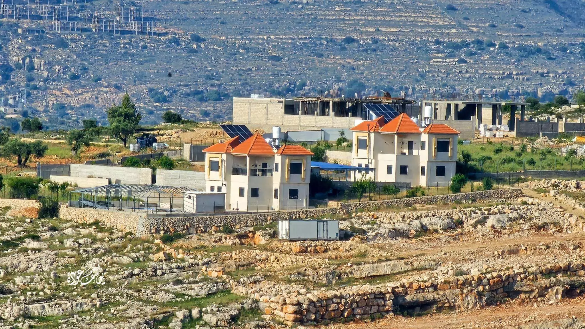
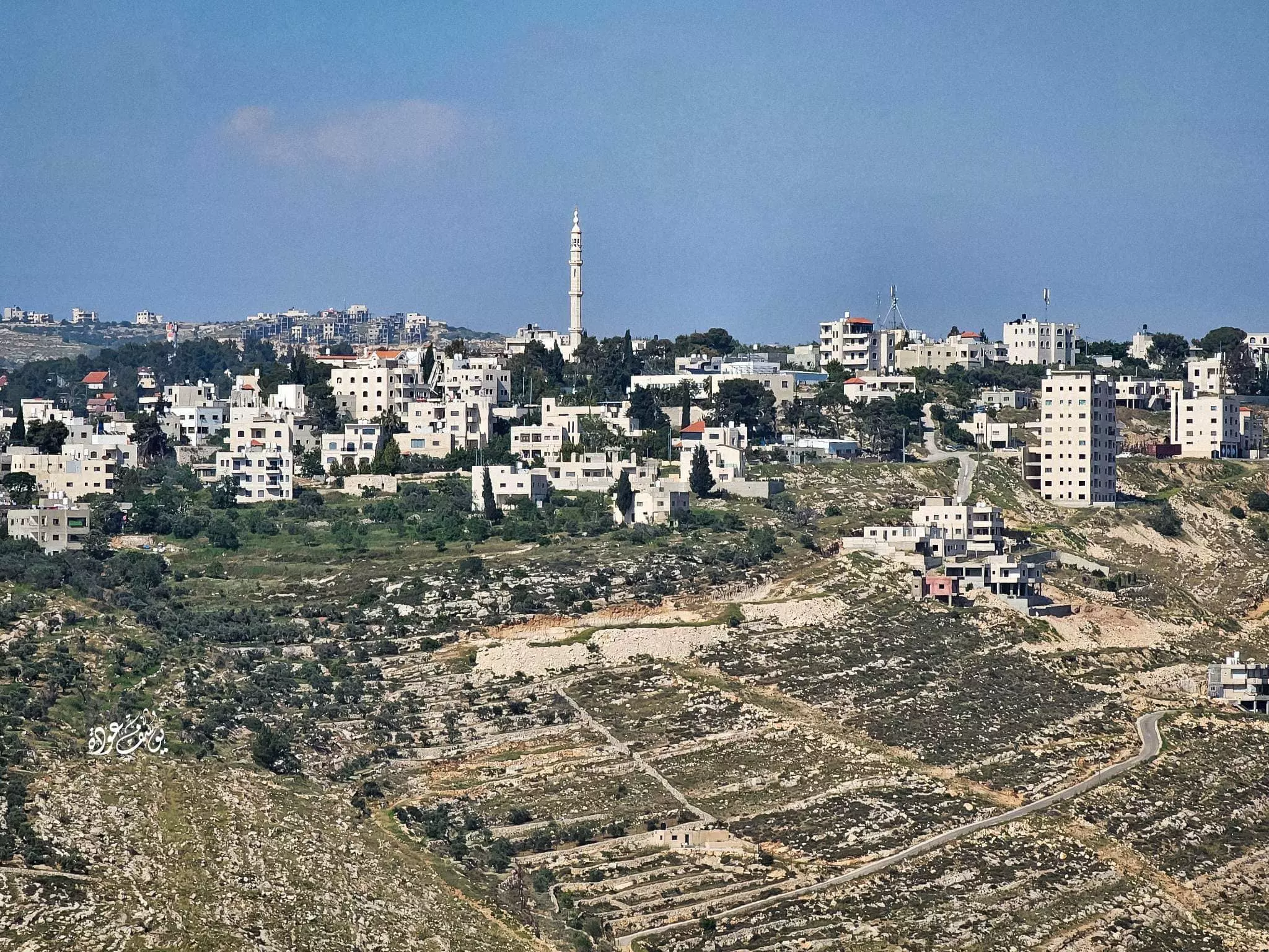
Welcome To Dayr Ibzi' - دير إبزيع (דיר איבזיע)
|
District of Ramallah
Occupied days ago |
العربية Google Earth |
 |
Gallery (140) |
- Statistics & Facts
-
Before & After

- Satellite View
- Articles 1
- Pictures 140
- Mayrters & Prisoners 2
- Members 13
- Families
- Wikipedia
- ARIJ Guide
- Videos 1
- Guest Book 3
- Links
| Statistic & Fact | Value | ||||||||||||||||||||
| Distance From District | 10 km west of Ramallah | ||||||||||||||||||||
| Elevation | 530 meters | ||||||||||||||||||||
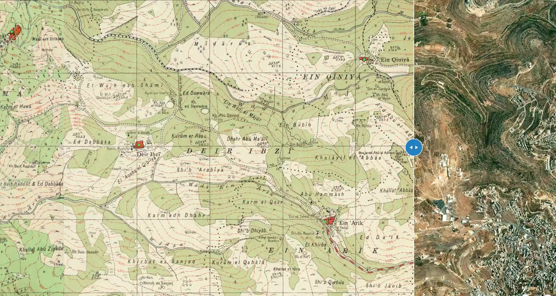
| Before & After Nakba, Click Map For Details |
|||||||||||||||||||||
|
|||||||||||||||||||||
| Land Ownership |
**Town Lands' Demarcation Maps |
||||||||||||||||||||
| Land Usage As of 1945 |
|
||||||||||||||||||||
| Population |
|
||||||||||||||||||||
| Near By Towns |
|||||||||||||||||||||
|
|||||||||||||||||||||
| Featured Video | |||||||||||||||||||||
| ARIJ Guide | |||||||||||||||||||||
|
Click here to browse online. |
|||||||||||||||||||||
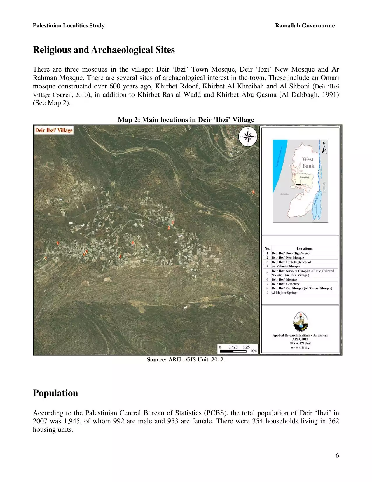
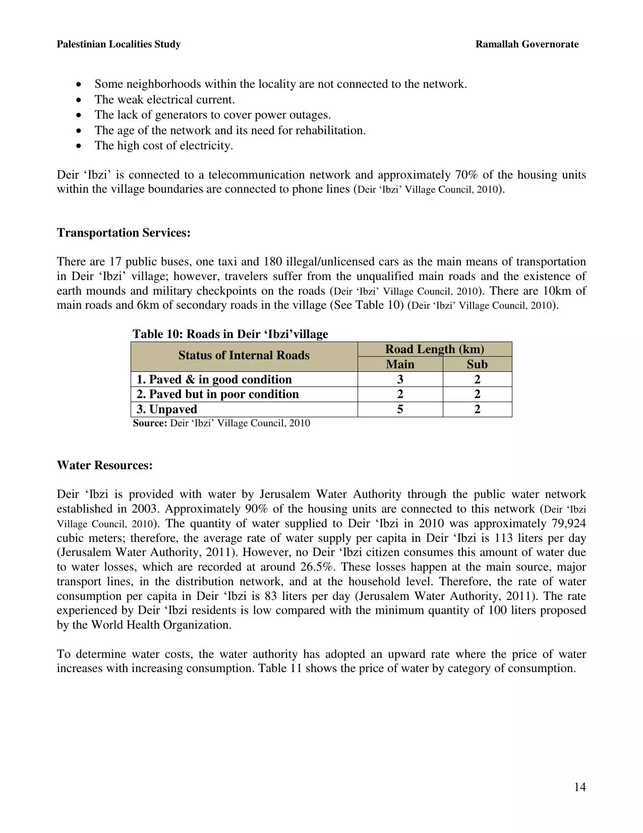
| Related Maps | Town Lands' Demarcation Maps خرائط للقضاء توضح حدود القرى والاودية View from satellite Town's map on MapQuest Help us map this town at WikiMapia |
||||||||||||||||||||
| Related Links | Wikipedia's Page Facebook Page ARIJ Guide Google Search Google For Images Google For Videos في كتاب بلادنا فلسطين دليل أريج المزيد من موقع هوية |
||||||||||||||||||||


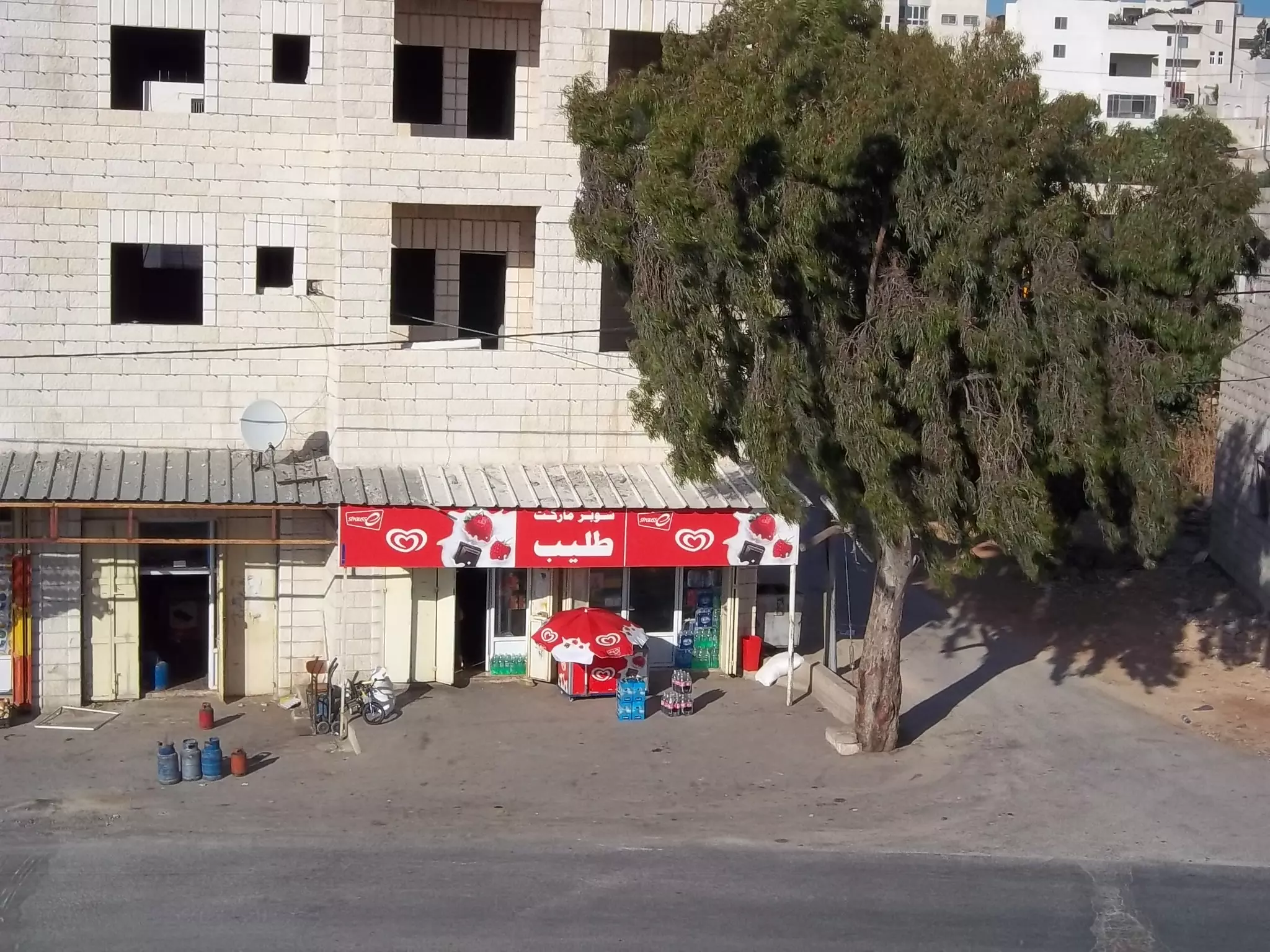
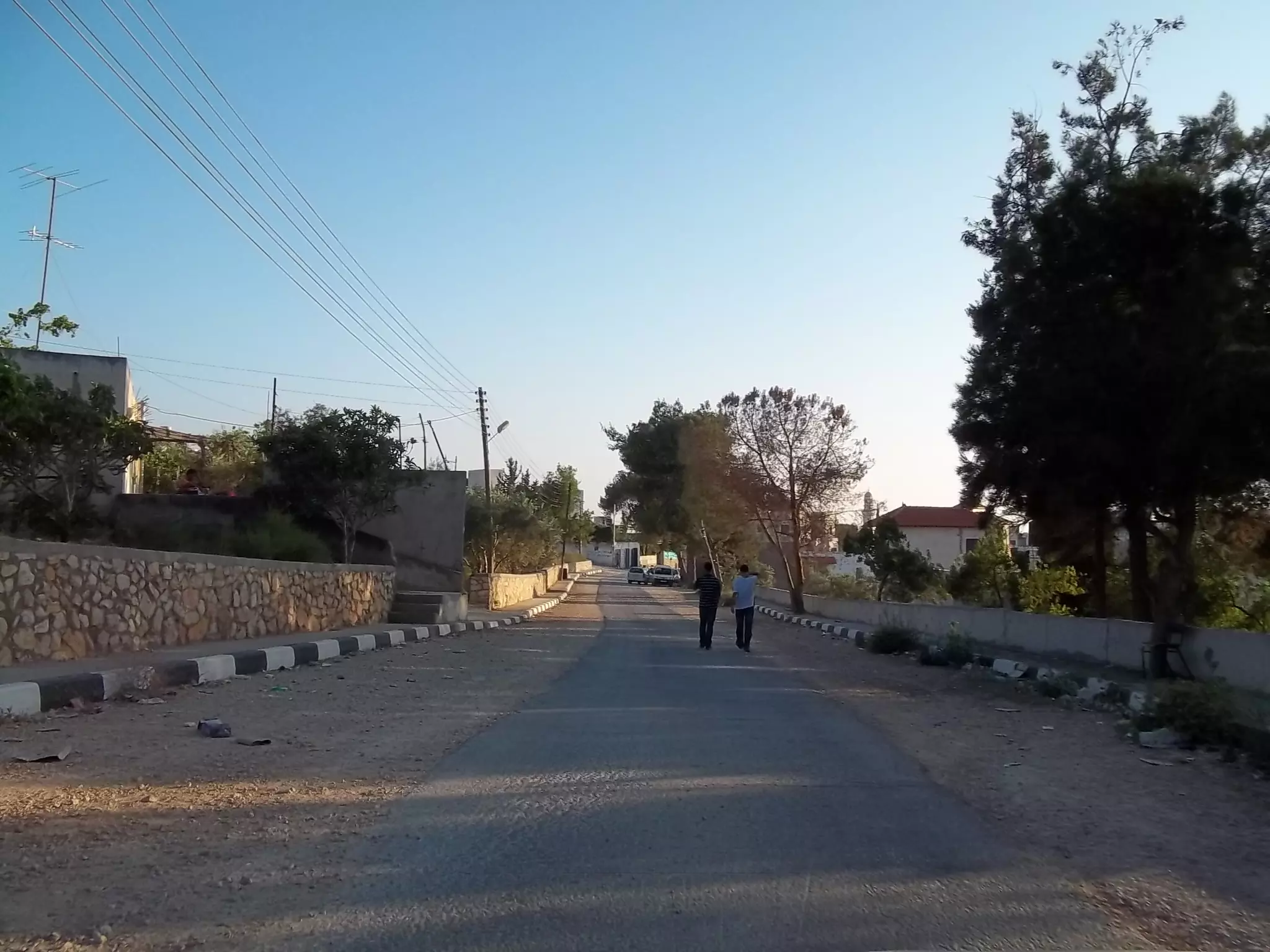
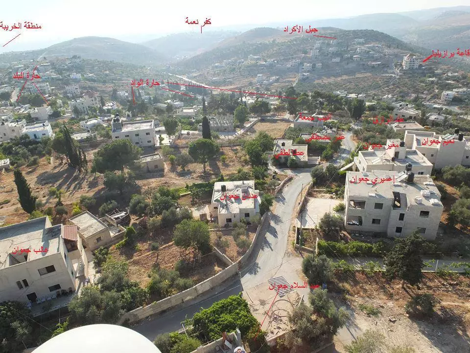
- الشارع الرئيسي في القريه
Posted by محمد الحاج 3 - مدرسه دير بزيع
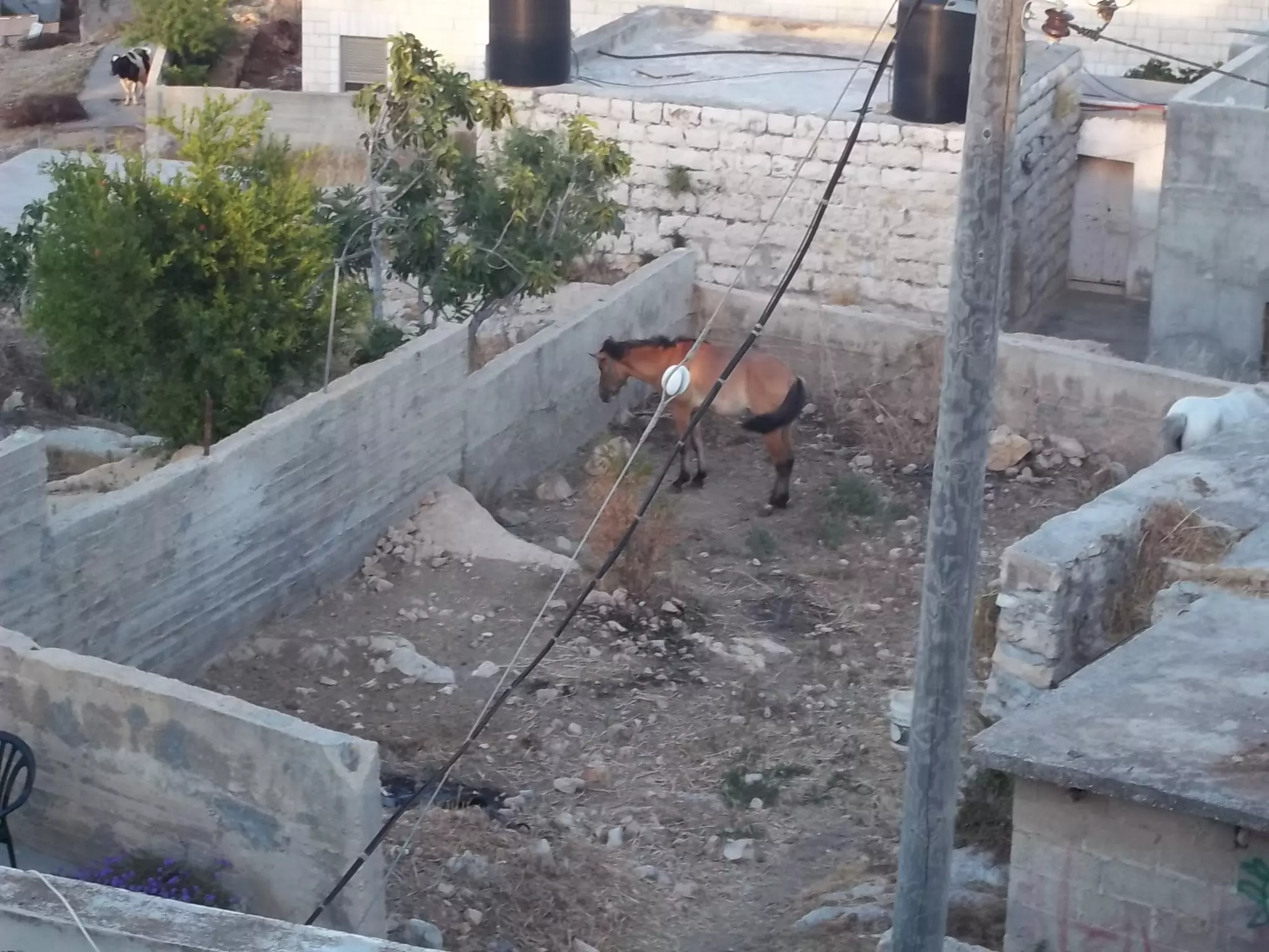
Posted by محمد الحاج - مزارع من ديربزيع
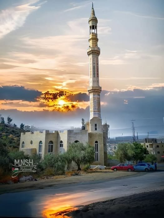
Posted by محمد الحاج 3 - مسجد القريه
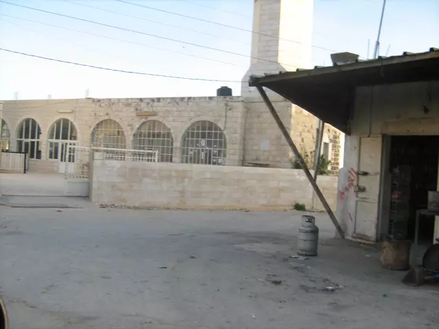
Posted by محمد الحاج 1 - مسجد القريه الجديد
Posted by محمد الحاج 2 - الشهيد شاكر علي عموس استشهد على ارض ديربزيع في ذكرة يوم الارض سنته 1989
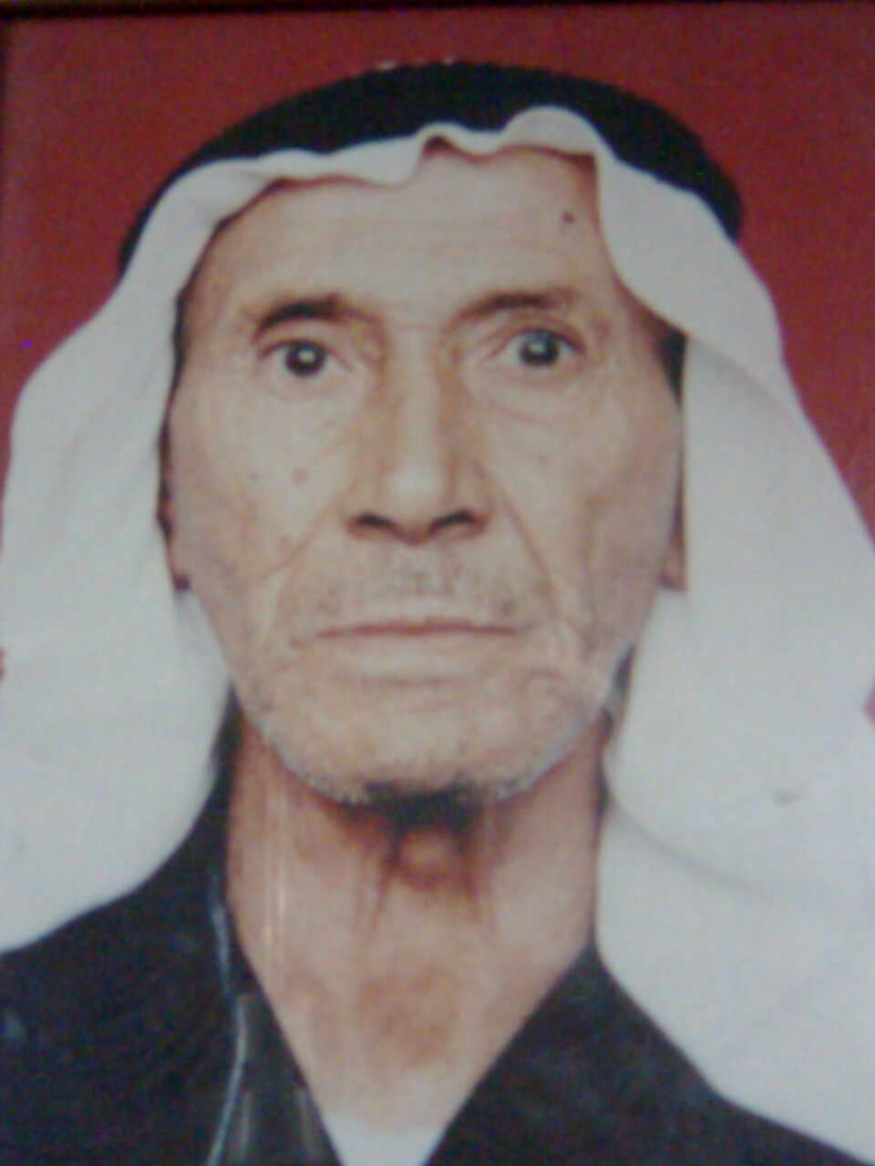
Posted by محمد الحاج 2 - المرحوم علي شاكر عموس والد الشهيد شاكر واخ الشهيد صدقي شاكر الذي استشهد في معركه الكرمه سنه 1973
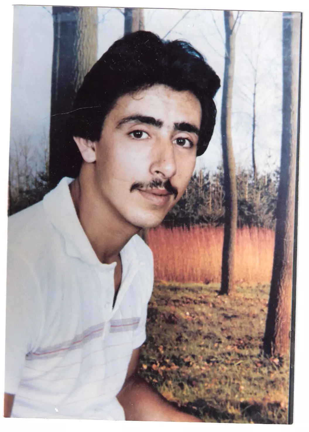
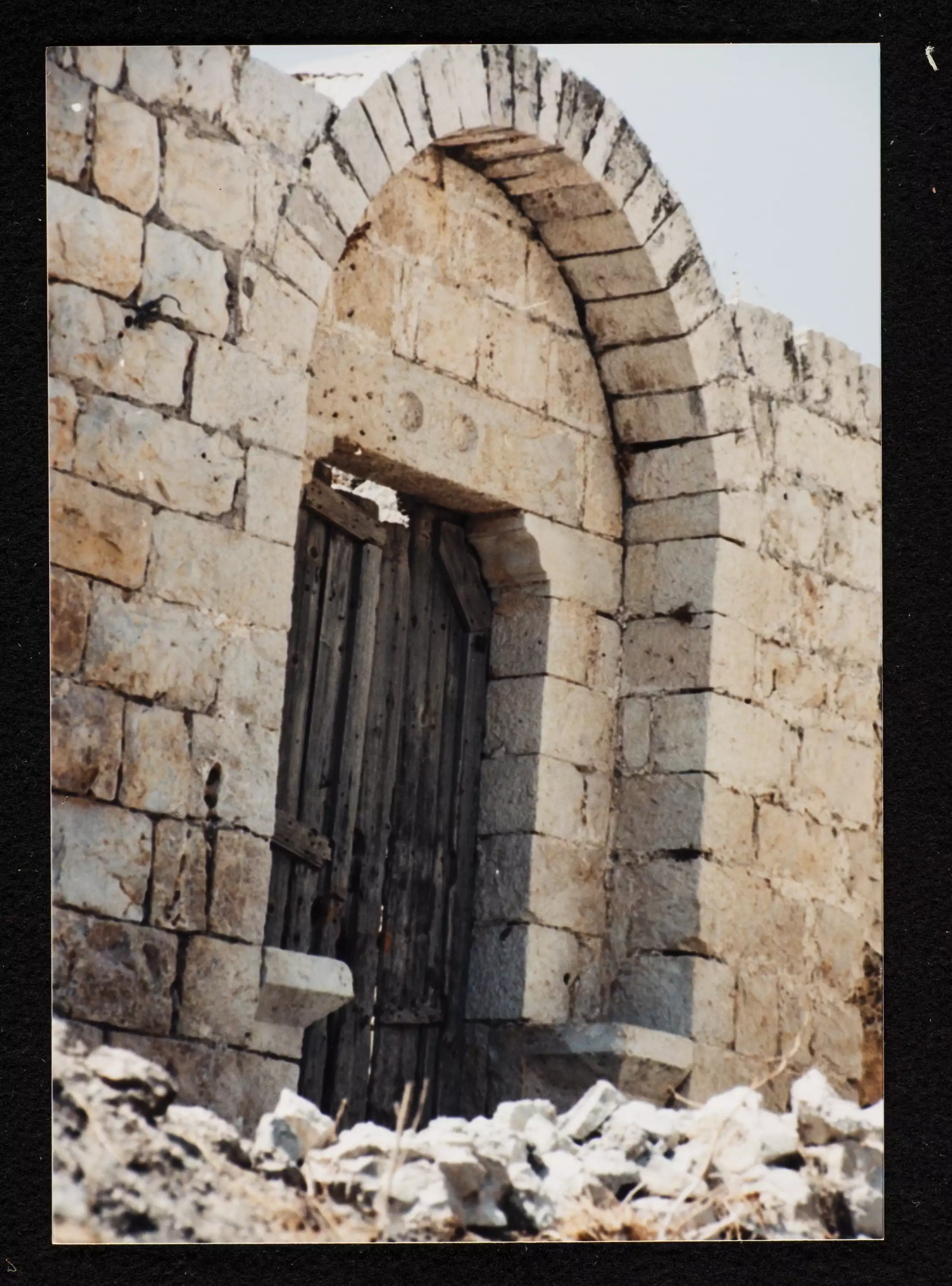
Posted by محمد الحاج 1 - Dayr Ibzi'
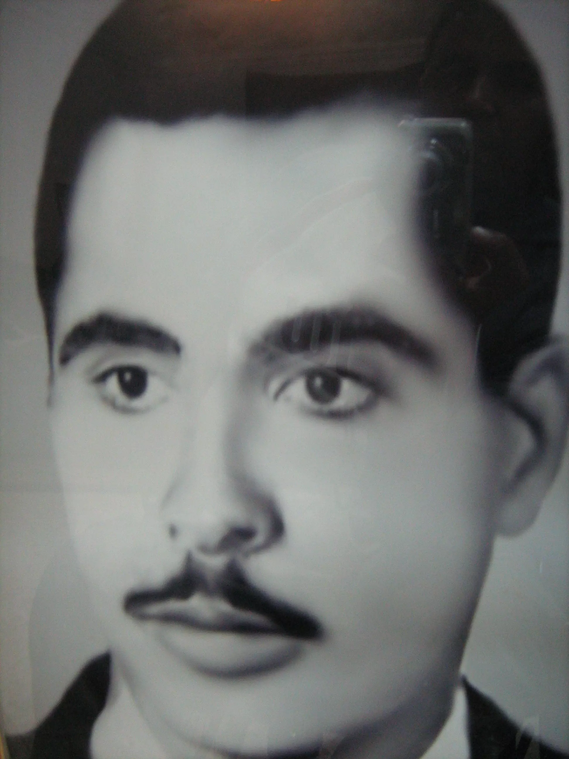
Posted by Hisham Jawan 3 - صورة الشيهد البطل صدقي شاكر عموص
Posted by محمد الحاج - المرحوم صبري ابراهيم علي حجير
Posted by Qussay hajeer 1 - لوزة
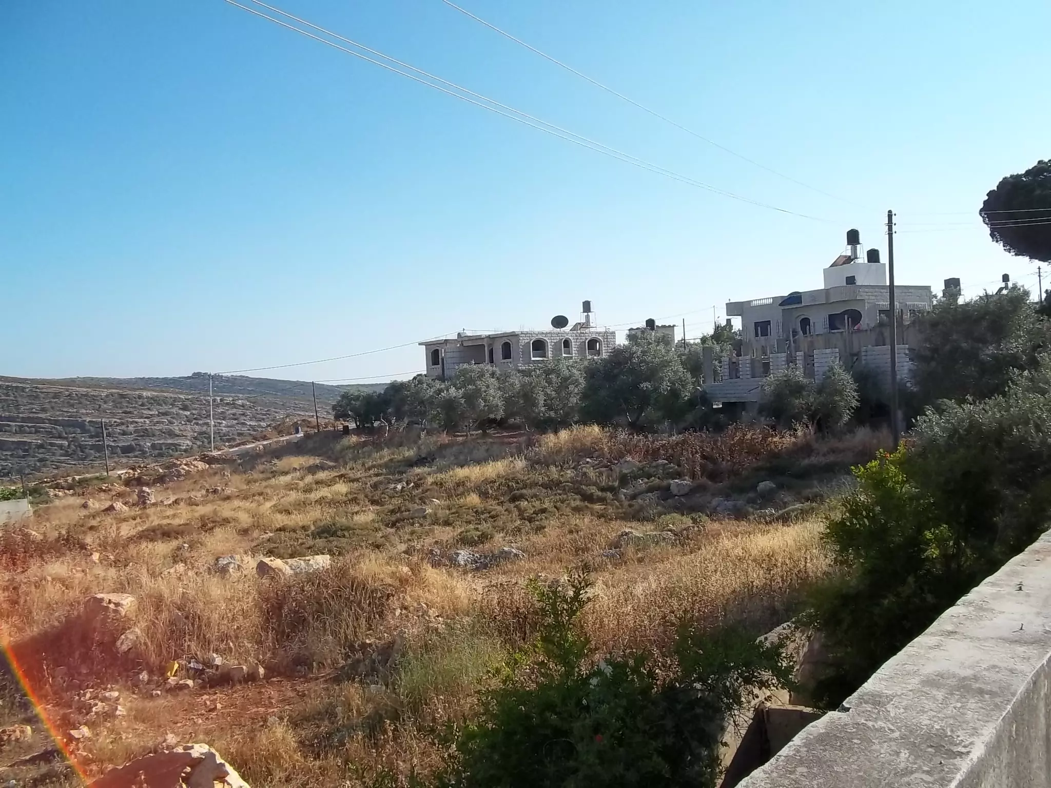
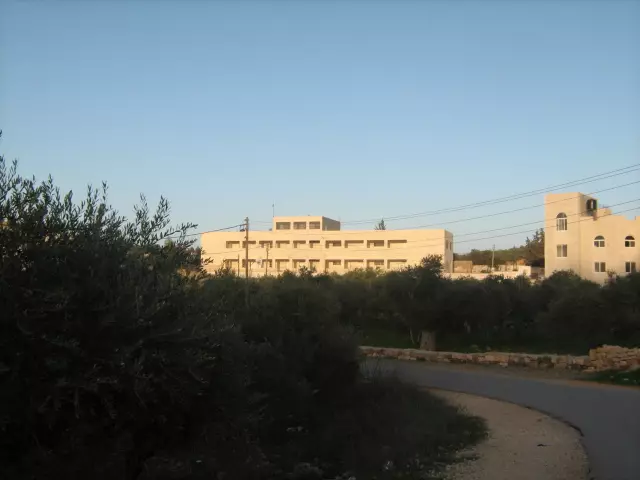
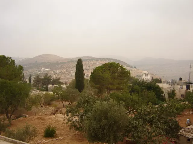
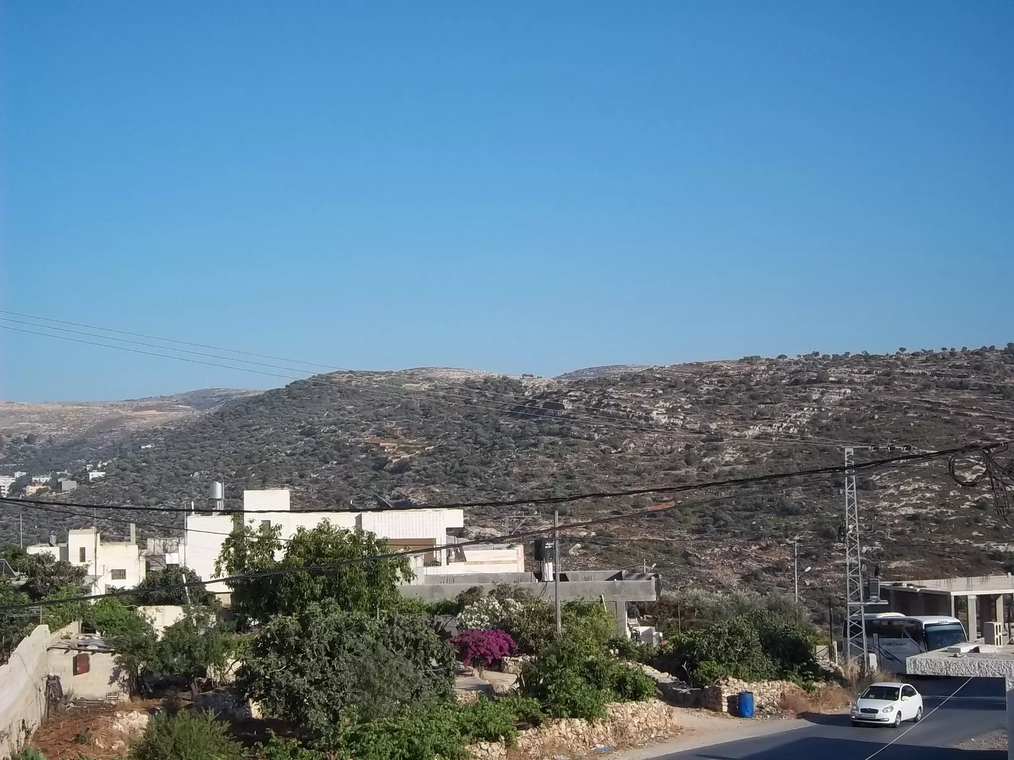
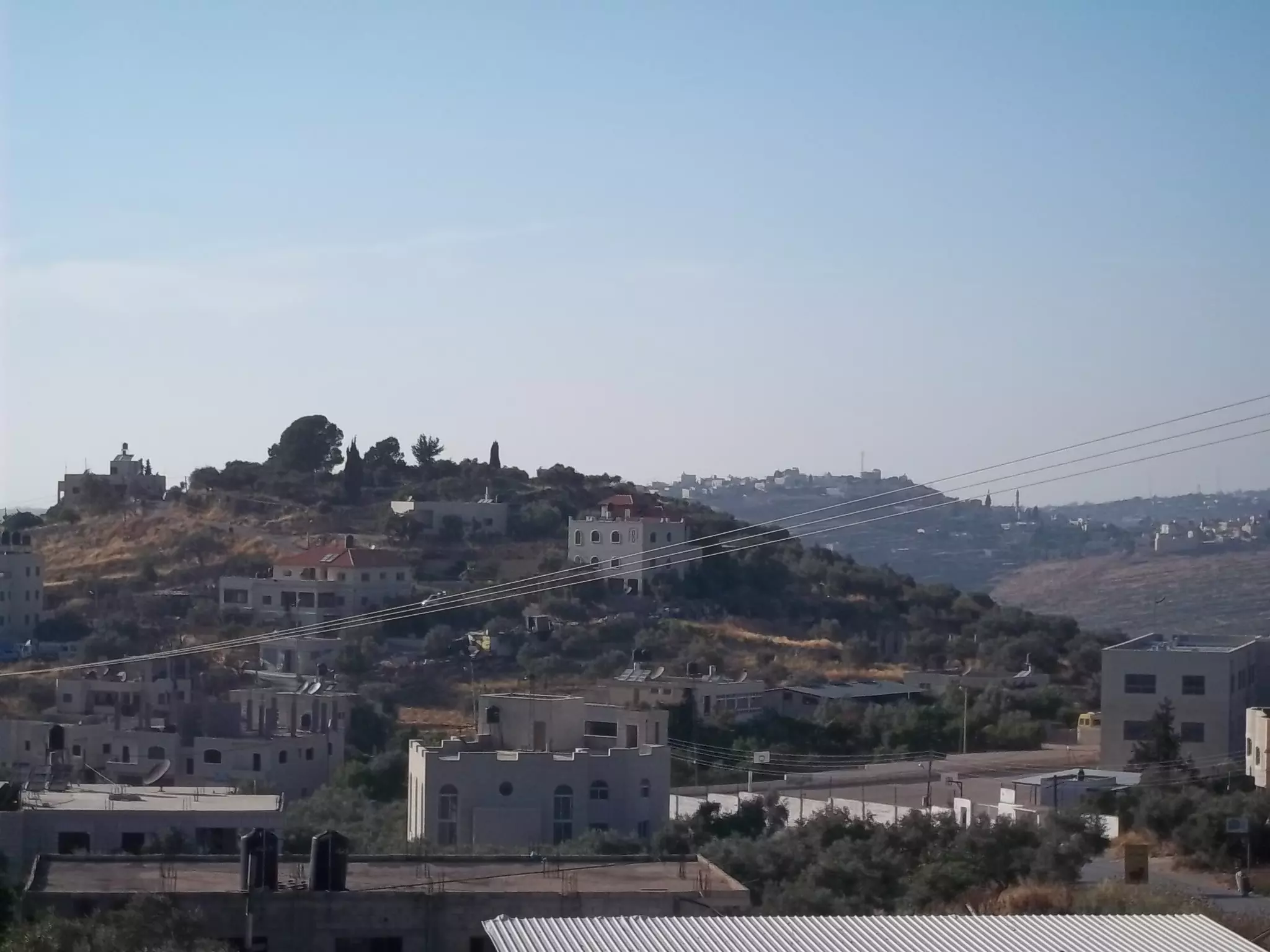
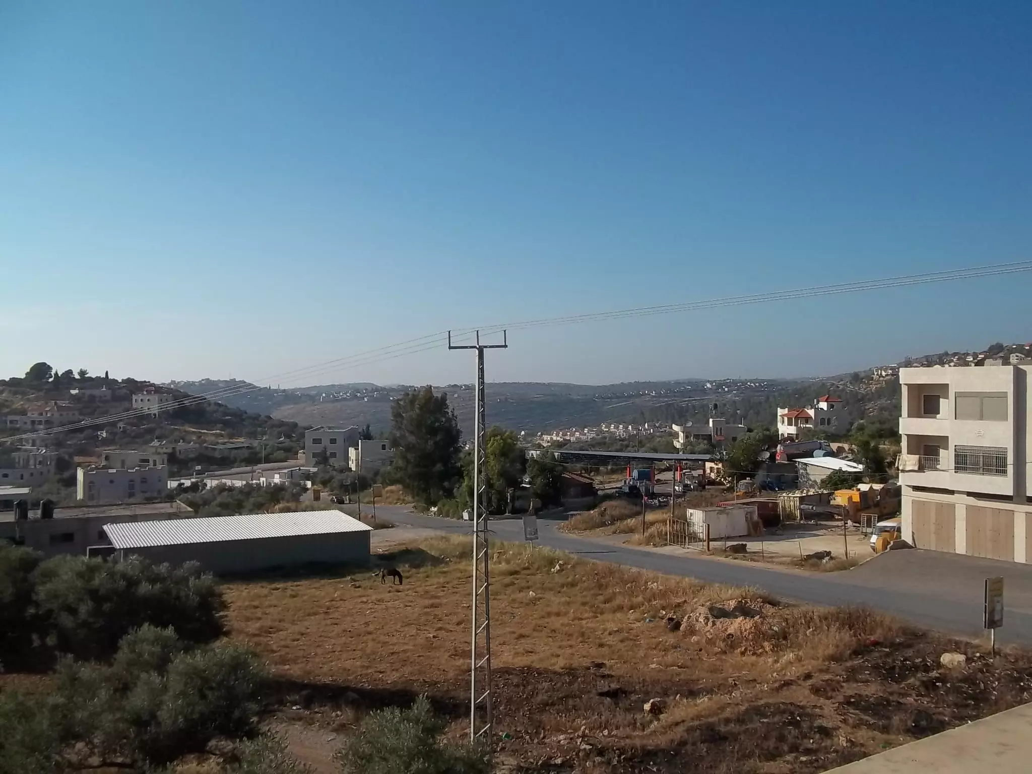
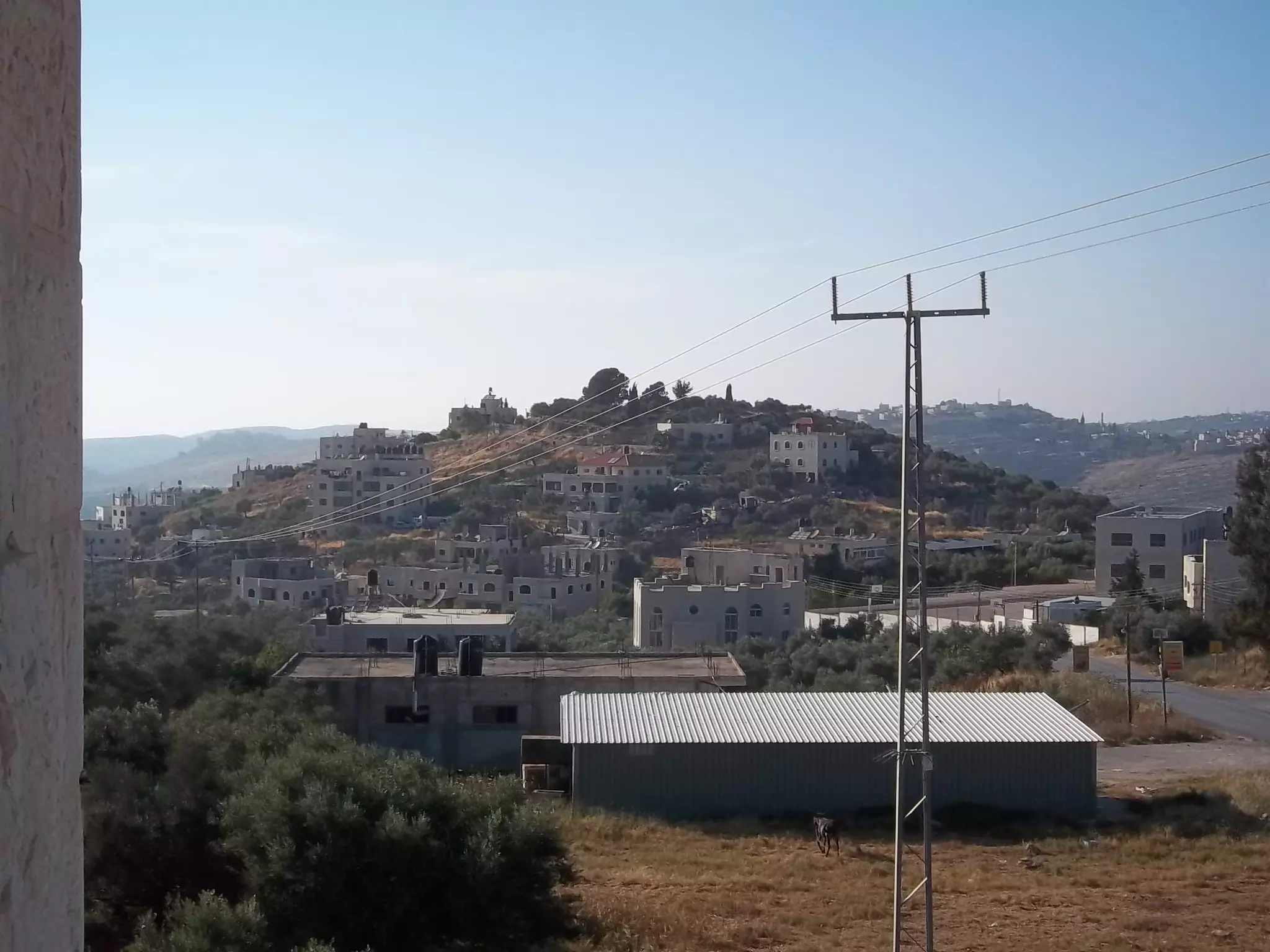
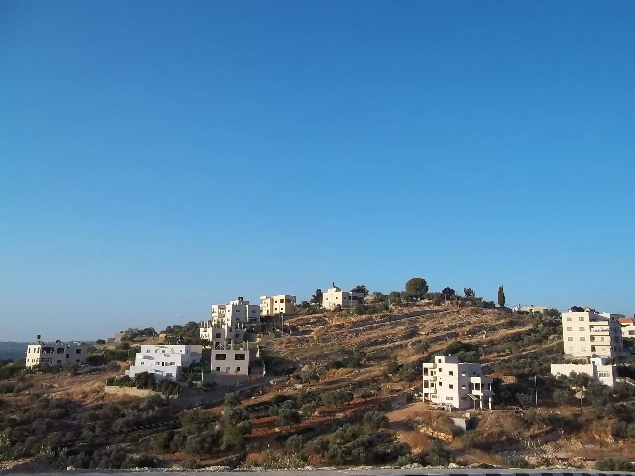
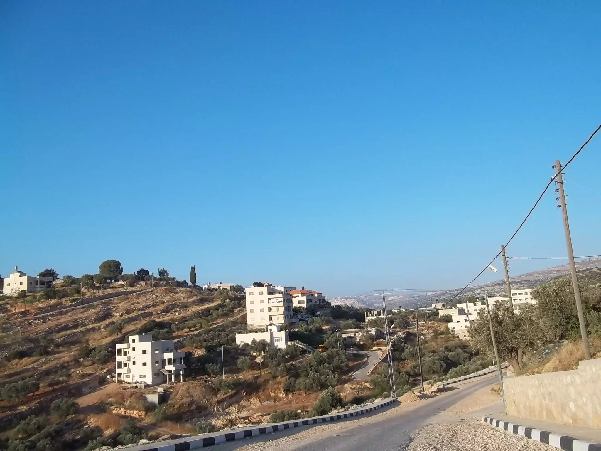
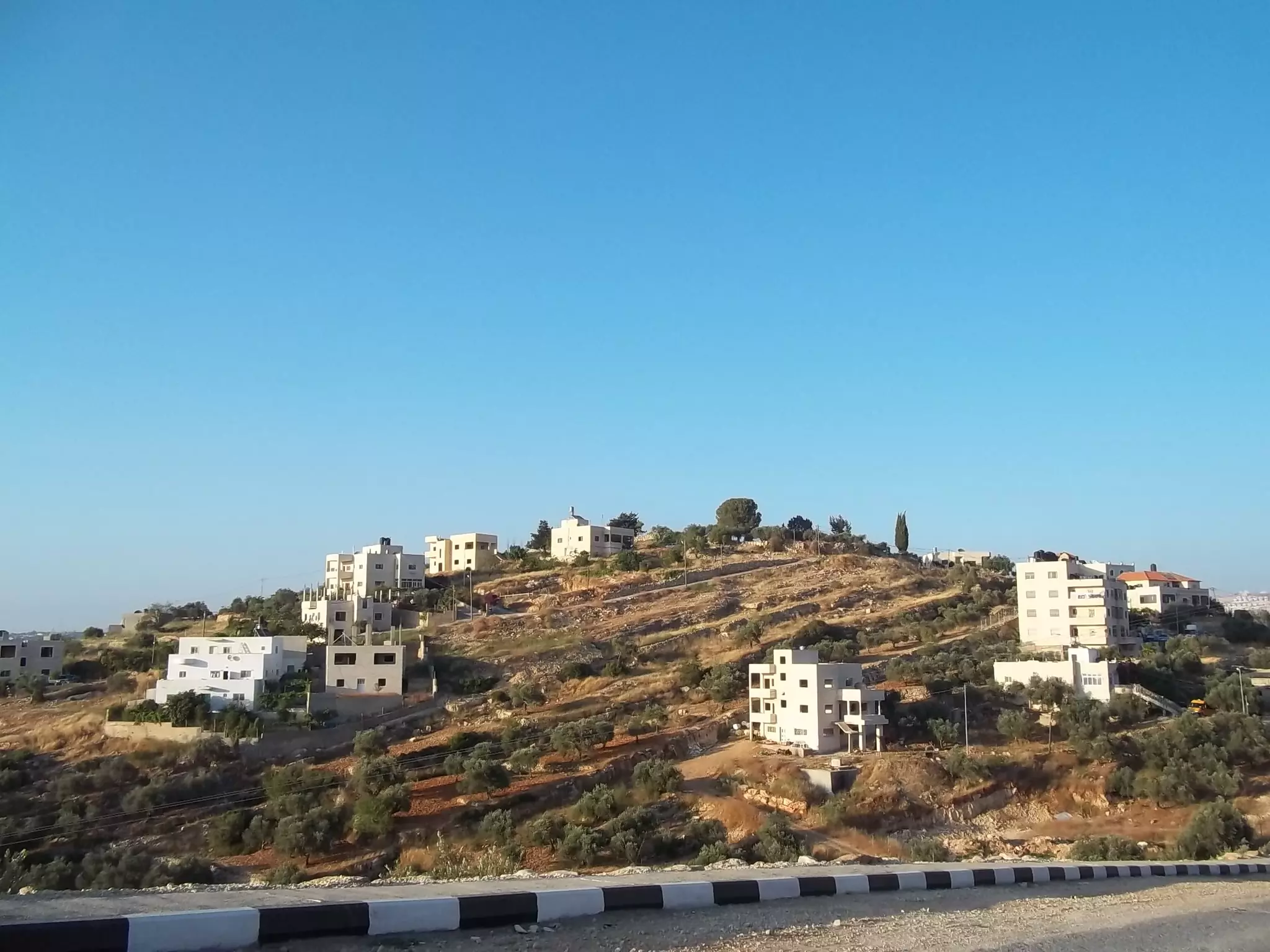
Posted by محمد الحاج 1 - منظر عام
Posted by محمد الحاج 1 - لوزة
Posted by محمد الحاج - لوزة
Posted by محمد الحاج - لوزة
Posted by محمد الحاج - لوزة
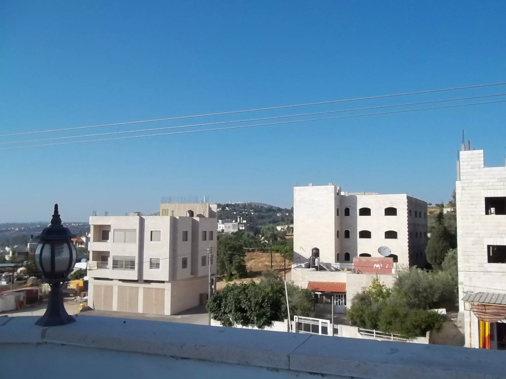
Posted by محمد الحاج - منظر عام
Posted by محمد الحاج - لوزة
Posted by محمد الحاج - منظر عام
Posted by محمد الحاج - منظر عام
Posted by محمد الحاج 1 - منظر عام
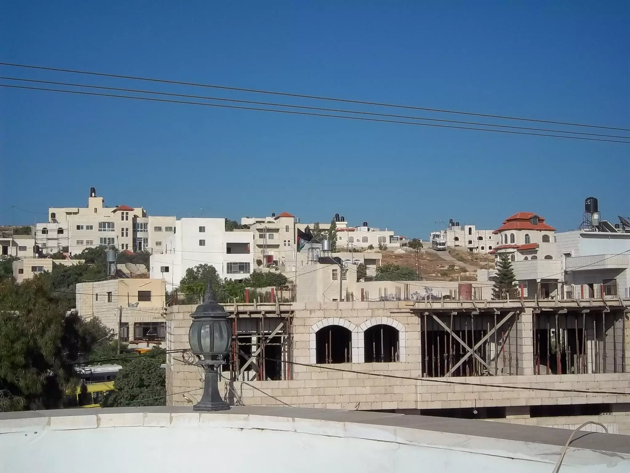
Posted by محمد الحاج - وسط لبلد
Posted by محمد الحاج - مظر عام
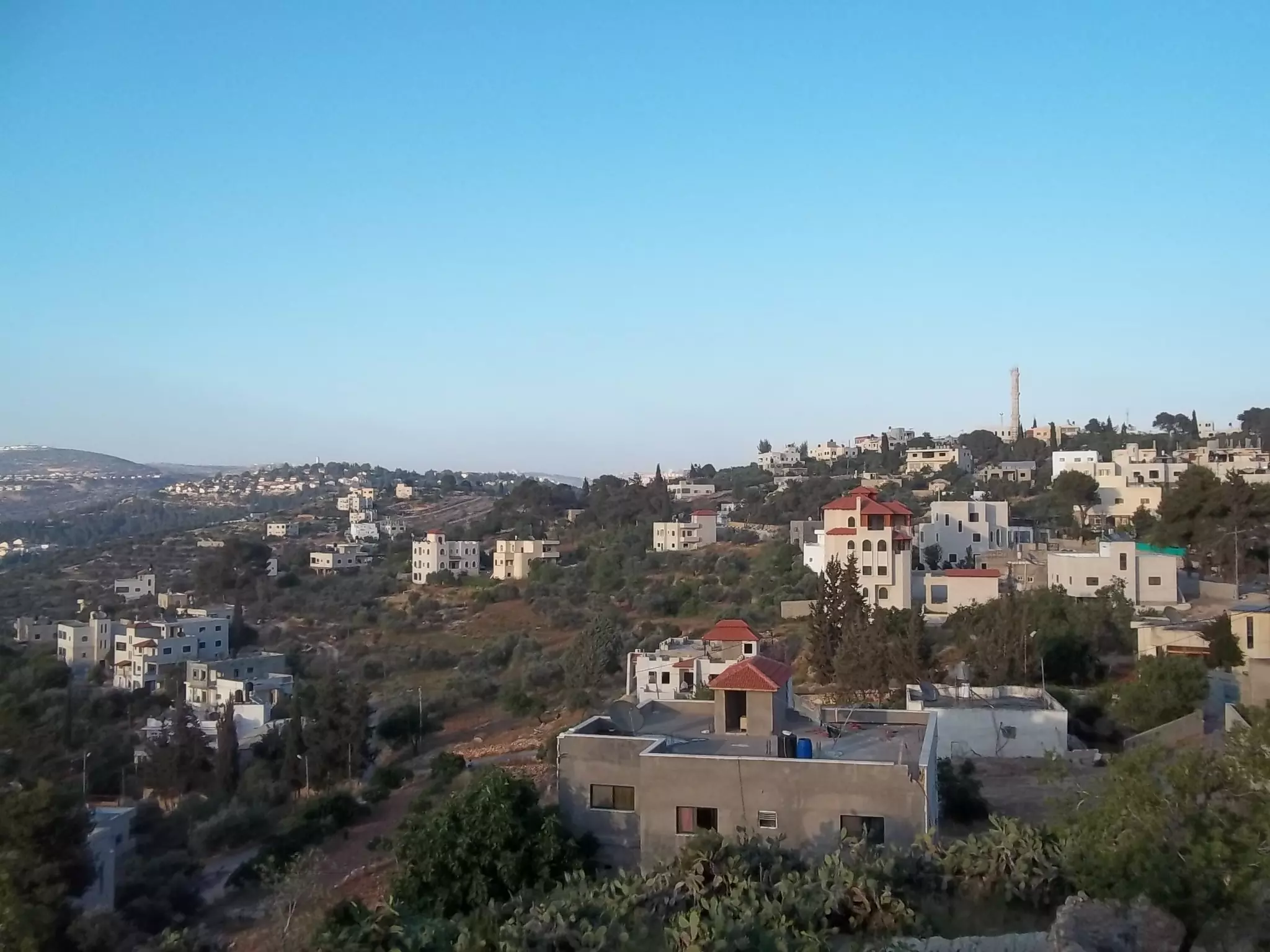
Posted by محمد الحاج - منظر عام
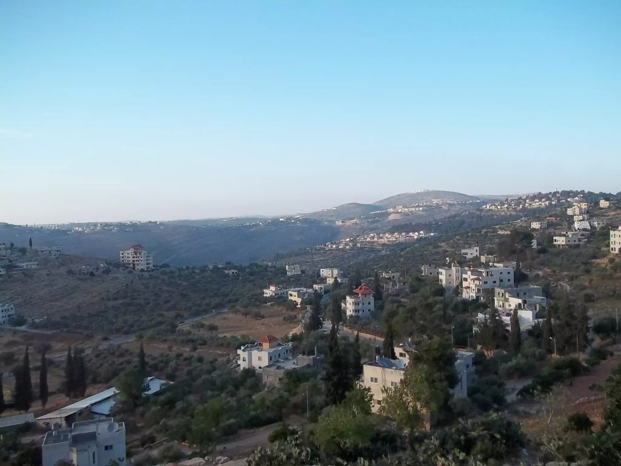
Posted by محمد الحاج - منظر عام
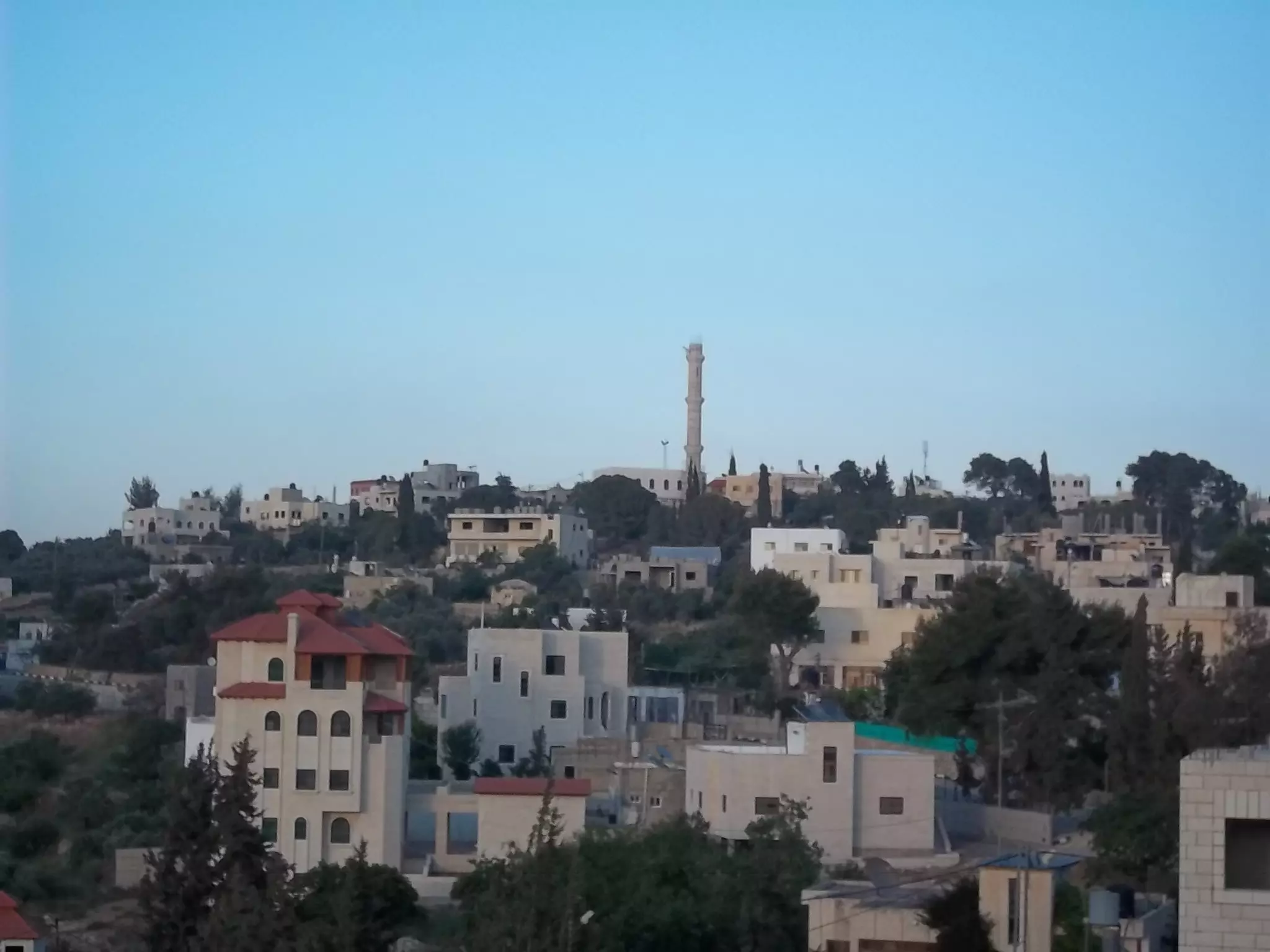
Posted by محمد الحاج - منظرعام
Posted by محمد الحاج - منظر عام
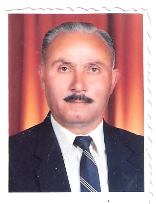
Posted by محمد الحاج - دار المختارابو صلاح الله يرحموا
Posted by ثائر عموس 1 - دير ابزيع دار المختار نمر ذياب ملصة
Posted by ثائر عموس 1 - دير ابزيع دار ابراهيم قطيفان
Posted by ثائر عموس 1 - دار مصطفى عبد الهادي
Posted by ثائر عموس 1 - من احد اشخاص القرية
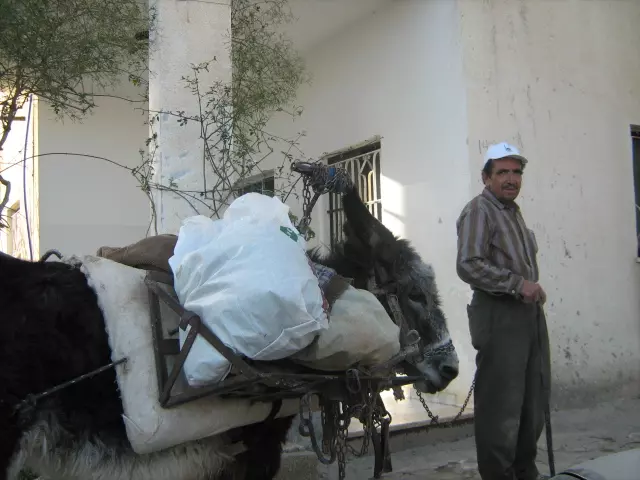
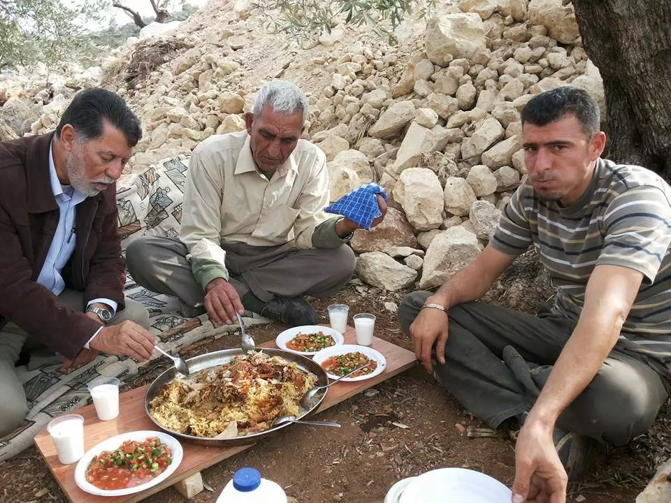
Posted by marwan - اكله شعبيه
Posted by محمد الحاج - منظر عام
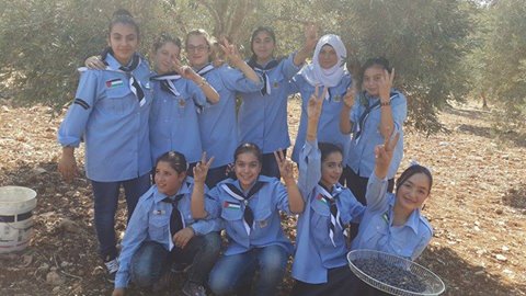
Posted by محمد الحاج - بنات دير بزيع
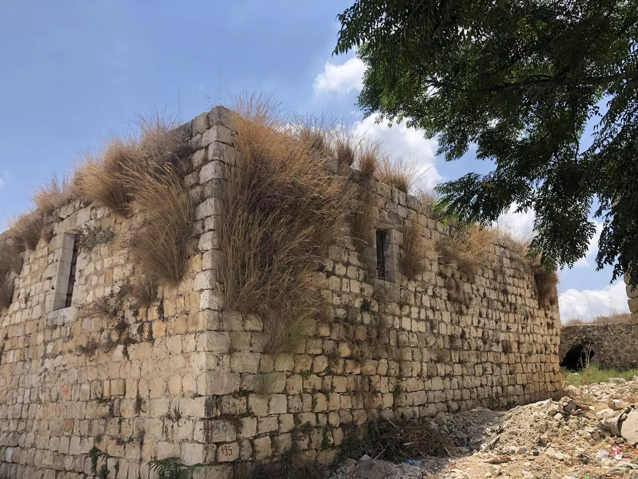
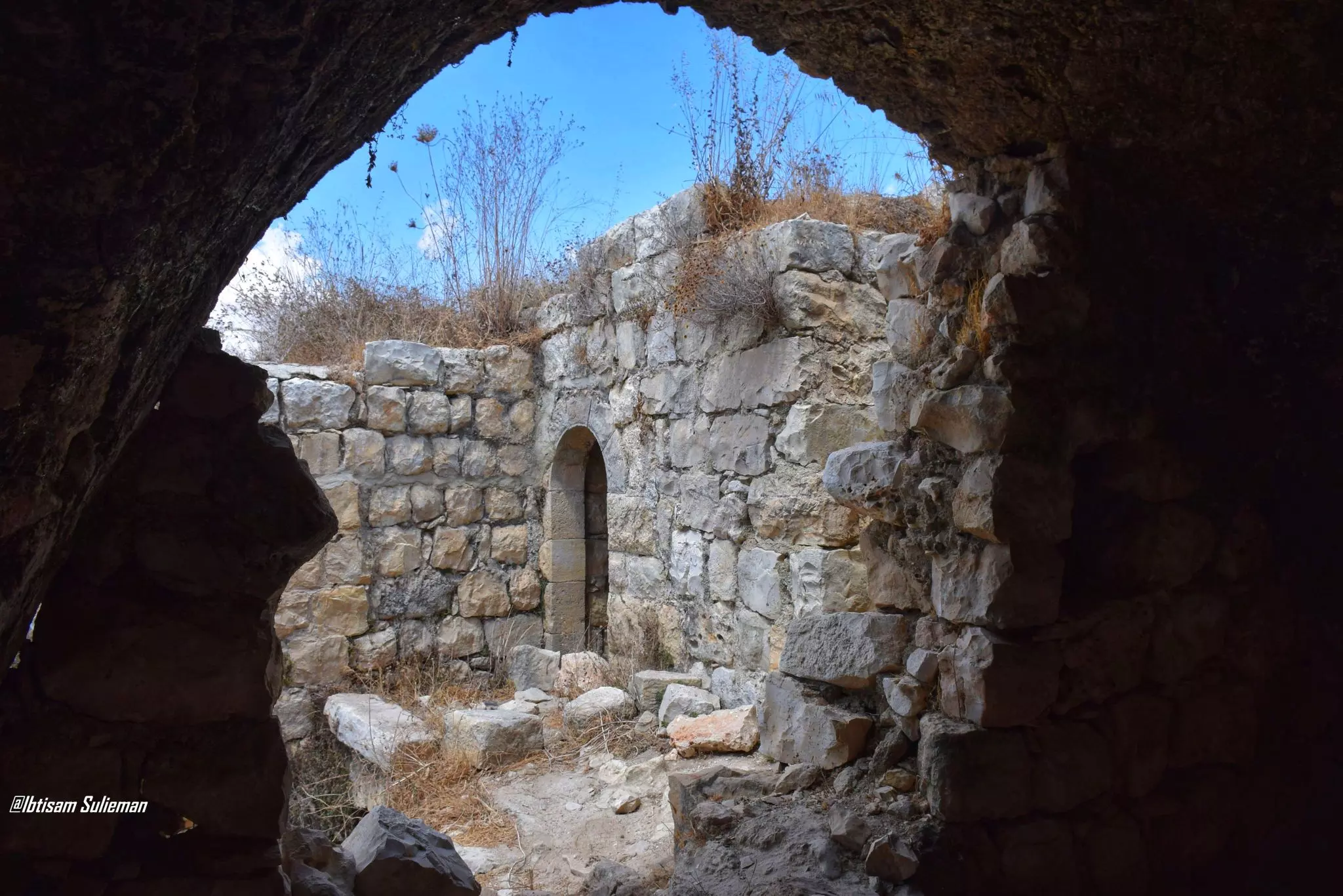
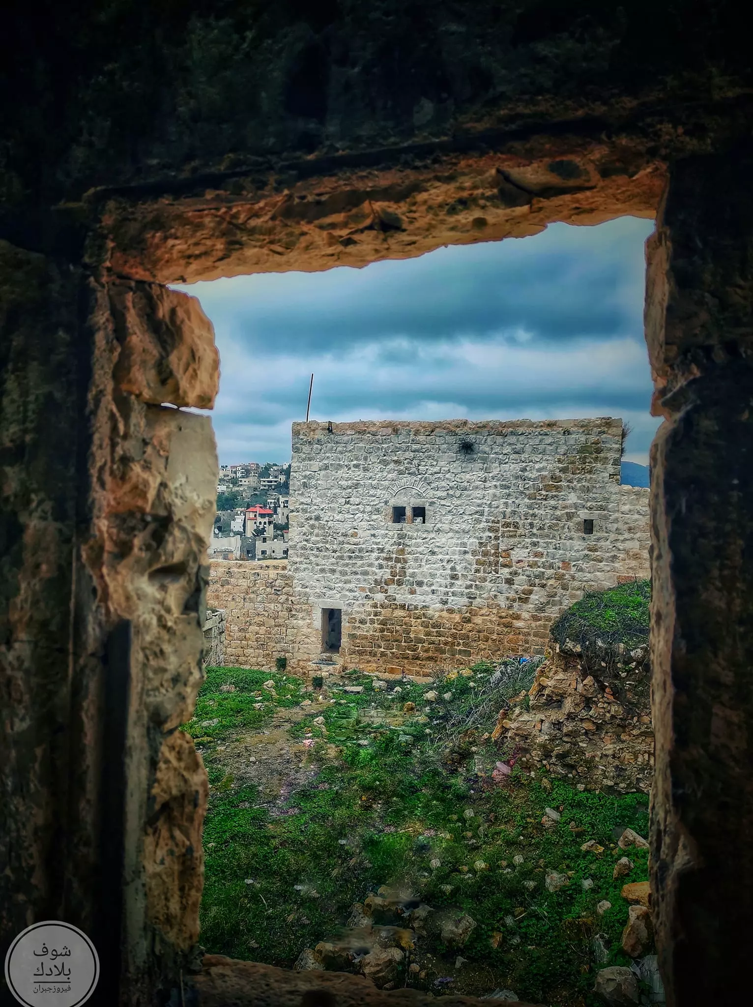
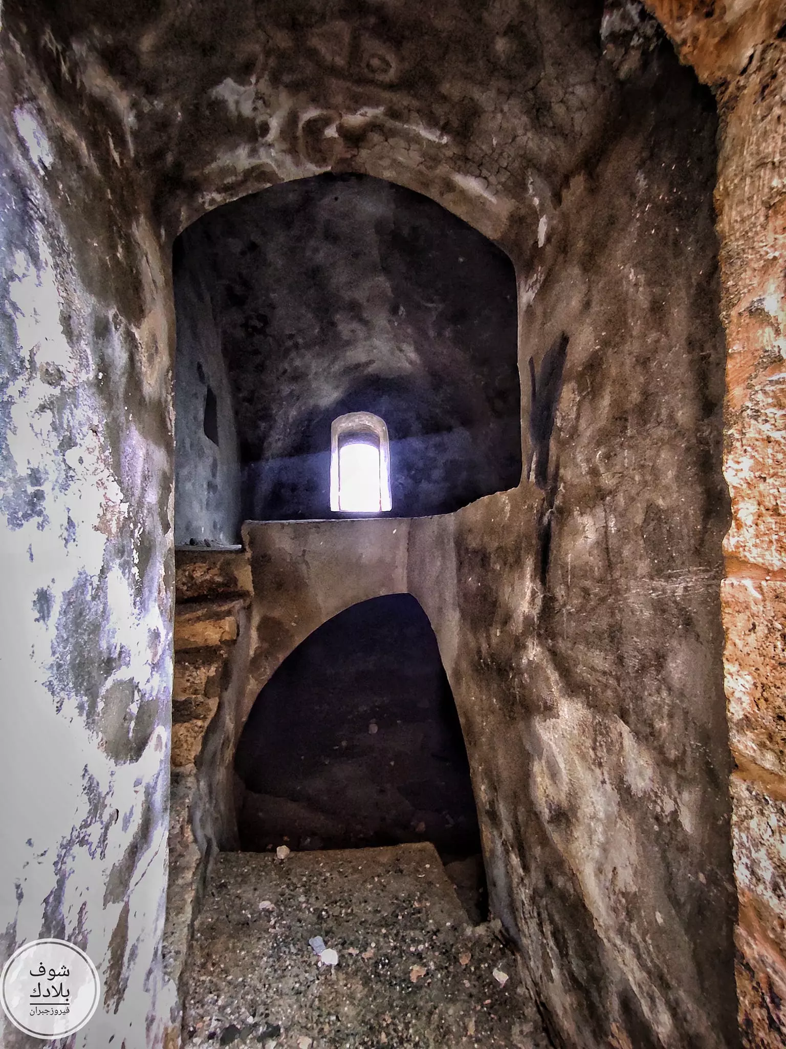
Posted by محمد الحاج - جولة في البلدة القديمة
- جولة في البلدة القديمة #2
- جولة في البلدة القديمة #3

- جولة في البلدة القديمة #4
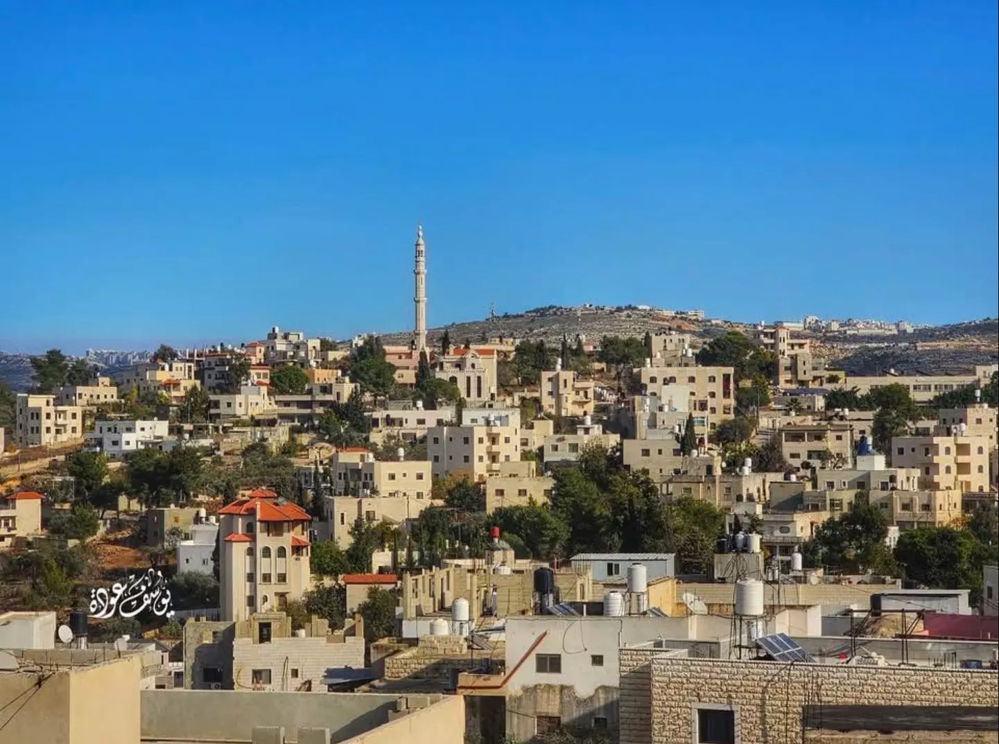
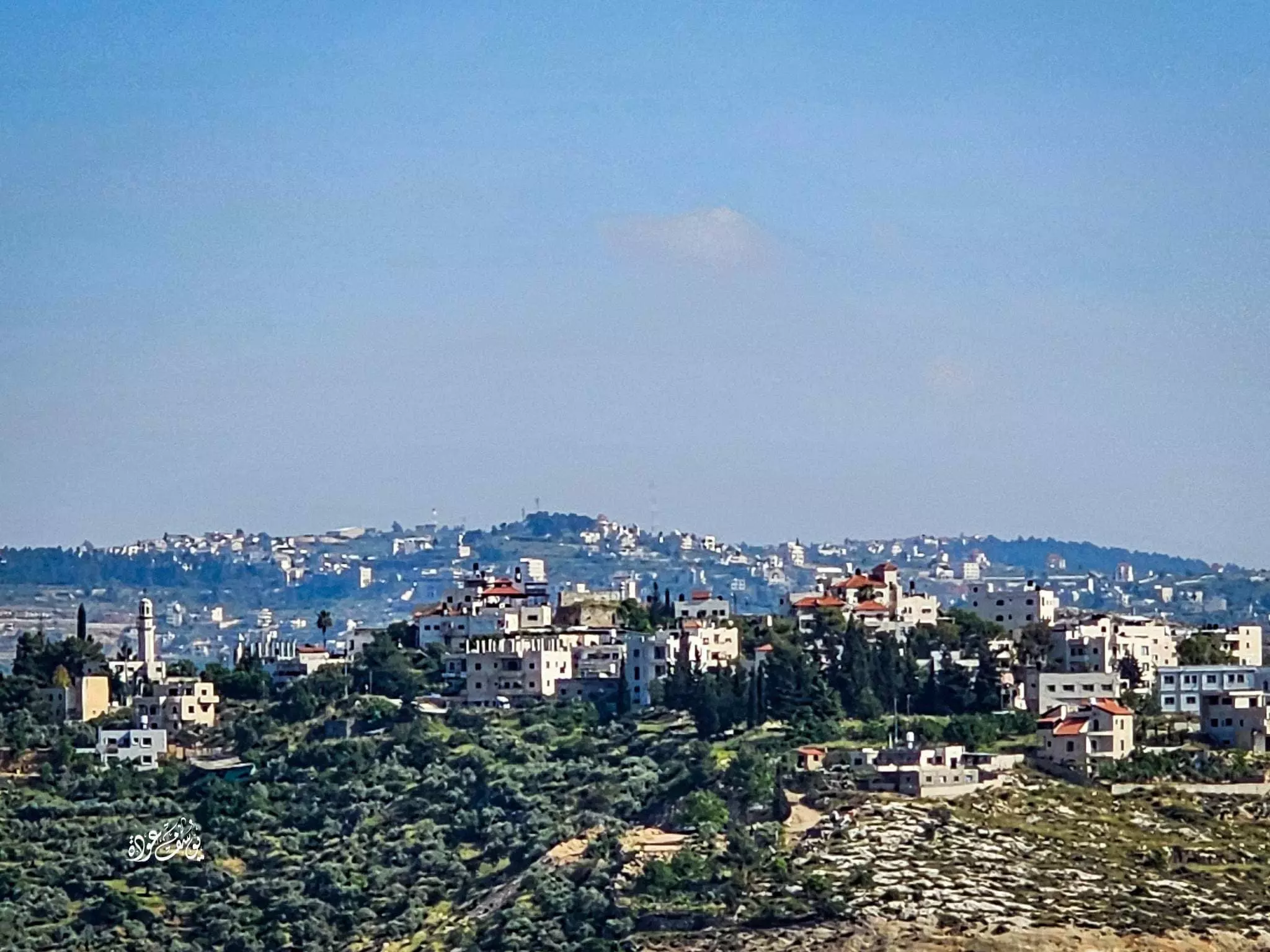
- منظر عام للقريه--Yousif Odeh
- جولة في بيوت القرية القديمة -- Yousif Odeh
- جولة في بيوت القرية القديمة -- Yousif Odeh #2
- جولة في بيوت القرية القديمة -- Yousif Odeh #3
- جولة في بيوت القرية القديمة -- Yousif Odeh #4
- جولة في بيوت القرية القديمة -- Yousif Odeh #5
- جولة في بيوت القرية القديمة -- Yousif Odeh #6
- جولة في بيوت القرية القديمة -- Yousif Odeh #7
- جولة في بيوت القرية القديمة -- Yousif Odeh #8
- جولة بين بيوت دير إبزيع القديمة -- واجد النوباني
- جولة بين بيوت دير إبزيع القديمة -- واجد النوباني #2
- جولة بين بيوت دير إبزيع القديمة -- واجد النوباني #3
- جولة بين بيوت دير إبزيع القديمة -- واجد النوباني #4
- جولة بين بيوت دير إبزيع القديمة -- واجد النوباني #5
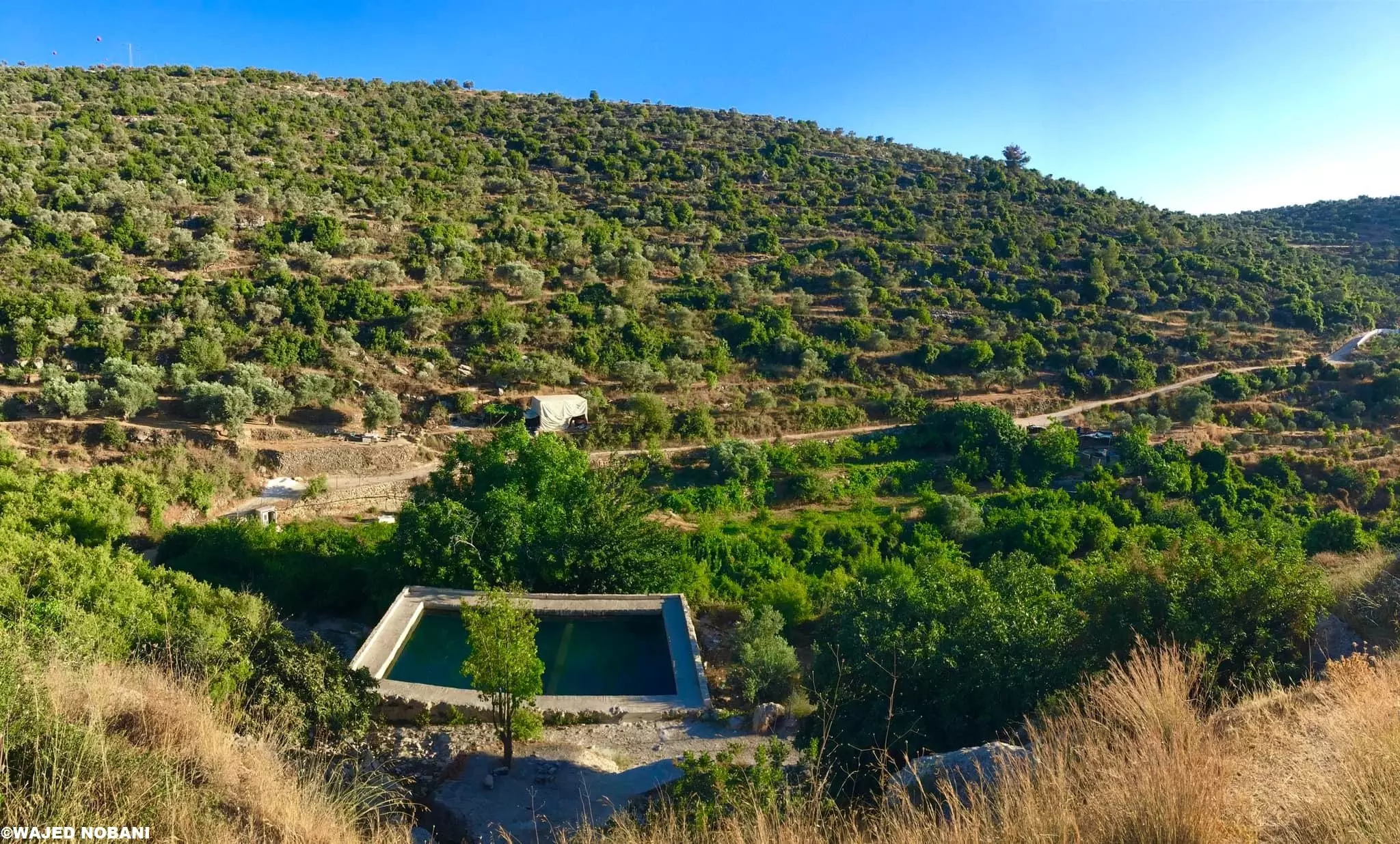
- عين بوبين
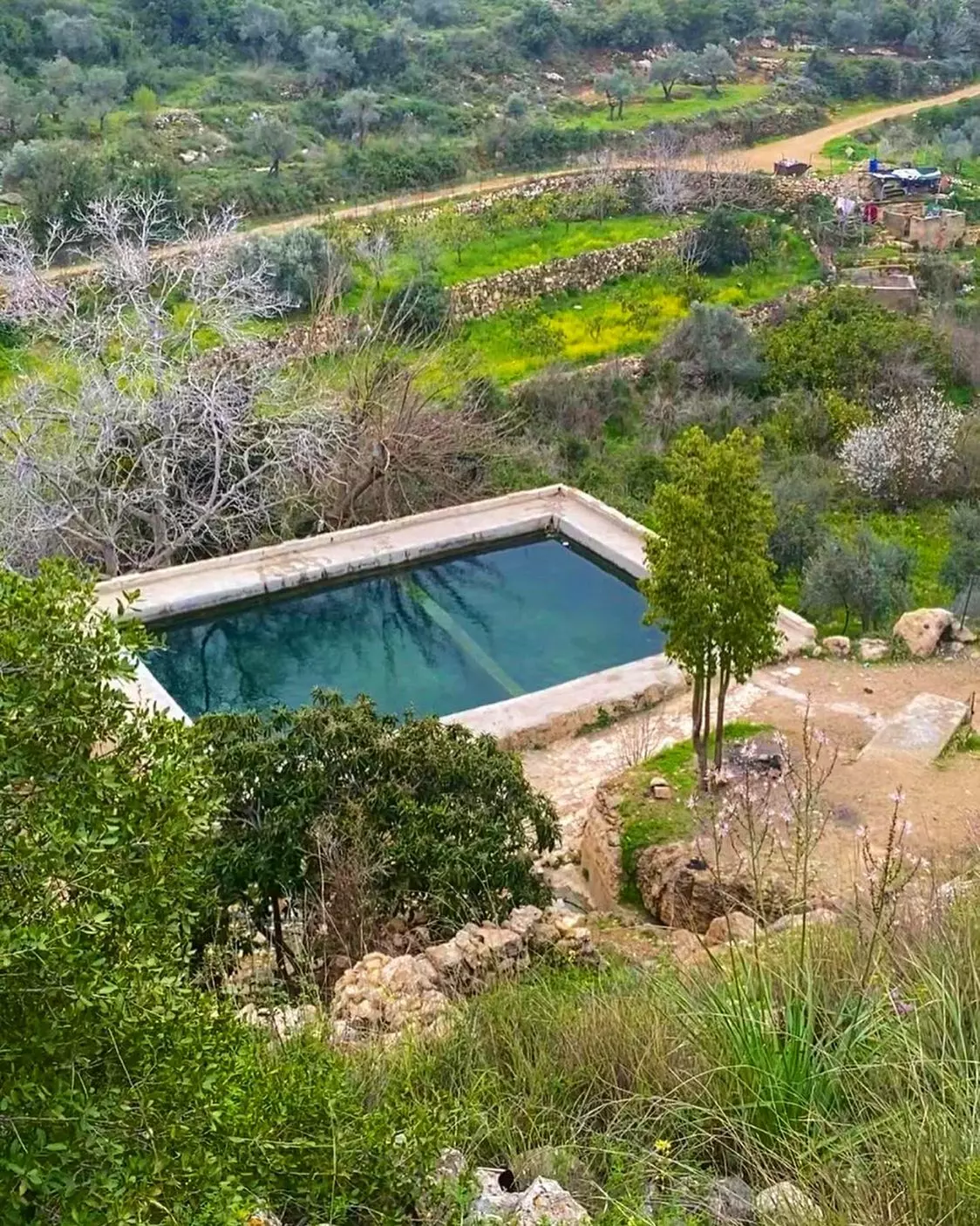
- عين بوبين
قرية دير ابزيع. ريف رام الله -- واجد النوباني
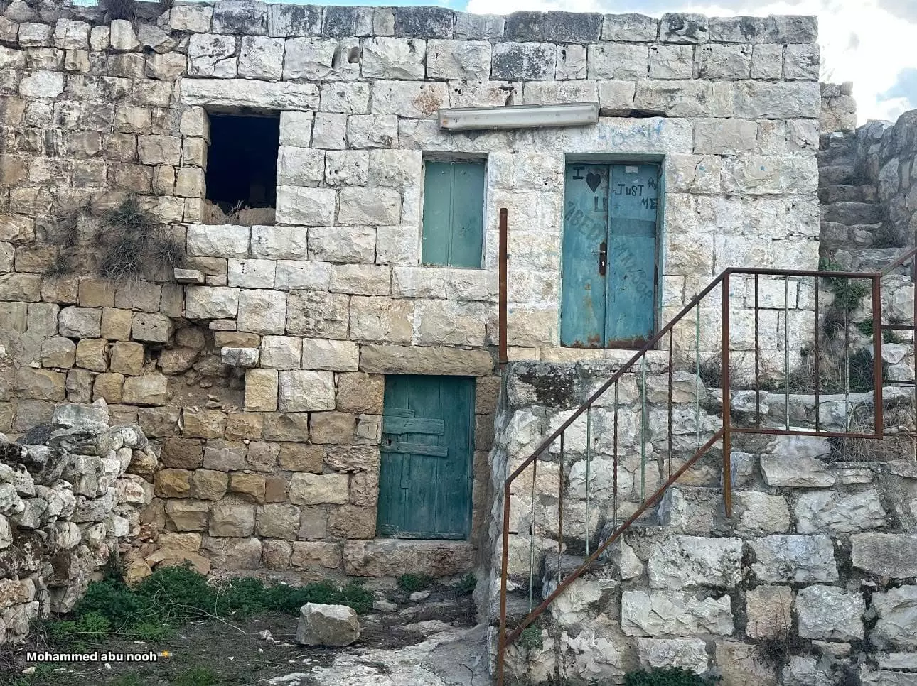
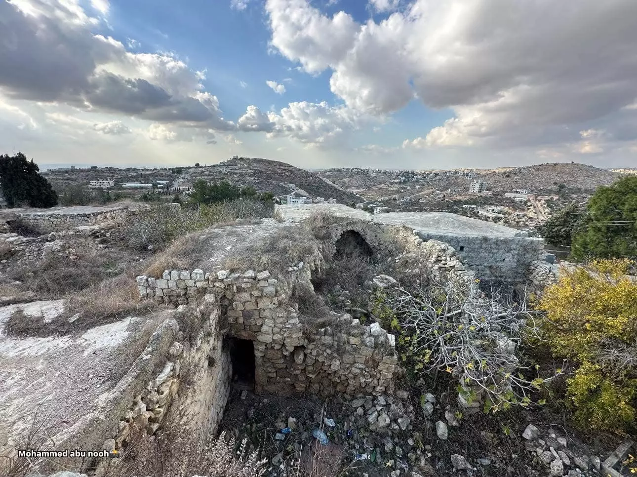
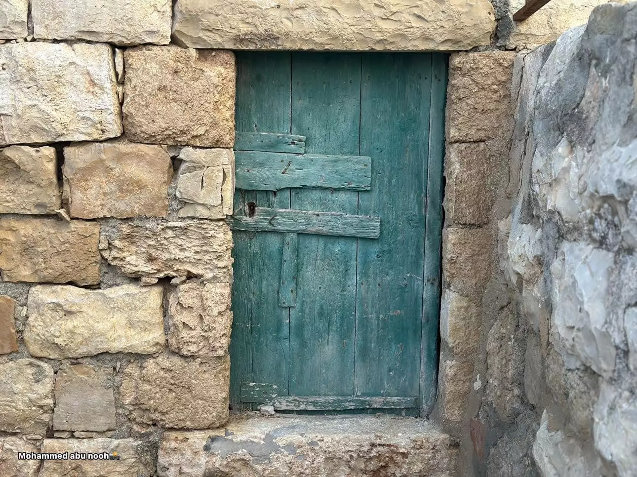
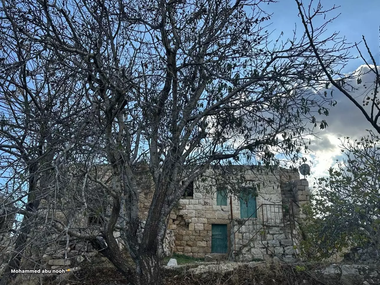
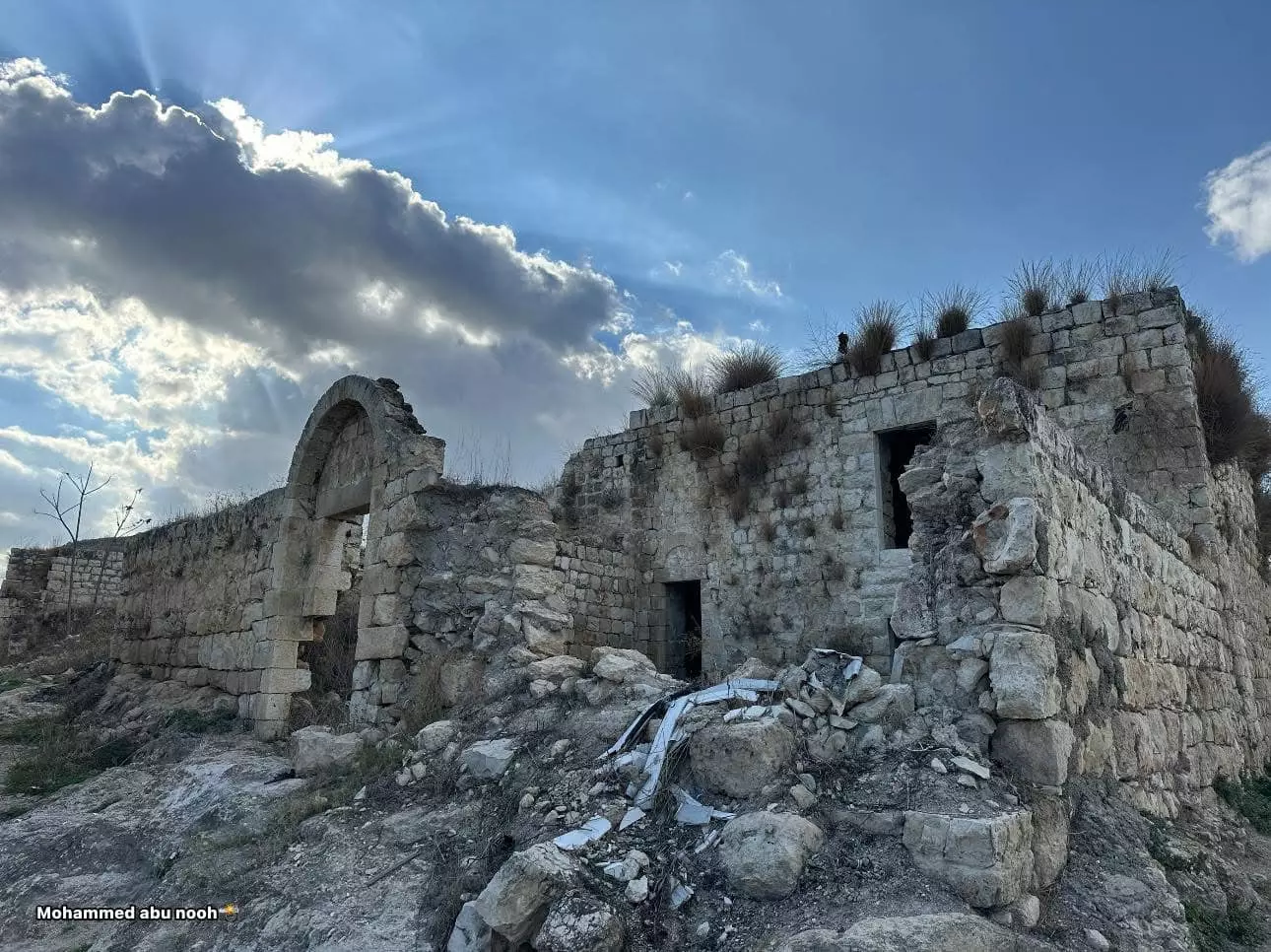
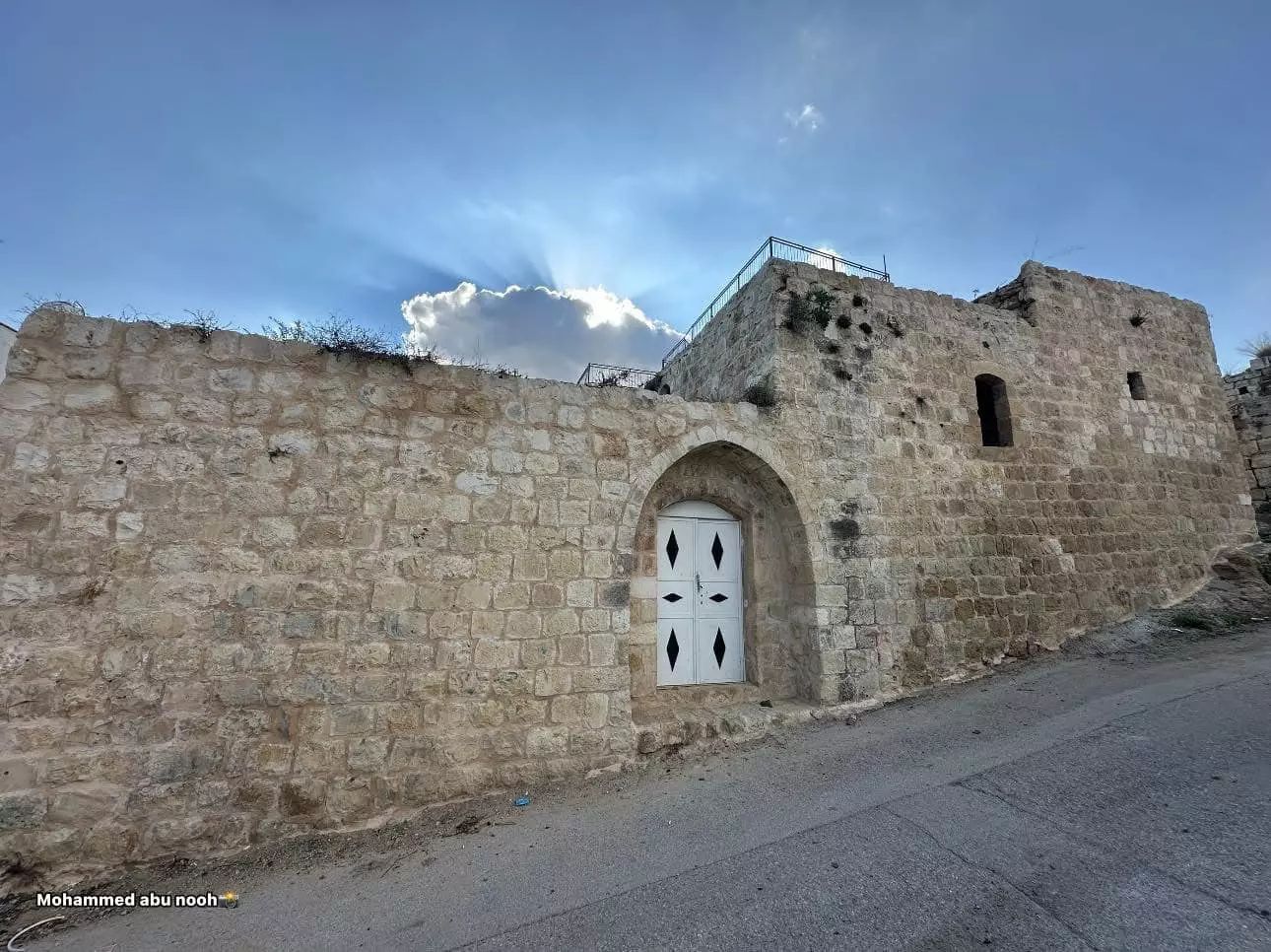
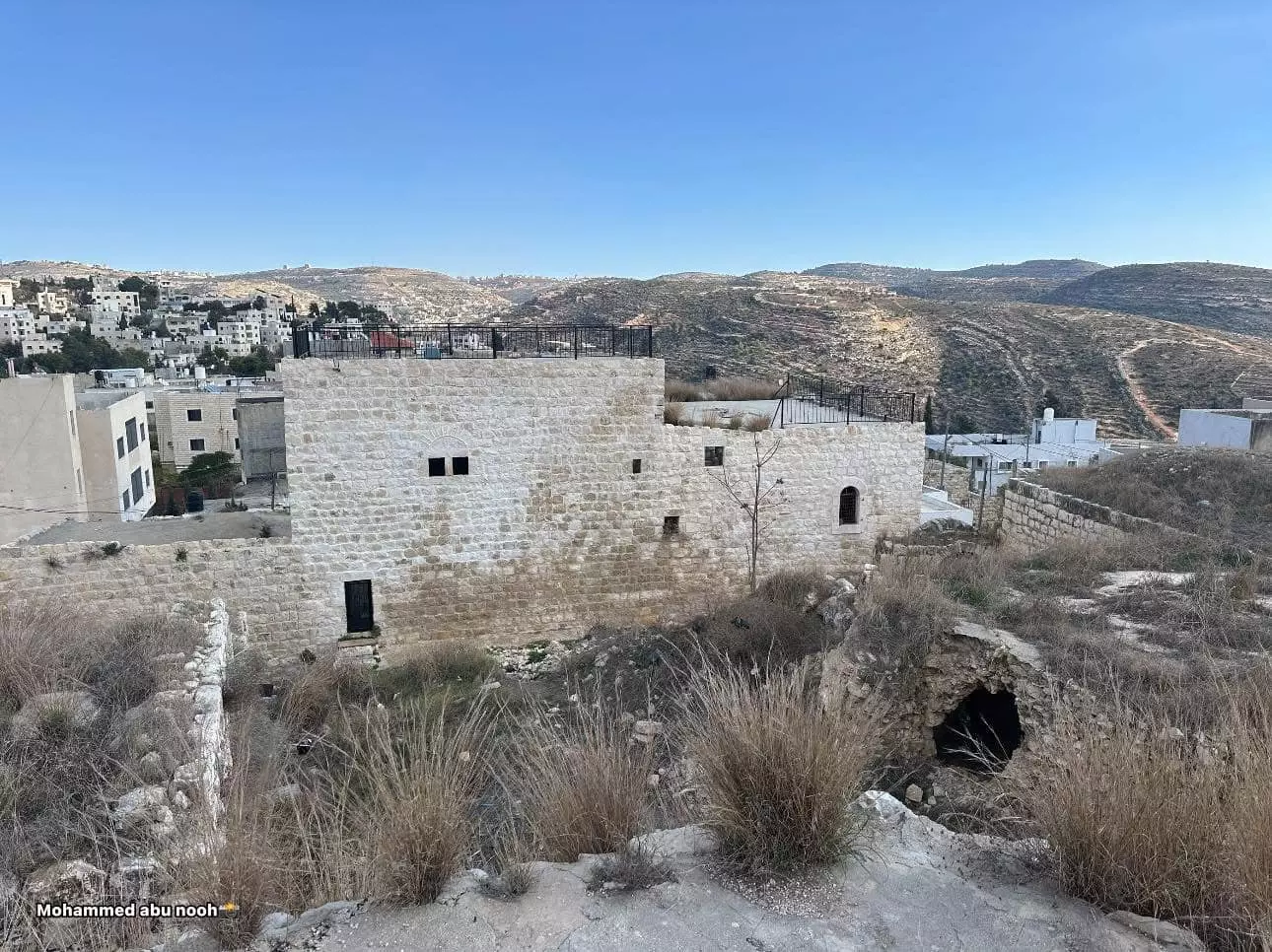
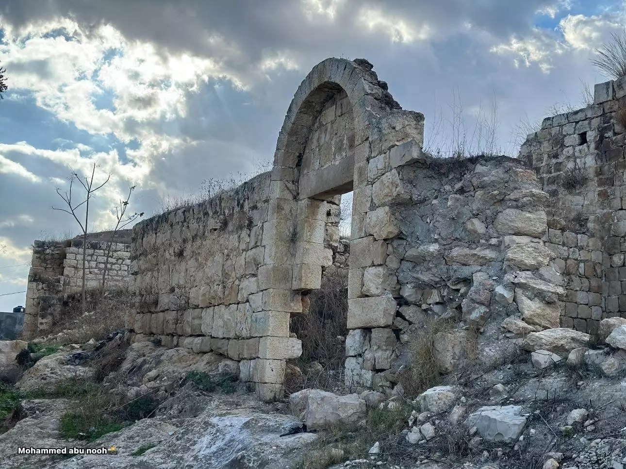
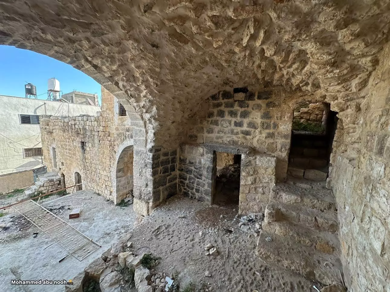
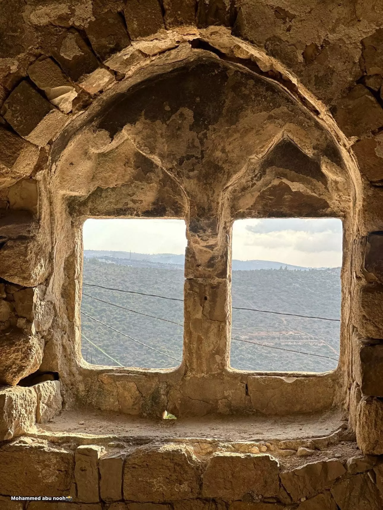
- جولة بين بيوت القرية القديمة وأزقتها --محمد ابو نوح
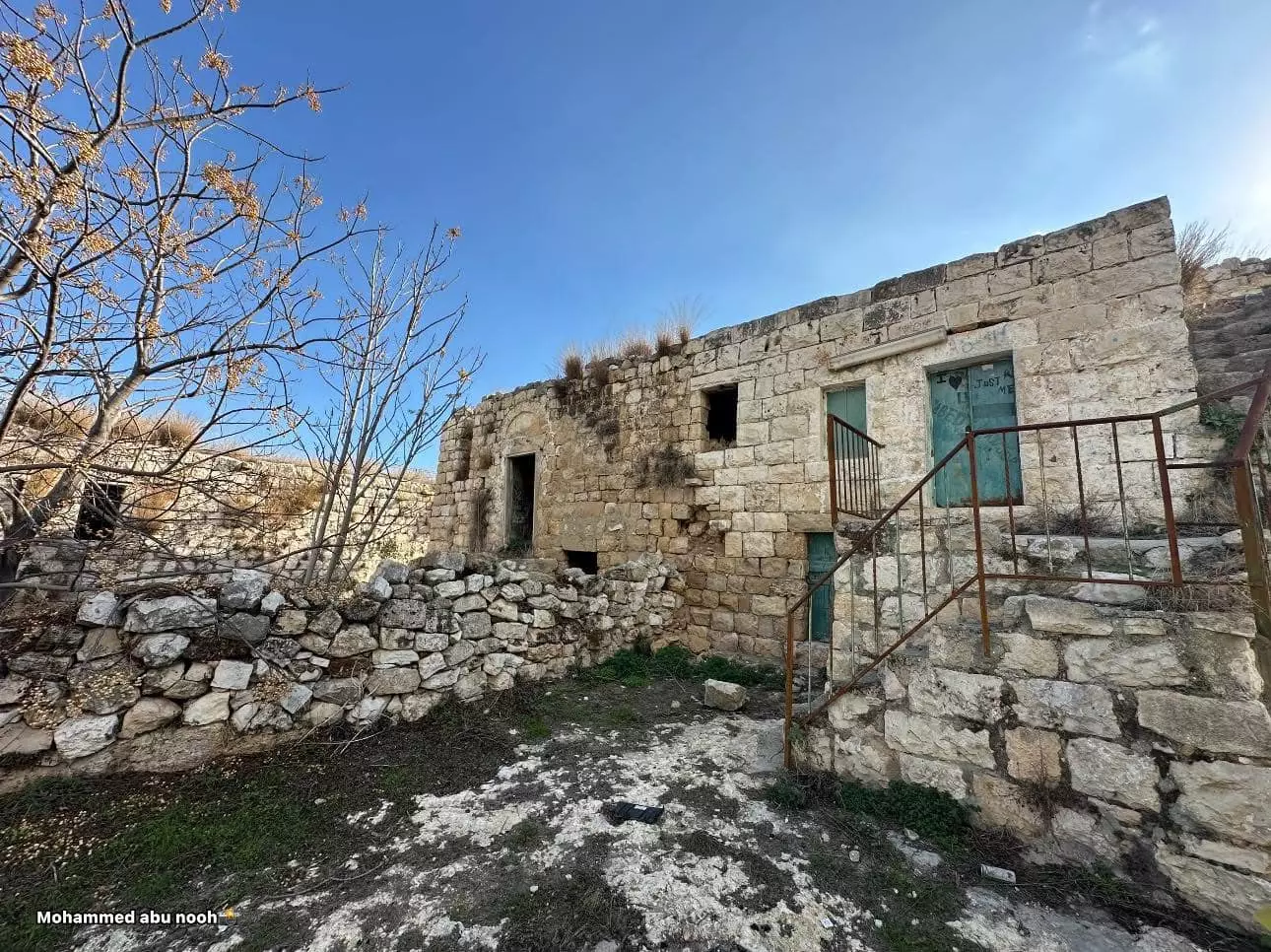
- جولة بين بيوت القرية القديمة وأزقتها --محمد ابو نوح #2
- جولة بين بيوت القرية القديمة وأزقتها --محمد ابو نوح #3
- جولة بين بيوت القرية القديمة وأزقتها --محمد ابو نوح #4
- جولة بين بيوت القرية القديمة وأزقتها --محمد ابو نوح #5
- جولة بين بيوت القرية القديمة وأزقتها --محمد ابو نوح #6
- جولة بين بيوت القرية القديمة وأزقتها --محمد ابو نوح #7
- جولة بين بيوت القرية القديمة وأزقتها --محمد ابو نوح #8
- جولة بين بيوت القرية القديمة وأزقتها --محمد ابو نوح #9
- جولة بين بيوت القرية القديمة وأزقتها --محمد ابو نوح #10
- جولة بين بيوت القرية القديمة وأزقتها --محمد ابو نوح #11
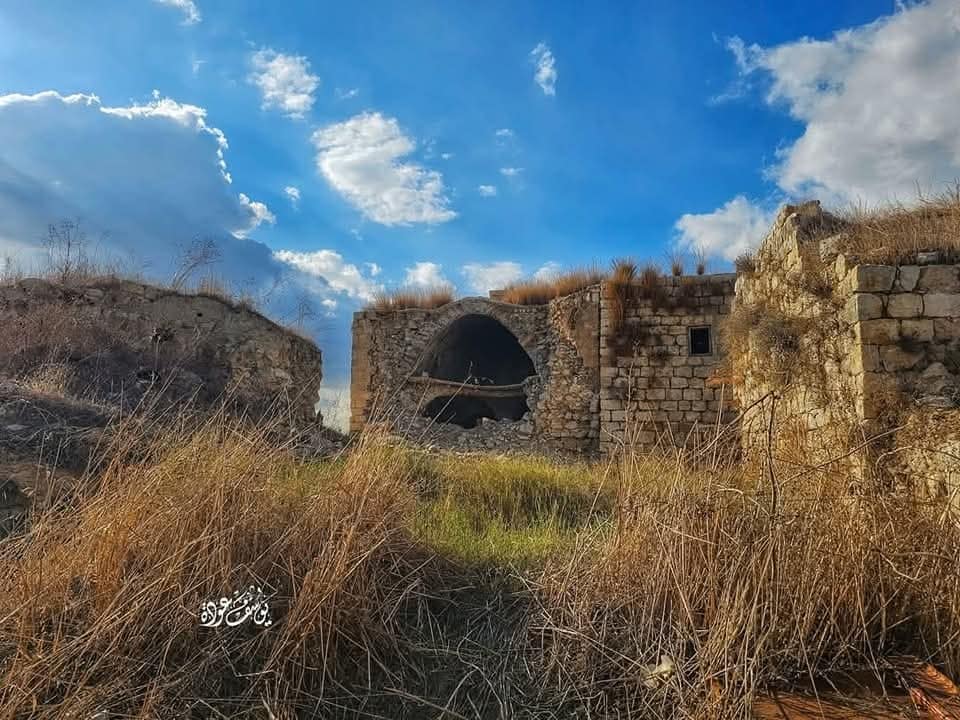
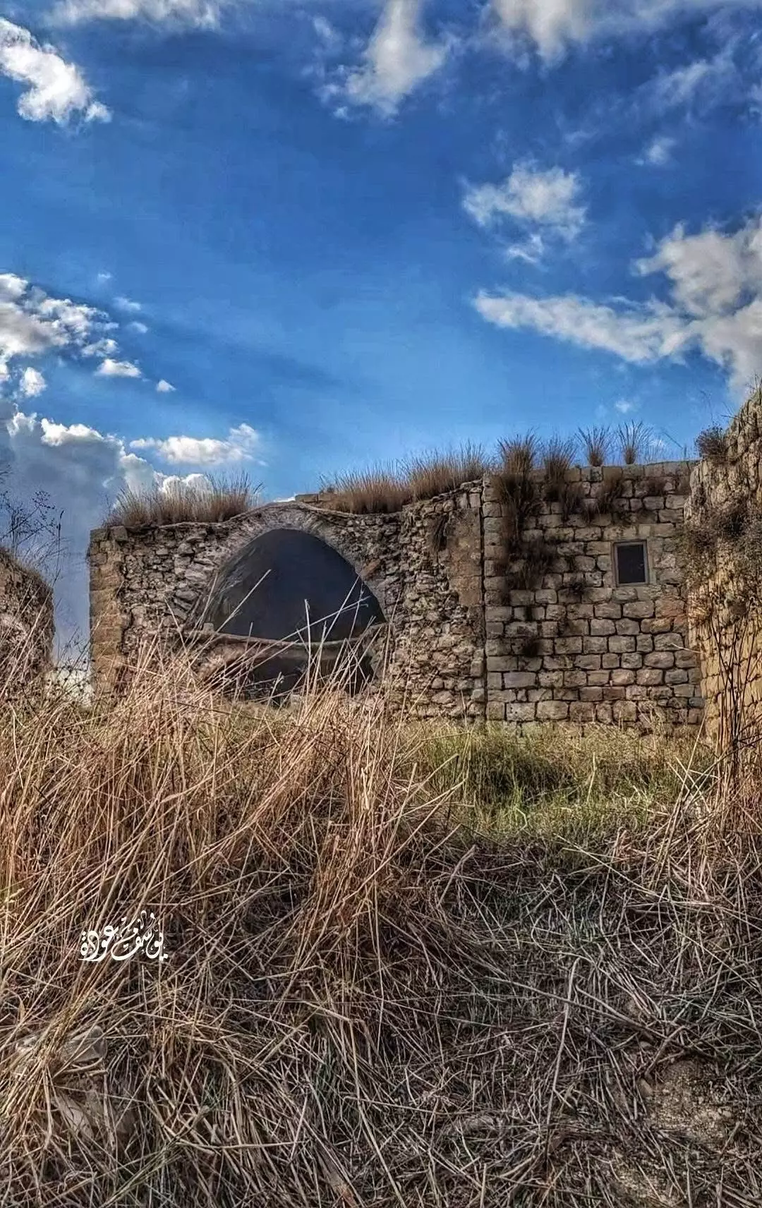
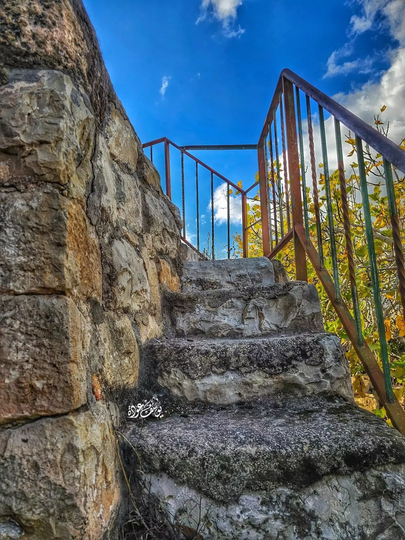
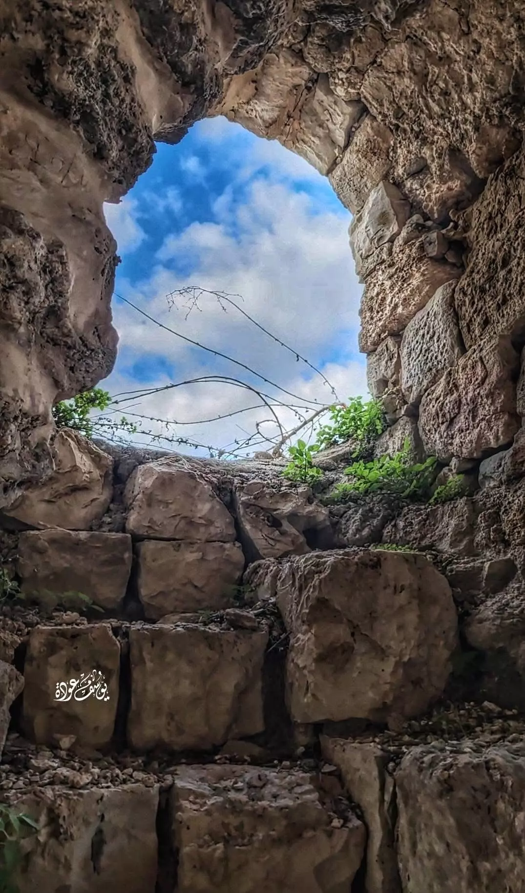
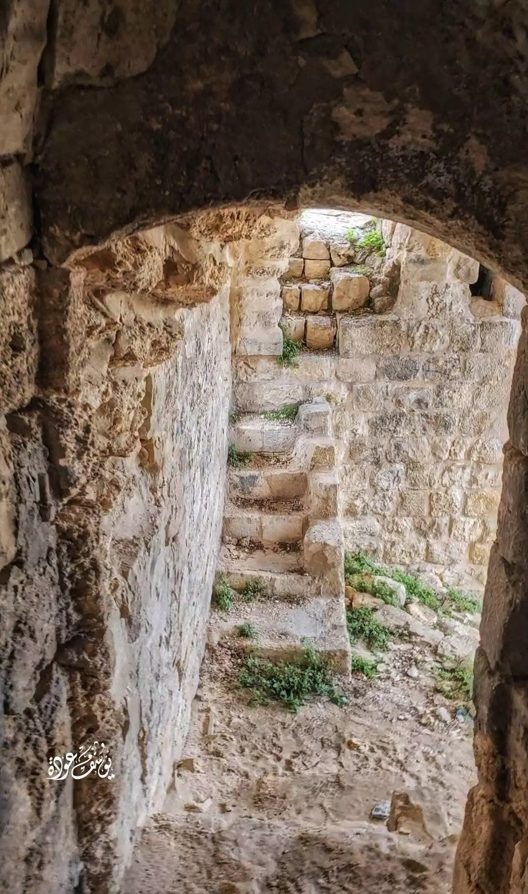
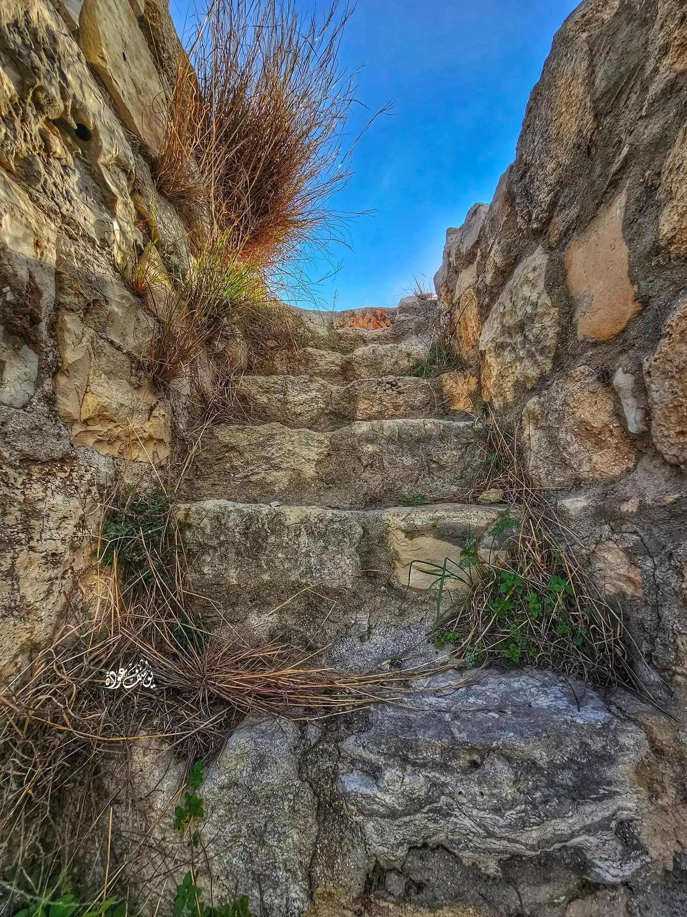
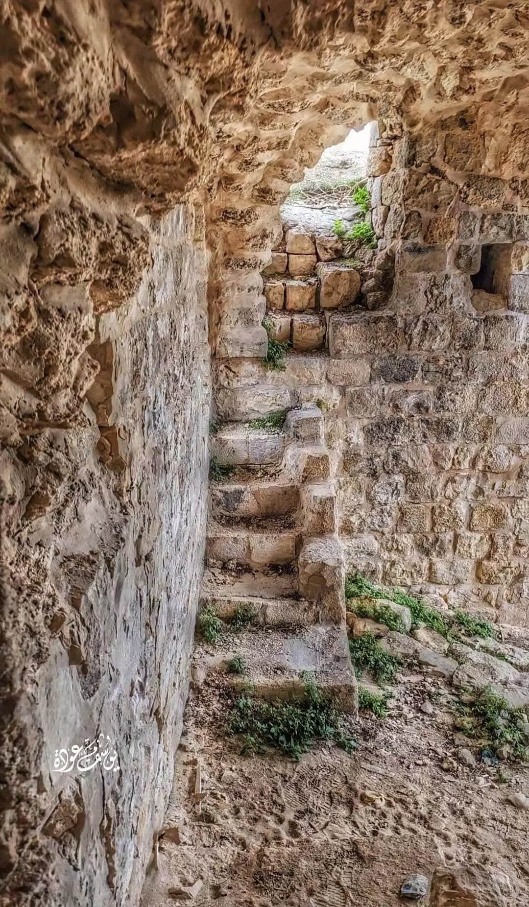
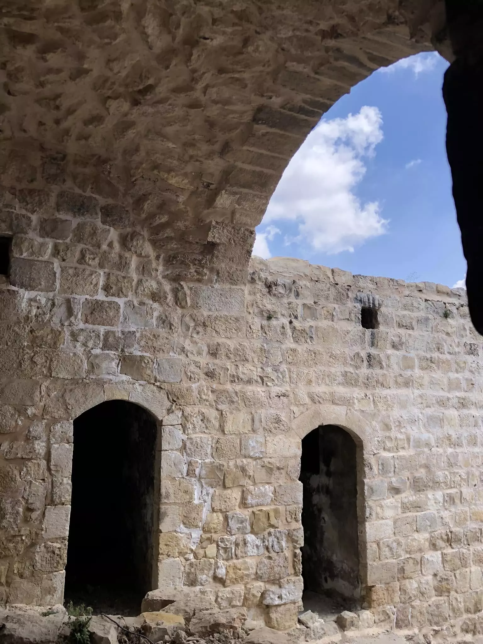
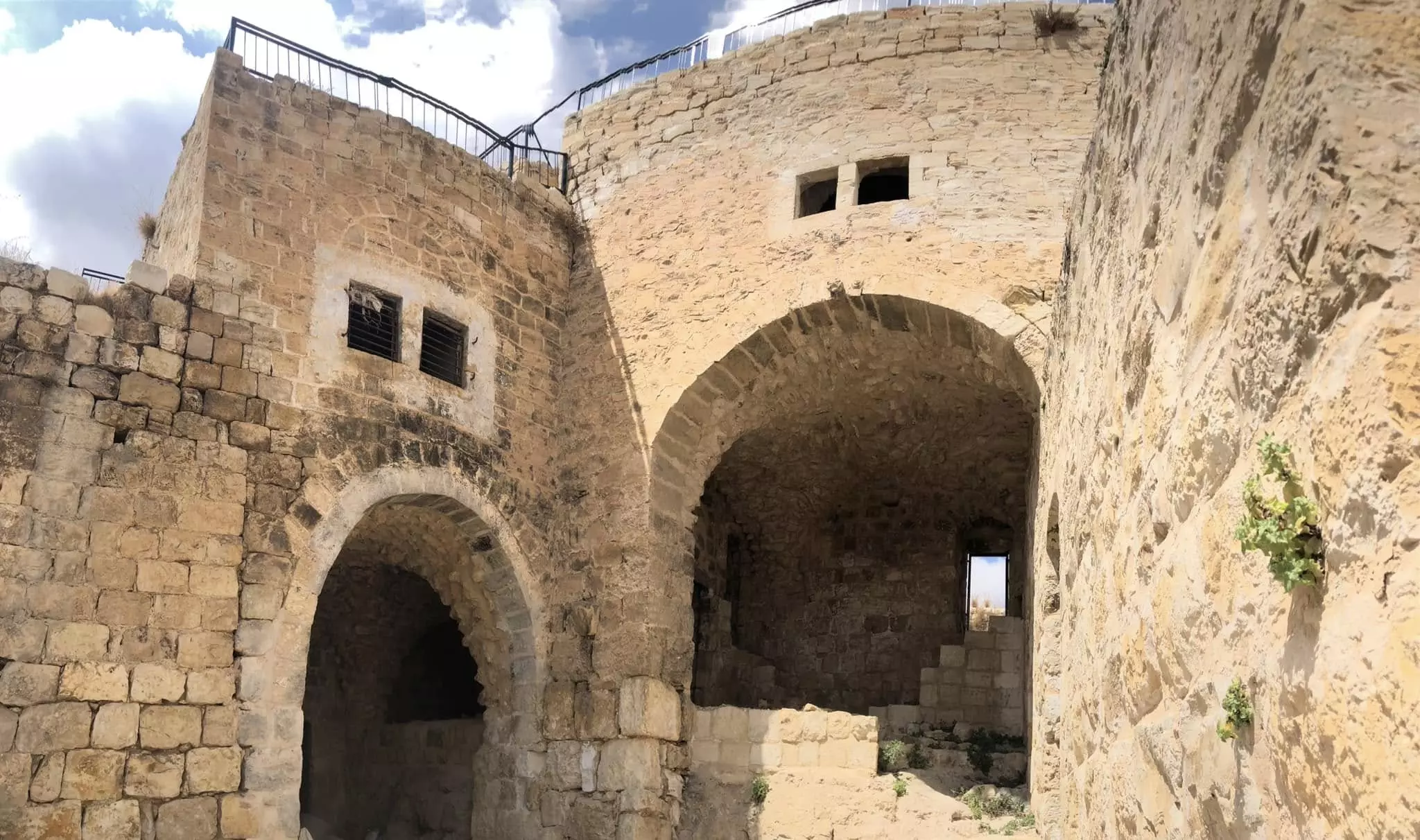
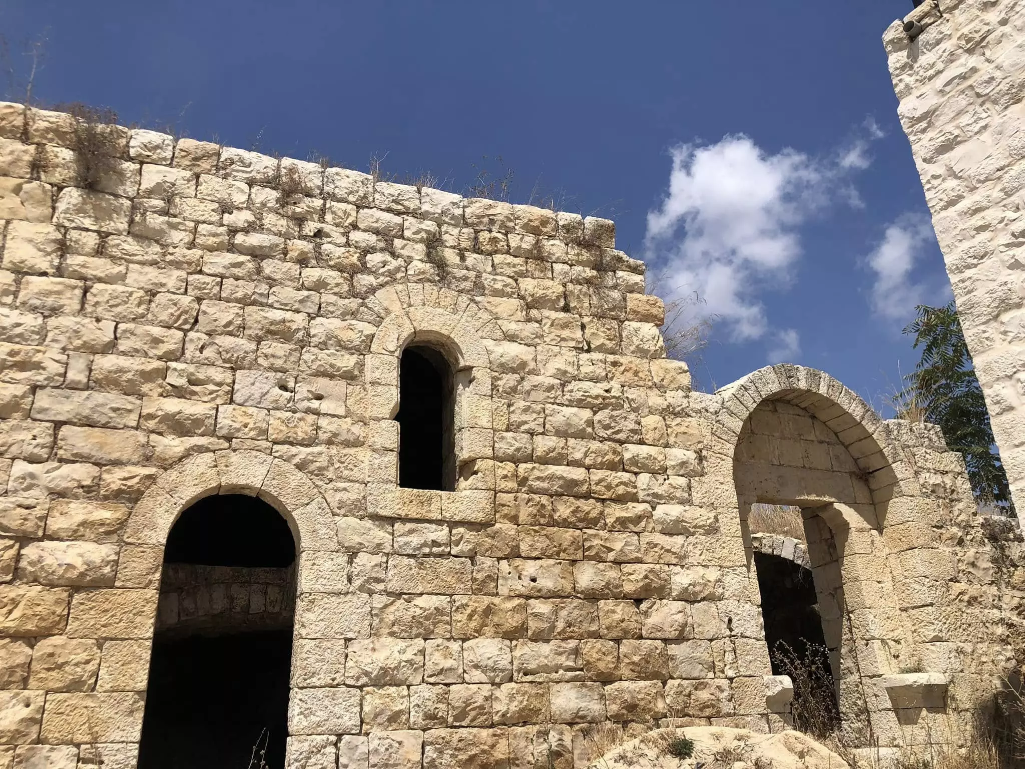
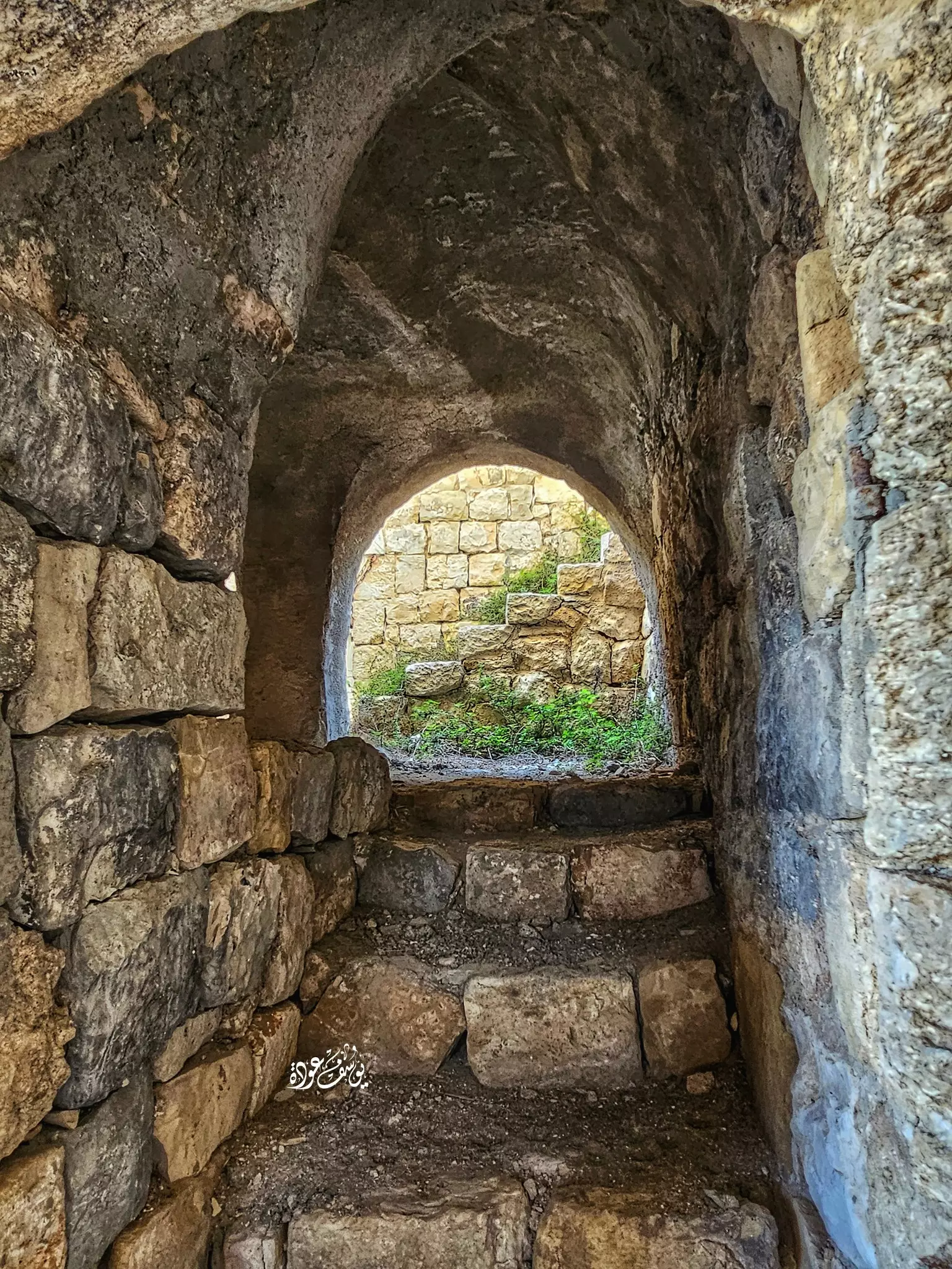
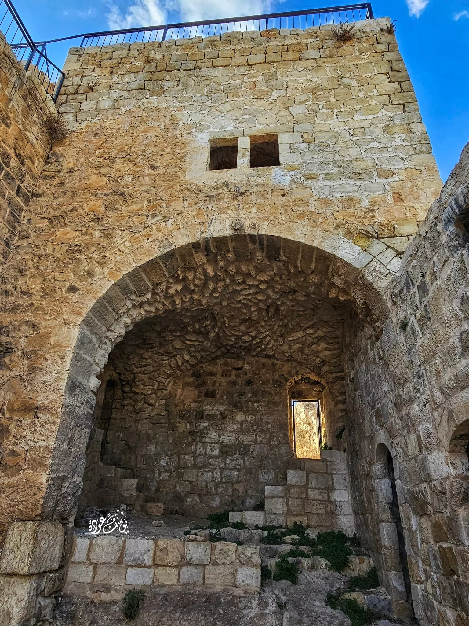
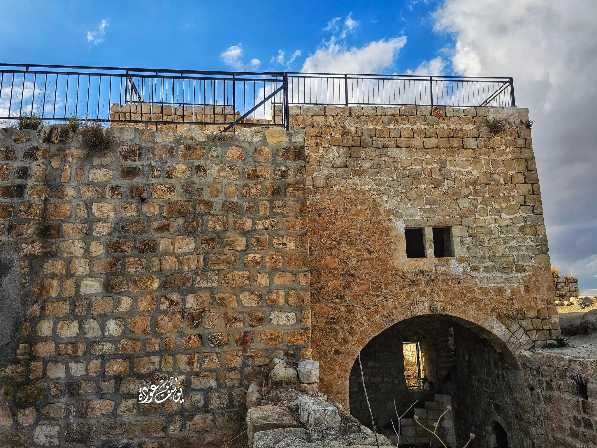
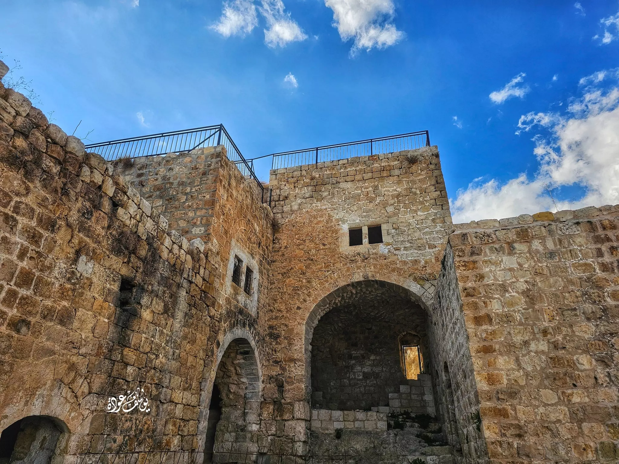
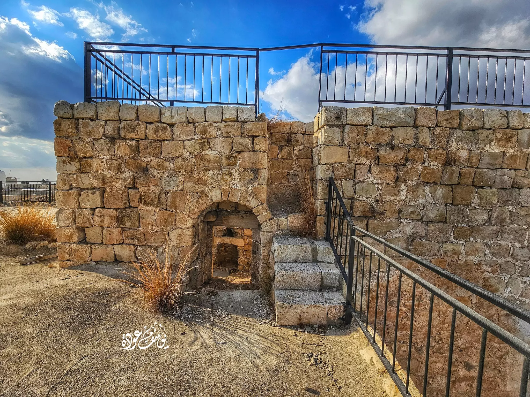
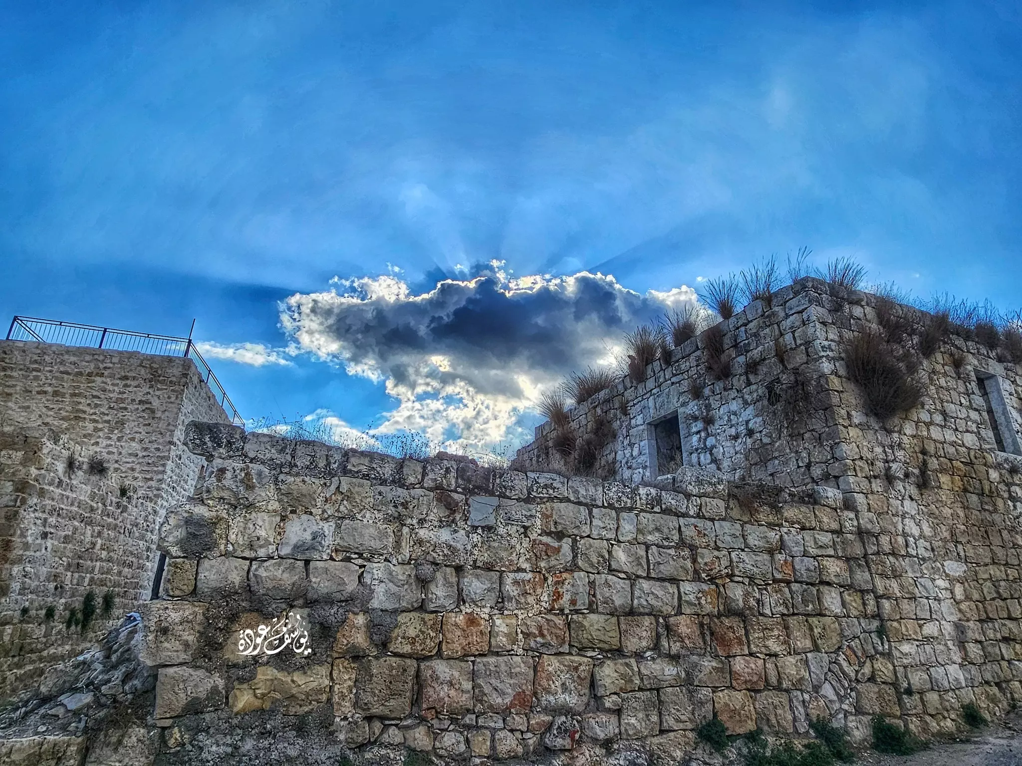
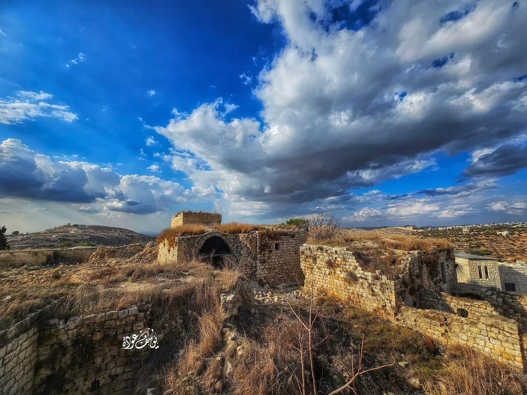
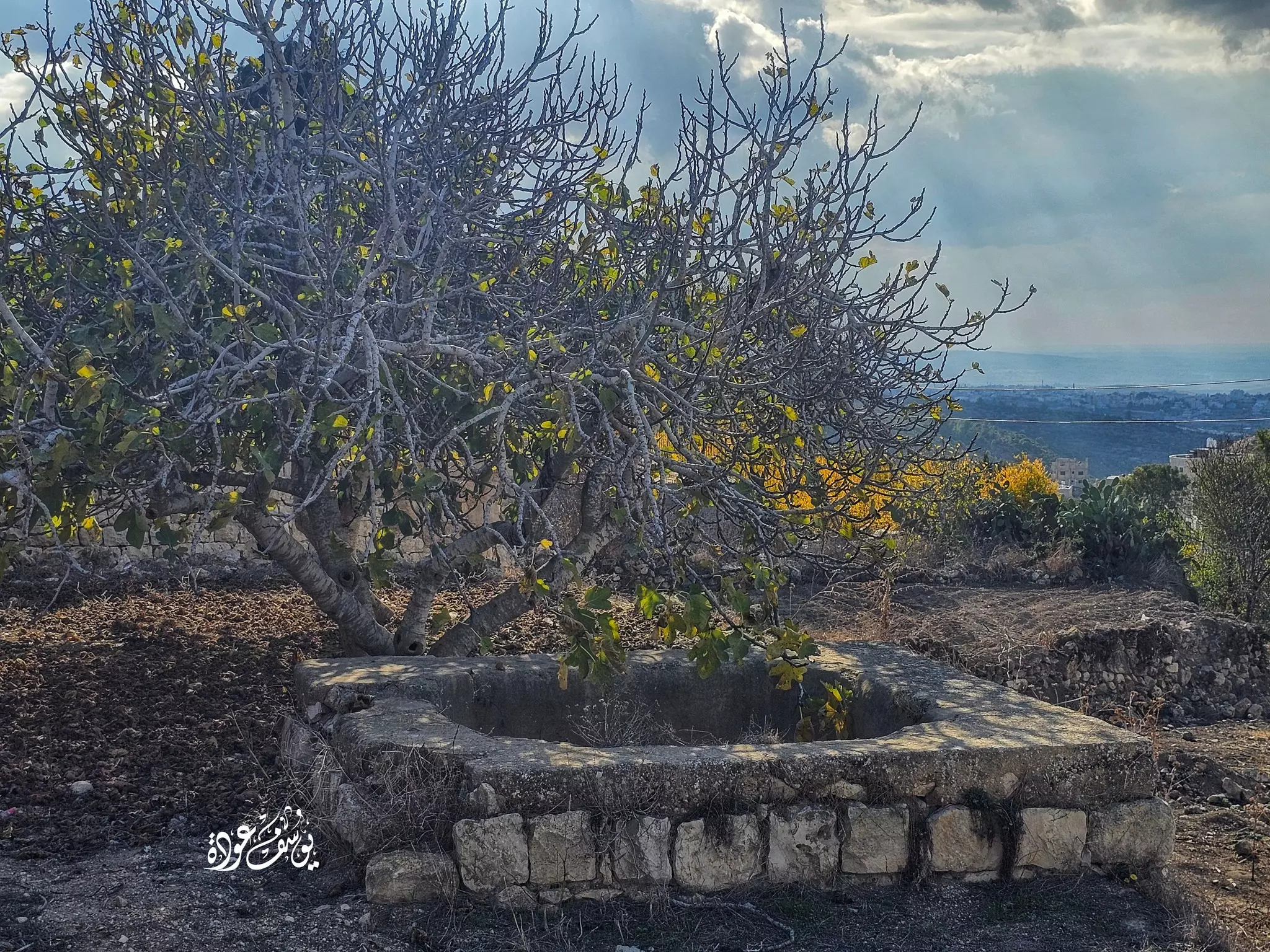
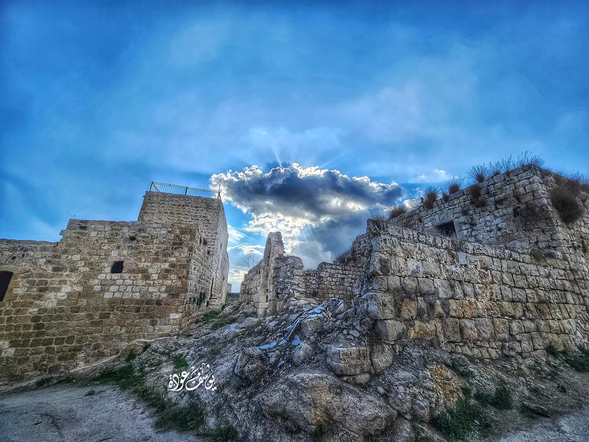
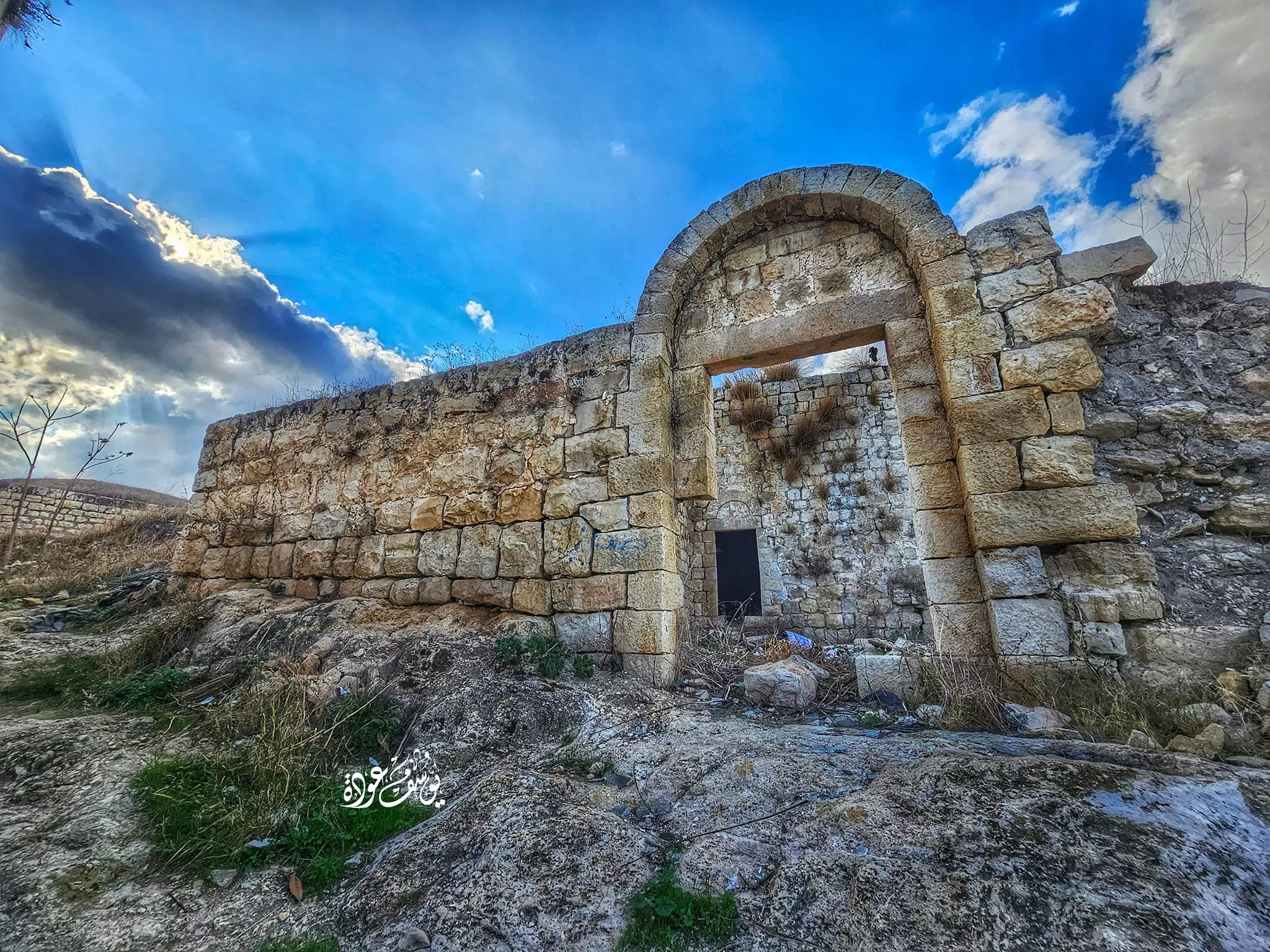
- جولة رائعة بين حارات البلدة-- يوسف عودة
- جولة رائعة بين حارات البلدة-- يوسف عودة #2
- جولة رائعة بين حارات البلدة-- يوسف عودة #3
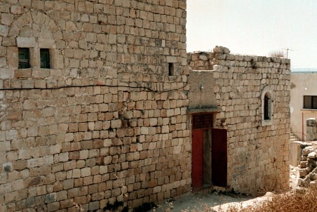
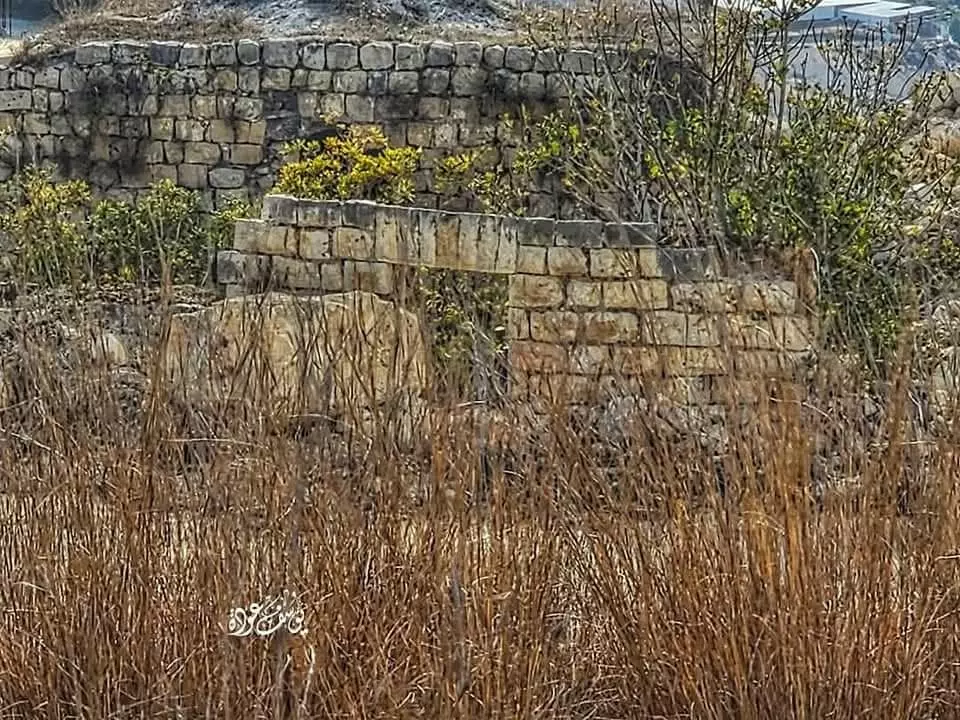
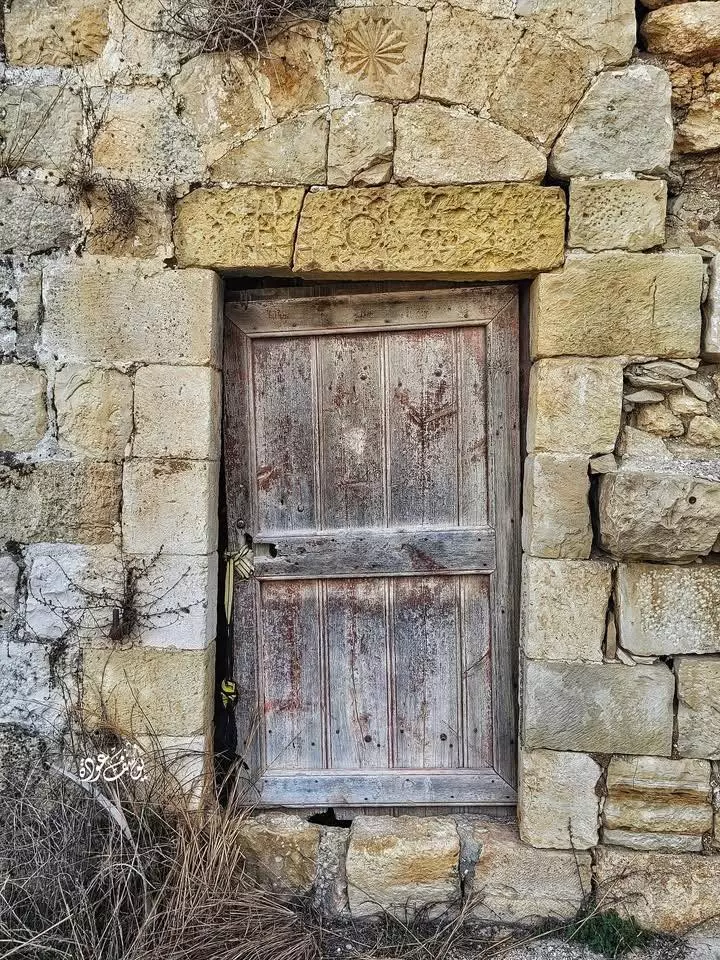
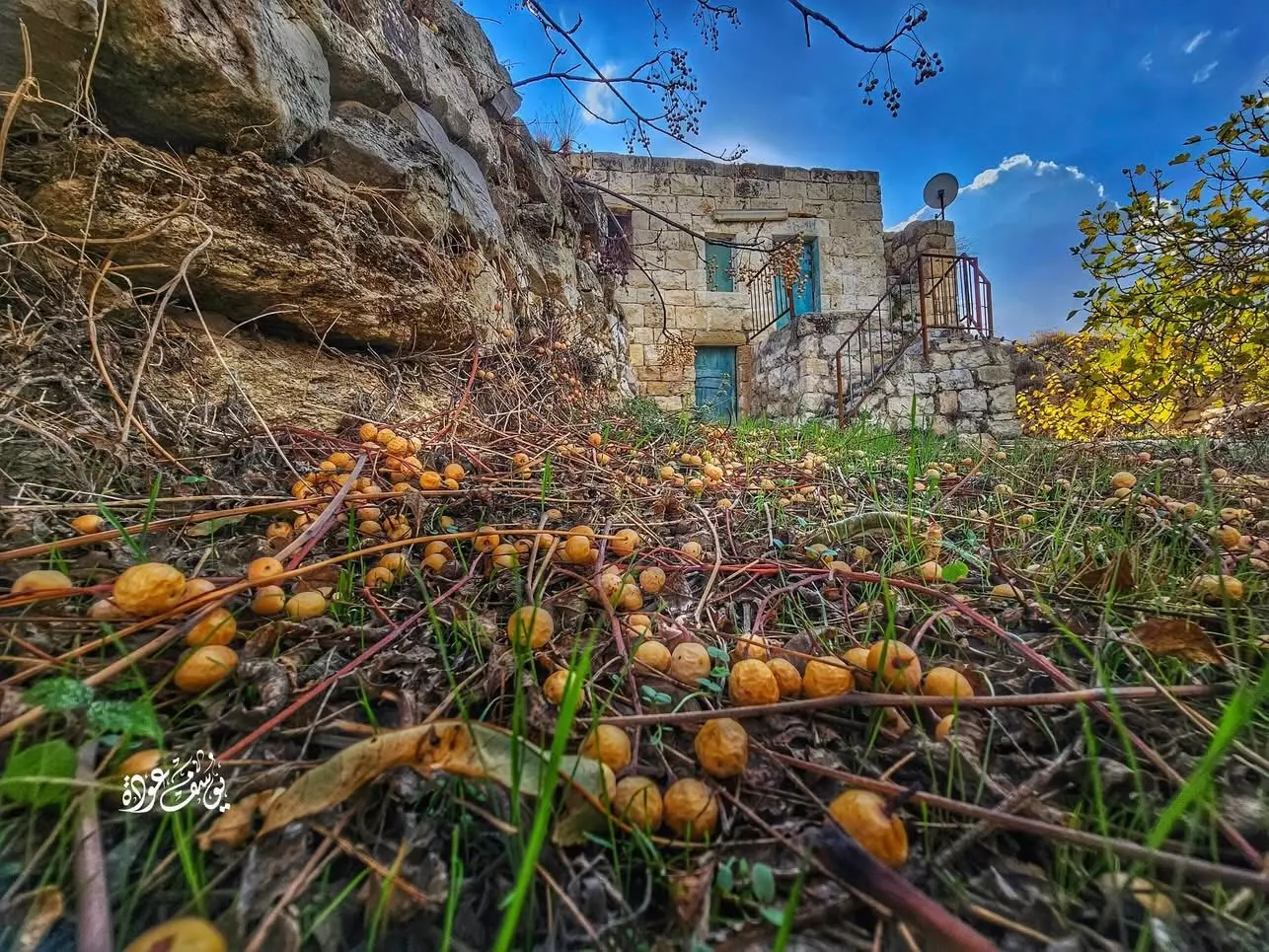
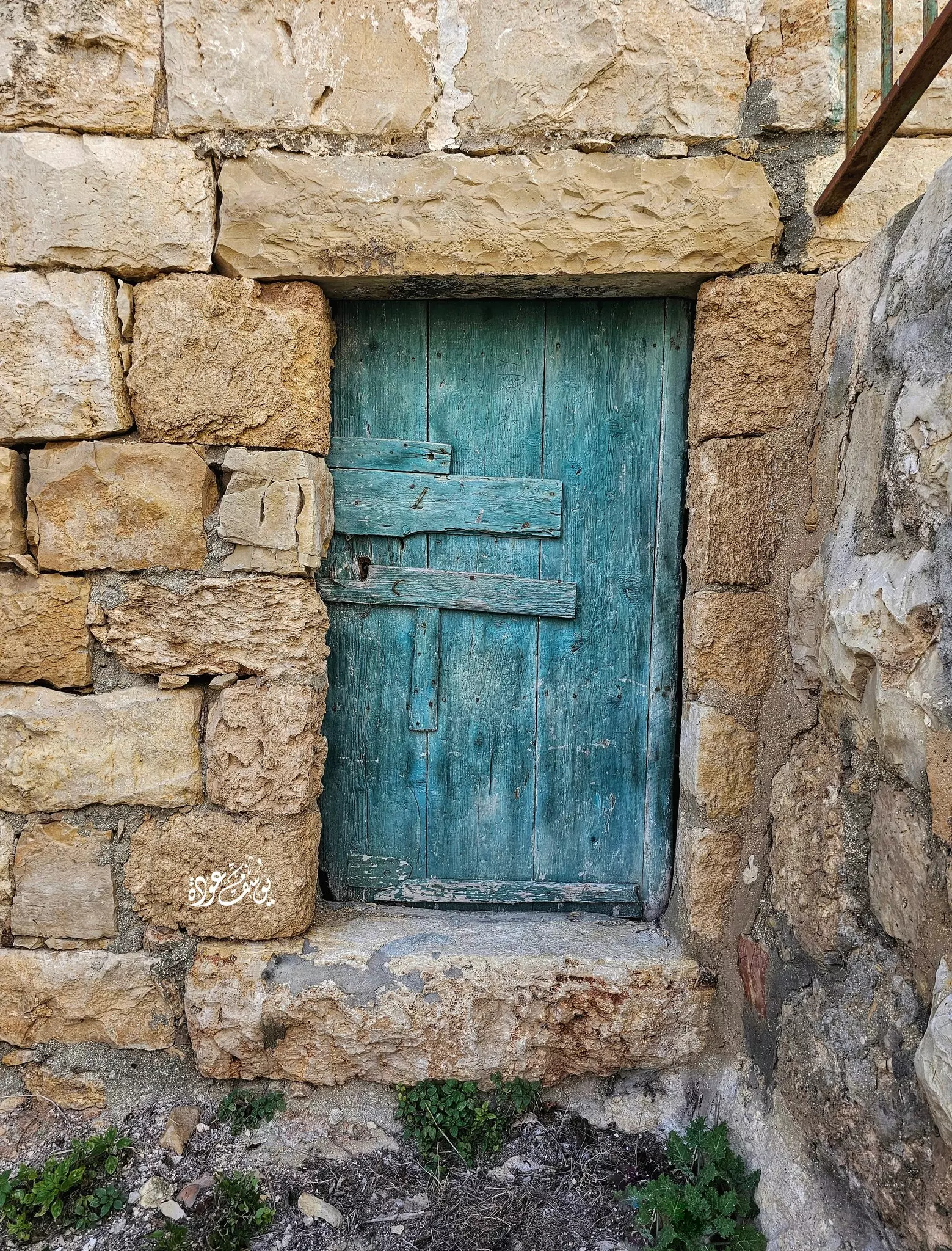
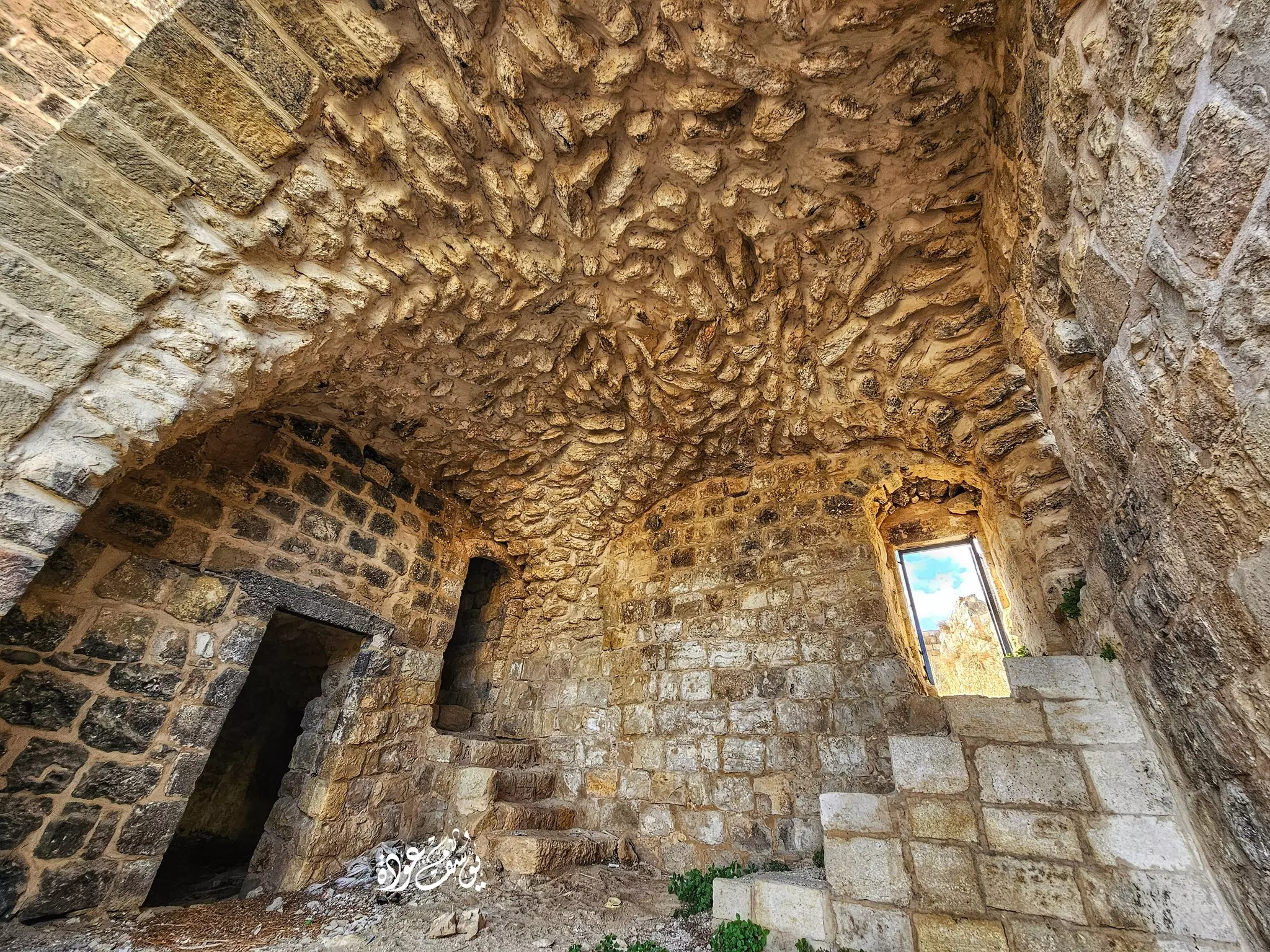
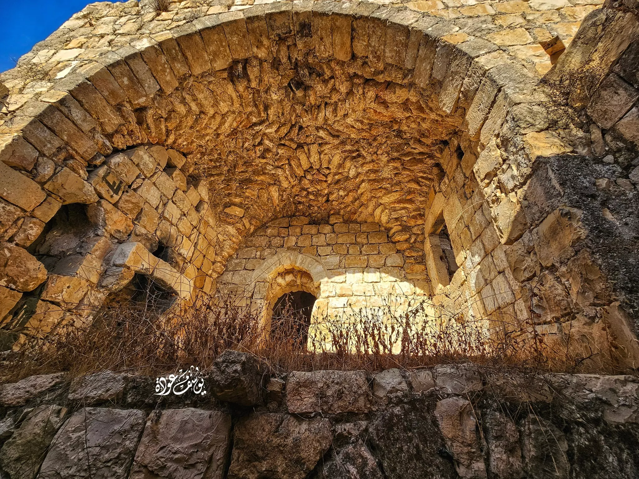
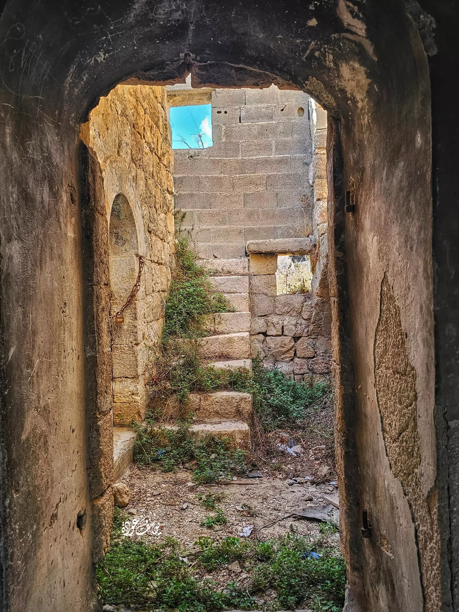
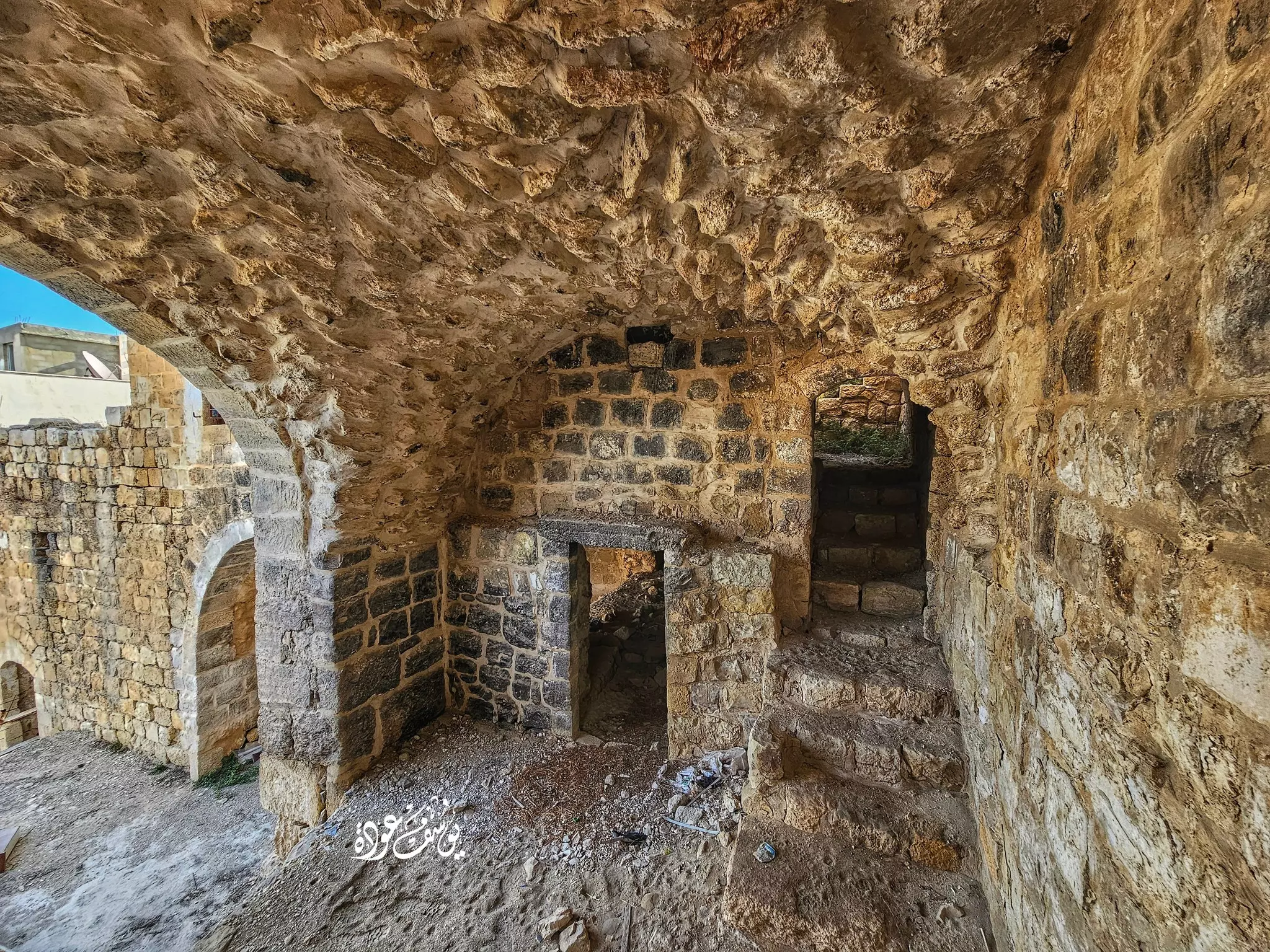
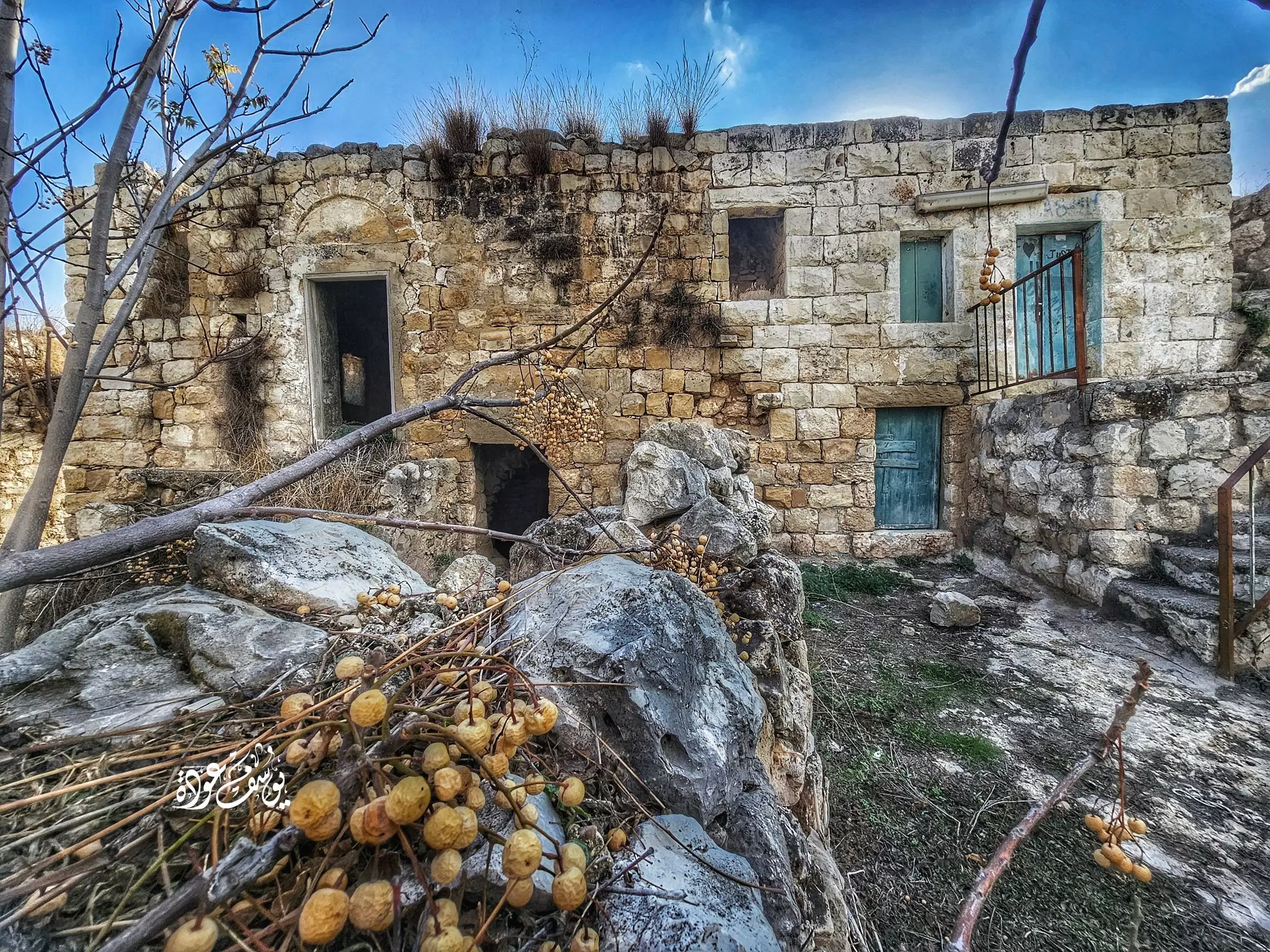
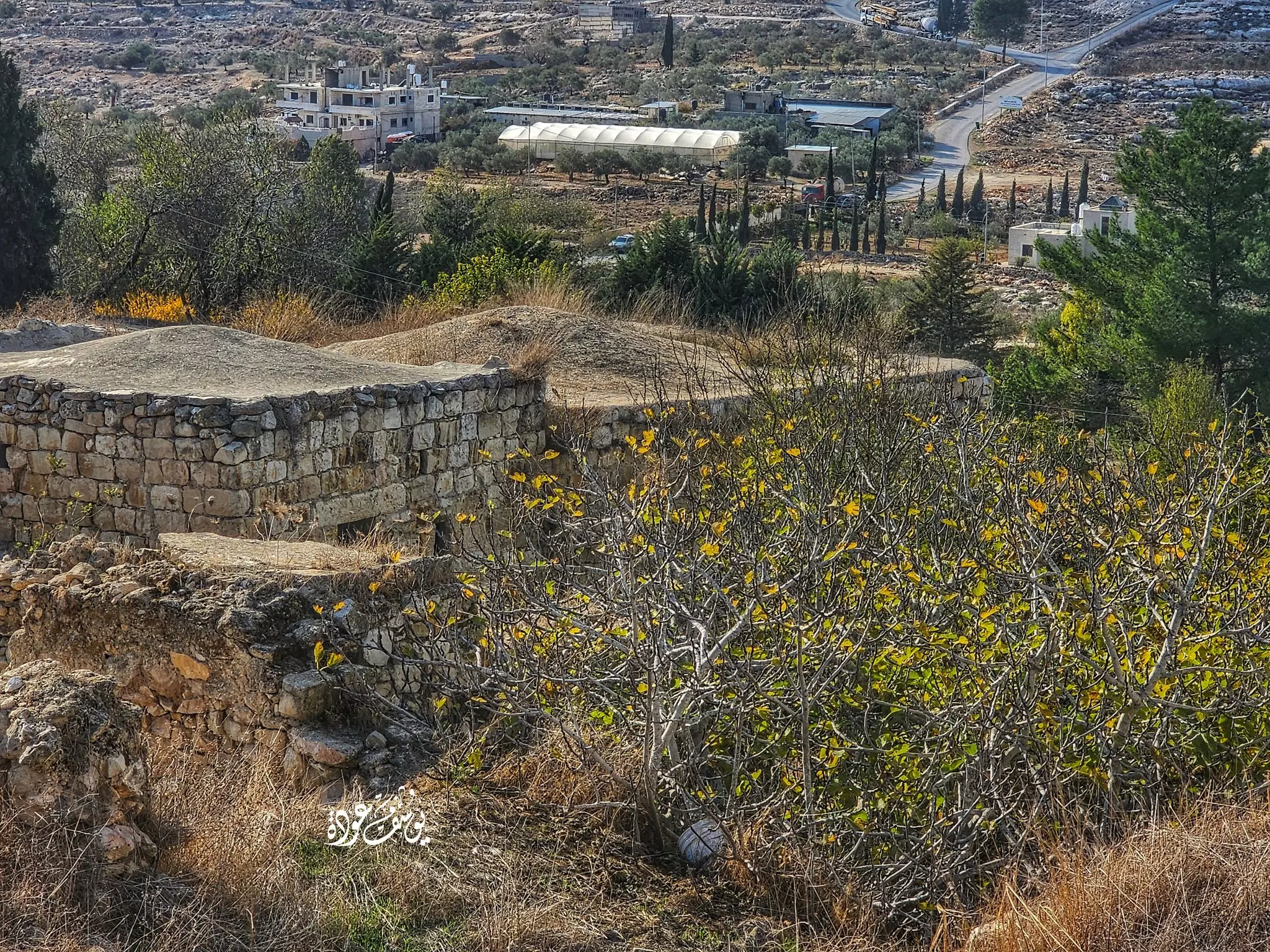
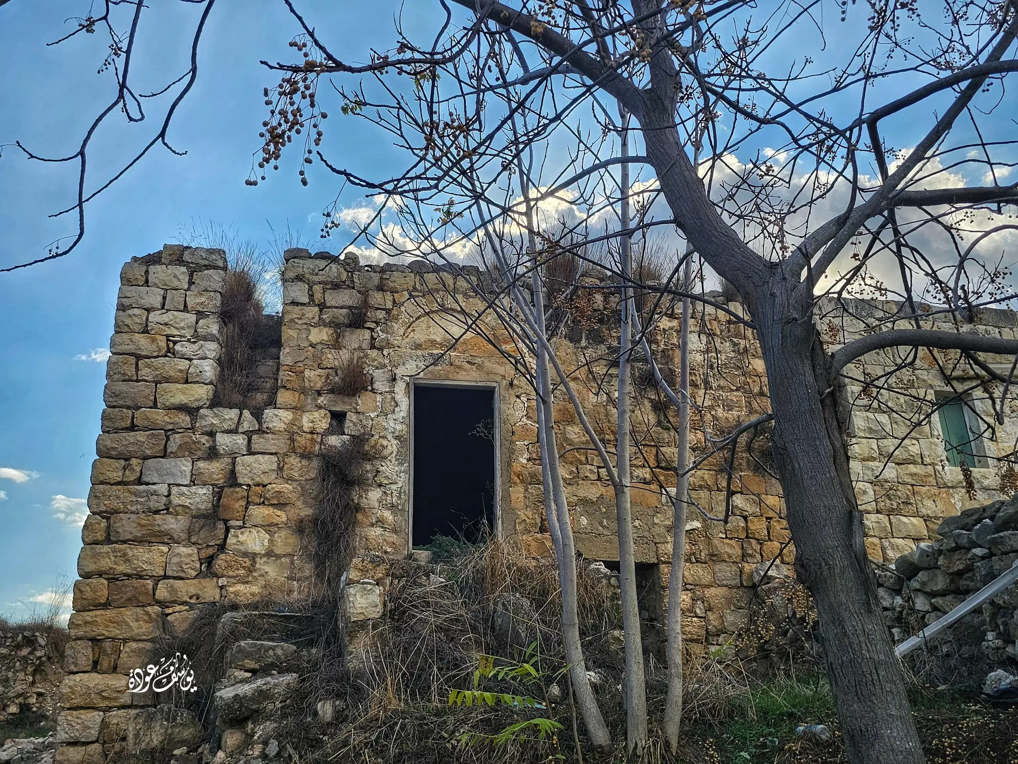
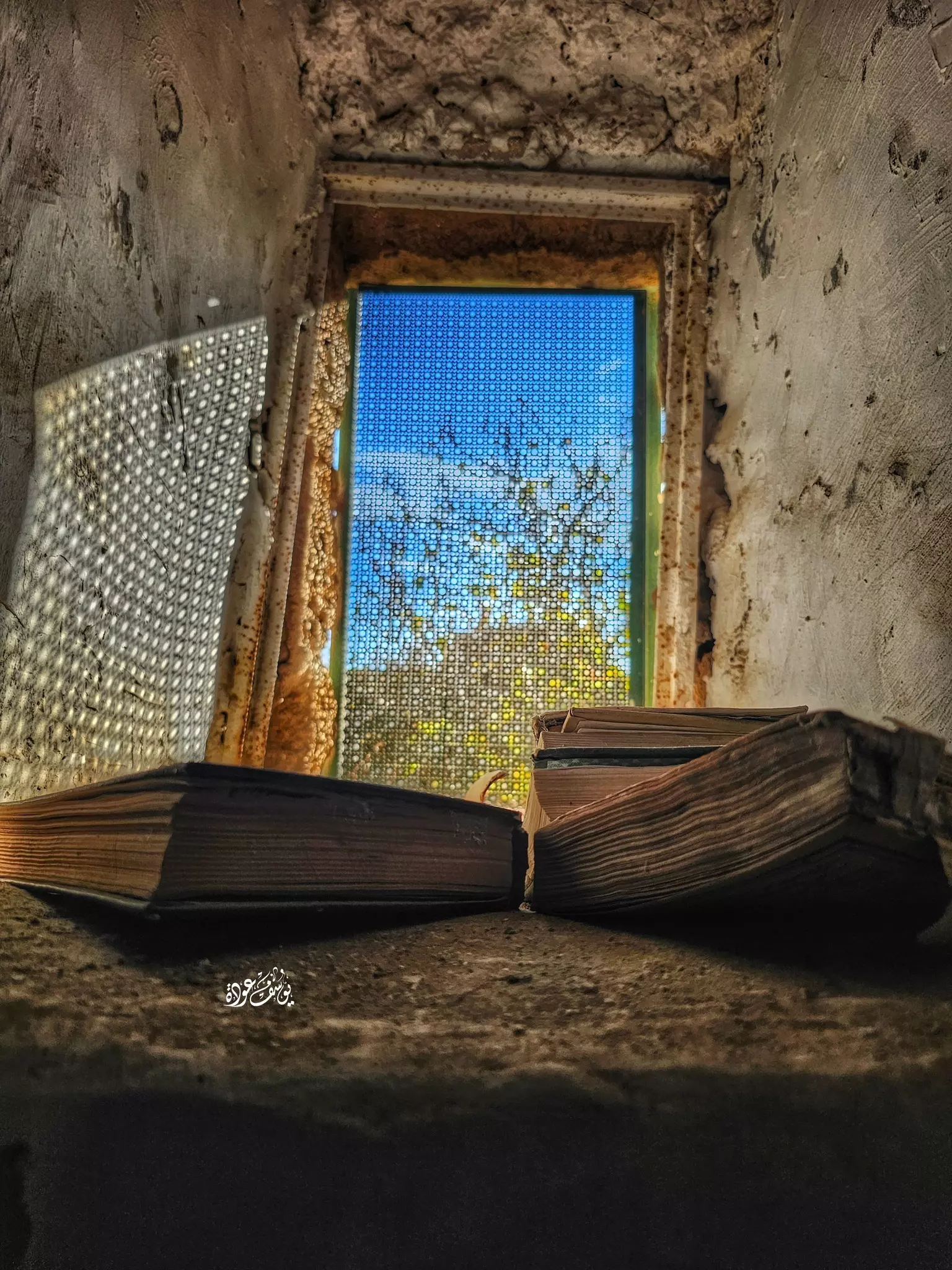
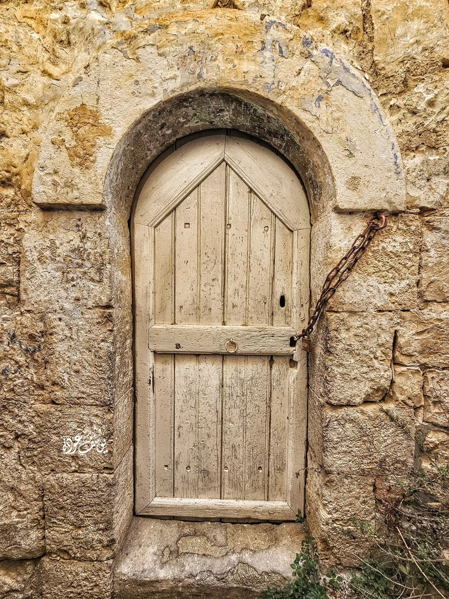
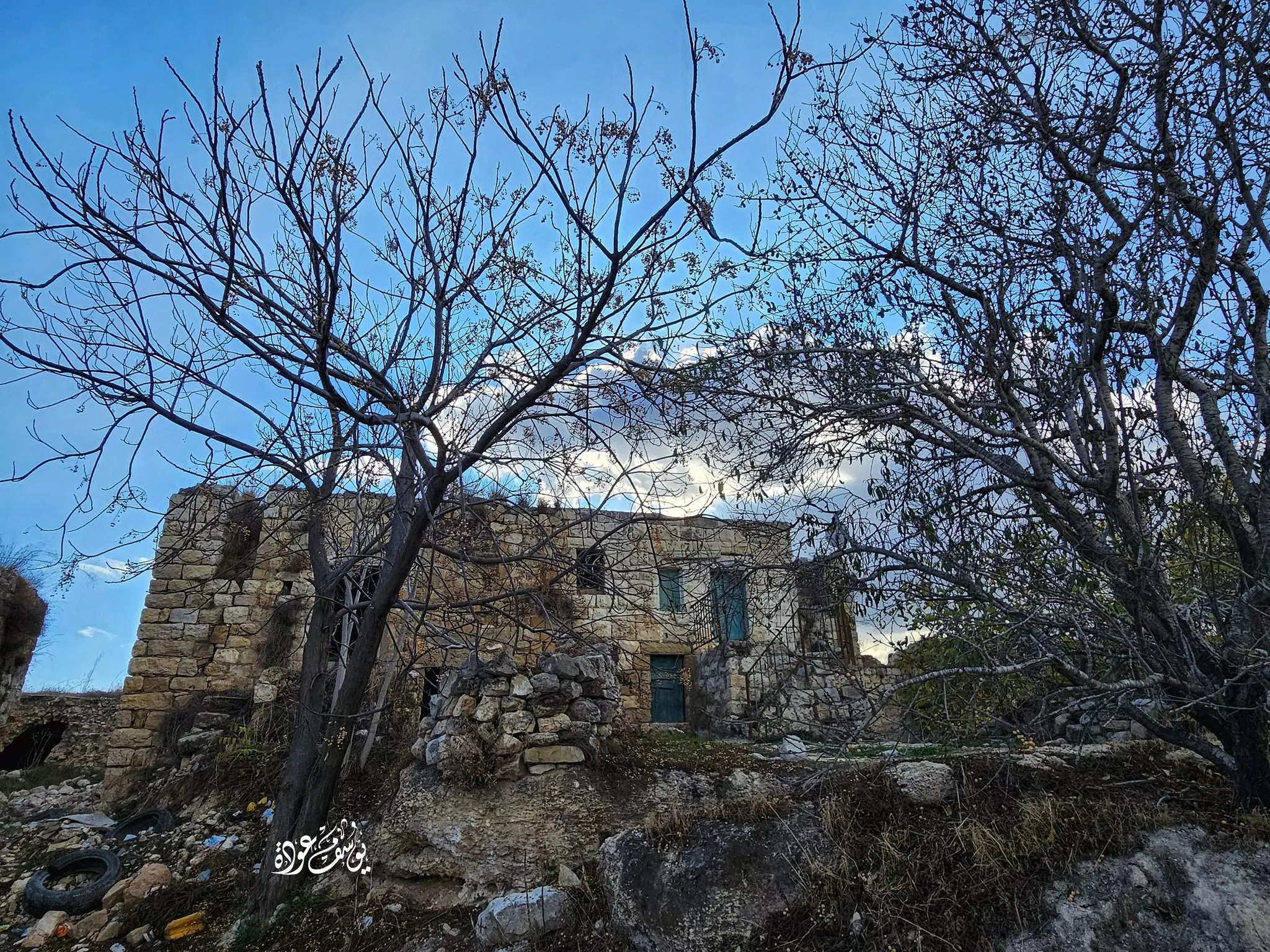
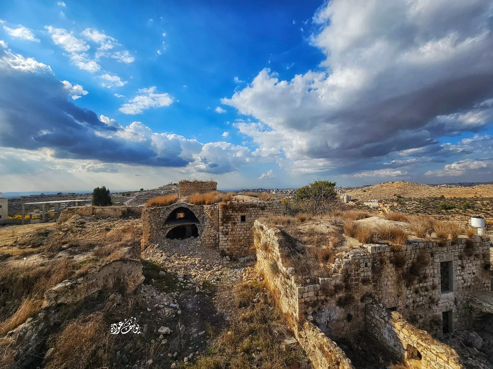
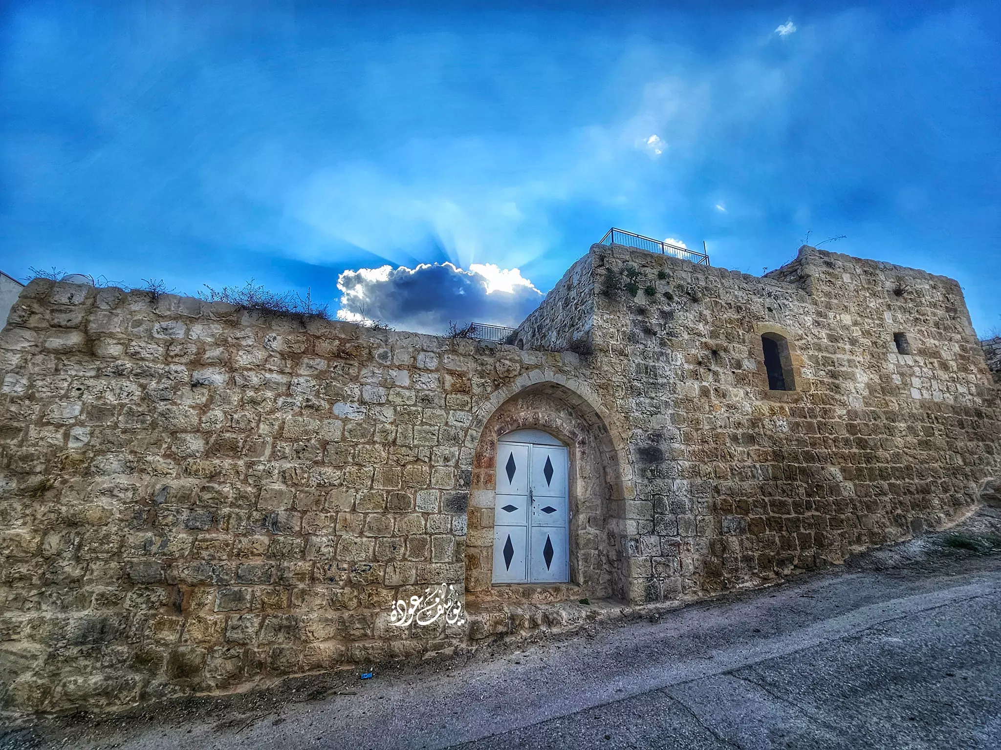
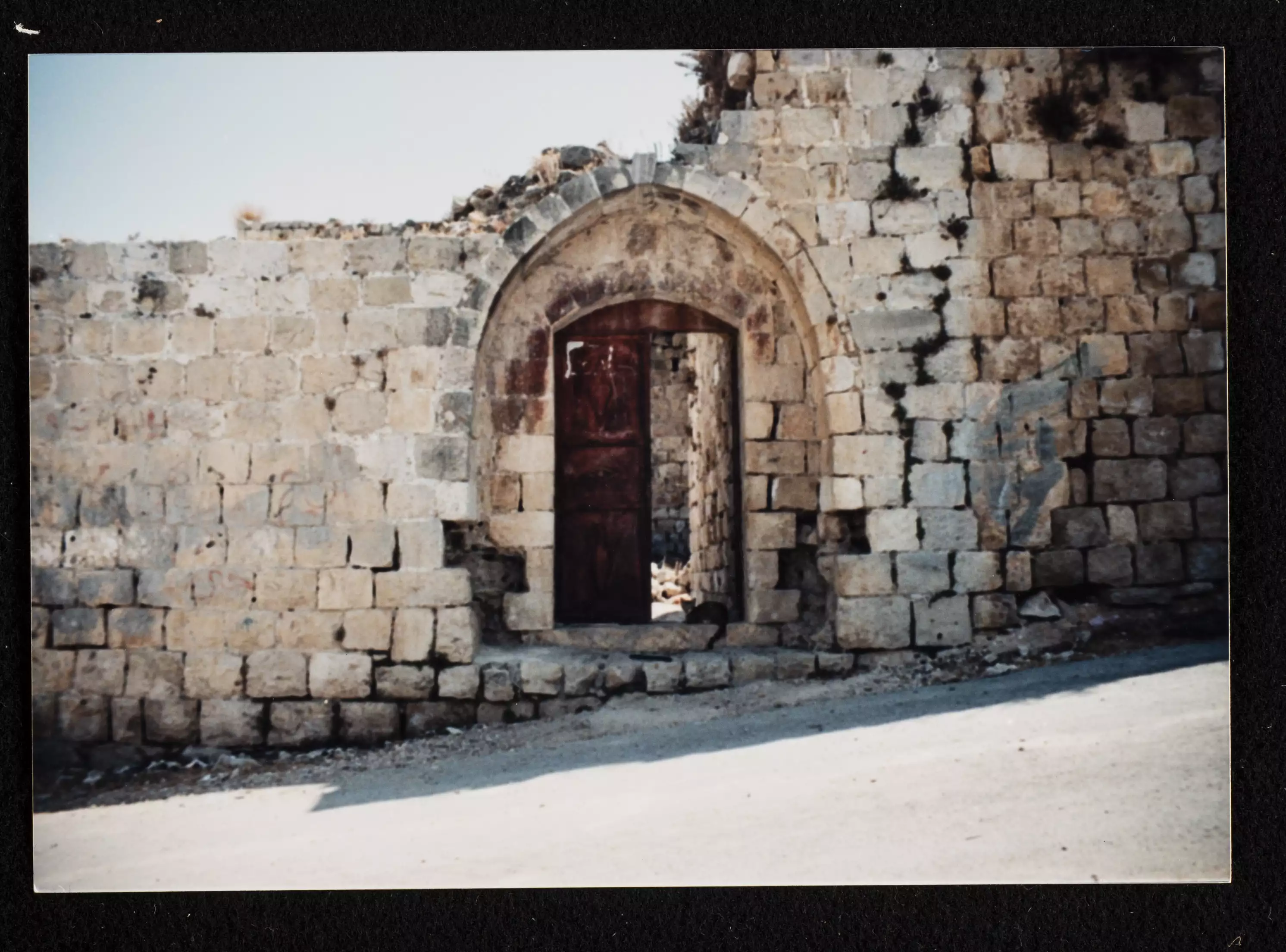
- بيت قديم -- يوسف عودة
- جولة رائعة بين بيوت القرية القديمة -- Yousif Odeh
- جولة رائعة بين بيوت القرية القديمة -- Yousif Odeh #2
- جولة رائعة بين بيوت القرية القديمة -- Yousif Odeh #3
- جولة رائعة بين بيوت القرية القديمة -- Yousif Odeh #4
- جولة رائعة بين بيوت القرية القديمة -- Yousif Odeh #5
- جولة رائعة بين بيوت القرية القديمة -- Yousif Odeh #6
- جولة رائعة بين بيوت القرية القديمة -- Yousif Odeh #7
- جولة رائعة بين بيوت القرية القديمة -- Yousif Odeh #8
- جولة رائعة بين بيوت القرية القديمة -- Yousif Odeh #9
- جولة رائعة بين بيوت القرية القديمة -- Yousif Odeh #10
- جولة رائعة بين بيوت القرية القديمة -- Yousif Odeh #11
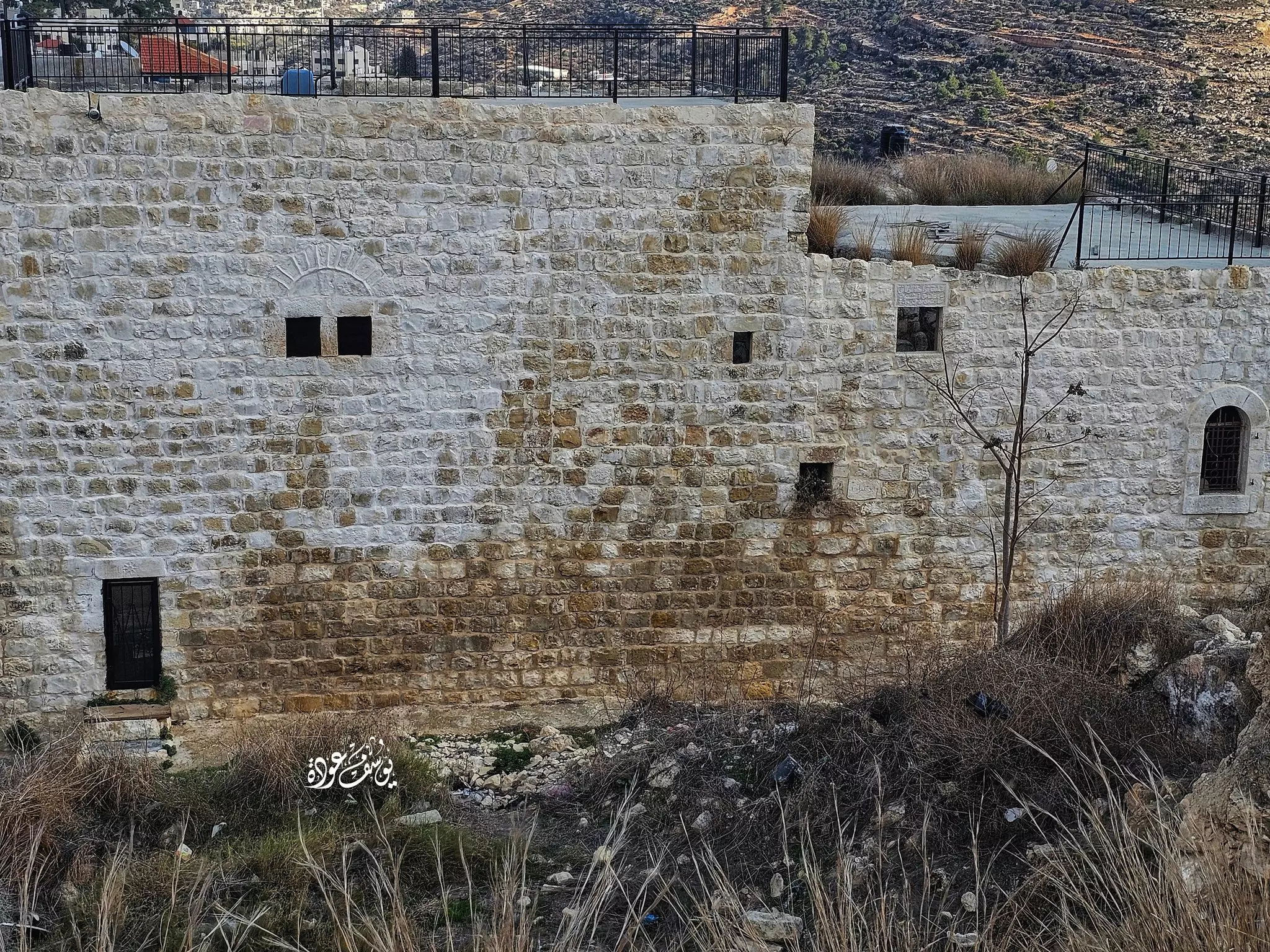
- بيت قديم -- يوسف عودة
- جولة رائعة بين بيوت القرية القديمة -- Yousif Odeh
- جولة رائعة بين بيوت القرية القديمة -- Yousif Odeh #2

- جولة رائعة بين بيوت القرية القديمة -- Yousif Odeh #3
- جولة رائعة بين بيوت القرية القديمة -- Yousif Odeh #4
- جولة رائعة بين بيوت القرية القديمة -- Yousif Odeh #5
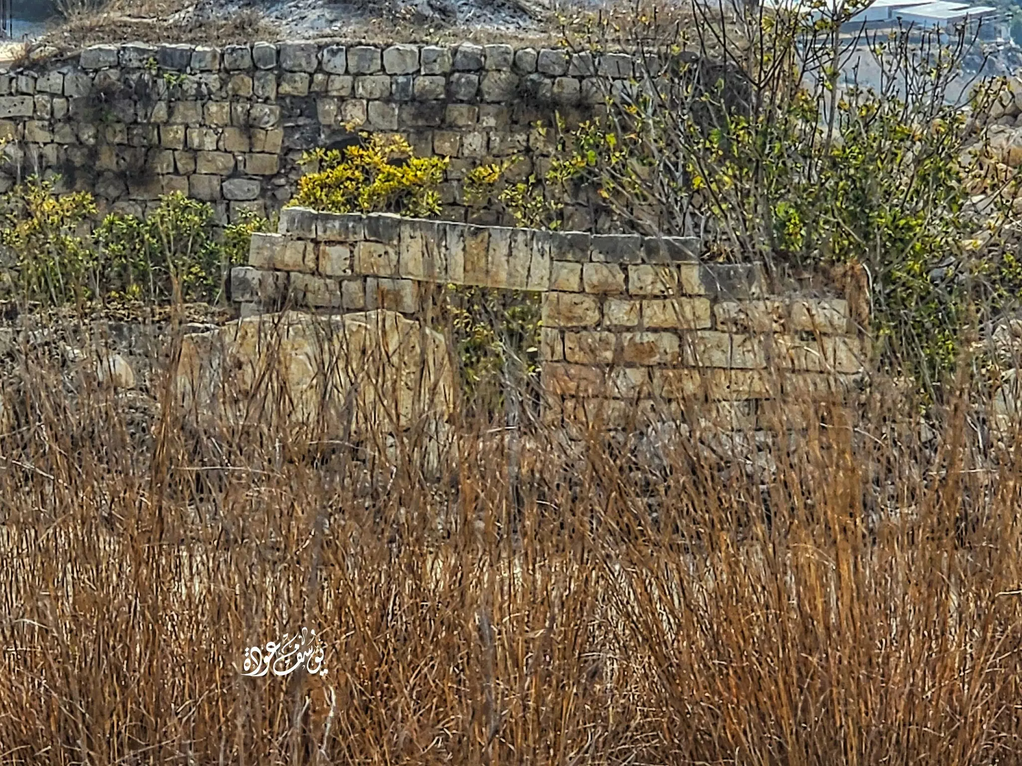
- بيت قديم -- يوسف عودة
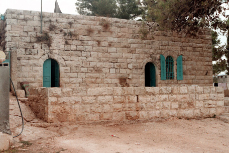
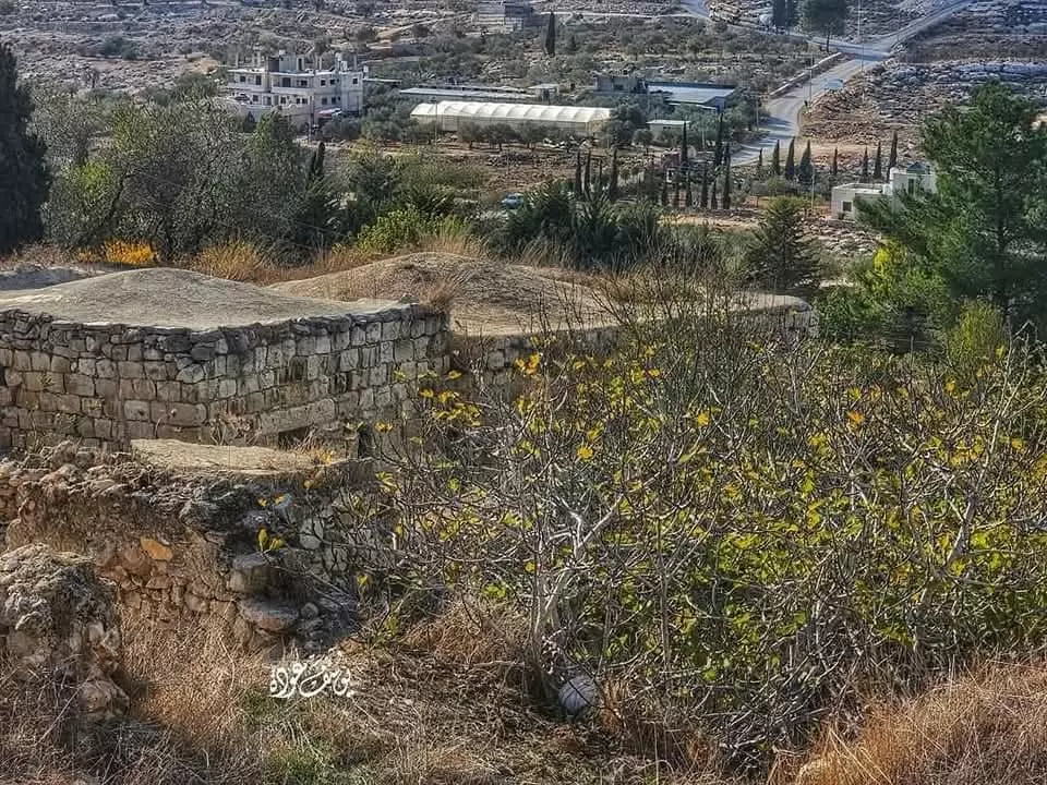
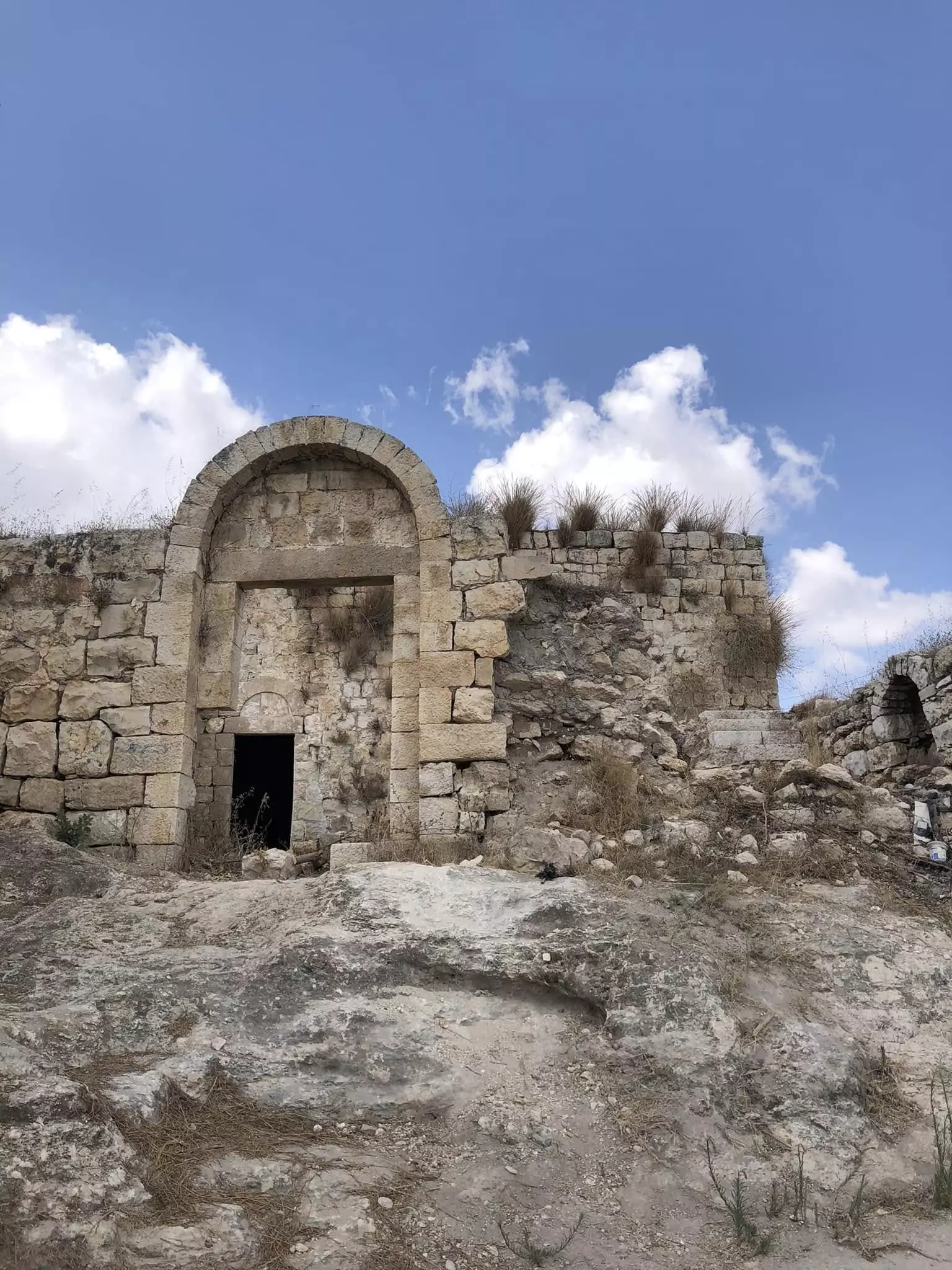
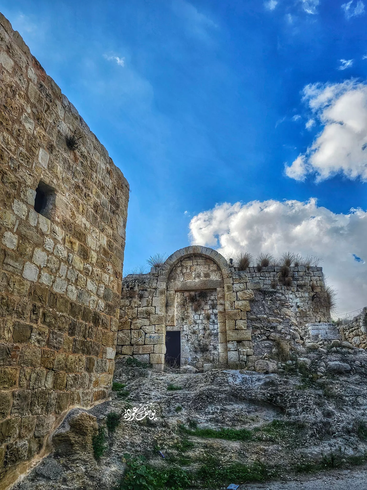
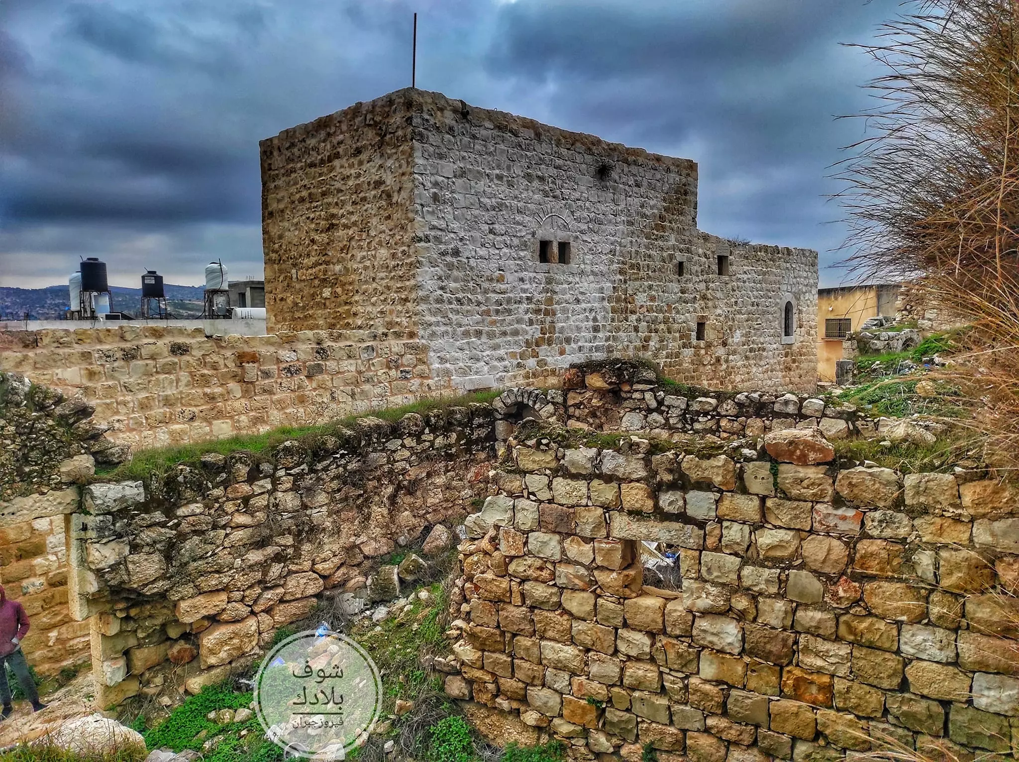
- المسجد القديم، دير إبزيع -- يوسف عودة
- بيت قديم -- يوسف عودة
- بيت قديم -- يوسف عودة
- بيت قديم -- يوسف عودة
- احد بيوت القرية القديمة -- Yousif Odeh

- احد بيوت القرية القديمة -- Yousif Odeh #2
- احد بيوت القرية القديمة -- Yousif Odeh #3
- احد بيوت القرية القديمة -- Yousif Odeh #4
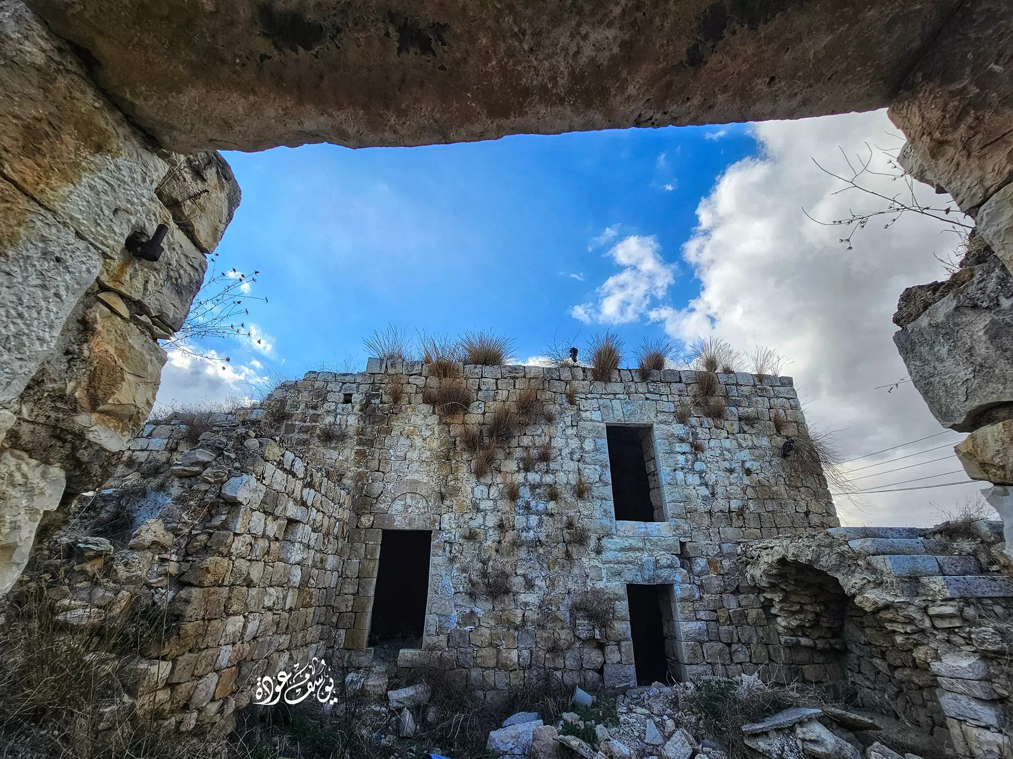
- احد بيوت القرية القديمة -- Yousif Odeh #5
- احد بيوت القرية القديمة -- Yousif Odeh #6
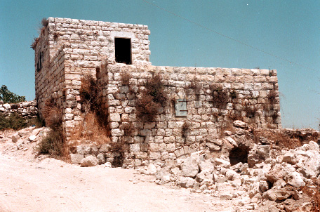
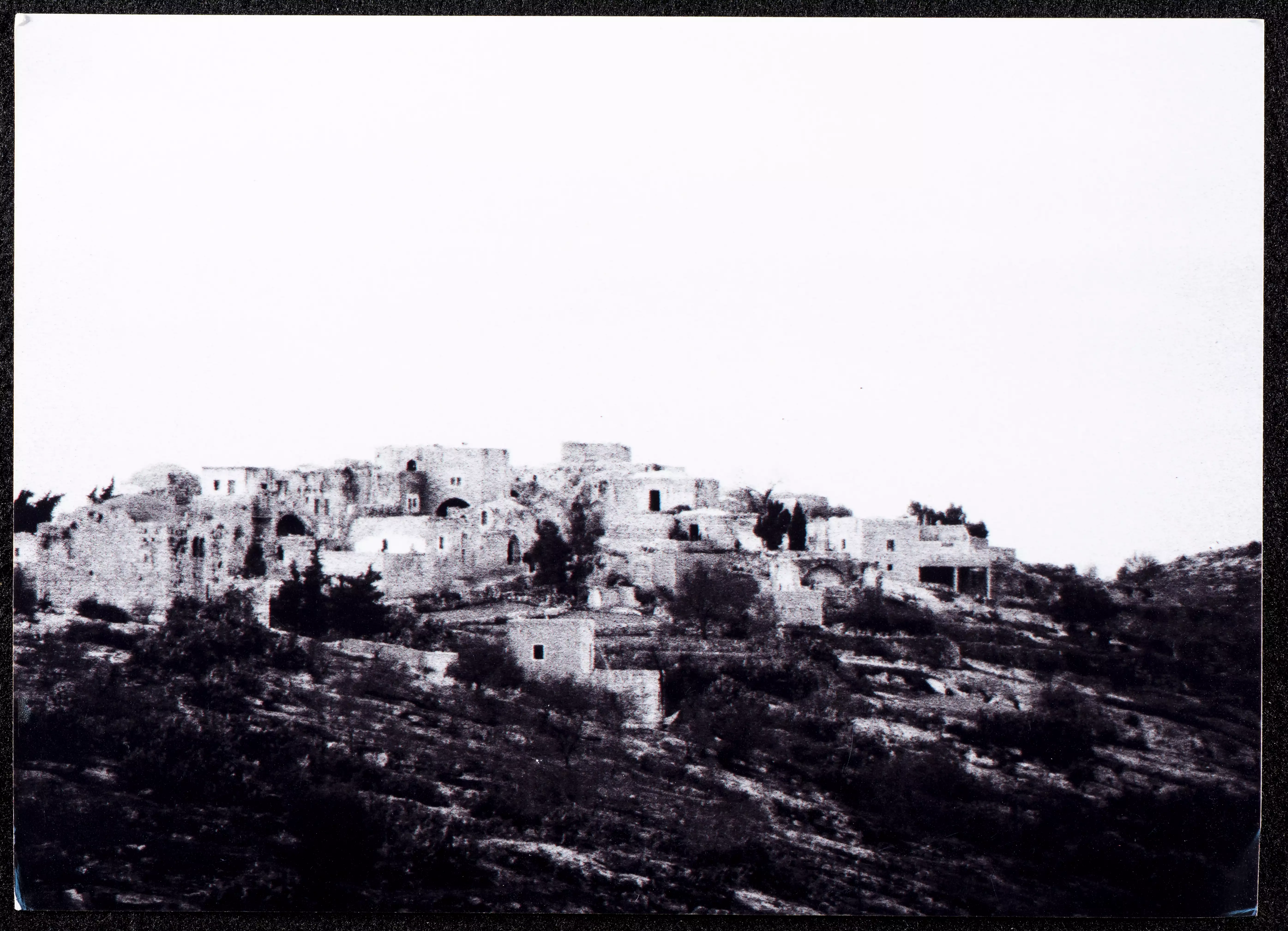
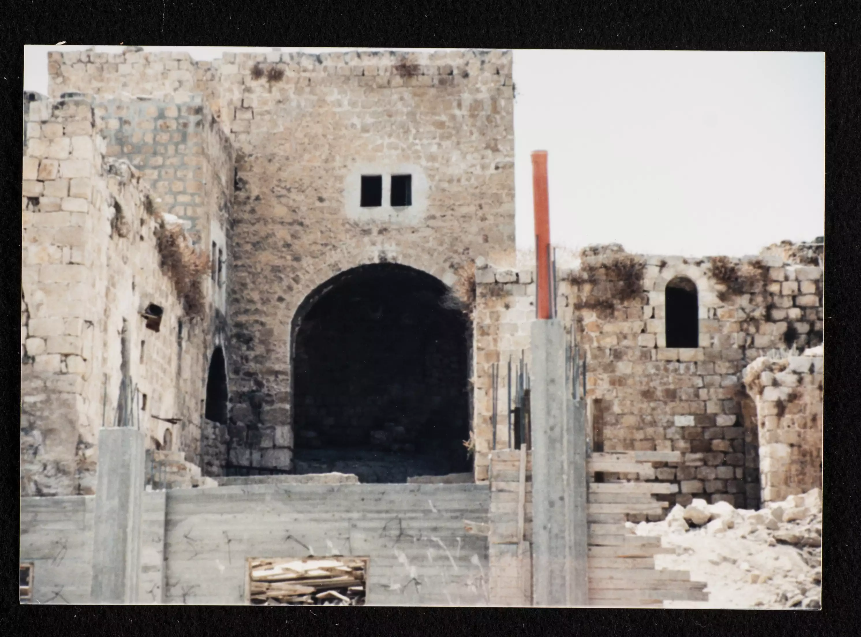
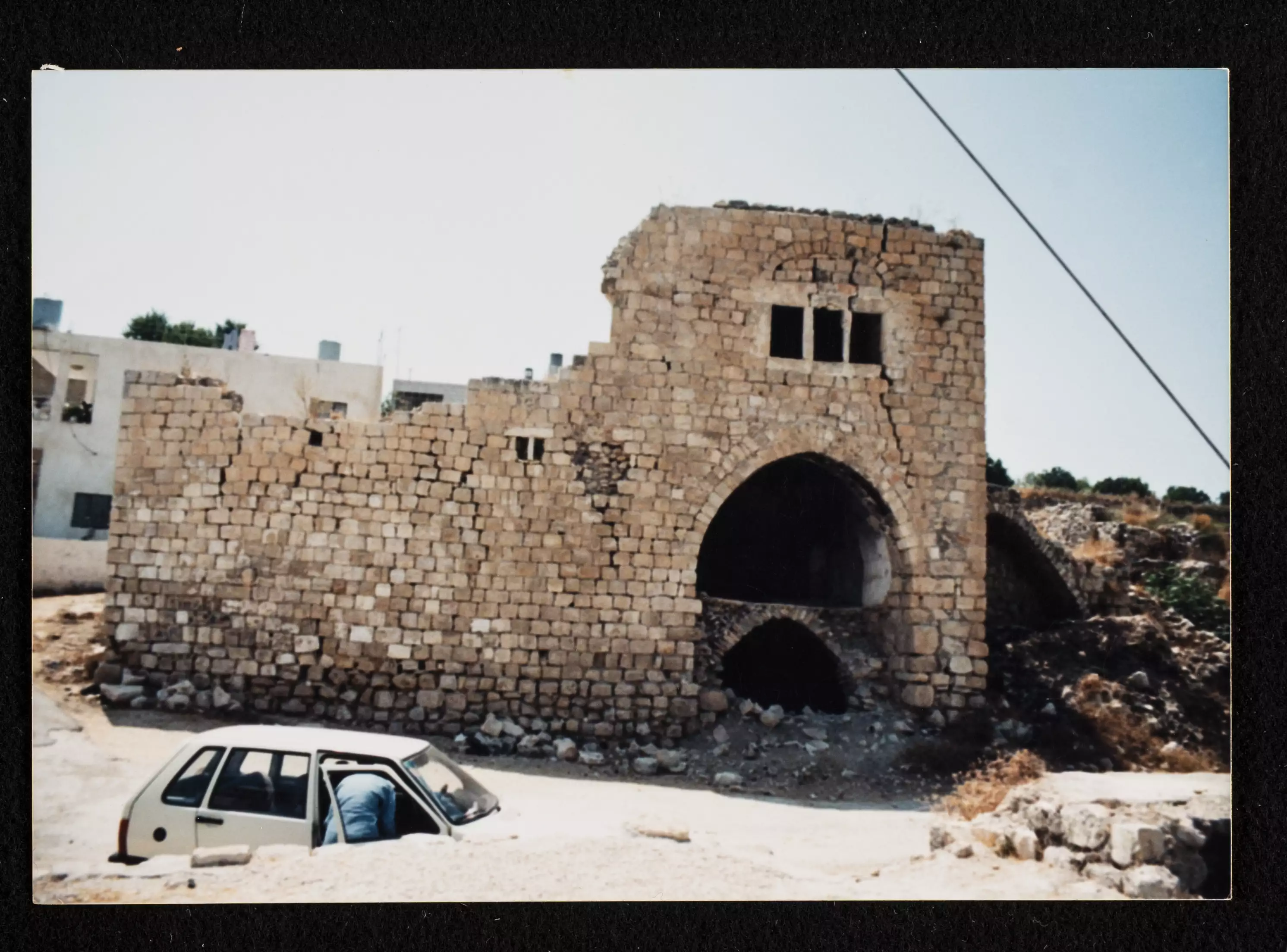
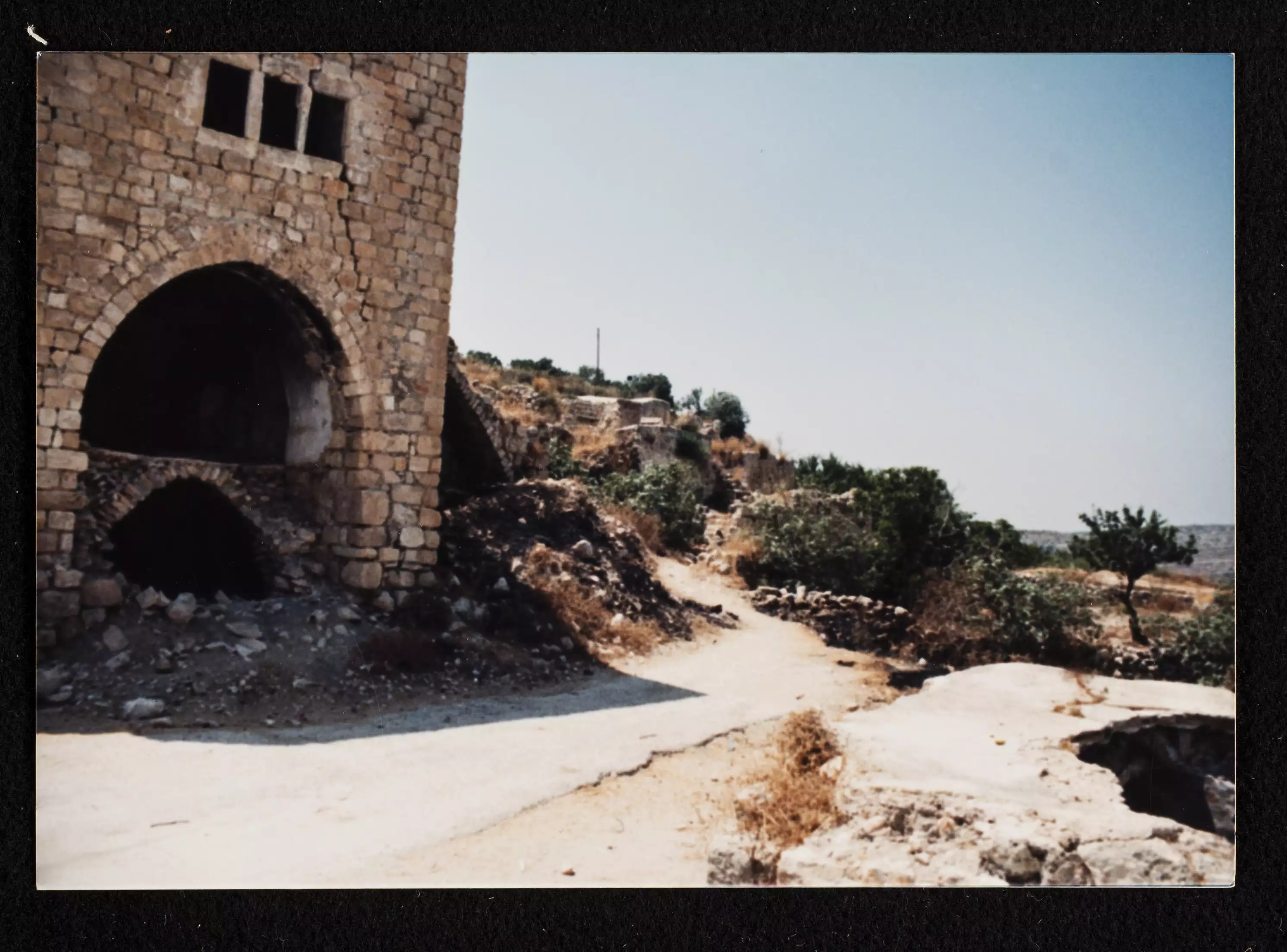
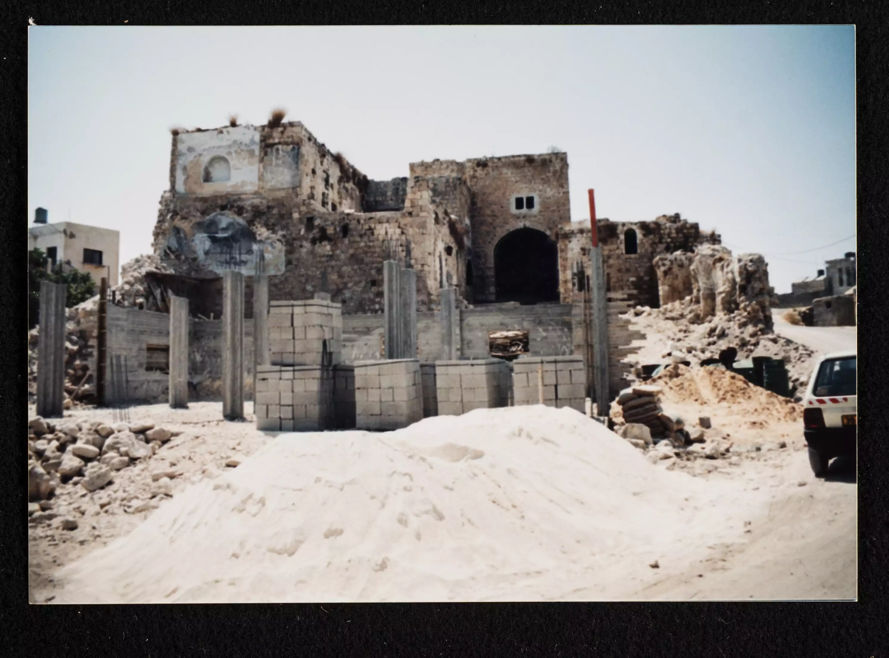
- General view of the village taken in the 1980s by Riwaq Center
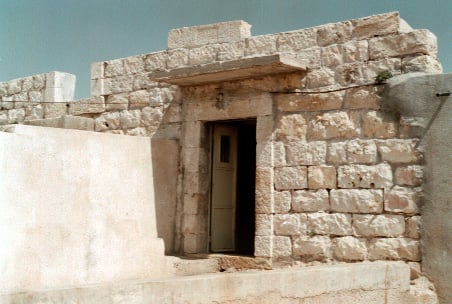
- A rare tour of the village's old house in the 1980s was done by the Riwaq Center
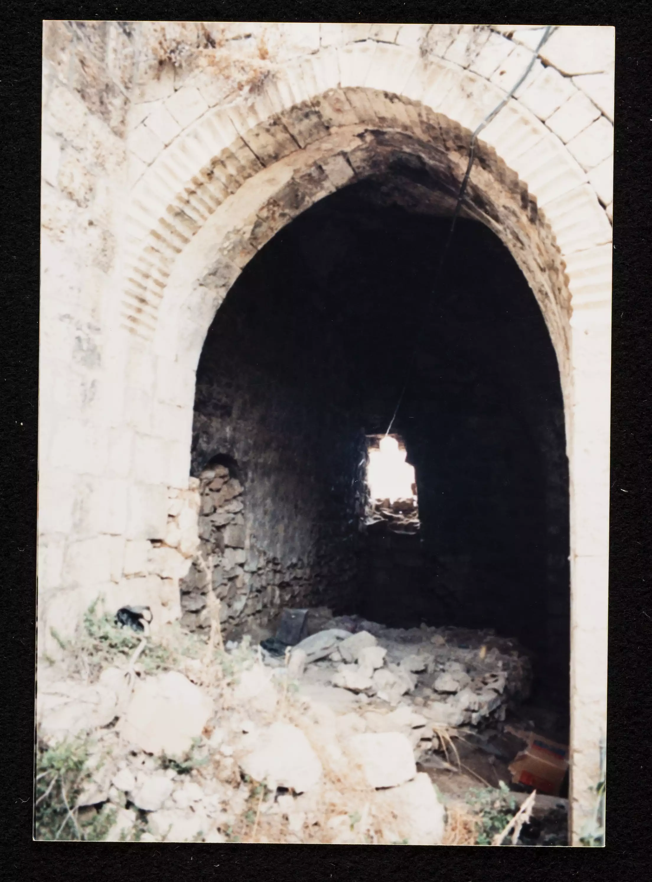
- A rare tour of the village's old house in the 1980s was done by the Riwaq Center #2
- A rare tour of the village's old house in the 1980s was done by the Riwaq Center #3
- A rare tour of the village's old house in the 1980s was done by the Riwaq Center #4
- A rare tour of the village's old house in the 1980s was done by the Riwaq Center #5
- A rare tour of the village's old house in the 1980s was done by the Riwaq Center #6
- A rare tour of the village's old house in the 1980s was done by the Riwaq Center #7
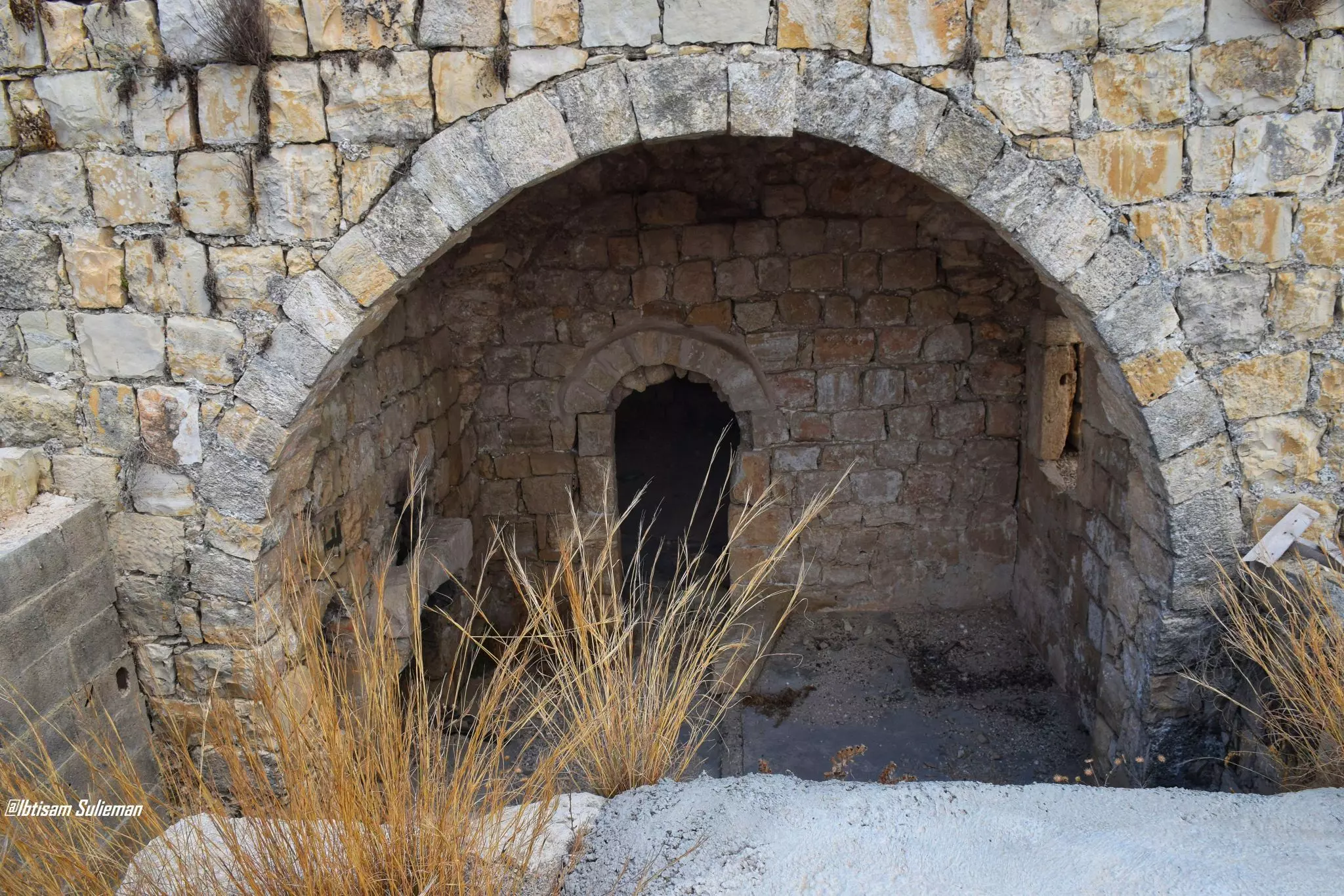
- جولة رائعة بين بيوت القرية القديمة -- Ibtisam Sulieman
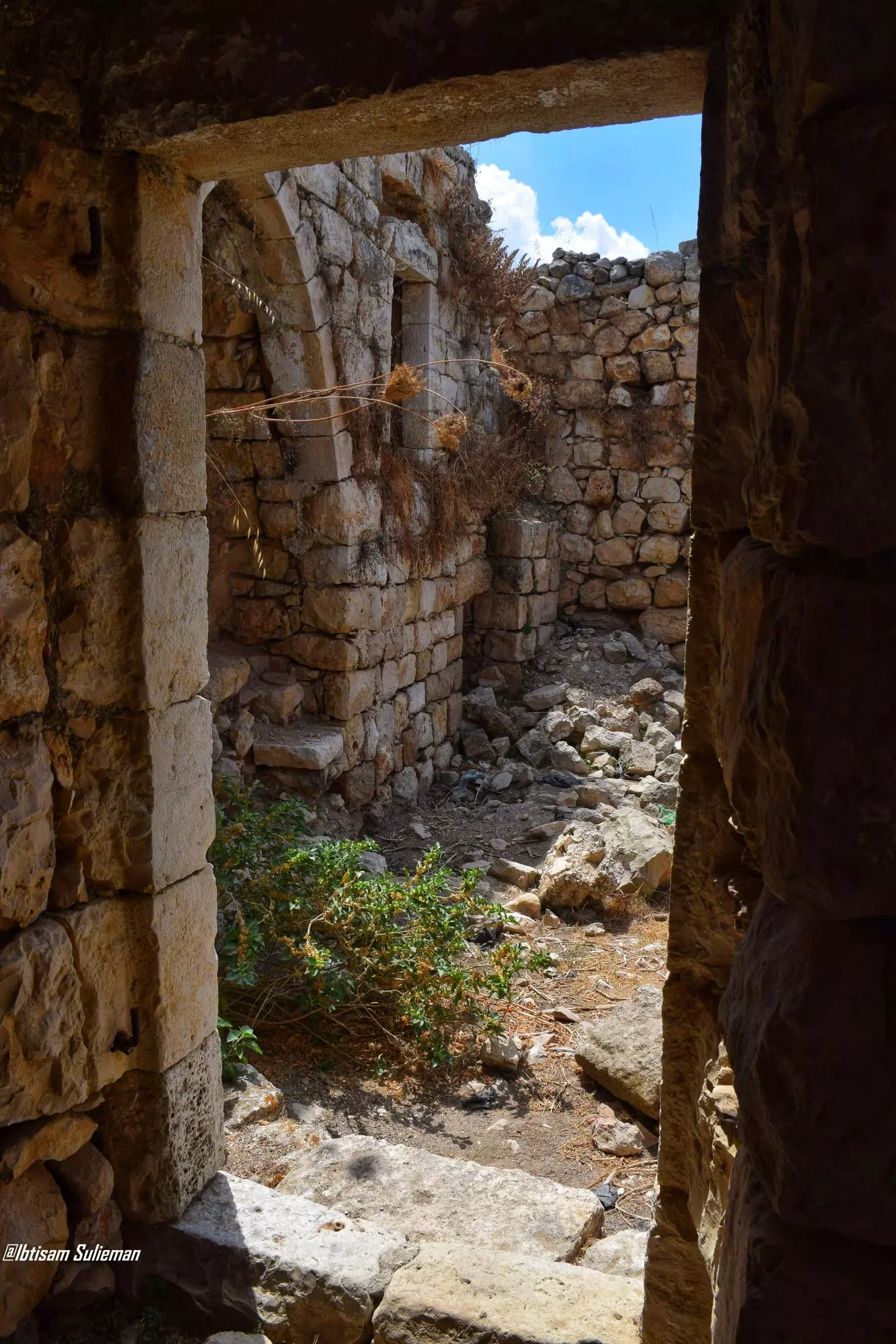
- جولة رائعة بين بيوت القرية القديمة -- Ibtisam Sulieman #2
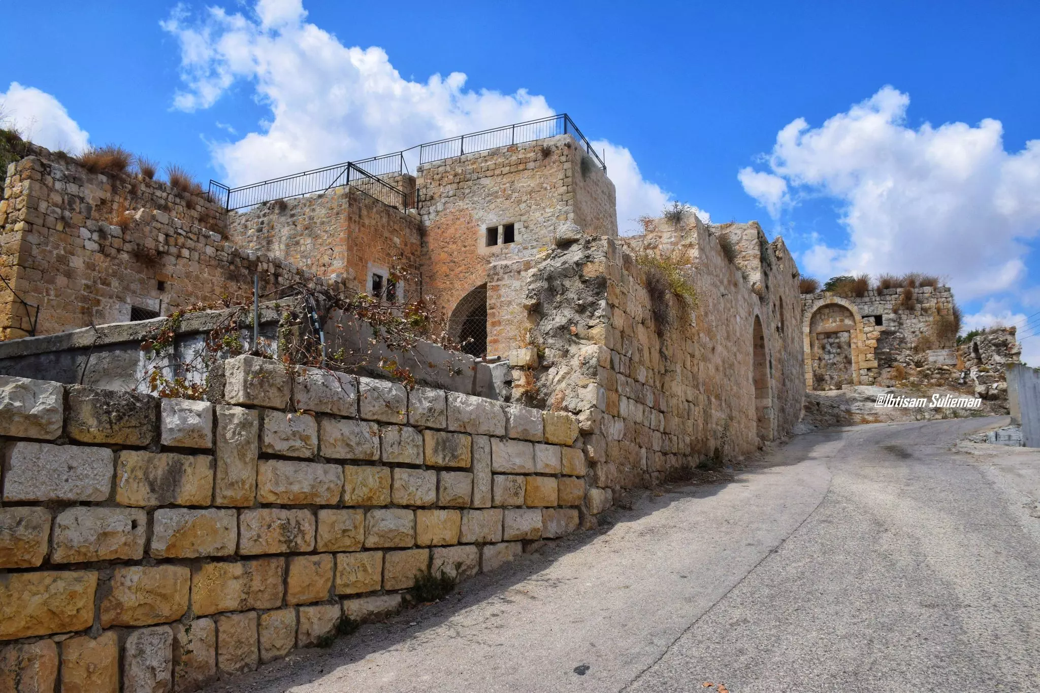
- جولة رائعة بين بيوت القرية القديمة -- Ibtisam Sulieman #3
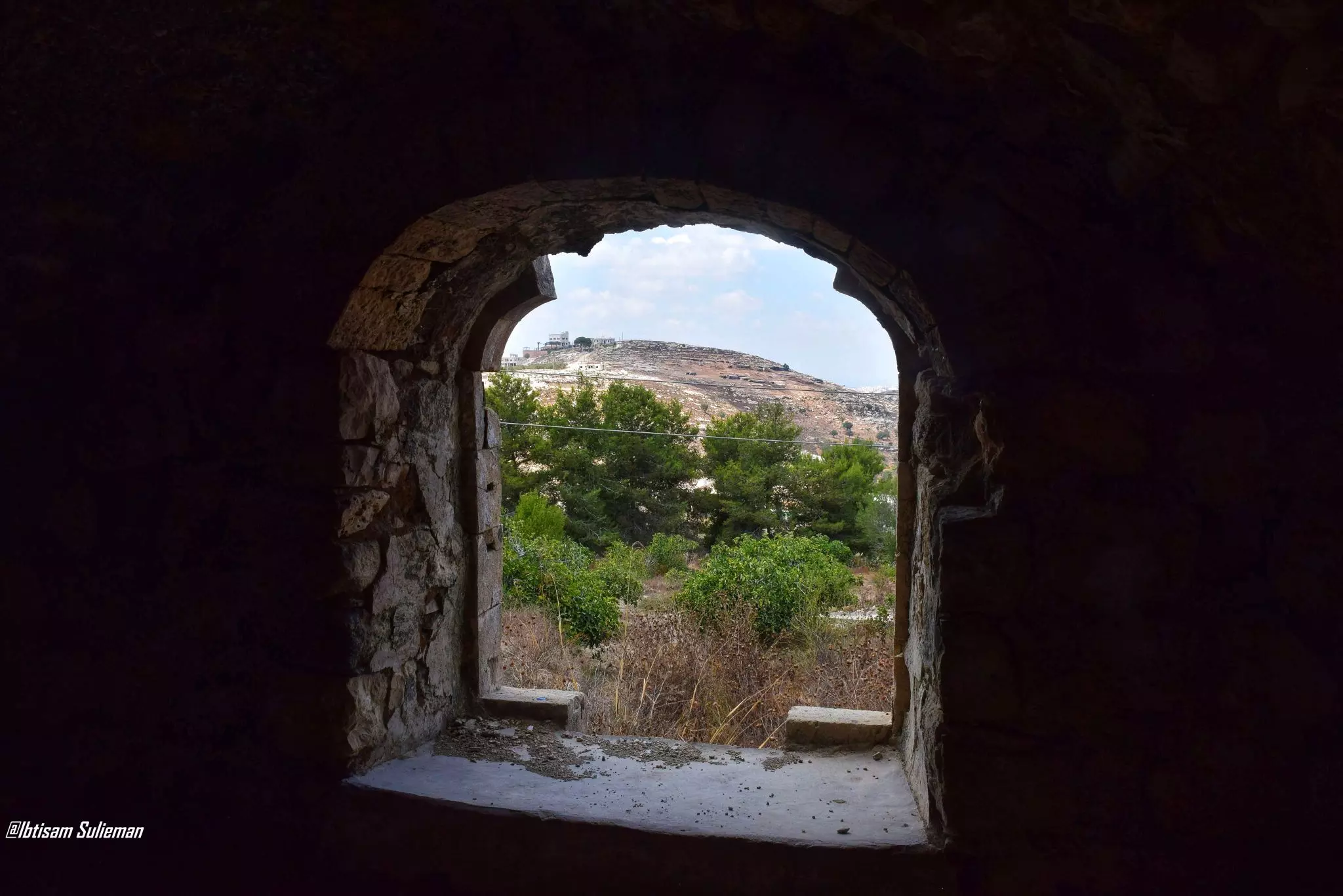
- جولة رائعة بين بيوت القرية القديمة -- Ibtisam Sulieman #4
- جولة رائعة بين بيوت القرية القديمة -- Ibtisam Sulieman #5
- جولة رائعة بين بيوت القرية القديمة -- Ibtisam Sulieman #6
- جولة رائعة بين بيوت القرية القديمة -- Ibtisam Sulieman #7
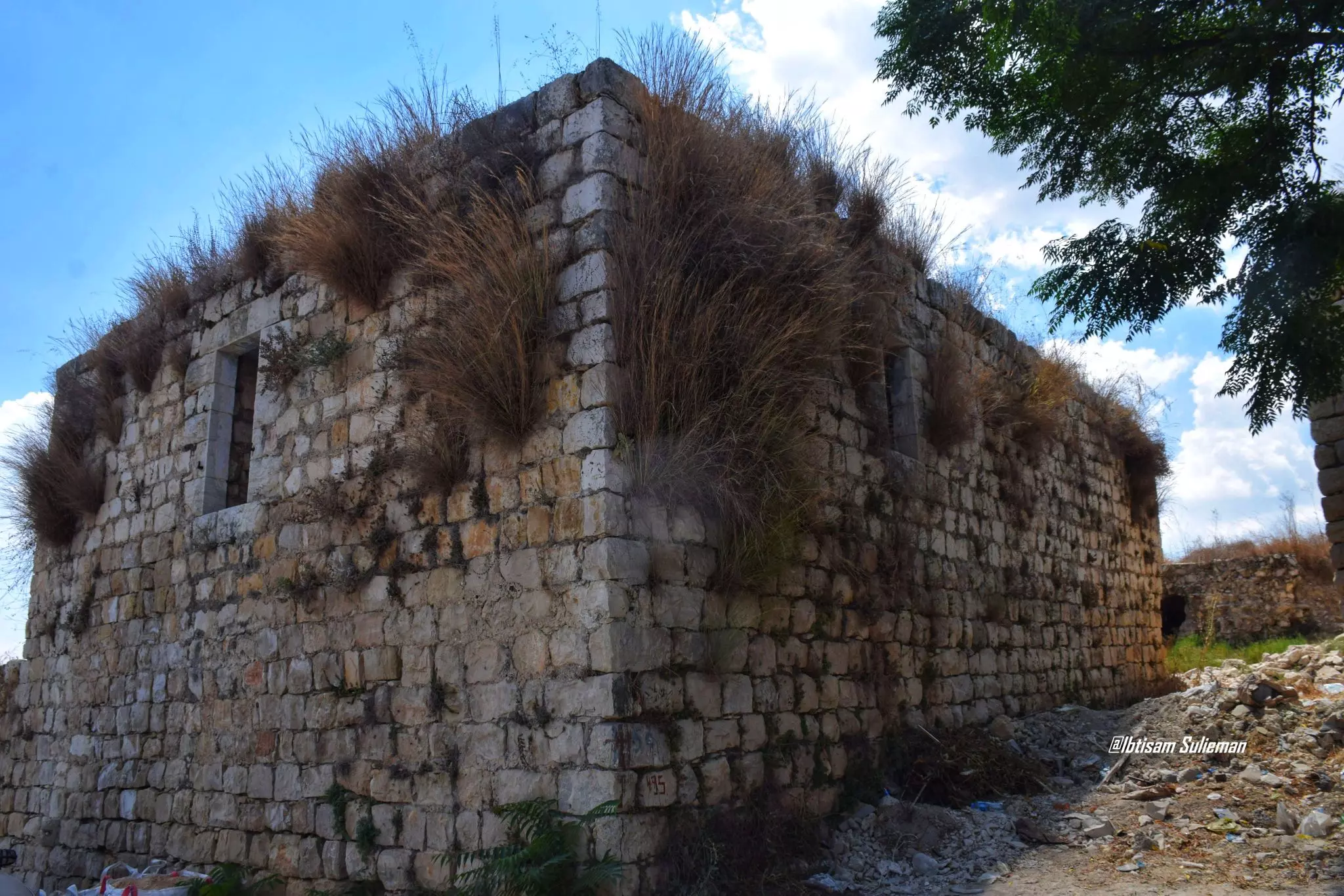
- جولة رائعة بين بيوت القرية القديمة -- Ibtisam Sulieman #8
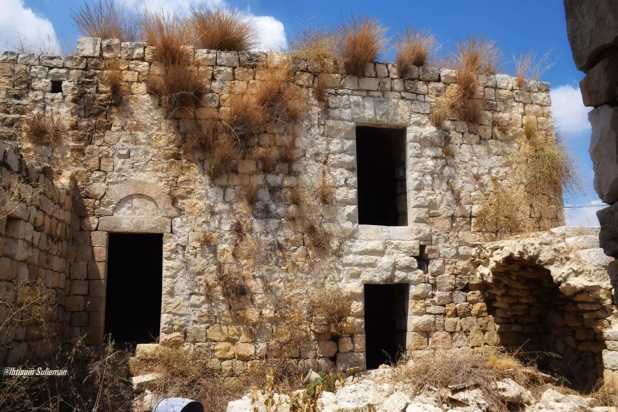
- جولة رائعة بين بيوت القرية القديمة -- Ibtisam Sulieman #9
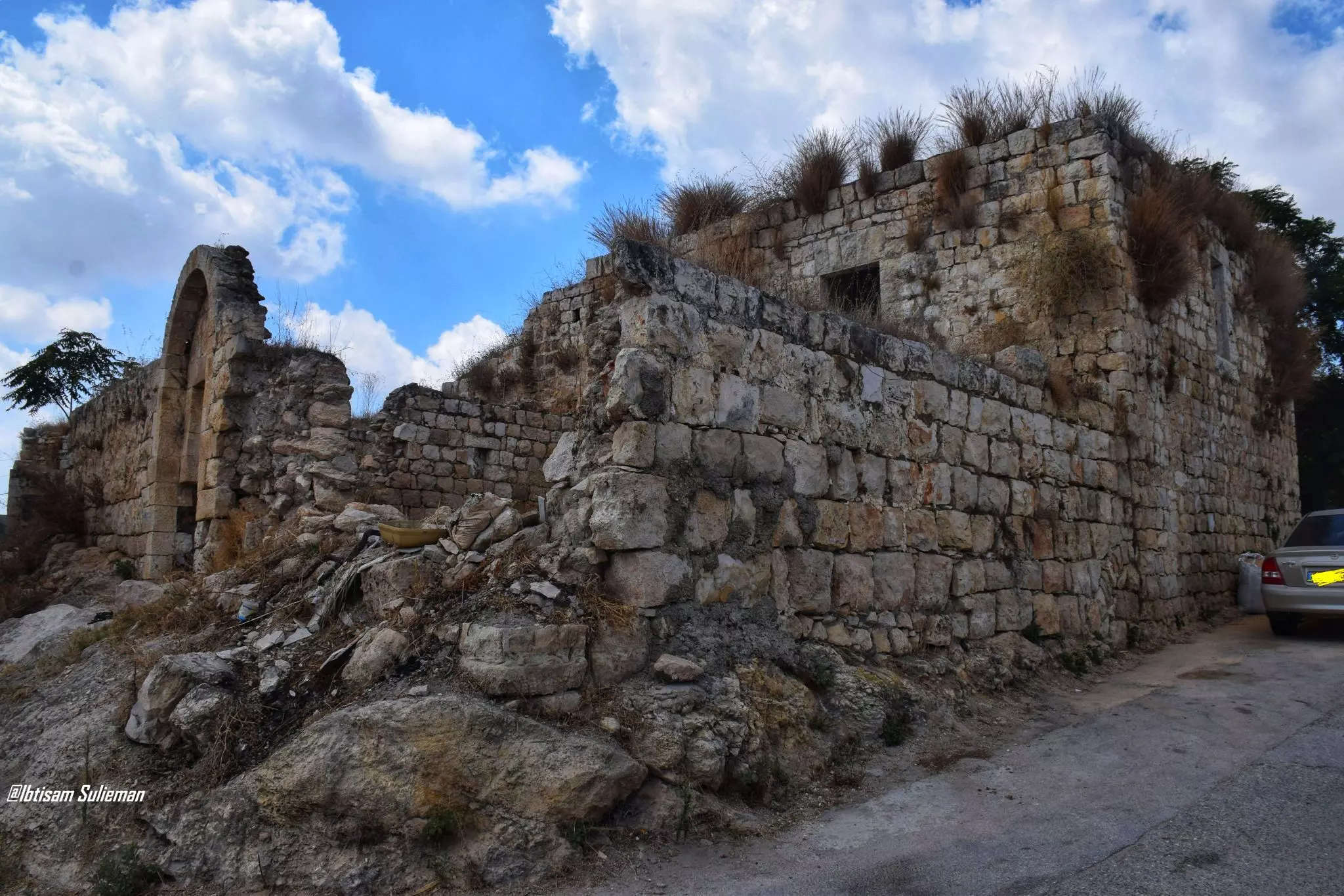
- جولة رائعة بين بيوت القرية القديمة -- Ibtisam Sulieman #10
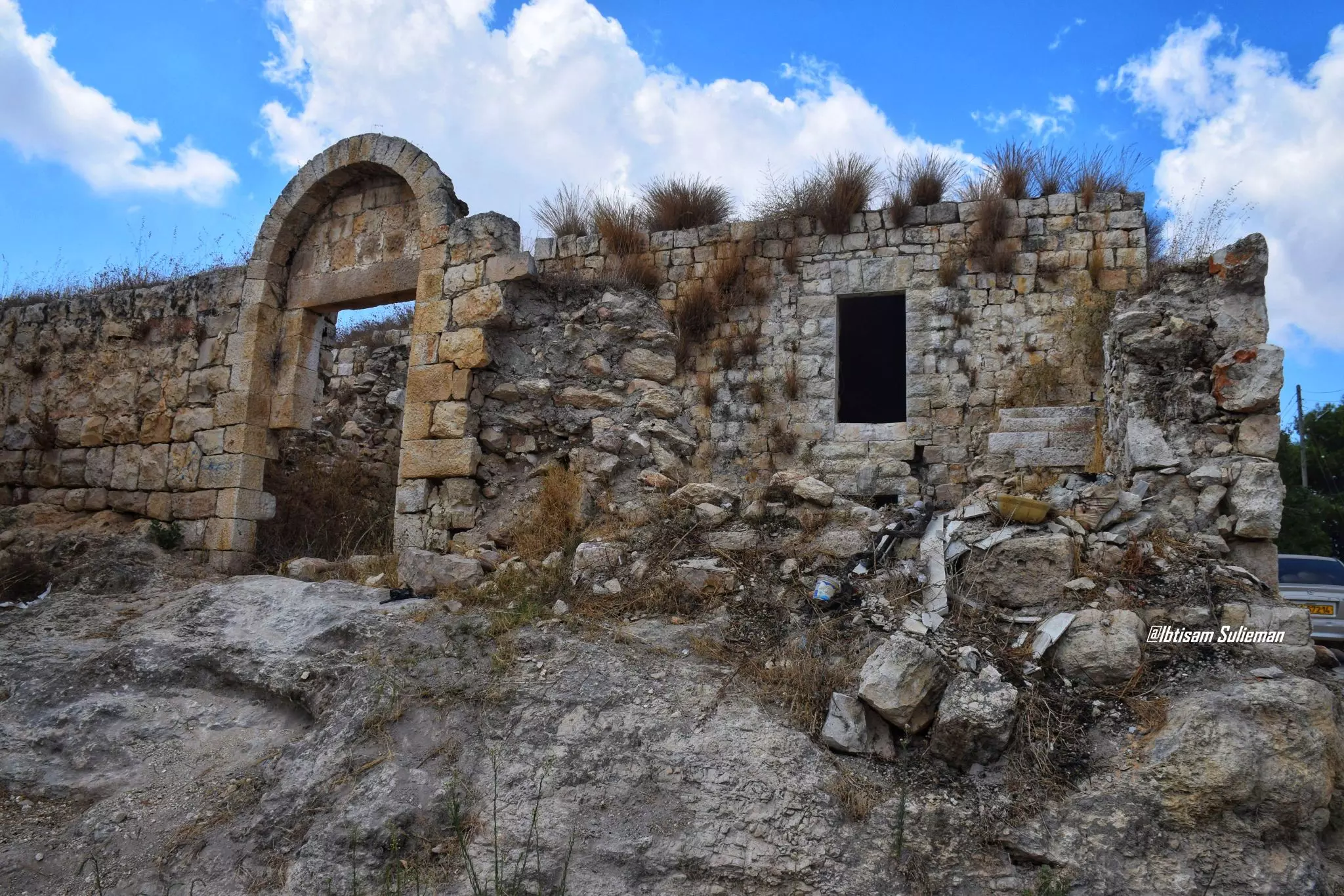
- جولة رائعة بين بيوت القرية القديمة -- Ibtisam Sulieman #11
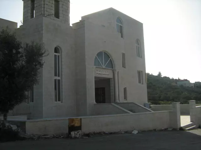
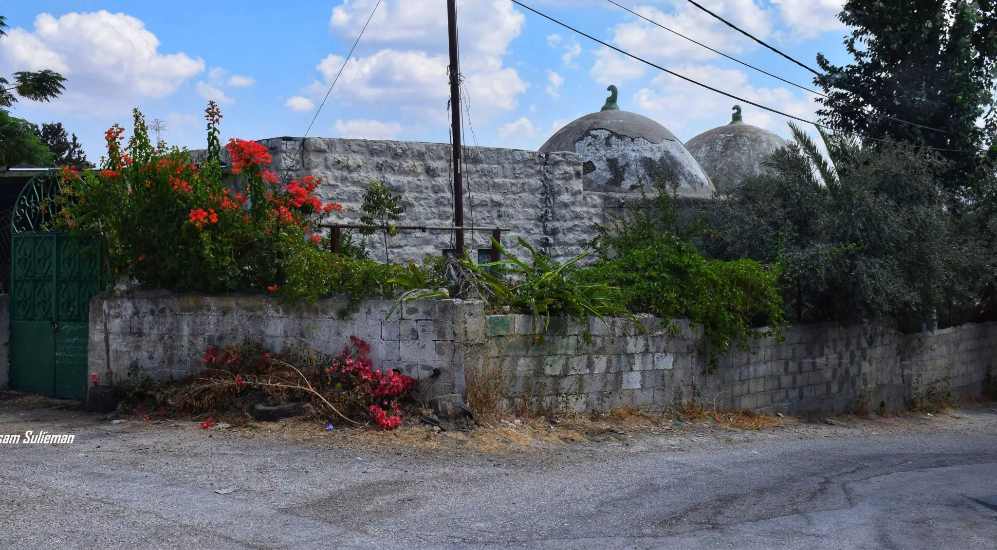
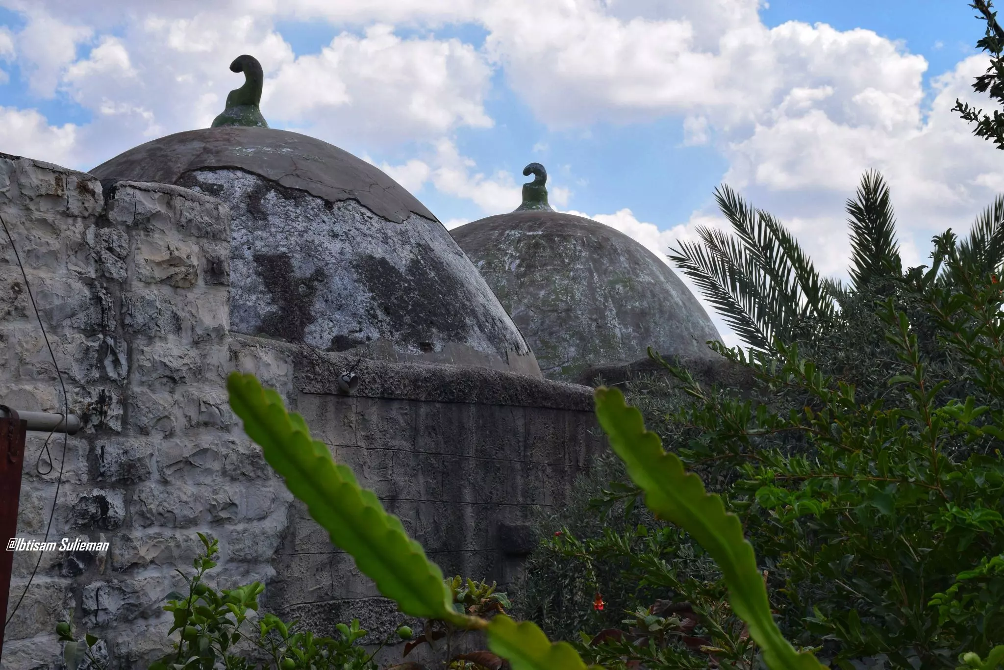
- The mosque
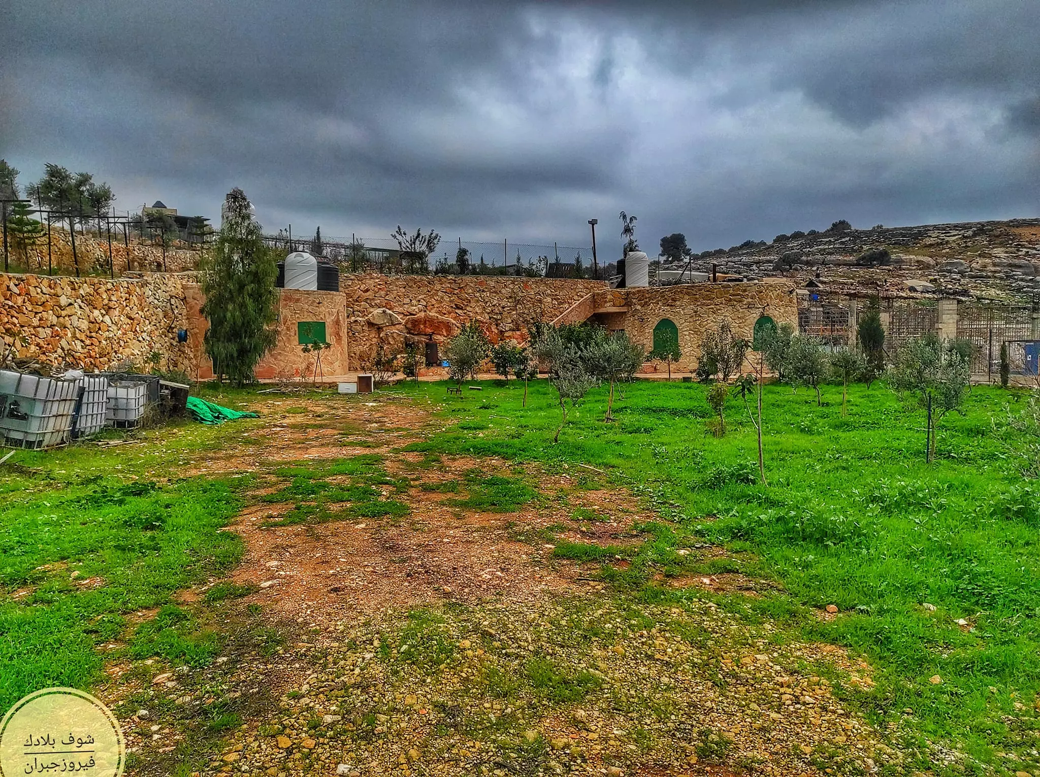
- جولة رائعة بين بيوت القرية القديمة -- Fairouz Jubran -- Sept 2022
- جولة رائعة بين بيوت القرية القديمة -- Fairouz Jubran -- Sept 2022 #2
- جولة رائعة بين بيوت القرية القديمة -- Fairouz Jubran -- Sept 2022 #3
- جولة رائعة بين بيوت القرية القديمة -- Fairouz Jubran -- Sept 2022 #4
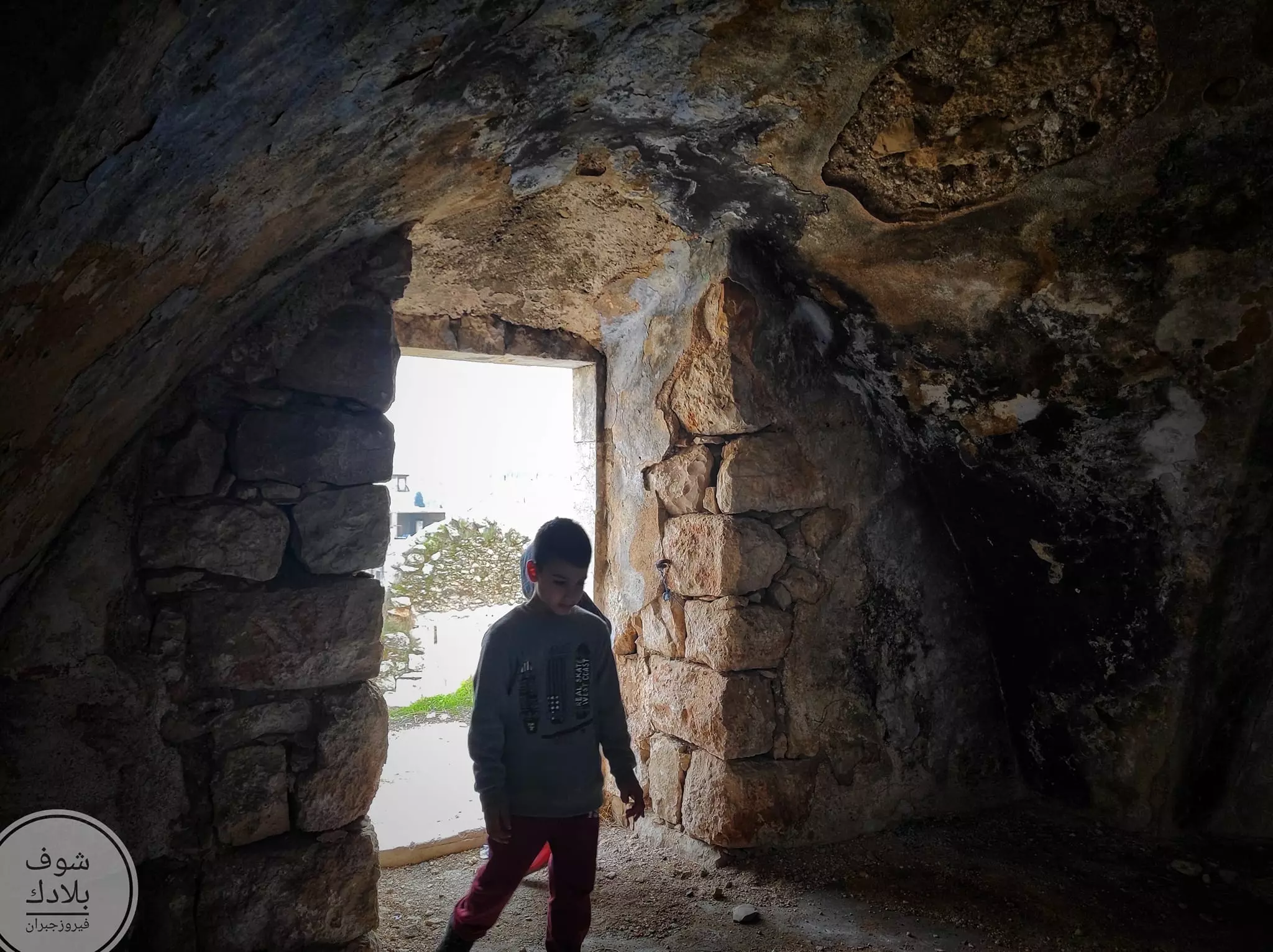
- جولة رائعة بين بيوت القرية القديمة -- Fairouz Jubran -- Sept 2022 #5
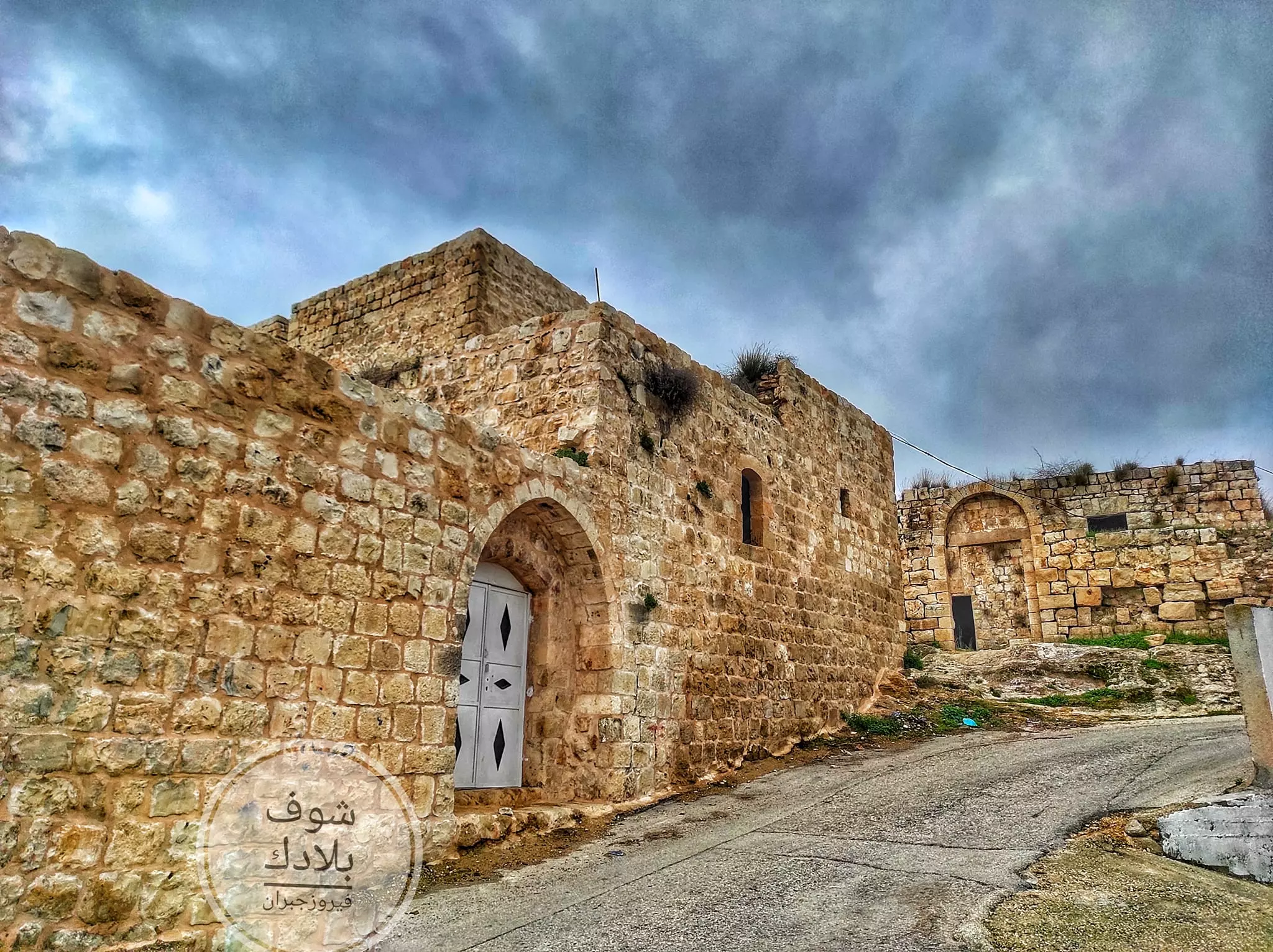
- جولة رائعة بين بيوت القرية القديمة -- Fairouz Jubran -- Sept 2022 #6
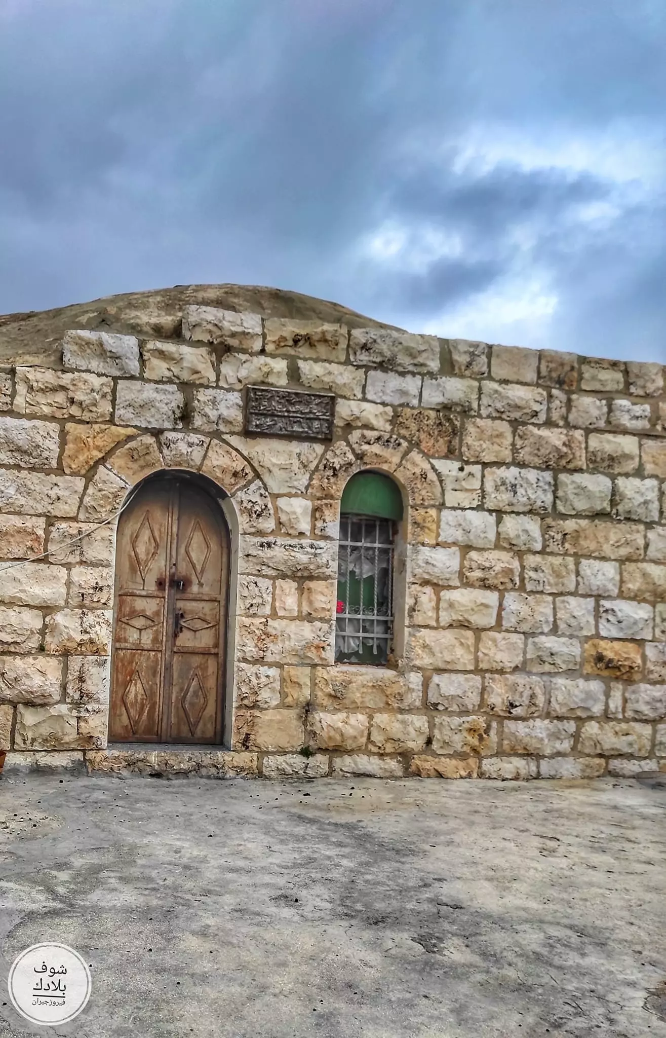
- جولة رائعة بين بيوت القرية القديمة -- Fairouz Jubran -- Sept 2022 #7
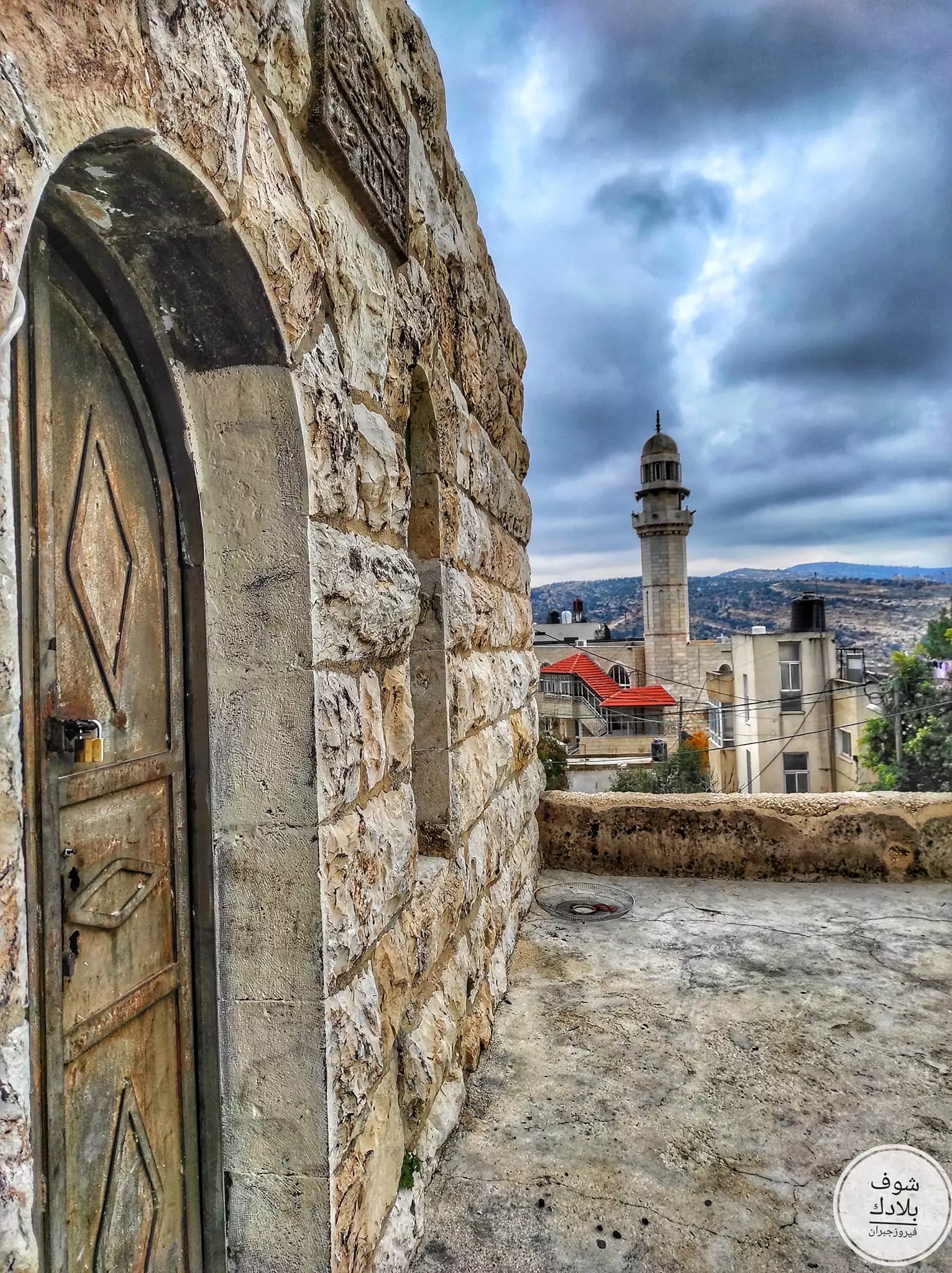
- جولة رائعة بين بيوت القرية القديمة -- Fairouz Jubran -- Sept 2022 #8
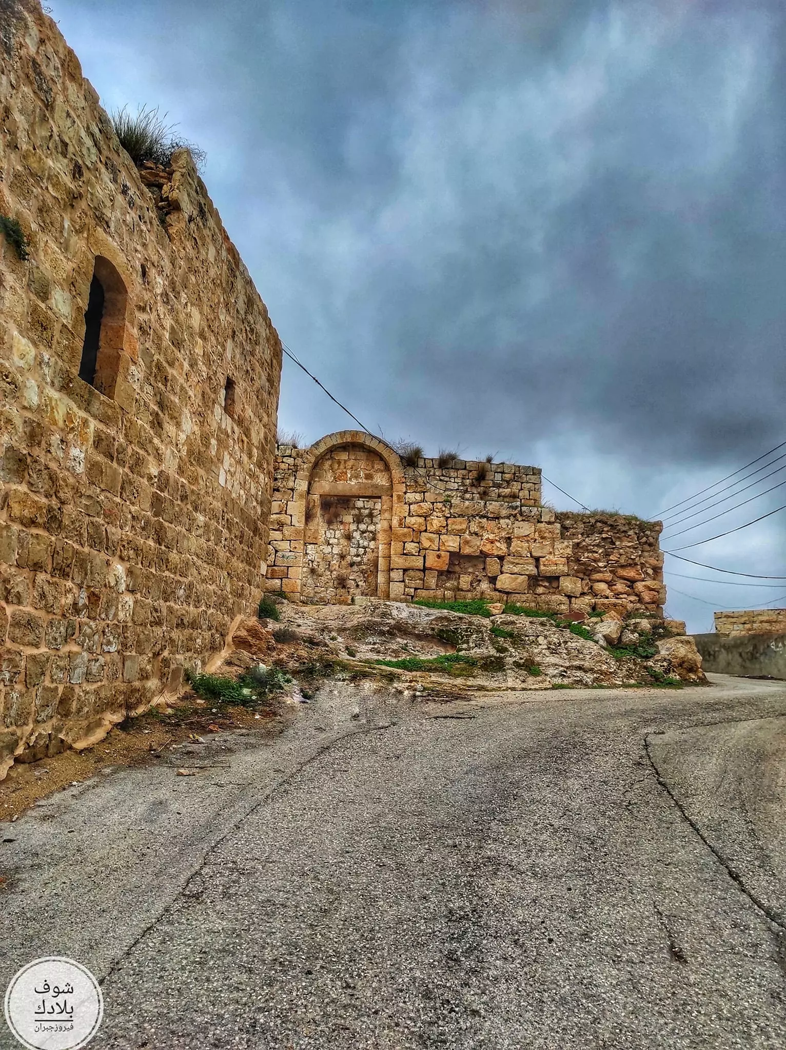
- جولة رائعة بين بيوت القرية القديمة -- Fairouz Jubran -- Sept 2022 #9
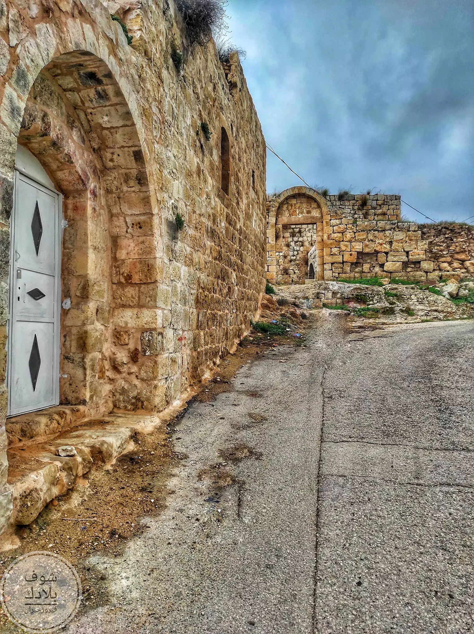
- جولة رائعة بين بيوت القرية القديمة -- Fairouz Jubran -- Sept 2022 #10
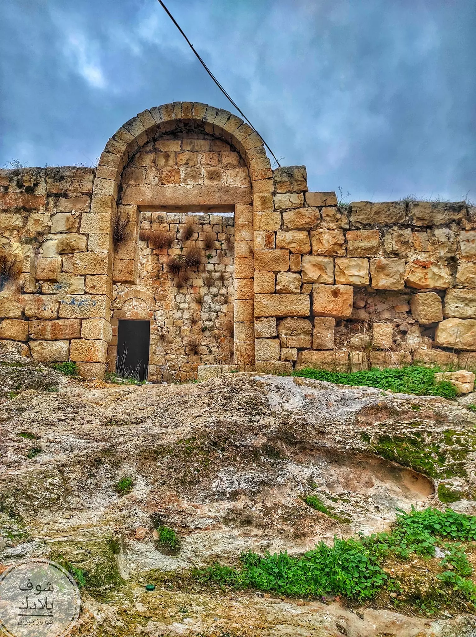
- جولة رائعة بين بيوت القرية القديمة -- Fairouz Jubran -- Sept 2022 #11
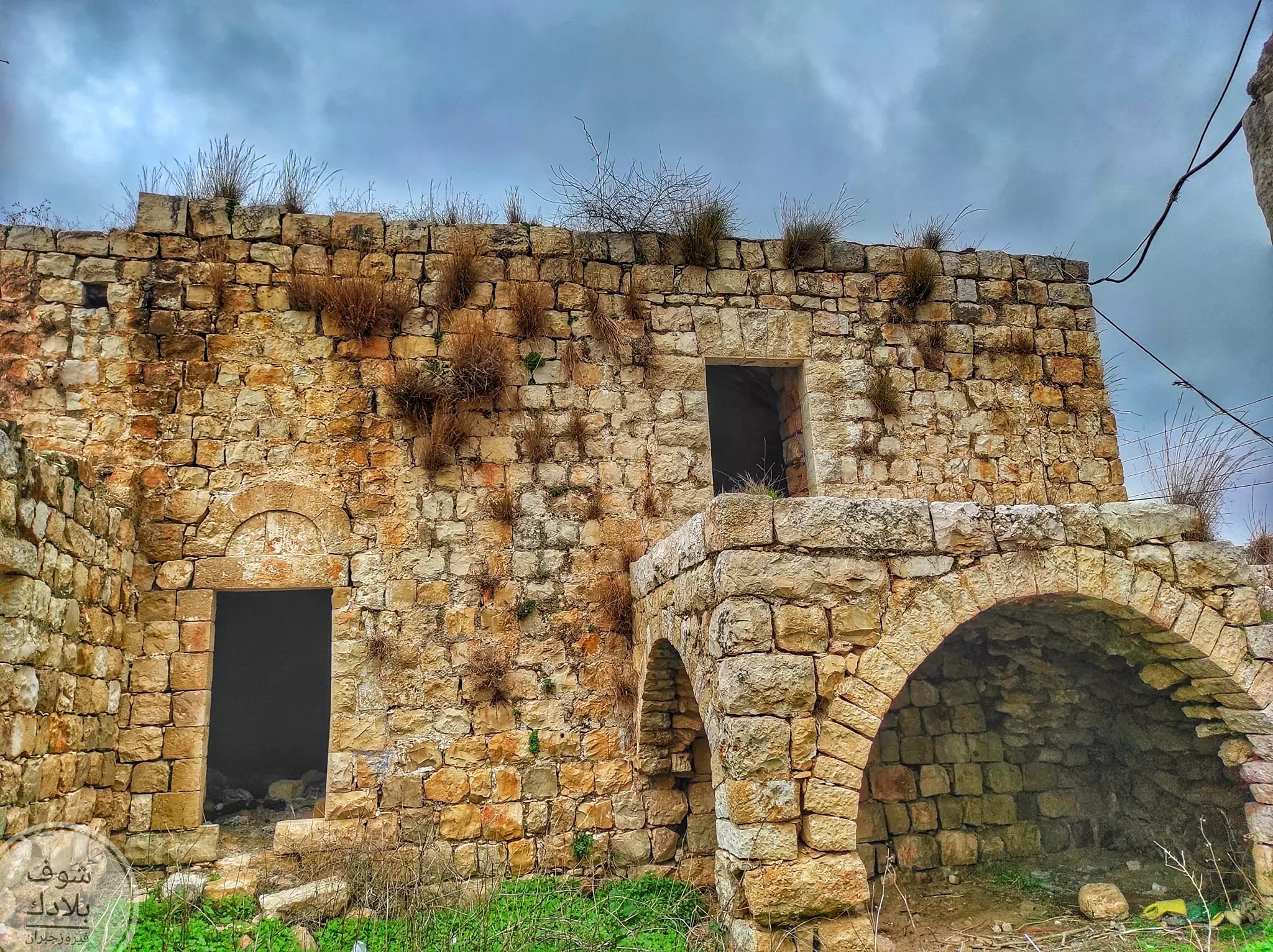
- جولة رائعة بين بيوت القرية القديمة -- Fairouz Jubran -- Sept 2022 #12
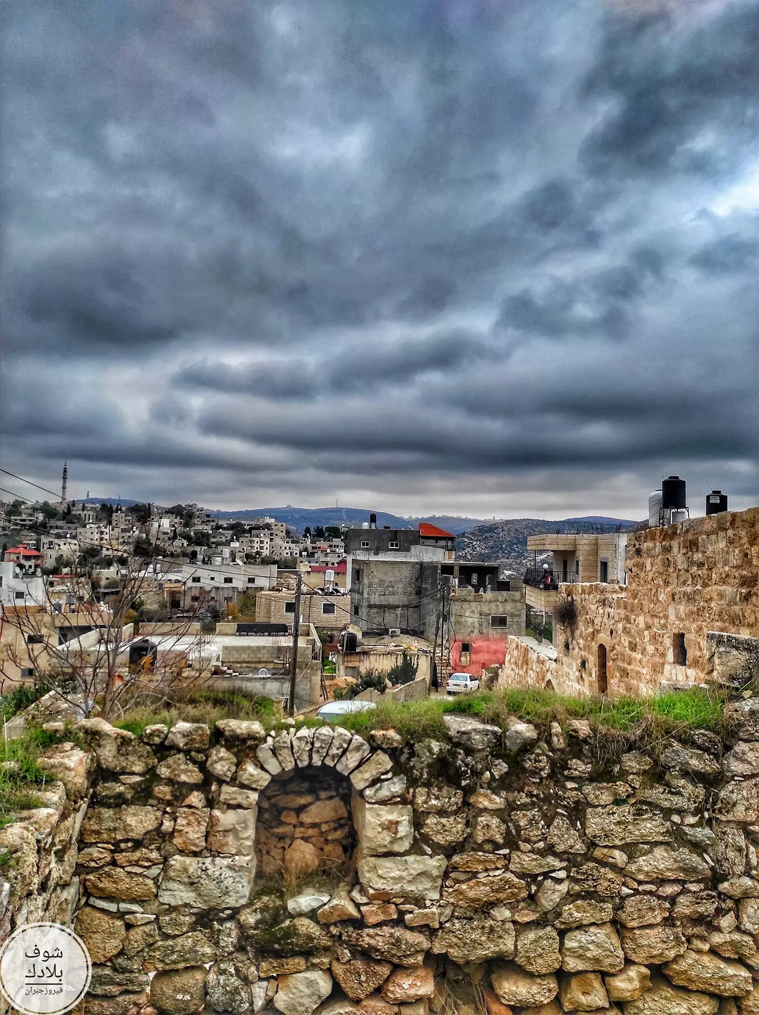
- جولة رائعة بين بيوت القرية القديمة -- Fairouz Jubran -- Sept 2022 #13
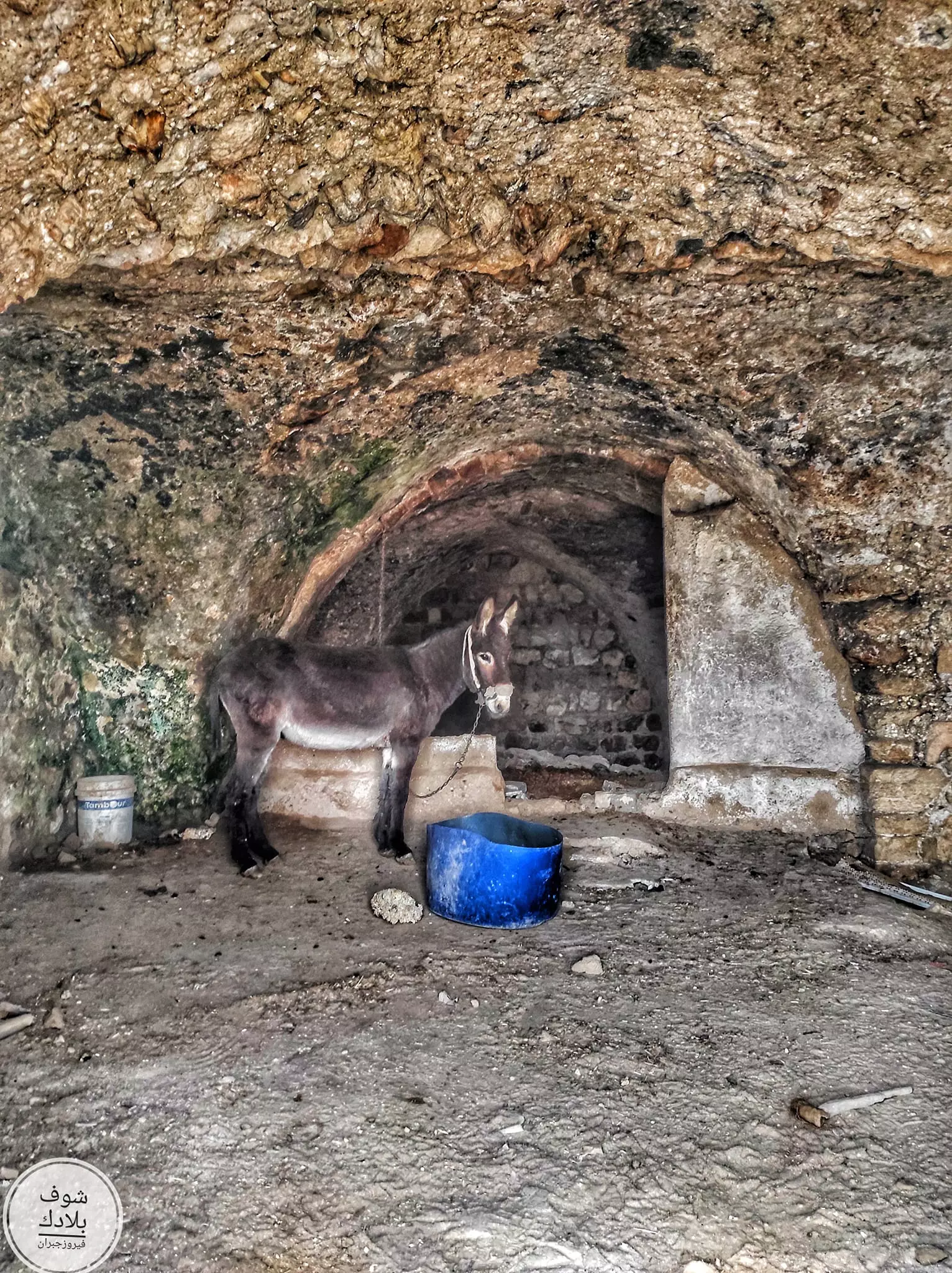
- جولة رائعة بين بيوت القرية القديمة -- Fairouz Jubran -- Sept 2022 #14
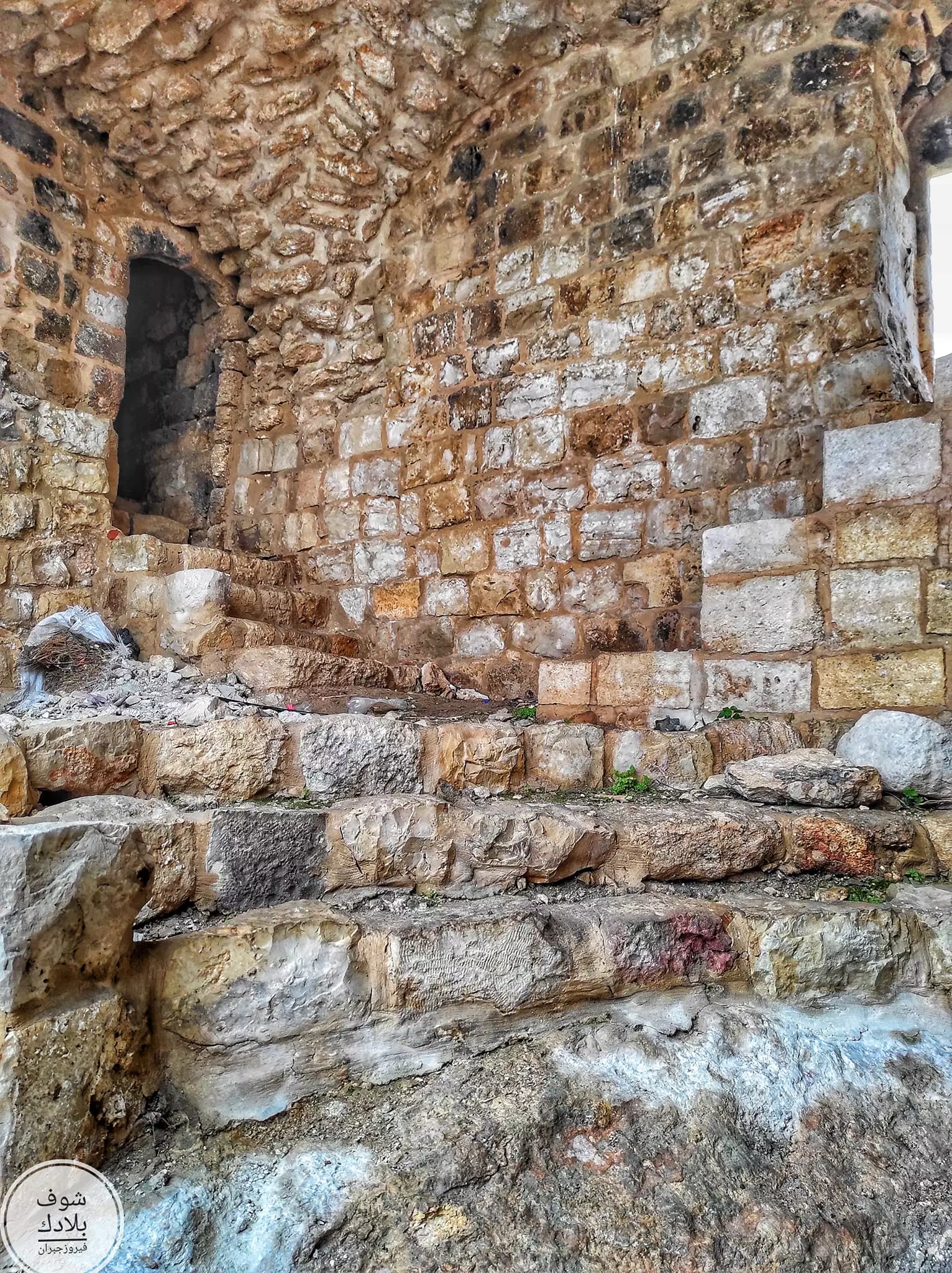
- جولة رائعة بين بيوت القرية القديمة -- Fairouz Jubran -- Sept 2022 #15
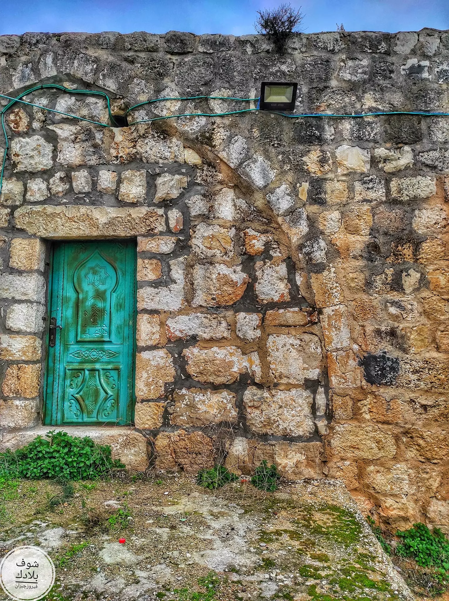
- جولة رائعة بين بيوت القرية القديمة -- Fairouz Jubran -- Sept 2022 #16
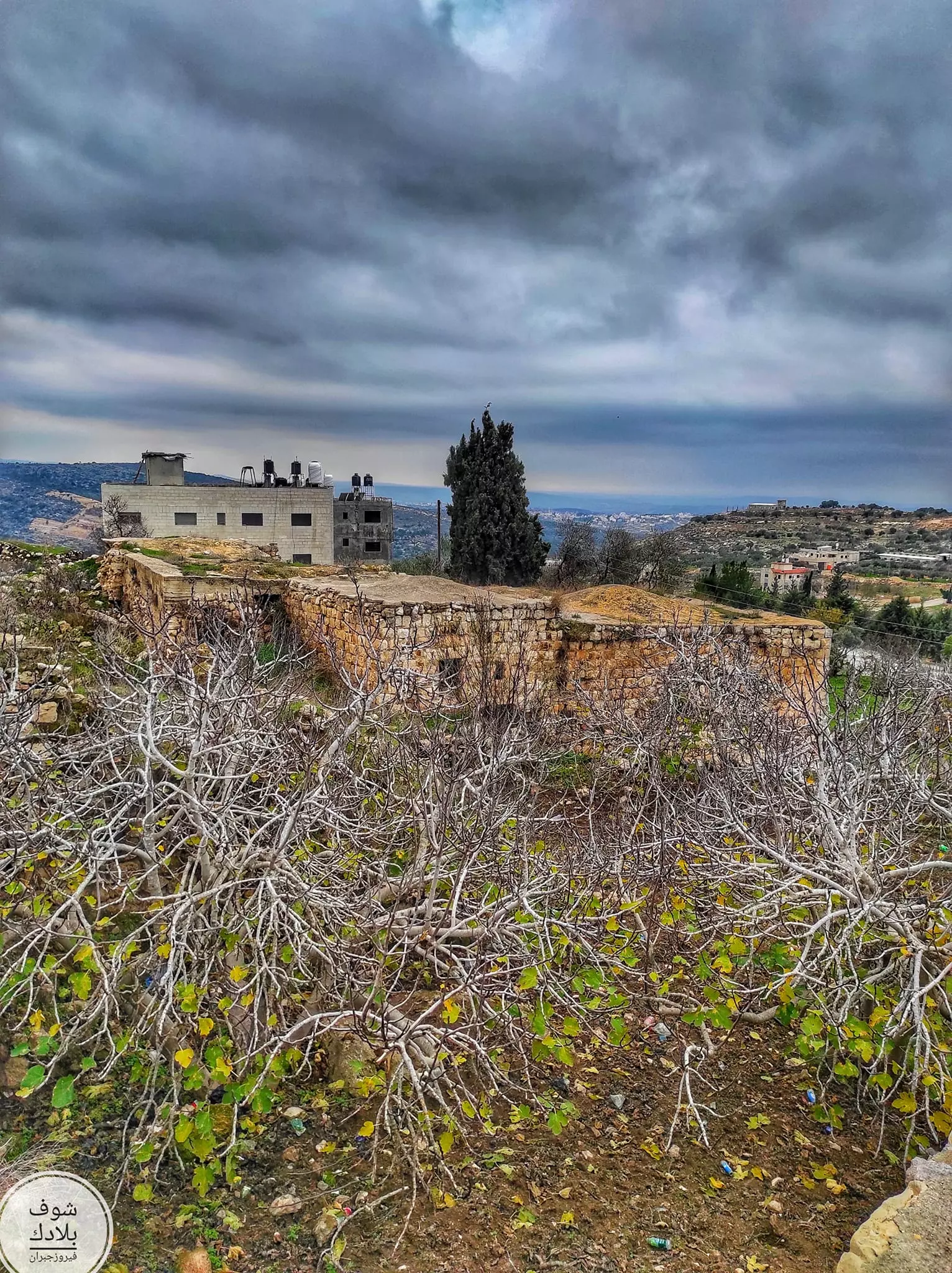
- جولة رائعة بين بيوت القرية القديمة -- Fairouz Jubran -- Sept 2022 #17
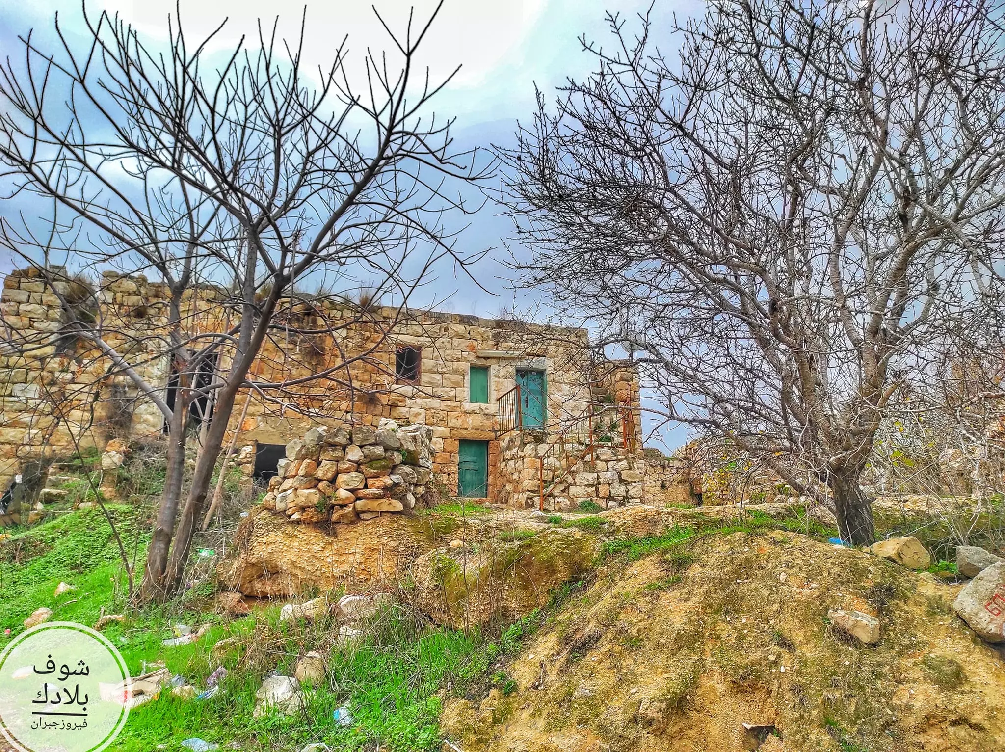
- جولة رائعة بين بيوت القرية القديمة -- Fairouz Jubran -- Sept 2022 #18
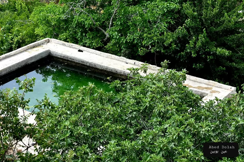
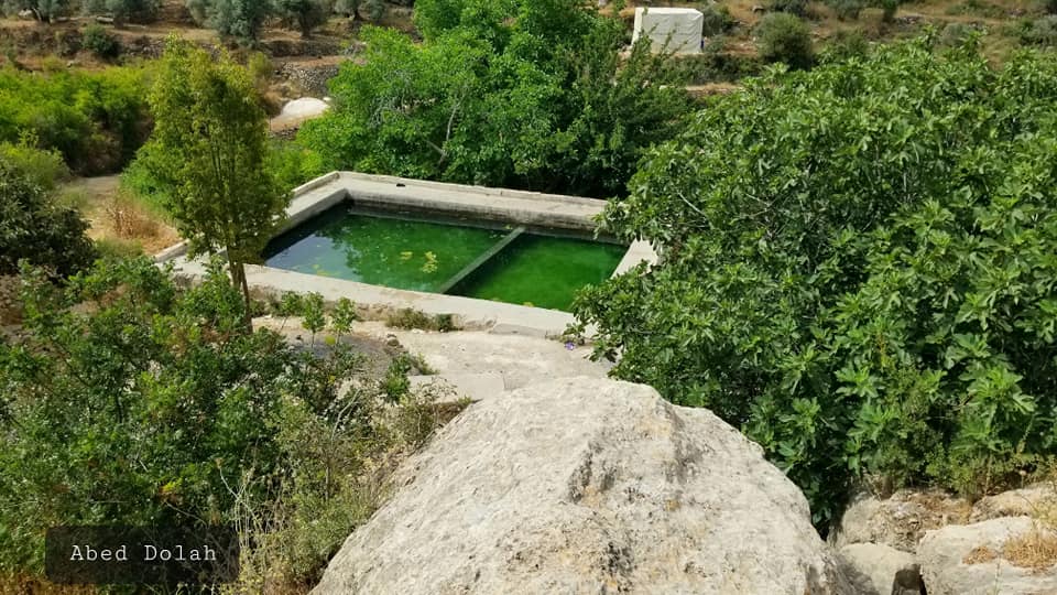
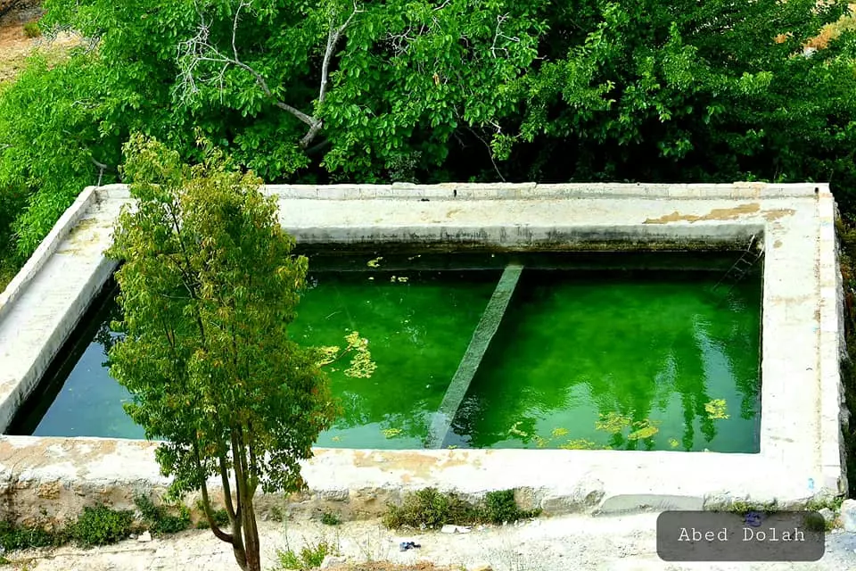
- Ein Bobein Spring (عين بوبين) lies in the heart of the Palestinian village of Deir Ibzi’, just 7 km west of Ramallah, more about it in the comments section. May 2021 -- Abed Dolah
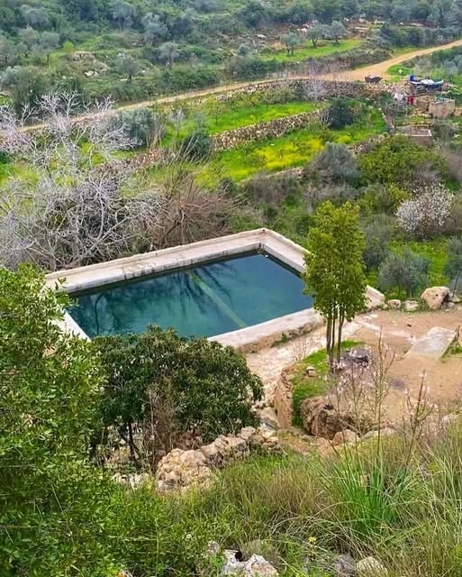
1 - Ein Bobein Spring (عين بوبين) lies in the heart of the Palestinian village of Deir Ibzi’, just 7 km west of Ramallah, more about it in the comments section. May 2021 -- Abed Dolah #2
- Ein Bobein Spring (عين بوبين) lies in the heart of the Palestinian village of Deir Ibzi’, just 7 km west of Ramallah, more about it in the comments section. May 2021 -- Abed Dolah #3
- Ein Bobein Spring (عين بوبين) lies in the heart of the Palestinian village of Deir Ibzi’, just 7 km west of Ramallah, more about it in the comments section. May 2021 -- Abed Dolah #4
Want to browse more? 80,000 pictures were grouped in these gallaries:
| Display Name | Clan/Hamolah | Country of Residence |
| lutfi | - | - |
| ثائر عموس | - | رام الله, دير ابزيع |
| osama daher | - | - |
| naser | - | - |
| محمد ملصه | - | - |
| Haneen | Karajeh | Amman, Jordan |
| بنت الياسر | منصور | --, ديرابزيع |
| المارد الفتحاوي | منصور | رام الله |
| mousa | - | - |
| مهند عثما | كراجه | dubai, dubai |
| Abu Talal | Tahboub | - |
| محمد الحاج | - | بيت سيرا, بيت سيرا |
| kamal fareed karajeh | karajeh | ramallah , palestine |
- مرورا من دير ابزيع Duration: 3 min 45 sec
No links have been shared yet, be free to the first to share the first link.
 Fake Valor: Why Did Zionist Jews Hoist Nazis Flag on Their Ships in the 1930s?
What is new?
-
Facts About Oct. 7th Gaza Raid
-
Remined Us Please:: Who Did Rape Who? Palestinians Raped Israelis? Or, was the other way around?
-
When Prof. Edward Said was invited to debate Bibi Netanyahu in the 1980s, watch what happened!
-
Ezra Klein of the NY Times on the "Jewish Race".
-
Abusing Blood Libel!
-
Zionist FAQ: Isn't it true that Palestinians don't want peace? Palestinians never accepted the two-state solution
- Facts about Haavara (Transfer) Agreement between Ben-Gurion & Hitler
-
Haavara FAQs: Why Did Zionist Jews Hoist Nazis' Flags on Their Ships in the 1930s?
-
Dear ChatGPT: Why did the Jewish Agency suppress news of the Holocaust during WWII?
-
Video Playlist: Jews share their DNA tests to end the conflict for good.
-
A Tale of Two Conflicts: Examining the Definition of Genocide
-
Prof. Abraham Polak And The Suppressed History of the Khazars and European Jewry
-
How Ronald Reagan would have framed the genocide in Gaza if he were still alive?
-
Haavara FAQs: Let us do the math: how many German Jews did The Haavara Agreement save?
-
Zionist FAQs: The Hebron Massacre of 1929, "clearly proves" that Palestinians are antisemitic, how could you deny it?
-
Zionist FAQs: Why Anti-Zionist Is Not Antisemitism?
-
Zionist FAQs: Isn't it true that the KGB create Palestinian Nationalism in the early 1960s?
- Zionist FAQs: Muslims are killing Muslims all the time; why are Israeli Jews being singled out in the media?
- Zionist FAQs: How is Israel an apartheid state when 20% of its citizens are Arabs who enjoy full rights?
-
Haavara FAQs: Analysis of Herzl's Uganda Scheme and how it could have saved millions of Jews.
-
Haavara FAQs: Why did Hayim Greenberg describe American Jewry as "morally bankrupt" in early 1943?
-
Haavara FAQs: What if the Evian Conference was a resounding success? What would have been the impact of saving European Jewry on Zionism?
- Haavara FAQs: What if the six million were saved, how that would have impacted the Zionist project?
-
Haavara FAQs: How did Zionist leaders react when Europe's Jews lingered in the DP camps after WWII ended?
-
Why does the American Jewish community repeat lies that David Ben-Gurion had debunked before he died?
-
Who has the power to rename the Tatar/Khazar Gene Marker to Jewish IV?
-
Zionist FAQs: Why won't Egypt, Syria, and Jordan take their people back? Jews are indigenous to Palestine, and Arabs immigrated after Jews developed the country. Arabs should leave.
-
Haavara FAQs: Did Hitler and the Nazis conflate between Judaism and Zionist? If that wasn't case, then why?
-
Haavara FAQs: Winston Churchill and antisemitism, a collection of articles written Churchill.
-
Haavara FAQs: Broken by country, how many Jews survived vs. killed during the Holocaust?
-
Haavara FAQs: Why did European Jews vote with their feet and to immigrated to the Americas, not Palestine, after WWII?
-
Watch this American Jewish Girl describing Israeli Jews' cognitive dissonance like no other in under two minutes
-
Haavara FAQs: When the Nazis went out of their way to hide the Holocaust, Israeli Jews did the exact opposite by broadcasting their genocide of Gazans. But why?
-
Haavara FAQs: How Zionist Jews went out of their to show their appreciation to Nazism and Fascism?
- Haavara FAQs: Why Zionist leaders were against bombing the death camps & the Railroads leading to them?
-
Haavara FAQs: Hitler's message to the British and American people: If Jews are such noble citizens and you care about them, how come you're not letting them in? I will gladly ship them to you at my expense, even on luxury liners!
-
A shortlist of Zionist and Israeli false flag operations in the name Jews.
-
The Most Moral Army
- The Land of Kapos (Israel): Where the brave are boycotted and Kapos walk free.
- Why did early Zionists often named their communal enterprises "colonial"?
- Zionist Relations with Nazi Germany by Faris Glubb
-
Two NY Times advertisements by Zionists in the early 1943 that exposes Zionists' treason at the height of the calamity
- Facts Not Lies about the Palestinian-Israeli Conflict.
- Site's pictures have been categorized
- Campgain Against Lice
- A Survey of Palestine, the official source about Palestine before Nakba produced by the British Mandate; over 1200 pages.
- Satellite View & Google Earth: Over 6,000 placemarks identifying all destroyed towns, W. Bank & Gaza Strip Towns, & refugee camps.
- PalestineRemembered.com and its Nakba Oral History Project were featured on al-Jazeera Satellite TV.
- Nakba Oral History Video Podcast:
 Over 700 Oral History interviews (including 3,500+ hours of recording) can be viewed online.
 - Palestine Village Statistics Project
- Gaza Jail Break
- النسخة العربية للموقع الان متوفرة
- Videos: Documenting the destroyed villages in video: Tracing all that remains since Nakba.
- Videos: Responding to Zionist Propaganda
- Interview: The ethnic cleansing of Palestine: George Galloway interviews Israeli Historian Ilan Pappe.
- For Palestinians, memory matters. It provides a blueprint for their future By George Bisharat.
- Zionist FAQ now available in Hebrew שאלות שציונים שואלים, עכשיו בעברית
- Video: The Stephen Walt and John Mearsheimer report on the influence of the Israel Lobby on U.S. Foreign Policy
- The Palestinian-Israeli conflict for beginners
