| PalestineRemembered | About Us | Oral History | العربية | |
| Pictures | Zionist FAQs | Haavara | Maps | |
| Search |
| Camps |
| Districts |
| Acre |
| Baysan |
| Beersheba |
| Bethlehem |
| Gaza |
| Haifa |
| Hebron |
| Jaffa |
| Jericho |
| Jerusalem |
| Jinin |
| Nablus |
| Nazareth |
| Ramallah |
| al-Ramla |
| Safad |
| Tiberias |
| Tulkarm |
| Donate |
| Contact |
| Profile |
| Videos |
Welcome To Kh. Umm al-Shaqaf - خربة ام الشقف (دير المحيسن)
|
District of Hebron
|
العربية Google Earth |
 |
Gallery (64) |
| Statistic & Fact | Value |
| Occupation Date | October 1, 1948 |
| Exodus Cause | Military assault by Zionist troops |
| Level of Destruction | Destruction, rubble identified |
| Featured Video | |
| Related Maps | Town Lands' Demarcation Maps خرائط للقضاء توضح حدود القرى والاودية View from satellite Town's map on MapQuest Help us map this town at WikiMapia |
| Related Links | في كتاب بلادنا فلسطين |
No articles have been added yet, please be free to be the first to add one.
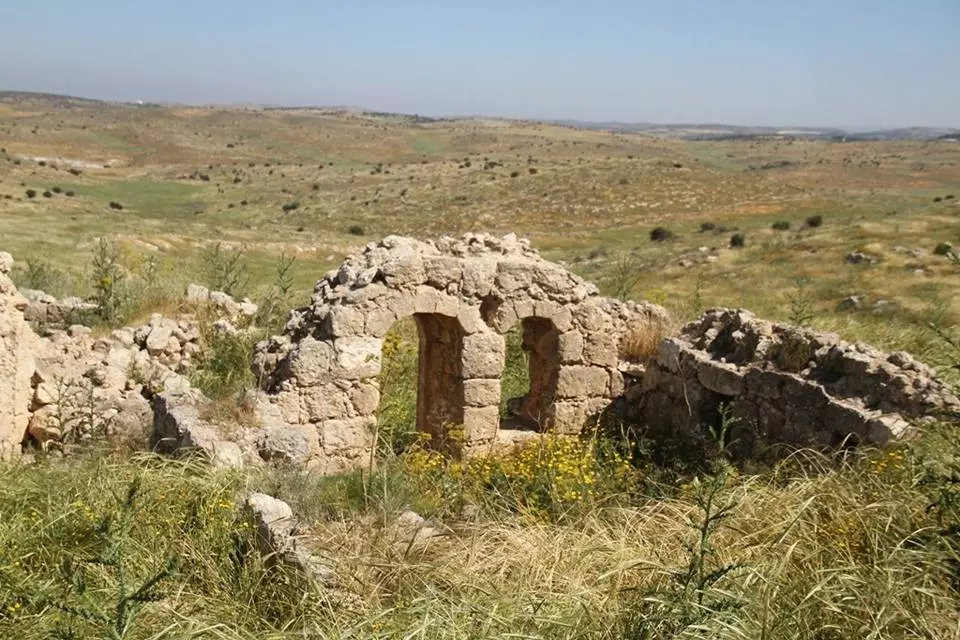
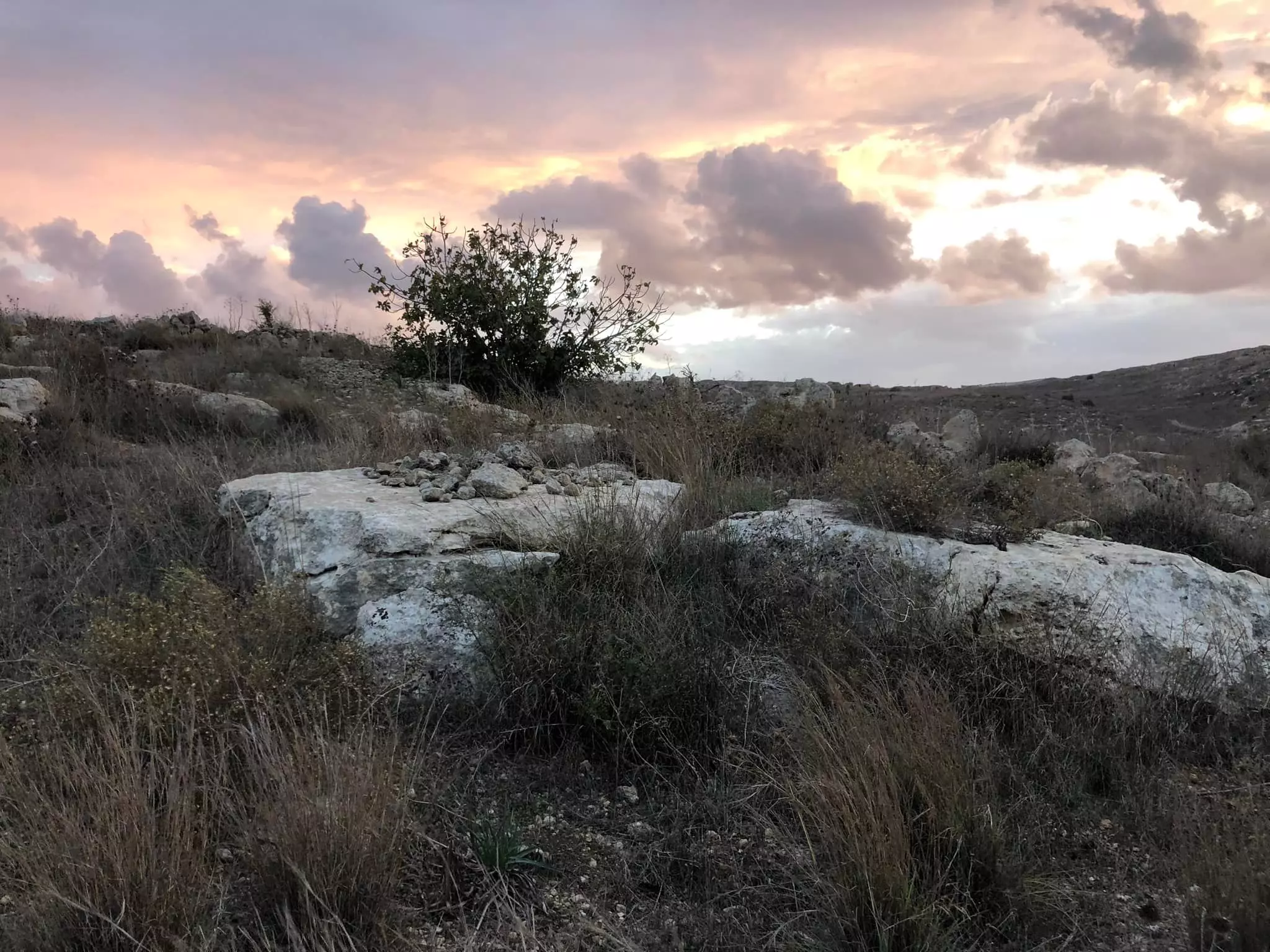
- منظر عام في القرية، انقر الصورة لتكبيرها- 21 نوفمبر 2009
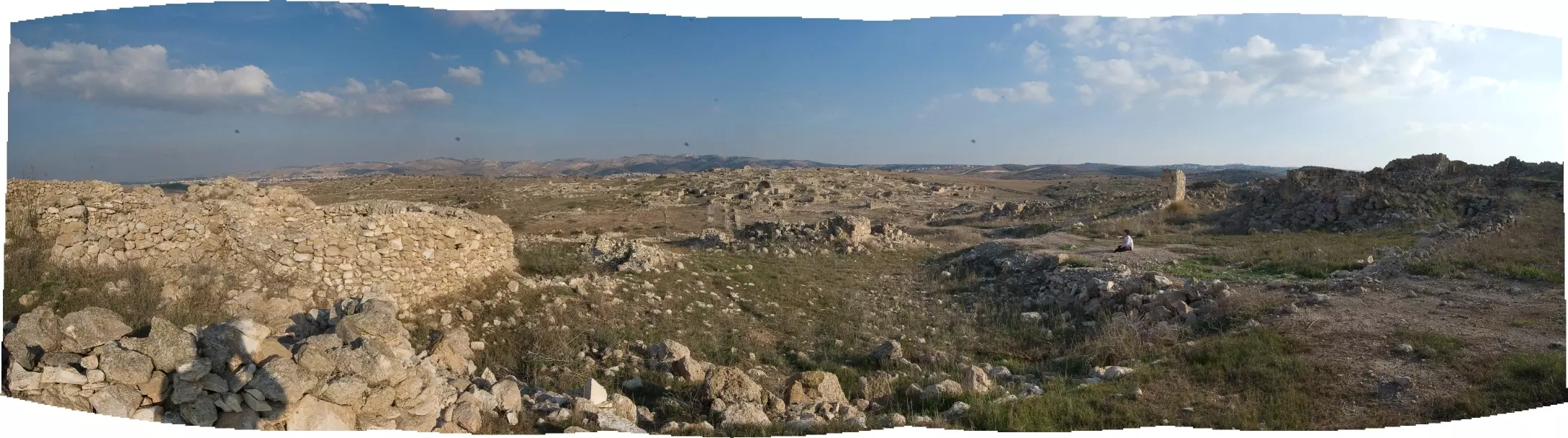
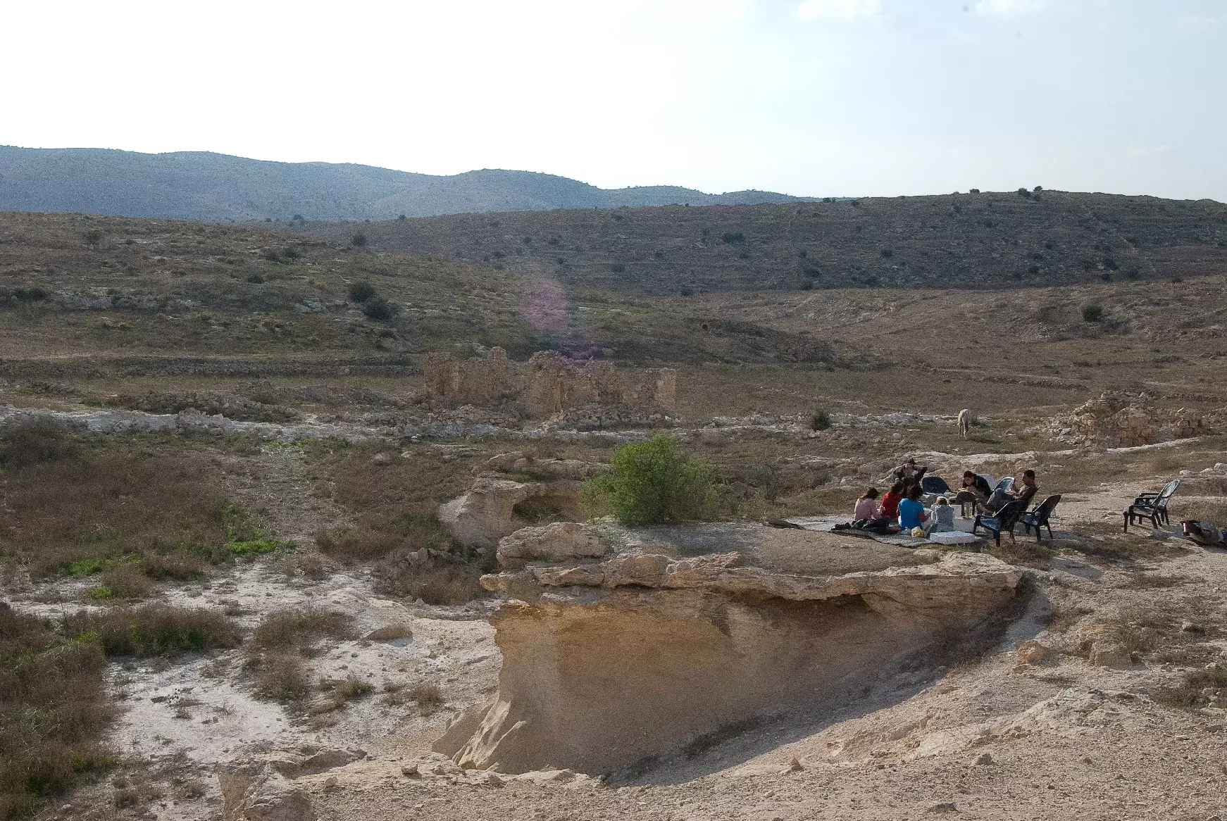
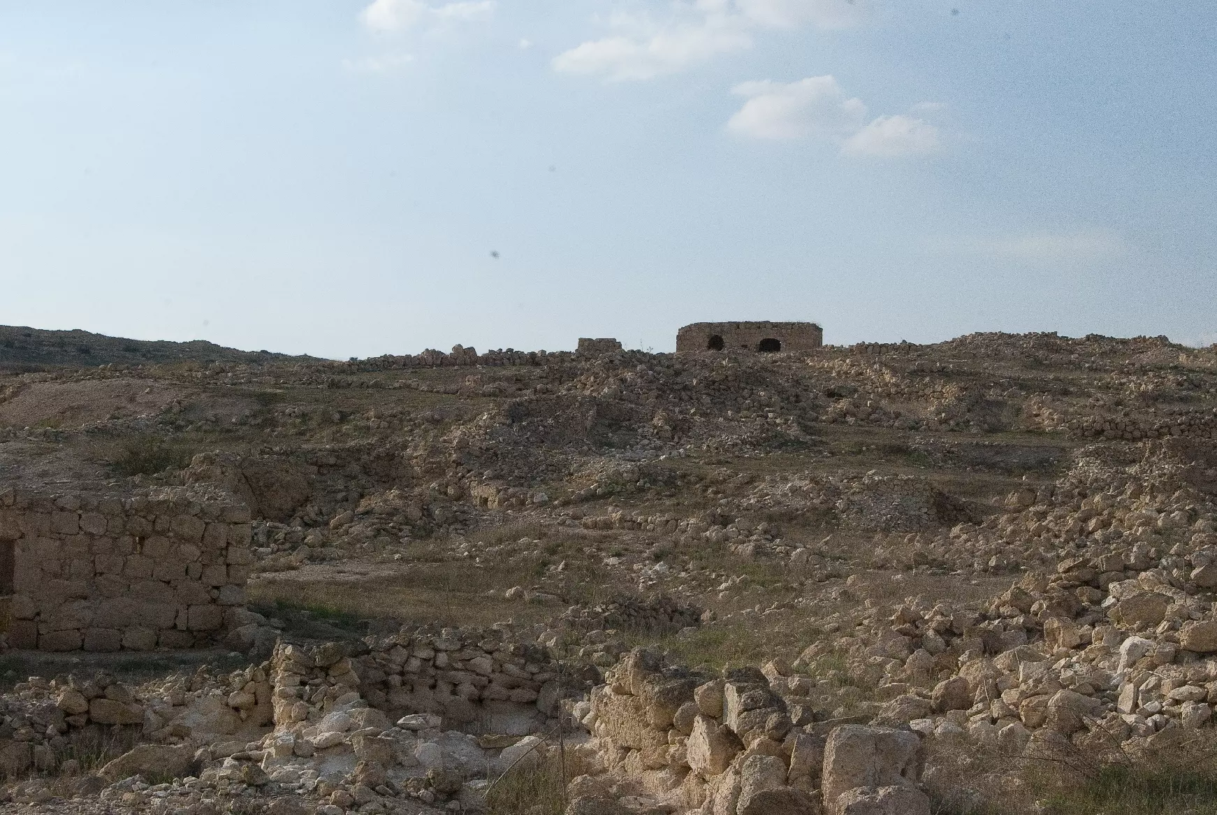
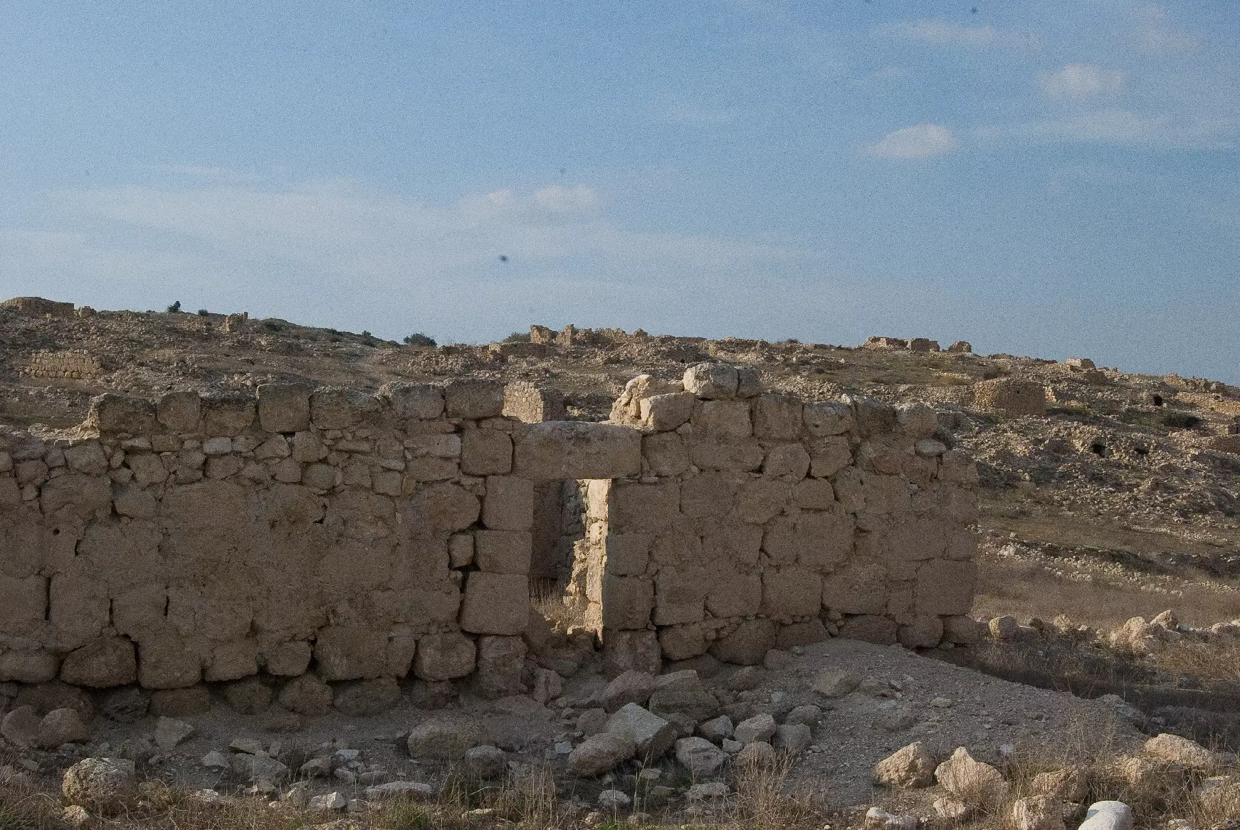
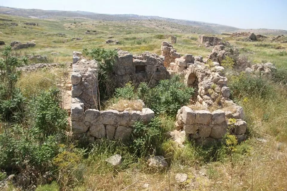
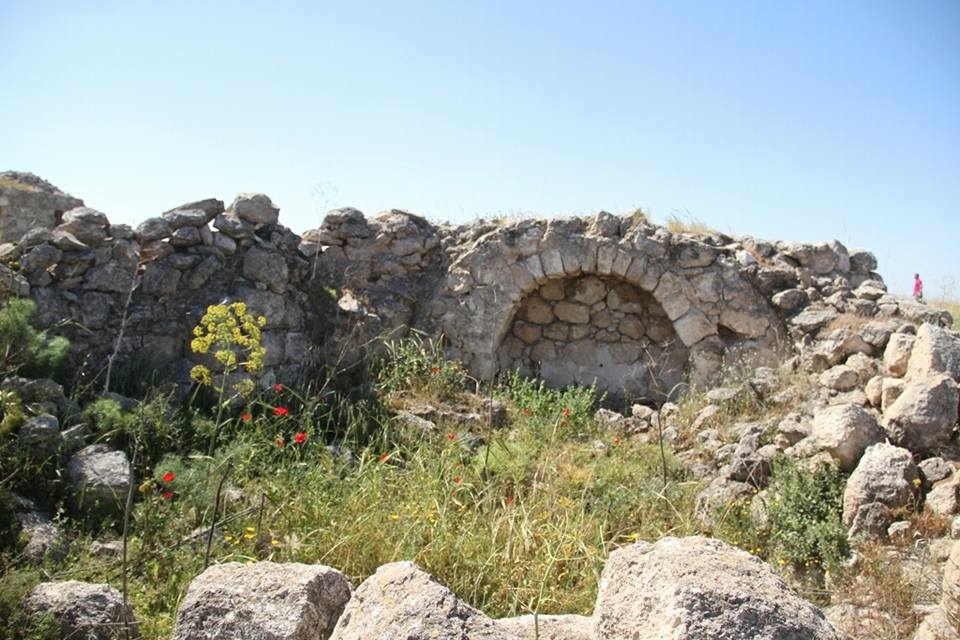
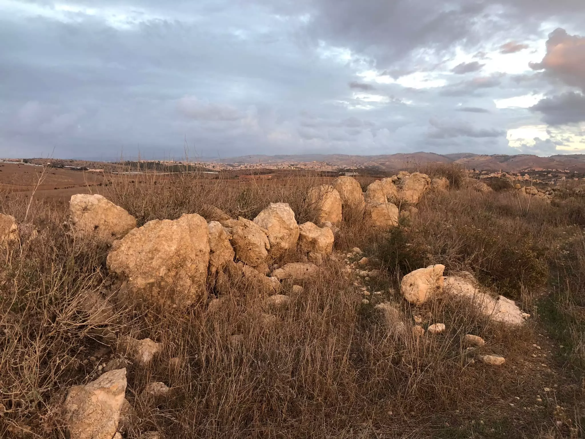
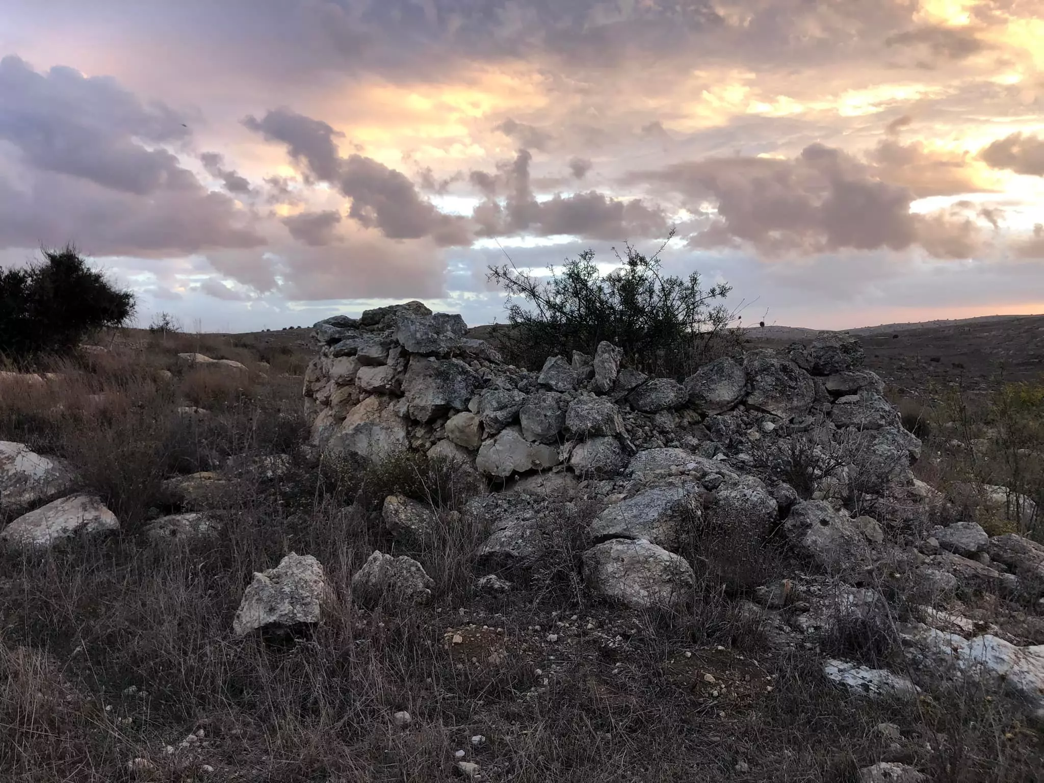
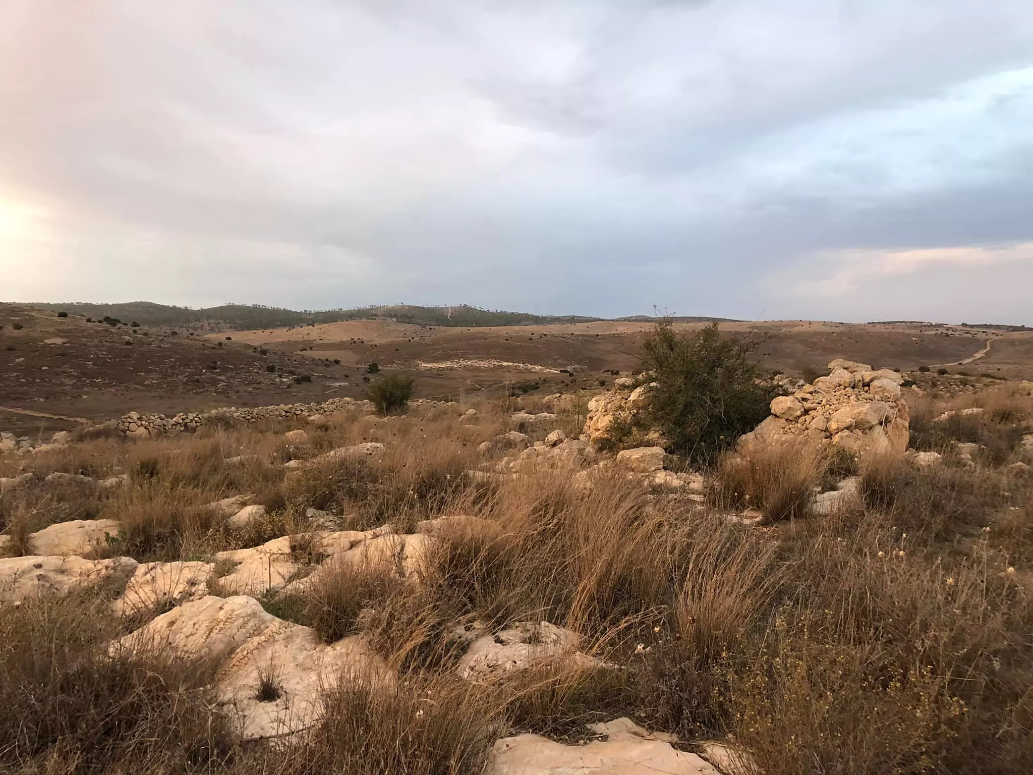
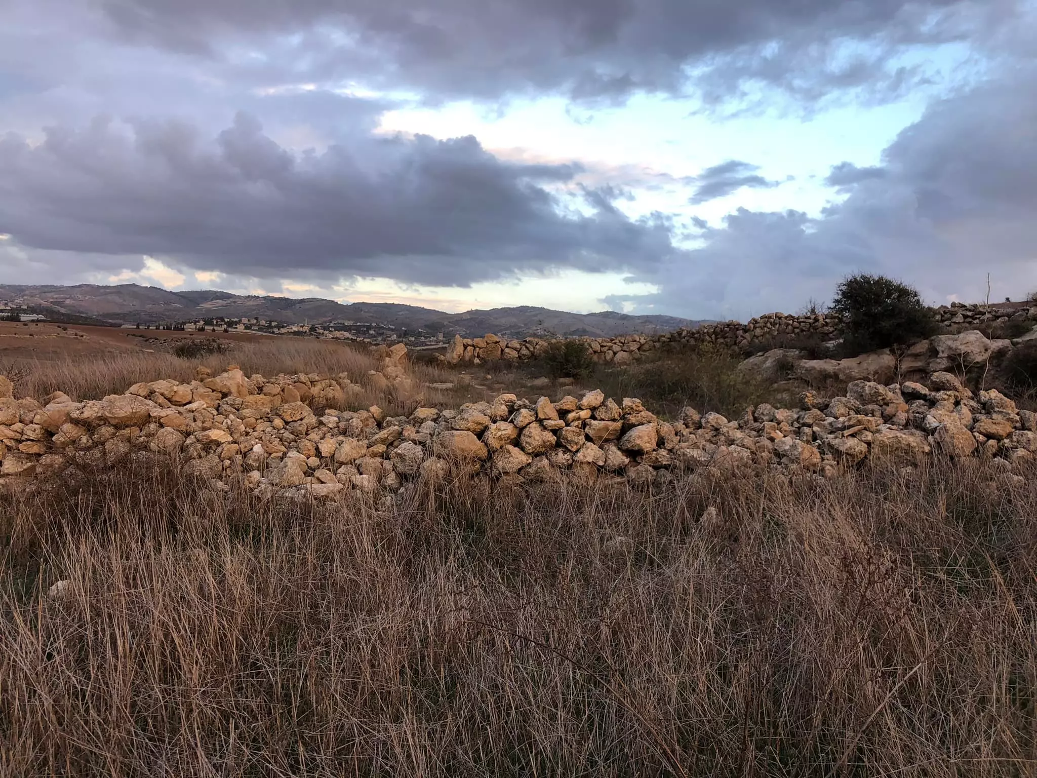
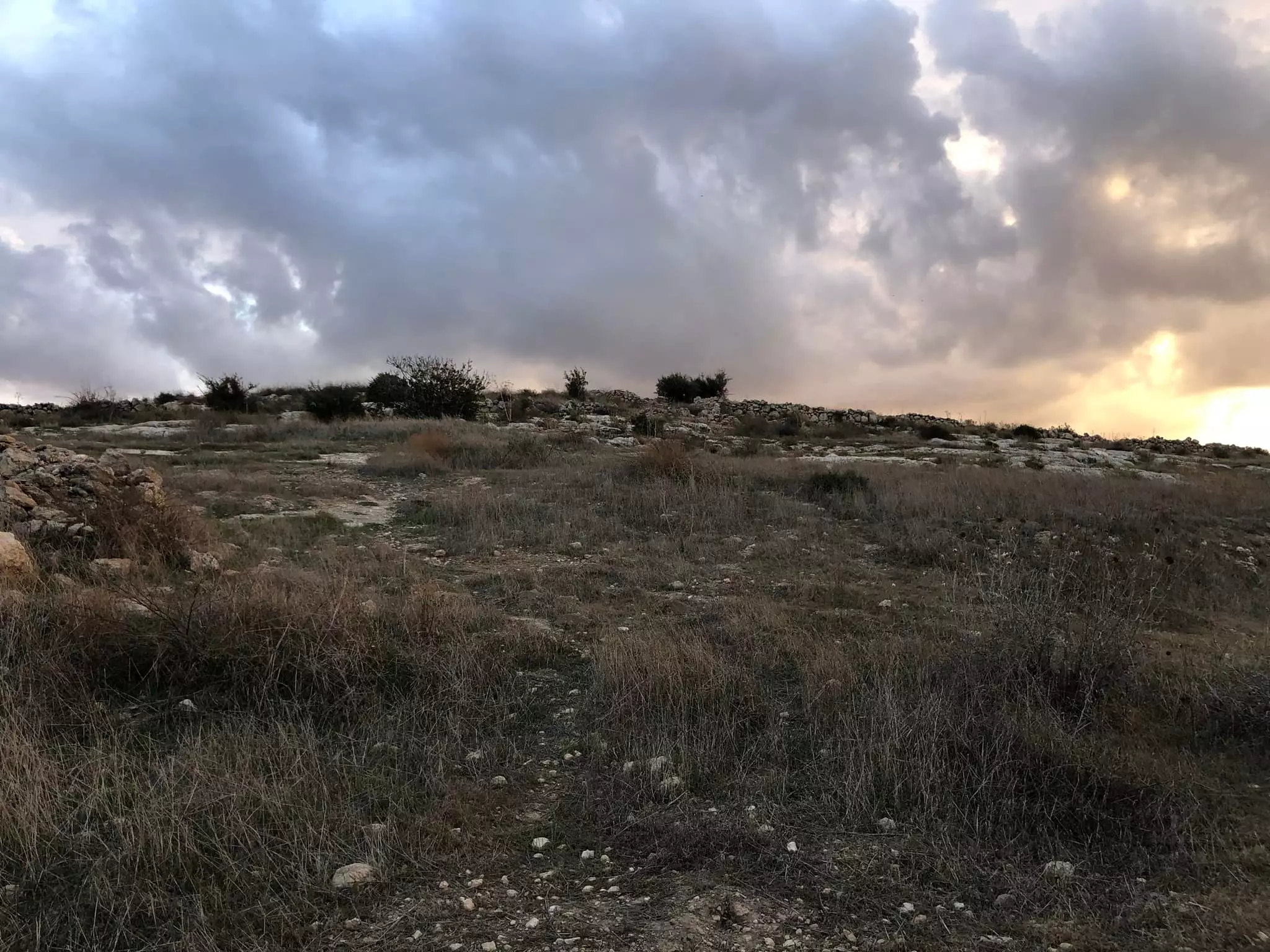
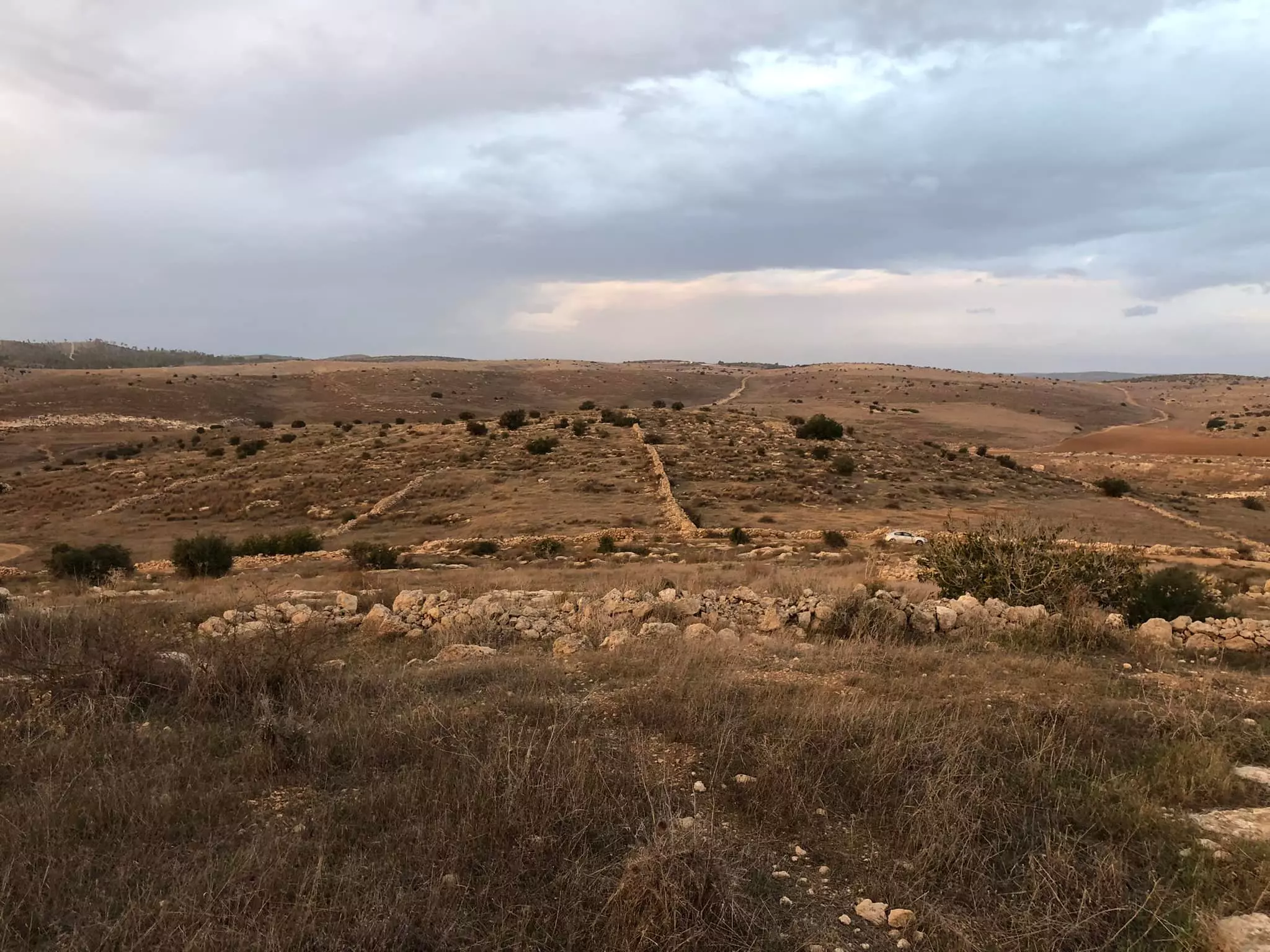
Posted by Uri Zackhem 1 - Panorama, looking east, 21/11/09, click the picture to enlarge
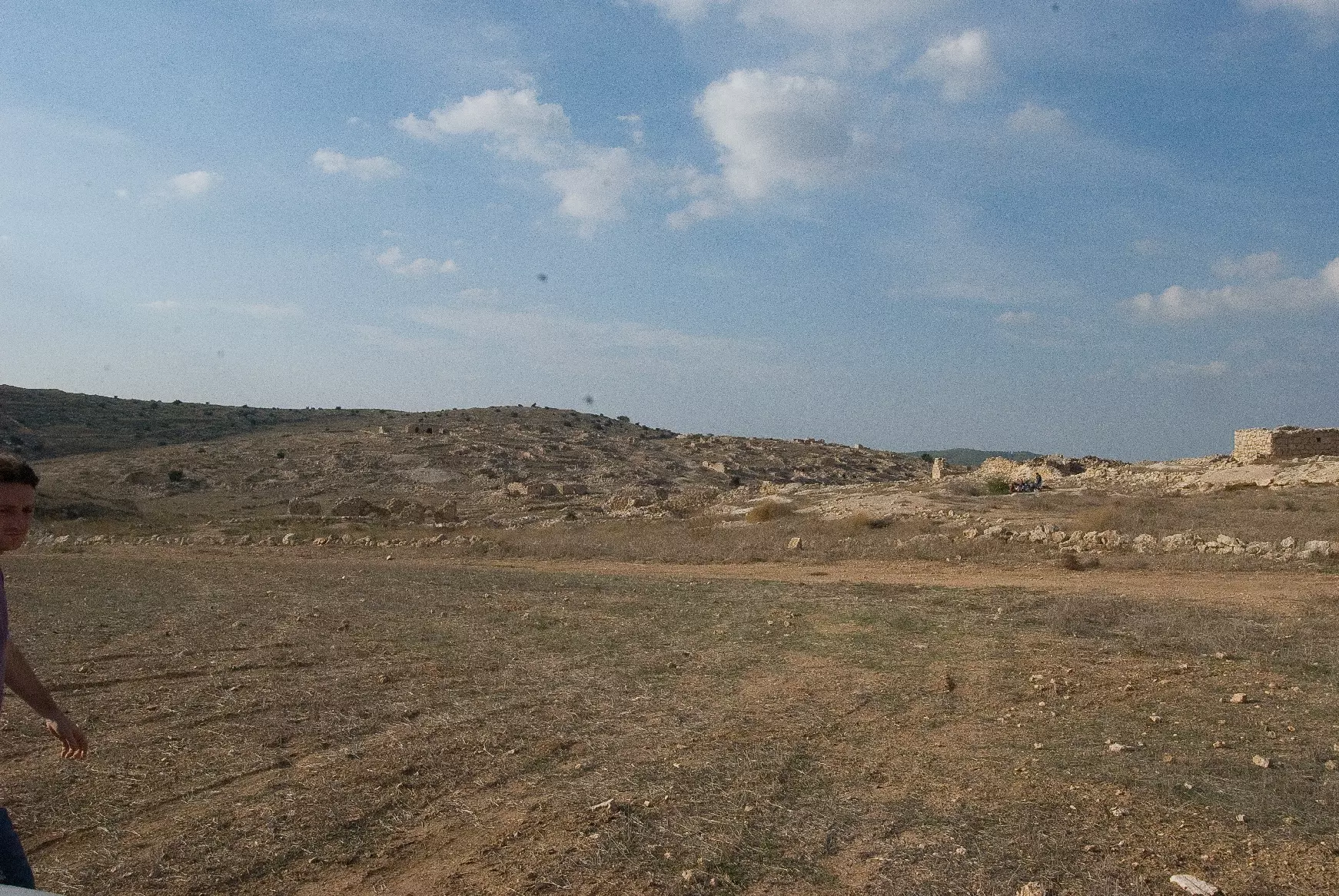
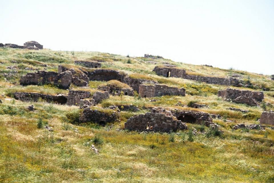
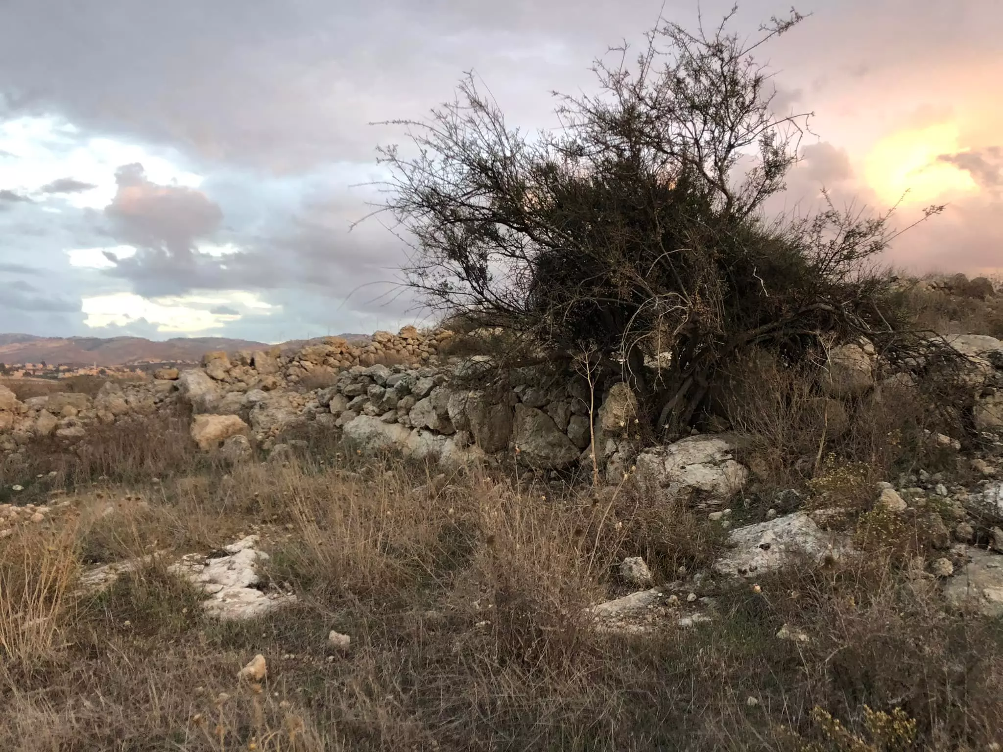
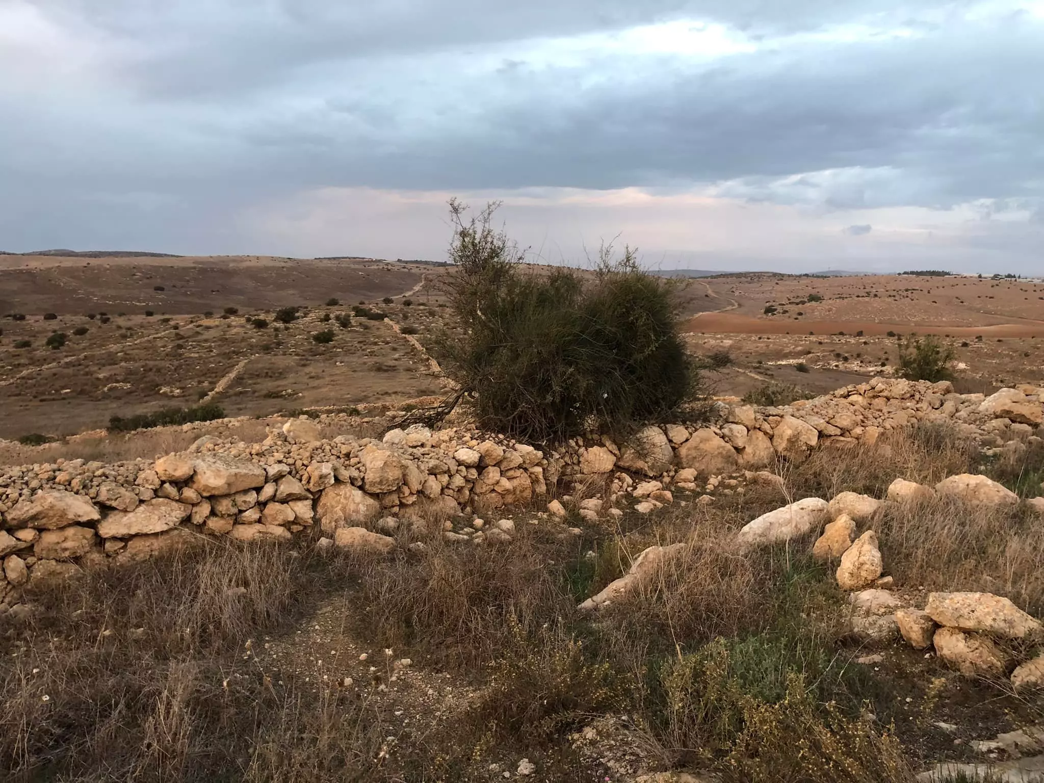
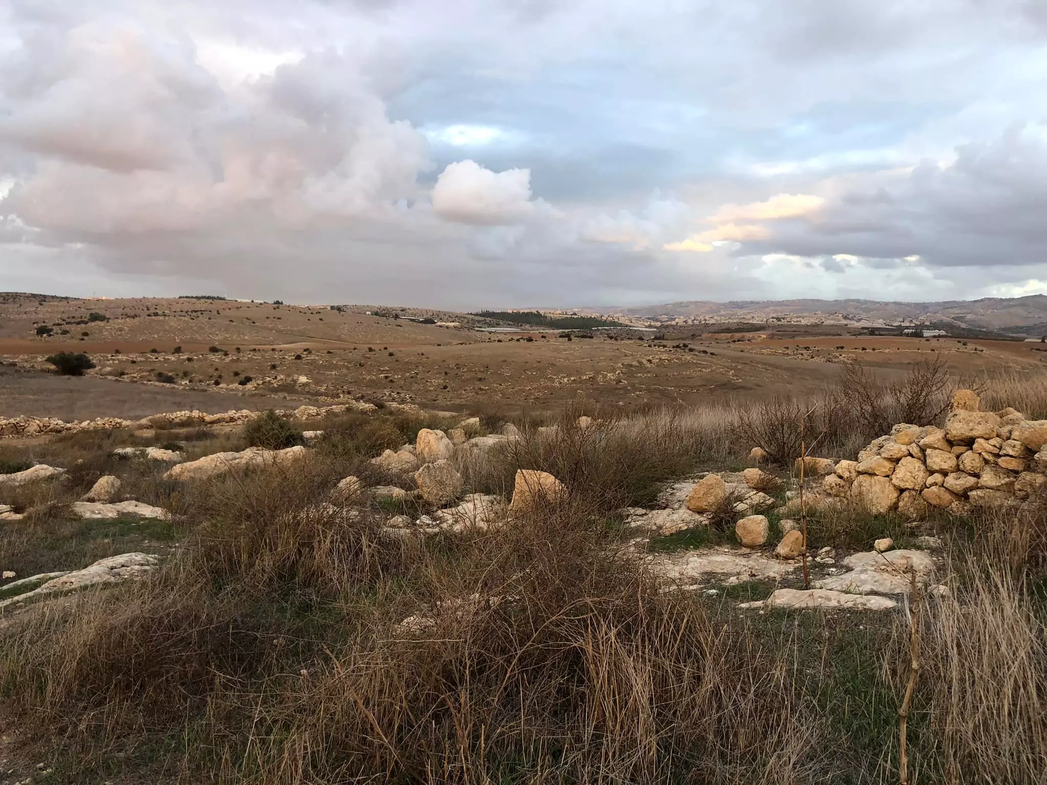
Posted by Uri Zackhem - Looking west, 21/11/09
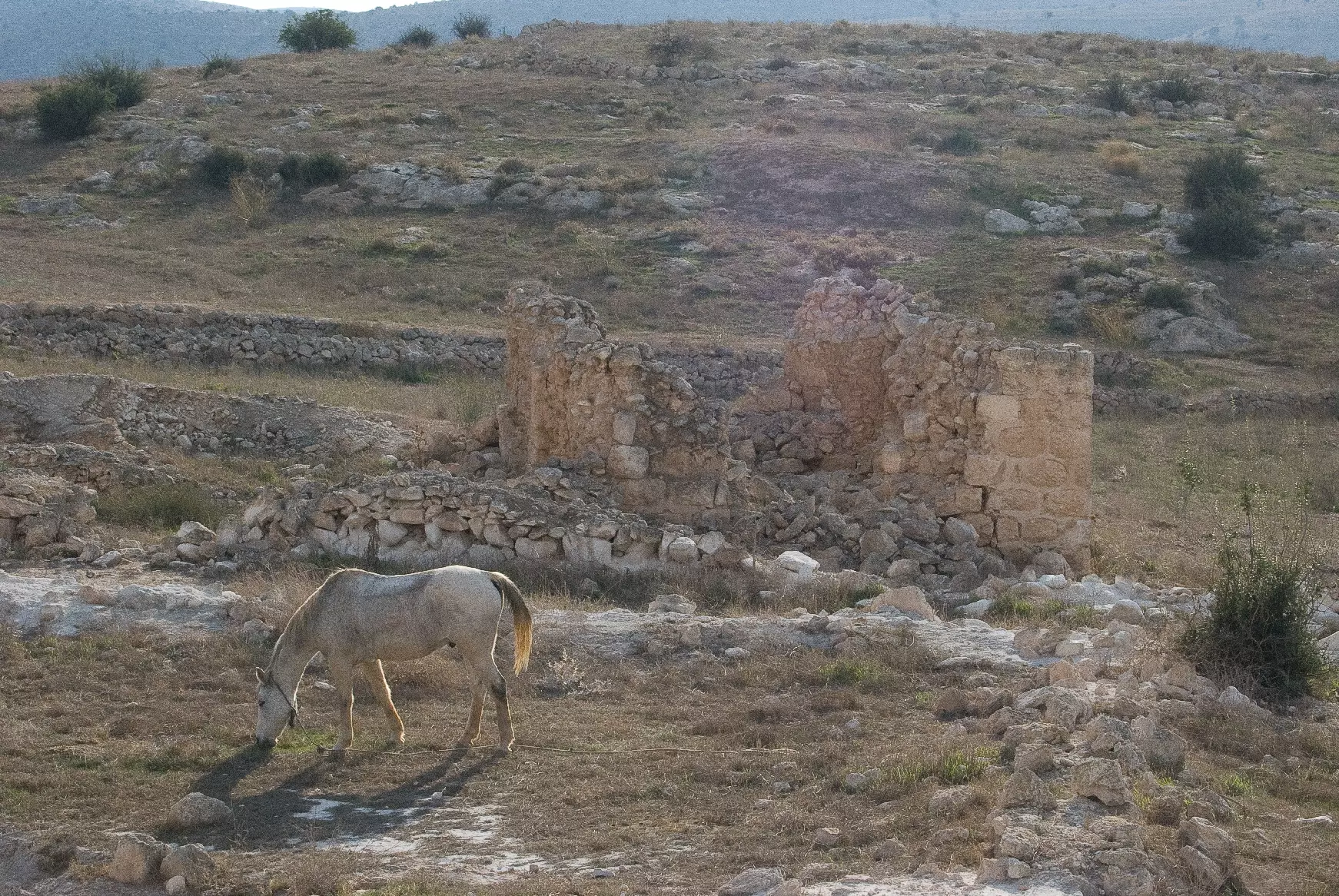
Posted by Uri Zackhem - Visit on 21/11/09
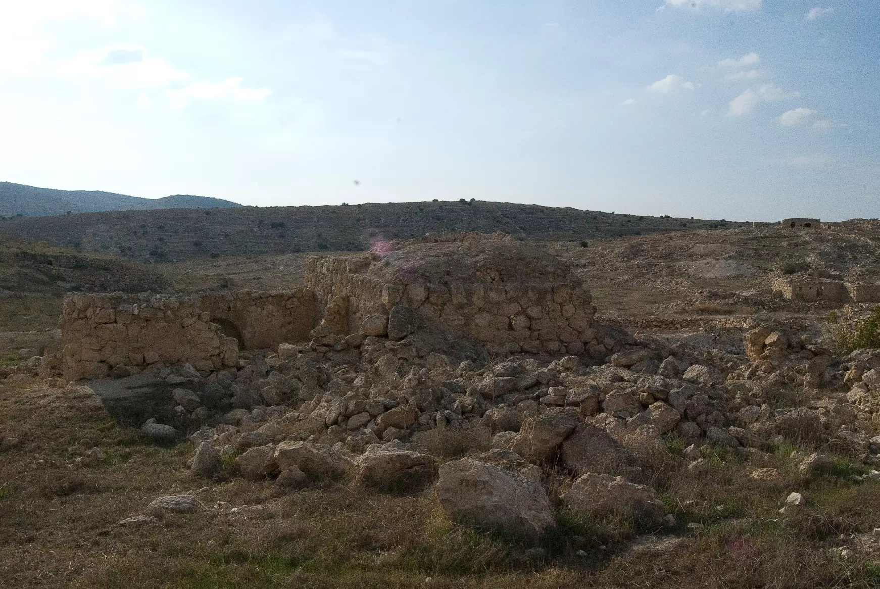
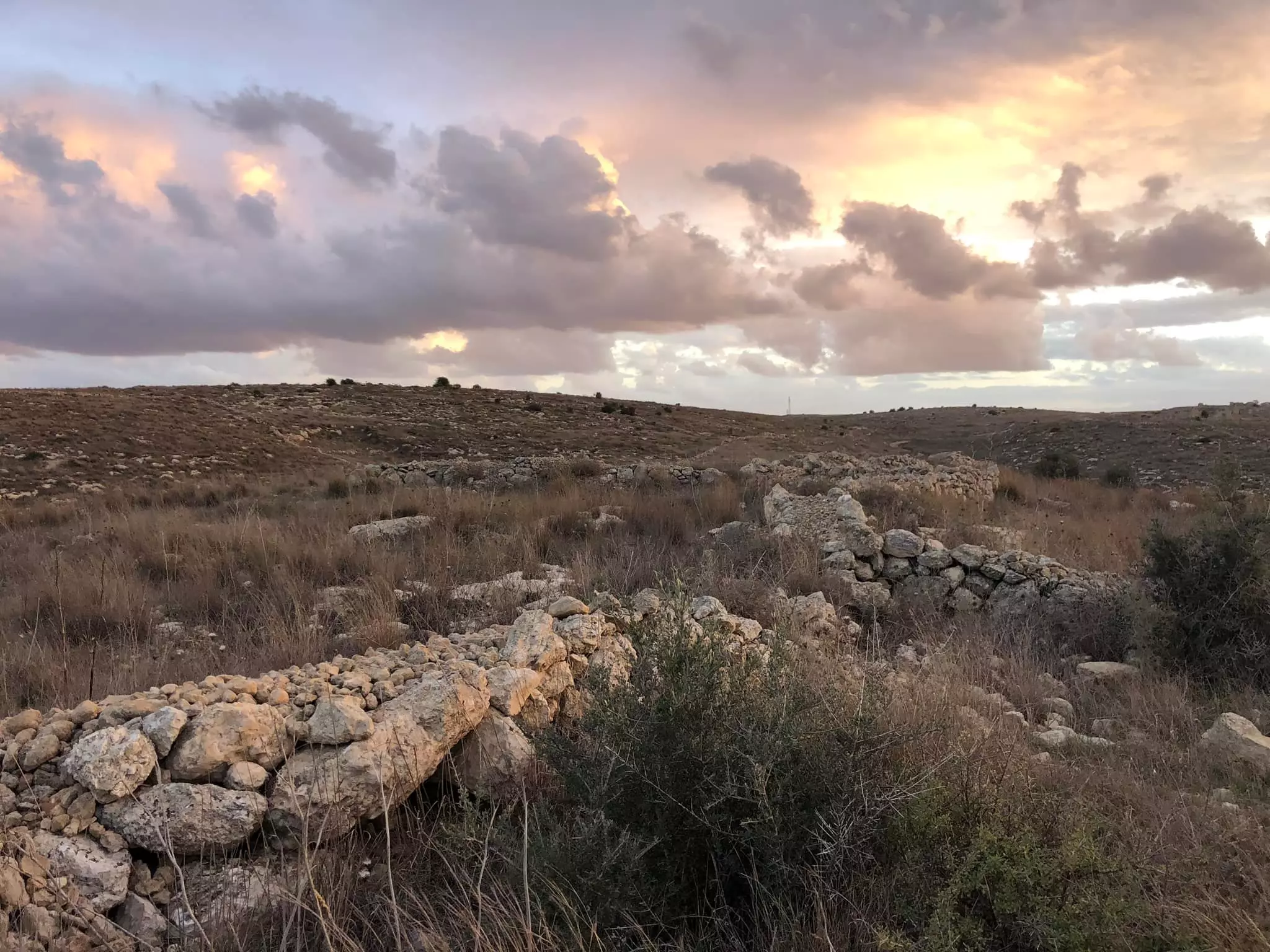
Posted by Uri Zackhem - منظر عام للقرية، انقر الصورة لتكبيرها- 21 نوفمبر 2009
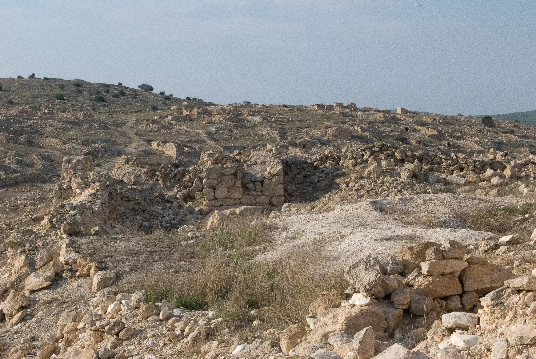
Posted by Uri Zackhem - منظر عام للقرية، انقر الصورة لتكبيرها- 21 نوفمبر 2009
Posted by Uri Zackhem - منظر عام للقرية، انقر الصورة لتكبيرها- 21 نوفمبر 2009
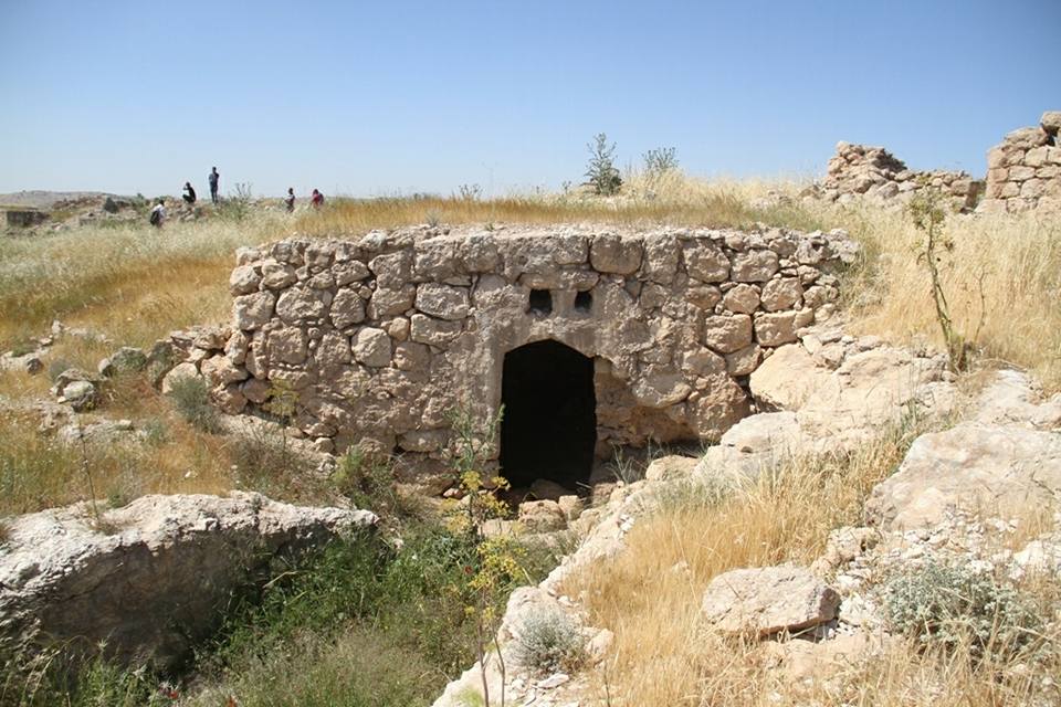
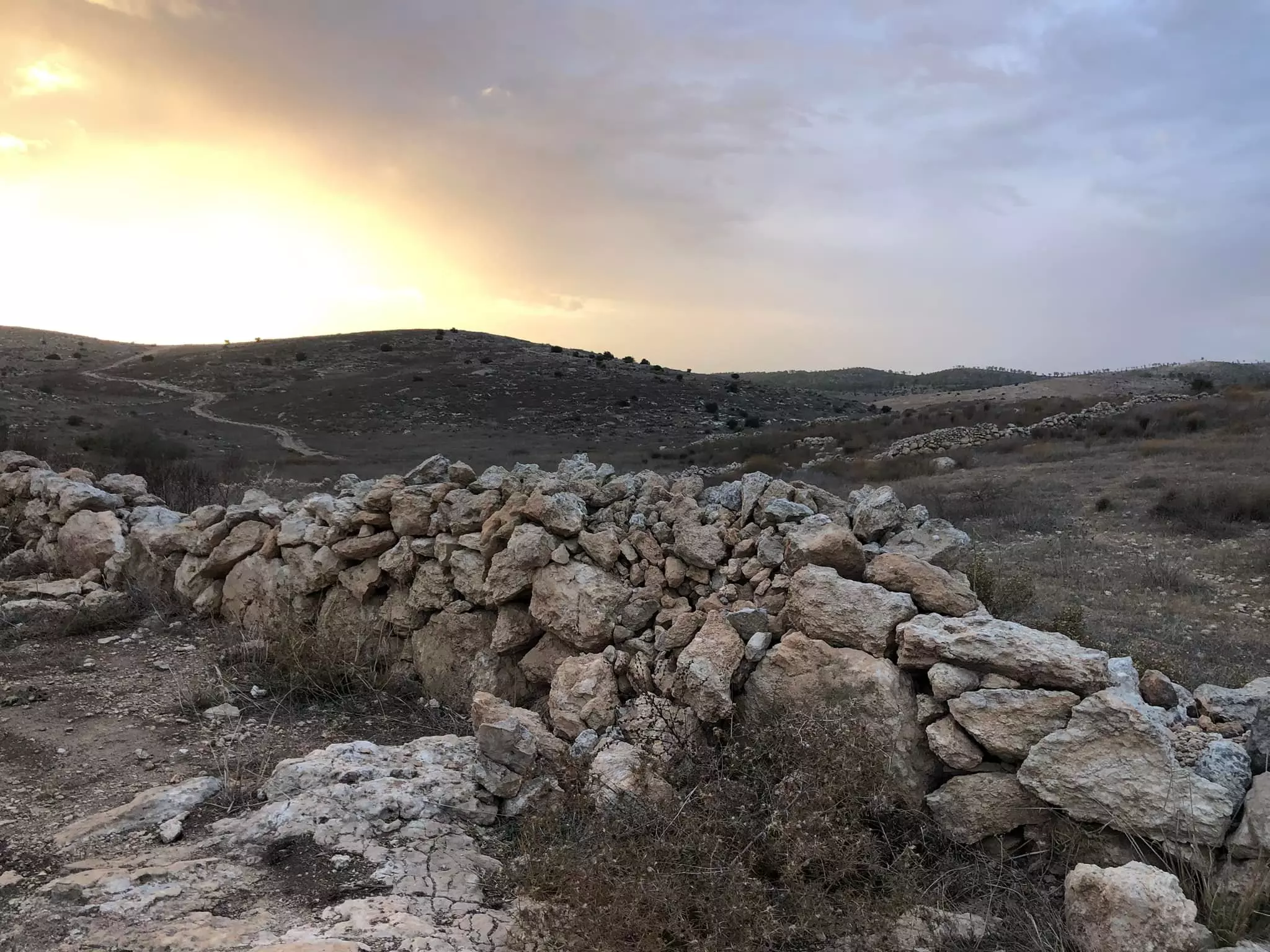
Posted by Uri Zackhem 1 - أحد بيوت القرية، انقر الصورة لتكبيرها- 21 نوفمبر 2009
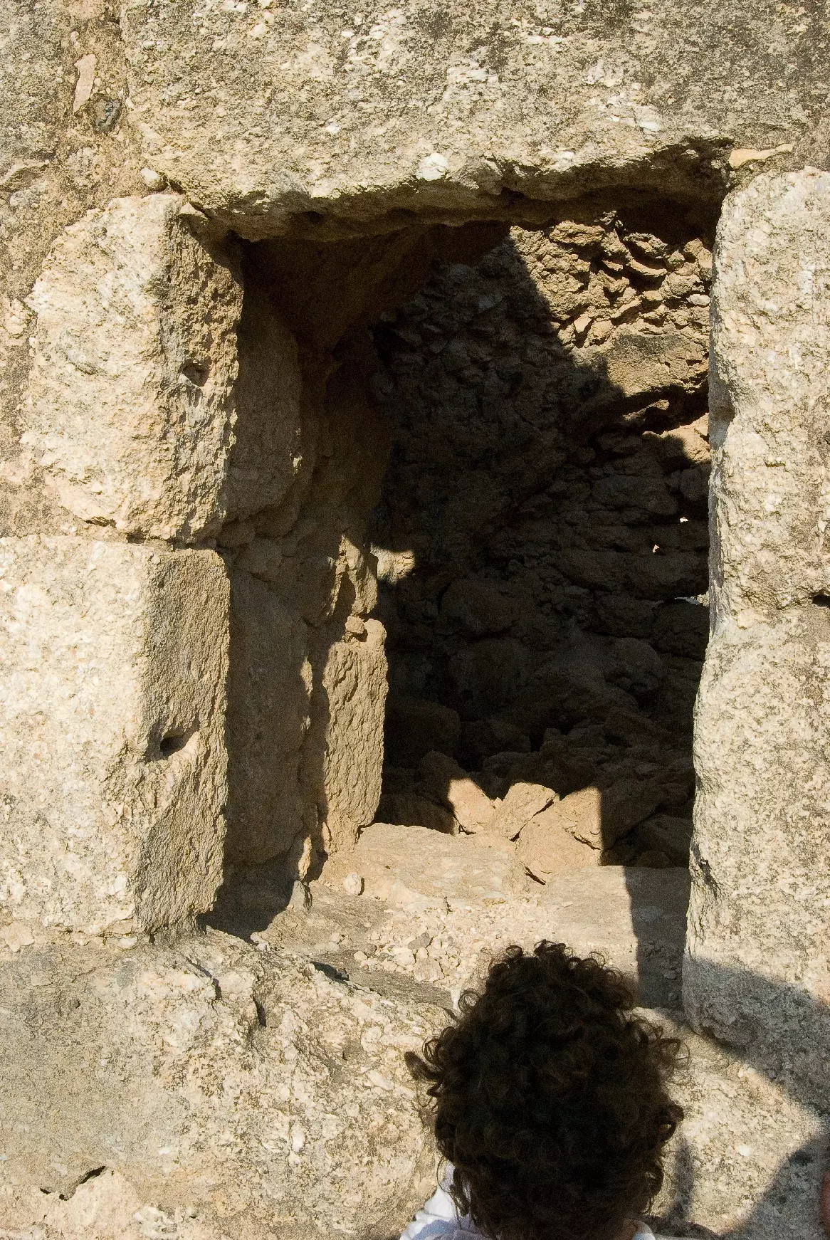
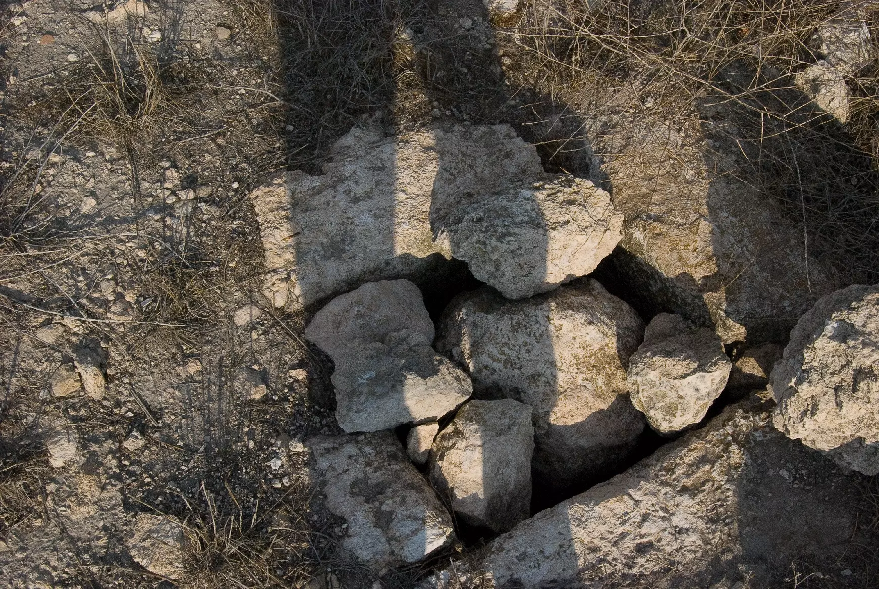
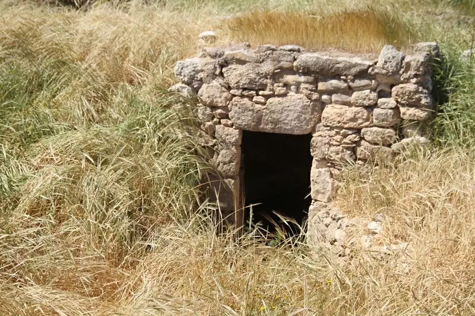
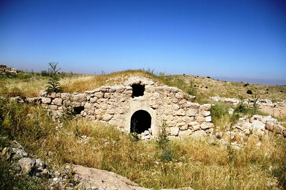
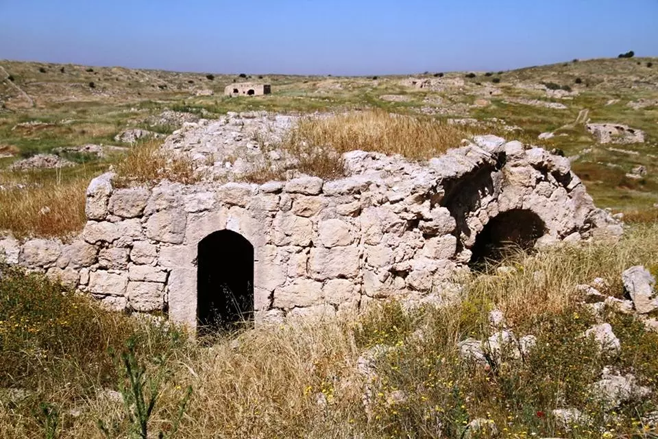
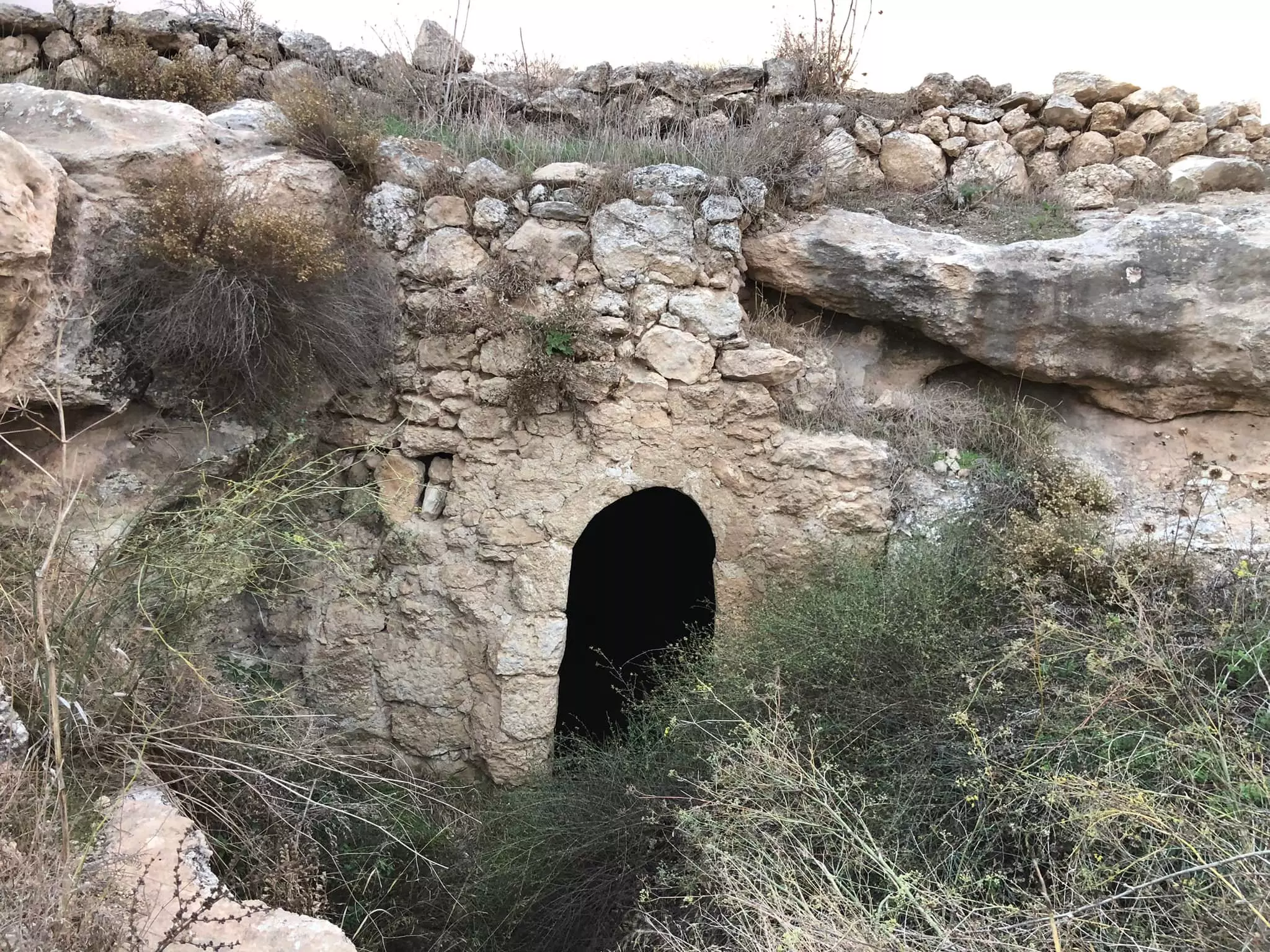
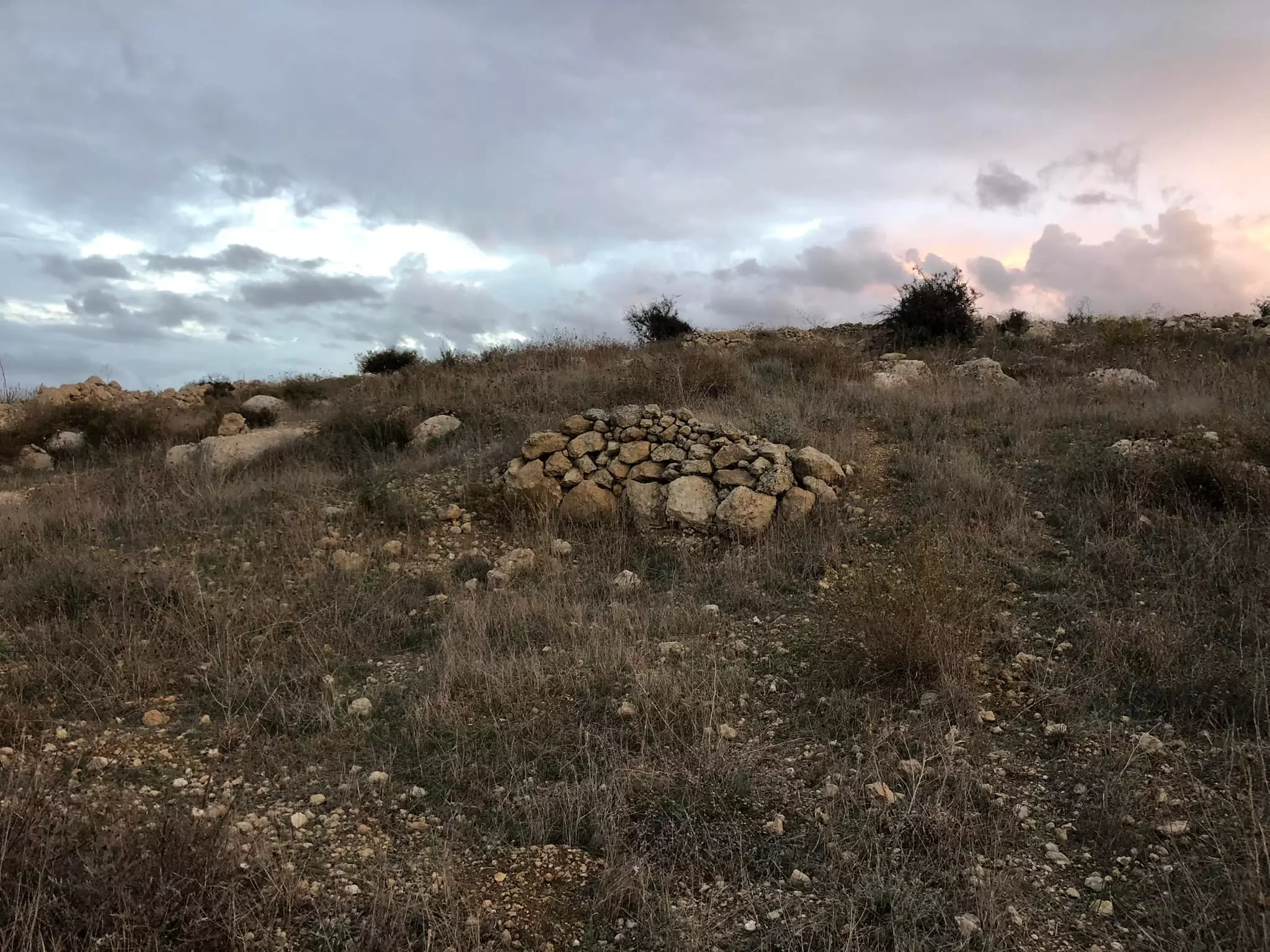
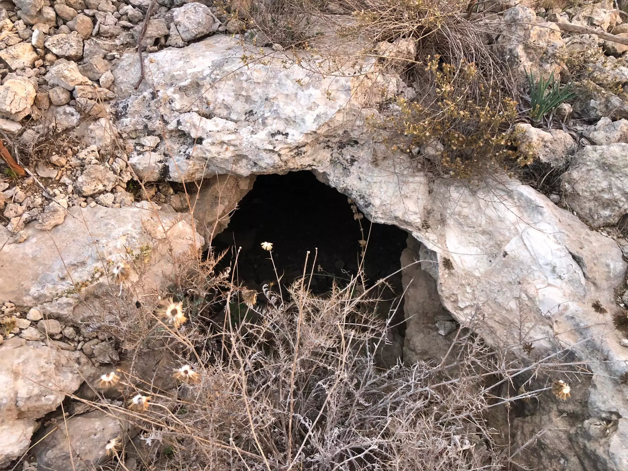
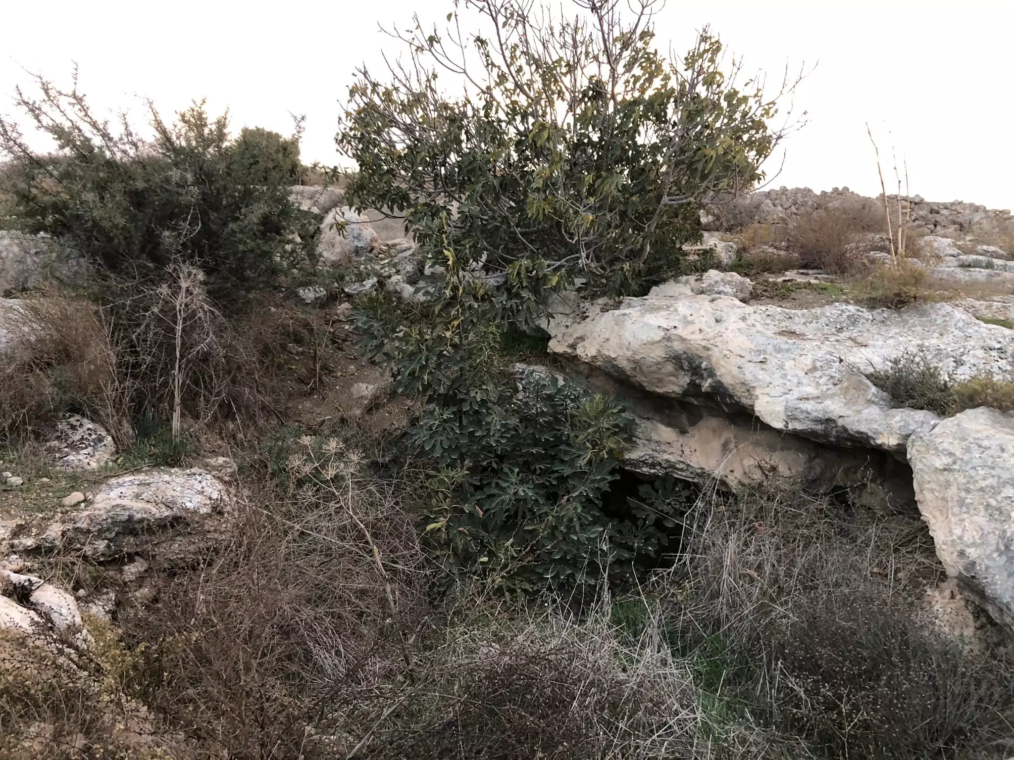
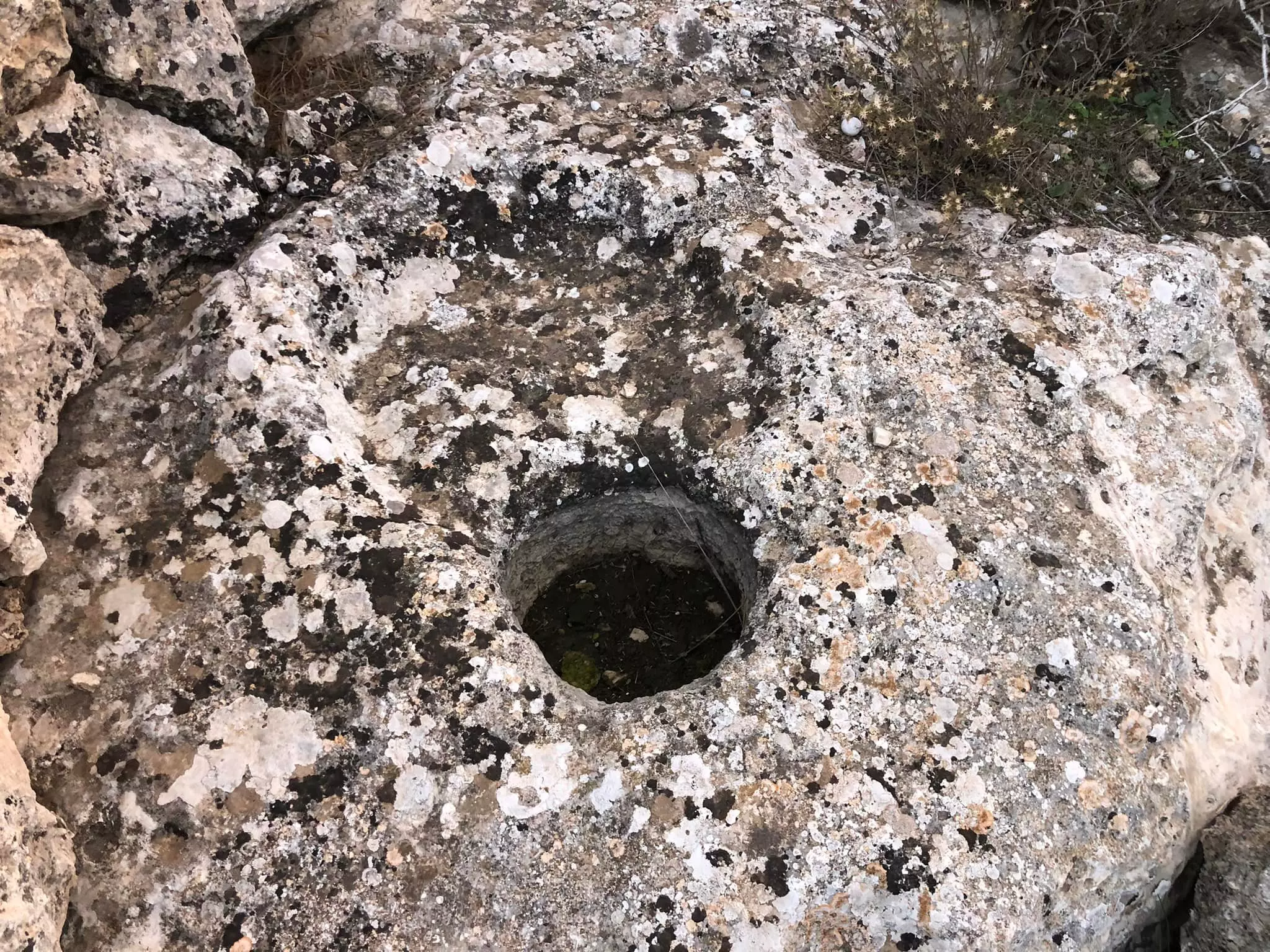
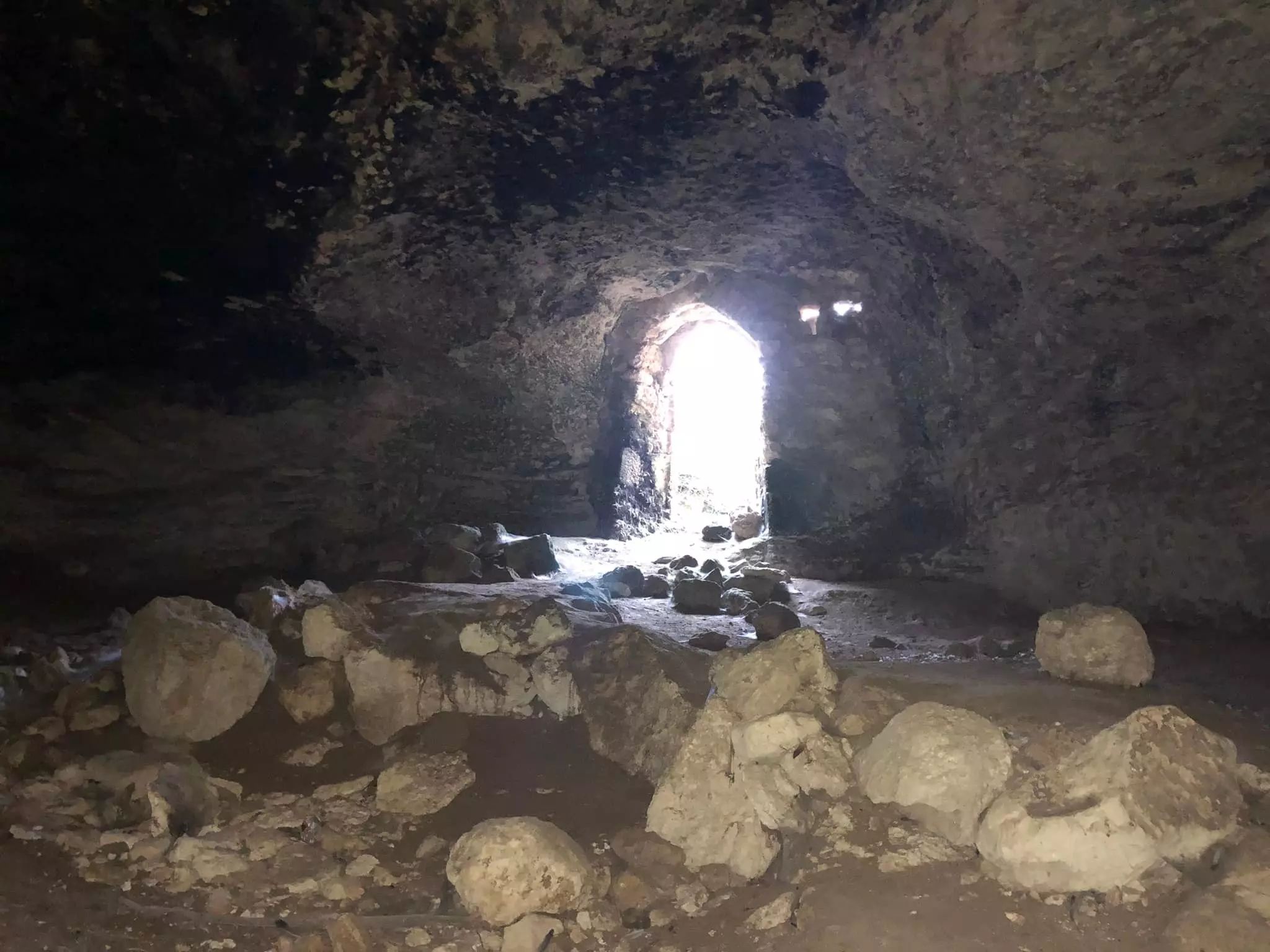
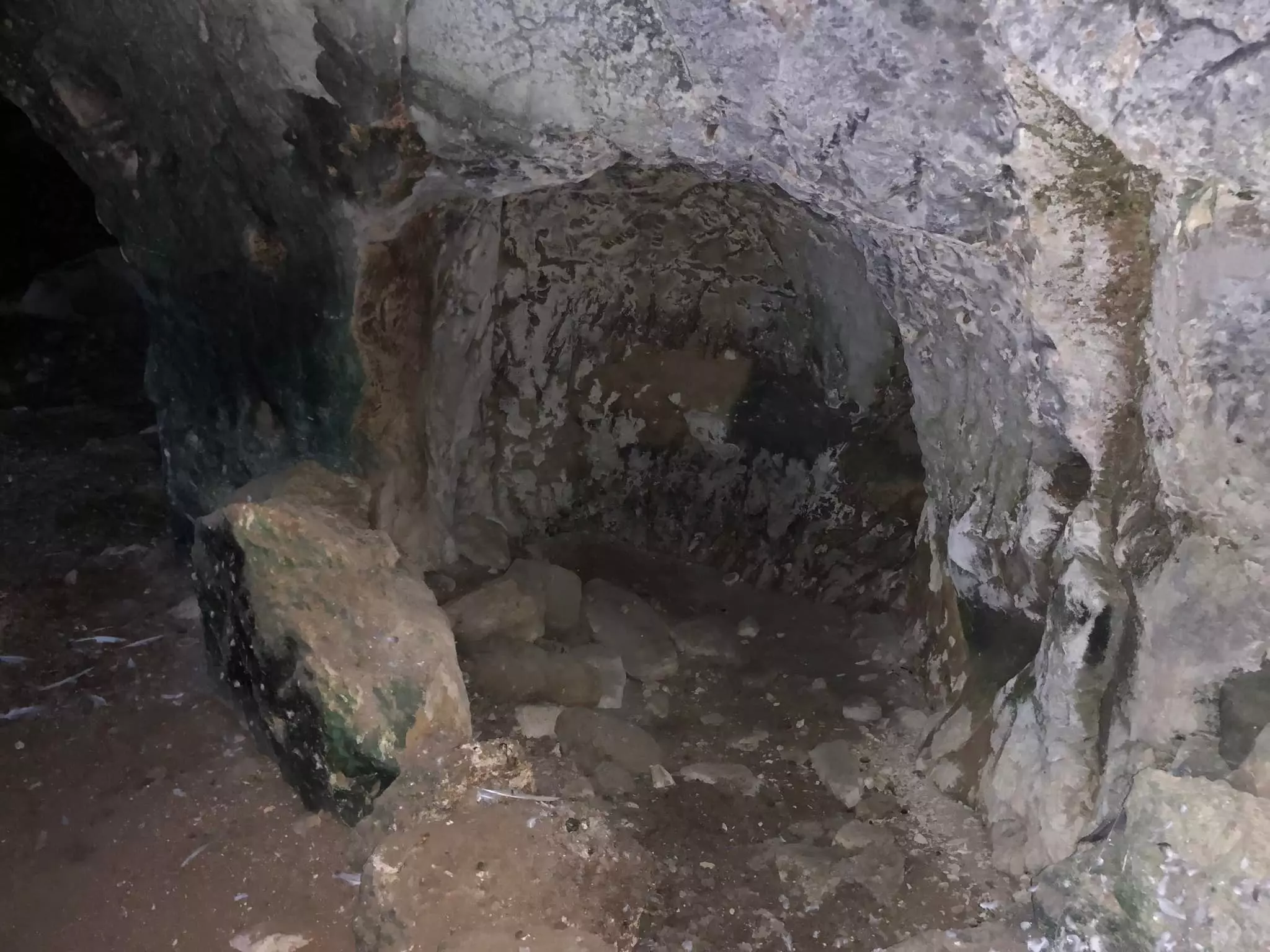
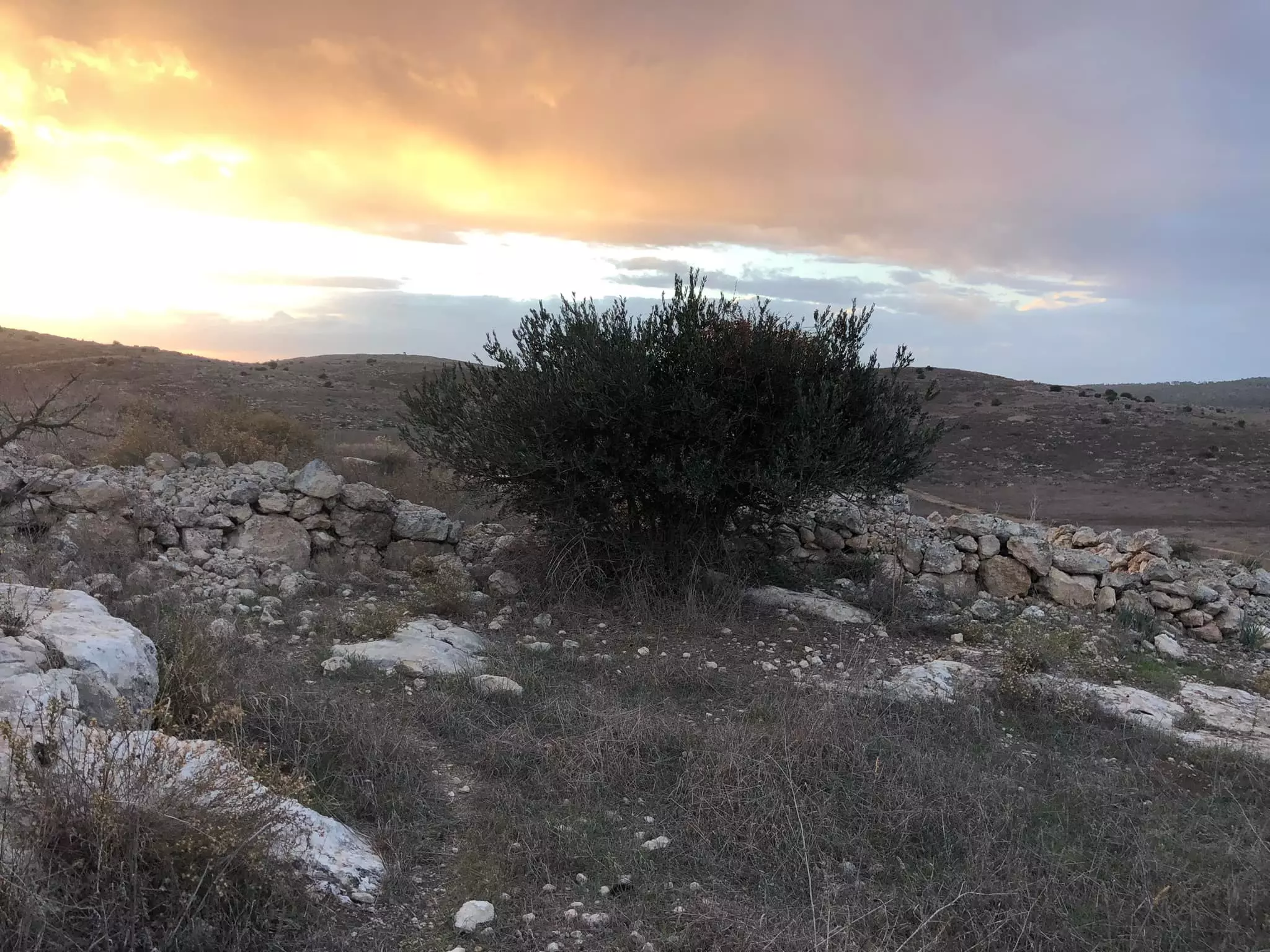
Posted by Uri Zackhem - أحد آبار او كهوف القرية، انقر الصورة لتكبيرها- 21 نوفمبر 2009
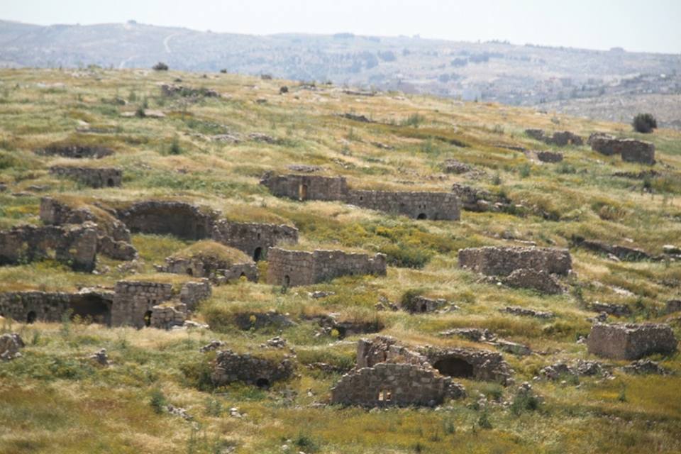
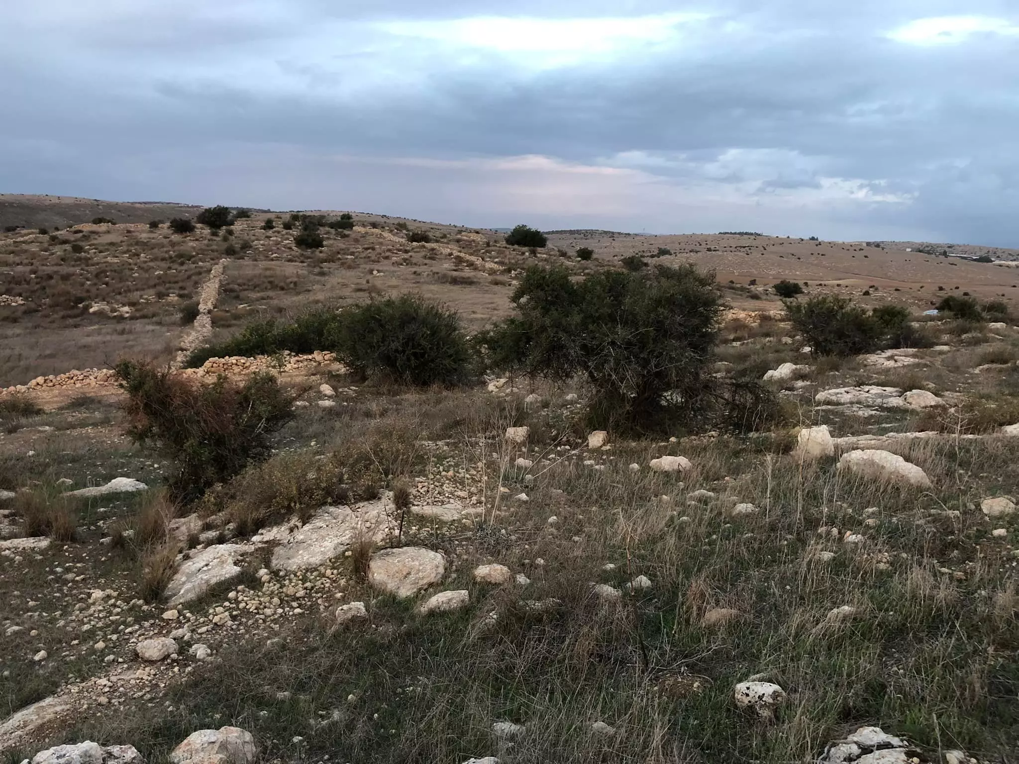
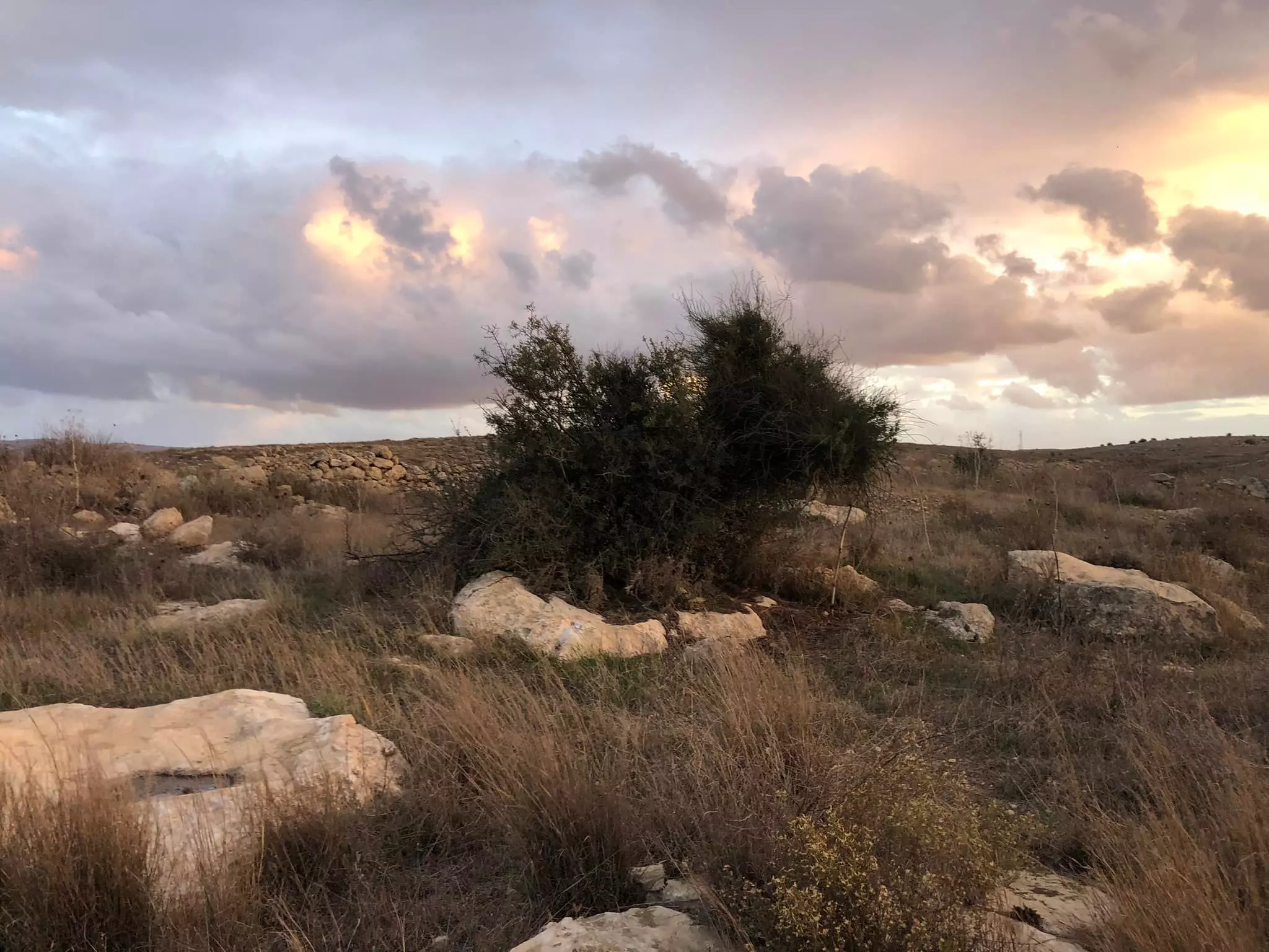
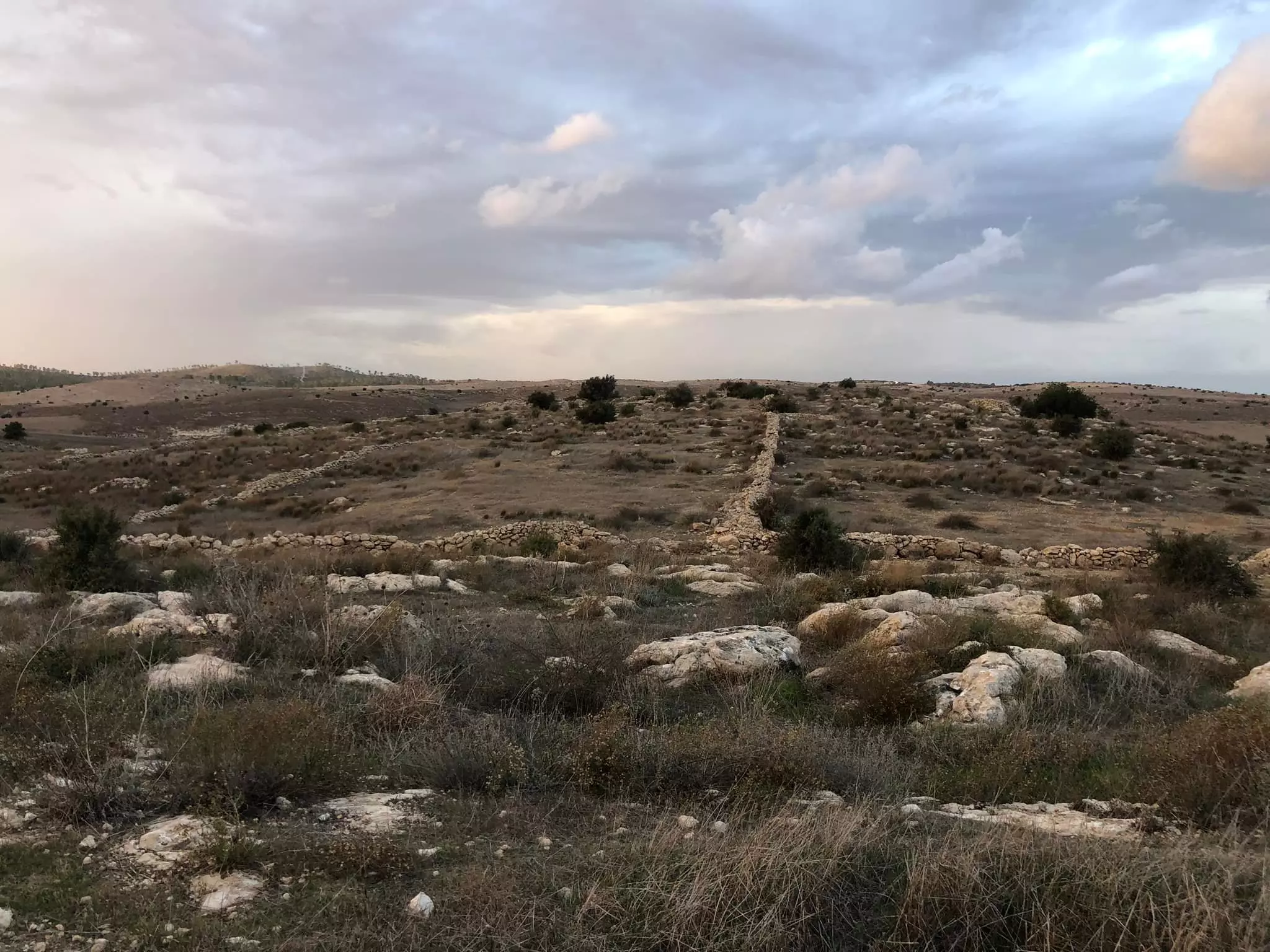
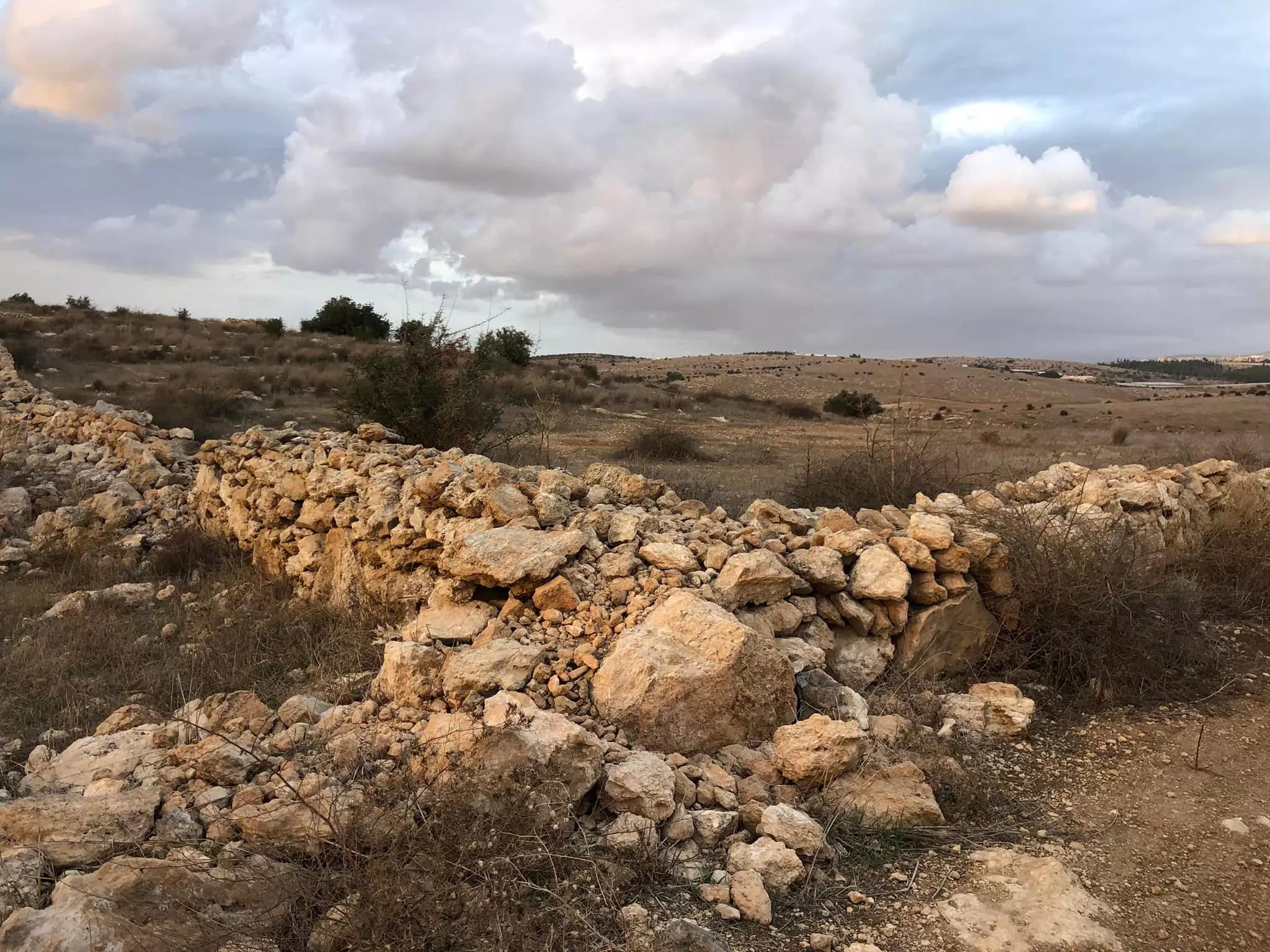
Posted by Uri Zackhem - منظر عام في القرية، انقر الصورة لتكبيرها- 21 نوفمبر 2009
Posted by Uri Zackhem 2 - منظر عام في القرية، انقر الصورة لتكبيرها- 21 نوفمبر 2009
Posted by Uri Zackhem - منظر عام في القرية، انقر الصورة لتكبيرها- 21 نوفمبر 2009
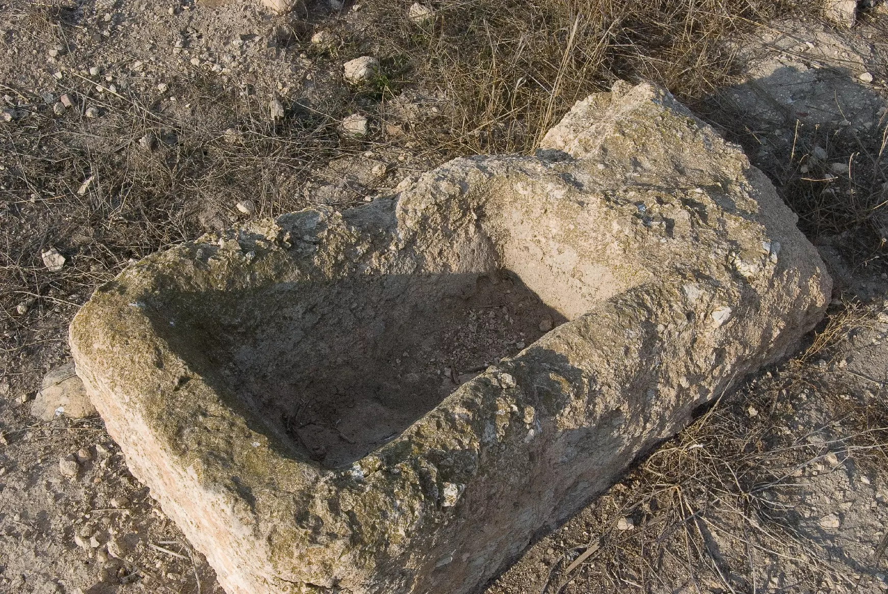
Posted by Uri Zackhem 2 - وعاء ماء حجري في القرية، انقر الصورة لتكبيرها- 21 نوفمبر 2009
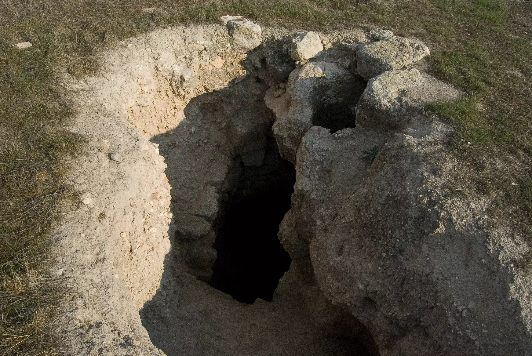
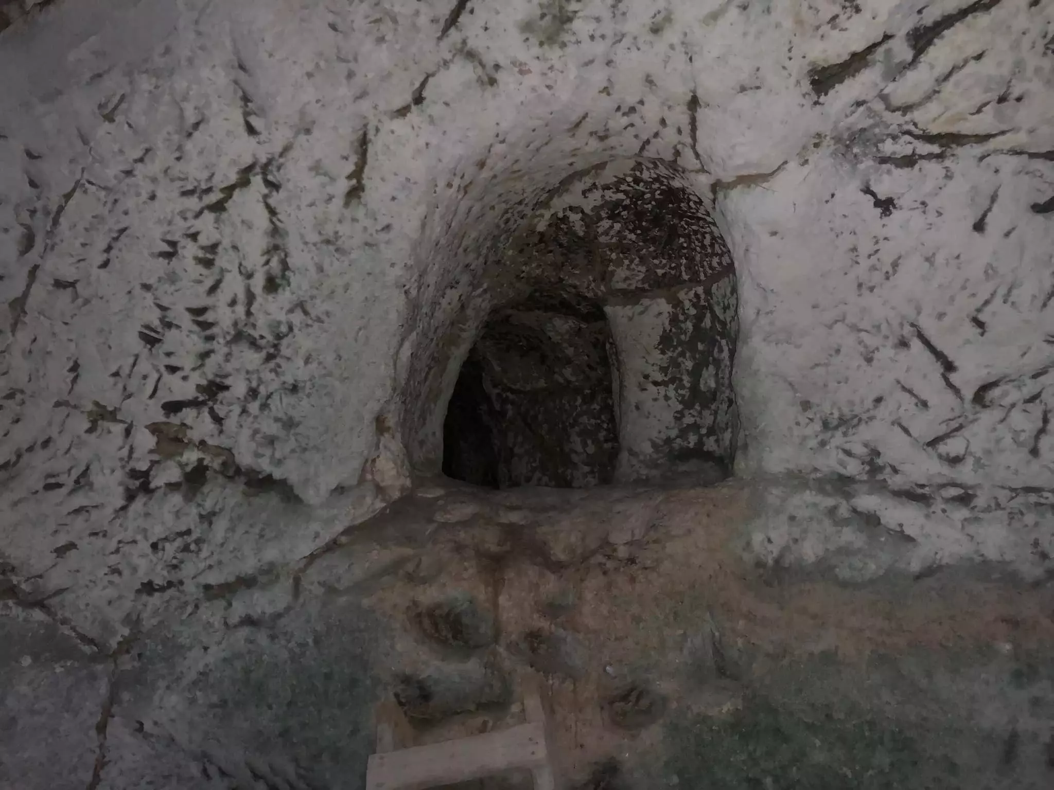
Posted by Uri Zackhem - أحد آبار القرية، انقر الصورة لتكبيرها- 21 نوفمبر 2009
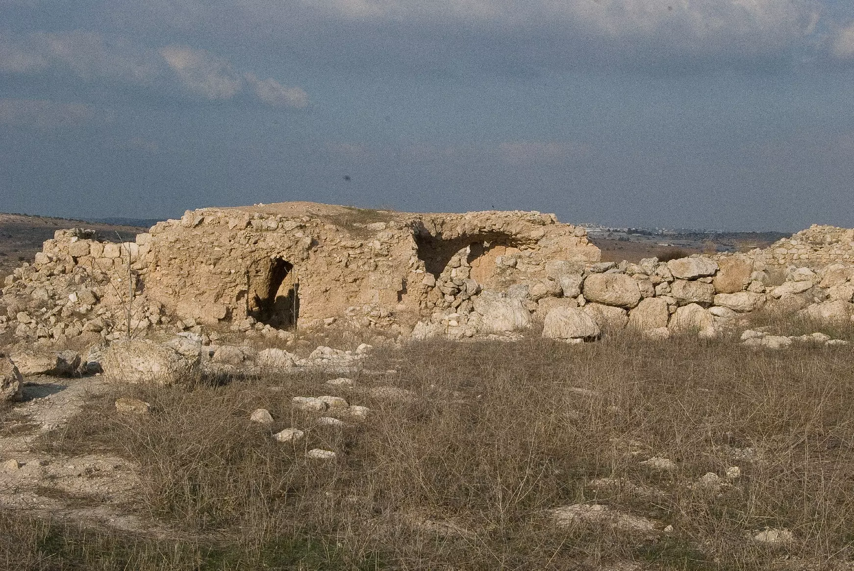
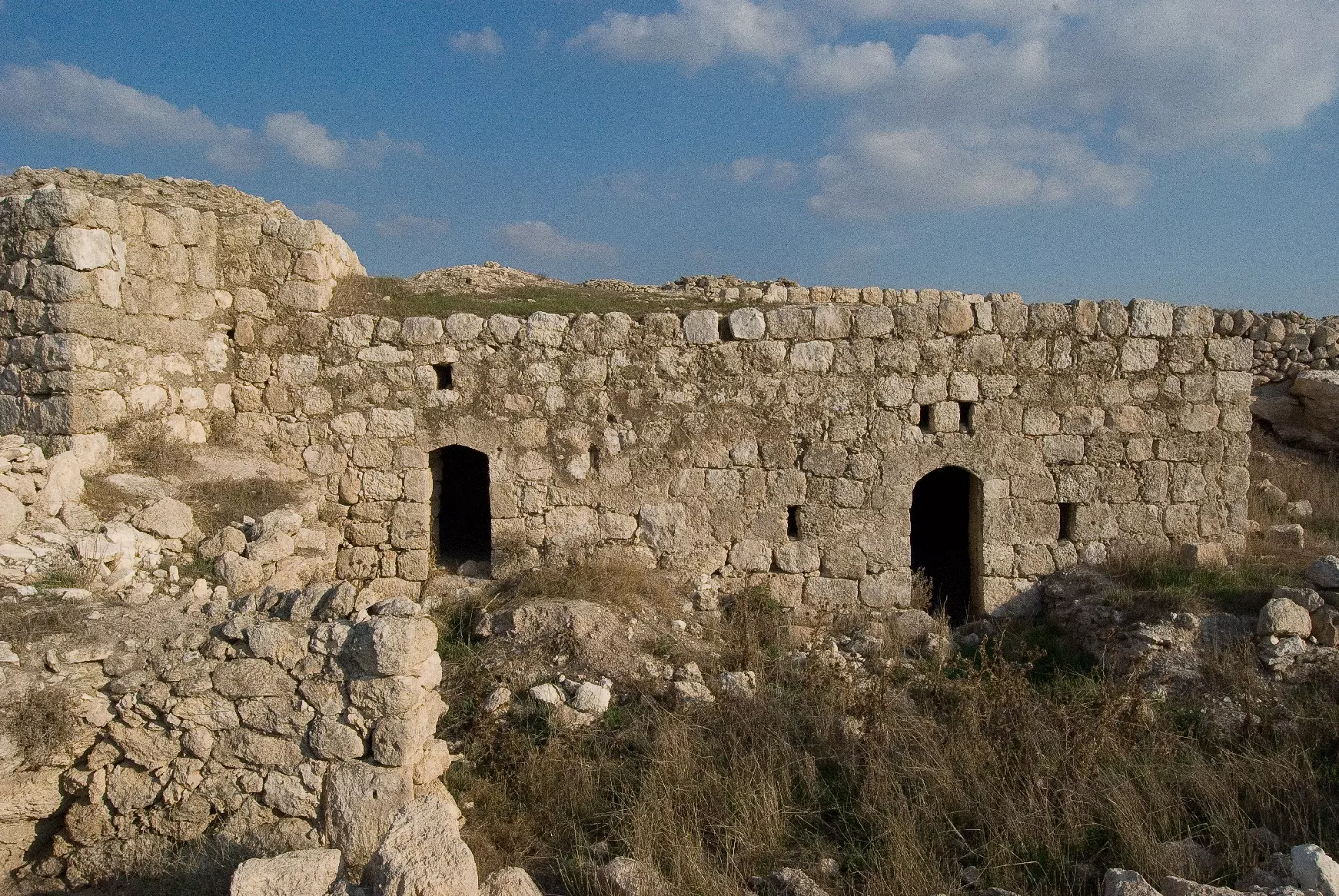
Posted by Uri Zackhem - منظر عام لبيوت القرية، انقر الصورة لتكبيرها- 21 نوفمبر 2009
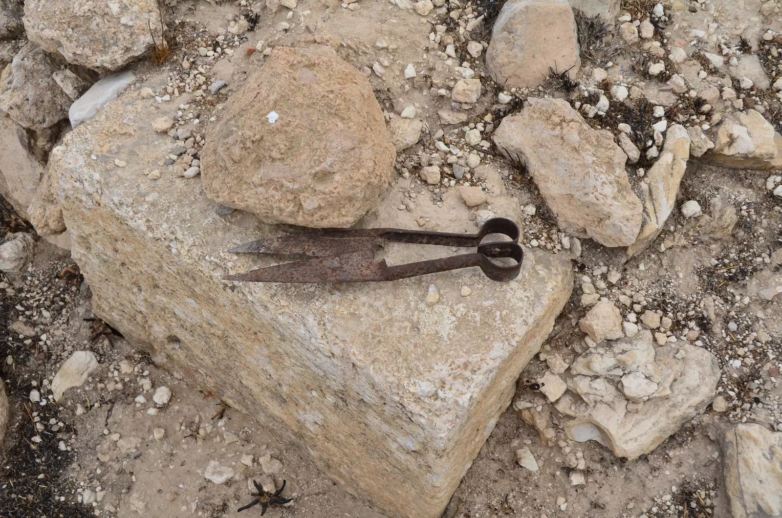
Posted by Uri Zackhem 1 - Sheep sheering scissors - found in the site
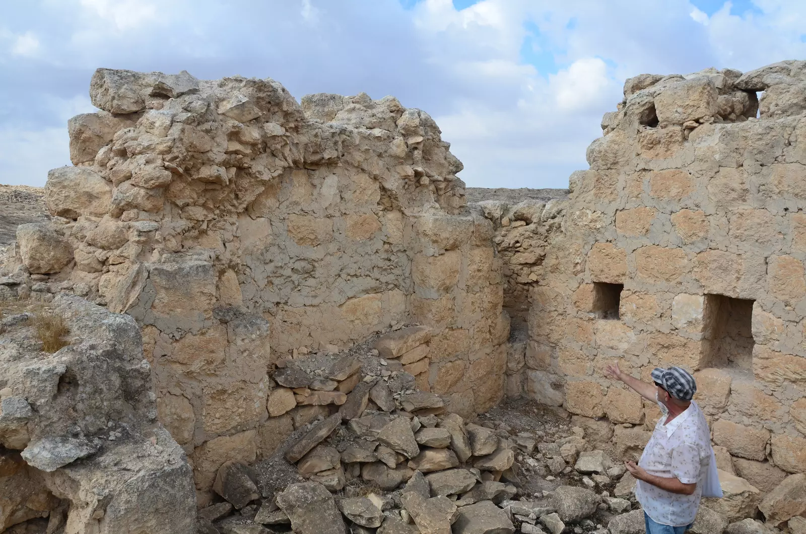
Posted by Uri Zackhem - They fled away before having completed the house.
Posted by Uri Zackhem - The roof stones are ready to be used.
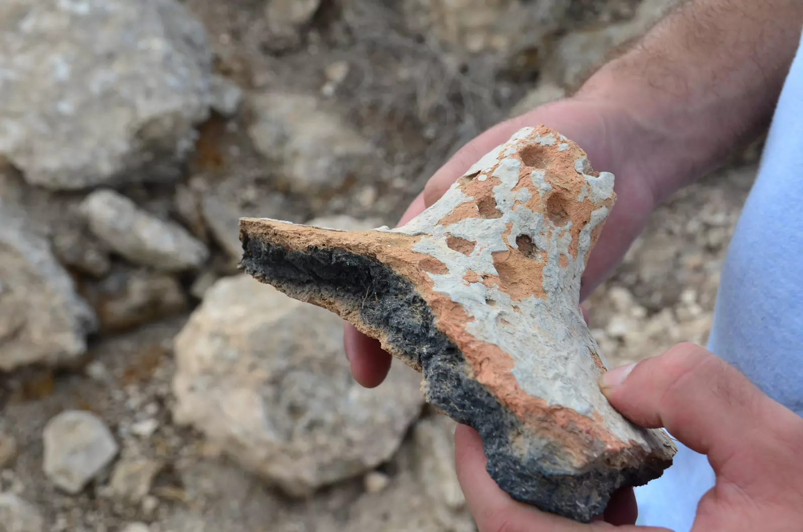
Posted by Uri Zackhem - Piece of unburnt pottery
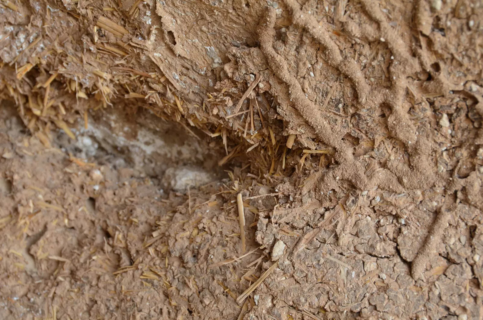
Posted by Uri Zackhem - Straw and mud plastering
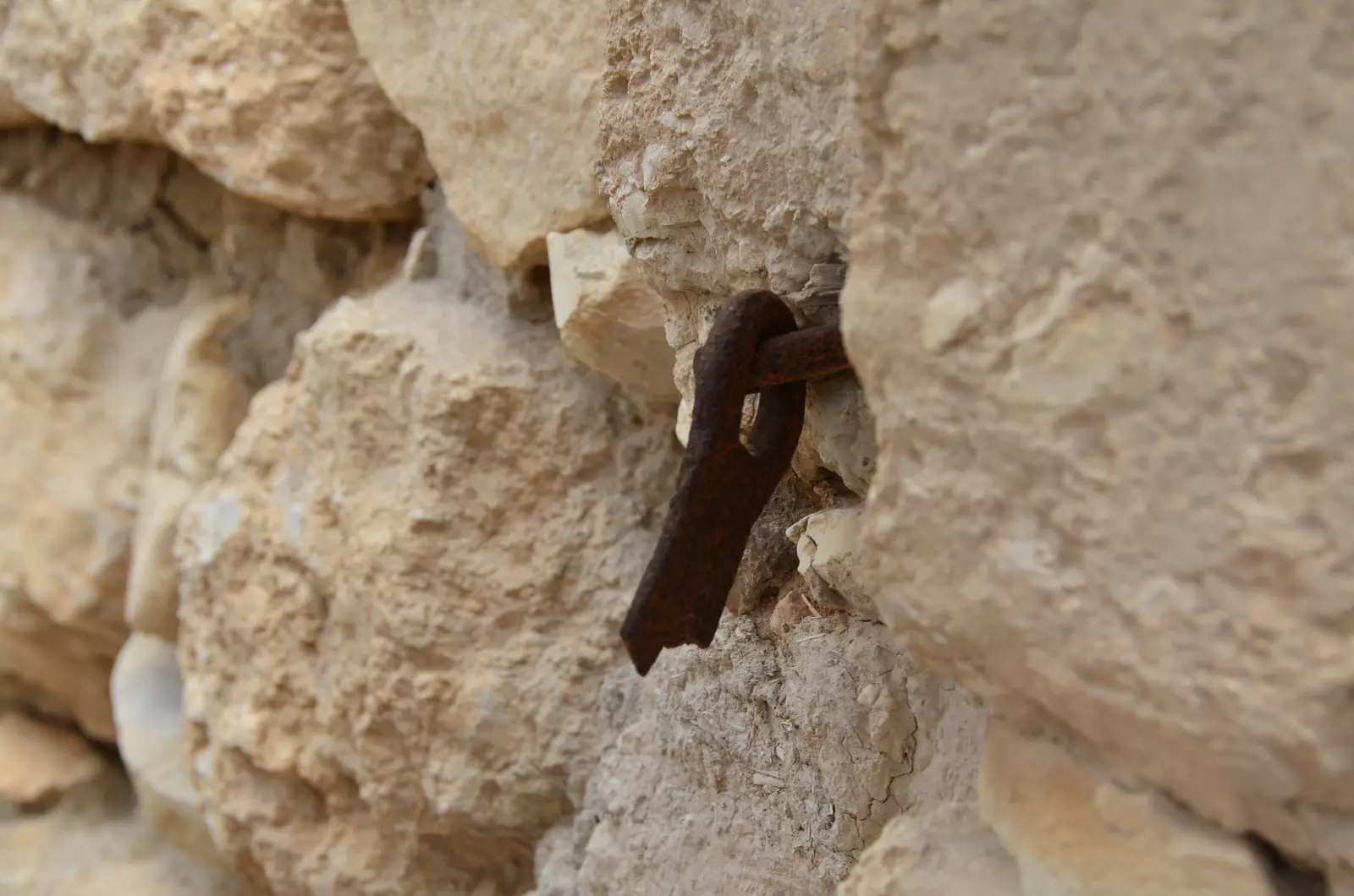
Posted by Uri Zackhem - Remains of a lock
Posted by Uri Zackhem - صجولة بين بيوت ام الشقف المهجرة
- صجولة بين بيوت ام الشقف المهجرة #2
- صجولة بين بيوت ام الشقف المهجرة #3
- صجولة بين بيوت ام الشقف المهجرة #4
- صجولة بين بيوت ام الشقف المهجرة #5
- صجولة بين بيوت ام الشقف المهجرة #6
- صجولة بين بيوت ام الشقف المهجرة #7
- صجولة بين بيوت ام الشقف المهجرة #8
- صجولة بين بيوت ام الشقف المهجرة #9
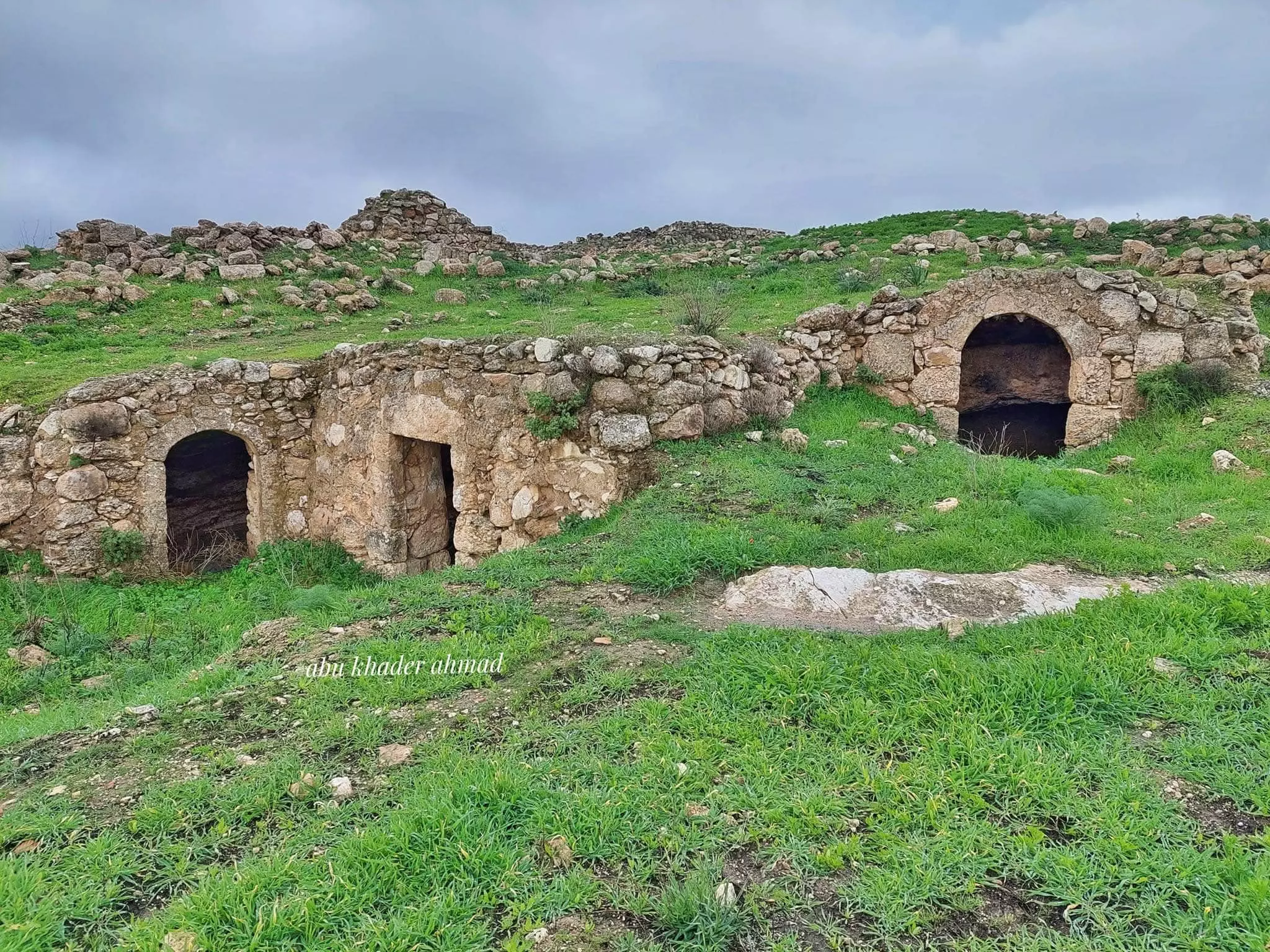
- جولة بين بيوت القرية المدمرة -- Abu Khader Ahmad Jbaren
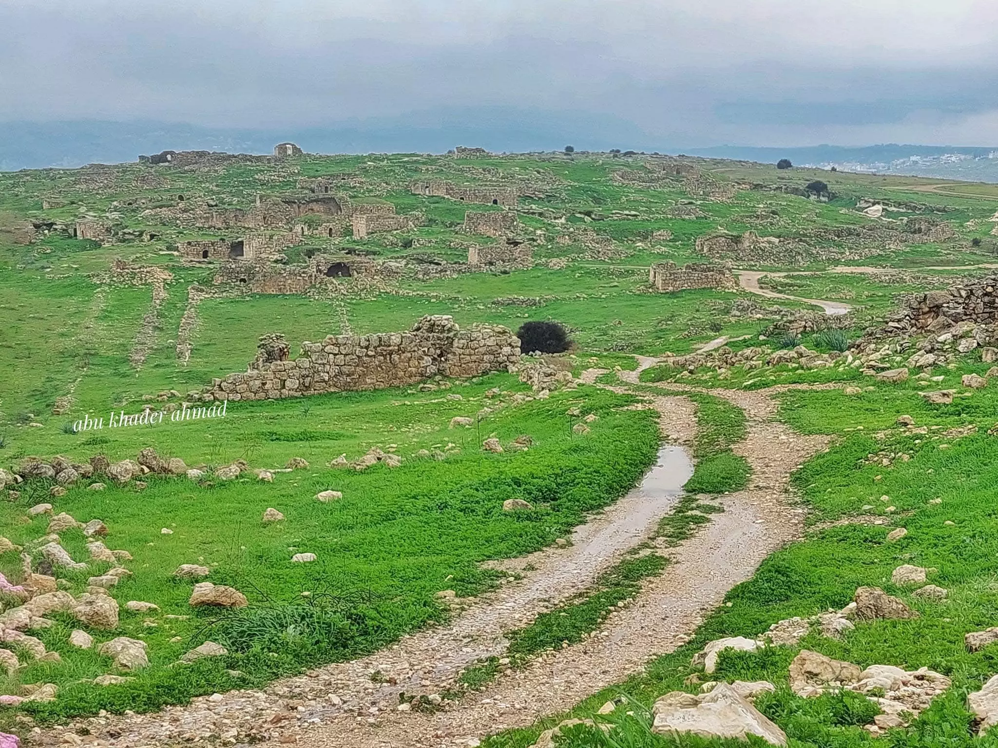
- جولة بين بيوت القرية المدمرة -- Abu Khader Ahmad Jbaren #2
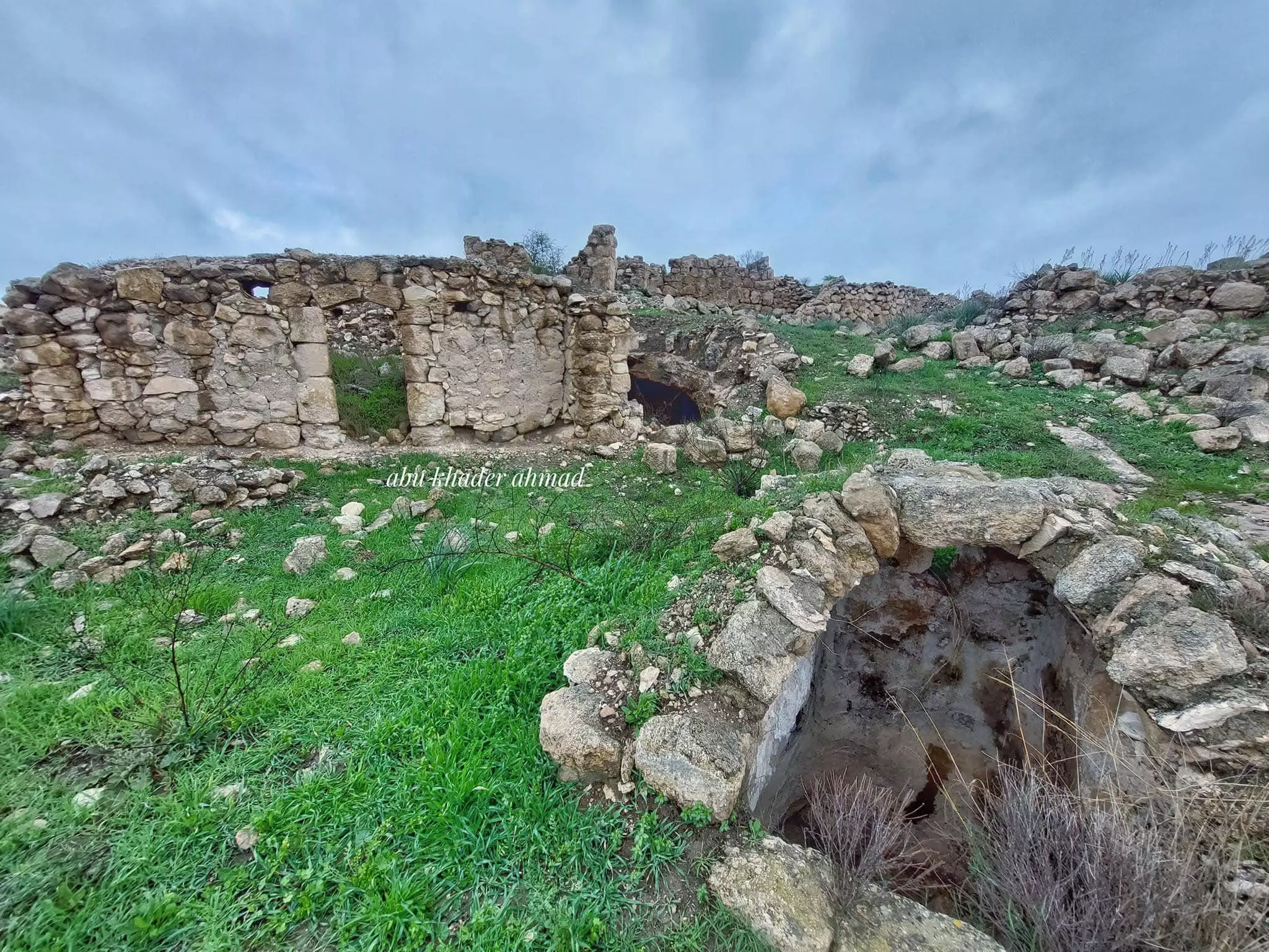
- جولة بين بيوت القرية المدمرة -- Abu Khader Ahmad Jbaren #3
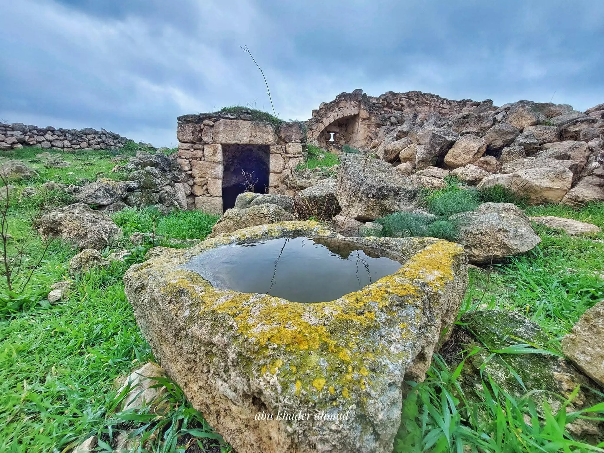
- جولة بين بيوت القرية المدمرة -- Abu Khader Ahmad Jbaren #4
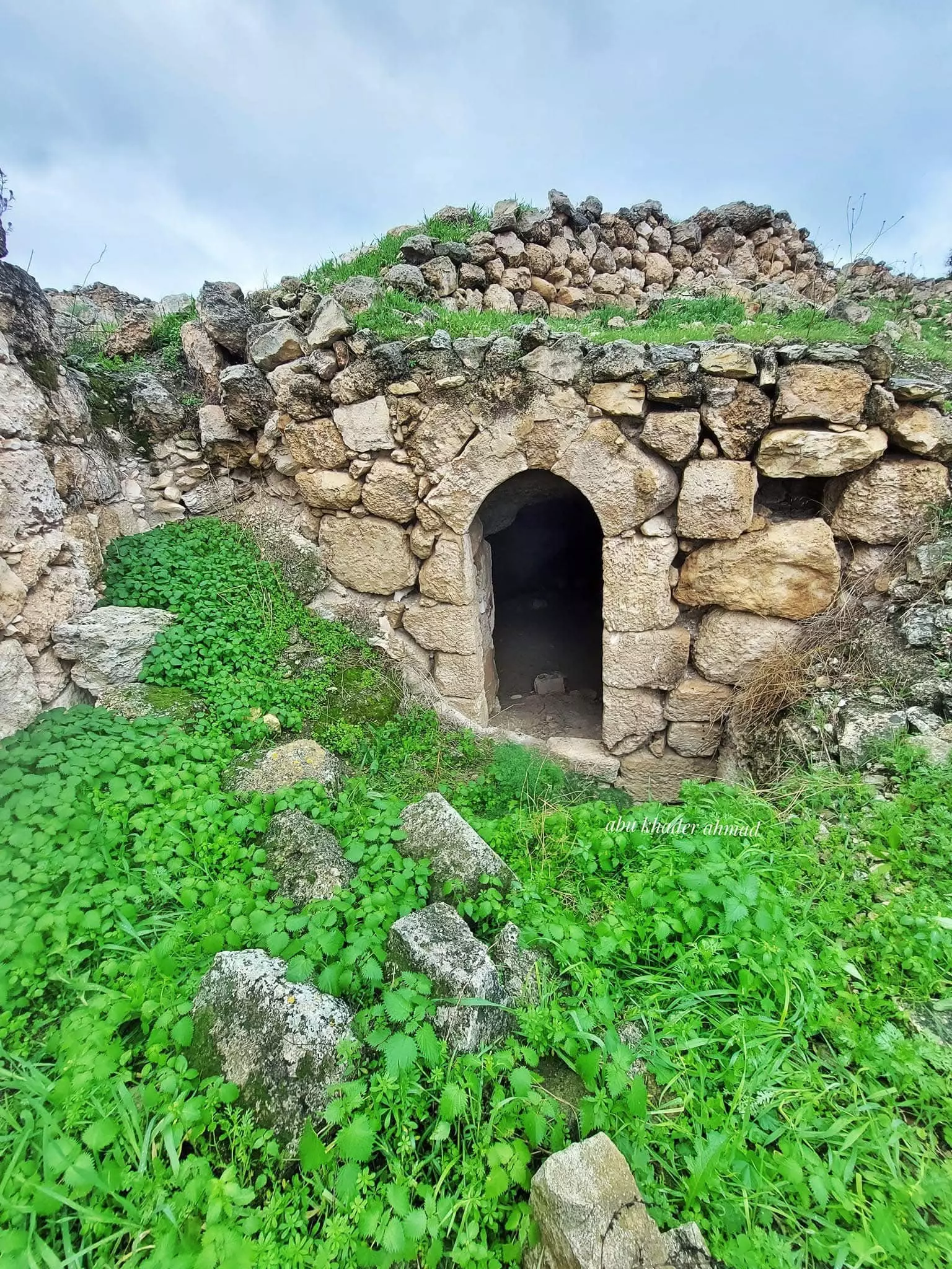
- جولة بين بيوت القرية المدمرة -- Abu Khader Ahmad Jbaren #5
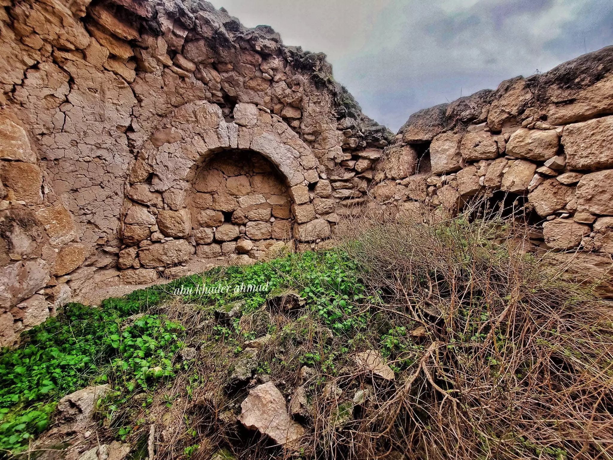
- جولة بين بيوت القرية المدمرة -- Abu Khader Ahmad Jbaren #6
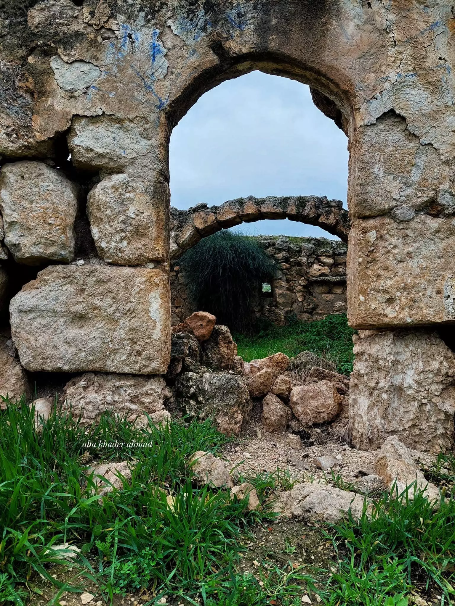
- جولة بين بيوت القرية المدمرة -- Abu Khader Ahmad Jbaren #7
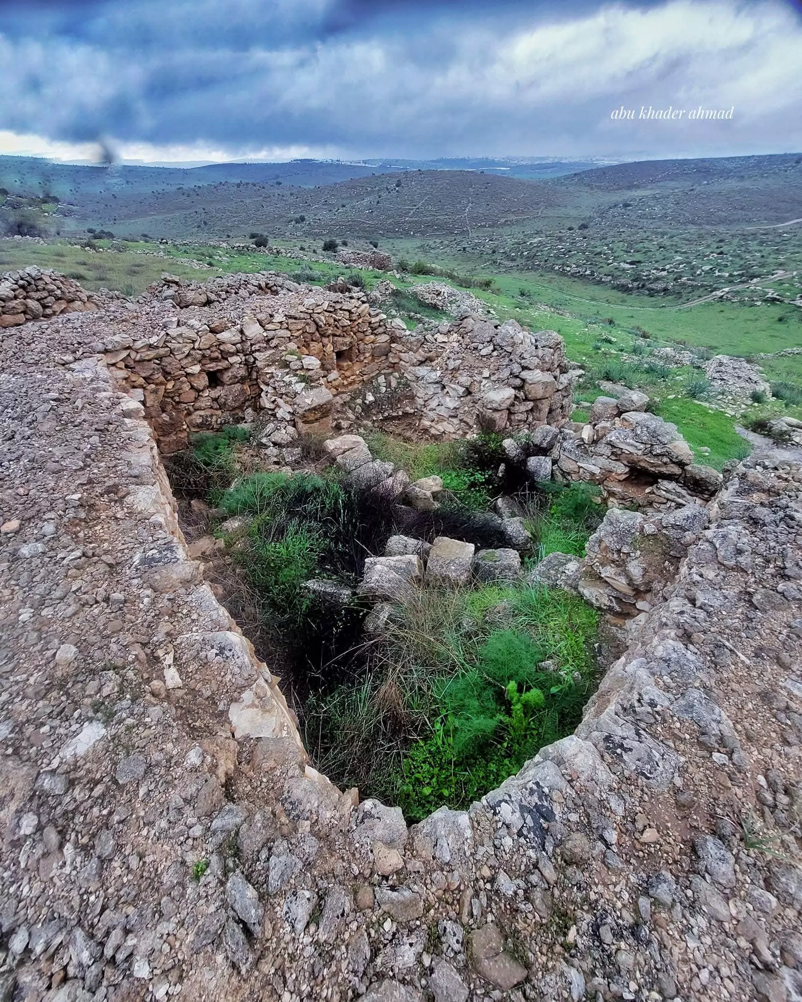
- جولة بين بيوت القرية المدمرة -- Abu Khader Ahmad Jbaren #8
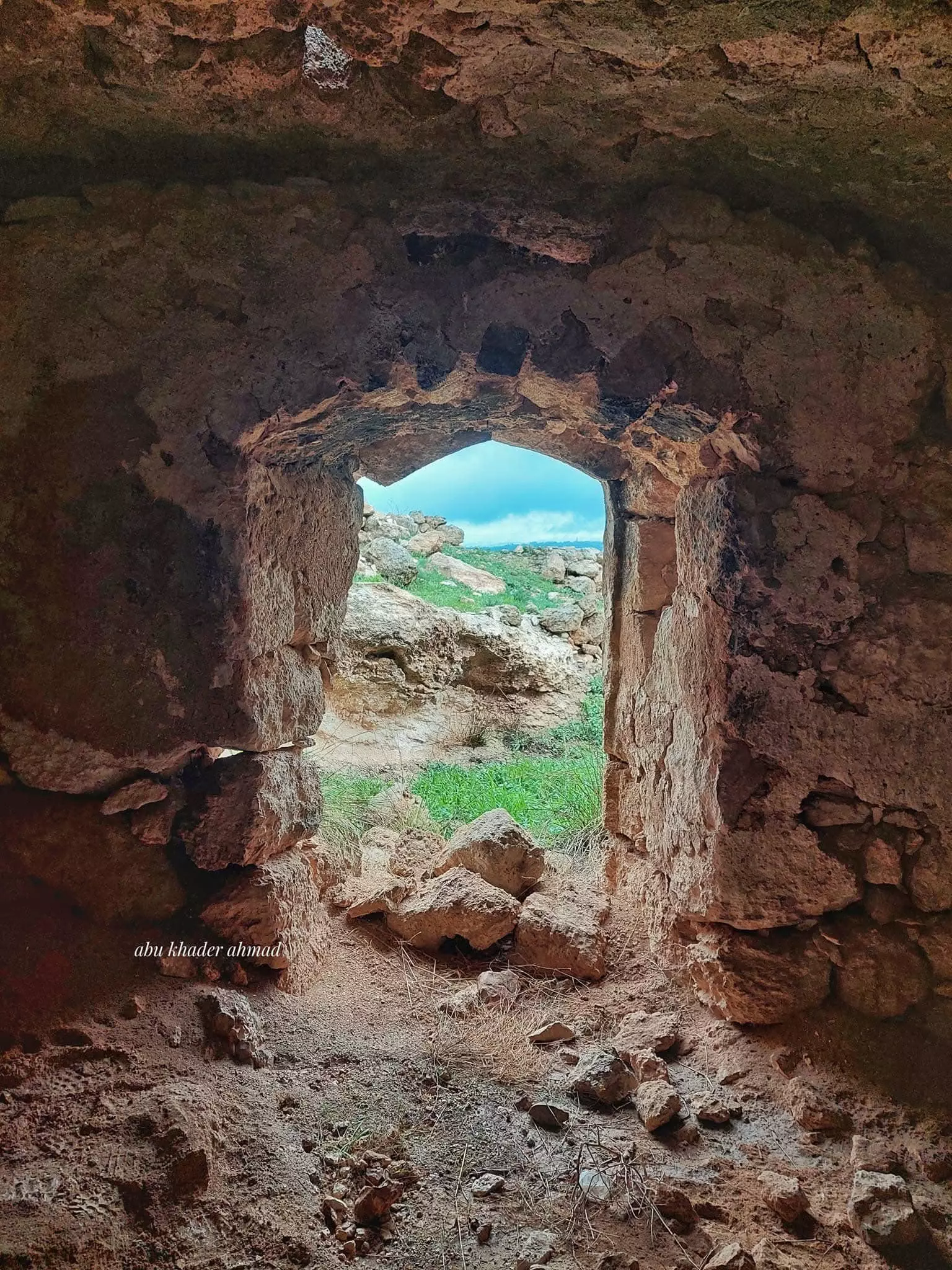
- جولة بين بيوت القرية المدمرة -- Abu Khader Ahmad Jbaren #9
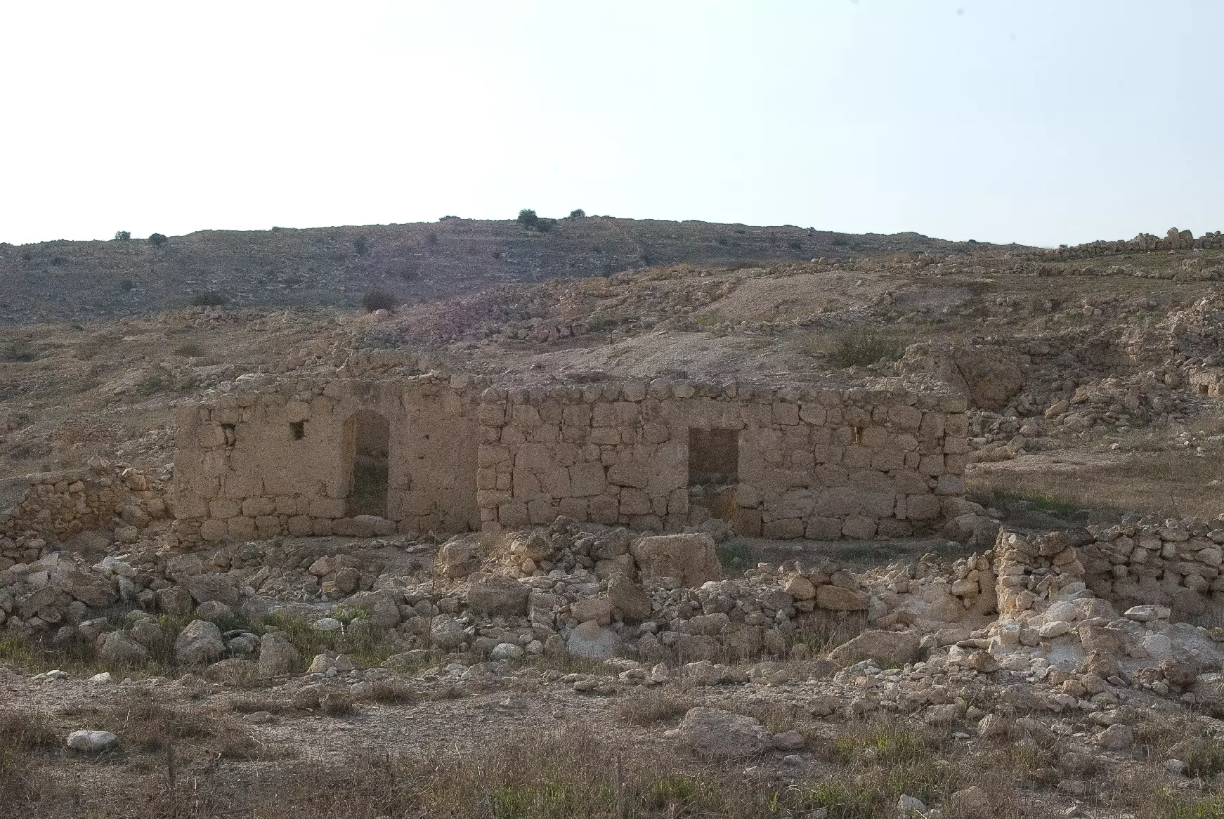
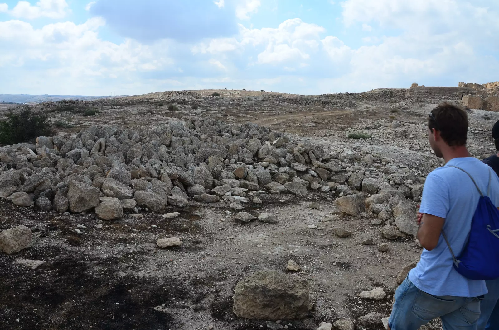
- The "civilized" obliterated, as you see below, our village way after the battle to hinder our return. How else will Jews become great & safe again? -- خربة ام الشقف باتت أثر بعد عين. من هنا مر الهمجّ
- The "civilized" obliterated, as you see below, our village way after the battle to hinder our return. How else will Jews become great & safe again? -- خربة ام الشقف باتت أثر بعد عين. من هنا مر الهمجّ
#2
- The "civilized" obliterated, as you see below, our village way after the battle to hinder our return. How else will Jews become great & safe again? -- خربة ام الشقف باتت أثر بعد عين. من هنا مر الهمجّ
#3
- The "civilized" obliterated, as you see below, our village way after the battle to hinder our return. How else will Jews become great & safe again? -- خربة ام الشقف باتت أثر بعد عين. من هنا مر الهمجّ
#4
- The "civilized" obliterated, as you see below, our village way after the battle to hinder our return. How else will Jews become great & safe again? -- خربة ام الشقف باتت أثر بعد عين. من هنا مر الهمجّ
#5
- The "civilized" obliterated, as you see below, our village way after the battle to hinder our return. How else will Jews become great & safe again? -- خربة ام الشقف باتت أثر بعد عين. من هنا مر الهمجّ
#6
- The "civilized" obliterated, as you see below, our village way after the battle to hinder our return. How else will Jews become great & safe again? -- خربة ام الشقف باتت أثر بعد عين. من هنا مر الهمجّ
#7
- The "civilized" obliterated, as you see below, our village way after the battle to hinder our return. How else will Jews become great & safe again? -- خربة ام الشقف باتت أثر بعد عين. من هنا مر الهمجّ
#8
- The "civilized" obliterated, as you see below, our village way after the battle to hinder our return. How else will Jews become great & safe again? -- خربة ام الشقف باتت أثر بعد عين. من هنا مر الهمجّ
#9
- The "civilized" obliterated, as you see below, our village way after the battle to hinder our return. How else will Jews become great & safe again? -- خربة ام الشقف باتت أثر بعد عين. من هنا مر الهمجّ
#10
- The "civilized" obliterated, as you see below, our village way after the battle to hinder our return. How else will Jews become great & safe again? -- خربة ام الشقف باتت أثر بعد عين. من هنا مر الهمجّ
#11
- The "civilized" obliterated, as you see below, our village way after the battle to hinder our return. How else will Jews become great & safe again? -- خربة ام الشقف باتت أثر بعد عين. من هنا مر الهمجّ
#12
- The "civilized" obliterated, as you see below, our village way after the battle to hinder our return. How else will Jews become great & safe again? -- خربة ام الشقف باتت أثر بعد عين. من هنا مر الهمجّ
#13
- The "civilized" obliterated, as you see below, our village way after the battle to hinder our return. How else will Jews become great & safe again? -- خربة ام الشقف باتت أثر بعد عين. من هنا مر الهمجّ
#14
- The "civilized" obliterated, as you see below, our village way after the battle to hinder our return. How else will Jews become great & safe again? -- خربة ام الشقف باتت أثر بعد عين. من هنا مر الهمجّ
#15
- The "civilized" obliterated, as you see below, our village way after the battle to hinder our return. How else will Jews become great & safe again? -- خربة ام الشقف باتت أثر بعد عين. من هنا مر الهمجّ
#16
- The "civilized" obliterated, as you see below, our village way after the battle to hinder our return. How else will Jews become great & safe again? -- خربة ام الشقف باتت أثر بعد عين. من هنا مر الهمجّ
#17
- The "civilized" obliterated, as you see below, our village way after the battle to hinder our return. How else will Jews become great & safe again? -- خربة ام الشقف باتت أثر بعد عين. من هنا مر الهمجّ
#18
- The "civilized" obliterated, as you see below, our village way after the battle to hinder our return. How else will Jews become great & safe again? -- خربة ام الشقف باتت أثر بعد عين. من هنا مر الهمجّ
#19
- The "civilized" obliterated, as you see below, our village way after the battle to hinder our return. How else will Jews become great & safe again? -- خربة ام الشقف باتت أثر بعد عين. من هنا مر الهمجّ
#20
- The "civilized" obliterated, as you see below, our village way after the battle to hinder our return. How else will Jews become great & safe again? -- خربة ام الشقف باتت أثر بعد عين. من هنا مر الهمجّ
#21
- The "civilized" obliterated, as you see below, our village way after the battle to hinder our return. How else will Jews become great & safe again? -- خربة ام الشقف باتت أثر بعد عين. من هنا مر الهمجّ
#22
- The "civilized" obliterated, as you see below, our village way after the battle to hinder our return. How else will Jews become great & safe again? -- خربة ام الشقف باتت أثر بعد عين. من هنا مر الهمجّ
#23
- The "civilized" obliterated, as you see below, our village way after the battle to hinder our return. How else will Jews become great & safe again? -- خربة ام الشقف باتت أثر بعد عين. من هنا مر الهمجّ
#24
- The "civilized" obliterated, as you see below, our village way after the battle to hinder our return. How else will Jews become great & safe again? -- خربة ام الشقف باتت أثر بعد عين. من هنا مر الهمجّ
#25
Want to browse more? 80,000 pictures were grouped in these gallaries:
| Display Name | Clan/Hamolah | Country of Residence |
- كل ما تبقى من ام الشُقف منذ النكبة Duration: 9 min 9 sec
- Return to Khirbet Umm a Shaqaf 21/09/13
- قرية أم الشقف المهجرة ،مراسلون،10.3.2019.- قناة مساواة الفضائية Duration: 3 min 30 sec
- مدينة في أسفلها مدينة شاھد جمال البيوت القديمة في قرية او ما يسمى خربة ام الشقف المھجرة . Duration: 2 min 31 sec
No links have been shared yet, be free to the first to share the first link.
 Fake Valor: Why Did Zionist Jews Hoist Nazis Flag on Their Ships in the 1930s?
What is new?
-
Facts About Oct. 7th Gaza Raid

-
Remined Us Please:: Who Did Rape Who? Palestinians Raped Israelis? Or, was the other way around?
-
When Prof. Edward Said was invited to debate Bibi Netanyahu in the 1980s, watch what happened!
-
Abusing Blood Libel!
-
Zionist FAQ: Isn't it true that Palestinians don't want peace? Palestinians never accepted the two-state solution
- Facts about Haavara (Transfer) Agreement between Ben-Gurion & Hitler
-
Haavara FAQs: Why Did Zionist Jews Hoist Nazis' Flags on Their Ships in the 1930s?
-
Dear ChatGPT: Why did the Jewish Agency suppress news of the Holocaust during WWII?
-
Video Playlist: Jews share their DNA tests to end the conflict for good.
-
A Tale of Two Conflicts: Examining the Definition of Genocide
-
Prof. Abraham Polak And The Suppressed History of the Khazars and European Jewry
-
How Ronald Reagan would have framed the genocide in Gaza if he were still alive?
-
Haavara FAQs: Let us do the math: how many German Jews did The Haavara Agreement save?
-
Zionist FAQs: The Hebron Massacre of 1929, "clearly proves" that Palestinians are antisemitic, how could you deny it?
-
Zionist FAQs: Why Anti-Zionist Is Not Antisemitism?
-
Zionist FAQs: Isn't it true that the KGB create Palestinian Nationalism in the early 1960s?
- Zionist FAQs: Muslims are killing Muslims all the time; why are Israeli Jews being singled out in the media?
- Zionist FAQs: How is Israel an apartheid state when 20% of its citizens are Arabs who enjoy full rights?
-
Haavara FAQs: Analysis of Herzl's Uganda Scheme and how it could have saved millions of Jews.
-
Haavara FAQs: Why did Hayim Greenberg describe American Jewry as "morally bankrupt" in early 1943?
-
Haavara FAQs: What if the Evian Conference was a resounding success? What would have been the impact of saving European Jewry on Zionism?
- Haavara FAQs: What if the six million were saved, how that would have impacted the Zionist project?
-
Haavara FAQs: How did Zionist leaders react when Europe's Jews lingered in the DP camps after WWII ended?
-
Why does the American Jewish community repeat lies that David Ben-Gurion had debunked before he died?
-
Who has the power to rename the Tatar/Khazar Gene Marker to Jewish IV?
-
Zionist FAQs: Why won't Egypt, Syria, and Jordan take their people back? Jews are indigenous to Palestine, and Arabs immigrated after Jews developed the country. Arabs should leave.
-
Haavara FAQs: Did Hitler and the Nazis conflate between Judaism and Zionist? If that wasn't case, then why?
-
Haavara FAQs: Winston Churchill and antisemitism, a collection of articles written Churchill.
-
Haavara FAQs: Broken by country, how many Jews survived vs. killed during the Holocaust?
-
Haavara FAQs: Why did European Jews vote with their feet and to immigrated to the Americas, not Palestine, after WWII?
-
Watch this American Jewish Girl describing Israeli Jews' cognitive dissonance like no other in under two minutes
-
Haavara FAQs: When the Nazis went out of their way to hide the Holocaust, Israeli Jews did the exact opposite by broadcasting their genocide of Gazans. But why?
-
Haavara FAQs: How Zionist Jews went out of their to show their appreciation to Nazism and Fascism?
- Haavara FAQs: Why Zionist leaders were against bombing the death camps & the Railroads leading to them?
-
Haavara FAQs: Hitler's message to the British and American people: If Jews are such noble citizens and you care about them, how come you're not letting them in? I will gladly ship them to you at my expense, even on luxury liners!
-
A shortlist of Zionist and Israeli false flag operations in the name Jews.
-
The Most Moral Army
- The Land of Kapos (Israel): Where the brave are boycotted and Kapos walk free.
- Why did early Zionists often named their communal enterprises "colonial"?
- Zionist Relations with Nazi Germany by Faris Glubb
-
Two NY Times advertisements by Zionists in the early 1943 that exposes Zionists' treason at the height of the calamity
- Facts Not Lies about the Palestinian-Israeli Conflict.
- Site's pictures have been categorized
- Campgain Against Lice
- A Survey of Palestine, the official source about Palestine before Nakba produced by the British Mandate; over 1200 pages.
- Satellite View & Google Earth: Over 6,000 placemarks identifying all destroyed towns, W. Bank & Gaza Strip Towns, & refugee camps.
- PalestineRemembered.com and its Nakba Oral History Project were featured on al-Jazeera Satellite TV.
- Nakba Oral History Video Podcast:
 Over 700 Oral History interviews (including 3,500+ hours of recording) can be viewed online.
 - Palestine Village Statistics Project
- Gaza Jail Break
- النسخة العربية للموقع الان متوفرة
- Videos: Documenting the destroyed villages in video: Tracing all that remains since Nakba.
- Videos: Responding to Zionist Propaganda
- Interview: The ethnic cleansing of Palestine: George Galloway interviews Israeli Historian Ilan Pappe.
- For Palestinians, memory matters. It provides a blueprint for their future By George Bisharat.
- Zionist FAQ now available in Hebrew שאלות שציונים שואלים, עכשיו בעברית
- Video: The Stephen Walt and John Mearsheimer report on the influence of the Israel Lobby on U.S. Foreign Policy
- The Palestinian-Israeli conflict for beginners
