| PalestineRemembered | About Us | Oral History | العربية | |
| Pictures | Zionist FAQs | Haavara | Maps | |
| Search |
| Camps |
| Districts |
| Acre |
| Baysan |
| Beersheba |
| Bethlehem |
| Gaza |
| Haifa |
| Hebron |
| Jaffa |
| Jericho |
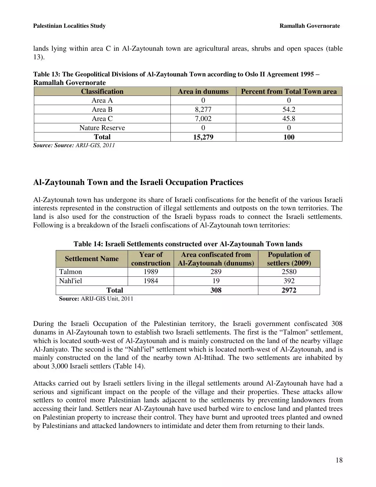
| Jerusalem |
| Jinin |
| Nablus |
| Nazareth |
| Ramallah |
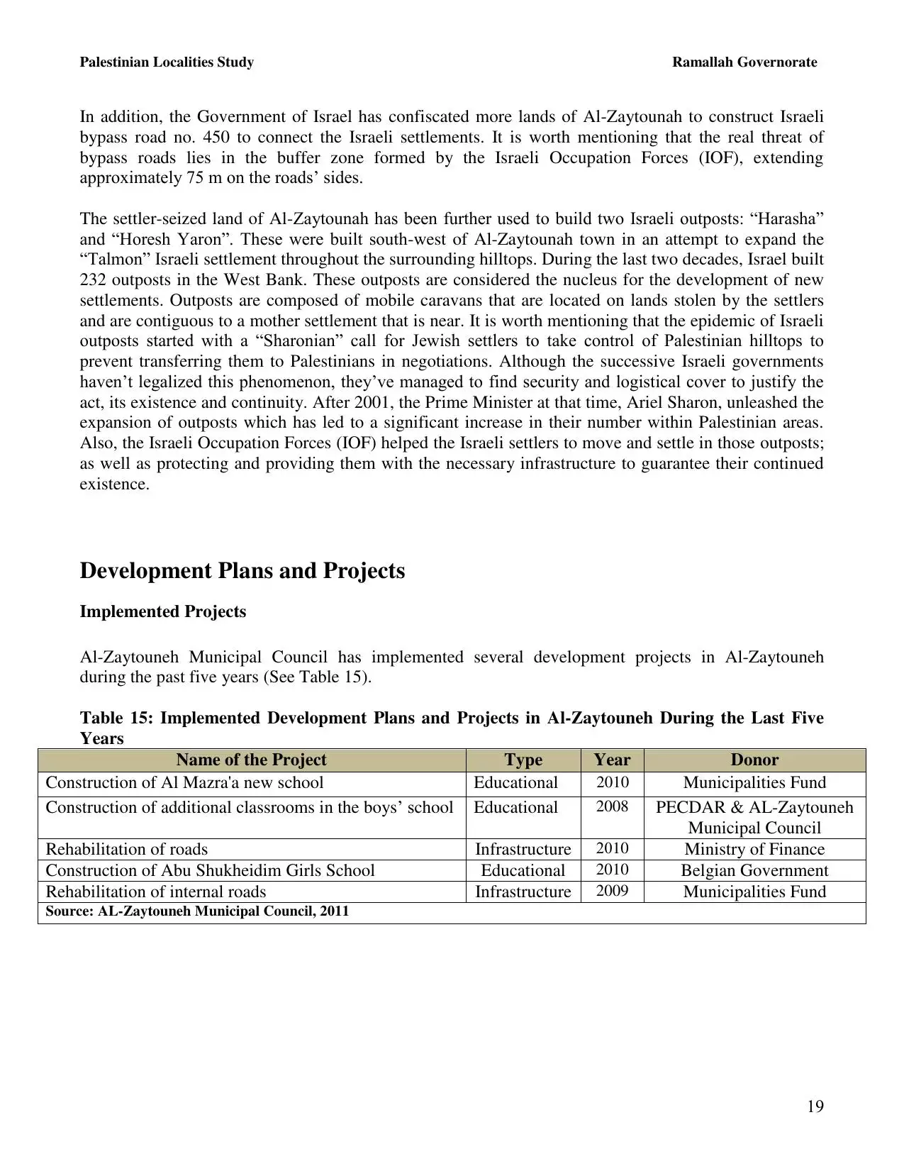
| al-Ramla |
| Safad |
| Tiberias |
| Tulkarm |
| Donate |
| Contact |
| Profile |
| Videos |
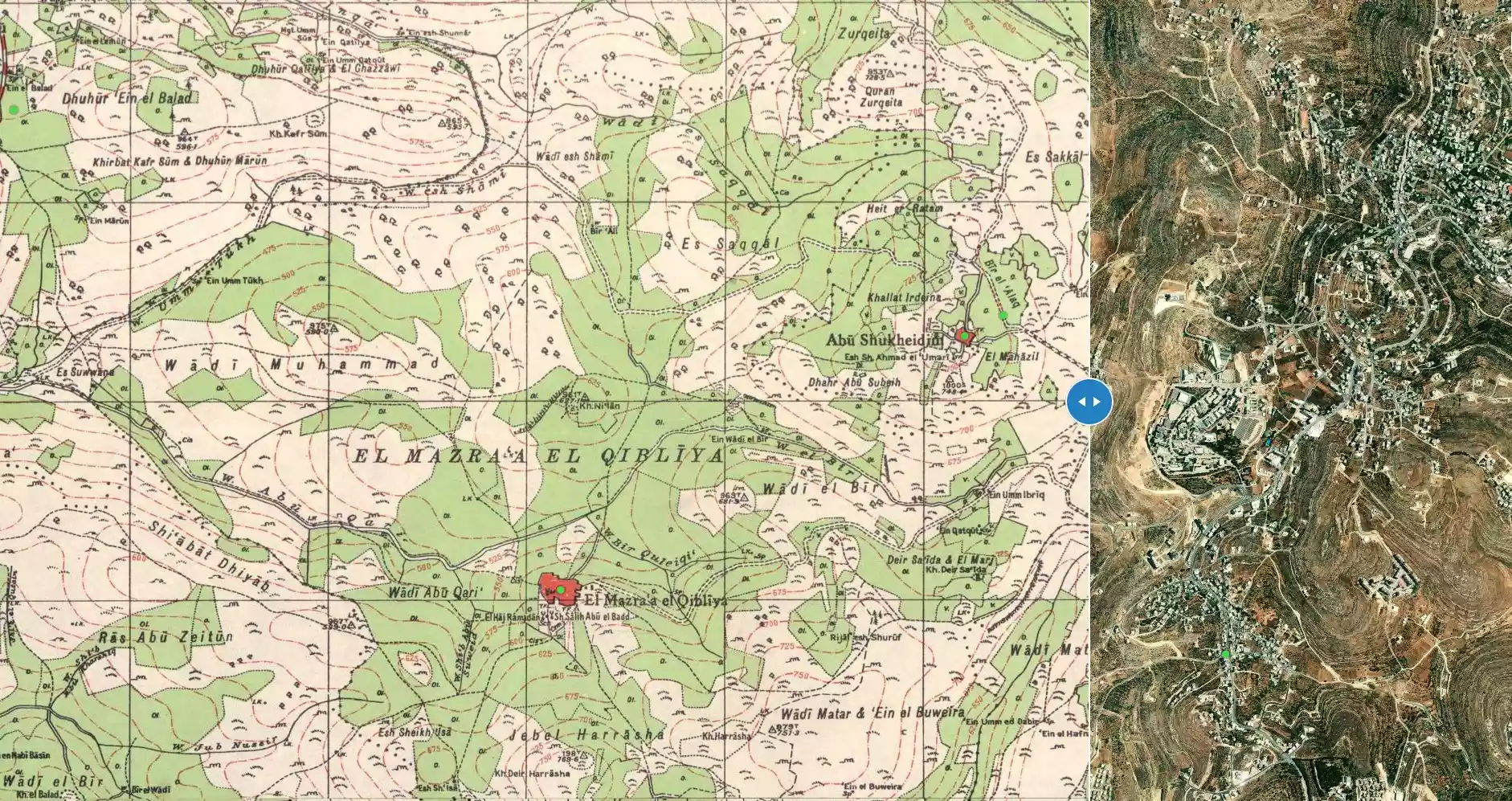
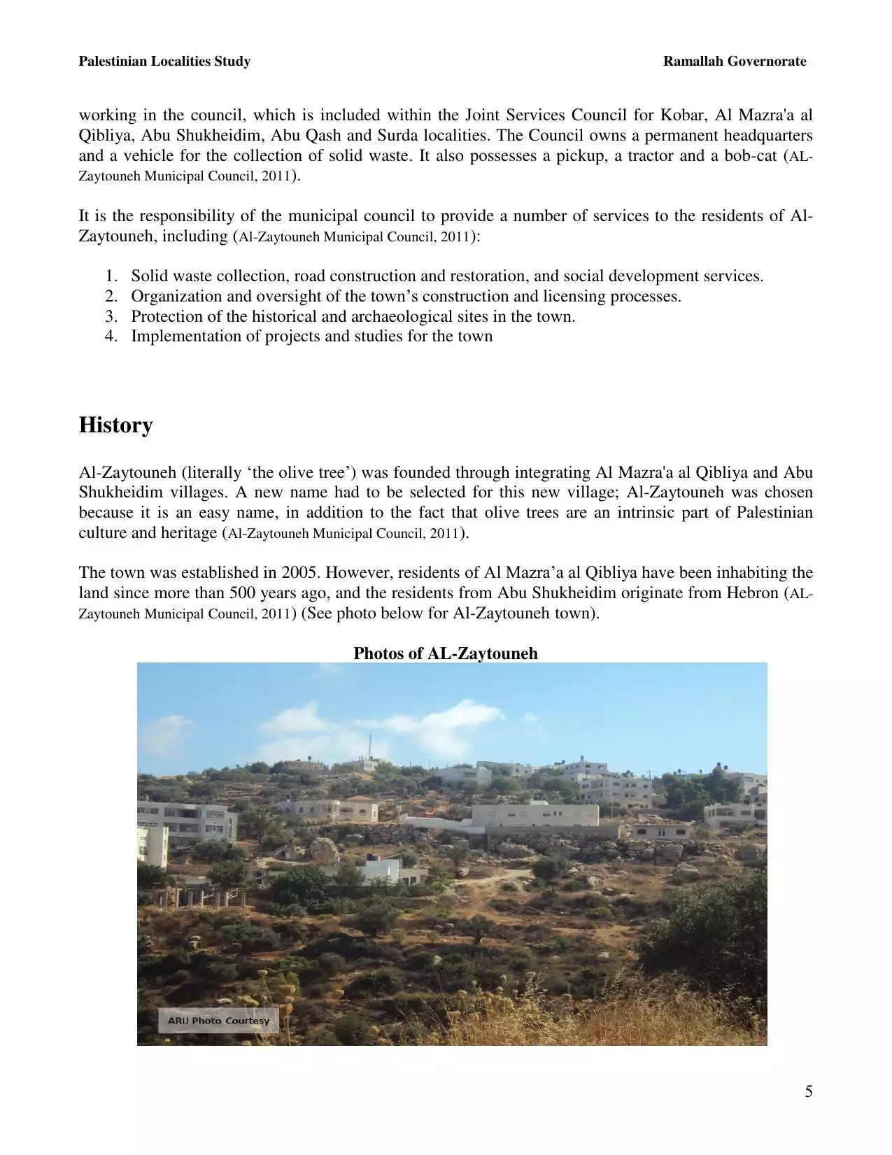
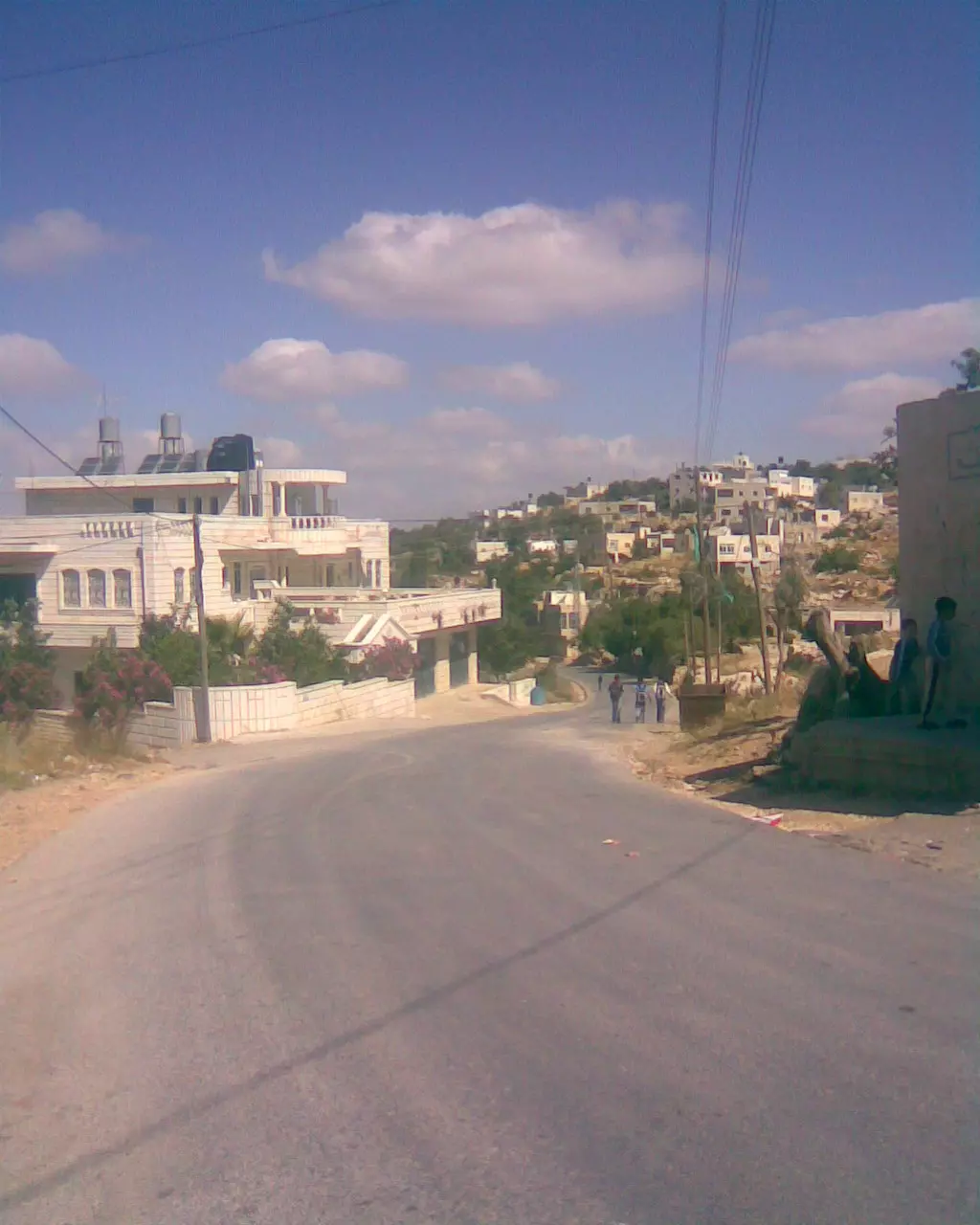
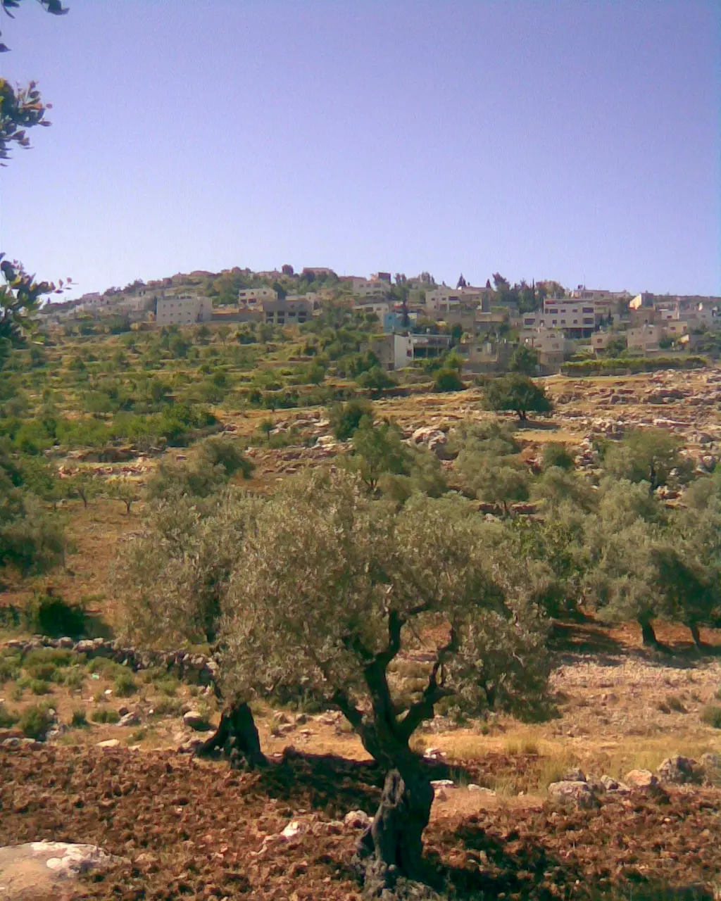
Welcome To al-Mazra'a al-Qibliya - المزرعه القبليه
|
District of Ramallah
Occupied days ago |
العربية Google Earth |
 |
Gallery (207) |
- Statistics & Facts
-
Before & After

- Satellite View
- Articles 6
- Pictures 207
- Mayrters & Prisoners 3
- Members 33
- Families
- Wikipedia
- ARIJ Guide
- Videos
- Guest Book 38
- Links
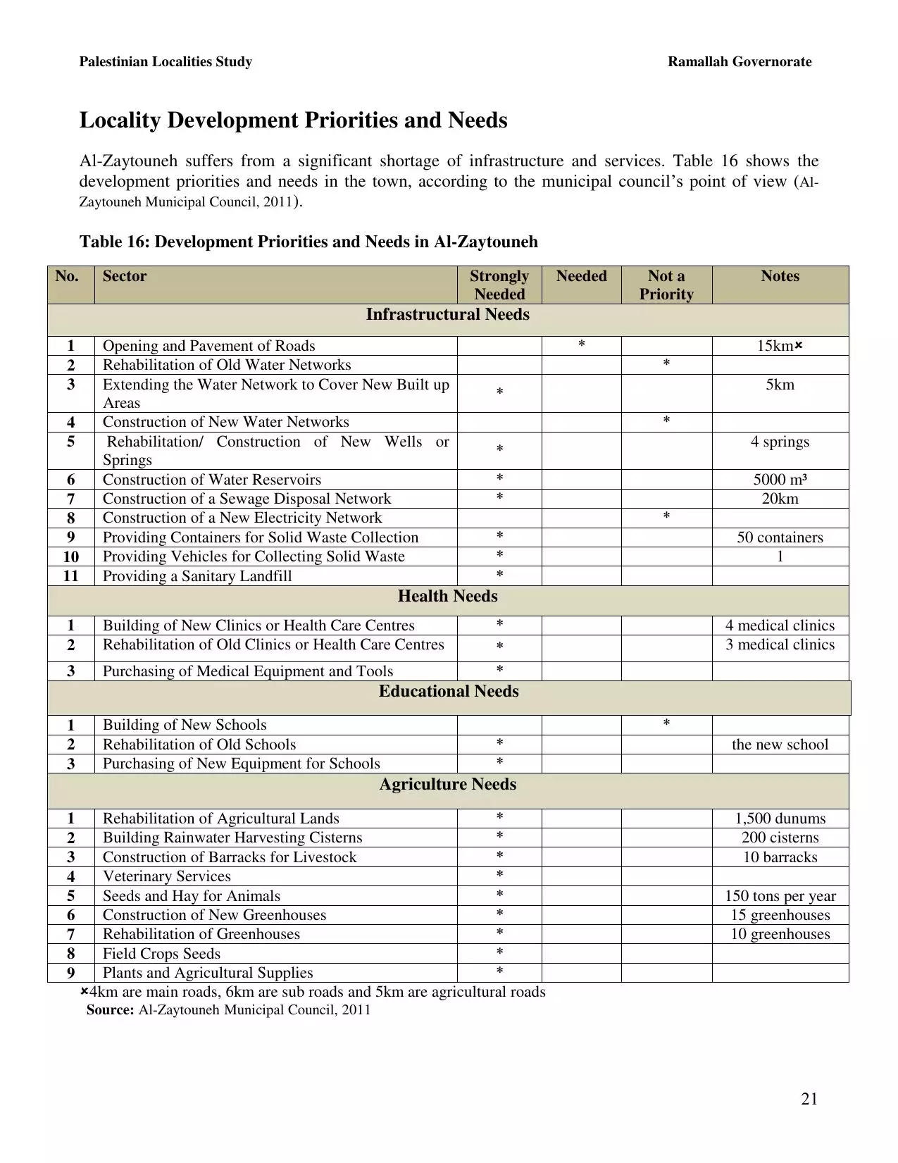
| Statistic & Fact | Value | ||||||||||||||||||
| Distance From District | 11 km northwest of Ramallah | ||||||||||||||||||
| Elevation | 600 meters | ||||||||||||||||||
| Before & After Nakba, Click Map For Details |
|||||||||||||||||||
|
|||||||||||||||||||
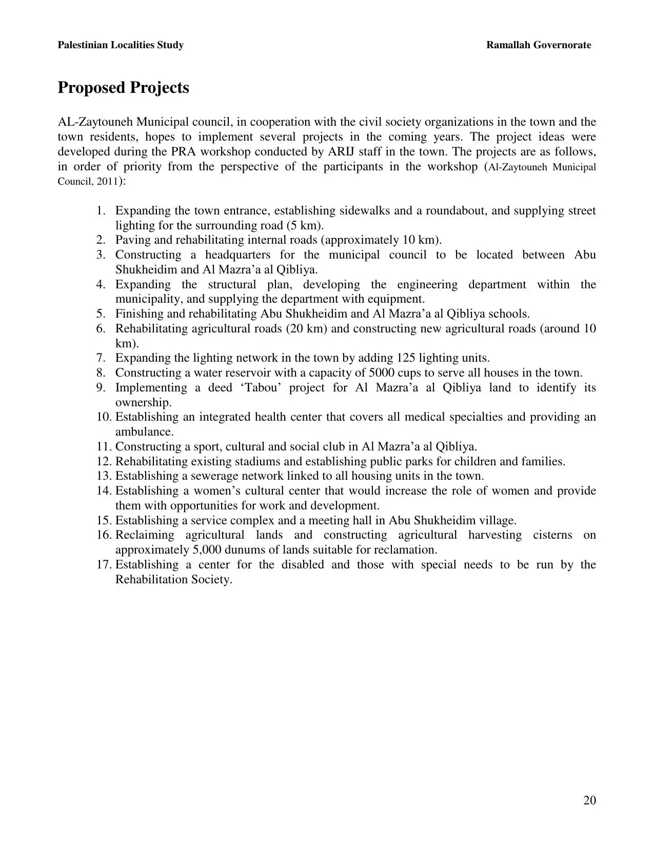
| Land Ownership |
**Town Lands' Demarcation Maps |
||||||||||||||||||
| Land Usage As of 1945 |
|
||||||||||||||||||
| Population |
|
||||||||||||||||||
| Near By Towns |
|||||||||||||||||||
|
|
|||||||||||||||||||
| Featured Video | |||||||||||||||||||
| ARIJ Guide | |||||||||||||||||||
|
Click here to browse online. |
|||||||||||||||||||
| Related Maps | Town Lands' Demarcation Maps خرائط للقضاء توضح حدود القرى والاودية View from satellite Town's map on MapQuest Help us map this town at WikiMapia |
||||||||||||||||||
| Related Links | Wikipedia's Page Facebook Page ARIJ Guide Google Search Google For Images Google For Videos في كتاب بلادنا فلسطين دليل أريج المزيد من موقع هوية |
||||||||||||||||||
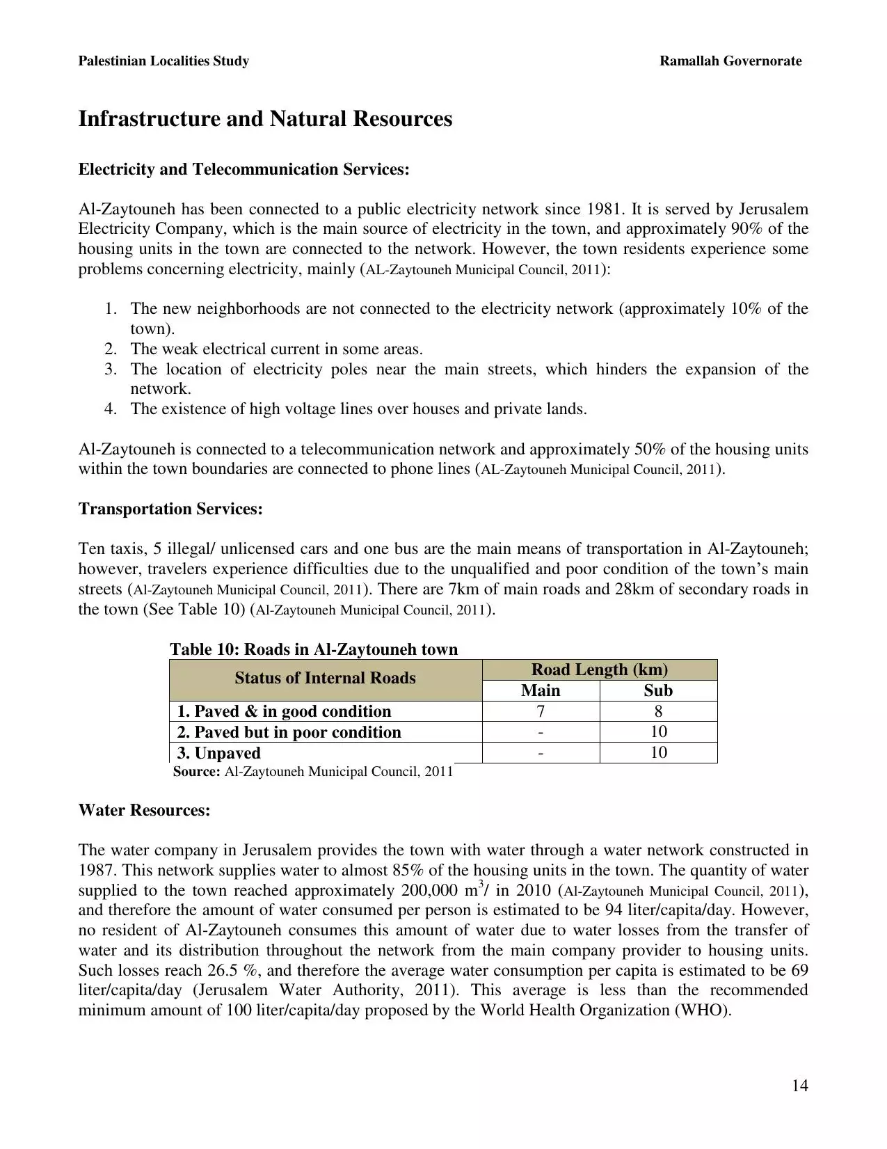
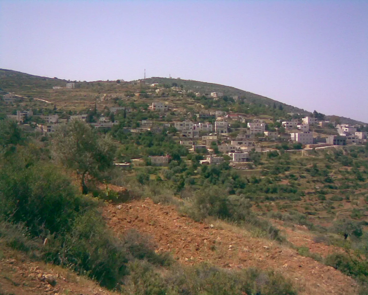
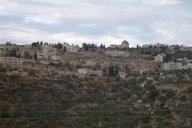
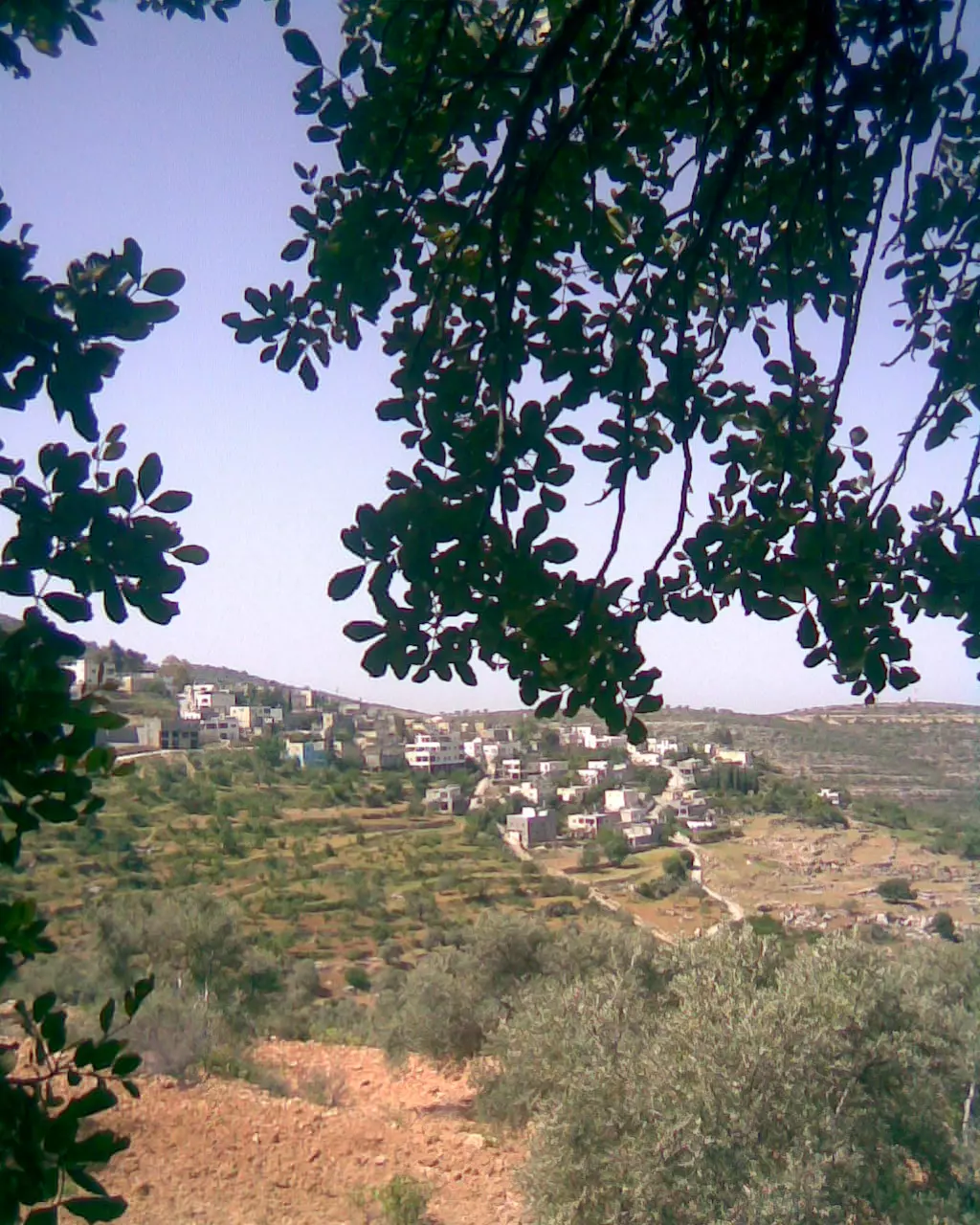
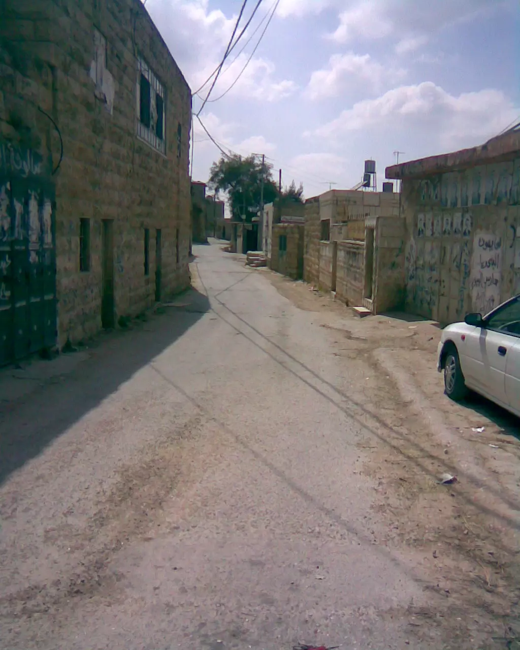
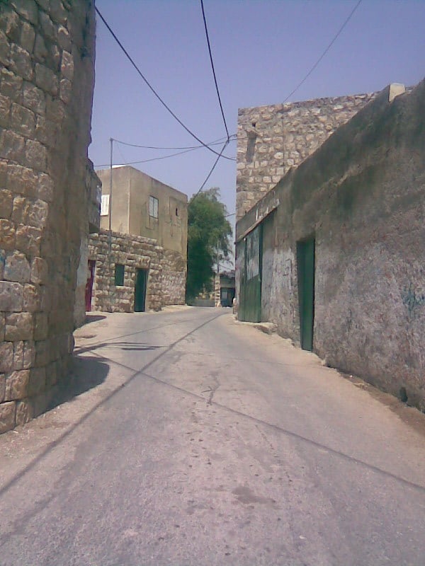
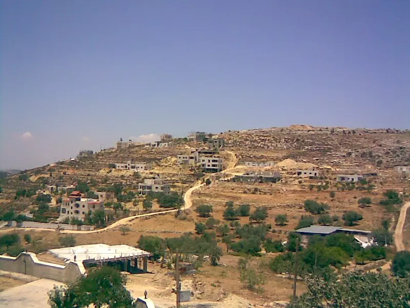
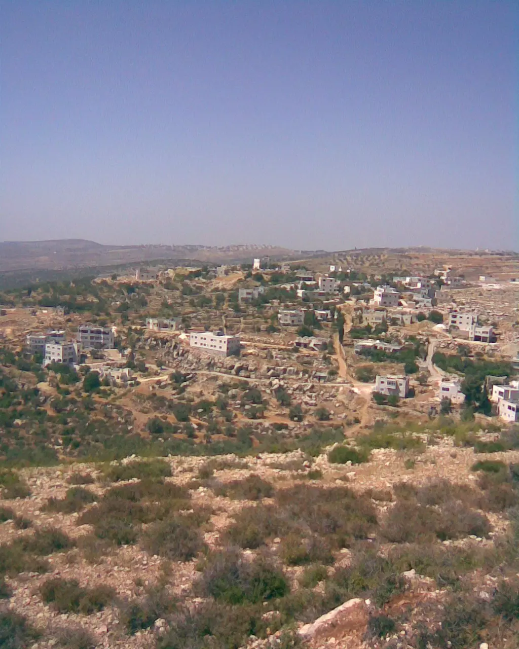
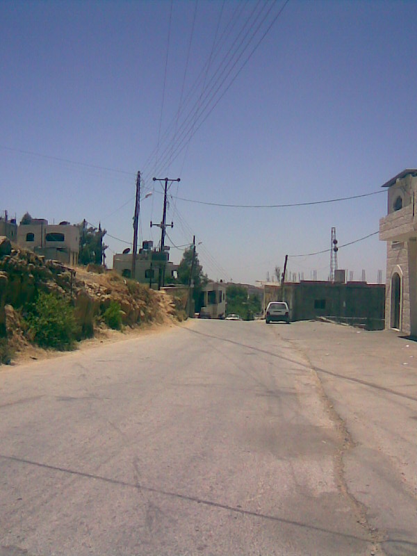
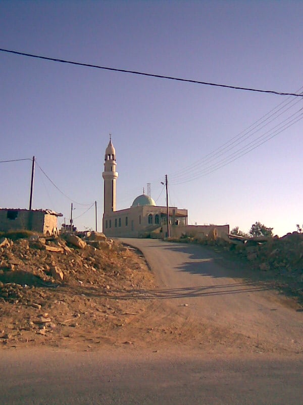
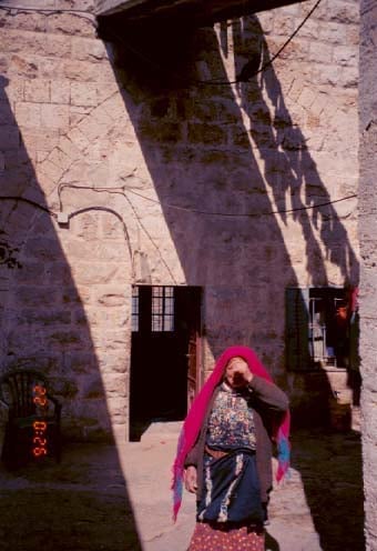
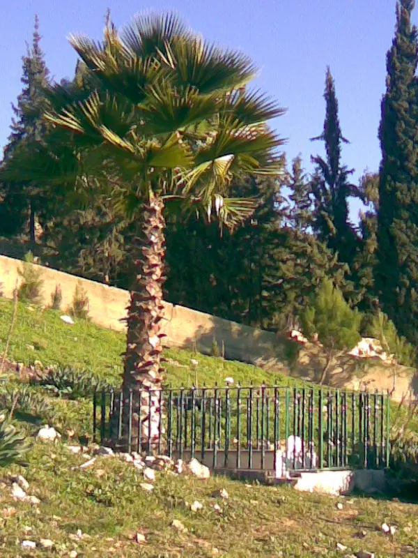
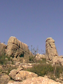
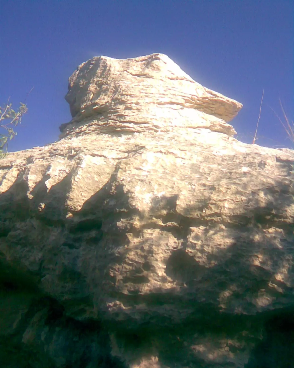
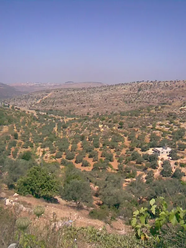
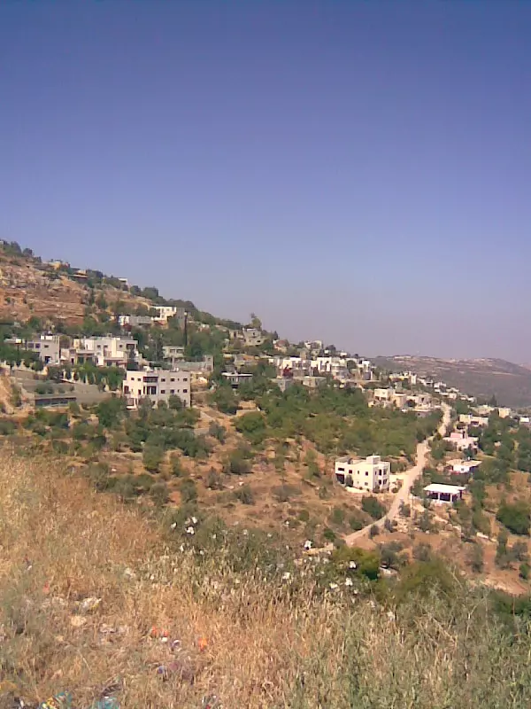
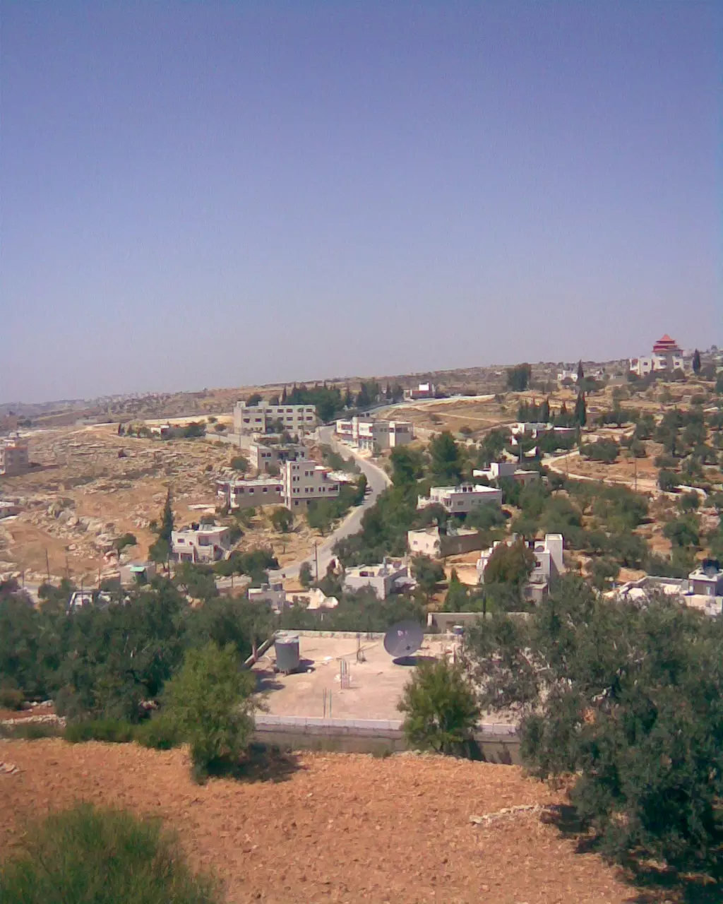
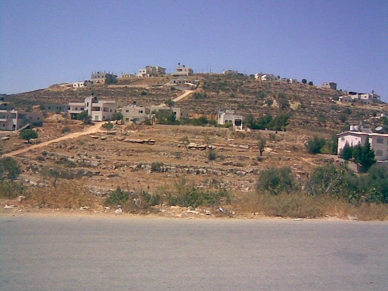
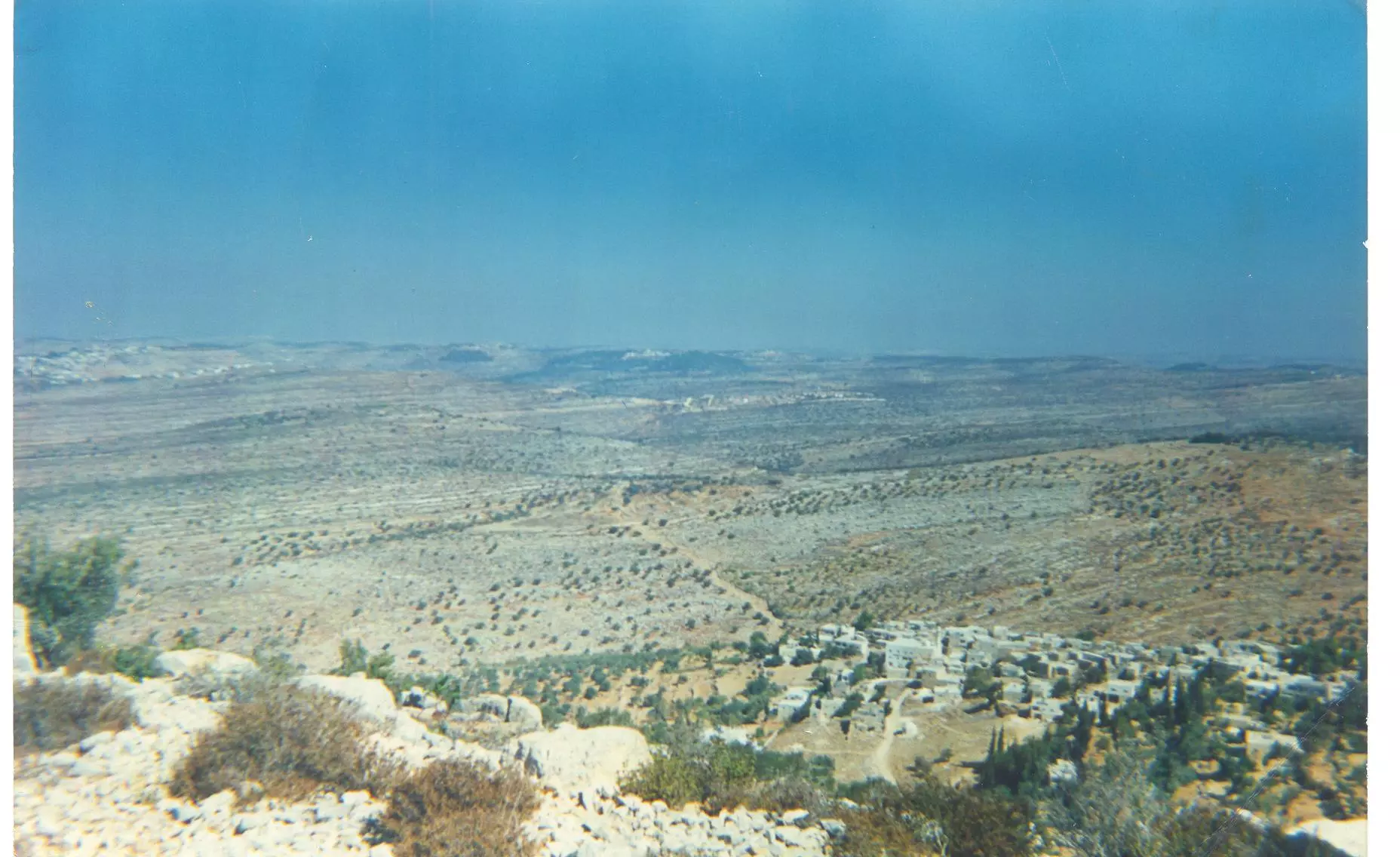
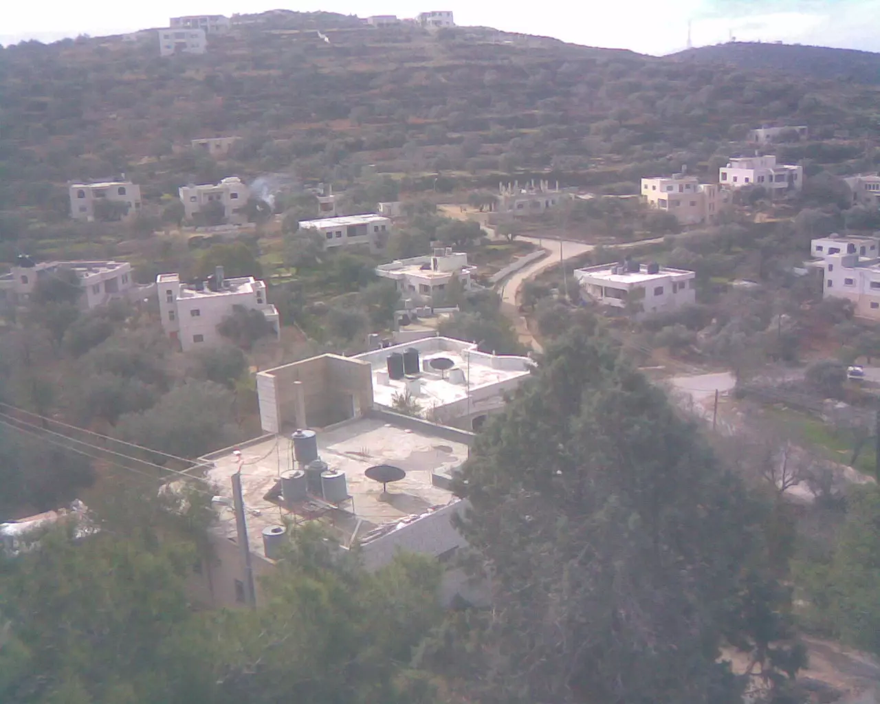
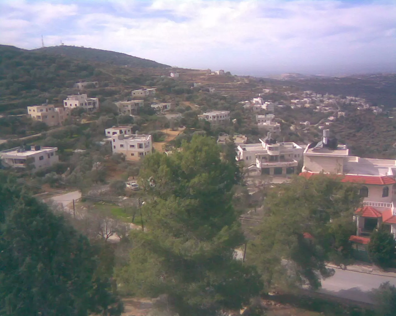
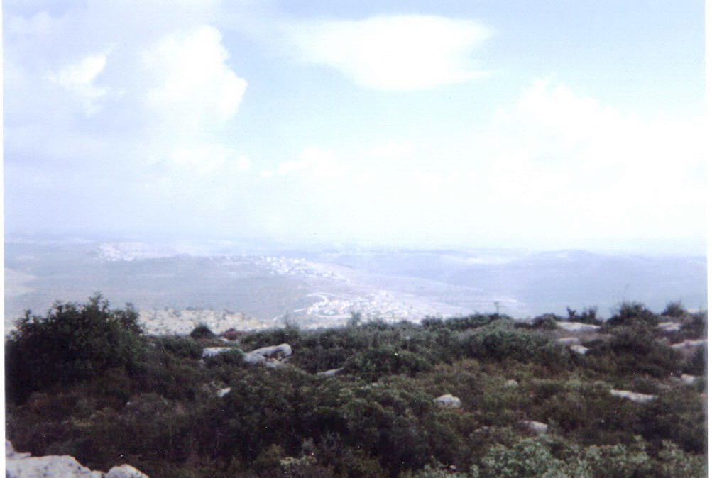
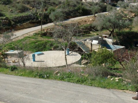
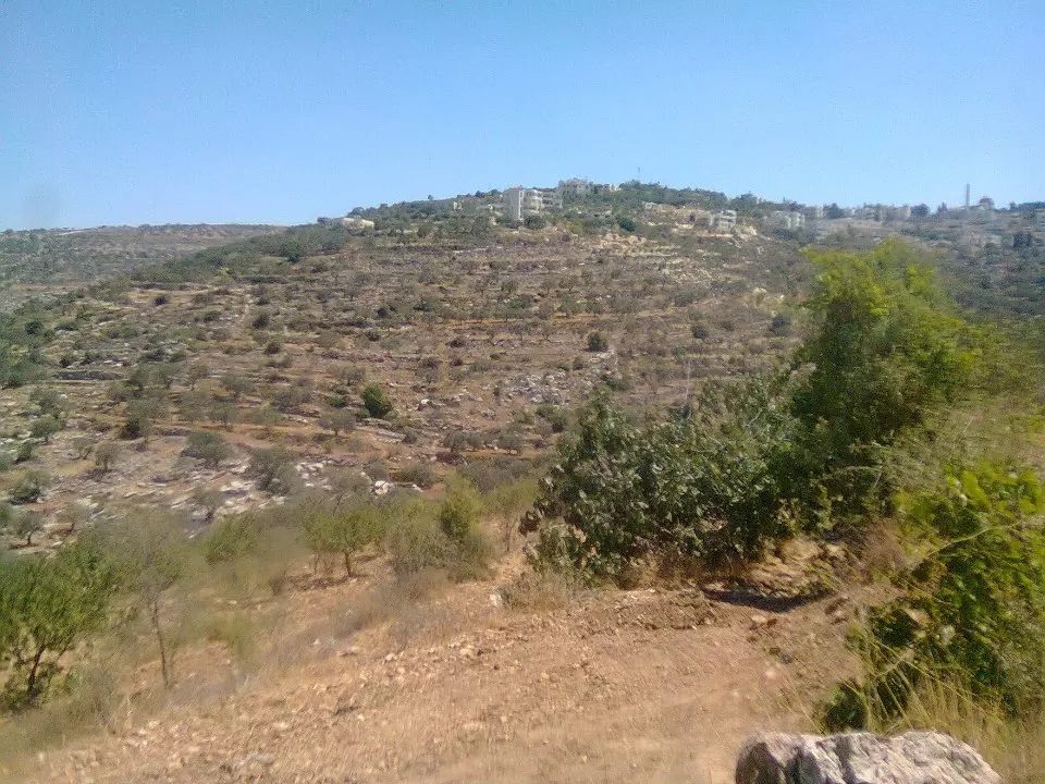
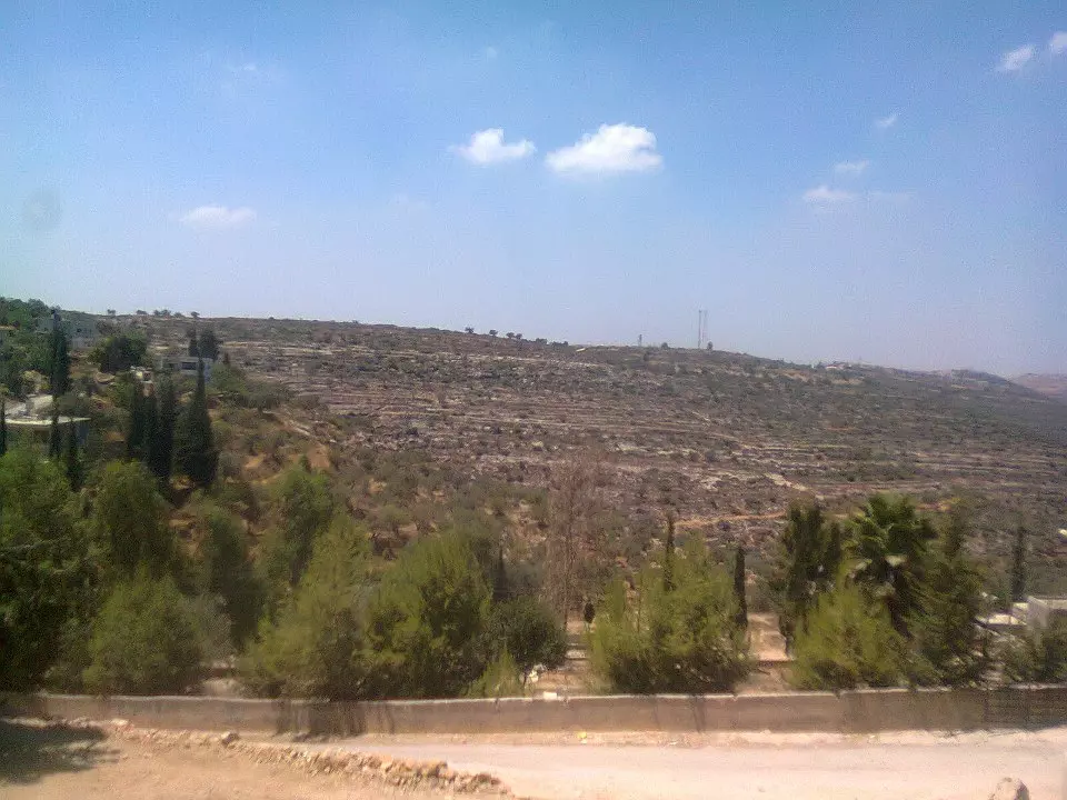
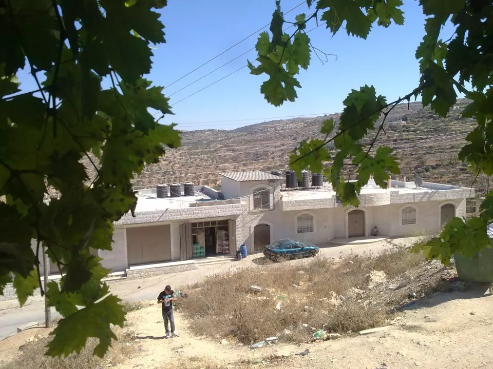
- منظر عام للقرية
Posted by ابو السعدي 4 - Al-shreef
Posted by samer mohammad ladadweh 5 - Te7t Eteenah
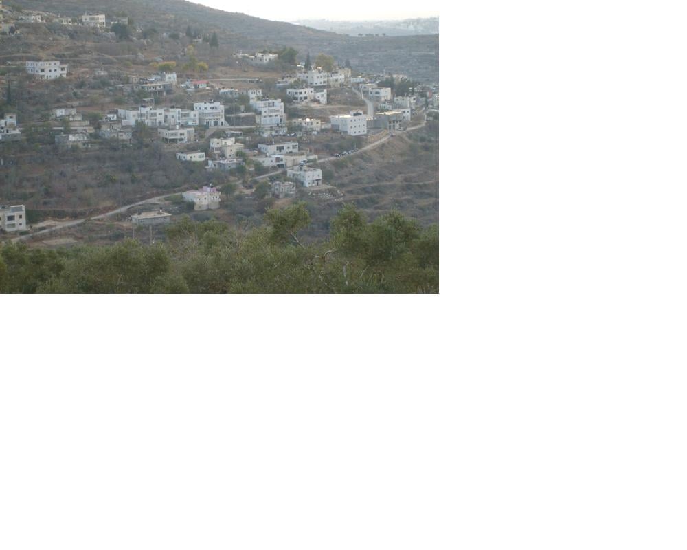
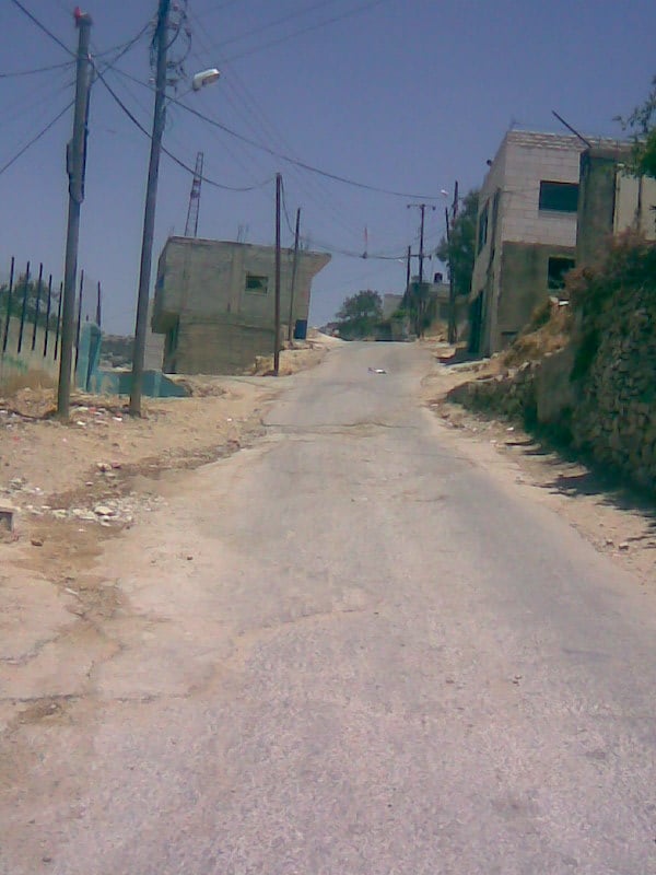
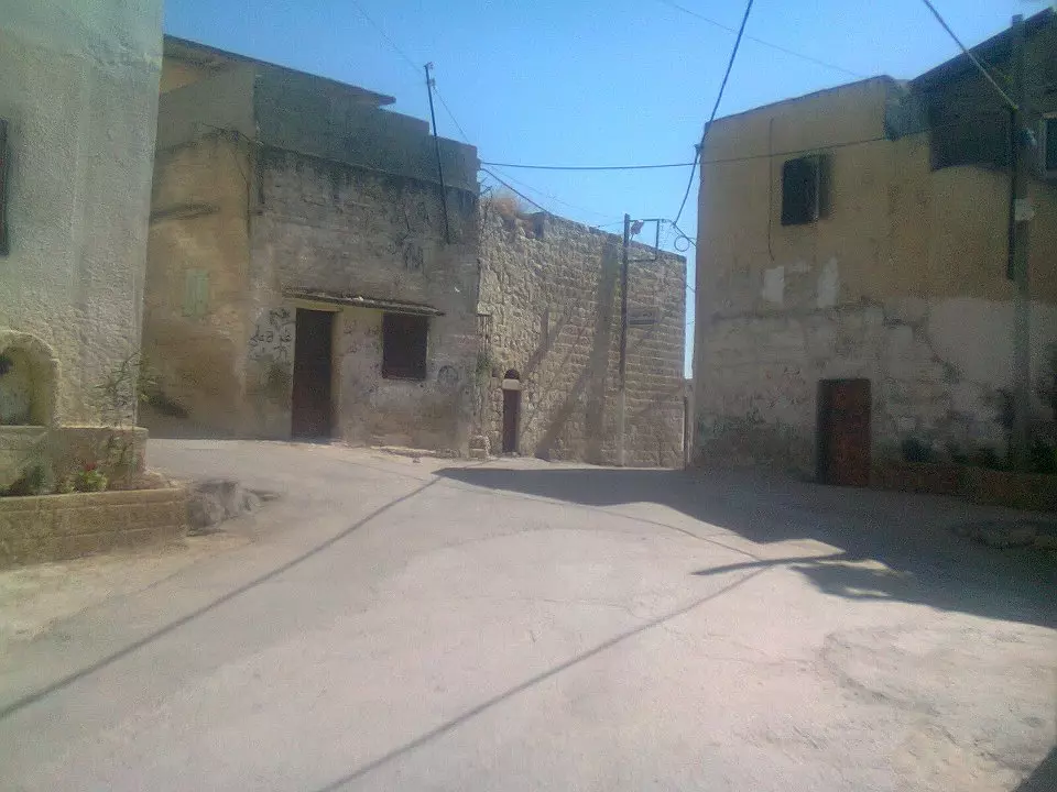
Posted by samer mohammad ladadweh 2 - منظر عام للقرية
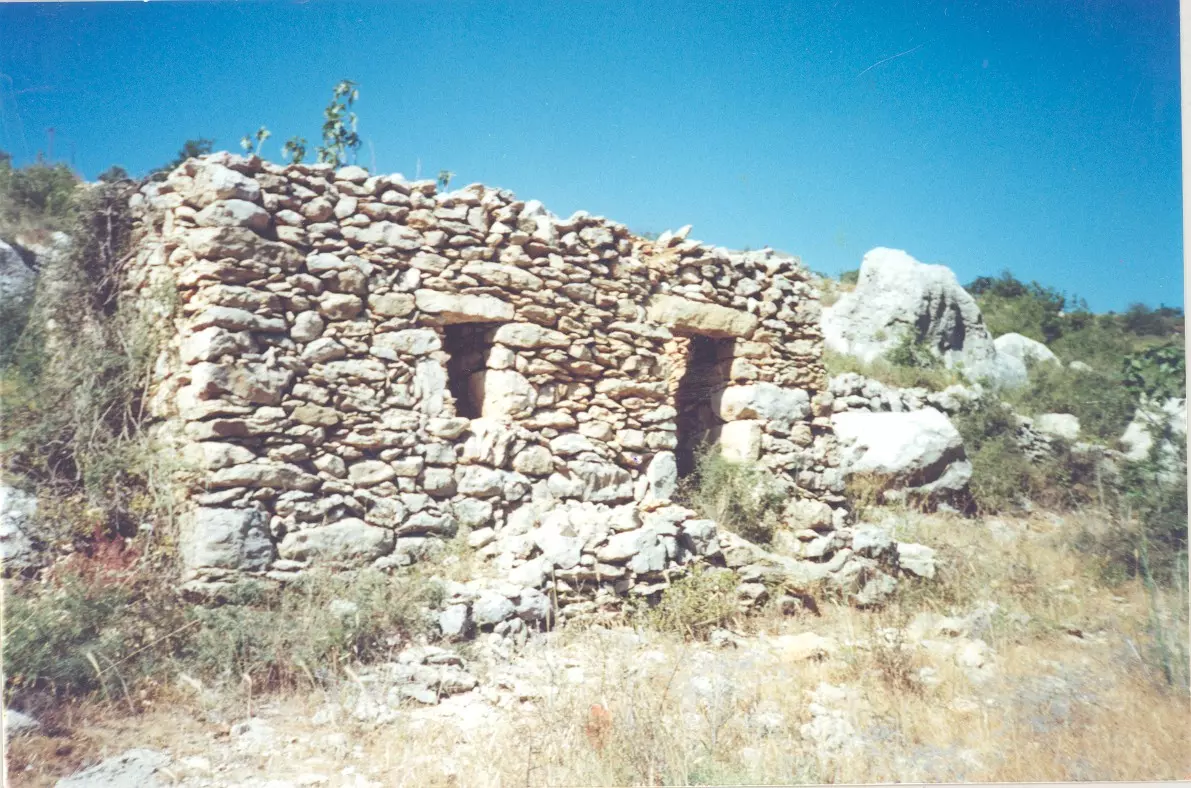
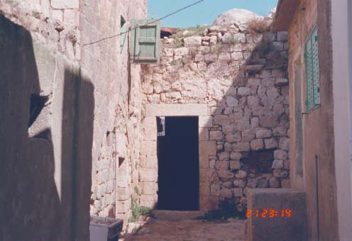
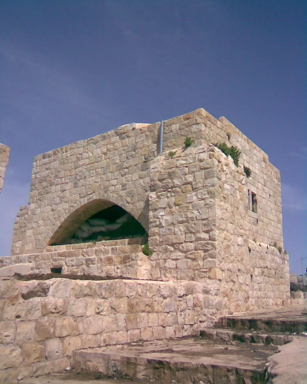
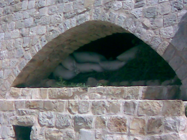
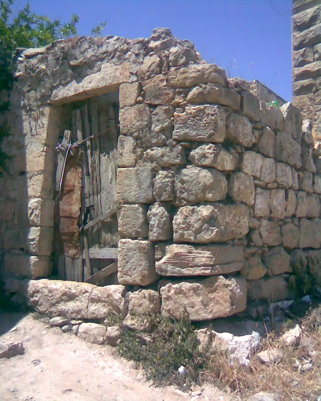
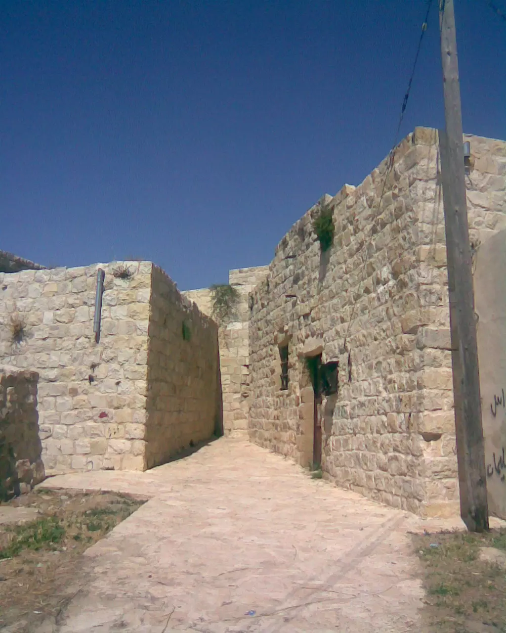
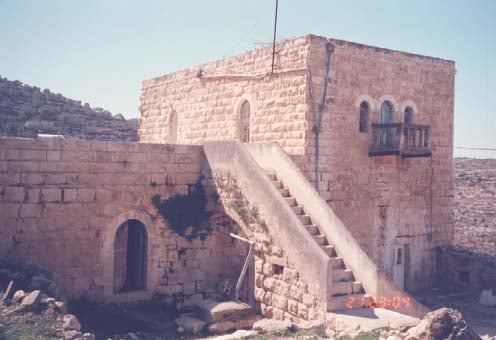
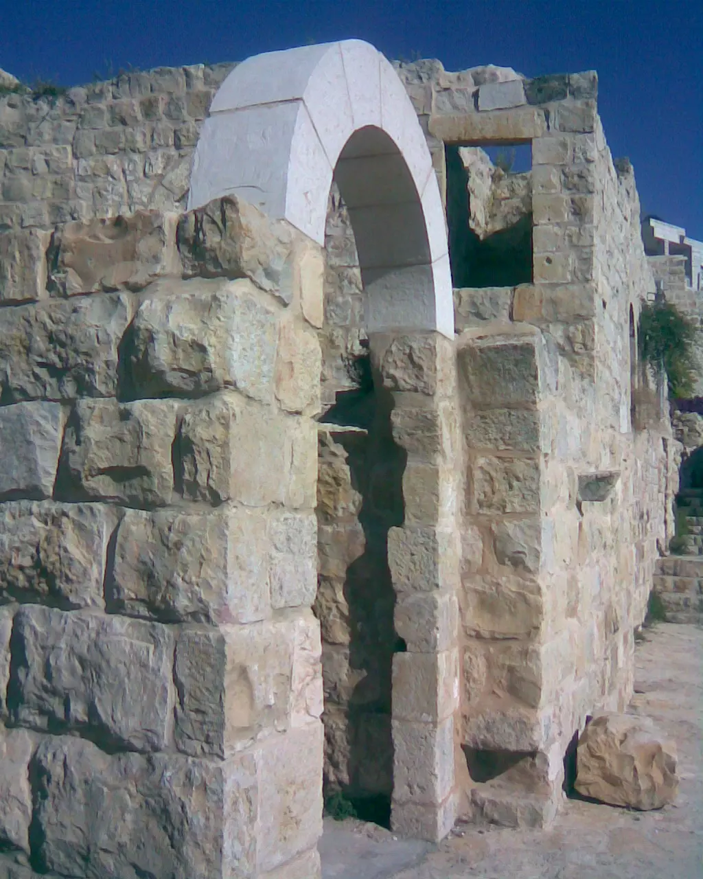
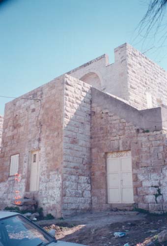
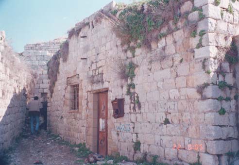
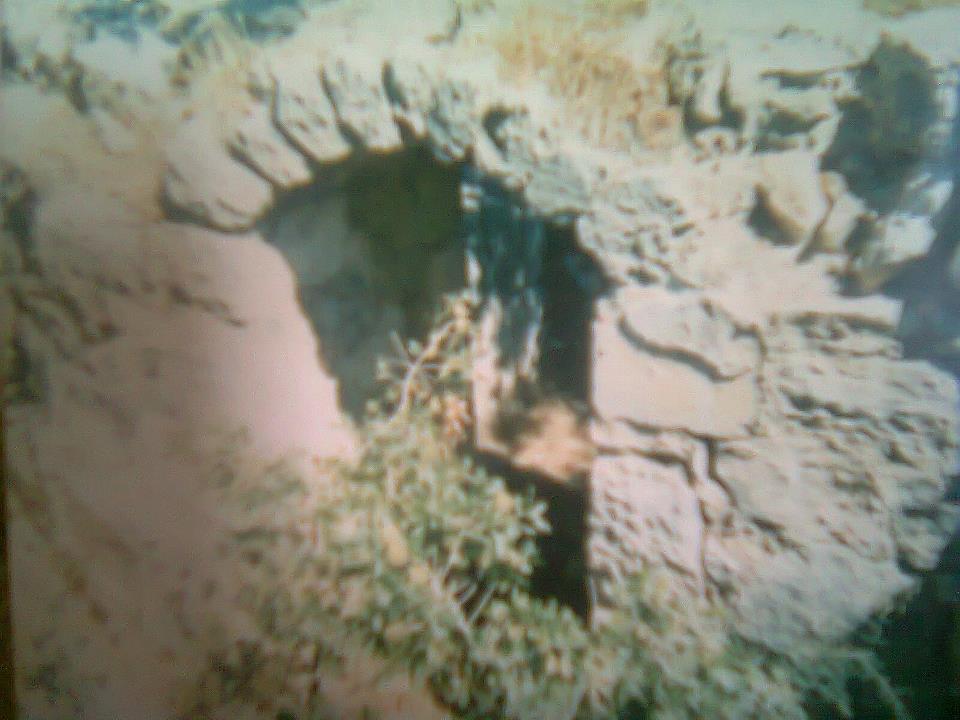
Posted by ابو السعدي - البلدة القديمة قبل الترميم

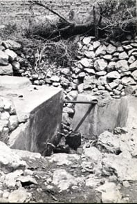
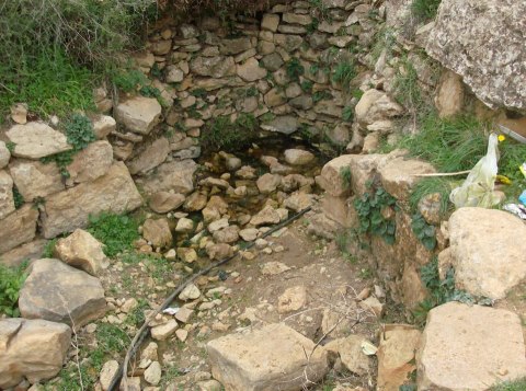
Posted by ابو السعدي 7 - نبع حراشة
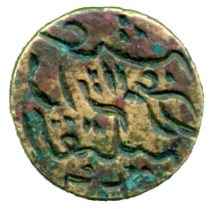
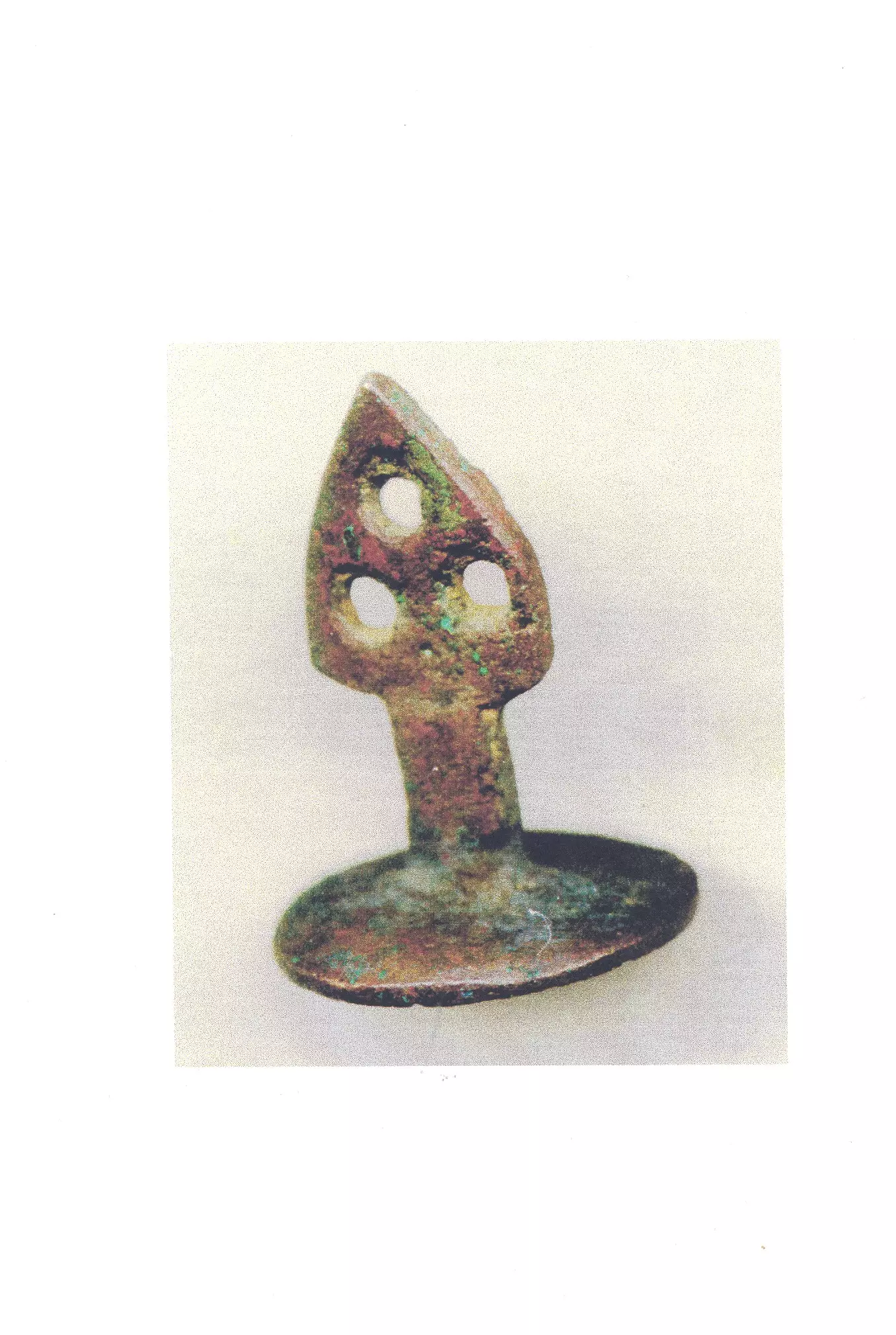
Posted by ابو السعدي 3 - خاتم للقرية يعود لعام 1936 مكتوب عليه( عشة راية المزرعة القبلية )
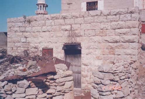
Posted by ابو السعدي - الجامع القديم صورة تعود لعام 1970
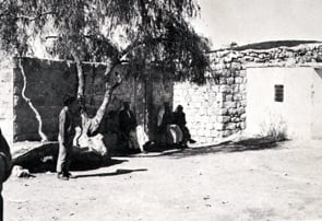
Posted by ابو السعدي 1 - سقيفة
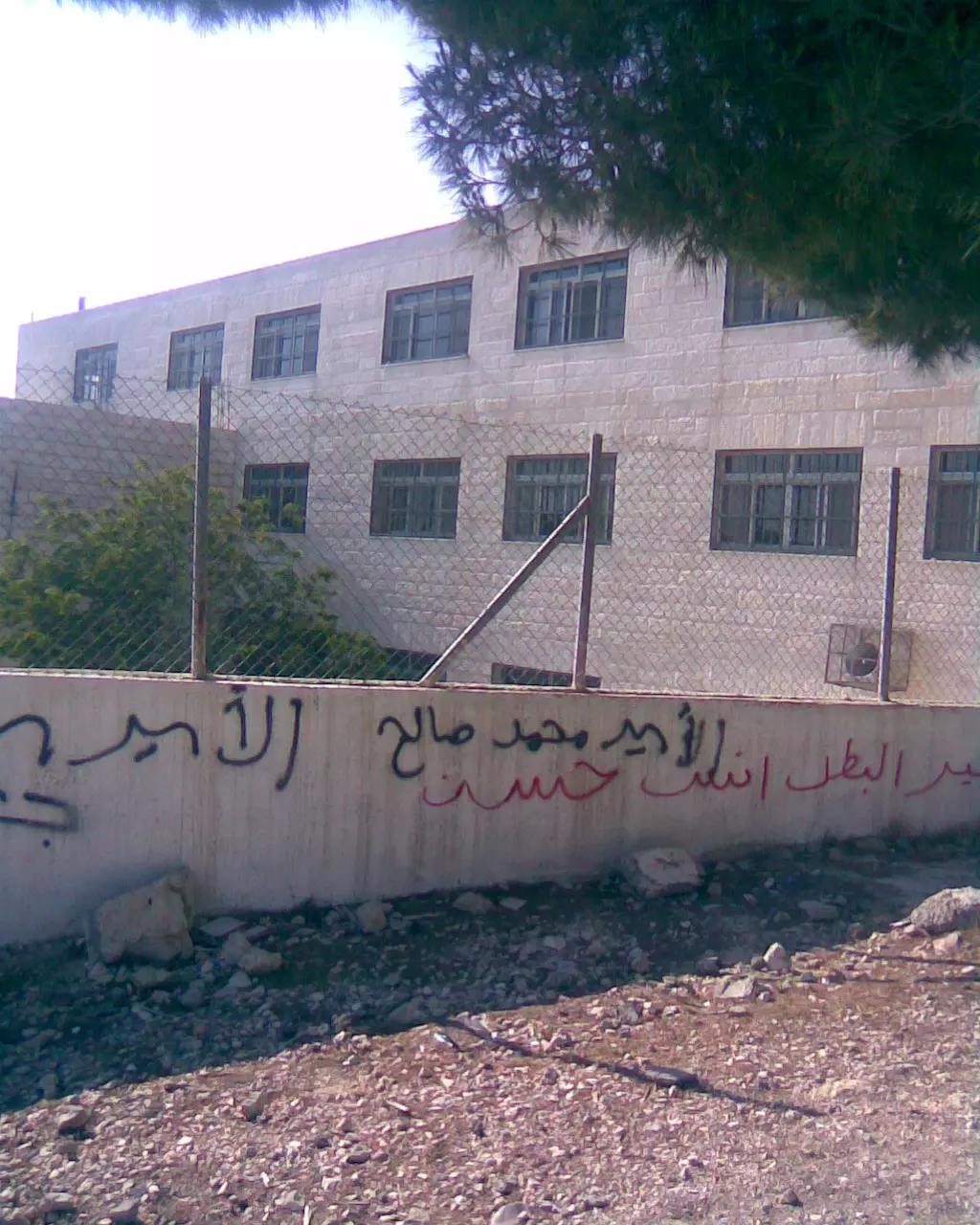
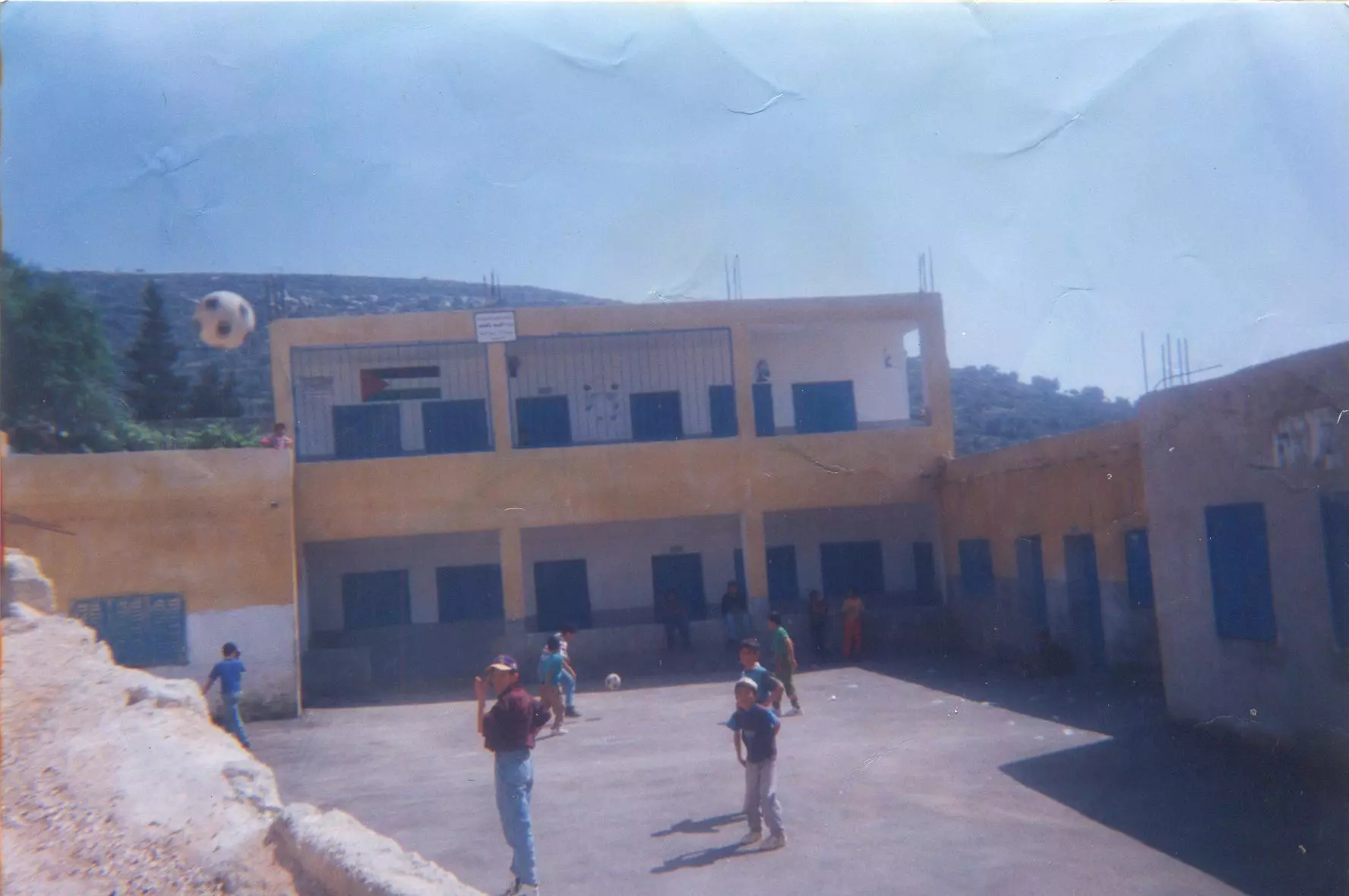
Posted by ابو السعدي 1 - مدرسة المزرعة القبلية الثانوية للبنات
Posted by ابو السعدي 1 - مدرسة المزرعة القبلية للذكور

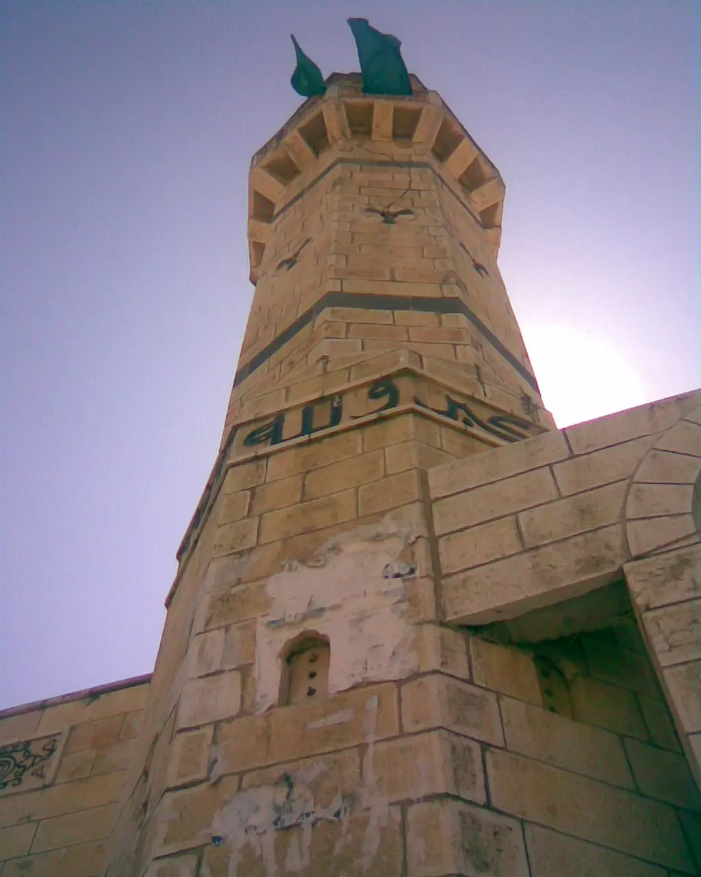
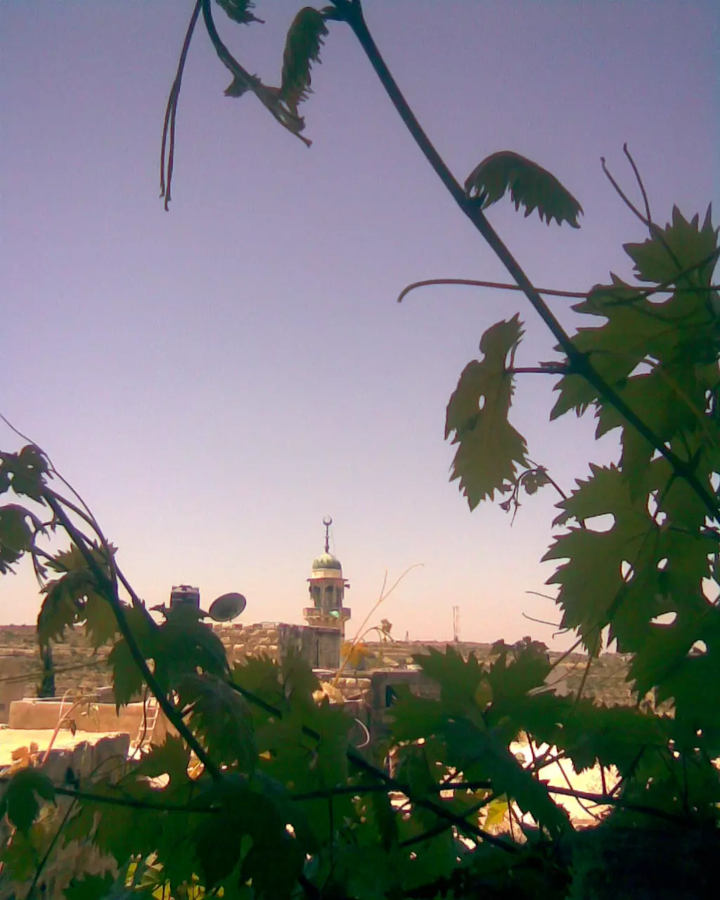
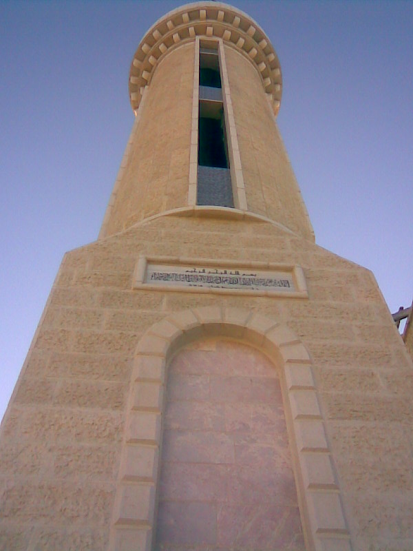
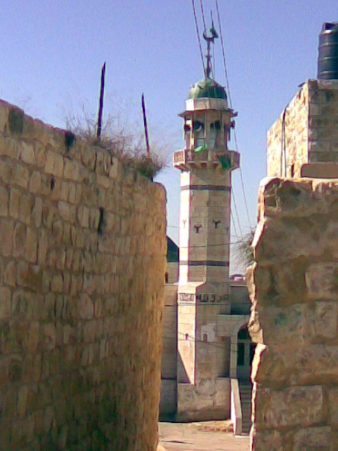
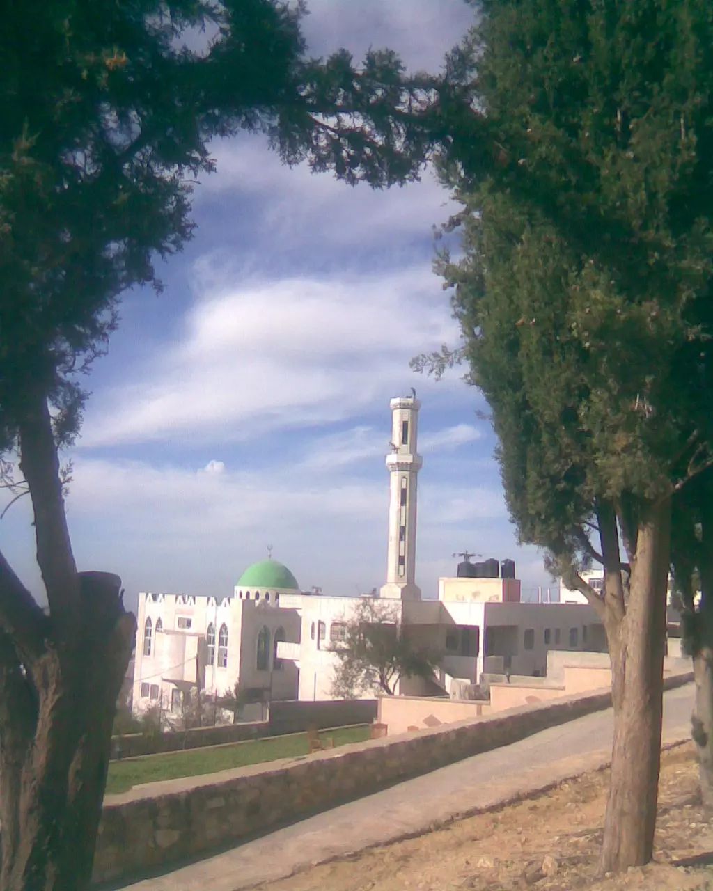
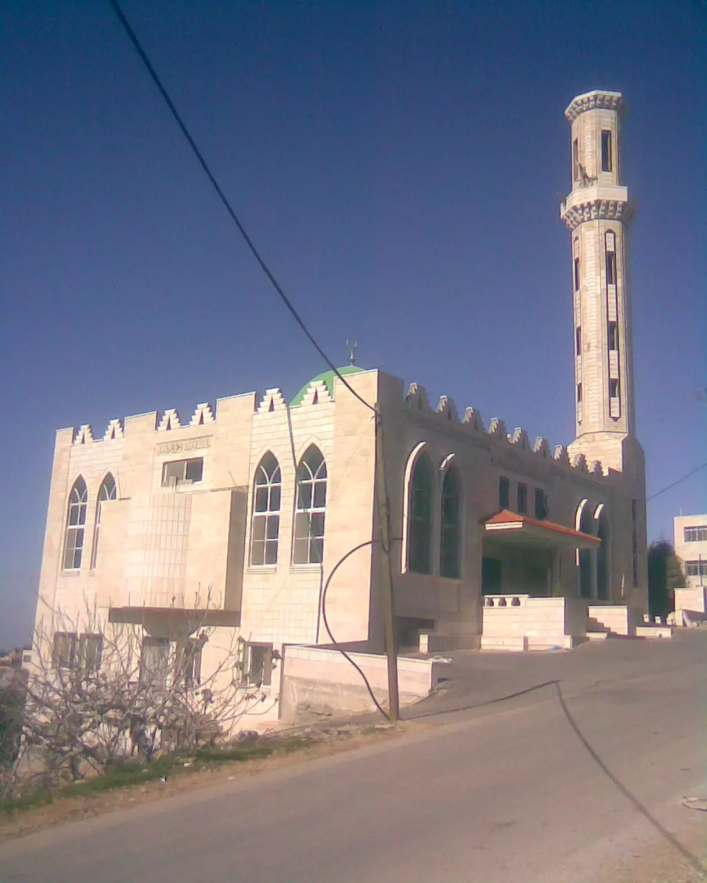
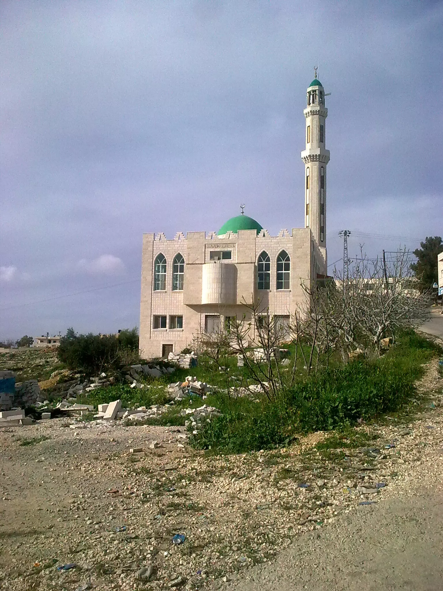
Posted by ابو السعدي 6 - مئذنة المسجد الغربي
Posted by ابو السعدي 1 - المسجد الشرقي
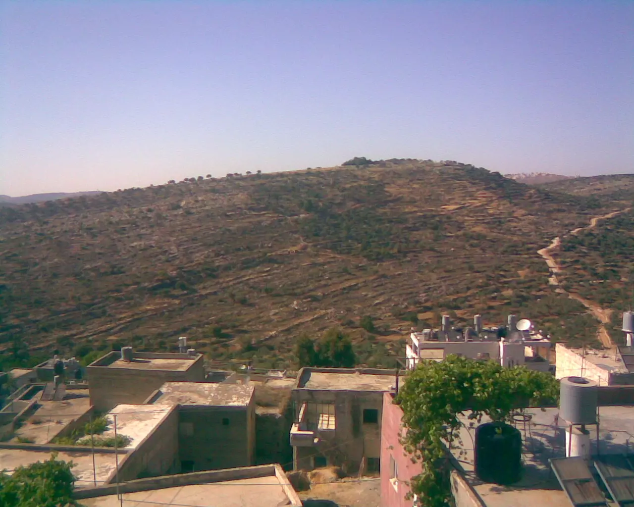
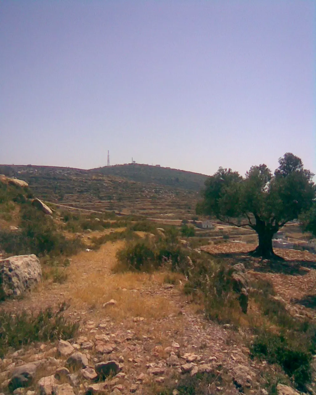
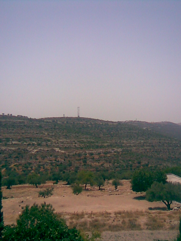
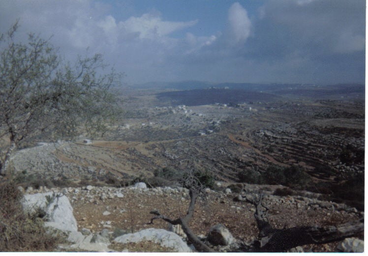
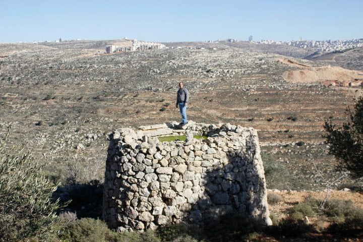
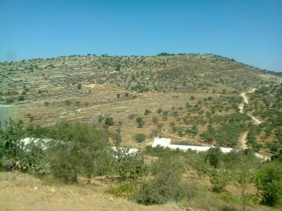
Posted by ابو السعدي - جبل نعلان
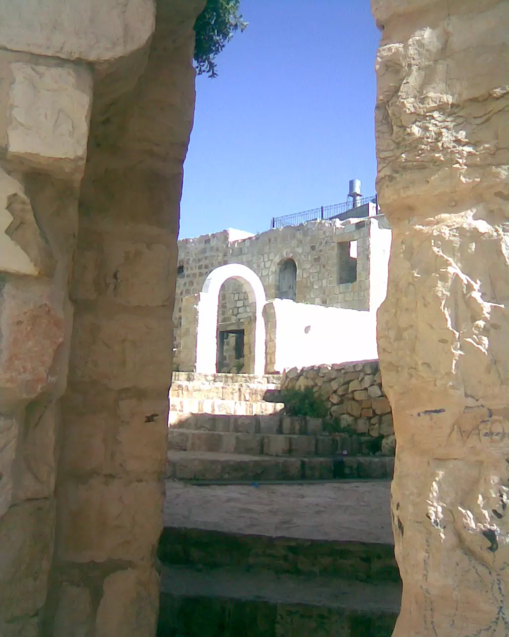
Posted by ابو السعدي 1 - باب الجامع
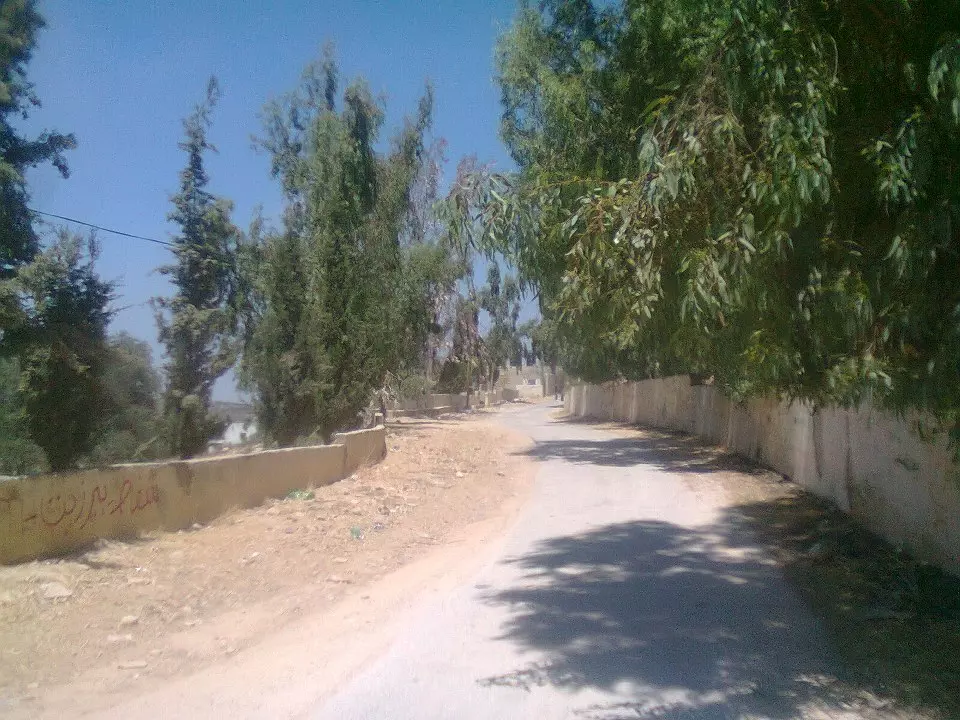
Posted by ابو السعدي - شارع تحت السدرة
Posted by ابو السعدي 1 - منطقة الشريف وتبدو مدرسة البنات

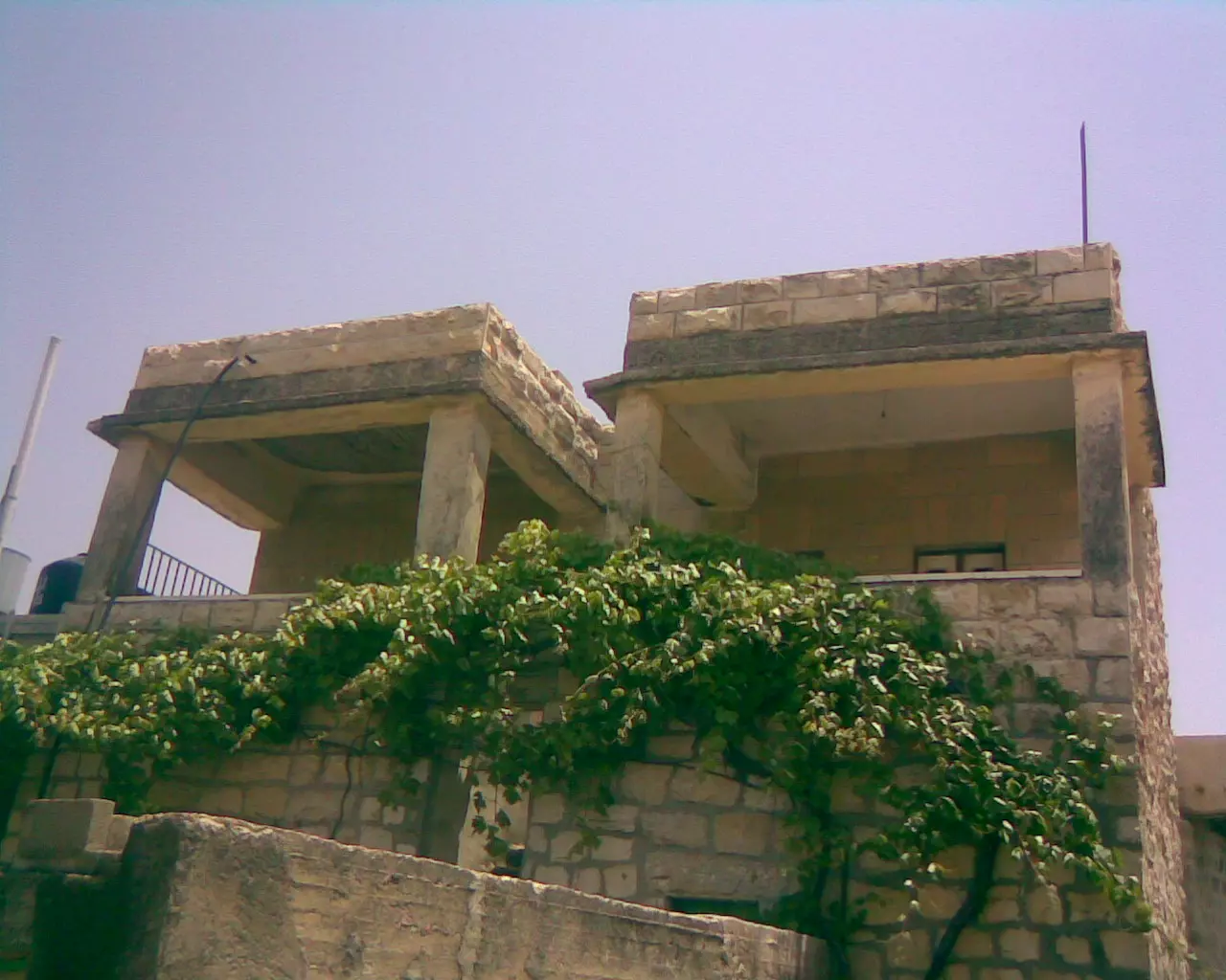
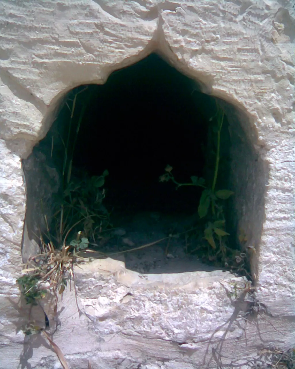
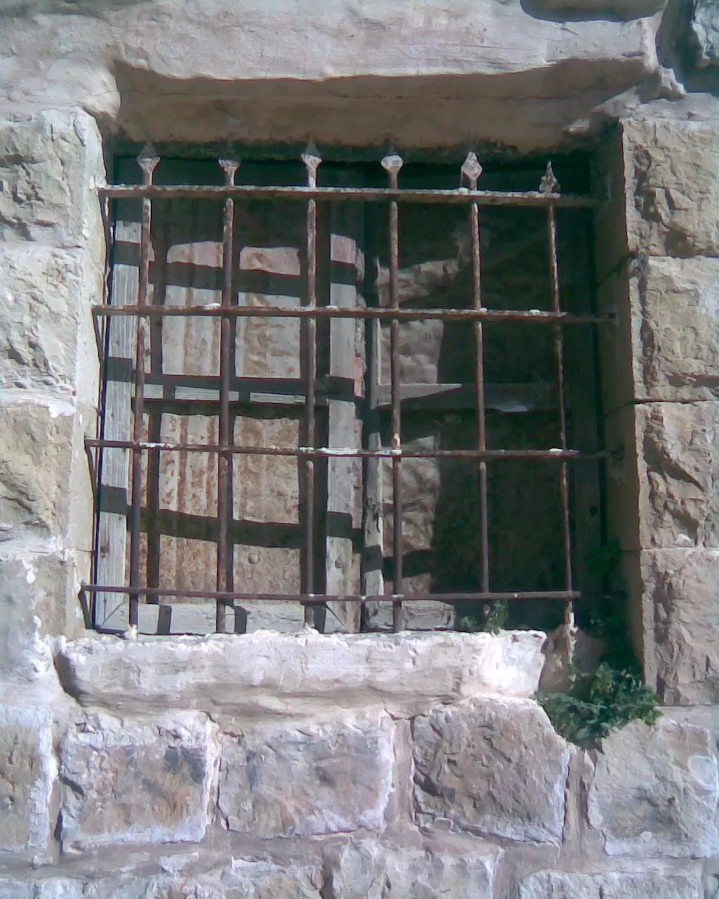
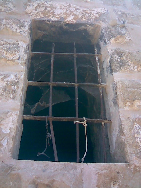
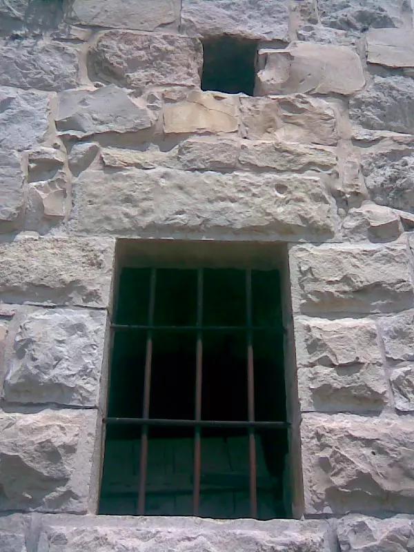
Posted by ابو السعدي 2 - شبابيك من البلدة القديمة
Posted by ابو السعدي - شارع تحت السدرة
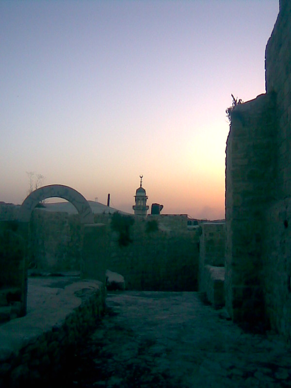
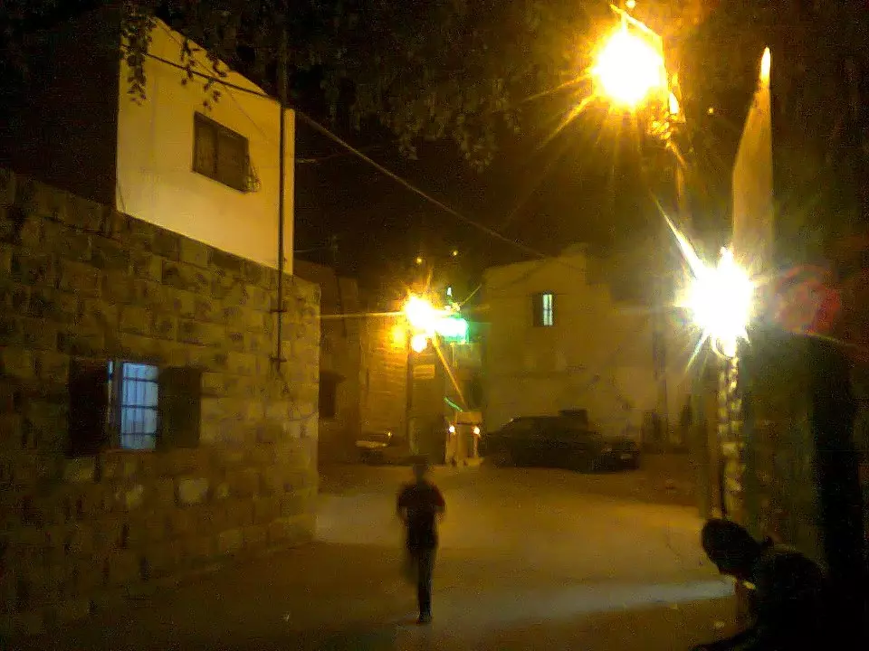
Posted by ابو السعدي 1 - المزرعة عند الغروب

Posted by ابو السعدي 1 - صورة من الاعلى ويبدو نعلان
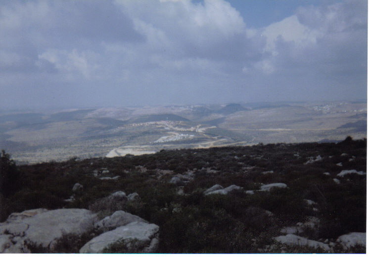
Posted by ابو السعدي 1 - منطقة المرج
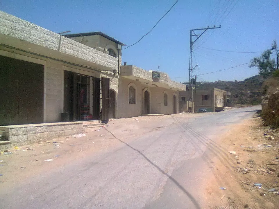
Posted by ابو السعدي - وسط القرية
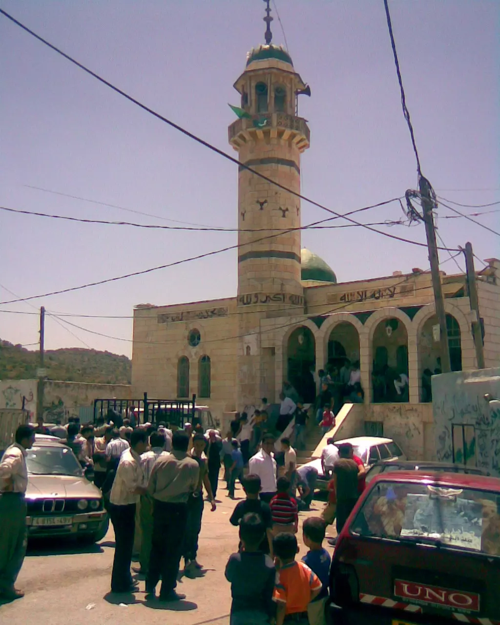
Posted by ابو السعدي 1 - مسجد القرية يوم الجمعة
Posted by ابو السعدي - جبل كركور
Posted by ابو السعدي - منطقة الزميتي- دير الهوا
Posted by ابو السعدي - القرية من الاعلى وتبدو شجرة السدرة

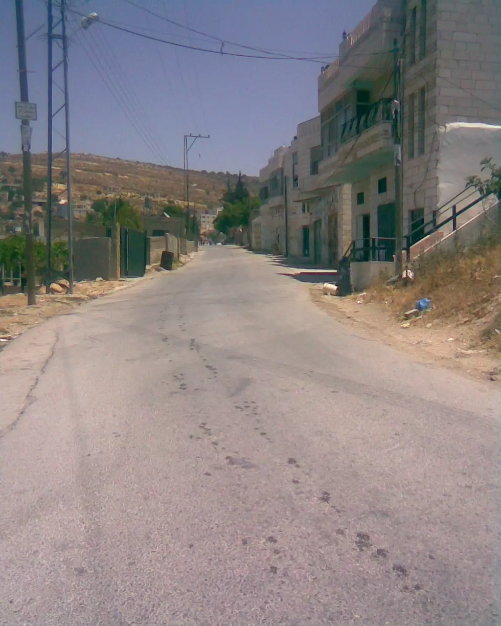
Posted by ابو السعدي - الشارع الرئيسي قرب زيتونات ابو عبد الله ويبدو الشريف

Posted by ابو السعدي - تحت التينة

Posted by ابو السعدي - الحارة الشرقية
Posted by ابو السعدي 1 - تحت التينة
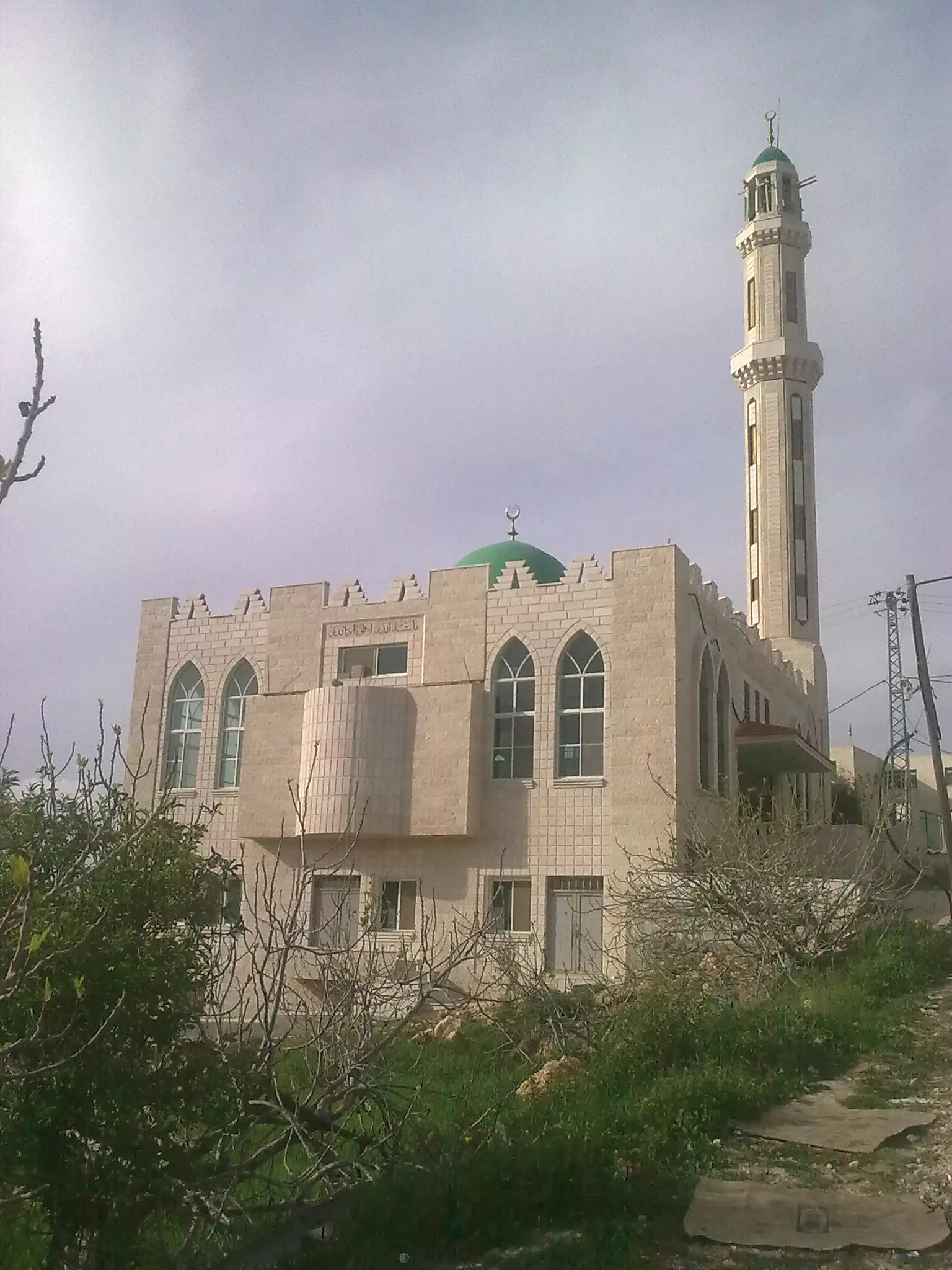
Posted by ابو السعدي - مسجد القرية الغربي
Posted by ابو السعدي 1 - باب الجامع

Posted by ابو السعدي 1 - بيت المرحوم الحاج سعدي
Posted by ابو السعدي 1 - الحارة الشرقية الجديدة ويبدو المسجد الشرقي

Posted by ابو السعدي - باب المظافة
Posted by ابو السعدي - المسجد الشرقي
Posted by ابو السعدي - مئذة المسجد الشرقي
Posted by ابو السعدي 1 - زخارف من البلدة القديمة
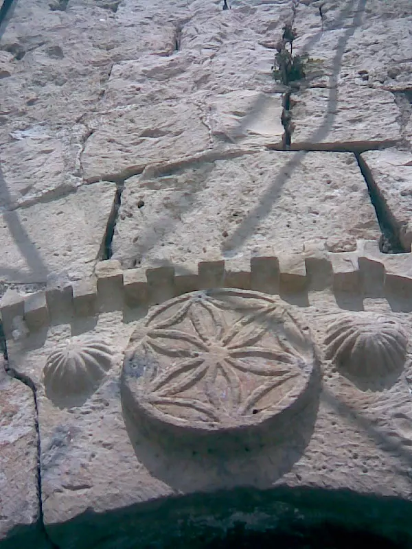
Posted by ابو السعدي - زخارف من البلدة القديمة
Posted by ابو السعدي - زخارف من البلدة القديمة
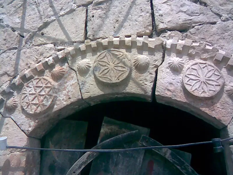
Posted by ابو السعدي - زخارف من البلدة القديمة
Posted by ابو السعدي - زخارف من البلدة القديمة

Posted by ابو السعدي - زخارف من البلدة القديمة
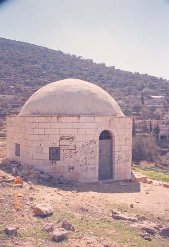
Posted by ابو السعدي - مقام الشيخ صالح
Posted by ابو السعدي - علية الشيخ عفان- البلدة القديمة
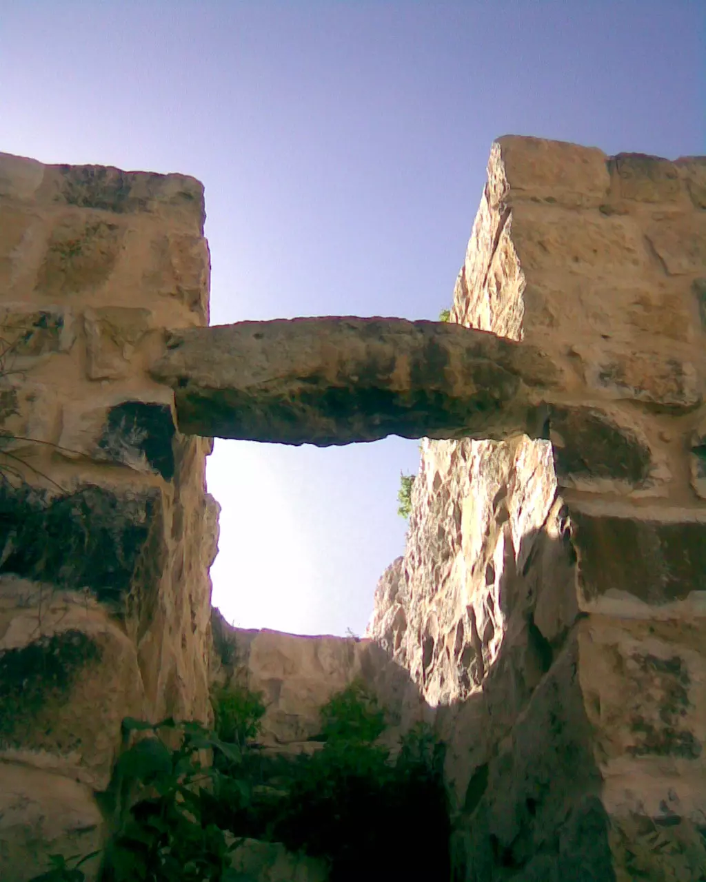
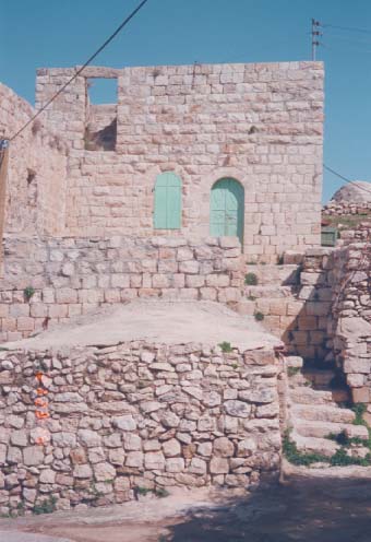
Posted by ابو السعدي - منظر من البلدة القديمة

Posted by ابو السعدي - منظر من البلدة القديمة
Posted by ابو السعدي - منظر من البلدة القديمة
Posted by ابو السعدي - منظر من البلدة القديمة
Posted by ابو السعدي 1 - منظر من البلدة القديمة
Posted by ابو السعدي 3 - منظر من البلدة القديمة

Posted by ابو السعدي 1 - منظر من البلدة القديمة
Posted by ابو السعدي - منظر من البلدة القديمة
Posted by ابو السعدي - منظر من البلدة القديمة
Posted by ابو السعدي - منظر من البلدة القديمة
Posted by ابو السعدي - منظر من البلدة القديمة
Posted by ابو السعدي - منظر من البلدة القديمة

Posted by ابو السعدي - صورة لعائلة ابو ريان تعود لعام 1970
Posted by ابو السعدي 1 - مسجد القرية الغربي
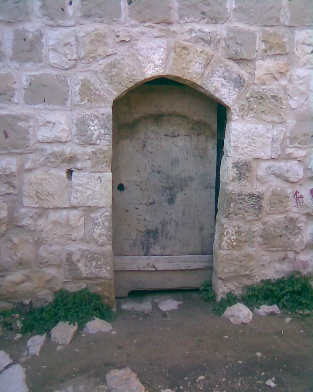
Posted by ابو السعدي - ابواب وشبابيك- البلدة القديمة
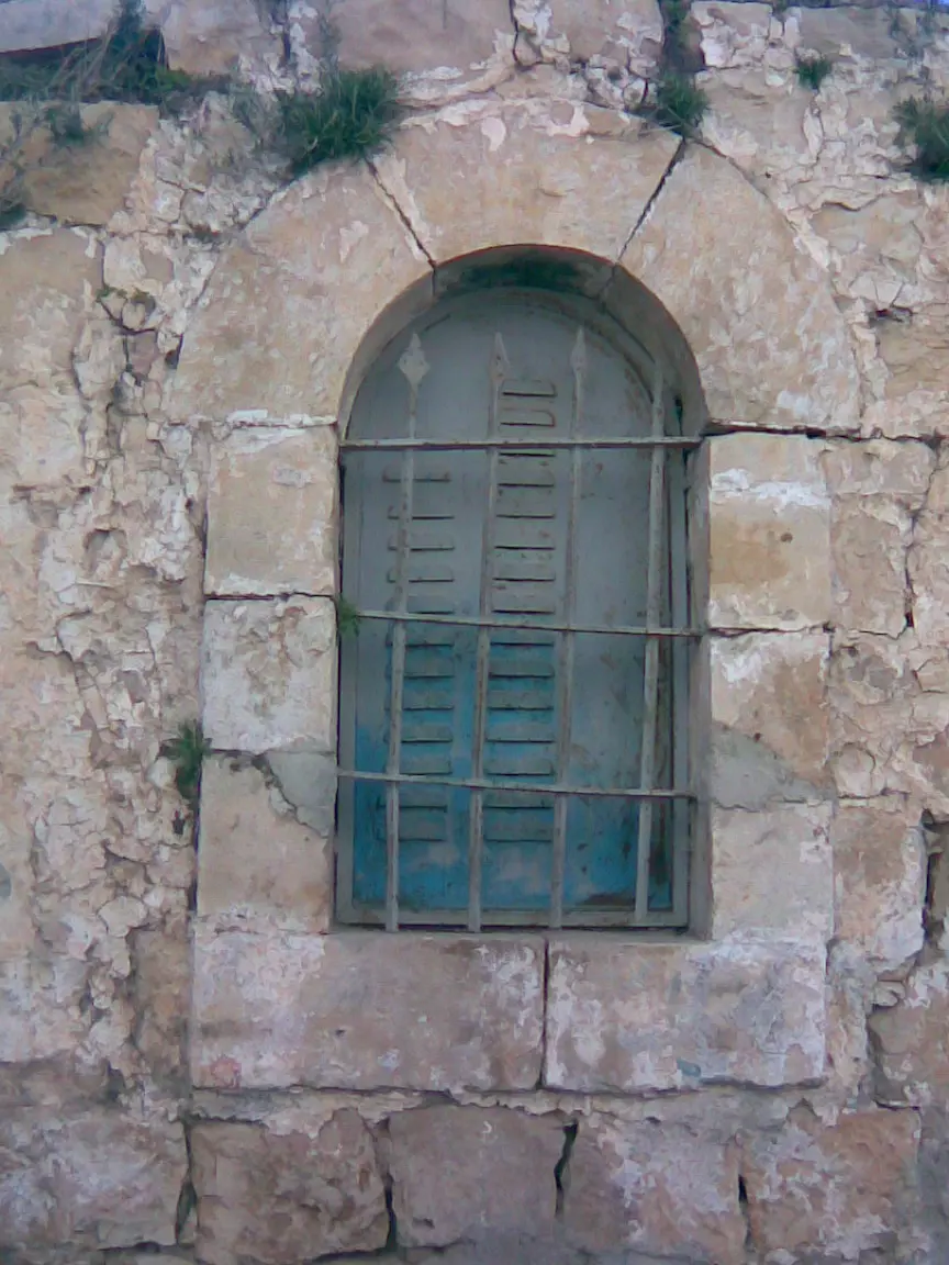
Posted by ابو السعدي - ابواب وشبابيك- البلدة القديمة
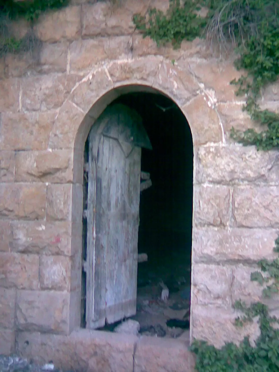
Posted by ابو السعدي - ابواب وشبابيك- البلدة القديمة
Posted by ابو السعدي - ابواب وشبابيك- البلدة القديمة
Posted by ابو السعدي - ابواب وشبابيك- البلدة القديمة

Posted by ابو السعدي - ابواب وشبابيك- البلدة القديمة

Posted by ابو السعدي - ابواب وشبابيك- البلدة القديمة
Posted by ابو السعدي - ابواب وشبابيك- البلدة القديمة
Posted by ابو السعدي - ابواب وشبابيك- البلدة القديمة
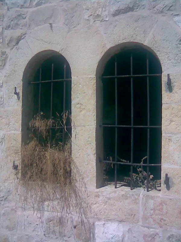
Posted by ابو السعدي - ابواب وشبابيك- البلدة القديمة
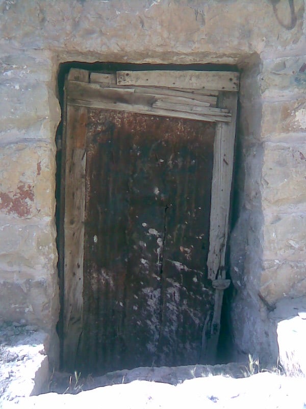
Posted by ابو السعدي - ابواب وشبابيك- البلدة القديمة
Posted by ابو السعدي - ابواب وشبابيك- البلدة القديمة
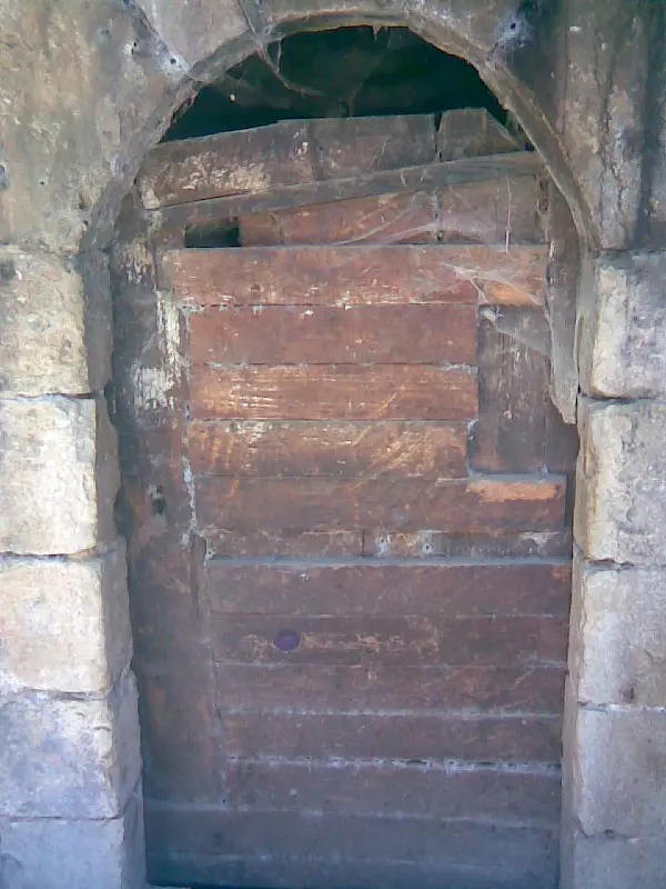
Posted by ابو السعدي - ابواب وشبابيك- البلدة القديمة
Posted by ابو السعدي - ابواب وشبابيك- البلدة القديمة

Posted by ابو السعدي - ابواب وشبابيك- البلدة القديمة
Posted by ابو السعدي - صندوق البريد مثبت على المظافة ويعود لايام الاردن

Posted by ابو السعدي - صورة لغلاف كتاب باللغة الايطالية عن القرية تعود لعام 1970
Posted by ابو السعدي 3 - خاتم للقرية يعود لعام 1936 مكتوب علية عشة راية المزرعة القبلية
Posted by ابو السعدي 1 - خاتم القرية
Posted by ابو السعدي - المرحوم غسان الخطيب ( الاردن ) توفي في 15/3/2008
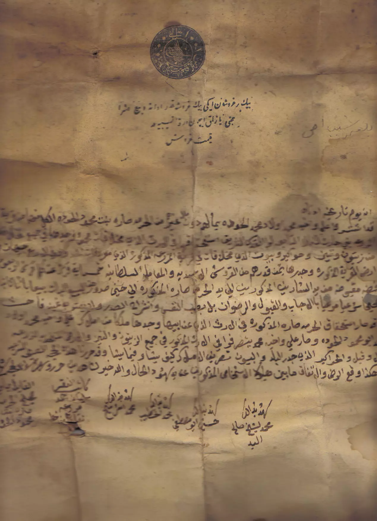
Posted by add 1 - وثيقة تركية تعود لعام 1596ويظهر في اعلى الوثيقة (مزرعة ابو طاسه )
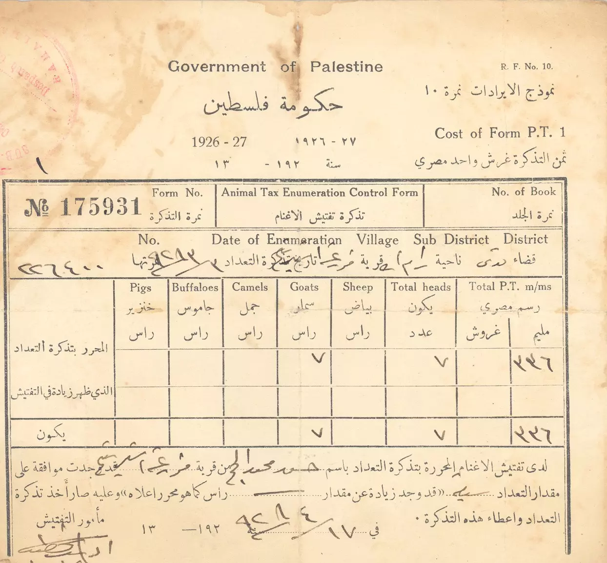
Posted by ابو السعدي - وثيقة تعود لايام الانتداب البريطاني (حكومة فلسطين 1927) وصل ضريبة على المواشي
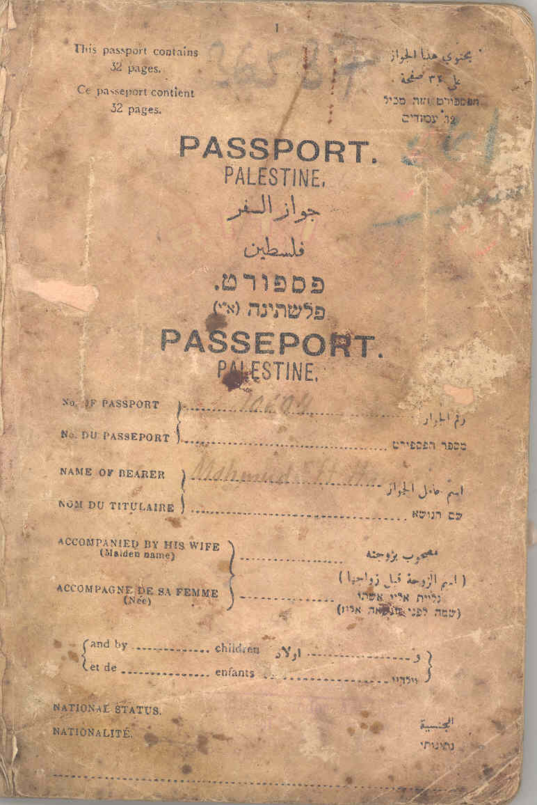
Posted by ابو السعدي - جواز سفر من عهد الانتداب البريطاني صدر عام 1927
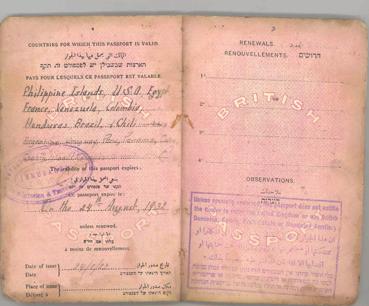
Posted by ابو السعدي - جواز سفر فلسطيني من عهد الانتداب صدر عام 1927
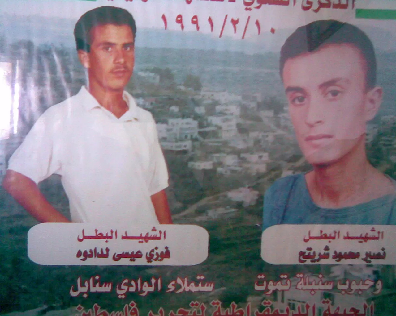
Posted by ابو السعدي - قبر الشهيد / نصير محمود سعدي شريتح - استشهد بتاريخ 10-2-1991
Posted by ابو السعدي - الشيخ عنبر في جبل نعلان - الثلج 2008
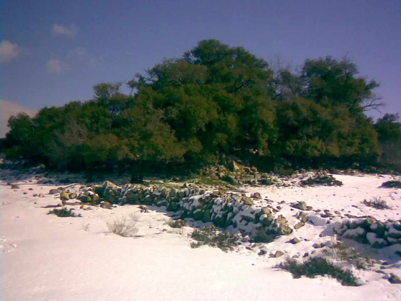
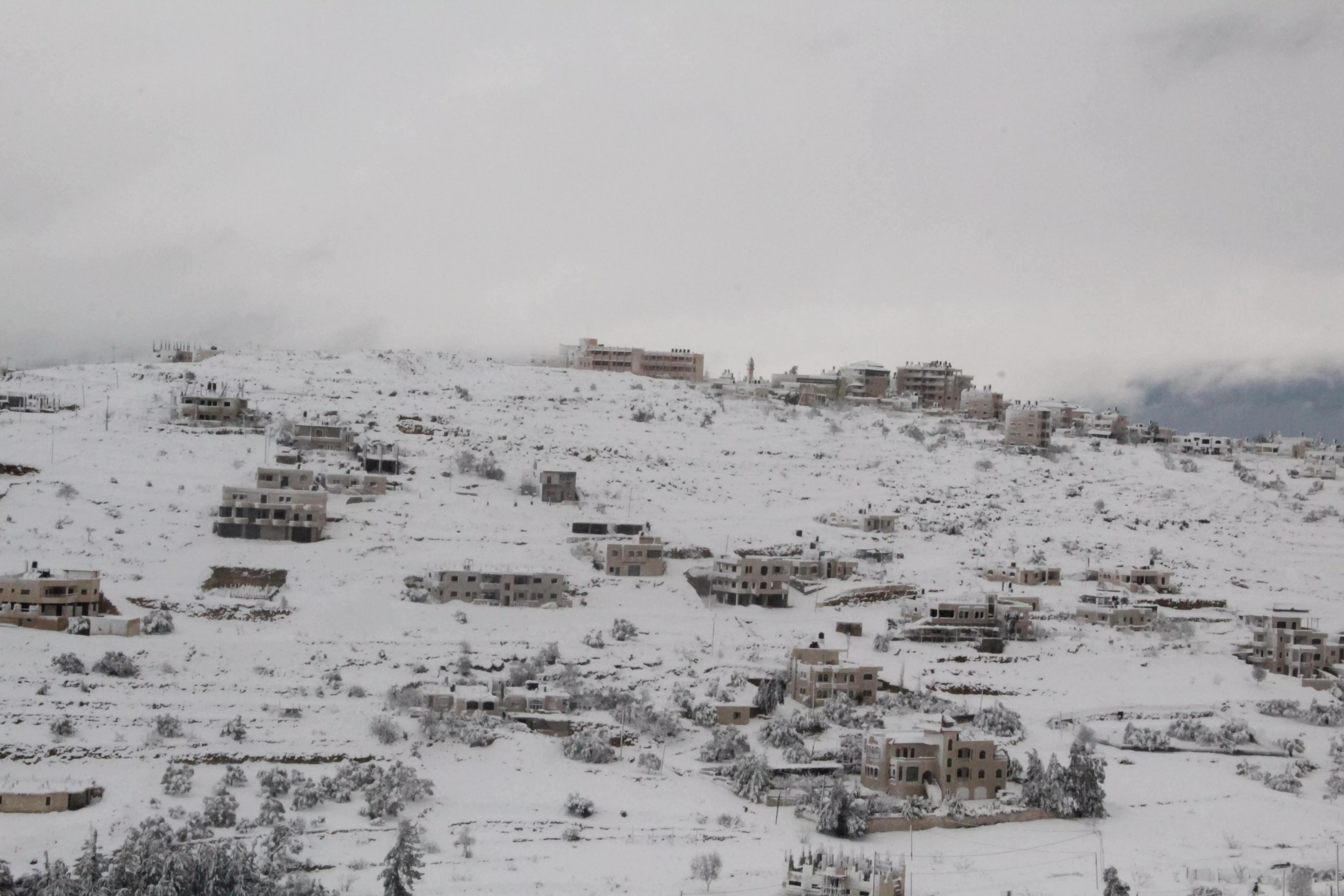
Posted by ابو السعدي - الثلج 2008

Posted by ابو السعدي - القرية وقت الغروب

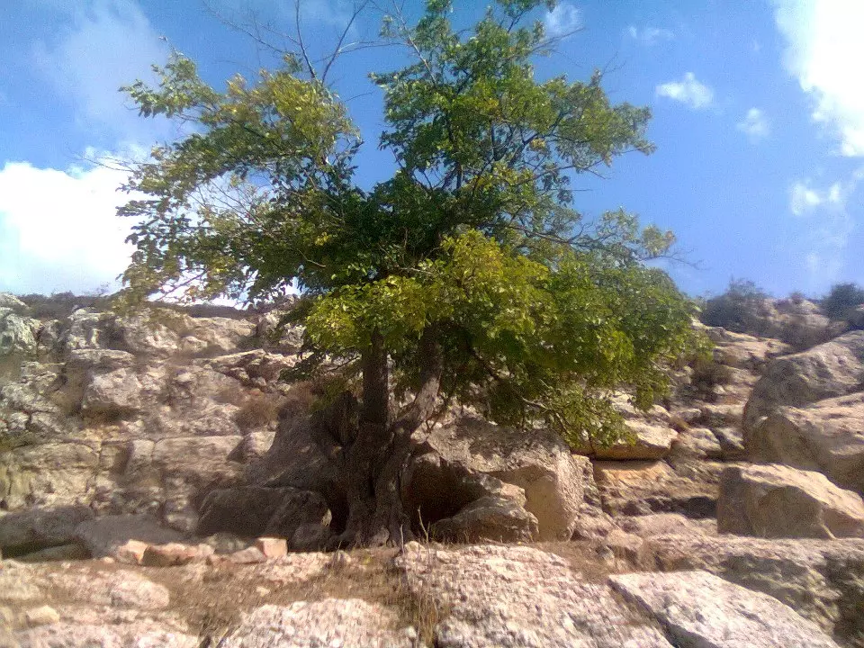
Posted by ابو السعدي - شجرة السدره

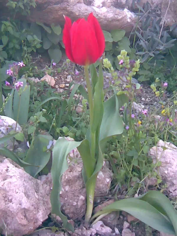
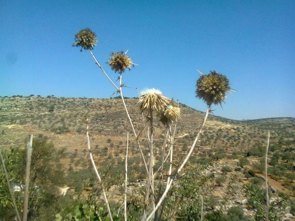
Posted by ابو السعدي - ازهار من بلدي- (لبيد )

Posted by ابو السعدي - ازهار من بلدي- (لبيد )
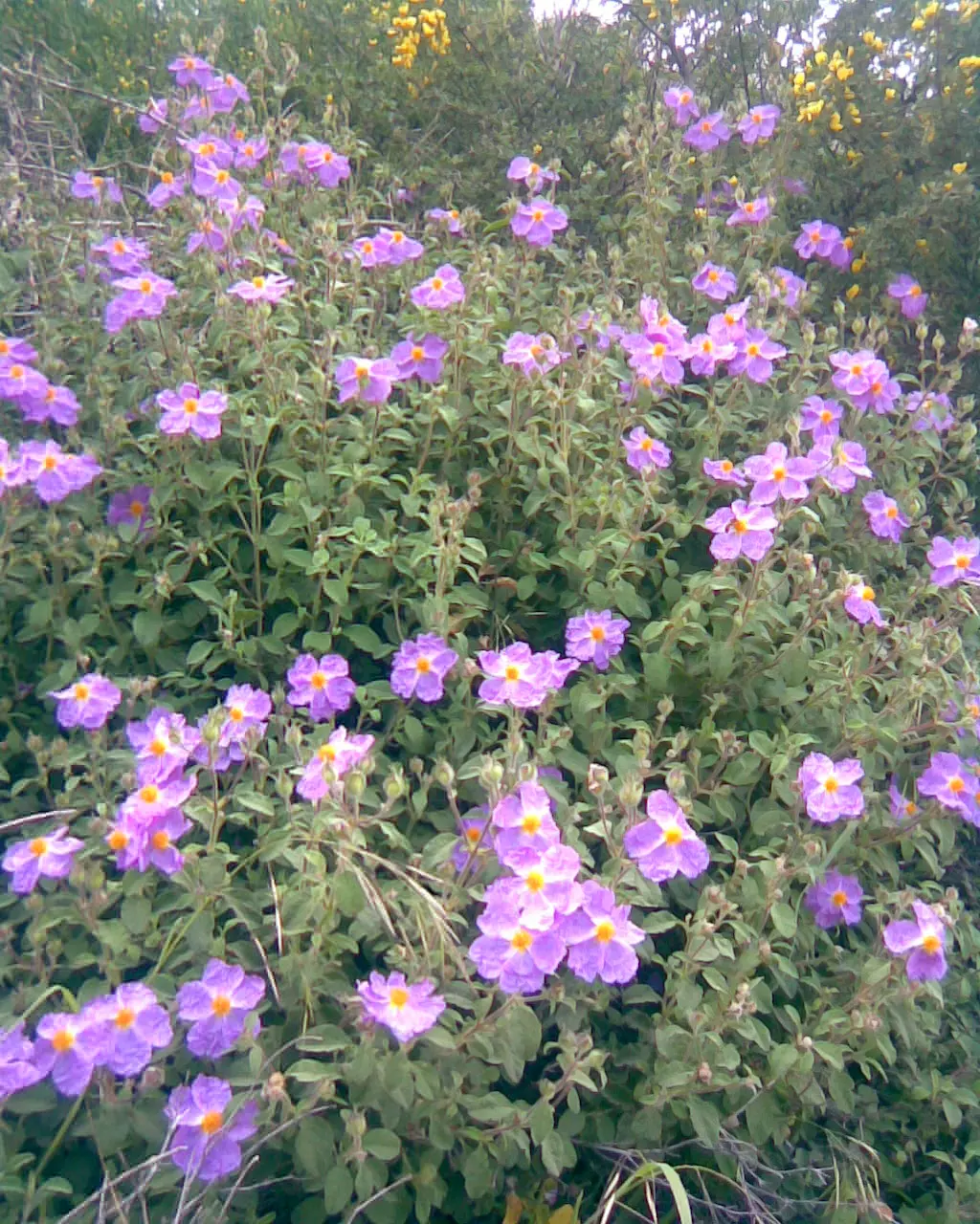
Posted by ابو السعدي - ازهار من بلدي- (لبيد )
Posted by ابو السعدي - ازهار من بلدي- الحنون الاحمر )
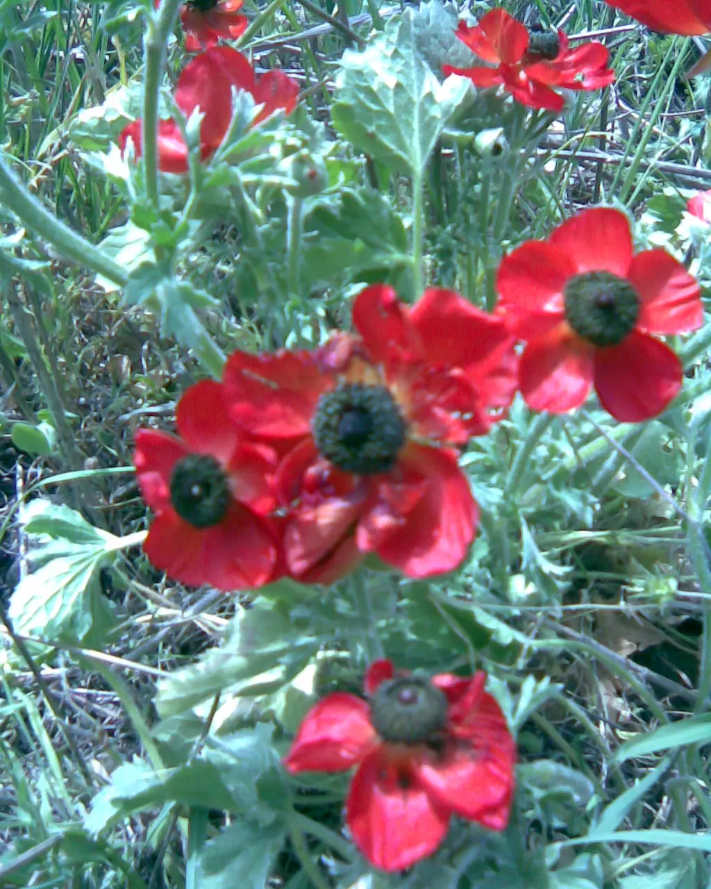
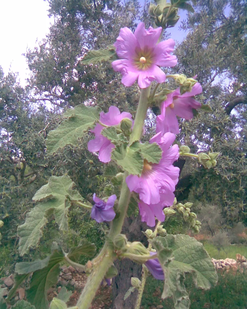
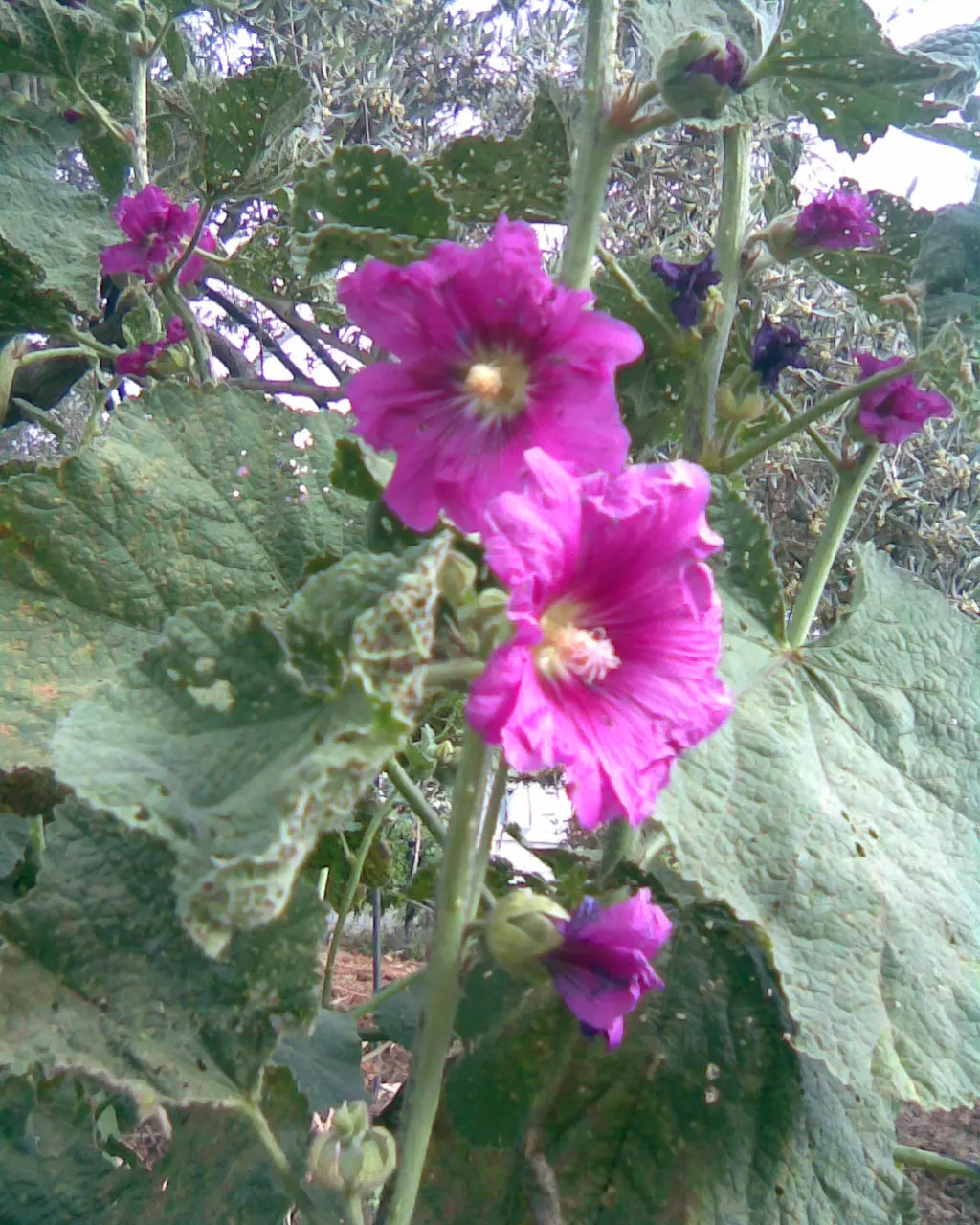
Posted by ابو السعدي - ازهار من بلدي- (حنون غزال )
Posted by ابو السعدي - ازهار من بلدي- (حنون سيدي )
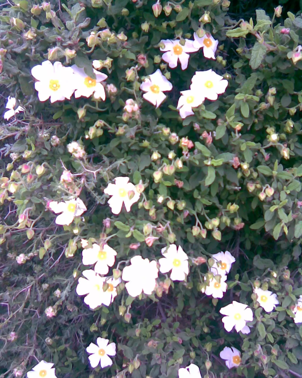
Posted by ابو السعدي - ازهار من بلدي- (الاقحوان )
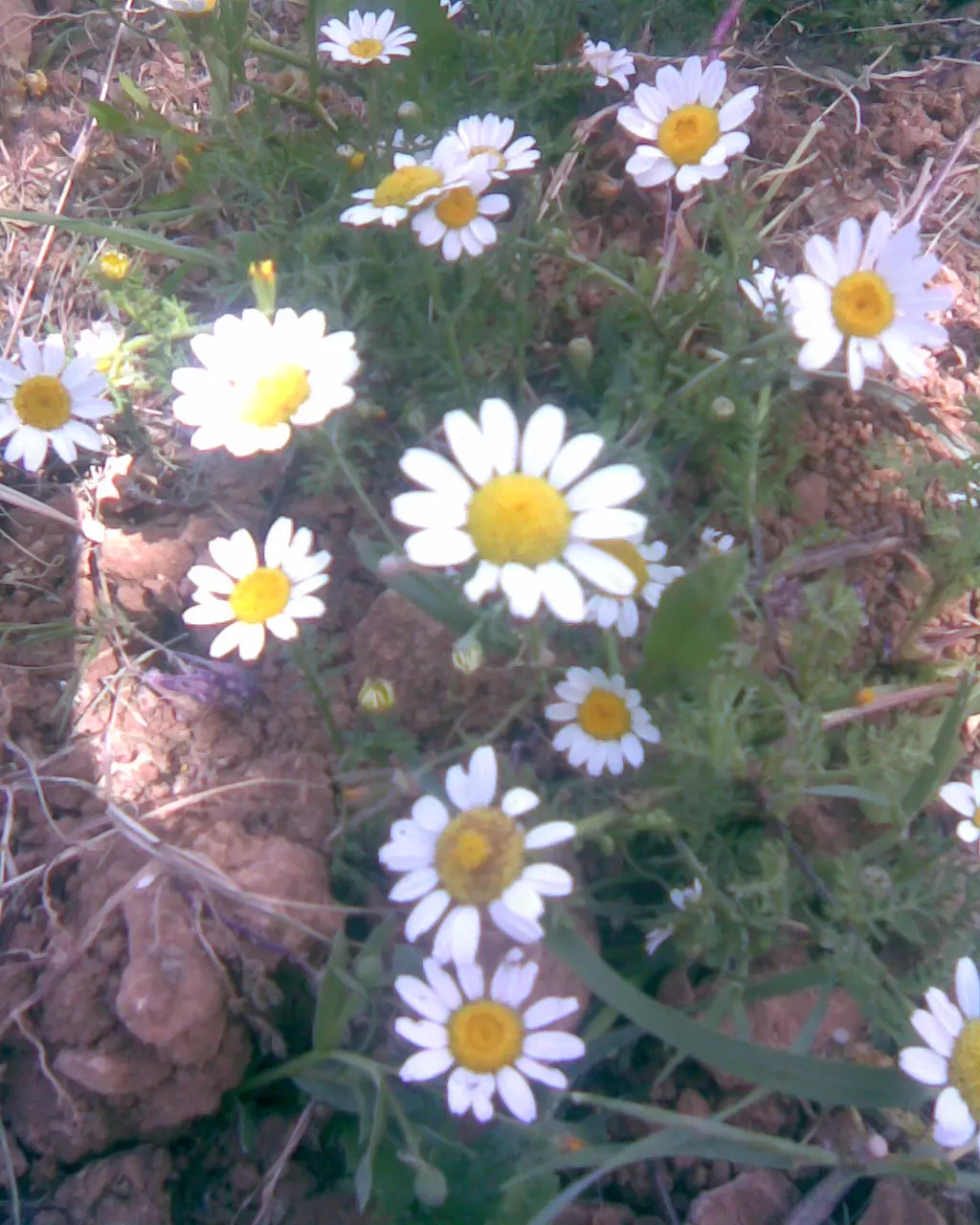
Posted by ابو السعدي - ازهار من بلدي- (الاقحوان الاصفر)

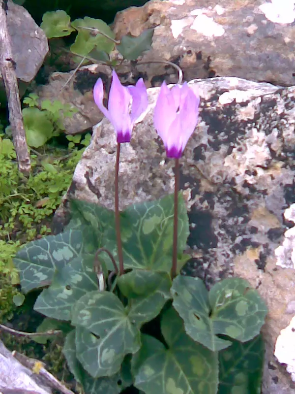
Posted by ابو السعدي - ازهار من بلدي- (القنديل) ( القندول)
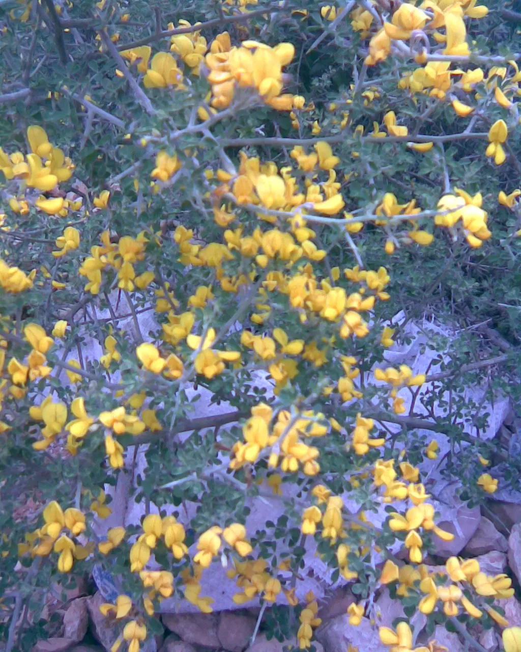
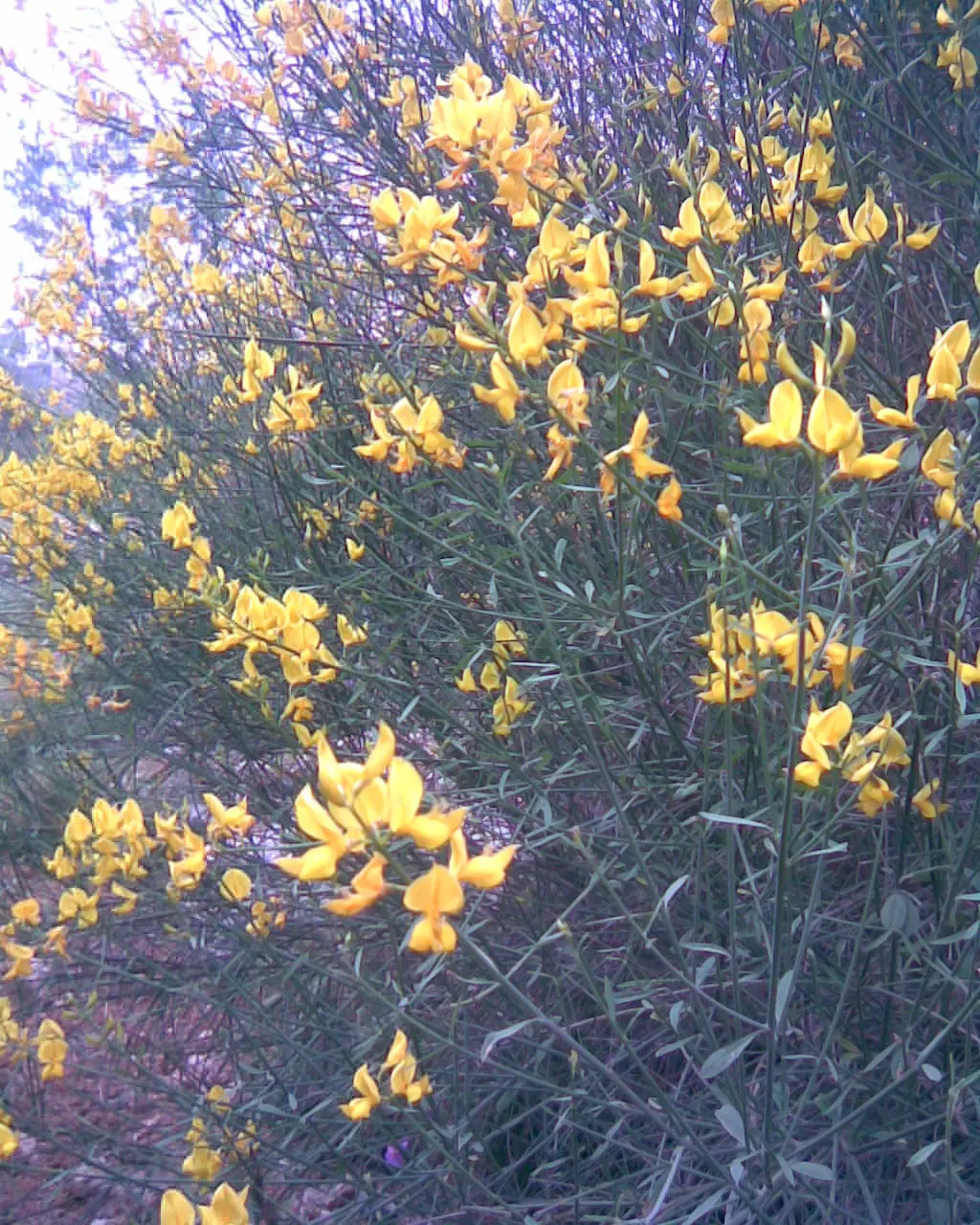
Posted by ابو السعدي - ازهار من بلدي- (الرتم)
Posted by ابو السعدي - ازهار من بلدي- (العوينه)
Posted by ابو السعدي - ازهار من بلدي- (العوينه)
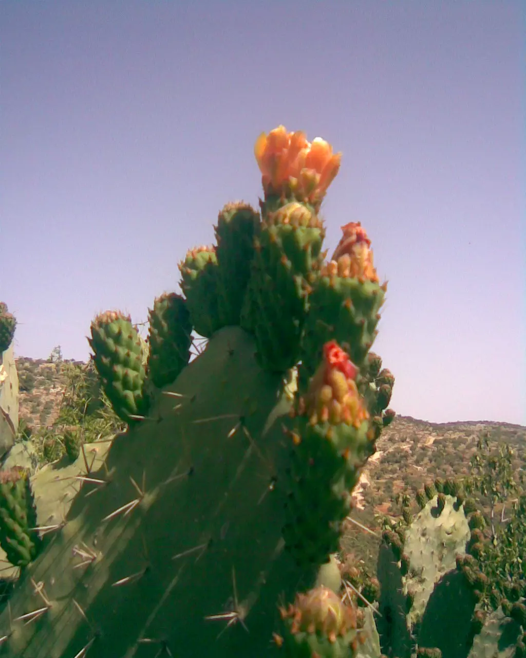
Posted by ابو السعدي 1 - ازهار من بلدي- (الصبر)
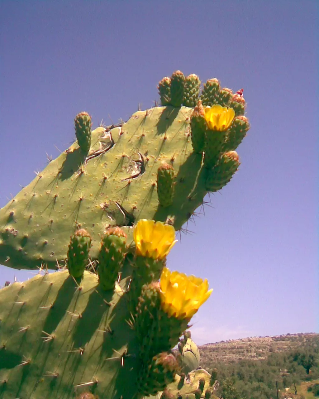
Posted by ابو السعدي - ازهار من بلدي- (الصبر)
Posted by ابو السعدي - حجر بلادي مقدس
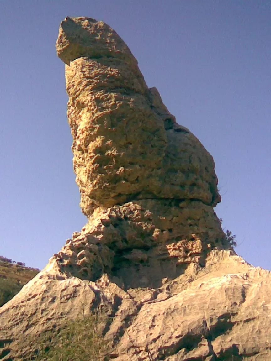
Posted by ابو السعدي - حجر بلادي مقدس

Posted by ابو السعدي - حجر بلادي مقدس
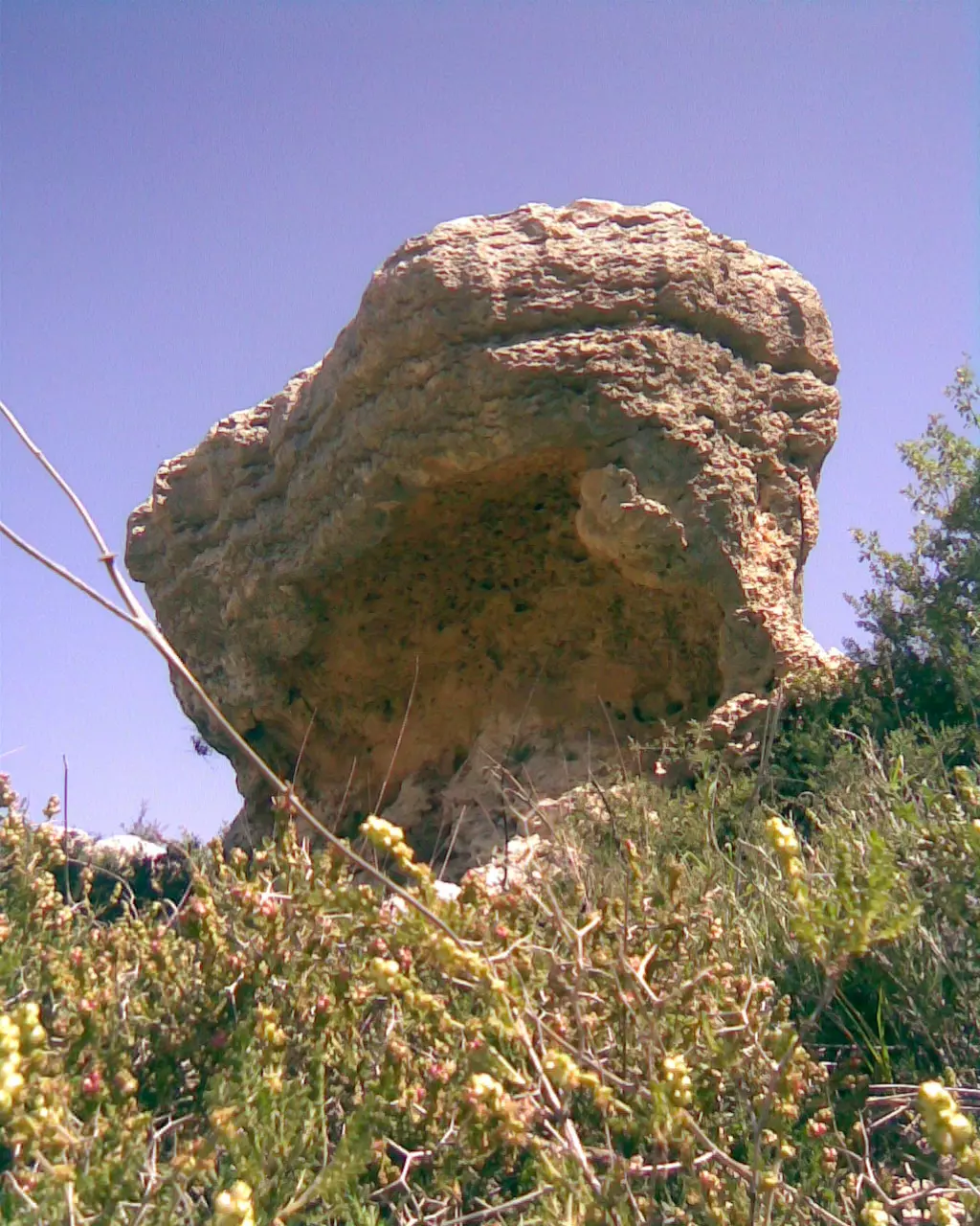
Posted by ابو السعدي - حجر بلادي مقدس
Posted by ابو السعدي - حجر بلادي مقدس
Posted by ابو السعدي - الحارة الشرقية قرب بقالة : ابو حازم
Posted by ابو السعدي - ذيال البلد وتظهر ( ميشة شنار ) حاكورة الحاج قاسم

Posted by ابو السعدي - ذيال البلد
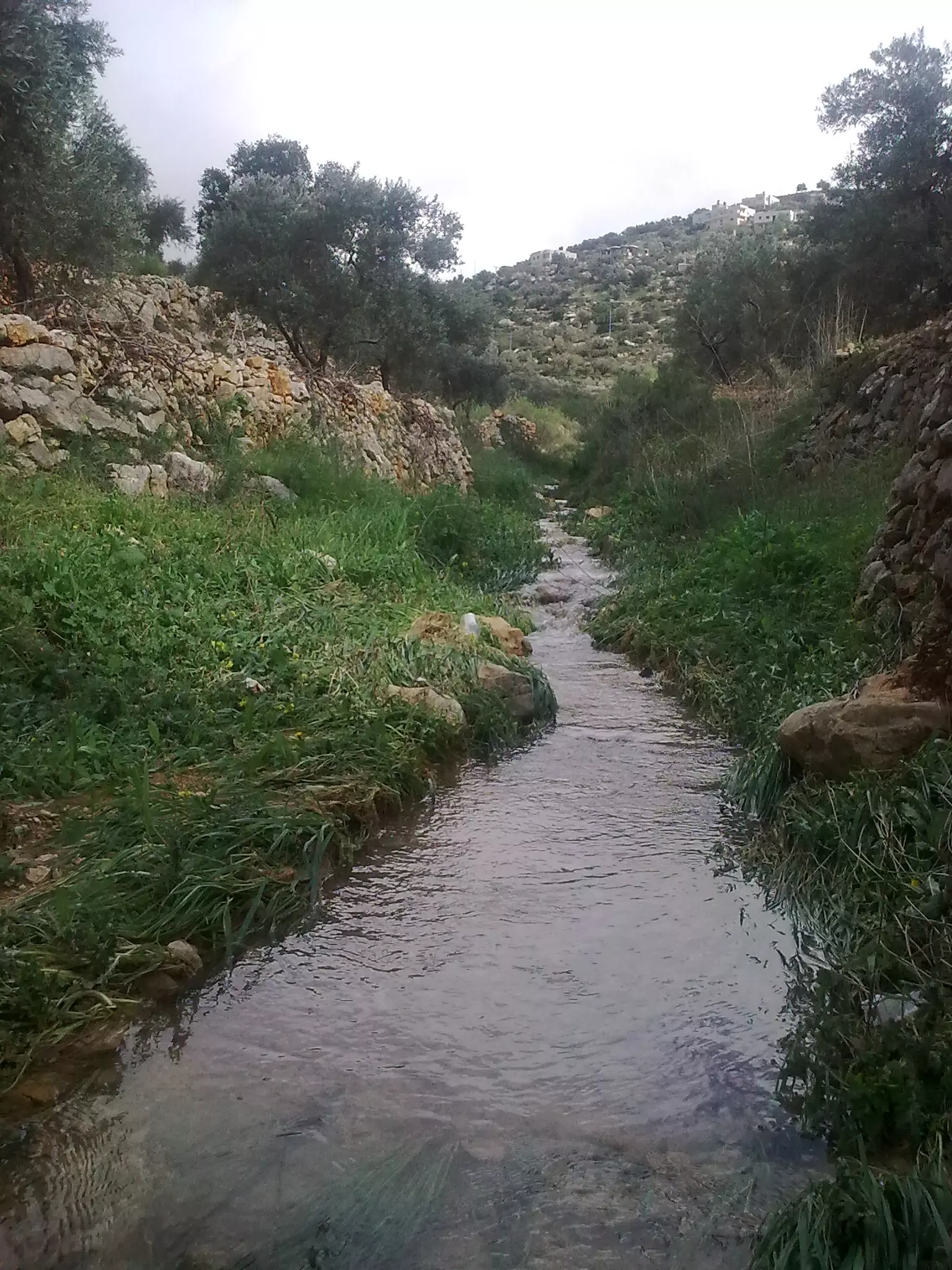
Posted by ابو السعدي - منطقة واد العين
Posted by ابو السعدي 1 - منطقة المرج

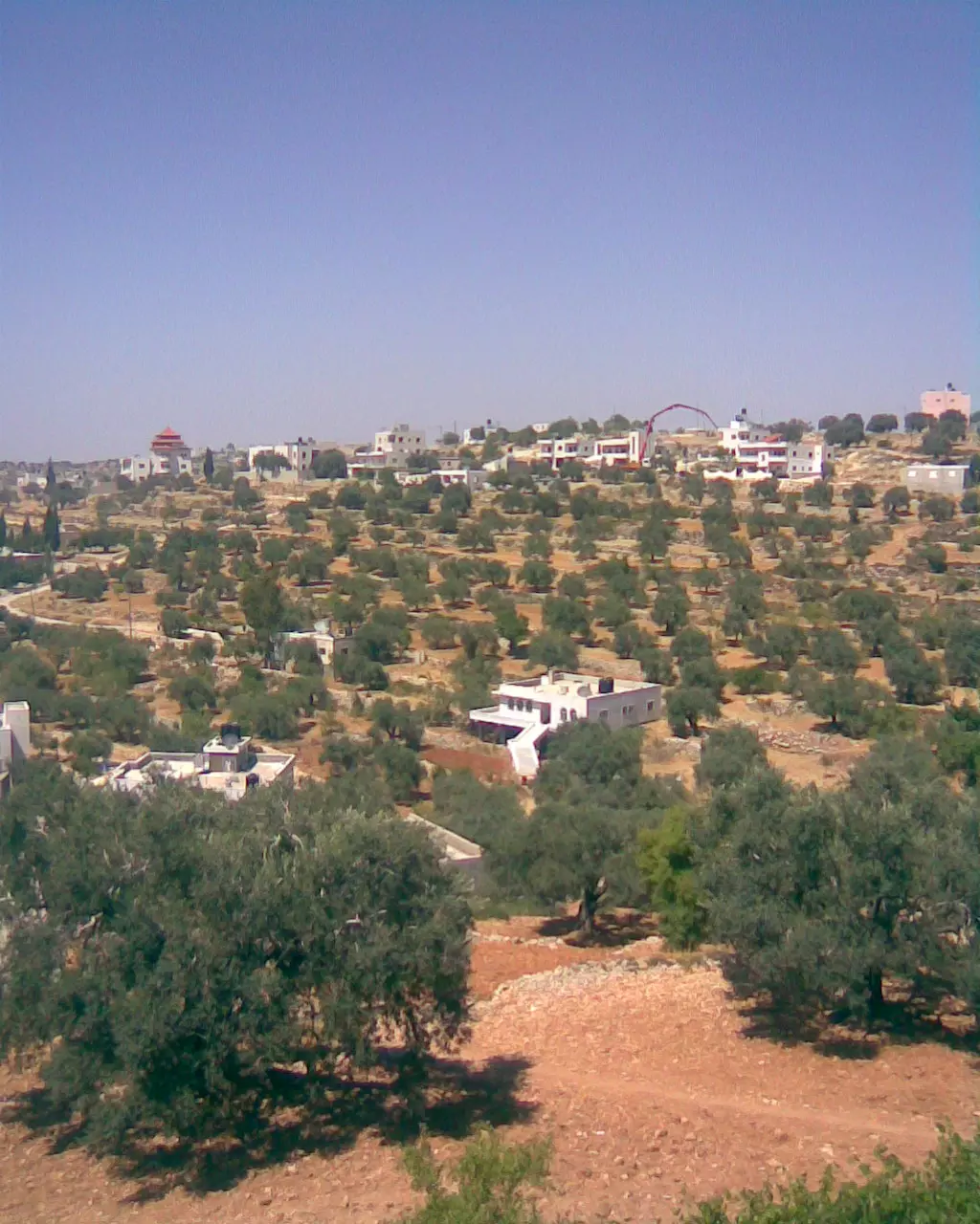
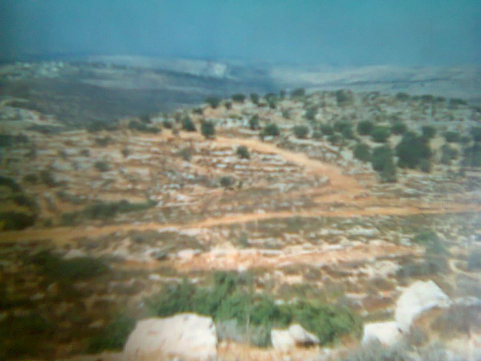
Posted by ابو السعدي - منظر عام للقرية
Posted by ابو السعدي - الحارة الشرقية
Posted by ابو السعدي - جبل الدير
Posted by ابو السعدي - منظر من داخل القرية ويبدو تحت التينة
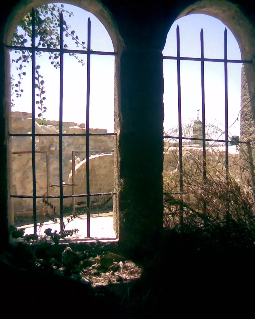
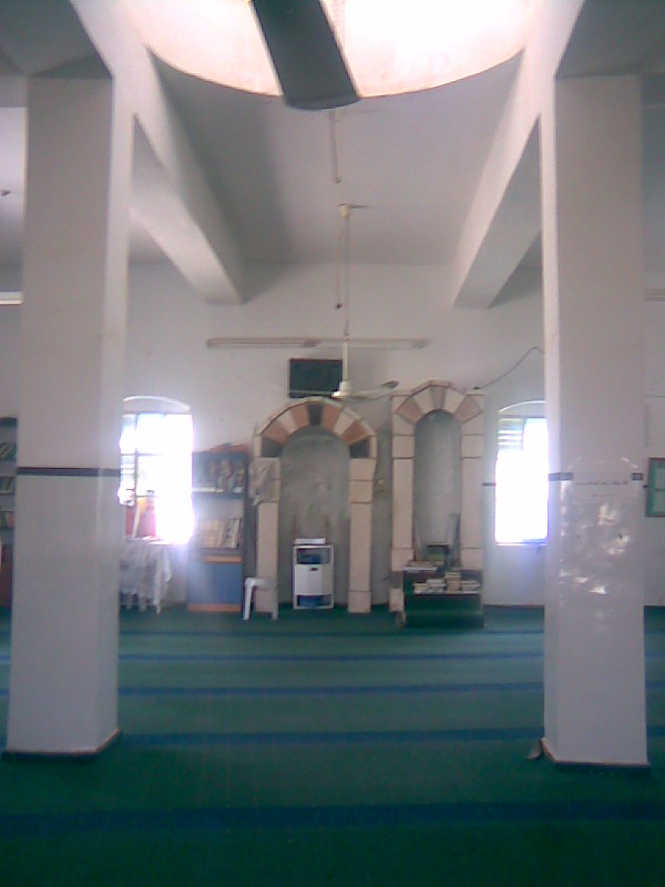
Posted by ابو السعدي - المسجد الغربي من الداخل
Posted by ابو السعدي - الحارة الشرقية + الشريف + الشباك
Posted by ابو السعدي - دير الهوا

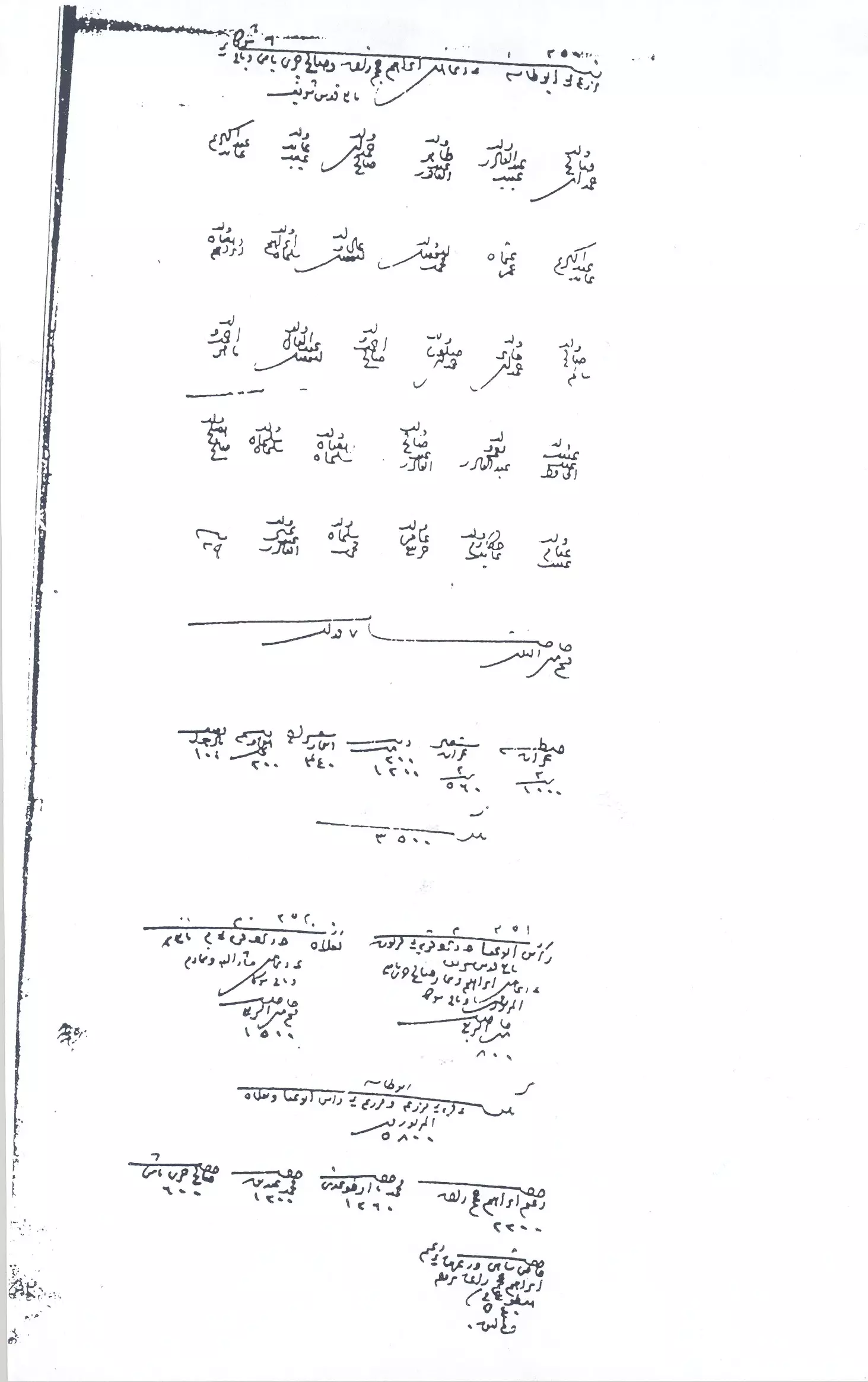
Posted by ابو السعدي - وثيقة تعود لعام 1201هجري ويظهر فيها اسم مزرعة بني حارث الشمالية
Posted by ابو السعدي - البلدة القديمة عند الغروب
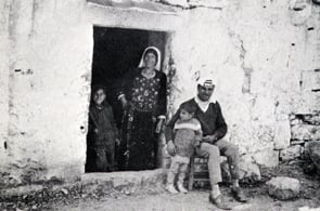
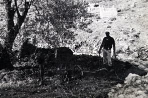
Posted by ابو السعدي - حراث صورة تعود لعام 1970
Posted by ابو السعدي 1 - الشهيدين - نصير وفوزي استشهدا معا بتاريخ 10-2-1991

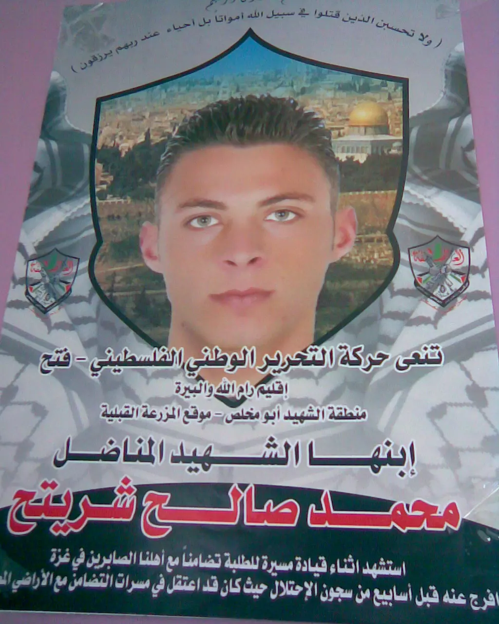
Posted by ابو السعدي - الشهيد - محمد صالح شريتح - استشهد بتاريخ 3-3-2008
Posted by ابو السعدي 1 - الشهيد - نصير محمود سعدي شريتح - استشهد بتاريخ 10-2-1991
Posted by ابو السعدي - الشهيدين - نصير وفوزي استشهدا معا بتاريخ 10-2-1991
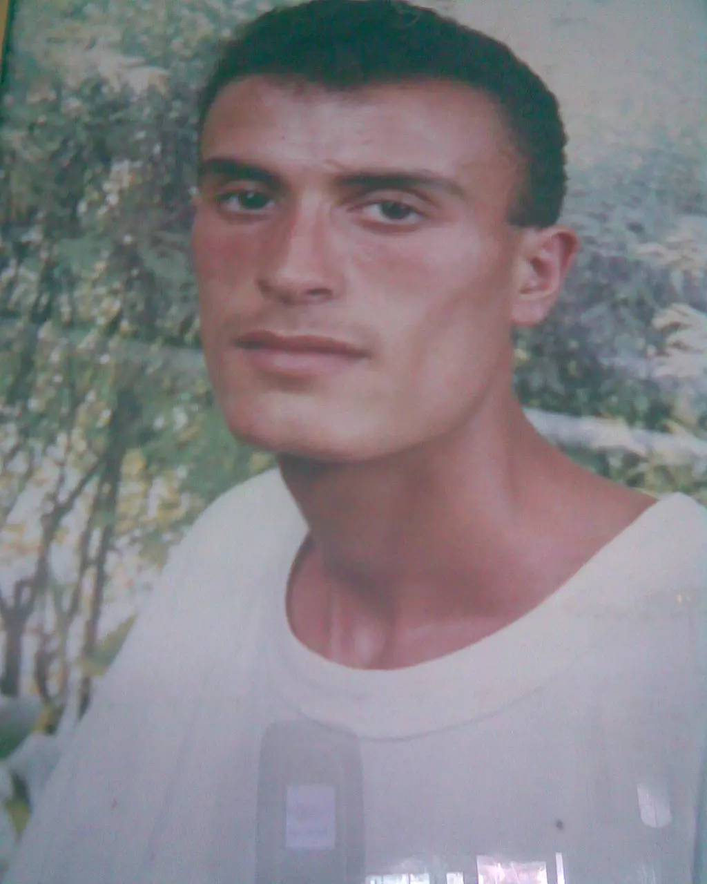
Posted by ابو السعدي - الشهيد محمد شريتح
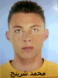
Posted by محمد شريتح 2 - الشهيد محمد شريتح

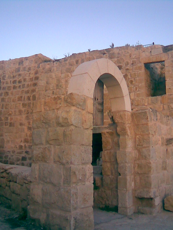
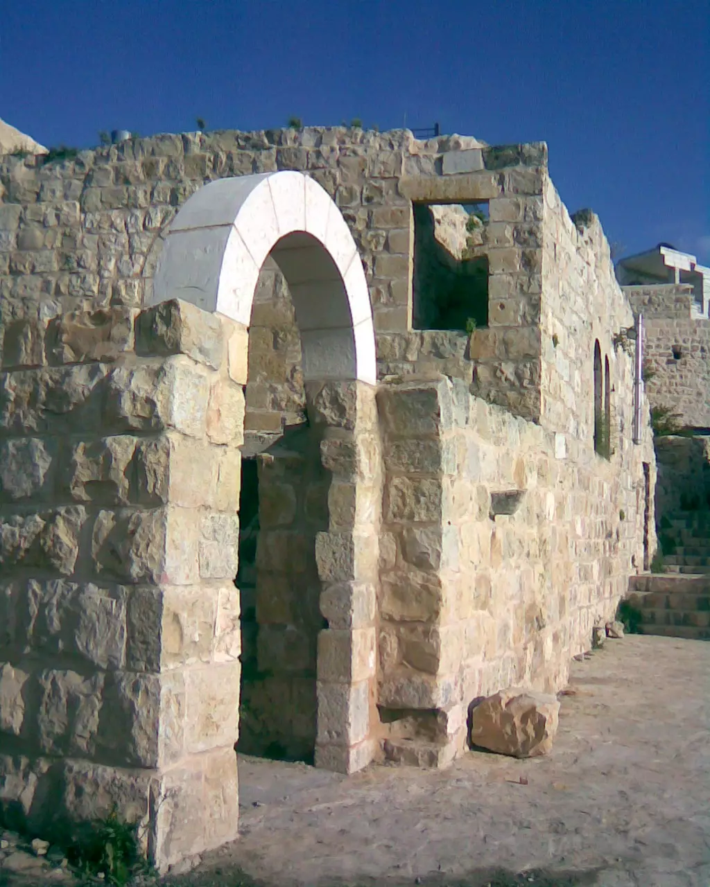
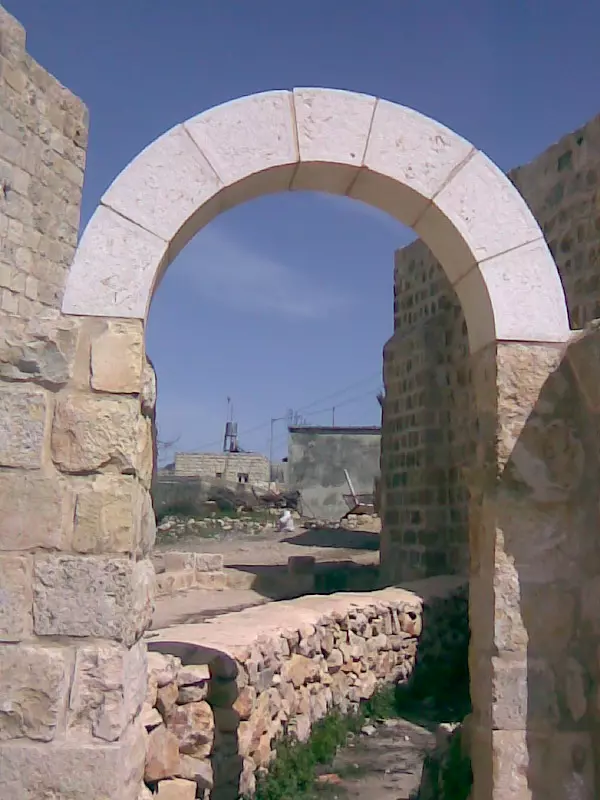
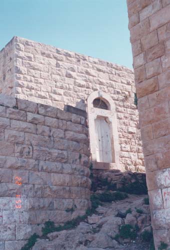
Posted by محمد شريتح 1 - قوس دار الشيخ - باب الجامع
Posted by ابو السعدي - بيت المختار محمد الحاج سليمان
Posted by ابو السعدي - بيت ام نبهان

Posted by ابو السعدي - بيت يوسف ليلى ابو محمد
Posted by ابو السعدي - بيت علي العيص
Posted by ابو السعدي - بيت محمد جليلة ابو يوسف
Posted by ابو السعدي - بيت العبد ابو نواس

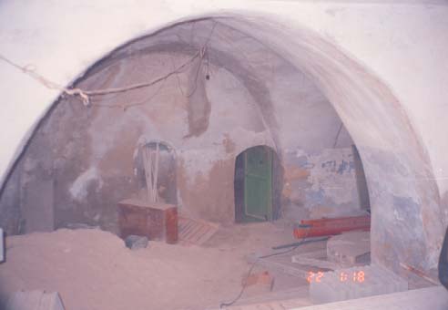
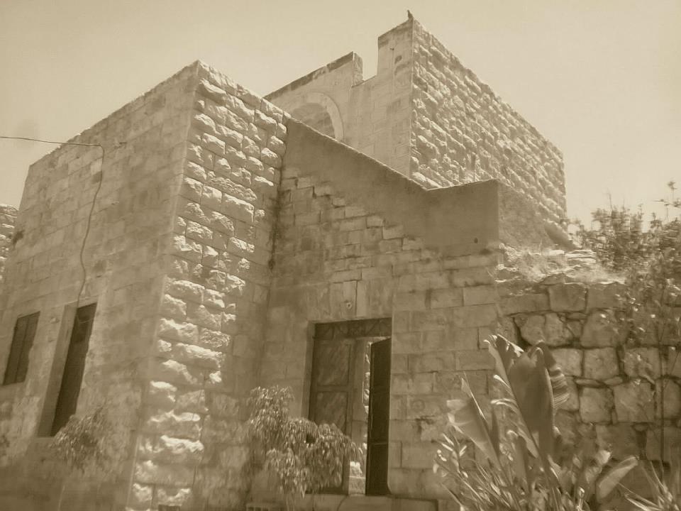
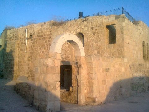
Posted by ابو السعدي 1 - الجامع القديم
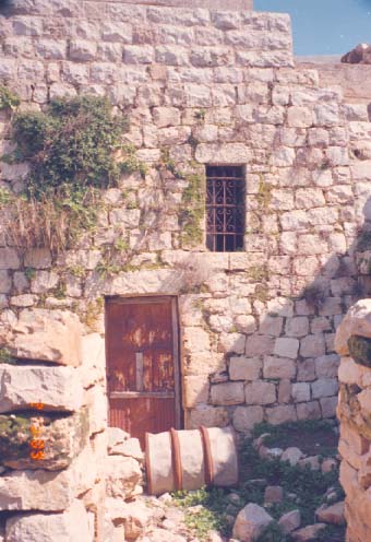
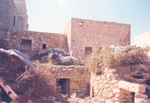
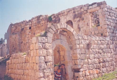
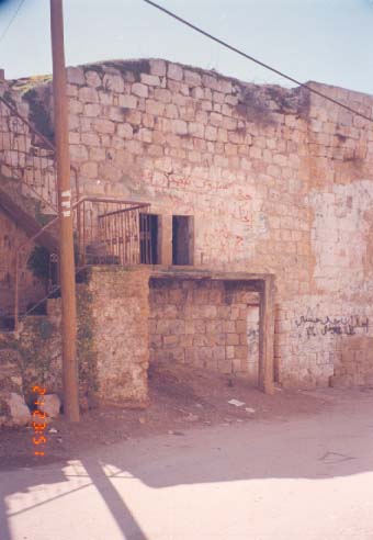
Posted by ابو السعدي - باب المظافة - قبل الترميم
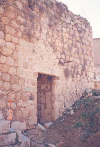
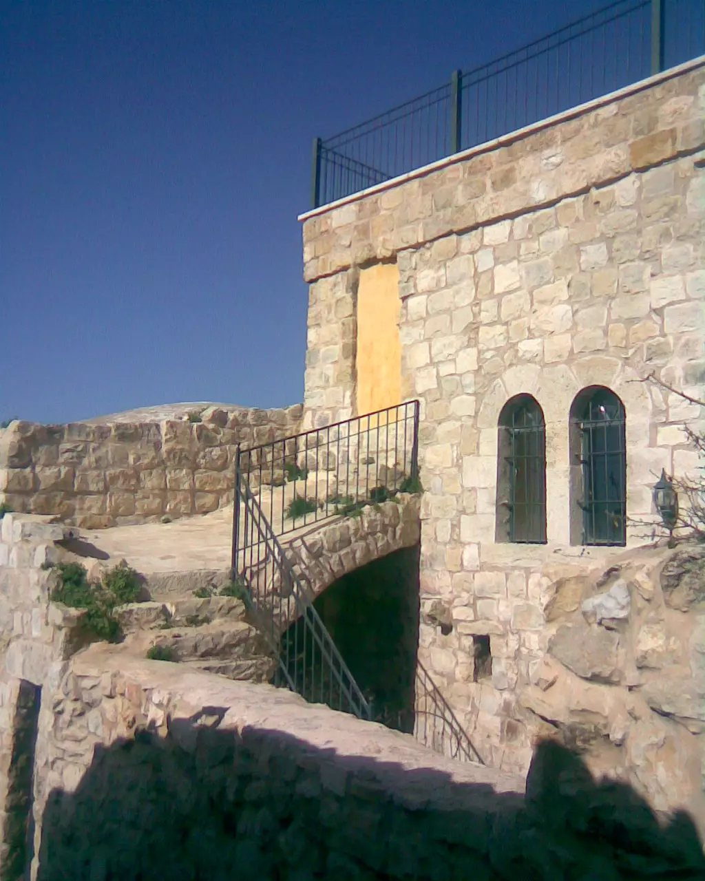
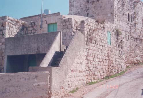
Posted by ابو السعدي - باب المظافة - بعد الترميم

Posted by ابو السعدي - بيت عمر الديسية ابو جاسر
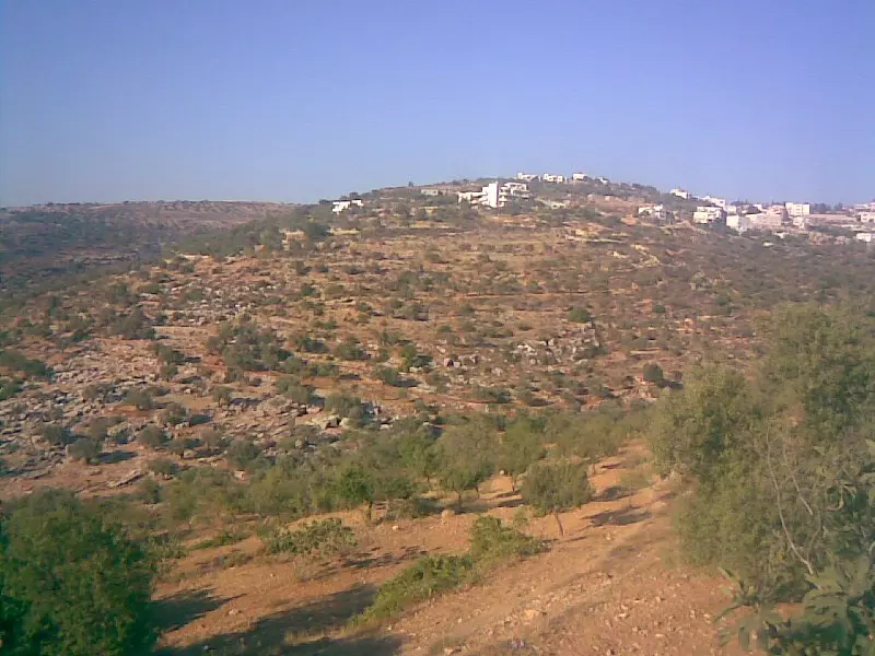
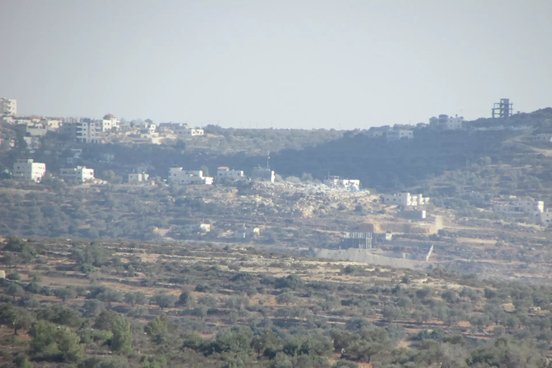
Posted by ابو السعدي - منطقة النجمه وتظهر المستوطنة في خلف الصورة (الظهور )
Posted by ابو السعدي - دير الهوا
Posted by ابو السعدي - كركور - منطقة المرج
Posted by ابو السعدي - مدرسة المزرعة القبلية المختلطة في الحارة الفوقا
Posted by ابو السعدي - مقام الشيخ عيسى جنوب غرب القرية - قرب عين المسراج

Posted by ابو السعدي - صورة للحارة القبلية التقطت من فوق جبل الدير عام 1995
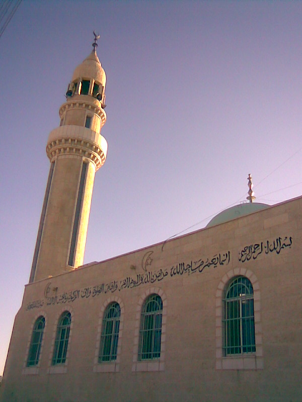
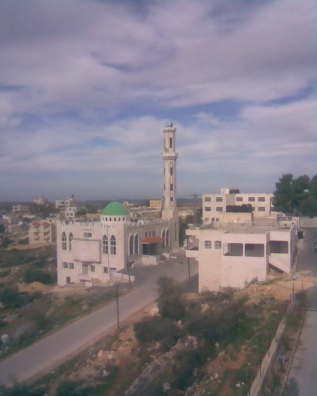
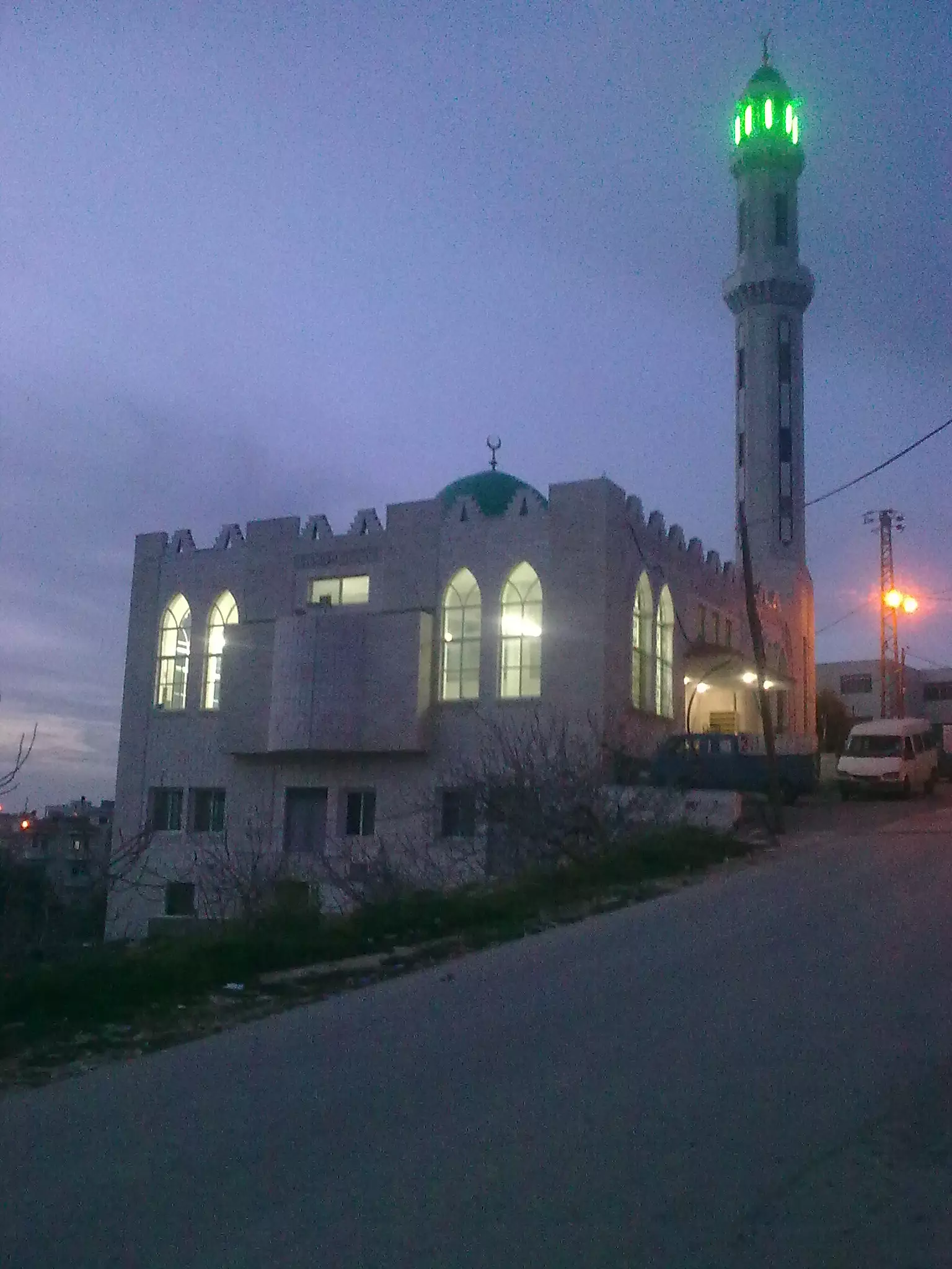
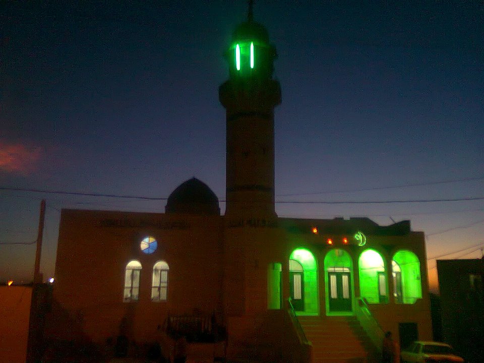
Posted by ابو السعدي 1 - المسجد الجديد في منطقة الشريف تاسس عام 2008 يقع المسجد قرب المدارس
Posted by ابو السعدي - المسجد الجديد خلال عملية اكمال المئذنة
Posted by ابو السعدي - صورة ملتقطة من منطقة الشريف لمنطقة الشباك
Posted by ابو السعدي - المسجد الجديد
Posted by علي سعدي شريتح - صورة ملتقطة للفرية من منطقة الشريف وتبدو القرية وعلى يسار الصورة جبل الدير
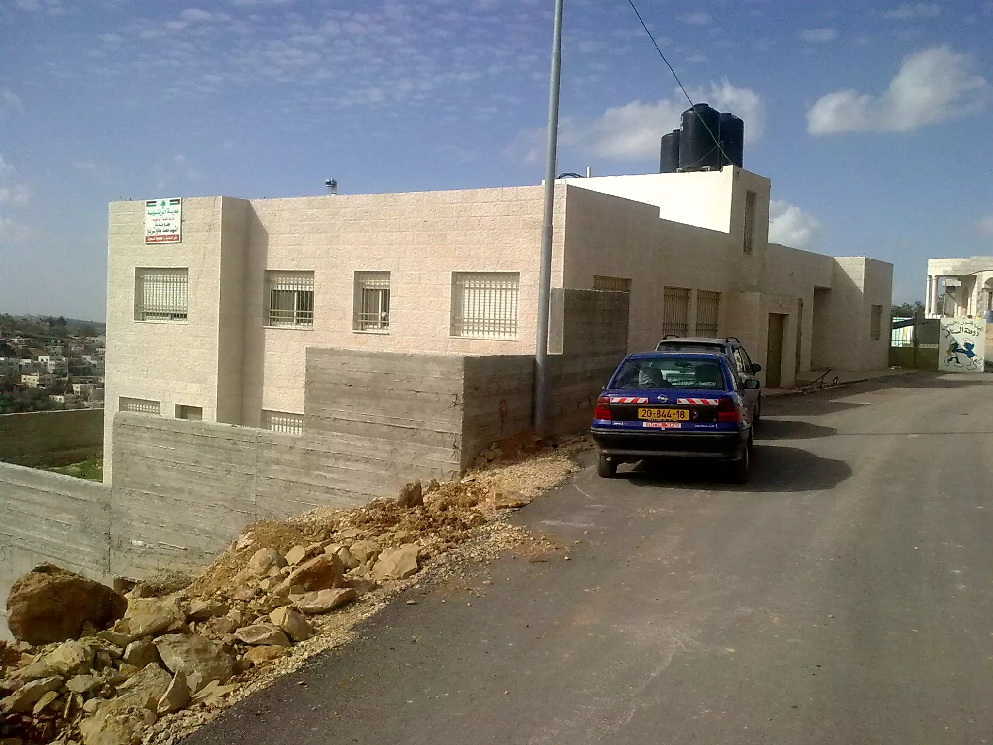
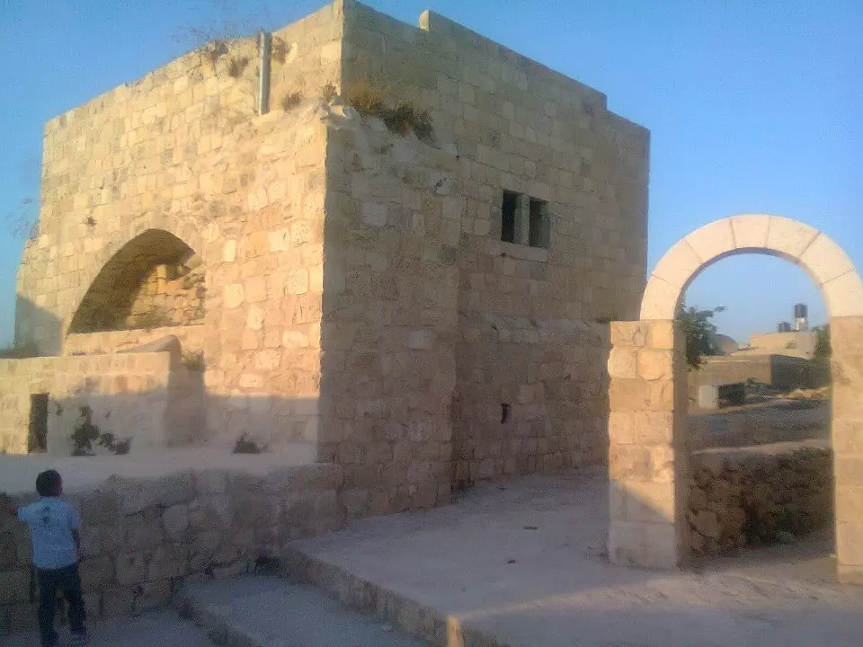
Posted by علي سعدي شريتح 1 - مبنى البلدية
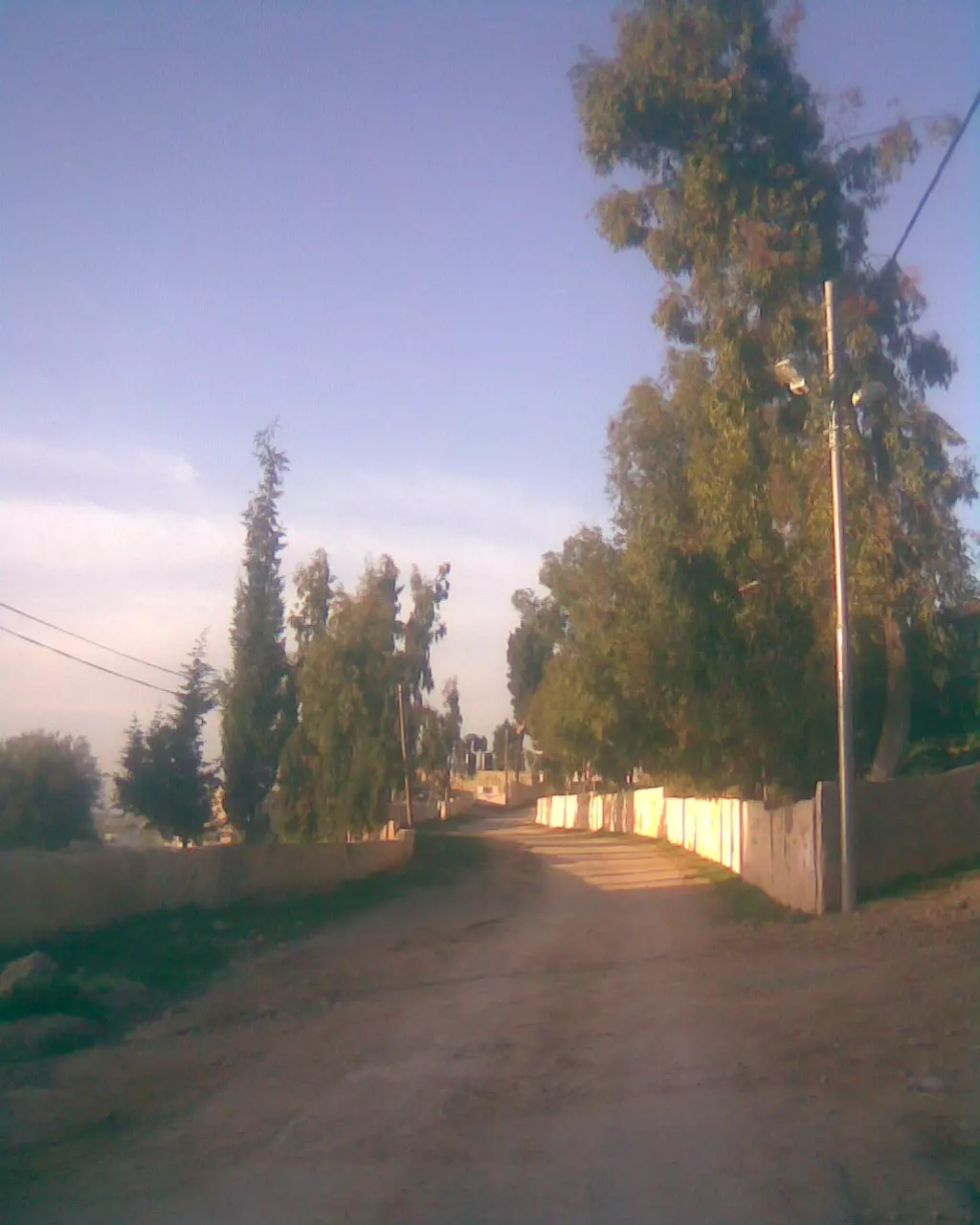
Posted by علي سعدي شريتح - شارع المقبره
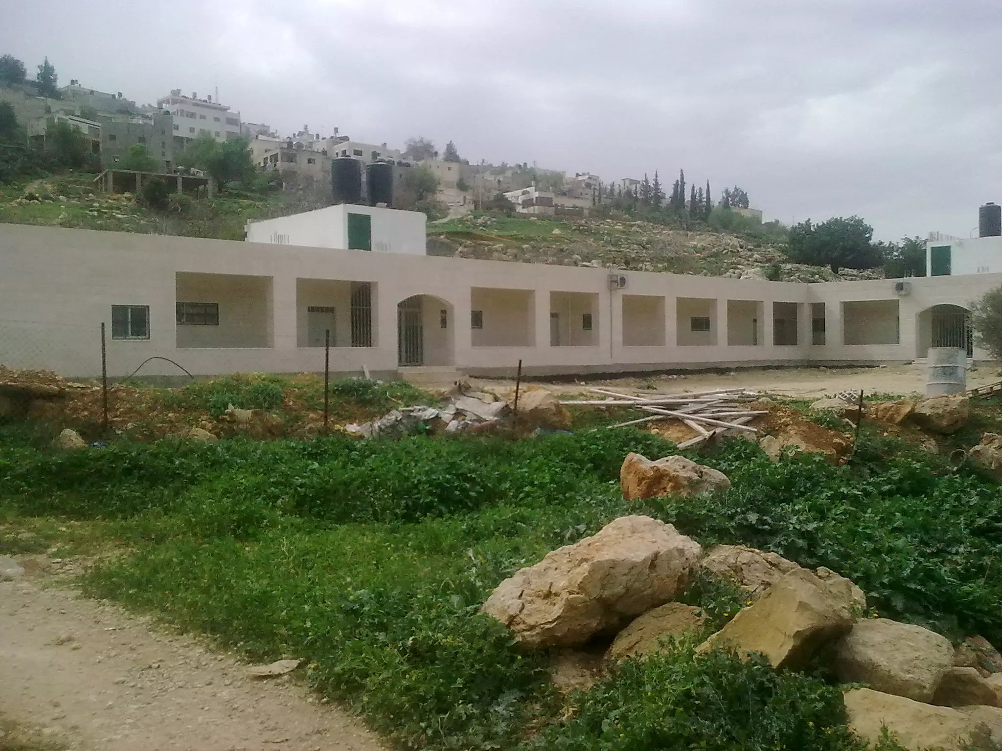
Posted by علي سعدي شريتح - المدرسة الجديدة في ذيال البلد وتحديدا في ميشة شنار (حاكورة الحاج قاسم )
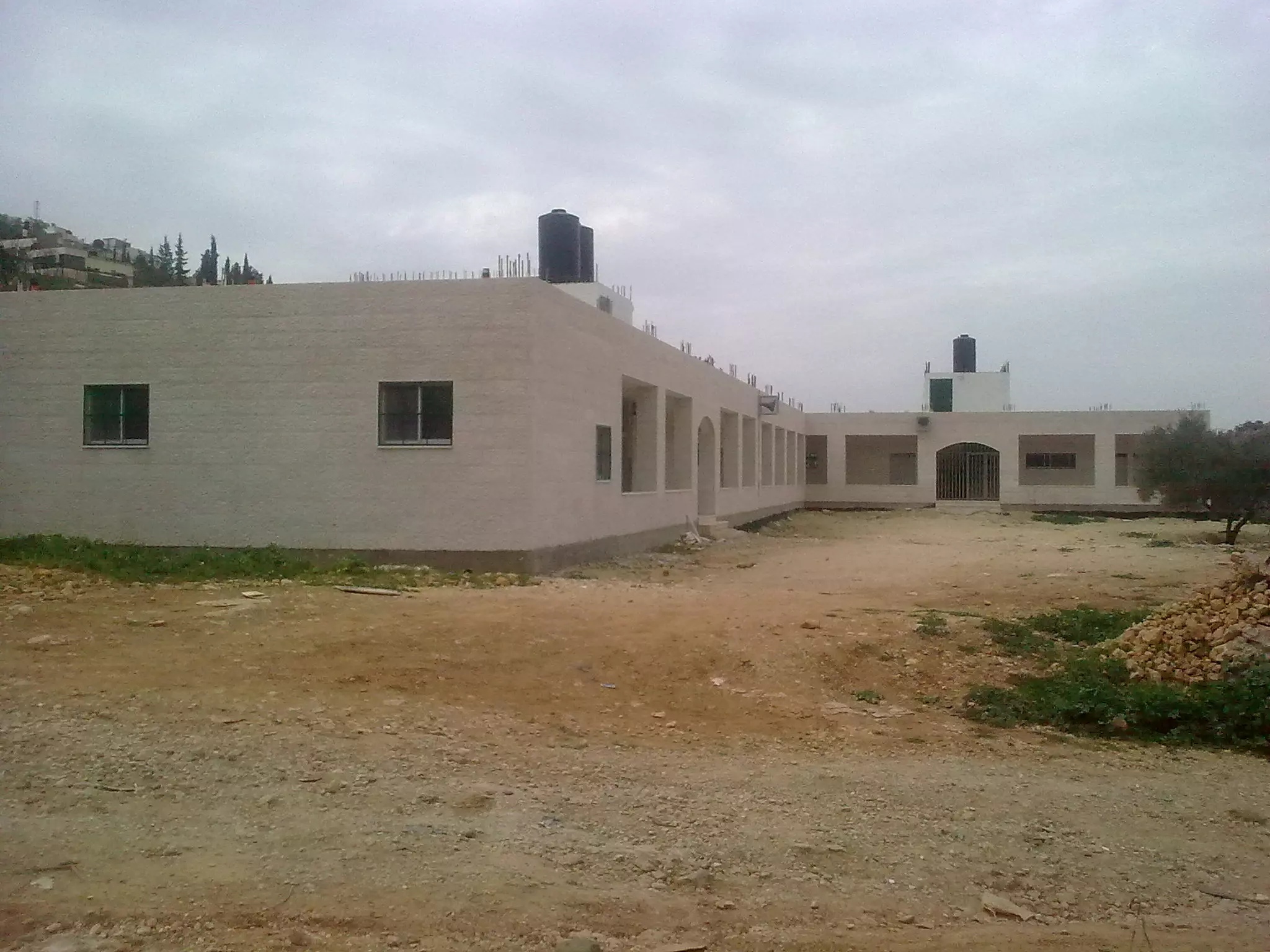
Posted by علي سعدي شريتح - المدرسة الجديدة اسستها البلدية عام 2009
Posted by علي سعدي شريتح - المسجد الجديد بعد اكتمال المئذنة
Posted by علي سعدي شريتح - المسجد الجديد بعد اكتمال المئذنة
Posted by علي سعدي شريتح - المسجد الجديد ليلا وقت صلاة المغرب
Posted by علي سعدي شريتح 1 - واد العين
Posted by علي سعدي شريتح - المزرعة القبلية ( سطح جبل الدير) ويبدو في الصوره قريتي الجانيه وراس كركر
Posted by عصام - صوره لمنطقة الشريف التقطت من جبل الدير وتظهر في اسفل الصوره (بقايا شجرة الدير 1995
Posted by عصام - سطح جبل الدير 1995 قبل مصادرته من سلطات الأحتلال
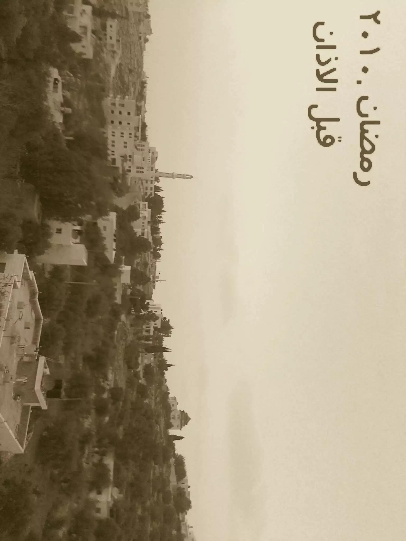
Posted by عصام 1 - صورة في رمضان 2010
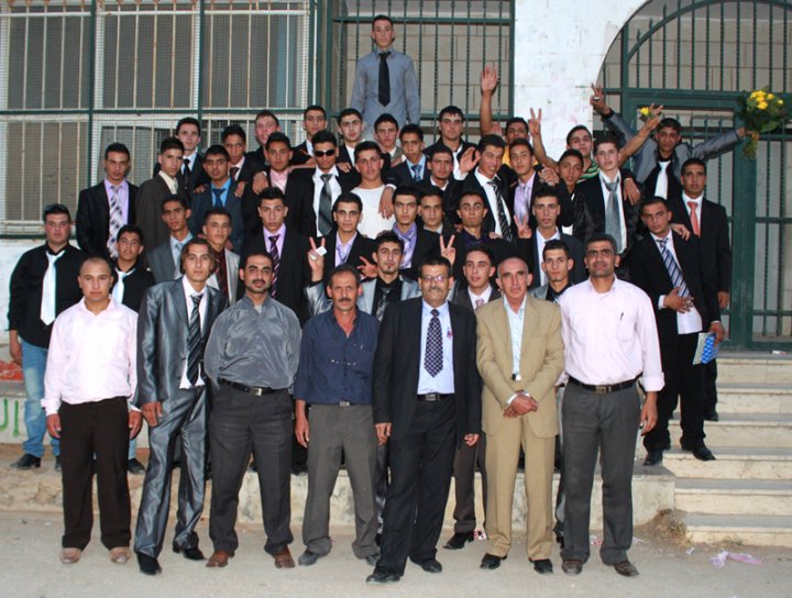
Posted by سعدي شريتح - طلبت الثانوية العامة 2010

Posted by سعدي شريتح - وثيقه تركيه رسميه وتظهر مزرعة بني الحارث الشماليه تابعه لواء القدس الشريف مؤرخه في 3 ذو الحجه 1195 هجري
Posted by عصام - تحت السدرة بعد الترميم والاعمار
Posted by علي سعدي شريتح - لوحة فنية في ساحة باب الجامع
Posted by علي سعدي شريتح - ساحة باب الجامع
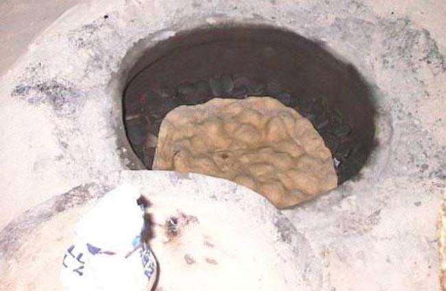
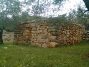
Posted by علي سعدي شريتح - الطابون
Posted by علي سعدي شريتح - السقيفة
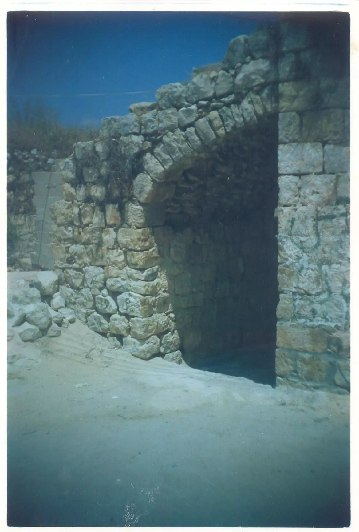
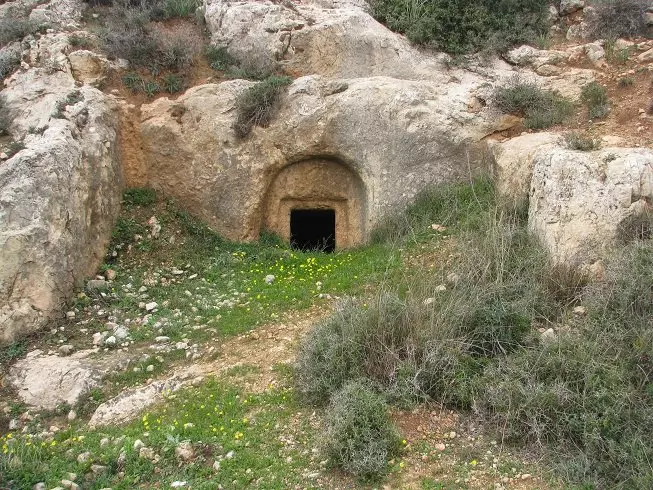
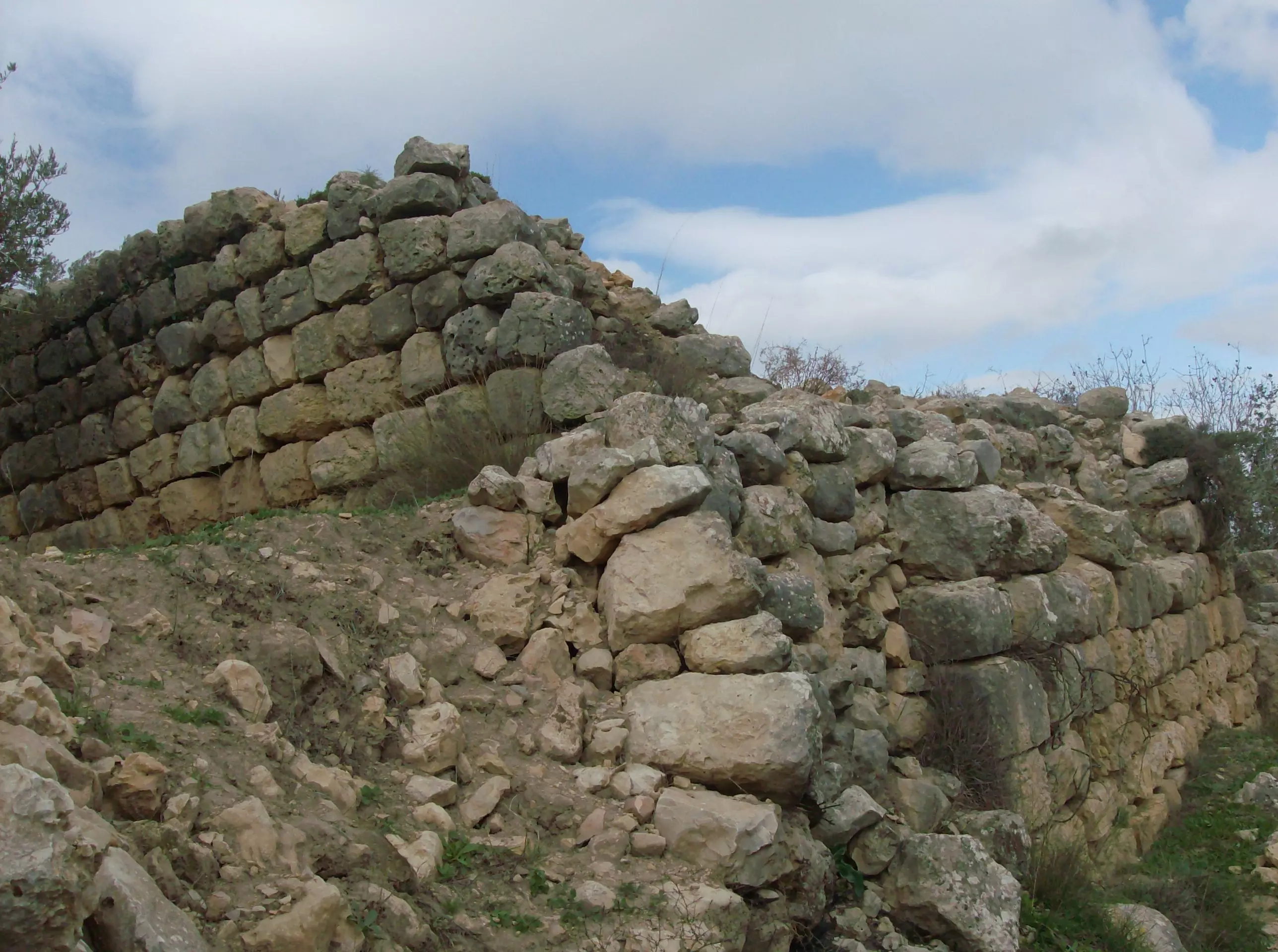
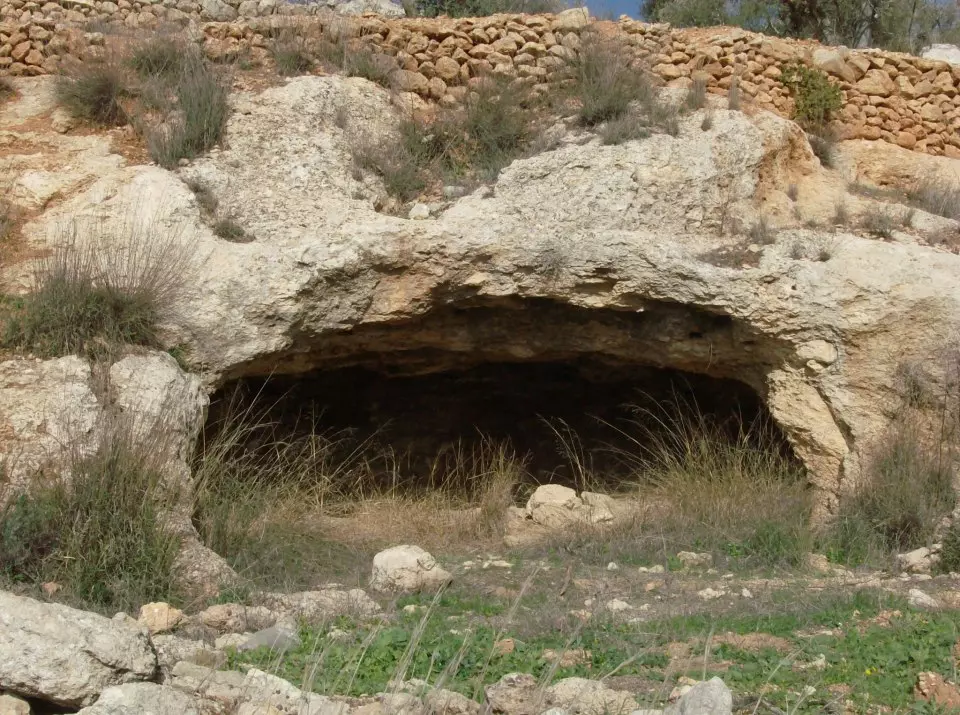
Posted by علي سعدي شريتح - مغارة رومانية في طريق حراشة
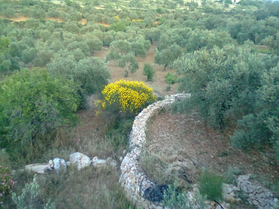
Posted by علي سعدي شريتح - كرم زيتون في منطقة الشباك
Posted by علي سعدي شريتح - منطار
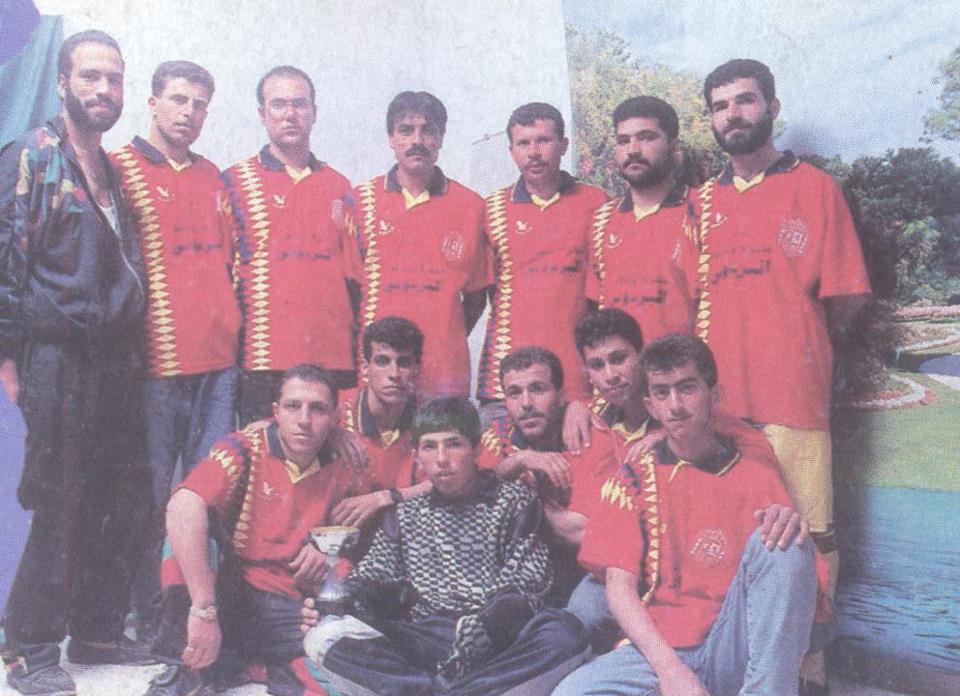
Posted by علي سعدي شريتح - فريق نادي المزرعة القبلية في التسعينات
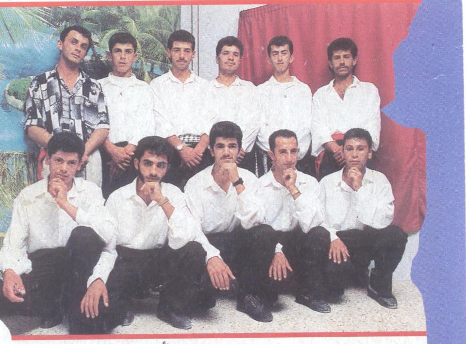
Posted by علي سعدي شريتح - فرقة اوطان للدبكة الشعبية - المزرعة القبلية في التسعينات
Posted by علي سعدي شريتح - المسجد القديم (الغربي )
Posted by علي سعدي شريتح - تحت السدره
Posted by علي سعدي شريتح - تحت السدرة بعد الاعمار وهدم سقيفة الحاجة يامنة
Posted by علي سعدي شريتح - البلدة القديمة بيت يوسف ليلى ابو محمد
Posted by علي سعدي شريتح - منطقة الشيخ عيسى صورة ملتقطة من جبل الدير
Posted by علي سعدي شريتح - مقام الشيخ عيسى ويظهر محراب المسجد القديم
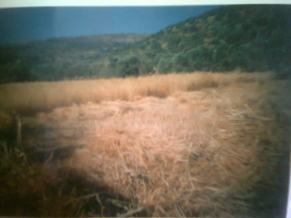
Posted by علي سعدي شريتح - حقل من القمح يرحم ايام الحصيدة حاكورة الحاج قاسم (ميشة شنار )
Posted by علي سعدي شريتح - البلدة القديمة قرب البد - بيت عبد الله ابو قبلان
Posted by علي سعدي شريتح - البلدة القديمة بيت الشيخ عفان
Posted by علي سعدي شريتح - طلاب التوجيهي عام 2010
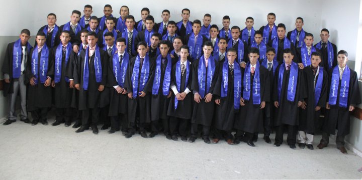
Posted by علي سعدي شريتح - الهيئة التدريسية لمدرسة المزرعة القبلية الثانوية وطلاب التوجيهي عام 2010
Posted by علي سعدي شريتح - بنحبك يا بلدنا
Posted by علي سعدي شريتح - منطقة الشريف وتبدو طلعة ابو عبيدة الشارع الرئيسي

Posted by علي سعدي شريتح - اثار من خربة نعلان
Posted by علي سعدي شريتح - مغرة علي في جبل نعلان
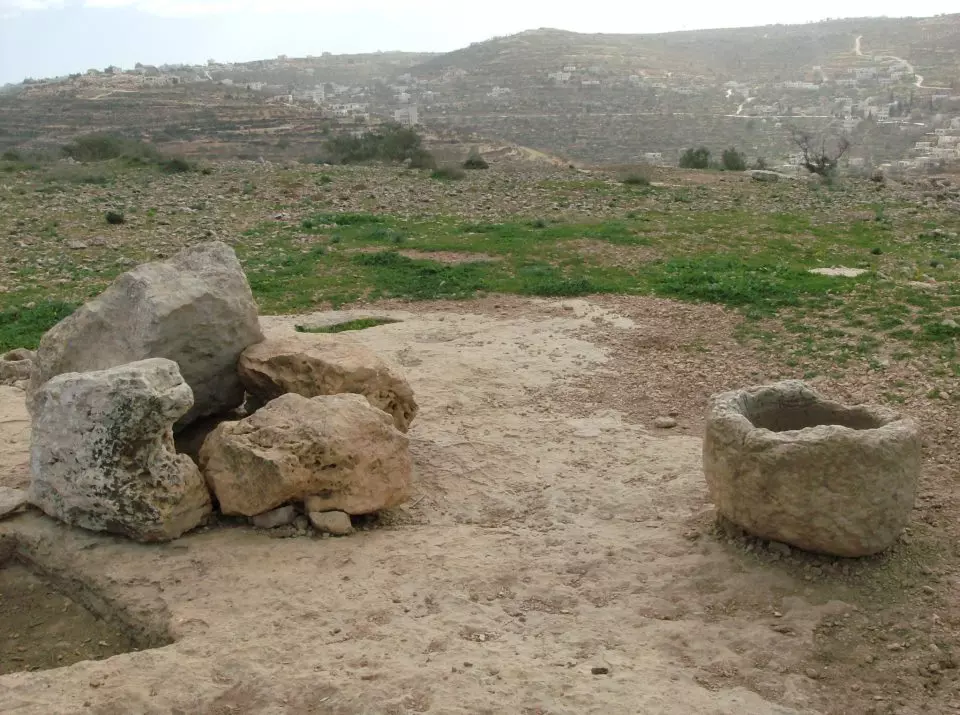
Posted by علي سعدي شريتح - بئر نعلان
Posted by علي سعدي شريتح - اثار من خربة نعلان
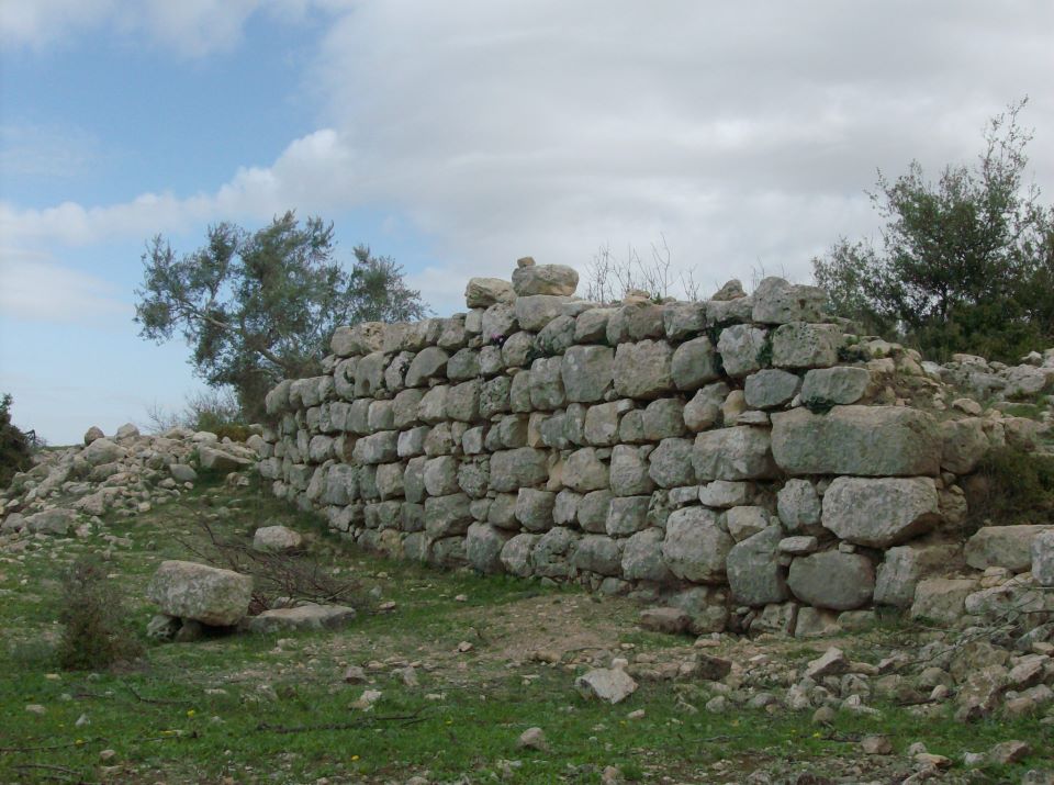
Posted by علي سعدي شريتح - خربة نعلان
Posted by علي سعدي شريتح - عين البلد بعد الترميم
Posted by علي سعدي شريتح - عين خليفة
Posted by علي سعدي شريتح - جبل نعلان شمال القرية
Posted by علي سعدي شريتح - جبل نعلان وتبدو منطقة الدعكة والعويل وفي اخر يمين الصورة باطن النمر في واد الشامي
Posted by علي سعدي شريتح - جبل دير الهوى
Posted by علي سعدي شريتح - تحت السدرة ليلا
Posted by علي سعدي شريتح - جبل الظهور غرب القرية
Posted by علي سعدي شريتح - الحارة القبلية - شارع المقبرة
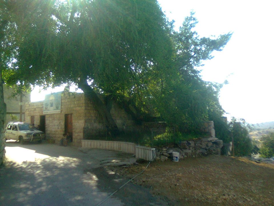
Posted by علي سعدي شريتح - مركز الزيتونة الطبي (مركز الحاج حسين العابوره ) تحت التينة
Posted by علي سعدي شريتح - مركز الزيتونة الطبي (مركز الحاج حسين العابوره ) تحت التينة
Posted by علي سعدي شريتح - توتة حراشة
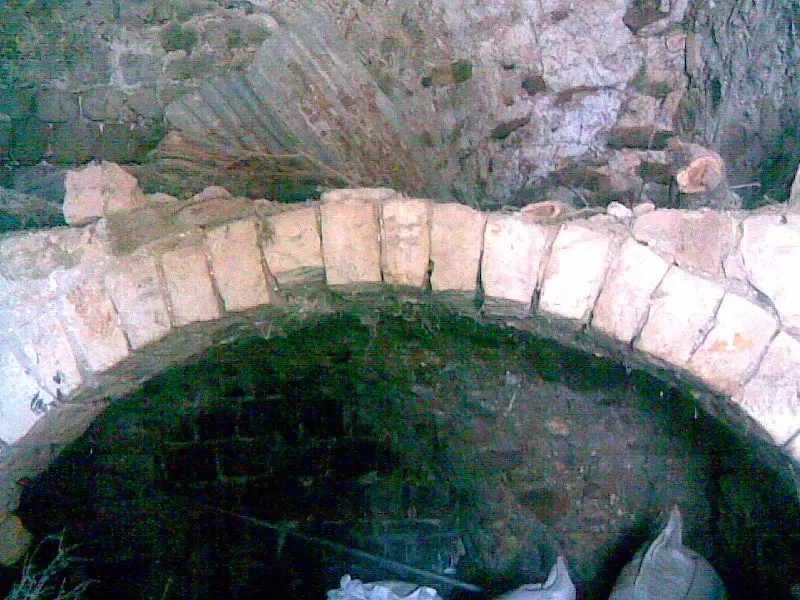
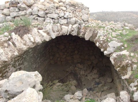
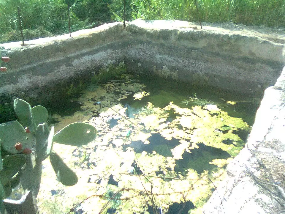
Posted by علي سعدي شريتح - بركة حراشة الرومانية
Posted by علي سعدي شريتح - المزرعه القبليه في الثلج 2013
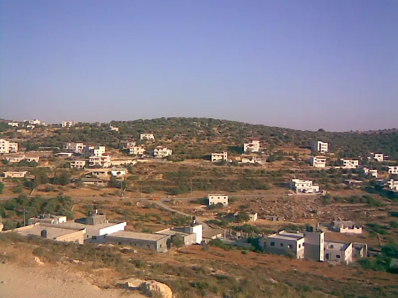
Posted by ورد - منظر عام
Want to browse more? 80,000 pictures were grouped in these gallaries:
| Display Name | Clan/Hamolah | Country of Residence |
| SALEH | - | Anna, United States |
| ابو فؤاد | الصعايدة | العاصمة, الاردن |
| Yusra | Al sheikh saleh | - |
| basem | - | ramalla, المزرعه القبليه |
| ABU QARE | ABU QARE | VIRGINIA, VIRGINIA |
| ام عبدالله | شريتح | القدس |
| فريد | اللدادوة | رام الله, المزرعة القبلية |
| جعفر | لدادوة | فلسطين, المزرعة القبلية |
| red-egel | - | palestine, ramallah |
| مامون شريتح | - | رام الله, المزرعه القبليه |
| ANAS SHURAITIH | SHURAITIH | UAE, UAE |
| رامز شريتح | - | - |
| mousa sheeha | - | amman jordan |
| مراد شريتح | شريتح | رام الله |
| معتز سعيد شريتح | شريتح | رام الله |
| ابو غرام | شريتح | - |
| add | abu ya'qub | ramala, almazra'a alqeblia |
| Ahmad Oudah | Ladadweh | Amman |
| عطا باقي | ابو باقي | عمان, الأردن |
| PEACE | SHRETH | ALMZRA ALQBLIA |
| فادي شريتح | - | رام الله, المزرعه |
| ابو السعدي | شريتح | - |
| جميل بيوض | الصعايده | - |
| basim | - | Ramallah |
| abdullah ldadweh | ldadweh | RAMMALLAH, 009720599781558 |
| Riyad | Ladadweh | - |
| abu ladadweh | ladadweh | dubai |
| samer mohammad ladadweh | ladadweh | Hawaii , USA |
| al haj | - | abu dhbai, uae |
| abu nowarah | nowarah | toronto, toronto |
| sharif | ladadwa | florida , usa |
| munir sh. shihadeh | - | karak |
| mohannad nowarah | abu qare | scotland, uk |
No links have been shared yet, be free to the first to share the first link.
 Fake Valor: Why Did Zionist Jews Hoist Nazis Flag on Their Ships in the 1930s?
What is new?
-
Facts About Oct. 7th Gaza Raid
-
Remined Us Please:: Who Did Rape Who? Palestinians Raped Israelis? Or, was the other way around?
-
When Prof. Edward Said was invited to debate Bibi Netanyahu in the 1980s, watch what happened!
-
Ezra Klein of the NY Times on the "Jewish Race".
-
Abusing Blood Libel!
-
Zionist FAQ: Isn't it true that Palestinians don't want peace? Palestinians never accepted the two-state solution
- Facts about Haavara (Transfer) Agreement between Ben-Gurion & Hitler
-
Haavara FAQs: Why Did Zionist Jews Hoist Nazis' Flags on Their Ships in the 1930s?
-
Dear ChatGPT: Why did the Jewish Agency suppress news of the Holocaust during WWII?
-
Video Playlist: Jews share their DNA tests to end the conflict for good.
-
A Tale of Two Conflicts: Examining the Definition of Genocide
-
Prof. Abraham Polak And The Suppressed History of the Khazars and European Jewry
-
How Ronald Reagan would have framed the genocide in Gaza if he were still alive?
-
Haavara FAQs: Let us do the math: how many German Jews did The Haavara Agreement save?
-
Zionist FAQs: The Hebron Massacre of 1929, "clearly proves" that Palestinians are antisemitic, how could you deny it?
-
Zionist FAQs: Why Anti-Zionist Is Not Antisemitism?
-
Zionist FAQs: Isn't it true that the KGB create Palestinian Nationalism in the early 1960s?
- Zionist FAQs: Muslims are killing Muslims all the time; why are Israeli Jews being singled out in the media?
- Zionist FAQs: How is Israel an apartheid state when 20% of its citizens are Arabs who enjoy full rights?
-
Haavara FAQs: Analysis of Herzl's Uganda Scheme and how it could have saved millions of Jews.
-
Haavara FAQs: Why did Hayim Greenberg describe American Jewry as "morally bankrupt" in early 1943?
-
Haavara FAQs: What if the Evian Conference was a resounding success? What would have been the impact of saving European Jewry on Zionism?
- Haavara FAQs: What if the six million were saved, how that would have impacted the Zionist project?
-
Haavara FAQs: How did Zionist leaders react when Europe's Jews lingered in the DP camps after WWII ended?
-
Why does the American Jewish community repeat lies that David Ben-Gurion had debunked before he died?
-
Who has the power to rename the Tatar/Khazar Gene Marker to Jewish IV?
-
Zionist FAQs: Why won't Egypt, Syria, and Jordan take their people back? Jews are indigenous to Palestine, and Arabs immigrated after Jews developed the country. Arabs should leave.
-
Haavara FAQs: Did Hitler and the Nazis conflate between Judaism and Zionist? If that wasn't case, then why?
-
Haavara FAQs: Winston Churchill and antisemitism, a collection of articles written Churchill.
-
Haavara FAQs: Broken by country, how many Jews survived vs. killed during the Holocaust?
-
Haavara FAQs: Why did European Jews vote with their feet and to immigrated to the Americas, not Palestine, after WWII?
-
Watch this American Jewish Girl describing Israeli Jews' cognitive dissonance like no other in under two minutes
-
Haavara FAQs: When the Nazis went out of their way to hide the Holocaust, Israeli Jews did the exact opposite by broadcasting their genocide of Gazans. But why?
-
Haavara FAQs: How Zionist Jews went out of their to show their appreciation to Nazism and Fascism?
- Haavara FAQs: Why Zionist leaders were against bombing the death camps & the Railroads leading to them?
-
Haavara FAQs: Hitler's message to the British and American people: If Jews are such noble citizens and you care about them, how come you're not letting them in? I will gladly ship them to you at my expense, even on luxury liners!
-
A shortlist of Zionist and Israeli false flag operations in the name Jews.
-
The Most Moral Army
- The Land of Kapos (Israel): Where the brave are boycotted and Kapos walk free.
- Why did early Zionists often named their communal enterprises "colonial"?
- Zionist Relations with Nazi Germany by Faris Glubb
-
Two NY Times advertisements by Zionists in the early 1943 that exposes Zionists' treason at the height of the calamity
- Facts Not Lies about the Palestinian-Israeli Conflict.
- Site's pictures have been categorized
- Campgain Against Lice
- A Survey of Palestine, the official source about Palestine before Nakba produced by the British Mandate; over 1200 pages.
- Satellite View & Google Earth: Over 6,000 placemarks identifying all destroyed towns, W. Bank & Gaza Strip Towns, & refugee camps.
- PalestineRemembered.com and its Nakba Oral History Project were featured on al-Jazeera Satellite TV.
- Nakba Oral History Video Podcast:
 Over 700 Oral History interviews (including 3,500+ hours of recording) can be viewed online.
 - Palestine Village Statistics Project
- Gaza Jail Break
- النسخة العربية للموقع الان متوفرة
- Videos: Documenting the destroyed villages in video: Tracing all that remains since Nakba.
- Videos: Responding to Zionist Propaganda
- Interview: The ethnic cleansing of Palestine: George Galloway interviews Israeli Historian Ilan Pappe.
- For Palestinians, memory matters. It provides a blueprint for their future By George Bisharat.
- Zionist FAQ now available in Hebrew שאלות שציונים שואלים, עכשיו בעברית
- Video: The Stephen Walt and John Mearsheimer report on the influence of the Israel Lobby on U.S. Foreign Policy
- The Palestinian-Israeli conflict for beginners
