| Prev | Next |  |
| Prev | Next |
| PalestineRemembered | About Us | Oral History | العربية | |
| Pictures | Zionist FAQs | Haavara | Maps | |
| Search |
| Camps |
| Districts |
| Acre |
| Baysan |
| Beersheba |
| Bethlehem |
| Gaza |
| Haifa |
| Hebron |
| Jaffa |
| Jericho |
| Jerusalem |
| Jinin |
| Nablus |
| Nazareth |
| Ramallah |
| al-Ramla |
| Safad |
| Tiberias |
| Tulkarm |
| Donate |
| Contact |
| Profile |
| Videos |
British Mandate: A Survey of Palestine: Volume I - Page 407 |
Disclaimer
The above documents, article, interviews, movies, podcasts, or stories reflects solely the research and opinions of its authors. PalestineRemembered.com makes its best effort to validate its contents.


Post Your Comment
*It should be NOTED that your email address won't be shared, and all communications between members will be routed via the website's mail server.
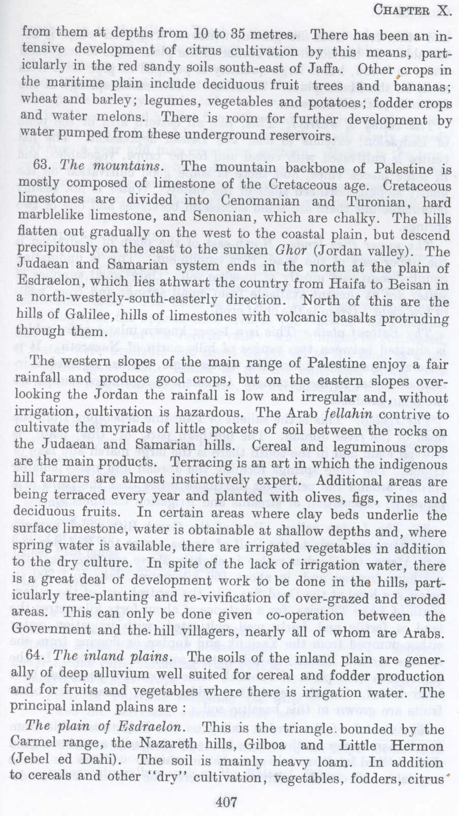
from them at depths from 10 to 35 metres. There has been an intensive development of citrus cultivation by this means, particularly in the red sandy soils south-east of Jaffa. Other, crops in the maritime plain include deciduous fruit trees and bananas; wheat and barley; legumes, vegetables and potatoes; fodder crops and water melons. There is room for further development by water pumped from these underground reservoirs.
63. The mountains. The mountain backbone of Palestine is mostly composed of limestone of the Cretaceous age. Cretaceous limestones are divided into Cenomanian and Turonian, hard marblelike limestone, and Senonian, which are chalky. The bills flatten out gradually on the west to the coastal plain. but descend precipitously on the east to the sunken Ghor (Jordan valley). The J udaean and Samarian system ends in the north at the plain of Esdraelon, which lies athwart the country from Haifa to Beisan in a north-westerly-sonth-easterly direction. North of this are the hills of Galilee, hills of limestones with volcanic has alts protruding through them.
The western slopes of the main range of Palestine enjoy a fair rainfall and produce good crops, but on the eastern slopes overlooking the Jordan the rainfall is low and irregular and, without irrigation, cultivation is hazardous. The Arab fellahin contrive to cultivate the myriads of little pockets of soil between the rocks on the Judaean and Samarian hills. Cereal and leguminous crops are the main products. Terracing is an art in which the indigenous hill farmers are almost instinctively expert. Additional areas are being terraced every year and planted with olives, figs, vines and deciduous fruits. In certain areas where clay beds underlie the surface limestone, water is obtainable at shallow depths and, where spring water is available, there are irrigated vegetables in addition to the dry culture. In spite of the lack of irrigation water, there is a great deal of development work to be done in the hills, particularly tree-planting and re-vivification of over-grazed and eroded areas. This can only be done given co-operation between the Government and the. hill villagers, nearly all of whom are Arabs.
64. The inland plains. The soils of the inland plain are generally of deep alluvium well suited for cereal and fodder production and for fruits and vegetables where there is irrigation water. The principal inland plains are :
The plain of Esdraelon. This is the triangle. bounded by the Carmel range, the Nazareth hills, Gilboa and Little Hermon (Jebel ed Dahi). The soil is mainly heavy loam. In addition to cereals and other "dry" cultivation, vegetables, fodders, citrus
Page 407