| PalestineRemembered | About Us | Oral History | العربية | |
| Pictures | Zionist FAQs | Haavara | Maps | |
| Search |
| Camps |
| Districts |
| Acre |
| Baysan |
| Beersheba |
| Bethlehem |
| Gaza |
| Haifa |
| Hebron |
| Jaffa |
| Jericho |
| Jerusalem |
| Jinin |
| Nablus |
| Nazareth |
| Ramallah |
| al-Ramla |
| Safad |
| Tiberias |
| Tulkarm |
| Donate |
| Contact |
| Profile |
| Videos |
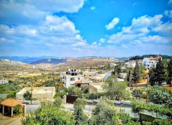
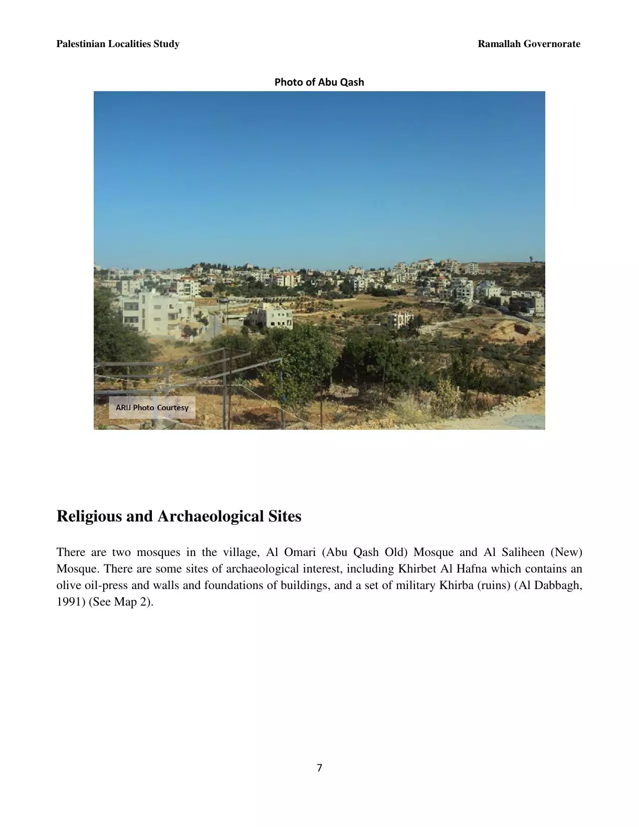
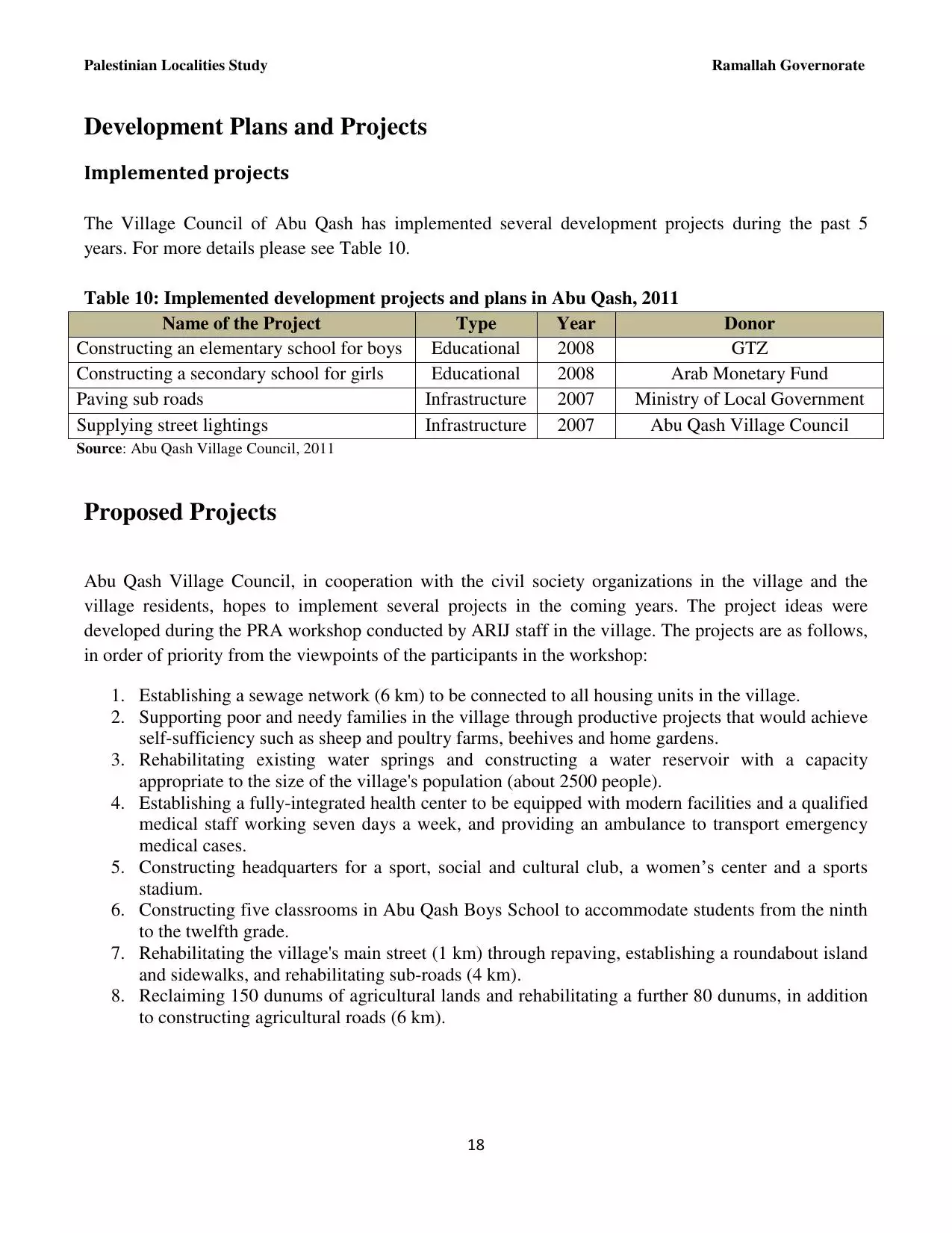
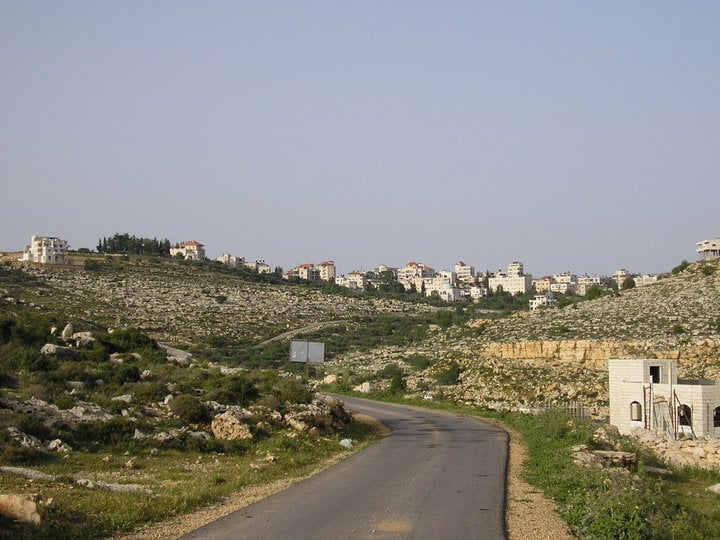
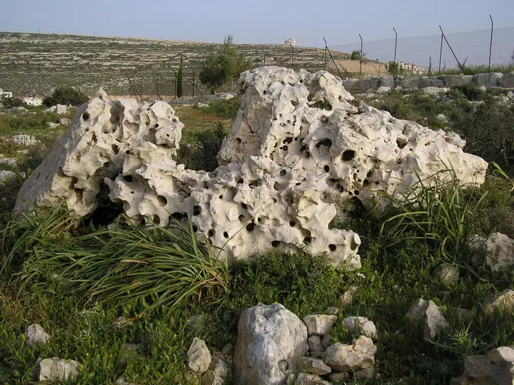
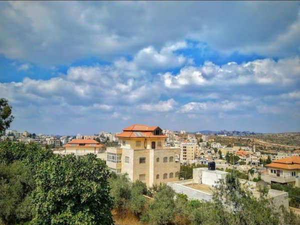
Welcome To Abu Qashsh - ابو قش (אבו קש)
|
District of Ramallah
Occupied days ago |
العربية Google Earth |
 |
Gallery (31) |
- Statistics & Facts
-
Before & After

- Satellite View
- Articles 20
- Pictures 31
- Members 17
- Families
- Wikipedia
- ARIJ Guide
- Videos
- Guest Book 13
- Links
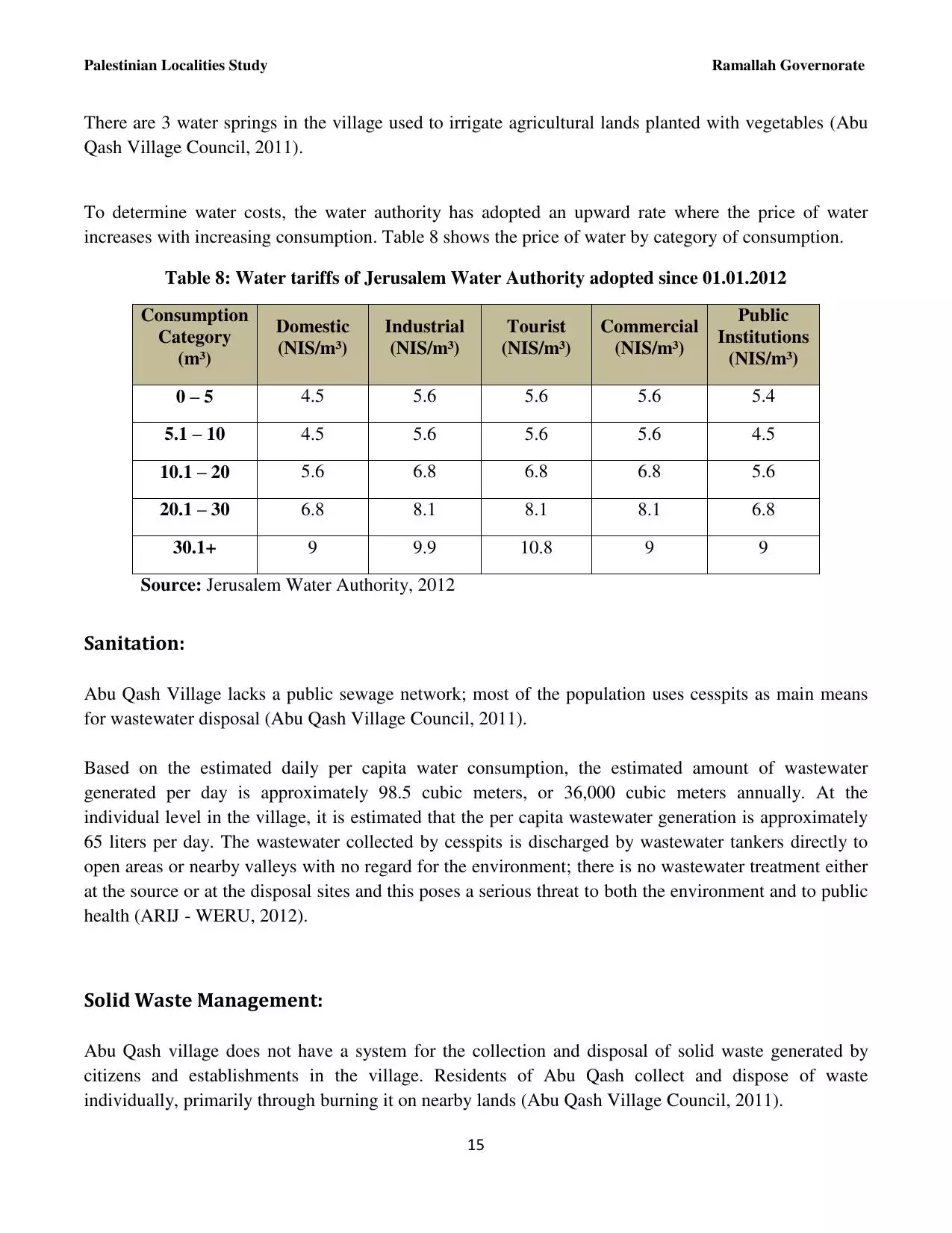
| Statistic & Fact | Value | ||||||||||||||||
| Distance From District | 6 km north of Ramallah | ||||||||||||||||
| Elevation | 760 meters | ||||||||||||||||
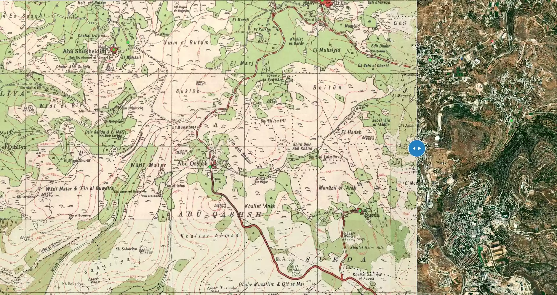
| Before & After Nakba, Click Map For Details |
|||||||||||||||||
|
|||||||||||||||||
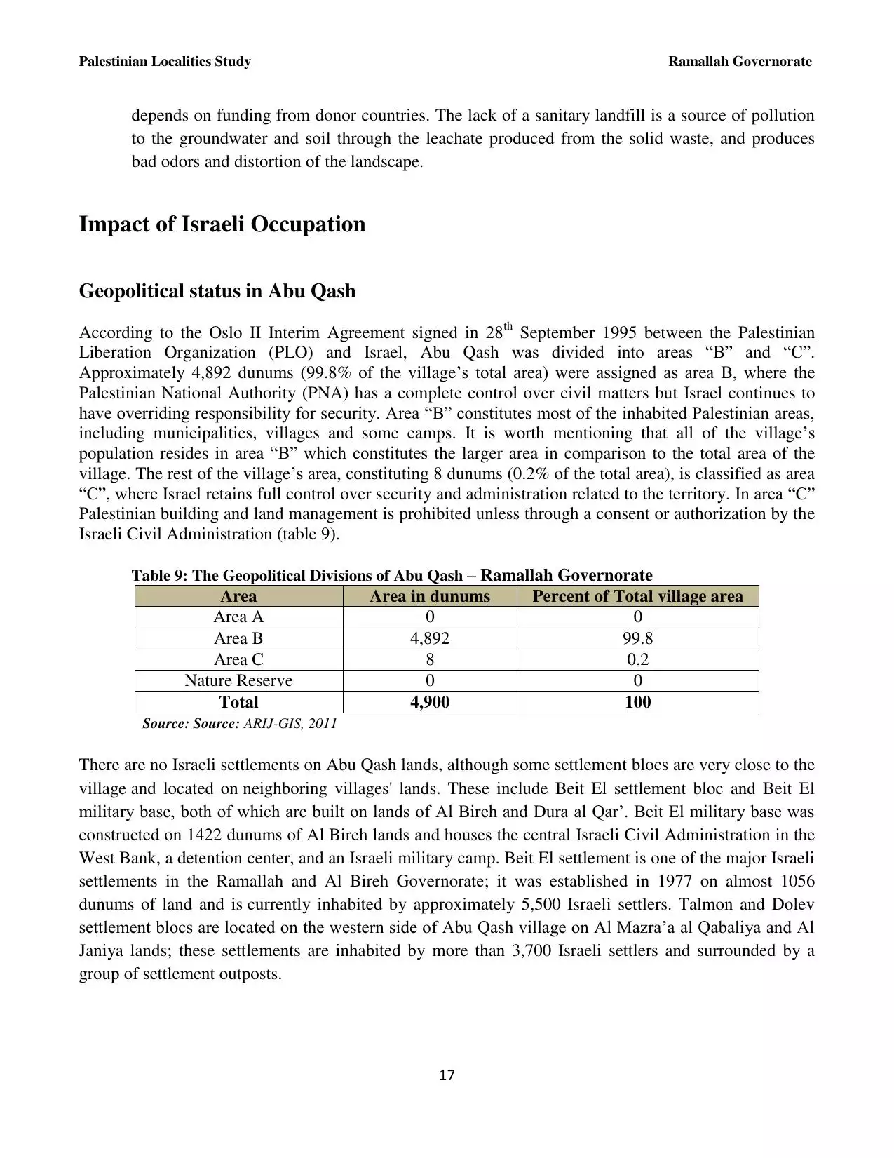
| Land Ownership |
**Town Lands' Demarcation Maps |
||||||||||||||||
| Land Usage As of 1945 |
|
||||||||||||||||
| Population |
|
||||||||||||||||
| Near By Towns |
|||||||||||||||||
|
|
|||||||||||||||||
| ARIJ Guide | |||||||||||||||||
|
Click here to browse online. |
|||||||||||||||||
| Related Maps | Town Lands' Demarcation Maps خرائط للقضاء توضح حدود القرى والاودية View from satellite Town's map on MapQuest Help us map this town at WikiMapia |
||||||||||||||||
| Related Links | Wikipedia's Page ARIJ Guide Google Search Google For Images Google For Videos في كتاب بلادنا فلسطين دليل أريج المزيد من موقع هوية |
||||||||||||||||
- ثق بنفسك
- علمتني الحياة
- هل تعلم أن فلسطين ....؟
- القوانين العامه للنجاح
- معاني ايام الاسبوع باللغه؟؟
- البطاقة الشخصية لفلسطين
- كلمات من ذهب
- رسالة من طفلة لرئيس الحكومة
- الغربة...غربة الروح ؟؟!
- الله يا أمي
- أجمل ما كتب عن المرأة الفلسطينية
- ليس مقال .. ولكن ... دعاء صالح جدا
- مـــصطلحات يــهوديــه تـــغزو الــعربيــه
- حنين الى الوطن
- كلمة طفل فلسطيني
- صباحك فلسطين
- أجمل لحظات عمرك
- قانون الاخلاق
- الطموح والقناعة
- تعلمت أن الحياة عطاء وأن العطاء حياة
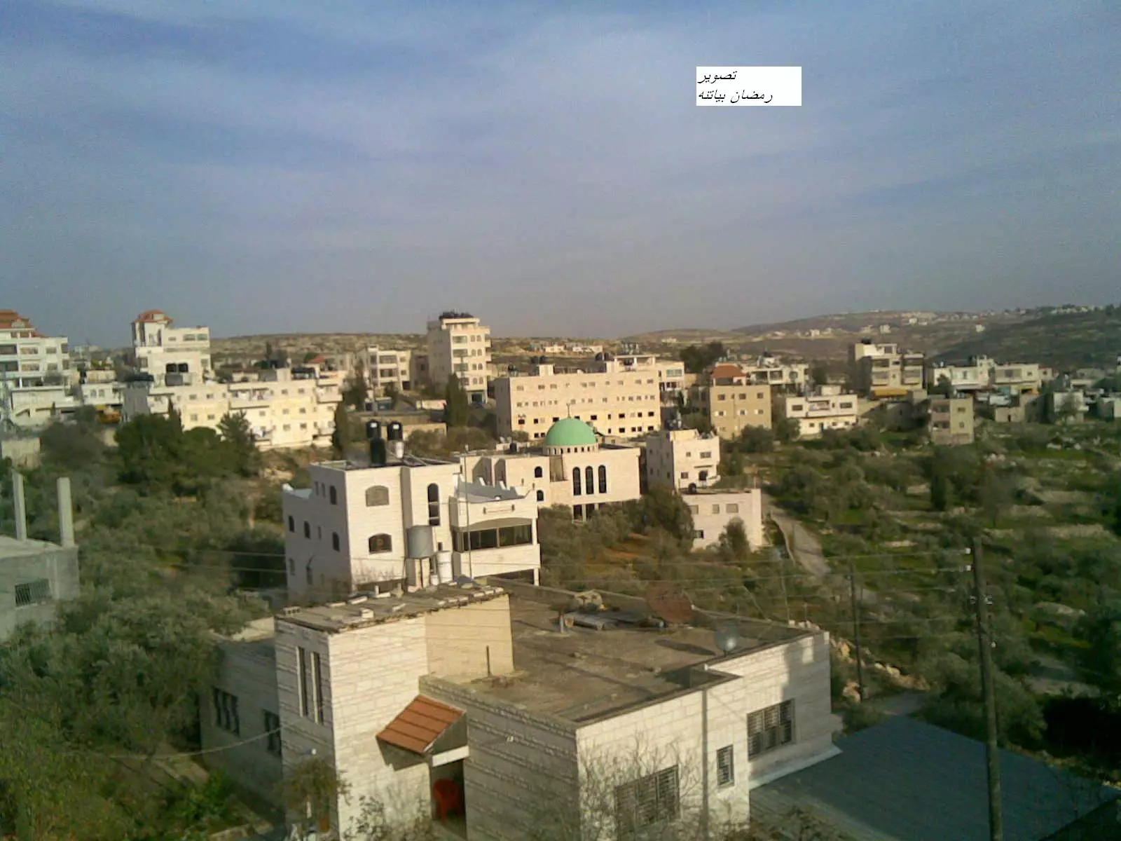
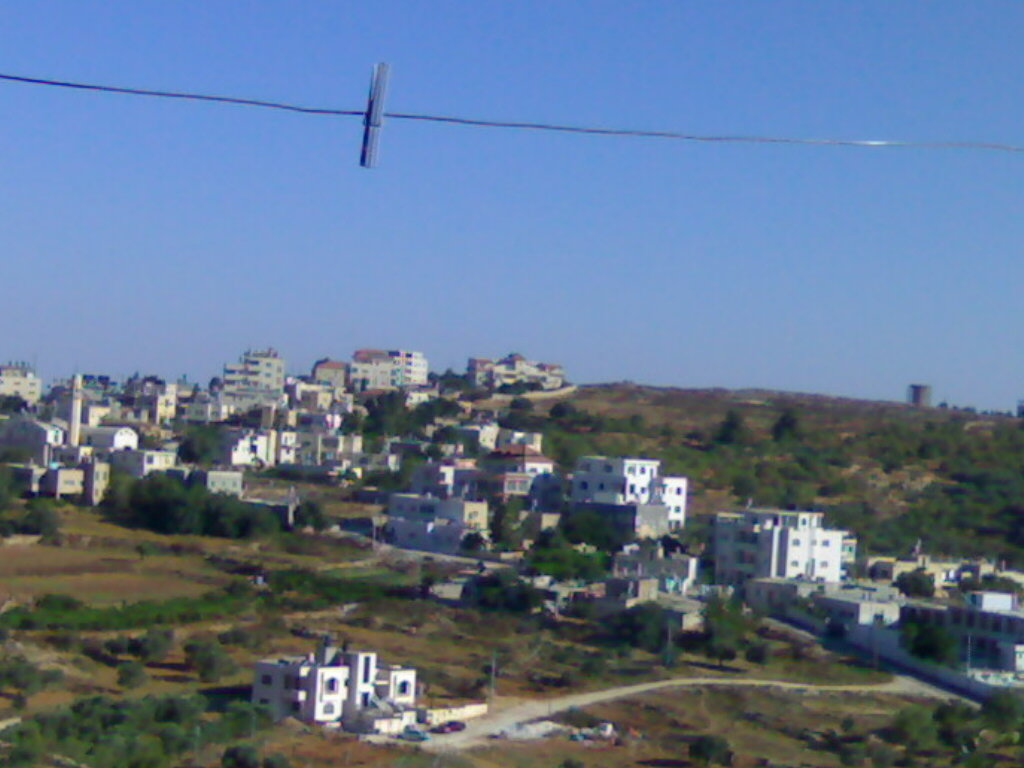
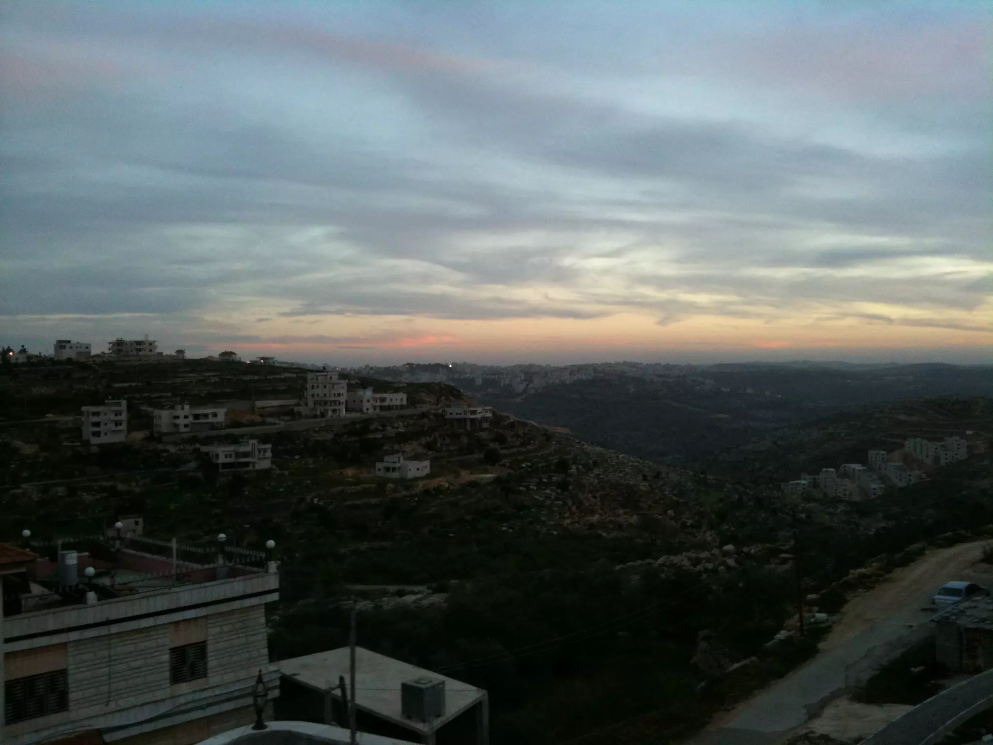
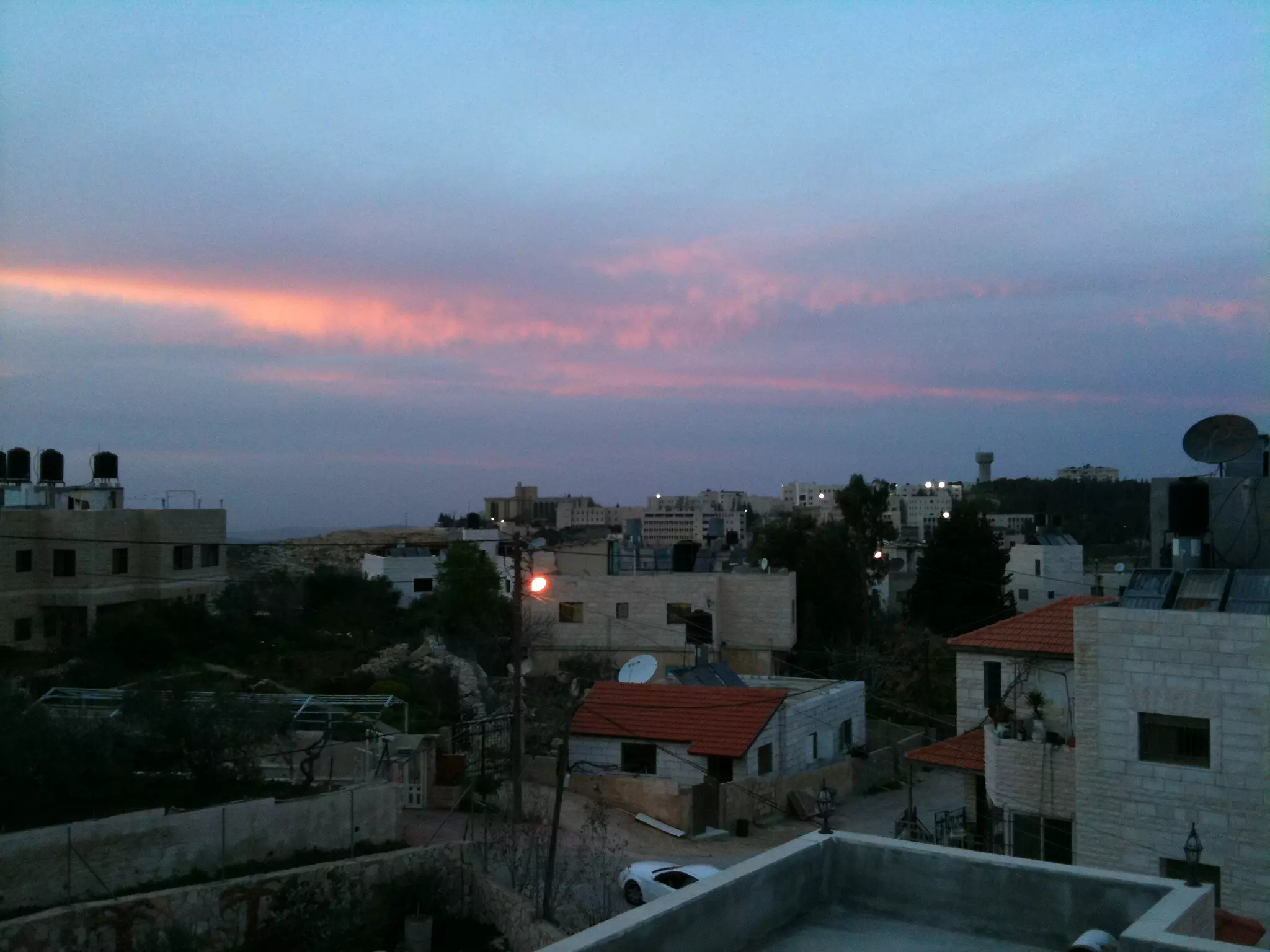
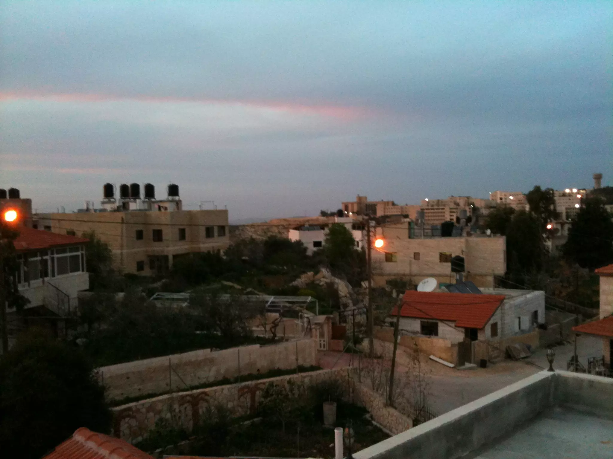
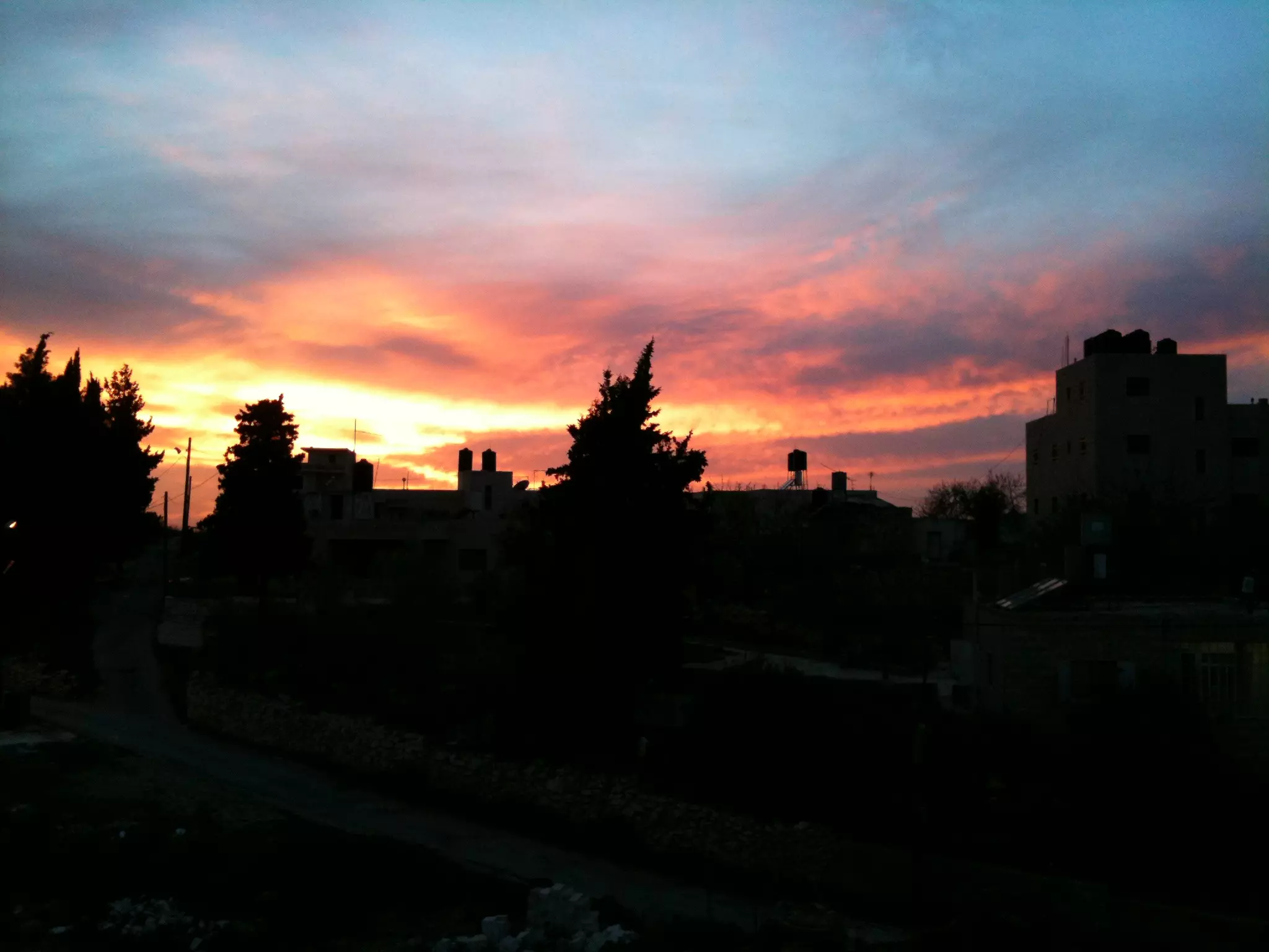
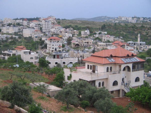
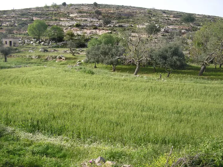
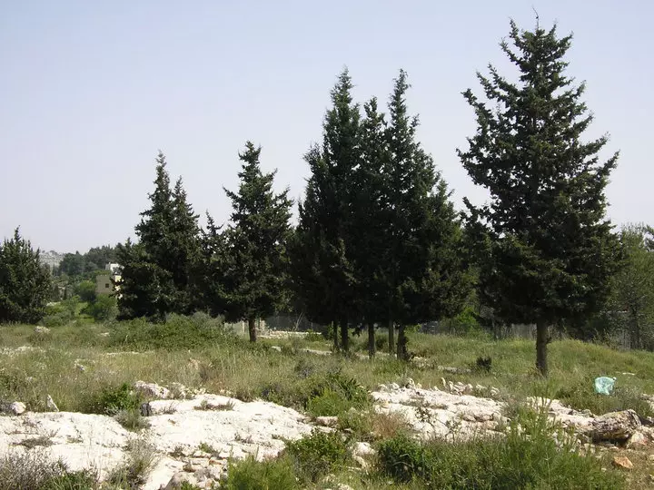
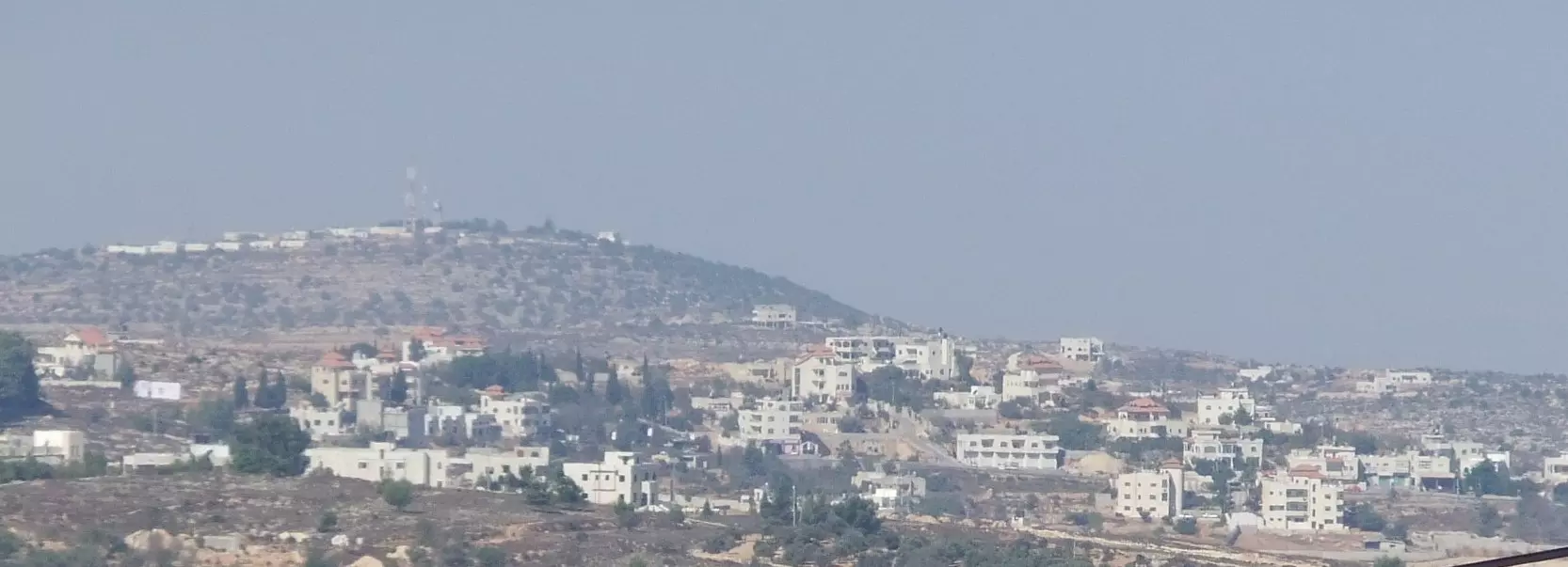
- صورة للقريه
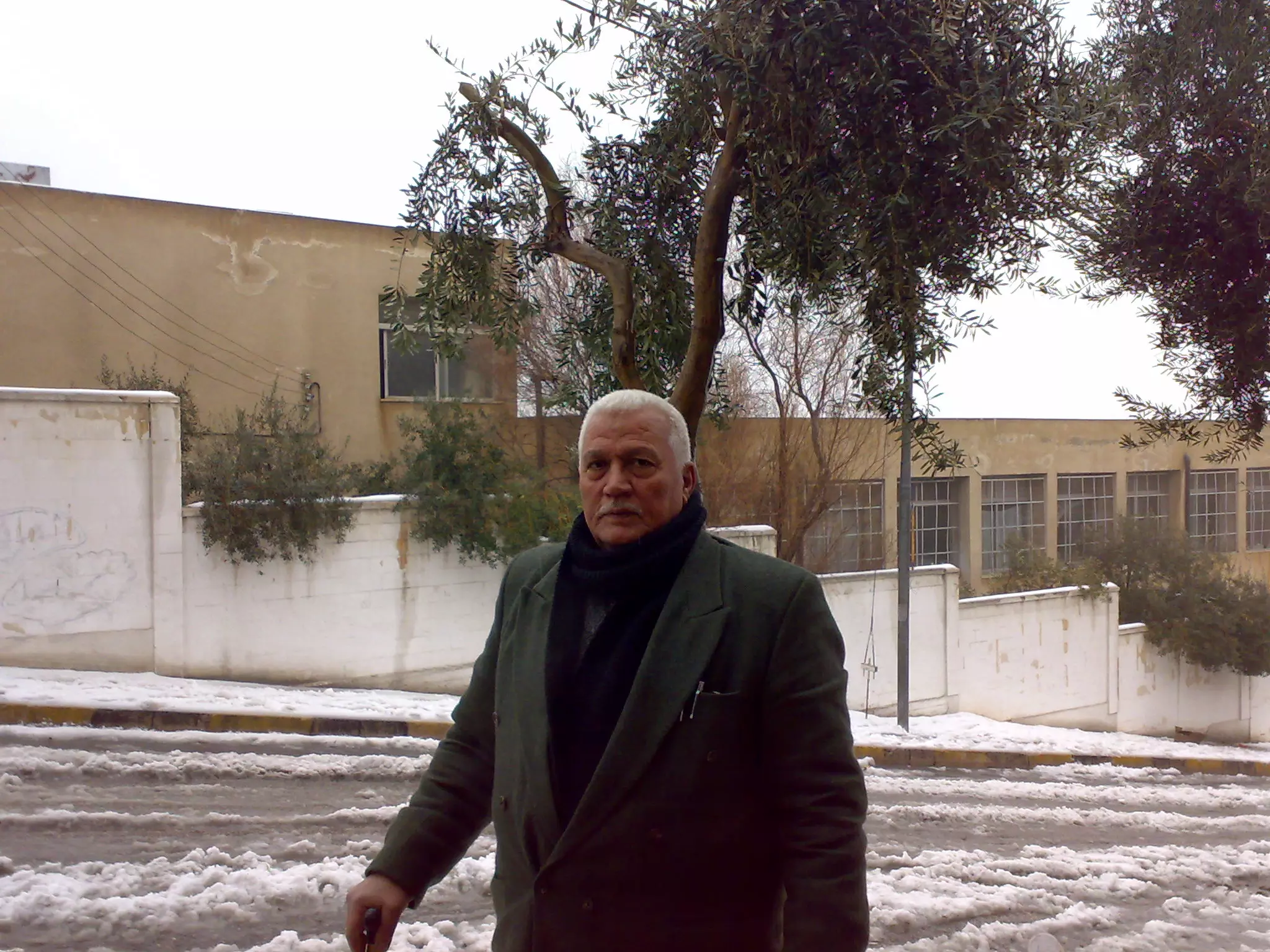
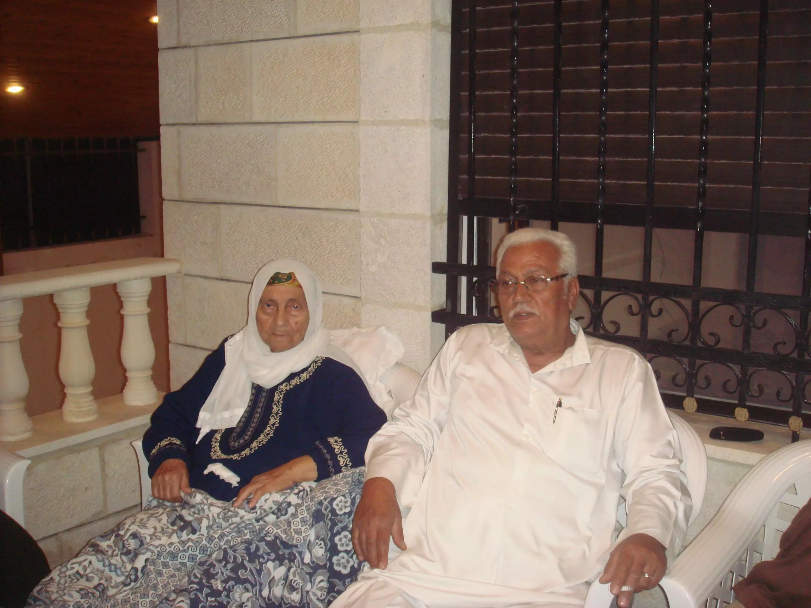
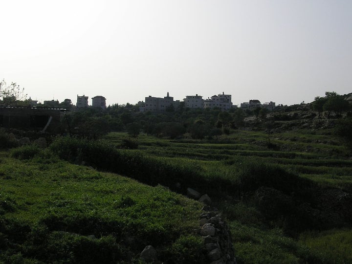
Posted by ramadan_bayatna 7 - صورة عامه للقريه
Posted by ramadan_bayatna 10 - صورة بيت شهد وبيت الجيران
Posted by أبوعمر 1 - صورة للقريه
Posted by ramadan_bayatna 4 - abo kash city lol
Posted by ramadan_bayatna - abo kash 2
Posted by ramadan_bayatna - ابوقش
Posted by ramadan_bayatna - abo kash city
Posted by ramadan_bayatna - ABO qash
Posted by ramadan_bayatna 2 - ابـــــــــــــــــــــــــــو قـــــــــــــش

Posted by ramadan_bayatna - ABO KASH

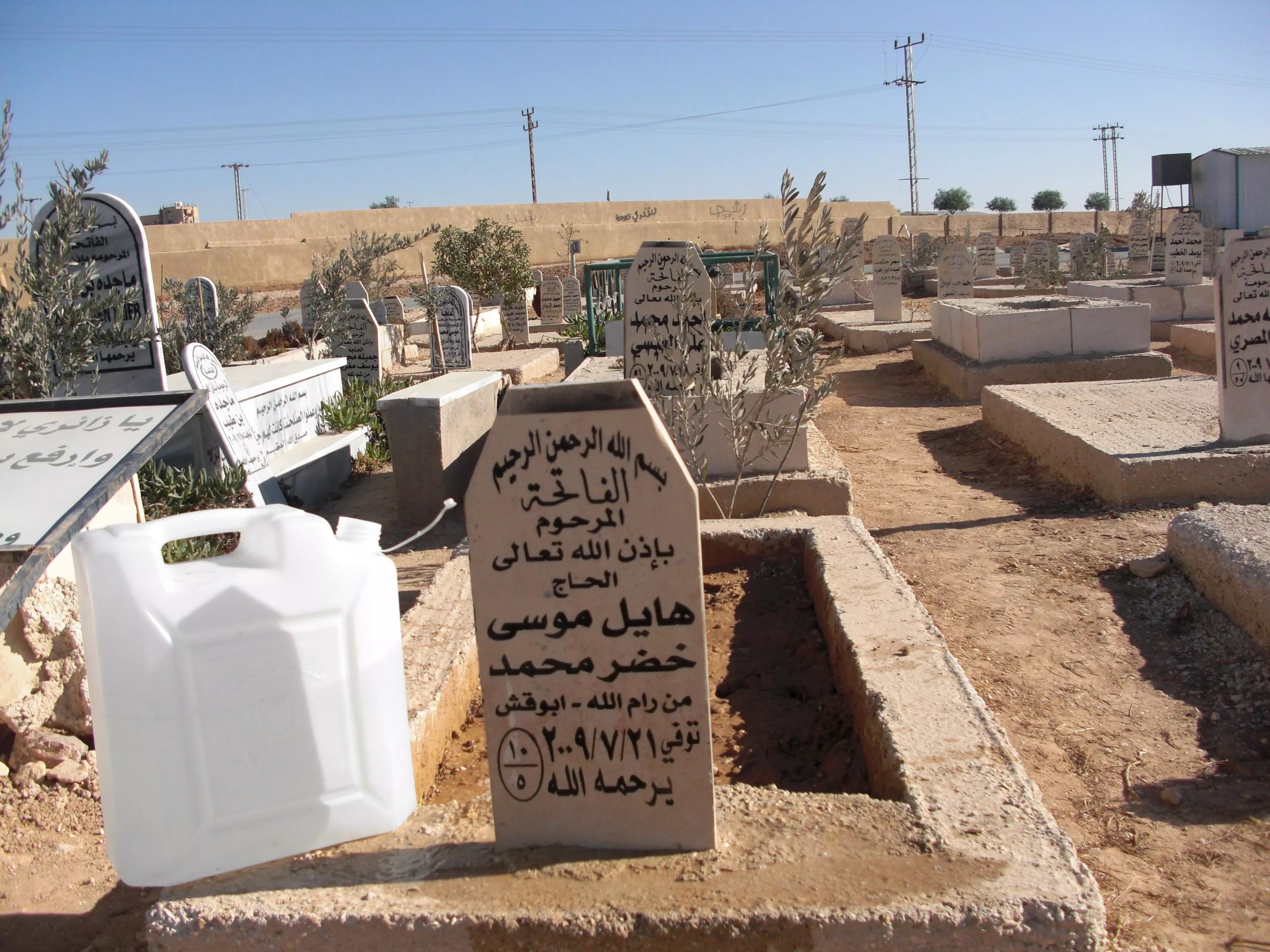
Posted by ramadan_bayatna - رحمك الله يا والد وادخلك فسيح جناته .. الى جنات الخلد باذن الله ..
Posted by NedalAl-Hayel 3 - picz
Posted by ramadan_bayatna - رحمهم الله جميعا وادخلهم فسيح جناته الى جنات الخلد باذن الله
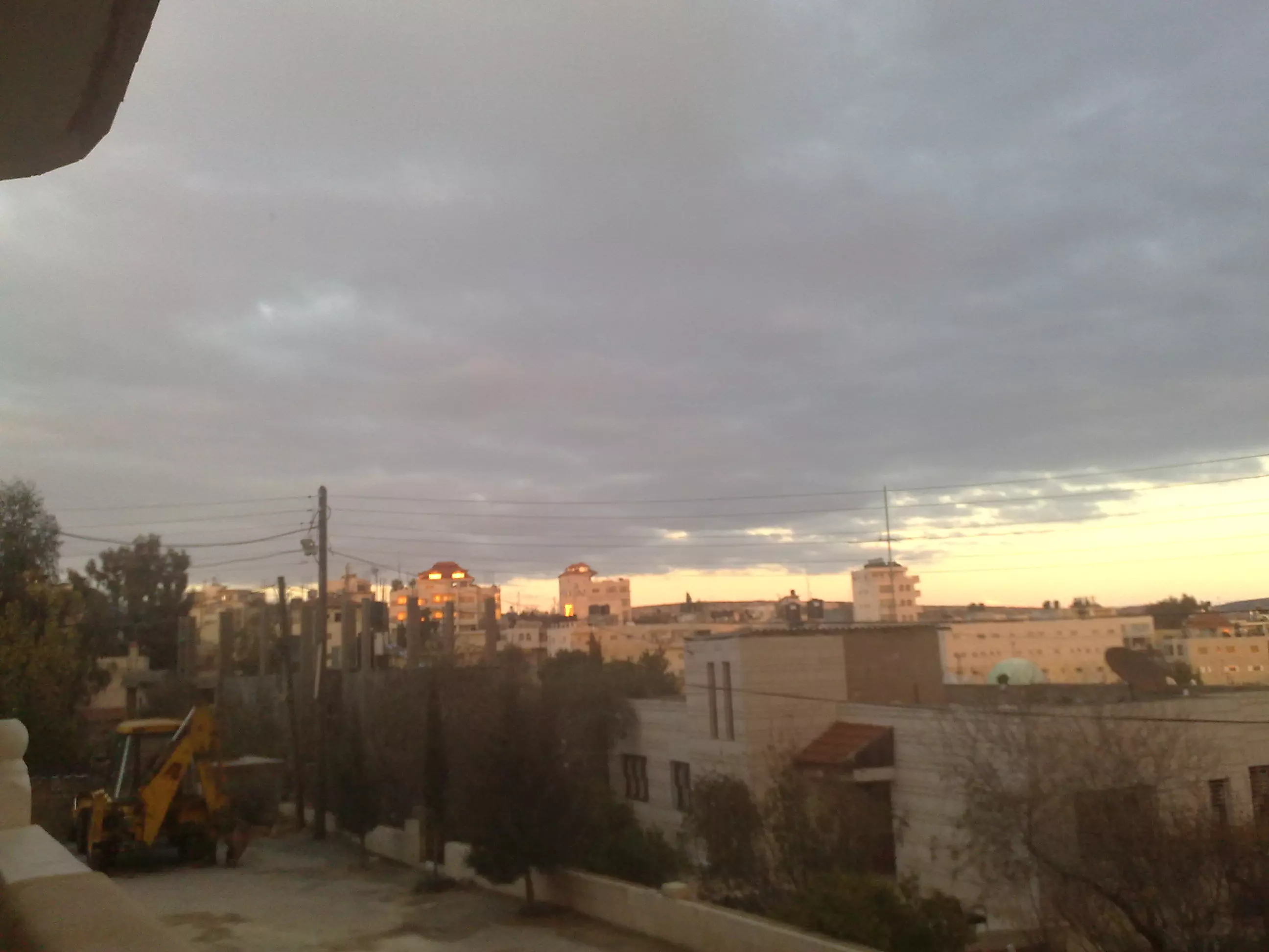
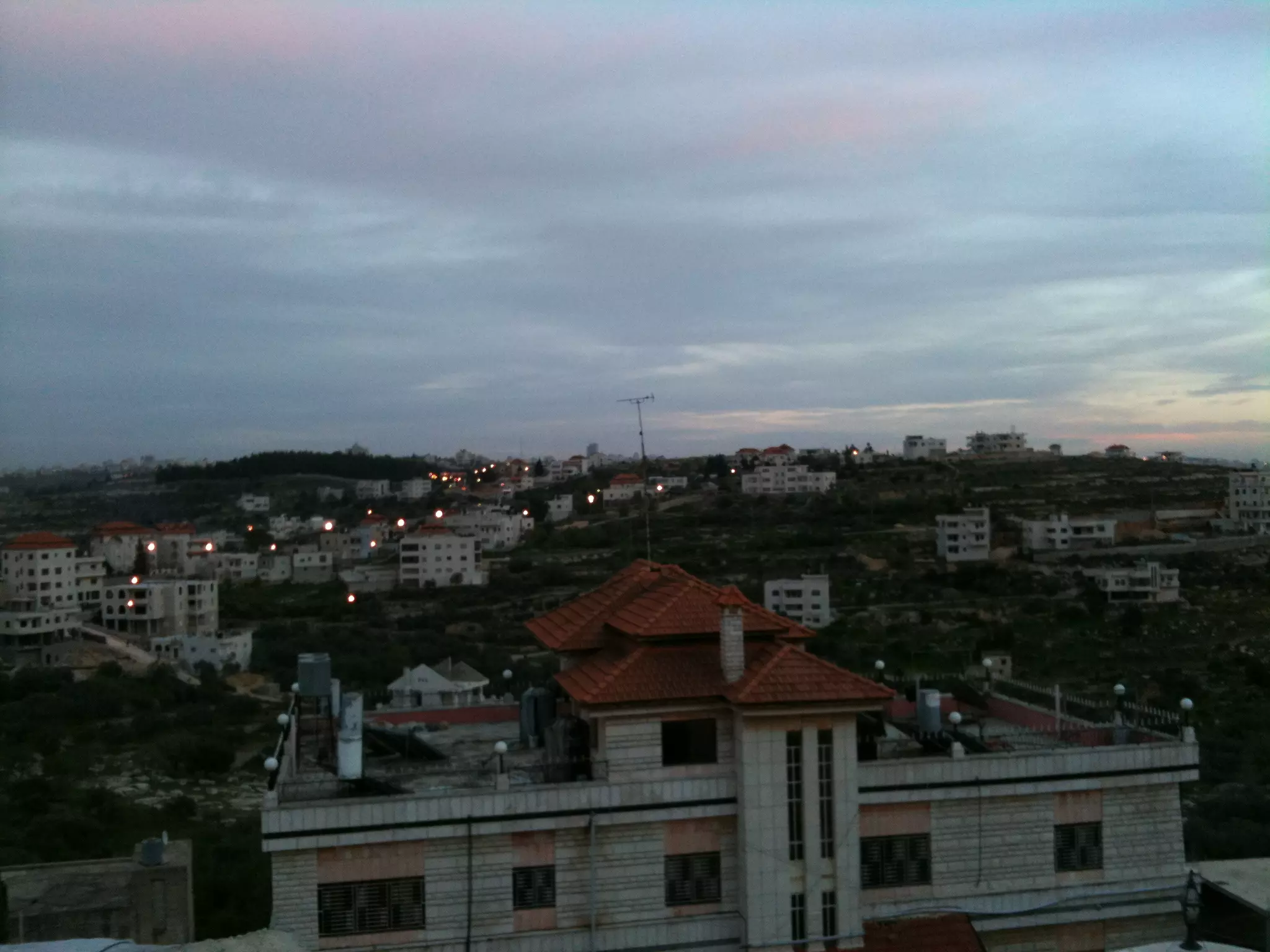
Posted by NedalAl-Hayel 3 - صور منوعه للبلد
Posted by ramadan_bayatna - صور متنوعه
Posted by ramadan_bayatna - صور متنوعه
Posted by ramadan_bayatna - صور متنوعه
Posted by ramadan_bayatna - صور متنوعه
Posted by ramadan_bayatna - صور متنوعه
Posted by ramadan_bayatna - صور متنوعه
Posted by ramadan_bayatna - الفاتحه على روحه .. رحمه الله وادخله فسيح جناته

Posted by NedalAl-Hayel - اللهم فسح له في قبره و اجعله روضة من رياض الجنة و لا تجعله حفرة من حفر النار - المرحوم هايل موسى خضر
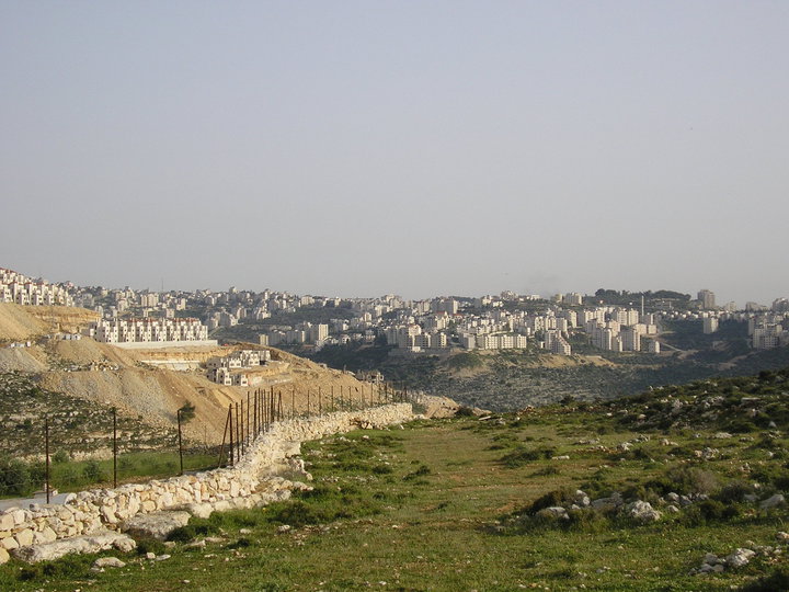
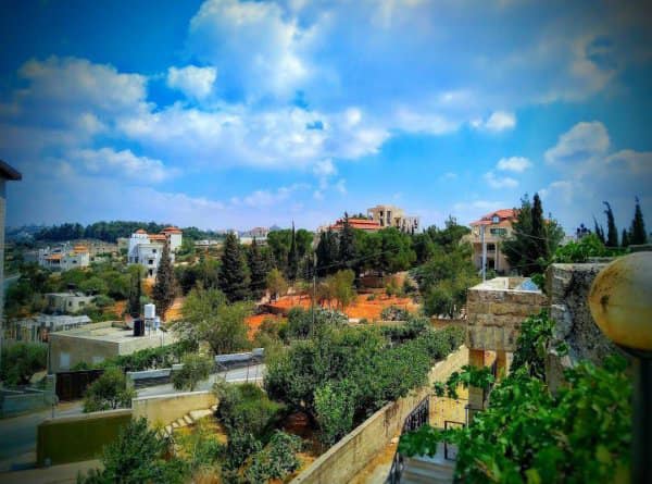
Posted by NedalAl-Hayel - صورة من بلدي
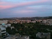
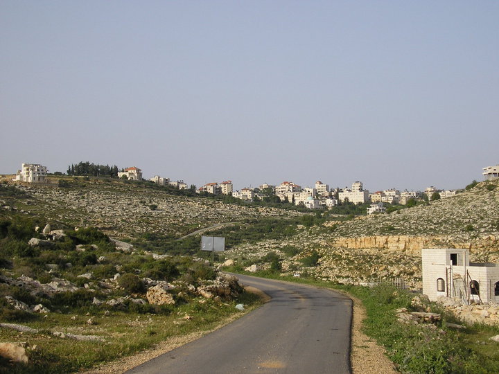
Posted by ابو احمد - منظر عام
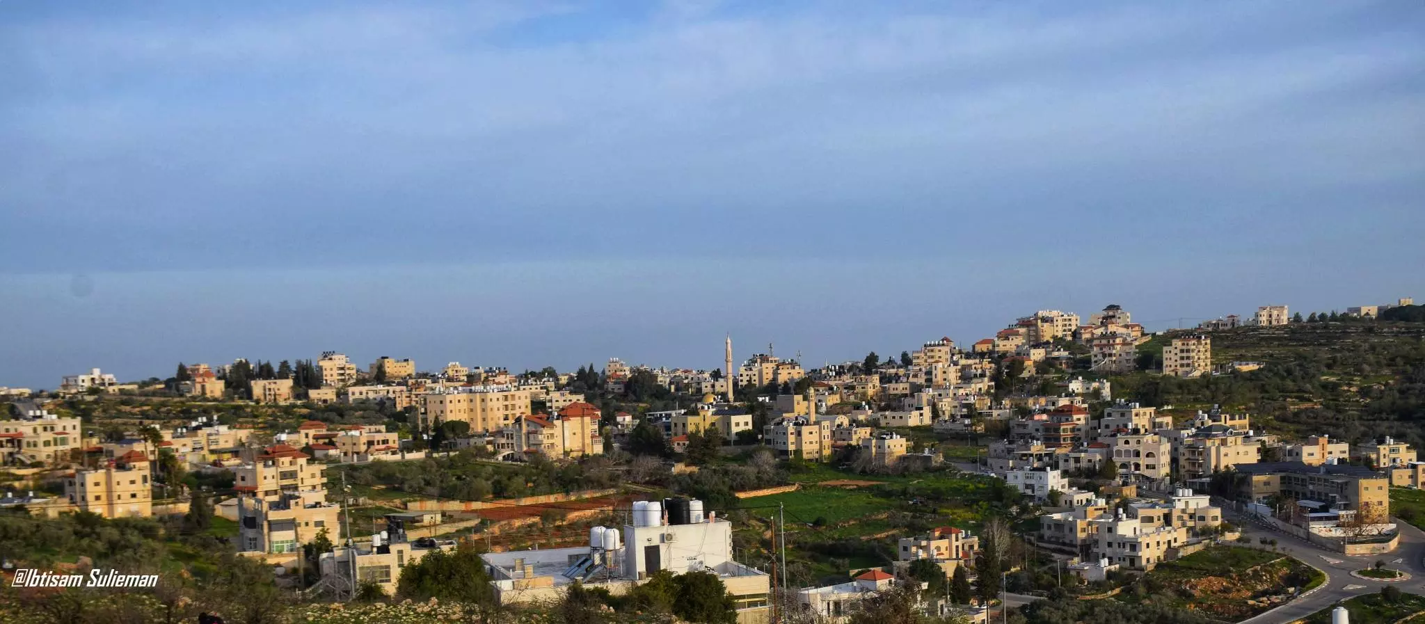
- مشهد عام لقرية من قرأنا الفلسطيني الجميل قرية ابو قش -- Ibtisam Sulieman
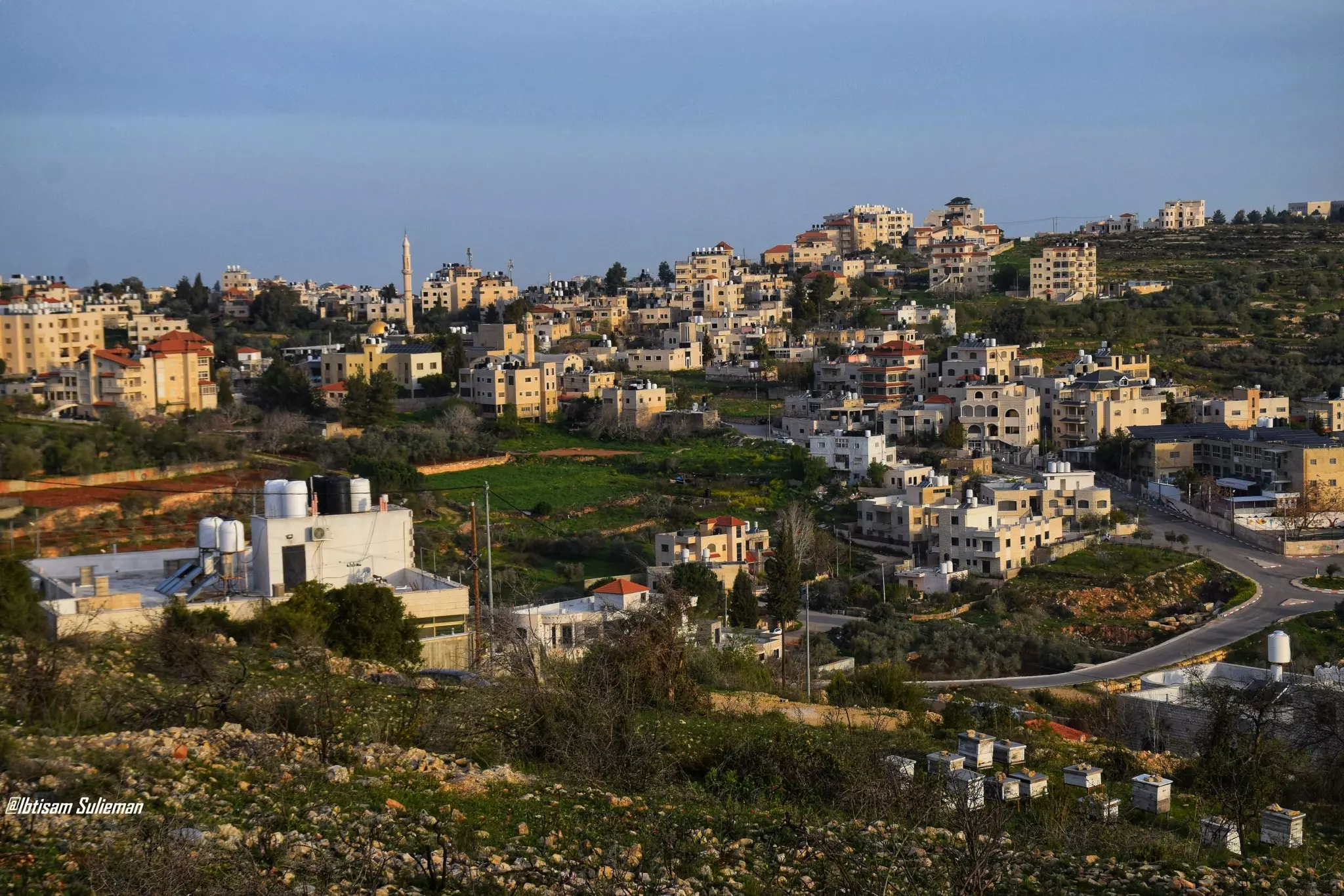
- مشهد عام لقرية من قرأنا الفلسطيني الجميل قرية ابو قش -- Ibtisam Sulieman #2
- جولة بين حارات البلدة -- رمضان زيادة

- جولة بين حارات البلدة -- رمضان زيادة #2
- جولة بين حارات البلدة -- رمضان زيادة #3
- جولة بين حارات البلدة -- رمضان زيادة #4
Want to browse more? 80,000 pictures were grouped in these gallaries:
| Display Name | Clan/Hamolah | Country of Residence |
| بلدية ابوقش | قعد | فلسطين, ابوقش |
| زايد الطويل (ابو سبيل) | - | - |
| sameh zayed | قعد | al-diffa al-gharbyea, abu-kash |
| عماد ابوسمية | ابوسمية | رام الله, القدس |
| B Bayatna | bayatna | - |
| MohdNedal | - | - |
| reyad sulaiman | - | - |
| Abu Alaa | Abu Sumayah | - |
| ابو اسلام | ابو فخيدة | - |
| abusaleh | - | - |
| NedalAl-Hayel | - | Amman, Amman |
| مخمود | سليمان | - |
| khalil bayatna | Bayatna | Ramallah, Abu-Qash |
| ramadan_bayatna | bayatna | - |
| Hisham Habbas | Habbas | - |
| reyad saleh byatna | byatna | , |
| khalid tawil | altawil | - |
No links have been shared yet, be free to the first to share the first link.
 Fake Valor: Why Did Zionist Jews Hoist Nazis Flag on Their Ships in the 1930s?
What is new?
-
Facts About Oct. 7th Gaza Raid
-
Remined Us Please:: Who Did Rape Who? Palestinians Raped Israelis? Or, was the other way around?
-
When Prof. Edward Said was invited to debate Bibi Netanyahu in the 1980s, watch what happened!
-
Abusing Blood Libel!
-
Zionist FAQ: Isn't it true that Palestinians don't want peace? Palestinians never accepted the two-state solution
- Facts about Haavara (Transfer) Agreement between Ben-Gurion & Hitler
-
Haavara FAQs: Why Did Zionist Jews Hoist Nazis' Flags on Their Ships in the 1930s?
-
Dear ChatGPT: Why did the Jewish Agency suppress news of the Holocaust during WWII?
-
Video Playlist: Jews share their DNA tests to end the conflict for good.
-
A Tale of Two Conflicts: Examining the Definition of Genocide
-
Prof. Abraham Polak And The Suppressed History of the Khazars and European Jewry
-
How Ronald Reagan would have framed the genocide in Gaza if he were still alive?
-
Haavara FAQs: Let us do the math: how many German Jews did The Haavara Agreement save?
-
Zionist FAQs: The Hebron Massacre of 1929, "clearly proves" that Palestinians are antisemitic, how could you deny it?
-
Zionist FAQs: Why Anti-Zionist Is Not Antisemitism?
-
Zionist FAQs: Isn't it true that the KGB create Palestinian Nationalism in the early 1960s?
- Zionist FAQs: Muslims are killing Muslims all the time; why are Israeli Jews being singled out in the media?
- Zionist FAQs: How is Israel an apartheid state when 20% of its citizens are Arabs who enjoy full rights?
-
Haavara FAQs: Analysis of Herzl's Uganda Scheme and how it could have saved millions of Jews.
-
Haavara FAQs: Why did Hayim Greenberg describe American Jewry as "morally bankrupt" in early 1943?
-
Haavara FAQs: What if the Evian Conference was a resounding success? What would have been the impact of saving European Jewry on Zionism?
- Haavara FAQs: What if the six million were saved, how that would have impacted the Zionist project?
-
Haavara FAQs: How did Zionist leaders react when Europe's Jews lingered in the DP camps after WWII ended?
-
Why does the American Jewish community repeat lies that David Ben-Gurion had debunked before he died?
-
Who has the power to rename the Tatar/Khazar Gene Marker to Jewish IV?
-
Zionist FAQs: Why won't Egypt, Syria, and Jordan take their people back? Jews are indigenous to Palestine, and Arabs immigrated after Jews developed the country. Arabs should leave.
-
Haavara FAQs: Did Hitler and the Nazis conflate between Judaism and Zionist? If that wasn't case, then why?
-
Haavara FAQs: Winston Churchill and antisemitism, a collection of articles written Churchill.
-
Haavara FAQs: Broken by country, how many Jews survived vs. killed during the Holocaust?
-
Haavara FAQs: Why did European Jews vote with their feet and to immigrated to the Americas, not Palestine, after WWII?
-
Watch this American Jewish Girl describing Israeli Jews' cognitive dissonance like no other in under two minutes
-
Haavara FAQs: When the Nazis went out of their way to hide the Holocaust, Israeli Jews did the exact opposite by broadcasting their genocide of Gazans. But why?
-
Haavara FAQs: How Zionist Jews went out of their to show their appreciation to Nazism and Fascism?
- Haavara FAQs: Why Zionist leaders were against bombing the death camps & the Railroads leading to them?
-
Haavara FAQs: Hitler's message to the British and American people: If Jews are such noble citizens and you care about them, how come you're not letting them in? I will gladly ship them to you at my expense, even on luxury liners!
-
A shortlist of Zionist and Israeli false flag operations in the name Jews.
-
The Most Moral Army
- The Land of Kapos (Israel): Where the brave are boycotted and Kapos walk free.
- Why did early Zionists often named their communal enterprises "colonial"?
- Zionist Relations with Nazi Germany by Faris Glubb
-
Two NY Times advertisements by Zionists in the early 1943 that exposes Zionists' treason at the height of the calamity
- Facts Not Lies about the Palestinian-Israeli Conflict.
- Site's pictures have been categorized
- Campgain Against Lice
- A Survey of Palestine, the official source about Palestine before Nakba produced by the British Mandate; over 1200 pages.
- Satellite View & Google Earth: Over 6,000 placemarks identifying all destroyed towns, W. Bank & Gaza Strip Towns, & refugee camps.
- PalestineRemembered.com and its Nakba Oral History Project were featured on al-Jazeera Satellite TV.
- Nakba Oral History Video Podcast:
 Over 700 Oral History interviews (including 3,500+ hours of recording) can be viewed online.
 - Palestine Village Statistics Project
- Gaza Jail Break
- النسخة العربية للموقع الان متوفرة
- Videos: Documenting the destroyed villages in video: Tracing all that remains since Nakba.
- Videos: Responding to Zionist Propaganda
- Interview: The ethnic cleansing of Palestine: George Galloway interviews Israeli Historian Ilan Pappe.
- For Palestinians, memory matters. It provides a blueprint for their future By George Bisharat.
- Zionist FAQ now available in Hebrew שאלות שציונים שואלים, עכשיו בעברית
- Video: The Stephen Walt and John Mearsheimer report on the influence of the Israel Lobby on U.S. Foreign Policy
- The Palestinian-Israeli conflict for beginners
