| PalestineRemembered | About Us | Oral History | العربية | |
| Pictures | Zionist FAQs | Haavara | Maps | |
| Search |
| Camps |
| Districts |
| Acre |
| Baysan |
| Beersheba |
| Bethlehem |
| Gaza |
| Haifa |
| Hebron |
| Jaffa |
| Jericho |
| Jerusalem |
| Jinin |
| Nablus |
| Nazareth |
| Ramallah |
| al-Ramla |
| Safad |
| Tiberias |
| Tulkarm |
| Donate |
| Contact |
| Profile |
| Videos |
Welcome To Balata - بلاطه البلد (בלאטה אל-בלד)
|
District of Nablus
Occupied days ago |
العربية Google Earth |
 |
Gallery (62) |
- Statistics & Facts
-
Before & After

- Satellite View
- Articles 2
- Pictures 62
- Members 5
- Families
- Wikipedia
- Videos
- Guest Book 4
- Links
| Statistic & Fact | Value | ||||||||||||||
| Distance From District | 1 km east of Nablus | ||||||||||||||
| Elevation | 500 meters | ||||||||||||||
| Before & After Nakba, Click Map For Details |
|||||||||||||||

|
|||||||||||||||
| Land Ownership |
**Town Lands' Demarcation Maps |
||||||||||||||
| Land Usage As of 1945 |
|
||||||||||||||
| Population |
|
||||||||||||||
| Near By Towns |
|||||||||||||||
|
|||||||||||||||
| Related Maps | Town Lands' Demarcation Maps خرائط للقضاء توضح حدود القرى والاودية View from satellite Town's map on MapQuest Help us map this town at WikiMapia |
||||||||||||||
| Related Links | Wikipedia's Page Facebook Page Google Search Google For Images Google For Videos في كتاب بلادنا فلسطين المزيد من موقع هوية |
||||||||||||||
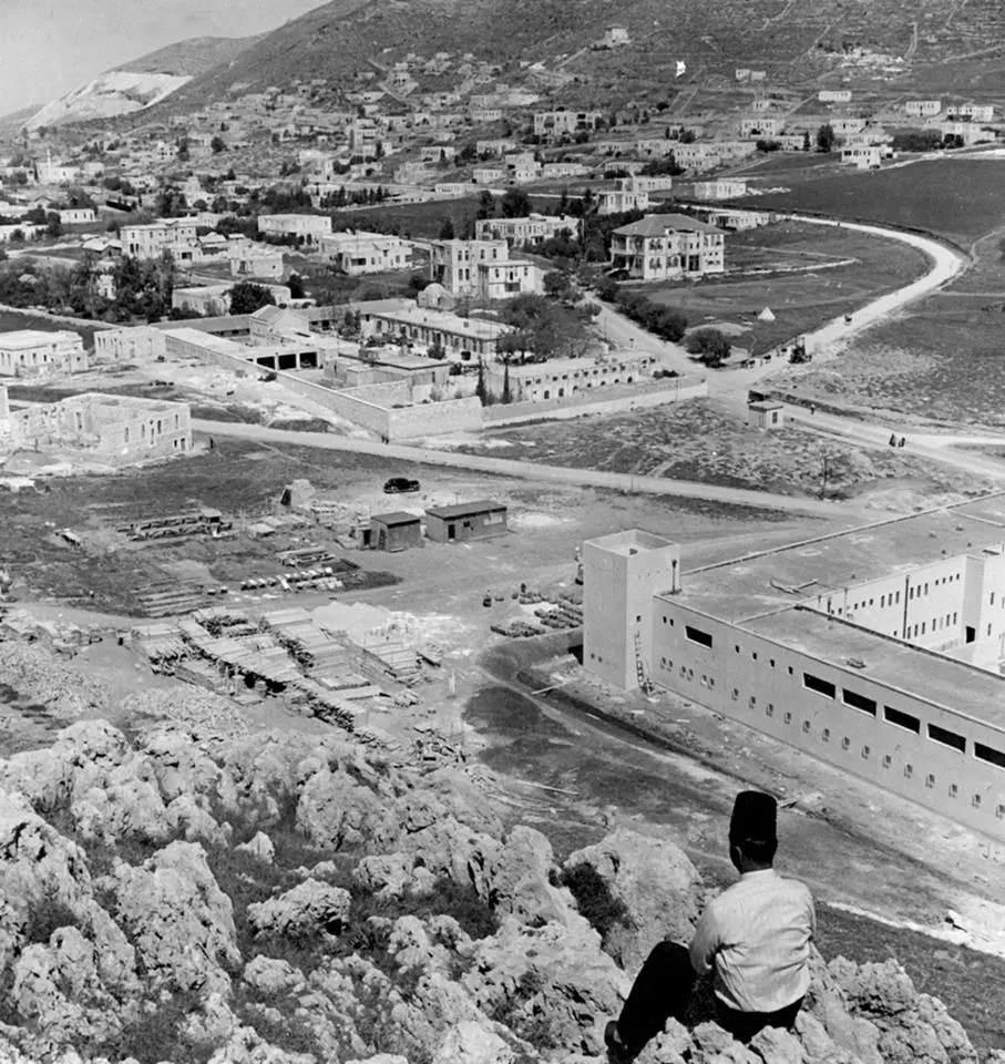
- مبنى المقاطعة 1940
Posted by ابو كريم دويكات - balata al balad
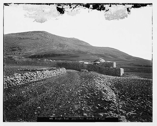
Posted by ابو مالك هزيم 1 - قبر يوسف سنة 1865
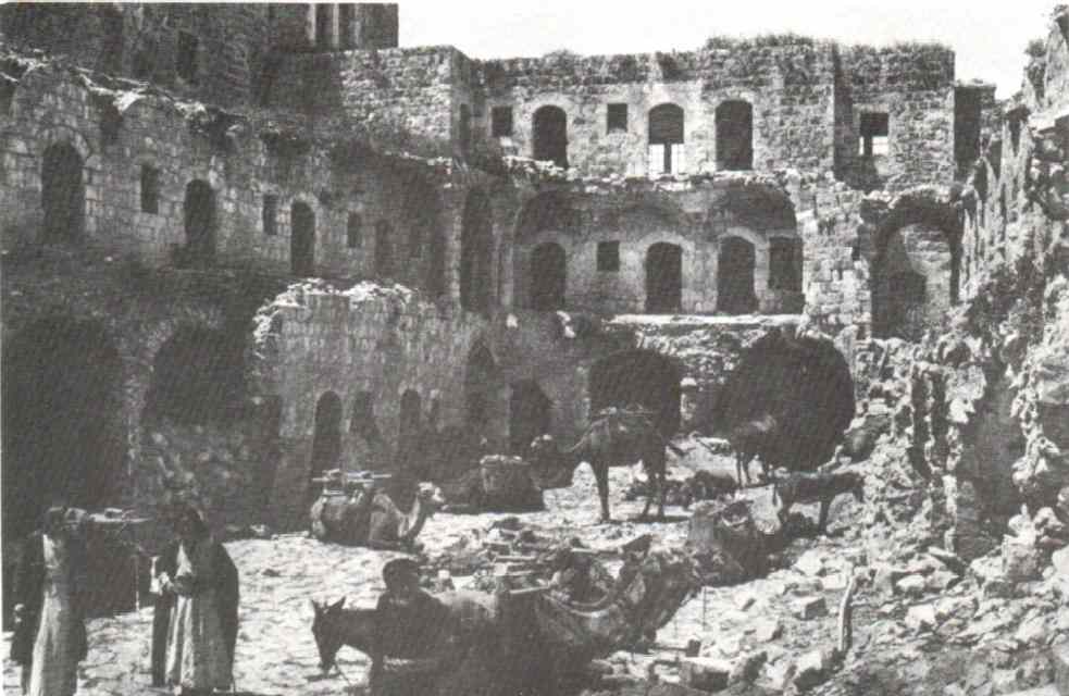
Posted by ابو كريم دويكات - خان التجار نابلس سنة 1925
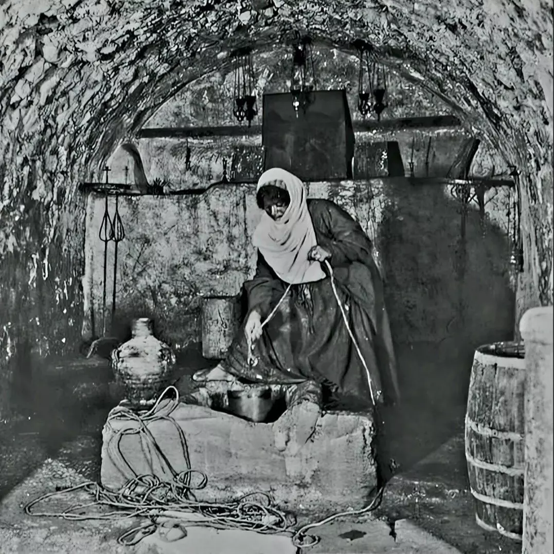
Posted by ابو كريم دويكات 2 - بئر يعقوب سنة 1869
Posted by ابو كريم دويكات 2 - عين بلاطه 1955
Posted by ابو كريم دويكات 1 - صورة فديمة لمقام سيدنا يوسف عليه السلام -هدية من صفافي-
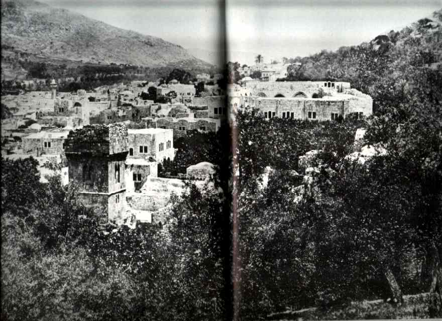
Posted by ابو عمر 3 - المدخل الشرقي لمدينة نابلس سنتة 1862م
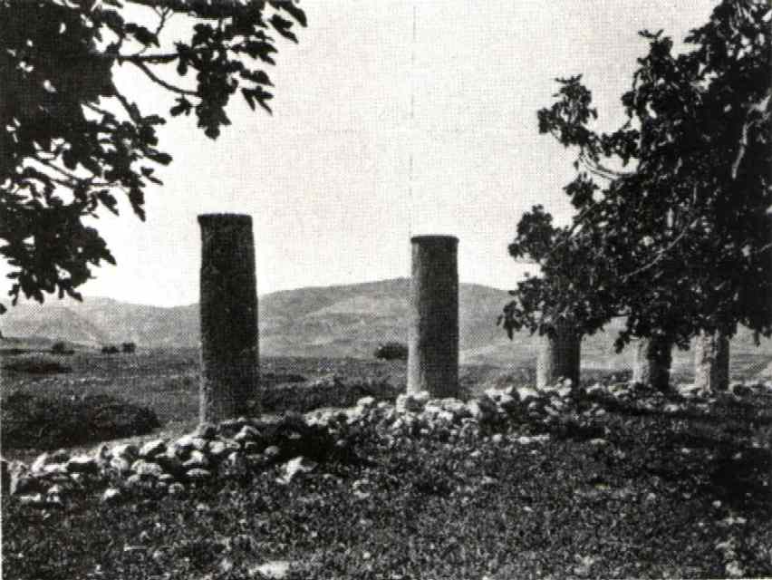
Posted by ابو كريم دويكات - اثار سبسطية 1887م
Posted by ابو كريم دويكات 2 - مقام سيدنا يوسف عليه السلام-هدية من صفافي
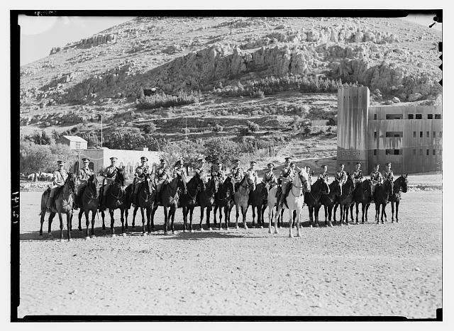
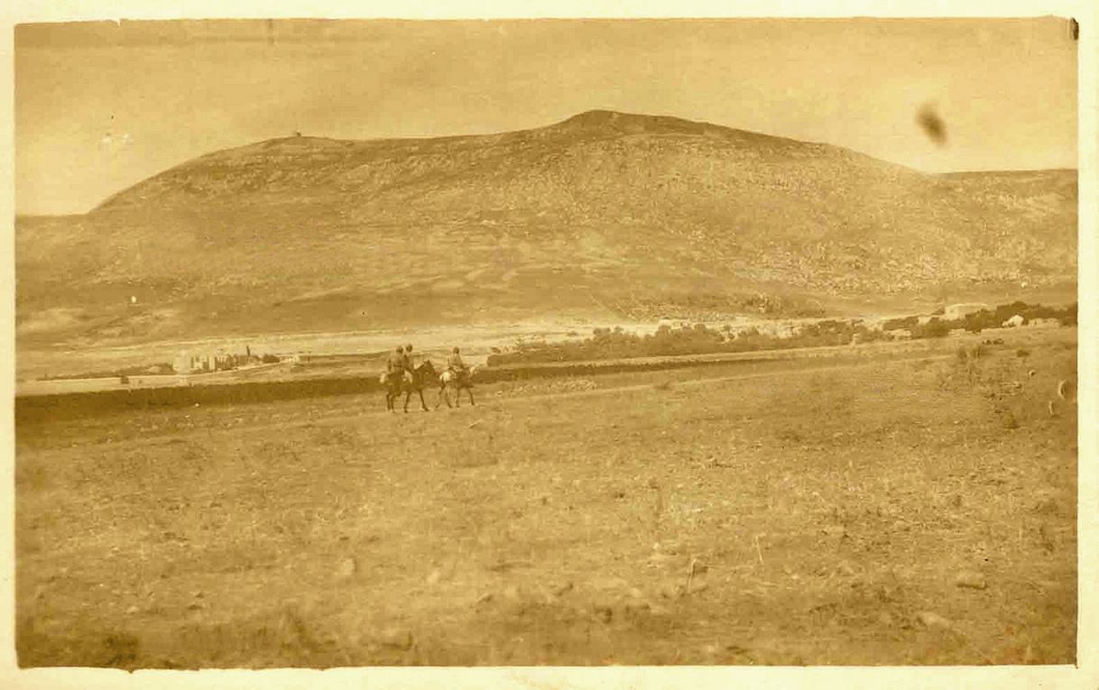
Posted by ابو عمر 1 - طلائع المستعمرين في الحرب العالمية الأولى وتبدو بيوت بلاطة -هدية من صفافي-
Posted by ابو عمر - العمارة والسجن التركي -هدية من صفافي-
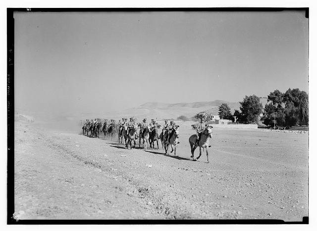
Posted by ابو عمر 1 - جحافل المستعمرين تطؤ ارض بلاطة -هدية لدار الجيعان-
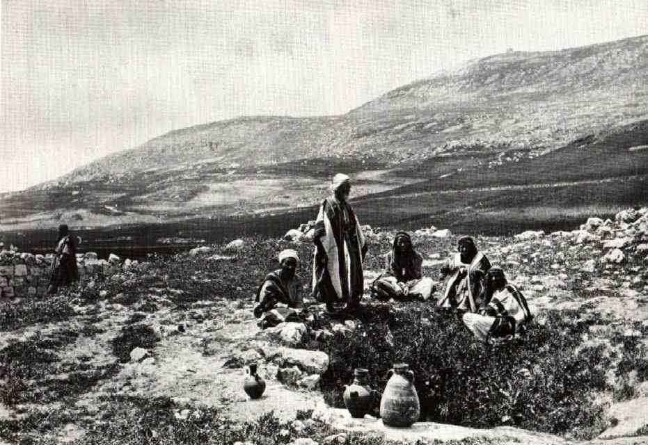
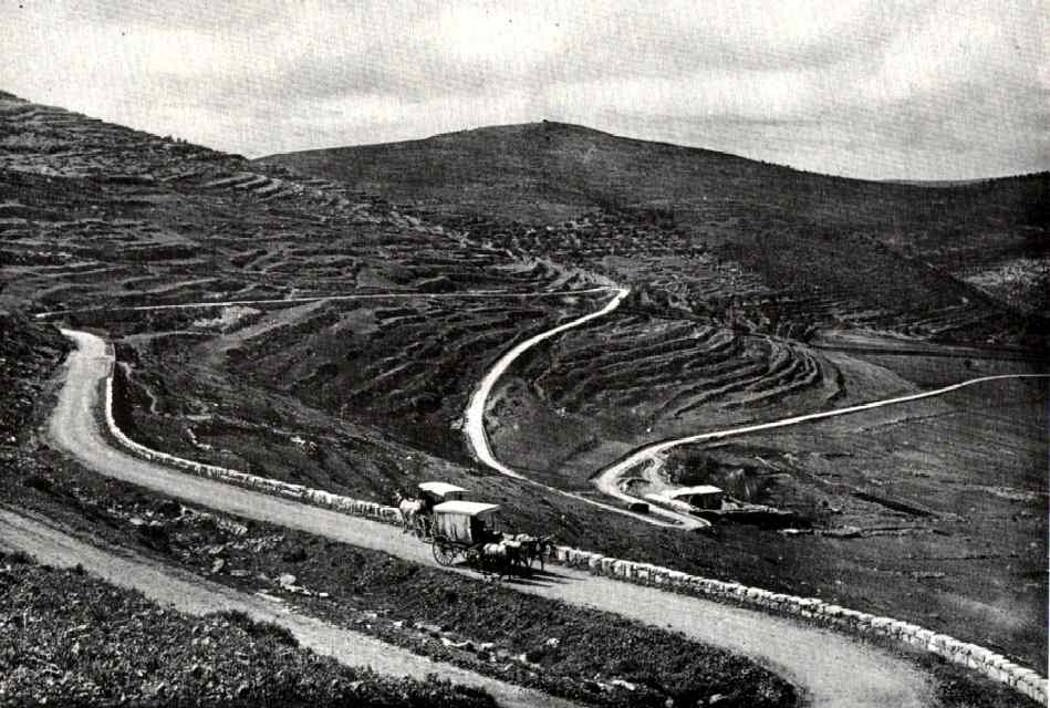
Posted by ابو عمر - طريق اللبن 1913م
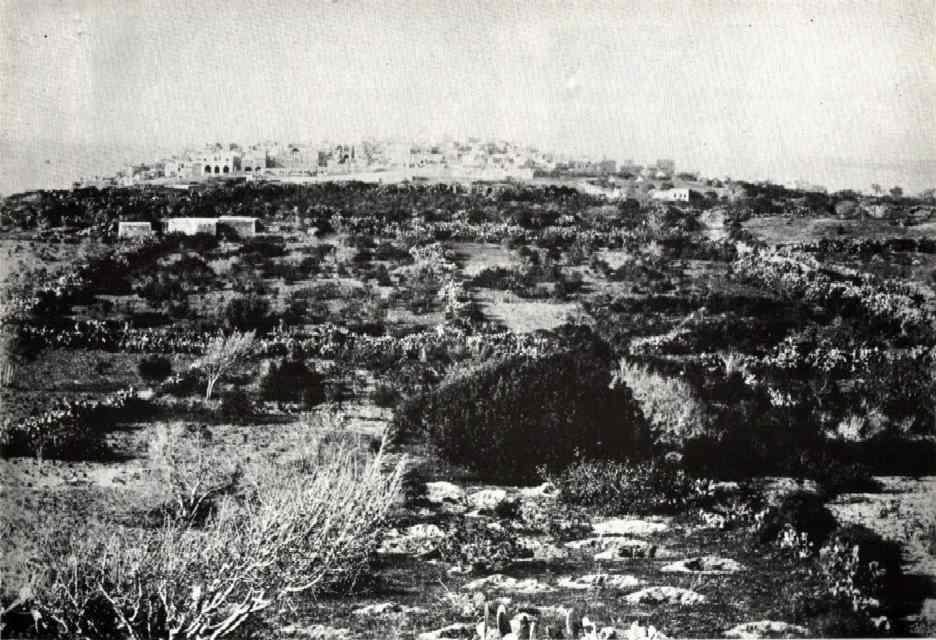
Posted by ابو كريم دويكات - يافا من الغرب 1862م
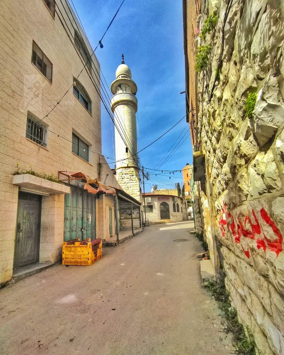
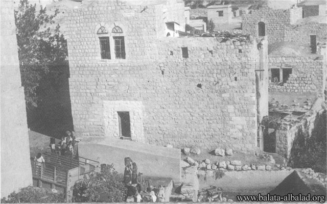
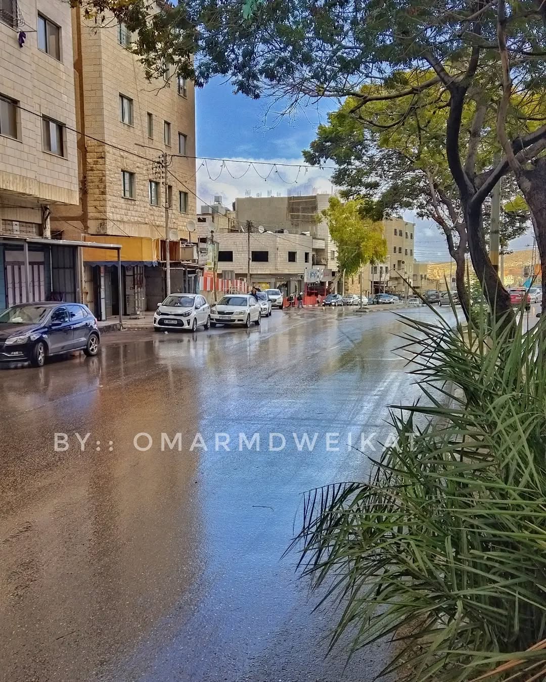
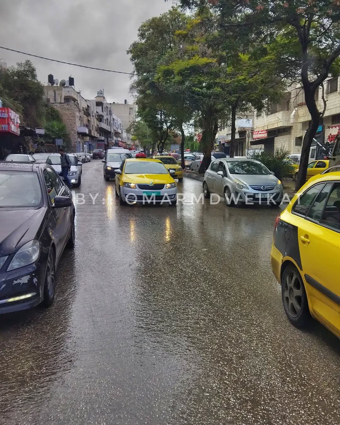
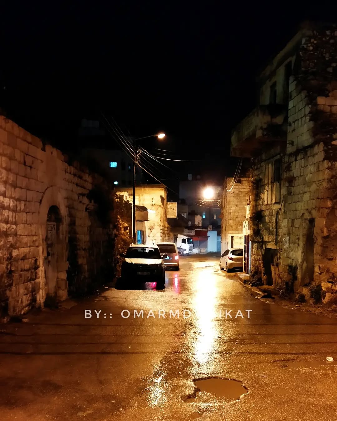
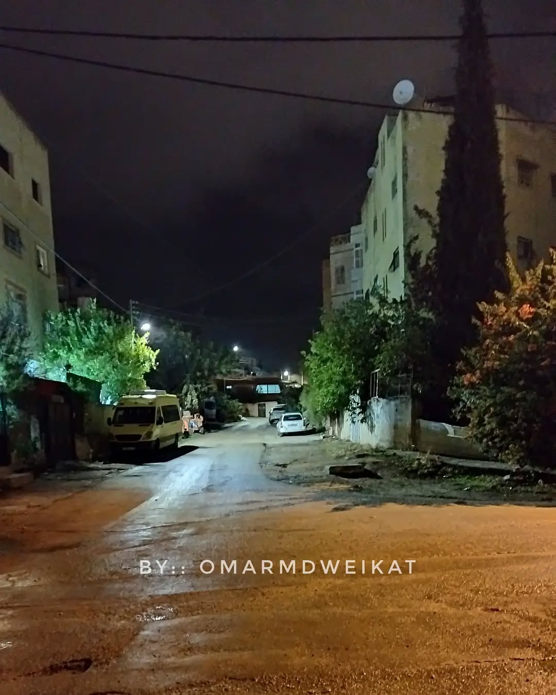
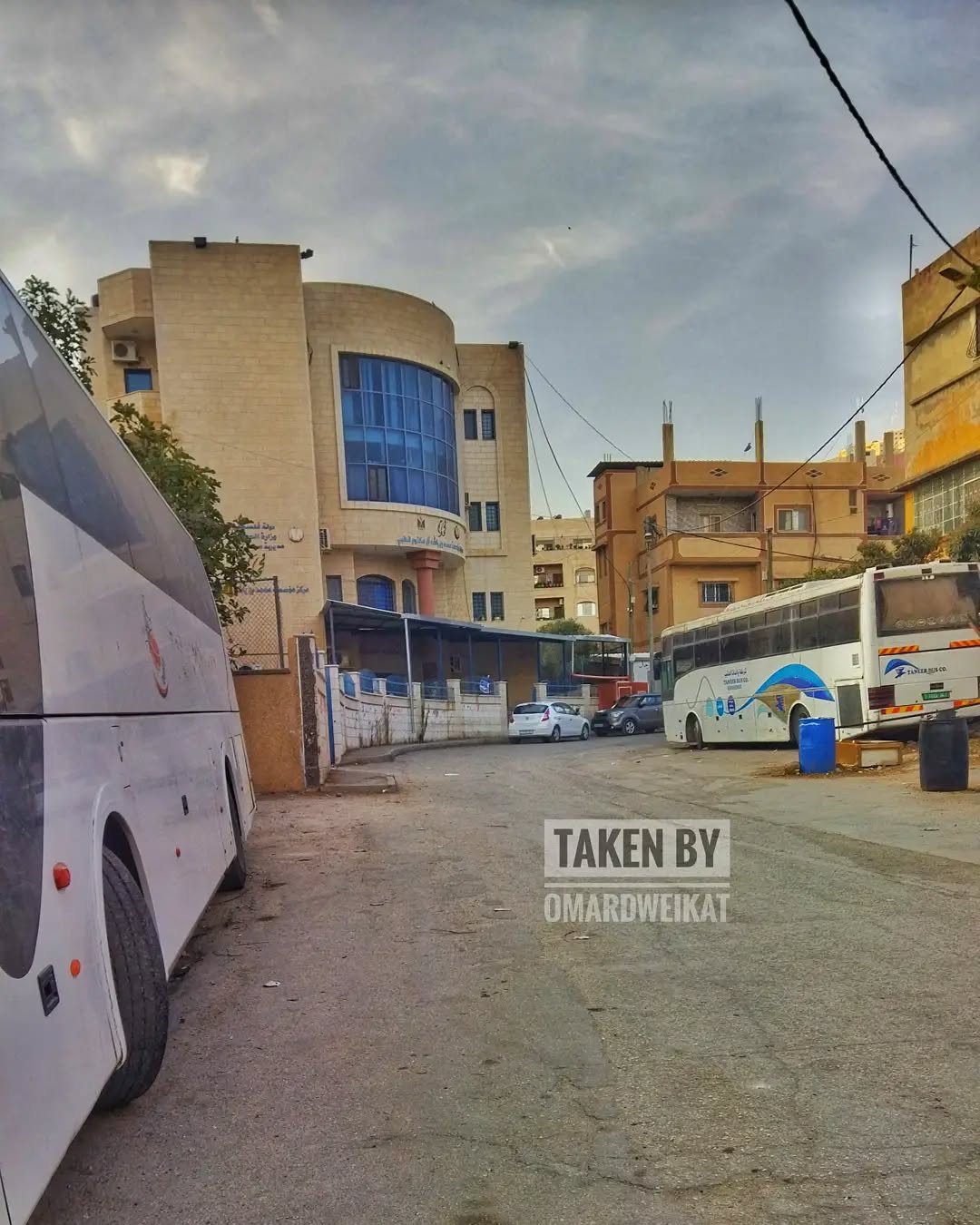
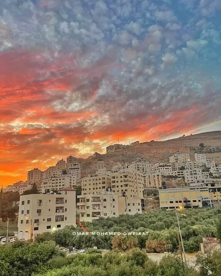
Posted by ابو كريم دويكات - منضر هام بلاطة 2006
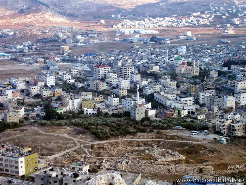
Posted by ابو كريم دويكات - بلاطة 2006

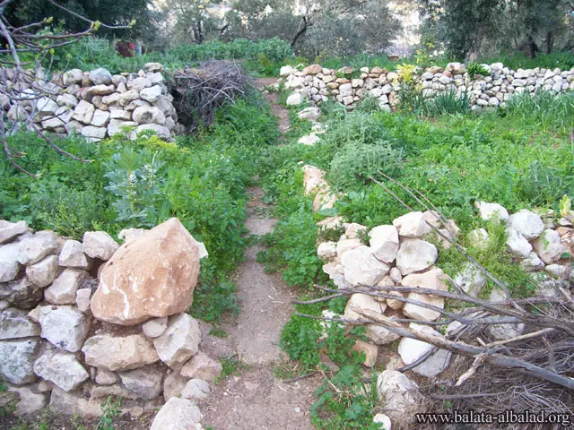
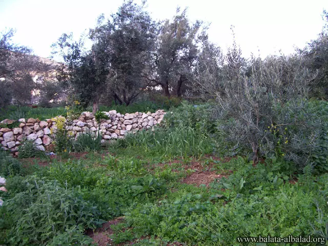
Posted by ابو كريم دويكات - الطبيعه والمزروعات 2005
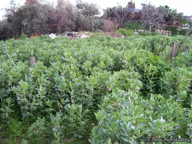
Posted by ابو كريم دويكات - الزراعة2006
Posted by ابو كريم دويكات - الزراعة2006 2
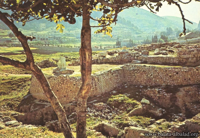
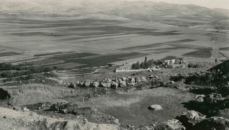
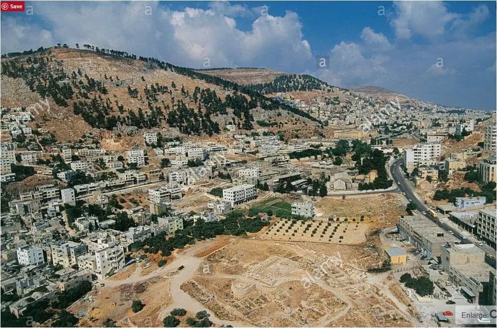
Posted by ابو كريم دويكات - تل بلاطة 1980
Posted by ابو كريم دويكات - قبر يوسف بلاطة البلد 1980م
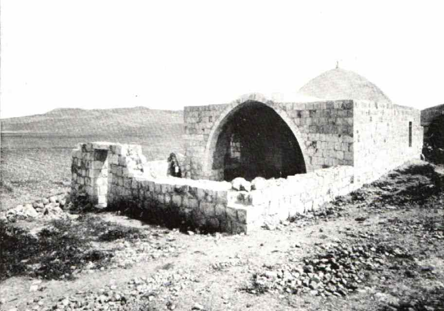
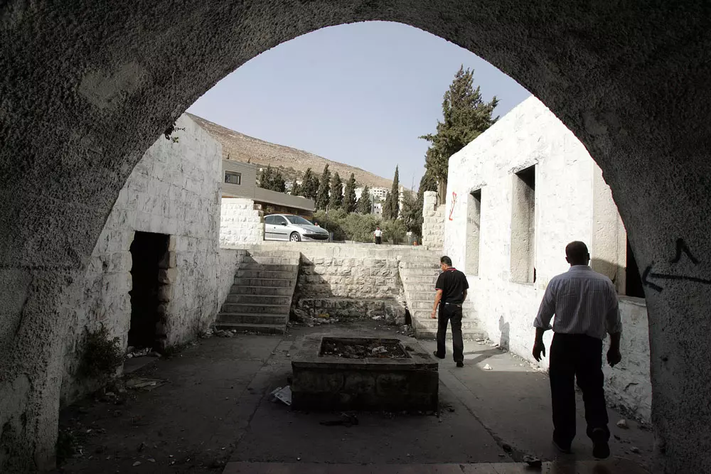
Posted by ابو كريم دويكات 2 - مقام النبي يوسف ، مكان إسلامي مقدس يحاول الصهاينة سرقته منا كعادتهم ، استشهد بالقرب منه عشرات الشبان نتيجة للقنص الصهيوني من الجبل المقابل
Posted by saher kaddarah - مقام النبي يوسف ، مكان إسلامي مقدس يحاول الصهاينة سرقته منا كعادتهم ، استشهد بالقرب منه عشرات الشبان نتيجة للقنص الصهيوني من الجبل المقابل
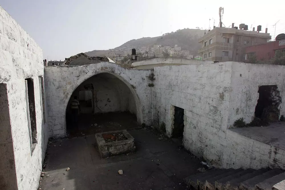
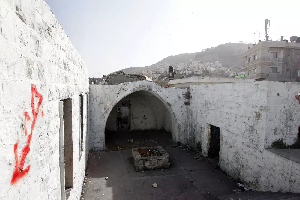
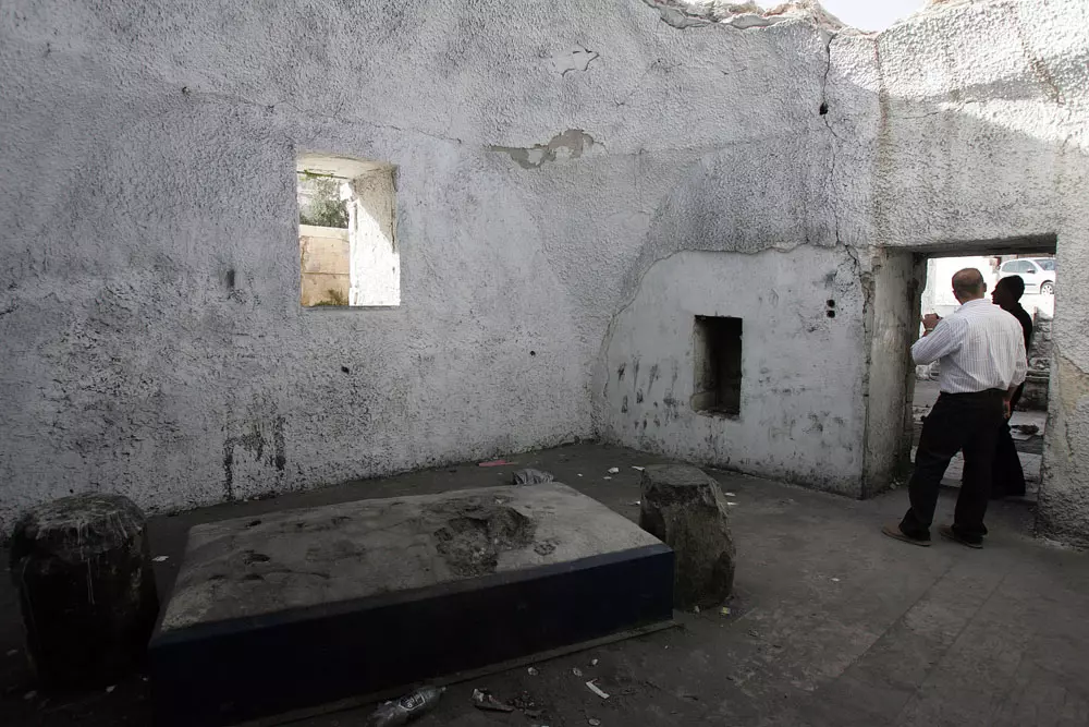
Posted by saher kaddarah - مقام النبي يوسف من الداخل ، مكان إسلامي مقدس يحاول الصهاينة سرقته منا كعادتهم
Posted by saher kaddarah - مقام النبي يوسف من الداخل ، مكان إسلامي مقدس يحاول الصهاينة سرقته منا كعادتهم ، يظهر في الصورة القبر الموجود بالمقام وقد أزيح من مكانه قليلا لسبب مجهول
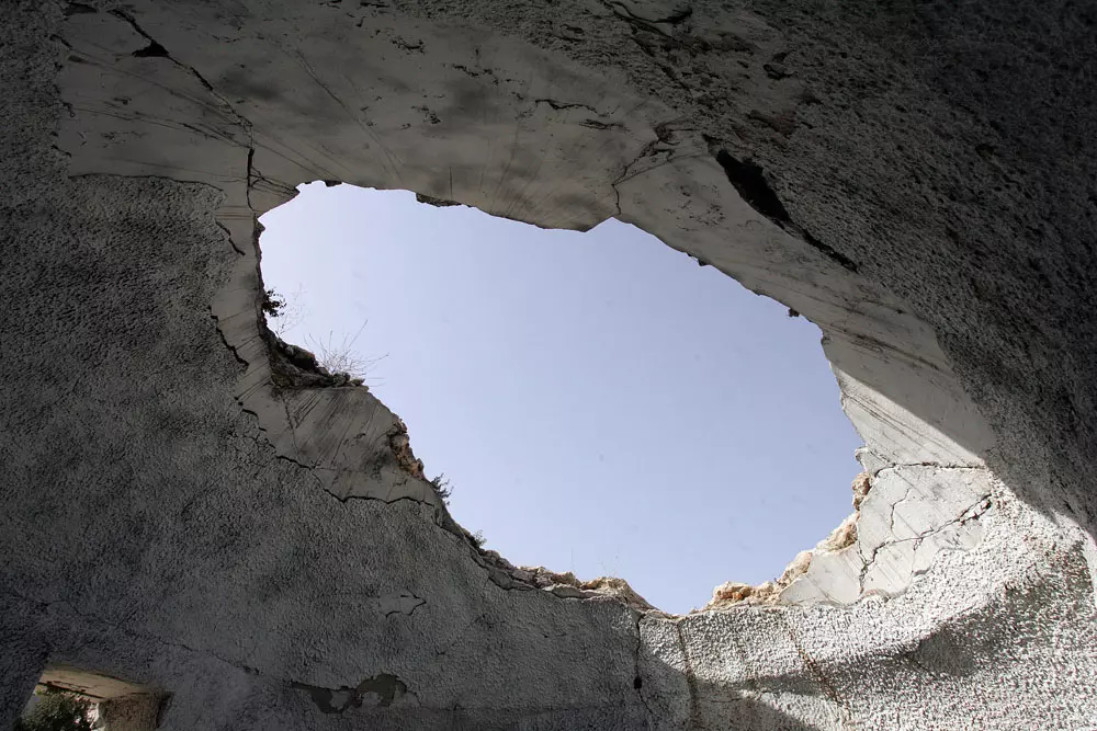
Posted by saher kaddarah - مقام النبي يوسف من الداخل ، ويظهر حجم الدمار والخراب الذي طاول قبة المقام ابان أحداث انتفاضة الأقصى
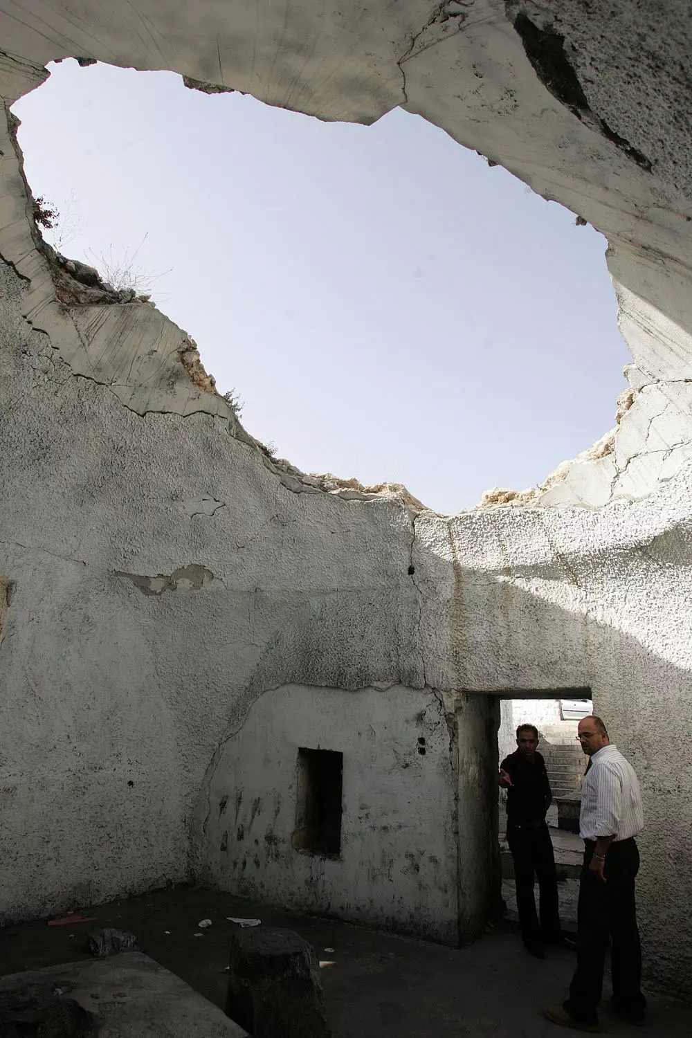
Posted by saher kaddarah - مقام النبي يوسف من الداخل ، ويظهر حجم الدمار والخراب الذي طاول قبة المقام ابان أحداث انتفاضة الأقصى
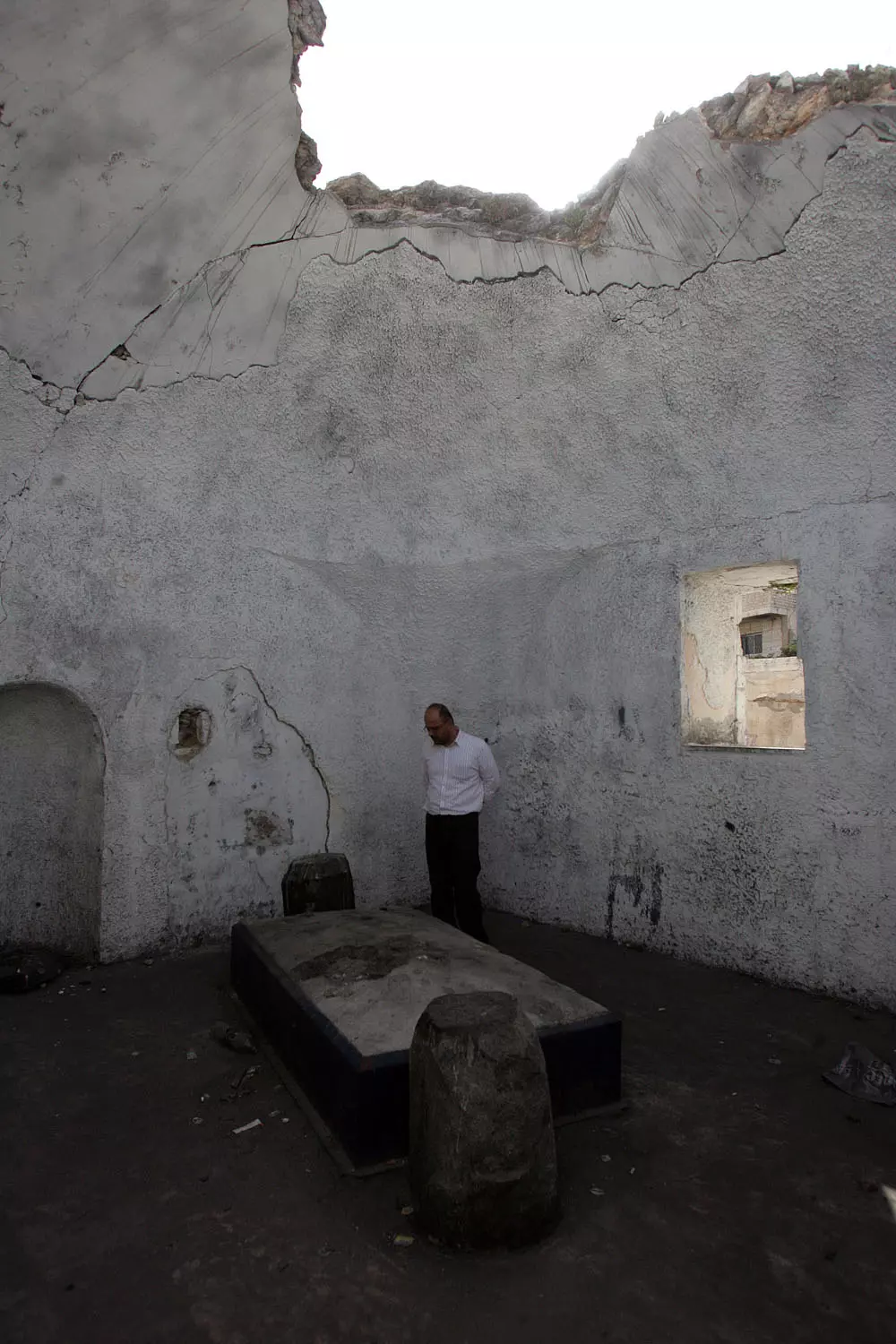
Posted by saher kaddarah - مقام النبي يوسف ، وتظهر القبة المدمرة من الداخل
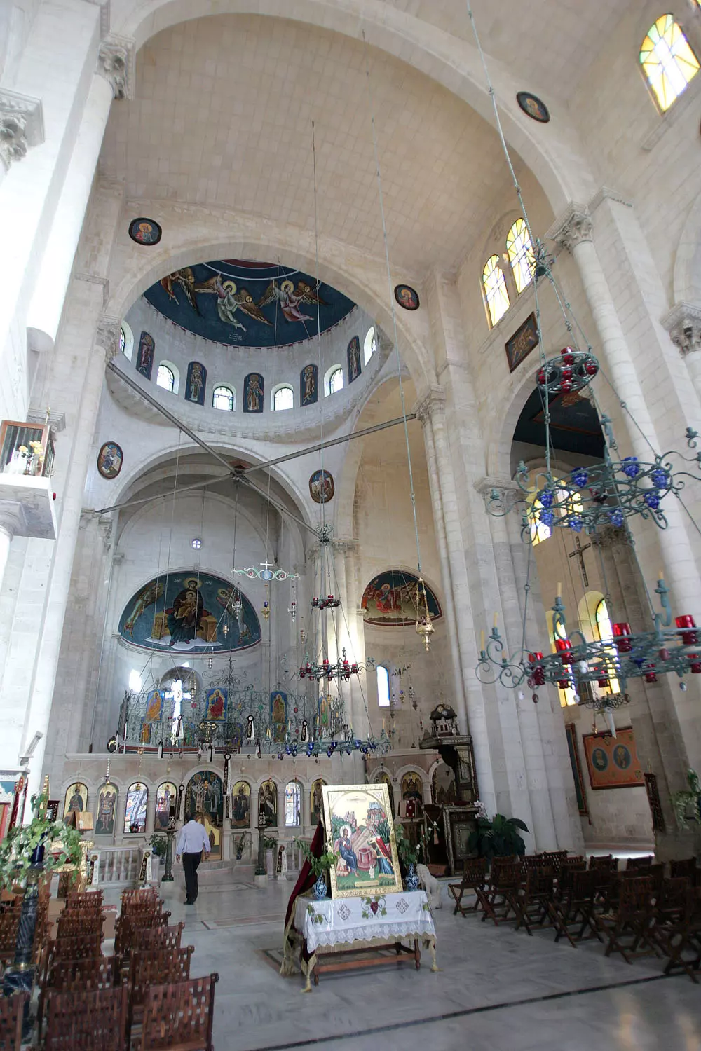
Posted by saher kaddarah - كنيسة بئر سيدنا يعقوب ، بناء جميل ورائع يزيده بهاء وروعة وجود بئر قديم جدا بالكنيسة يقال انه لنبي الله يعقوب عليه وعلى سيدنا محمد أفضل السلام
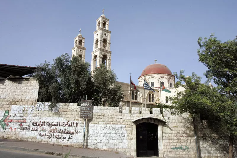
Posted by saher kaddarah - كنيسة بئر سيدنا يعقوب ، بناء جميل ورائع يزيده بهاء وروعة وجود بئر قديم جدا بالكنيسة يقال انه لنبي الله يعقوب عليه وعلى سيدنا محمد أفضل السلام
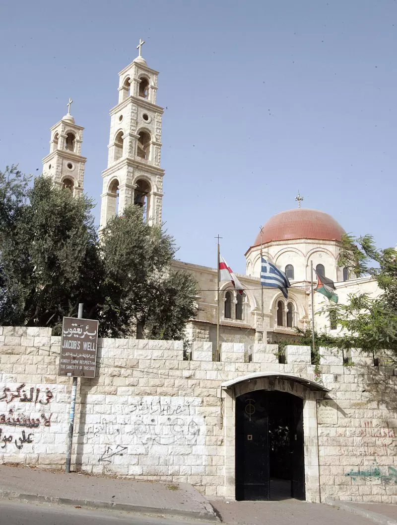
Posted by saher kaddarah - كنيسة بئر سيدنا يعقوب ، بناء جميل ورائع يزيده بهاء وروعة وجود بئر قديم جدا بالكنيسة يقال انه لنبي الله يعقوب عليه وعلى سيدنا محمد أفضل السلام
Posted by saher kaddarah - كنيسة بئر سيدنا يعقوب من الداخل
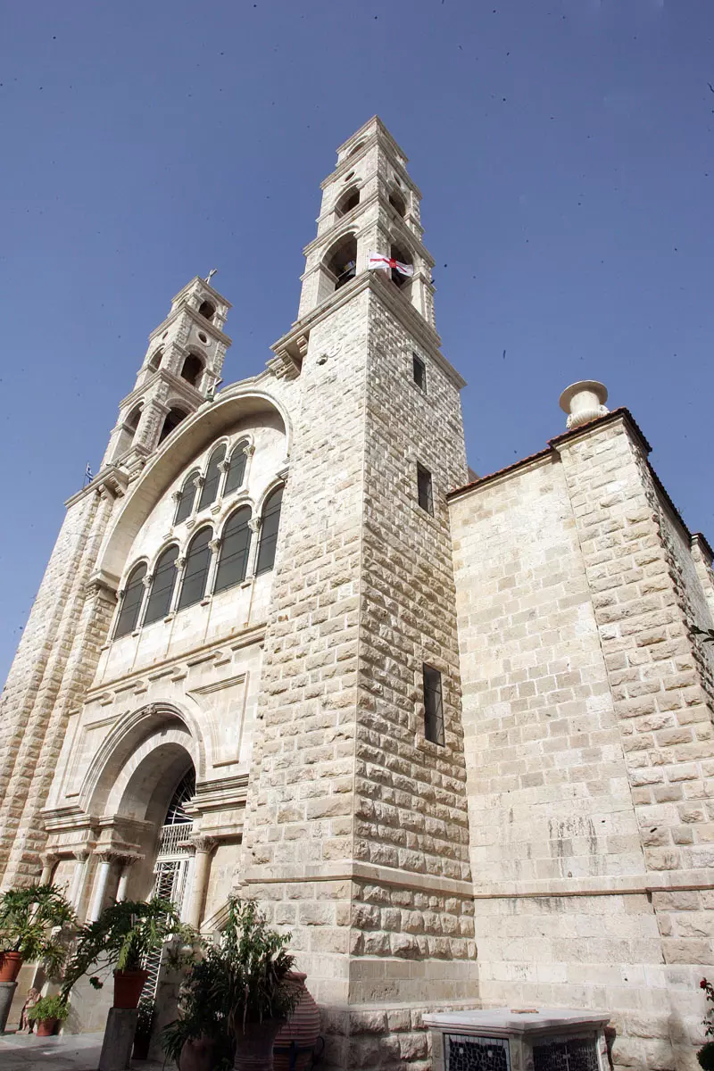
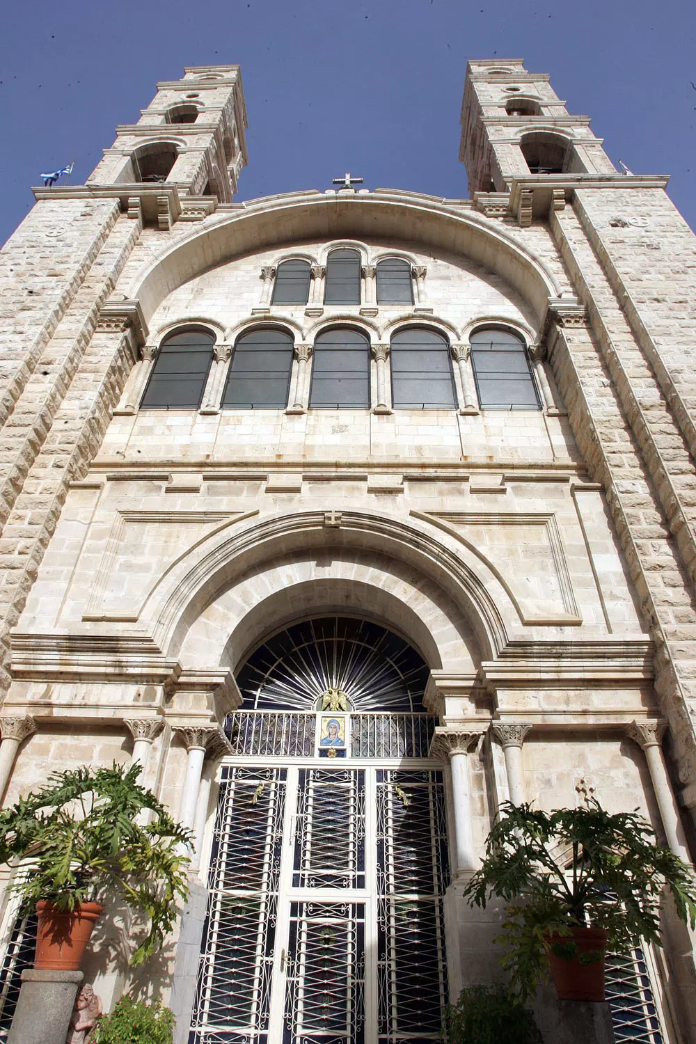
Posted by saher kaddarah 1 - البوابة الرئيسية الرائعة لكنيسة بئر سيدنا يعقوب
Posted by saher kaddarah - مقام سيدنا يوسف 1890
Posted by ابو كريم دويكات 3 - بلاطة البلد
Posted by ابو كريم دويكات - سهل الصوانة بلاطة البلد
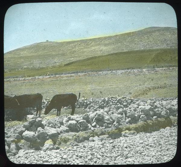
Posted by ابو كريم دويكات 1 - سهل الصوانة بلاطة البلد 1928
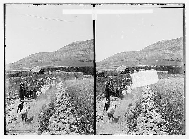
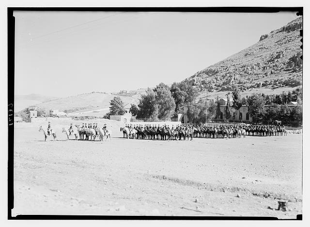
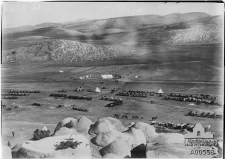
Posted by ابو كريم دويكات 1 - صوره لمنطقة حواره المعروفه (معسكر حواره)اخذت في الحرب العالميه الاولى والخيام الموجوده هي معسكر للجيش الاسترالي عام 1918..المعلومات من موقع ارشيف الجيش الاسترالي ..
Posted by ابو كريم دويكات - عسكر البلد1920
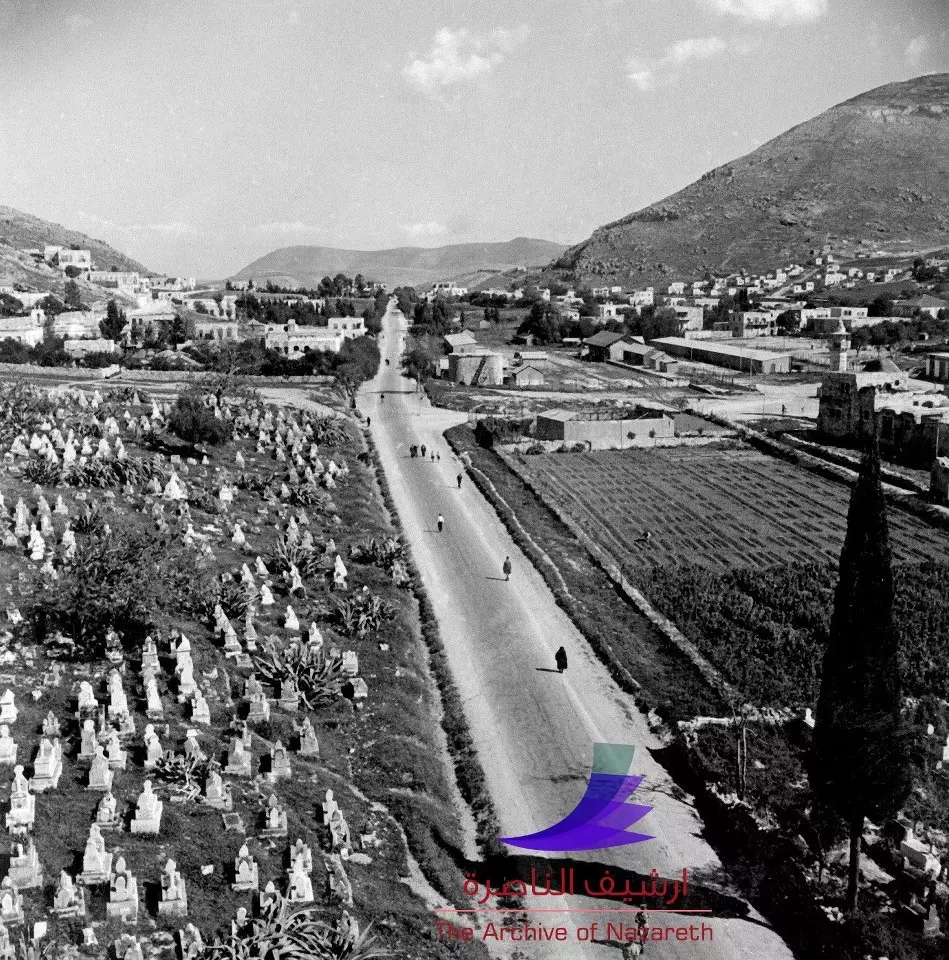
Posted by ابو كريم دويكات - شارع الملك فيصل وتظهر المقبرة الشرقية ومنطقة المجمع الشرقي سنة 1937
Posted by ابو كريم دويكات - تل بلاطة 1975
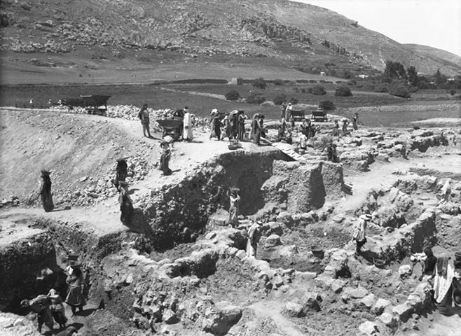
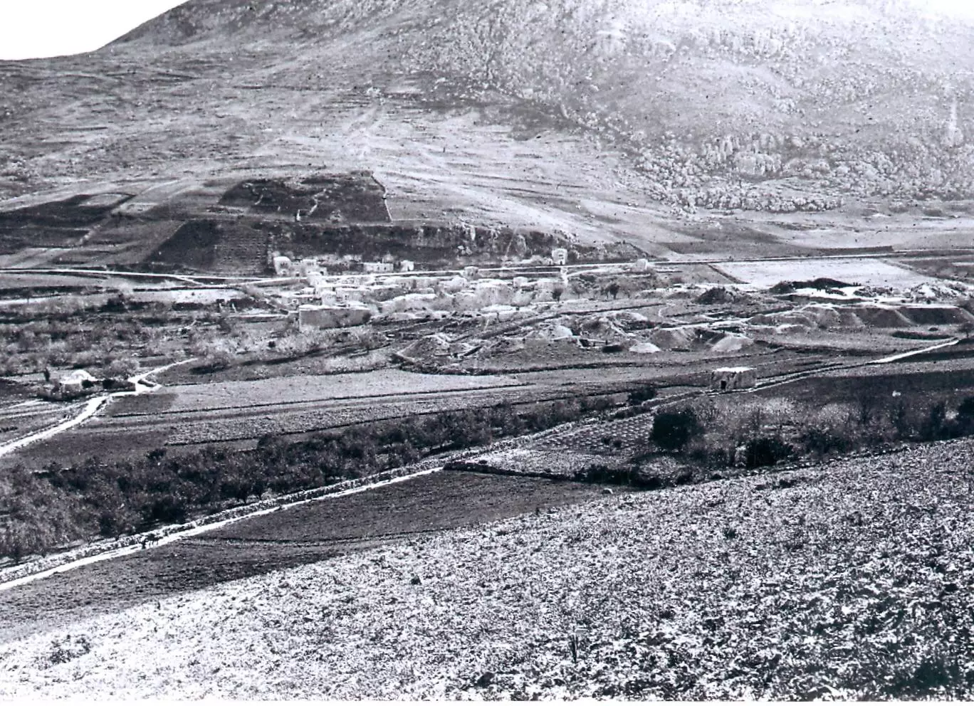
Posted by ابو كريم دويكات - 1913 بلاطه البلد اثناء التنقيب عن اثار تل بلاطه
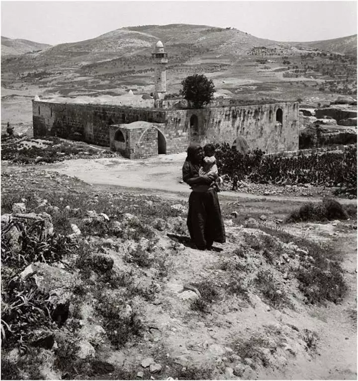
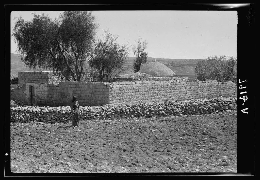
Posted by ابو مالك هزيم - المقام الموجود شمال قرية بلاطه البلد (قبر يوسف) في اوائل الثلاثين من القرن التاسع عشر
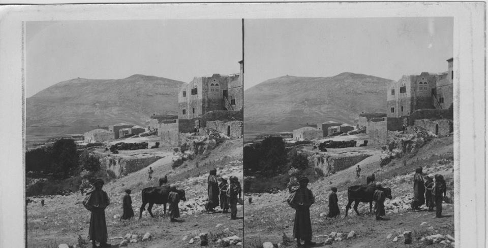
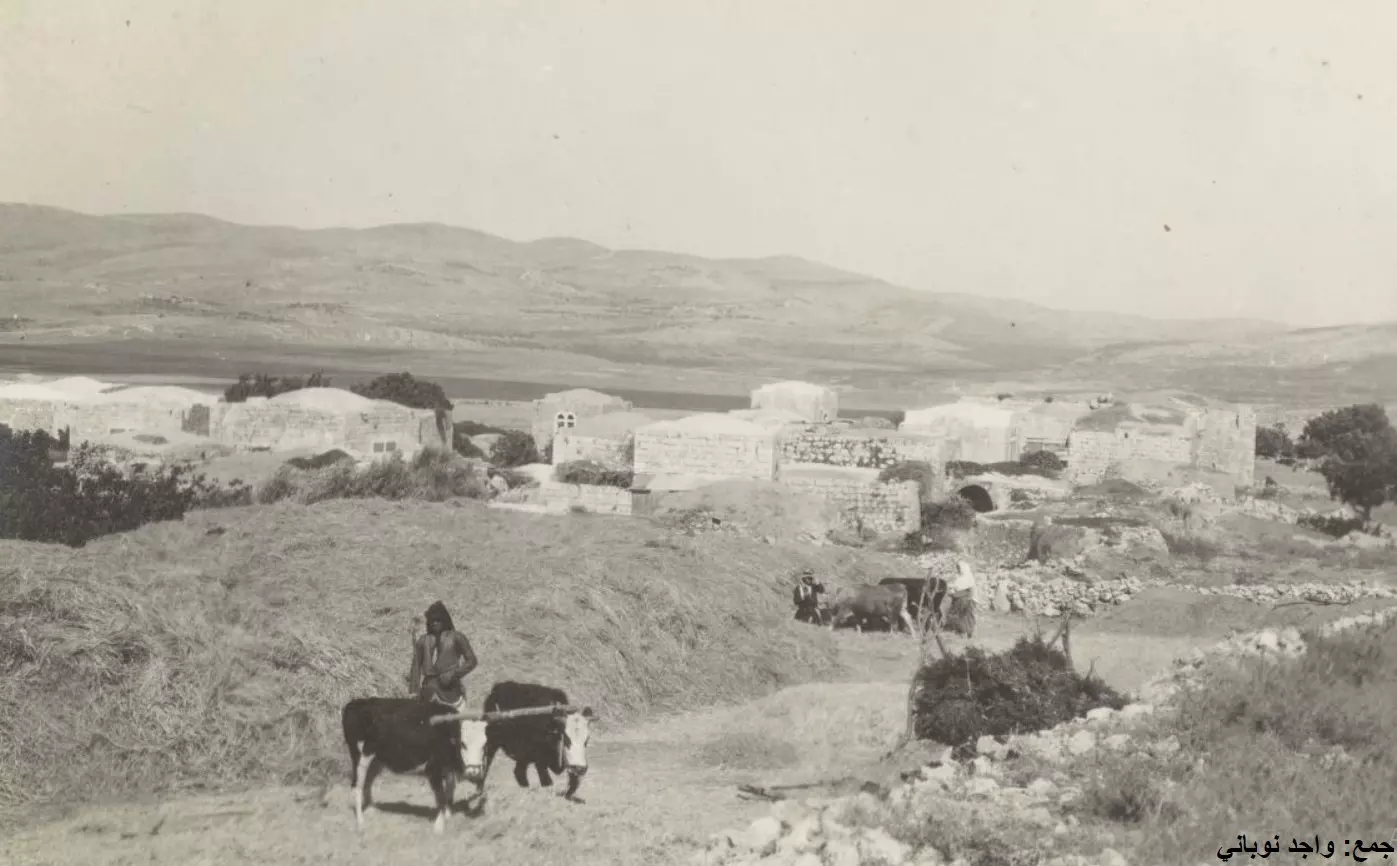
Posted by ابو مالك هزيم - صوره لبلاطة البلد في عشرينات القرن التاسع عشر
Posted by ابو مالك هزيم 2 - بير يعقوب 1910
Posted by أبو اليزن السعافين - صور من الذاكرة #2
Posted by ابو كريم دويكات - صور في الذكرة
Posted by ابو كريم دويكات - صورة من عشرينيات القرن العشرين لبئر يعقوب داخل الكنيسة التاريخية التي أمرت ببنائها الملكة هيلانة والدة الإمبراطور البيزنطي قسطنطين في القرن الرابع الميلادي في منطقة بلاطة قضاء نابلس..
- قرية بلاطة قبل 100 عام
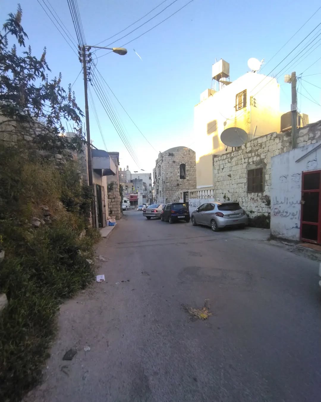
- جولة رائع في البلدة
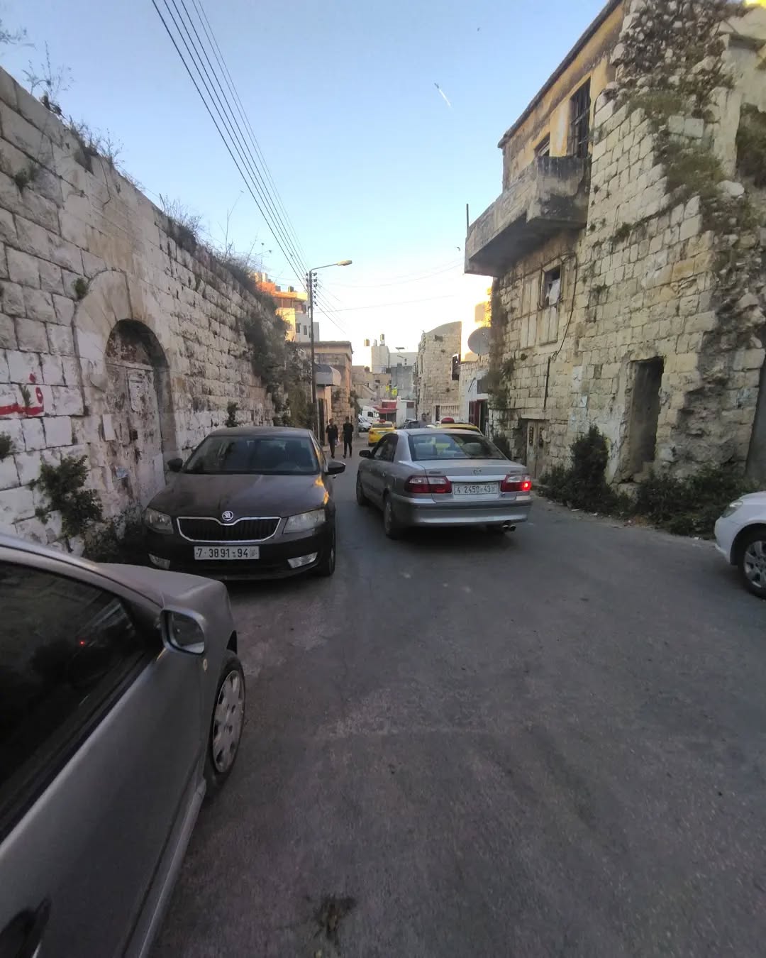
- جولة رائع في البلدة #2
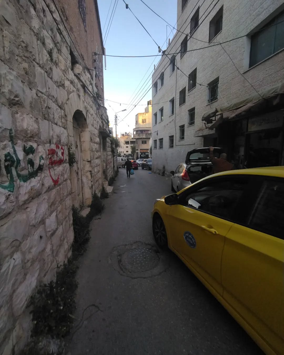
- جولة رائع في البلدة #3
- جولة رائع في البلدة #4
- جولة رائع في البلدة #5
- جولة رائع في البلدة #6
- جولة رائع في البلدة #7
- جولة رائع في البلدة #8
- جولة رائع في البلدة #9
- جولة رائع في البلدة #10
- جولة رائع في البلدة #11
- جولة رائع في البلدة #12
Want to browse more? 80,000 pictures were grouped in these gallaries:
| Display Name | Clan/Hamolah | Country of Residence |
| ZIAD | - | UNITED ARAB EMIRATES |
| Jamila Dweikat | - | Amman, Jordan |
| ابو كريم دويكات | دويكات | نابلس0, Palestine |
| ام يامن | سعيد | نابلس |
| Ghaleb Al-dwaikat | Al-dwaikat | Jordan |
No links have been shared yet, be free to the first to share the first link.
 Fake Valor: Why Did Zionist Jews Hoist Nazis Flag on Their Ships in the 1930s?
What is new?
-
Facts About Oct. 7th Gaza Raid
-
Remined Us Please:: Who Did Rape Who? Palestinians Raped Israelis? Or, was the other way around?
-
When Prof. Edward Said was invited to debate Bibi Netanyahu in the 1980s, watch what happened!
-
Ezra Klein of the NY Times on the "Jewish Race".
-
Abusing Blood Libel!
-
Did Israeli Soldiers Activate The Hanniba Direective On Oct. 7th? You Be The Judge
-
Zionist FAQ: Isn't it true that Palestinians don't want peace? Palestinians never accepted the two-state solution
- Facts about Haavara (Transfer) Agreement between Ben-Gurion & Hitler
-
Haavara FAQs: Why Did Zionist Jews Hoist Nazis' Flags on Their Ships in the 1930s?
- Haavara FAQs: When Chaim Weizmann met FDR in mid-1943, why was he silent about rescuing European Jewry?
-
Dear ChatGPT: How did Palestinians resist Napoleon's invasion of their country in 1799?
-
Dear ChatGPT: Gaza had a vibrant Jewish community in the mid-17th century. What happened to them?
-
Dear ChatGPT: Why did the Jewish Agency suppress news of the Holocaust during WWII?
-
Video Playlist: Jews share their DNA tests to end the conflict for good.
-
A Tale of Two Conflicts: Examining the Definition of Genocide
-
Prof. Abraham Polak And The Suppressed History of the Khazars and European Jewry
-
How Ronald Reagan would have framed the genocide in Gaza if he were still alive?
-
Haavara FAQs: Let us do the math: how many German Jews did The Haavara Agreement save?
-
Zionist FAQs: The Hebron Massacre of 1929, "clearly proves" that Palestinians are antisemitic, how could you deny it?
-
Zionist FAQs: Why Anti-Zionist Is Not Antisemitism?
-
Zionist FAQs: Isn't it true that the KGB created Palestinian Nationalism in the early 1960s?
- Zionist FAQs: Muslims are killing Muslims all the time; why are Israeli Jews being singled out in the media?
- Zionist FAQs: How is Israel an apartheid state when 20% of its citizens are Arabs who enjoy full rights?
-
Haavara FAQs: Why Did Dorothy Thompson Flip From A Zionist Advocate to A Silenced Dissenter?
-
Haavara FAQs: Analysis of Herzl's Uganda Scheme and how it could have saved millions of Jews.
-
Haavara FAQs: Why did Hayim Greenberg describe American Jewry as "morally bankrupt" in early 1943?
-
Haavara FAQs: What if the Evian Conference was a resounding success? What would have been the impact of saving European Jewry on Zionism?
- Haavara FAQs: What if the six million were saved, how that would have impacted the Zionist project?
-
Haavara FAQs: How did Zionist leaders react when Europe's Jews lingered in the DP camps after WWII ended?
-
Why does the American Jewish community repeat lies that David Ben-Gurion had debunked before he died?
-
Who has the power to rename the Tatar/Khazar Gene Marker to Jewish IV?
-
Zionist FAQs: Why won't Egypt, Syria, and Jordan take their people back? Jews are indigenous to Palestine, and Arabs immigrated after Jews developed the country. Arabs should leave.
-
Haavara FAQs: Did Hitler and the Nazis conflate between Judaism and Zionist? If that wasn't case, then why?
-
Haavara FAQs: Winston Churchill and antisemitism, a collection of articles written Churchill.
-
Haavara FAQs: Broken by country, how many Jews survived vs. killed during the Holocaust?
-
Haavara FAQs: Why did European Jews vote with their feet and to immigrated to the Americas, not Palestine, after WWII?
-
Watch this American Jewish Girl describing Israeli Jews' cognitive dissonance like no other in under two minutes
-
Haavara FAQs: When the Nazis went out of their way to hide the Holocaust, Israeli Jews did the exact opposite by broadcasting their genocide of Gazans. But why?
-
Haavara FAQs: How Zionist Jews went out of their to show their appreciation to Nazism and Fascism?
- Haavara FAQs: Why Zionist leaders were against bombing the death camps & the Railroads leading to them?
-
Haavara FAQs: Hitler's message to the British and American people: If Jews are such noble citizens and you care about them, how come you're not letting them in? I will gladly ship them to you at my expense, even on luxury liners!
-
A shortlist of Zionist and Israeli false flag operations in the name Jews.
-
The Most Moral Army
- The Land of Kapos (Israel): Where the brave are boycotted and Kapos walk free.
- Why did early Zionists often named their communal enterprises "colonial"?
- Zionist Relations with Nazi Germany by Faris Glubb
-
Two NY Times advertisements by Zionists in the early 1943 that exposes Zionists' treason at the height of the calamity
- Facts Not Lies about the Palestinian-Israeli Conflict.
- Site's pictures have been categorized
- Campgain Against Lice
- A Survey of Palestine, the official source about Palestine before Nakba produced by the British Mandate; over 1200 pages.
- Satellite View & Google Earth: Over 6,000 placemarks identifying all destroyed towns, W. Bank & Gaza Strip Towns, & refugee camps.
- PalestineRemembered.com and its Nakba Oral History Project were featured on al-Jazeera Satellite TV.
- Nakba Oral History Video Podcast:
 Over 700 Oral History interviews (including 3,500+ hours of recording) can be viewed online.
 - Palestine Village Statistics Project
- Gaza Jail Break
- النسخة العربية للموقع الان متوفرة
- Videos: Documenting the destroyed villages in video: Tracing all that remains since Nakba.
- Videos: Responding to Zionist Propaganda
- Interview: The ethnic cleansing of Palestine: George Galloway interviews Israeli Historian Ilan Pappe.
- For Palestinians, memory matters. It provides a blueprint for their future By George Bisharat.
- Zionist FAQ now available in Hebrew שאלות שציונים שואלים, עכשיו בעברית
- Video: The Stephen Walt and John Mearsheimer report on the influence of the Israel Lobby on U.S. Foreign Policy
- The Palestinian-Israeli conflict for beginners
