| PalestineRemembered | About Us | Oral History | العربية | |
| Pictures | Zionist FAQs | Haavara | Maps | |
| Search |
| Camps |
| Districts |
| Acre |
| Baysan |
| Beersheba |
| Bethlehem |
| Gaza |
| Haifa |
| Hebron |
| Jaffa |
| Jericho |
| Jerusalem |
| Jinin |
| Nablus |
| Nazareth |
| Ramallah |
| al-Ramla |
| Safad |
| Tiberias |
| Tulkarm |
| Donate |
| Contact |
| Profile |
| Videos |
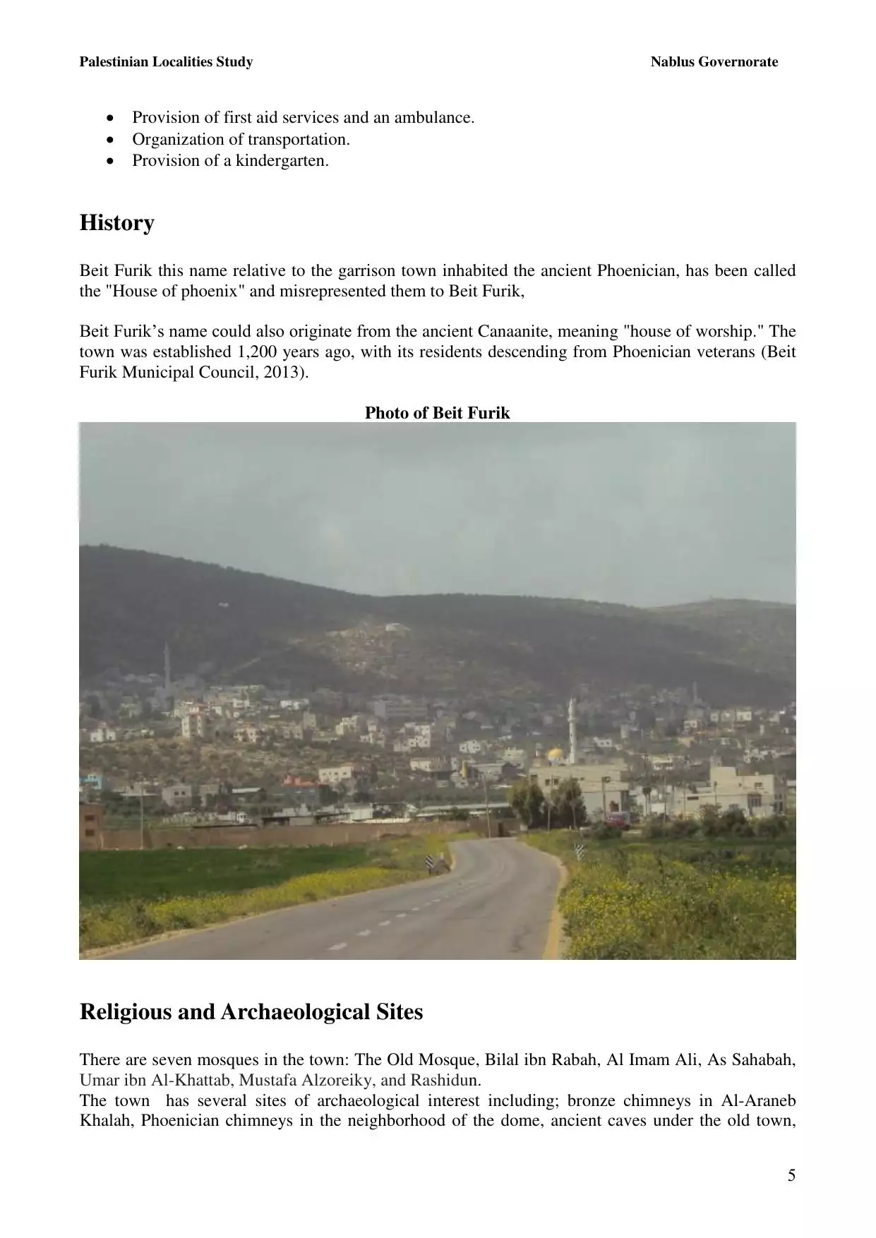
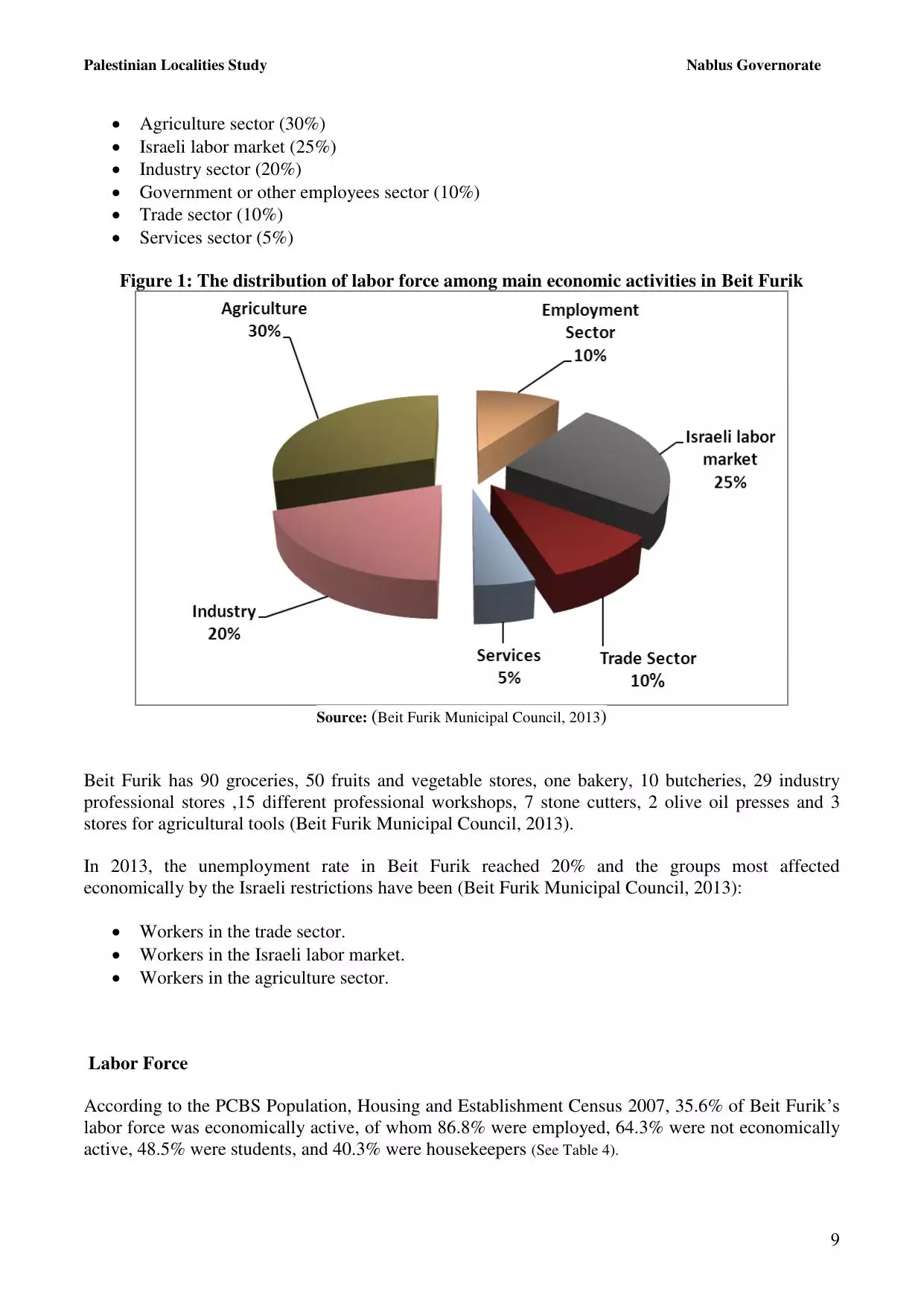
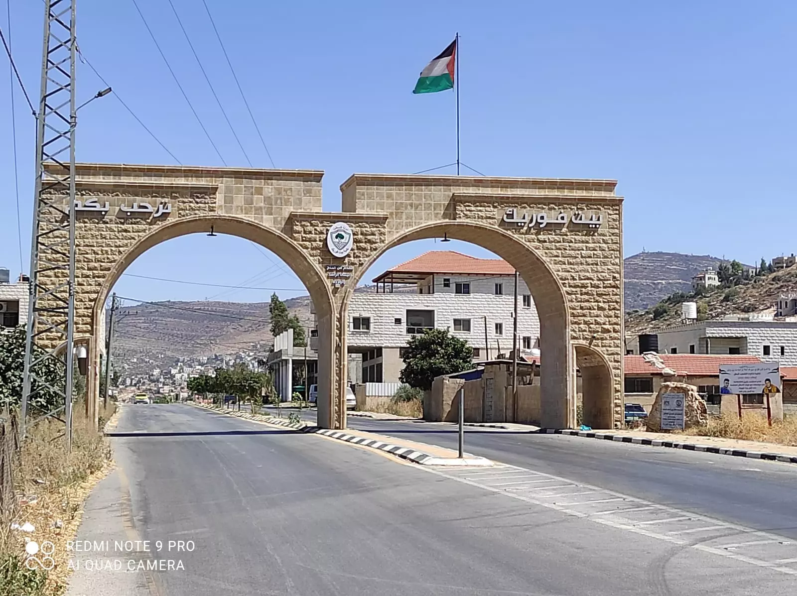
Welcome To Bayt Furik - بيت فوريك (בית פוריכ)
|
District of Nablus
Occupied days ago |
العربية Google Earth |
 |
Gallery (59) |
- Statistics & Facts
-
Before & After

- Satellite View
- Articles 2
- Pictures 59
- Members 7
- Families
- Wikipedia
- ARIJ Guide
- Videos 3
- Guest Book 18
- Links 1
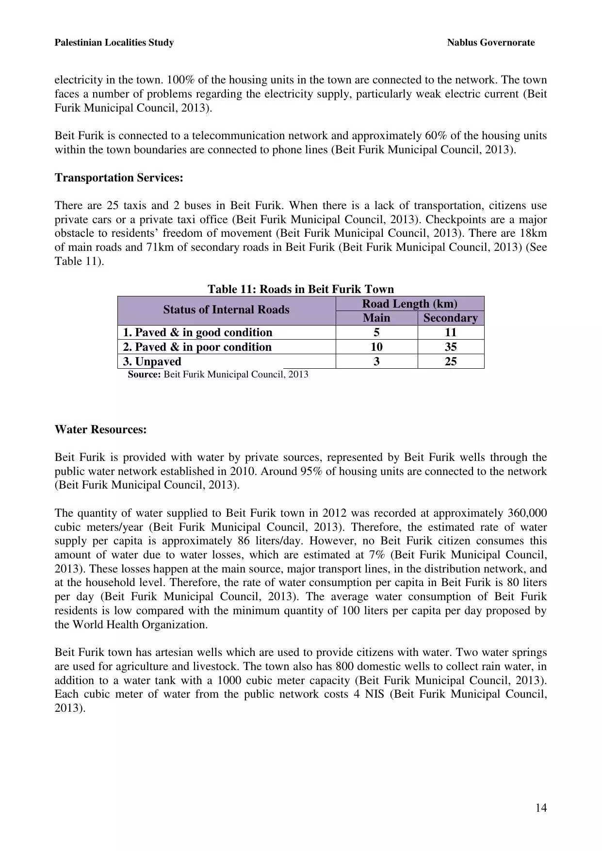
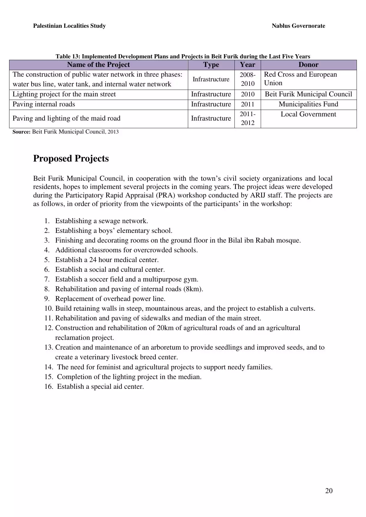
| Statistic & Fact | Value | ||||||||||||||||||||
| Distance From District | 9 km southeast of Nablus | ||||||||||||||||||||
| Elevation | 533 meters | ||||||||||||||||||||
| Before & After Nakba, Click Map For Details |
|||||||||||||||||||||
|
|||||||||||||||||||||
| Land Ownership |
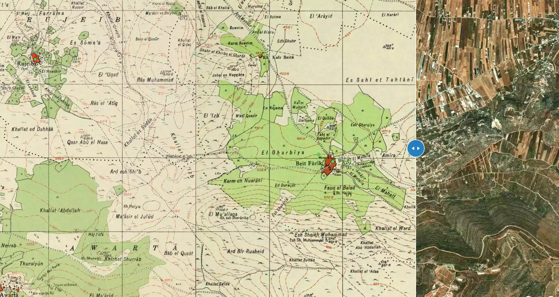
**Town Lands' Demarcation Maps |
||||||||||||||||||||
| Land Usage As of 1945 |
|
||||||||||||||||||||
| Population |
|
||||||||||||||||||||
| Near By Towns |
|||||||||||||||||||||
|
|||||||||||||||||||||
| Featured Video | |||||||||||||||||||||
| ARIJ Guide | |||||||||||||||||||||
3.
4. 
5. 
6. 
7. 
8. 
9. 
10. 
11. 
12. 
13. 
14. 
15. 
16. 
17. 
18. 
19. 
20. 
21. 
22. 
Click here to browse online. |
|||||||||||||||||||||
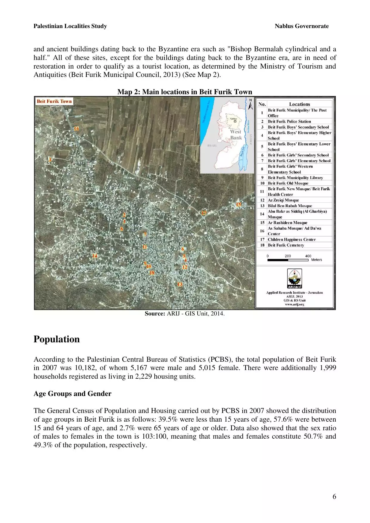
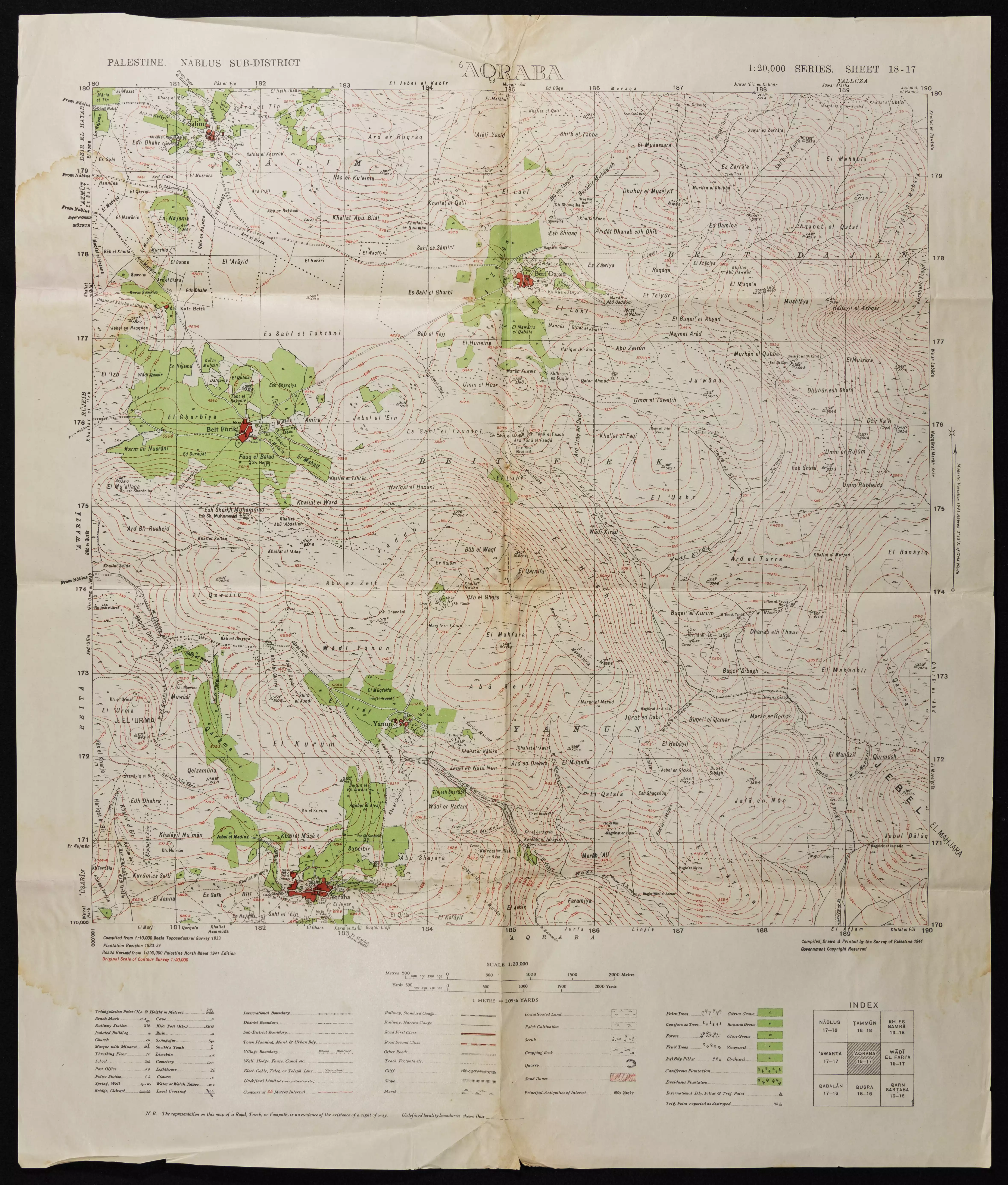
| Related Maps | Town Lands' Demarcation Maps خرائط للقضاء توضح حدود القرى والاودية View from satellite Town's map on MapQuest Help us map this town at WikiMapia |
||||||||||||||||||||
| Related Links | Wikipedia's Page Facebook Page ARIJ Guide Google Search Google For Images Google For Videos في كتاب بلادنا فلسطين دليل أريج المزيد من موقع هوية |
||||||||||||||||||||
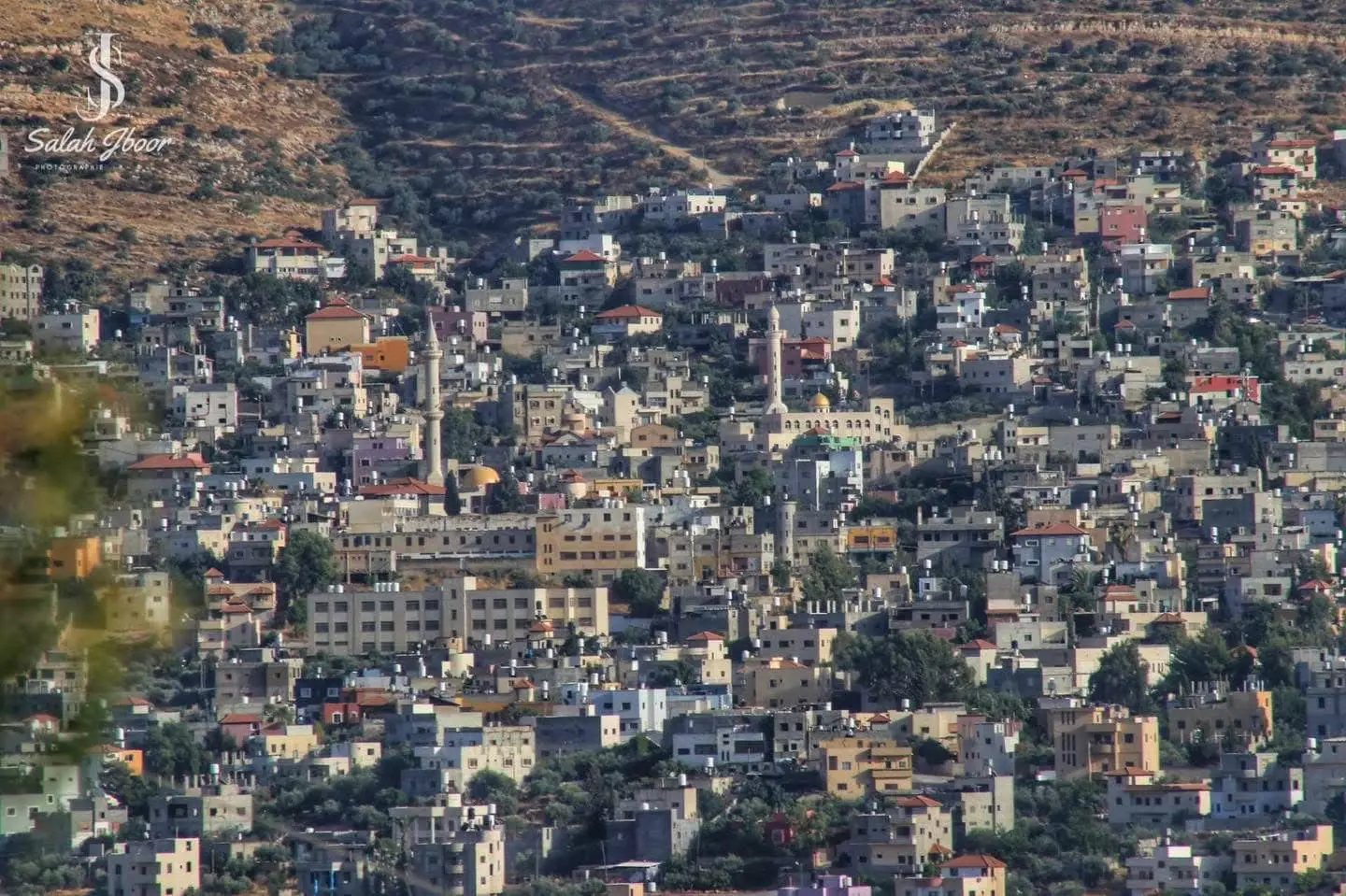
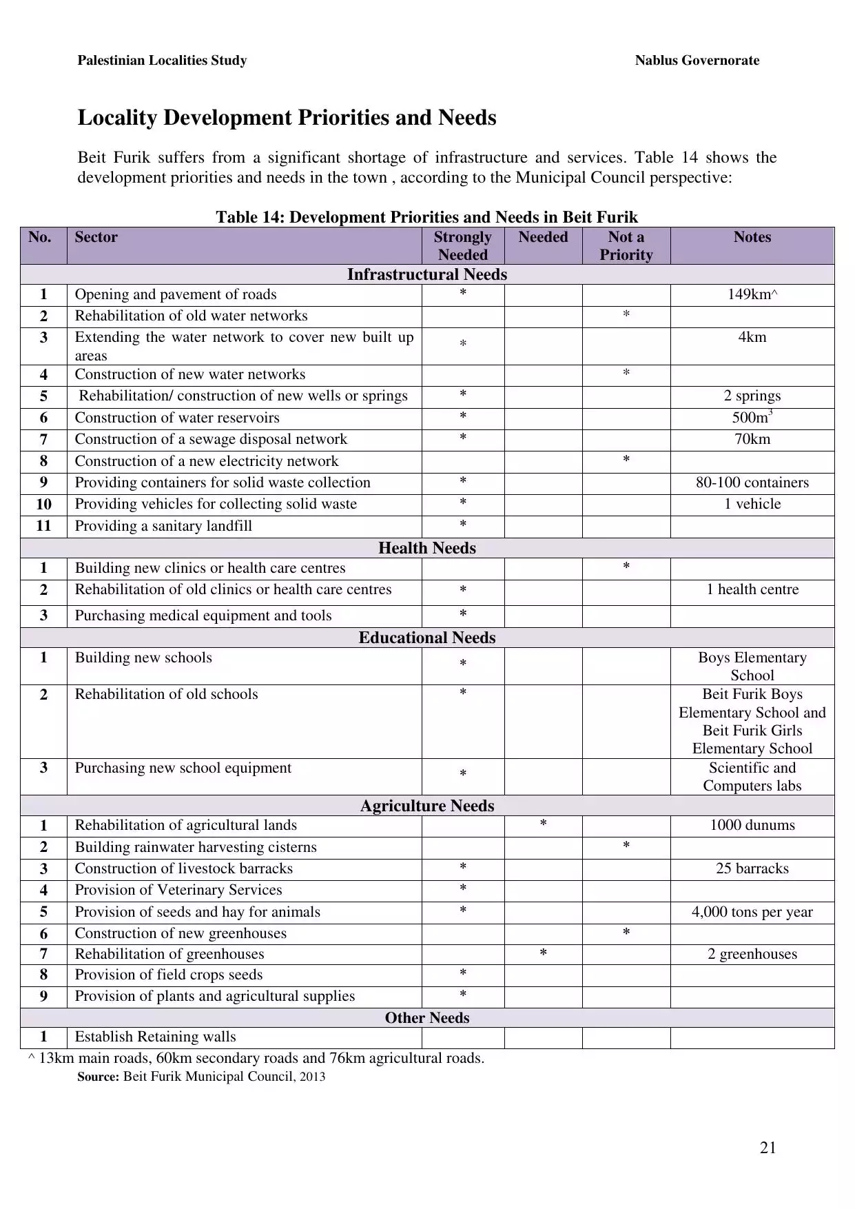
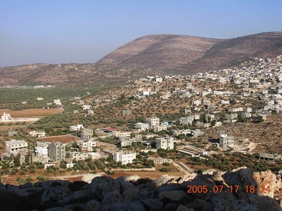
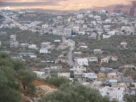
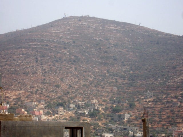
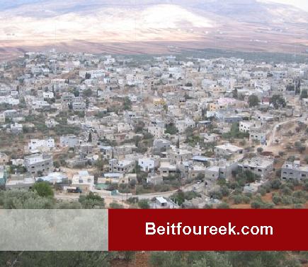
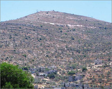
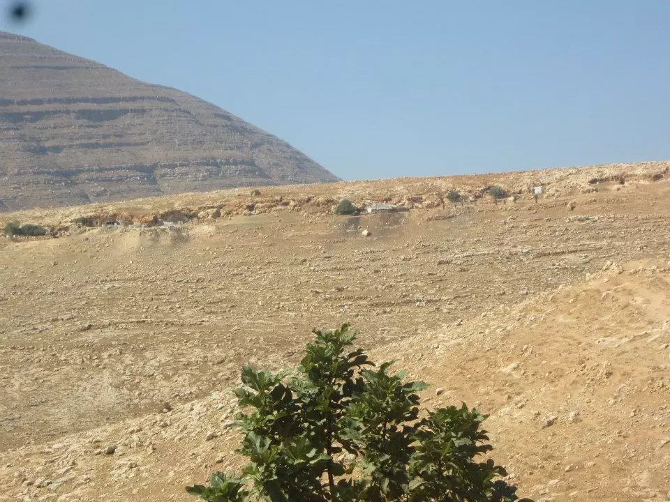
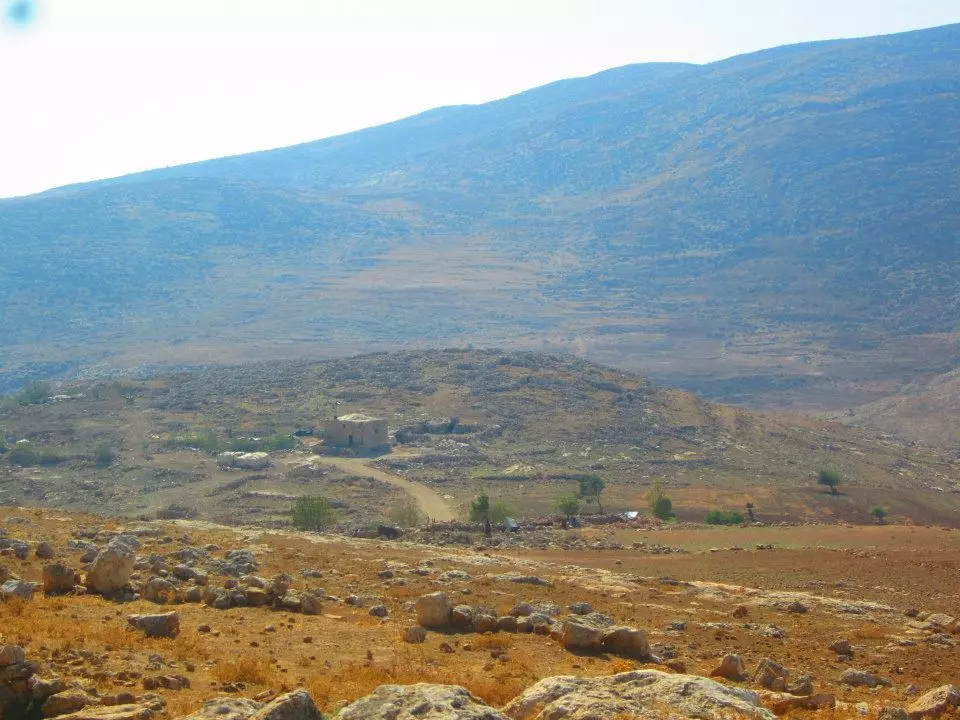
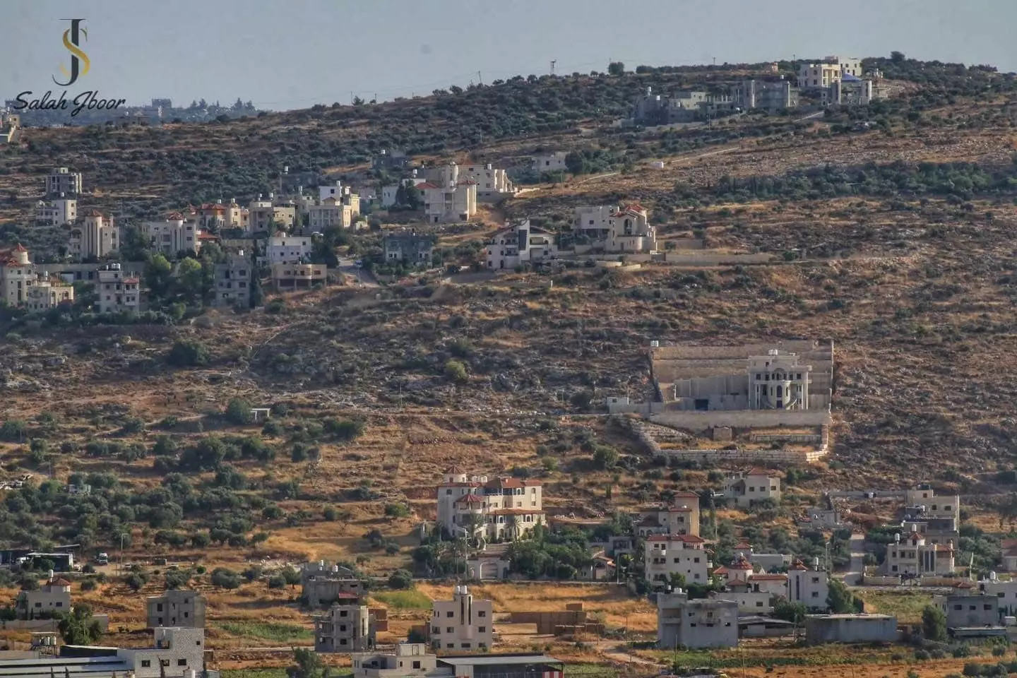
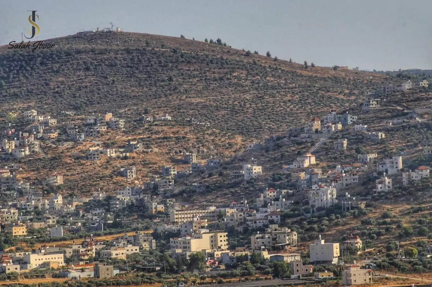
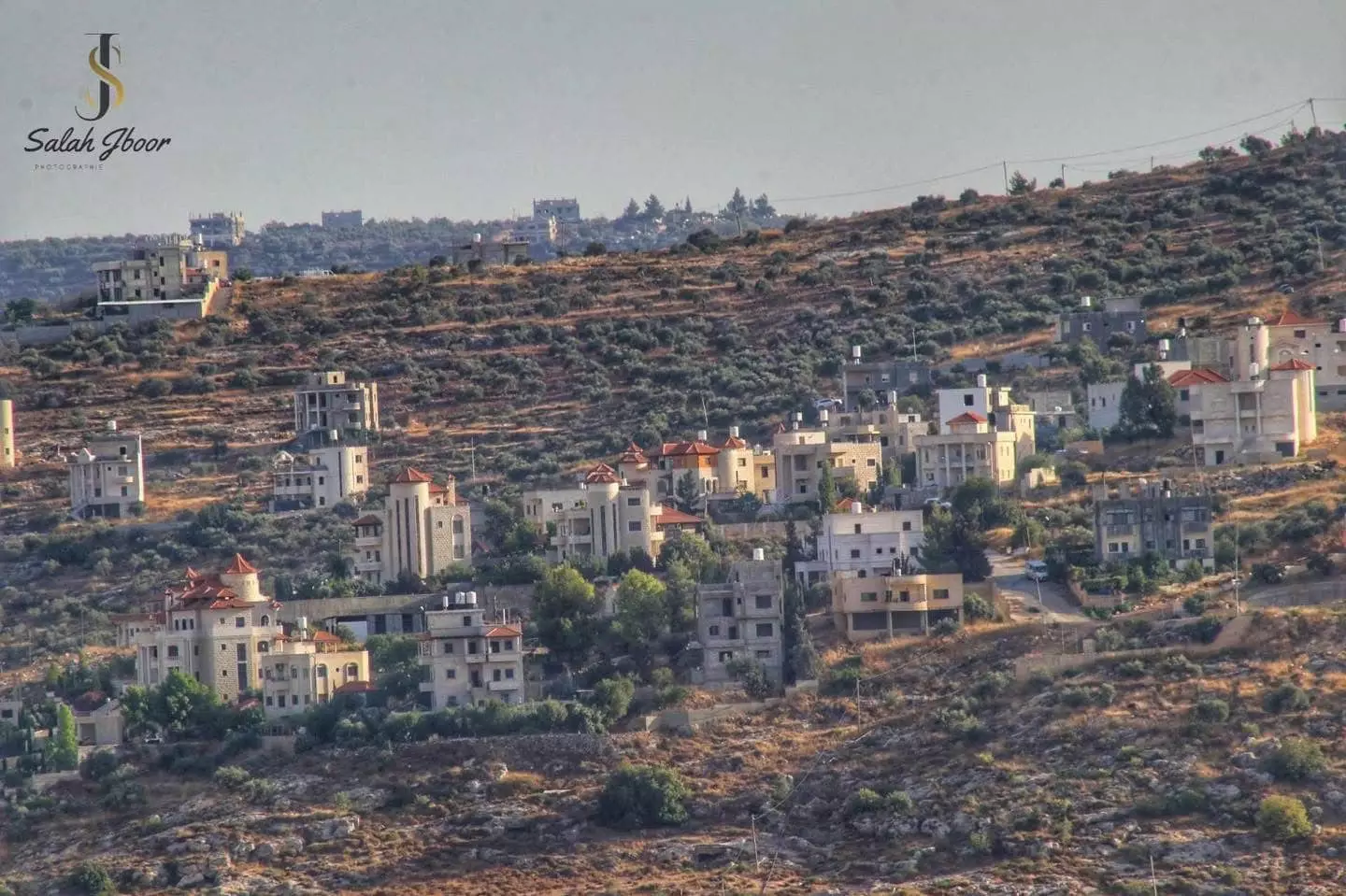
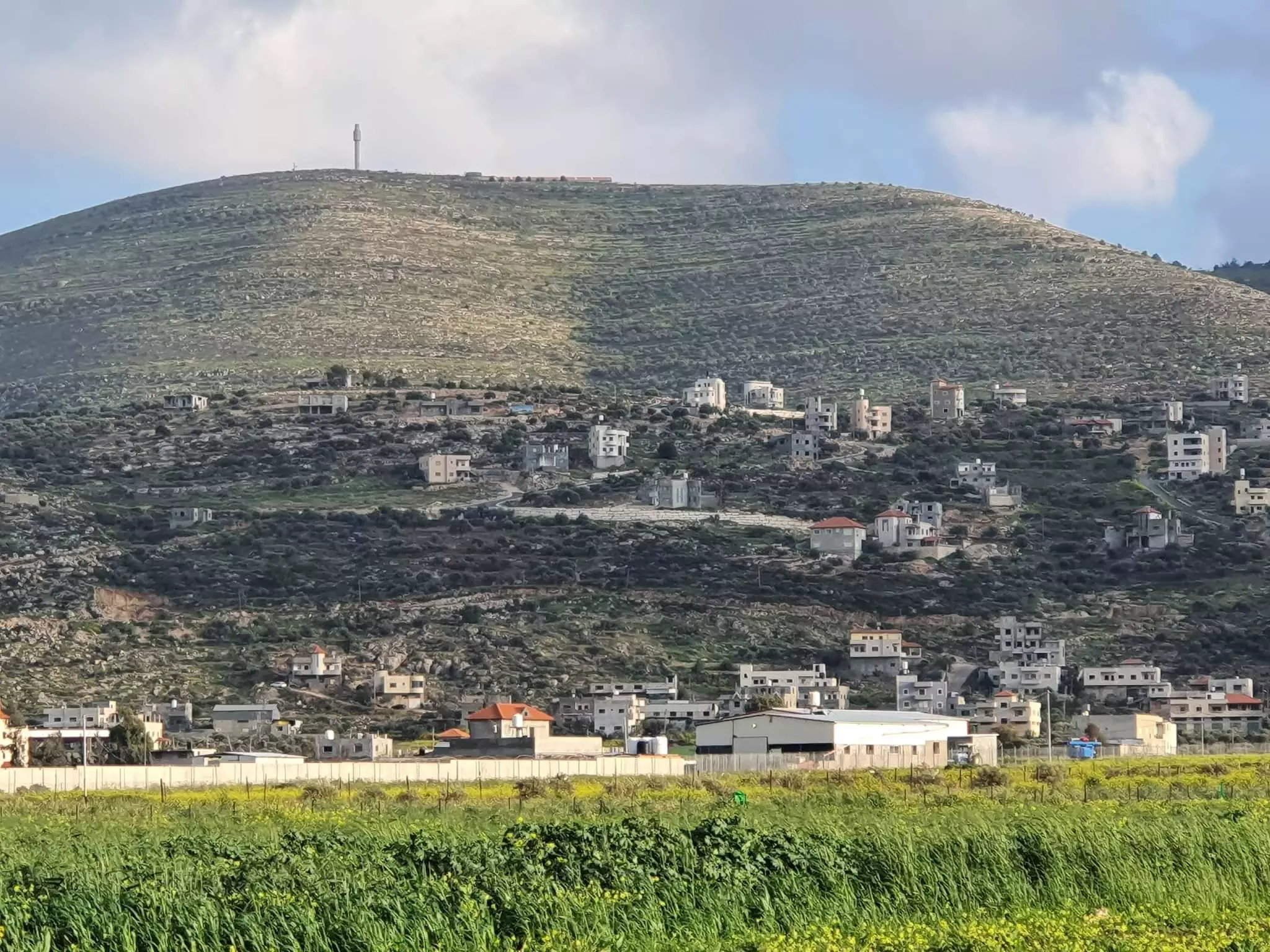
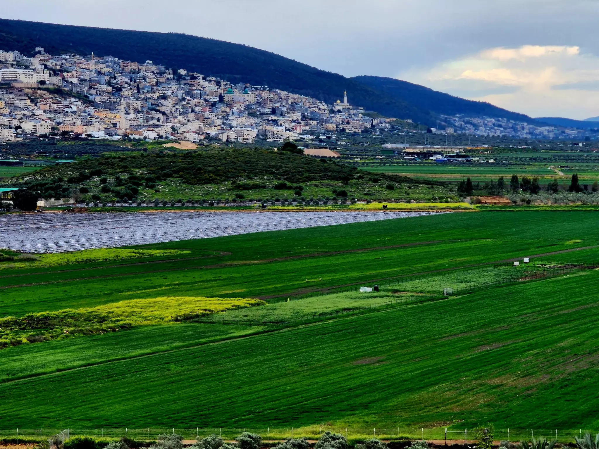
- General view, the picture was taken from one of the sarounding Israeli Jewish colonies, possibly Itmar
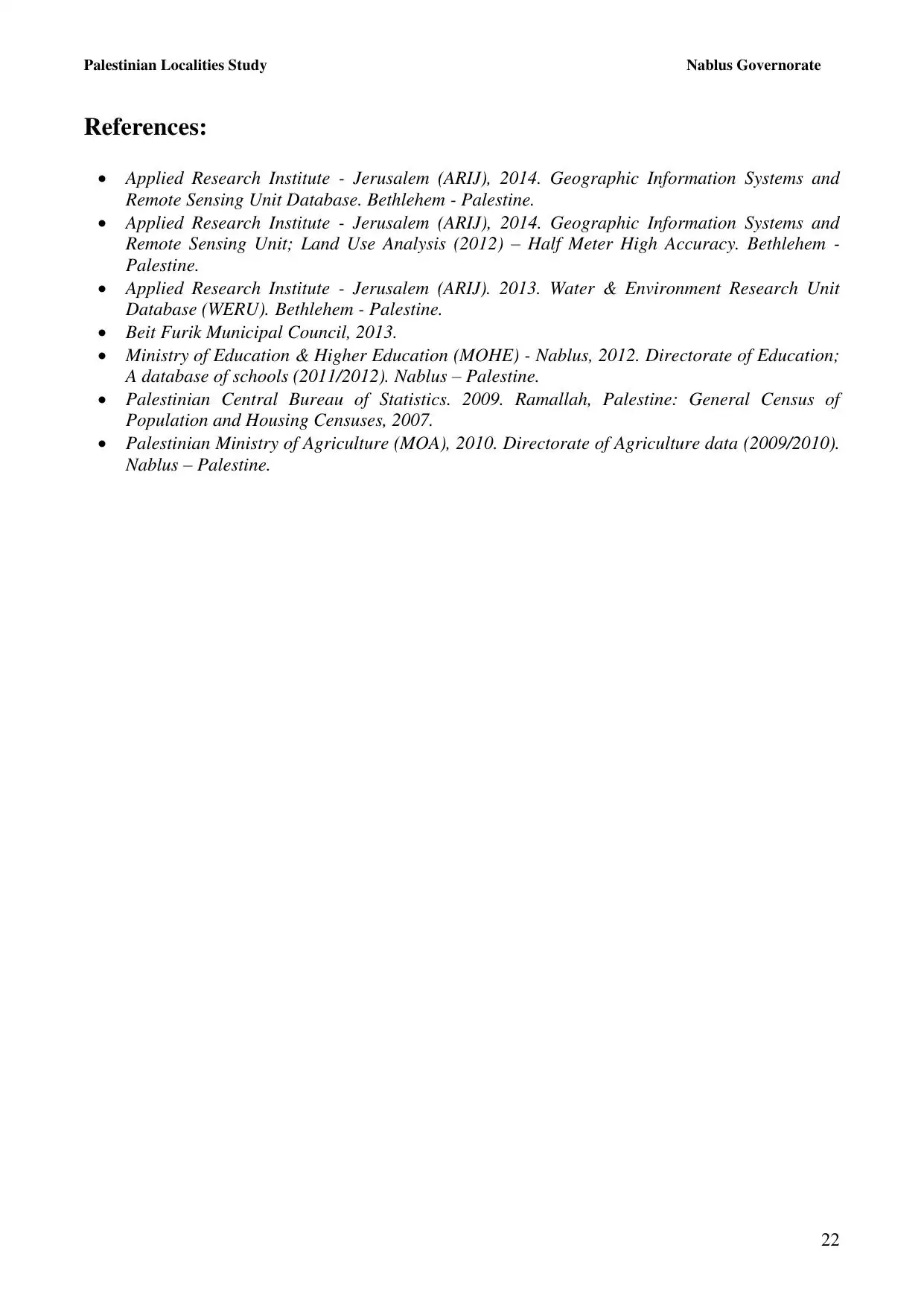
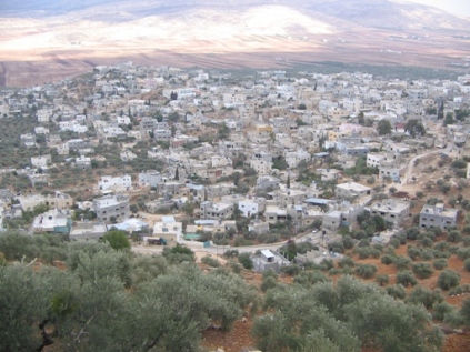
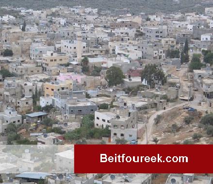
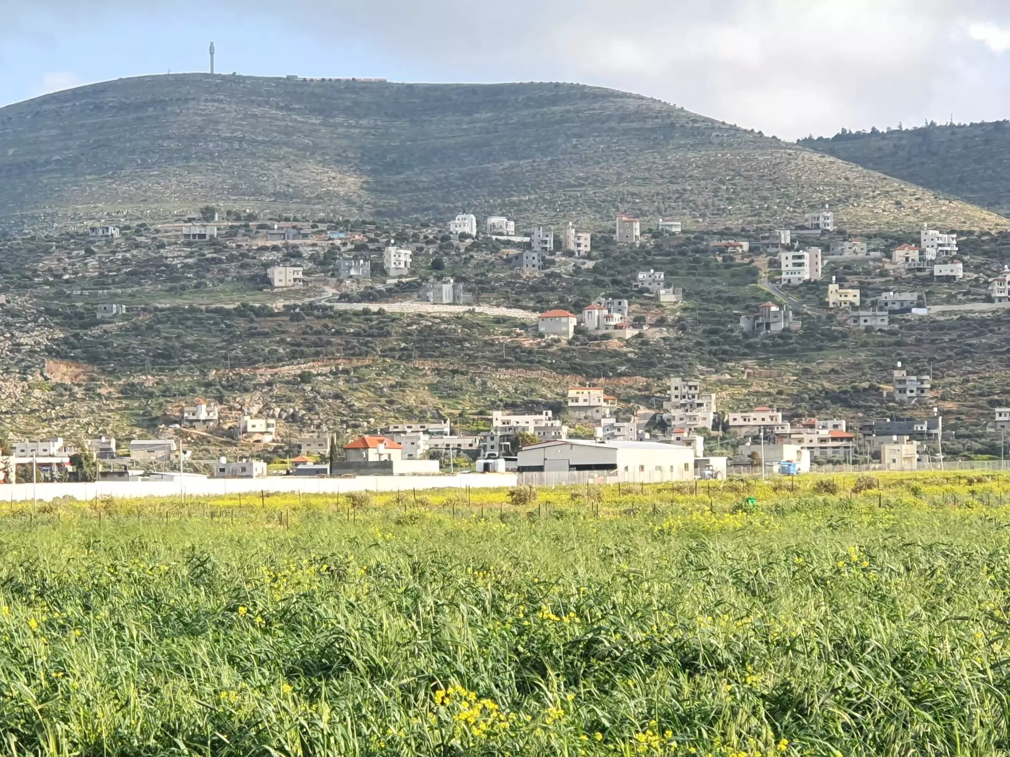
7 - General view, the picture was taken from one of the sarounding Israeli Jewish colonies, possibly Itmar #2
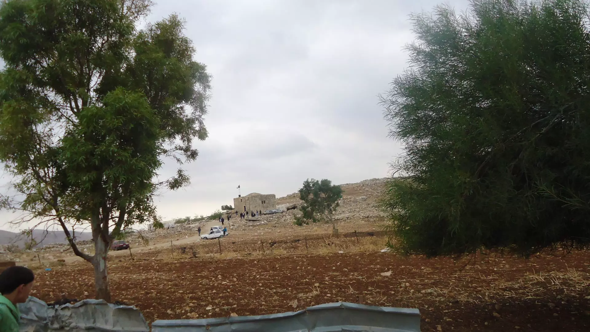
10 - بيت فوريك
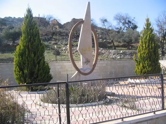
Posted by rana 5 - صرح الشهيد
Posted by rana 2 - طانا
Posted by rana 2 - السهل
Posted by rana 3 - بيت فوريك
Posted by rana - بيت فوريك
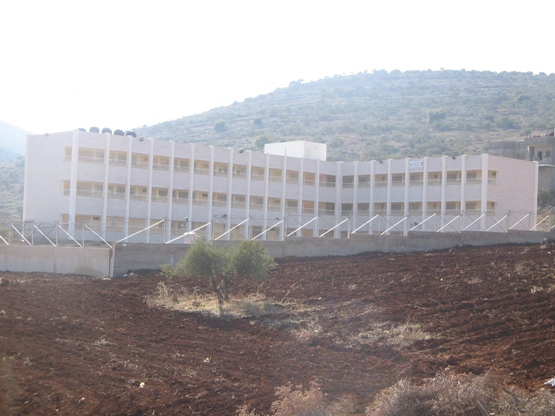
Posted by rana 2 - مدرسة بيت فوريك الثانويه للبنين

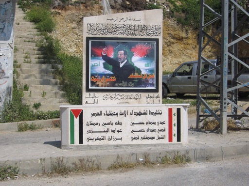
Posted by saeed mlitat 5 - النصب التذكاري للشهيد صدام حسين_ بيت فوريك
Posted by saeed mlitat 3 - بيت فوريك 1
Posted by حموده 3 - Beitfoureek
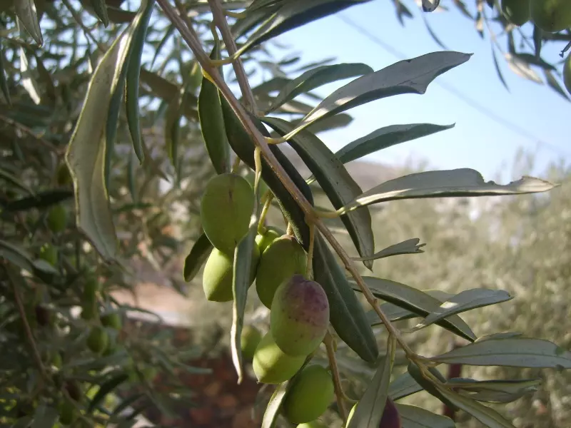
Posted by M. M. 1 - Olive
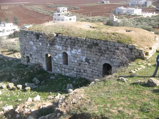
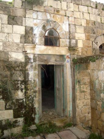
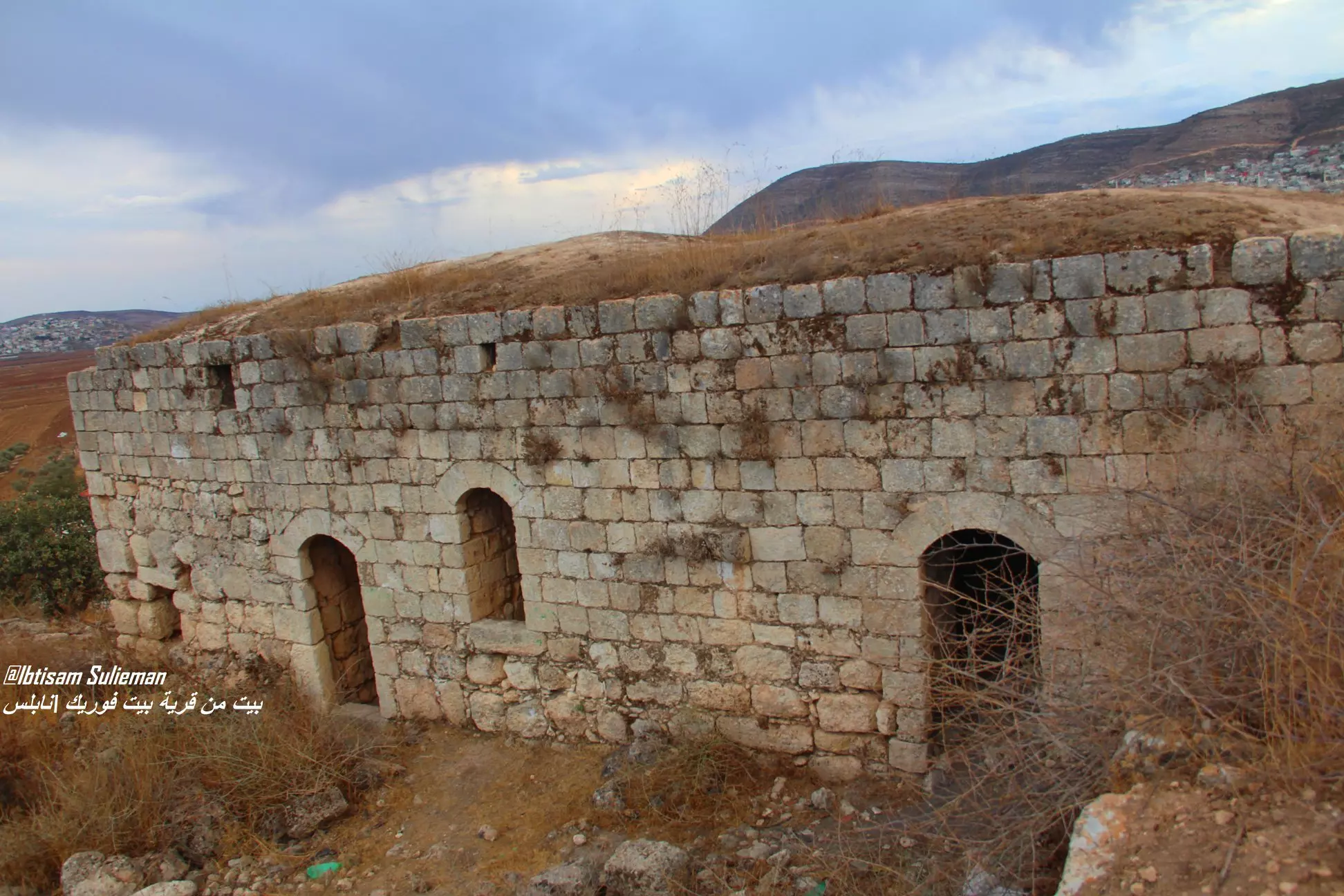
Posted by M. M. 3 - من المباني الأثرية
Posted by AboFalstin 1 - مباني أثرية 2
Posted by AboFalstin 1 - منظر عام مجموعة من البيوت
Posted by AboFalstin - منظر عام مجموعة من البيوت 2
Posted by AboFalstin 2 - بيت فوريك
Posted by حموده 3 - بيت فوريك
Posted by حموده 3 - بيت فوريك
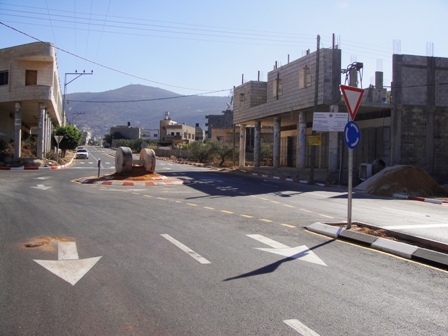
Posted by حموده - بيت فوريك الشارع الرئيسي
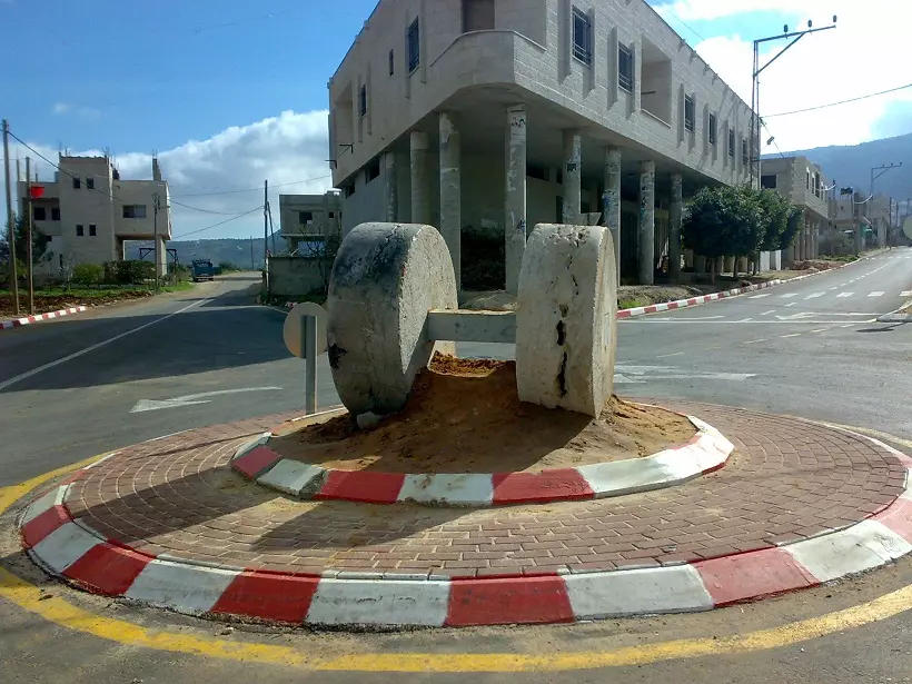
Posted by امير حنني - الشارع الرئيسي ـ حجر معصرة أثري أقيم كنصب تذكاري 2009م
Posted by Abu Hsein - خزان مياه اعلى جبال البلدة 2010م
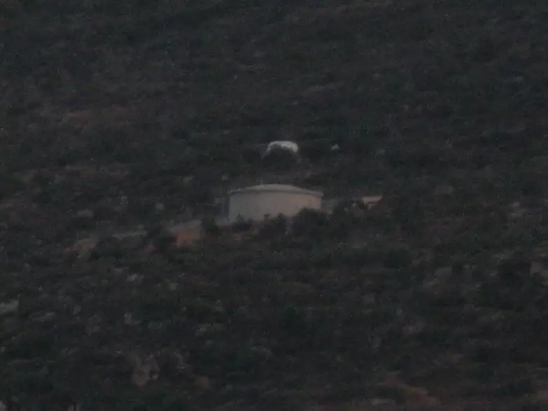
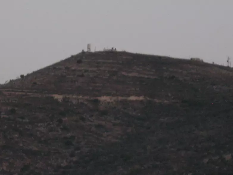
Posted by Abu Hsein - مستوطنة تعلو بيت فوريك
Posted by Abu Hsein - بيت فوريك تصوير من منطقة المدرسة الجديدة
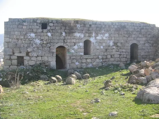
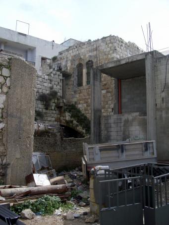
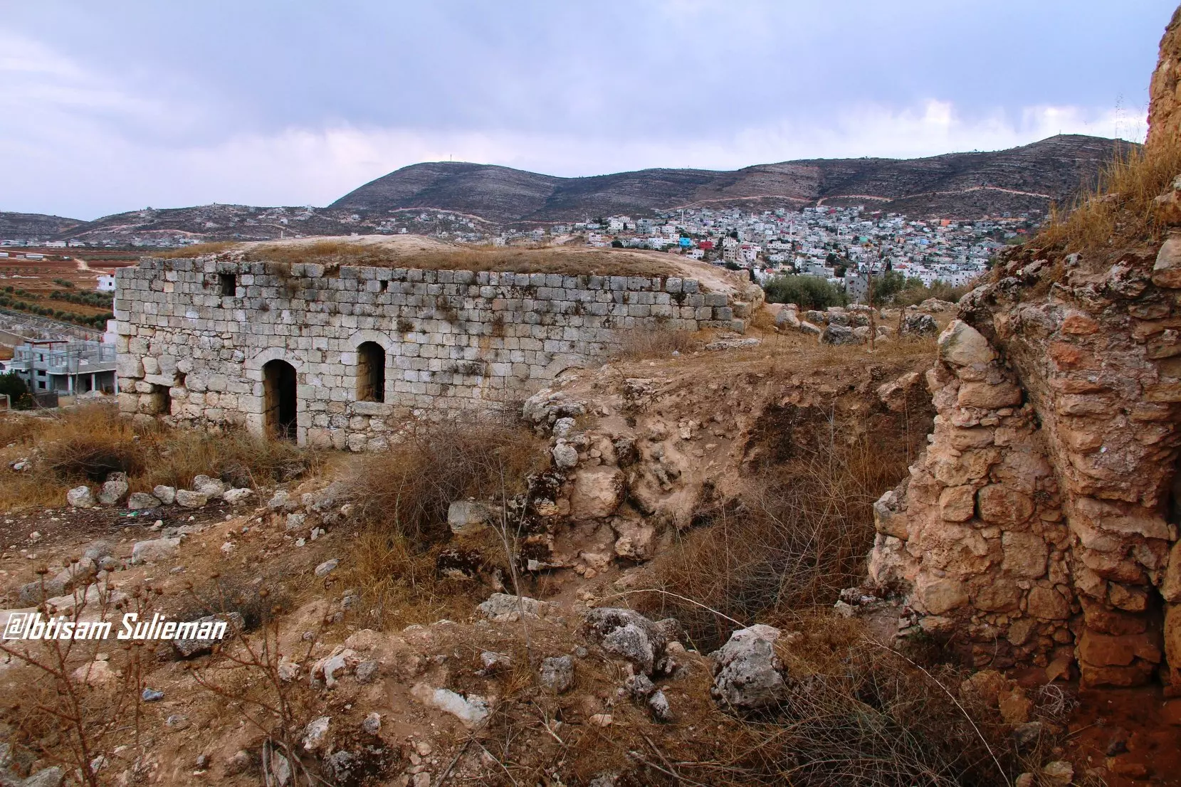
Posted by Abu Hsein 1 - البيوت الاثريه ( الخربه)
Posted by saeed mlitat - مواقع اثريه (الخربه)
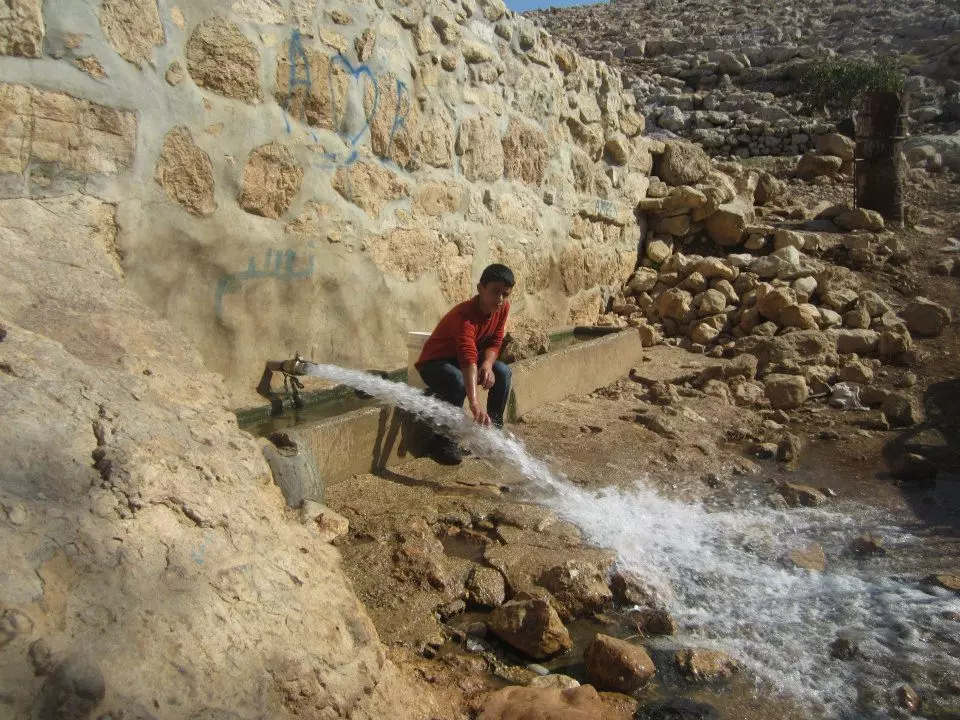
Posted by saeed mlitat - طانا-العين الفوقا
Posted by امير حنني - طانا-من العين الفوقا تظهر بيوت شعر
Posted by امير حنني - منظقة الظهر
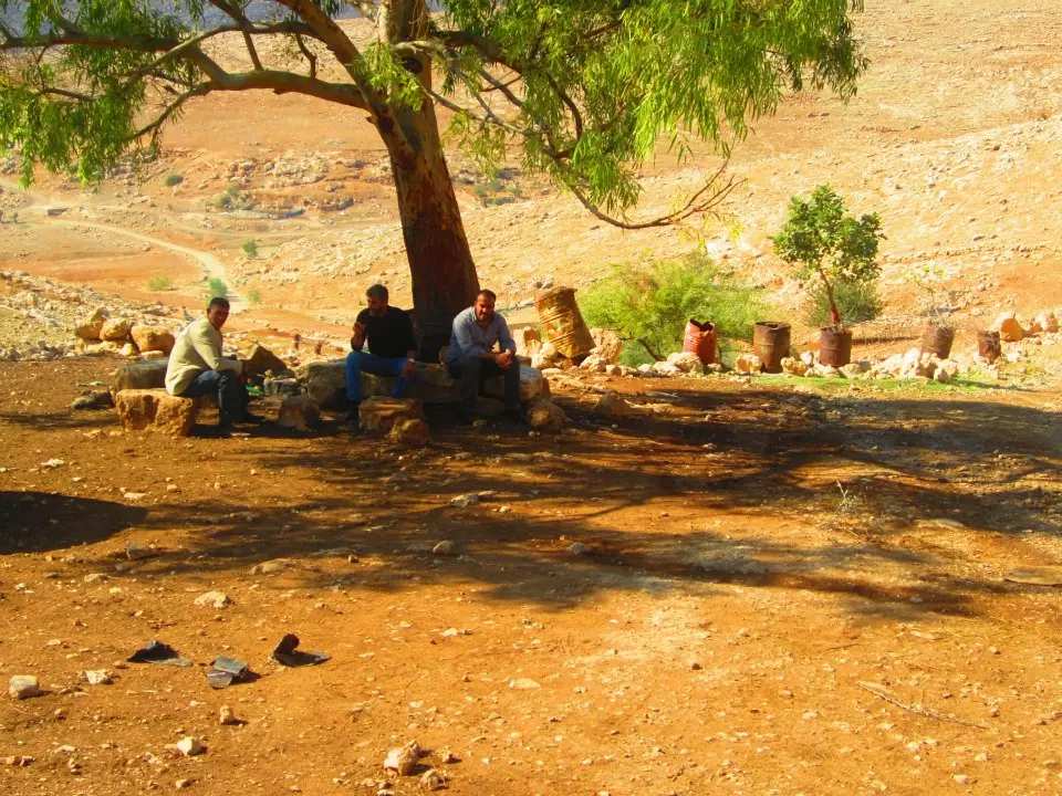
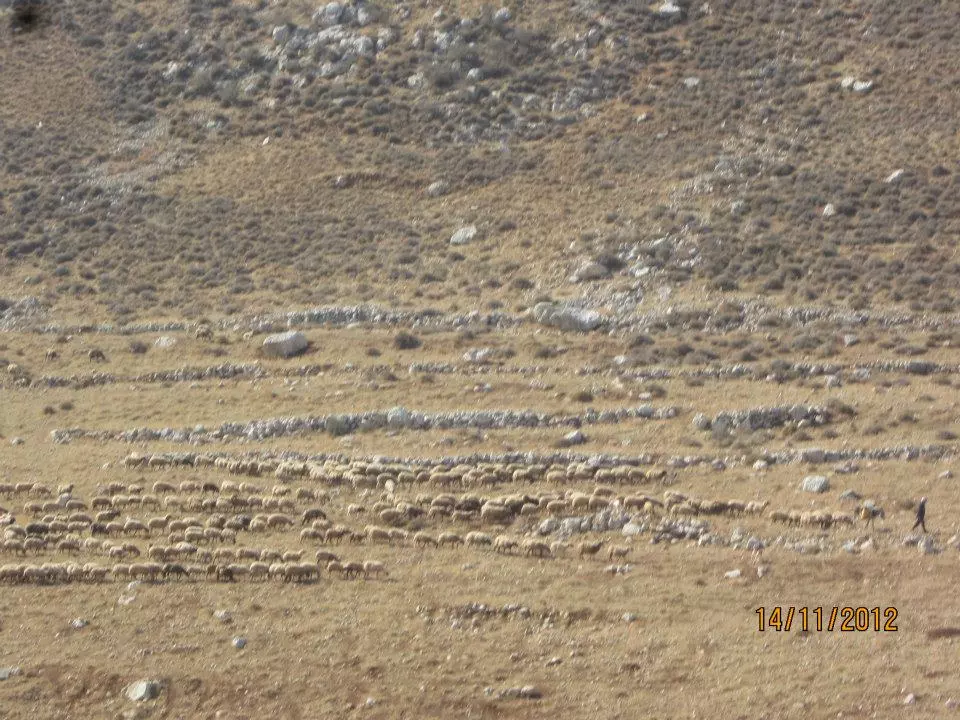
Posted by امير حنني - وادي كراد و أحد الرعاه
Posted by امير حنني - طان-المسجد المسمى بيت الشيخ
Posted by امير حنني - طانا بيت الشيخ
Posted by امير حنني - رئيس البلديه الحج عارف حنني (على اليمين)والرئيس السابق عاطف حنني (على اليسار )
Posted by امير حنني - طانا- العين الفوقا
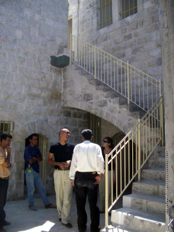
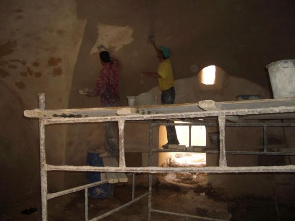
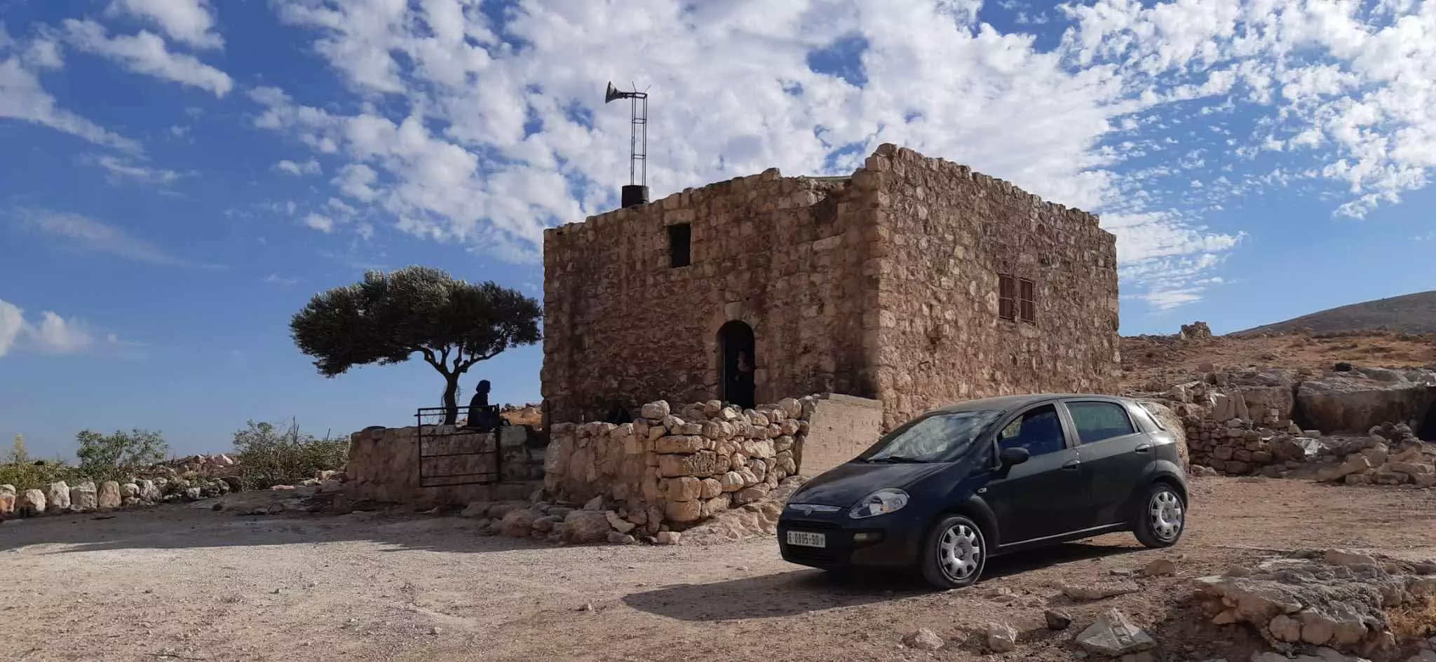
Posted by امير حنني - مبنى اثري - مركز أمجد للأطفال قبل الترميم
Posted by T-City - مبنى اثري - مركز أمجد للأطفال قبل الترميم 2
Posted by T-City - مبنى اثري - مركز أمجد للأطفال بعد الترميم - رواق
Posted by T-City - مبنى اثري - مركز أمجد للأطفال بعد الترميم - رواق 2
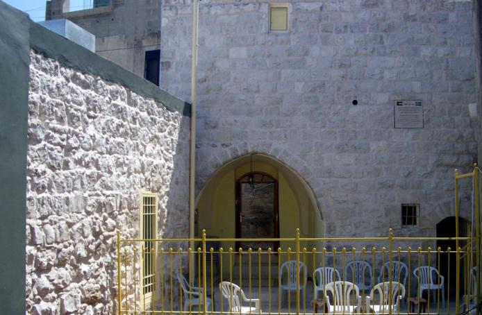
Posted by T-City - مبنى اثري - مركز أمجد للأطفال بعد الترميم - رواق 3
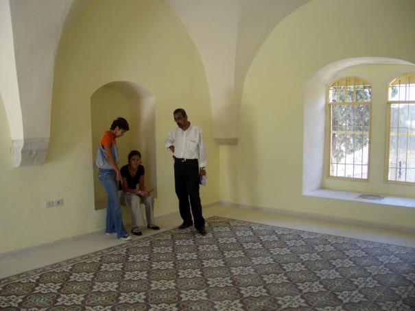
Posted by T-City - مبنى اثري - مركز أمجد للأطفال بعد الترميم - رواق 4
Posted by T-City - مبنى اثري - مركز أمجد للأطفال - اعمال الترميم - رواق
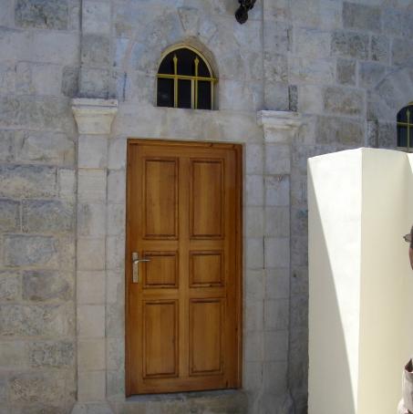
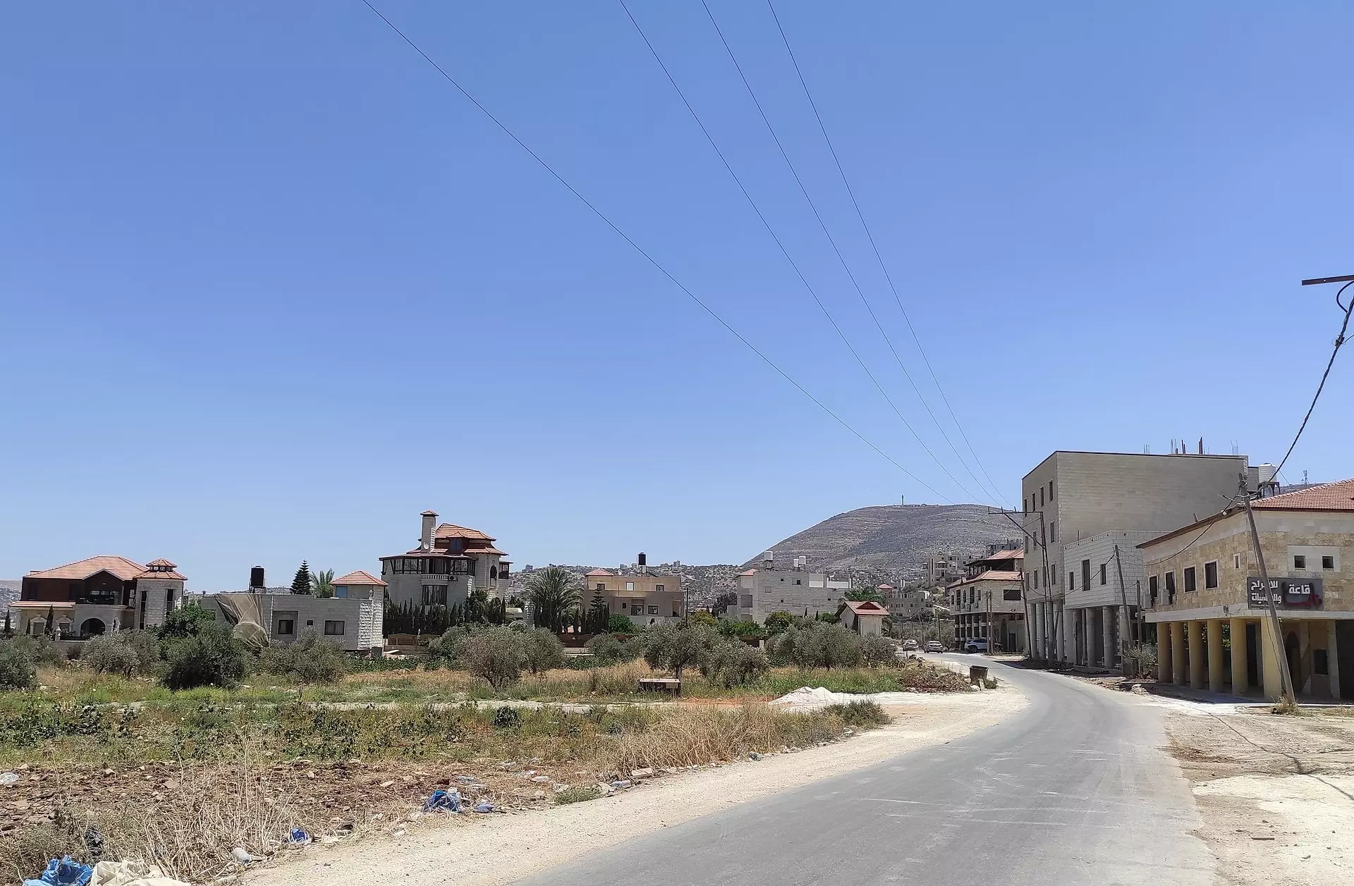
Posted by T-City - من البيوت القديمة الصامدة بقرية بيت فوريك قضاء نابلس
- بيت قديم
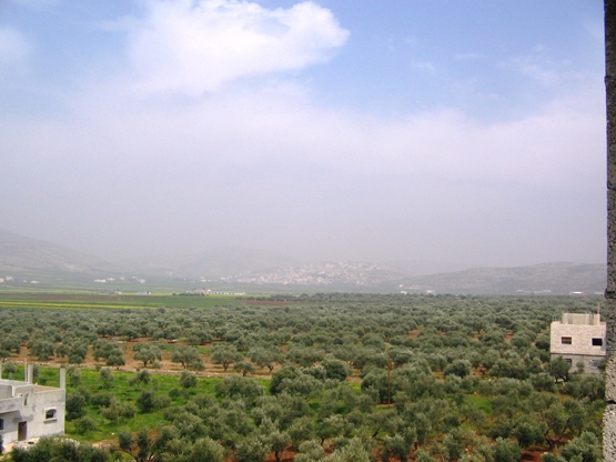
- صورة لمنطقة طانا -- محمد نصاصره.
- جولة بين حارات البلدة - صلاح جبور
- جولة بين حارات البلدة - صلاح جبور #2
- جولة بين حارات البلدة - صلاح جبور #3
- جولة بين حارات البلدة - صلاح جبور #4
- جولة بين حارات البلدة - صلاح جبور #5
- جولة بين حارات البلدة - صلاح جبور #6
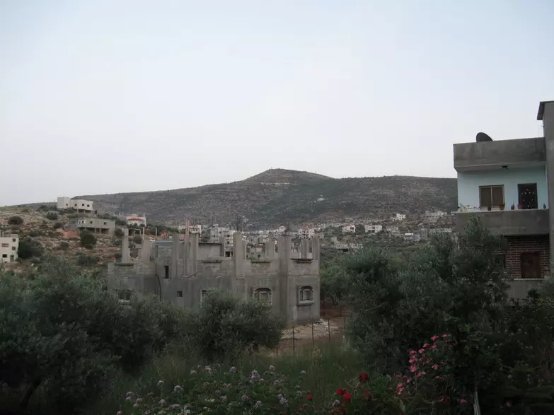
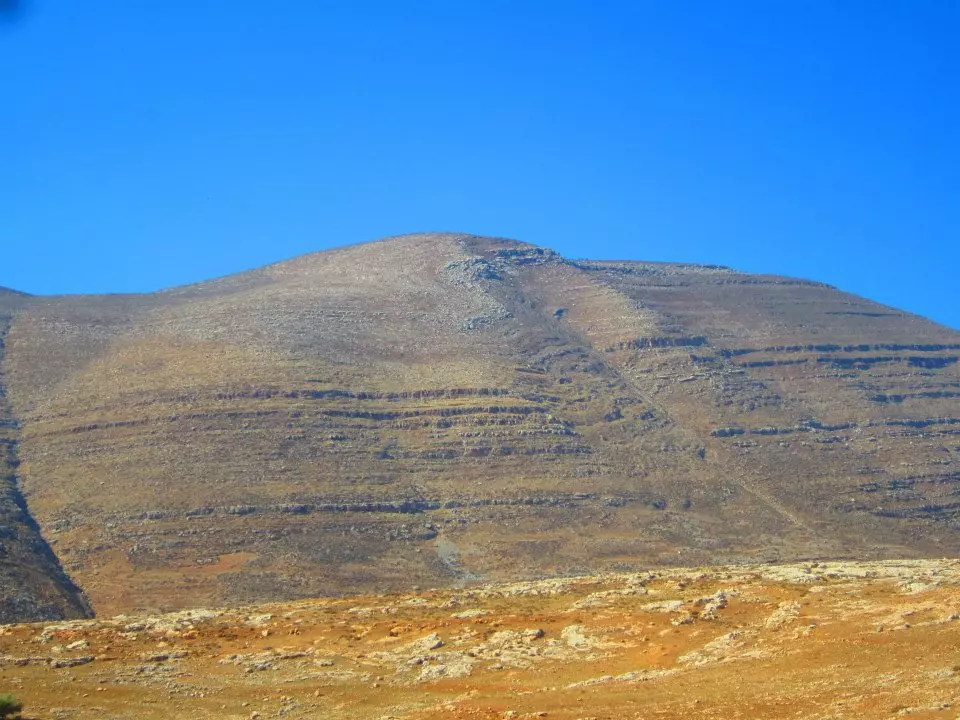
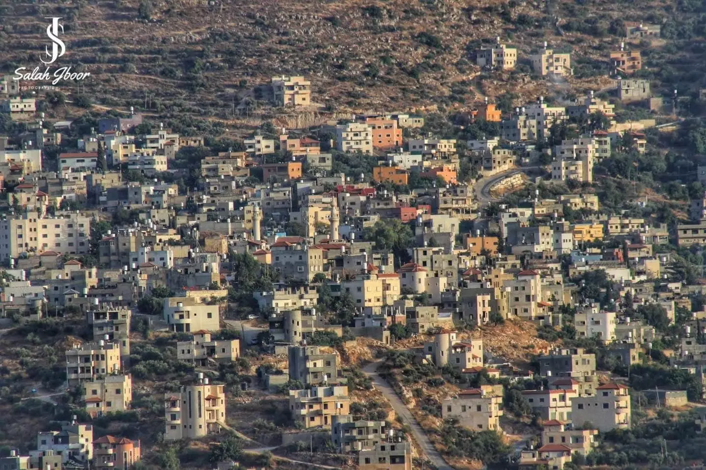
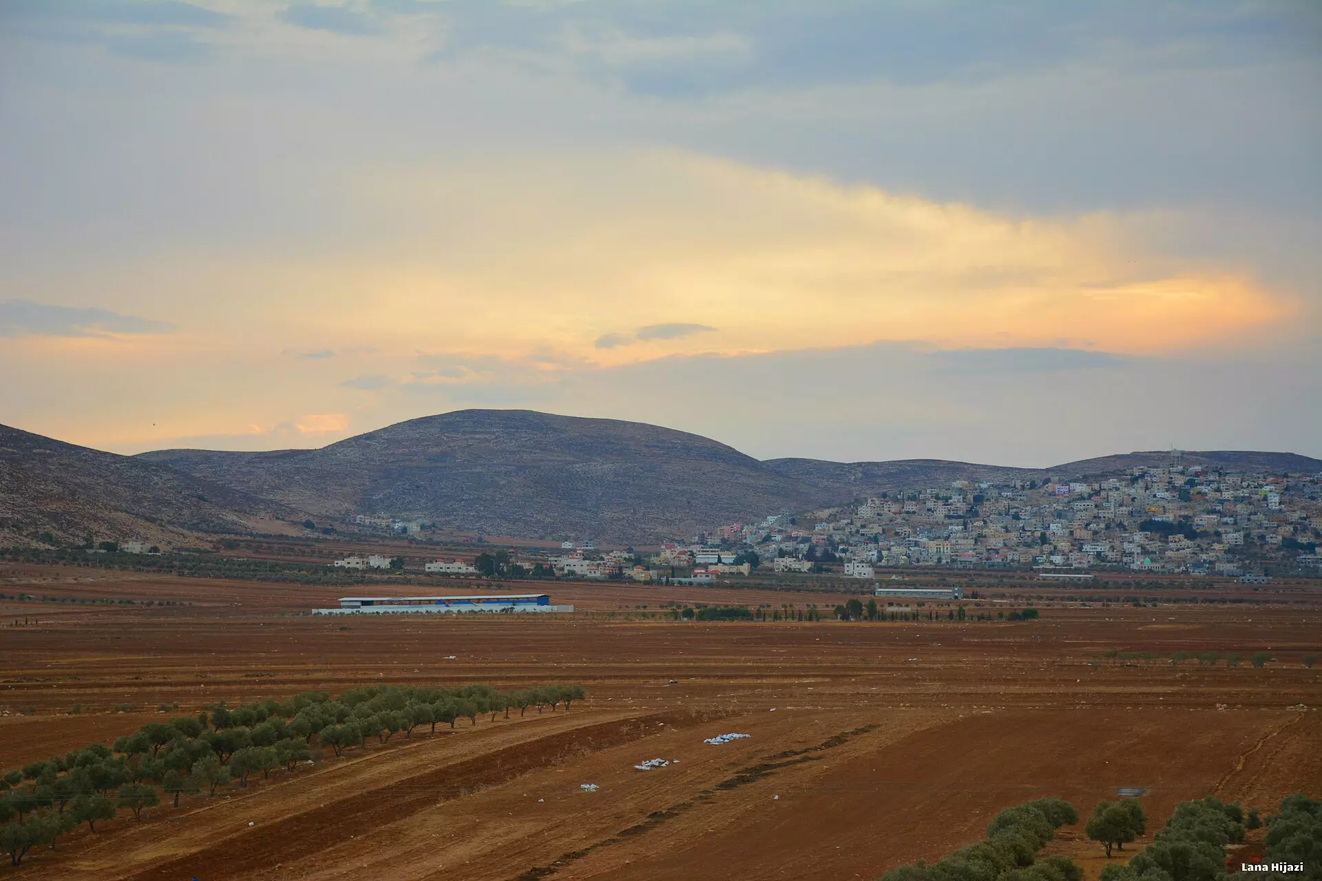
- منظر عام
- منظر عام #2
- منظر عام #3
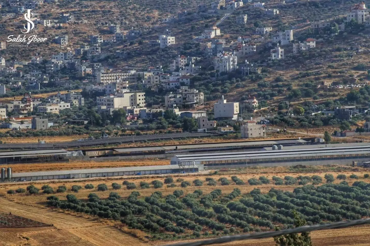
- منظر عام
- منظر عام #2
- منظر عام #3
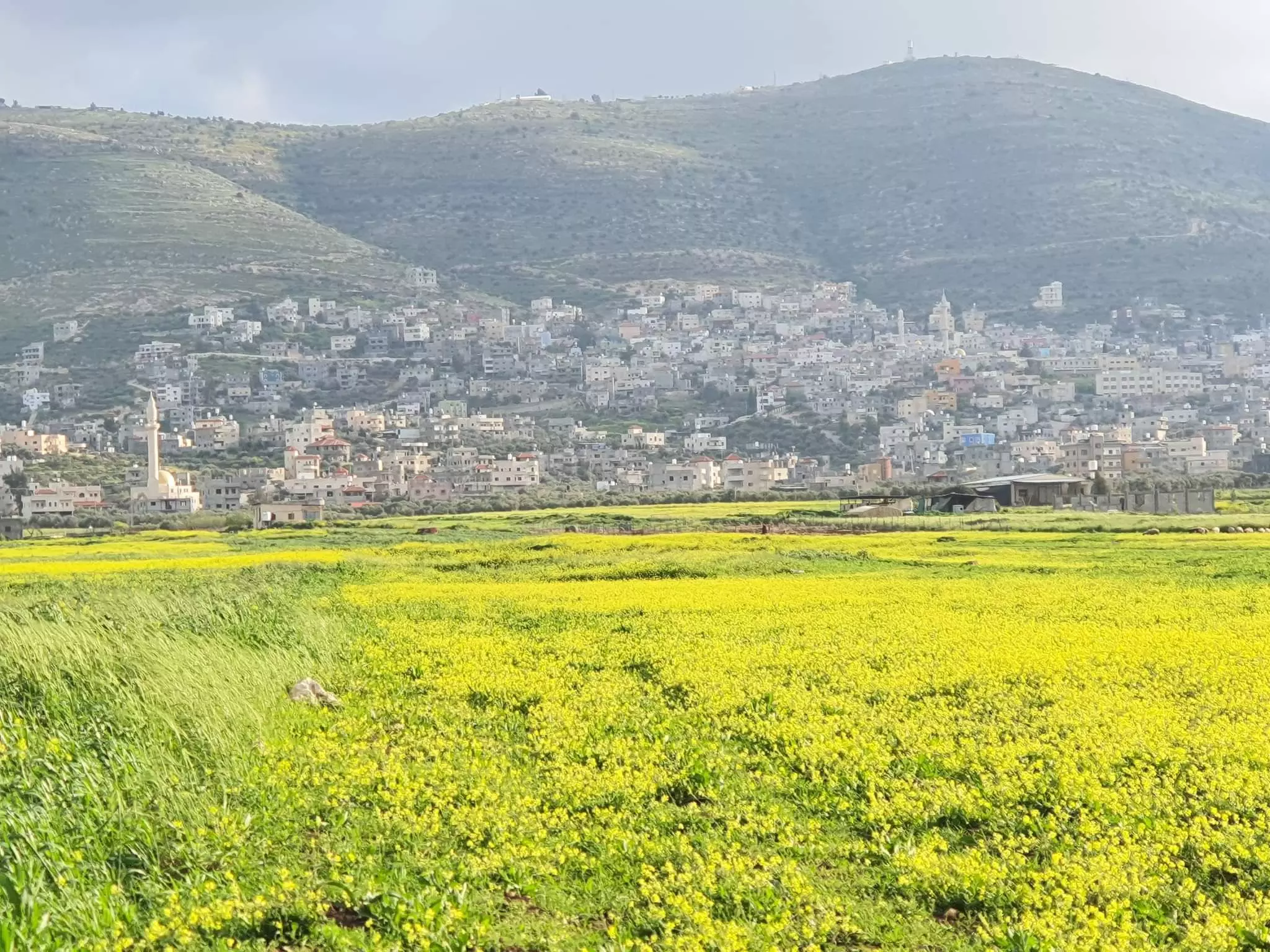
- منظر عام
- خارطة تُظهِر الحدود والطرق بأنواعها والأماكن المقدسة والطبيعة الطوبغرافية من تلال وسهول ومنحدرات والتشكيلة الطبيعية للأرض وأنواع المزروعات. نُشرت الخريطة فترة الانتداب البريطاني، تم إضافة تعديلات عليها من قِبَل خدمة الخرائط والصور التابعة للقوات العسكرية الاسرائيلية فترة الأربعينيات.
Want to browse more? 80,000 pictures were grouped in these gallaries:
| Display Name | Clan/Hamolah | Country of Residence |
| عبد الفتاح حنني | حنني | - |
| امير حنني | حنني | نابلس, بيت فوريك |
| عبدالله ابوحيط | حنني | بيت فوريك, الاردن -عمان |
| لالا | - | - |
| حامد حنني | - | نابلس, بيت فوريك |
| saeed mlitat | مليطات | بيت فوريك |
| هاني العزيزي | العزيزي | عمان, الأردن |
 Fake Valor: Why Did Zionist Jews Hoist Nazis Flag on Their Ships in the 1930s?
What is new?
-
Facts About Oct. 7th Gaza Raid
-
Remined Us Please:: Who Did Rape Who? Palestinians Raped Israelis? Or, was the other way around?
-
When Prof. Edward Said was invited to debate Bibi Netanyahu in the 1980s, watch what happened!
-
Ezra Klein of the NY Times on the "Jewish Race".
-
Abusing Blood Libel!
-
Did Israeli Soldiers Activate The Hanniba Direective On Oct. 7th? You Be The Judge
-
Zionist FAQ: Isn't it true that Palestinians don't want peace? Palestinians never accepted the two-state solution
- Facts about Haavara (Transfer) Agreement between Ben-Gurion & Hitler
-
Haavara FAQs: Why Did Zionist Jews Hoist Nazis' Flags on Their Ships in the 1930s?
- Haavara FAQs: When Chaim Weizmann met FDR in mid-1943, why was he silent about rescuing European Jewry?
-
Dear ChatGPT: How did Palestinians resist Napoleon's invasion of their country in 1799?
-
Dear ChatGPT: Gaza had a vibrant Jewish community in the mid-17th century. What happened to them?
-
Dear ChatGPT: Why did the Jewish Agency suppress news of the Holocaust during WWII?
-
Video Playlist: Jews share their DNA tests to end the conflict for good.
-
A Tale of Two Conflicts: Examining the Definition of Genocide
-
Prof. Abraham Polak And The Suppressed History of the Khazars and European Jewry
-
How Ronald Reagan would have framed the genocide in Gaza if he were still alive?
-
Haavara FAQs: Let us do the math: how many German Jews did The Haavara Agreement save?
-
Zionist FAQs: The Hebron Massacre of 1929, "clearly proves" that Palestinians are antisemitic, how could you deny it?
-
Zionist FAQs: Why Anti-Zionist Is Not Antisemitism?
-
Zionist FAQs: Isn't it true that the KGB created Palestinian Nationalism in the early 1960s?
- Zionist FAQs: Muslims are killing Muslims all the time; why are Israeli Jews being singled out in the media?
- Zionist FAQs: How is Israel an apartheid state when 20% of its citizens are Arabs who enjoy full rights?
-
Haavara FAQs: Why Did Dorothy Thompson Flip From A Zionist Advocate to A Silenced Dissenter?
-
Haavara FAQs: Analysis of Herzl's Uganda Scheme and how it could have saved millions of Jews.
-
Haavara FAQs: Why did Hayim Greenberg describe American Jewry as "morally bankrupt" in early 1943?
-
Haavara FAQs: What if the Evian Conference was a resounding success? What would have been the impact of saving European Jewry on Zionism?
- Haavara FAQs: What if the six million were saved, how that would have impacted the Zionist project?
-
Haavara FAQs: How did Zionist leaders react when Europe's Jews lingered in the DP camps after WWII ended?
-
Why does the American Jewish community repeat lies that David Ben-Gurion had debunked before he died?
-
Who has the power to rename the Tatar/Khazar Gene Marker to Jewish IV?
-
Zionist FAQs: Why won't Egypt, Syria, and Jordan take their people back? Jews are indigenous to Palestine, and Arabs immigrated after Jews developed the country. Arabs should leave.
-
Haavara FAQs: Did Hitler and the Nazis conflate between Judaism and Zionist? If that wasn't case, then why?
-
Haavara FAQs: Winston Churchill and antisemitism, a collection of articles written Churchill.
-
Haavara FAQs: Broken by country, how many Jews survived vs. killed during the Holocaust?
-
Haavara FAQs: Why did European Jews vote with their feet and to immigrated to the Americas, not Palestine, after WWII?
-
Watch this American Jewish Girl describing Israeli Jews' cognitive dissonance like no other in under two minutes
-
Haavara FAQs: When the Nazis went out of their way to hide the Holocaust, Israeli Jews did the exact opposite by broadcasting their genocide of Gazans. But why?
-
Haavara FAQs: How Zionist Jews went out of their to show their appreciation to Nazism and Fascism?
- Haavara FAQs: Why Zionist leaders were against bombing the death camps & the Railroads leading to them?
-
Haavara FAQs: Hitler's message to the British and American people: If Jews are such noble citizens and you care about them, how come you're not letting them in? I will gladly ship them to you at my expense, even on luxury liners!
-
A shortlist of Zionist and Israeli false flag operations in the name Jews.
-
The Most Moral Army
- The Land of Kapos (Israel): Where the brave are boycotted and Kapos walk free.
- Why did early Zionists often named their communal enterprises "colonial"?
- Zionist Relations with Nazi Germany by Faris Glubb
-
Two NY Times advertisements by Zionists in the early 1943 that exposes Zionists' treason at the height of the calamity
- Facts Not Lies about the Palestinian-Israeli Conflict.
- Site's pictures have been categorized
- Campgain Against Lice
- A Survey of Palestine, the official source about Palestine before Nakba produced by the British Mandate; over 1200 pages.
- Satellite View & Google Earth: Over 6,000 placemarks identifying all destroyed towns, W. Bank & Gaza Strip Towns, & refugee camps.
- PalestineRemembered.com and its Nakba Oral History Project were featured on al-Jazeera Satellite TV.
- Nakba Oral History Video Podcast:
 Over 700 Oral History interviews (including 3,500+ hours of recording) can be viewed online.
 - Palestine Village Statistics Project
- Gaza Jail Break
- النسخة العربية للموقع الان متوفرة
- Videos: Documenting the destroyed villages in video: Tracing all that remains since Nakba.
- Videos: Responding to Zionist Propaganda
- Interview: The ethnic cleansing of Palestine: George Galloway interviews Israeli Historian Ilan Pappe.
- For Palestinians, memory matters. It provides a blueprint for their future By George Bisharat.
- Zionist FAQ now available in Hebrew שאלות שציונים שואלים, עכשיו בעברית
- Video: The Stephen Walt and John Mearsheimer report on the influence of the Israel Lobby on U.S. Foreign Policy
- The Palestinian-Israeli conflict for beginners
