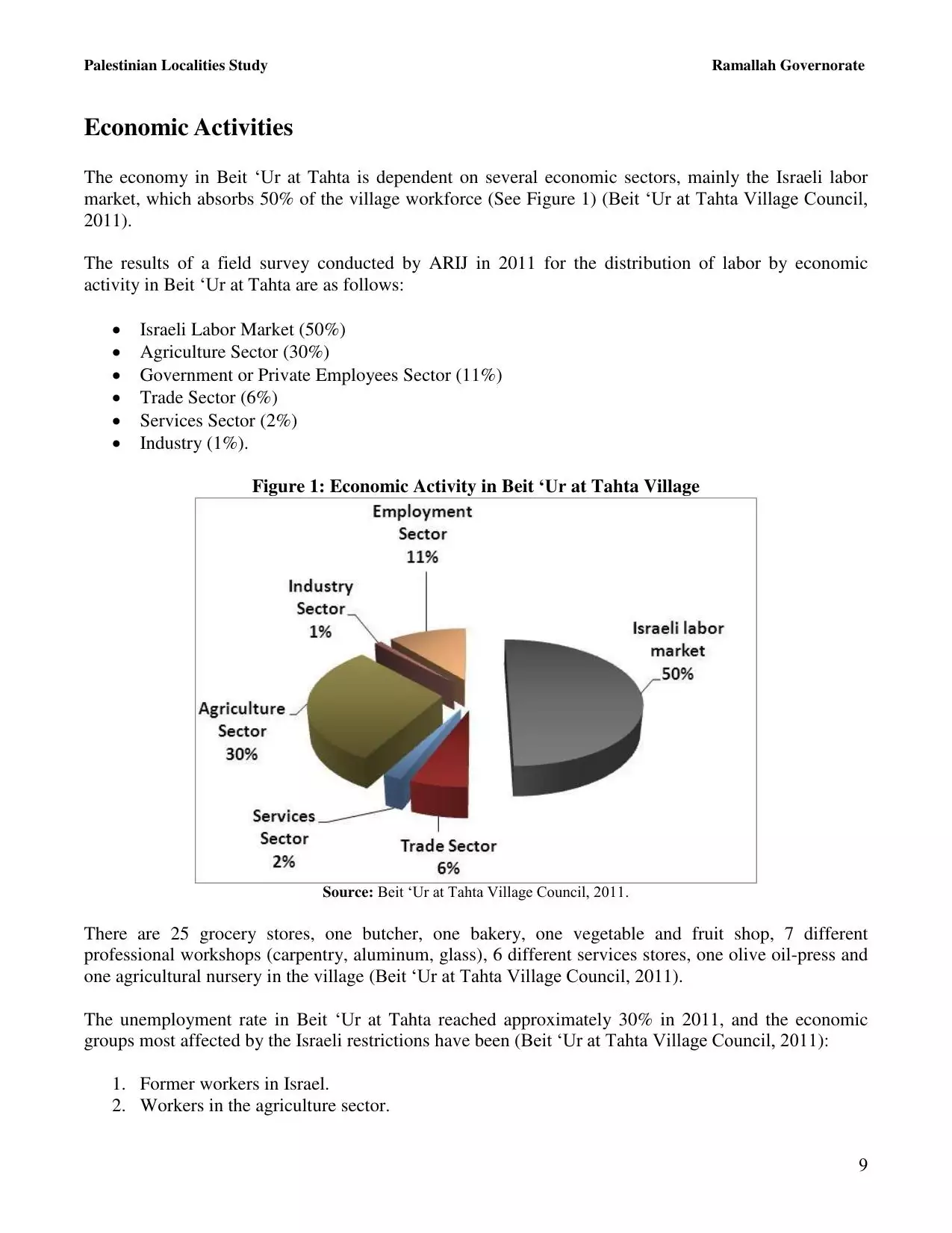
| PalestineRemembered | About Us | Oral History | العربية | |
| Pictures | Zionist FAQs | Haavara | Maps | |
| Search |
| Camps |
| Districts |
| Acre |
| Baysan |
| Beersheba |
| Bethlehem |
| Gaza |
| Haifa |
| Hebron |
| Jaffa |
| Jericho |
| Jerusalem |
| Jinin |
| Nablus |
| Nazareth |
| Ramallah |
| al-Ramla |
| Safad |
| Tiberias |
| Tulkarm |
| Donate |
| Contact |
| Profile |
| Videos |
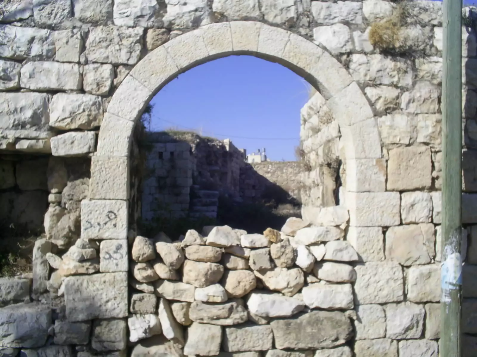
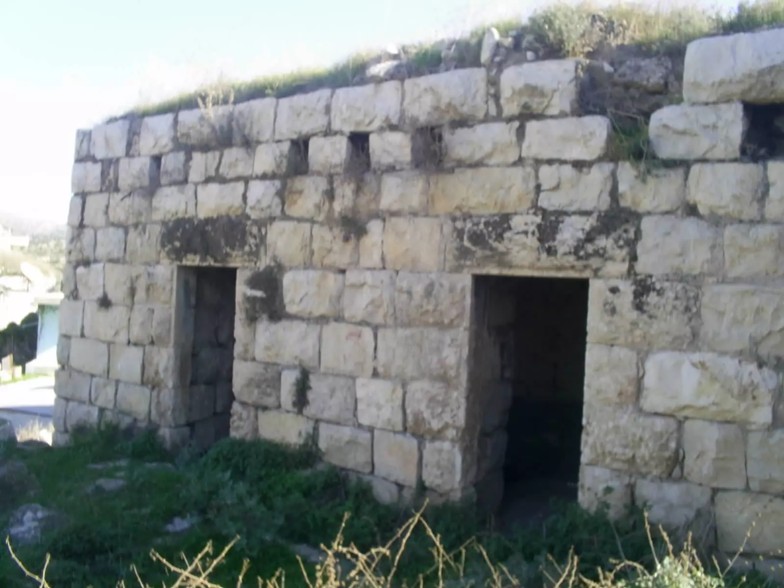
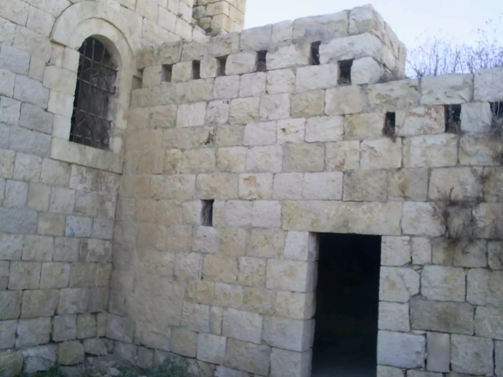
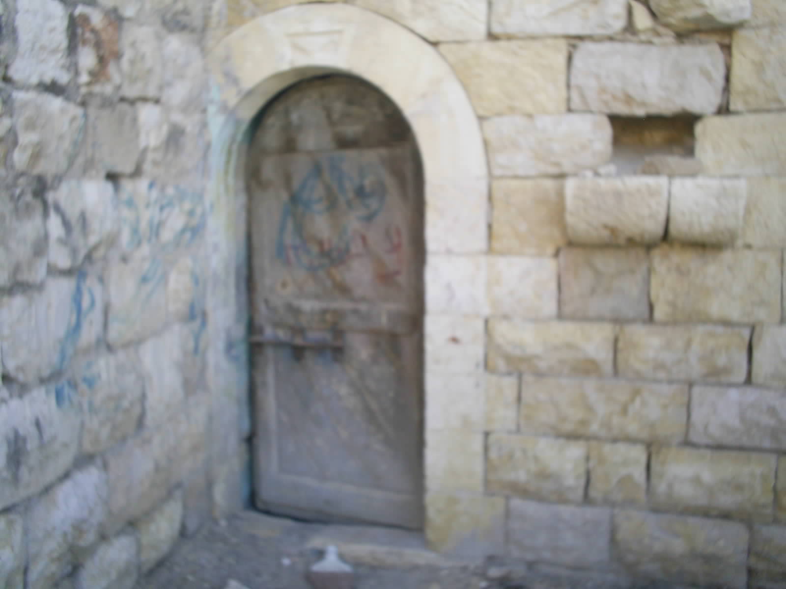
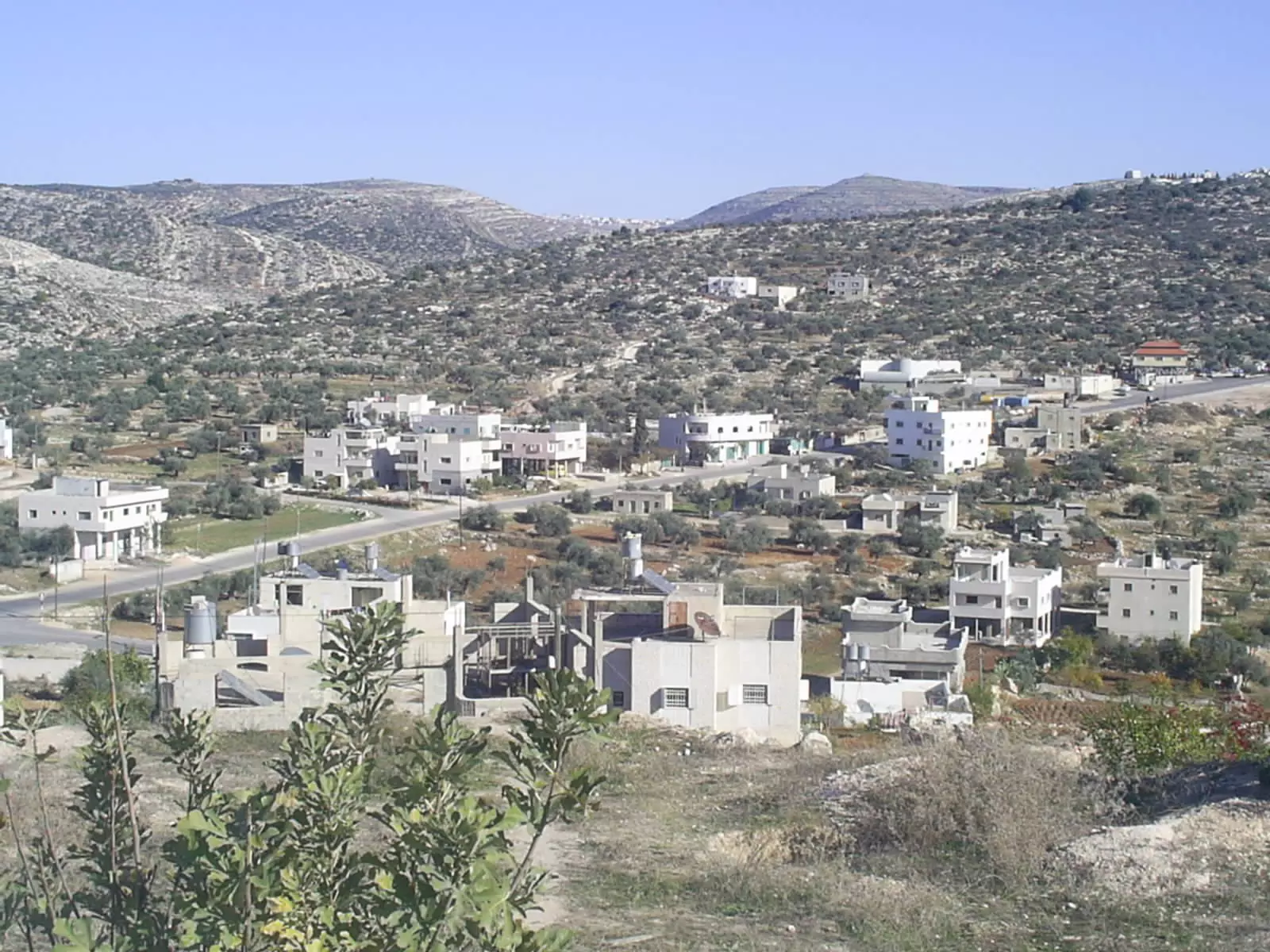
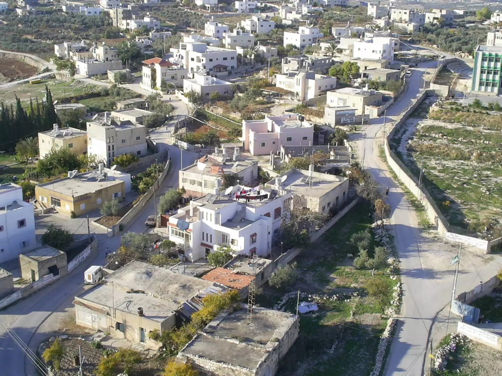
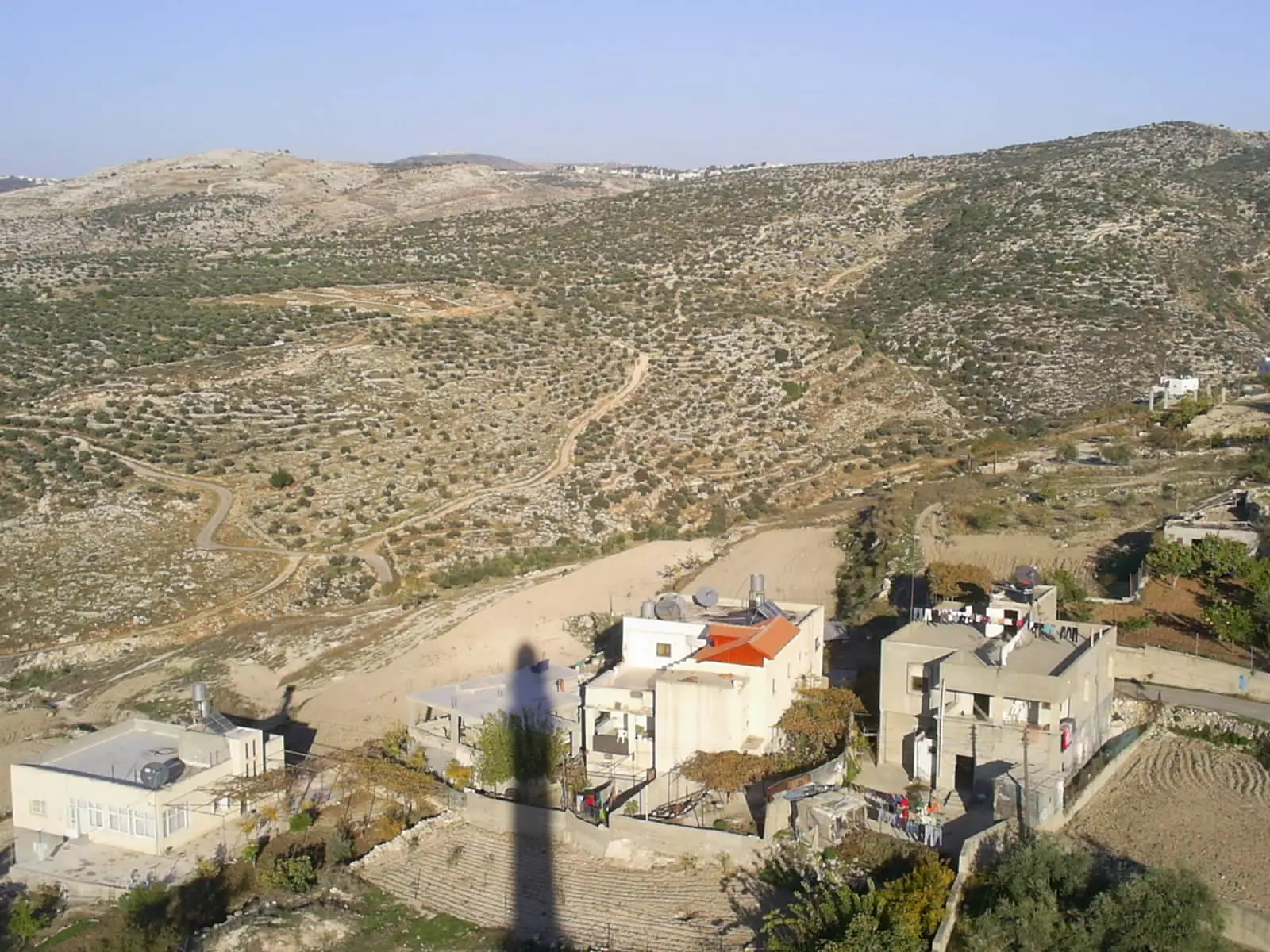
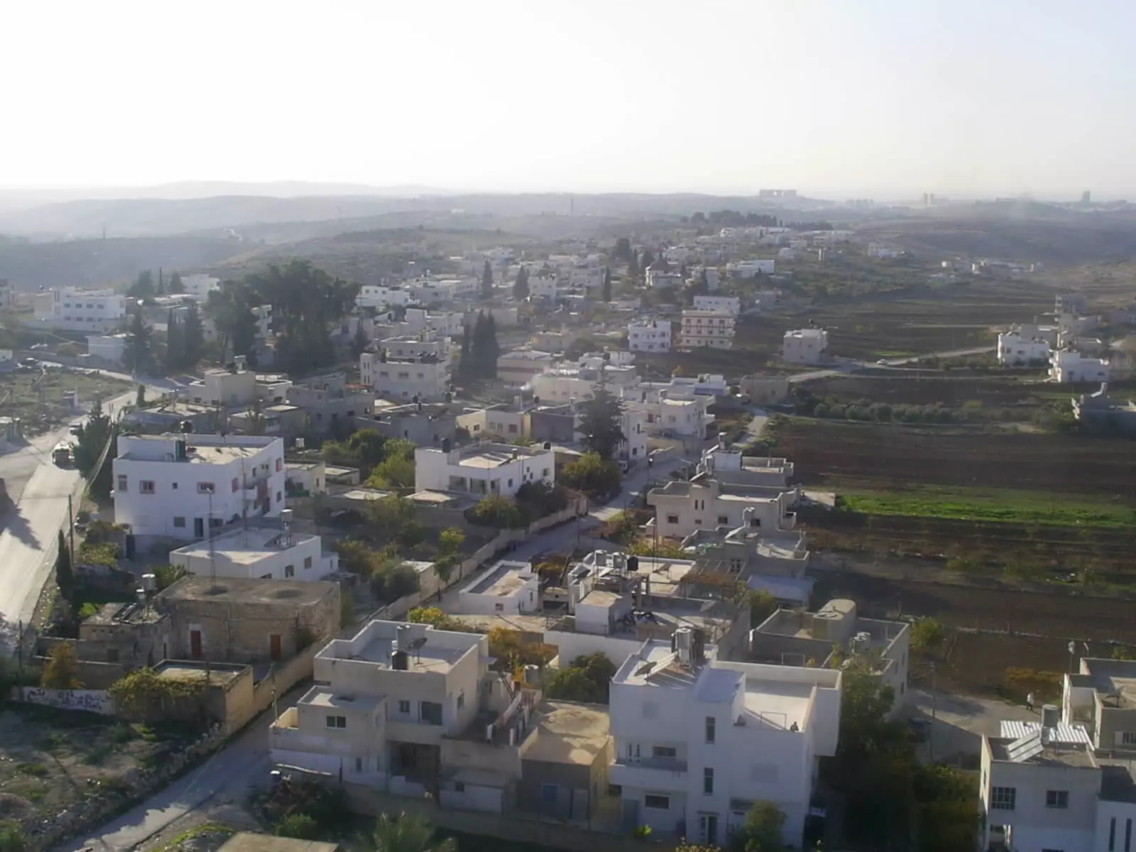
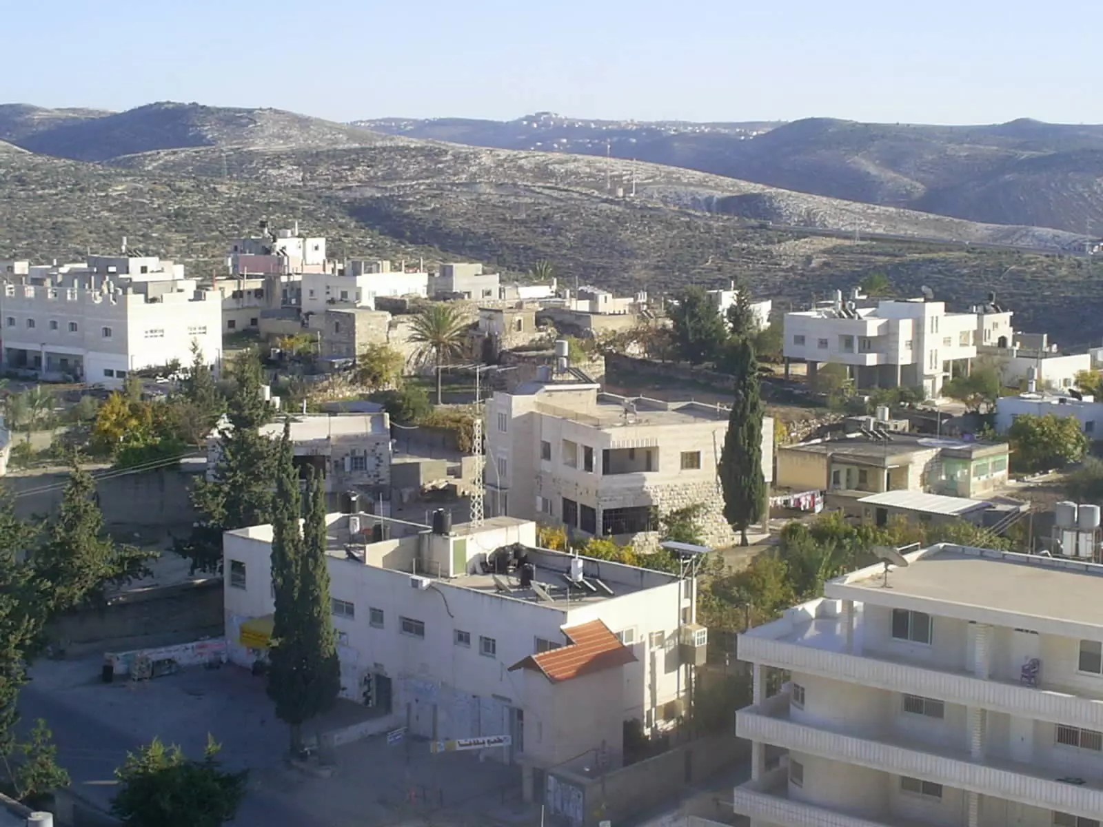
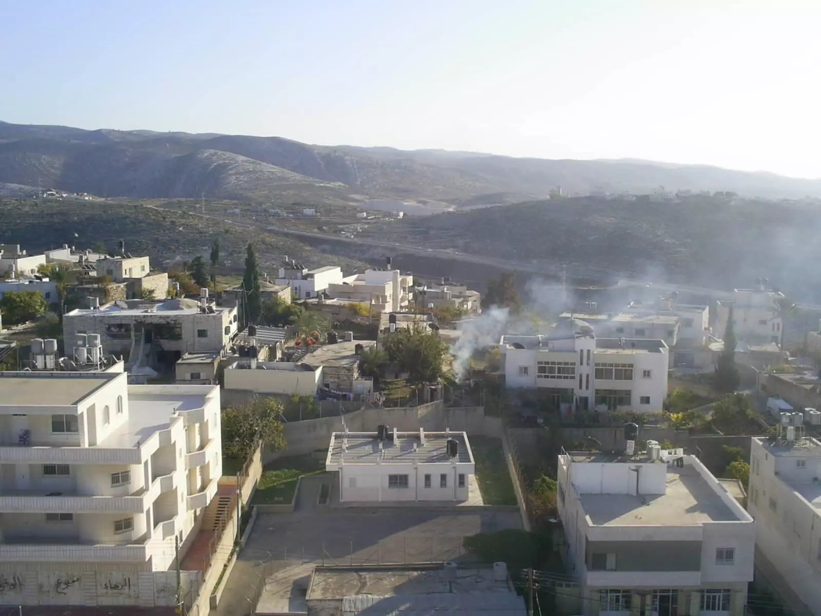
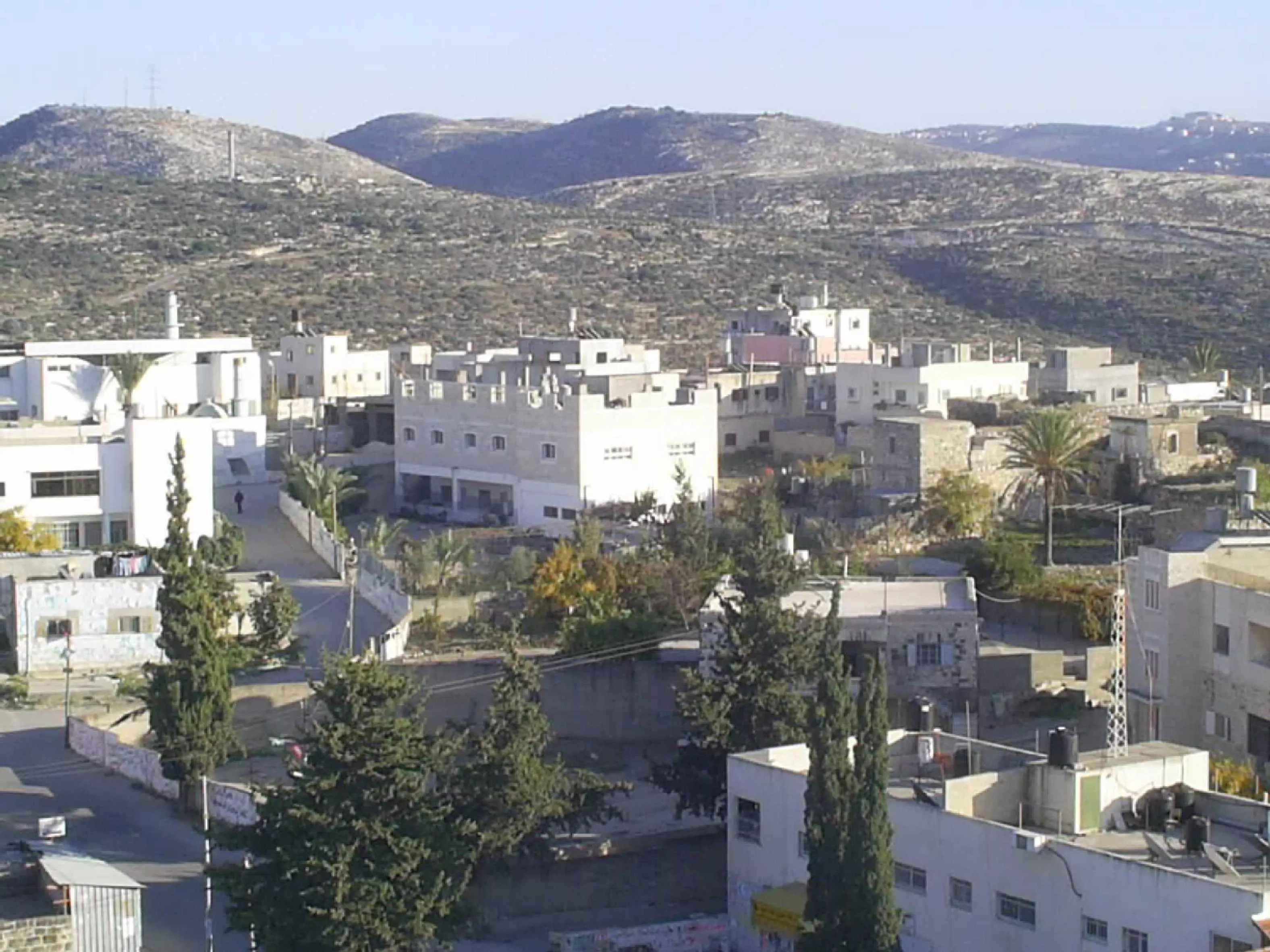
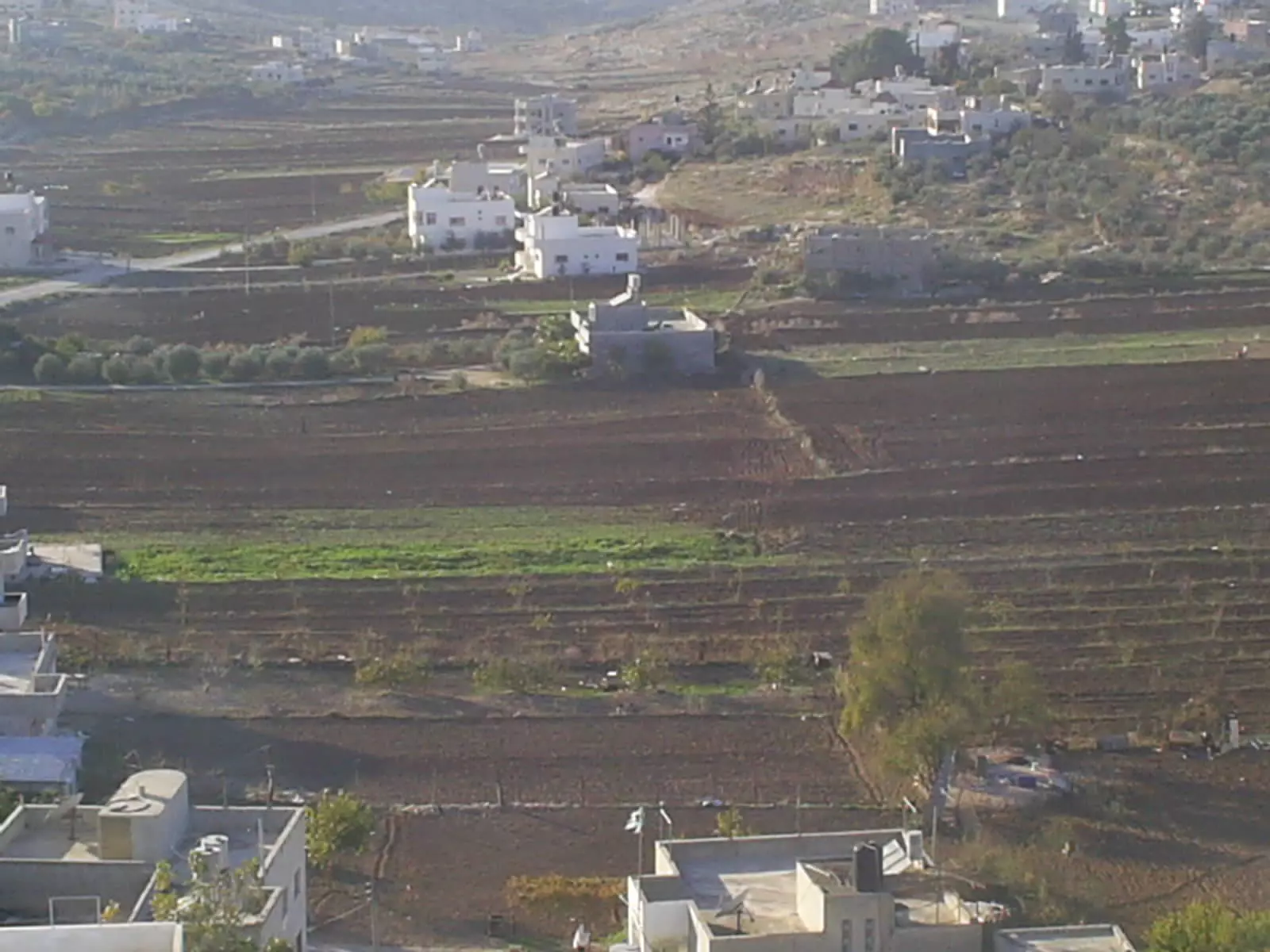
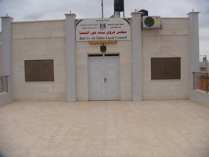
Welcome To Bayt 'Ur al-Tahta - بيت عور التحتا (בית עור א-תחתא)
|
District of Ramallah
Occupied days ago |
العربية Google Earth |
 |
Gallery (265) |
- Statistics & Facts
-
Before & After

- Satellite View
- Articles 6
- Pictures 265
- Mayrters & Prisoners 3
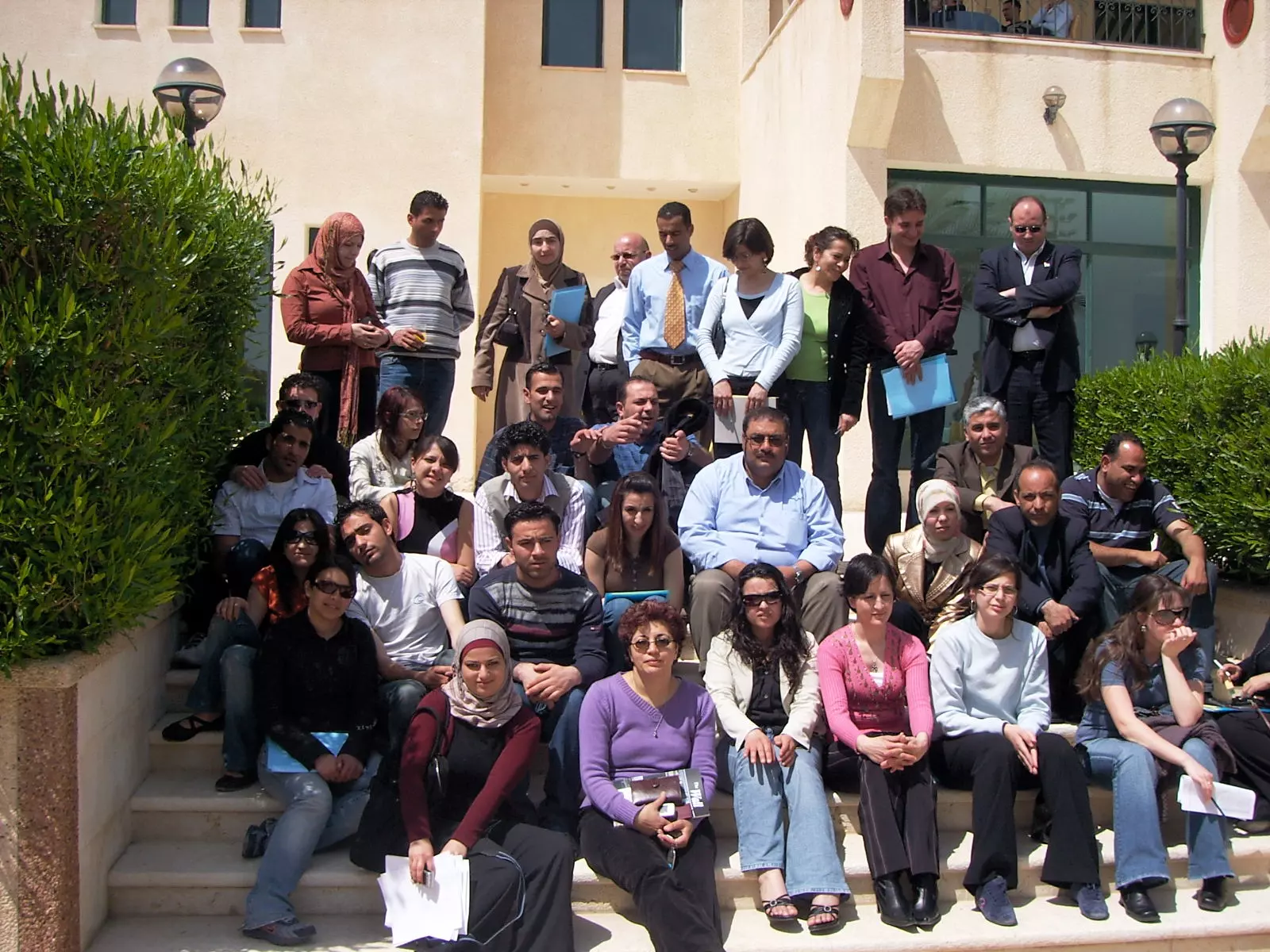
- Members 27
- Families
- Wikipedia
- ARIJ Guide
- Videos 7
- Guest Book 72
- Links 1
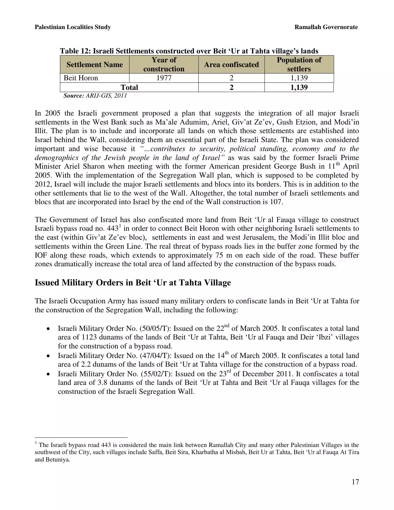
| Statistic & Fact | Value | ||||||||||||||||||||
| Distance From District | 16 km west of Ramallah | ||||||||||||||||||||
| Elevation | 400 meters | ||||||||||||||||||||
| Before & After Nakba, Click Map For Details |
|||||||||||||||||||||
|
|||||||||||||||||||||
| Land Ownership |
**Town Lands' Demarcation Maps |
||||||||||||||||||||
| Land Usage As of 1945 |
|
||||||||||||||||||||
| Population |
|
||||||||||||||||||||
| Near By Towns |
|||||||||||||||||||||
|
|
|||||||||||||||||||||
| Featured Video | |||||||||||||||||||||
| ARIJ Guide | |||||||||||||||||||||
|
Click here to browse online. |
|||||||||||||||||||||
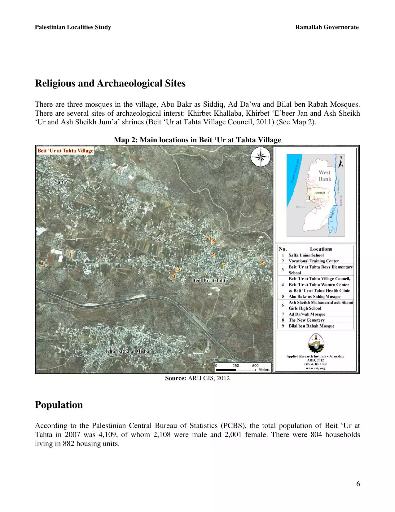
| Related Maps | Town Lands' Demarcation Maps خرائط للقضاء توضح حدود القرى والاودية View from satellite Town's map on MapQuest Help us map this town at WikiMapia |
||||||||||||||||||||
| Related Links | Wikipedia's Page Facebook Page ARIJ Guide Google Search Google For Images Google For Videos في كتاب بلادنا فلسطين دليل أريج المزيد من موقع هوية |
||||||||||||||||||||
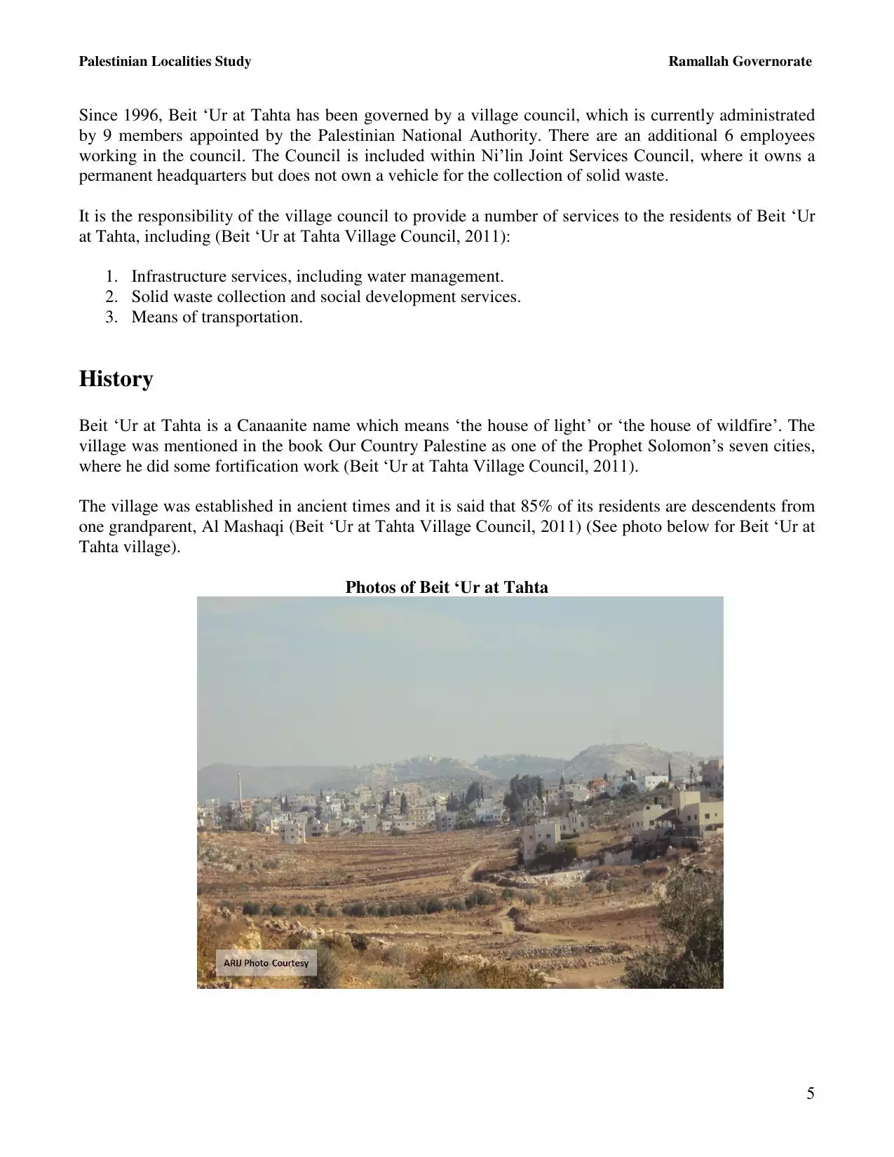
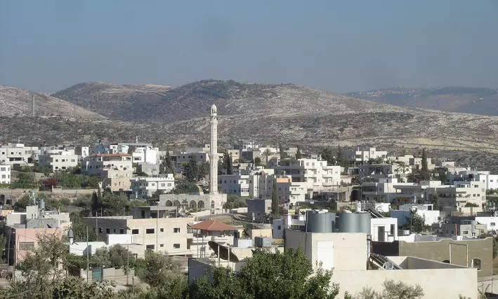
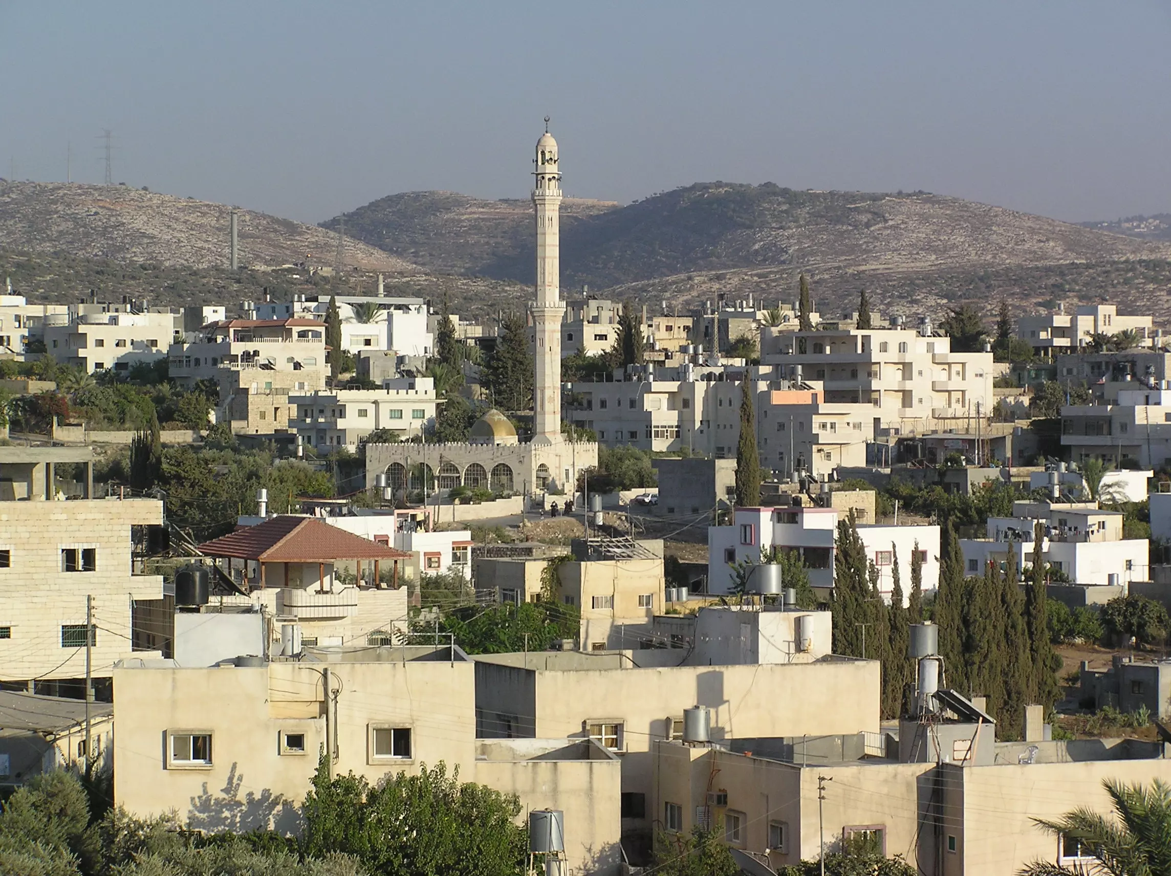
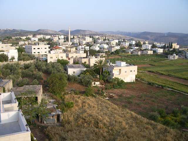
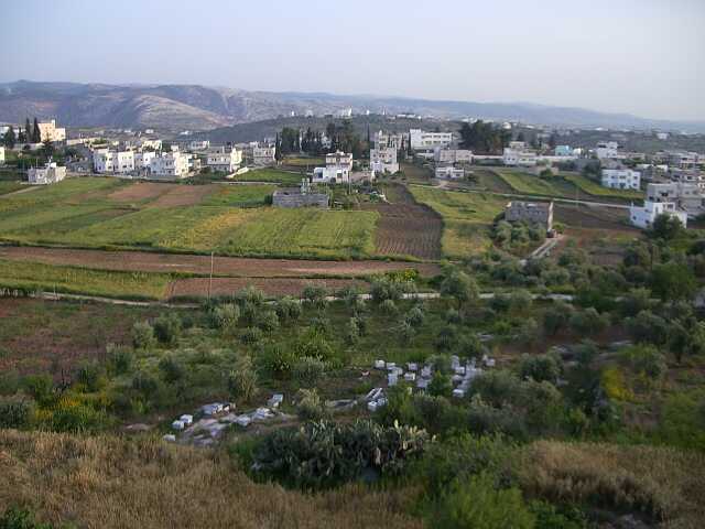
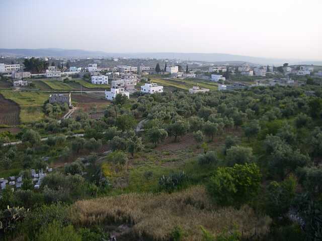
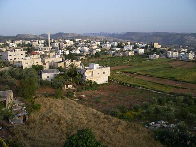
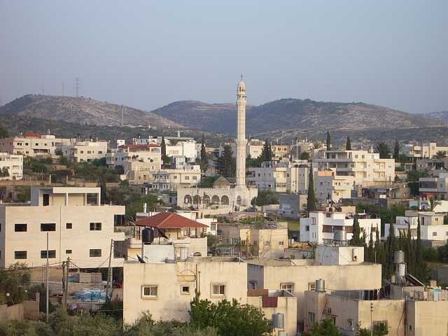
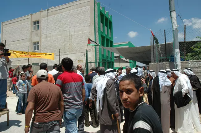
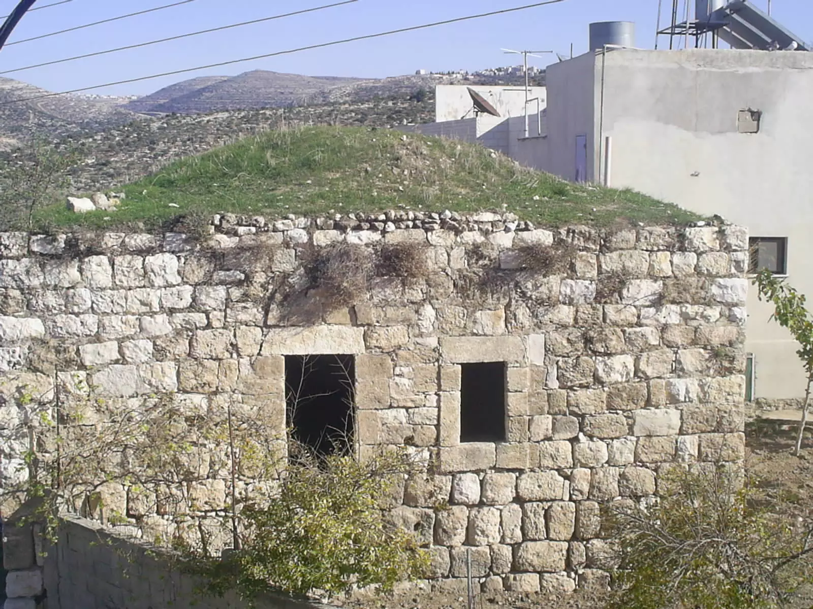
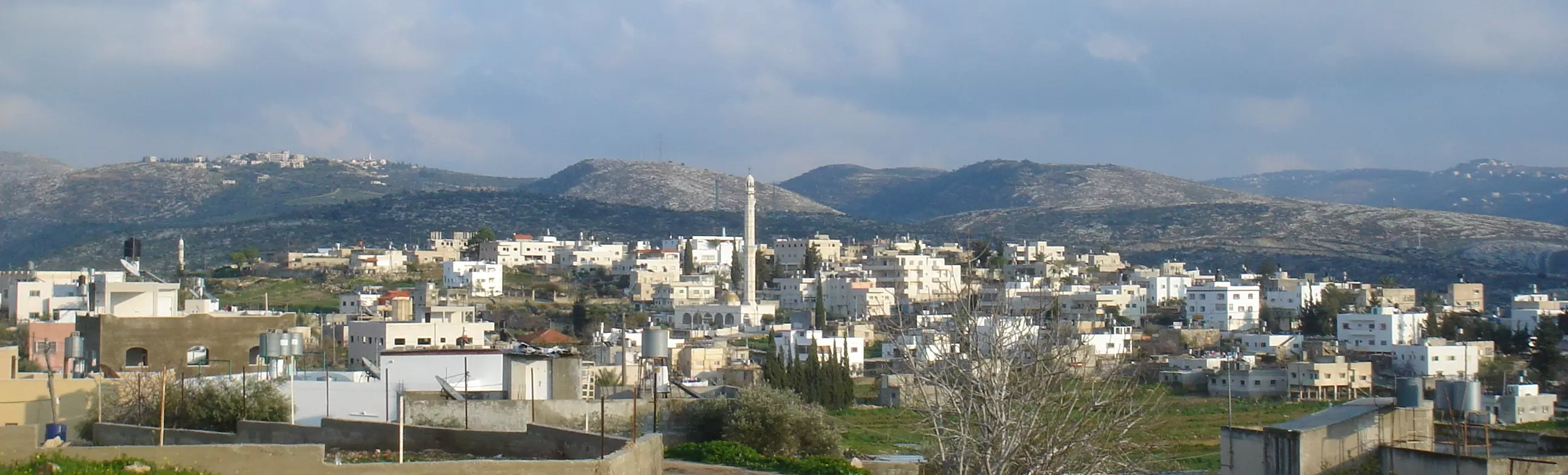
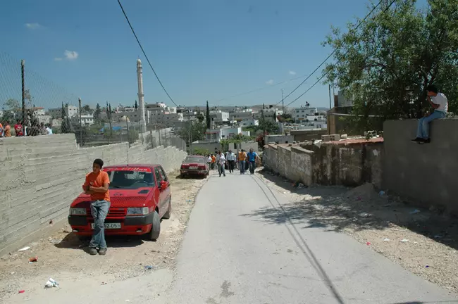
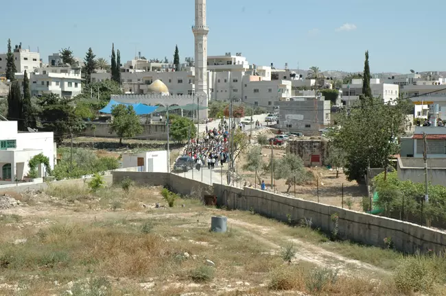
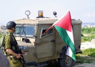
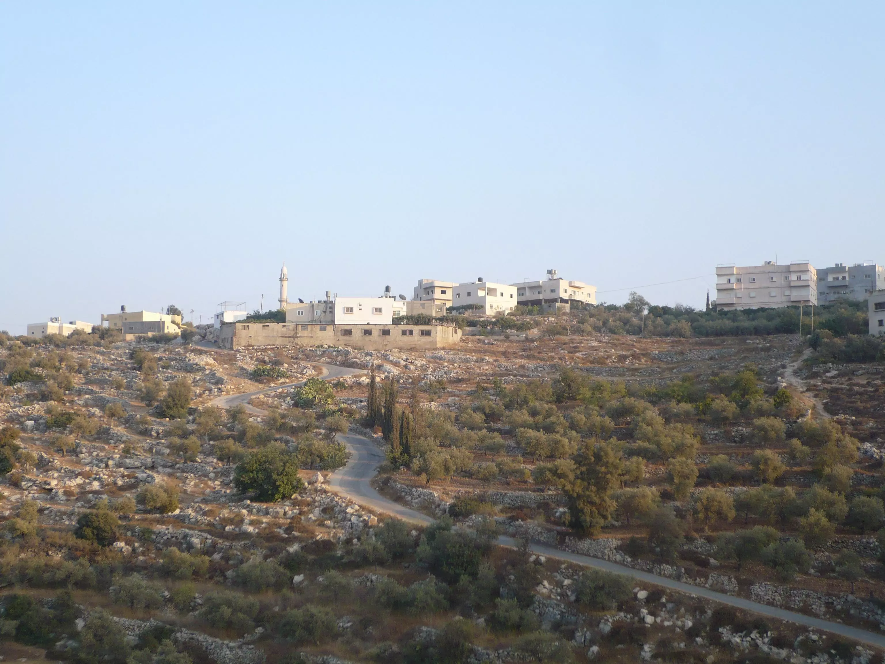
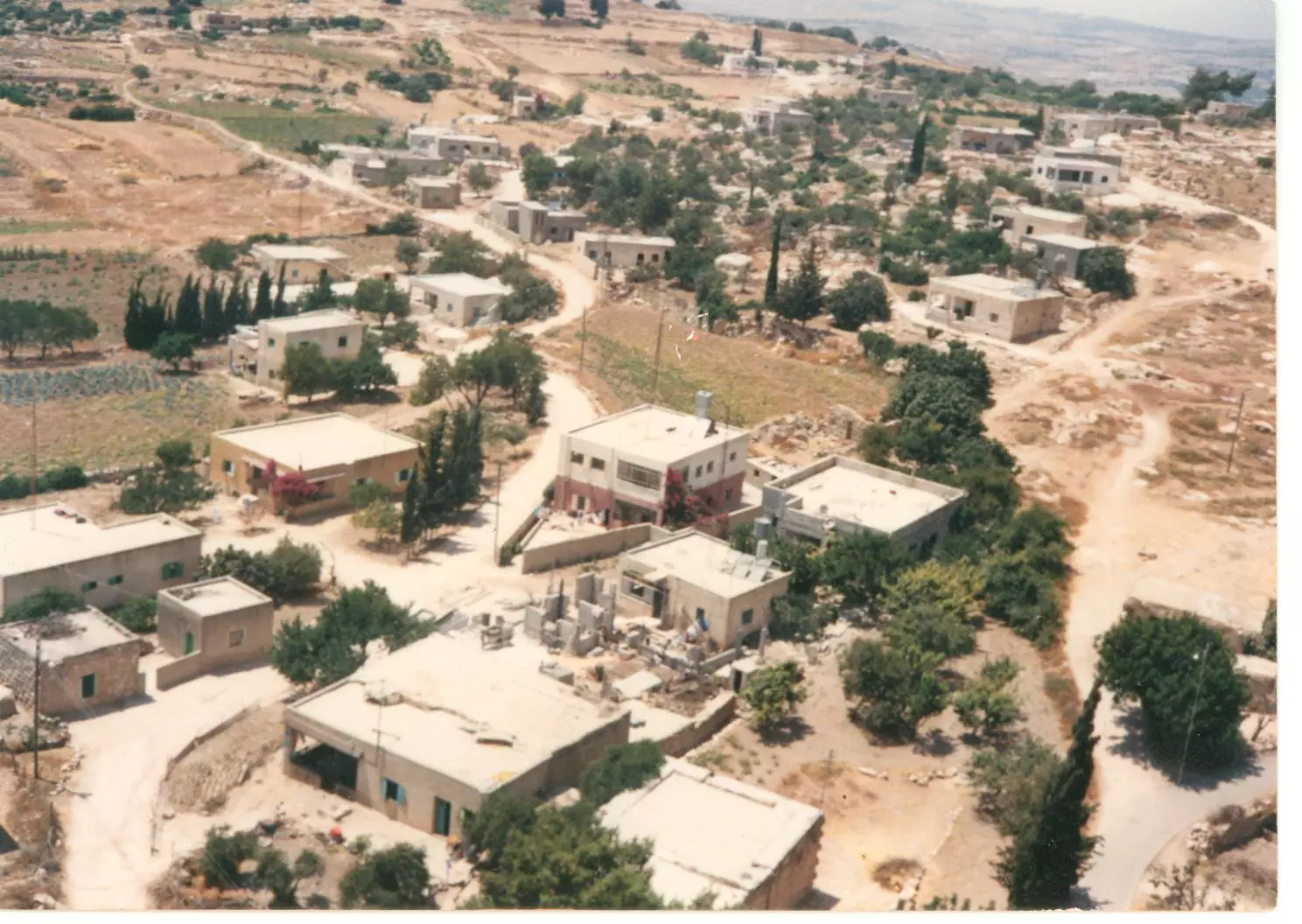
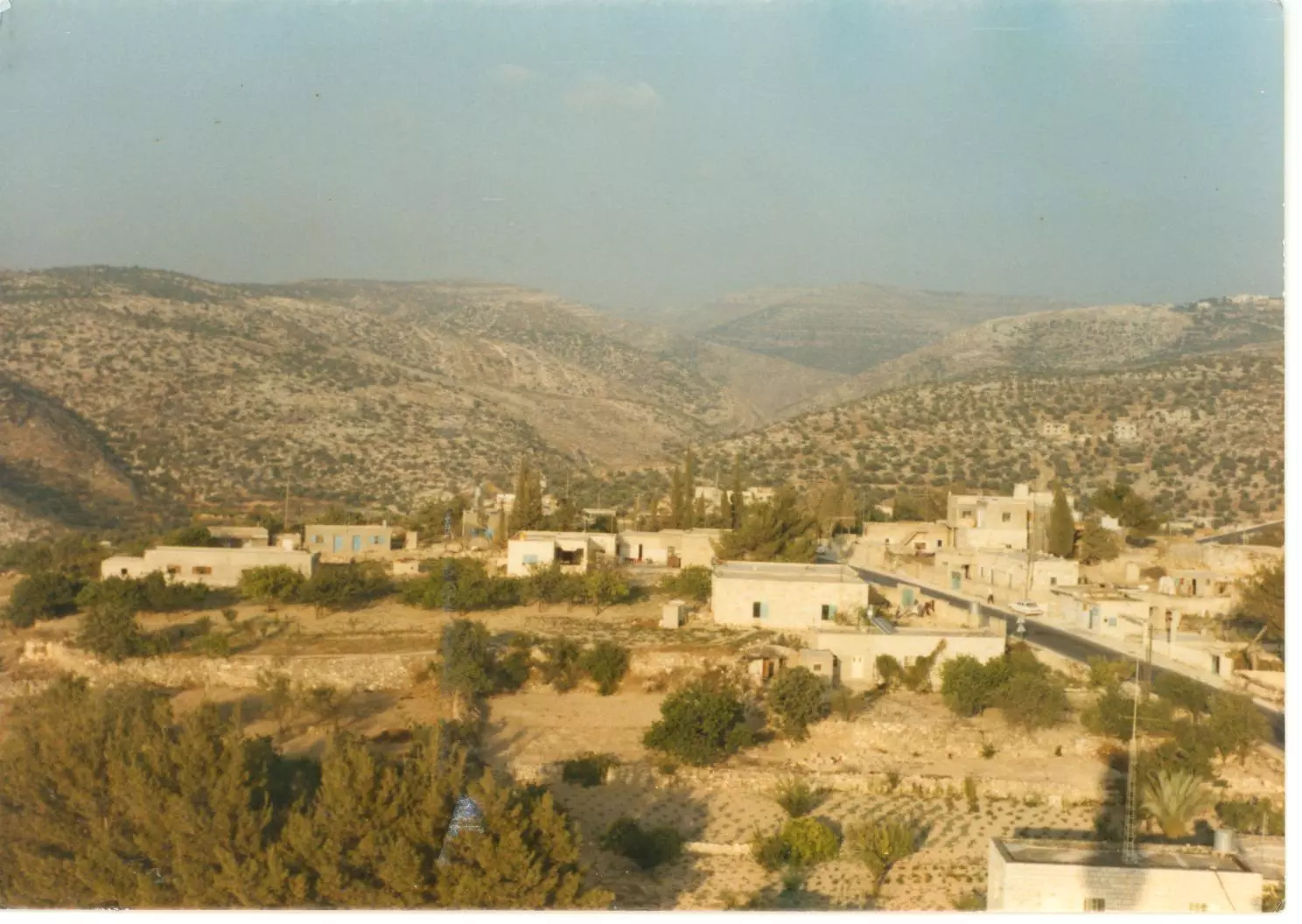
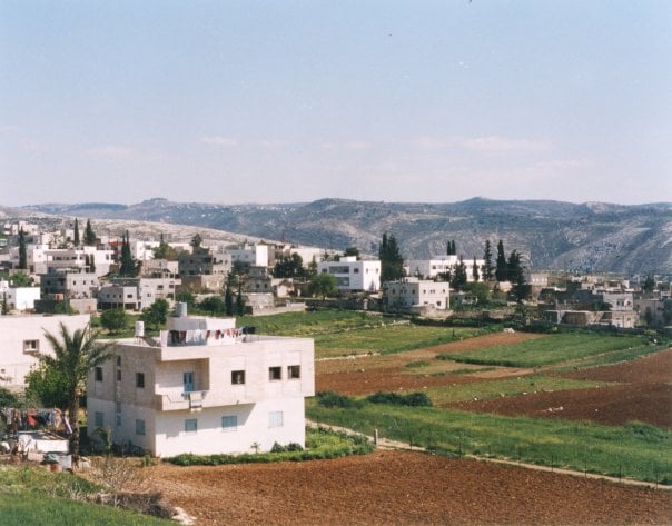
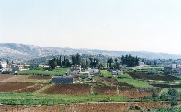
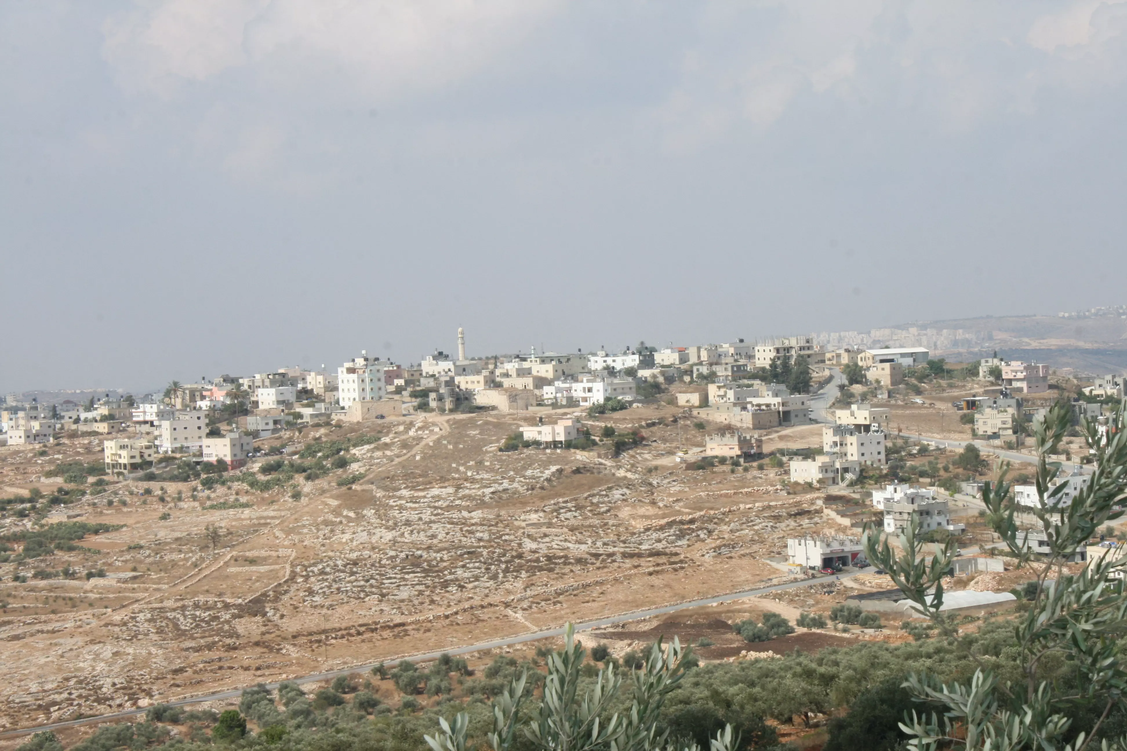
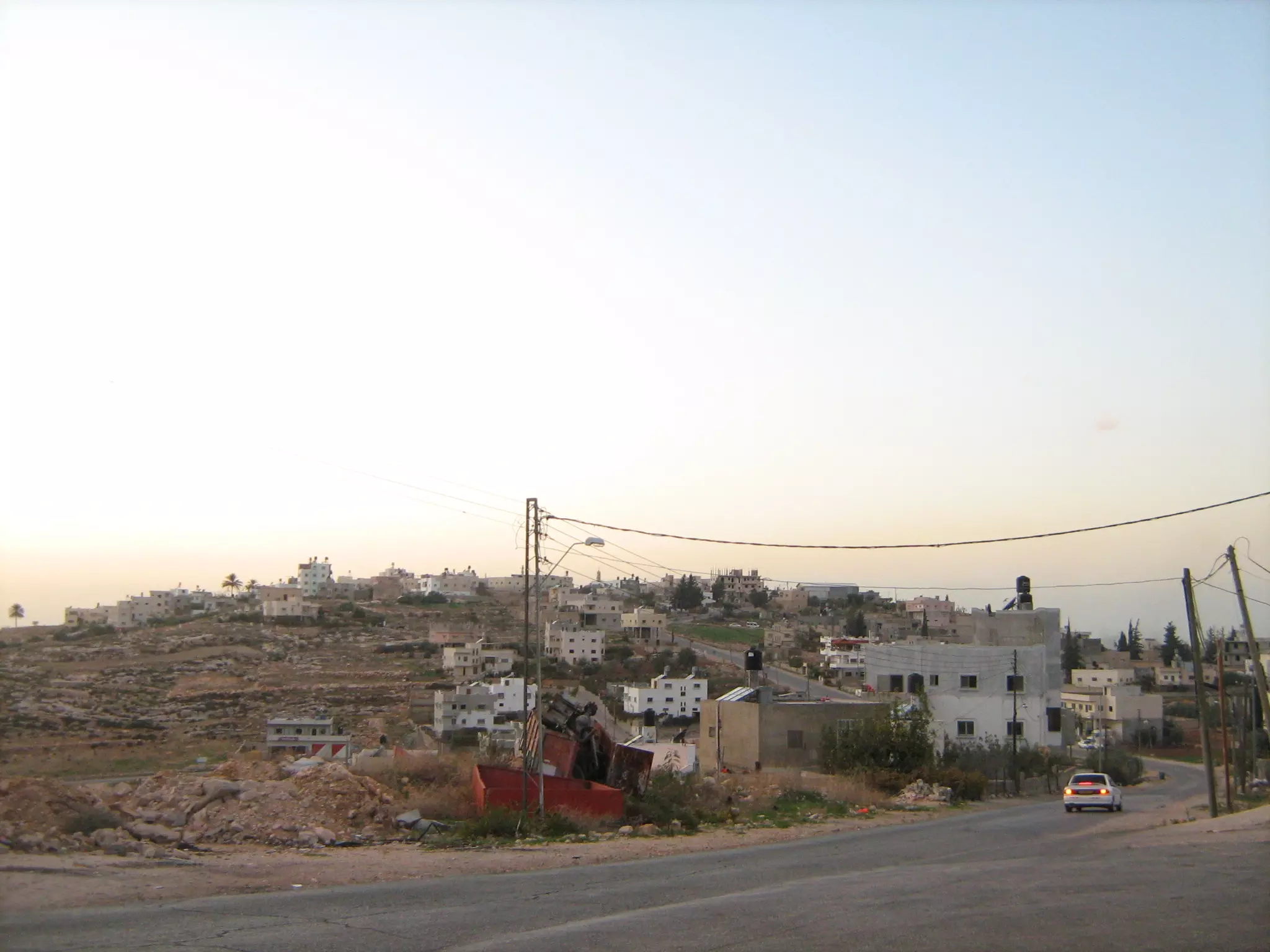
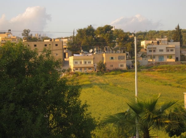
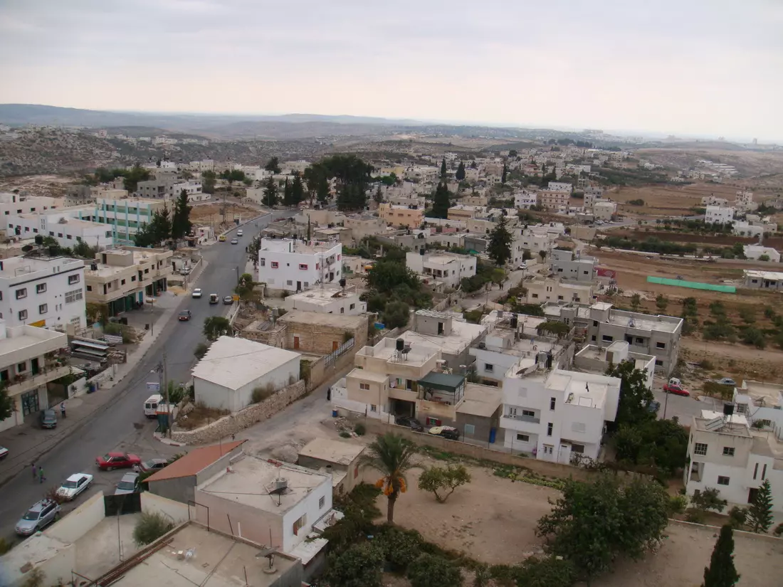
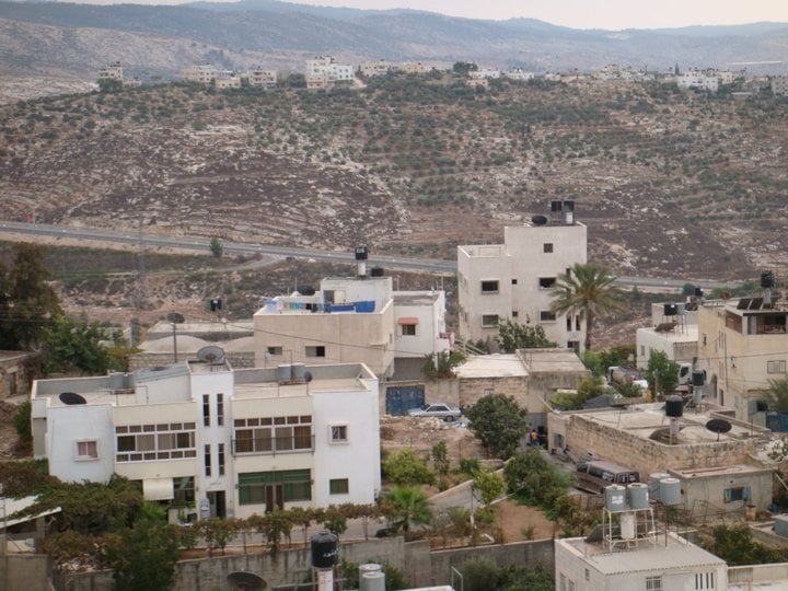
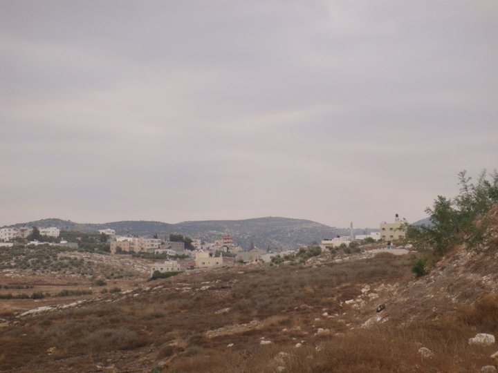
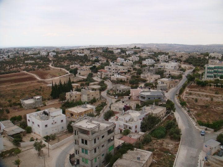
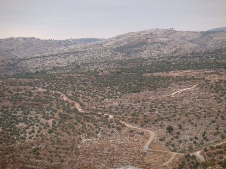
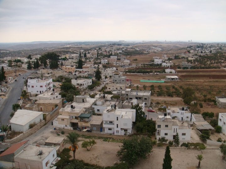
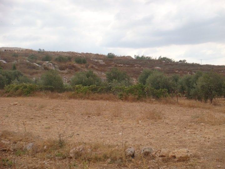
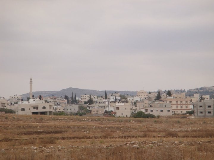
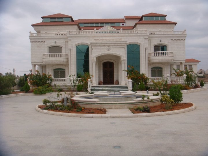
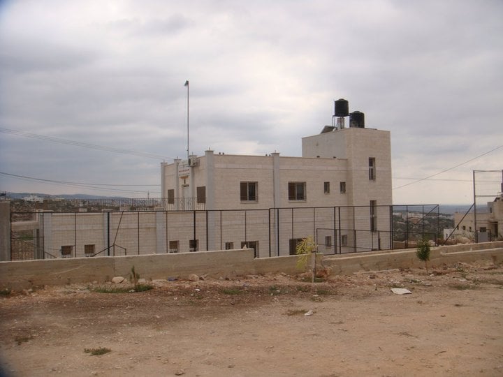
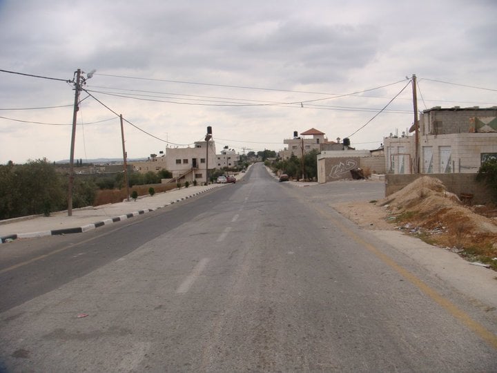
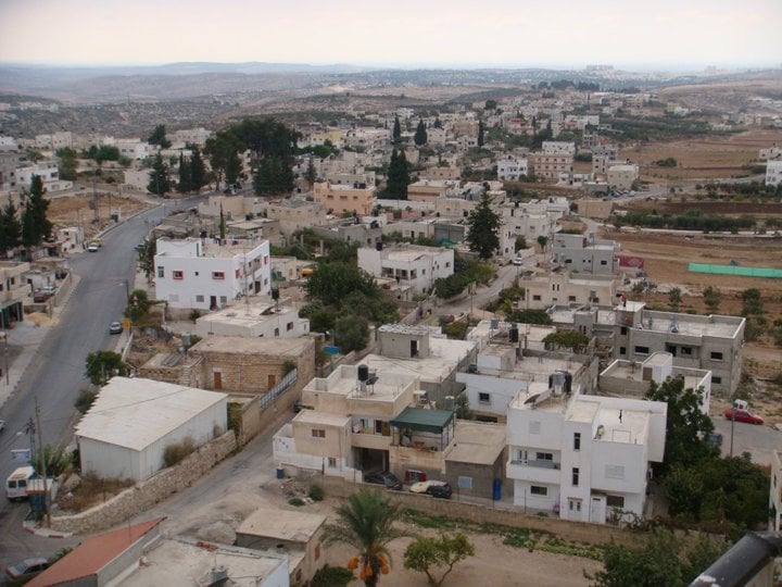
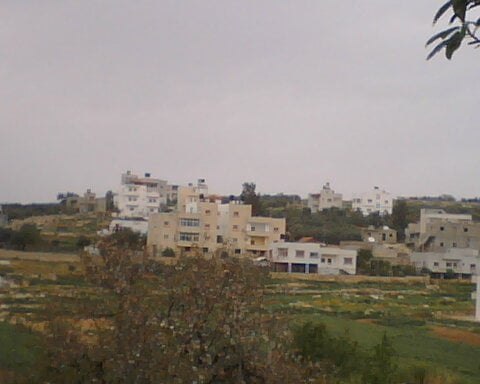
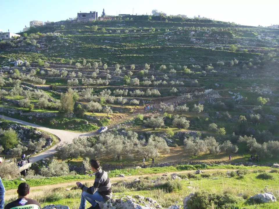
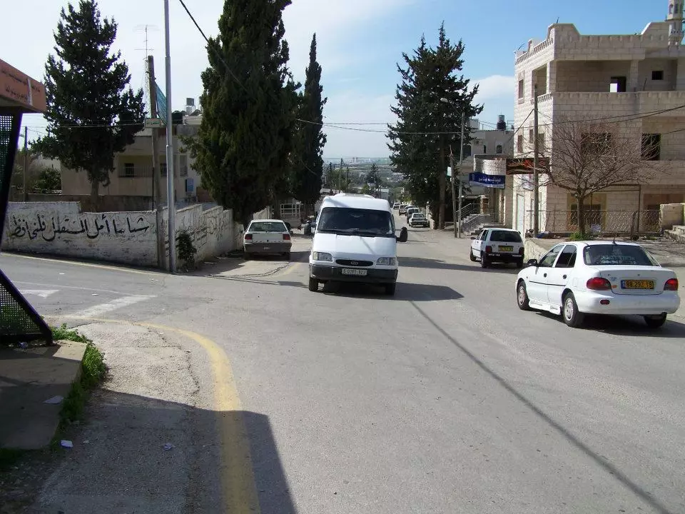
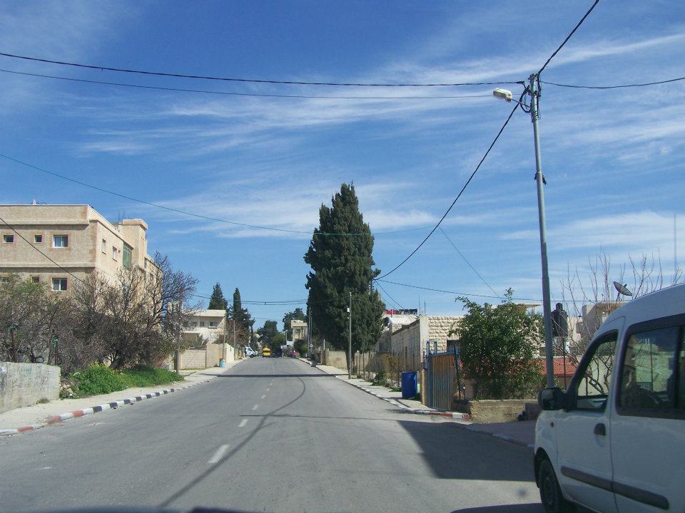
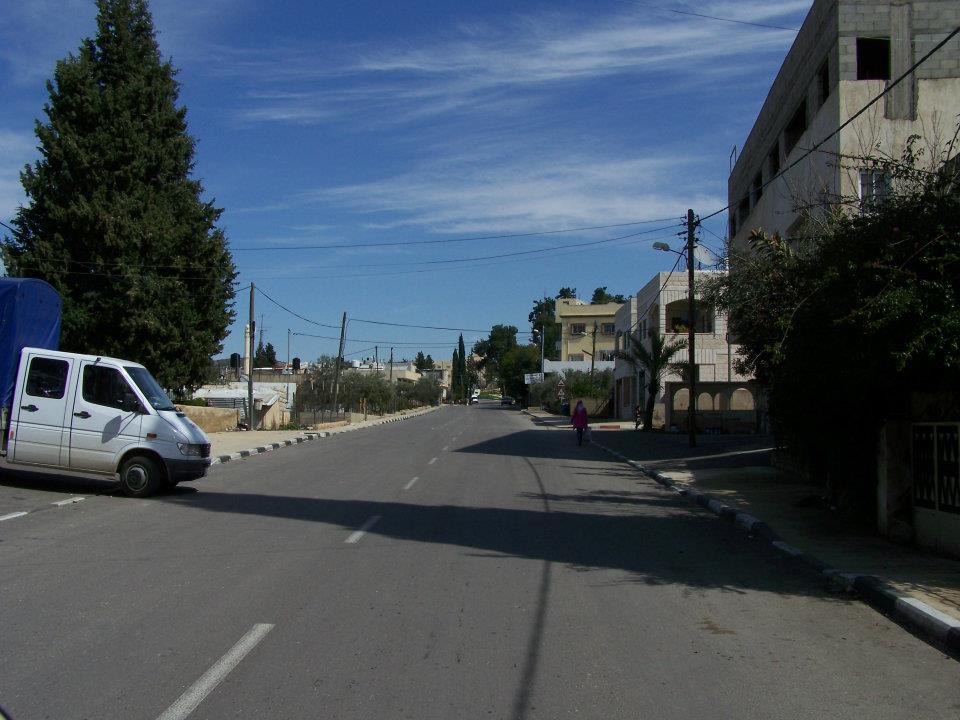
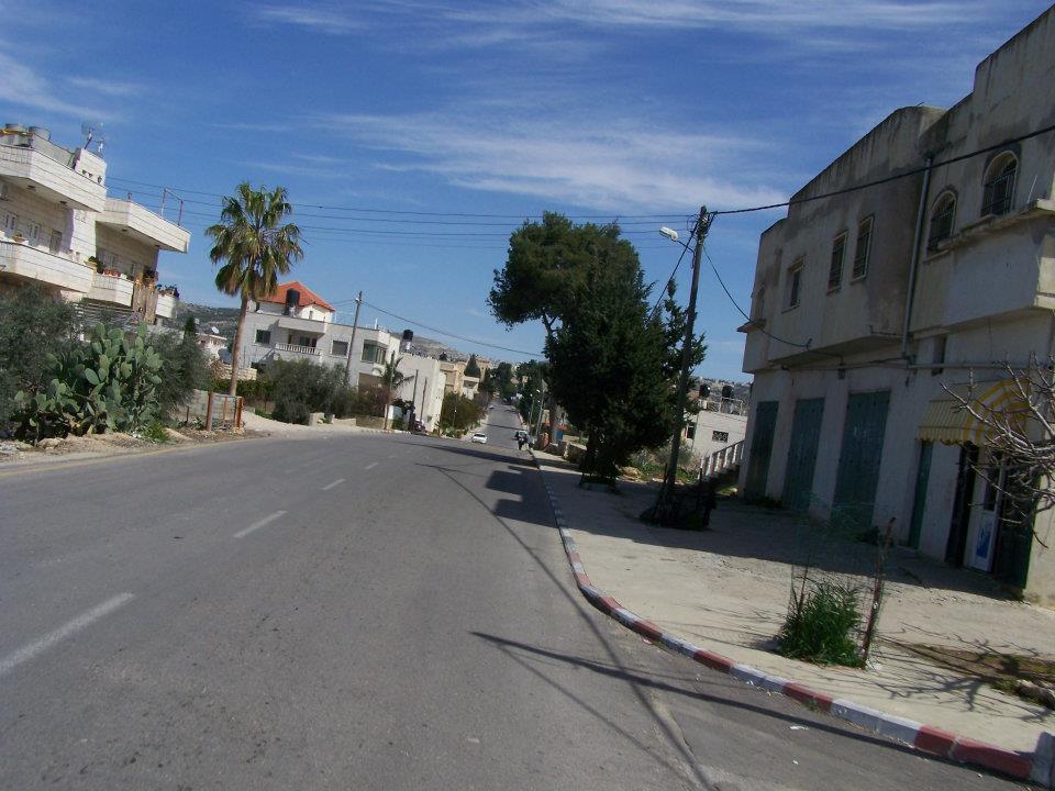
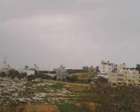
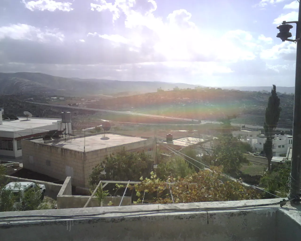
- General view
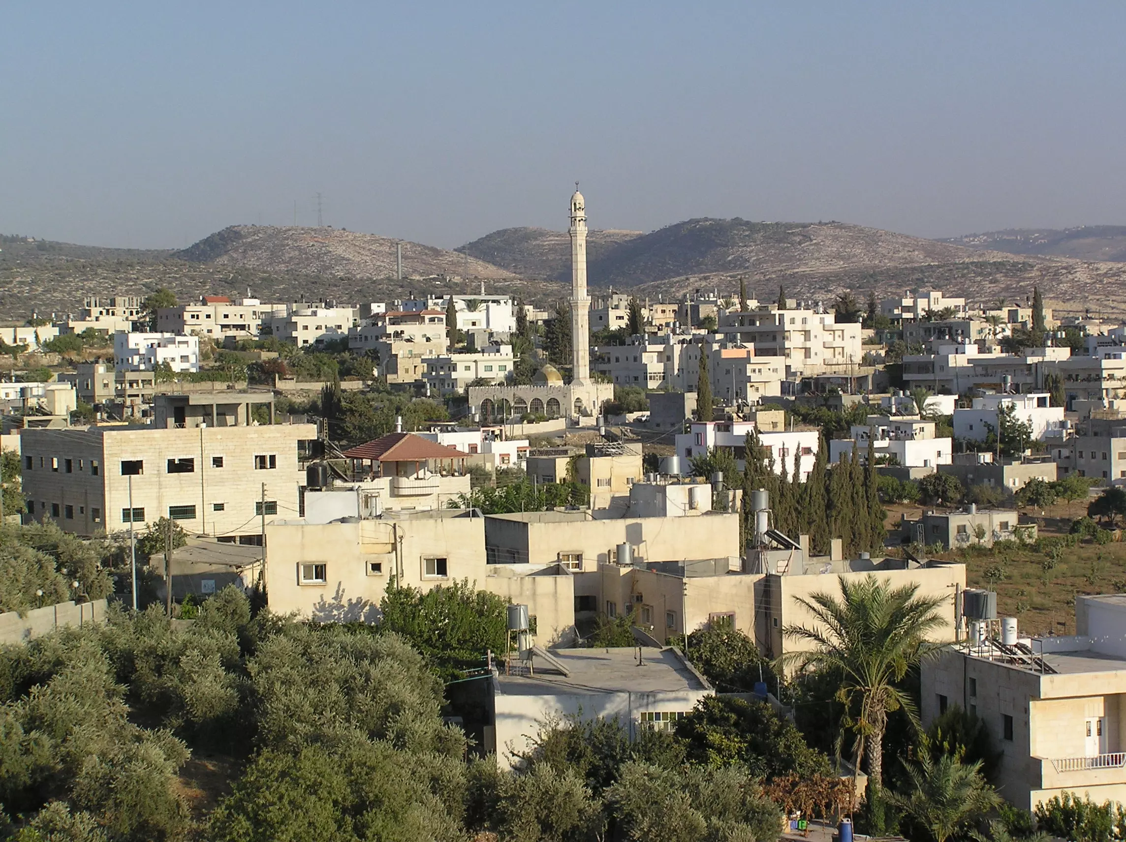
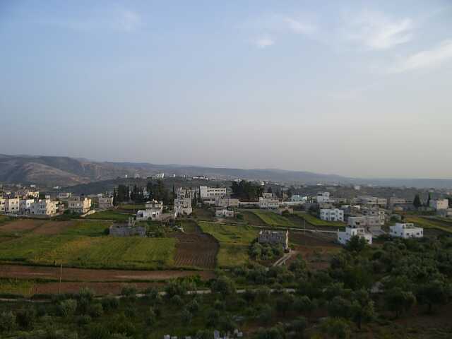
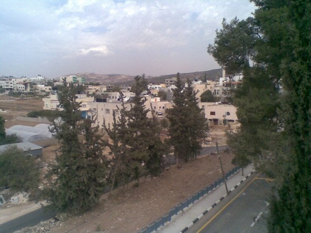
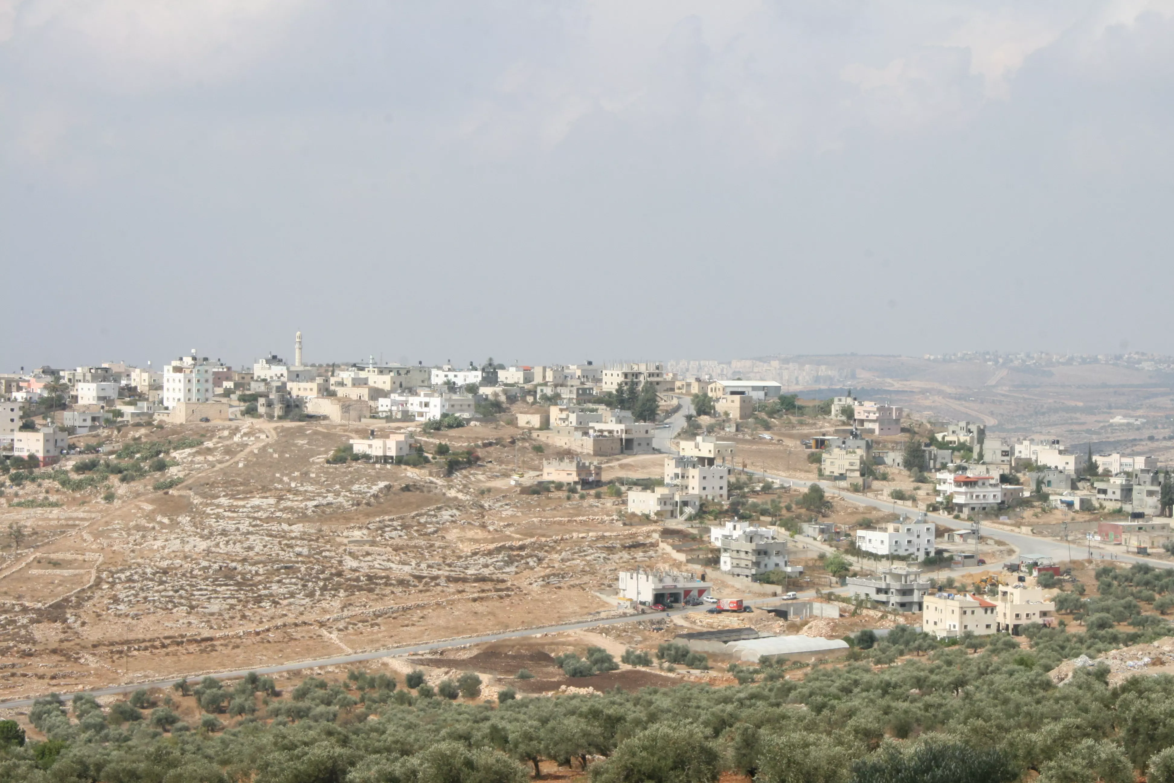
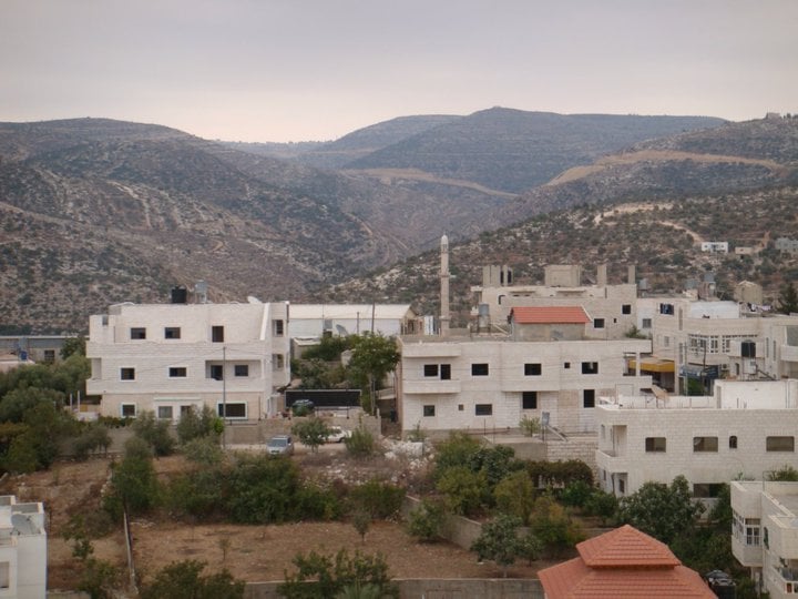
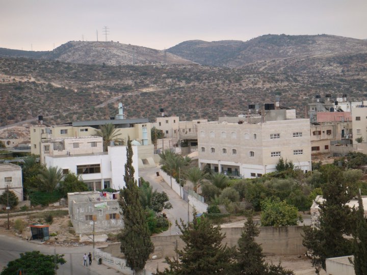
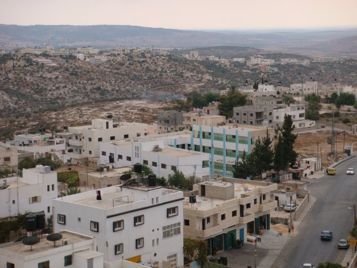
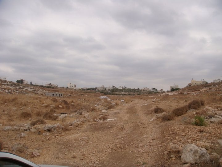
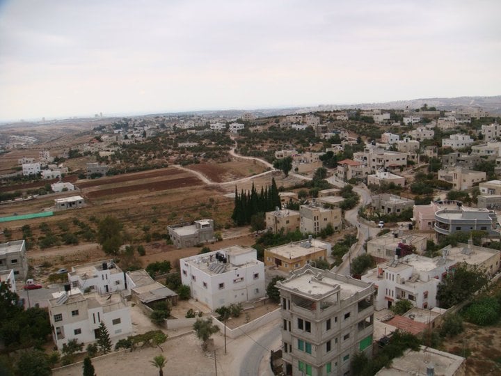
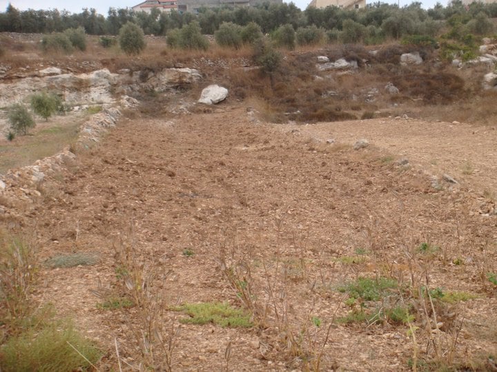
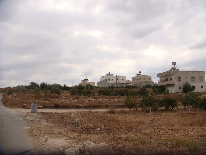
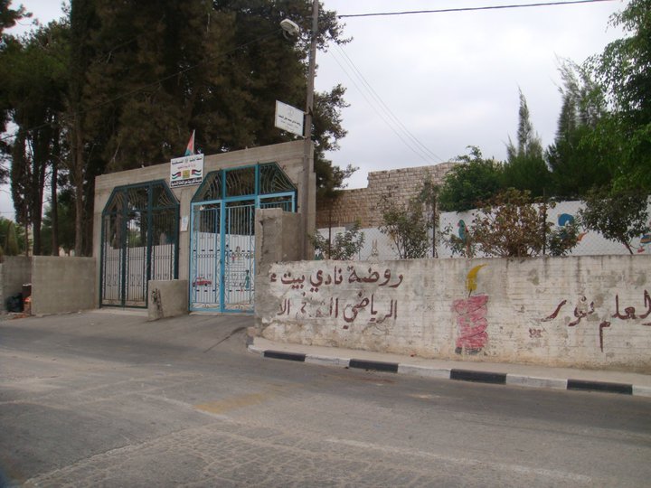
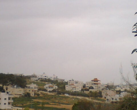
Posted by othman jaber 27 - General view #2
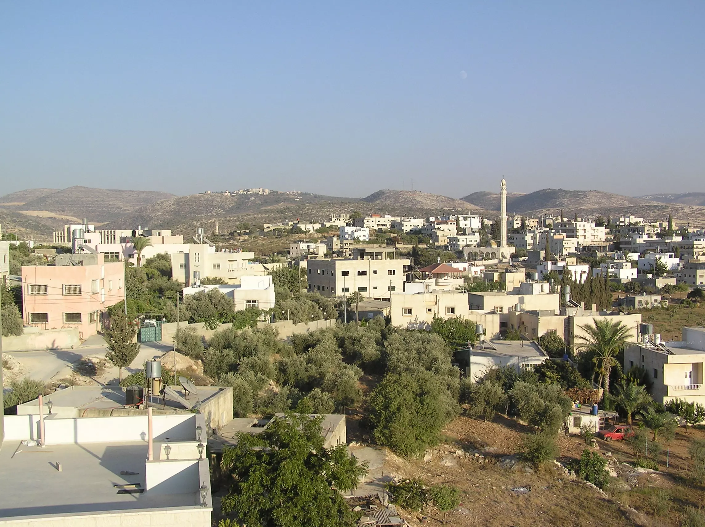
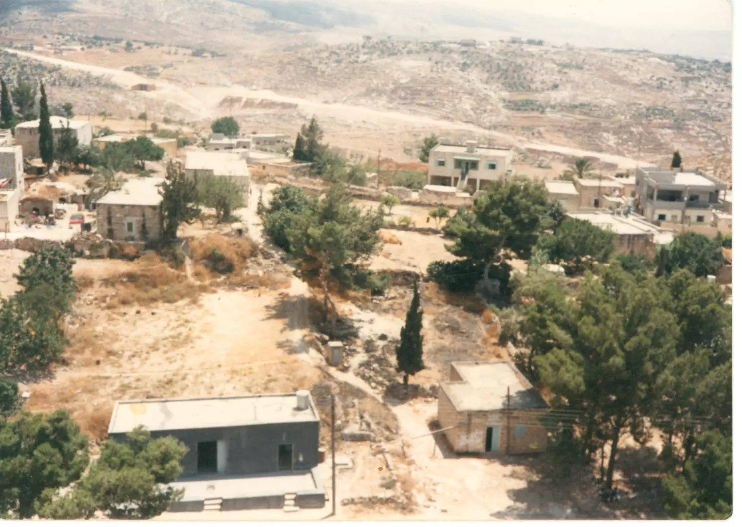
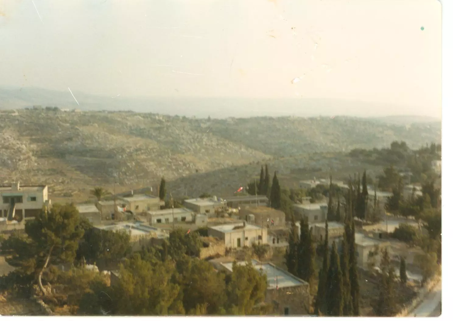
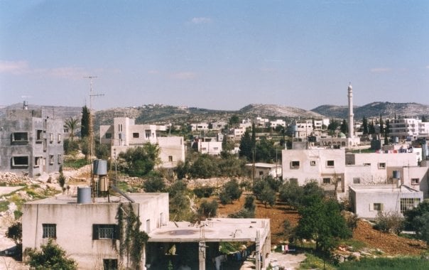
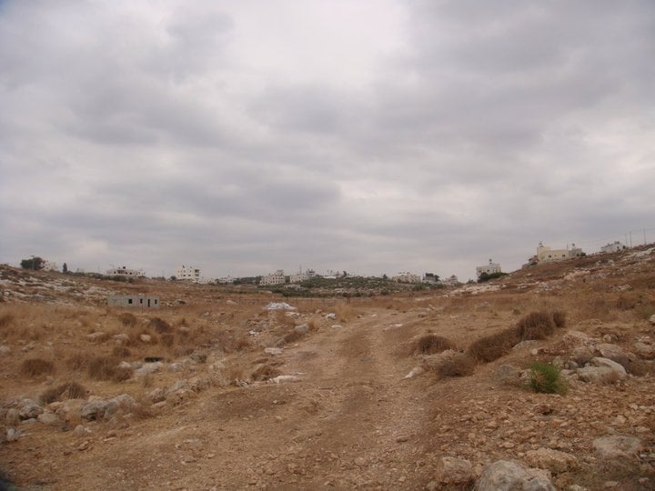
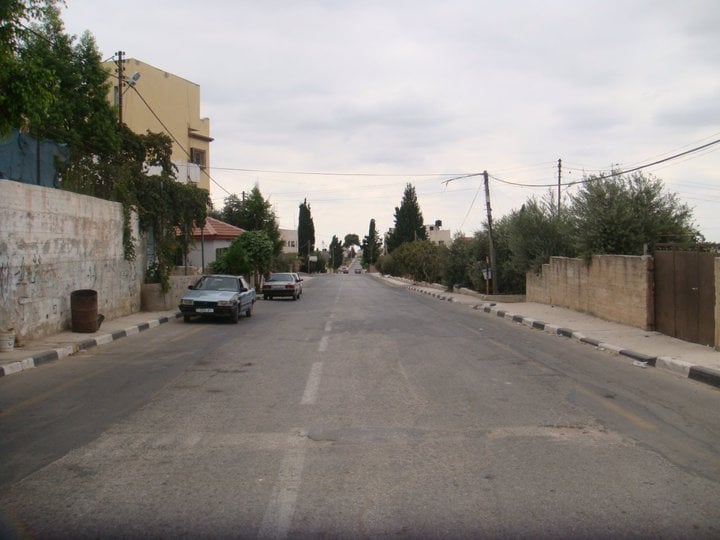
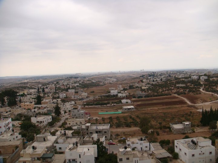
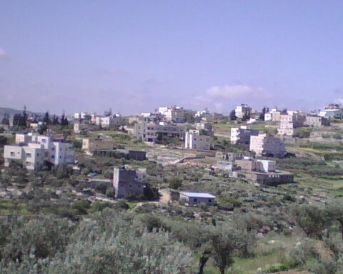
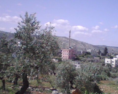
Posted by حكمت زكي 8 - General view #3
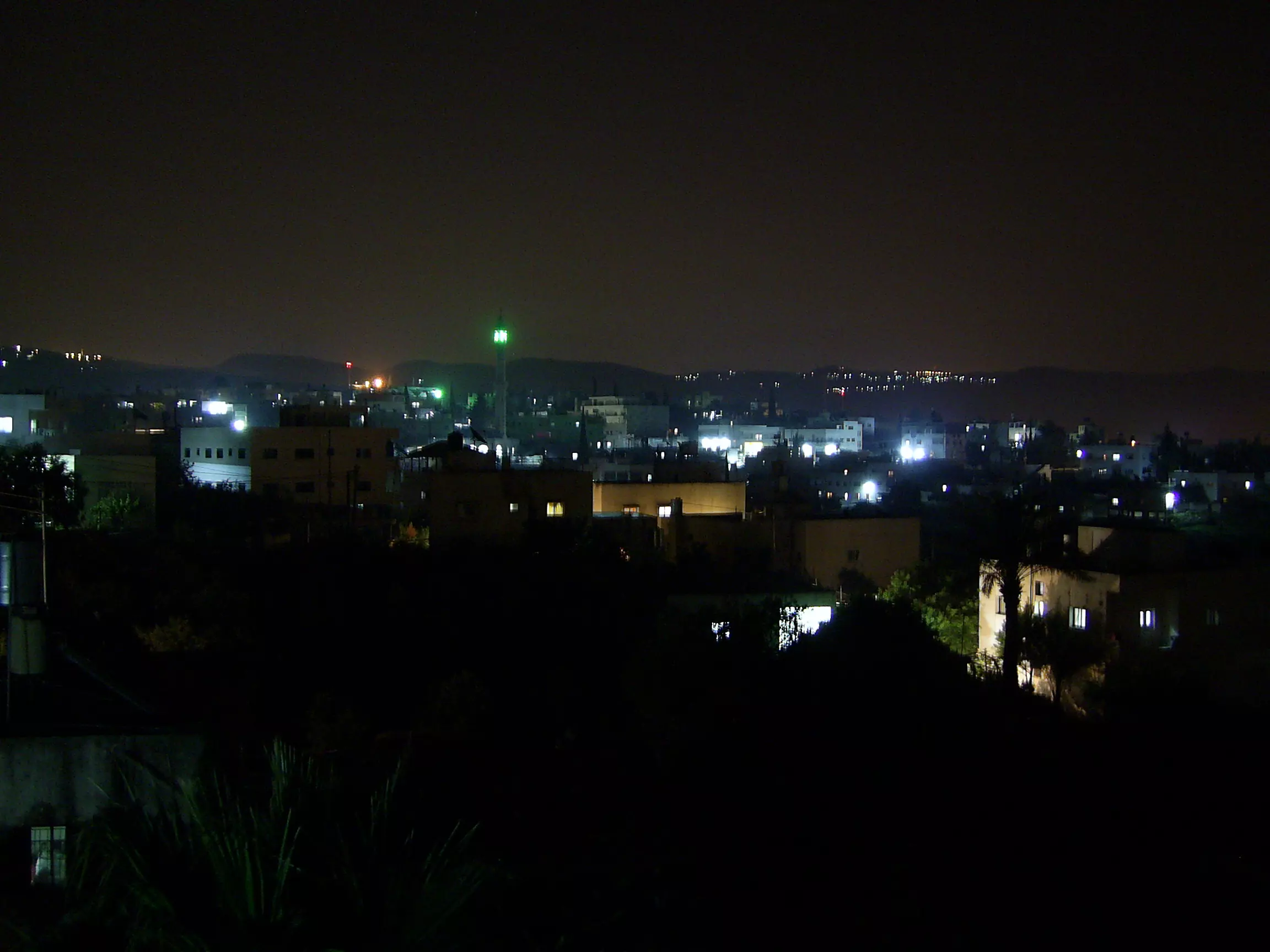
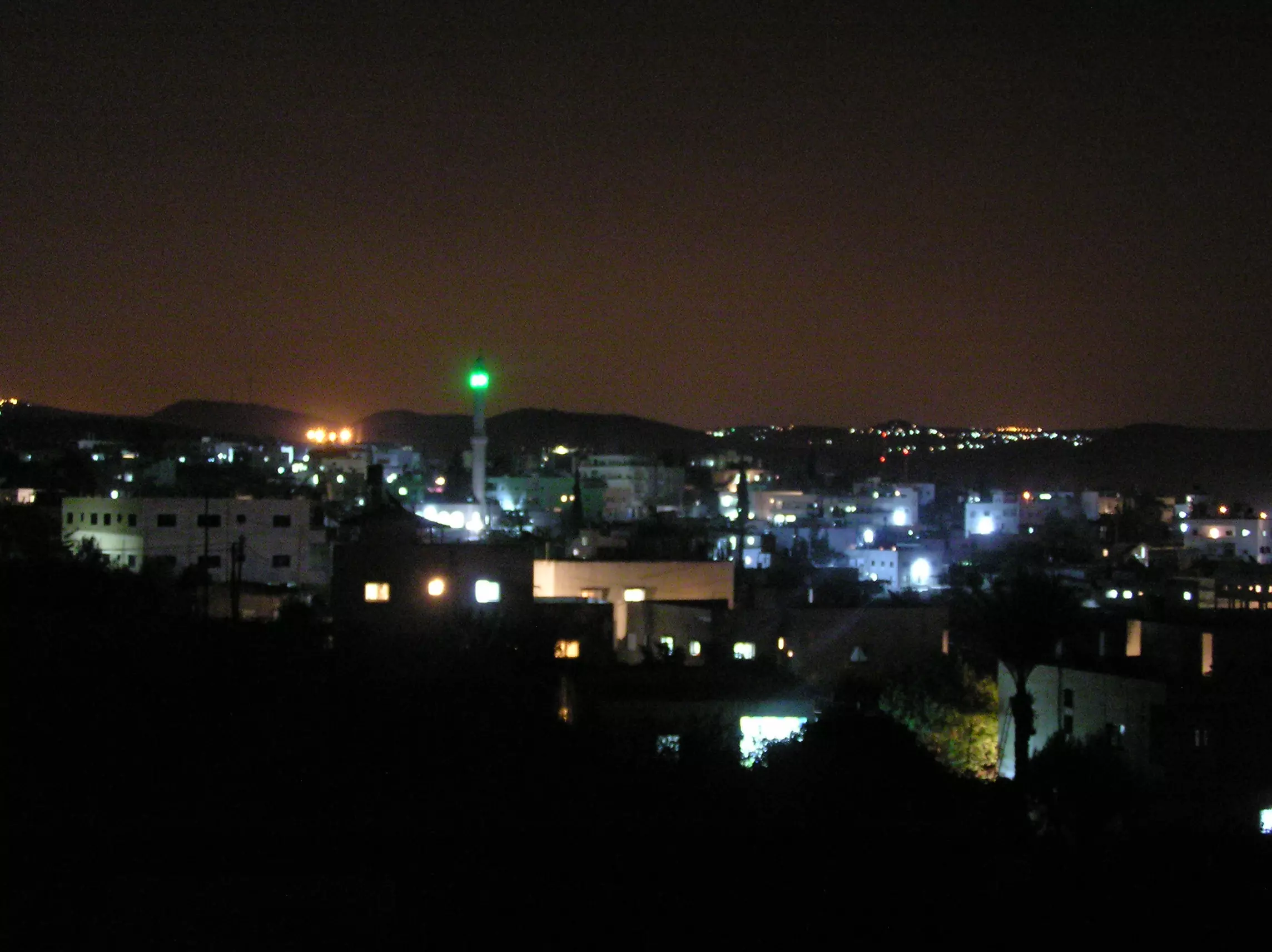
Posted by حكمت زكي 4 - (بيت عور التحتا ( صورة ليلية
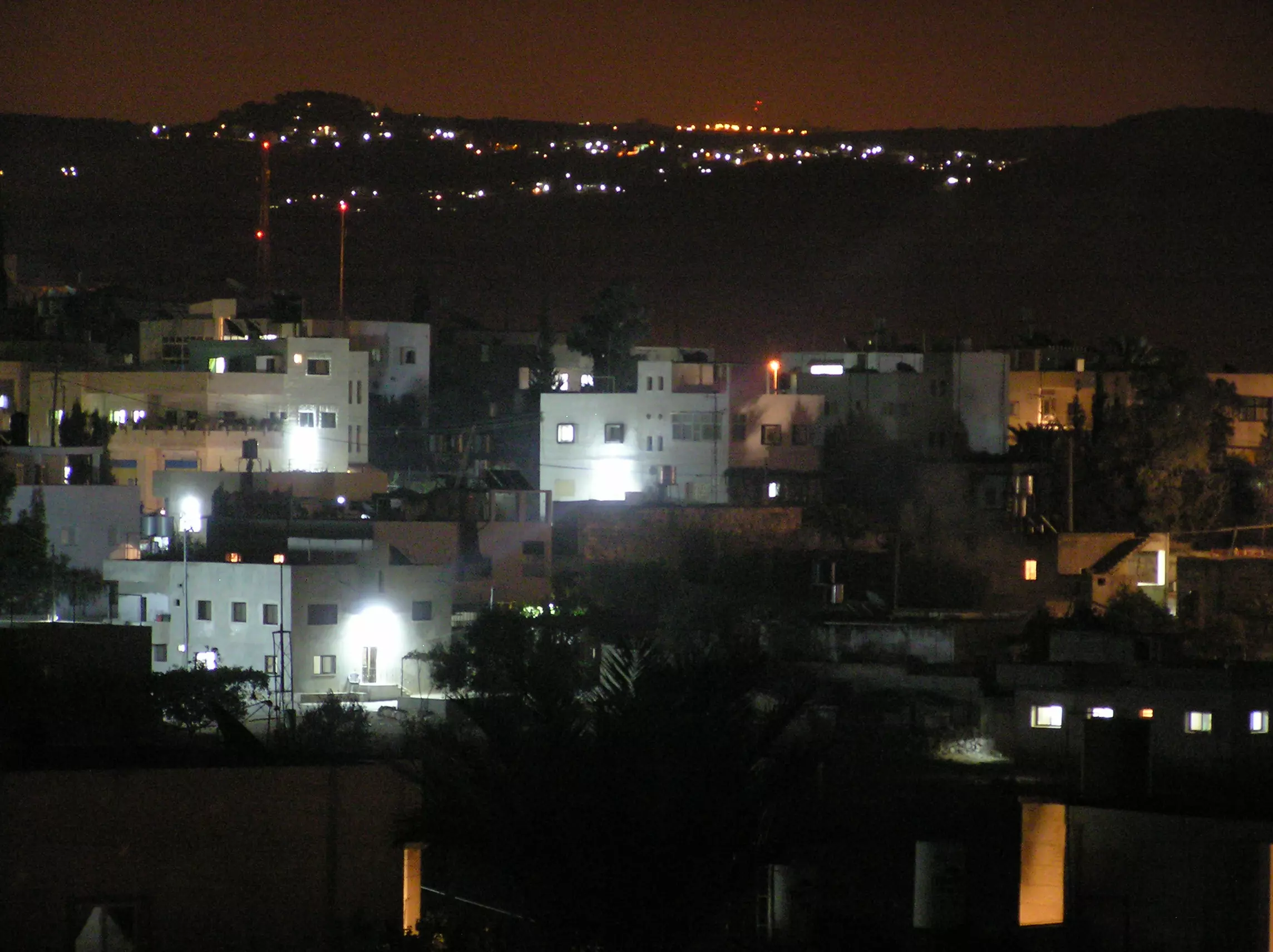
Posted by حكمت زكي 4 - 2 صورة ليلية
Posted by حكمت زكي 1 - صورة ليلية. تصوير مامون علان
Posted by حكمت زكي 3 - وسط البلد. تصوير مأمون علان
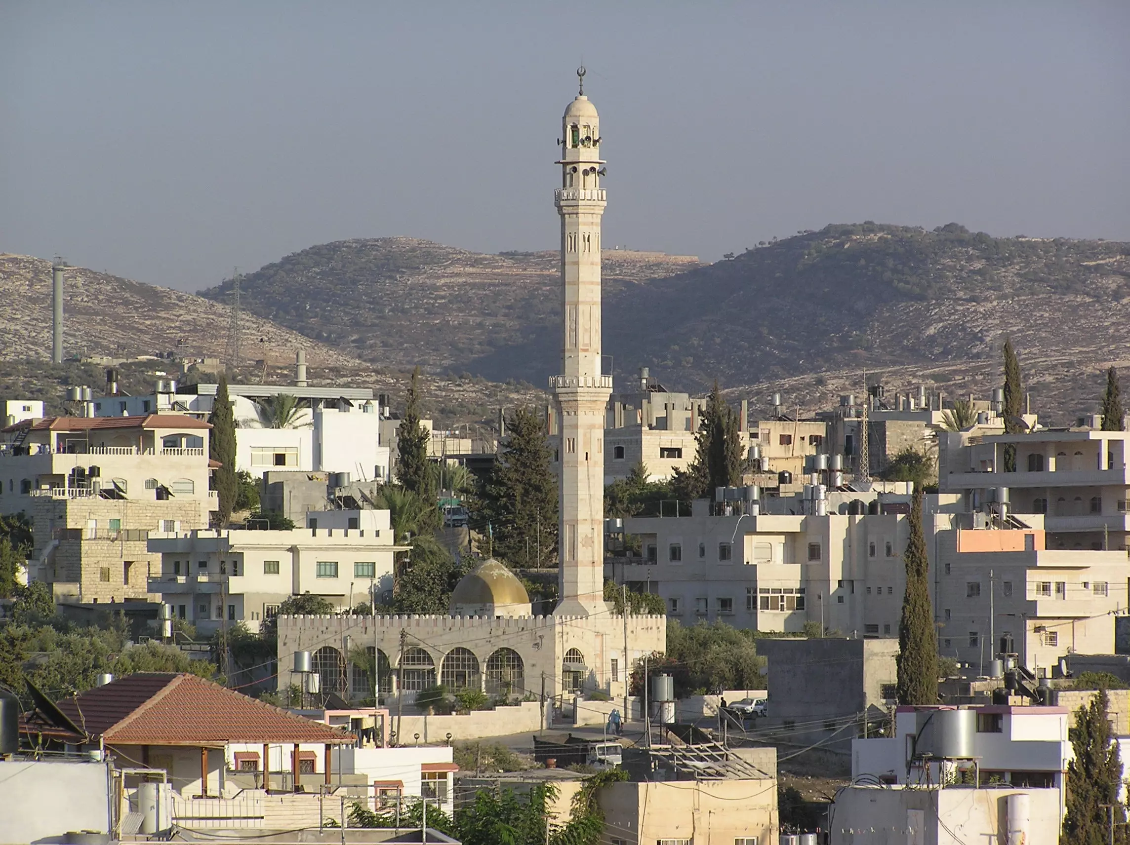
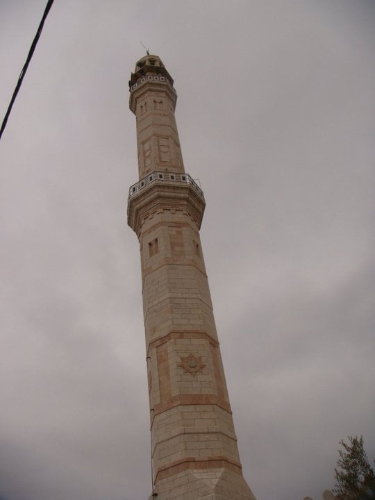
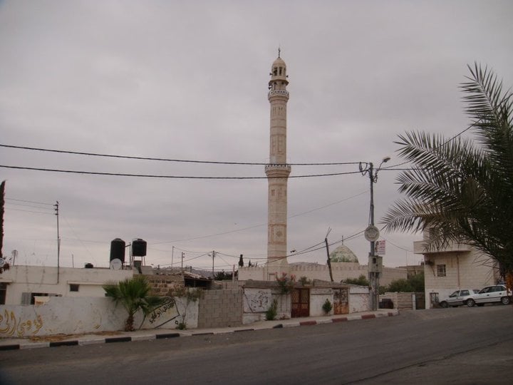
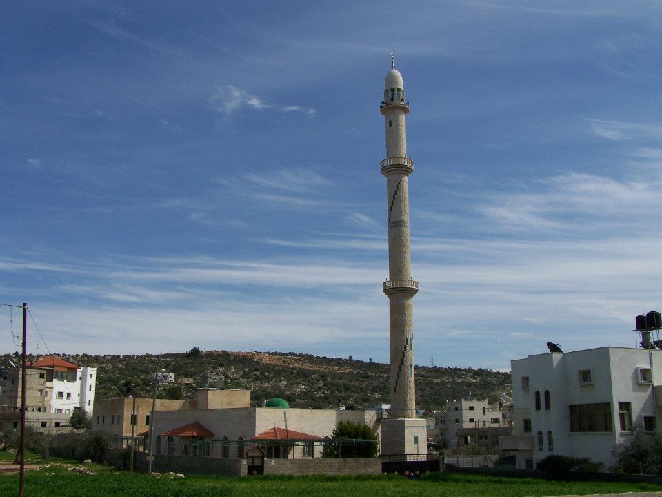
Posted by حكمت زكي 5 - مسجد ابو بكر الصديق. تصوير مأمون علان
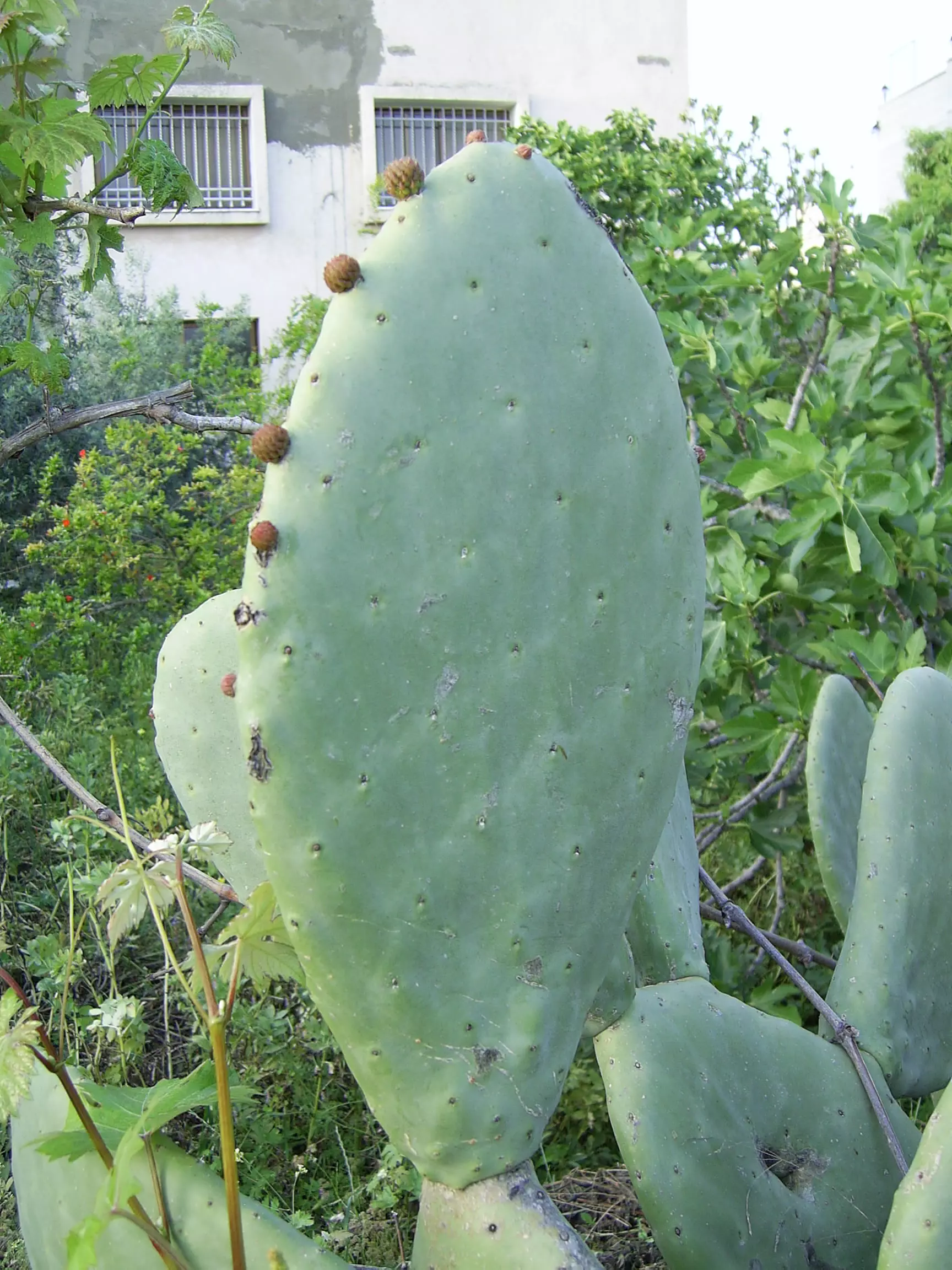
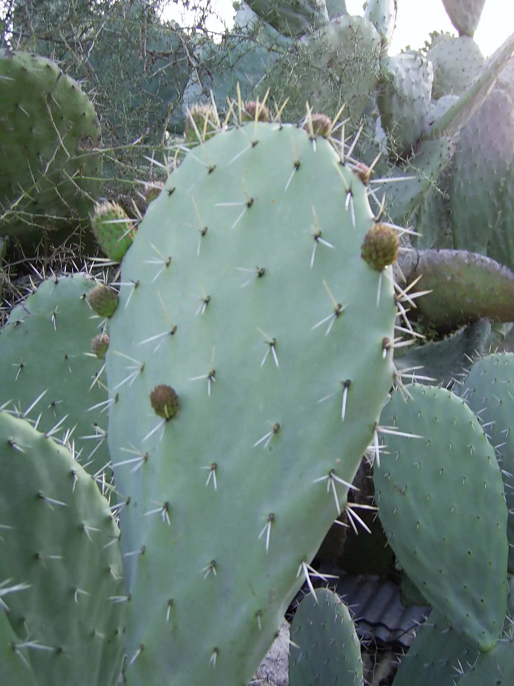
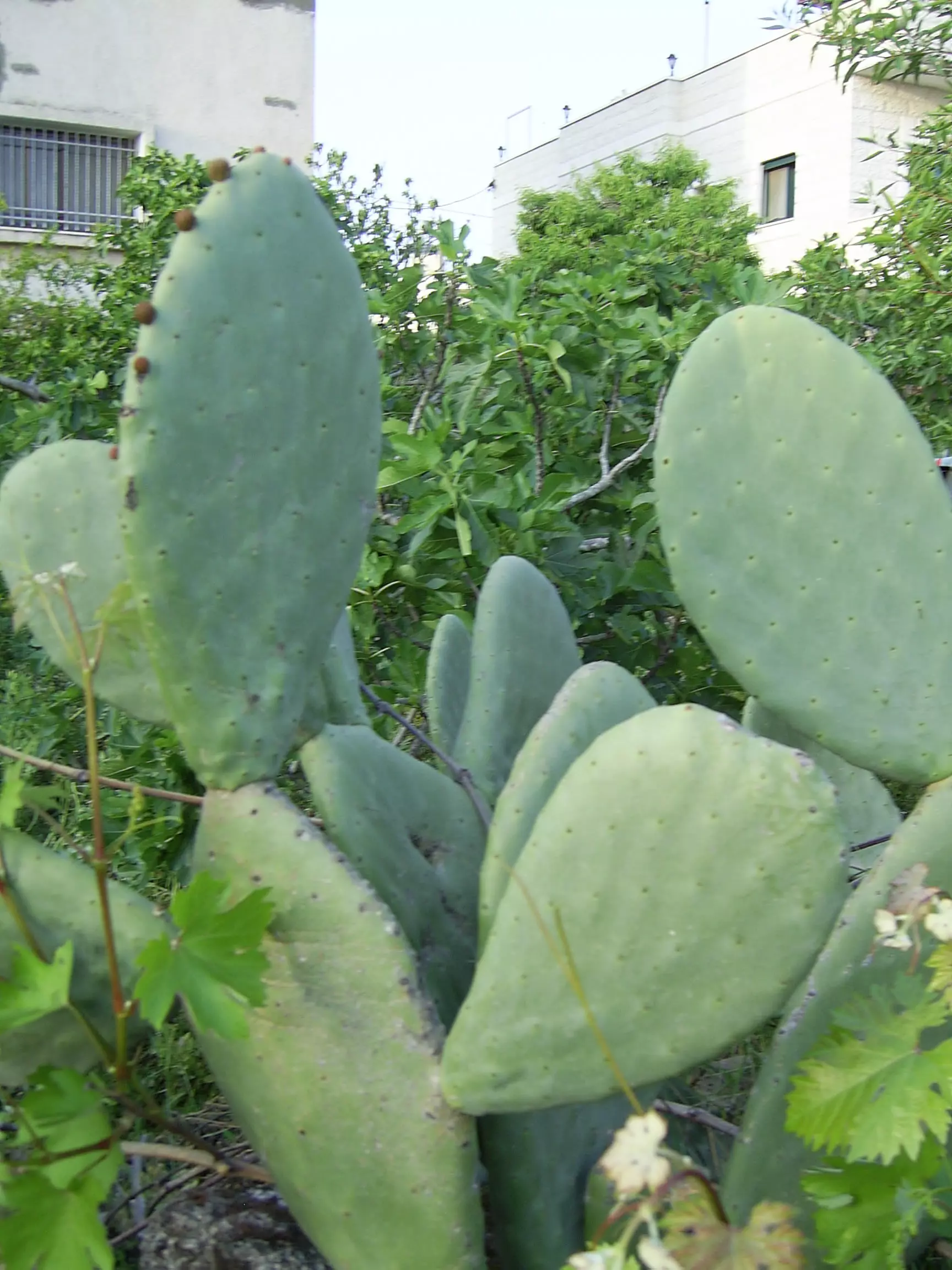
Posted by حكمت زكي 4 - (الصبار. تصوير مأمون علان
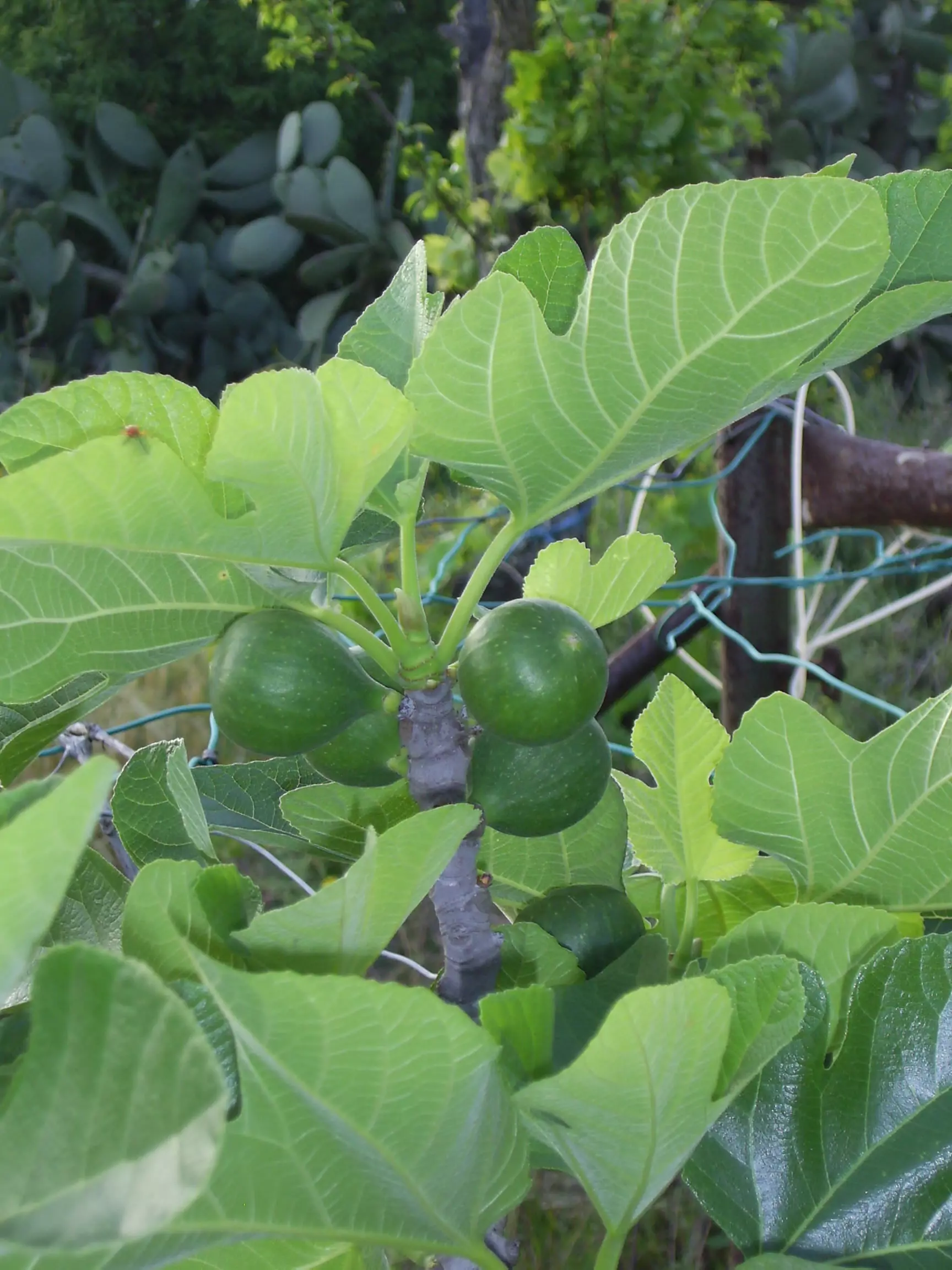
Posted by حكمت زكي 1 - (التين) تصوير مأمون علان

Posted by حكمت زكي 2 - (الصبار) تصوير مأمون علان
Posted by حكمت زكي 2 - تصوير : مأمون علان
Posted by حكمت زكي 1 - تصوير : مأمون علان

Posted by حكمت زكي - تصوير : مأمون علان
Posted by حكمت زكي 1 - منظر عام 1 تصوير مأمون علان
Posted by حكمت زكي 3 - منظر عام 2 تصوير مأمون علان
Posted by حكمت زكي 2 - منظر عام 3 تصوير مأمون علان
Posted by حكمت زكي 5 - منظر عام 4 تصوير مأمون علان
Posted by حكمت زكي 1 - منظر عام 4 تصوير مأمون علان
Posted by حكمت زكي 1 - منظر عام 5 تصوير مأمون علان
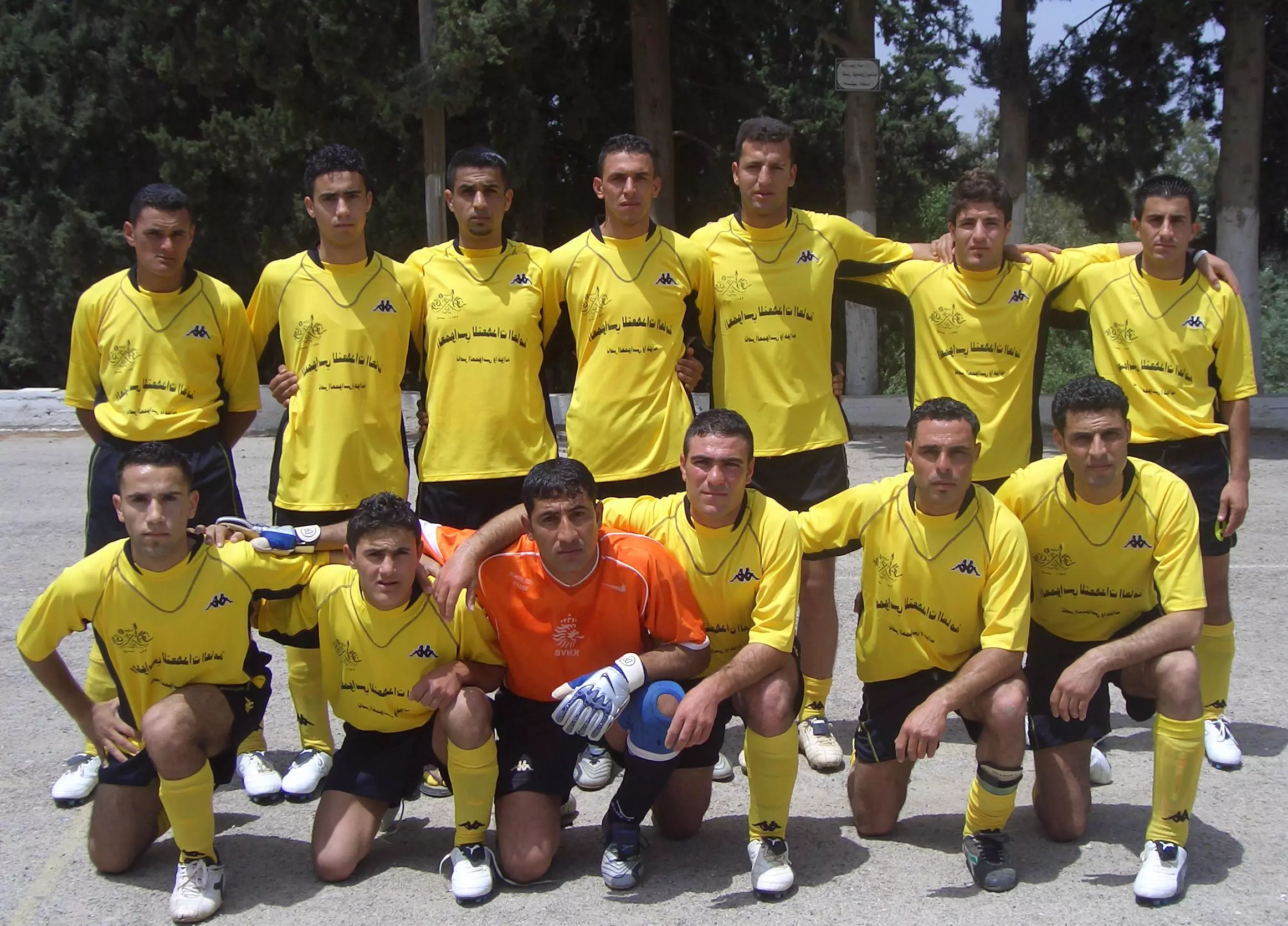
Posted by حكمت زكي 1 - فريق نادي بيت عور التحتا الرياضي الثقافي الاجتماعي الكشفي 2007
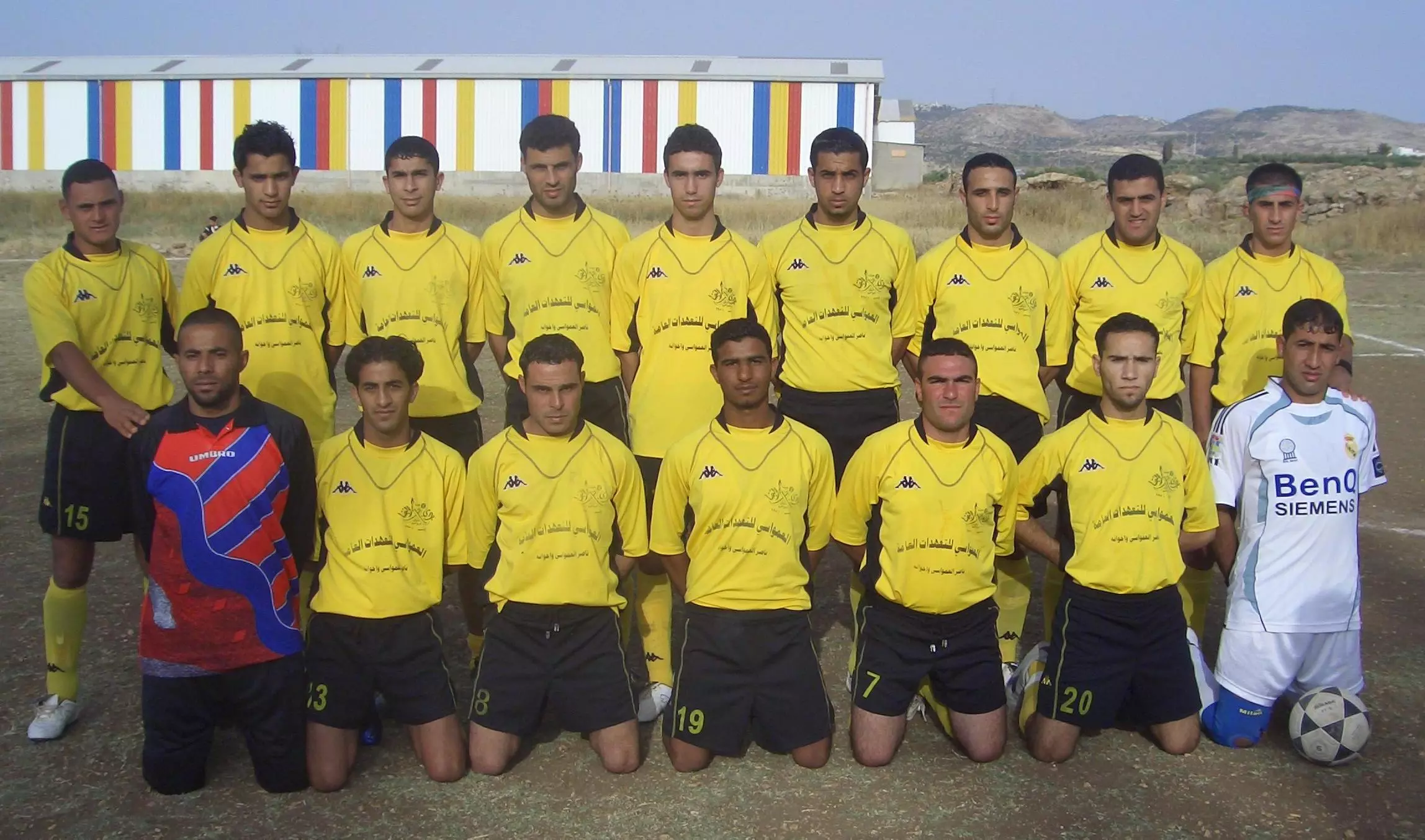
Posted by حكمت زكي 3 - فريق نادي بيت عور التحتا 2007
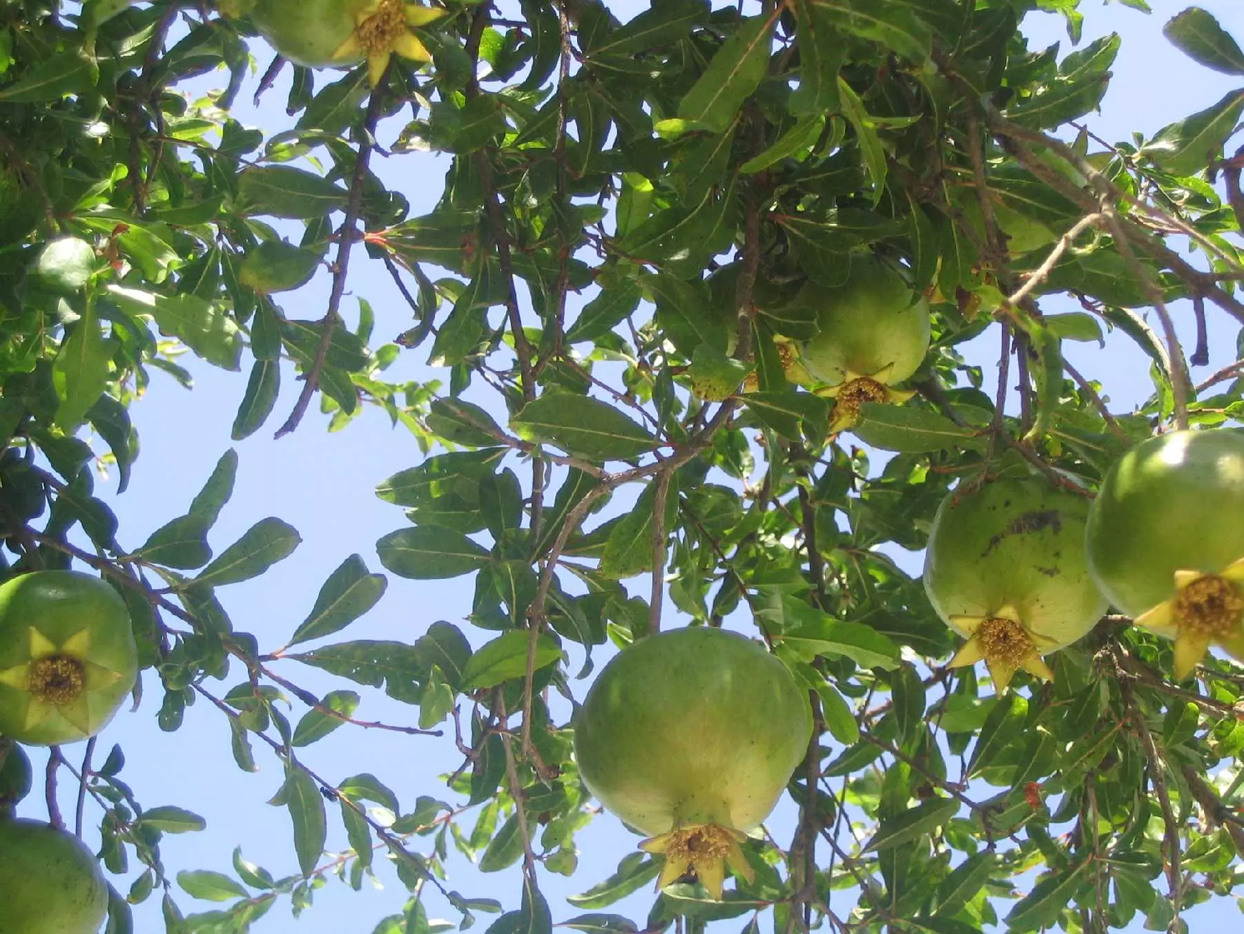
Posted by حكمت زكي 2 - شجر الرمان
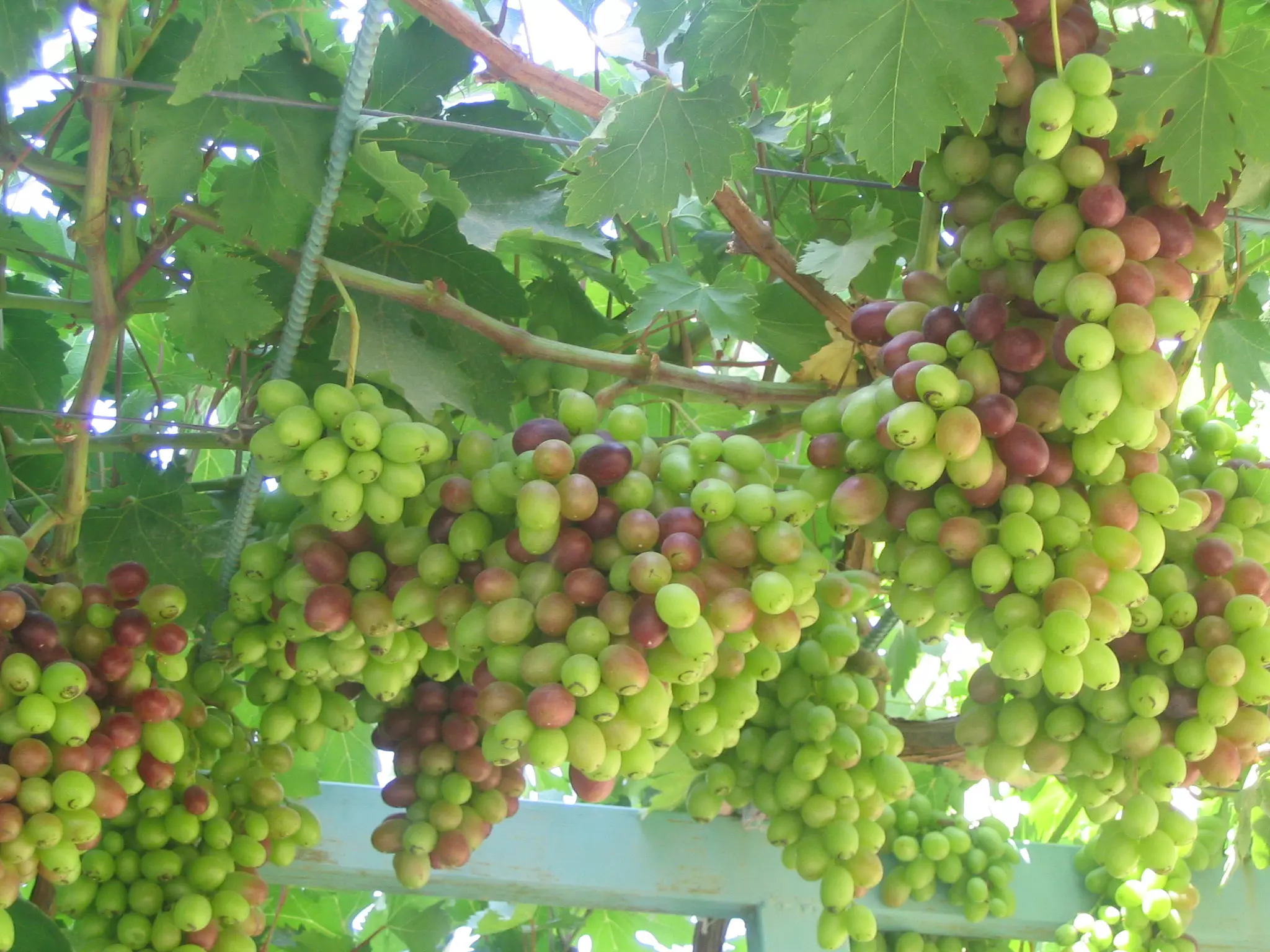
Posted by حكمت زكي 3 - العنب
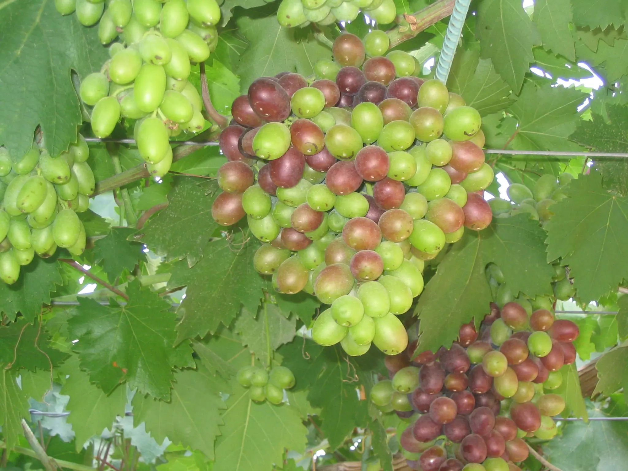
Posted by حكمت زكي 1 - العنب العوري
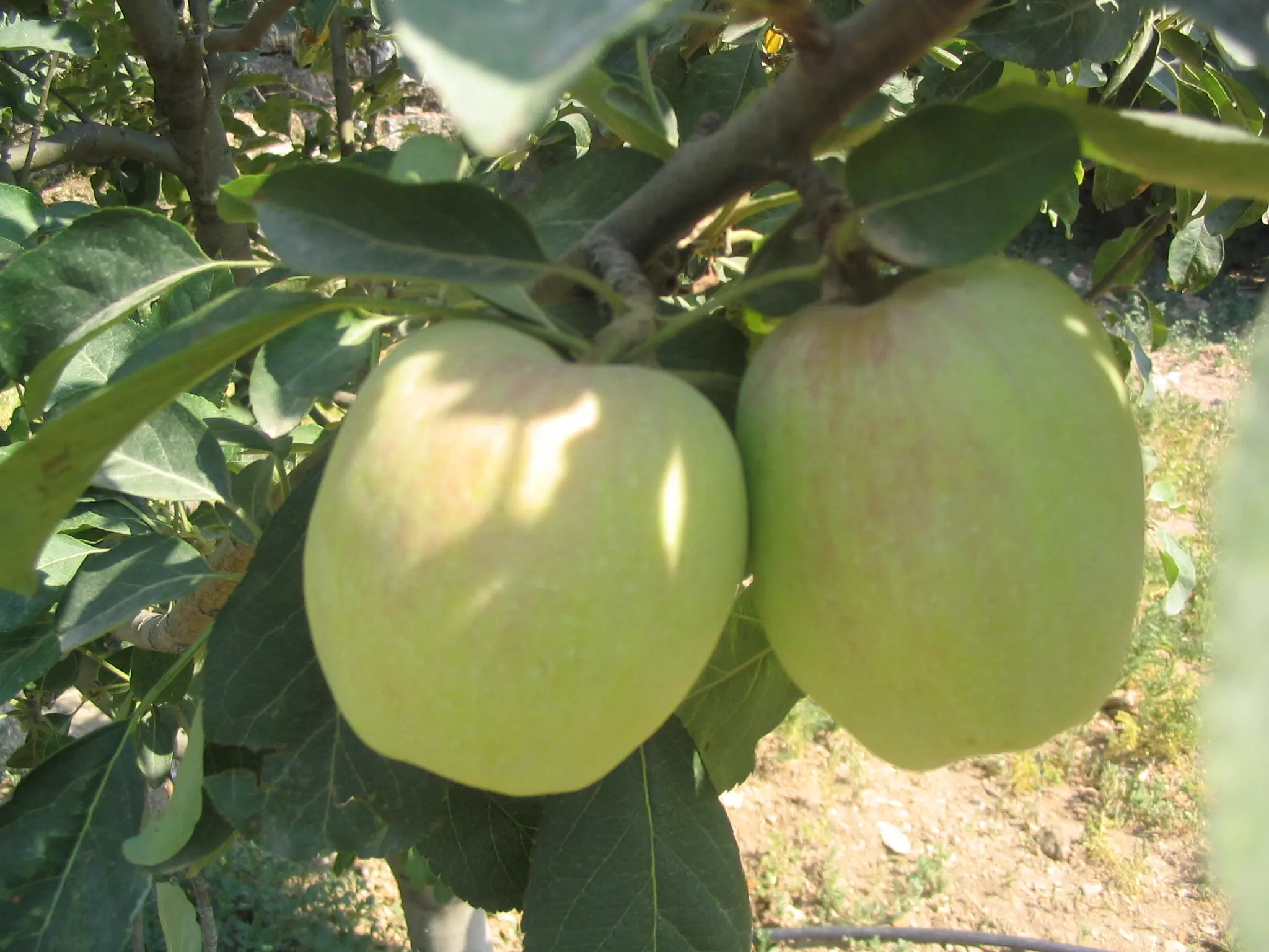
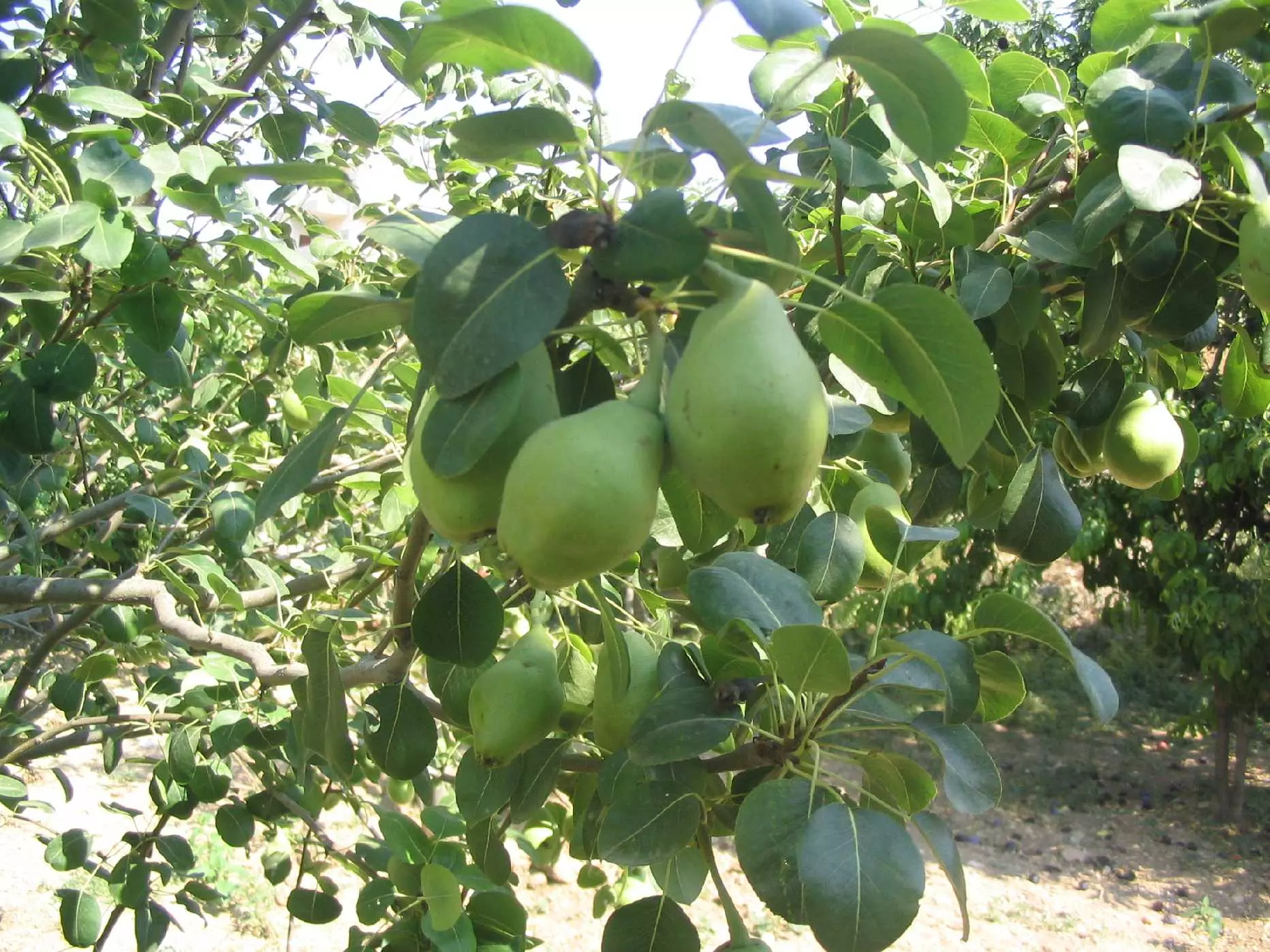
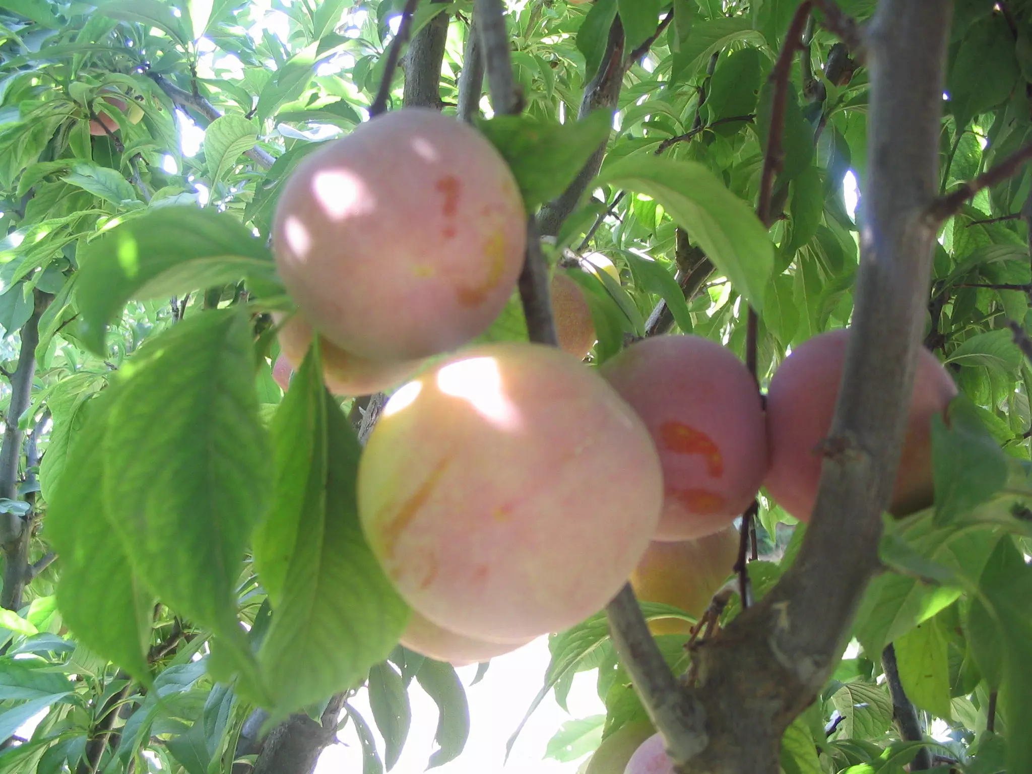
Posted by حكمت زكي - التفاح العوري
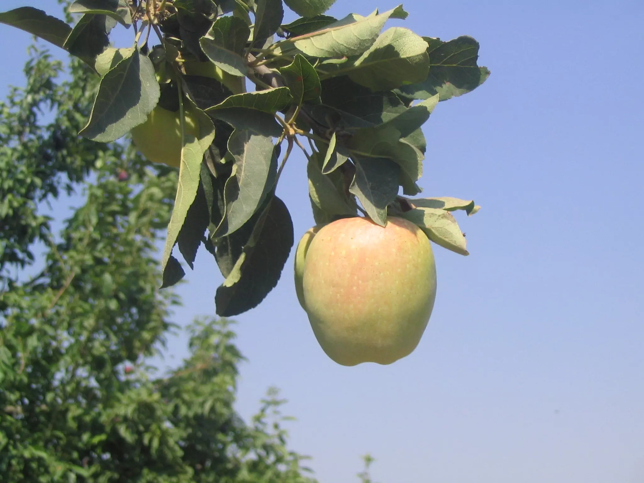
Posted by حكمت زكي 1 - التفاح العوري
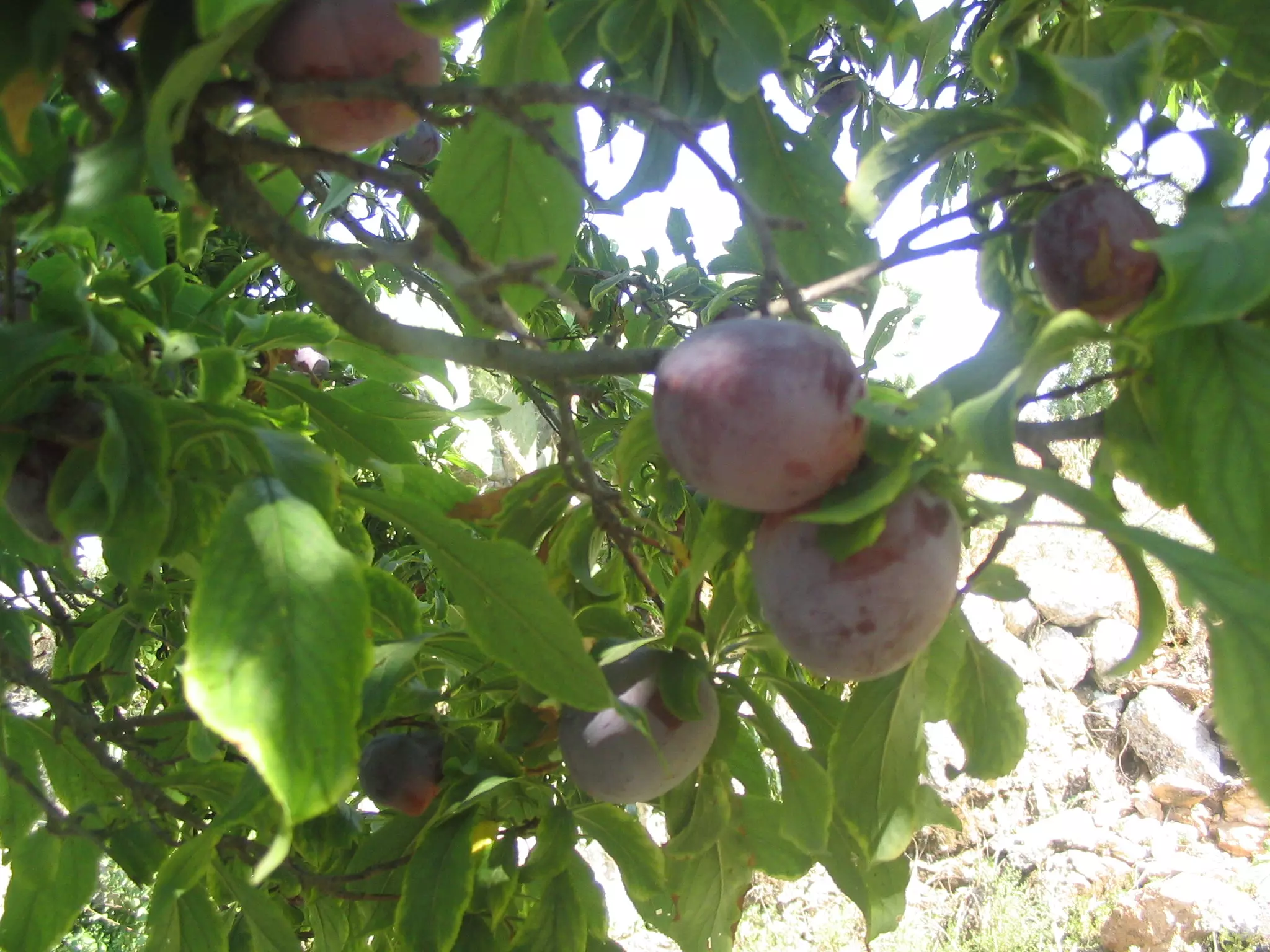
Posted by حكمت زكي - البرقوق العوري
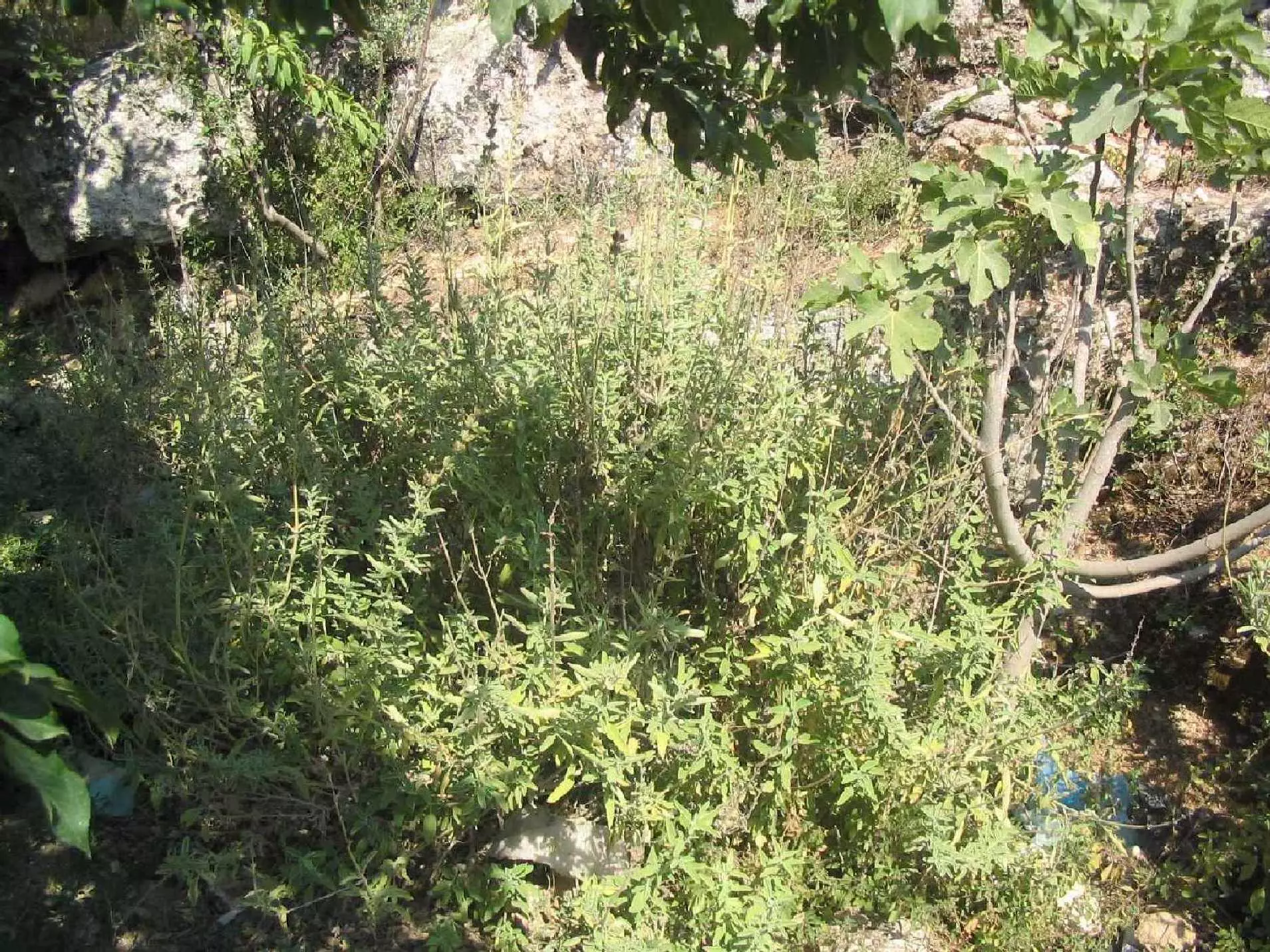
Posted by حكمت زكي 2 - الميرمية العورية
Posted by حكمت زكي - البرقوق العوري
Posted by حكمت زكي - الاجاص العوري
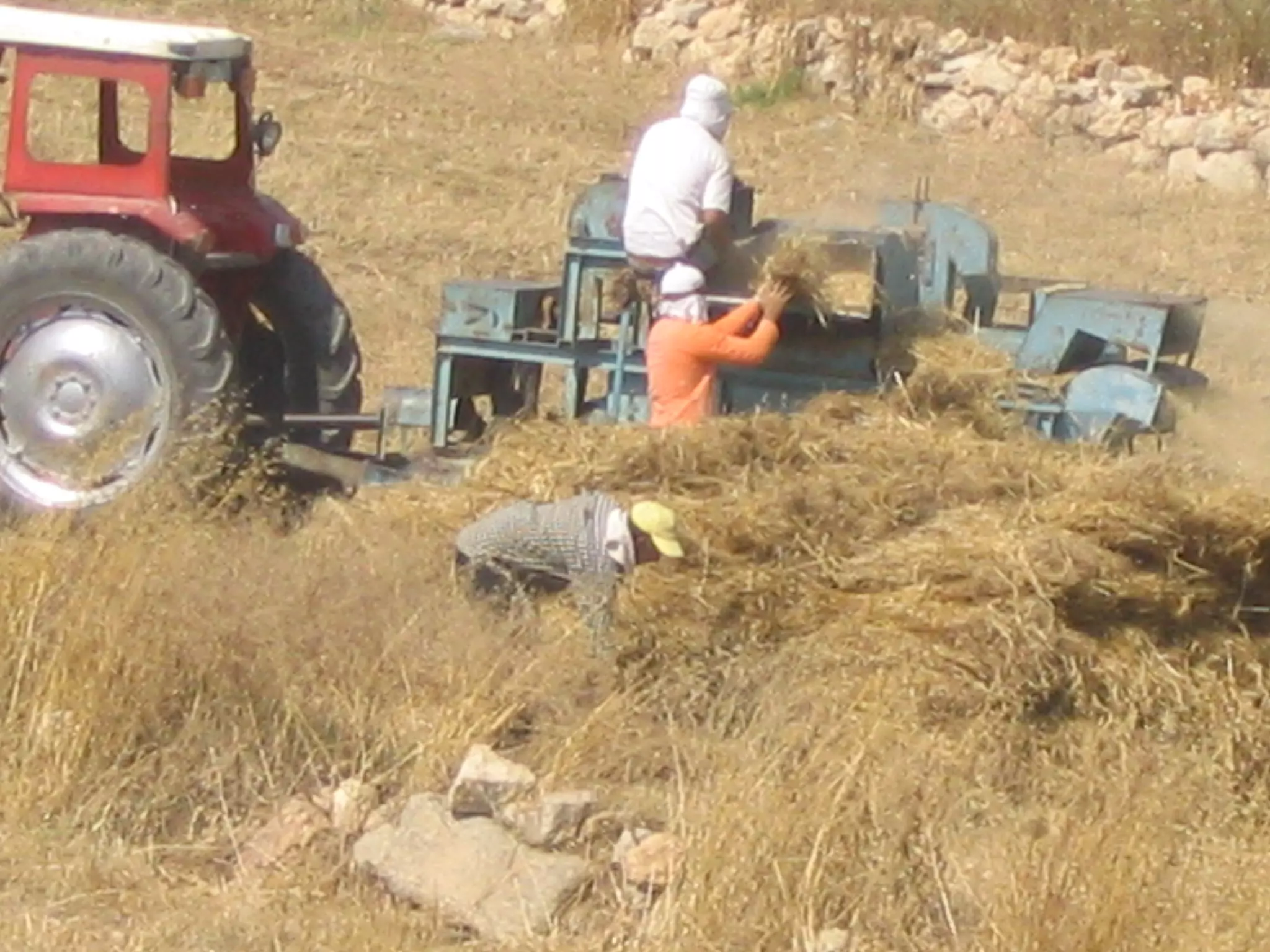
Posted by حكمت زكي 3 - درس محصول القمح بعد الحصاد
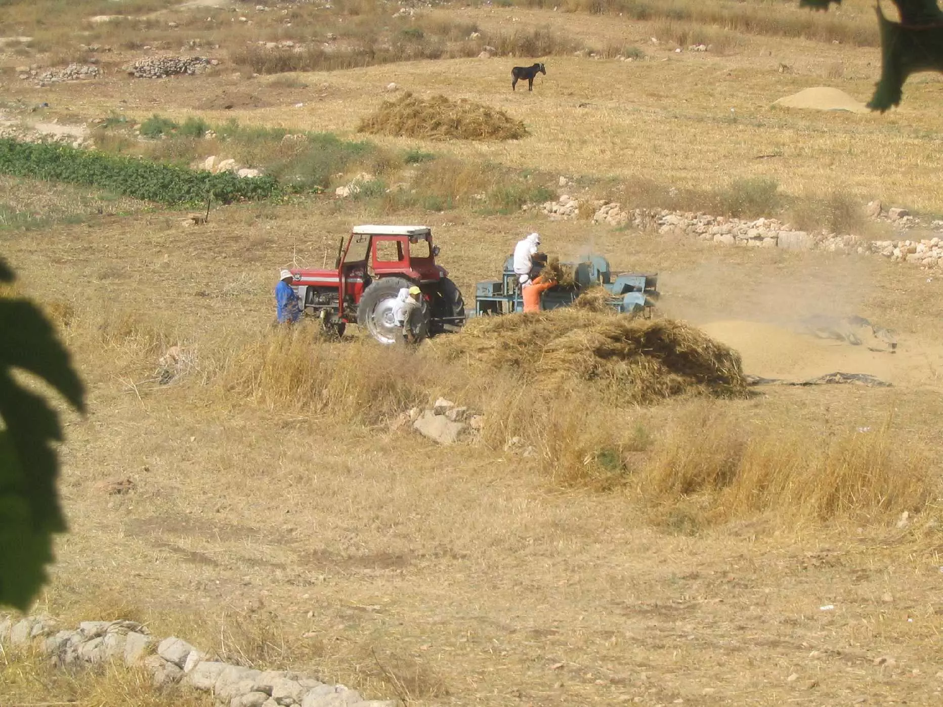
Posted by حكمت زكي 1 - درس محصول القمح بعد الحصاد
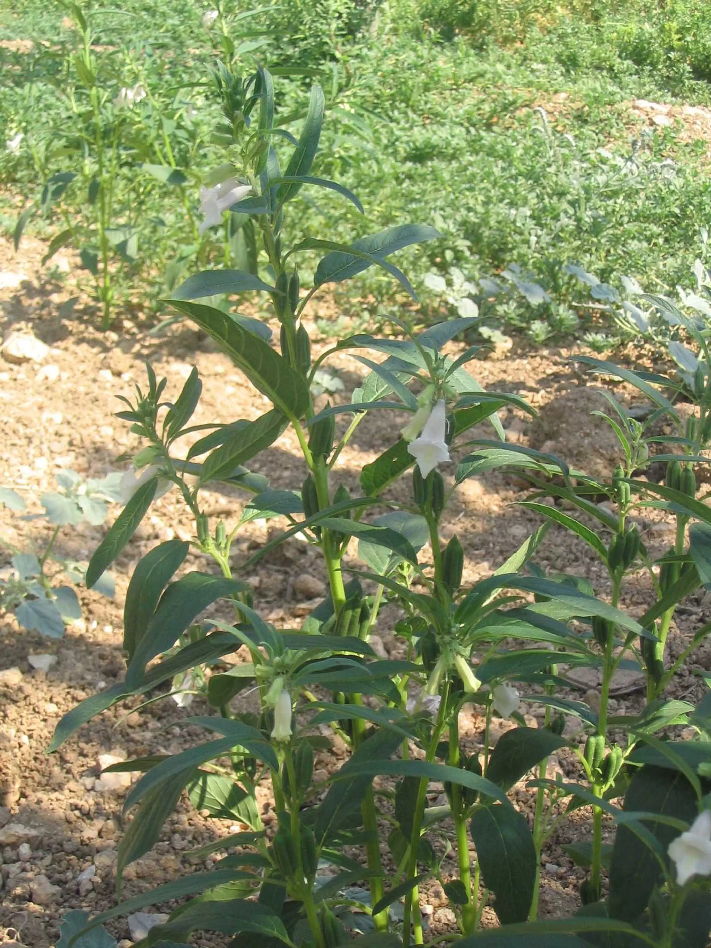
Posted by حكمت زكي - نبتة السمسم
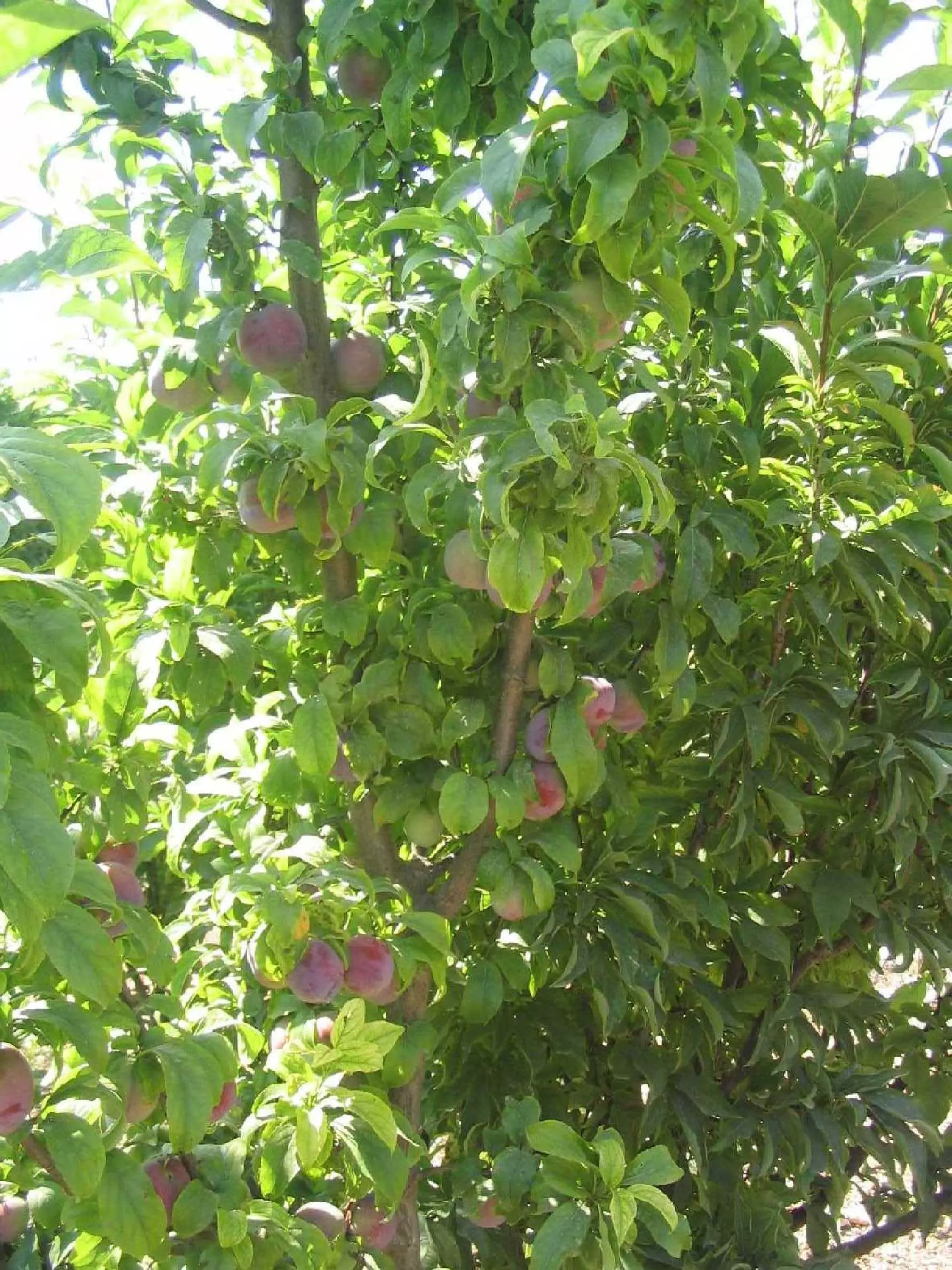
Posted by حكمت زكي 1 - البرقوق
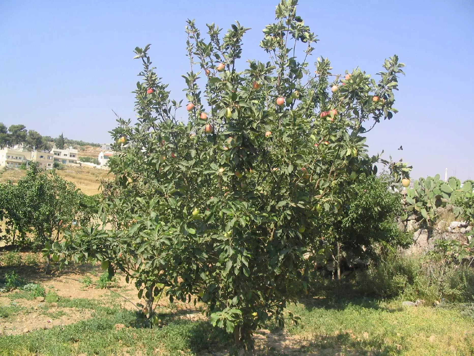
Posted by حكمت زكي - شجر التفاح
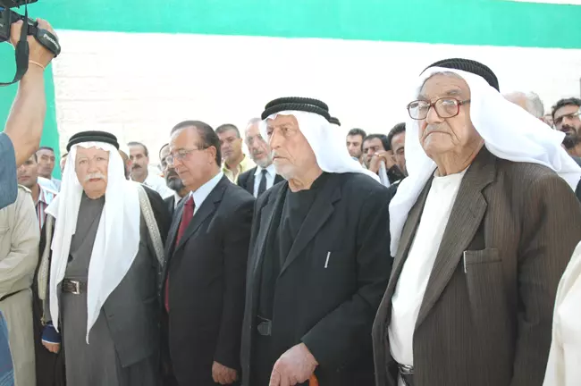
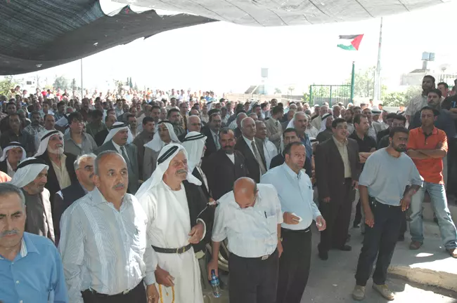
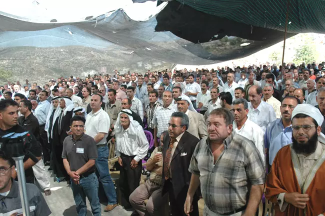
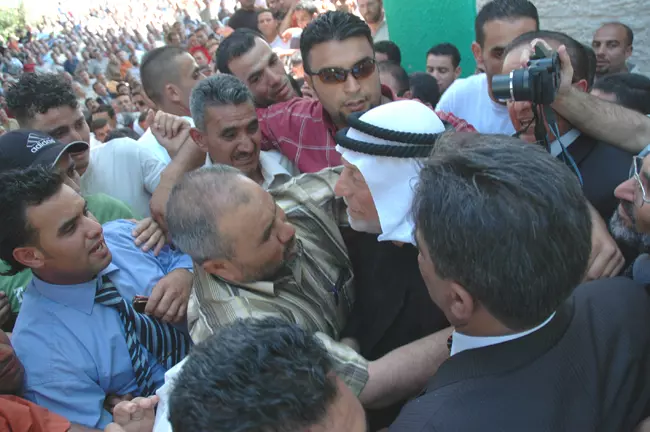
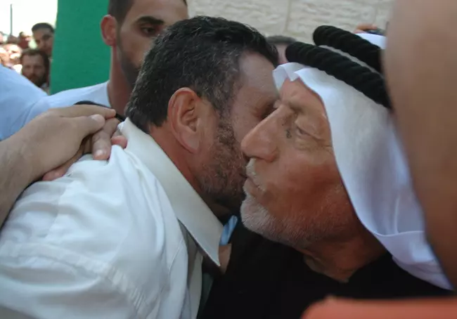
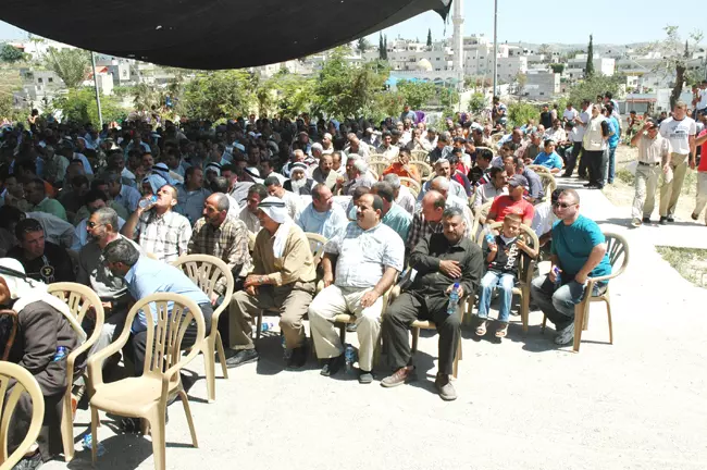
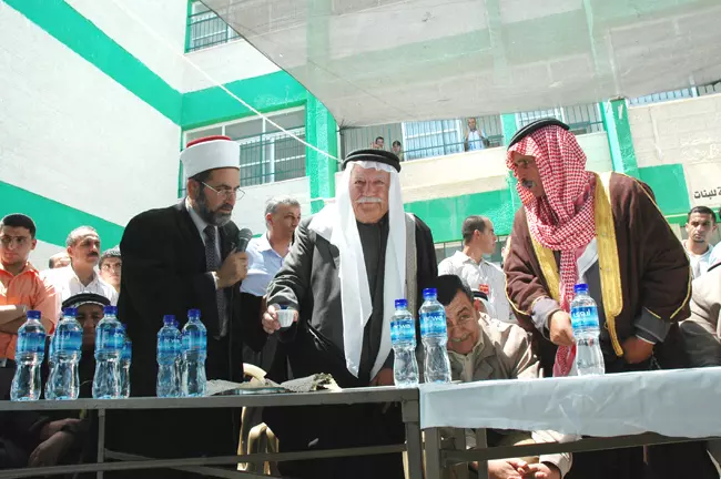
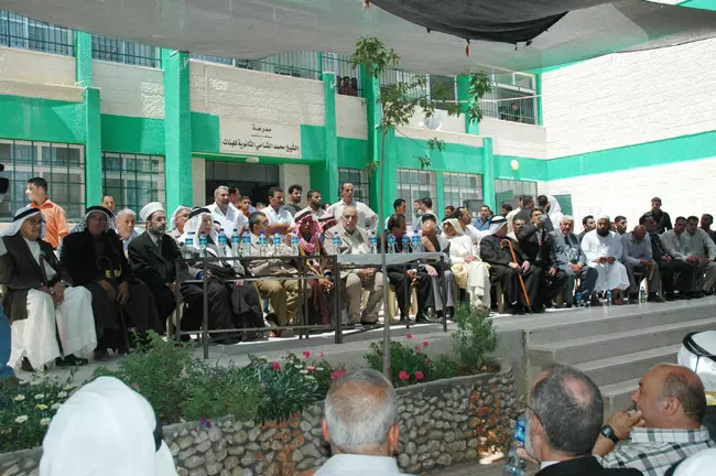
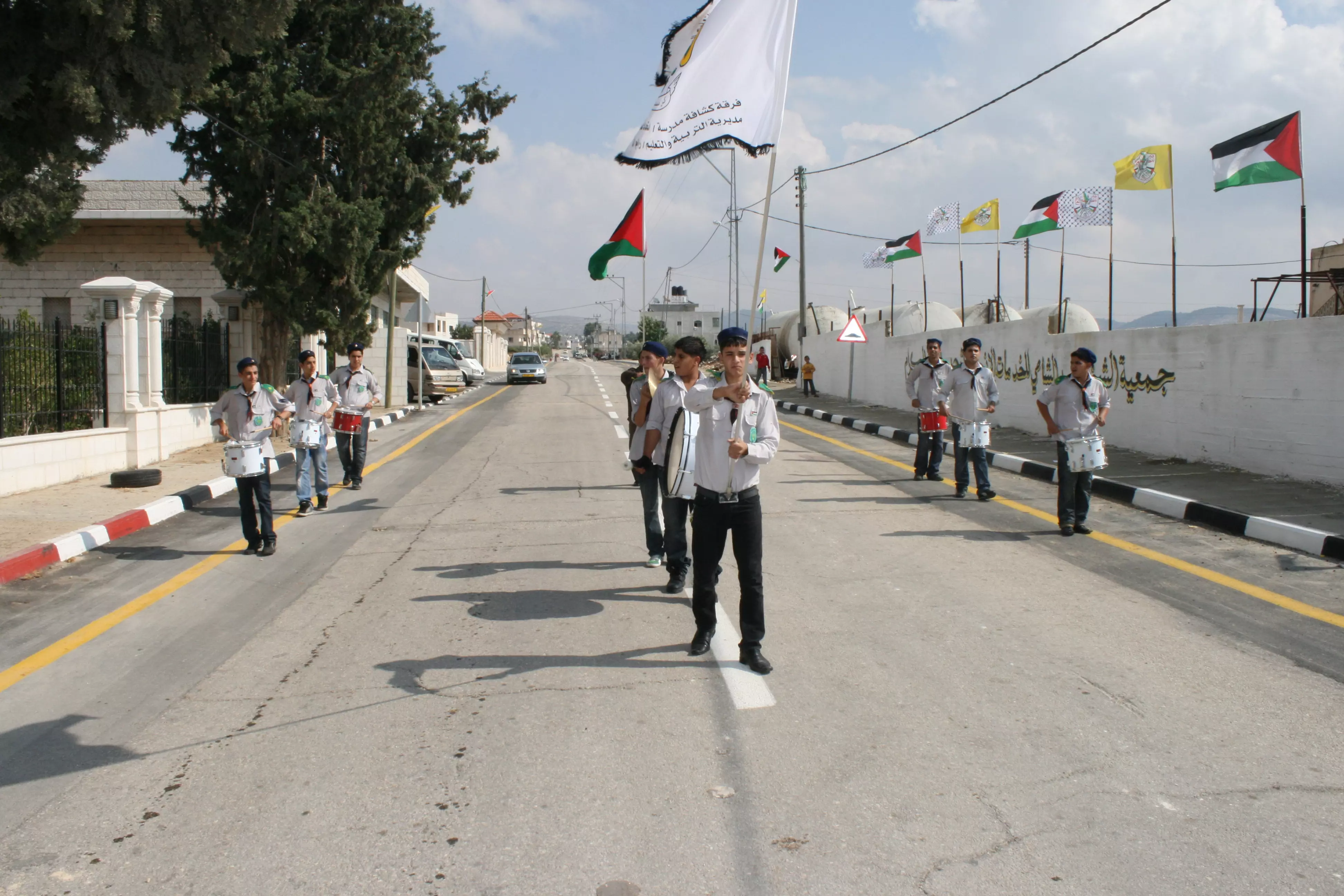
Posted by حكمت زكي 1 - مراسم الصلح العشائري بين ال عثمان وال الاشقر 1/6/2007
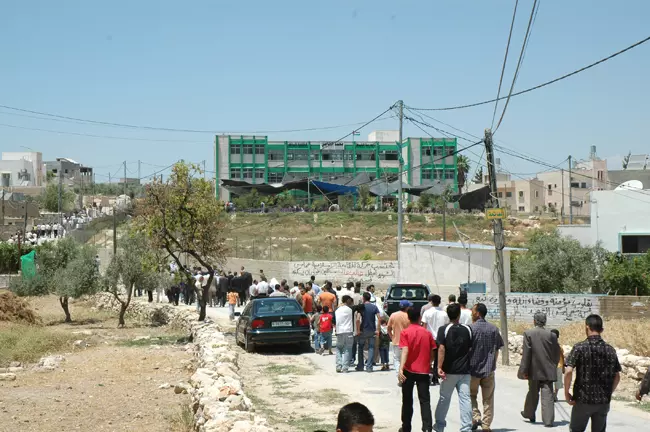
Posted by حكمت زكي - مراسم الصلح العشائري بين ال عثمان وال الاشقر 1/6/2007
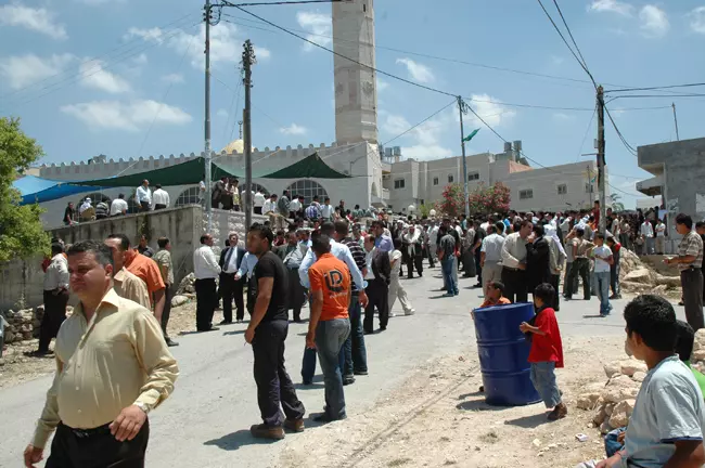
Posted by حكمت زكي - مراسم الصلح العشائري بين ال عثمان وال الاشقر 1/6/2007
Posted by حكمت زكي - مراسم الصلح العشائري بين ال عثمان وال الاشقر 1/6/2007
Posted by حكمت زكي - مراسم الصلح العشائري بين ال عثمان وال الاشقر 1/6/2007
Posted by حكمت زكي - مراسم الصلح العشائري بين ال عثمان وال الاشقر 1/6/2007
Posted by حكمت زكي - مراسم الصلح العشائري بين ال عثمان وال الاشقر 1/6/2007
Posted by حكمت زكي - الصلح
Posted by امـــجــد كيلاني 1 - حارة الشكاير
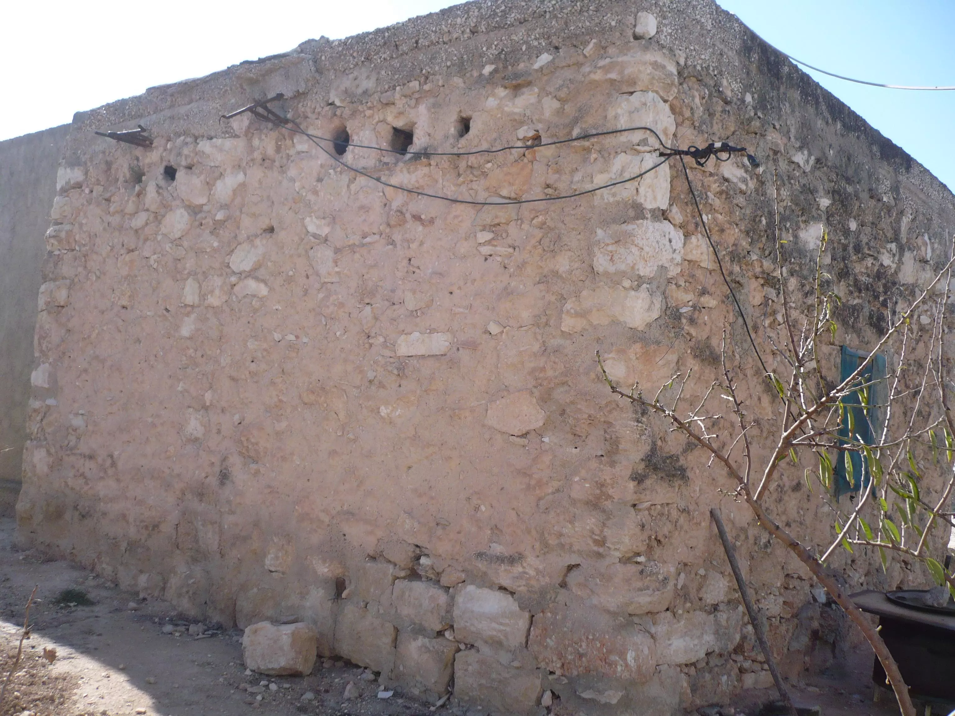
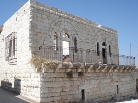
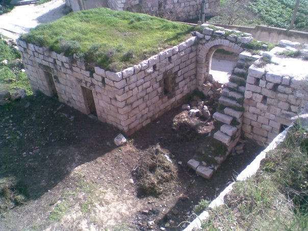
Posted by حكمت زكي 2 - بناء قديم
Posted by حكمت زكي - بناء قديم
Posted by حكمت زكي - بناء قديم
Posted by حكمت زكي - بناء قديم
Posted by حكمت زكي - بناء قديم
Posted by حكمت زكي - حارة النكعة

Posted by حكمت زكي - بناء قديم
Posted by حكمت زكي - بناء قديم
Posted by حكمت زكي - حارة النكعة
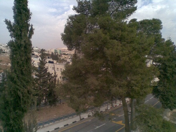
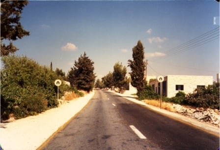
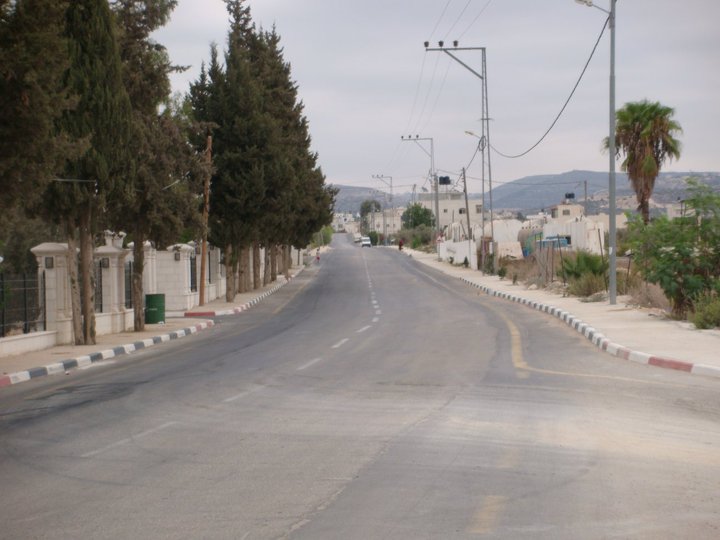
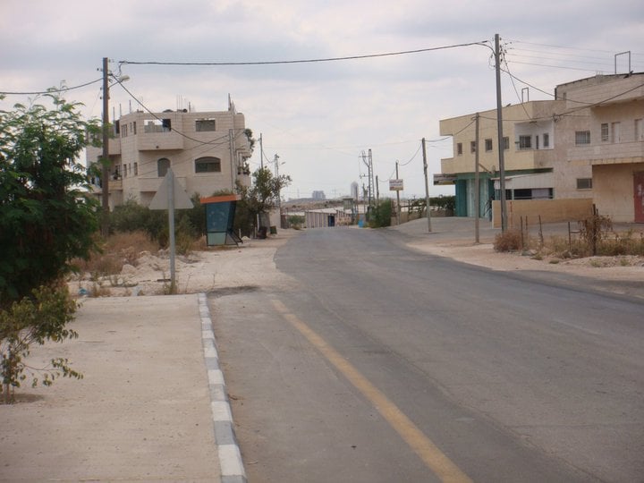
Posted by حكمت زكي 1 - شارع تل ابيب القدس الذي يمر بجانب البلده
Posted by حكمت زكي 1 - حارة النكعه
Posted by حكمت زكي - حارة حلابه
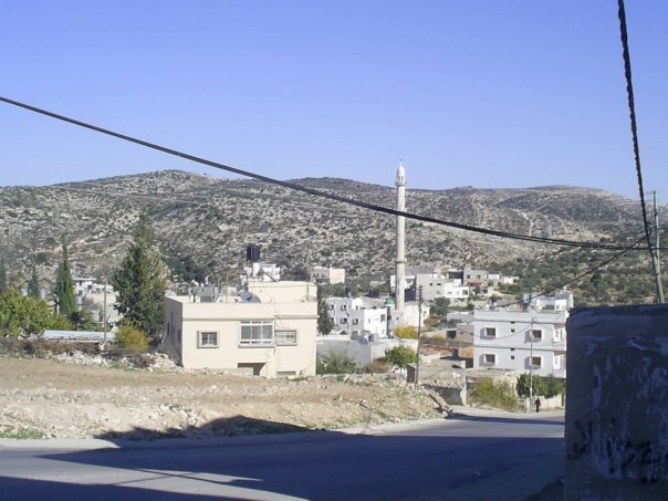
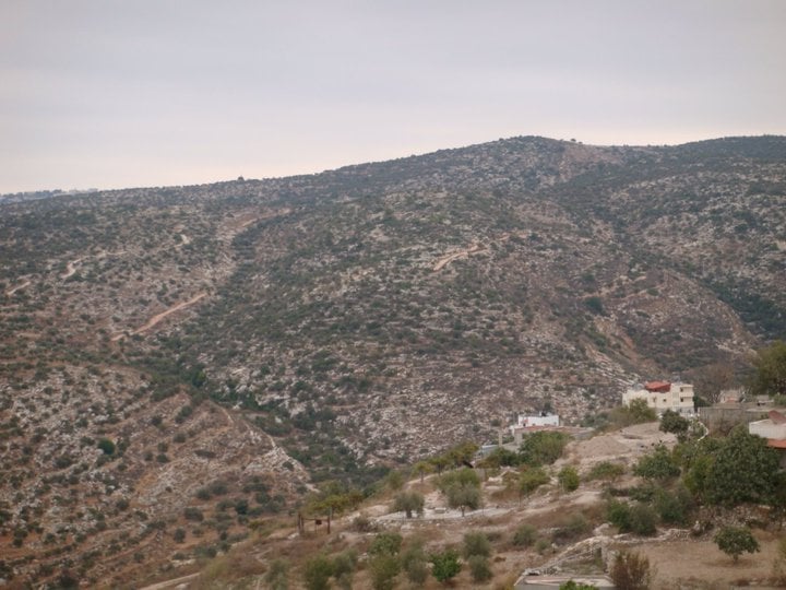
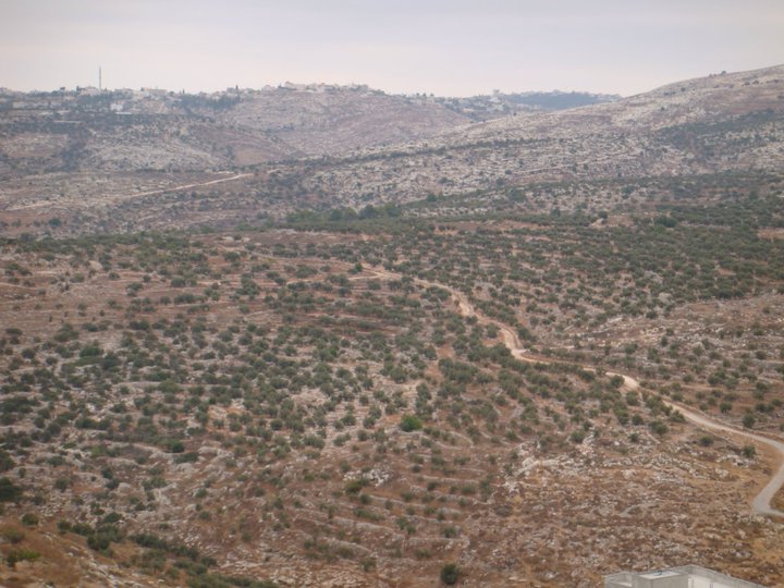
Posted by حكمت زكي 1 - الجبال المحيطة بالبلد من الجهة الشمالية (اعبرجان والقرنة ودير حسان)
Posted by حكمت زكي 1 - الحارة الغربيه
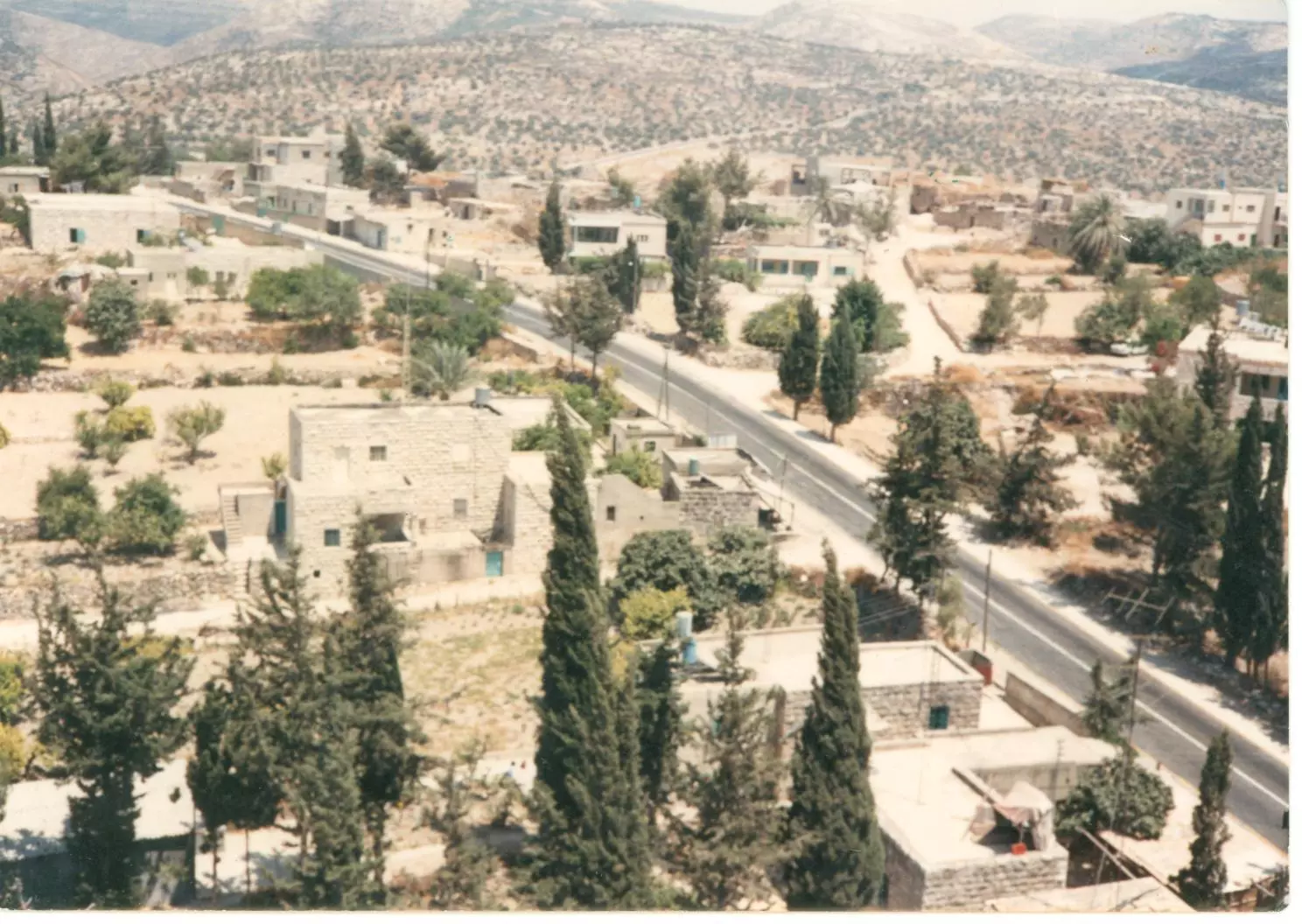
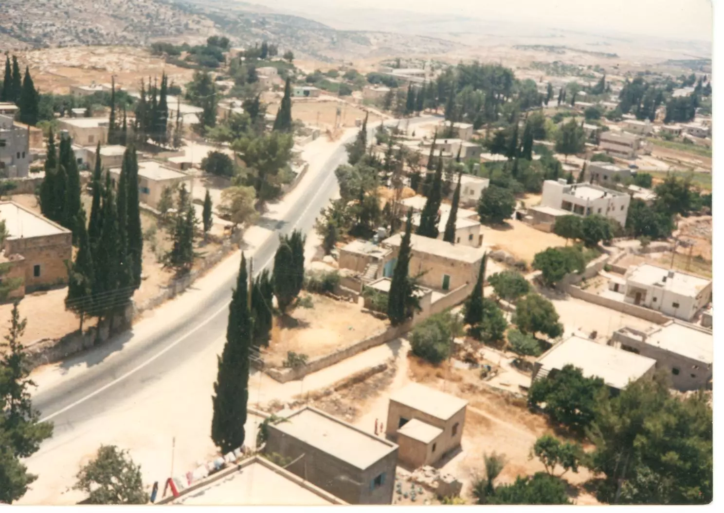
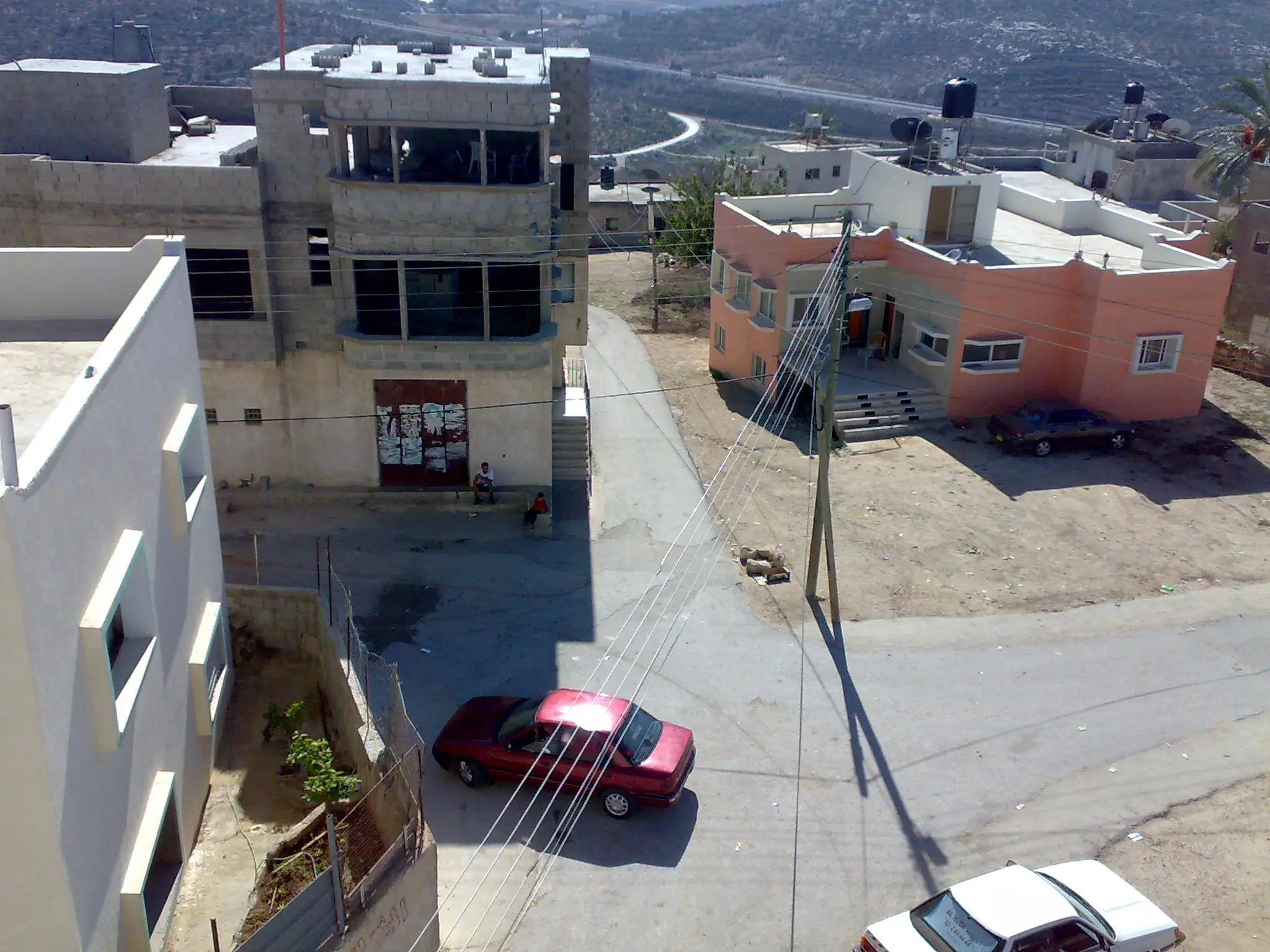
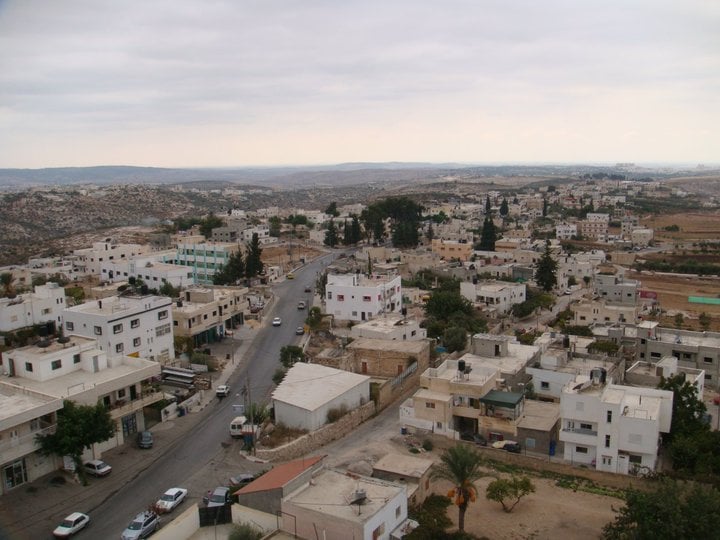
Posted by حكمت زكي 2 - وسط البلد
Posted by حكمت زكي - وسط البلد
Posted by حكمت زكي 1 - وسط البلد
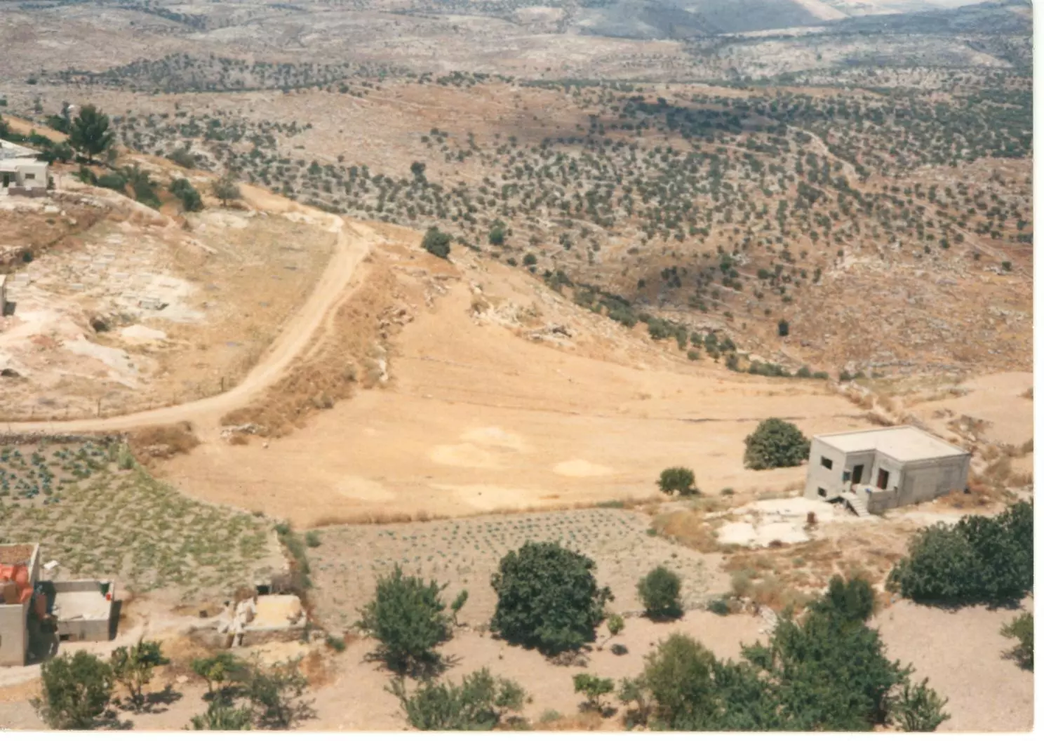
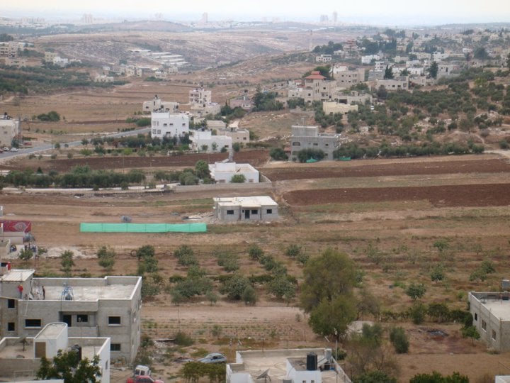
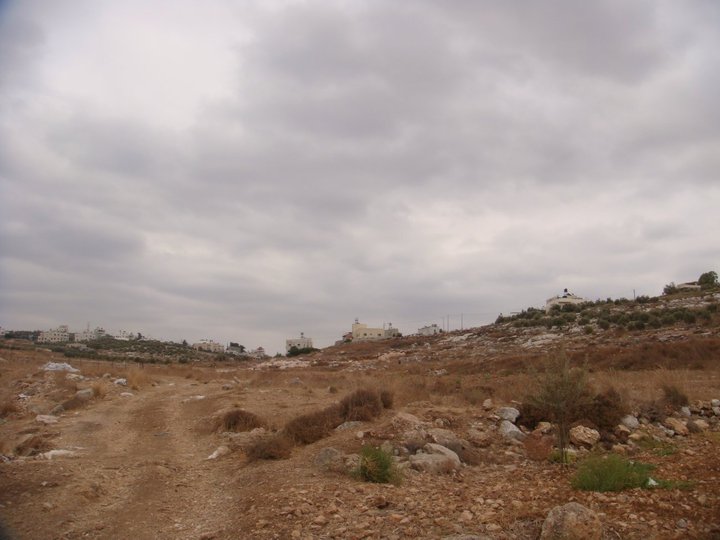
Posted by حكمت زكي 1 - سهل السلاق
Posted by حكمت زكي - منظر عام عريض، اُنقر الصورة لتكبيرها. تصوير مكافح عصري
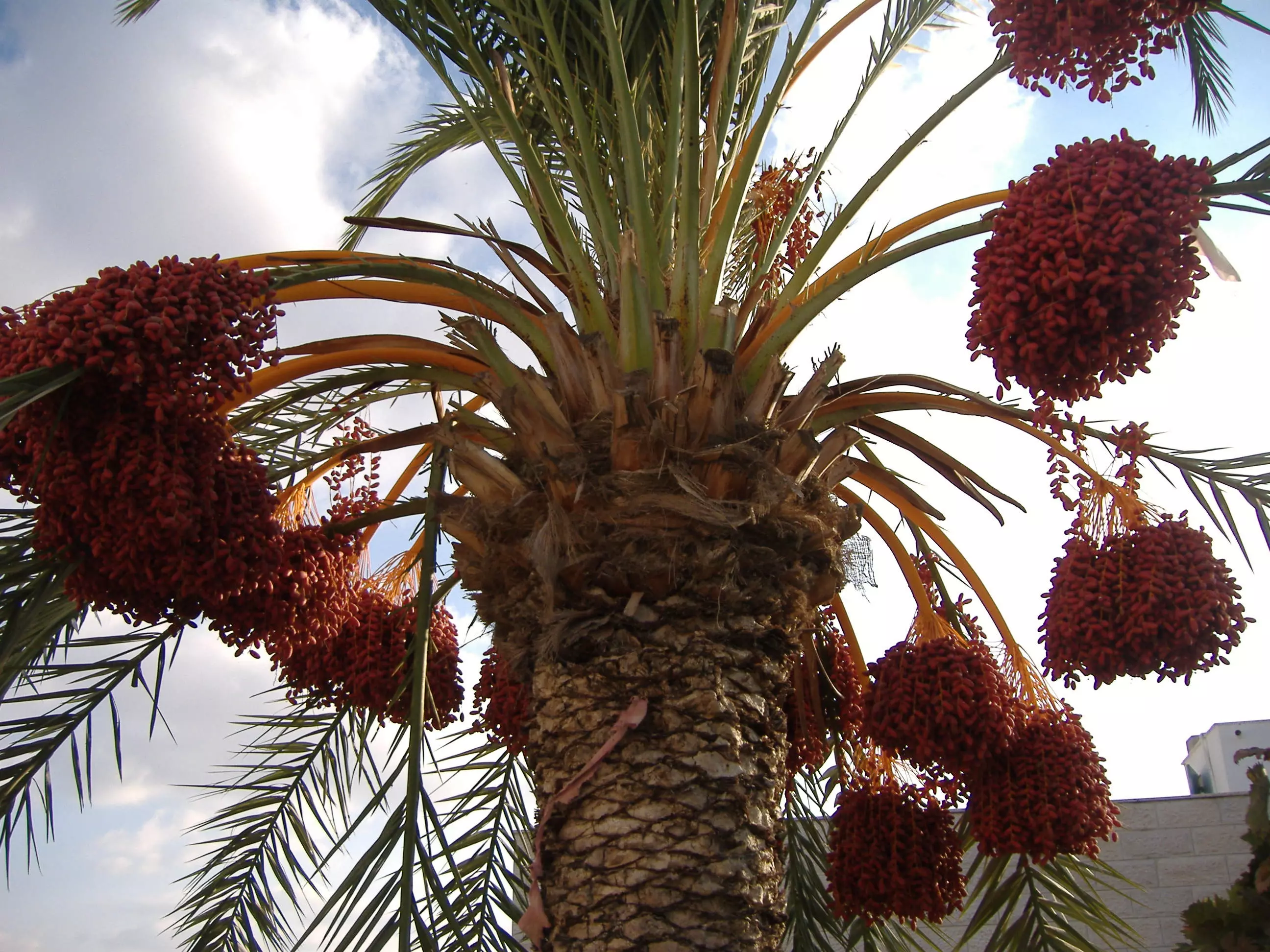
Posted by waelalshikh 3 - النخل في بيت عور التحتا-تصوير صالح علان
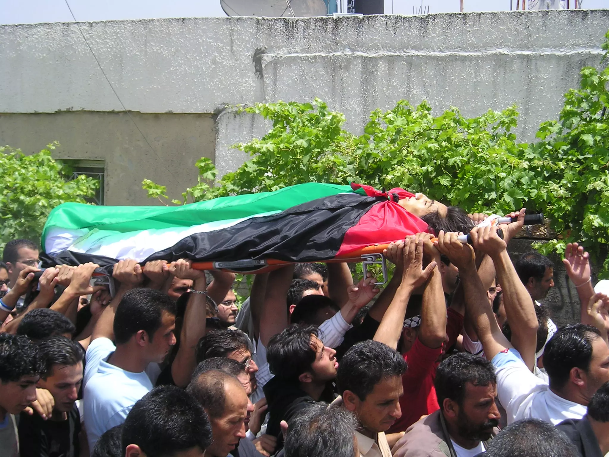
Posted by صالح علان - صوره للشهيد غالب علان 25/5/2006
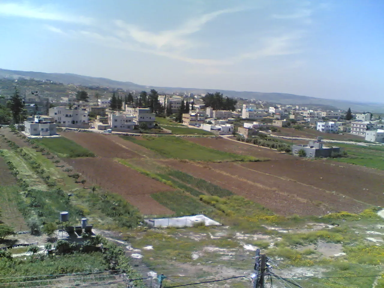
Posted by صالح علان 9 - صوره للبلده تصوير صالح علان
Posted by صالح علان - مراسم الصلح العشائري بين ال عثمان وال الاشقر 1/6/2007
Posted by حكمت زكي 1 - مراسم الصلح العشائري بين ال عثمان وال الاشقر 1/6/2007
Posted by حكمت زكي 1 - مراسم الصلح العشائري بين ال عثمان وال الاشقر 1/6/2007
Posted by حكمت زكي - مراسم الصلح العشائري بين ال عثمان وال الاشقر 1/6/2007
Posted by حكمت زكي - مراسم الصلح العشائري بين ال عثمان وال الاشقر 1/6/2007
Posted by حكمت زكي - مراسم الصلح العشائري بين ال عثمان وال الاشقر 1/6/2007
Posted by حكمت زكي - مراسم الصلح العشائري بين ال عثمان وال الاشقر 1/6/2007
Posted by حكمت زكي - مراسم الصلح العشائري بين ال عثمان وال الاشقر 1/6/2007
Posted by حكمت زكي - مراسم الصلح العشائري بين ال عثمان وال الاشقر 1/6/2007
Posted by حكمت زكي 2 - مراسم الصلح العشائري بين ال عثمان وال الاشقر 1/6/2007
Posted by حكمت زكي - مراسم الصلح العشائري بين ال عثمان وال الاشقر 1/6/2007
Posted by حكمت زكي - مراسم الصلح العشائري بين ال عثمان وال الاشقر 1/6/2007
Posted by حكمت زكي 1 - مراسم الصلح العشائري بين ال عثمان وال الاشقر 1/6/2007
Posted by حكمت زكي - مراسم الصلح العشائري بين ال عثمان وال الاشقر 1/6/2007
Posted by حكمت زكي - مراسم الصلح العشائري بين ال عثمان وال الاشقر 1/6/2007
Posted by حكمت زكي - مراسم الصلح العشائري بين ال عثمان وال الاشقر 1/6/2007
Posted by حكمت زكي - الجلنار العوري

Posted by عاشق الجلنار - من صديق
Posted by الريماوي 1 - فريق بيت عور التحتا
Posted by ريال مدريد - صورة للقرية (حارة النكعة)من جهة الواد
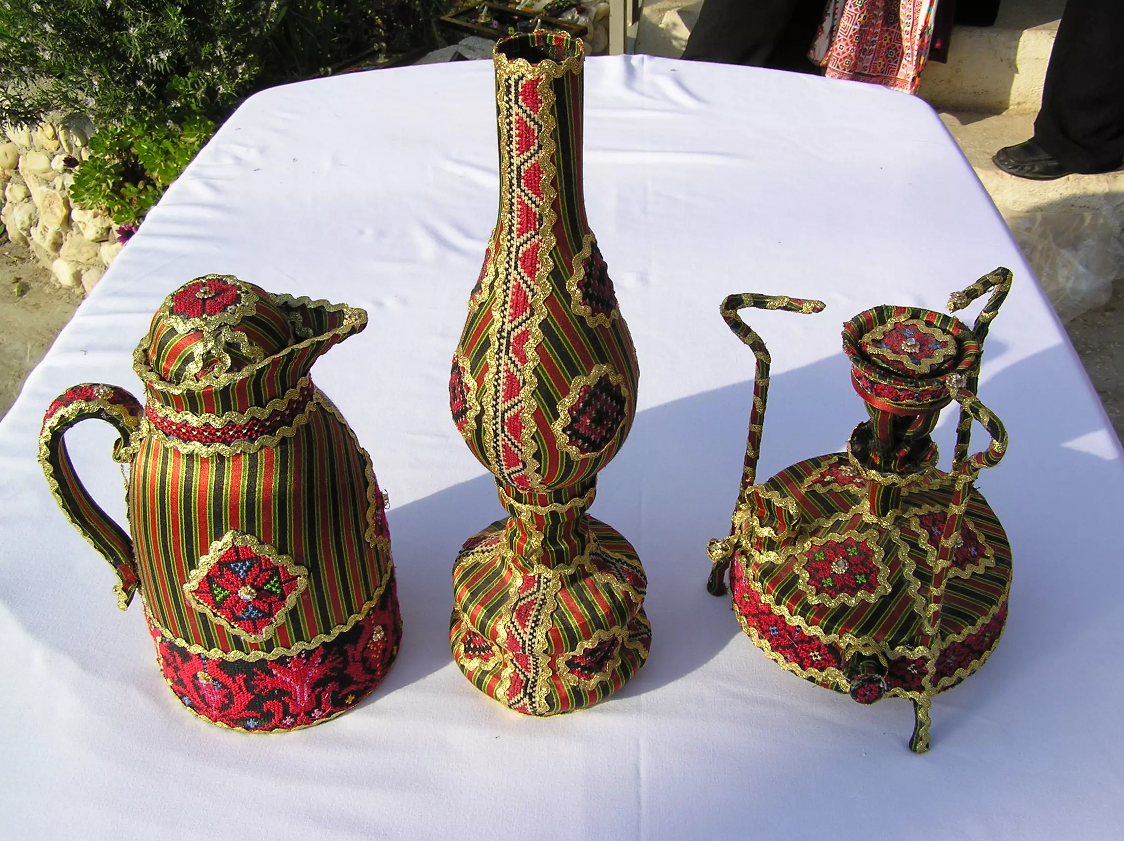
Posted by موفق جادالله - تراث-تصوير مأمون علان ألعوري
Posted by mohamed allan - أشغال عوريه _تصوير مأمون علان ألعوري
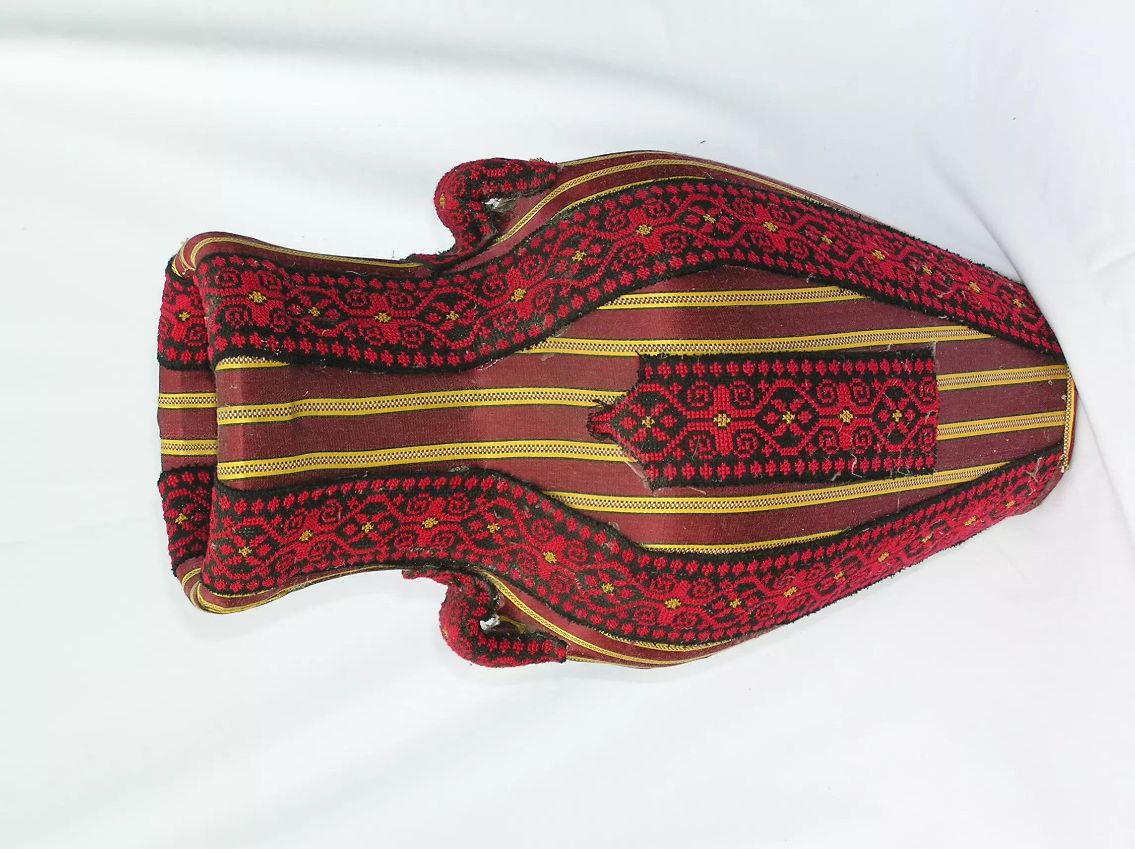
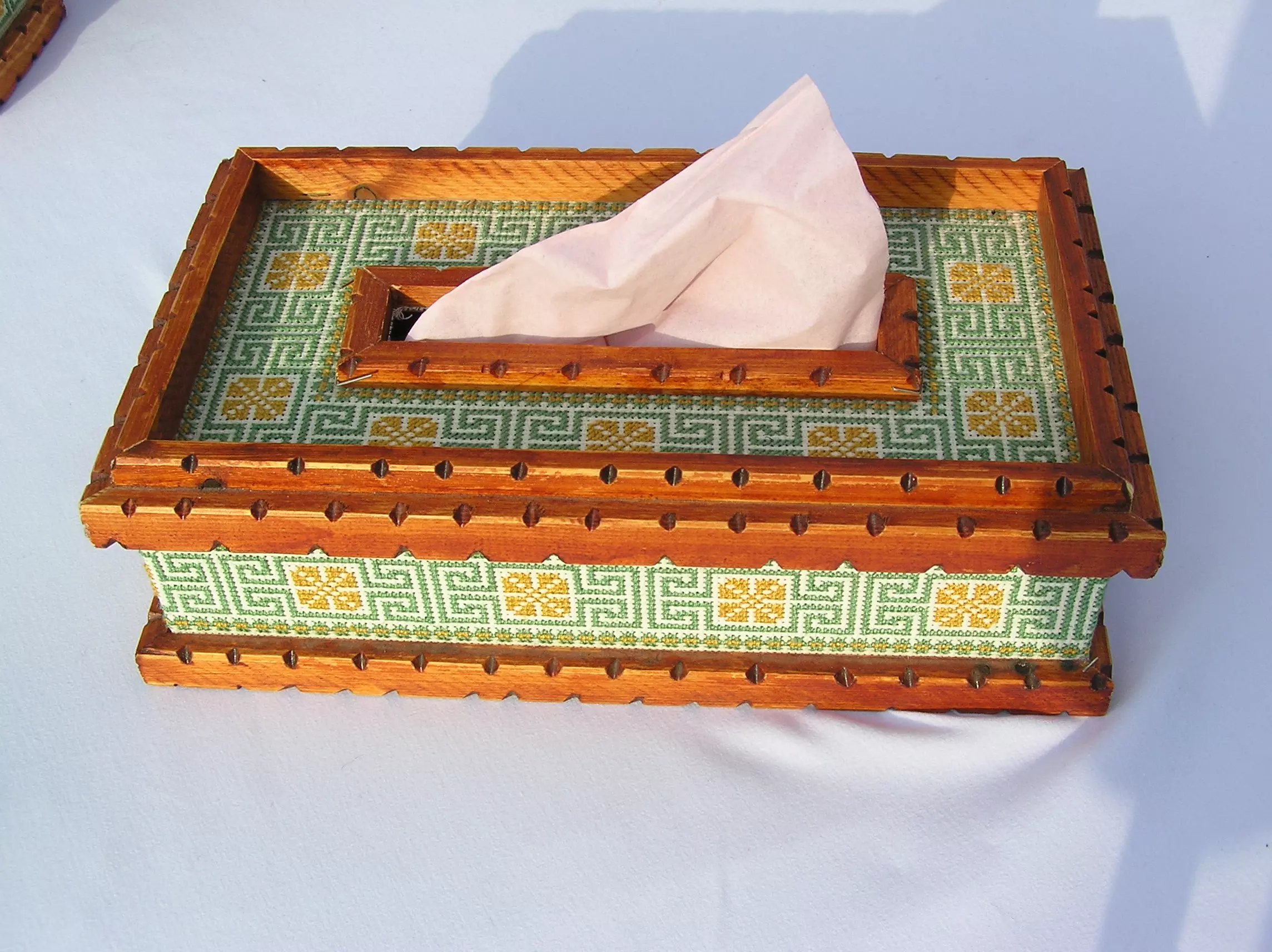
Posted by mohamed allan - صندوق محارم- تصوير مأمون علان ألعوري
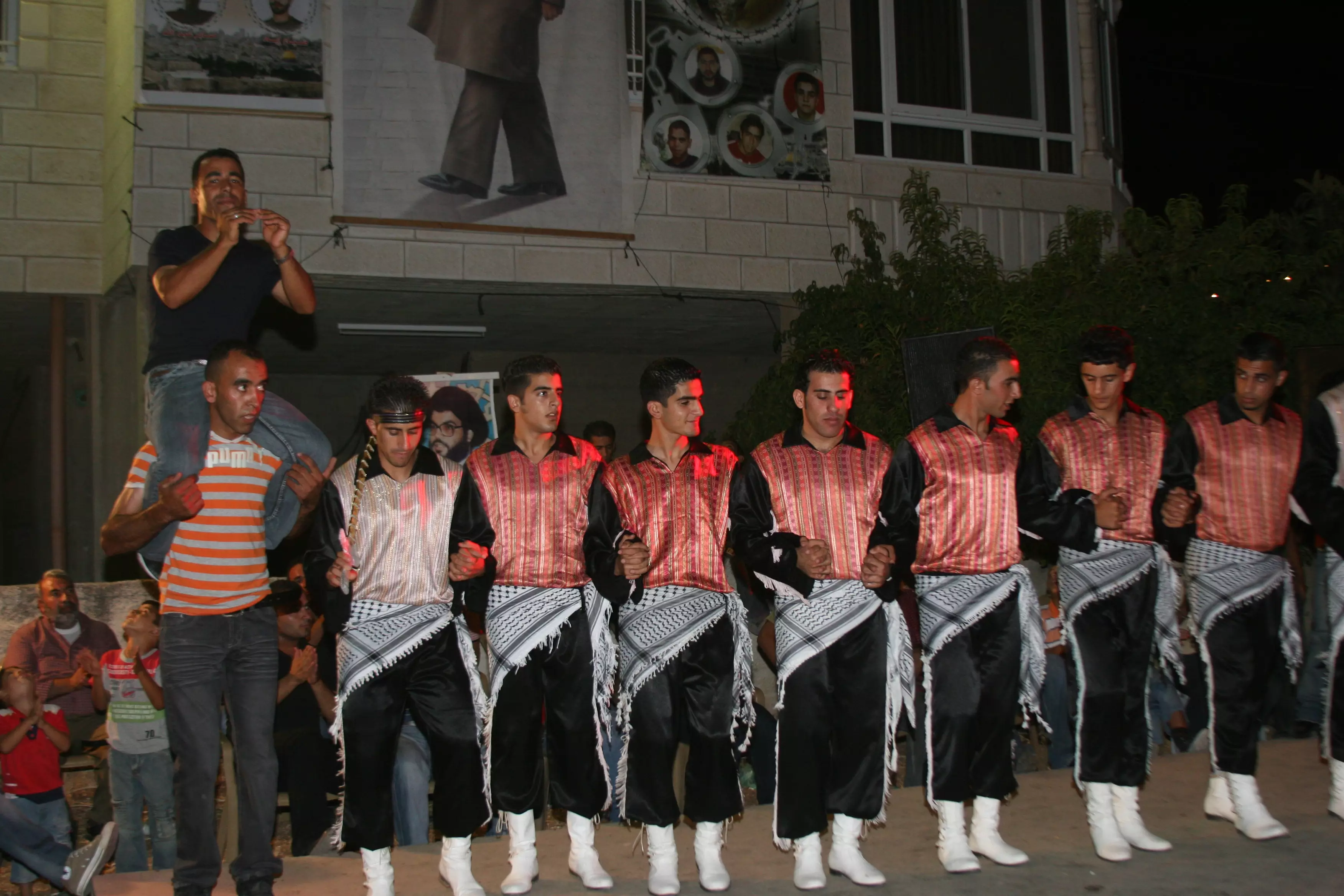
Posted by mohamed allan - النجوم للدبكه الشعبيه-عدسة مأمون علان
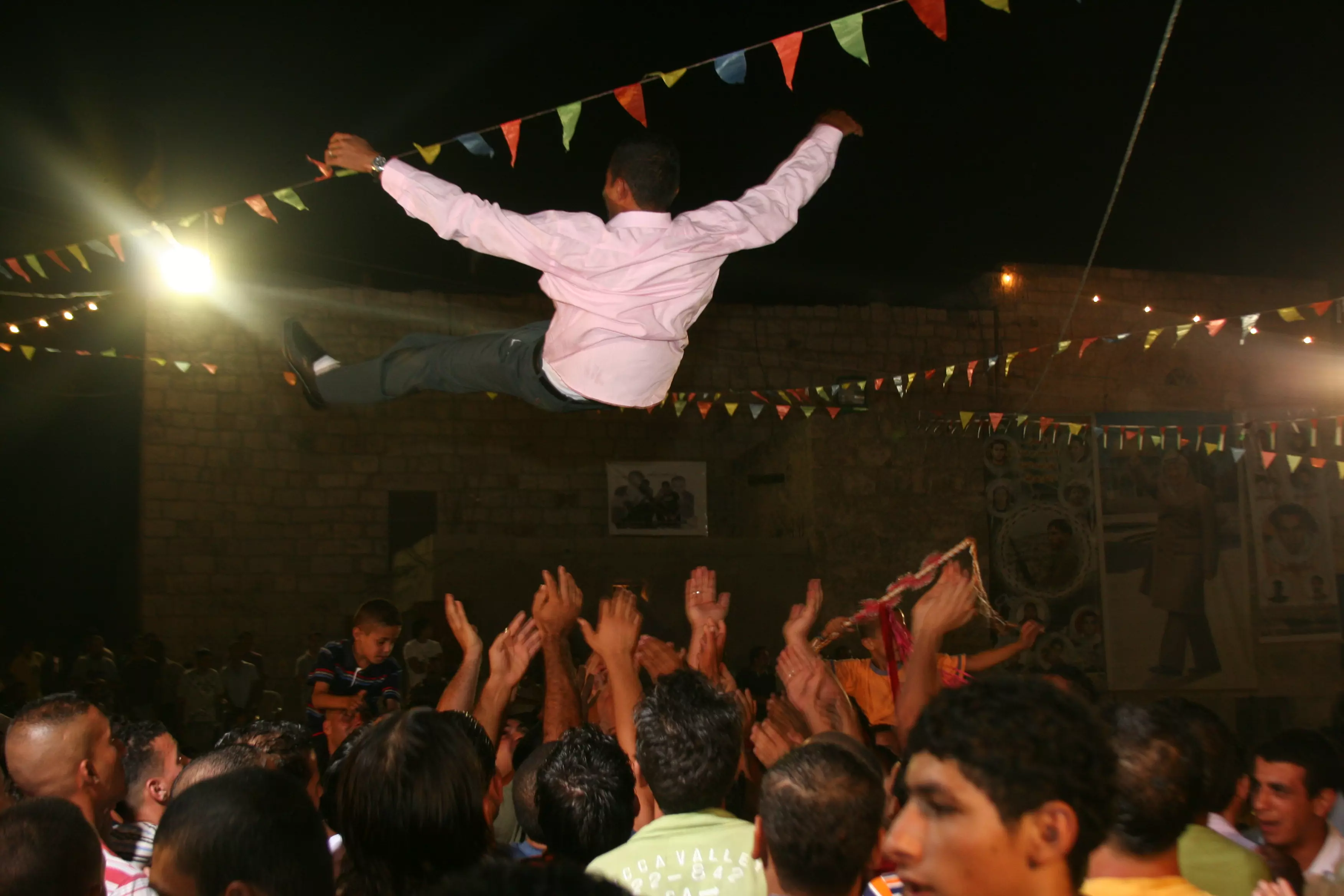
Posted by mohamed allan - سهره عوريه-عدسة مأمون علان
Posted by mohamed allan - فن وتراث-عدسة مأمون علان
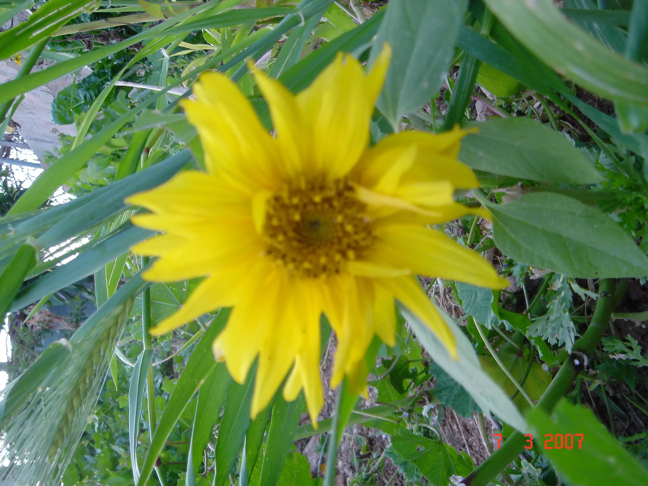
Posted by mohamed allan - ورده-عدسة مأمون علان
Posted by mohamed allan - الزرب 1 -عدسة مأمون علان
Posted by mohamed allan - الزرب2 -عدسة مأمون علان
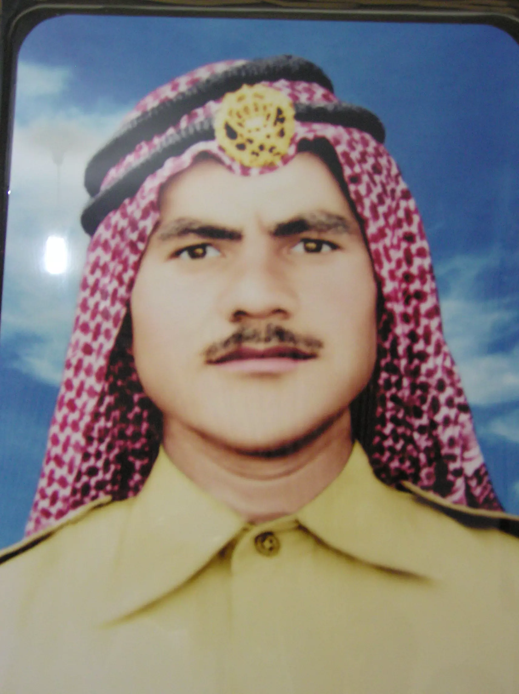
Posted by mohamed allan - ألشهيد اسماعيل عبد الهادي علان
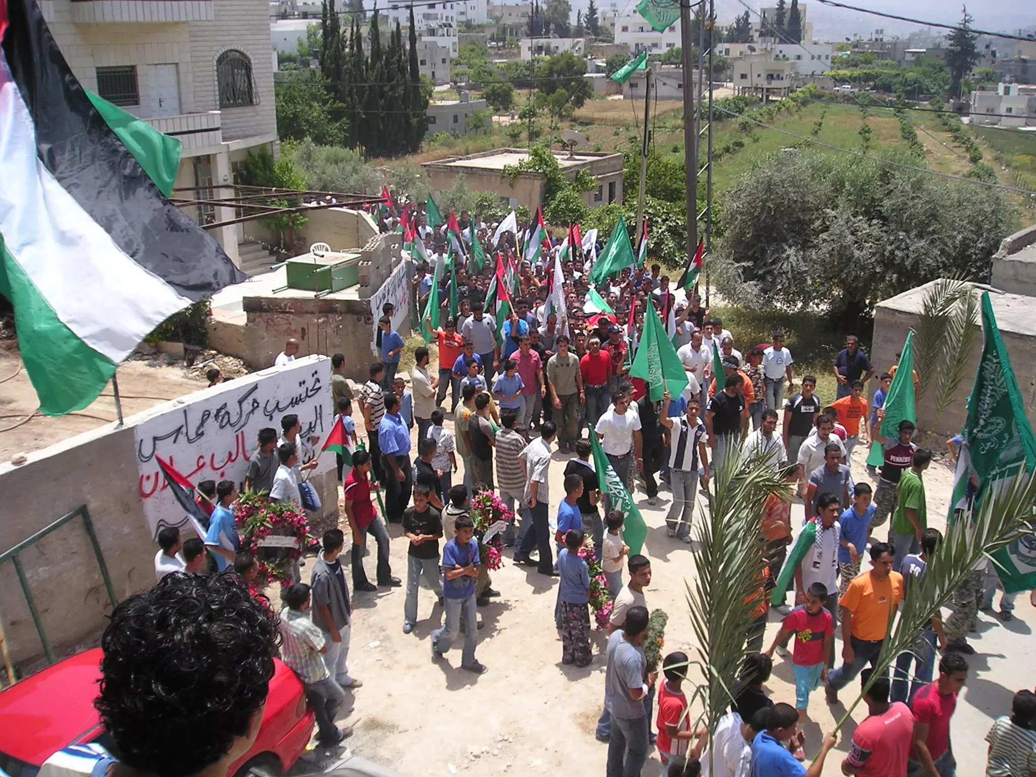
Posted by mohamed allan 2 - تشييع الشهيد غالب علان-عدسة مأمون علان
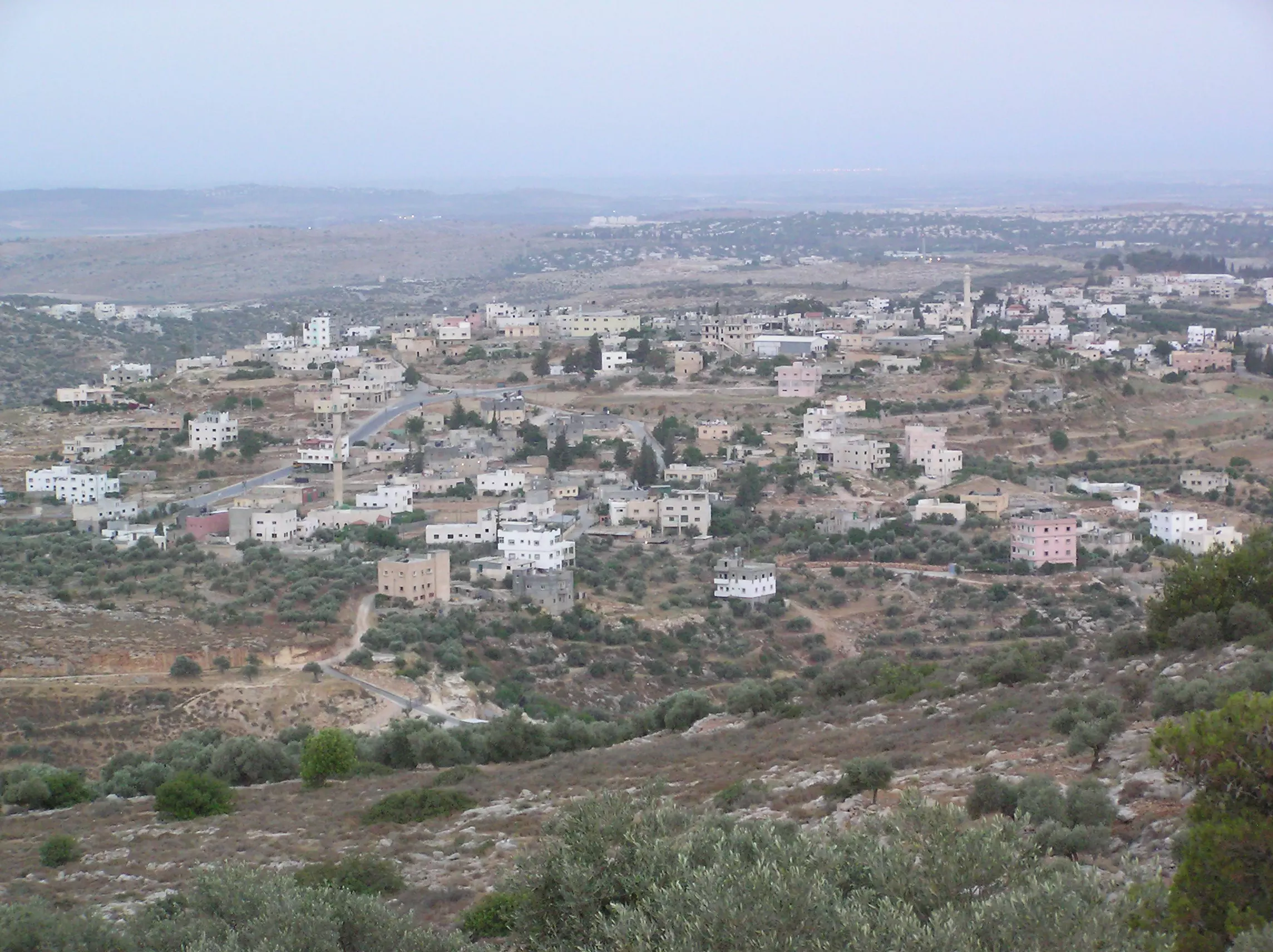
Posted by mohamed allan 1 - البلد من ظهر خليل-عدسة مأمون علان
Posted by mohamed allan - حفلة شباب-عدسة مأمون علان
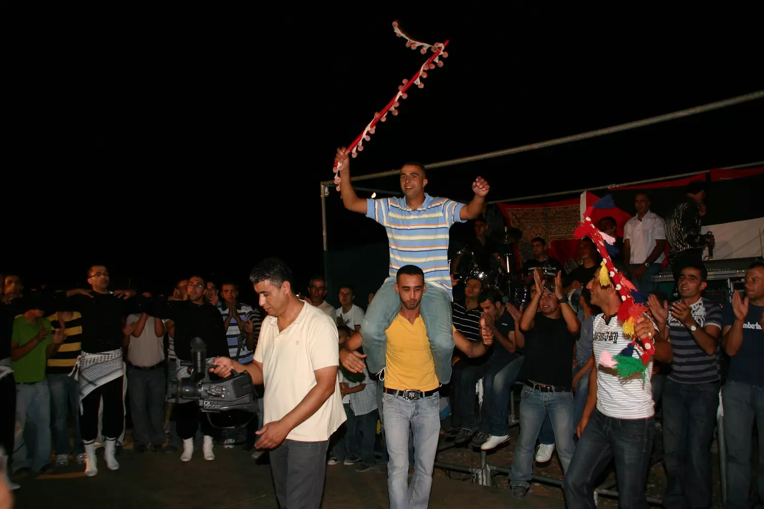
Posted by mohamed allan 2 - نجوم بيت عور-عدسة مأمون علان

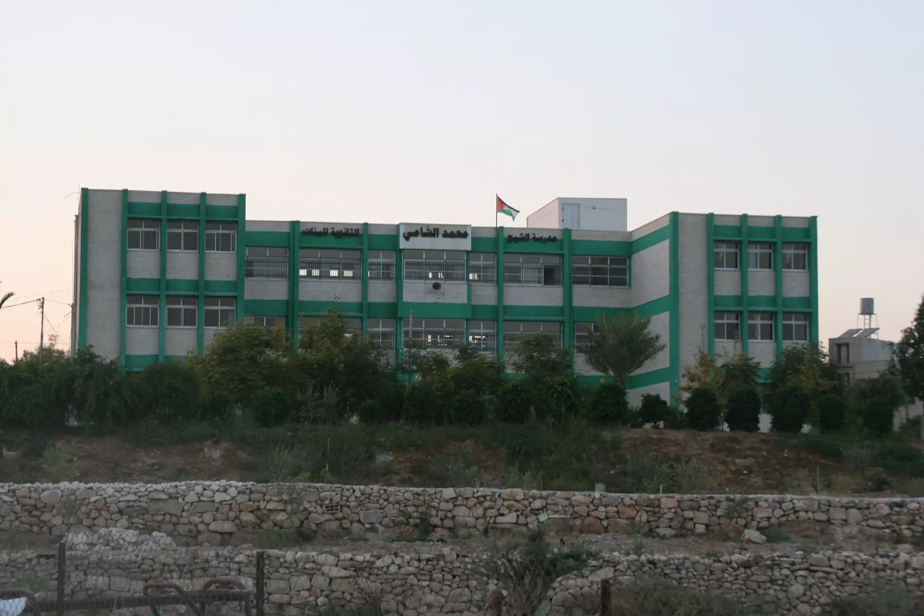
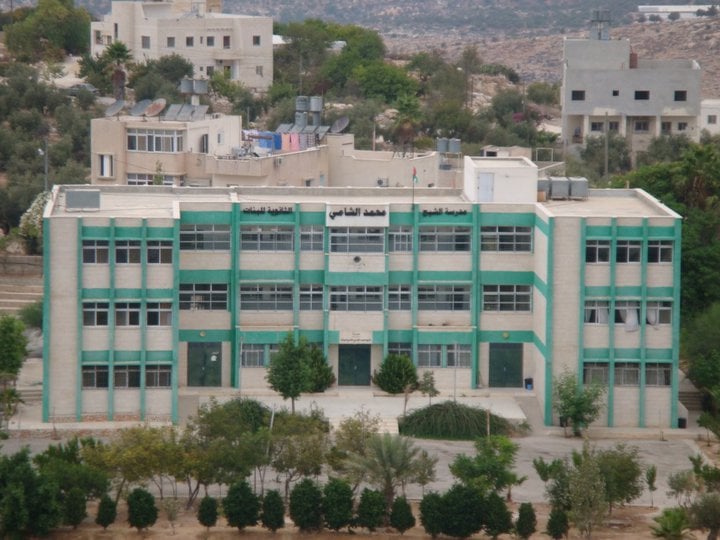
Posted by mohamed allan 1 - مدرسة الشيخ محمد الشامي_عدسة مأمون علان
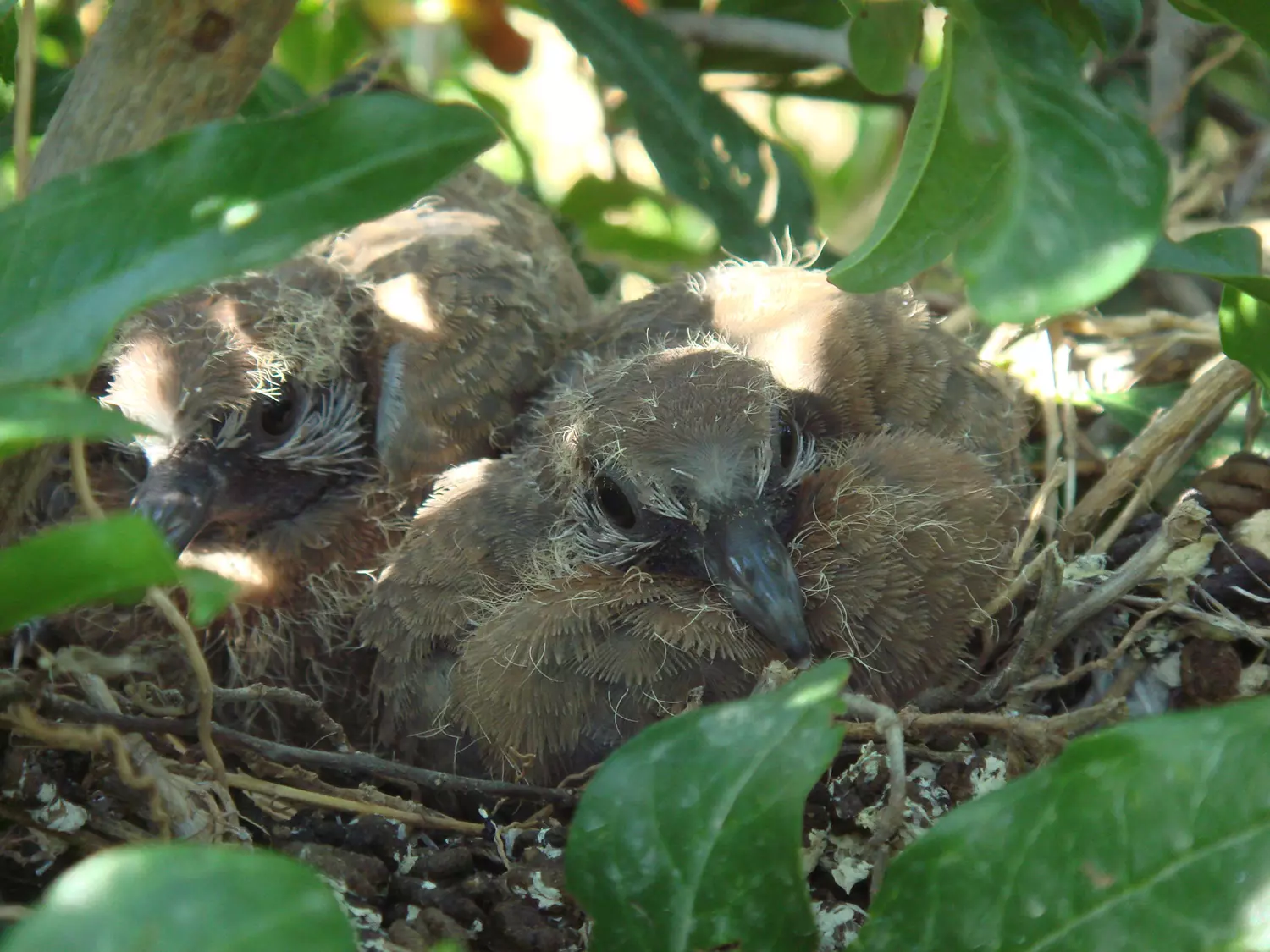
Posted by mohamed allan 1 - عش حمام_عدسة مأمون علان
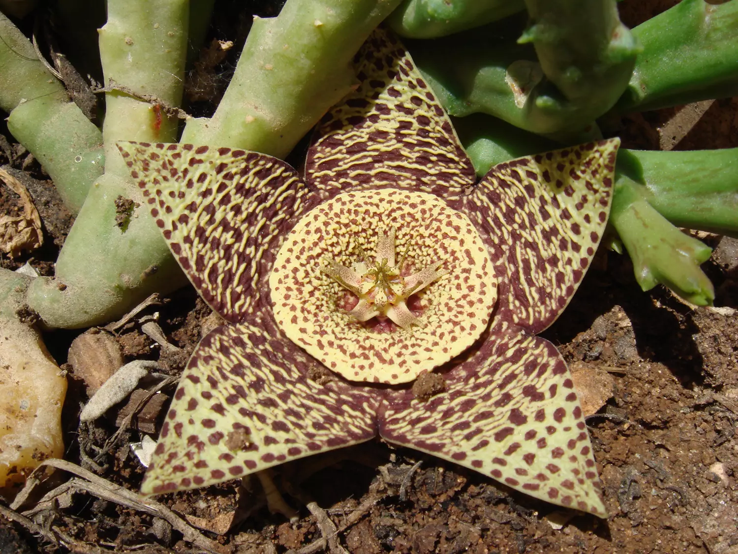
Posted by mohamed allan 1 - زهرة الصبايا_عدسة مأمون علان
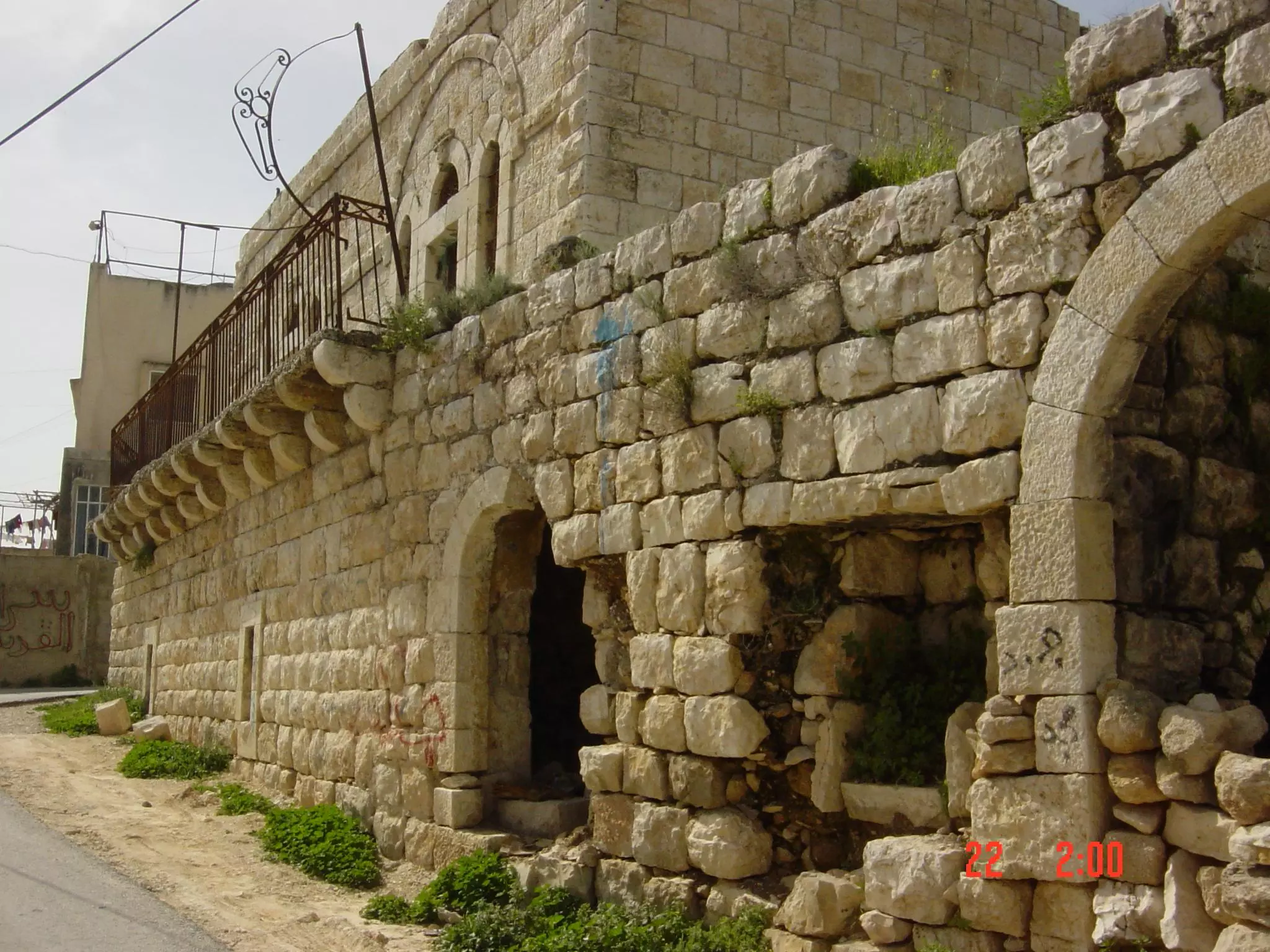
Posted by mohamed allan 2 - بيت من البيوت القديمة في القرية-تصوير موفق جادالله
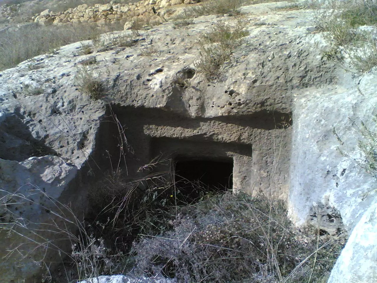
Posted by موفق جادالله 3 - صورة لمغارة محفورة في الصخر جنوب القرية - تصوير موفق جادالله
Posted by موفق جادالله 1 - مجموعة صور نادرة لبيت عور التحتا قبل 21 عام - تصوبر عبد القادر جادالله
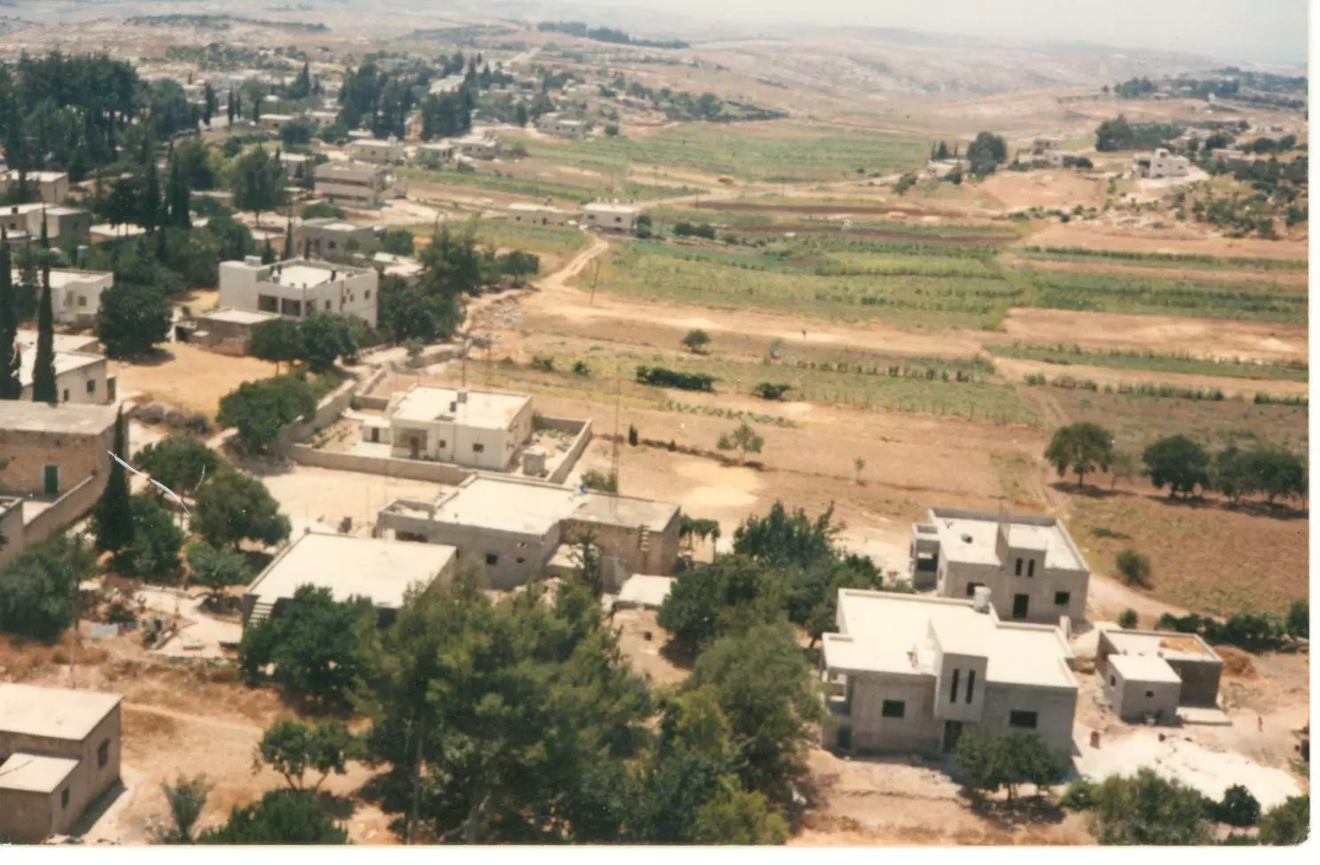
Posted by موفق جادالله 1 - مجموعة صور نادرة لبيت عور التحتا قبل 21 عام - تصوبر عبد القادر جادالله
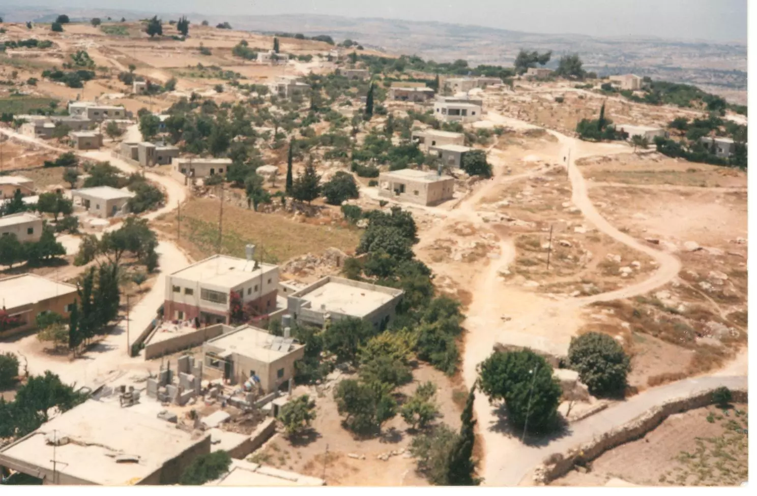
Posted by موفق جادالله - مجموعة صور نادرة لبيت عور التحتا قبل 21 عام - تصوبر عبد القادر جادالله
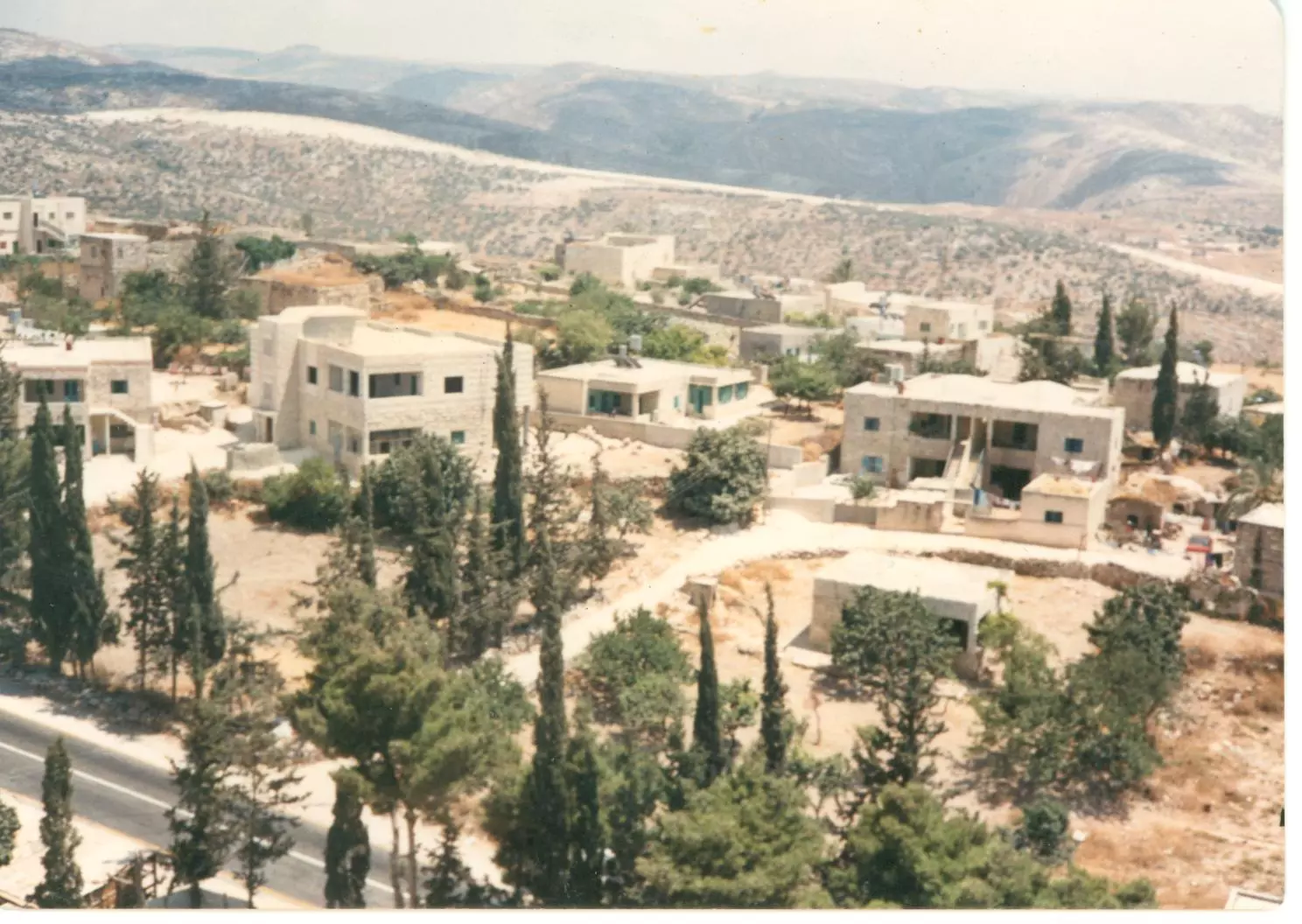
Posted by موفق جادالله 3 - مجموعة صور نادرة لبيت عور التحتا قبل 21 عام - تصوبر عبد القادر جادالله
Posted by موفق جادالله 2 - مجموعة صور نادرة لبيت عور التحتا قبل 21 عام - تصوبر عبد القادر جادالله
Posted by موفق جادالله 5 - مجموعة صور نادرة لبيت عور التحتا قبل 21 عام - تصوبر عبد القادر جادالله

Posted by موفق جادالله - مجموعة صور نادرة لبيت عور التحتا قبل 21 عام - تصوبر عبد القادر جادالله
Posted by موفق جادالله - مجموعة صور نادرة لبيت عور التحتا قبل 21 عام - تصوبر عبد القادر جادالله
Posted by موفق جادالله 3 - مجموعة صور نادرة لبيت عور التحتا قبل 21 عام - تصوبر عبد القادر جادالله
Posted by موفق جادالله 2 - مجموعة صور نادرة لبيت عور التحتا قبل 21 عام - تصوبر عبد القادر جادالله
Posted by موفق جادالله 2 - مجموعة صور نادرة لبيت عور التحتا قبل 21 عام - تصوبر عبد القادر جادالله
Posted by موفق جادالله 2 - صورة لبيت من بيوت التراث الفلسطيني الاصيل - الحجارة والطين- يعود للمرحوم مهاجر عمر علي
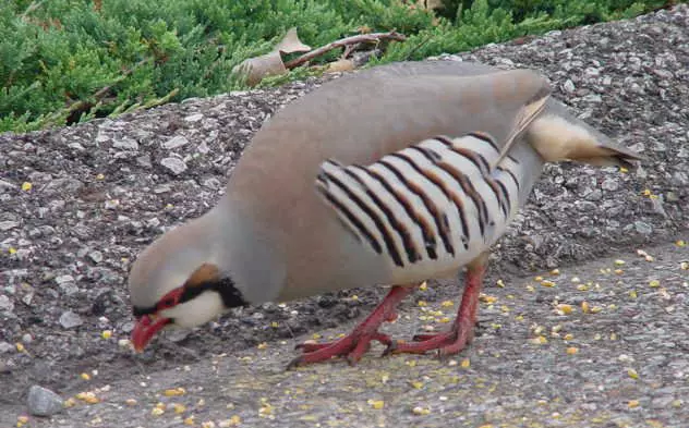
Posted by موفق جادالله 4 - طير الشنار
Posted by mohamed allan 2 - الحارة الغربية
Posted by حكمت زكي 3 - الحارة الغربية
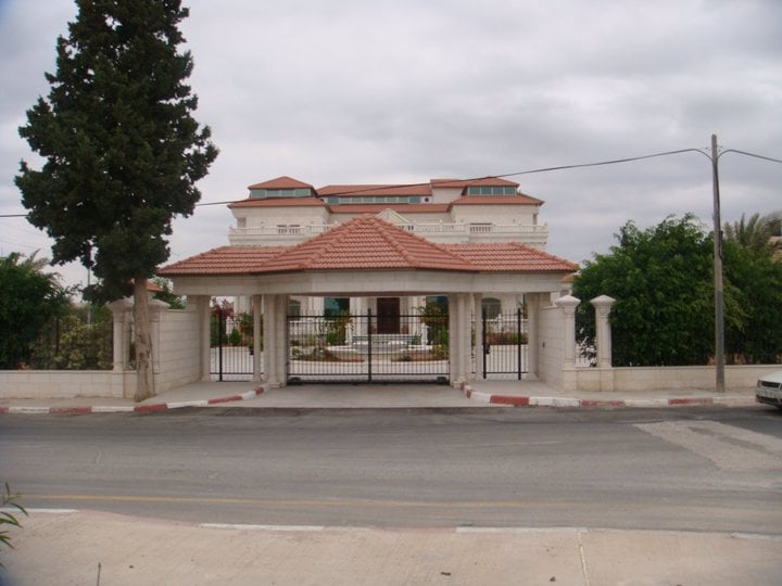
Posted by حكمت زكي - بيت عور التحتا
Posted by حكمت زكي 1 - بيت عور التحتا
Posted by حكمت زكي - بيت عور التحتا
Posted by حكمت زكي - بيت عور التحتا
Posted by حكمت زكي - بيت عور التحتا
Posted by حكمت زكي - بيت عور التحتا
Posted by حكمت زكي - بيت عور التحتا
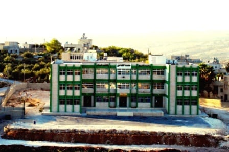
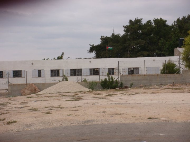
Posted by حكمت زكي 1 - بيت عور التحتا- مدرسة الذكور
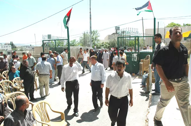
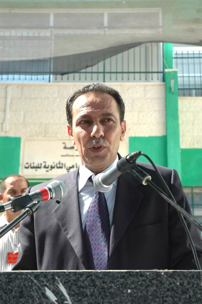
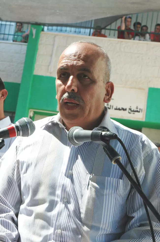
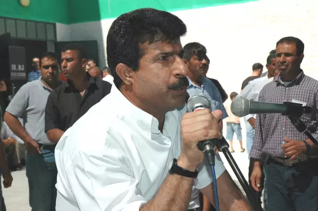
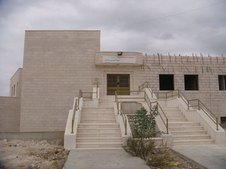
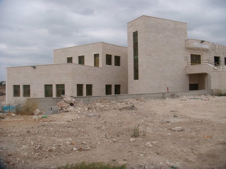
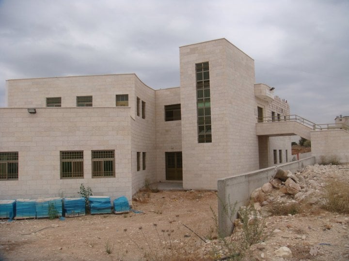
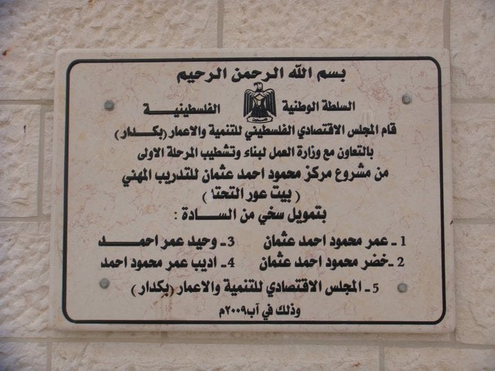
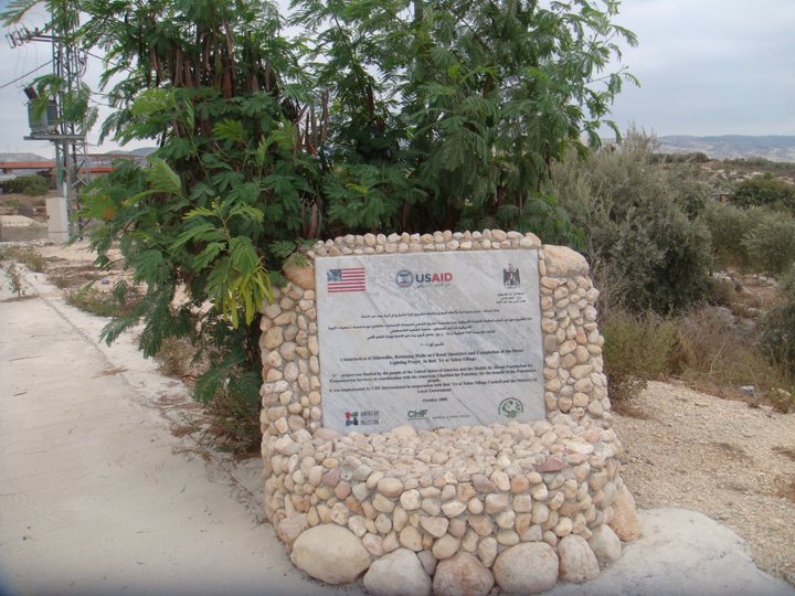
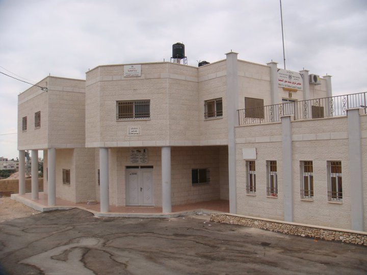
Posted by حكمت زكي - افتتاح عدة مشاريع
Posted by حكمت زكي - بيت عور التحتا
Posted by حكمت زكي - بيت عور التحتا
Posted by حكمت زكي - افتتاح عدة مشاريع في بيت عور التحتا
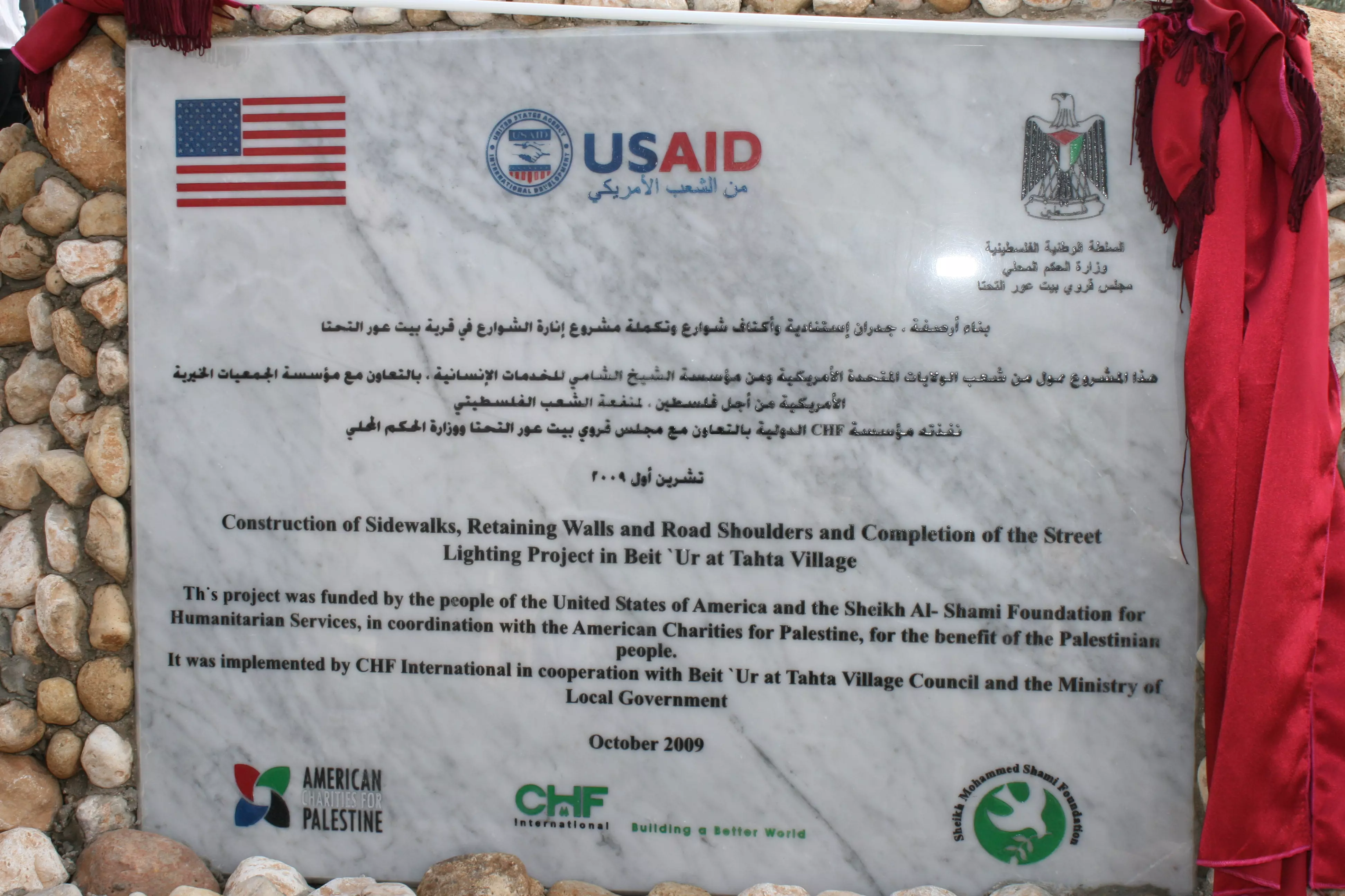
Posted by حكمت زكي - افتتاح عدة مشاريع في بيت عور التحتا

Posted by حكمت زكي - الزرب
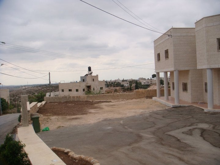
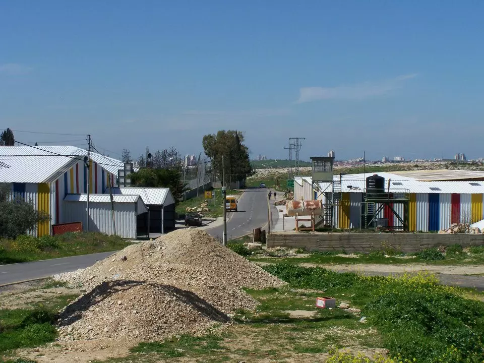
Posted by موفق جادالله 1 - منظر عام
Posted by محمد الحاج 1 - بيت عور التحتا 1984 الحارة الغربية
Posted by حكمت زكي 3 - بيت عور التحتا -حارة المصلى
Posted by حكمت زكي - بيت عور التحتا -صورة جميلة
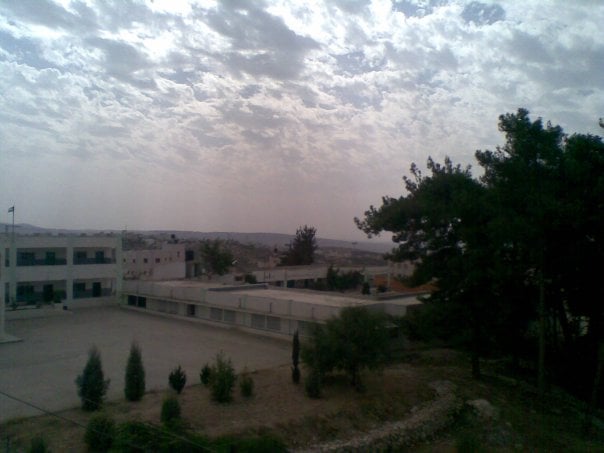
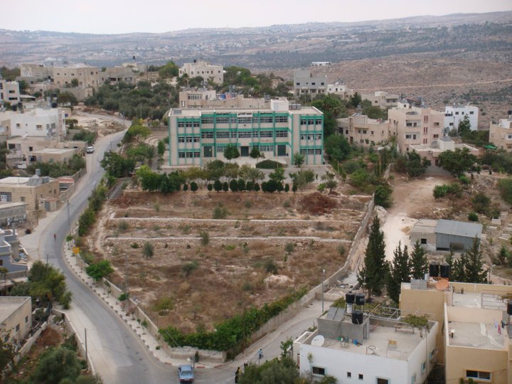
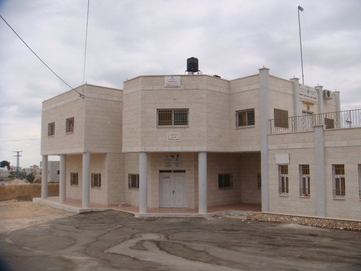
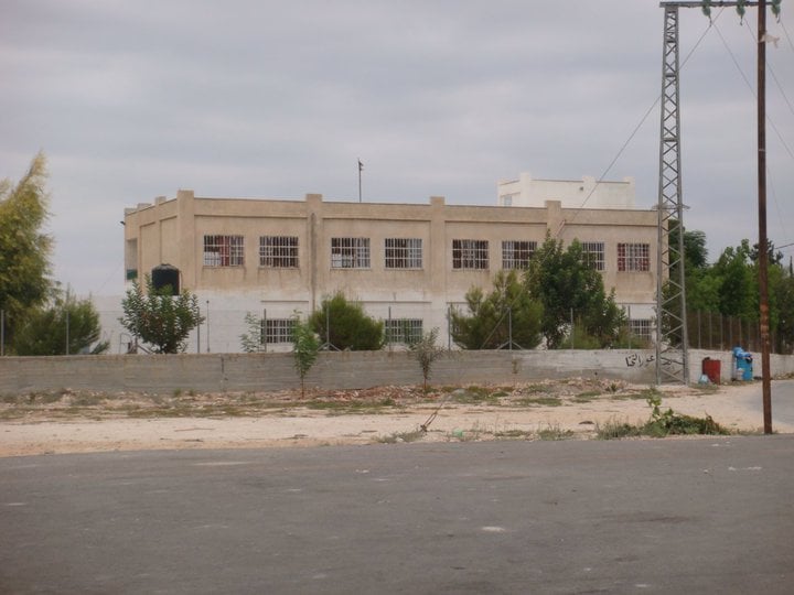
Posted by حكمت زكي 2 - مدرسة الشيخ محمد الشامي الثانوية
Posted by حكمت زكي 2 - بيت محمود احمد عثمان
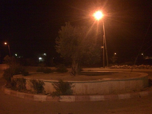
Posted by حكمت زكي 1 - دوار النقعة (النفلة سابقا)
Posted by حكمت زكي - حارة النقعة
Posted by حكمت زكي - حارة النقعة 2

Posted by حكمت زكي - الشكاير
Posted by حكمت زكي - النقعة ( المساطيح ) مسجد بلال بن بلال
Posted by basem ali - حارة النكعة
Posted by حكمت زكي - صورة من منطقة الراس
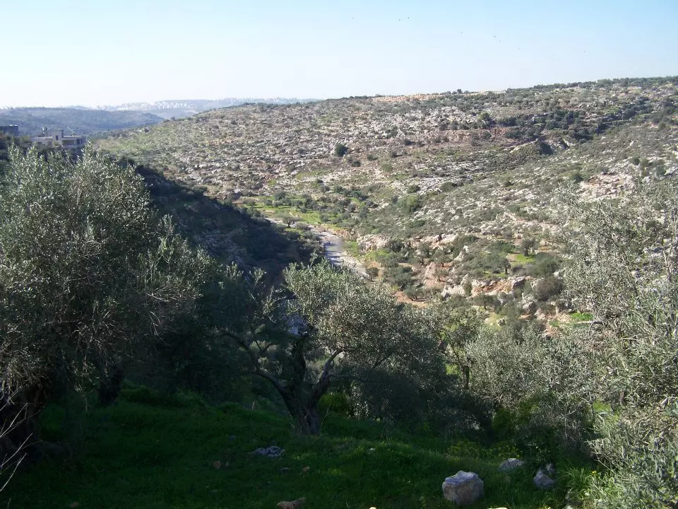
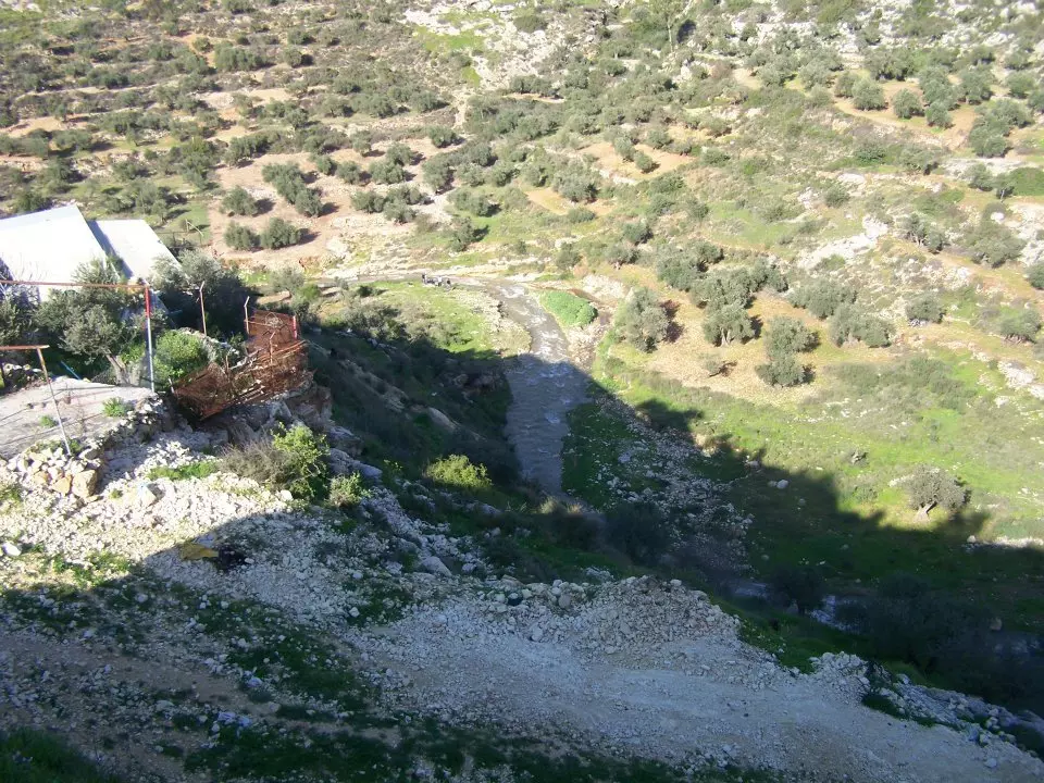
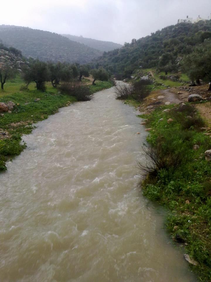
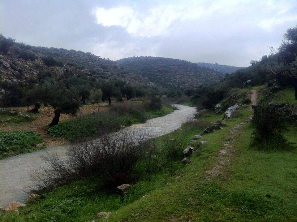
Posted by حكمت زكي - واد بيت عور 26-2-2010
Posted by حكمت زكي - واد بيت عور 26-2-2010
Posted by حكمت زكي - بيت عور التحتا
Posted by حكمت زكي - شارع صفا -حارة الشكاير
Posted by حكمت زكي - بيت عور التحتا
Posted by حكمت زكي - بيت عورالتحتا 17-9-2010
Posted by حكمت زكي - بيت عورالتحتا 17-9-2010
Posted by حكمت زكي - بيت عورالتحتا 17-9-2010
Posted by حكمت زكي - بيت عورالتحتا 17-9-2010

Posted by حكمت زكي - بيت عورالتحتا 17-9-2010
Posted by حكمت زكي - بيت عورالتحتا 17-9-2010
Posted by حكمت زكي - بيت عورالتحتا 17-9-2010
Posted by حكمت زكي - بيت عورالتحتا 17-9-2010
Posted by حكمت زكي - بيت عورالتحتا 17-9-2010
Posted by حكمت زكي 1 - بيت عورالتحتا 17-9-2010
Posted by حكمت زكي - بيت عورالتحتا 17-9-2010
Posted by حكمت زكي - بيت عورالتحتا 17-9-2010
Posted by حكمت زكي - بيت عورالتحتا 17-9-2010
Posted by حكمت زكي 1 - بيت عورالتحتا 17-9-2010
Posted by حكمت زكي - بيت عورالتحتا 17-9-2010
Posted by حكمت زكي - بيت عورالتحتا 17-9-2010
Posted by حكمت زكي - بيت عورالتحتا 17-9-2010
Posted by حكمت زكي - بيت عورالتحتا 17-9-2010
Posted by حكمت زكي - بيت عورالتحتا 17-9-2010
Posted by حكمت زكي - بيت عورالتحتا 17-9-2010
Posted by حكمت زكي - بيت عورالتحتا 17-9-2010
Posted by حكمت زكي - بيت عورالتحتا 17-9-2010
Posted by حكمت زكي - بيت عورالتحتا 17-9-2010
Posted by حكمت زكي - بيت عورالتحتا 17-9-2010
Posted by حكمت زكي - بيت عورالتحتا 17-9-2010
Posted by حكمت زكي - بيت عورالتحتا 17-9-2010
Posted by حكمت زكي - بيت عورالتحتا 17-9-2010
Posted by حكمت زكي - بيت عورالتحتا 17-9-2010
Posted by حكمت زكي - بيت عورالتحتا 17-9-2010
Posted by حكمت زكي - بيت عورالتحتا 17-9-2010
Posted by حكمت زكي - بيت عورالتحتا 17-9-2010
Posted by حكمت زكي - بيت عورالتحتا 17-9-2010
Posted by حكمت زكي - بيت عورالتحتا 17-9-2010
Posted by حكمت زكي - بيت عورالتحتا 17-9-2010
Posted by حكمت زكي - بيت عورالتحتا 17-9-2010
Posted by حكمت زكي - بيت عورالتحتا 17-9-2010
Posted by حكمت زكي - بيت عورالتحتا 17-9-2010
Posted by حكمت زكي - بيت عورالتحتا 17-9-2010
Posted by حكمت زكي - بيت عورالتحتا 17-9-2010
Posted by حكمت زكي - بيت عورالتحتا 17-9-2010
Posted by حكمت زكي - بيت عورالتحتا 17-9-2010
Posted by حكمت زكي - بيت عورالتحتا 17-9-2010
Posted by حكمت زكي - بيت عورالتحتا 17-9-2010
Posted by حكمت زكي 1 - بيت عورالتحتا 17-9-2010
Posted by حكمت زكي - بيت عورالتحتا 17-9-2010
Posted by حكمت زكي - بيت عورالتحتا 17-9-2010
Posted by حكمت زكي - بيت عورالتحتا 17-9-2010
Posted by حكمت زكي - بيت عورالتحتا 17-9-2010
Posted by حكمت زكي 1 - بيت عورالتحتا 17-9-2010
Posted by حكمت زكي - بيت عورالتحتا 17-9-2010
Posted by حكمت زكي - بيت عورالتحتا 17-9-2010
Posted by حكمت زكي - بيت عورالتحتا 17-9-2010
Posted by حكمت زكي 1 - بيت عورالتحتا 17-9-2010
Posted by حكمت زكي - بيت عورالتحتا 17-9-2010
Posted by حكمت زكي - بيت عورالتحتا 17-9-2010
Posted by حكمت زكي - بيت عورالتحتا 17-9-2010
Posted by حكمت زكي 2 - الشكاير
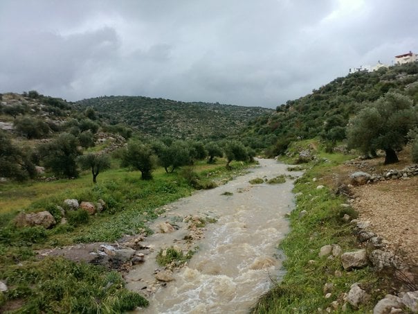
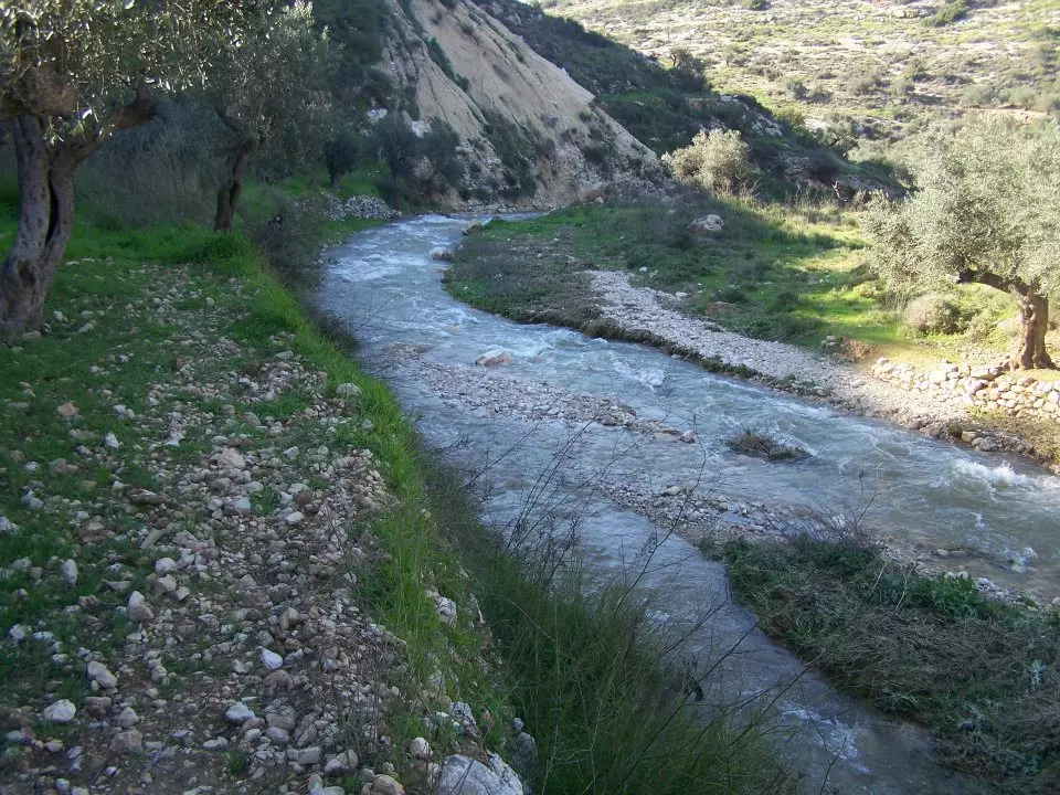
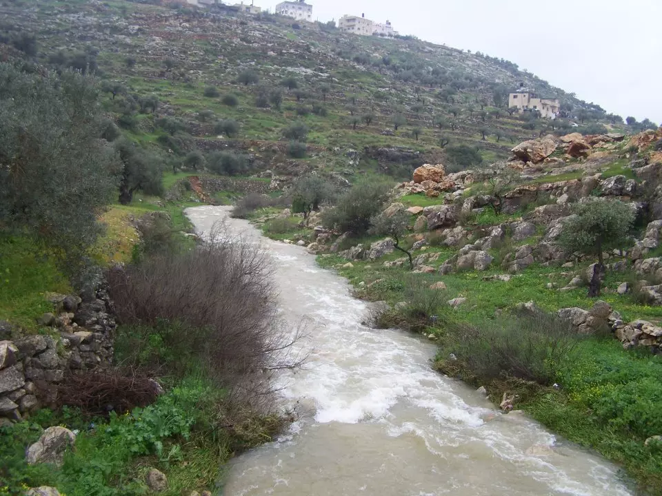
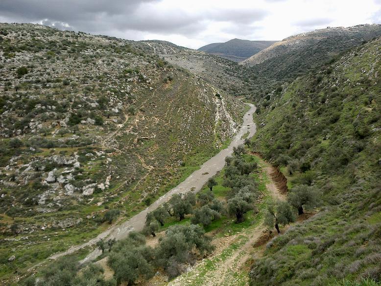
Posted by حكمت زكي - واد بيت عور 4-3-2012
Posted by حكمت زكي - واد بيت عور 4-3-2012
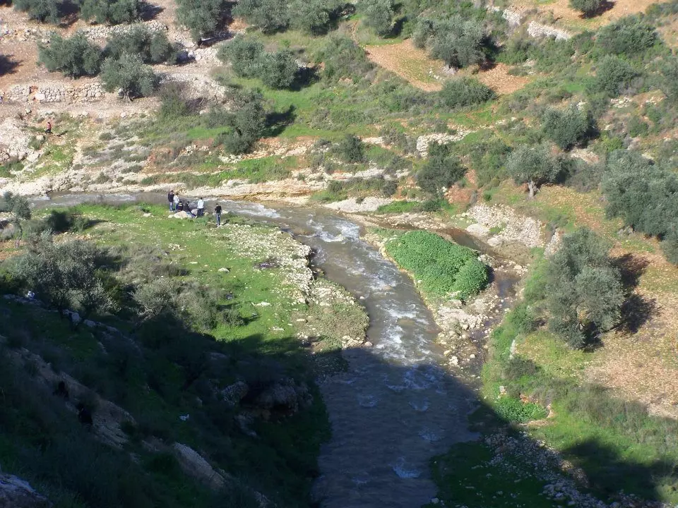
Posted by حكمت زكي - واد بيت عور 4-3-2012
Posted by حكمت زكي - واد بيت عور 4-3-2012
Posted by حكمت زكي - واد بيت عور 4-3-2012
Posted by حكمت زكي - واد بيت عور 4-3-2012
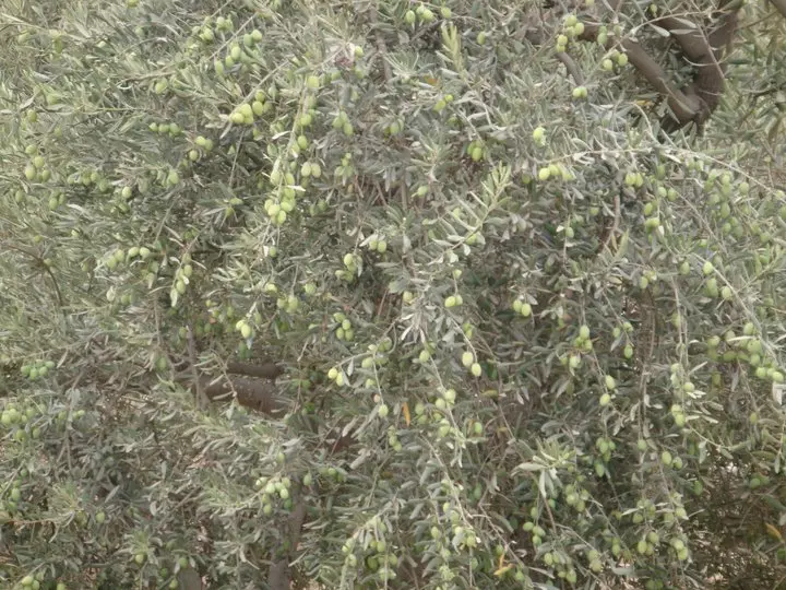
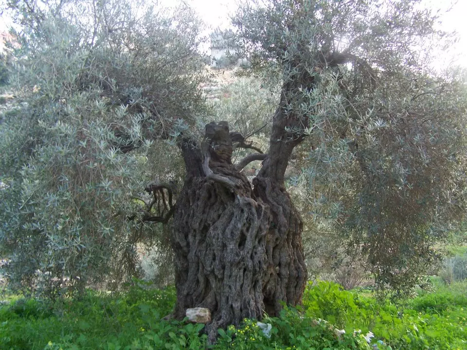
Posted by حكمت زكي - زيتونة عورية رومية
Posted by حكمت زكي - وسط البلد
Posted by حكمت زكي - الحارة الغربية
Posted by حكمت زكي - بيت عور
Posted by حكمت زكي - الحارة الغربية
Posted by حكمت زكي - الحارة الغربية
Posted by حكمت زكي - مسجد بلال بن رباح في حارة النقعة
Posted by حكمت زكي - الحارة الغربية
Posted by حكمت زكي - مدرسة محمود احمد عثمان الصناعية
Posted by حكمت زكي - بيت عور شارع صفا(الشكاير)
Posted by حكمت زكي - بيت عور شارع صفا(الشكاير)2
Posted by حكمت زكي - منطقة الغرس وجزء من النقعة -الصورة اخذت من منطقة الخربة
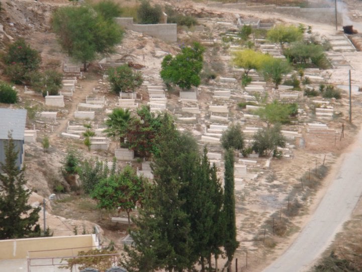
Posted by حكمت زكي - المقبرة -الصورة اخذت من منطقة الخربة
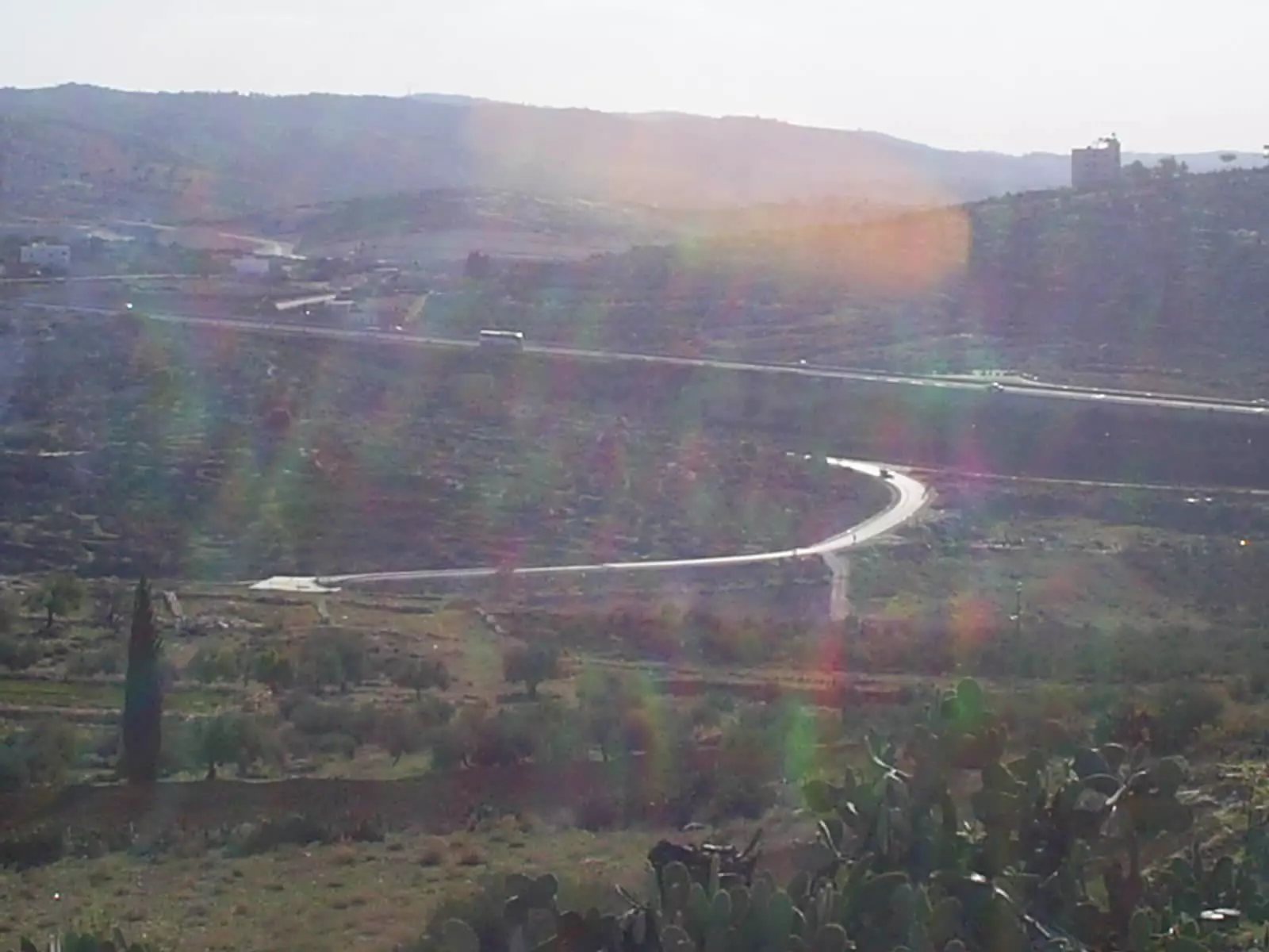
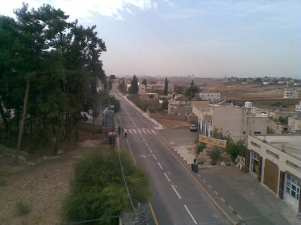
Posted by حكمت زكي - شارع443 الواصل بين القدس وتل ابيب
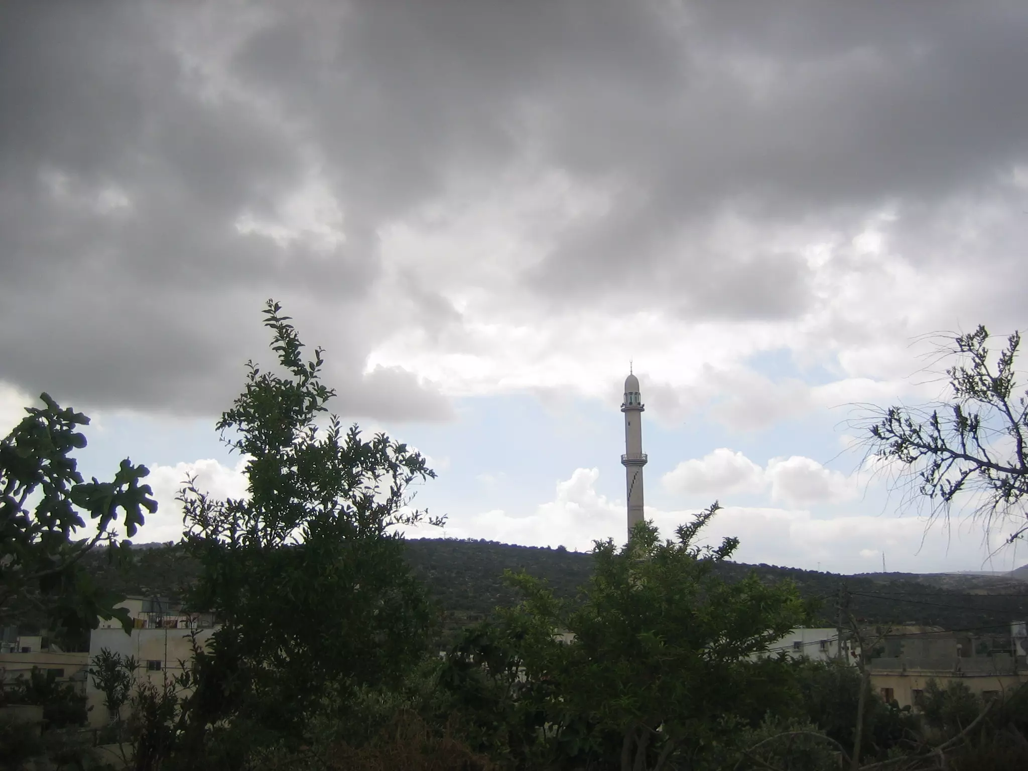
Posted by حكمت زكي - حارة النكعة تظهر فيها مأذنة مسجد بلال بن رباح-الصورة اخذت من منطقة الخربة
Posted by حكمت زكي - منطقة اعبرجان و الخربة
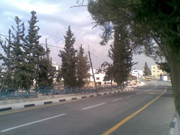
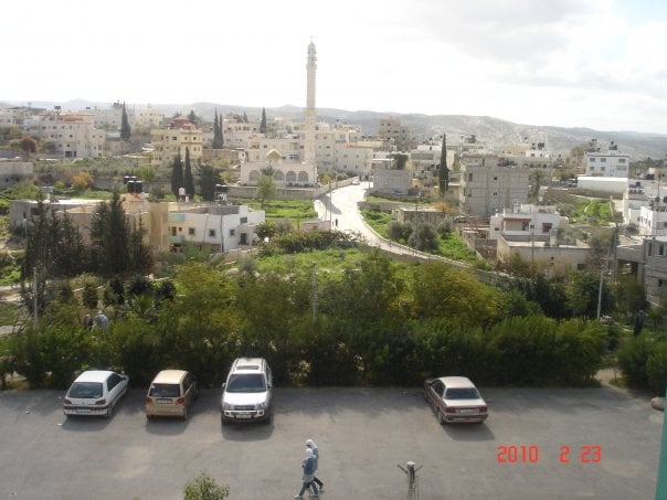
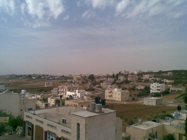
Posted by حكمت زكي - وسط البلد
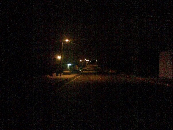
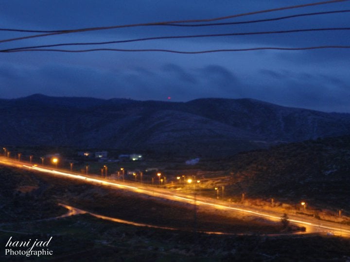
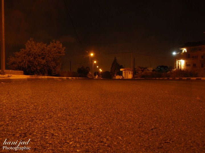
Posted by حكمت زكي - شارع 443 ليلا
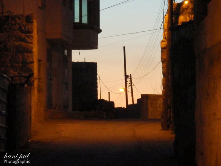
Posted by حكمت زكي - وسط البلد ليلا.
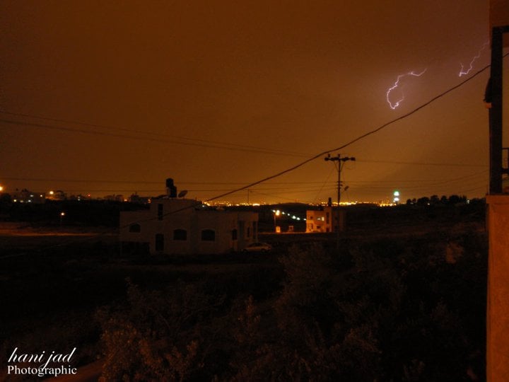
Posted by حكمت زكي - البرق
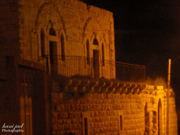
Posted by حكمت زكي - بيت محمود احمد عثمان ليلا.
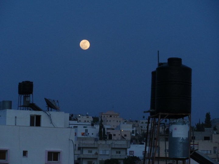
Posted by حكمت زكي - البدر في بيت عور.
Posted by حكمت زكي 1 - الحارة الغربية.
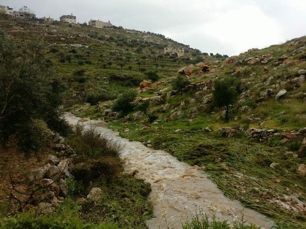
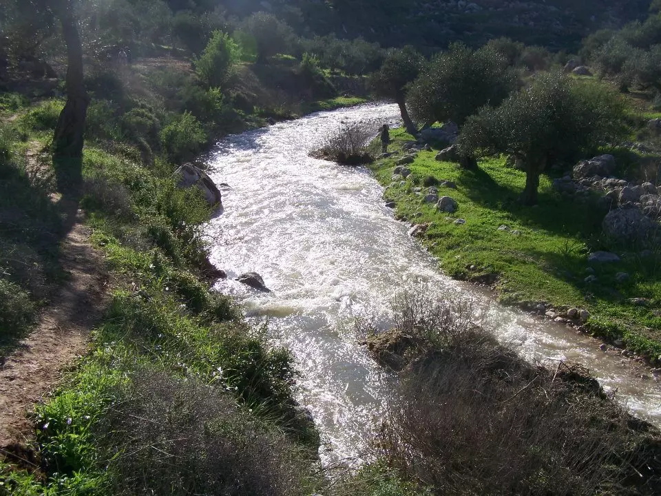
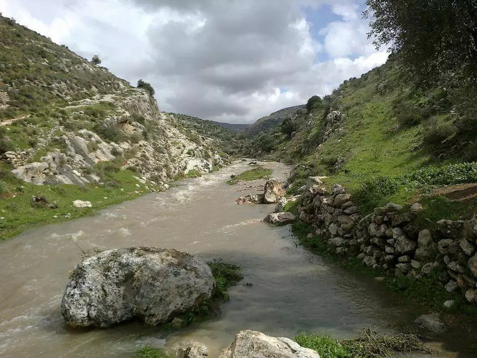
Posted by حكمت زكي - واد بيت عور 3-3-2012
Posted by حكمت زكي - واد بيت عور 3-3-2012
Posted by حكمت زكي - واد بيت عور 3-3-2012
Posted by حكمت زكي - واد بيت عور 4-3-2012
Posted by حكمت زكي - واد بيت عور 4-3-2012
Posted by حكمت زكي - بيت محمود احمد عثمان من الداخل
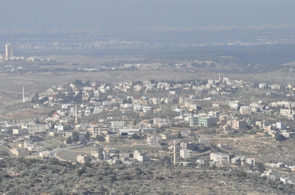
Posted by حكمت زكي - صورة شاملة لكل بيت عور وصفا ويظهر فيها الساحل الفلسطيني المحتل
Posted by حكمت زكي - صوره قديمه من بيت عور التحتا
Posted by abu raya - صوره قديمه من بيت عور التحتا
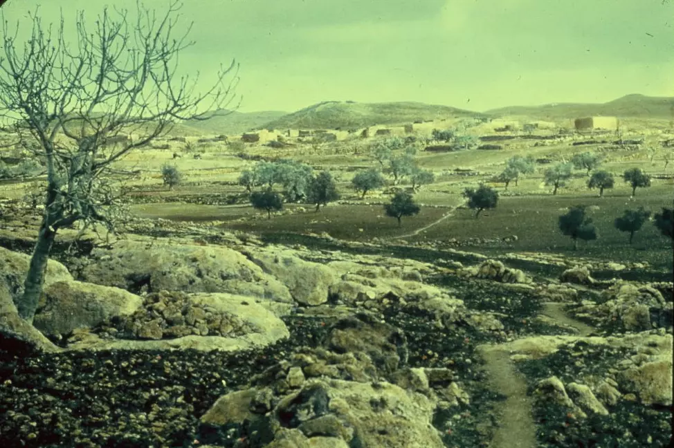
Posted by abu raya - Beit Ur al-Tahta, between 1950 and 1977
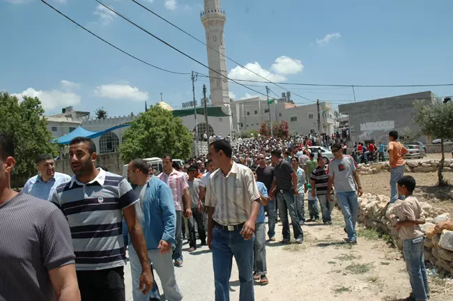
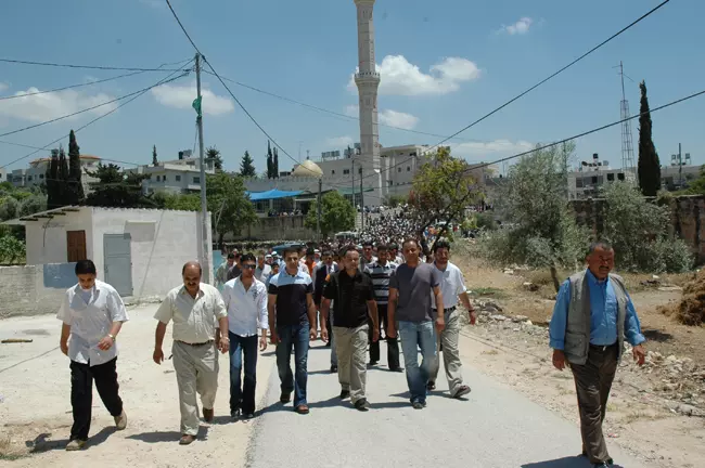
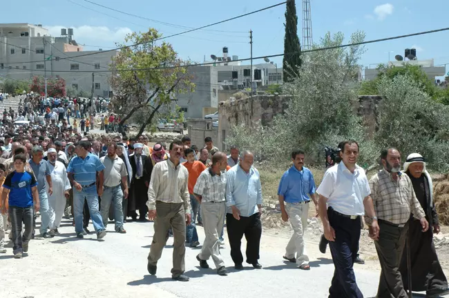
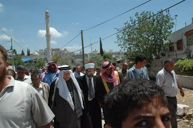
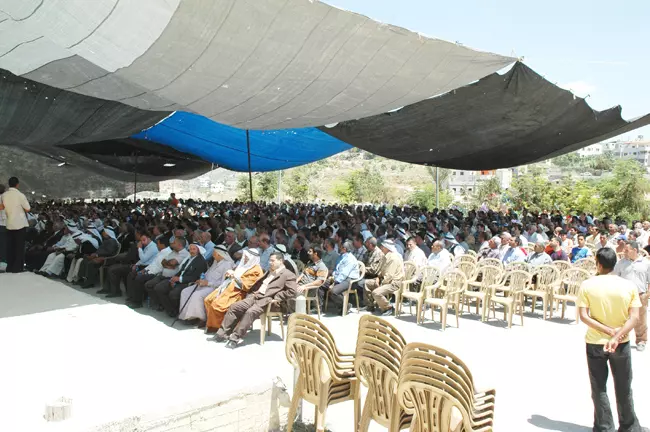
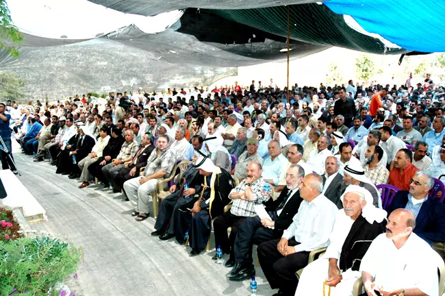
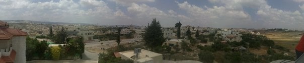
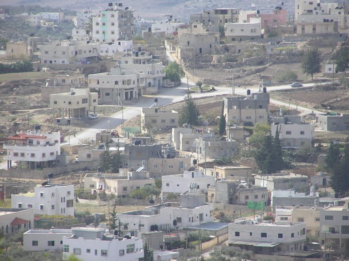
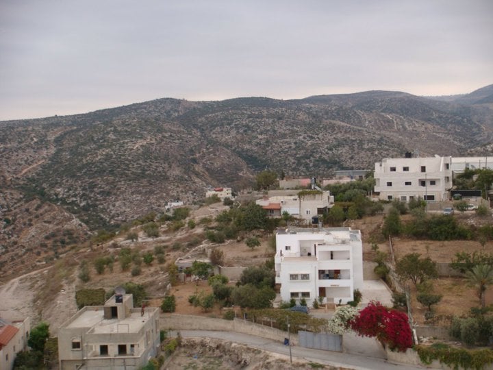
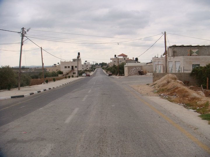
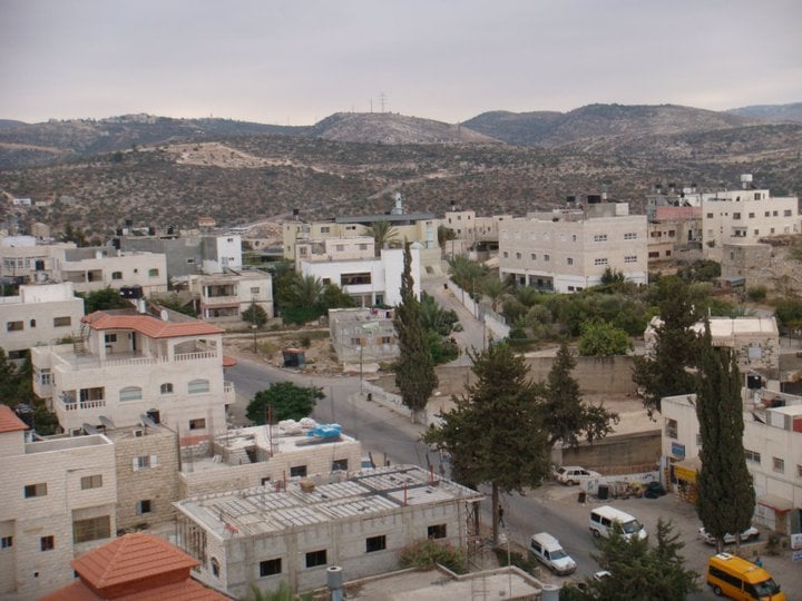
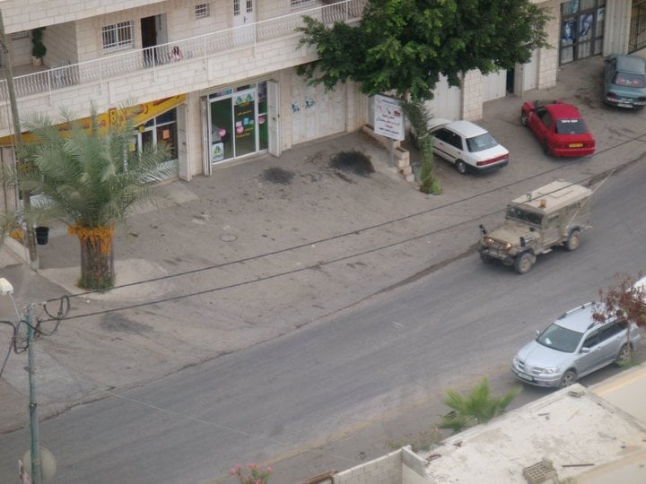
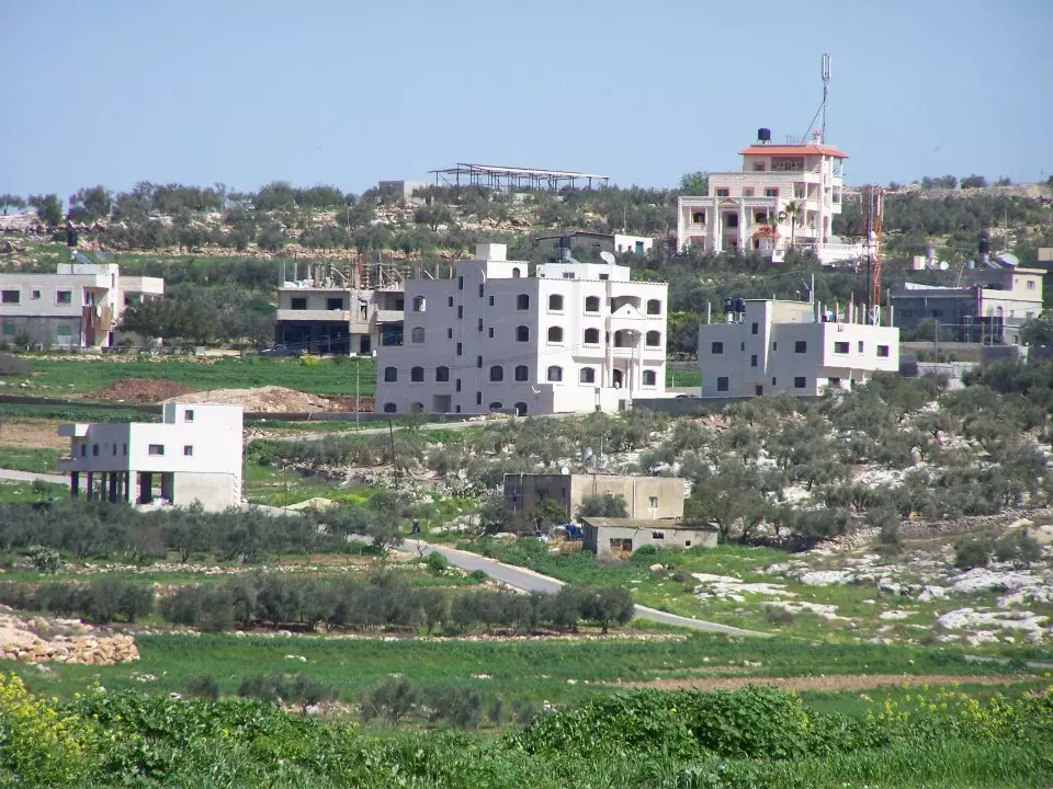
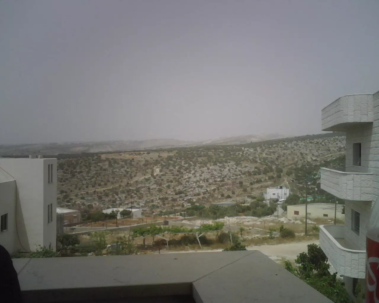
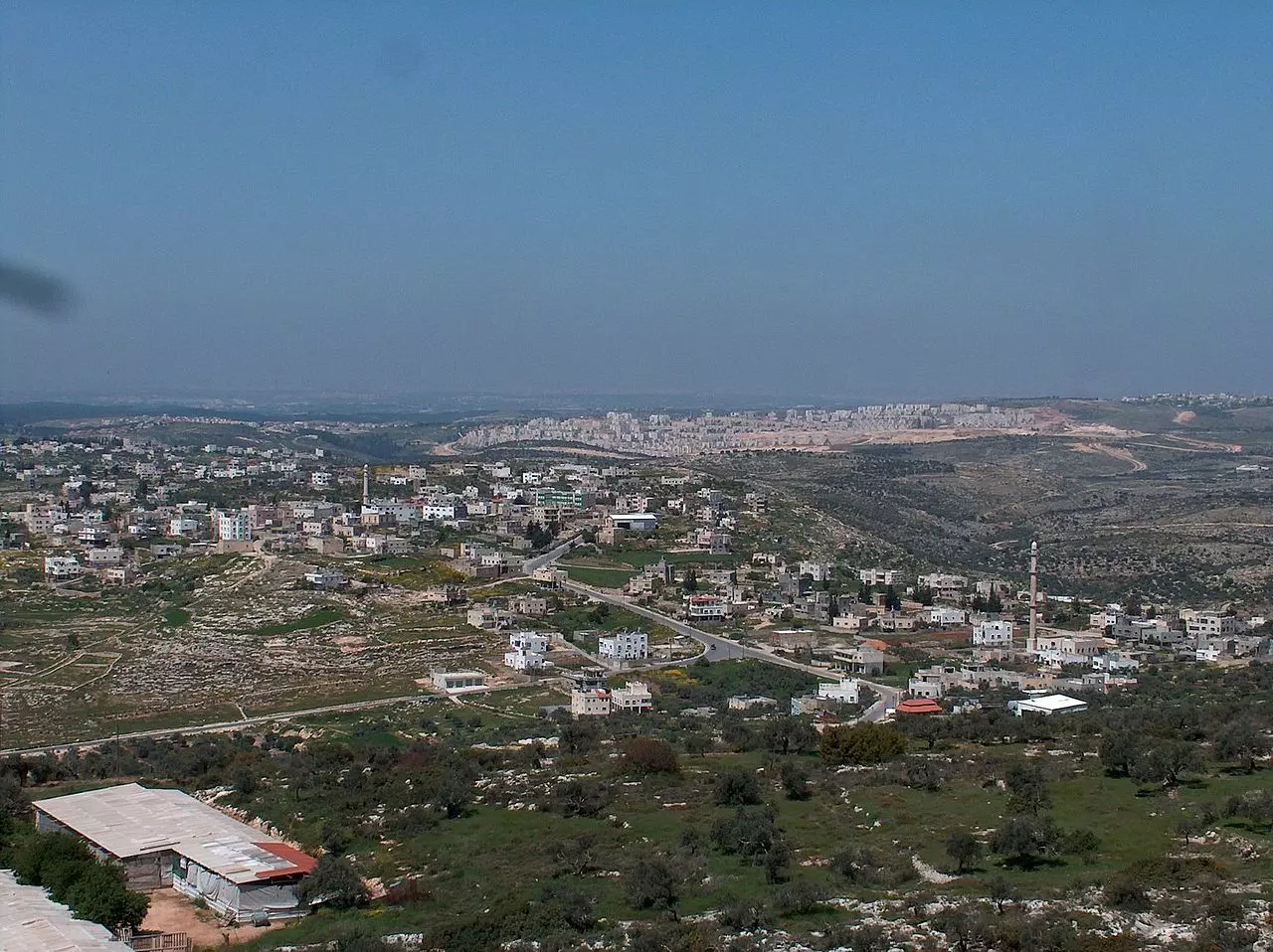
- منظر عام
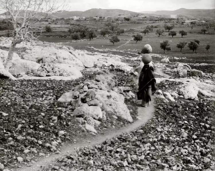
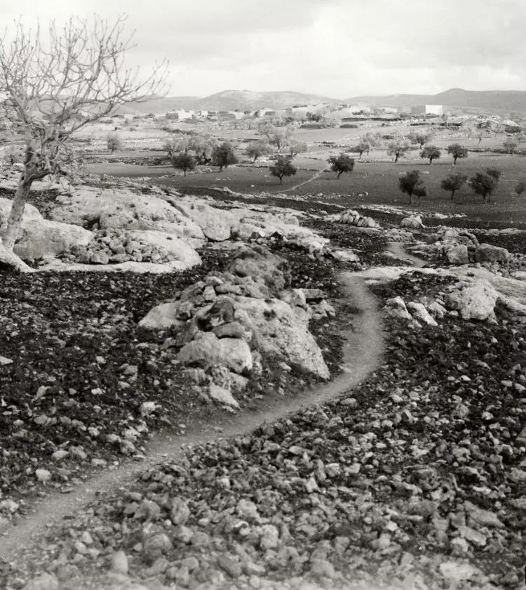
- صورة تاريخية لبيت عور التحتا اخذت بعد النكبة

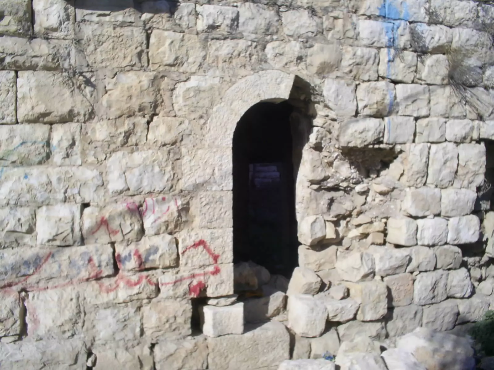
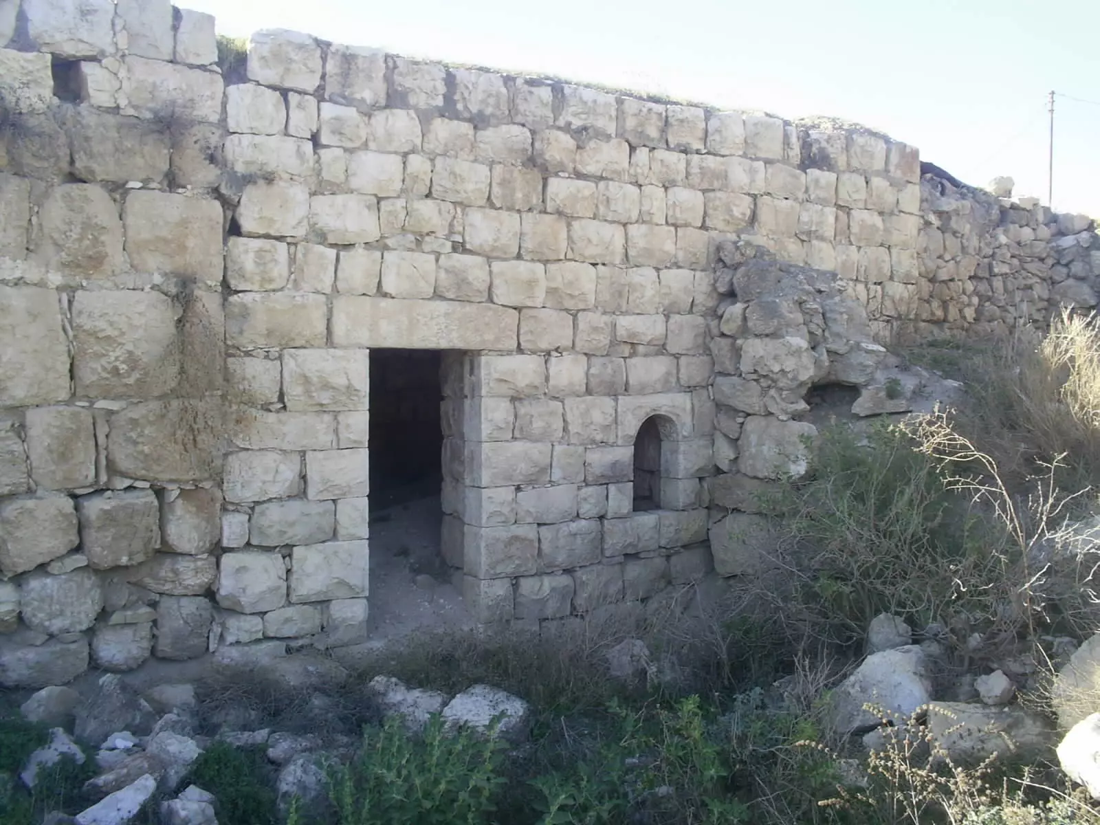
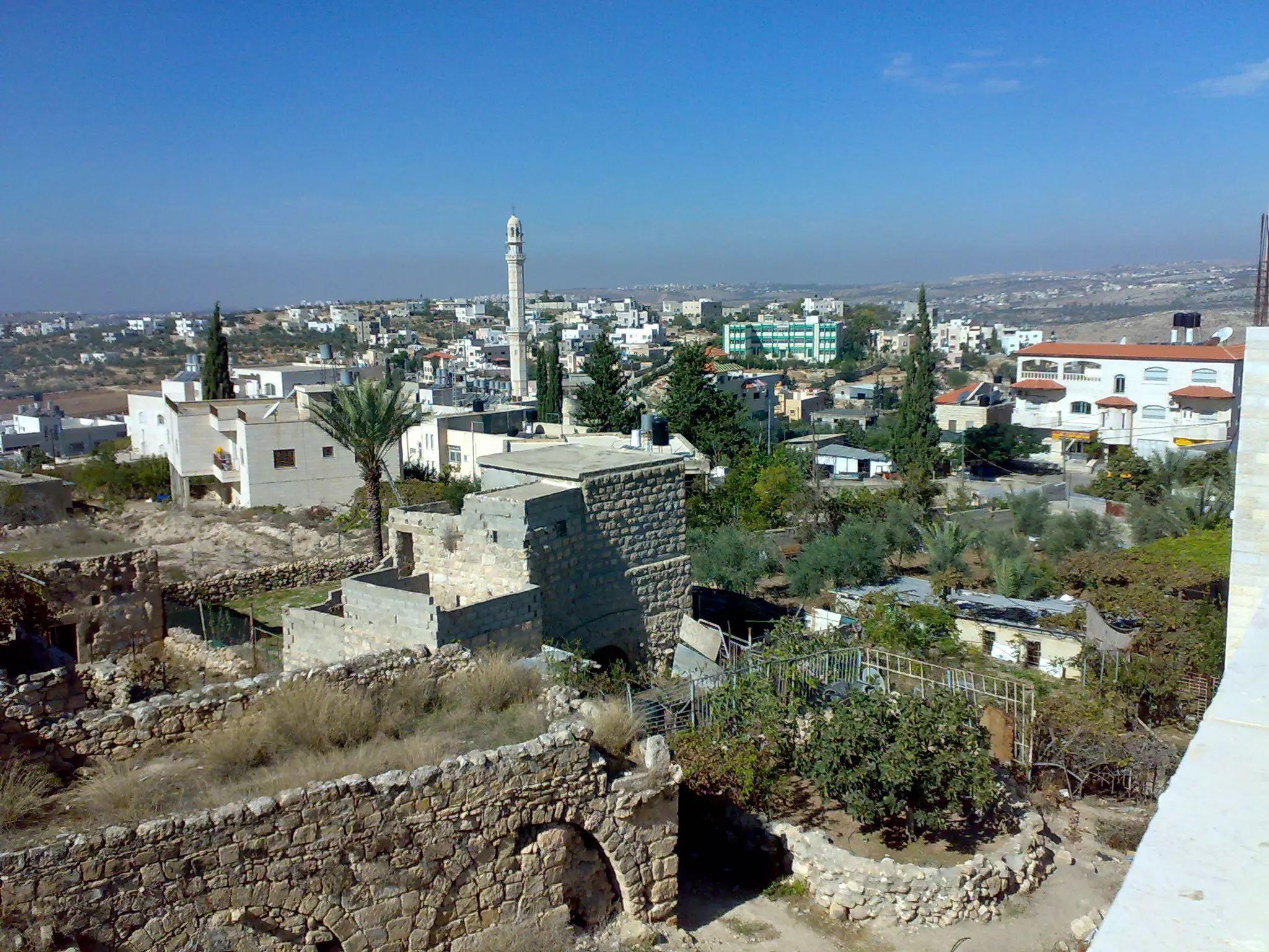
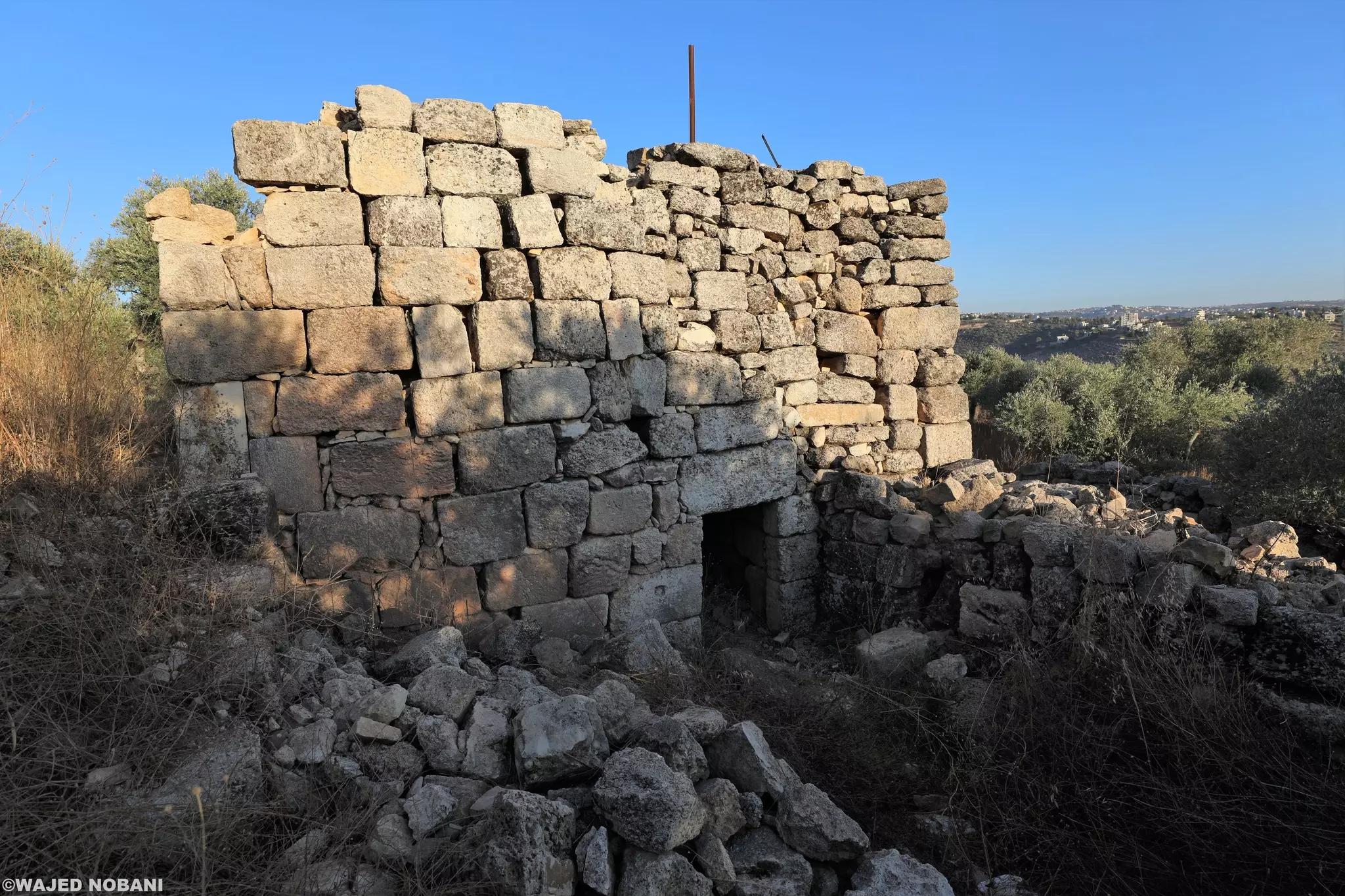
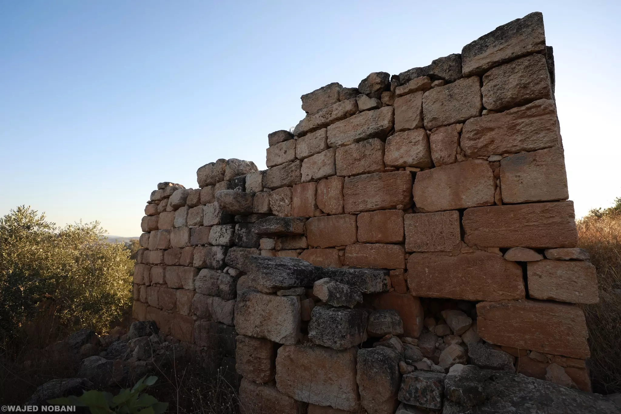
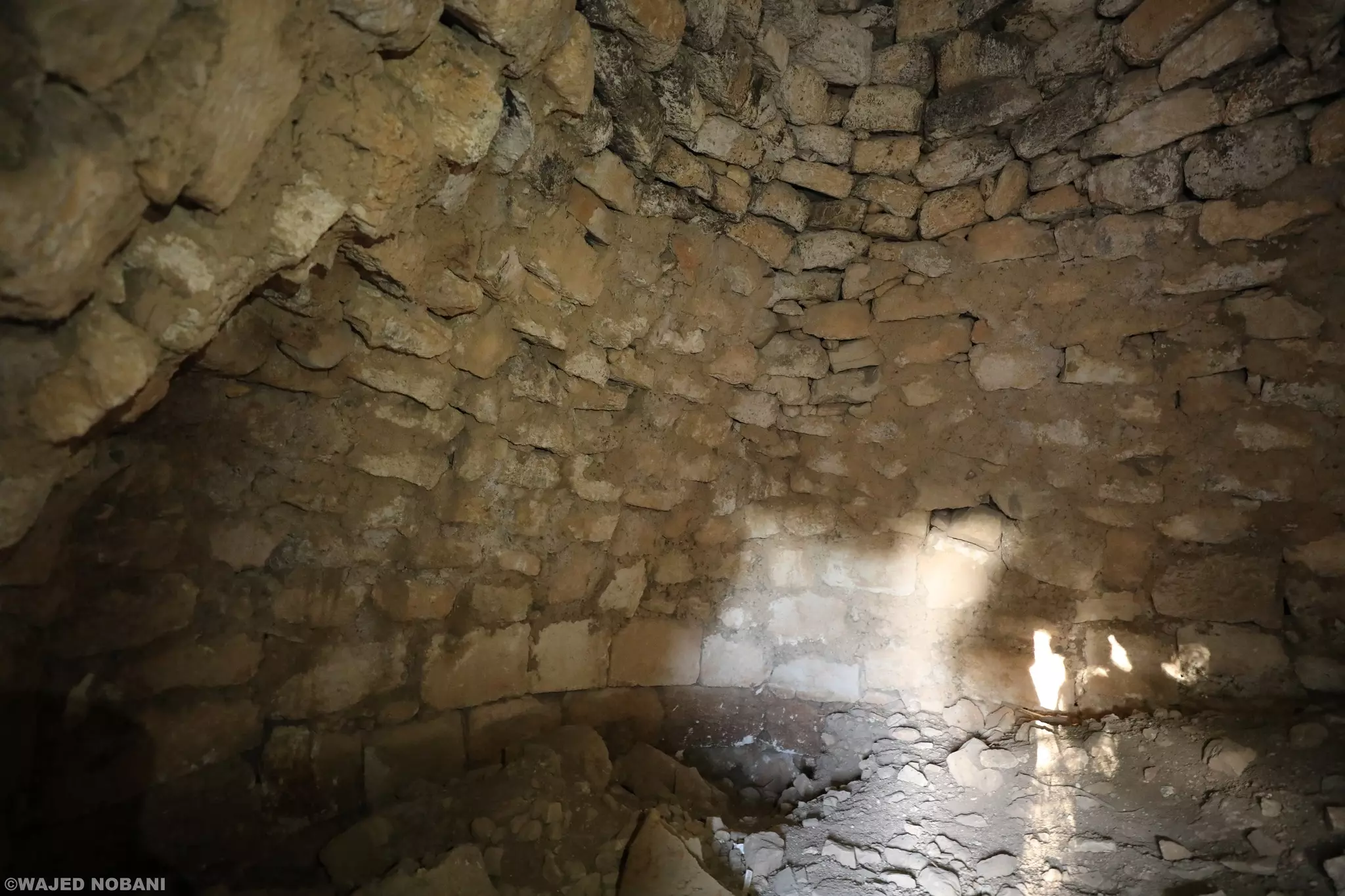
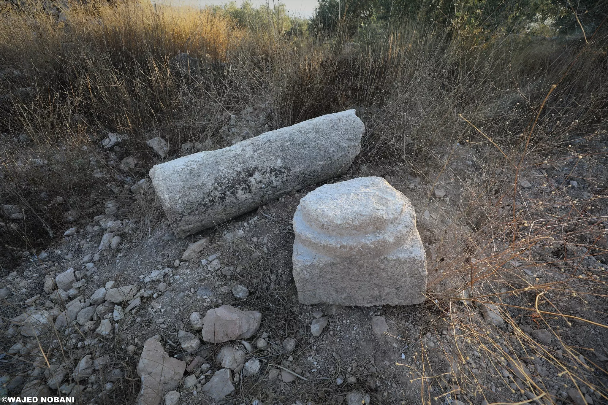
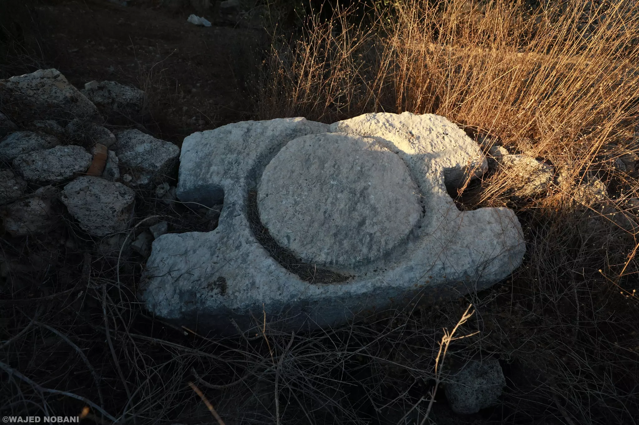
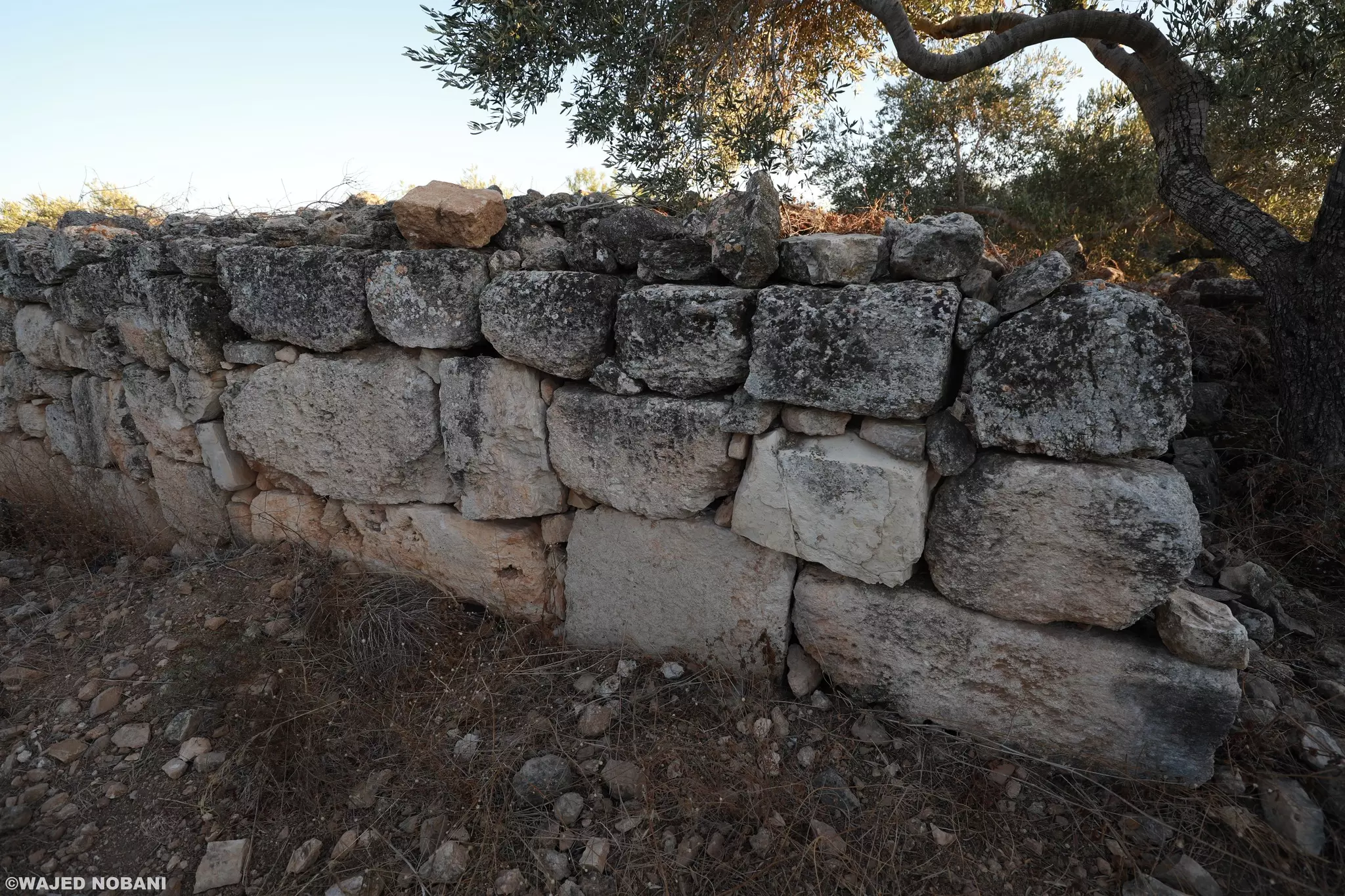
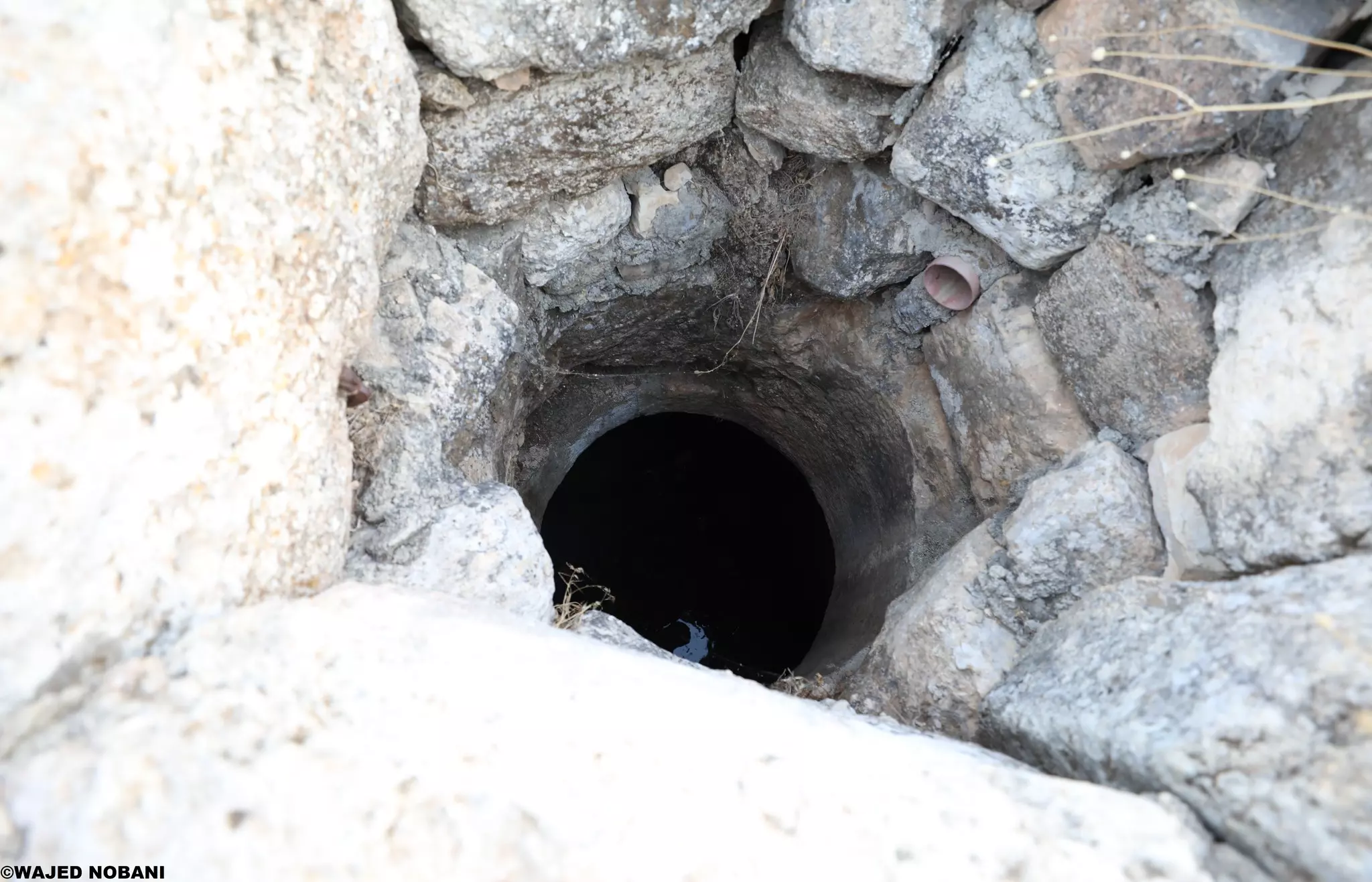
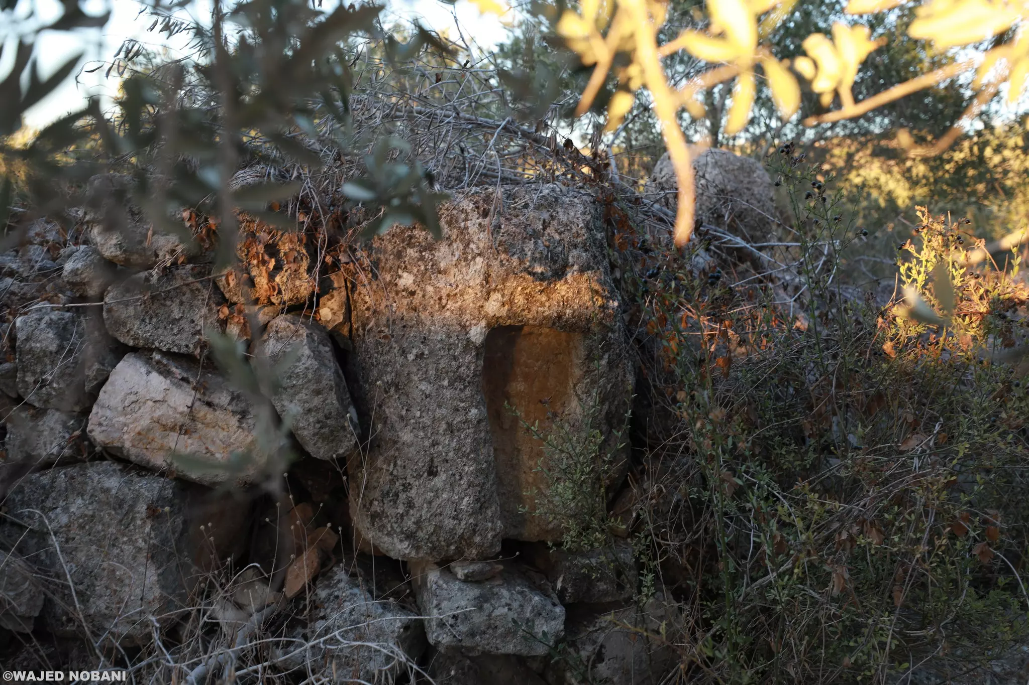
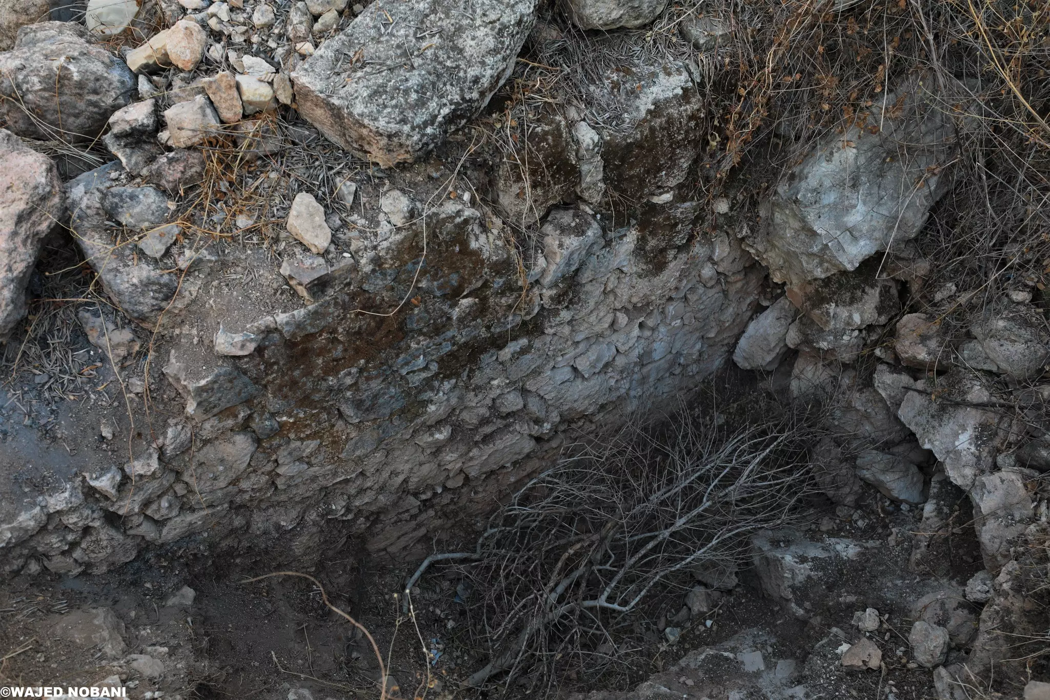
- بقايا كنيسة فلسطينية من الفترة البيزنطية المزيد عنها في قسم التعليقات -- واجد النوباني
- بقايا كنيسة فلسطينية من الفترة البيزنطية المزيد عنها في قسم التعليقات -- واجد النوباني #2

- بقايا كنيسة فلسطينية من الفترة البيزنطية المزيد عنها في قسم التعليقات -- واجد النوباني #3
- بقايا كنيسة فلسطينية من الفترة البيزنطية المزيد عنها في قسم التعليقات -- واجد النوباني #4
- بقايا كنيسة فلسطينية من الفترة البيزنطية المزيد عنها في قسم التعليقات -- واجد النوباني #5
- بقايا كنيسة فلسطينية من الفترة البيزنطية المزيد عنها في قسم التعليقات -- واجد النوباني #6
- بقايا كنيسة فلسطينية من الفترة البيزنطية المزيد عنها في قسم التعليقات -- واجد النوباني #7
- بقايا كنيسة فلسطينية من الفترة البيزنطية المزيد عنها في قسم التعليقات -- واجد النوباني #8
- بقايا كنيسة فلسطينية من الفترة البيزنطية المزيد عنها في قسم التعليقات -- واجد النوباني #9
- بقايا كنيسة فلسطينية من الفترة البيزنطية المزيد عنها في قسم التعليقات -- واجد النوباني #10
- بقايا كنيسة فلسطينية من الفترة البيزنطية المزيد عنها في قسم التعليقات -- واجد النوباني #11

- منظر عام -- يوسف عودة
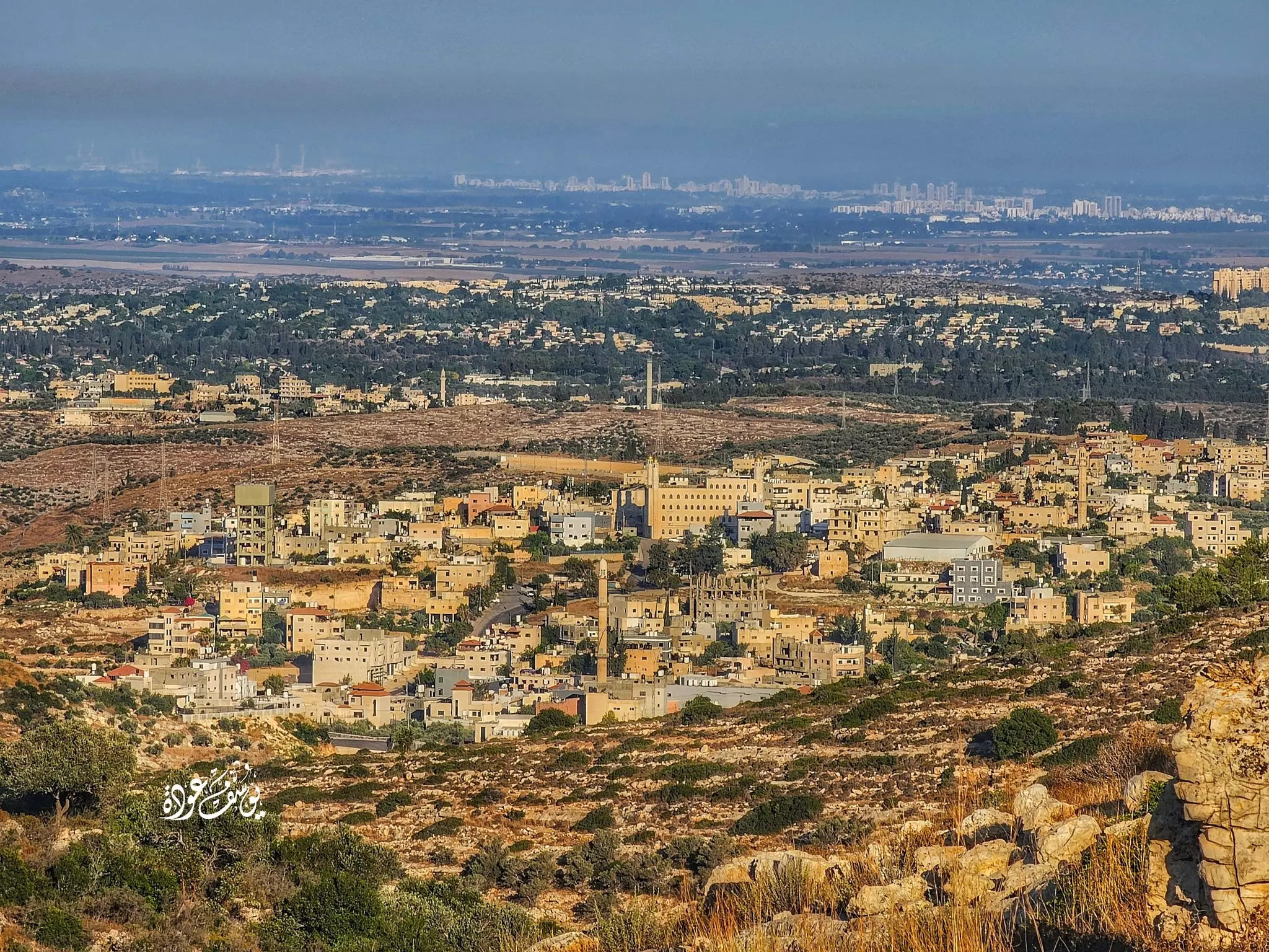
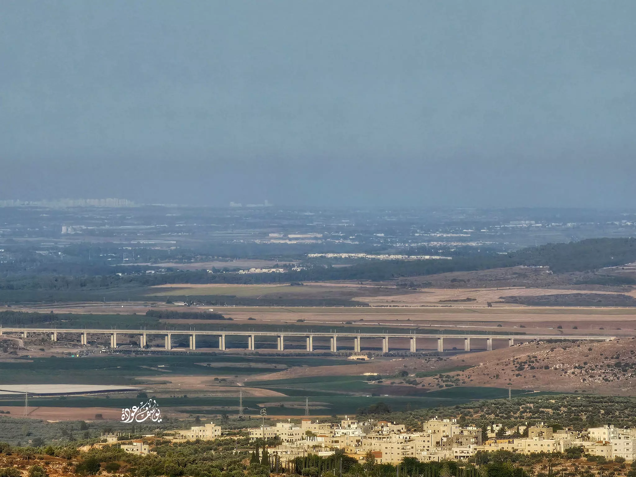
- الداخل المغتصب من جبال القرية: المنظر هو لوادي اللطرون و منطقة الرملة و اللد و جمزو -- يوسف عودة
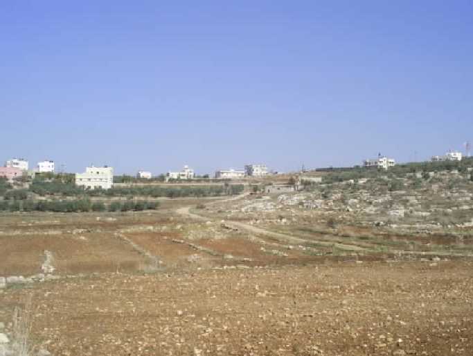
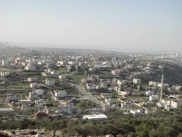
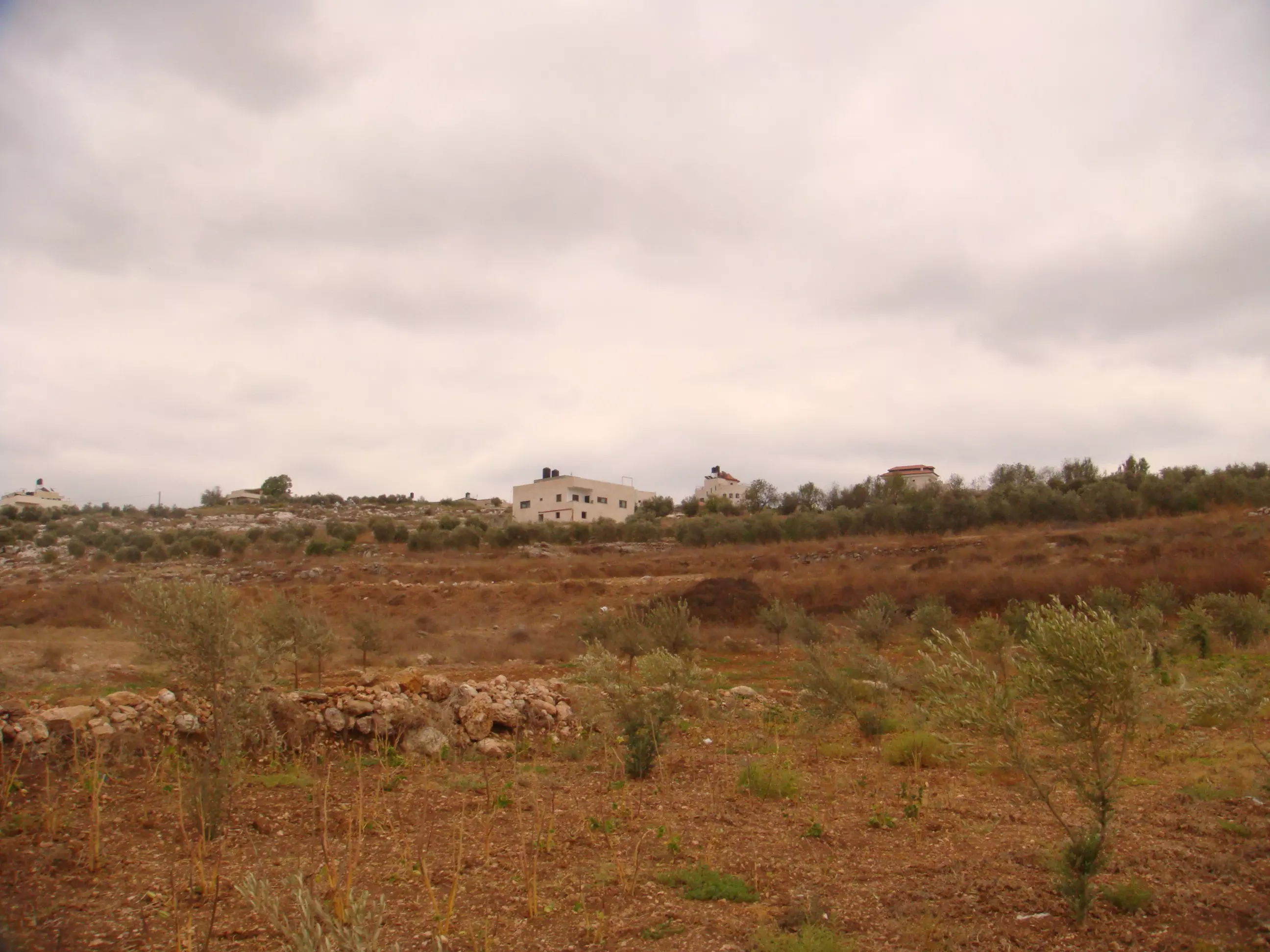
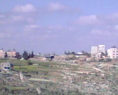
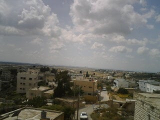
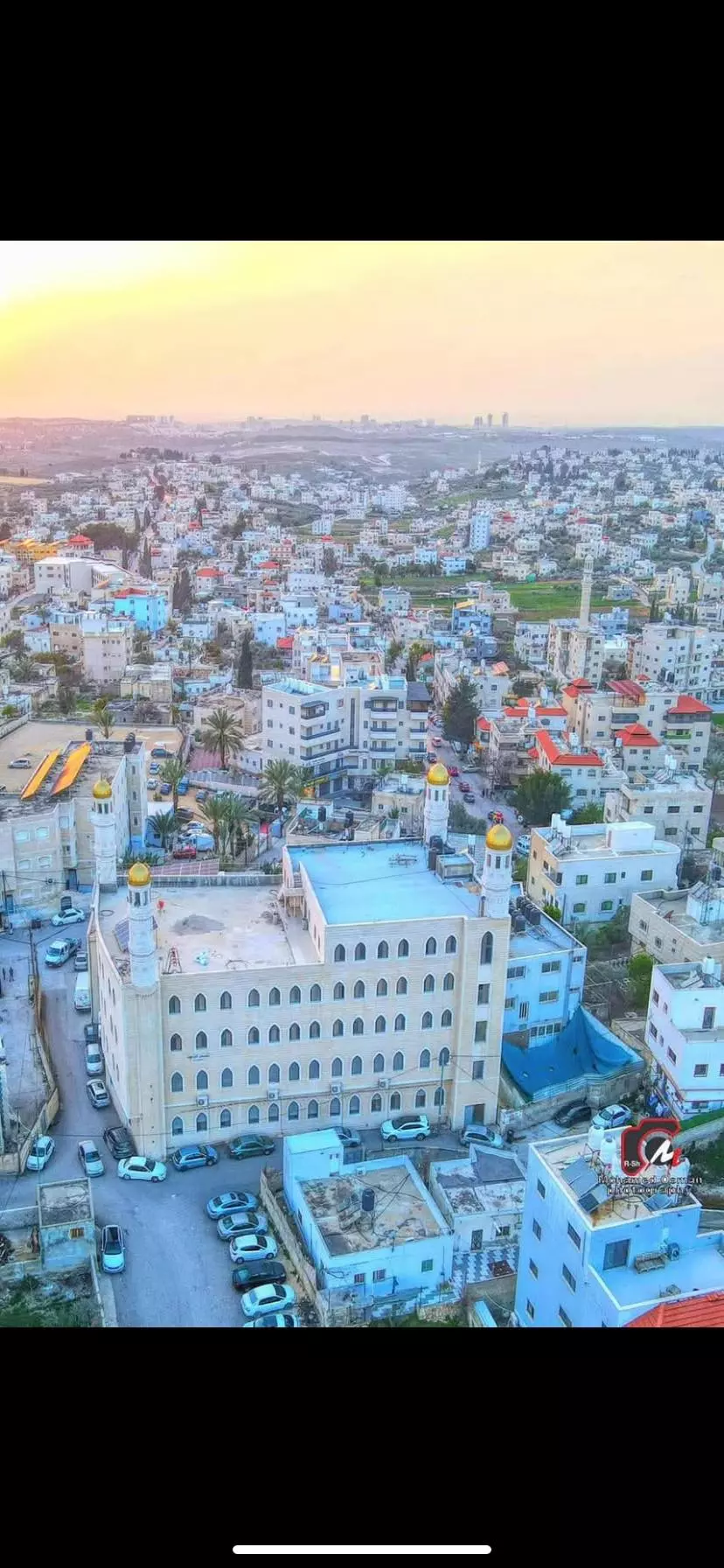
- منظر عام رائع للبلدة
Want to browse more? 80,000 pictures were grouped in these gallaries:
| Display Name | Clan/Hamolah | Country of Residence |
| مهند علان | علان | - |
| ahmed | al ouri | Jeddah KSA & New York USA, Jeddah KSA & New York USA |
| 3oury | - | - |
| SOSO SULIMAN | - | RAMALLAH, BET 3OR AL TA7TA |
| Shami | - | - |
| عقل عبده | العوري | اربد |
| اياد سليمان | سليمان | - |
| ابن بيت عور | ضيف الله | الغربيه, السعوديه |
| ابن فلسطين | علان | رام الله, بيت عور التحتا |
| Ahmad Allan | - | - |
| عزام الشامي | الشامي | رام الله, بيت عور التحتا |
| Mohamad shami | الشامي | Amman, Jordan |
| اشرف علان | علان | بيت عور التحتا |
| خليل جادالله | جادالله | - |
| عبد القادر جادالله | جادالله | رام الله |
| ابراهيم ابو علبة | ابو علبة | - |
| ابراهيم جاد الله | جاد الله | بيت عورالتحتا, بيت عورالتحتا |
| رفعت عليان | عليان | رام الله, خربثا |
| الريماوي | - | فلسطين, الريماوي |
| عاشق الجلنار | - | - |
| موفق جادالله | جادالله | رام الله |
| fe2a | joudah | amman, jordan |
| اياد | jadallah | - |
| محمد الحاج | - | بيت سيرا, بيت سيرا |
| Azzam Ali | jadallah | Riyadh, KSA |
| صالح علان | علان | - |
| حكمت زكي | جاد الله | palestine, بيت عور |
 Fake Valor: Why Did Zionist Jews Hoist Nazis Flag on Their Ships in the 1930s?
What is new?
-
Facts About Oct. 7th Gaza Raid
-
Remined Us Please:: Who Did Rape Who? Palestinians Raped Israelis? Or, was the other way around?
-
When Prof. Edward Said was invited to debate Bibi Netanyahu in the 1980s, watch what happened!
-
Ezra Klein of the NY Times on the "Jewish Race".
-
Abusing Blood Libel!
-
Zionist FAQ: Isn't it true that Palestinians don't want peace? Palestinians never accepted the two-state solution
- Facts about Haavara (Transfer) Agreement between Ben-Gurion & Hitler
-
Haavara FAQs: Why Did Zionist Jews Hoist Nazis' Flags on Their Ships in the 1930s?
-
Dear ChatGPT: Why did the Jewish Agency suppress news of the Holocaust during WWII?
-
Video Playlist: Jews share their DNA tests to end the conflict for good.
-
A Tale of Two Conflicts: Examining the Definition of Genocide
-
Prof. Abraham Polak And The Suppressed History of the Khazars and European Jewry
-
How Ronald Reagan would have framed the genocide in Gaza if he were still alive?
-
Haavara FAQs: Let us do the math: how many German Jews did The Haavara Agreement save?
-
Zionist FAQs: The Hebron Massacre of 1929, "clearly proves" that Palestinians are antisemitic, how could you deny it?
-
Zionist FAQs: Why Anti-Zionist Is Not Antisemitism?
-
Zionist FAQs: Isn't it true that the KGB create Palestinian Nationalism in the early 1960s?
- Zionist FAQs: Muslims are killing Muslims all the time; why are Israeli Jews being singled out in the media?
- Zionist FAQs: How is Israel an apartheid state when 20% of its citizens are Arabs who enjoy full rights?
-
Haavara FAQs: Analysis of Herzl's Uganda Scheme and how it could have saved millions of Jews.
-
Haavara FAQs: Why did Hayim Greenberg describe American Jewry as "morally bankrupt" in early 1943?
-
Haavara FAQs: What if the Evian Conference was a resounding success? What would have been the impact of saving European Jewry on Zionism?
- Haavara FAQs: What if the six million were saved, how that would have impacted the Zionist project?
-
Haavara FAQs: How did Zionist leaders react when Europe's Jews lingered in the DP camps after WWII ended?
-
Why does the American Jewish community repeat lies that David Ben-Gurion had debunked before he died?
-
Who has the power to rename the Tatar/Khazar Gene Marker to Jewish IV?
-
Zionist FAQs: Why won't Egypt, Syria, and Jordan take their people back? Jews are indigenous to Palestine, and Arabs immigrated after Jews developed the country. Arabs should leave.
-
Haavara FAQs: Did Hitler and the Nazis conflate between Judaism and Zionist? If that wasn't case, then why?
-
Haavara FAQs: Winston Churchill and antisemitism, a collection of articles written Churchill.
-
Haavara FAQs: Broken by country, how many Jews survived vs. killed during the Holocaust?
-
Haavara FAQs: Why did European Jews vote with their feet and to immigrated to the Americas, not Palestine, after WWII?
-
Watch this American Jewish Girl describing Israeli Jews' cognitive dissonance like no other in under two minutes
-
Haavara FAQs: When the Nazis went out of their way to hide the Holocaust, Israeli Jews did the exact opposite by broadcasting their genocide of Gazans. But why?
-
Haavara FAQs: How Zionist Jews went out of their to show their appreciation to Nazism and Fascism?
- Haavara FAQs: Why Zionist leaders were against bombing the death camps & the Railroads leading to them?
-
Haavara FAQs: Hitler's message to the British and American people: If Jews are such noble citizens and you care about them, how come you're not letting them in? I will gladly ship them to you at my expense, even on luxury liners!
-
A shortlist of Zionist and Israeli false flag operations in the name Jews.
-
The Most Moral Army
- The Land of Kapos (Israel): Where the brave are boycotted and Kapos walk free.
- Why did early Zionists often named their communal enterprises "colonial"?
- Zionist Relations with Nazi Germany by Faris Glubb
-
Two NY Times advertisements by Zionists in the early 1943 that exposes Zionists' treason at the height of the calamity
- Facts Not Lies about the Palestinian-Israeli Conflict.
- Site's pictures have been categorized
- Campgain Against Lice
- A Survey of Palestine, the official source about Palestine before Nakba produced by the British Mandate; over 1200 pages.
- Satellite View & Google Earth: Over 6,000 placemarks identifying all destroyed towns, W. Bank & Gaza Strip Towns, & refugee camps.
- PalestineRemembered.com and its Nakba Oral History Project were featured on al-Jazeera Satellite TV.
- Nakba Oral History Video Podcast:
 Over 700 Oral History interviews (including 3,500+ hours of recording) can be viewed online.
 - Palestine Village Statistics Project
- Gaza Jail Break
- النسخة العربية للموقع الان متوفرة
- Videos: Documenting the destroyed villages in video: Tracing all that remains since Nakba.
- Videos: Responding to Zionist Propaganda
- Interview: The ethnic cleansing of Palestine: George Galloway interviews Israeli Historian Ilan Pappe.
- For Palestinians, memory matters. It provides a blueprint for their future By George Bisharat.
- Zionist FAQ now available in Hebrew שאלות שציונים שואלים, עכשיו בעברית
- Video: The Stephen Walt and John Mearsheimer report on the influence of the Israel Lobby on U.S. Foreign Policy
- The Palestinian-Israeli conflict for beginners
