| PalestineRemembered | About Us | Oral History | العربية | |
| Pictures | Zionist FAQs | Haavara | Maps | |
| Search |
| Camps |
| Districts |
| Acre |
| Baysan |
| Beersheba |
| Bethlehem |
| Gaza |
| Haifa |
| Hebron |
| Jaffa |
| Jericho |
| Jerusalem |
| Jinin |
| Nablus |
| Nazareth |
| Ramallah |
| al-Ramla |
| Safad |
| Tiberias |
| Tulkarm |
| Donate |
| Contact |
| Profile |
| Videos |
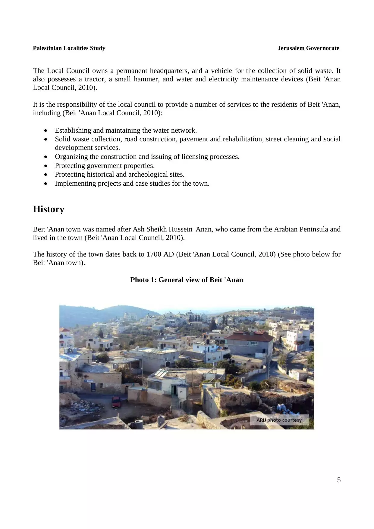
Welcome To Bayt I'nan - بيت عنان (בית ענאן)
|
District of Jerusalem
Occupied days ago |
العربية Google Earth |
 |
Gallery (87) |
- Statistics & Facts
-
Before & After

- Satellite View
- Articles 5
- Pictures 87
- Mayrters & Prisoners 1
- Members 29
- Families
- Wikipedia
- ARIJ Guide
- Videos 1
- Guest Book 45
- Links
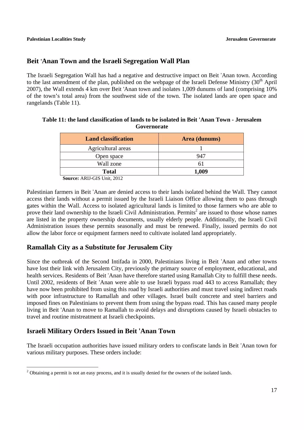
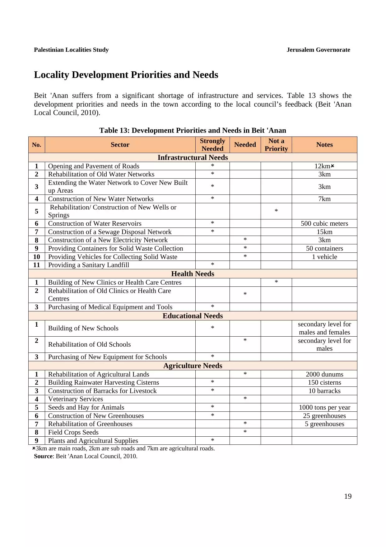
| Statistic & Fact | Value | ||||||||||||||||||||
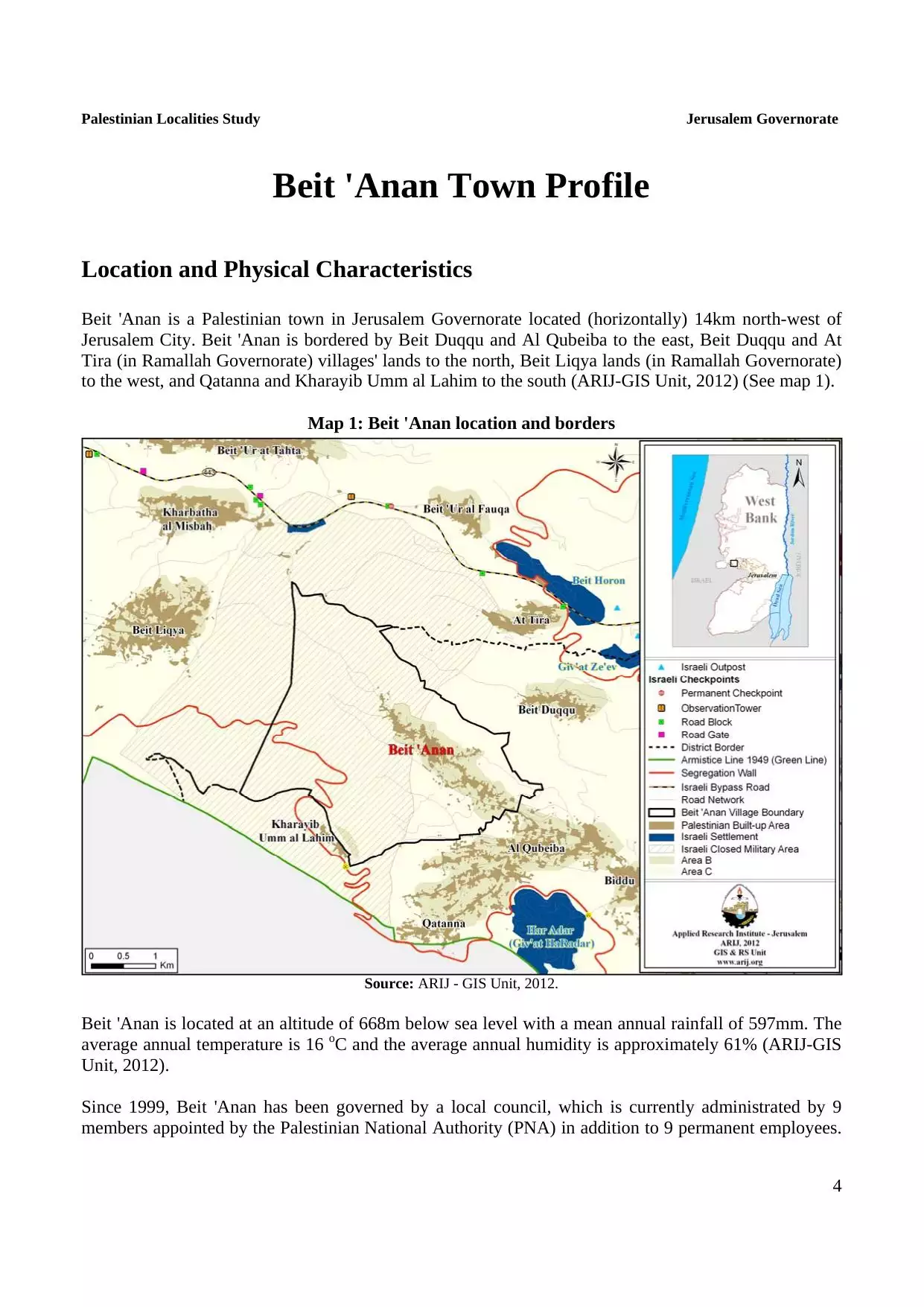
| Distance From District | 16 km northwest of Jerusalem | ||||||||||||||||||||
| Elevation | 700 meters | ||||||||||||||||||||
| Before & After Nakba, Click Map For Details |
|||||||||||||||||||||
|
|||||||||||||||||||||
| Land Ownership |
**Town Lands' Demarcation Maps |
||||||||||||||||||||
| Land Usage As of 1945 |
|
||||||||||||||||||||
| Lands usurped within armistice area | 444 Dunums | ||||||||||||||||||||
| Population |
|
||||||||||||||||||||
| Near By Towns |
|||||||||||||||||||||
|
|
|||||||||||||||||||||
| Featured Video | |||||||||||||||||||||
| ARIJ Guide | |||||||||||||||||||||
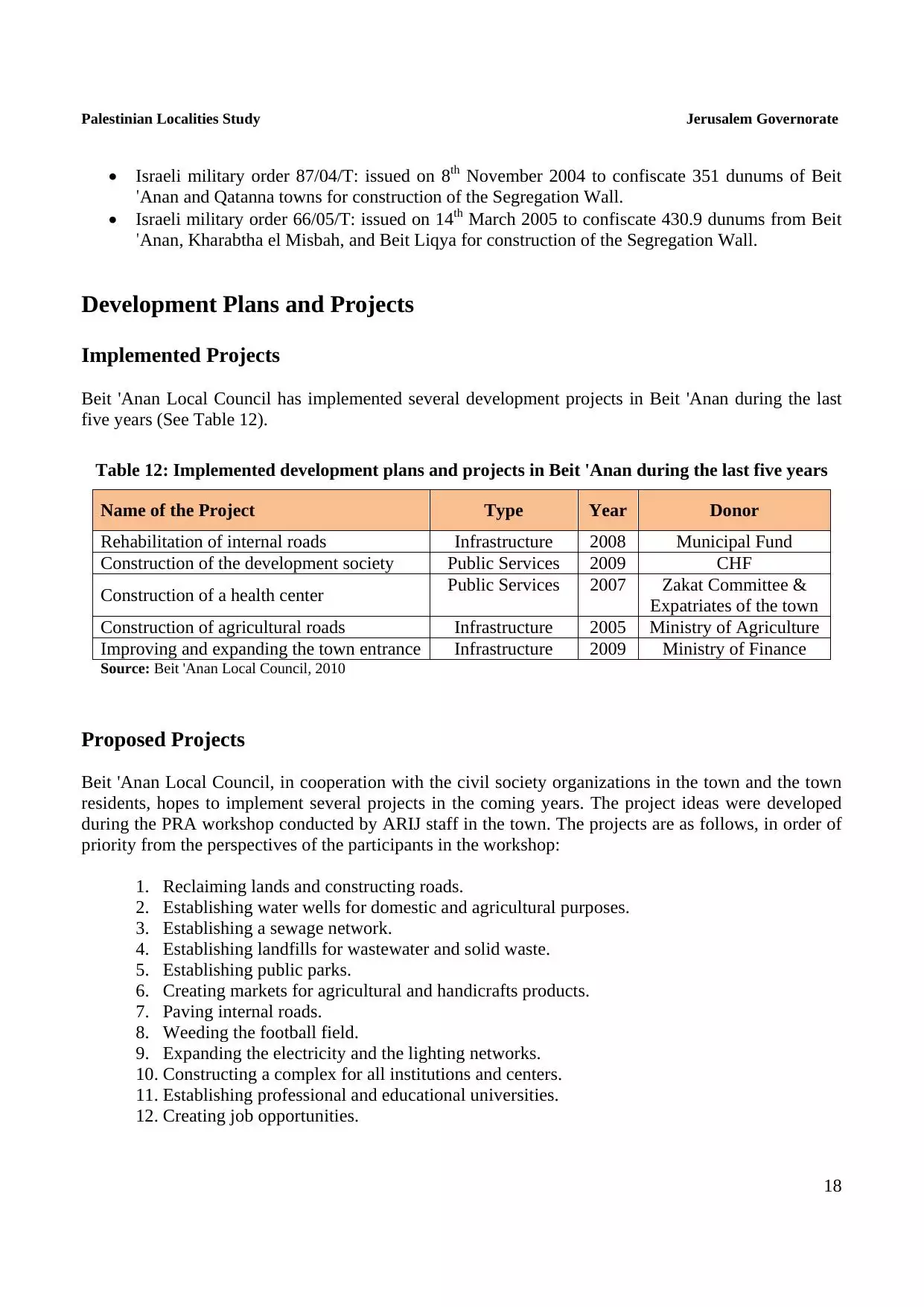
3.
4. 
5. 
6. 
7. 
8. 
9. 
10. 
11. 
12. 
13. 
14. 
15. 
16. 
17. 
18. 
19. 
20. 
Click here to browse online. |
|||||||||||||||||||||
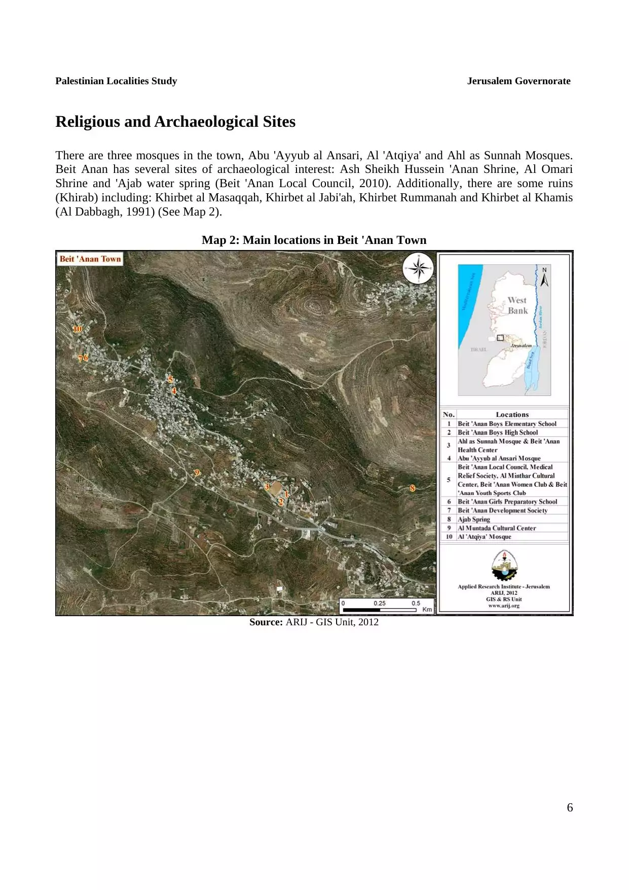
| Related Maps | Town Lands' Demarcation Maps خرائط للقضاء توضح حدود القرى والاودية View from satellite Town's map on MapQuest Help us map this town at WikiMapia |
||||||||||||||||||||
| Related Links | Wikipedia's Page Facebook Page ARIJ Guide Google Search Google For Images Google For Videos في كتاب بلادنا فلسطين دليل أريج المزيد من موقع هوية |
||||||||||||||||||||
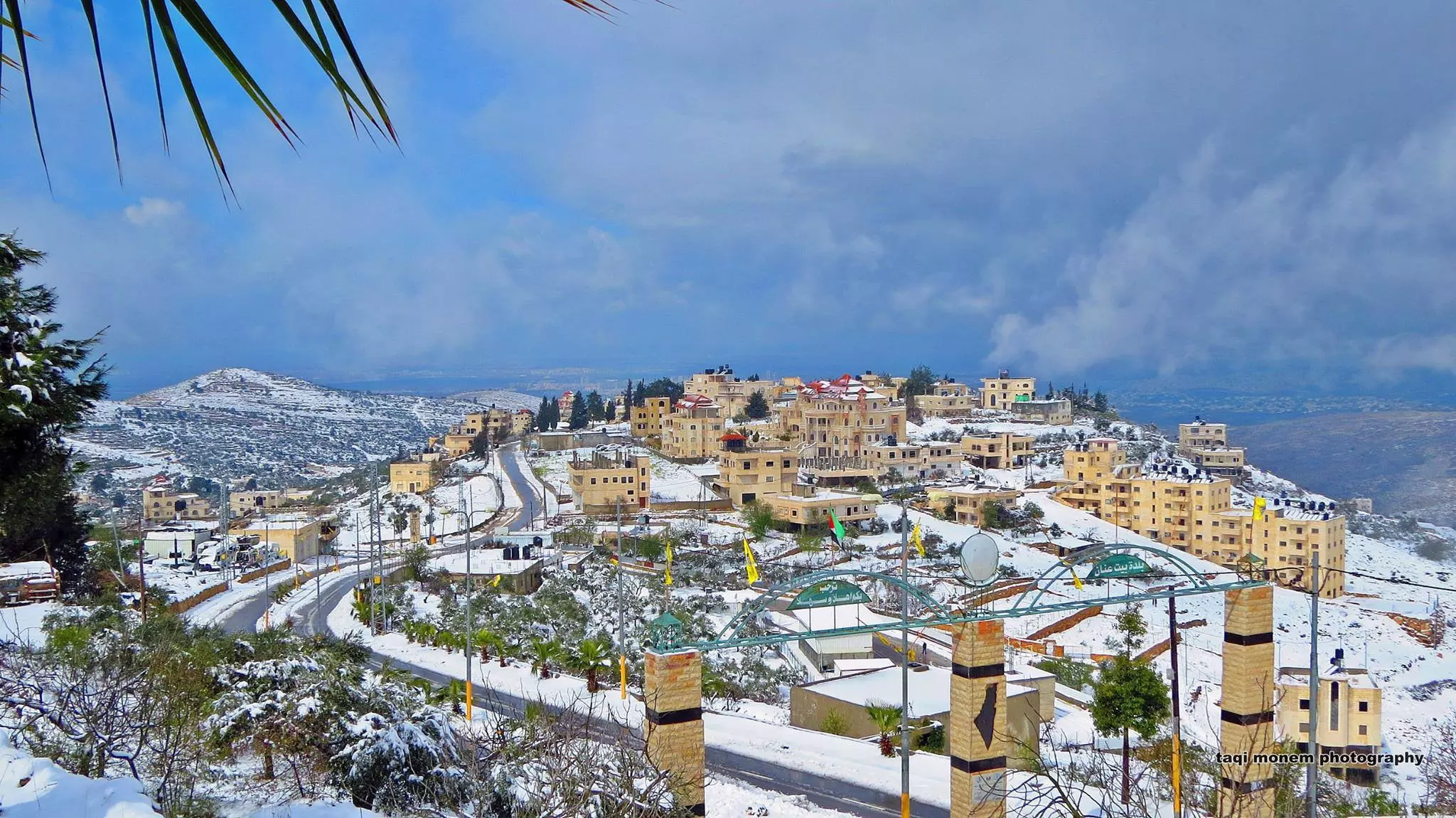
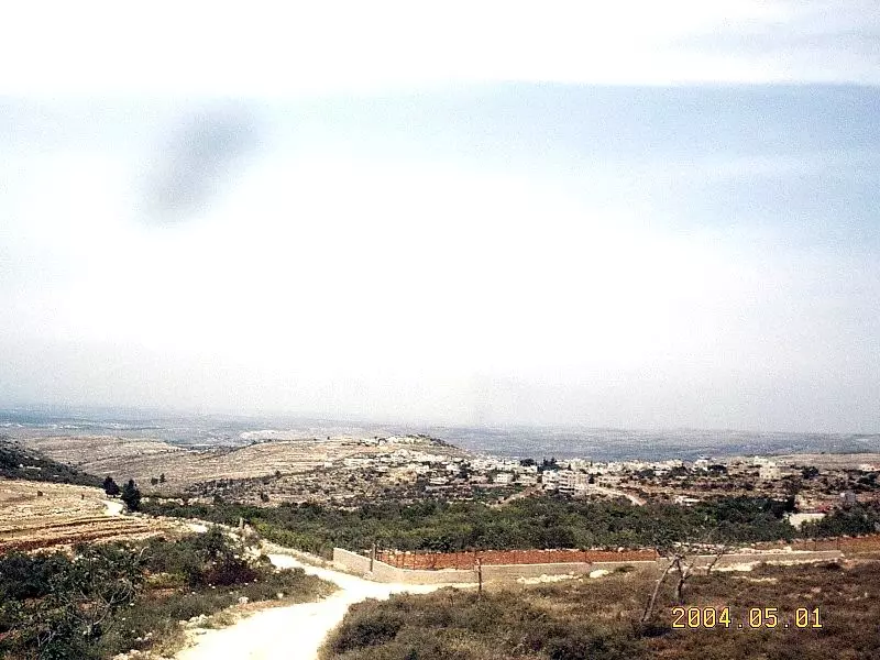
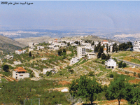
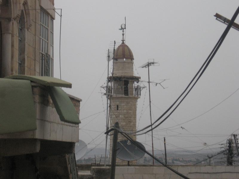
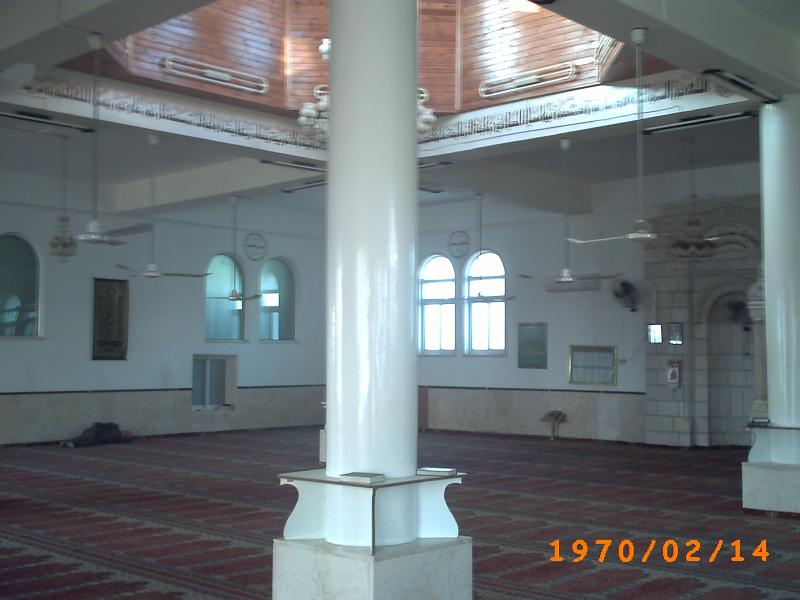
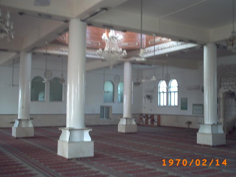
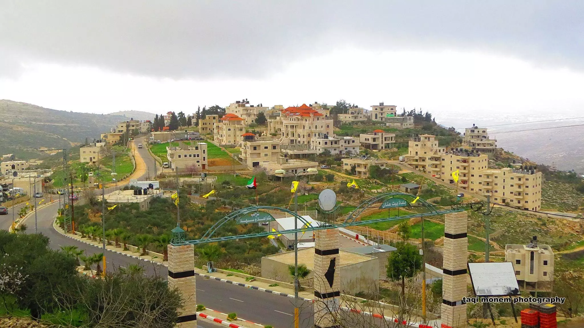
- منظر عام في الحلة البيضاء - تصوير تقي منعم
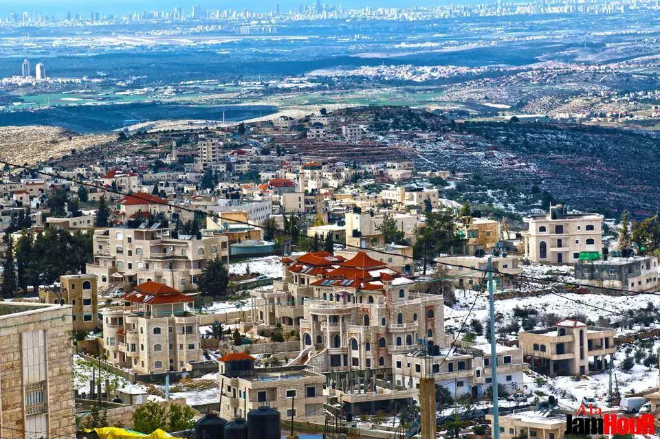
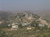
- قرية بيت عنان- تصوير علاء جمهور
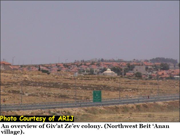
- The usurped lands for the Jewish colonies
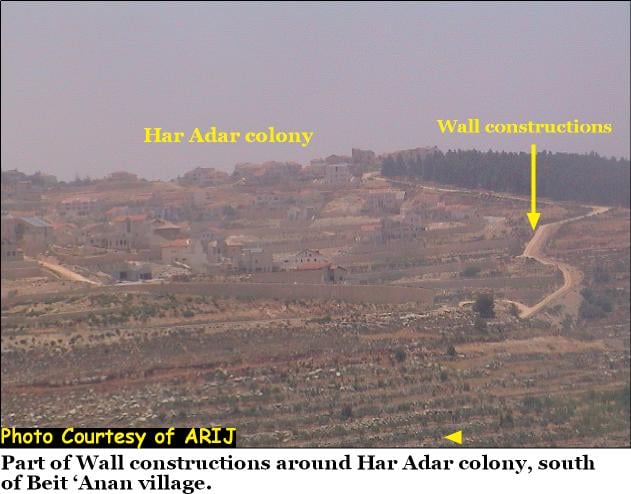
Posted by Mohd Muwafaq Taha - Giv'at Zigiv Colony
Posted by Mohd Muwafaq Taha 1 - منظر عام
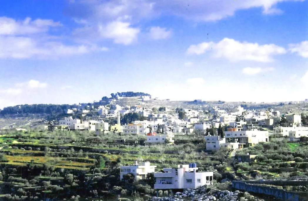
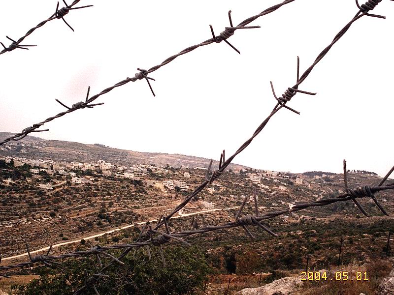
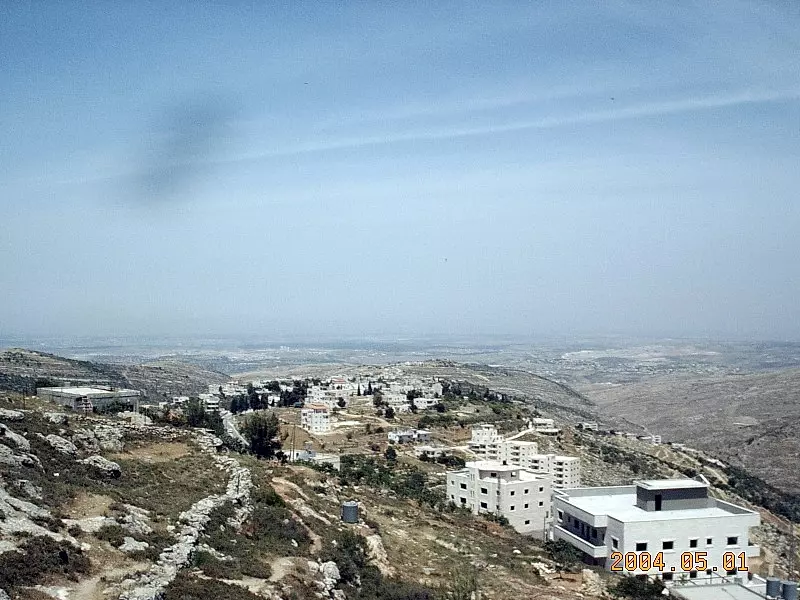
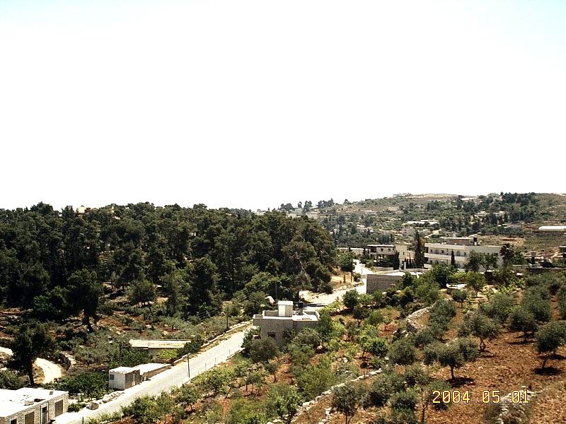
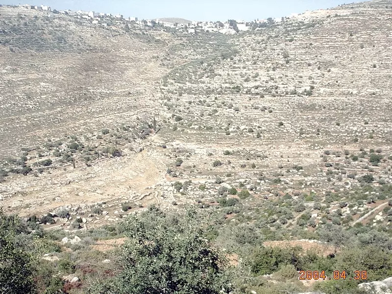
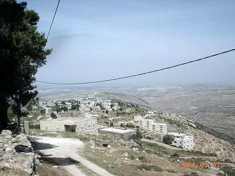
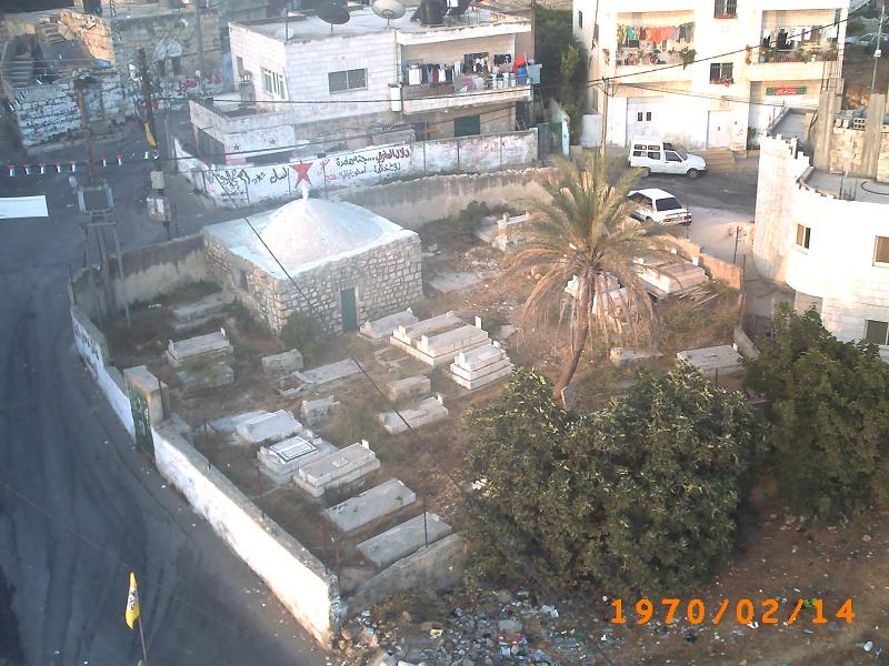
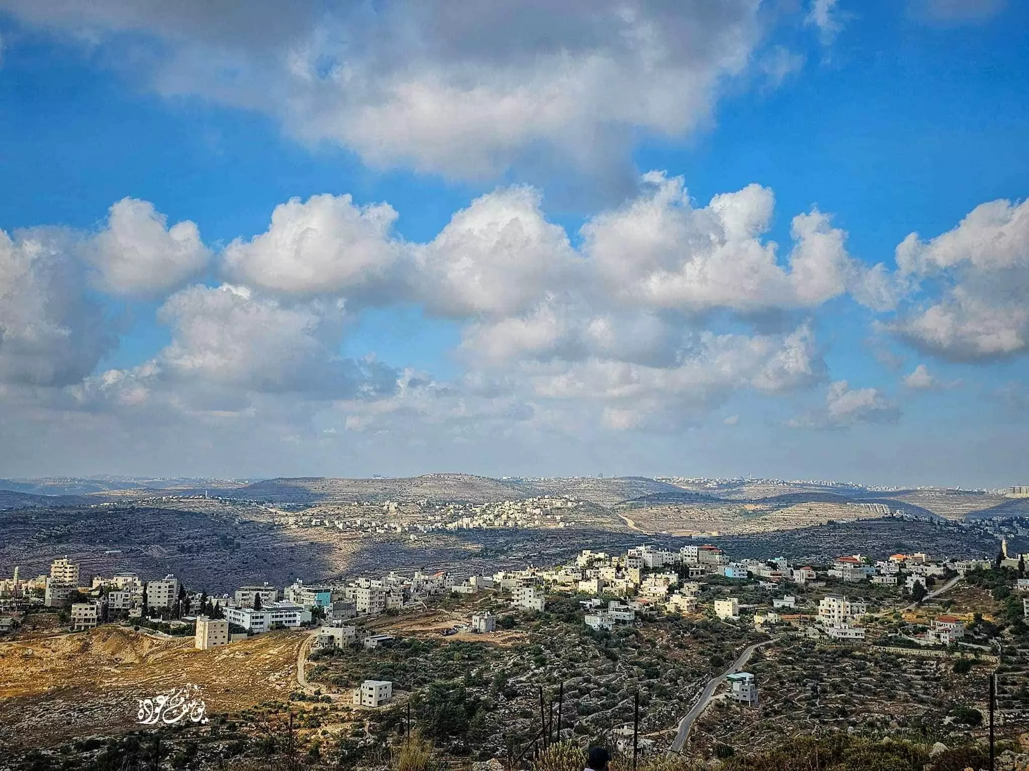
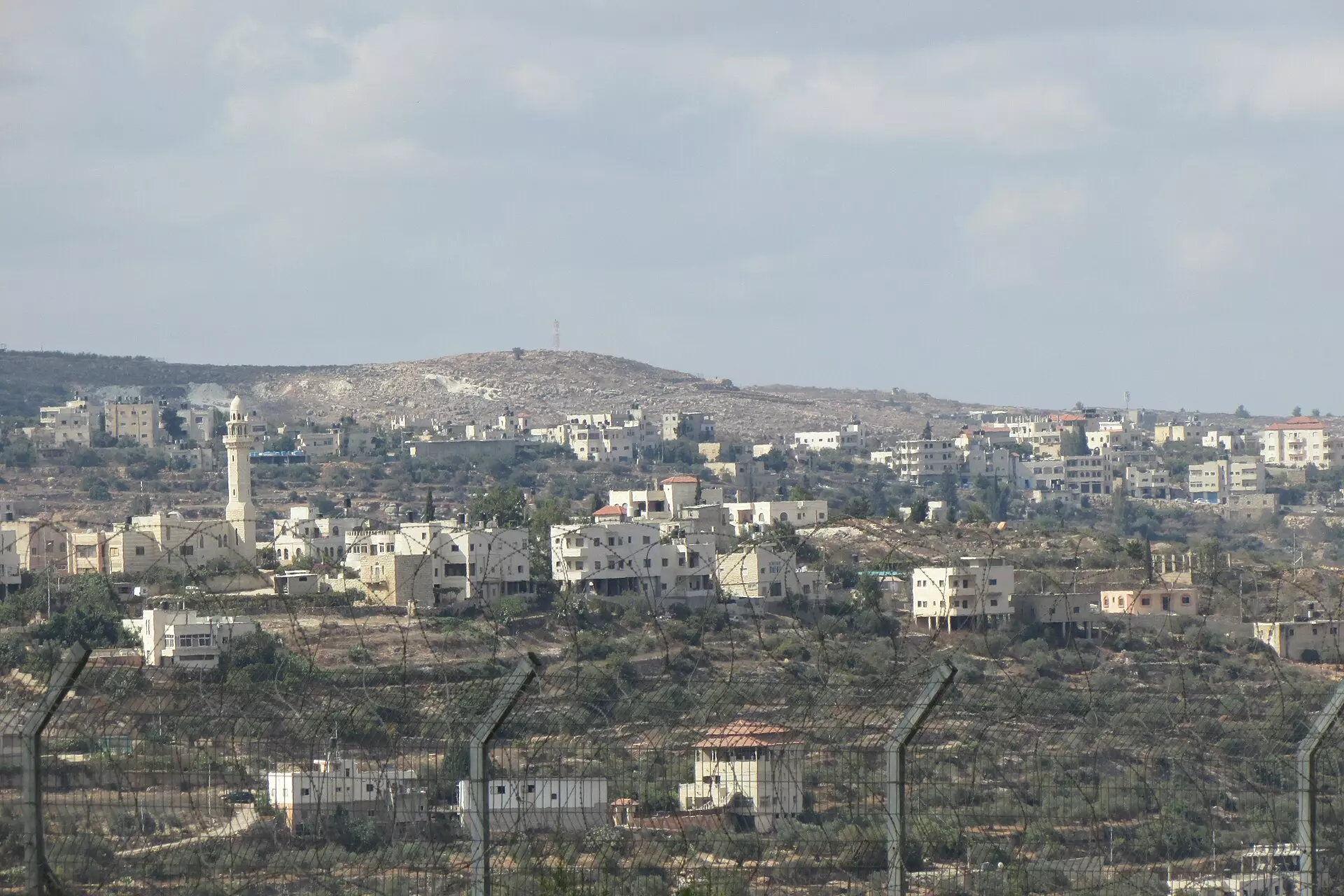
Posted by palestinain girl 6 - Beit I'nan - A General View From Its Surrounding Hills.
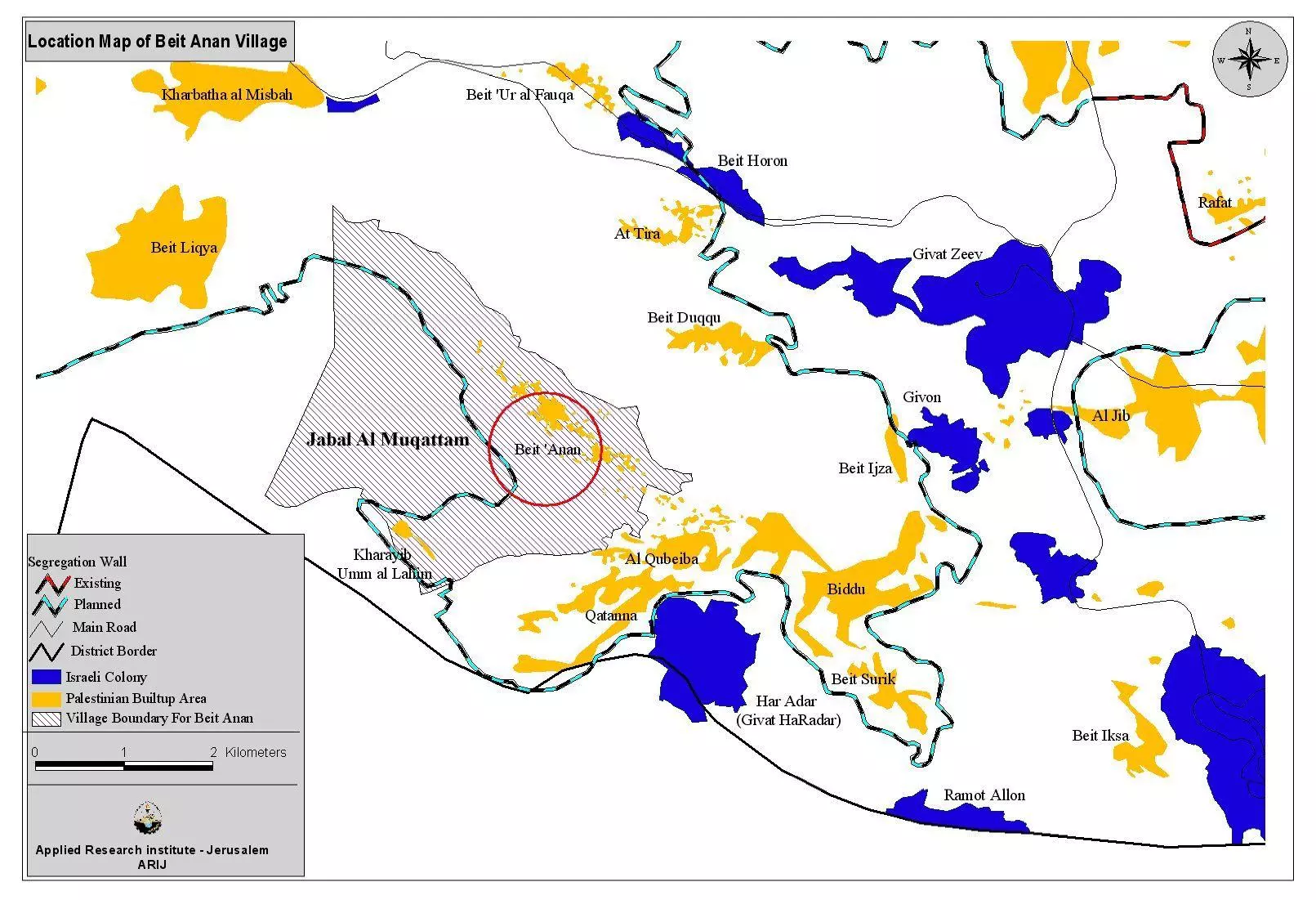
Posted by Umar Abu El-Bararri 1 - Beit Anan Map
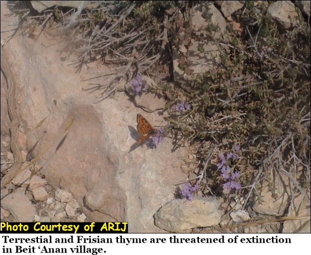
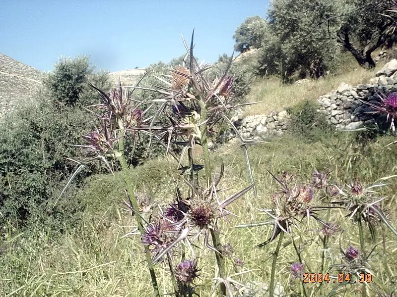
Posted by Mohd Muwafaq Taha - Terrestial and Fricion thyme
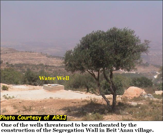
Posted by Mohd Muwafaq Taha 2 - Water Wall
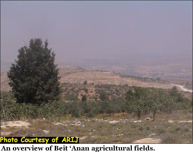
Posted by Mohd Muwafaq Taha 2 - Agricaltural Fields
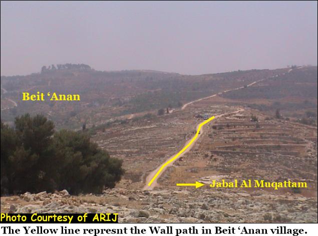
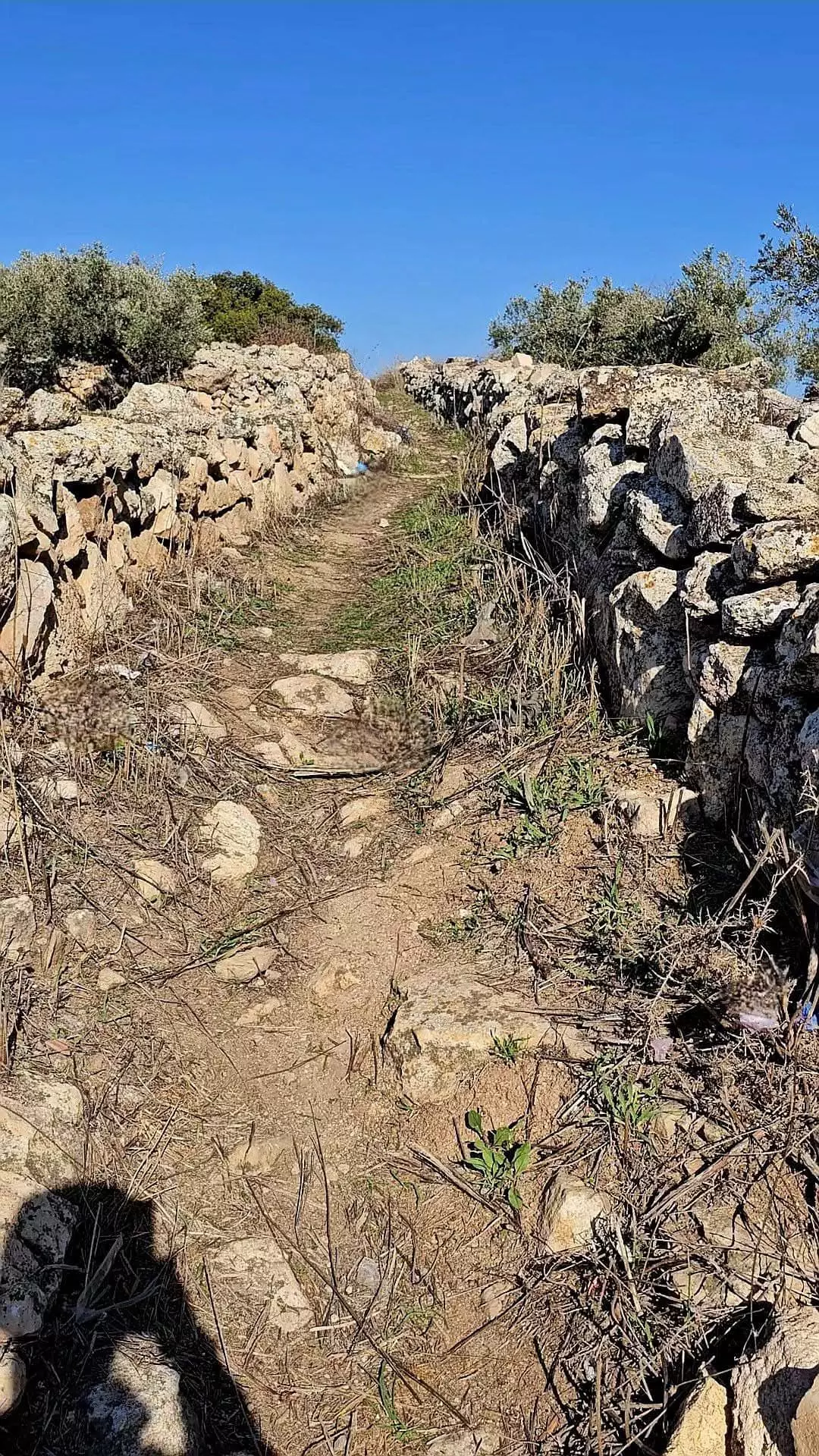
Posted by Mohd Muwafaq Taha 3 - Wall Path
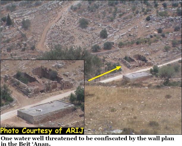
Posted by Mohd Muwafaq Taha 1 - Water / Wall Path
Posted by Mohd Muwafaq Taha 2 - منظر عام
Posted by حسن العناني 4 - منظر عام
Posted by حسن العناني 1 - منظر عام
Posted by حسن العناني 1 - منظر عام
Posted by حسن العناني - منظر عام
Posted by حسن العناني 3 - حضانة
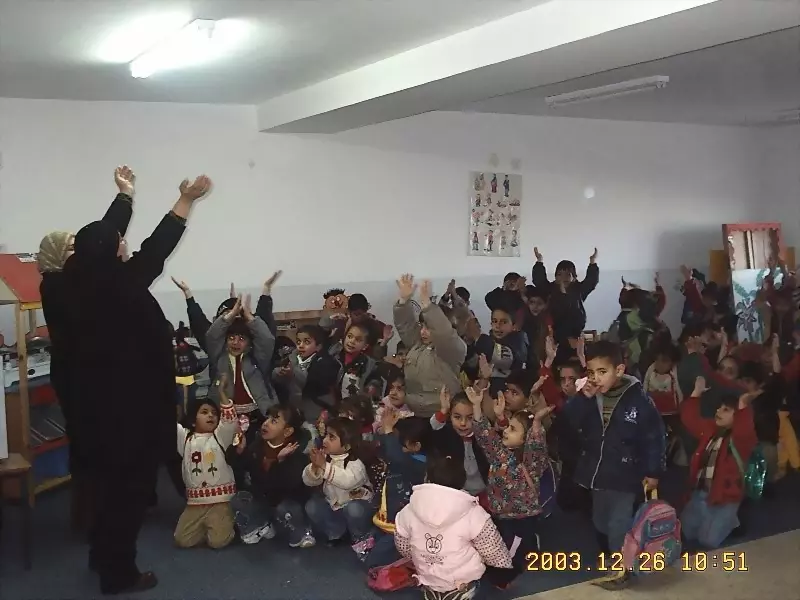
Posted by حسن العناني - حضانة
Posted by حسن العناني - حضانة
Posted by حسن العناني - بيت عنان الخضراء

Posted by حسن العناني 2 - بيت عنان الخضراء
Posted by حسن العناني 4 - بيت عنان الخضراء
Posted by حسن العناني 1 - مدخل بيت عنان
Posted by حسن العناني - مدخل بيت عنان
Posted by حسن العناني - بيت عنان
Posted by حسن العناني 1 - بيت عنان الجميله
Posted by حسن العناني 3 - بيت عنان الجميله
Posted by حسن العناني 1 - بيت عنان الجميله
Posted by حسن العناني 4 - بيت عنان الجميله
Posted by حسن العناني 2 - beit 3nan

Posted by حسن العناني 1 - baladna
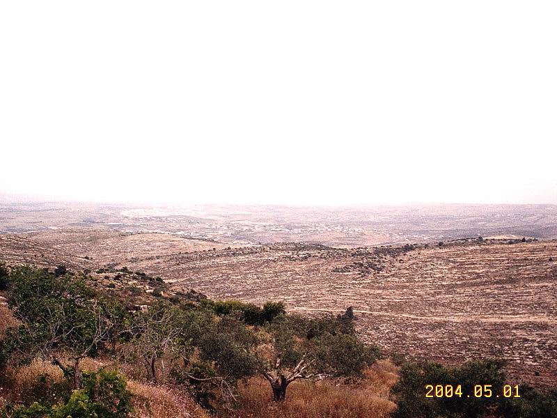
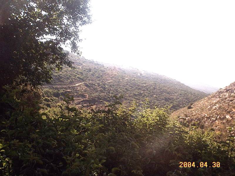
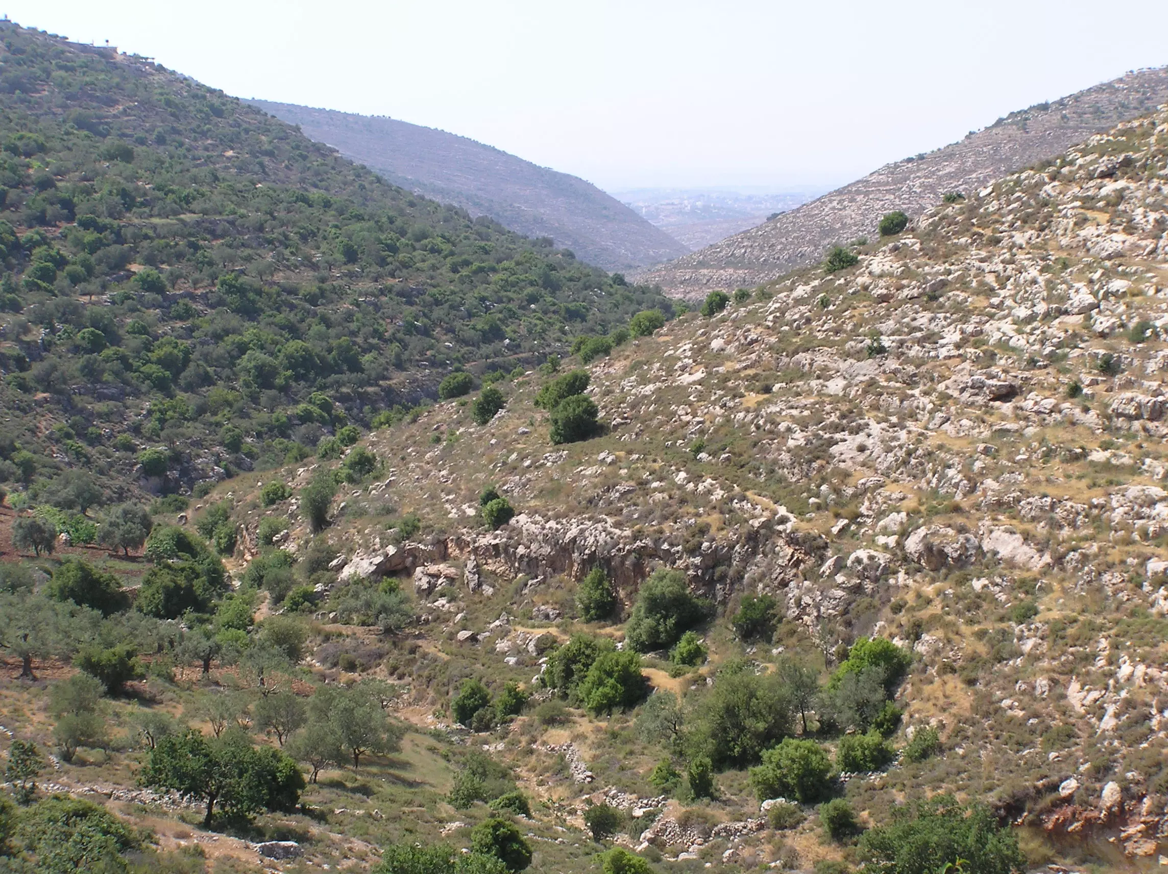
Posted by حسن العناني 1 - One Beautiful Valley & Hills On The Way To The Village Ain (Water Source).
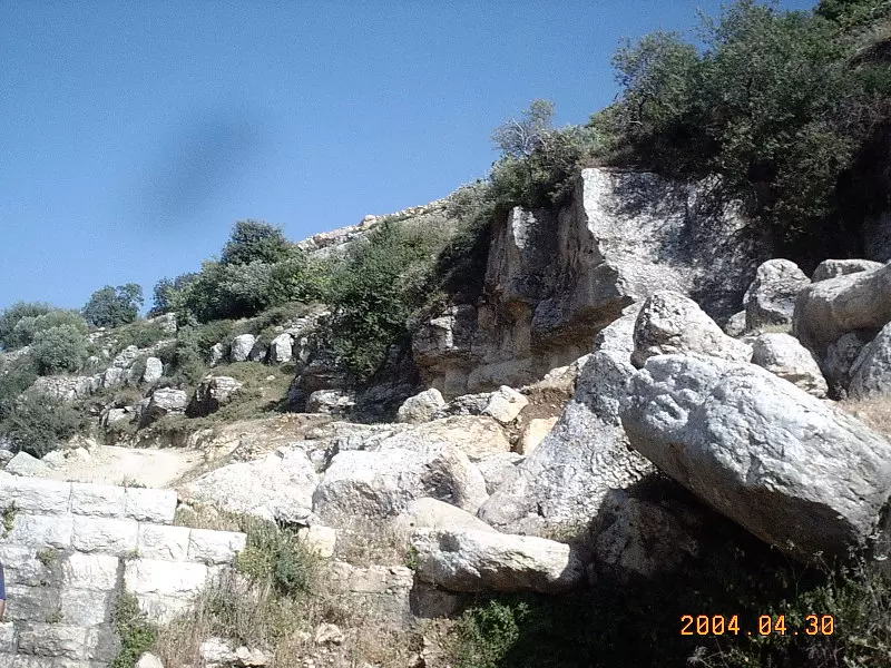
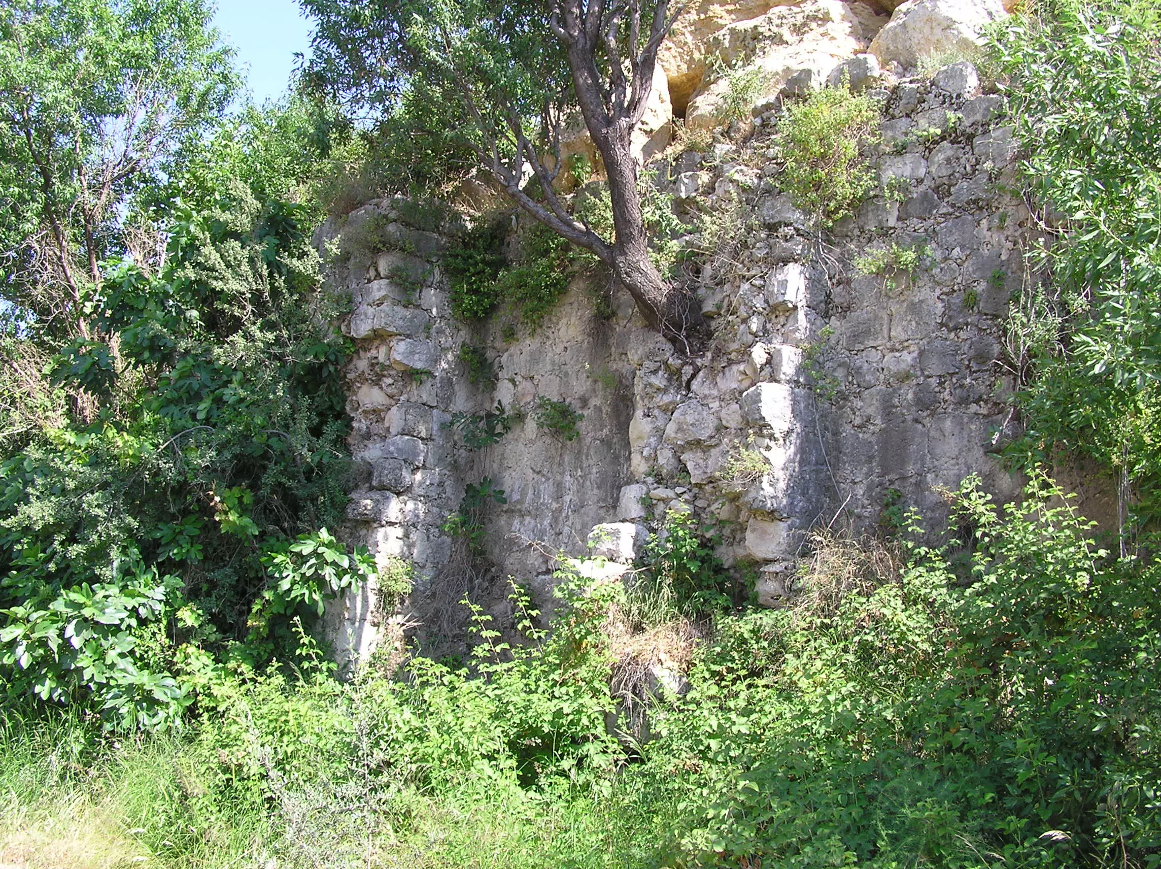
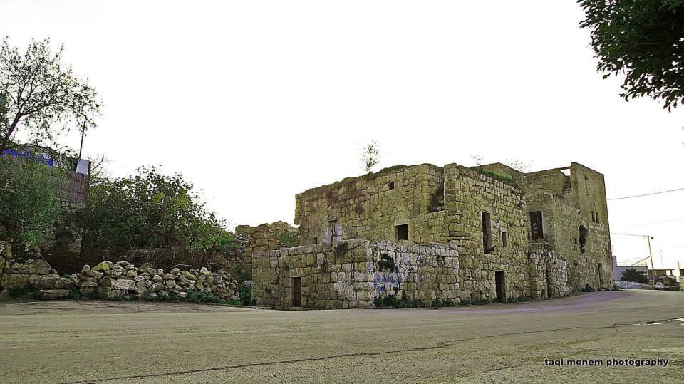
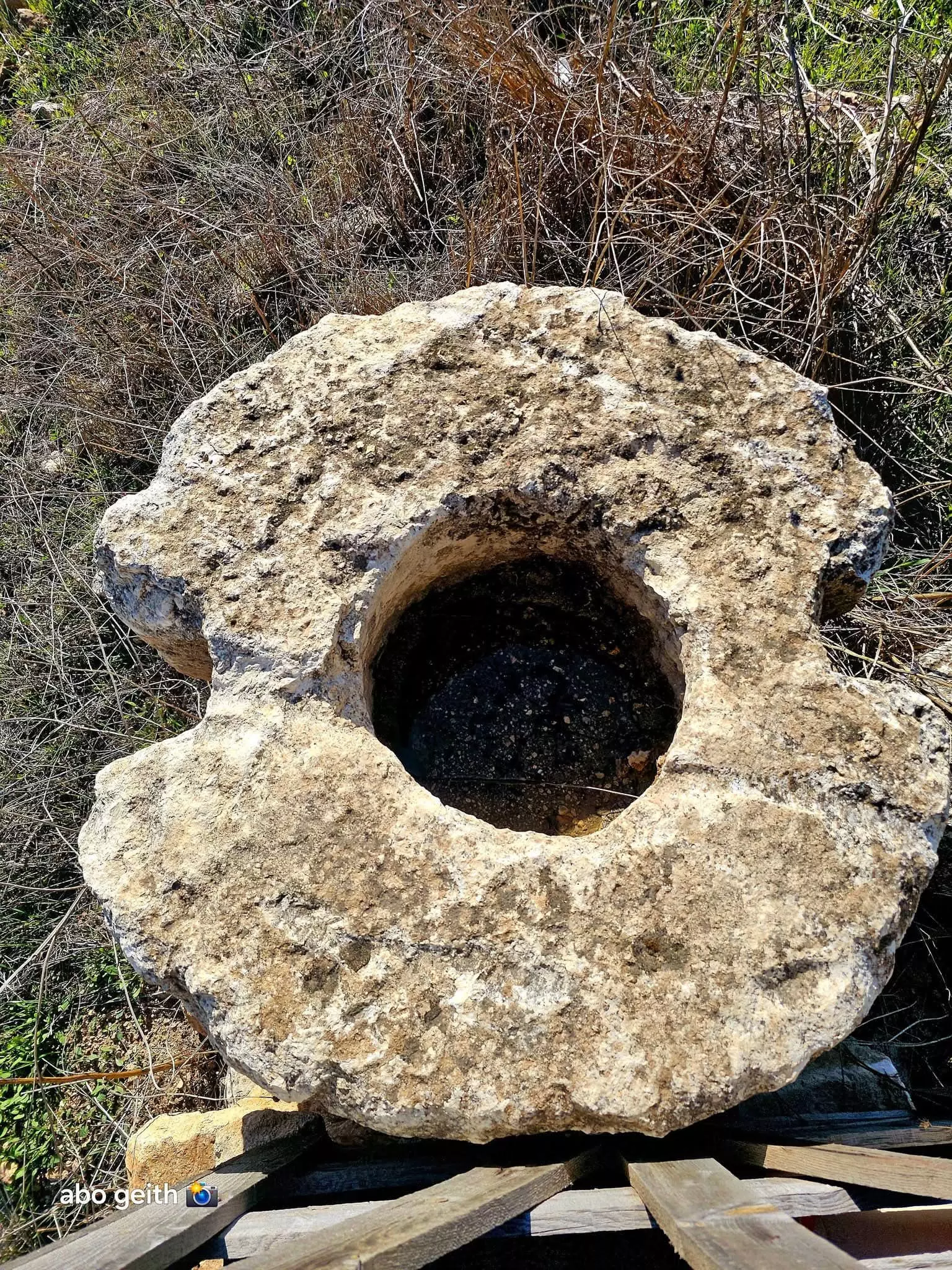
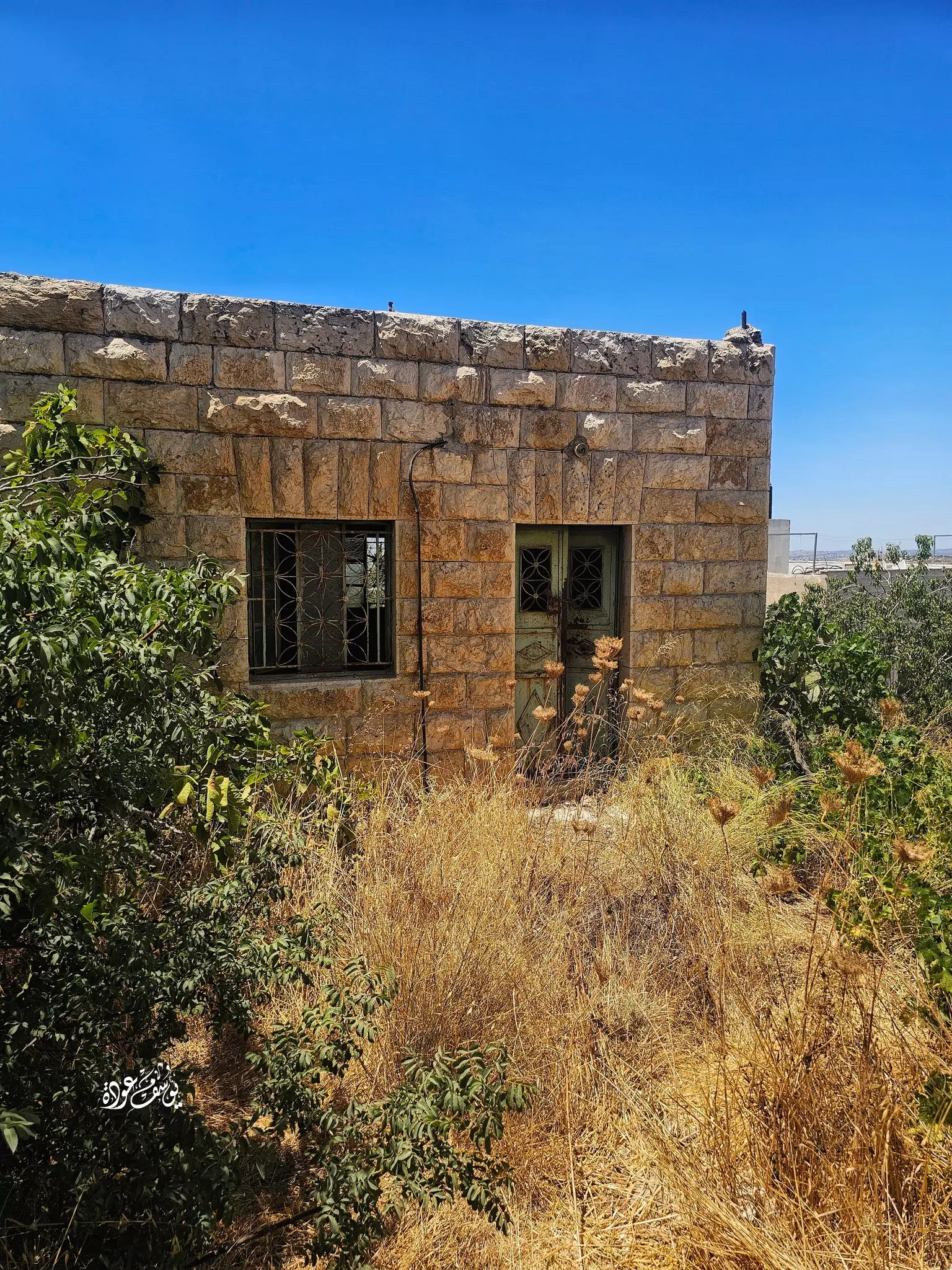
Posted by Umar Abu El-Bararri - The Old Structural Remains Of The Ain In Beit I'nan.
Posted by Umar Abu El-Bararri 2 - beit 3nan
Posted by حسن العناني 1 - new beit anan

Posted by حسن العناني 2 - ahla beit anan
Posted by انسان جمهور 2 - ahla beit anan

Posted by انسان جمهور - new beit 3anan
Posted by انسان جمهور - new beit 3anan
Posted by انسان جمهور 1 - new beit 3anan
Posted by انسان جمهور - new beit 3anan
Posted by انسان جمهور 1 - new beit 3anan
Posted by انسان جمهور - new beit 3anan
Posted by انسان جمهور 1 - new beit 3anan
Posted by انسان جمهور - new beit 3anan
Posted by انسان جمهور 2 - new beit 3anan

Posted by انسان جمهور 1 - new beit 3anan
Posted by انسان جمهور 1 - new beit 3anan
Posted by انسان جمهور 2 - شهيد من شهداء قرية بيت لقيا استشهد بتاريخ 2/4/1988

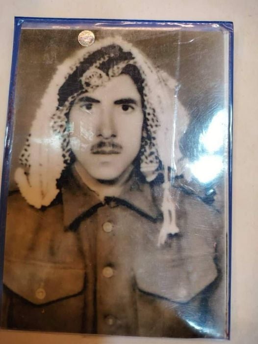
Posted by مرعي عاصي - الاسير : محمد تيسير حميده حميد\ المعتقل بتاريخ 4-6-2001

Posted by مجد الجمل 1 - منظر عام- تقى مؤمن
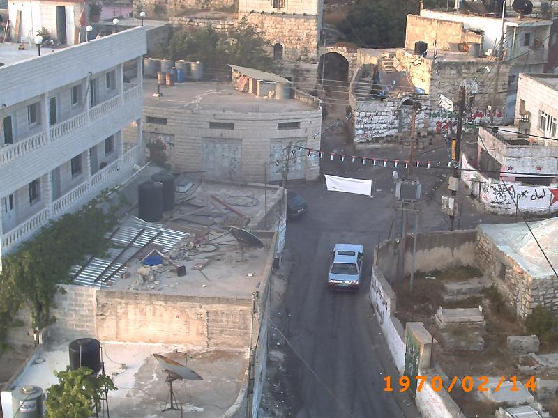
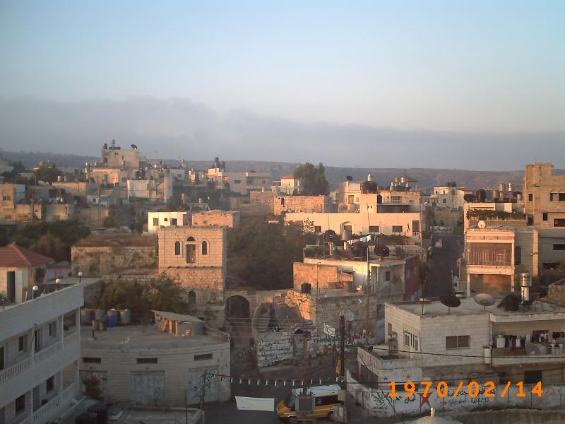
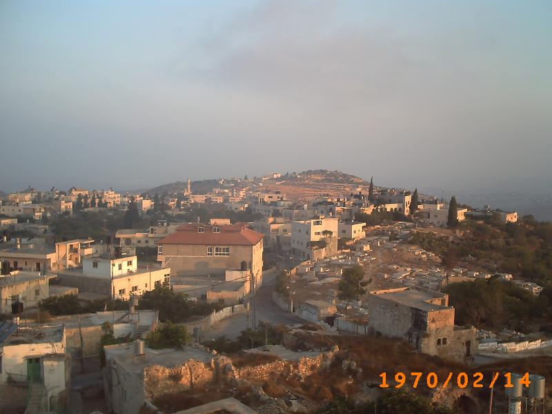
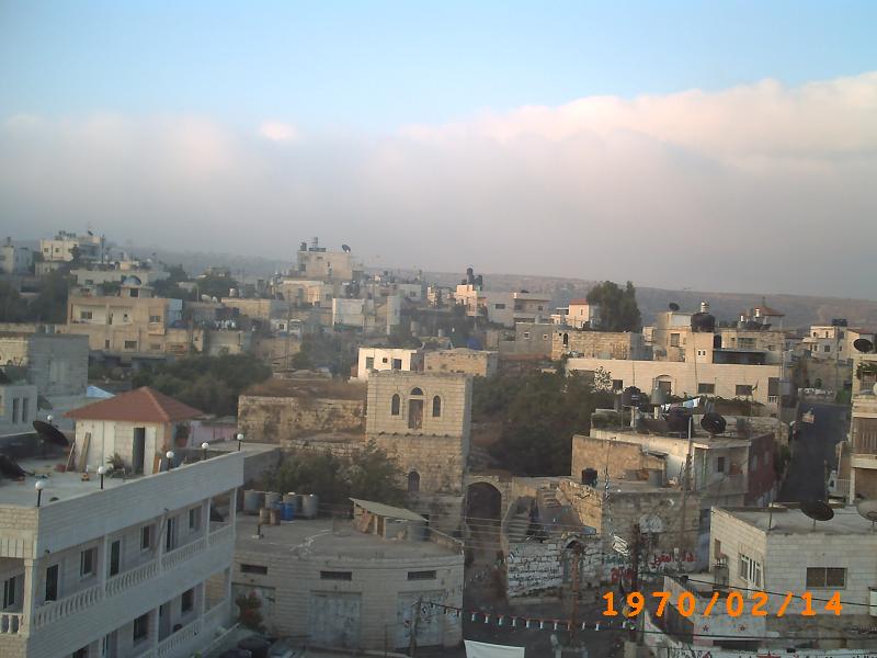
- منظر عام
- منظر عام
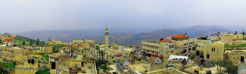
- منظر عام
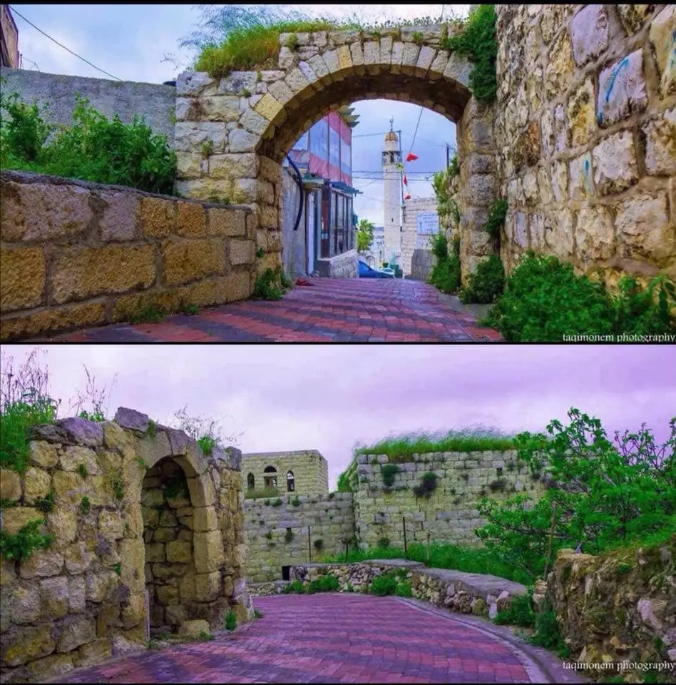
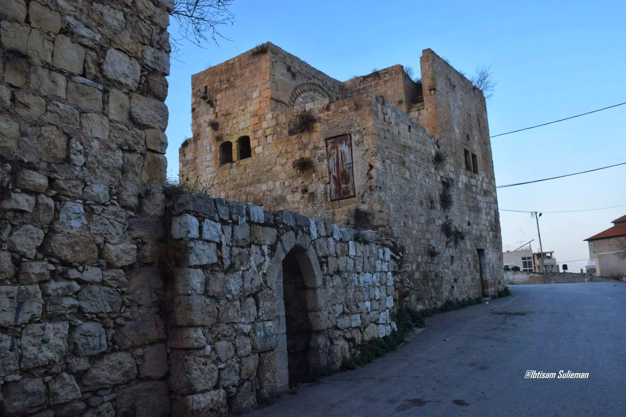
- جولة حديثة بين البيوت القديمة
- جولة حديثة بين البيوت القديمة #2
- جولة حديثة بين البيوت القديمة #3

- جولة حديثة بين البيوت القديمة #4
- جولة حديثة بين البيوت القديمة #5

- 7/6/1967 - استشهد البطل العريف عبدالقادر مصطفى المراعبة من أهالي الجيزة (زيزيا) في قرية بيت عنان / القدس أثناء الدفاع عن المقدسات.
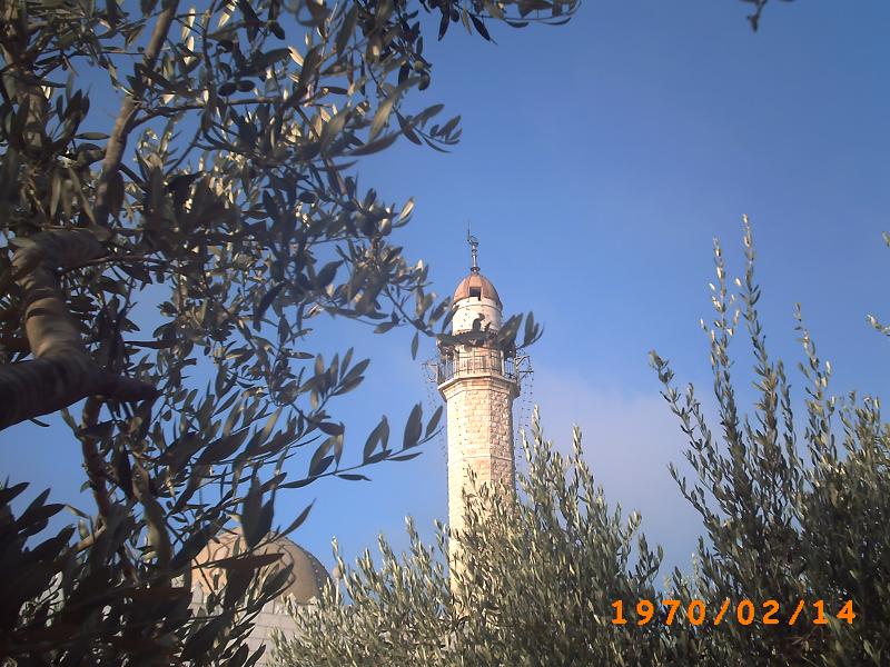
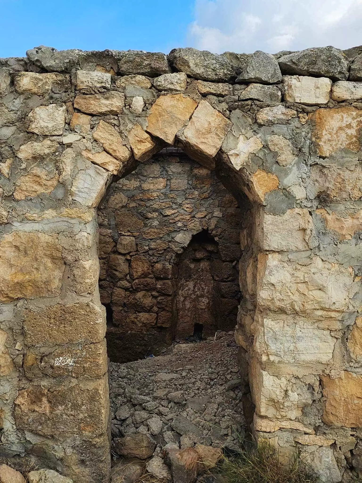
- من خربة الجبيعة/ ومقام العُمري - بيت عنان
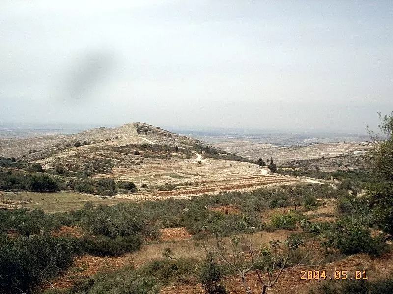
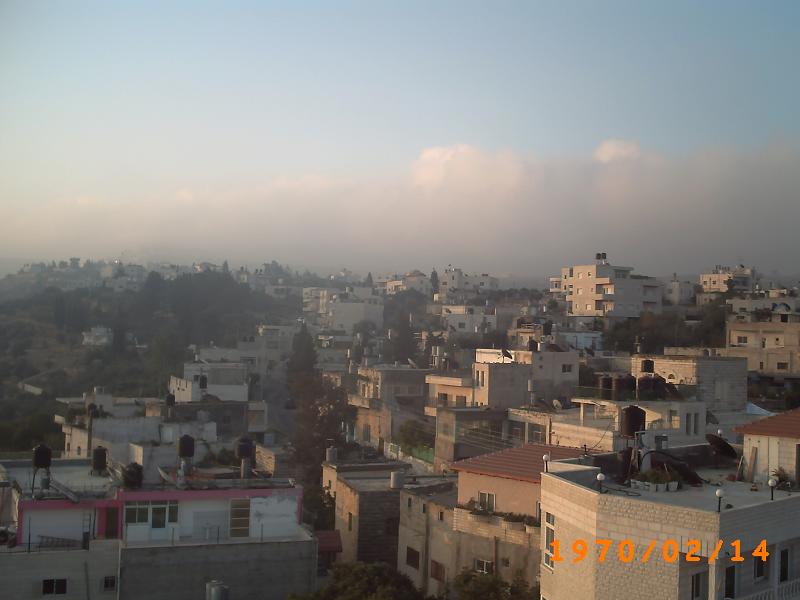
- منظر عام
- منظر عام #2
- منظر عام #3

- منظر عام #4
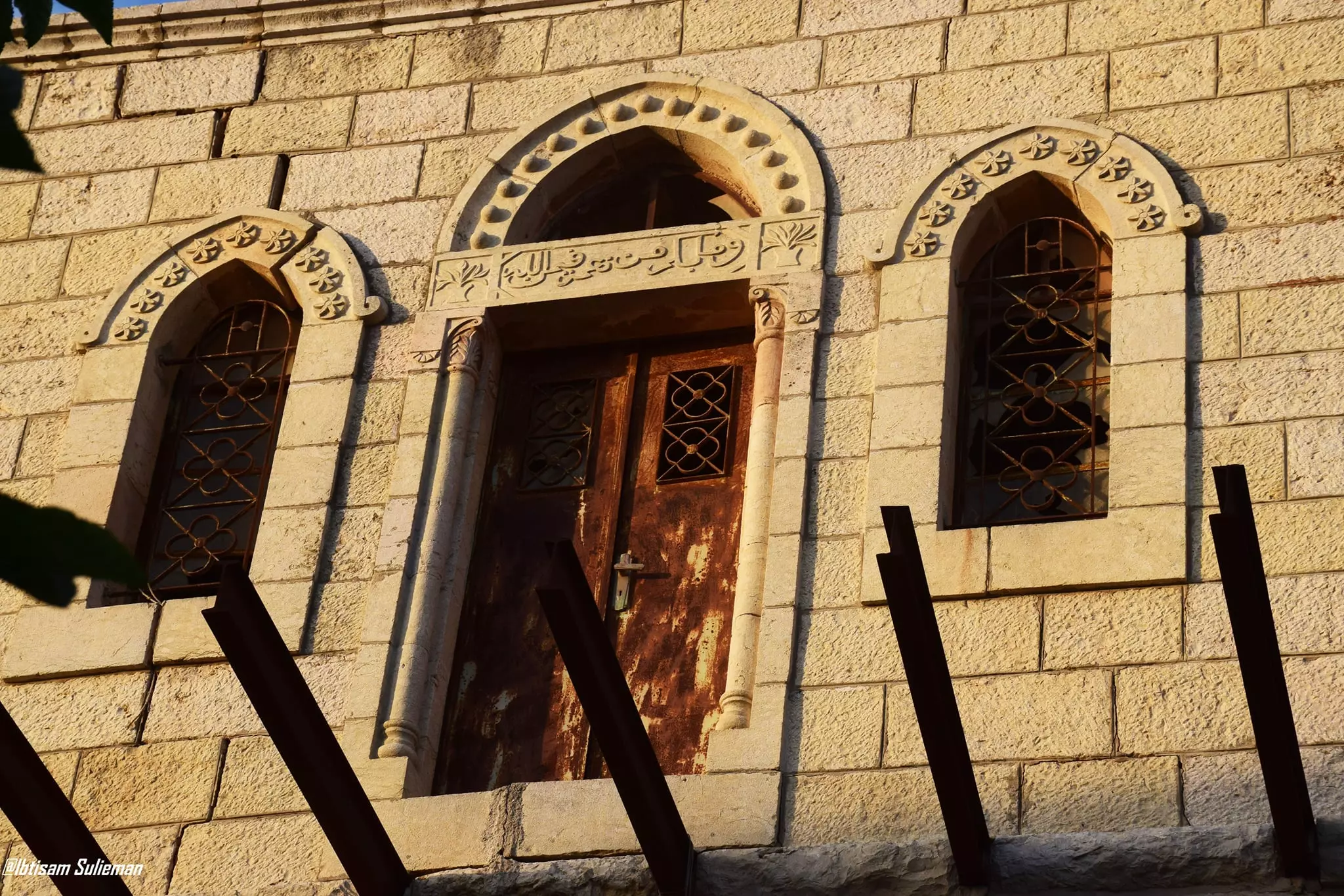
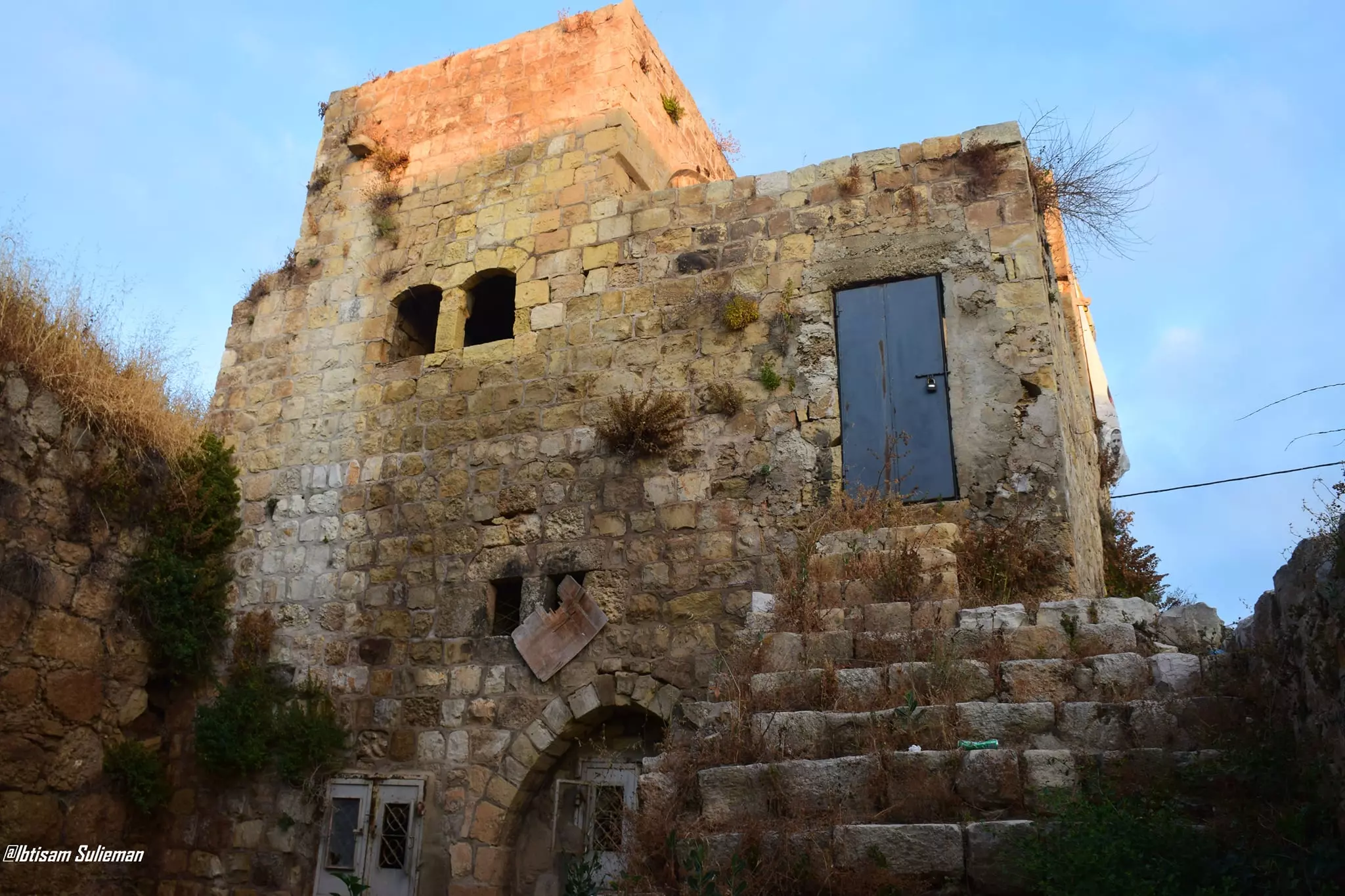
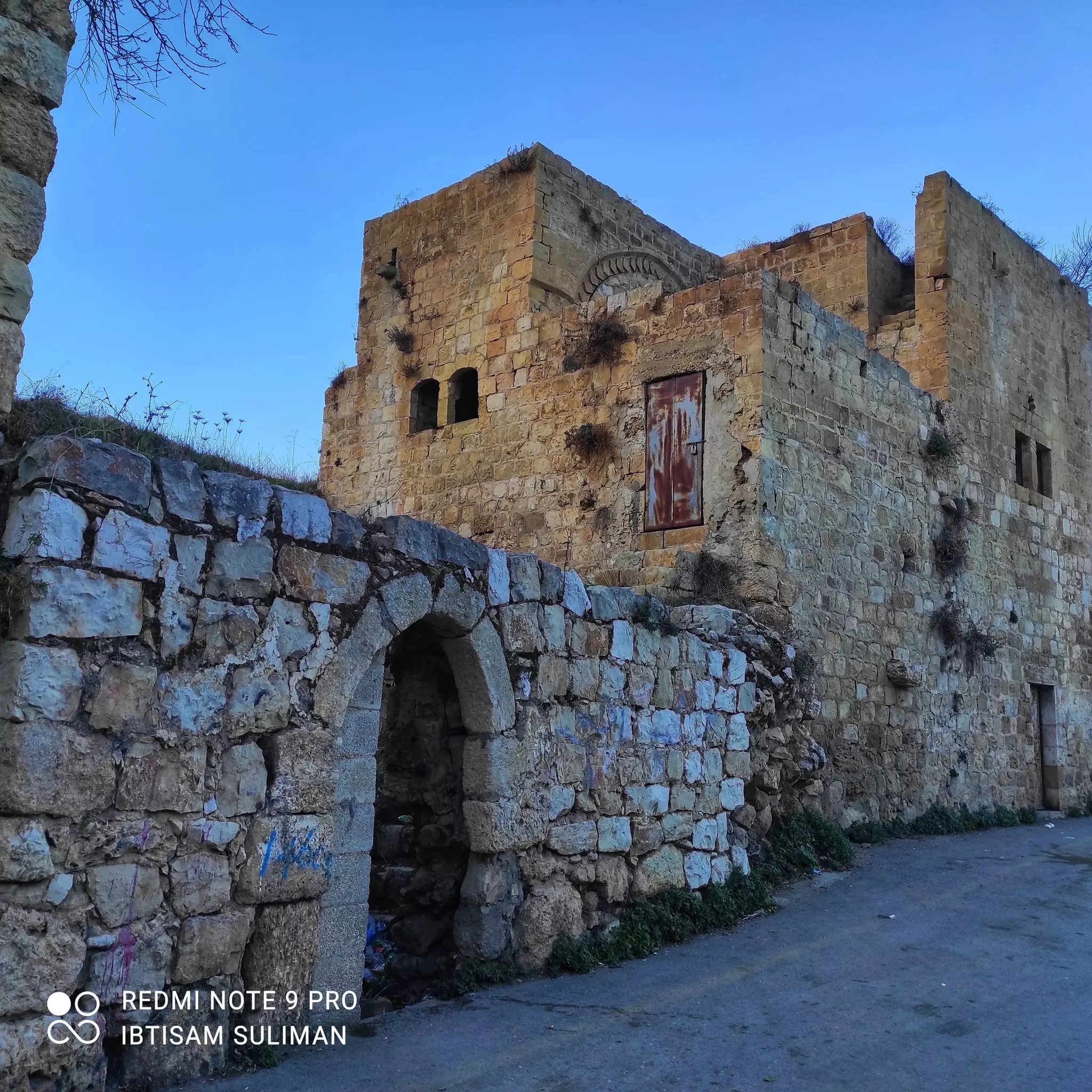
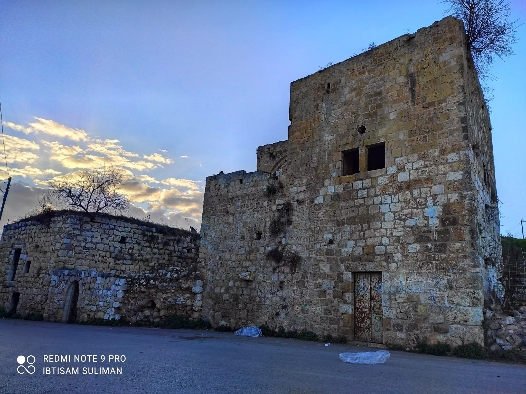
- جولة بين بيوت القرية القديمة--Ibtisam Sulieman
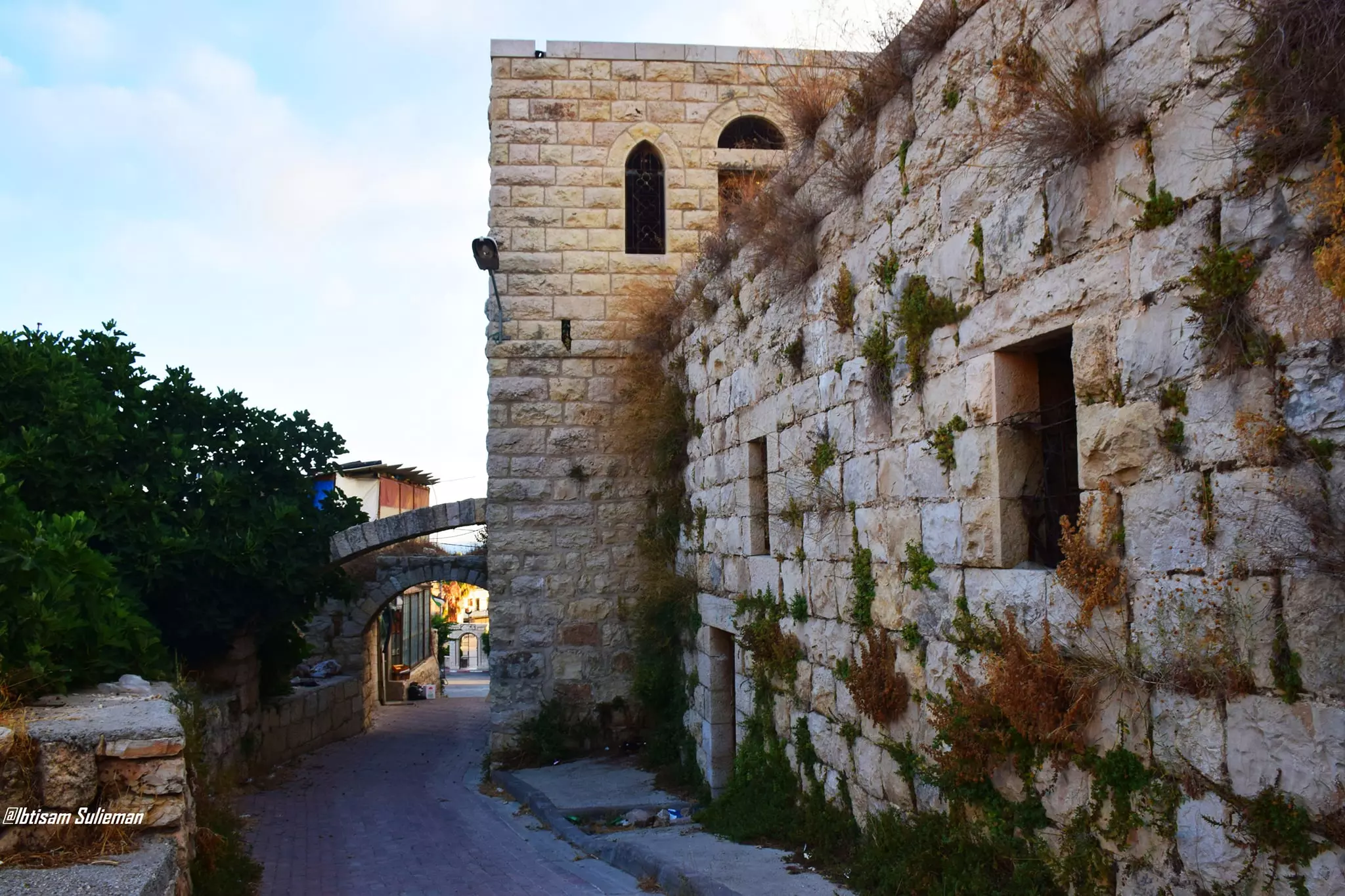
- جولة بين بيوت القرية القديمة--Ibtisam Sulieman #2

- جولة بين بيوت القرية القديمة--Ibtisam Sulieman #3
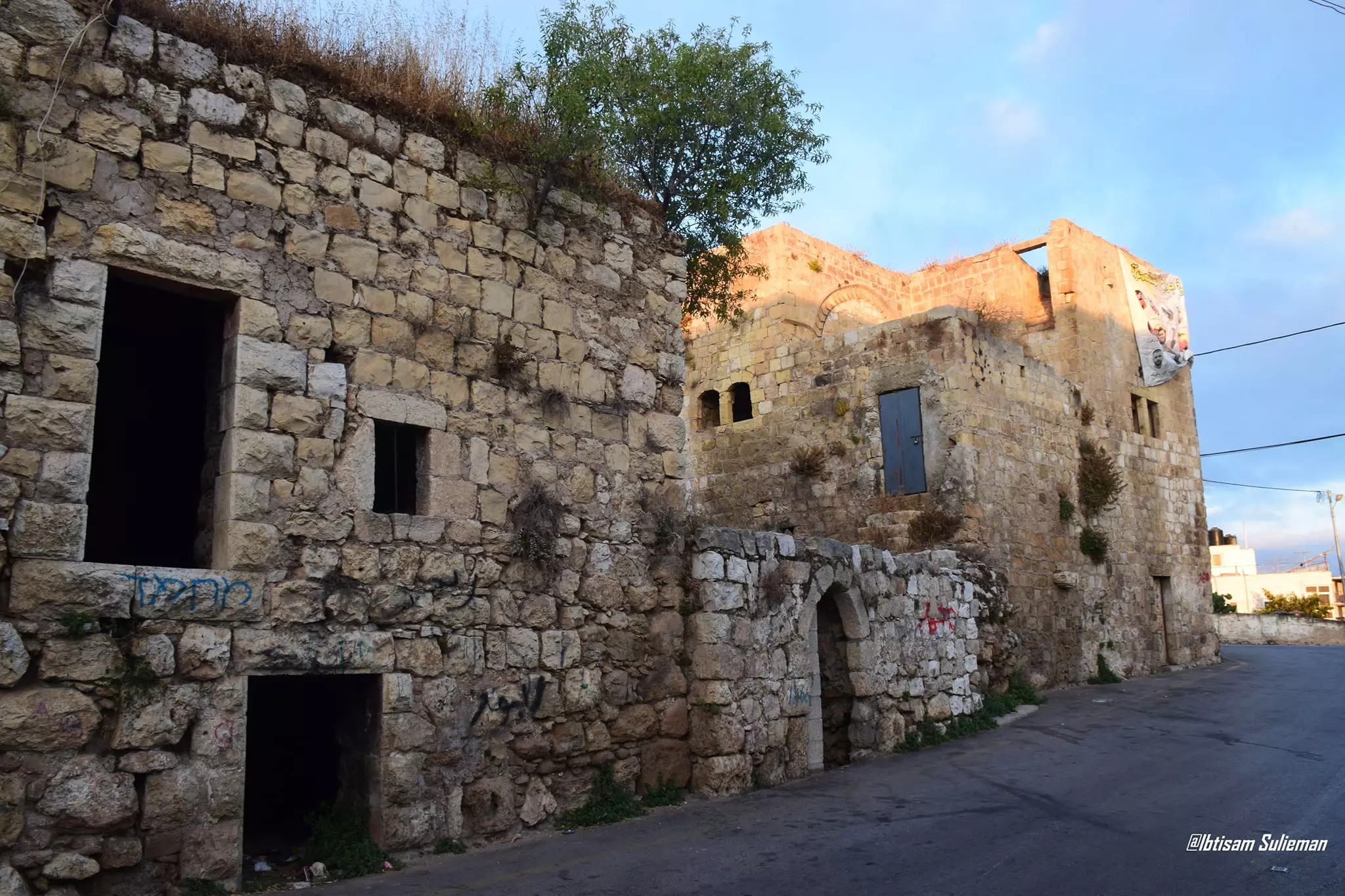
- جولة بين بيوت القرية القديمة--Ibtisam Sulieman #4

- جولة بين بيوت القرية القديمة--Ibtisam Sulieman #5

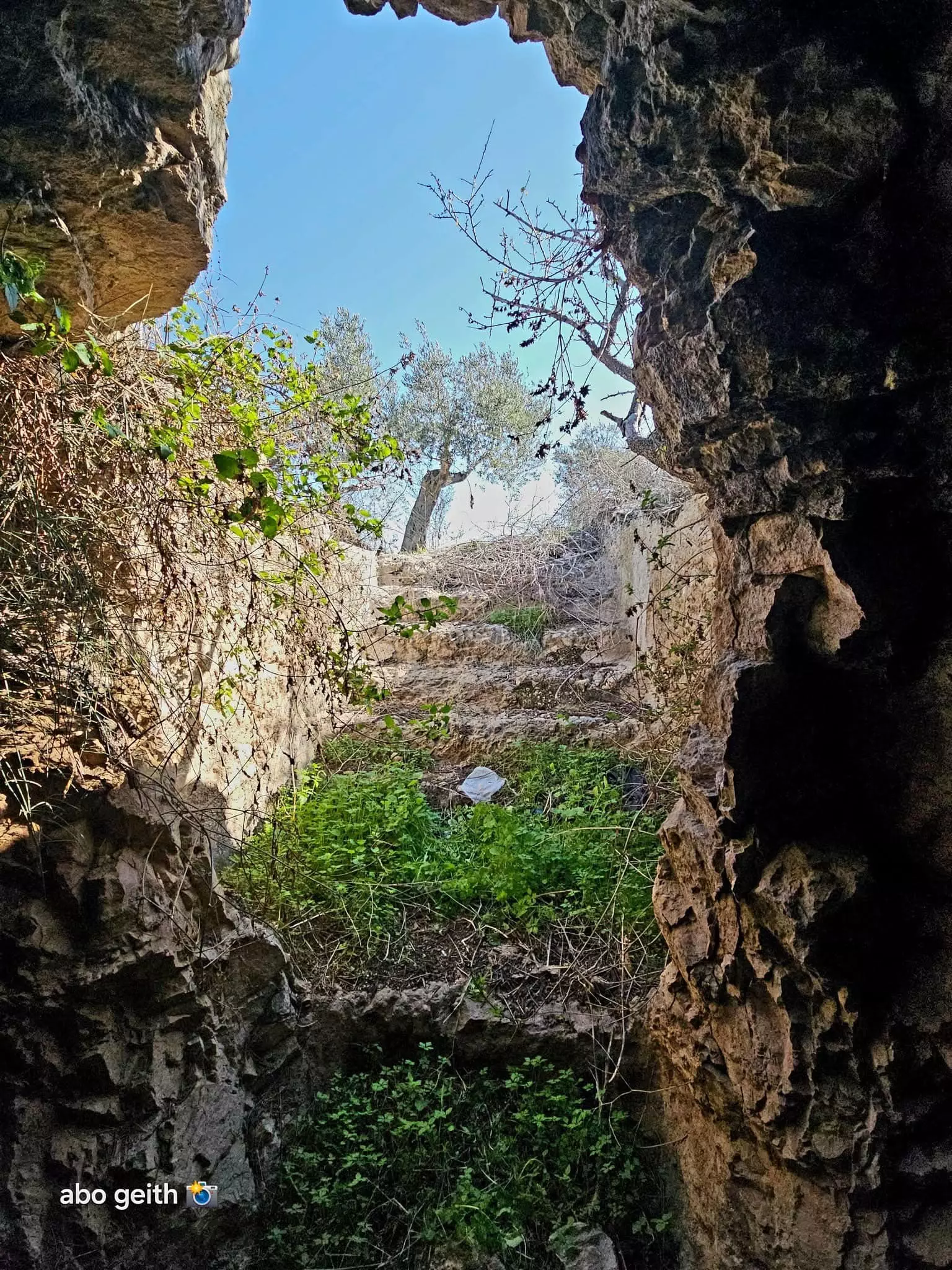
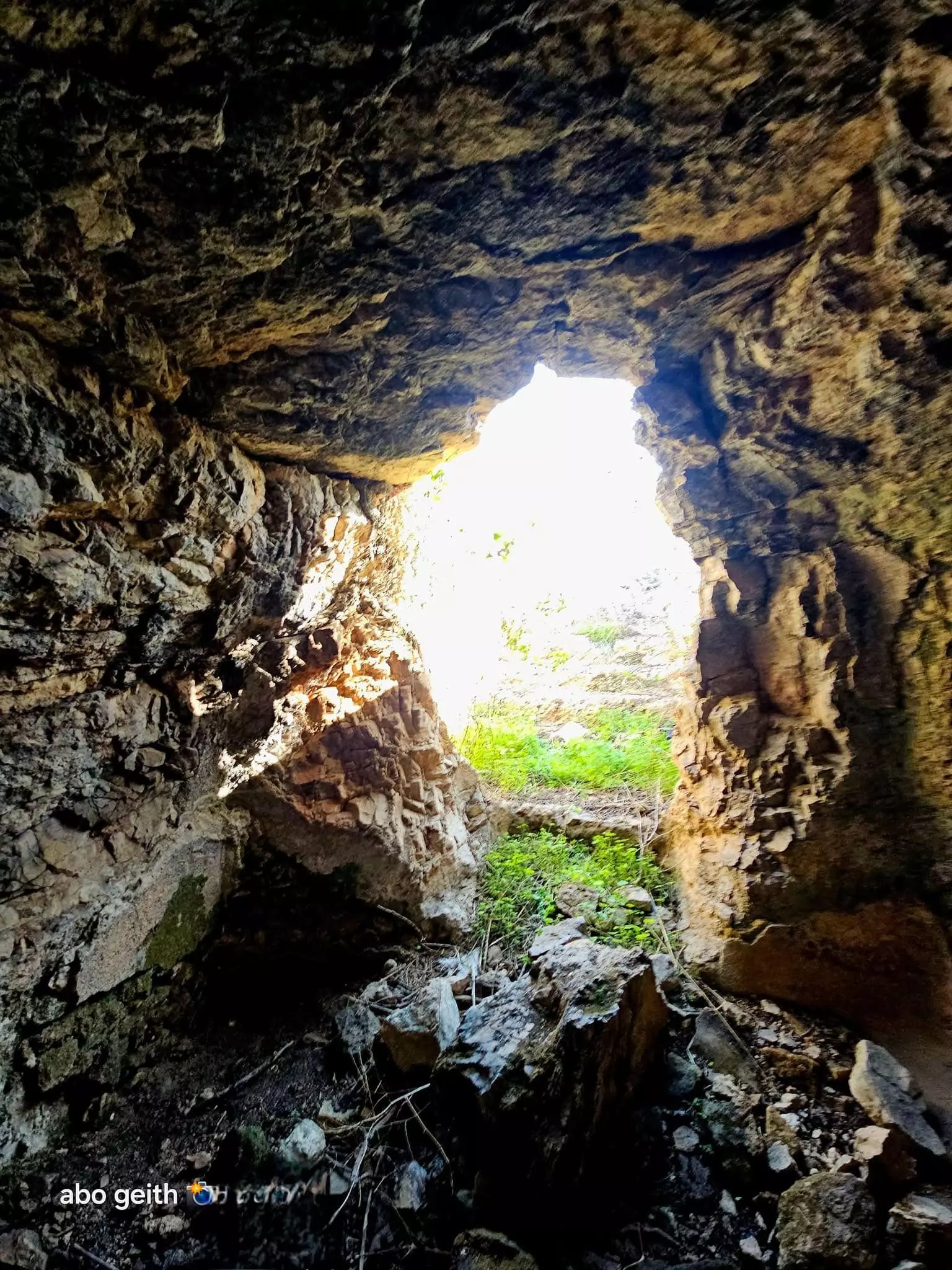
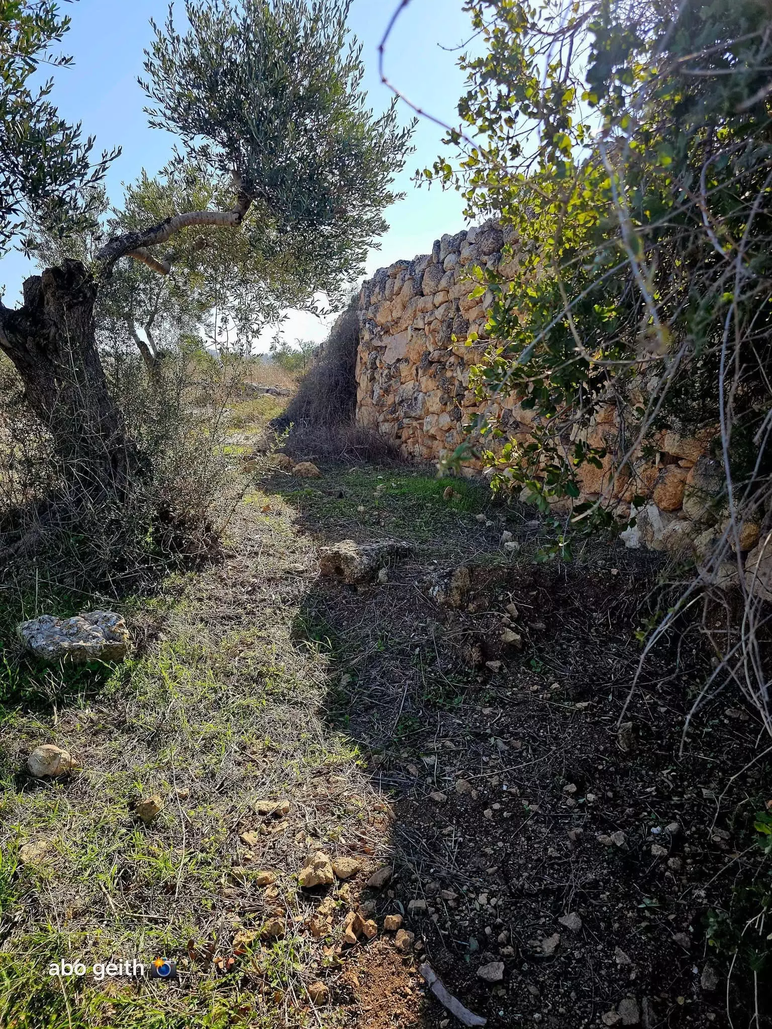
- -- المزيد عنها في قسم التعليقات اسفل الصورة --- Abo Gheith خربة الجديرة ---غرب قرية بيت عنان القدس
1 - -- المزيد عنها في قسم التعليقات اسفل الصورة --- Abo Gheith خربة الجديرة ---غرب قرية بيت عنان القدس #2
- -- المزيد عنها في قسم التعليقات اسفل الصورة --- Abo Gheith خربة الجديرة ---غرب قرية بيت عنان القدس #3
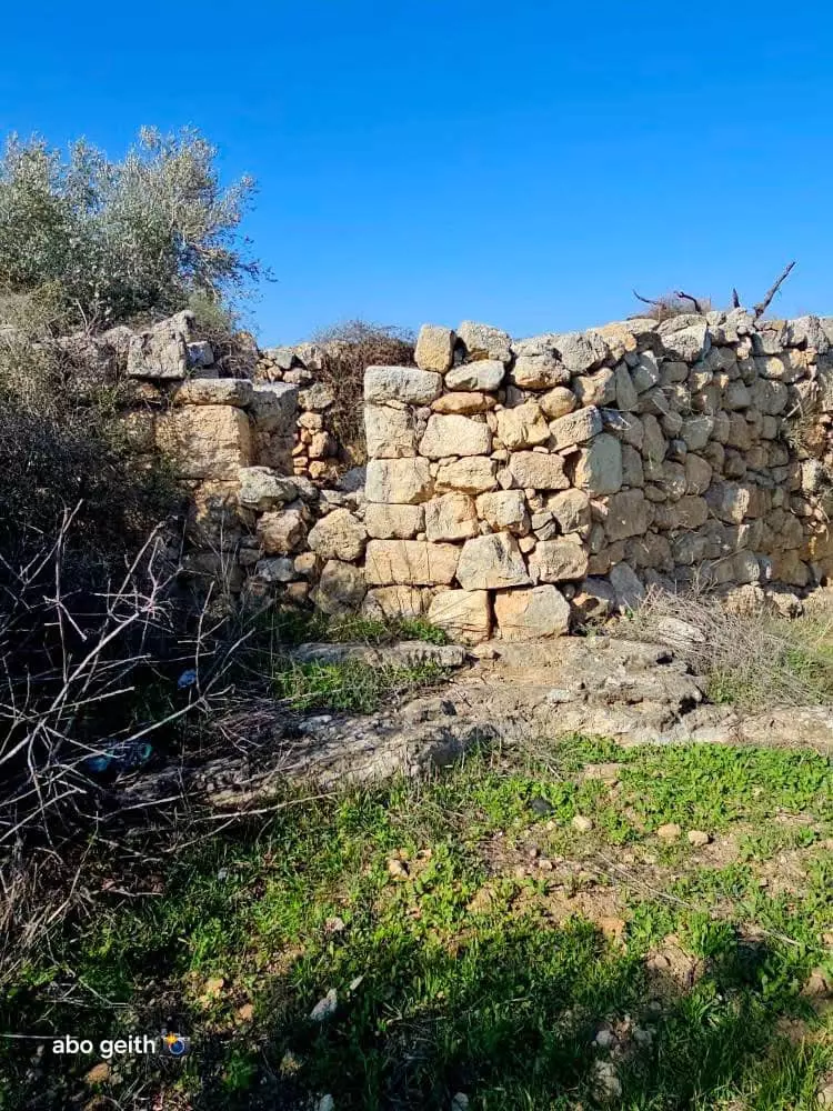
- -- المزيد عنها في قسم التعليقات اسفل الصورة --- Abo Gheith خربة الجديرة ---غرب قرية بيت عنان القدس #4
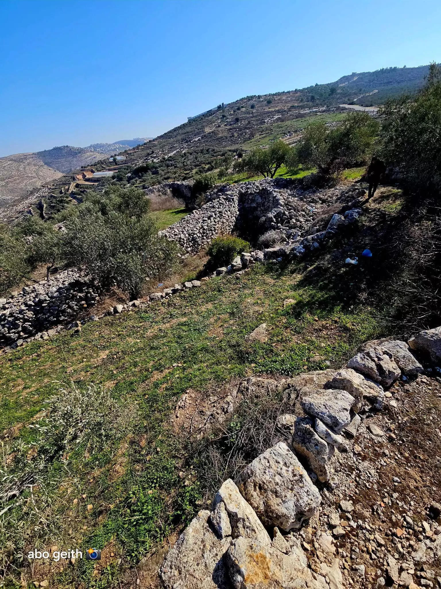
- -- المزيد عنها في قسم التعليقات اسفل الصورة --- Abo Gheith خربة الجديرة ---غرب قرية بيت عنان القدس #5
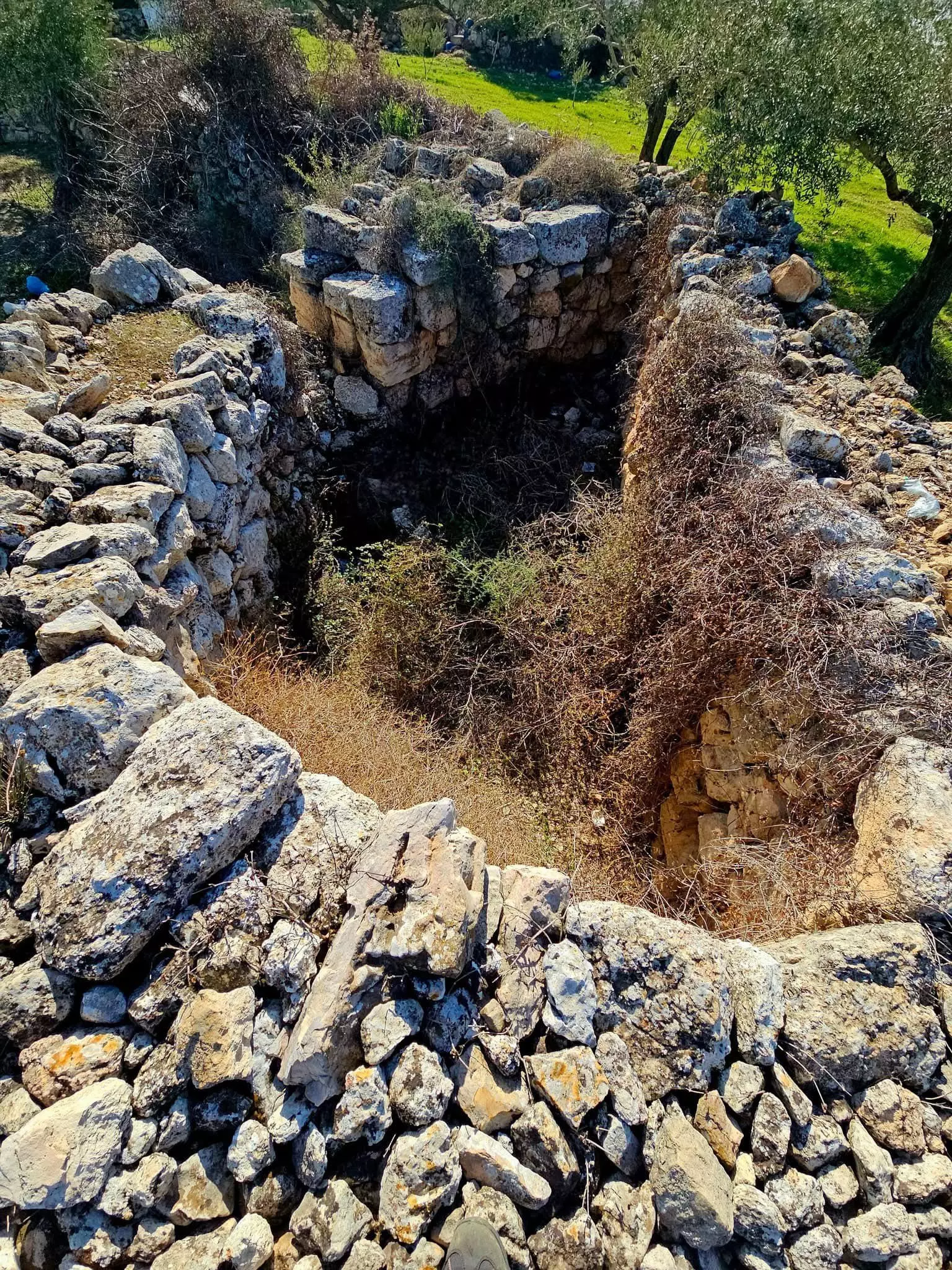
- -- المزيد عنها في قسم التعليقات اسفل الصورة --- Abo Gheith خربة الجديرة ---غرب قرية بيت عنان القدس #6
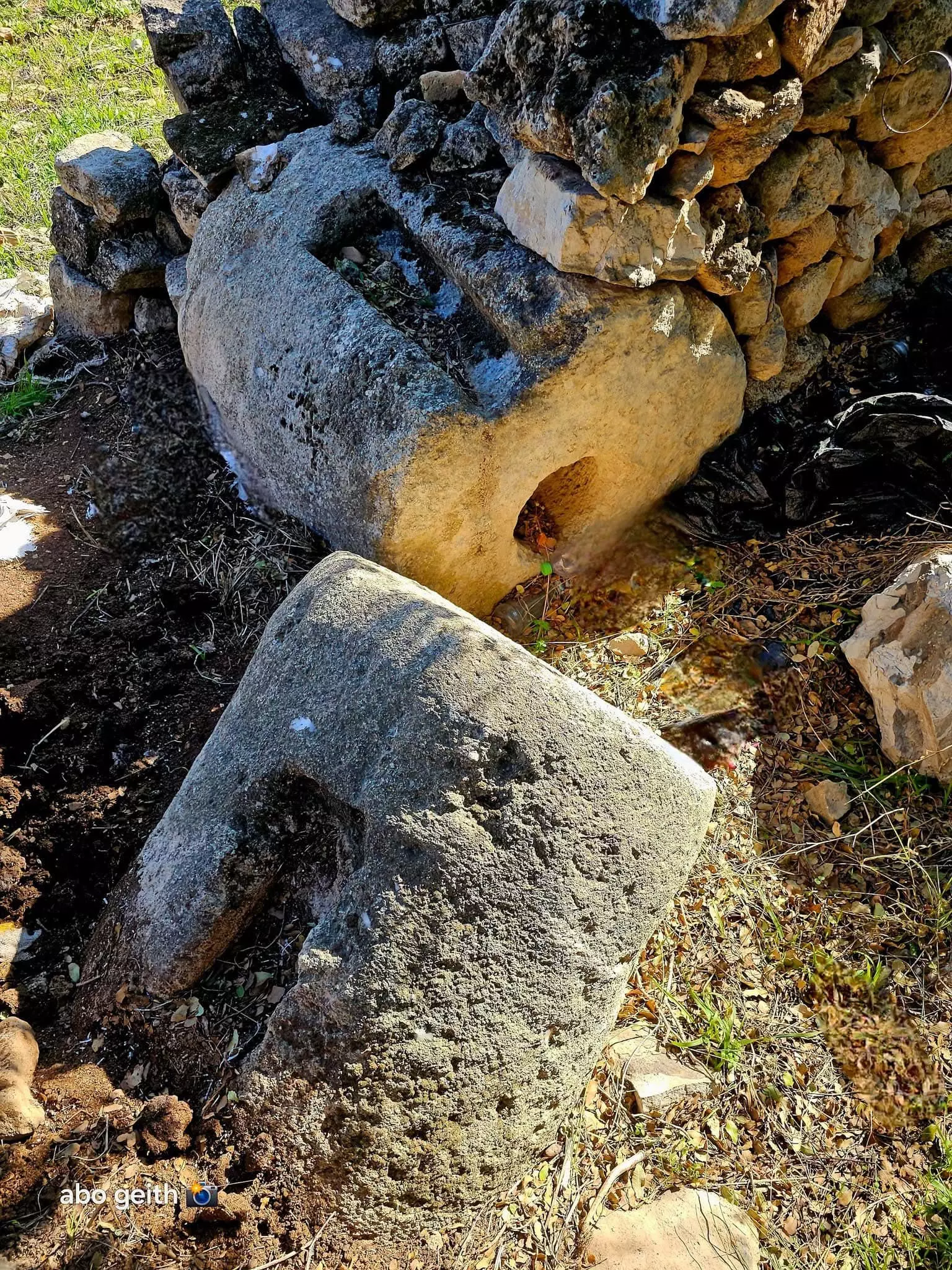
- -- المزيد عنها في قسم التعليقات اسفل الصورة --- Abo Gheith خربة الجديرة ---غرب قرية بيت عنان القدس #7
- -- المزيد عنها في قسم التعليقات اسفل الصورة --- Abo Gheith خربة الجديرة ---غرب قرية بيت عنان القدس #8
- -- المزيد عنها في قسم التعليقات اسفل الصورة --- Abo Gheith خربة الجديرة ---غرب قرية بيت عنان القدس #9
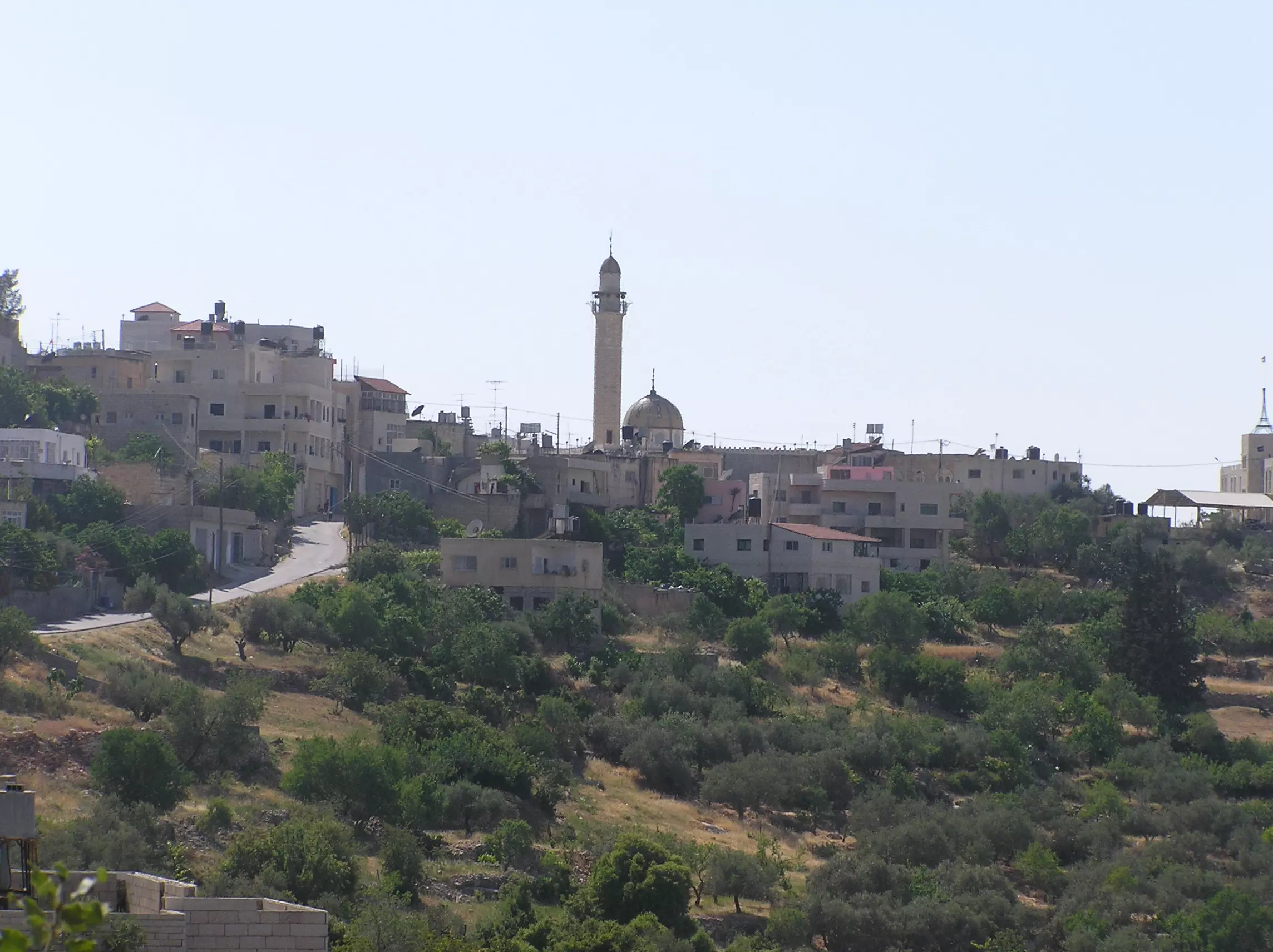
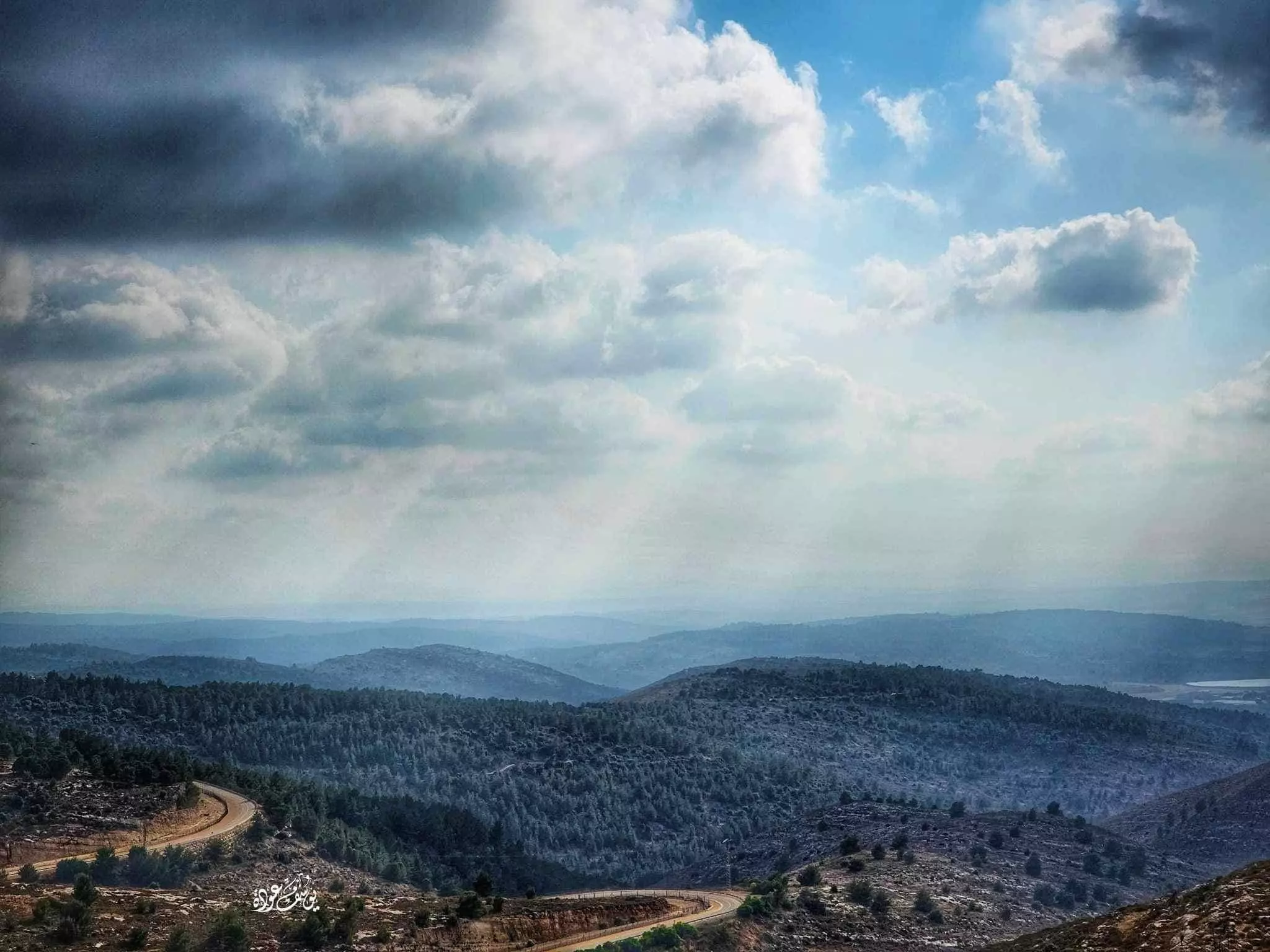
- منظر رائع في البلدة
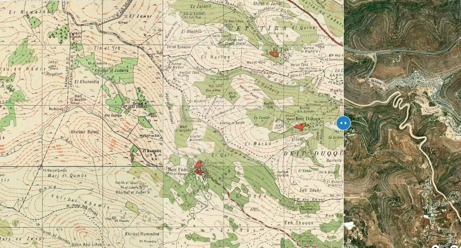
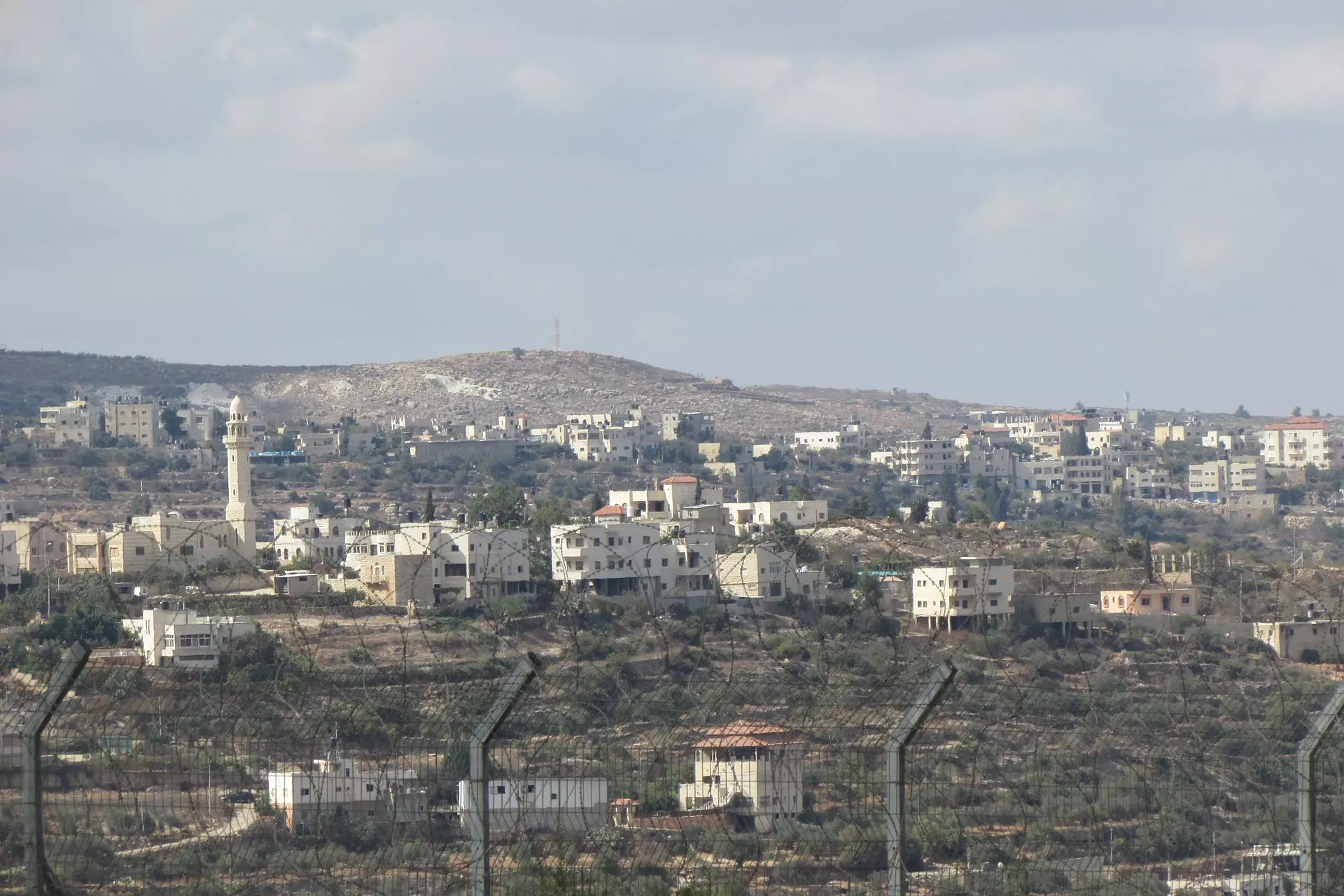
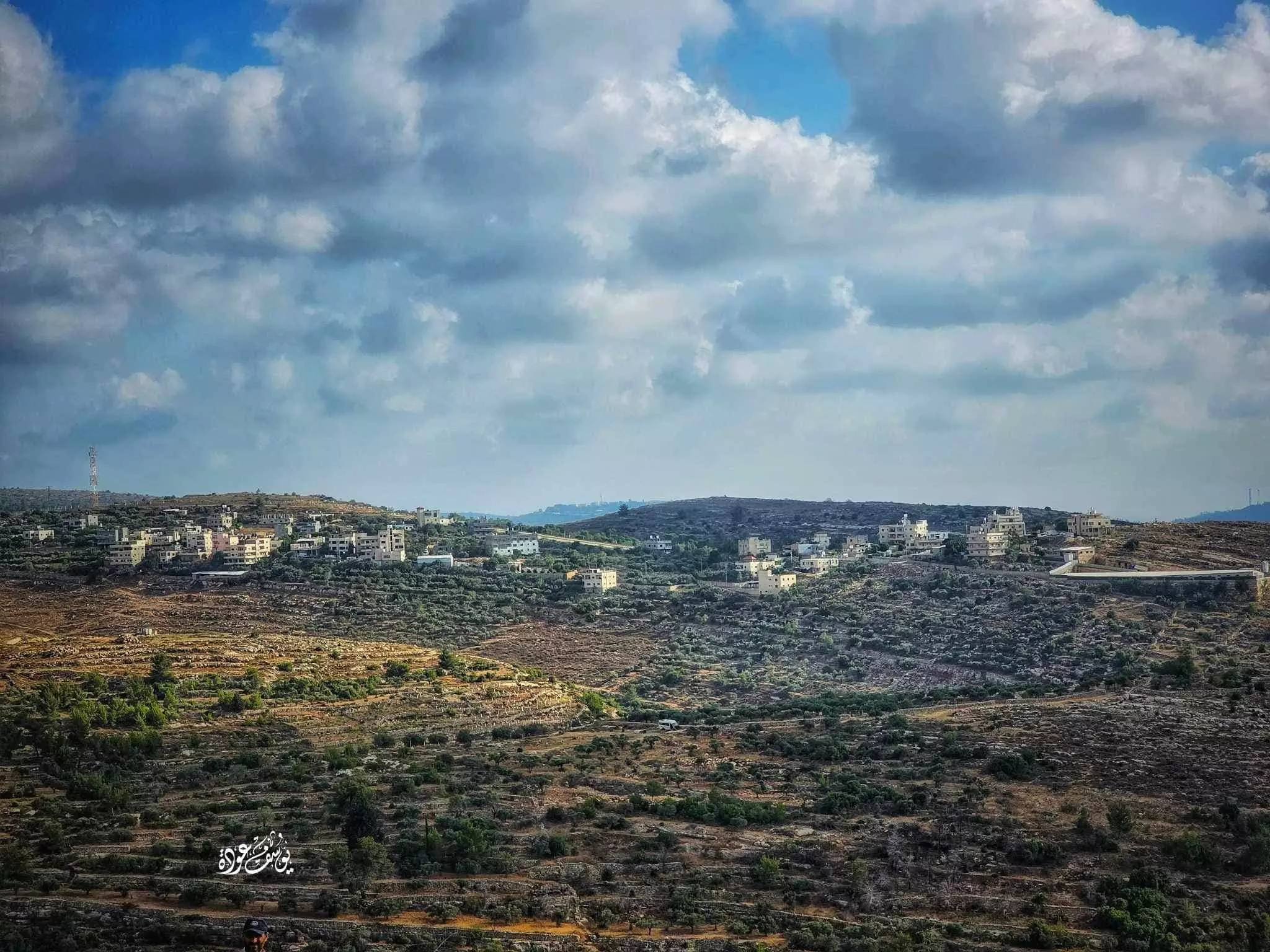
- Beit Duqqu in the front and Beit 'Anan behind, from route 443 in the north
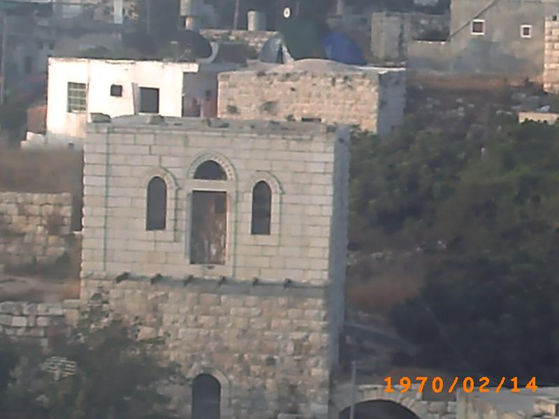
- بيت قديم -- Yousif Odeh
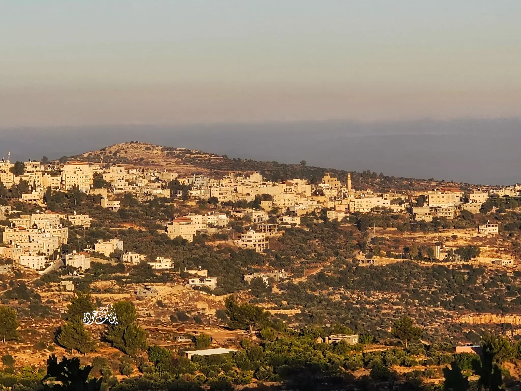
- صورة لـ بيت عنان من جبال بيت دقو -- يوسف عودة
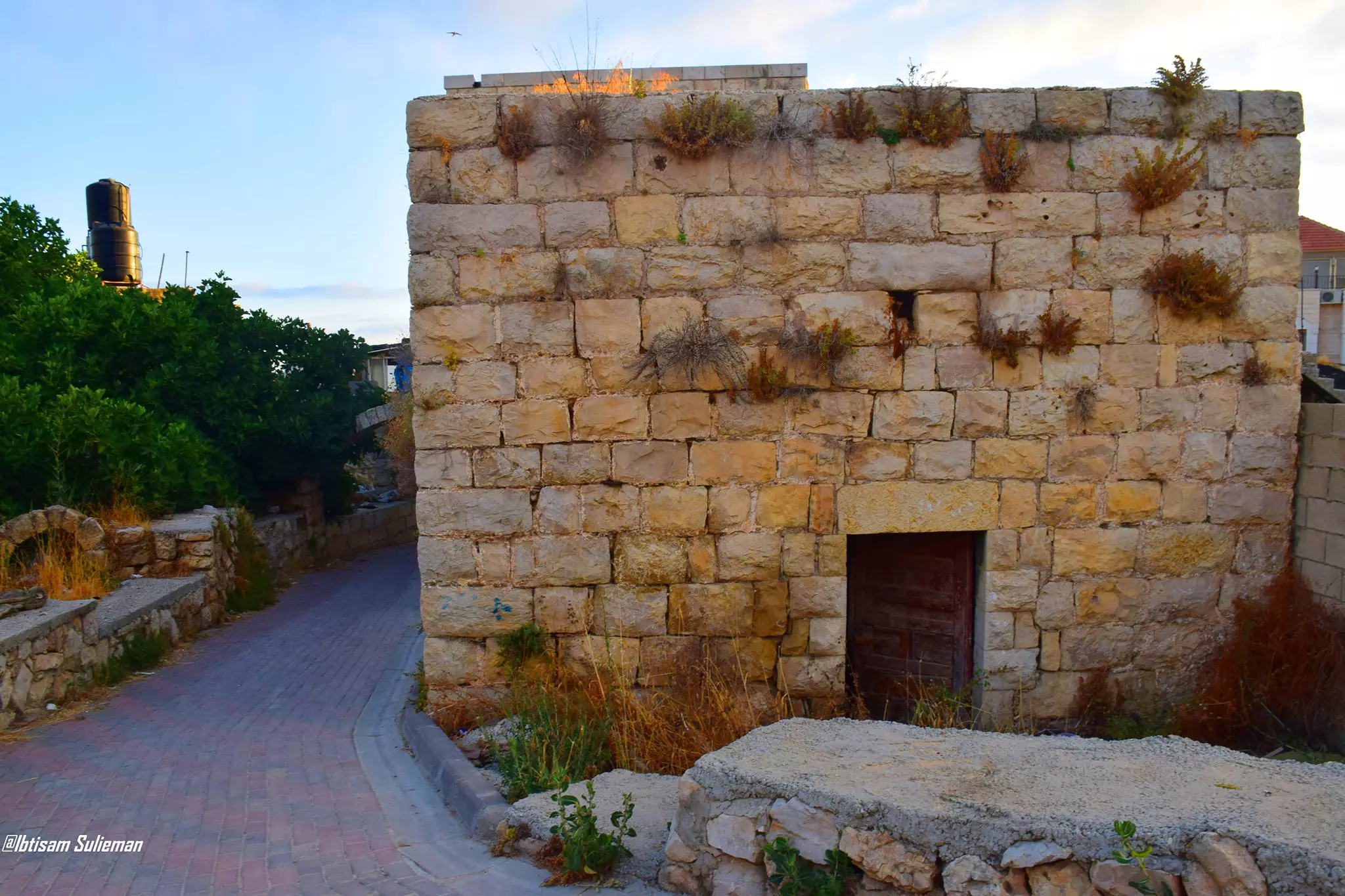
- جولة بين بيوت القرية القديمة--Ibtisam Sulieman
- جولة بين بيوت القرية القديمة--Ibtisam Sulieman #2
- جولة بين بيوت القرية القديمة--Ibtisam Sulieman #3
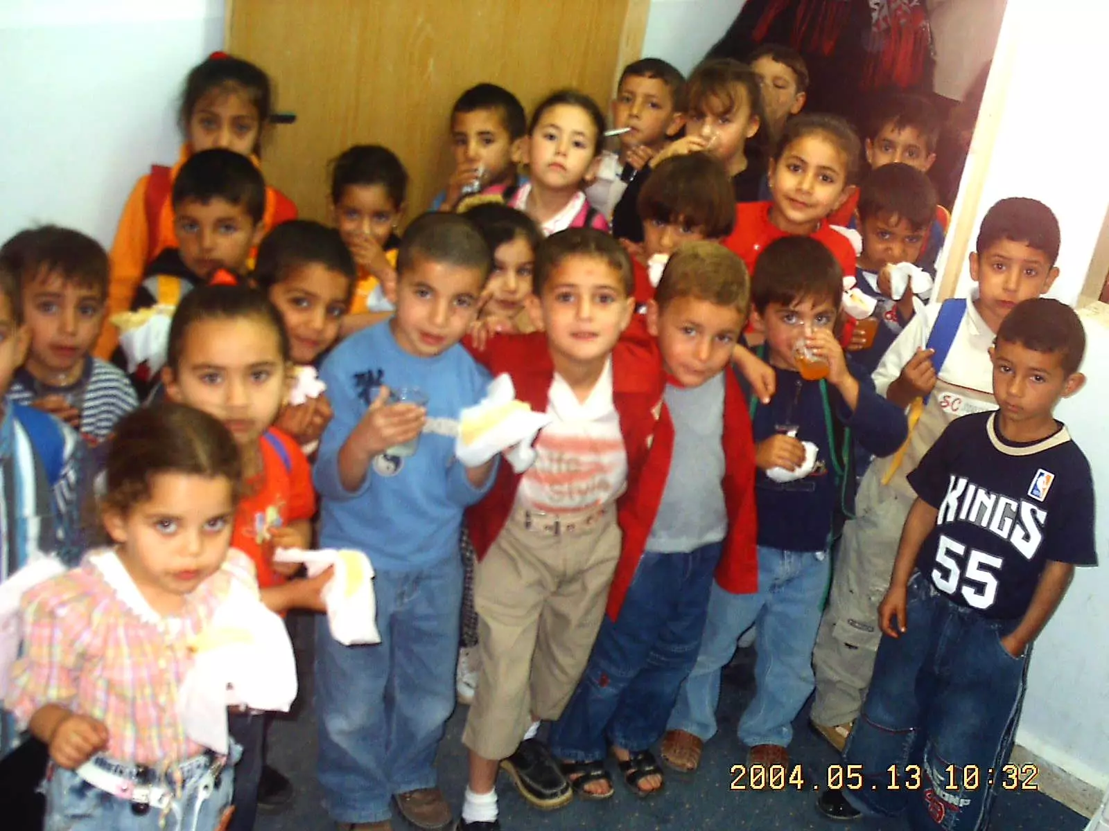
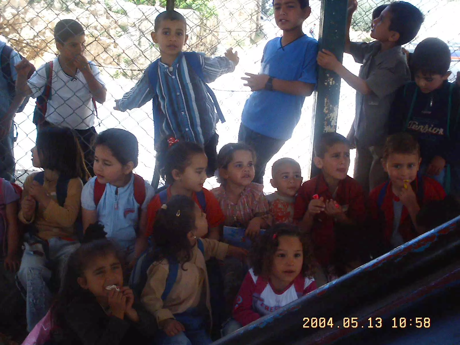
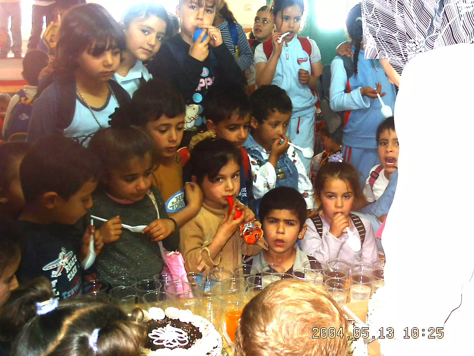
Want to browse more? 80,000 pictures were grouped in these gallaries:
| Display Name | Clan/Hamolah | Country of Residence |
| Khalil Darwish | Sheikh Rabee | Florida, U.S.A. |
| الوسام المقدسي | حميد | ابوظبي, الإمارات العربية |
| ابو ربيع | ربيع | القدس, بيت عنان |
| ايمن حميد | - | رام الله, بيت عنان |
| ابن فلسطين | علان | رام الله, بيت عور التحتا |
| nofal | - | vantor, sweden |
| روح السماء | - | فلسطين, بيت عنان |
| محمد طالب جمهور | جمهور | - |
| alqaisur | - | - |
| ayat asfour | asfour | amman, jordan |
| انسان جمهور | جمهور | ohio, ohio |
| احمد ربيع | ربيع | القدس, بيت عنان |
| Omar Morad | Morad | - |
| nabil abu dahab | dahab | florida, florida |
| LOUAY | ISSA | CALIFORNIA, U.S.A. |
| hinnawi | hinnawi | - |
| Sherean Murad | Rabee- Dar Abu Khalil | - |
| Abu zahra | - | - |
| Naheel Hinnawi | Hinnawi | IL, USA |
| emad zubdeh | - | - |
| العناني | الحناوي | القدس |
| Fares Asfour | Hamid - Dar Asfour | Aragua, Venezuela |
| معتصم ربيع | rabee | europe |
| Husam Dayeh | Jamhour | - |
| palestinain girl | jamhour | missouri , missouri |
| Mohd Muwafaq Taha | Rabi'e | Abu Dhabi |
| نور | ربيع | zarqa, jordan |
| محمد ابريوش | العطاونة | الخليل |
| Hassan Hashim | - | Homs, Syria |
- جولة في بلدة بيت عنان شمال غرب القدس Duration: 45 min 11 sec
No links have been shared yet, be free to the first to share the first link.
 Fake Valor: Why Did Zionist Jews Hoist Nazis Flag on Their Ships in the 1930s?
What is new?
-
Facts About Oct. 7th Gaza Raid
-
Remined Us Please:: Who Did Rape Who? Palestinians Raped Israelis? Or, was the other way around?
-
When Prof. Edward Said was invited to debate Bibi Netanyahu in the 1980s, watch what happened!
-
Ezra Klein of the NY Times on the "Jewish Race".
-
Abusing Blood Libel!
-
Did Israeli Soldiers Activate The Hanniba Direective On Oct. 7th? You Be The Judge
-
Zionist FAQ: Isn't it true that Palestinians don't want peace? Palestinians never accepted the two-state solution
- Facts about Haavara (Transfer) Agreement between Ben-Gurion & Hitler
-
Haavara FAQs: Why Did Zionist Jews Hoist Nazis' Flags on Their Ships in the 1930s?
- Haavara FAQs: When Chaim Weizmann met FDR in mid-1943, why was he silent about rescuing European Jewry?
-
Dear ChatGPT: How did Palestinians resist Napoleon's invasion of their country in 1799?
-
Dear ChatGPT: Gaza had a vibrant Jewish community in the mid-17th century. What happened to them?
-
Dear ChatGPT: Why did the Jewish Agency suppress news of the Holocaust during WWII?
-
Video Playlist: Jews share their DNA tests to end the conflict for good.
-
A Tale of Two Conflicts: Examining the Definition of Genocide
-
Prof. Abraham Polak And The Suppressed History of the Khazars and European Jewry
-
How Ronald Reagan would have framed the genocide in Gaza if he were still alive?
-
Haavara FAQs: Let us do the math: how many German Jews did The Haavara Agreement save?
-
Zionist FAQs: The Hebron Massacre of 1929, "clearly proves" that Palestinians are antisemitic, how could you deny it?
-
Zionist FAQs: Why Anti-Zionist Is Not Antisemitism?
-
Zionist FAQs: Isn't it true that the KGB created Palestinian Nationalism in the early 1960s?
- Zionist FAQs: Muslims are killing Muslims all the time; why are Israeli Jews being singled out in the media?
- Zionist FAQs: How is Israel an apartheid state when 20% of its citizens are Arabs who enjoy full rights?
-
Haavara FAQs: Why Did Dorothy Thompson Flip From A Zionist Advocate to A Silenced Dissenter?
-
Haavara FAQs: Analysis of Herzl's Uganda Scheme and how it could have saved millions of Jews.
-
Haavara FAQs: Why did Hayim Greenberg describe American Jewry as "morally bankrupt" in early 1943?
-
Haavara FAQs: What if the Evian Conference was a resounding success? What would have been the impact of saving European Jewry on Zionism?
- Haavara FAQs: What if the six million were saved, how that would have impacted the Zionist project?
-
Haavara FAQs: How did Zionist leaders react when Europe's Jews lingered in the DP camps after WWII ended?
-
Why does the American Jewish community repeat lies that David Ben-Gurion had debunked before he died?
-
Who has the power to rename the Tatar/Khazar Gene Marker to Jewish IV?
-
Zionist FAQs: Why won't Egypt, Syria, and Jordan take their people back? Jews are indigenous to Palestine, and Arabs immigrated after Jews developed the country. Arabs should leave.
-
Haavara FAQs: Did Hitler and the Nazis conflate between Judaism and Zionist? If that wasn't case, then why?
-
Haavara FAQs: Winston Churchill and antisemitism, a collection of articles written Churchill.
-
Haavara FAQs: Broken by country, how many Jews survived vs. killed during the Holocaust?
-
Haavara FAQs: Why did European Jews vote with their feet and to immigrated to the Americas, not Palestine, after WWII?
-
Watch this American Jewish Girl describing Israeli Jews' cognitive dissonance like no other in under two minutes
-
Haavara FAQs: When the Nazis went out of their way to hide the Holocaust, Israeli Jews did the exact opposite by broadcasting their genocide of Gazans. But why?
-
Haavara FAQs: How Zionist Jews went out of their to show their appreciation to Nazism and Fascism?
- Haavara FAQs: Why Zionist leaders were against bombing the death camps & the Railroads leading to them?
-
Haavara FAQs: Hitler's message to the British and American people: If Jews are such noble citizens and you care about them, how come you're not letting them in? I will gladly ship them to you at my expense, even on luxury liners!
-
A shortlist of Zionist and Israeli false flag operations in the name Jews.
-
The Most Moral Army
- The Land of Kapos (Israel): Where the brave are boycotted and Kapos walk free.
- Why did early Zionists often named their communal enterprises "colonial"?
- Zionist Relations with Nazi Germany by Faris Glubb
-
Two NY Times advertisements by Zionists in the early 1943 that exposes Zionists' treason at the height of the calamity
- Facts Not Lies about the Palestinian-Israeli Conflict.
- Site's pictures have been categorized
- Campgain Against Lice
- A Survey of Palestine, the official source about Palestine before Nakba produced by the British Mandate; over 1200 pages.
- Satellite View & Google Earth: Over 6,000 placemarks identifying all destroyed towns, W. Bank & Gaza Strip Towns, & refugee camps.
- PalestineRemembered.com and its Nakba Oral History Project were featured on al-Jazeera Satellite TV.
- Nakba Oral History Video Podcast:
 Over 700 Oral History interviews (including 3,500+ hours of recording) can be viewed online.
 - Palestine Village Statistics Project
- Gaza Jail Break
- النسخة العربية للموقع الان متوفرة
- Videos: Documenting the destroyed villages in video: Tracing all that remains since Nakba.
- Videos: Responding to Zionist Propaganda
- Interview: The ethnic cleansing of Palestine: George Galloway interviews Israeli Historian Ilan Pappe.
- For Palestinians, memory matters. It provides a blueprint for their future By George Bisharat.
- Zionist FAQ now available in Hebrew שאלות שציונים שואלים, עכשיו בעברית
- Video: The Stephen Walt and John Mearsheimer report on the influence of the Israel Lobby on U.S. Foreign Policy
- The Palestinian-Israeli conflict for beginners
