| PalestineRemembered | About Us | Oral History | العربية | |
| Pictures | Zionist FAQs | Haavara | Maps | |
| Search |
| Camps |
| Districts |
| Acre |
| Baysan |
| Beersheba |
| Bethlehem |
| Gaza |
| Haifa |
| Hebron |
| Jaffa |
| Jericho |
| Jerusalem |
| Jinin |
| Nablus |
| Nazareth |
| Ramallah |
| al-Ramla |
| Safad |
| Tiberias |
| Tulkarm |
| Donate |
| Contact |
| Profile |
| Videos |
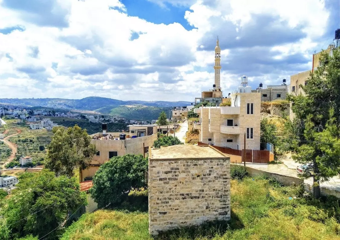
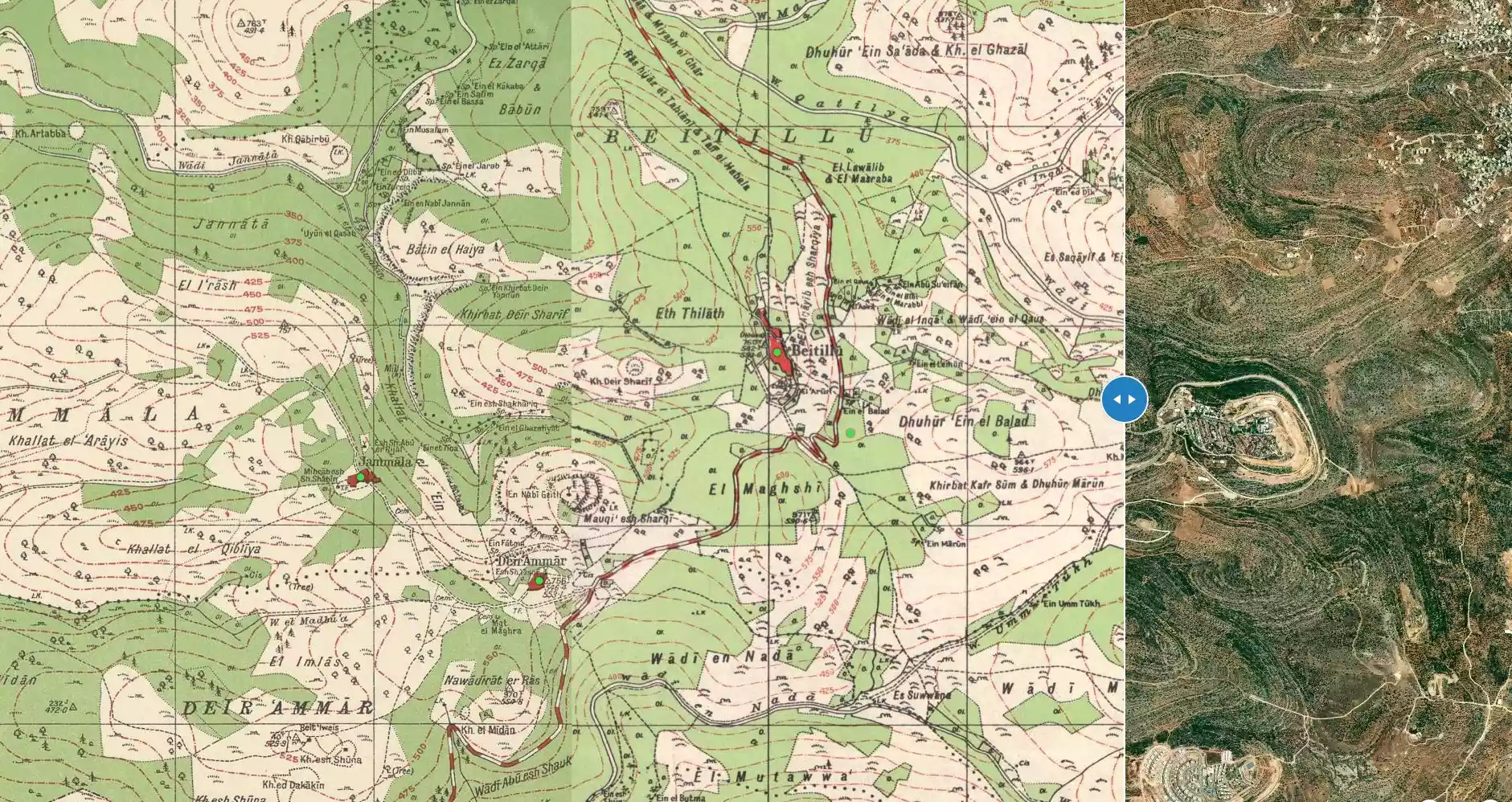
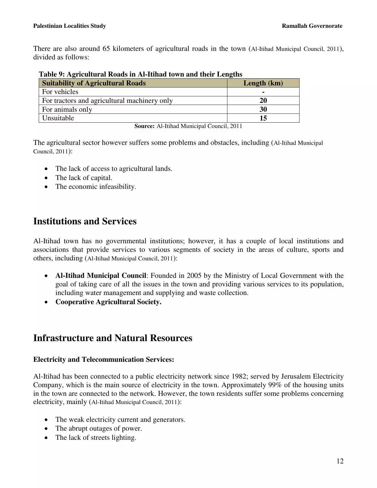
Welcome To Beitillu - بيتللو (ביתילו)
|
District of Ramallah
Occupied days ago |
العربية Google Earth |
 |
Gallery (98) |
- Statistics & Facts
-
Before & After

- Satellite View
- Articles 4
- Pictures 98
- Mayrters & Prisoners 1
- Members 34
- Families
- Wikipedia
- ARIJ Guide
- Videos 2
- Guest Book 10
- Links
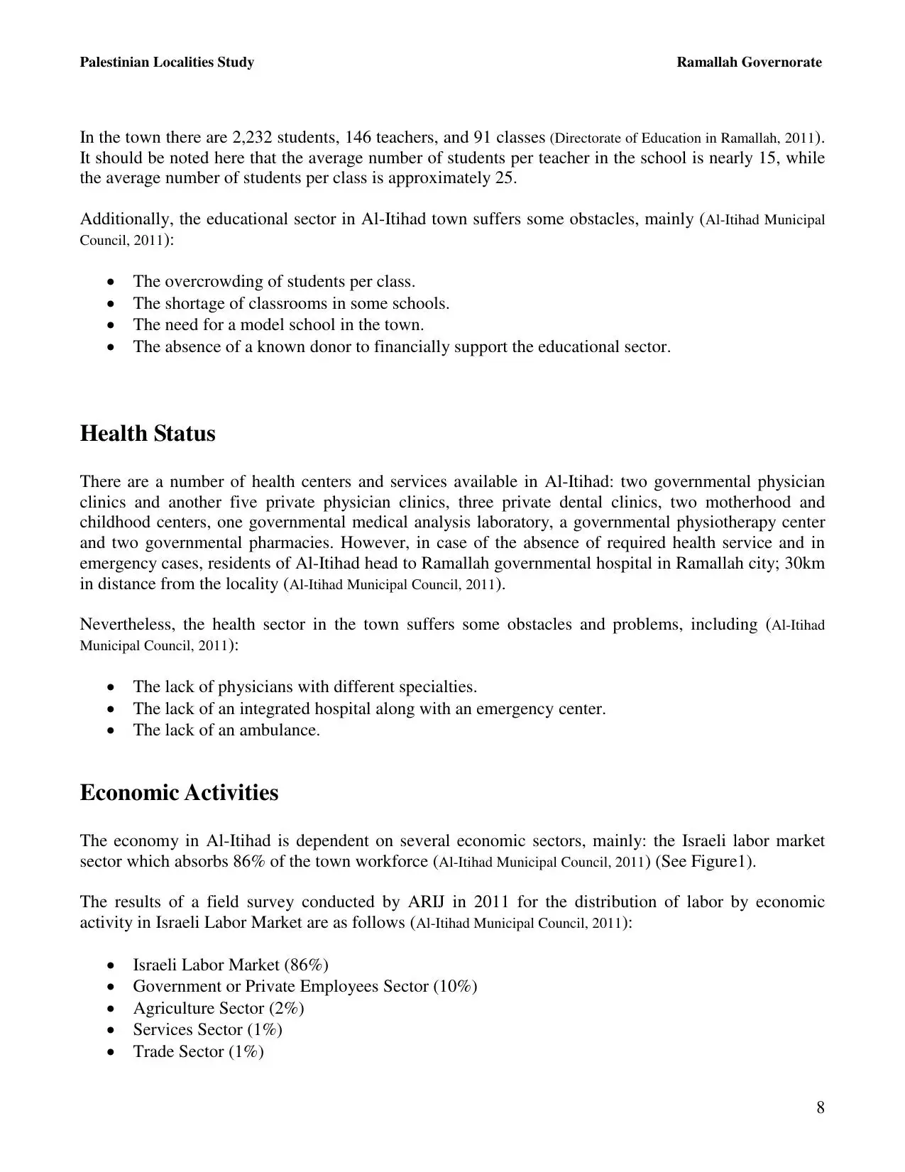
| Statistic & Fact | Value | ||||||||||||||||||||
| Distance From District | 19 km northwest of Ramallah | ||||||||||||||||||||
| Elevation | 547 meters | ||||||||||||||||||||
| Before & After Nakba, Click Map For Details |
|||||||||||||||||||||
|
|||||||||||||||||||||
| Land Ownership |
**Town Lands' Demarcation Maps |
||||||||||||||||||||
| Land Usage As of 1945 |
|
||||||||||||||||||||
| Population |
|
||||||||||||||||||||
| Near By Towns |
|||||||||||||||||||||
|
|||||||||||||||||||||
| Featured Video | |||||||||||||||||||||
| ARIJ Guide | |||||||||||||||||||||
|
Click here to browse online. |
|||||||||||||||||||||
| Related Maps | Town Lands' Demarcation Maps خرائط للقضاء توضح حدود القرى والاودية View from satellite Town's map on MapQuest Help us map this town at WikiMapia |
||||||||||||||||||||
| Related Links | Wikipedia's Page Facebook Page ARIJ Guide Google Search Google For Images Google For Videos في كتاب بلادنا فلسطين دليل أريج المزيد من موقع هوية |
||||||||||||||||||||

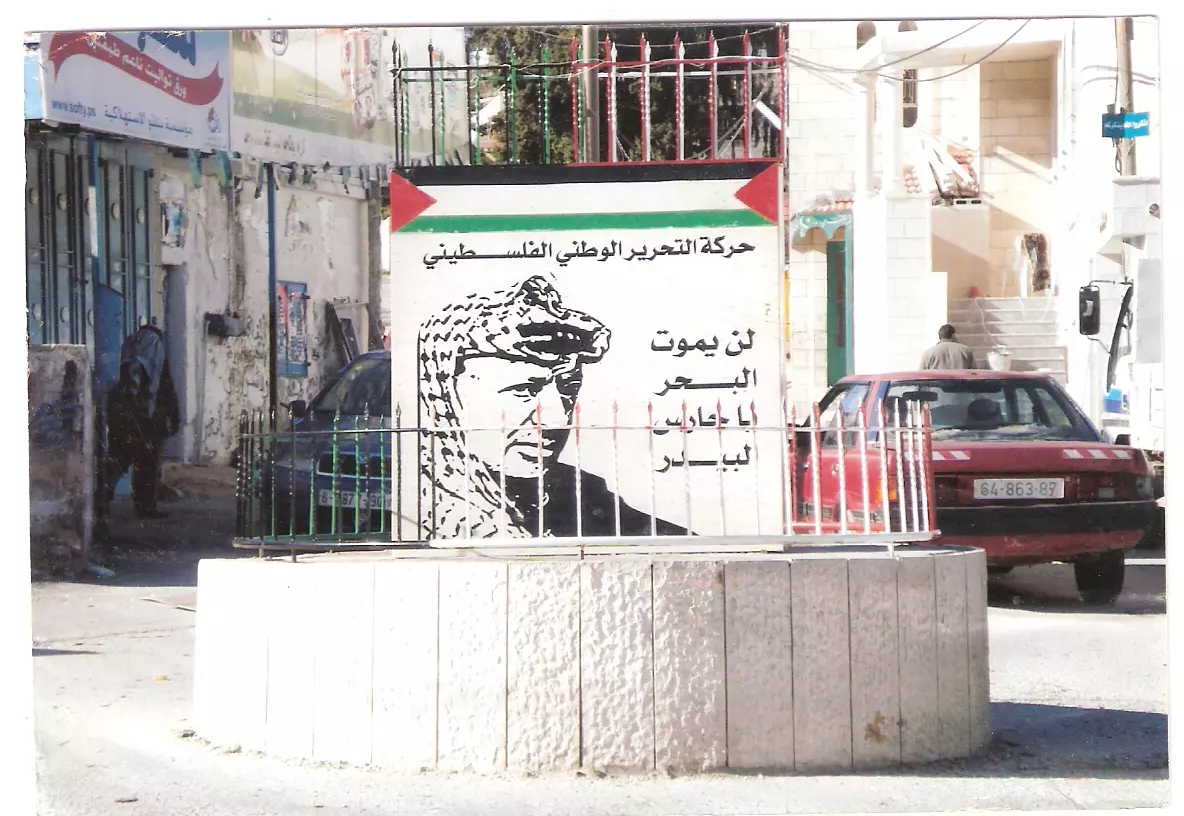
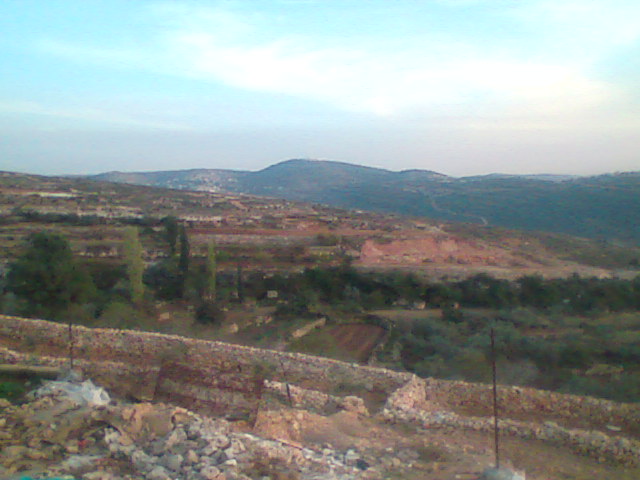
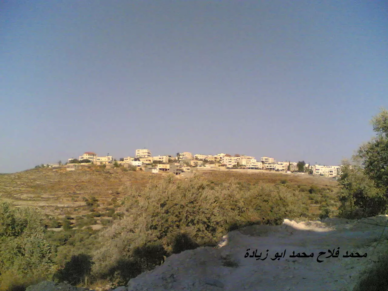
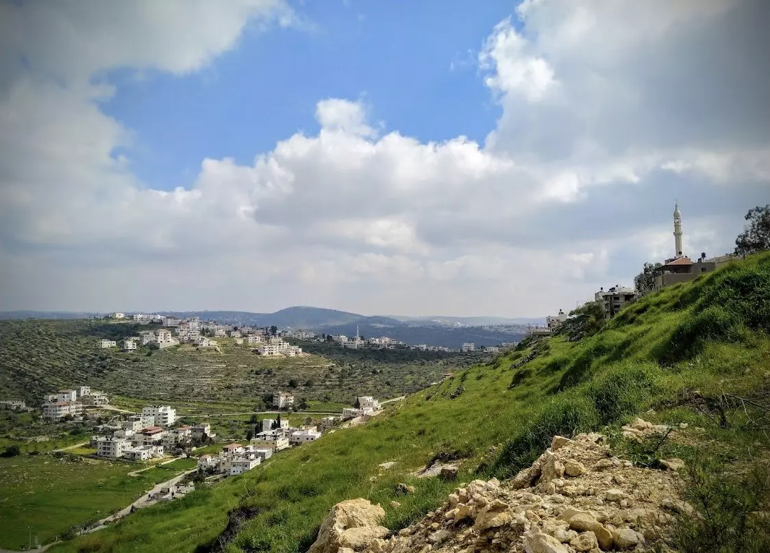
- منظر عام، اُنقر الصورة لتكبيرها.
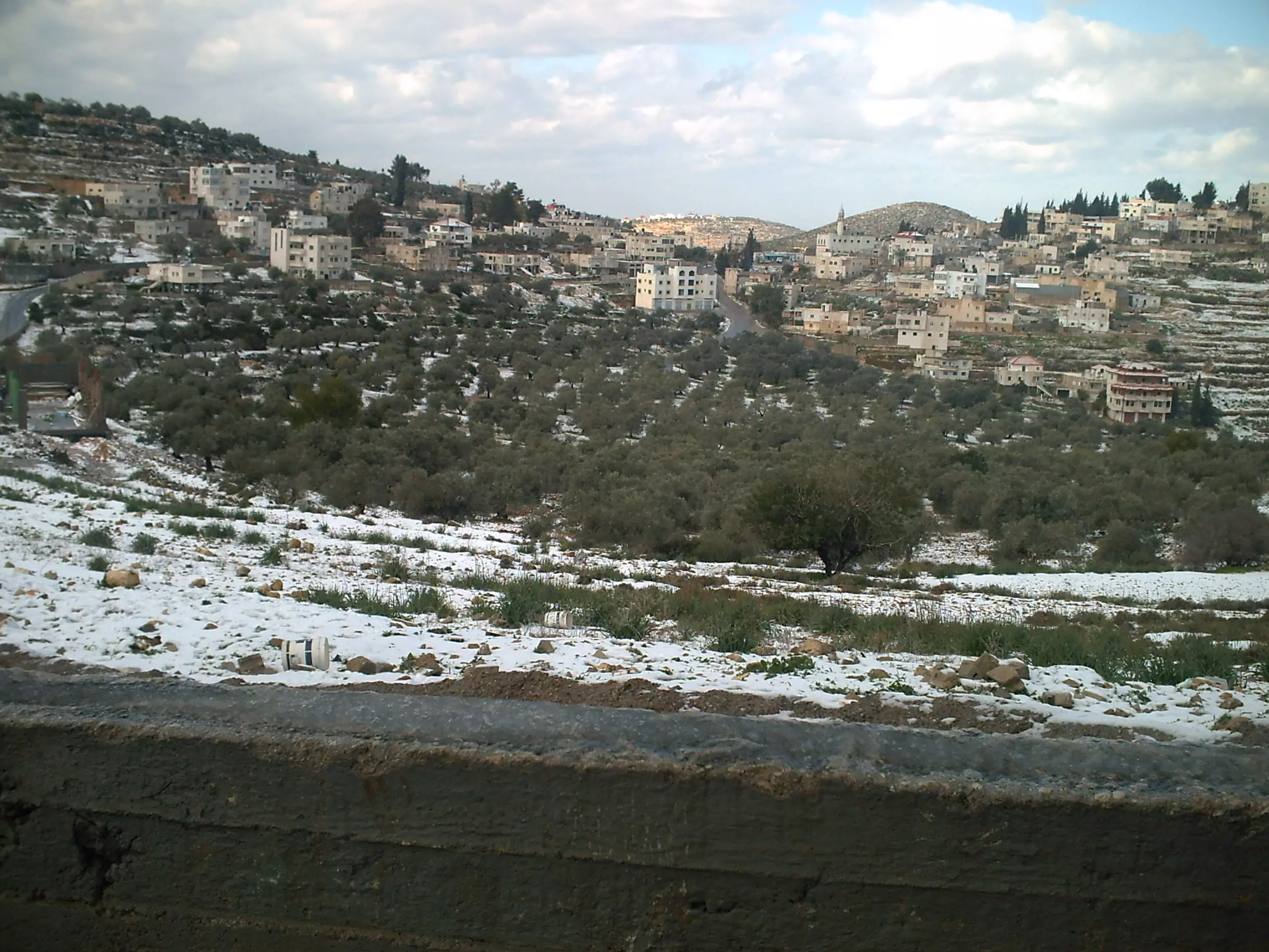
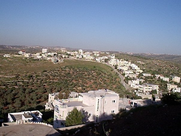
Posted by tareqsis 10 - منظر عام
Posted by Mahmoud Burnat 1 - المنطقة الشرقية للقرية
Posted by bazar 7 - حارى البلد

Posted by انهار زيادة 4 - وسط البلد(السوق)
Posted by انهار زيادة 8 - داخل مسجد بيتللو

Posted by انهار زيادة 3 - منطقة العقبة
Posted by انهار زيادة 3 - منطقة النوادر
Posted by انهار زيادة 1 - صورة منطقة الظهور
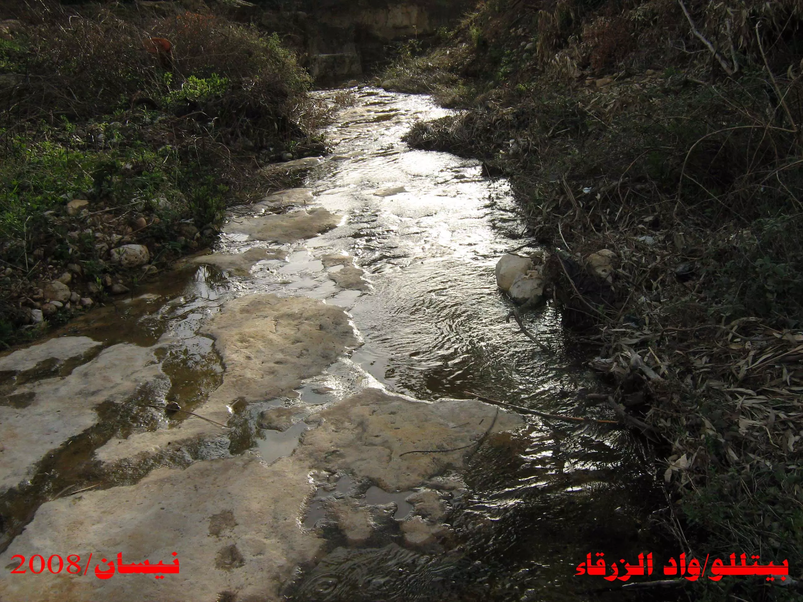
Posted by bazar 3 - بيتللو/واد الزرقاء
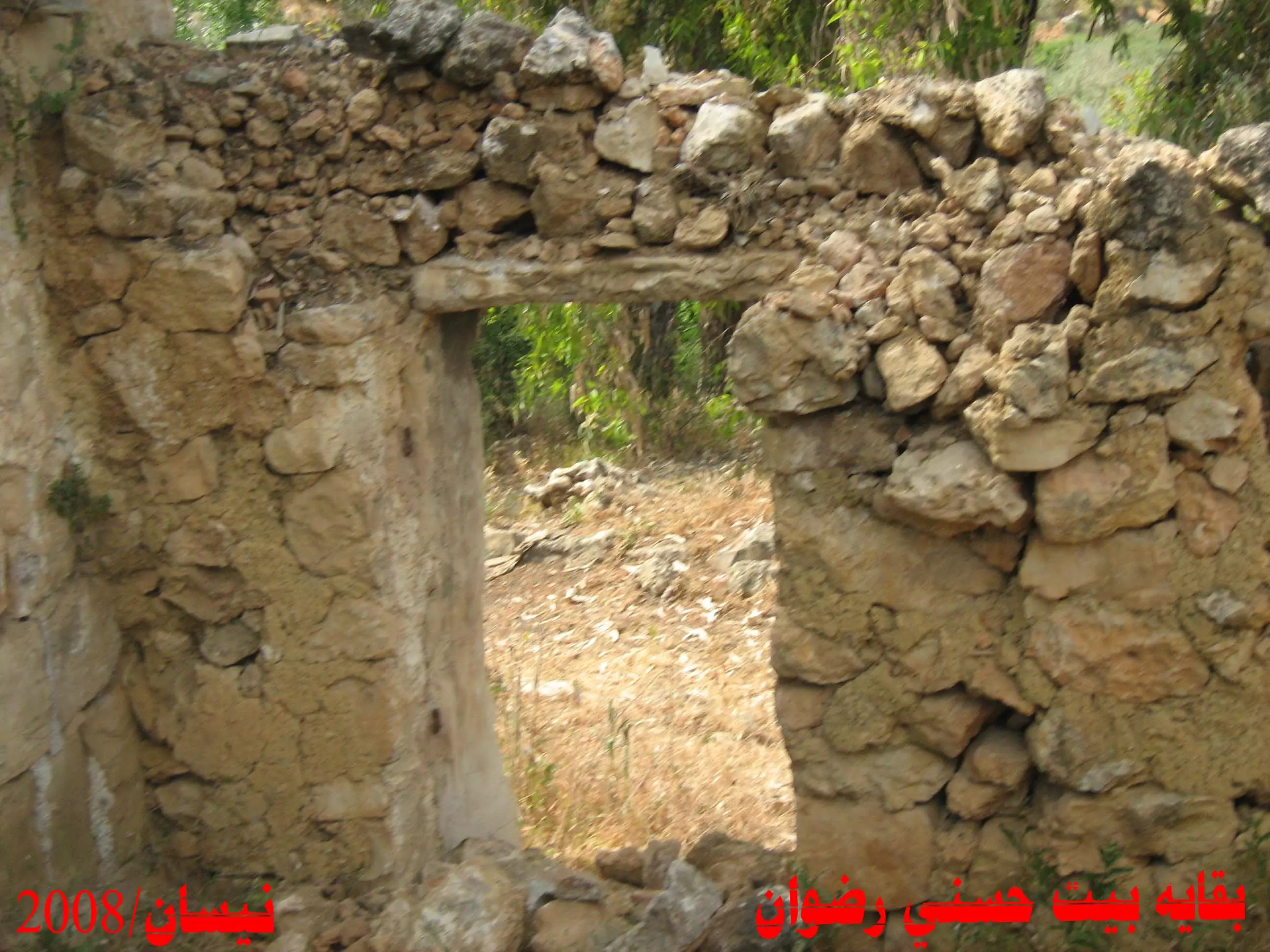
Posted by عبد الكريم زيادة 6 - منزل حسني رضوان
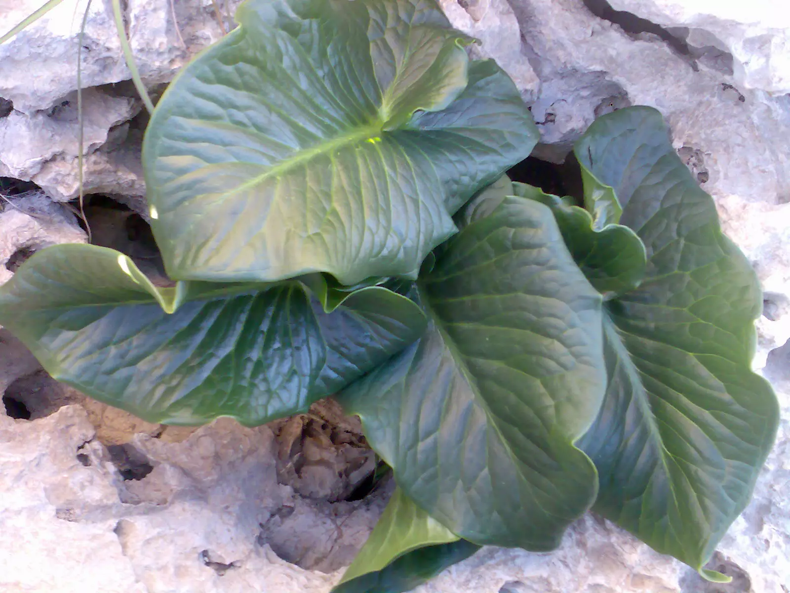
Posted by عبد الكريم زيادة 1 - لوف فلسطيني
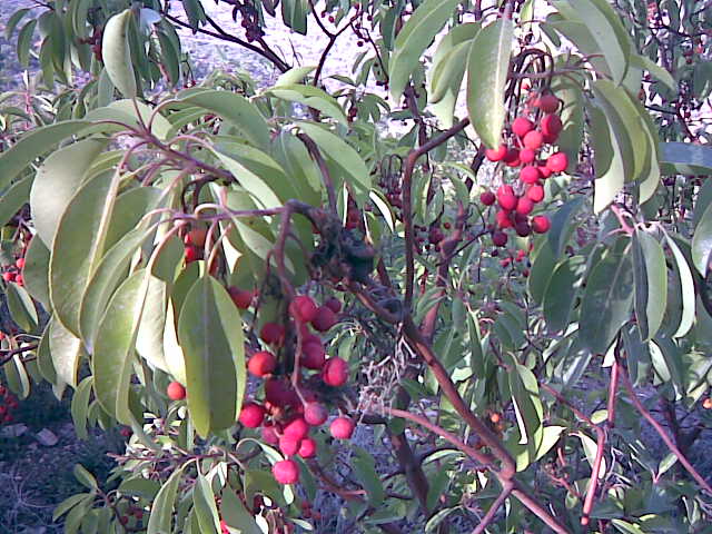
Posted by عبد الكريم زيادة 1 - القيقب
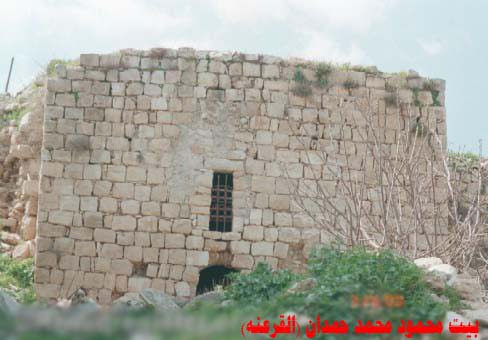
Posted by عبد الكريم زيادة 2 - بيت محمود حمدان
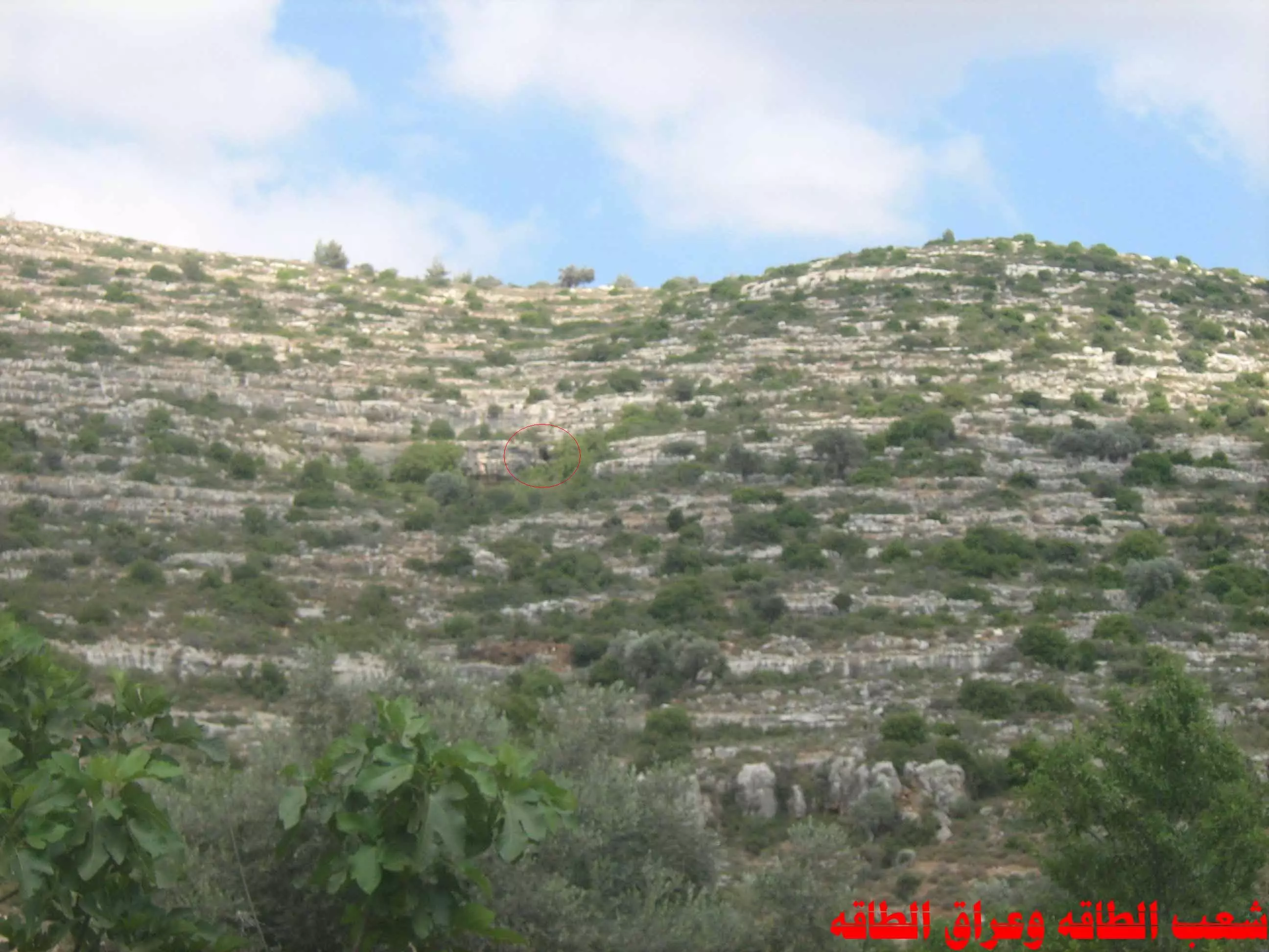
Posted by عبد الكريم زيادة 2 - شعب الطاقه
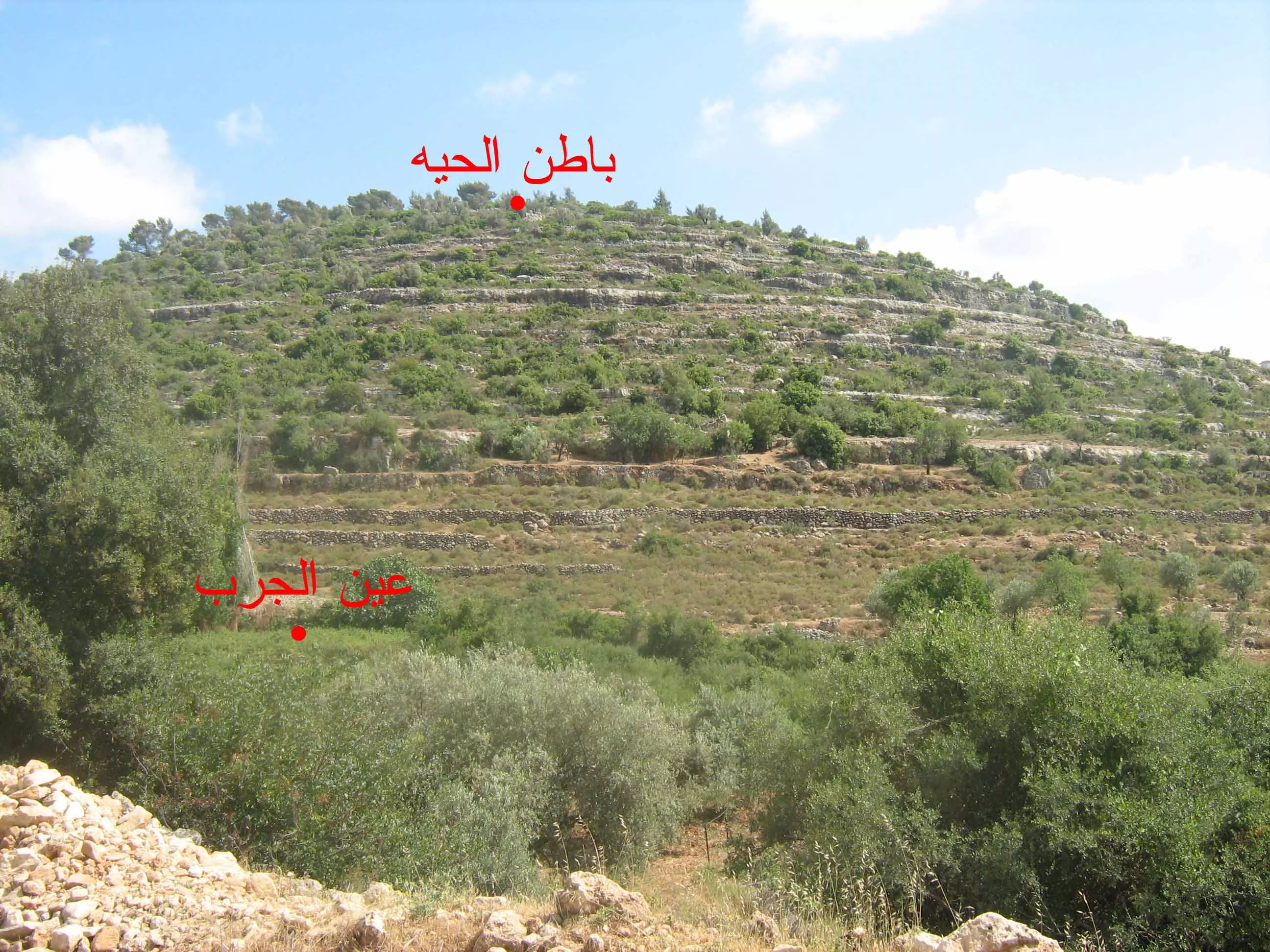
Posted by عبد الكريم زيادة 1 - باطن الحيه وعين الجرب
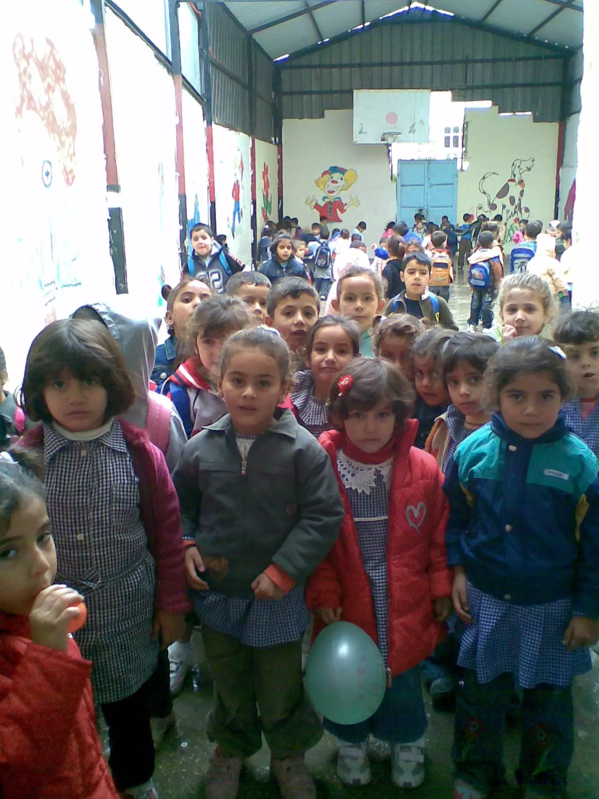
Posted by عبد الكريم زيادة 1 - اطفال من نادي بيتللو
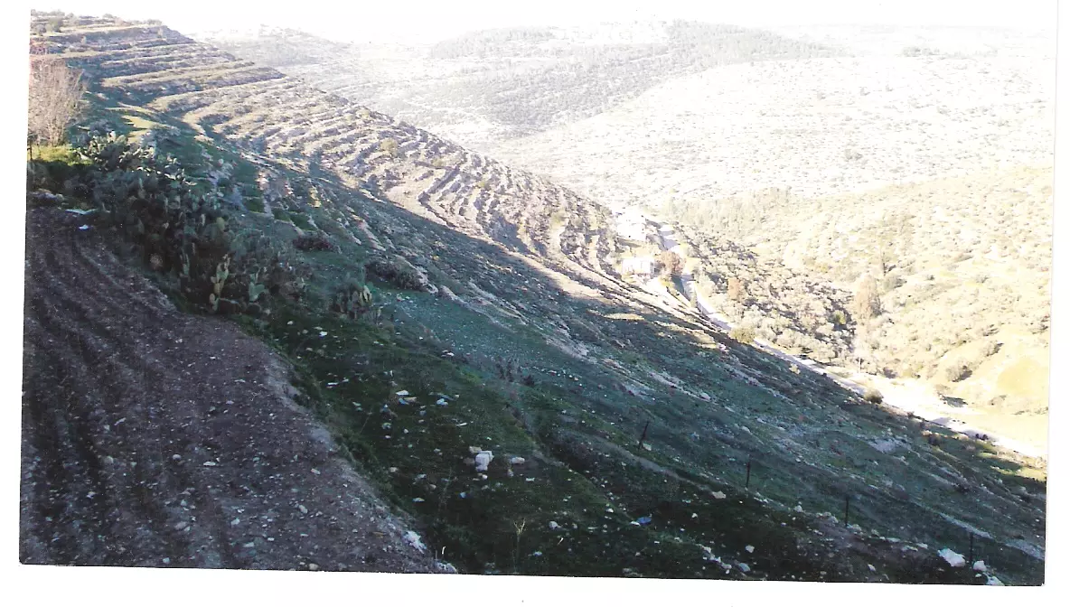
Posted by ابو محي الدين 10 - أرض عين مارون الزراعية
Posted by ابو محي الدين 1 - الاسير رشدي كمال رشدي علي سالم داخل سجون الاحتلال
Posted by ازهار بزار 6 - حرش واادي الزرقاء
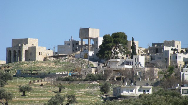
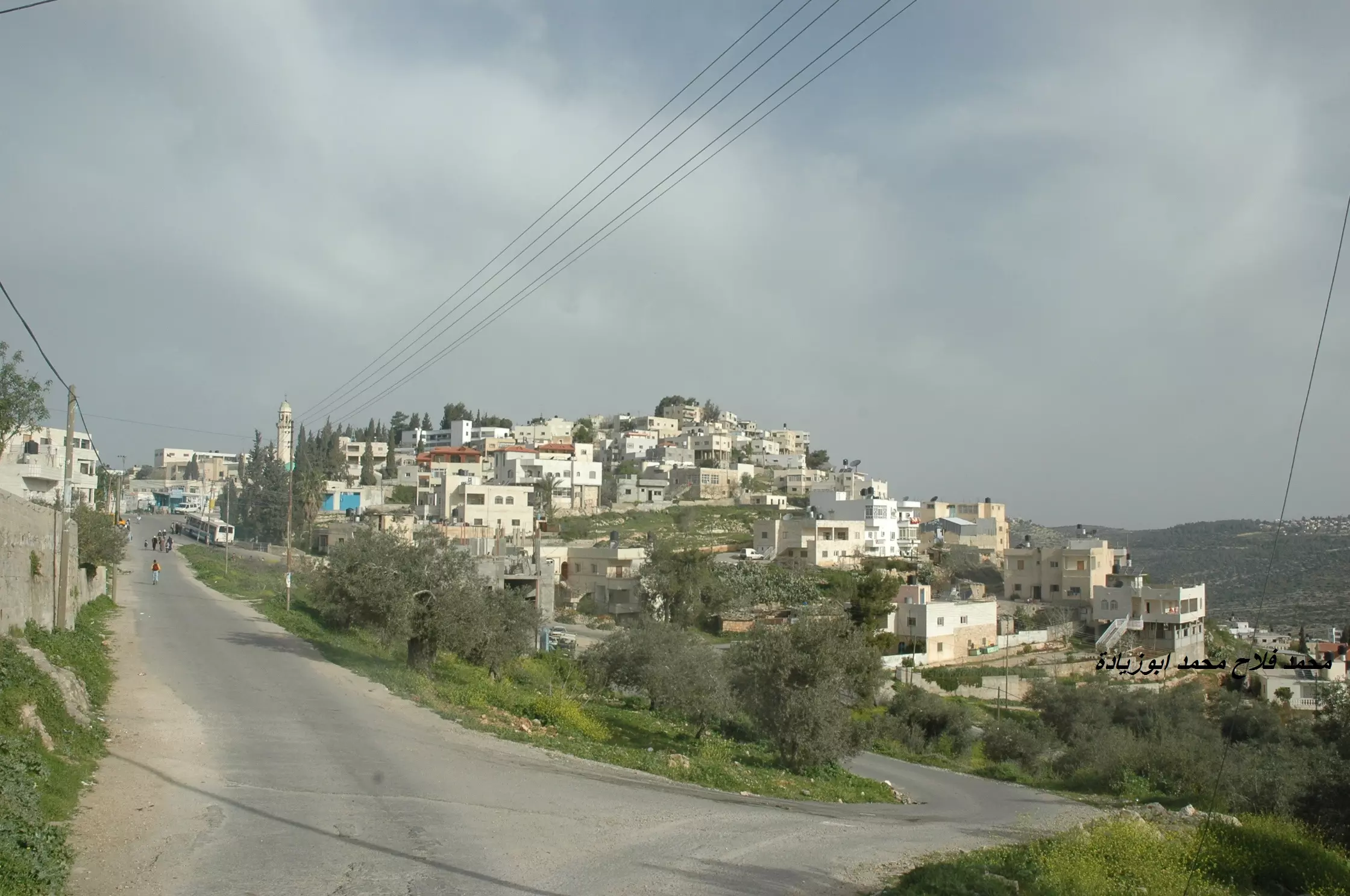
Posted by البزار 1 - البلدة القديمة
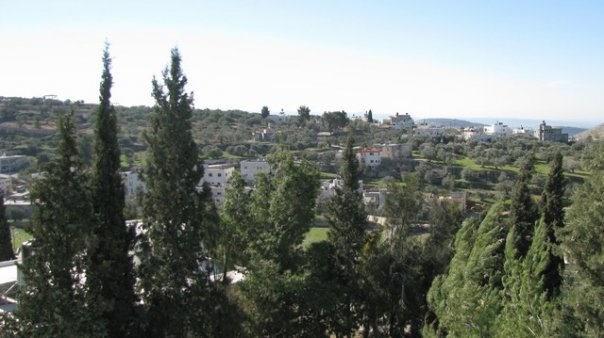
Posted by البزار 2 - منظر عام

Posted by خالد شعنونة 3 - الزرقاء
Posted by البزار 1 - حارة الظهور (احلى حارة)

Posted by البزار 1 - حارة المغشي
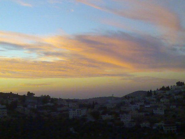
Posted by البزار 2 - بيتللو عند الغروب
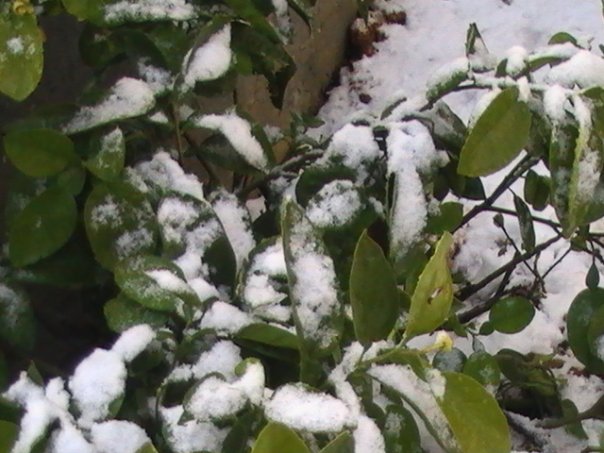
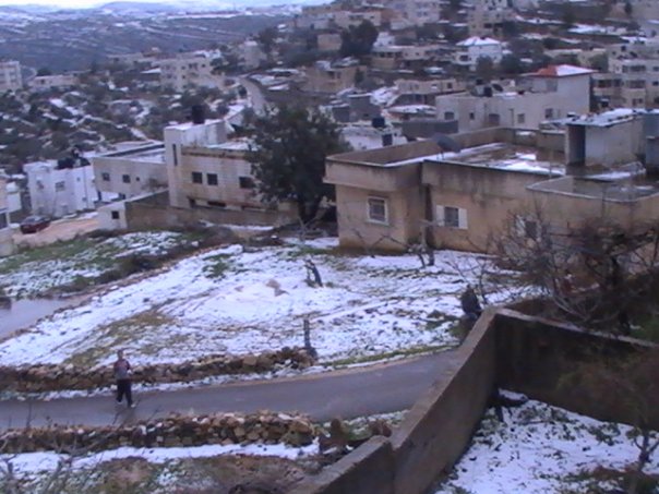
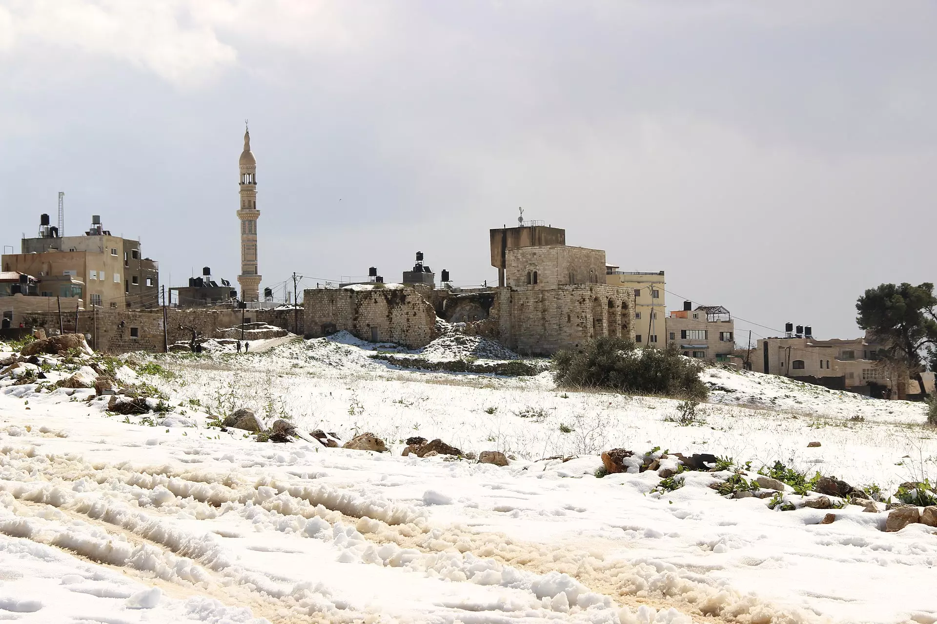
Posted by البزار 3 - ثلوج رائعة بالشتاء في بيتللو
Posted by البزار 1 - حارة الظهور (احلى حارة)
Posted by البزار 4 - ثلوج بيتللو
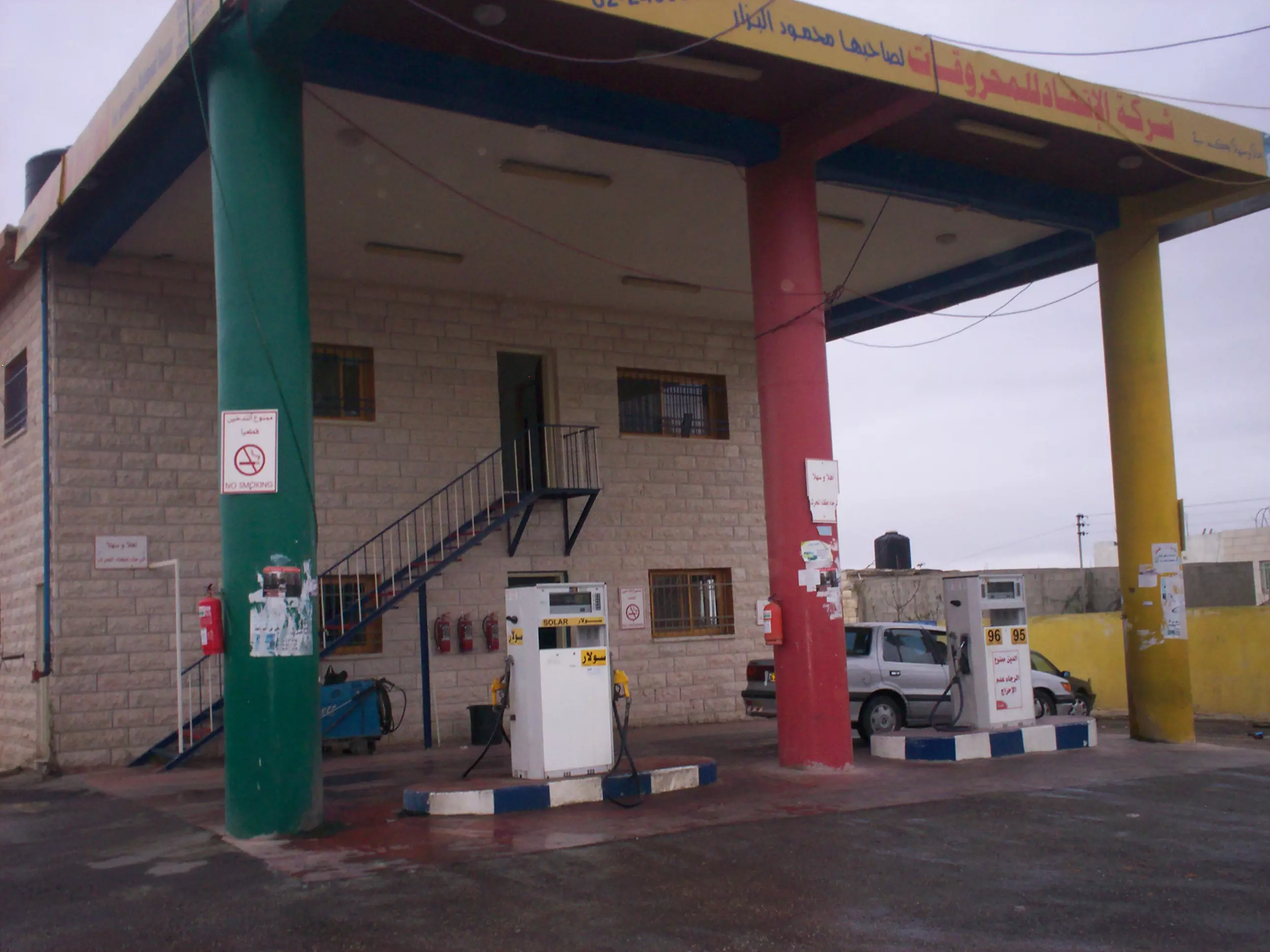
Posted by البزار 1 - كازية دار ابو شعنونة
Posted by shanona 2 - 7aret al zohoor
Posted by Mohammad Falah Abu Ziyadeh - betellow
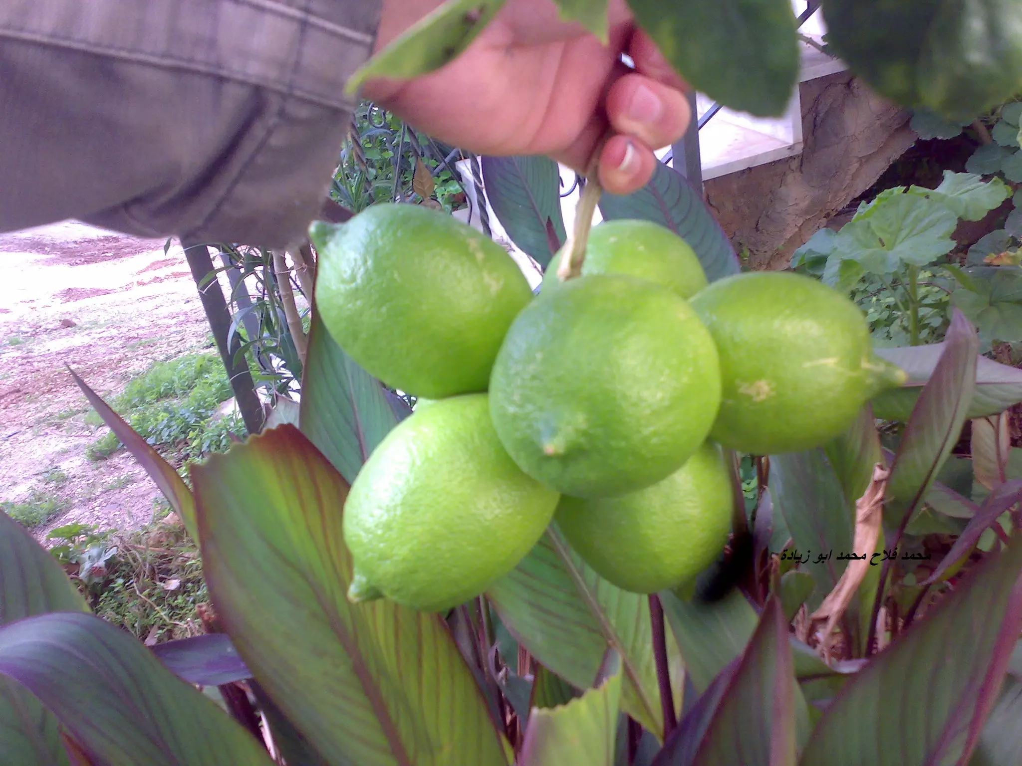
Posted by Mohammad Falah Abu Ziyadeh 1 - lemoon betellow
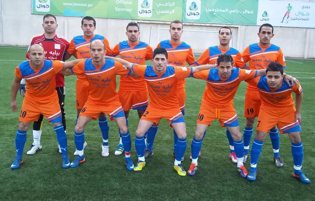
Posted by Mohammad Falah Abu Ziyadeh - فريق بيتللو
Posted by mohammad - حارة الظهورز
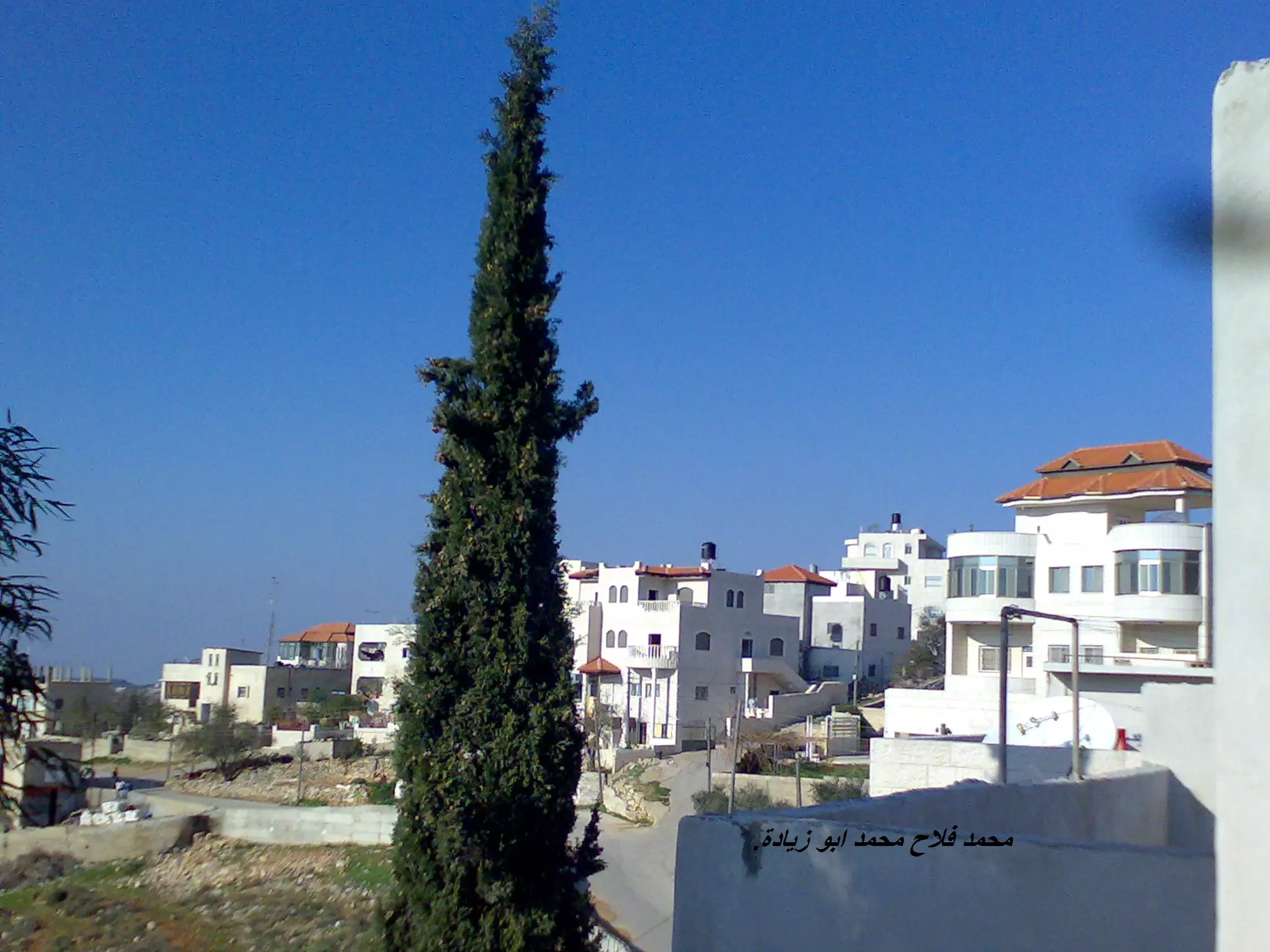
Posted by Mohammad Falah Abu Ziyadeh - حارة الظهور.
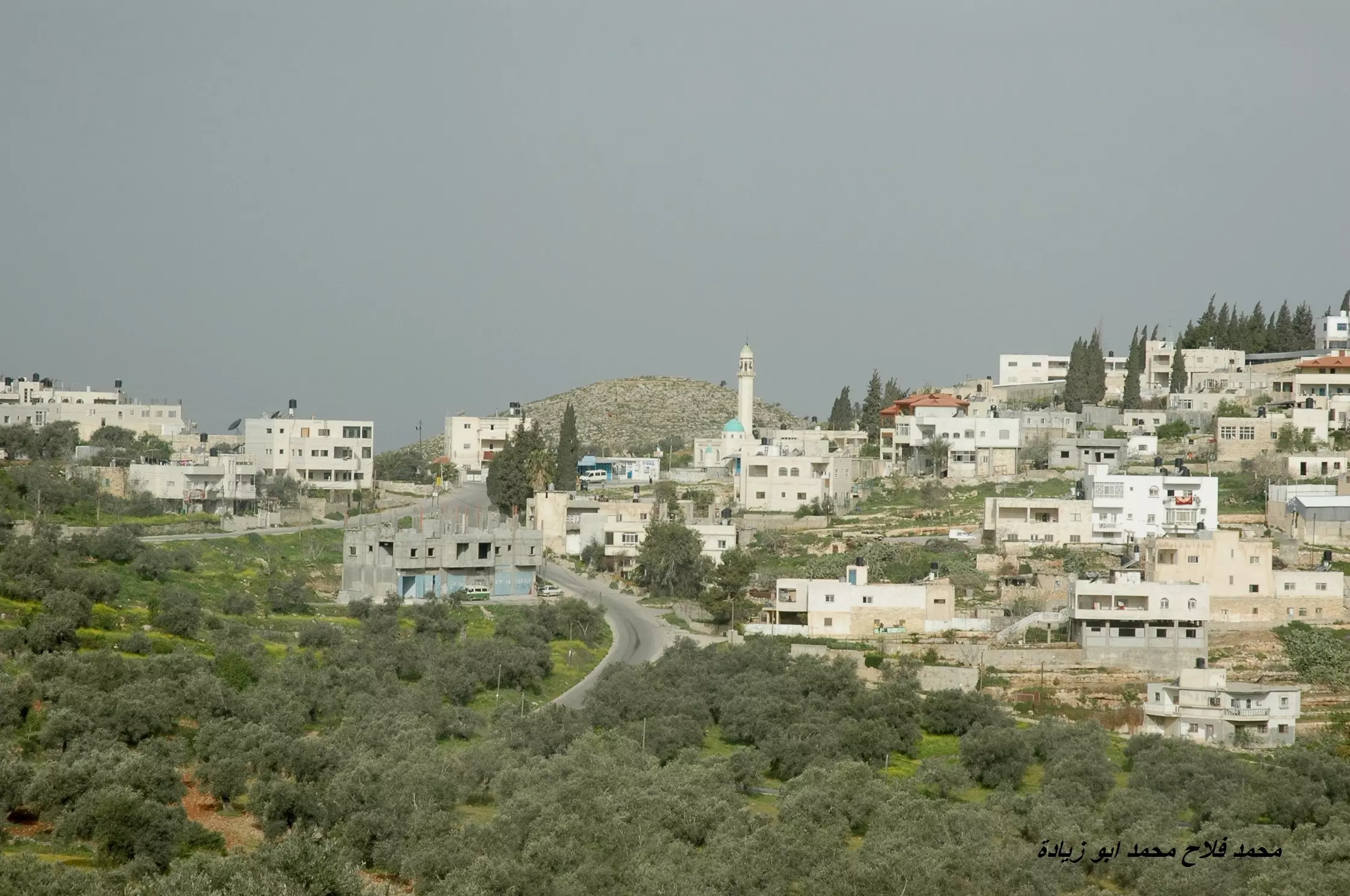
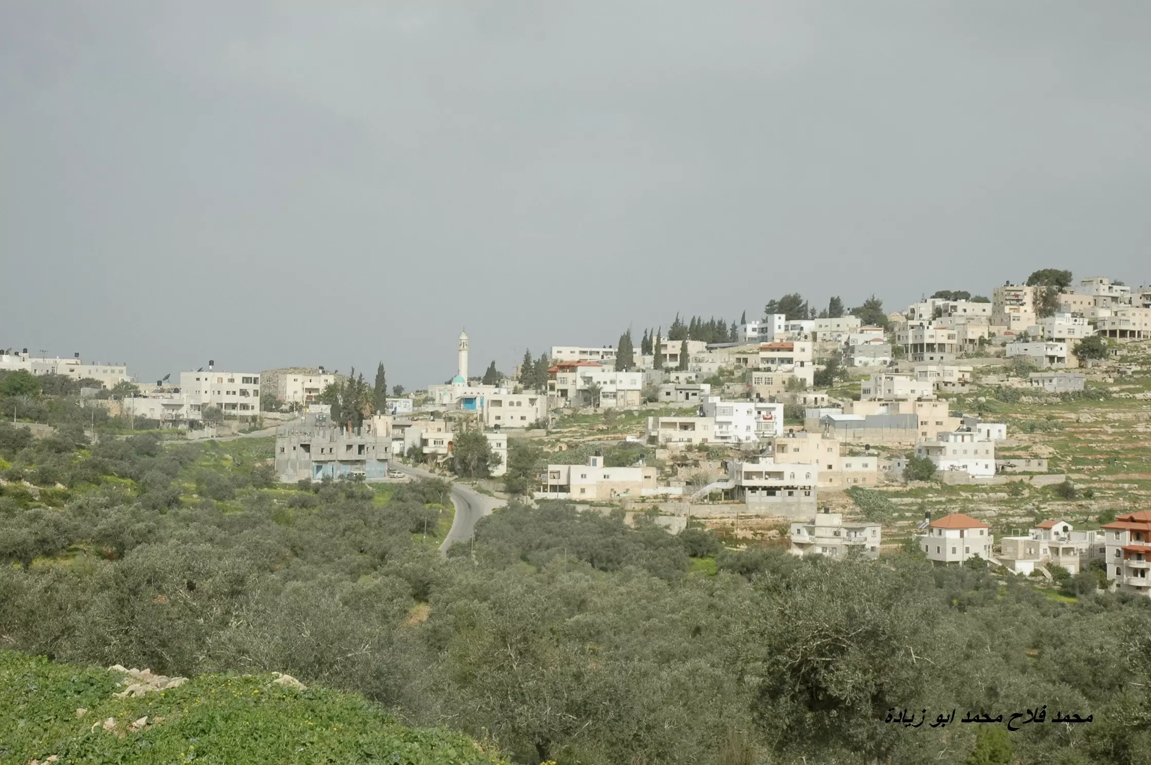
Posted by Mohammad Falah Abu Ziyadeh - بيتللو البلد
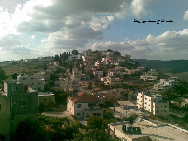
Posted by Mohammad Falah Abu Ziyadeh 1 - بيتللو البلد - منظر عام
Posted by Mohammad Falah Abu Ziyadeh - الزرقاء
Posted by waqar - الزرقاء
Posted by waqar - منظر عام
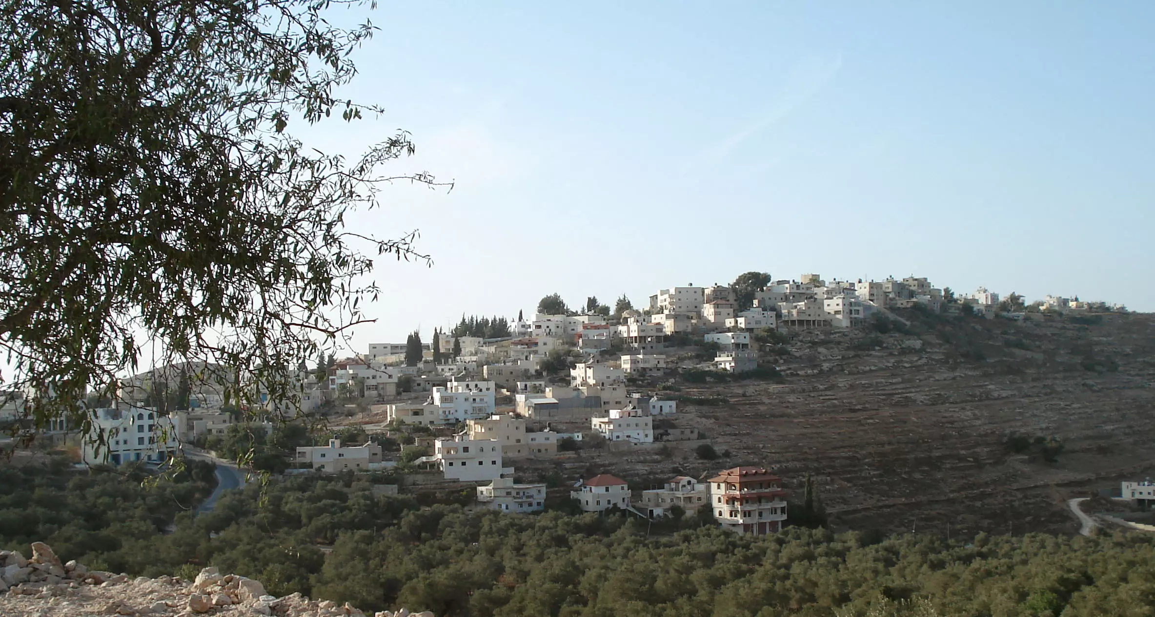
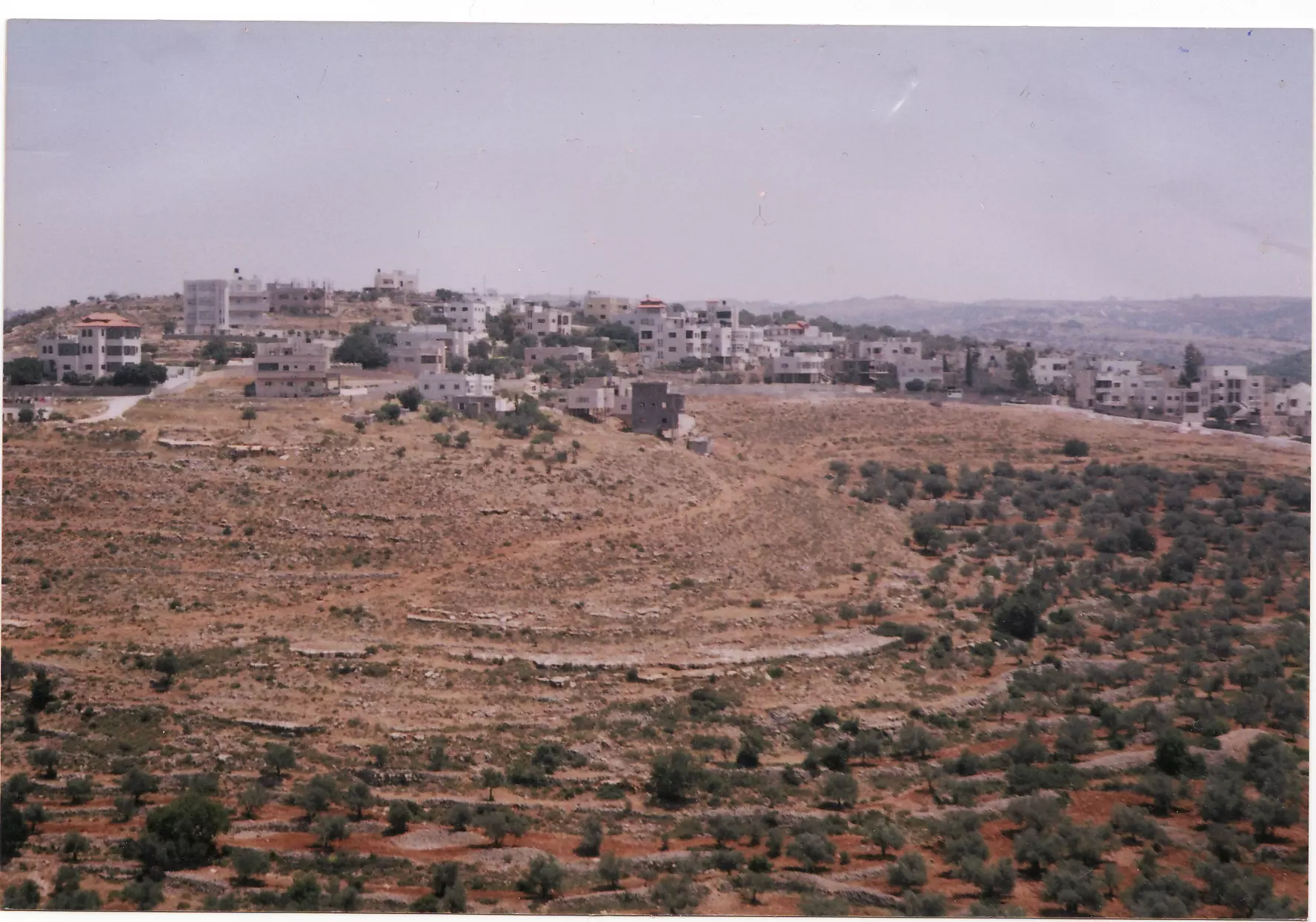
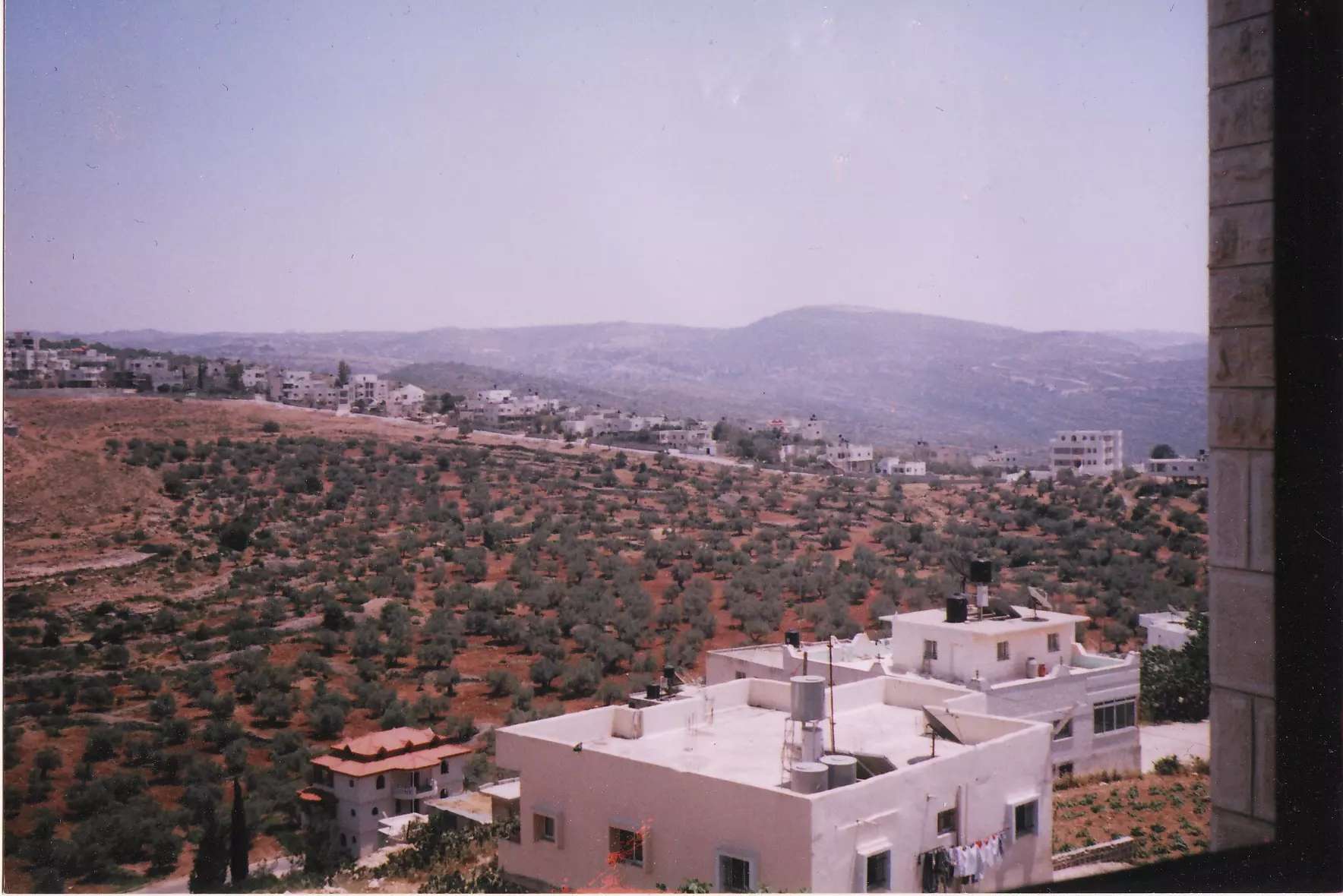
- منظر عام
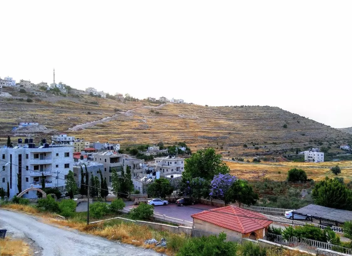
- منظر عام #2
- منظر عام #3
- منظر عام #4
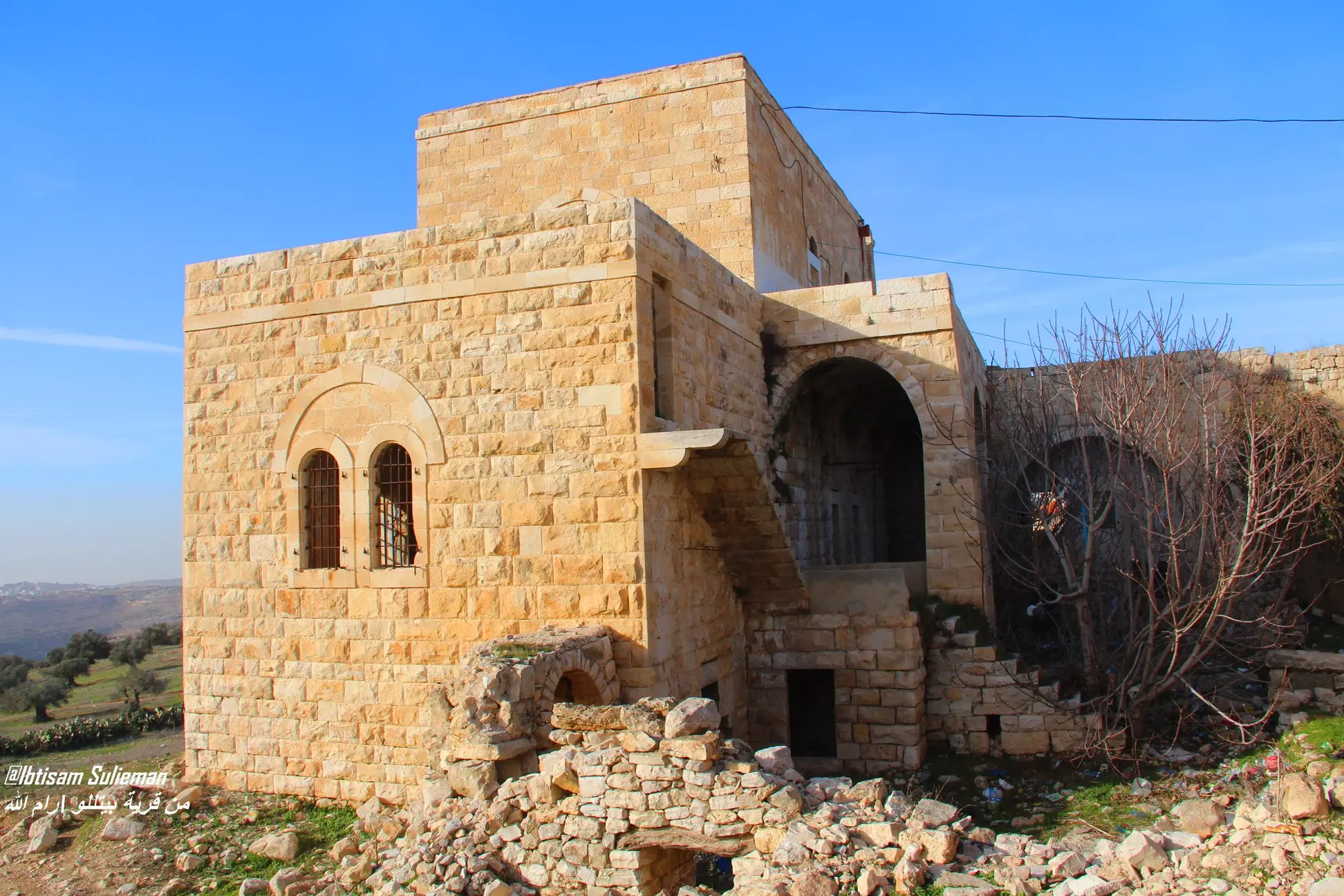
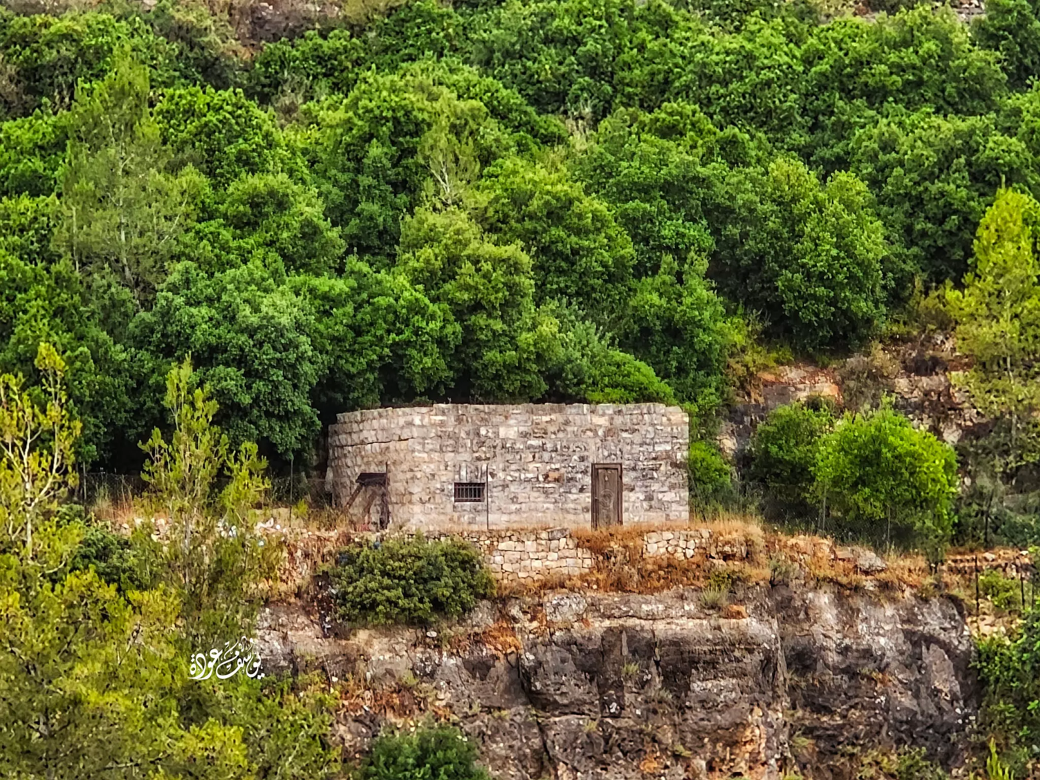
- بيت قديم
- شجر زيتون رومي في القرية--Yousef Odeh

- شجر زيتون رومي في القرية--Yousef Odeh #2
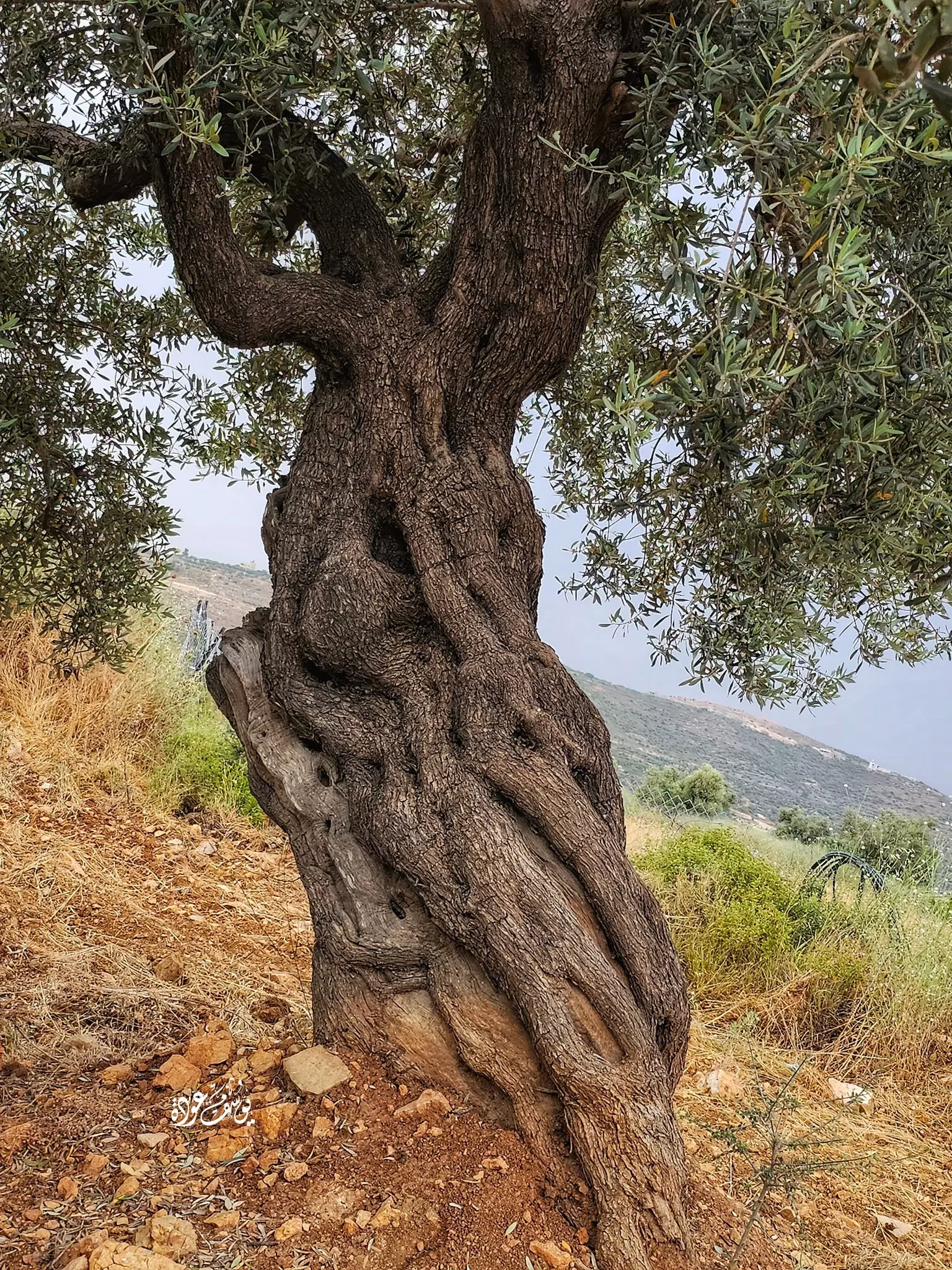
- شجر زيتون رومي في القرية--Yousef Odeh #3

- شجر زيتون رومي في القرية--Yousef Odeh #4
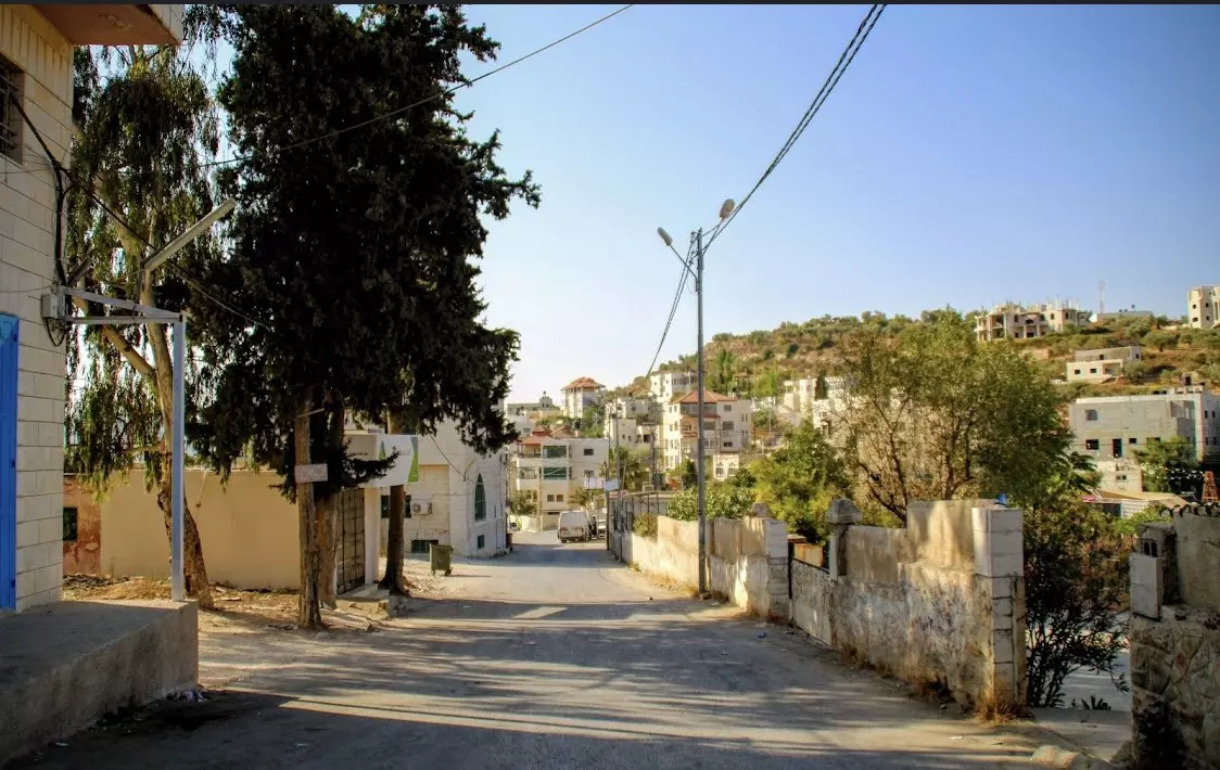
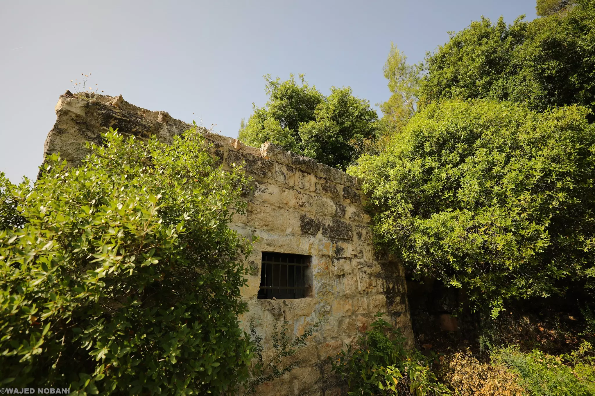
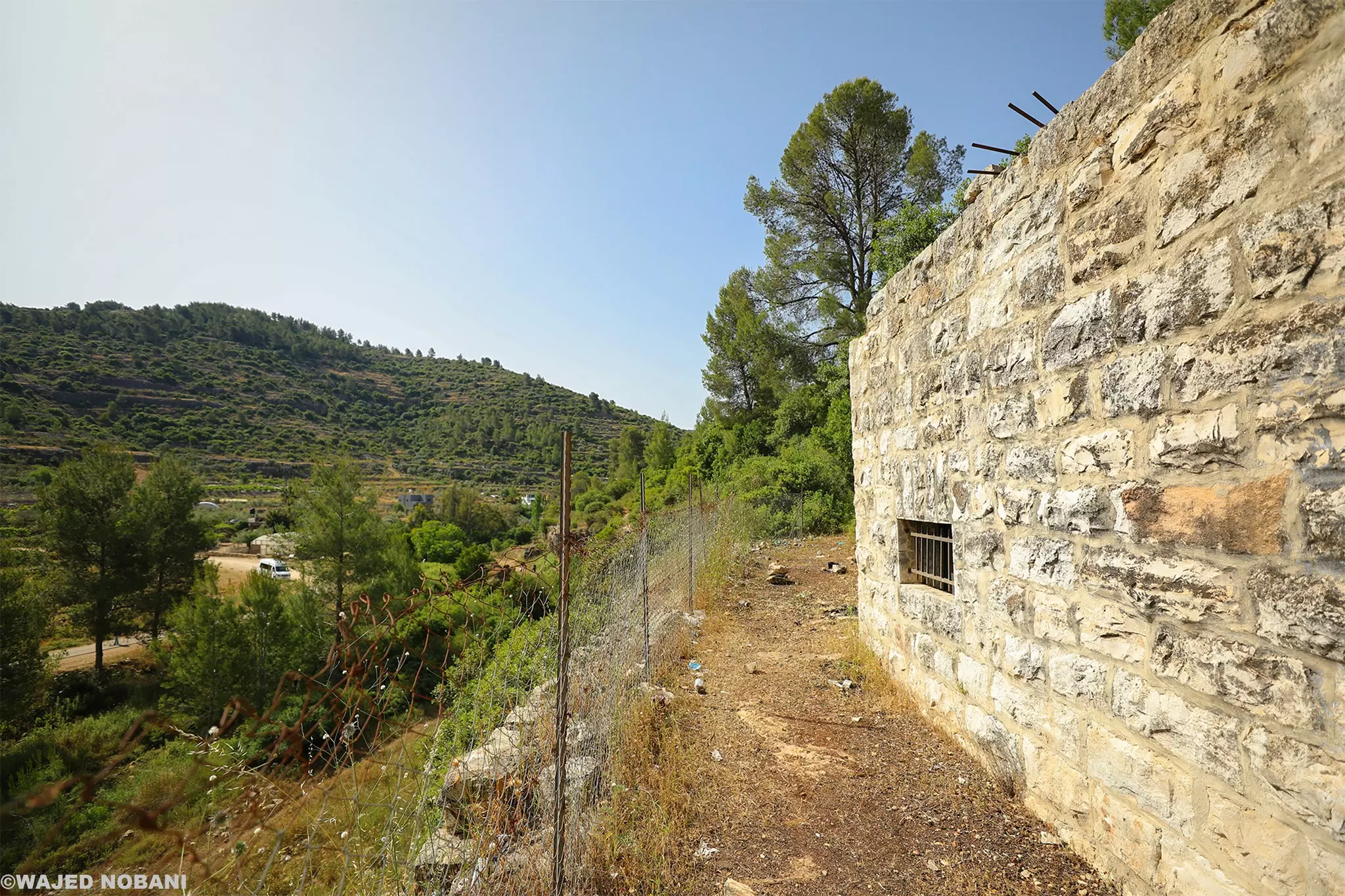
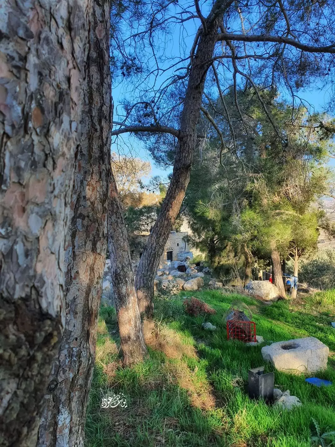
- جولة بين بيوت بيتللو القديمة -- واجد النوباني
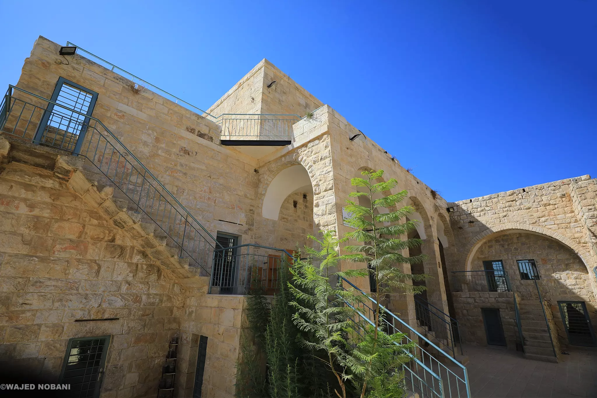
- جولة بين بيوت بيتللو القديمة -- واجد النوباني #2
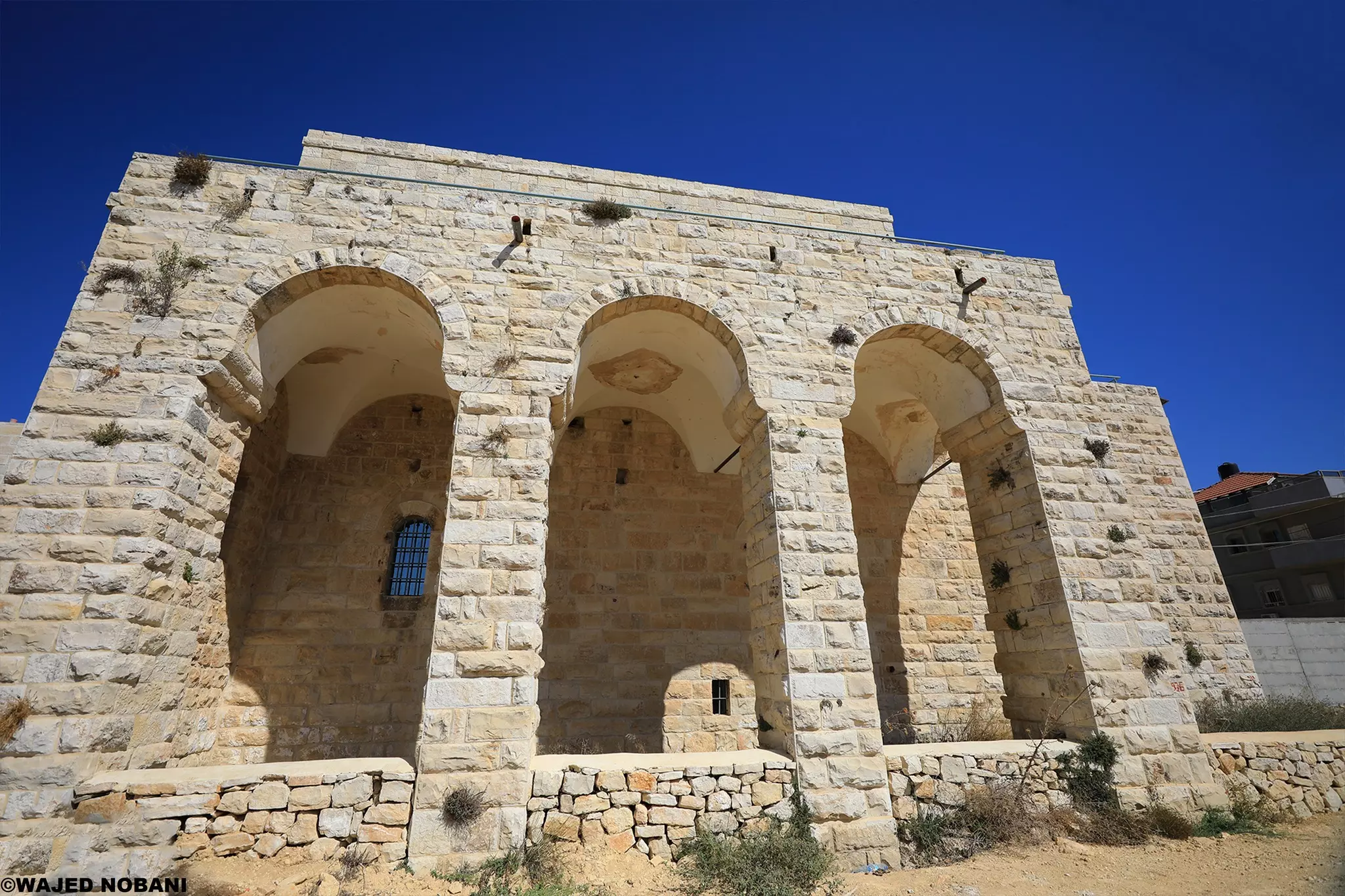
- جولة بين بيوت بيتللو القديمة -- واجد النوباني #3
- جولة بين بيوت بيتللو القديمة -- واجد النوباني #4

- جولة بين بيوت بيتللو القديمة -- واجد النوباني #5

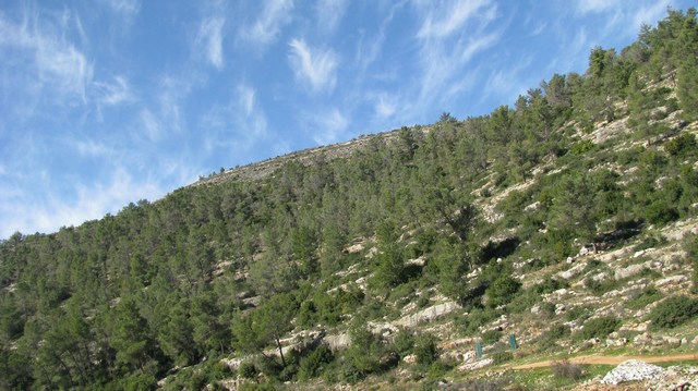
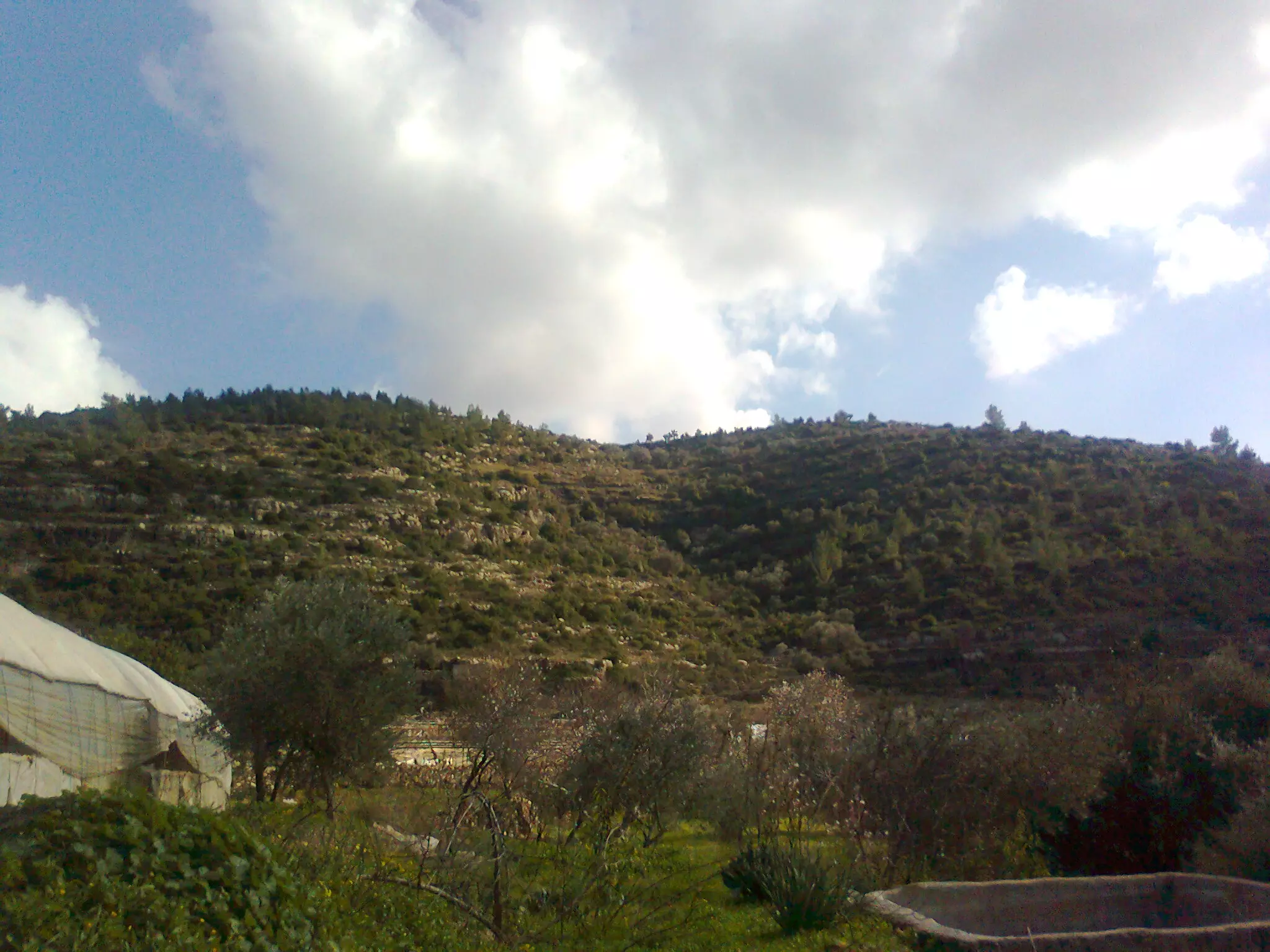
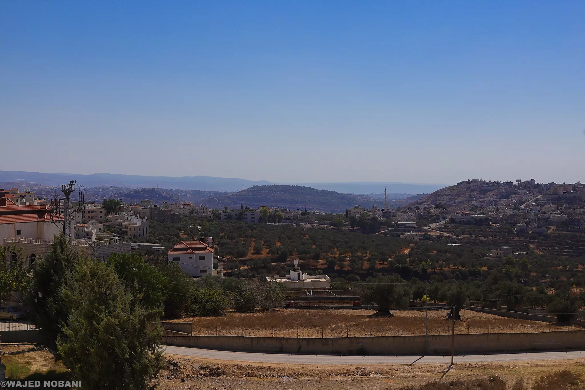
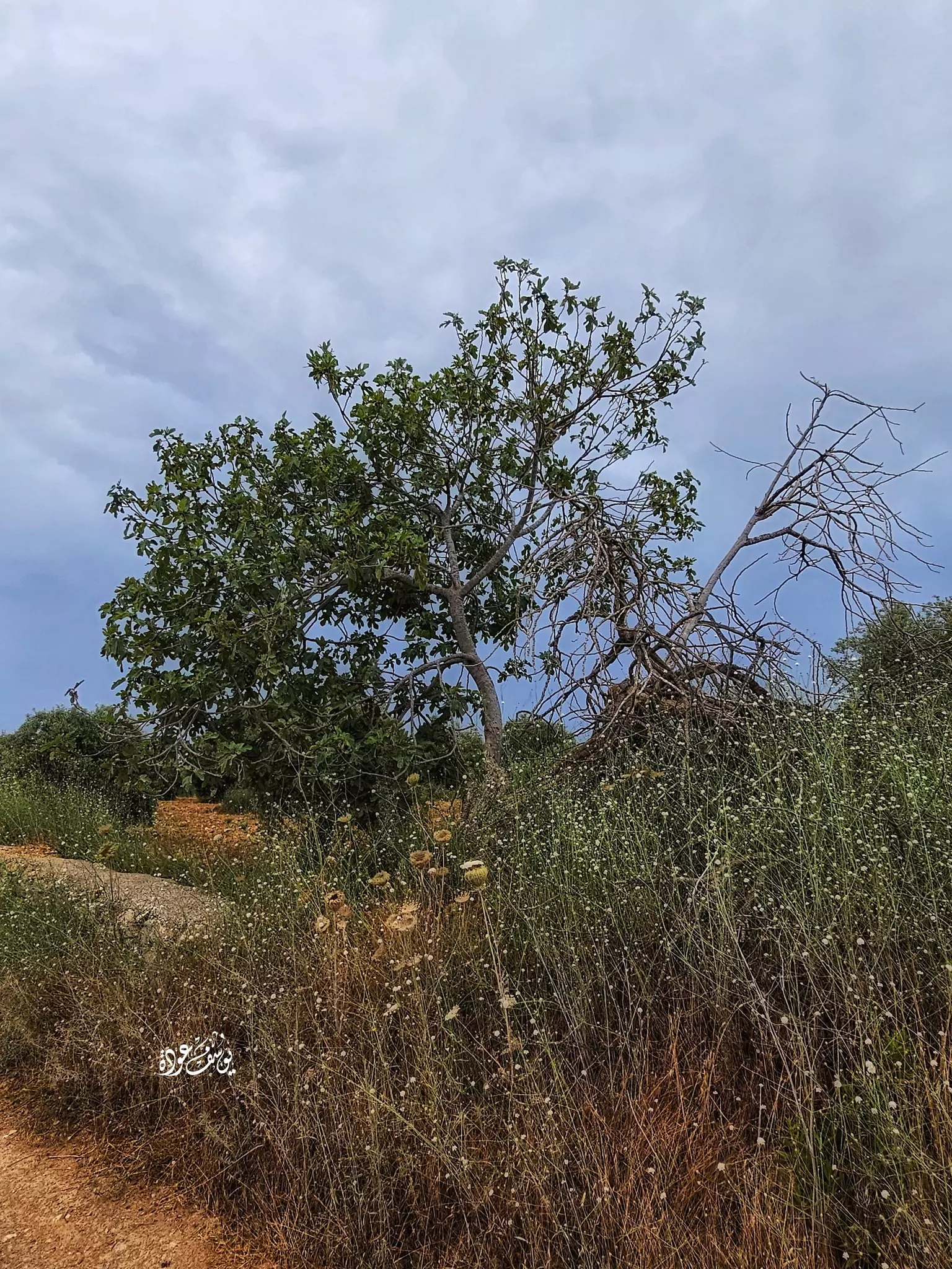
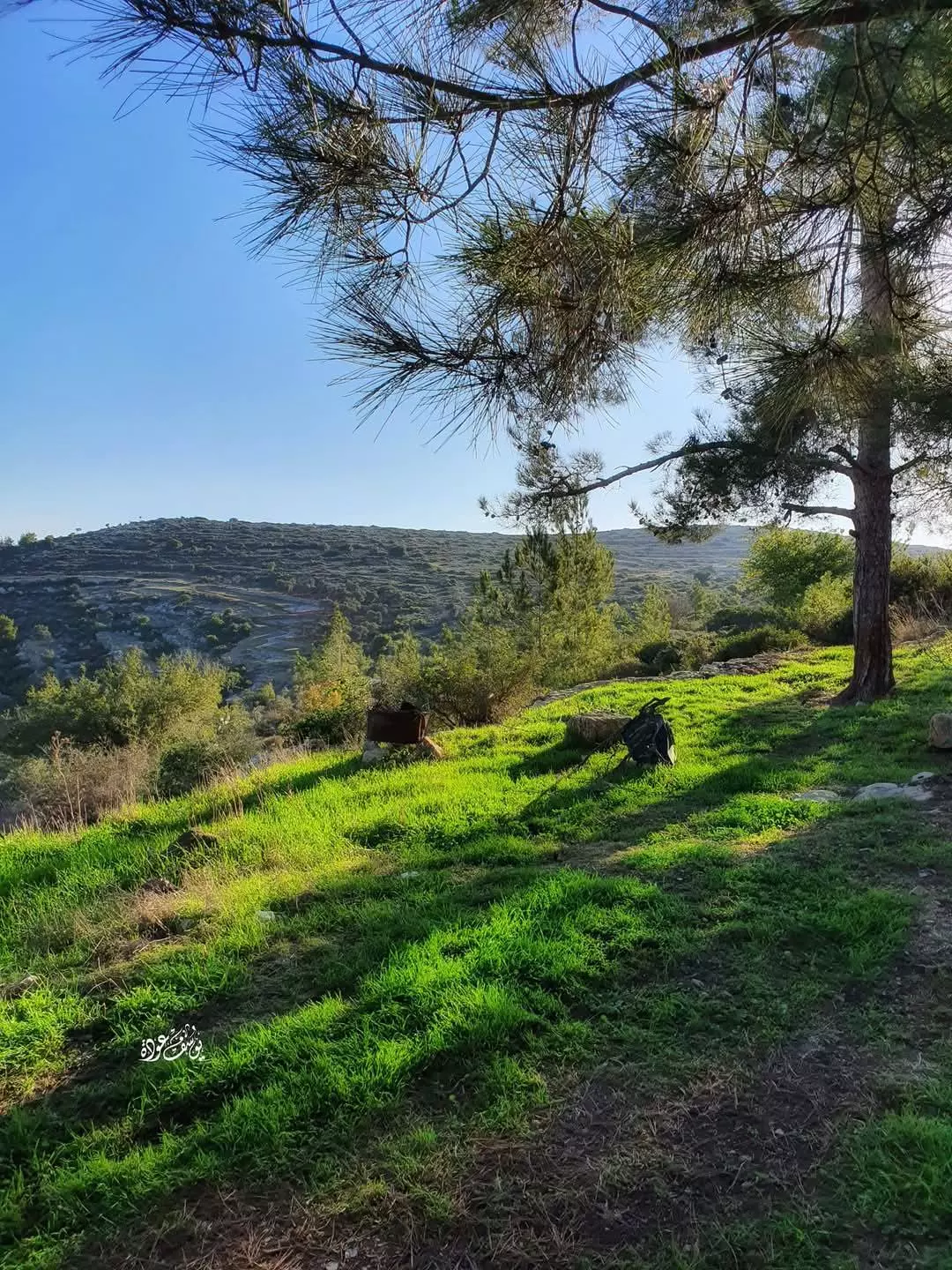
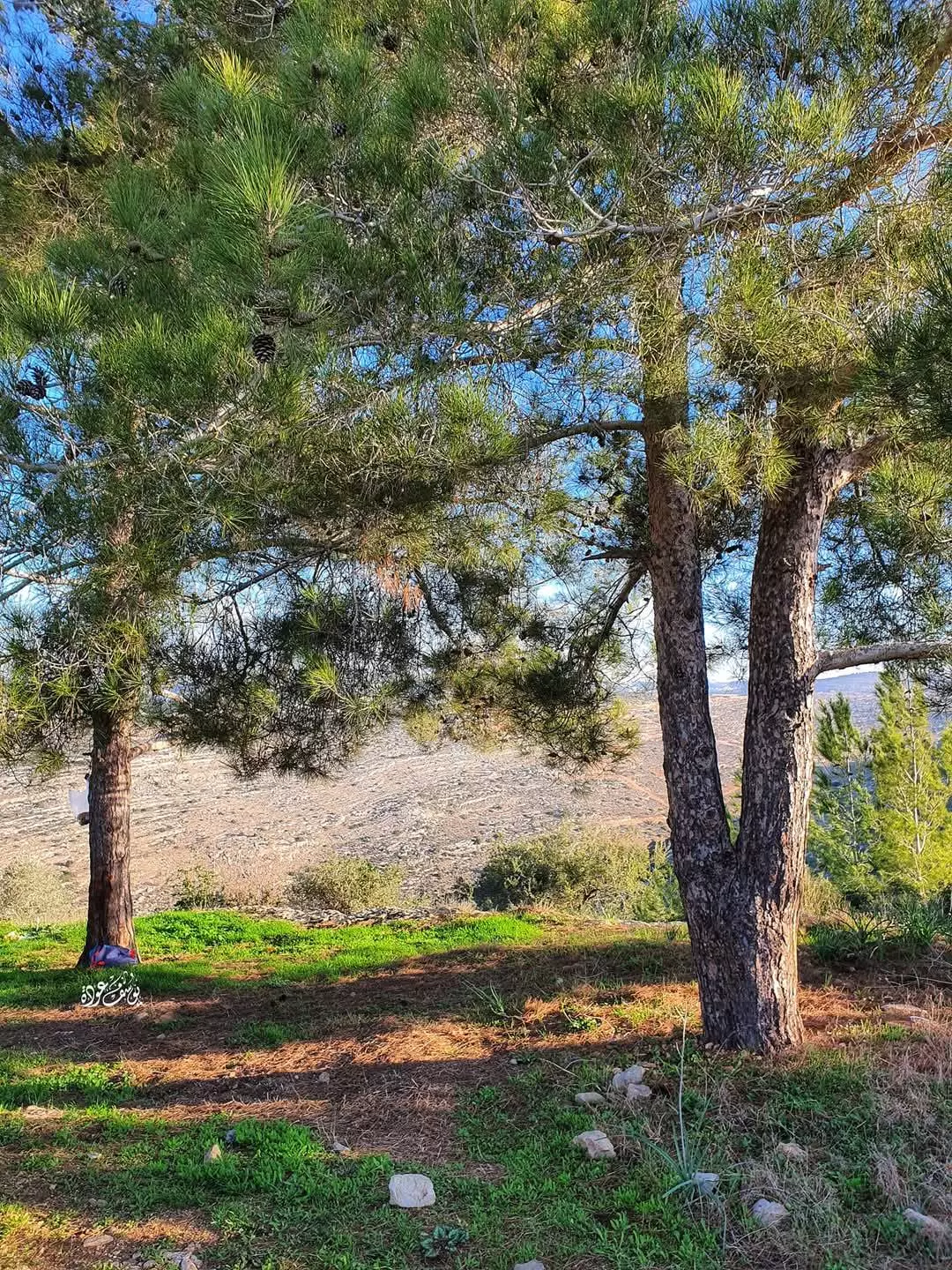
- جولة في براري القرية بوقت الربيع -- واجد النوباني
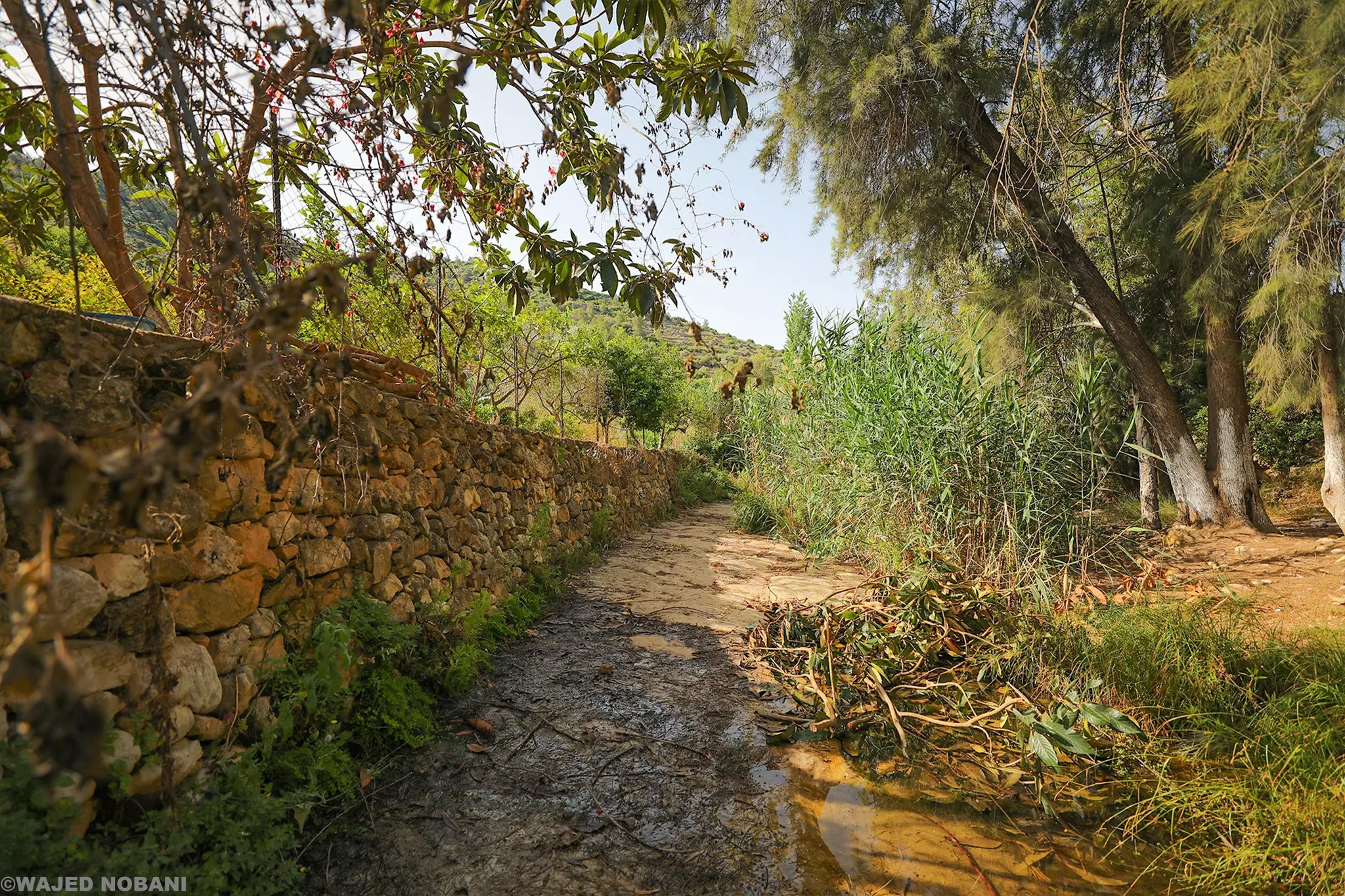
- جولة في براري القرية بوقت الربيع -- واجد النوباني #2
- جولة في براري القرية بوقت الربيع -- واجد النوباني #3
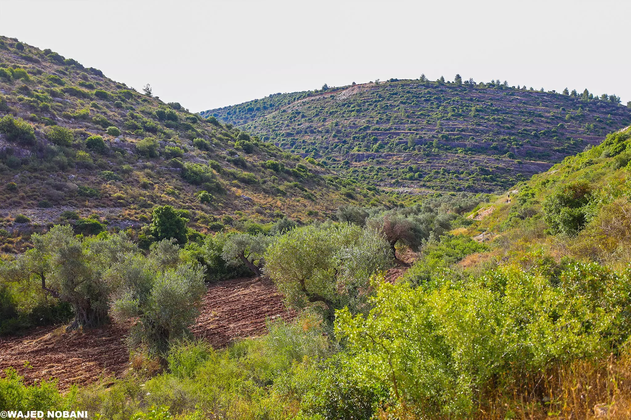
- جولة في براري القرية بوقت الربيع -- واجد النوباني #4
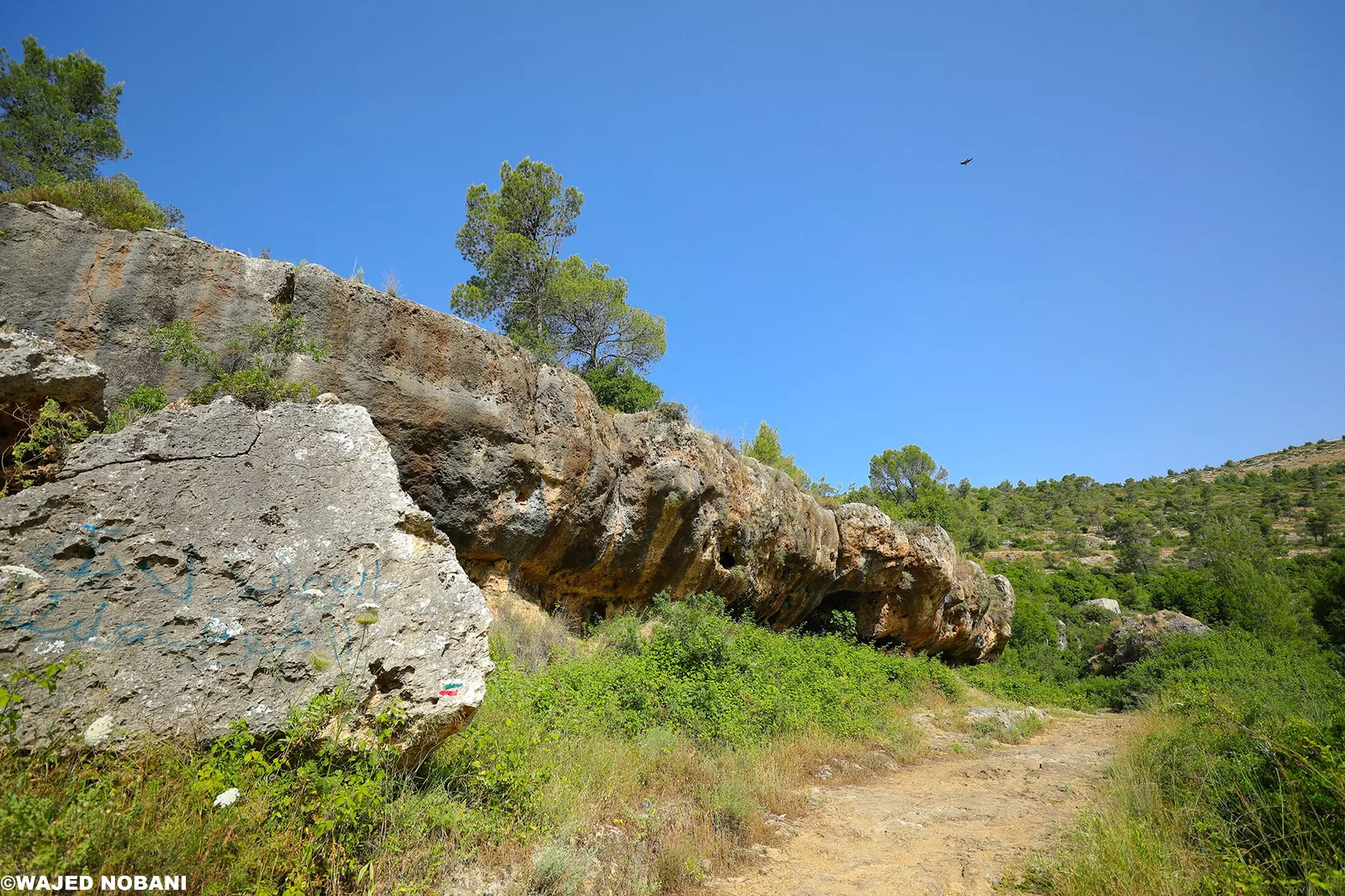
- جولة في براري القرية بوقت الربيع -- واجد النوباني #5

- جولة في براري القرية بوقت الربيع -- واجد النوباني #6
- البركة

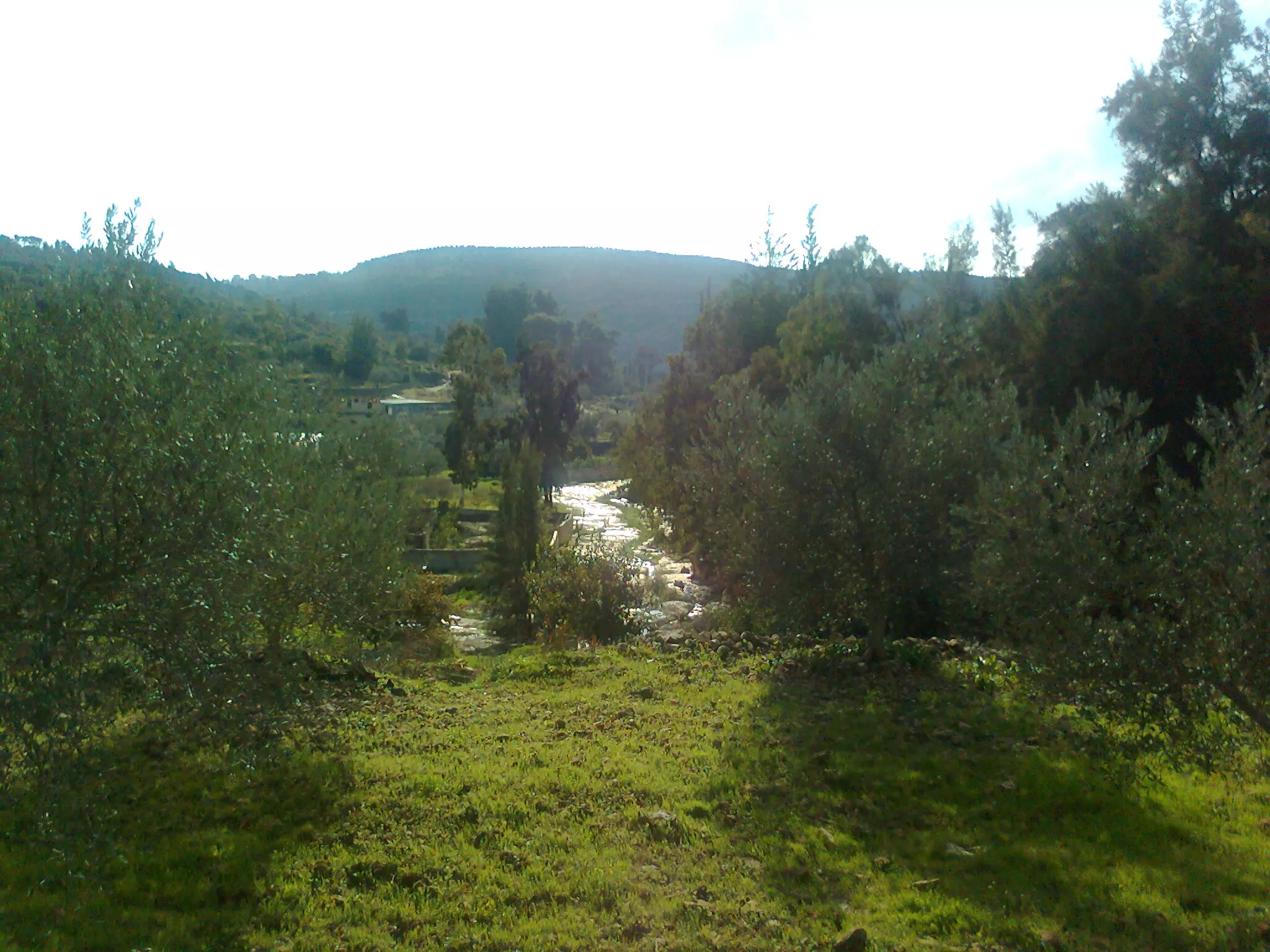
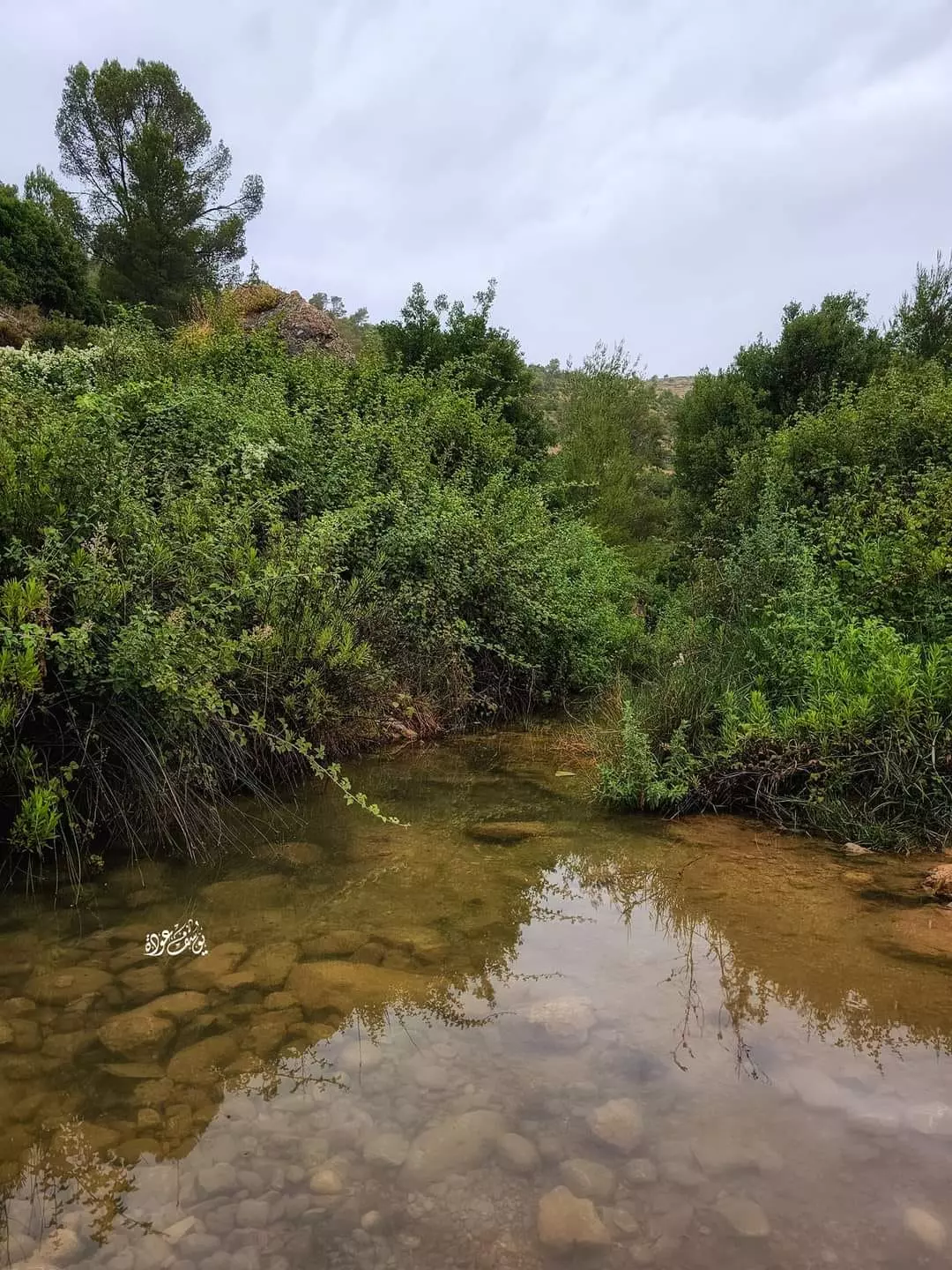
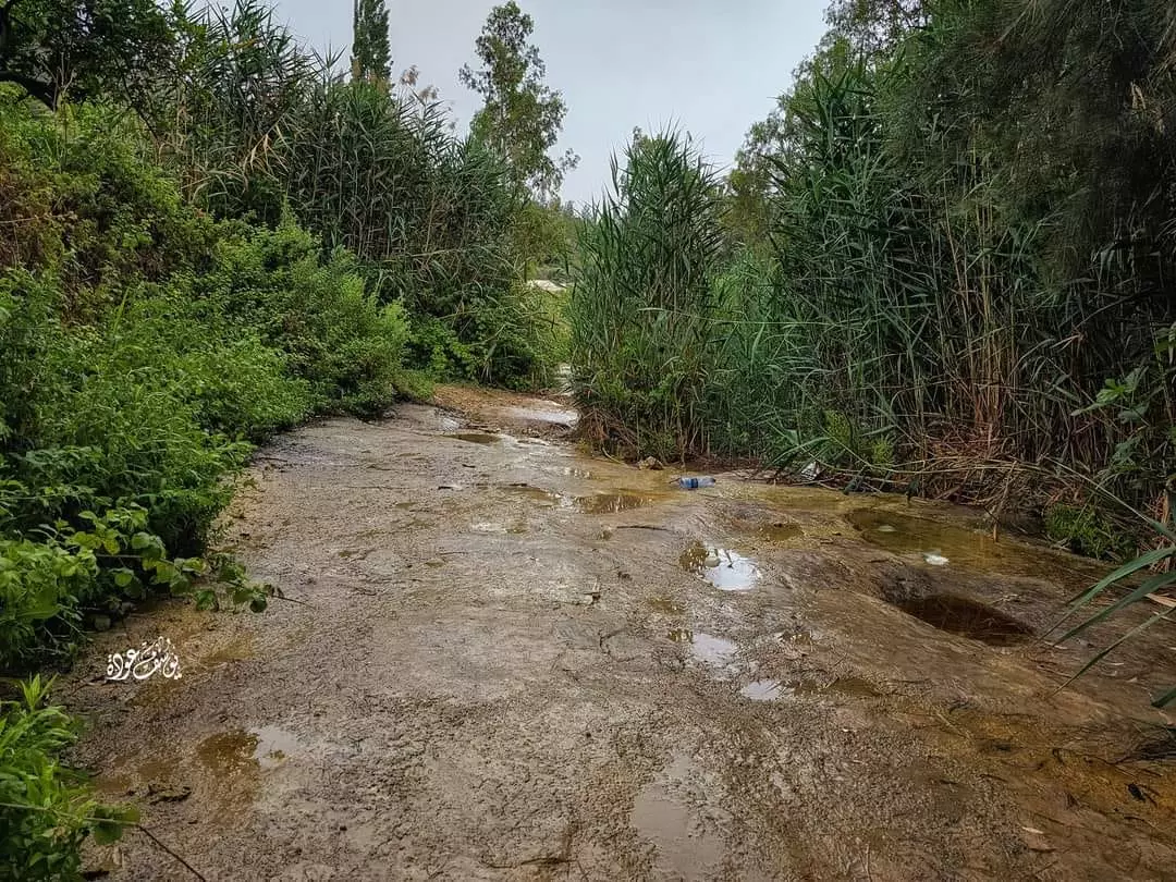
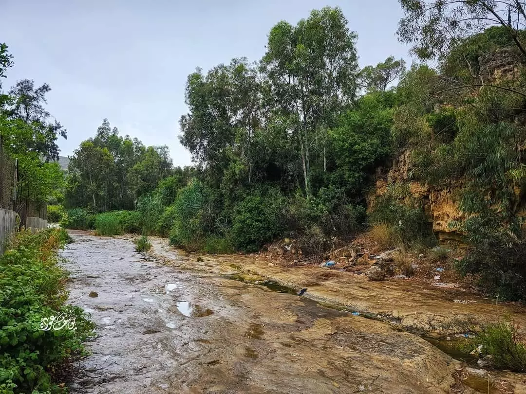
- حمية وادي عين الزرقاء
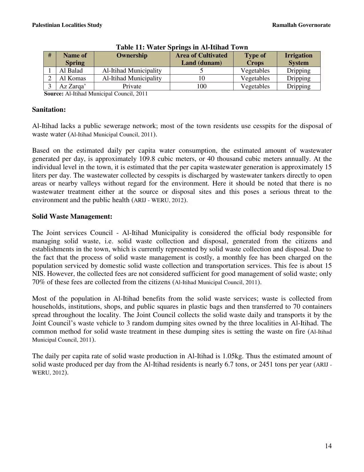
تقع عين الزرقاء غرب مدينة رام الله وتبعد عنها حوالي 19 ّ كم، وتقع أراضي المحمية وكذلك بعض عيون المياه على أراضي الشمالية لقرية بيتللو، بينما يقع الجزء الجنوبي والغربي لعيون المياه في أراضي قريتي دير عمار وجمالا -- Yousif Odeh -- 2023

- حمية وادي عين الزرقاء
تقع عين الزرقاء غرب مدينة رام الله وتبعد عنها حوالي 19 ّ كم، وتقع أراضي المحمية وكذلك بعض عيون المياه على أراضي الشمالية لقرية بيتللو، بينما يقع الجزء الجنوبي والغربي لعيون المياه في أراضي قريتي دير عمار وجمالا -- Yousif Odeh -- 2023 #2

- حمية وادي عين الزرقاء
تقع عين الزرقاء غرب مدينة رام الله وتبعد عنها حوالي 19 ّ كم، وتقع أراضي المحمية وكذلك بعض عيون المياه على أراضي الشمالية لقرية بيتللو، بينما يقع الجزء الجنوبي والغربي لعيون المياه في أراضي قريتي دير عمار وجمالا -- Yousif Odeh -- 2023 #3

- حمية وادي عين الزرقاء
تقع عين الزرقاء غرب مدينة رام الله وتبعد عنها حوالي 19 ّ كم، وتقع أراضي المحمية وكذلك بعض عيون المياه على أراضي الشمالية لقرية بيتللو، بينما يقع الجزء الجنوبي والغربي لعيون المياه في أراضي قريتي دير عمار وجمالا -- Yousif Odeh -- 2023 #4
- حمية وادي عين الزرقاء
تقع عين الزرقاء غرب مدينة رام الله وتبعد عنها حوالي 19 ّ كم، وتقع أراضي المحمية وكذلك بعض عيون المياه على أراضي الشمالية لقرية بيتللو، بينما يقع الجزء الجنوبي والغربي لعيون المياه في أراضي قريتي دير عمار وجمالا -- Yousif Odeh -- 2023 #5
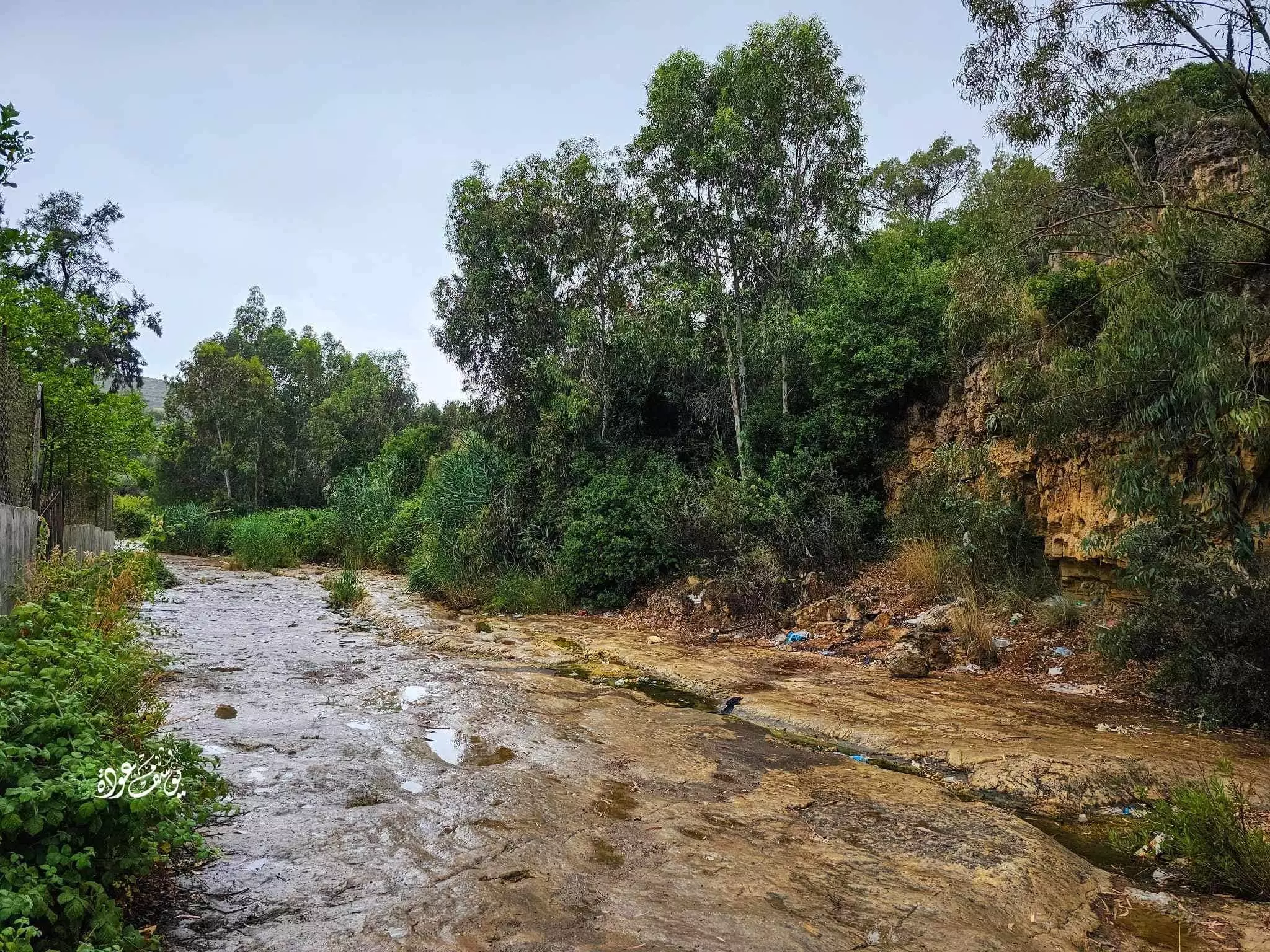
- حمية وادي عين الزرقاء
تقع عين الزرقاء غرب مدينة رام الله وتبعد عنها حوالي 19 ّ كم، وتقع أراضي المحمية وكذلك بعض عيون المياه على أراضي الشمالية لقرية بيتللو، بينما يقع الجزء الجنوبي والغربي لعيون المياه في أراضي قريتي دير عمار وجمالا -- Yousif Odeh -- 2023 #6
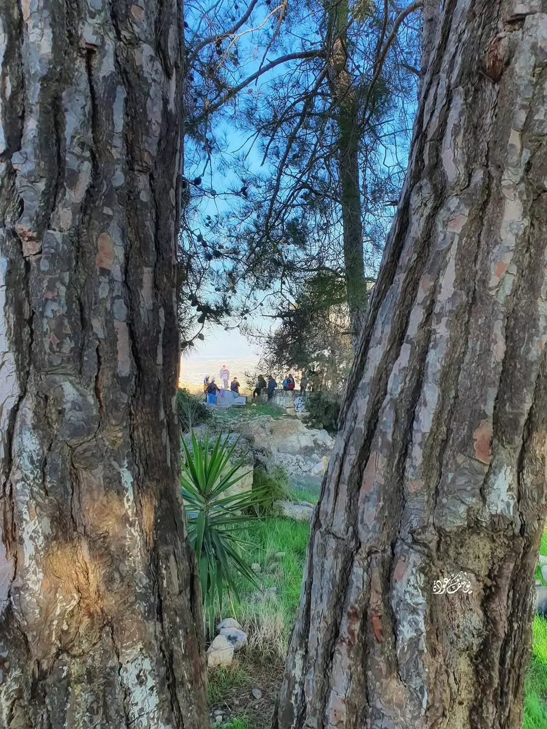
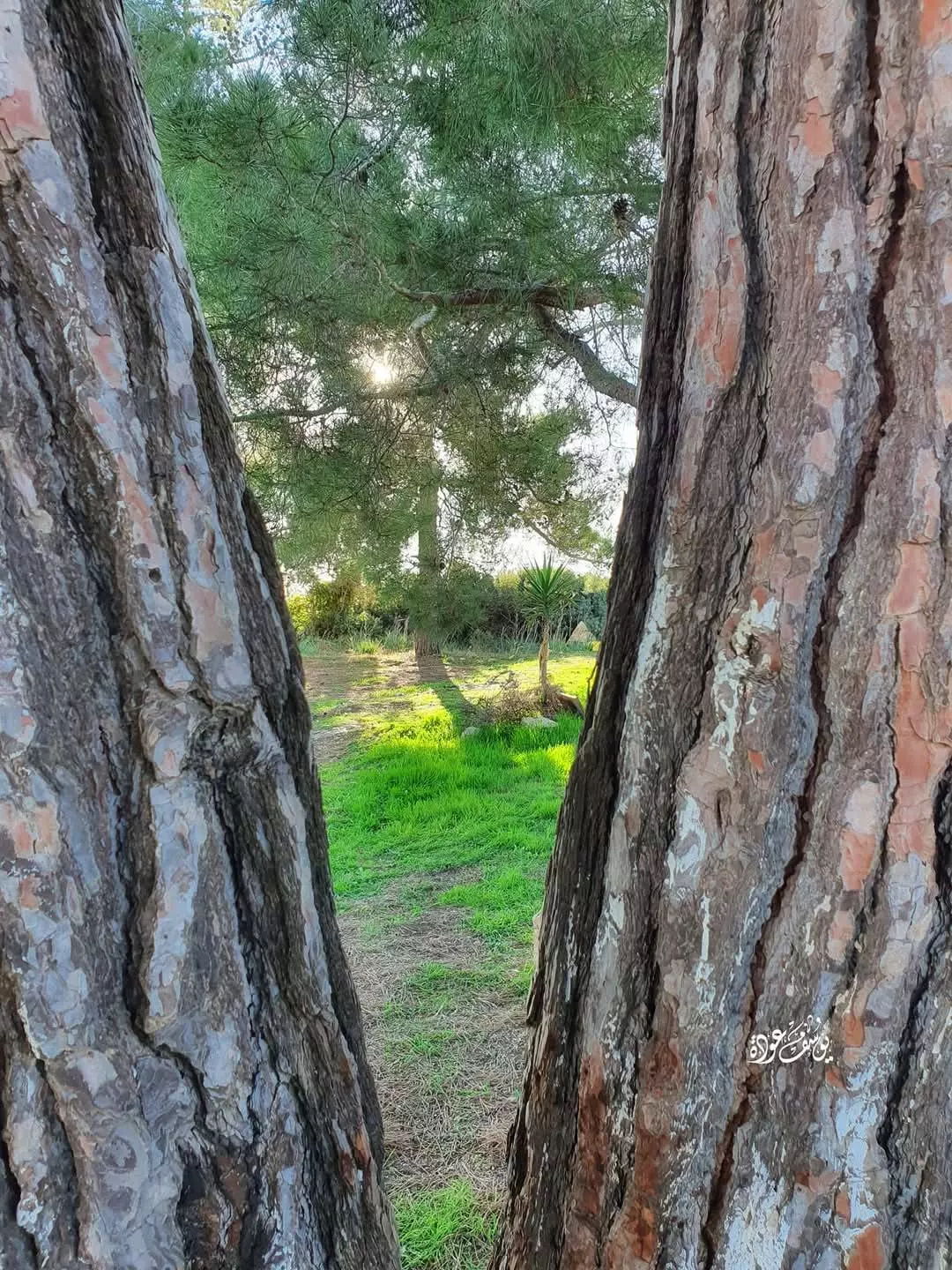
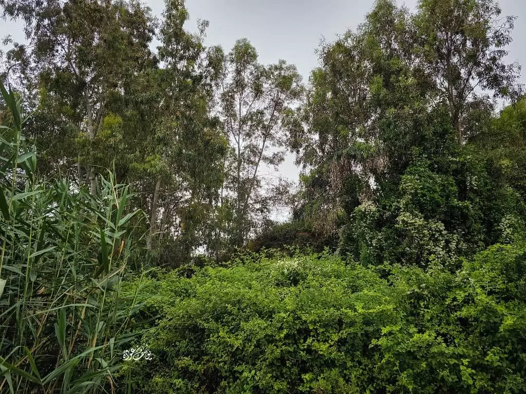
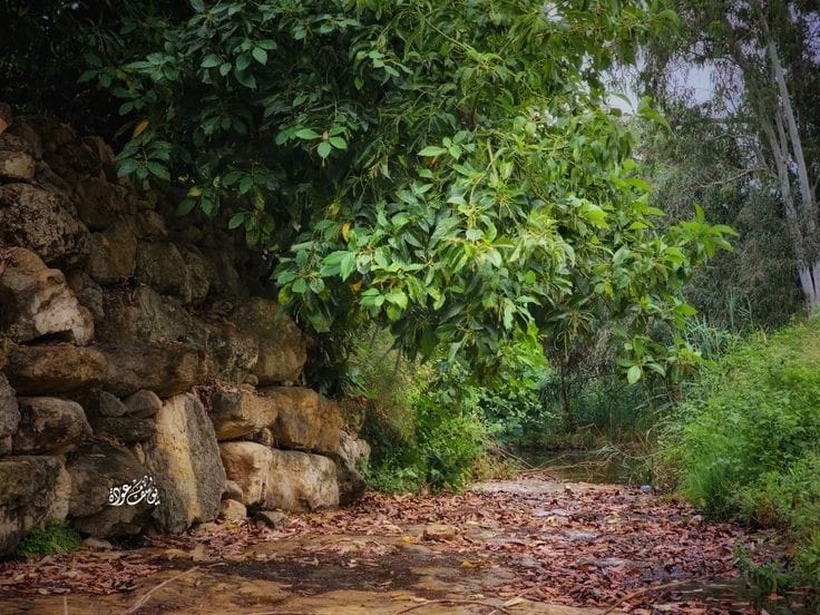
- جولة في حواكير البلدة -- يوسف عودة
- جولة في حواكير البلدة -- يوسف عودة #2

- جولة في حواكير البلدة -- يوسف عودة #3
- جولة في حواكير البلدة -- يوسف عودة #4

- جولة في حواكير البلدة -- يوسف عودة #5
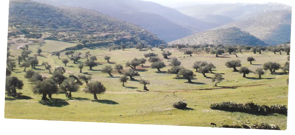
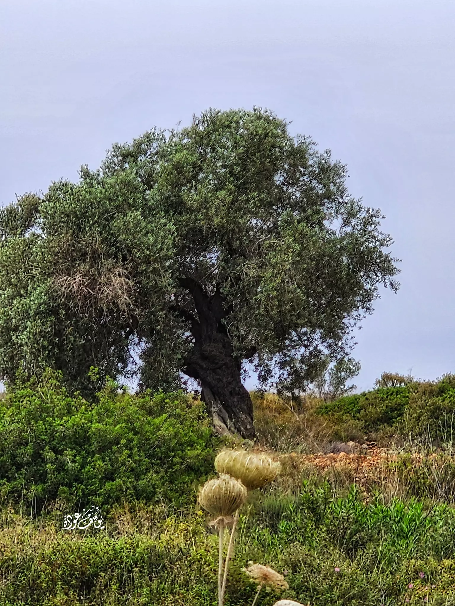
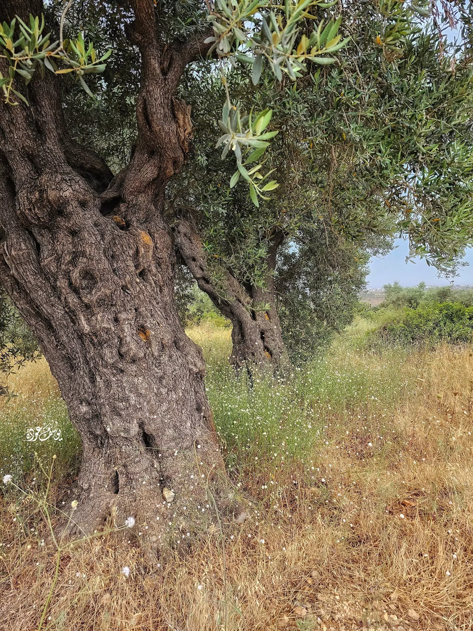
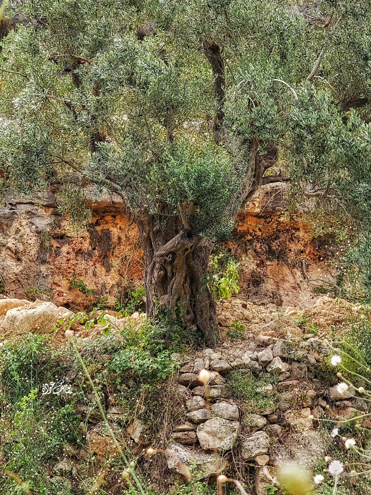
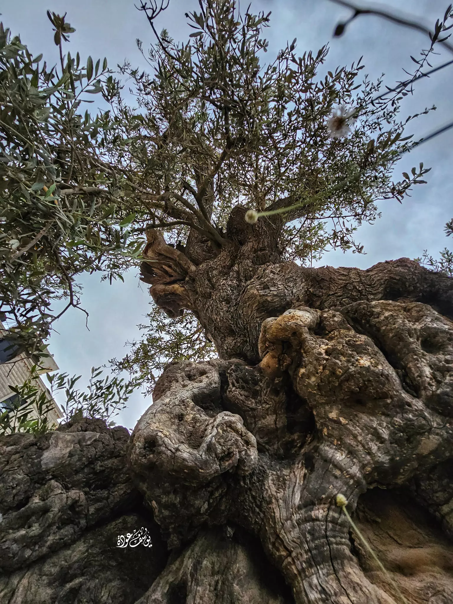
- أشجار زيتون معمرة -- يوسف عودة
- أشجار زيتون معمرة -- يوسف عودة #2
- أشجار زيتون معمرة -- يوسف عودة #3
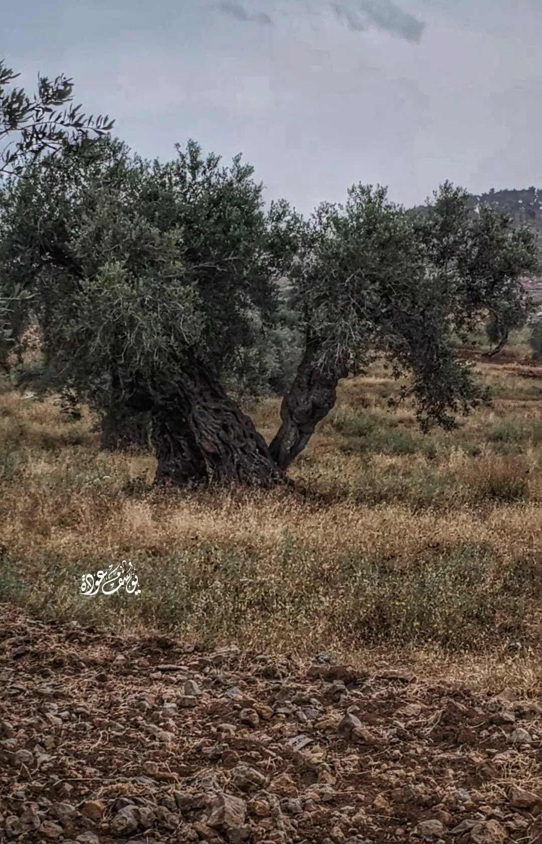
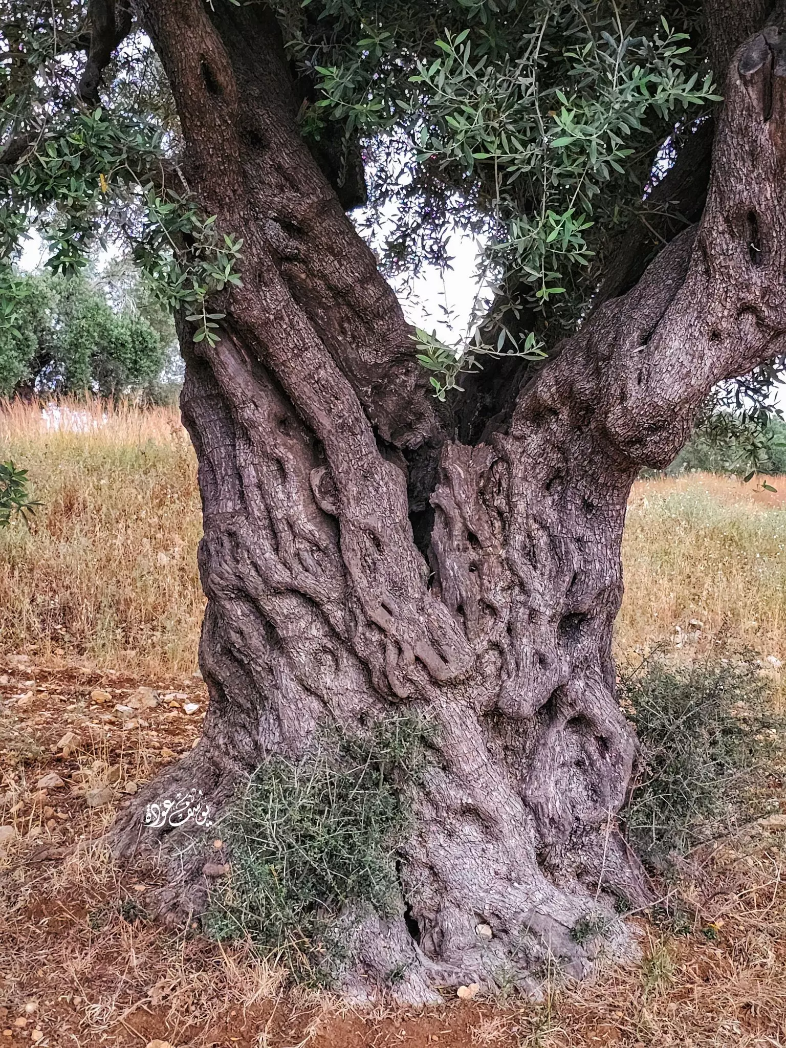
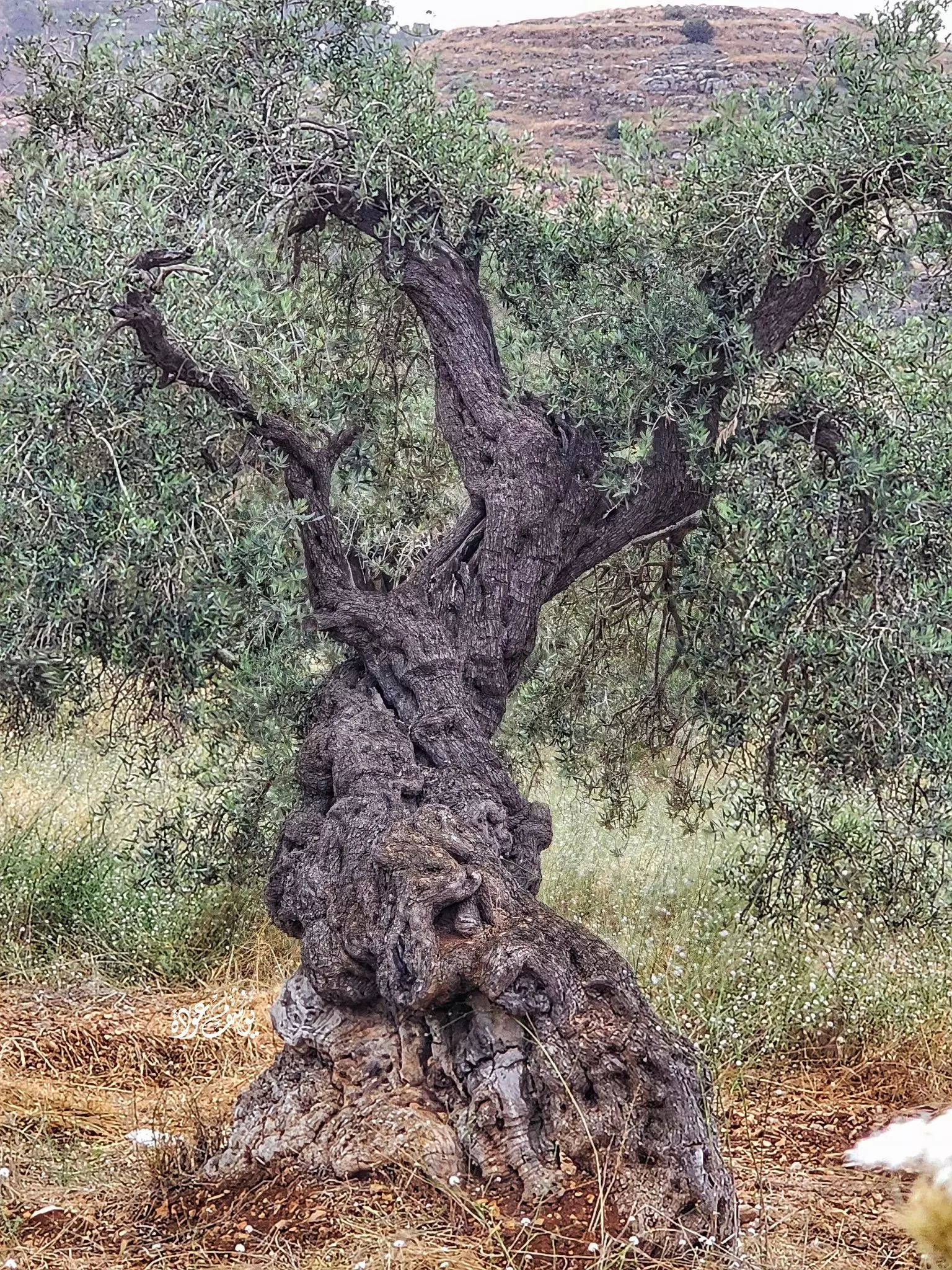
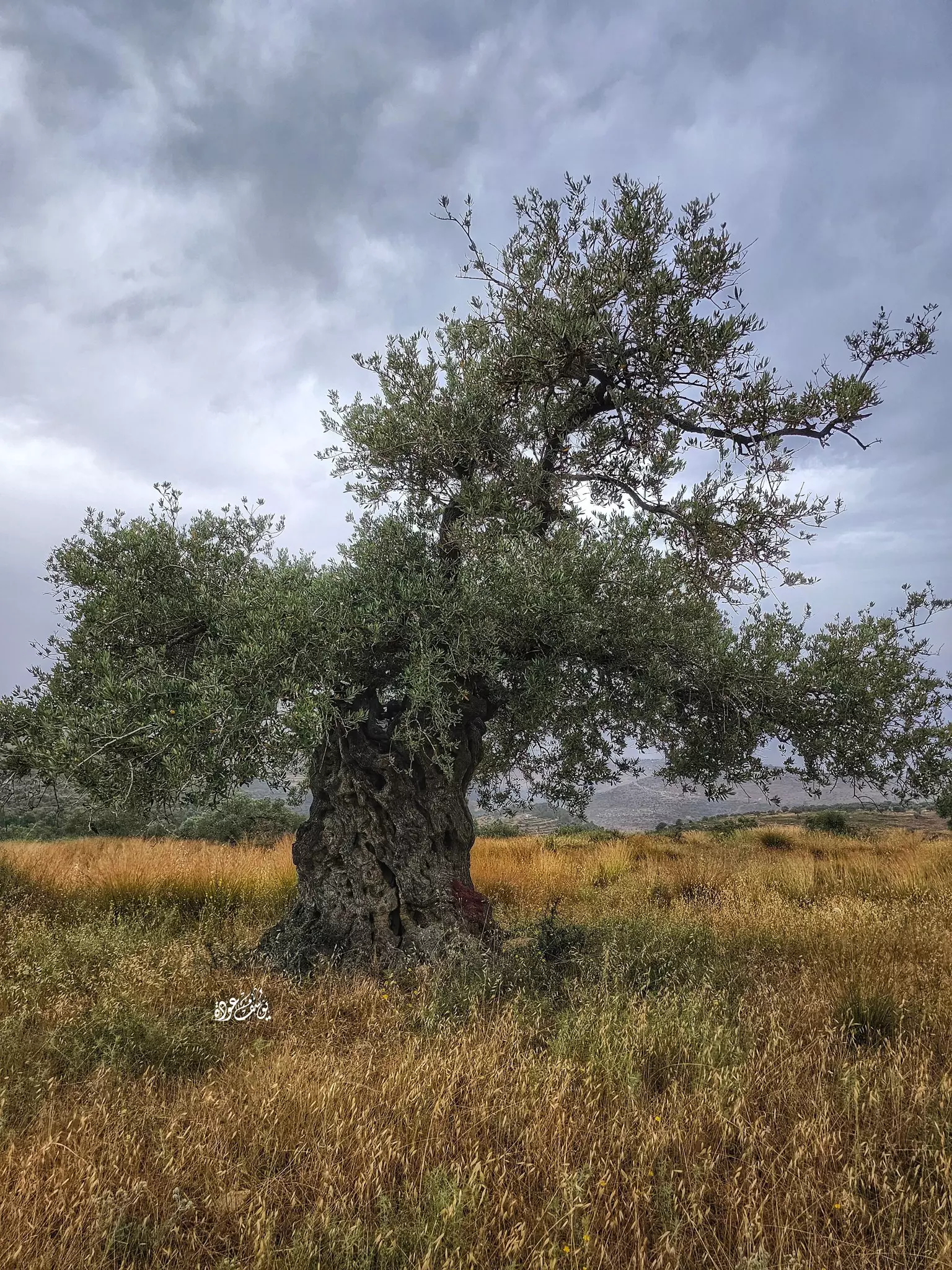
- شجرة زيتون معمرة -- يوسف عودة
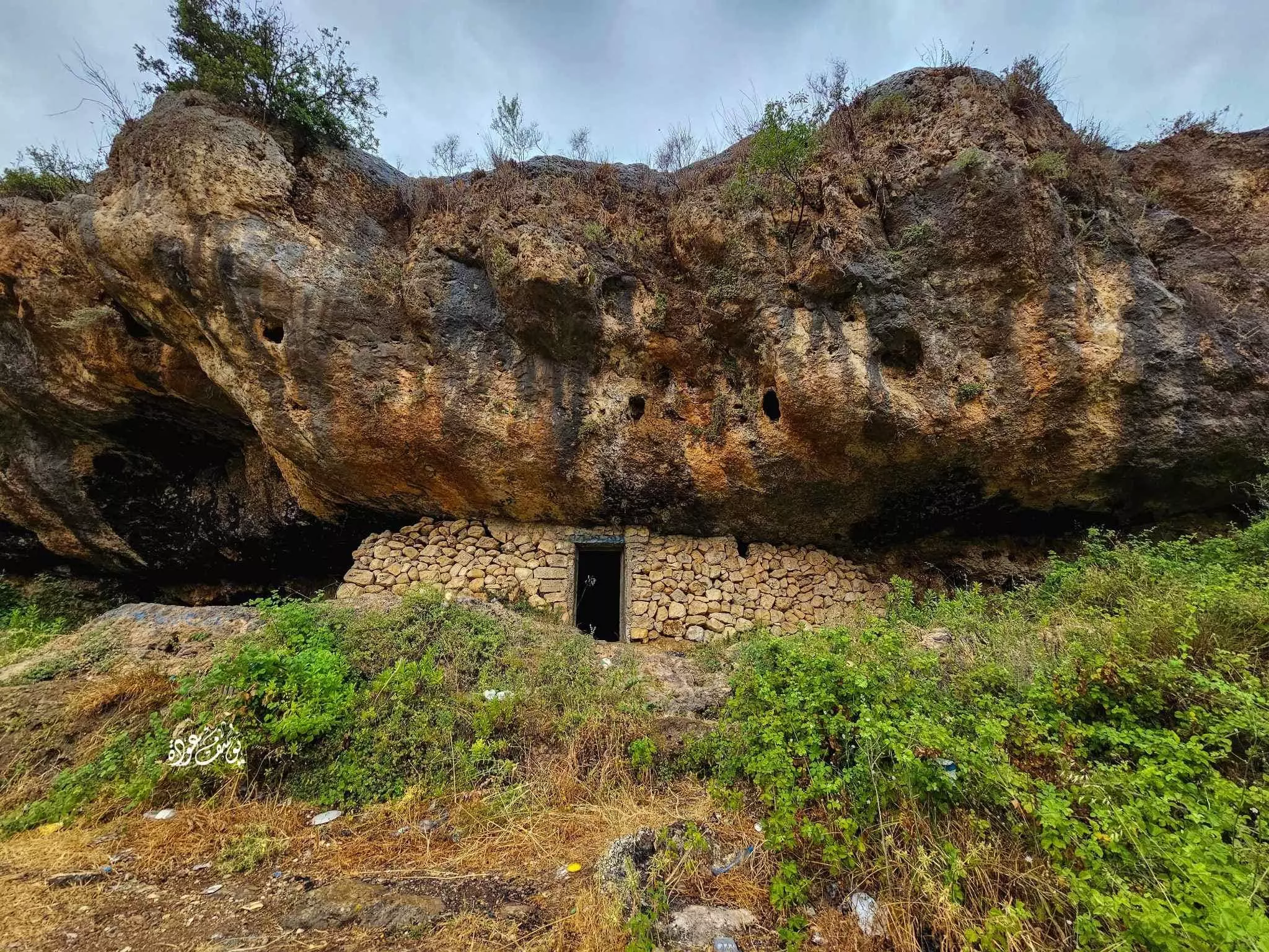
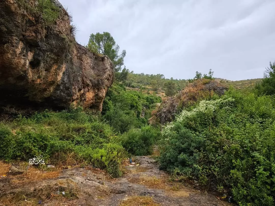
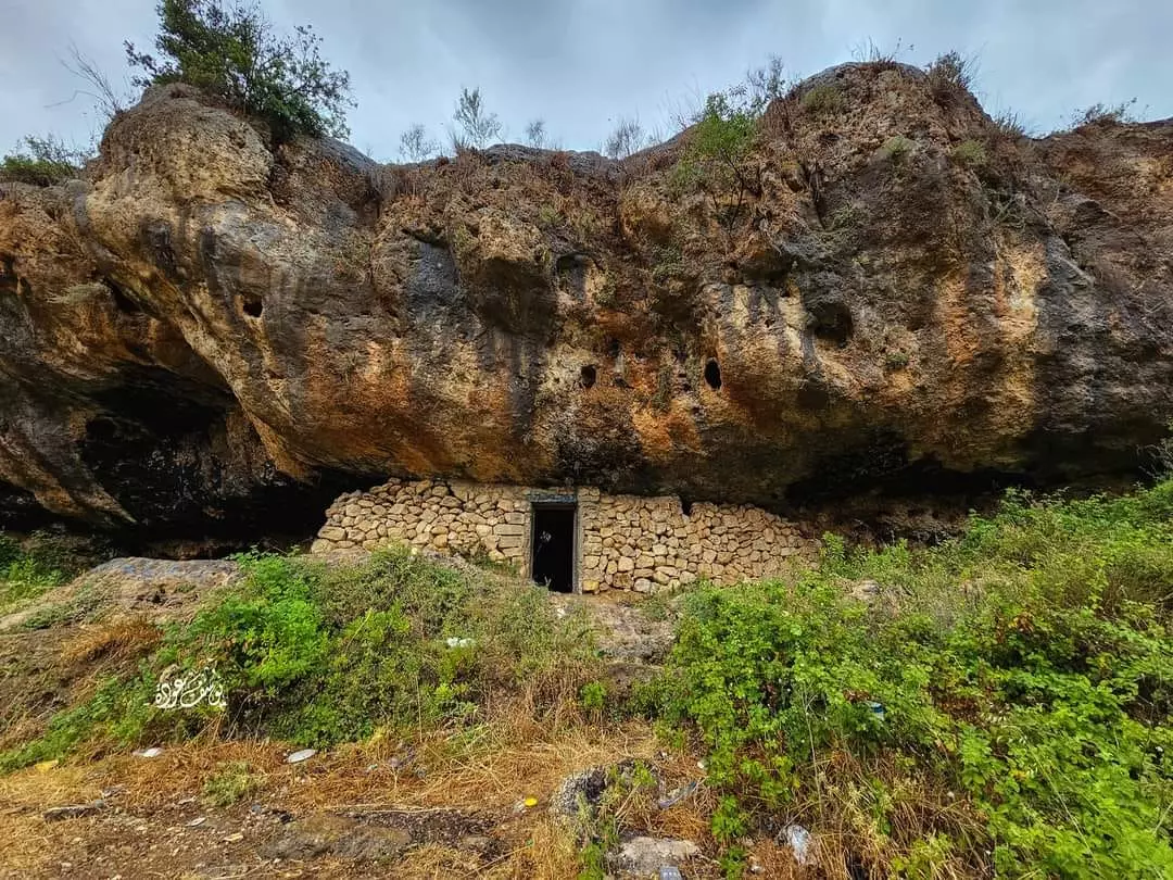
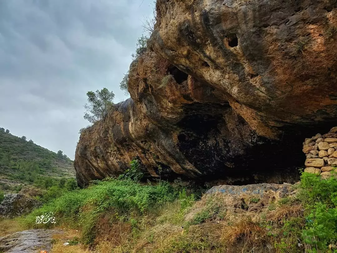
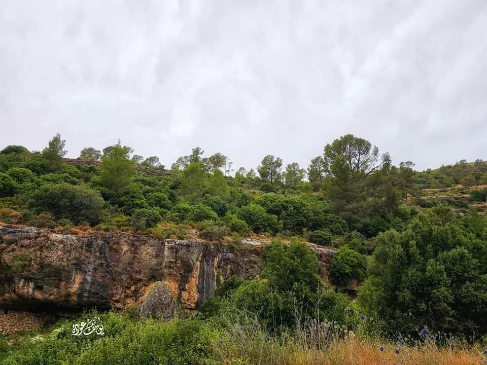
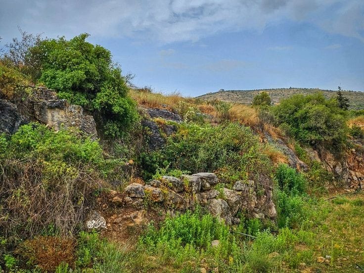
- جولة في خربة الحافي -- يوسف عودة
- جولة في خربة الحافي -- يوسف عودة #2
- جولة في خربة الحافي -- يوسف عودة #3
- جولة في خربة الحافي -- يوسف عودة #4
- جولة في خربة الحافي -- يوسف عودة #5

- جولة في خربة الحافي -- يوسف عودة #6
- شجرة زيتون معمرة -- يوسف عودة

- شجرة زيتون معمرة -- يوسف عودة
- شجرة زيتون معمرة -- يوسف عودة

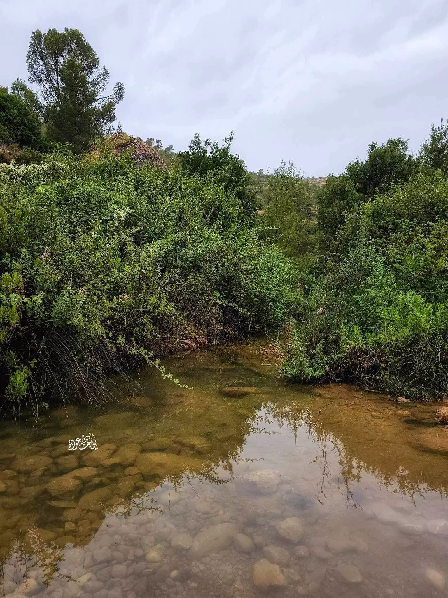
- جولة في عين الزرق -- يوسف عودة

- جولة في عين الزرق -- يوسف عودة #2
- جولة في عين الزرق -- يوسف عودة #3
- جولة في عين الزرق -- يوسف عودة #4
- جولة في عين الزرق -- يوسف عودة #5
- جولة في عين الزرق -- يوسف عودة #6
- جولة في عين الزرق -- يوسف عودة #7
- جولة في عين الزرق -- يوسف عودة #8
- جولة في عين الزرق -- يوسف عودة #9
- عين الزرقا -- يوسف عودة
- في اودية القرية غضون من فصل الشتاء -- Yousif Odeh
- عين_الزرقا -- يوسف عودة
Want to browse more? 80,000 pictures were grouped in these gallaries:
| Display Name | Clan/Hamolah | Country of Residence |
| btlawya 5awa | - | ramallah, بيتللو |
| Jaber Ziada | Ziada | Ramallah, Beitellu |
| Mohammad Falah Abu Ziyadeh | - | JEDDAH |
| فلسطينية | ابو زيادة | رام الله, بيتللو |
| نزال بزار | bazzar | Beitillu, palestine |
| ebn elbalad jum3a | zyadeh , 5awyeen 3al balad | - |
| omar harb | abu ziada | Ramallah |
| محمود ابو رضوان | زيادة | رام الله, بيتللو |
| خالد شعنونة | - | رام الله, بيتللو |
| البزار | البزار | فلسطين, بيتللو |
| يزيد مرعب مرعب | - | - |
| zuzu | - | ramalla, bet allo |
| علاء بدر | بدر | رام الله, بيتللو |
| ازهار بزار | - | رام الله, بيتللو |
| ماجد بزار | البزار | - |
| bazzar | - | رام الله, بيتللو |
| هيثم رضوان | - | بيتللو |
| ابو محي الدين | درويش | رام الله, بيتللو |
| Ahmed | Darweesh | Ramallah, Beitellu |
| حسن درويش | - | - |
| batata_pal | ziada | palesine, betllo |
| هبه درويش | درويش | - |
| عبد الكريم زيادة | زيادة | رام الله, بيتللو |
| زهرة العروبه | - | - |
| Eng-Mohammed | - | - |
| فلسطيني حر | الخطيب | amman |
| mo2on | alkateeb | amman |
| Rasha Darweish | Darweish | - |
| بنت فلسطين | ابو زيادة | - |
| محمد ابو كامش | ابو كامش | جمالا, جمالا |
| فلسطينيه خاااوه | دار ابو زياده | رامالله |
| Dr Saleh Radwan | abu ziada | - |
| Ruba Darweish | Darweish | - |
| mohanad | darweesh | ramallah, palestine |
- بلدة بيتللو المشهورة بالينابيع والأراضي الخصبة Duration: 12 min 19 sec
- برنامج شجرة وحكاية شجرة البلوط قرية بيتللو Duration: 9 min 32 sec
No links have been shared yet, be free to the first to share the first link.
 Fake Valor: Why Did Zionist Jews Hoist Nazis Flag on Their Ships in the 1930s?
What is new?
-
Facts About Oct. 7th Gaza Raid
-
Remined Us Please:: Who Did Rape Who? Palestinians Raped Israelis? Or, was the other way around?
-
When Prof. Edward Said was invited to debate Bibi Netanyahu in the 1980s, watch what happened!
-
Ezra Klein of the NY Times on the "Jewish Race".
-
Abusing Blood Libel!
-
Zionist FAQ: Isn't it true that Palestinians don't want peace? Palestinians never accepted the two-state solution
- Facts about Haavara (Transfer) Agreement between Ben-Gurion & Hitler
-
Haavara FAQs: Why Did Zionist Jews Hoist Nazis' Flags on Their Ships in the 1930s?
-
Dear ChatGPT: Why did the Jewish Agency suppress news of the Holocaust during WWII?
-
Video Playlist: Jews share their DNA tests to end the conflict for good.
-
A Tale of Two Conflicts: Examining the Definition of Genocide
-
Prof. Abraham Polak And The Suppressed History of the Khazars and European Jewry
-
How Ronald Reagan would have framed the genocide in Gaza if he were still alive?
-
Haavara FAQs: Let us do the math: how many German Jews did The Haavara Agreement save?
-
Zionist FAQs: The Hebron Massacre of 1929, "clearly proves" that Palestinians are antisemitic, how could you deny it?
-
Zionist FAQs: Why Anti-Zionist Is Not Antisemitism?
-
Zionist FAQs: Isn't it true that the KGB create Palestinian Nationalism in the early 1960s?
- Zionist FAQs: Muslims are killing Muslims all the time; why are Israeli Jews being singled out in the media?
- Zionist FAQs: How is Israel an apartheid state when 20% of its citizens are Arabs who enjoy full rights?
-
Haavara FAQs: Analysis of Herzl's Uganda Scheme and how it could have saved millions of Jews.
-
Haavara FAQs: Why did Hayim Greenberg describe American Jewry as "morally bankrupt" in early 1943?
-
Haavara FAQs: What if the Evian Conference was a resounding success? What would have been the impact of saving European Jewry on Zionism?
- Haavara FAQs: What if the six million were saved, how that would have impacted the Zionist project?
-
Haavara FAQs: How did Zionist leaders react when Europe's Jews lingered in the DP camps after WWII ended?
-
Why does the American Jewish community repeat lies that David Ben-Gurion had debunked before he died?
-
Who has the power to rename the Tatar/Khazar Gene Marker to Jewish IV?
-
Zionist FAQs: Why won't Egypt, Syria, and Jordan take their people back? Jews are indigenous to Palestine, and Arabs immigrated after Jews developed the country. Arabs should leave.
-
Haavara FAQs: Did Hitler and the Nazis conflate between Judaism and Zionist? If that wasn't case, then why?
-
Haavara FAQs: Winston Churchill and antisemitism, a collection of articles written Churchill.
-
Haavara FAQs: Broken by country, how many Jews survived vs. killed during the Holocaust?
-
Haavara FAQs: Why did European Jews vote with their feet and to immigrated to the Americas, not Palestine, after WWII?
-
Watch this American Jewish Girl describing Israeli Jews' cognitive dissonance like no other in under two minutes
-
Haavara FAQs: When the Nazis went out of their way to hide the Holocaust, Israeli Jews did the exact opposite by broadcasting their genocide of Gazans. But why?
-
Haavara FAQs: How Zionist Jews went out of their to show their appreciation to Nazism and Fascism?
- Haavara FAQs: Why Zionist leaders were against bombing the death camps & the Railroads leading to them?
-
Haavara FAQs: Hitler's message to the British and American people: If Jews are such noble citizens and you care about them, how come you're not letting them in? I will gladly ship them to you at my expense, even on luxury liners!
-
A shortlist of Zionist and Israeli false flag operations in the name Jews.
-
The Most Moral Army
- The Land of Kapos (Israel): Where the brave are boycotted and Kapos walk free.
- Why did early Zionists often named their communal enterprises "colonial"?
- Zionist Relations with Nazi Germany by Faris Glubb
-
Two NY Times advertisements by Zionists in the early 1943 that exposes Zionists' treason at the height of the calamity
- Facts Not Lies about the Palestinian-Israeli Conflict.
- Site's pictures have been categorized
- Campgain Against Lice
- A Survey of Palestine, the official source about Palestine before Nakba produced by the British Mandate; over 1200 pages.
- Satellite View & Google Earth: Over 6,000 placemarks identifying all destroyed towns, W. Bank & Gaza Strip Towns, & refugee camps.
- PalestineRemembered.com and its Nakba Oral History Project were featured on al-Jazeera Satellite TV.
- Nakba Oral History Video Podcast:
 Over 700 Oral History interviews (including 3,500+ hours of recording) can be viewed online.
 - Palestine Village Statistics Project
- Gaza Jail Break
- النسخة العربية للموقع الان متوفرة
- Videos: Documenting the destroyed villages in video: Tracing all that remains since Nakba.
- Videos: Responding to Zionist Propaganda
- Interview: The ethnic cleansing of Palestine: George Galloway interviews Israeli Historian Ilan Pappe.
- For Palestinians, memory matters. It provides a blueprint for their future By George Bisharat.
- Zionist FAQ now available in Hebrew שאלות שציונים שואלים, עכשיו בעברית
- Video: The Stephen Walt and John Mearsheimer report on the influence of the Israel Lobby on U.S. Foreign Policy
- The Palestinian-Israeli conflict for beginners
