| PalestineRemembered | About Us | Oral History | العربية | |
| Pictures | Zionist FAQs | Haavara | Maps | |
| Search |
| Camps |
| Districts |
| Acre |
| Baysan |
| Beersheba |
| Bethlehem |
| Gaza |
| Haifa |
| Hebron |
| Jaffa |
| Jericho |
| Jerusalem |
| Jinin |
| Nablus |
| Nazareth |
| Ramallah |
| al-Ramla |
| Safad |
| Tiberias |
| Tulkarm |
| Donate |
| Contact |
| Profile |
| Videos |
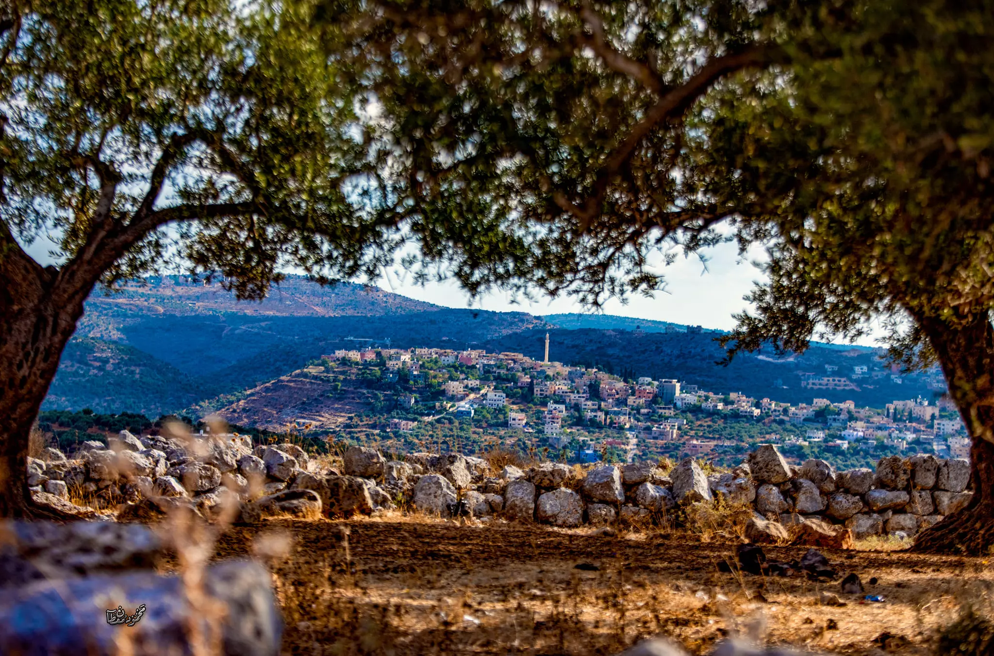
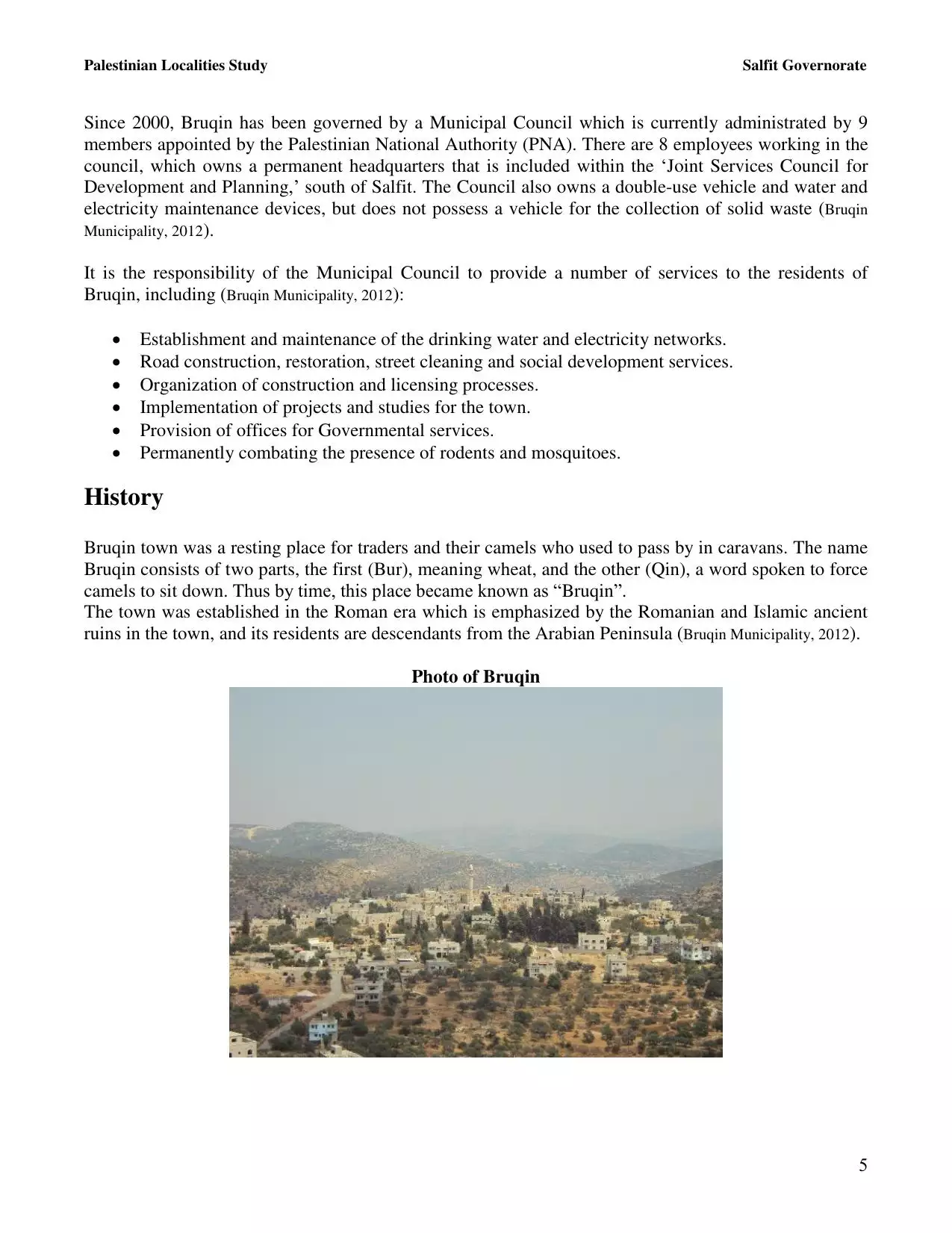
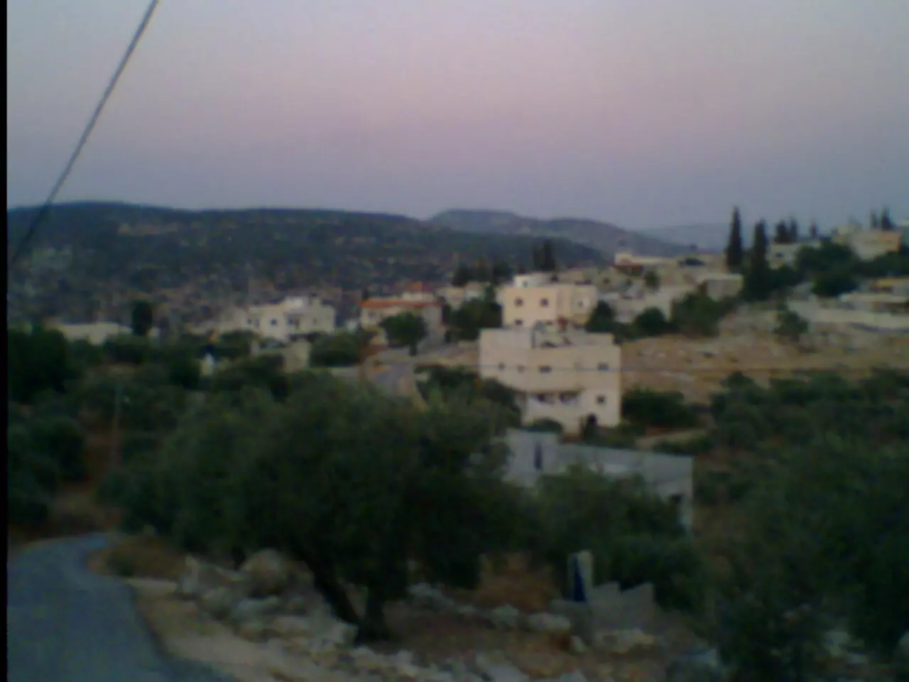
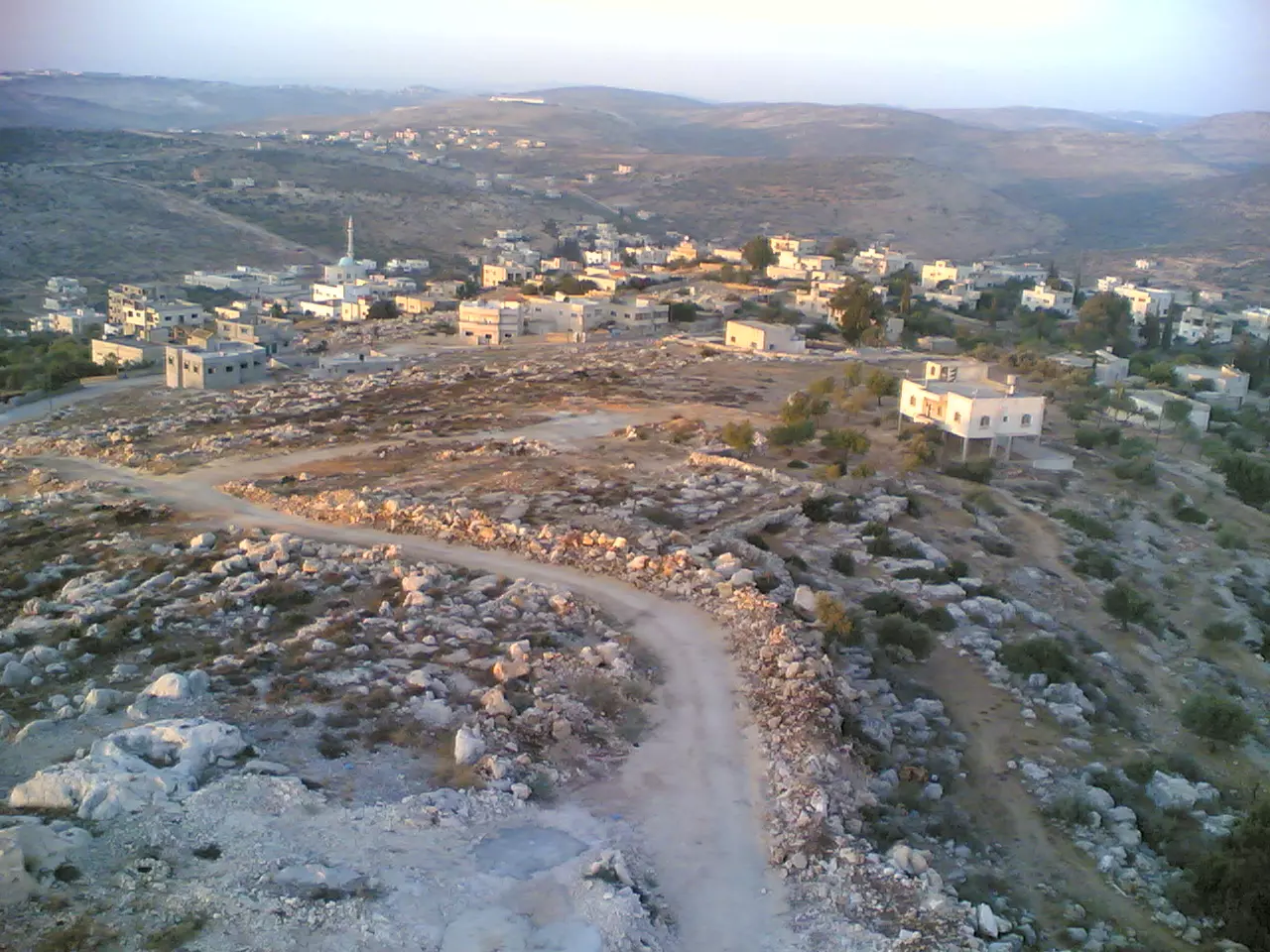
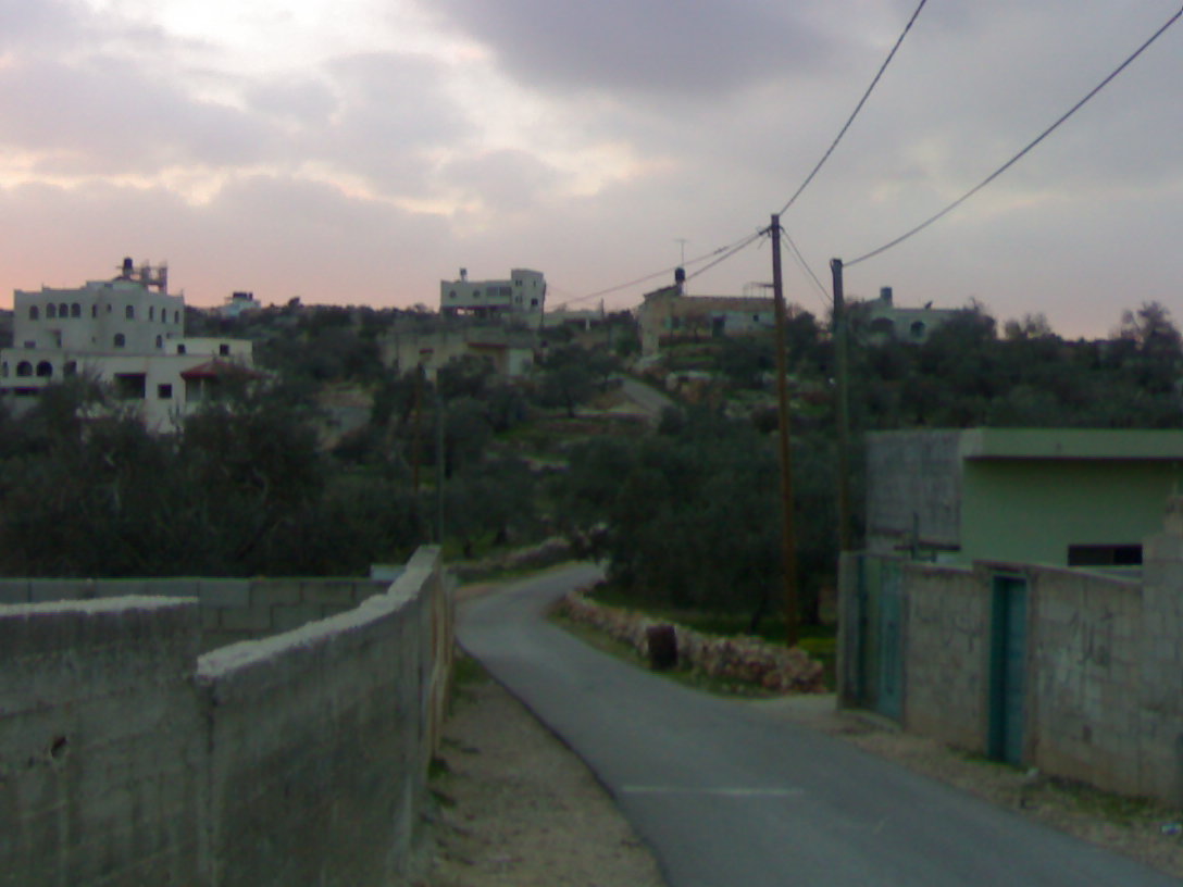
Welcome To Buruqin/Ibruqin - إبُروقين (ברוקין)
|
District of Nablus
Occupied days ago |
العربية Google Earth |
 |
Gallery (220) |
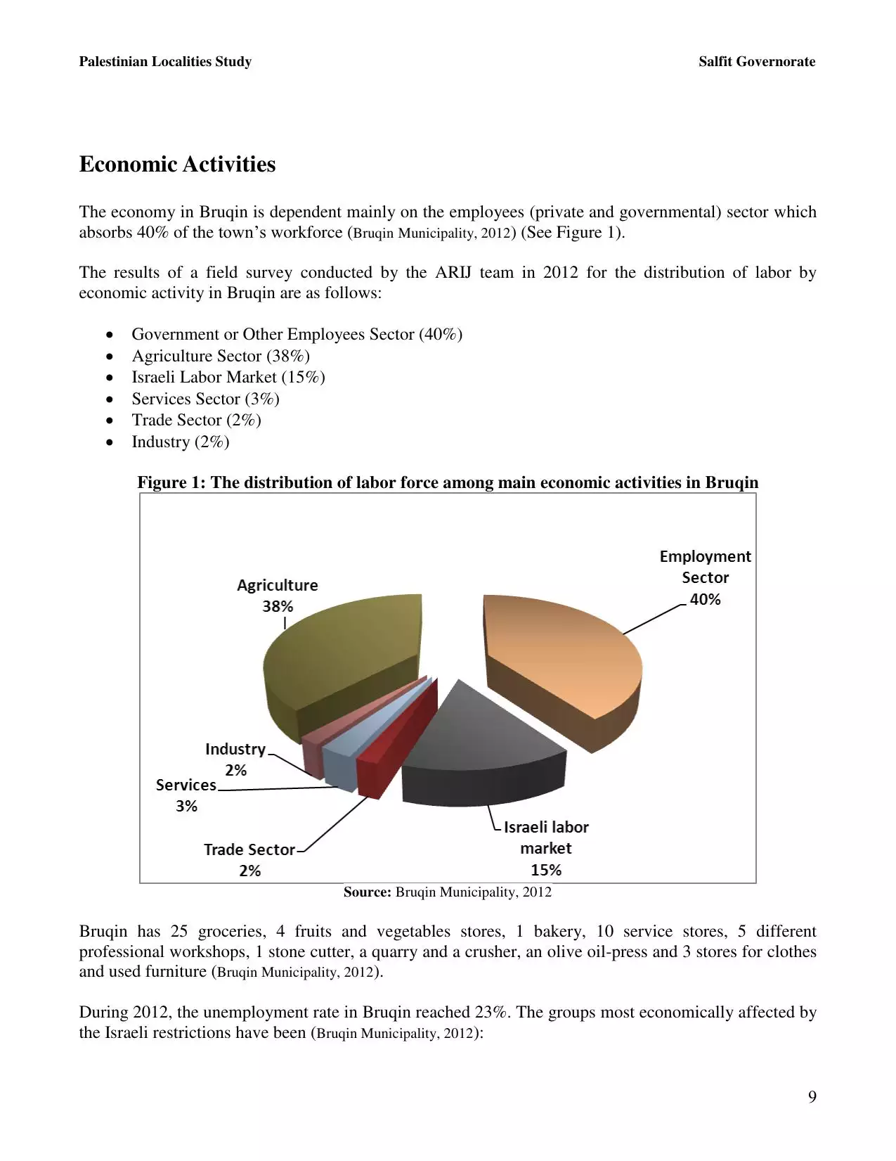
- Statistics & Facts
-
Before & After

- Satellite View
- Articles 4
- Pictures 220
- Mayrters & Prisoners 1
- Members 40
- Families
- Wikipedia
- ARIJ Guide
- Videos
- Guest Book 32
- Links
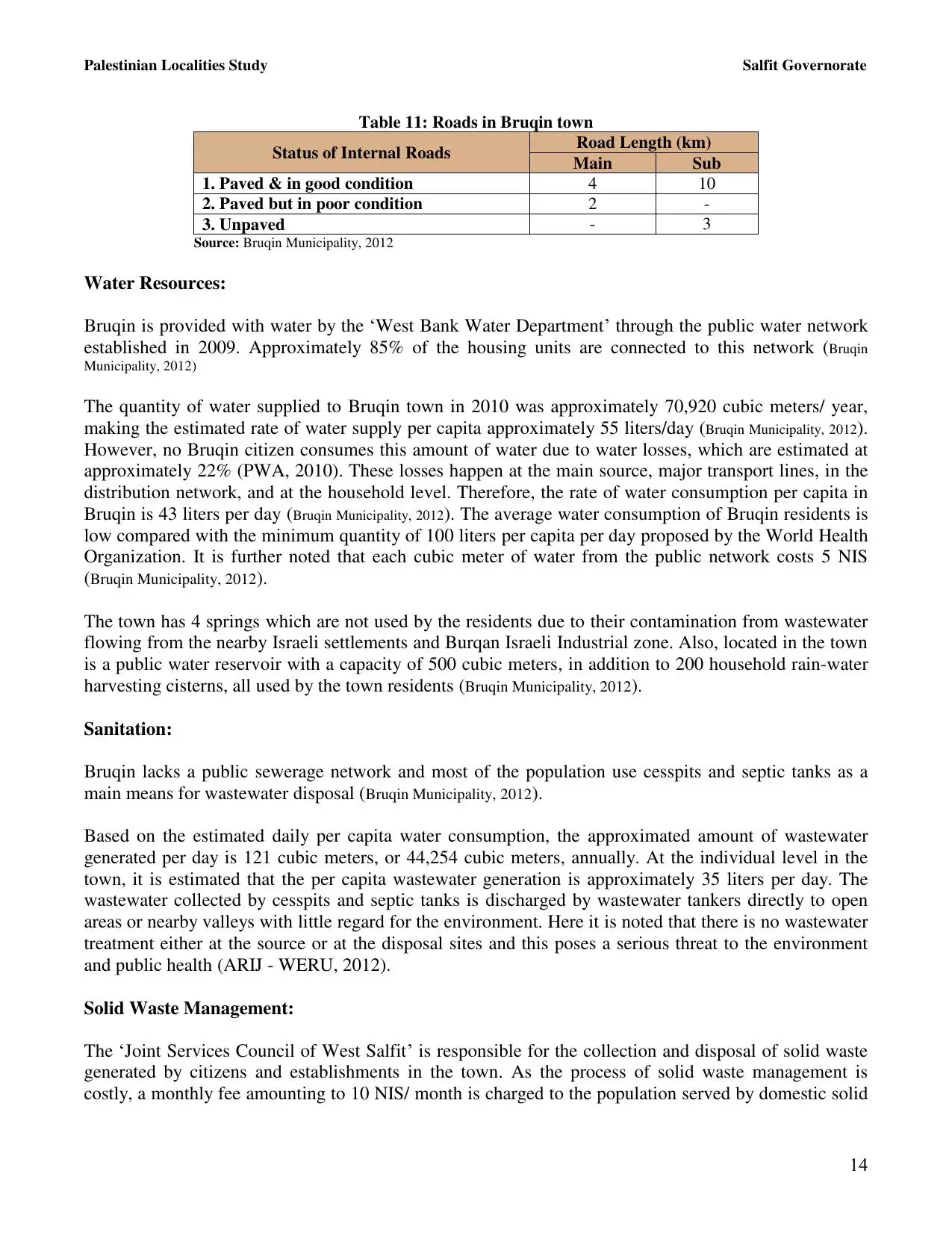
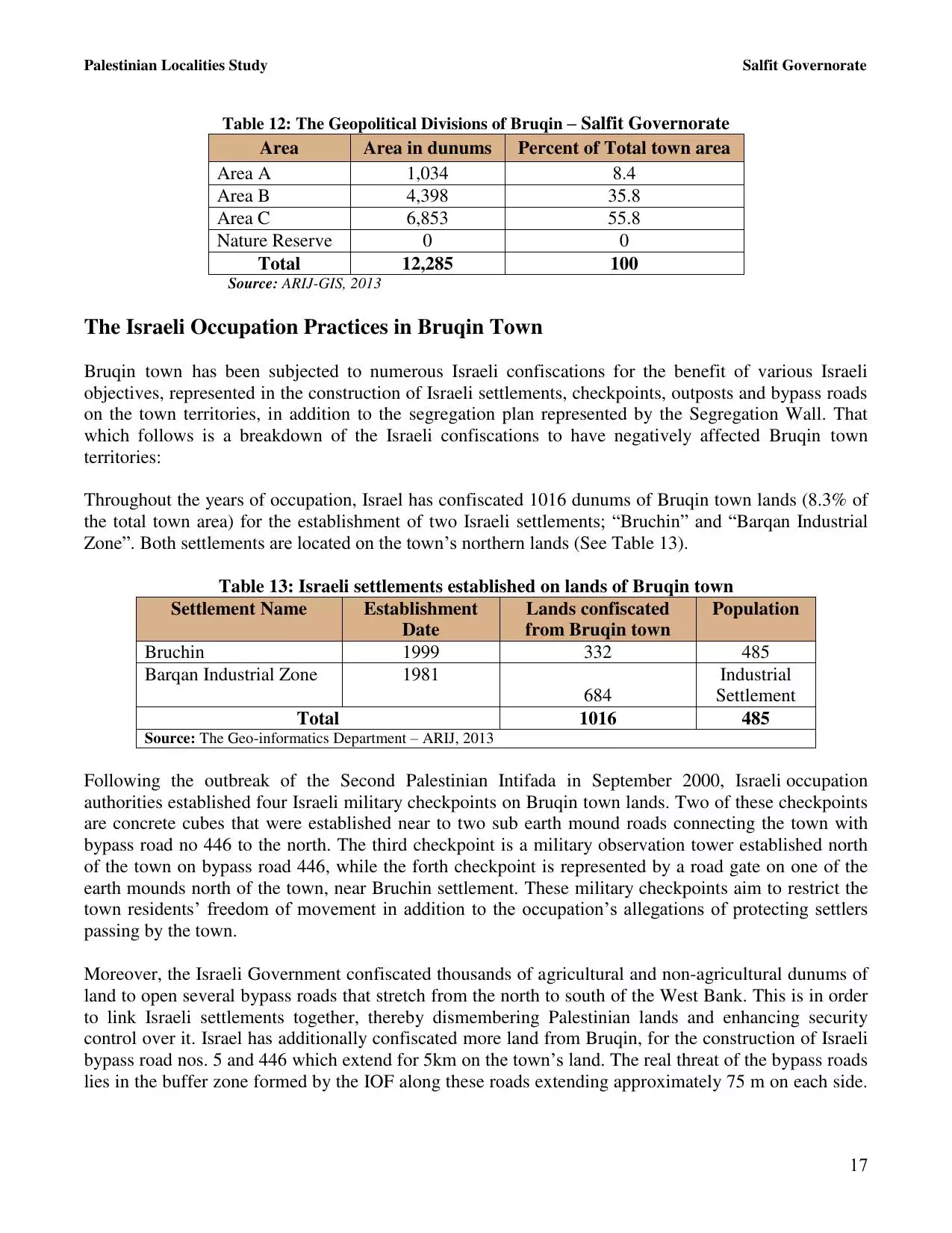
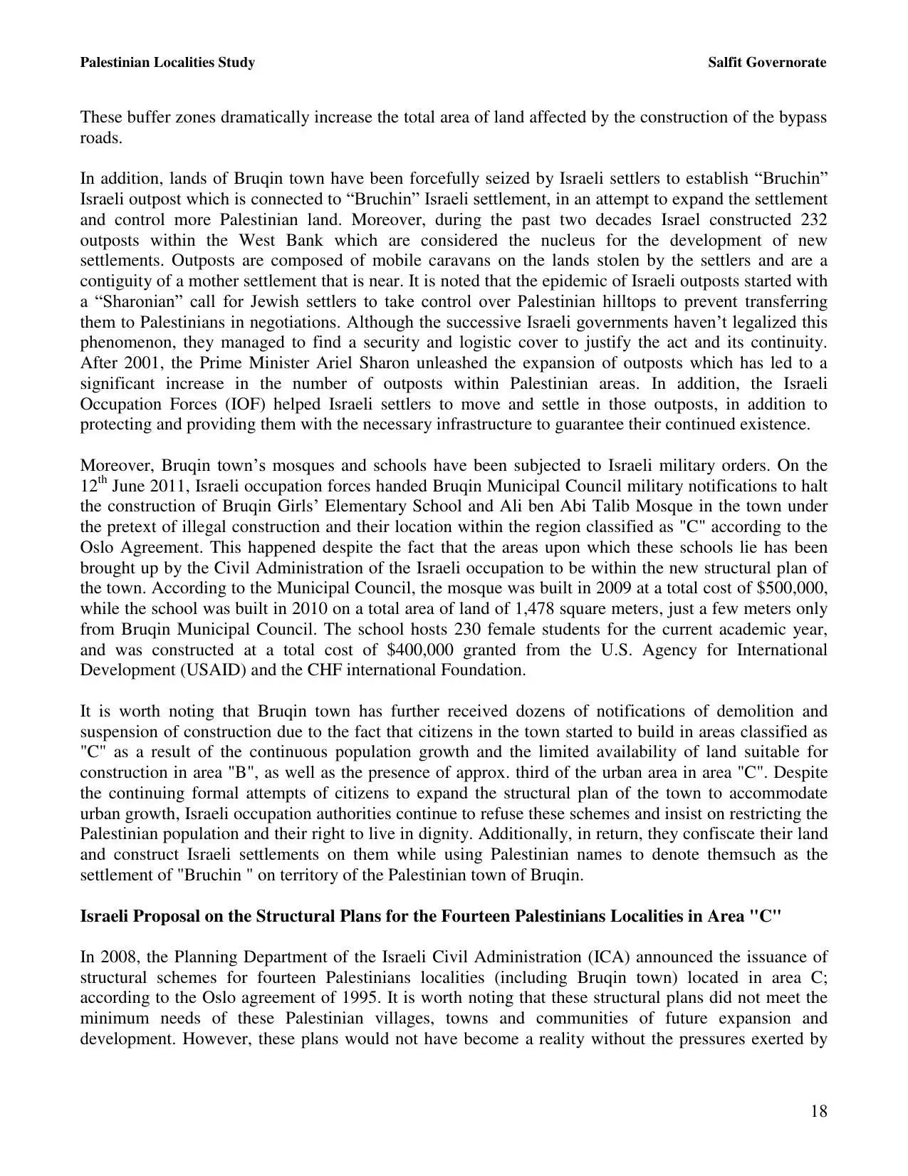
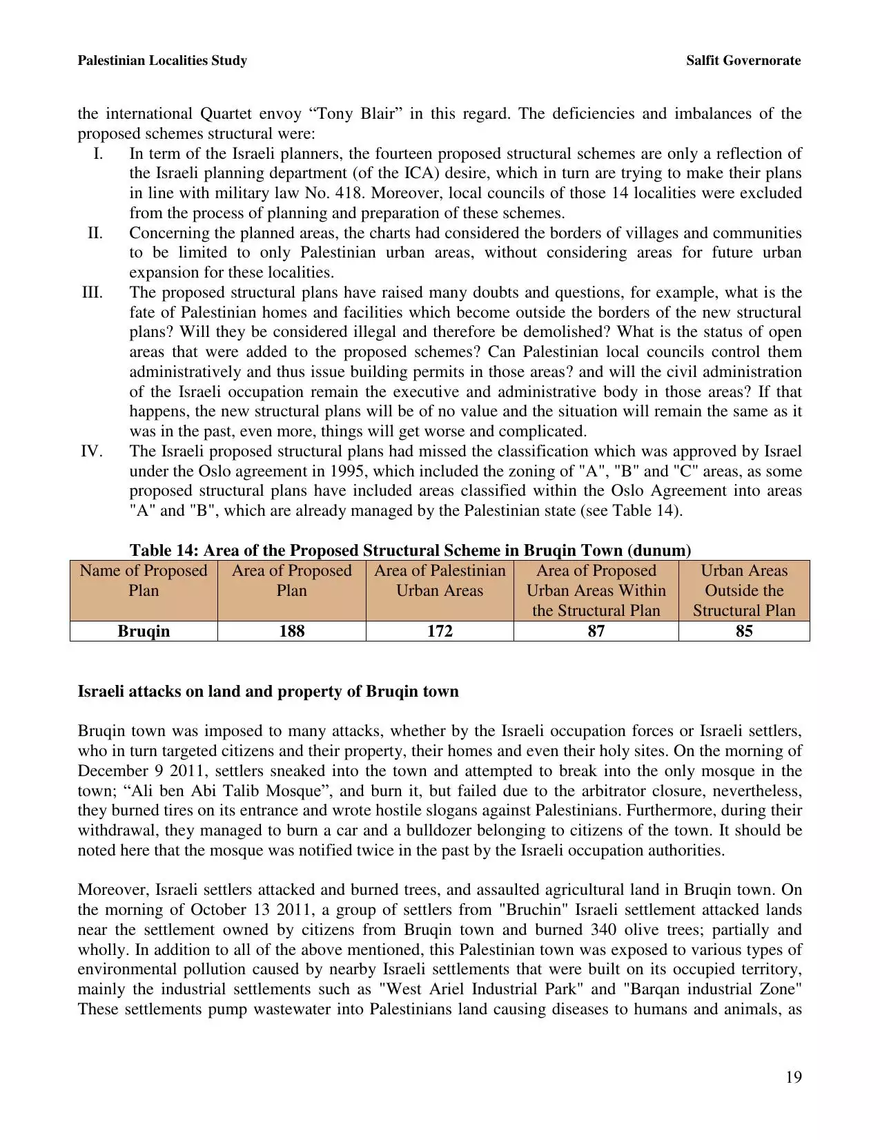
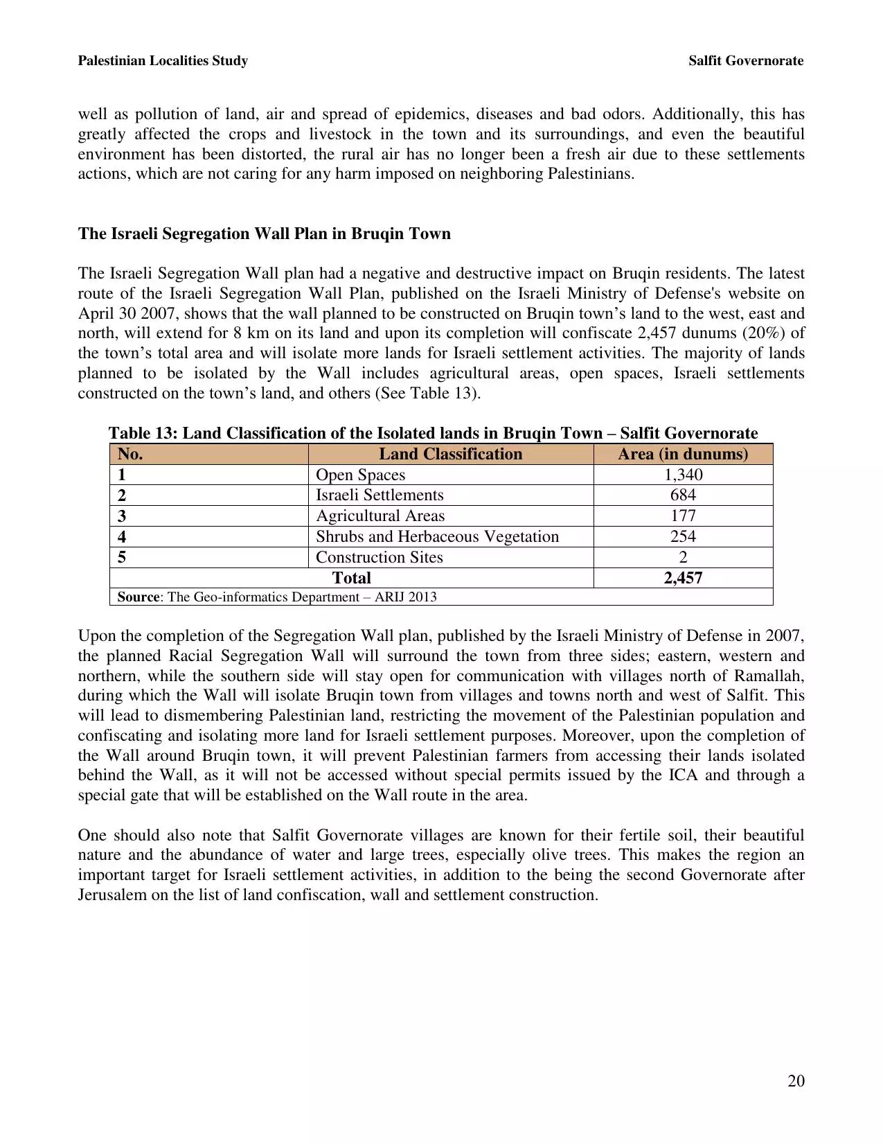
| Statistic & Fact | Value | ||||||||||||||||||||||
| Distance From District | 31 km southwest of Nablus | ||||||||||||||||||||||
| Elevation | 667 meters | ||||||||||||||||||||||
| Before & After Nakba, Click Map For Details |
|||||||||||||||||||||||
|
|||||||||||||||||||||||
| Land Ownership |
**Town Lands' Demarcation Maps |
||||||||||||||||||||||
| Land Usage As of 1945 |
|
||||||||||||||||||||||
| Population |
|
||||||||||||||||||||||
| Near By Towns |
|||||||||||||||||||||||
|
|||||||||||||||||||||||
| Featured Video | |||||||||||||||||||||||
| ARIJ Guide | |||||||||||||||||||||||
3.
4. 
5. 
6. 
7. 
8. 
9. 
10. 
11. 
12. 
13. 
14. 
15. 
16. 
17. 
18. 
19. 
20. 
21. 
22. 
23. 
24. 
Click here to browse online. |
|||||||||||||||||||||||
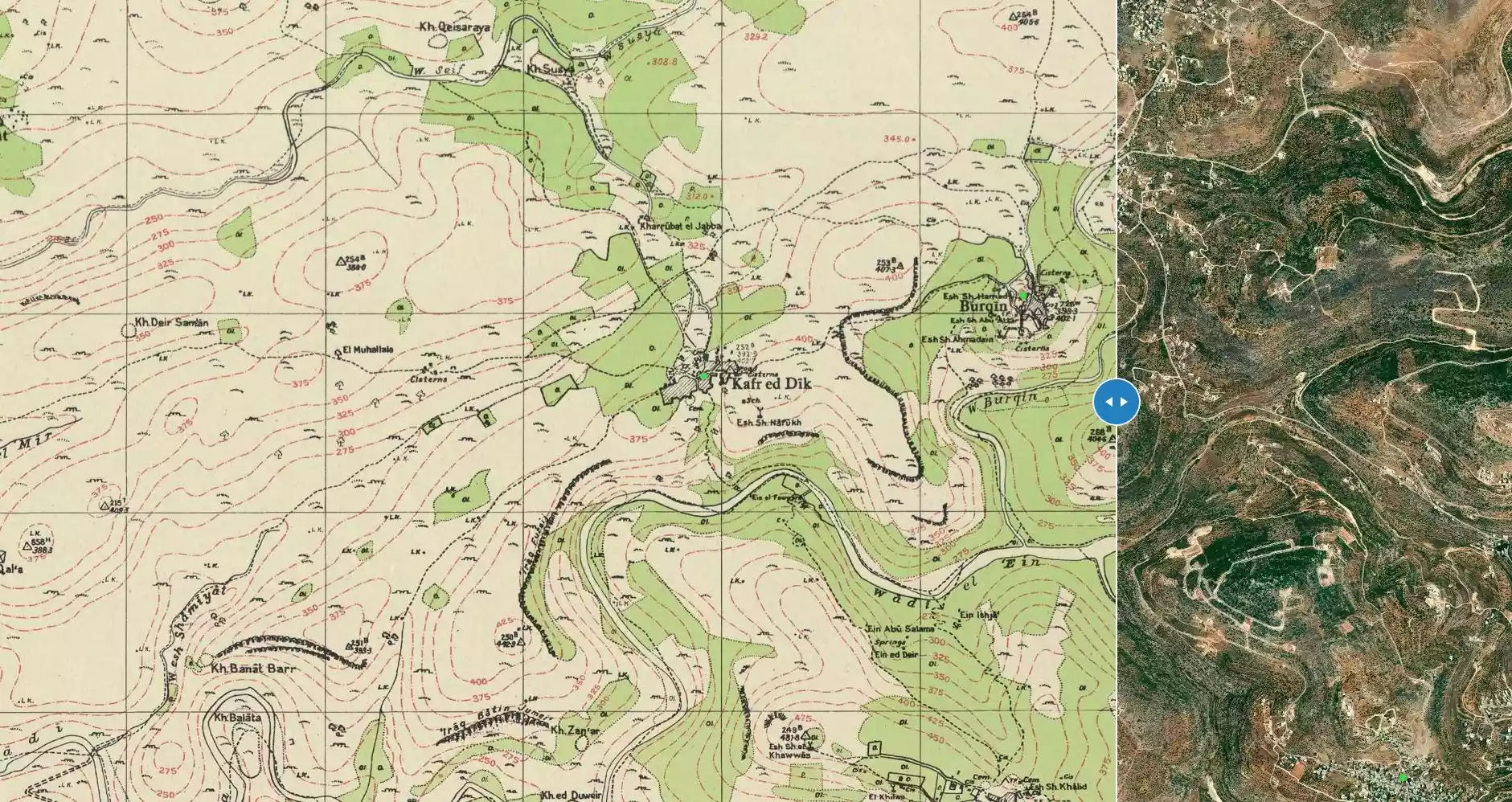
| Related Maps | Town Lands' Demarcation Maps خرائط للقضاء توضح حدود القرى والاودية View from satellite Town's map on MapQuest Help us map this town at WikiMapia |
||||||||||||||||||||||
| Related Links | Wikipedia's Page Facebook Page ARIJ Guide Google Search Google For Images Google For Videos في كتاب بلادنا فلسطين دليل أريج المزيد من موقع هوية |
||||||||||||||||||||||
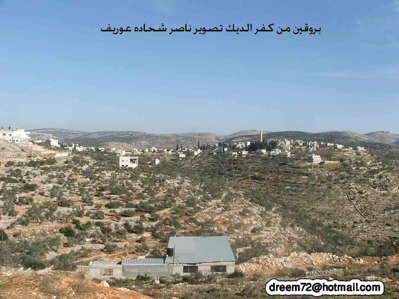
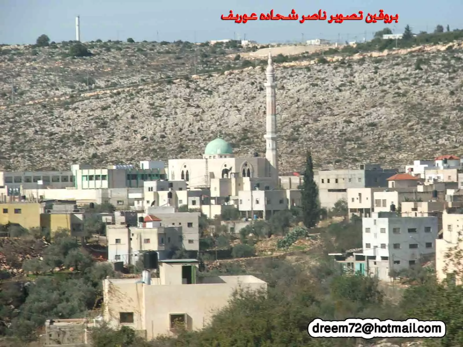
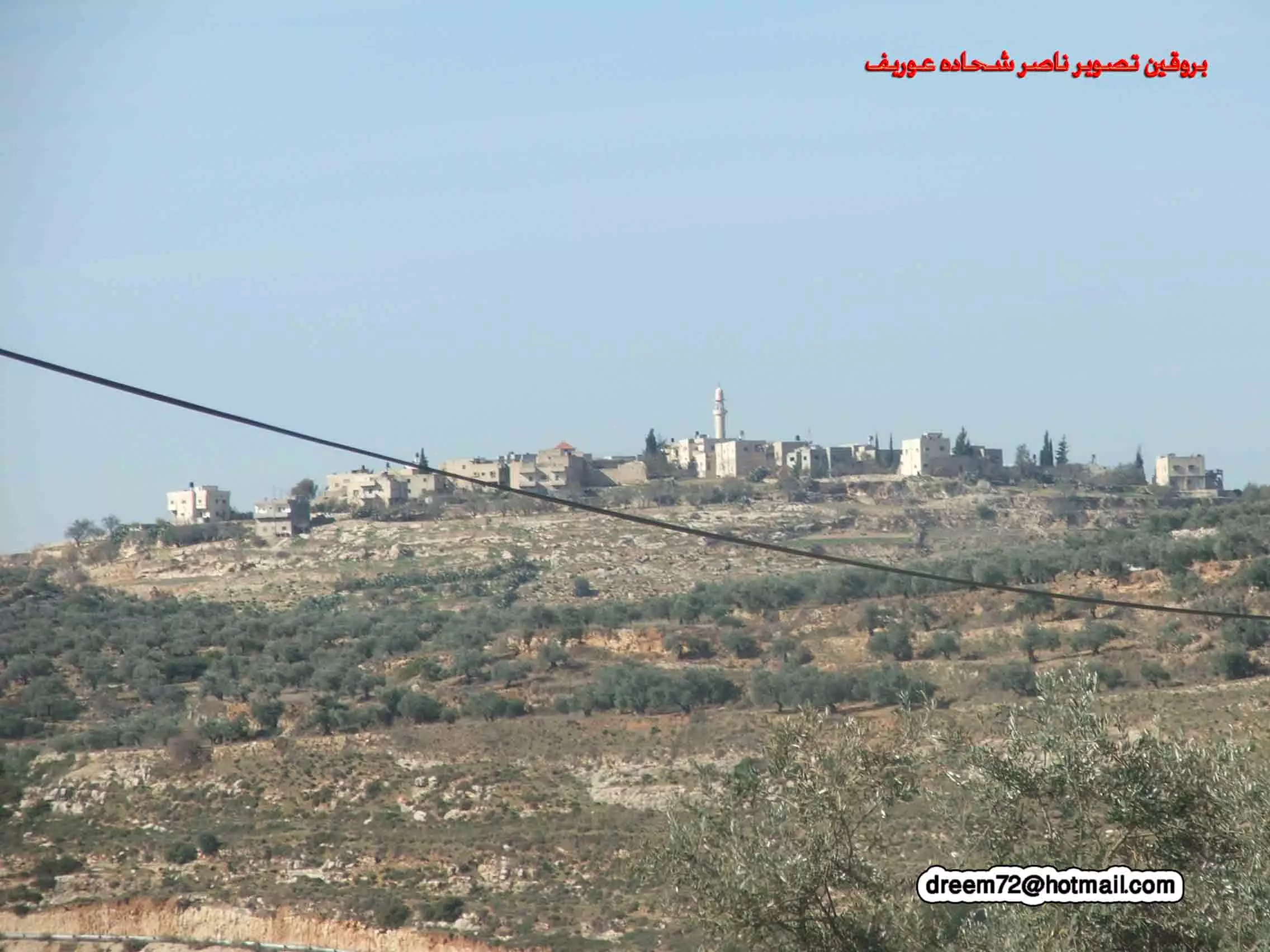
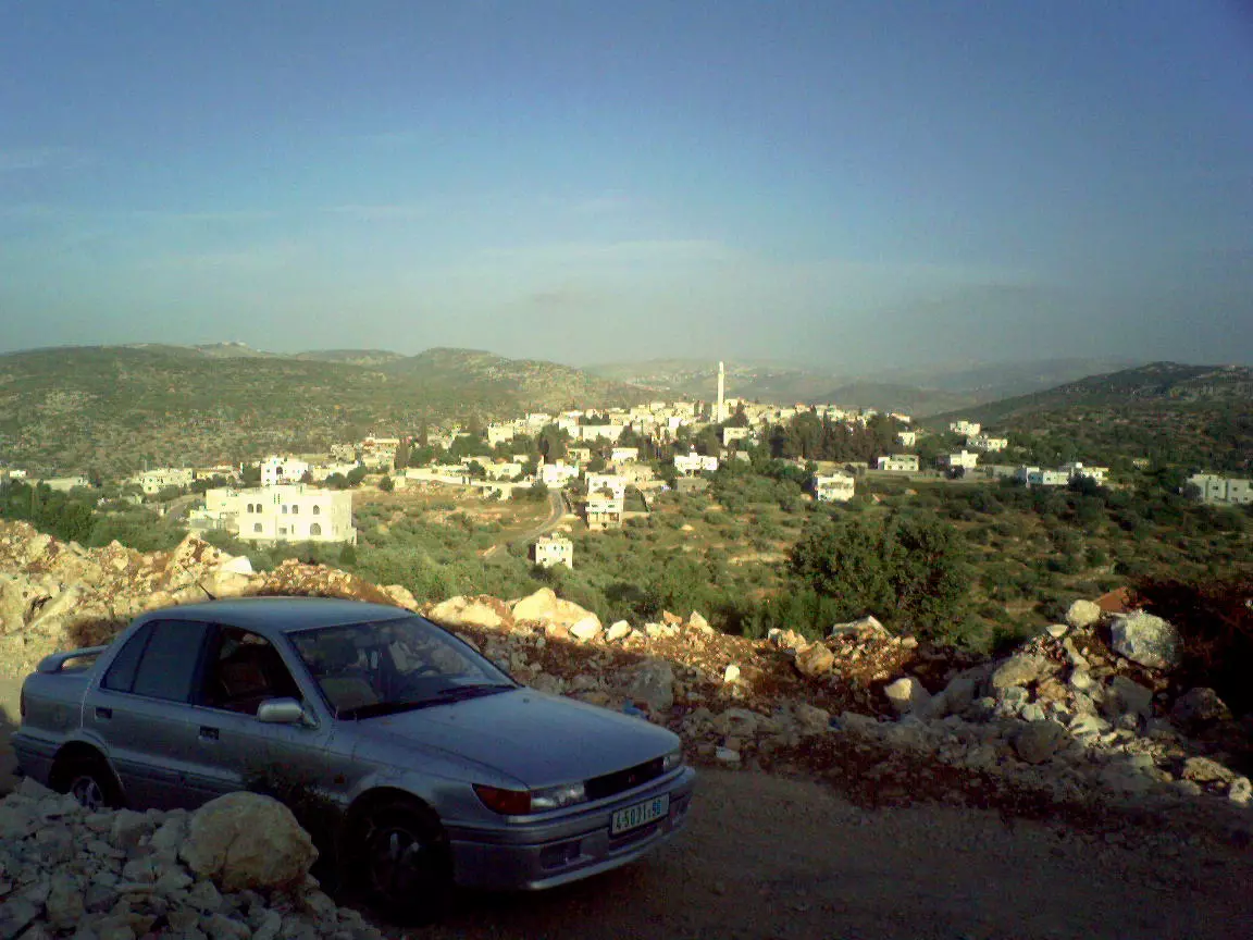
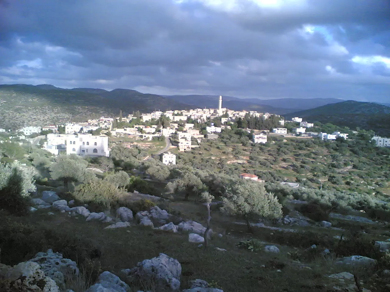
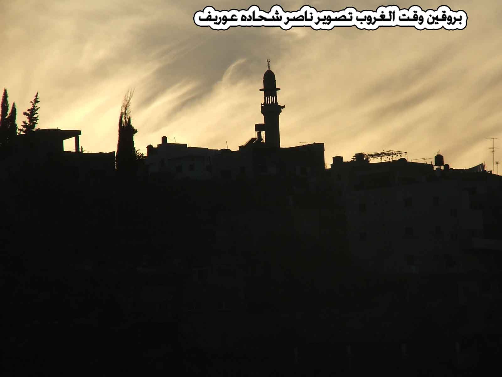
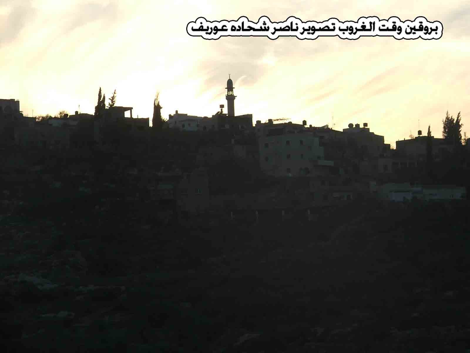
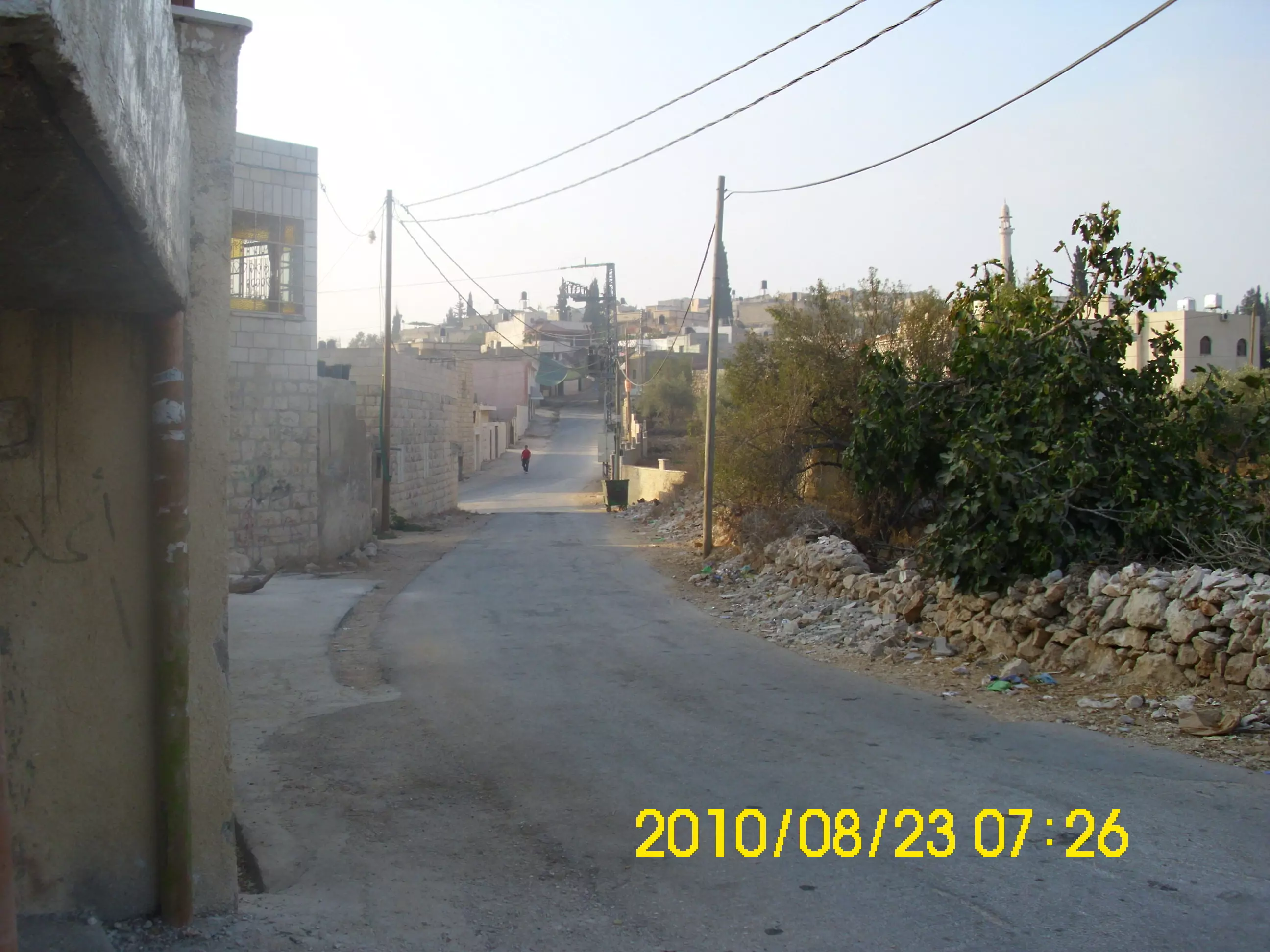
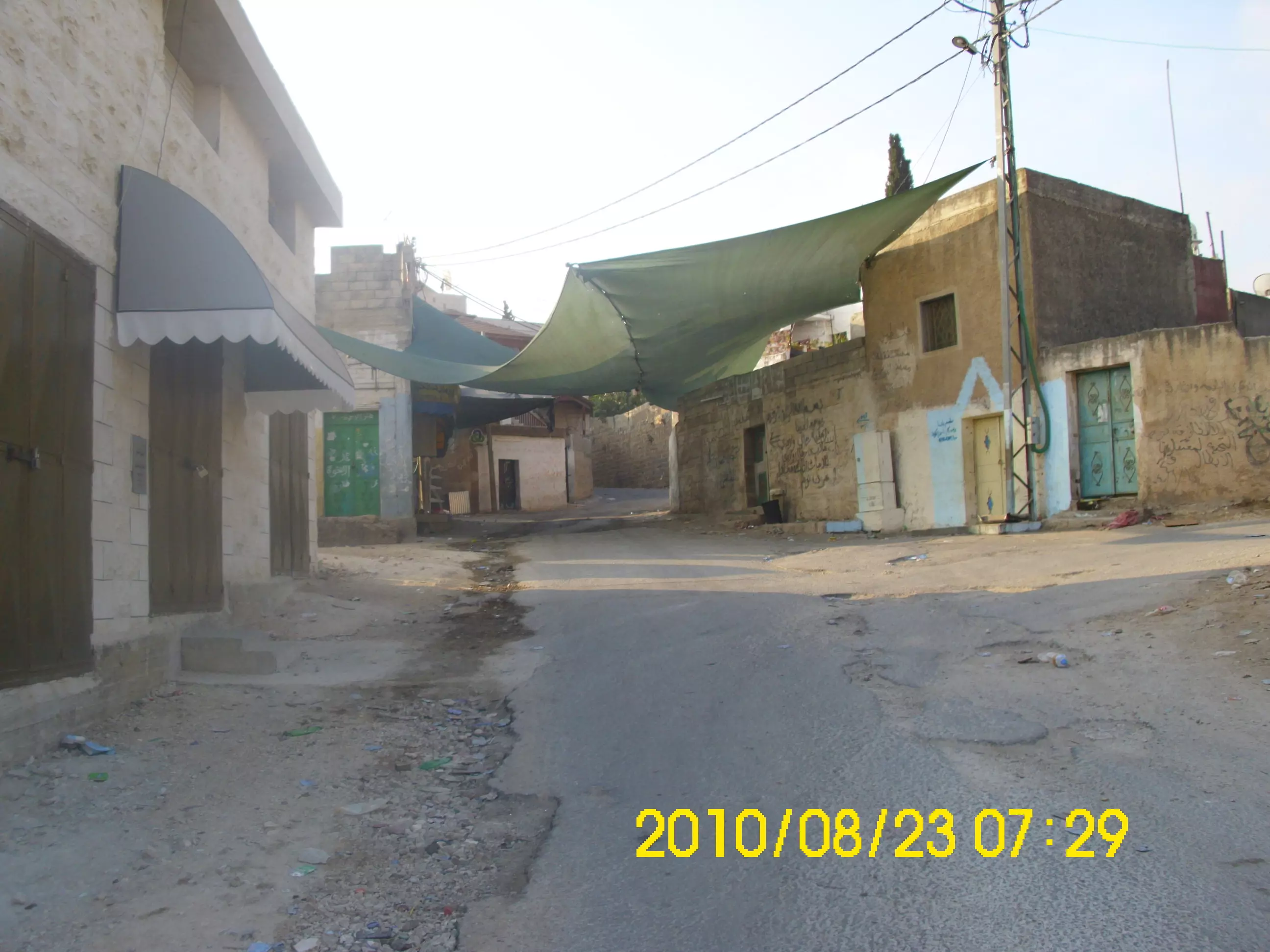
- بروقين تصوير ناصر شحاده عوريف 0507559901
Posted by naser abed 2 - بروقين تصوير ناصر شحاده عوريف 0507559901
Posted by naser abed 6 - بروقين تصوير ناصر شحاده عوريف 0507559901
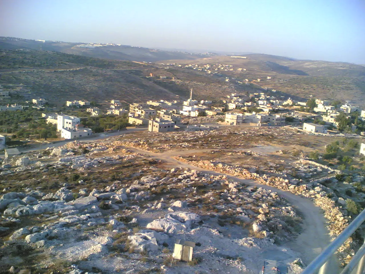
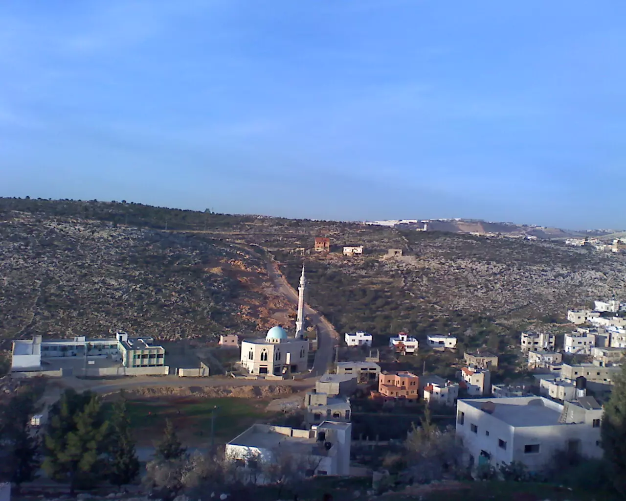
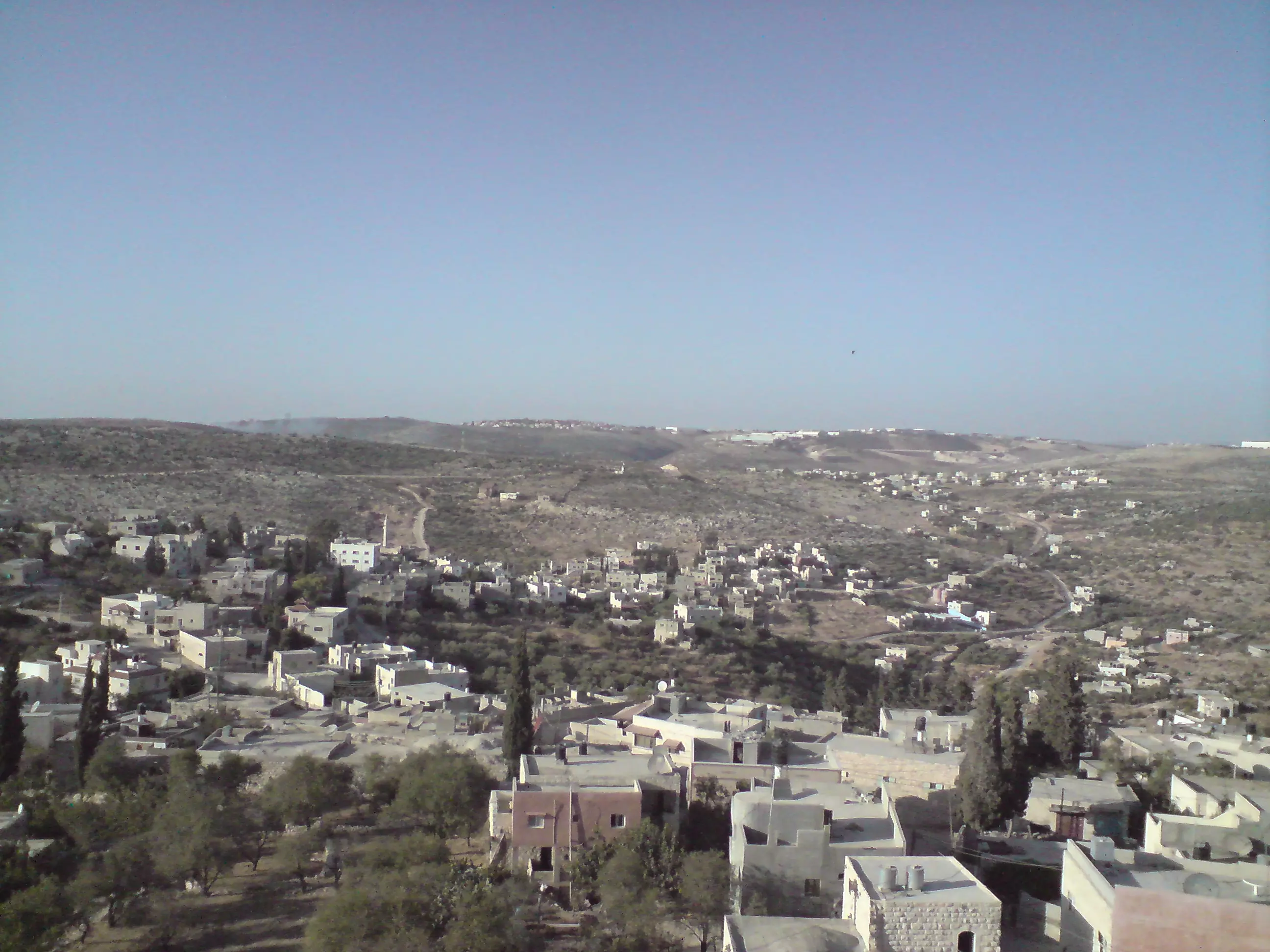
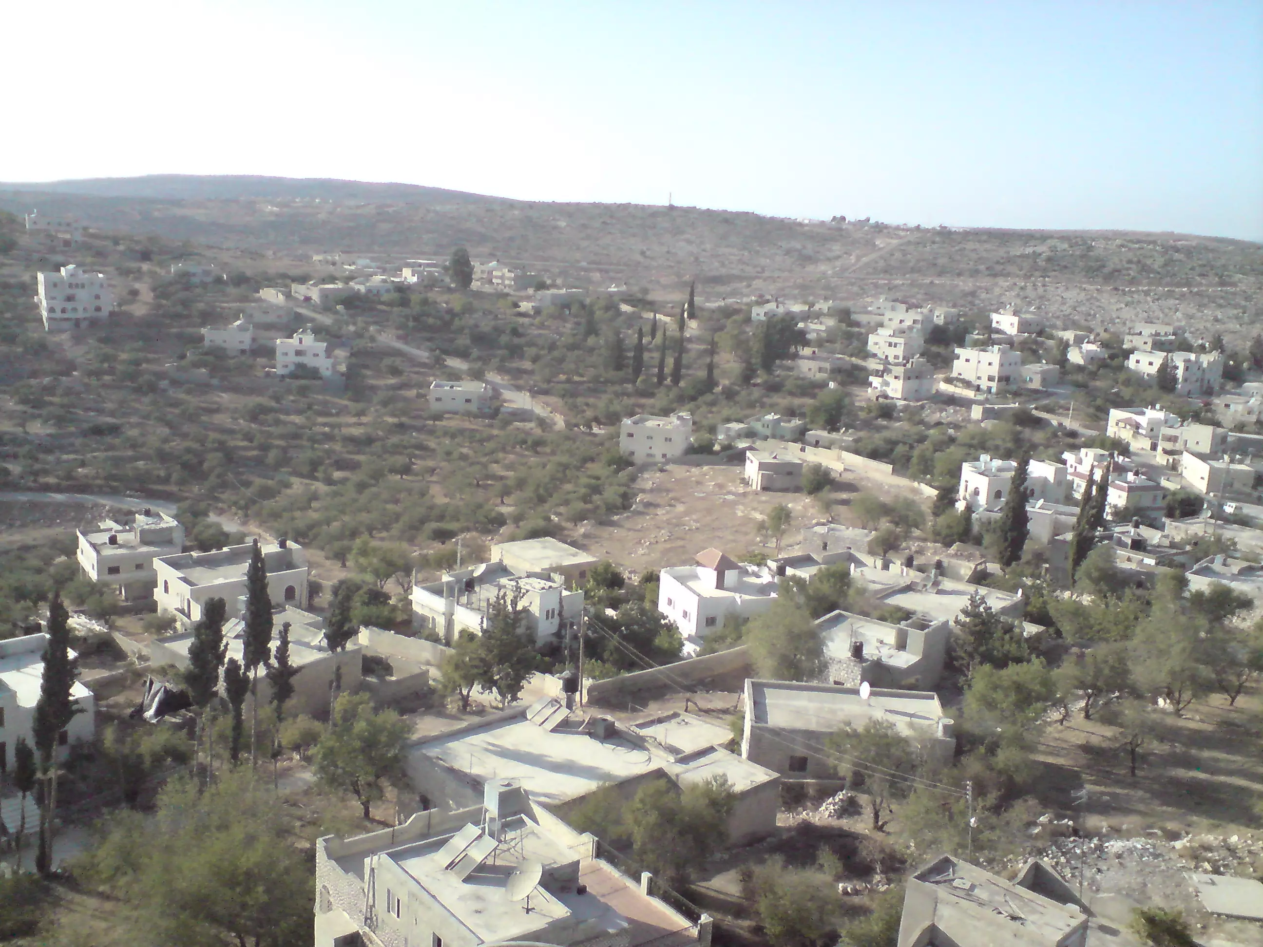
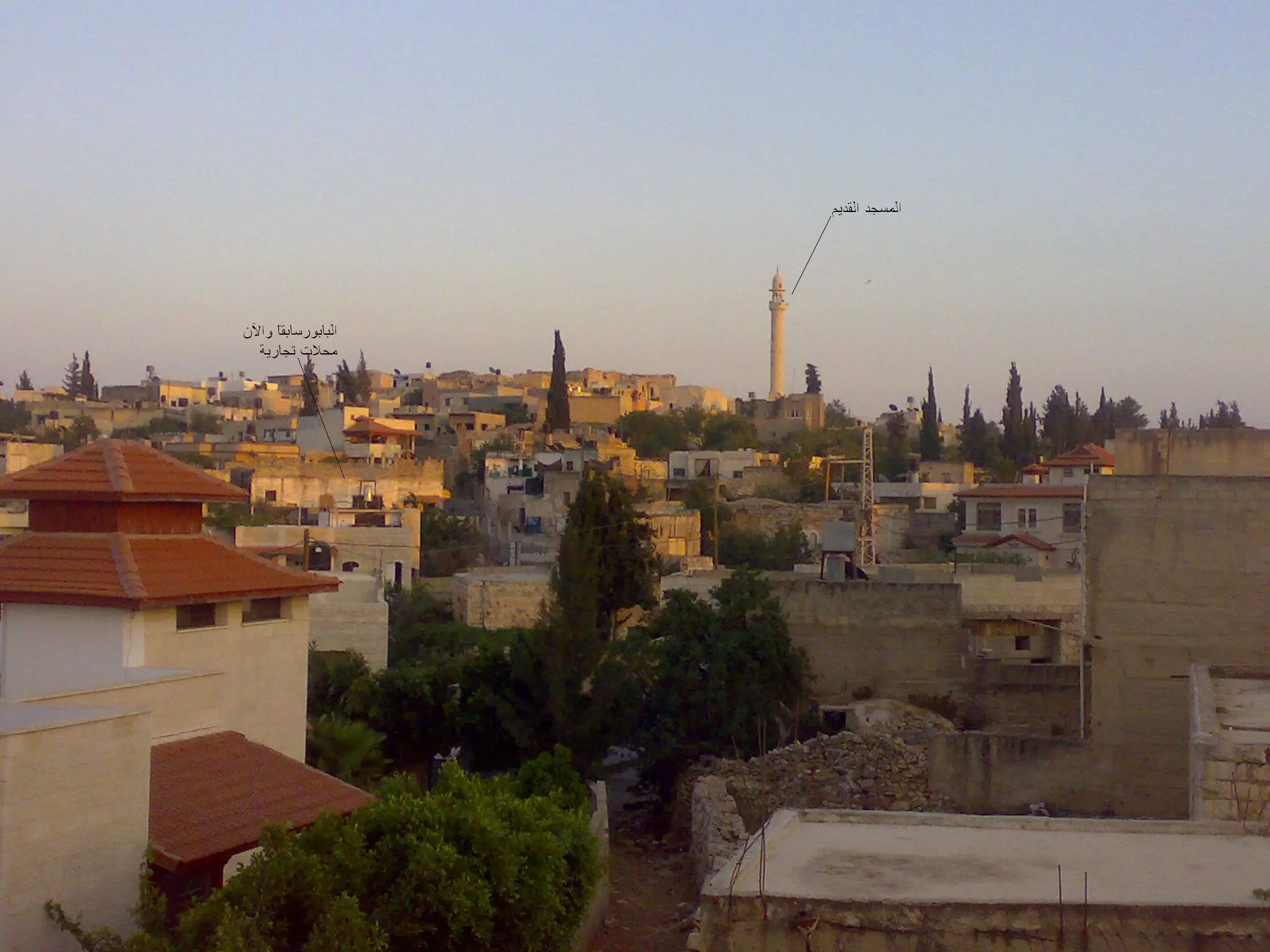
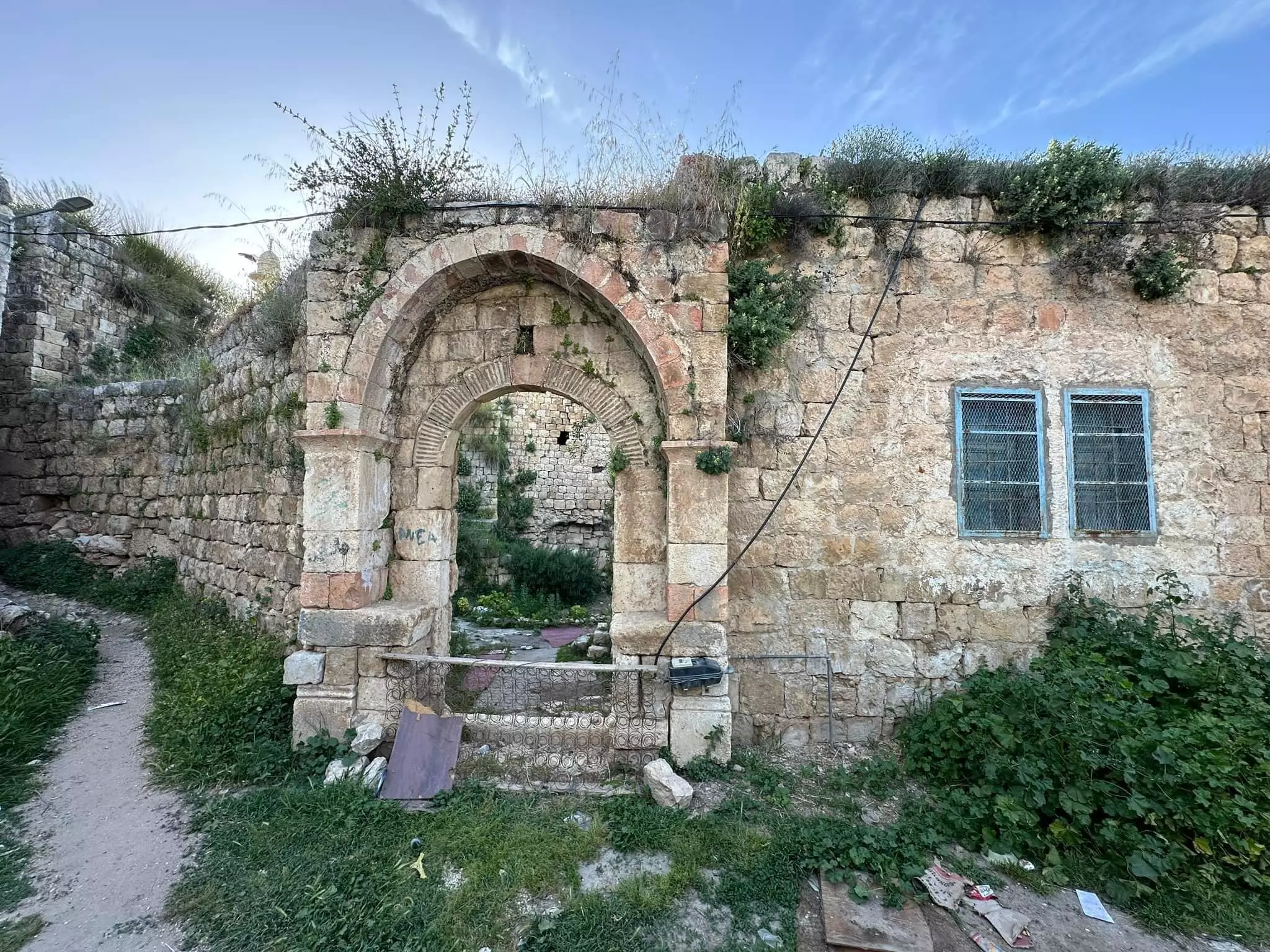
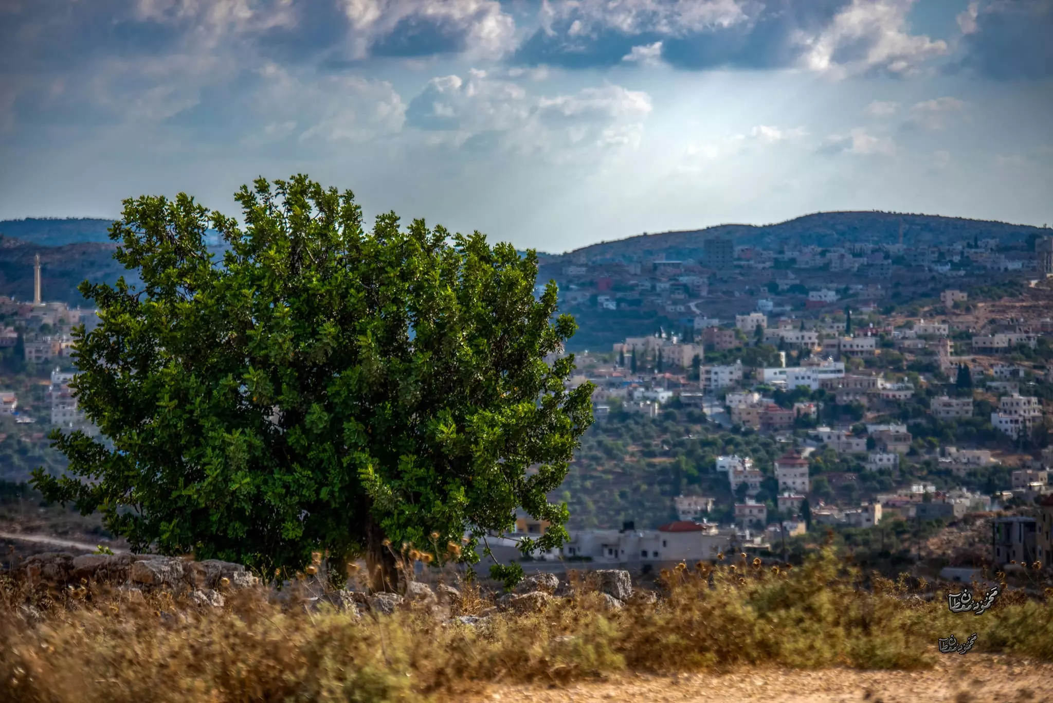
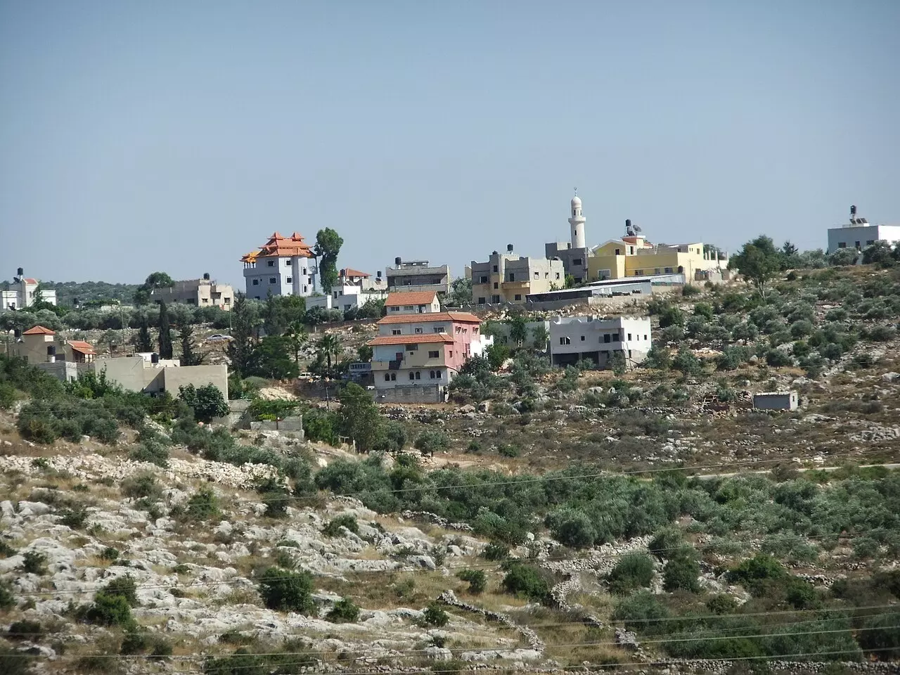
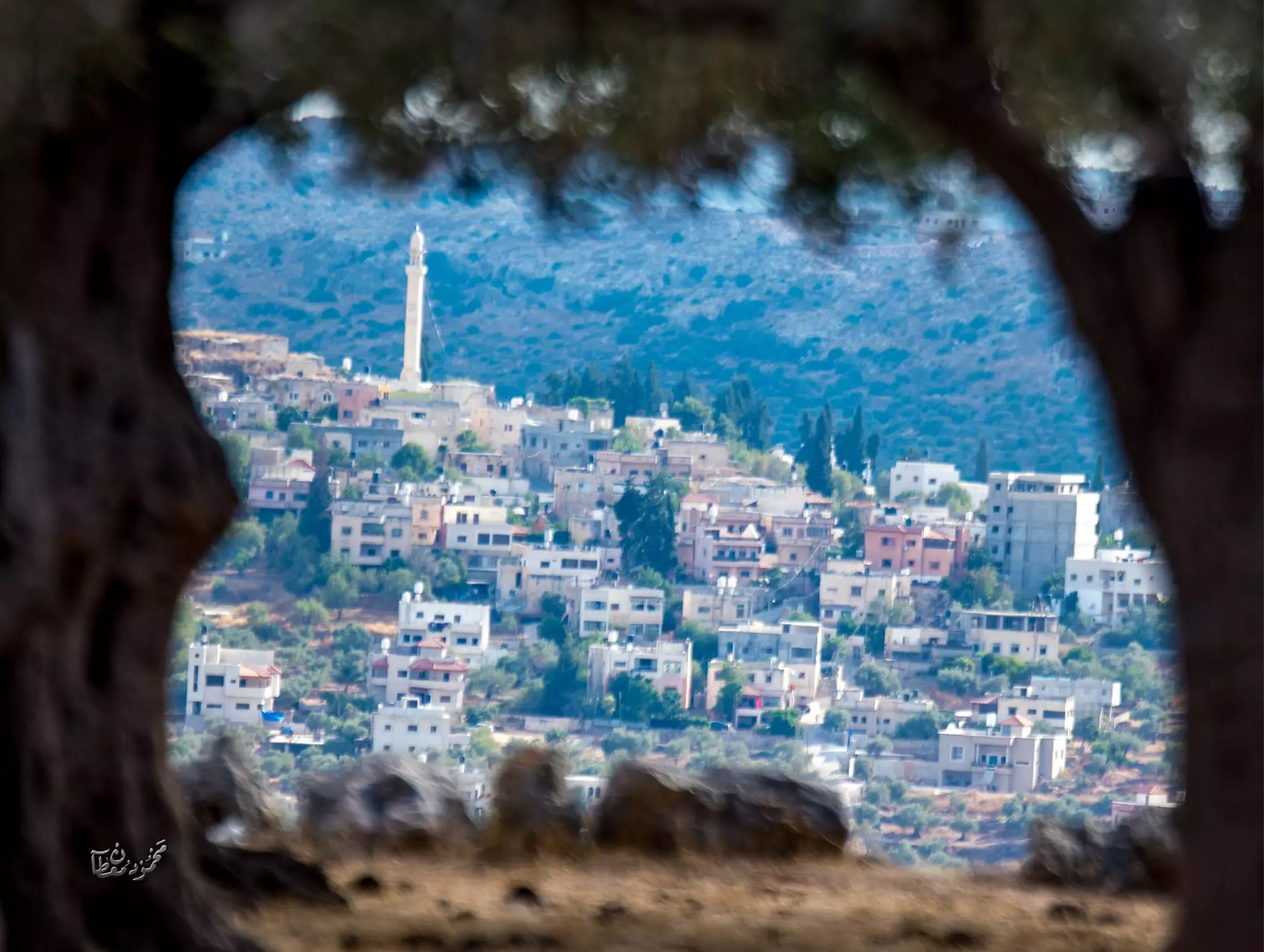
Posted by naser abed 3 - منظر لمنطقة النقارة وجزء من البلدة القديمة حيث يظهر المسجد القديم في اعلى يسار الصورة........تصوير محمد عصام حسني بركات
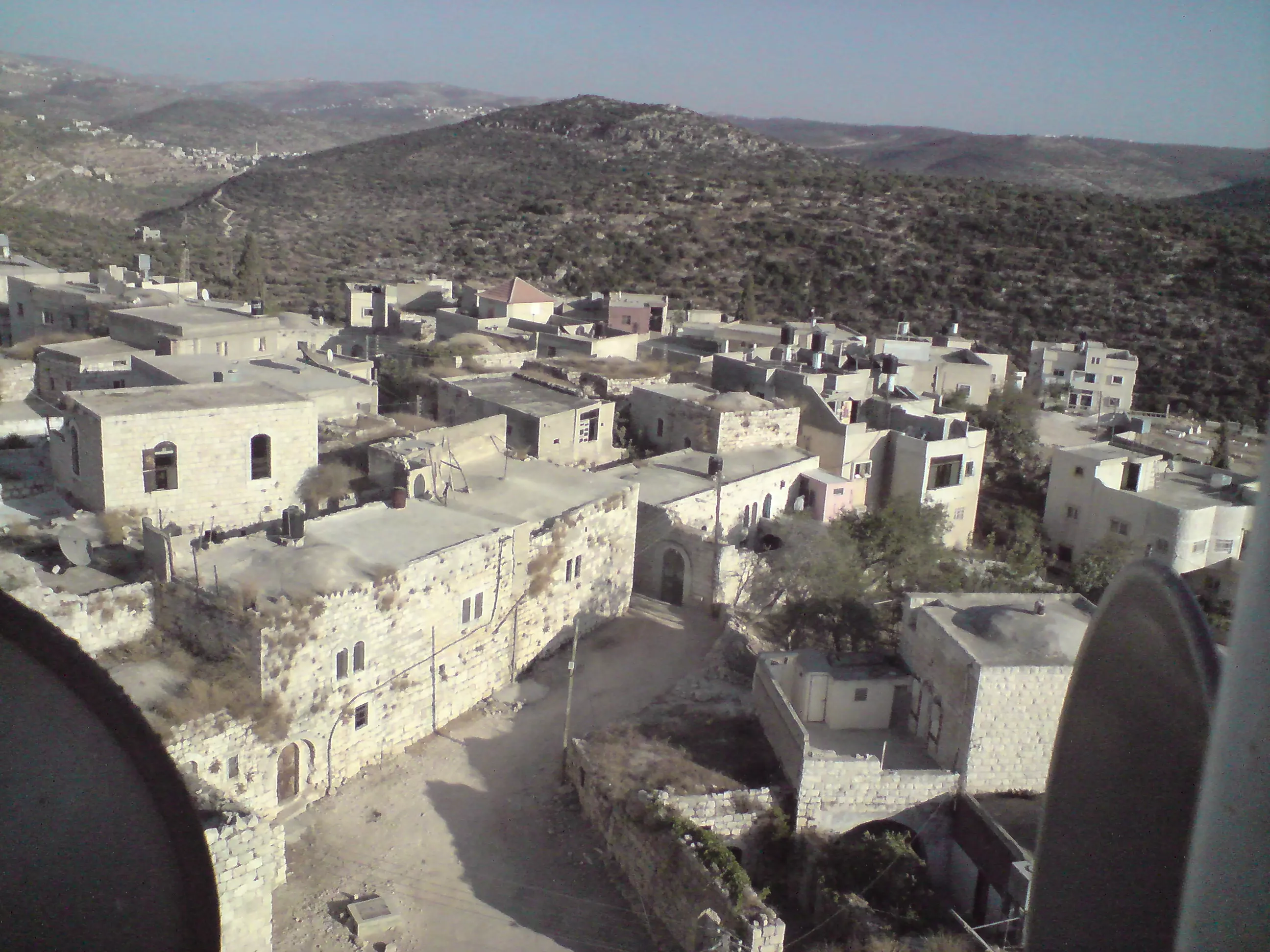
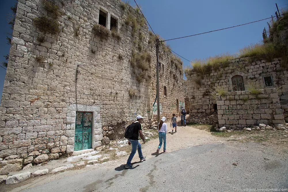
Posted by محمد عصام حسني بركات - منظر للبلد القديمة من منطقة ظهر الراس..تصوير محمد عصام حسني بركات
Posted by محمد عصام حسني بركات 2 - صوره للبلد من بيرق الحج عطا احمد عبد الرحمن
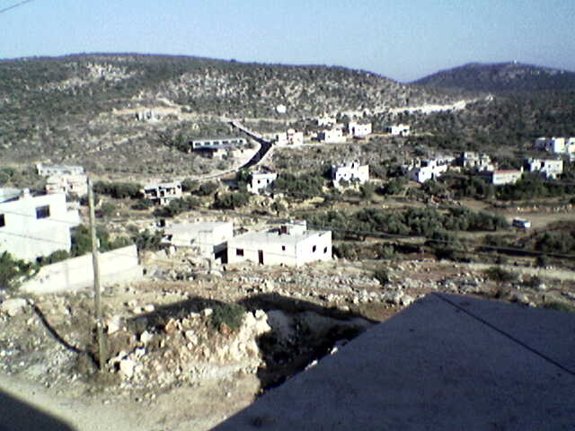
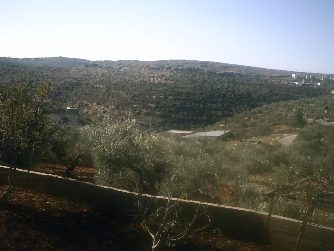
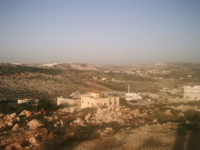
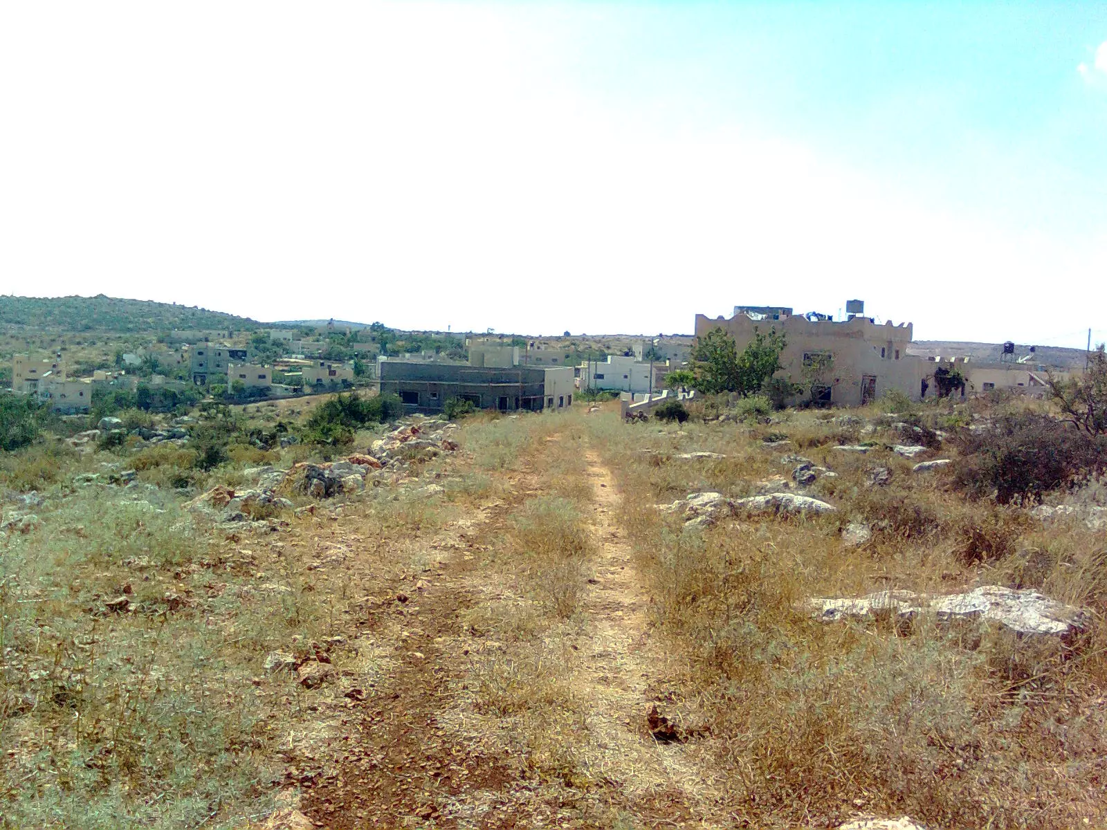
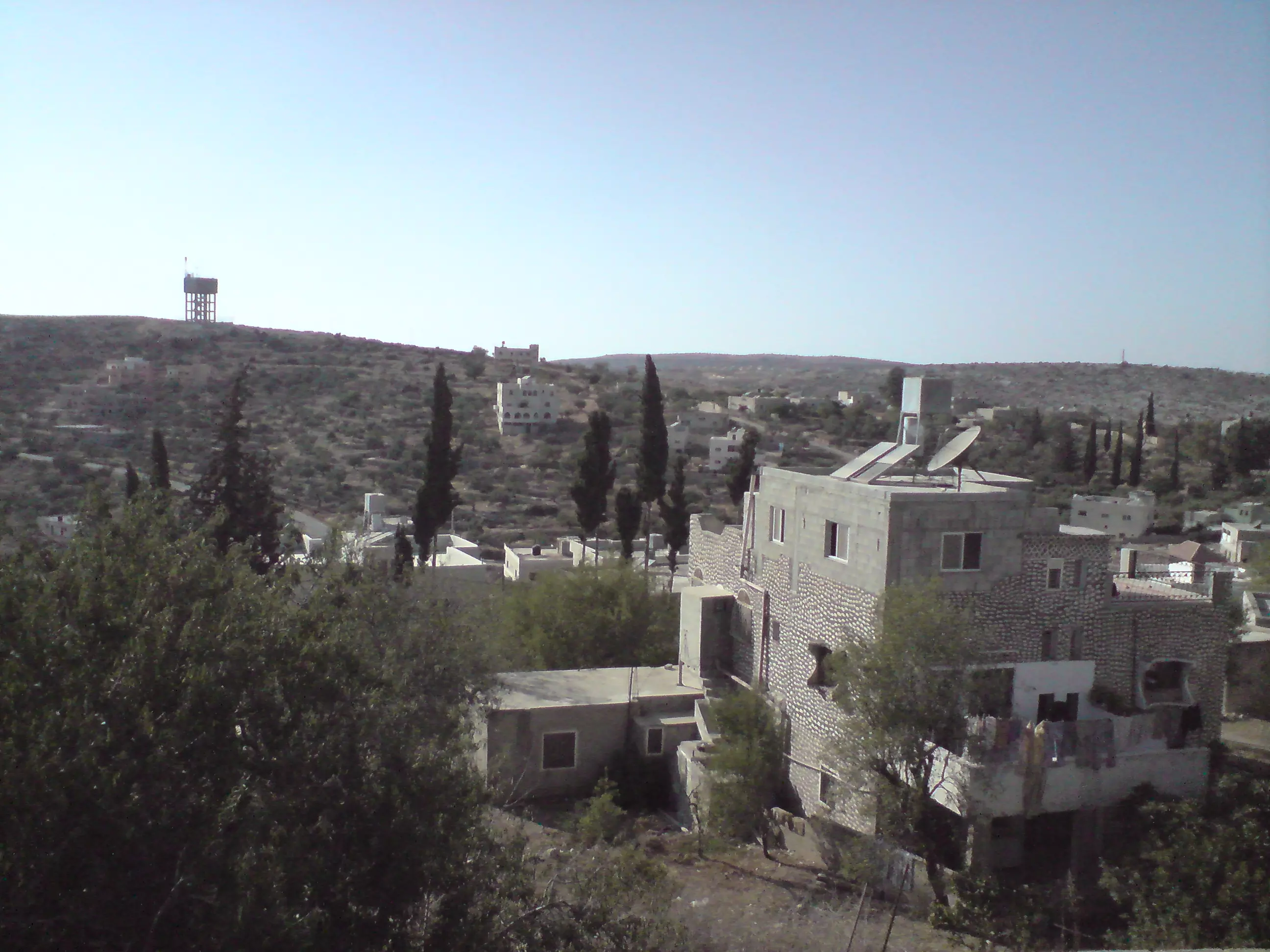
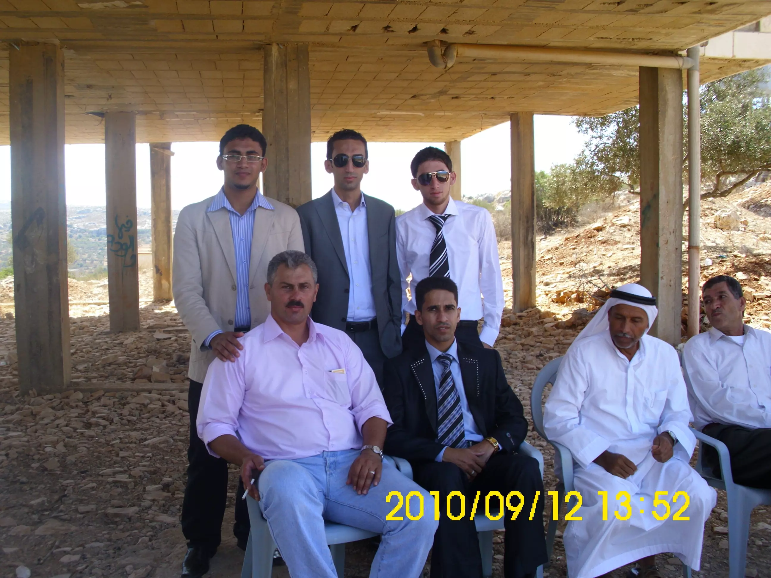
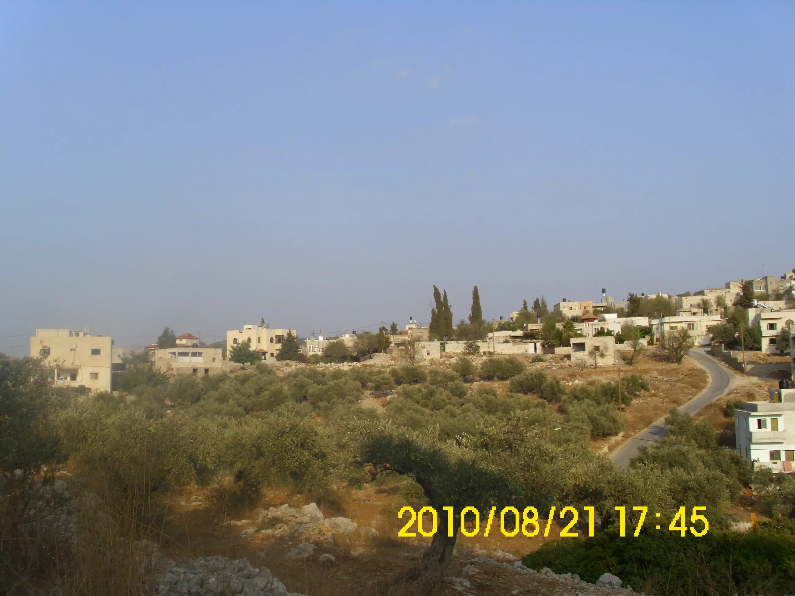
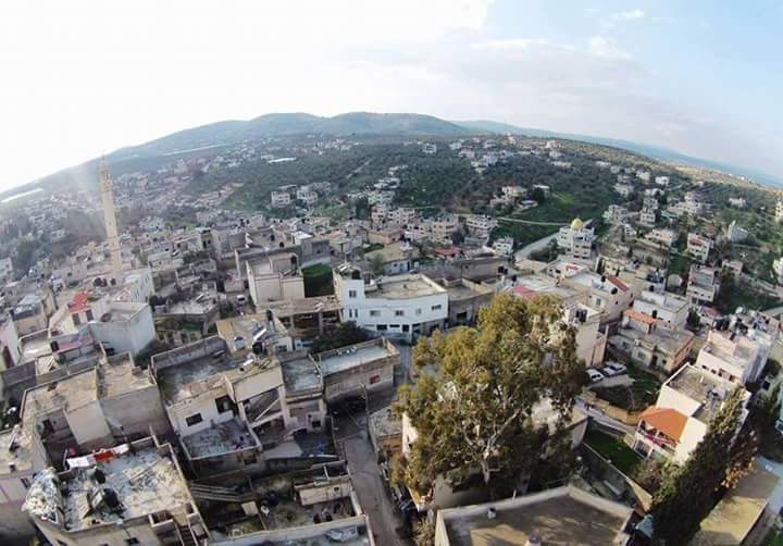
Posted by معتز جمال عبدالرحمن 2 - منظر عام
Posted by حاتم عثمان 3 - بروقين تصوير ناصر شحاده عوريف 0507559901
Posted by naser abed 1 - بروقين تصوير ناصر شحاده عوريف 0507559901
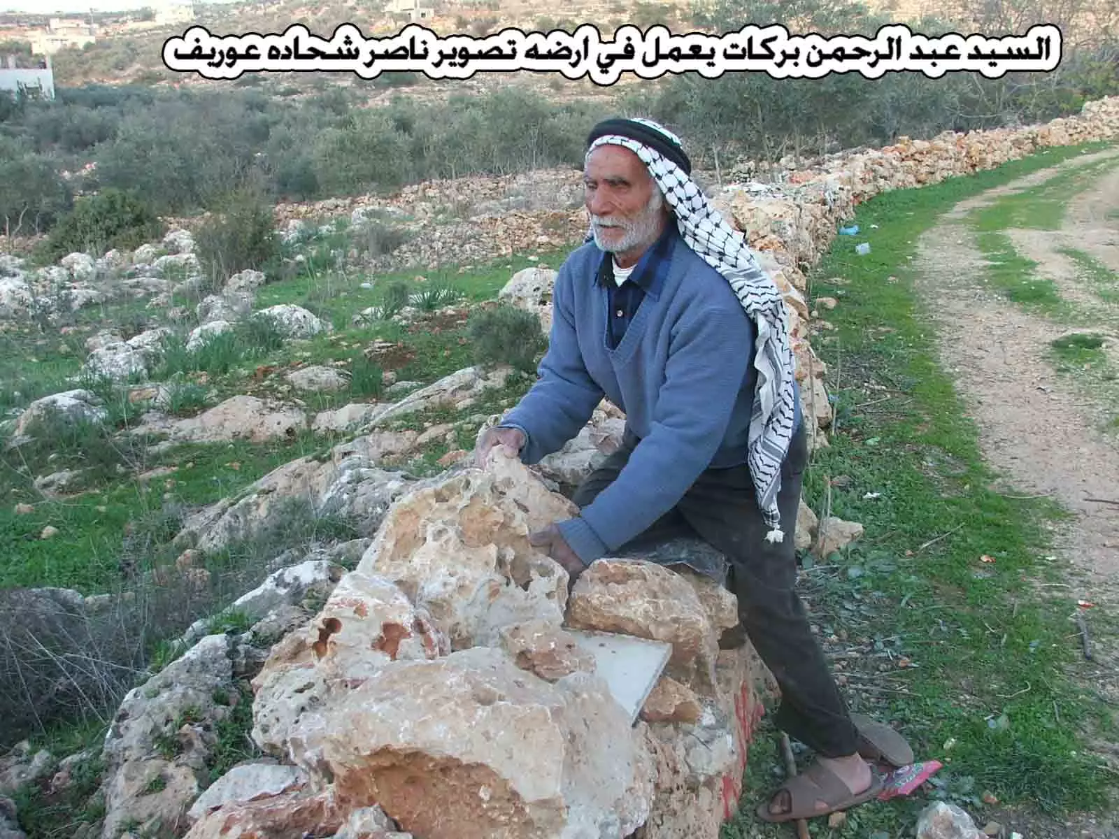
Posted by naser abed 1 - بروقين شخص كفيف يعمل في ارضه عبد الرحمن بركات تصوير ناصر شحاده عوريف 0507559901
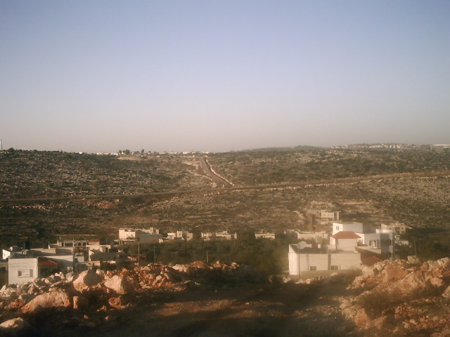
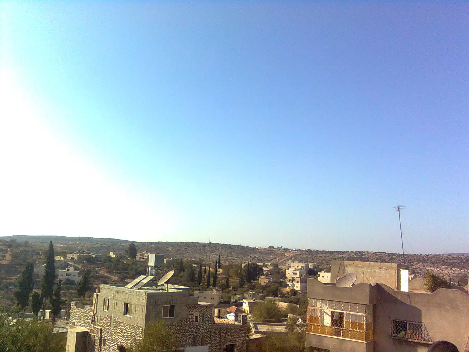
Posted by naser abed 4 - منظر للبلد من الجهة الغربية للمنطقة المسماة الهيرة
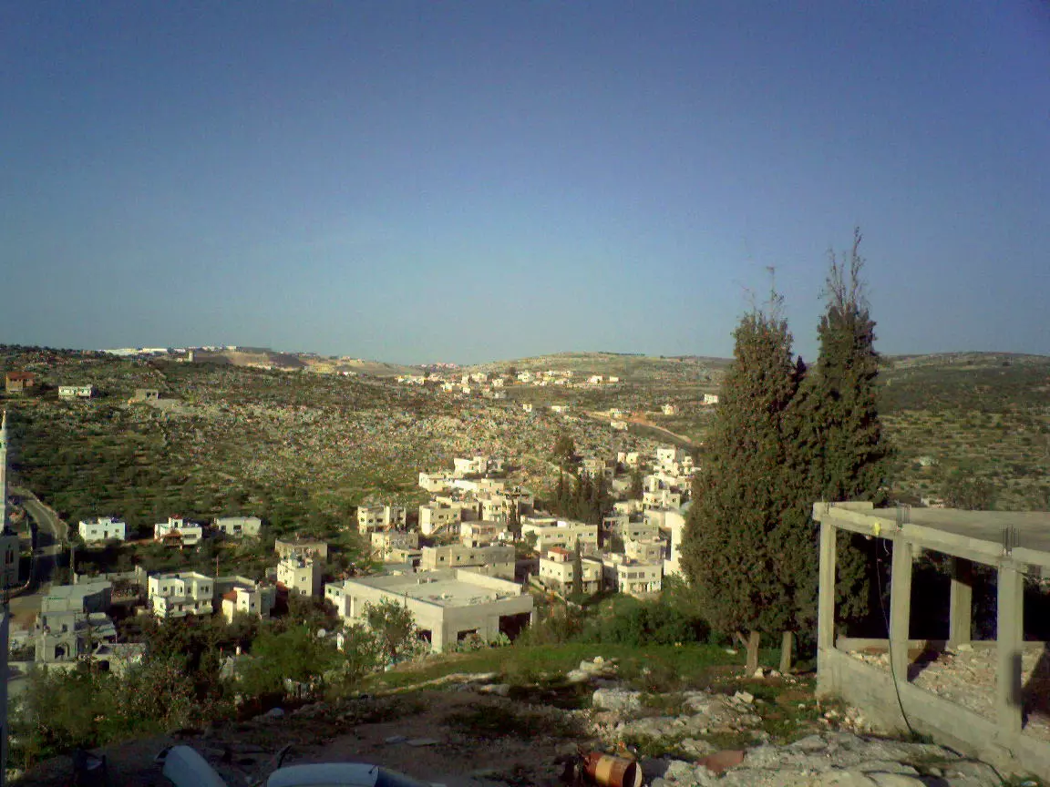
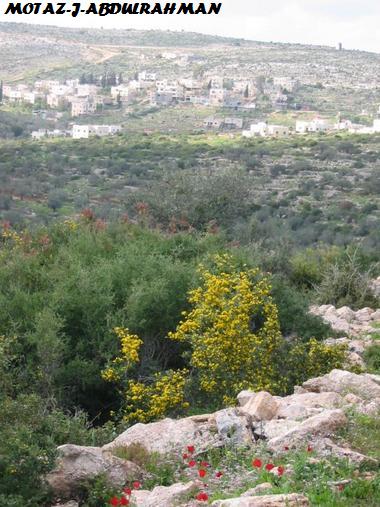
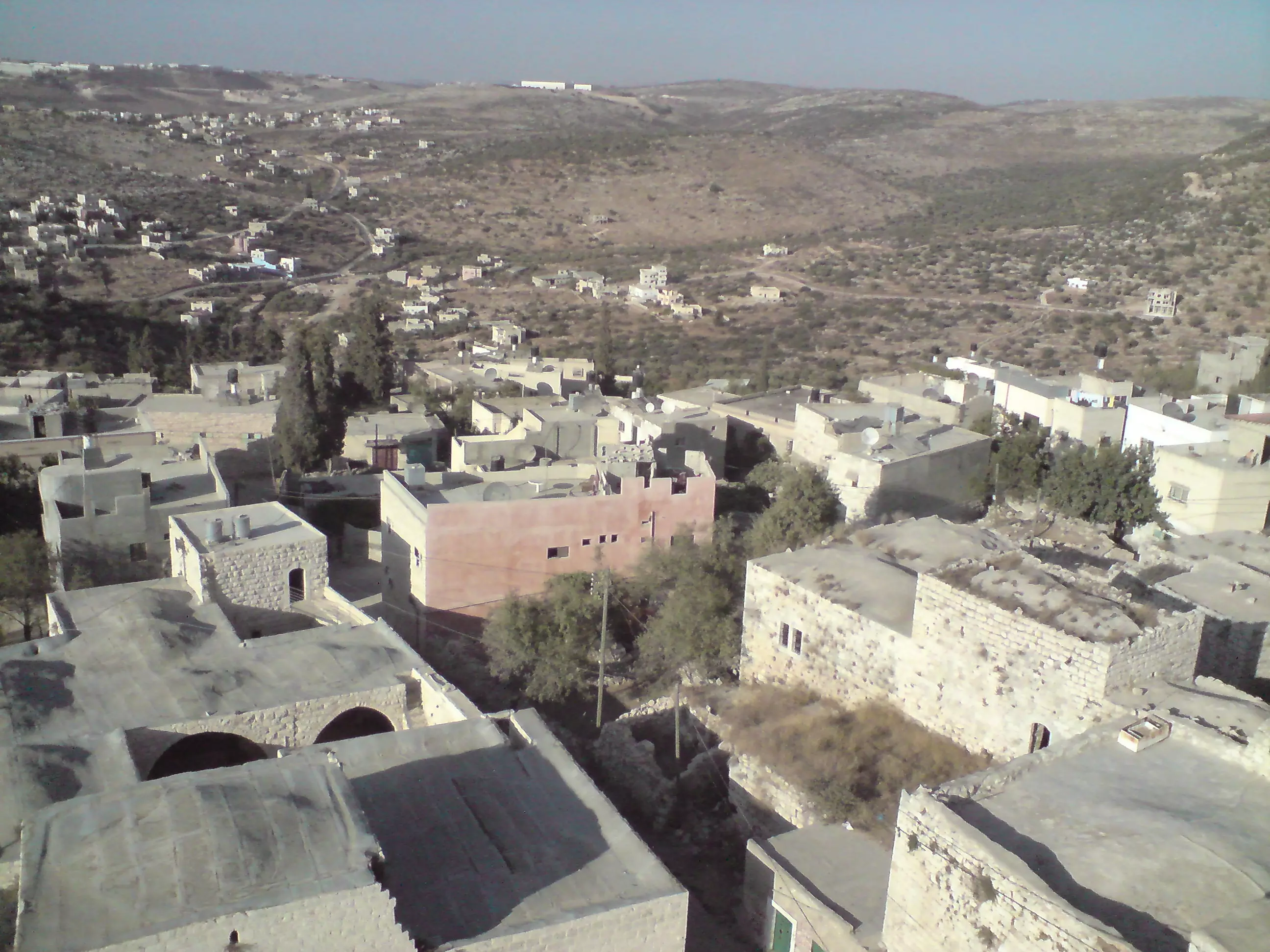
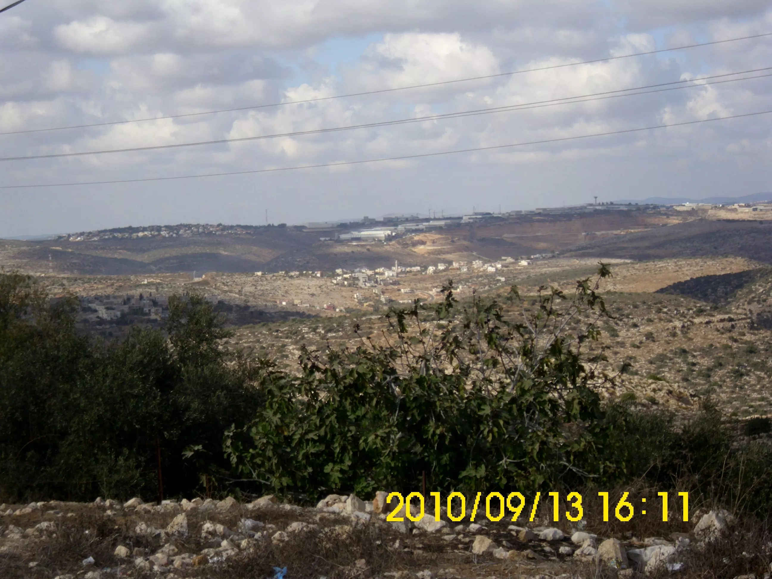
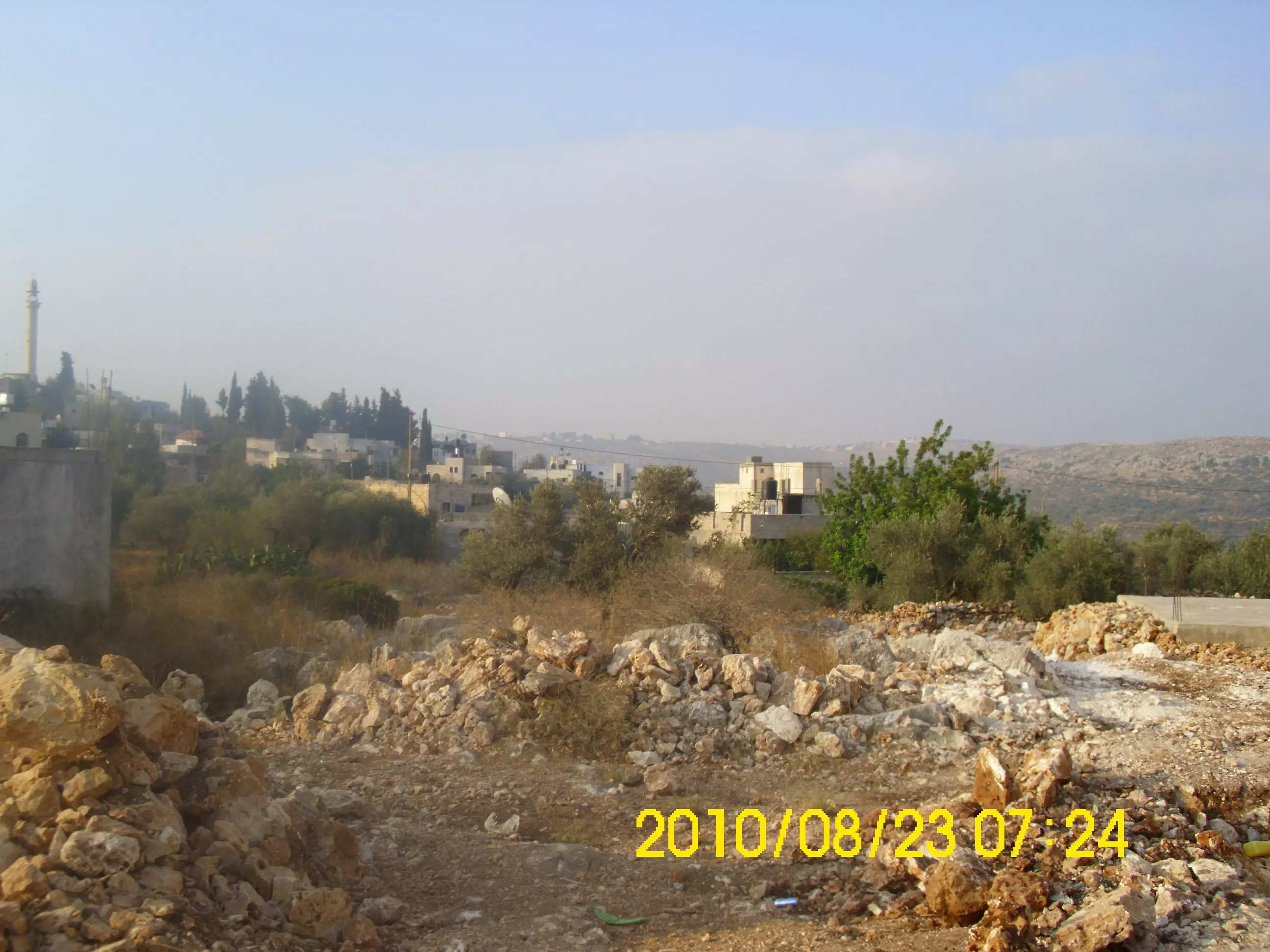
Posted by محمد عصام حسني بركات 2 - منظر للمنطقة المسماة البلاطة وتظهر في اعلى الصورة ايضاً منطقة البقعان وهذا يظهر كبر مساحة البلد
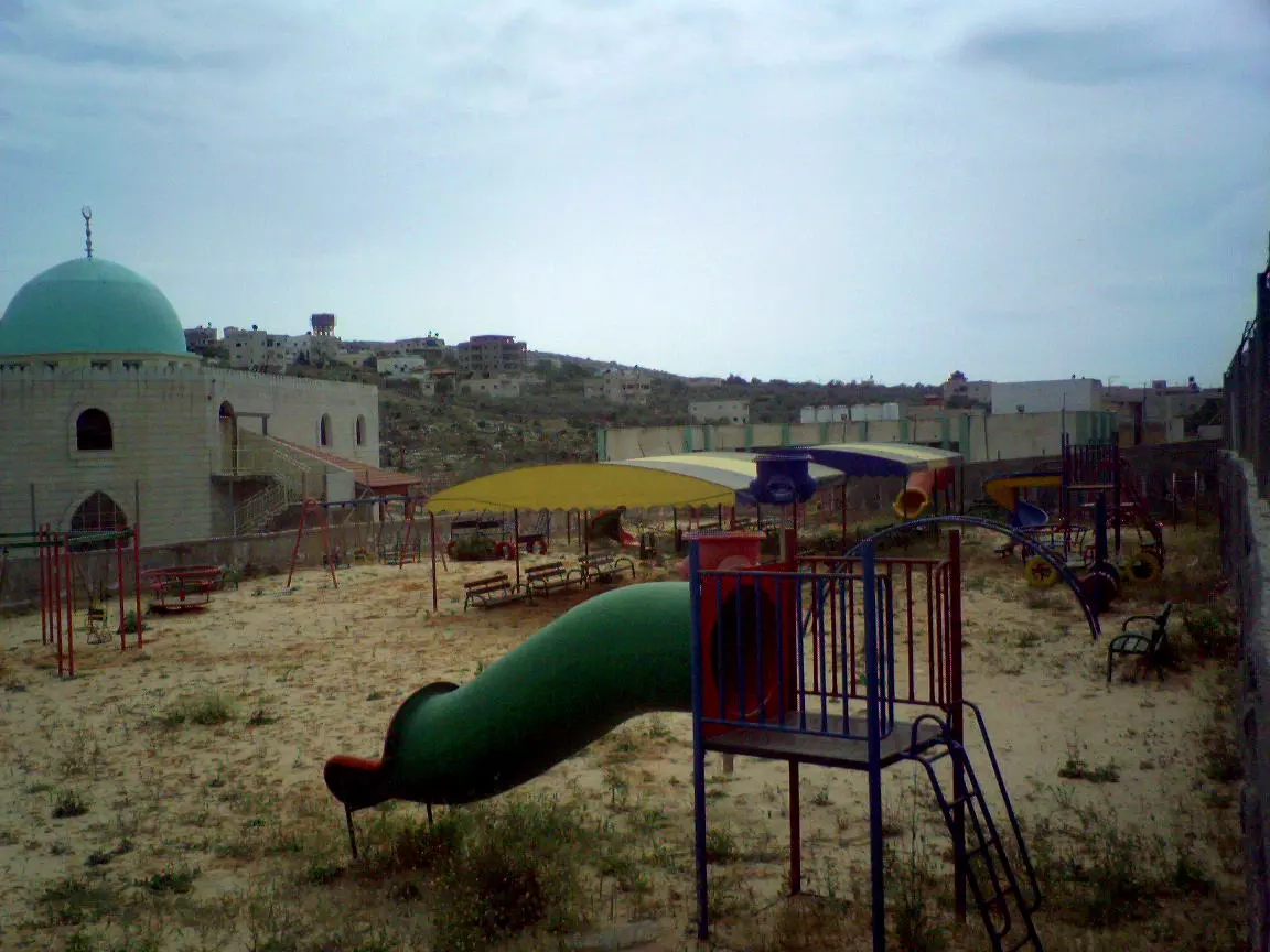
Posted by محمد عصام حسني بركات 4 - منتزه وحديقة للاطفال في قرب المسجد الجديد كما يظهر في الصورة
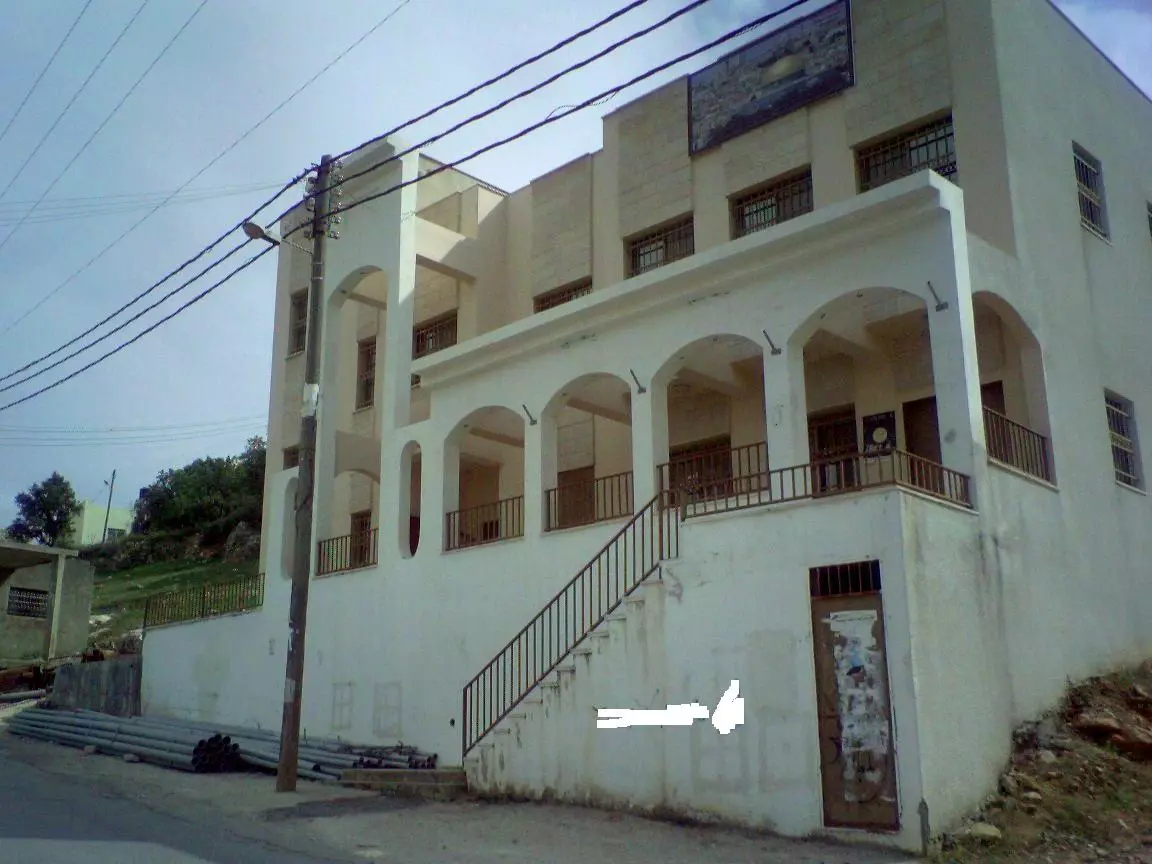
Posted by محمد عصام حسني بركات 1 - مبنى البلدية
Posted by محمد عصام حسني بركات 2 - منظر من على سطح احد المباني القديمة في البلد القديمة..تصوير محمد عصام حسني بركات
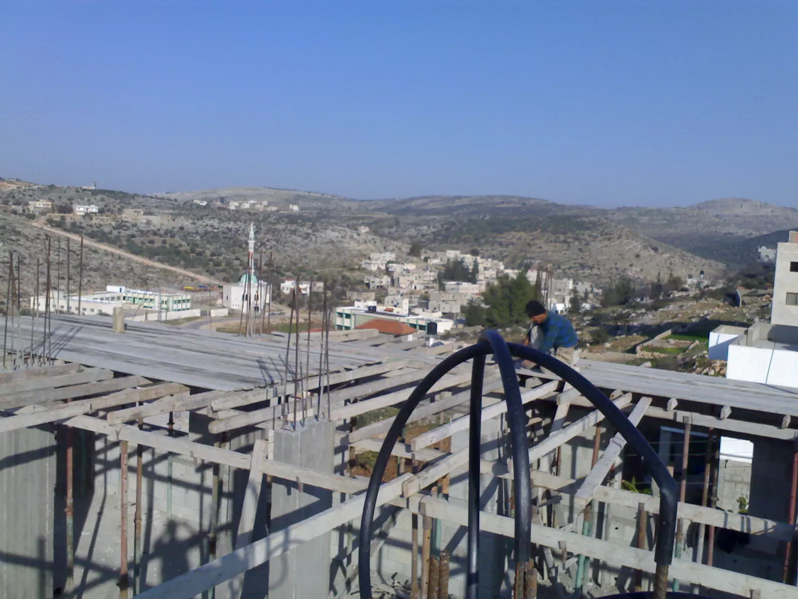
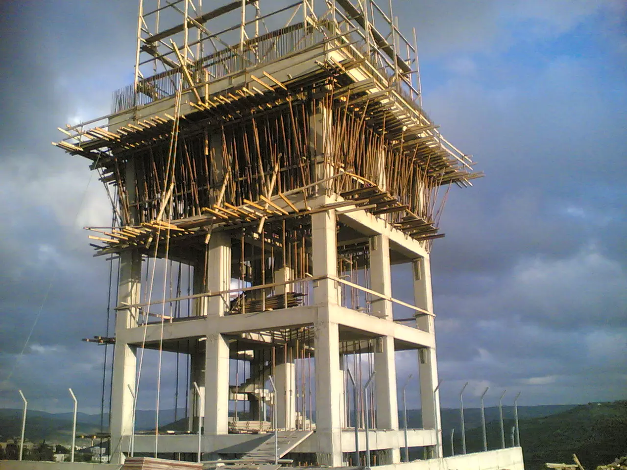
Posted by محمد عصام حسني بركات 1 - احد المشاريع الضخمة في البلد المقام على ظهر الراس...تصوير محمد عصام حسني بركات
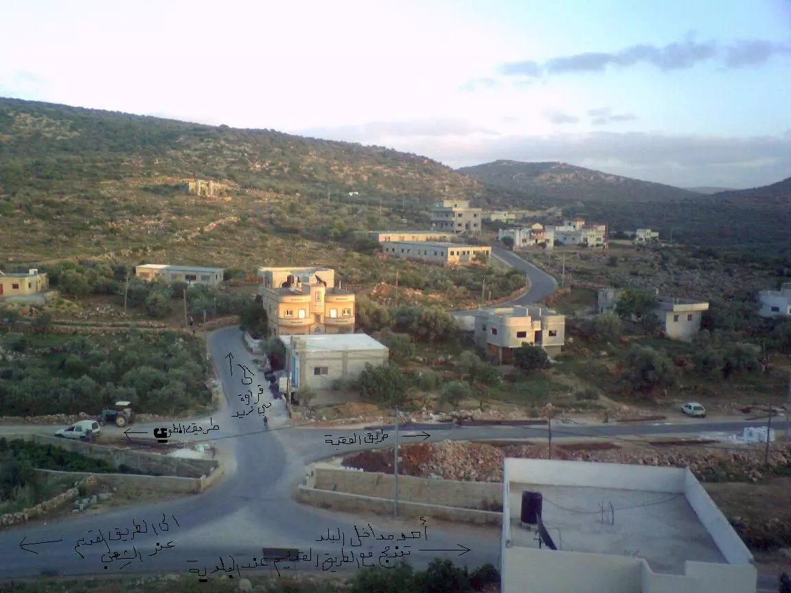
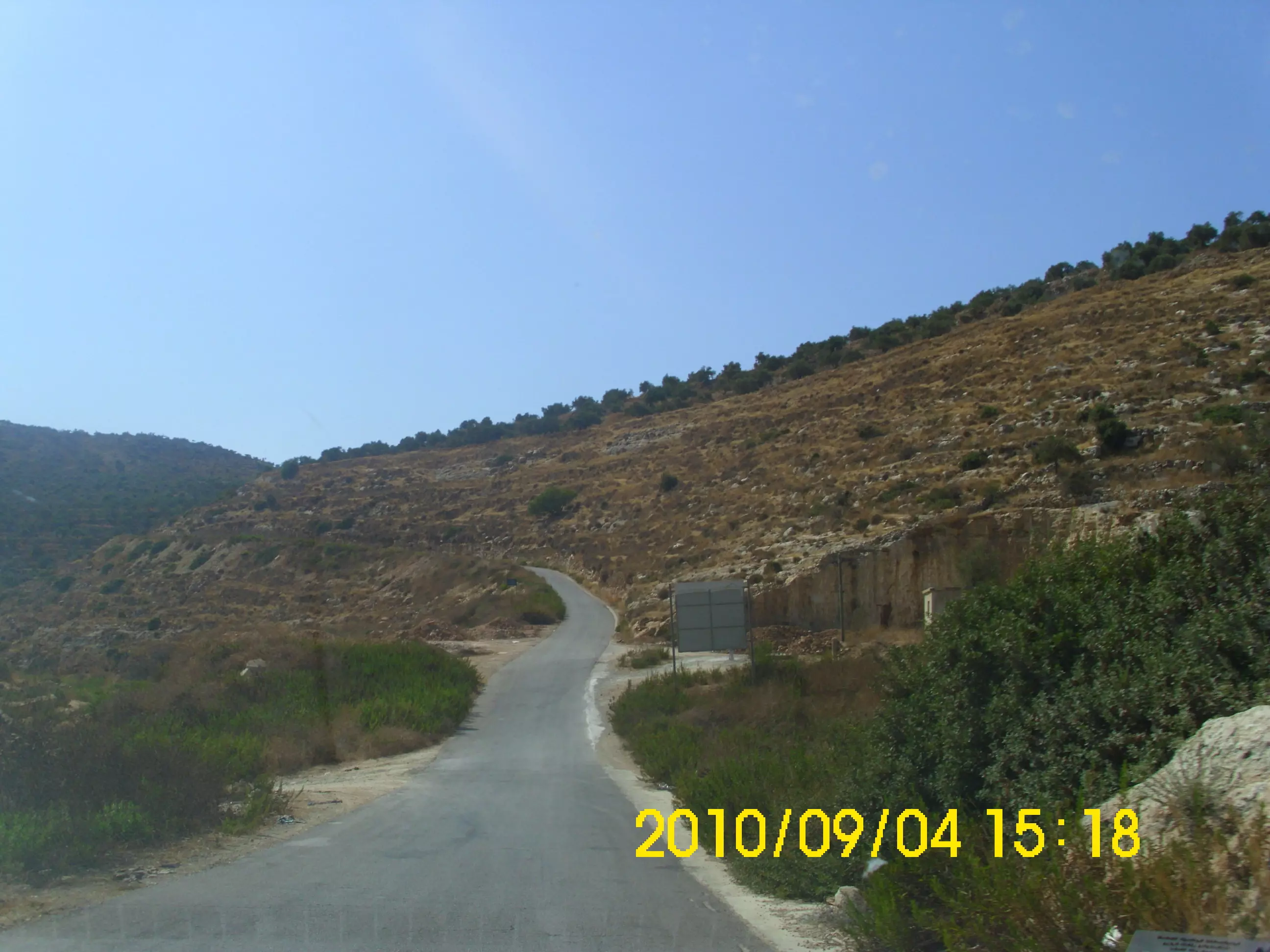
Posted by محمد عصام حسني بركات 4 - مفرق طرق... تصوير محمد عصام حسني بركات
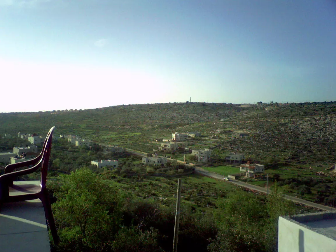
Posted by محمد عصام حسني بركات 1 - منظر من بروقين

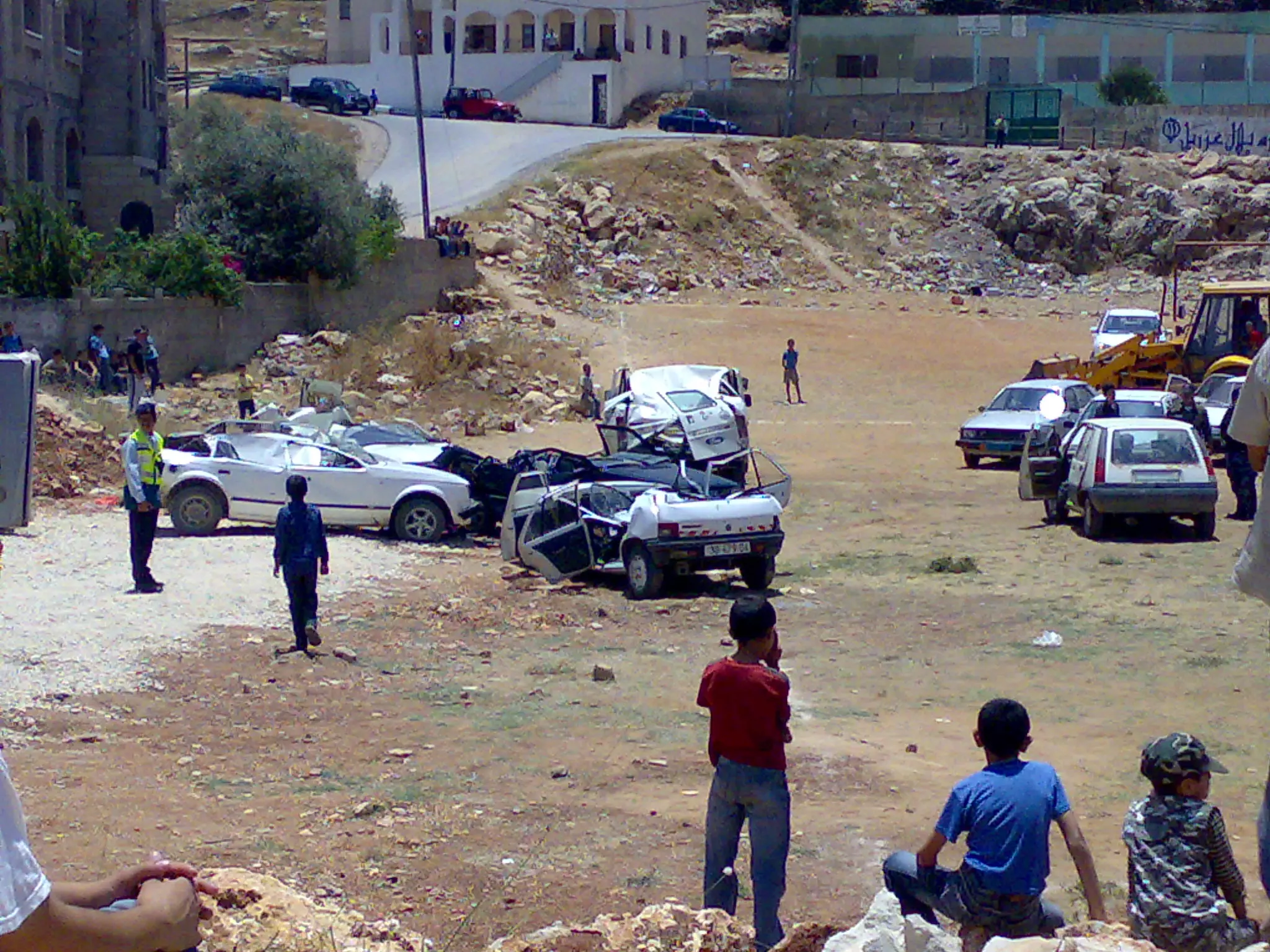
Posted by Ghanem Mustafa 1 - صوره عندما قامت السلطه بأخذ السيارات الغير قانونيه الى الملعب وقام السيد عاشور بتعطيلهن عن طريق الباجر
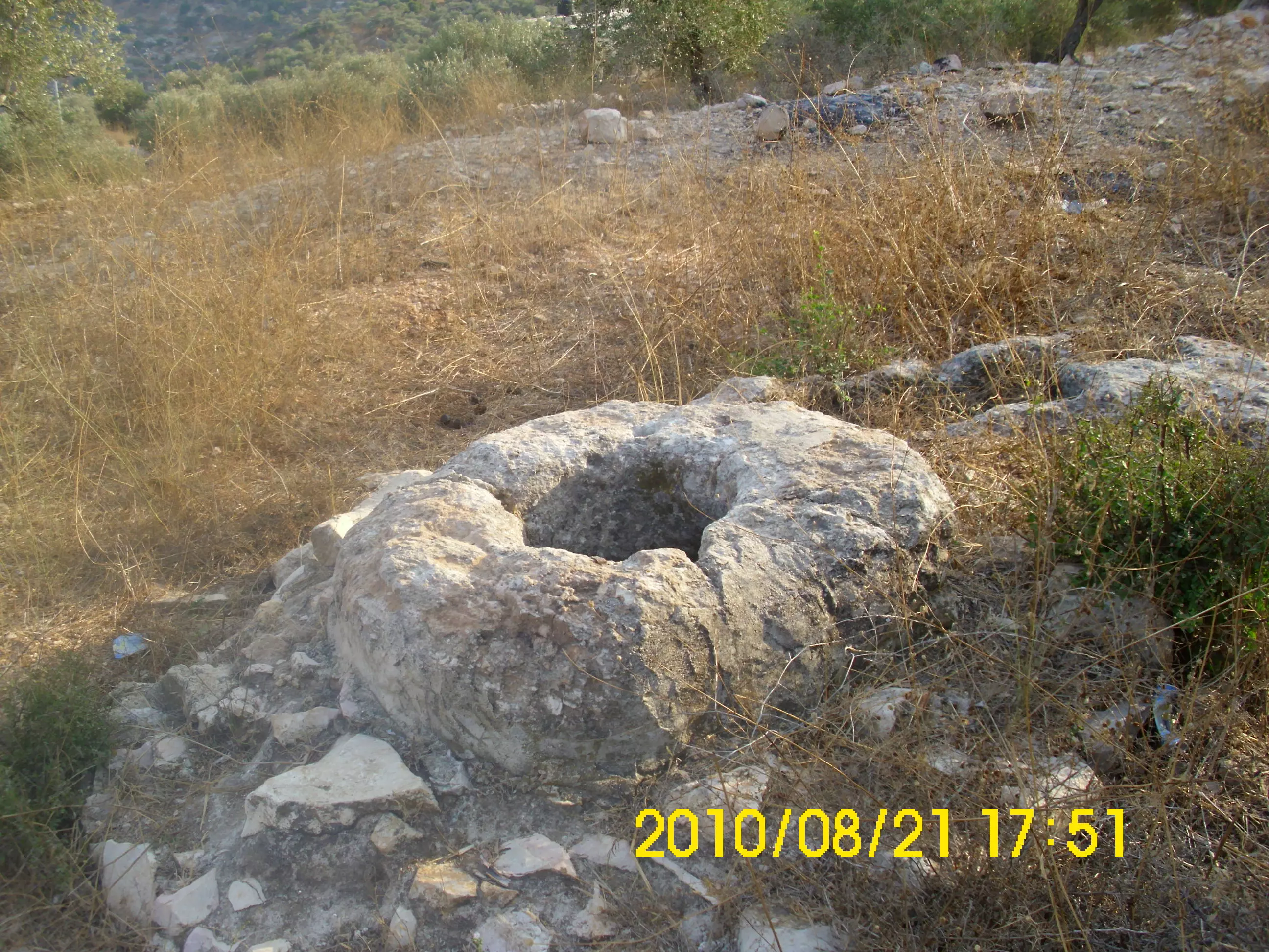
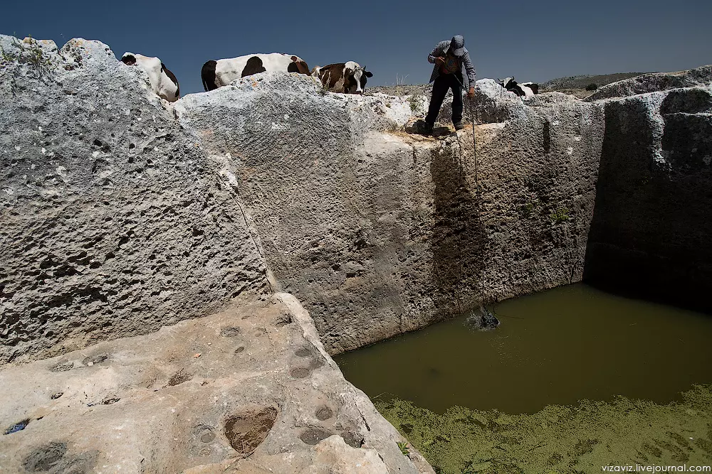
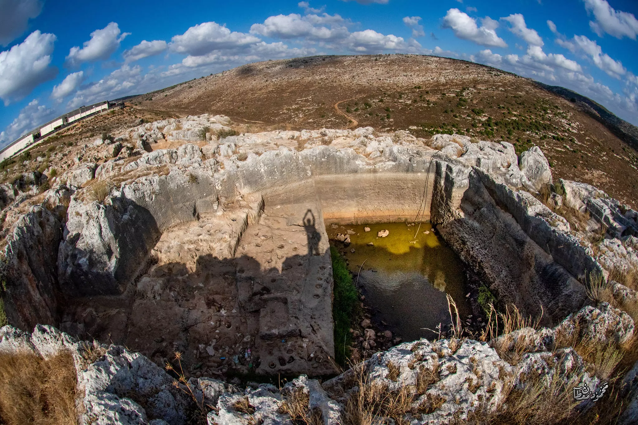
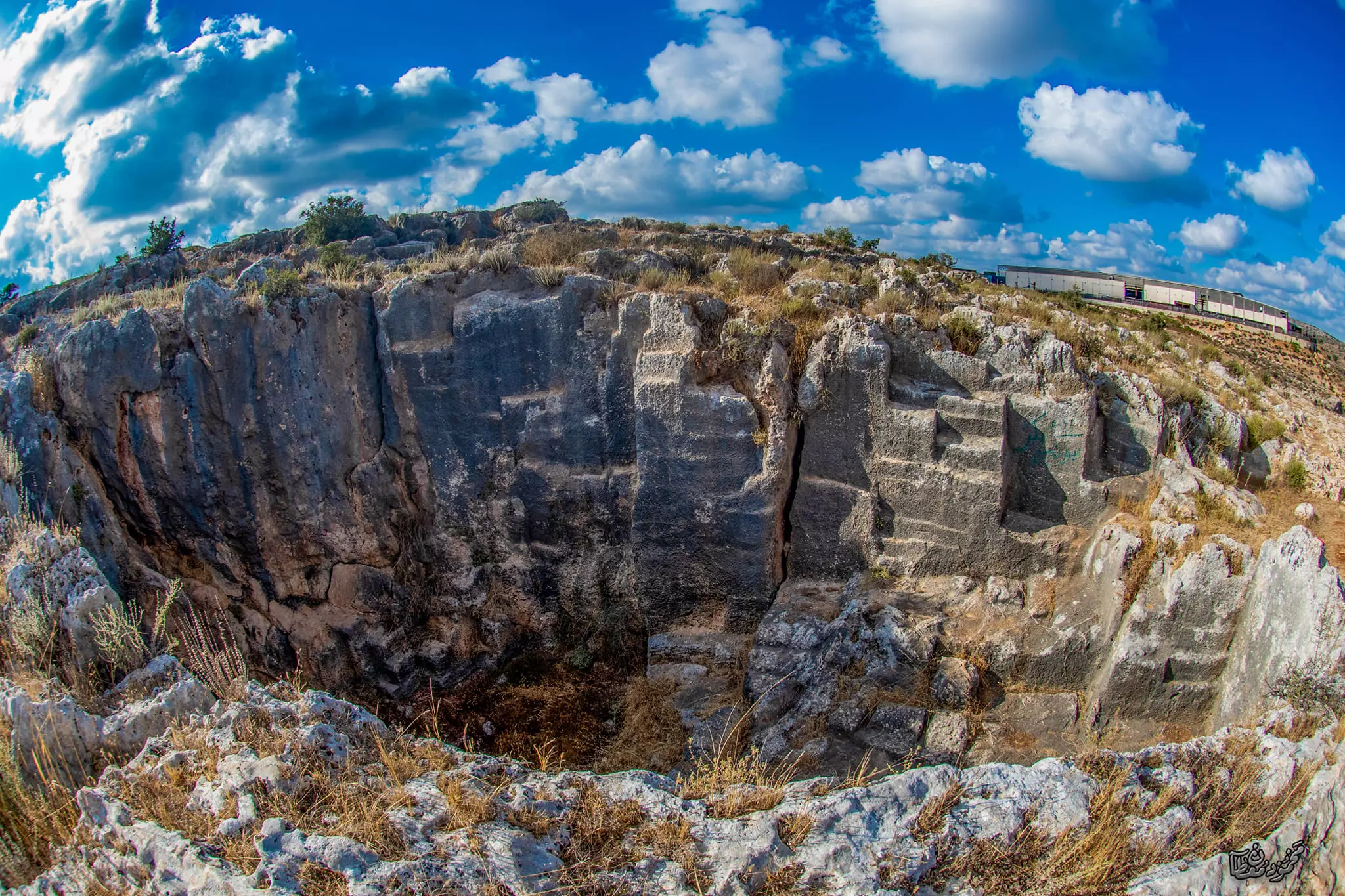
Posted by معتز جمال عبدالرحمن 3 - الحاووز رفع عمر عبد الجلييل
Posted by ابو عبد الجليل - صور للبلده القديمه رفع عمر عبد الجلييل
Posted by ابو عبد الجليل - صورة لحارة الجوره من رفع عمر عبد الجلييل
Posted by ابو عبد الجليل - صورة لحارة النقارة و البقعان من رفع عمر عبد الجلييل
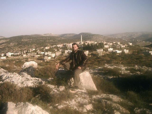
Posted by ابو عبد الجليل 1 - صورة من بروقين من رفع عمر عبد الجليل
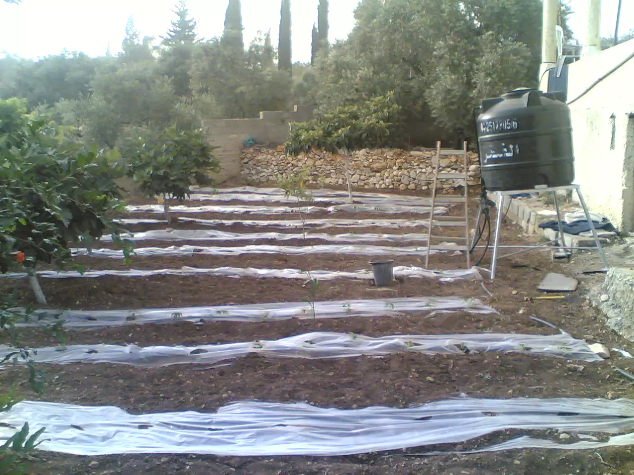
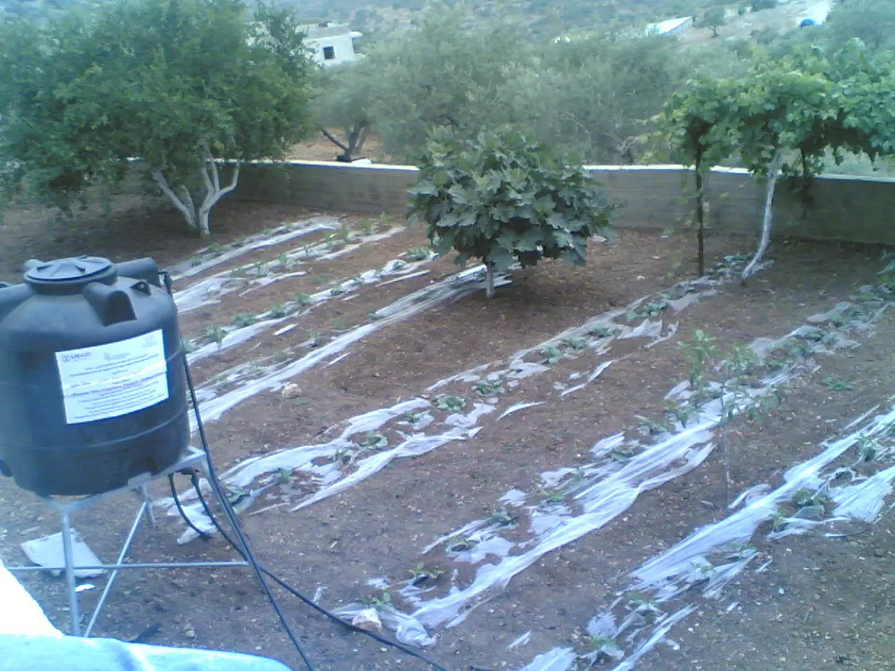
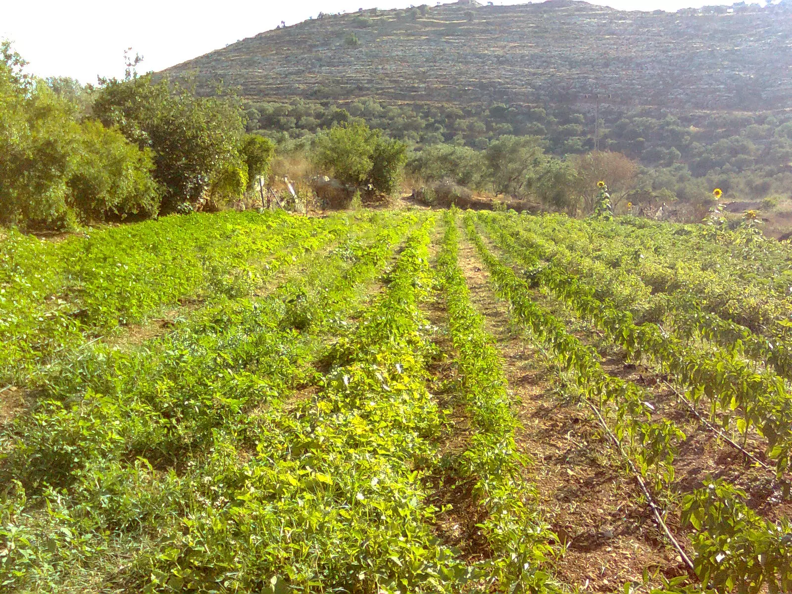
Posted by ابو عبد الجليل - الزراعة المنزلية في بروقين من رفع عمر عبد الجليل
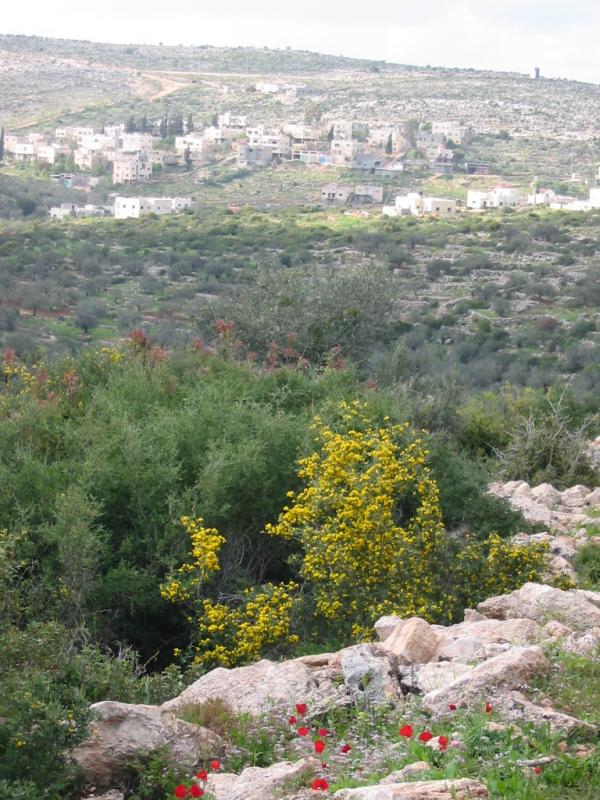
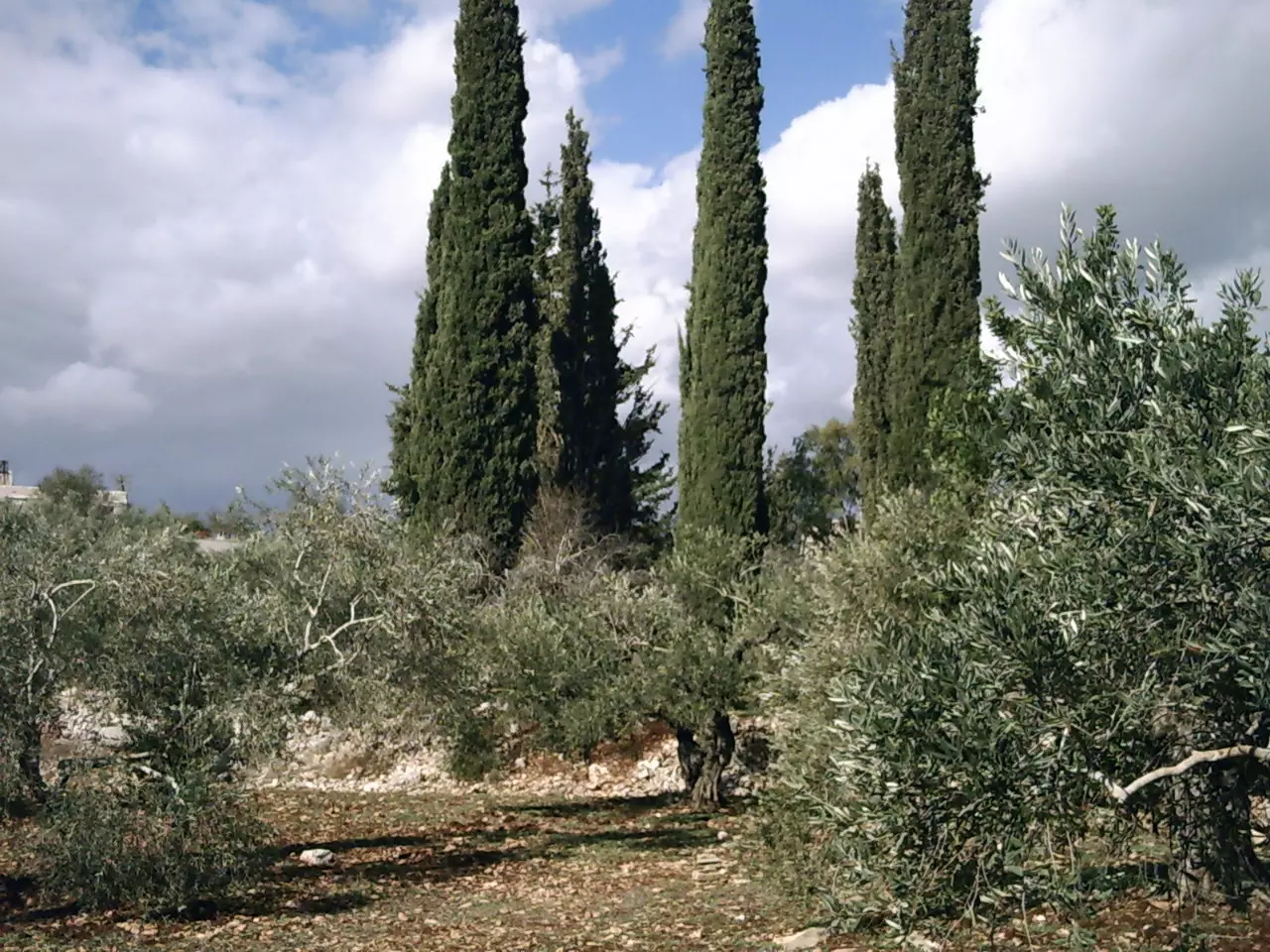
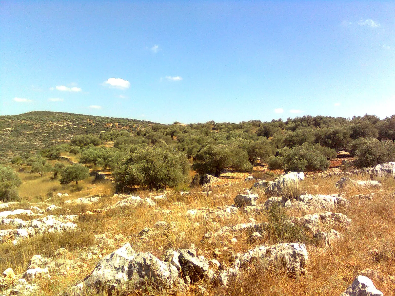
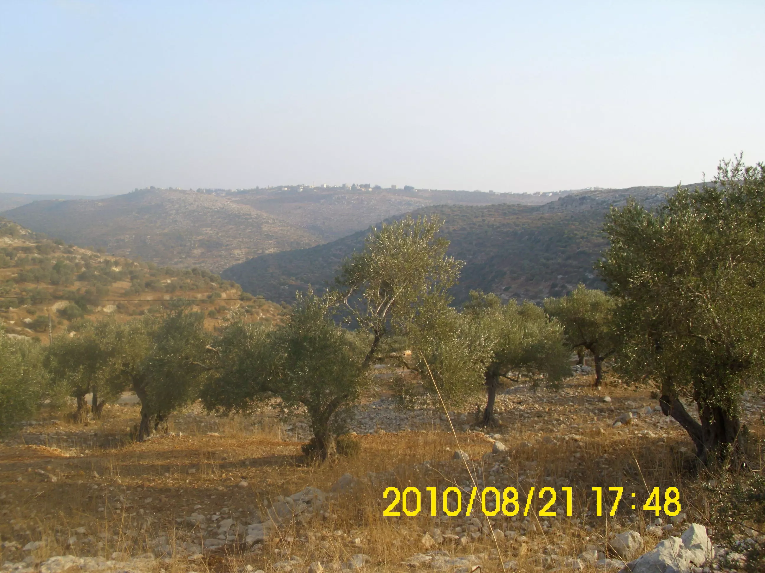
Posted by ابو عبد الجليل - منظر طبيعي لبروقين بزيتونها بروقين من رفع عمر عبد الجليل
Posted by ابو عبد الجليل 1 - صورة لحارة البلاطه تظهر فيها المدرسة الابتدائية للذكور من رفع عمر عبد الجليل
Posted by ابو عبد الجليل 1 - المنظر من طريق قراوى بني زيد
Posted by Ghanem Mustafa 3 - دار علي عبد الله احد البيوت القديمة والتي تم ترميمها واستغلالها بنشاطات كثيرة
Posted by محمد عصام حسني بركات 1 - من الفعاليات التراثية
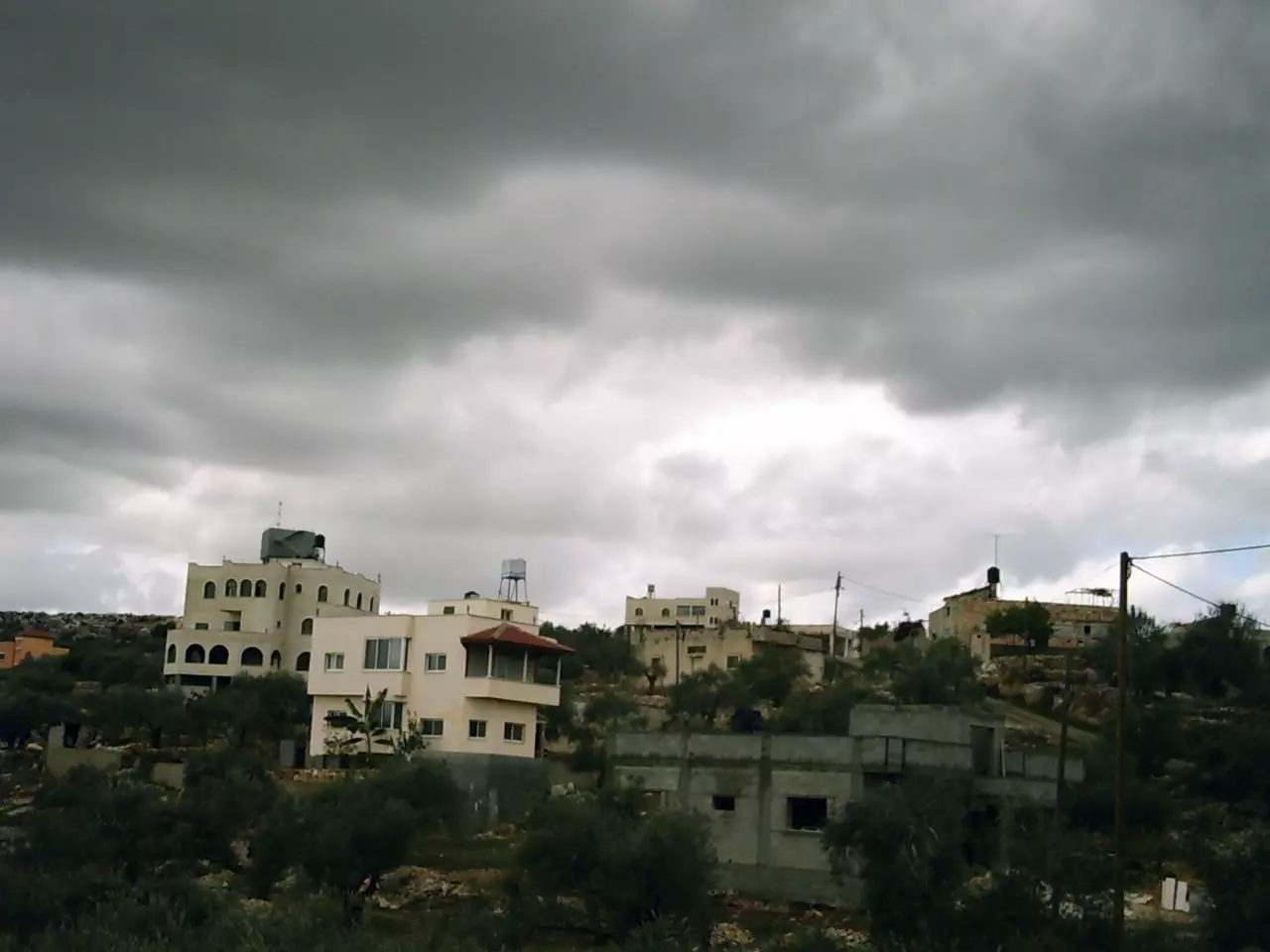
Posted by محمد عصام حسني بركات 1 - جانب من قرية بروقين (فصل الشتاء ) من رفع عمر عبد الجليل
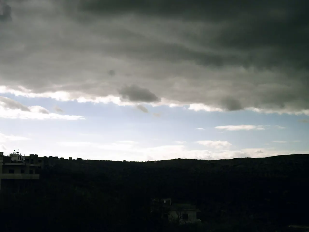
Posted by abu abd aljaleel 2 - تلبد الغيوم في سماء بروقين من رفع عمر عبد الجليل
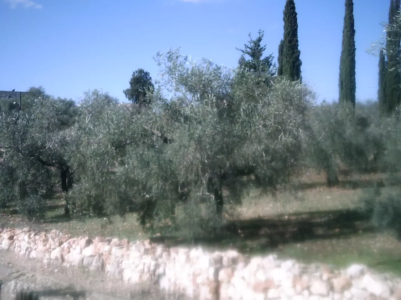
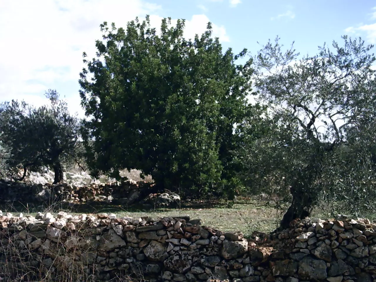
Posted by abu abd aljaleel - اشجار زيتون مثمر من رفع عمر عبد الجليل
Posted by abu abd aljaleel - منظر خلاب يسلب الالباب من قرية بوقين من رفع عمر عبد الجليل
Posted by abu abd aljaleel - لوحة ابدعها الخلق لتمازج الخضرة بالسلاسل الصخرية من رفع عمر عبد الجليل
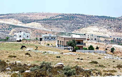
Posted by ابو عبد الجليل 1 - صورة المغتصبة الصهونية في جهة الشمال من القرية من رفع عمر عيد الجليل
Posted by ابو عبد الجليل - صورة عمر عبد الجليل من ظهر الراس و بروقين خلفة بلوحه متناسقة الخيوط
Posted by ابو عبد الجليل - صورة بغيده لمنطقة البقعان و البلاطة و يظهر جزء من مغتصبة بركان من رفع عمر عبد الجليل
Posted by ابو عبد الجليل - لوحه بمزيج الوان رائع من بروقين من رفع عمر عبد الجليل
Posted by ابو عبد الجليل 1 - جمال السماء بغيومها يناطح زيتون و سرو بروقين من رفع عمر عبد الجليل
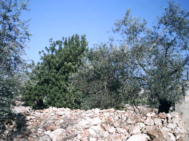
Posted by ابو عبد الجليل - اشجار الزيتون في احدى مناطق بروقين من رفع عمر عبد الجليل
Posted by ابو عبد الجليل - صورة عن حاووز الماء الجديد من ظهر الراس
Posted by معتز عبد الرحمن (MAWM) 3 - حارة البلاطه والشياب والملعب
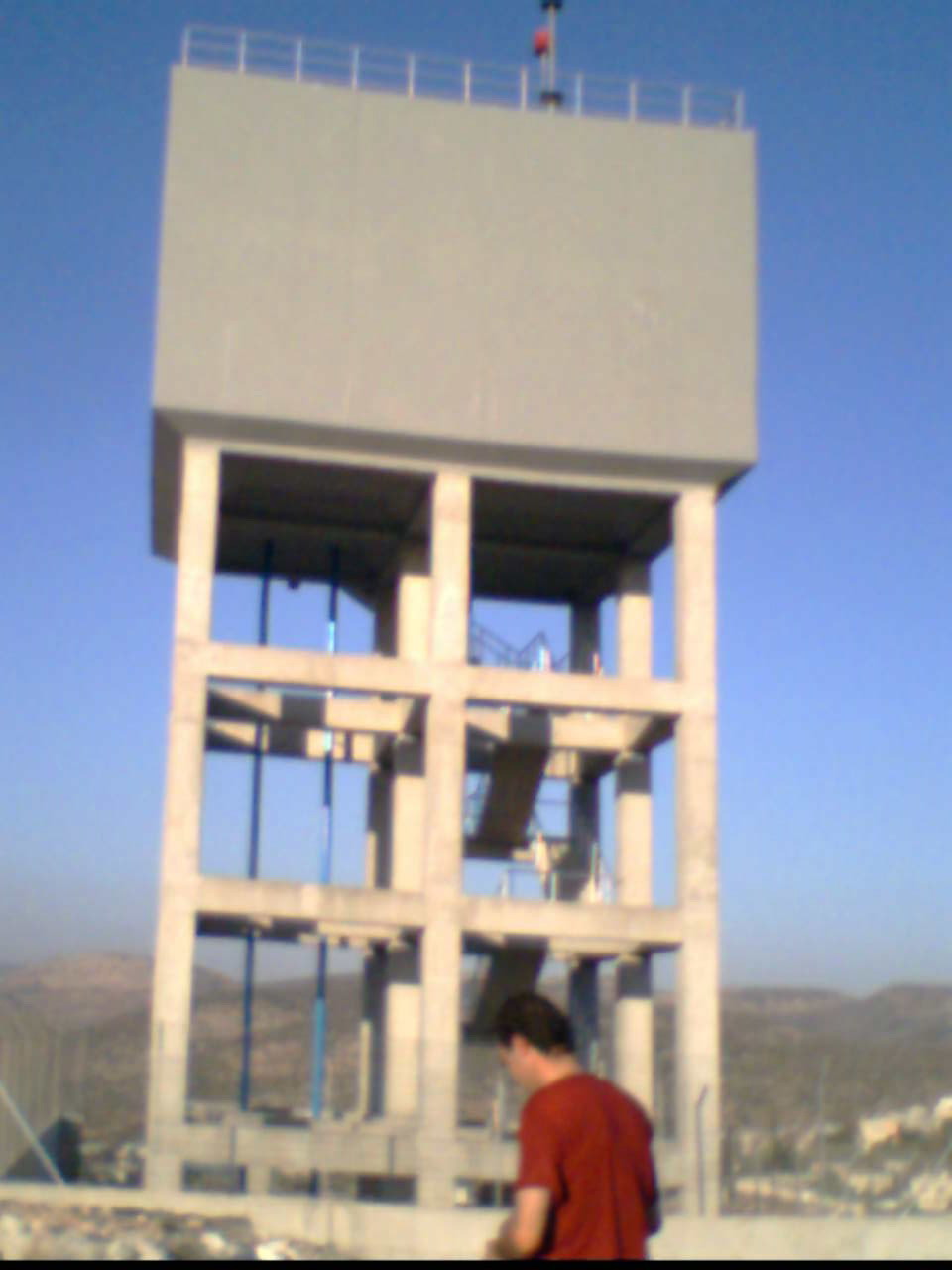
Posted by معتز عبد الرحمن (MAWM) - صورة للحاووز قبل تجهيزه
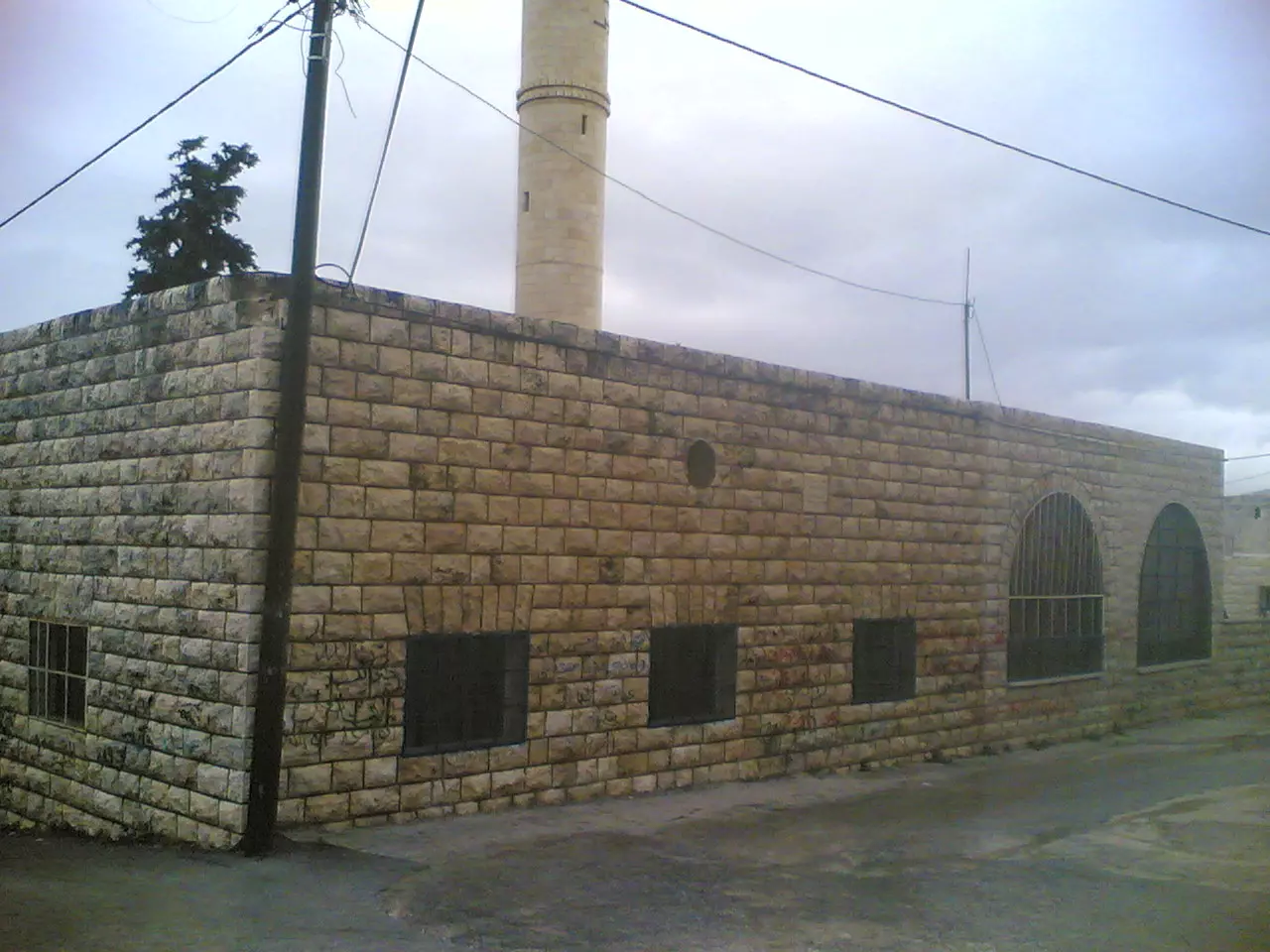
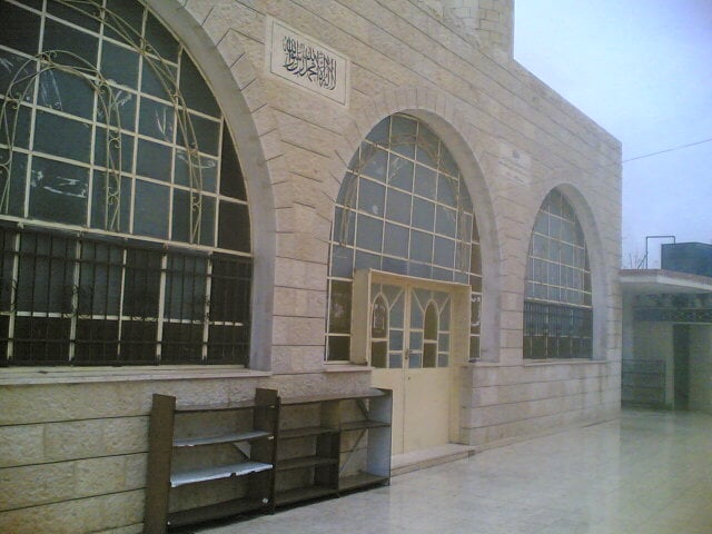
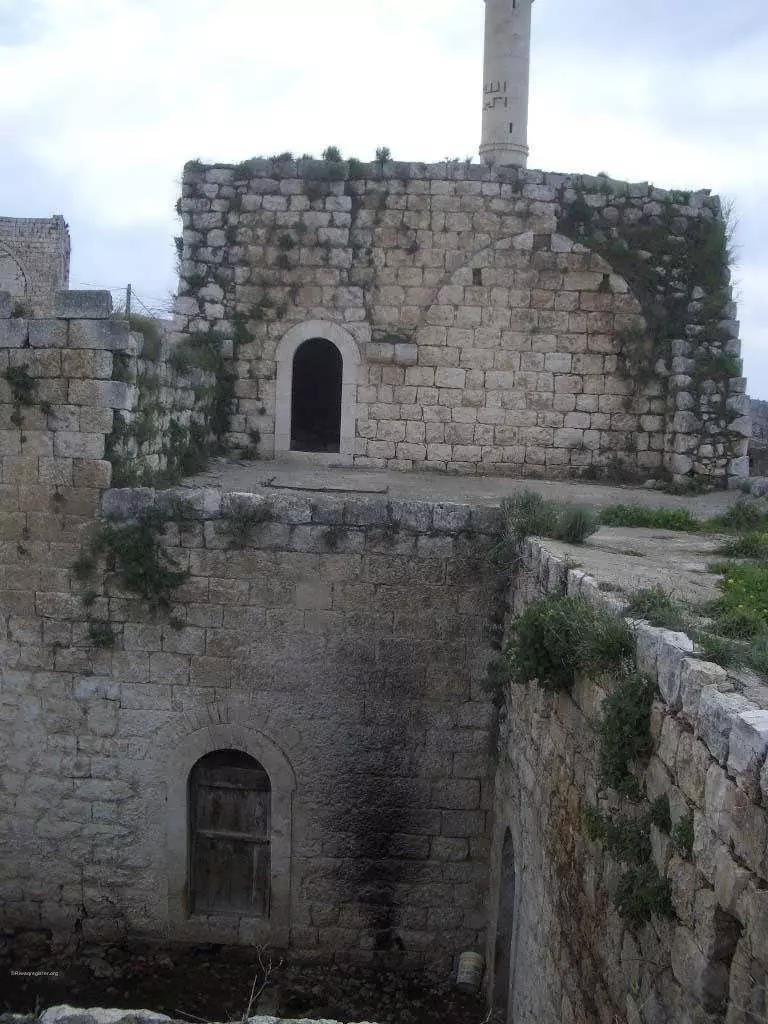
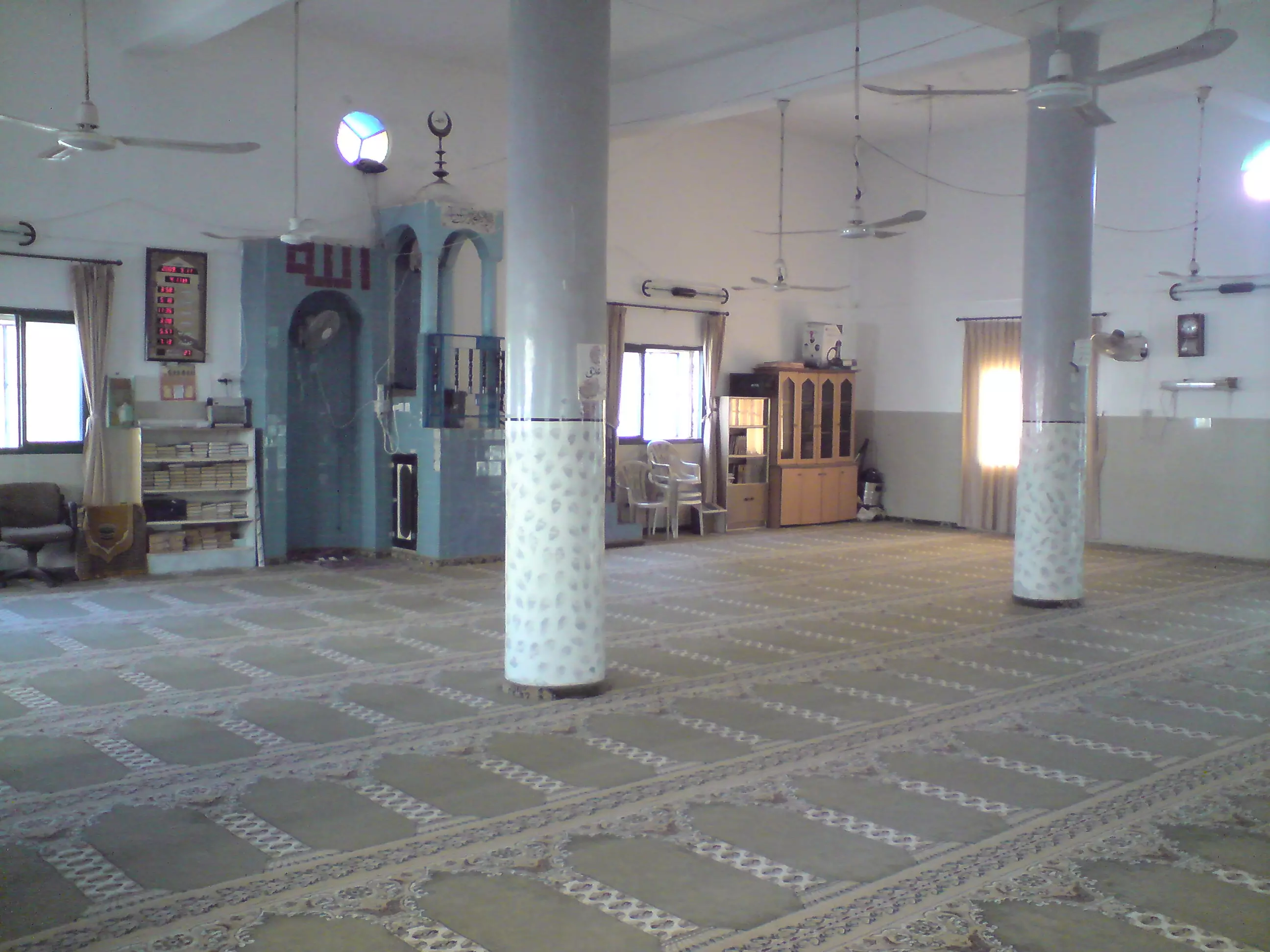
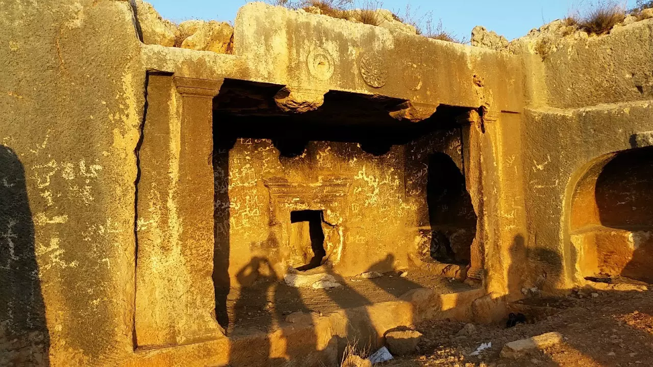
Posted by معتز عبد الرحمن (MAWM) - صورة لمسجد بروقين القديم من الخارج MAWM
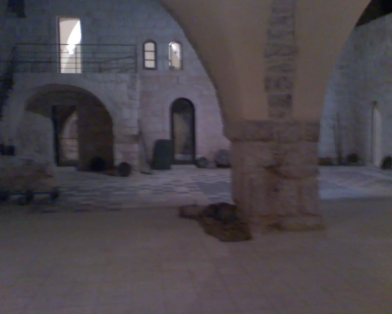
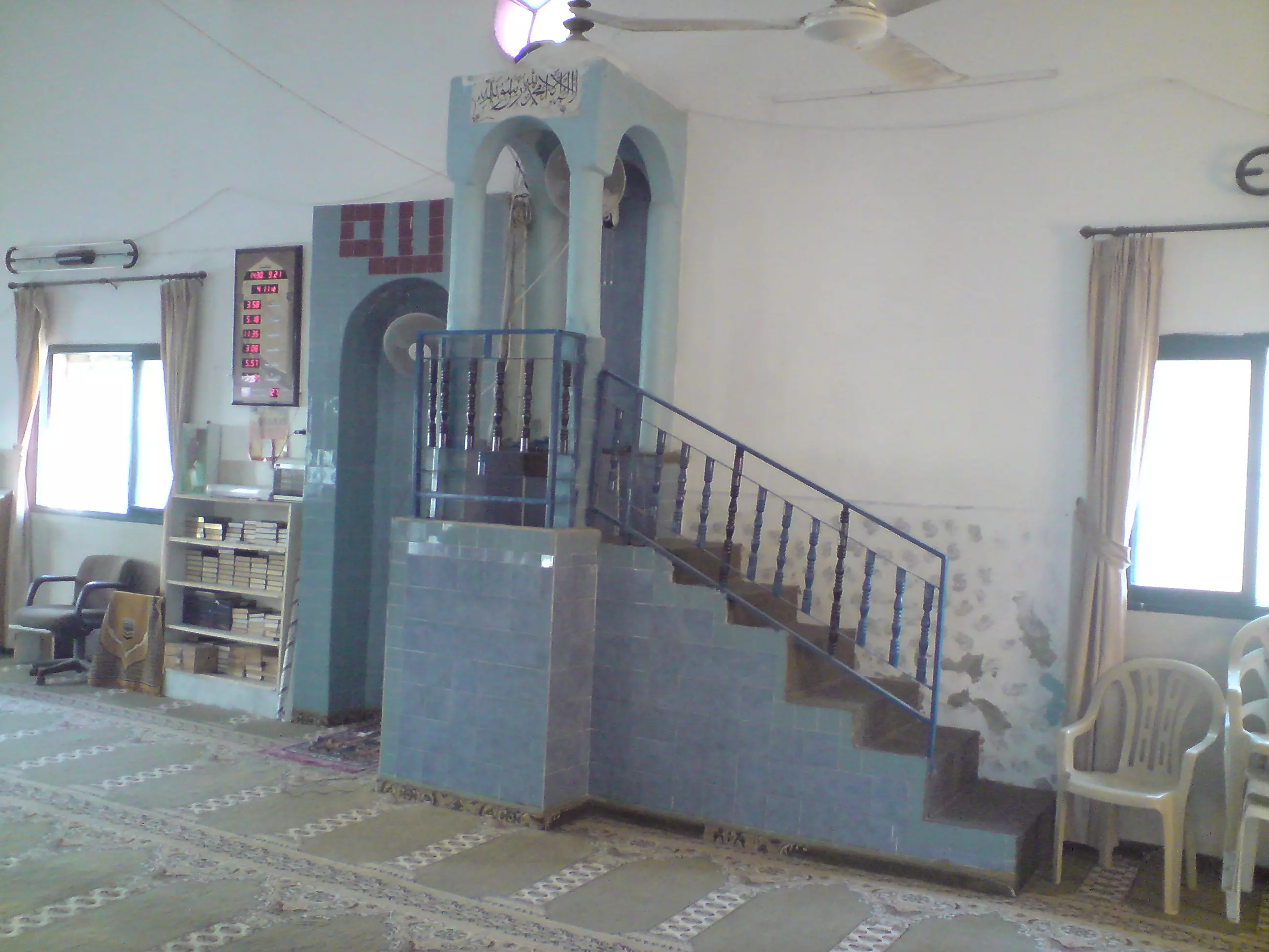
Posted by معتز عبد الرحمن (MAWM) 2 - صورة لمسجد بروقين القديم من الداخل MAWM
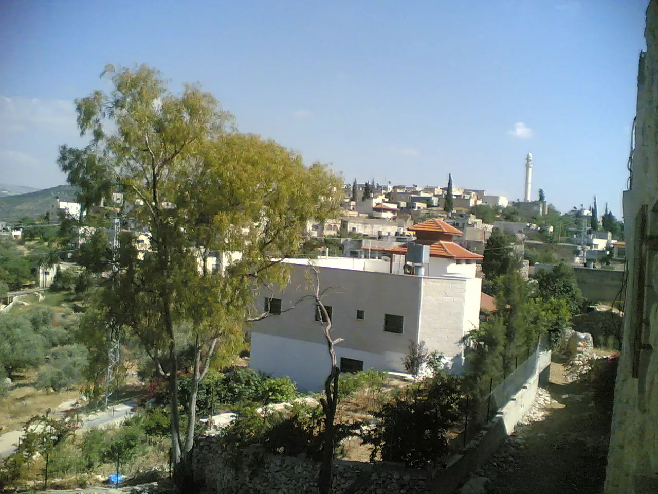
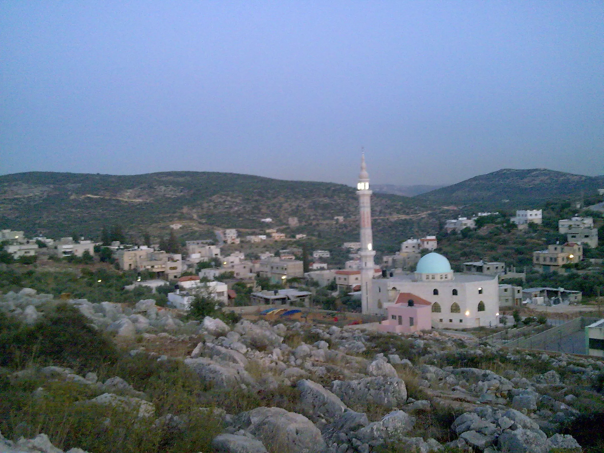
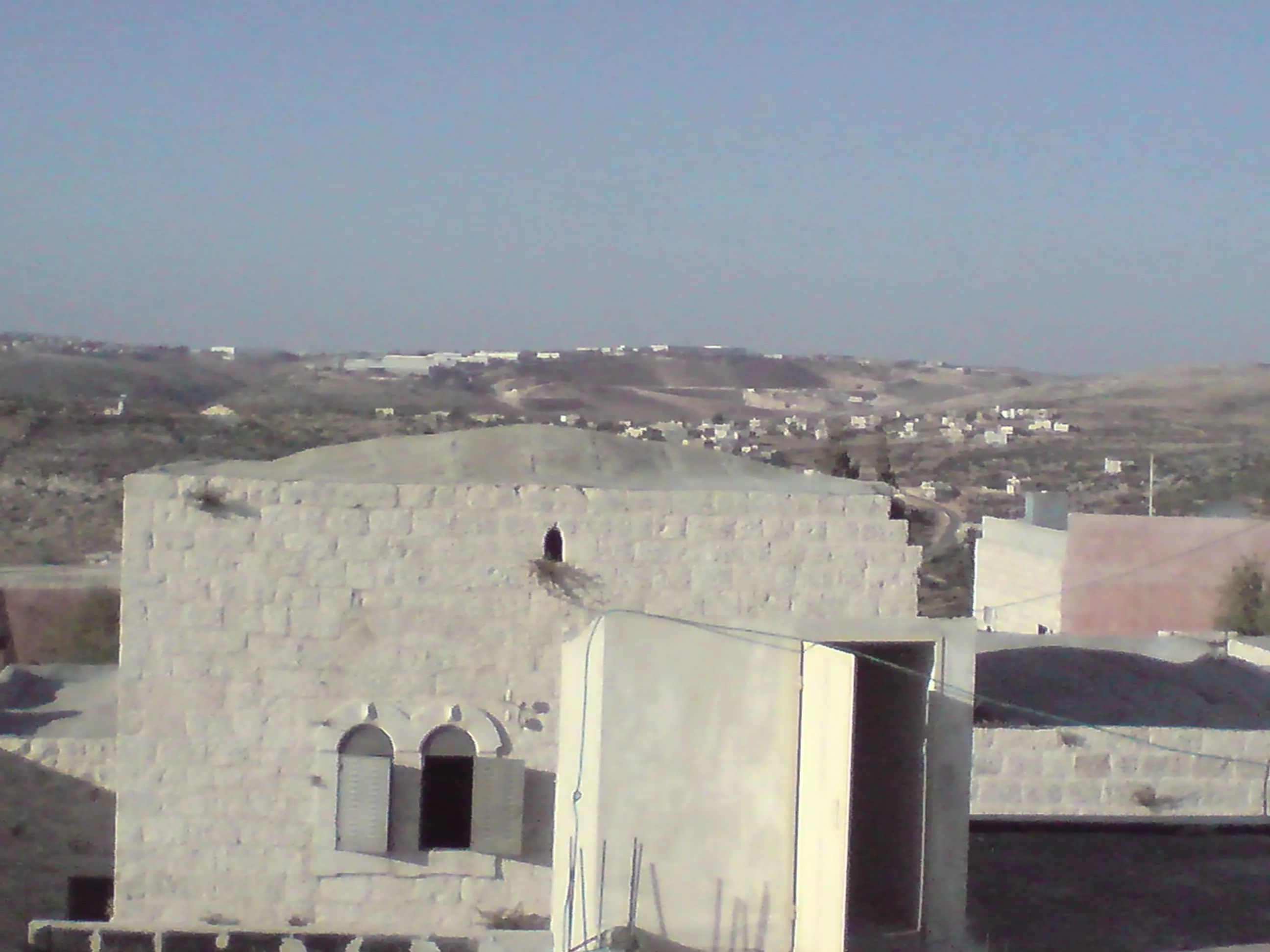
Posted by معتز عبد الرحمن (MAWM) 2 - صورة من منزل الحاج عطا عبد الرحمن تبين البلد و مأذنة المسجد MAWM
Posted by معتز عبد الرحمن (MAWM) 3 - صورة لمنزل تم ترميمه في البلده يدعى (دار على العبد الله)MAWM
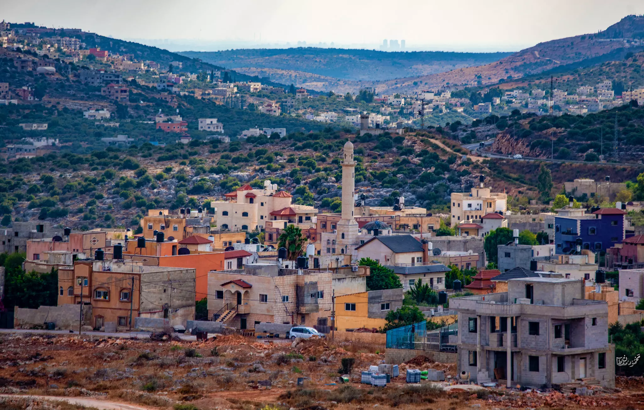
Posted by معتز عبد الرحمن (MAWM) 9 - صورة جديدة لجزء من البلاطة والبلد والنقارة........ تصوير ورفع محمد عصام حسني بركات
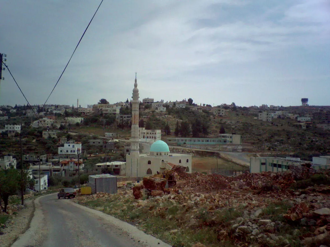
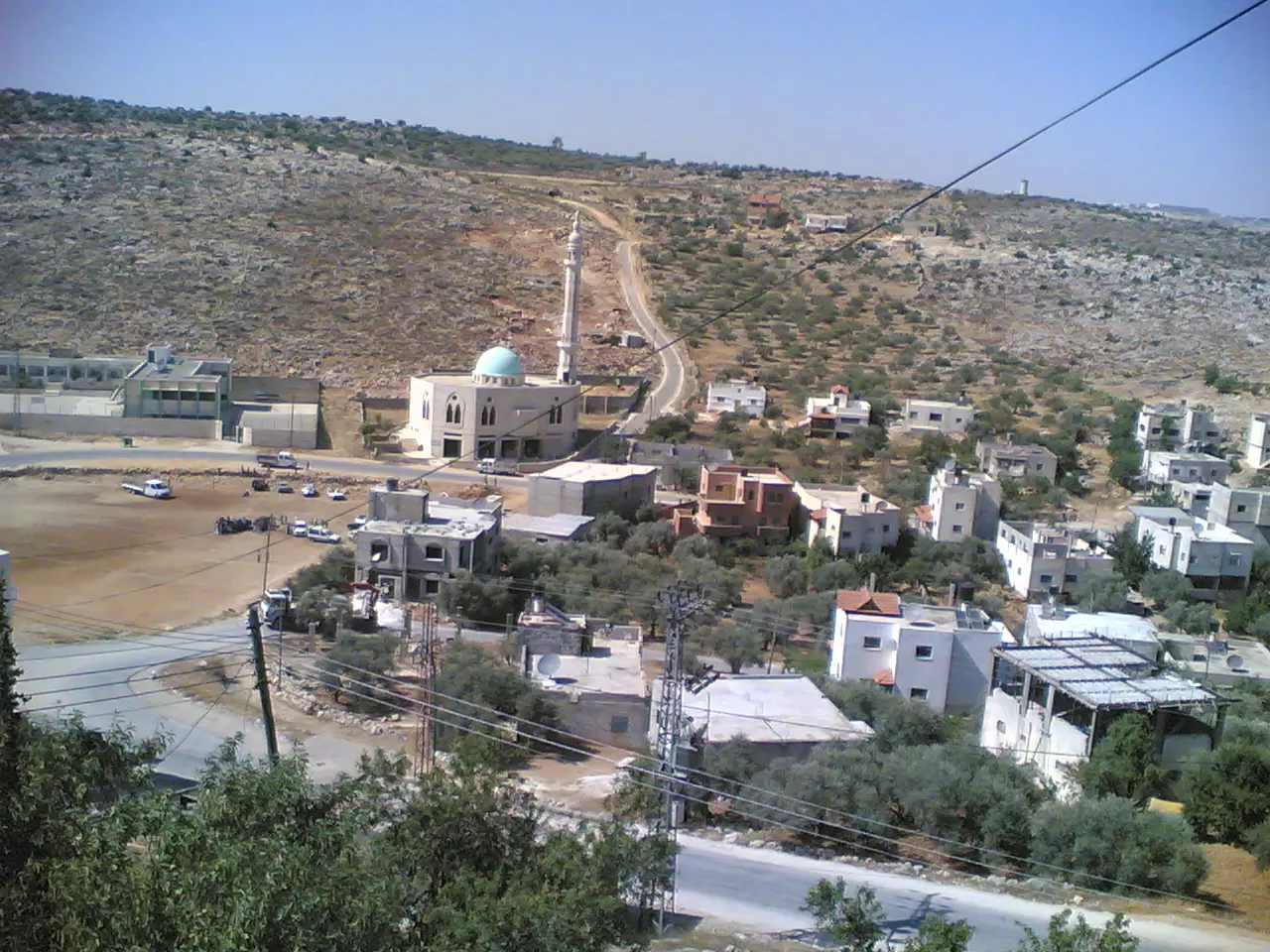
Posted by محمد عصام حسني بركات 2 - المسجد الجديد وملعب كرة القدم ومدرسة الذكور الاساسية.... تصوير ورفع محمد عصام حسني بركات
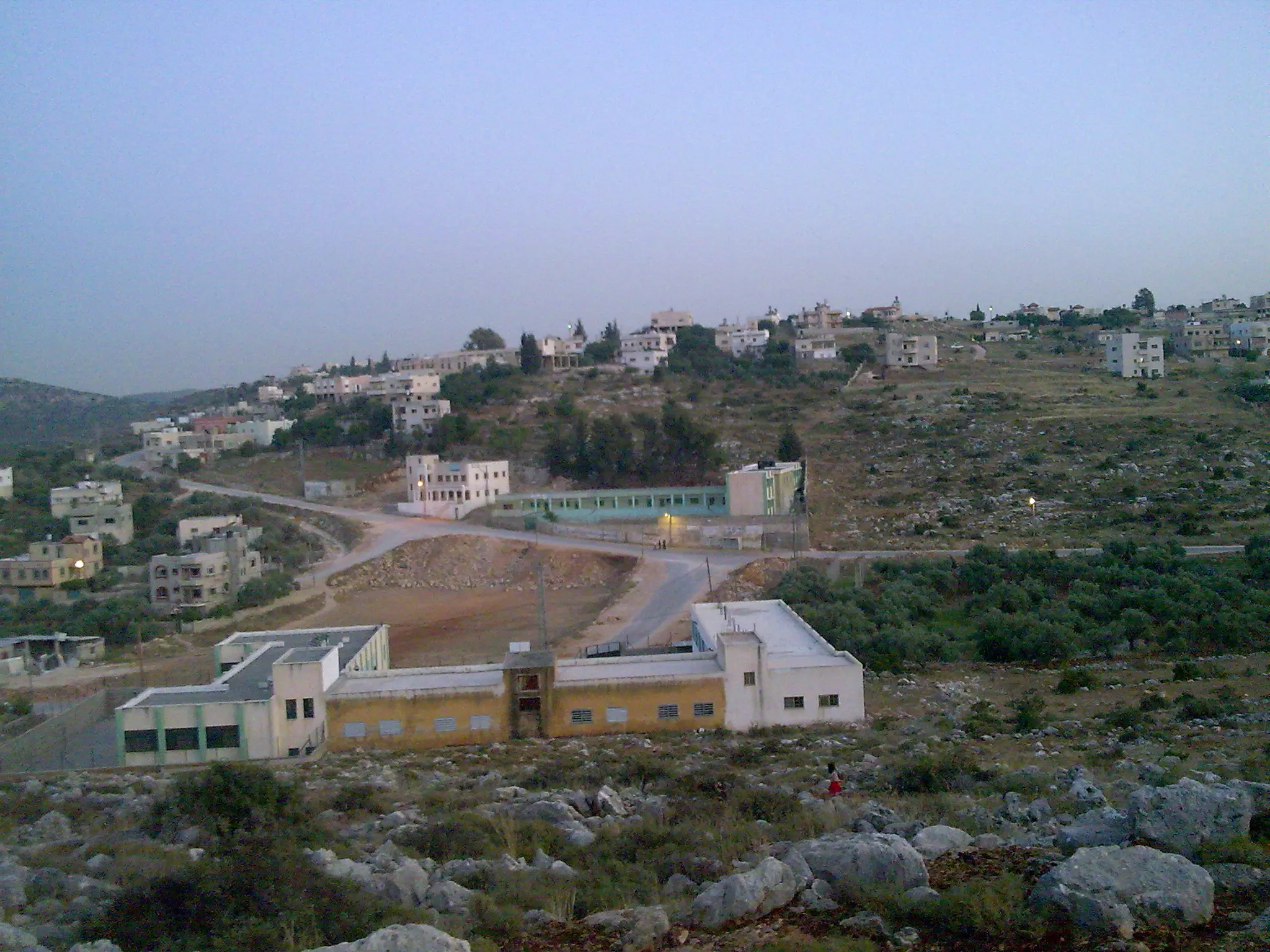
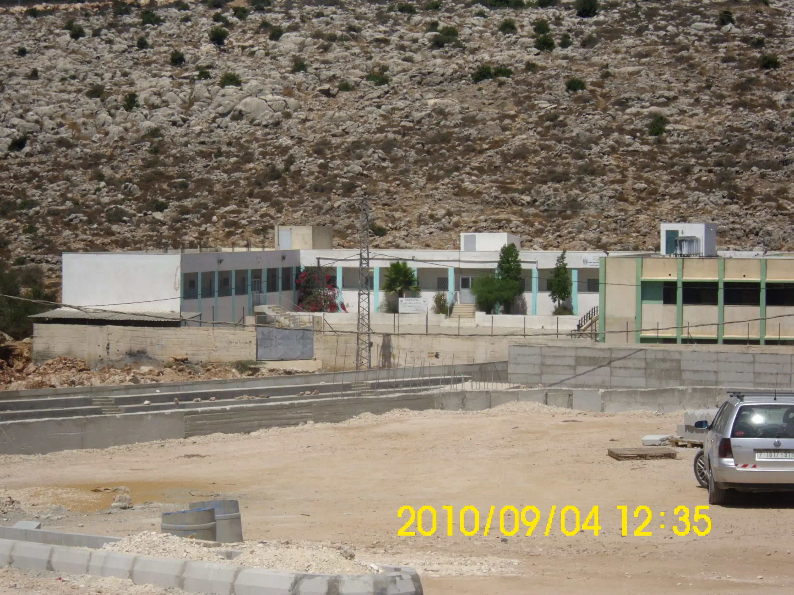
Posted by محمد عصام حسني بركات 4 - صورة من خلف المدرسة الاساسية تبين البلدية والمدرسة الثانوية MAWM
Posted by معتز عبد الرحمن (MAWM) 2 - صورة تبين حارة الهيره حارة النقارة وتبين الحاووز MAWM
Posted by معتز عبد الرحمن (MAWM) 2 - صورة تبين حارة البلاطة ومسجد بروقين الجديد MAWM
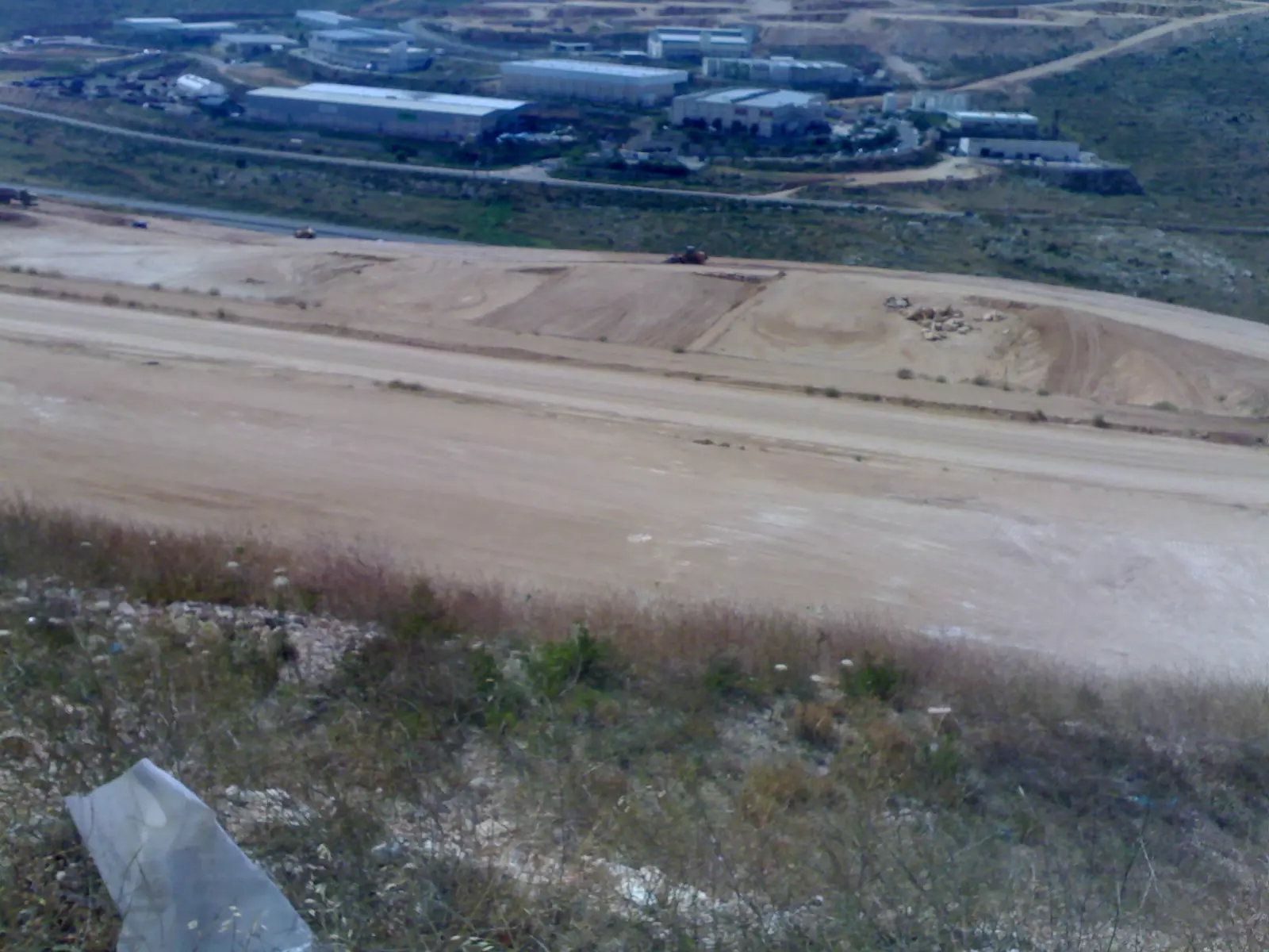
Posted by معتز عبد الرحمن (MAWM) 2 - صوره لاراضي بروقين المغتصبه التي اقيم عليها مصانع اسرائيليه بالقرب من نقطة الماء قديما MAWM
Posted by معتز عبد الرحمن (MAWM) 1 - ((صورة لخط عابر السامره مع نهاية حارة البقعان في بروقين )) MAWM
Posted by معتز عبد الرحمن (MAWM) - صورة جميله للقريه MAWM
Posted by معتز عبد الرحمن (MAWM) - من اجمل الصور العين رأتها الرائعة والجميلة لها اسم تاني عند اهل بروقين وهو ((خربة كركش )) MAWM
Posted by معتز عبد الرحمن (MAWM) 1 - البقعان
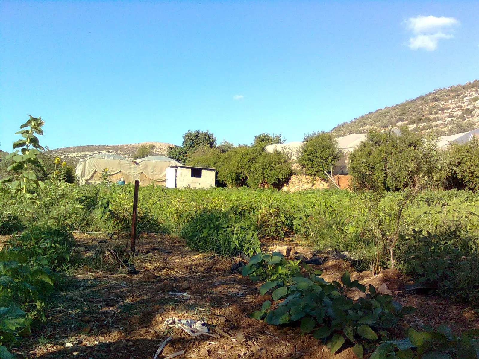
Posted by معتز عبد الرحمن (MAWM) - صور المزروعات في منطقة تسمى (المطوي)
Posted by معتز عبد الرحمن (MAWM) 1 - البيوت البلاستيكية على المطوي
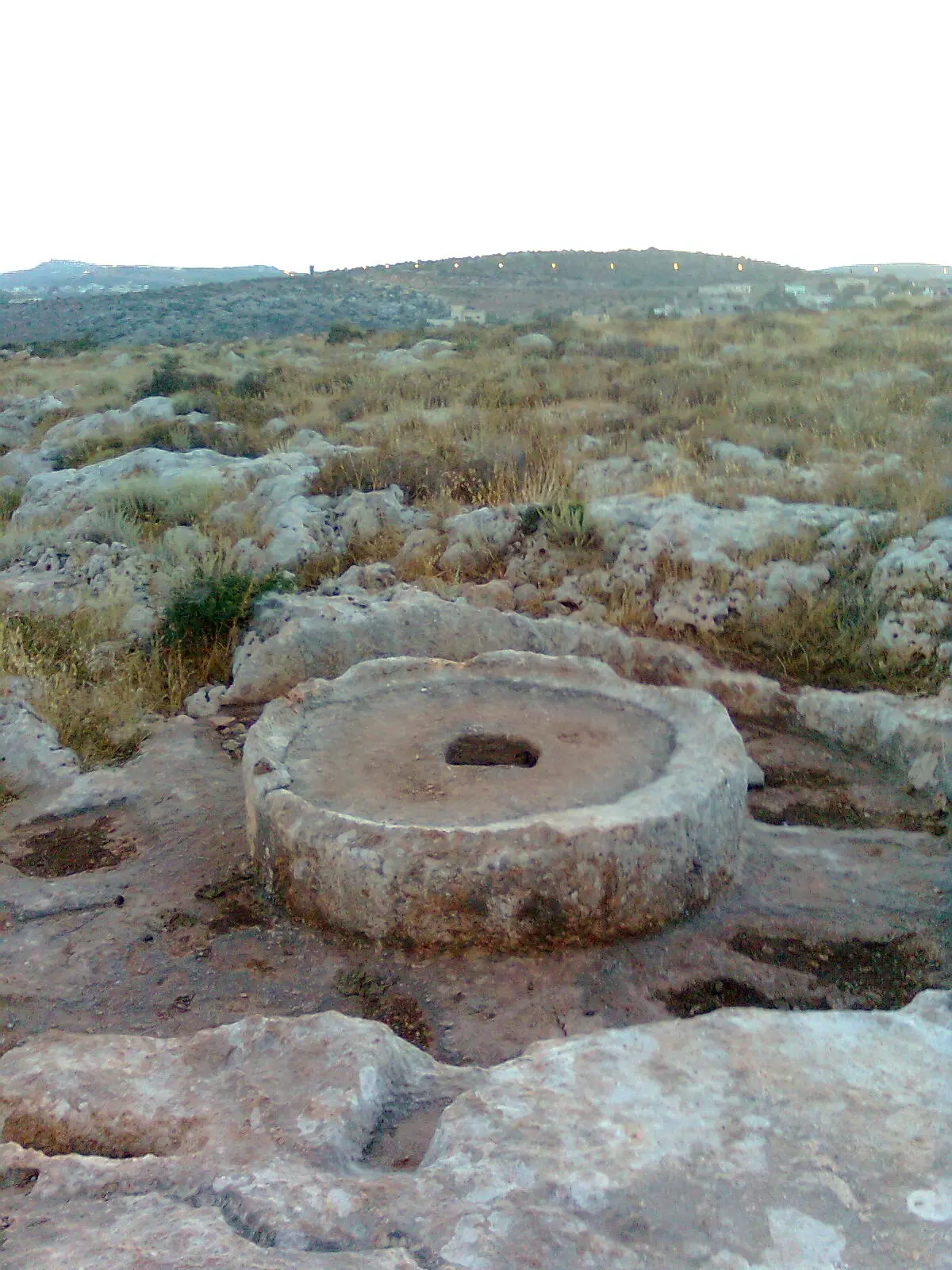
Posted by معتز عبد الرحمن (MAWM) - احدى الاثارات في منطقة لبقعان
Posted by معتز عبد الرحمن (MAWM) 1 - اشجار الزيتون بمنطقة تسمى (السحيله)
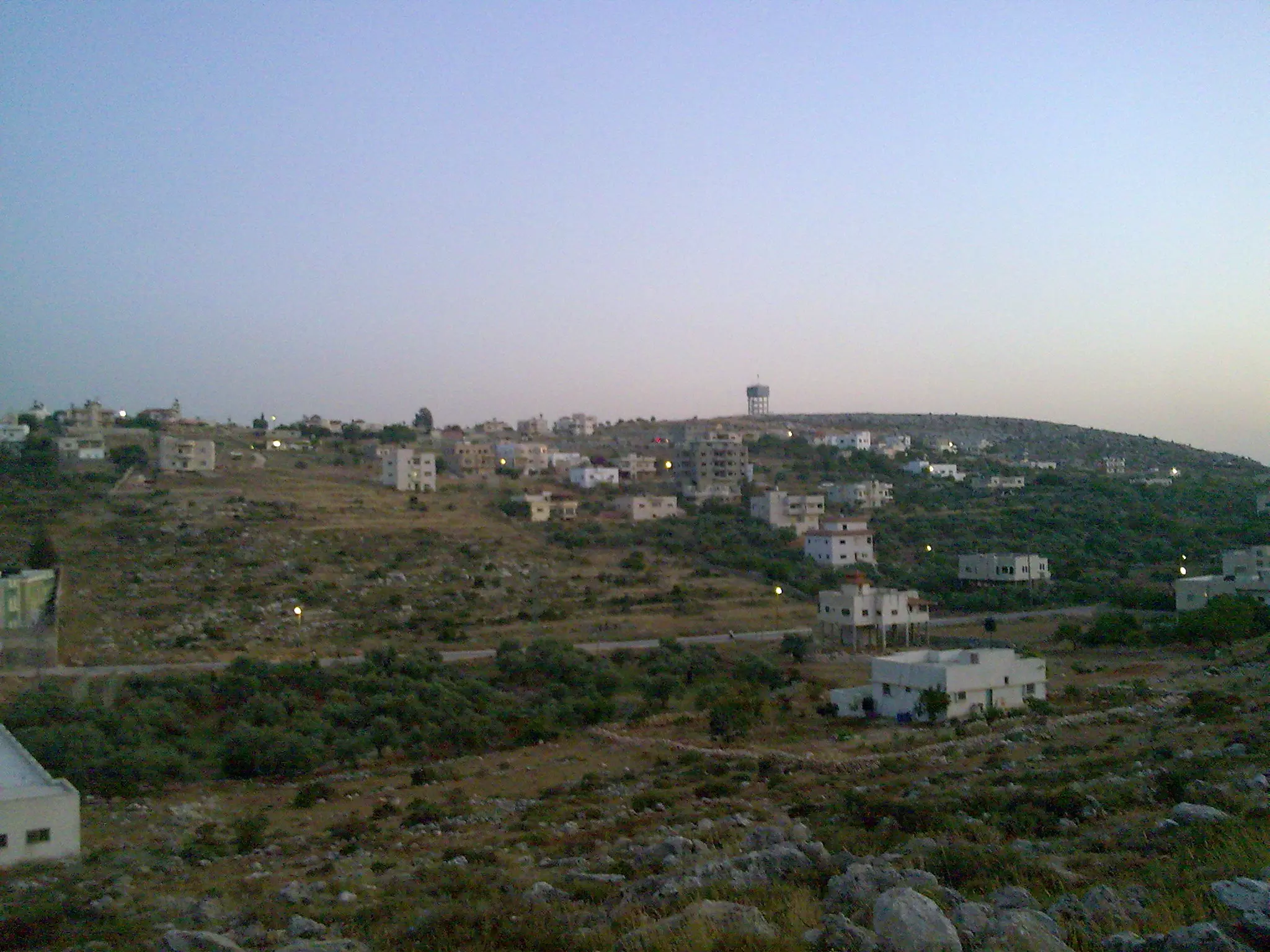
Posted by معتز عبد الرحمن (MAWM) 1 - صورة تبين البلد والحاووز من مسافه بعيده MAWM
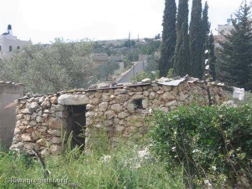
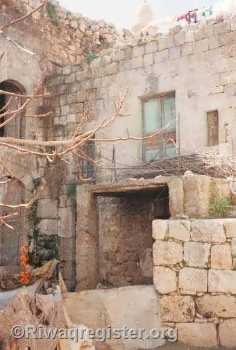
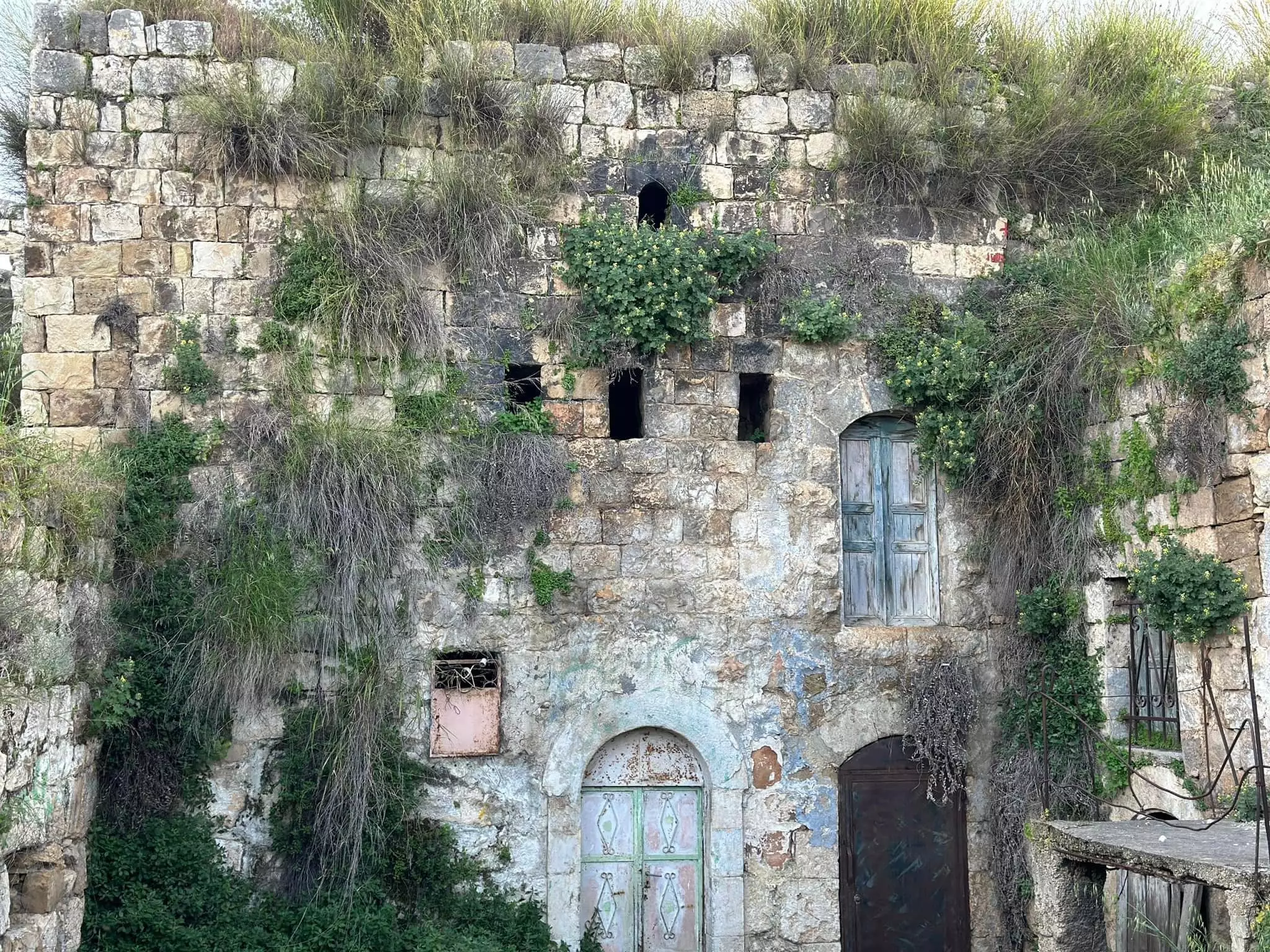
Posted by معتز عبد الرحمن (MAWM) 1 - معلم من البلده القديمة ( احدى البيت القديمه ) من رفع عمر عبد الجليل
Posted by ابو عبد الجليل 3 - صورة لحدى البيوت القديمة من القرية من رفع عمر عبد الجليل
Posted by ابو عبد الجليل - صورة لبيت قديمكان لابناء عبد الجليل ضمن بيت اليسفي من البلدة من رفع عمر عبد الجليل
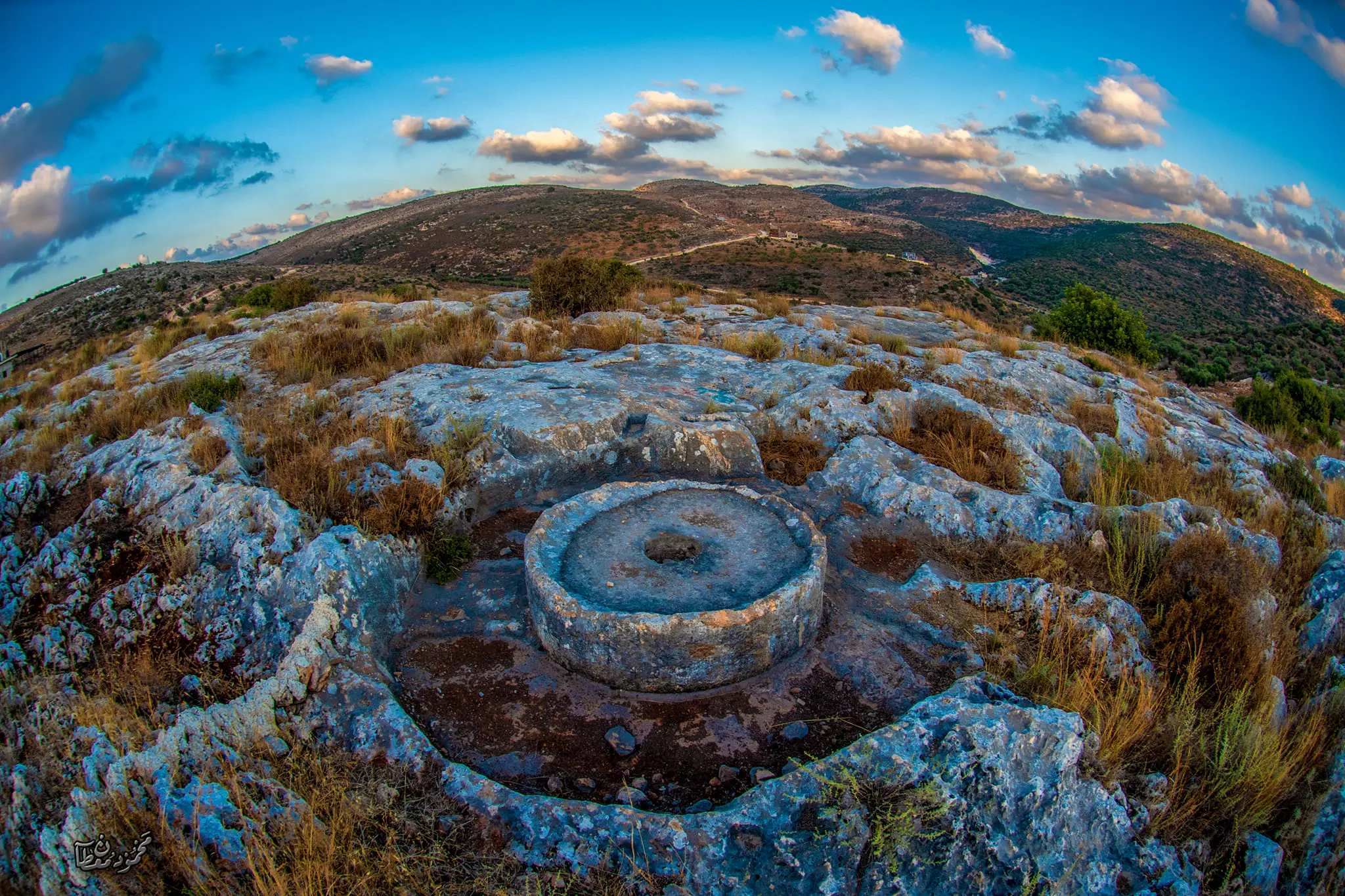
Posted by ابو عبد الجليل - صوره لمعصرة الزيت معصرة عبد الجليل محمد من رفع عمر عبد الجليل
Posted by ابو عبد الجليل - صقفية حيسن عبد الجيل عبد الرحمن او ما تعرف صقيفة امة الذيب من رفع عمر عبد الجليل
Posted by ابو عبد الجليل - منزل طالب سعيد عبد الرحمن من رفع عمر عبد الجليل
Posted by ابو عبد الجليل - صورة لبيت مهجور يعود لعبد العزيز محمد حسي من رفع عمر عبد الجليل
Posted by ابو عبد الجليل 1 - صورة لبيت قديم يعود الى محمود عبد الجليل من رفع عمر عبد الجليل
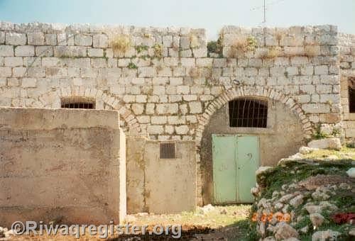
Posted by ابو عبد الجليل - صورة لبيت قديم مستغل يعود الى الحاج عطا احمد عبد الرحمنمن رفع عمر عبد الجليل
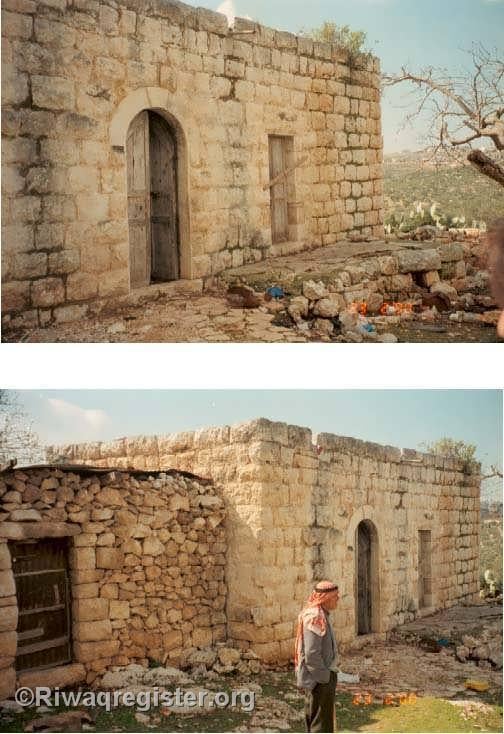
Posted by ابو عبد الجليل 6 - صور لبيت قديم مستغل يعود الى داوود حمد عبد الله من رفع عمر عبد الجليل
Posted by ابو عبد الجليل - صورة لصقيفة ابراهيم عبد الجليل من رفع عمر عبد الجليل
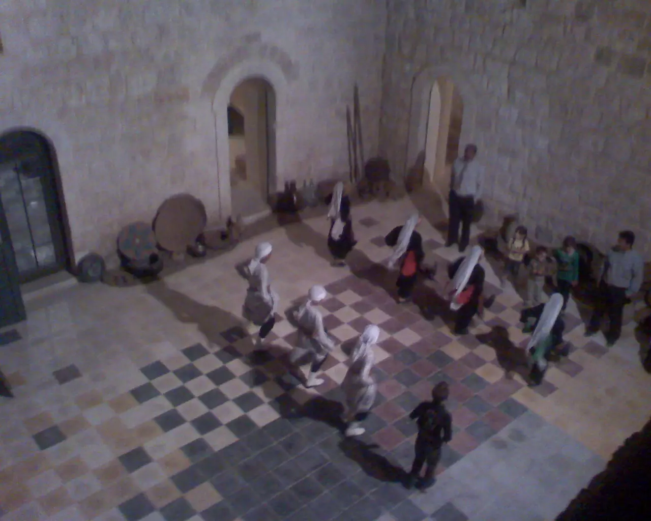
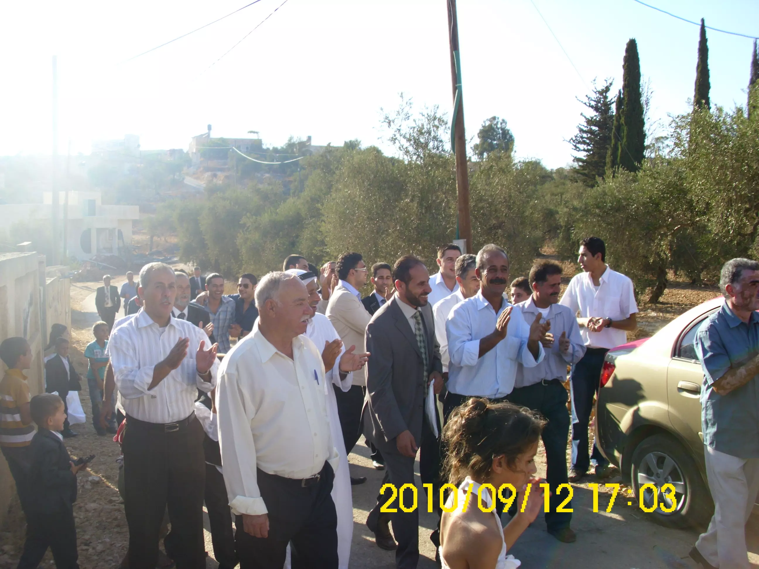
Posted by ابو عبد الجليل - سهرة عرس تراثي اصيل احياها ابو بسام الجلماوي واولاده نعمان وعصام في ساحة مدرسة ذكور بروقين الاساسية
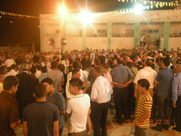
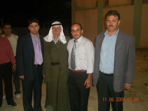
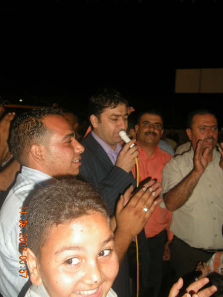
Posted by محمد عصام حسني بركات - صورة العريس المهندس حسني عصام حسني بركات مع الجلماوية
Posted by محمد عصام حسني بركات - جانب من سهرة عرس حسني عصام حسني بركات التي احياهها الجلماوية
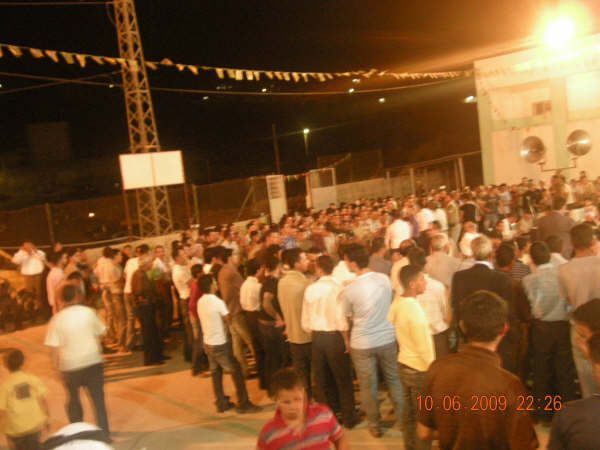
Posted by محمد عصام حسني بركات - صورة الفنان نعمان الجلماوي يغني في عرس حسني عصام بركات.
Posted by محمد عصام حسني بركات 2 - تصوير لحارة النقاره عن سطح المسجد القديم MAWM
Posted by معتز عبد الرحمن (MAWM) 2 - تصوير للمسجد القديم من الخلف MAWM
Posted by معتز عبد الرحمن (MAWM) - صورة للمسجد ودار حمد MAWM
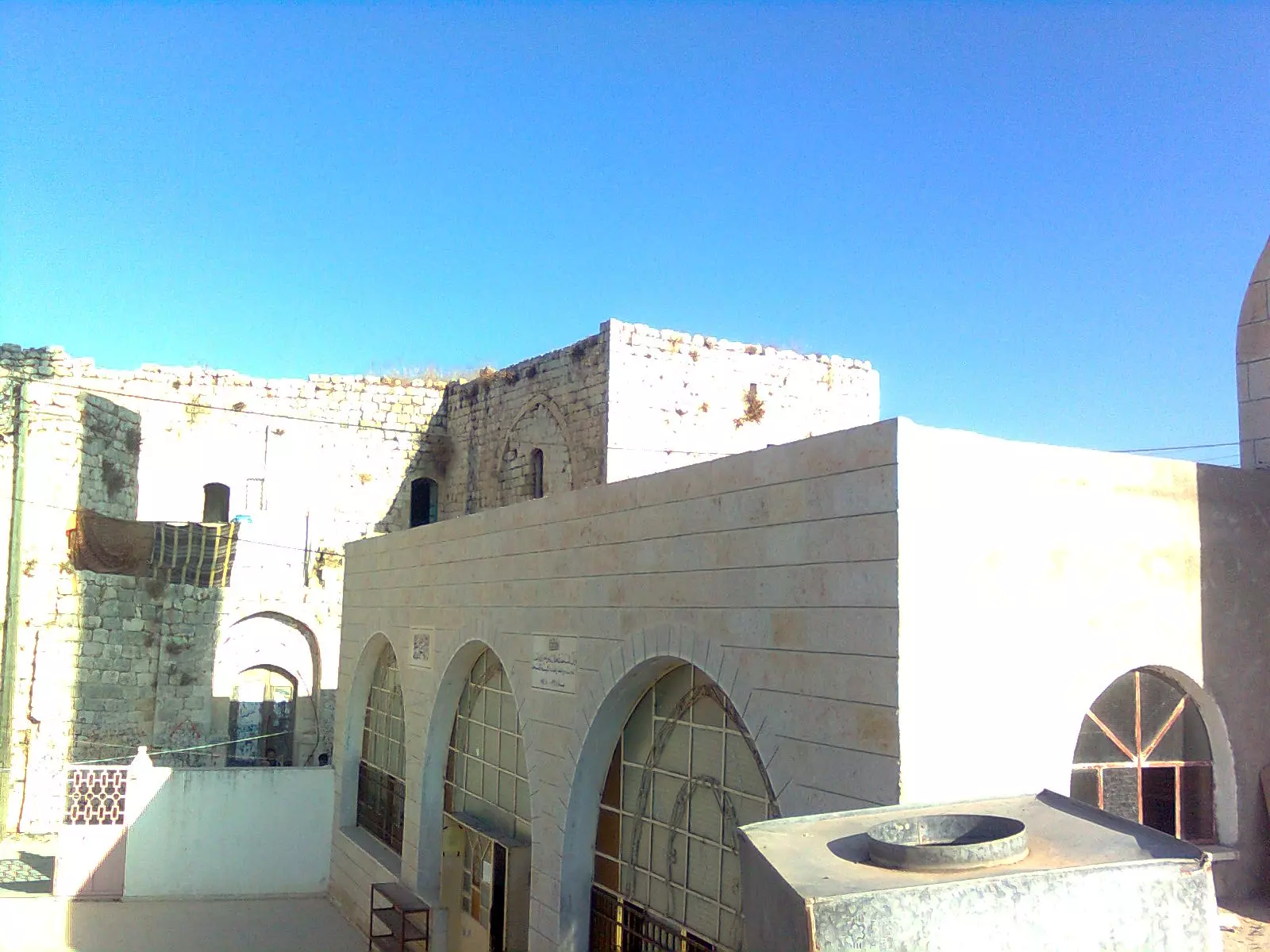
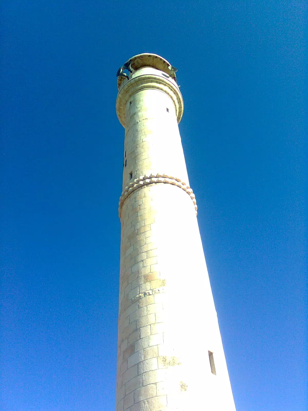
Posted by معتز عبد الرحمن (MAWM) - مأذنة مسجد بروقين القديمMAWM
Posted by معتز عبد الرحمن (MAWM) - 1
Posted by معتز عبد الرحمن (MAWM) - 2
Posted by معتز عبد الرحمن (MAWM) 1 - مسجد بروقين القديم من الداخلMAWM
Posted by معتز عبد الرحمن (MAWM) - صورة من فوق مأذنة مسجد بروقين القديم من تصوير عمر عبد الرحمن MAWM
Posted by معتز عبد الرحمن (MAWM) 3 - صورة عمر عبد الرحمن من فوق المأذنه و خلف جانب من البلده
Posted by ابو عبد الجليل 6 - صور للبلده القديمه من فوق المأذنه
Posted by ابو عبد الجليل - صوره من فوق المأذنة تبين حارات البقعان و الواد و البلده
Posted by ابو عبد الجليل - من فوق المأذنة صوره تبين البلده

Posted by ابو عبد الجليل - حارات النقاره و الجوره و جزء من الميدان و تبدو في الخلفيه مستعمرة اسرائيليه
Posted by ابو عبد الجليل - صورة مستعمرة بركان من فوق المأذنه
Posted by ابو عبد الجليل - صورة لمنبر مسجد بروقين القديم
Posted by ابو عبد الجليل - مضافة الجامع و هي مهجورة منذ زمن
Posted by ابو عبد الجليل - صوره لحارة الجوره من فوق المسجد
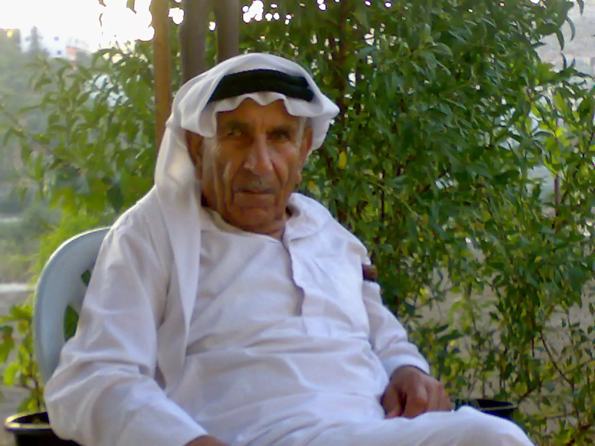
Posted by ابو عبد الجليل 1 - صورة المرحوم الحاج أحمد الحج
Posted by نضال حج 2 - صورة لوسط البلد.................... من تصوير ورفع محمد عصام حسني بركات
Posted by محمد عصام حسني بركات - عميد اسرى سلفيت الاسير البطل مصطفى عثمان الحاج

Posted by محمد الحاج 4 - معصرة الزيت الهاصة بابناء عبد الجليل من رقغ غمر غبد الجليل
Posted by ابو عبد الجليل - صورة لبئر ماء قديمة في منطقة البيرق من رفع عمر عبد الجليل
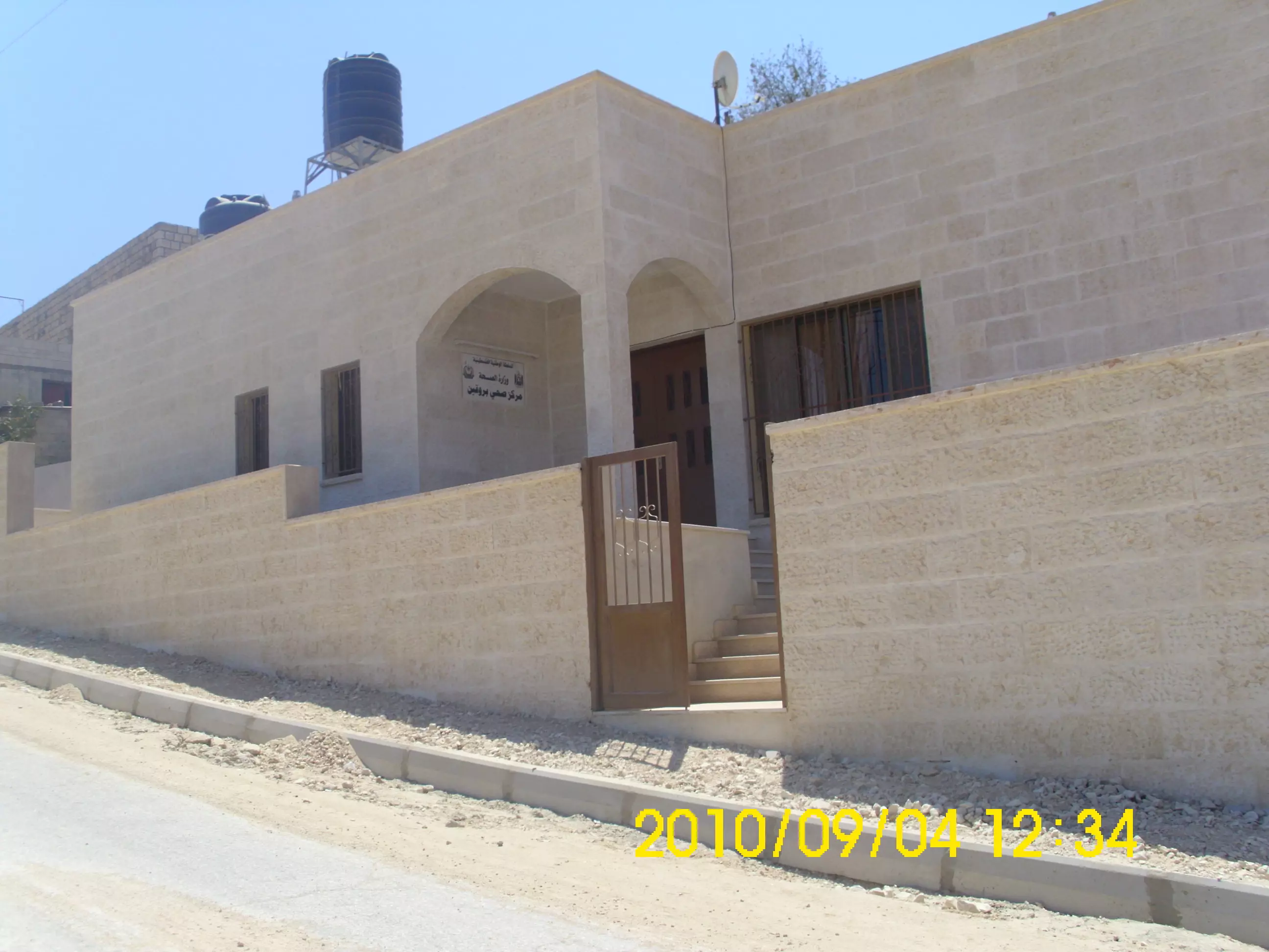
Posted by ابو عبد الجليل - صورة المركز الصحي الجديد من رفع عمر عبد اجليل
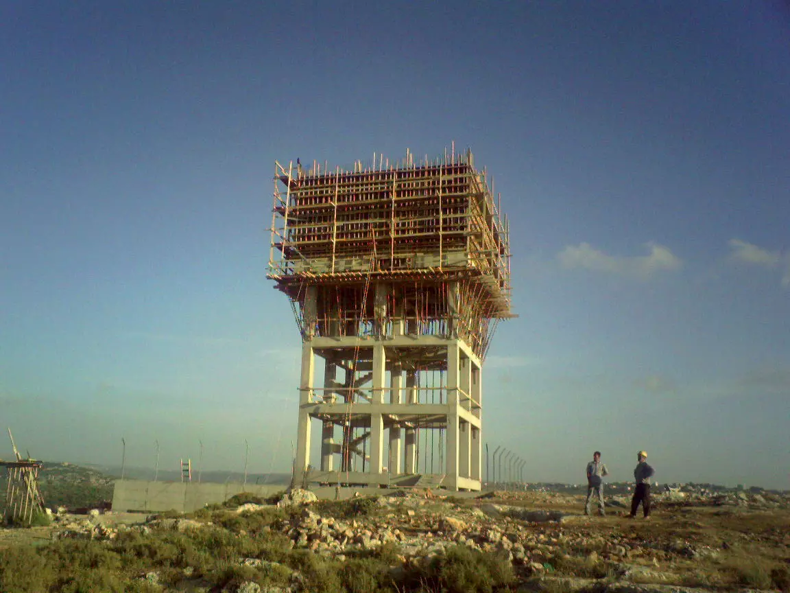
Posted by ابو عبد الجليل - صورة الملعب تحت الانشاء من رفع عمر عبد الجليل
Posted by ابو عبد الجليل - صورة من زفة معاذ عبد الجليل من رفع عمر عبد الجليل
Posted by ابو عبد الجليل - صورة من زواج معاذ عبد الجليل مع اقاربه من رفع عمر عبد الجليل
Posted by ابو عبد الجليل - صورة لحارة النقارة مدخل الى منطقة الهيرة من تصوير و رفع عمر عبد الجليل
Posted by ابو عبد الجليل - صورة من حارة النقارة لمنطقة الظهور و المغتصبة اليهوديه من تصوير و رفع عمر عبد الجليل
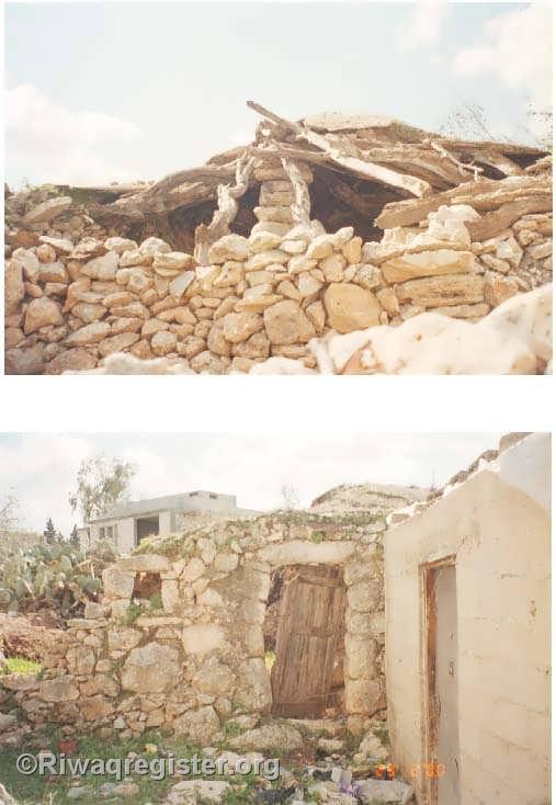
Posted by ابو عبد الجليل - صورة لانقاض سقيفة ابو عوده من تصوير ورفع عمر عبد الجليل
Posted by ابو عبد الجليل 1 - صورة لحارة المسمكة من تصوير و رفع عمر عبد الجليل
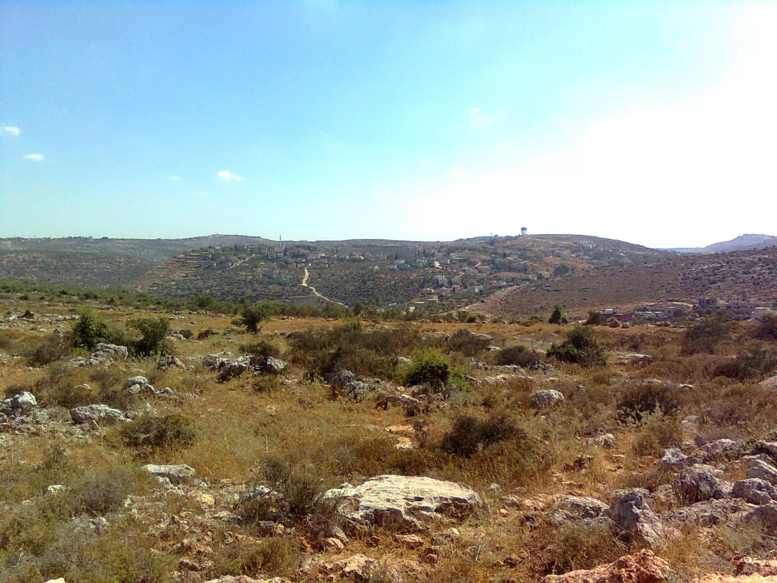
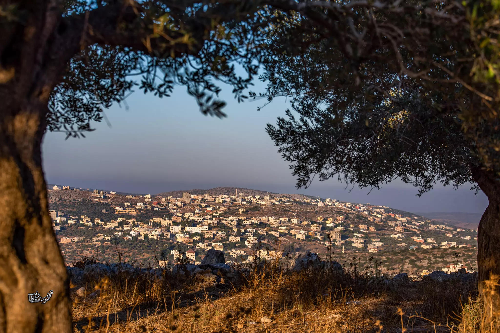
Posted by ابو عبد الجليل - صورة لقرية بروقين من قرية دير فسانة من تصوير ورفع عمر عبد الجليل
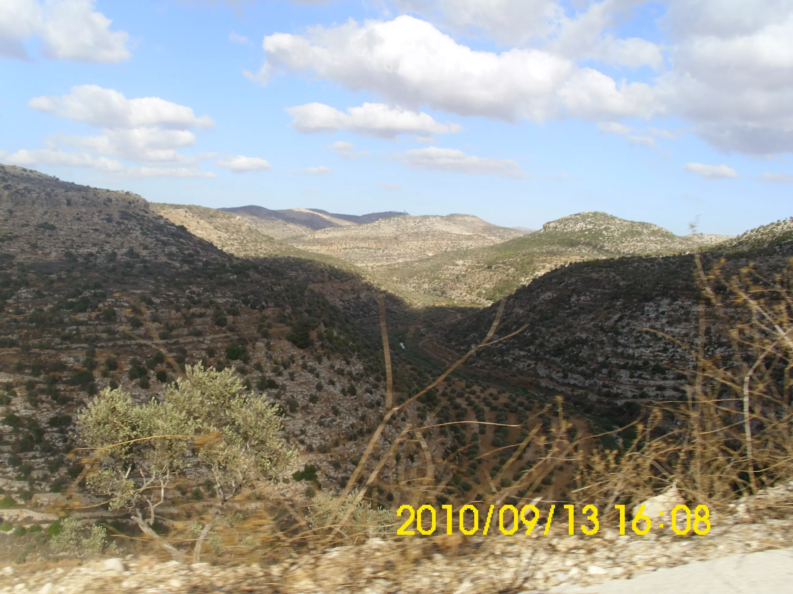
Posted by ابو عبد الجليل - صورة للطبيعة المحيطة بالقرية لجبال منطقة العلالي و وادي ماسطامن تصوير و رفع عمر عبد الجليل
Posted by ابو عبد الجليل - صورة الطمم المموجود بالنقارة من رفع عمر عبد الجليل
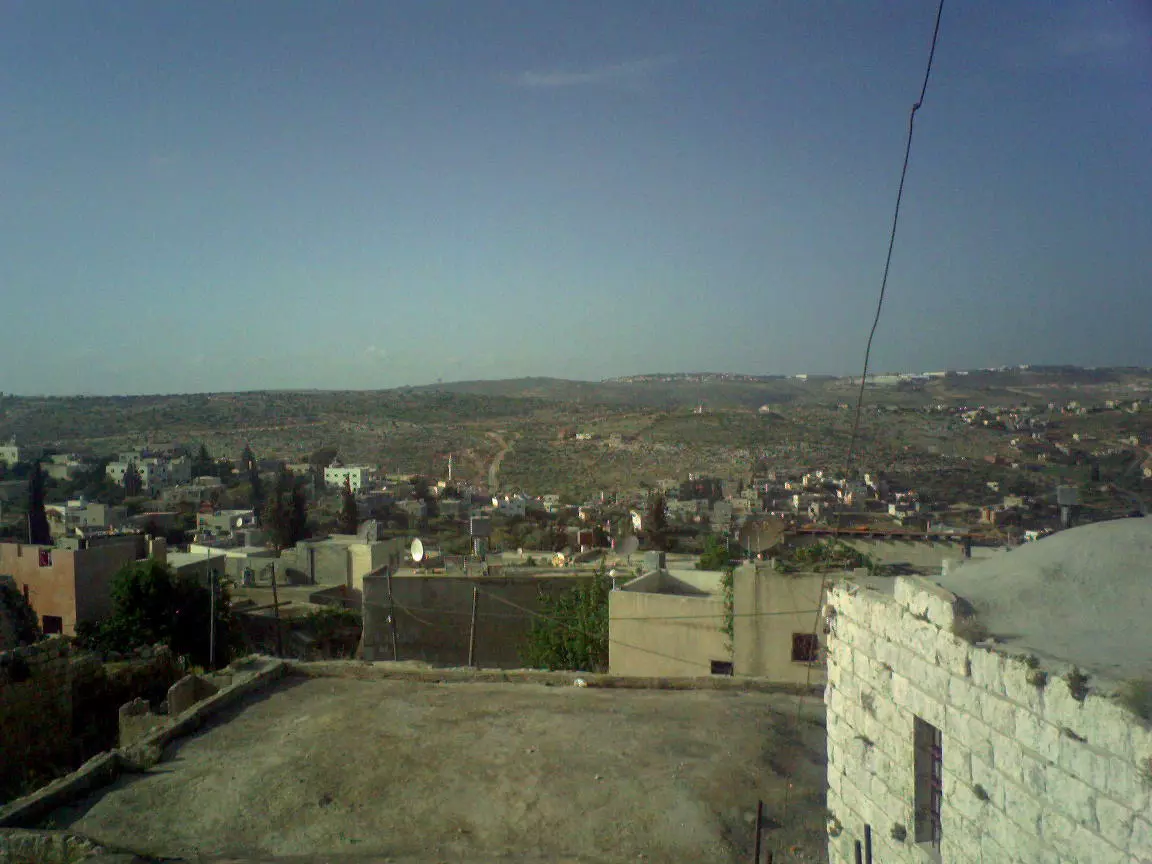
Posted by ابو عبد الجليل - اشراقة الصباح على منطقة وسط البلد من تصوير و رفع عمر عبد الجليل
Posted by ابو عبد الجليل - صورة لوسط البلد من رفع عمر عبد الجليل
Posted by ابو عبد الجليل - صورة لحارة النقارة من وسط البلد من رفع عمر الجليل
Posted by ابو عبد الجليل - صورة لحارة الجورة من تصوير ورفع عمر عبد الجليل
Posted by ابو عبد الجليل - صورة لمنطقة الشقفان و الطريق الواص بين بروقين و قراوة بني زيد من رفع عمر عبد الجليل
Posted by ابو عبد الجليل - صورة لحارة الجوره و جزء من البلده القديمة من رفع عمر عبد الجليل
Posted by ابو عبد الجليل - صورة من حارة النقاره لمنطقة الظهور و المعسكر الاحتلالي من رفع عمر عبد الجليل
Posted by ابو عبد الجليل - منطة التعمير م تظهر بالخلفية قرية دير غسانة من رفع عمر عبد الجليل
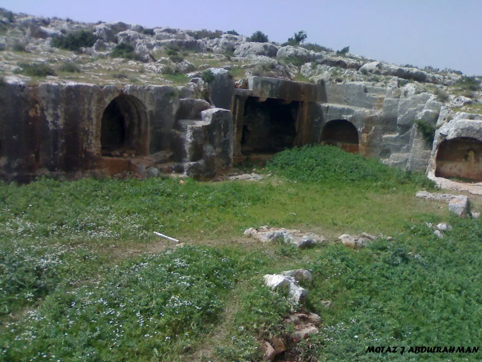
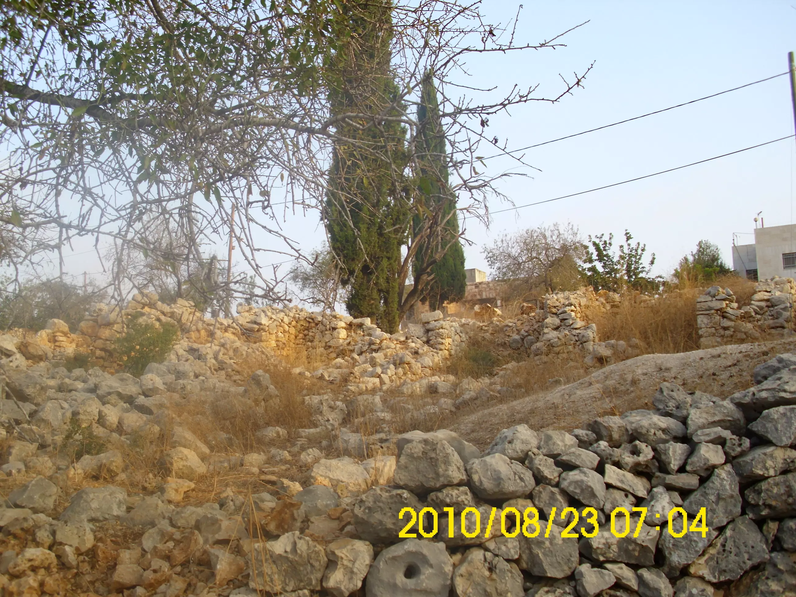
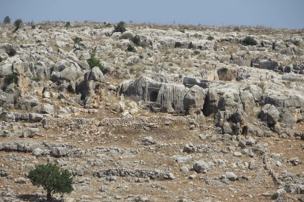
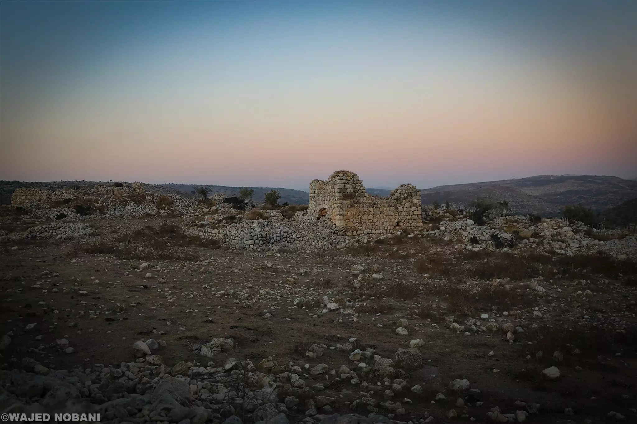
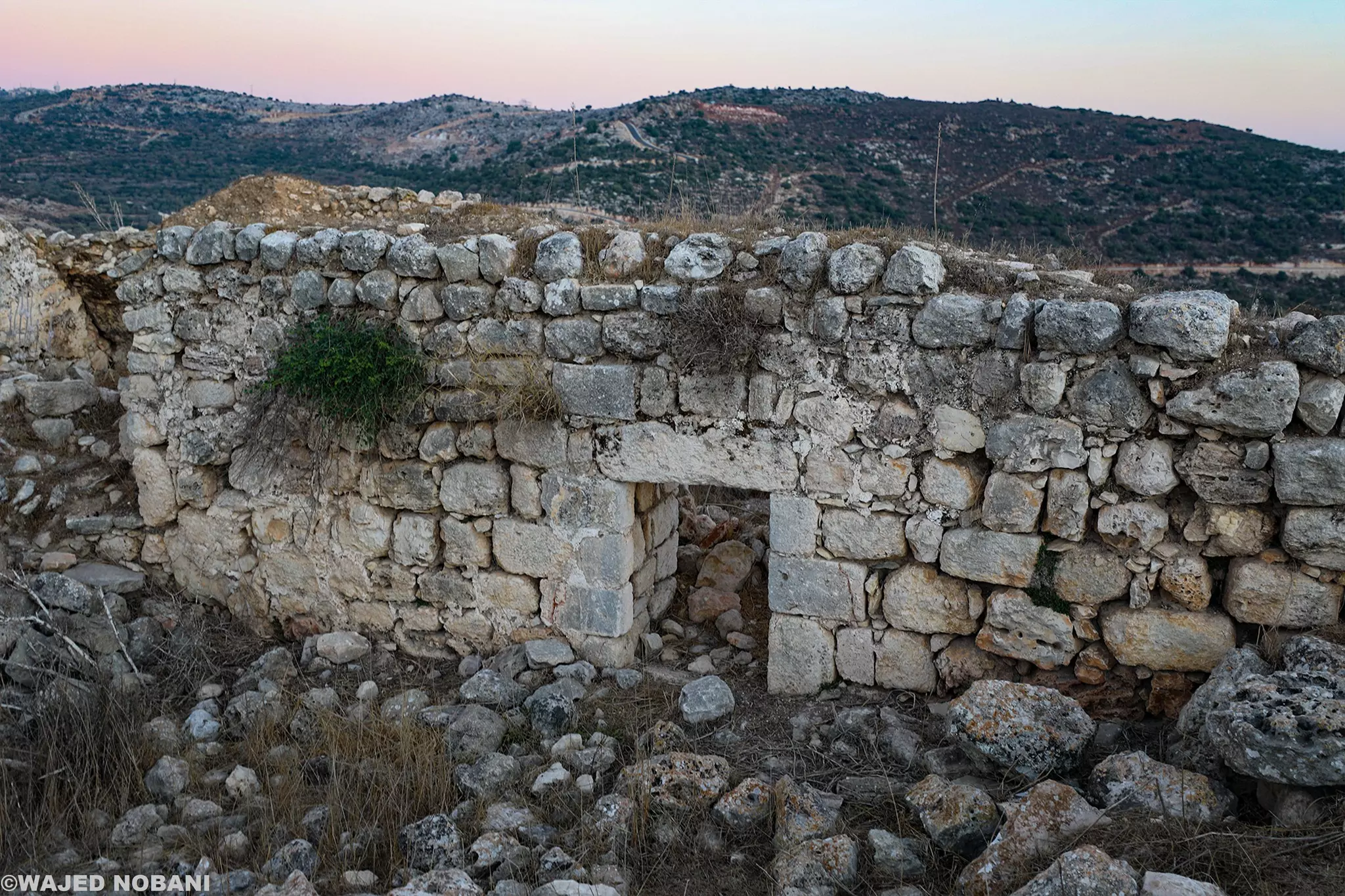
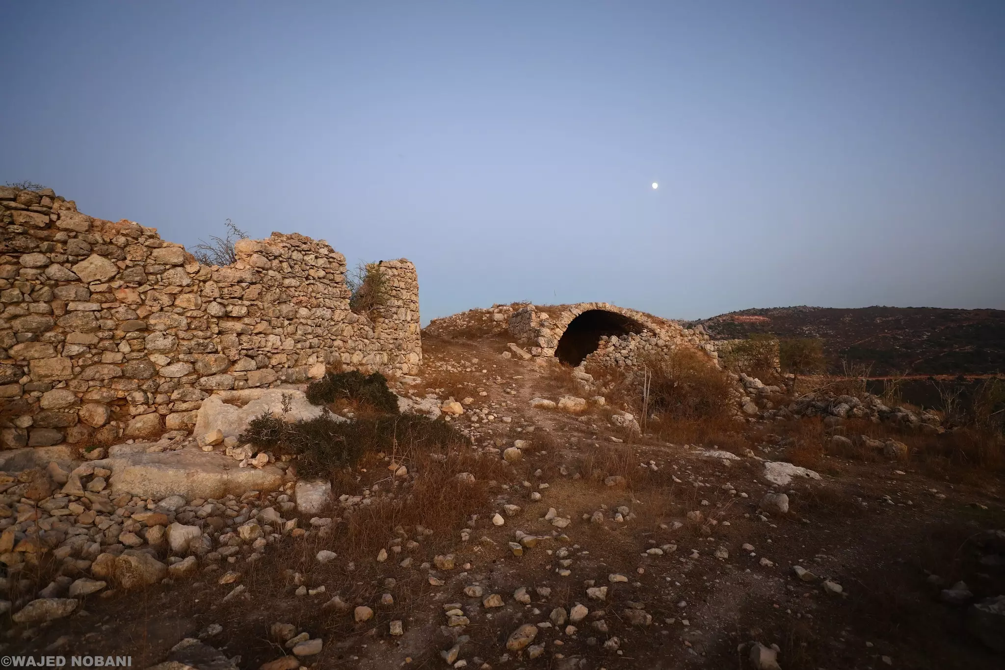
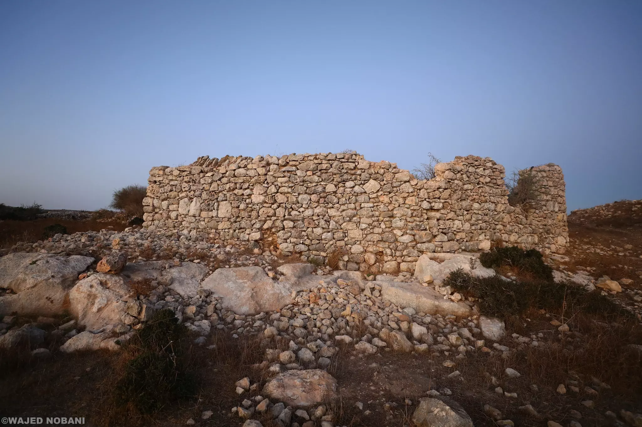
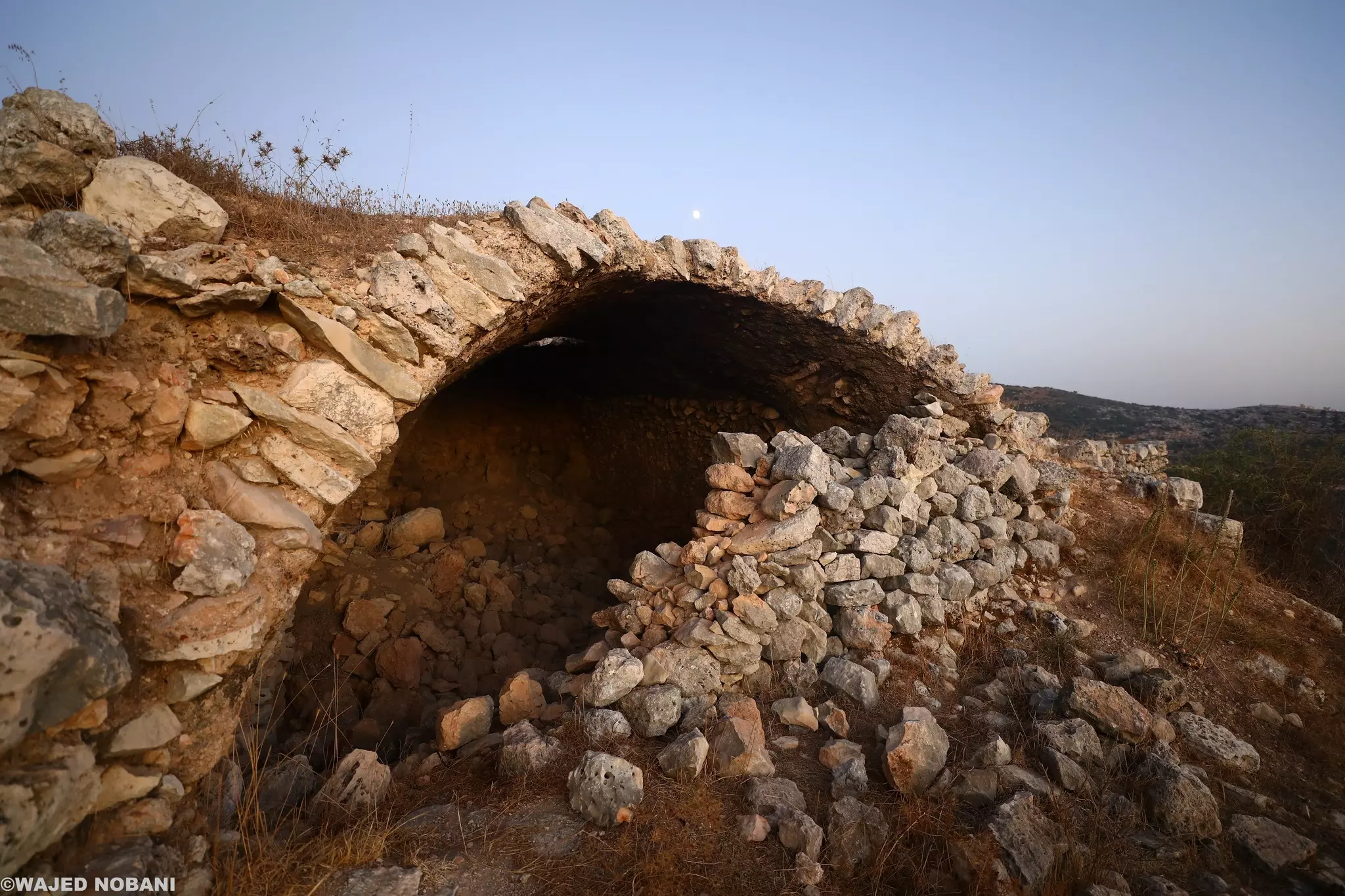
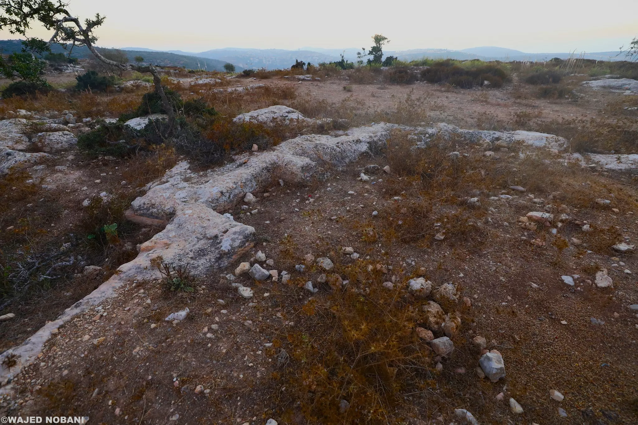
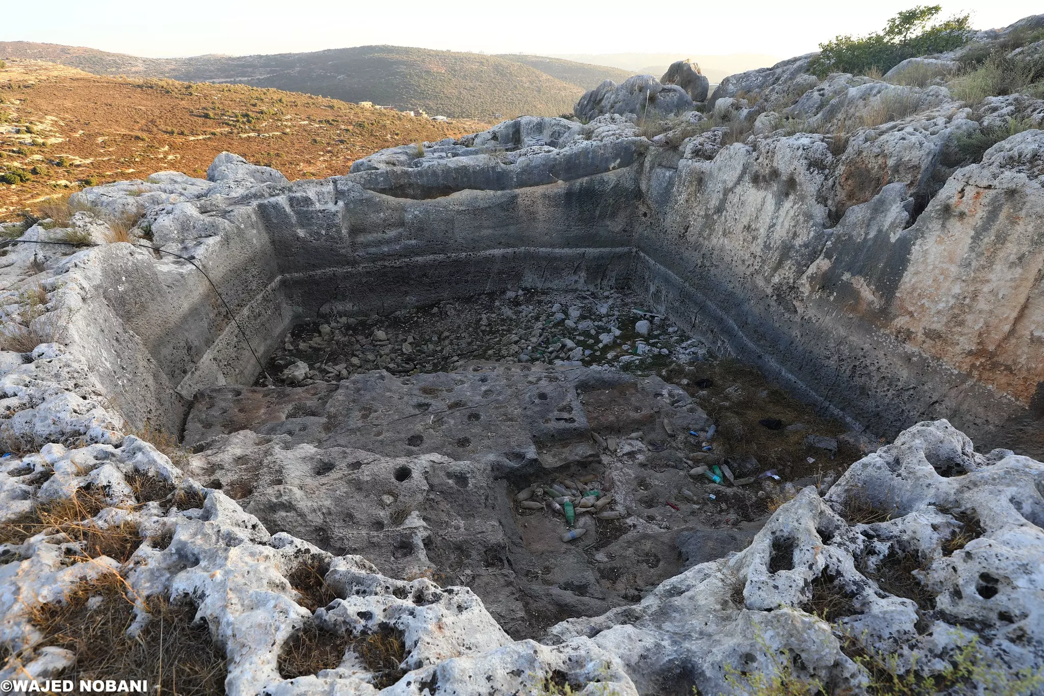
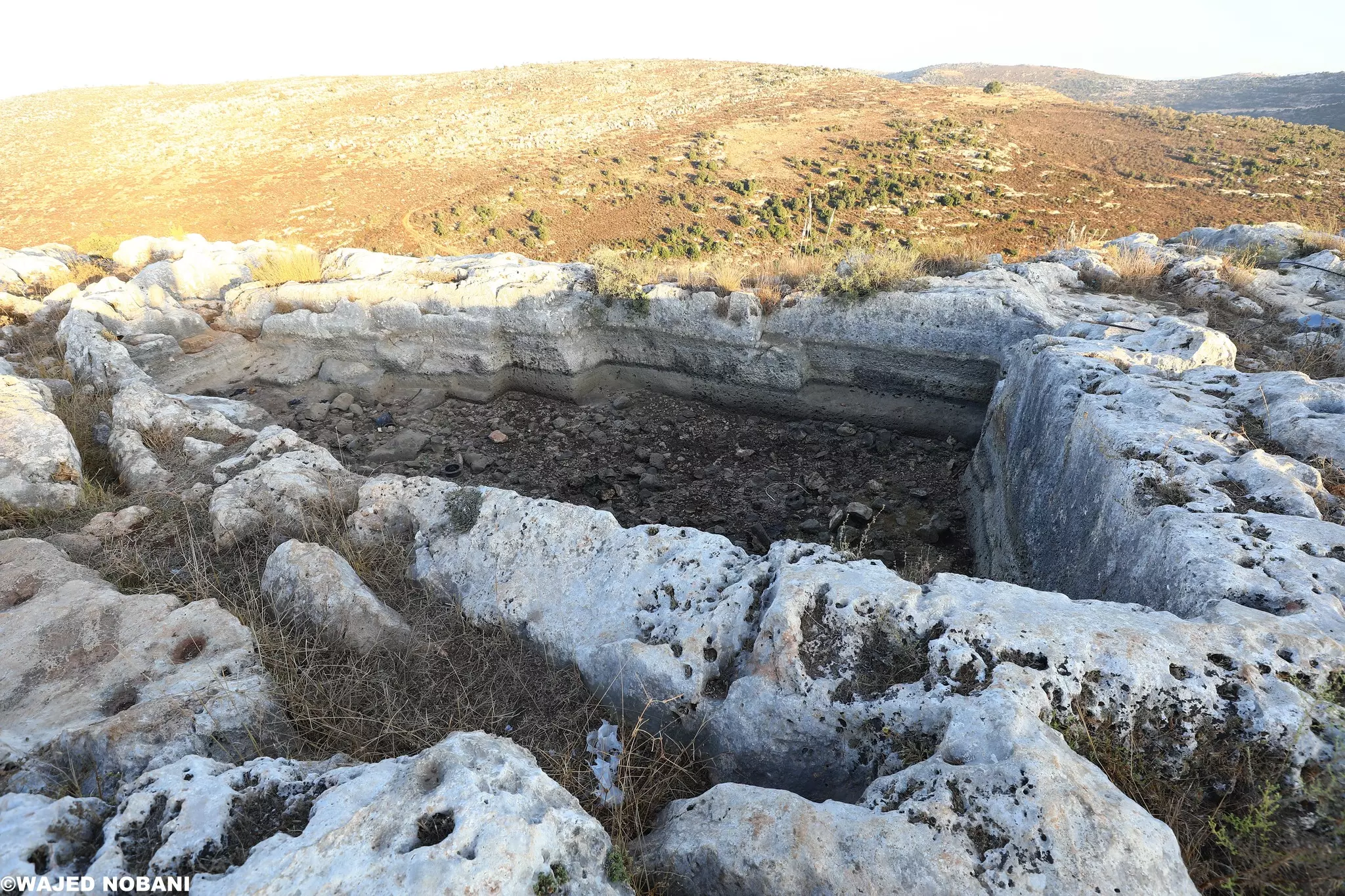
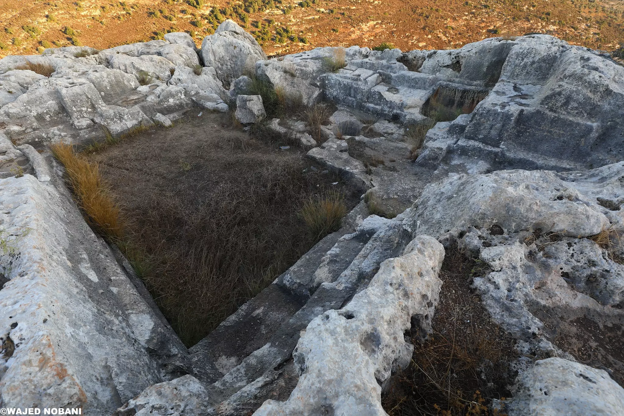
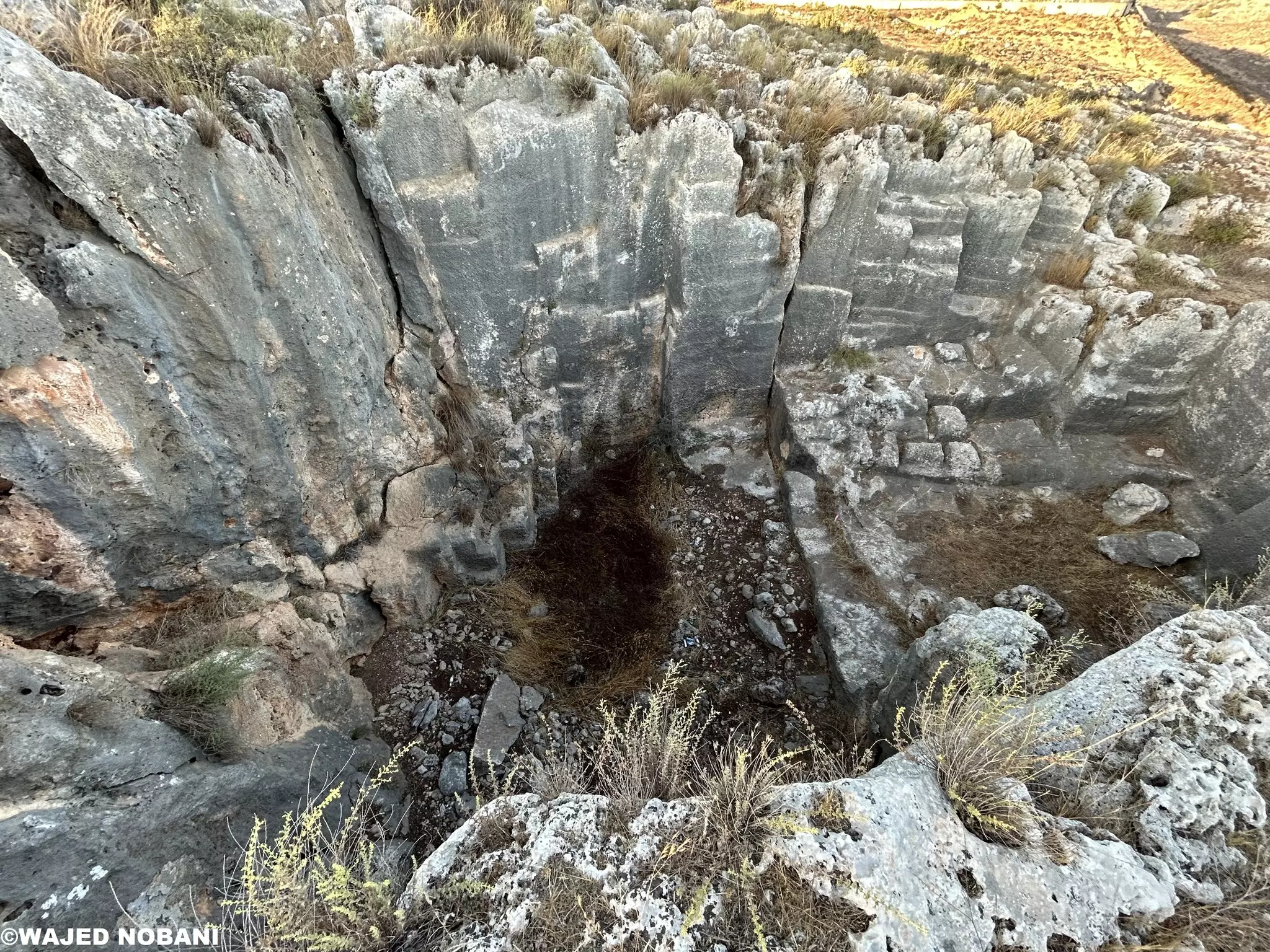
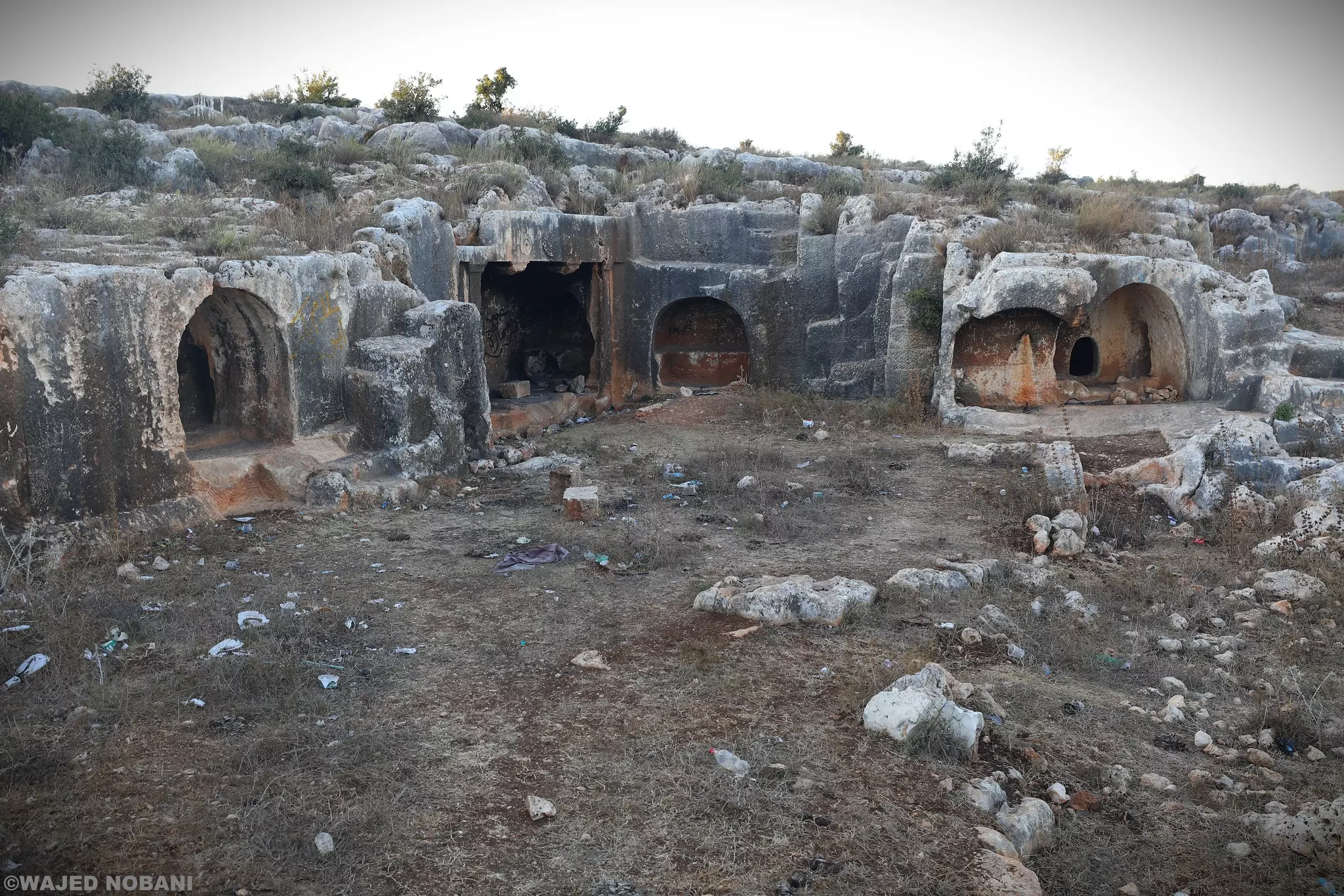
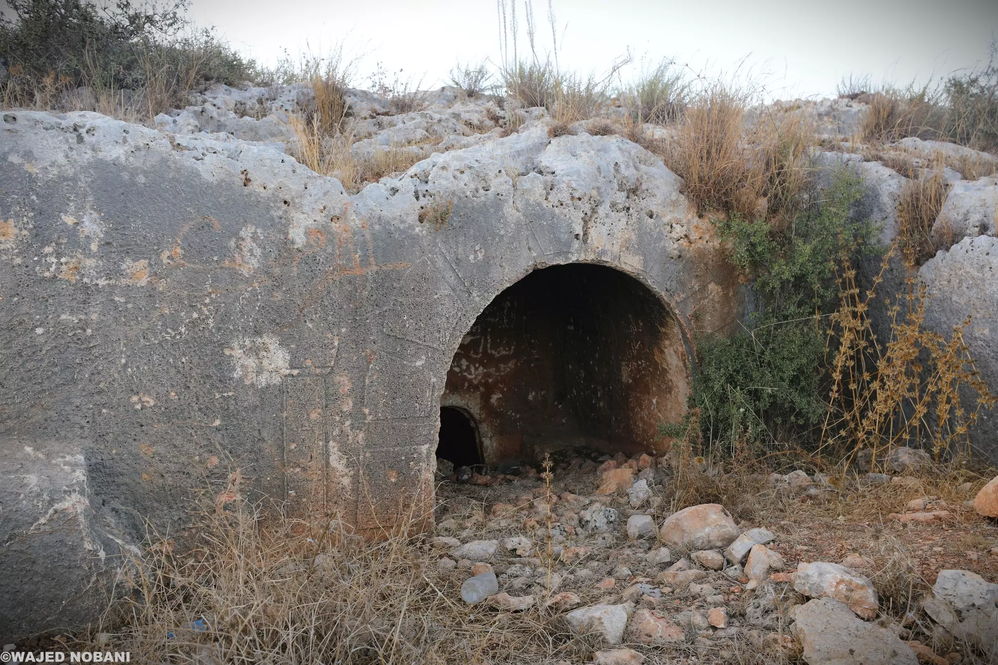
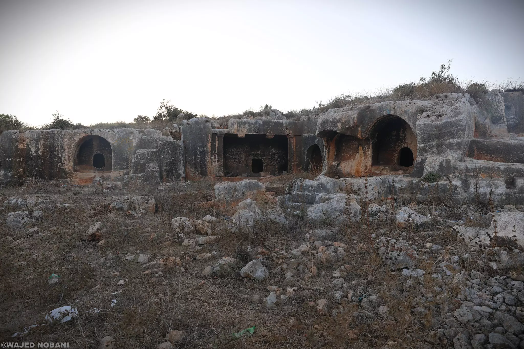
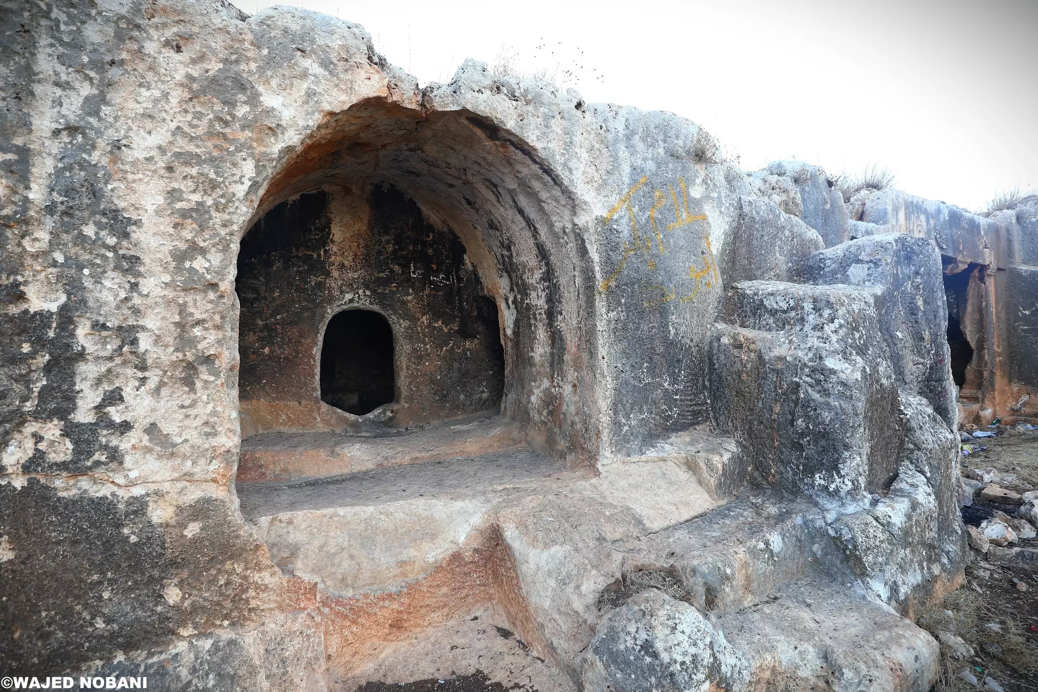
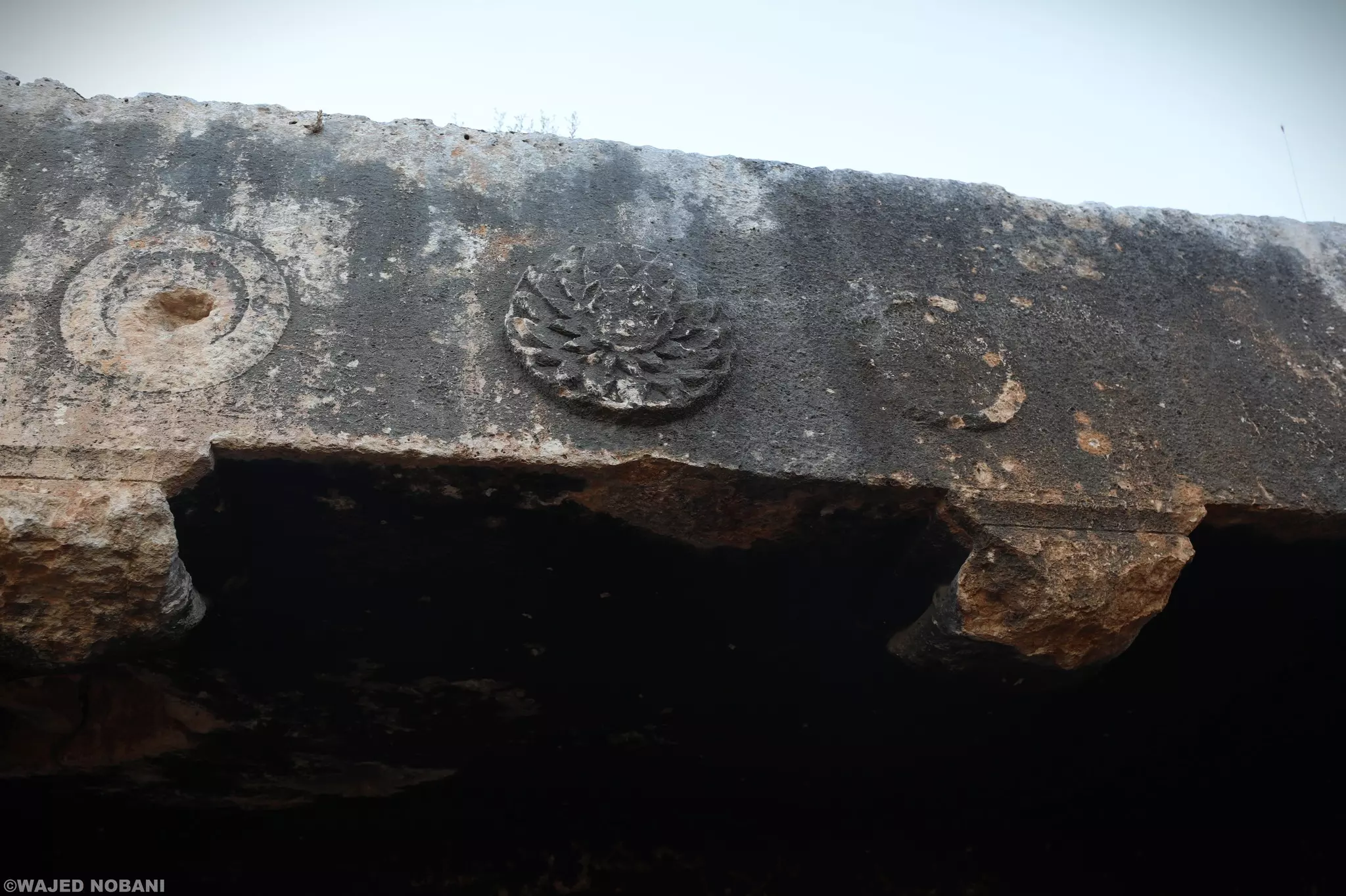
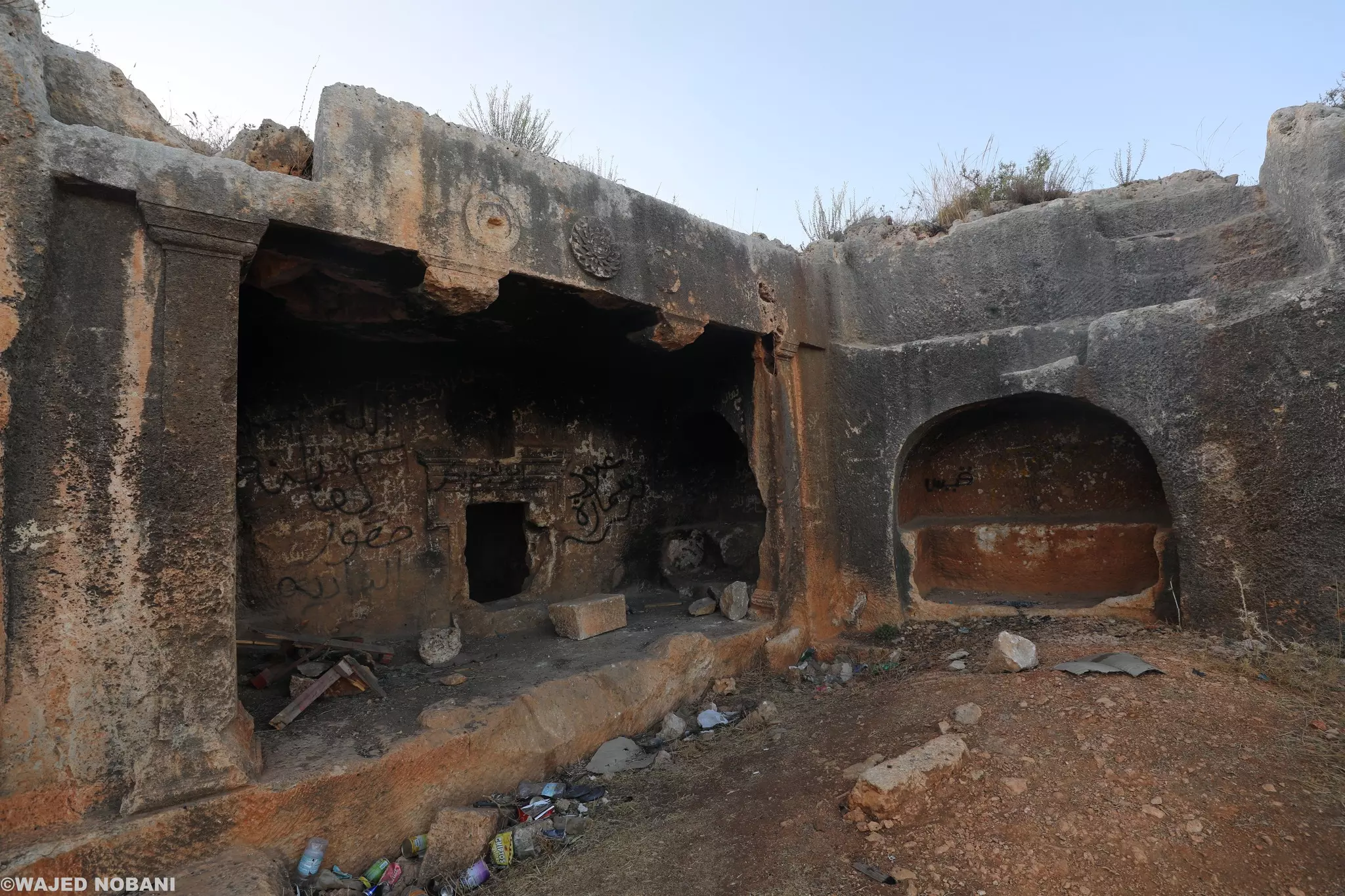
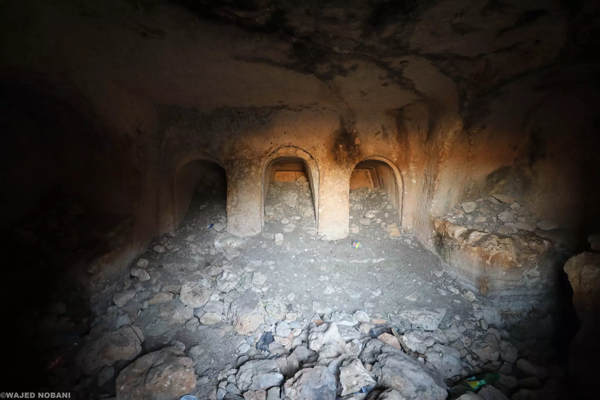
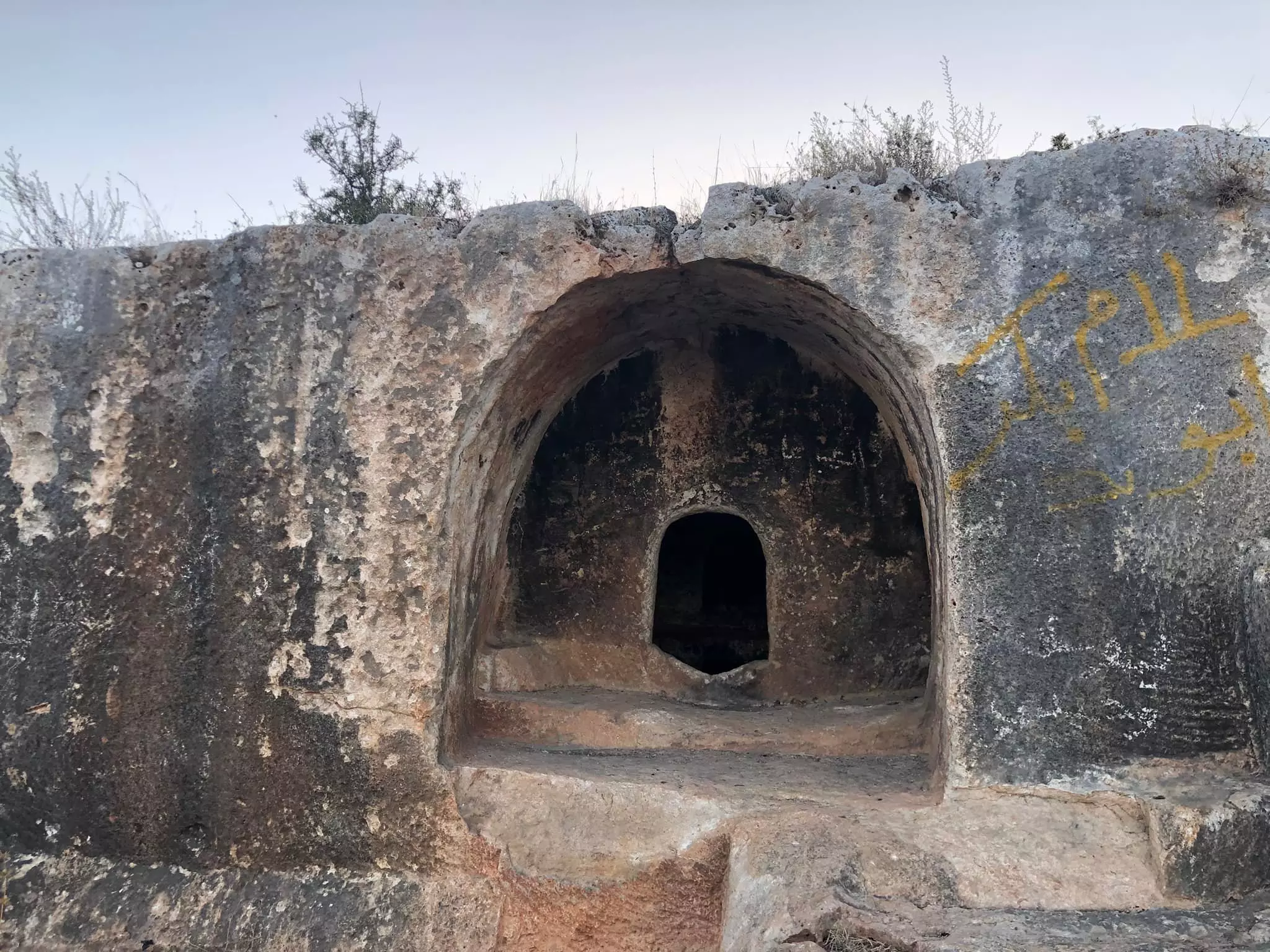
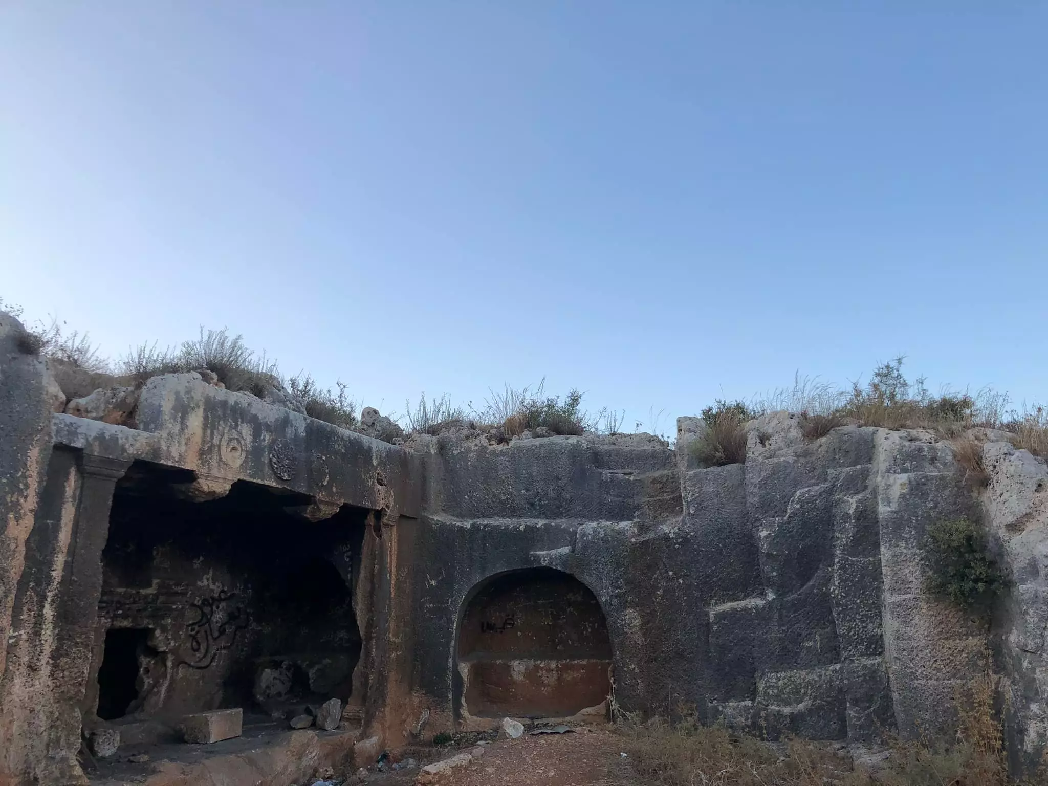
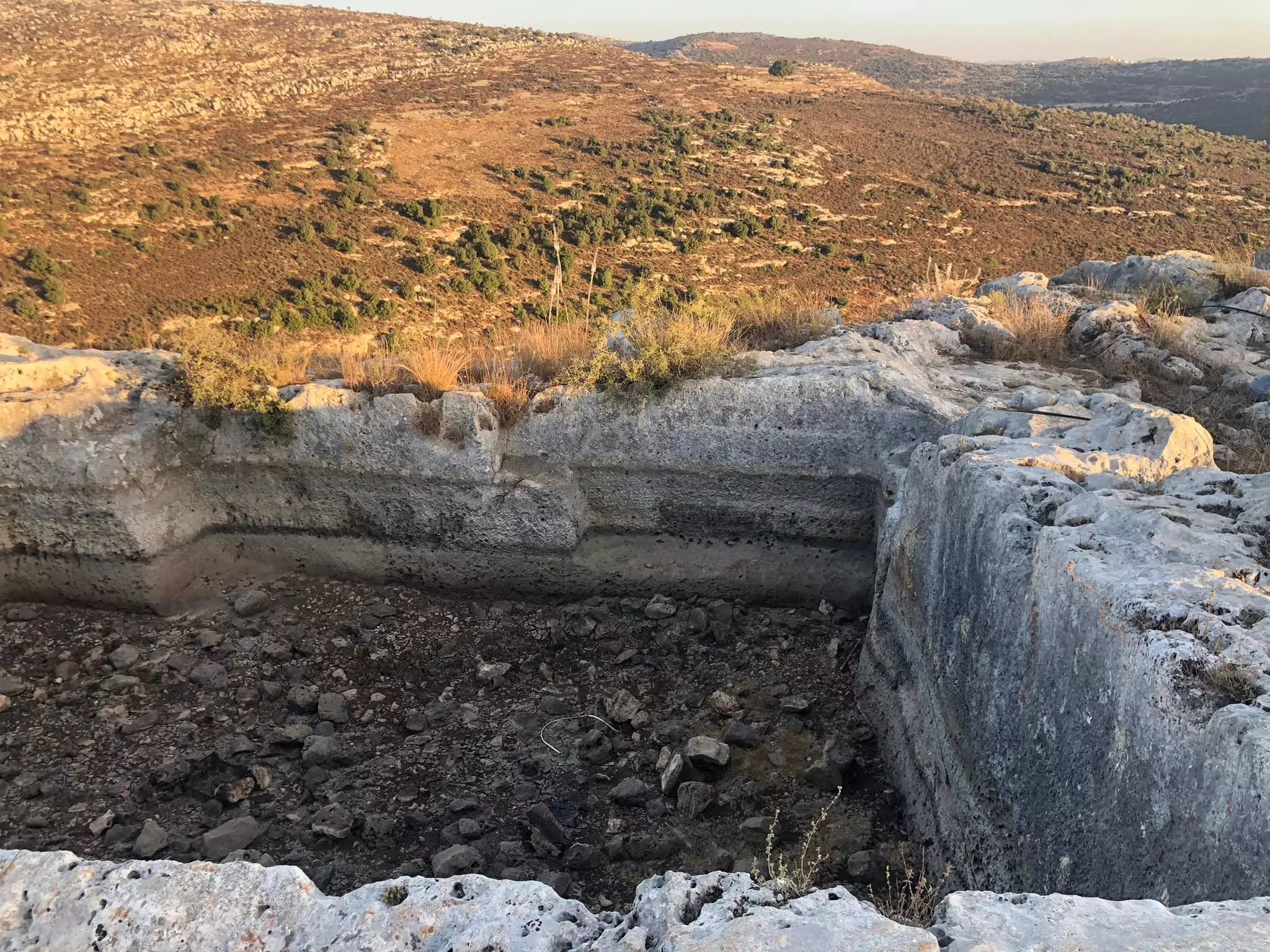
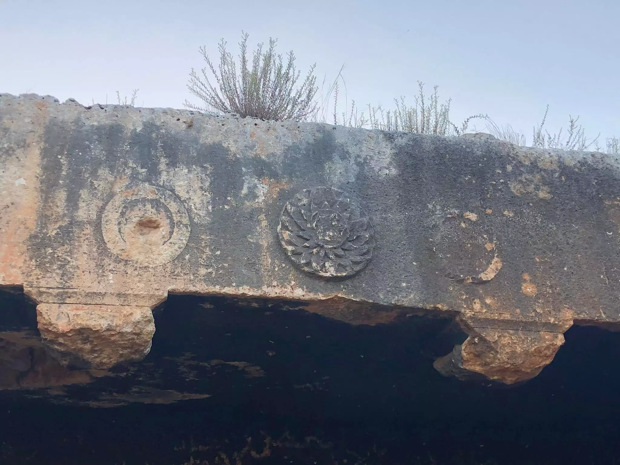
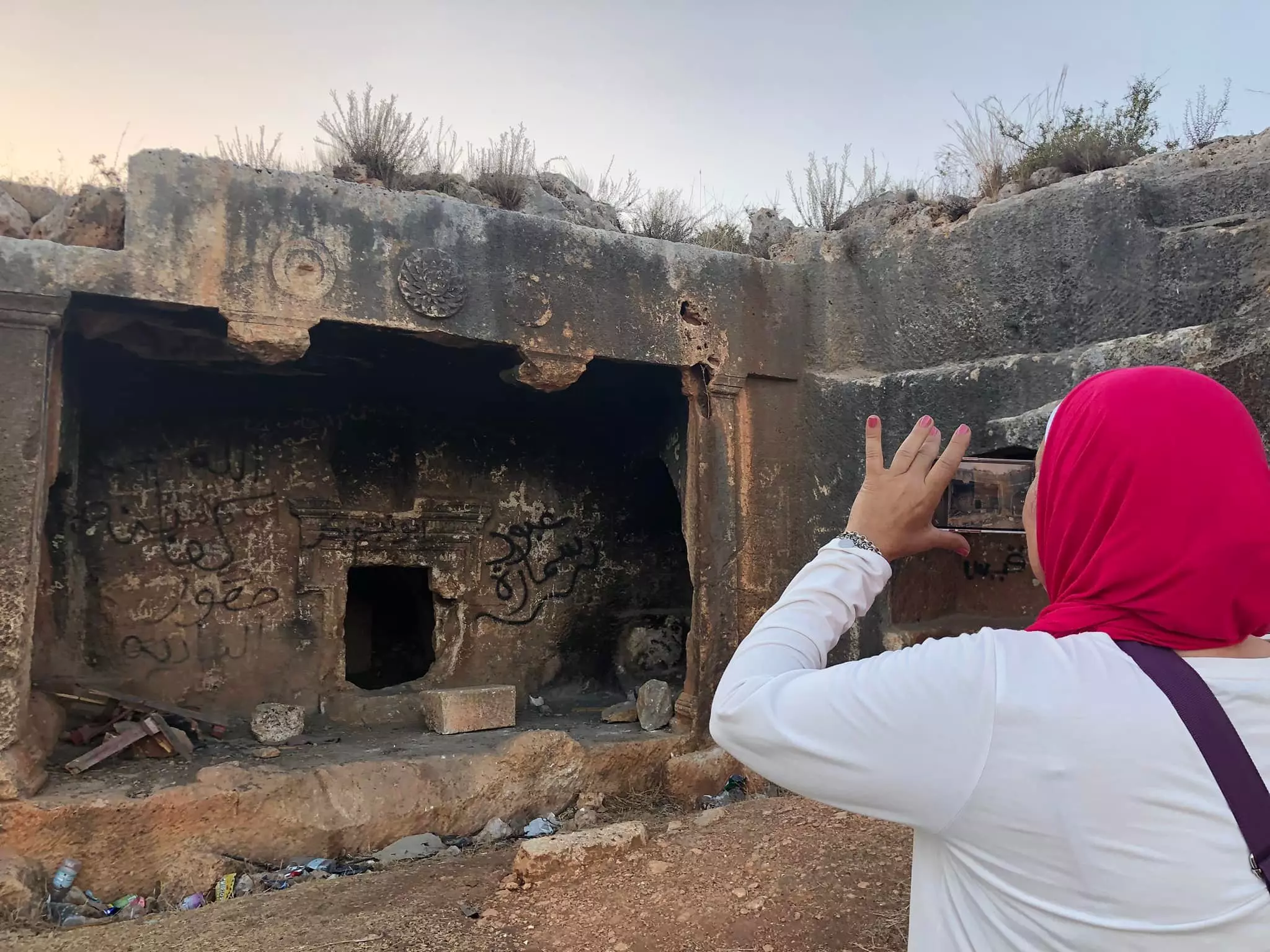
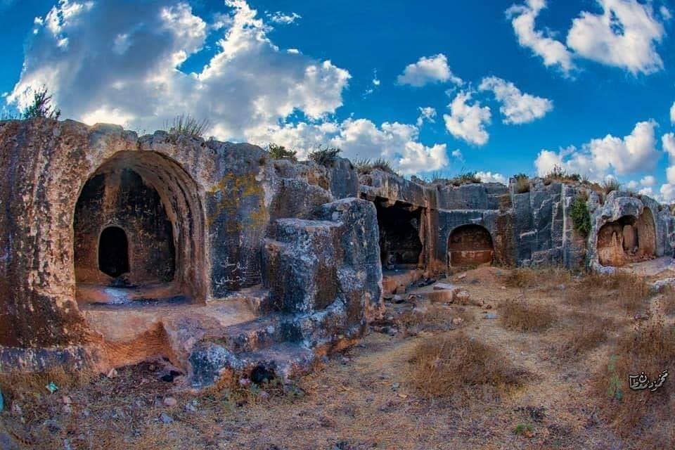
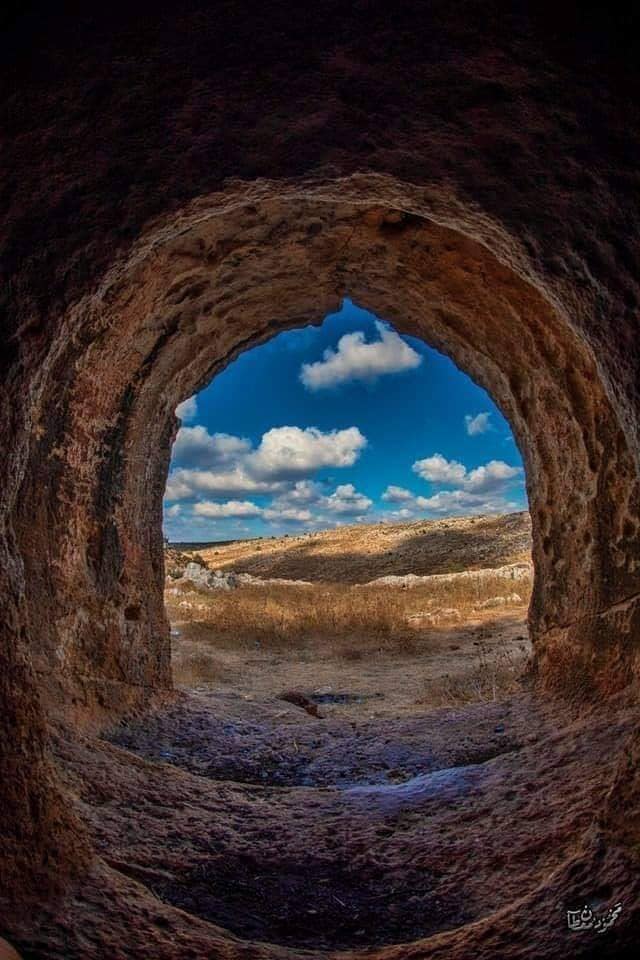
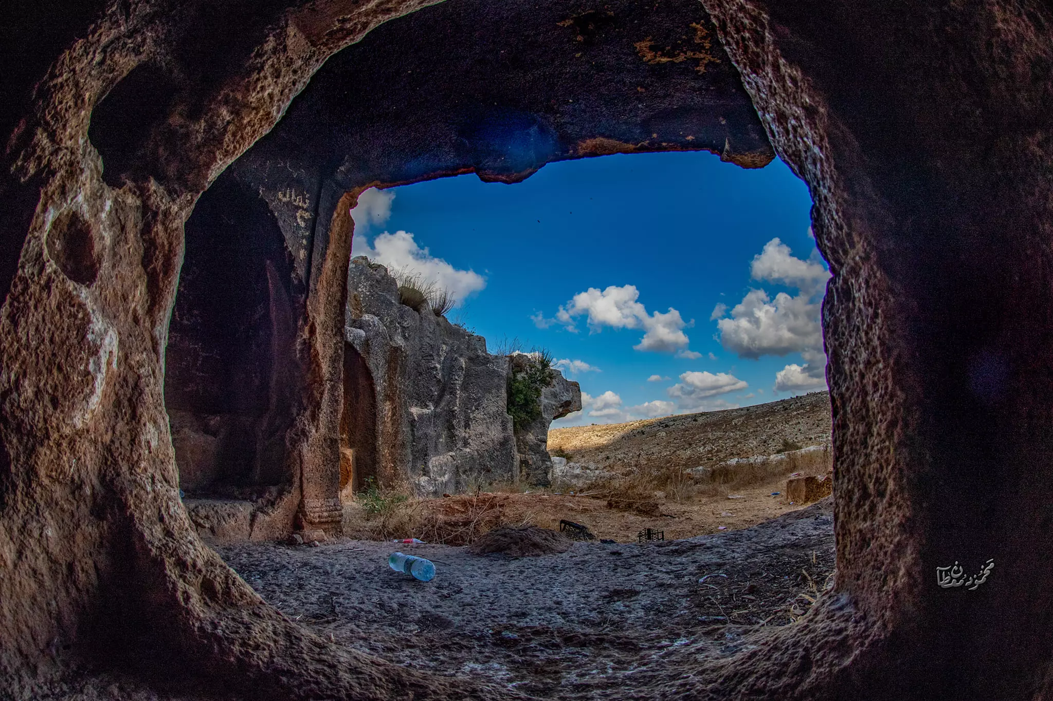
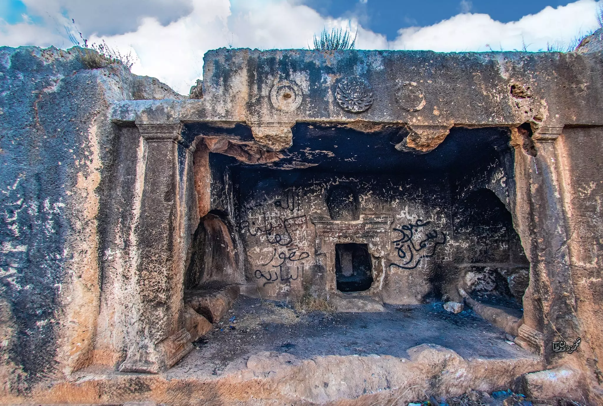
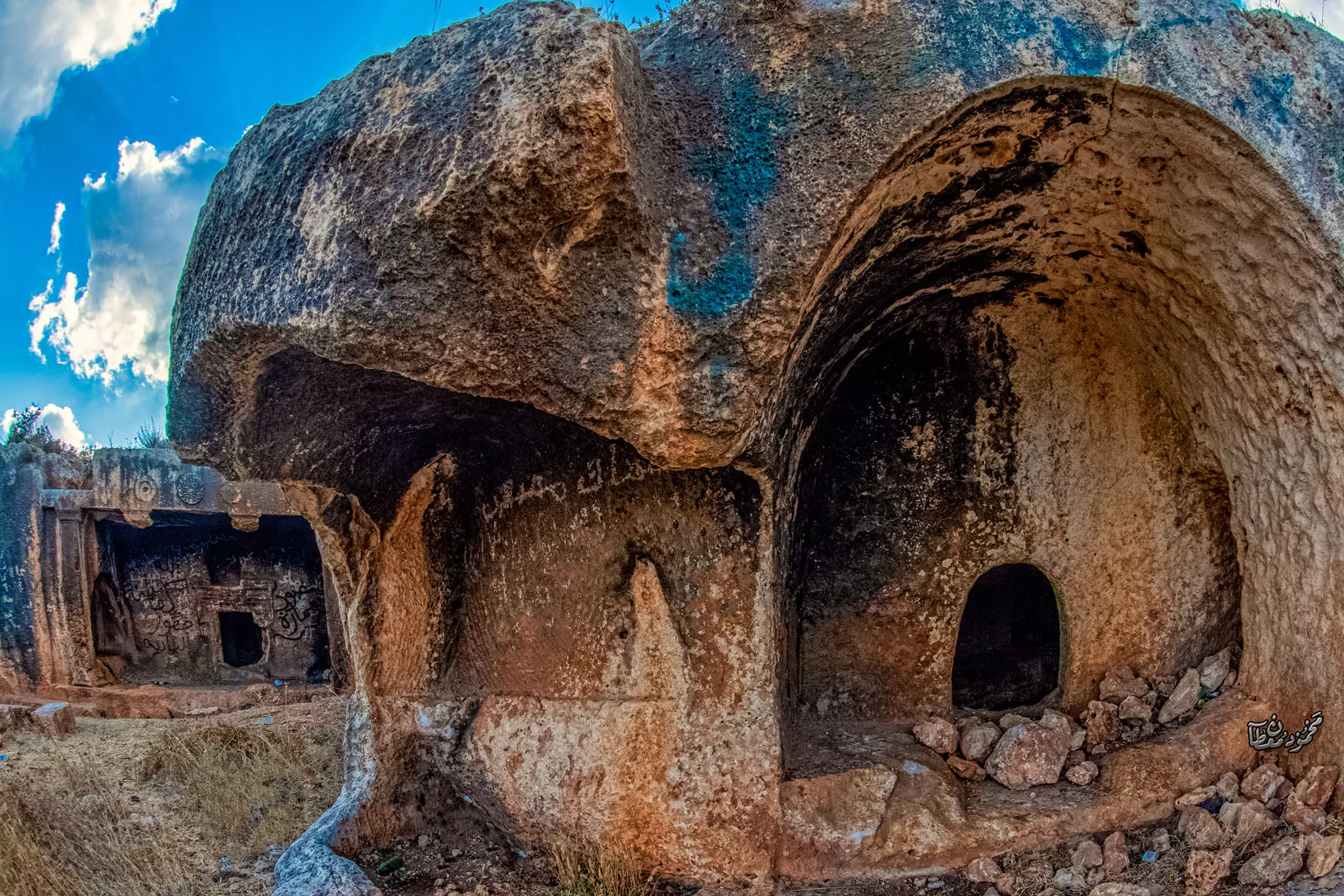
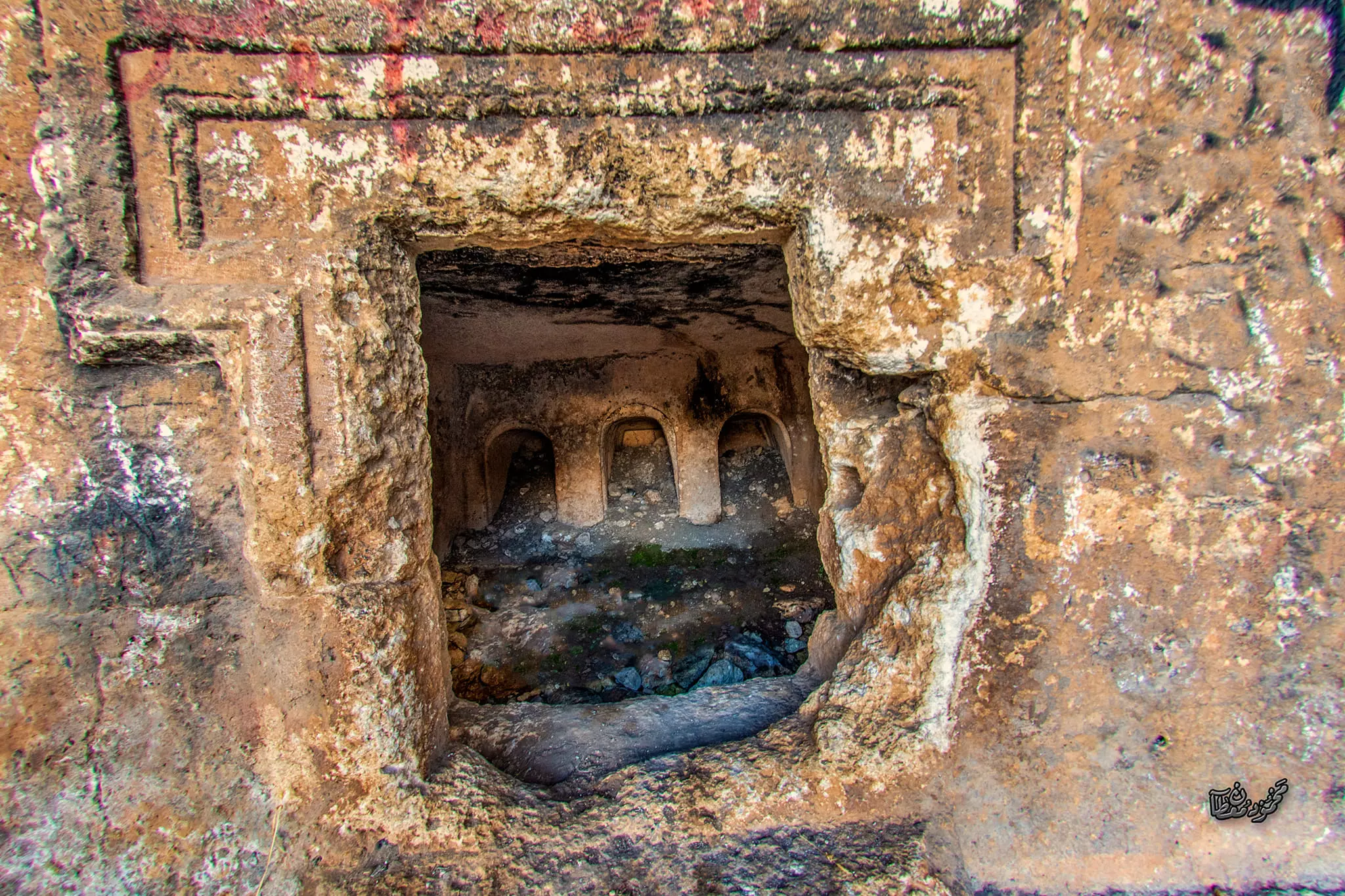
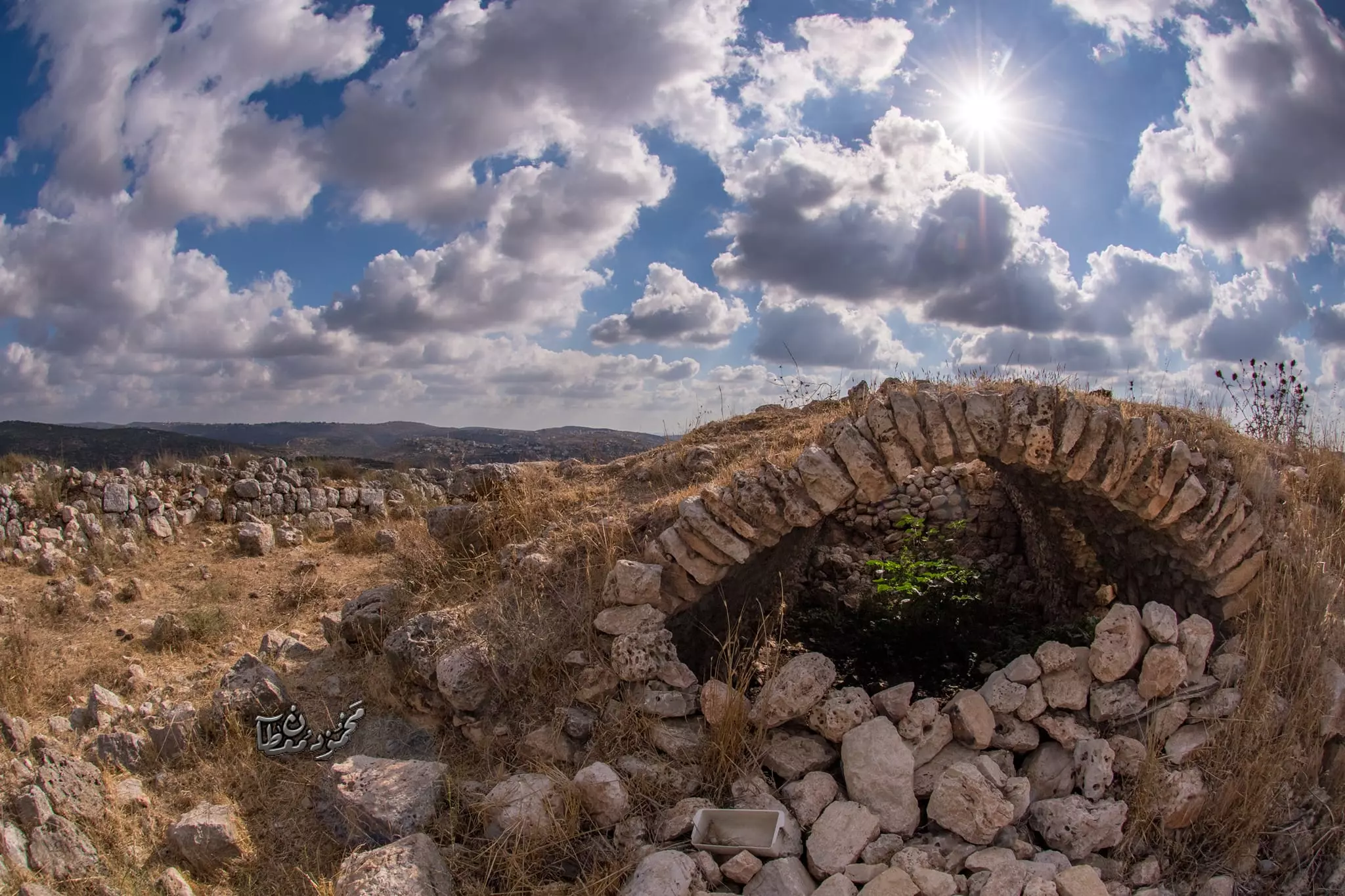
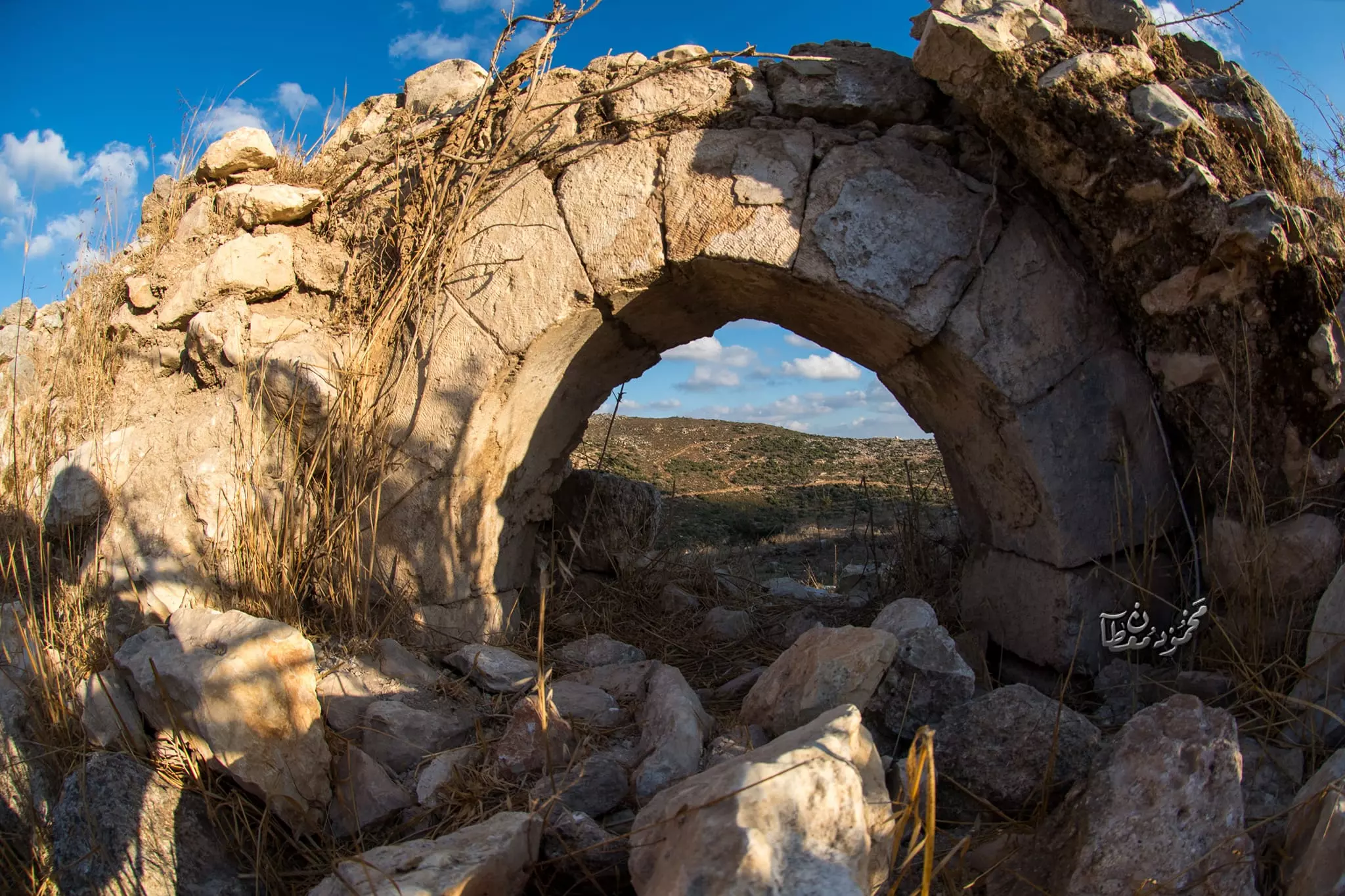
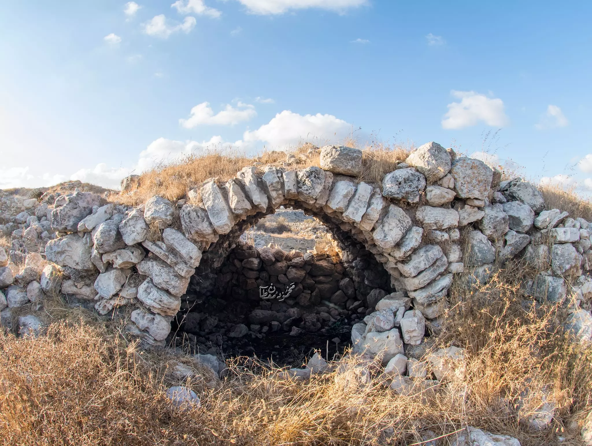
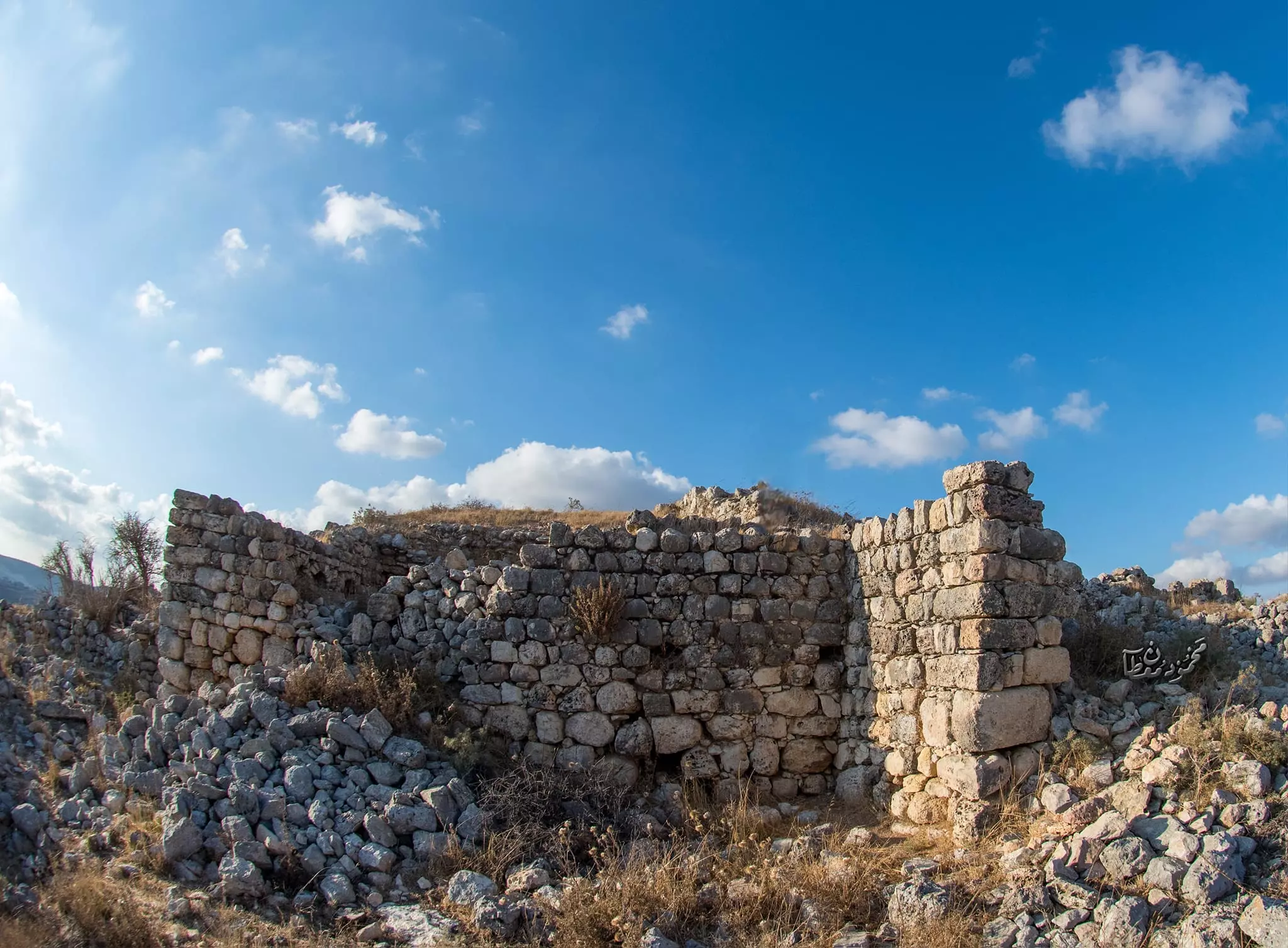
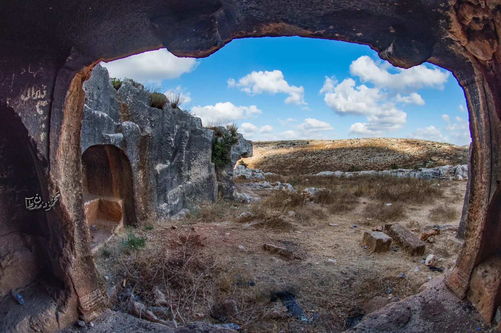
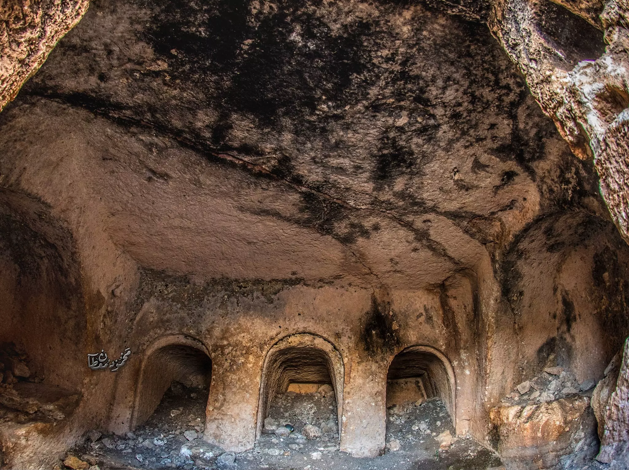
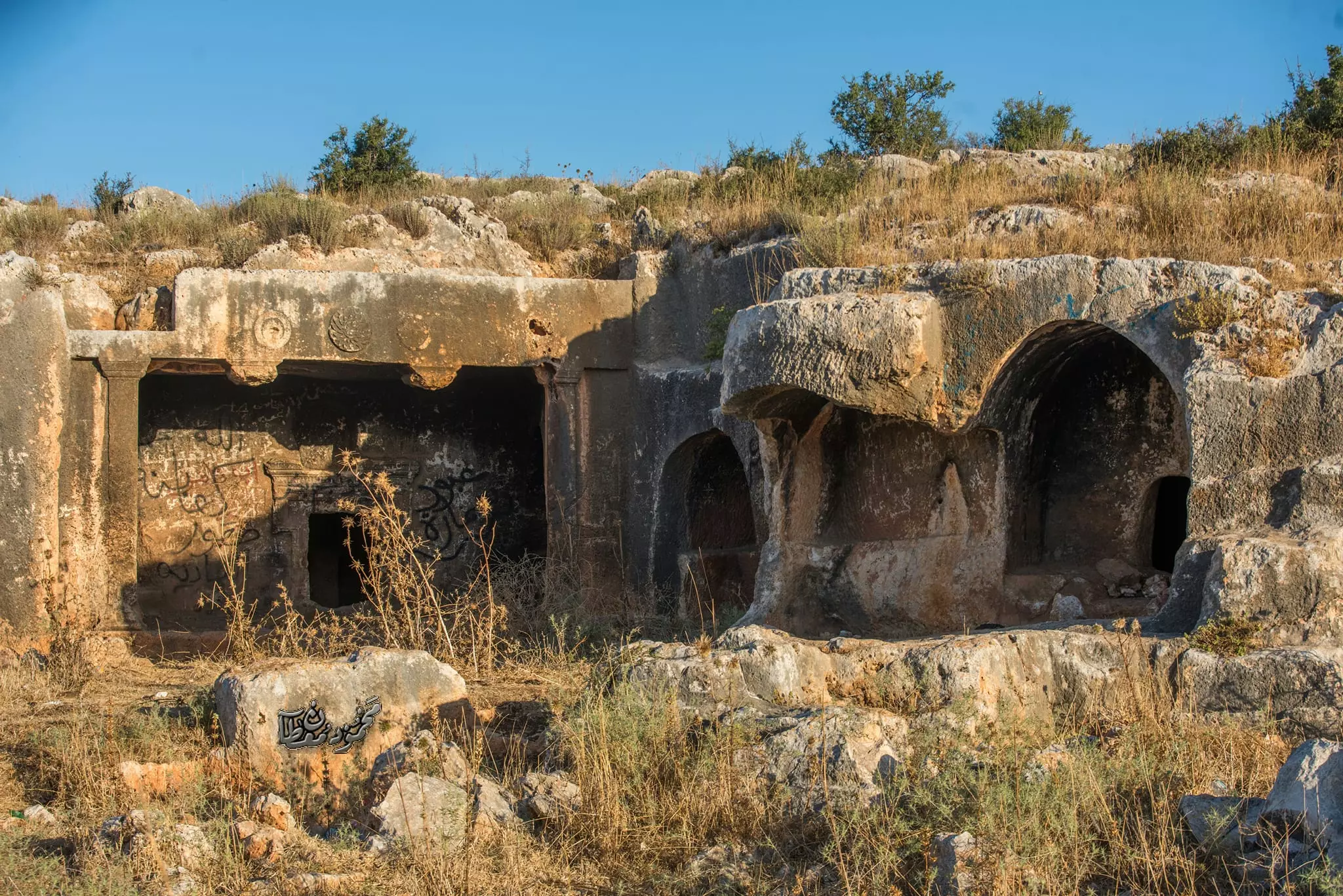
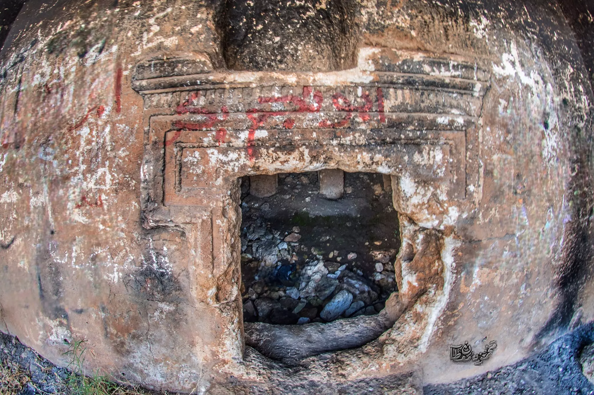
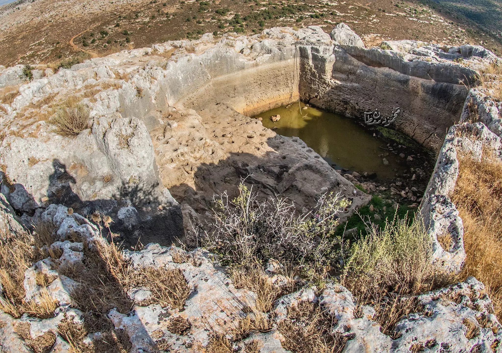
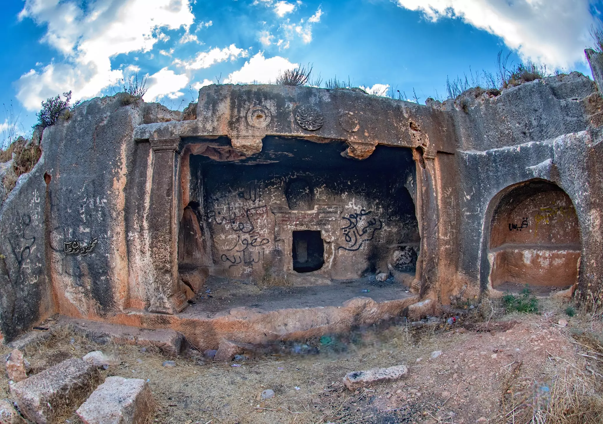
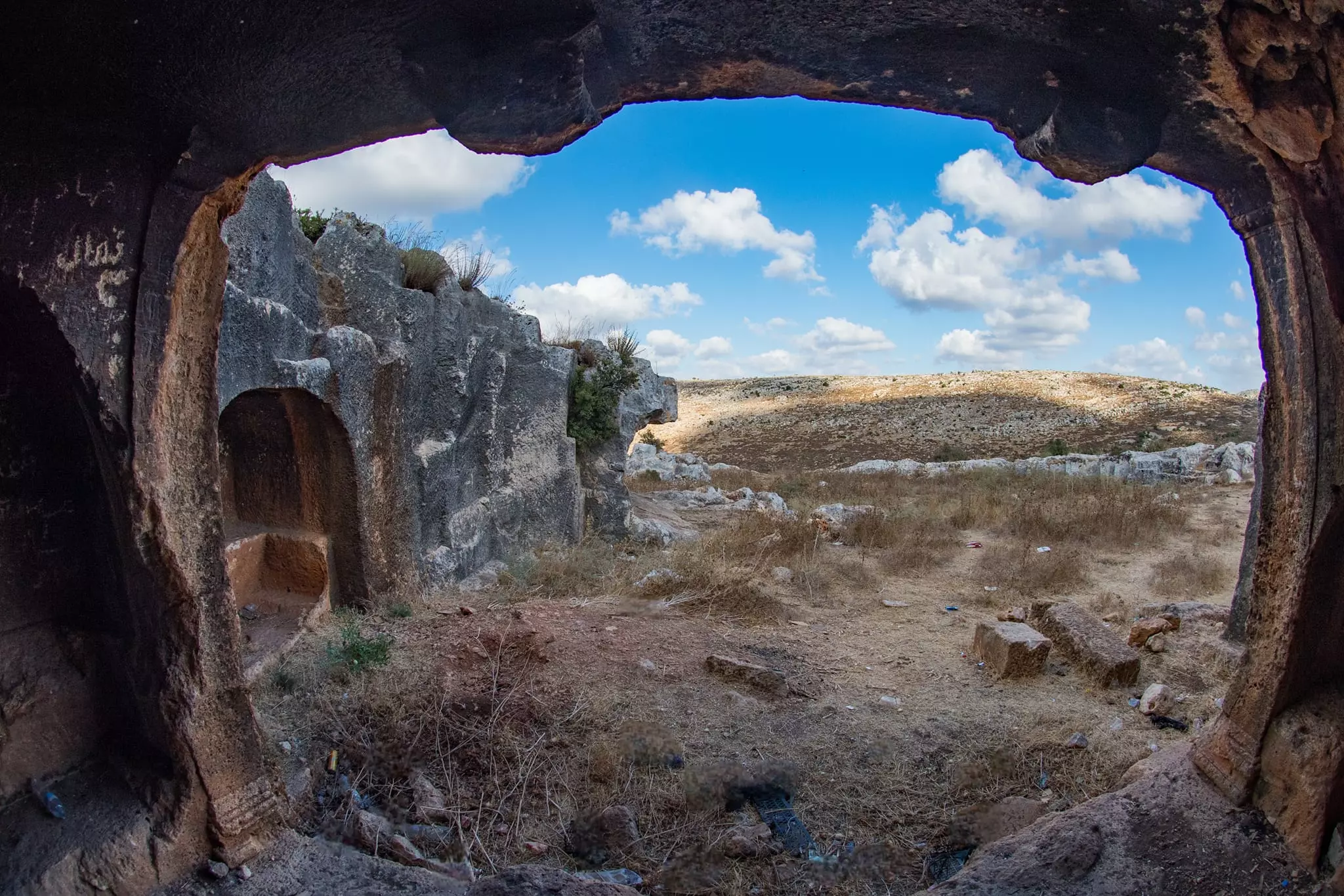
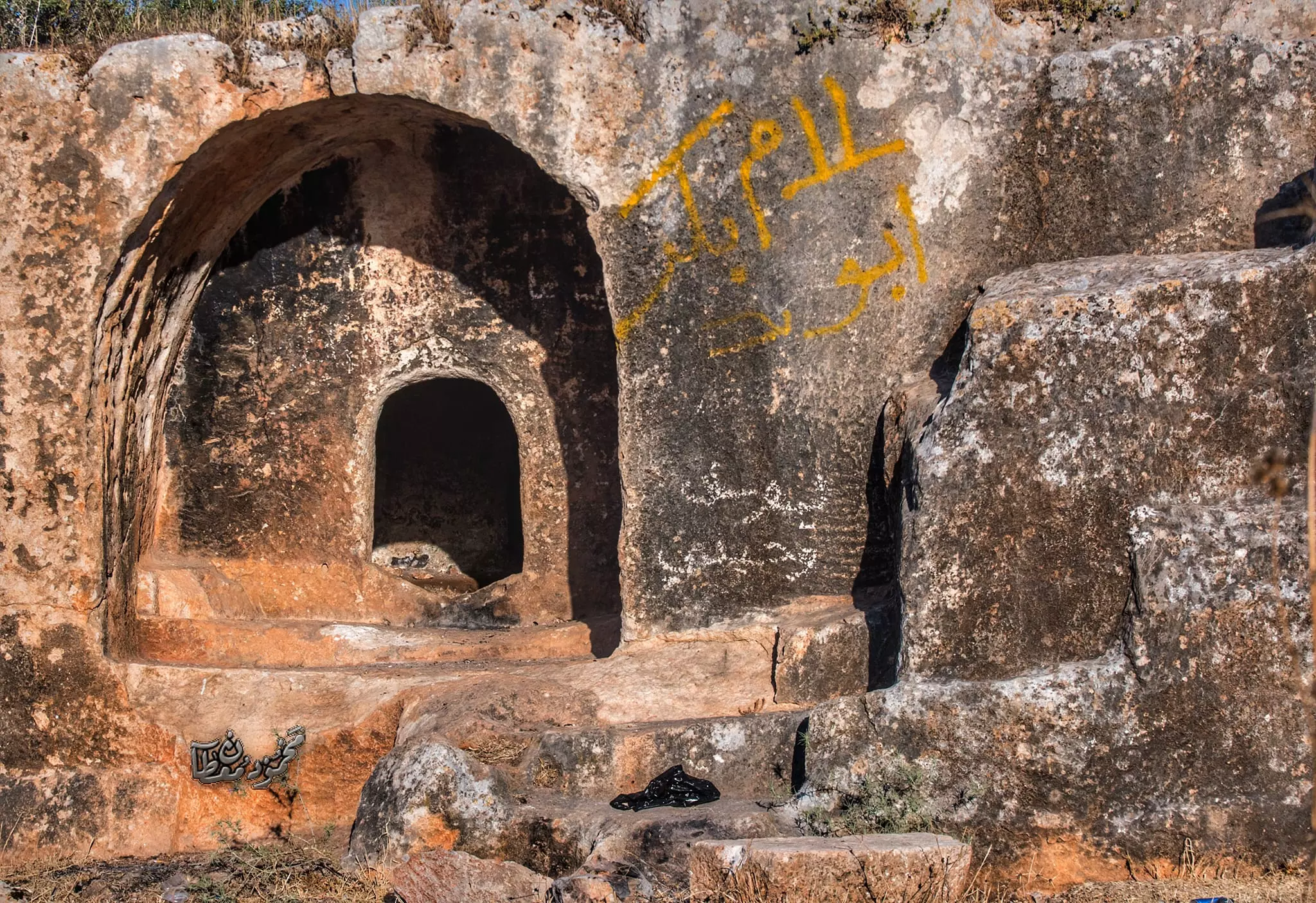
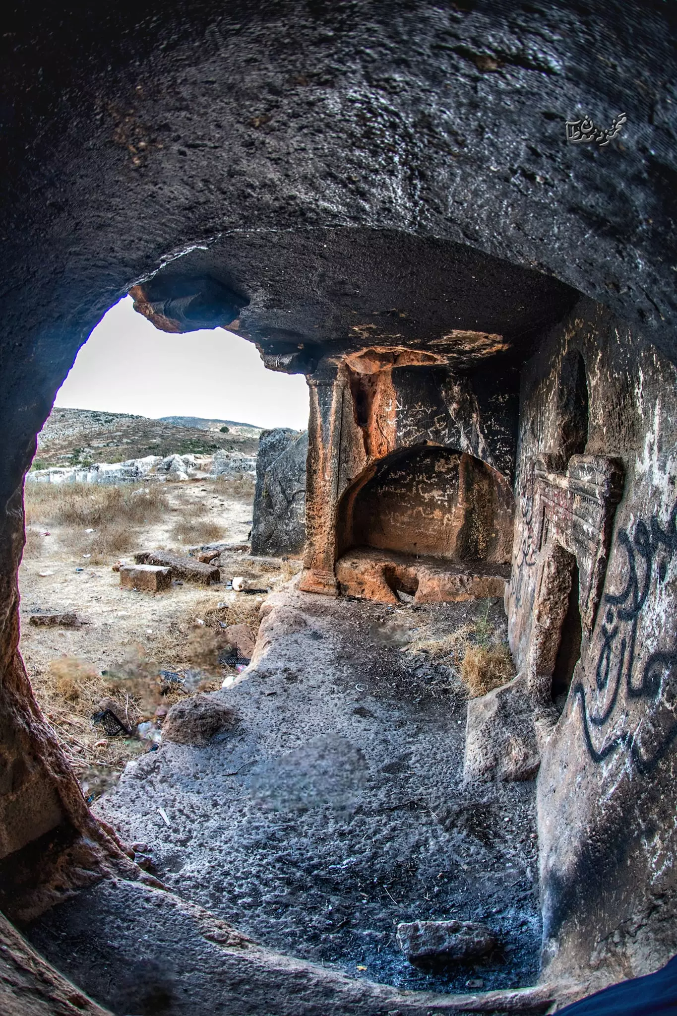
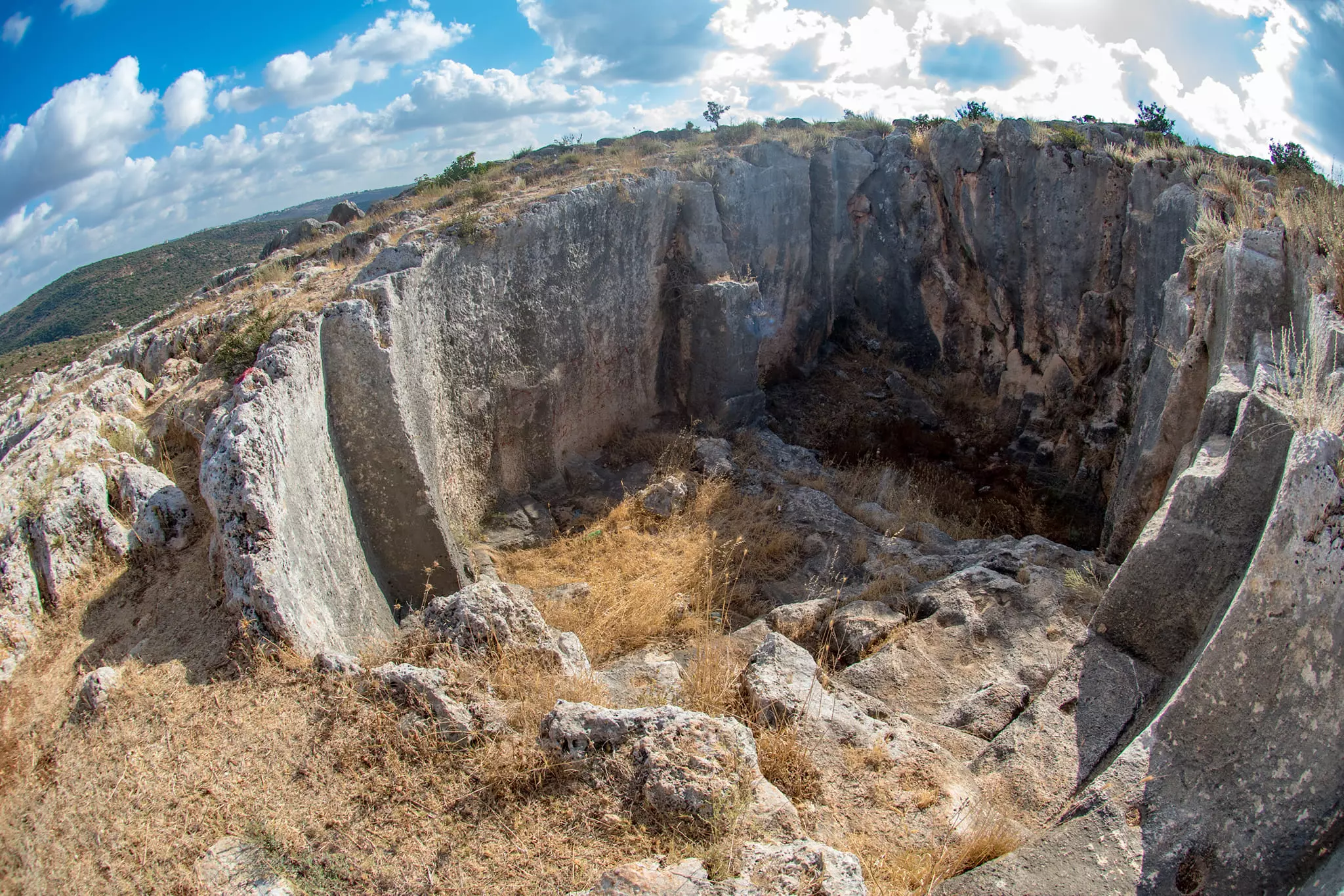
Posted by ابو عبد الجليل - الكهوف والبرك والخرب في الناحية الشمالية الشرقية
- الكهوف والبرك والخرب في الناحية الشمالية الشرقية #2
- الكهوف والبرك والخرب في الناحية الشمالية الشرقية #3
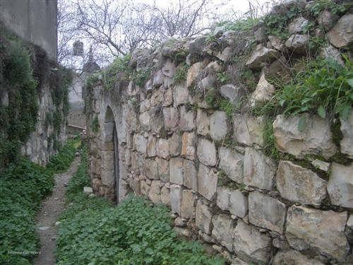
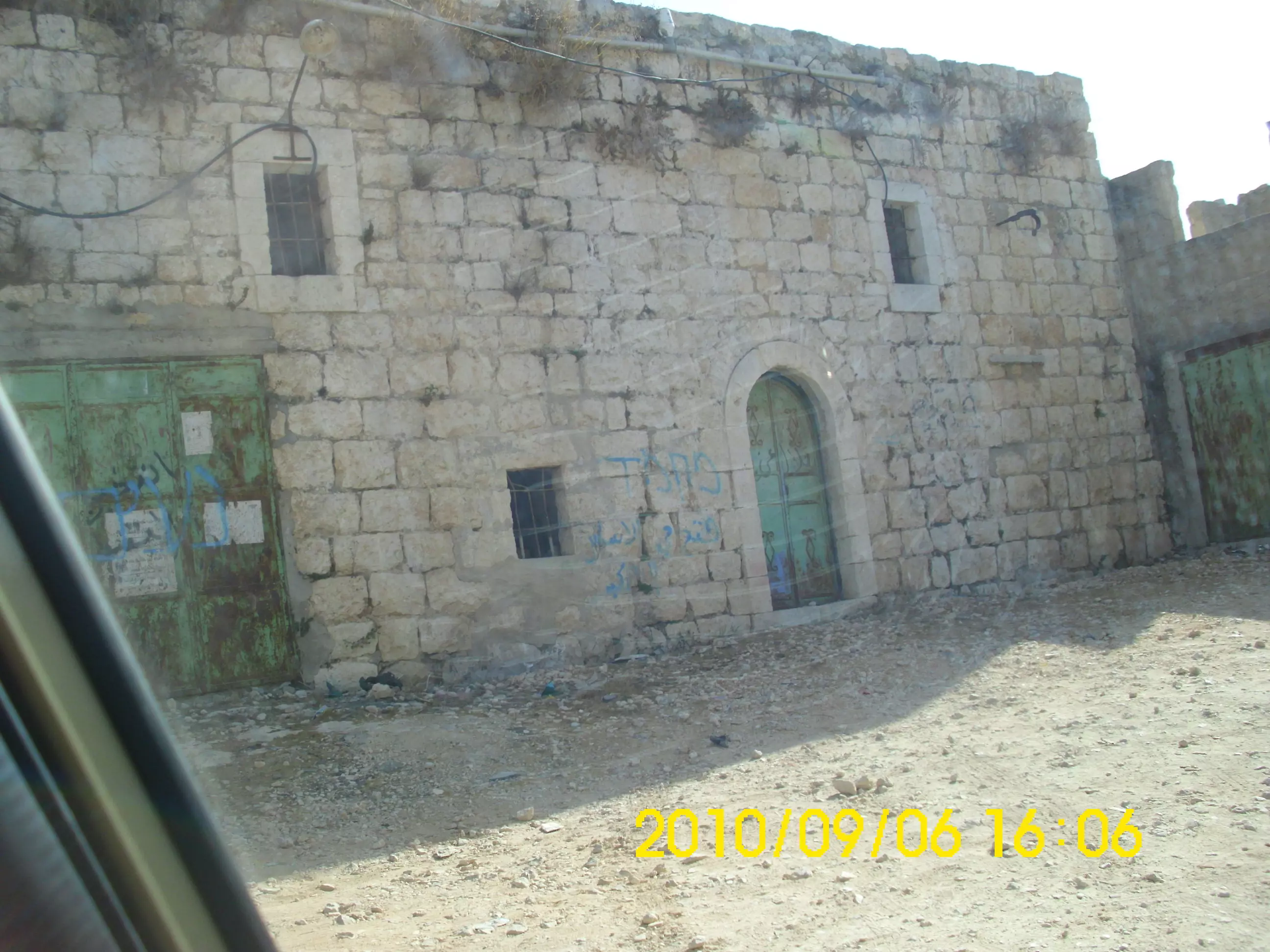
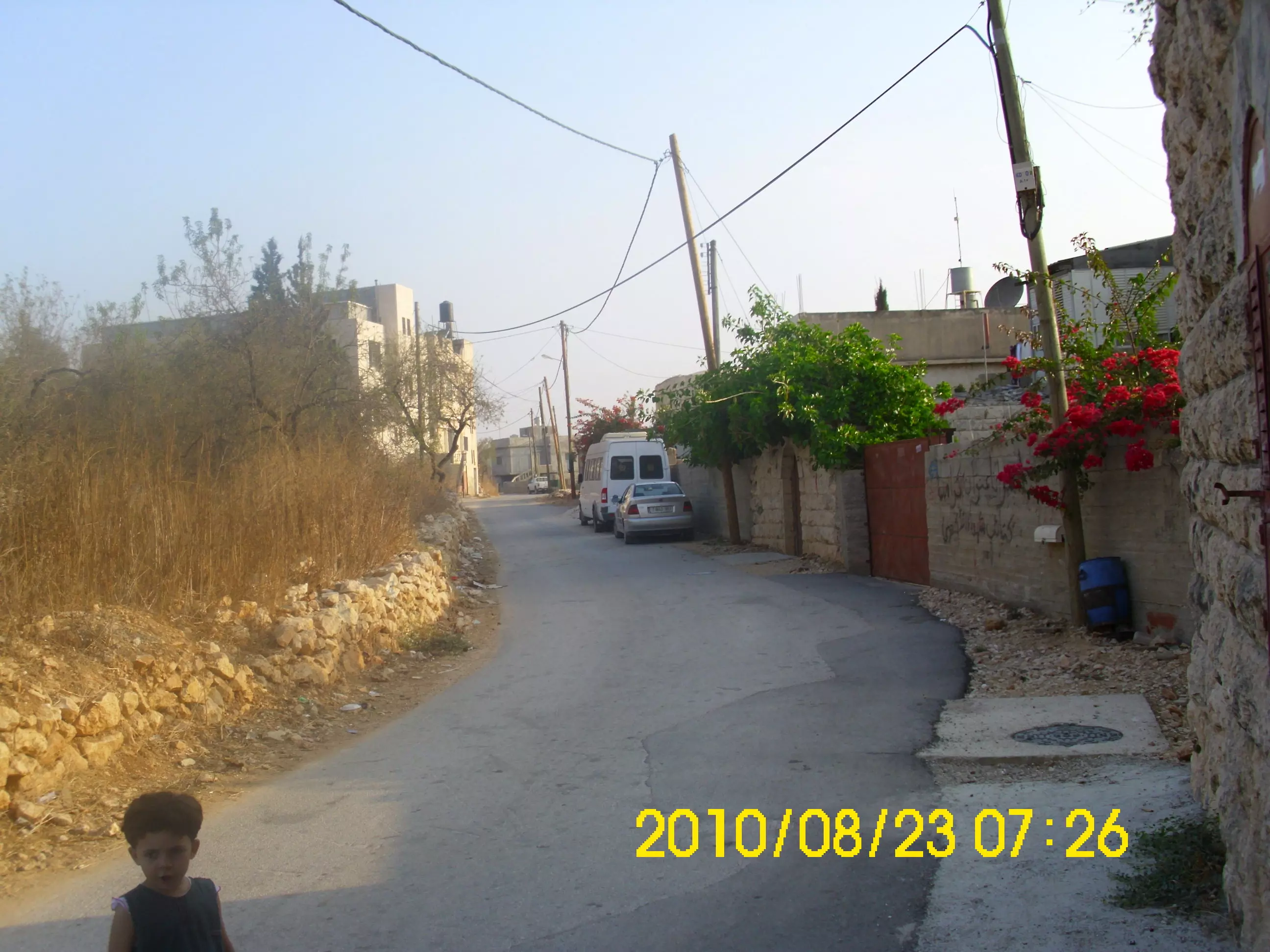
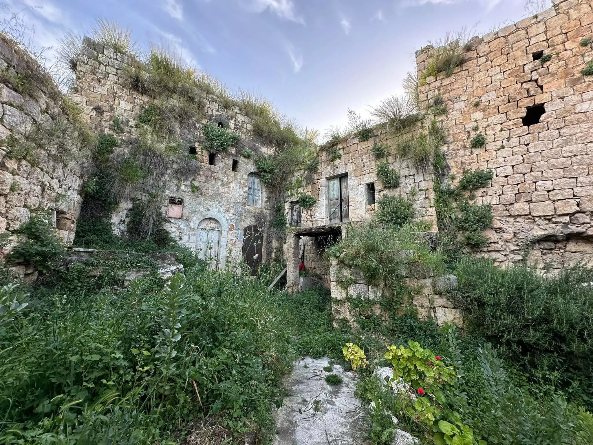
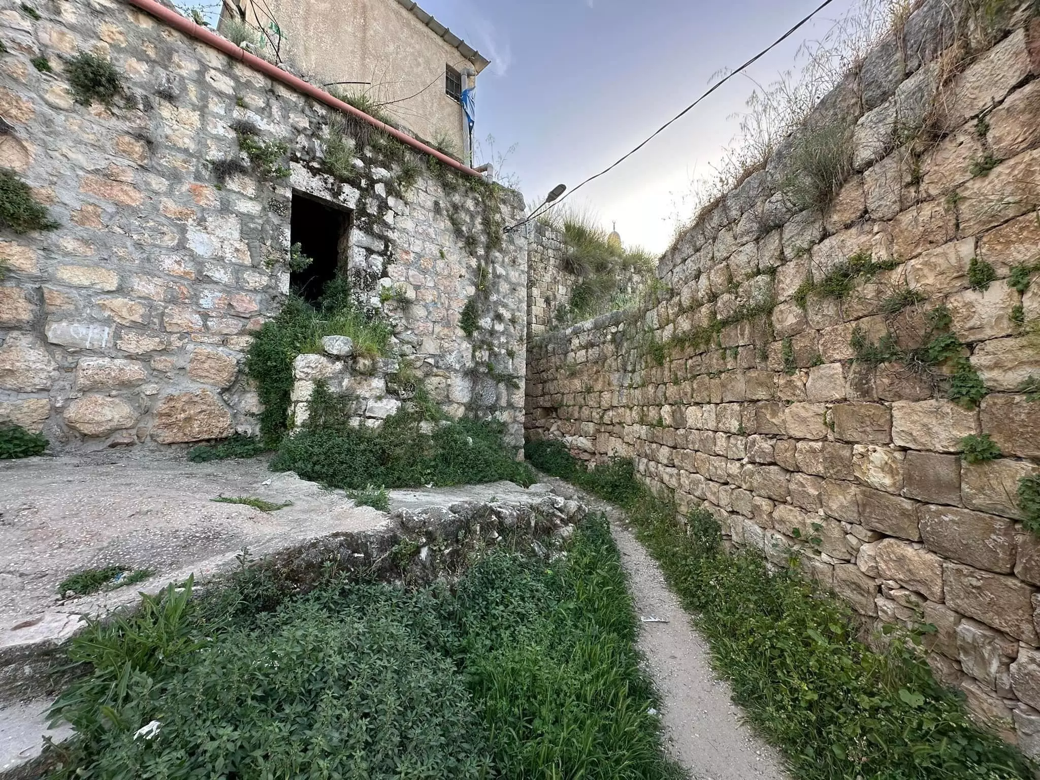
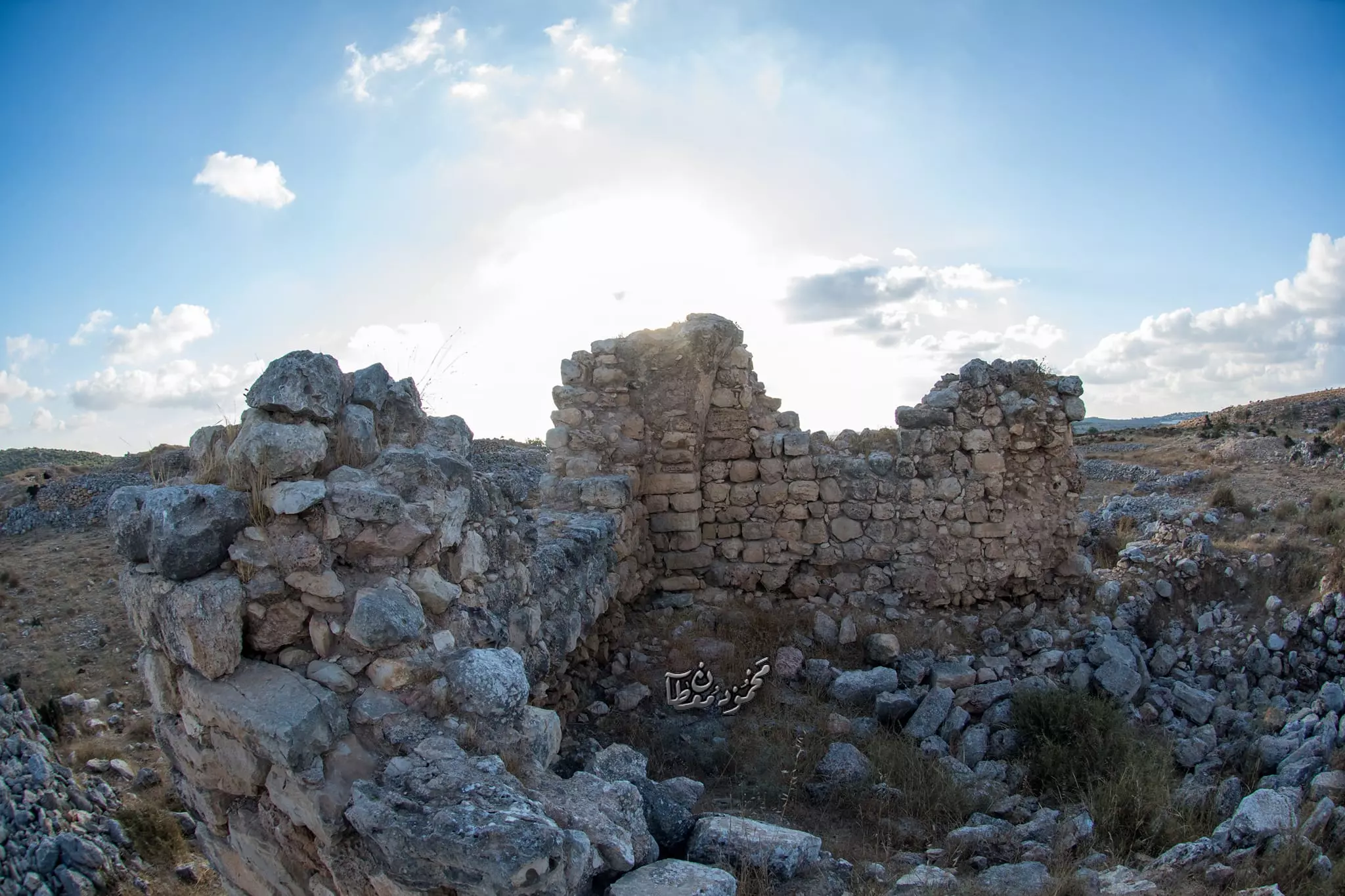
- جولة بين البيوت القديمة
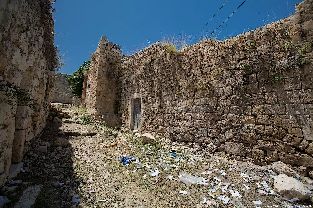
- جولة بين البيوت القديمة #2
- جولة بين البيوت القديمة #3

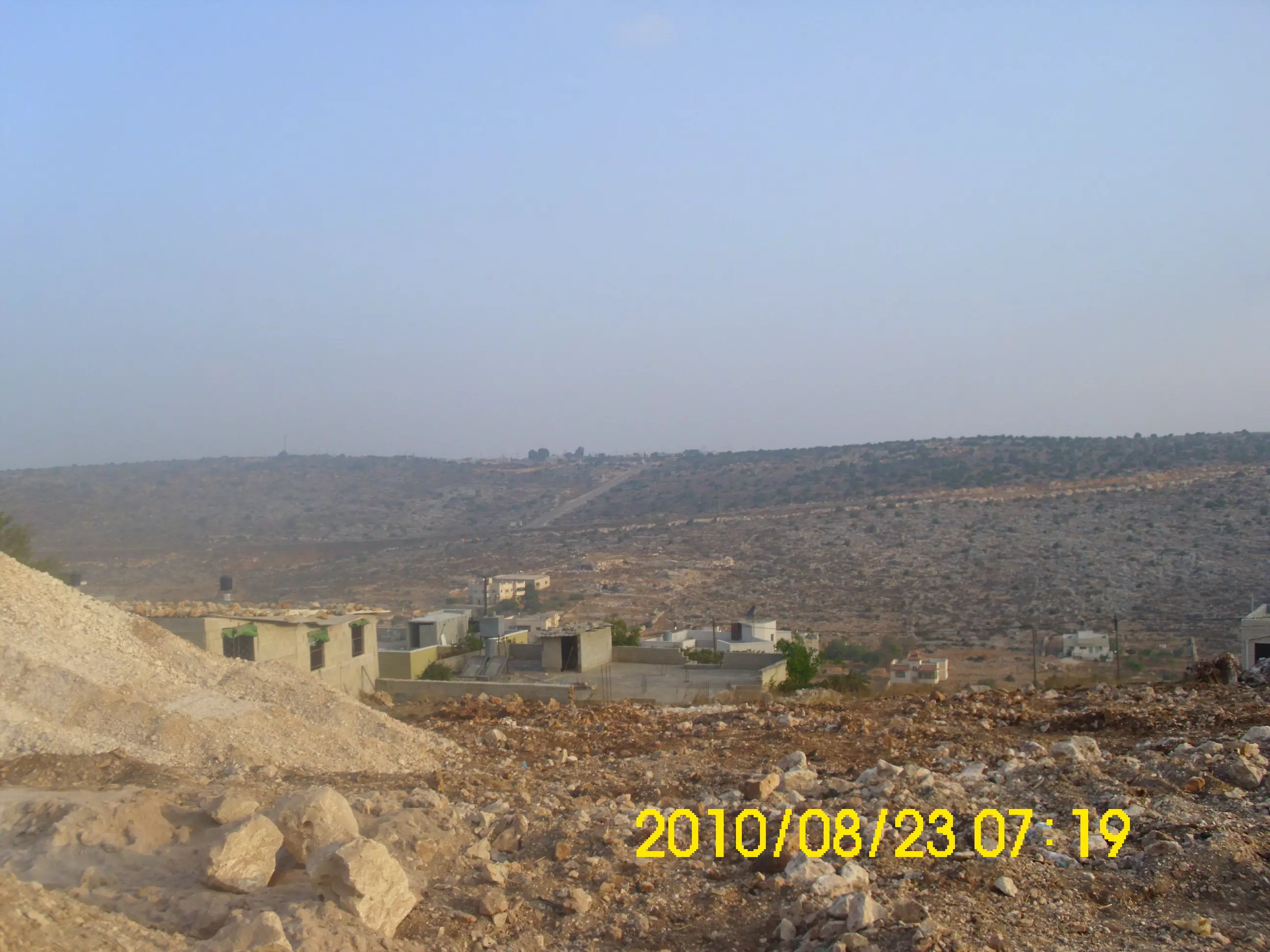
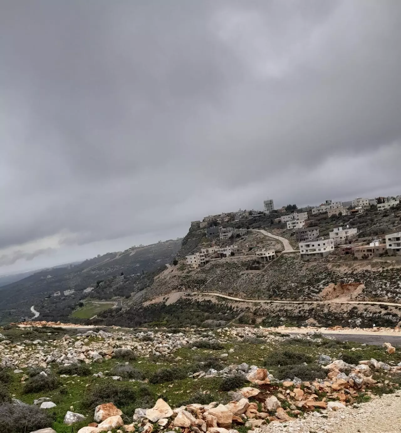
- منظر عام
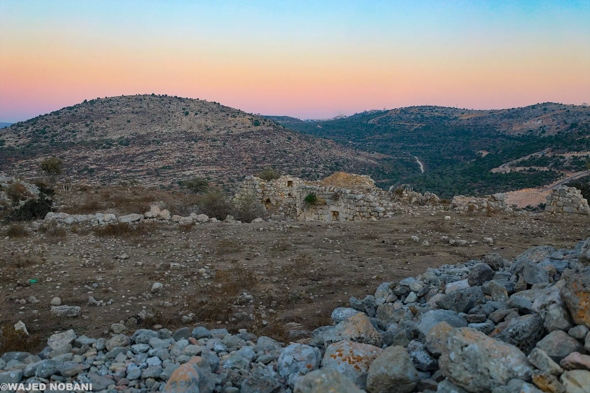
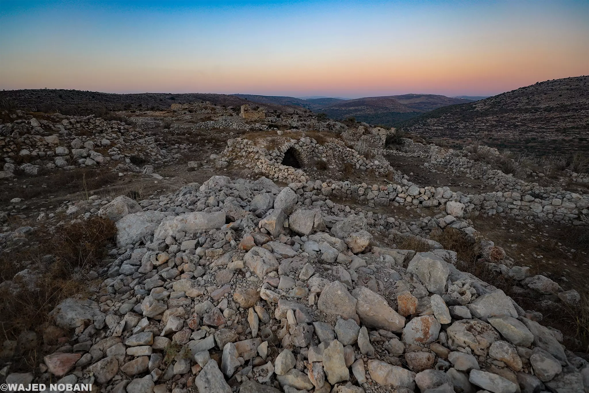
Posted by Abu Al-Sous - خربة المطوي قرب قرية بروقين -- واجد النوباني
- خربة المطوي قرب قرية بروقين -- واجد النوباني #2
- خربة المطوي قرب قرية بروقين -- واجد النوباني #3
- خربة المطوي قرب قرية بروقين -- واجد النوباني #4
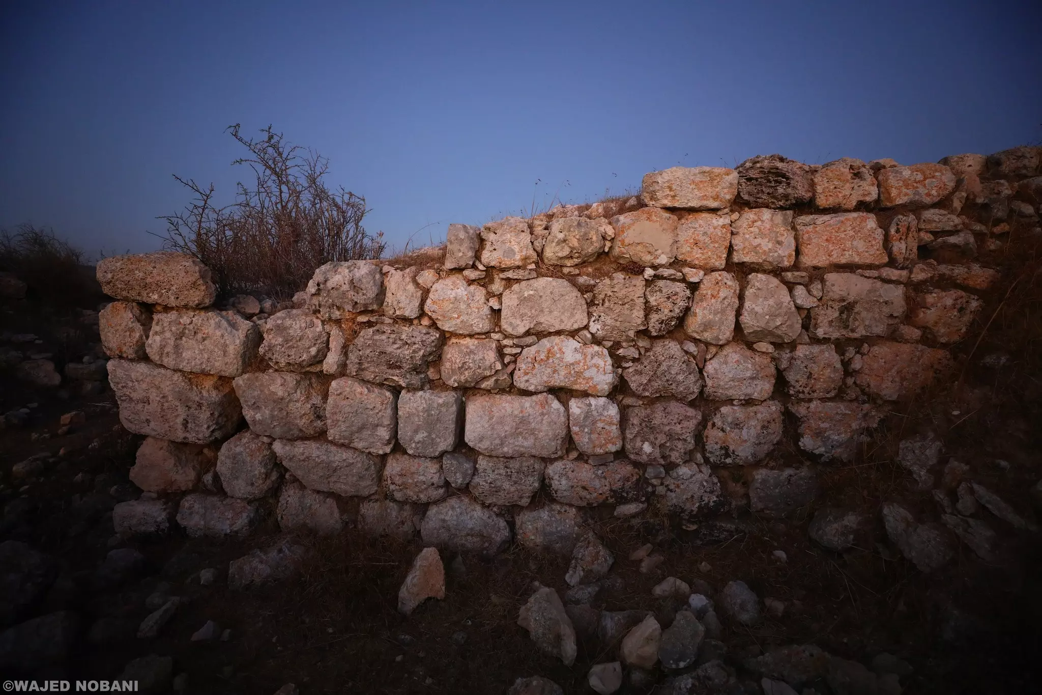
- خربة المطوي قرب قرية بروقين -- واجد النوباني #5
- خربة المطوي قرب قرية بروقين -- واجد النوباني #6
- خربة المطوي قرب قرية بروقين -- واجد النوباني #7
- خربة المطوي قرب قرية بروقين -- واجد النوباني #8
- خربة المطوي قرب قرية بروقين -- واجد النوباني #9
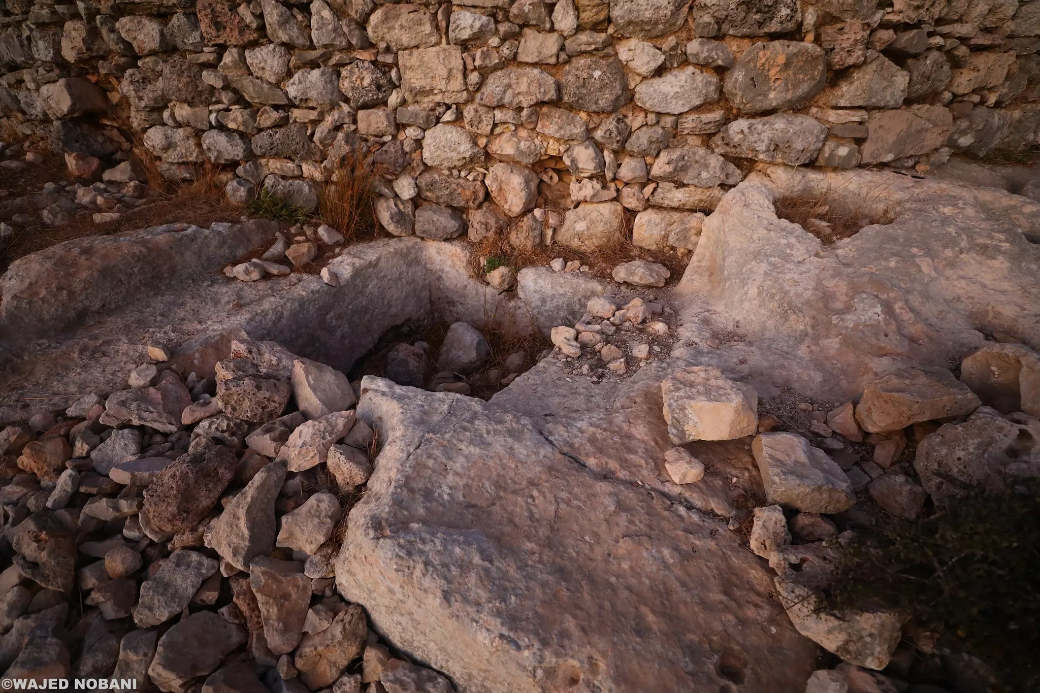
- خربة المطوي قرب قرية بروقين -- واجد النوباني #10
- خربة المطوي قرب قرية بروقين -- واجد النوباني #11
- خربة المطوي قرب قرية بروقين -- واجد النوباني #12
- خربة المطوي قرب قرية بروقين -- واجد النوباني #13
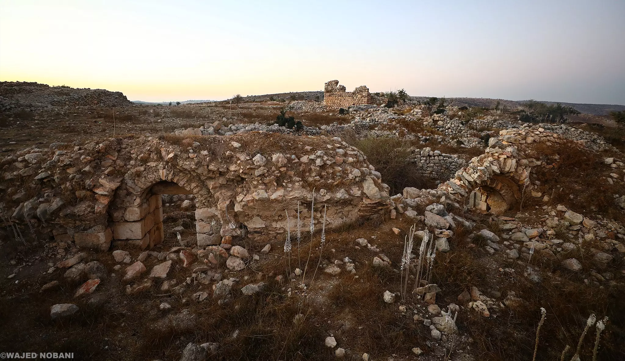
- خربة المطوي قرب قرية بروقين -- واجد النوباني #14
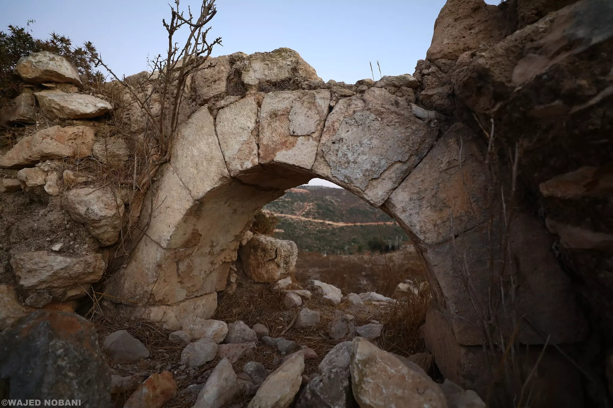
- خربة المطوي قرب قرية بروقين -- واجد النوباني #15
- خربة المطوي قرب قرية بروقين -- واجد النوباني #16
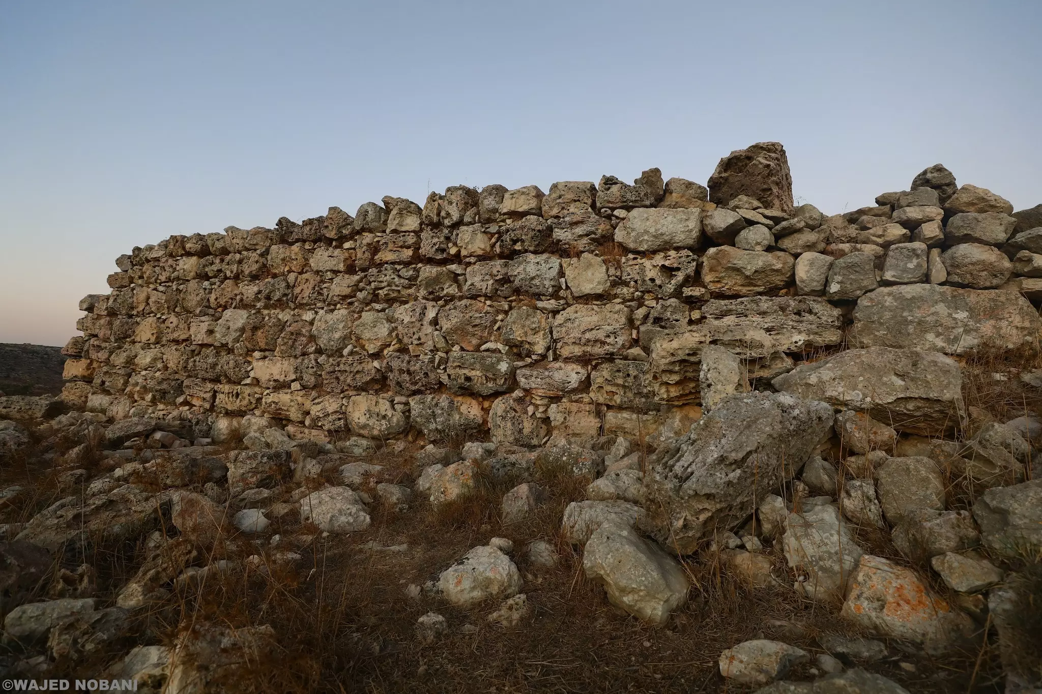
- خربة المطوي قرب قرية بروقين -- واجد النوباني #17
- خربة المطوي قرب قرية بروقين -- واجد النوباني #18
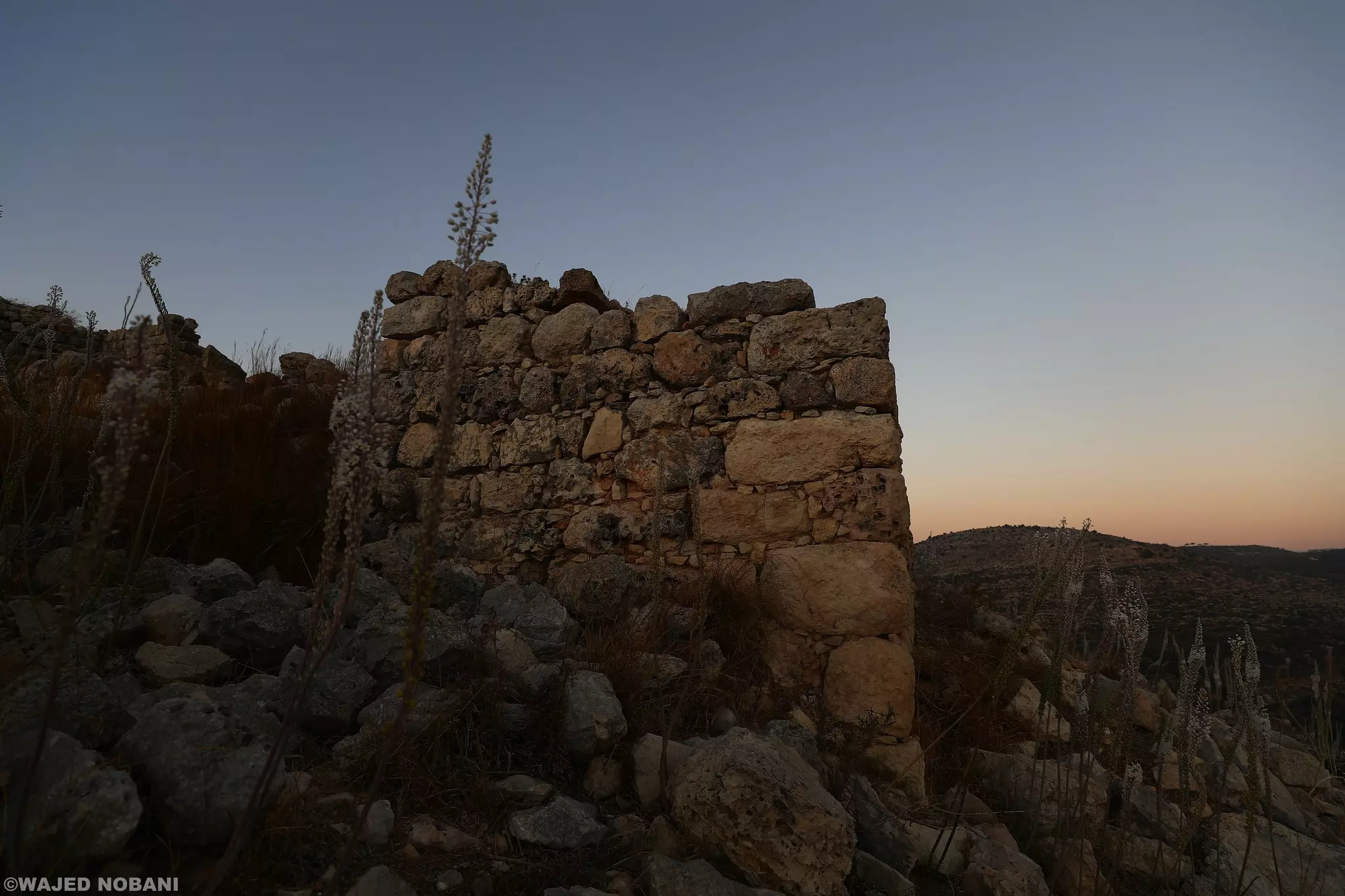
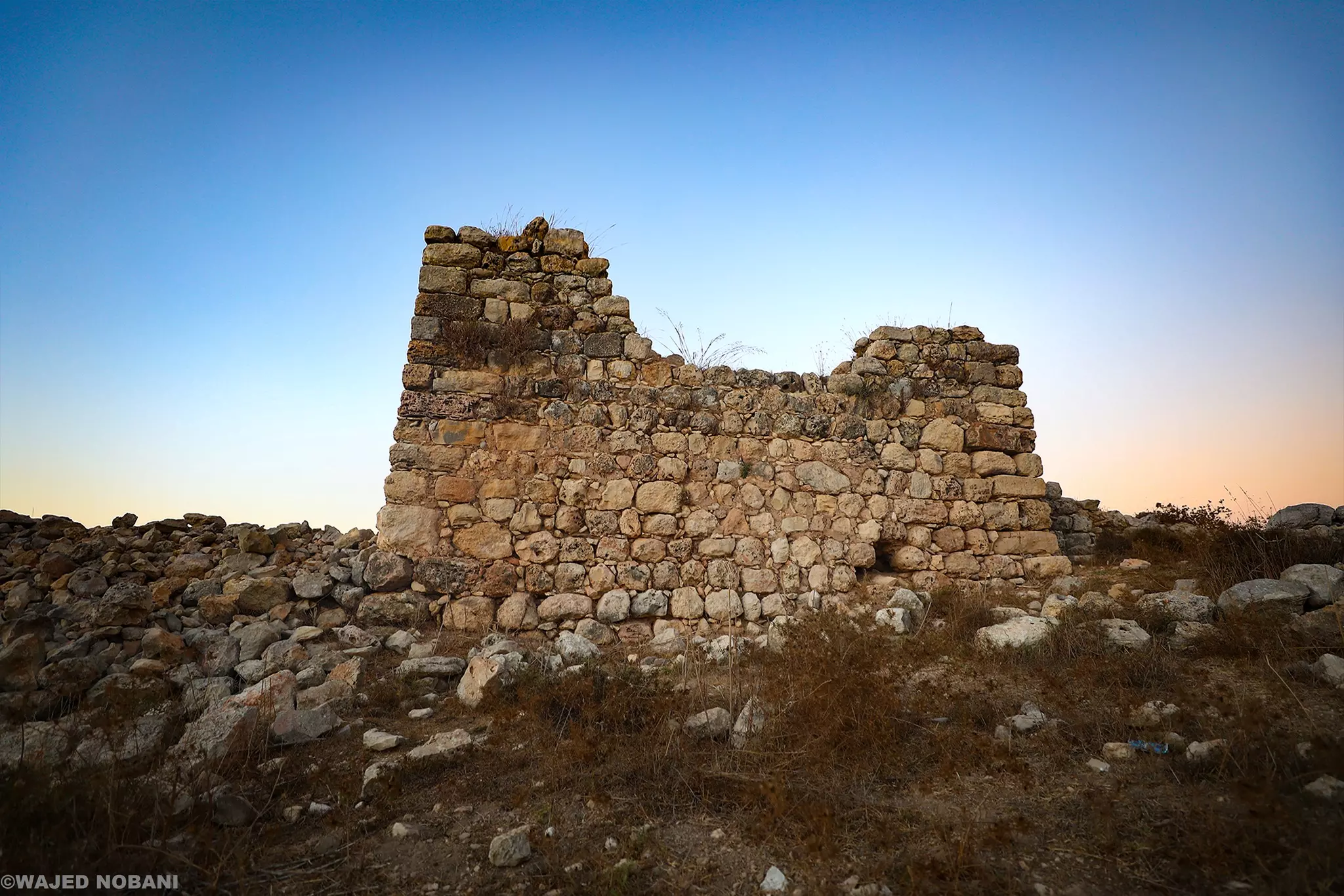
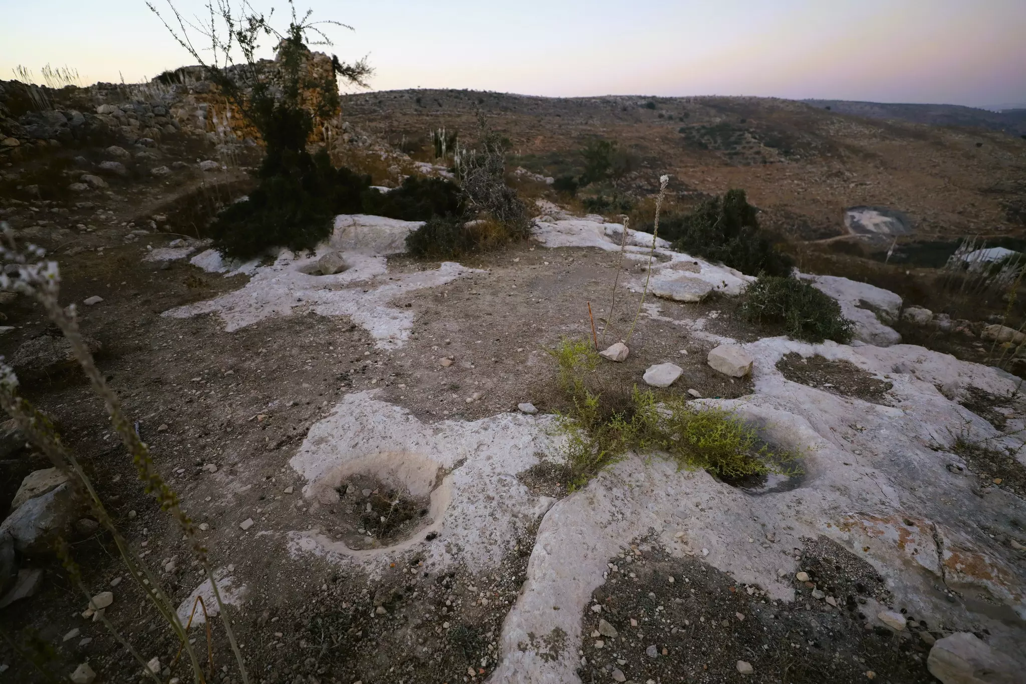
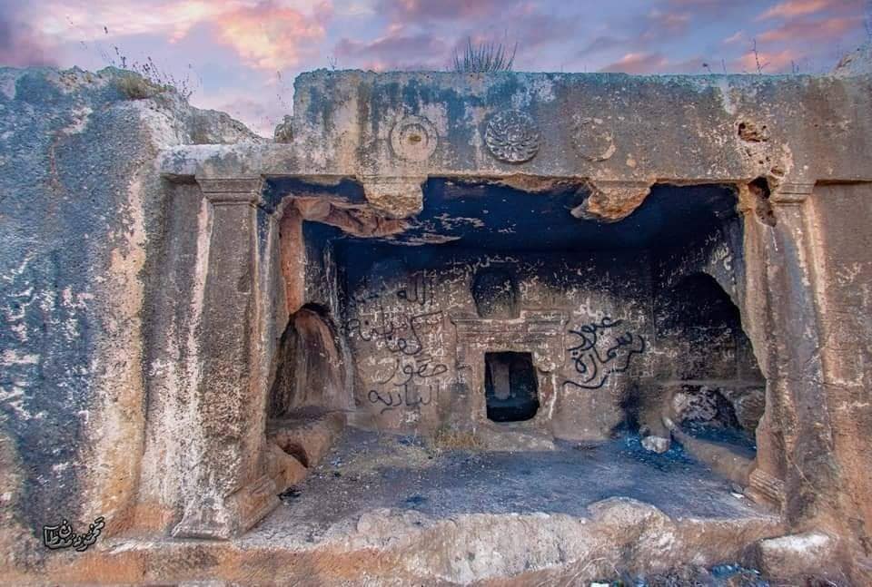
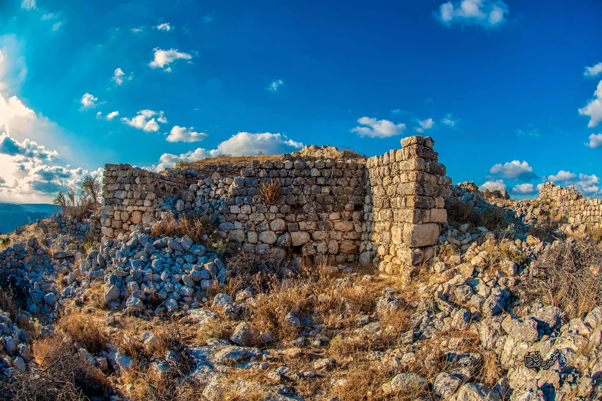
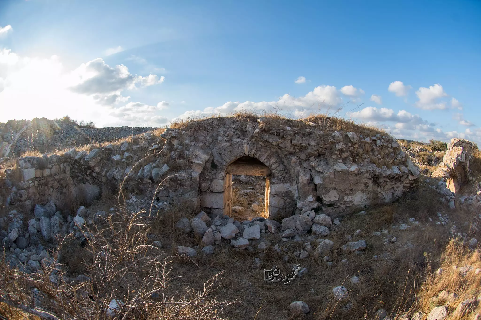
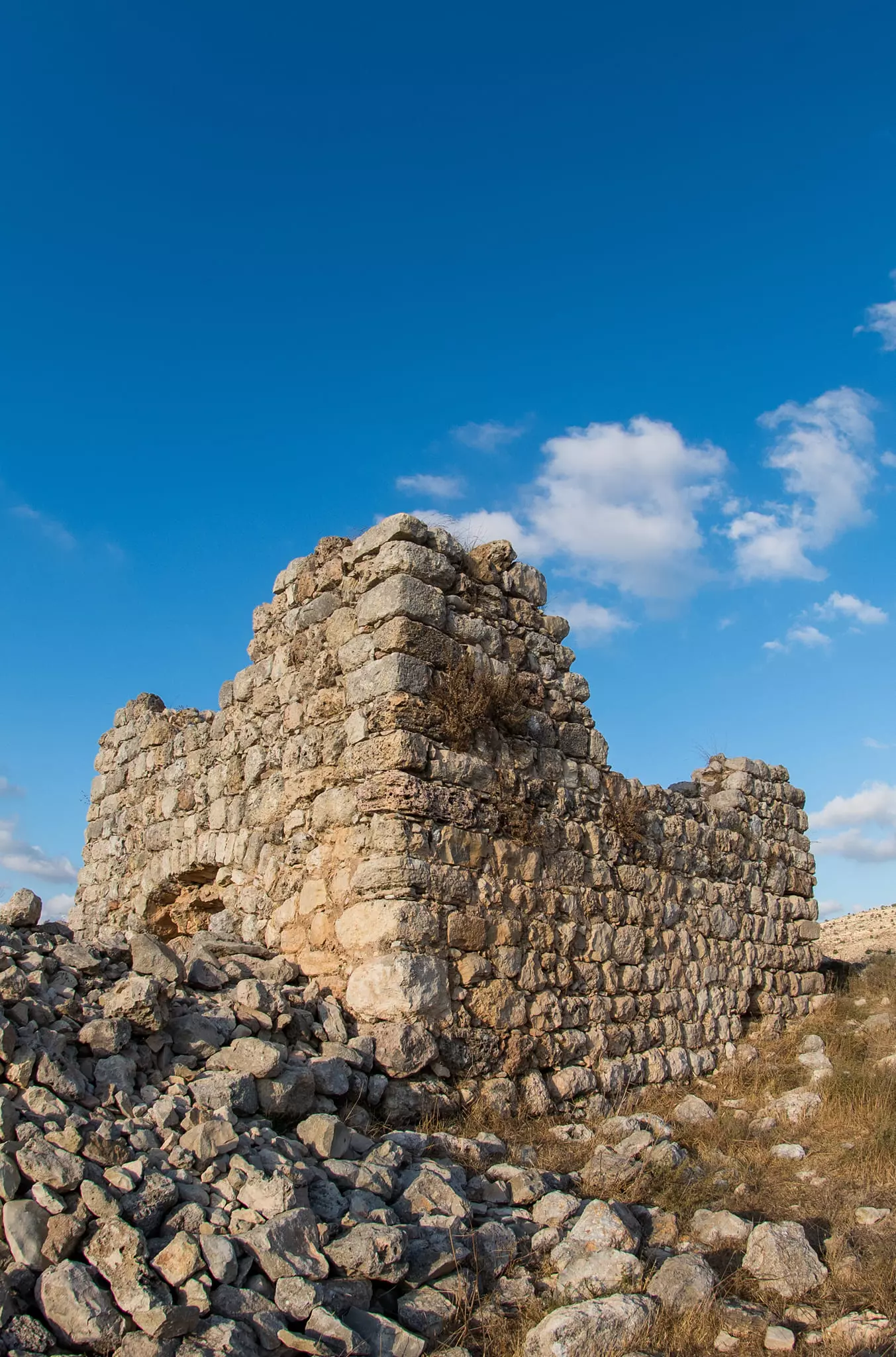
- قُرقُش وقد كانت من قبل قرية عظيمة، صارت اليوم خربة على تلة مرتفعة تتبع قرية بروقين.
- قُرقُش وقد كانت من قبل قرية عظيمة، صارت اليوم خربة على تلة مرتفعة تتبع قرية بروقين. #2
- قُرقُش وقد كانت من قبل قرية عظيمة، صارت اليوم خربة على تلة مرتفعة تتبع قرية بروقين. #3
- قُرقُش وقد كانت من قبل قرية عظيمة، صارت اليوم خربة على تلة مرتفعة تتبع قرية بروقين. #4
- قُرقُش وقد كانت من قبل قرية عظيمة، صارت اليوم خربة على تلة مرتفعة تتبع قرية بروقين. #5
- قُرقُش وقد كانت من قبل قرية عظيمة، صارت اليوم خربة على تلة مرتفعة تتبع قرية بروقين. #6
- قُرقُش وقد كانت من قبل قرية عظيمة، صارت اليوم خربة على تلة مرتفعة تتبع قرية بروقين. #7
- قُرقُش وقد كانت من قبل قرية عظيمة، صارت اليوم خربة على تلة مرتفعة تتبع قرية بروقين. #8
- قُرقُش وقد كانت من قبل قرية عظيمة، صارت اليوم خربة على تلة مرتفعة تتبع قرية بروقين. #9
- قُرقُش وقد كانت من قبل قرية عظيمة، صارت اليوم خربة على تلة مرتفعة تتبع قرية بروقين. #10
- قُرقُش وقد كانت من قبل قرية عظيمة، صارت اليوم خربة على تلة مرتفعة تتبع قرية بروقين. #11
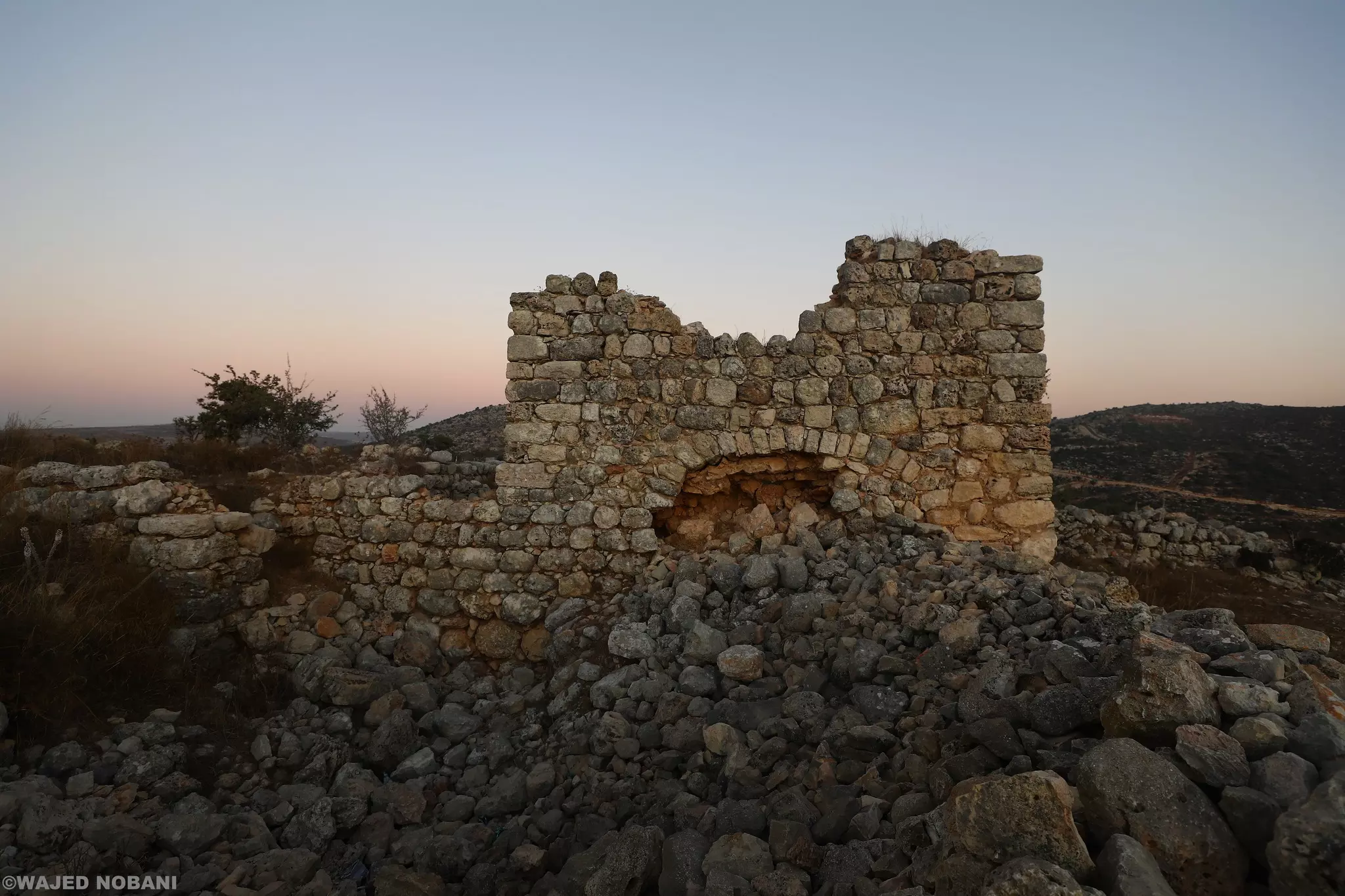
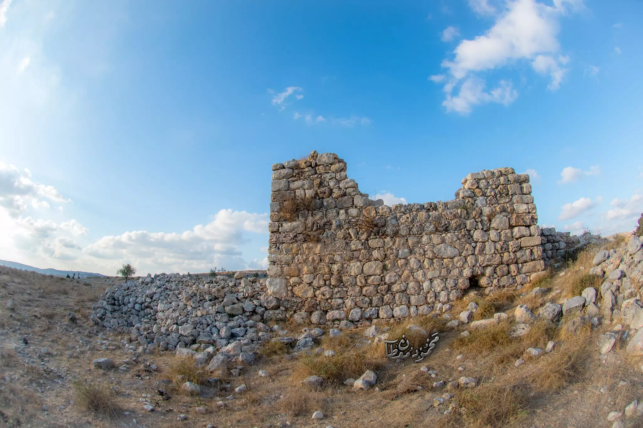
- خربة قرقش. بروقين -- واجد النوباني
- خربة قرقش. بروقين -- واجد النوباني #2
- خربة قرقش. بروقين -- واجد النوباني #3
- خربة قرقش. بروقين -- واجد النوباني #4
- خربة قرقش. بروقين -- واجد النوباني #5
- جولة بين بيوت البلدة القديمة -- محمد ابو نوح
- جولة بين بيوت البلدة القديمة -- محمد ابو نوح #2
- جولة بين بيوت البلدة القديمة -- محمد ابو نوح #3
- جولة بين بيوت البلدة القديمة -- محمد ابو نوح #4
- جولة بين بيوت البلدة القديمة -- محمد ابو نوح #5
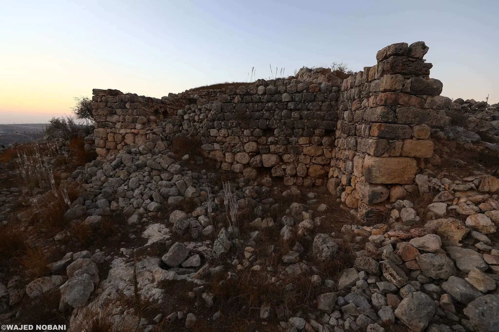
- زيارة لاحد الخرب المحيطة -- محمود معطان
- زيارة لاحد الخرب المحيطة -- محمود معطان #2
- زيارة لاحد الخرب المحيطة -- محمود معطان #3
- زيارة لاحد الخرب المحيطة -- محمود معطان #4
- زيارة لاحد الخرب المحيطة -- محمود معطان #5
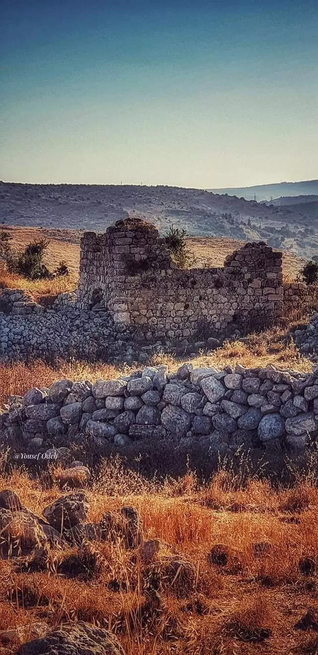
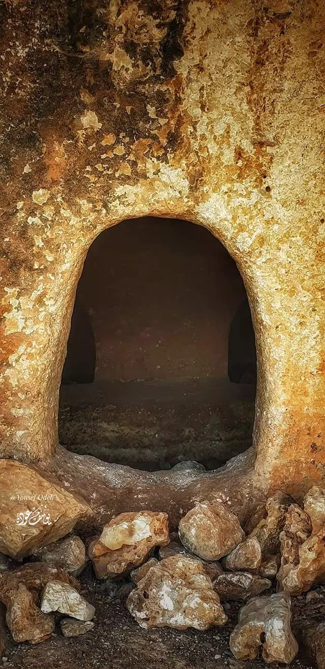
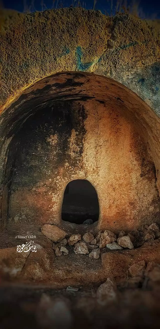
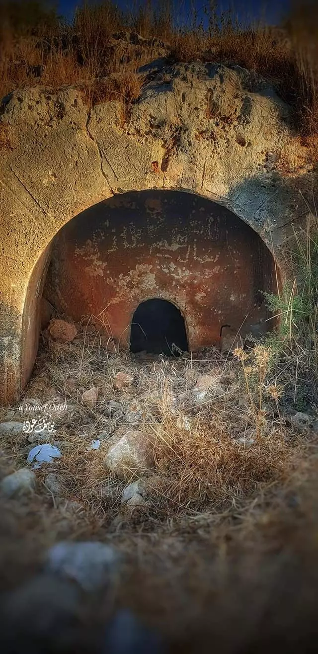
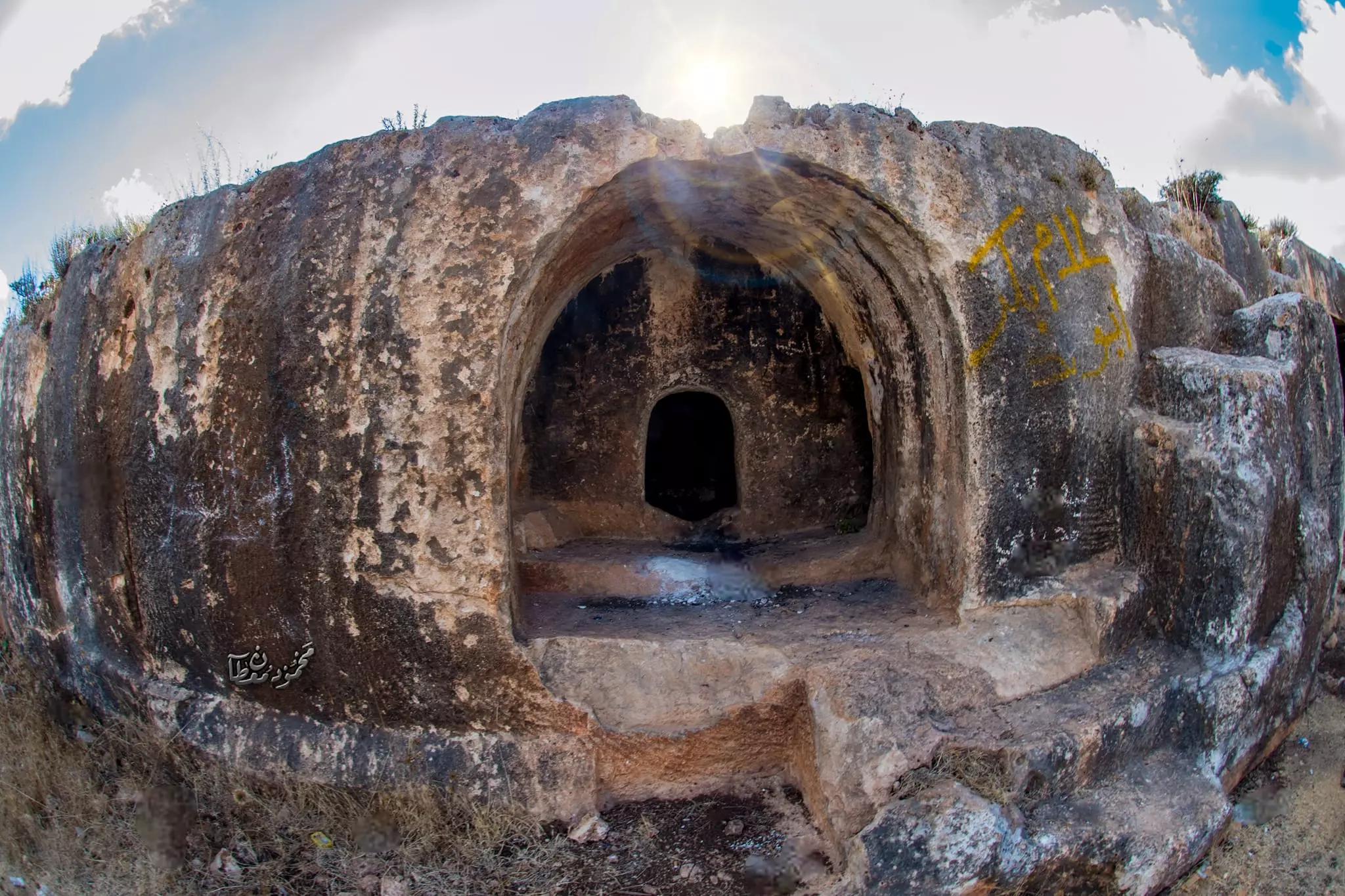
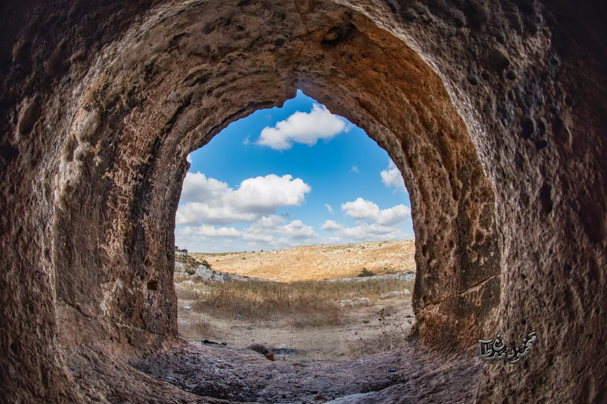
- خربة المطوي -- يوسف عودة
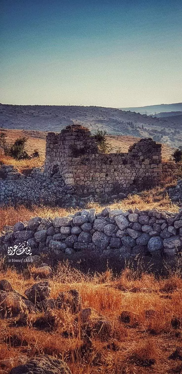
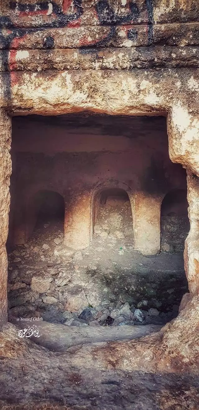
- خربة جلال الدين أو خربة المطوي -- يوسف عودة
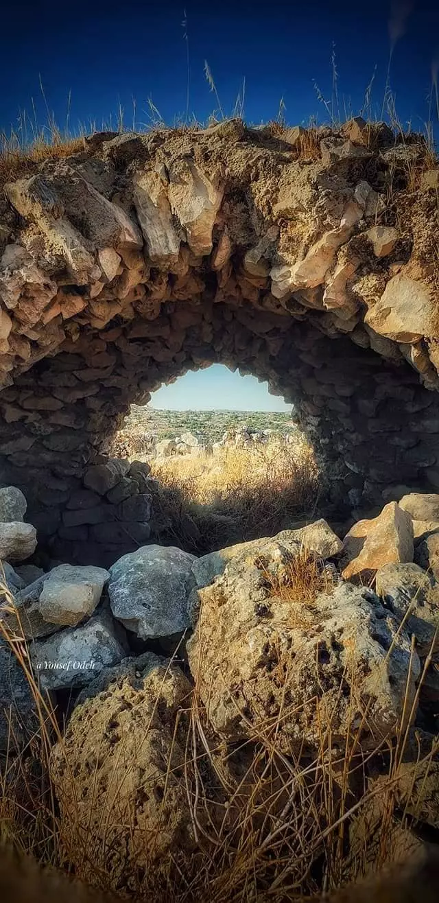
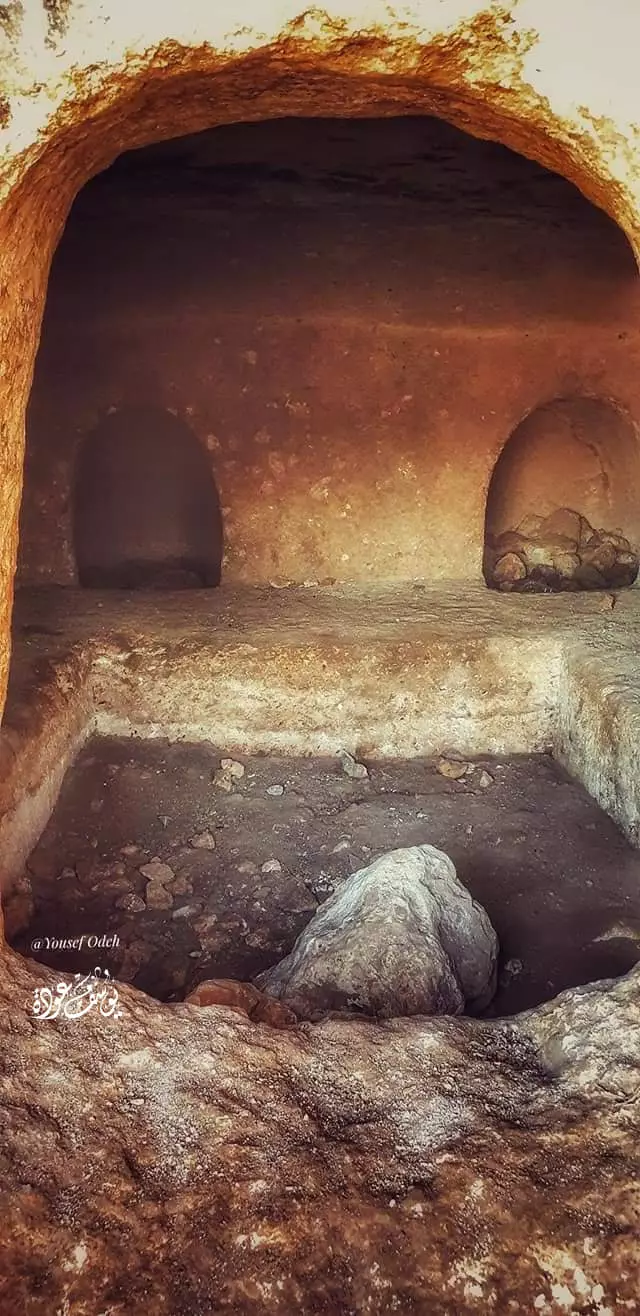
- خربة جلال الدين أو خربة المطوي -- يوسف عودة #2
- خربة جلال الدين أو خربة المطوي -- يوسف عودة #3
- منظر عام #2
- منظر عام #3
- منظر عام #4
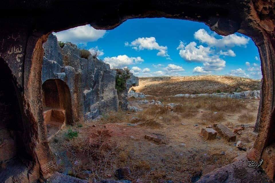
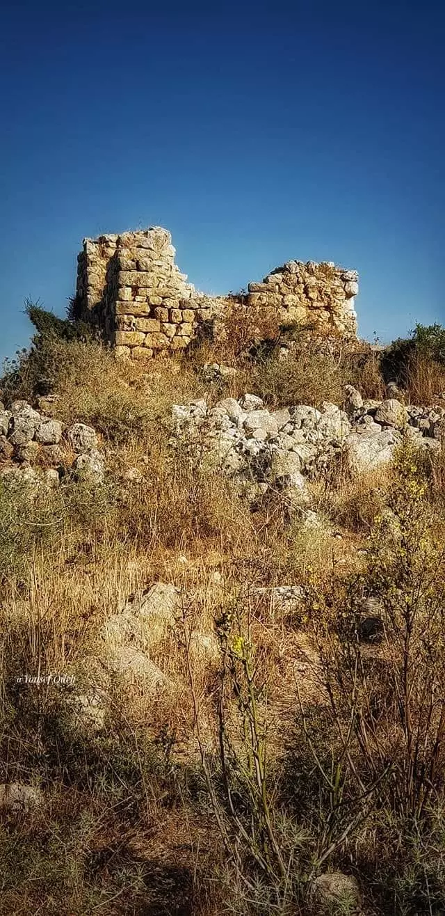
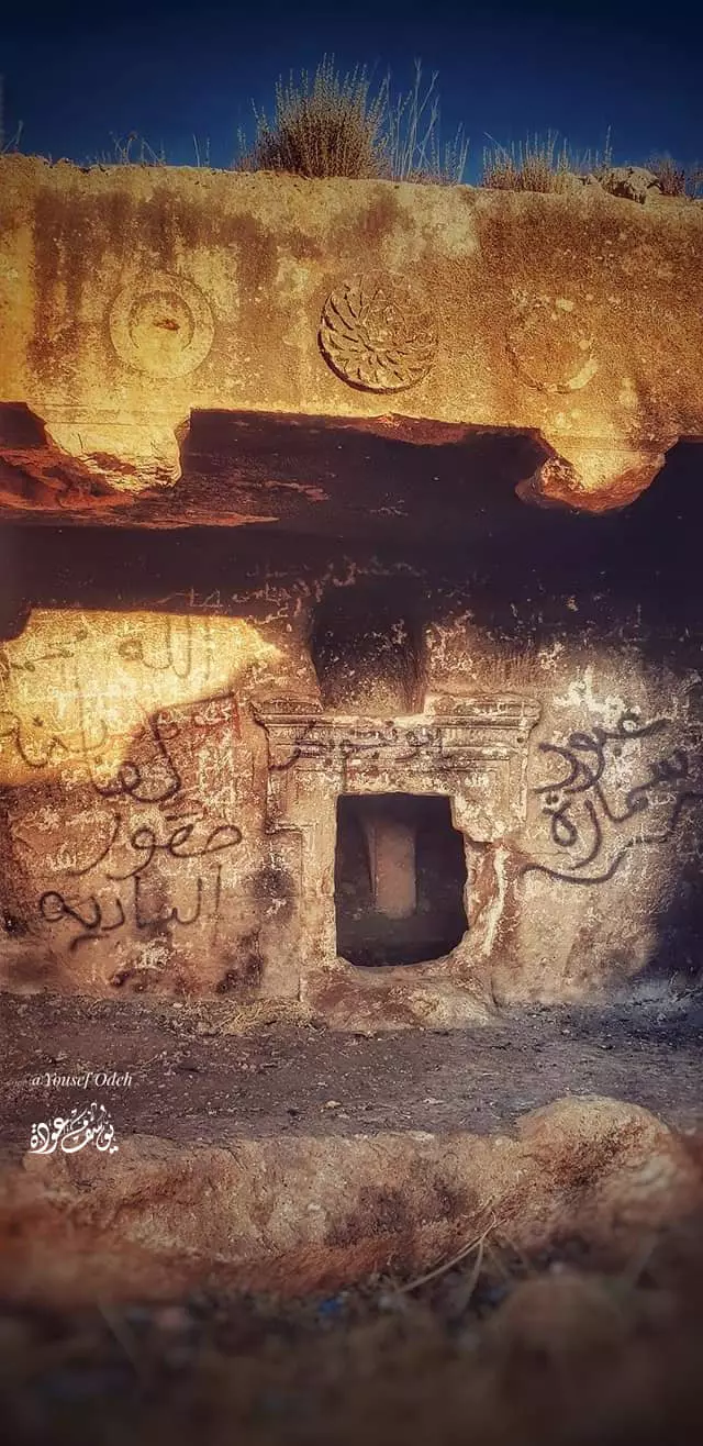
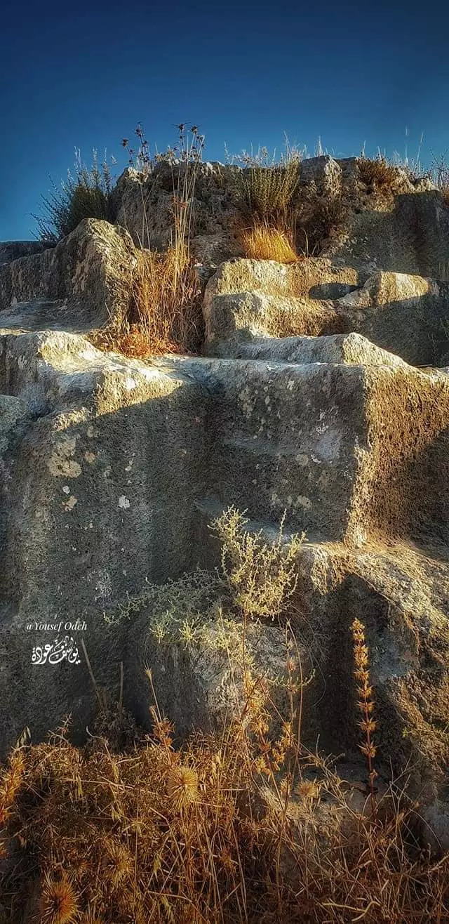
- جولة في خربة قرقش -- يوسف عودة
- جولة في خربة قرقش -- يوسف عودة #2
- جولة في خربة قرقش -- يوسف عودة #3
- جولة في خربة قرقش -- يوسف عودة #4
- جولة في خربة قرقش -- يوسف عودة #5
- جولة في خربة قرقش -- يوسف عودة #6
- جولة في خربة قرقش -- يوسف عودة #7
- General view - June 2022 -- Mahmoud Moutan
- General view - June 2022 -- Mahmoud Moutan #2
- General view - June 2022 -- Mahmoud Moutan #3
- General view - June 2022 -- Mahmoud Moutan #4
- جولة رائعة في في احد الخرب الأثرية المحيط بالقرية -- June 2022 -- Mahmoud Moutan
- جولة رائعة في احد الخرب الأثرية المحيط بالقرية -- June 2022 -- Mahmoud Moutan #2
- جولة رائعة في احد الخرب الأثرية المحيط بالقرية -- June 2022 -- Mahmoud Moutan #3
- جولة رائعة في احد الخرب الأثرية المحيط بالقرية -- June 2022 -- Mahmoud Moutan #4
- جولة رائعة في احد الخرب الأثرية المحيط بالقرية -- June 2022 -- Mahmoud Moutan #5
- جولة رائعة في احد الخرب الأثرية المحيط بالقرية -- June 2022 -- Mahmoud Moutan #6
- جولة رائعة في احد الخرب الأثرية المحيط بالقرية -- June 2022 -- Mahmoud Moutan #7
- جولة رائعة في احد الخرب الأثرية المحيط بالقرية -- June 2022 -- Mahmoud Moutan #8
- جولة رائعة في احد الخرب الأثرية المحيط بالقرية -- June 2022 -- Mahmoud Moutan #9
- منظر عام
- جولة في خربة جلال الدين
Mahmooud Moutan..المزيد عنا في قسم التعليقات
- جولة في خربة جلال الدين
Mahmooud Moutan..المزيد عنا في قسم التعليقات #2
- جولة في خربة جلال الدين
Mahmooud Moutan..المزيد عنا في قسم التعليقات #3
- جولة في خربة جلال الدين
Mahmooud Moutan..المزيد عنا في قسم التعليقات #4
- جولة في خربة جلال الدين
Mahmooud Moutan..المزيد عنا في قسم التعليقات #5
- جولة في خربة جلال الدين
Mahmooud Moutan..المزيد عنا في قسم التعليقات #6
- جولة في خربة جلال الدين
Mahmooud Moutan..المزيد عنا في قسم التعليقات #7
- جولة في خربة جلال الدين
Mahmooud Moutan..المزيد عنا في قسم التعليقات #8
- منظر عام -- June 2022 -- Mahmoud Moutan
- جولة رائعة في في احد الخرب الأثرية المحيط بالقرية -- June 2022 -- Mahmoud Moutan

- جولة رائعة في في احد الخرب الأثرية المحيط بالقرية -- June 2022 -- Mahmoud Moutan #2
- جولة رائعة في في احد الخرب الأثرية المحيط بالقرية -- June 2022 -- Mahmoud Moutan #3
- جولة رائعة في في احد الخرب الأثرية المحيط بالقرية -- June 2022 -- Mahmoud Moutan #4
- جولة رائعة في في احد الخرب الأثرية المحيط بالقرية -- June 2022 -- Mahmoud Moutan #5
- جولة رائعة في في احد الخرب الأثرية المحيط بالقرية -- June 2022 -- Mahmoud Moutan #6
- جولة رائعة في في احد الخرب الأثرية المحيط بالقرية -- June 2022 -- Mahmoud Moutan #7
- جولة رائعة في في احد الخرب الأثرية المحيط بالقرية -- June 2022 -- Mahmoud Moutan #8
- جولة رائعة في في احد الخرب الأثرية المحيط بالقرية -- June 2022 -- Mahmoud Moutan #9
- جولة رائعة في في احد الخرب الأثرية المحيط بالقرية -- June 2022 -- Mahmoud Moutan #10
- جولة رائعة في في احد الخرب الأثرية المحيط بالقرية -- June 2022 -- Mahmoud Moutan #11
- جولة رائعة في في احد الخرب الأثرية المحيط بالقرية -- June 2022 -- Mahmoud Moutan #12
- جولة رائعة في في احد الخرب الأثرية المحيط بالقرية -- June 2022 -- Mahmoud Moutan #13
Want to browse more? 80,000 pictures were grouped in these gallaries:
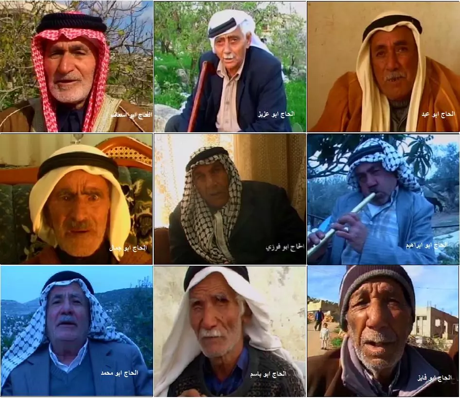
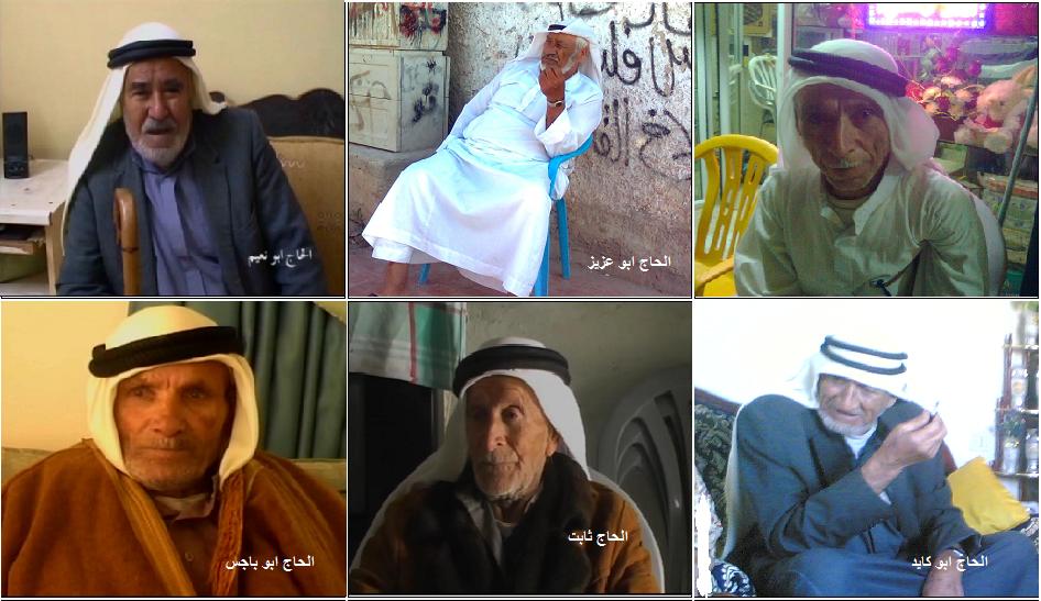
| Display Name | Clan/Hamolah | Country of Residence |
| الدكتور أحمد عمر | - | عمان |
| ثائر هشام محمود بركات | بركات | المنطقة الشرقية, السعودية |
| خبيب تيسير عمران | - | - |
| حسني عصام حسني بركات | - | سلفيت |
| مسي | عبدالله | - |
| ابو يزيد | عبد الله | جدة, السعودية |
| - | - | |
| براء عاهد صبرة | صبرة | جدة, السعودية |
| أبو هيثم | عبدالله (بكسراللام ) | جدة السعودية |
| هيثم تيسير الحج | الحج | سلفيت, ابروقين |
| Bassam Mohammad Mahmoud Ali | الشيخ عمر | Dubai, United Arab Emirates |
| أنس أنور صبره | صبره | بروقين - فلسطين , بروقين |
| ابو قرعة | خاطر | tx, usa |
| waheed barakat | - | Ramalla, Balestine |
| ابوصهيب | صبرا | القصيم, القصيم |
| ak-hacker | - | سلفيت, إبُروقين |
| raed alshaibi | - | Florida, USA |
| حنان سمارة | - | beirut, lebanon |
| ابوعبدالرحمن | خاطر | الدوحة, قطر |
| ماهر الشعيبي | الشعيبي | عمان, الاردن |
| ابو عبد الجليل | عبد الرحمن | برقين |
| عمار جمال سمارة | سمارة | فلسطين, بروقين |
| أنور صبره | - | - |
| معتز جمال عبدالرحمن | عبد الرحمن | - |
| نضال حج | حج | سلفيت, بروقين |
| مؤمن | - | فلسطين, فلسطين |
| ام حسين | الجازي | حولي, الكويت |
| عمرو خموس | خموس | - |
| بسيم عبد الله صبره | صبره | عمان, الاردن |
| نبيل بركات | بركات | أبوظبي, الإمارات |
| فراس خاطر | حمد | - |
| hadeelsamara | سماره | رام الله |
| محمد عصام حسني بركات | - | - |
| ابو سليمان | حــمـــــد | الوسطى, الرياض |
| أبو أيهم | عبد الرحمن | عمـان, الأردن |
| حاتم عثمان | الحاج | الامارات |
| بروقين | - | - |
| ola omar | - | dubai, dubai |
| akram abahre | عباهره | - |
| Abu Sadeel | Abdel-Rahman | CA, USA |
No links have been shared yet, be free to the first to share the first link.
 Fake Valor: Why Did Zionist Jews Hoist Nazis Flag on Their Ships in the 1930s?
What is new?
-
Facts About Oct. 7th Gaza Raid
-
Remined Us Please:: Who Did Rape Who? Palestinians Raped Israelis? Or, was the other way around?
-
When Prof. Edward Said was invited to debate Bibi Netanyahu in the 1980s, watch what happened!
-
Ezra Klein of the NY Times on the "Jewish Race".
-
Abusing Blood Libel!
-
Zionist FAQ: Isn't it true that Palestinians don't want peace? Palestinians never accepted the two-state solution
- Facts about Haavara (Transfer) Agreement between Ben-Gurion & Hitler
-
Haavara FAQs: Why Did Zionist Jews Hoist Nazis' Flags on Their Ships in the 1930s?
- Haavara FAQs: When Chaim Weizmann met FDR in mid-1943, why was he silent about rescuing European Jewry?
-
Dear ChatGPT: How did Palestinians resist Napoleon's invasion of their country in 1799?
-
Dear ChatGPT: Gaza had a vibrant Jewish community in the mid-17th century. What happened to them?
-
Dear ChatGPT: Why did the Jewish Agency suppress news of the Holocaust during WWII?
-
Video Playlist: Jews share their DNA tests to end the conflict for good.
-
A Tale of Two Conflicts: Examining the Definition of Genocide
-
Prof. Abraham Polak And The Suppressed History of the Khazars and European Jewry
-
How Ronald Reagan would have framed the genocide in Gaza if he were still alive?
-
Haavara FAQs: Let us do the math: how many German Jews did The Haavara Agreement save?
-
Zionist FAQs: The Hebron Massacre of 1929, "clearly proves" that Palestinians are antisemitic, how could you deny it?
-
Zionist FAQs: Why Anti-Zionist Is Not Antisemitism?
-
Zionist FAQs: Isn't it true that the KGB create Palestinian Nationalism in the early 1960s?
- Zionist FAQs: Muslims are killing Muslims all the time; why are Israeli Jews being singled out in the media?
- Zionist FAQs: How is Israel an apartheid state when 20% of its citizens are Arabs who enjoy full rights?
-
Haavara FAQs: Analysis of Herzl's Uganda Scheme and how it could have saved millions of Jews.
-
Haavara FAQs: Why did Hayim Greenberg describe American Jewry as "morally bankrupt" in early 1943?
-
Haavara FAQs: What if the Evian Conference was a resounding success? What would have been the impact of saving European Jewry on Zionism?
- Haavara FAQs: What if the six million were saved, how that would have impacted the Zionist project?
-
Haavara FAQs: How did Zionist leaders react when Europe's Jews lingered in the DP camps after WWII ended?
-
Why does the American Jewish community repeat lies that David Ben-Gurion had debunked before he died?
-
Who has the power to rename the Tatar/Khazar Gene Marker to Jewish IV?
-
Zionist FAQs: Why won't Egypt, Syria, and Jordan take their people back? Jews are indigenous to Palestine, and Arabs immigrated after Jews developed the country. Arabs should leave.
-
Haavara FAQs: Did Hitler and the Nazis conflate between Judaism and Zionist? If that wasn't case, then why?
-
Haavara FAQs: Winston Churchill and antisemitism, a collection of articles written Churchill.
-
Haavara FAQs: Broken by country, how many Jews survived vs. killed during the Holocaust?
-
Haavara FAQs: Why did European Jews vote with their feet and to immigrated to the Americas, not Palestine, after WWII?
-
Watch this American Jewish Girl describing Israeli Jews' cognitive dissonance like no other in under two minutes
-
Haavara FAQs: When the Nazis went out of their way to hide the Holocaust, Israeli Jews did the exact opposite by broadcasting their genocide of Gazans. But why?
-
Haavara FAQs: How Zionist Jews went out of their to show their appreciation to Nazism and Fascism?
- Haavara FAQs: Why Zionist leaders were against bombing the death camps & the Railroads leading to them?
-
Haavara FAQs: Hitler's message to the British and American people: If Jews are such noble citizens and you care about them, how come you're not letting them in? I will gladly ship them to you at my expense, even on luxury liners!
-
A shortlist of Zionist and Israeli false flag operations in the name Jews.
-
The Most Moral Army
- The Land of Kapos (Israel): Where the brave are boycotted and Kapos walk free.
- Why did early Zionists often named their communal enterprises "colonial"?
- Zionist Relations with Nazi Germany by Faris Glubb
-
Two NY Times advertisements by Zionists in the early 1943 that exposes Zionists' treason at the height of the calamity
- Facts Not Lies about the Palestinian-Israeli Conflict.
- Site's pictures have been categorized
- Campgain Against Lice
- A Survey of Palestine, the official source about Palestine before Nakba produced by the British Mandate; over 1200 pages.
- Satellite View & Google Earth: Over 6,000 placemarks identifying all destroyed towns, W. Bank & Gaza Strip Towns, & refugee camps.
- PalestineRemembered.com and its Nakba Oral History Project were featured on al-Jazeera Satellite TV.
- Nakba Oral History Video Podcast:
 Over 700 Oral History interviews (including 3,500+ hours of recording) can be viewed online.
 - Palestine Village Statistics Project
- Gaza Jail Break
- النسخة العربية للموقع الان متوفرة
- Videos: Documenting the destroyed villages in video: Tracing all that remains since Nakba.
- Videos: Responding to Zionist Propaganda
- Interview: The ethnic cleansing of Palestine: George Galloway interviews Israeli Historian Ilan Pappe.
- For Palestinians, memory matters. It provides a blueprint for their future By George Bisharat.
- Zionist FAQ now available in Hebrew שאלות שציונים שואלים, עכשיו בעברית
- Video: The Stephen Walt and John Mearsheimer report on the influence of the Israel Lobby on U.S. Foreign Policy
- The Palestinian-Israeli conflict for beginners
