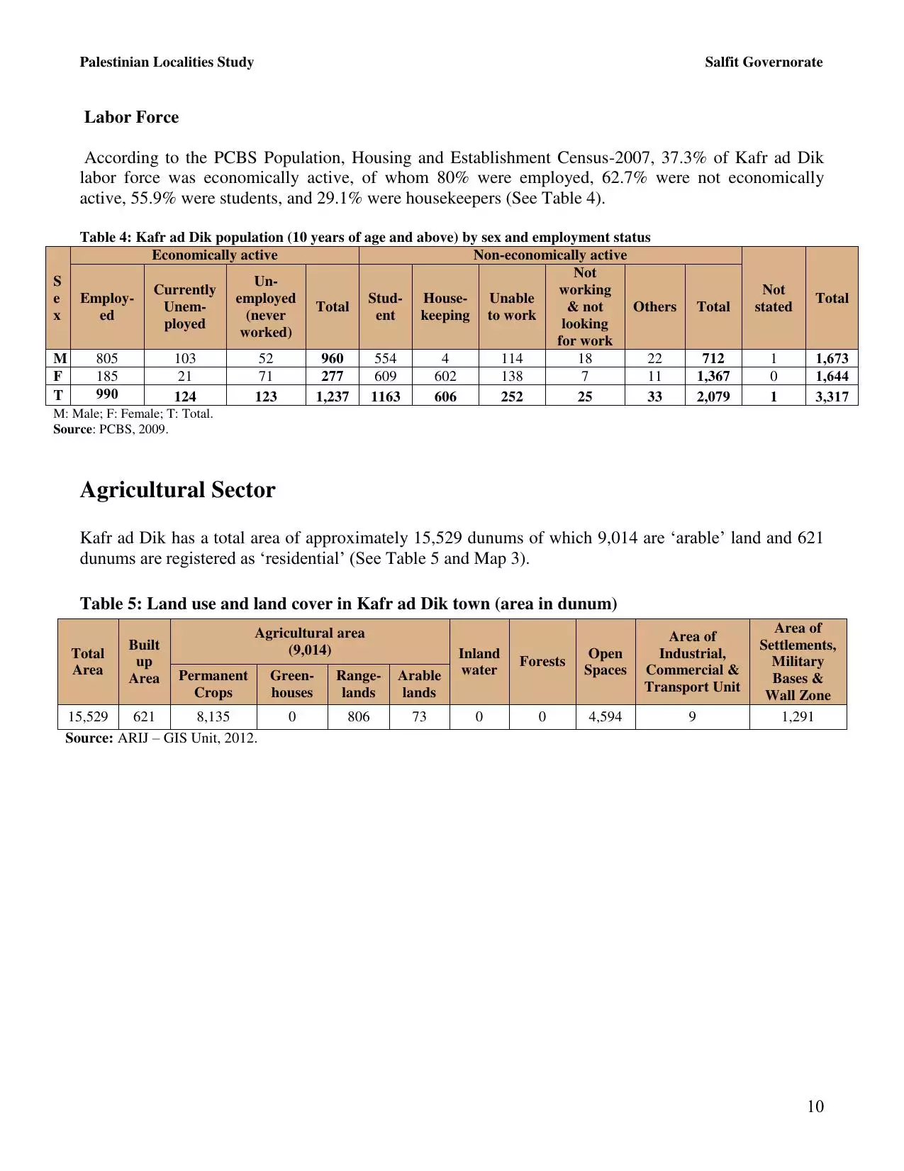
| PalestineRemembered | About Us | Oral History | العربية | |
| Pictures | Zionist FAQs | Haavara | Maps | |
| Search |
| Camps |
| Districts |
| Acre |
| Baysan |
| Beersheba |
| Bethlehem |
| Gaza |
| Haifa |
| Hebron |
| Jaffa |
| Jericho |
| Jerusalem |
| Jinin |
| Nablus |
| Nazareth |
| Ramallah |
| al-Ramla |
| Safad |
| Tiberias |
| Tulkarm |
| Donate |
| Contact |
| Profile |
| Videos |
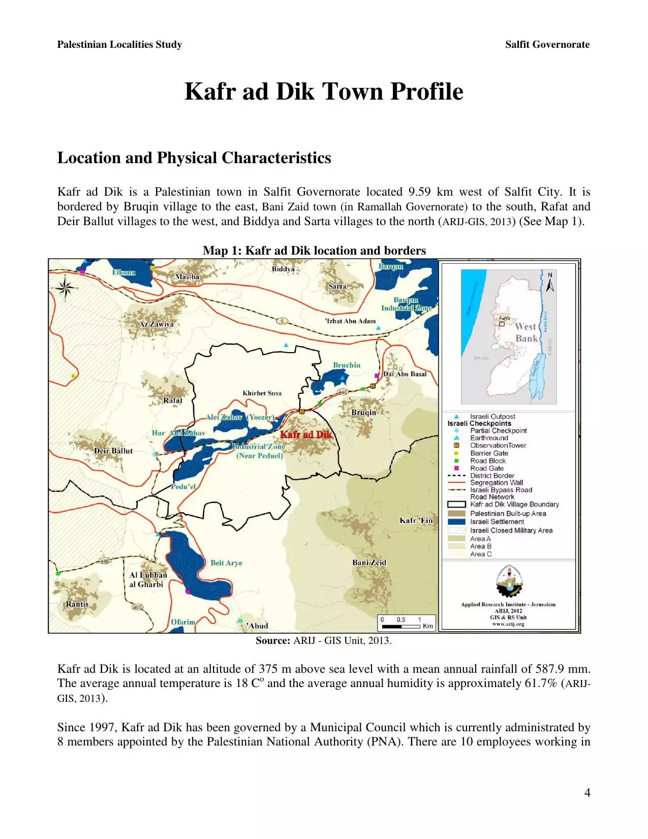
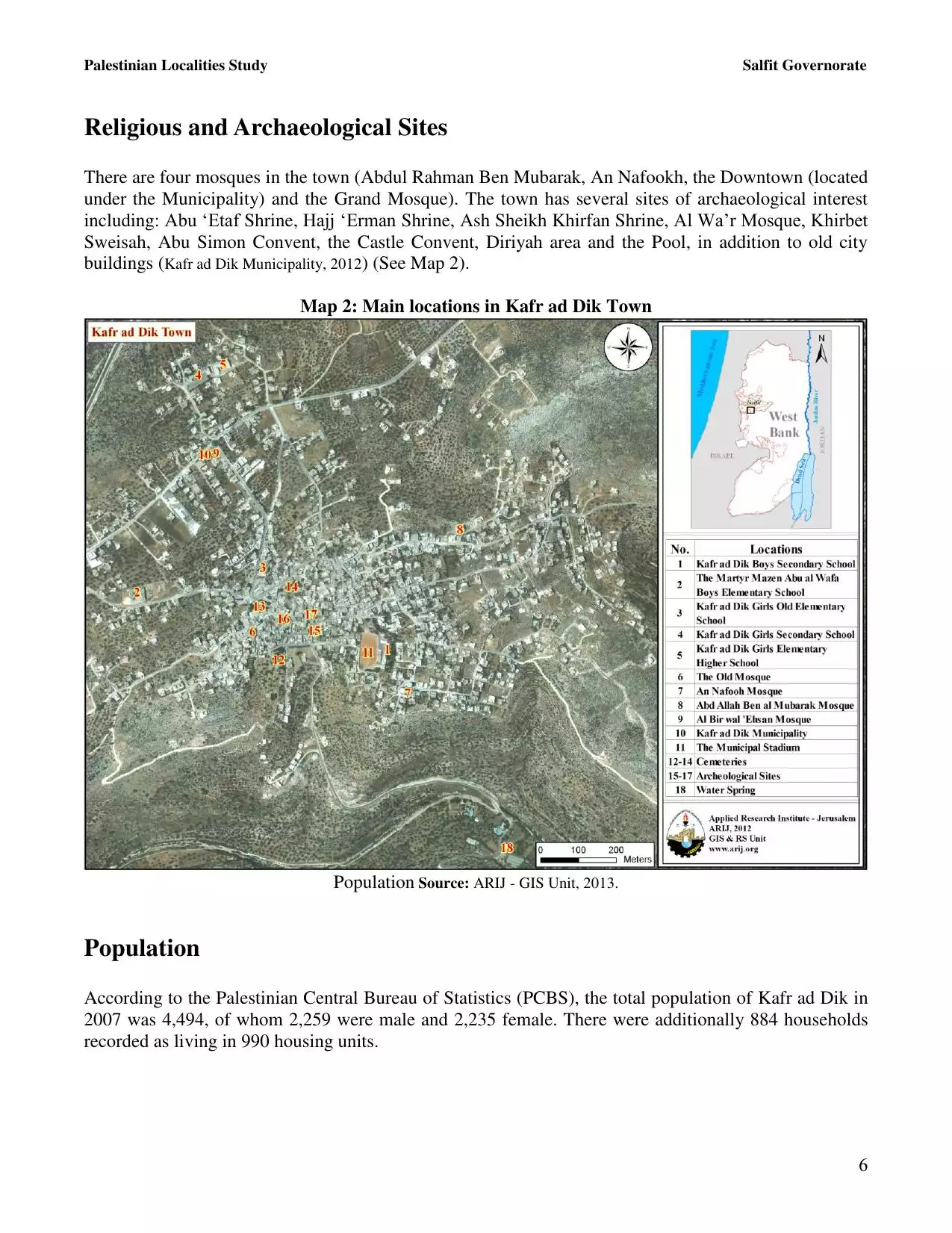
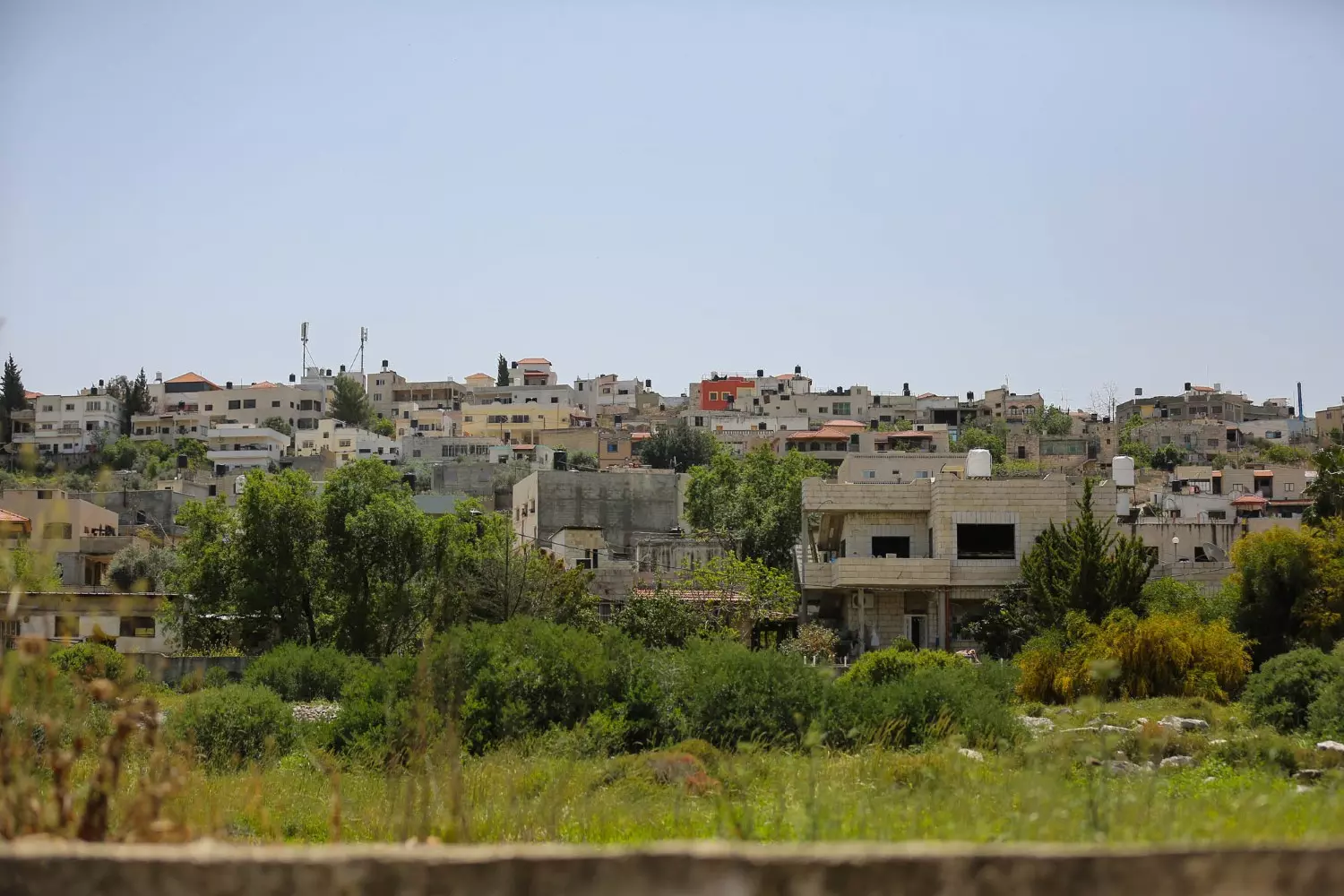
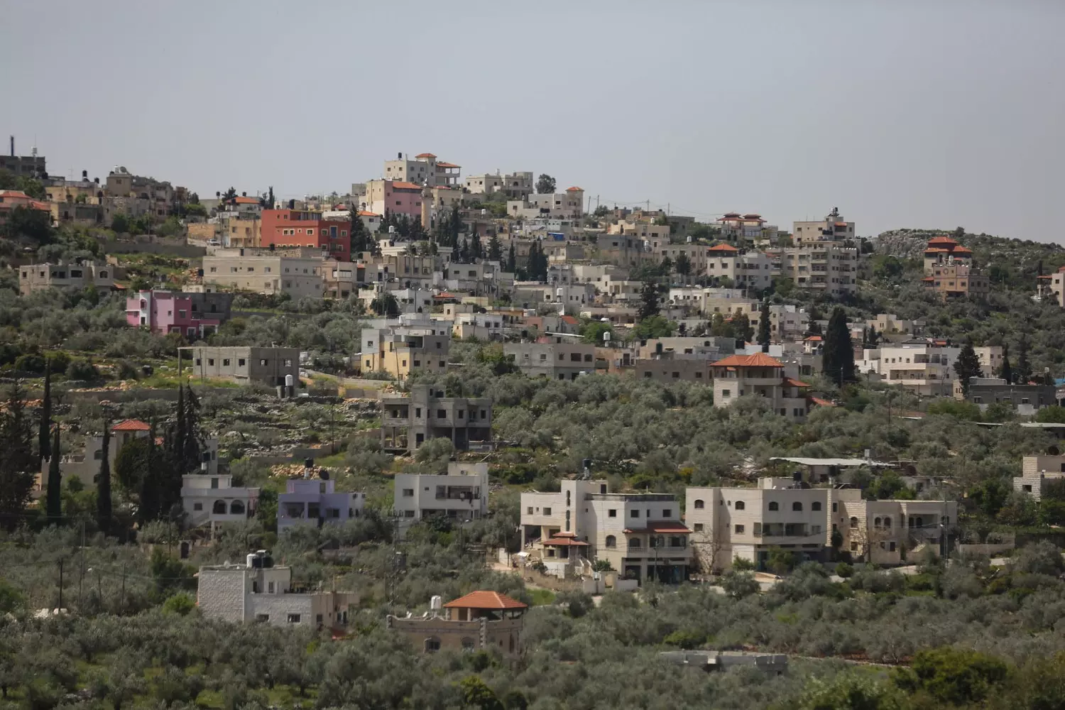
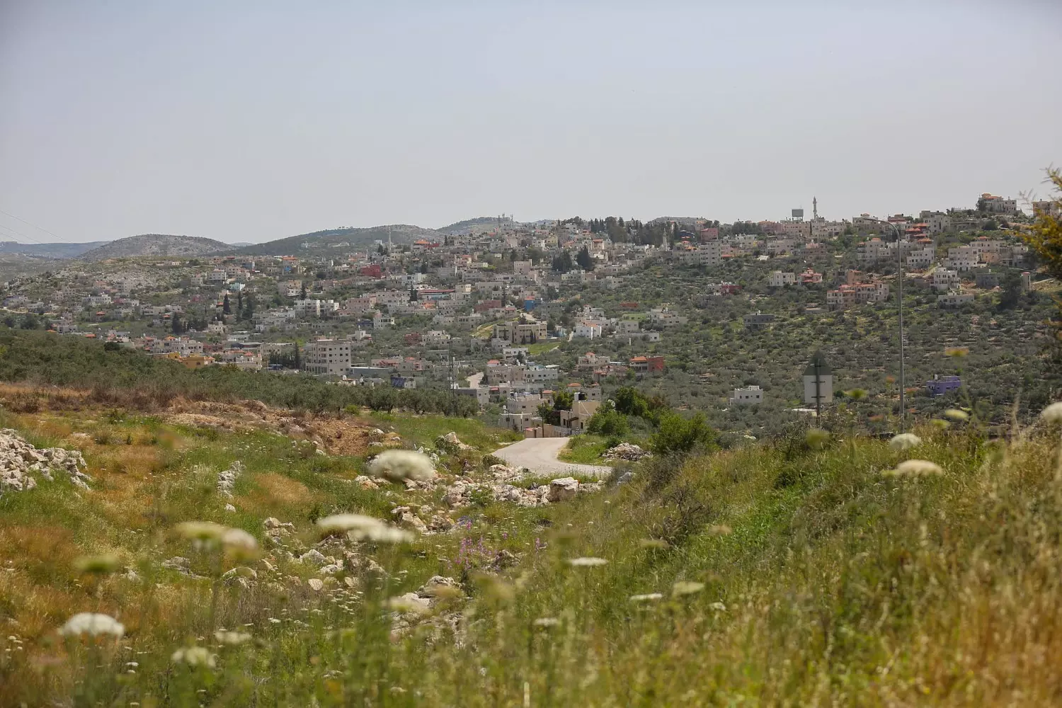
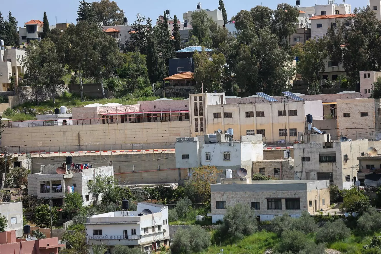
Welcome To Kafr al-Dik - كفر الديك (כפר א-דיכ)
|
District of Nablus
Occupied days ago |
العربية Google Earth |
 |
Gallery (229) |
- Statistics & Facts
-
Before & After

- Satellite View
- Articles 5
- Pictures 229
- Members 12
- Families
- Wikipedia
- ARIJ Guide
- Videos 1
- Guest Book 31
- Links
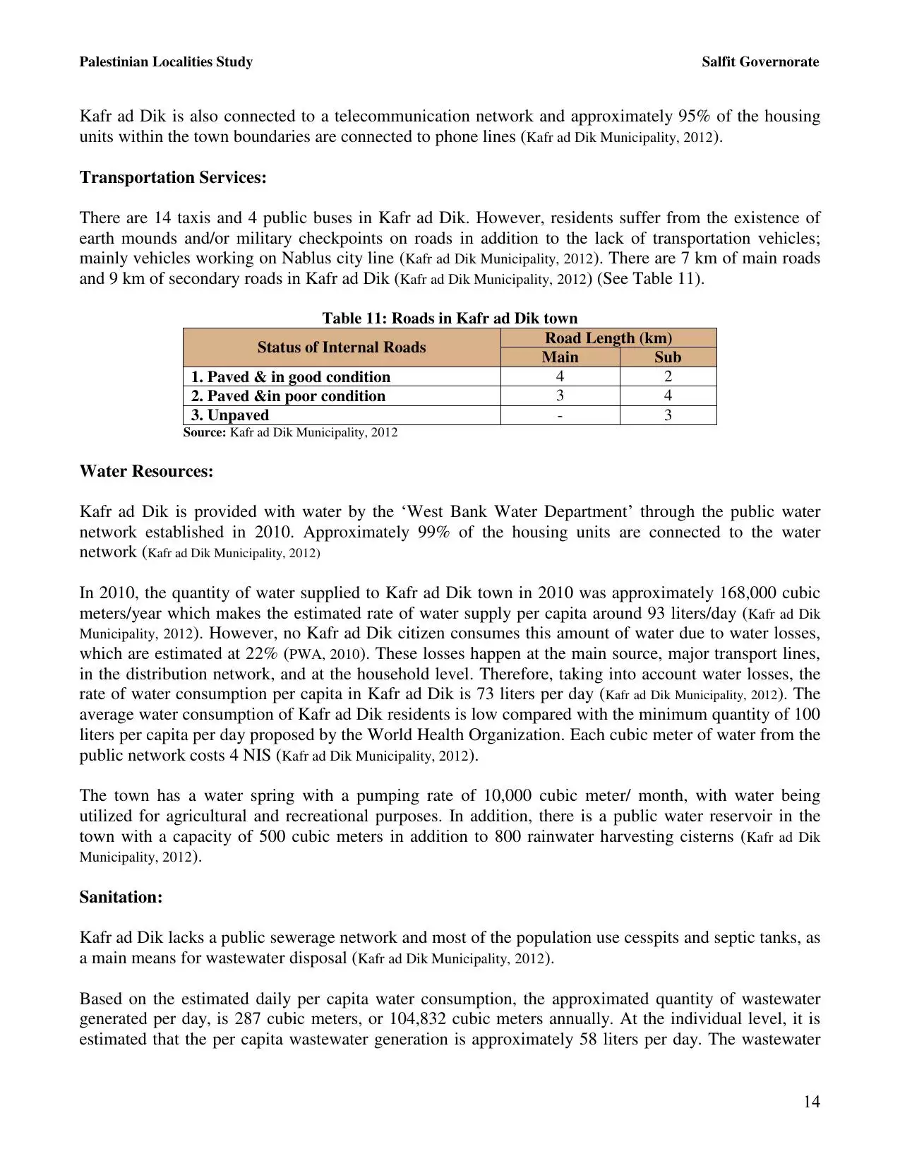
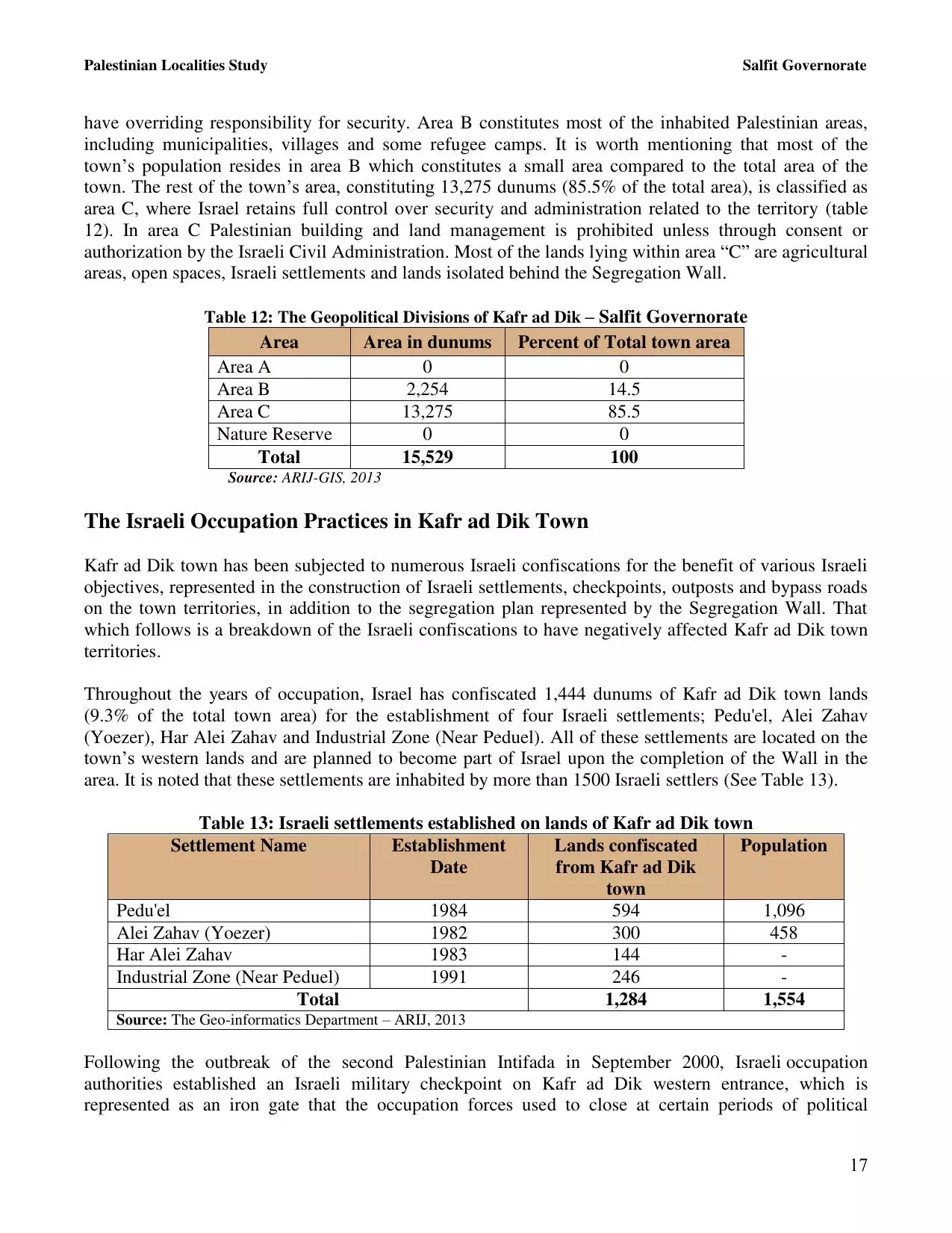
| Statistic & Fact | Value | ||||||||||||||||||||||||
| Distance From District | 34 km southwest of Nablus | ||||||||||||||||||||||||
| Elevation | 311 meters | ||||||||||||||||||||||||
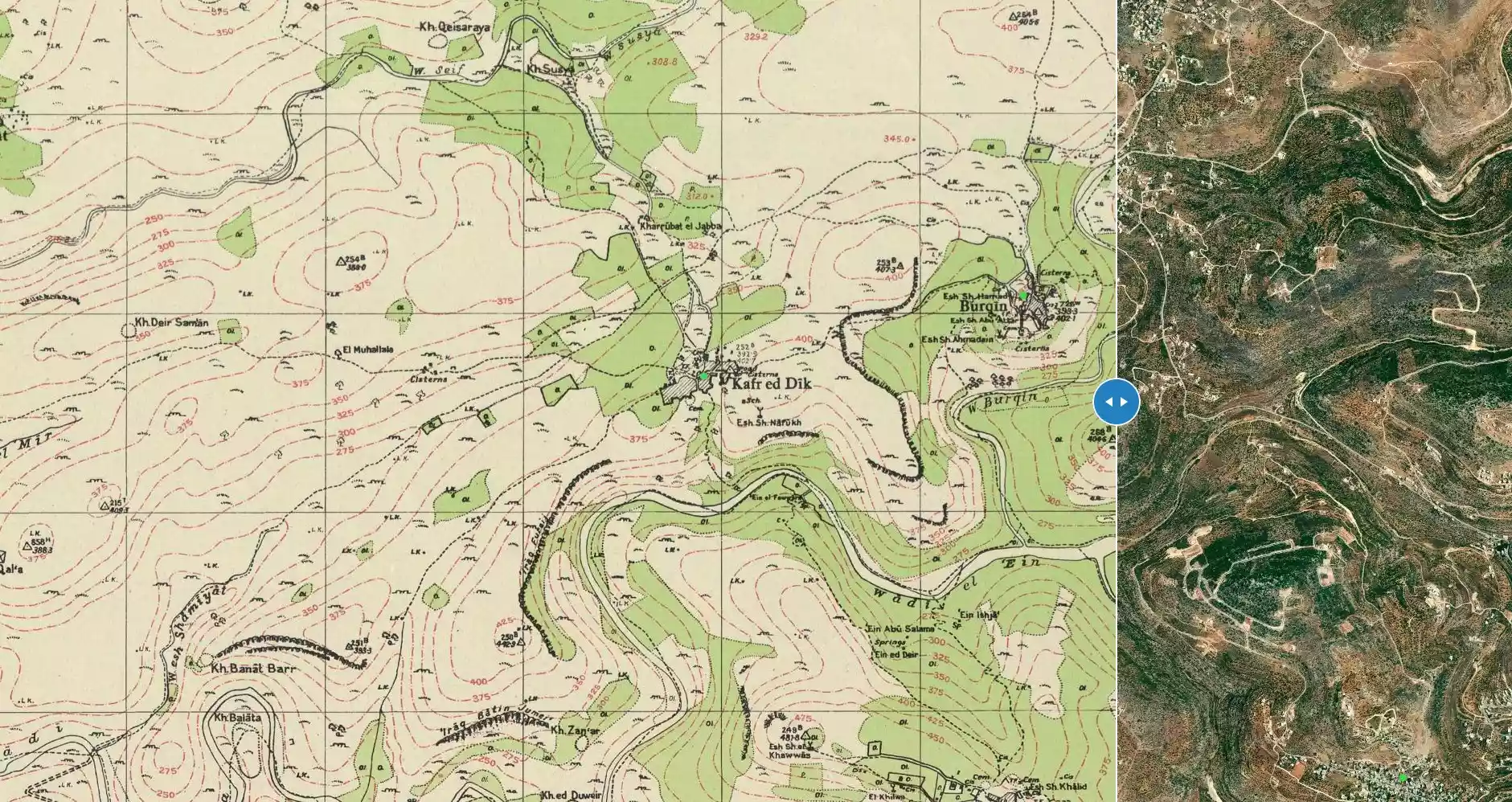
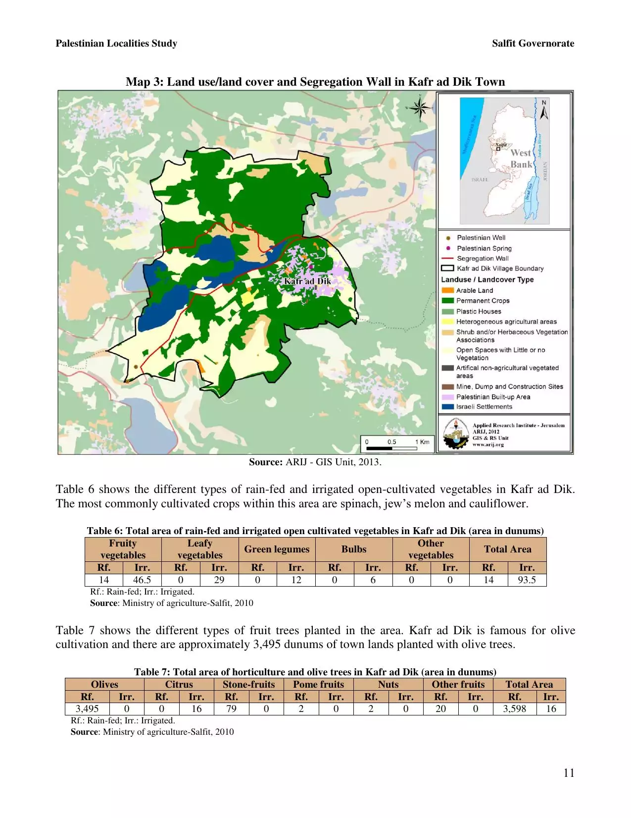
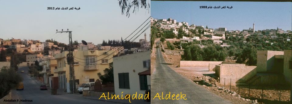
| Before & After Nakba, Click Map For Details |
|||||||||||||||||||||||||
|
|||||||||||||||||||||||||
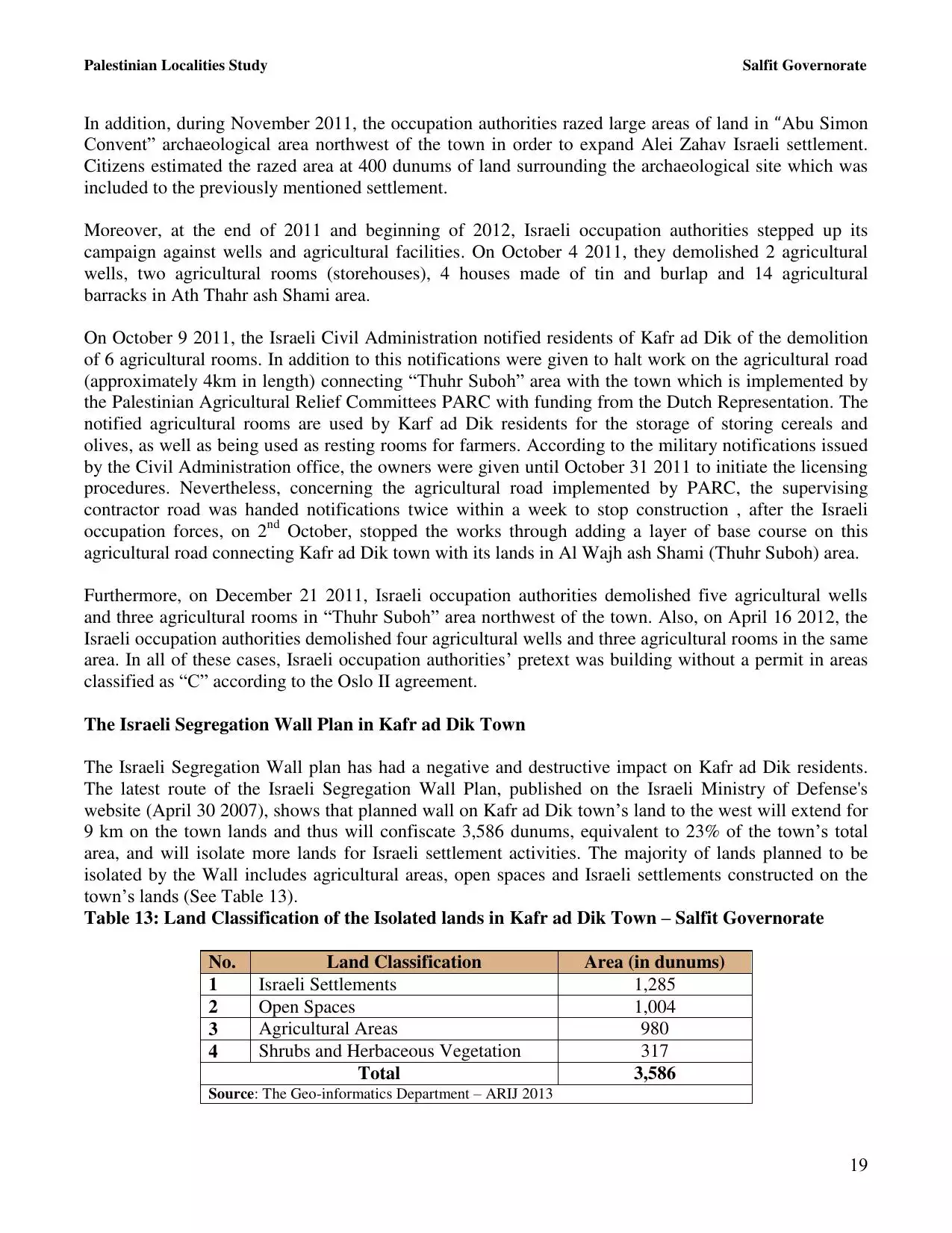
| Land Ownership |
**Town Lands' Demarcation Maps |
||||||||||||||||||||||||
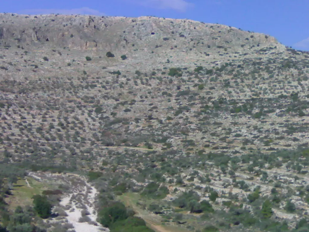
| Land Usage As of 1945 |
|
||||||||||||||||||||||||
| Population |
|
||||||||||||||||||||||||
| Near By Towns |
|||||||||||||||||||||||||
|
|||||||||||||||||||||||||
| Featured Video | |||||||||||||||||||||||||
| ARIJ Guide | |||||||||||||||||||||||||
3.
4. 
5. 
6. 
7. 
8. 
9. 
10. 
11. 
12. 
13. 
14. 
15. 
16. 
17. 
18. 
19. 
20. 
21. 
22. 
23. 
Click here to browse online. |
|||||||||||||||||||||||||
| Related Maps | Town Lands' Demarcation Maps خرائط للقضاء توضح حدود القرى والاودية View from satellite Town's map on MapQuest Help us map this town at WikiMapia |
||||||||||||||||||||||||
| Related Links | Wikipedia's Page Facebook Page ARIJ Guide Google Search Google For Images Google For Videos في كتاب بلادنا فلسطين دليل أريج المزيد من موقع هوية |
||||||||||||||||||||||||
- كــفـر الــــديــــــــــك
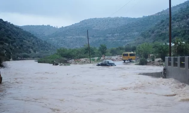
Posted by الـمـقـداد عـمـاد الــديــك 2 - الفبضان في موسم الشتاء
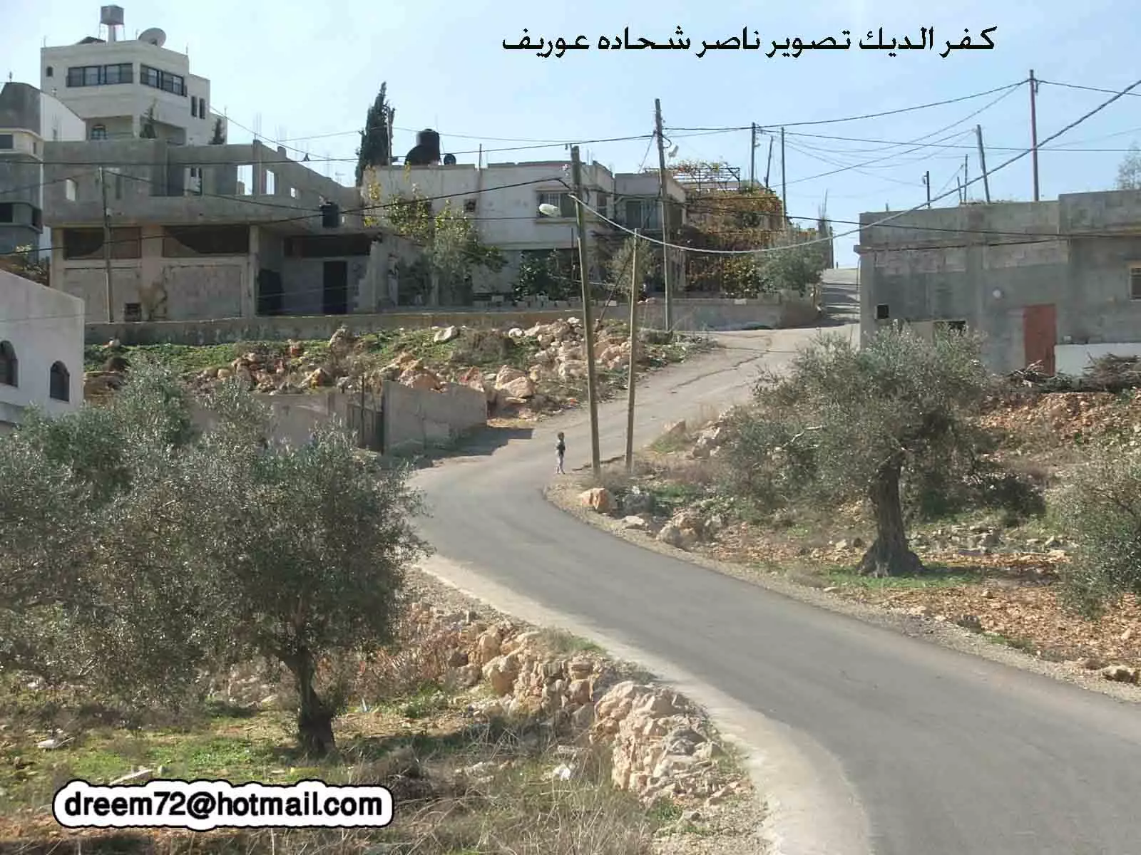
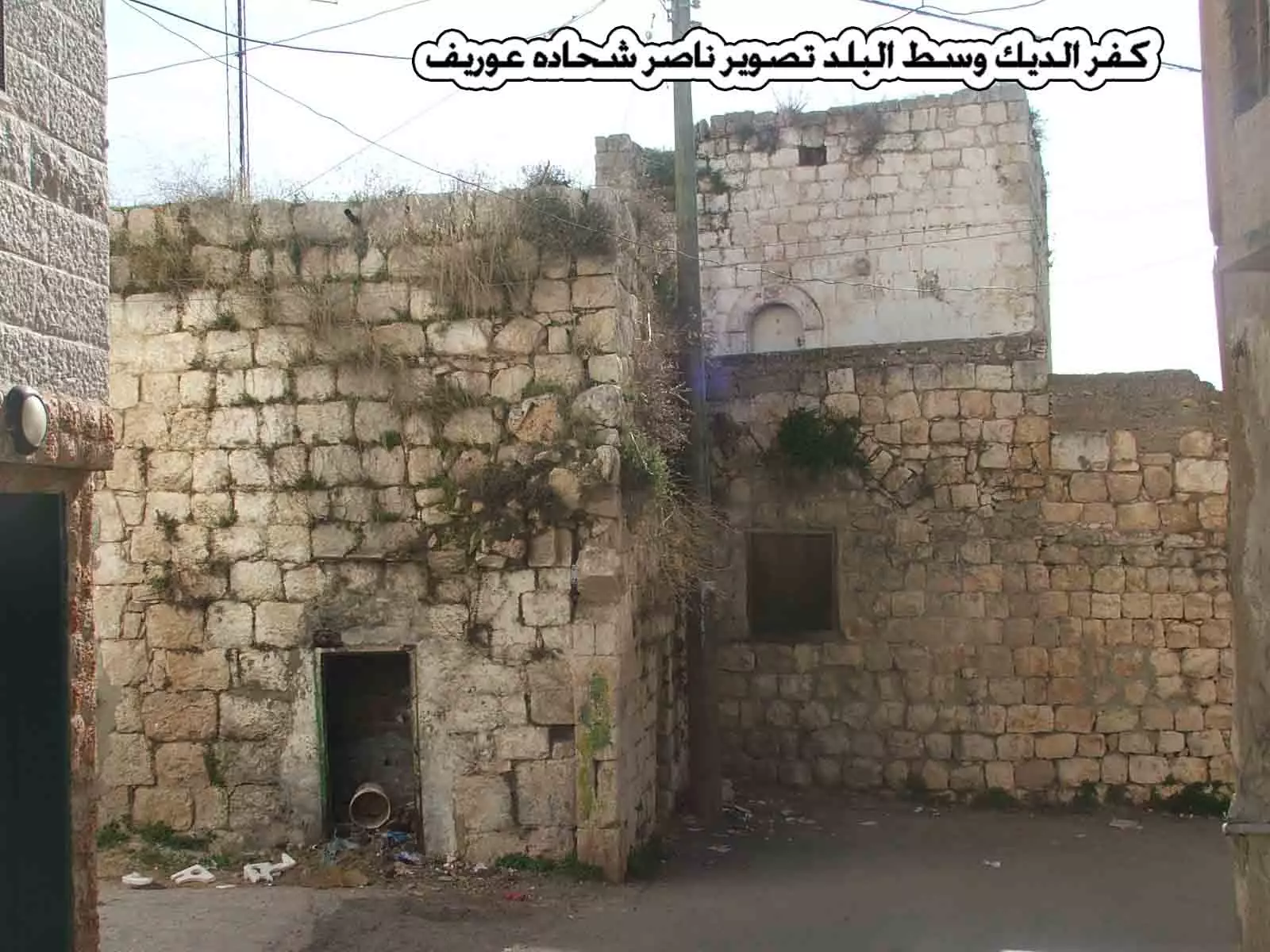
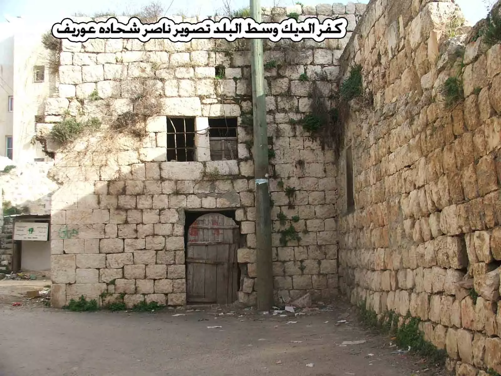
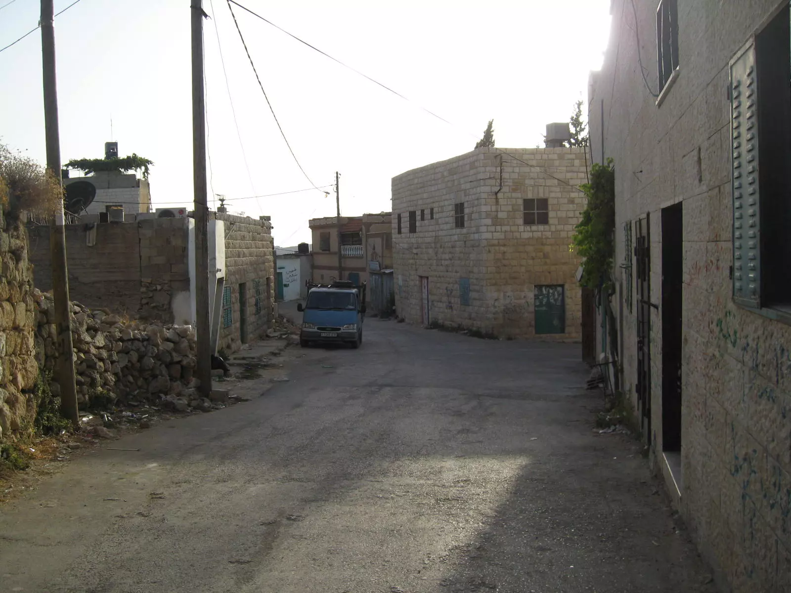
Posted by Ali Hamdan 5 - كفر الديك وسط البلد تصوير ناصر شحاده عوريف 0507559901
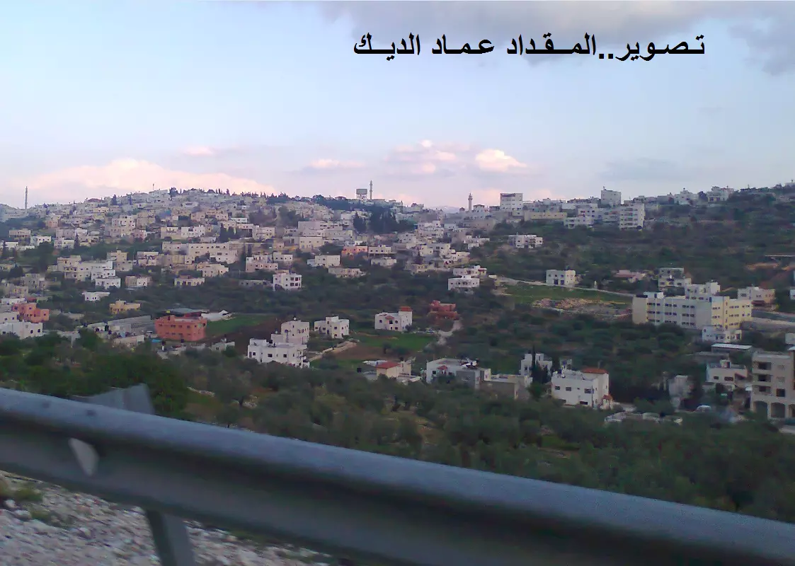
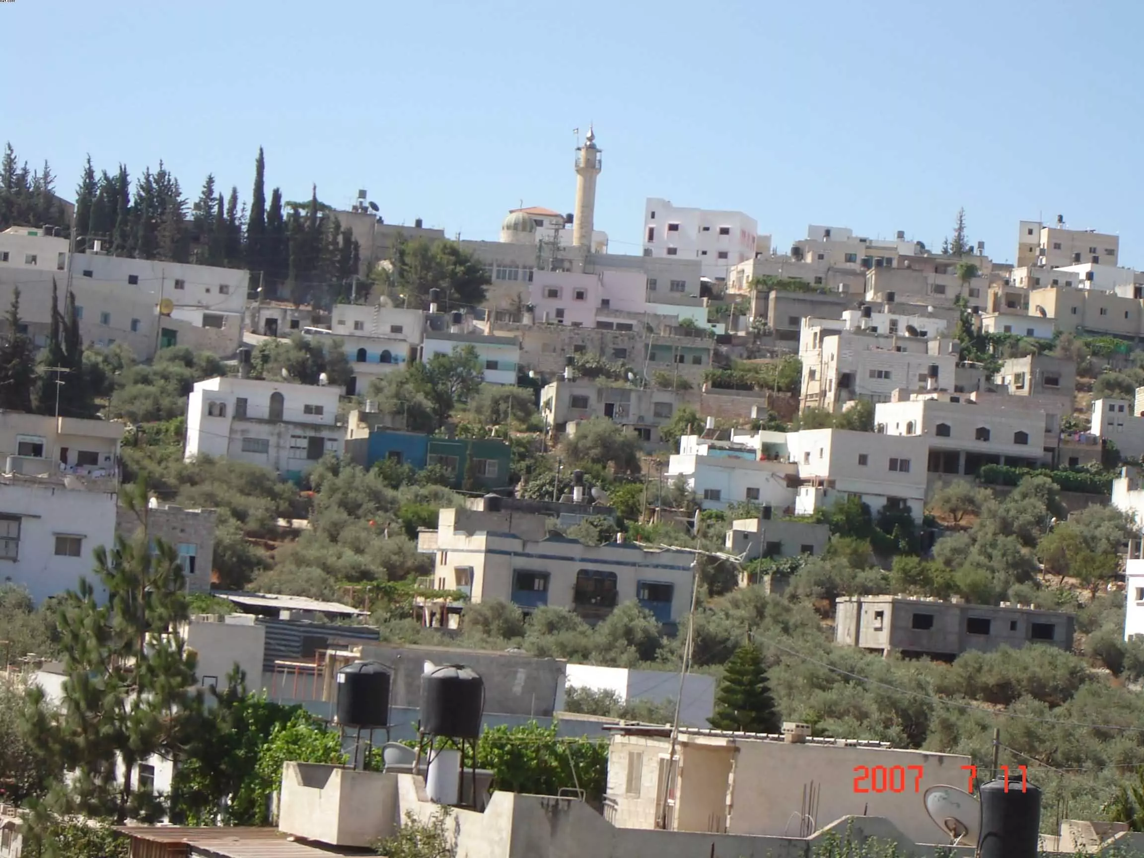
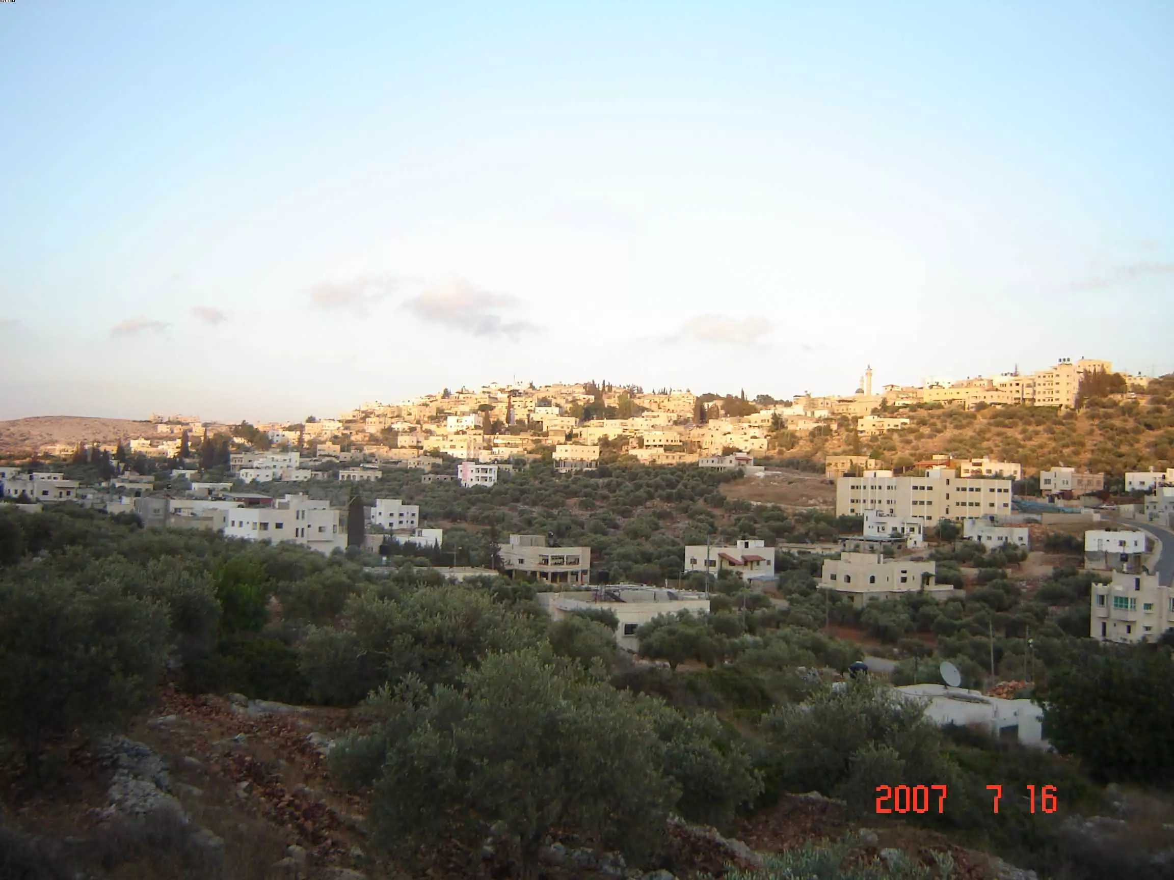
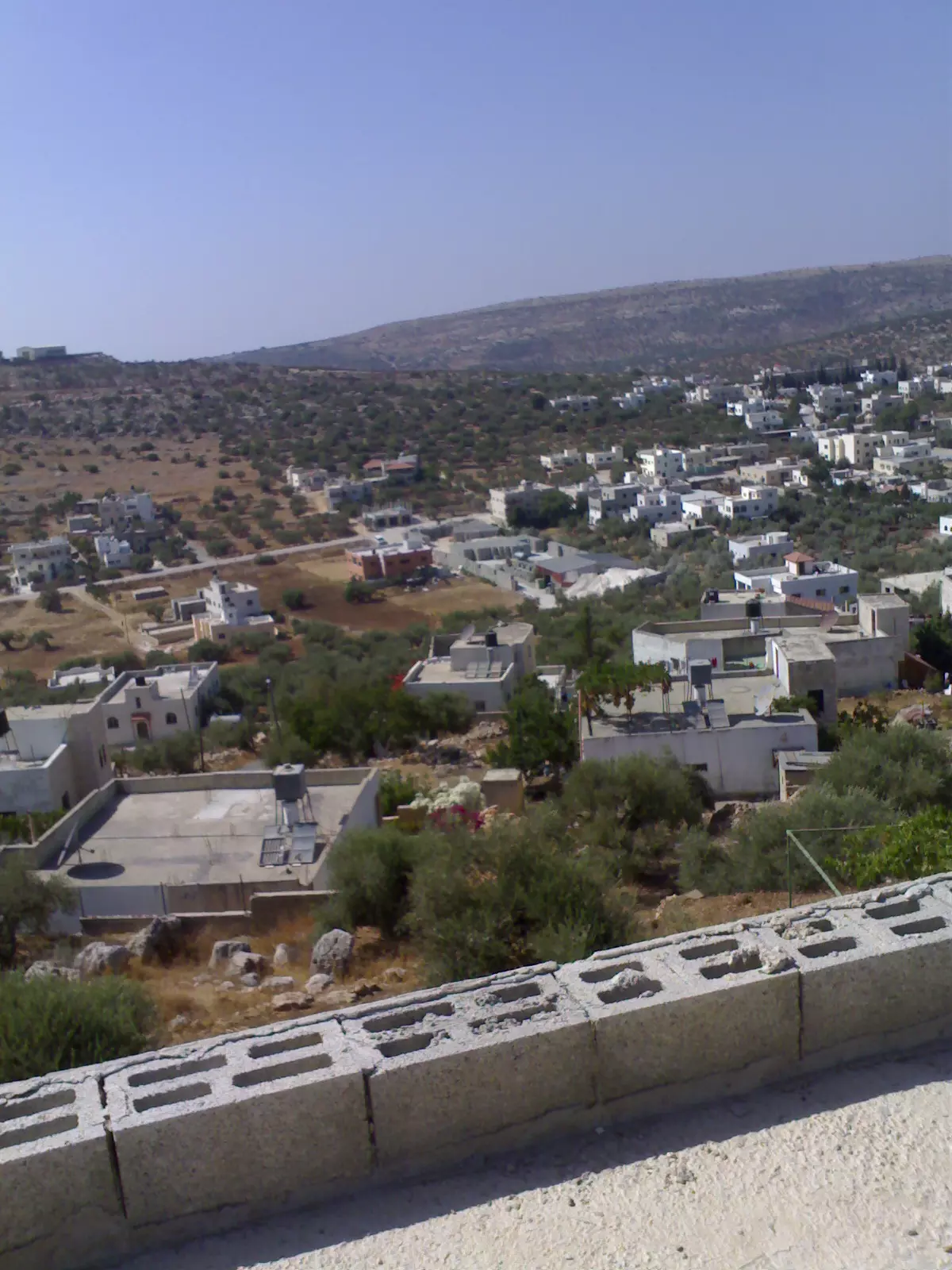
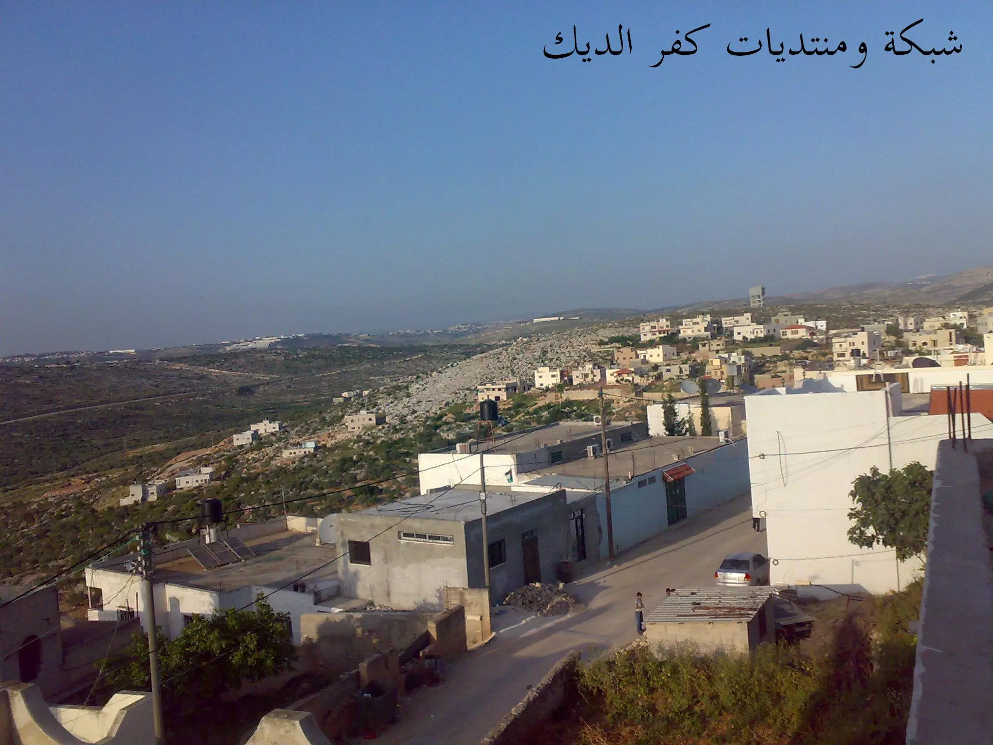
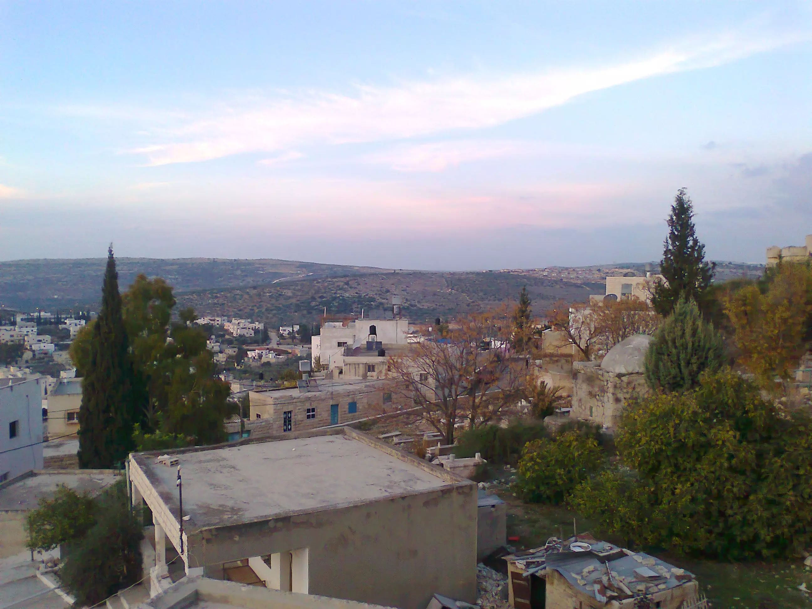
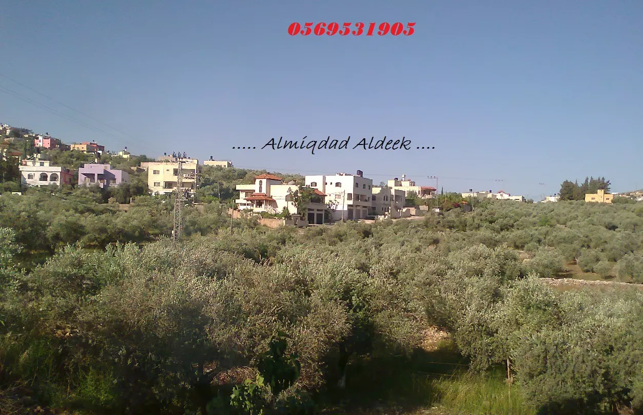
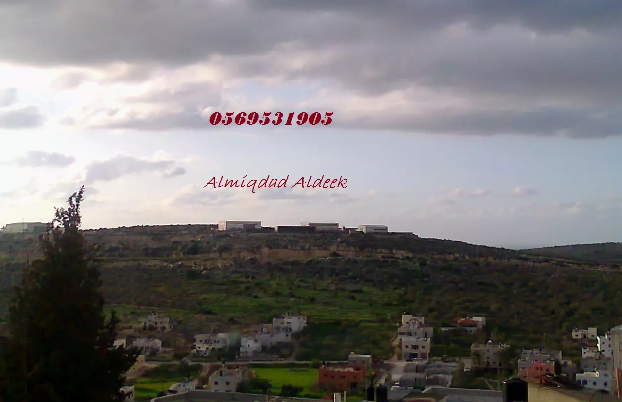
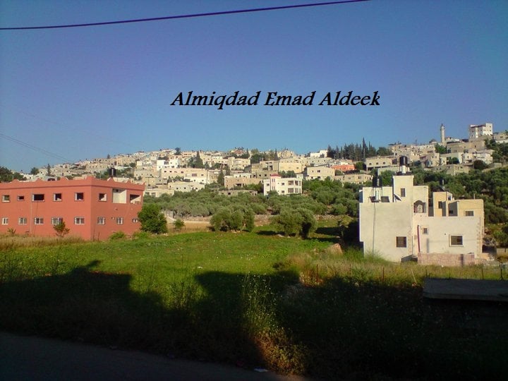
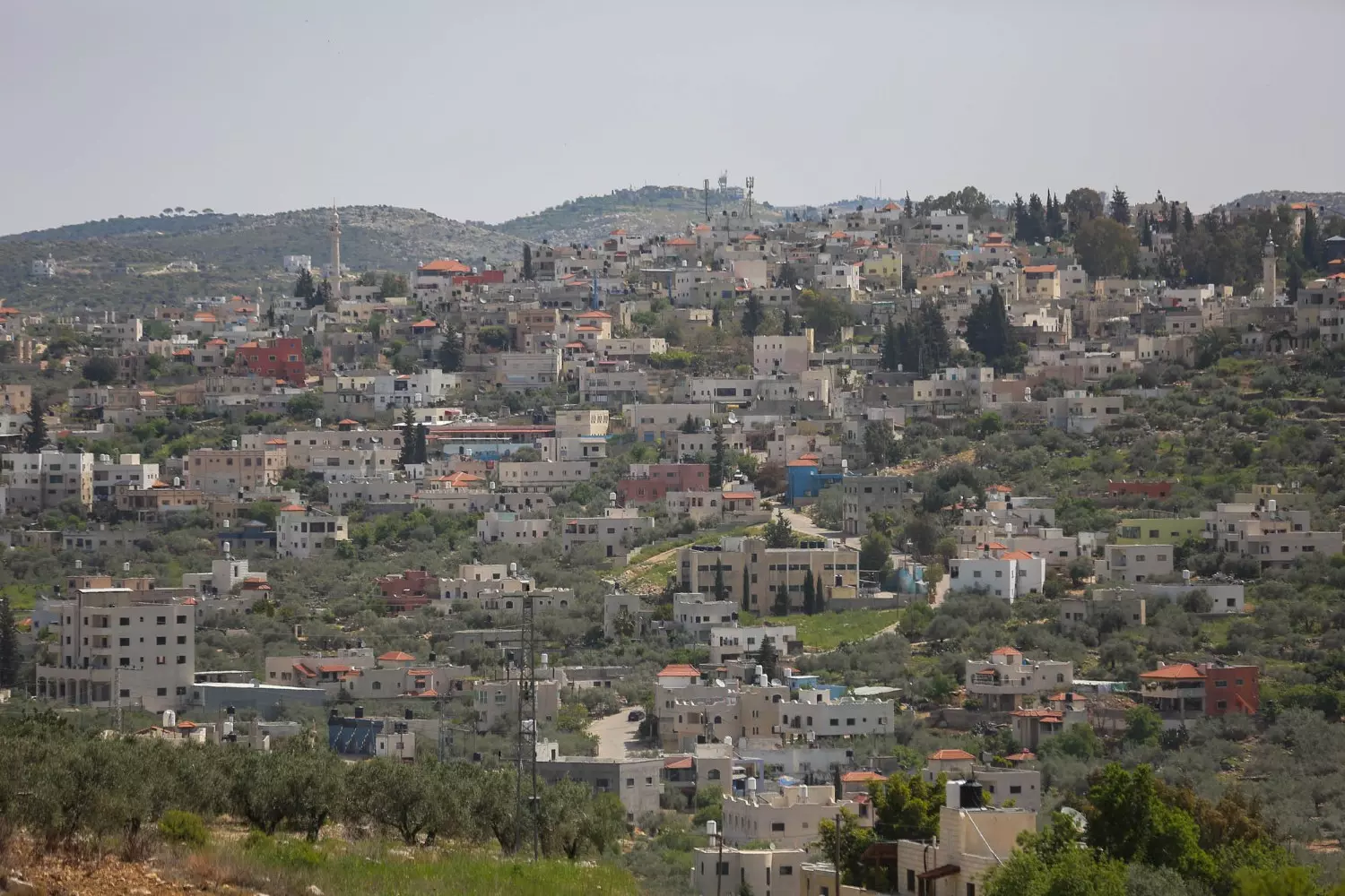
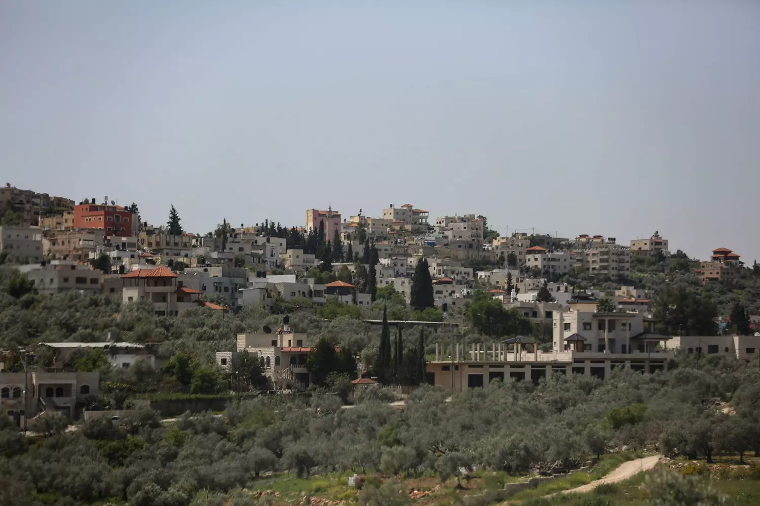
Posted by naser abed 16 - منظر عام للبلدة من تصوير احد ابناء البلدة
Posted by ابو خالد 11 - كفر الديك
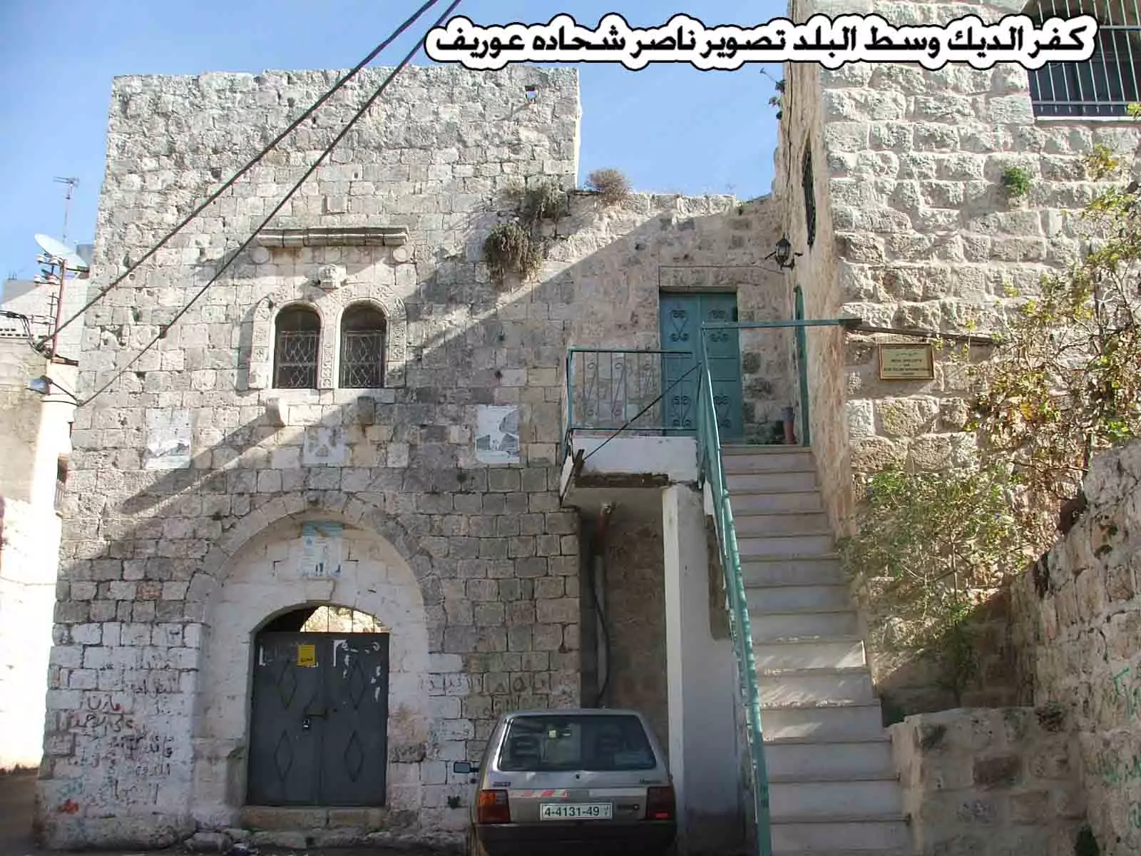
Posted by ابو خالد 15 - كفر الديك وسط البلد تصوير ناصر شحاده عوريف 0507559901
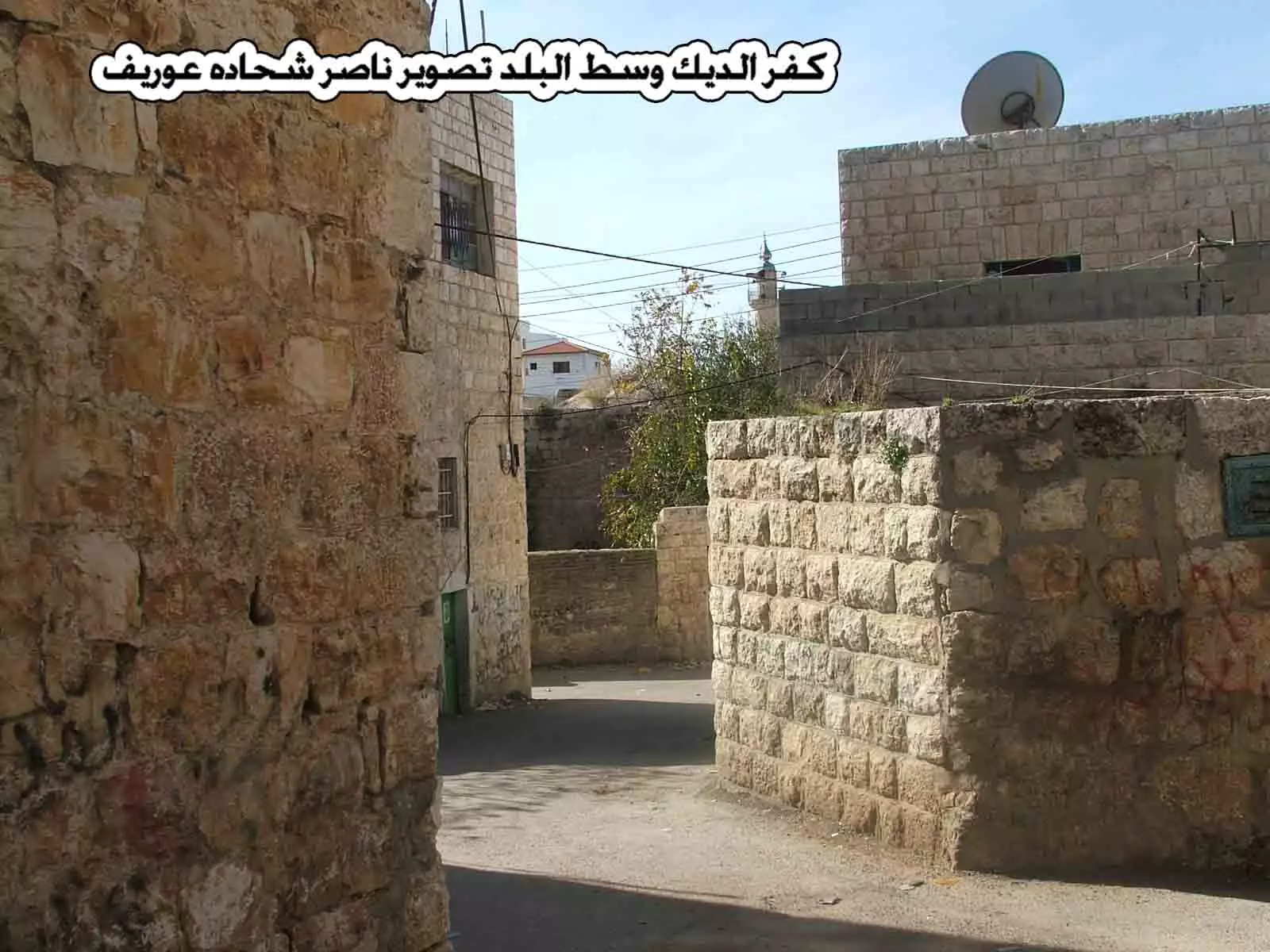
Posted by naser abed 1 - كفر الديك وسط البلد تصوير ناصر شحاده عوريف 0507559901
Posted by naser abed 1 - كفر الديك وسط البلد تصوير ناصر شحاده عوريف 0507559901
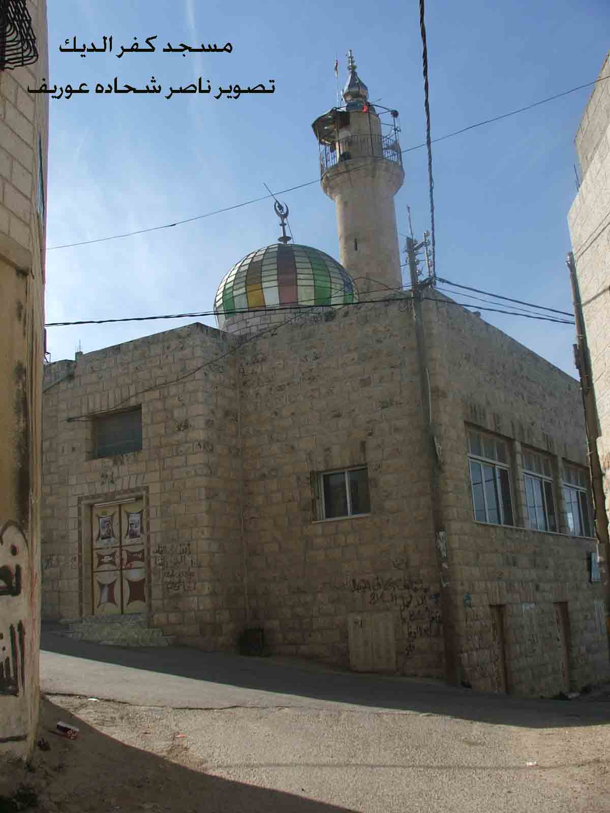
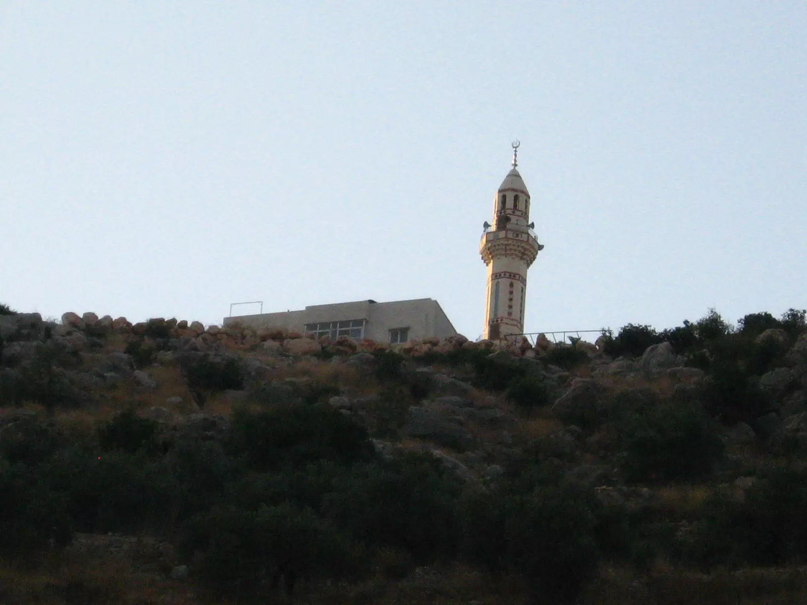
Posted by naser abed 30 - مسجد كفر الديك وسط البلد تصوير ناصر شحاده عوريف 0507559901
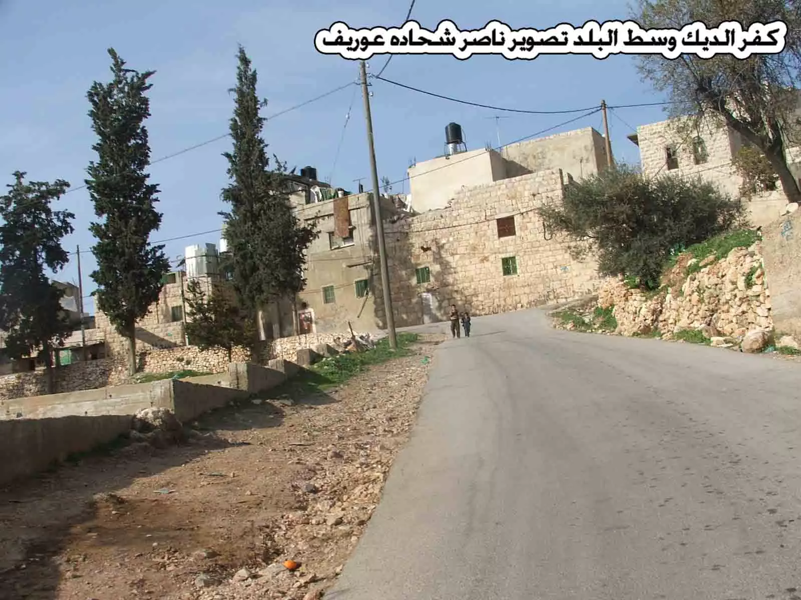
Posted by naser abed 3 - كفر الديك وسط البلد تصوير ناصر شحاده عوريف 0507559901
Posted by naser abed 1 - كفر الديك وسط البلد تصوير ناصر شحاده عوريف 0507559901
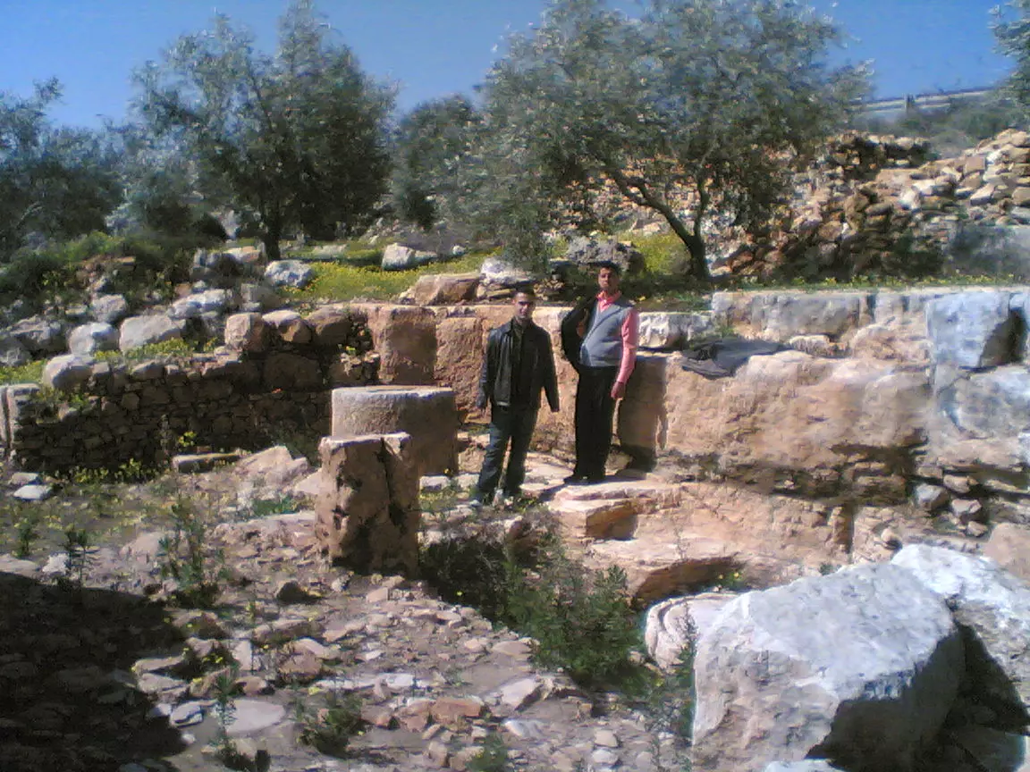
Posted by naser abed 4 - الواد القبلي-بيارة المرحوم عودة الحسن
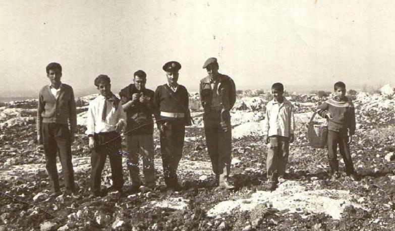
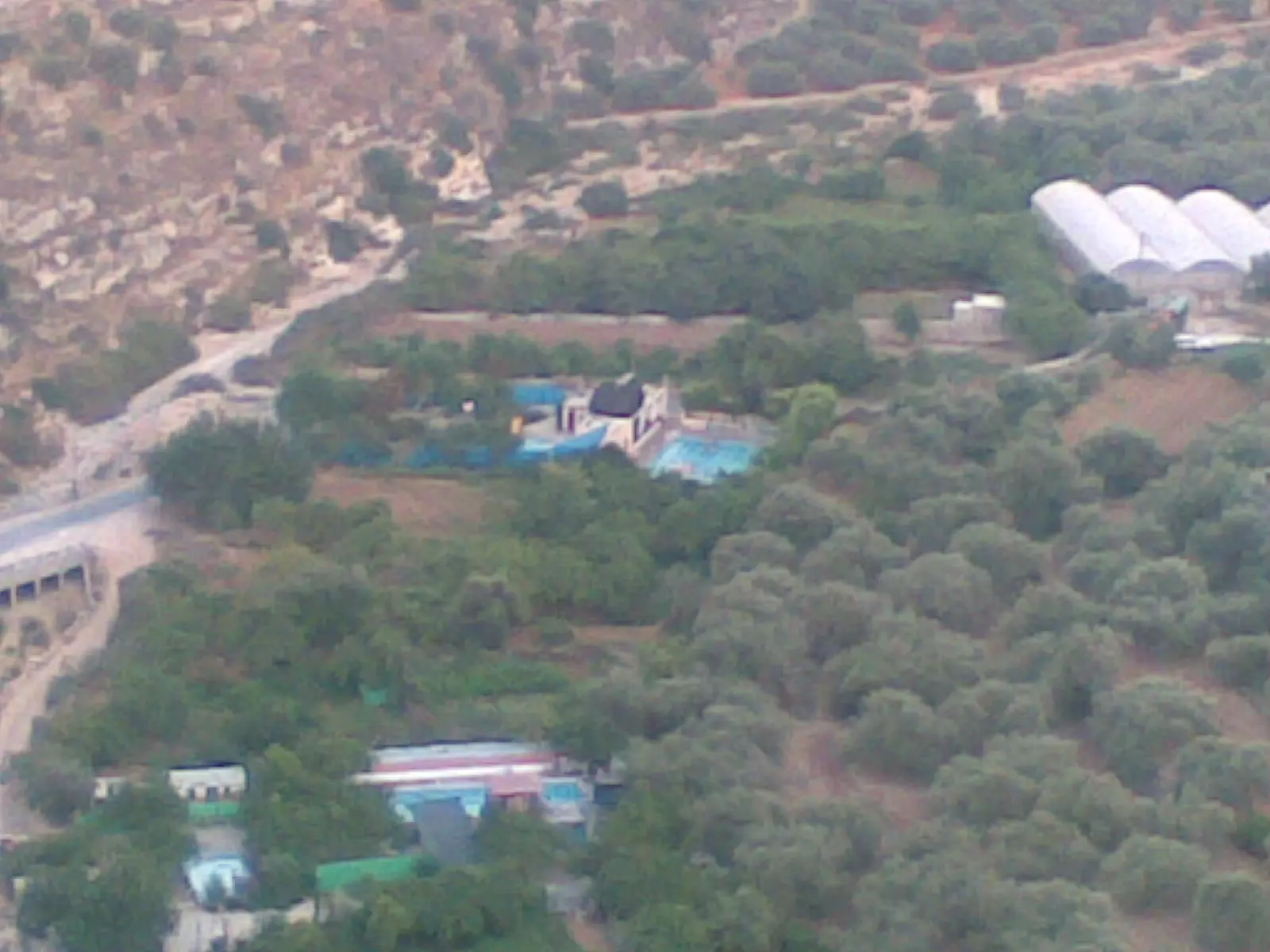
Posted by Ghanem Mustafa 1 - رأس العين-حولها الأراضي المحتلة ستة 1948
Posted by Ghanem Mustafa 1 - أطراف كفر الديك وابروقين كما ترى من دير غسانة
Posted by Ghanem Mustafa 4 - نقطة المراقبة الحدودية غربي دير بلوط قبل عام 1967
Posted by Ghanem Mustafa 1 - صورة اخرى حديثة
Posted by ابو خالد 2 - صورة حديثة
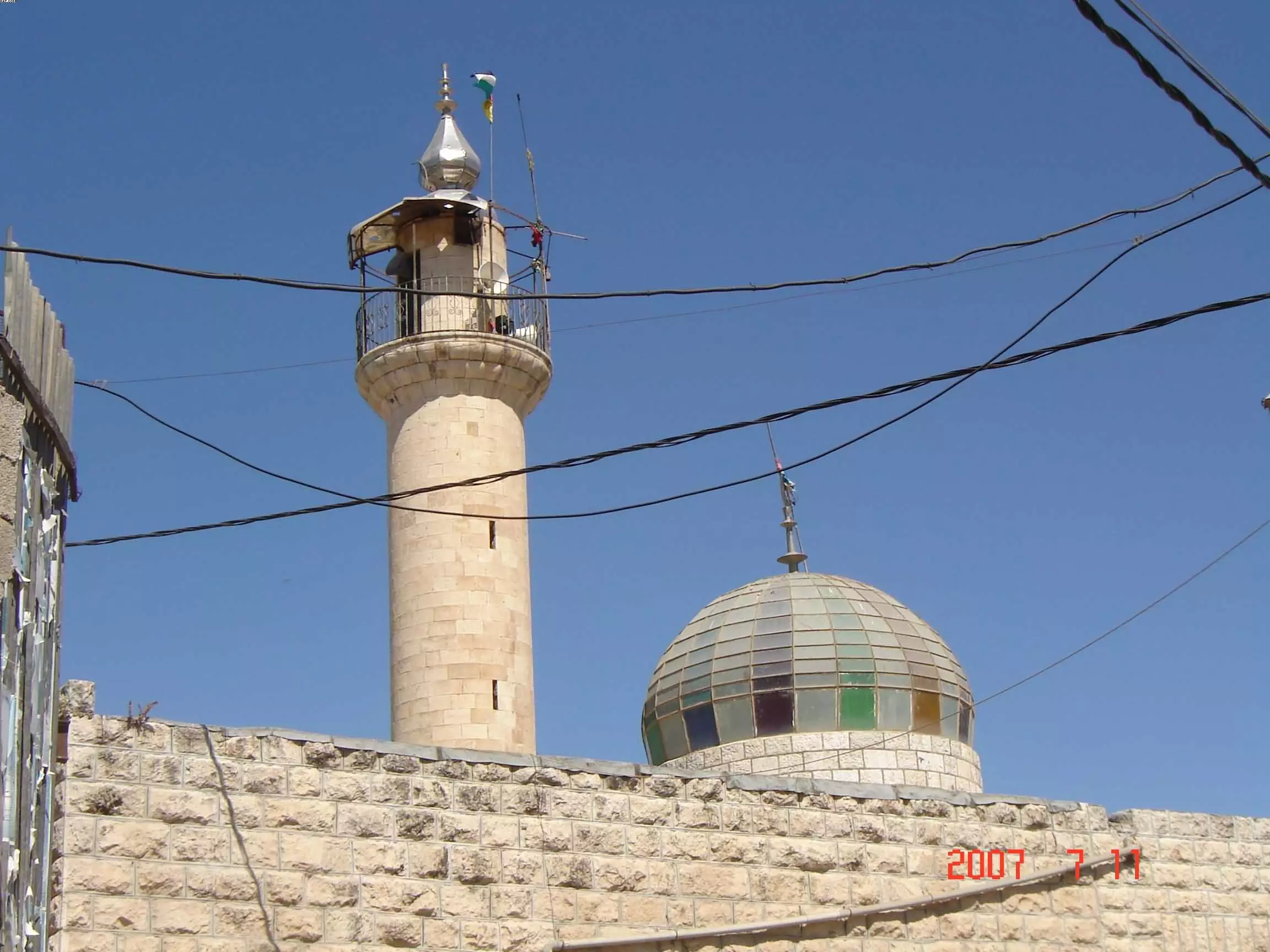
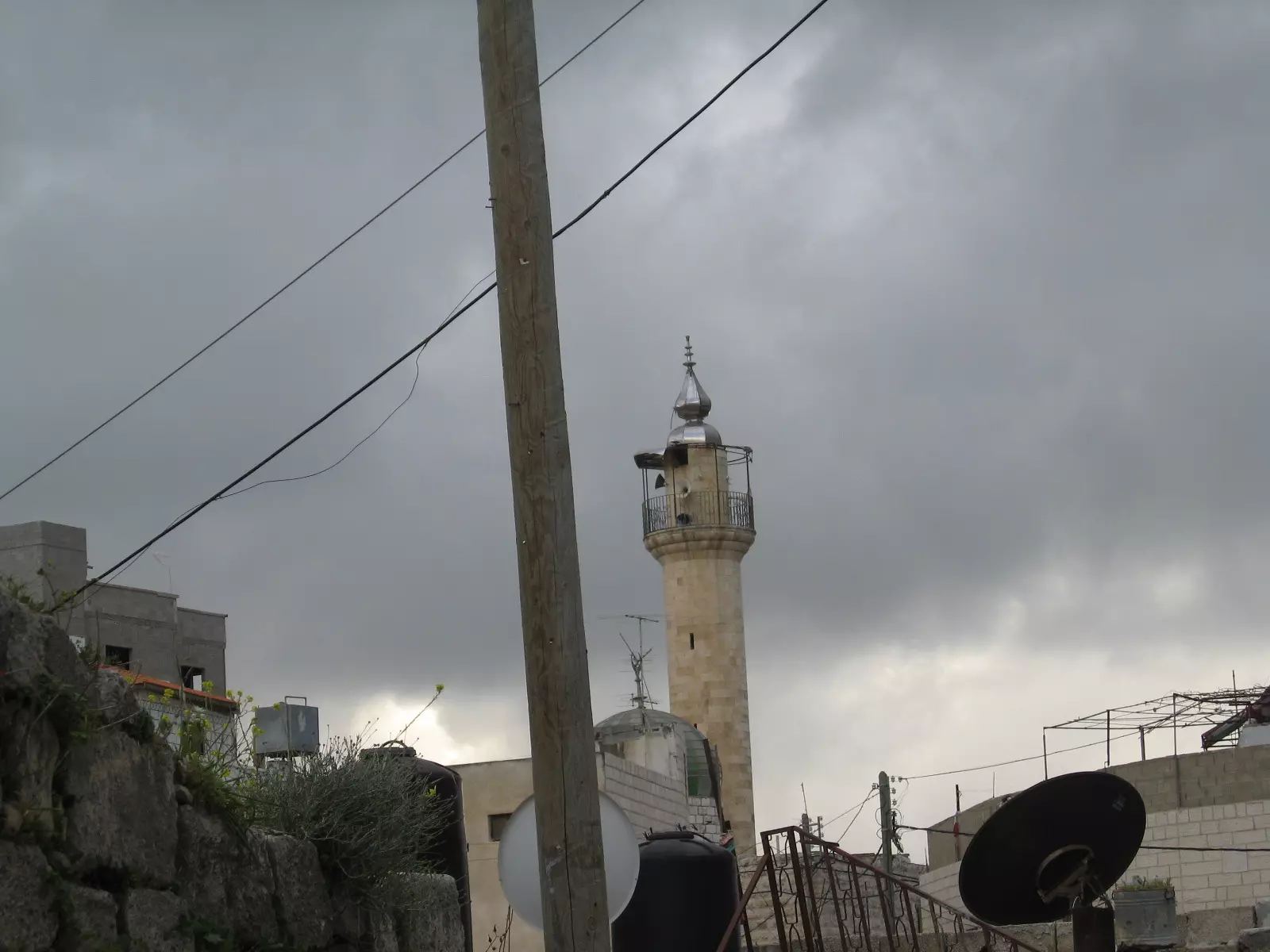
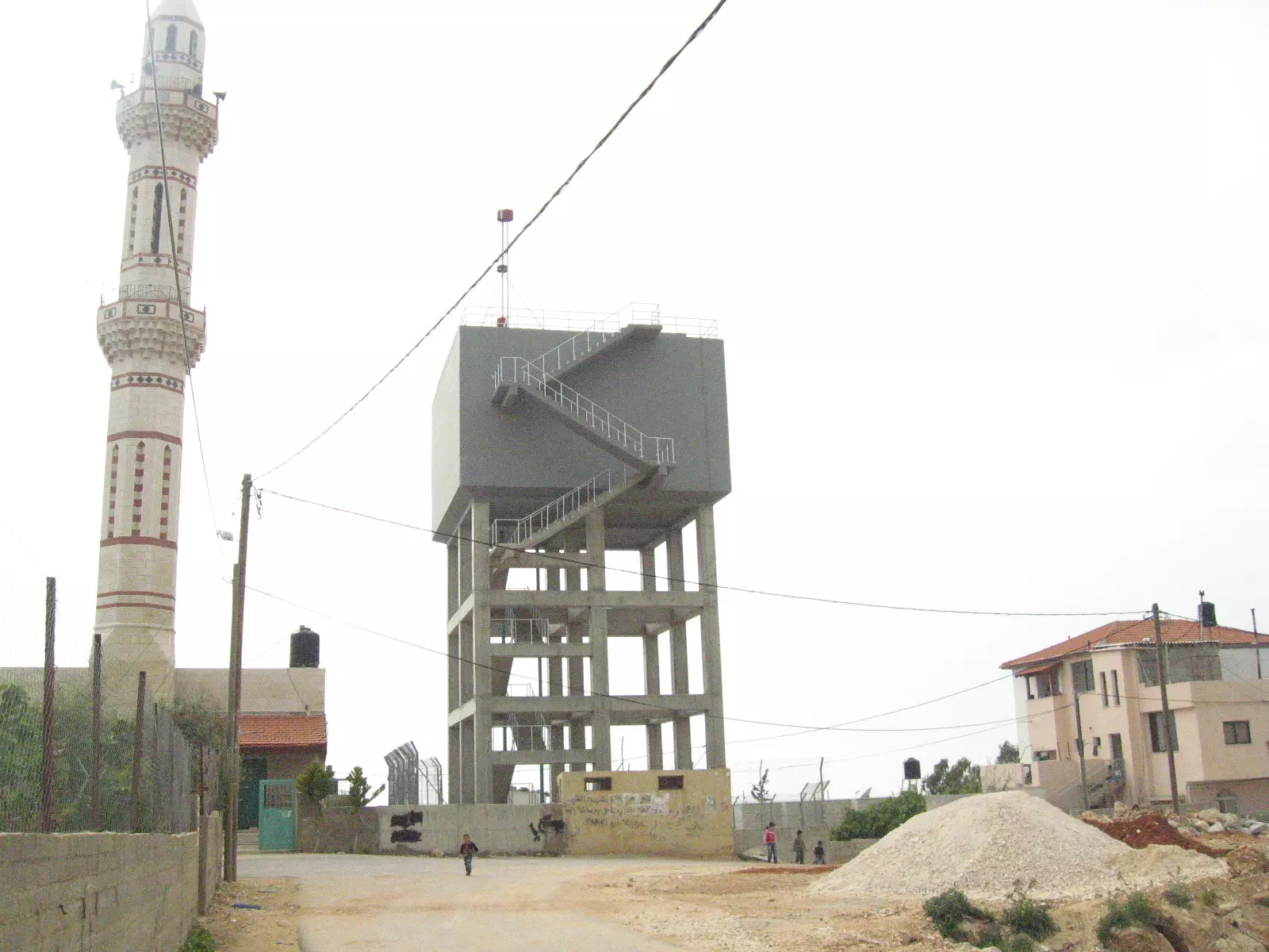
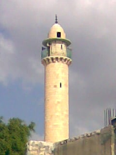
Posted by ابو خالد 1 - صورة لمسجد القرية
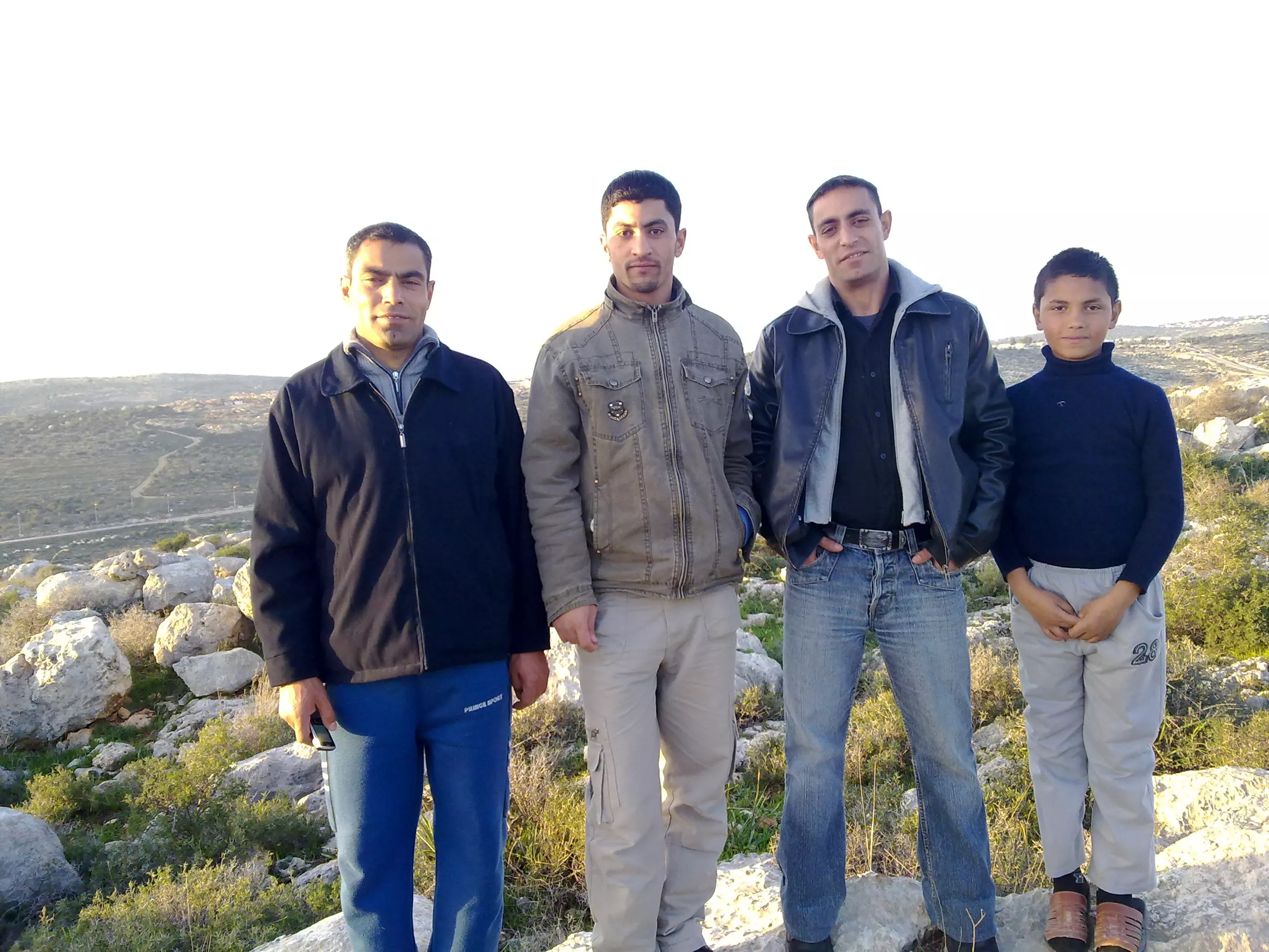
Posted by ابو خالد 1 - General View
Posted by Ahmad Omar 1 - المسجد الكبير
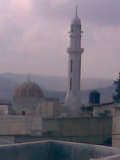
Posted by محمد 2 - مسجد الجسر (الجديد)
Posted by محمد - مسجد النافوخ
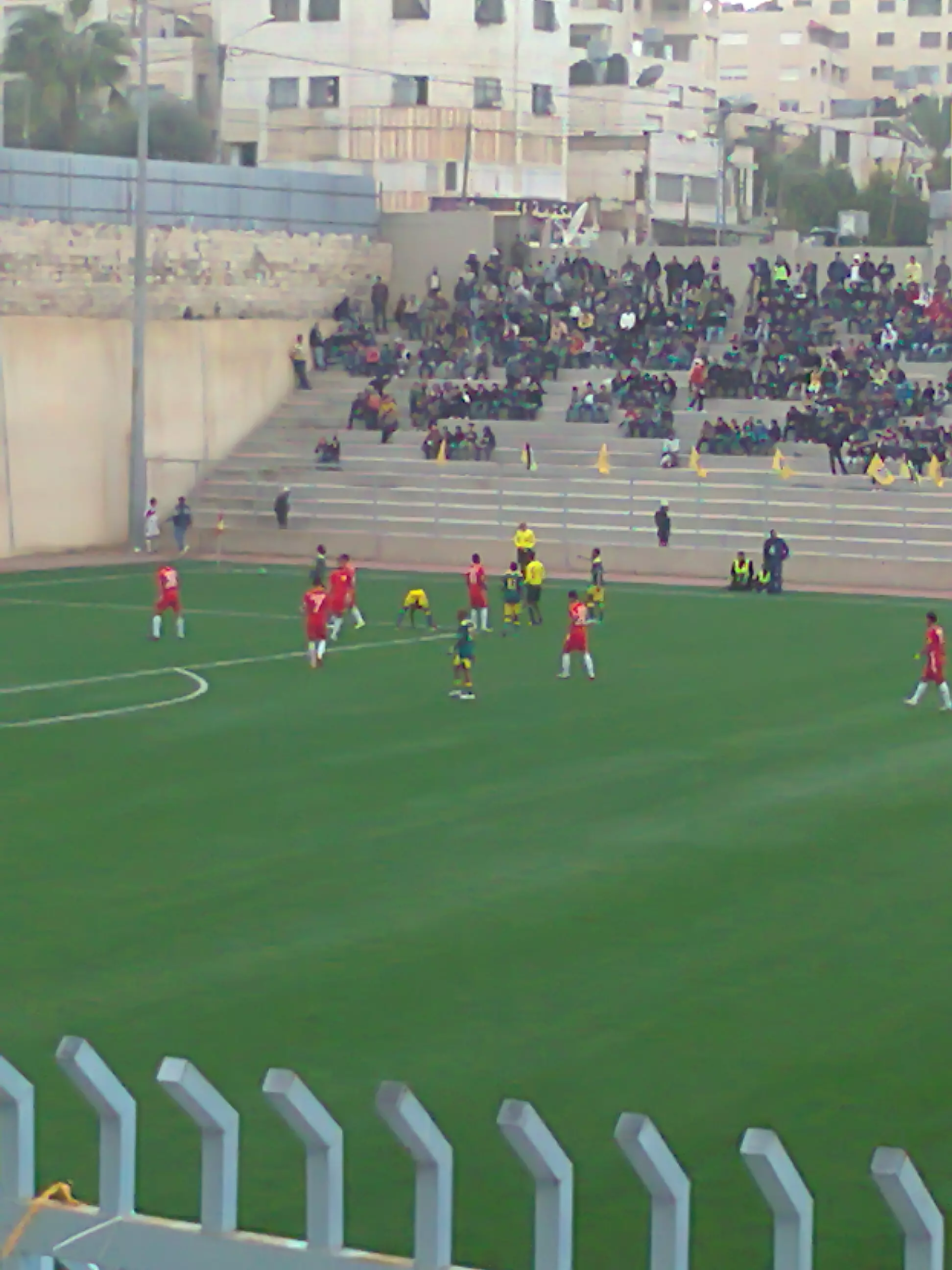
Posted by محمد عماد عبدالله - ملعب مدرسة ذكور كفرالديك الثانوية
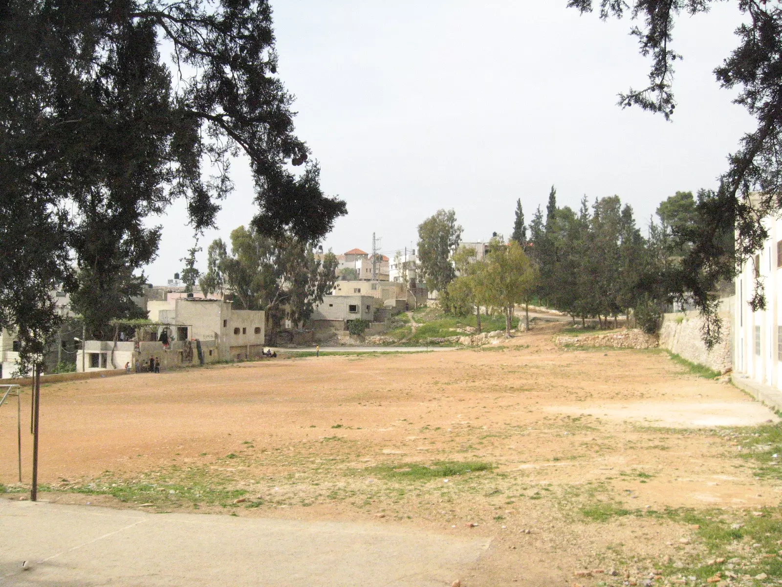
Posted by محمد عماد عبدالله - شرق كفرالديك - مستوطنة برقين
Posted by المقداد بن الشيخ عماد 1 - طريق العين
Posted by المقداد عماد ديــــــــــك 1 - منطقة التكويره
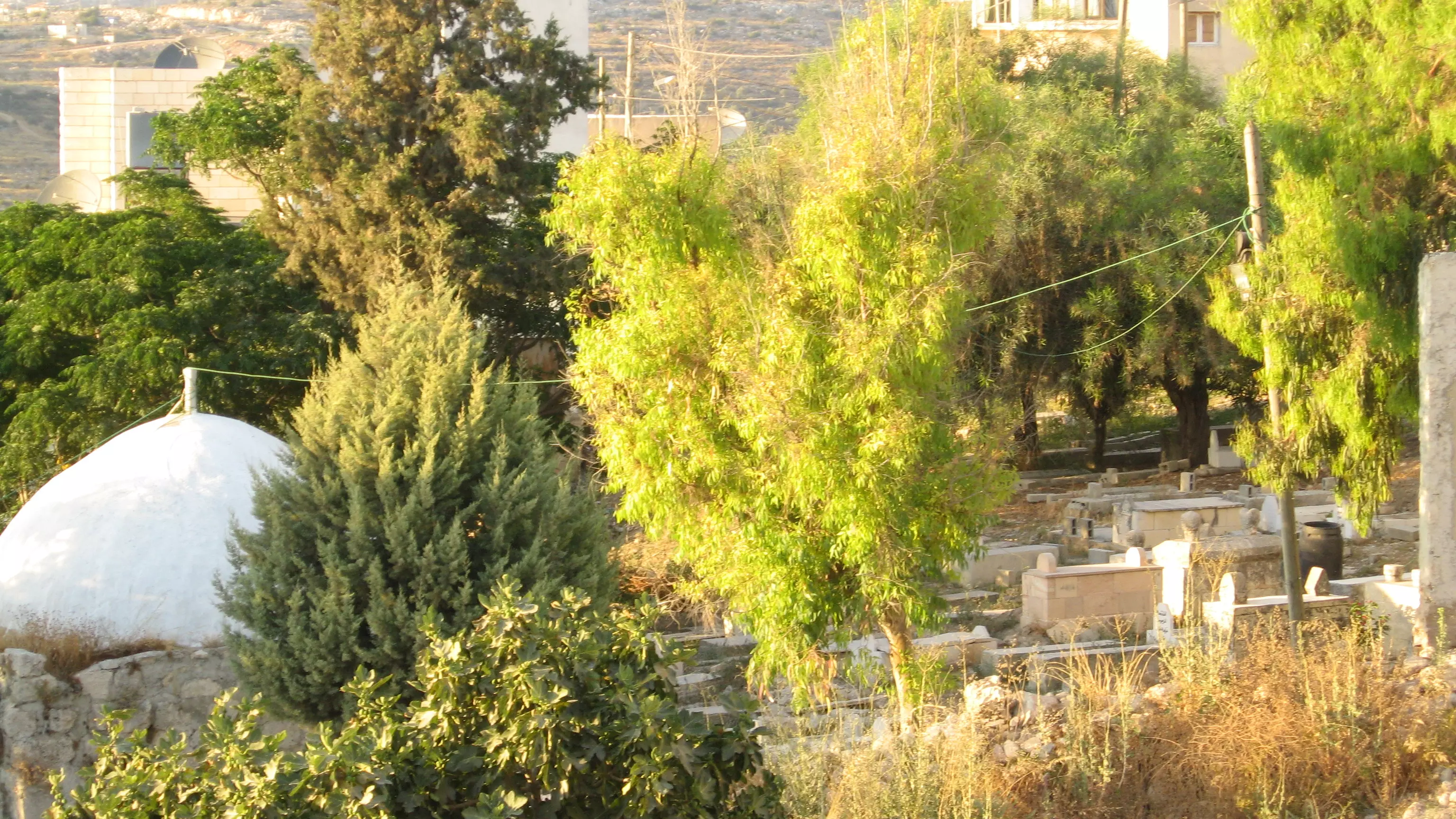
Posted by المقداد عماد عبد الله - مقبرة البلد
Posted by المقداد عماد عبد الله - المنطقة الشمالية الغربية من كفر الديك تظهر ديريا
Posted by م. امير محمود الستوت 1 - صورة من وادي صريدة يقع من من الجهة الغربية الجنوبية لكفر الديك يظهر ام البابين
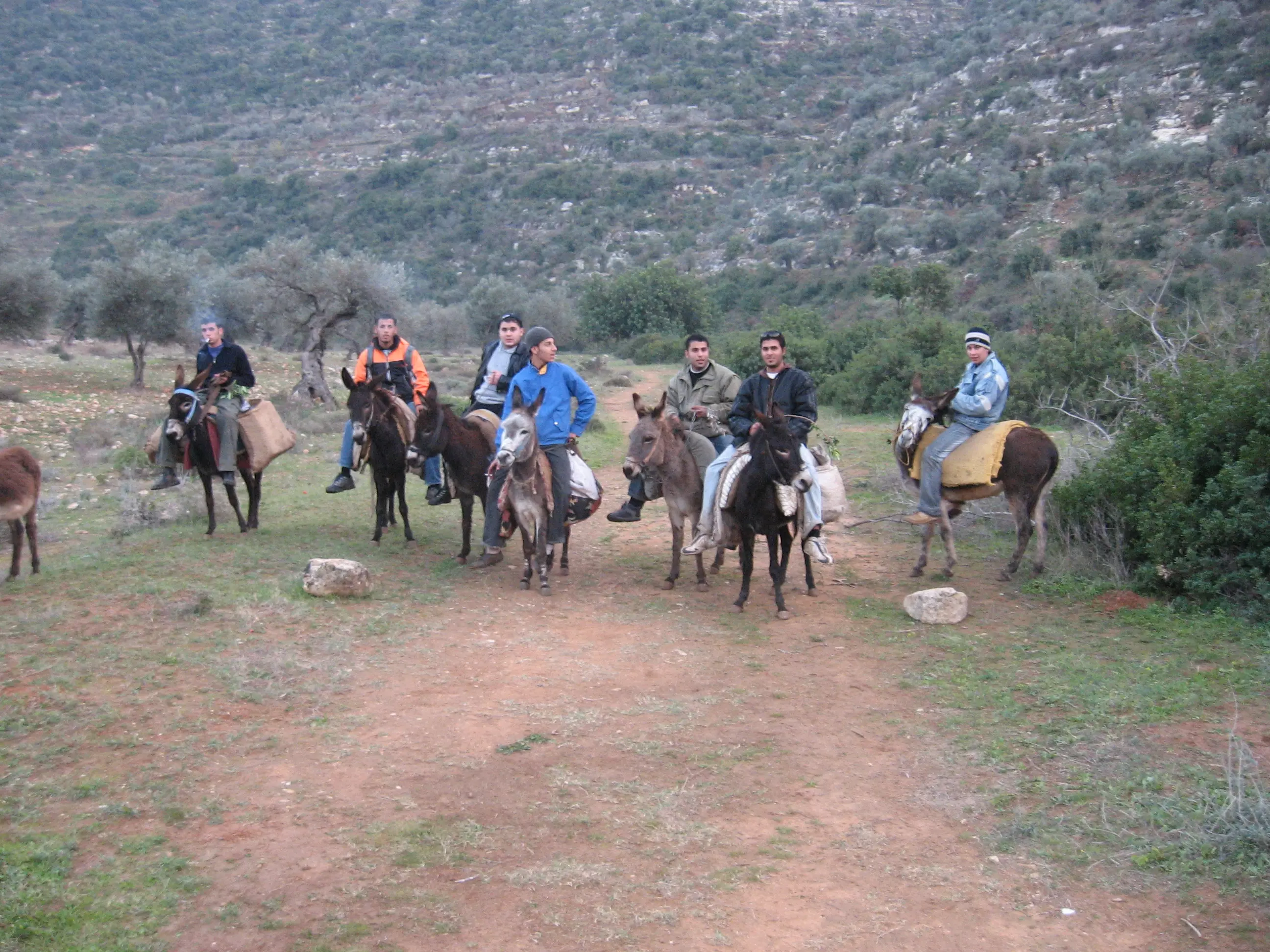
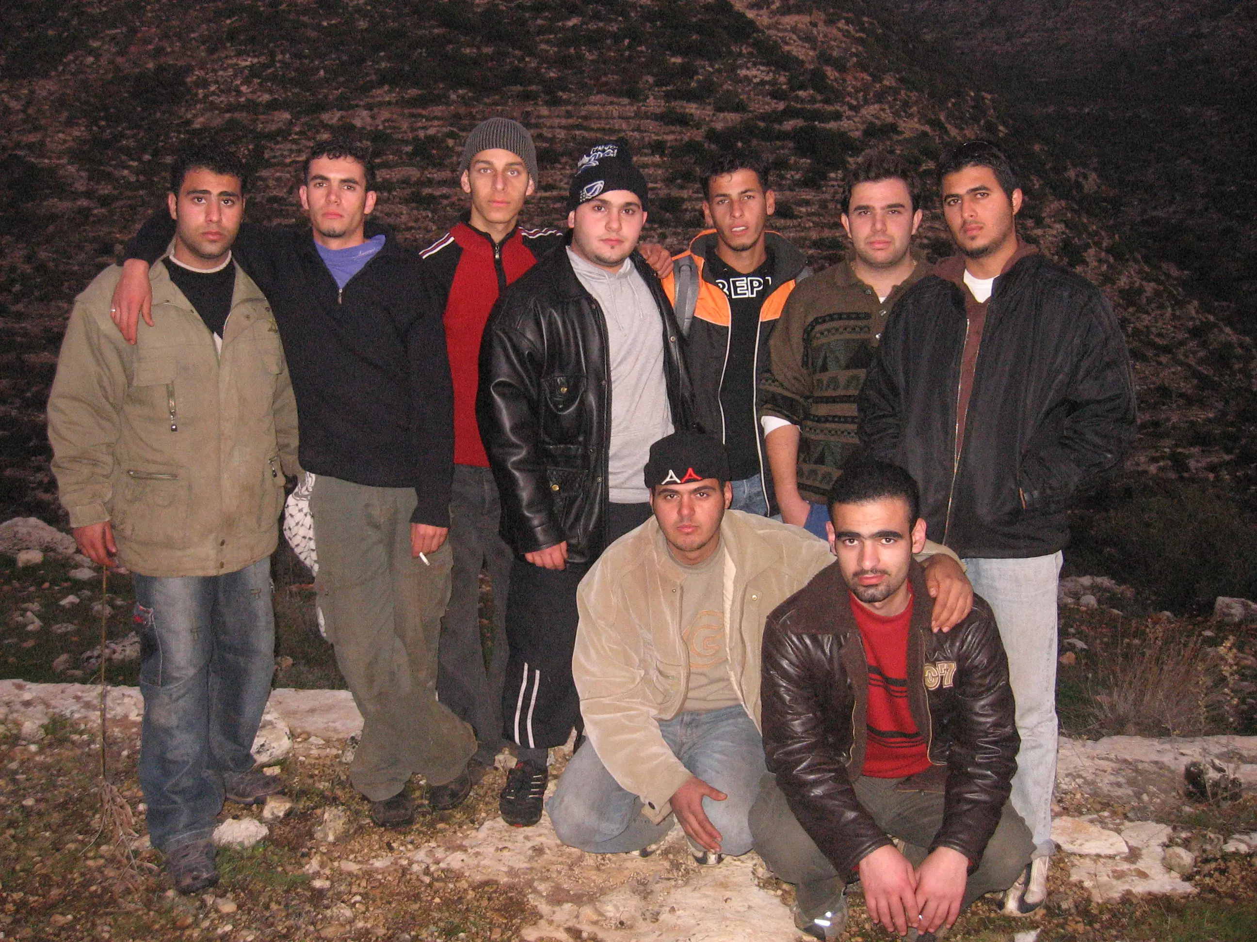
Posted by م. امير محمود الستوت 1 - رحلات شباب كفر الديك ووسائل النقل المستخدمة في ذلك في وادي صريدة
Posted by م. امير محمود الستوت 2 - صورة في خربة ديريا في تظهر جزء من الاماكن الاثرية في الخربة
Posted by م. امير محمود الستوت 3 - صورة تظهر اتحاد شباب كفر الديك اصدقاء على طول في منطقة الشقيف في المنطقة الغربية للبلدة
Posted by م. امير محمود الستوت 3 - كفر الديك
Posted by nassar 1 - كفر الديك
Posted by nassar 1 - كفر
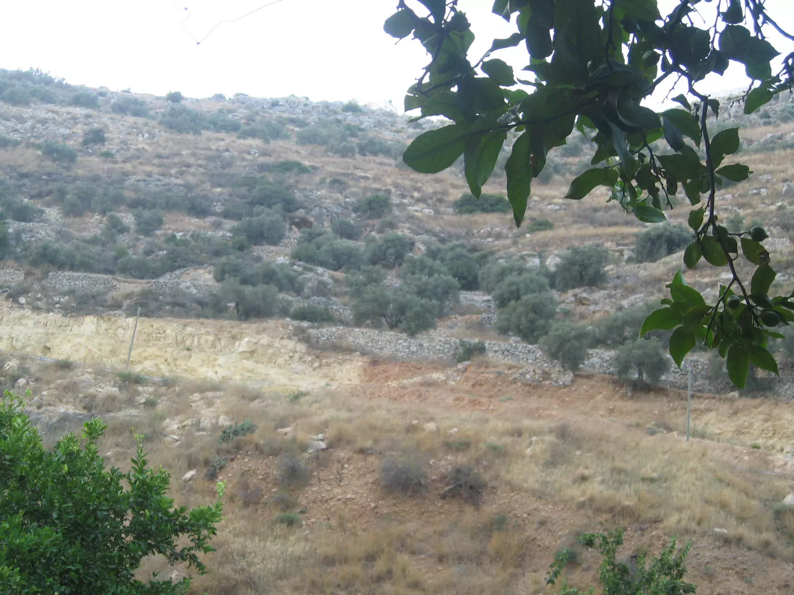
Posted by nassar 1 - واد العين
Posted by المقداد عماد ديــــــــــك 1 - منظر حديث من البلدة
Posted by ابو خالد 2 - صورة من فوق بيت نمر عزات سعيد منطقه الجسر
Posted by كفراوي في الامارات 1 - منطقه الجسر تصوير ابو وديع
Posted by كفراوي في الامارات 1 - منزل مفيد ابو فوزي ومنزل نافز فوزي
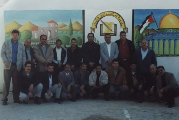
Posted by كفراوي في الامارات - مدرسين مدرسه ذكور كفر الديك الثانويه
Posted by كفراوي في الامارات 3 - العين
Posted by الـمـقـداد عـمـاد الــديــك - العين2
Posted by الـمـقـداد عـمـاد الــديــك - منطقة وسط البلد1
Posted by الـمـقـداد عـمـاد الــديــك 2 - وسط البلد2
Posted by الـمـقـداد عـمـاد الــديــك 1 - وسط كفر الديك3
Posted by الـمـقـداد عـمـاد الــديــك - بيوت كفرالديك القديمة
Posted by الـمـقـداد عـمـاد الــديــك 1 - حارة الدوار
Posted by الـمـقـداد عـمـاد الــديــك 1 - ديك كفر الديك
Posted by الـمـقـداد عـمـاد الــديــك 2 - بيت الحاج طالب فواز ذيب (بين الجناين)
Posted by فادي طالب ذيب - صورة من داخل منزل الحاج فواز حسين ذيب
Posted by فادي طالب ذيب 1 - صورة من منزل السيد محمد صابر حسين الذيب والى اليمين صورة منزل السيد يوسف صابر حسين ذيب وفي الاسفل منزل المرحوم عمر عبدالله على احمد (ابو عامر)
Posted by فادي طالب ذيب - صورة من منطقة القطاع
Posted by فادي طالب ذيب - صورة من منزل الحاج يوسف القاسم (ابو حاتم) والى الامام منها مبنى بلدية كفر الديك
Posted by فادي طالب ذيب - صورة من منطقة البلاط (الجسر)
Posted by فادي طالب ذيب 1 - صورة من مطقة الجسر (البلاط)
Posted by فادي طالب ذيب - صورم من منزل الحاج عمر عبدالله على احمد ابو عامر ويسكنها حاليا ابنه عبدالله عمر (ابو وسيم)
Posted by فادي طالب ذيب - صورة باب منزل الحاج فواز حسين ذيب
Posted by فادي طالب ذيب - وسط البلدة
Posted by الـمـقـداد عـمـاد الــديــك - وسط البلدة 2
Posted by الـمـقـداد عـمـاد الــديــك - حارة الدوار ..
Posted by الـمـقـداد عـمـاد الــديــك - صورة لمنطقة الدوار من وسط البلدة
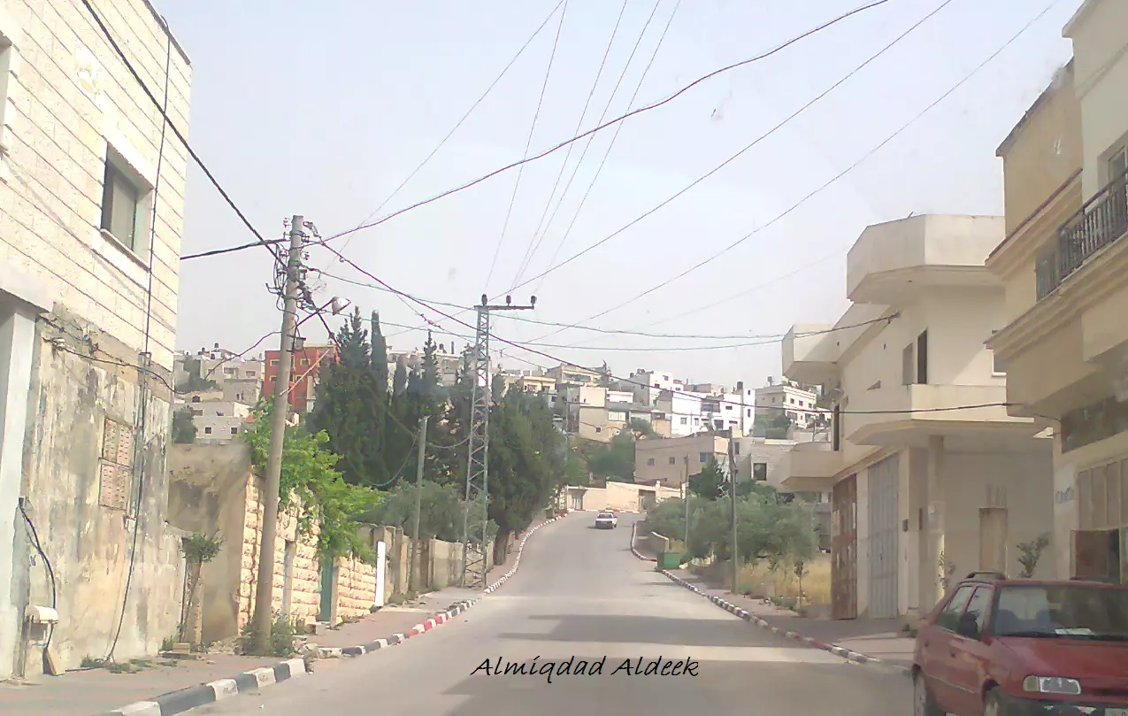
Posted by الـمـقـداد عـمـاد الــديــك - وسط البلد
Posted by الـمـقـداد عـمـاد الــديــك - وسط البلد..
Posted by الـمـقـداد عـمـاد الــديــك - ملعب كفر الديك
Posted by الـمـقـداد عـمـاد الــديــك - كفرالديك في المساء
Posted by الـمـقـداد عـمـاد الــديــك - وسط البلدة.
Posted by الـمـقـداد عـمـاد الــديــك - وسط البلدة..
Posted by الـمـقـداد عـمـاد الــديــك - منطقة الحاووز
Posted by الـمـقـداد عـمـاد الــديــك - حارة الدوار
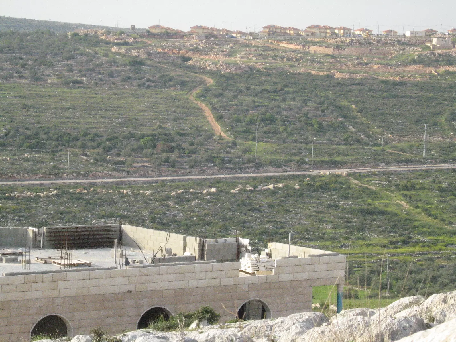
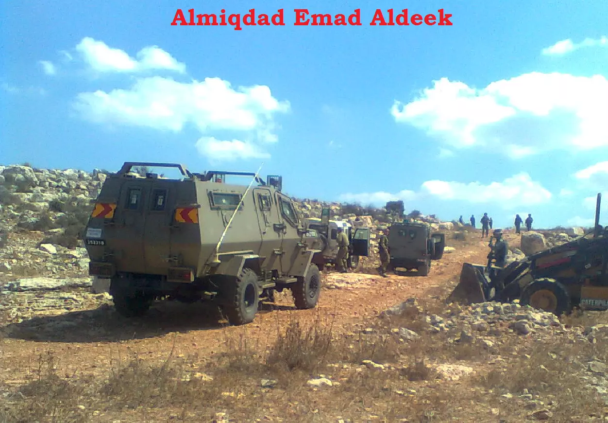
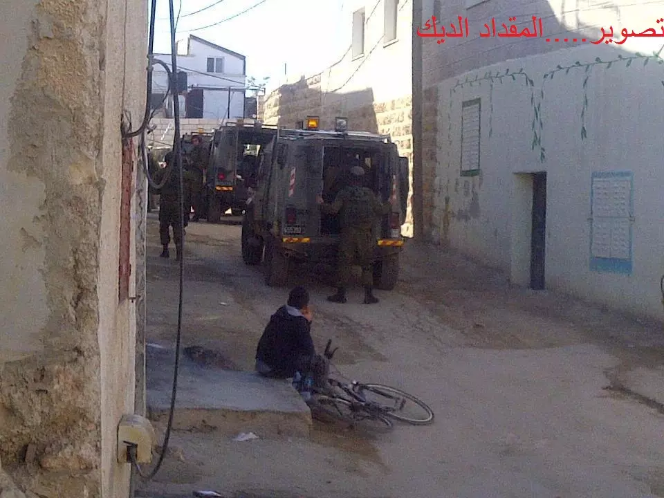
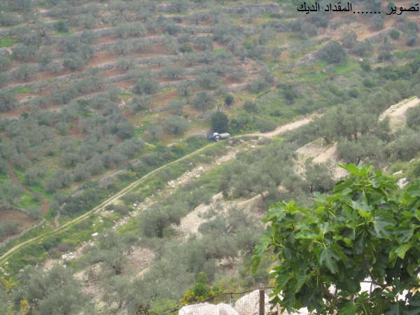
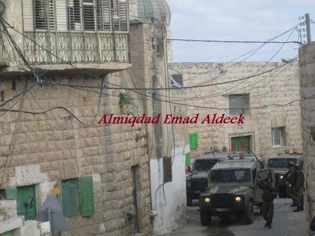
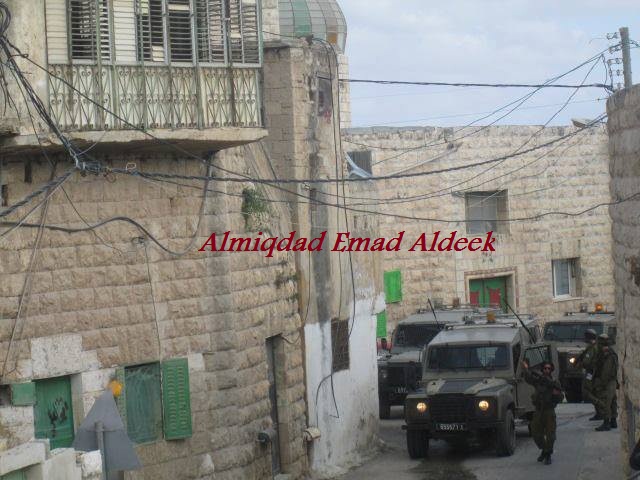
Posted by الـمـقـداد عـمـاد الــديــك - الحتلال الصهيوني لأراضي..كفر الديك..
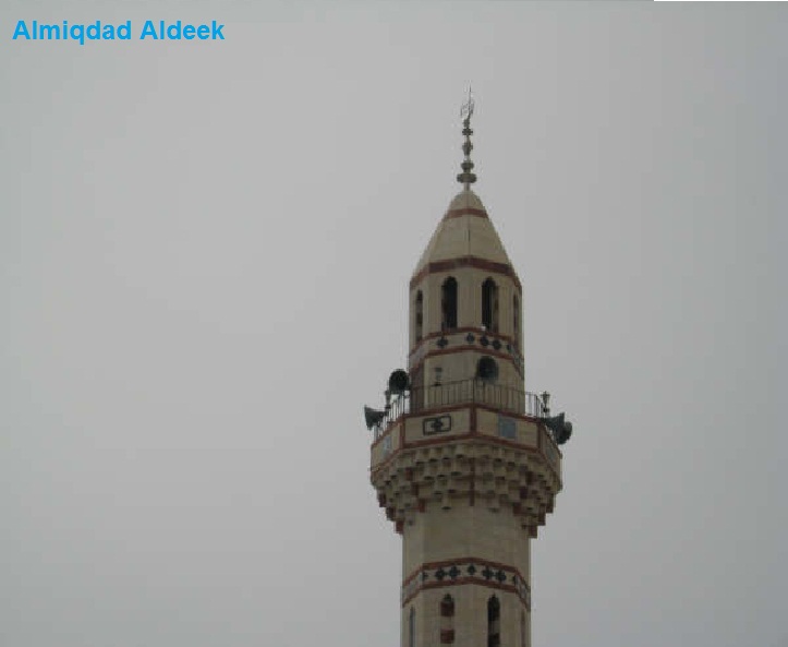
Posted by الـمـقـداد عـمـاد الــديــك - مسجد حارة النافوخ -كفرالديك
Posted by الـمـقـداد عـمـاد الــديــك - الاحتلال الصهيوني في وسط ...كفرالديك
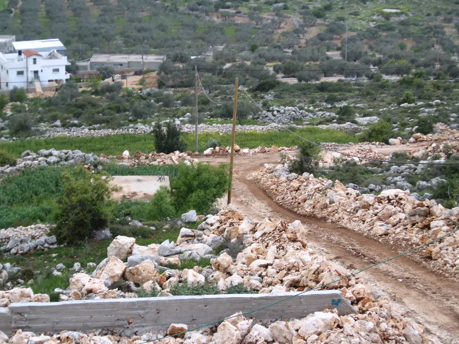
Posted by الـمـقـداد عـمـاد الــديــك - واد العين
Posted by الـمـقـداد عـمـاد الــديــك - الحاووز
Posted by الـمـقـداد عـمـاد الــديــك - طريق العين
Posted by الـمـقـداد عـمـاد الــديــك - وادي العين
Posted by الـمـقـداد عـمـاد الــديــك - كفر الديك من جهة العين
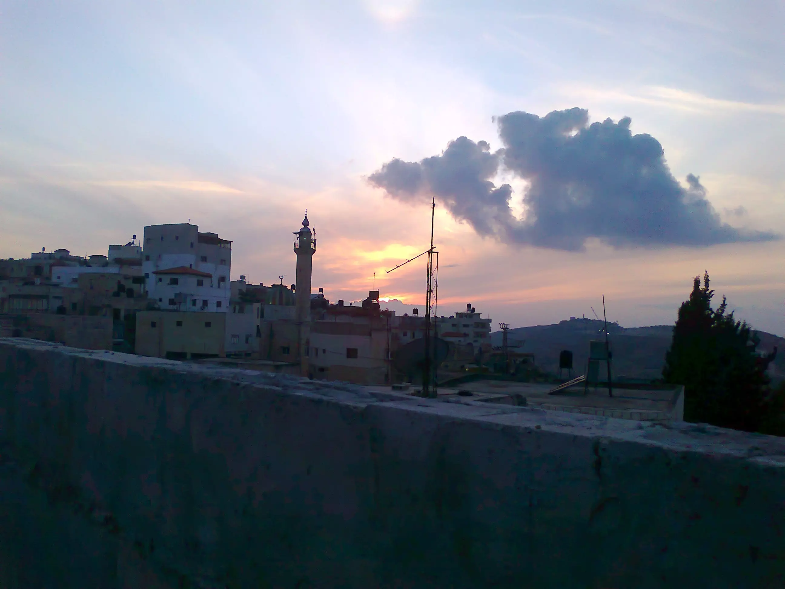
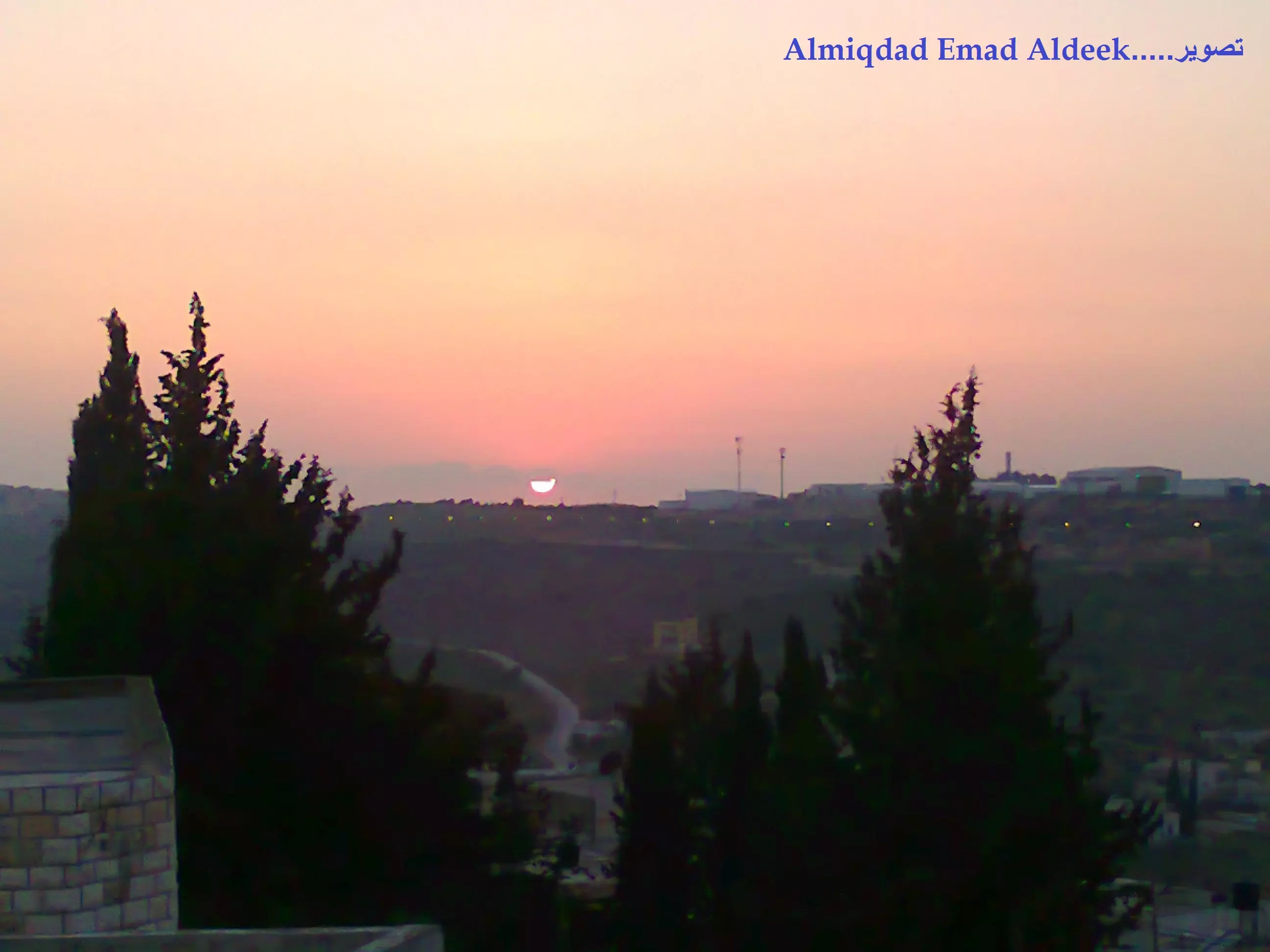
Posted by الـمـقـداد عـمـاد الــديــك - كفر الديك غــروب الشمس
Posted by الـمـقـداد عـمـاد الــديــك - ...........
Posted by الـمـقـداد عـمـاد الــديــك - كــــــــــــفـــــر الــــــــــد ـــــــــــــــــــــــيـــــــــــك
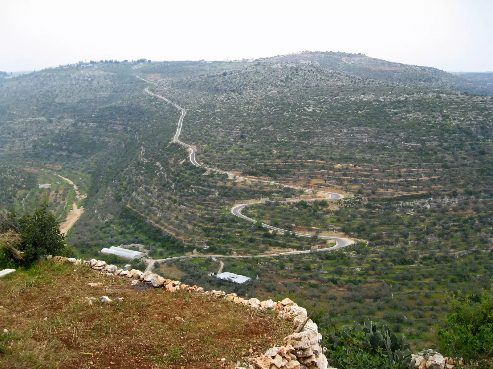
Posted by الـمـقـداد عـمـاد الــديــك - وادي شيلو
Posted by الـمـقـداد عـمـاد الــديــك - وسط البلــده
Posted by الـمـقـداد عـمـاد الــديــك 1 - وسط...البلدة
Posted by الـمـقـداد عـمـاد الــديــك - الدوره
Posted by الـمـقـداد عـمـاد الــديــك - المقبرة
Posted by الـمـقـداد عـمـاد الــديــك - وسط ....البلد
Posted by الـمـقـداد عـمـاد الــديــك - .................
Posted by الـمـقـداد عـمـاد الــديــك - ........
Posted by الـمـقـداد عـمـاد الــديــك - منطقة السوقية
Posted by الـمـقـداد عـمـاد الــديــك - منطقة التكويره
Posted by الـمـقـداد عـمـاد الــديــك - كفر الديك .
Posted by الـمـقـداد عـمـاد الــديــك - واد العين عند الغروب
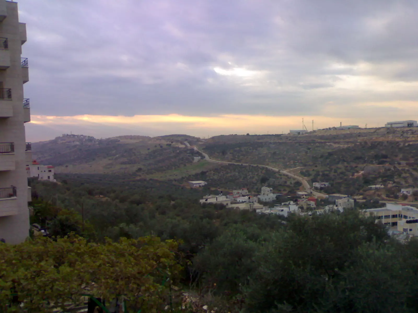
Posted by الـمـقـداد عـمـاد الــديــك - منظر عام
Posted by الـمـقـداد عـمـاد الــديــك - حـــــارة الــدوار_كـــــــفـــــــــرالـــــــــــديــــــــــك
Posted by الـمـقـداد عـمـاد الــديــك - كـــــــفـــــــــرالـــــــــــديــــــــــك
Posted by الـمـقـداد عـمـاد الــديــك - الـــــلإحتلــــــــال _ وســــــط الــــبــلـــدة
Posted by الـمـقـداد عـمـاد الــديــك - الـــــلإحتـــــلال _ وســــــط الــــبــلـــدة _كــفـــرالــديــك
Posted by الـمـقـداد عـمـاد الــديــك - حـــــارة الــدوار_كـــــ،،ــفـــــــــرالـــــــــــديــــــــــك
Posted by الـمـقـداد عـمـاد الــديــك - ..........
Posted by الـمـقـداد عـمـاد الــديــك - دوار عالية زهاف
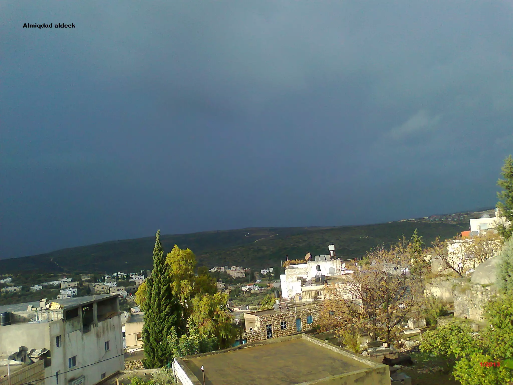
Posted by الـمـقـداد عـمـاد الــديــك - منظر عام
Posted by الـمـقـداد عـمـاد الــديــك - منظر عام
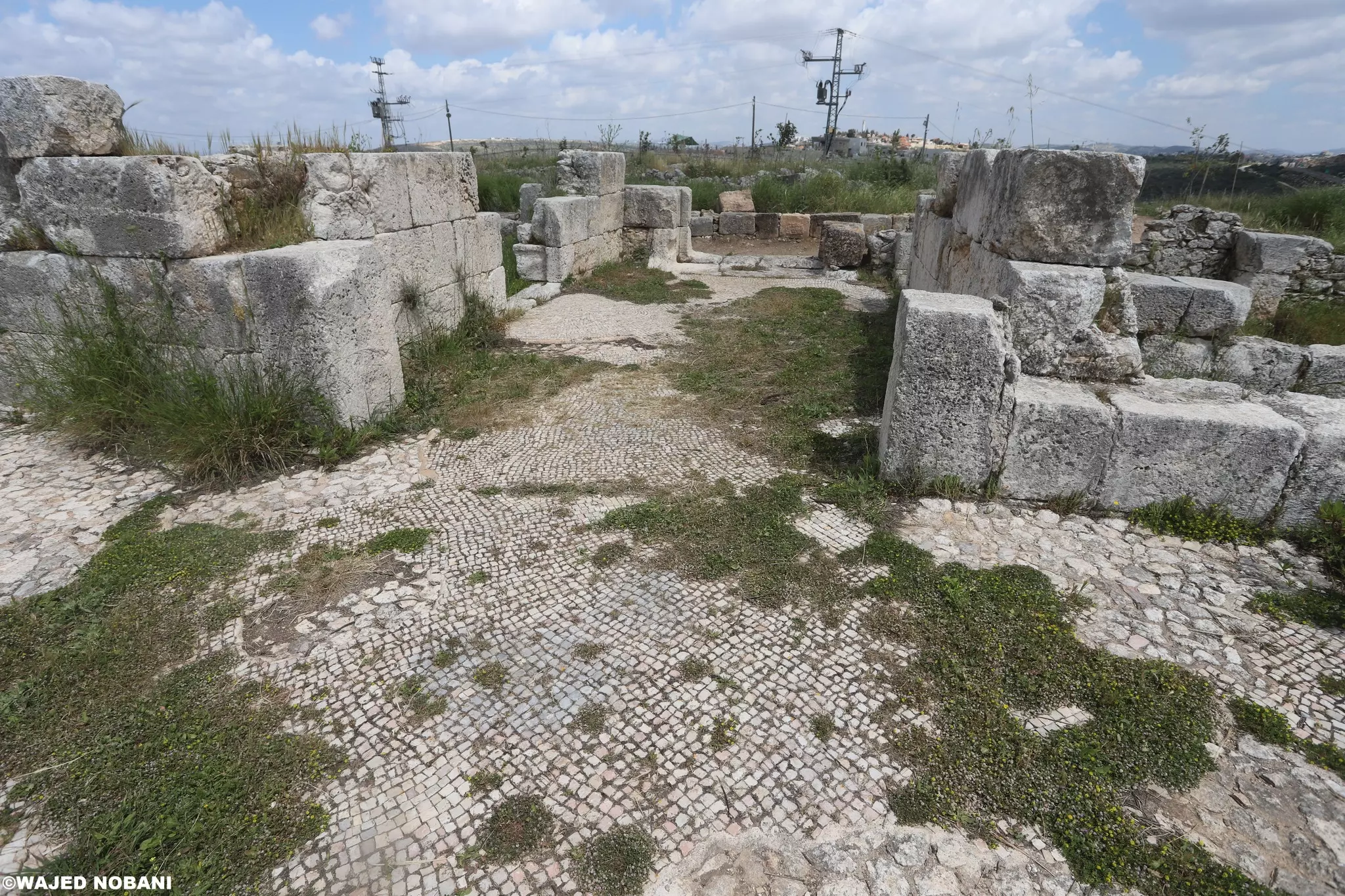
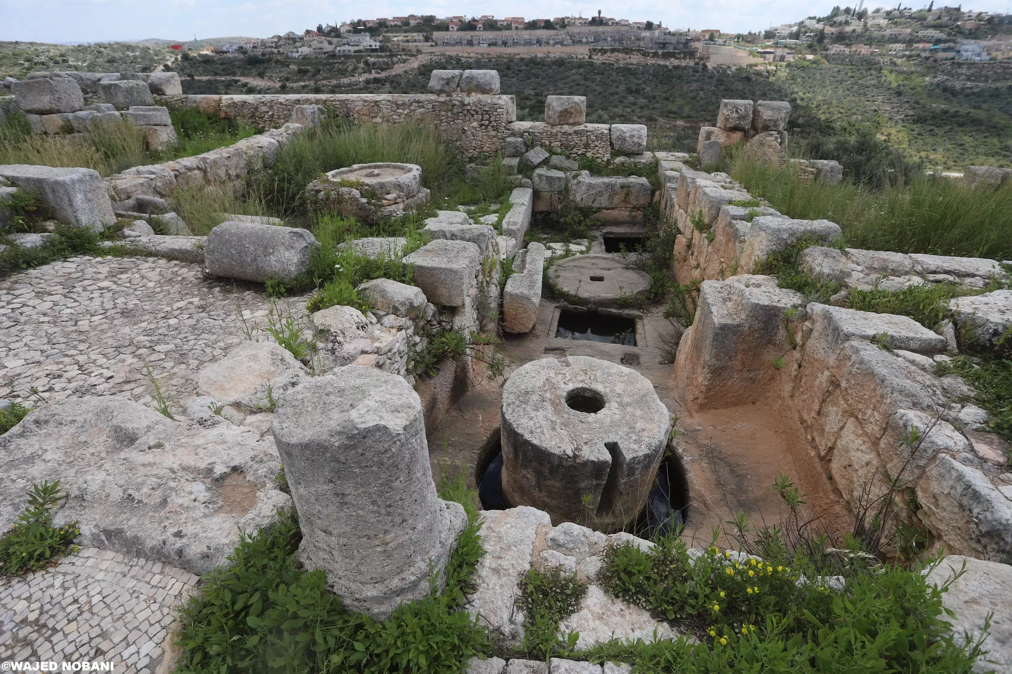
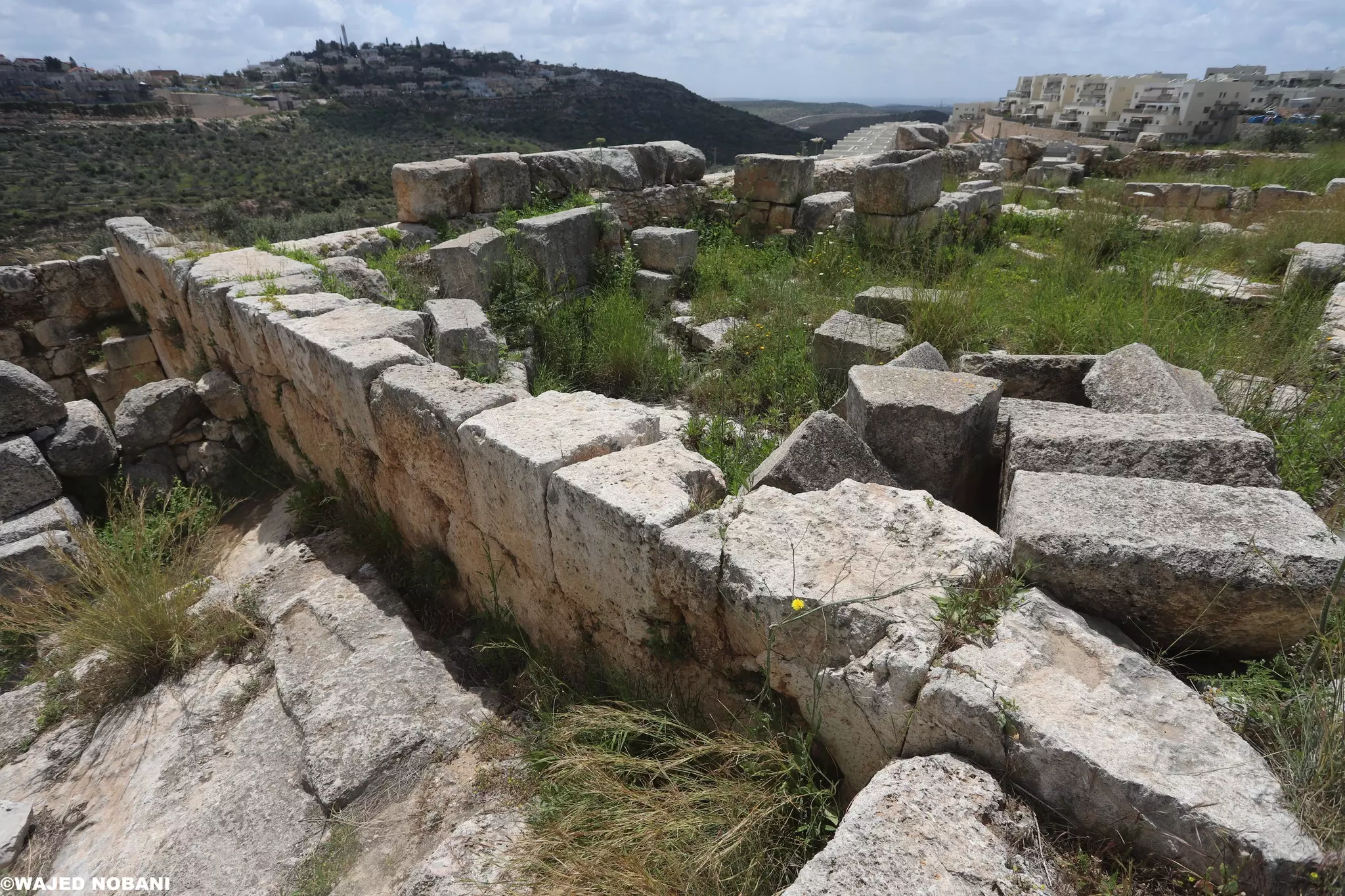
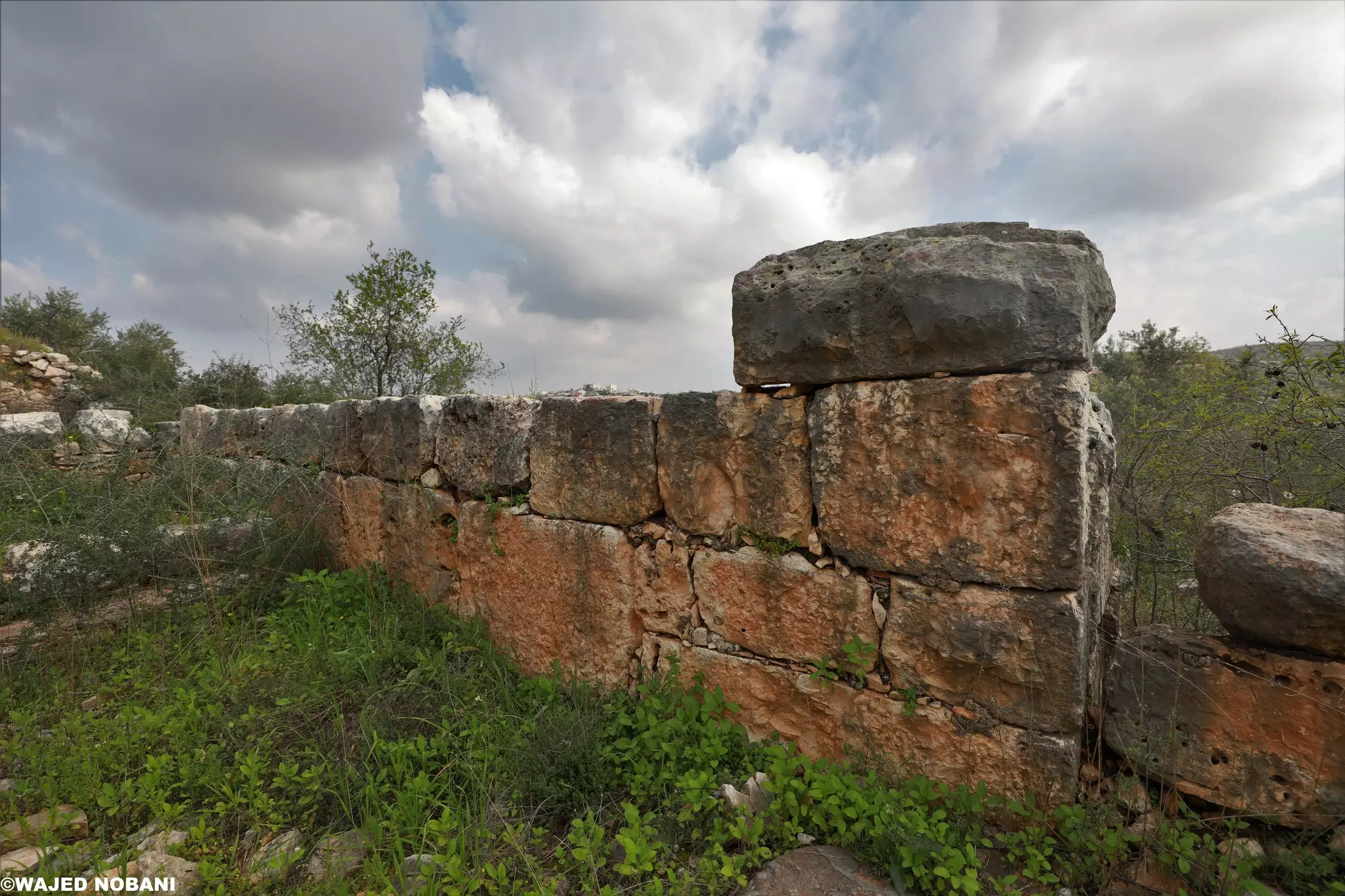
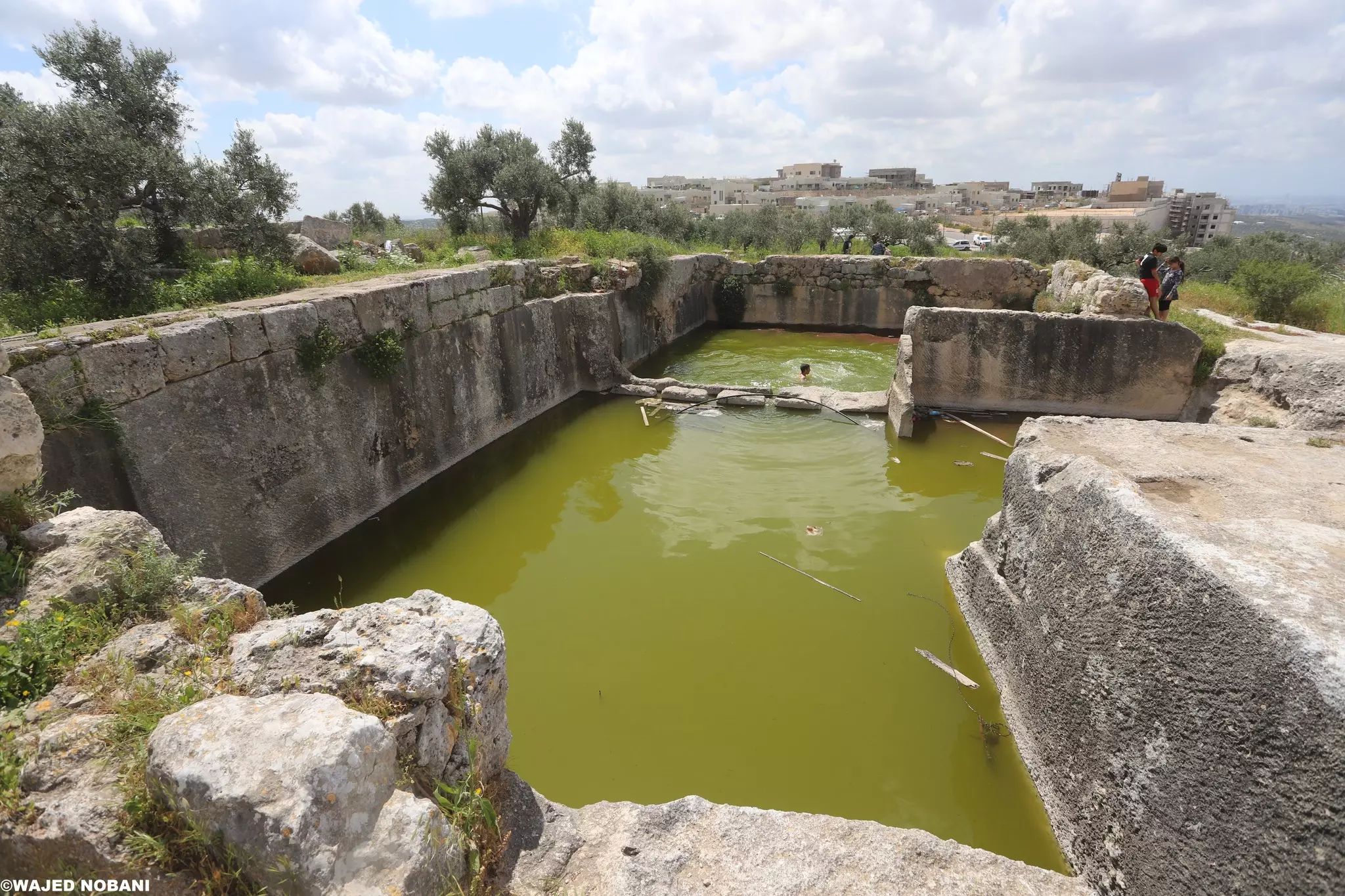
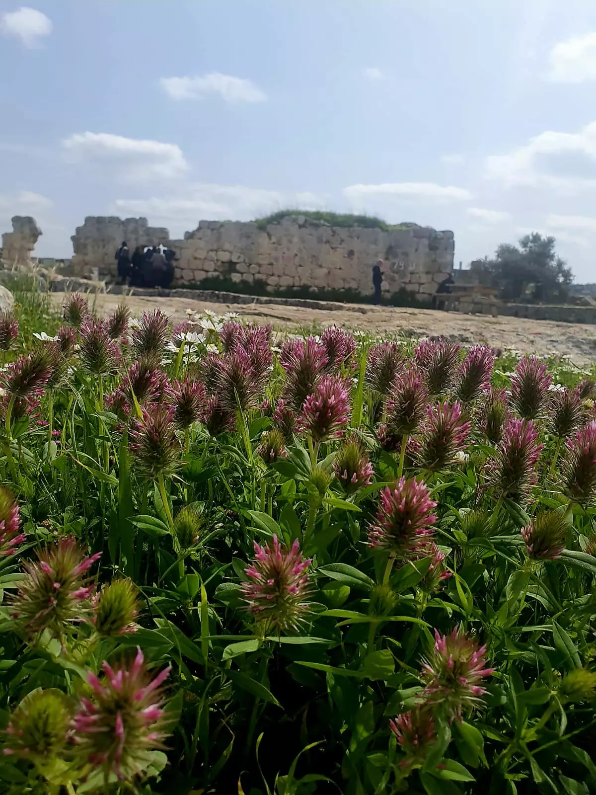
- هذا دير سمعان الذي لم يعد لنا.. الغزاة أقاموا مستعمرة، صادروا الصلوات والتراتيل والقمح والنبيذ.
دير عمره أكثر من 1600 سنة، يقع قرب قرية الكفرين التي هي كفر الديك. المزيد في قسم التعليقات -- واجد النوباني

1 - هذا دير سمعان الذي لم يعد لنا.. الغزاة أقاموا مستعمرة، صادروا الصلوات والتراتيل والقمح والنبيذ.
دير عمره أكثر من 1600 سنة، يقع قرب قرية الكفرين التي هي كفر الديك. المزيد في قسم التعليقات -- واجد النوباني #2
- هذا دير سمعان الذي لم يعد لنا.. الغزاة أقاموا مستعمرة، صادروا الصلوات والتراتيل والقمح والنبيذ.
دير عمره أكثر من 1600 سنة، يقع قرب قرية الكفرين التي هي كفر الديك. المزيد في قسم التعليقات -- واجد النوباني #3
- هذا دير سمعان الذي لم يعد لنا.. الغزاة أقاموا مستعمرة، صادروا الصلوات والتراتيل والقمح والنبيذ.
دير عمره أكثر من 1600 سنة، يقع قرب قرية الكفرين التي هي كفر الديك. المزيد في قسم التعليقات -- واجد النوباني #4
- هذا دير سمعان الذي لم يعد لنا.. الغزاة أقاموا مستعمرة، صادروا الصلوات والتراتيل والقمح والنبيذ.
دير عمره أكثر من 1600 سنة، يقع قرب قرية الكفرين التي هي كفر الديك. المزيد في قسم التعليقات -- واجد النوباني #5
- هذا دير سمعان الذي لم يعد لنا.. الغزاة أقاموا مستعمرة، صادروا الصلوات والتراتيل والقمح والنبيذ.
دير عمره أكثر من 1600 سنة، يقع قرب قرية الكفرين التي هي كفر الديك. المزيد في قسم التعليقات -- واجد النوباني #6

- هذا دير سمعان الذي لم يعد لنا.. الغزاة أقاموا مستعمرة، صادروا الصلوات والتراتيل والقمح والنبيذ.
دير عمره أكثر من 1600 سنة، يقع قرب قرية الكفرين التي هي كفر الديك. المزيد في قسم التعليقات -- واجد النوباني #7

- هذا دير سمعان الذي لم يعد لنا.. الغزاة أقاموا مستعمرة، صادروا الصلوات والتراتيل والقمح والنبيذ.
دير عمره أكثر من 1600 سنة، يقع قرب قرية الكفرين التي هي كفر الديك. المزيد في قسم التعليقات -- واجد النوباني #8
- هذا دير سمعان الذي لم يعد لنا.. الغزاة أقاموا مستعمرة، صادروا الصلوات والتراتيل والقمح والنبيذ.
دير عمره أكثر من 1600 سنة، يقع قرب قرية الكفرين التي هي كفر الديك. المزيد في قسم التعليقات -- واجد النوباني #9
- هذا دير سمعان الذي لم يعد لنا.. الغزاة أقاموا مستعمرة، صادروا الصلوات والتراتيل والقمح والنبيذ.
دير عمره أكثر من 1600 سنة، يقع قرب قرية الكفرين التي هي كفر الديك. المزيد في قسم التعليقات -- واجد النوباني #10
- هذا دير سمعان الذي لم يعد لنا.. الغزاة أقاموا مستعمرة، صادروا الصلوات والتراتيل والقمح والنبيذ.
دير عمره أكثر من 1600 سنة، يقع قرب قرية الكفرين التي هي كفر الديك. المزيد في قسم التعليقات -- واجد النوباني #11
- هذا دير سمعان الذي لم يعد لنا.. الغزاة أقاموا مستعمرة، صادروا الصلوات والتراتيل والقمح والنبيذ.
دير عمره أكثر من 1600 سنة، يقع قرب قرية الكفرين التي هي كفر الديك. المزيد في قسم التعليقات -- واجد النوباني #12
- هذا دير سمعان الذي لم يعد لنا.. الغزاة أقاموا مستعمرة، صادروا الصلوات والتراتيل والقمح والنبيذ.
دير عمره أكثر من 1600 سنة، يقع قرب قرية الكفرين التي هي كفر الديك. المزيد في قسم التعليقات -- واجد النوباني #13
- هذا دير سمعان الذي لم يعد لنا.. الغزاة أقاموا مستعمرة، صادروا الصلوات والتراتيل والقمح والنبيذ.
دير عمره أكثر من 1600 سنة، يقع قرب قرية الكفرين التي هي كفر الديك. المزيد في قسم التعليقات -- واجد النوباني #14
- هذا دير سمعان الذي لم يعد لنا.. الغزاة أقاموا مستعمرة، صادروا الصلوات والتراتيل والقمح والنبيذ.
دير عمره أكثر من 1600 سنة، يقع قرب قرية الكفرين التي هي كفر الديك. المزيد في قسم التعليقات -- واجد النوباني #15
- هذا دير سمعان الذي لم يعد لنا.. الغزاة أقاموا مستعمرة، صادروا الصلوات والتراتيل والقمح والنبيذ.
دير عمره أكثر من 1600 سنة، يقع قرب قرية الكفرين التي هي كفر الديك. المزيد في قسم التعليقات -- واجد النوباني #16
- هذا دير سمعان الذي لم يعد لنا.. الغزاة أقاموا مستعمرة، صادروا الصلوات والتراتيل والقمح والنبيذ.
دير عمره أكثر من 1600 سنة، يقع قرب قرية الكفرين التي هي كفر الديك. المزيد في قسم التعليقات -- واجد النوباني #17
- هذا دير سمعان الذي لم يعد لنا.. الغزاة أقاموا مستعمرة، صادروا الصلوات والتراتيل والقمح والنبيذ.
دير عمره أكثر من 1600 سنة، يقع قرب قرية الكفرين التي هي كفر الديك. المزيد في قسم التعليقات -- واجد النوباني #18
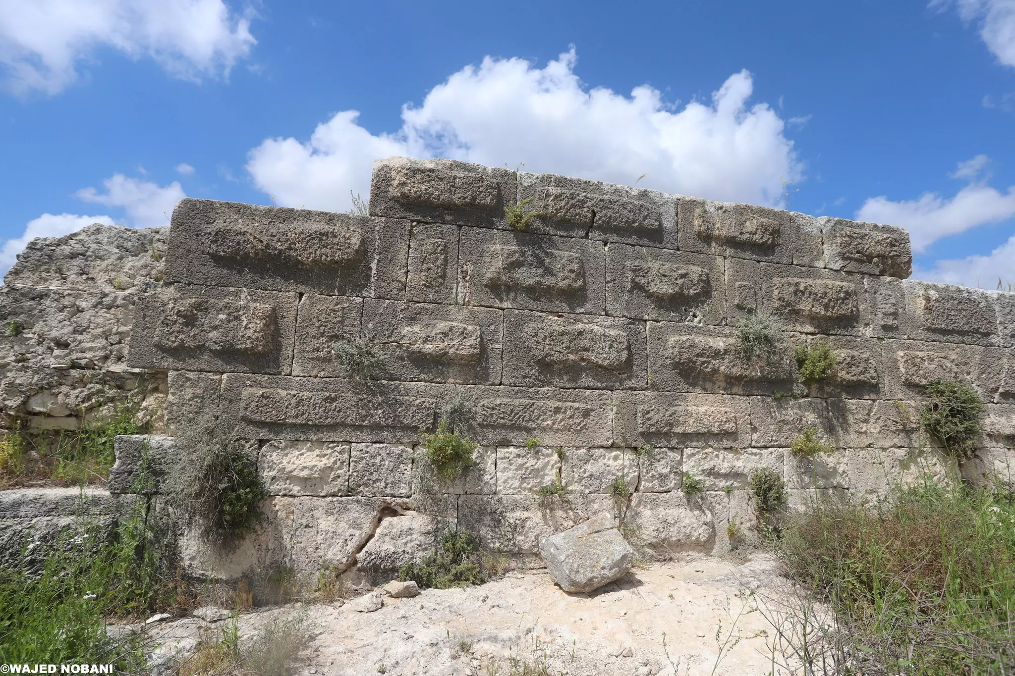
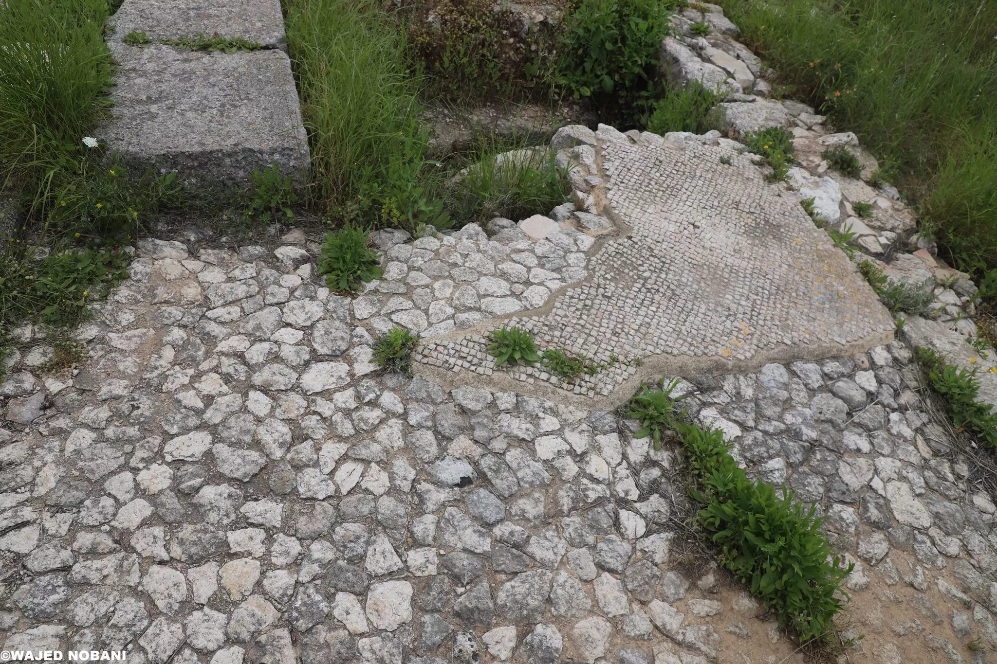
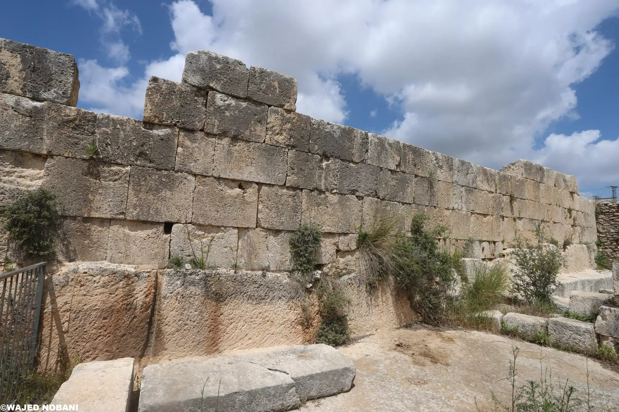
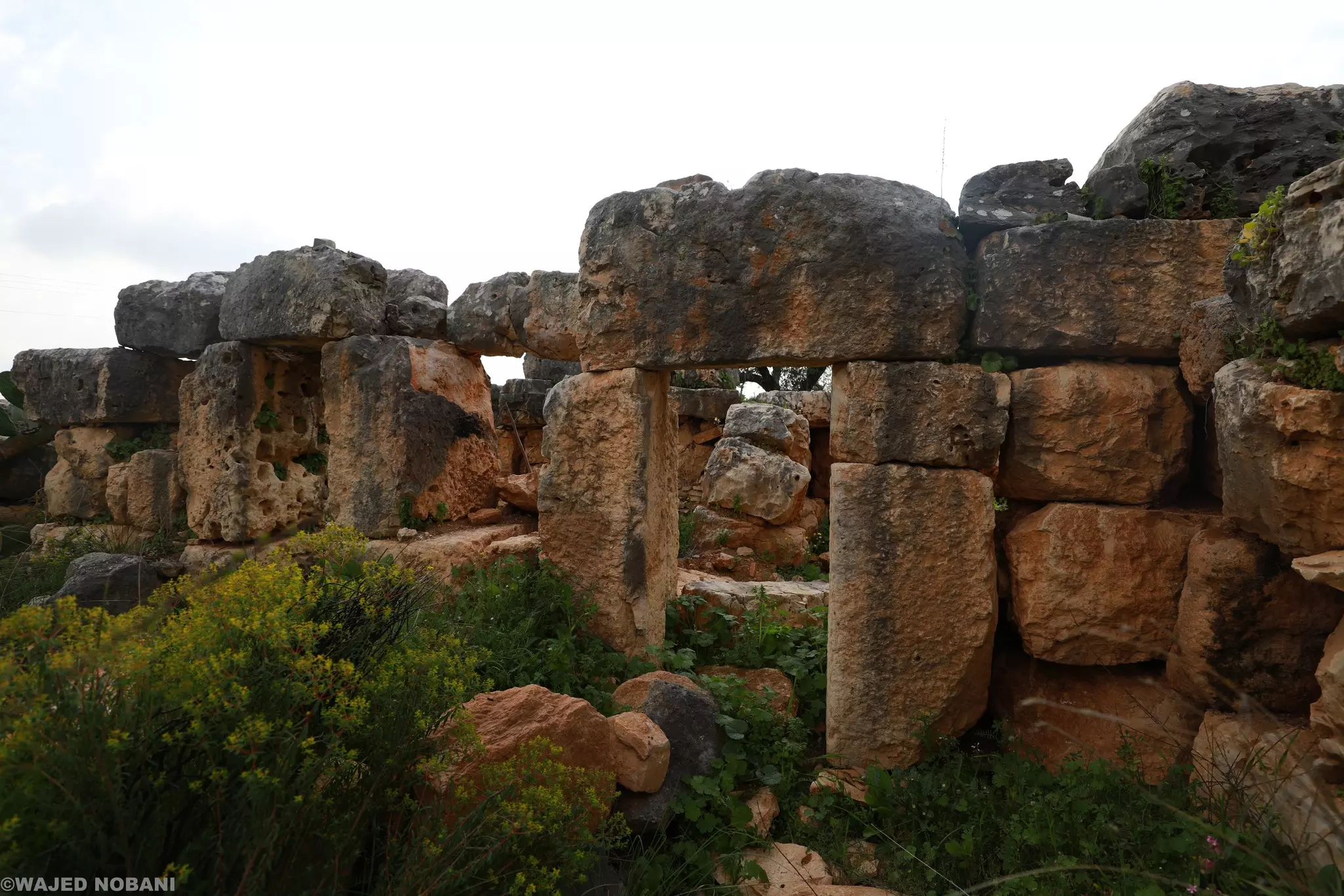
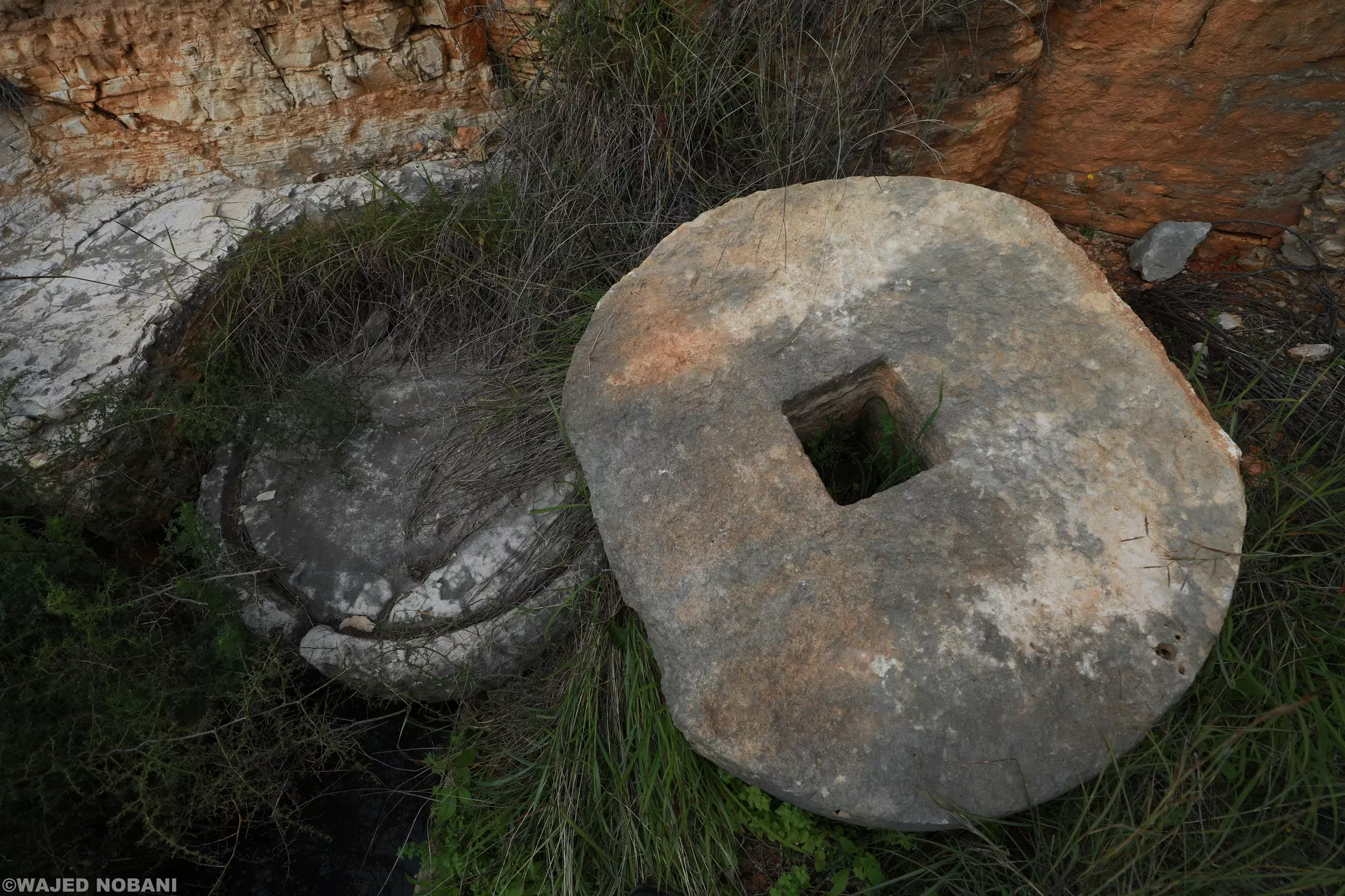
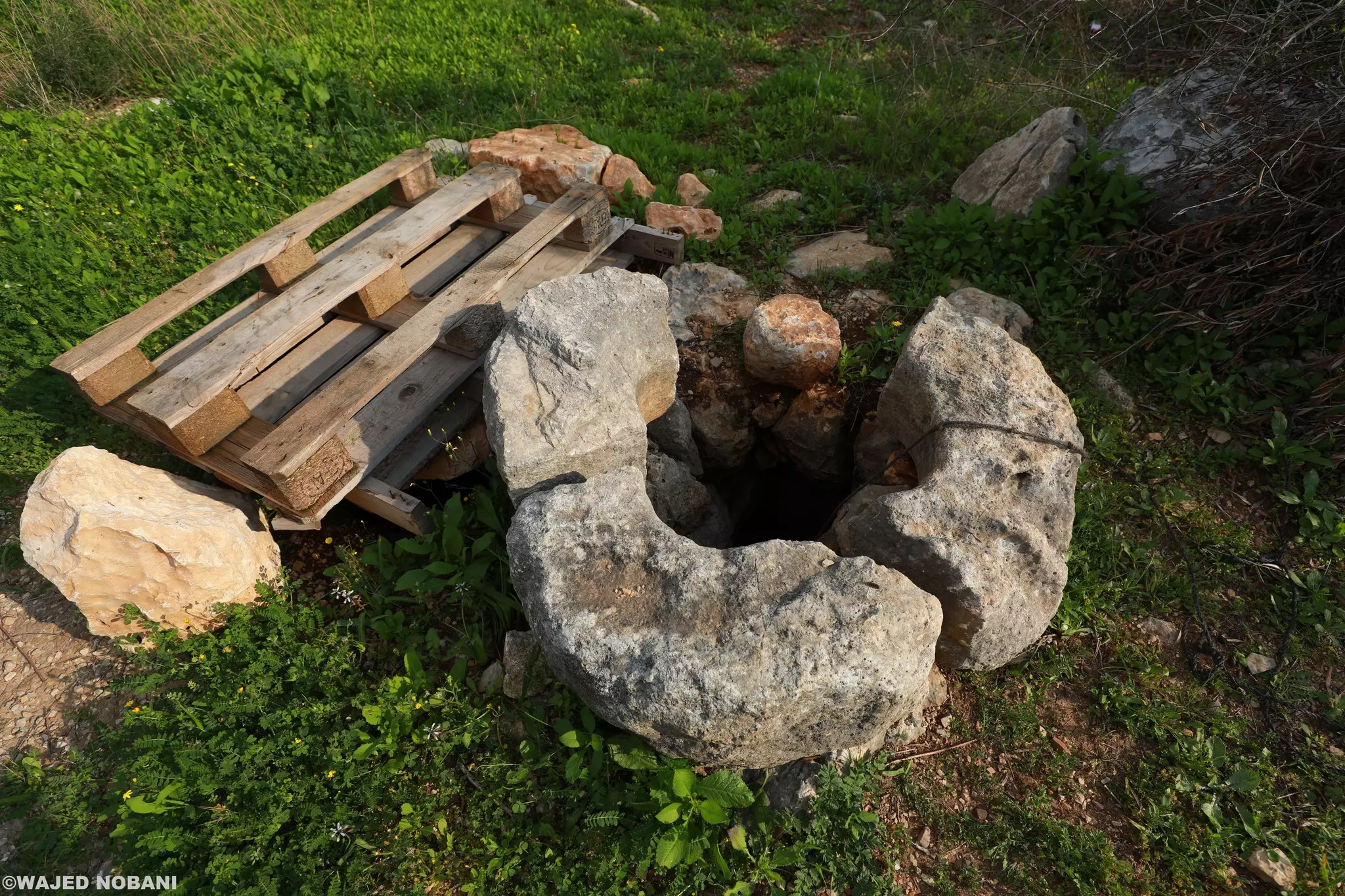
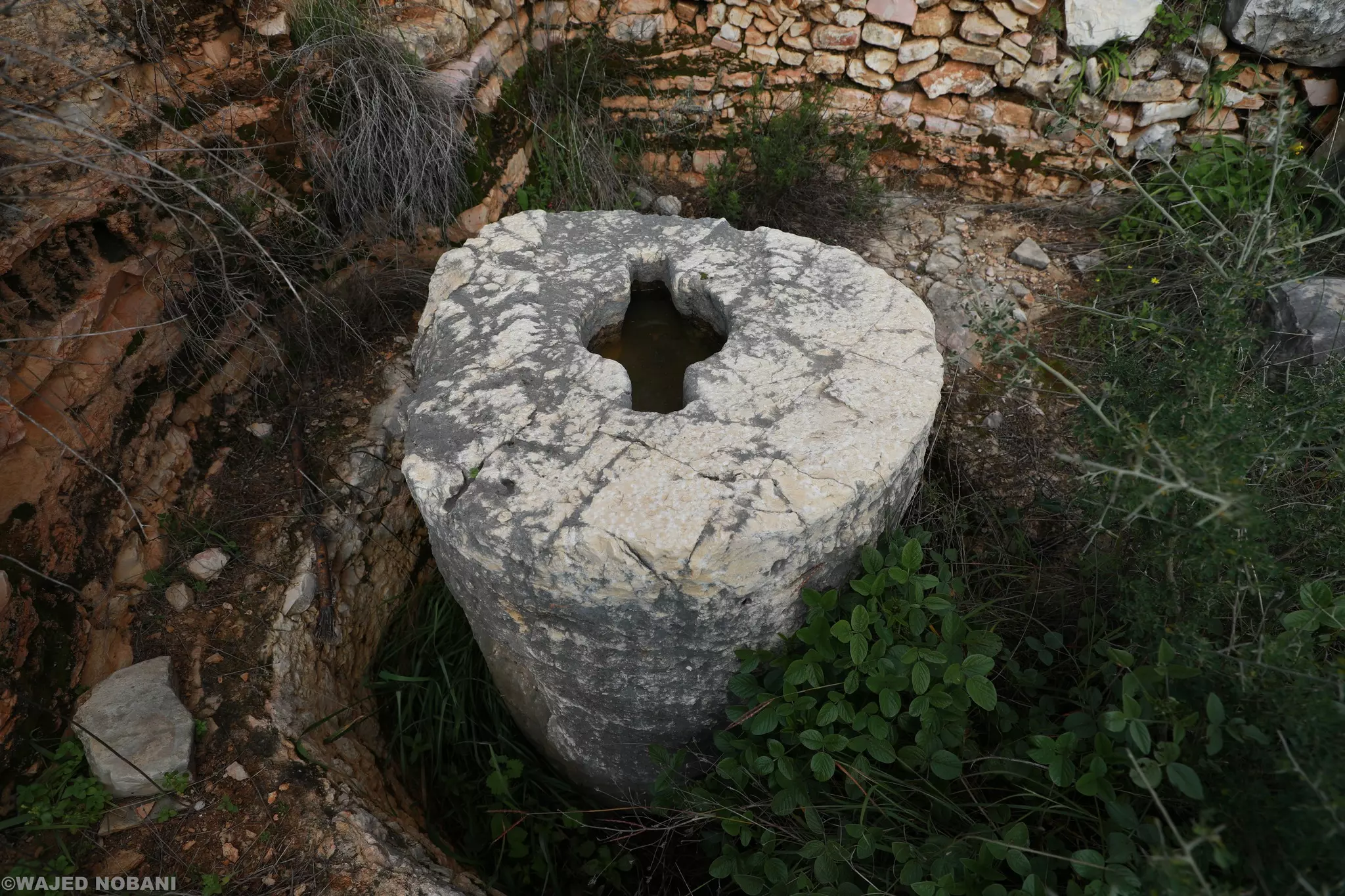
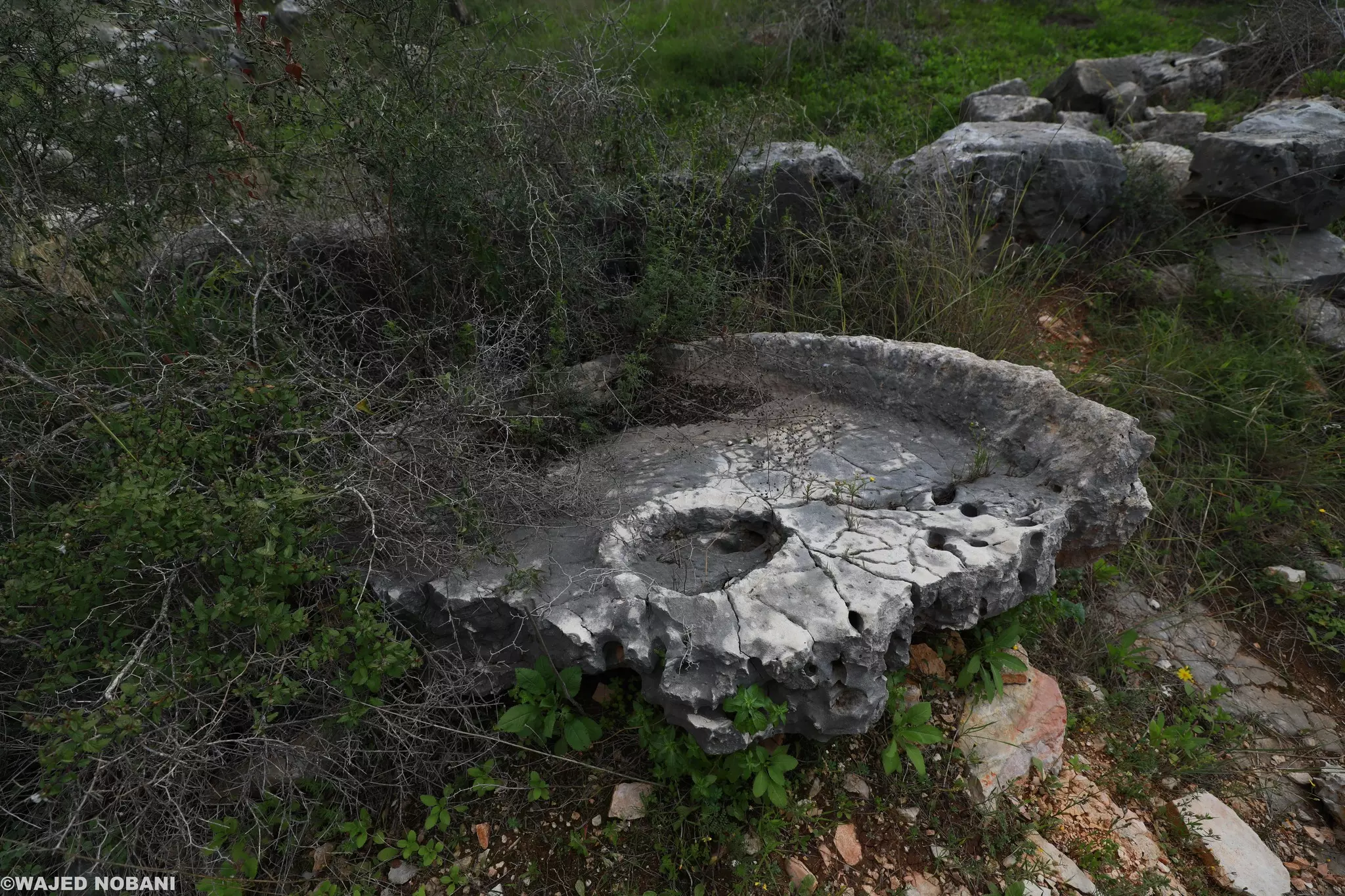
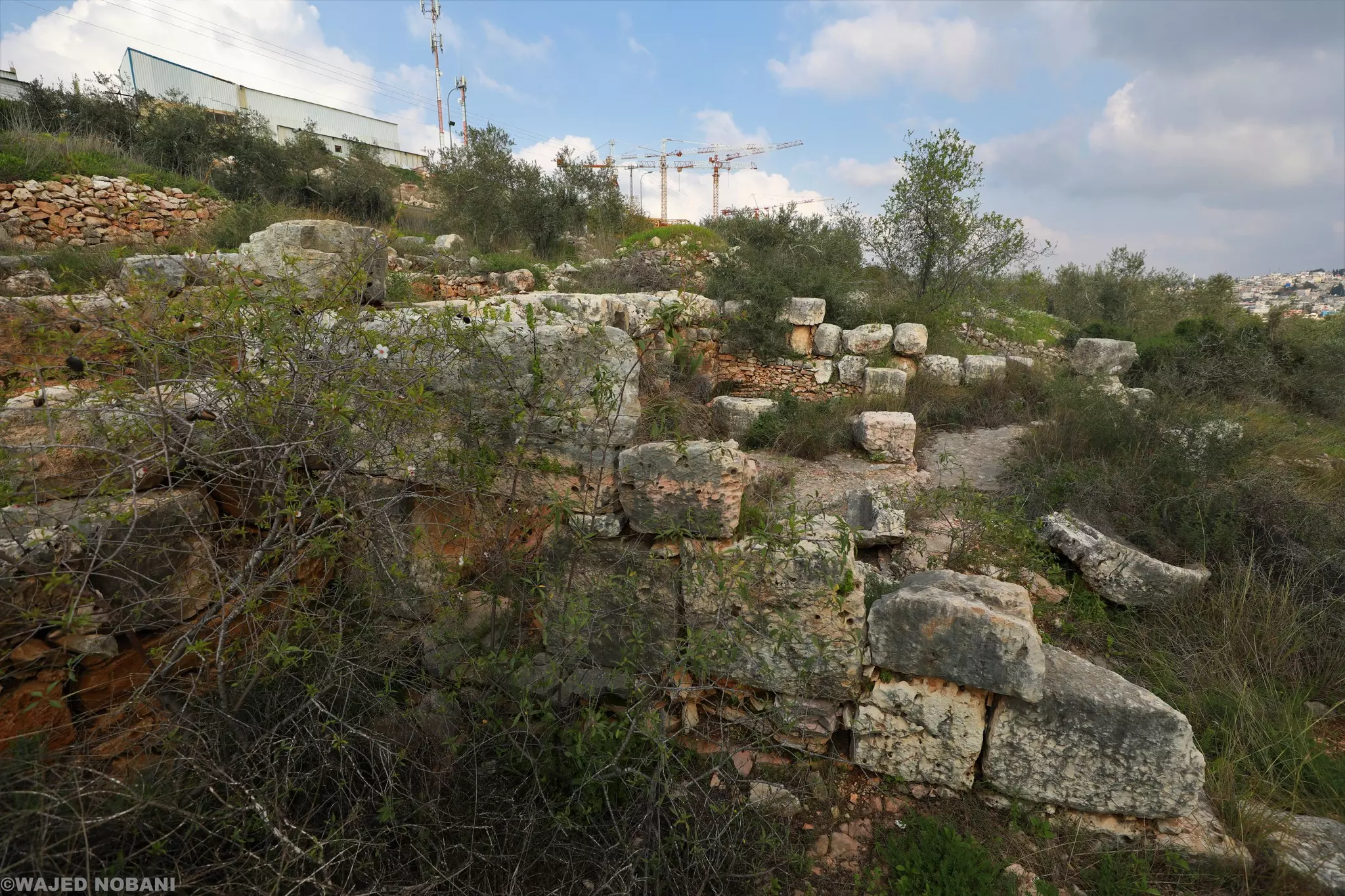
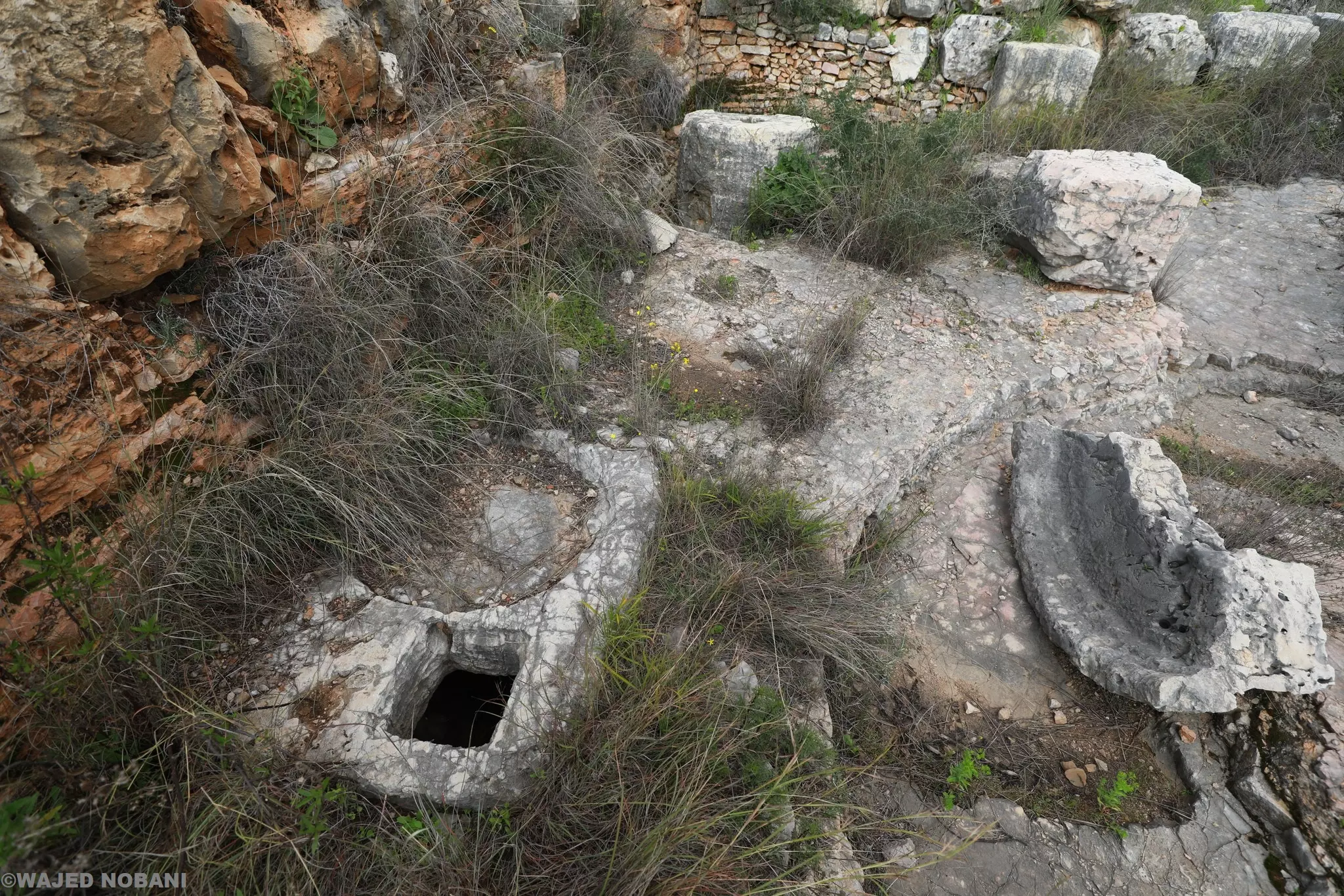
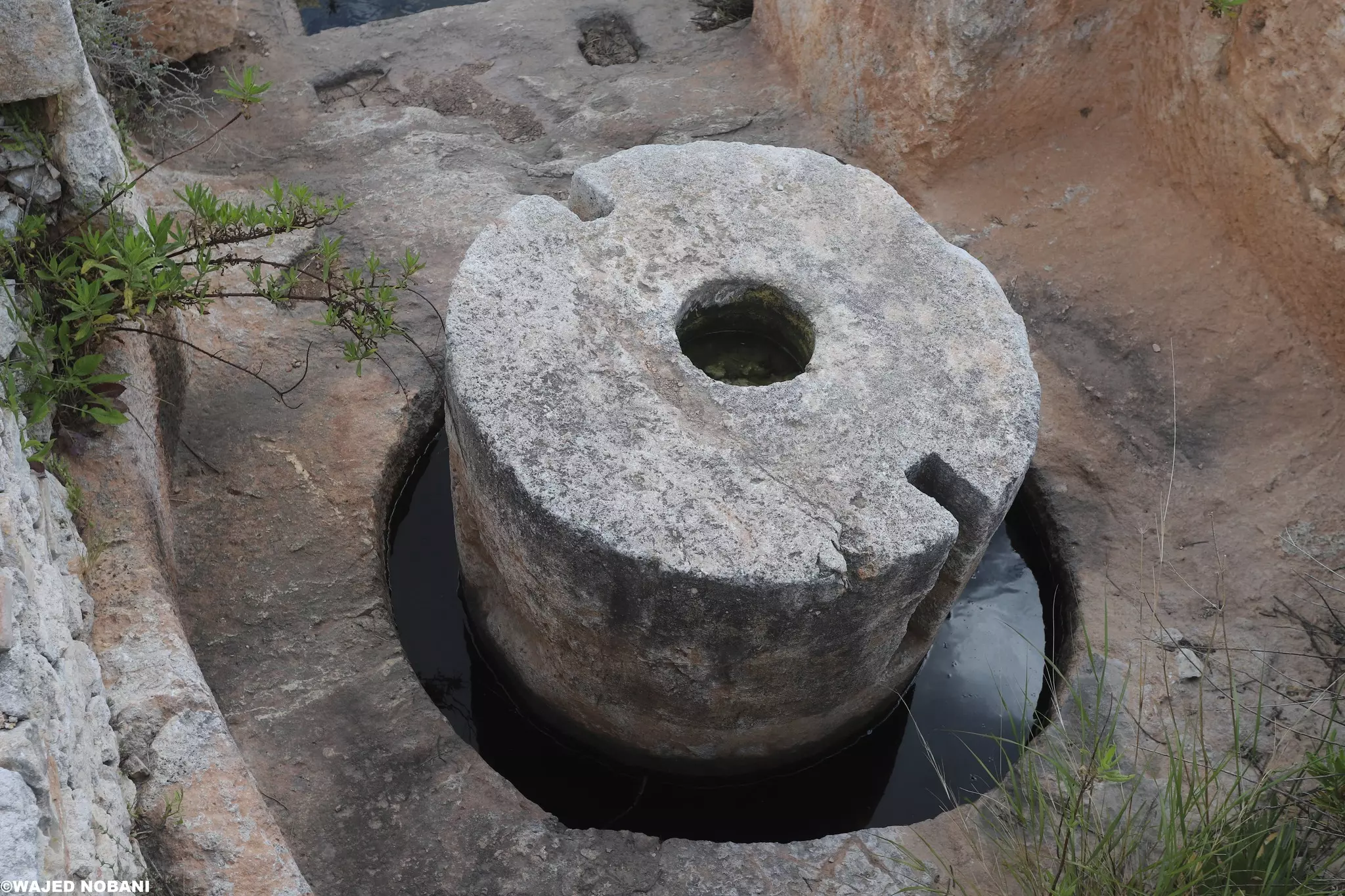
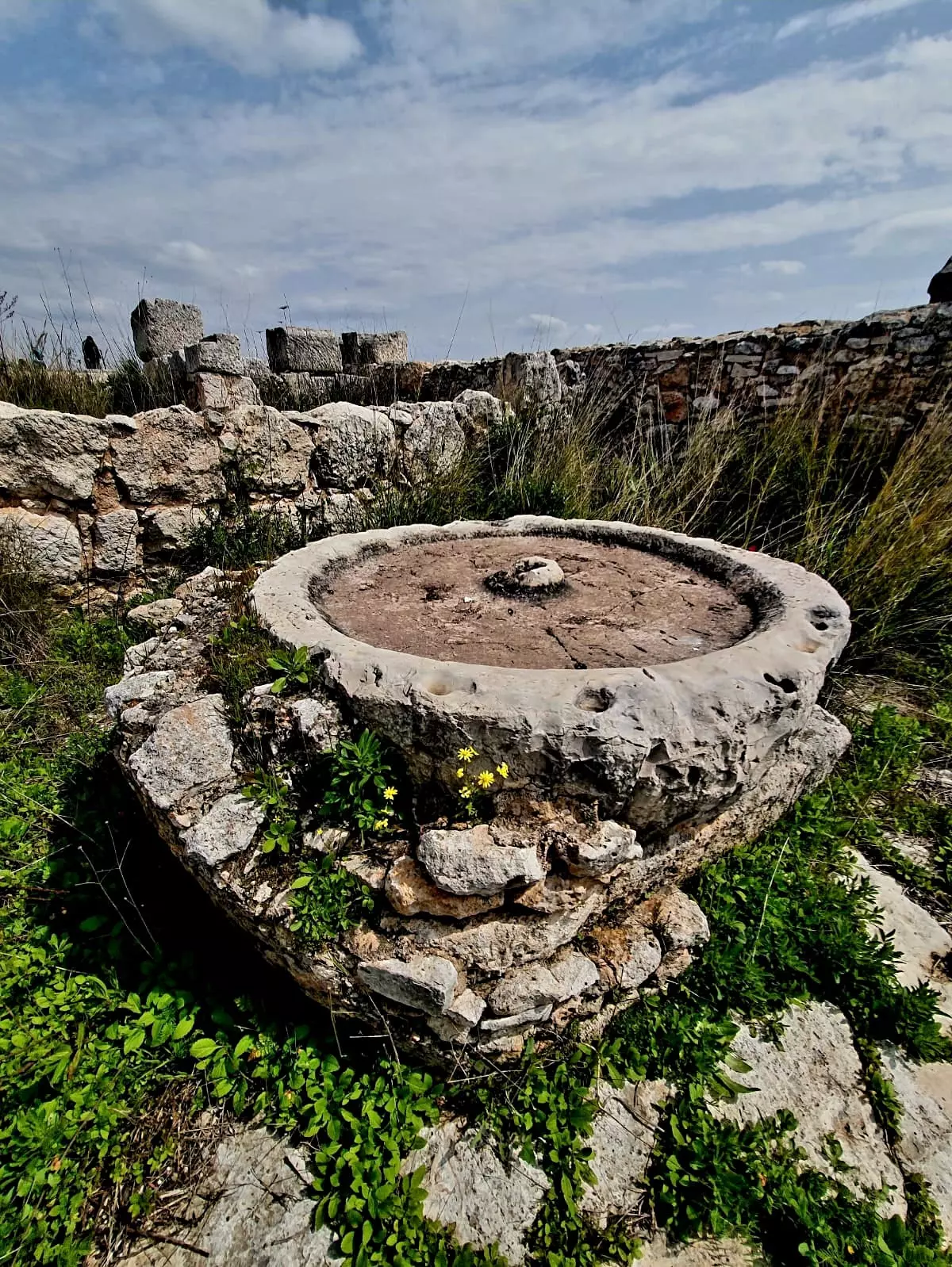
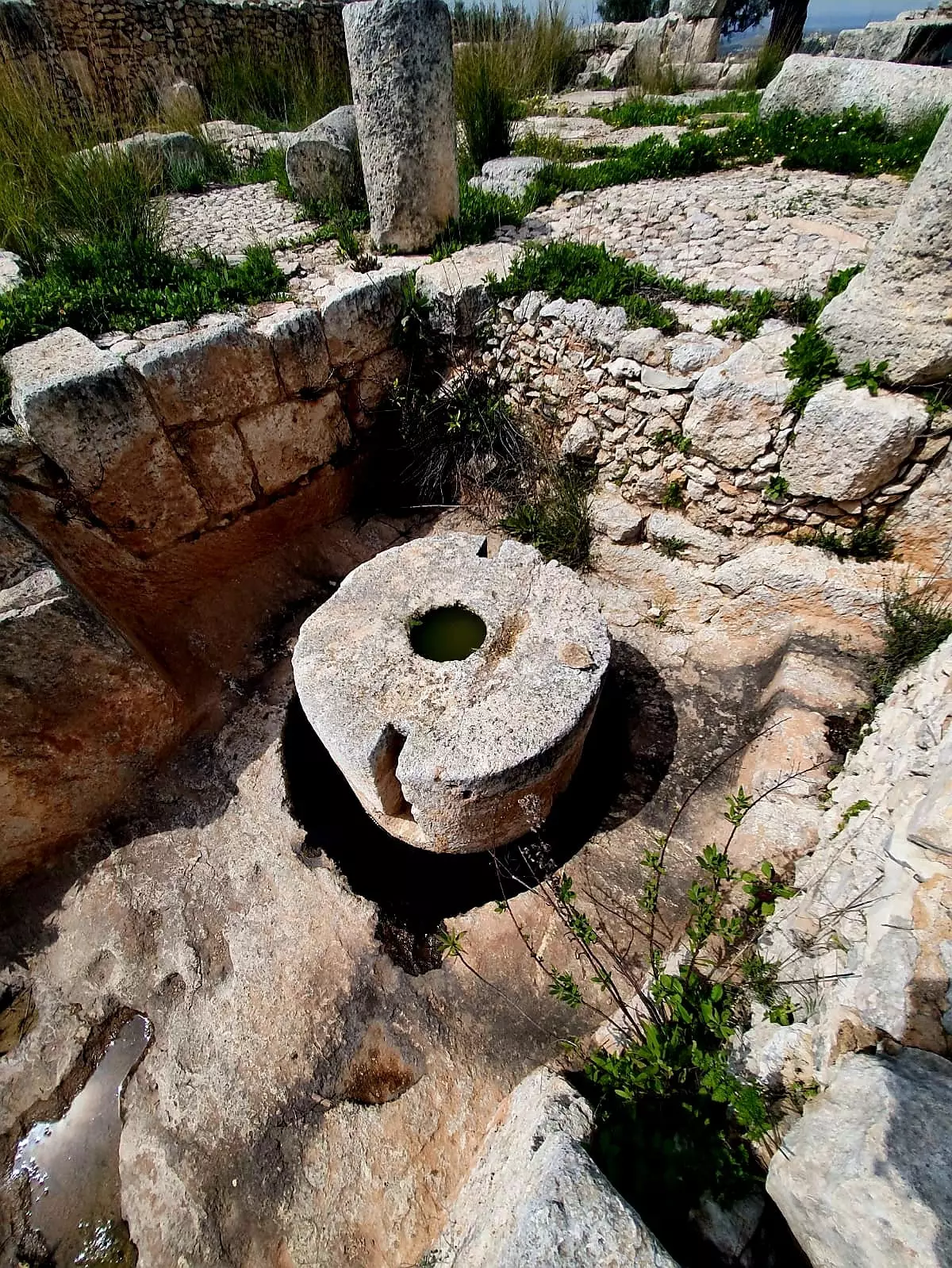
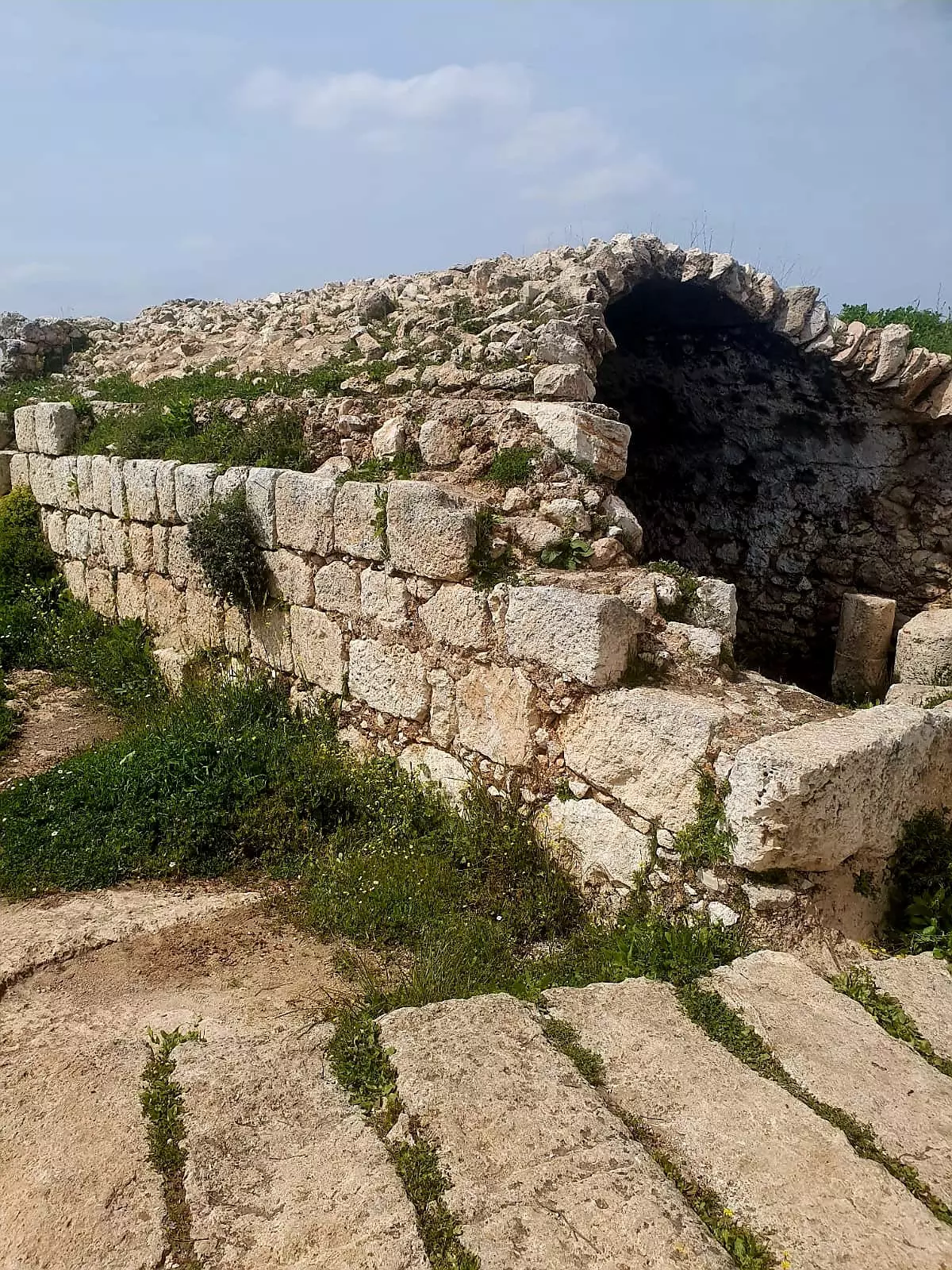
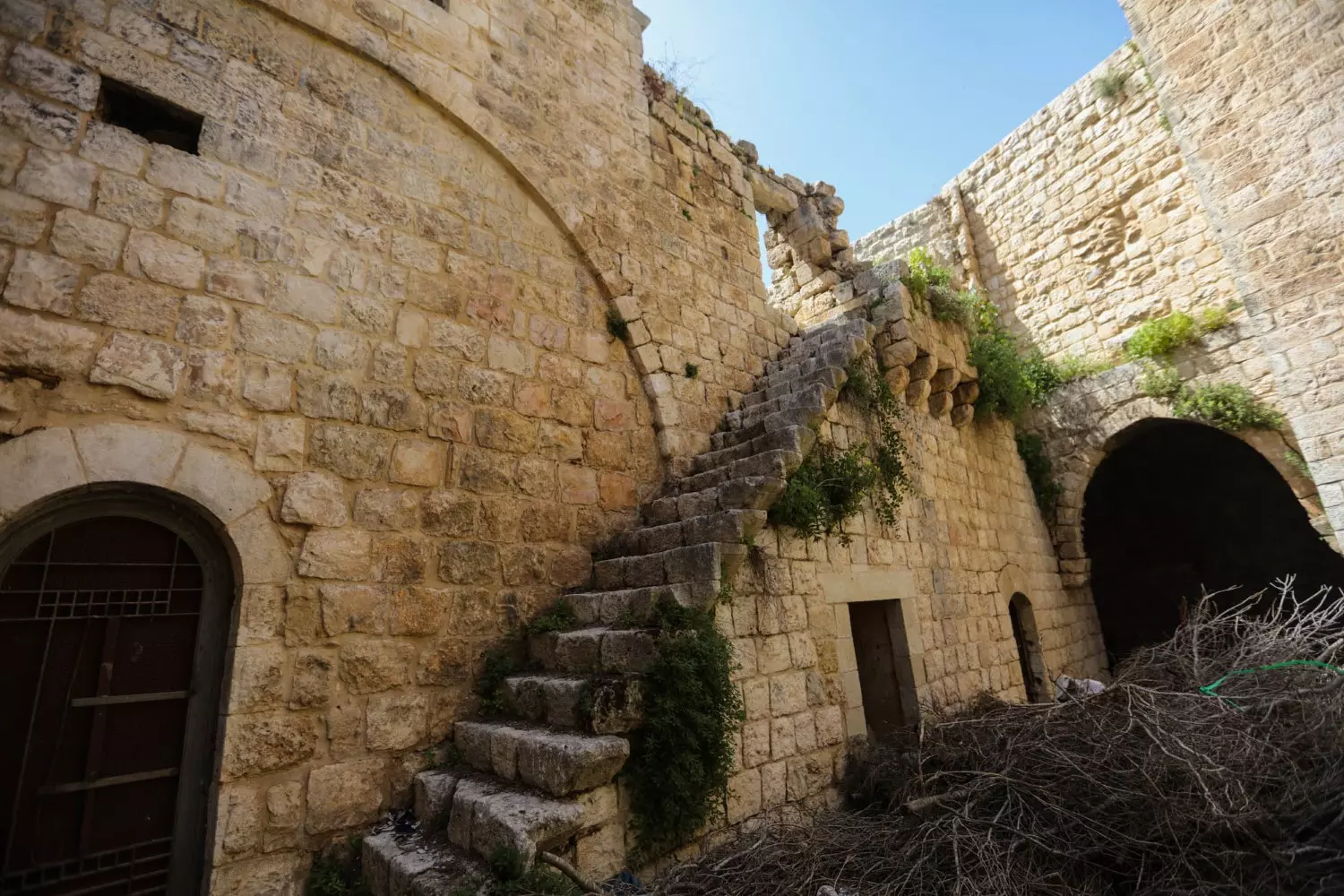
- أبنية من حجارة ضخمة، ومعاصر زيتون في خربة ع اراضي القرية --
تتبع أراضي قرية تسمى اليوم كفر الديك. واسمها بالأصل الكفرين، وتظهر على خارطة عام 1880 باسم "الكفر" والكفر تعني قرية، أما الديك فهي عائلة من القرية التي حملت اسمها -- واجد النوباني
- أبنية من حجارة ضخمة، ومعاصر زيتون في خربة ع اراضي القرية --
تتبع أراضي قرية تسمى اليوم كفر الديك. واسمها بالأصل الكفرين، وتظهر على خارطة عام 1880 باسم "الكفر" والكفر تعني قرية، أما الديك فهي عائلة من القرية التي حملت اسمها -- واجد النوباني #2
- أبنية من حجارة ضخمة، ومعاصر زيتون في خربة ع اراضي القرية --
تتبع أراضي قرية تسمى اليوم كفر الديك. واسمها بالأصل الكفرين، وتظهر على خارطة عام 1880 باسم "الكفر" والكفر تعني قرية، أما الديك فهي عائلة من القرية التي حملت اسمها -- واجد النوباني #3
- أبنية من حجارة ضخمة، ومعاصر زيتون في خربة ع اراضي القرية --
تتبع أراضي قرية تسمى اليوم كفر الديك. واسمها بالأصل الكفرين، وتظهر على خارطة عام 1880 باسم "الكفر" والكفر تعني قرية، أما الديك فهي عائلة من القرية التي حملت اسمها -- واجد النوباني #4
- أبنية من حجارة ضخمة، ومعاصر زيتون في خربة ع اراضي القرية --
تتبع أراضي قرية تسمى اليوم كفر الديك. واسمها بالأصل الكفرين، وتظهر على خارطة عام 1880 باسم "الكفر" والكفر تعني قرية، أما الديك فهي عائلة من القرية التي حملت اسمها -- واجد النوباني #5
- أبنية من حجارة ضخمة، ومعاصر زيتون في خربة ع اراضي القرية --
تتبع أراضي قرية تسمى اليوم كفر الديك. واسمها بالأصل الكفرين، وتظهر على خارطة عام 1880 باسم "الكفر" والكفر تعني قرية، أما الديك فهي عائلة من القرية التي حملت اسمها -- واجد النوباني #6
- أبنية من حجارة ضخمة، ومعاصر زيتون في خربة ع اراضي القرية --
تتبع أراضي قرية تسمى اليوم كفر الديك. واسمها بالأصل الكفرين، وتظهر على خارطة عام 1880 باسم "الكفر" والكفر تعني قرية، أما الديك فهي عائلة من القرية التي حملت اسمها -- واجد النوباني #7
- أبنية من حجارة ضخمة، ومعاصر زيتون في خربة ع اراضي القرية --
تتبع أراضي قرية تسمى اليوم كفر الديك. واسمها بالأصل الكفرين، وتظهر على خارطة عام 1880 باسم "الكفر" والكفر تعني قرية، أما الديك فهي عائلة من القرية التي حملت اسمها -- واجد النوباني #8
- أبنية من حجارة ضخمة، ومعاصر زيتون في خربة ع اراضي القرية --
تتبع أراضي قرية تسمى اليوم كفر الديك. واسمها بالأصل الكفرين، وتظهر على خارطة عام 1880 باسم "الكفر" والكفر تعني قرية، أما الديك فهي عائلة من القرية التي حملت اسمها -- واجد النوباني #9
- أبنية من حجارة ضخمة، ومعاصر زيتون في خربة ع اراضي القرية --
تتبع أراضي قرية تسمى اليوم كفر الديك. واسمها بالأصل الكفرين، وتظهر على خارطة عام 1880 باسم "الكفر" والكفر تعني قرية، أما الديك فهي عائلة من القرية التي حملت اسمها -- واجد النوباني #10
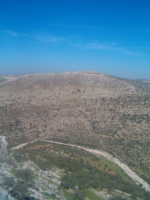
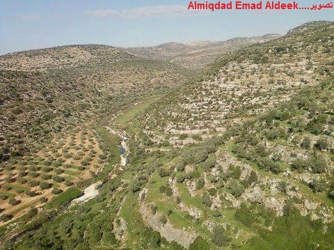
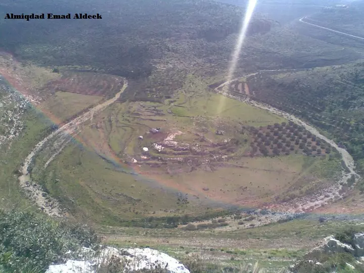
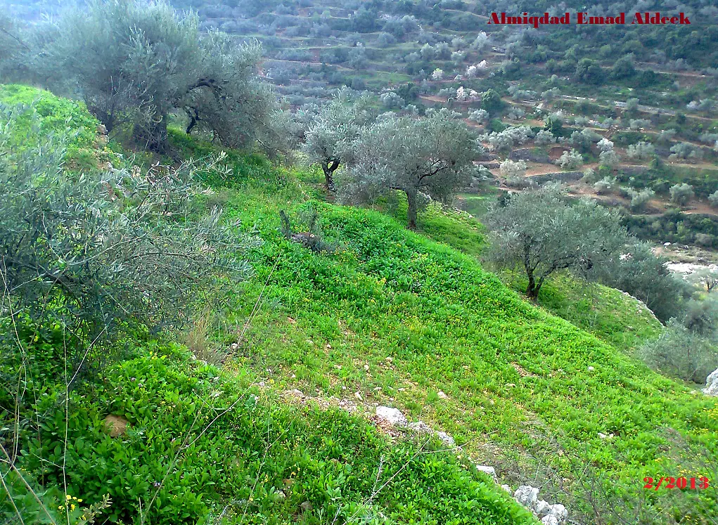
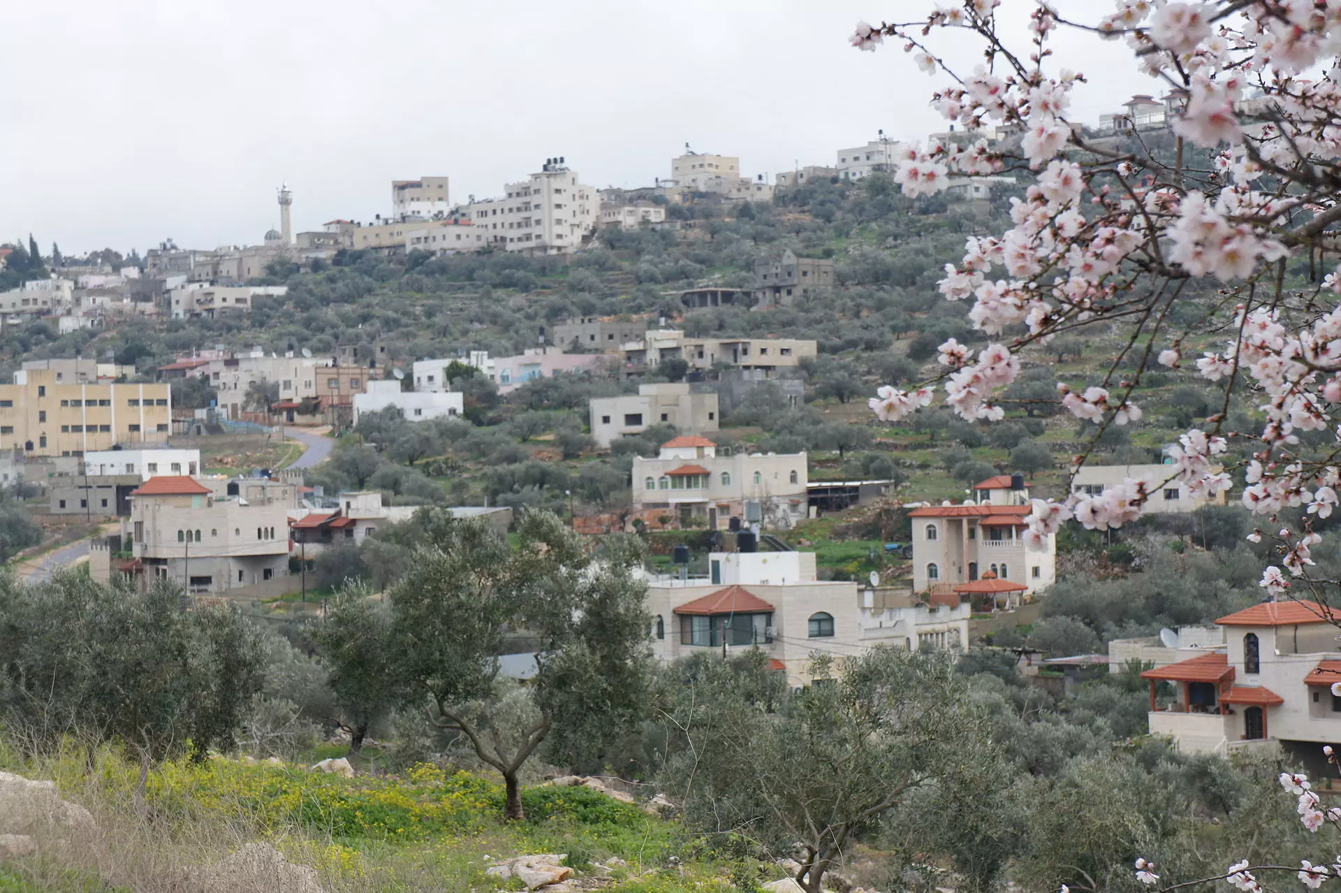
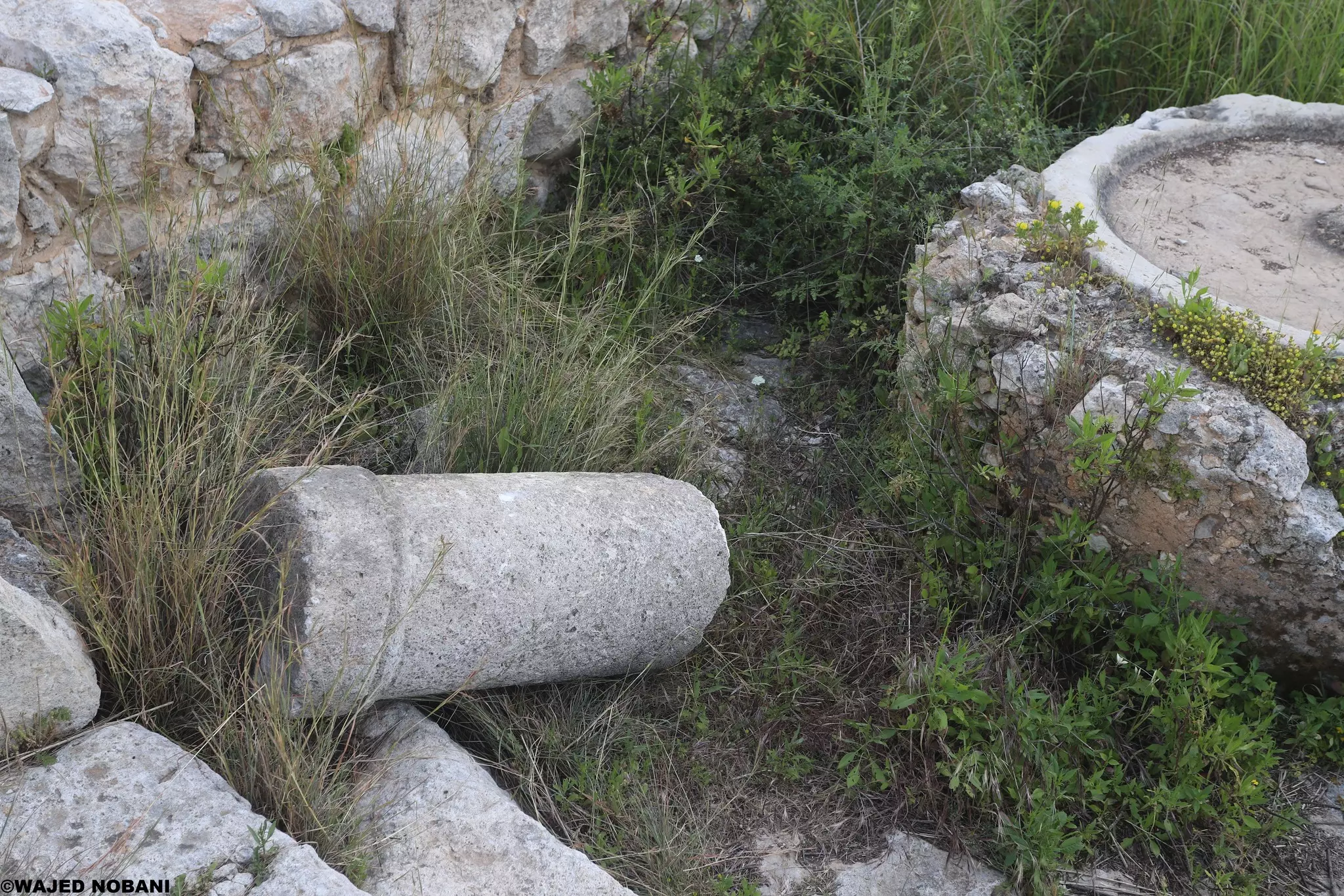
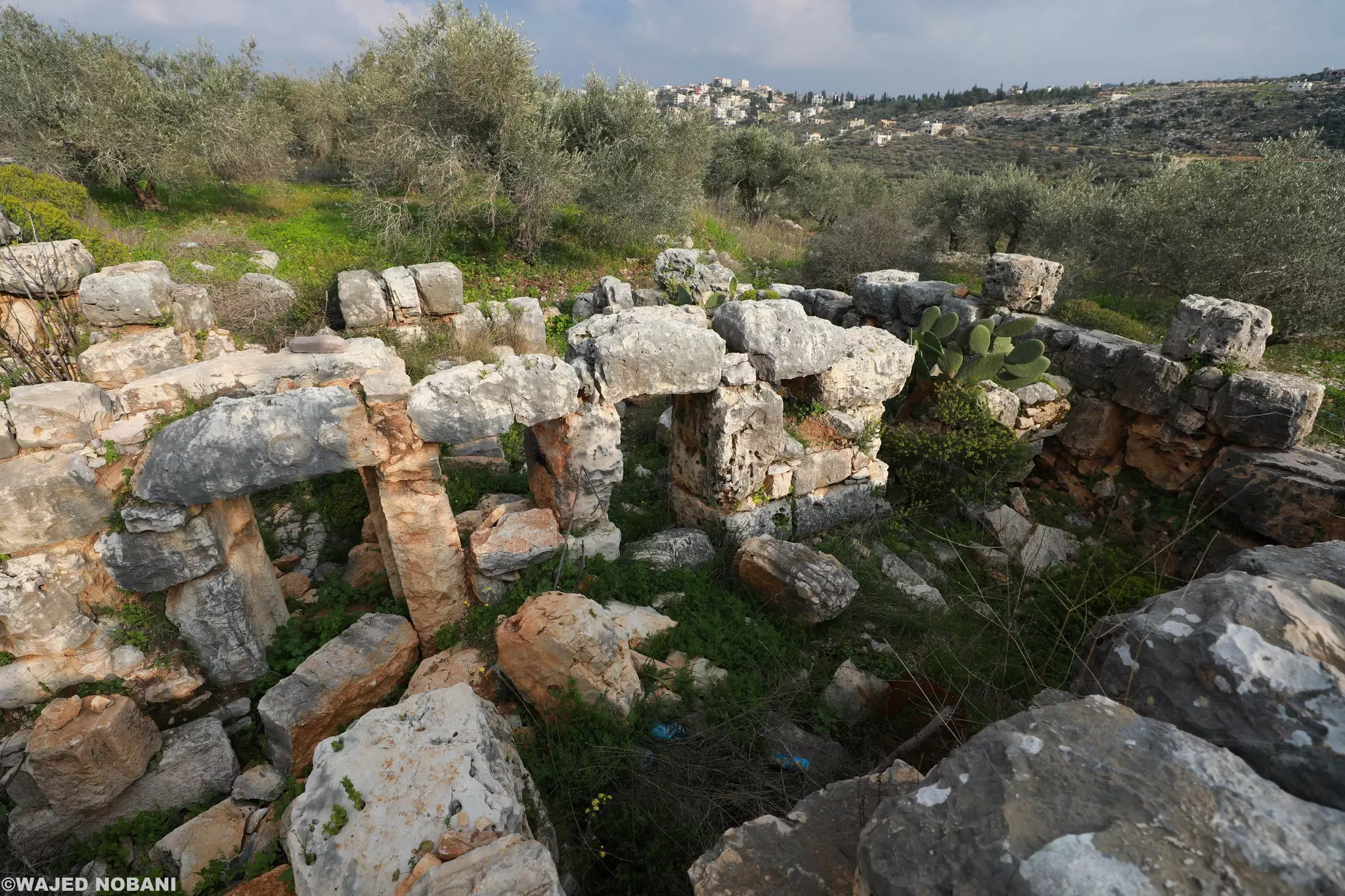
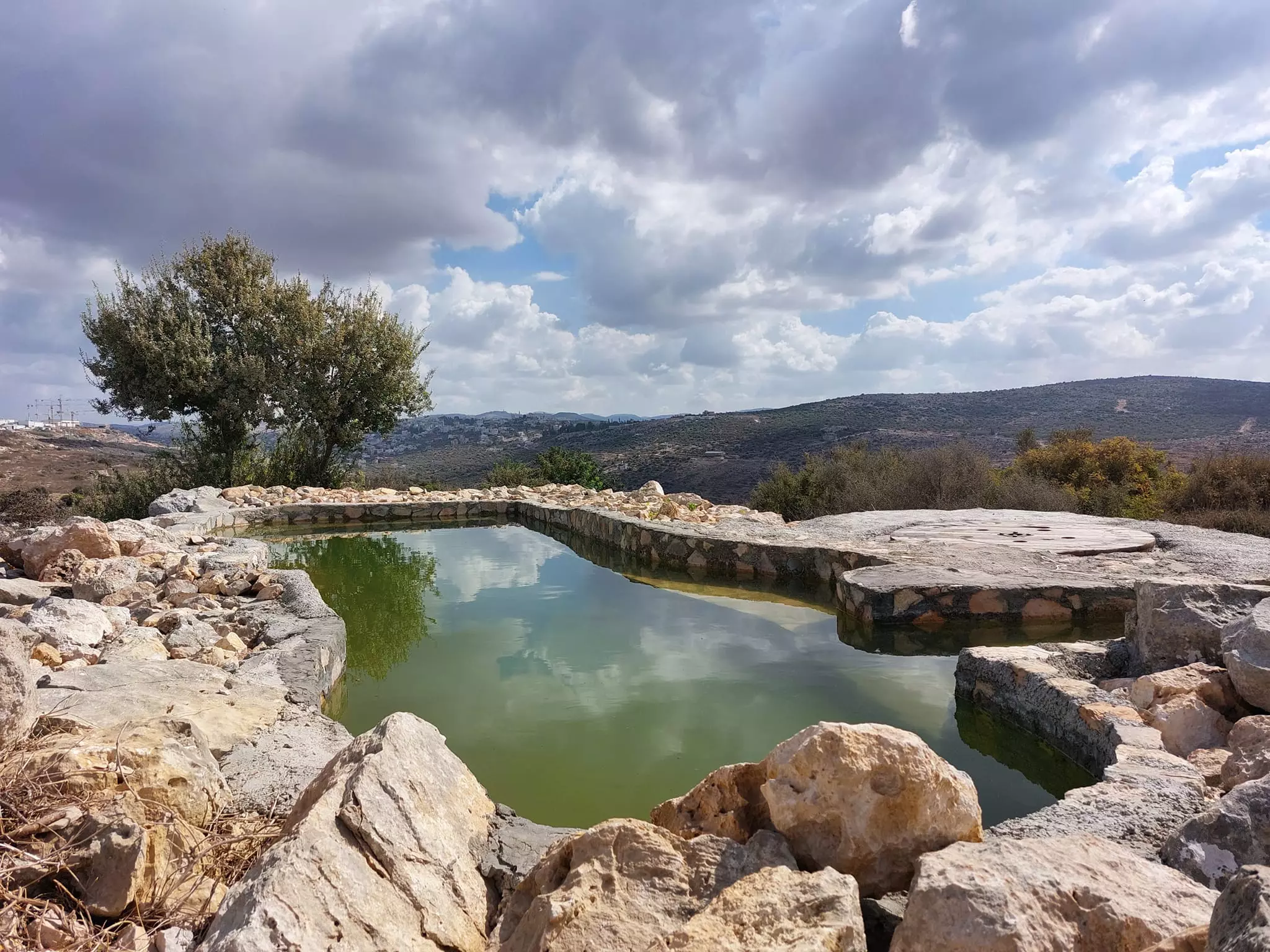
- هذا المشهد الرائع من جبال بلدة كفر الديك التي كان اسمها بالأصل (الكفرين) ثم حملت اسم كفر الديك نسبة لعائلة الديك التي سكنتها.
سيطر المستوطنون على المكان وحولوه لمنتزه لسكان مستعمرة بدوئيل.
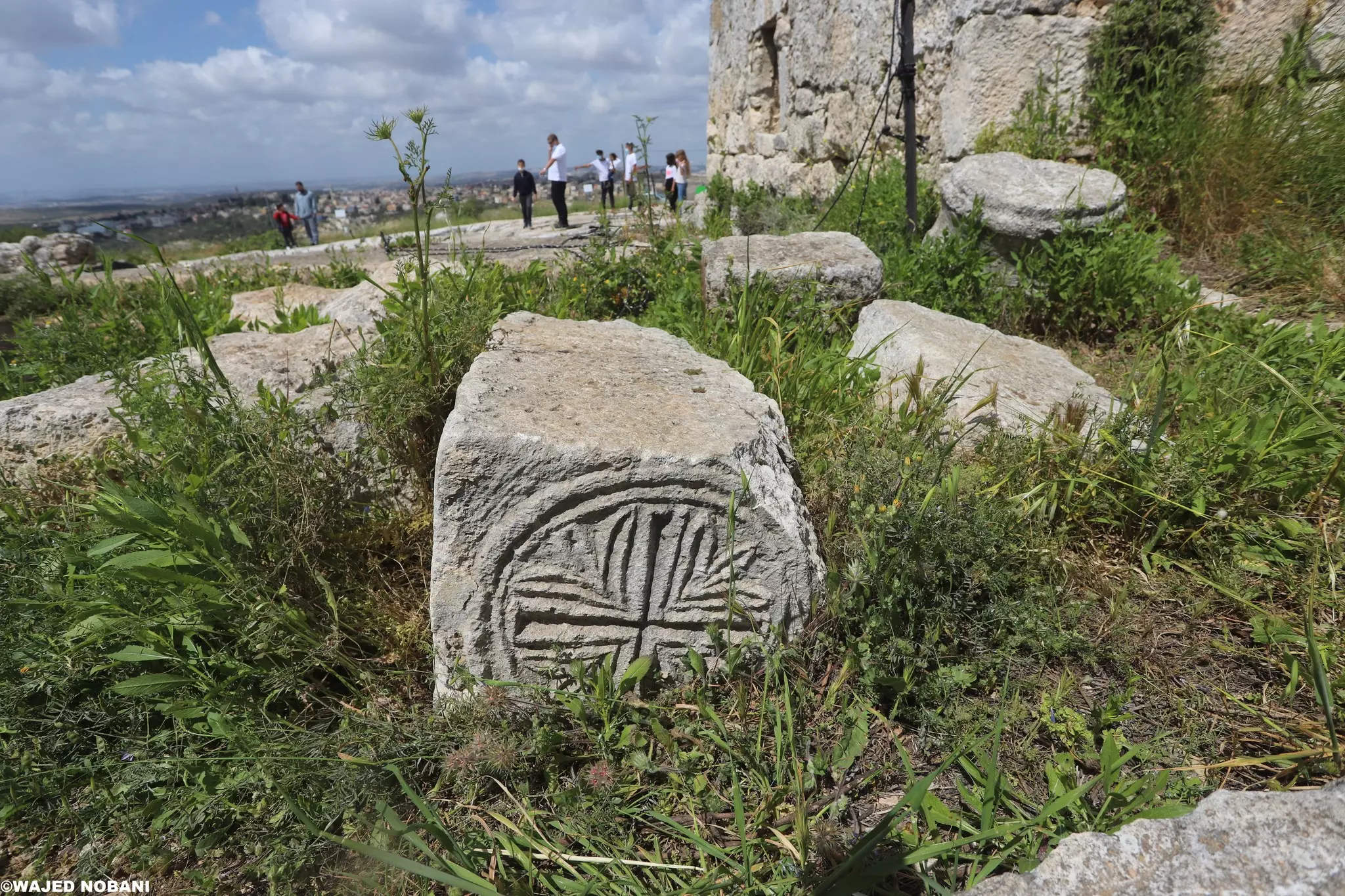
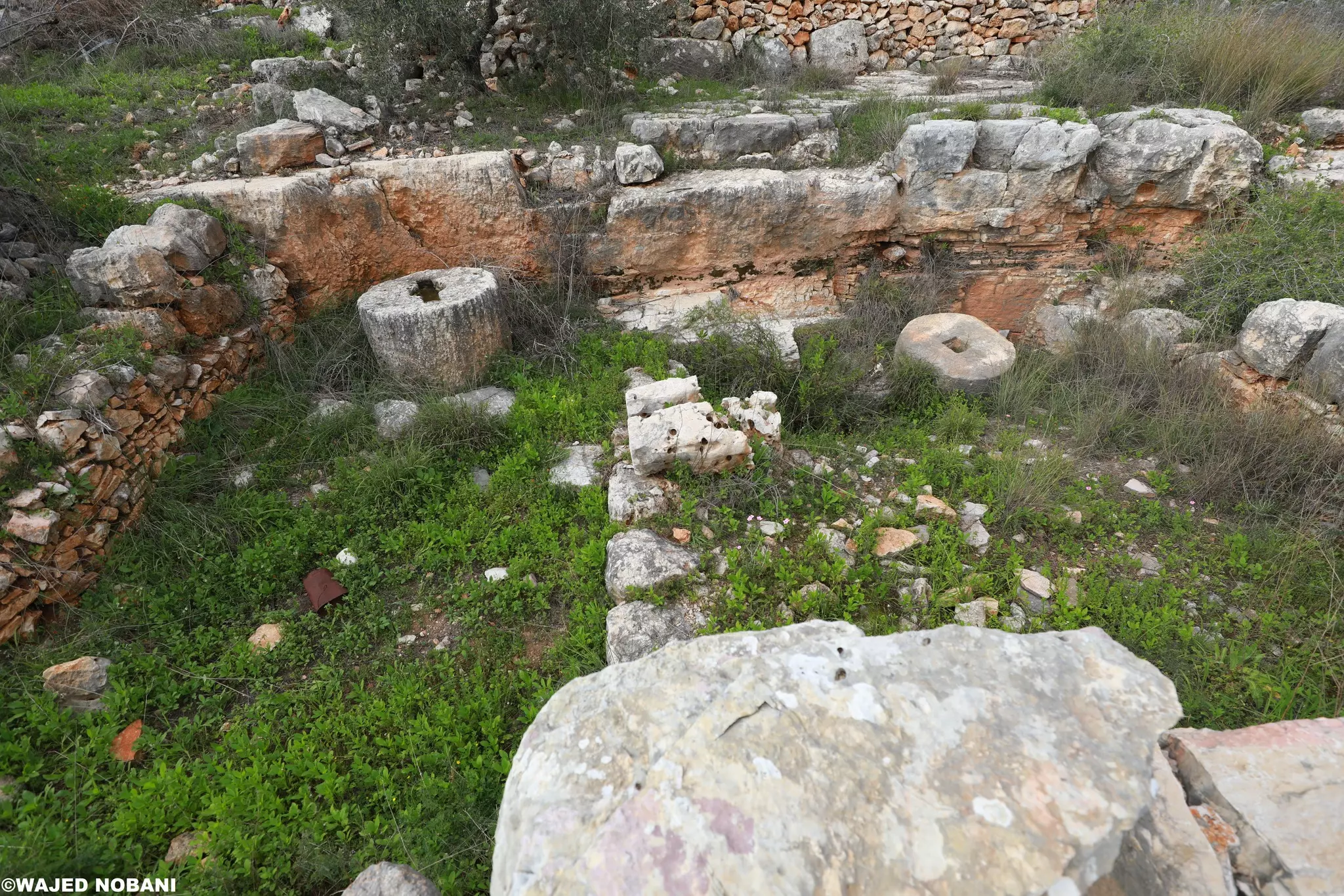
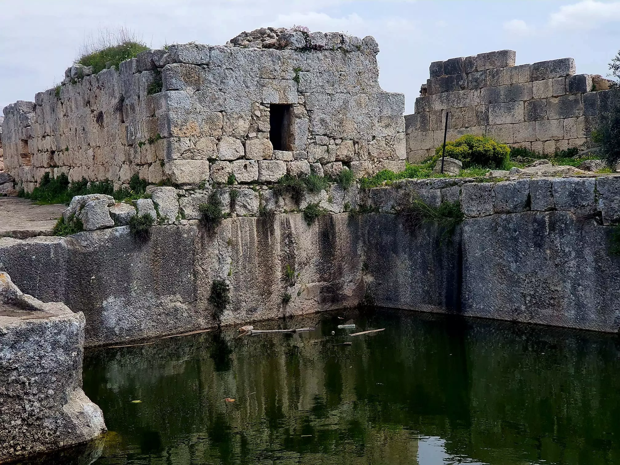
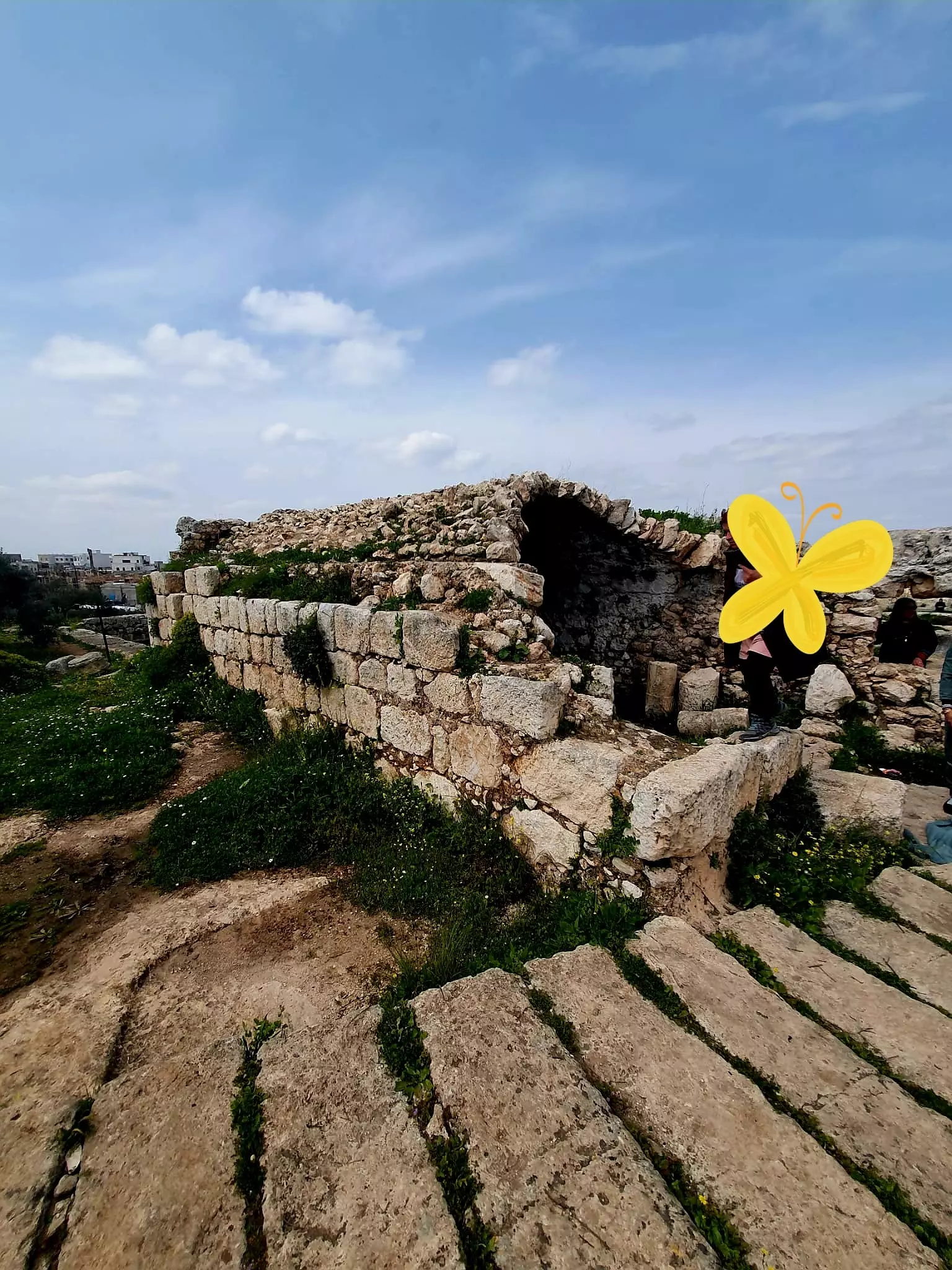
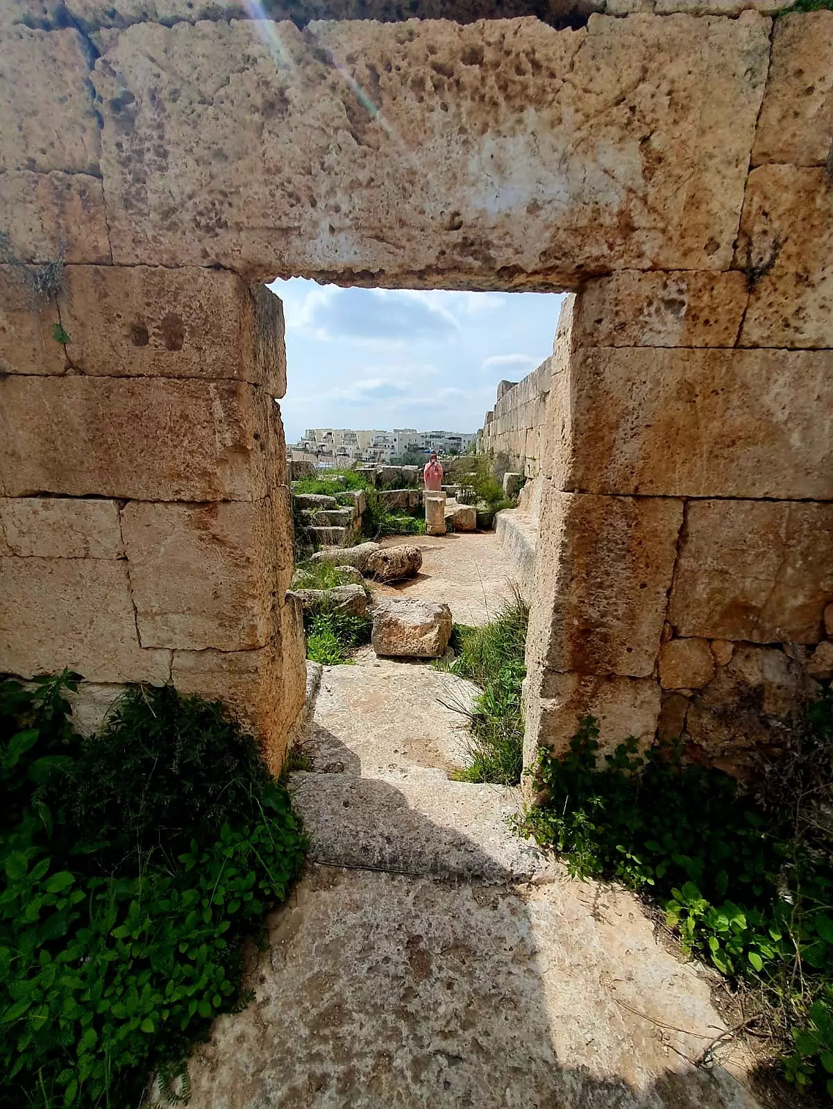
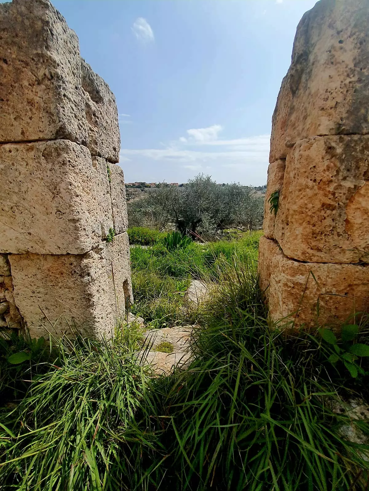
- دير سمعان -- واجد النوباني
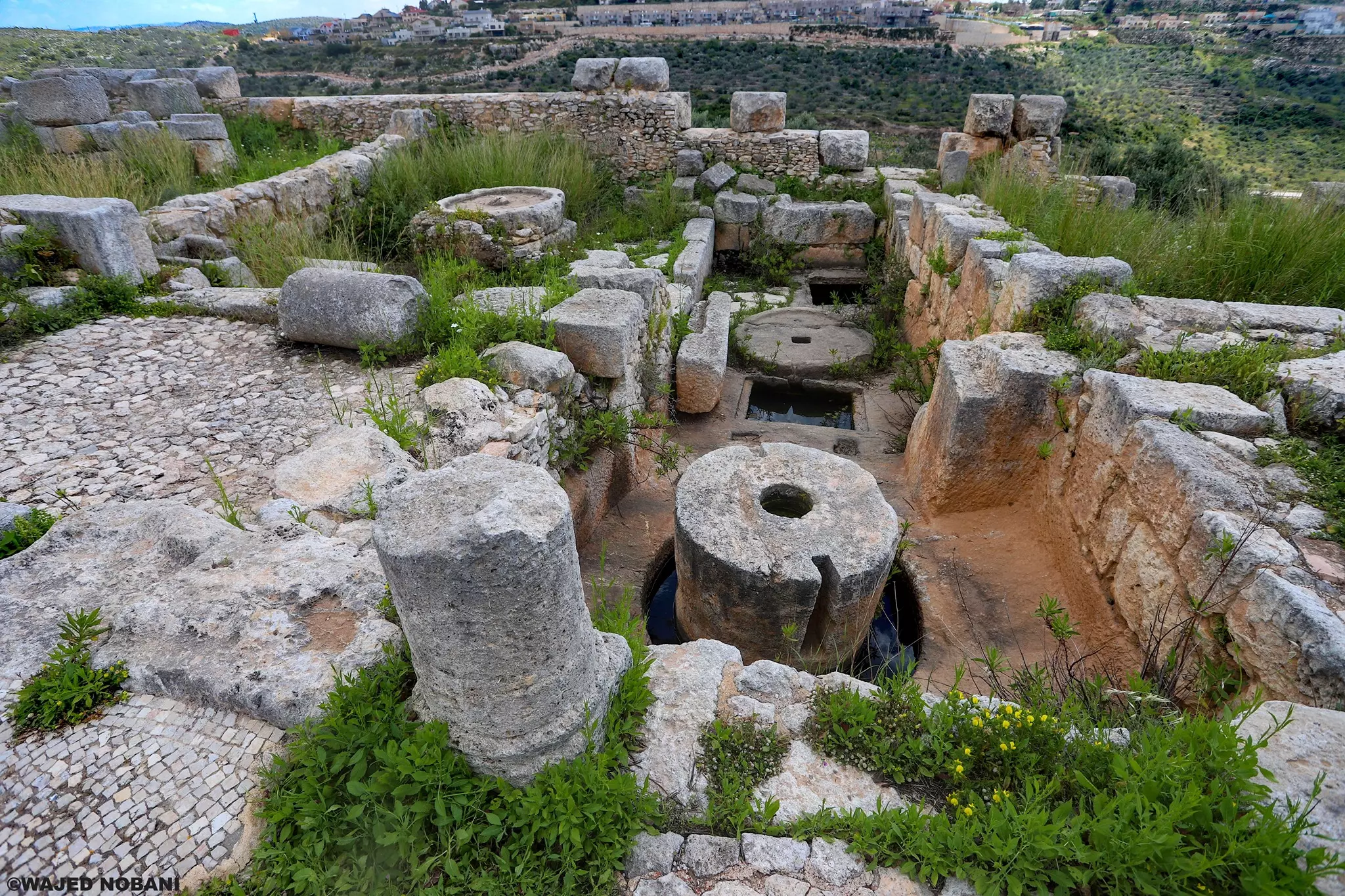
- دير سمعان -- واجد النوباني
- دير سمعان -- واجد النوباني #2

- دير سمعان -- واجد النوباني #3
- دير سمعان -- واجد النوباني #4

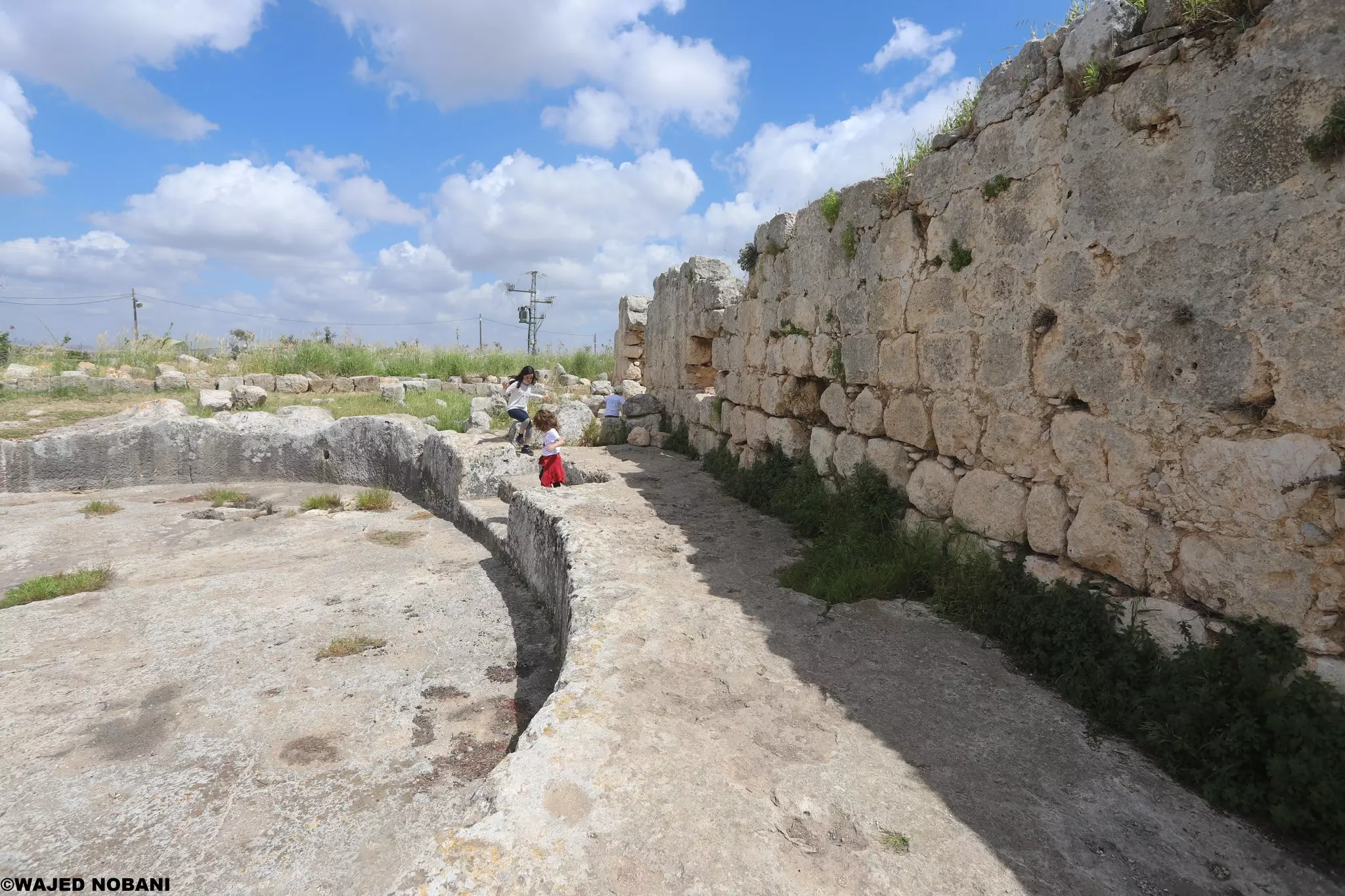
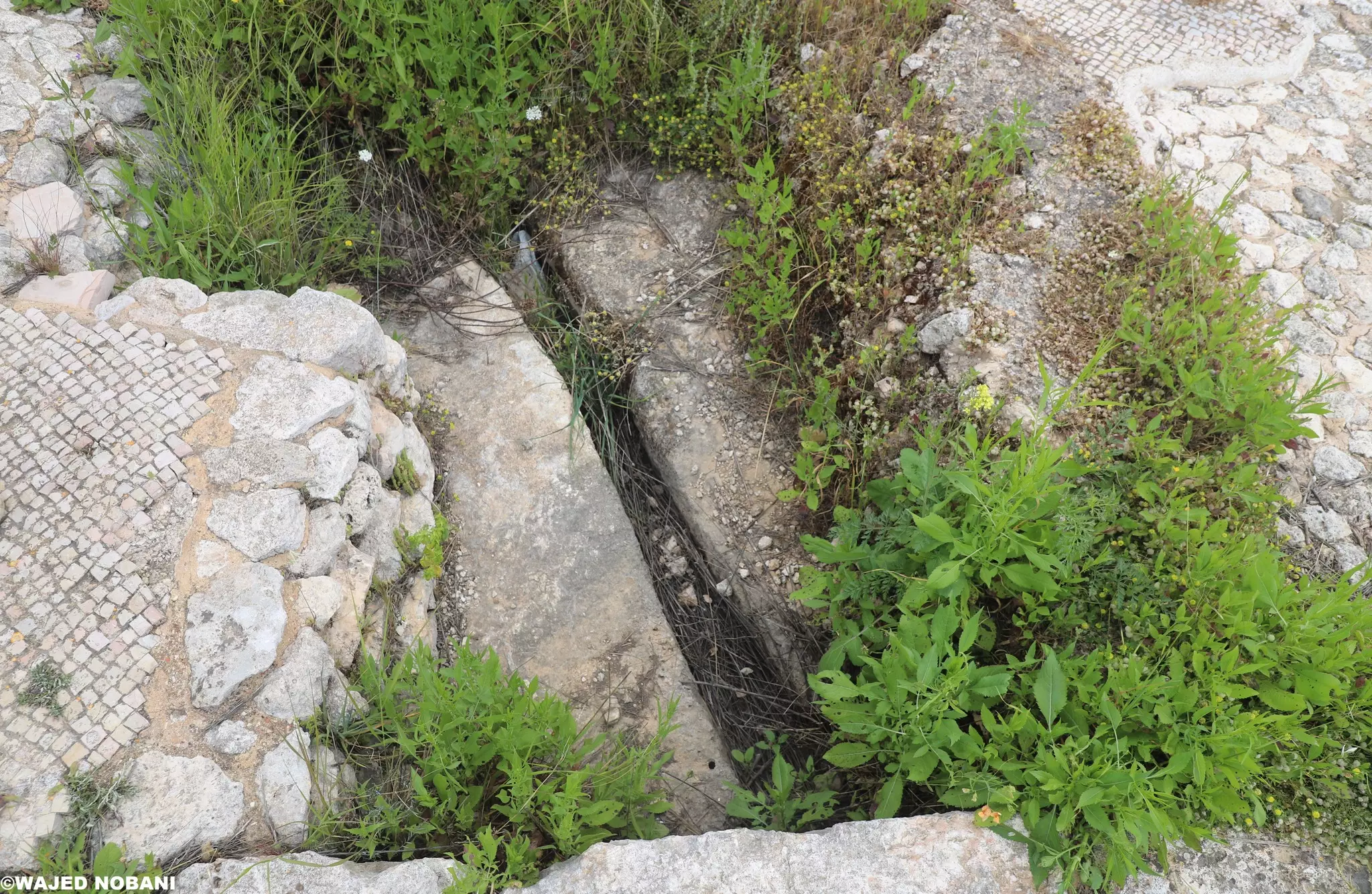
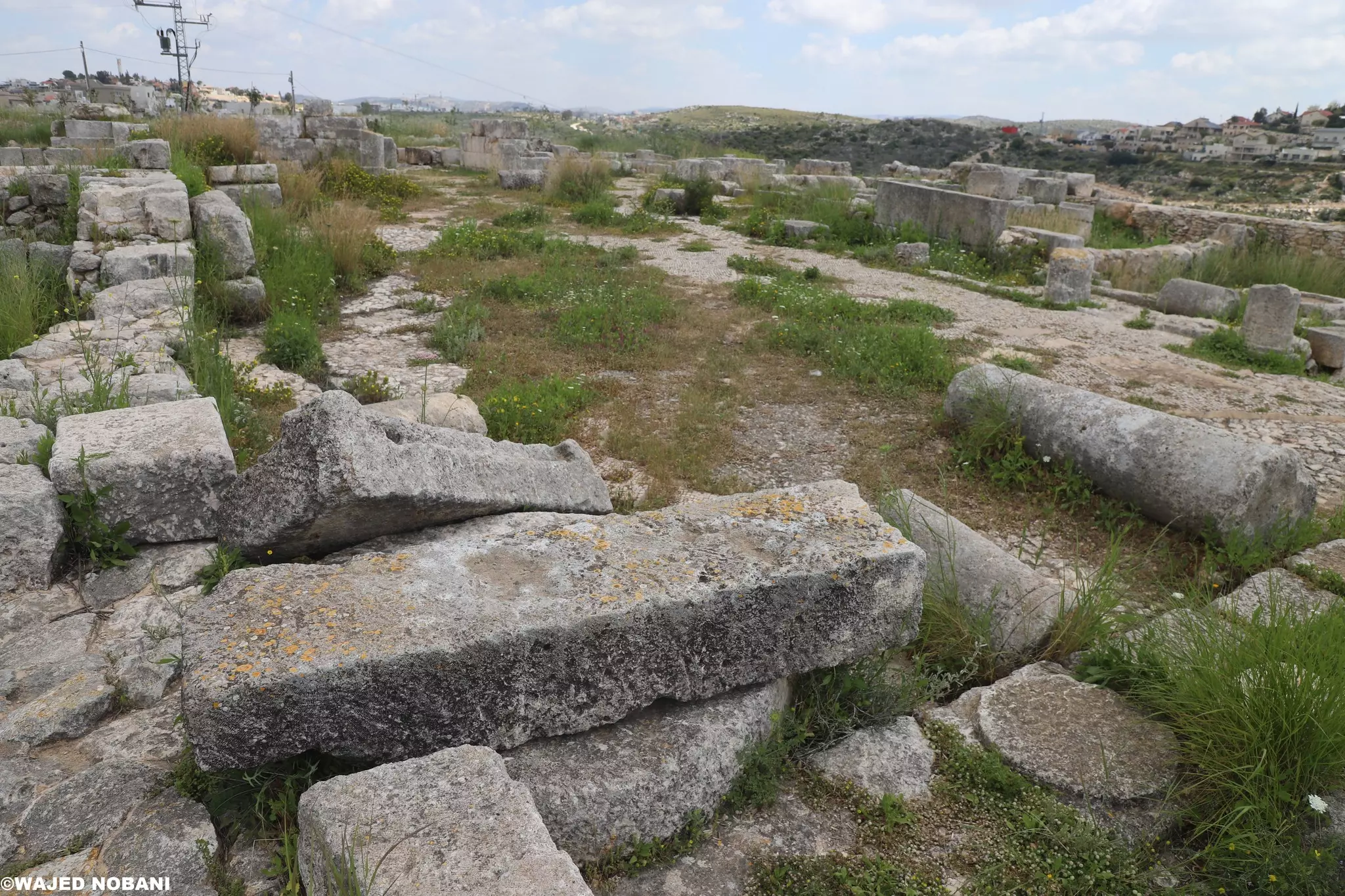
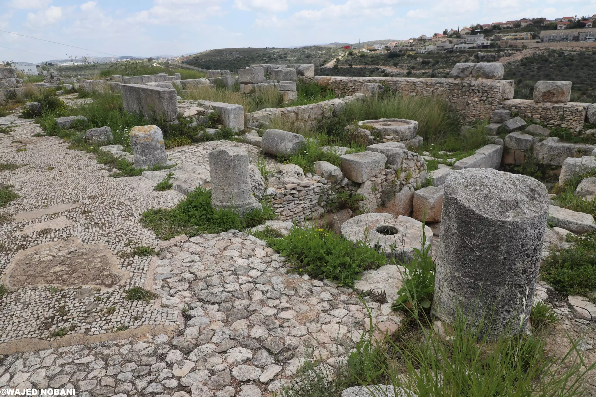
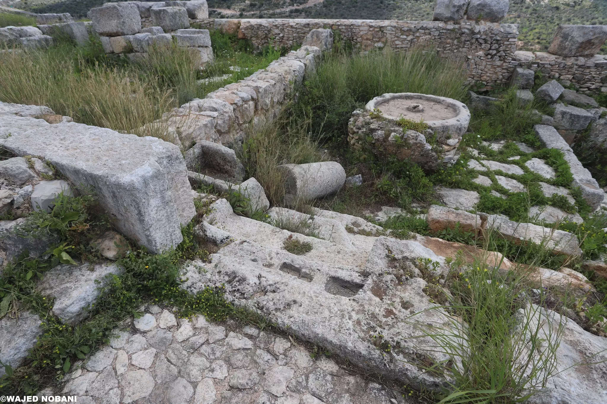
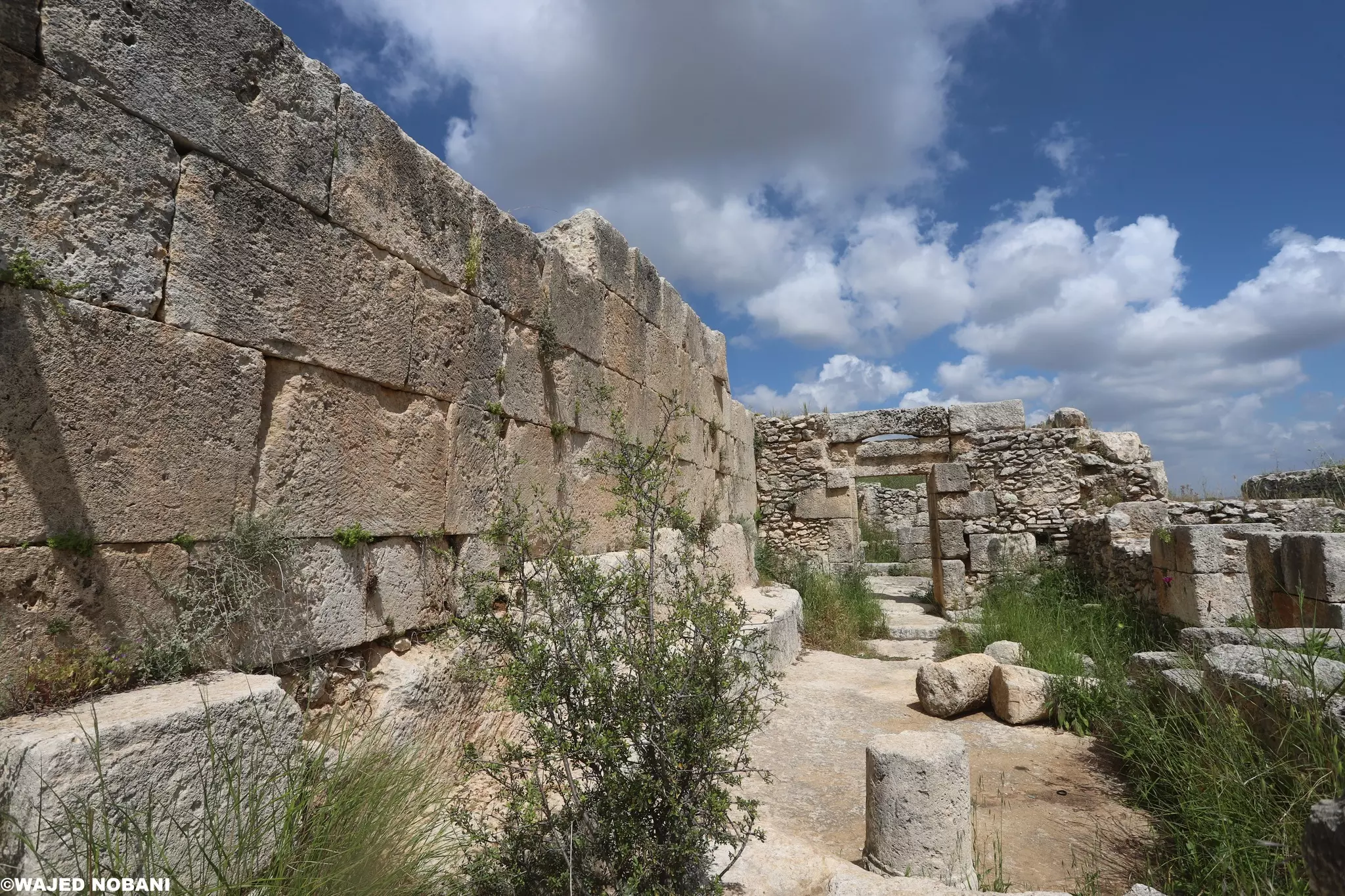
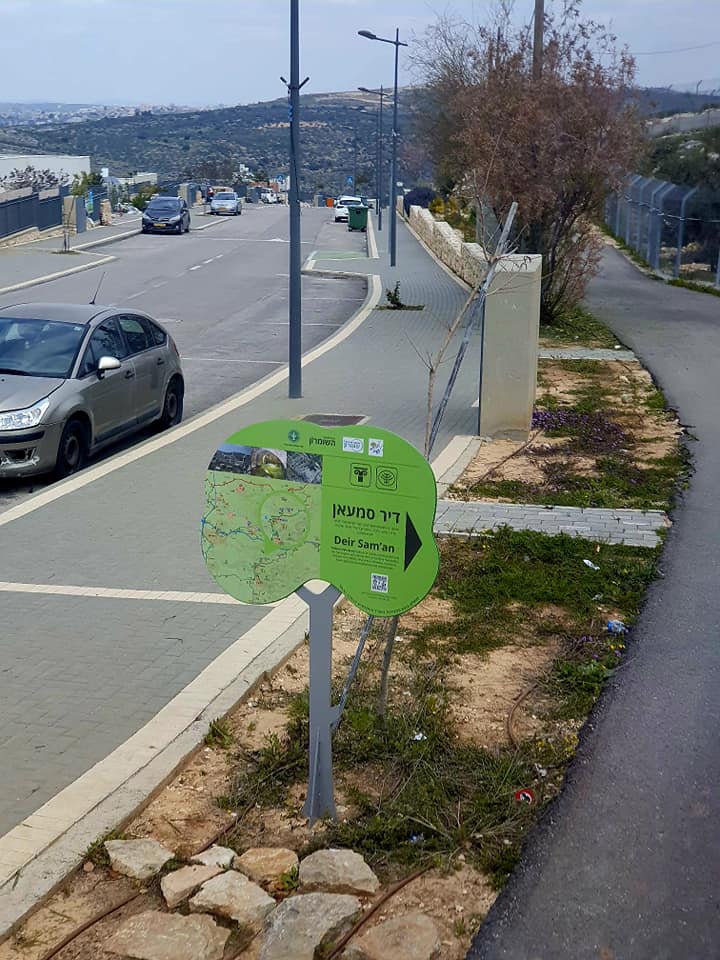
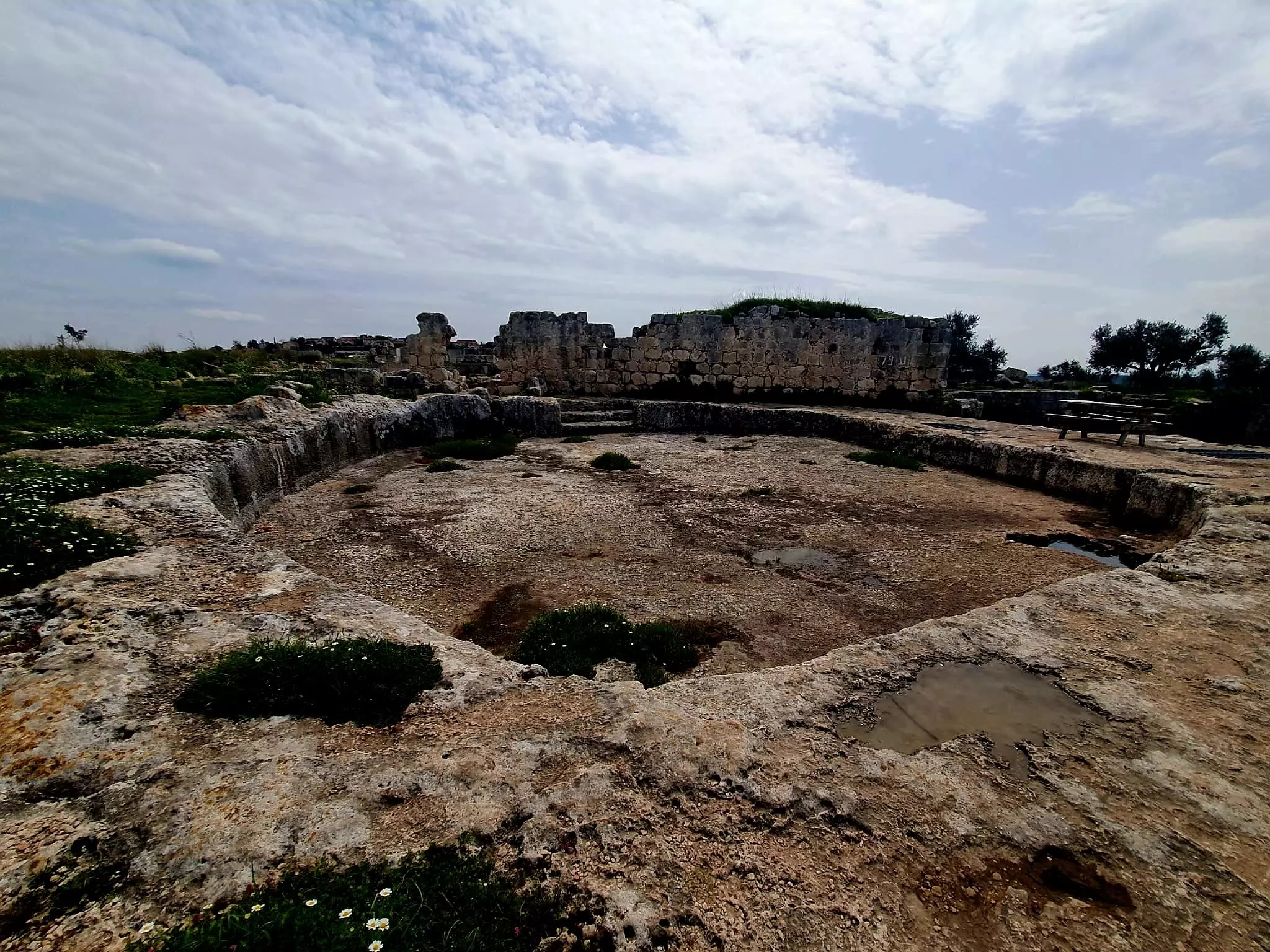
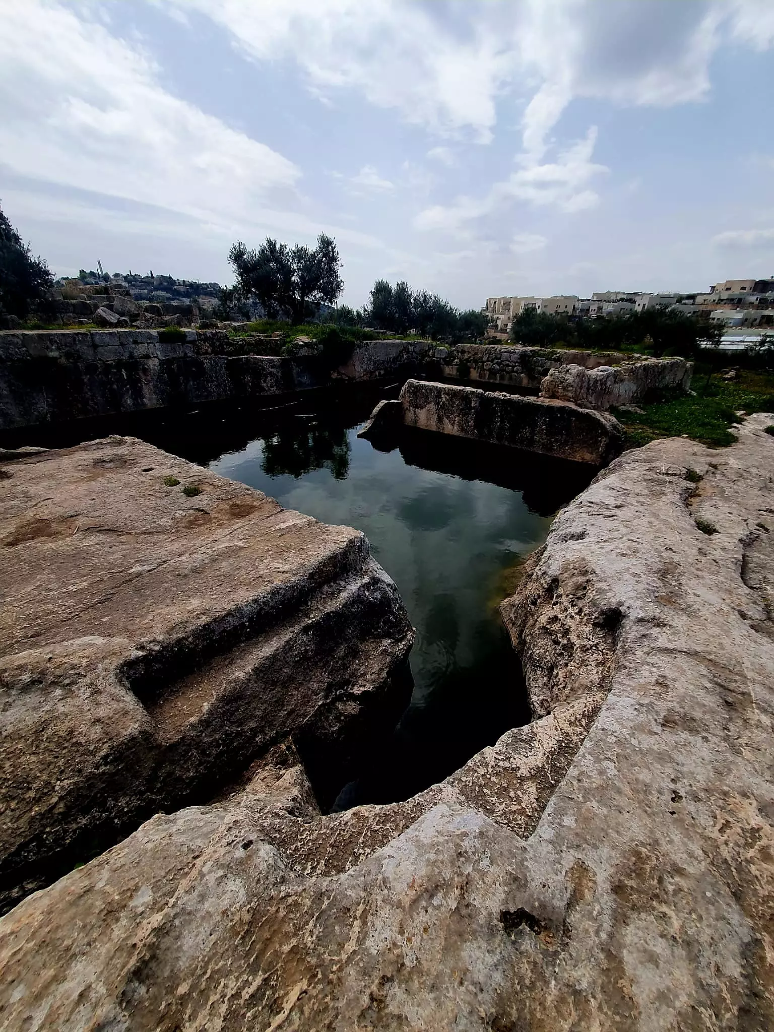
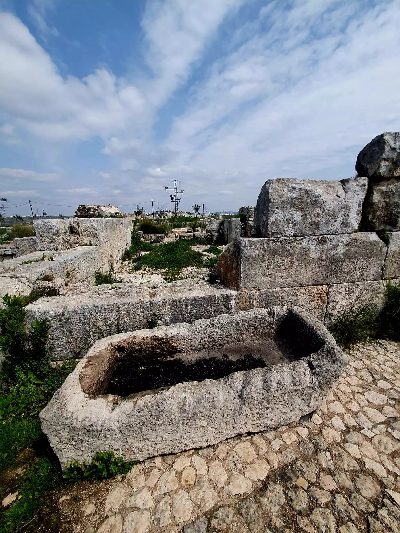
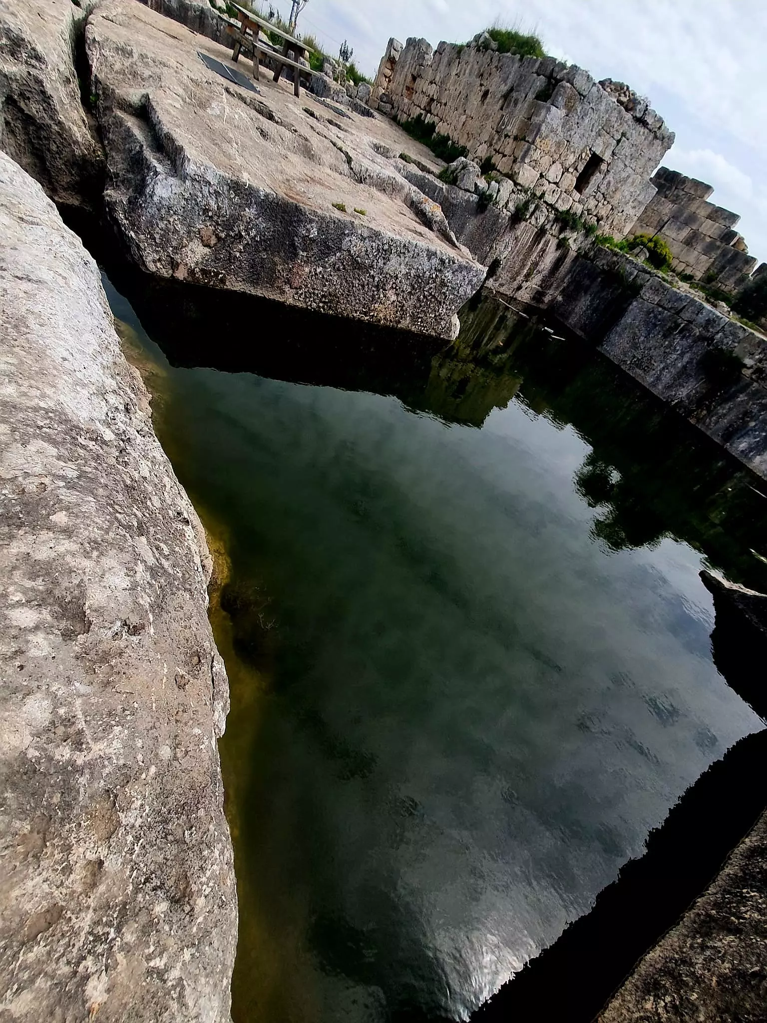
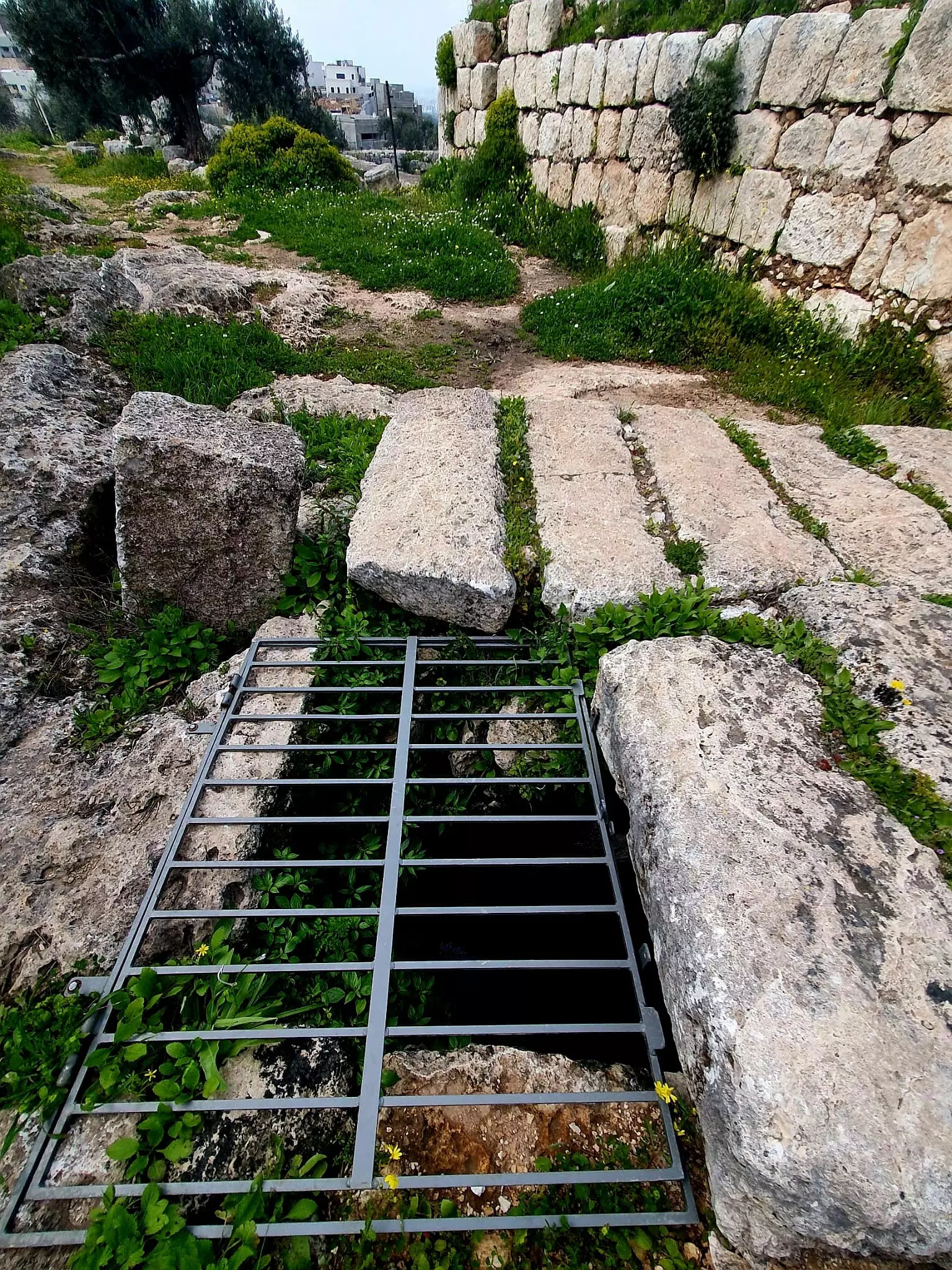
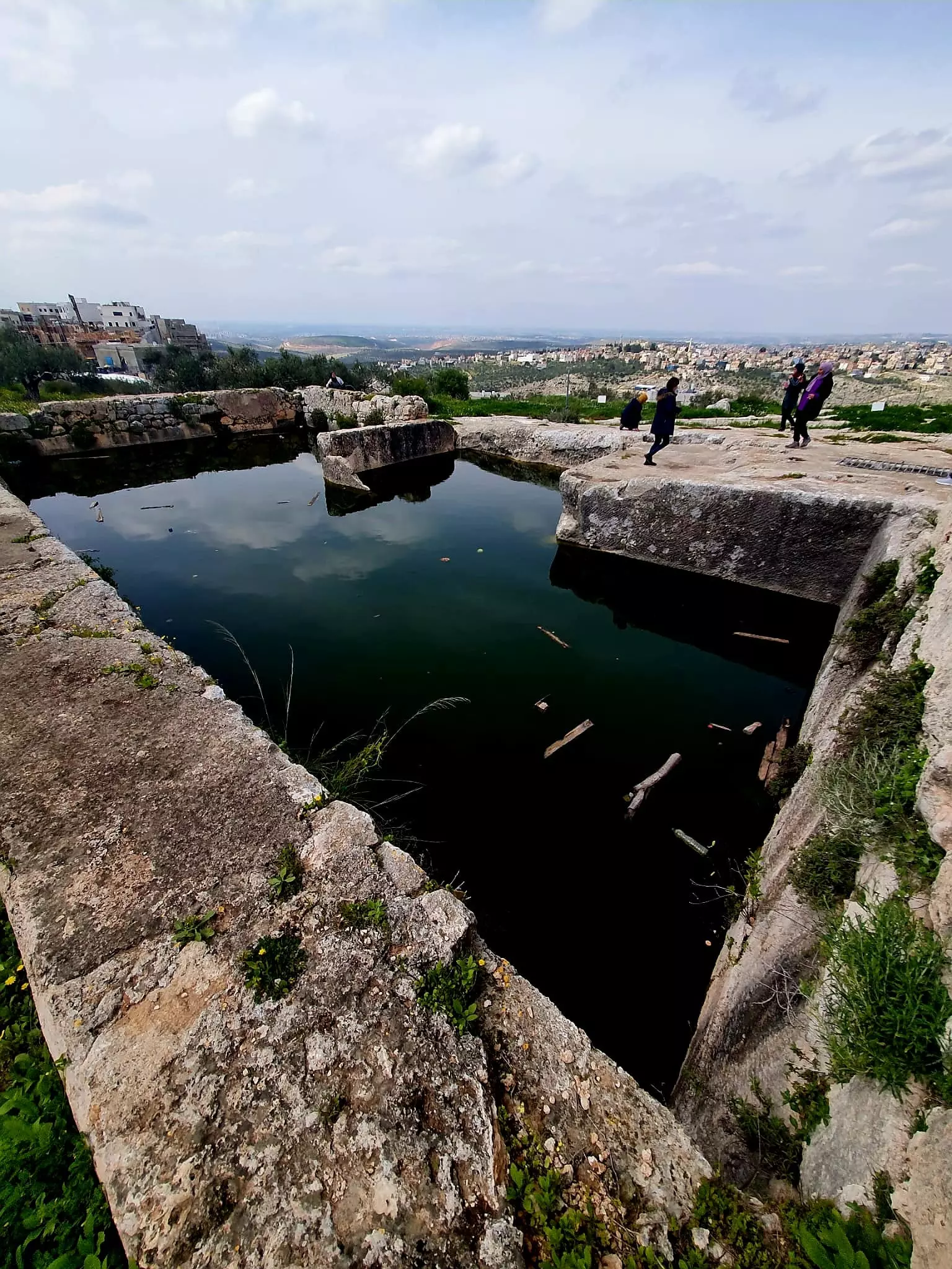
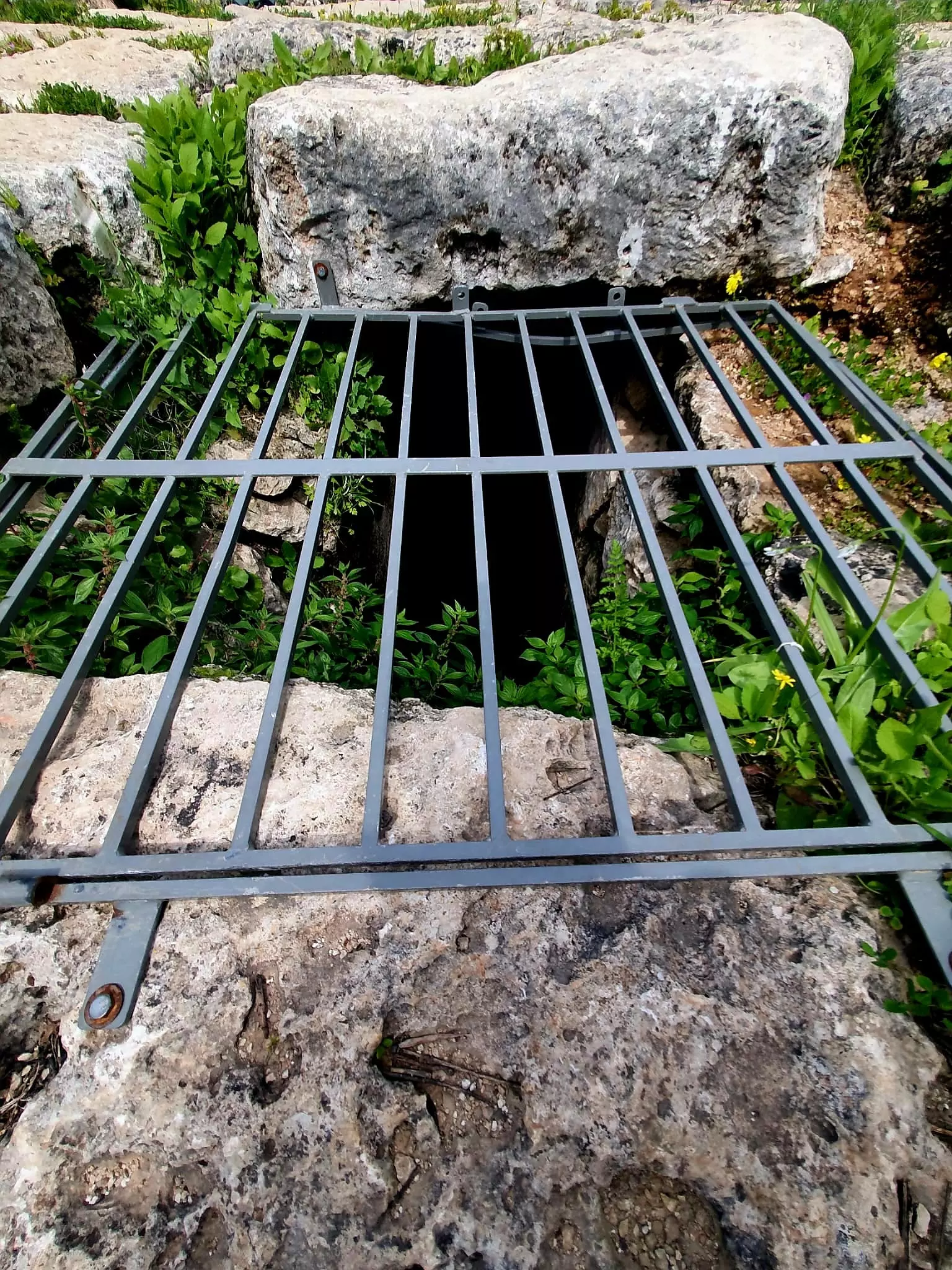
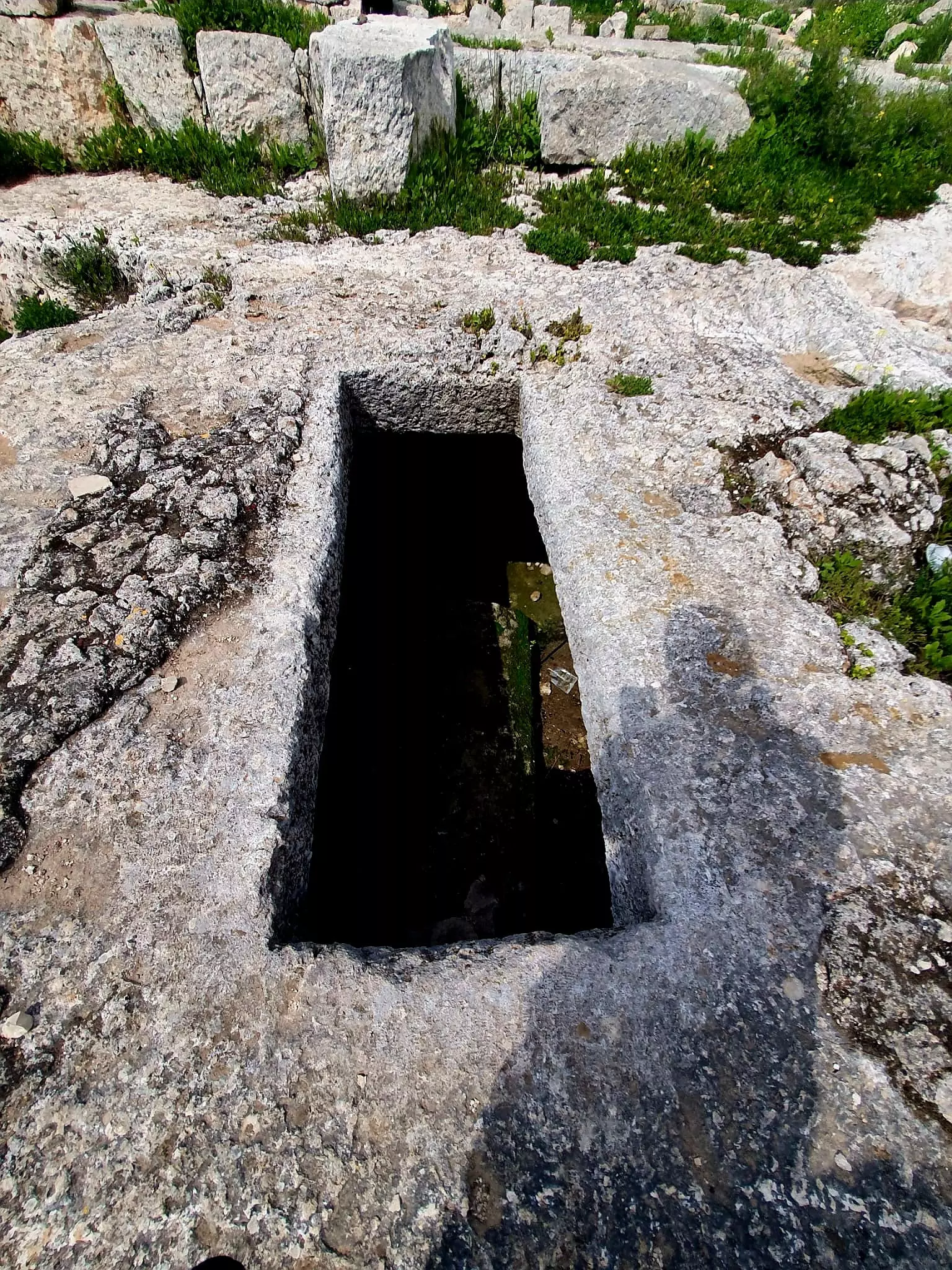
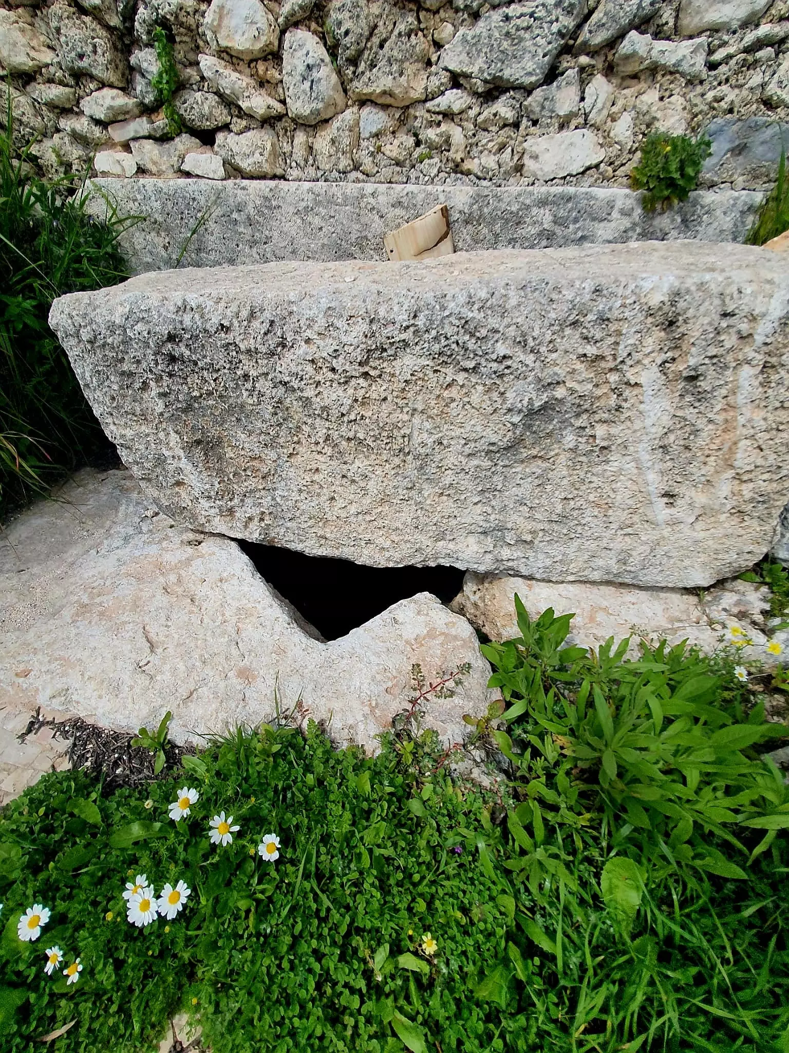
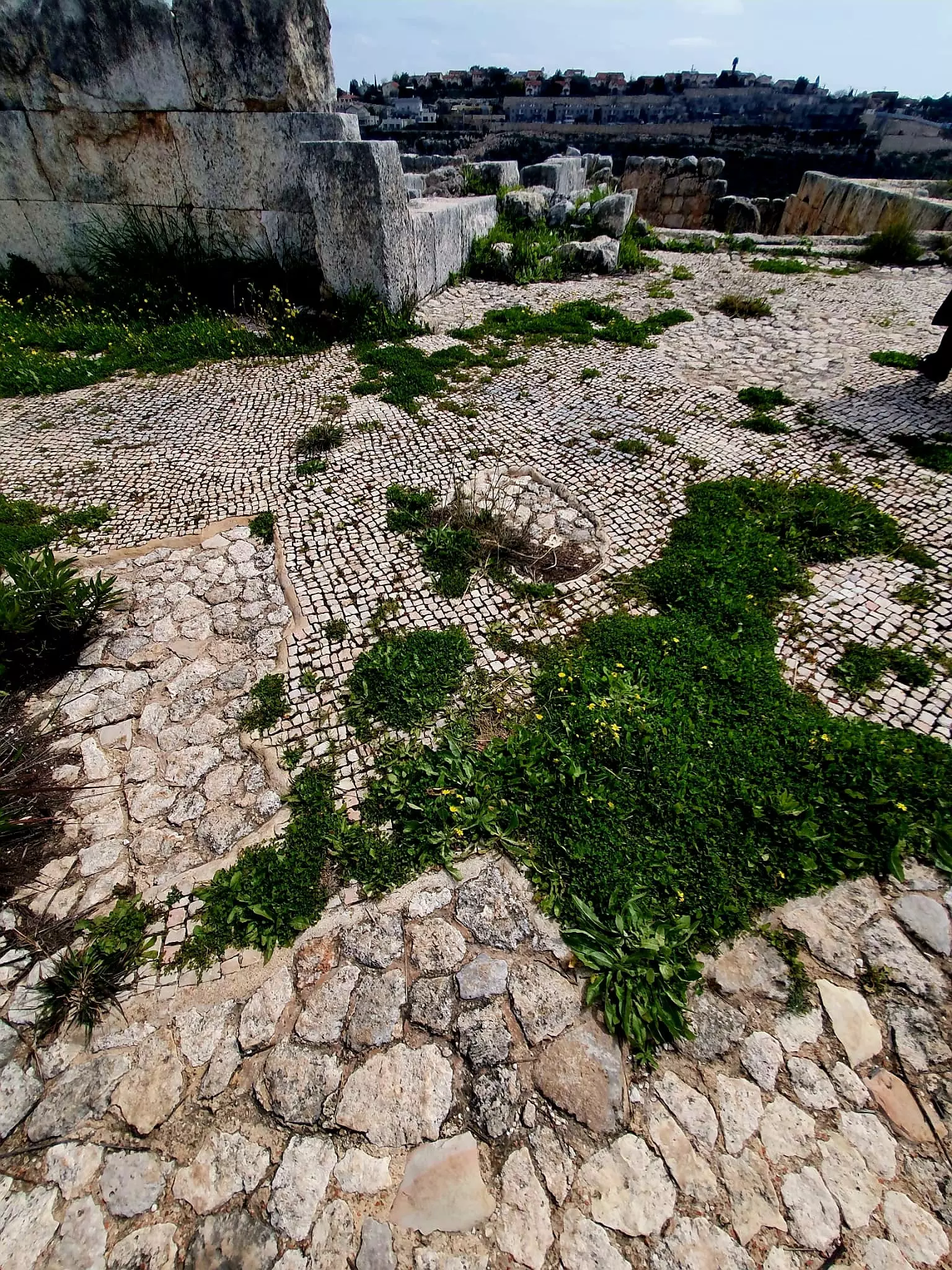
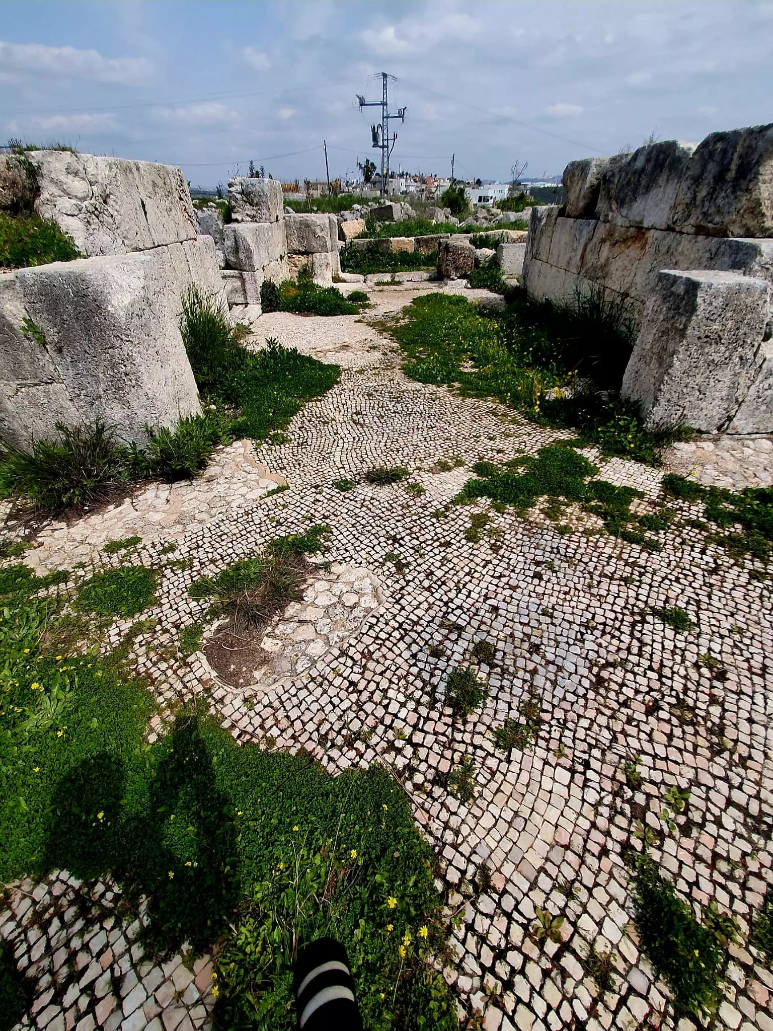
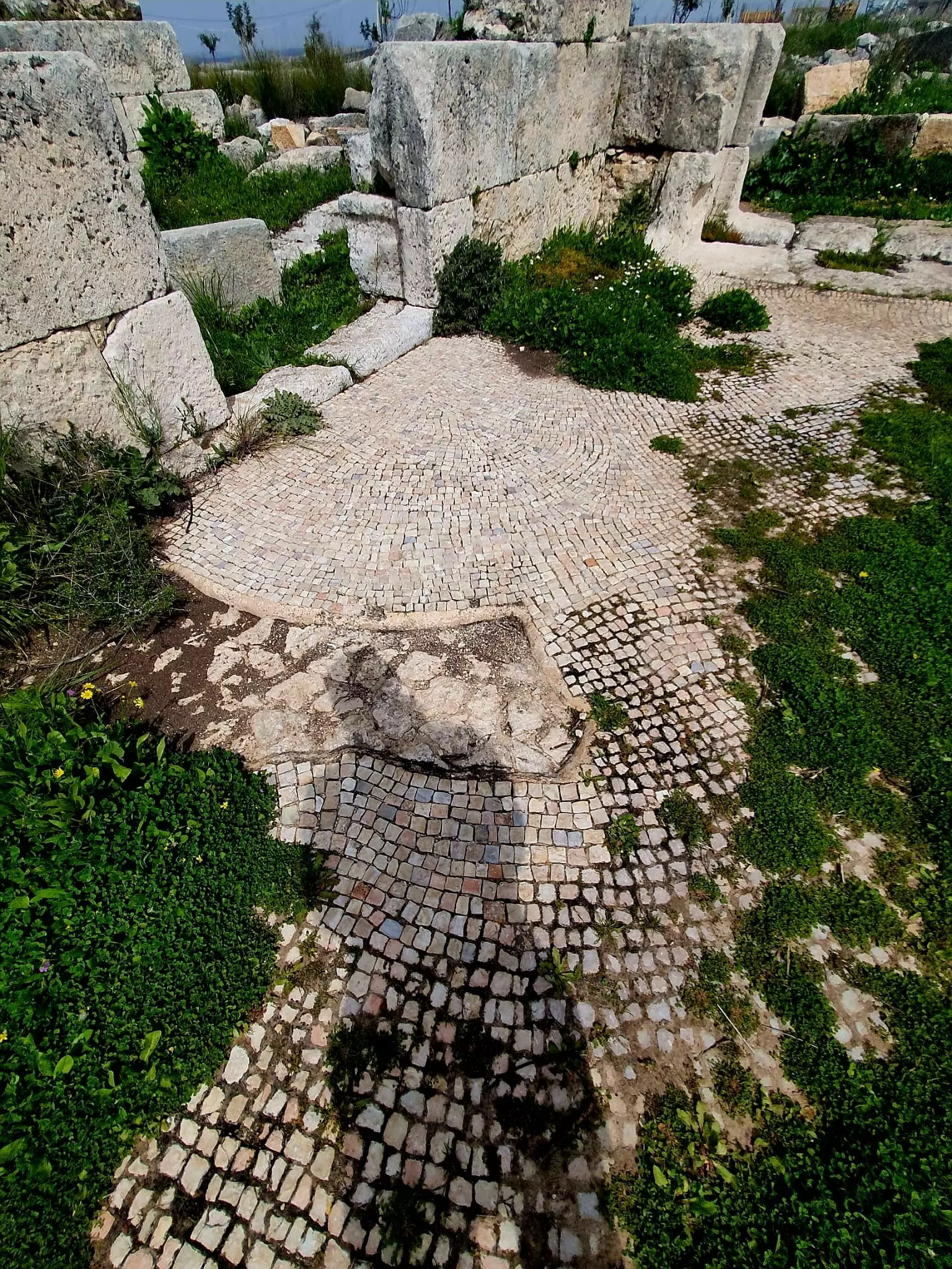
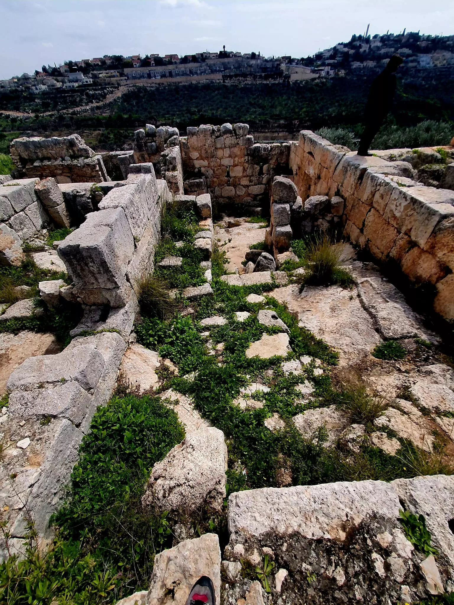
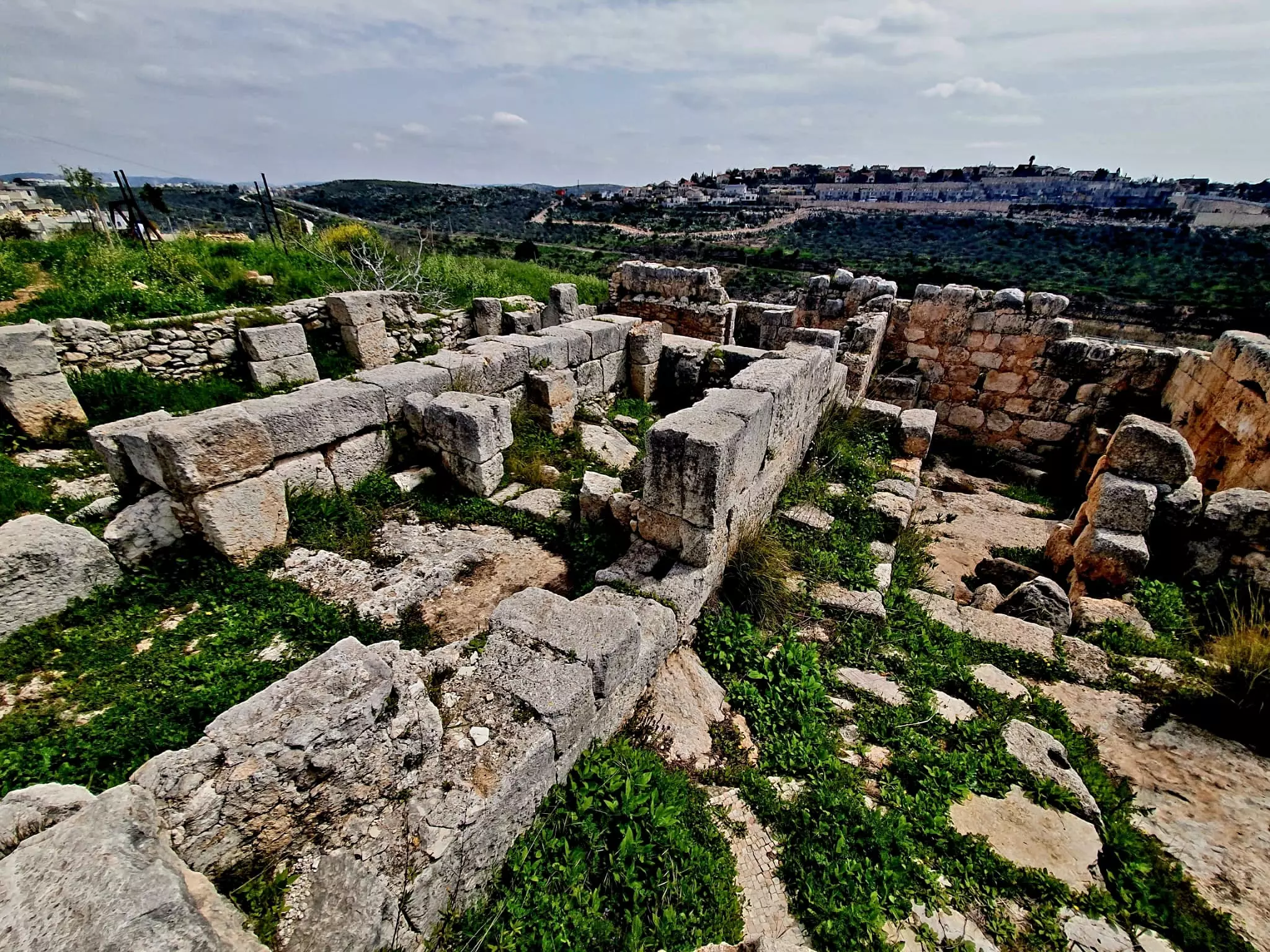
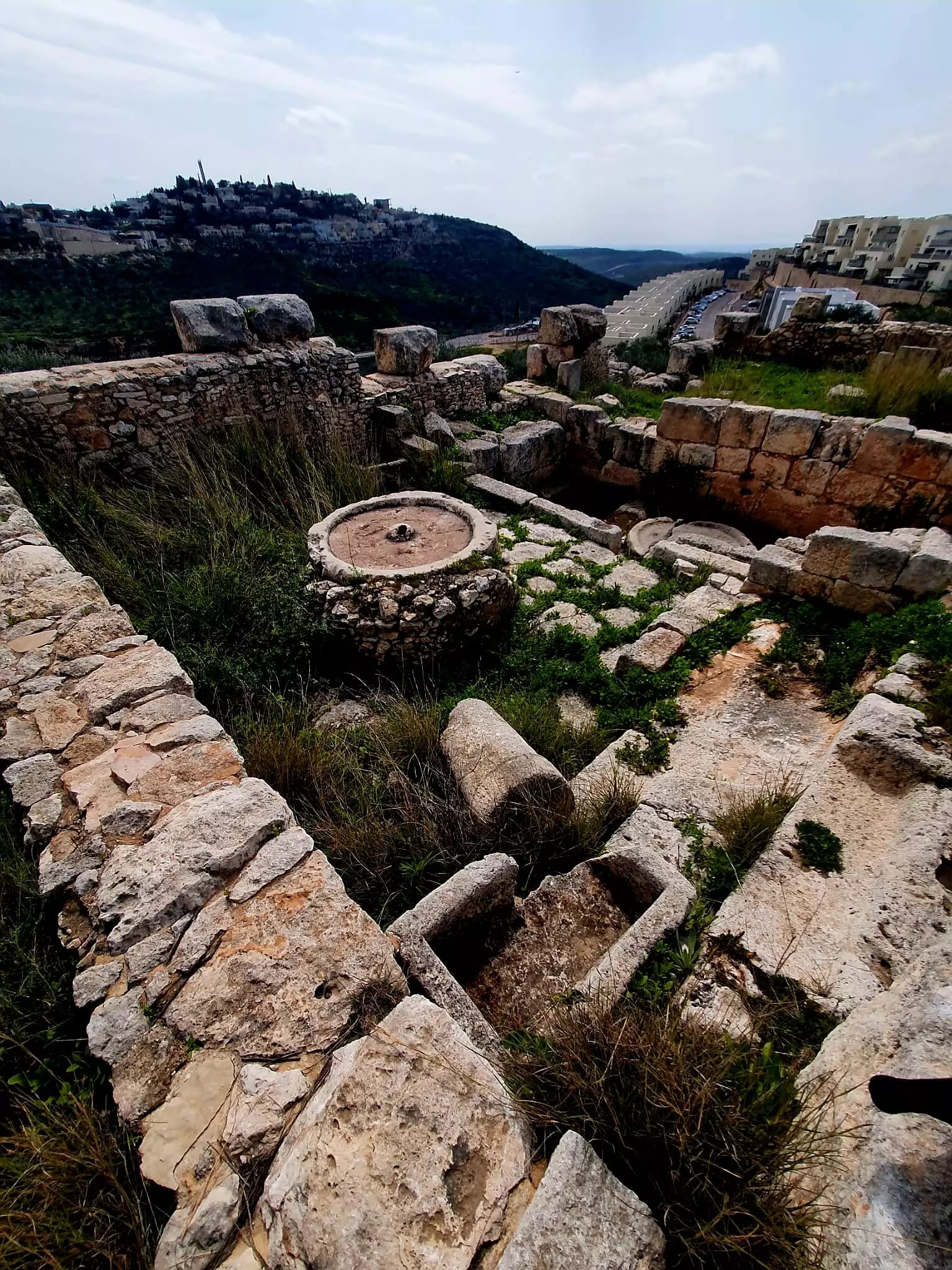
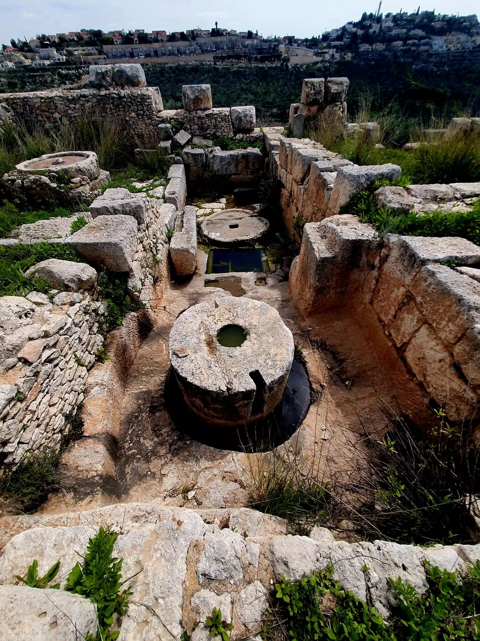
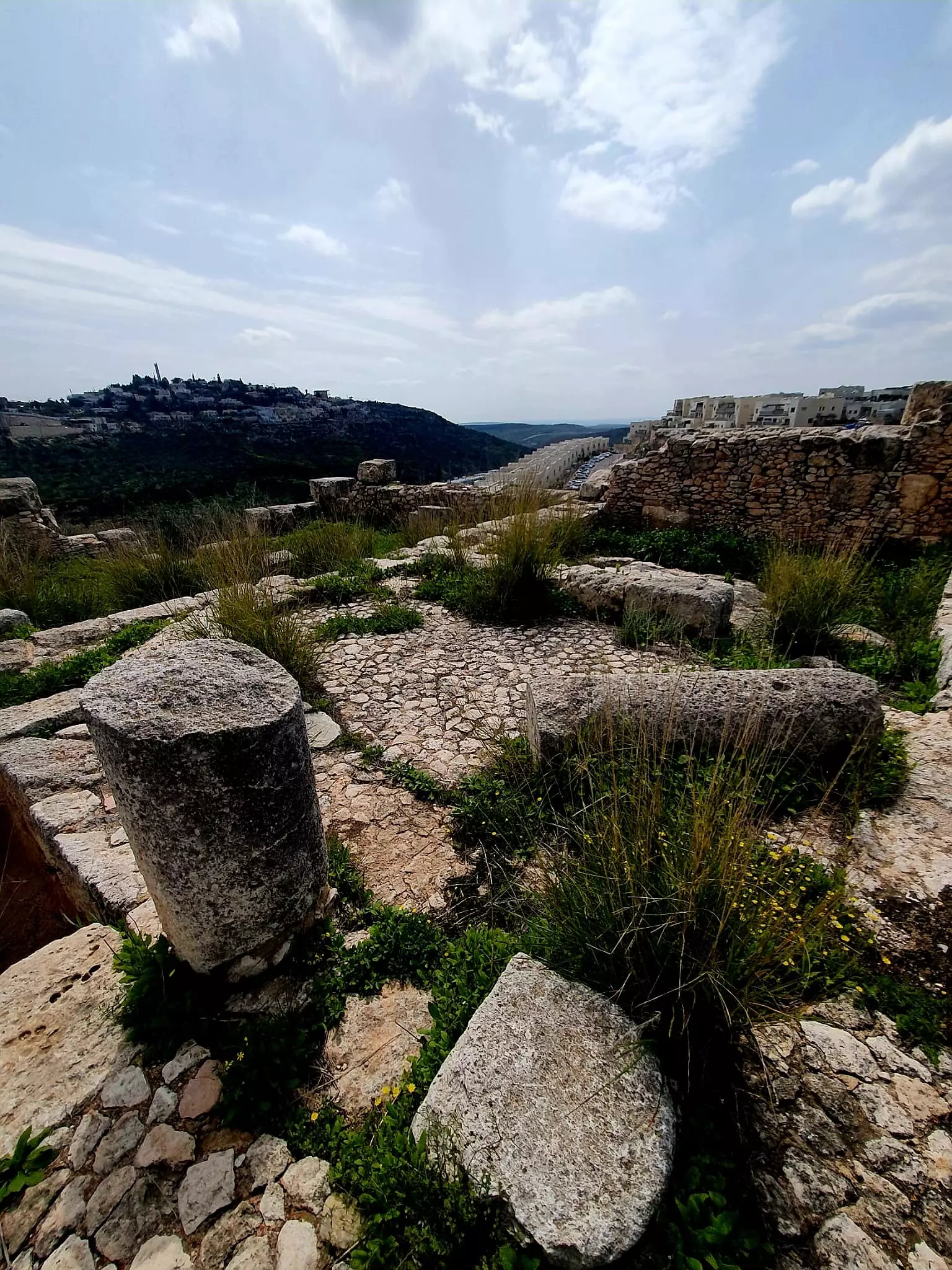
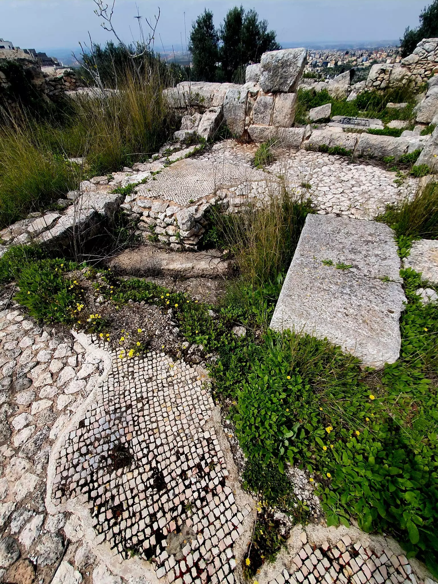
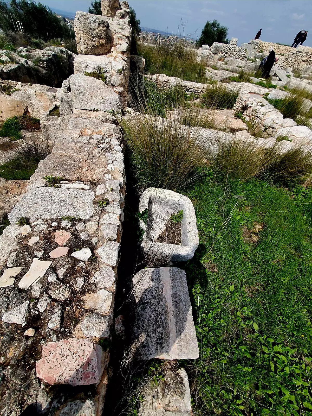
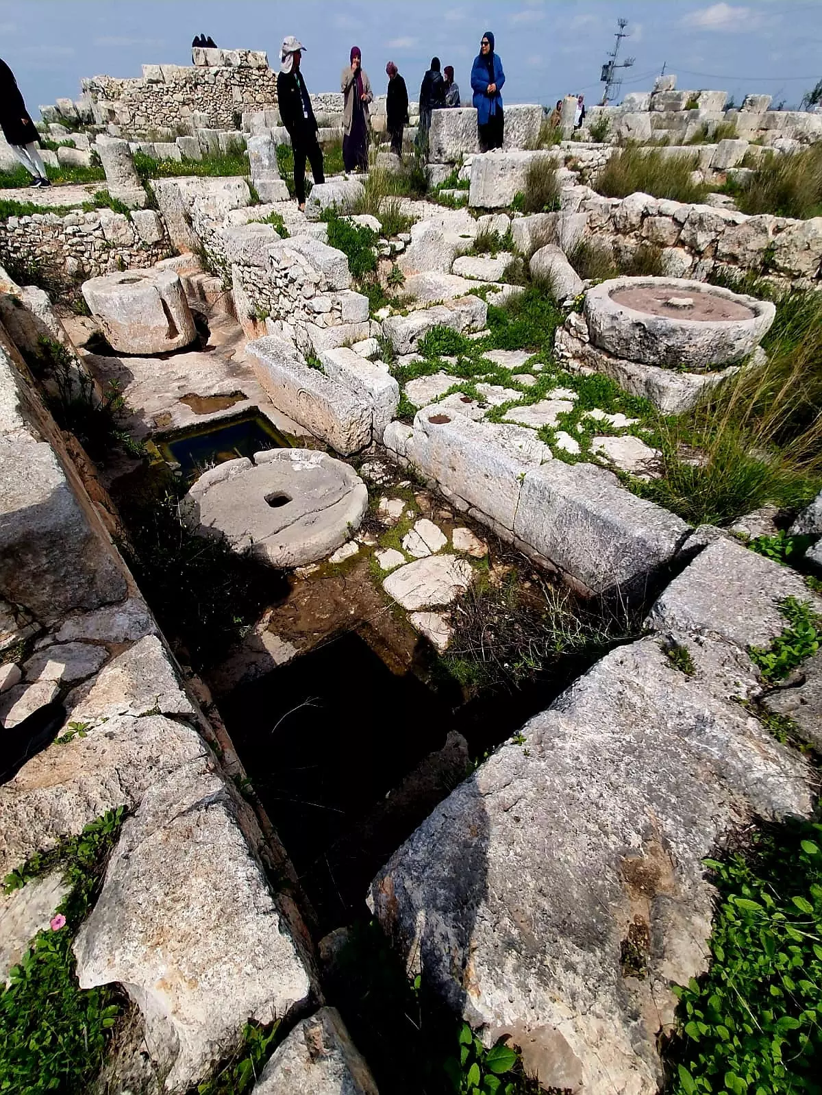
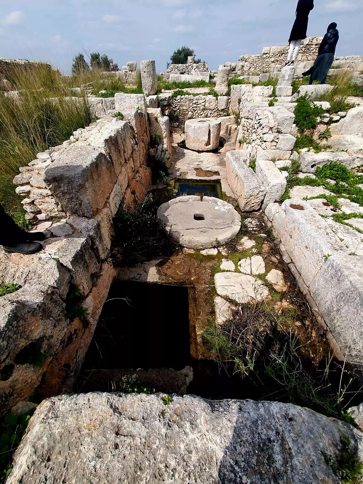
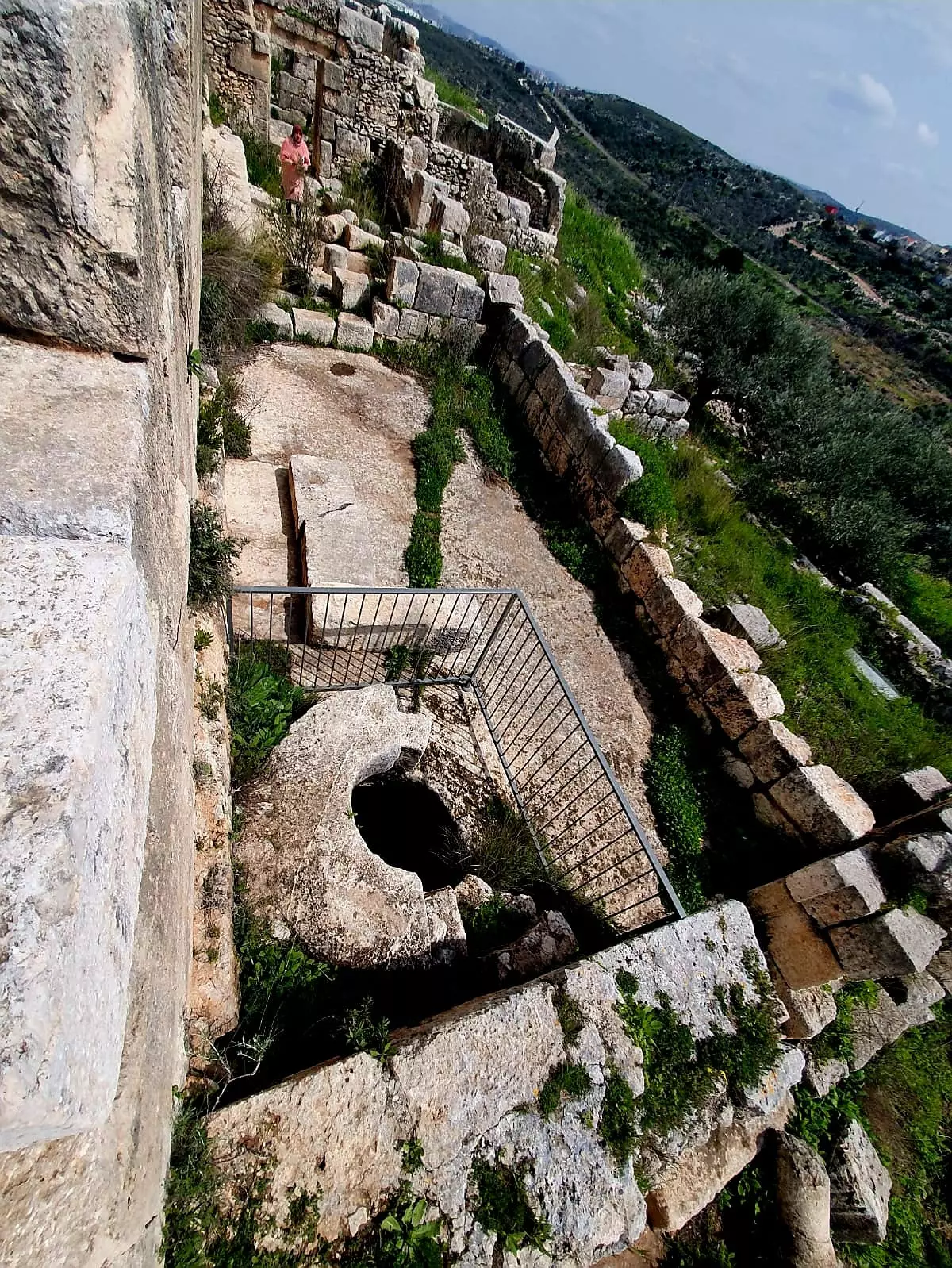
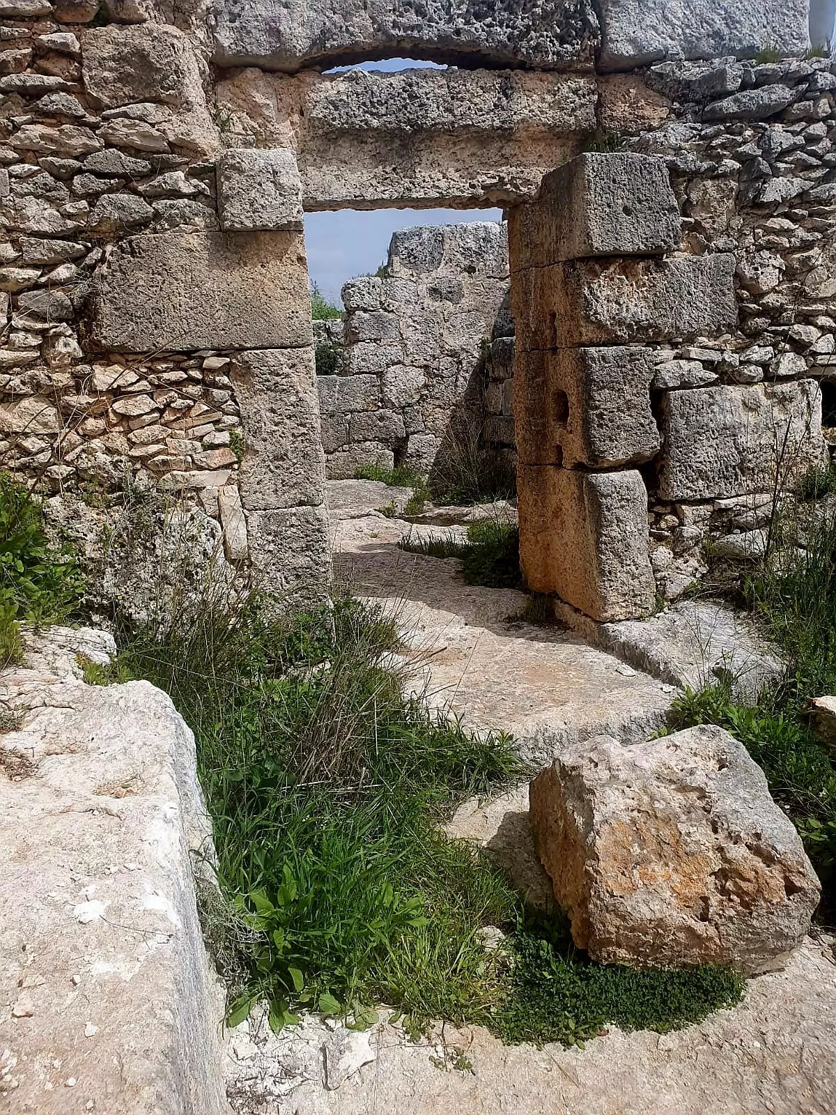
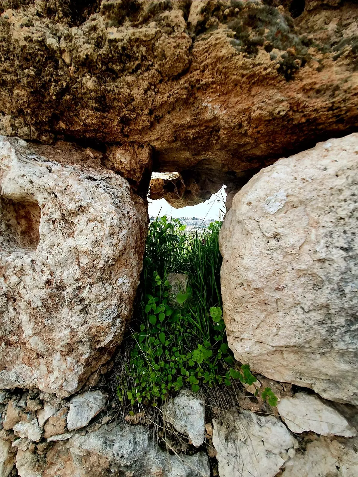
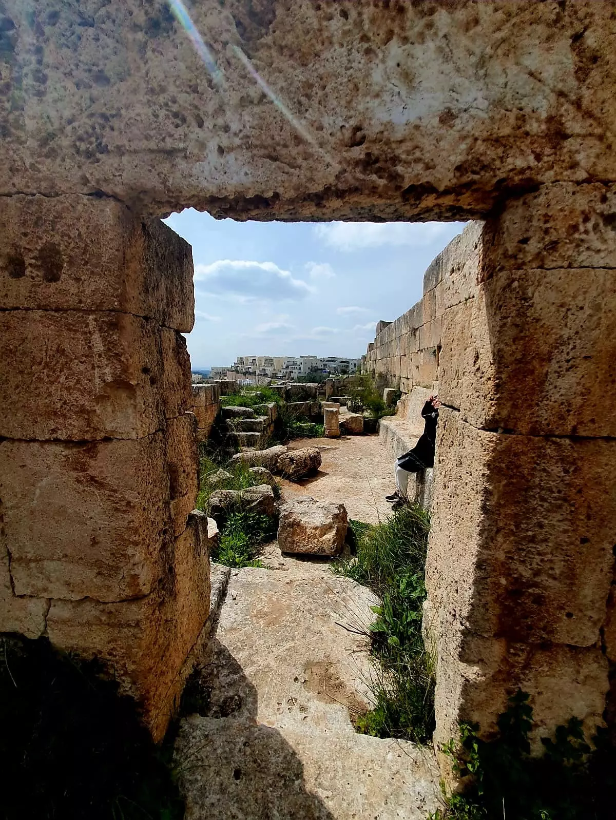
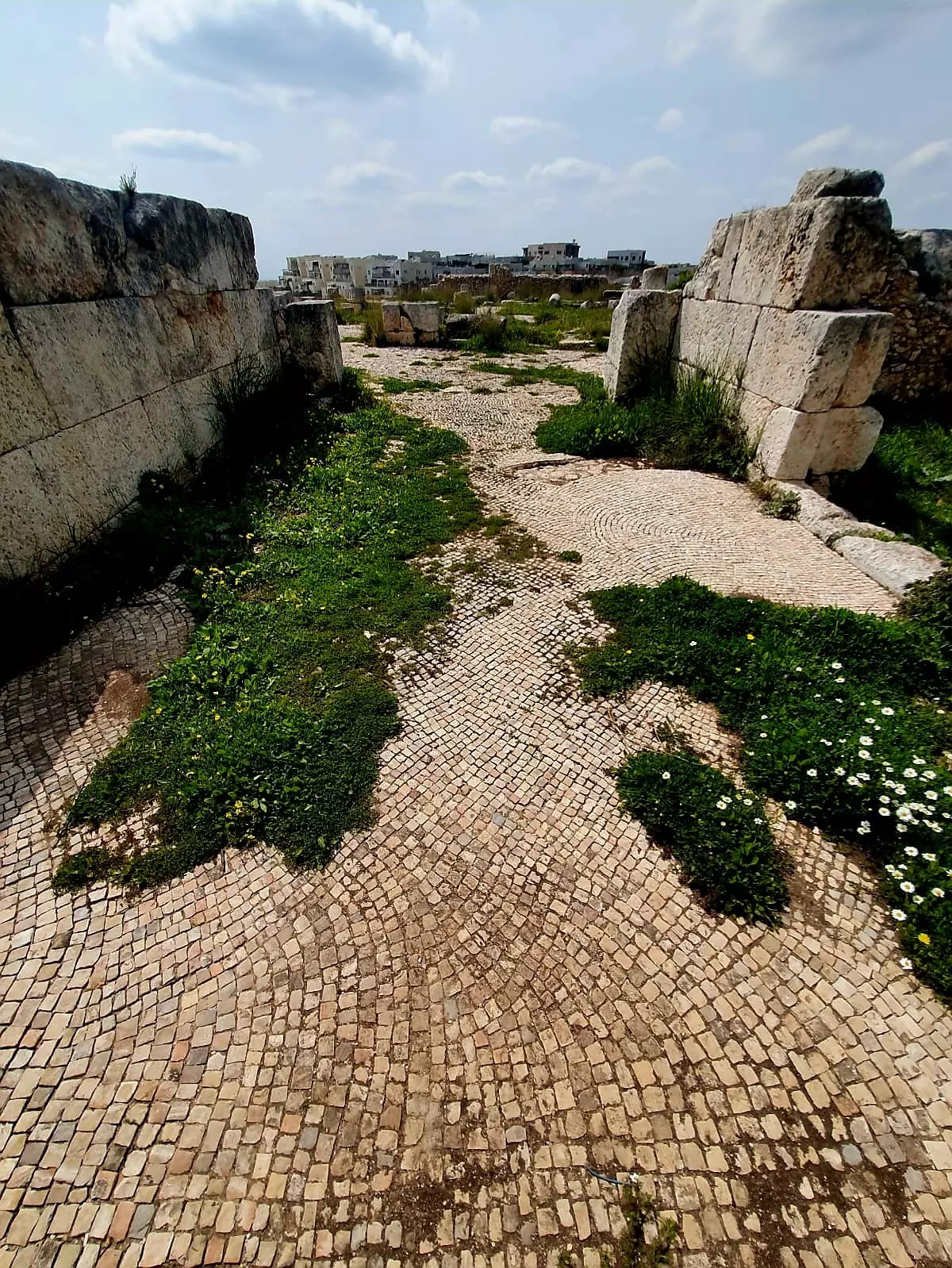
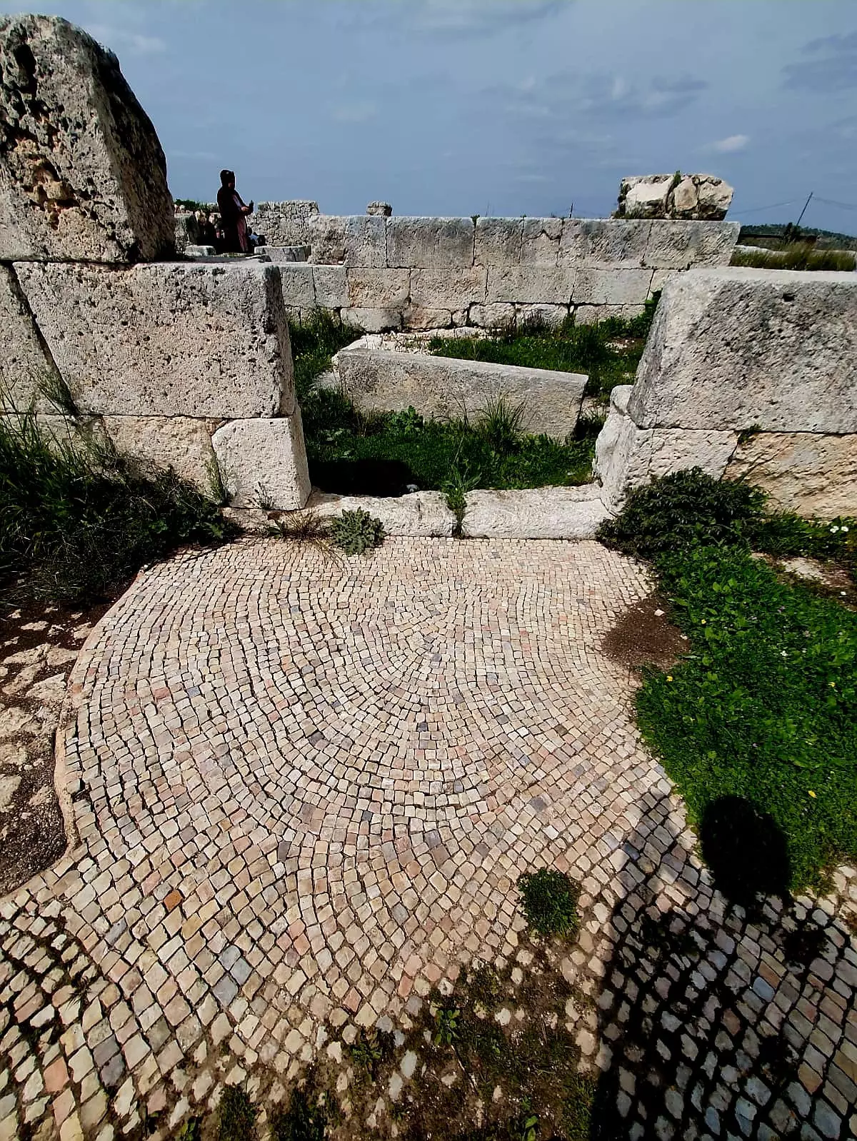
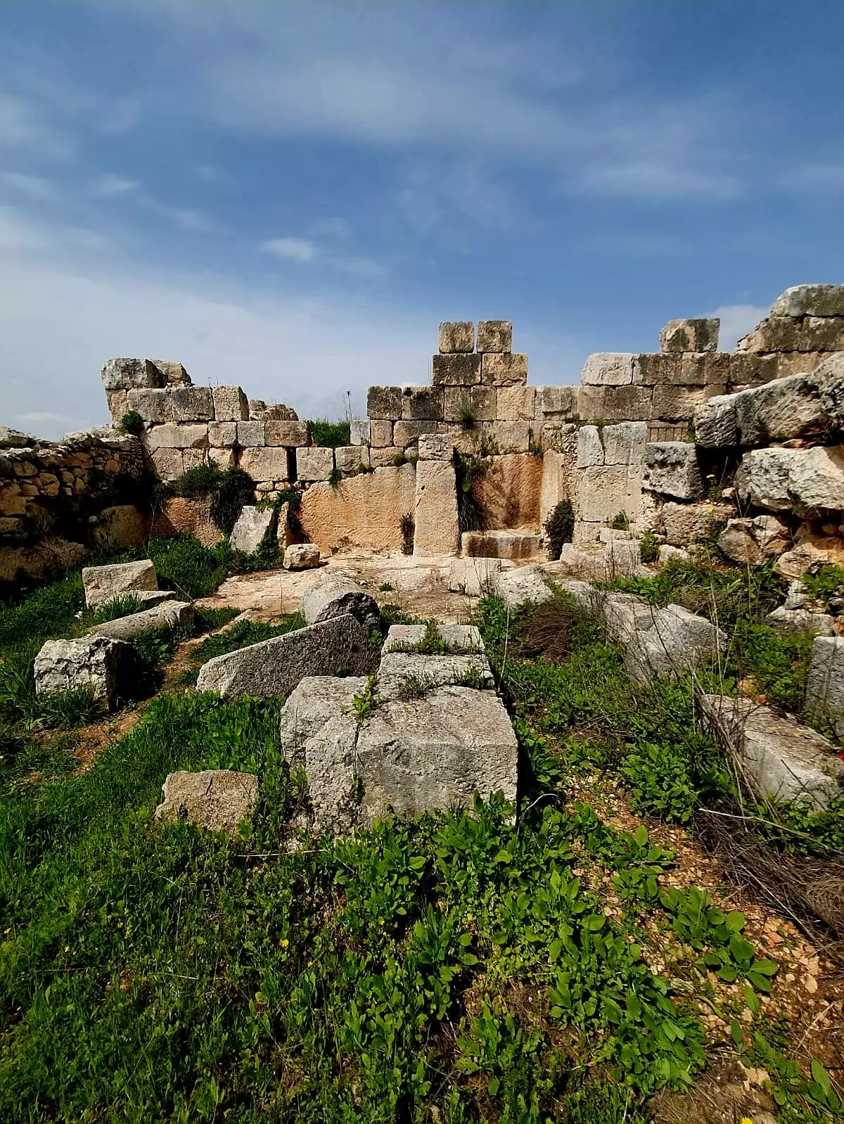
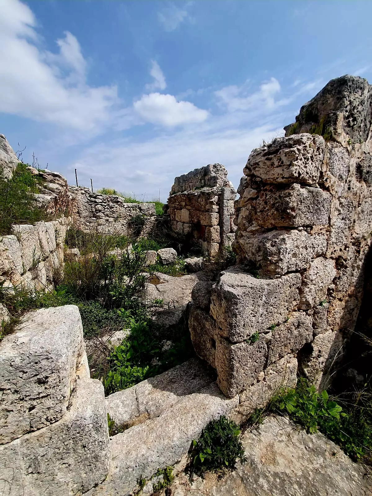
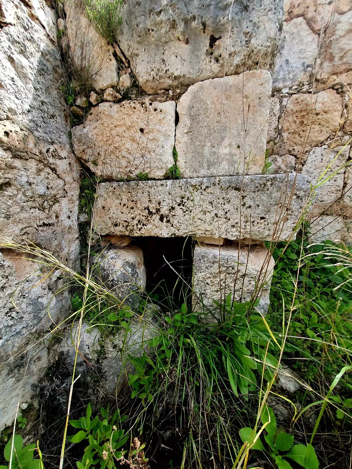
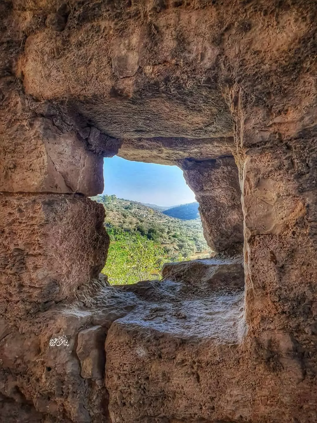
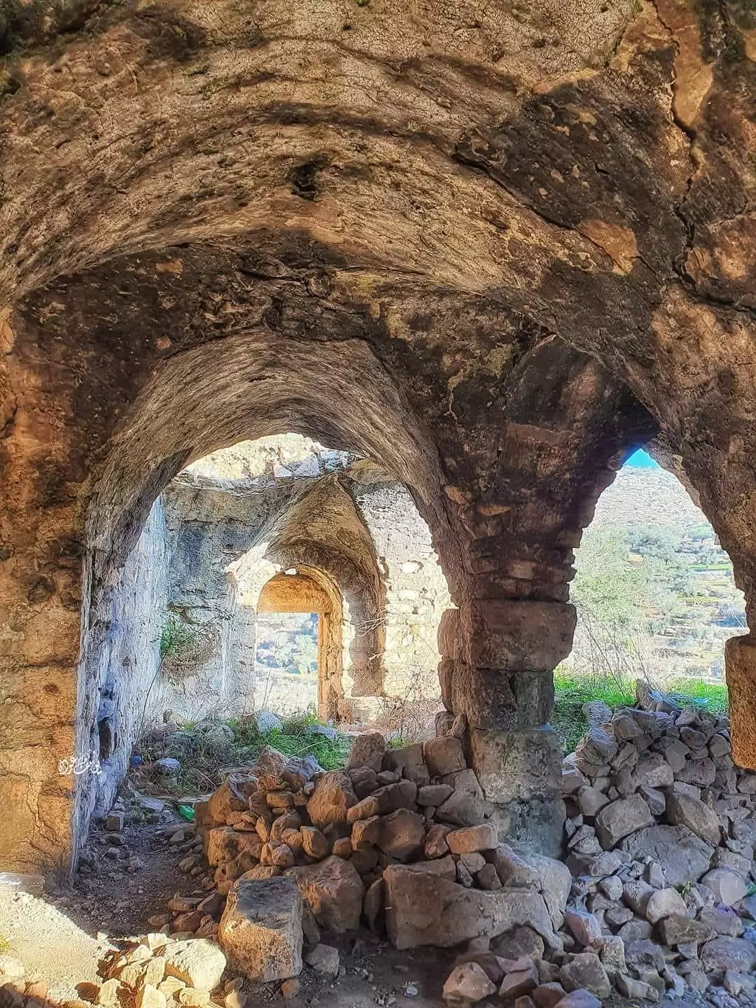
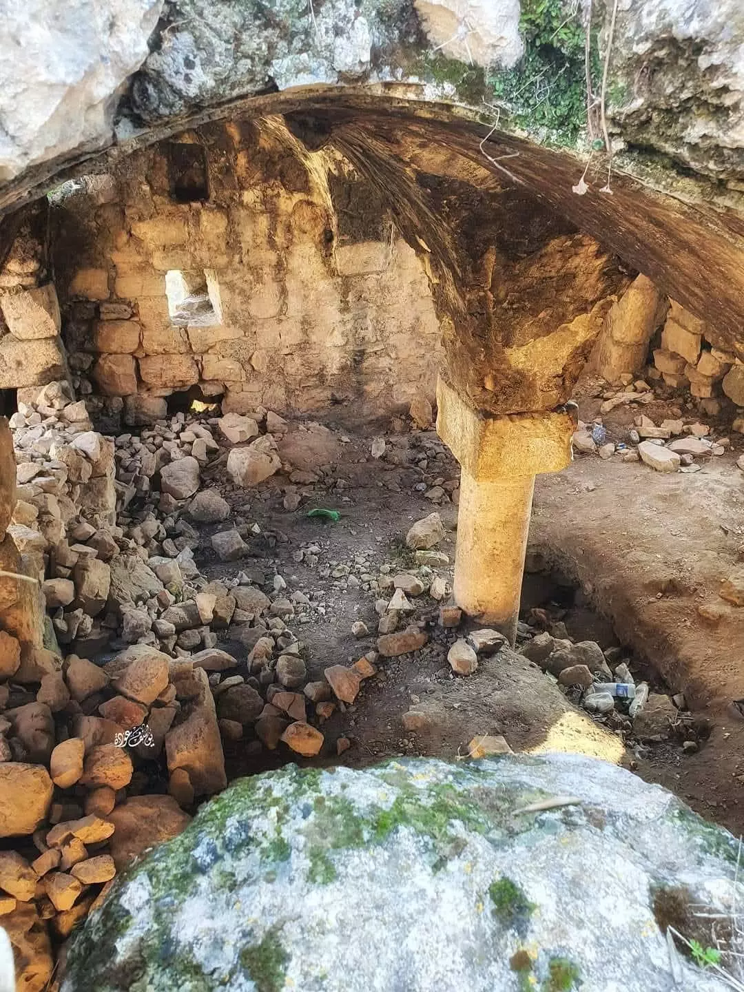
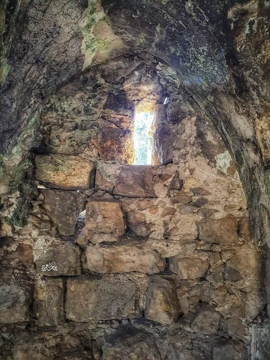
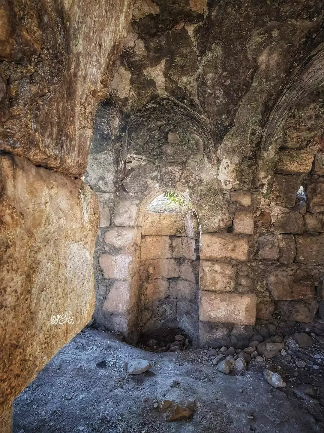
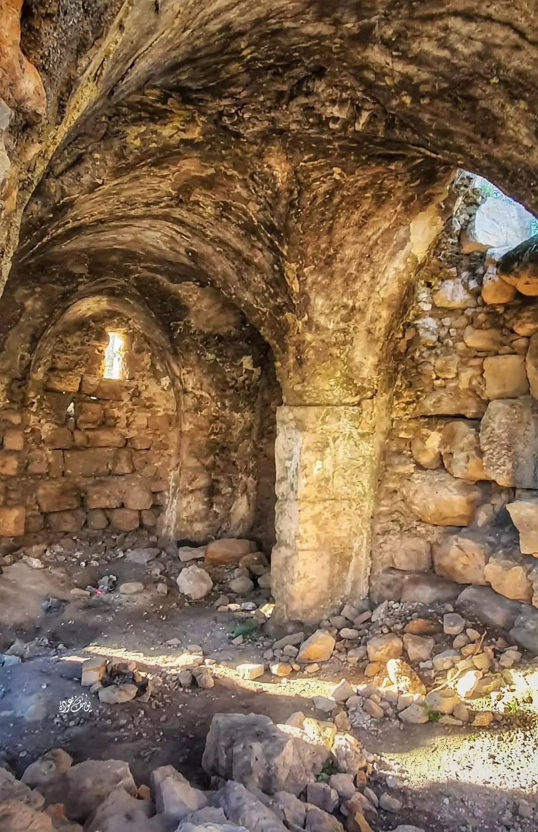
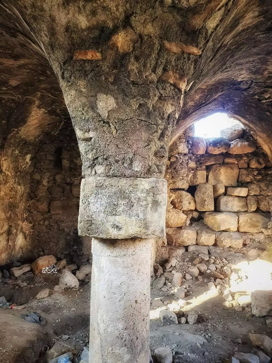
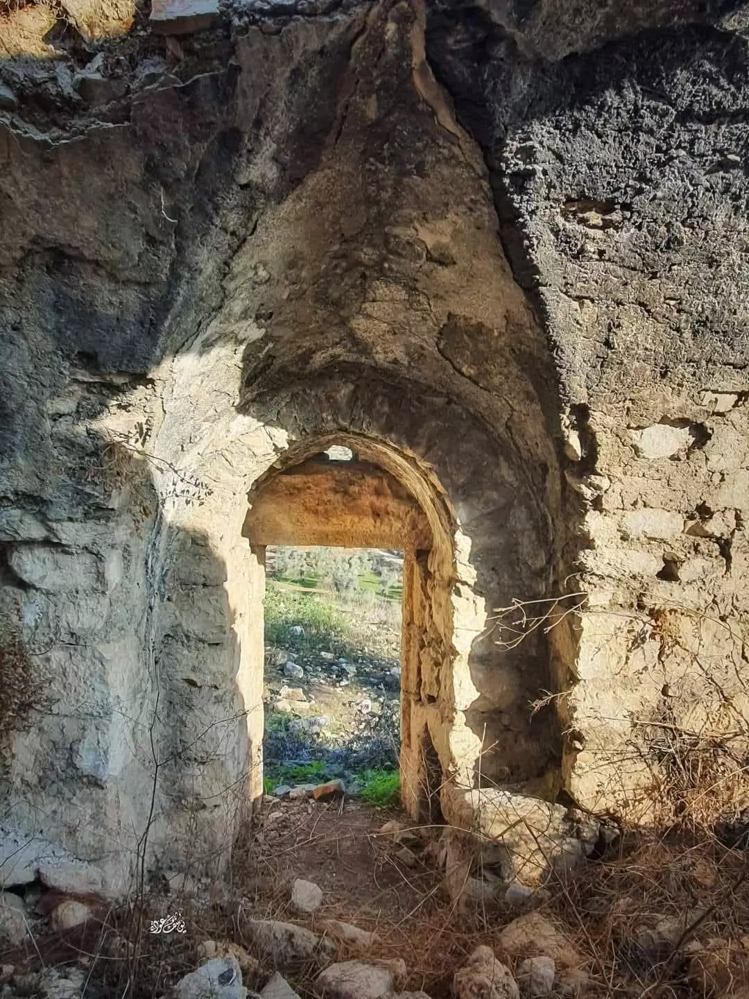
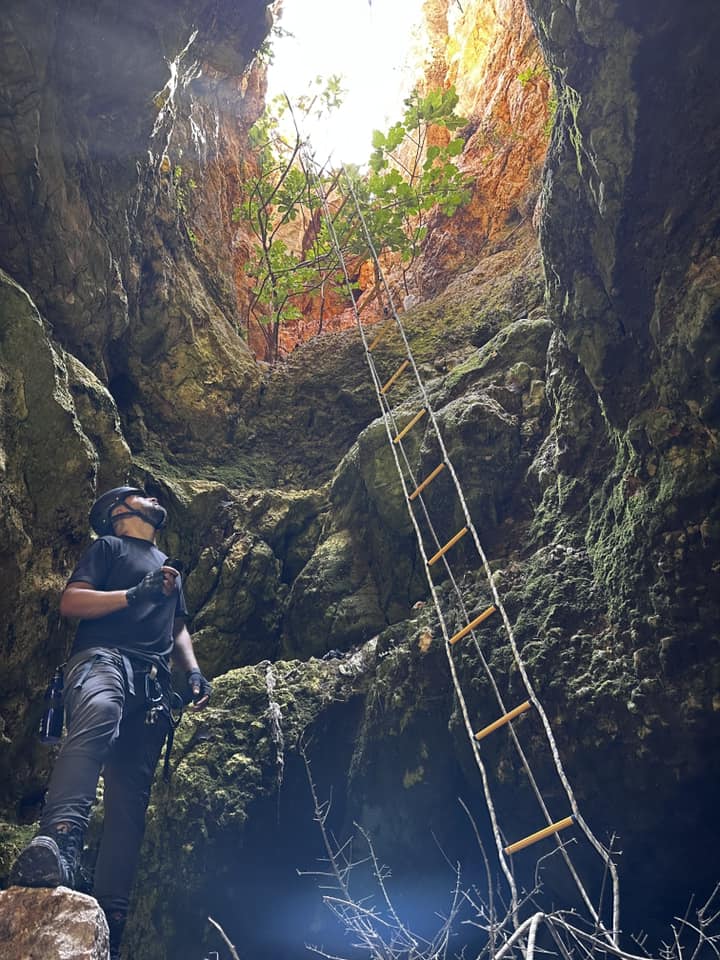
- Let us tour Deir Sam'an just west of Kafr al-Dik, Dec. 2022 -- Nabela Salem -- جولة في دير سمعان غربي البلدة -- المزيد عنه في قسم التعليقات
- Let us tour Deir Sam'an just west of Kafr al-Dik, Dec. 2022 -- Nabela Salem -- جولة في دير سمعان غربي البلدة -- المزيد عنه في قسم التعليقات #2
- Let us tour Deir Sam'an just west of Kafr al-Dik, Dec. 2022 -- Nabela Salem -- جولة في دير سمعان غربي البلدة -- المزيد عنه في قسم التعليقات #3
- Let us tour Deir Sam'an just west of Kafr al-Dik, Dec. 2022 -- Nabela Salem -- جولة في دير سمعان غربي البلدة -- المزيد عنه في قسم التعليقات #4
- Let us tour Deir Sam'an just west of Kafr al-Dik, Dec. 2022 -- Nabela Salem -- جولة في دير سمعان غربي البلدة -- المزيد عنه في قسم التعليقات #5
- Let us tour Deir Sam'an just west of Kafr al-Dik, Dec. 2022 -- Nabela Salem -- جولة في دير سمعان غربي البلدة -- المزيد عنه في قسم التعليقات #6
- Let us tour Deir Sam'an just west of Kafr al-Dik, Dec. 2022 -- Nabela Salem -- جولة في دير سمعان غربي البلدة -- المزيد عنه في قسم التعليقات #7
- Let us tour Deir Sam'an just west of Kafr al-Dik, Dec. 2022 -- Nabela Salem -- جولة في دير سمعان غربي البلدة -- المزيد عنه في قسم التعليقات #8
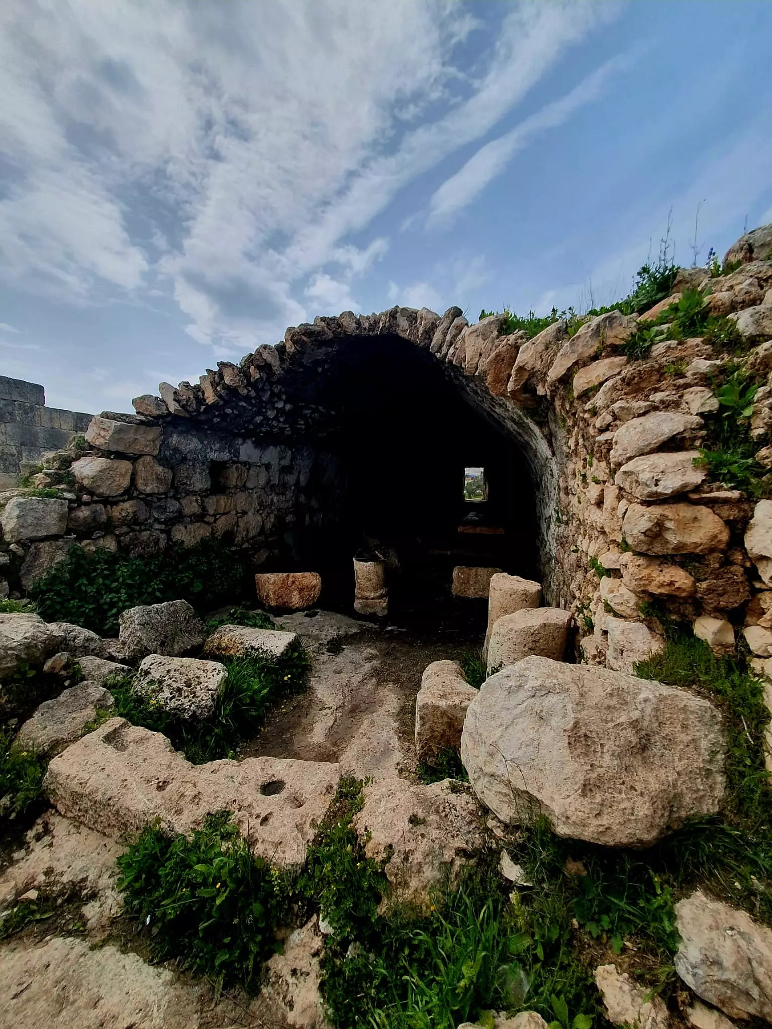
- Let us tour Deir Sam'an just west of Kafr al-Dik, Dec. 2022 -- Nabela Salem -- جولة في دير سمعان غربي البلدة -- المزيد عنه في قسم التعليقات #9
- Let us tour Deir Sam'an just west of Kafr al-Dik, Dec. 2022 -- Nabela Salem -- جولة في دير سمعان غربي البلدة -- المزيد عنه في قسم التعليقات #10
- Let us tour Deir Sam'an just west of Kafr al-Dik, Dec. 2022 -- Nabela Salem -- جولة في دير سمعان غربي البلدة -- المزيد عنه في قسم التعليقات #11
- Let us tour Deir Sam'an just west of Kafr al-Dik, Dec. 2022 -- Nabela Salem -- جولة في دير سمعان غربي البلدة -- المزيد عنه في قسم التعليقات #12
- Let us tour Deir Sam'an just west of Kafr al-Dik, Dec. 2022 -- Nabela Salem -- جولة في دير سمعان غربي البلدة -- المزيد عنه في قسم التعليقات #13
- Let us tour Deir Sam'an just west of Kafr al-Dik, Dec. 2022 -- Nabela Salem -- جولة في دير سمعان غربي البلدة -- المزيد عنه في قسم التعليقات #14
- Let us tour Deir Sam'an just west of Kafr al-Dik, Dec. 2022 -- Nabela Salem -- جولة في دير سمعان غربي البلدة -- المزيد عنه في قسم التعليقات #15
- Let us tour Deir Sam'an just west of Kafr al-Dik, Dec. 2022 -- Nabela Salem -- جولة في دير سمعان غربي البلدة -- المزيد عنه في قسم التعليقات #16
- Let us tour Deir Sam'an just west of Kafr al-Dik, Dec. 2022 -- Nabela Salem -- جولة في دير سمعان غربي البلدة -- المزيد عنه في قسم التعليقات #17
- Let us tour Deir Sam'an just west of Kafr al-Dik, Dec. 2022 -- Nabela Salem -- جولة في دير سمعان غربي البلدة -- المزيد عنه في قسم التعليقات #18
- Let us tour Deir Sam'an just west of Kafr al-Dik, Dec. 2022 -- Nabela Salem -- جولة في دير سمعان غربي البلدة -- المزيد عنه في قسم التعليقات #19
- Let us tour Deir Sam'an just west of Kafr al-Dik, Dec. 2022 -- Nabela Salem -- جولة في دير سمعان غربي البلدة -- المزيد عنه في قسم التعليقات #20
- Let us tour Deir Sam'an just west of Kafr al-Dik, Dec. 2022 -- Nabela Salem -- جولة في دير سمعان غربي البلدة -- المزيد عنه في قسم التعليقات #21
- Let us tour Deir Sam'an just west of Kafr al-Dik, Dec. 2022 -- Nabela Salem -- جولة في دير سمعان غربي البلدة -- المزيد عنه في قسم التعليقات #22
- Let us tour Deir Sam'an just west of Kafr al-Dik, Dec. 2022 -- Nabela Salem -- جولة في دير سمعان غربي البلدة -- المزيد عنه في قسم التعليقات #23
- Let us tour Deir Sam'an just west of Kafr al-Dik, Dec. 2022 -- Nabela Salem -- جولة في دير سمعان غربي البلدة -- المزيد عنه في قسم التعليقات #24
- Let us tour Deir Sam'an just west of Kafr al-Dik, Dec. 2022 -- Nabela Salem -- جولة في دير سمعان غربي البلدة -- المزيد عنه في قسم التعليقات #25
- Let us tour Deir Sam'an just west of Kafr al-Dik, Dec. 2022 -- Nabela Salem -- جولة في دير سمعان غربي البلدة -- المزيد عنه في قسم التعليقات #26
- Let us tour Deir Sam'an just west of Kafr al-Dik, Dec. 2022 -- Nabela Salem -- جولة في دير سمعان غربي البلدة -- المزيد عنه في قسم التعليقات #27
- Let us tour Deir Sam'an just west of Kafr al-Dik, Dec. 2022 -- Nabela Salem -- جولة في دير سمعان غربي البلدة -- المزيد عنه في قسم التعليقات #28
- Let us tour Deir Sam'an just west of Kafr al-Dik, Dec. 2022 -- Nabela Salem -- جولة في دير سمعان غربي البلدة -- المزيد عنه في قسم التعليقات #29
- Let us tour Deir Sam'an just west of Kafr al-Dik, Dec. 2022 -- Nabela Salem -- جولة في دير سمعان غربي البلدة -- المزيد عنه في قسم التعليقات #30

- Let us tour Deir Sam'an just west of Kafr al-Dik, Dec. 2022 -- Nabela Salem -- جولة في دير سمعان غربي البلدة -- المزيد عنه في قسم التعليقات #31
- Let us tour Deir Sam'an just west of Kafr al-Dik, Dec. 2022 -- Nabela Salem -- جولة في دير سمعان غربي البلدة -- المزيد عنه في قسم التعليقات #32
- Let us tour Deir Sam'an just west of Kafr al-Dik, Dec. 2022 -- Nabela Salem -- جولة في دير سمعان غربي البلدة -- المزيد عنه في قسم التعليقات #33
- Let us tour Deir Sam'an just west of Kafr al-Dik, Dec. 2022 -- Nabela Salem -- جولة في دير سمعان غربي البلدة -- المزيد عنه في قسم التعليقات #34
- Let us tour Deir Sam'an just west of Kafr al-Dik, Dec. 2022 -- Nabela Salem -- جولة في دير سمعان غربي البلدة -- المزيد عنه في قسم التعليقات #35
- Let us tour Deir Sam'an just west of Kafr al-Dik, Dec. 2022 -- Nabela Salem -- جولة في دير سمعان غربي البلدة -- المزيد عنه في قسم التعليقات #36
- Let us tour Deir Sam'an just west of Kafr al-Dik, Dec. 2022 -- Nabela Salem -- جولة في دير سمعان غربي البلدة -- المزيد عنه في قسم التعليقات #37
- Let us tour Deir Sam'an just west of Kafr al-Dik, Dec. 2022 -- Nabela Salem -- جولة في دير سمعان غربي البلدة -- المزيد عنه في قسم التعليقات #38
- Let us tour Deir Sam'an just west of Kafr al-Dik, Dec. 2022 -- Nabela Salem -- جولة في دير سمعان غربي البلدة -- المزيد عنه في قسم التعليقات #39
- Let us tour Deir Sam'an just west of Kafr al-Dik, Dec. 2022 -- Nabela Salem -- جولة في دير سمعان غربي البلدة -- المزيد عنه في قسم التعليقات #40
- Let us tour Deir Sam'an just west of Kafr al-Dik, Dec. 2022 -- Nabela Salem -- جولة في دير سمعان غربي البلدة -- المزيد عنه في قسم التعليقات #41
- Let us tour Deir Sam'an just west of Kafr al-Dik, Dec. 2022 -- Nabela Salem -- جولة في دير سمعان غربي البلدة -- المزيد عنه في قسم التعليقات #42
- Let us tour Deir Sam'an just west of Kafr al-Dik, Dec. 2022 -- Nabela Salem -- جولة في دير سمعان غربي البلدة -- المزيد عنه في قسم التعليقات #43
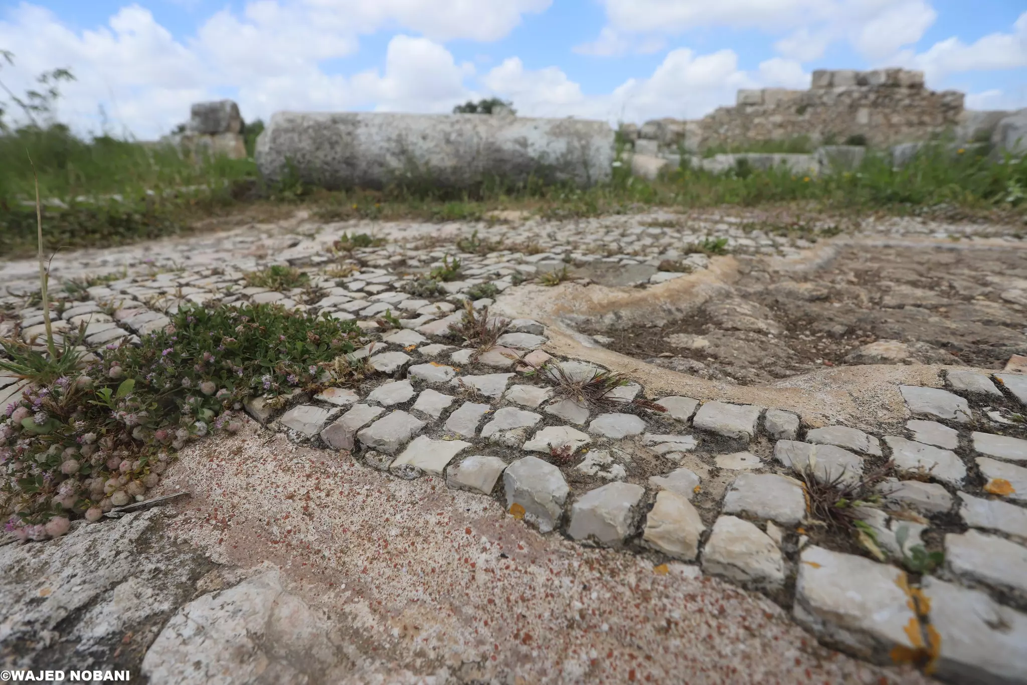
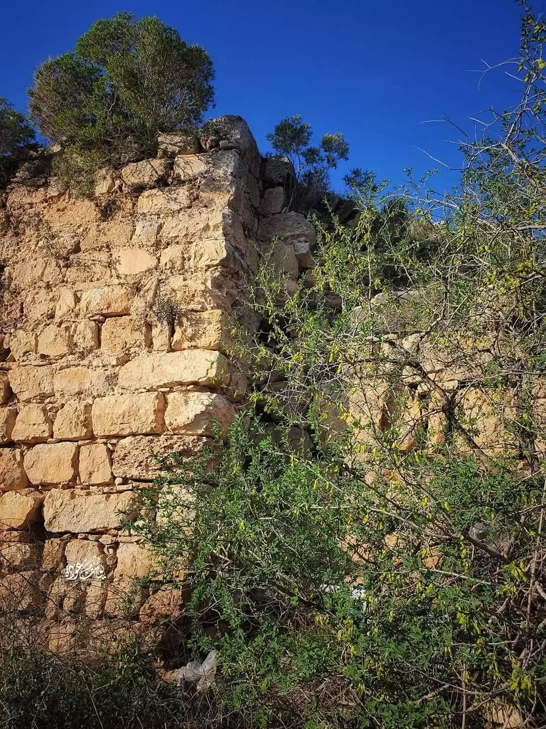
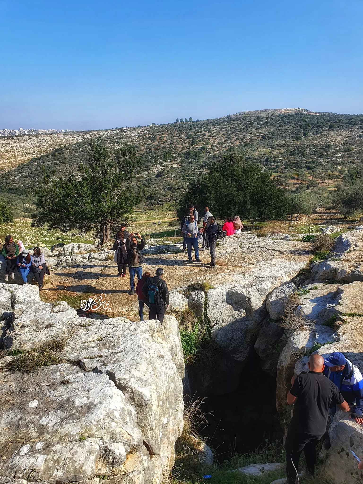
- جولة رائعه في خربة سوسية -- يوسف عودة
- جولة رائعه في خربة سوسية -- يوسف عودة #2
- جولة رائعه في خربة سوسية -- يوسف عودة #3
- جولة رائعه في خربة سوسية -- يوسف عودة #4
- جولة رائعه في خربة سوسية -- يوسف عودة #5
- جولة رائعه في خربة سوسية -- يوسف عودة #6
- جولة رائعه في خربة سوسية -- يوسف عودة #7
- جولة رائعه في خربة سوسية -- يوسف عودة #8
- جولة رائعه في خربة سوسية -- يوسف عودة #9
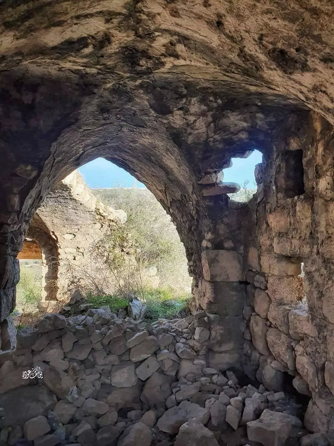
- جولة رائعه في خربة سوسية -- يوسف عودة #10
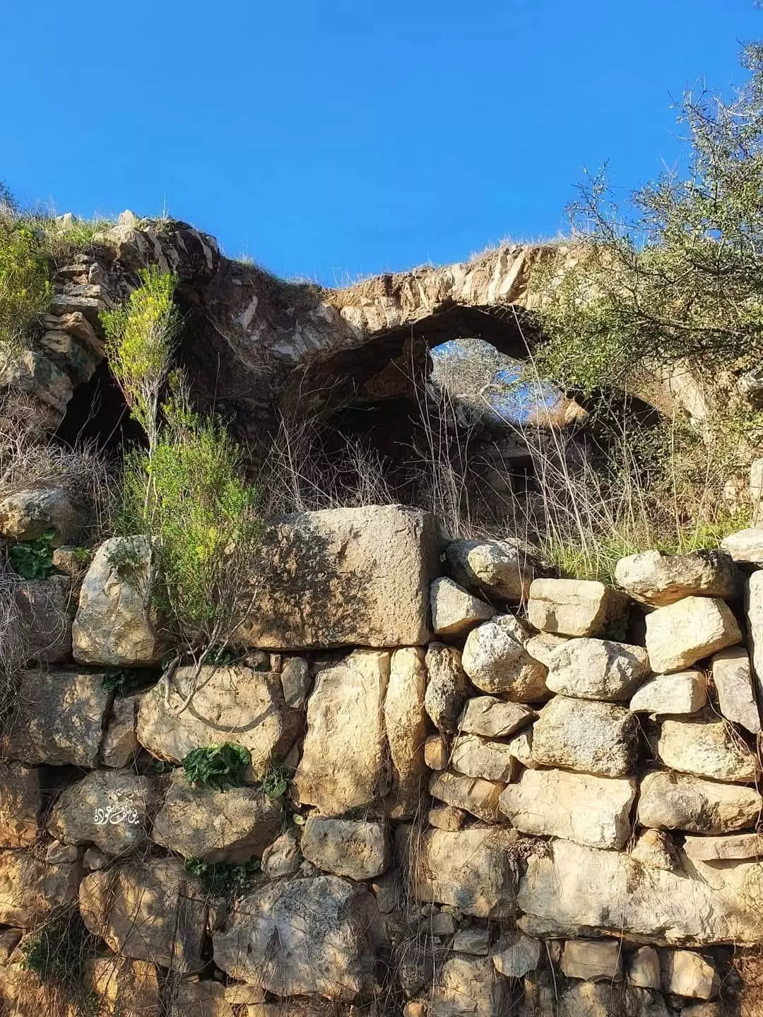
- جولة رائعه في خربة سوسية -- يوسف عودة #11
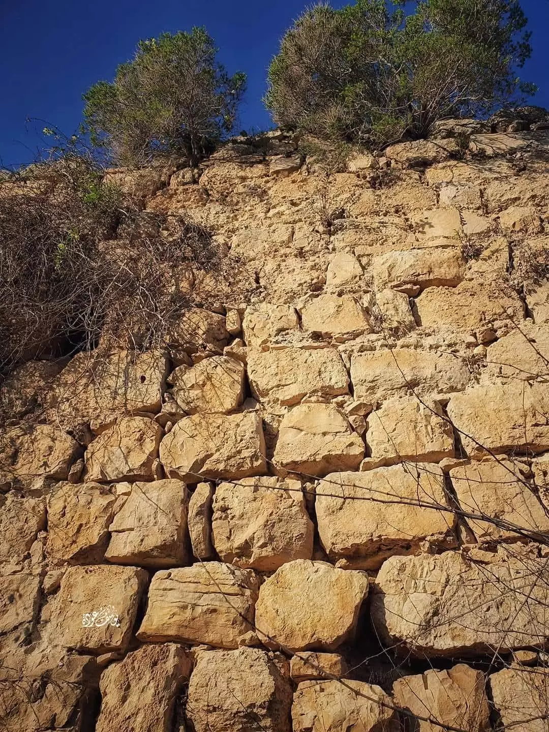
- جولة رائعه في خربة سوسية -- يوسف عودة #12
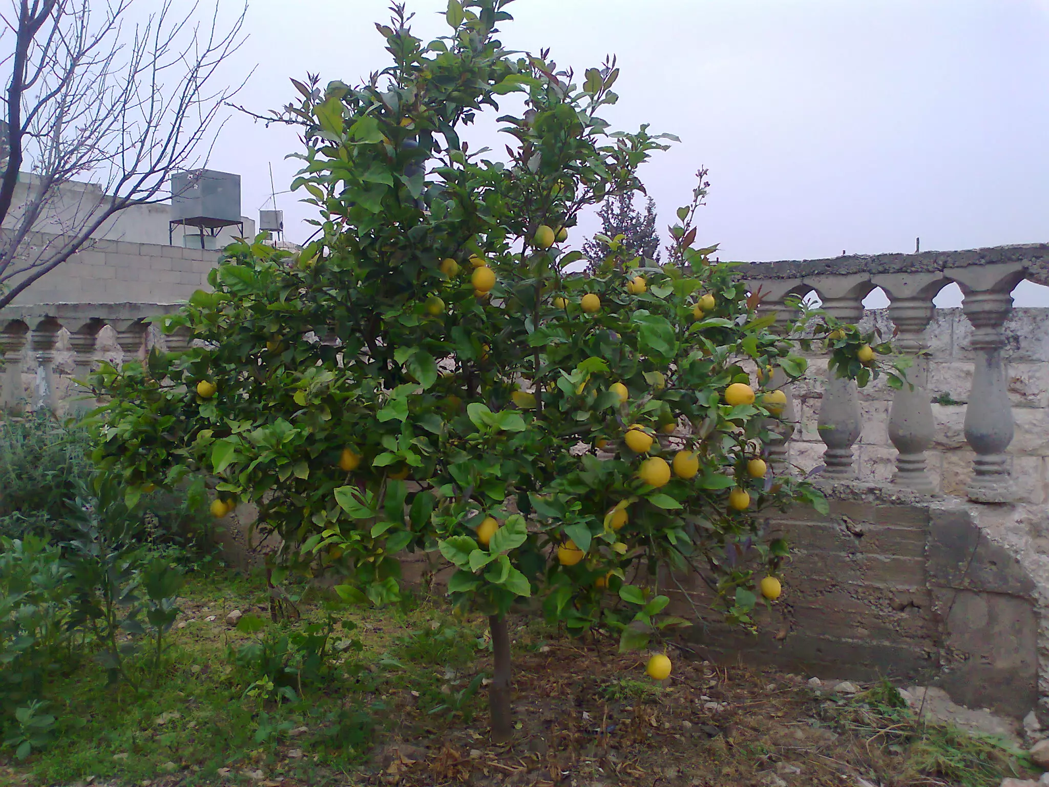
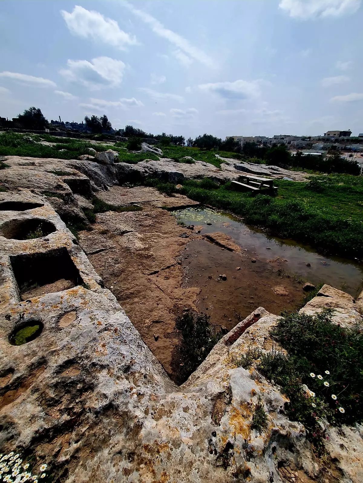
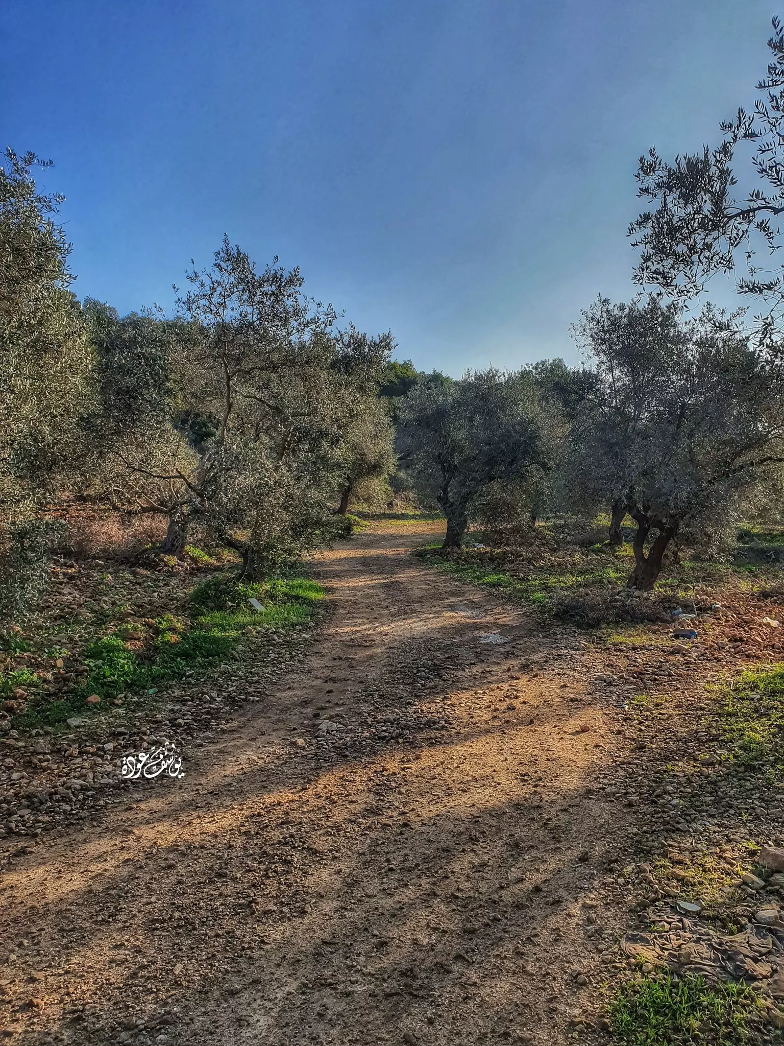
- شجرة زيتون معمرة -- يوسف عودة،
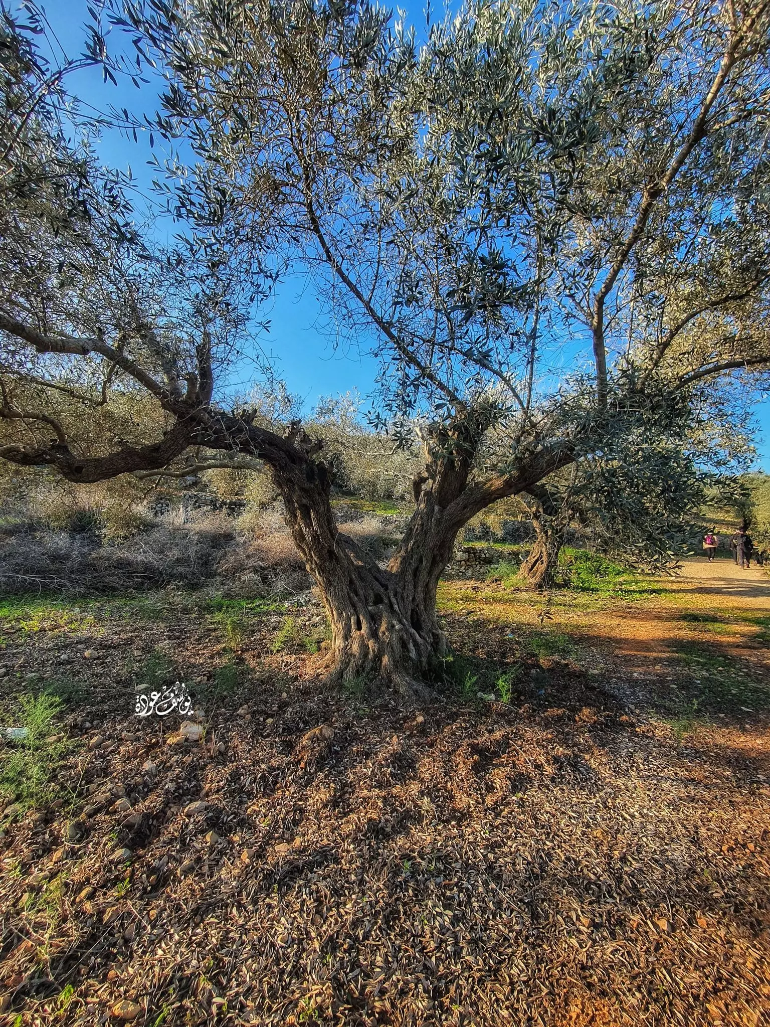
- شجرة زيتون معمرة -- يوسف عودة، #2
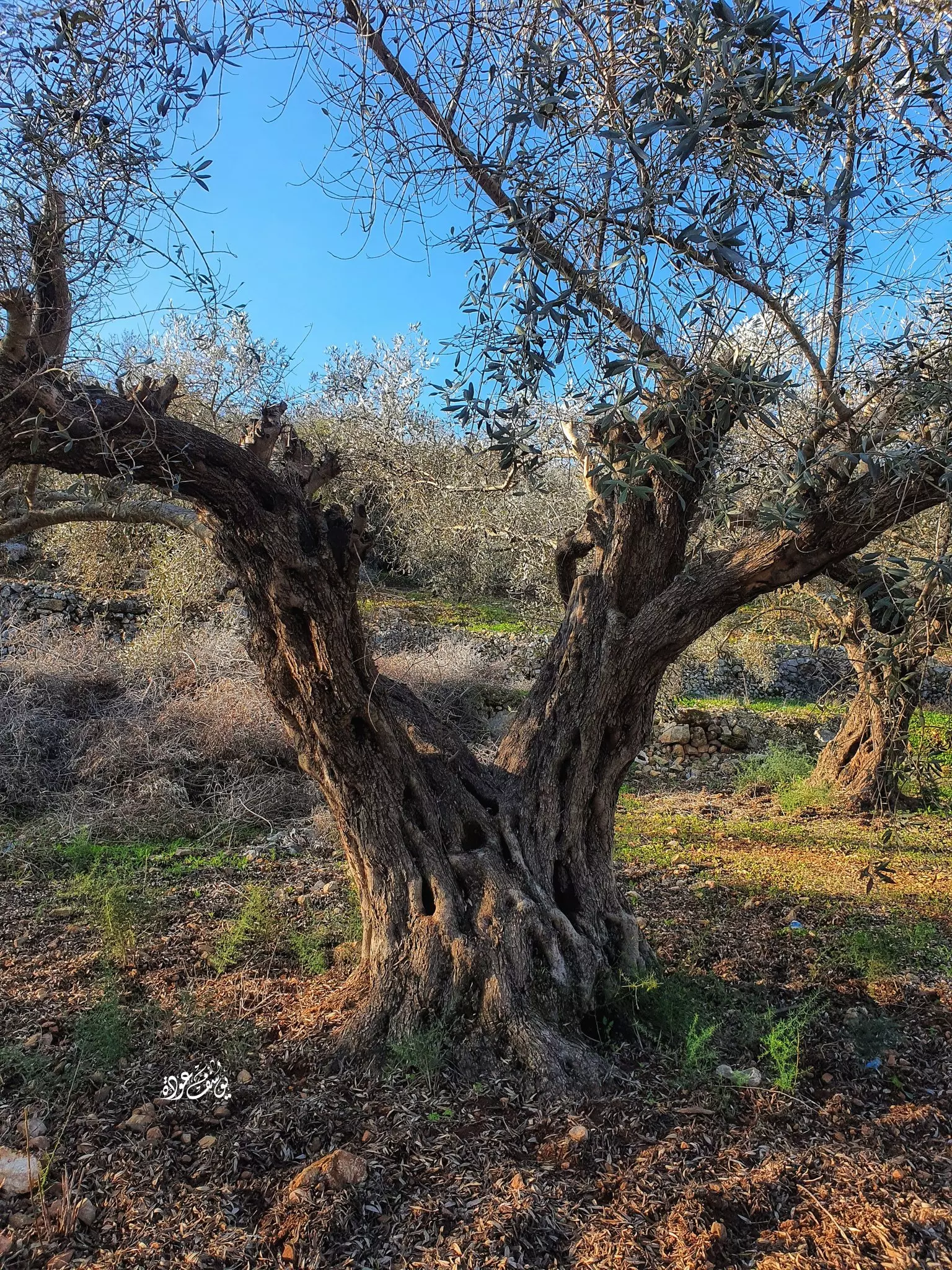
- شجرة زيتون معمرة -- يوسف عودة، #3
- فوهة بركان شقاق عرارة في خربة عرارة،
والتي تقع بأراضي رافات اتجاه كفر الديك.
- فوهة بركان شقاق عرارة في خربة عرارة،
والتي تقع بأراضي رافات اتجاه كفر الديك. #2
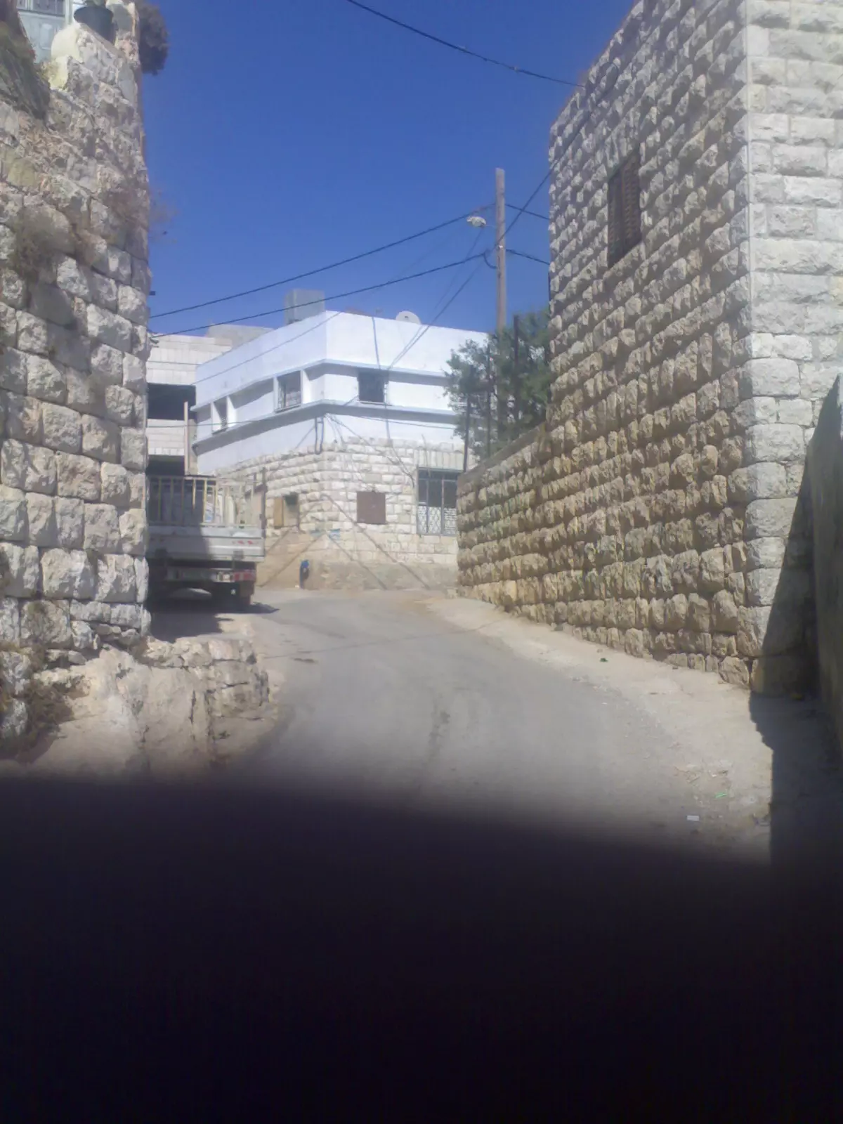
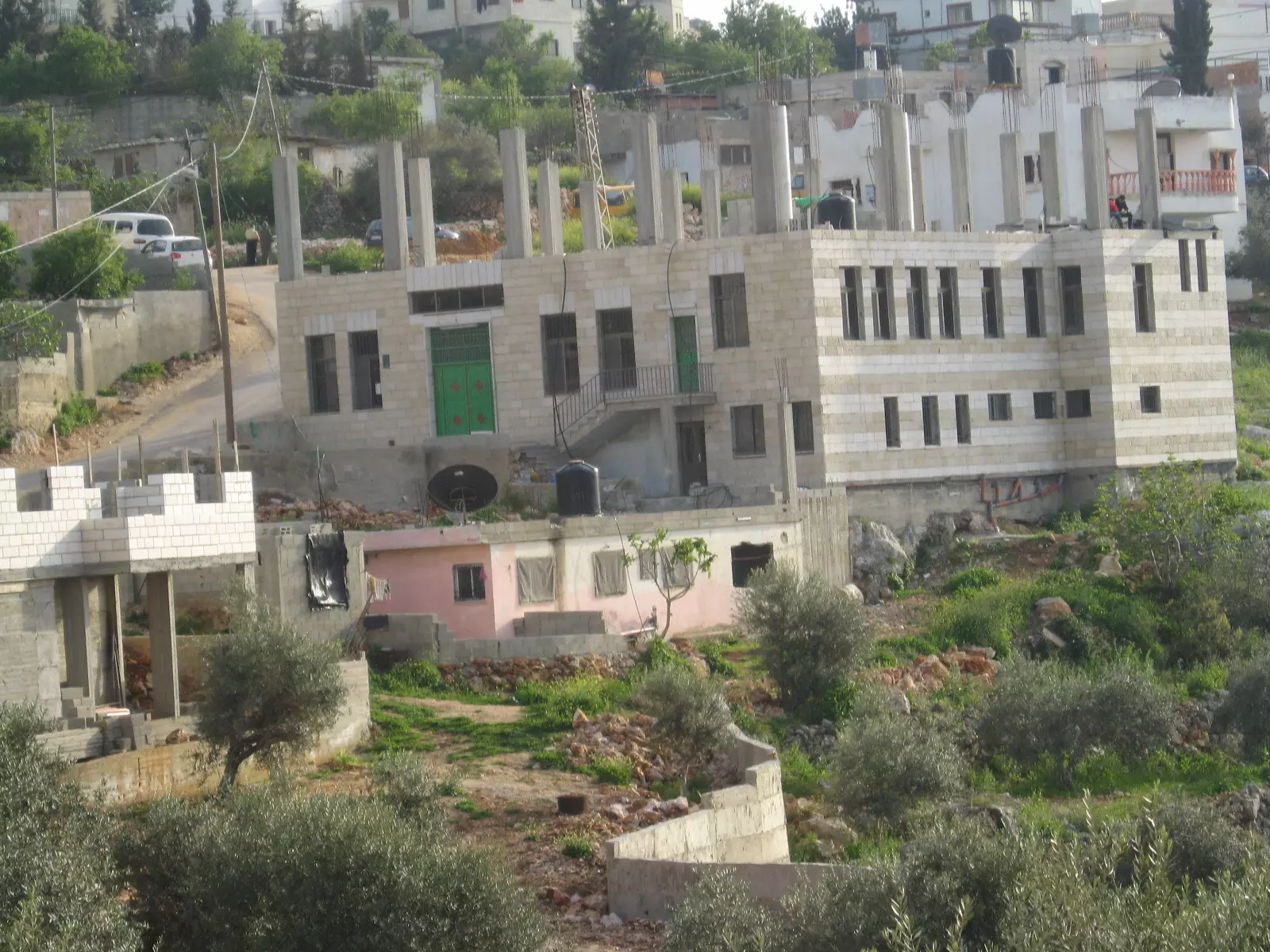
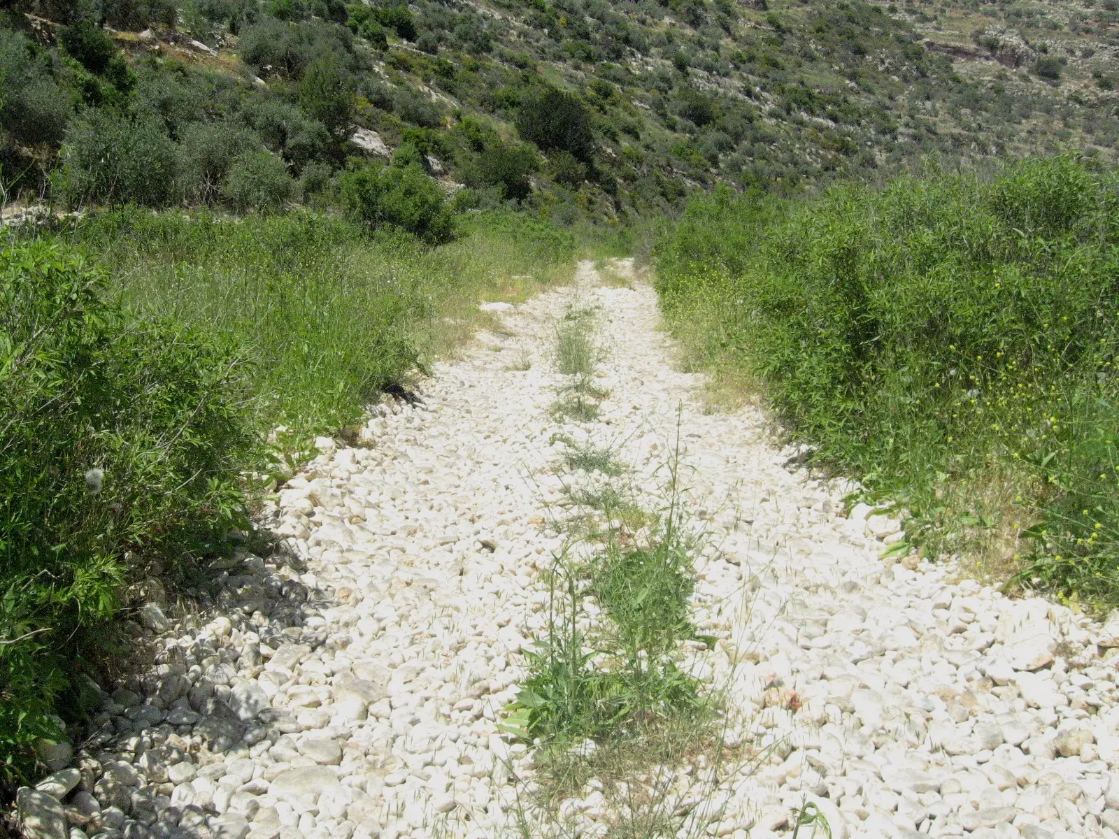
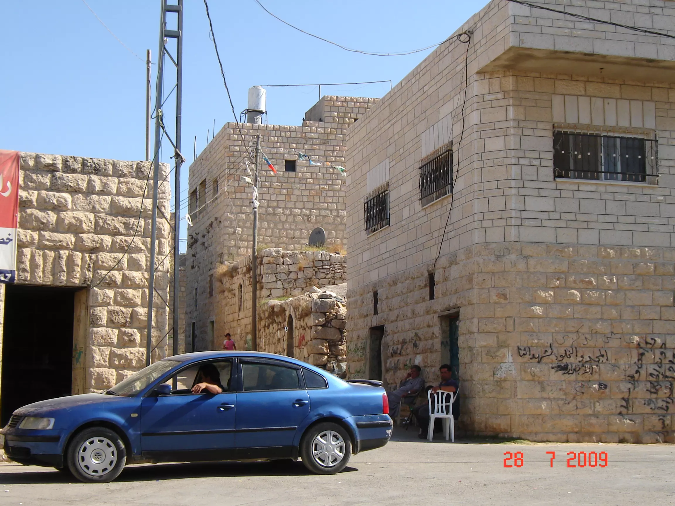
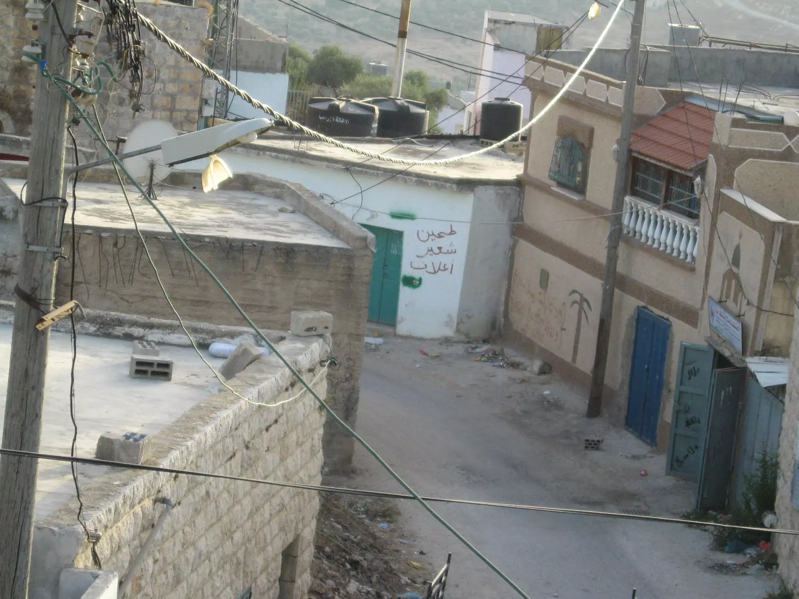
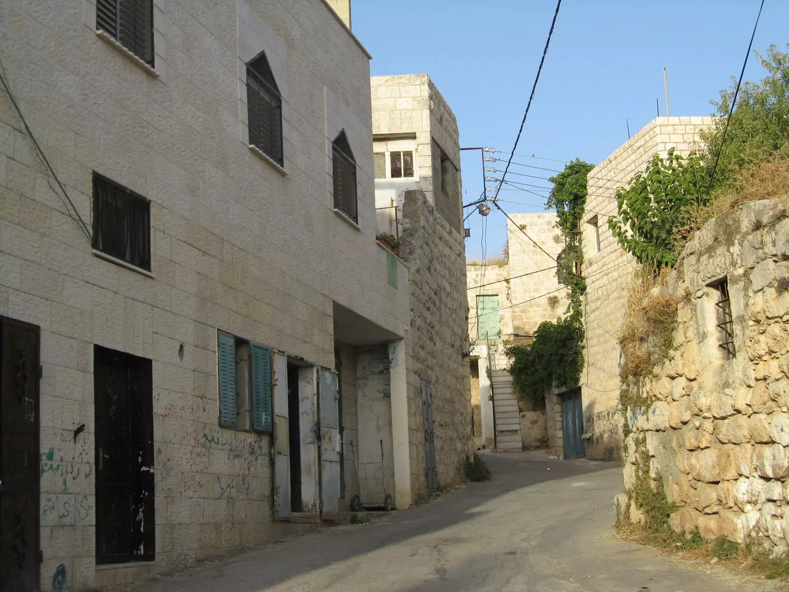
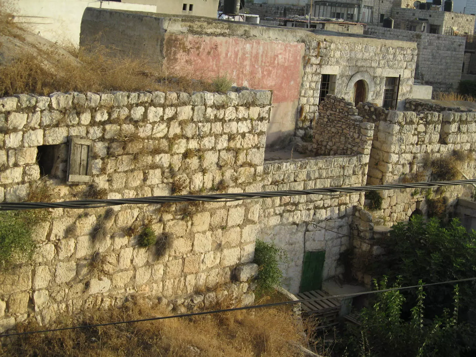
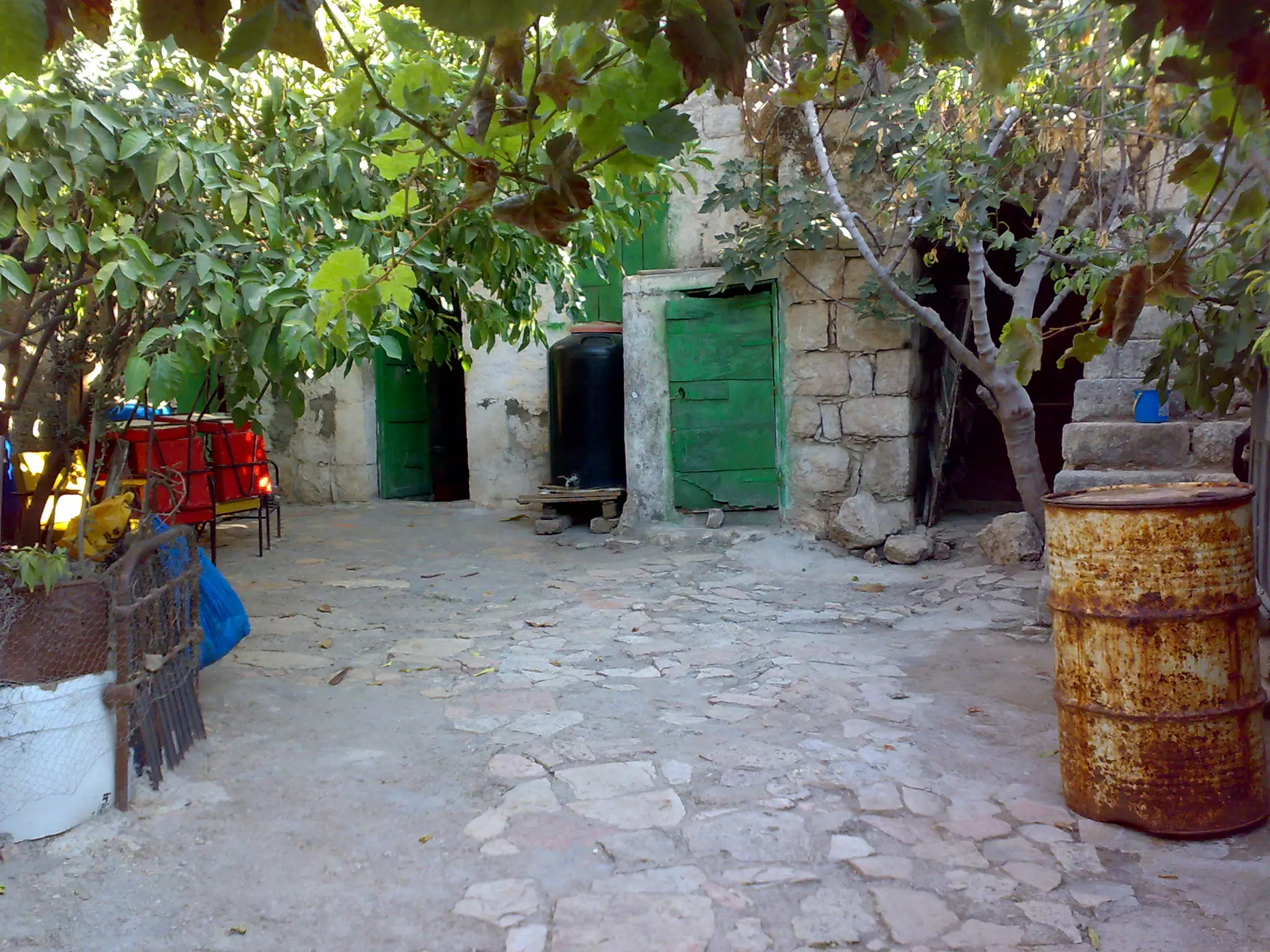
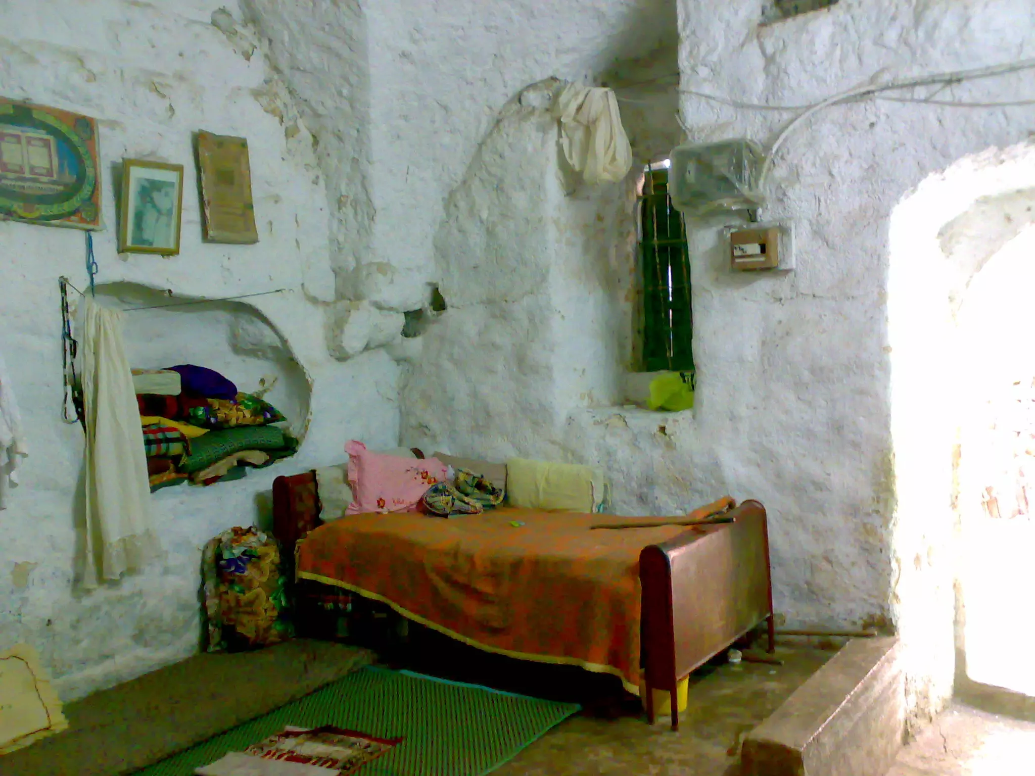
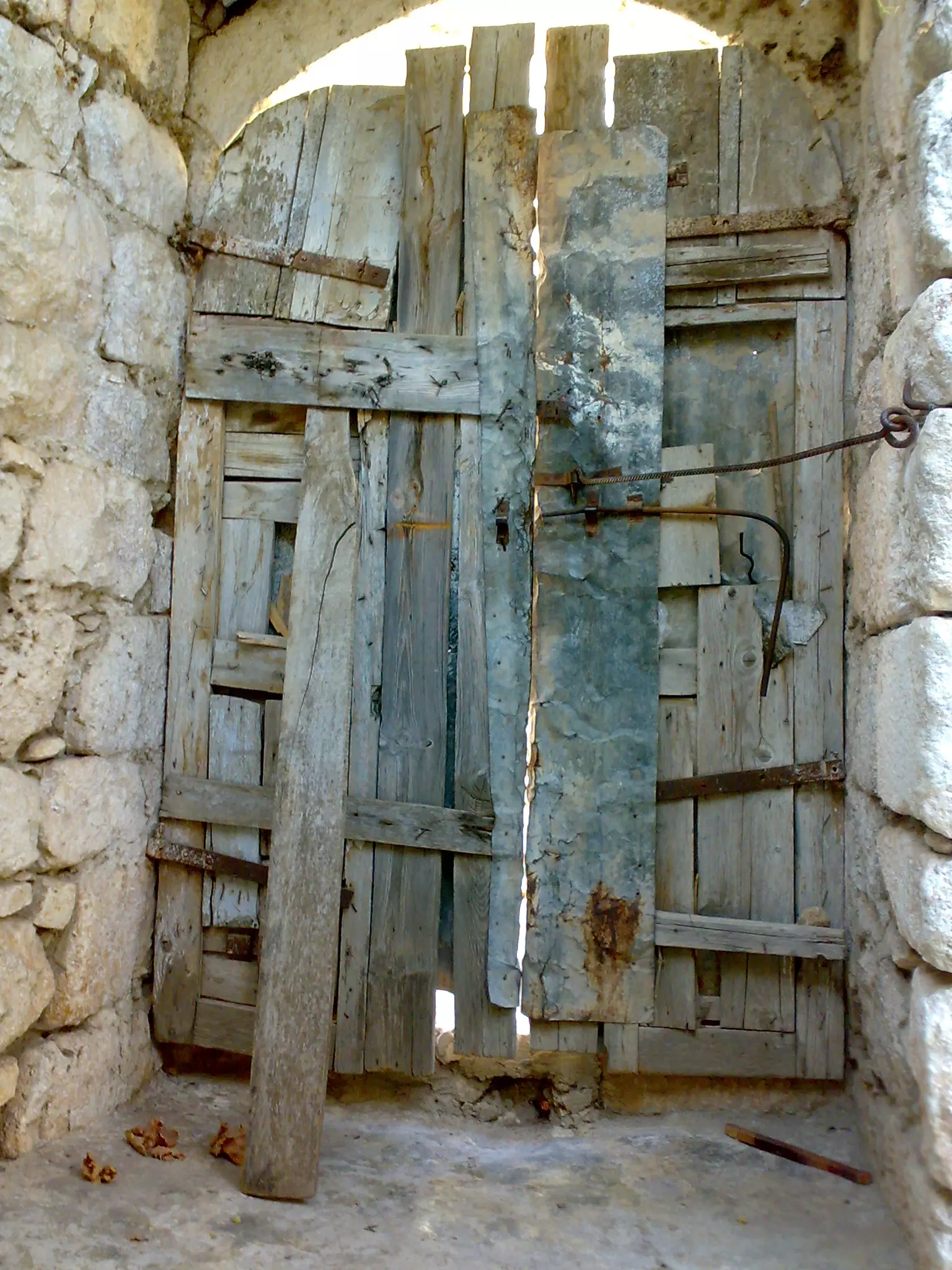
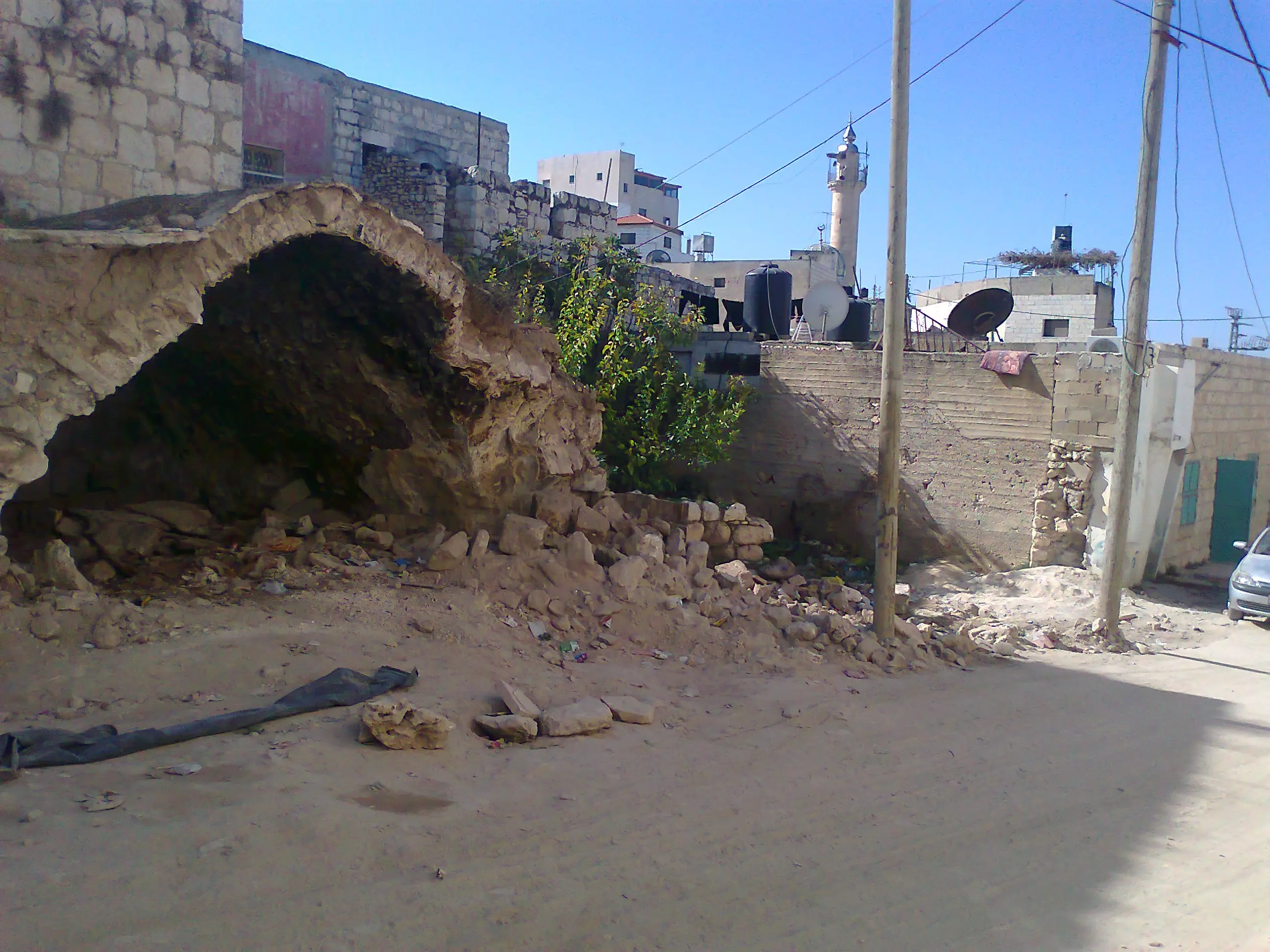
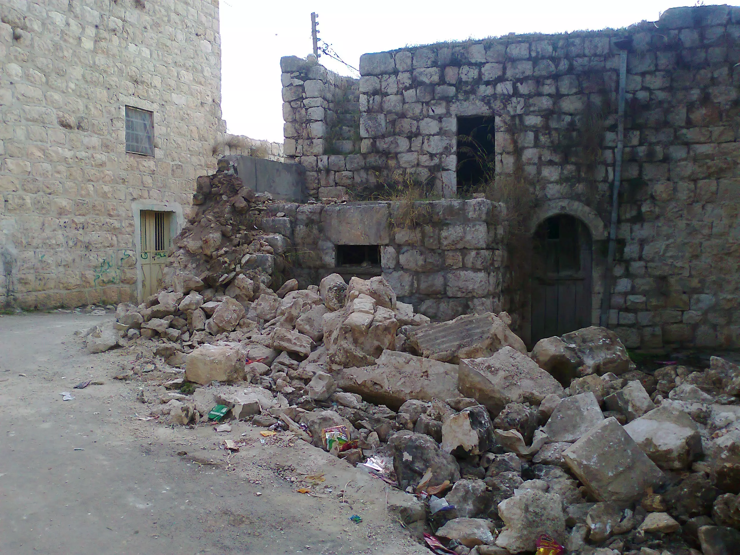
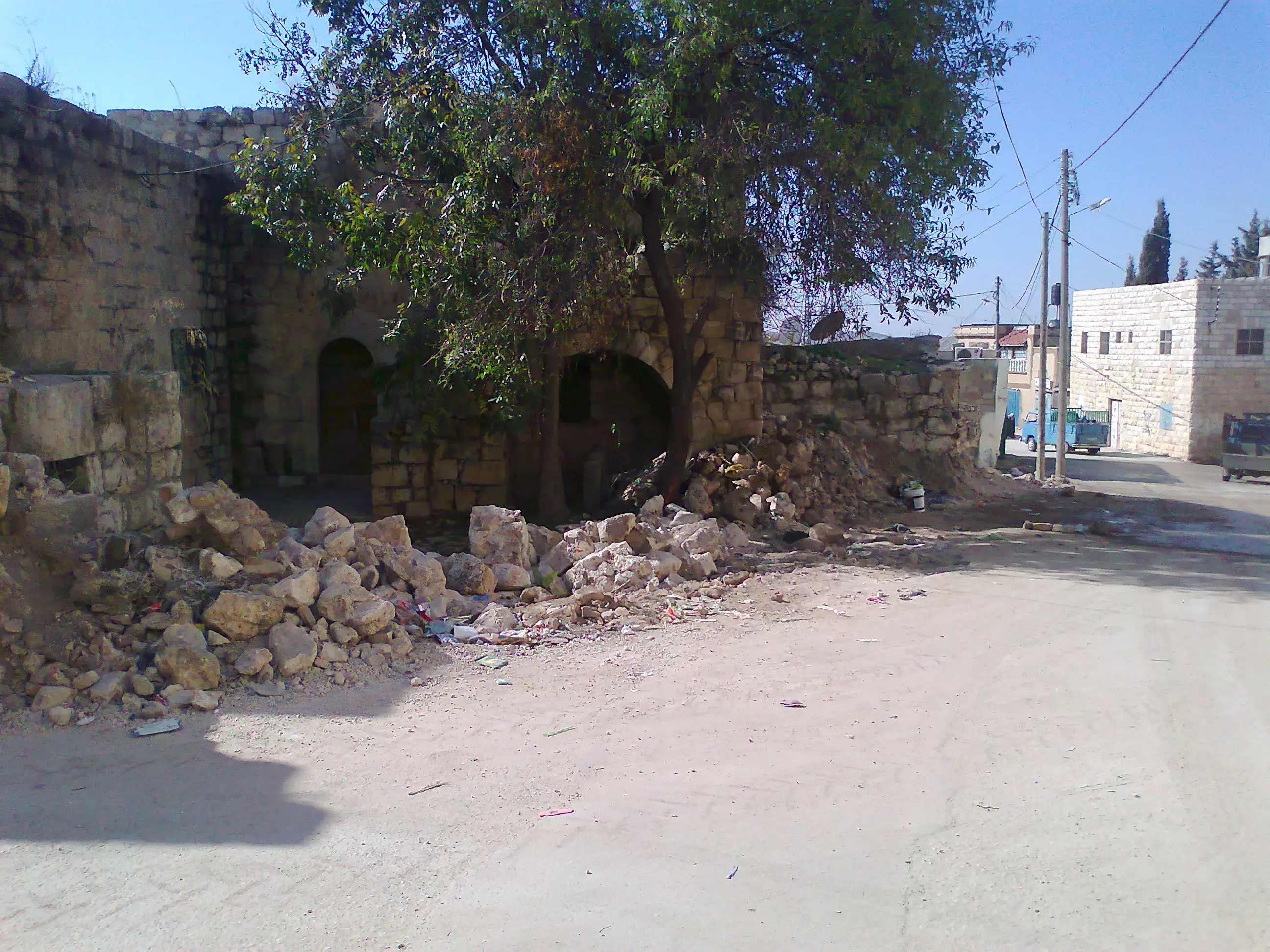
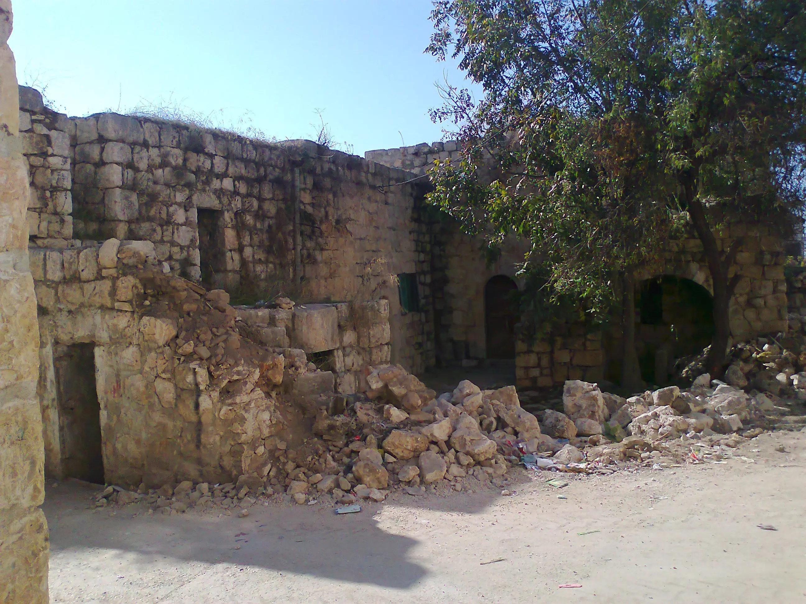
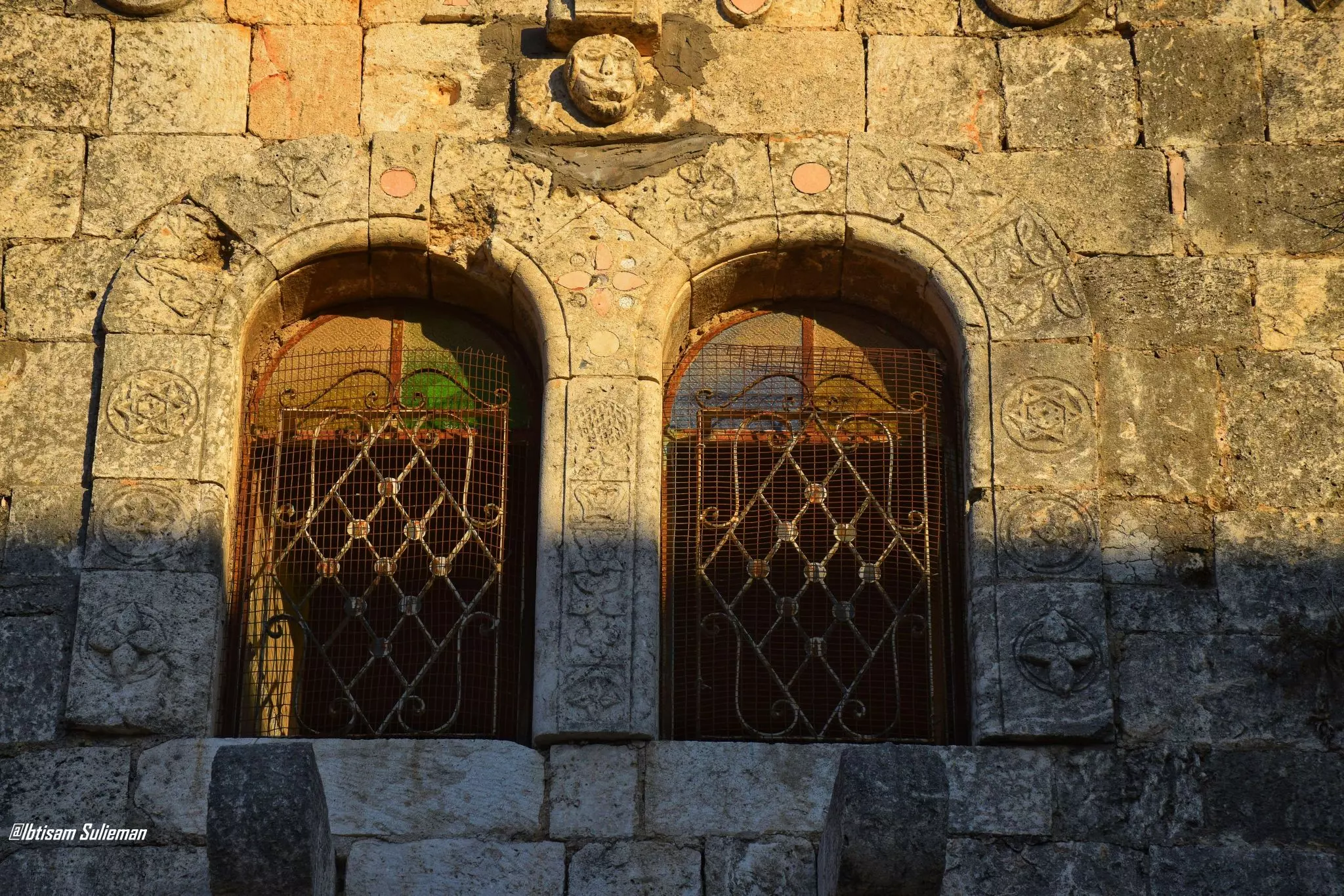
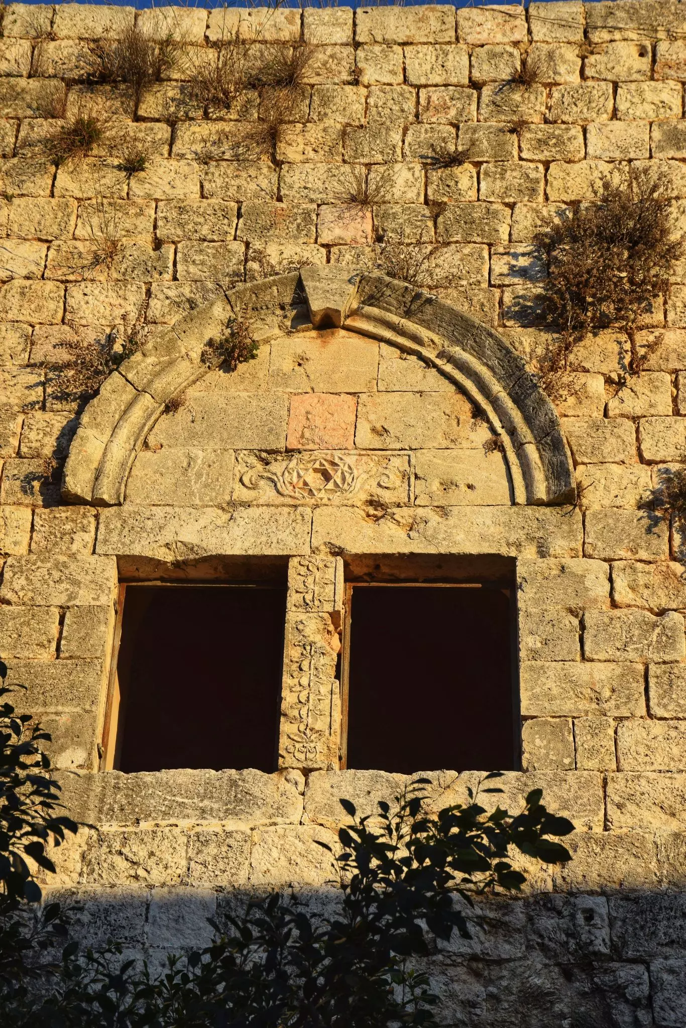
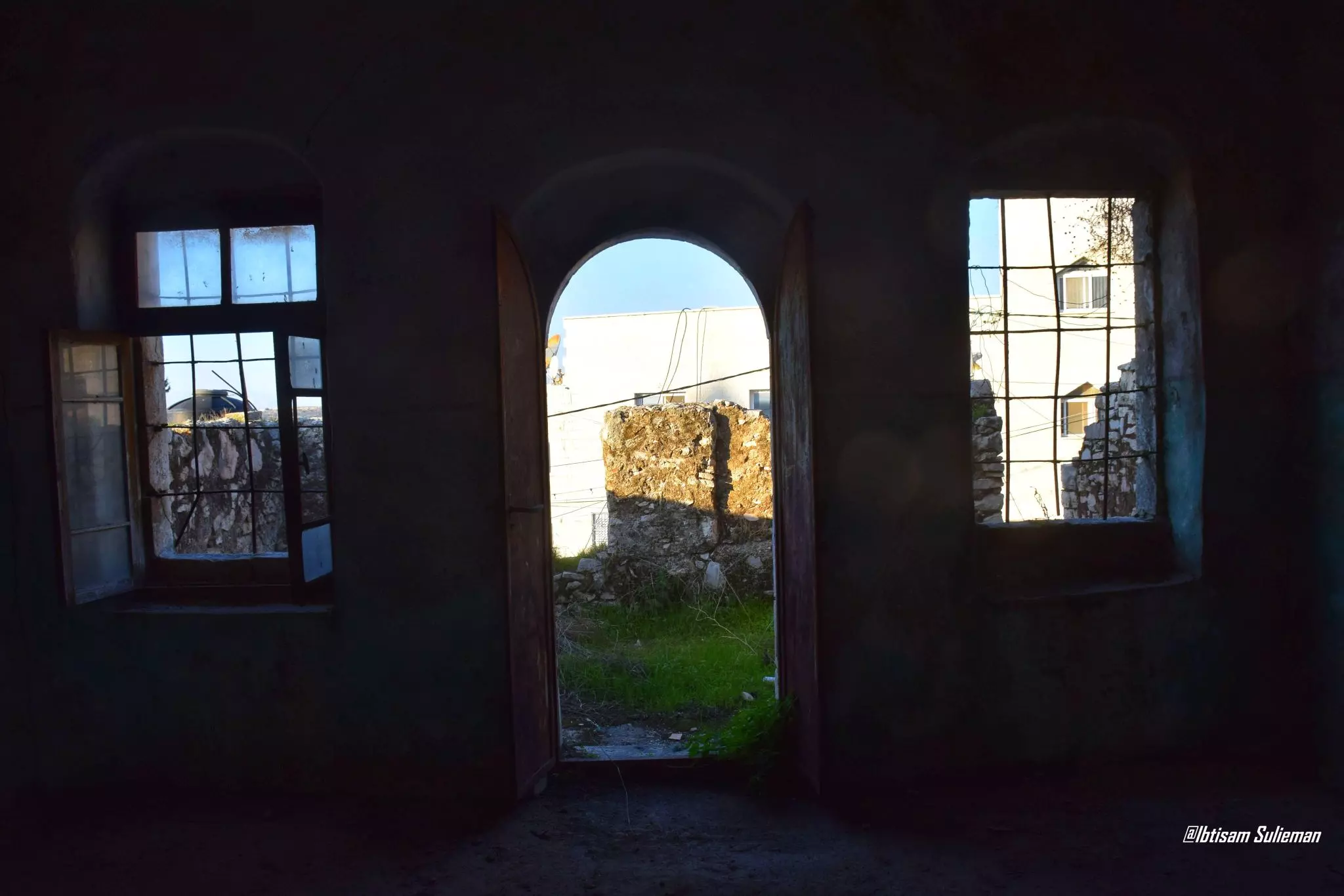
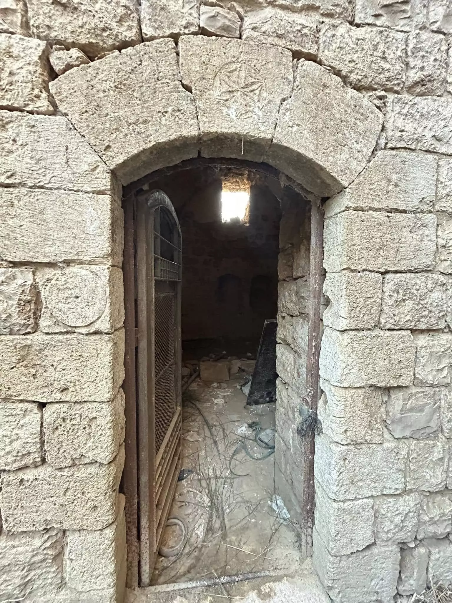
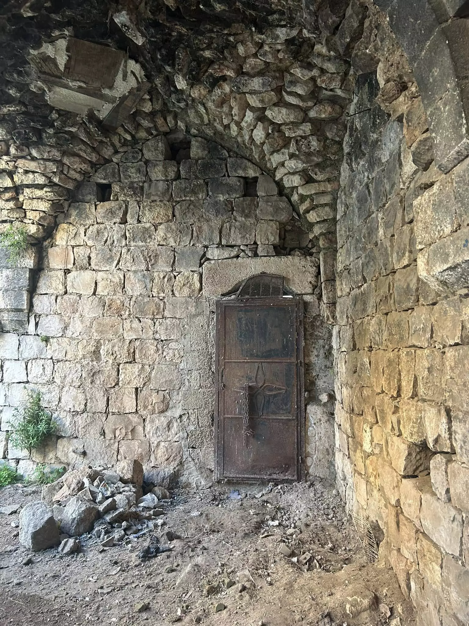
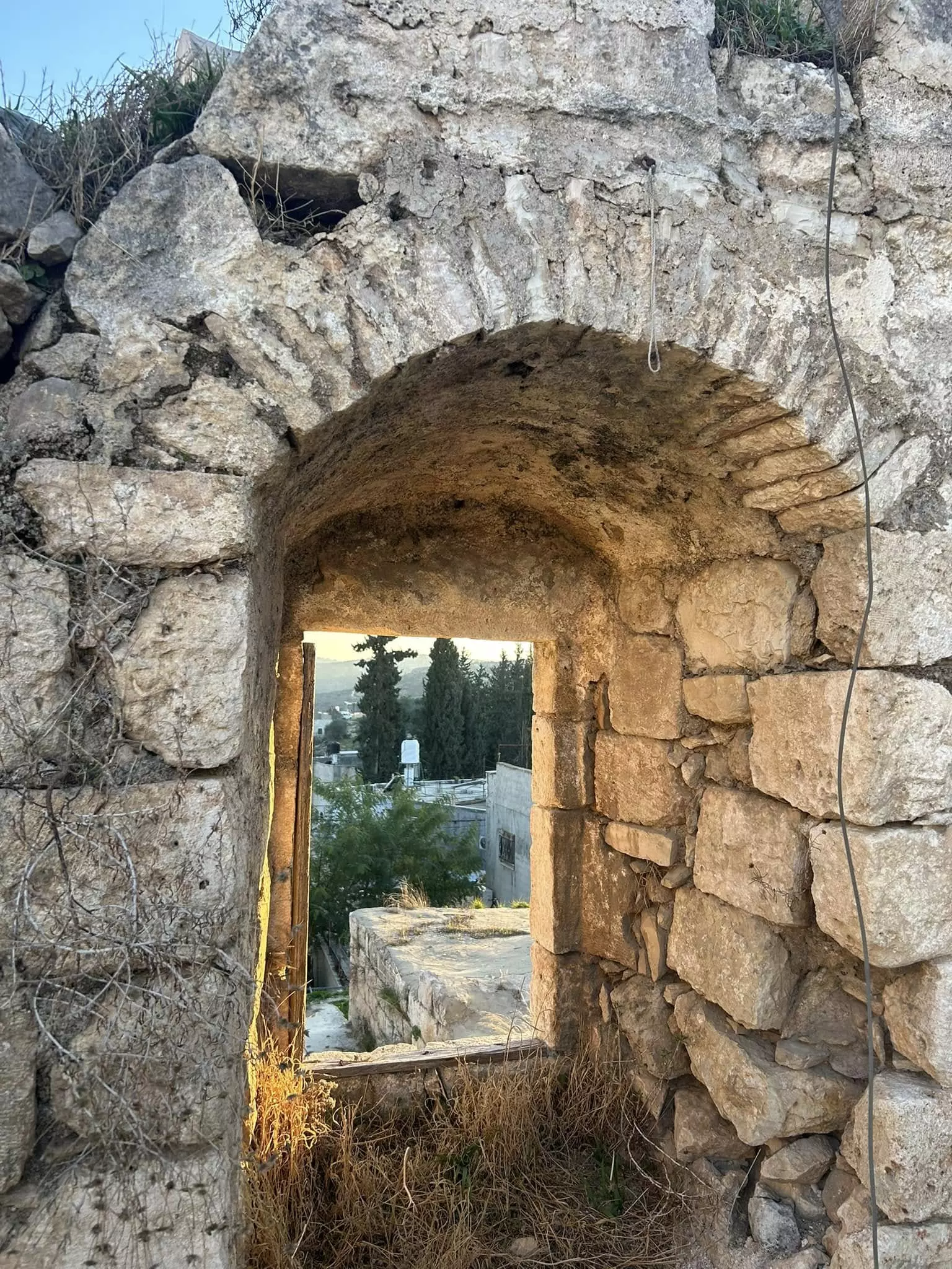
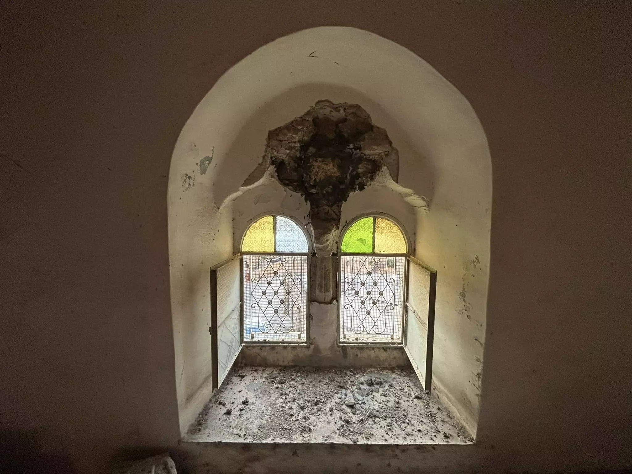
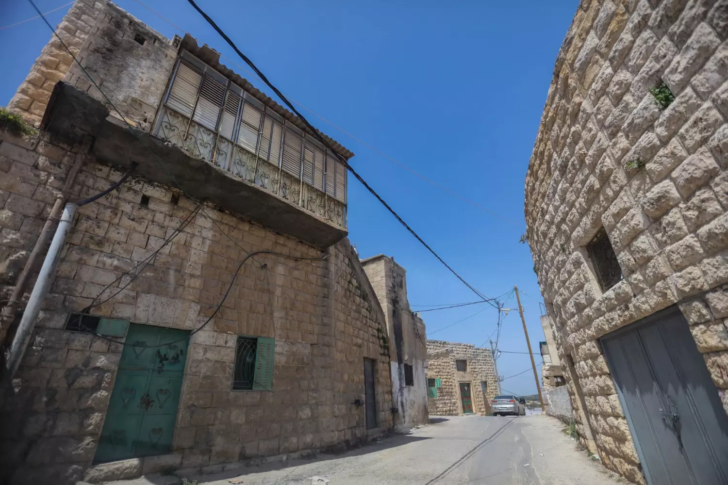
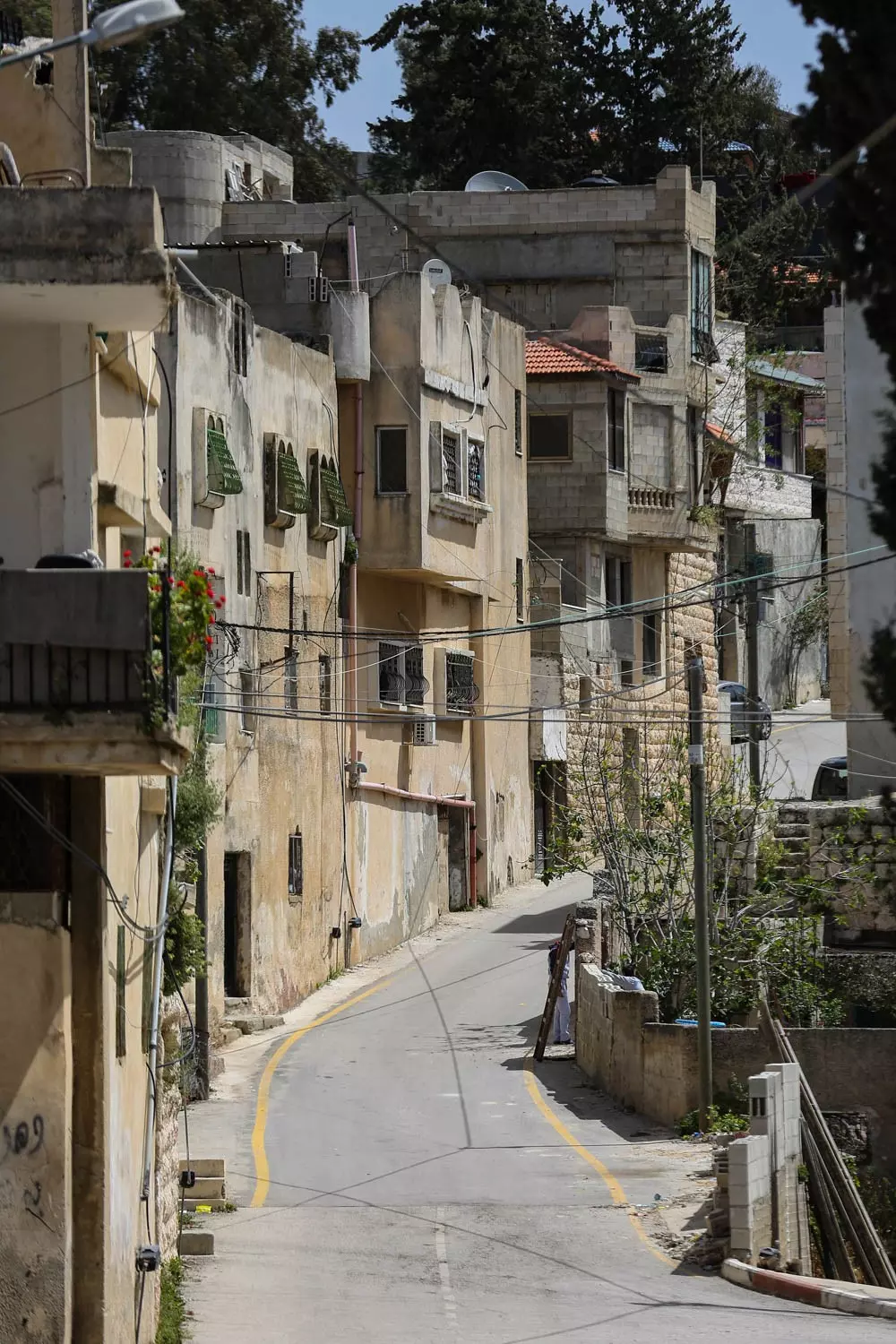
- جولة بين بيوت كفر الديك القديمة
- جولة بين بيوت كفر الديك القديمة #2
- جولة بين بيوت كفر الديك القديمة #3
- جولة بين بيوت كفر الديك القديمة #4
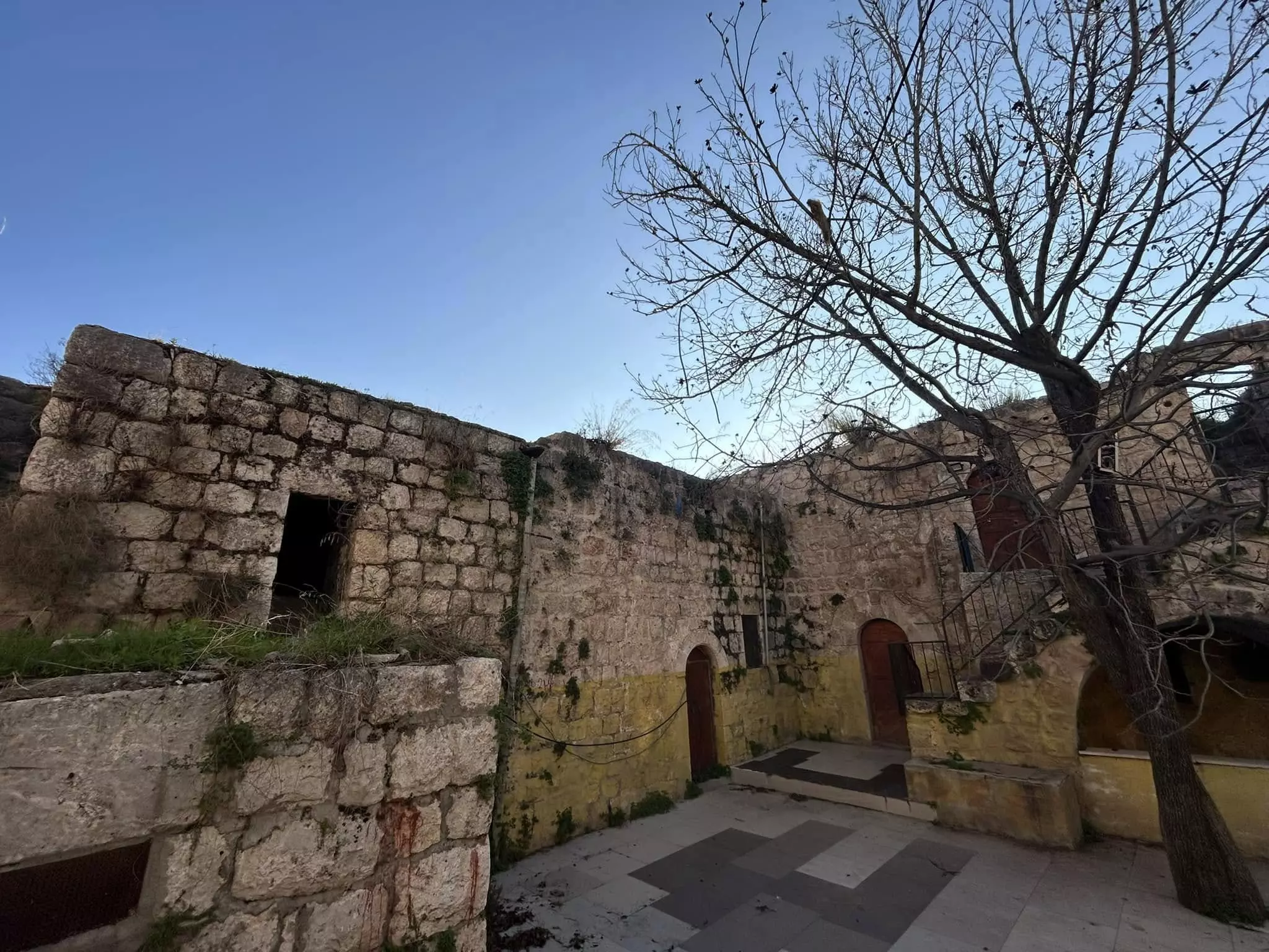
- جولة بين بيوت كفر الديك القديمة #5
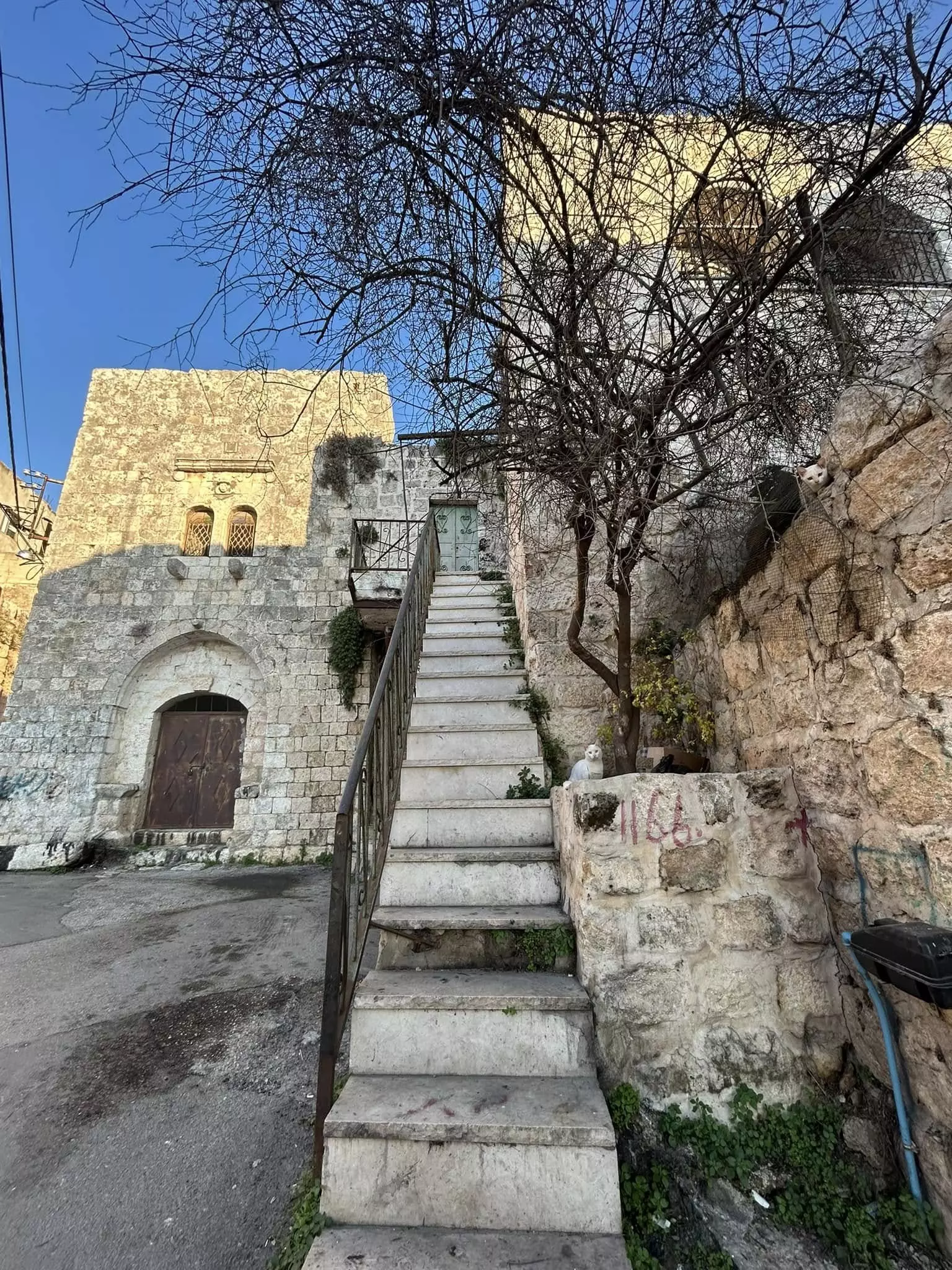
- جولة بين بيوت كفر الديك القديمة #6
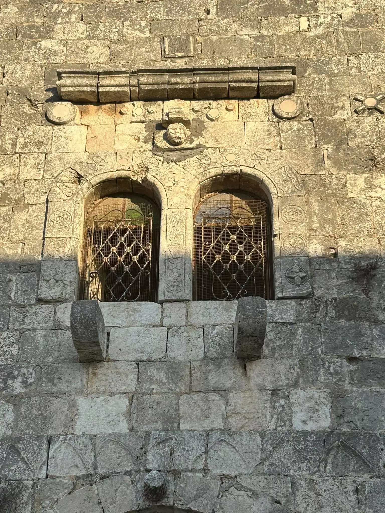
- جولة بين بيوت كفر الديك القديمة #7
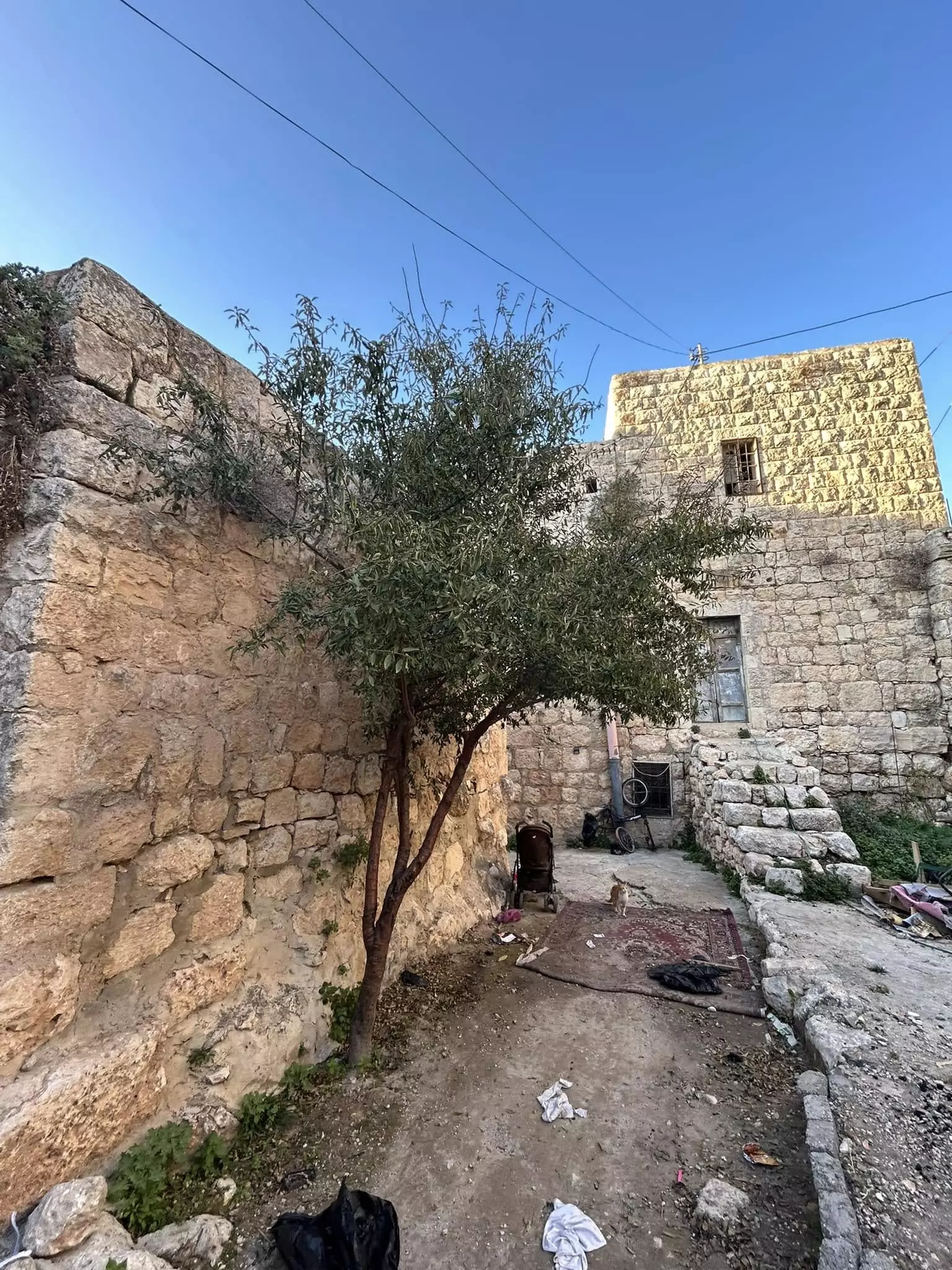
- جولة بين بيوت كفر الديك القديمة #8
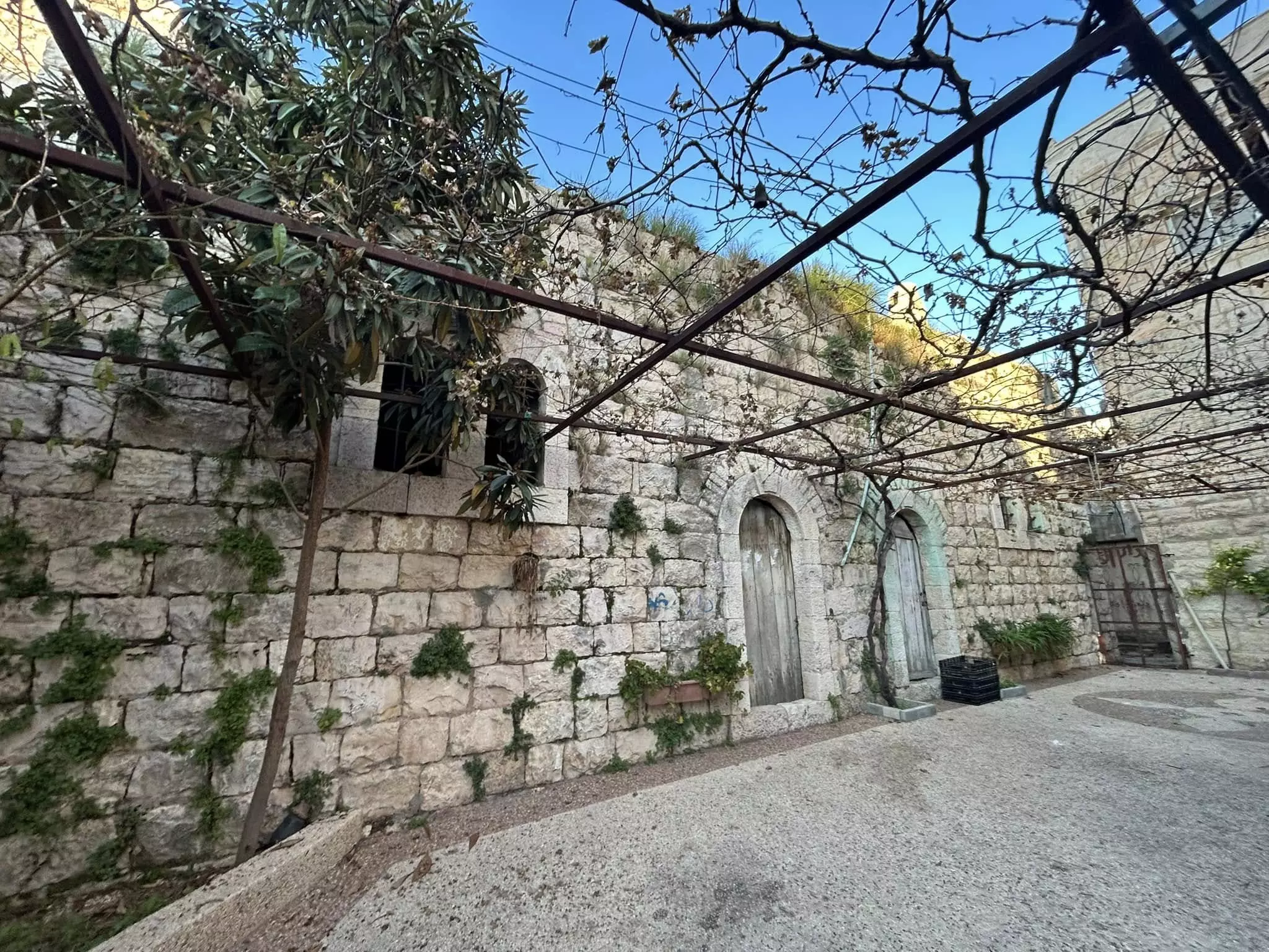
- جولة بين بيوت كفر الديك القديمة #9
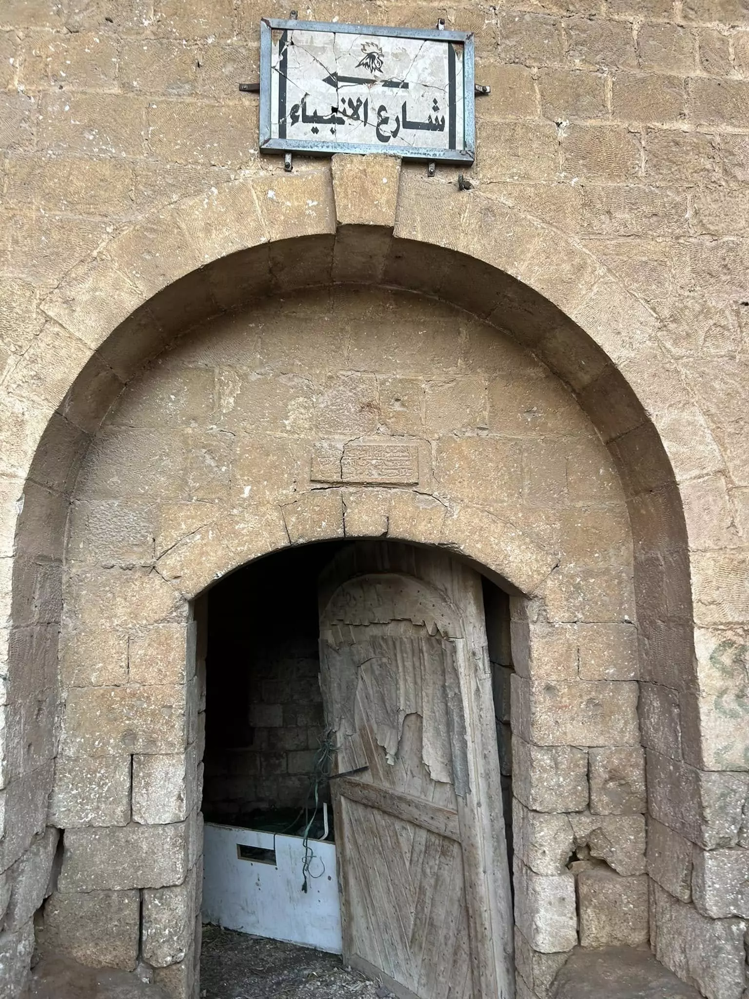
- جولة بين بيوت كفر الديك القديمة #10
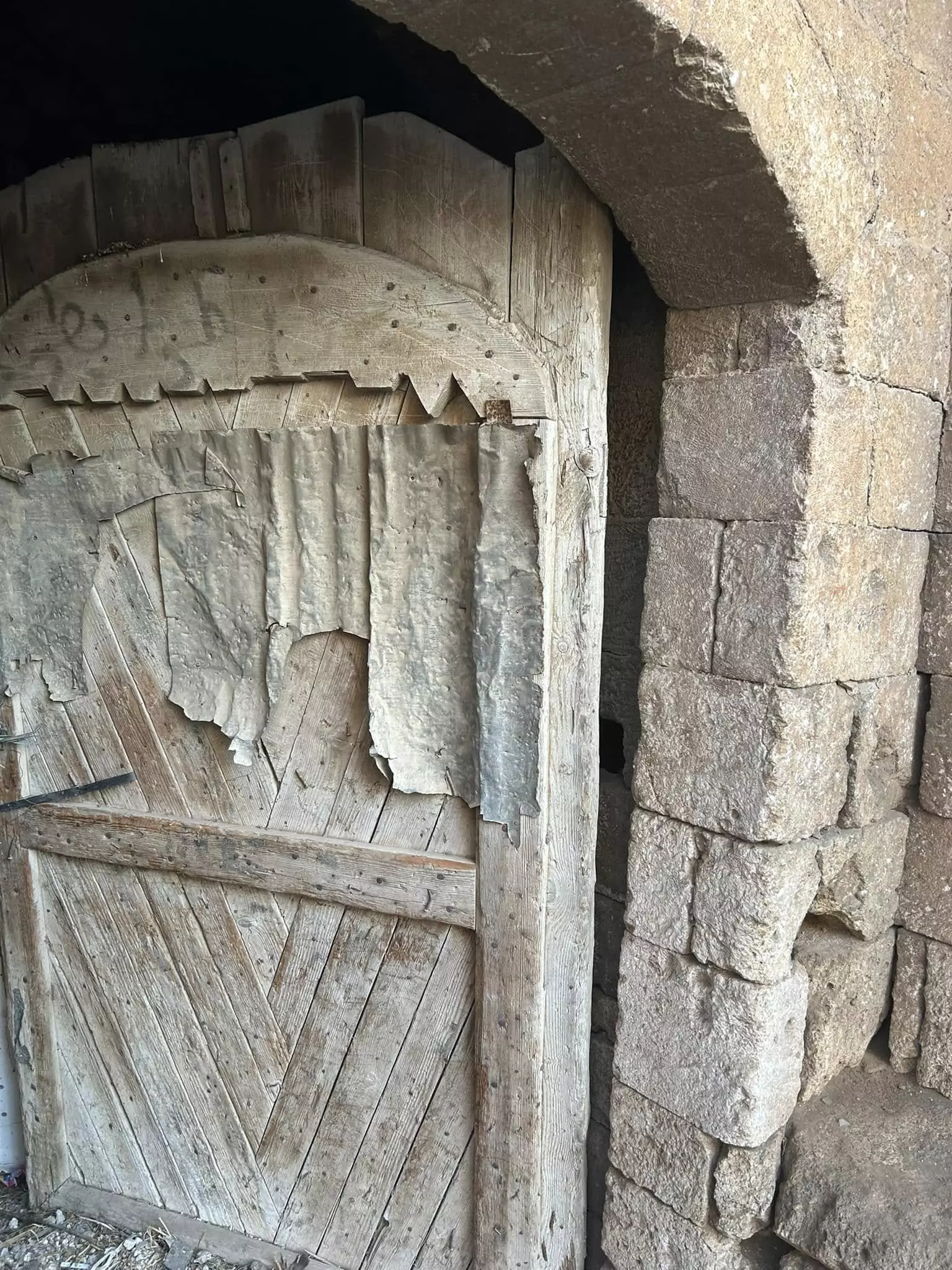
- جولة بين بيوت كفر الديك القديمة #11
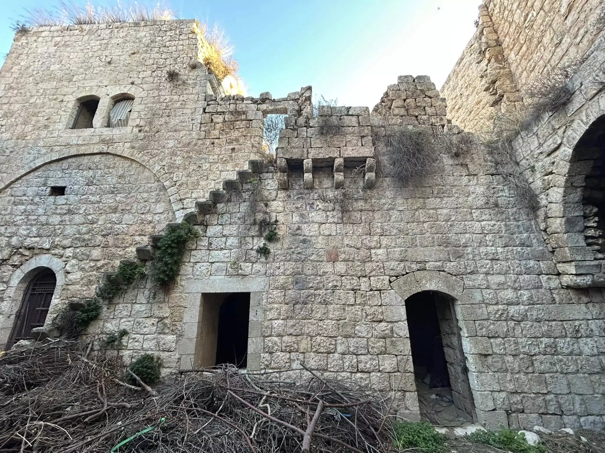
- جولة بين بيوت كفر الديك القديمة #12
- جولة بين بيوت كفر الديك القديمة #13
- جولة بين بيوت كفر الديك القديمة #14
- جولة بين بيوت كفر الديك القديمة #15
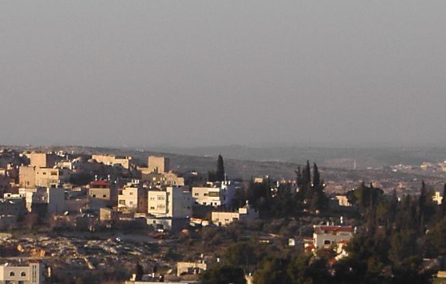
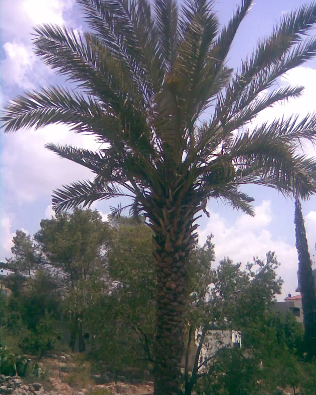
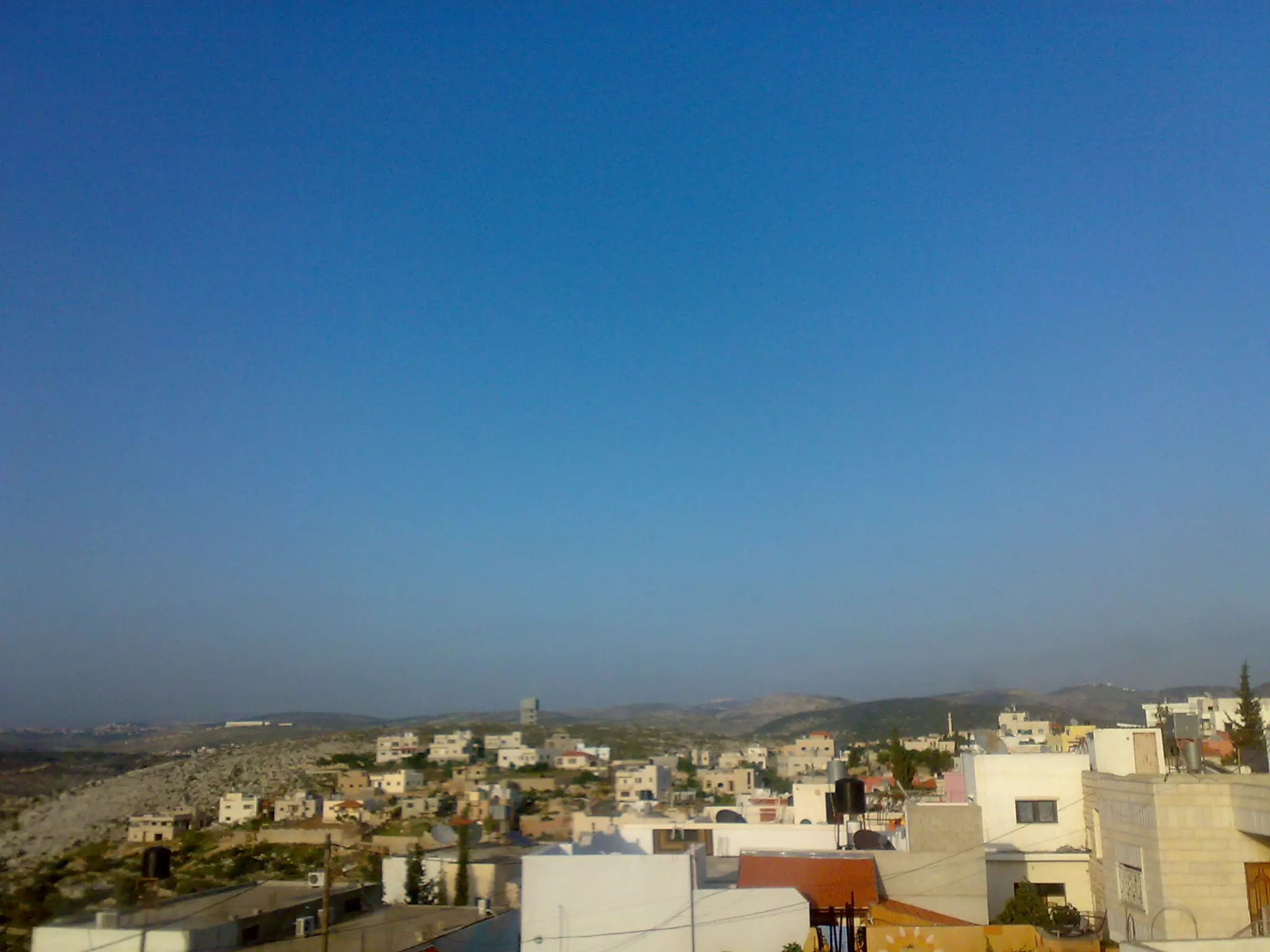
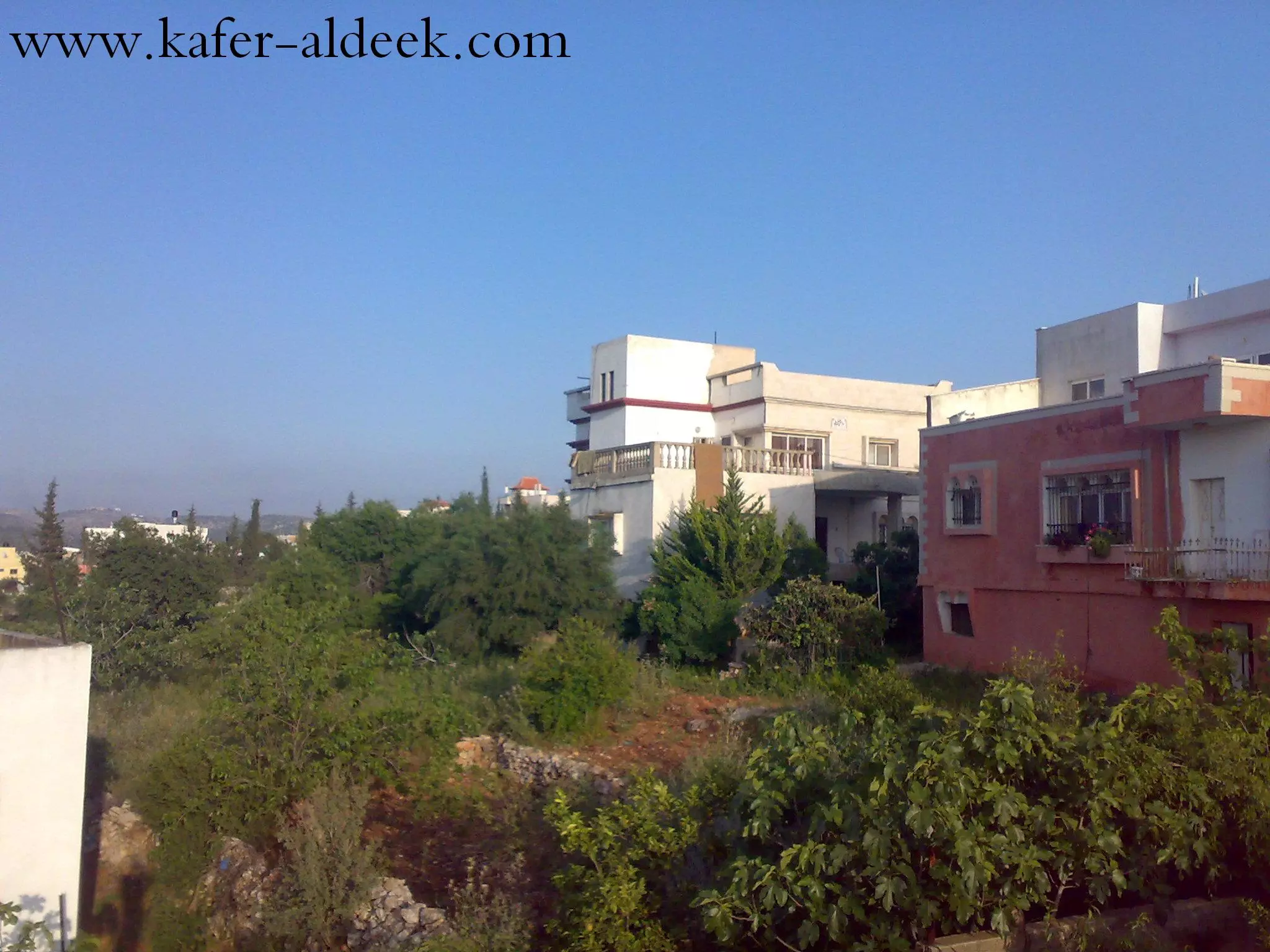
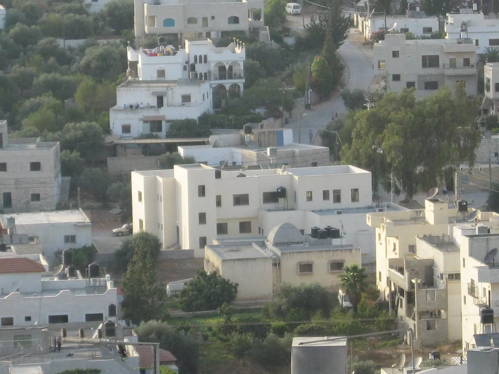
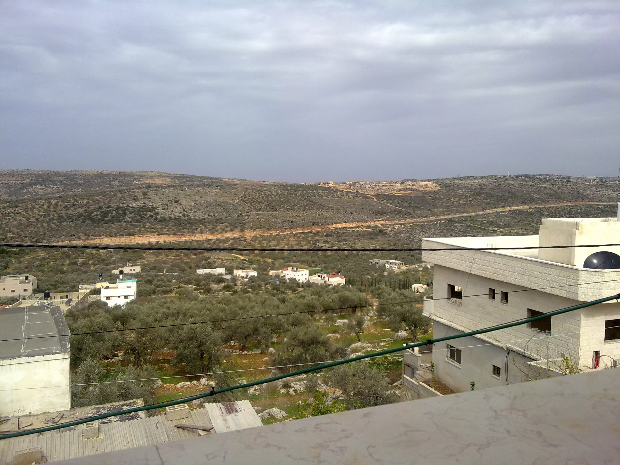
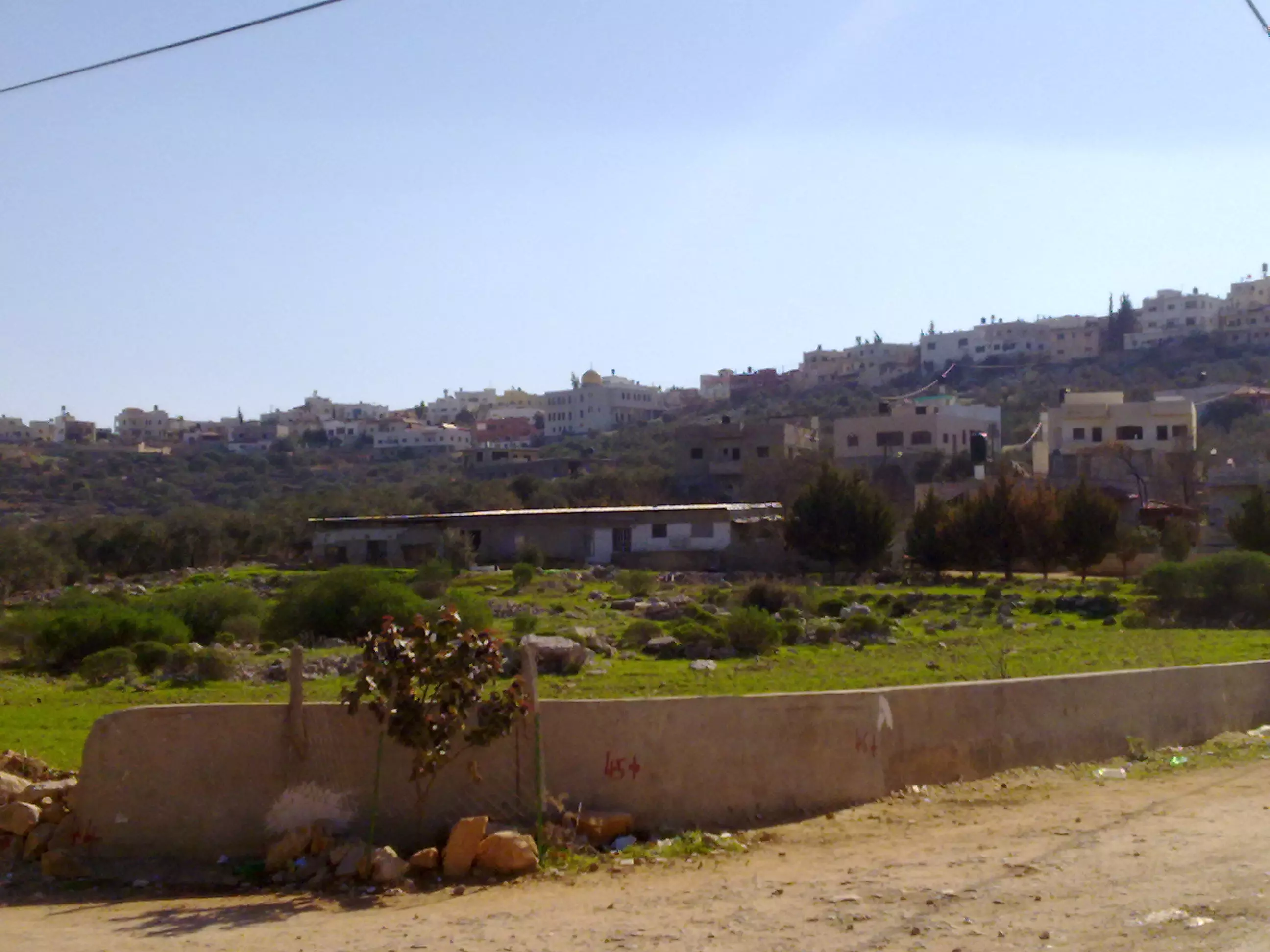
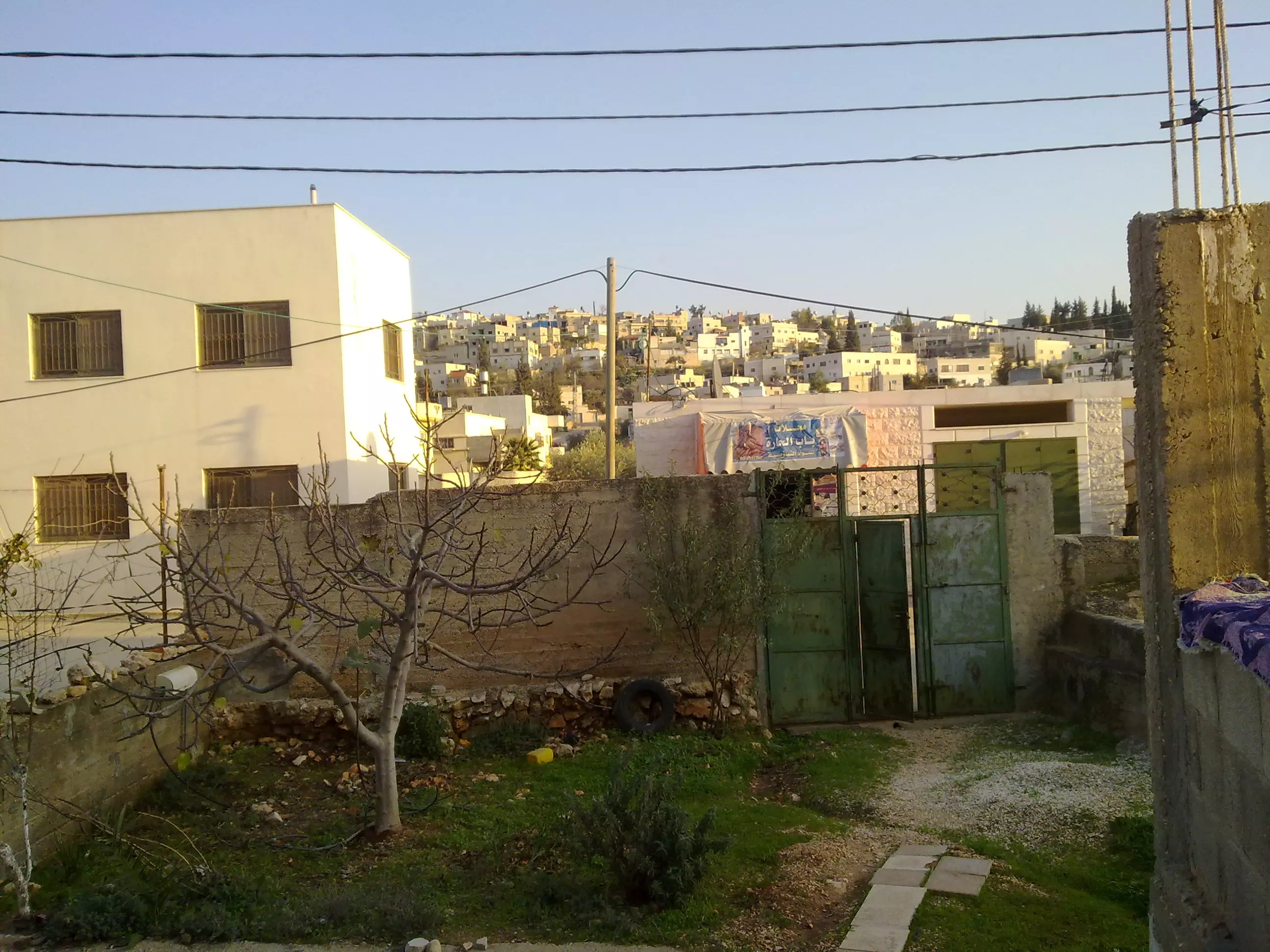
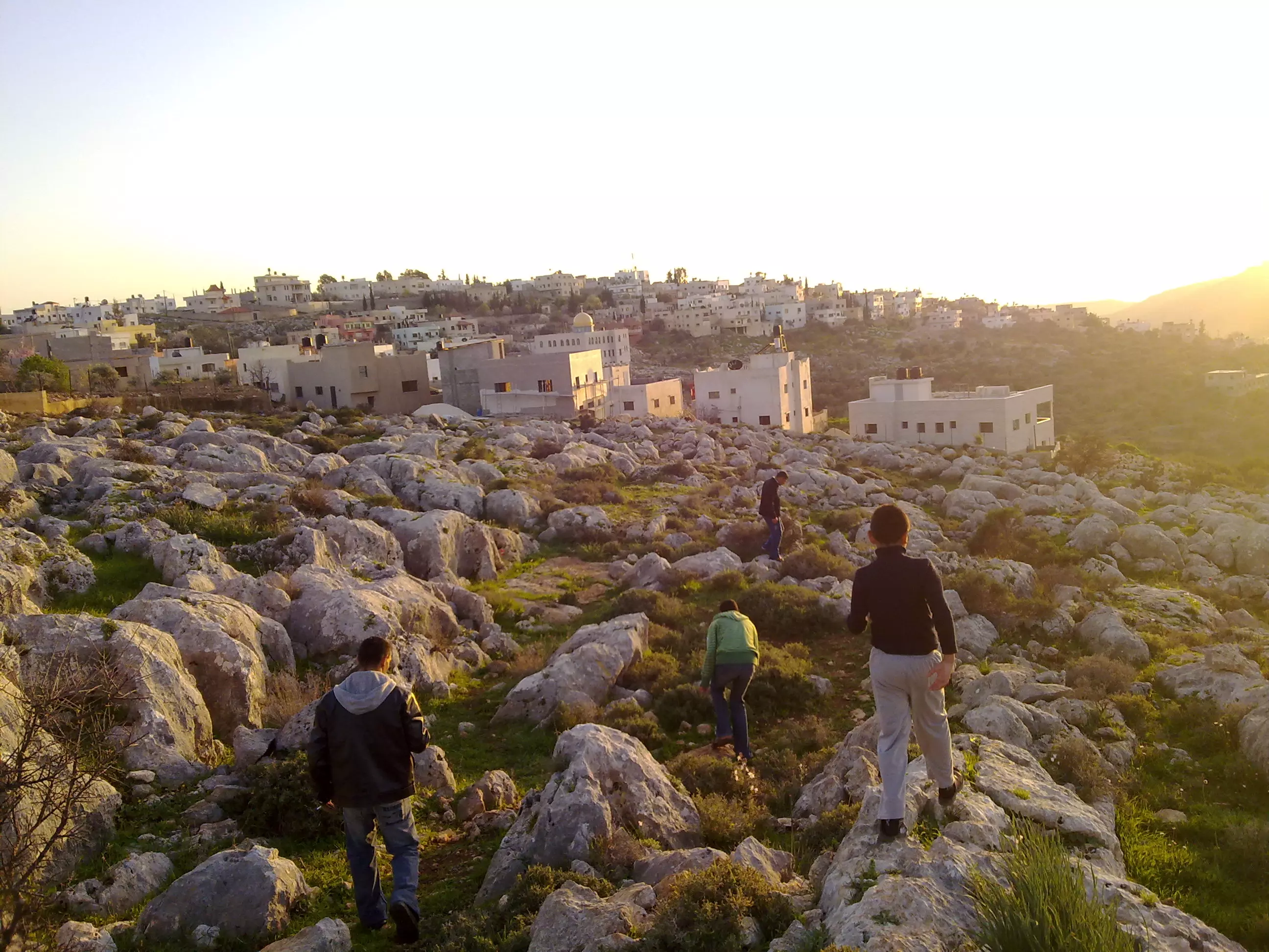
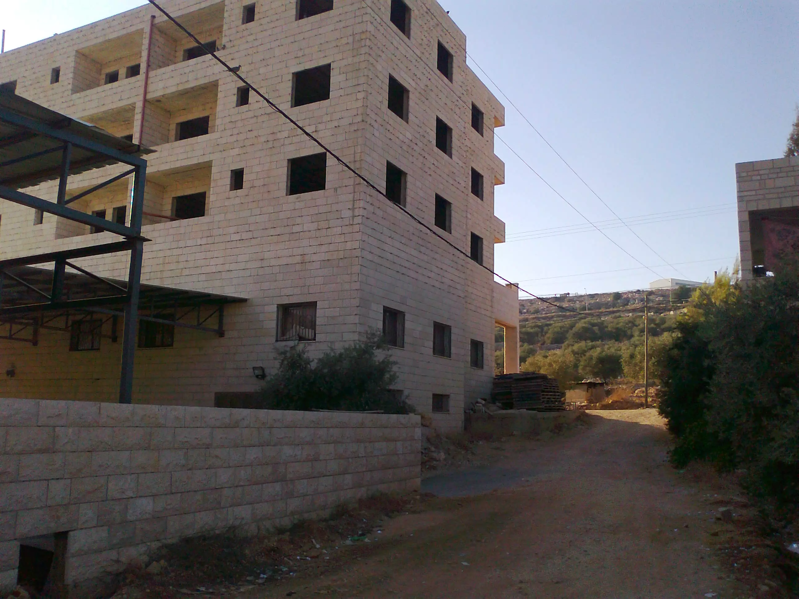
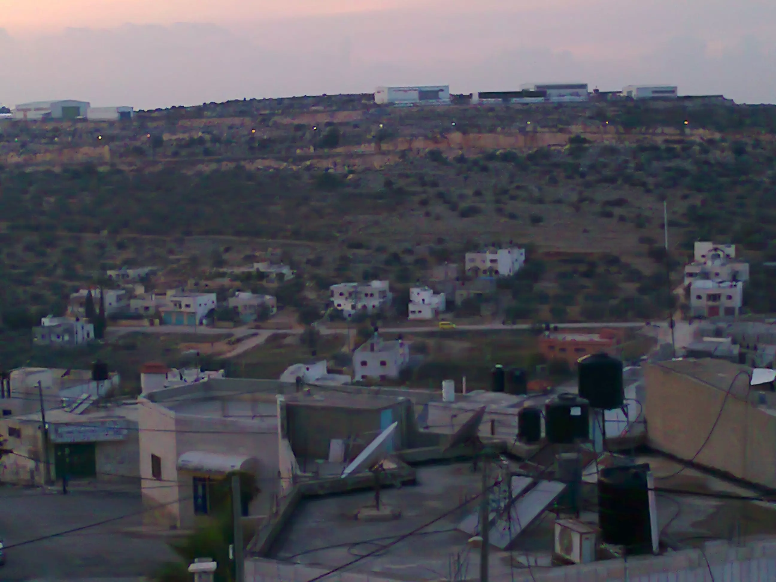
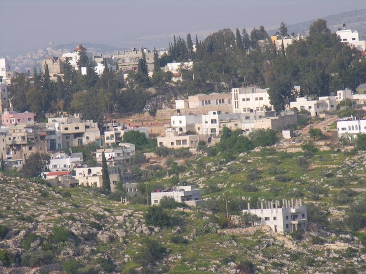
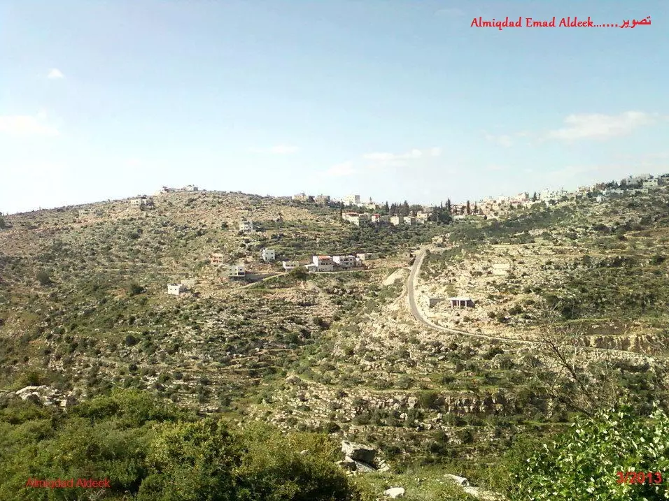
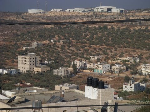
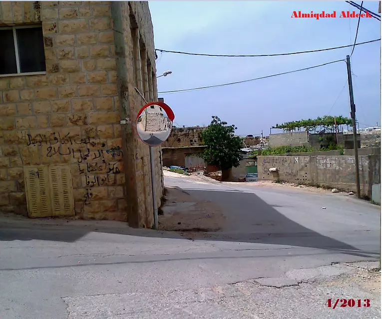
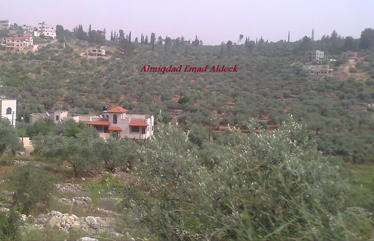
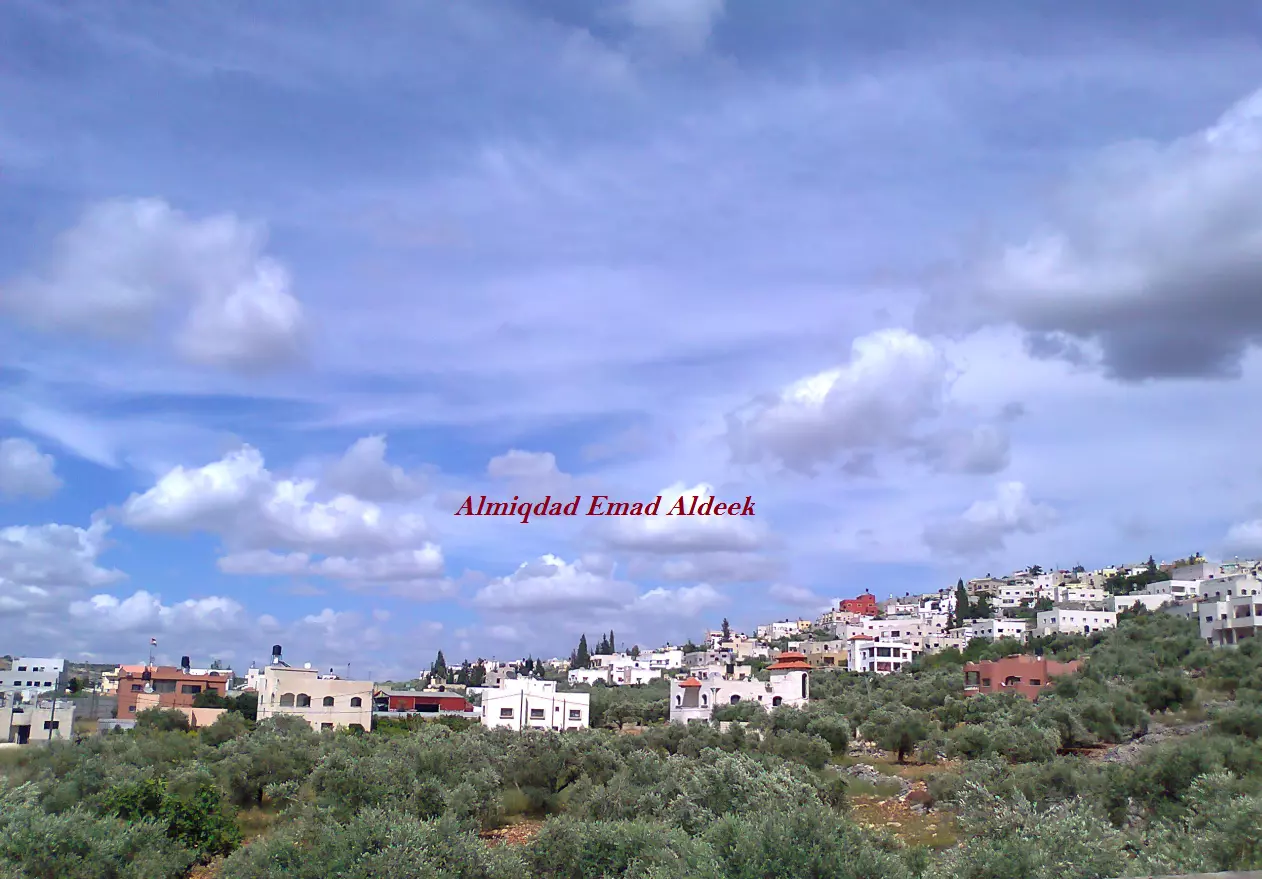
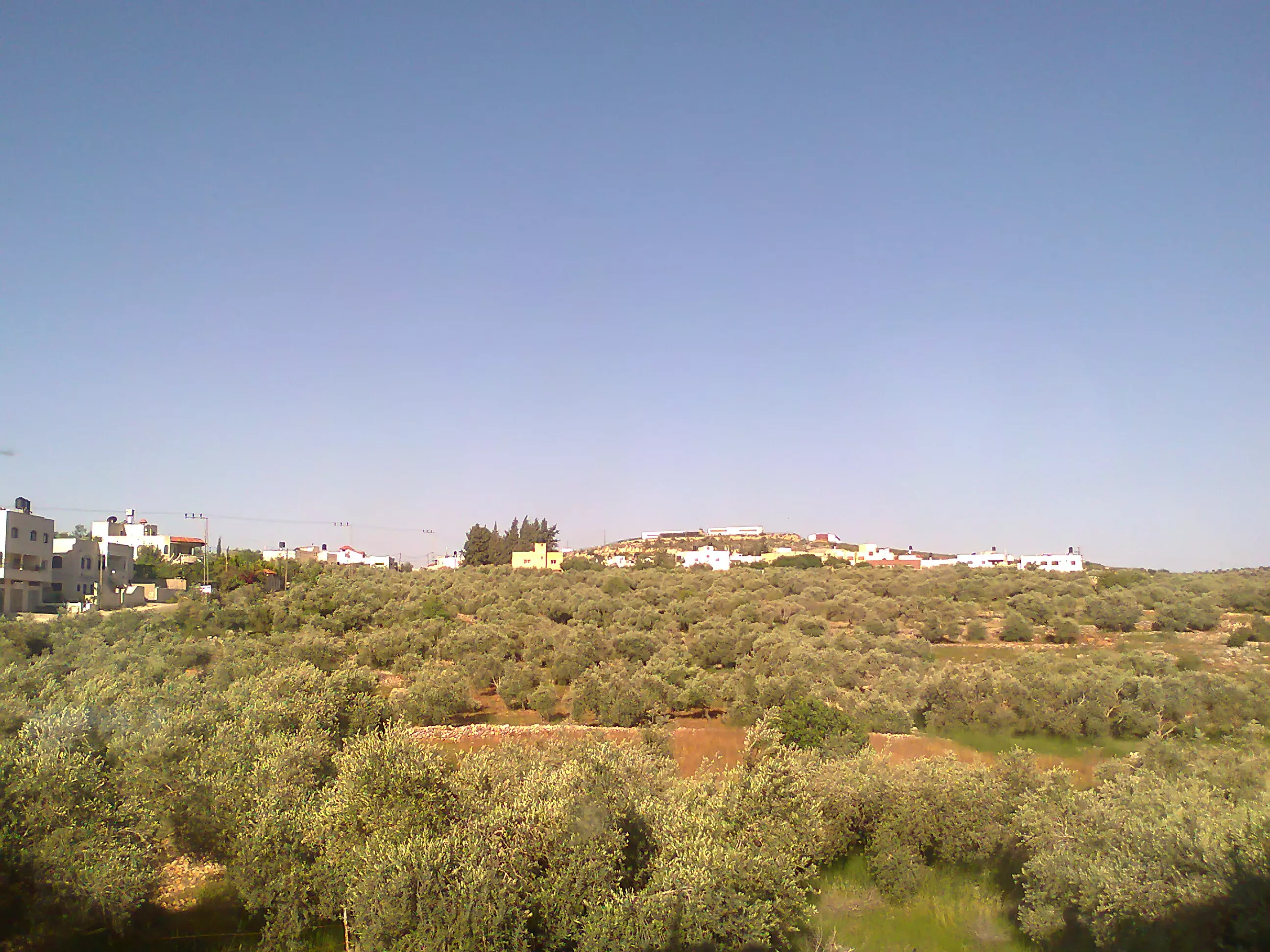
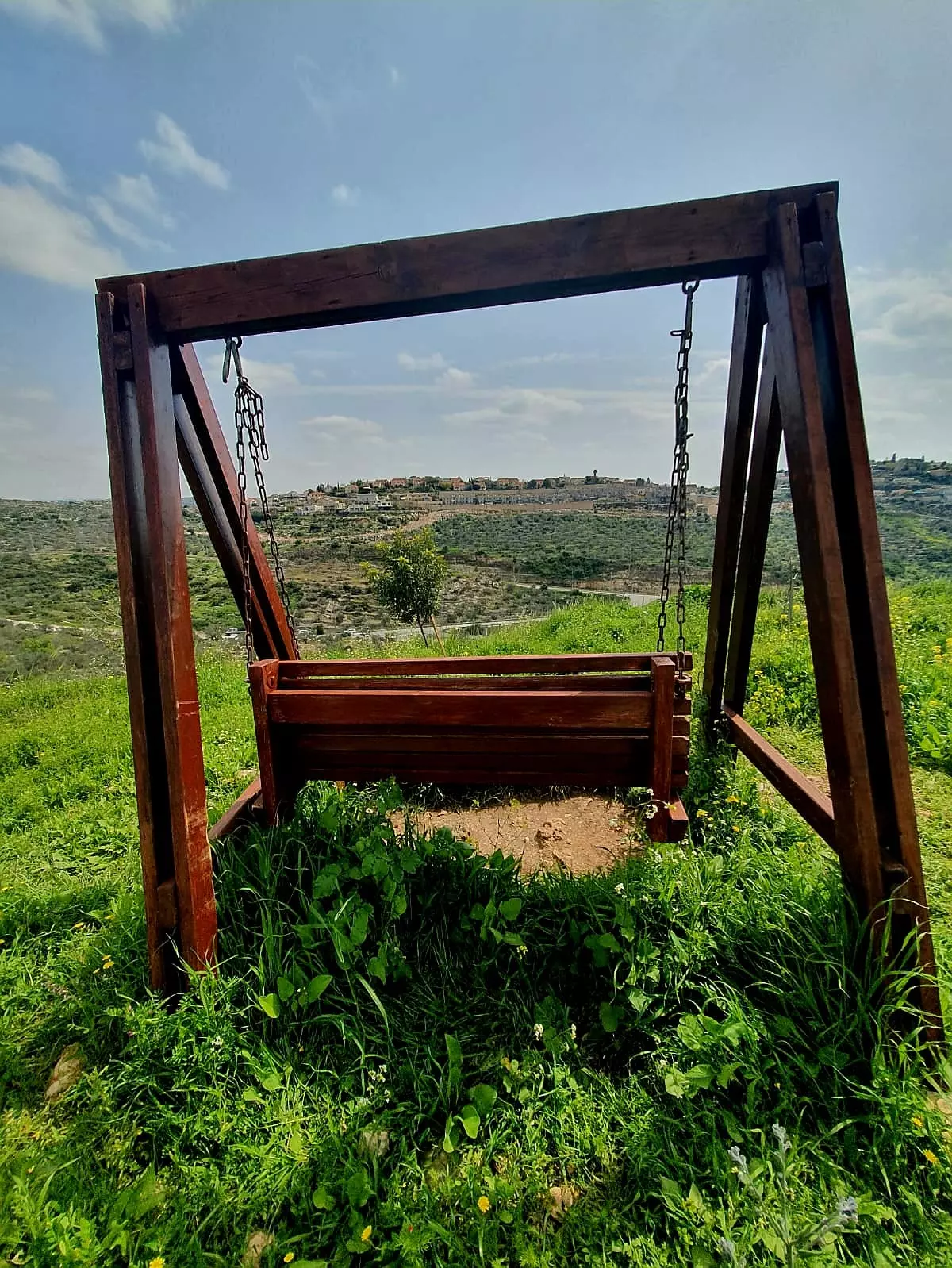
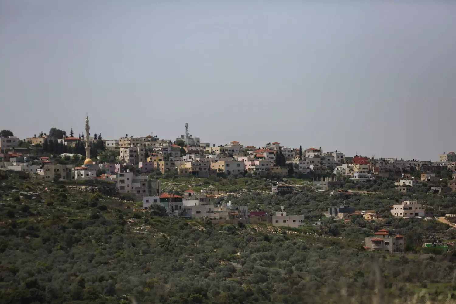
- General View, 2012
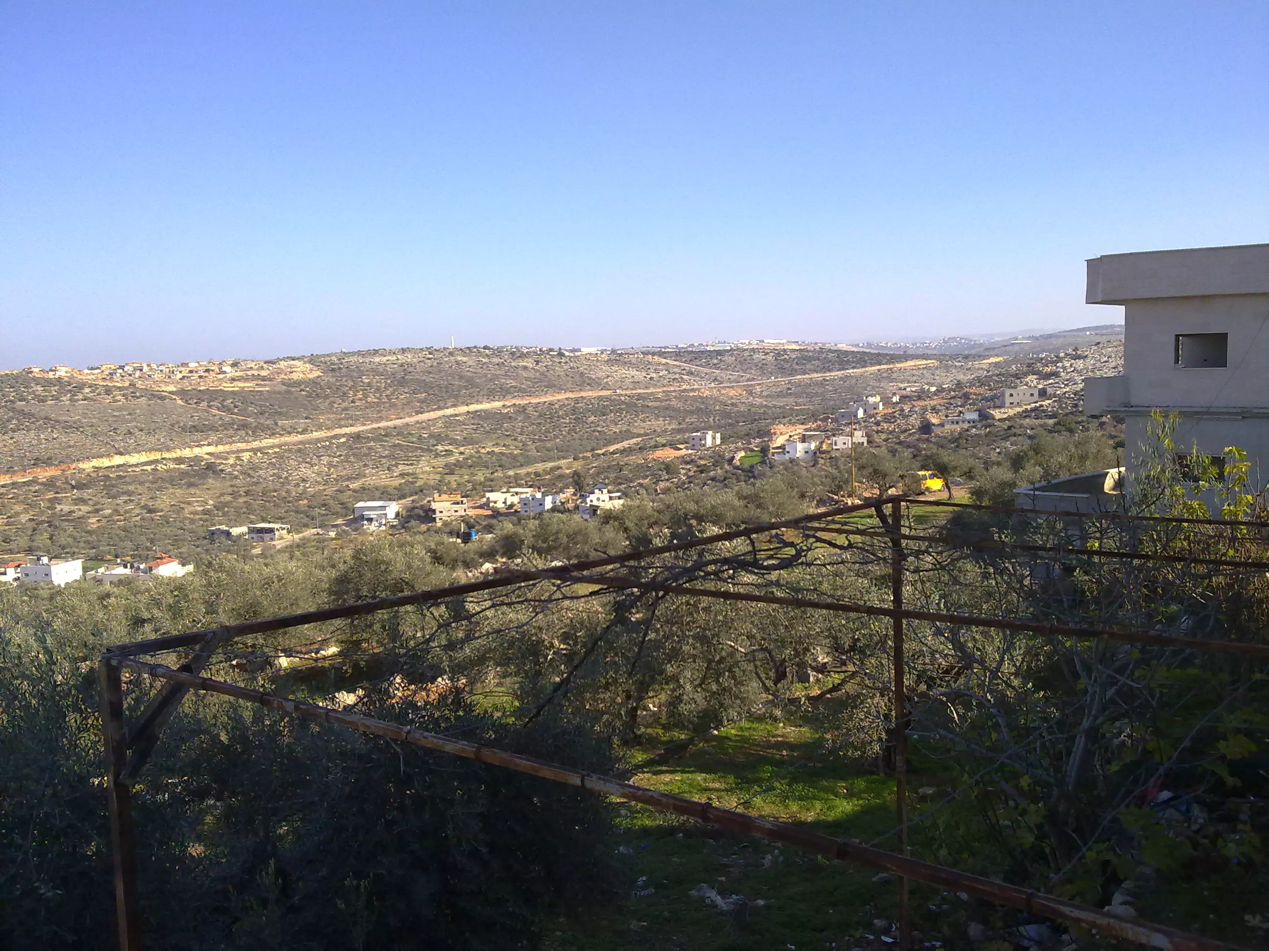
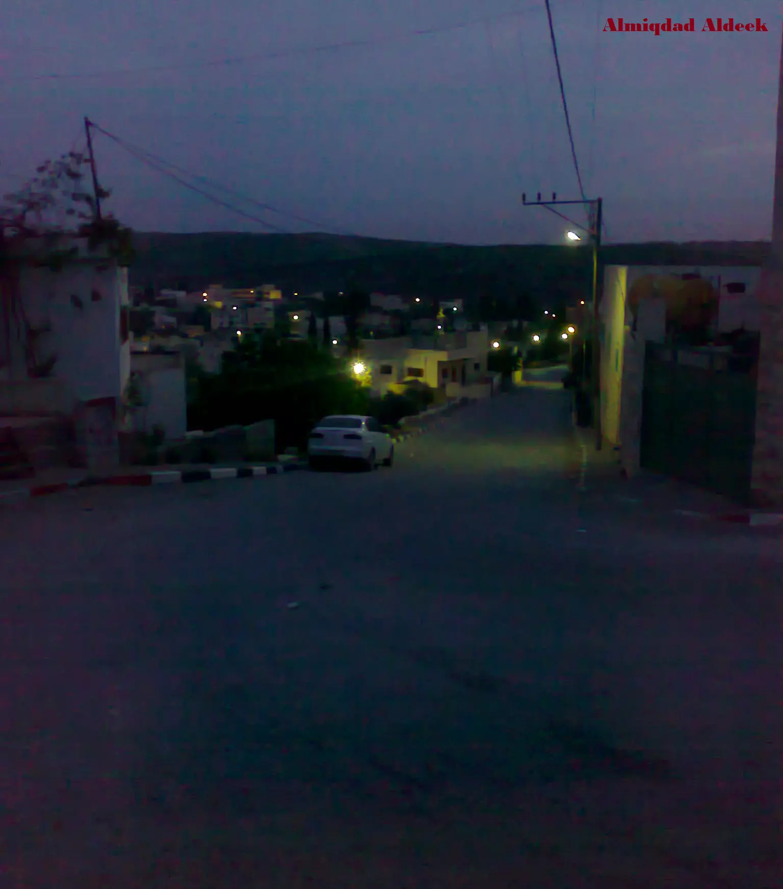
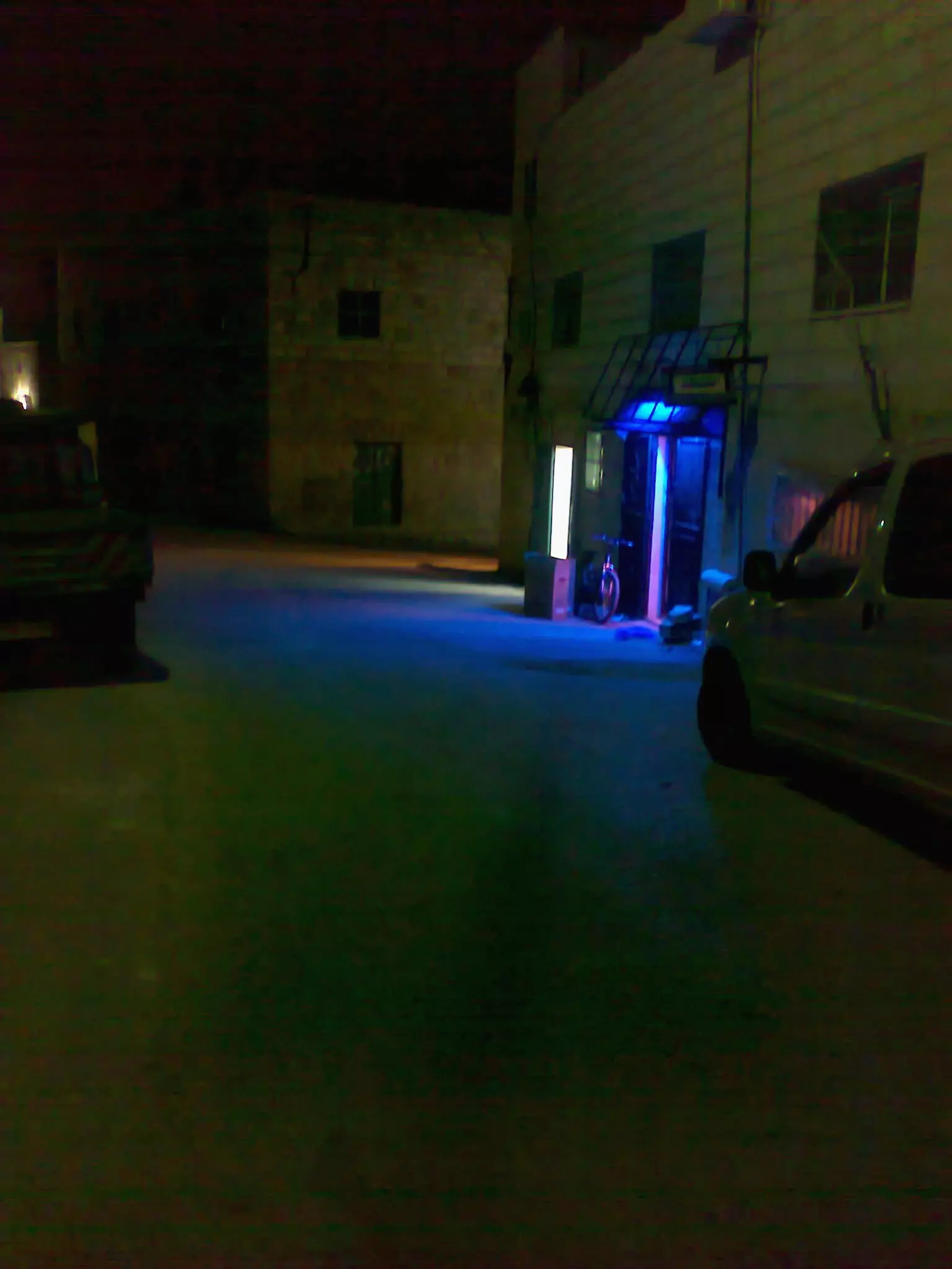
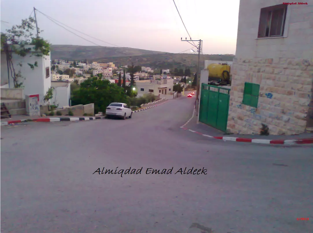
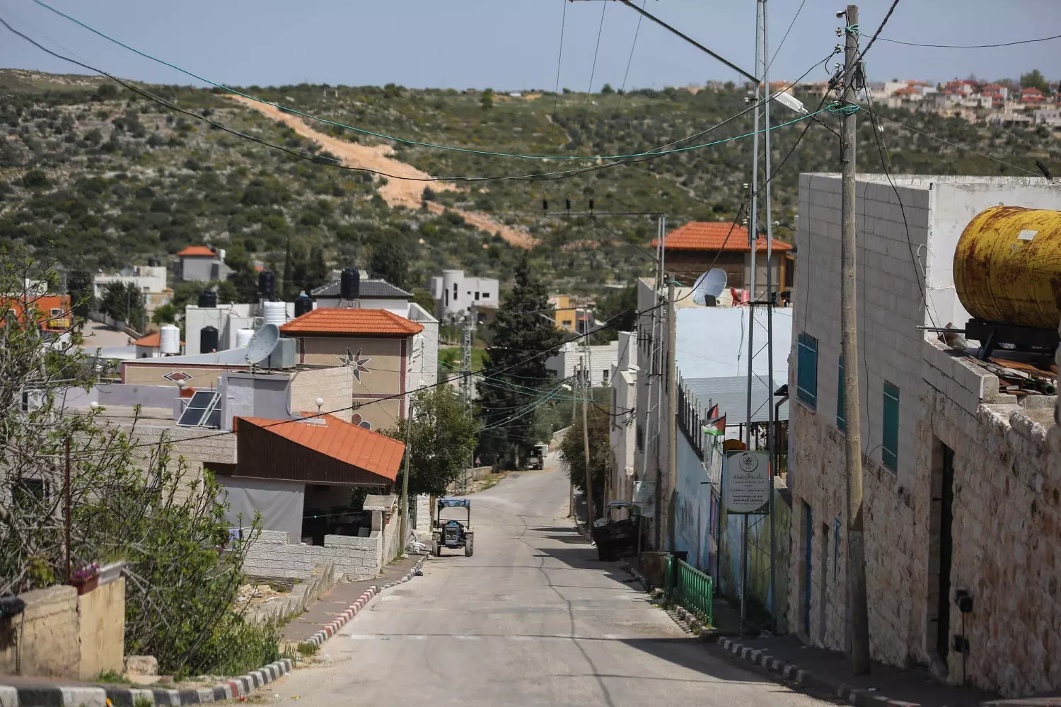
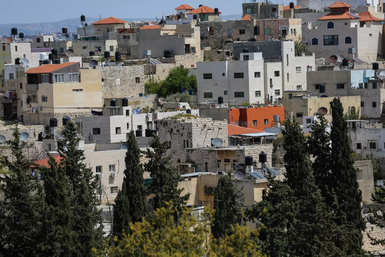
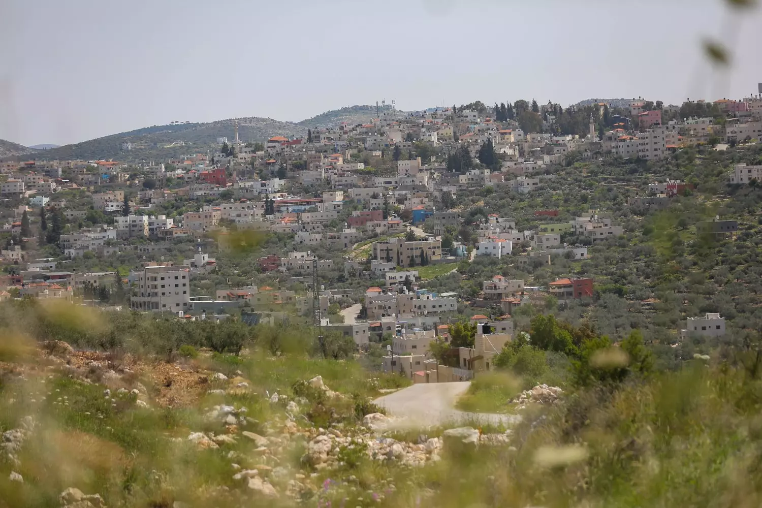
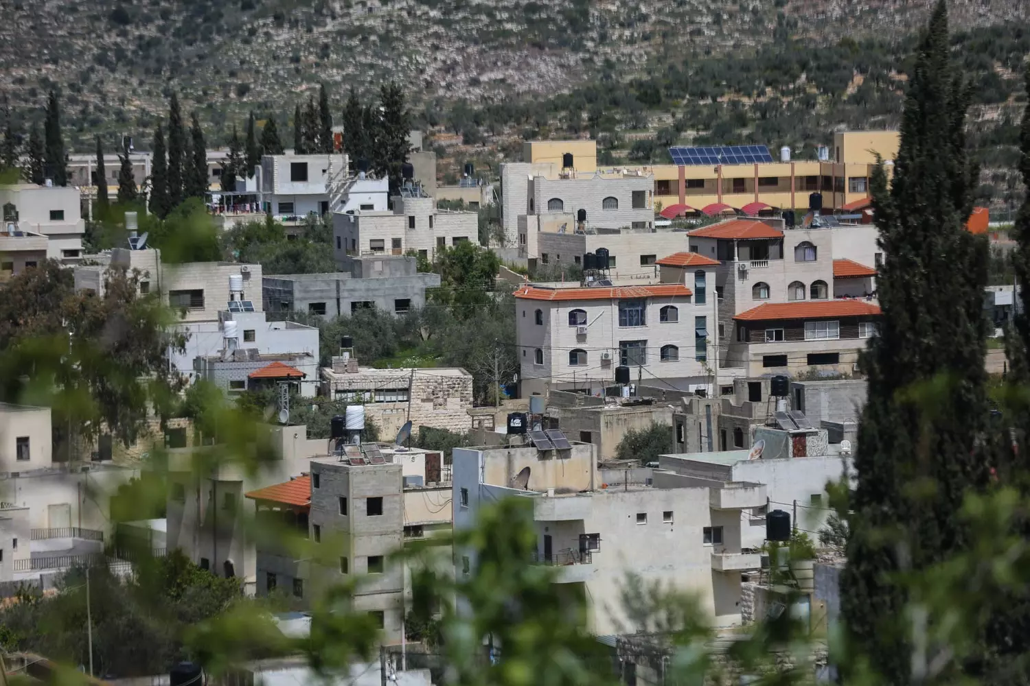
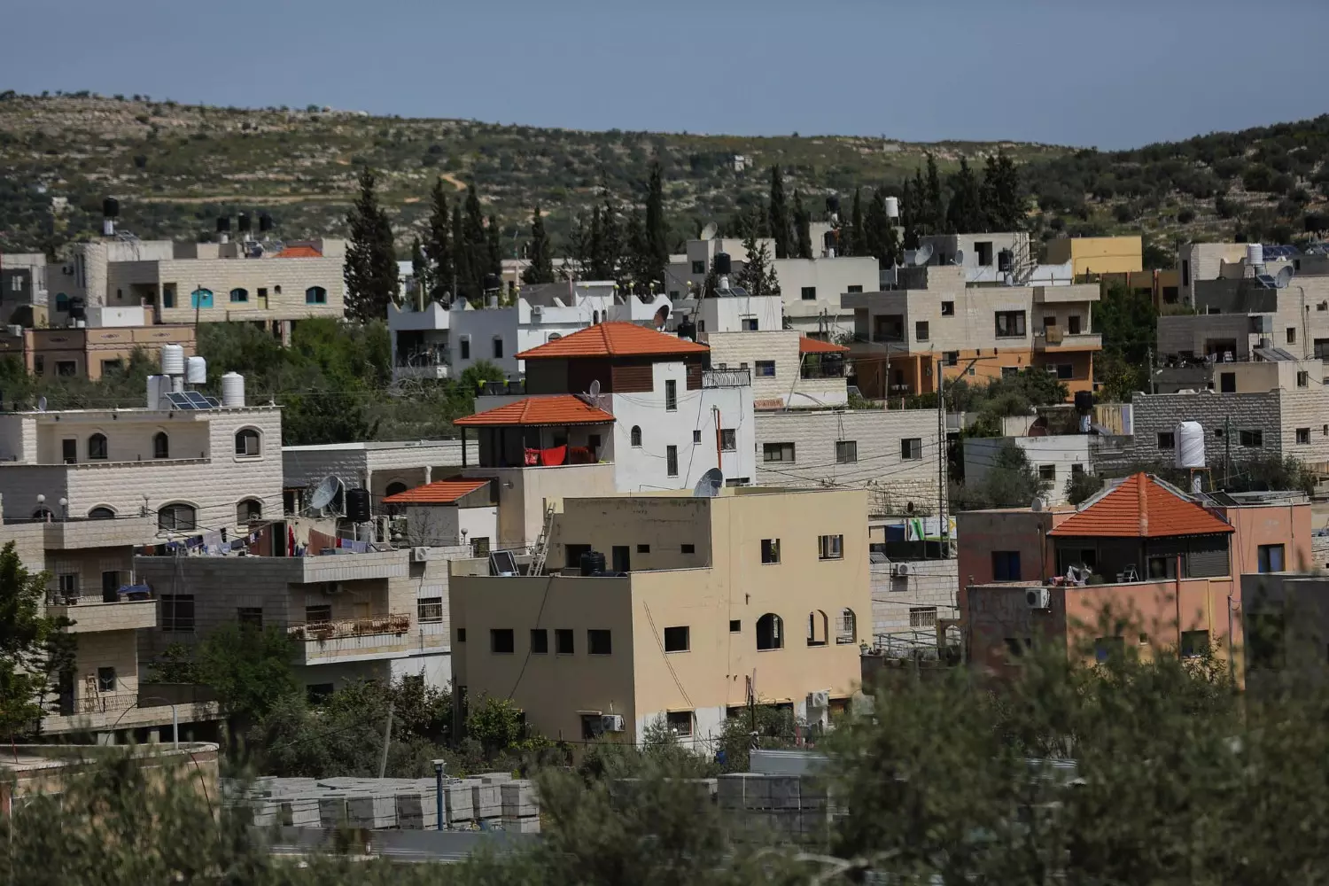
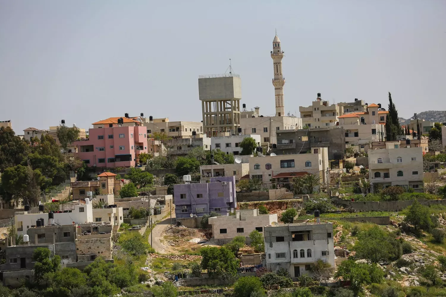
- Let us tour Kafr al-Dik's neighborhoods
- Let us tour Kafr al-Dik's neighborhoods #2
- Let us tour Kafr al-Dik's neighborhoods #3
- Let us tour Kafr al-Dik's neighborhoods #4
- Let us tour Kafr al-Dik's neighborhoods #5
- Let us tour Kafr al-Dik's neighborhoods #6
- Let us tour Kafr al-Dik's neighborhoods #7
- Let us tour Kafr al-Dik's neighborhoods #8
- Let us tour Kafr al-Dik's neighborhoods #9
- Let us tour Kafr al-Dik's neighborhoods #10
- Let us tour Kafr al-Dik's neighborhoods #11
- Let us tour Kafr al-Dik's neighborhoods #12
- Let us tour Kafr al-Dik's neighborhoods #13
- Let us tour Kafr al-Dik's neighborhoods #14
- Let us tour Kafr al-Dik's neighborhoods #15
- Let us tour Kafr al-Dik's neighborhoods #16
Want to browse more? 80,000 pictures were grouped in these gallaries:
| Display Name | Clan/Hamolah | Country of Residence |
| زهرة | باميان الشمالي | الأردن |
| يحيى قصول | قصول | كفرالديك |
| رأفت الديك | ال الديك | رام الله, كفر الديك |
| Yazan Deek | - | New Mexico, USA |
| Ahmad Omar | - | West Bank, Palestine |
| مراد الديك | الديك | - |
| حافظ علي احمد | - | rio grande do sul, brazil |
| ابو خالد | Al Deek | Riyadh, Saudi Arabia |
| riad el dik | - | القاهرة |
| evildeek | aldeek | amman, jordan |
| اياد الديك | - | - |
| Ali Hamdan | Ali Alahmed | - |
- منظر عام للبلدة Duration: 53 sec
No links have been shared yet, be free to the first to share the first link.
 Fake Valor: Why Did Zionist Jews Hoist Nazis Flag on Their Ships in the 1930s?
What is new?
-
Facts About Oct. 7th Gaza Raid
-
Remined Us Please:: Who Did Rape Who? Palestinians Raped Israelis? Or, was the other way around?
-
When Prof. Edward Said was invited to debate Bibi Netanyahu in the 1980s, watch what happened!
-
Ezra Klein of the NY Times on the "Jewish Race".
-
Abusing Blood Libel!
-
Did Israeli Soldiers Activate The Hanniba Direective On Oct. 7th? You Be The Judge
-
Zionist FAQ: Isn't it true that Palestinians don't want peace? Palestinians never accepted the two-state solution
- Facts about Haavara (Transfer) Agreement between Ben-Gurion & Hitler
-
Haavara FAQs: Why Did Zionist Jews Hoist Nazis' Flags on Their Ships in the 1930s?
- Haavara FAQs: When Chaim Weizmann met FDR in mid-1943, why was he silent about rescuing European Jewry?
-
Dear ChatGPT: How did Palestinians resist Napoleon's invasion of their country in 1799?
-
Dear ChatGPT: Gaza had a vibrant Jewish community in the mid-17th century. What happened to them?
-
Dear ChatGPT: Why did the Jewish Agency suppress news of the Holocaust during WWII?
-
Video Playlist: Jews share their DNA tests to end the conflict for good.
-
A Tale of Two Conflicts: Examining the Definition of Genocide
-
Prof. Abraham Polak And The Suppressed History of the Khazars and European Jewry
-
How Ronald Reagan would have framed the genocide in Gaza if he were still alive?
-
Haavara FAQs: Let us do the math: how many German Jews did The Haavara Agreement save?
-
Zionist FAQs: The Hebron Massacre of 1929, "clearly proves" that Palestinians are antisemitic, how could you deny it?
-
Zionist FAQs: Why Anti-Zionist Is Not Antisemitism?
-
Zionist FAQs: Isn't it true that the KGB created Palestinian Nationalism in the early 1960s?
- Zionist FAQs: Muslims are killing Muslims all the time; why are Israeli Jews being singled out in the media?
- Zionist FAQs: How is Israel an apartheid state when 20% of its citizens are Arabs who enjoy full rights?
-
Haavara FAQs: Why Did Dorothy Thompson Flip From A Zionist Advocate to A Silenced Dissenter?
-
Haavara FAQs: Analysis of Herzl's Uganda Scheme and how it could have saved millions of Jews.
-
Haavara FAQs: Why did Hayim Greenberg describe American Jewry as "morally bankrupt" in early 1943?
-
Haavara FAQs: What if the Evian Conference was a resounding success? What would have been the impact of saving European Jewry on Zionism?
- Haavara FAQs: What if the six million were saved, how that would have impacted the Zionist project?
-
Haavara FAQs: How did Zionist leaders react when Europe's Jews lingered in the DP camps after WWII ended?
-
Why does the American Jewish community repeat lies that David Ben-Gurion had debunked before he died?
-
Who has the power to rename the Tatar/Khazar Gene Marker to Jewish IV?
-
Zionist FAQs: Why won't Egypt, Syria, and Jordan take their people back? Jews are indigenous to Palestine, and Arabs immigrated after Jews developed the country. Arabs should leave.
-
Haavara FAQs: Did Hitler and the Nazis conflate between Judaism and Zionist? If that wasn't case, then why?
-
Haavara FAQs: Winston Churchill and antisemitism, a collection of articles written Churchill.
-
Haavara FAQs: Broken by country, how many Jews survived vs. killed during the Holocaust?
-
Haavara FAQs: Why did European Jews vote with their feet and to immigrated to the Americas, not Palestine, after WWII?
-
Watch this American Jewish Girl describing Israeli Jews' cognitive dissonance like no other in under two minutes
-
Haavara FAQs: When the Nazis went out of their way to hide the Holocaust, Israeli Jews did the exact opposite by broadcasting their genocide of Gazans. But why?
-
Haavara FAQs: How Zionist Jews went out of their to show their appreciation to Nazism and Fascism?
- Haavara FAQs: Why Zionist leaders were against bombing the death camps & the Railroads leading to them?
-
Haavara FAQs: Hitler's message to the British and American people: If Jews are such noble citizens and you care about them, how come you're not letting them in? I will gladly ship them to you at my expense, even on luxury liners!
-
A shortlist of Zionist and Israeli false flag operations in the name Jews.
-
The Most Moral Army
- The Land of Kapos (Israel): Where the brave are boycotted and Kapos walk free.
- Why did early Zionists often named their communal enterprises "colonial"?
- Zionist Relations with Nazi Germany by Faris Glubb
-
Two NY Times advertisements by Zionists in the early 1943 that exposes Zionists' treason at the height of the calamity
- Facts Not Lies about the Palestinian-Israeli Conflict.
- Site's pictures have been categorized
- Campgain Against Lice
- A Survey of Palestine, the official source about Palestine before Nakba produced by the British Mandate; over 1200 pages.
- Satellite View & Google Earth: Over 6,000 placemarks identifying all destroyed towns, W. Bank & Gaza Strip Towns, & refugee camps.
- PalestineRemembered.com and its Nakba Oral History Project were featured on al-Jazeera Satellite TV.
- Nakba Oral History Video Podcast:
 Over 700 Oral History interviews (including 3,500+ hours of recording) can be viewed online.
 - Palestine Village Statistics Project
- Gaza Jail Break
- النسخة العربية للموقع الان متوفرة
- Videos: Documenting the destroyed villages in video: Tracing all that remains since Nakba.
- Videos: Responding to Zionist Propaganda
- Interview: The ethnic cleansing of Palestine: George Galloway interviews Israeli Historian Ilan Pappe.
- For Palestinians, memory matters. It provides a blueprint for their future By George Bisharat.
- Zionist FAQ now available in Hebrew שאלות שציונים שואלים, עכשיו בעברית
- Video: The Stephen Walt and John Mearsheimer report on the influence of the Israel Lobby on U.S. Foreign Policy
- The Palestinian-Israeli conflict for beginners
