| PalestineRemembered | About Us | Oral History | العربية | |
| Pictures | Zionist FAQs | Haavara | Maps | |
| Search |
| Camps |
| Districts |
| Acre |
| Baysan |
| Beersheba |
| Bethlehem |
| Gaza |
| Haifa |
| Hebron |
| Jaffa |
| Jericho |
| Jerusalem |
| Jinin |
| Nablus |
| Nazareth |
| Ramallah |
| al-Ramla |
| Safad |
| Tiberias |
| Tulkarm |
| Donate |
| Contact |
| Profile |
| Videos |
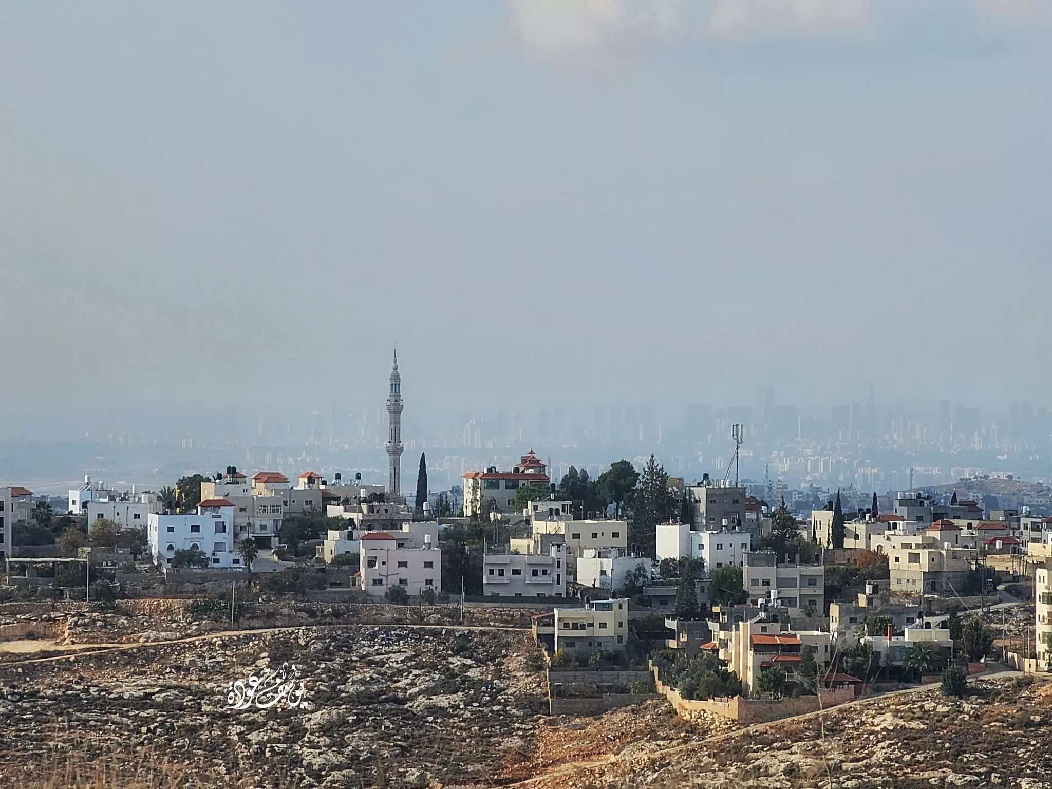
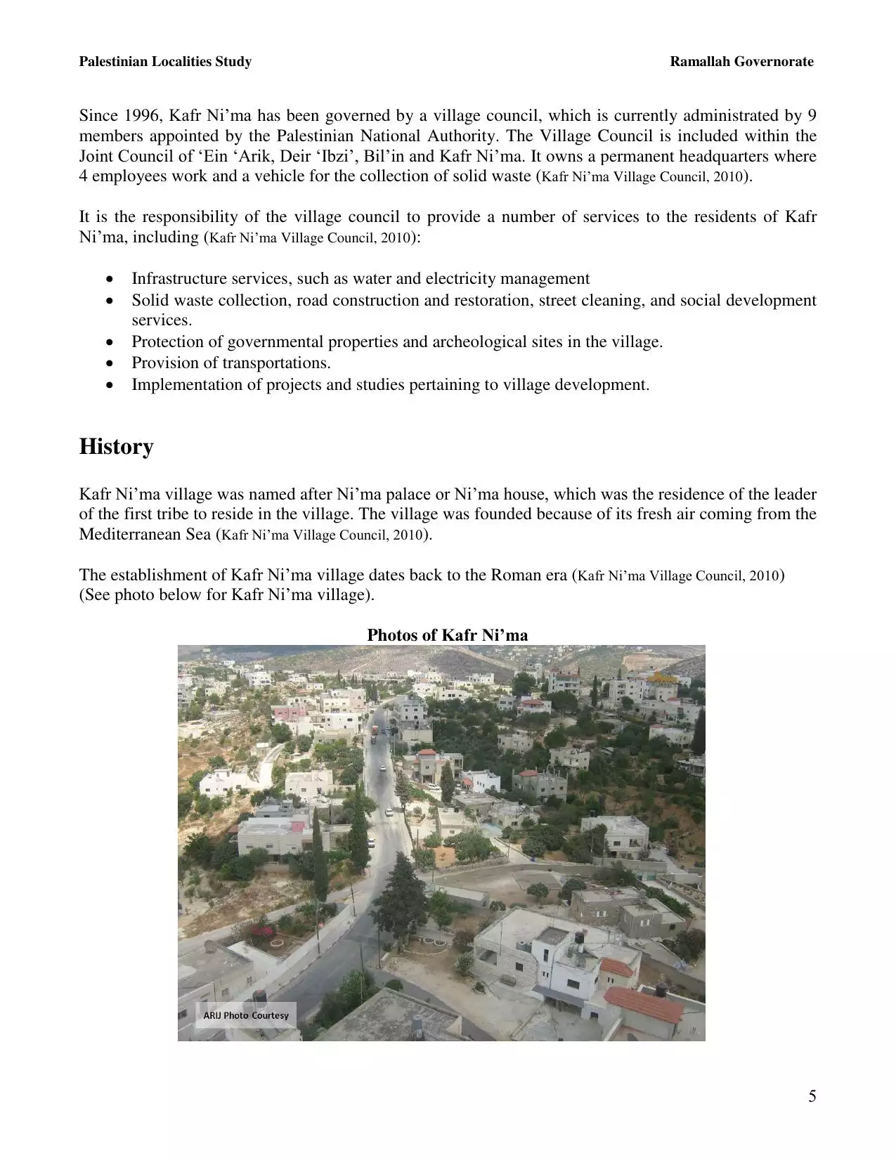
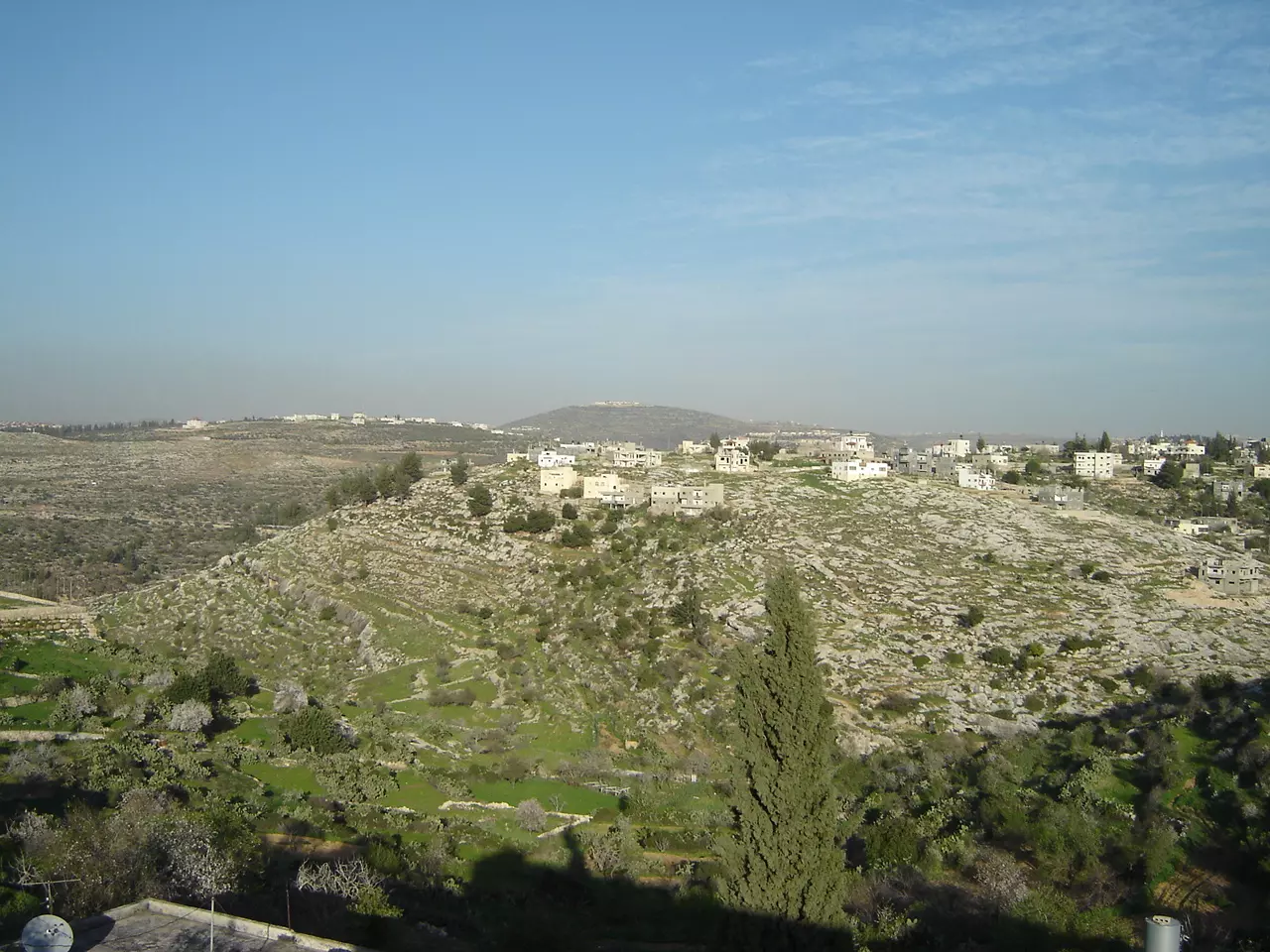
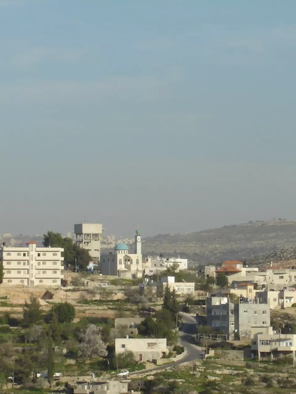
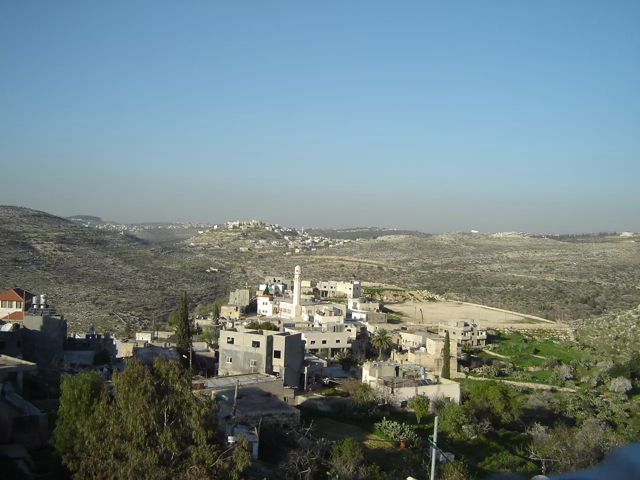
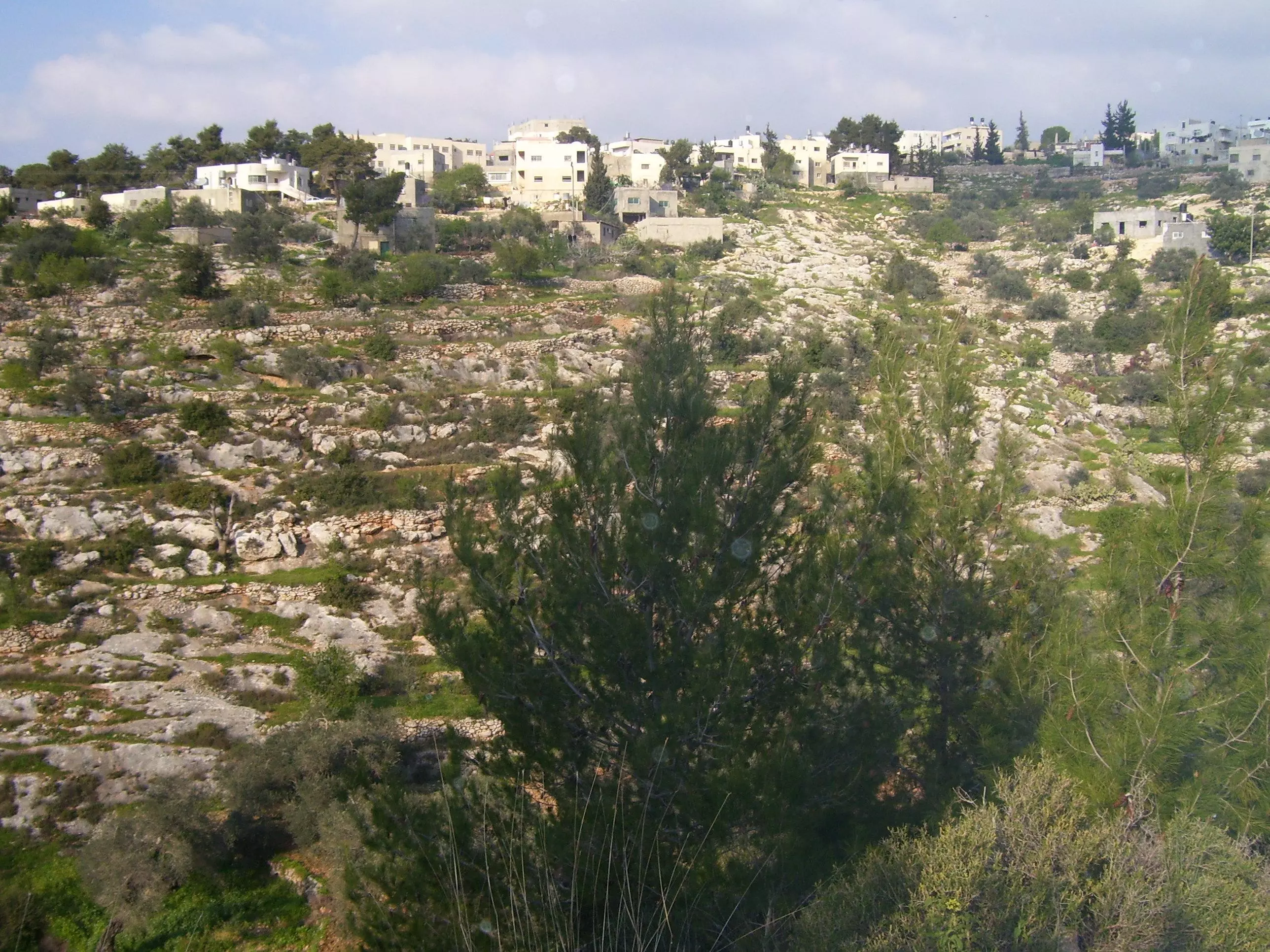
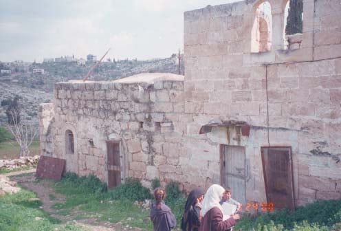
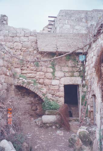
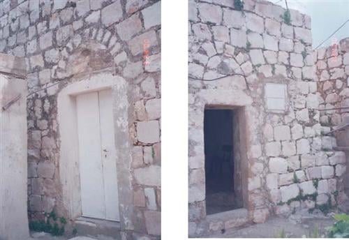
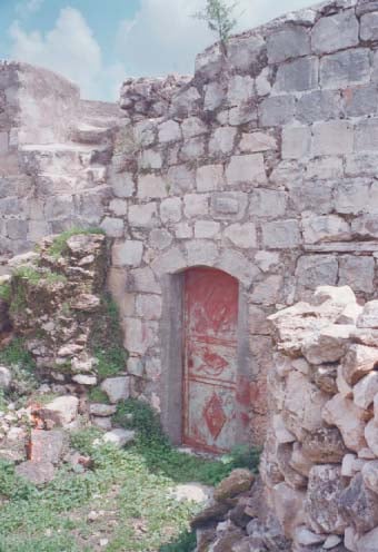
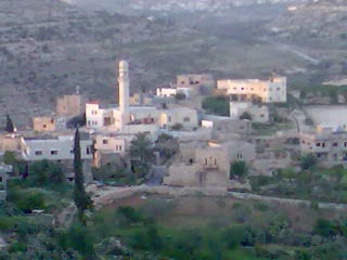
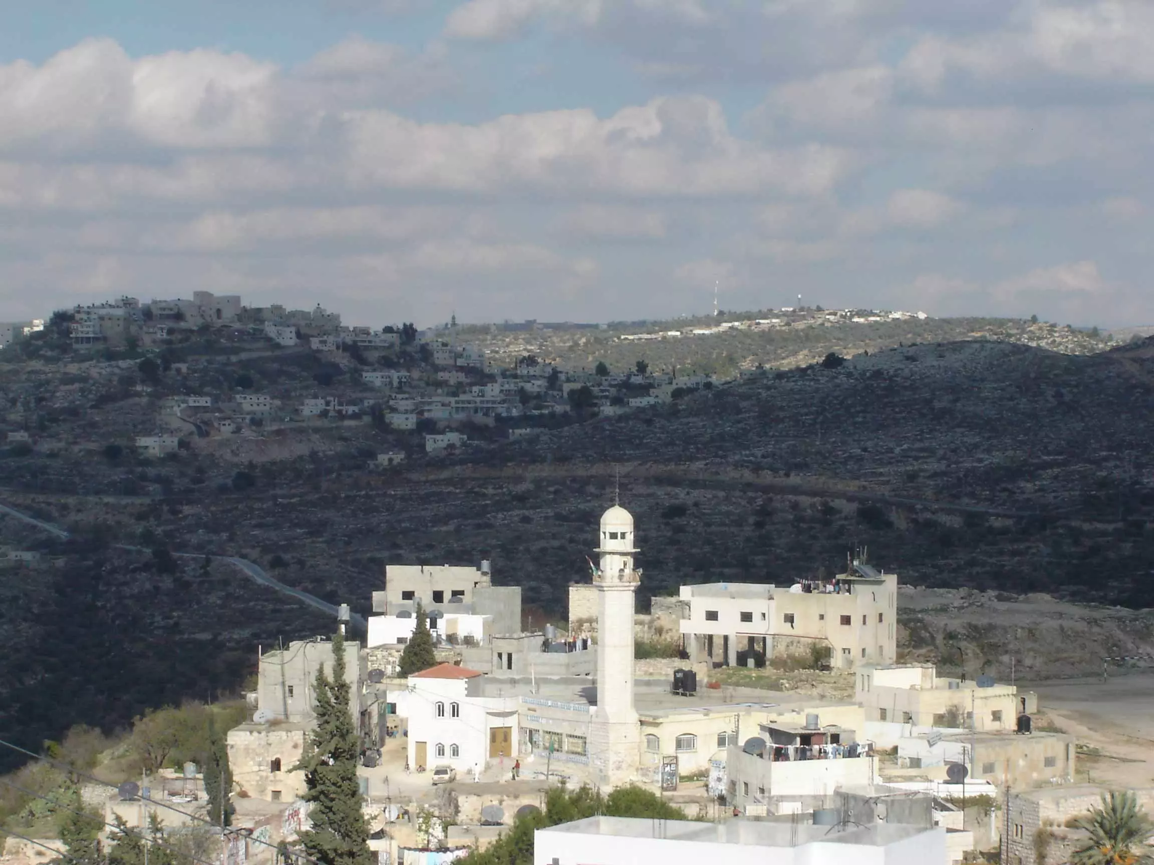
Welcome To Kafr Ni'ma - كفر نعمة (כפר ניעמה)
|
District of Ramallah
Occupied days ago |
العربية Google Earth |
 |
Gallery (216) |
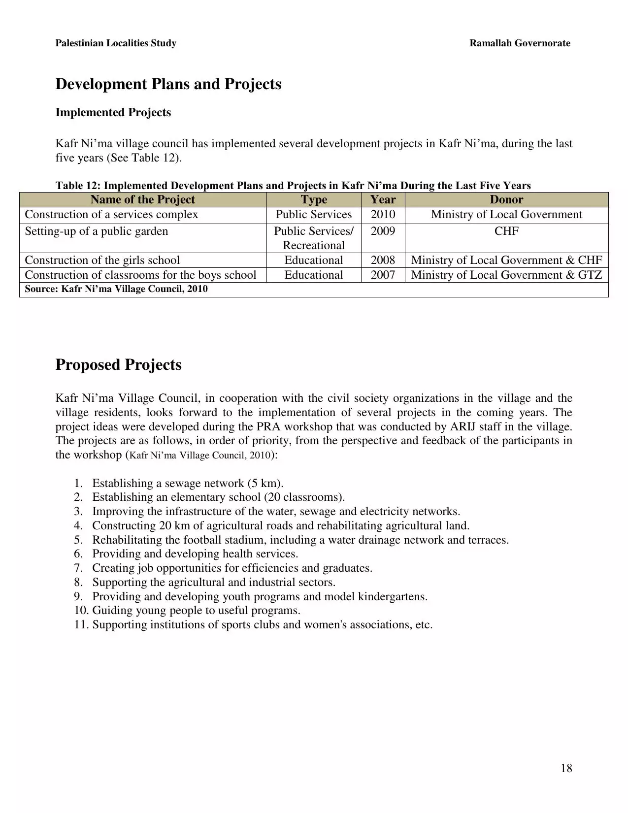
- Statistics & Facts
-
Before & After

- Satellite View
- Articles 3
- Pictures 216
- Mayrters & Prisoners 1
- Members 36
- Families
- Wikipedia
- ARIJ Guide
- Videos 6
- Guest Book 15
- Links
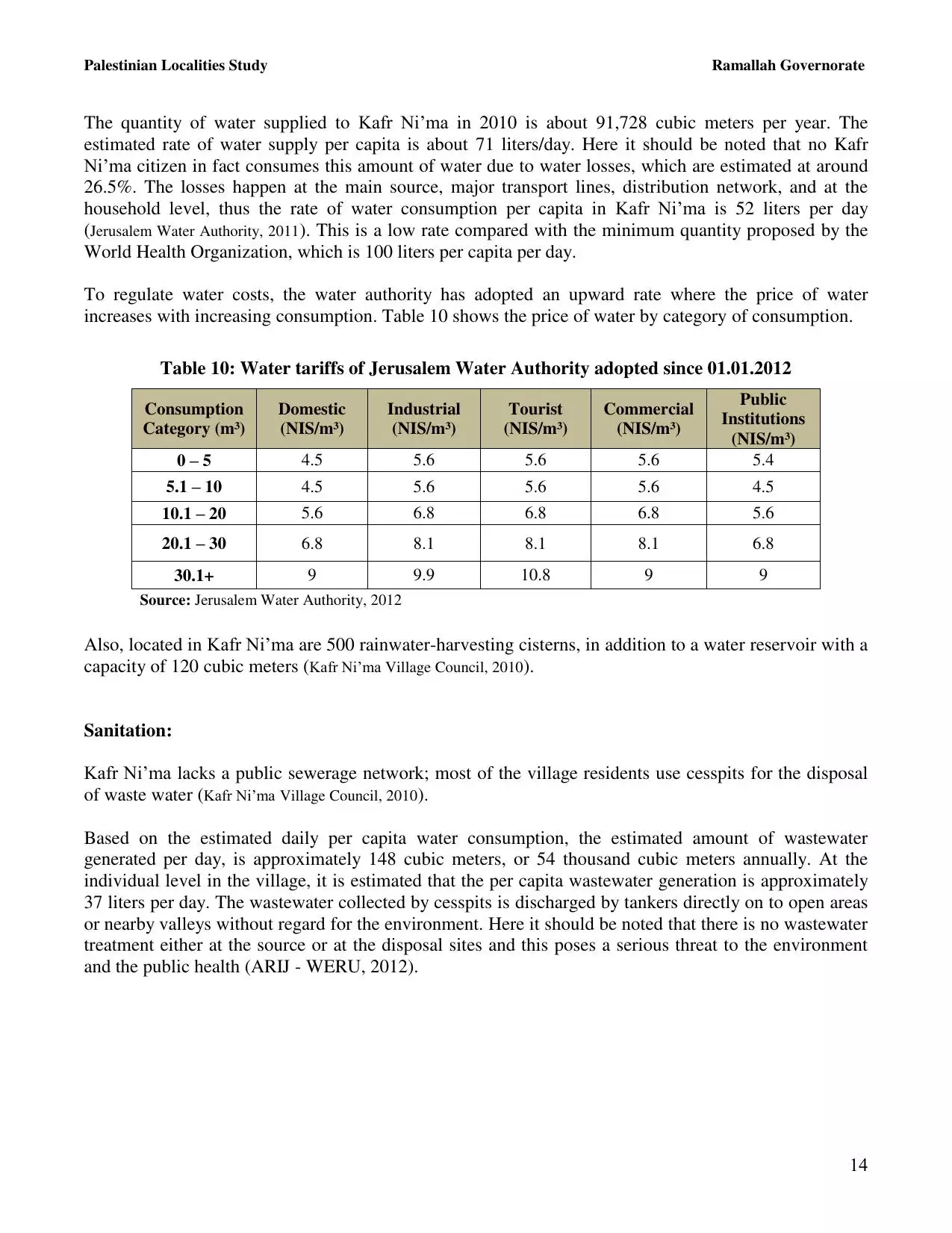
| Statistic & Fact | Value | ||||||||||||||||||||
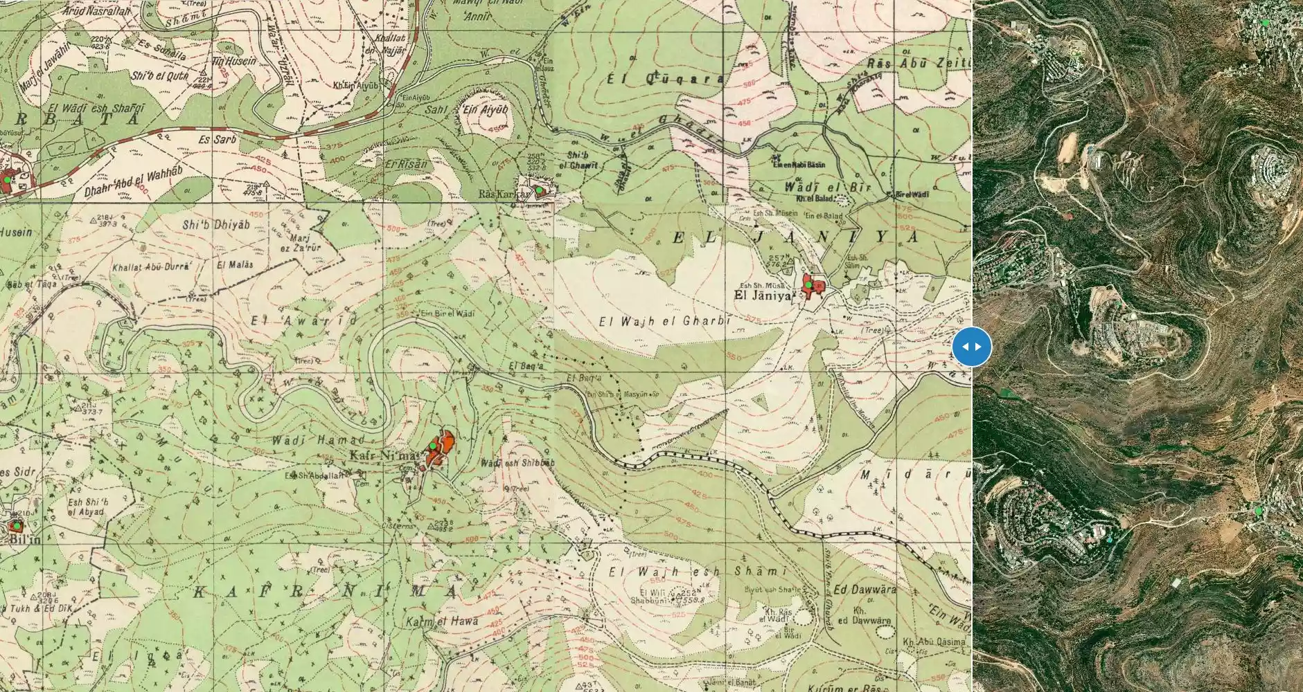
| Distance From District | 13 km northwest of Ramallah | ||||||||||||||||||||
| Elevation | 480 meters | ||||||||||||||||||||
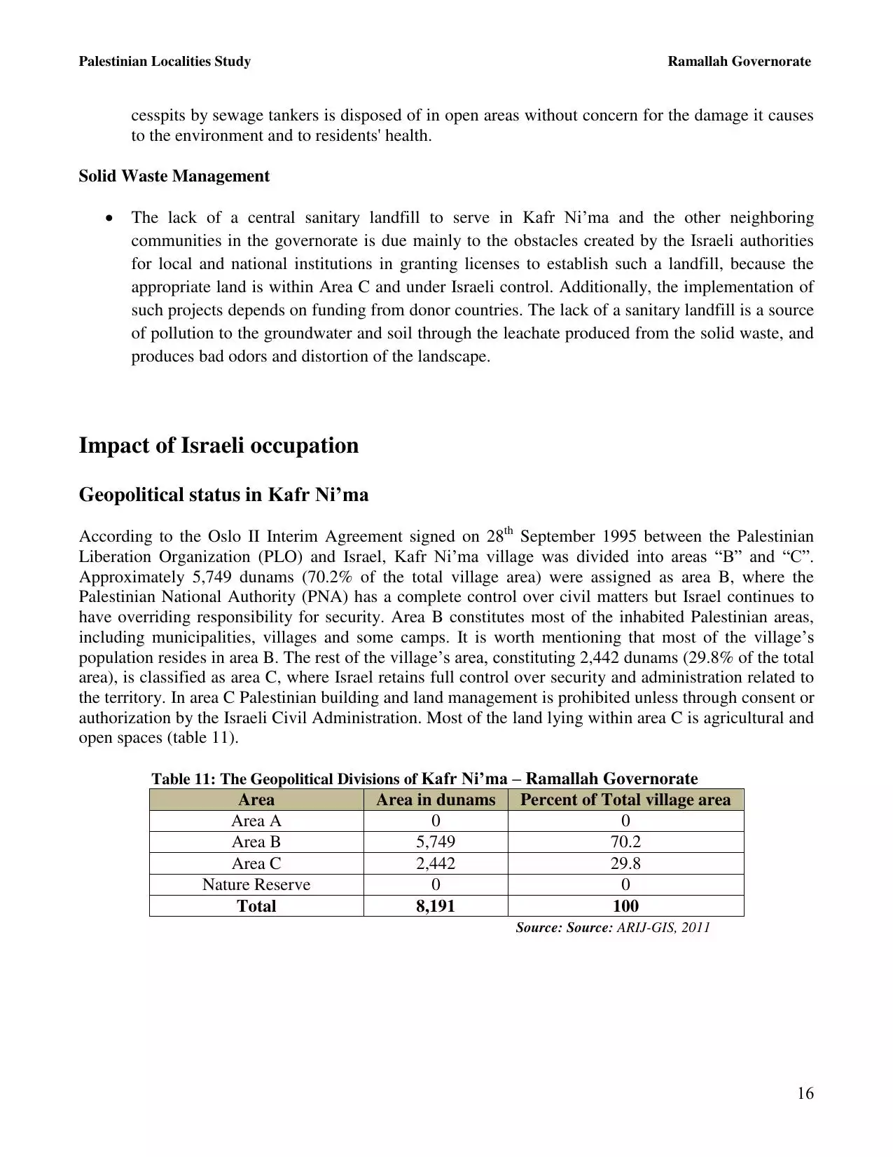
| Before & After Nakba, Click Map For Details |
|||||||||||||||||||||
|
|||||||||||||||||||||
| Land Ownership |
**Town Lands' Demarcation Maps |
||||||||||||||||||||
| Land Usage As of 1945 |
|
||||||||||||||||||||
| Population |
|
||||||||||||||||||||
| Near By Towns |
|||||||||||||||||||||
|
|
|||||||||||||||||||||
| Featured Video | |||||||||||||||||||||
| ARIJ Guide | |||||||||||||||||||||
|
Click here to browse online. |
|||||||||||||||||||||
| Related Maps | Town Lands' Demarcation Maps خرائط للقضاء توضح حدود القرى والاودية View from satellite Town's map on MapQuest Help us map this town at WikiMapia |
||||||||||||||||||||
| Related Links | Wikipedia's Page Facebook Page ARIJ Guide Google Search Google For Images Google For Videos في كتاب بلادنا فلسطين دليل أريج المزيد من موقع هوية |
||||||||||||||||||||
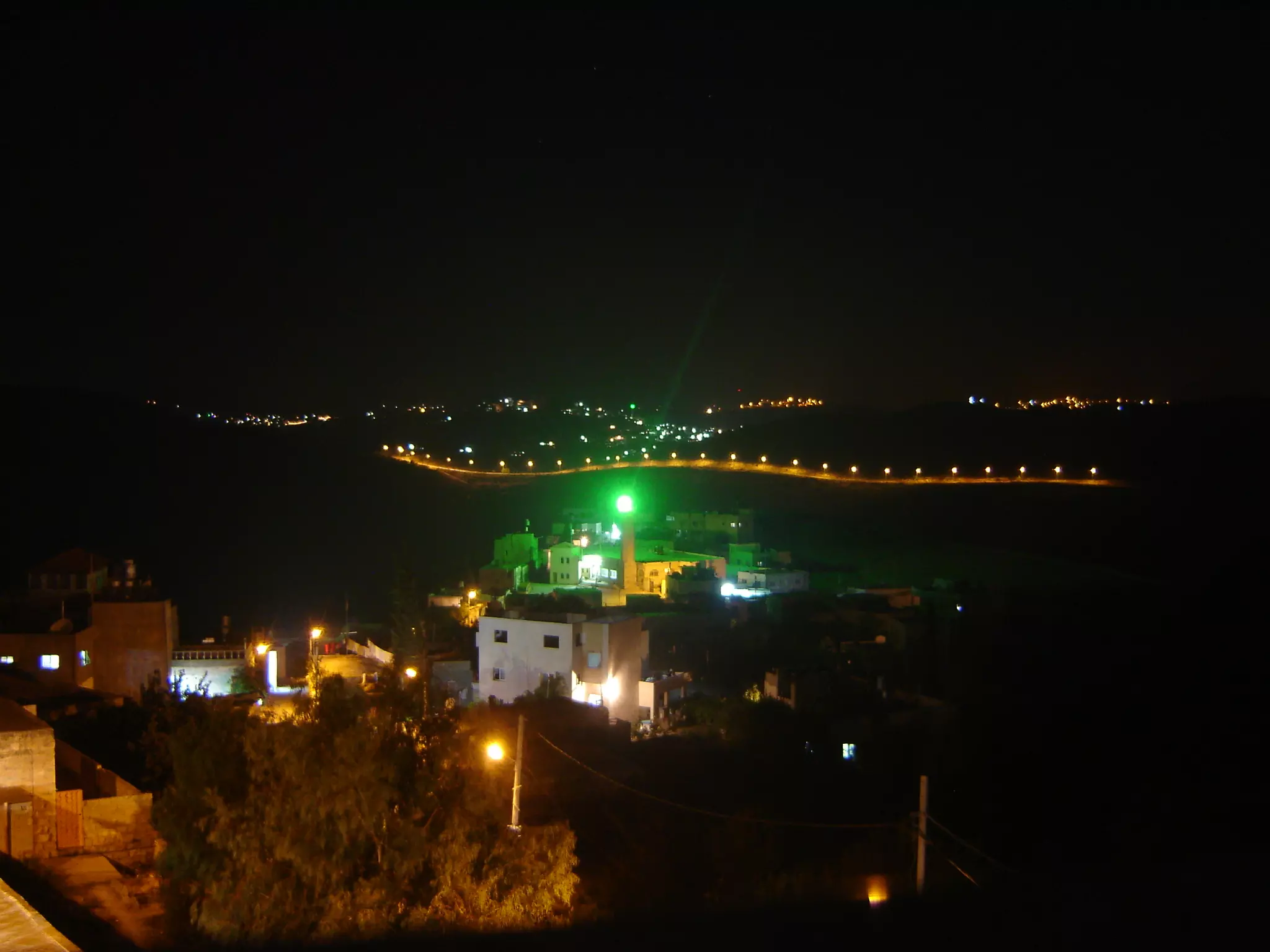
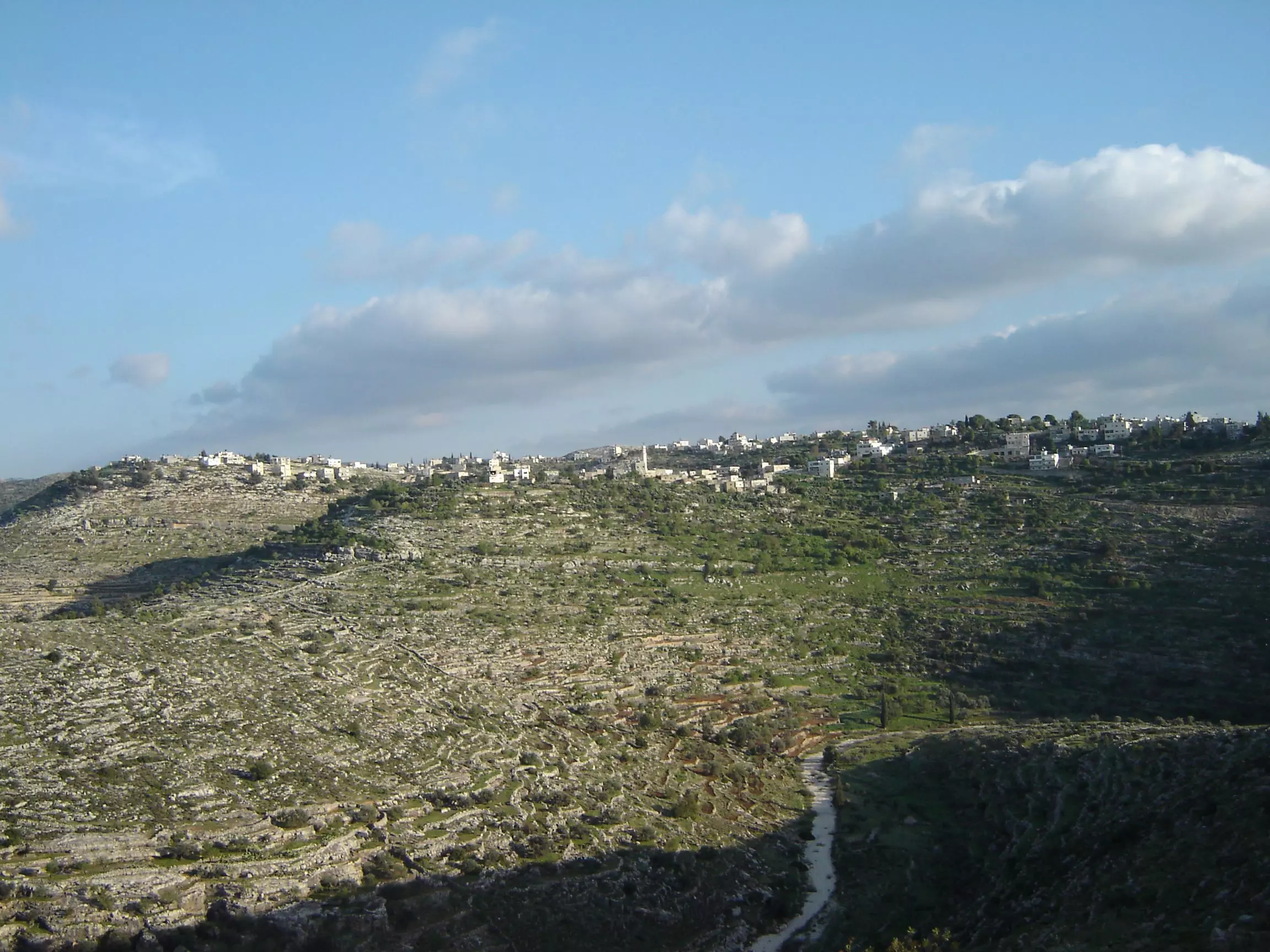
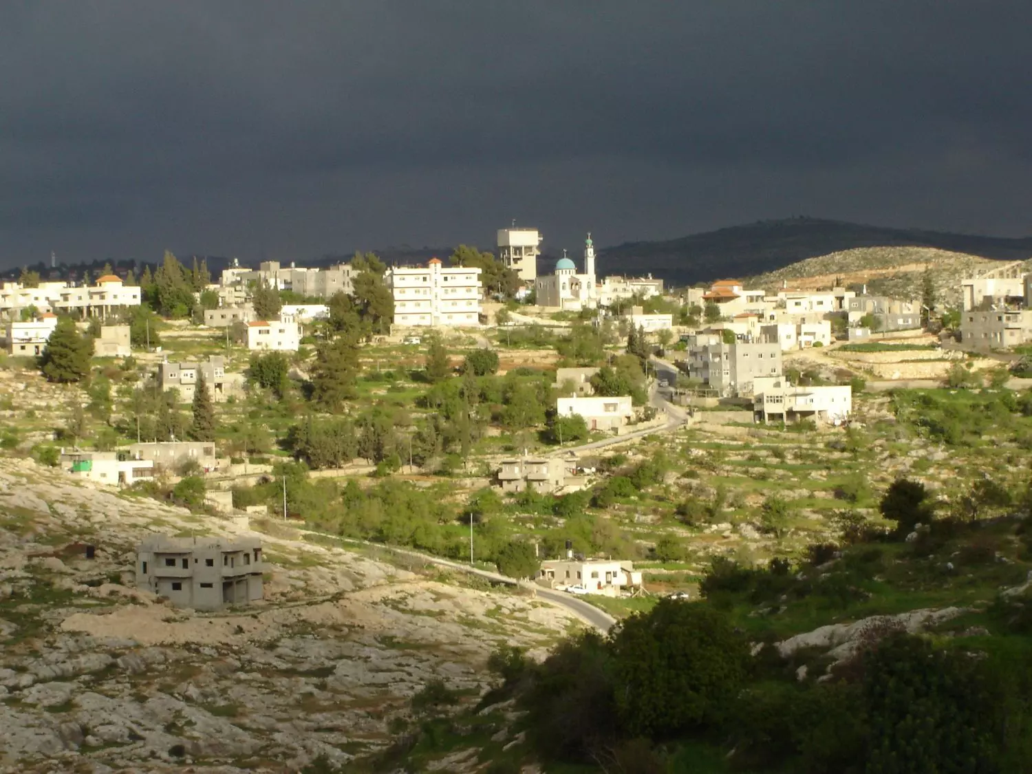
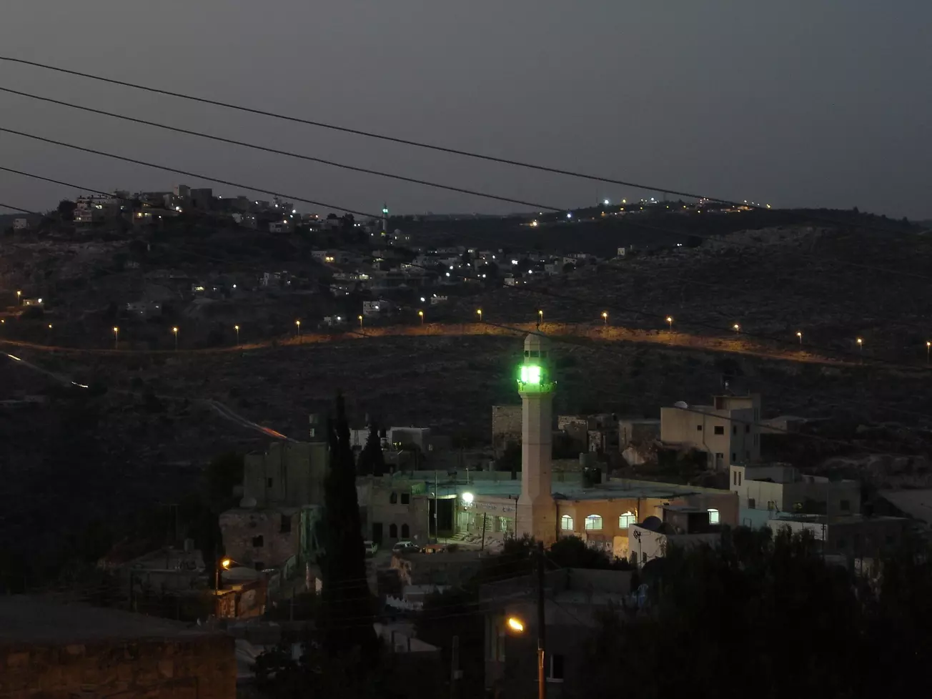
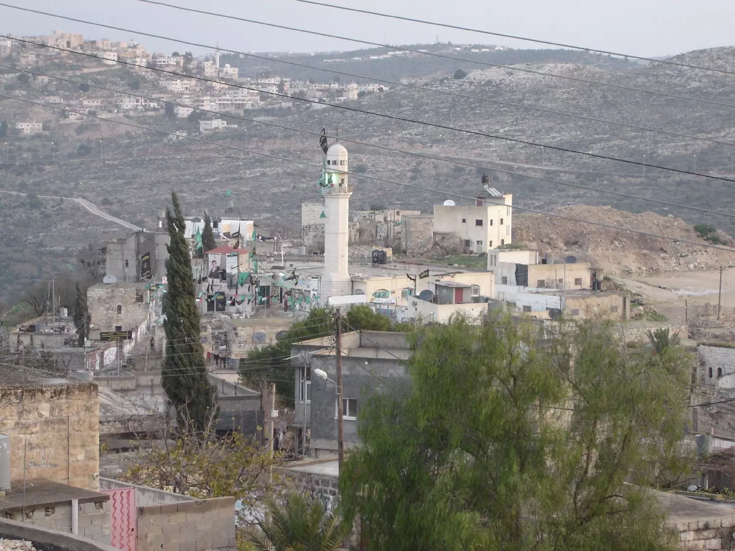
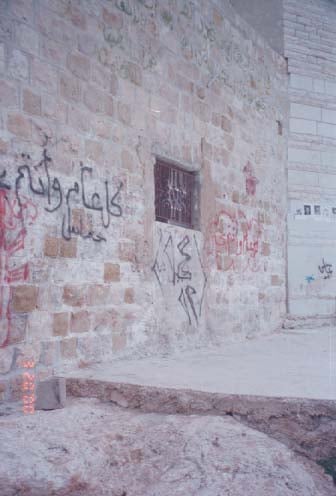
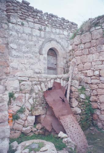
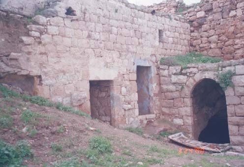
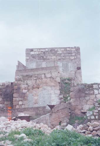
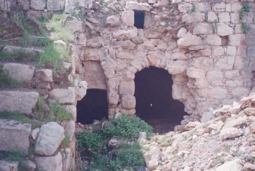
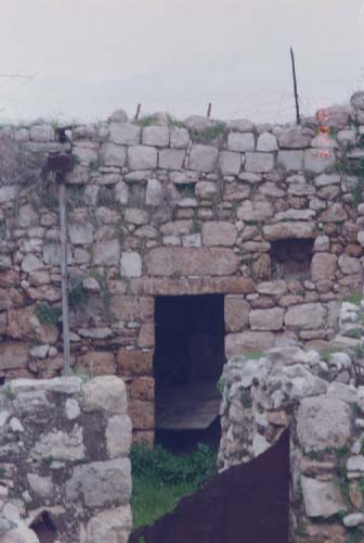
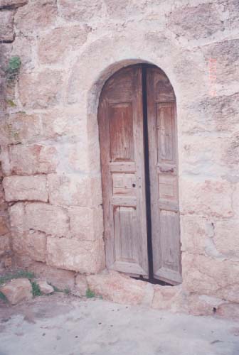
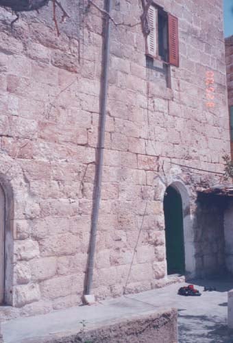
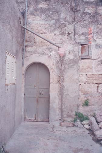
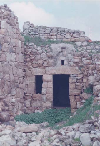
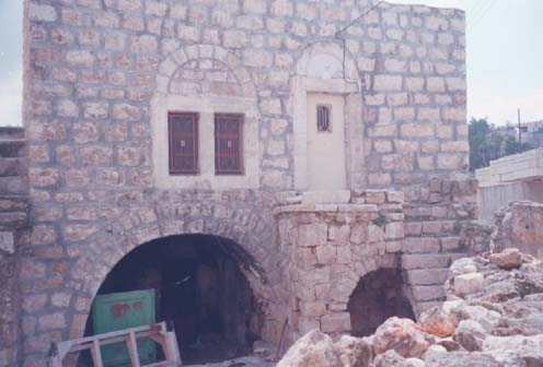
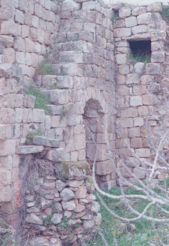
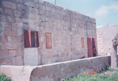
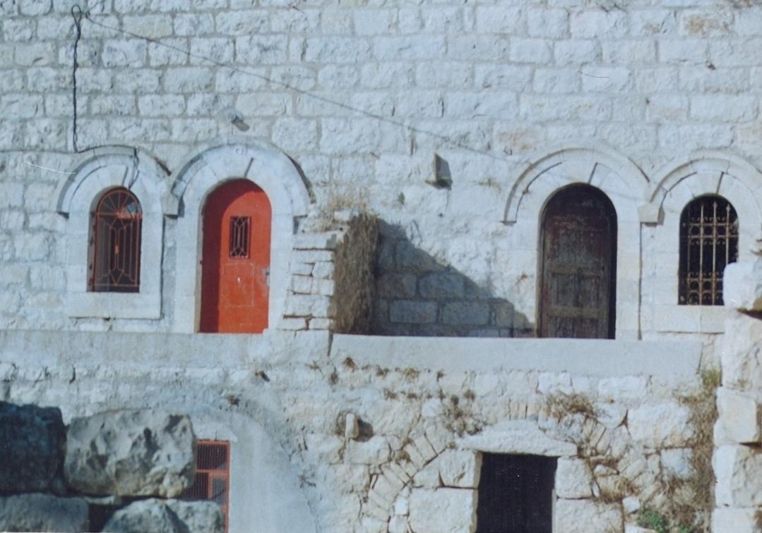
- البلدة القديمة في الليل
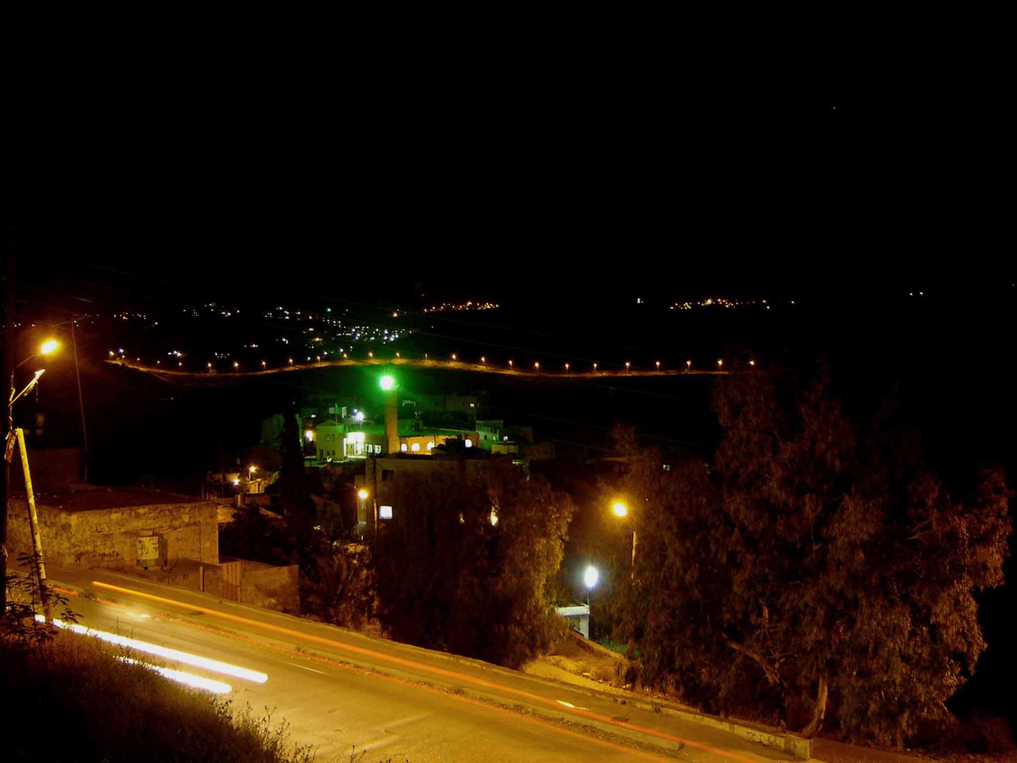
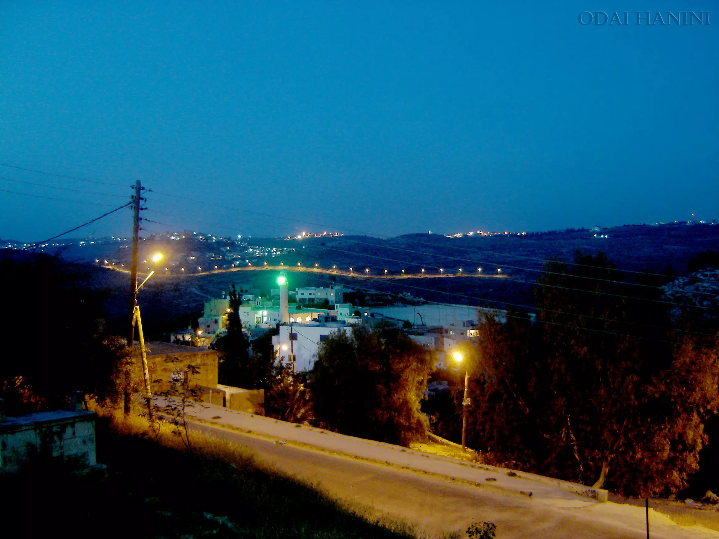
Posted by عدي الحنيني "Odai Hanini" 14 - منظر عام ليلي
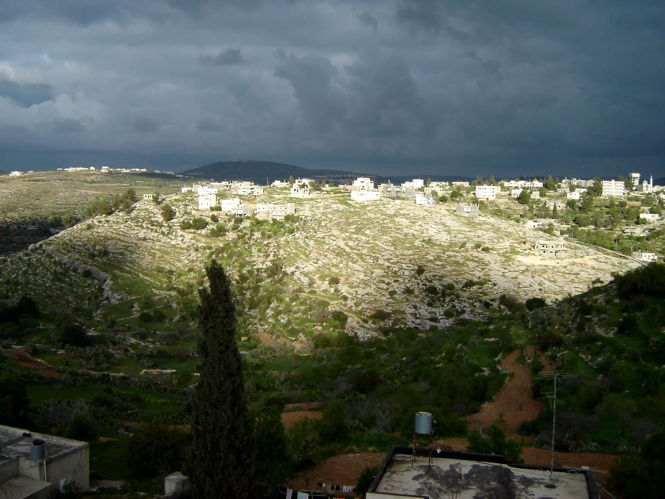
Posted by عدي الحنيني "Odai Hanini" 6 - كفر نعمة وتظهر فيها بلعين عند الغروب
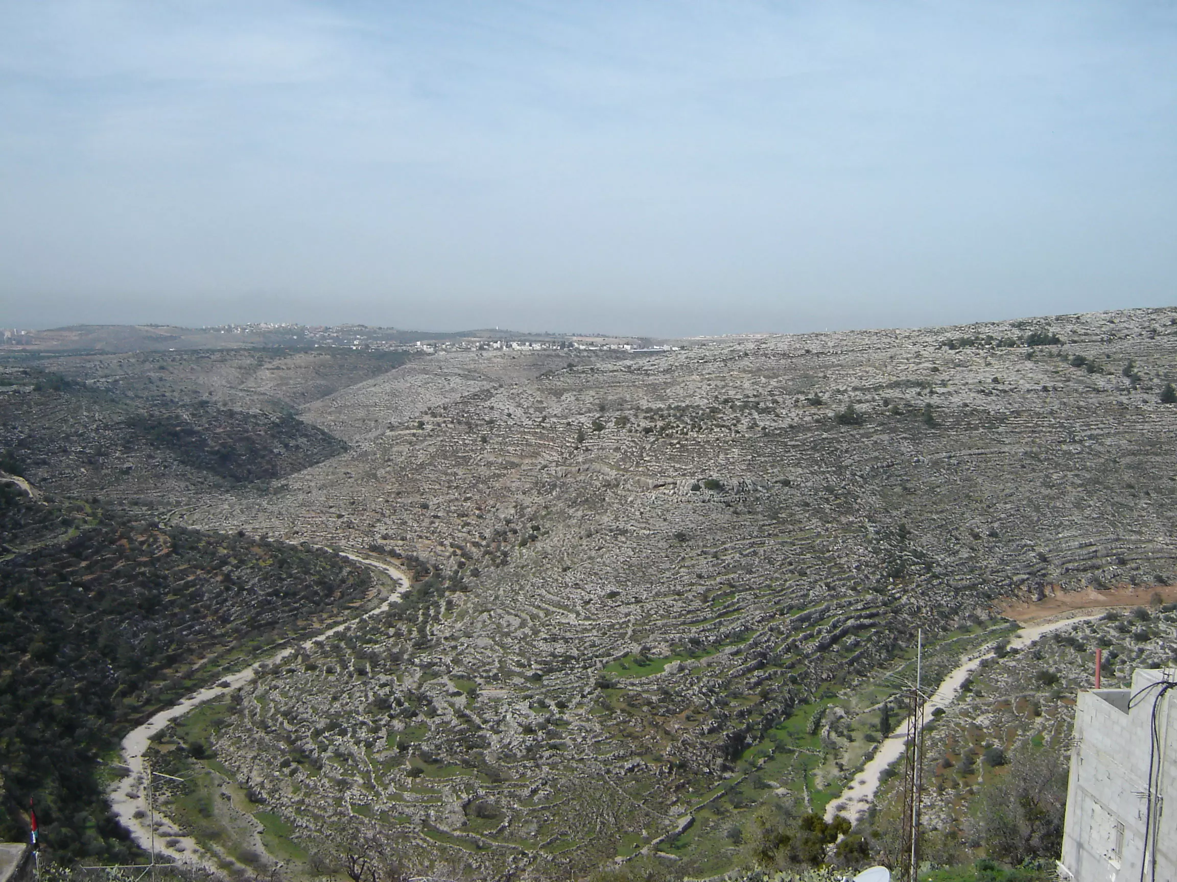
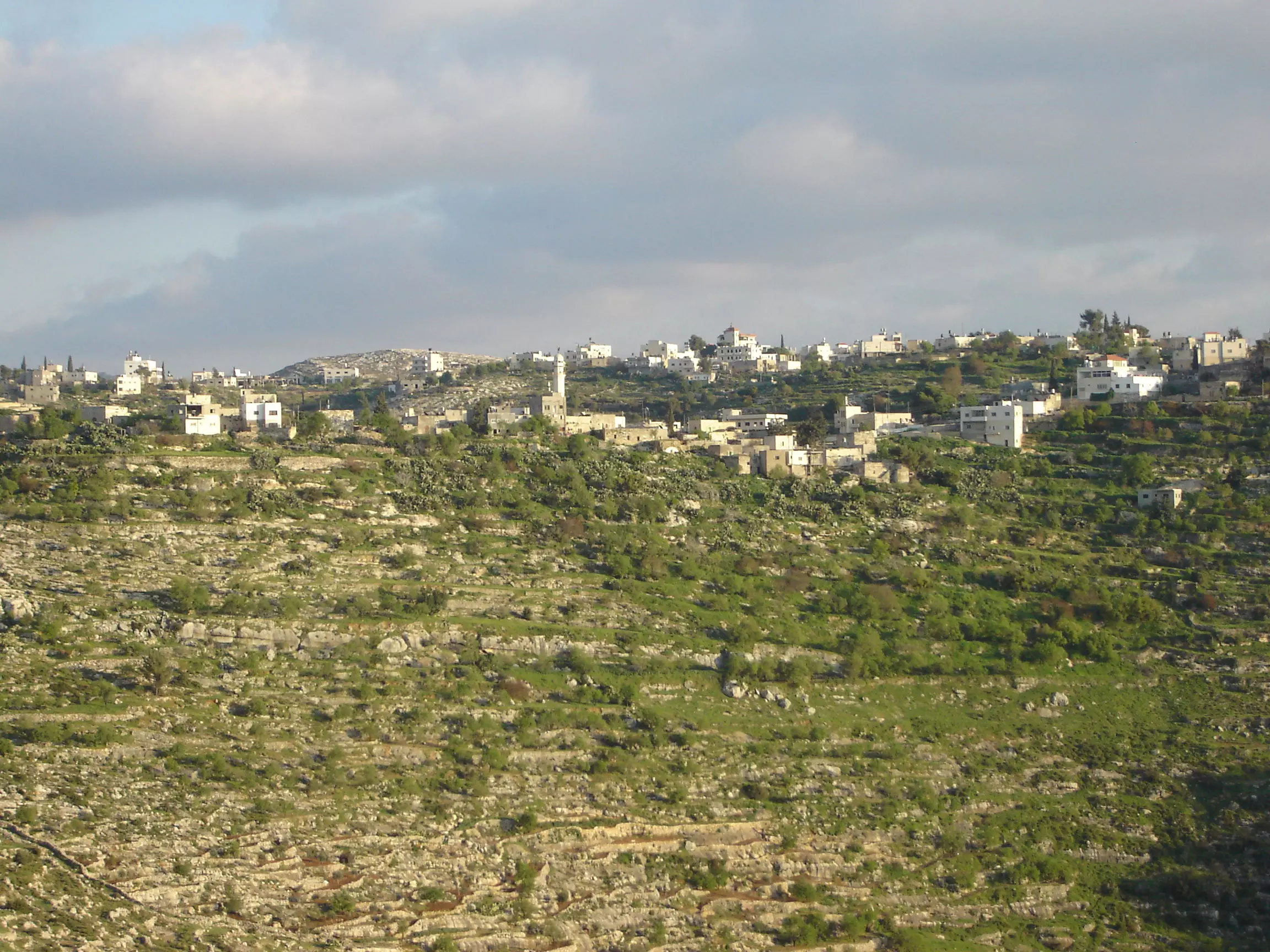
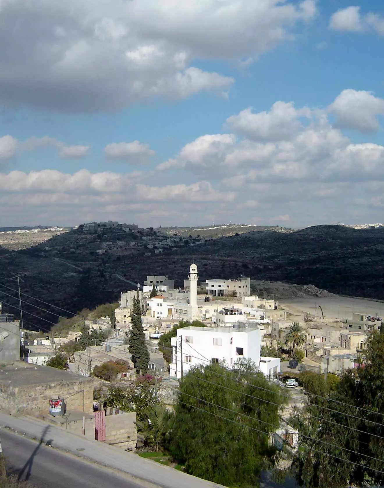
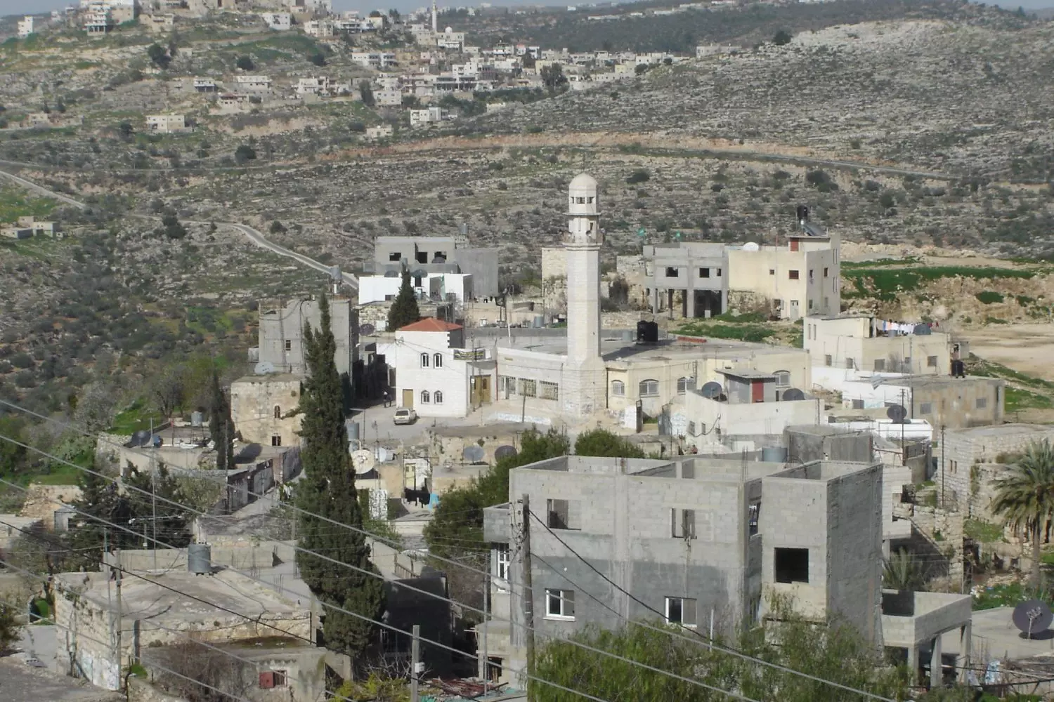
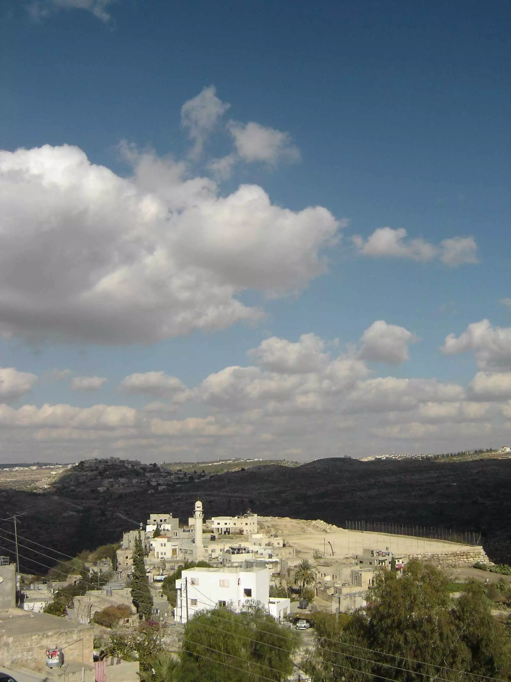
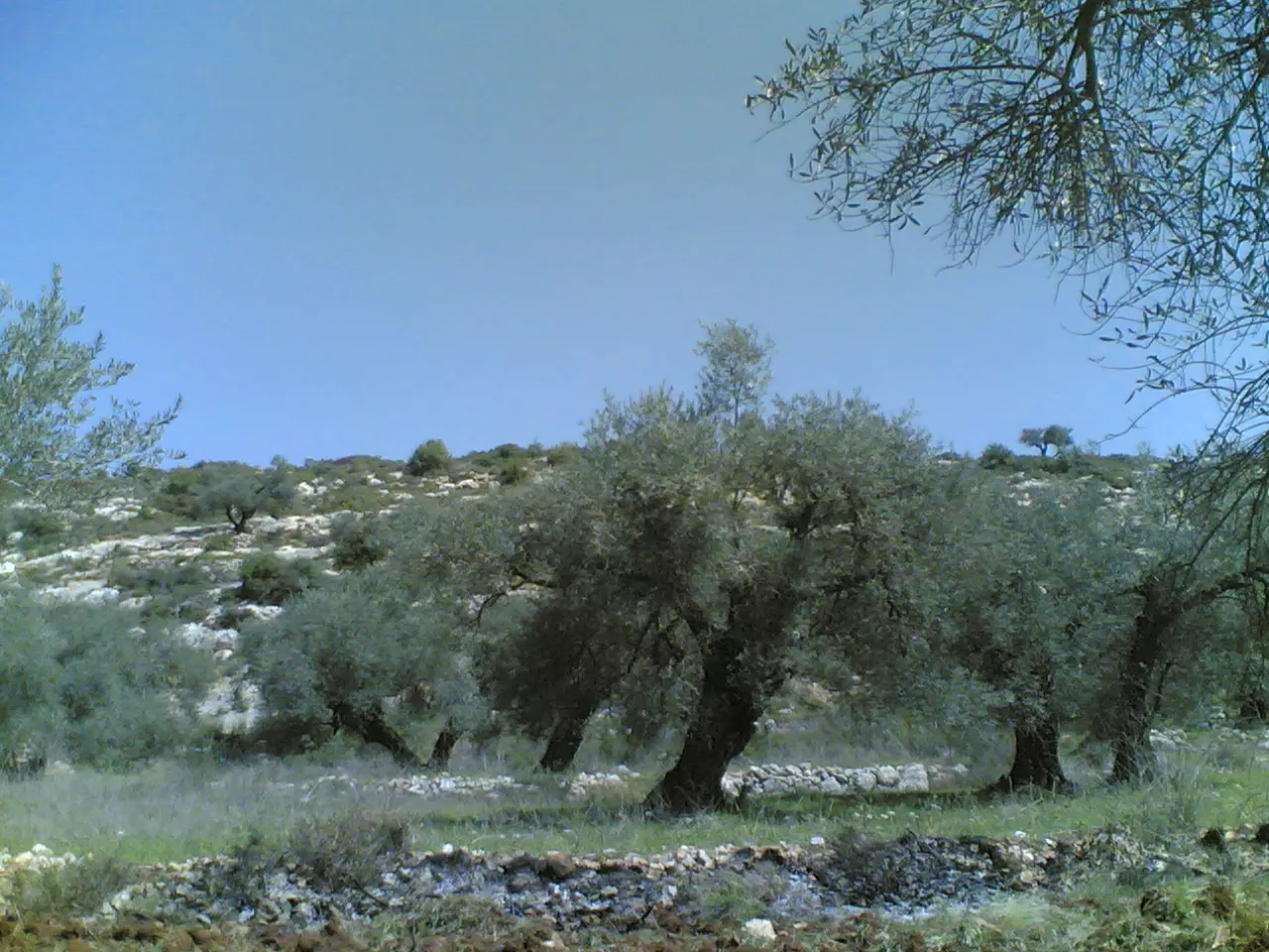
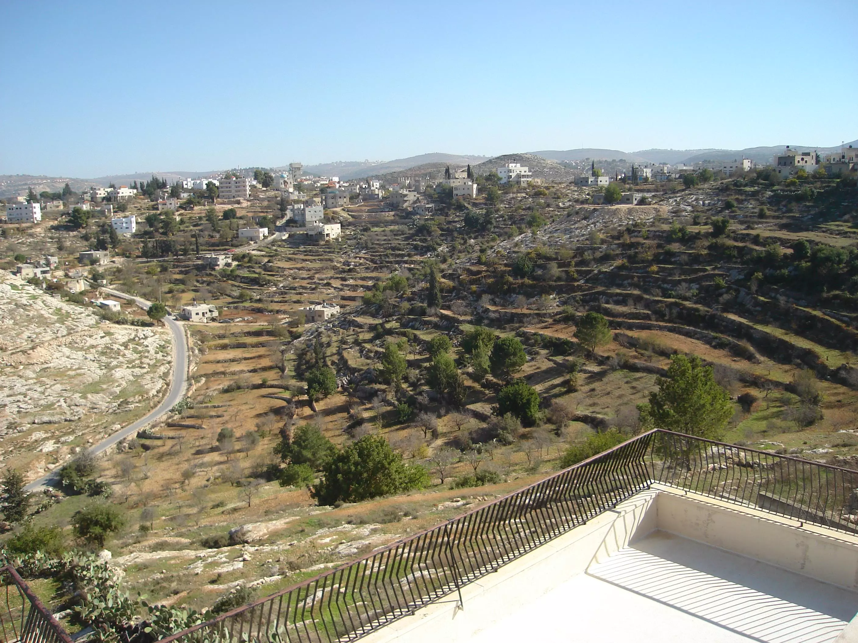
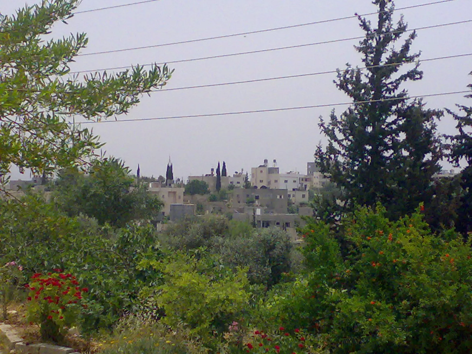
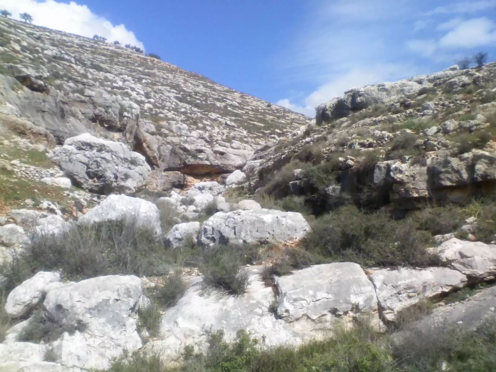
Posted by عدي الحنيني "Odai Hanini" 4 - منظر عام
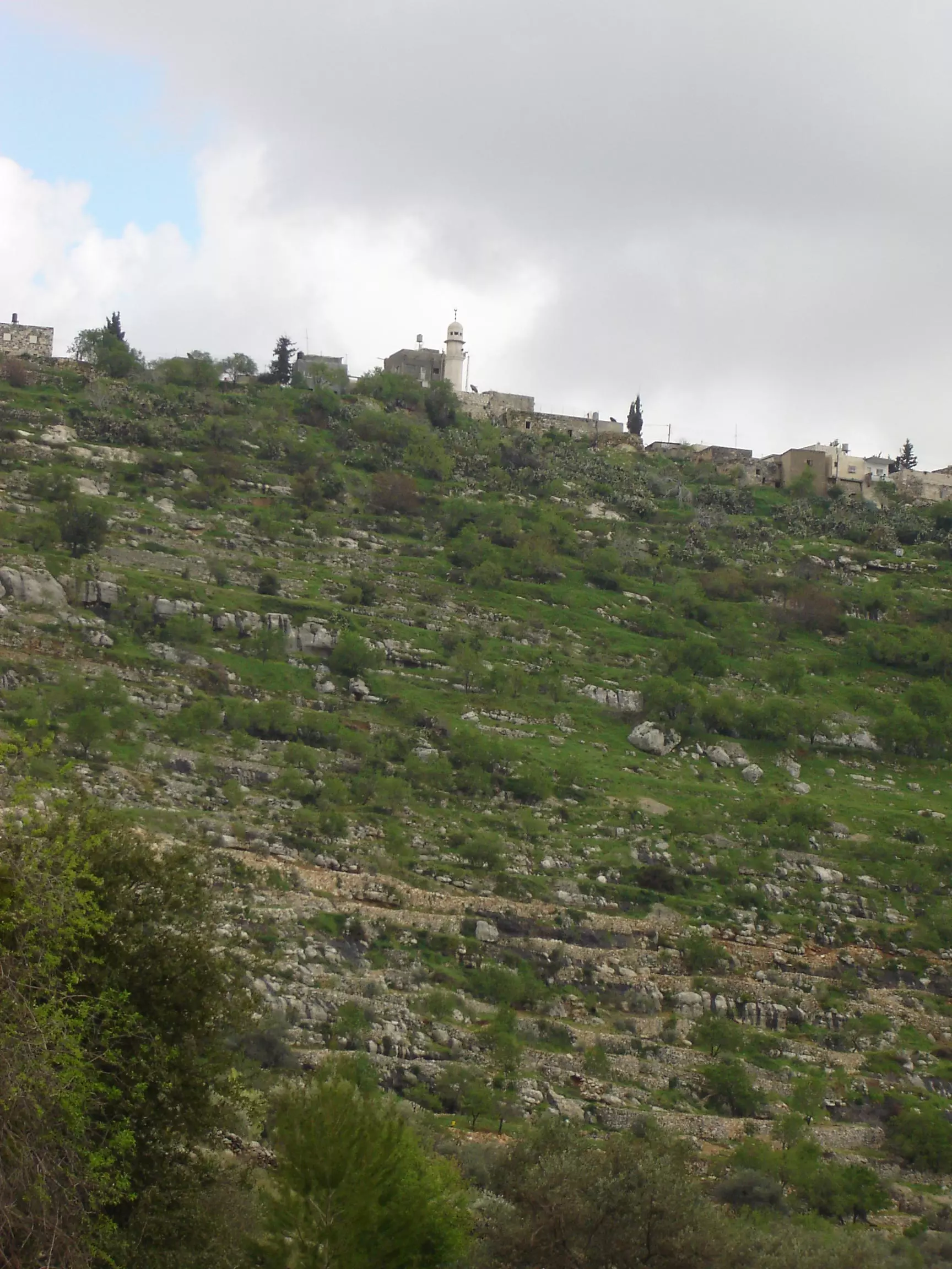
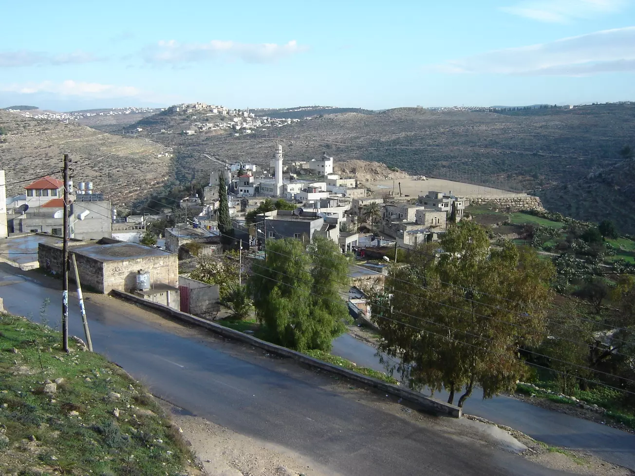
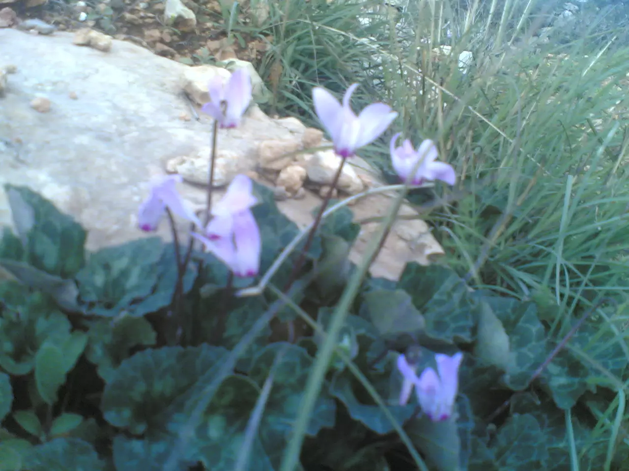
Posted by عدي الحنيني "Odai Hanini" 2 - كفر نعمة من جبل الريسان، اُنقر الصورة لتكبيرها
Posted by عدي الحنيني "Odai Hanini" 5 - الصورة ملتقطة من فوق ماذنة المسجد القديم، اُنقر الصورة لتكبيرهام
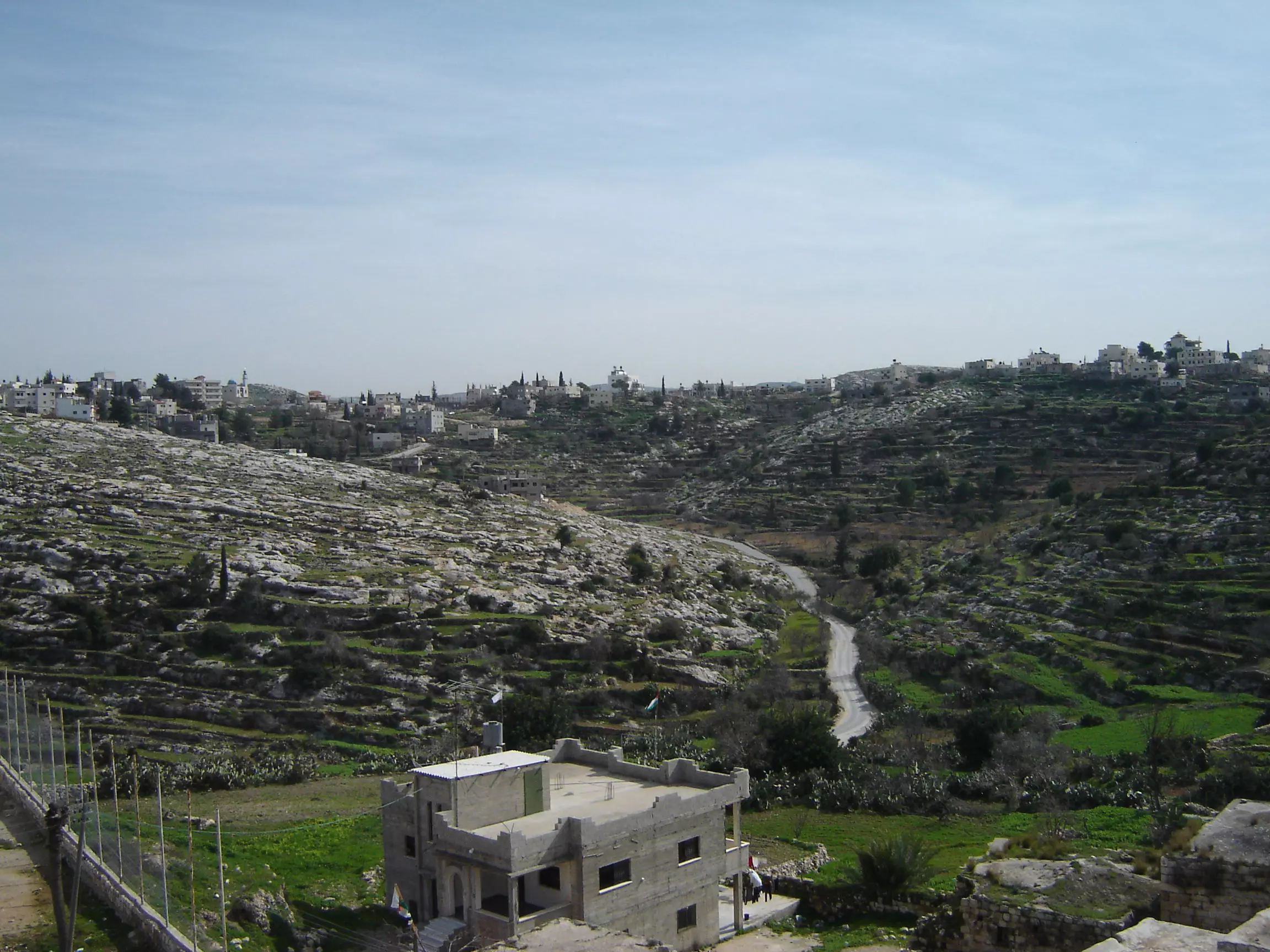
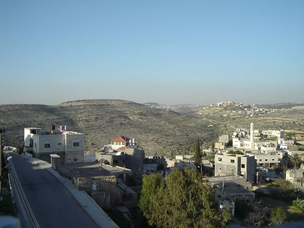
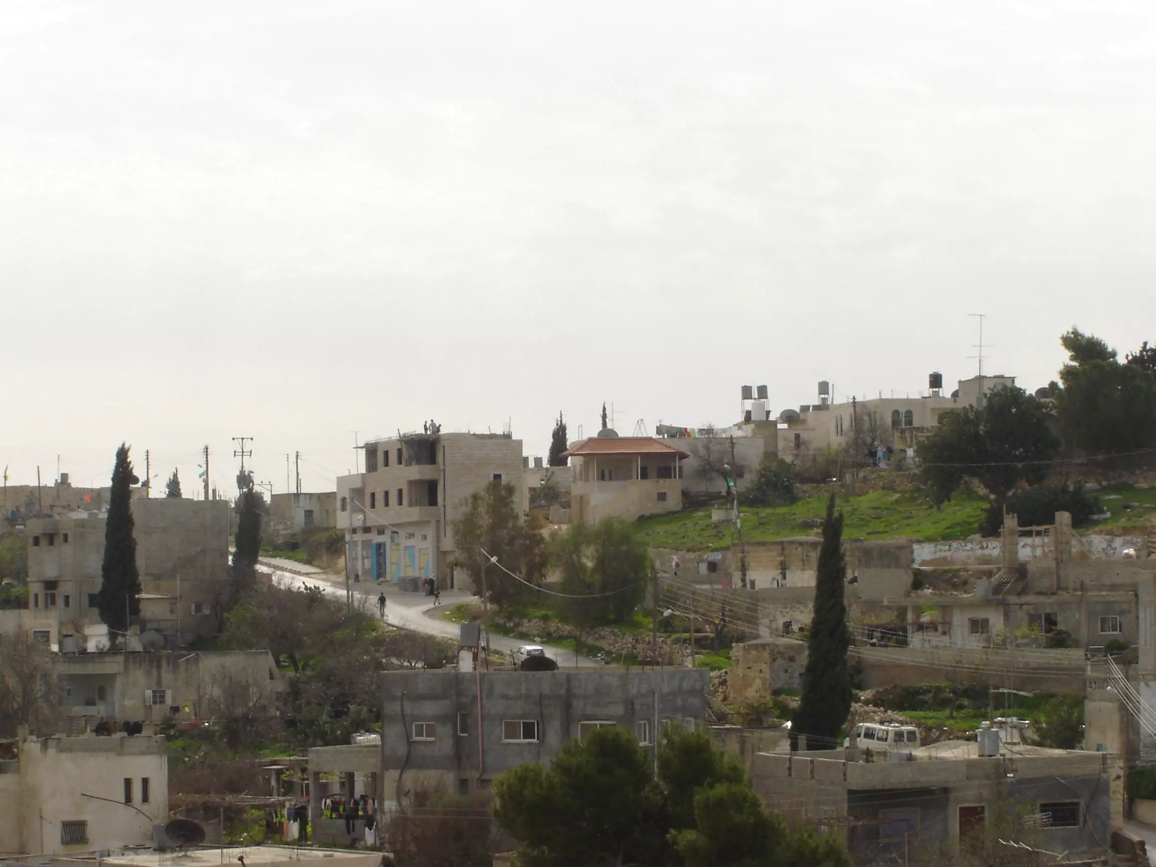
Posted by عدي الحنيني "Odai Hanini" 2 - منظر عام
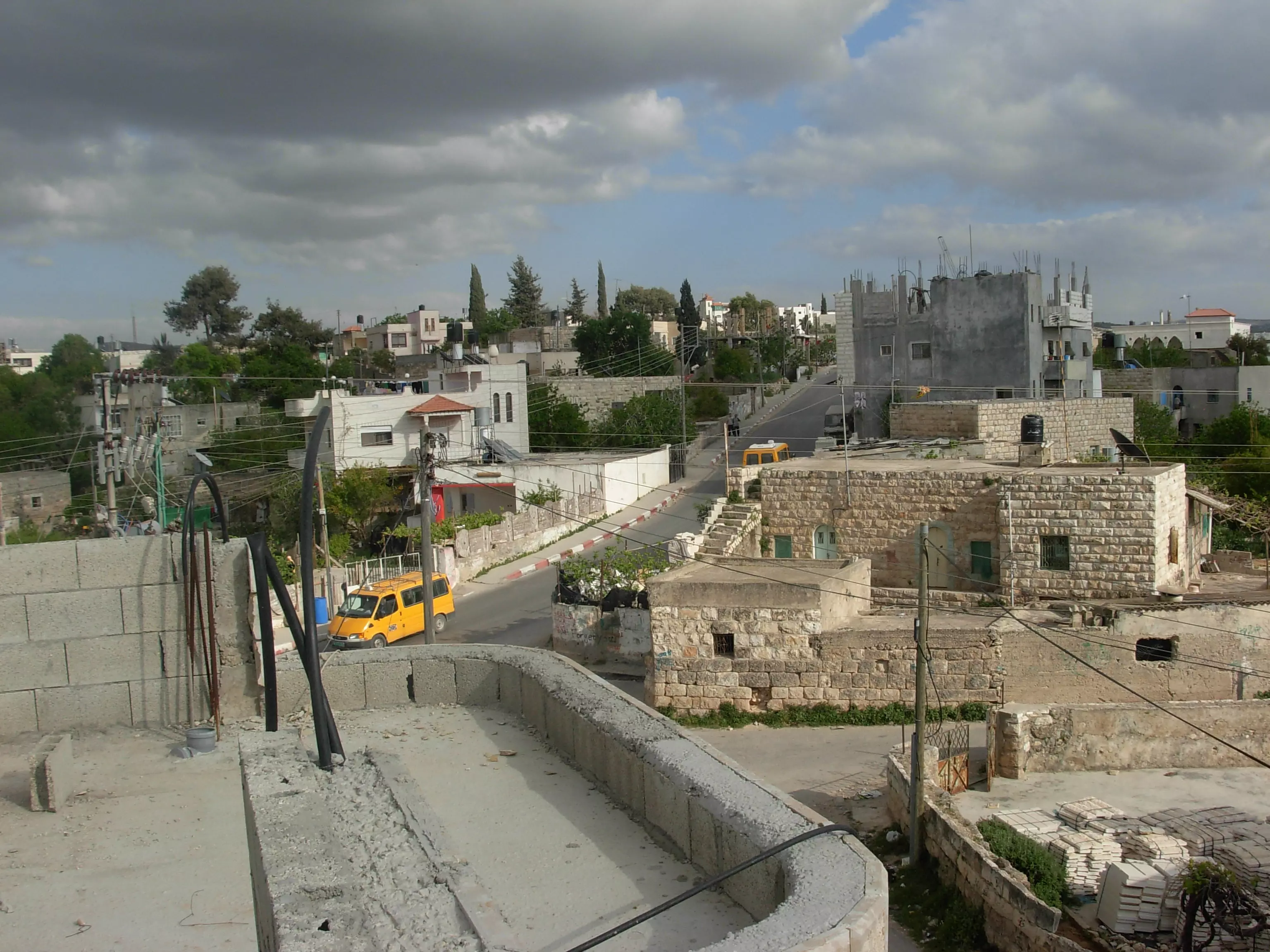
Posted by عدي الحنيني "Odai Hanini" 3 - كفر نعمة البلدة القديمة من الناحية الغربية
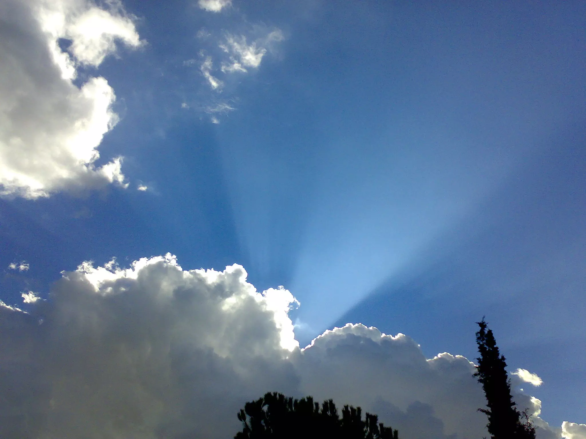
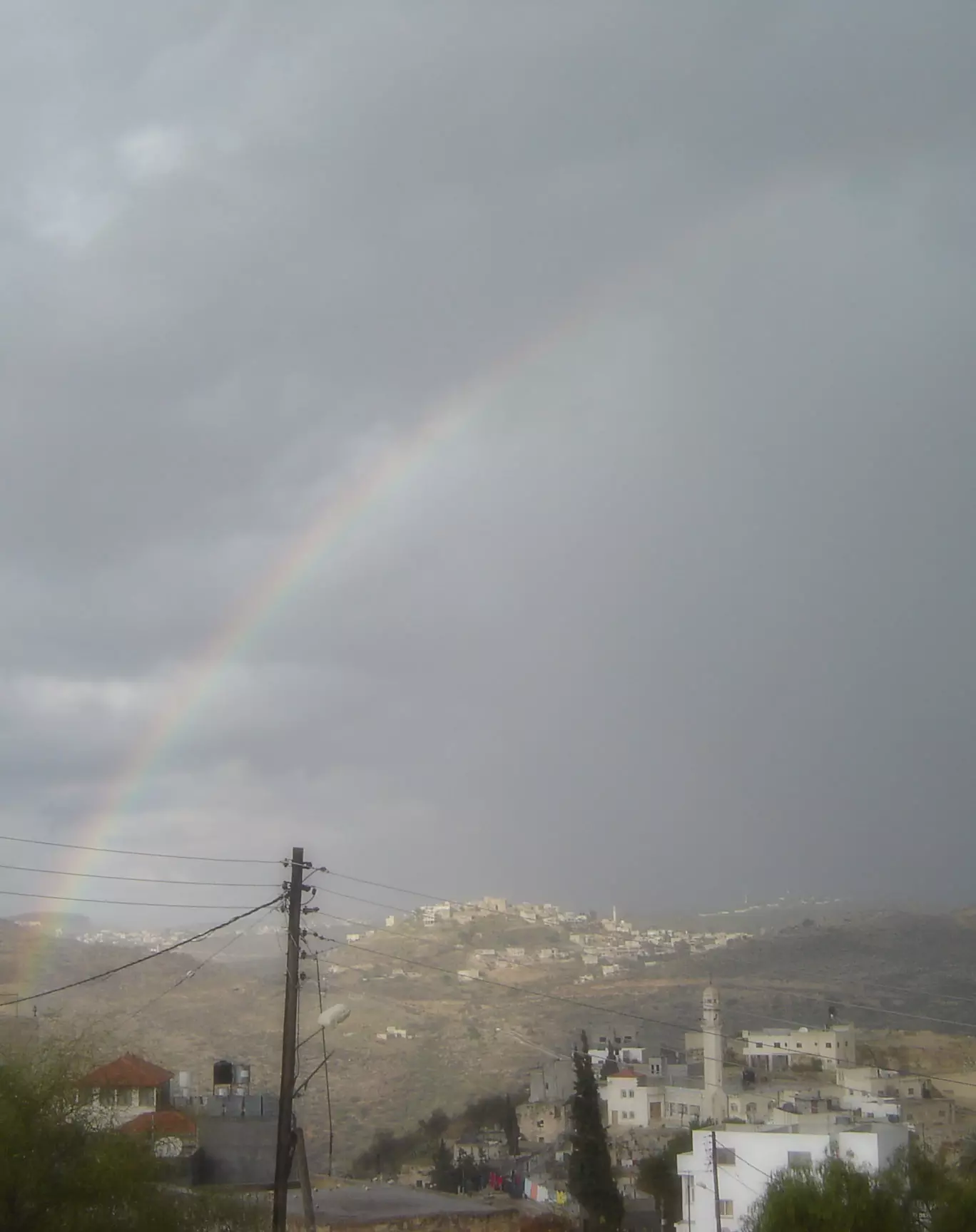
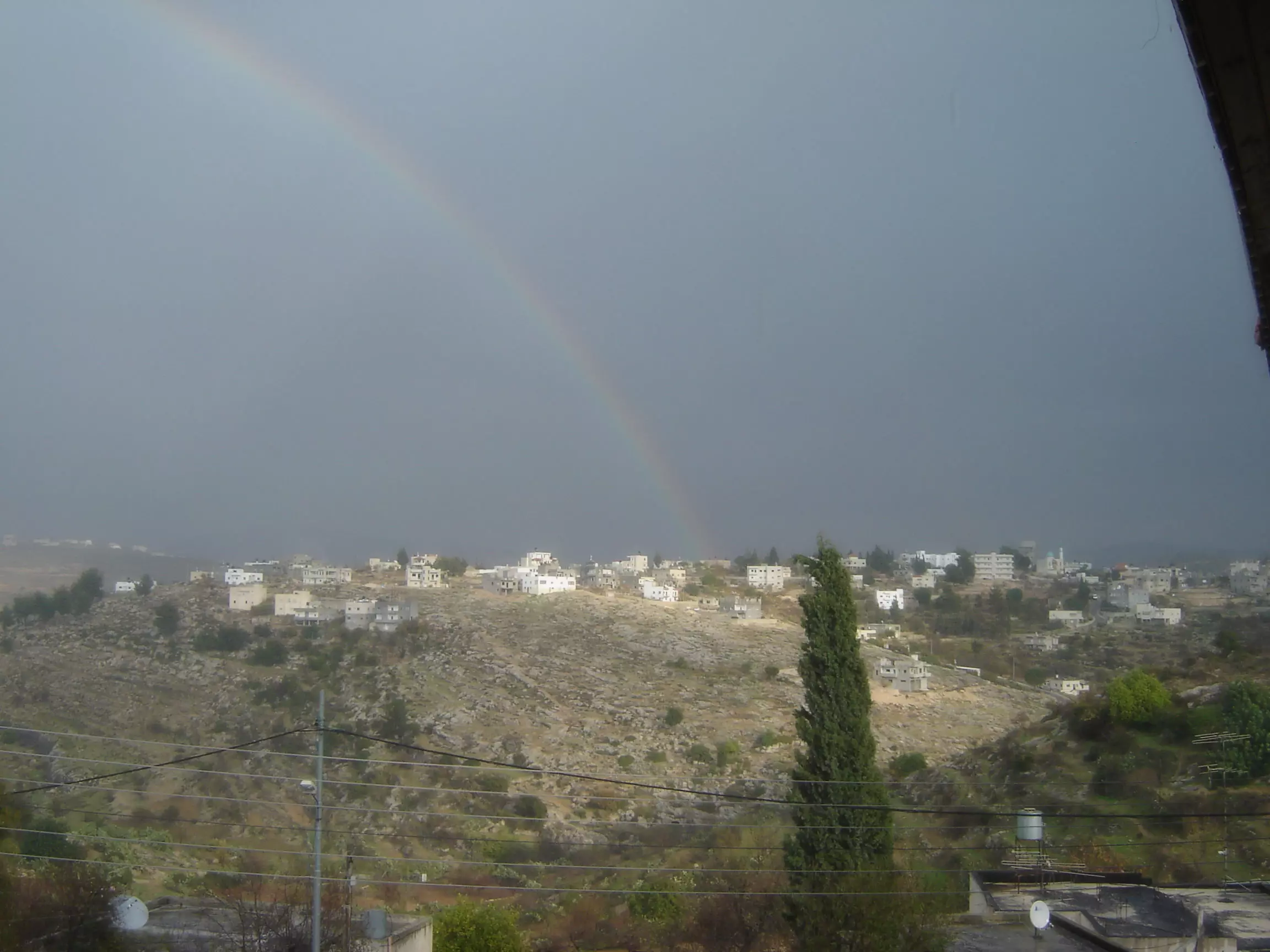
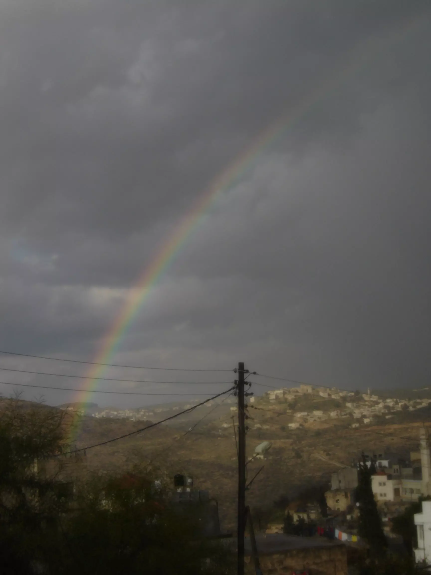
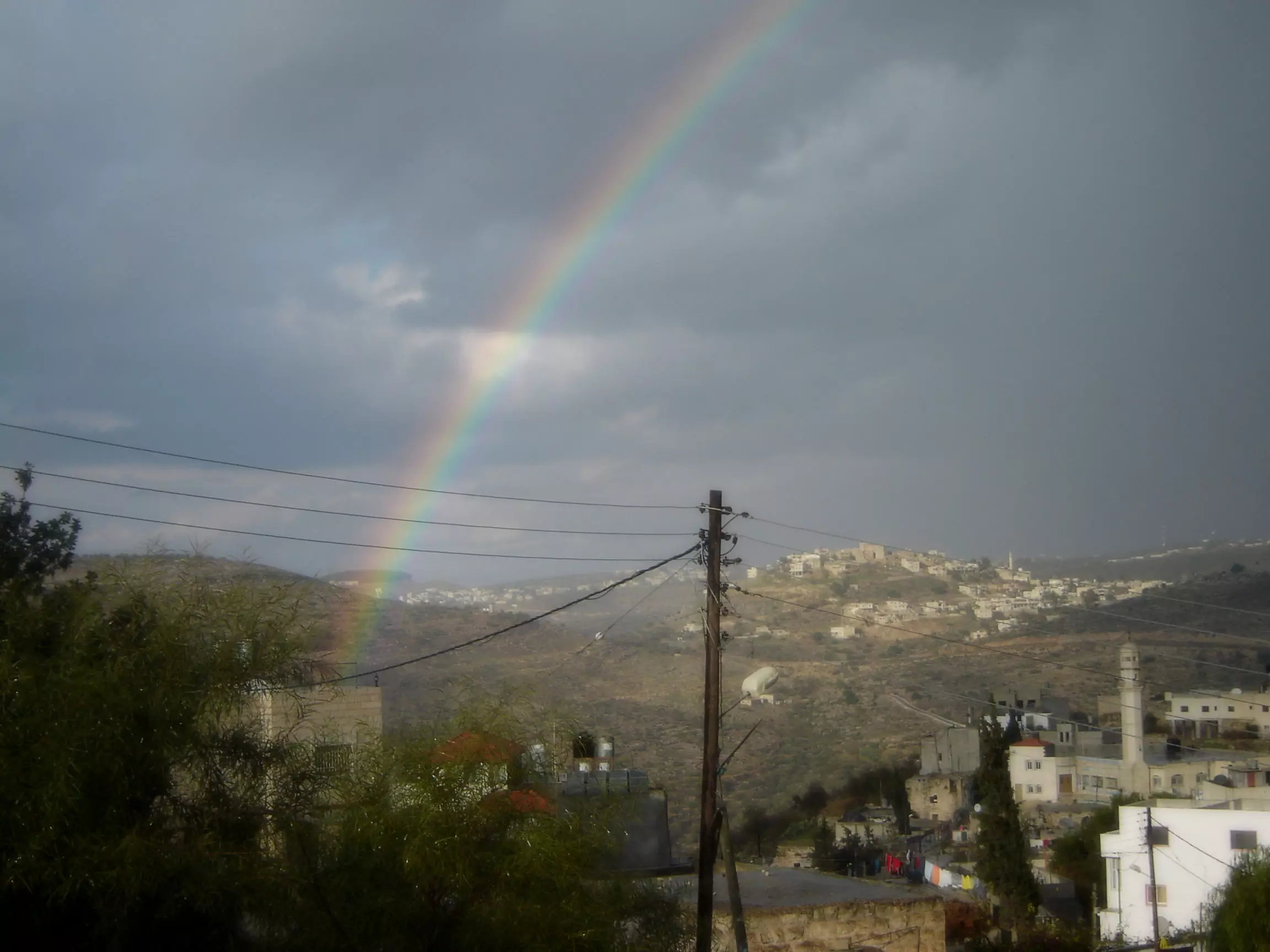
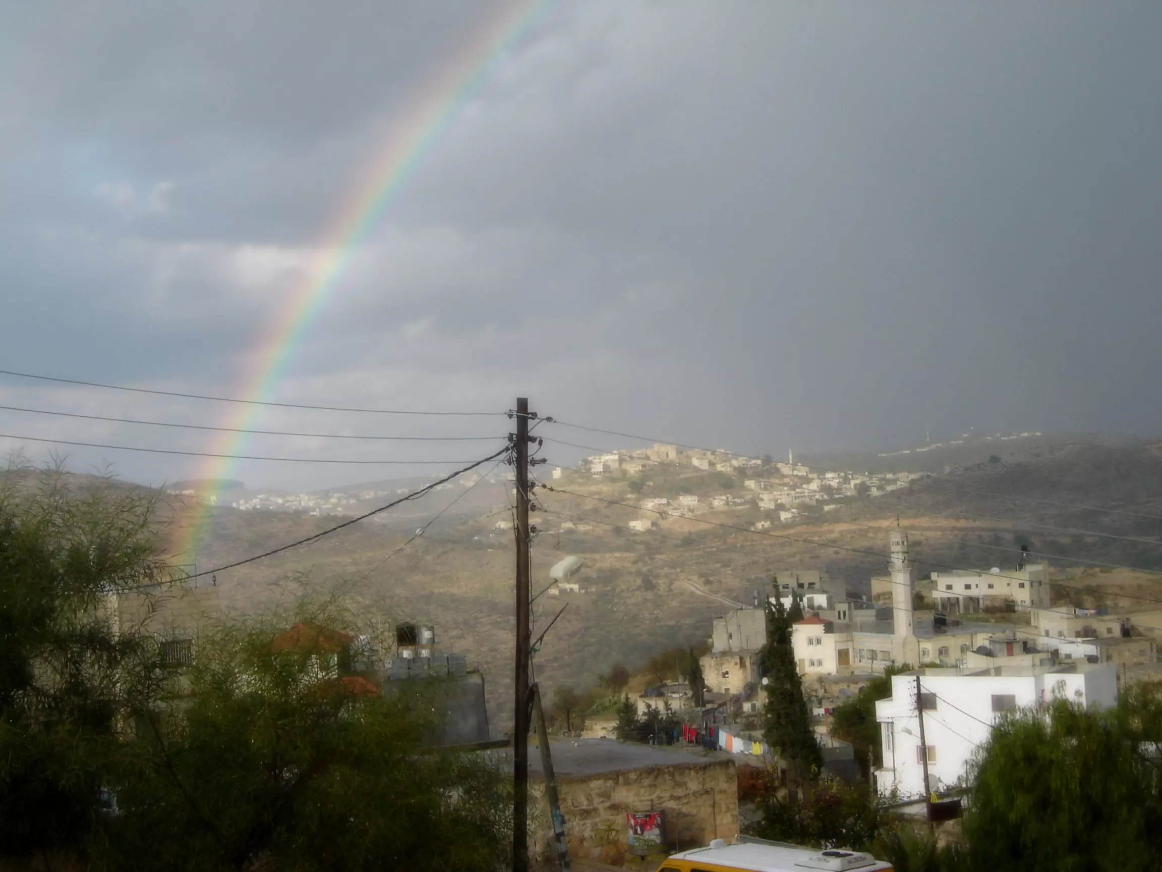
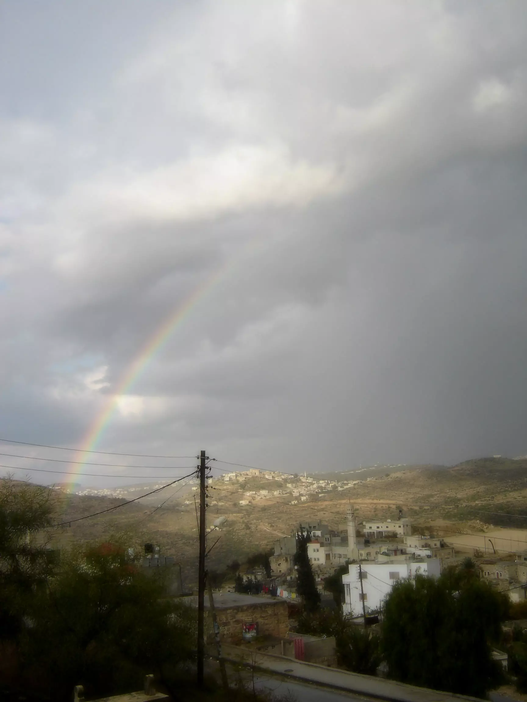
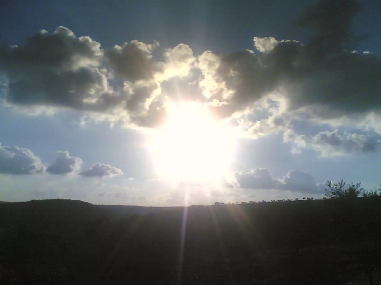
Posted by عدي الحنيني "Odai Hanini" 1 - كفر نعمة راس في الشتاء ظهرت الشمس من بين الغيوم الملبدة
Posted by عدي الحنيني "Odai Hanini" 4 - منظر عام
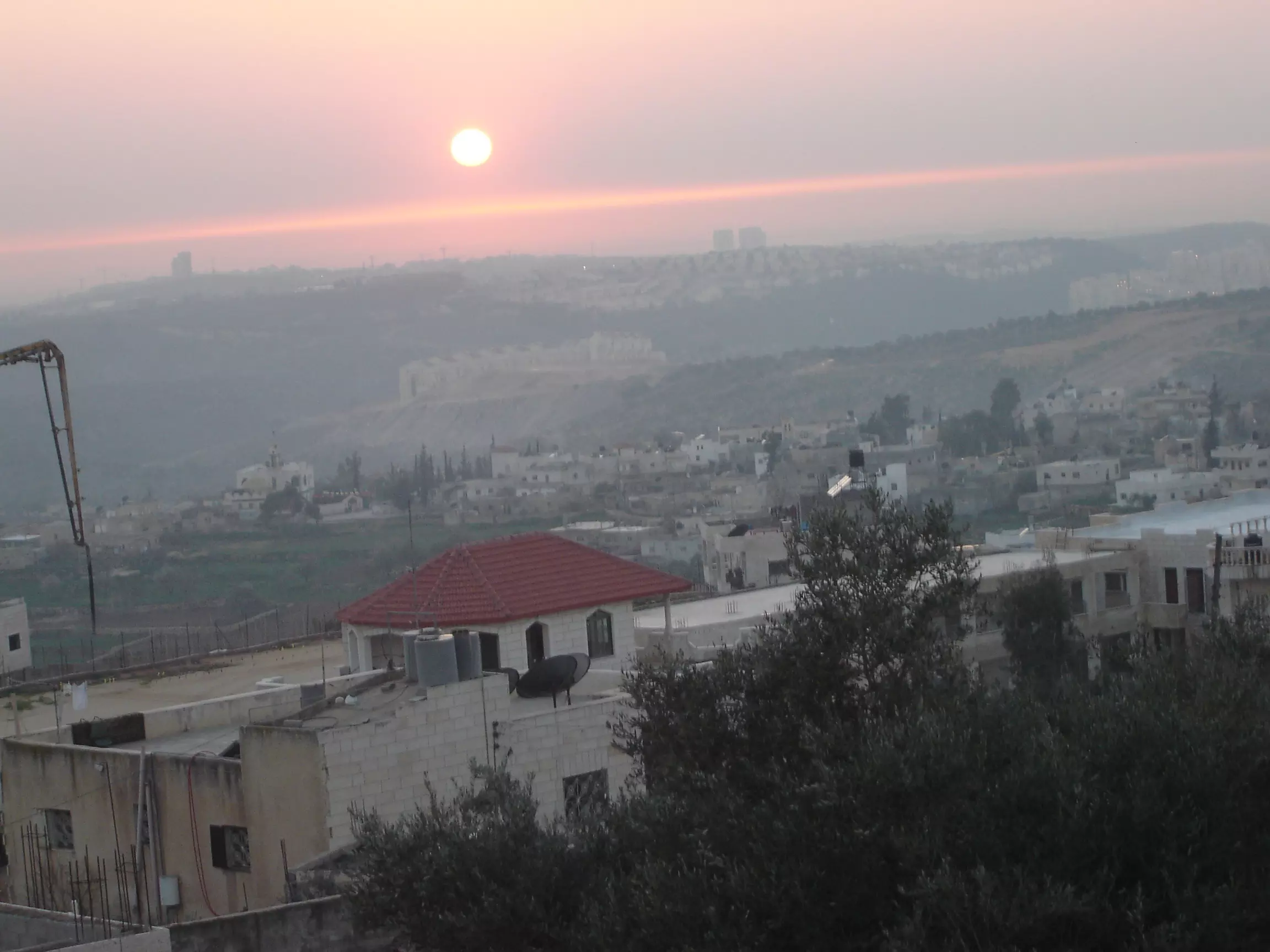
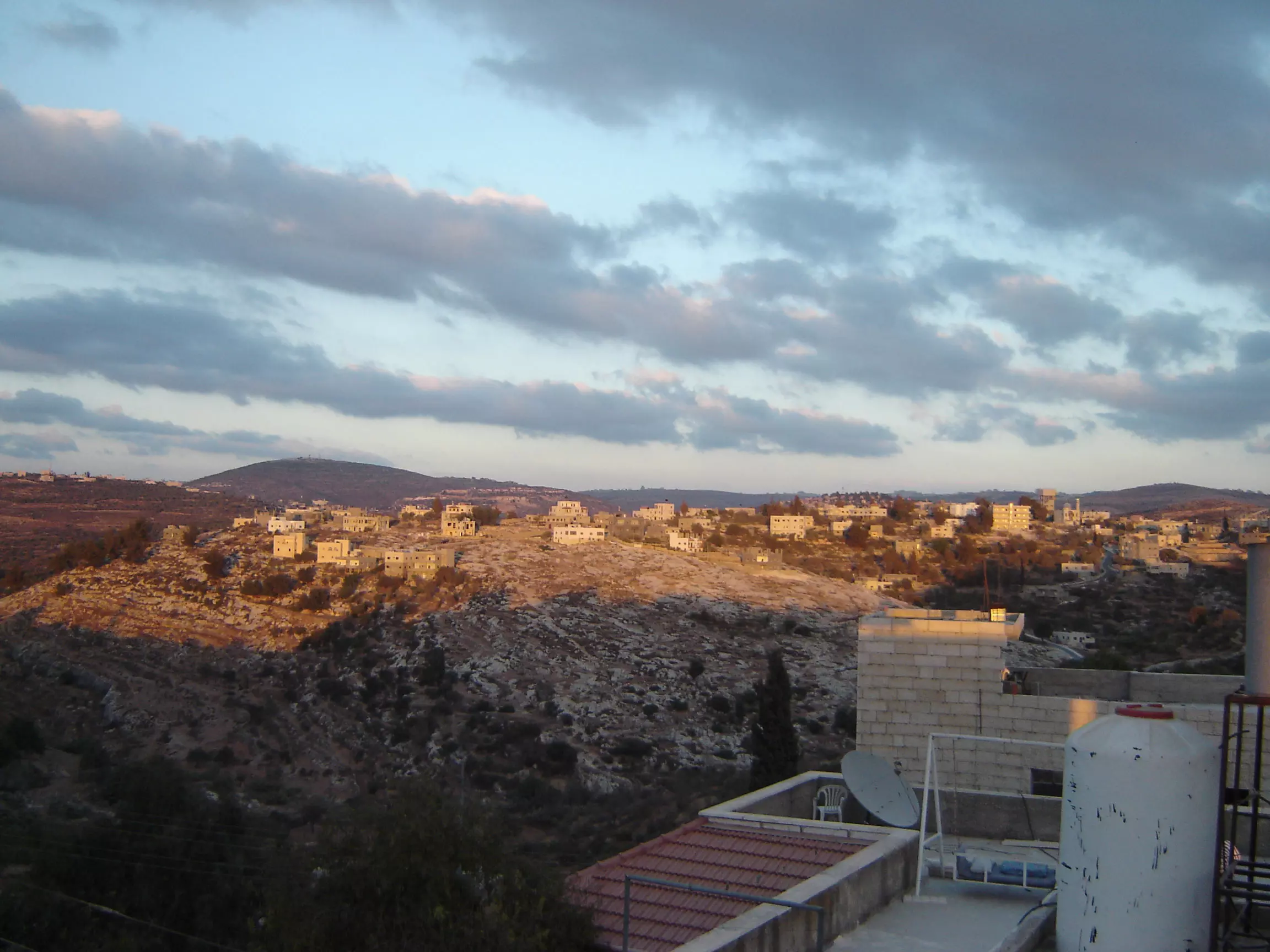
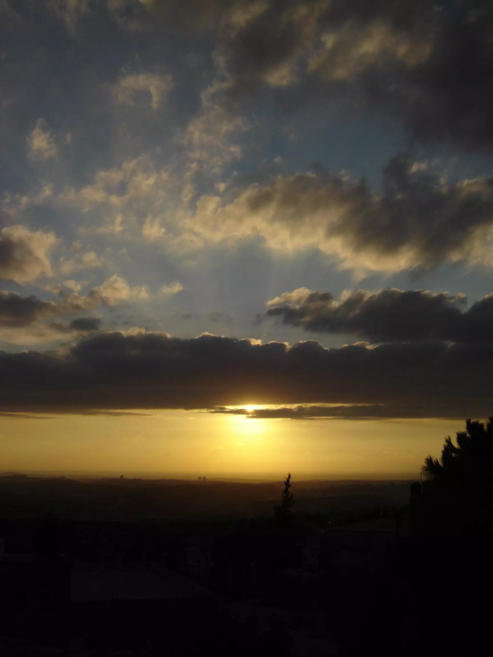
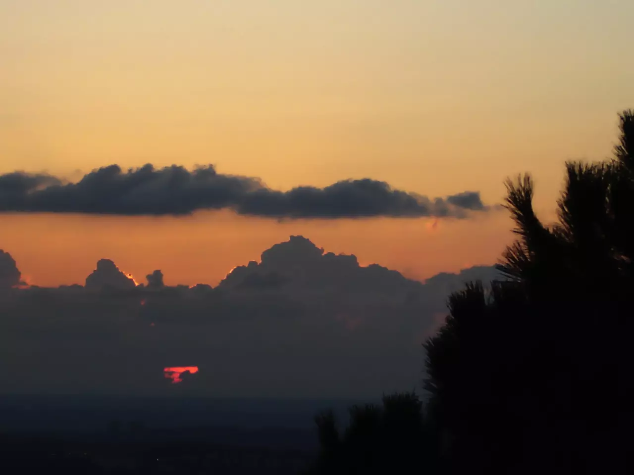
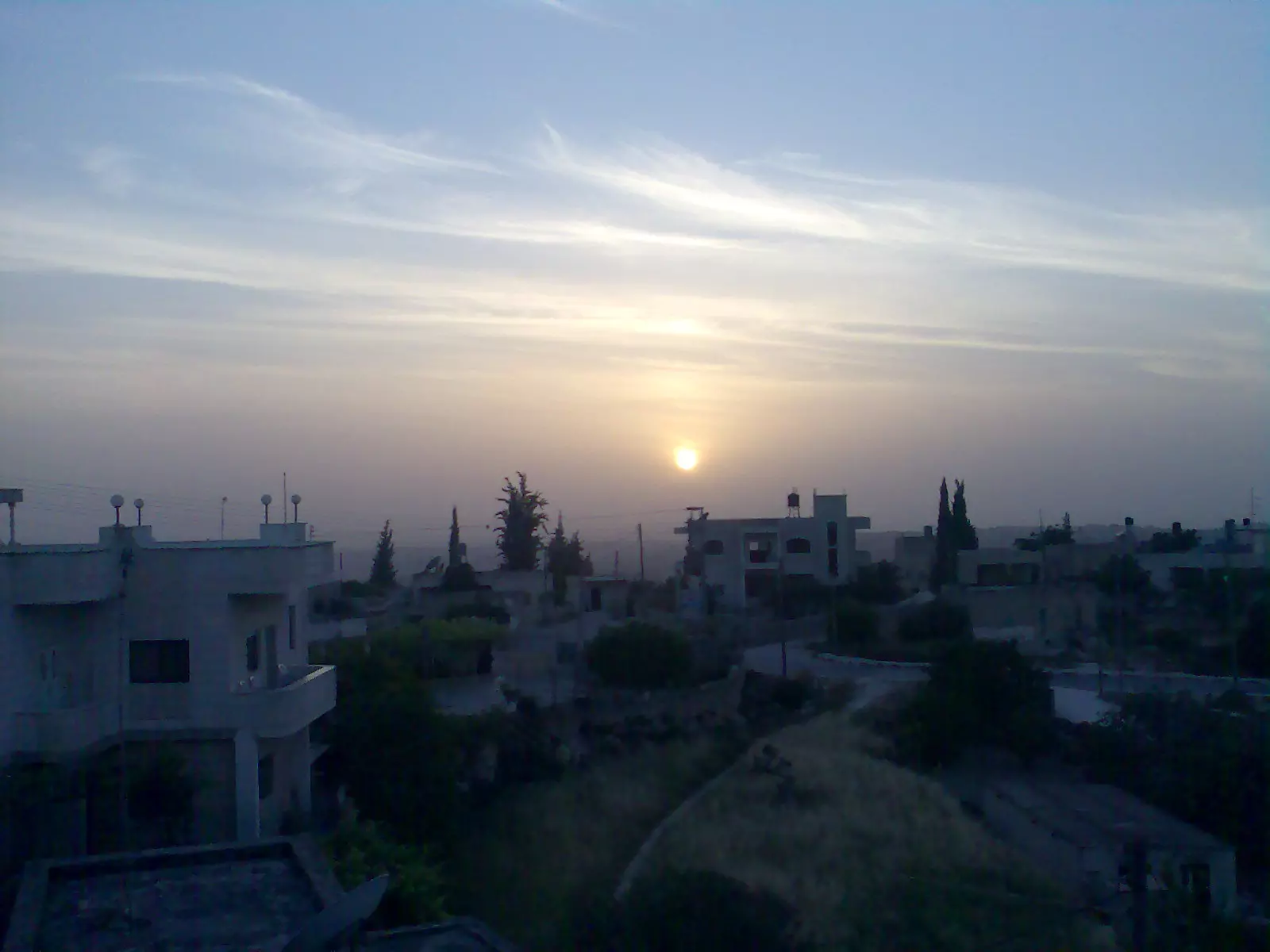
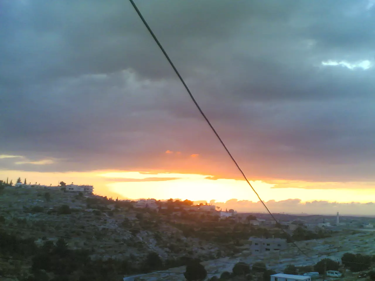
Posted by عدي الحنيني "Odai Hanini" 1 - وقت الغروب
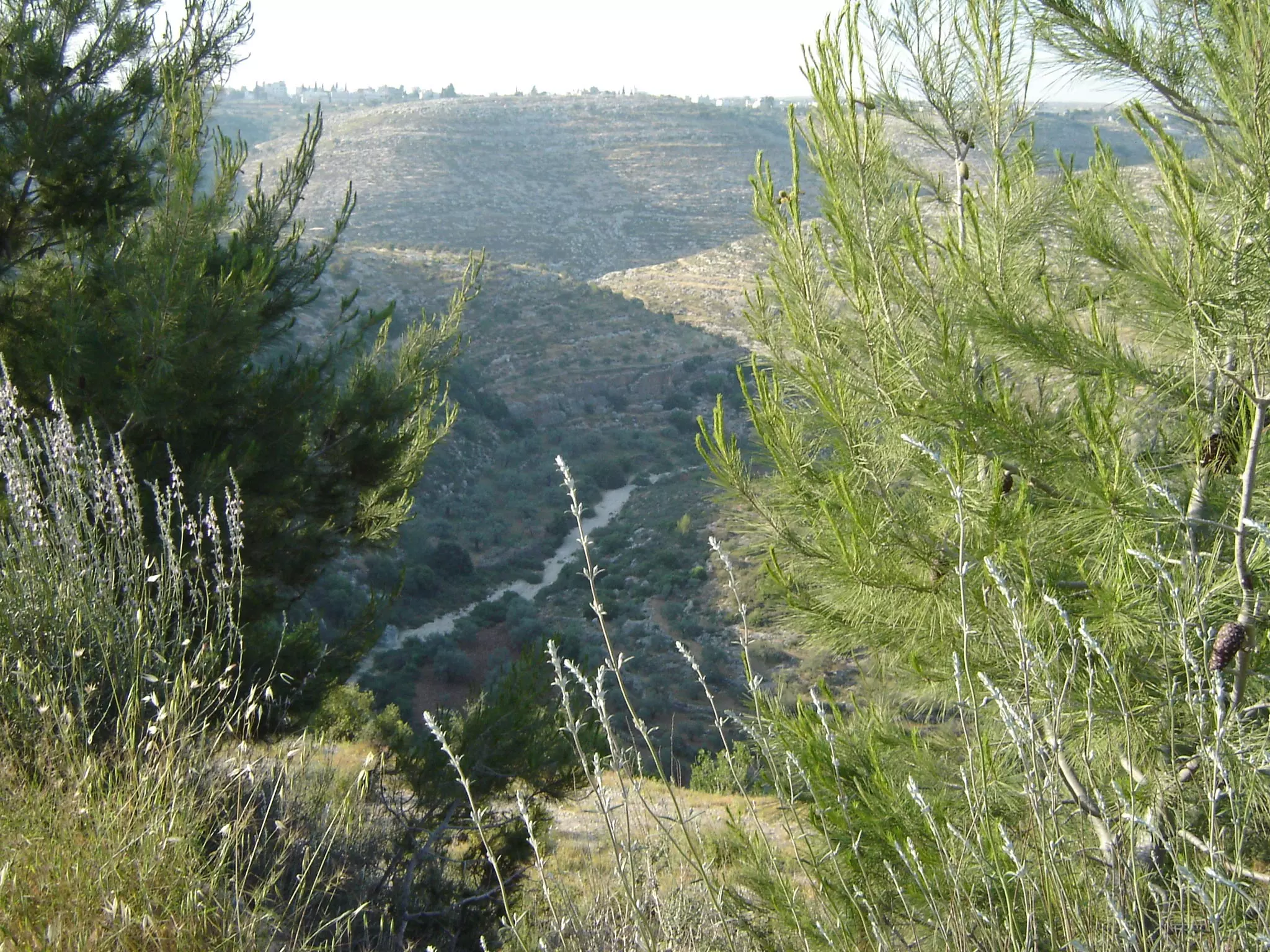
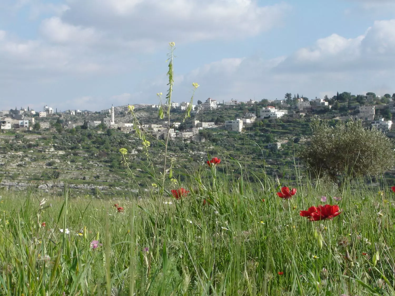
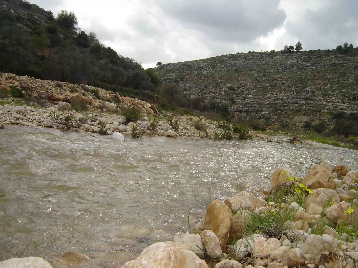
Posted by عدي الحنيني "Odai Hanini" 3 - الأودية المحيطة وقت الربيع
Posted by عدي الحنيني "Odai Hanini" 4 - General view
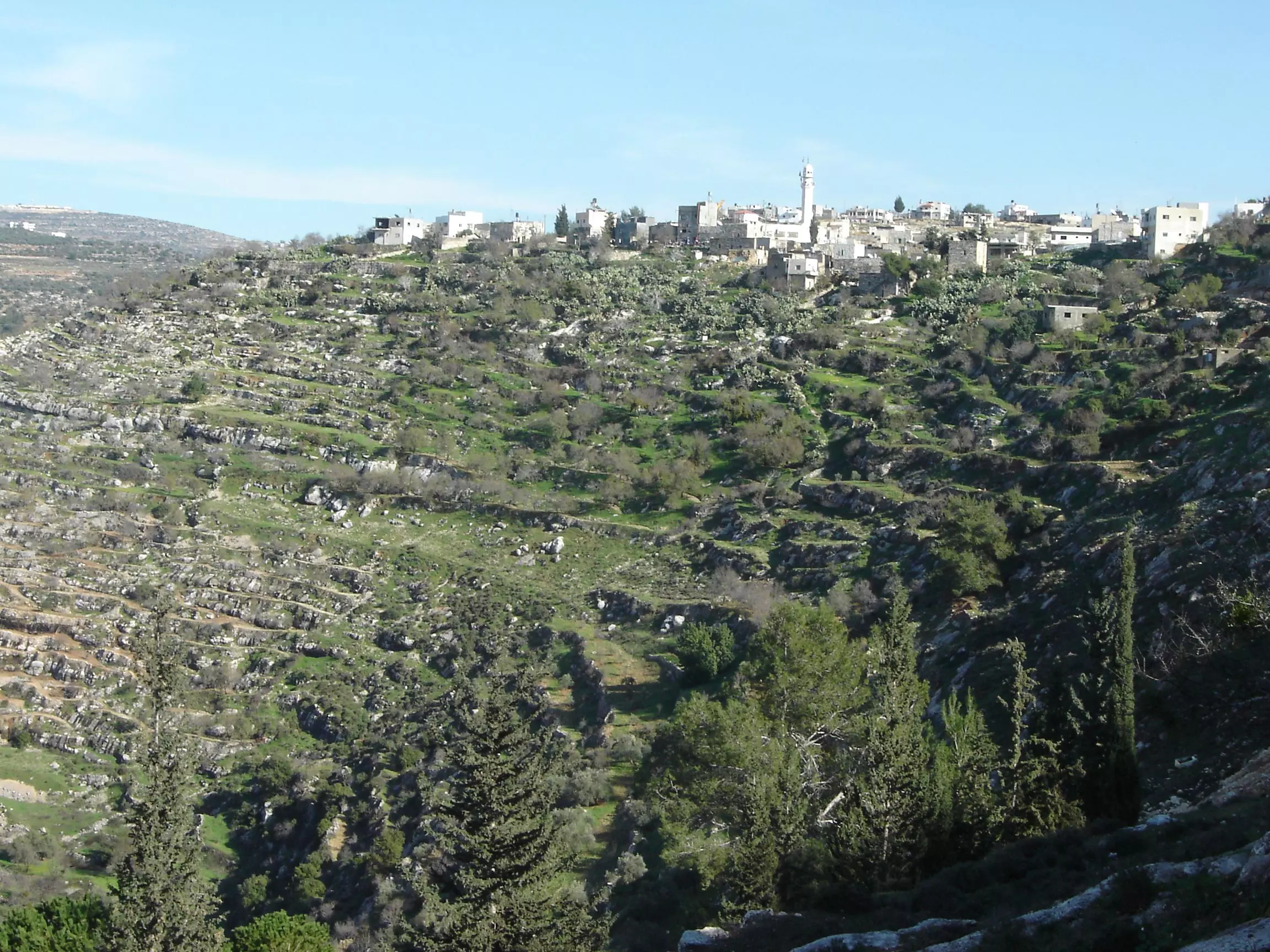
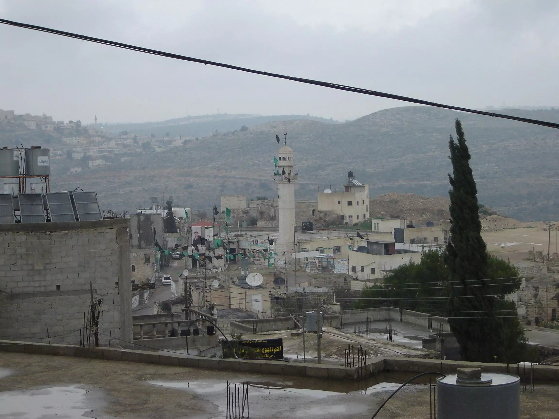
Posted by عدي الحنيني "Odai Hanini" 3 - كفر نعمة المسجد القديم يوم عيد الاضحى 2005
Posted by عدي الحنيني "Odai Hanini" 5 - الملعب مصور من فوق الماذنة
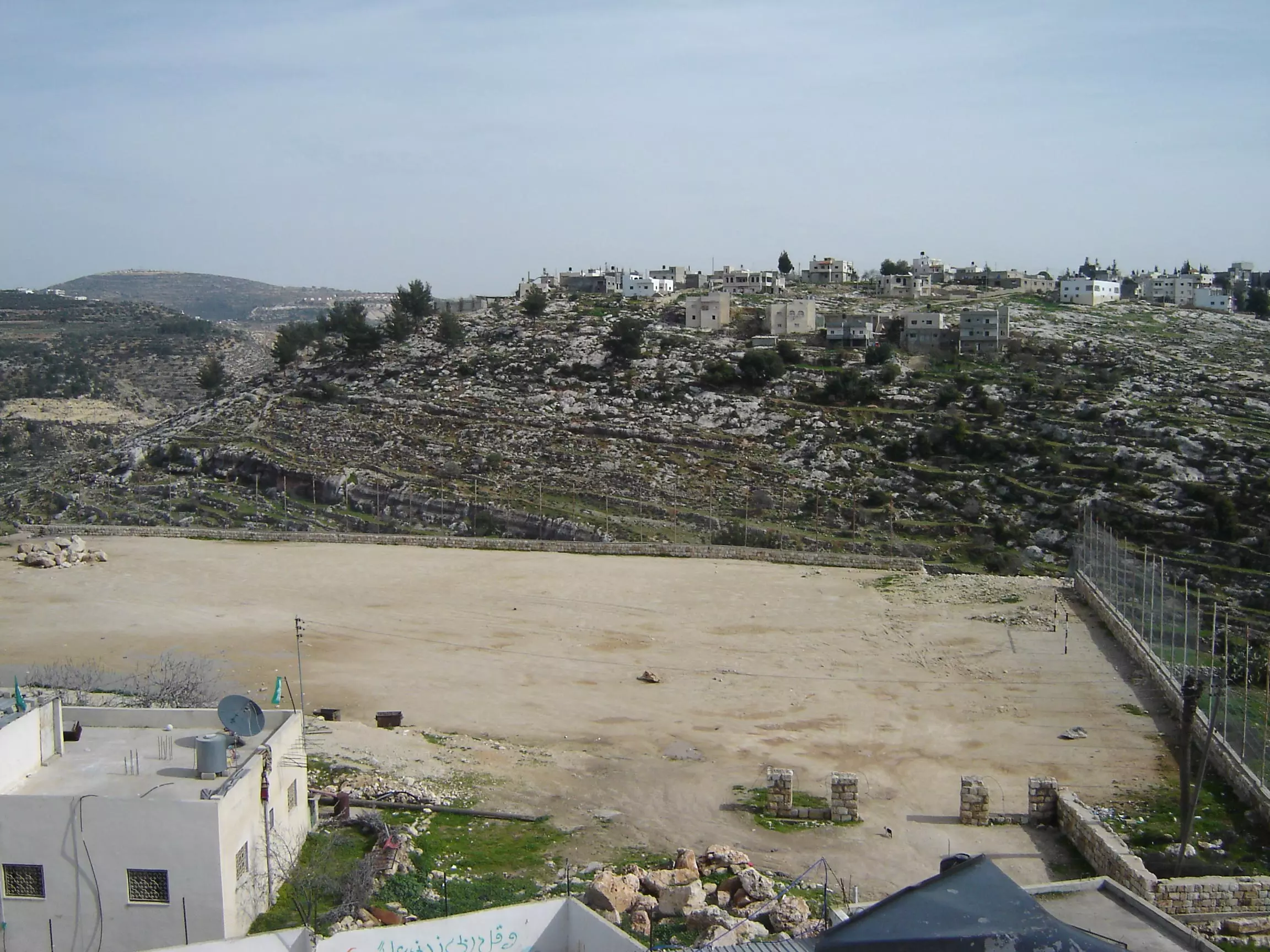
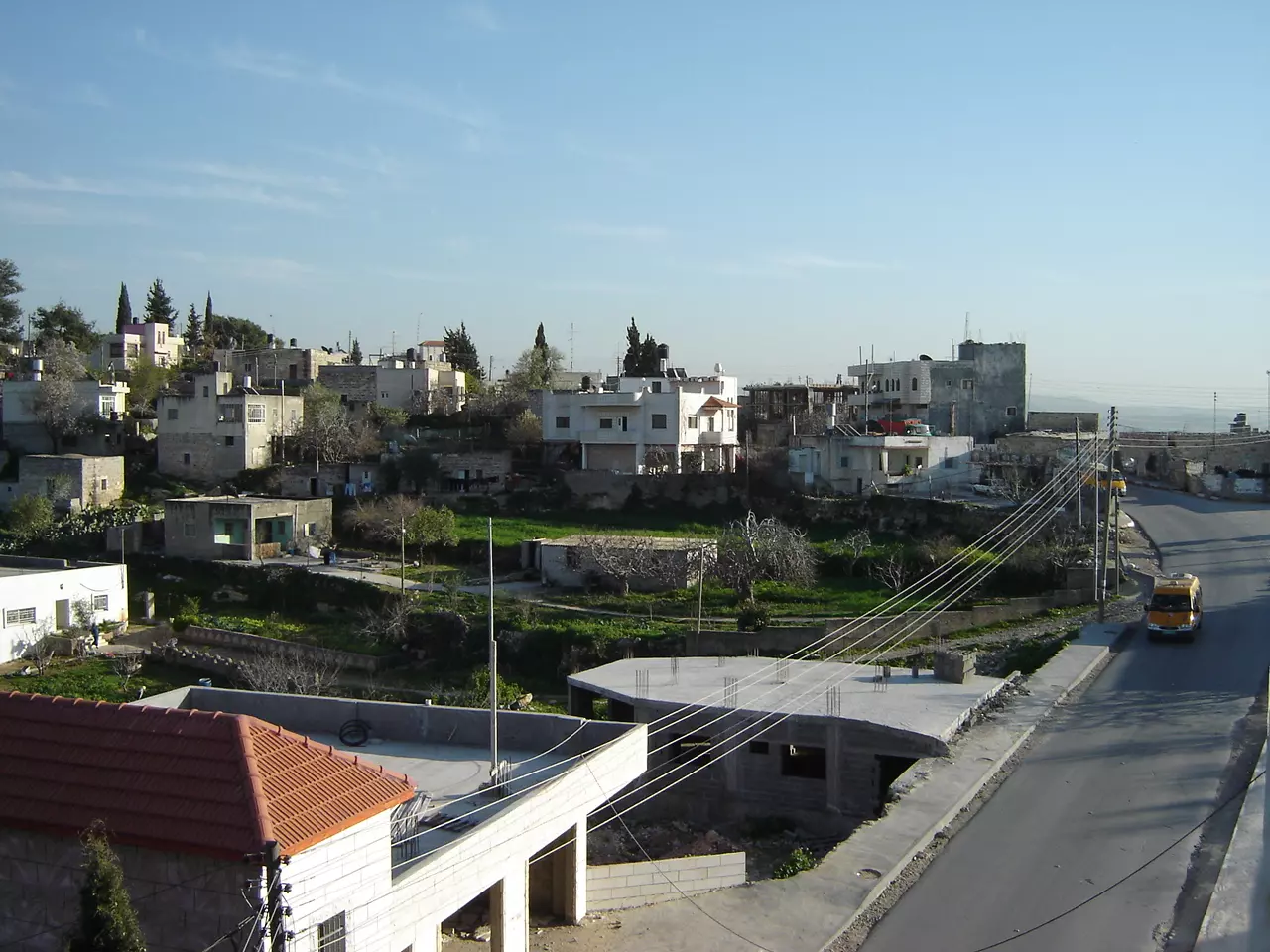
Posted by عدي الحنيني "Odai Hanini" 1 - منظر عام
Posted by عدي الحنيني "Odai Hanini" 3 - بعد المغرب
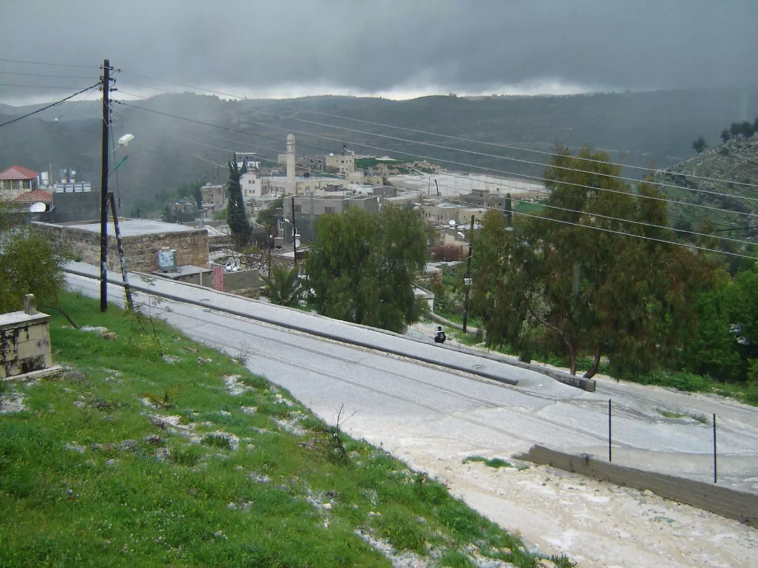
Posted by عدي الحنيني "Odai Hanini" - كفر نعمة في الشتاء
Posted by عدي الحنيني "Odai Hanini" 3 - كفر نعمة
Posted by عدي الحنيني "Odai Hanini" 2 - منظر عام
Posted by عدي الحنيني "Odai Hanini" - يوم عيد الفطر 2005
- The wadies during the winter
1 - During the winter
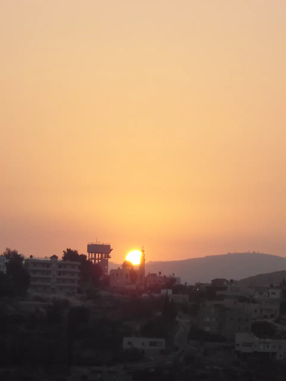
- وقت الغروب
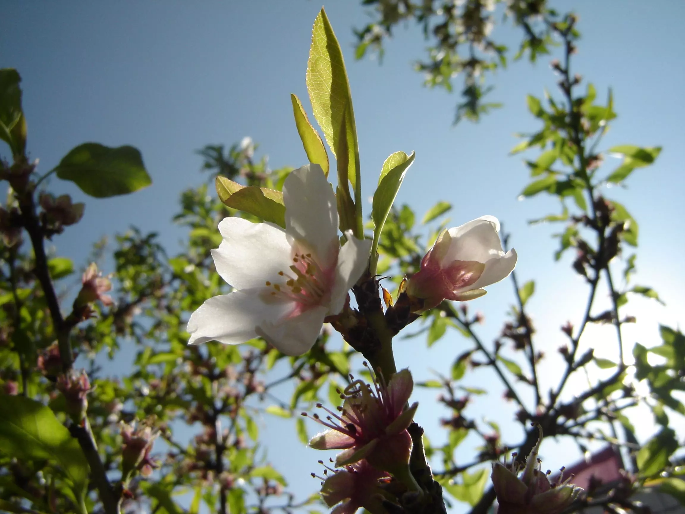
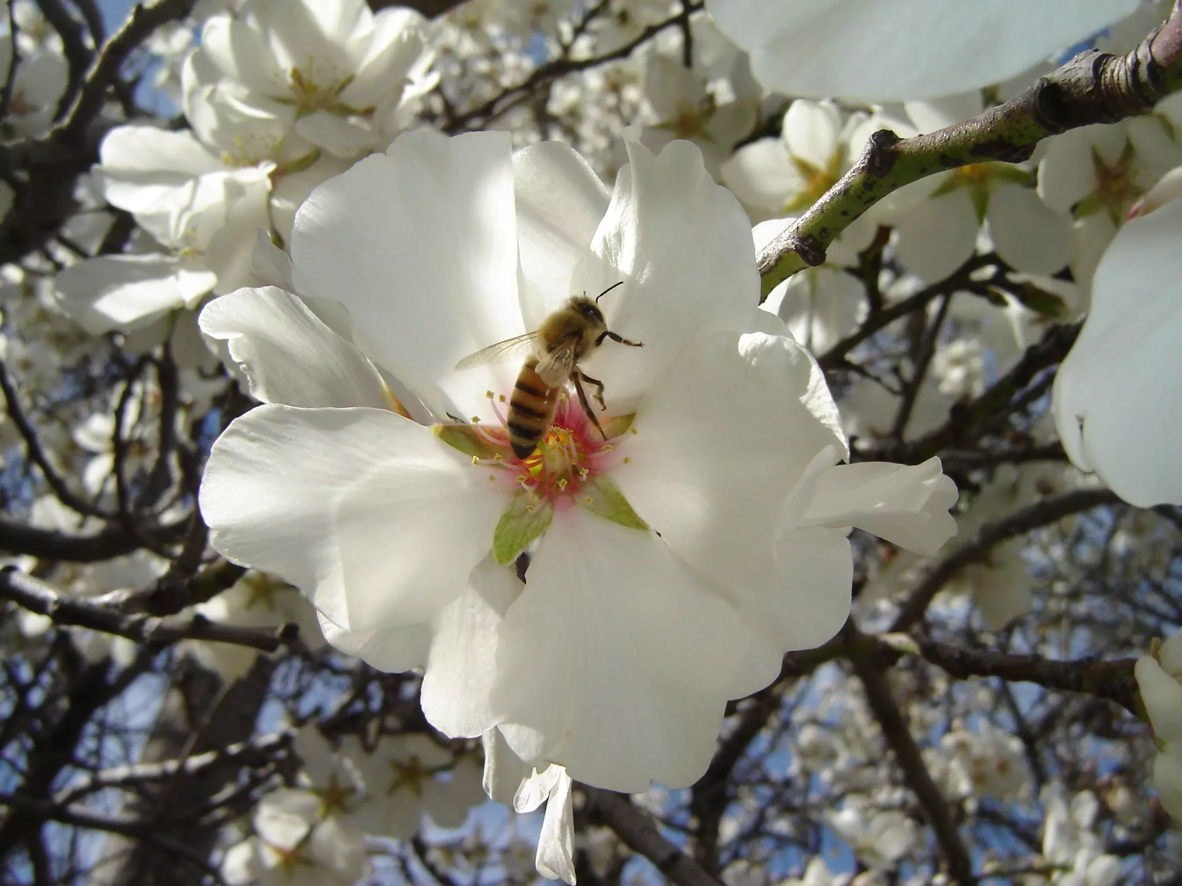
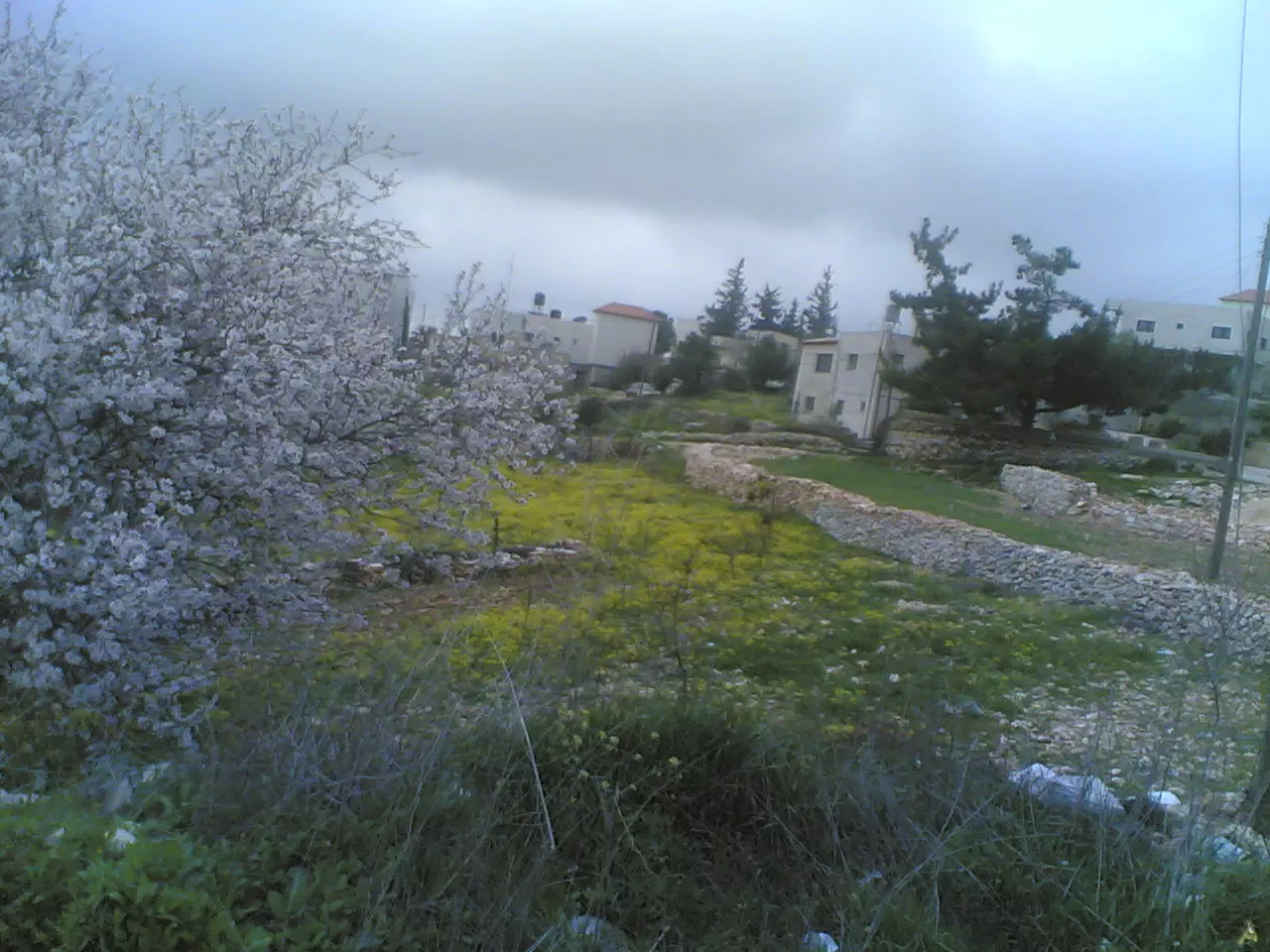
Posted by عدي الحنيني "Odai Hanini" 4 - شجر اللوز وقت الربيع
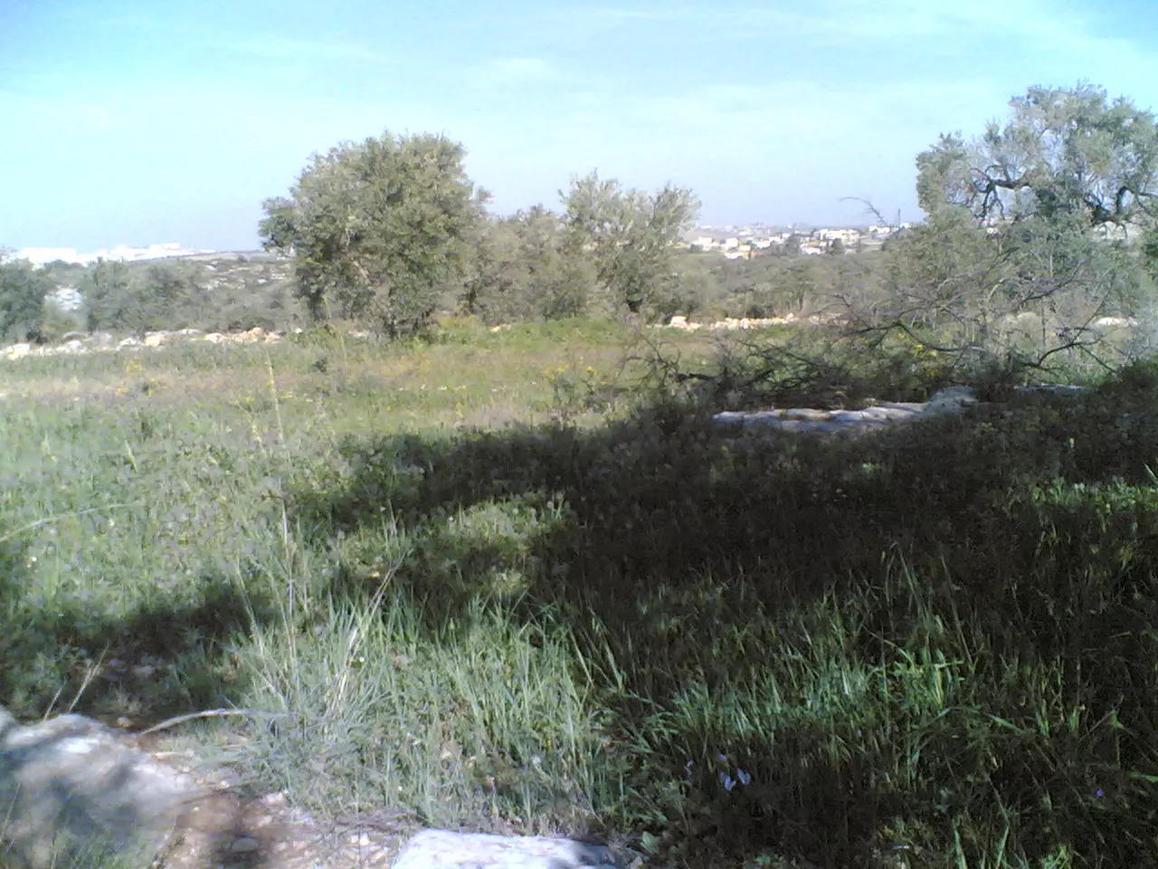
Posted by عدي الحنيني "Odai Hanini" 3 - الطبيعة
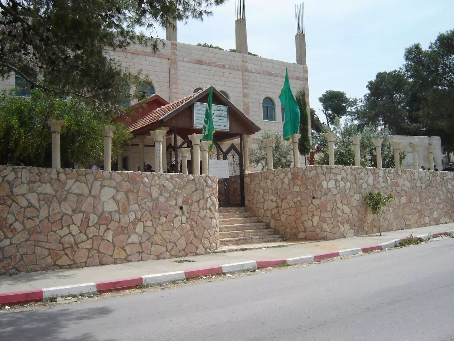
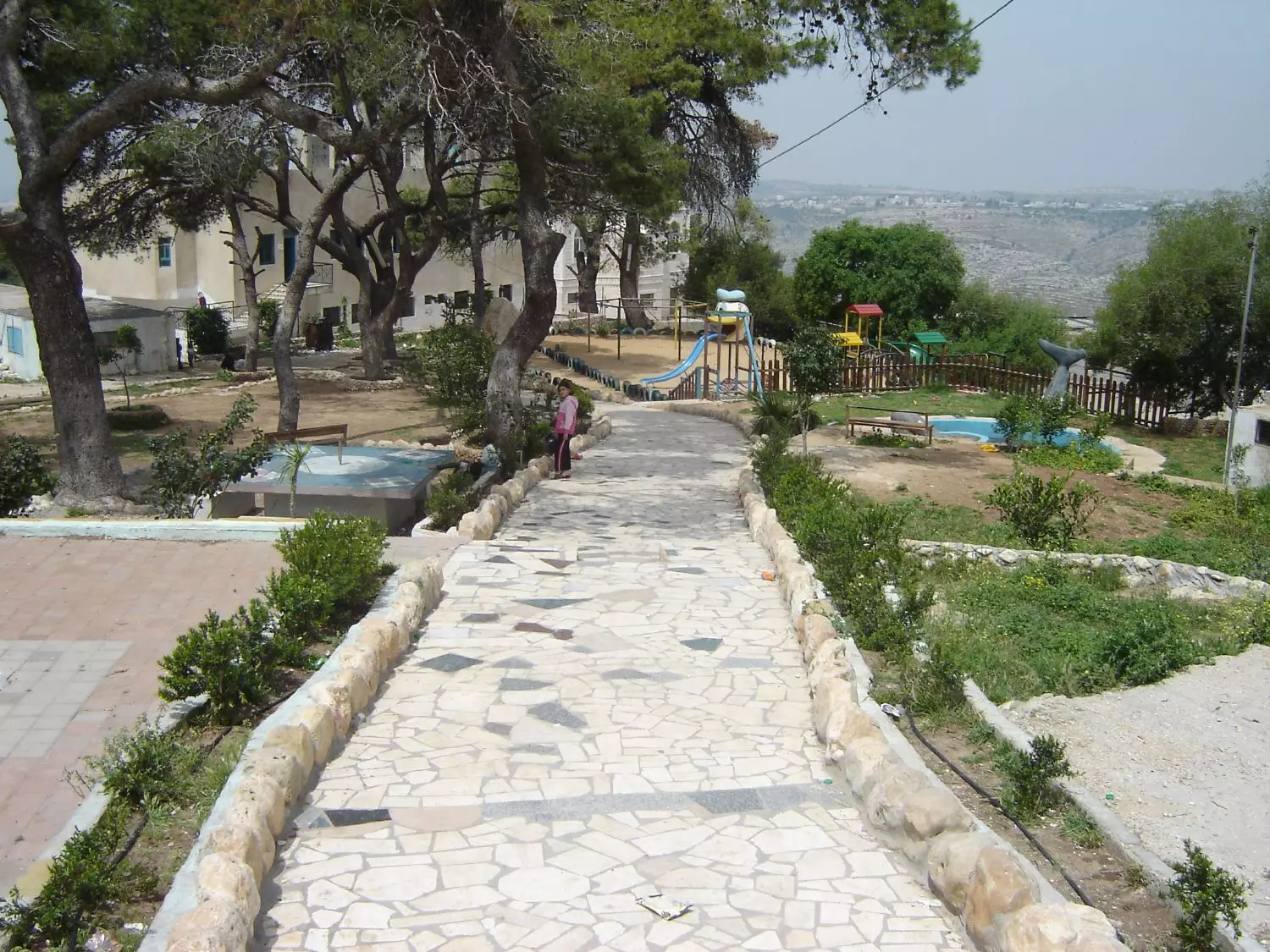
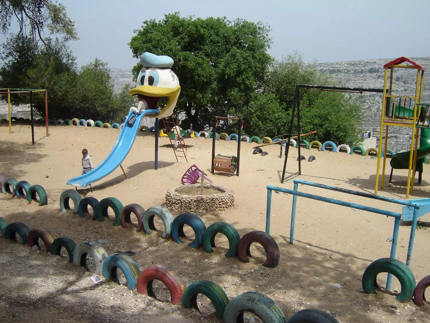
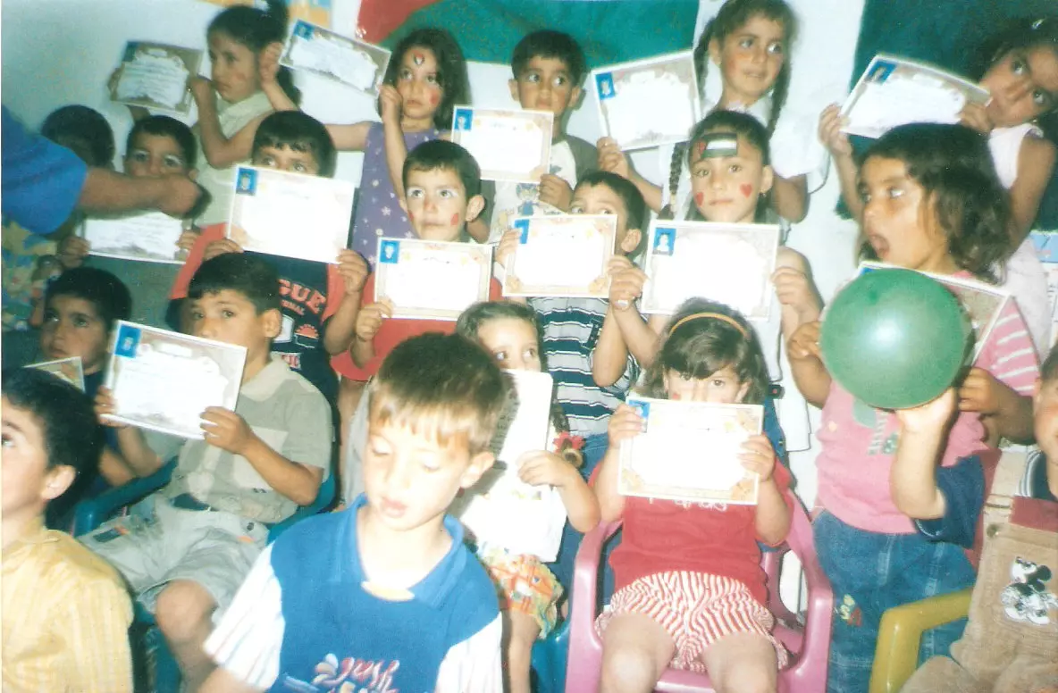
Posted by عدي الحنيني "Odai Hanini" 2 - نادي الطفل
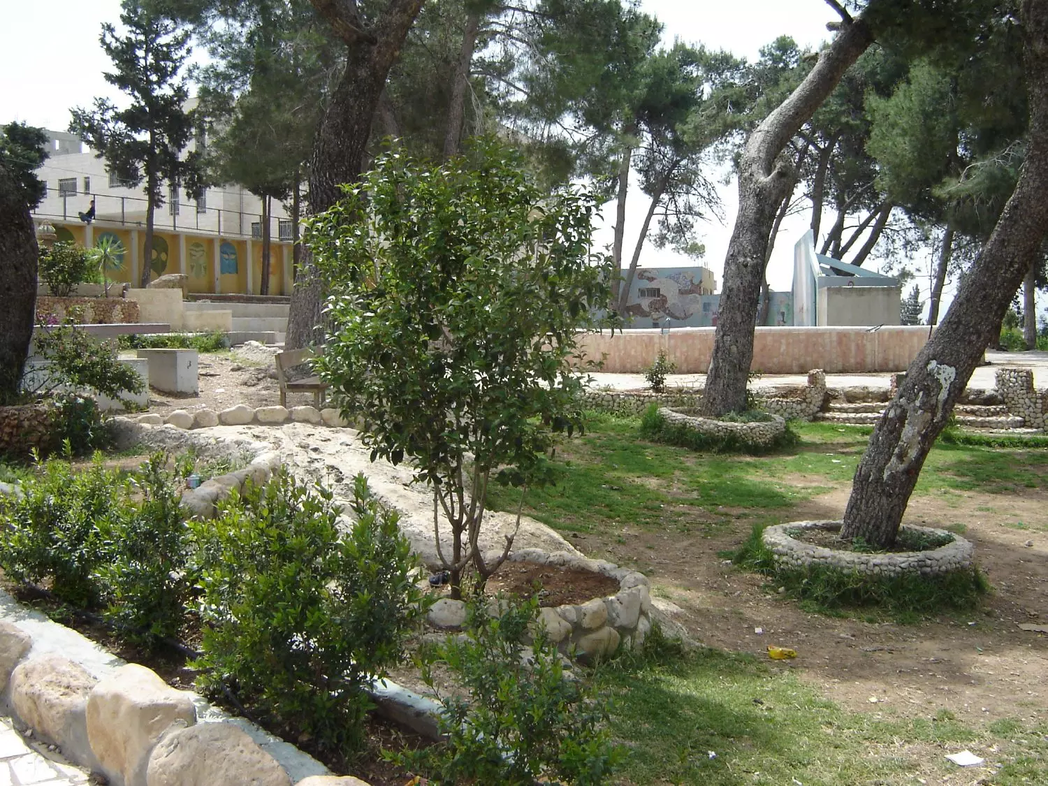
Posted by عدي الحنيني "Odai Hanini" - متنزه القرية
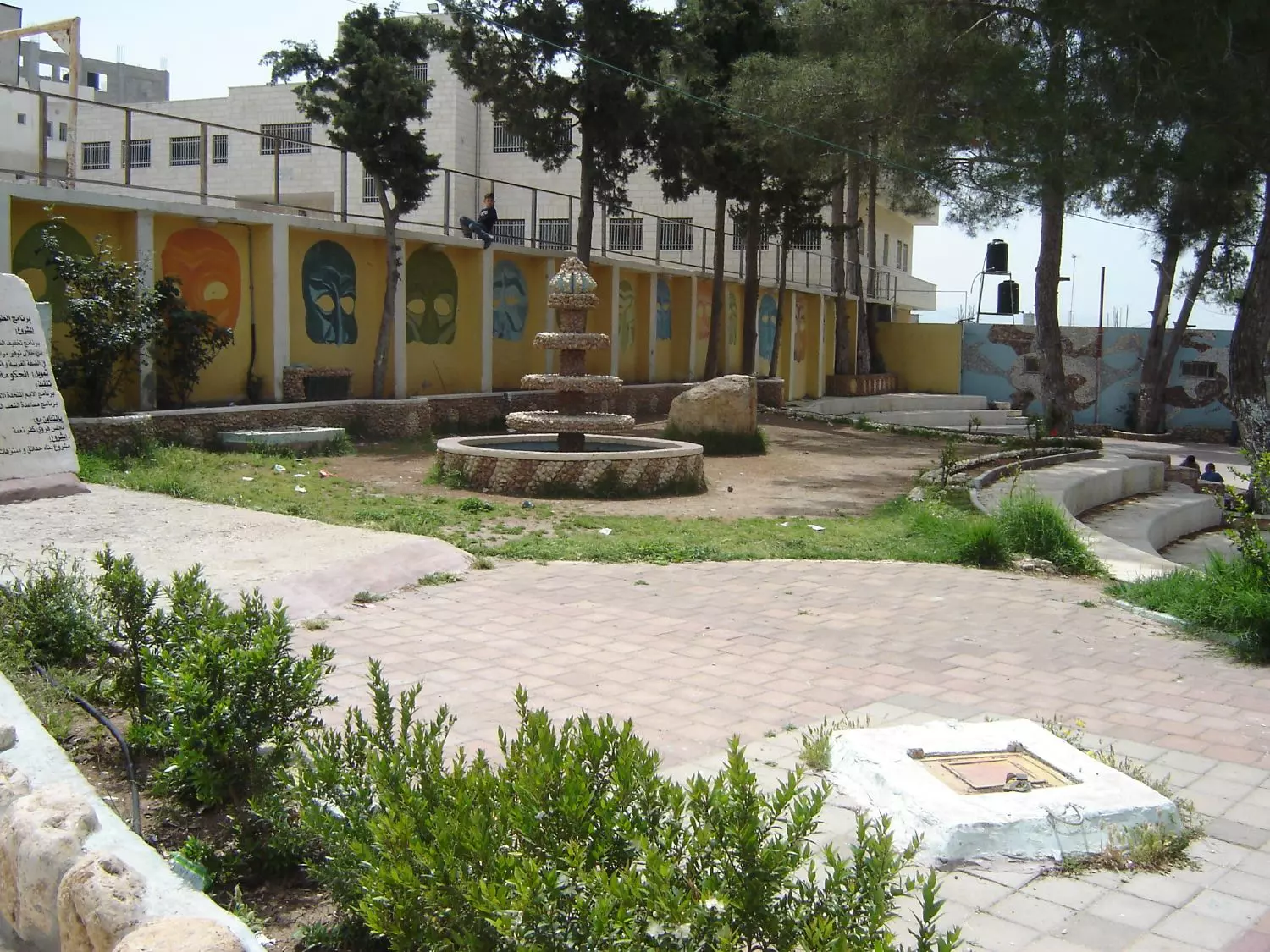
Posted by عدي الحنيني "Odai Hanini" 2 - متنزه القرية
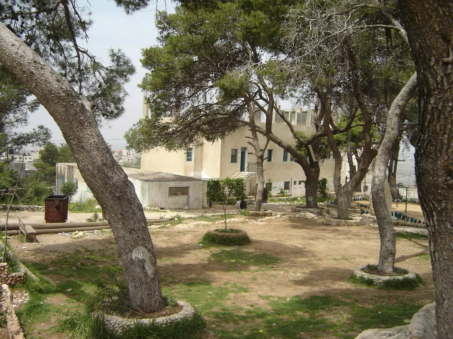
Posted by عدي الحنيني "Odai Hanini" - متنزه القرية
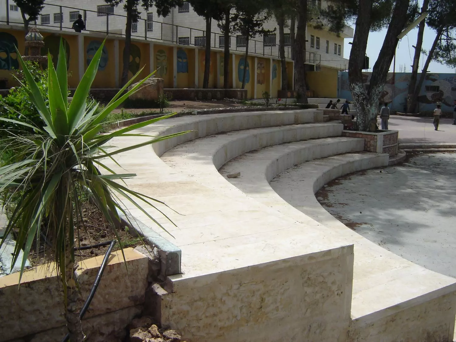
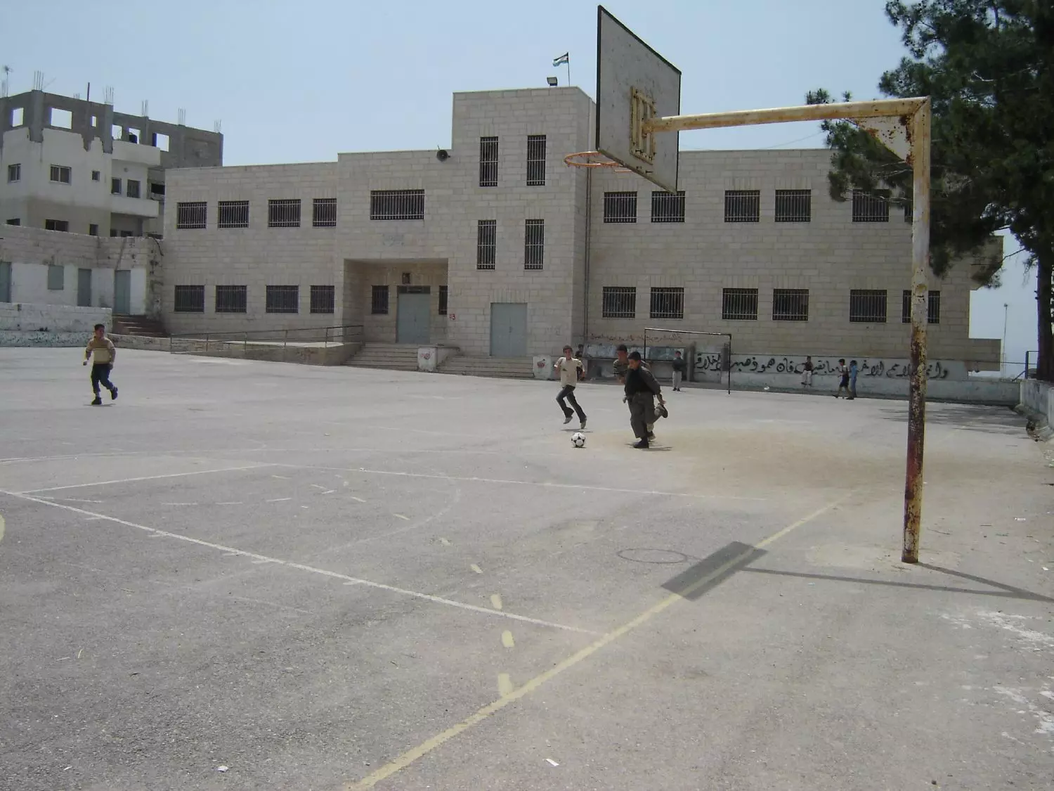
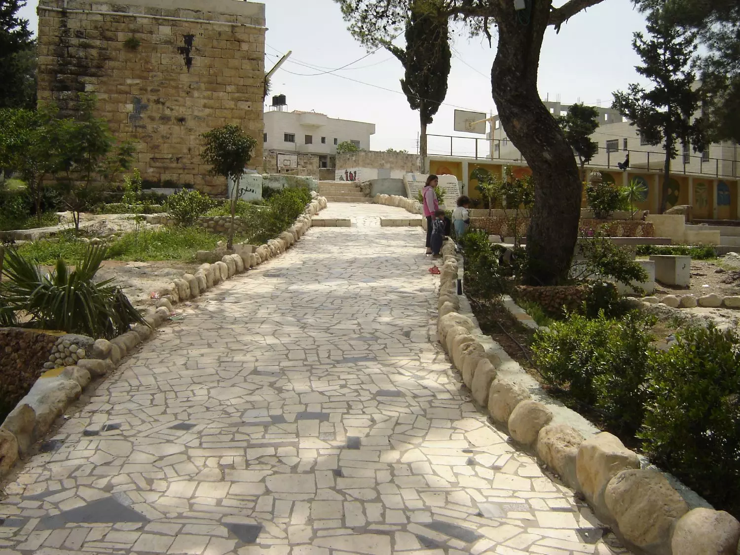
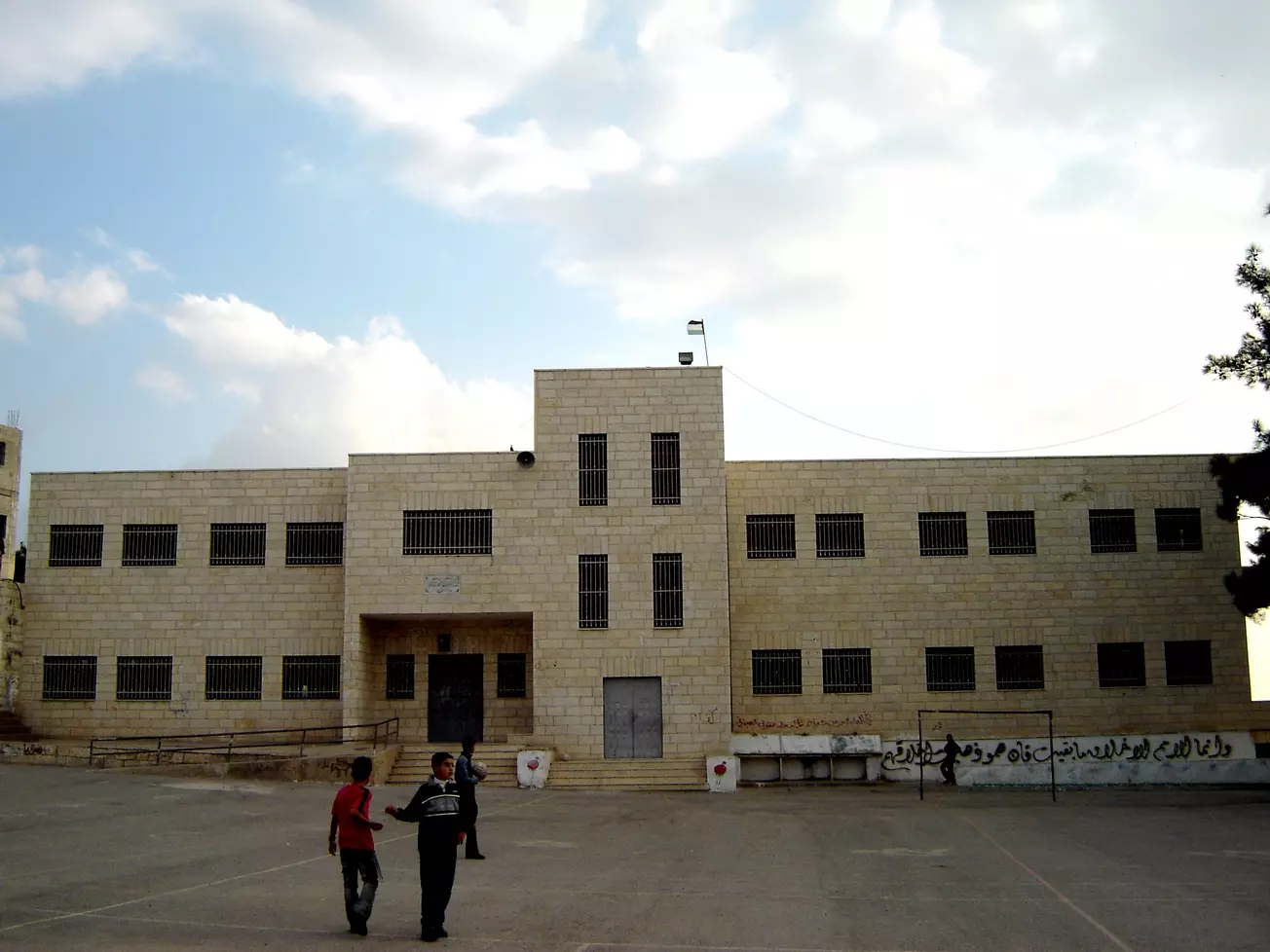
Posted by عدي الحنيني "Odai Hanini" - المدرسة
Posted by عدي الحنيني "Odai Hanini" - المتنزه
Posted by عدي الحنيني "Odai Hanini" 1 - المتنزه
Posted by عدي الحنيني "Odai Hanini" - المتنزه
Posted by عدي الحنيني "Odai Hanini" - حديقة الأطفال
Posted by عدي الحنيني "Odai Hanini" - المتنزه
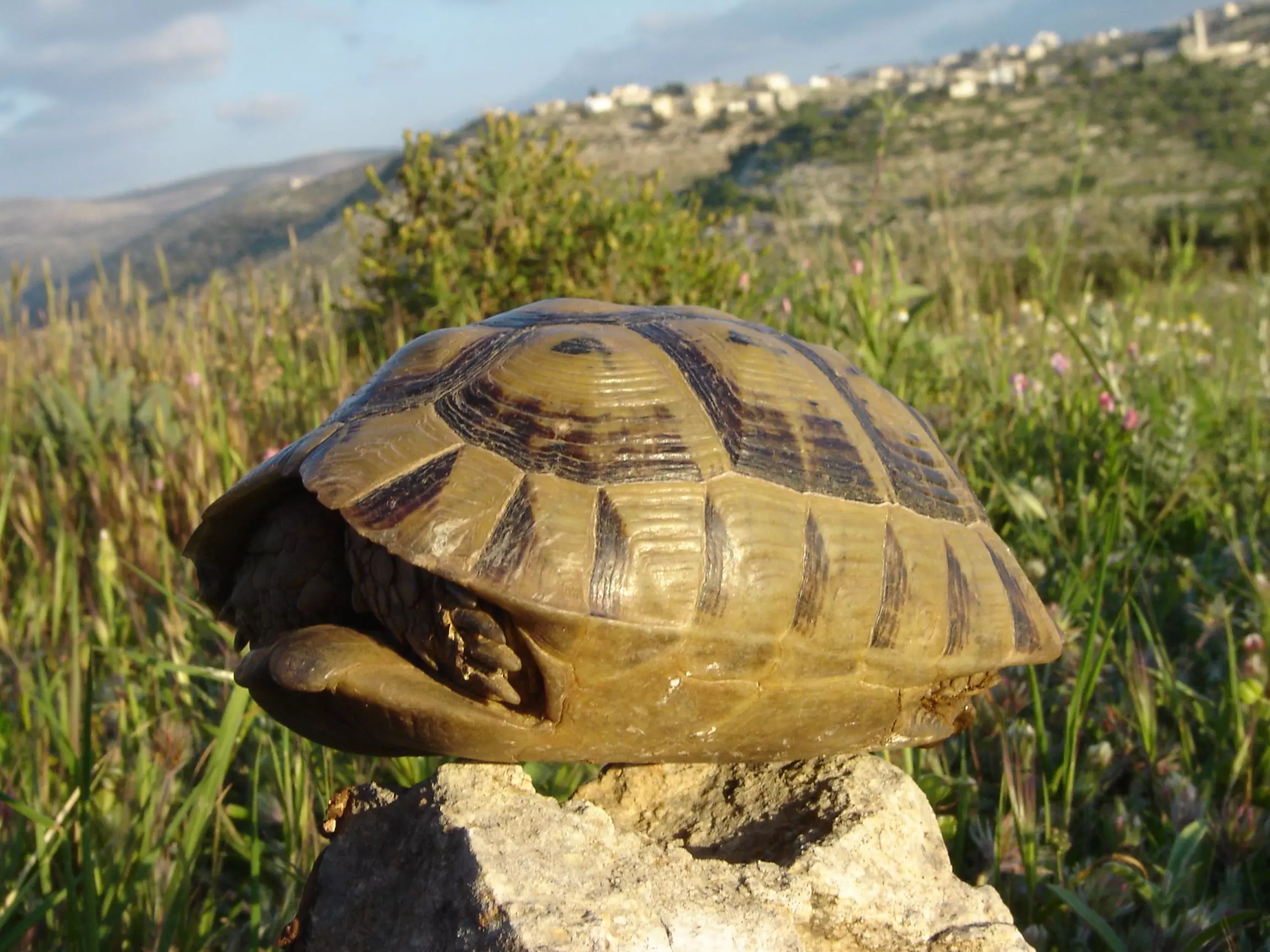
Posted by عدي الحنيني "Odai Hanini" - سلحفاة
Posted by عدي الحنيني "Odai Hanini" 1 - عند الشروق
Posted by عدي الحنيني "Odai Hanini" - منظر عام
Posted by عدي الحنيني "Odai Hanini" - منظر عام
Posted by عدي الحنيني "Odai Hanini" - منظر عام لراس عماس
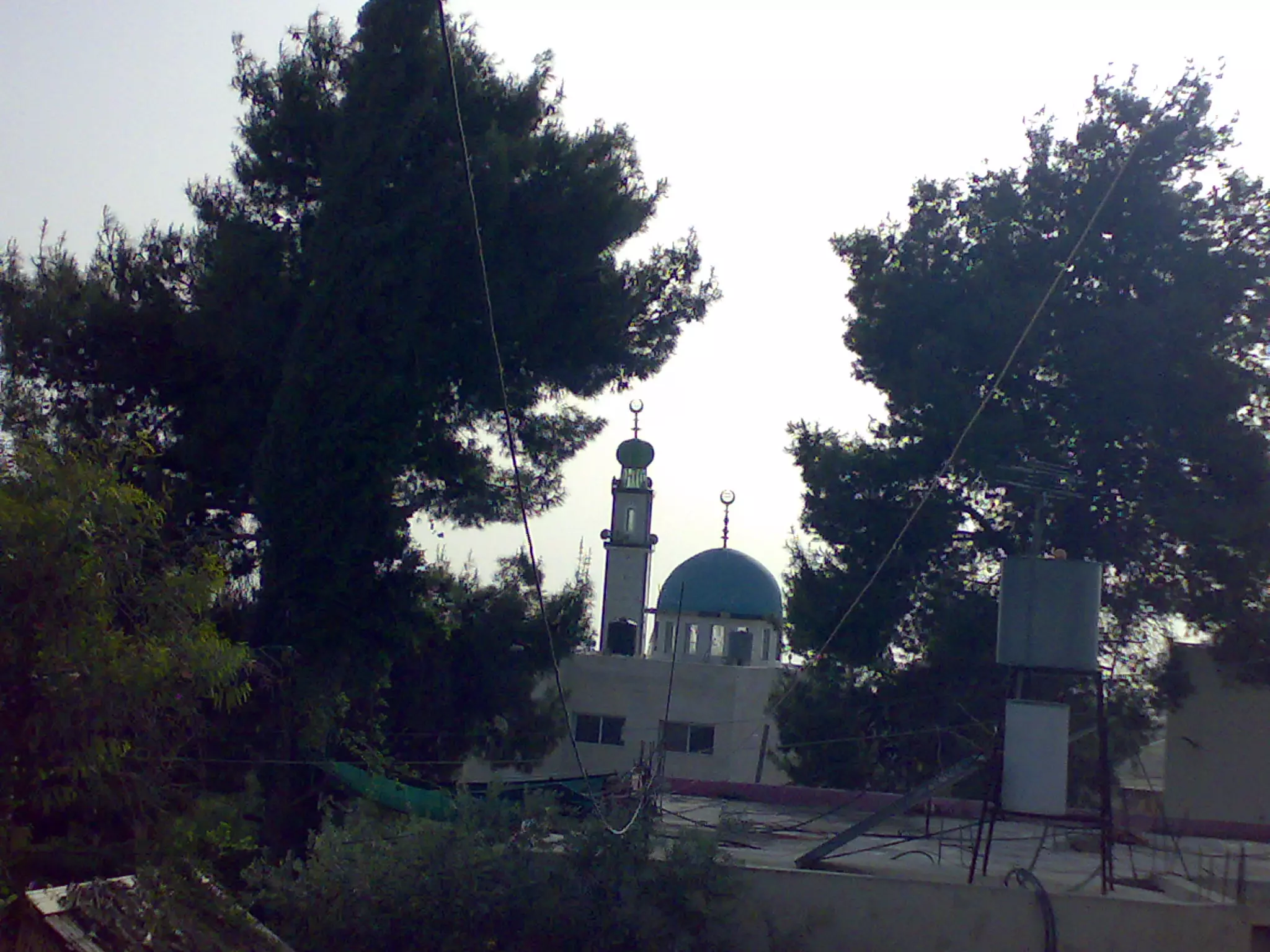
Posted by عدي الحنيني "Odai Hanini" 1 - منظر عام ويظهر مسجد الهدى
Posted by عدي الحنيني "Odai Hanini" 1 - منظر عام
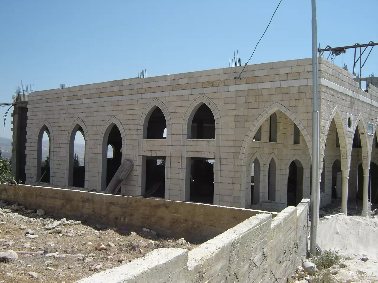
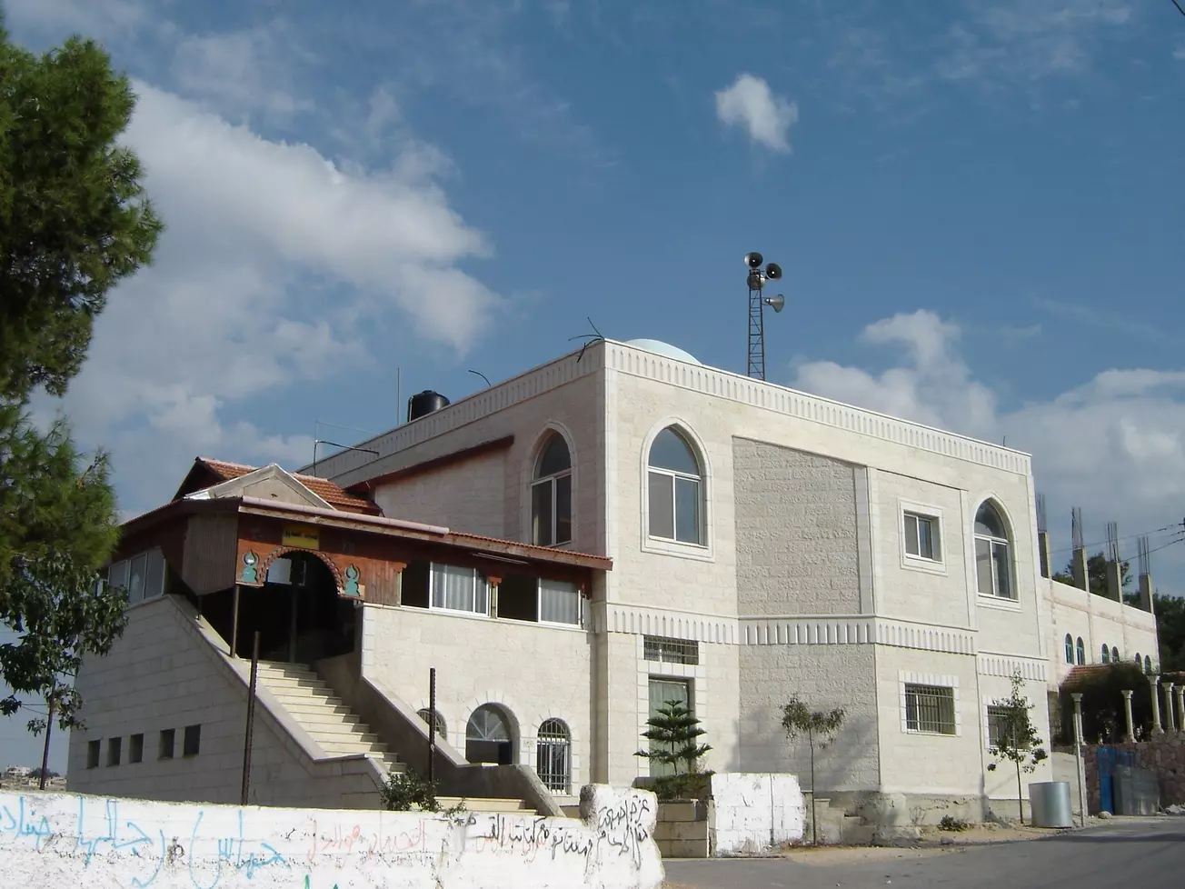
Posted by عدي الحنيني "Odai Hanini" - هذا مسجد الفاروق وهو قيد البناء
Posted by عدي الحنيني "Odai Hanini" 1 - منظر عام ليلي
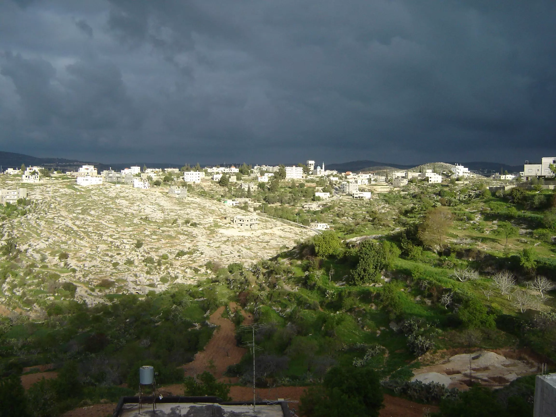
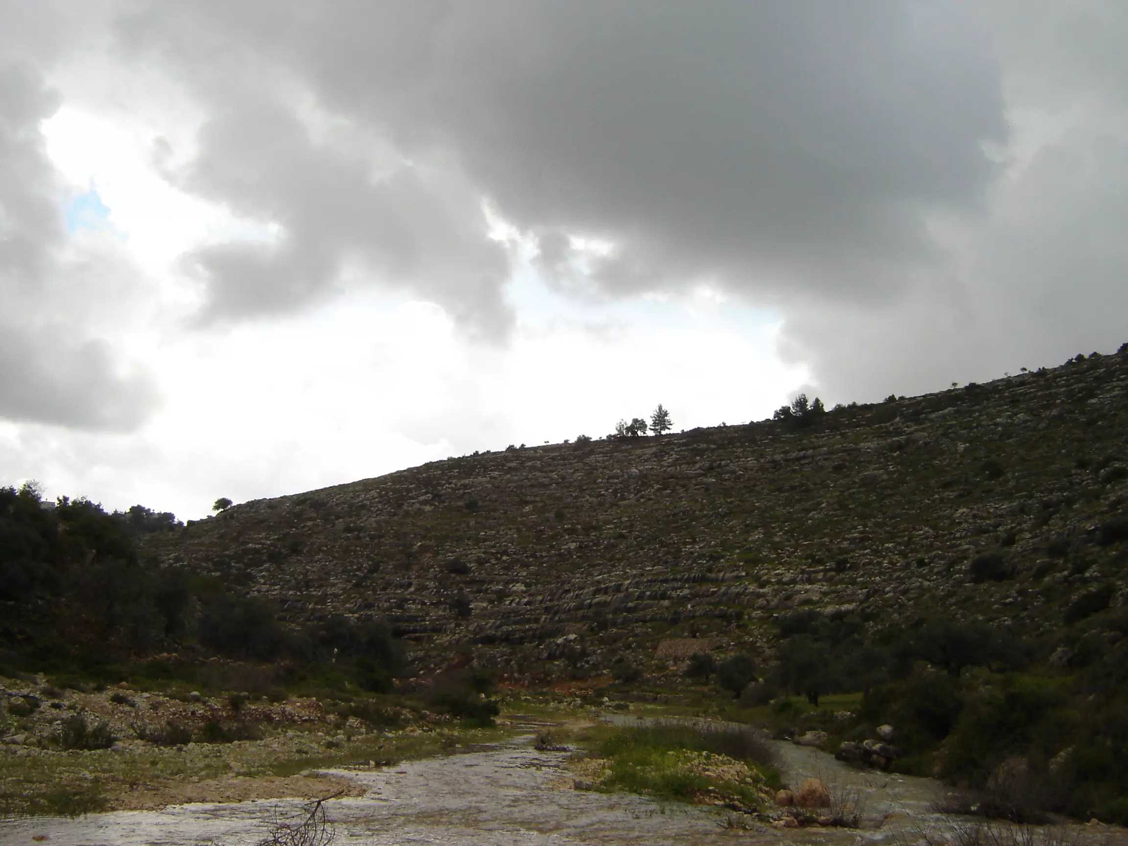
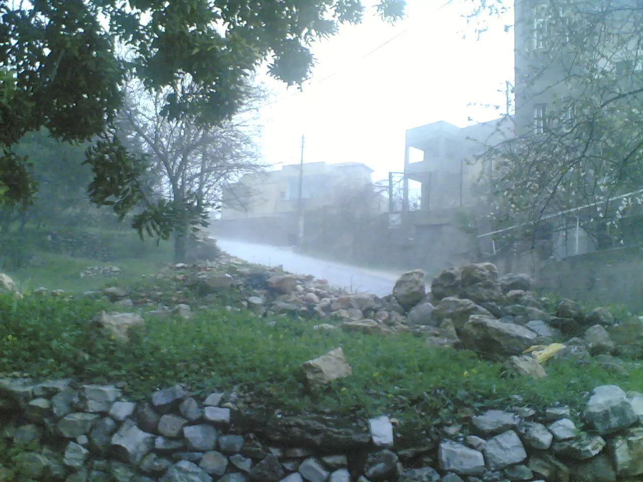
Posted by عدي الحنيني "Odai Hanini" - الأودية في فصل الشتاء
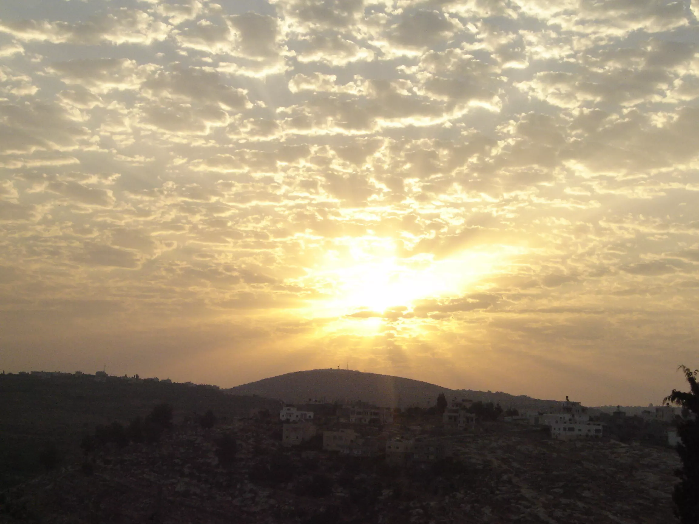
Posted by عدي الحنيني "Odai Hanini" 1 - منظر عام عند الشروق
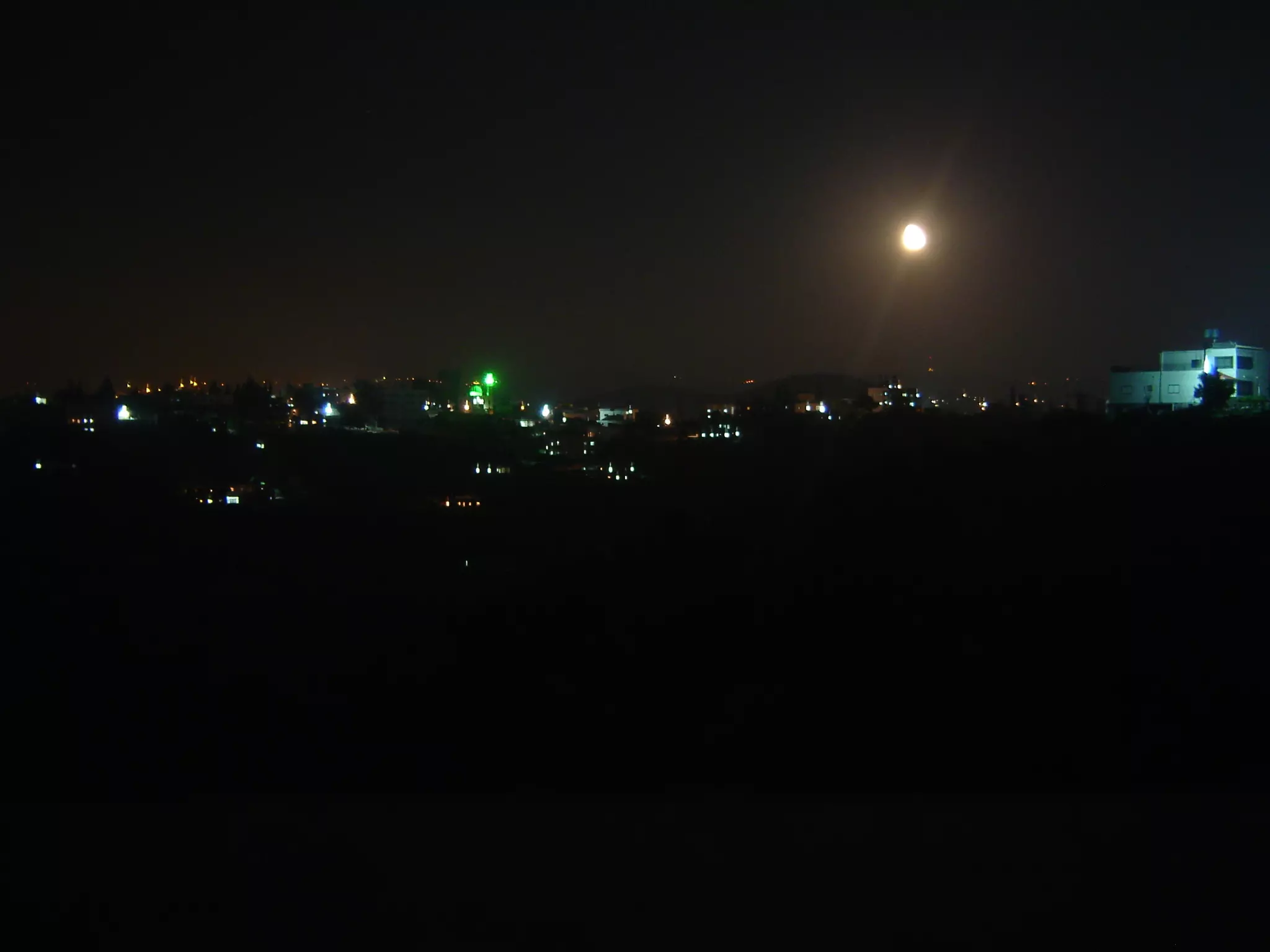
Posted by عدي الحنيني "Odai Hanini" 3 - منظر عام ليلي

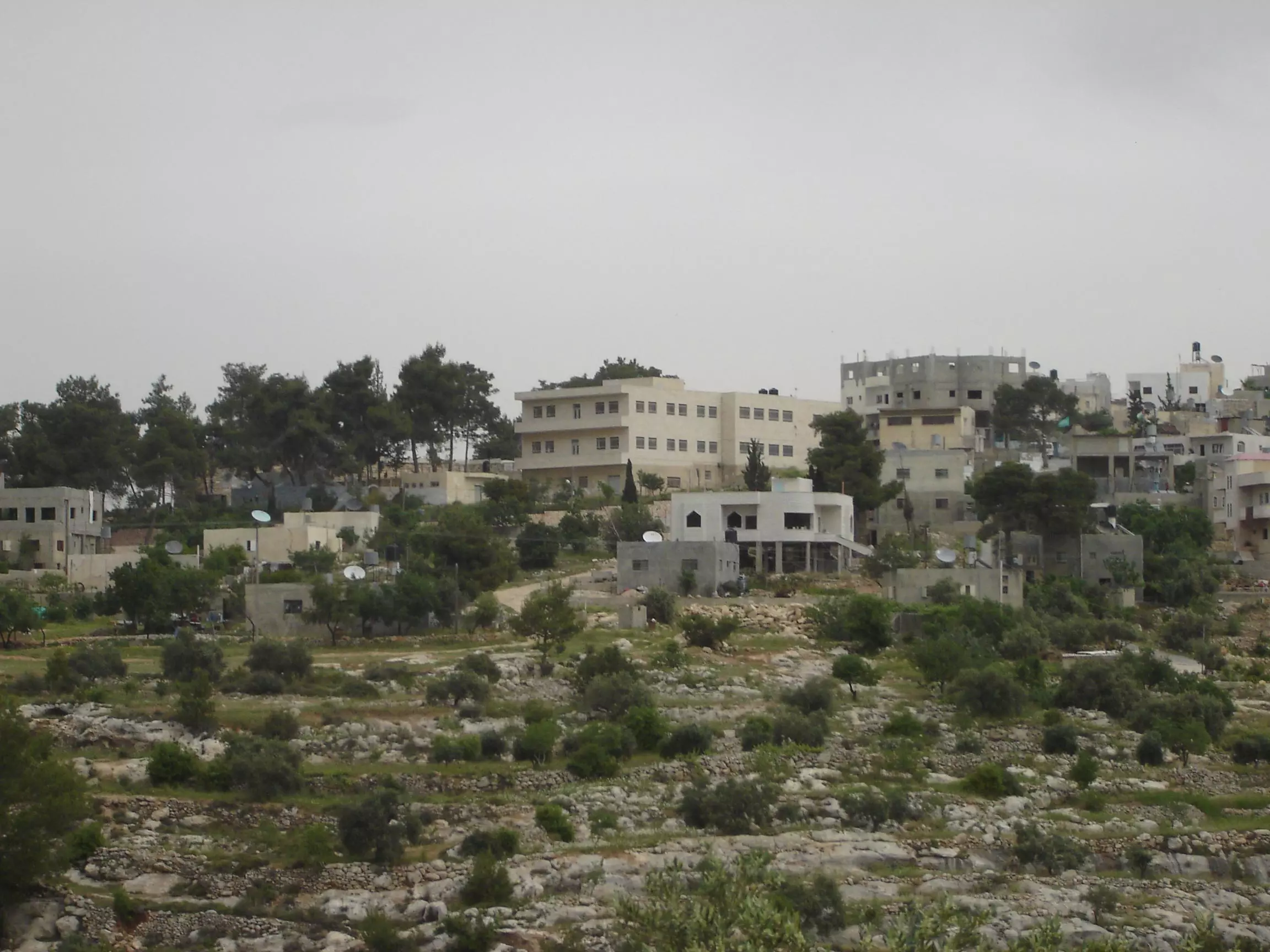
Posted by عدي الحنيني "Odai Hanini" 1 - صورة للبلدة من الناحية الجنوبية الغربية تظهر فيها مدرسة الذكور
Posted by عدي الحنيني "Odai Hanini" 1 - البلدة القديمة والصورة ملتقطة من واد الخيسة
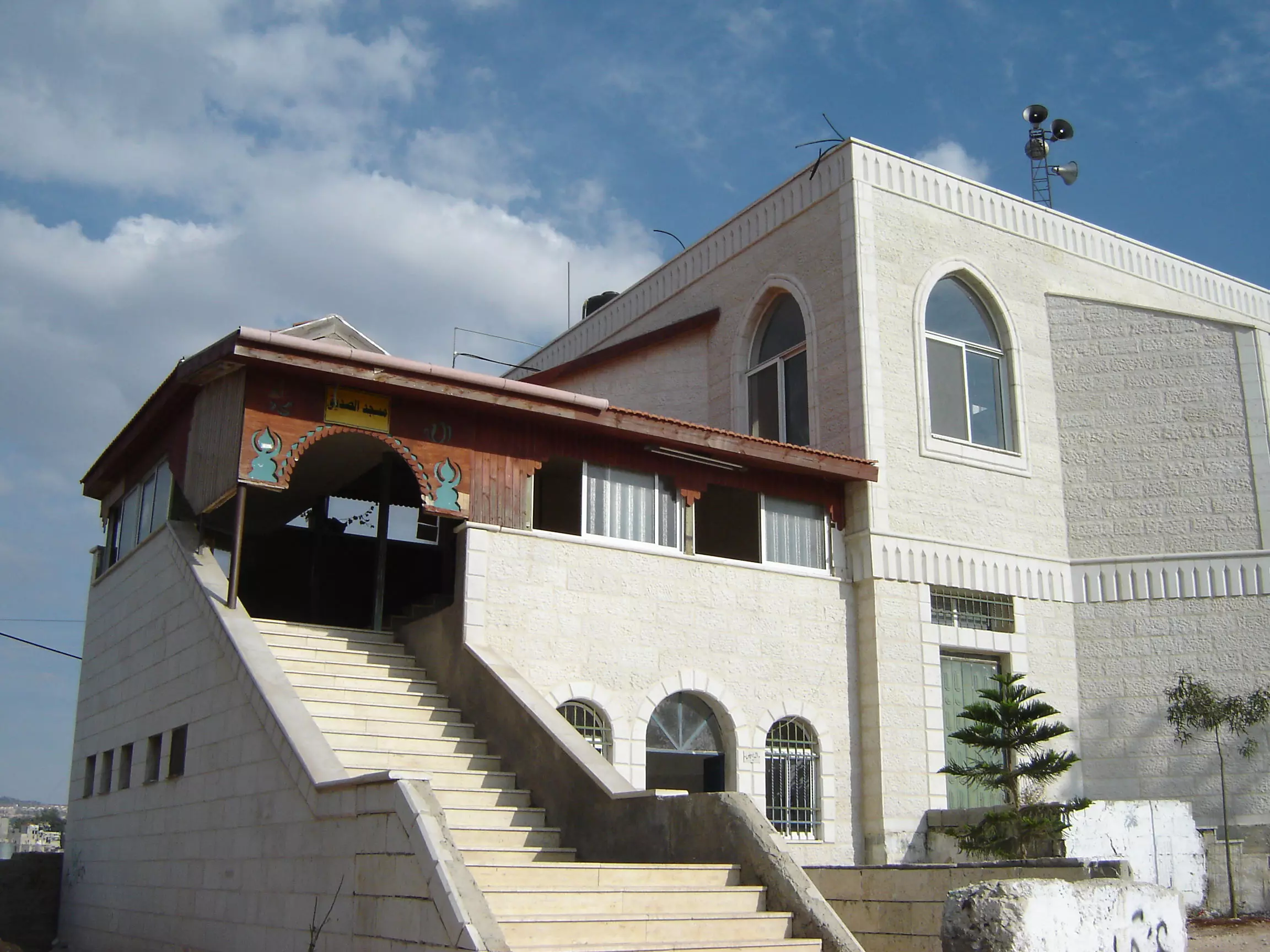
Posted by عدي الحنيني "Odai Hanini" - مسجد الصديق
Posted by عدي الحنيني "Odai Hanini" - منظر عام
Posted by عدي الحنيني "Odai Hanini" - اشعة الشمس من خلف الغيوم
Posted by عدي الحنيني "Odai Hanini" 1 - داخل مسجد الصديق
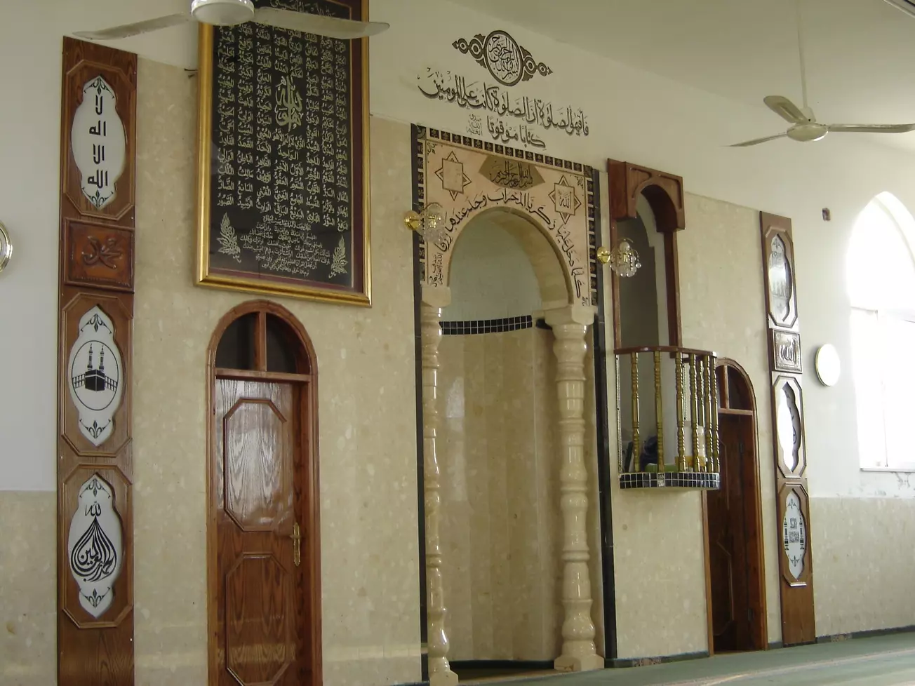
Posted by عدي الحنيني "Odai Hanini" - مسجد الصديق
Posted by عدي الحنيني "Odai Hanini" - مدرسة الذكور
Posted by عدي الحنيني "Odai Hanini" - منظر عام

Posted by عدي الحنيني "Odai Hanini" - بعد المطر
Posted by عدي الحنيني "Odai Hanini" - كفر نعمة في الشتاء
Posted by عدي الحنيني "Odai Hanini" - كفر نعمة في الشتاء
Posted by عدي الحنيني "Odai Hanini" - كفر نعمة في الشتاء
Posted by عدي الحنيني "Odai Hanini" - كفر نعمة في الشتاء
Posted by عدي الحنيني "Odai Hanini" - كفر نعمة في الشتاء
Posted by عدي الحنيني "Odai Hanini" - كفر نعمة في الشتاء
Posted by عدي الحنيني "Odai Hanini" - كفر نعمة في الشتاء
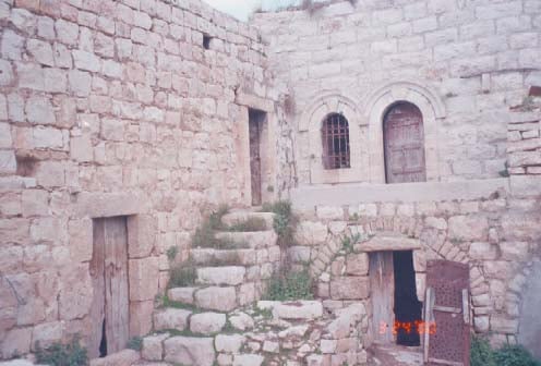
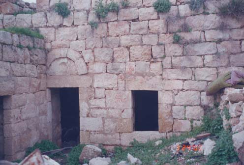
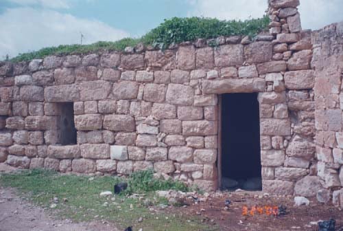
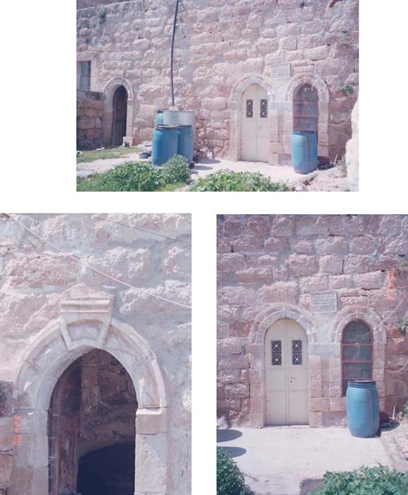
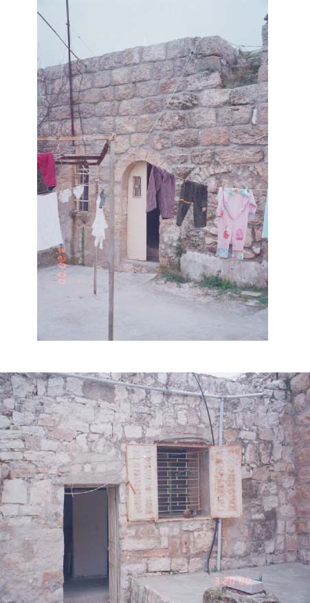
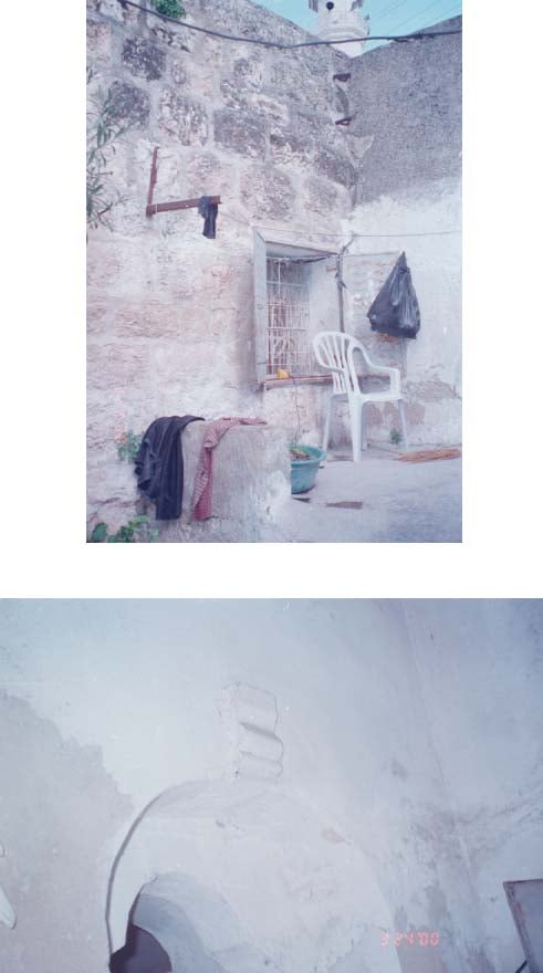
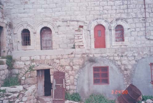
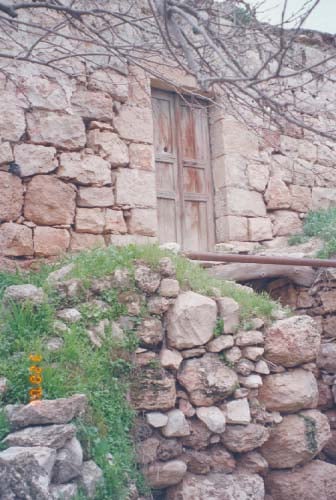
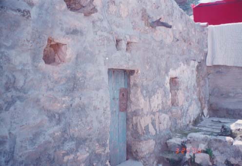
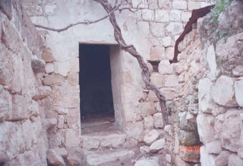
Posted by عدي الحنيني "Odai Hanini" - البلدة القديمة
Posted by wesam 1 - مدرسة الذكور من الجهة الجنوبية
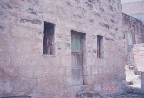
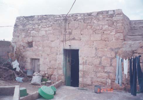
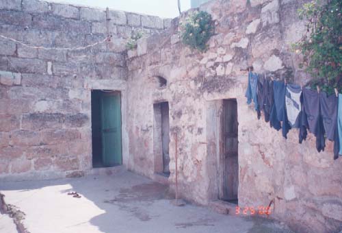
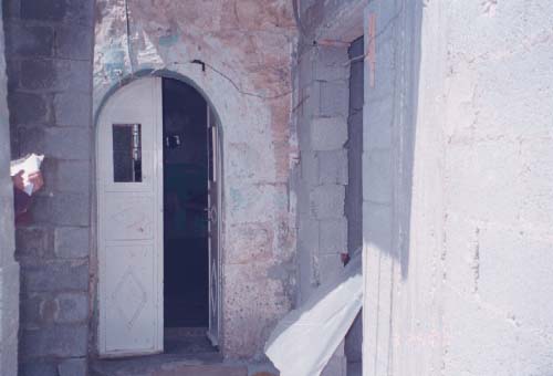
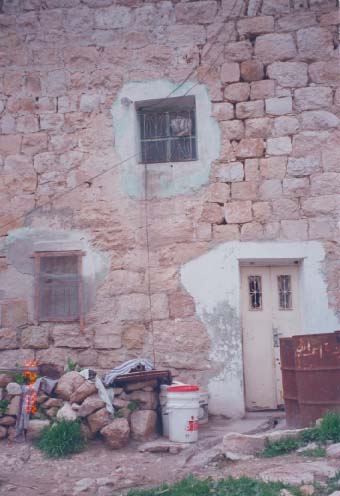
Posted by wesam - البلدة القديمة دار خضر محمود سعدية
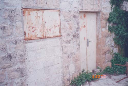
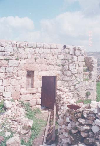
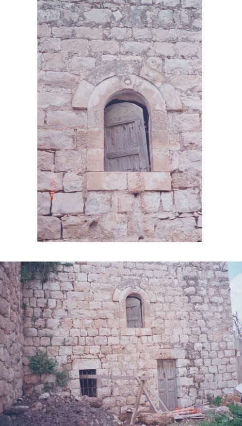
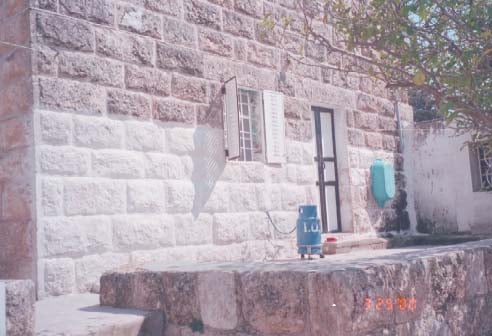
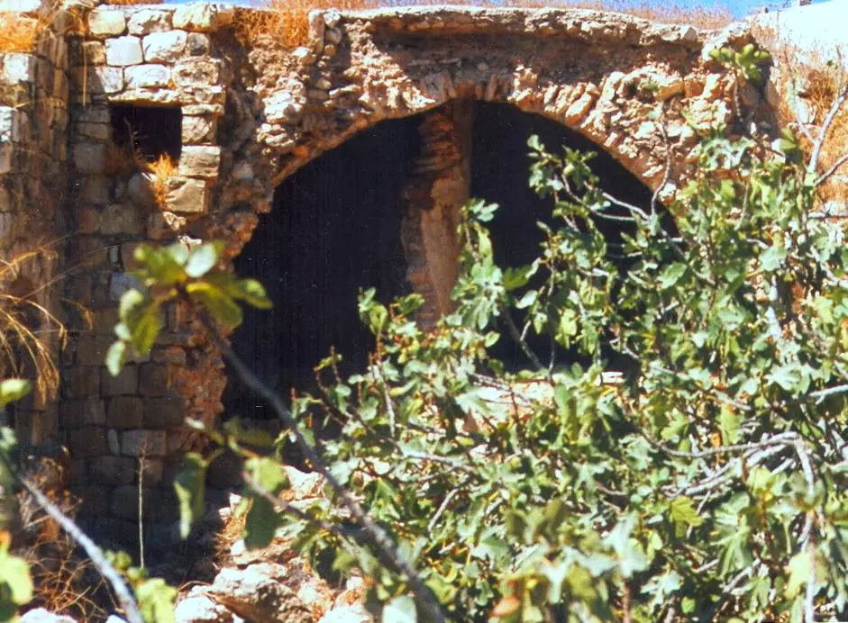
Posted by عدي الحنيني "Odai Hanini" - البابور البلدة القديمة
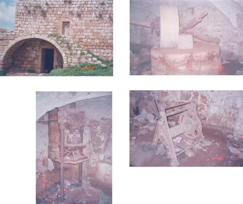
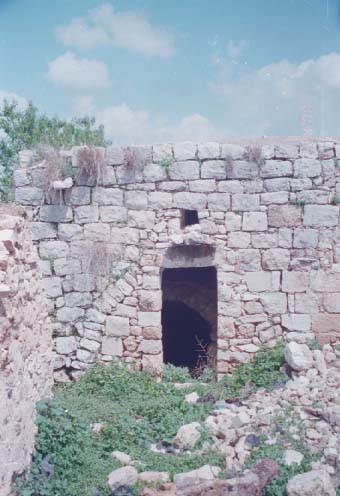
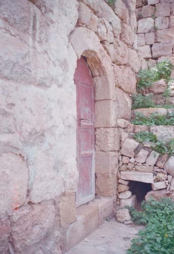
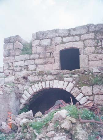
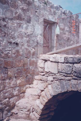
Posted by عدي الحنيني "Odai Hanini" - البد/ كفر نعمة البلدة القديمة عام 2000
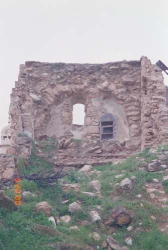
Posted by عدي الحنيني "Odai Hanini" - جامع النساء/ كفر نعمة البلدة القديمة عام 2000
Posted by عدي الحنيني "Odai Hanini" - دار ابراهيم الاعرج/ كفر نعمة البلدة القديمة عام 2000
Posted by عدي الحنيني "Odai Hanini" 1 - دار ابراهيم العمشة/ كفر نعمة البلدة القديمة عام 2000
Posted by عدي الحنيني "Odai Hanini" - دار ابو الدكن شتيه/ كفر نعمة البلدة القديمة عام 2000
Posted by عدي الحنيني "Odai Hanini" 4 - دار ابو عباس غبار او دار المختار/ كفر نعمة البلدة القديمة عام 2000
Posted by عدي الحنيني "Odai Hanini" - دار احمد جبر العفن/ كفر نعمة البلدة القديمة عام 2000
Posted by عدي الحنيني "Odai Hanini" - دار احمد حماده/ كفر نعمة البلدة القديمة عام 2000
Posted by عدي الحنيني "Odai Hanini" 1 - دار احمد محمد خليفة/ كفر نعمة البلدة القديمة عام 2000

Posted by عدي الحنيني "Odai Hanini" - دار احمد محمد عبدالله/ كفر نعمة البلدة القديمة عام 2000
Posted by عدي الحنيني "Odai Hanini" - دار احمد محمود حسين شتية/ كفر نعمة البلدة القديمة عام 2000
Posted by عدي الحنيني "Odai Hanini" - دار احمد مصطفى سارة البرغل/ كفر نعمة البلدة القديمة عام 2000
Posted by عدي الحنيني "Odai Hanini" - دار اسعد الحجة/ كفر نعمة البلدة القديمة عام 2000
Posted by عدي الحنيني "Odai Hanini" - دار اسماعيل الرياحي / كفر نعمة البلدة القديمة عام 2000
Posted by عدي الحنيني "Odai Hanini" 1 - دار اسماعيل العبد / كفر نعمة البلدة القديمة عام 2000
Posted by عدي الحنيني "Odai Hanini" - دار اسماعيل القطمة / كفر نعمة البلدة القديمة عام 2000
Posted by عدي الحنيني "Odai Hanini" - دار اسماعيل خليل / كفر نعمة البلدة القديمة عام 2000
Posted by عدي الحنيني "Odai Hanini" - دار اسماعيل نصارة / كفر نعمة البلدة القديمة عام 2000
Posted by عدي الحنيني "Odai Hanini" - دار الحاج احمد حسين / كفر نعمة البلدة القديمة عام 2000
Posted by عدي الحنيني "Odai Hanini" - دار الحاجة خديجة / كفر نعمة البلدة القديمة عام 2000
Posted by عدي الحنيني "Odai Hanini" - دار الشيخ محمد خليل / كفر نعمة البلدة القديمة عام 2000
Posted by عدي الحنيني "Odai Hanini" - دار العبد صابر / كفر نعمة البلدة القديمة عام 2000
Posted by عدي الحنيني "Odai Hanini" 1 - دار الياس محمد سلامة/ كفر نعمة البلدة القديمة عام 2000
Posted by عدي الحنيني "Odai Hanini" - دار بحور/ كفر نعمة البلدة القديمة عام 2000
Posted by عدي الحنيني "Odai Hanini" - دار جبر/ كفر نعمة البلدة القديمة عام 2000
Posted by عدي الحنيني "Odai Hanini" 1 - دار جمعة علي احمد/ كفر نعمة البلدة القديمة عام 2000
Posted by عدي الحنيني "Odai Hanini" - دار حسن حمد/ كفر نعمة البلدة القديمة عام 2000
Posted by عدي الحنيني "Odai Hanini" 1 - دار حسن فتاح الديك/ كفر نعمة البلدة القديمة عام 2000
Posted by عدي الحنيني "Odai Hanini" - دار حسن نصرية/ كفر نعمة البلدة القديمة عام 2000
Posted by عدي الحنيني "Odai Hanini" - دار حسين عبده/ كفر نعمة البلدة القديمة عام 2000
Posted by عدي الحنيني "Odai Hanini" - دار حسين علي/ كفر نعمة البلدة القديمة عام 2000
Posted by عدي الحنيني "Odai Hanini" - دار حليمة خليل/ كفر نعمة البلدة القديمة عام 2000
Posted by عدي الحنيني "Odai Hanini" - دار خضر محمود سعدية/ كفر نعمة البلدة القديمة عام 2000

Posted by عدي الحنيني "Odai Hanini" - دار خليل العبدالله/ كفر نعمة البلدة القديمة عام 2000
Posted by عدي الحنيني "Odai Hanini" - دار خليل صابر/ كفر نعمة البلدة القديمة عام 2000
Posted by عدي الحنيني "Odai Hanini" 1 - دار خليل عارف/ كفر نعمة البلدة القديمة عام 2000
Posted by عدي الحنيني "Odai Hanini" - دار خليل عبد الحميد/ كفر نعمة البلدة القديمة عام 2000
Posted by عدي الحنيني "Odai Hanini" - دار خليل عبد الحميد2/ كفر نعمة البلدة القديمة عام 2000
Posted by عدي الحنيني "Odai Hanini" - دار داوود العبد/ كفر نعمة البلدة القديمة عام 2000
Posted by عدي الحنيني "Odai Hanini" - دار داوود محمود عبد العزيز عبده/ كفر نعمة البلدة القديمة عام 2000
Posted by عدي الحنيني "Odai Hanini" - دار دعيس صابر/ كفر نعمة البلدة القديمة عام 2000
Posted by عدي الحنيني "Odai Hanini" - دار ذيب البخاري/ كفر نعمة البلدة القديمة عام 2000
Posted by عدي الحنيني "Odai Hanini" - دار ذيب حامد / كفر نعمة البلدة القديمة عام 2000
Posted by عدي الحنيني "Odai Hanini" - دار رسلان لطفي خالد/ كفر نعمة البلدة القديمة عام 2000
Posted by عدي الحنيني "Odai Hanini" - دار رمضان الحج عبد/ كفر نعمة البلدة القديمة عام 2000
Posted by عدي الحنيني "Odai Hanini" - دار زيدان حمد/ كفر نعمة البلدة القديمة عام 2000
Posted by عدي الحنيني "Odai Hanini" - دار سعدات سعيد محمد عيشة/ كفر نعمة البلدة القديمة عام 2000
Posted by عدي الحنيني "Odai Hanini" - دار سليمان الاغبر/ كفر نعمة البلدة القديمة عام 2000
Posted by عدي الحنيني "Odai Hanini" - دار سليمان حسن/ كفر نعمة البلدة القديمة عام 2000
Posted by عدي الحنيني "Odai Hanini" - دار سندس محمد علي/ كفر نعمة البلدة القديمة عام 2000
Posted by عدي الحنيني "Odai Hanini" - دار صادق صديق/ كفر نعمة البلدة القديمة عام 2000
Posted by عدي الحنيني "Odai Hanini" - دار صالح عوض عطايا/ كفر نعمة البلدة القديمة عام 2000
Posted by عدي الحنيني "Odai Hanini" - دار عبد احمد مصطفى الحنيني/ كفر نعمة البلدة القديمة عام 2000
Posted by عدي الحنيني "Odai Hanini" 2 - دار عبدالله القرعة/ كفر نعمة البلدة القديمة عام 2000
Posted by عدي الحنيني "Odai Hanini" - دار عبدالله التايه/ كفر نعمة البلدة القديمة عام 2000
Posted by عدي الحنيني "Odai Hanini" - دار عبدالله خليل التايه/ كفر نعمة البلدة القديمة عام 2000
Posted by عدي الحنيني "Odai Hanini" - دار عبدالله رشيد غانم/ كفر نعمة البلدة القديمة عام 2000
Posted by عدي الحنيني "Odai Hanini" 1 - دار عبدالله عيشه/ كفر نعمة البلدة القديمة عام 2000
Posted by عدي الحنيني "Odai Hanini" - دار عبدالله قنديل/ كفر نعمة البلدة القديمة عام 2000
Posted by عدي الحنيني "Odai Hanini" - دار كامل محمود ياسين/ كفر نعمة البلدة القديمة عام 2000
Posted by عدي الحنيني "Odai Hanini" - دار محمد ابراهيم السايس/ كفر نعمة البلدة القديمة عام 2000
Posted by عدي الحنيني "Odai Hanini" 1 - دار محمد العبد الكعمة/ كفر نعمة البلدة القديمة عام 2000
Posted by عدي الحنيني "Odai Hanini" - دار محمد حسن الشايب/ كفر نعمة البلدة القديمة عام 2000
Posted by عدي الحنيني "Odai Hanini" - دار محمد حسن ذره/ كفر نعمة البلدة القديمة عام 2000
Posted by عدي الحنيني "Odai Hanini" - دار محمد حماده/ كفر نعمة البلدة القديمة عام 2000
Posted by عدي الحنيني "Odai Hanini" - دار محمد خليفة/ كفر نعمة البلدة القديمة عام 2000
Posted by عدي الحنيني "Odai Hanini" - دار محمد صبحة/ كفر نعمة البلدة القديمة عام 2000
Posted by عدي الحنيني "Odai Hanini" - دار محمد عوض/ كفر نعمة البلدة القديمة عام 2000
Posted by عدي الحنيني "Odai Hanini" - دار محمود ابراهيم غبار/ كفر نعمة البلدة القديمة عام 2000
Posted by عدي الحنيني "Odai Hanini" - دار محمود العبد / كفر نعمة البلدة القديمة عام 2000
Posted by عدي الحنيني "Odai Hanini" - دار محمود حامد/ كفر نعمة البلدة القديمة عام 2000
Posted by عدي الحنيني "Odai Hanini" - دار محمود حمادة/ كفر نعمة البلدة القديمة عام 2000
Posted by عدي الحنيني "Odai Hanini" 1 - دار محمود حمد/ كفر نعمة البلدة القديمة عام 2000
Posted by عدي الحنيني "Odai Hanini" - دار محمود سعدية/ كفر نعمة البلدة القديمة عام 2000
Posted by عدي الحنيني "Odai Hanini" 1 - دار مصطفى الصوص/ كفر نعمة البلدة القديمة عام 2000
Posted by عدي الحنيني "Odai Hanini" 1 - دار موسى اسماعيل/ كفر نعمة البلدة القديمة عام 2000
Posted by عدي الحنيني "Odai Hanini" - دار يعقوب علي الكبد/ كفر نعمة البلدة القديمة عام 2000
Posted by عدي الحنيني "Odai Hanini" - دار يوسف ذيب / كفر نعمة البلدة القديمة عام 2000
Posted by عدي الحنيني "Odai Hanini" - دار يوسف زكان / كفر نعمة البلدة القديمة عام 2000
Posted by عدي الحنيني "Odai Hanini" - دار يوسف قطش / كفر نعمة البلدة القديمة عام 2000
Posted by عدي الحنيني "Odai Hanini" 2 - دار يوسف مصطفى ياسين / كفر نعمة البلدة القديمة عام 2000
Posted by عدي الحنيني "Odai Hanini" 1 - دار يونس هبولة العزبة / كفر نعمة البلدة القديمة عام 2000
Posted by عدي الحنيني "Odai Hanini" - دكان ابو رشيد / كفر نعمة البلدة القديمة عام 2000
Posted by عدي الحنيني "Odai Hanini" - دكان صبري احمد / كفر نعمة البلدة القديمة عام 2000
Posted by عدي الحنيني "Odai Hanini" - مخيطة احمد رشيد/ كفر نعمة البلدة القديمة عام 2000
Posted by عدي الحنيني "Odai Hanini" - منظر عام
Posted by محمد ابراهيم محمد سايس - منظر عام
Posted by محمد ابراهيم محمد سايس - منظر عام
Posted by محمد ابراهيم محمد سايس - قصر الذكريات
Posted by محمد ابراهيم محمد سايس 2 - كفر نعمة الحاره الفوقة
Posted by محمد ابراهيم محمد سايس - الغروب
Posted by محمد ابراهيم محمد سايس - كفر نعمة
Posted by محمد ابراهيم محمد سايس 1 - كفر نعمة واد حمد 2008
Posted by محمد ابراهيم محمد سايس - البلدة القديمة
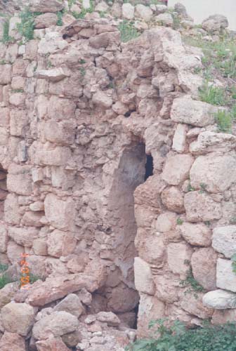
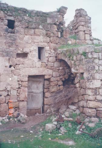
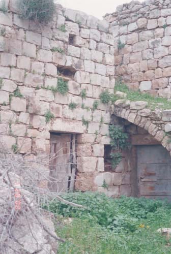
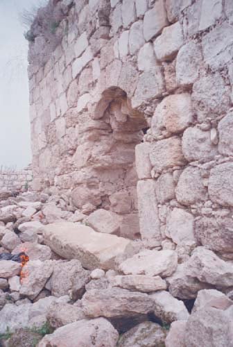
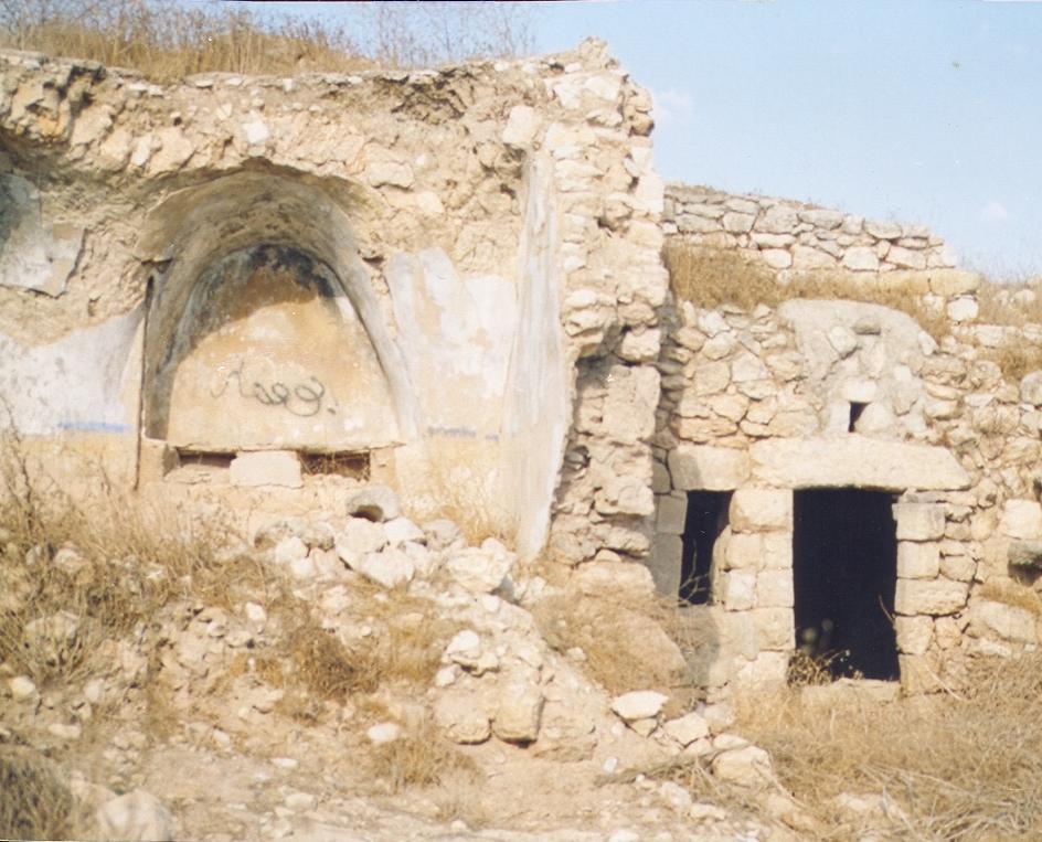
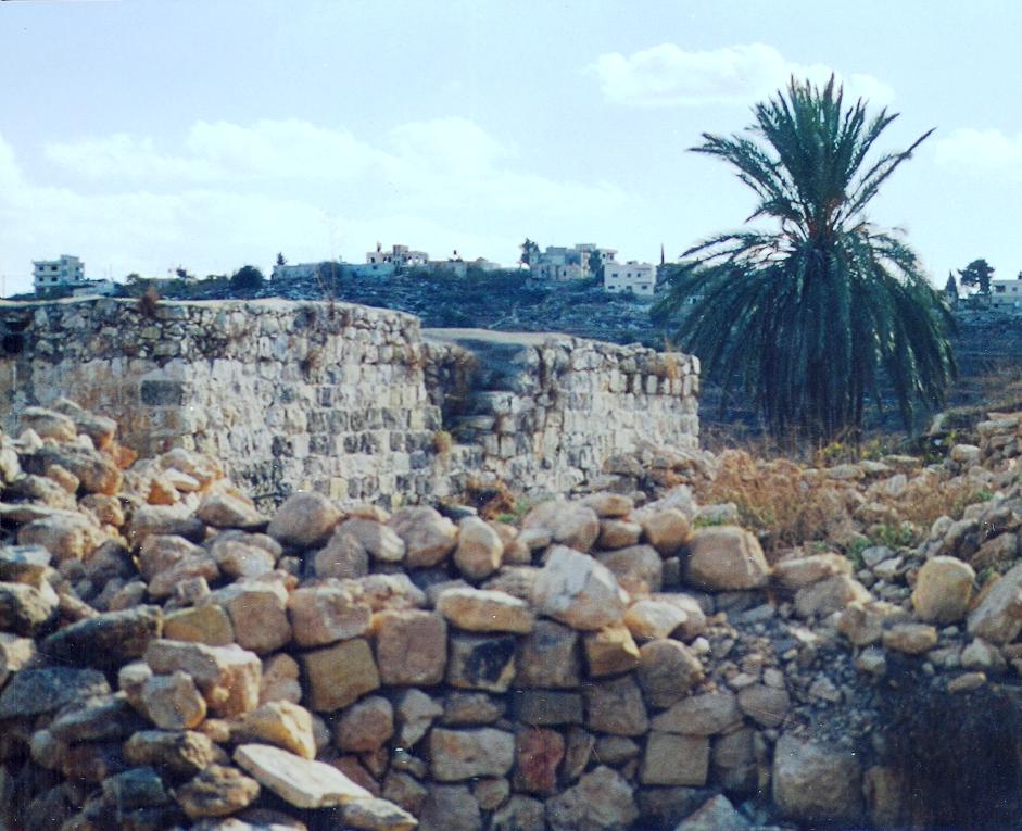
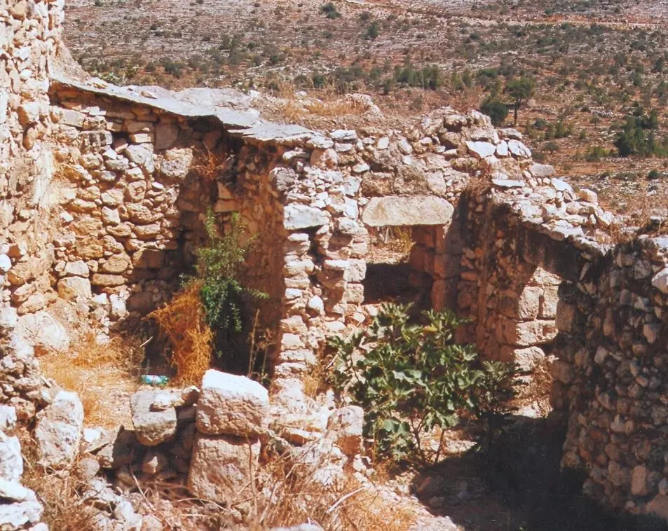
Posted by tujan - كفر نعمة البلدة القديمة قبل الهدم
Posted by عدي الحنيني "Odai Hanini" - كفر نعمة البلدة القديمة قبل الهدم
Posted by عدي الحنيني "Odai Hanini" - كفر نعمة البلدة القديمة قبل الهدم
Posted by عدي الحنيني "Odai Hanini" - كفر نعمة البلدة القديمة قبل الهدم
Posted by عدي الحنيني "Odai Hanini" - كفر نعمة البلدة القديمة قبل الهدم
Posted by عدي الحنيني "Odai Hanini" - كفر نعمة البلدة القديمة قبل الهدم
Posted by عدي الحنيني "Odai Hanini" - كفر نعمة البلدة القديمة قبل الهدم
Posted by عدي الحنيني "Odai Hanini" 1 - كفر نعمة البلدة القديمة قبل الهدم
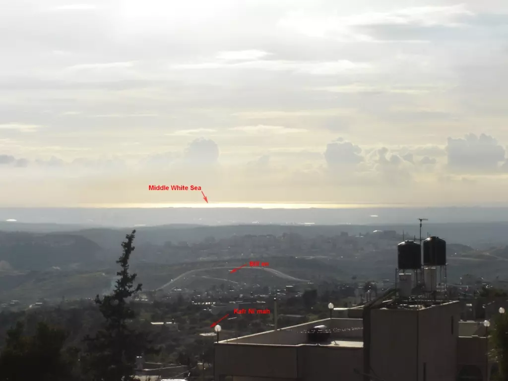
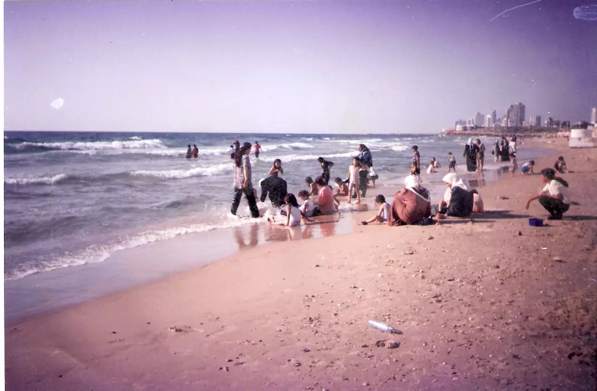
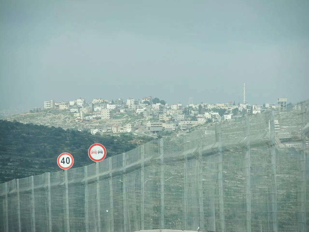
Posted by عدي الحنيني "Odai Hanini" 1 - البحر الابيض المتوسط يظهر من كفر نعمة
Posted by عدي الحنيني "Odai Hanini" 3 - منظر للبلد التقط من فوق منزل 'احمد محمود ابراهيم نصارالسايس' وسط البلد
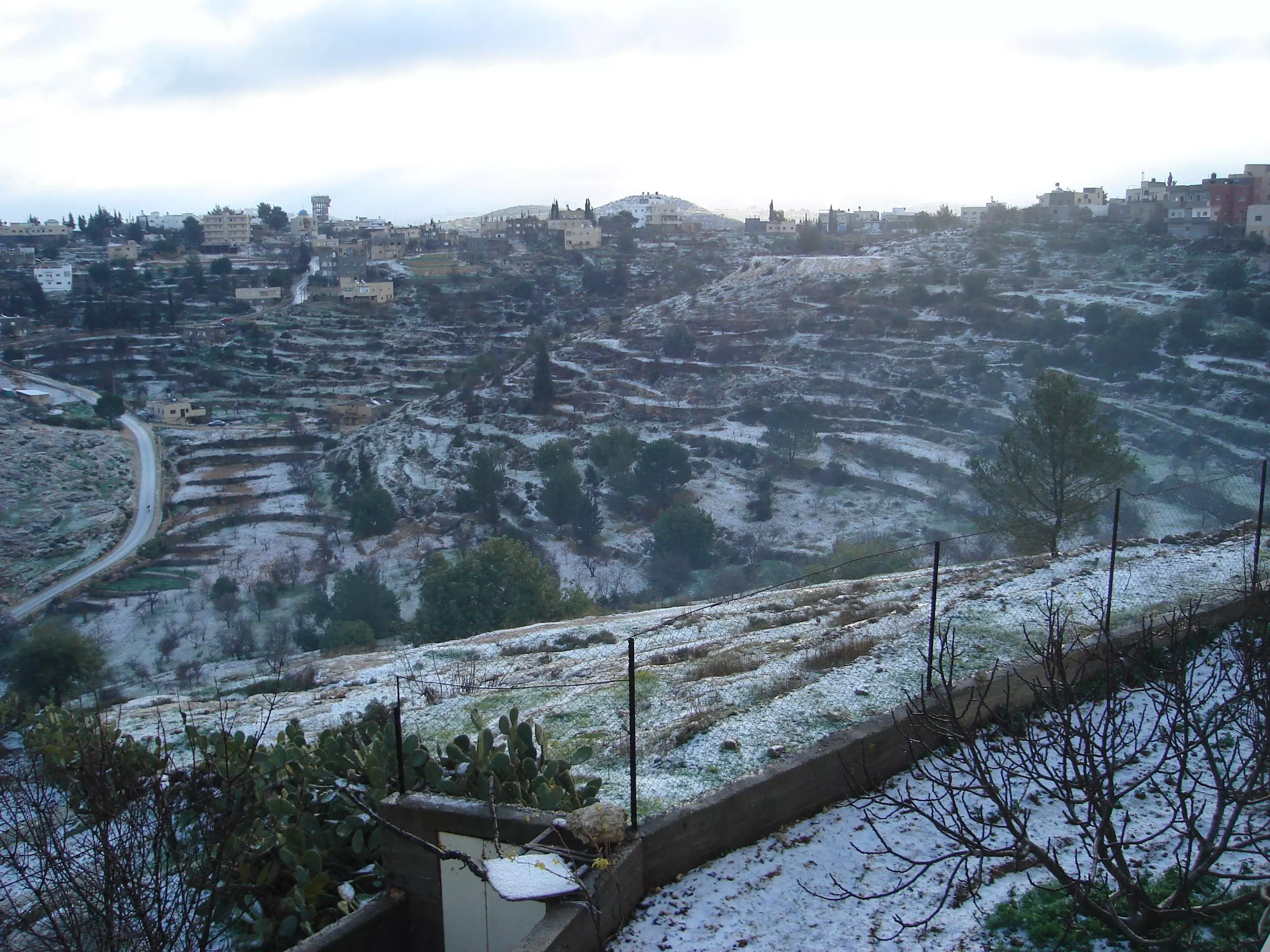
Posted by itidal - منظرخلاب للبلد في فصل الشتا والثلج الابيض يغطي اراضيها2008
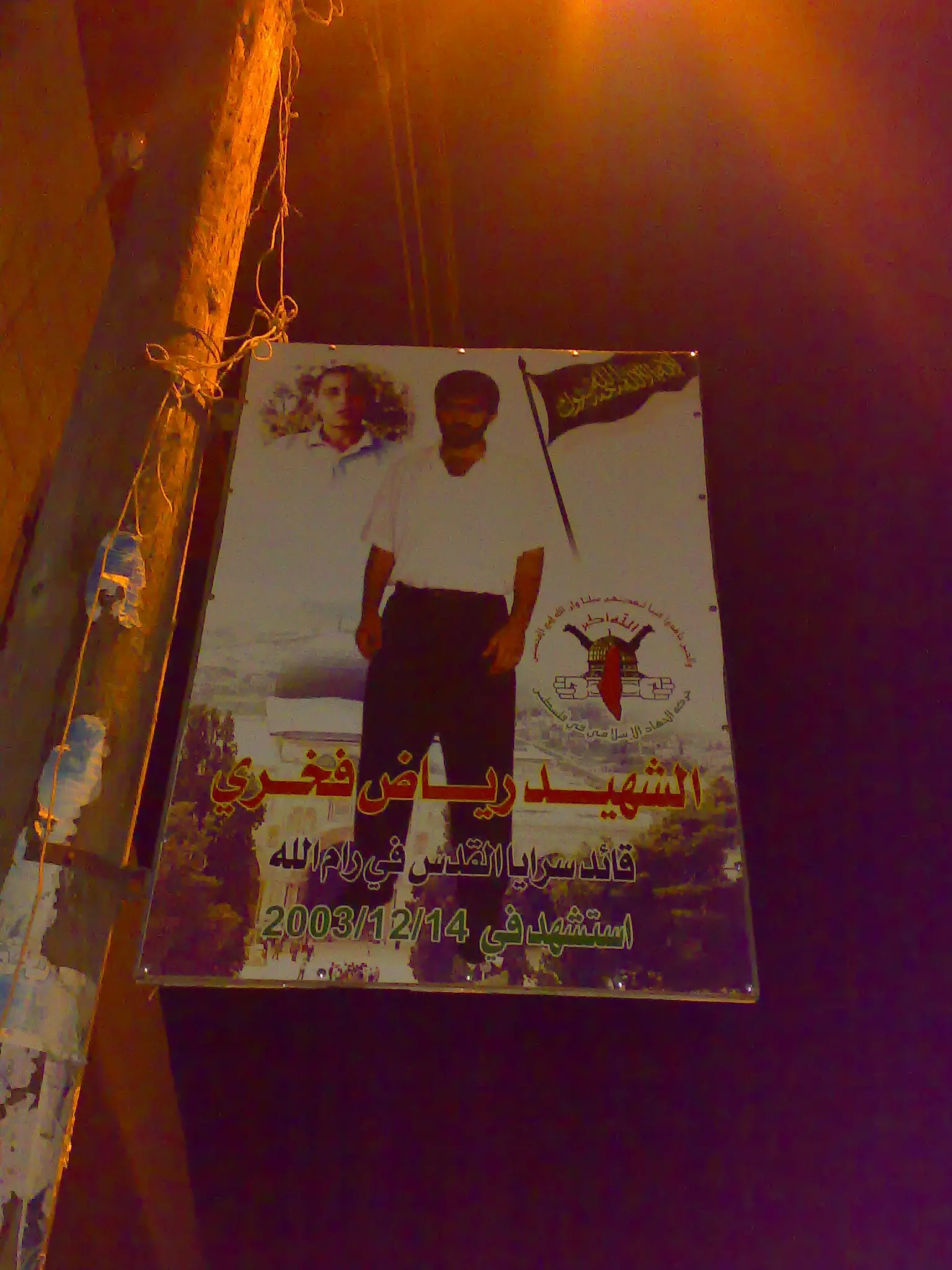
Posted by itidal - كارمة للشهيد رياض خليفة
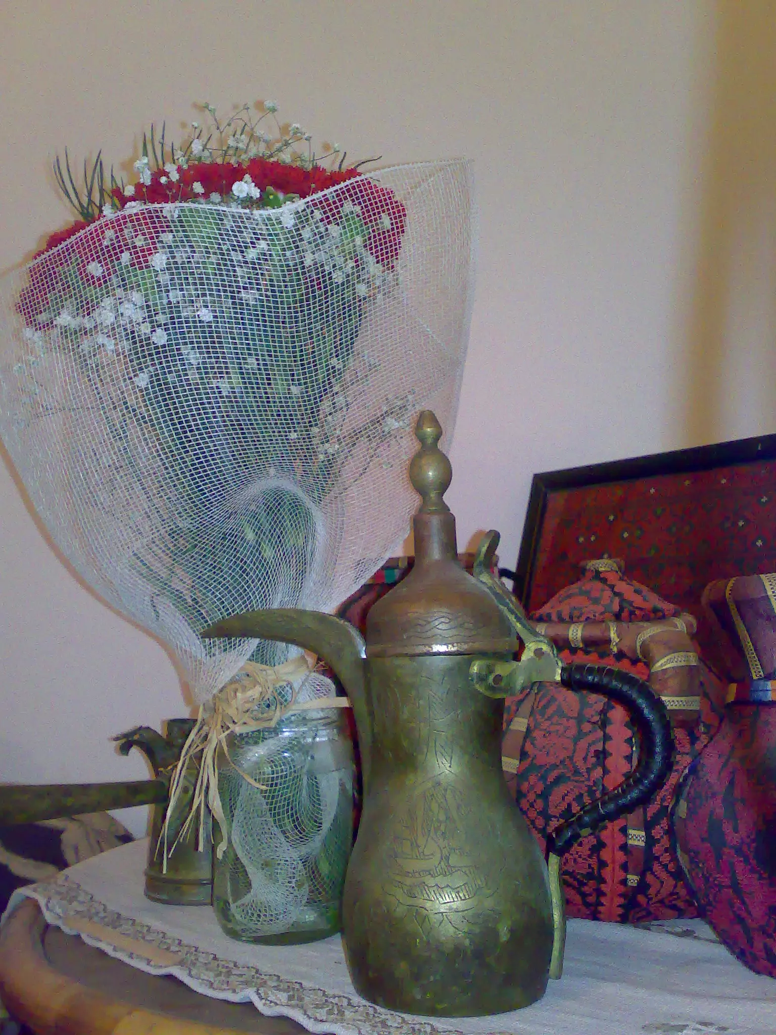
Posted by عدي الحنيني "Odai Hanini" - من التراث
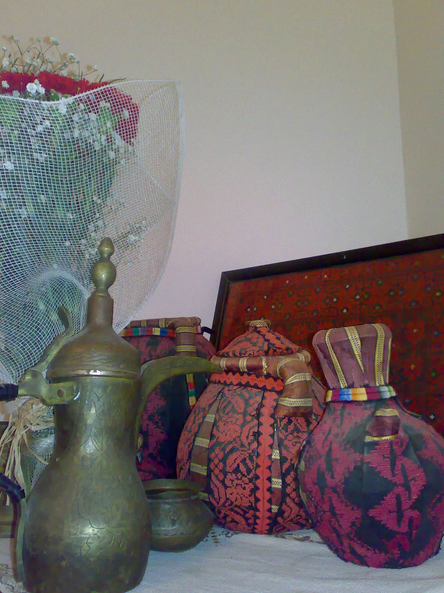
Posted by عدي الحنيني "Odai Hanini" - من التراث
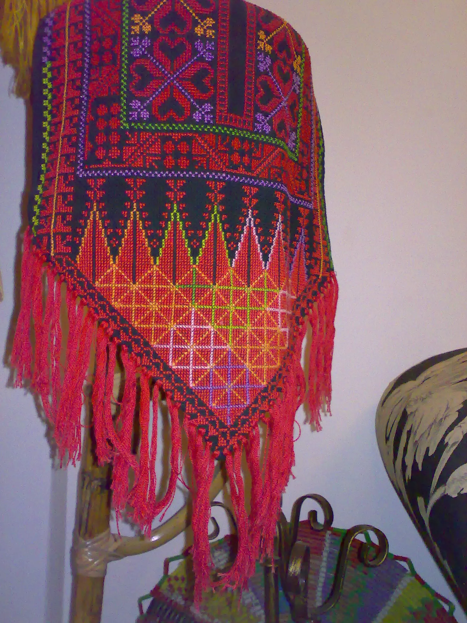
Posted by عدي الحنيني "Odai Hanini" - من التراث
Posted by عدي الحنيني "Odai Hanini" 1 - مسجد الهدى
Posted by عدي الحنيني "Odai Hanini" - الغروب من وسط البلدة
Posted by tujan - منظر عام
Posted by محمد ابراهيم محمد سايس - منظرالغروب من كفر نعمة
Posted by محمد ابراهيم محمد سايس 2 - بعد المغرب
Posted by عدي الحنيني "Odai Hanini" - مناضر عامة
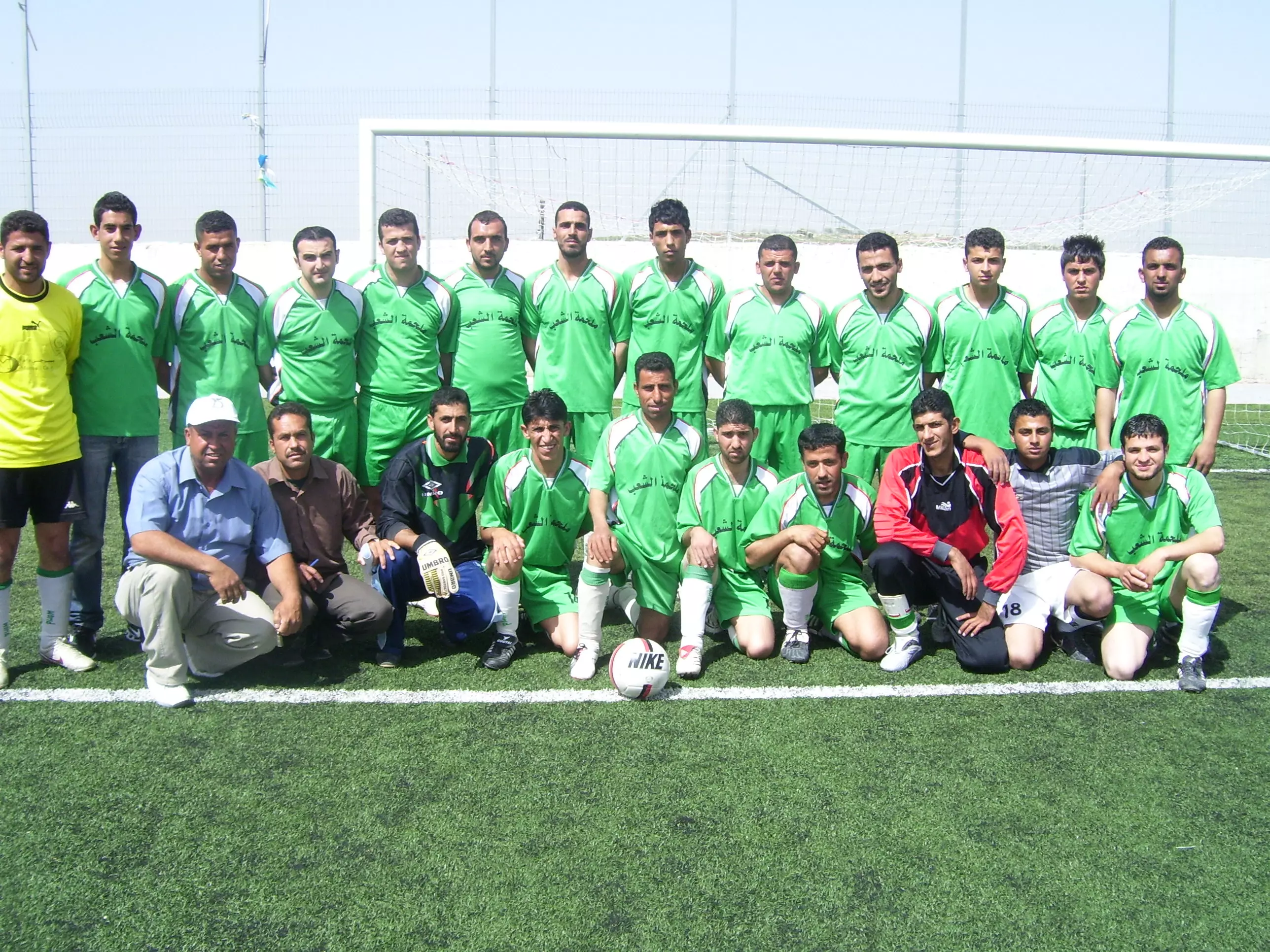
Posted by essmael naser 1 - فريق نادي شباب كفر نعمة
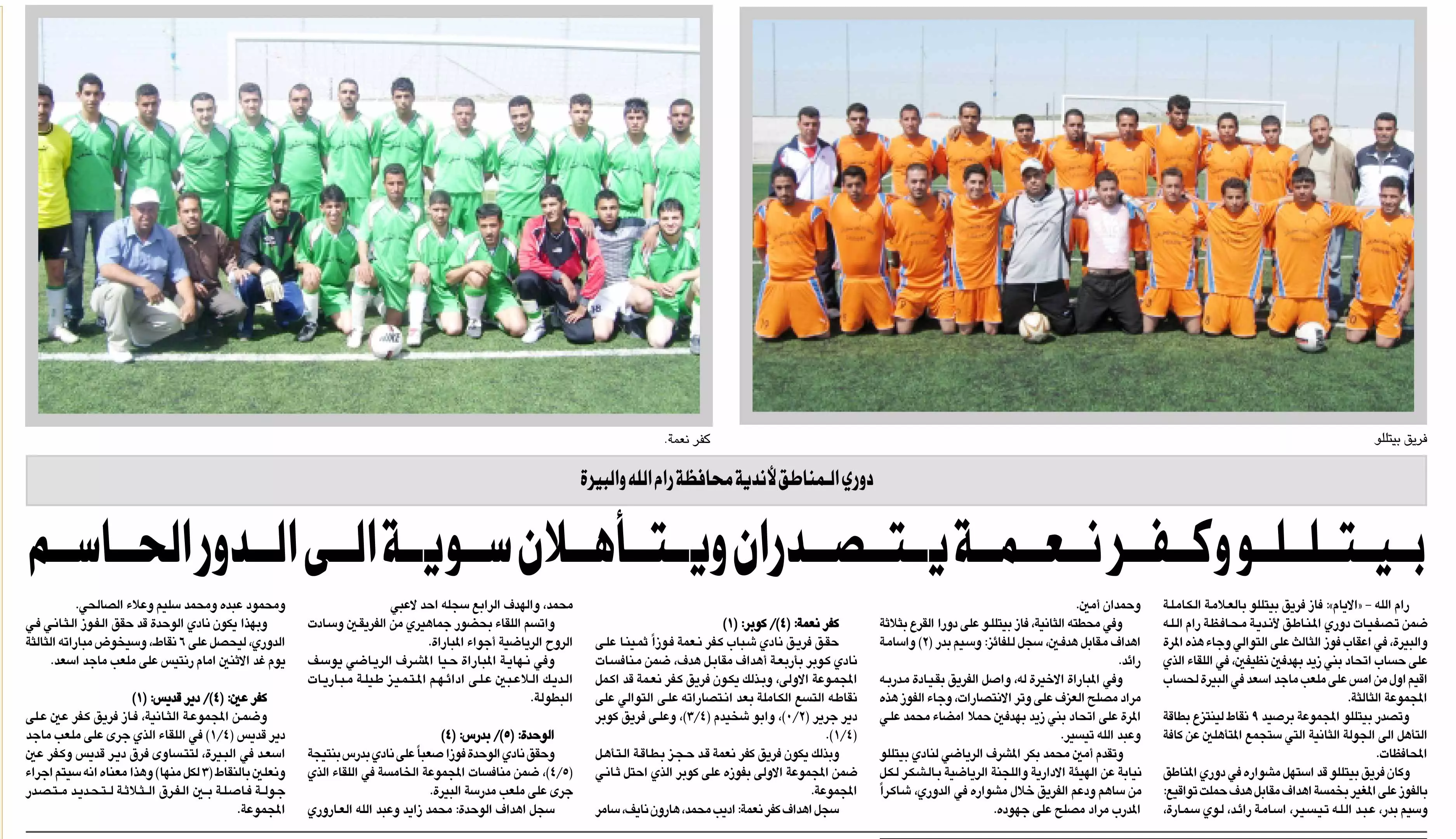
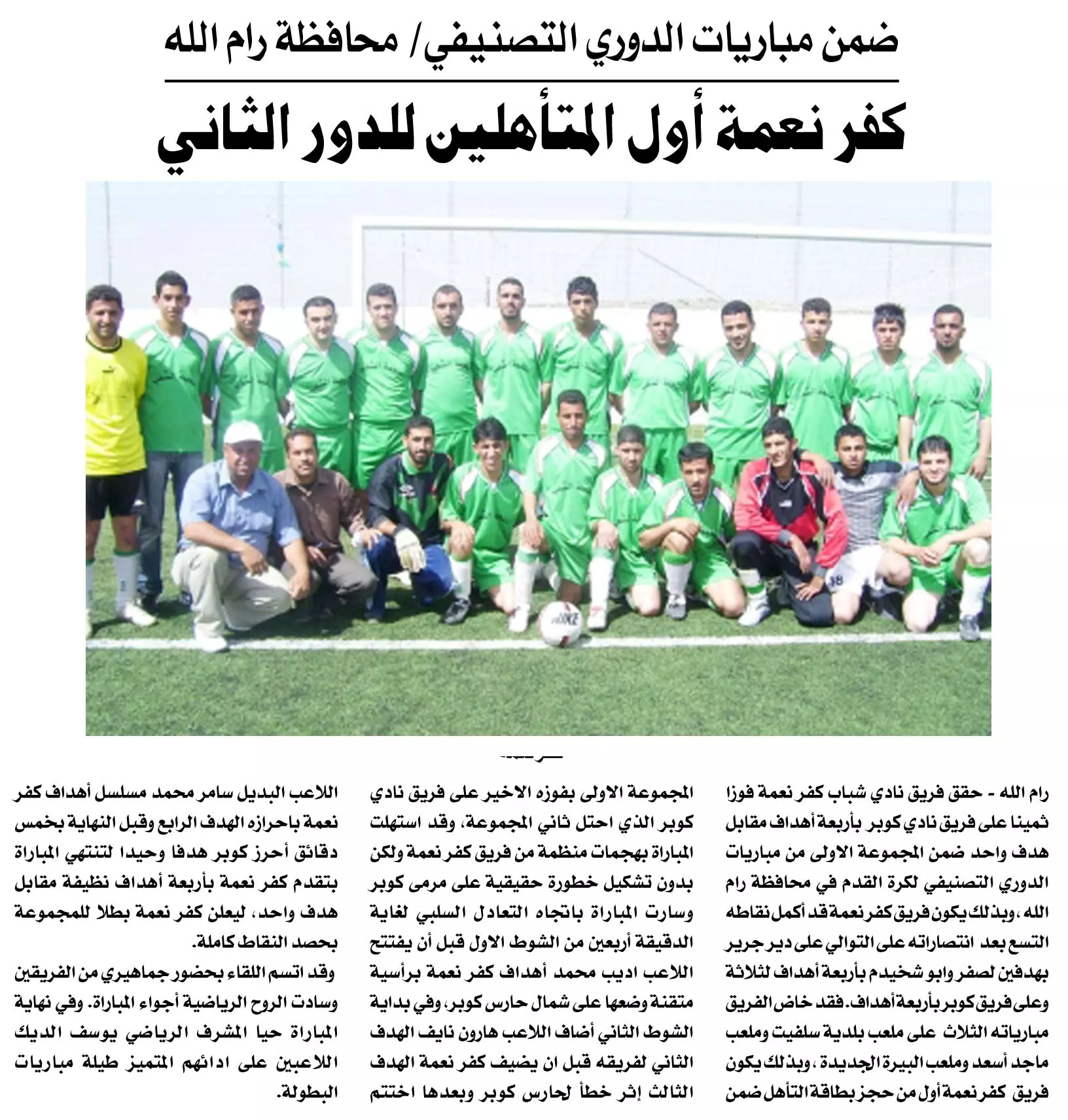
Posted by احسان نصر 2 - و بالرياضة هي الافضل : كفر نعمة تتصدر دوري اندية محافظة رام الله وتتاهل للدور الحاسم
Posted by عدي الحنيني "Odai Hanini" - كنت الافضل ورجعت الافضل يا بلدنا
Posted by عدي الحنيني "Odai Hanini" - كفرنعمة في الثلج

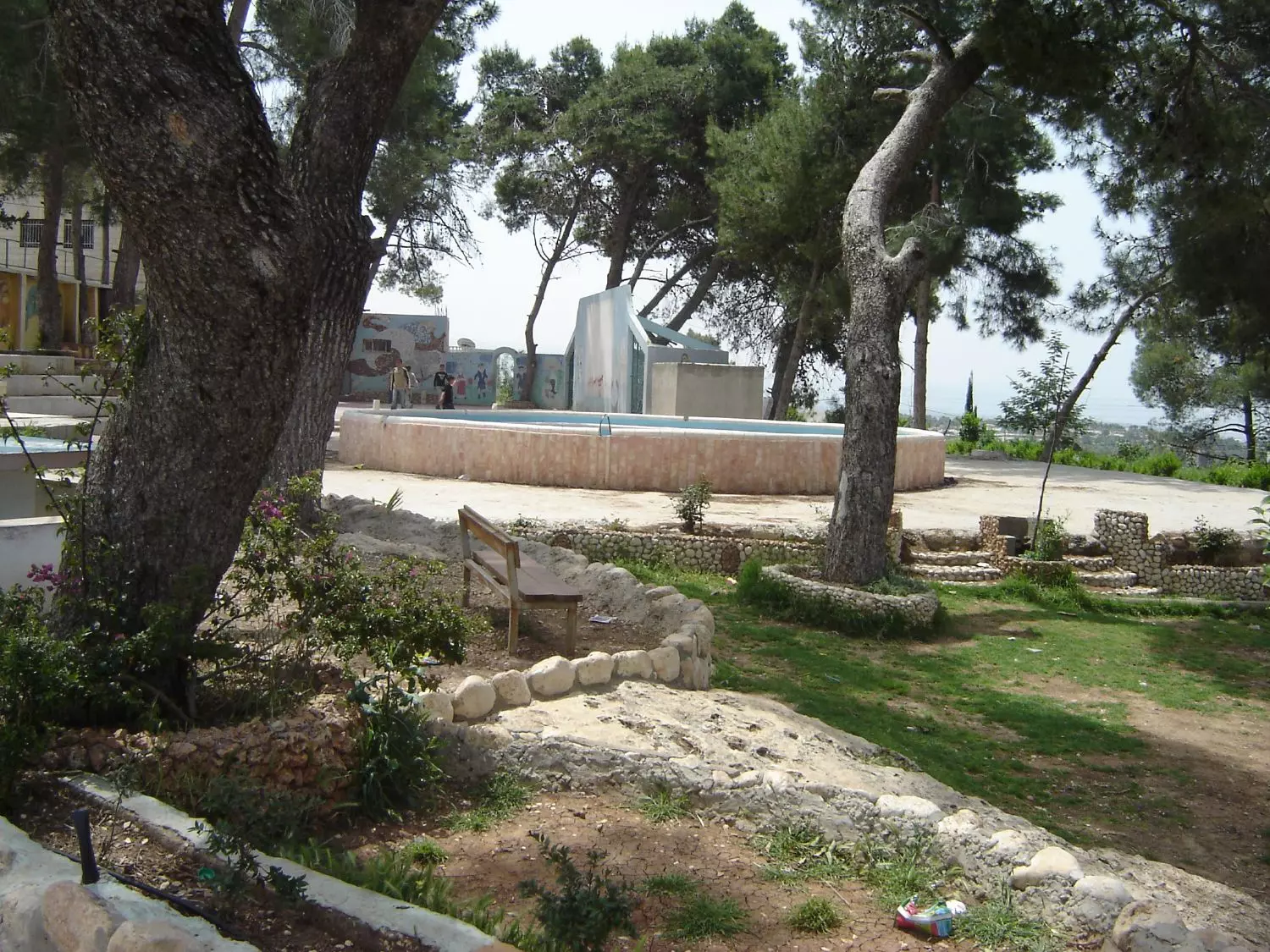
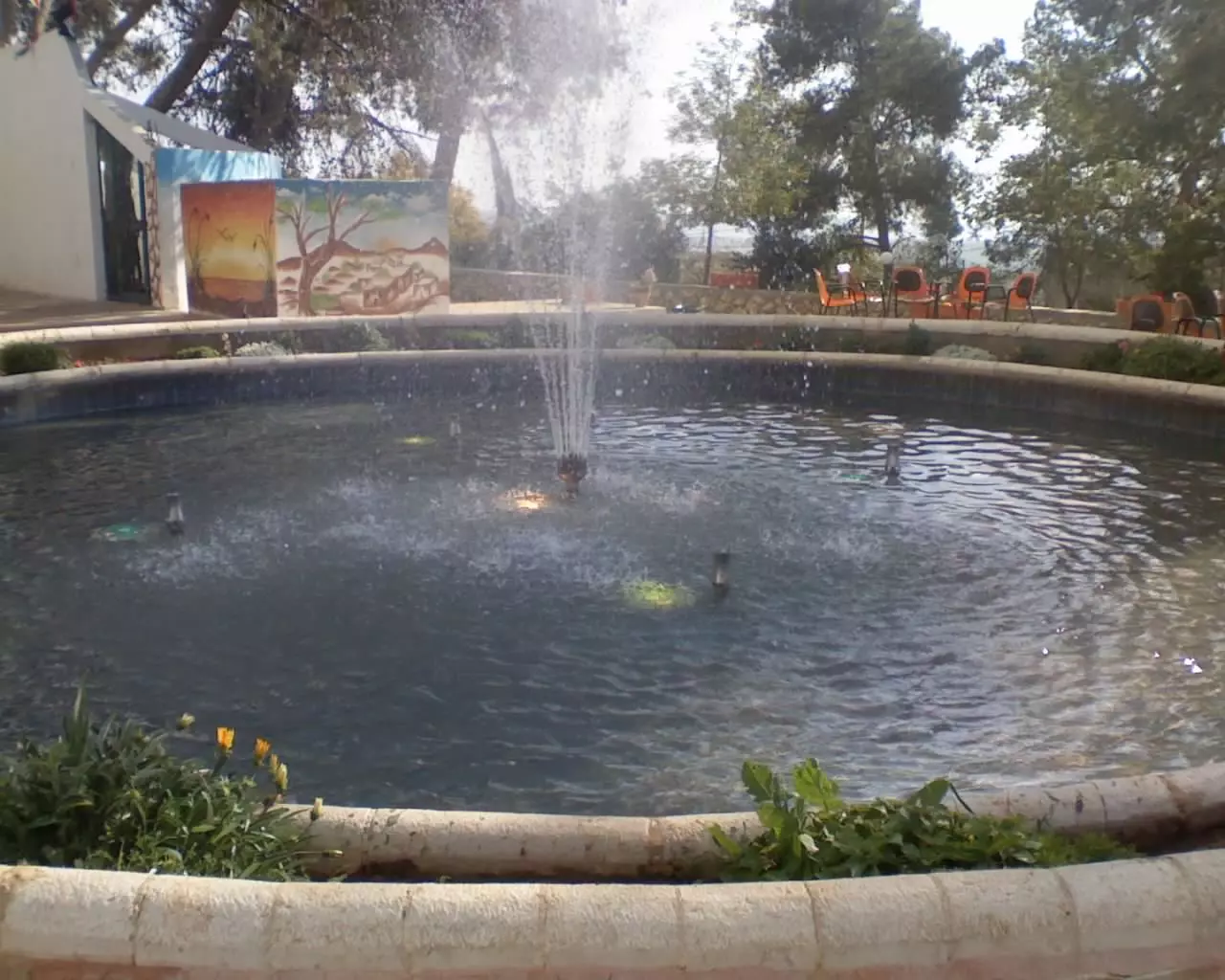
Posted by bilal 1 - نافورة الحديقة كفر نعمة
Posted by محمد ابراهيم محمد سايس 2 - عين باب الطاقة كفر نعمة
Posted by محمد ابراهيم محمد سايس - عين باب الطاقة
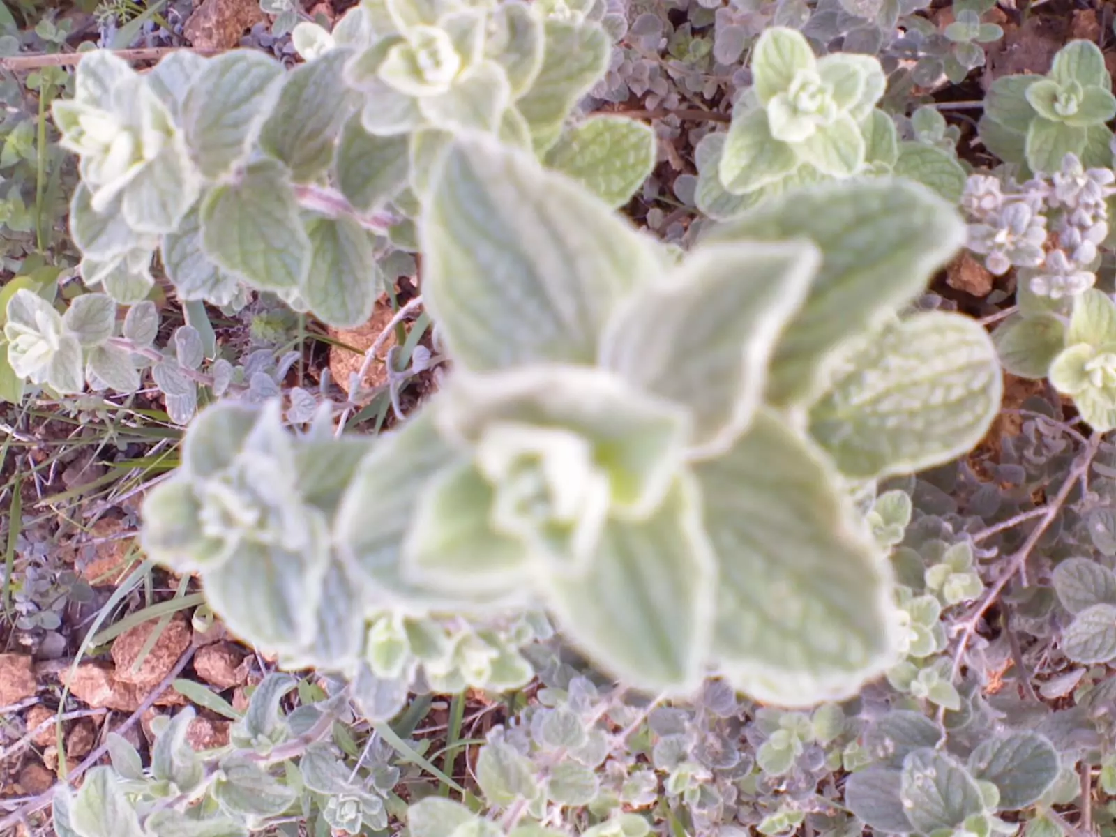
Posted by محمد ابراهيم محمد سايس - زعتر
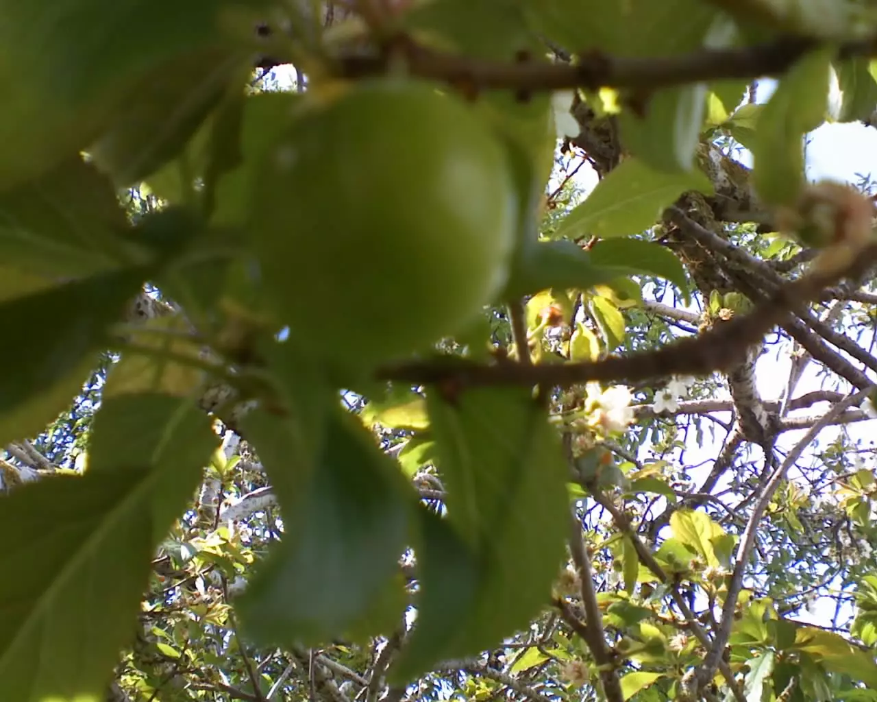
Posted by محمد ابراهيم محمد سايس - كرز اخضر
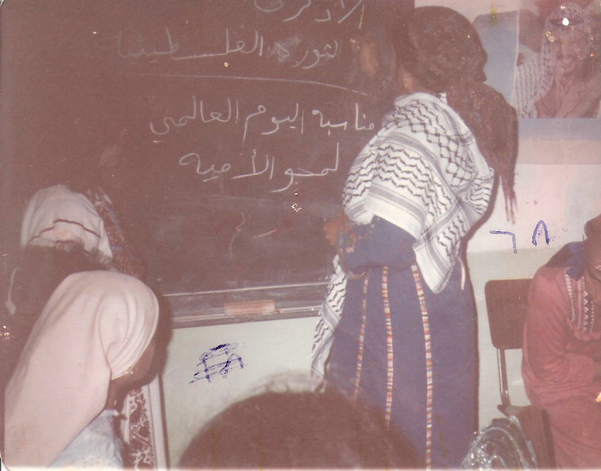
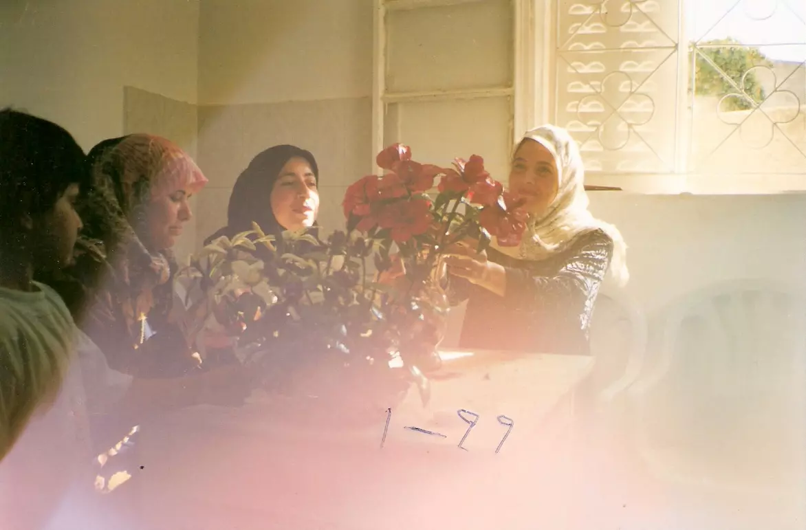
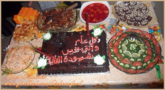
Posted by محمد ابراهيم محمد سايس - جمعية سيدات كفرنعمة
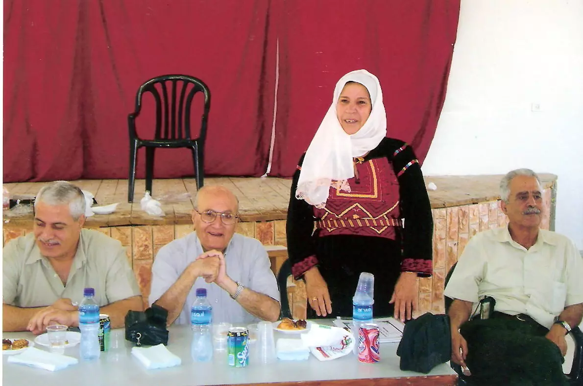
Posted by نفيسة الديك - جمعية سيدات كفرنعمة
Posted by نفيسة الديك - جمعية سيدات كفرنعمة
Posted by نفيسة الديك - جمعية سيدات كفرنعمة
Posted by نفيسة الديك - جمعية سيدات كفرنعمة
Posted by نفيسة الديك - جمعية سيدات كفرنعمة
Posted by نفيسة الديك - جمعية سيدات كفرنعمة
Posted by نفيسة الديك - جمعية سيدات كفرنعمة
Posted by نفيسة الديك - كفر نعمة في الشتاء
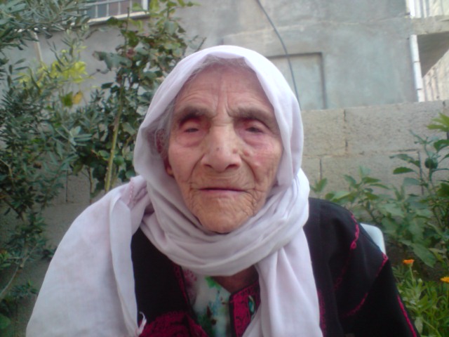
Posted by عدي الحنيني "Odai Hanini" - اكبر معمره في القريه
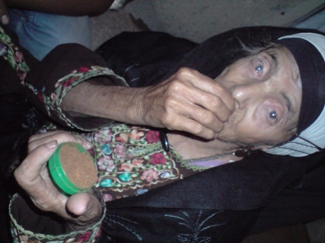
Posted by ماهر عبده 2 - الحاجه ساره حمد الله والزعوط
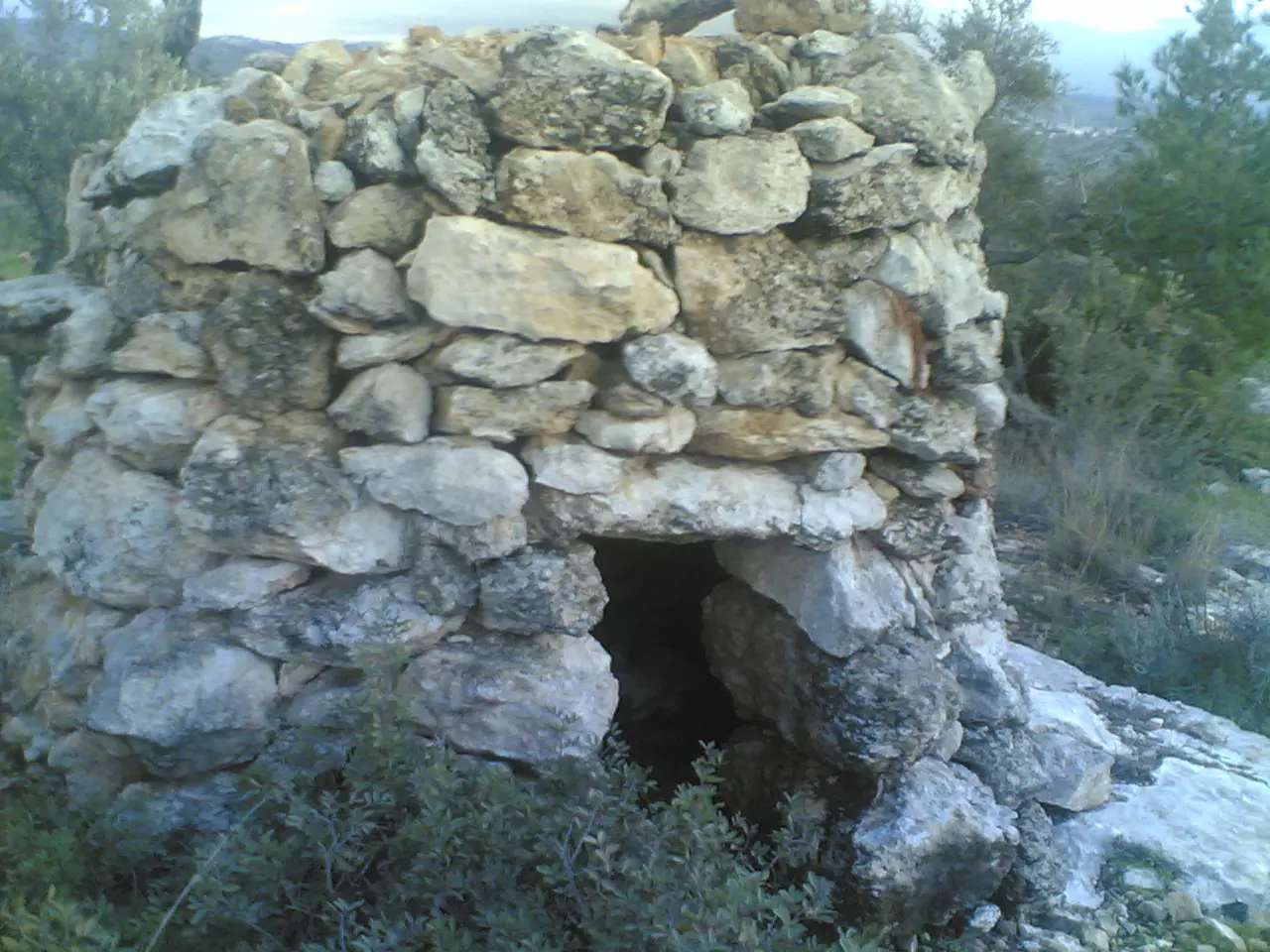
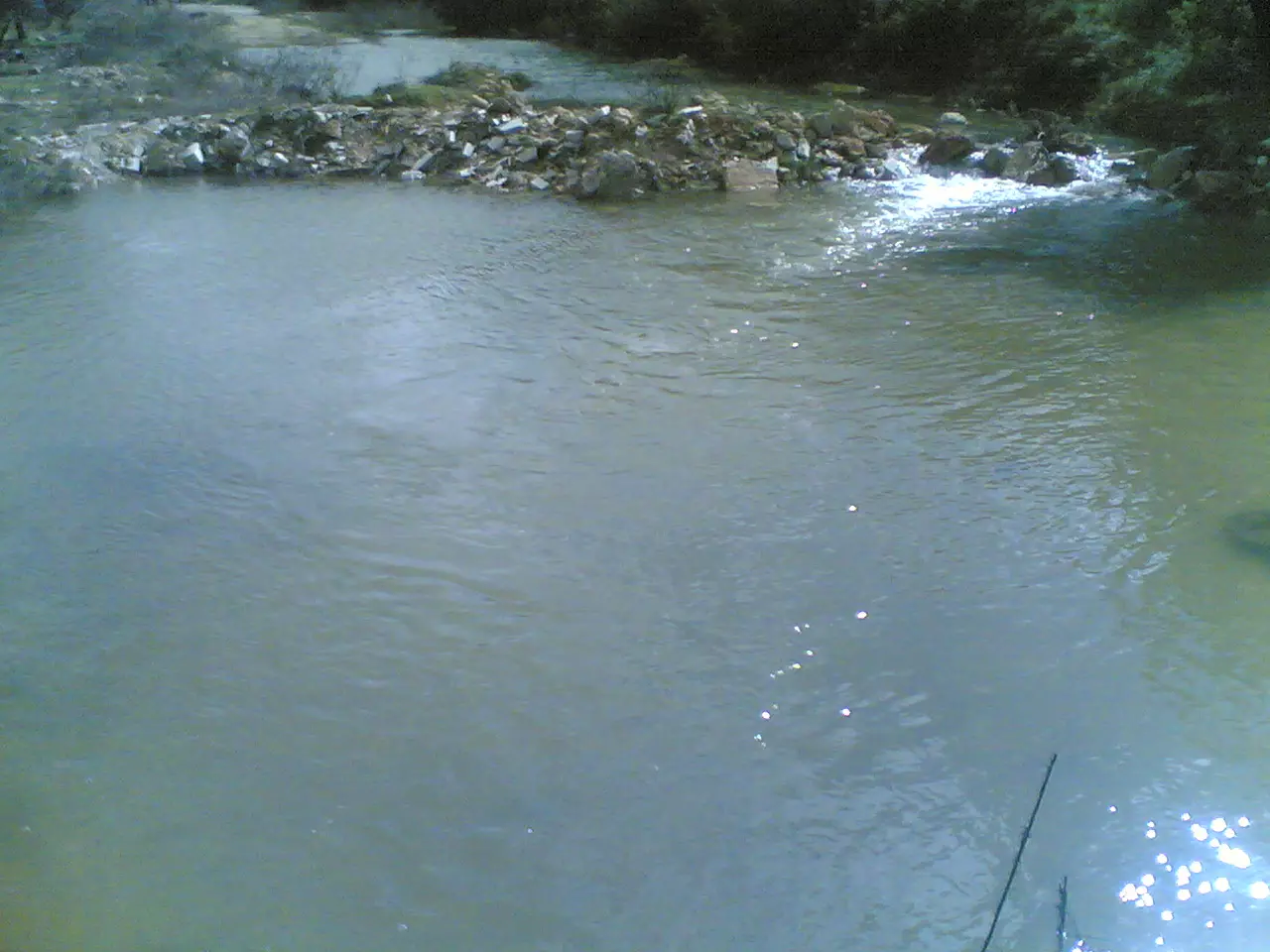
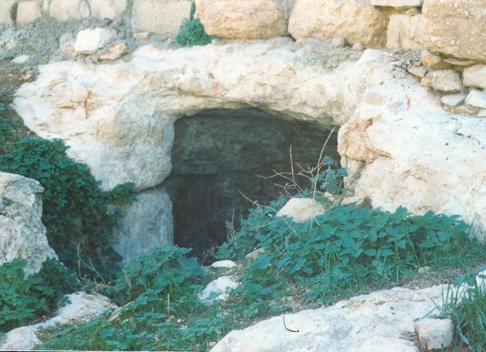
Posted by ماهر عبده 1 - صوة بئر الواد الذي حفر زمن الرومان
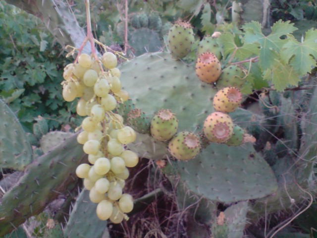
Posted by ماهر عبده 1 - العنب والصبر وقث الاثمار
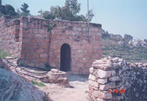
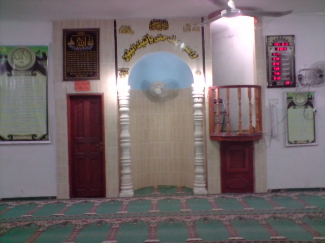
Posted by ماهر عبده 1 - المسجد الكبير
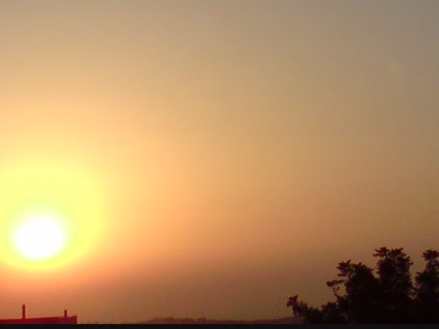
Posted by ماهر عبده 1 - وقت الغروب
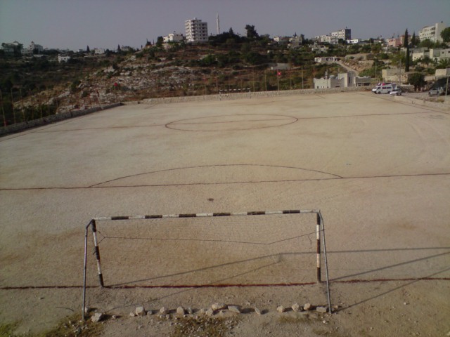
Posted by ماهر عبده 1 - ملعب القريه
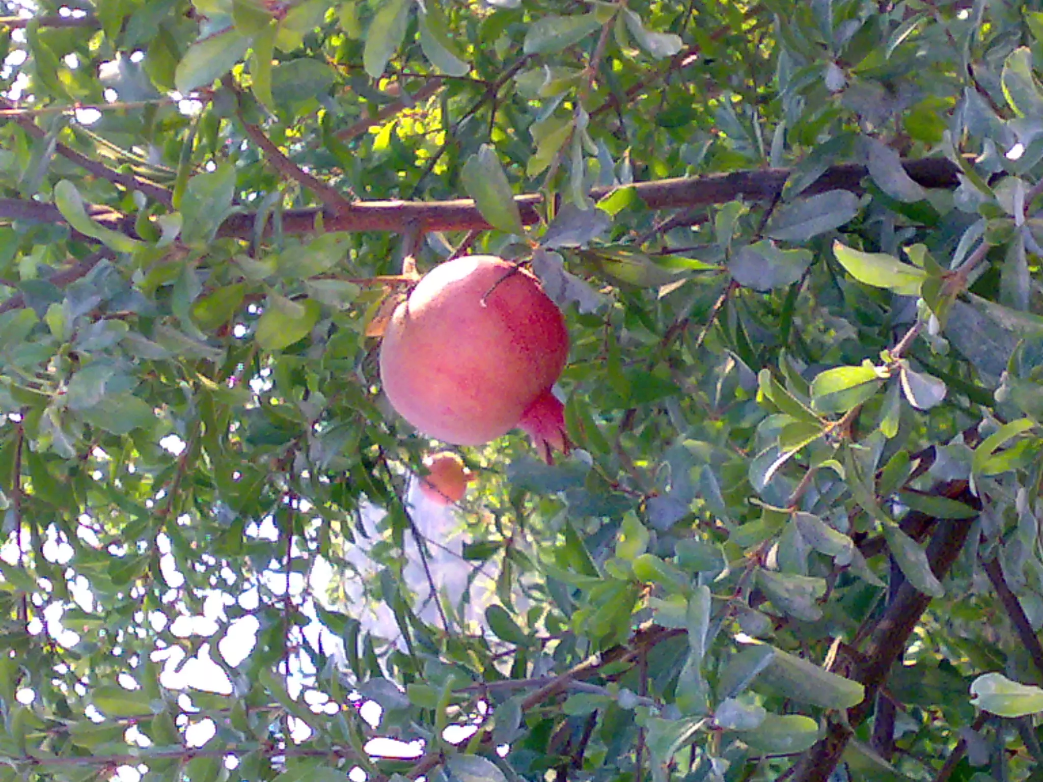
Posted by ماهر عبده - الرمان في كفرنعمة
Posted by ashraf ataya - احدى منتجاتنا 0598135281 ــ 0569135281 ــــ 2489997
Posted by كبير البلد - اعرف بلدك كم هو جميل أجمل ما في الكون كفر نعمة -رام الله
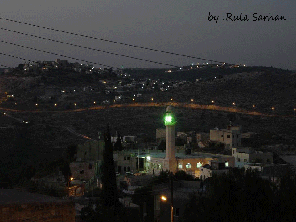
Posted by رولا سرحان - منظر عام
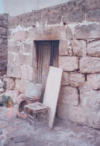
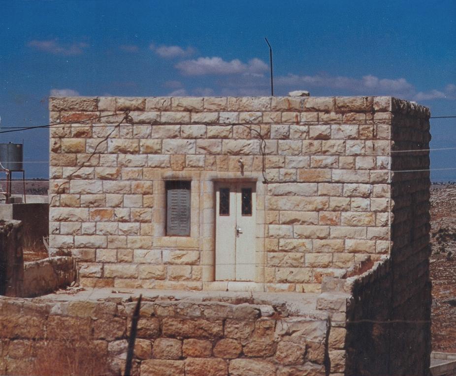
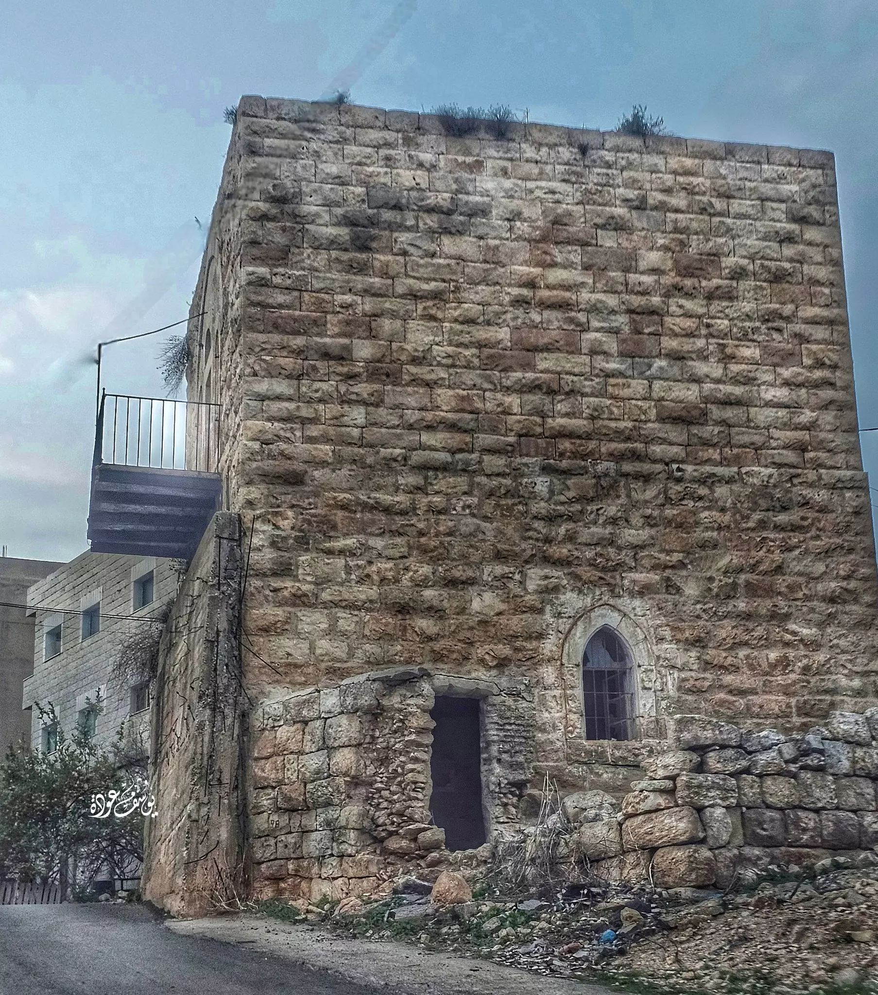
- بيت قديم -- يوسف عودة
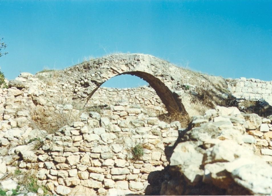
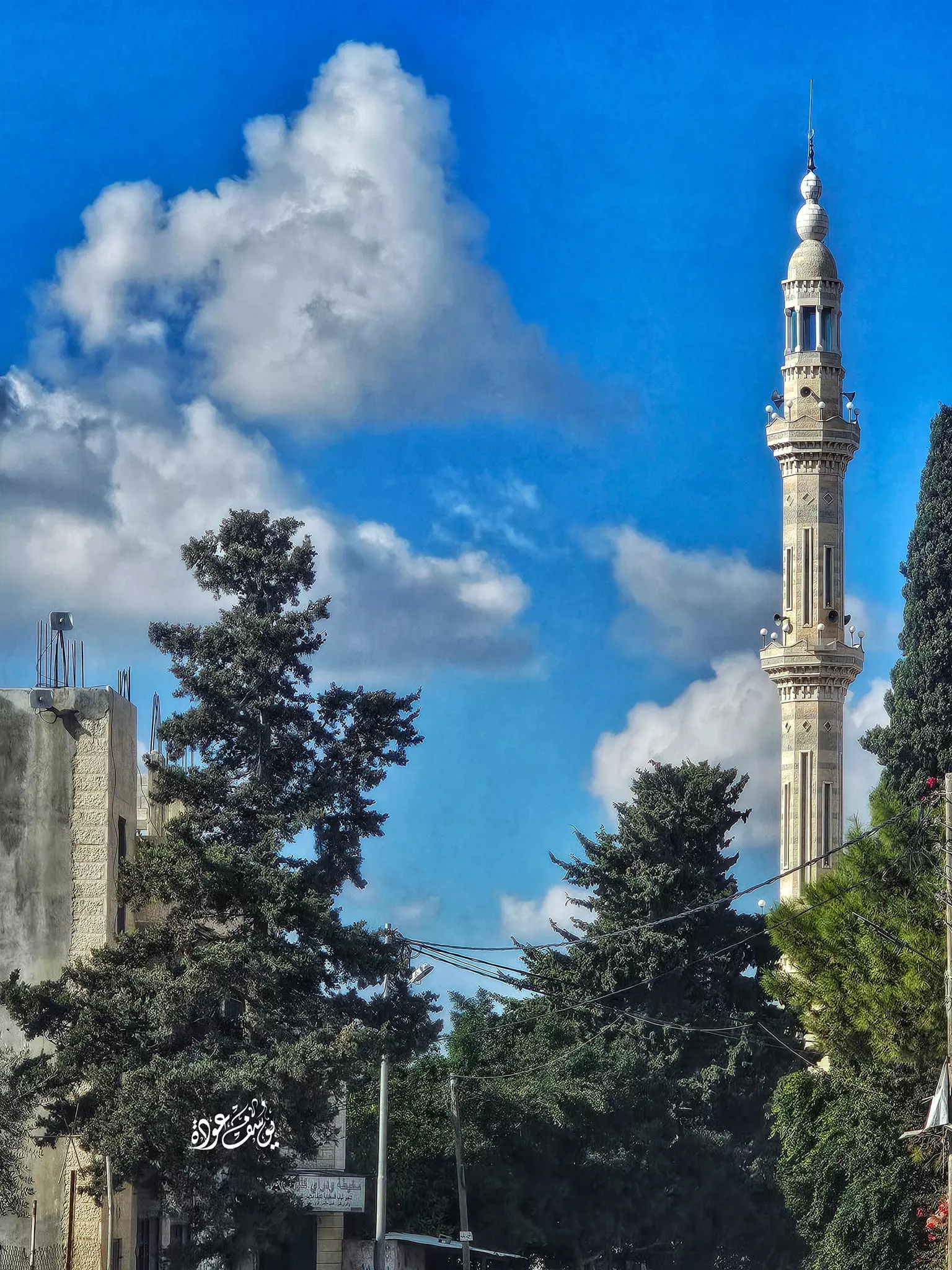
- منظر عام -- يوسف عودة
- منظر عام -- يوسف عودة
Want to browse more? 80,000 pictures were grouped in these gallaries:
| Display Name | Clan/Hamolah | Country of Residence |
| كبير البلد | - | - |
| youssef aldeek | aldeek | Ramallah |
| أبو الديك | الديك | ramaalh, كفرنعمة |
| مصطفى ديك | - | رام الله |
| ahmad al daken | dakan | jor, kafr ni3ma |
| عكيد البلد | - | - |
| Dalia | Ataya | amman, Jordan |
| كتكوتةالديك | - | - |
| نداء سايس | سايس | - |
| داود | - | رام الله |
| بنت الديك | - | palistine terroteri, كفرنعمة |
| هاني الديك | الديك | رام الله, كفر نغمه |
| محمد الديك | - | رام الله, كفر نعمة |
| bilal | - | - |
| Nihad Naser | - | Kufur Nima |
| ابو بكر | - | amman |
| ابن فلسطين | علان | رام الله, بيت عور التحتا |
| ابو جمال غانم | غانم | عمان, الاردن |
| ابراهيم نصار | السايس | عمان, الاردن |
| سما | - | رام الله |
| Dr. Samed Naser | - | - |
| Fidaa Ataya | - | kufer N3ma/Ramallah |
| GHASSAN ALDAKEN | - | - |
| tujan | sayes | ramallah |
| ابو عادي | - | - |
| wesam | - | ramallah |
| abuarab abuarab | abu adee | palestine, palestine |
| سامي خويرة | - | رام الله, كفر نعمة |
| الصقر الجريح | - | - |
| طارق بدير | Budair | Amman, Jordan |
| نبيل نصر | 0598240139 | كفر نعمة, كفر نعمة |
| محمد ابراهيم محمد سايس | اهلا بكم | كفر نعمة |
| moutih attaya | - | - |
| محمد سايس | فتح | رام الله, كفر نعمة |
| معتز | عطايا | رام الله , كفر نعمة |
| عدي الحنيني "Odai Hanini" | - | ramallah, palestine |
- فيلم وثائقي يتحدث عن قرية كفر نعمة
- كفرنعمة - البلدة القديمة
- كفرنعمة حلوة يابلدي
- صور شهداء قرية كفرنعمة بتاريخ 12/4/2010
- كفر نعمة - جولة في شوارع قرية كفر نعمة Duration: 6 min 56 sec
- مرورا من قرية كفر نعمة Duration: 4 min 13 sec
No links have been shared yet, be free to the first to share the first link.
 Fake Valor: Why Did Zionist Jews Hoist Nazis Flag on Their Ships in the 1930s?
What is new?
-
Facts About Oct. 7th Gaza Raid
-
Remined Us Please:: Who Did Rape Who? Palestinians Raped Israelis? Or, was the other way around?
-
When Prof. Edward Said was invited to debate Bibi Netanyahu in the 1980s, watch what happened!
-
Ezra Klein of the NY Times on the "Jewish Race".
-
Abusing Blood Libel!
-
Zionist FAQ: Isn't it true that Palestinians don't want peace? Palestinians never accepted the two-state solution
- Facts about Haavara (Transfer) Agreement between Ben-Gurion & Hitler
-
Haavara FAQs: Why Did Zionist Jews Hoist Nazis' Flags on Their Ships in the 1930s?
-
Dear ChatGPT: Why did the Jewish Agency suppress news of the Holocaust during WWII?
-
Video Playlist: Jews share their DNA tests to end the conflict for good.
-
A Tale of Two Conflicts: Examining the Definition of Genocide
-
Prof. Abraham Polak And The Suppressed History of the Khazars and European Jewry
-
How Ronald Reagan would have framed the genocide in Gaza if he were still alive?
-
Haavara FAQs: Let us do the math: how many German Jews did The Haavara Agreement save?
-
Zionist FAQs: The Hebron Massacre of 1929, "clearly proves" that Palestinians are antisemitic, how could you deny it?
-
Zionist FAQs: Why Anti-Zionist Is Not Antisemitism?
-
Zionist FAQs: Isn't it true that the KGB create Palestinian Nationalism in the early 1960s?
- Zionist FAQs: Muslims are killing Muslims all the time; why are Israeli Jews being singled out in the media?
- Zionist FAQs: How is Israel an apartheid state when 20% of its citizens are Arabs who enjoy full rights?
-
Haavara FAQs: Analysis of Herzl's Uganda Scheme and how it could have saved millions of Jews.
-
Haavara FAQs: Why did Hayim Greenberg describe American Jewry as "morally bankrupt" in early 1943?
-
Haavara FAQs: What if the Evian Conference was a resounding success? What would have been the impact of saving European Jewry on Zionism?
- Haavara FAQs: What if the six million were saved, how that would have impacted the Zionist project?
-
Haavara FAQs: How did Zionist leaders react when Europe's Jews lingered in the DP camps after WWII ended?
-
Why does the American Jewish community repeat lies that David Ben-Gurion had debunked before he died?
-
Who has the power to rename the Tatar/Khazar Gene Marker to Jewish IV?
-
Zionist FAQs: Why won't Egypt, Syria, and Jordan take their people back? Jews are indigenous to Palestine, and Arabs immigrated after Jews developed the country. Arabs should leave.
-
Haavara FAQs: Did Hitler and the Nazis conflate between Judaism and Zionist? If that wasn't case, then why?
-
Haavara FAQs: Winston Churchill and antisemitism, a collection of articles written Churchill.
-
Haavara FAQs: Broken by country, how many Jews survived vs. killed during the Holocaust?
-
Haavara FAQs: Why did European Jews vote with their feet and to immigrated to the Americas, not Palestine, after WWII?
-
Watch this American Jewish Girl describing Israeli Jews' cognitive dissonance like no other in under two minutes
-
Haavara FAQs: When the Nazis went out of their way to hide the Holocaust, Israeli Jews did the exact opposite by broadcasting their genocide of Gazans. But why?
-
Haavara FAQs: How Zionist Jews went out of their to show their appreciation to Nazism and Fascism?
- Haavara FAQs: Why Zionist leaders were against bombing the death camps & the Railroads leading to them?
-
Haavara FAQs: Hitler's message to the British and American people: If Jews are such noble citizens and you care about them, how come you're not letting them in? I will gladly ship them to you at my expense, even on luxury liners!
-
A shortlist of Zionist and Israeli false flag operations in the name Jews.
-
The Most Moral Army
- The Land of Kapos (Israel): Where the brave are boycotted and Kapos walk free.
- Why did early Zionists often named their communal enterprises "colonial"?
- Zionist Relations with Nazi Germany by Faris Glubb
-
Two NY Times advertisements by Zionists in the early 1943 that exposes Zionists' treason at the height of the calamity
- Facts Not Lies about the Palestinian-Israeli Conflict.
- Site's pictures have been categorized
- Campgain Against Lice
- A Survey of Palestine, the official source about Palestine before Nakba produced by the British Mandate; over 1200 pages.
- Satellite View & Google Earth: Over 6,000 placemarks identifying all destroyed towns, W. Bank & Gaza Strip Towns, & refugee camps.
- PalestineRemembered.com and its Nakba Oral History Project were featured on al-Jazeera Satellite TV.
- Nakba Oral History Video Podcast:
 Over 700 Oral History interviews (including 3,500+ hours of recording) can be viewed online.
 - Palestine Village Statistics Project
- Gaza Jail Break
- النسخة العربية للموقع الان متوفرة
- Videos: Documenting the destroyed villages in video: Tracing all that remains since Nakba.
- Videos: Responding to Zionist Propaganda
- Interview: The ethnic cleansing of Palestine: George Galloway interviews Israeli Historian Ilan Pappe.
- For Palestinians, memory matters. It provides a blueprint for their future By George Bisharat.
- Zionist FAQ now available in Hebrew שאלות שציונים שואלים, עכשיו בעברית
- Video: The Stephen Walt and John Mearsheimer report on the influence of the Israel Lobby on U.S. Foreign Policy
- The Palestinian-Israeli conflict for beginners
