| PalestineRemembered | About Us | Oral History | العربية | |
| Pictures | Zionist FAQs | Haavara | Maps | |
| Search |
| Camps |
| Districts |
| Acre |
| Baysan |
| Beersheba |
| Bethlehem |
| Gaza |
| Haifa |
| Hebron |
| Jaffa |
| Jericho |
| Jerusalem |
| Jinin |
| Nablus |
| Nazareth |
| Ramallah |
| al-Ramla |
| Safad |
| Tiberias |
| Tulkarm |
| Donate |
| Contact |
| Profile |
| Videos |
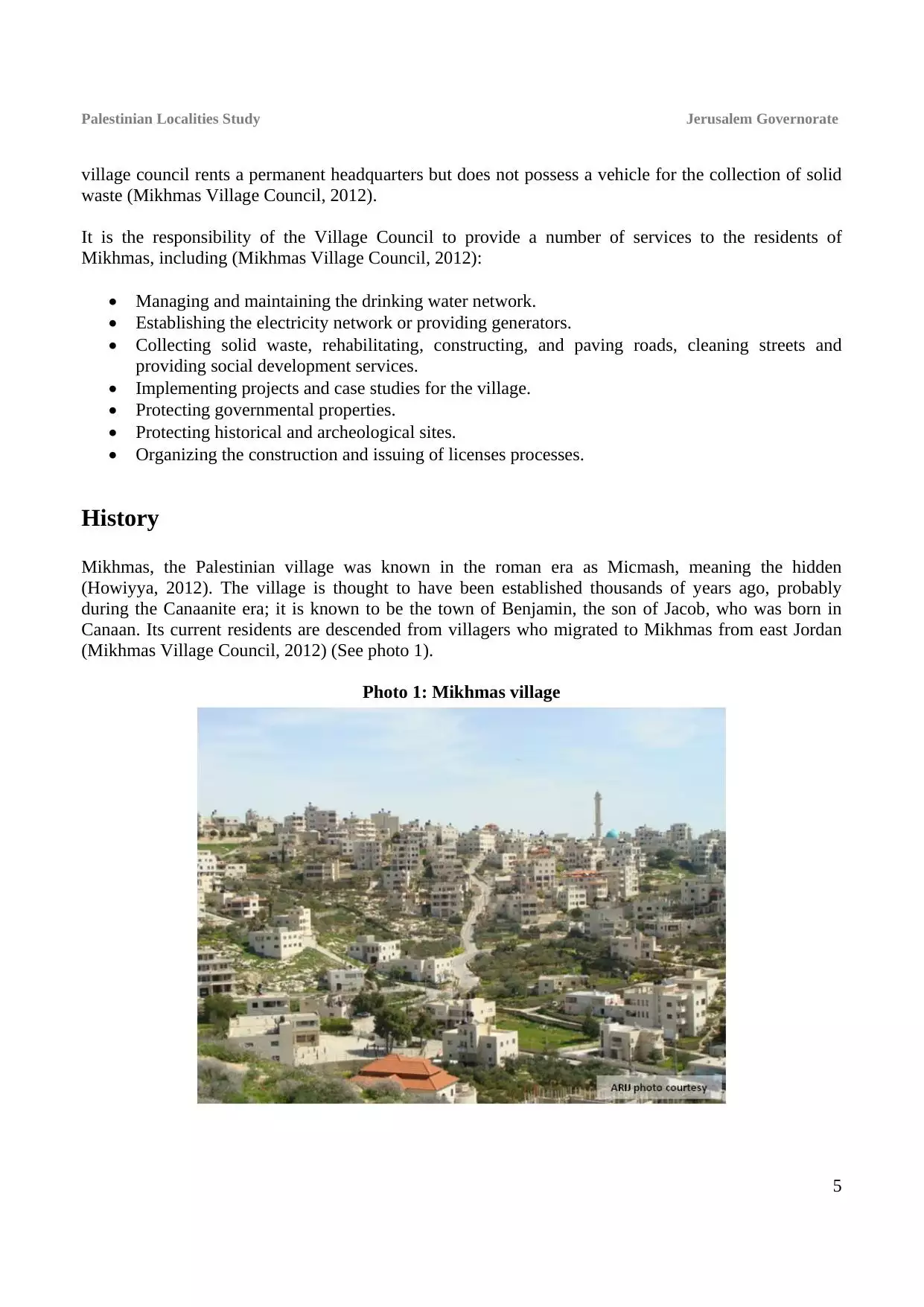
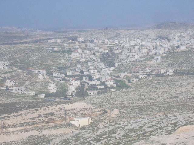
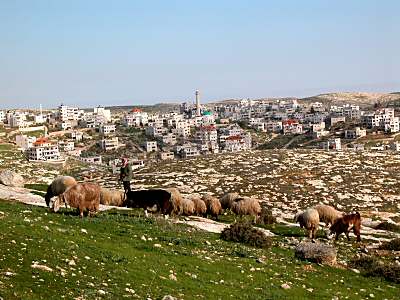
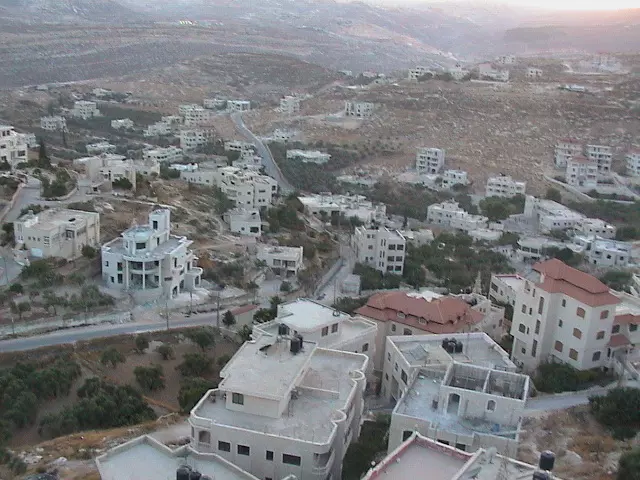
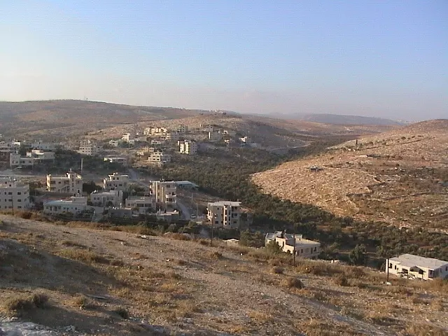
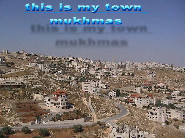
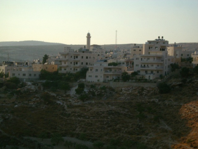
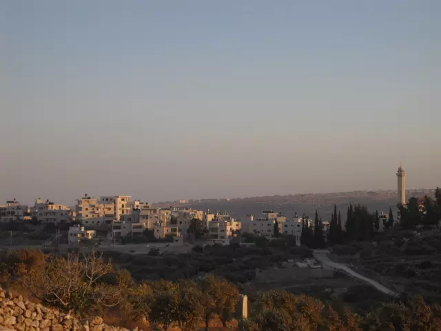
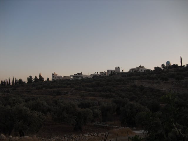
Welcome To Mikhmas - مخماس (מוח'מאס)
|
District of Jerusalem
Occupied days ago |
العربية Google Earth |
 |
Gallery (159) |
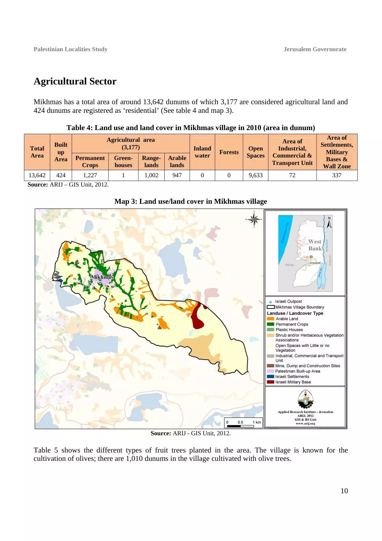
- Statistics & Facts
-
Before & After

- Satellite View
- Articles 2
- Pictures 159
- Members 5
- Families
- Wikipedia
- ARIJ Guide
- Videos 4
- Guest Book 5
- Links 1
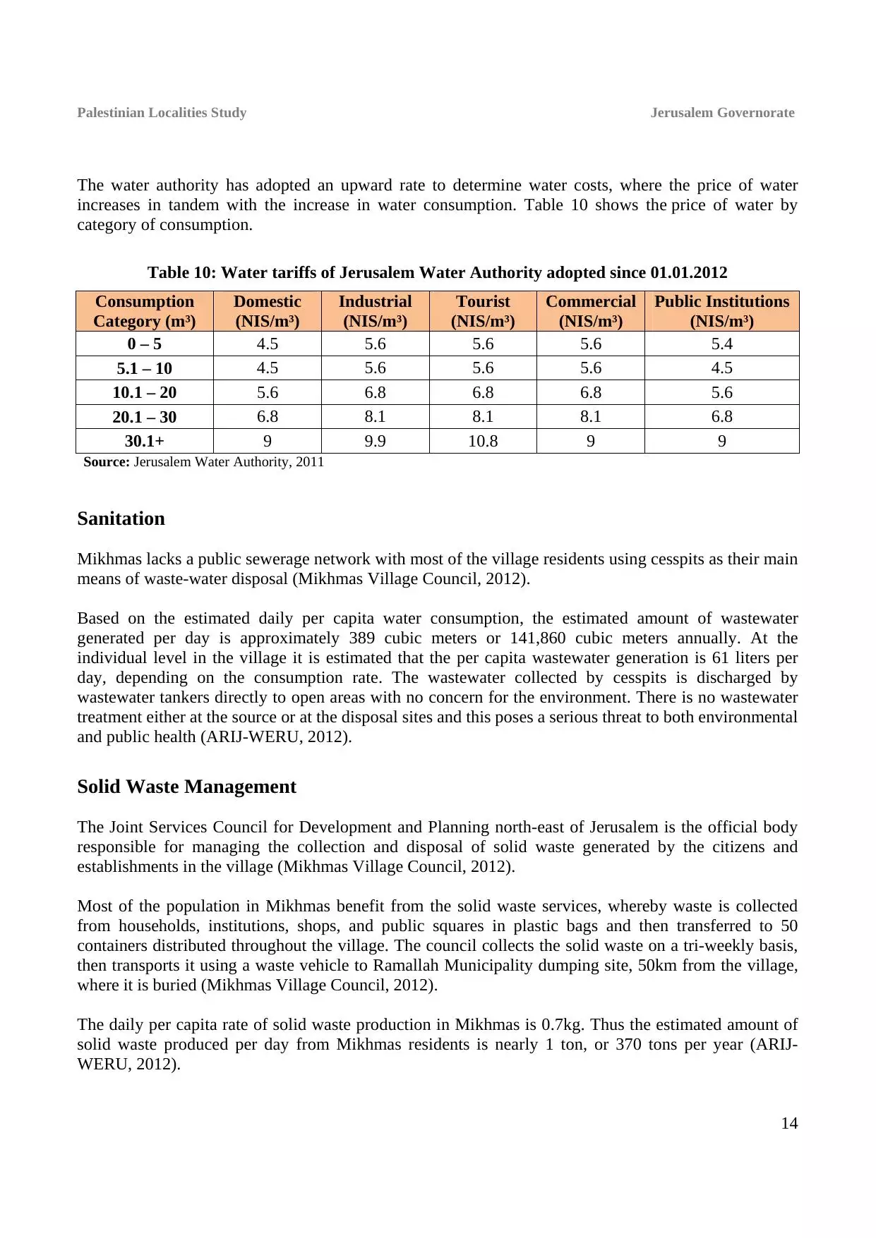
| Statistic & Fact | Value | ||||||||||||||||||||||
| Distance From District | 8 km northeast of Jerusalem | ||||||||||||||||||||||
| Elevation | 603 meters | ||||||||||||||||||||||
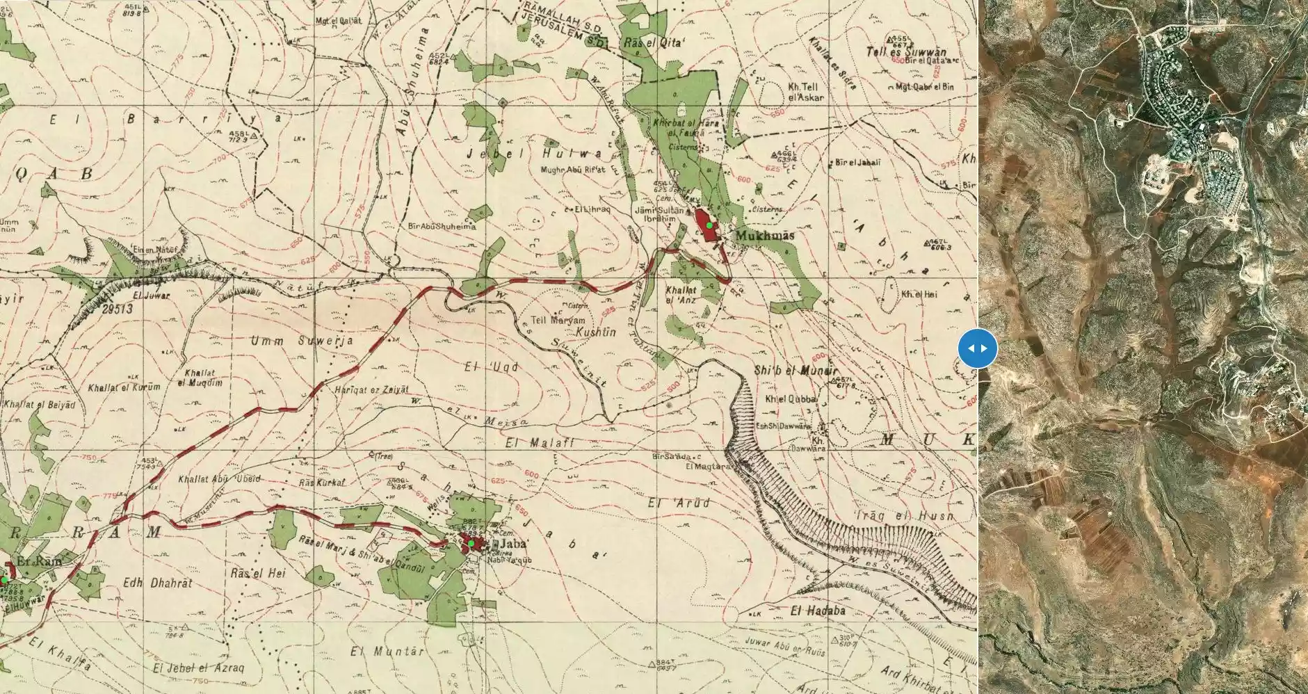
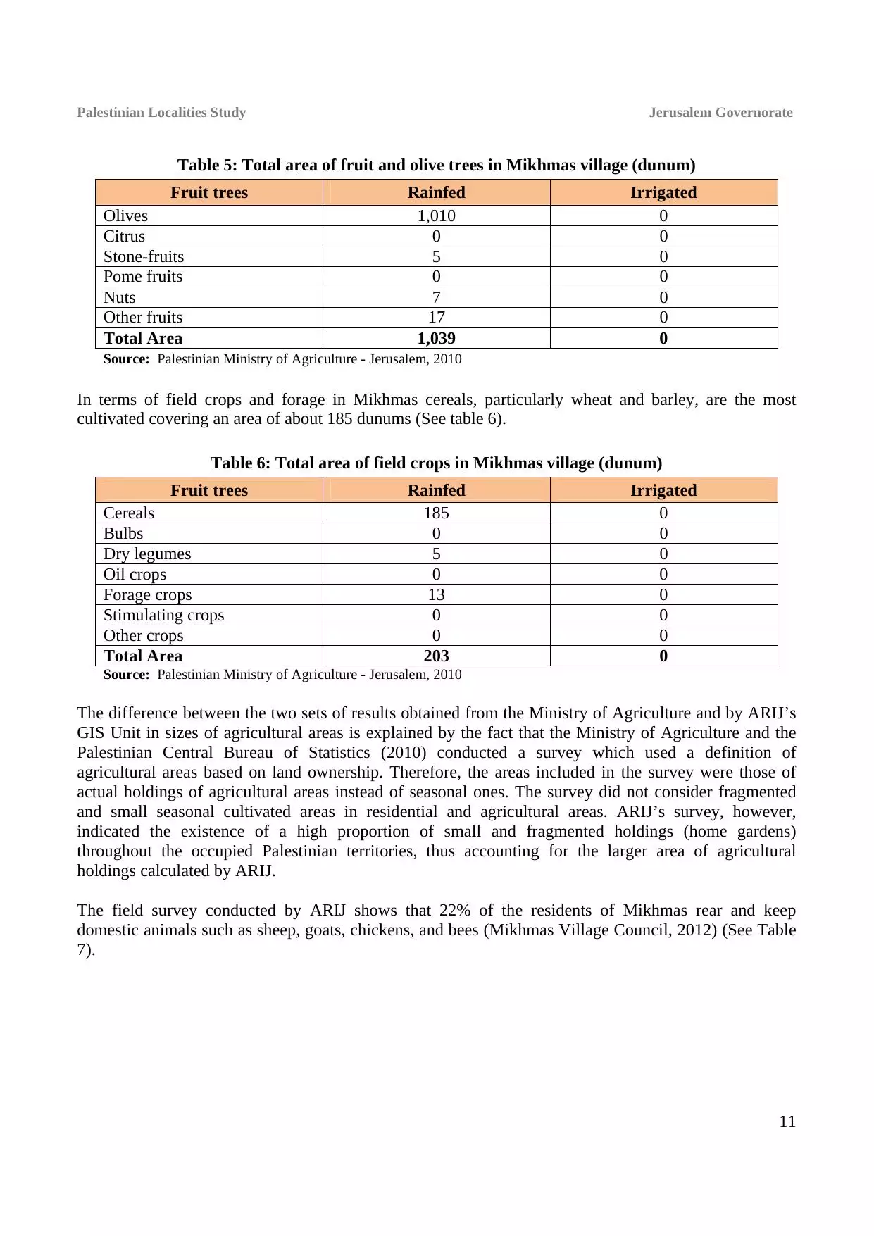
| Before & After Nakba, Click Map For Details |
|||||||||||||||||||||||
|
|||||||||||||||||||||||
| Land Ownership |
**Town Lands' Demarcation Maps |
||||||||||||||||||||||
| Land Usage As of 1945 |
|
||||||||||||||||||||||
| Population |
|
||||||||||||||||||||||
| Near By Towns |
|||||||||||||||||||||||
|
|||||||||||||||||||||||
| ARIJ Guide | |||||||||||||||||||||||
|
Click here to browse online. |
|||||||||||||||||||||||
| Related Maps | Town Lands' Demarcation Maps خرائط للقضاء توضح حدود القرى والاودية View from satellite Town's map on MapQuest Help us map this town at WikiMapia |
||||||||||||||||||||||
| Related Links | Wikipedia's Page Facebook Page ARIJ Guide Google Search Google For Images Google For Videos في كتاب بلادنا فلسطين دليل أريج المزيد من موقع هوية |
||||||||||||||||||||||

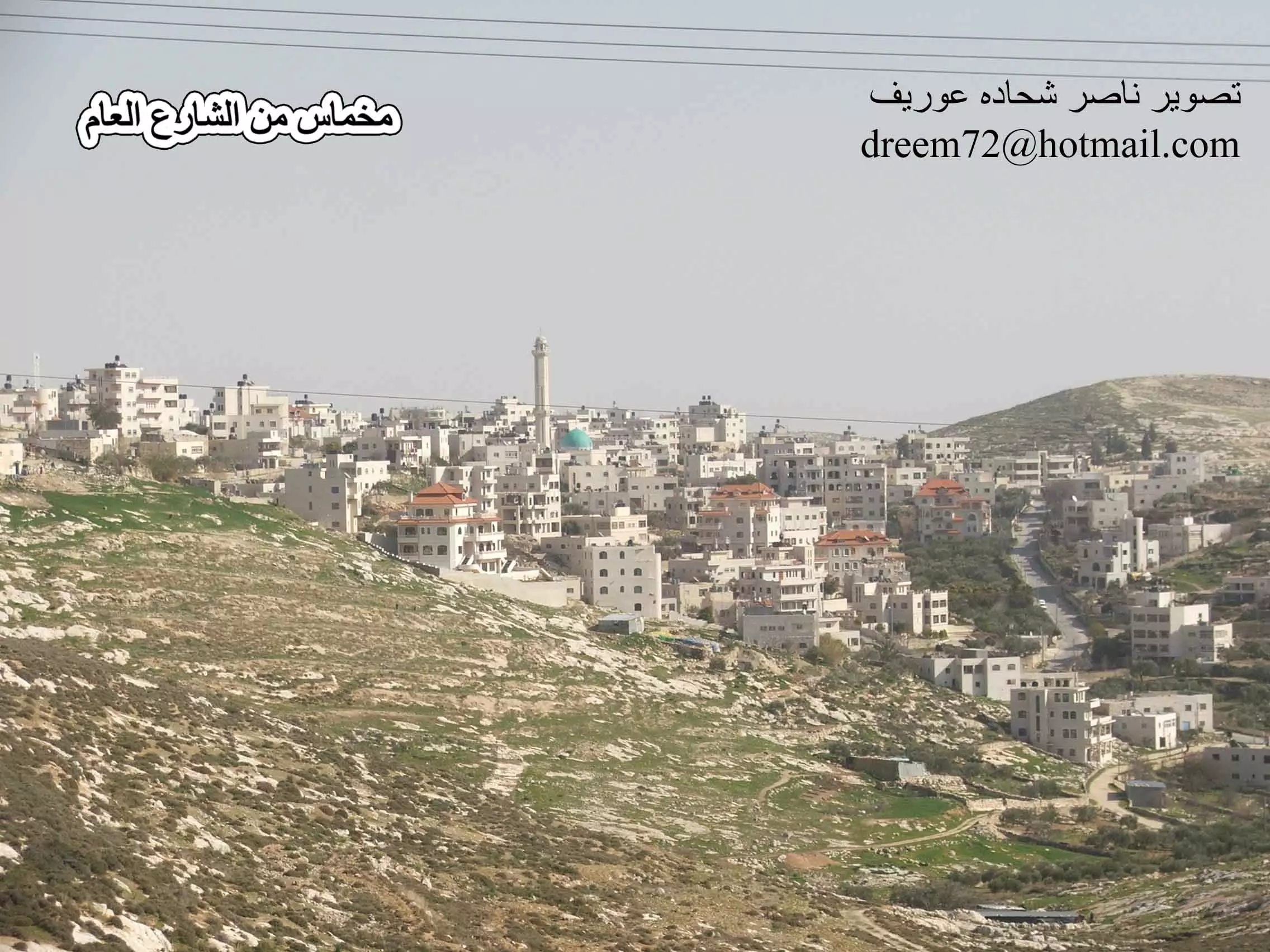
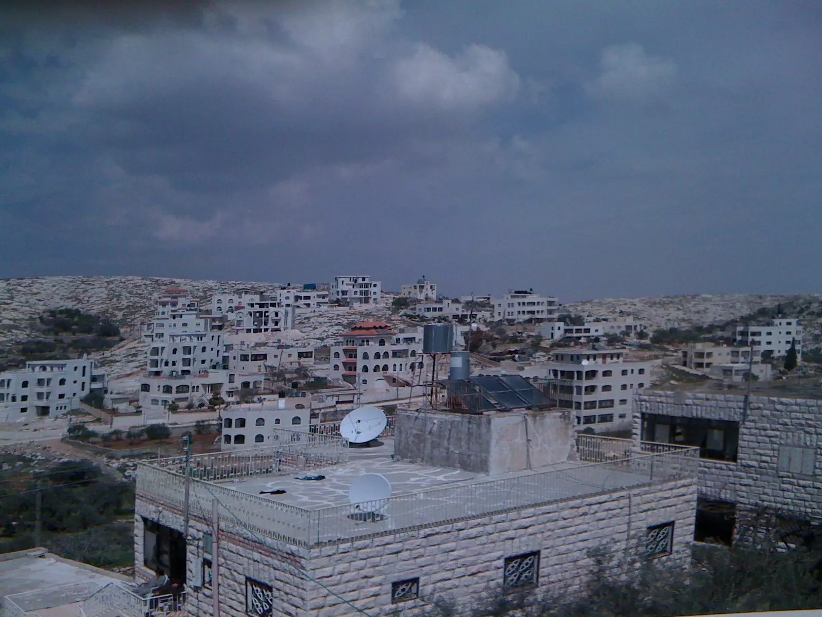
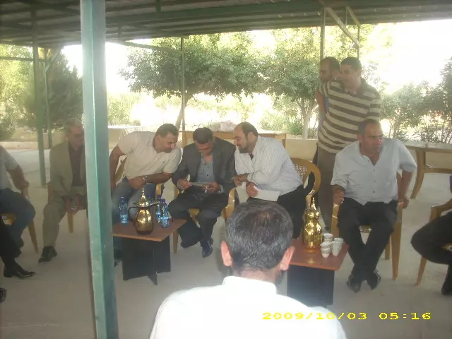
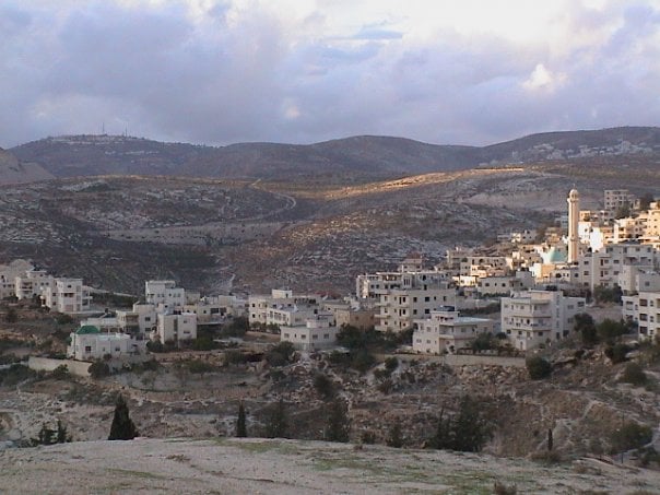
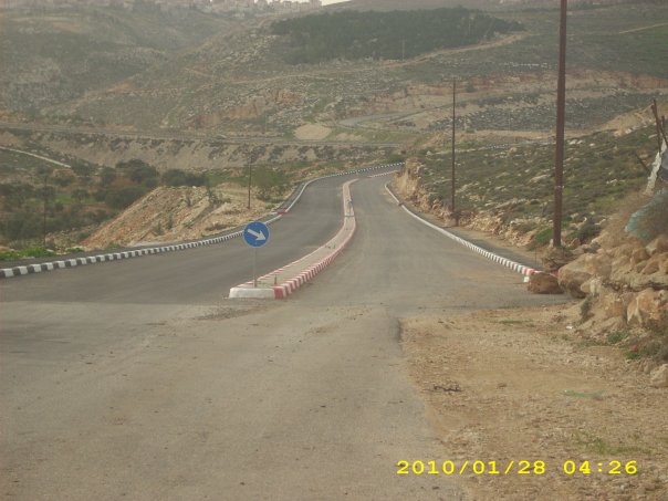
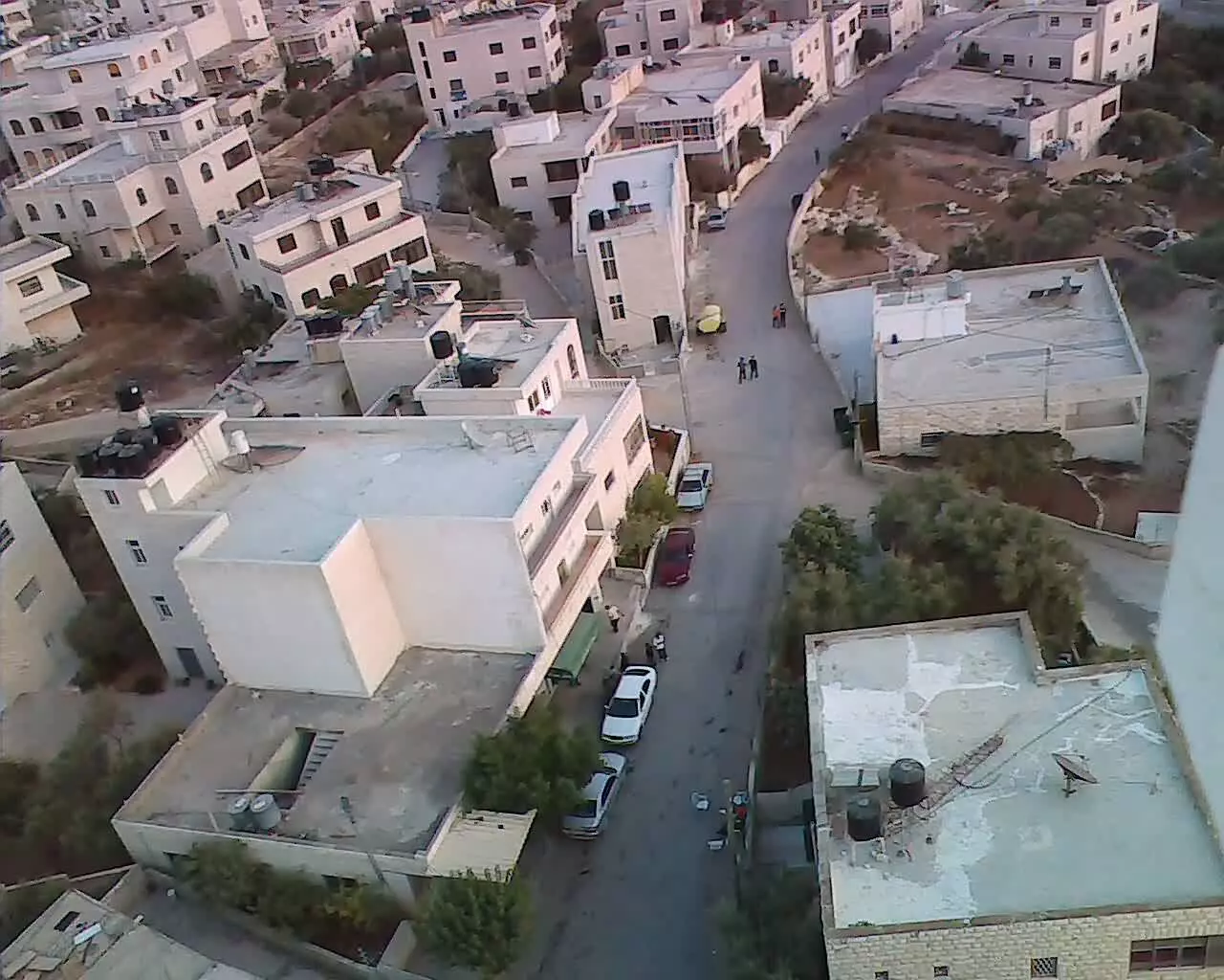
- مخماس من الشارع العام تصوير ناصر شحاده عوريف 0507559901
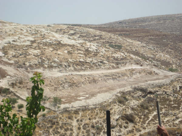
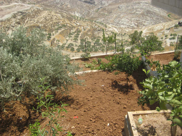
Posted by naser abed 4 - الاراضي المحيطة وكرو م الزيتون
Posted by SOOZ 8 - ايام لن تعود
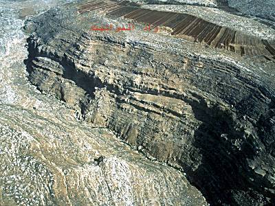
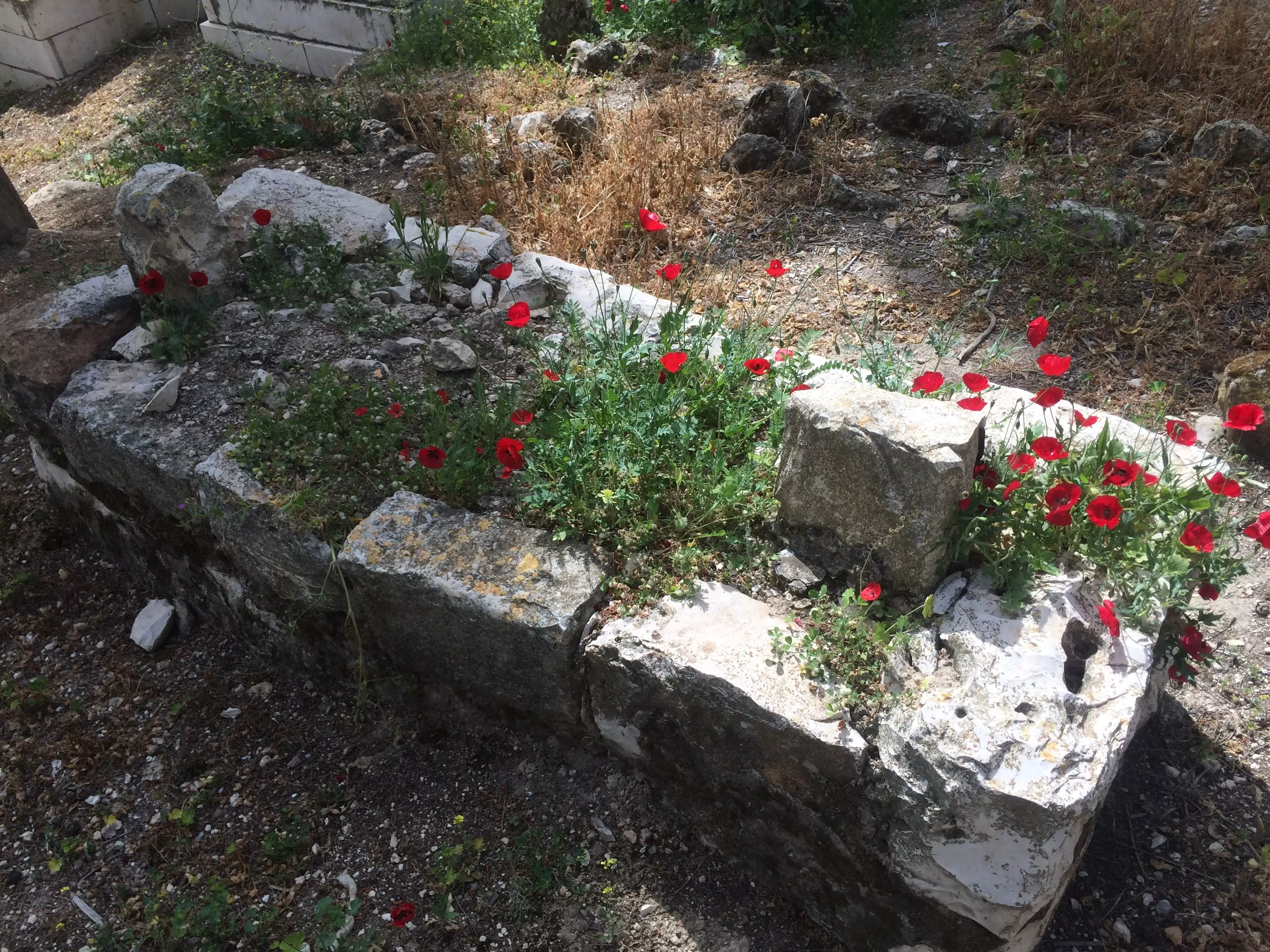
Posted by ابو عمر 2 - صورة قديمة لجرف صخري في احد وديان مخماس
Posted by ابو عمر 3 - صورة لبد طاحونة في مدفن قديم -هدية من صفافي-
Posted by ابو عمر 2 - مُخماس من جبع
Posted by khaled 5 - مخماس / في الربيع
Posted by khalil mohammad 9 - mukhmas

Posted by abu jehad 6 - mukhmas
Posted by abu jehad 1 - mukhmas east side
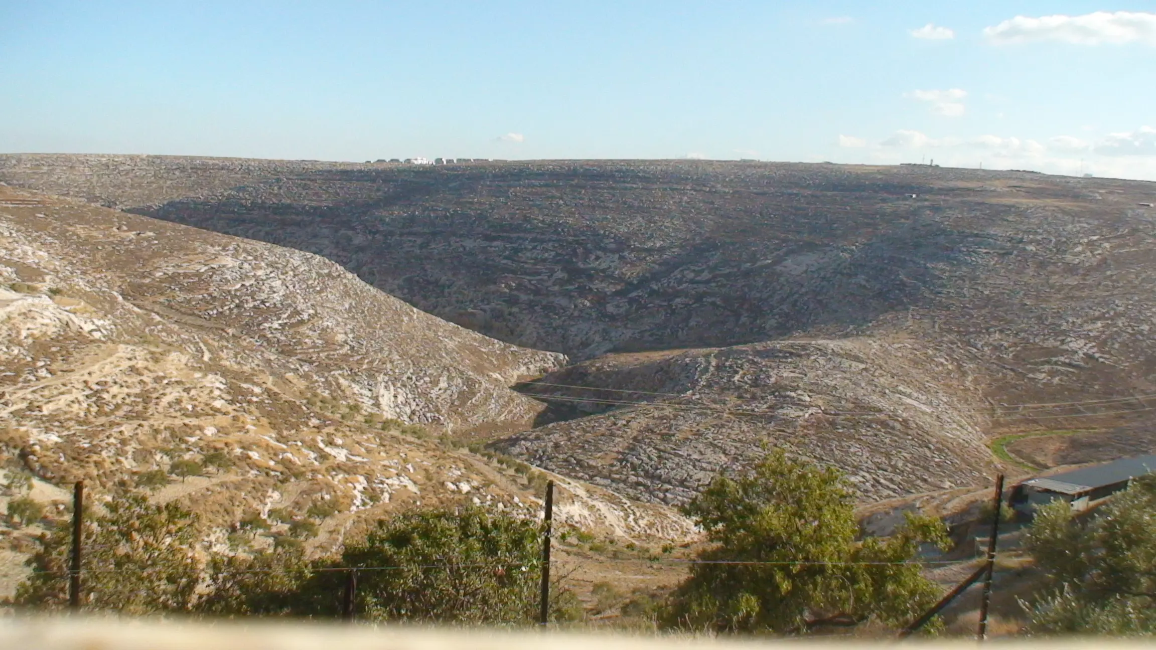
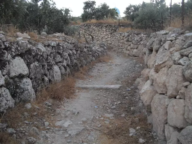
Posted by abu jehad 1 - احد اودية بلدة مخماس العملاقة ويسمى ب واد الصوانيت
Posted by abu jehad 2 - الجهة الغربية لبلده مخماس
Posted by abu jehad - ايام زمان
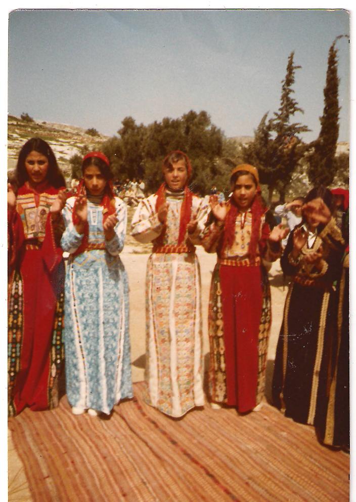
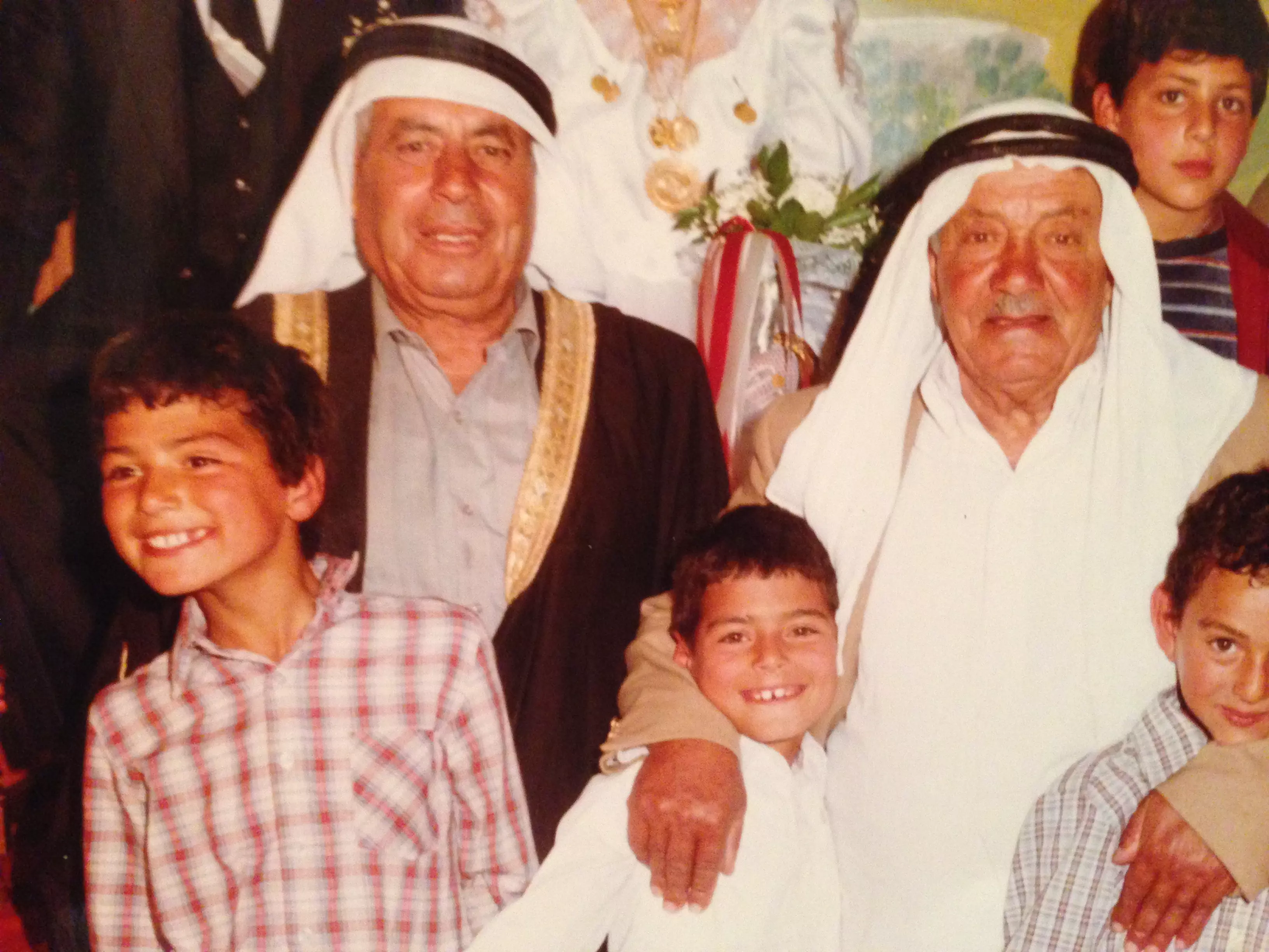
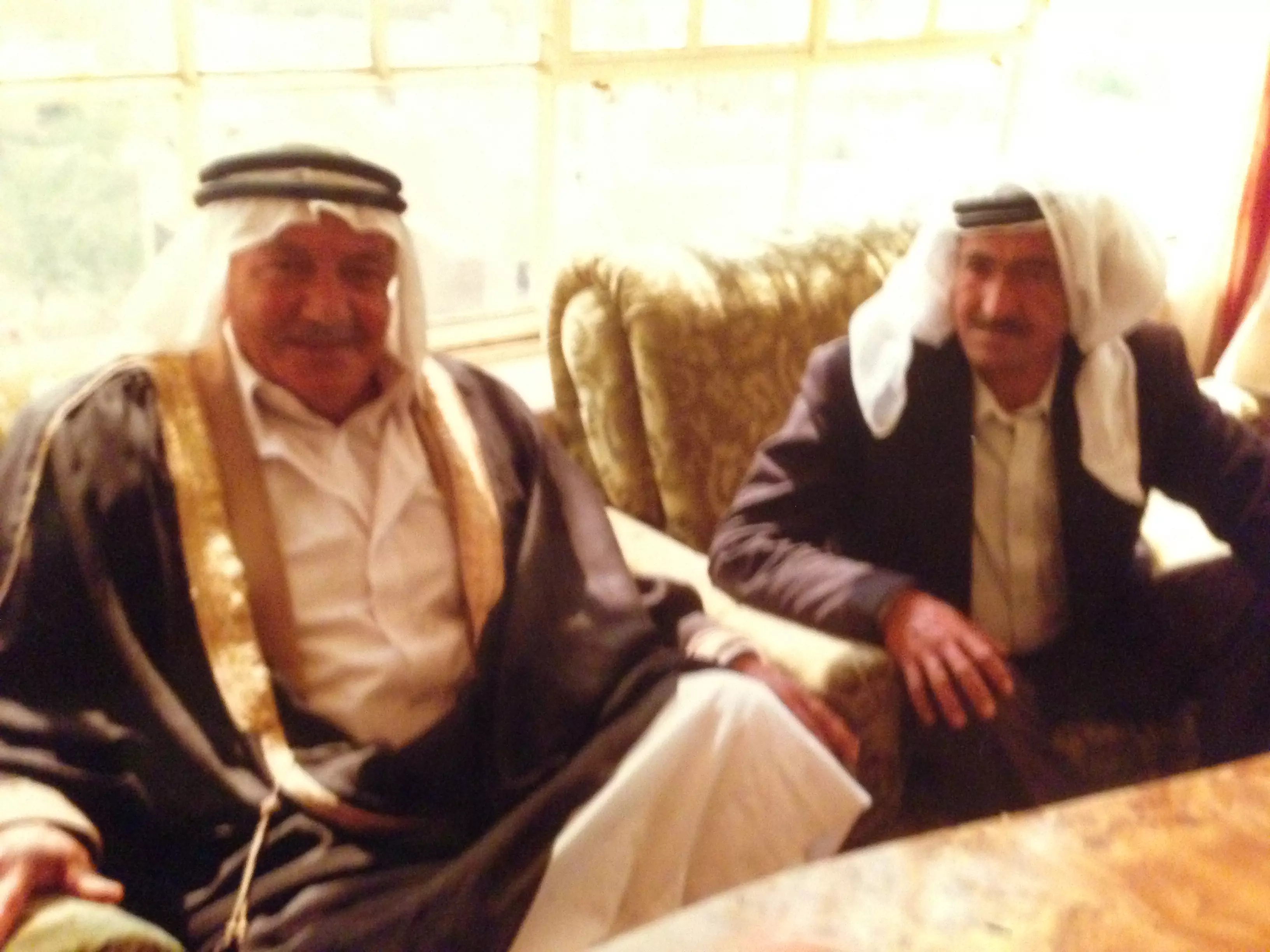
Posted by اكرم ياسين 3 - الزي الشعبي القديم لقرية مخماس 1975
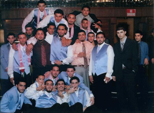
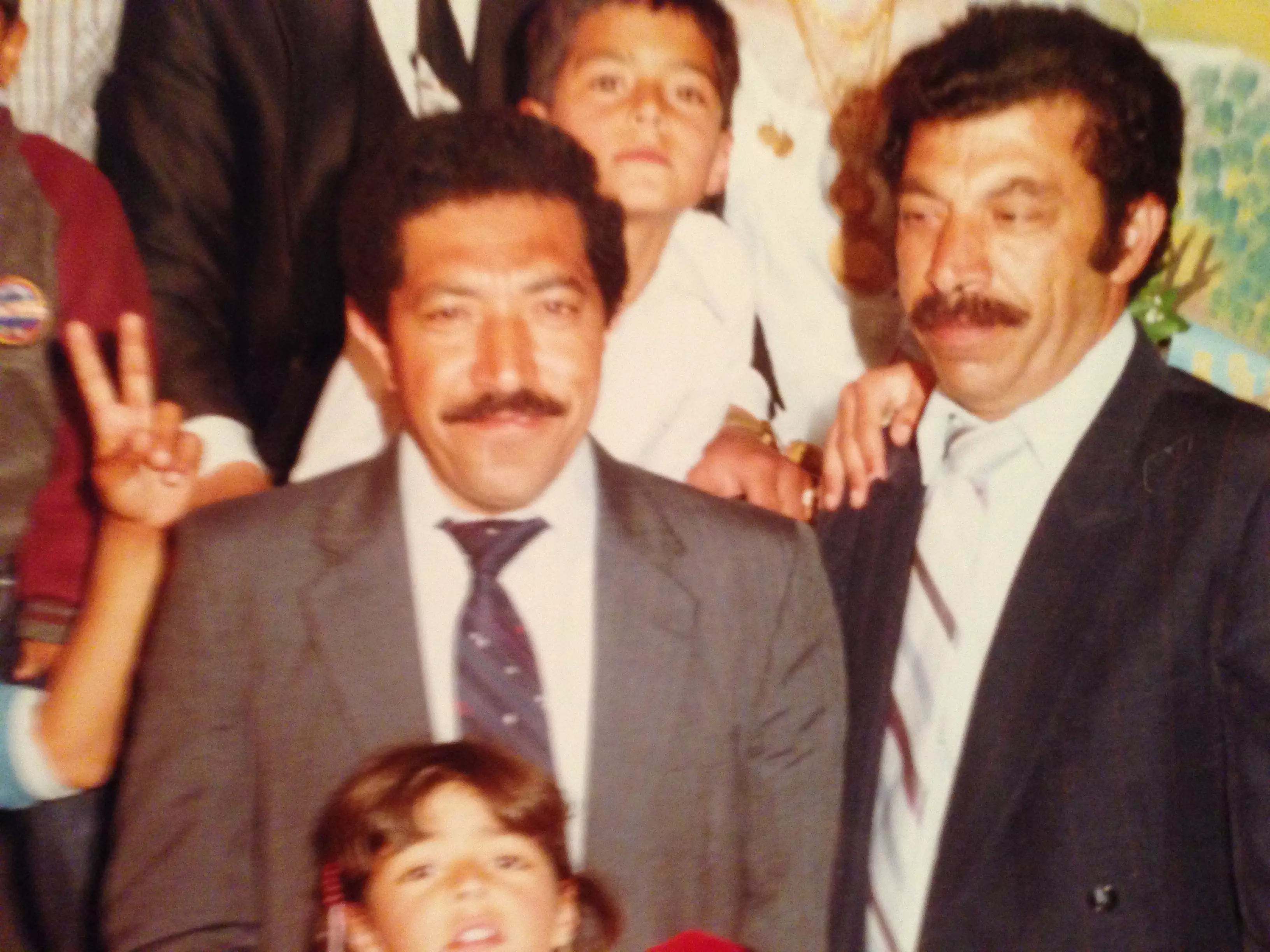
Posted by اكرم ياسين 4 - the guys
Posted by alex almukhmasy 3 - the baled
Posted by alex almukhmasy 3 - older guys
Posted by alex almukhmasy 4 - مخماس
Posted by ابو معاذ 2 - مخماس
Posted by ابو معاذ 4 - لمكفه
Posted by nidal 1 - next to mukhmas
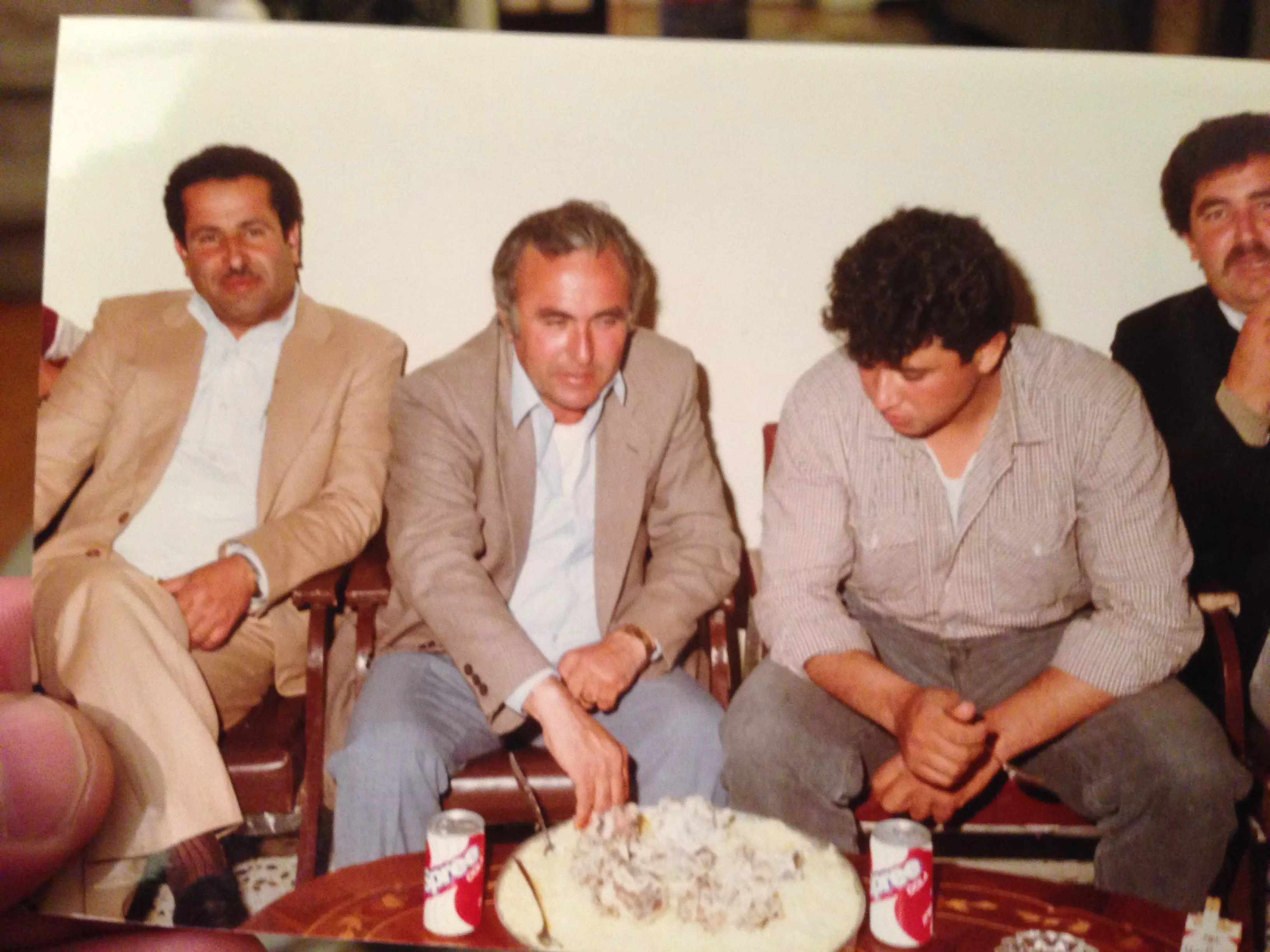
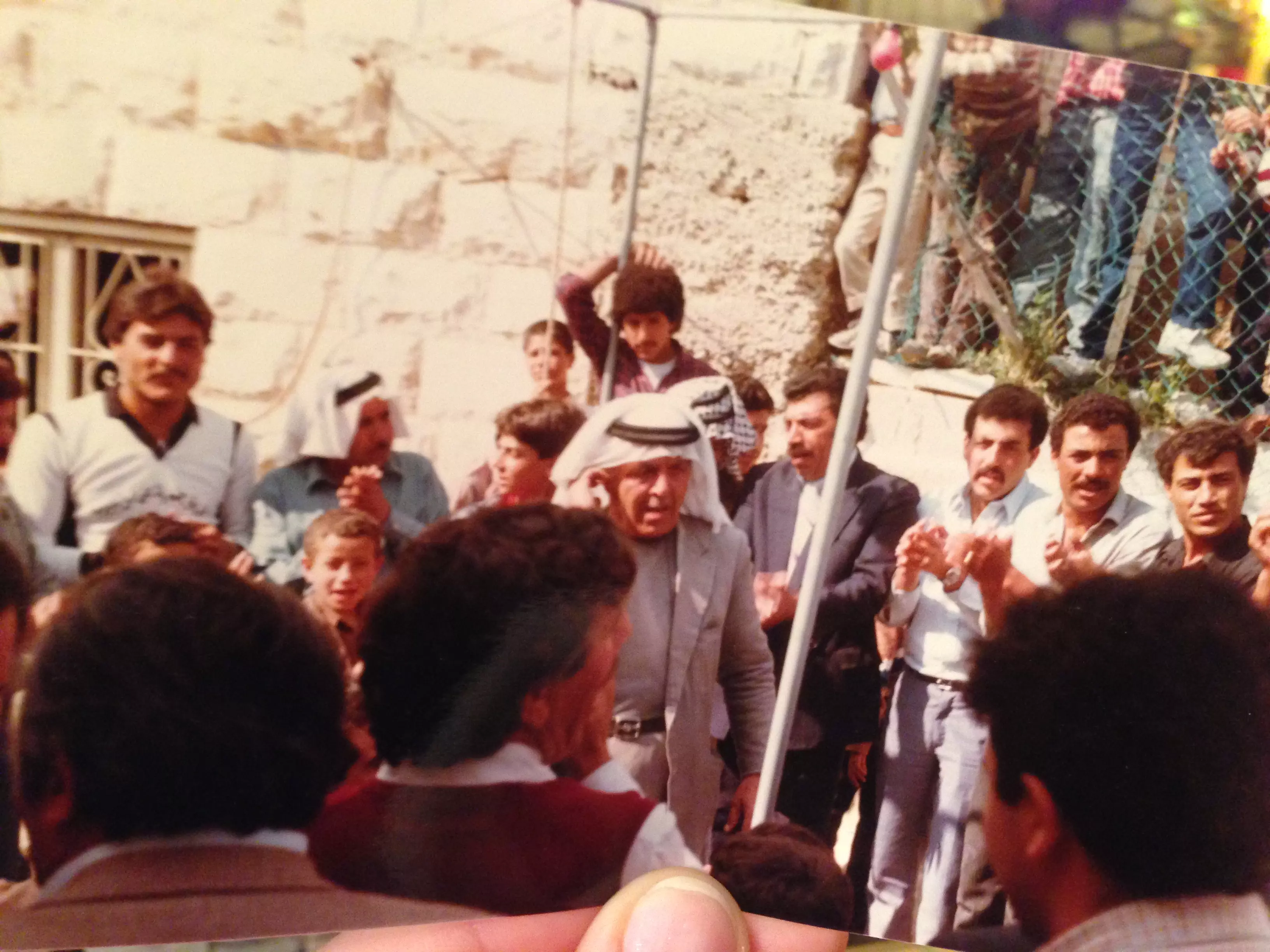
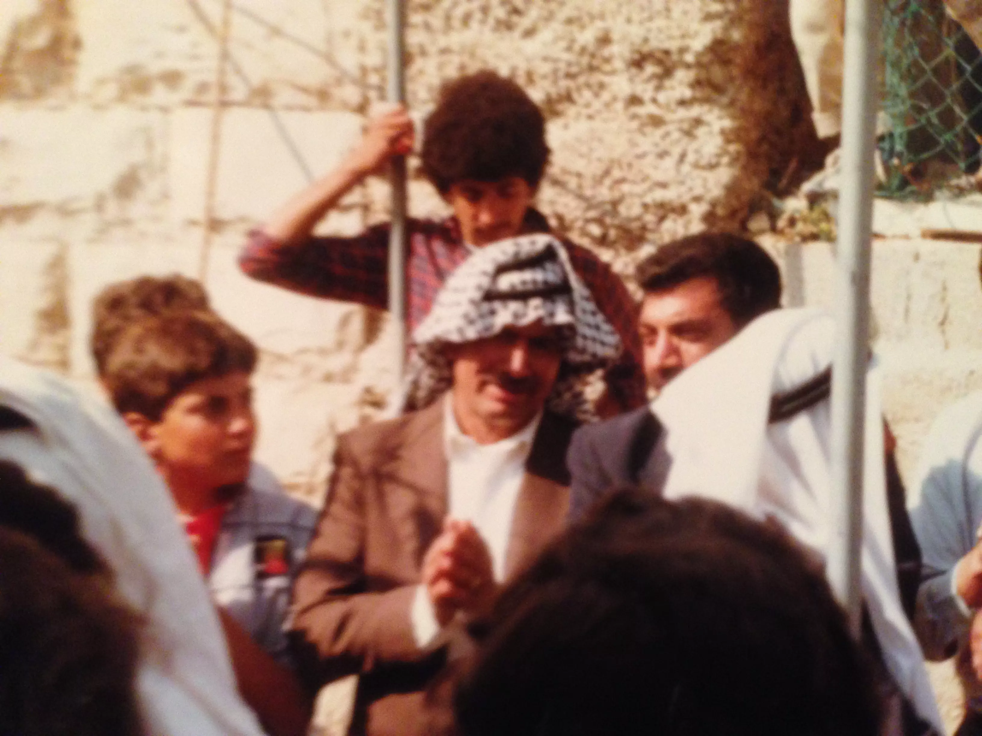
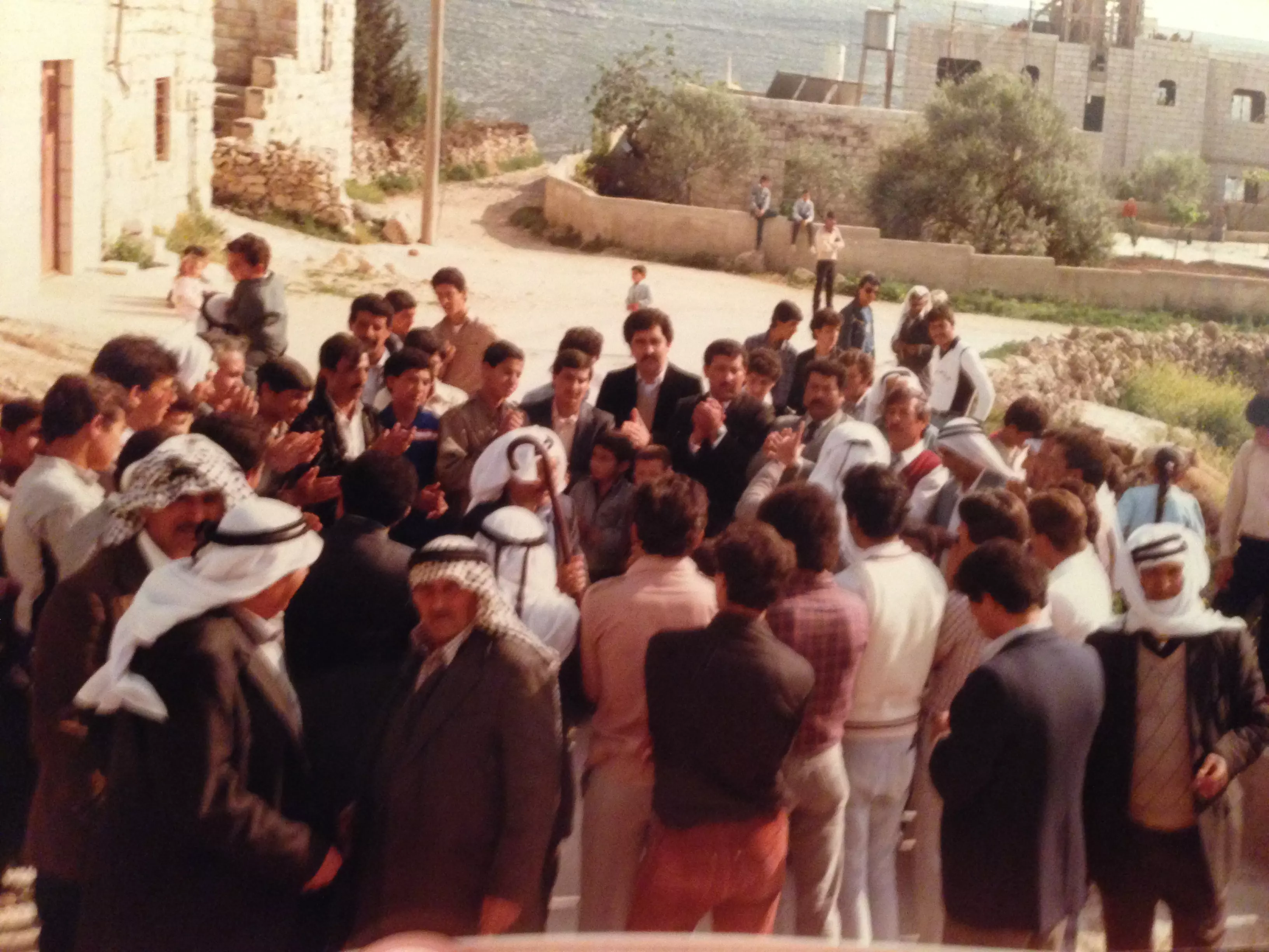
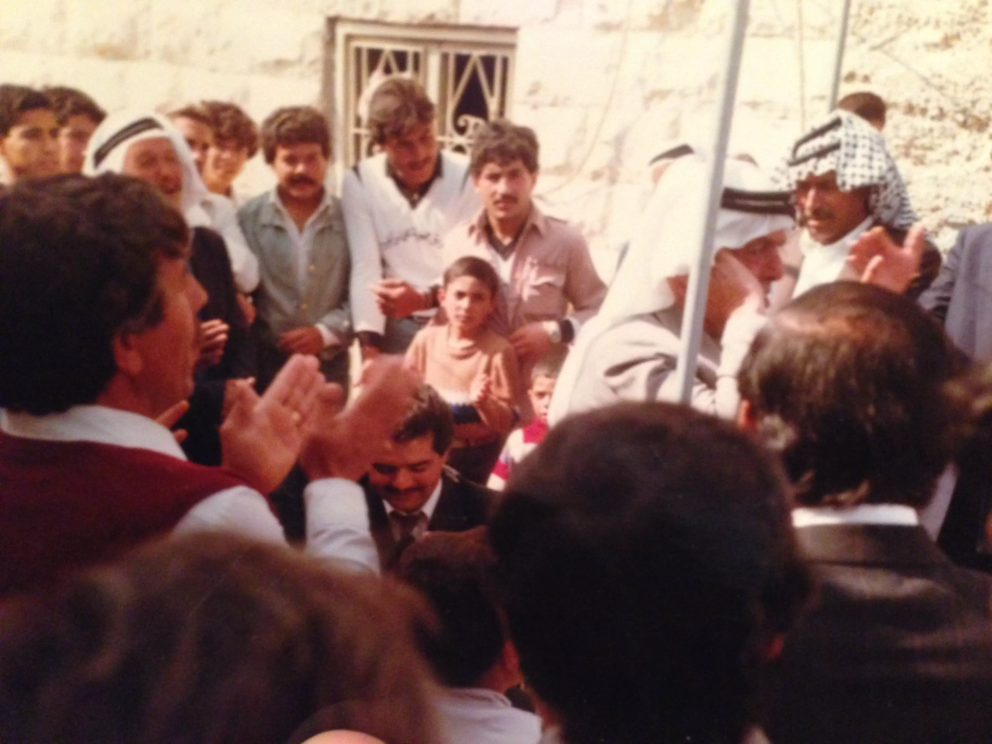
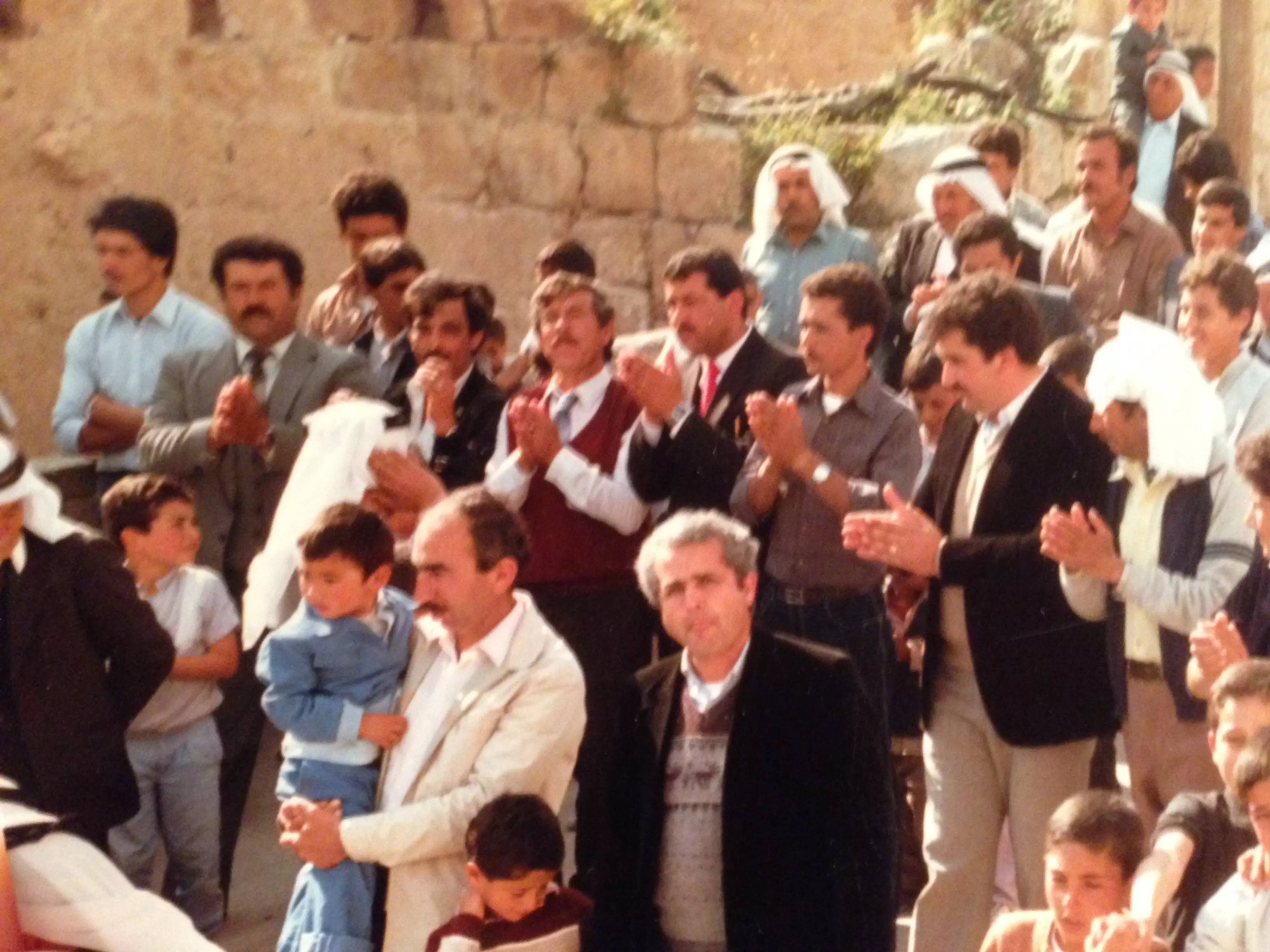
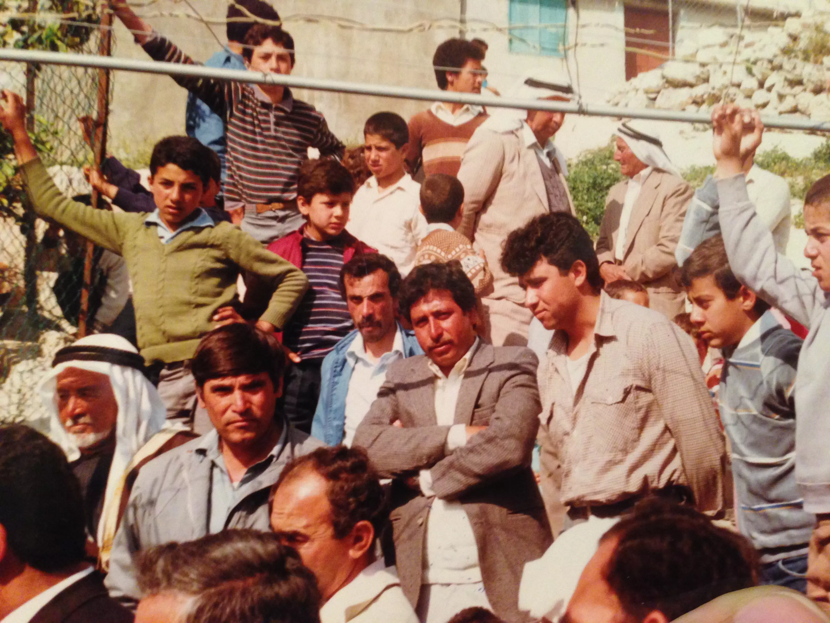
Posted by alex almukhmasy - حفل التنظيم
Posted by اكرم ياسين 1 - حفل التنظيم2
Posted by اكرم ياسين - picture of mikhmas
Posted by zaher farhoud - mikhmas
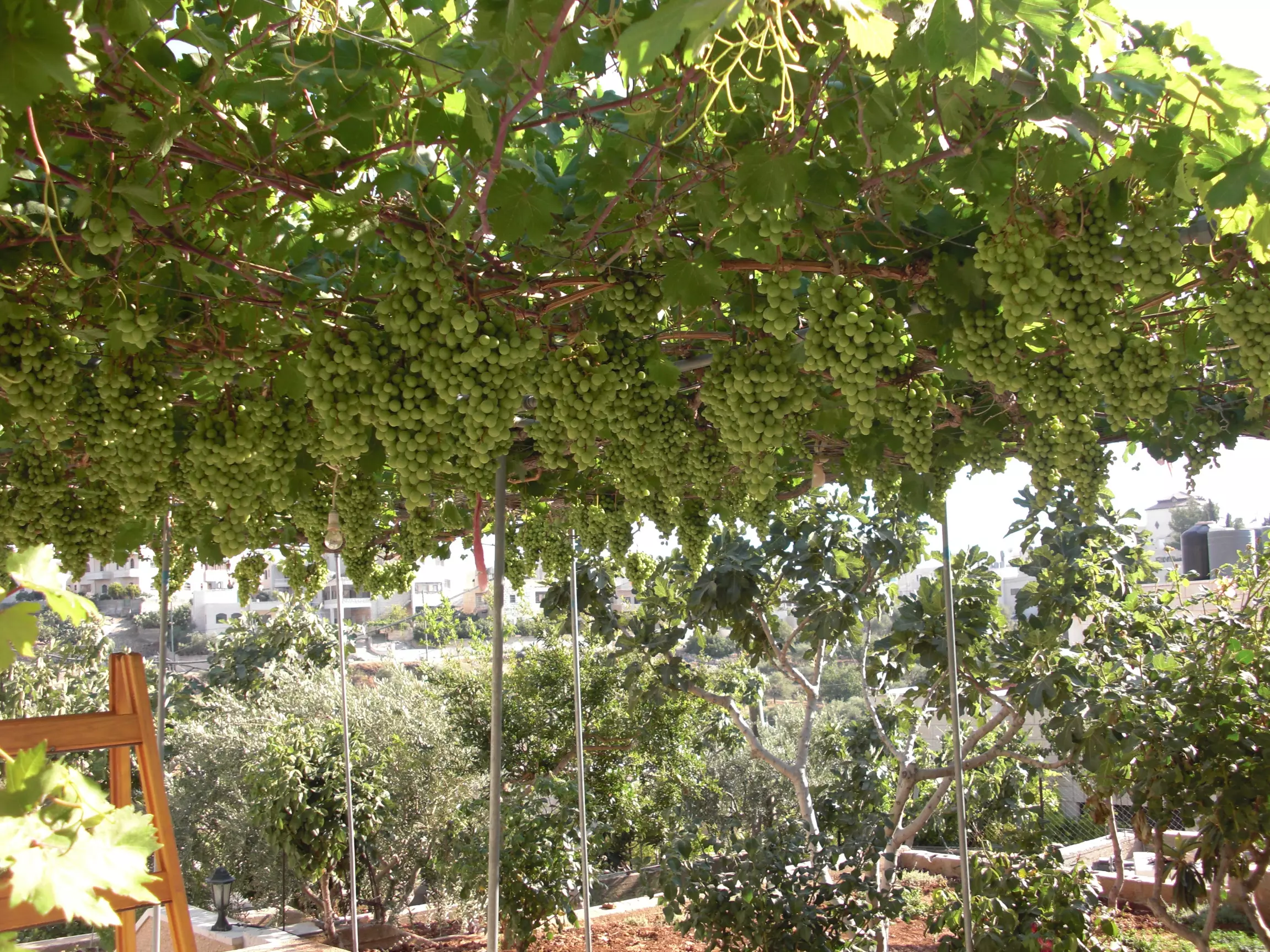
Posted by zaher farhoud - عنب مخماس
Posted by zaher farhoud - mikhmas
Posted by zaher farhoud - mikhmas
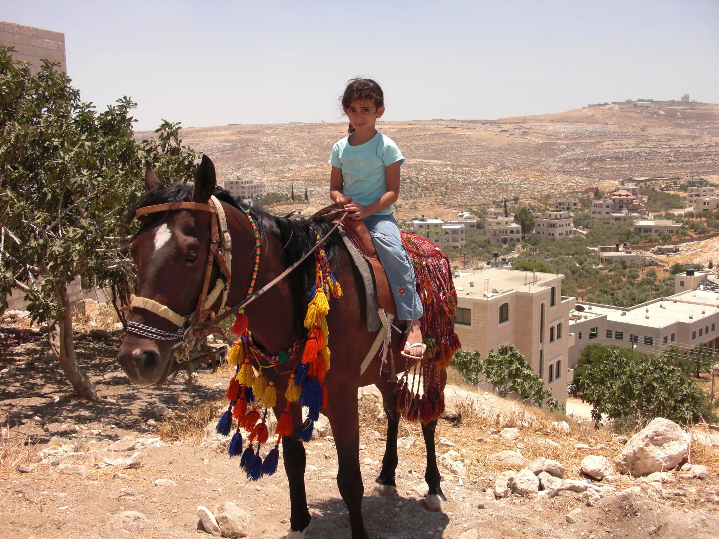
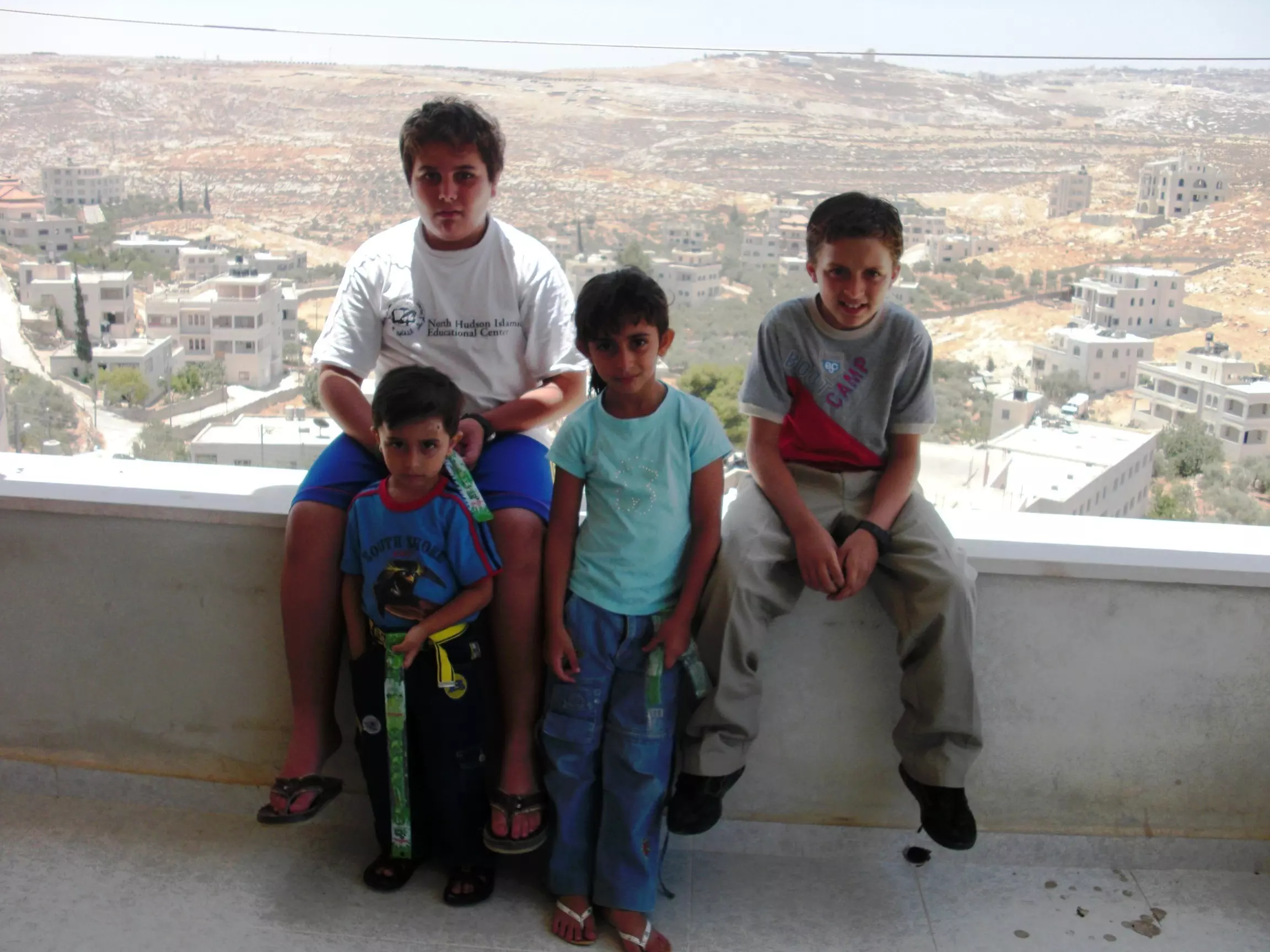
Posted by zaher farhoud - أطفال مخماس فلسطين
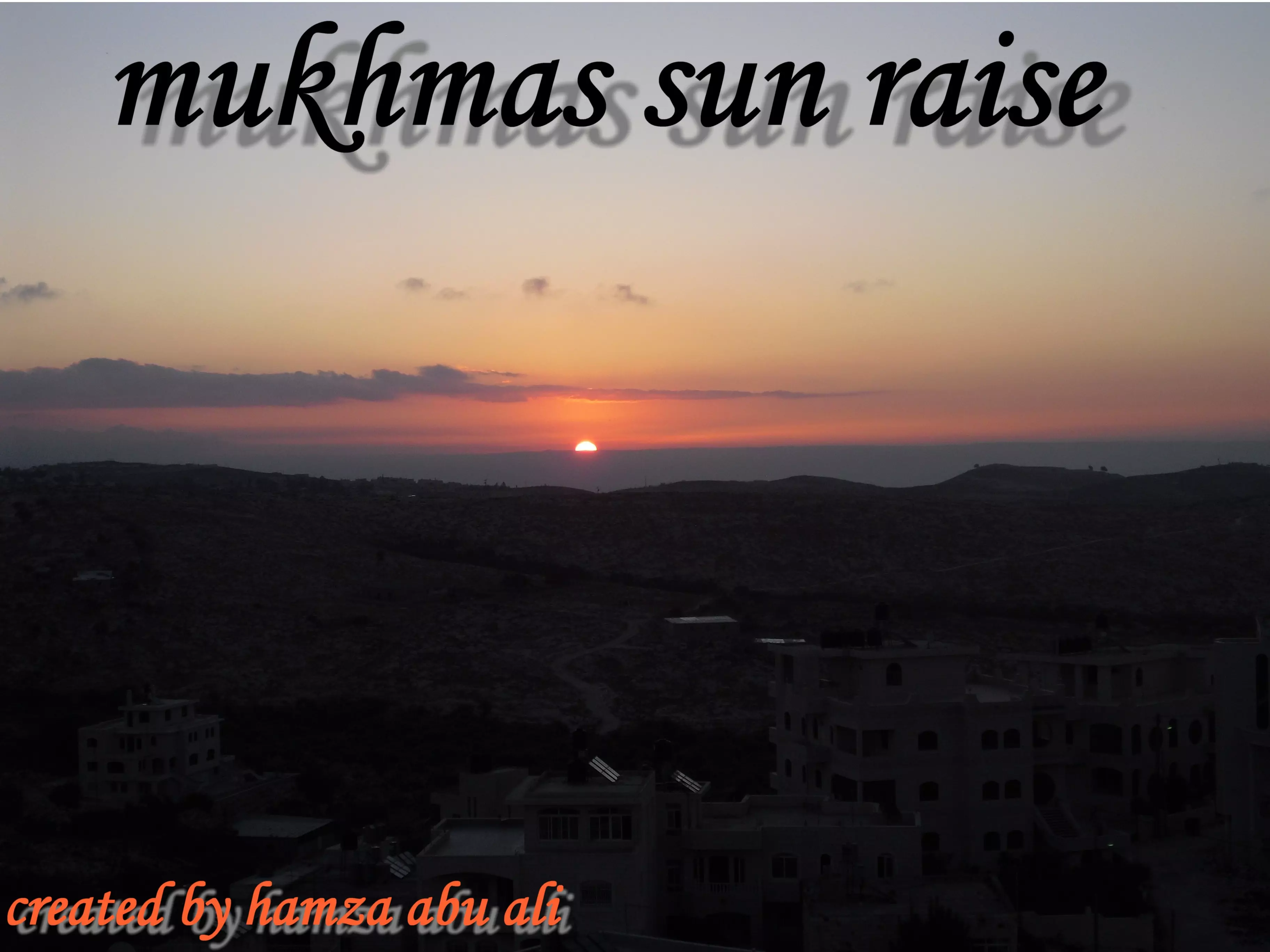
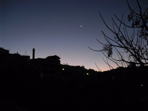
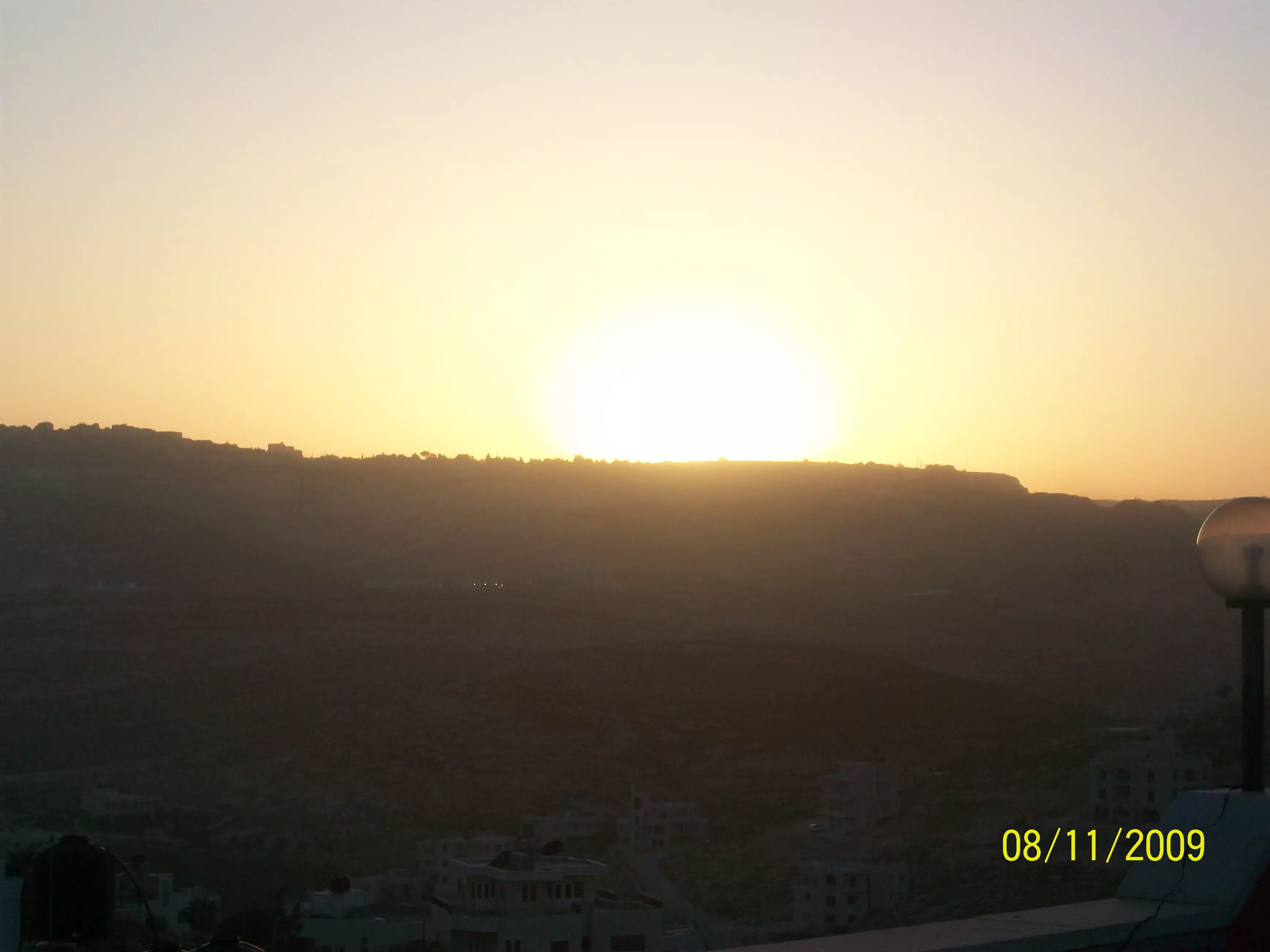
Posted by zaher farhoud - شروق شمس مخماس
Posted by hamza abu ali 1 - Alshaheed Abu Ahmad
Posted by Jad - الدوير
Posted by hamza abu ali - قبل ما طلعت الشمس
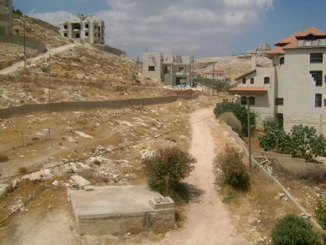
Posted by hamza abu ali - القرية من الجهة الجنوبية
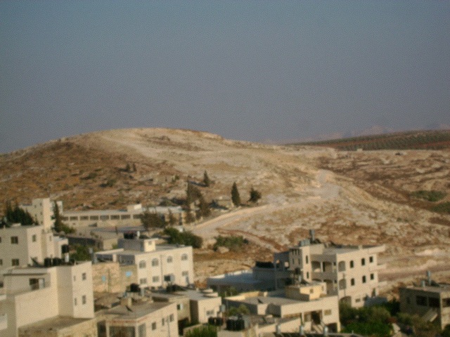
Posted by hamza abu ali - القرية من الجهة الغربية
Posted by hamza abu ali - الثلج في مخماس 31\1\2008
Posted by hamza abu ali - mukhmas
Posted by manal mustafa - farmvile
Posted by manal mustafa 1 - farvile 2
Posted by manal mustafa - farmvile 3
Posted by manal mustafa - mukhmas
Posted by manal mustafa - from my roof at sun set
Posted by manal mustafa 1 - Awal albalad
Posted by a7lalulu92 - mukhmas
Posted by moe - mukhmas
Posted by moe - my old home
Posted by moe 1 - mukhmas
Posted by moe - mukhmas
Posted by moe 1 - mukmas
Posted by moe - my home
Posted by moe - home
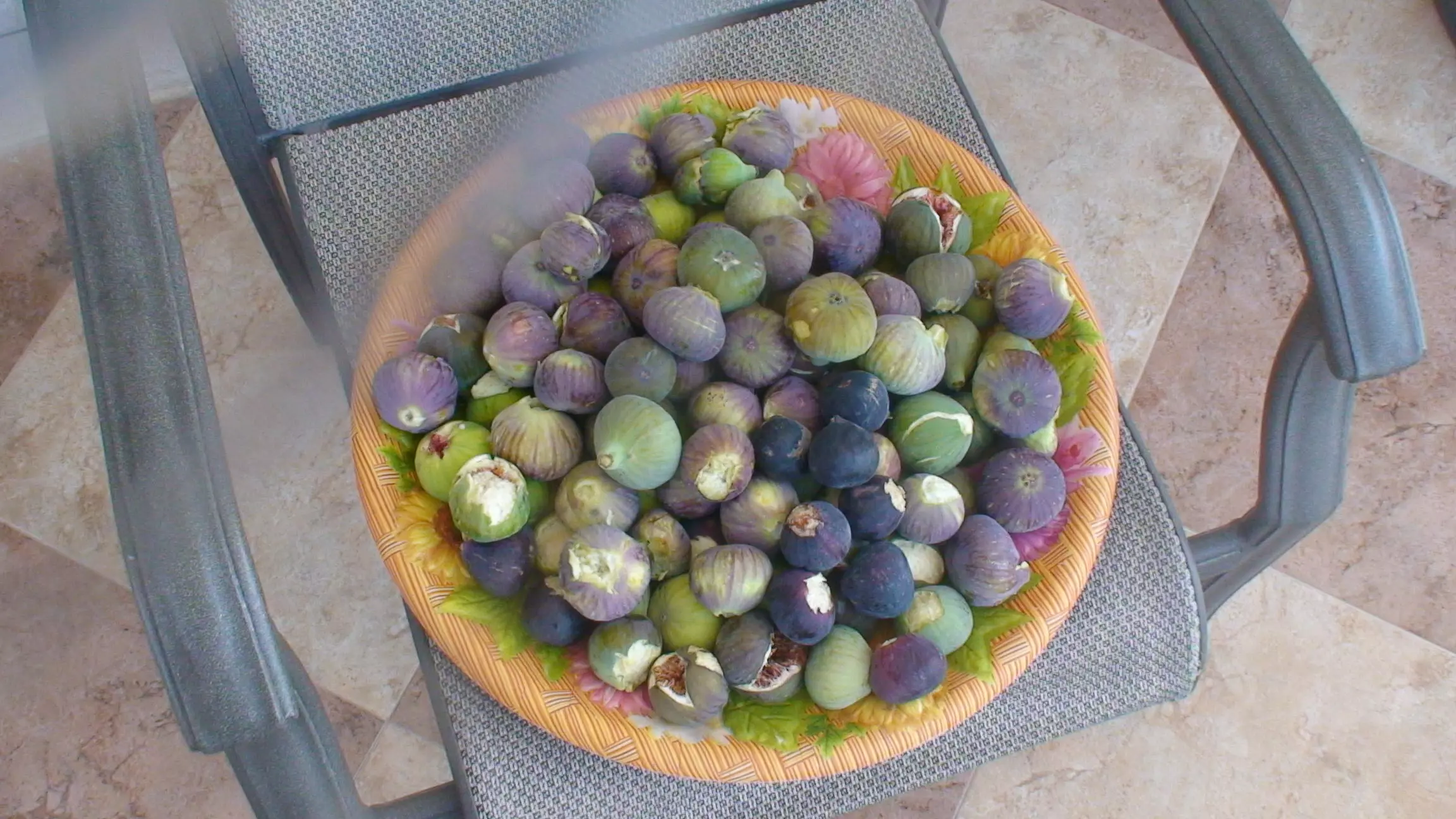
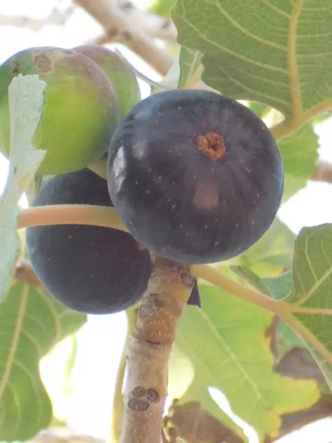
Posted by moe - حبة تين من الااااخر
Posted by hamza abu ali - north east
Posted by hamza abu ali - الحارة الفوقا
Posted by hamza abu ali - photo
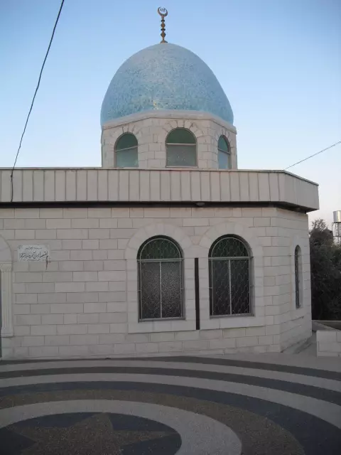
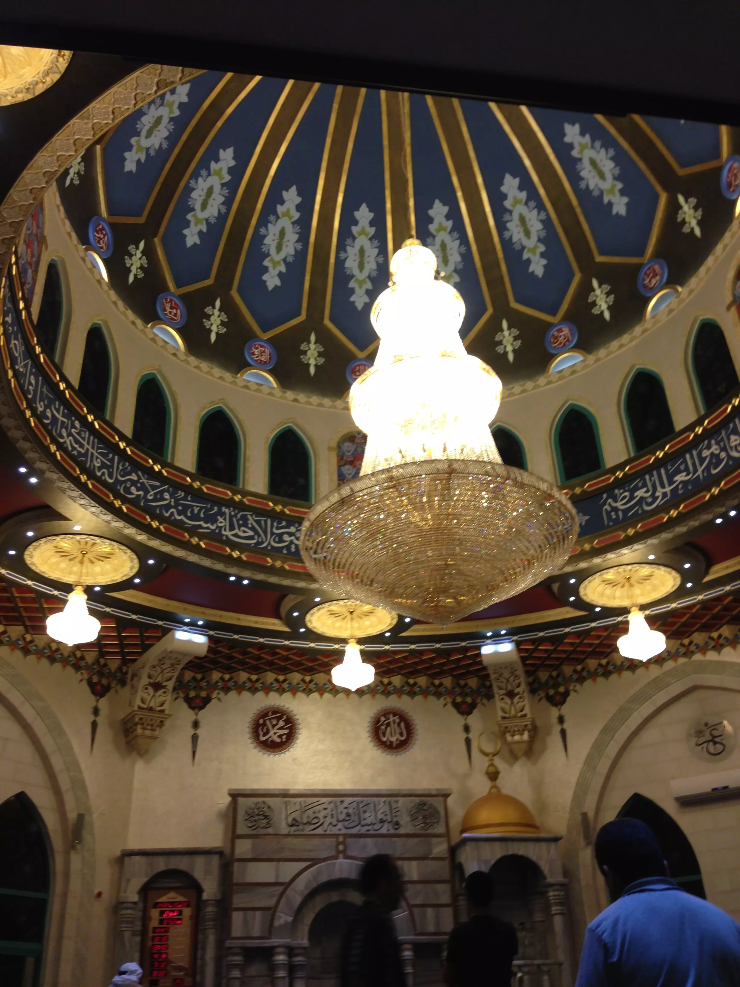
Posted by hamza abu ali - aljam3 alfokany (( new ))
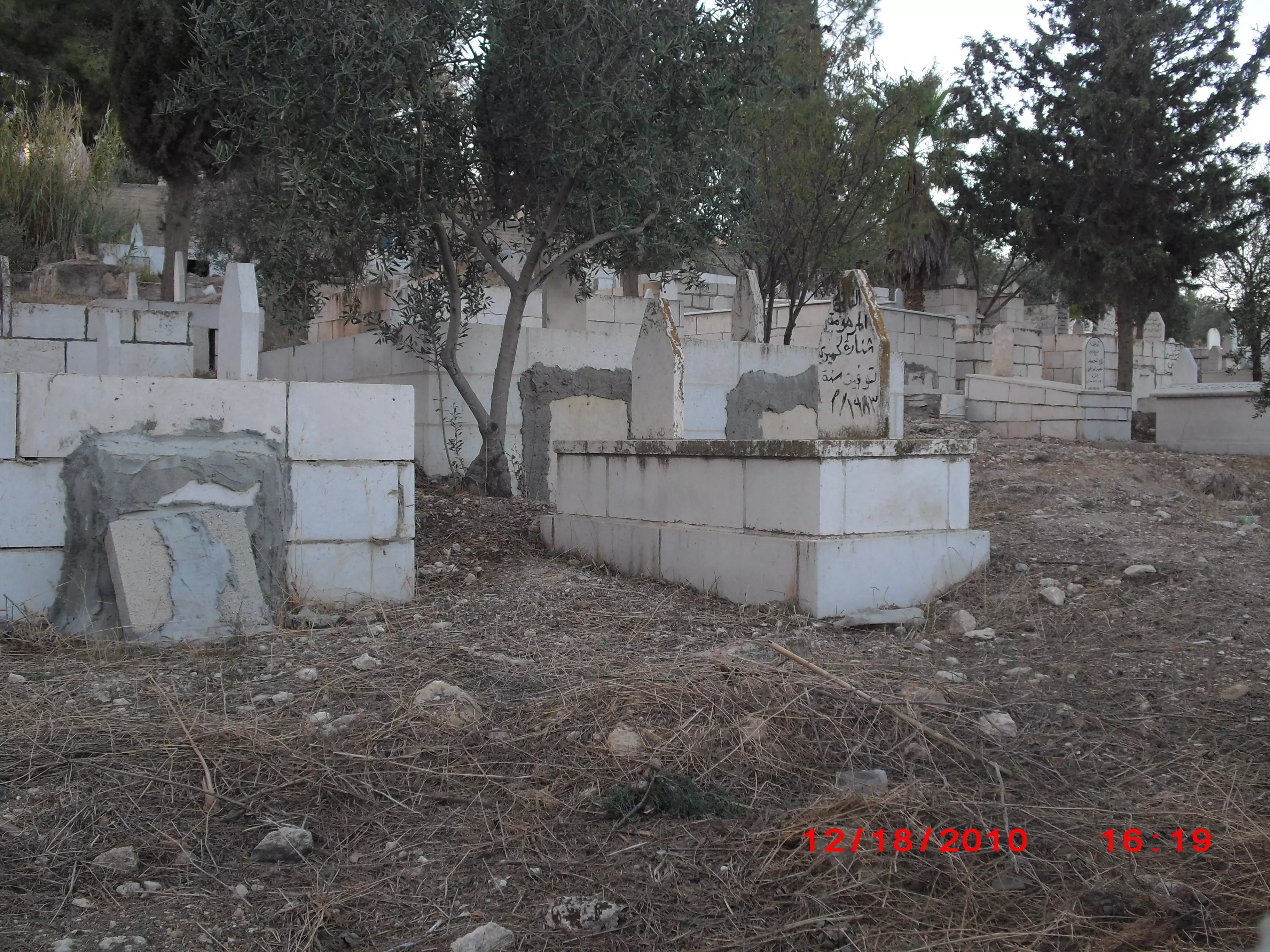
Posted by hamza abu ali - المقبرة
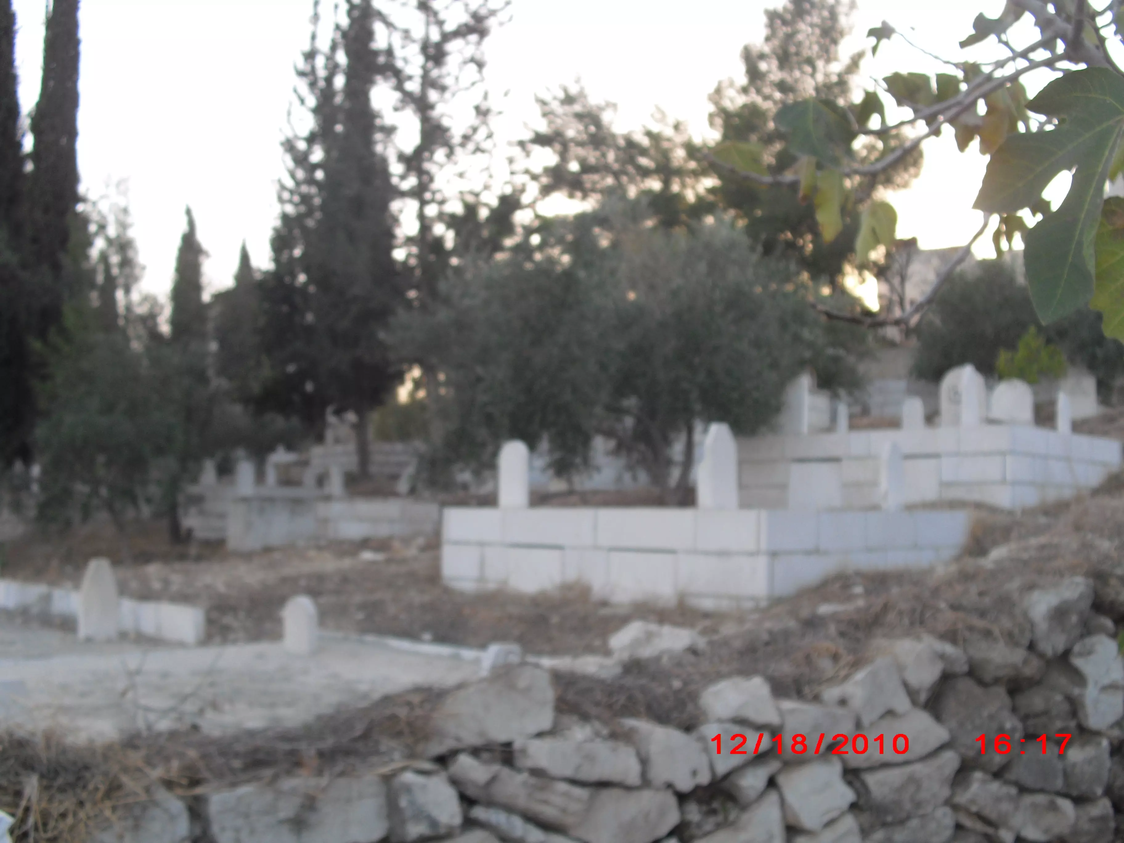
Posted by hamza abu ali - المقبرة من تحت
Posted by hamza abu ali - واد الزيتون
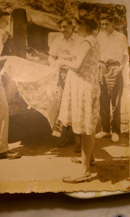
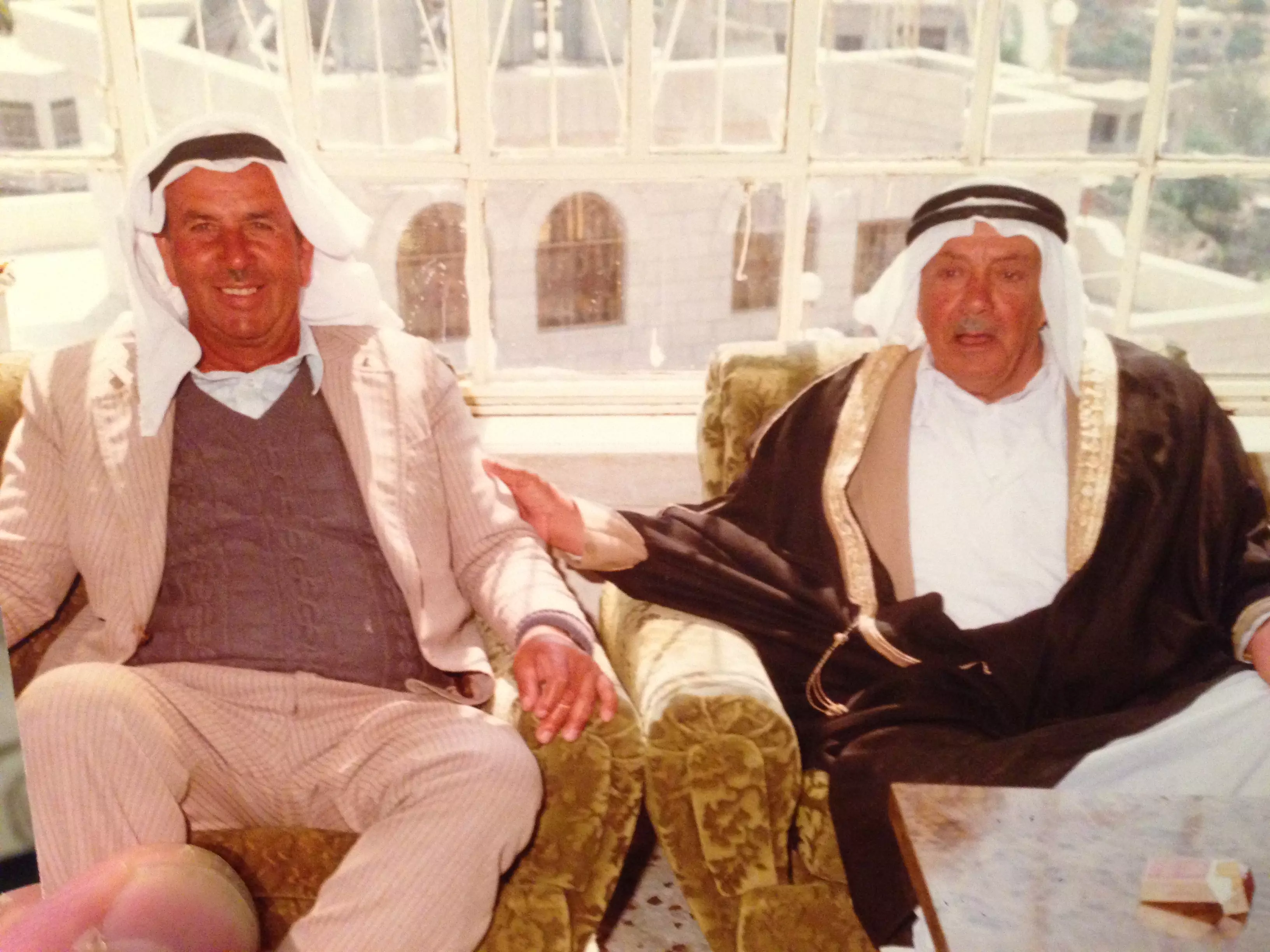
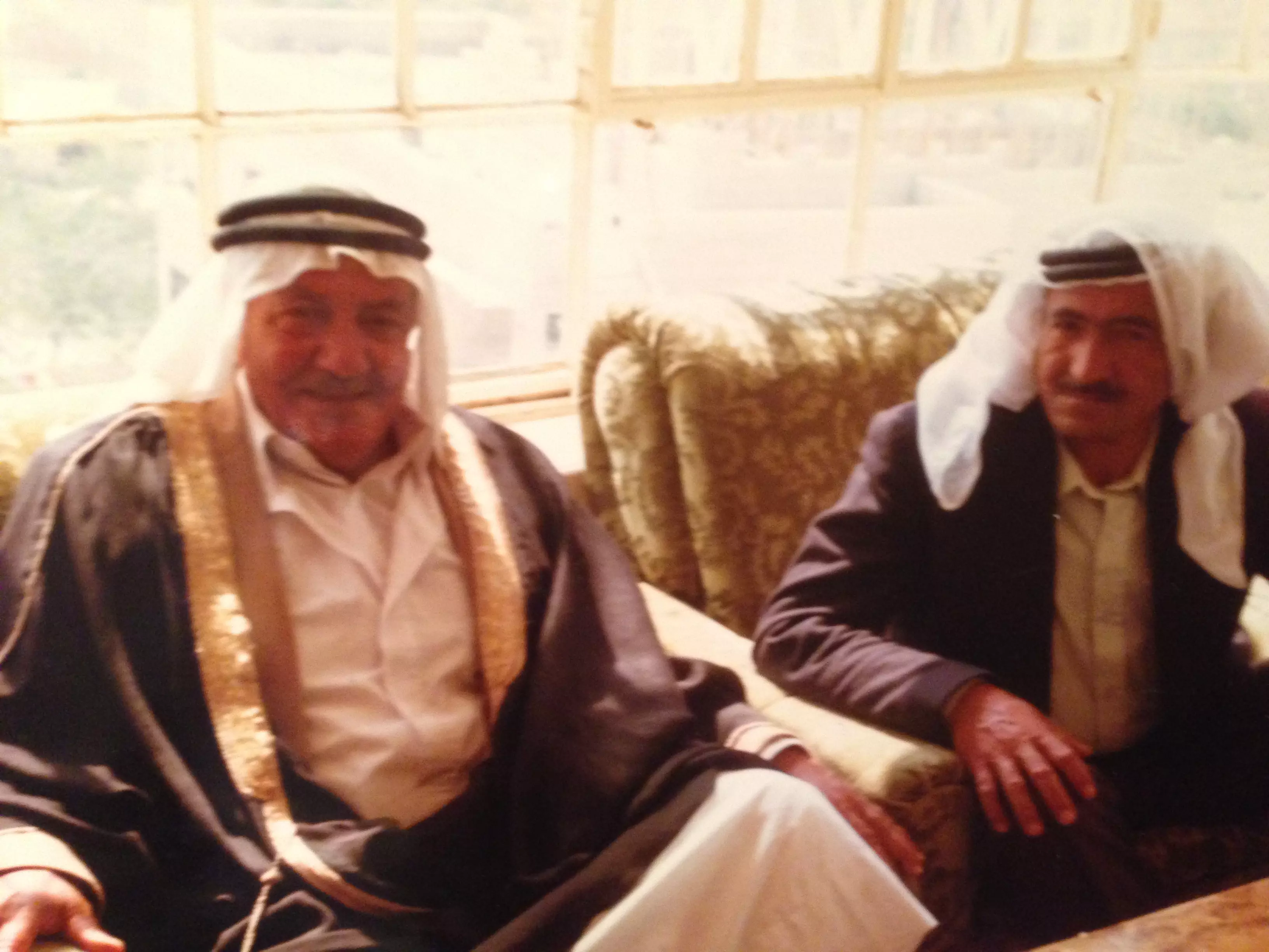
Posted by hamza abu ali 1 - mukhmas guys 50 years ago
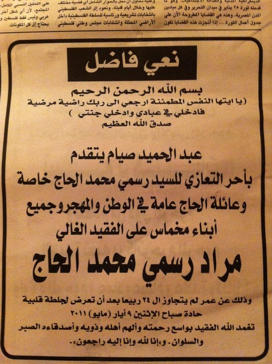
Posted by alex almukhmasy 1 - allah erhamak ya murad alhag
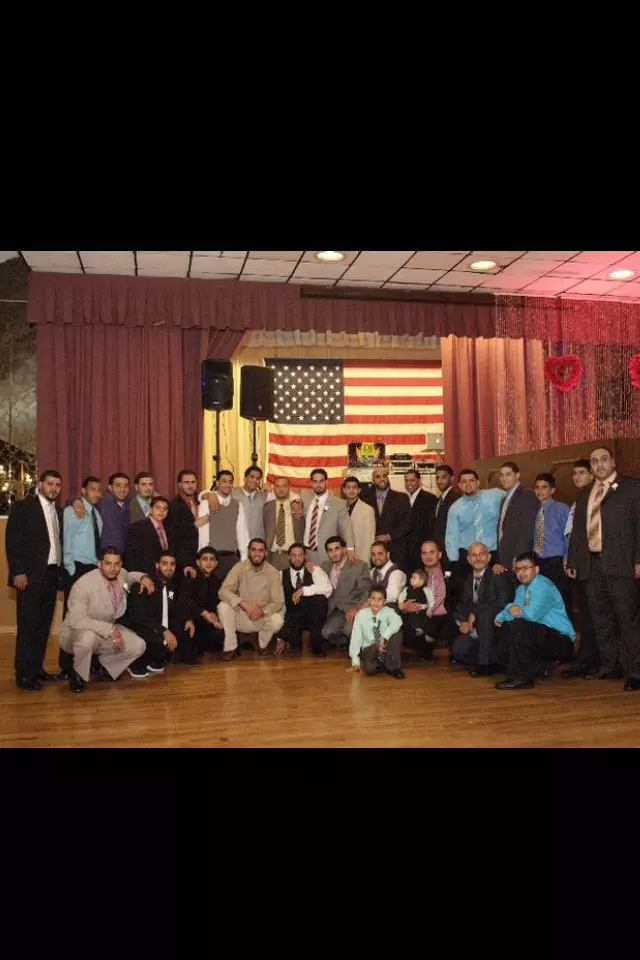
Posted by alex almukhmasy 1 - mukhmas soldiers
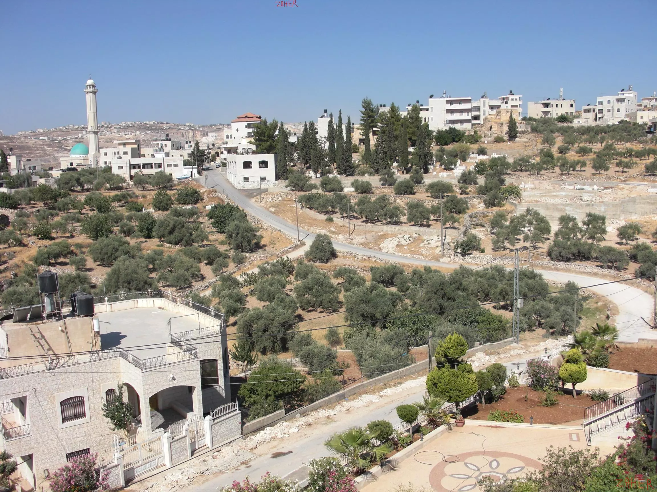
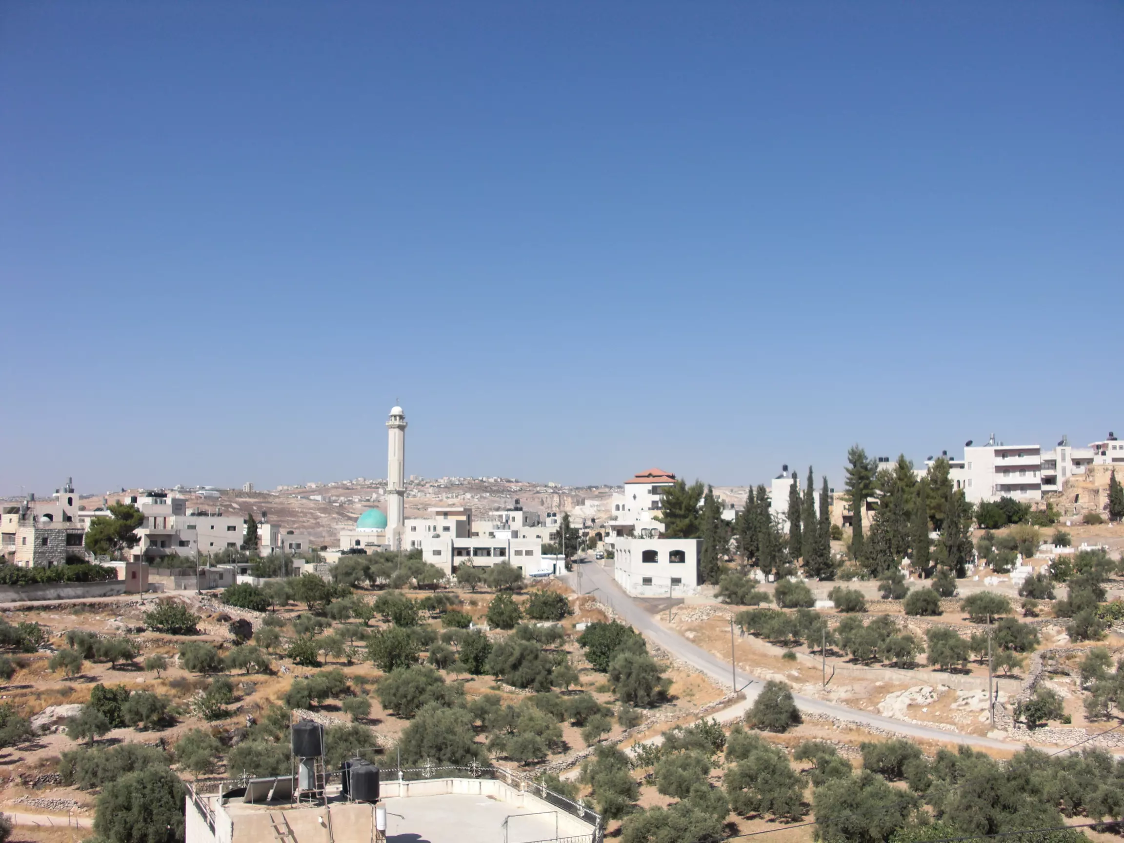
Posted by alex almukhmasy - مخماس من المئذنة
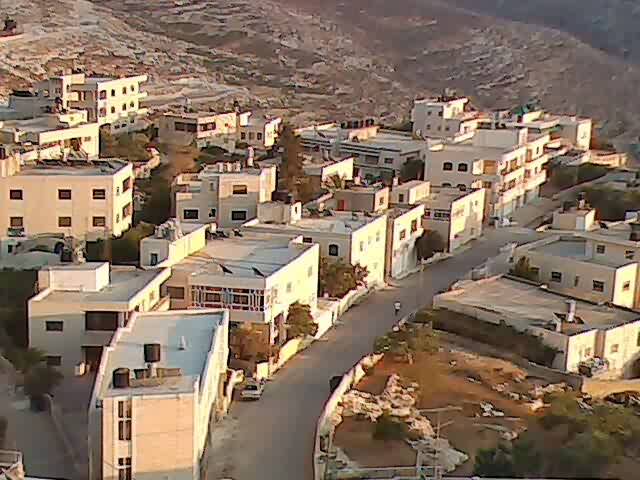
Posted by tarek haj - مخماس من الاعلى
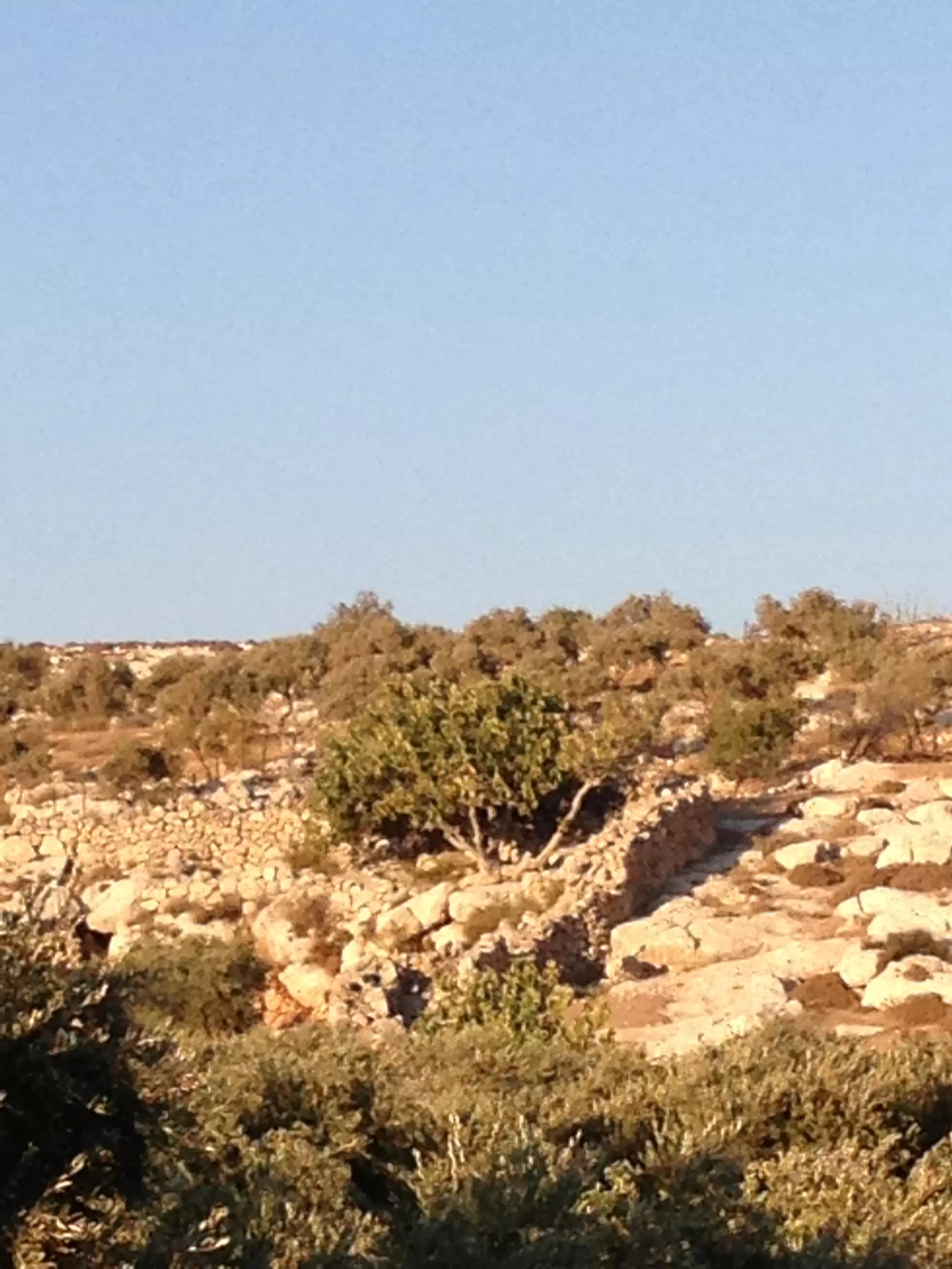
Posted by tarek haj 1 - زيتون مخماس

Posted by tarek haj - زيتون مخماس
Posted by tarek haj - زيتون مخماس

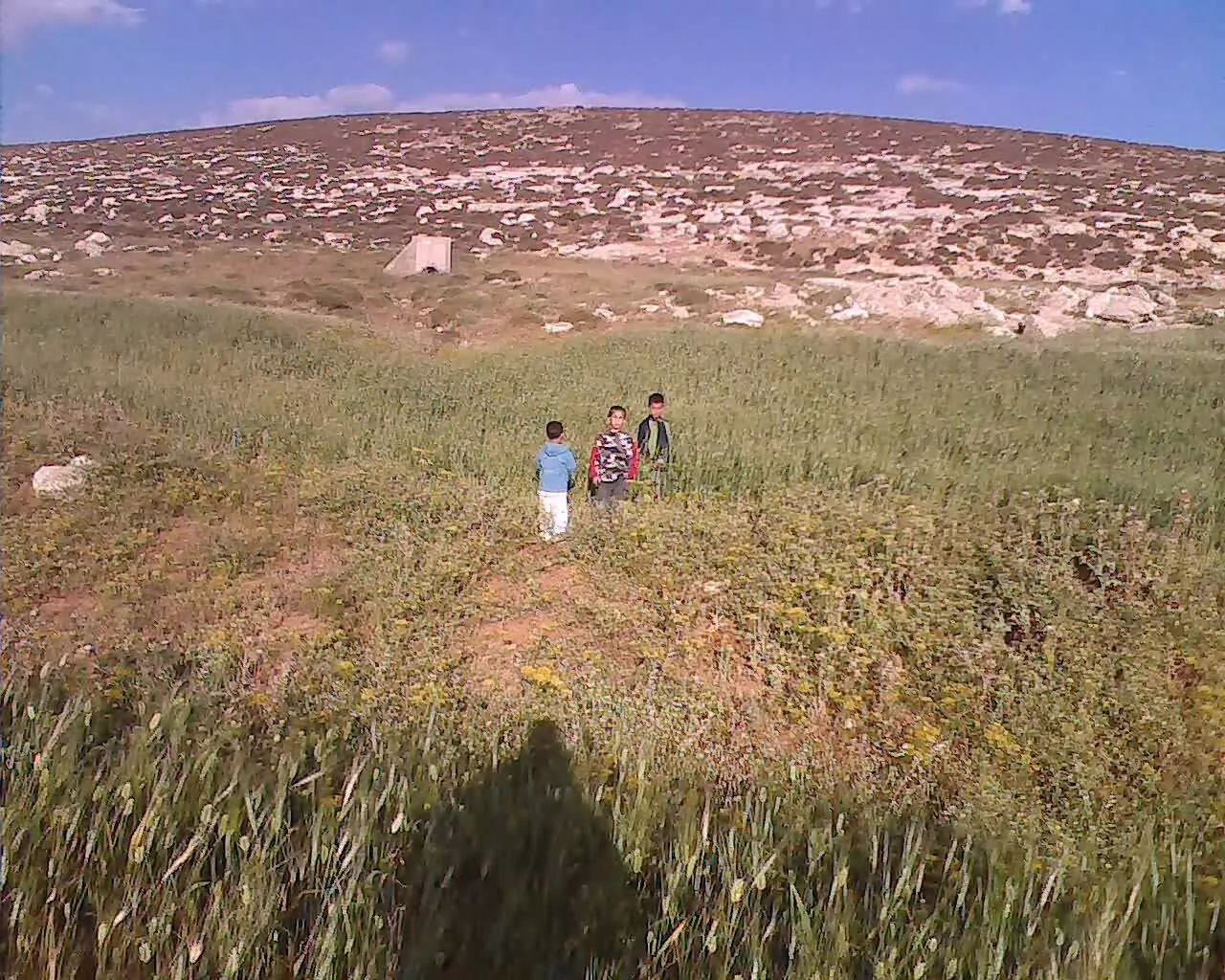
Posted by tarek haj - مراعي مخماس
Posted by tarek haj - مراّعي مخماس

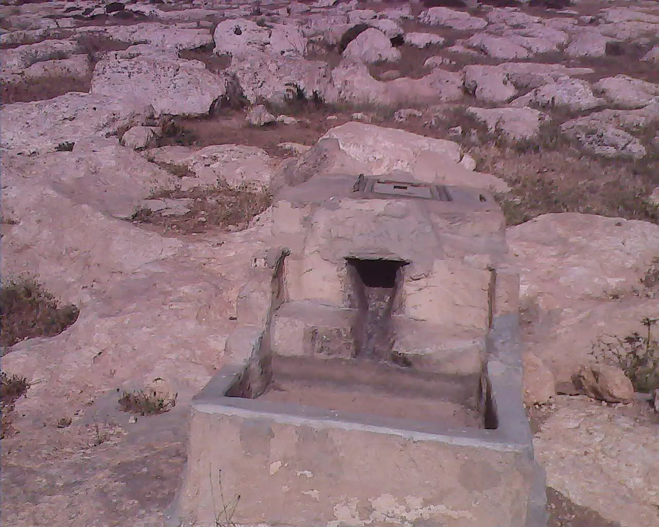
Posted by tarek haj - بئر خالة هريم من الابار القديمة للقرية
Posted by tarek haj - حقول زراعية للقرية
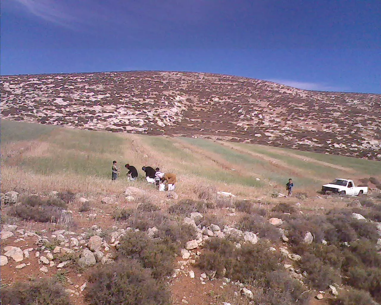
Posted by tarek haj - حقول القمح (سهل البقعة)
Posted by tarek haj - mukhmas
Posted by alex almukhmasy 1 - mukhmas 4life
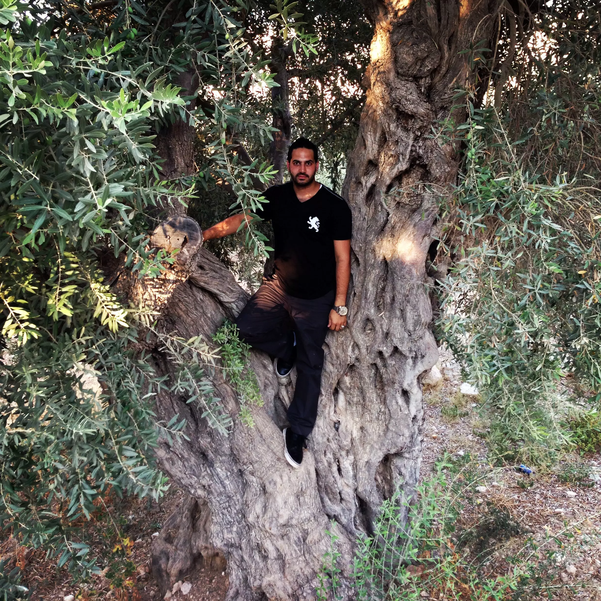
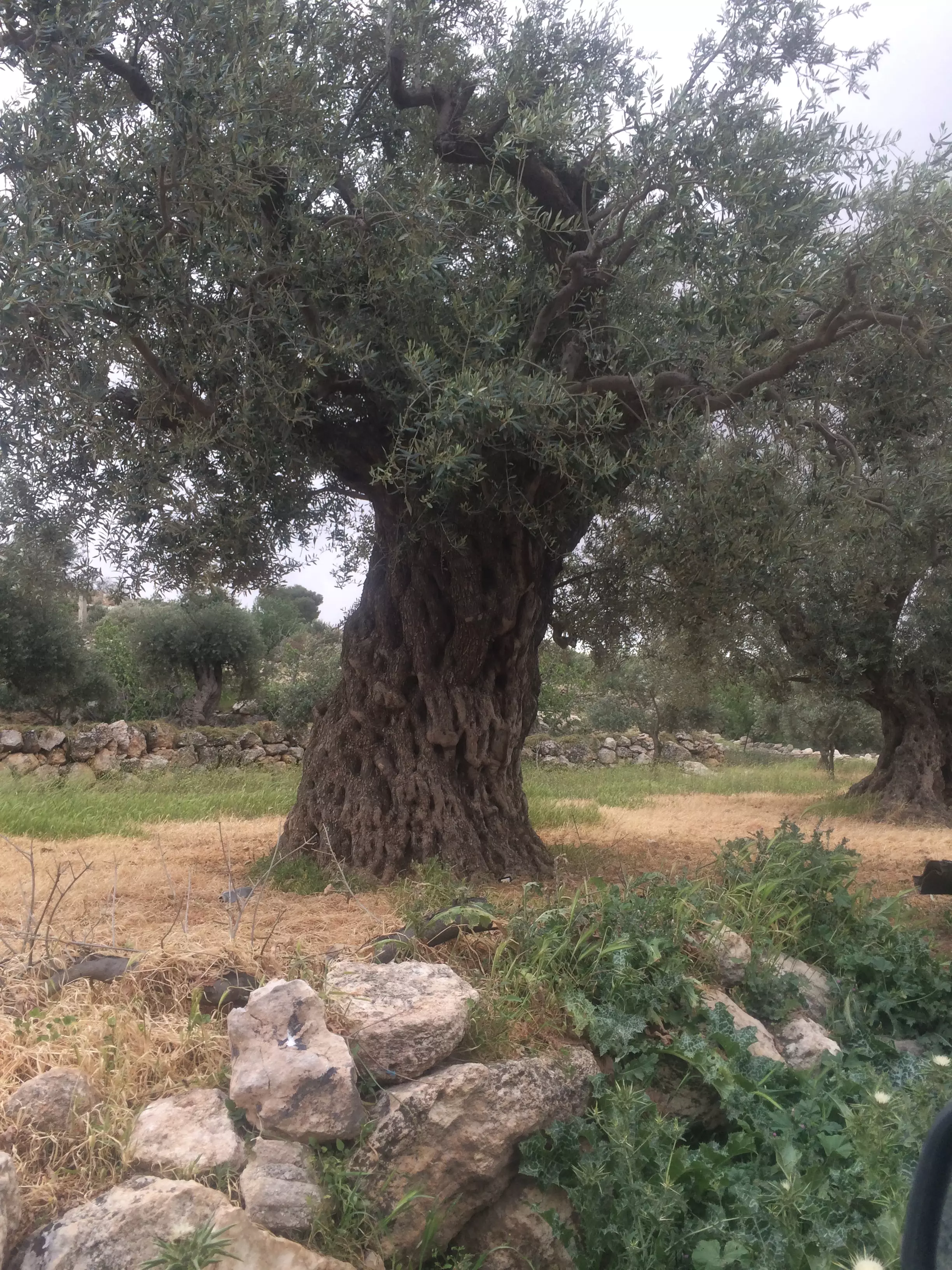
Posted by alex almukhmasy - olive tree mukhmas
Posted by alex almukhmasy - They will always be remembered "Mukhmas"
Posted by alex almukhmasy - They will always be remembered "Mukhmas"
Posted by alex almukhmasy - They will always be remembered "Mukhmas"
Posted by alex almukhmasy - They will always be remembered "Mukhmas"
Posted by alex almukhmasy - They will always be remembered "Mukhmas"
Posted by alex almukhmasy - They will always be remembered "Mukhmas"
Posted by alex almukhmasy - They will always be remembered "Mukhmas"
Posted by alex almukhmasy - They will always be remembered "Mukhmas"
Posted by alex almukhmasy - They will always be remembered "Mukhmas"
Posted by alex almukhmasy - They will always be remembered "Mukhmas"
Posted by alex almukhmasy - They will always be remembered "Mukhmas"
Posted by alex almukhmasy - They will always be remembered "Mukhmas"
Posted by alex almukhmasy - They will always be remembered "Mukhmas"
Posted by alex almukhmasy - They will always be remembered "Mukhmas"
Posted by alex almukhmasy - They will always be remembered "Mukhmas"
Posted by alex almukhmasy - They will always be remembered "Mukhmas"
Posted by alex almukhmasy - They will always be remembered "Mukhmas"
Posted by alex almukhmasy - They will always be remembered "Mukhmas"
Posted by alex almukhmasy - They will always be remembered "Mukhmas"
Posted by alex almukhmasy - They will always be remembered "Mukhmas"
Posted by alex almukhmasy - Abu El-adeeb
Posted by alex almukhmasy - Mukhmas hard working men
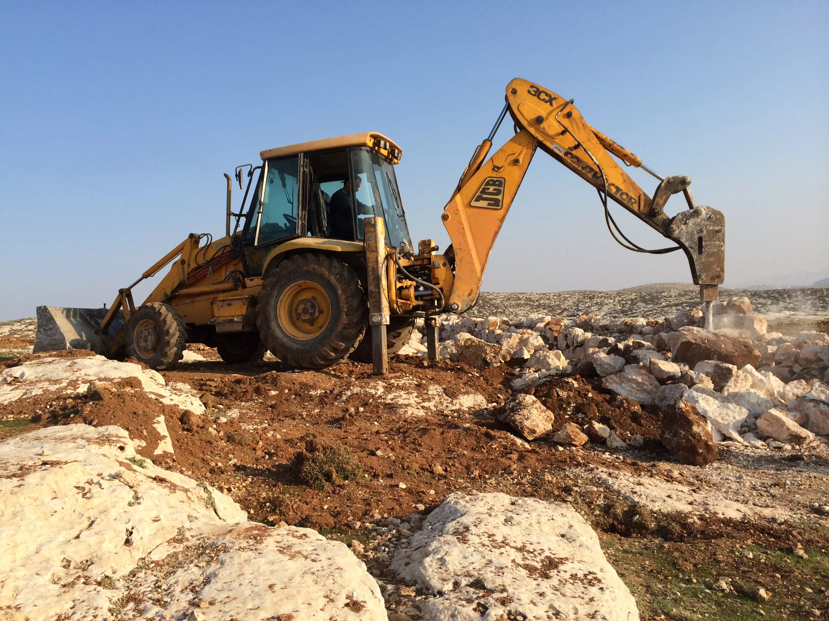
Posted by alex almukhmasy - mukhmas working machine
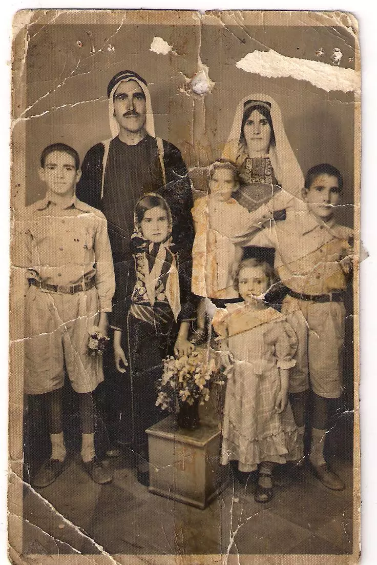
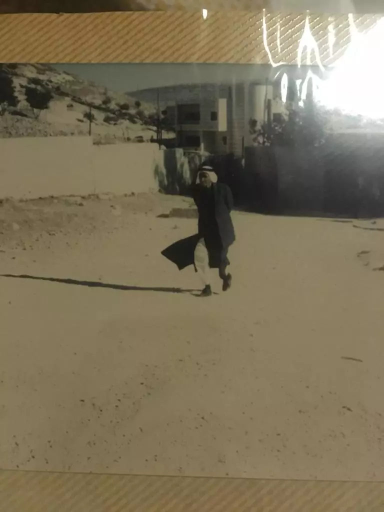
Posted by alex almukhmasy - صوره قديمه من مخماس سنه 1934
Posted by abu raya - 0014
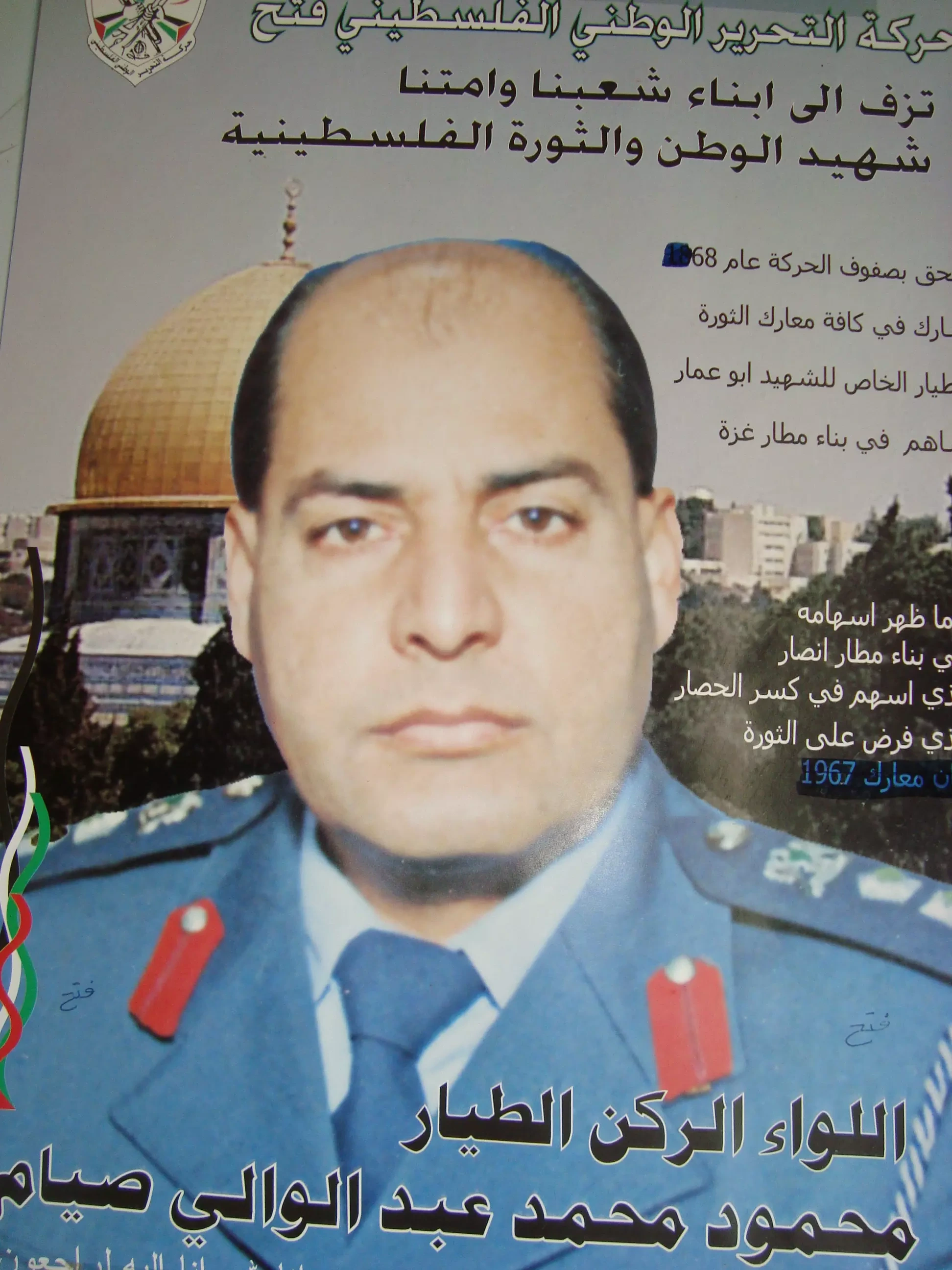
Posted by MAHMOOD SIYAM - 0031
Posted by MAHMOOD SIYAM - 0082
Posted by MAHMOOD SIYAM - 9672
Posted by MAHMOOD SIYAM - 9676
Posted by MAHMOOD SIYAM - 9681
Posted by MAHMOOD SIYAM - 9713
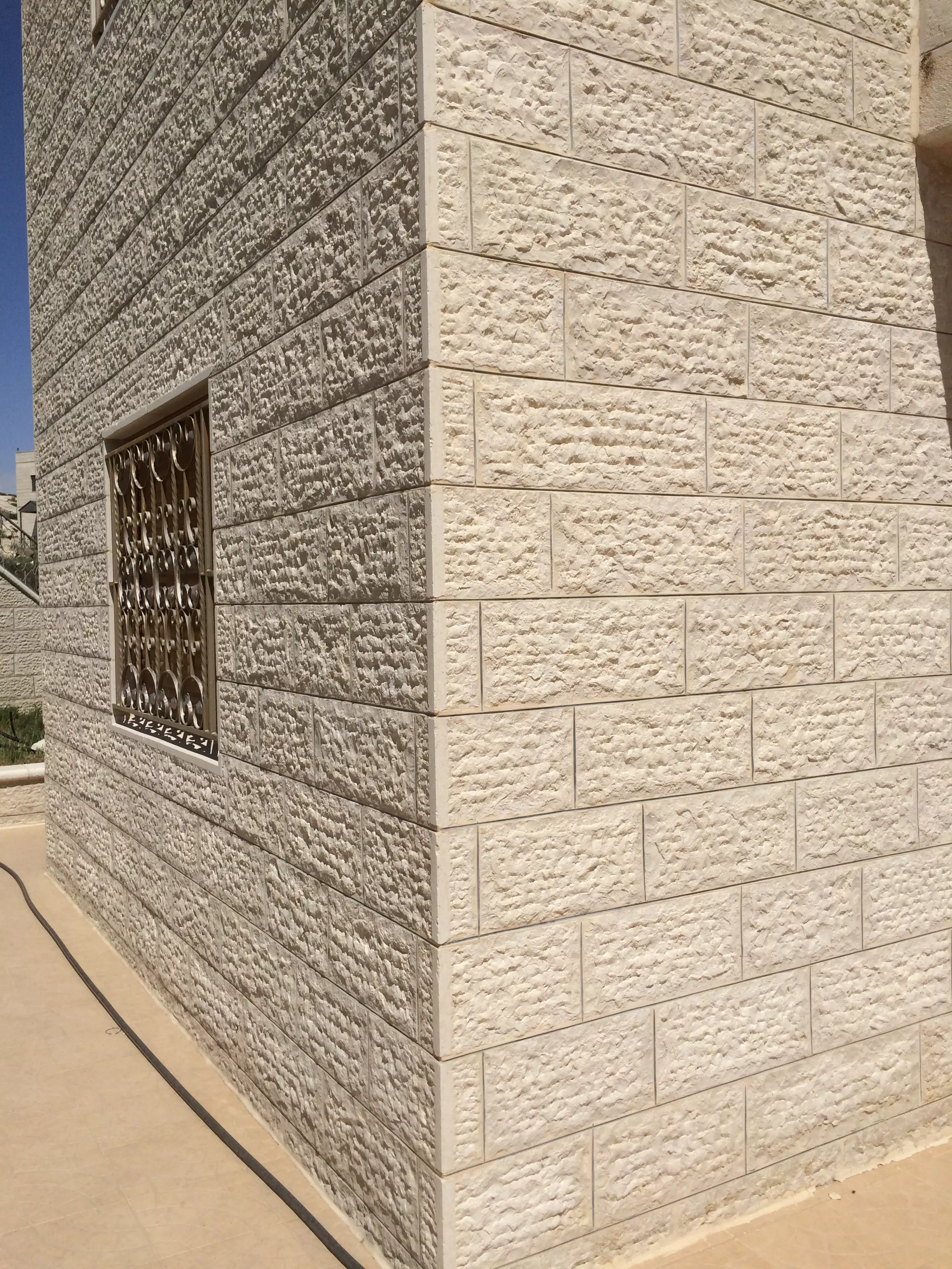
Posted by MAHMOOD SIYAM - 9726 - house texture
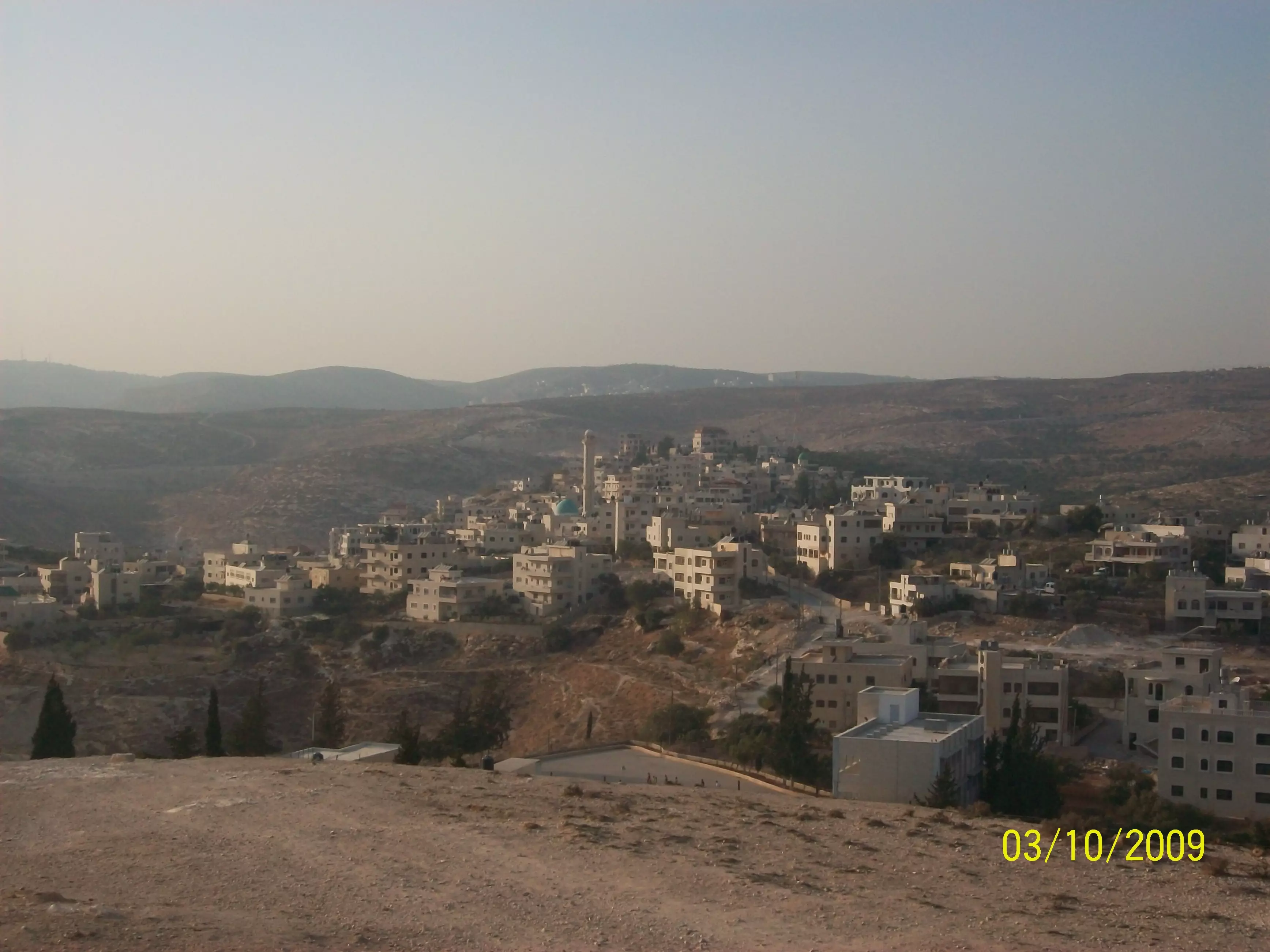
Posted by MAHMOOD SIYAM - 9759 - city view from hill
Posted by MAHMOOD SIYAM - 9778 - large cactus
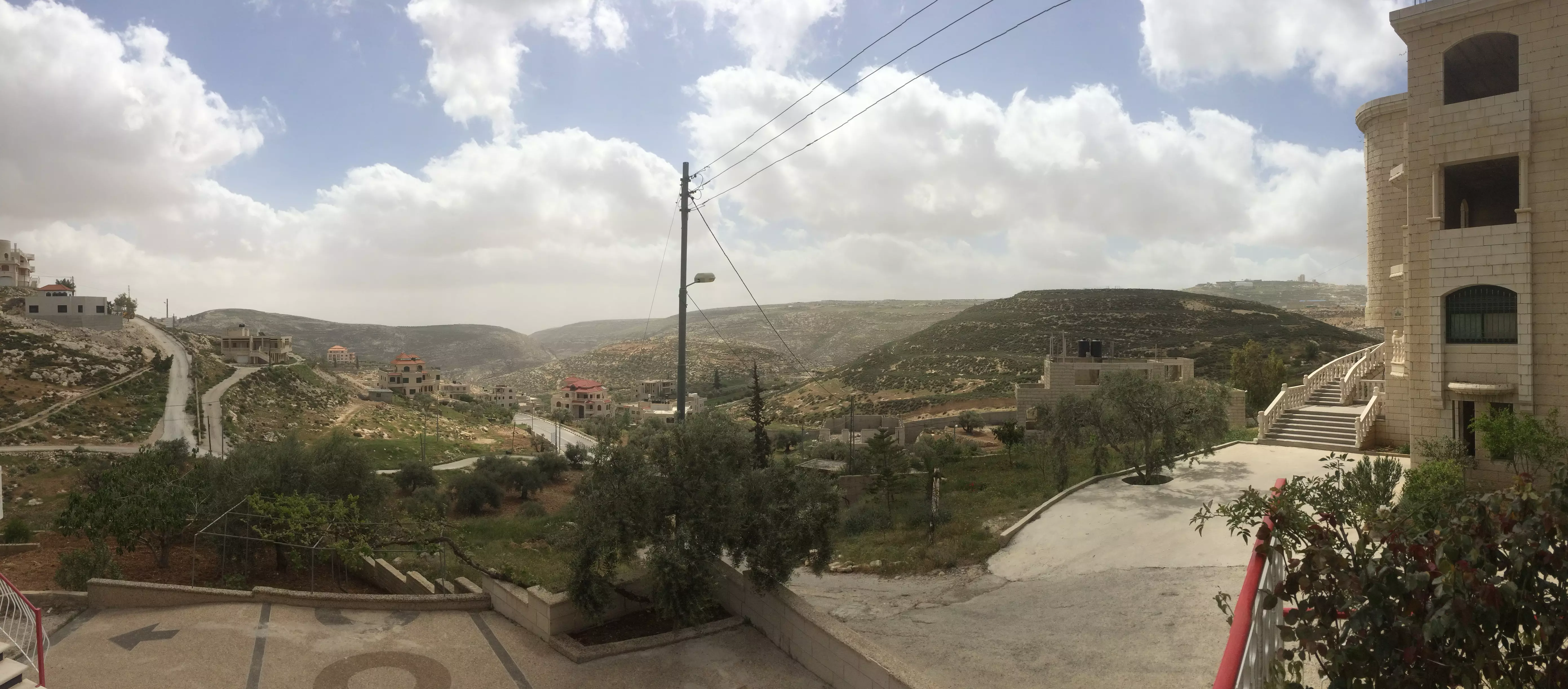
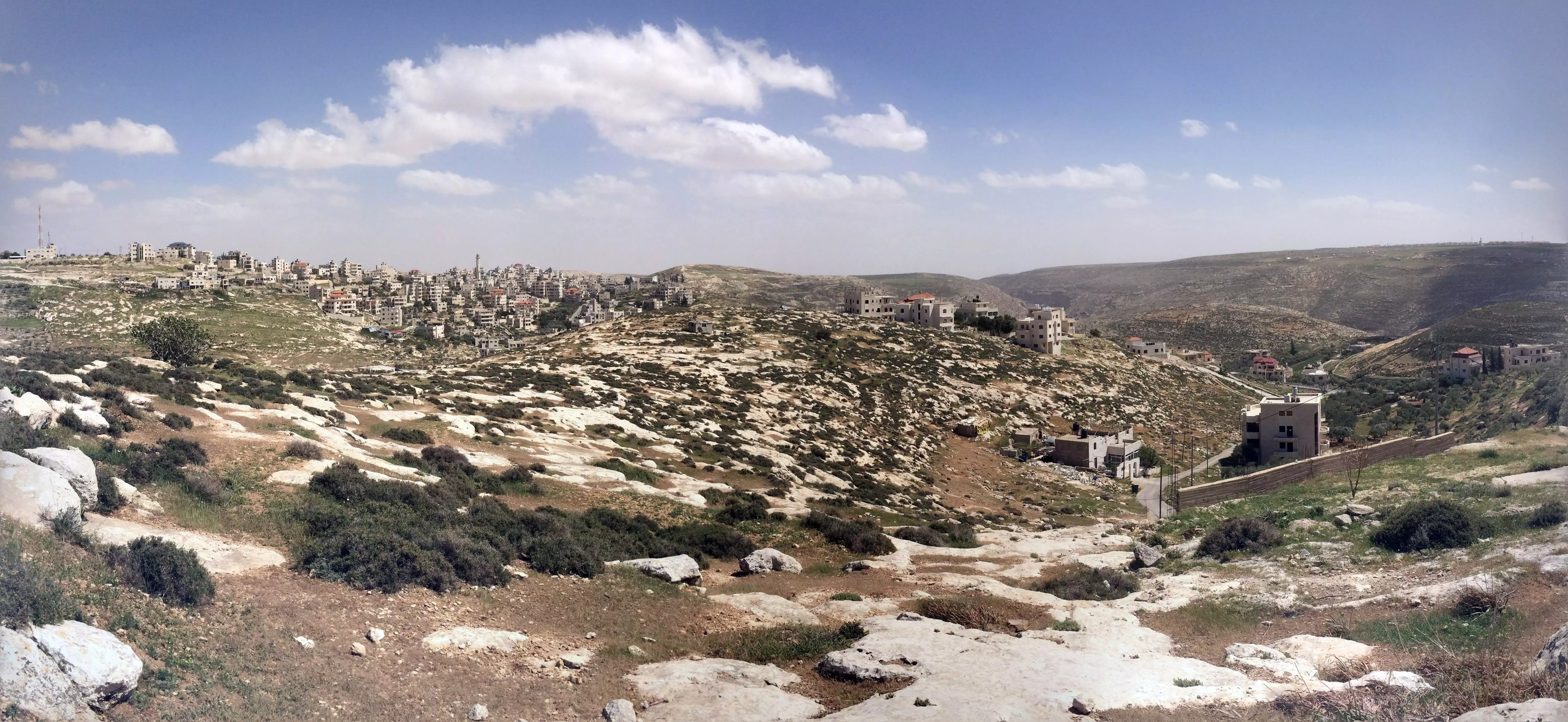
Posted by MAHMOOD SIYAM - 9785 - panorama from a hill
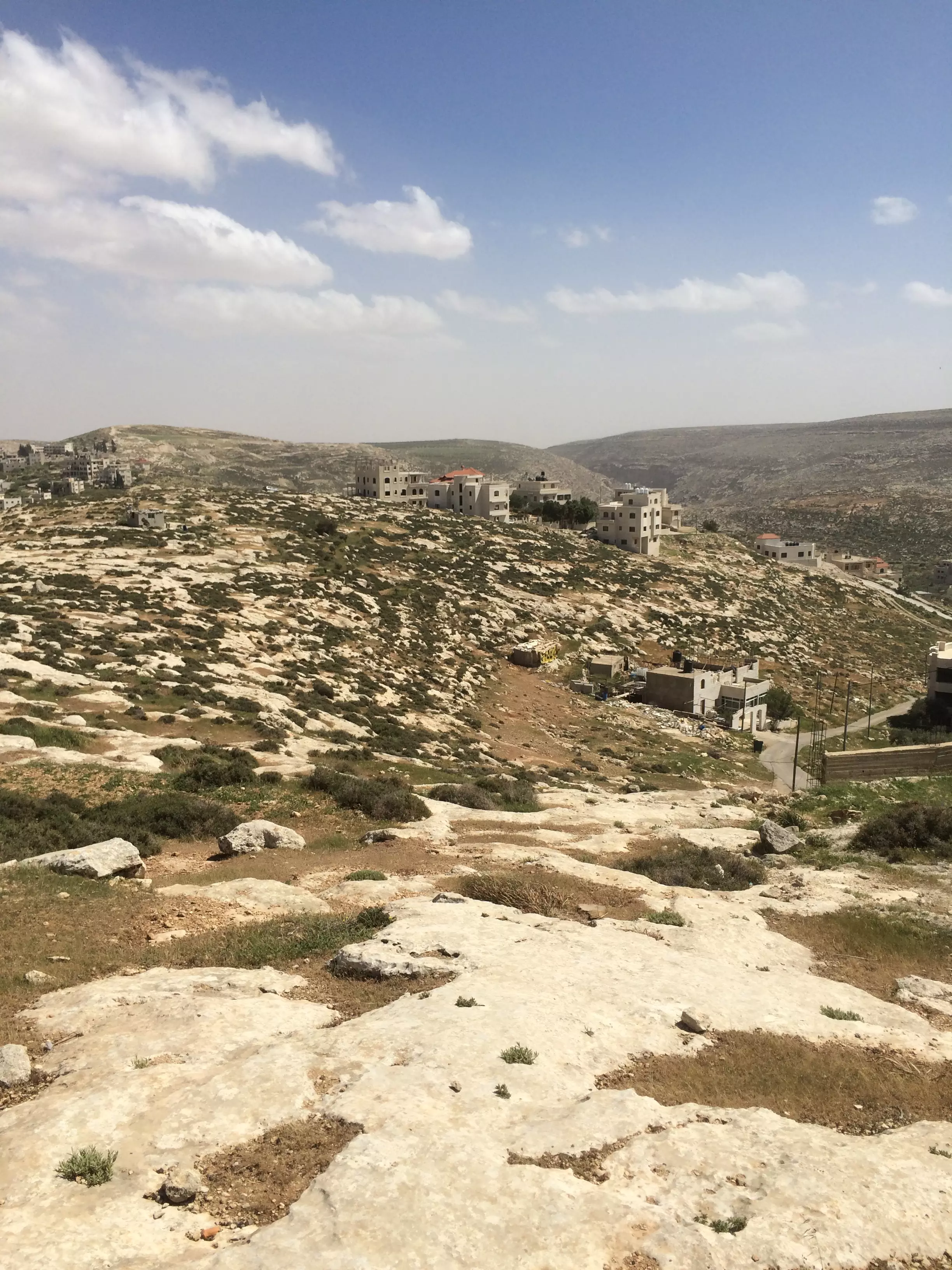
Posted by MAHMOOD SIYAM - 9787 - hills in the distance
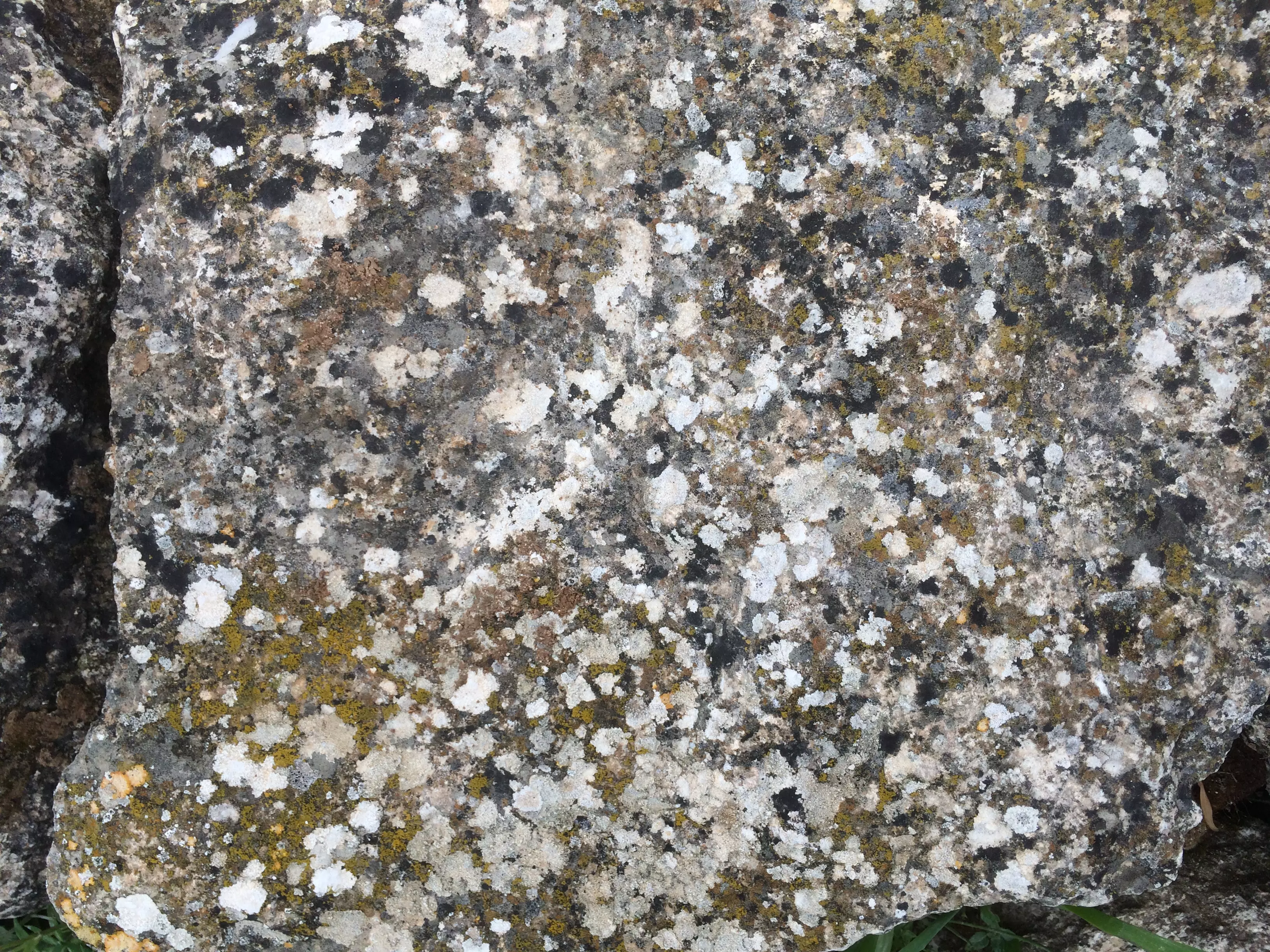
Posted by MAHMOOD SIYAM - 9879 stone with colored moss
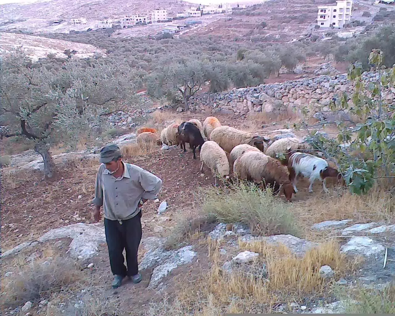
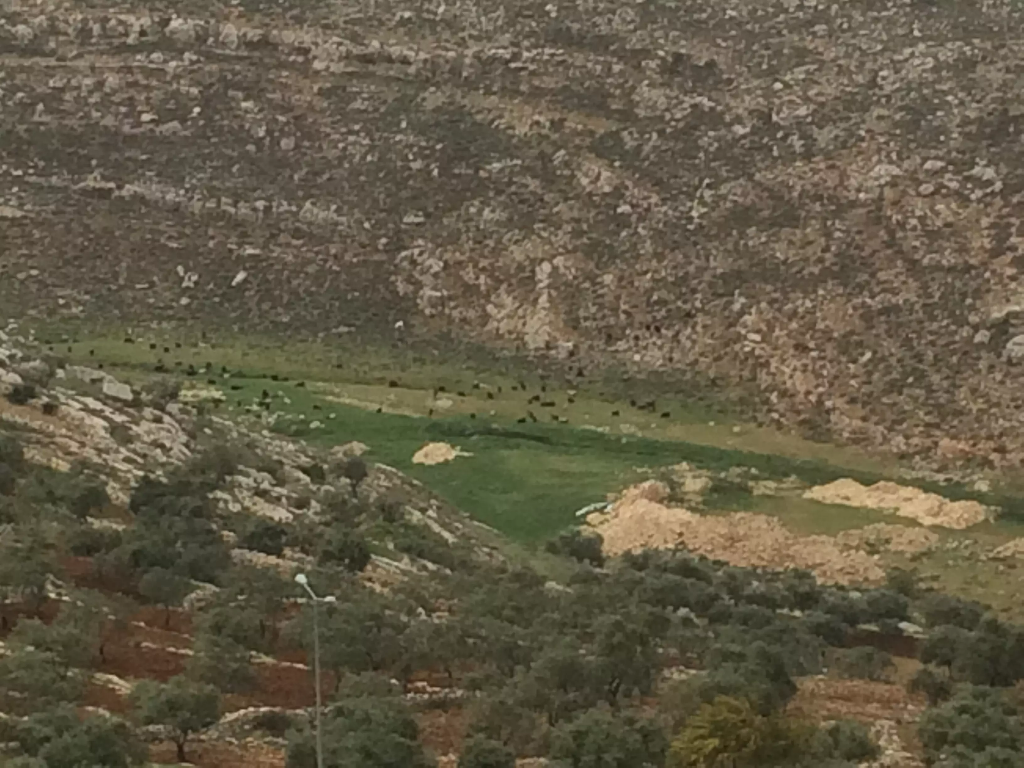
Posted by MAHMOOD SIYAM - 9890 - valley with goats
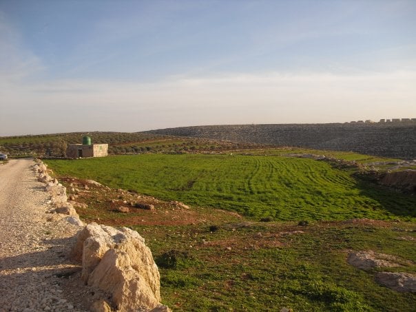
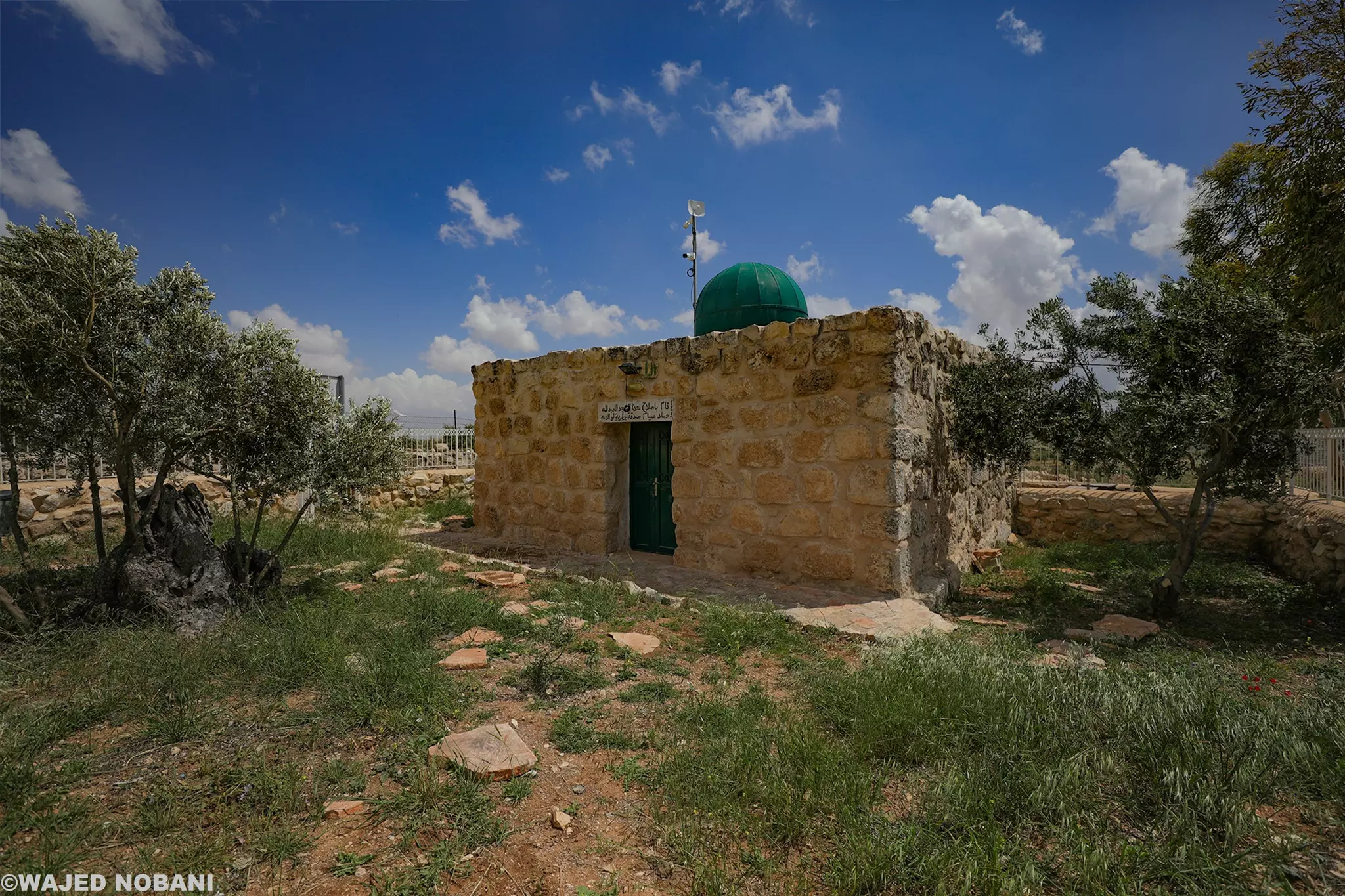
Posted by MAHMOOD SIYAM - 9907 - tiny mosque in rural setting - dwair
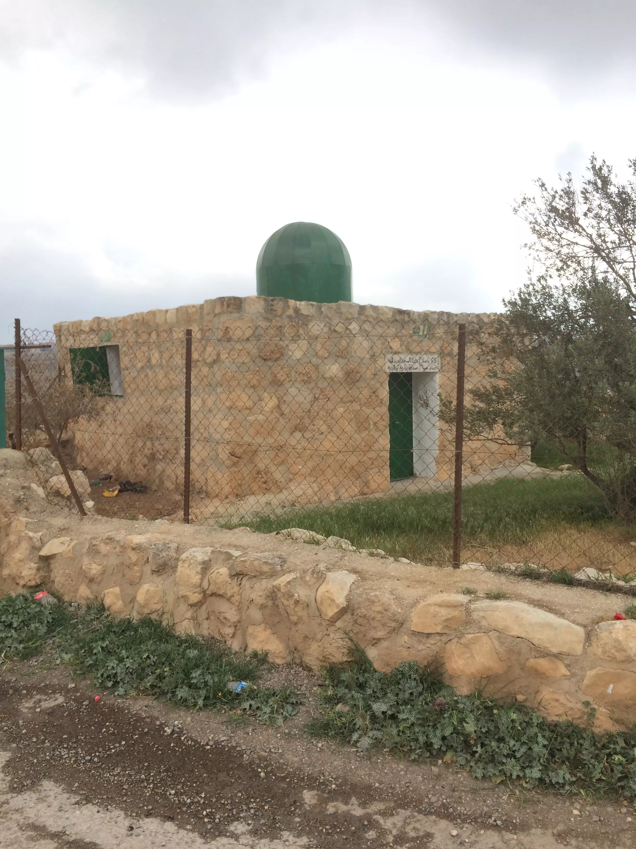
Posted by MAHMOOD SIYAM - 9912 - tiny mosque in rural setting - plaque dedicating mosque to parents of hammad siyam

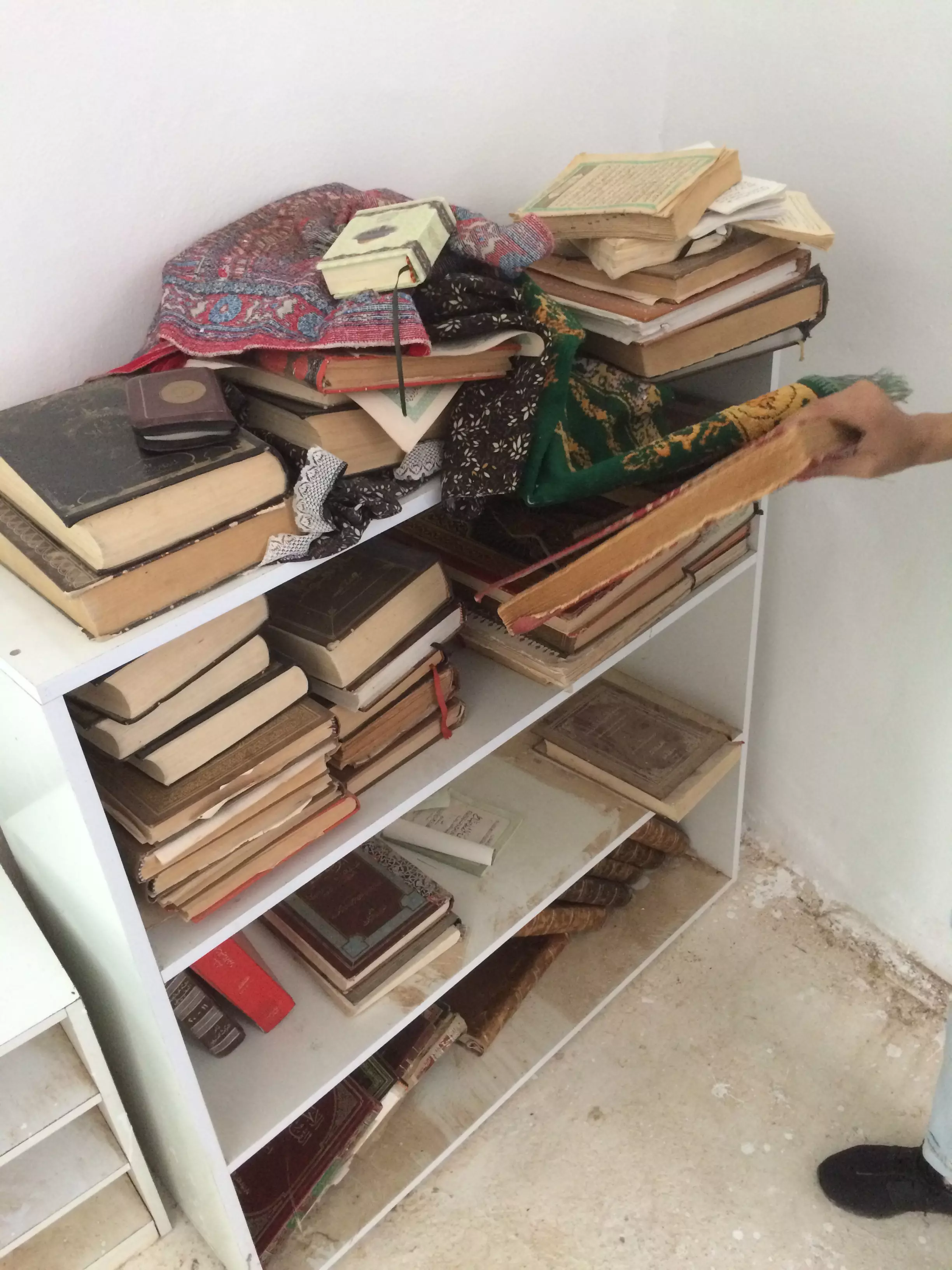
Posted by MAHMOOD SIYAM - 9915 - collection of old qurans inside rural mosque
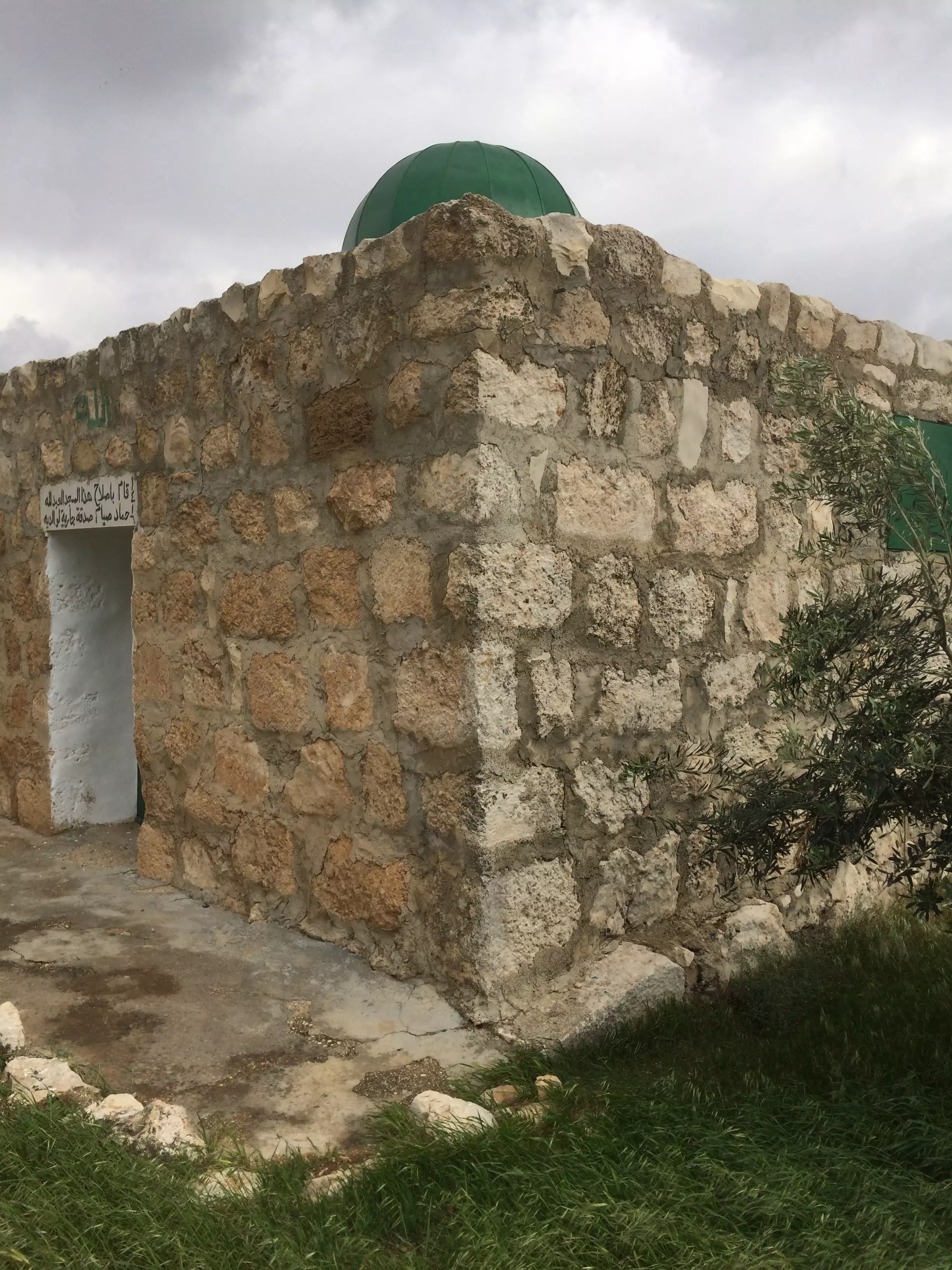
Posted by MAHMOOD SIYAM - 9923 - texture of rural mosque
Posted by MAHMOOD SIYAM - 9924 - rural mosque courtyard
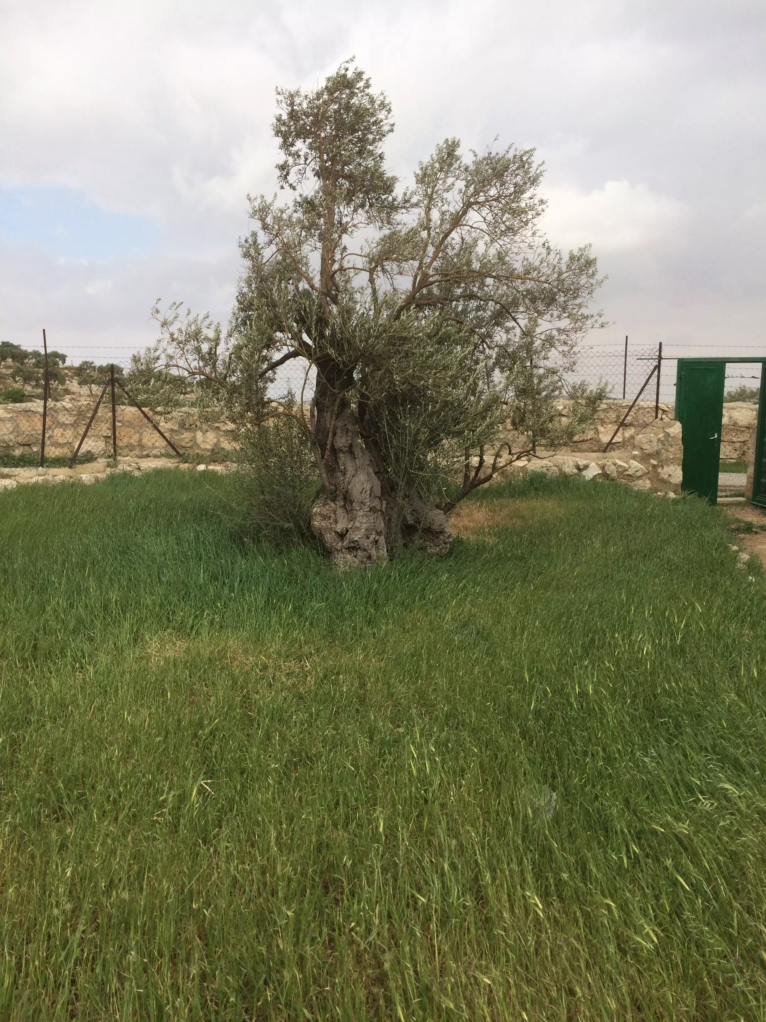
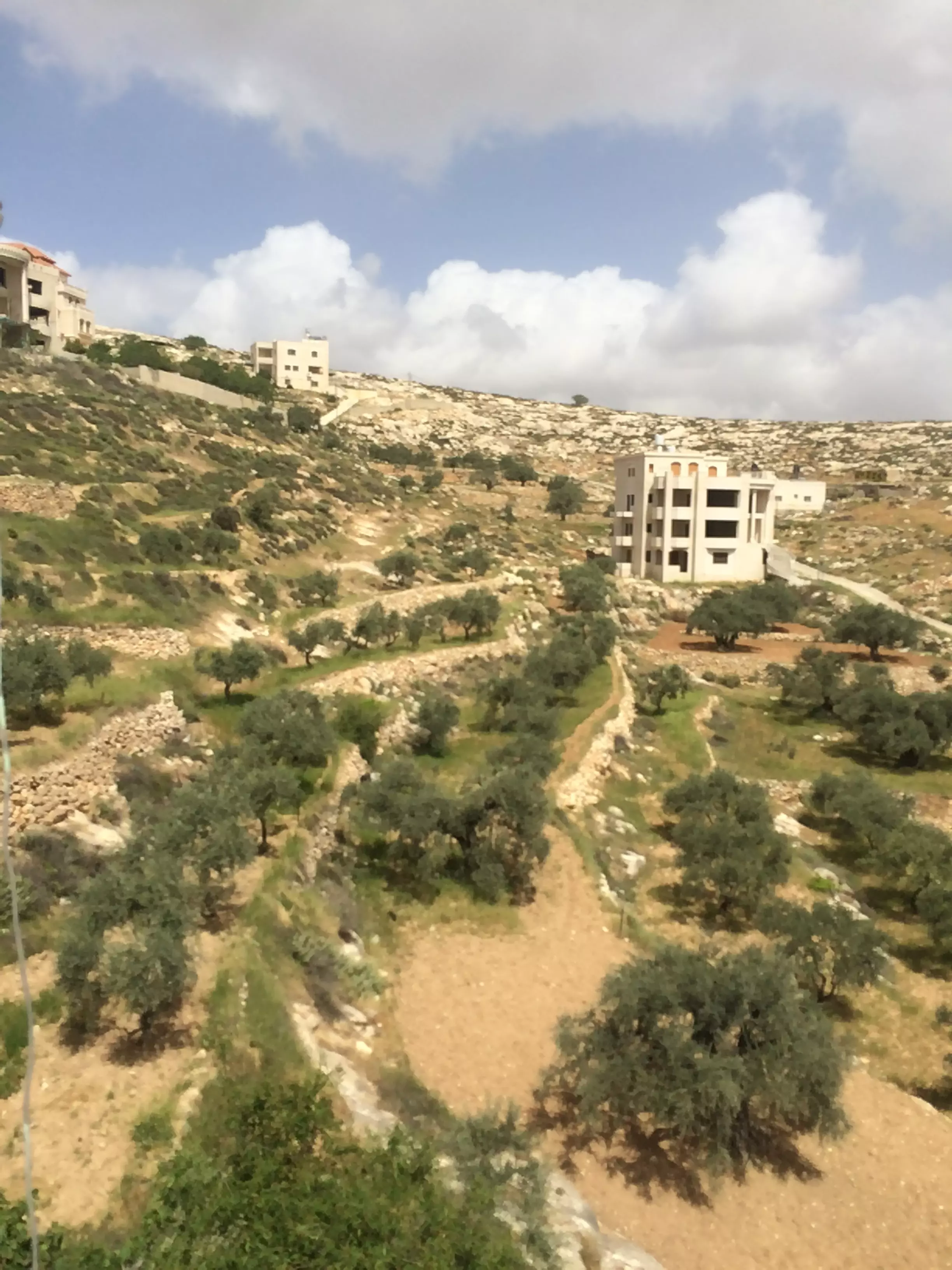
Posted by MAHMOOD SIYAM - 9928 - olive tree grove

Posted by MAHMOOD SIYAM - 9942 - green field near rural mosque
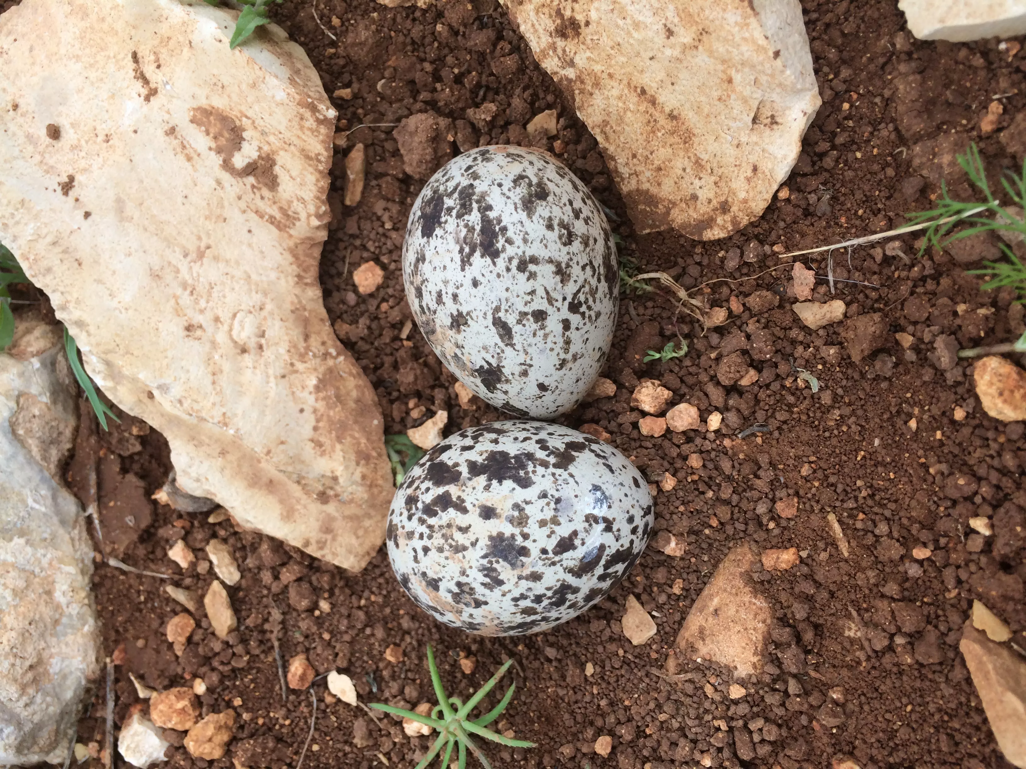
Posted by MAHMOOD SIYAM - 9956 - bird eggs on the ground
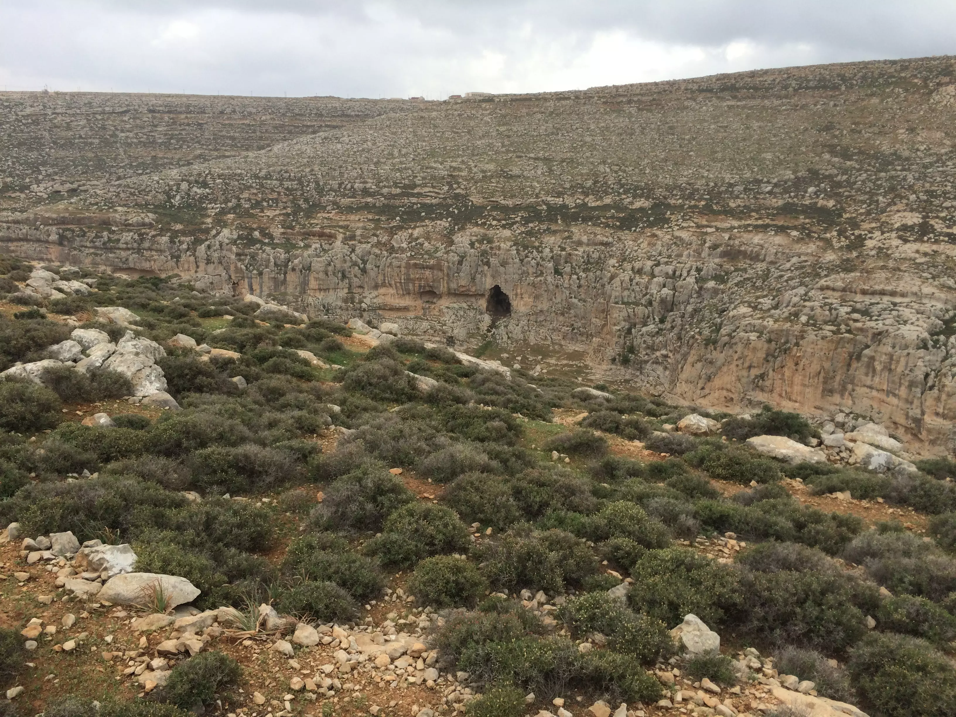
Posted by MAHMOOD SIYAM - 9963 - cliff near rural mosque
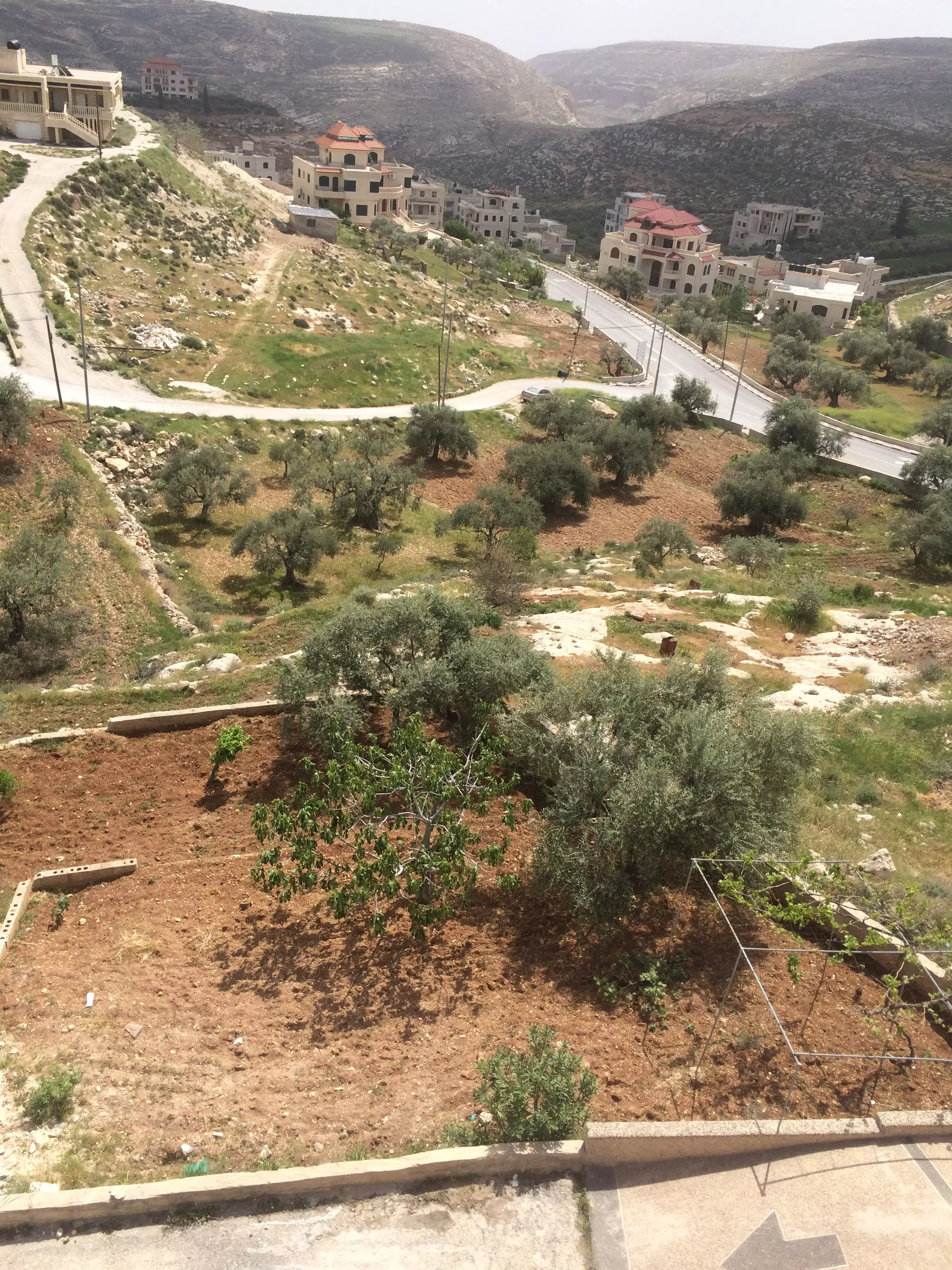
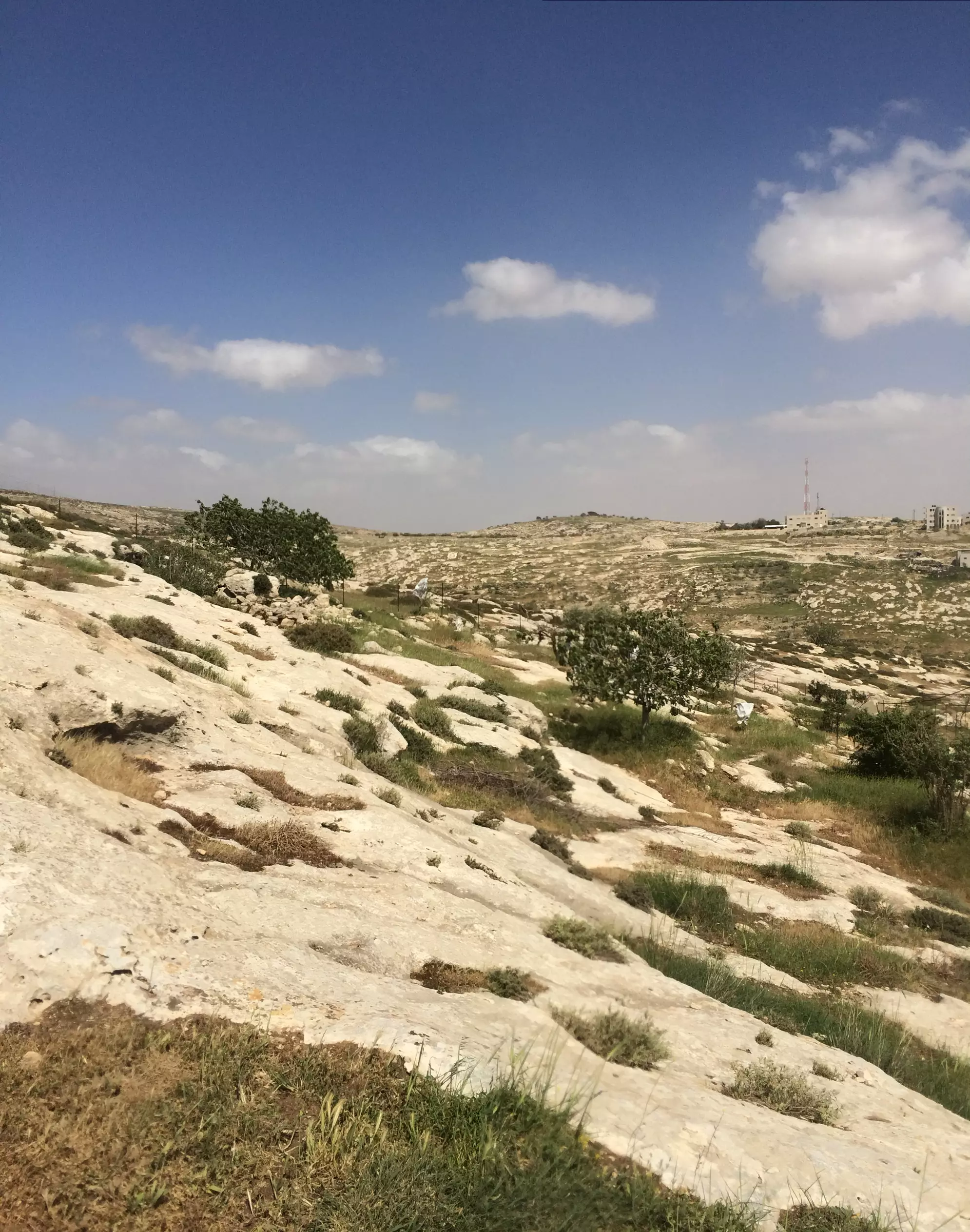
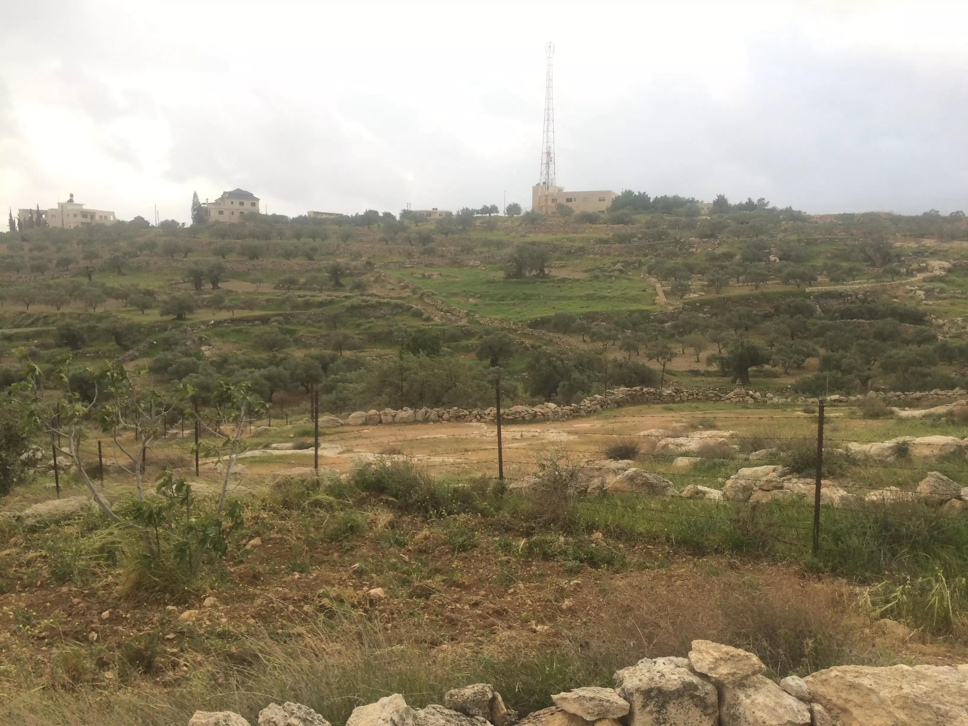
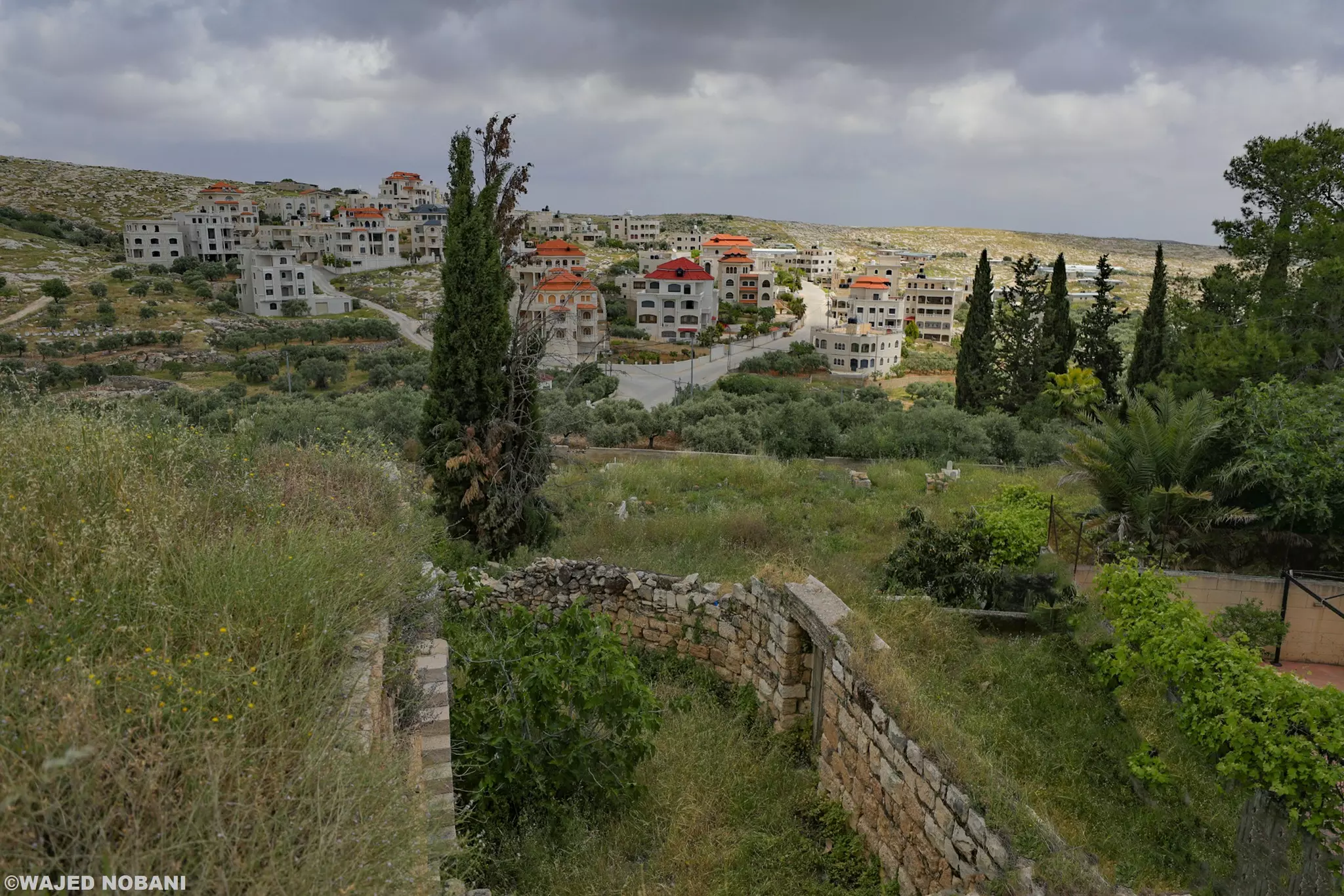
Posted by MAHMOOD SIYAM - 9979 - fields near town
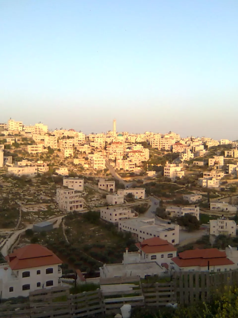
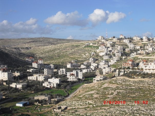
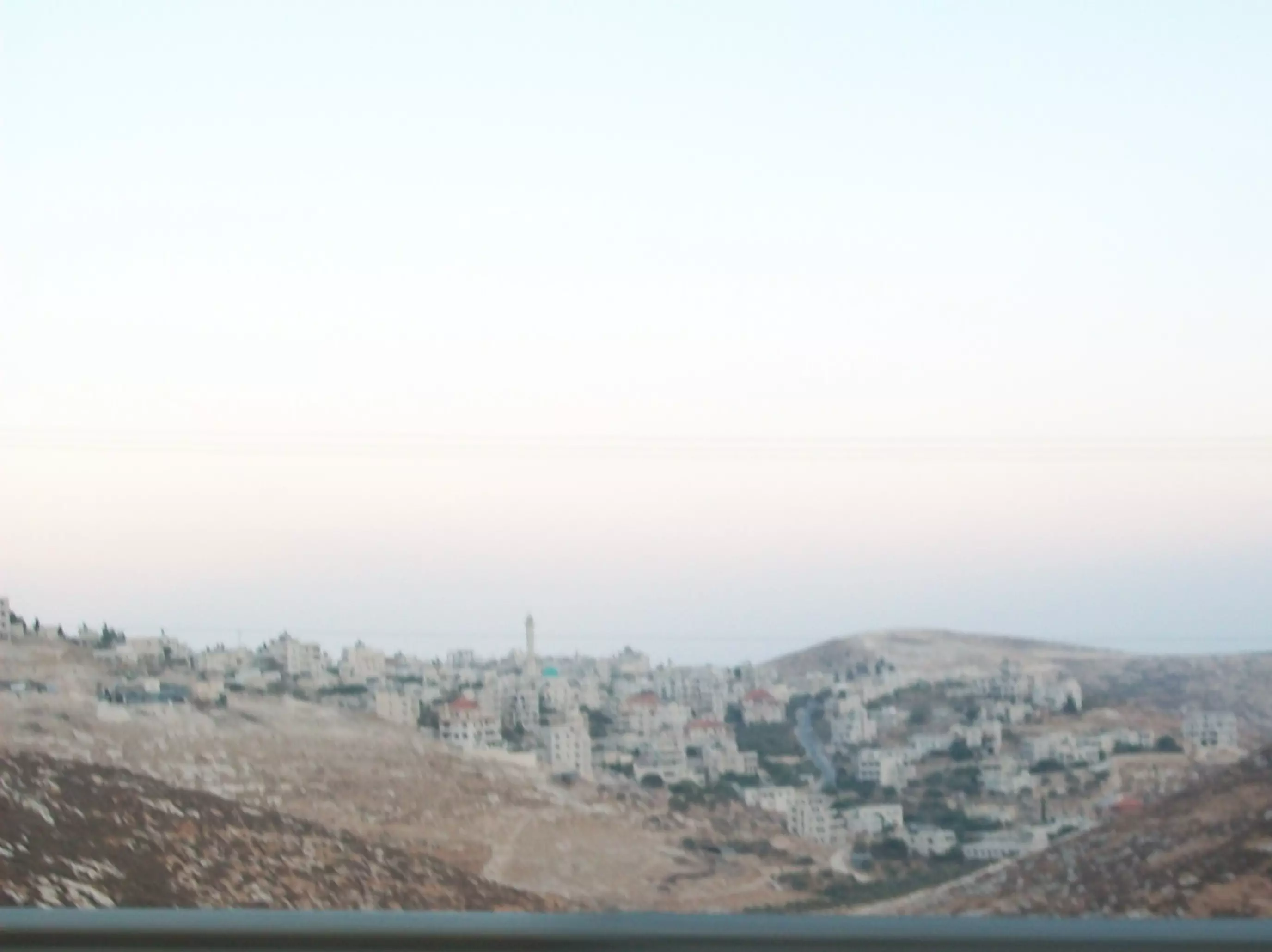
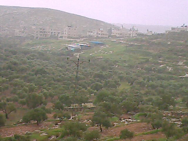
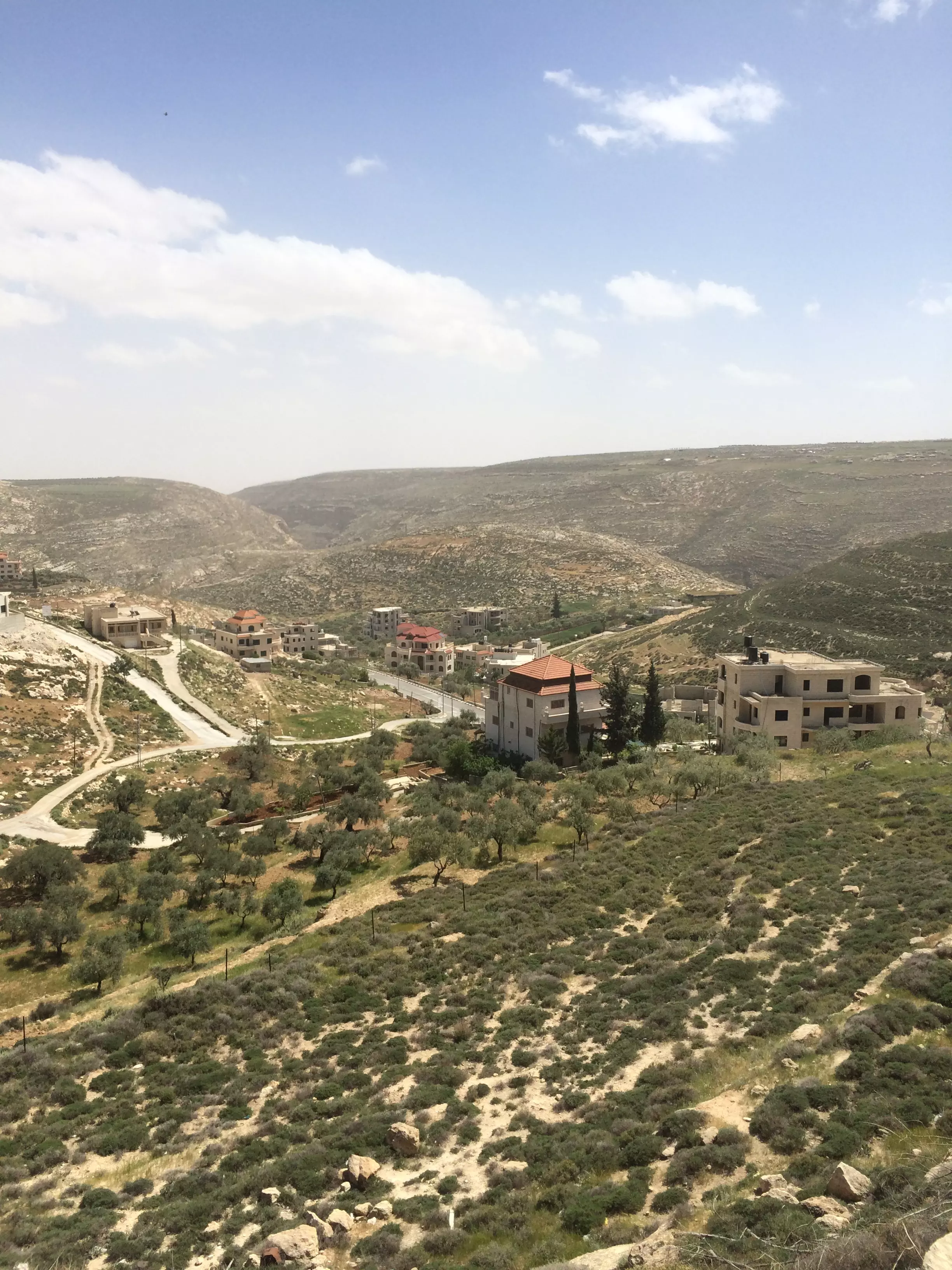
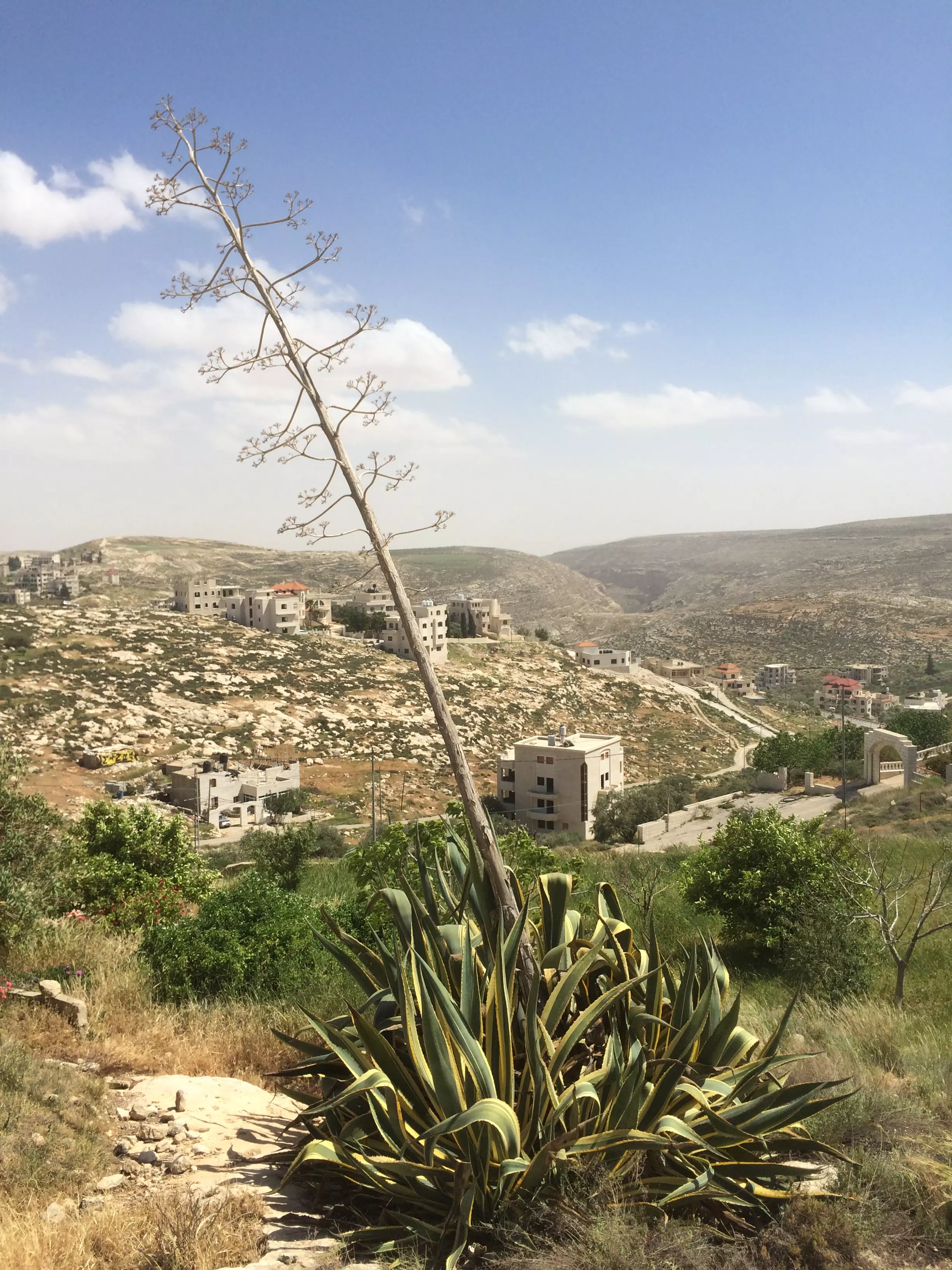
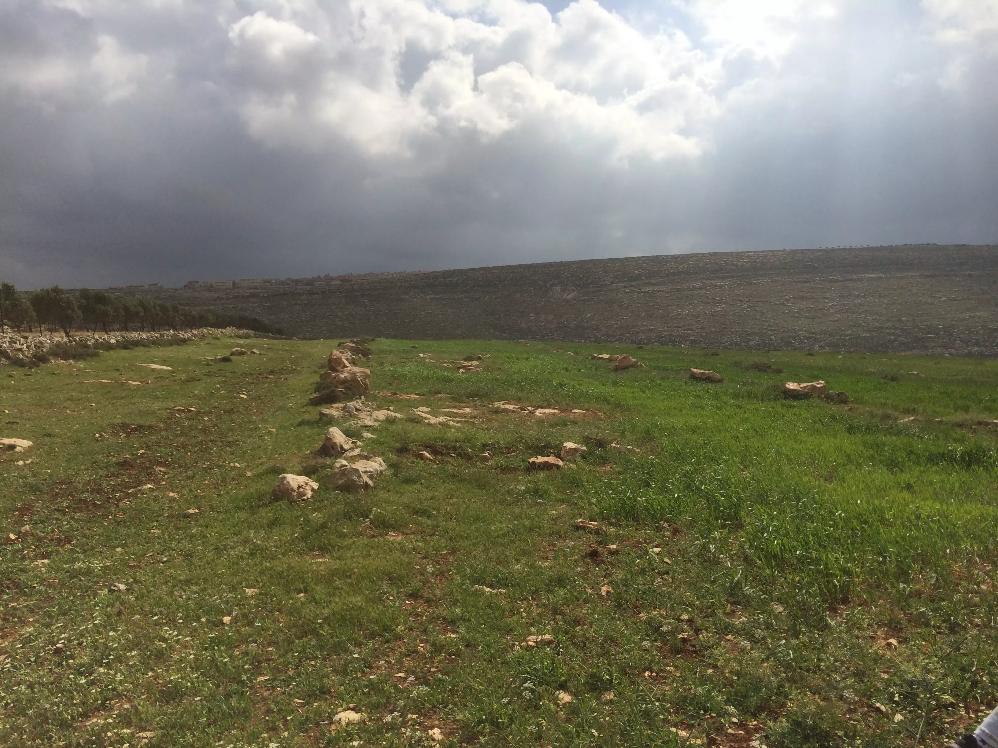
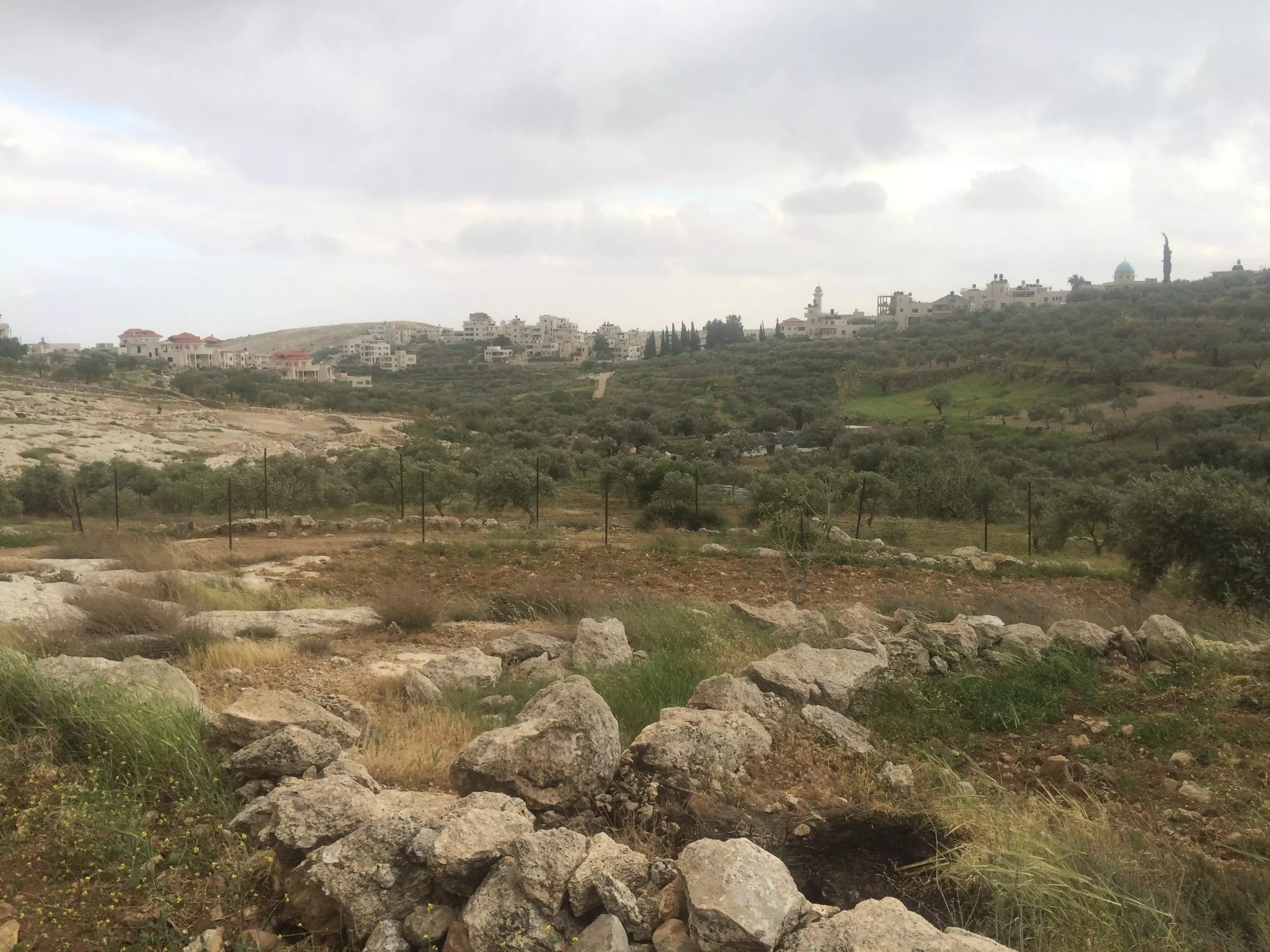
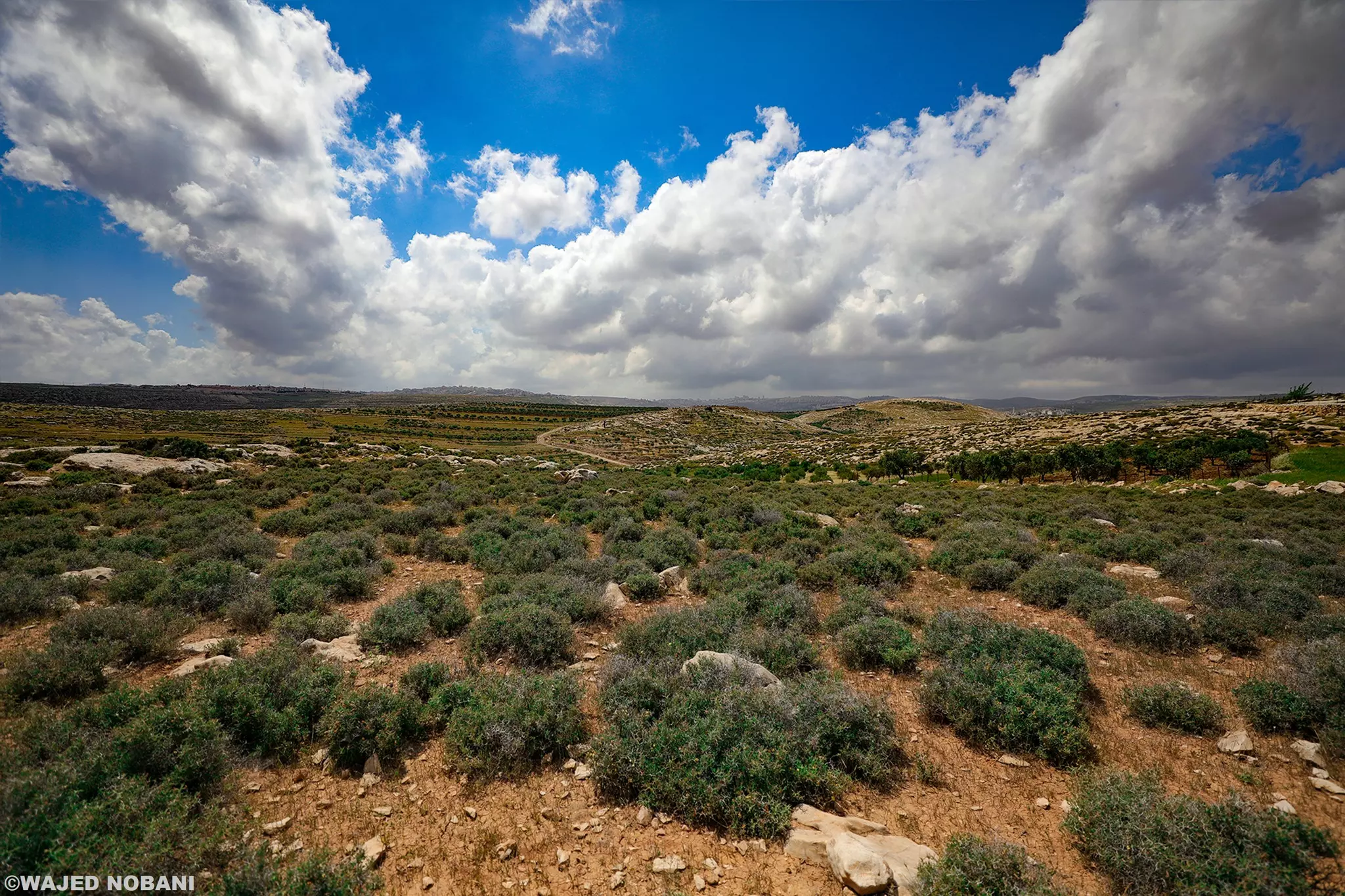
Posted by MAHMOOD SIYAM - 9980 - beautiful view of rolling hills and town at horizon
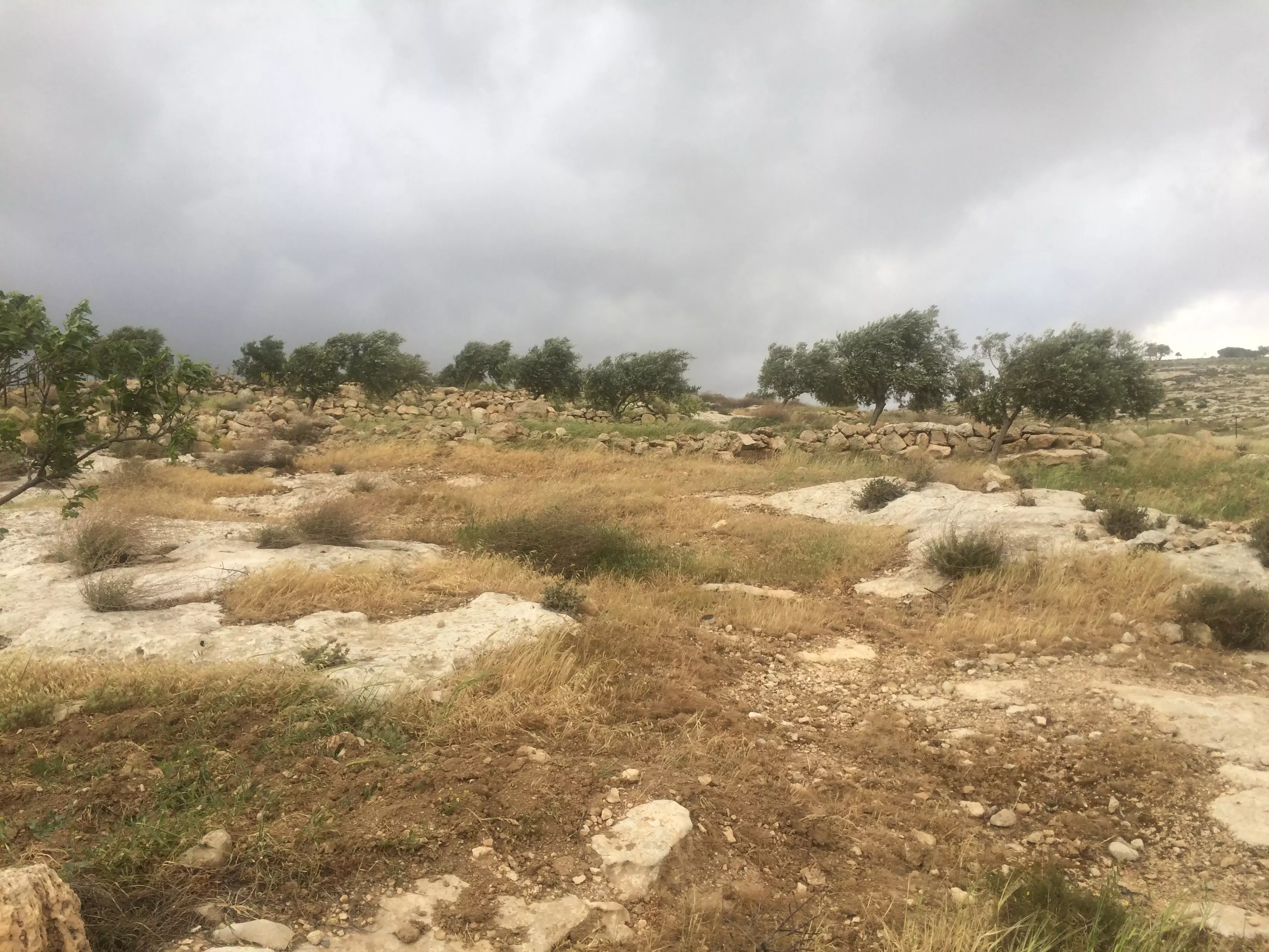
Posted by MAHMOOD SIYAM - 9982 - a windy field in the fall
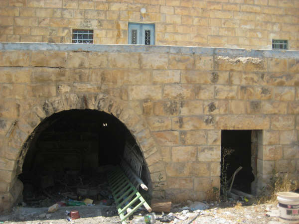
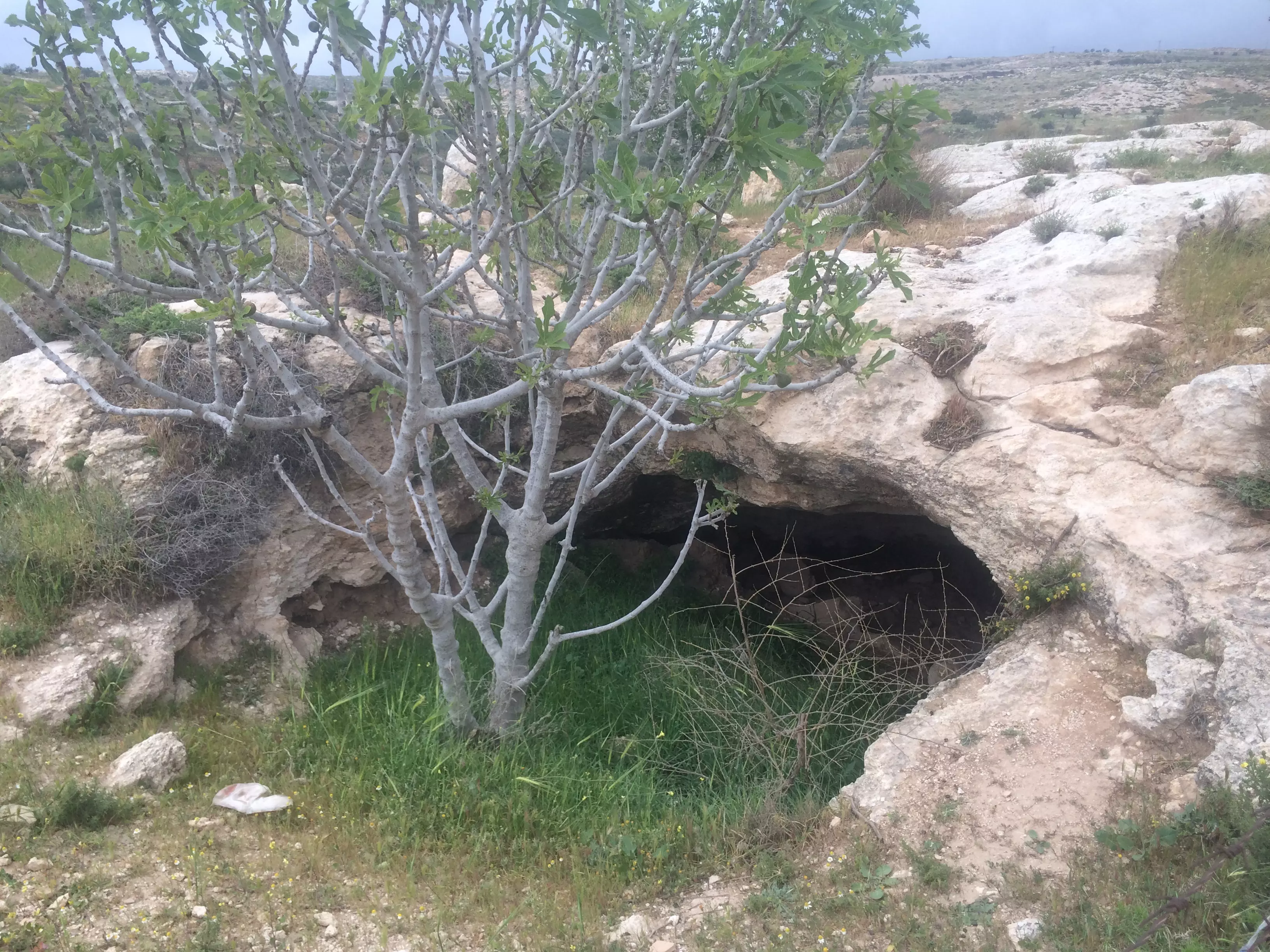
Posted by MAHMOOD SIYAM - 9985 - cave with fig tree
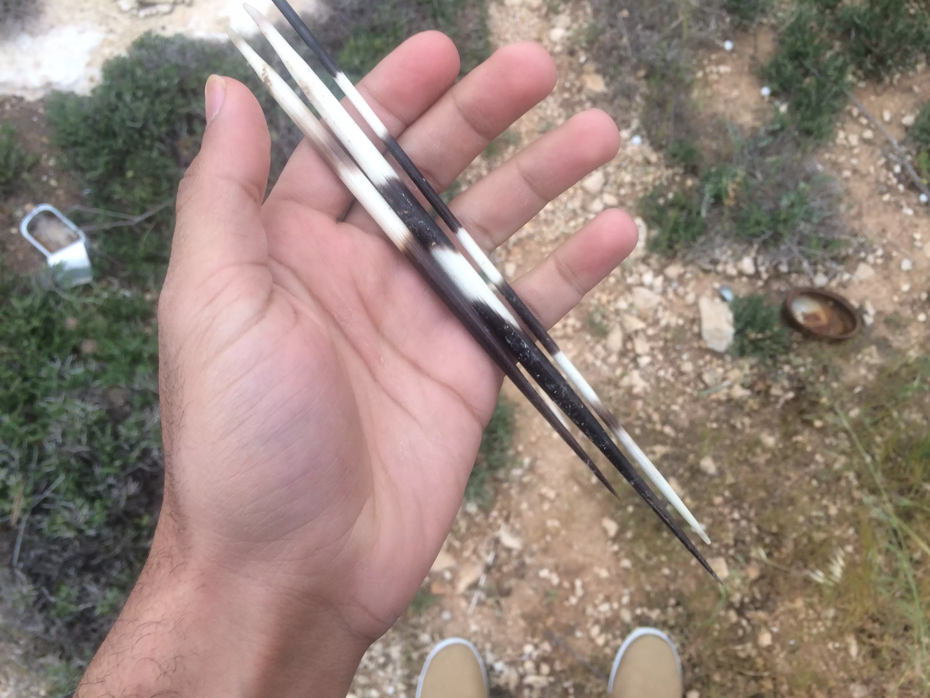
Posted by MAHMOOD SIYAM - 9999 - porcupine hairs
Posted by MAHMOOD SIYAM - 9666 - moss on cast stone

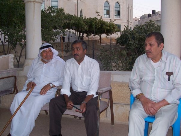
Posted by MAHMOOD SIYAM - Mohamed Ali Abu Oda
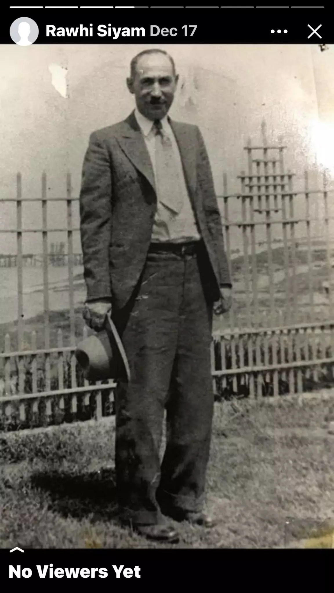
Posted by Siam - Ali AbdelJabbar Abu Siam - First Man from Mukhmas to go to America
Posted by Siam - البيوت القديمة بقرية مخماس من قرى القدس

- البيوت القديمة بقرية مخماس من قرى القدس #2

- البيوت القديمة بقرية مخماس من قرى القدس #3
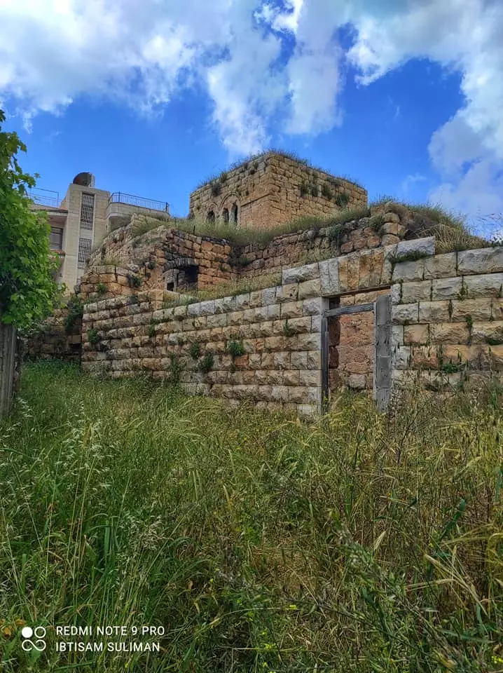
- البيوت القديمة بقرية مخماس من قرى القدس #4
- البيوت القديمة بقرية مخماس من قرى القدس #5
- البيوت القديمة بقرية مخماس من قرى القدس #6
- البيوت القديمة بقرية مخماس من قرى القدس #7
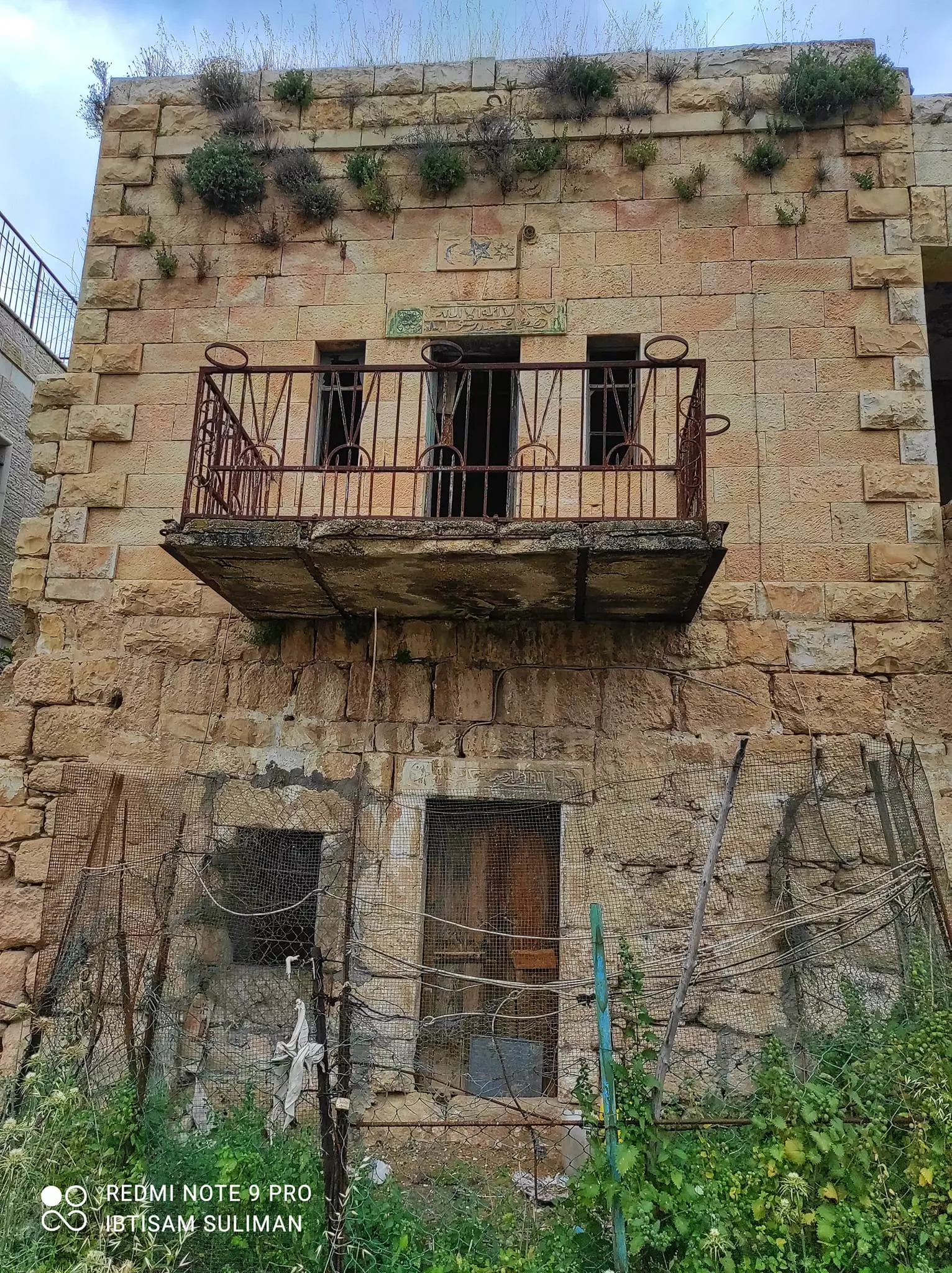
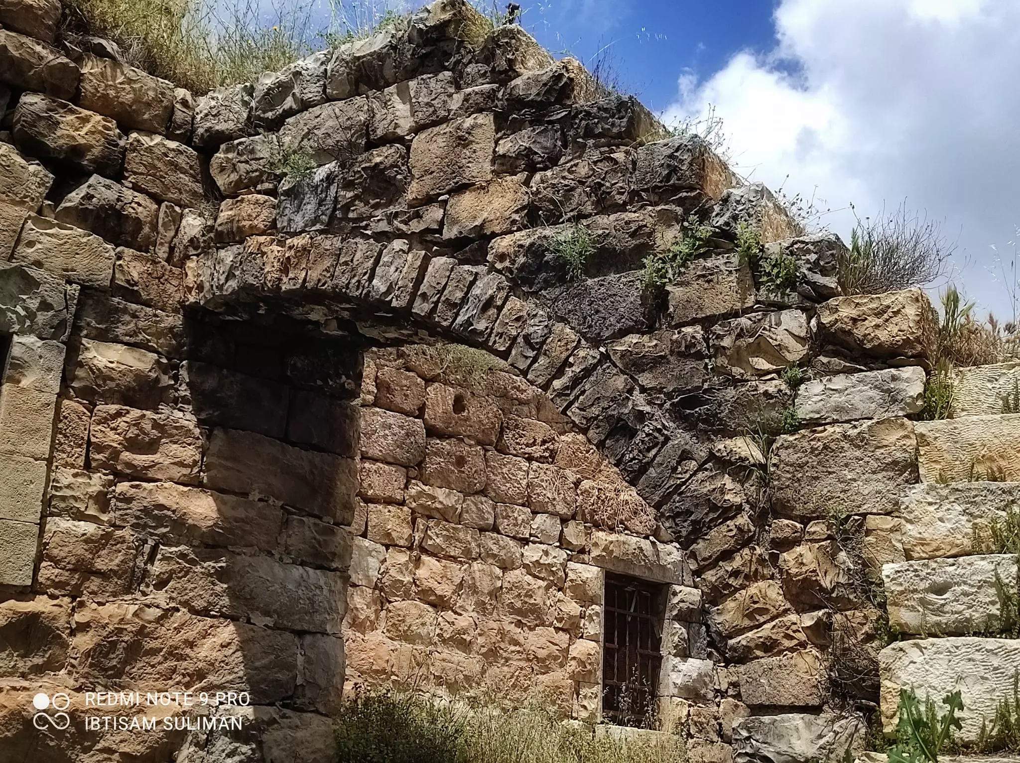
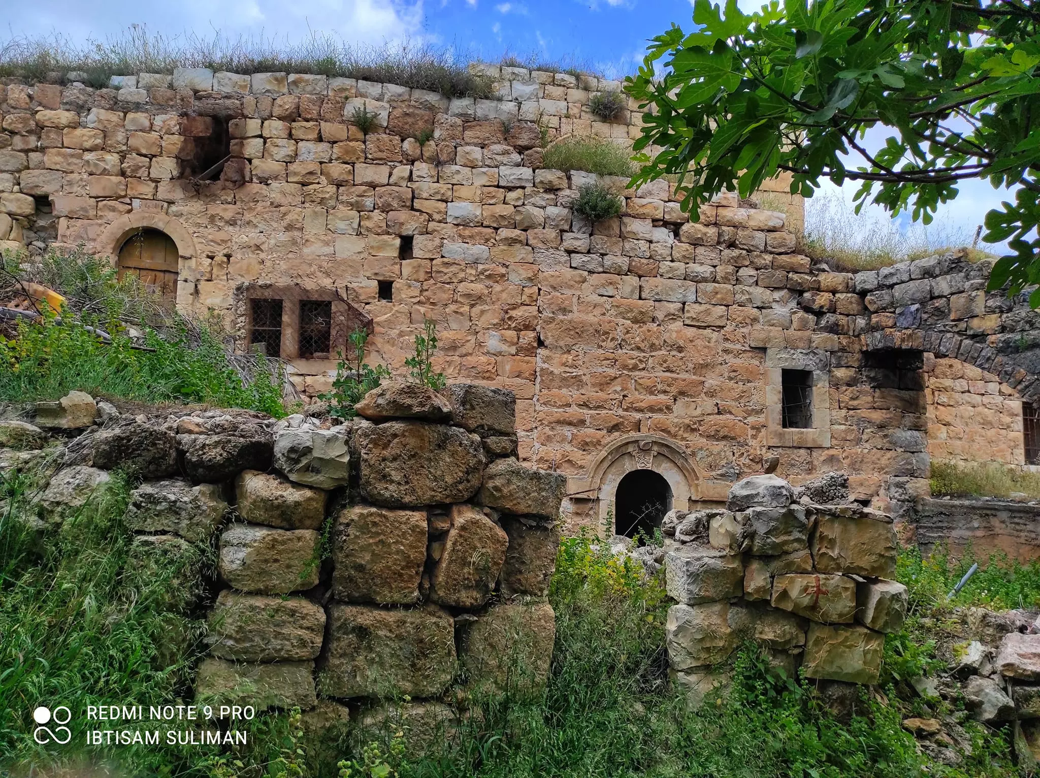
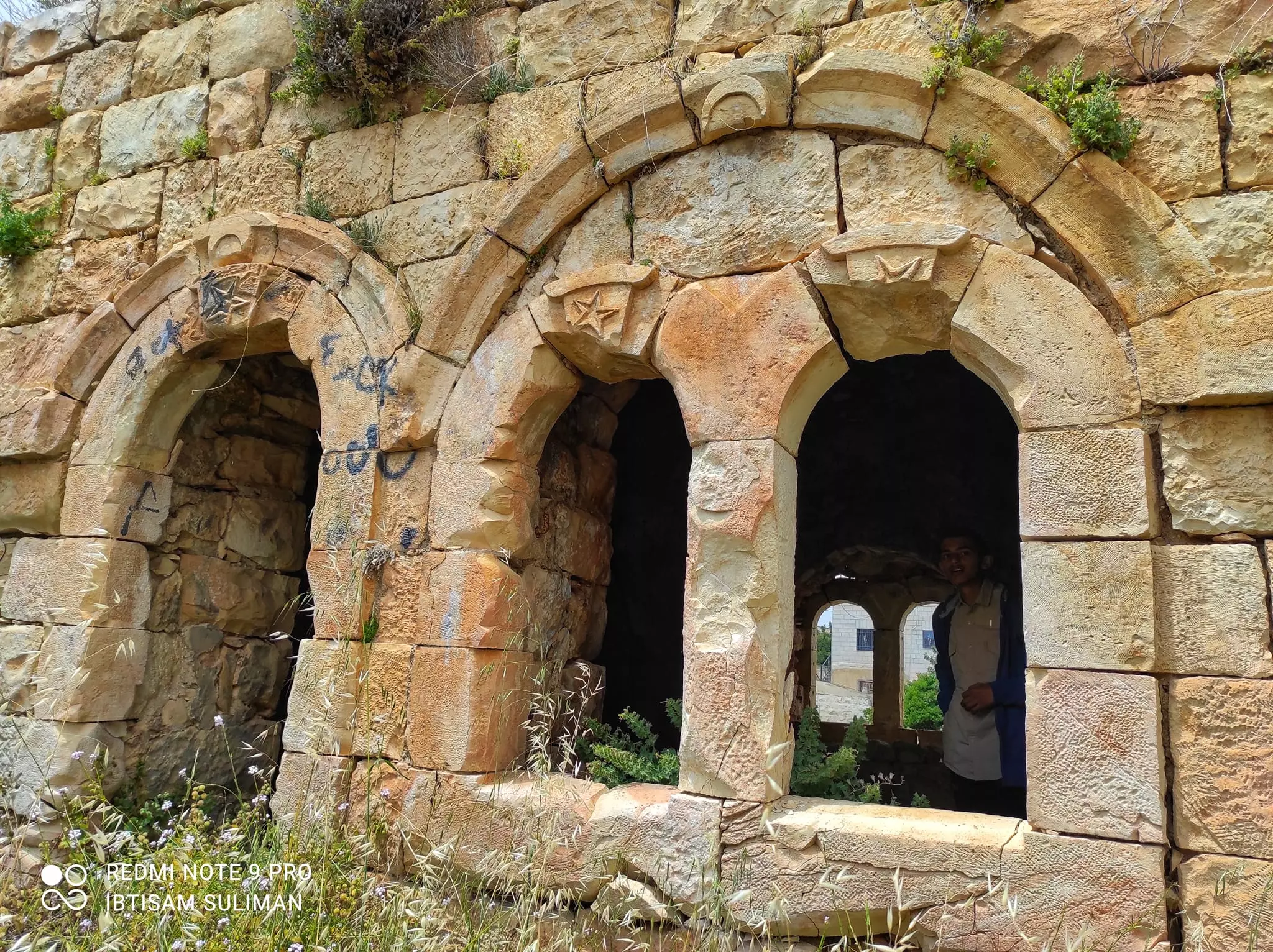
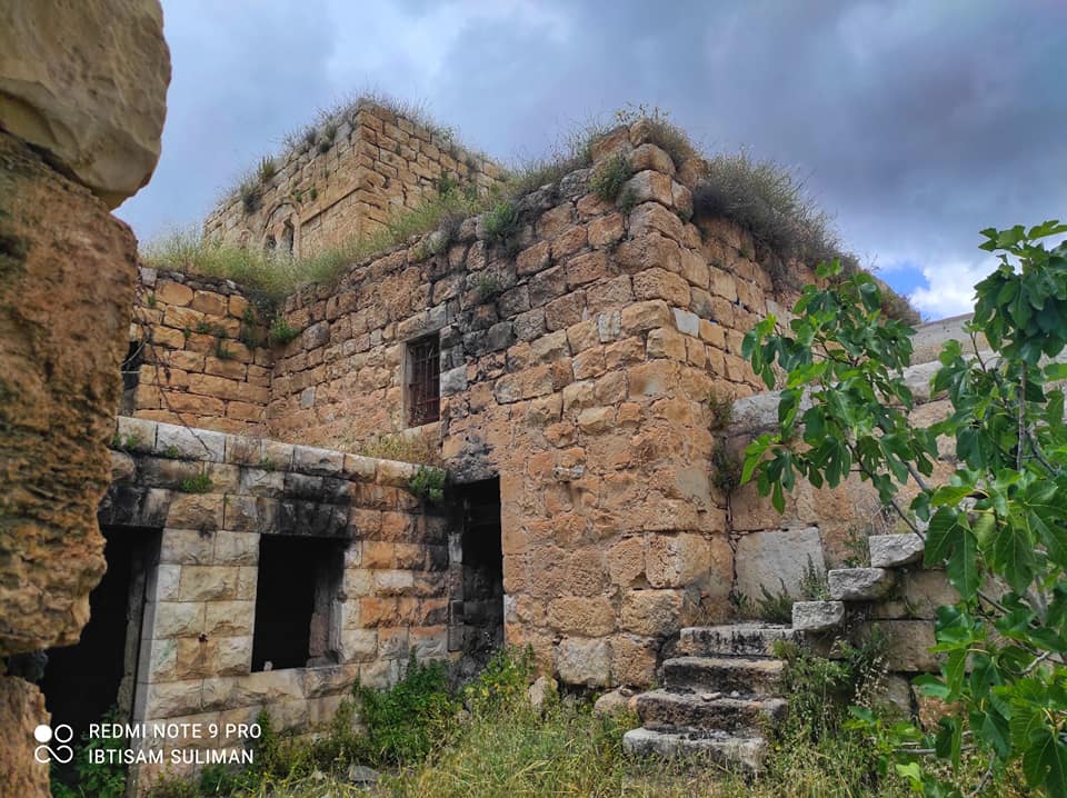
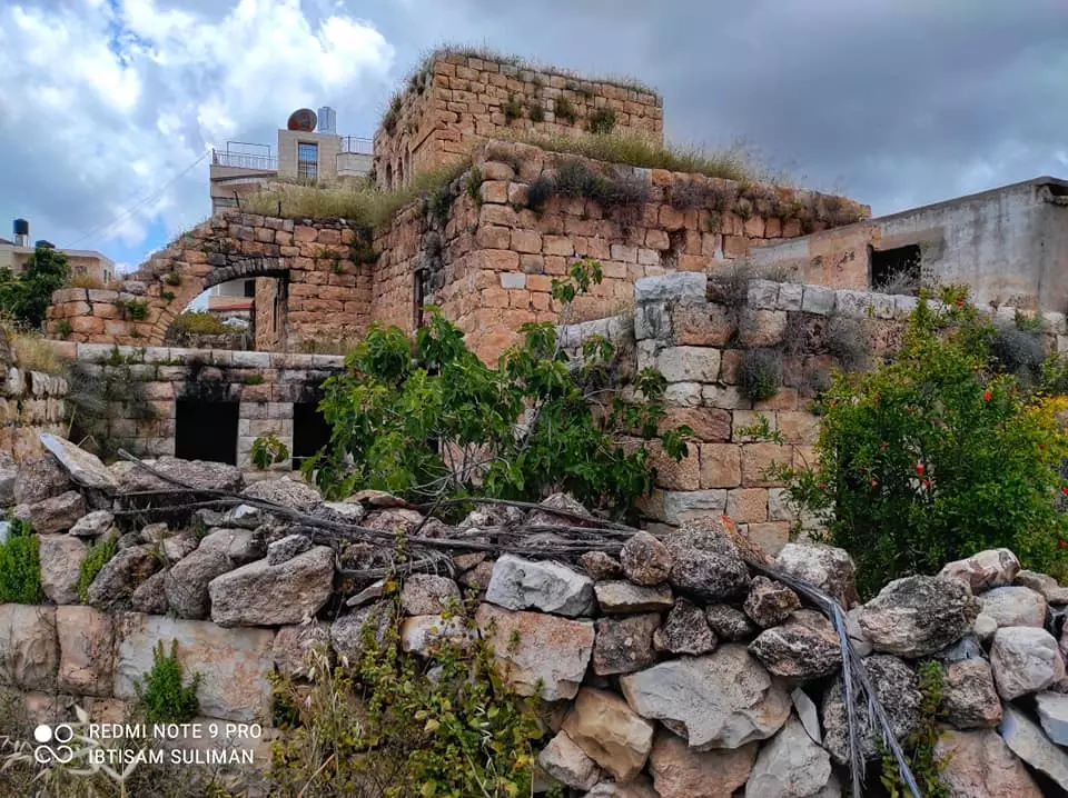
- جولة بين بيوت القرية القديمة -- Ibtisam Sulieman

- جولة بين بيوت القرية القديمة -- Ibtisam Sulieman #2

- جولة بين بيوت القرية القديمة -- Ibtisam Sulieman #3

- جولة بين بيوت القرية القديمة -- Ibtisam Sulieman #4

- جولة بين بيوت القرية القديمة -- Ibtisam Sulieman #5

- جولة بين بيوت القرية القديمة -- Ibtisam Sulieman #6
- جولة بين بيوت القرية القديمة -- Ibtisam Sulieman #7
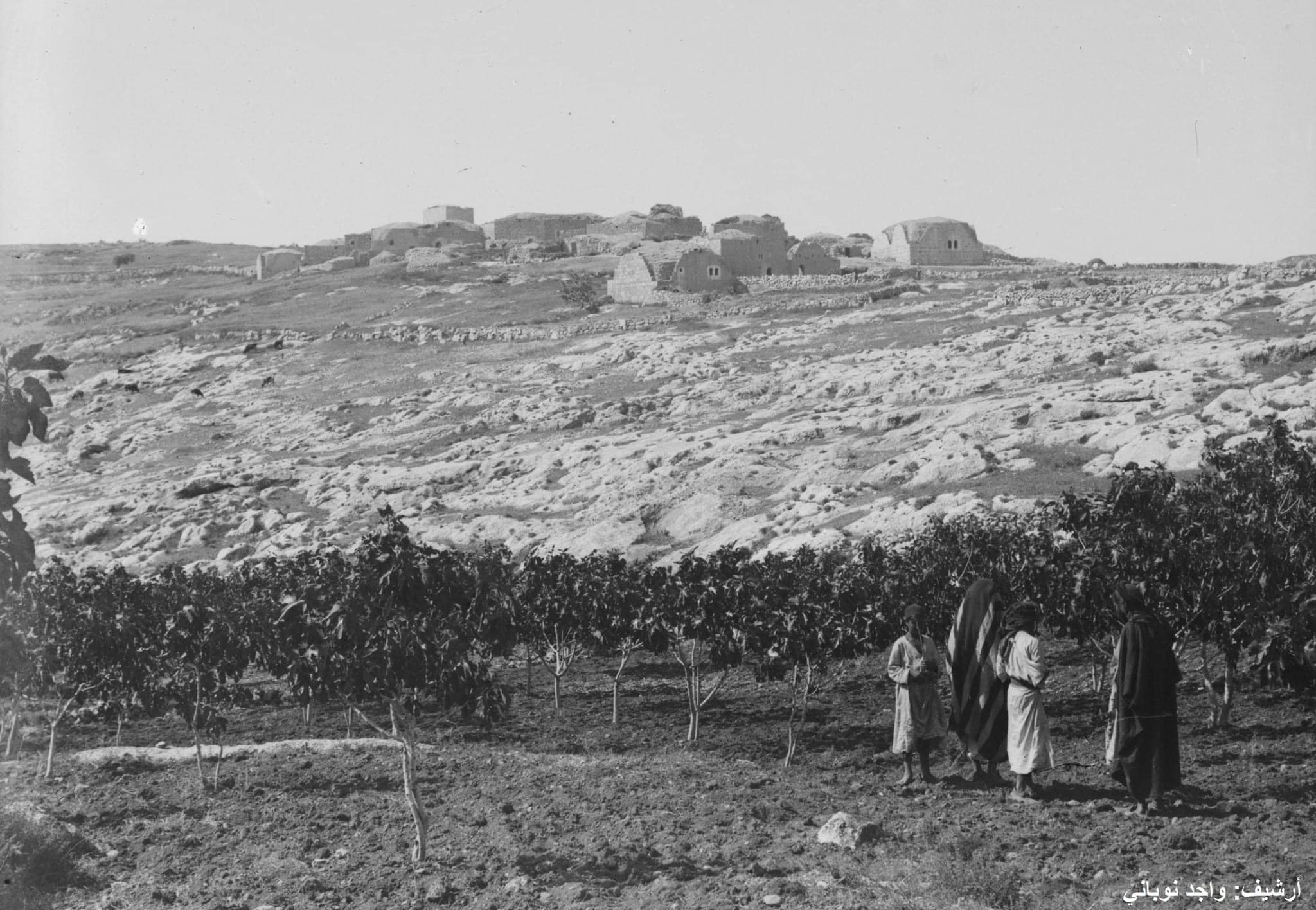
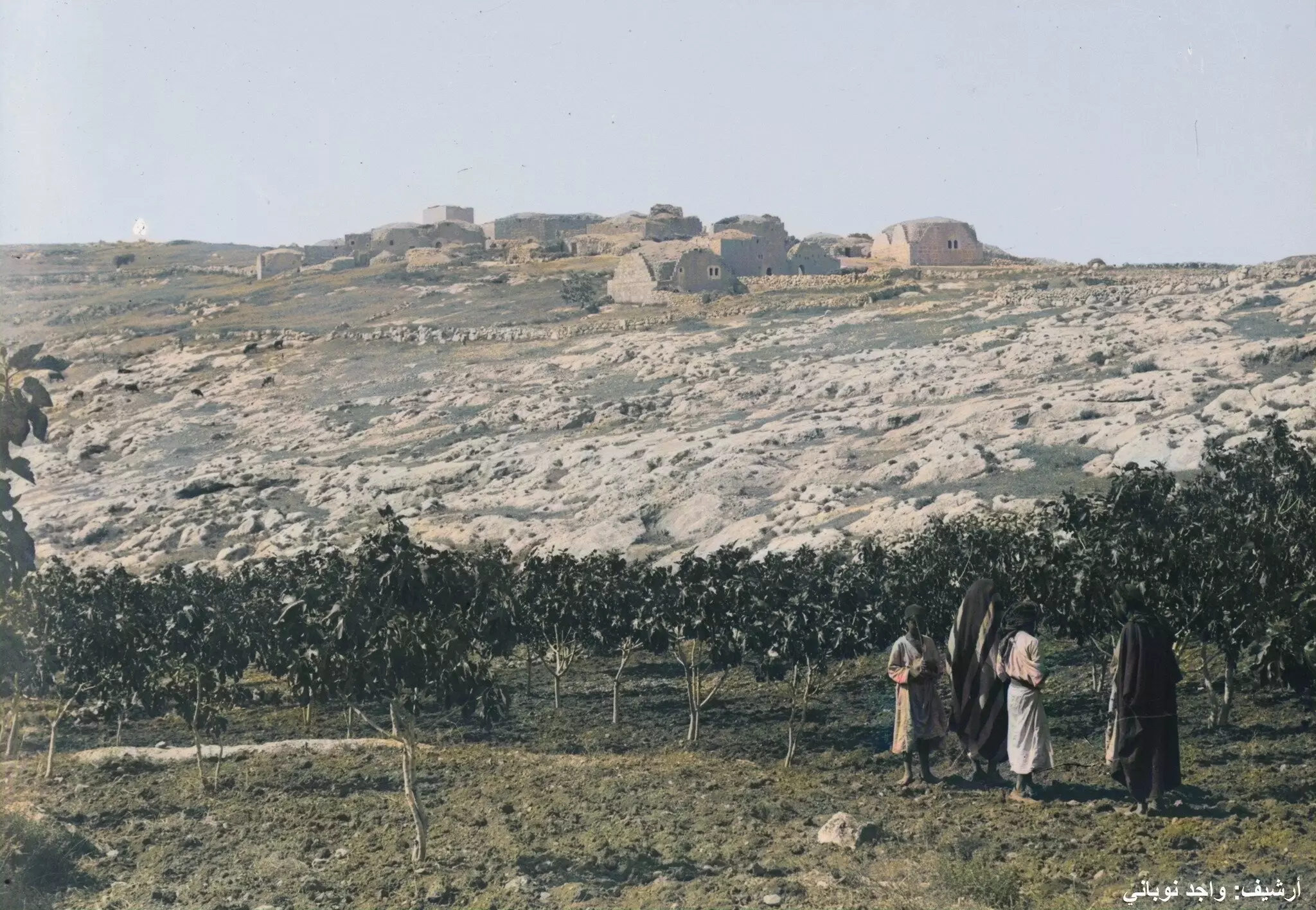
- قرية مخماس قبل 125 سنة
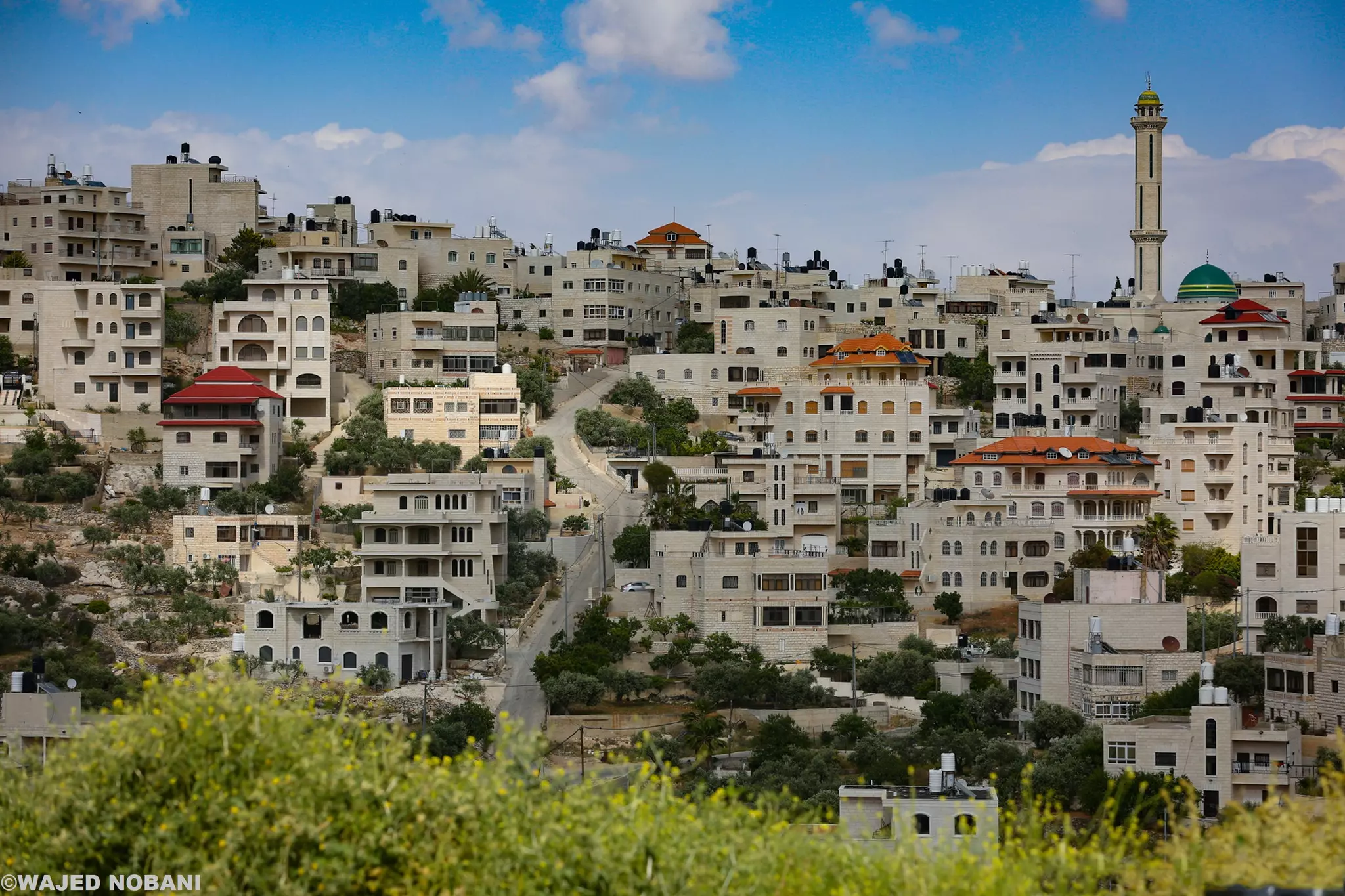
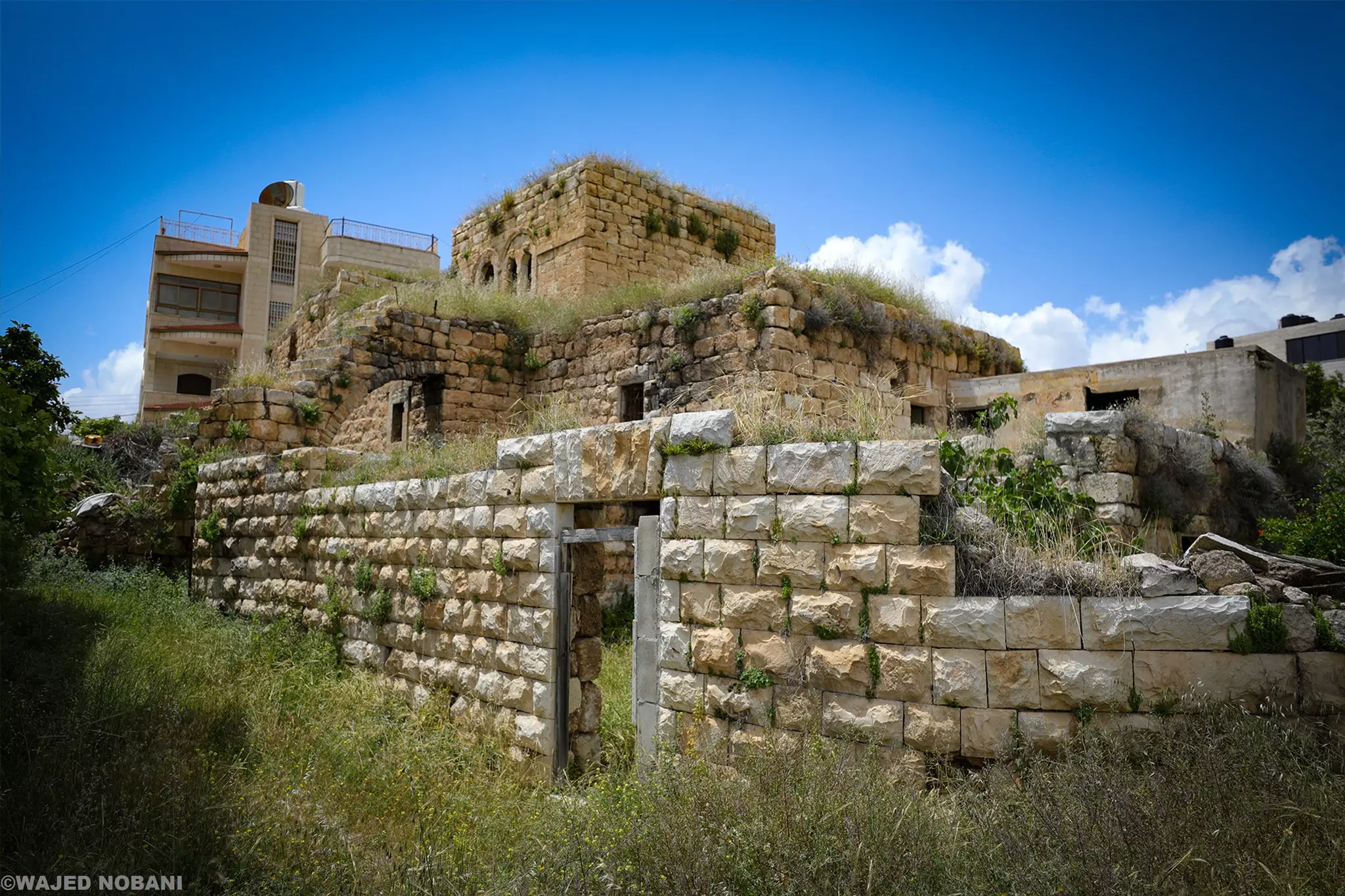
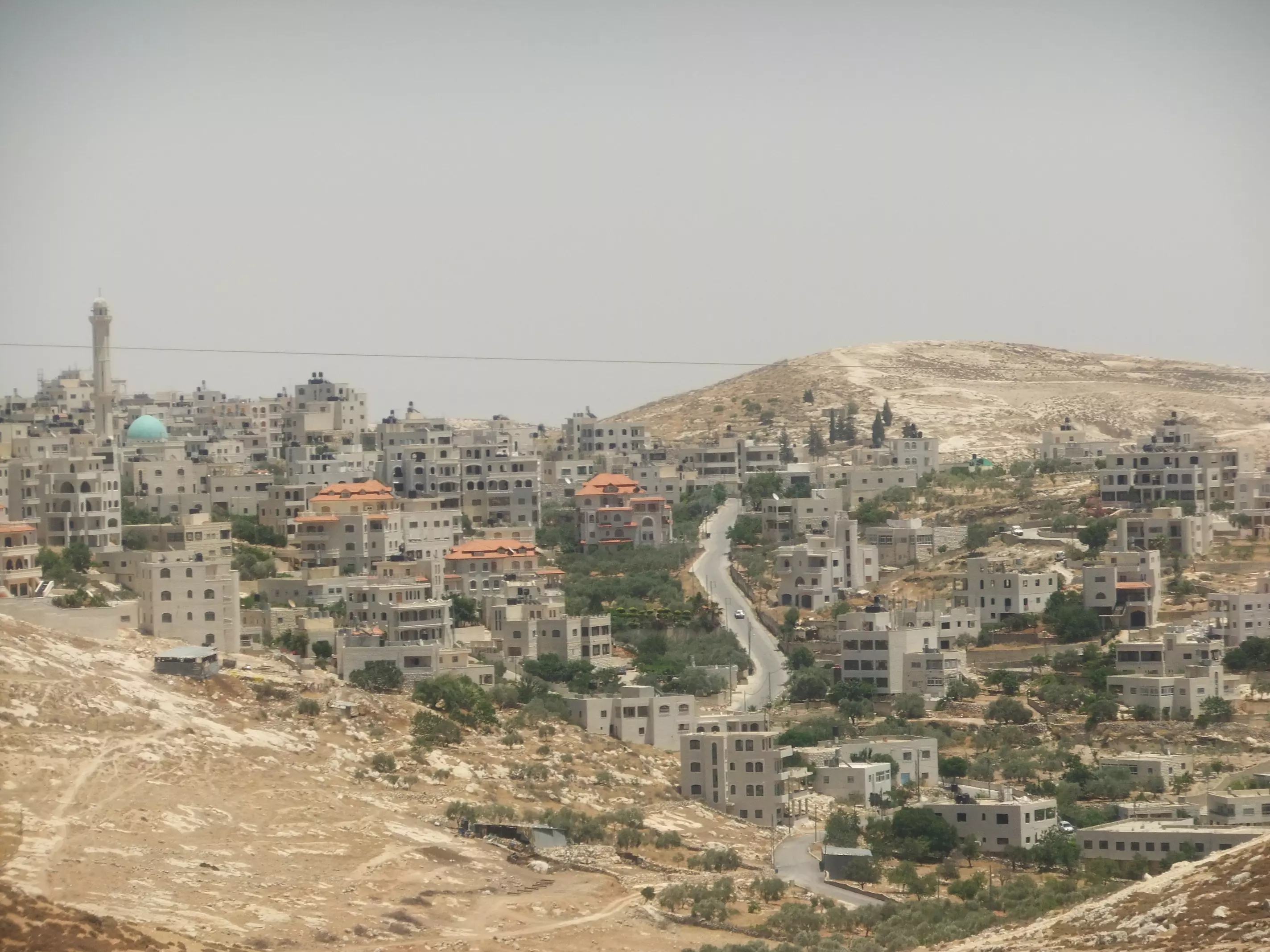
- جولة بين مباني مخماس الحديثة والقديمة -- واجد النوباني
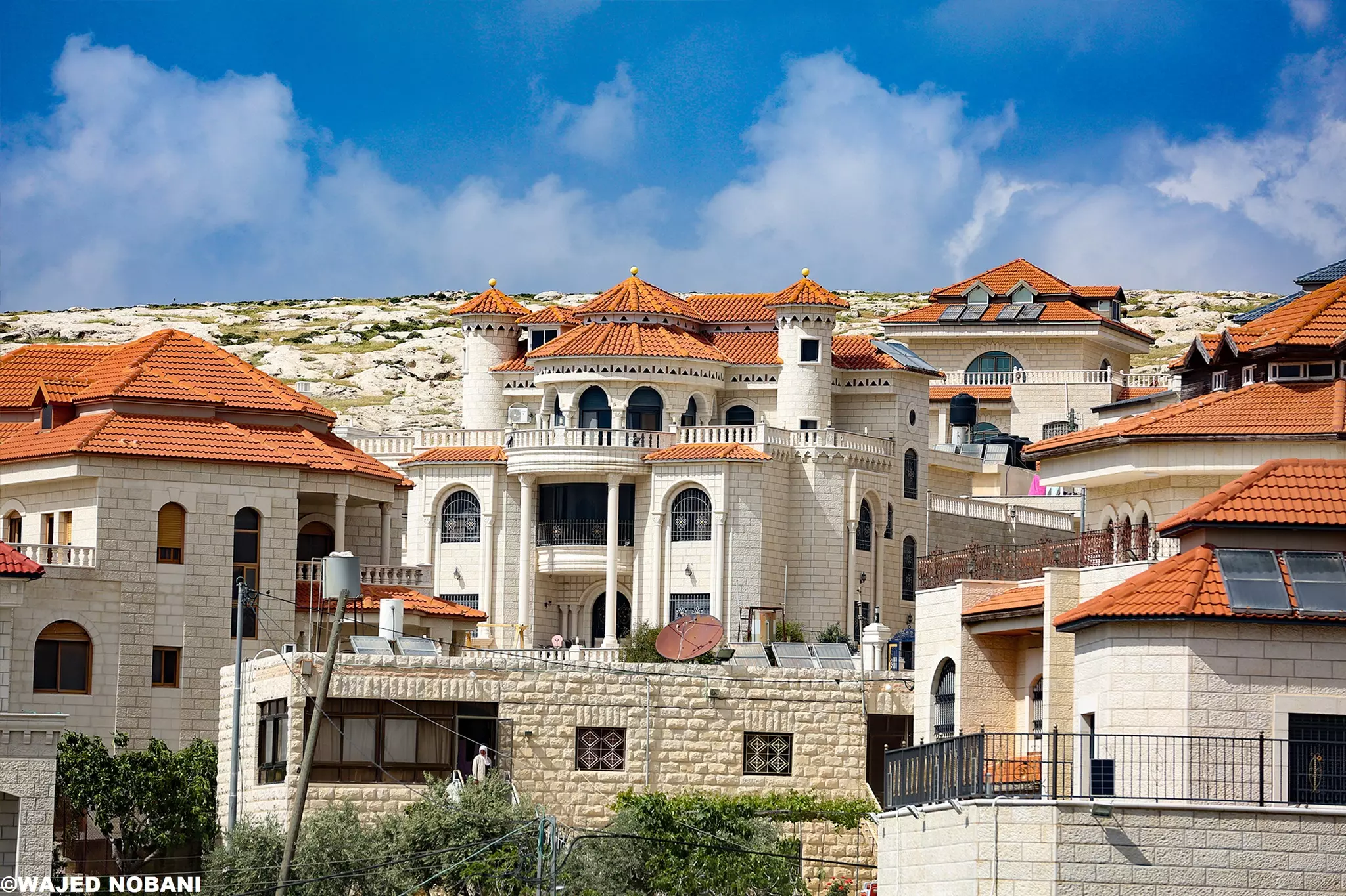
- جولة بين مباني مخماس الحديثة والقديمة -- واجد النوباني #2
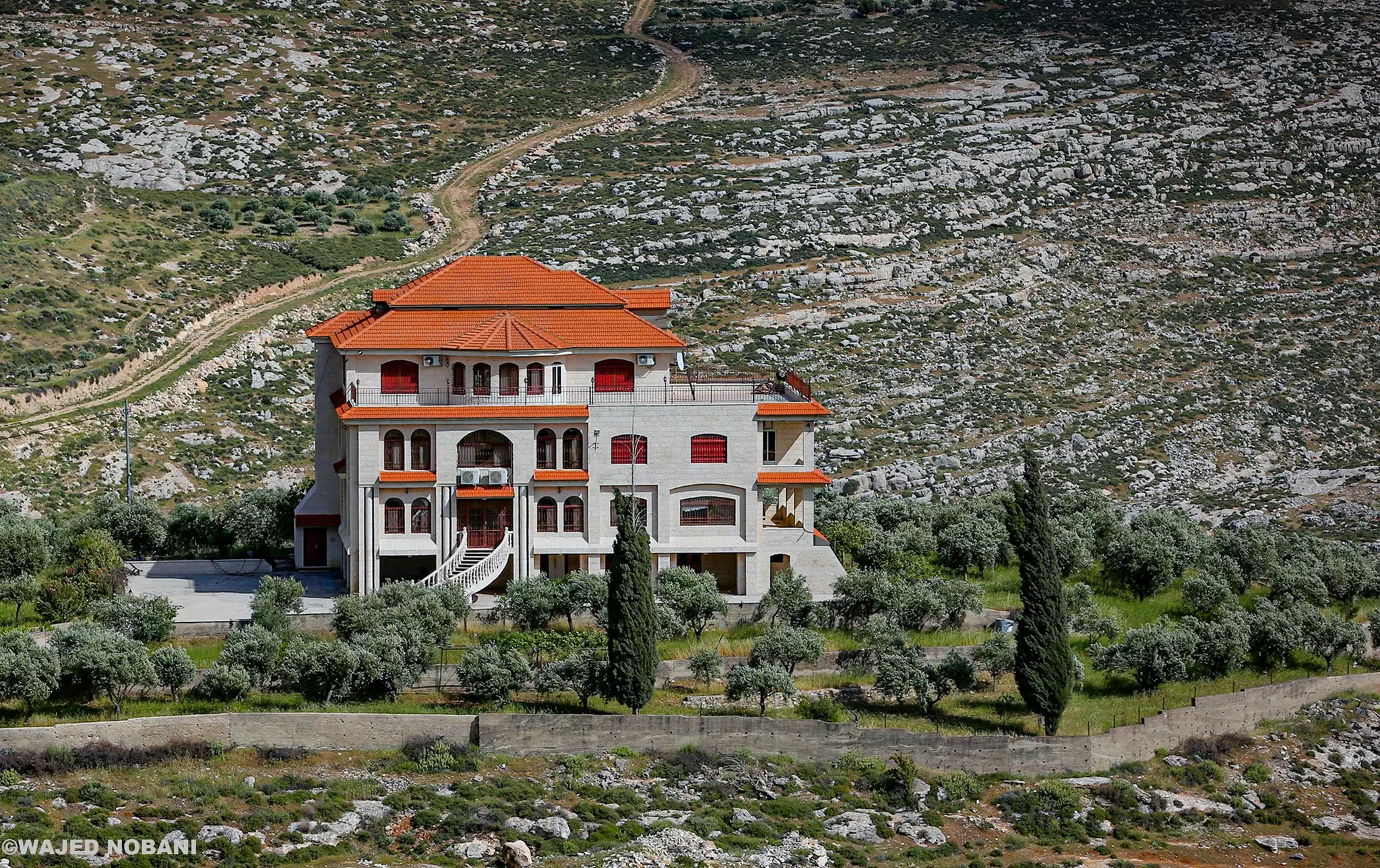
- جولة بين مباني مخماس الحديثة والقديمة -- واجد النوباني #3
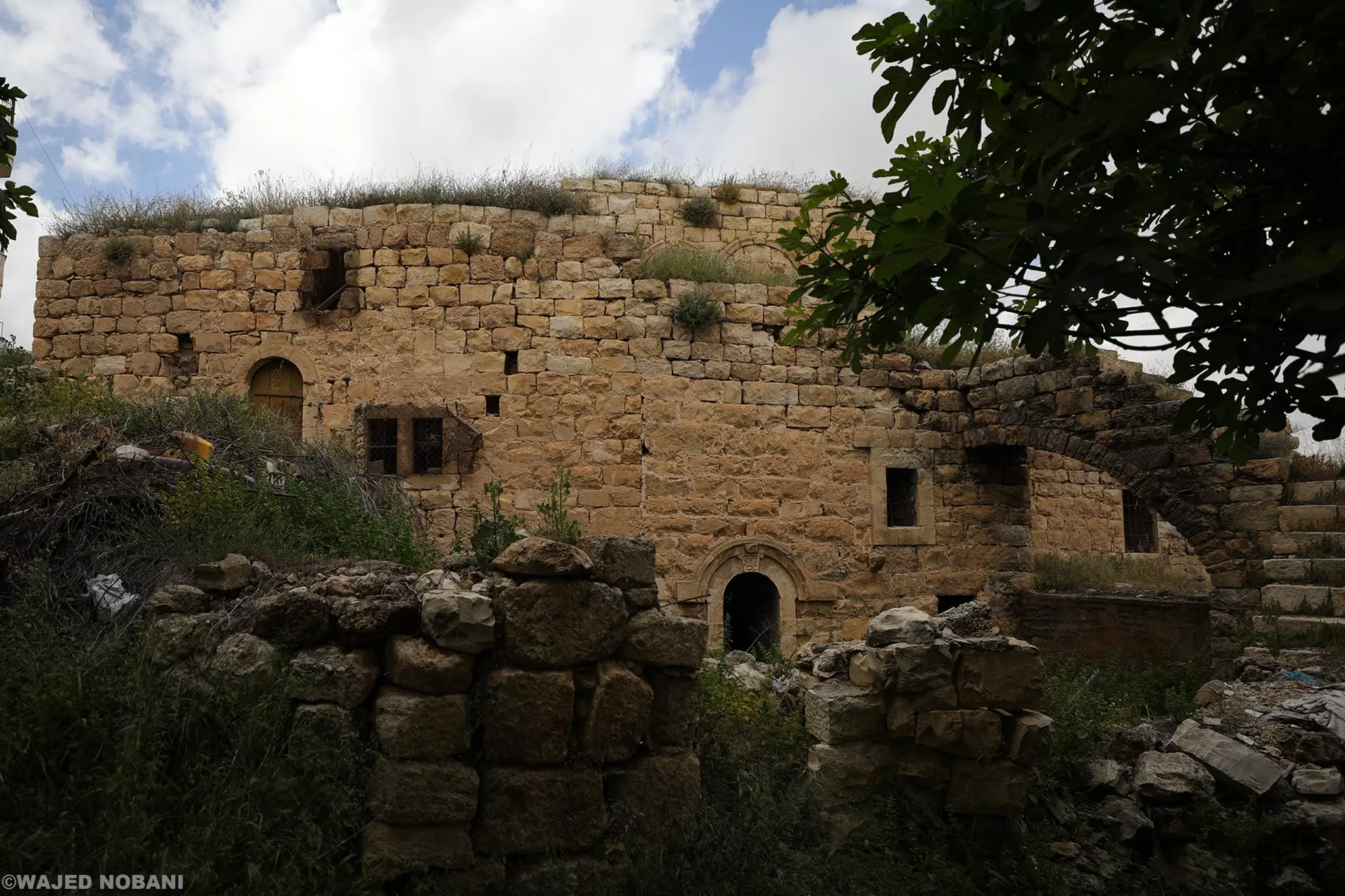
- جولة بين مباني مخماس الحديثة والقديمة -- واجد النوباني #4
- جولة بين مباني مخماس الحديثة والقديمة -- واجد النوباني #5
- جولة بين مباني مخماس الحديثة والقديمة -- واجد النوباني #6
- جولة بين مباني مخماس الحديثة والقديمة -- واجد النوباني #7
- جولة بين مباني مخماس الحديثة والقديمة -- واجد النوباني #8
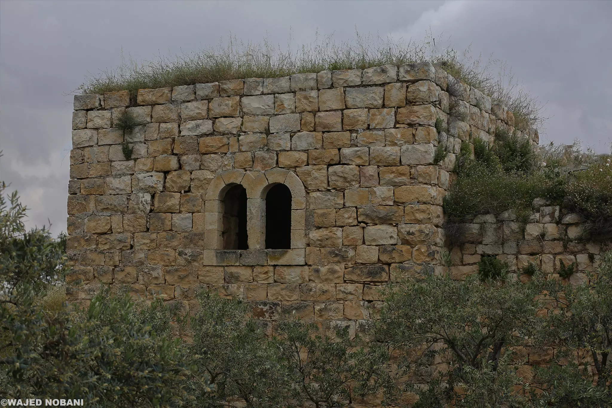
- جولة بين مباني مخماس الحديثة والقديمة -- واجد النوباني #9
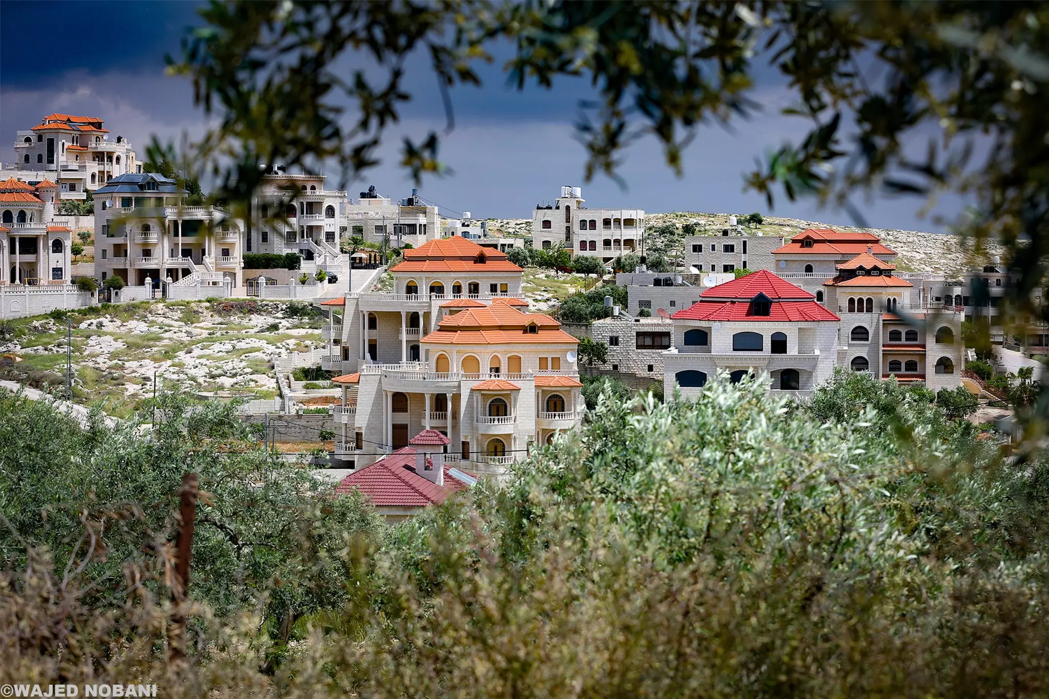
- جولة بين مباني مخماس الحديثة والقديمة -- واجد النوباني #10
- جولة بين مباني مخماس الحديثة والقديمة -- واجد النوباني #11
- جولة بين مباني مخماس الحديثة والقديمة -- واجد النوباني #12
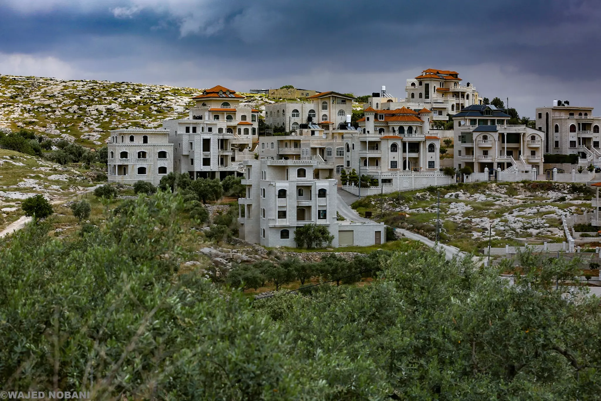
- جولة بين مباني مخماس الحديثة والقديمة -- واجد النوباني #13
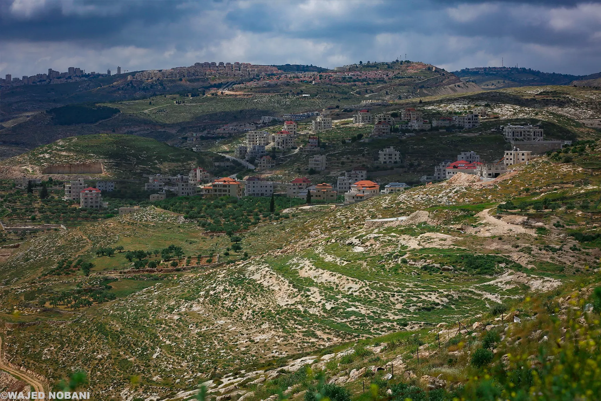
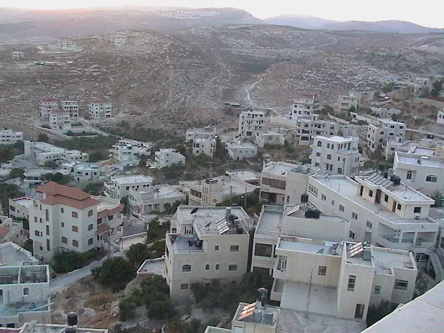
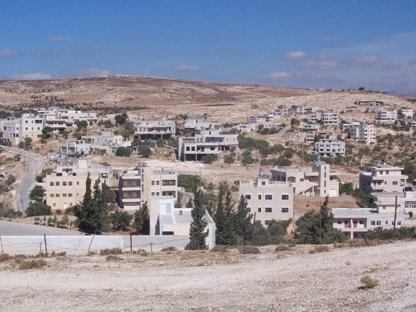
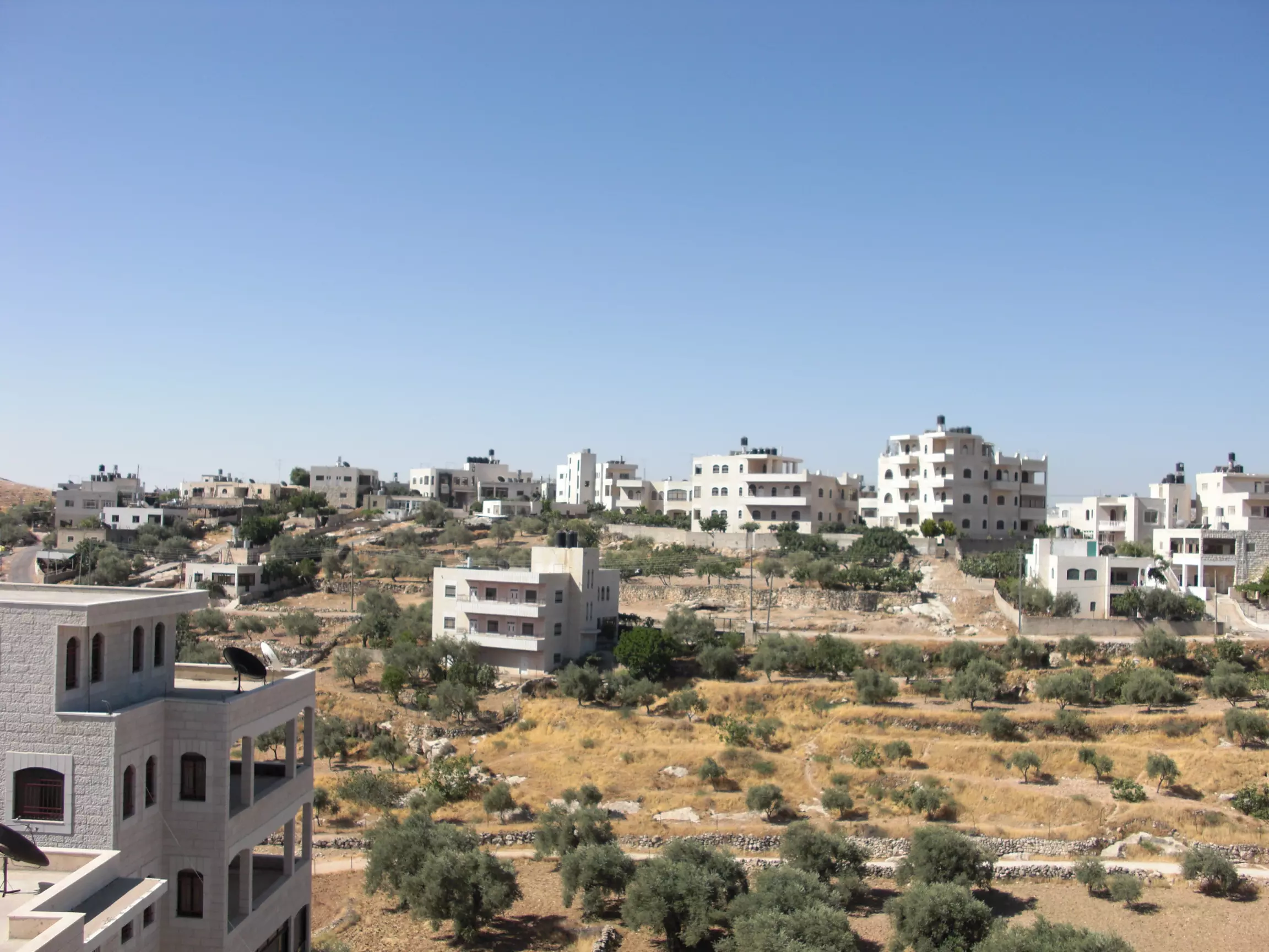
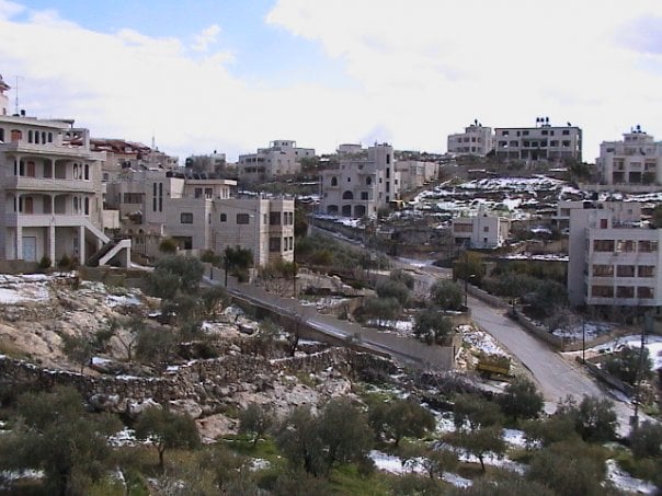
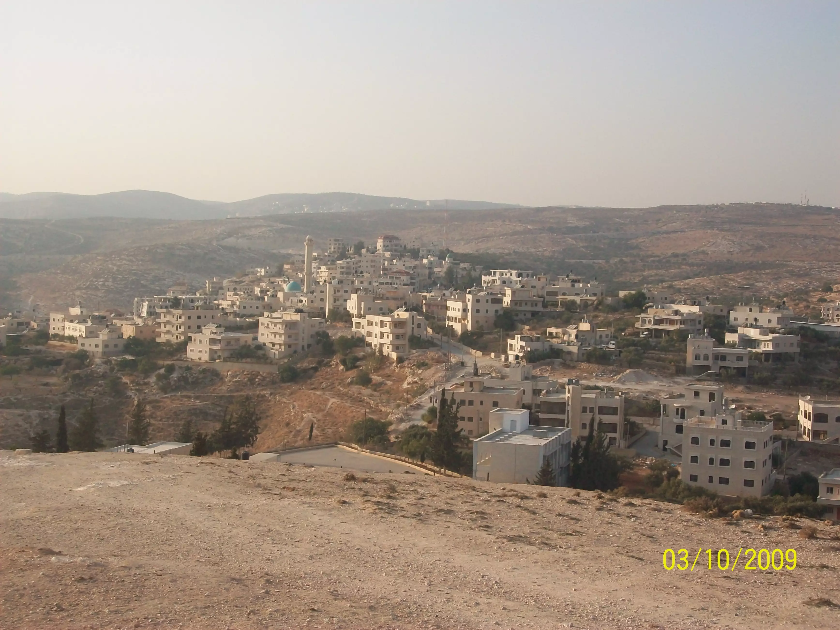
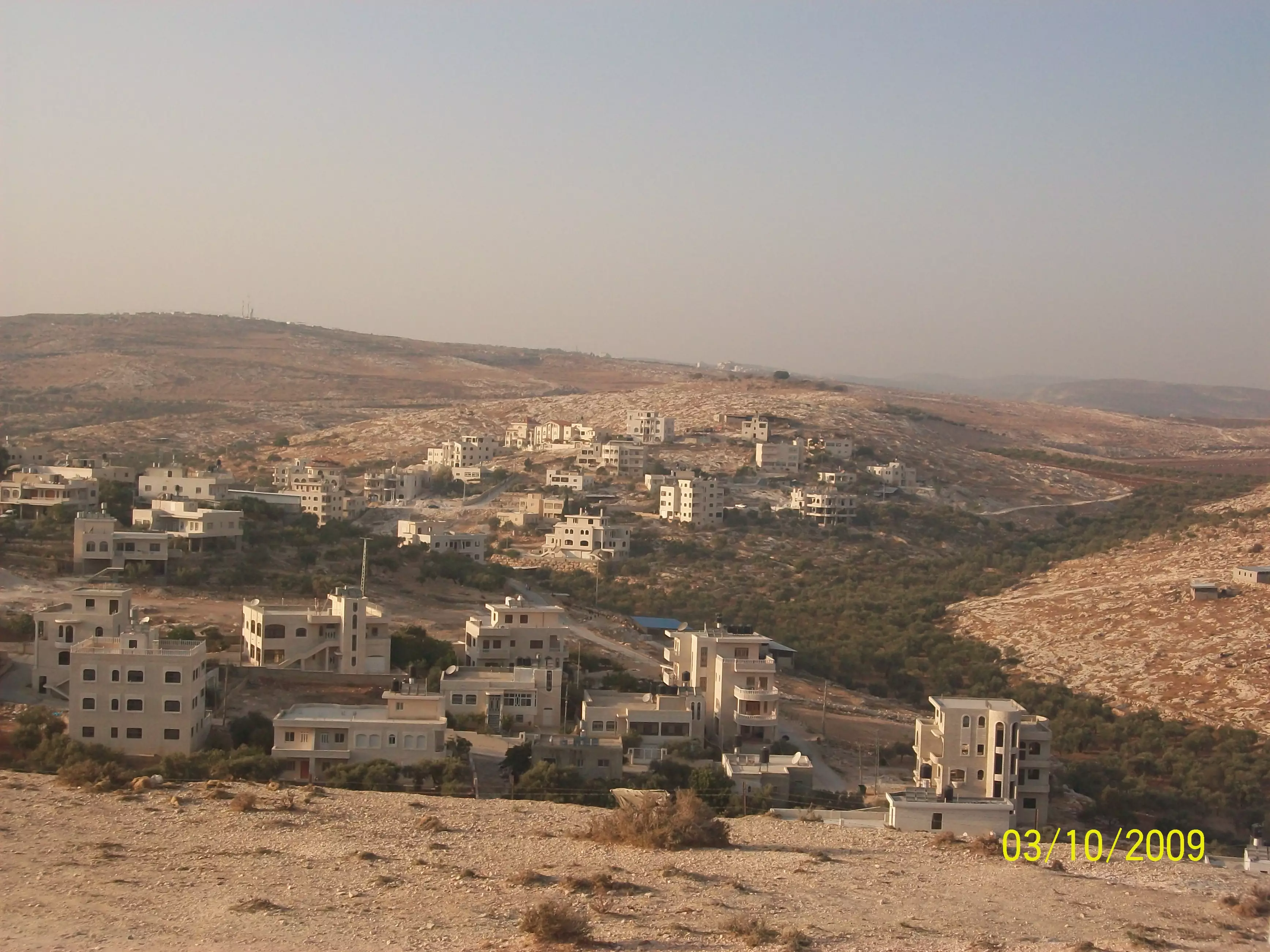
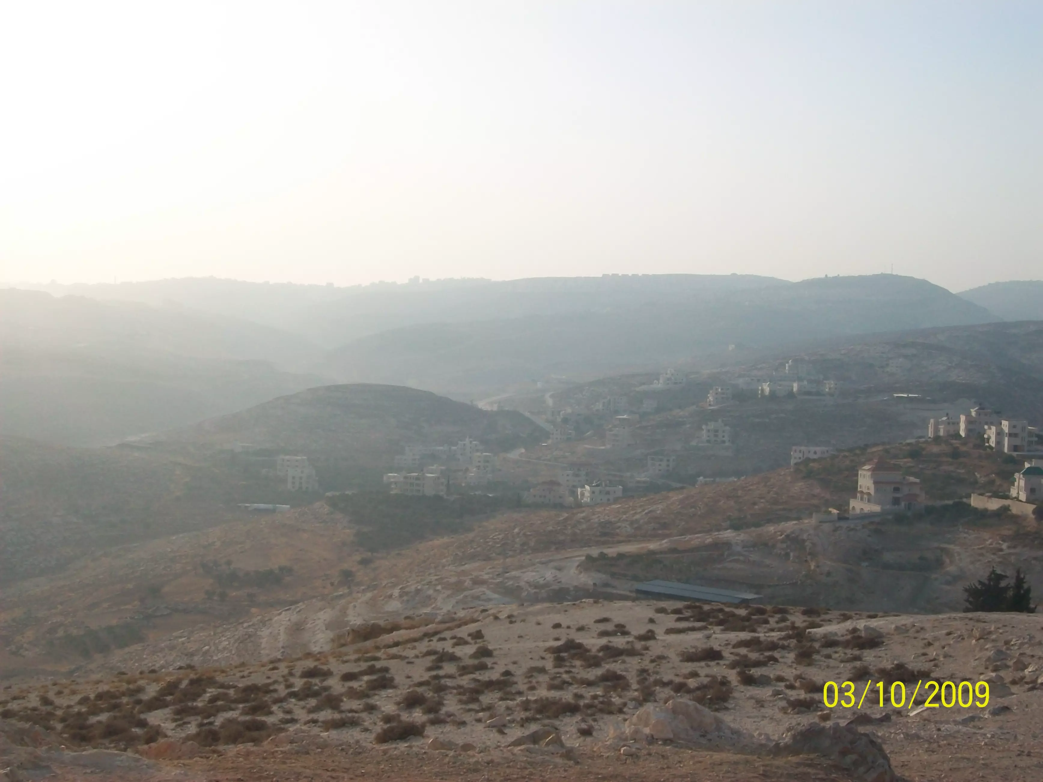
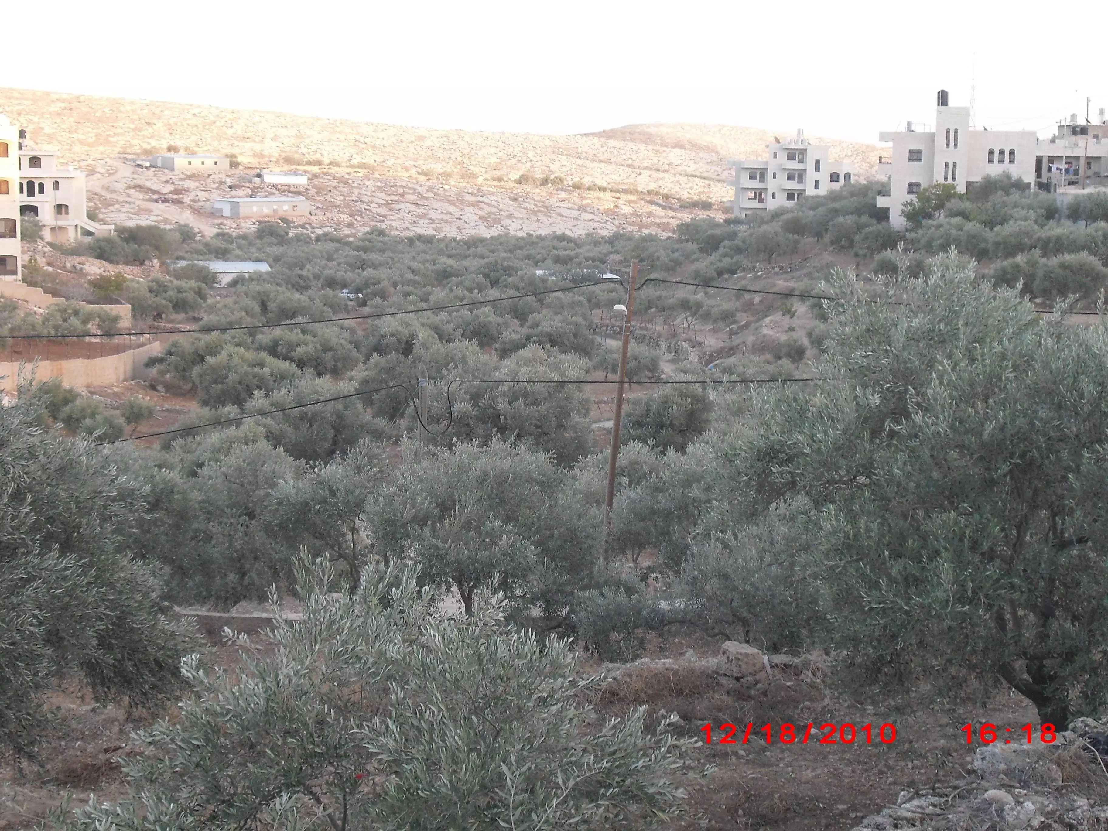
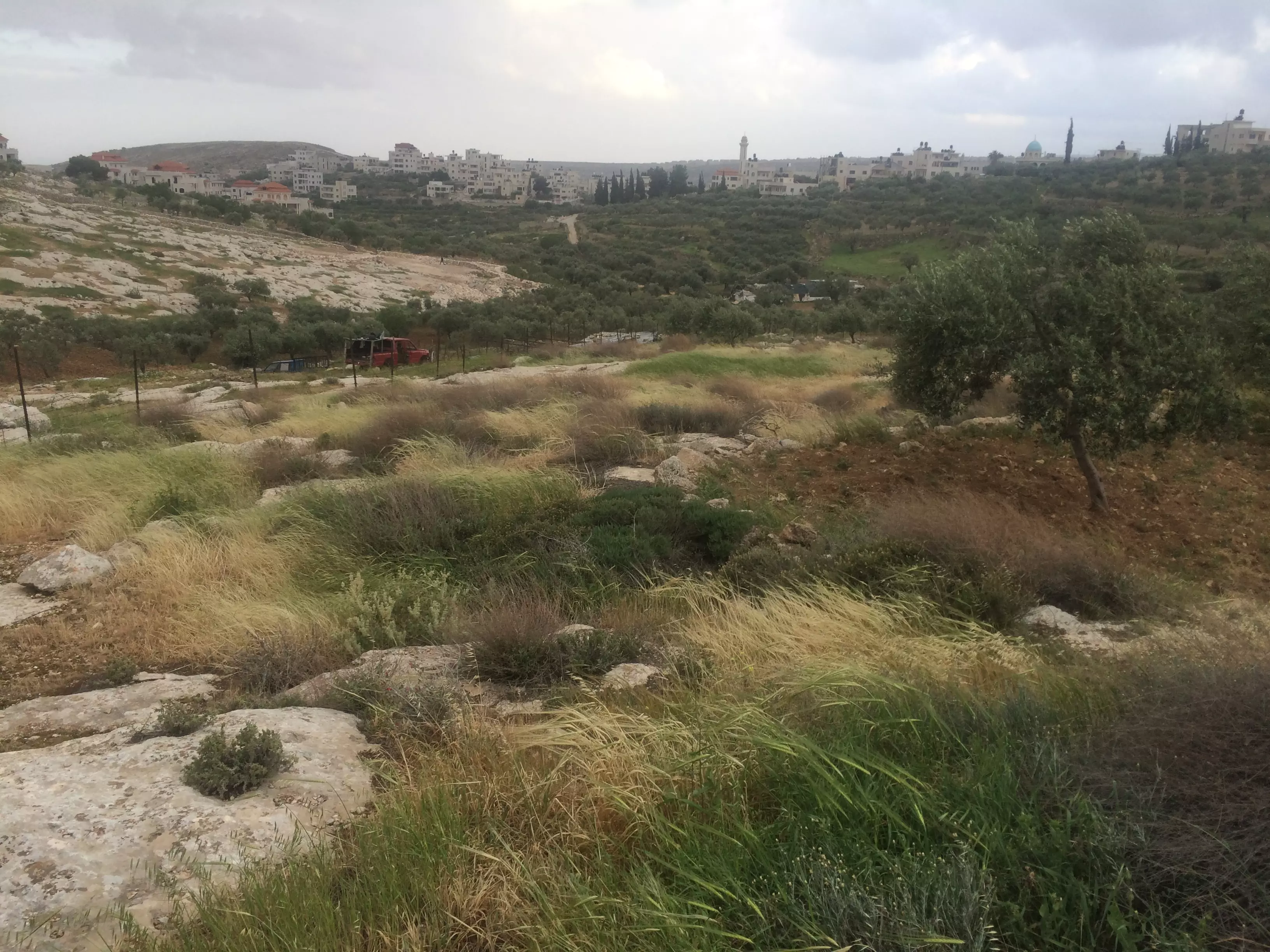
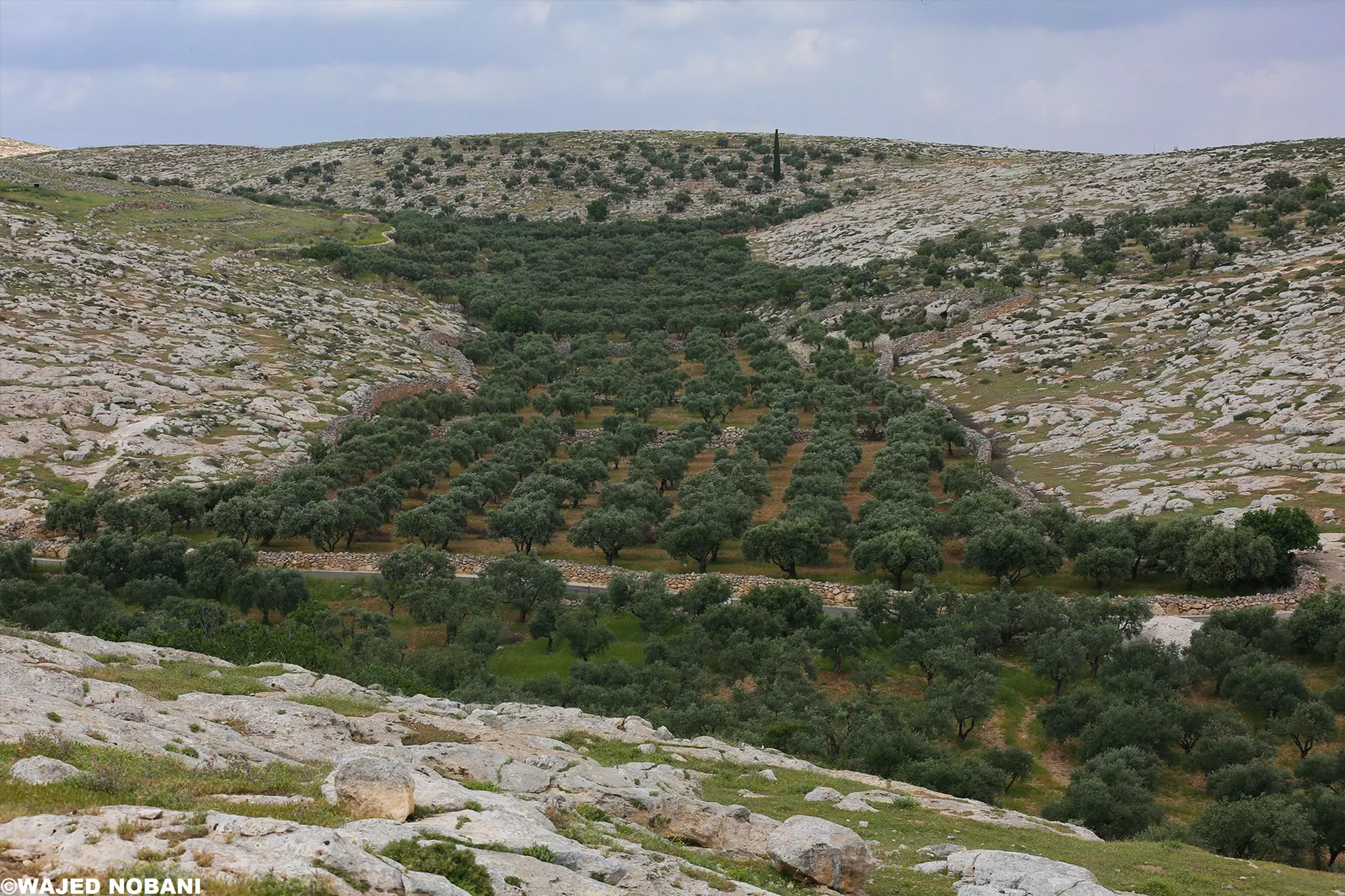
- منظر عام رائع للقرية
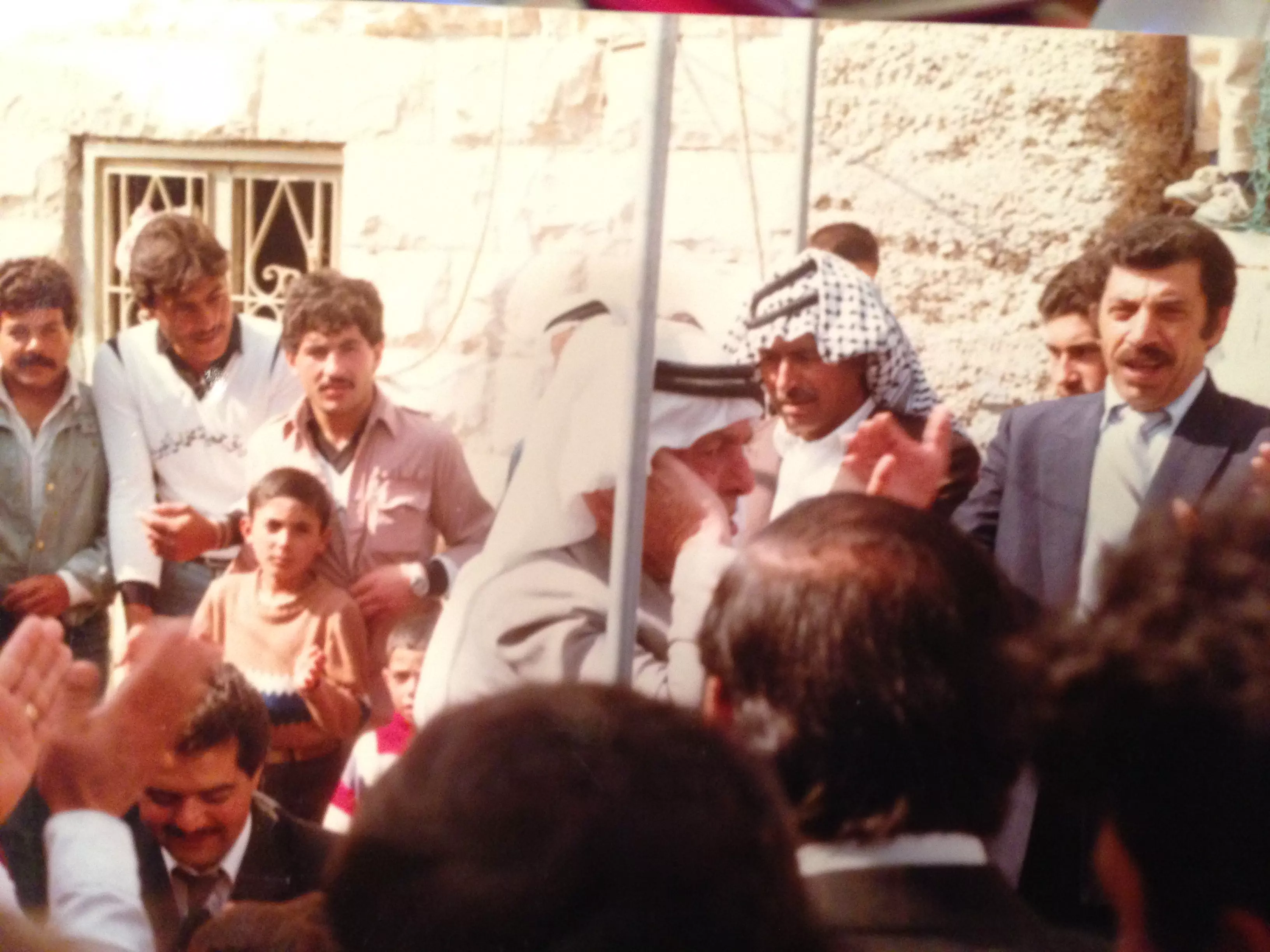
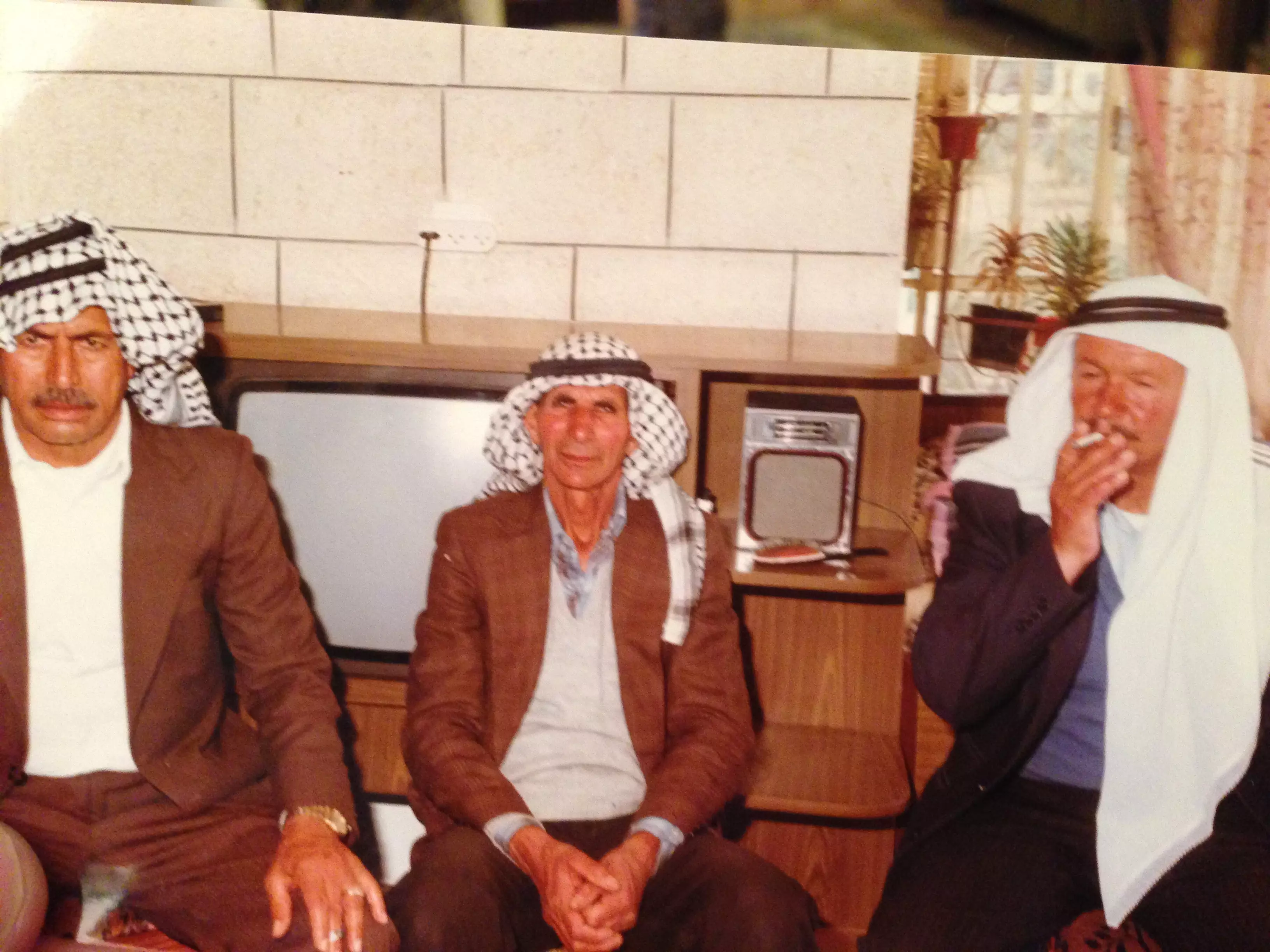
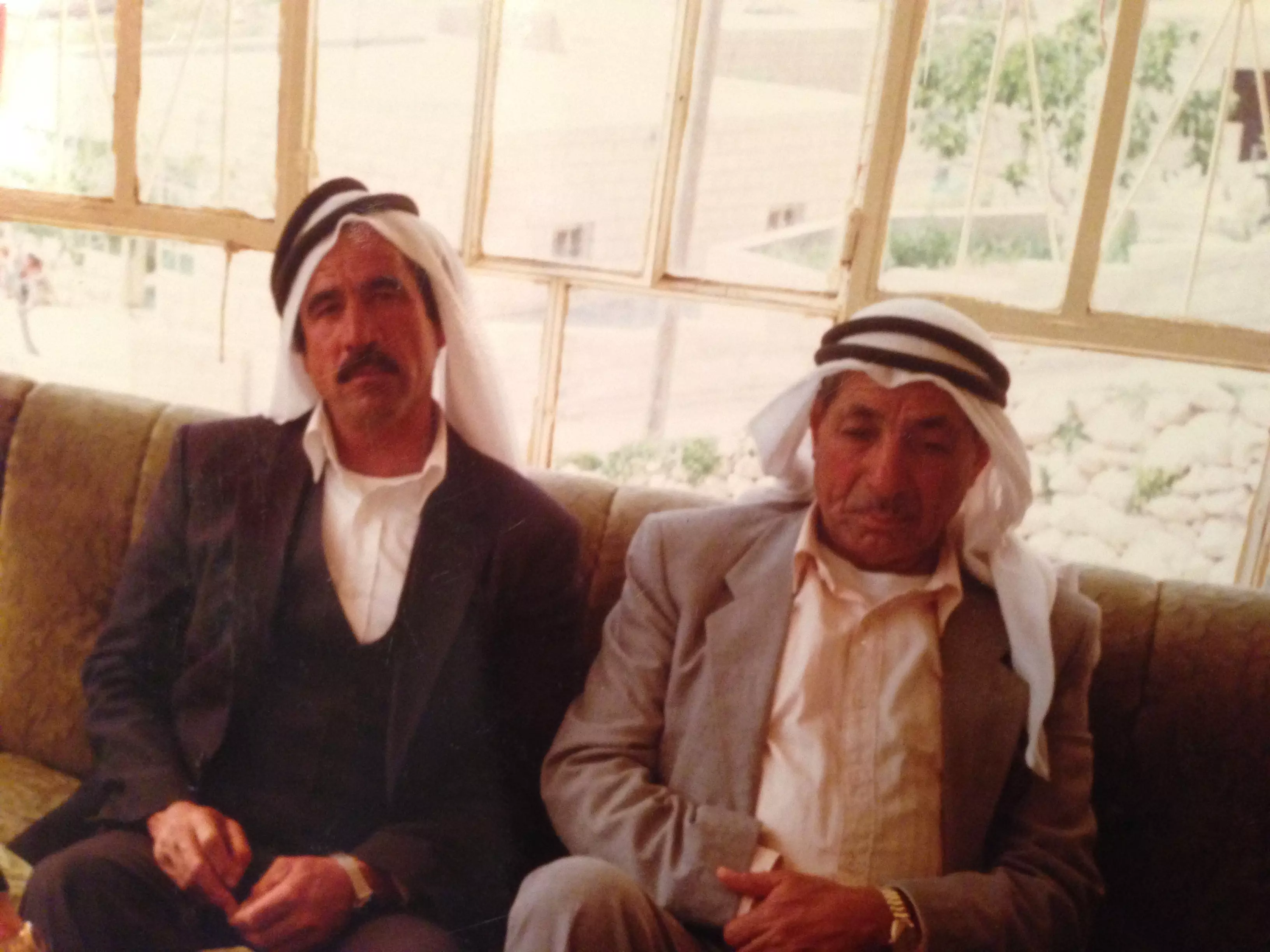
Want to browse more? 80,000 pictures were grouped in these gallaries:
| Display Name | Clan/Hamolah | Country of Residence |
| ابوجهاد | - | - |
| hamza abu ali | ابو علي | رام الله, مخماس |
| nidal | farhood | managua, managua |
| عاطف الحميدي | - | - |
| احمد حمدان | حمدان | - |
- مخماس Duration: 6 min 16 sec
- الزيتون في مخماس
- mukhmas
- مرورا من مخماس الجميلة Duration: 4 min 13 sec
 Fake Valor: Why Did Zionist Jews Hoist Nazis Flag on Their Ships in the 1930s?
What is new?
-
Facts About Oct. 7th Gaza Raid
-
Remined Us Please:: Who Did Rape Who? Palestinians Raped Israelis? Or, was the other way around?
-
When Prof. Edward Said was invited to debate Bibi Netanyahu in the 1980s, watch what happened!
-
Abusing Blood Libel!
-
Zionist FAQ: Isn't it true that Palestinians don't want peace? Palestinians never accepted the two-state solution
- Facts about Haavara (Transfer) Agreement between Ben-Gurion & Hitler
-
Haavara FAQs: Why Did Zionist Jews Hoist Nazis' Flags on Their Ships in the 1930s?
-
Dear ChatGPT: Why did the Jewish Agency suppress news of the Holocaust during WWII?
-
Video Playlist: Jews share their DNA tests to end the conflict for good.
-
A Tale of Two Conflicts: Examining the Definition of Genocide
-
Prof. Abraham Polak And The Suppressed History of the Khazars and European Jewry
-
How Ronald Reagan would have framed the genocide in Gaza if he were still alive?
-
Haavara FAQs: Let us do the math: how many German Jews did The Haavara Agreement save?
-
Zionist FAQs: The Hebron Massacre of 1929, "clearly proves" that Palestinians are antisemitic, how could you deny it?
-
Zionist FAQs: Why Anti-Zionist Is Not Antisemitism?
-
Zionist FAQs: Isn't it true that the KGB create Palestinian Nationalism in the early 1960s?
- Zionist FAQs: Muslims are killing Muslims all the time; why are Israeli Jews being singled out in the media?
- Zionist FAQs: How is Israel an apartheid state when 20% of its citizens are Arabs who enjoy full rights?
-
Haavara FAQs: Analysis of Herzl's Uganda Scheme and how it could have saved millions of Jews.
-
Haavara FAQs: Why did Hayim Greenberg describe American Jewry as "morally bankrupt" in early 1943?
-
Haavara FAQs: What if the Evian Conference was a resounding success? What would have been the impact of saving European Jewry on Zionism?
- Haavara FAQs: What if the six million were saved, how that would have impacted the Zionist project?
-
Haavara FAQs: How did Zionist leaders react when Europe's Jews lingered in the DP camps after WWII ended?
-
Why does the American Jewish community repeat lies that David Ben-Gurion had debunked before he died?
-
Who has the power to rename the Tatar/Khazar Gene Marker to Jewish IV?
-
Zionist FAQs: Why won't Egypt, Syria, and Jordan take their people back? Jews are indigenous to Palestine, and Arabs immigrated after Jews developed the country. Arabs should leave.
-
Haavara FAQs: Did Hitler and the Nazis conflate between Judaism and Zionist? If that wasn't case, then why?
-
Haavara FAQs: Winston Churchill and antisemitism, a collection of articles written Churchill.
-
Haavara FAQs: Broken by country, how many Jews survived vs. killed during the Holocaust?
-
Haavara FAQs: Why did European Jews vote with their feet and to immigrated to the Americas, not Palestine, after WWII?
-
Watch this American Jewish Girl describing Israeli Jews' cognitive dissonance like no other in under two minutes
-
Haavara FAQs: When the Nazis went out of their way to hide the Holocaust, Israeli Jews did the exact opposite by broadcasting their genocide of Gazans. But why?
-
Haavara FAQs: How Zionist Jews went out of their to show their appreciation to Nazism and Fascism?
- Haavara FAQs: Why Zionist leaders were against bombing the death camps & the Railroads leading to them?
-
Haavara FAQs: Hitler's message to the British and American people: If Jews are such noble citizens and you care about them, how come you're not letting them in? I will gladly ship them to you at my expense, even on luxury liners!
-
A shortlist of Zionist and Israeli false flag operations in the name Jews.
-
The Most Moral Army
- The Land of Kapos (Israel): Where the brave are boycotted and Kapos walk free.
- Why did early Zionists often named their communal enterprises "colonial"?
- Zionist Relations with Nazi Germany by Faris Glubb
-
Two NY Times advertisements by Zionists in the early 1943 that exposes Zionists' treason at the height of the calamity
- Facts Not Lies about the Palestinian-Israeli Conflict.
- Site's pictures have been categorized
- Campgain Against Lice
- A Survey of Palestine, the official source about Palestine before Nakba produced by the British Mandate; over 1200 pages.
- Satellite View & Google Earth: Over 6,000 placemarks identifying all destroyed towns, W. Bank & Gaza Strip Towns, & refugee camps.
- PalestineRemembered.com and its Nakba Oral History Project were featured on al-Jazeera Satellite TV.
- Nakba Oral History Video Podcast:
 Over 700 Oral History interviews (including 3,500+ hours of recording) can be viewed online.
 - Palestine Village Statistics Project
- Gaza Jail Break
- النسخة العربية للموقع الان متوفرة
- Videos: Documenting the destroyed villages in video: Tracing all that remains since Nakba.
- Videos: Responding to Zionist Propaganda
- Interview: The ethnic cleansing of Palestine: George Galloway interviews Israeli Historian Ilan Pappe.
- For Palestinians, memory matters. It provides a blueprint for their future By George Bisharat.
- Zionist FAQ now available in Hebrew שאלות שציונים שואלים, עכשיו בעברית
- Video: The Stephen Walt and John Mearsheimer report on the influence of the Israel Lobby on U.S. Foreign Policy
- The Palestinian-Israeli conflict for beginners
