| PalestineRemembered | About Us | Oral History | العربية | |
| Pictures | Zionist FAQs | Haavara | Maps | |
| Search |
| Camps |
| Districts |
| Acre |
| Baysan |
| Beersheba |
| Bethlehem |
| Gaza |
| Haifa |
| Hebron |
| Jaffa |
| Jericho |
| Jerusalem |
| Jinin |
| Nablus |
| Nazareth |
| Ramallah |
| al-Ramla |
| Safad |
| Tiberias |
| Tulkarm |
| Donate |
| Contact |
| Profile |
| Videos |
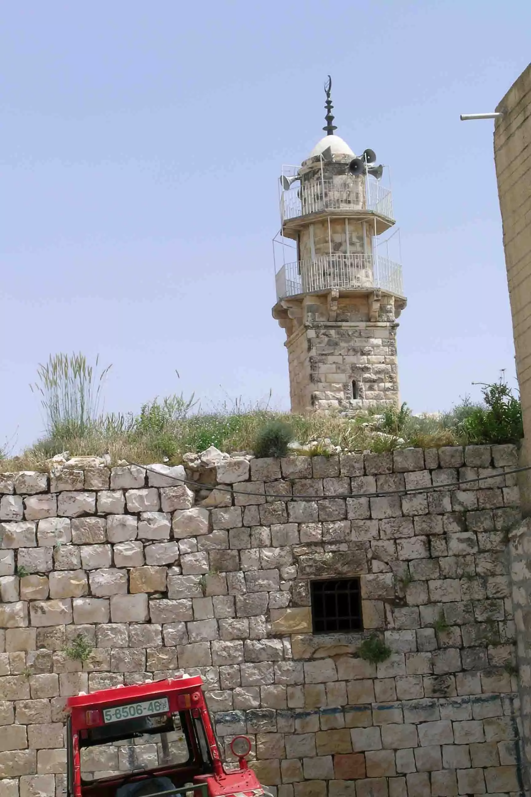
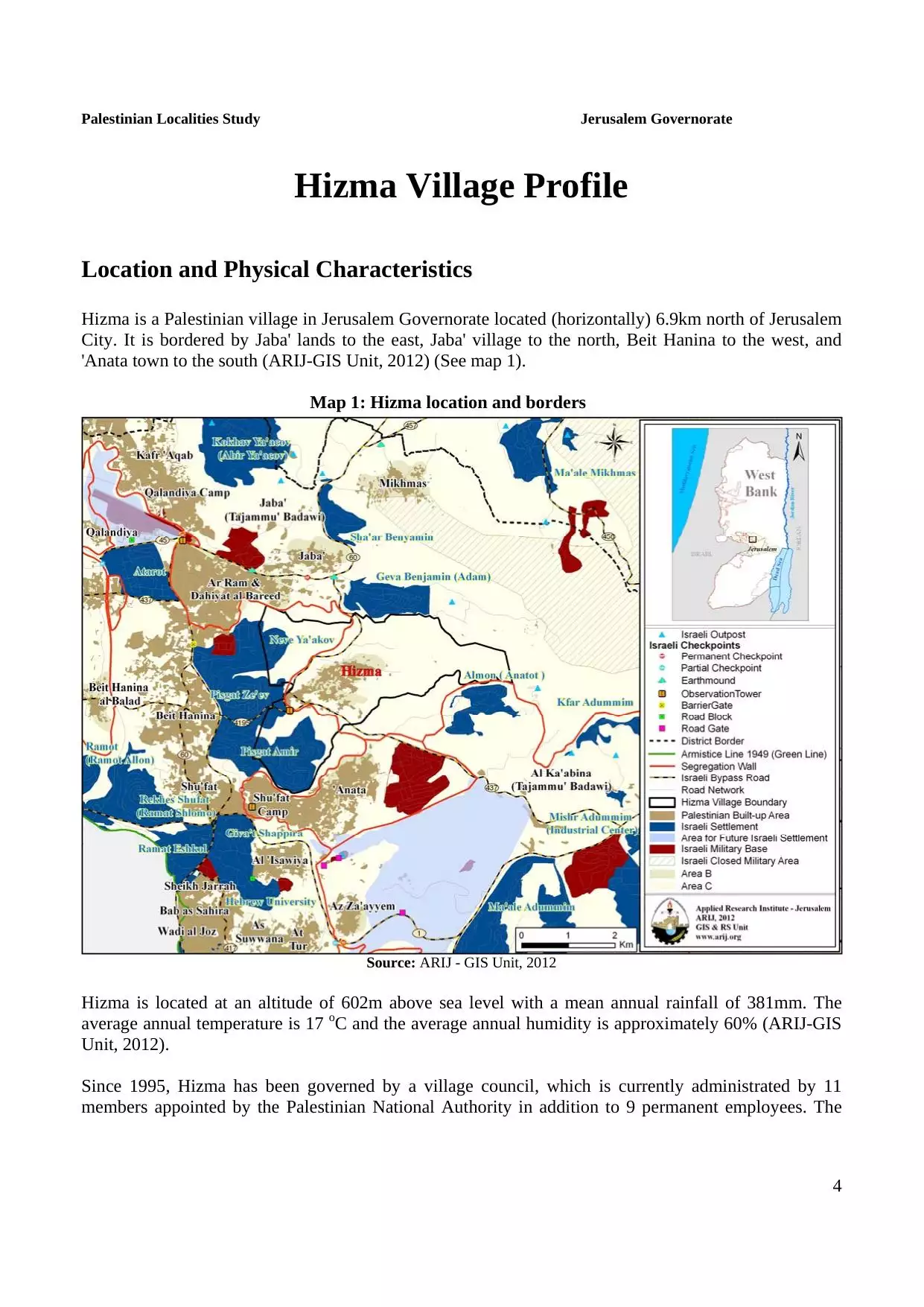
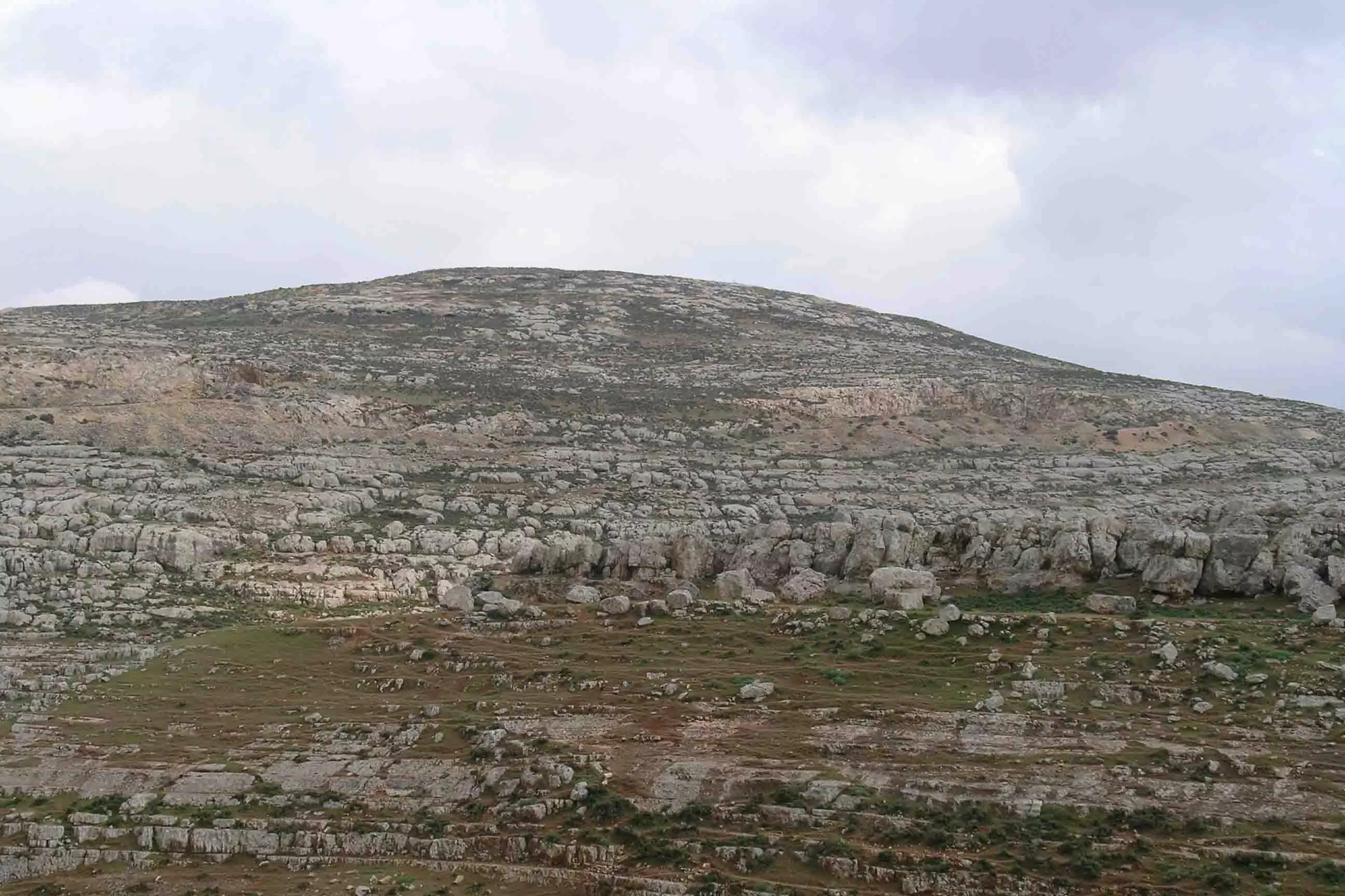
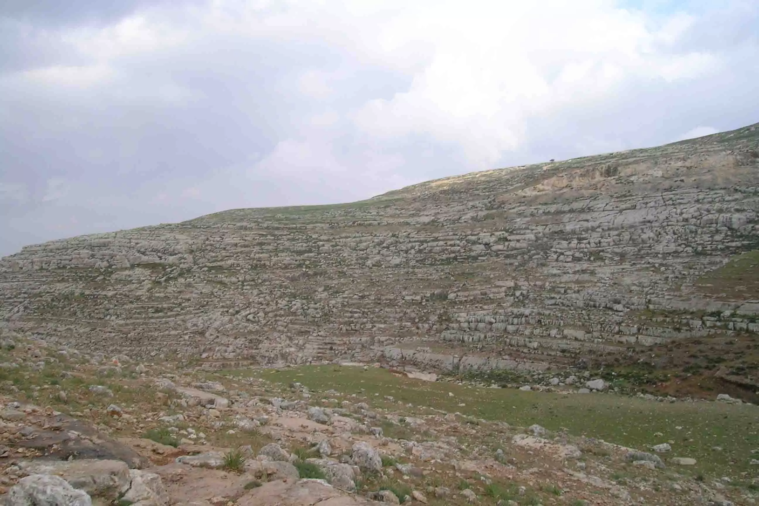
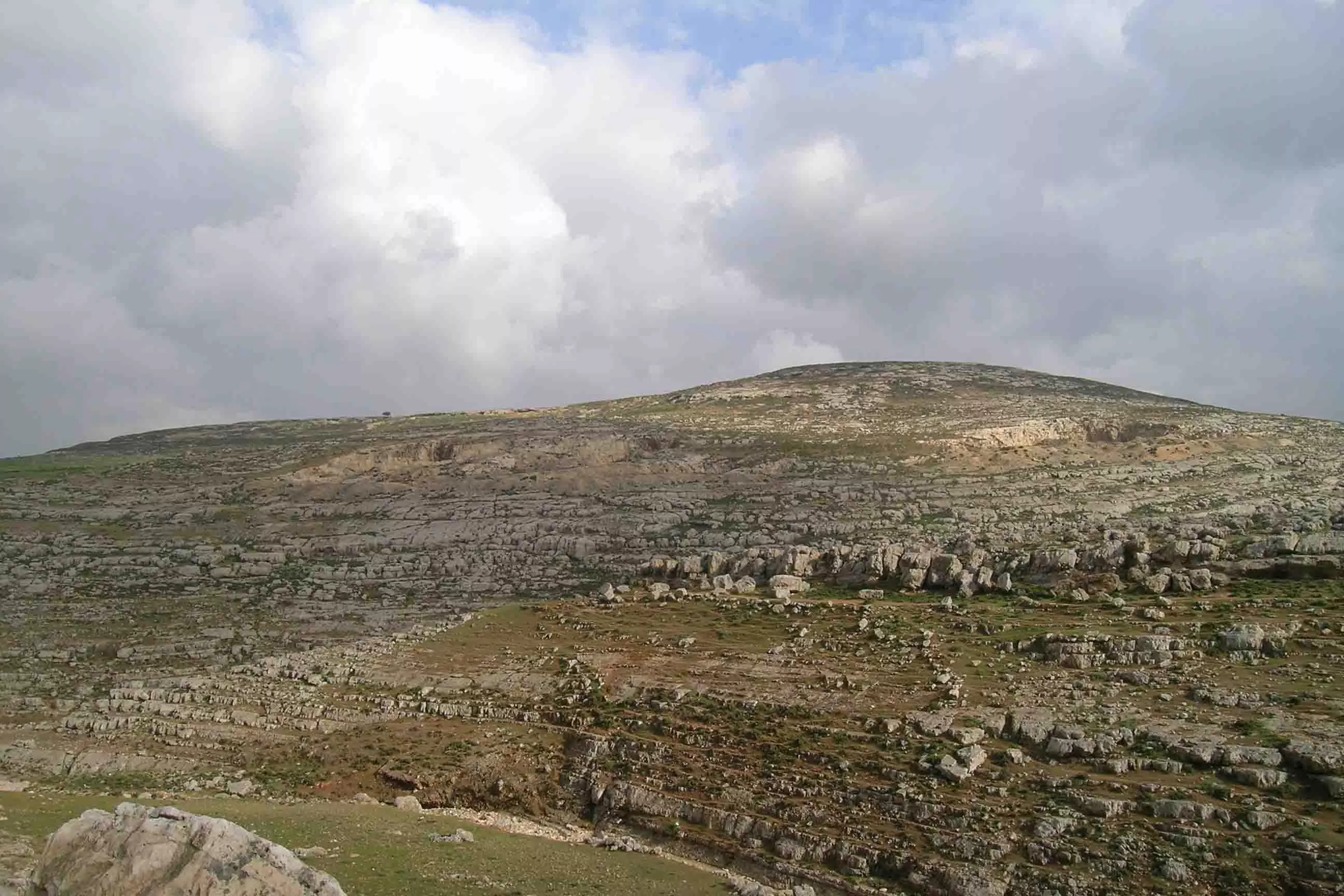
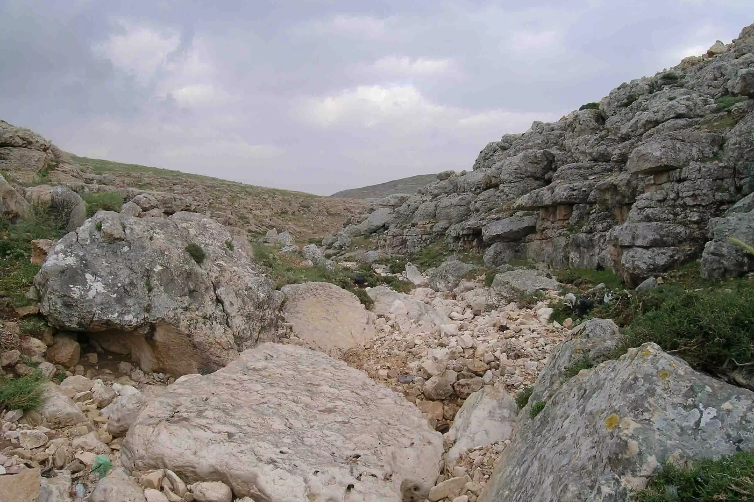
Welcome To Hizma - حزما (חיזמה)
|
District of Jerusalem
Occupied days ago |
العربية Google Earth |
 |
Gallery (66) |
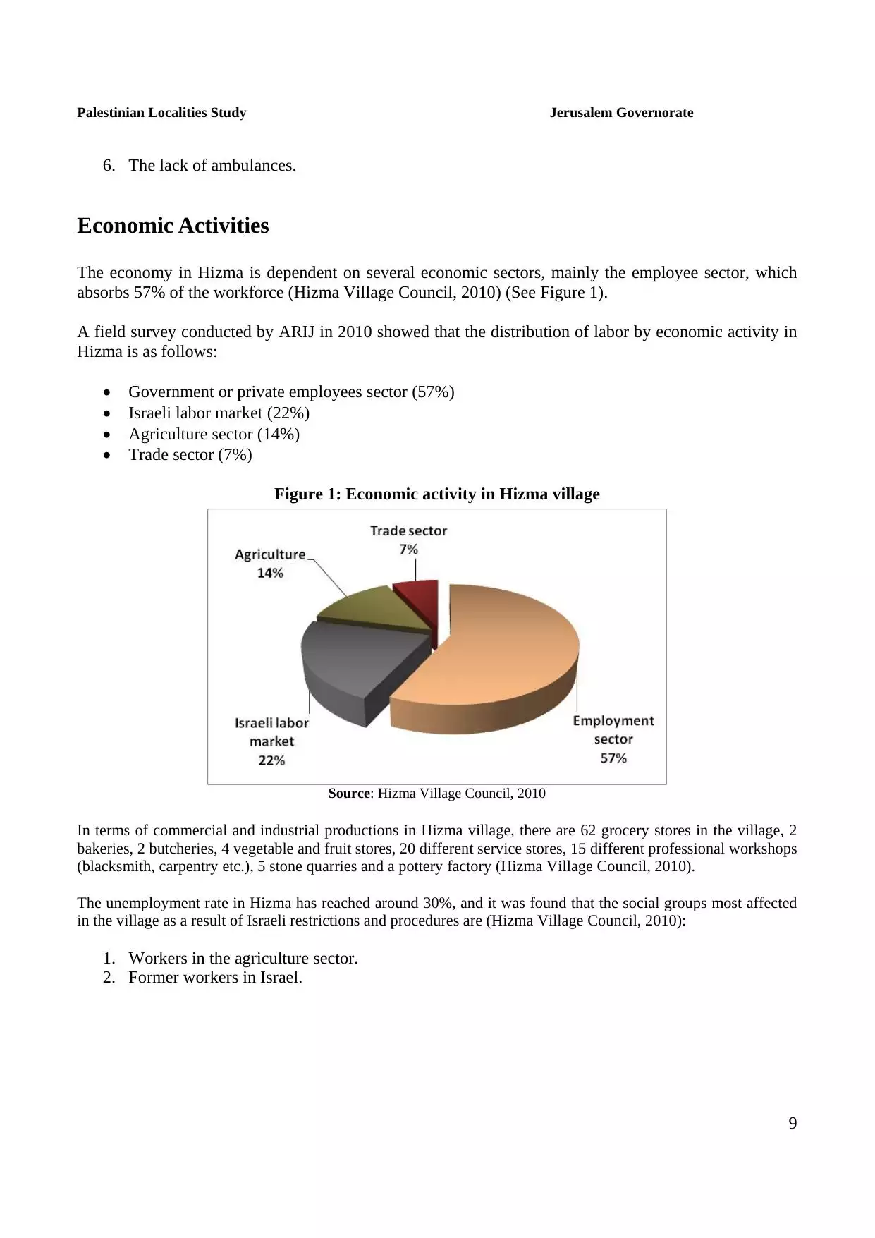
- Statistics & Facts
-
Before & After

- Satellite View
- Articles 4
- Pictures 66
- Members 17
- Families
- Wikipedia
- ARIJ Guide
- Videos 1
- Guest Book 34
- Links
| Statistic & Fact | Value | |||||||||||||||||||||
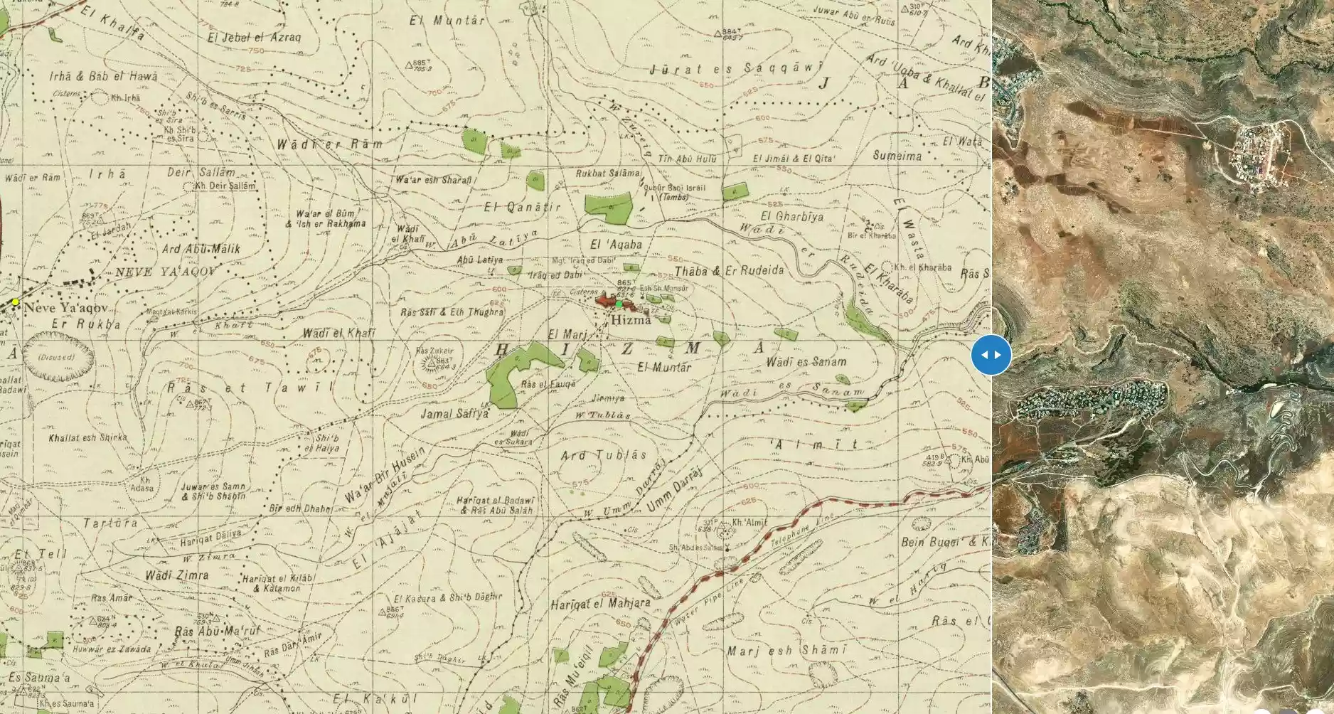
| Distance From District | 8 km north of Jerusalem | |||||||||||||||||||||
| Elevation | 615 meters | |||||||||||||||||||||
| Before & After Nakba, Click Map For Details |
||||||||||||||||||||||
|
||||||||||||||||||||||
| Land Ownership |
**Town Lands' Demarcation Maps |
|||||||||||||||||||||
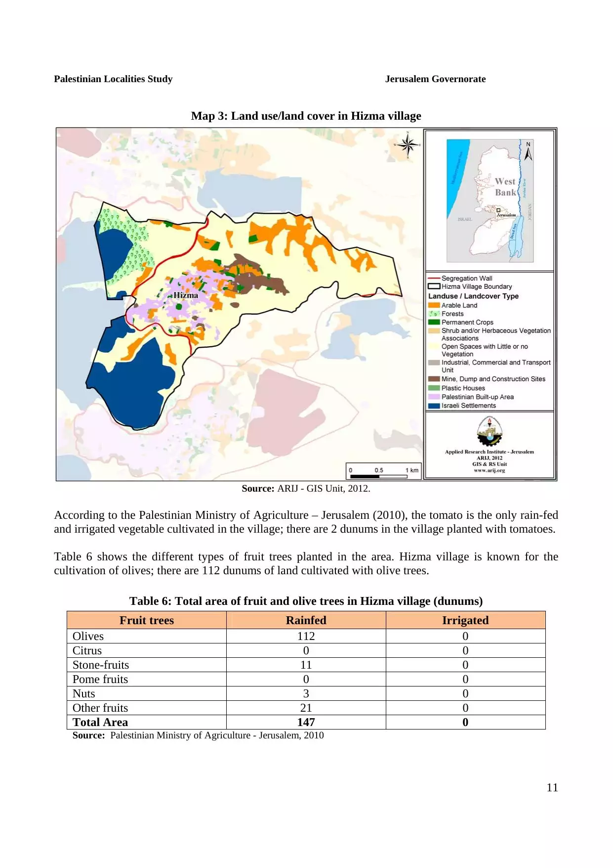
| Land Usage As of 1945 |
|
|||||||||||||||||||||
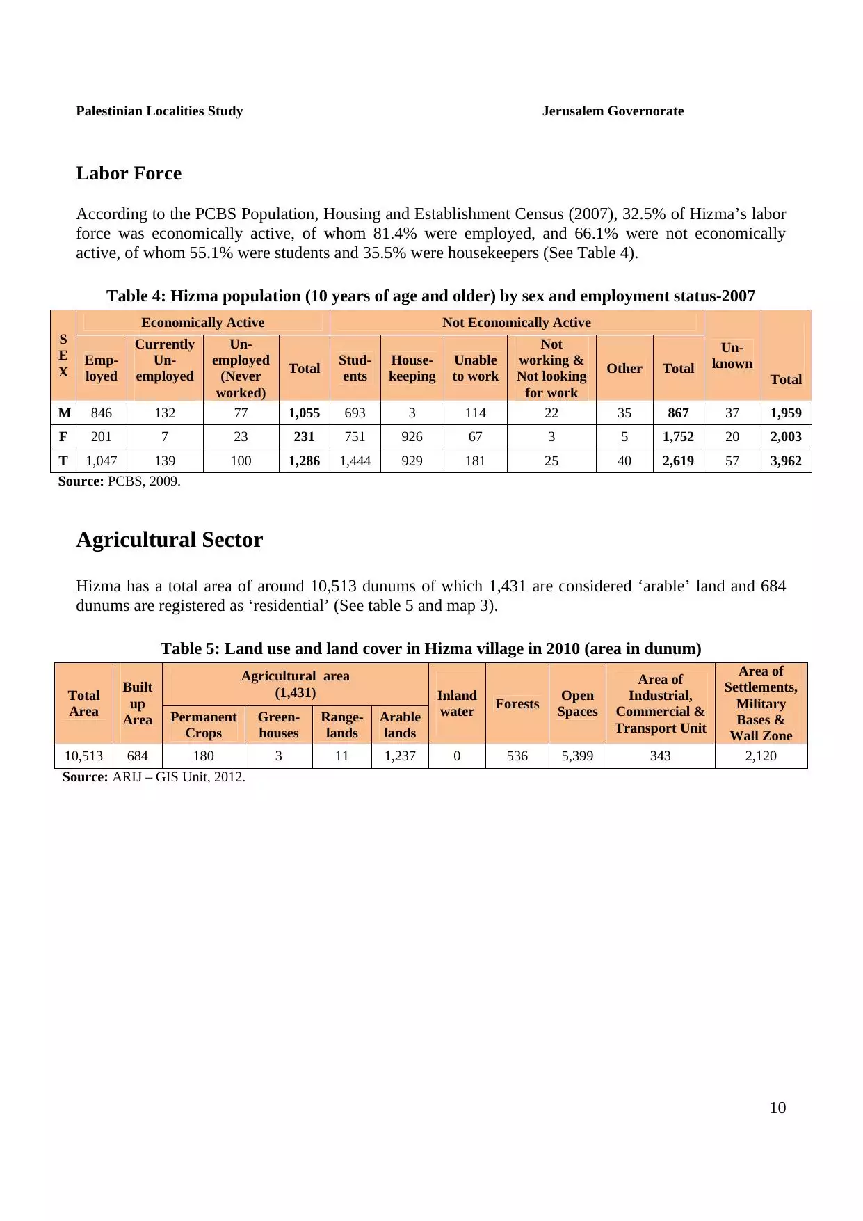
| Population |
|
|||||||||||||||||||||
| Near By Towns |
||||||||||||||||||||||
|
||||||||||||||||||||||
| Featured Video | ||||||||||||||||||||||
| ARIJ Guide | ||||||||||||||||||||||
3.
4. 
5. 
6. 
7. 
8. 
9. 
10. 
11. 
12. 
13. 
14. 
15. 
16. 
17. 
18. 
19. 
20. 
21. 
22. 
Click here to browse online. |
||||||||||||||||||||||
| Related Maps | Town Lands' Demarcation Maps خرائط للقضاء توضح حدود القرى والاودية View from satellite Town's map on MapQuest Help us map this town at WikiMapia |
|||||||||||||||||||||
| Related Links | Wikipedia's Page Facebook Page ARIJ Guide Google Search Google For Images Google For Videos في كتاب بلادنا فلسطين دليل أريج المزيد من موقع هوية |
|||||||||||||||||||||
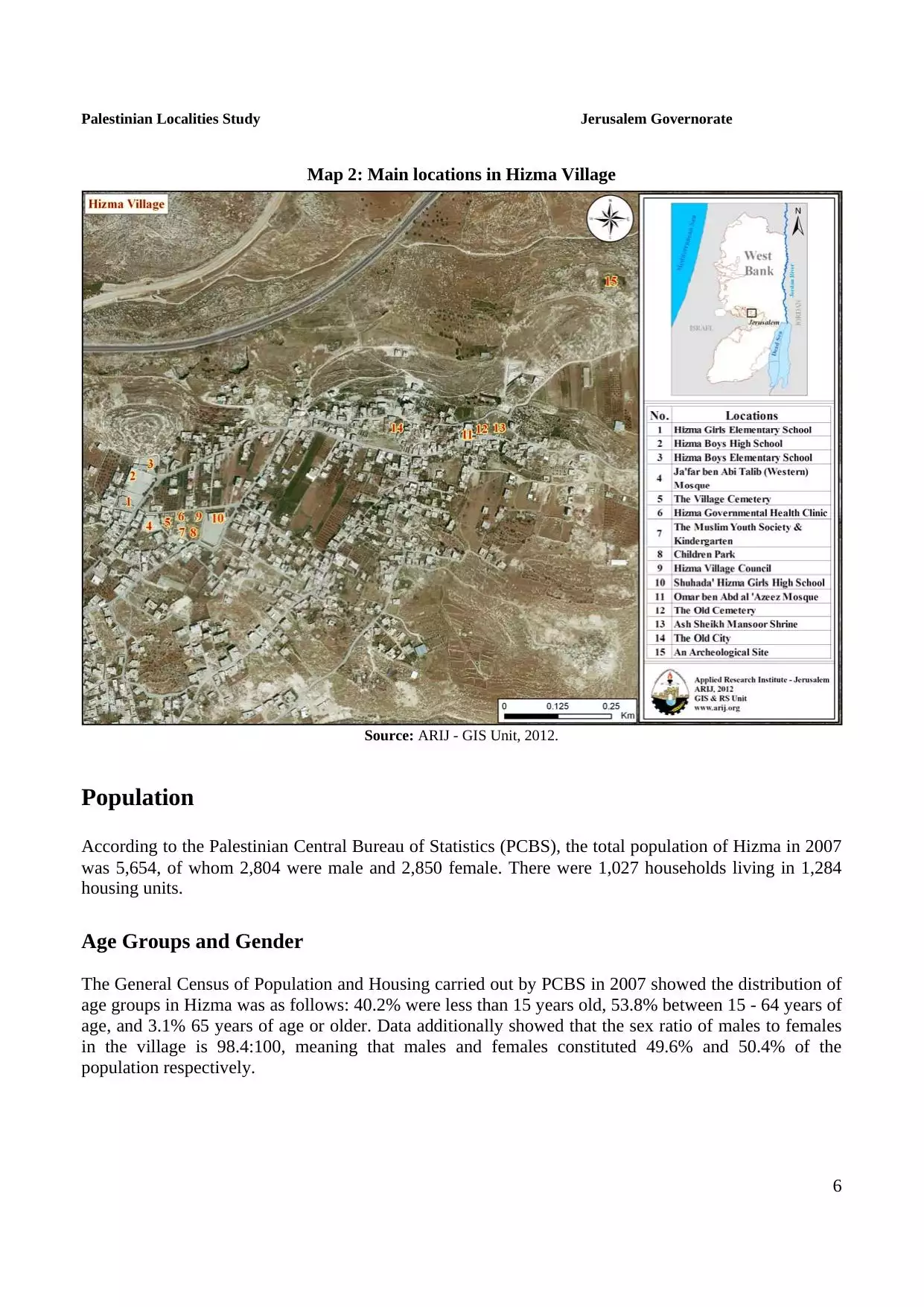
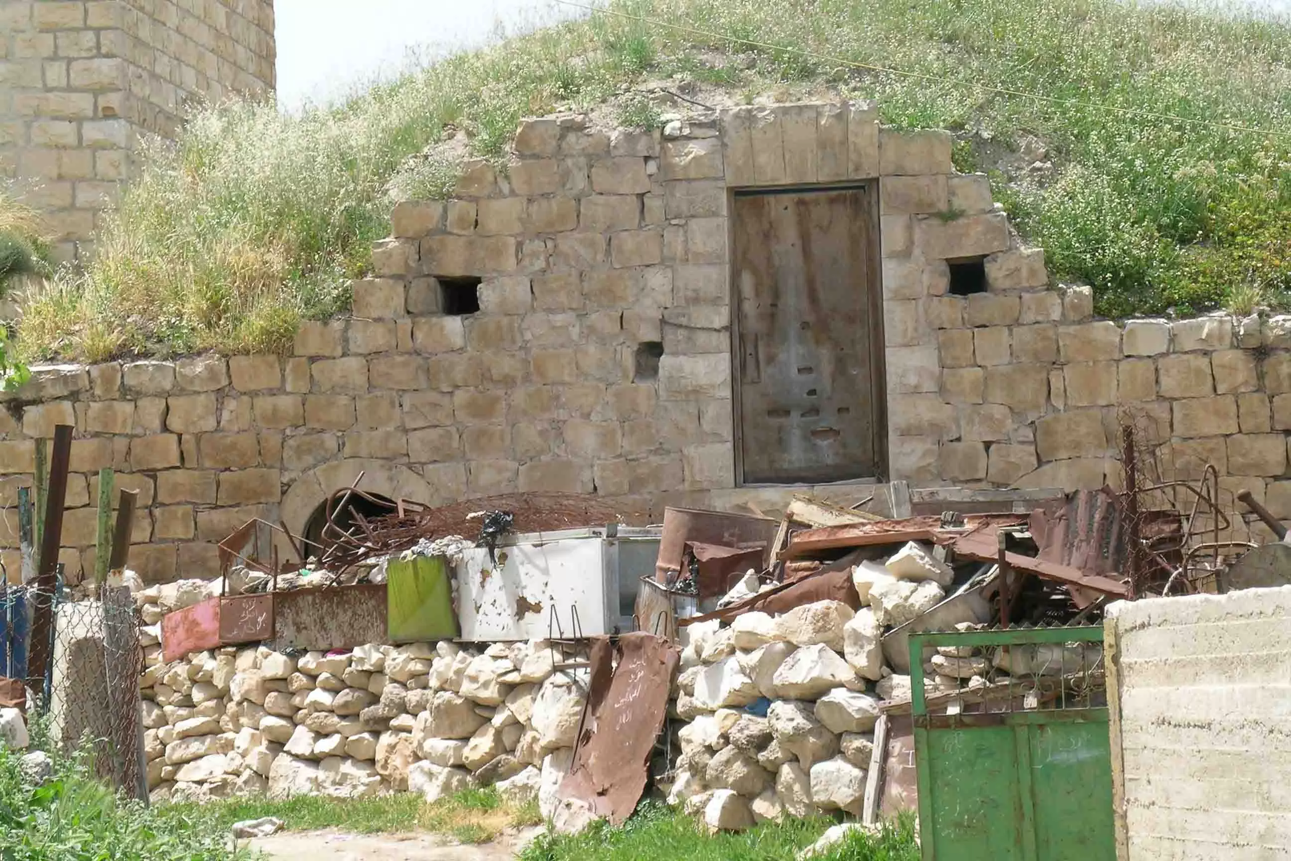
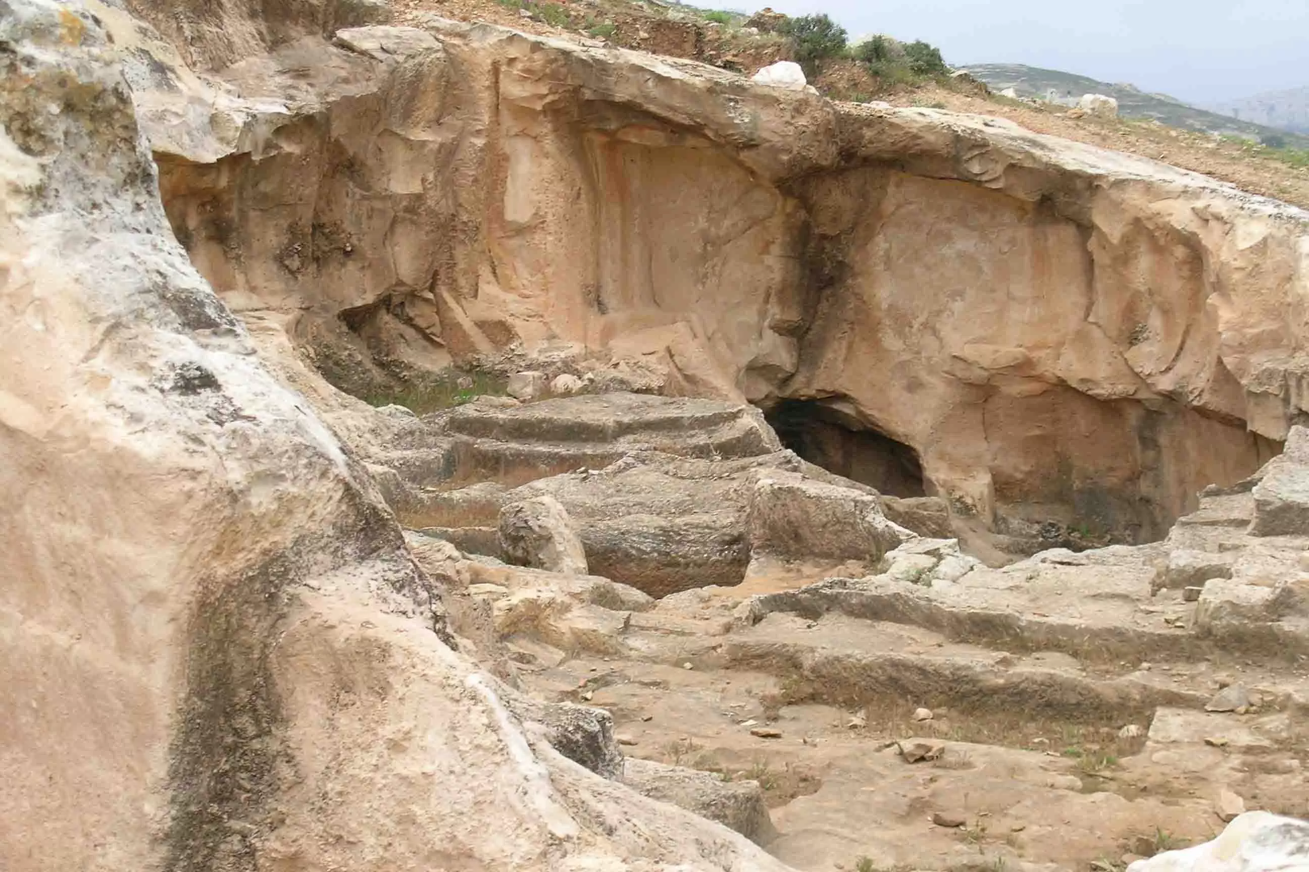
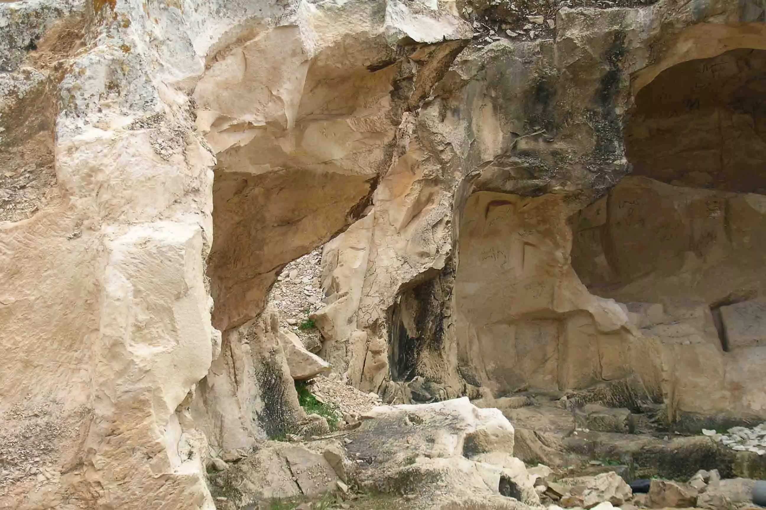
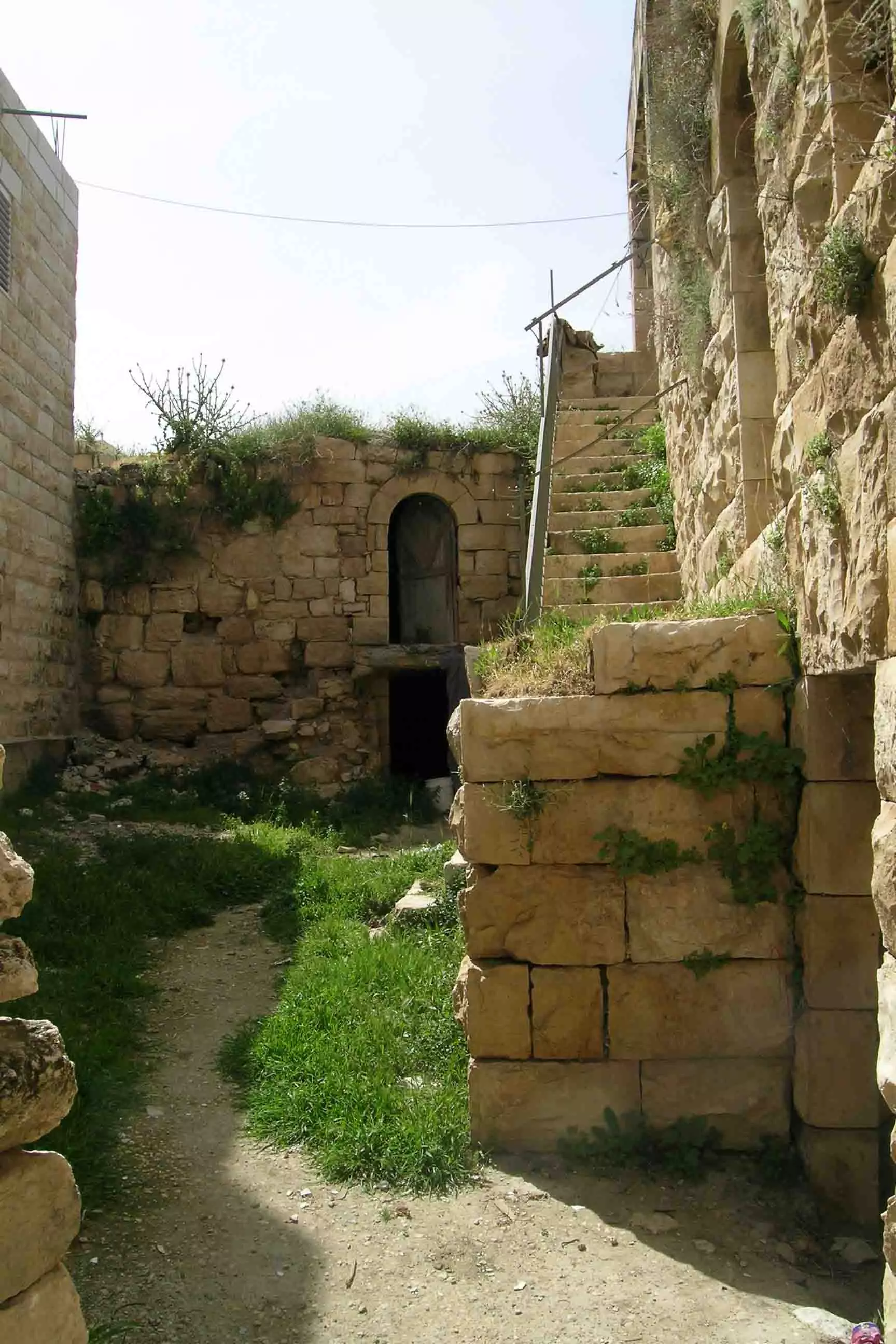
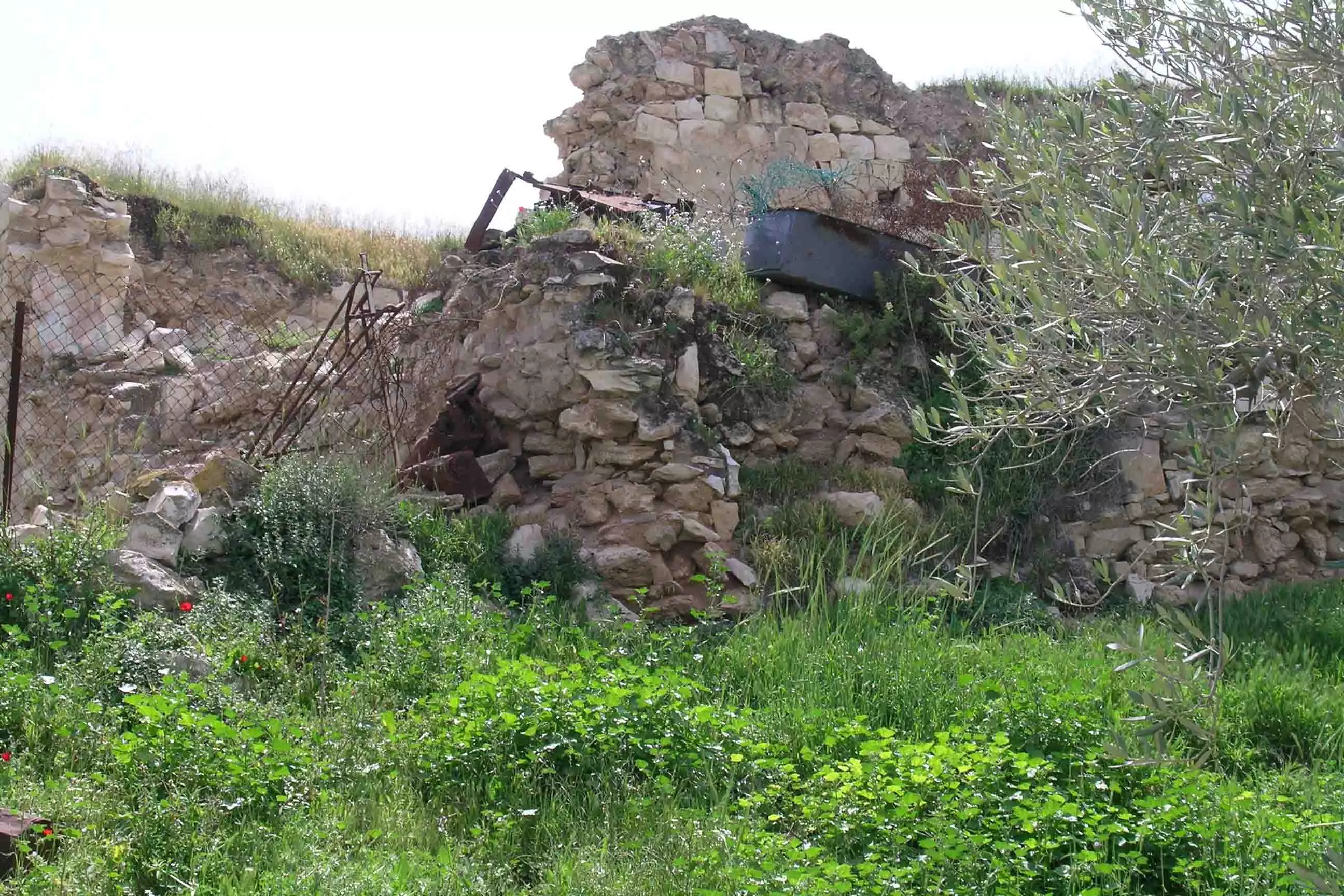
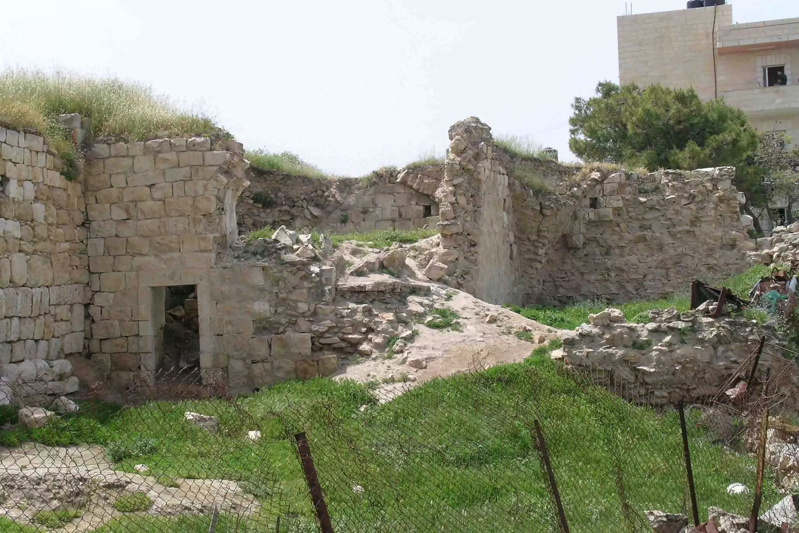
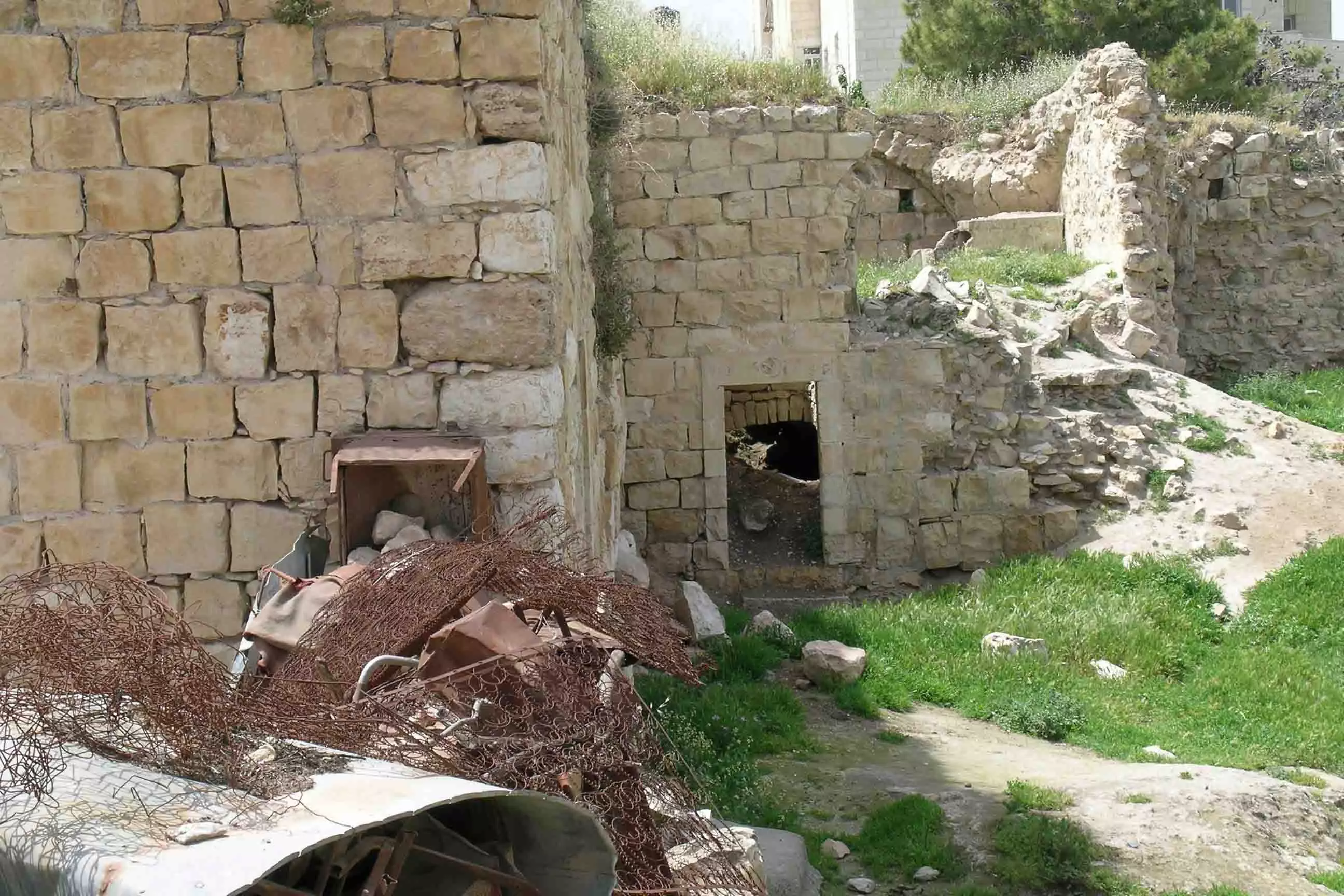
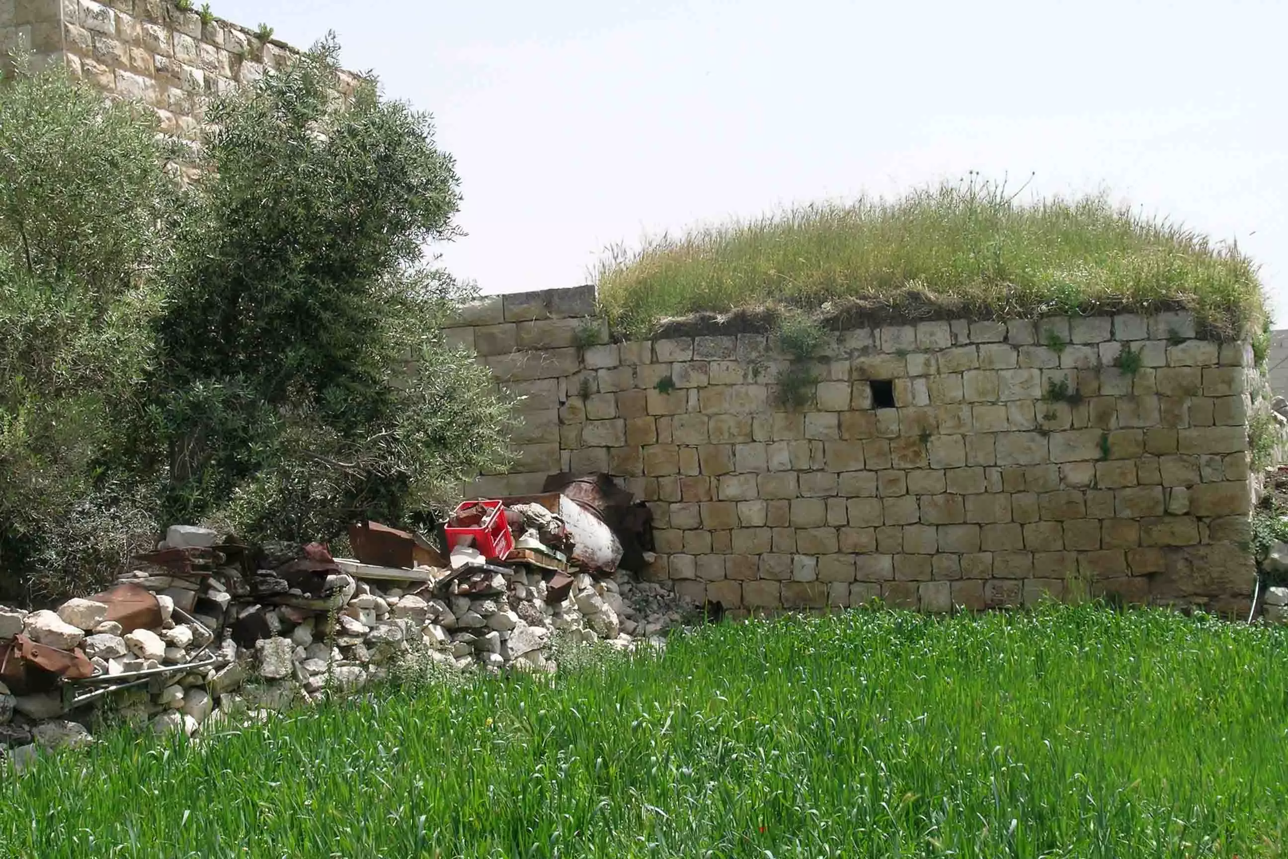
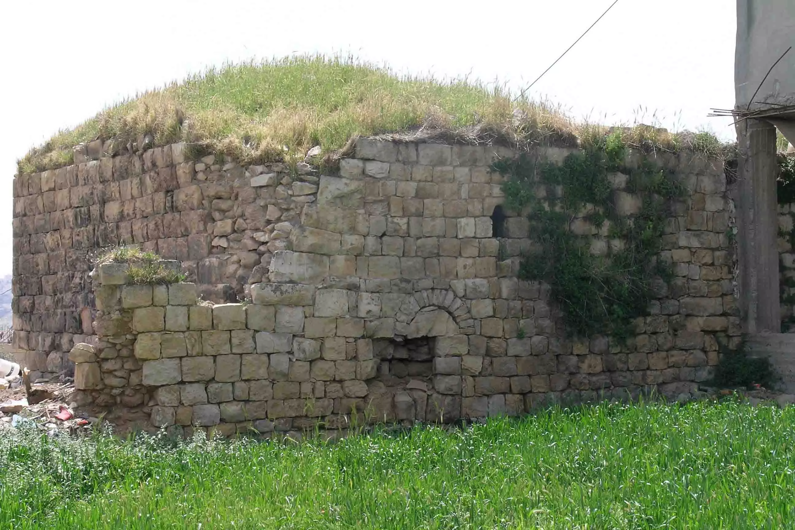
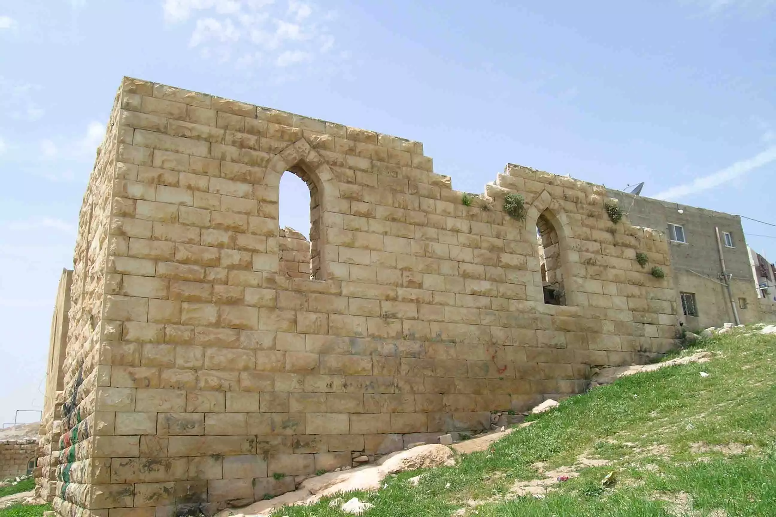
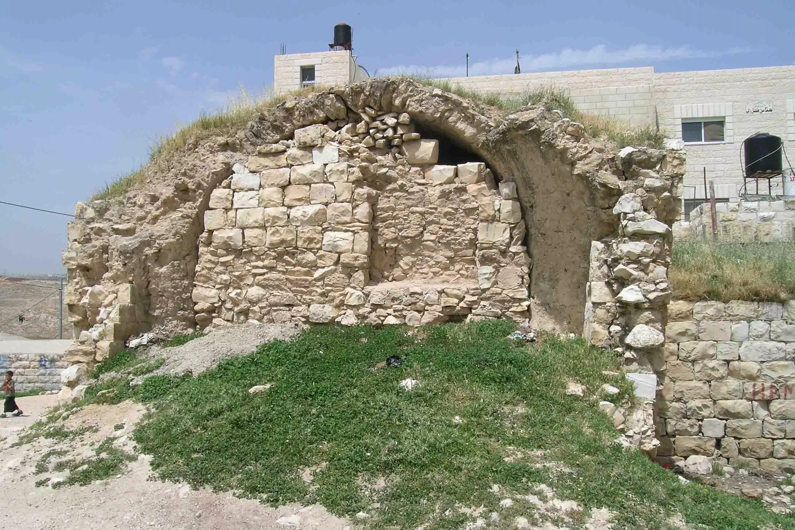
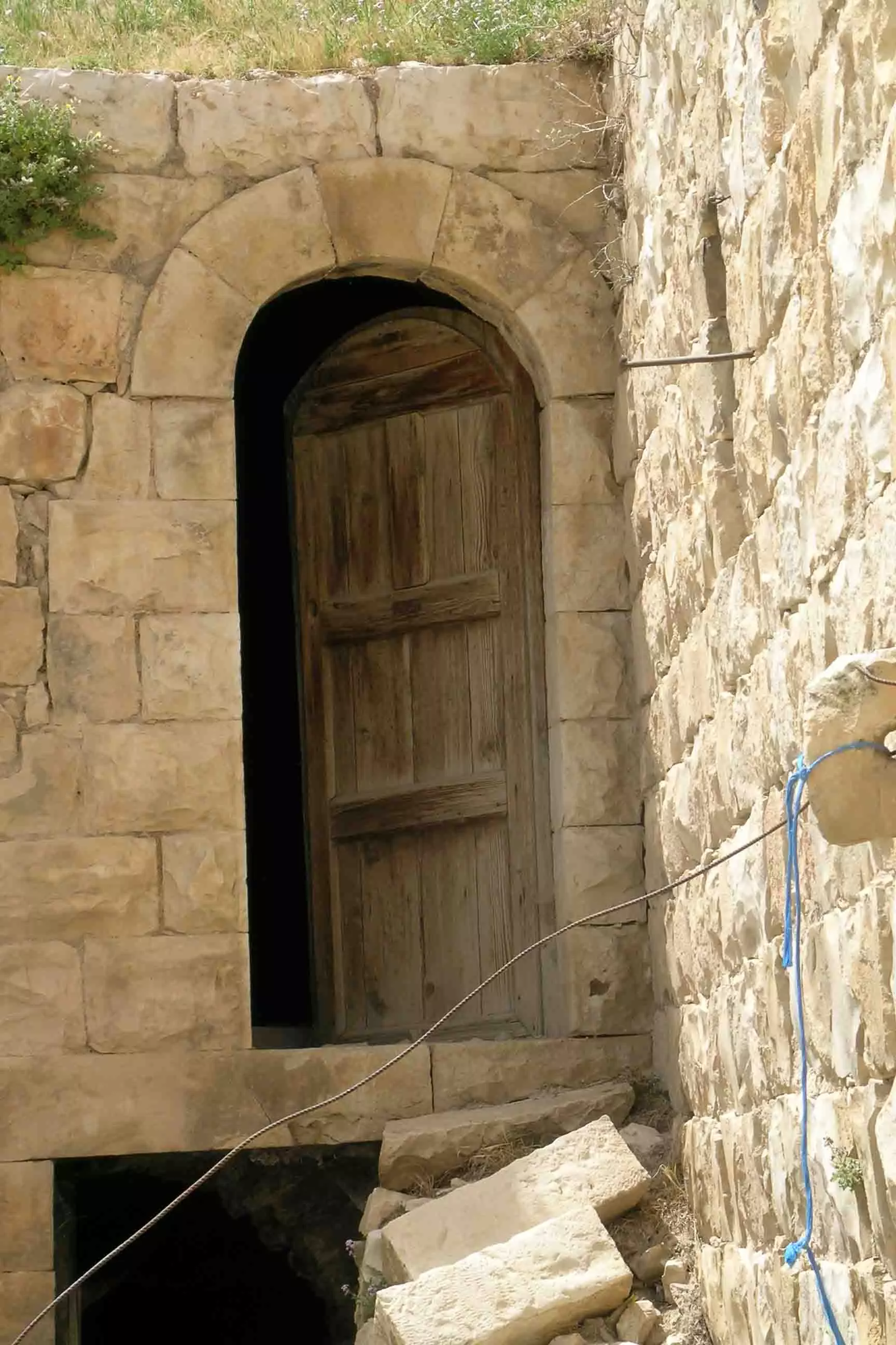
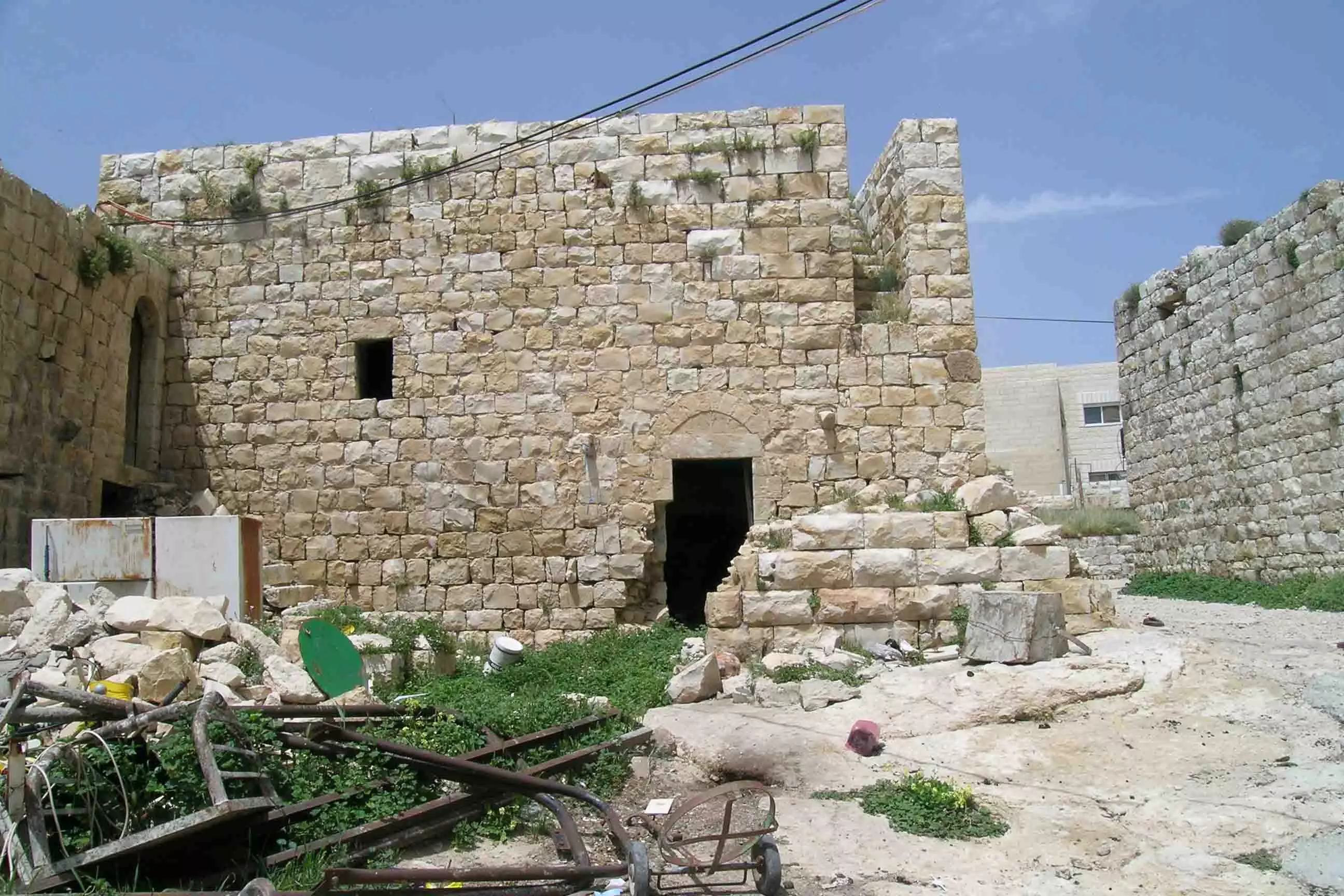
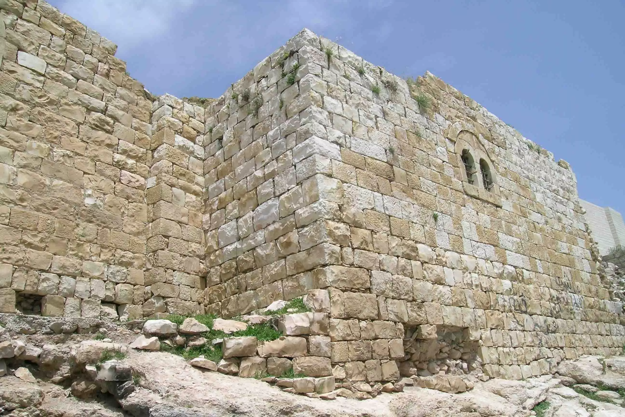
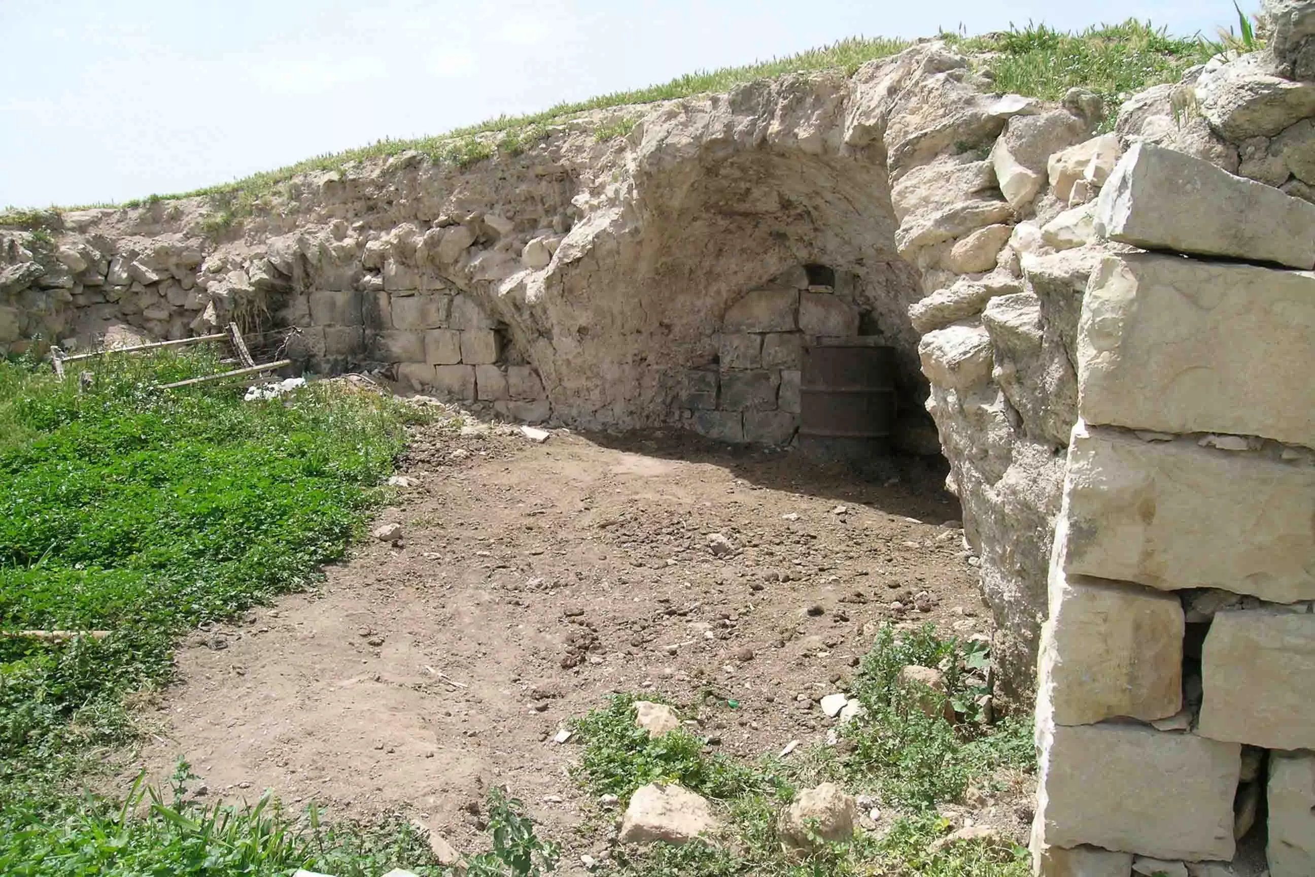
- البلدة القديمة
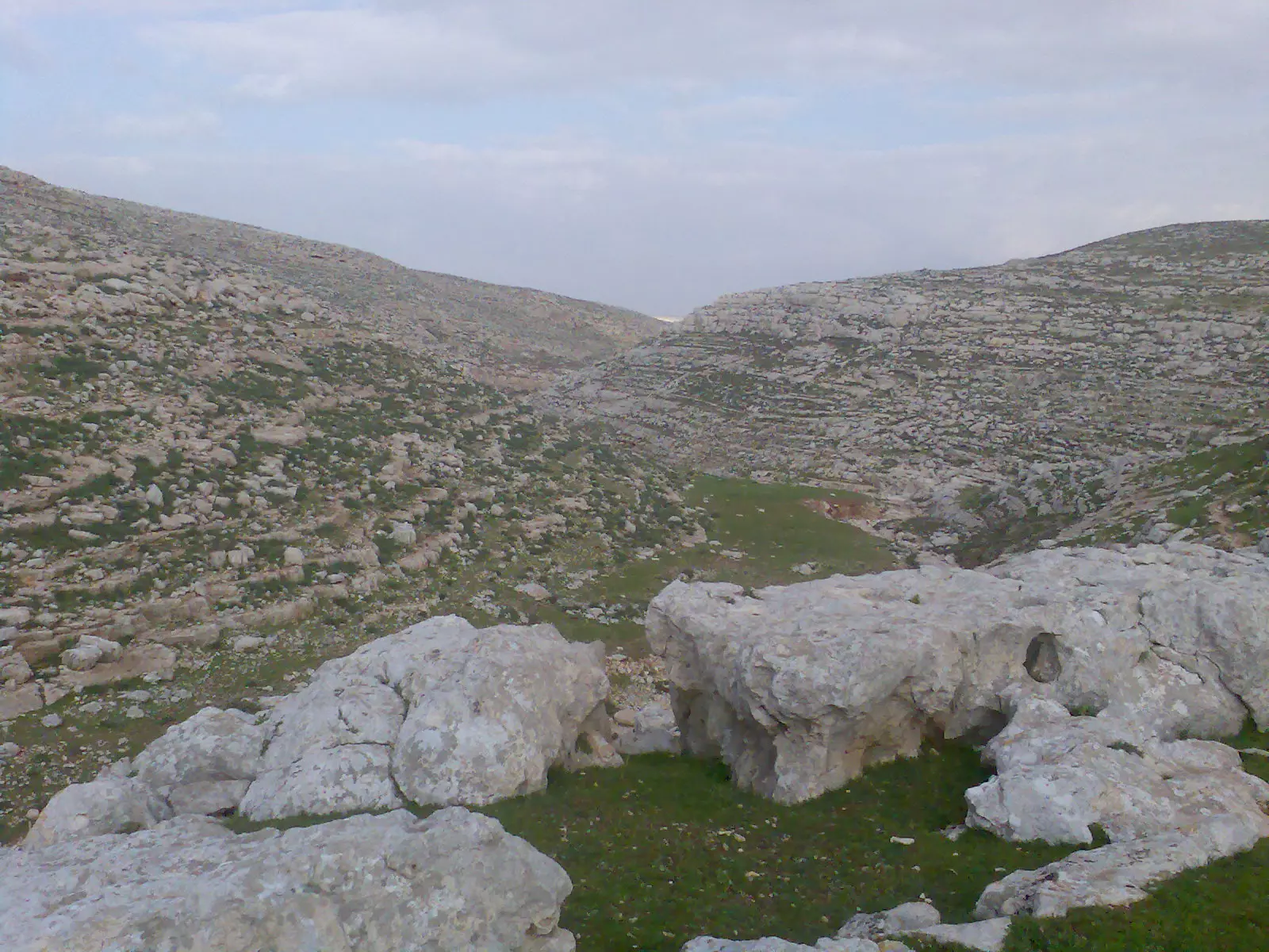
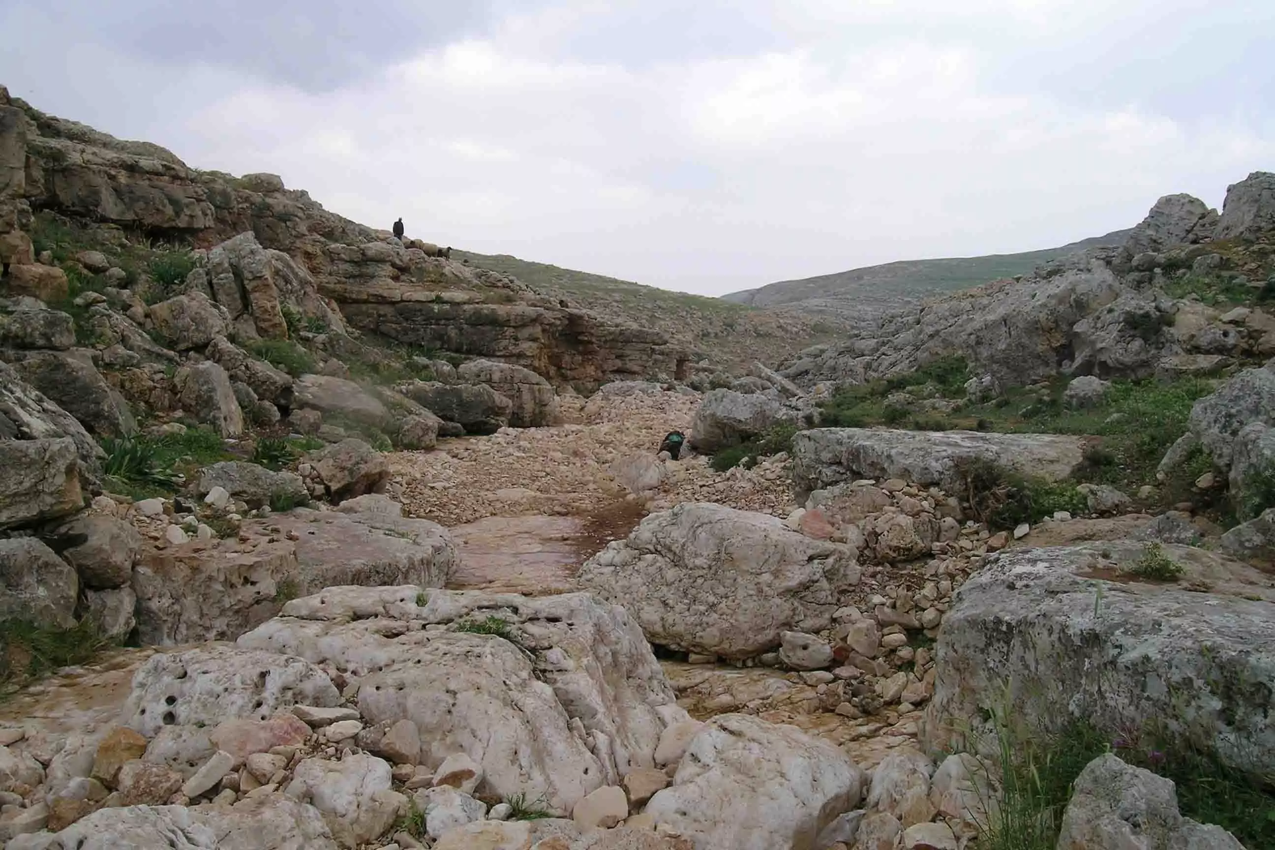
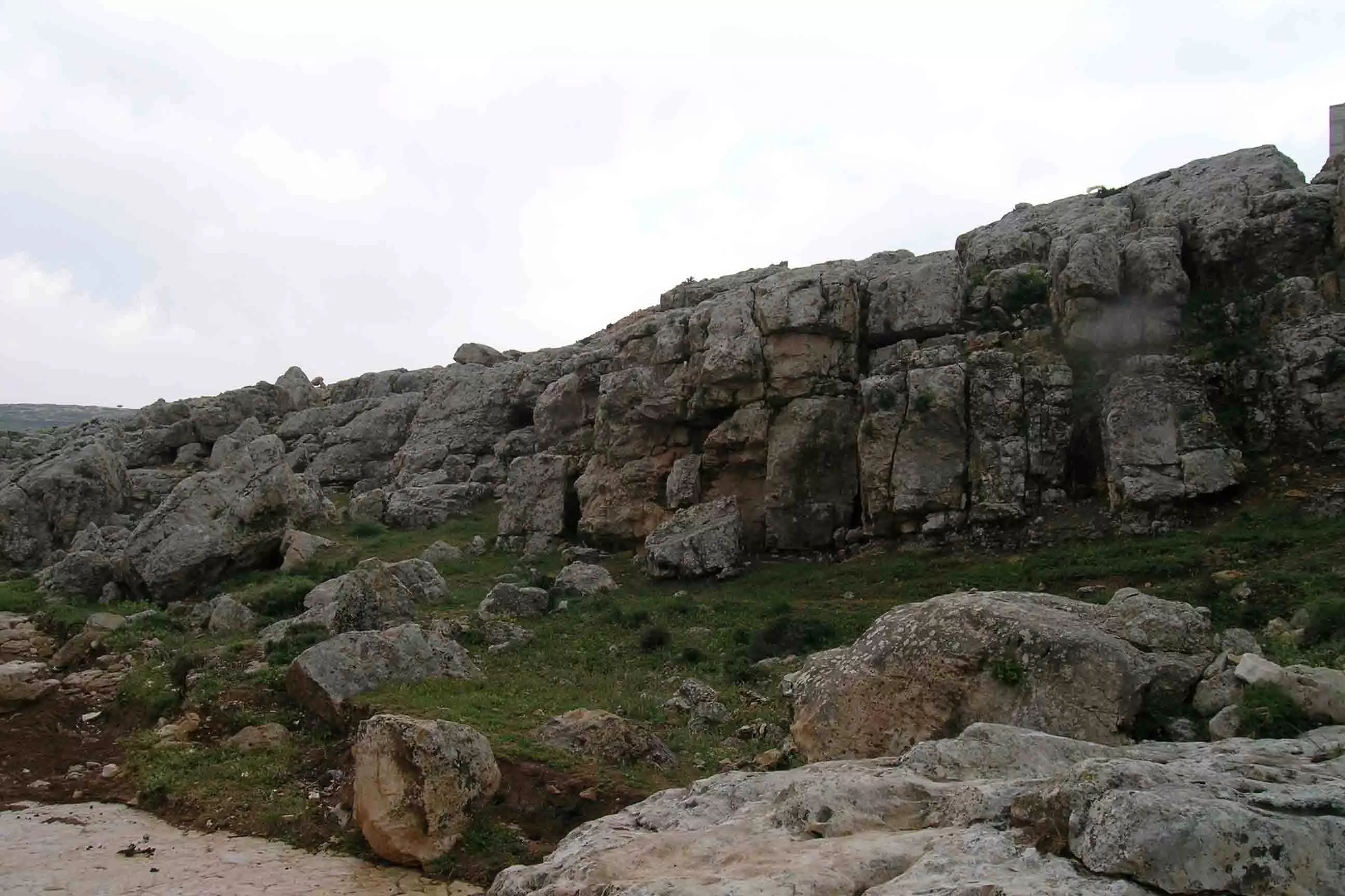
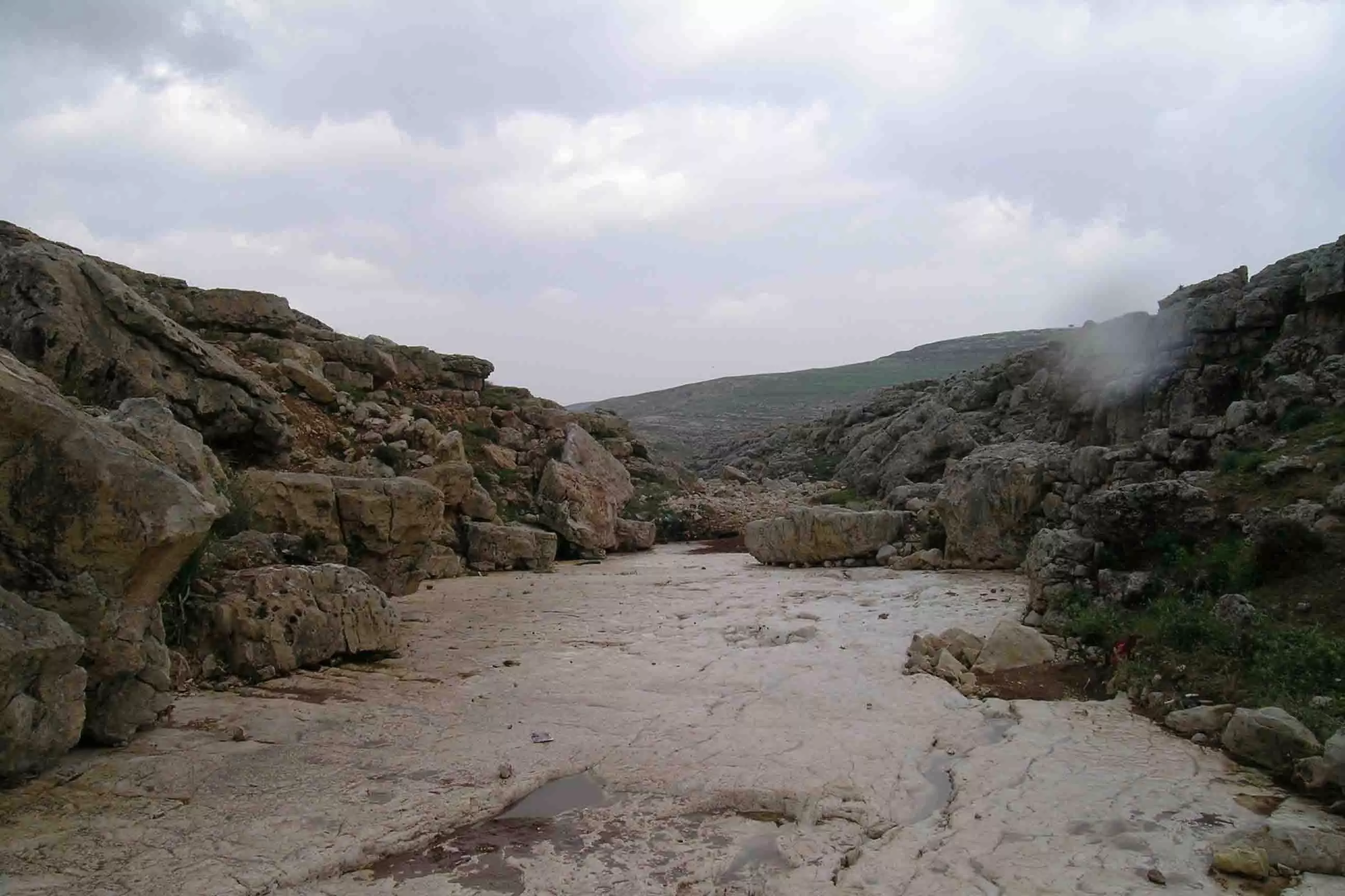
Posted by osaed 15 - طبيعة حزما

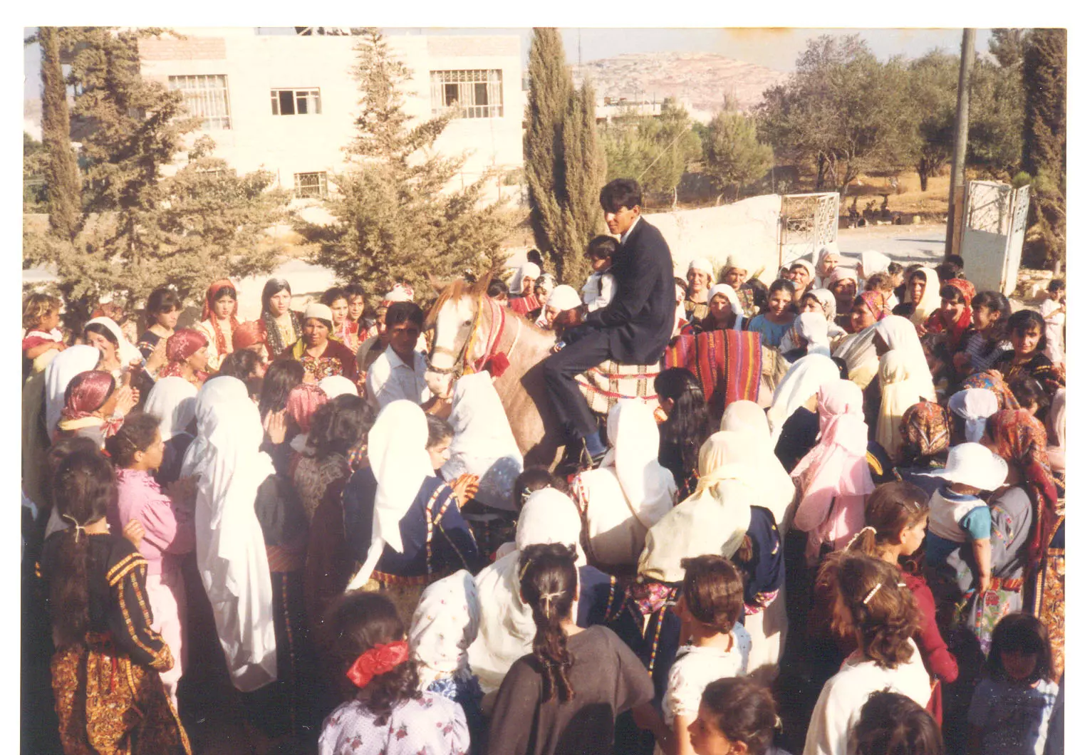
Posted by عاشق البلد 15 - الافراح في قرية حزما - محافظة القدس
Posted by Azmi Khamis 52 - صوره لمنطقه في قريه حزما قبل حوالي 35 سنه
Posted by iman 15 - صورة لمنطقة شرق ظبلاس
Posted by عادل رشيد أبو انس 9 - البلدة القديمة
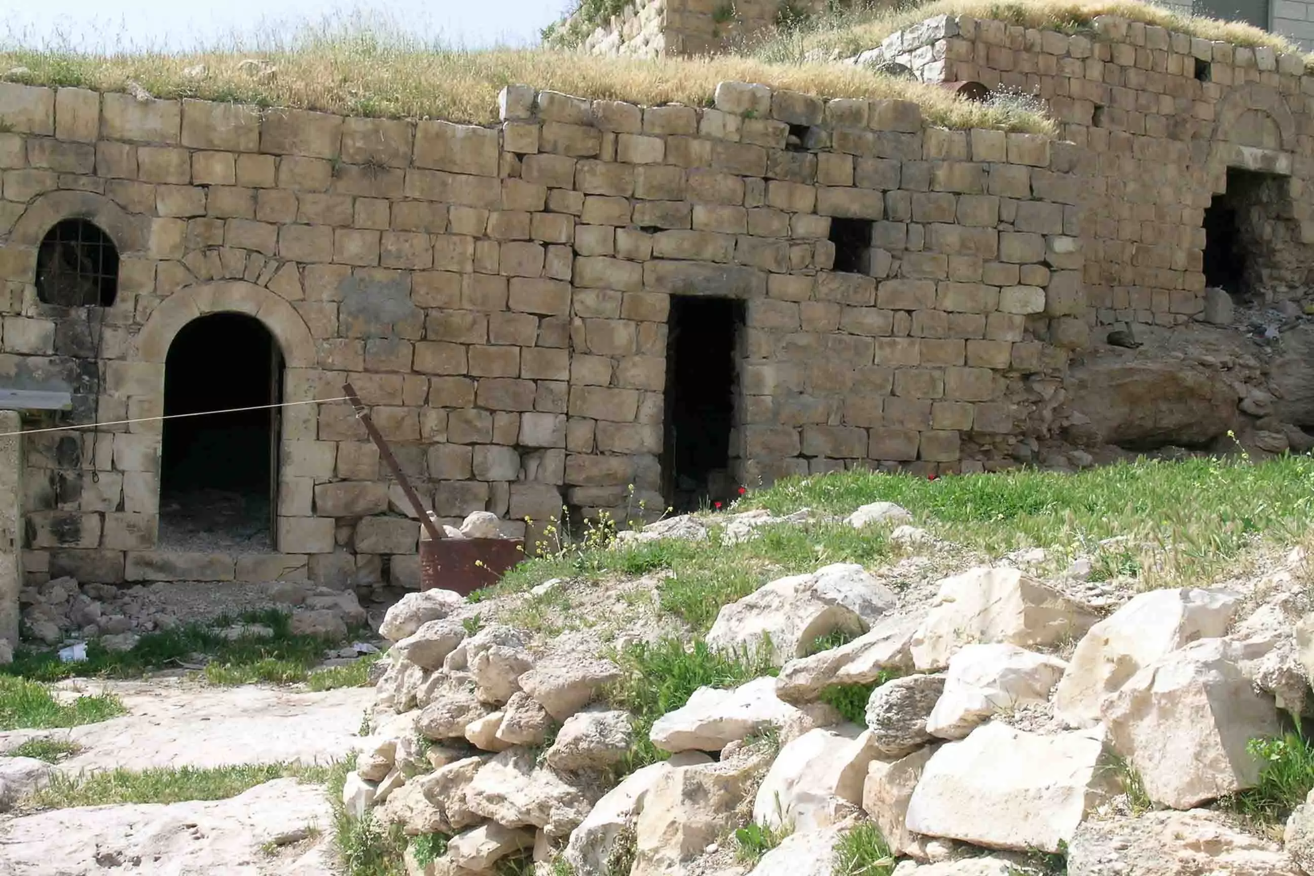
Posted by osaed 7 - البلدة القديمة
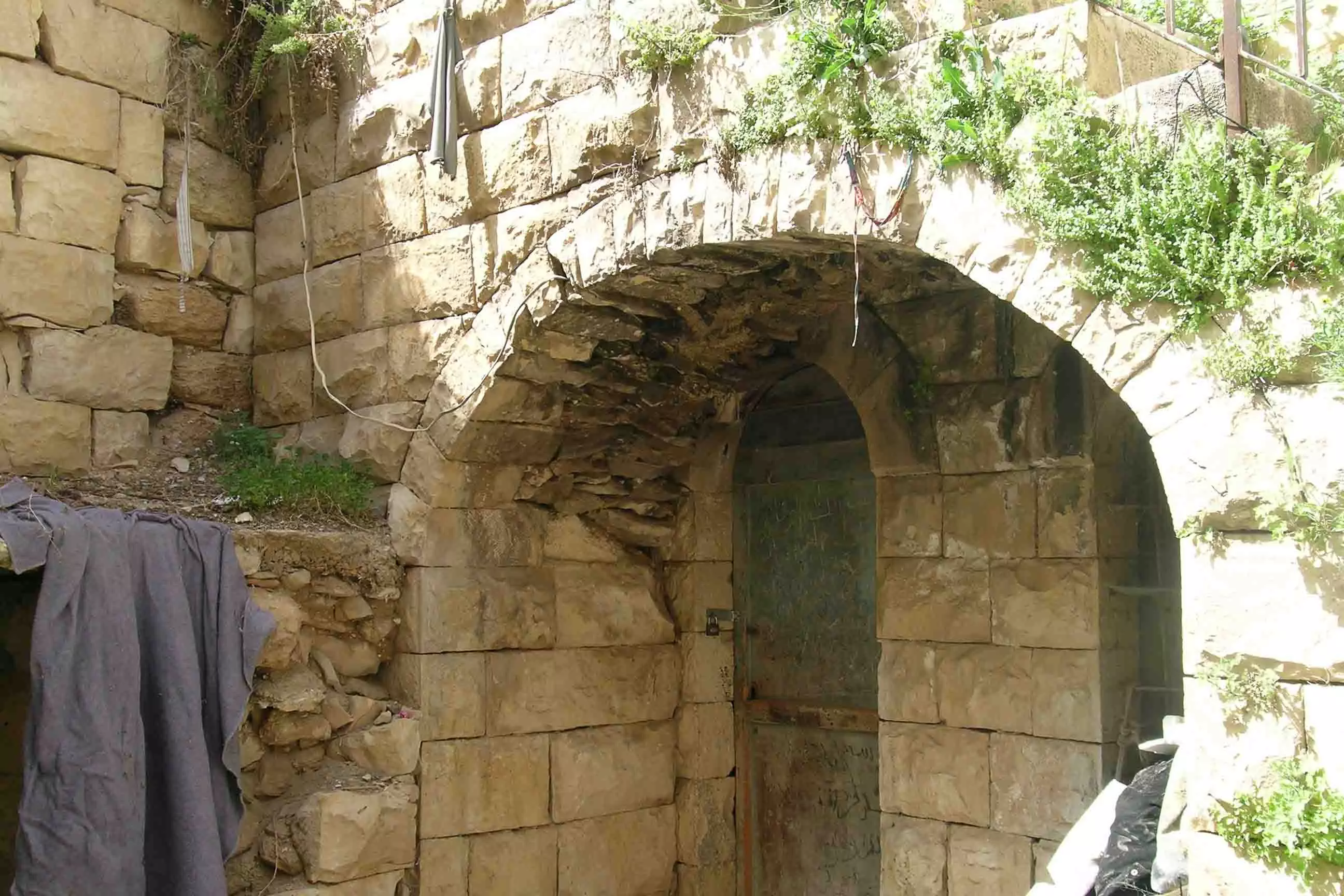
Posted by osaed 5 - البلدة القديمة
Posted by osaed 3 - البلدة القديمة
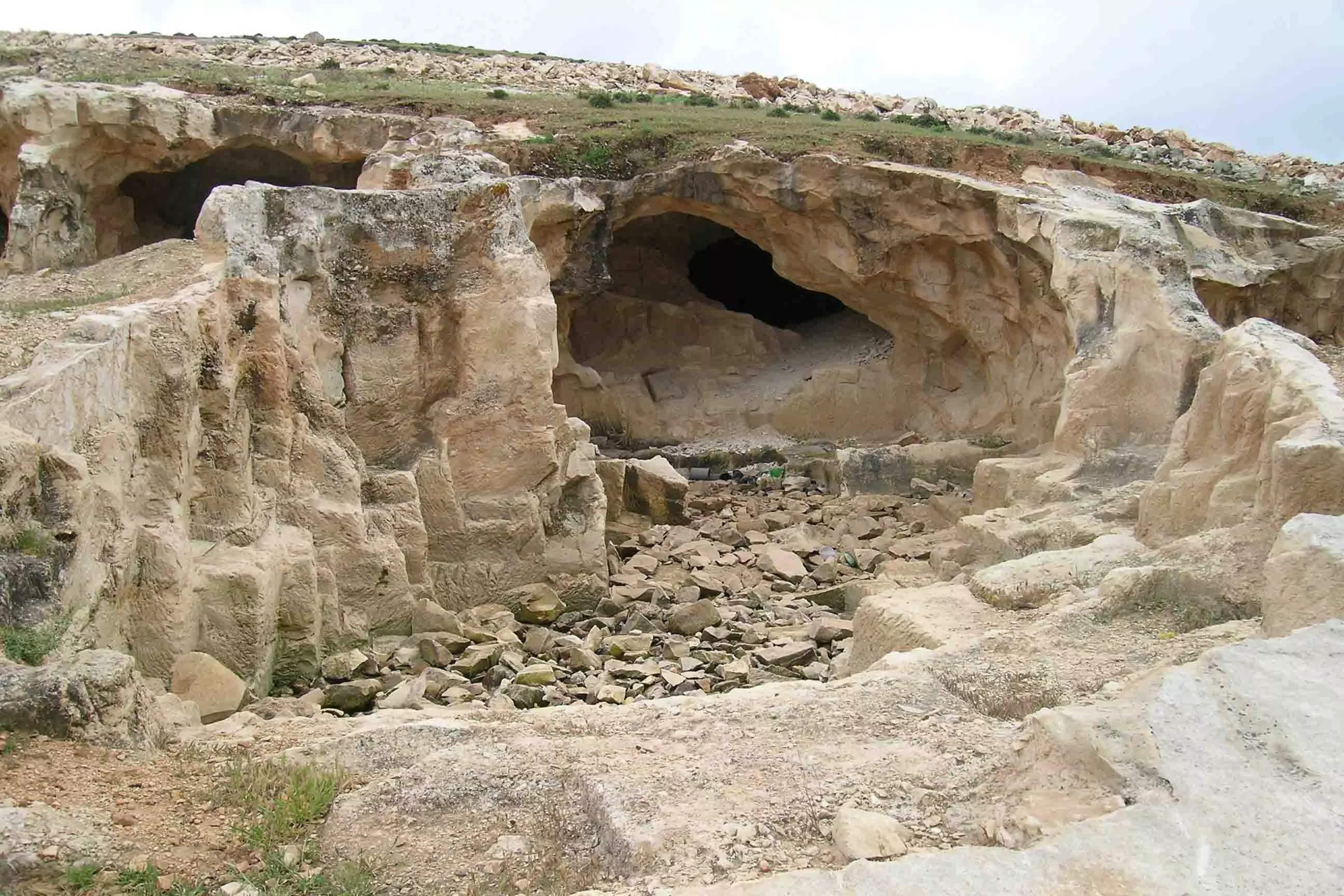
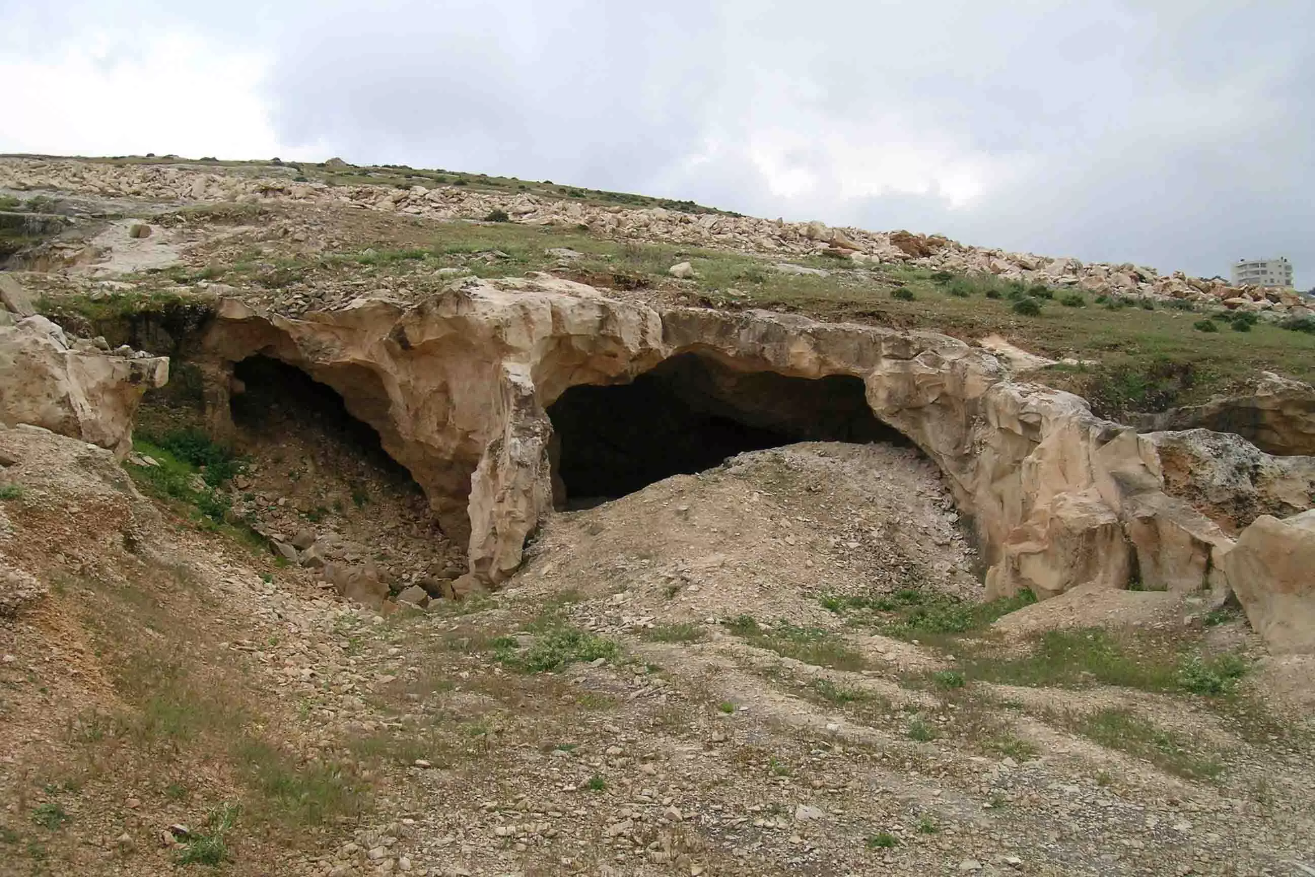
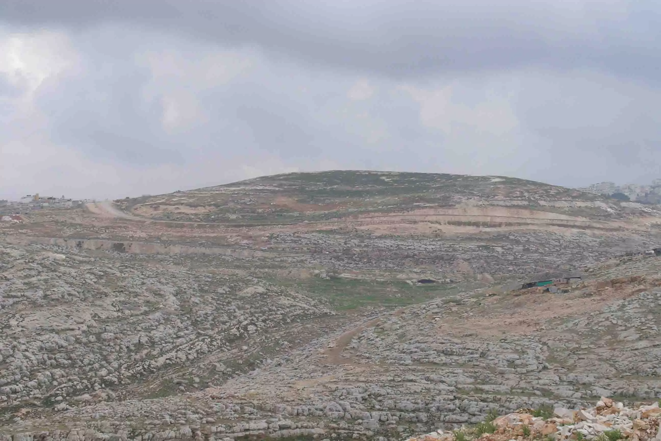
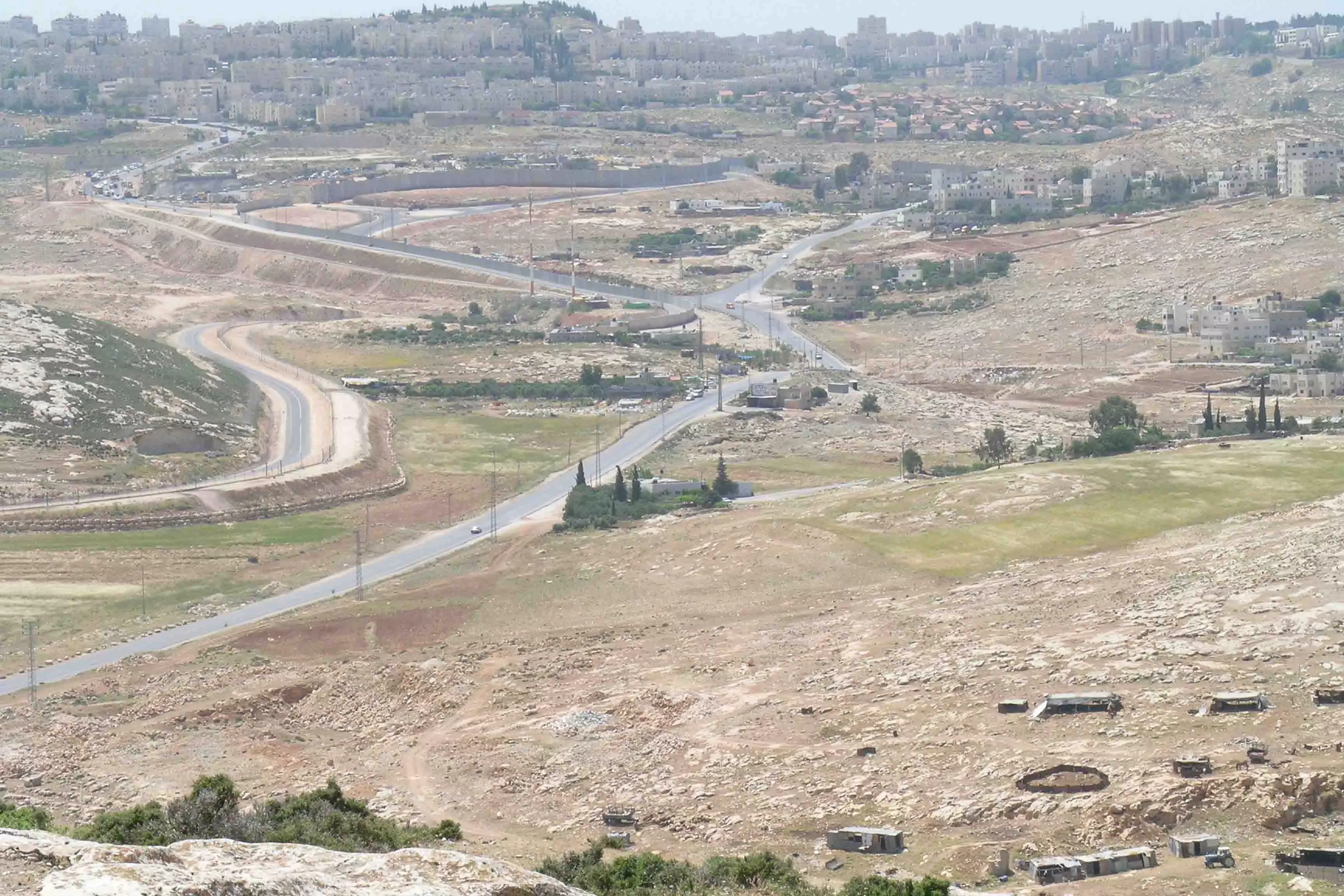
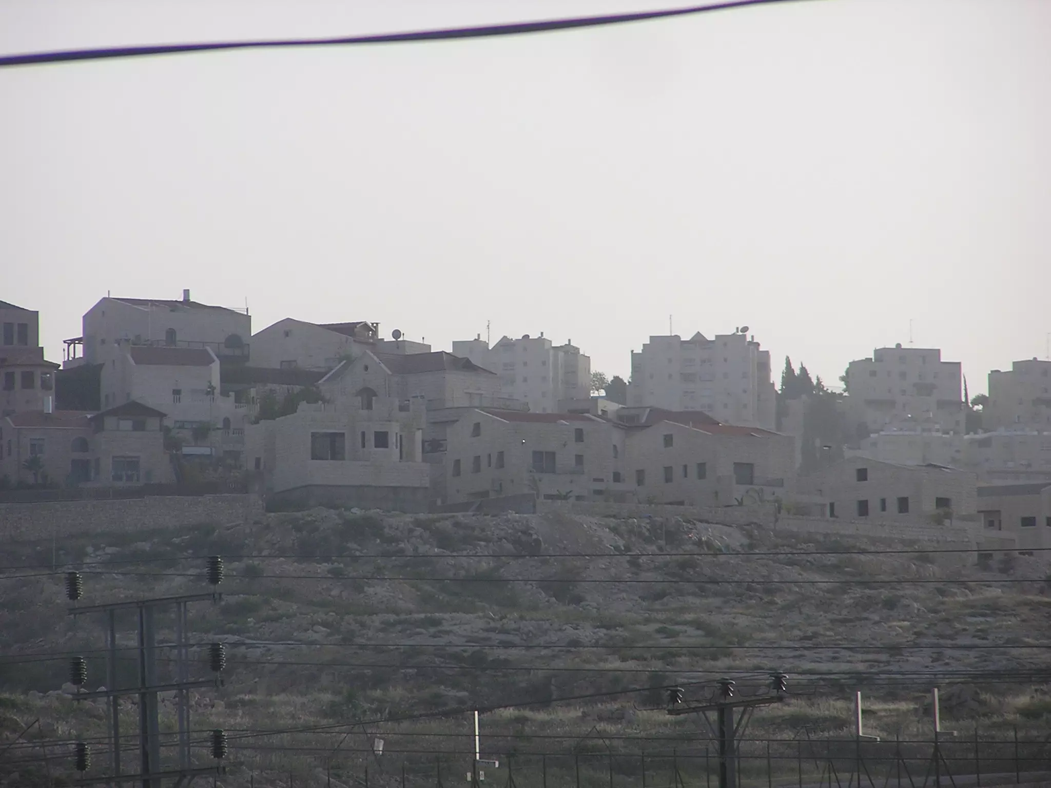
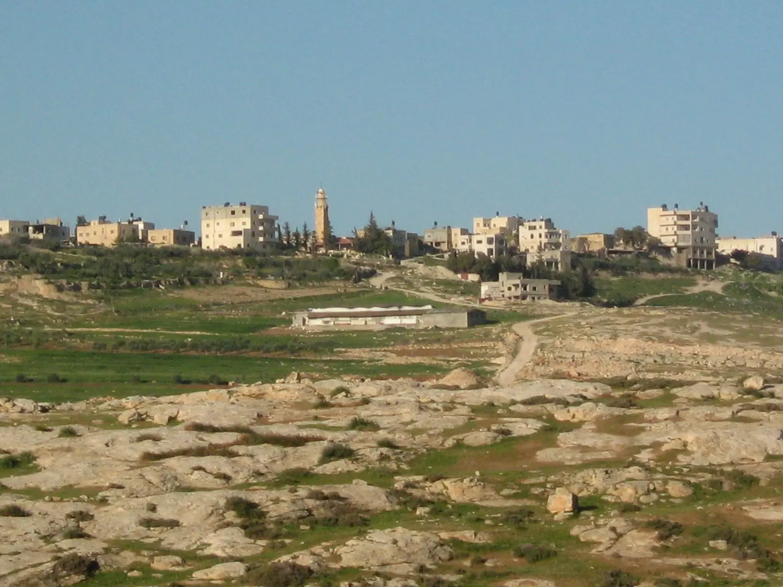
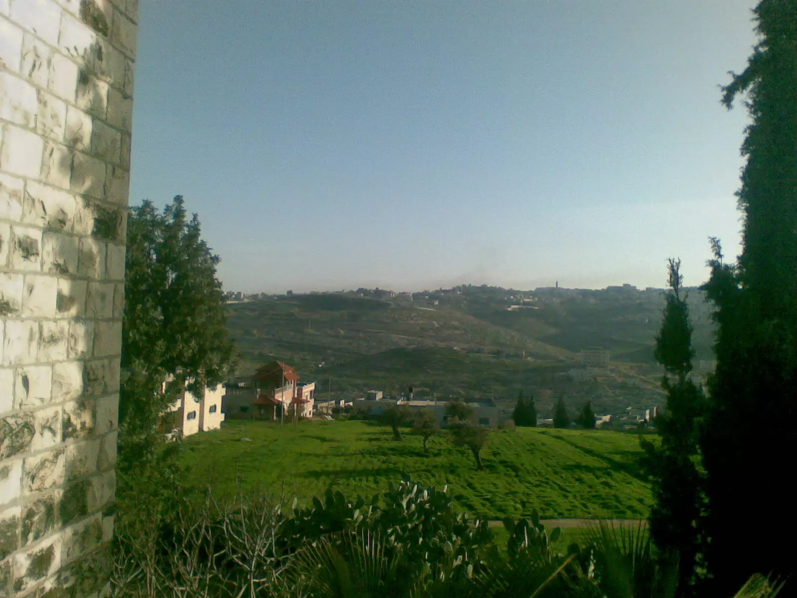
Posted by osaed 2 - منظر عام
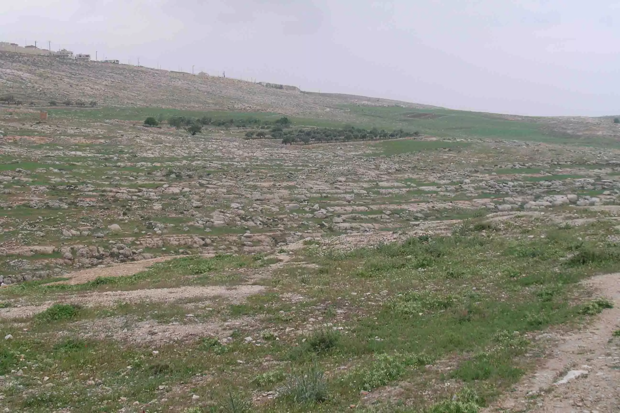
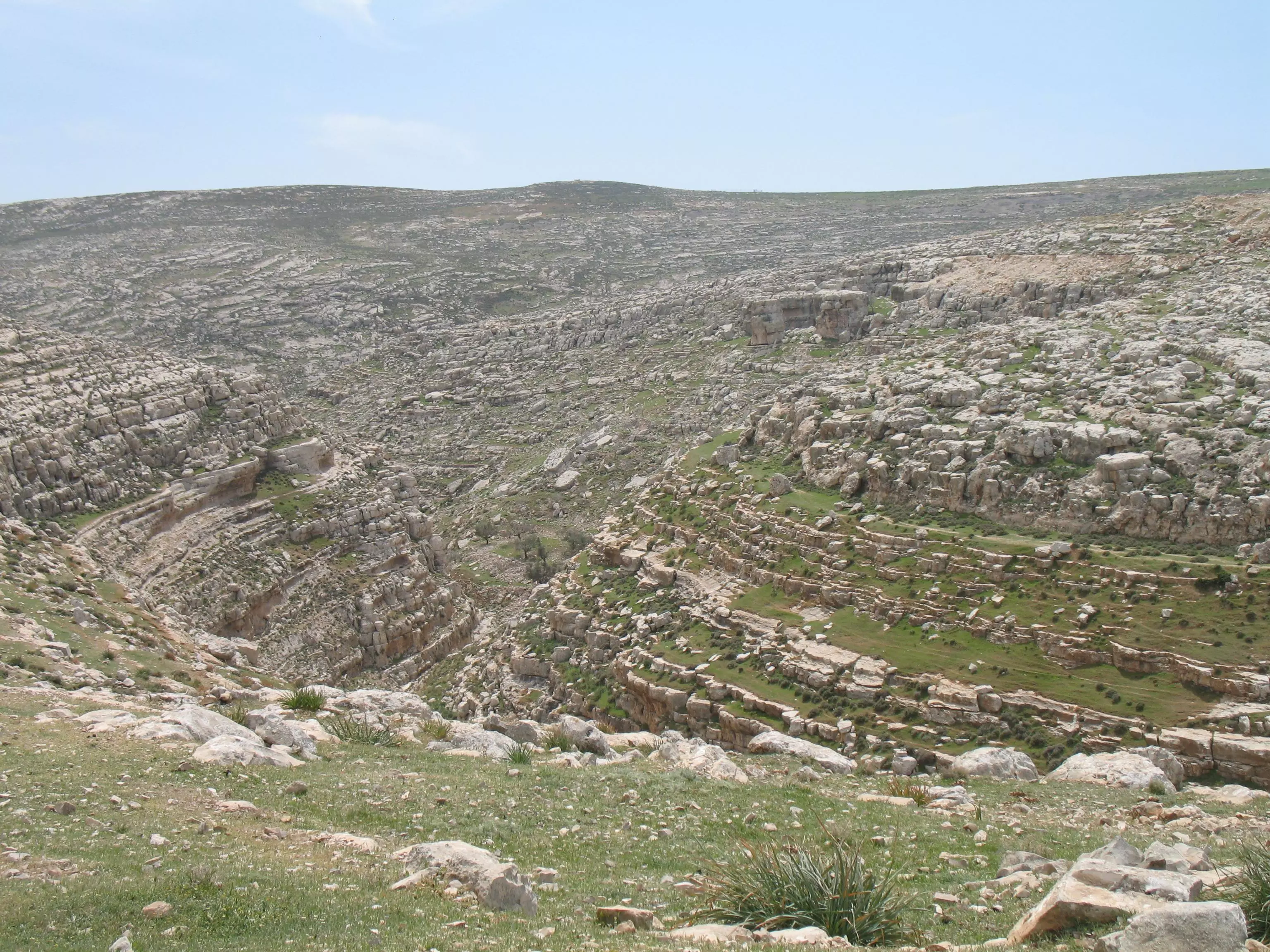
Posted by osaed 9 - منظر عام
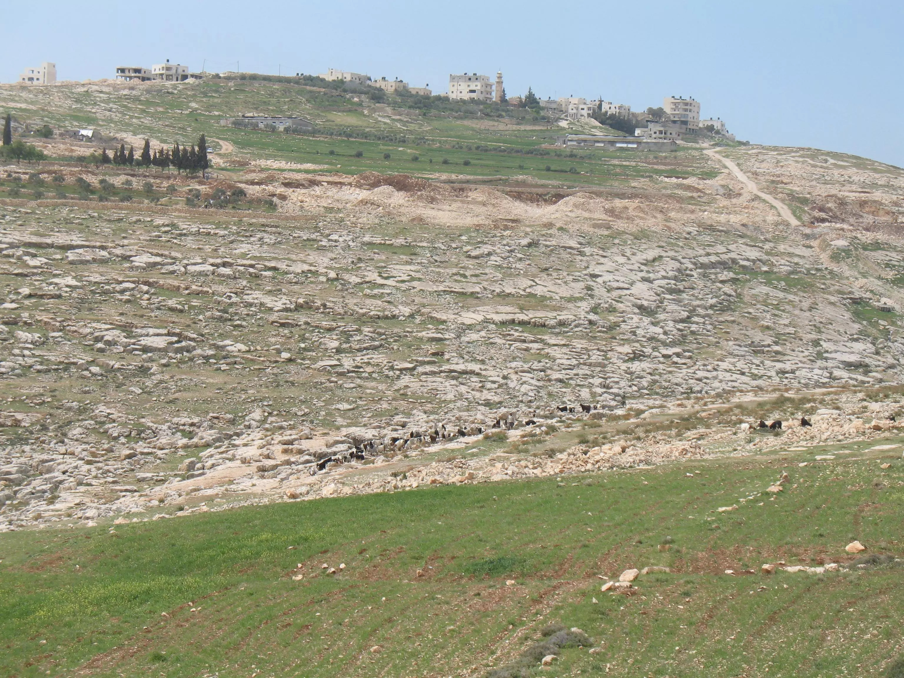
Posted by osaed 2 - منظر عام
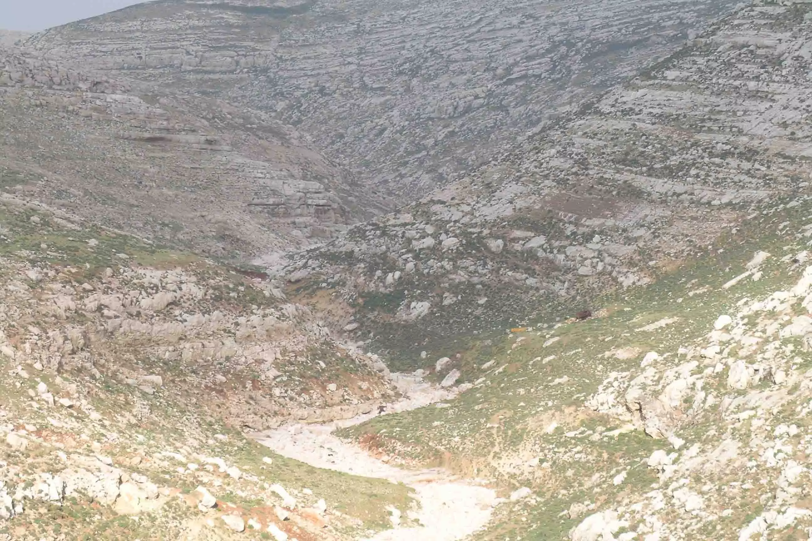
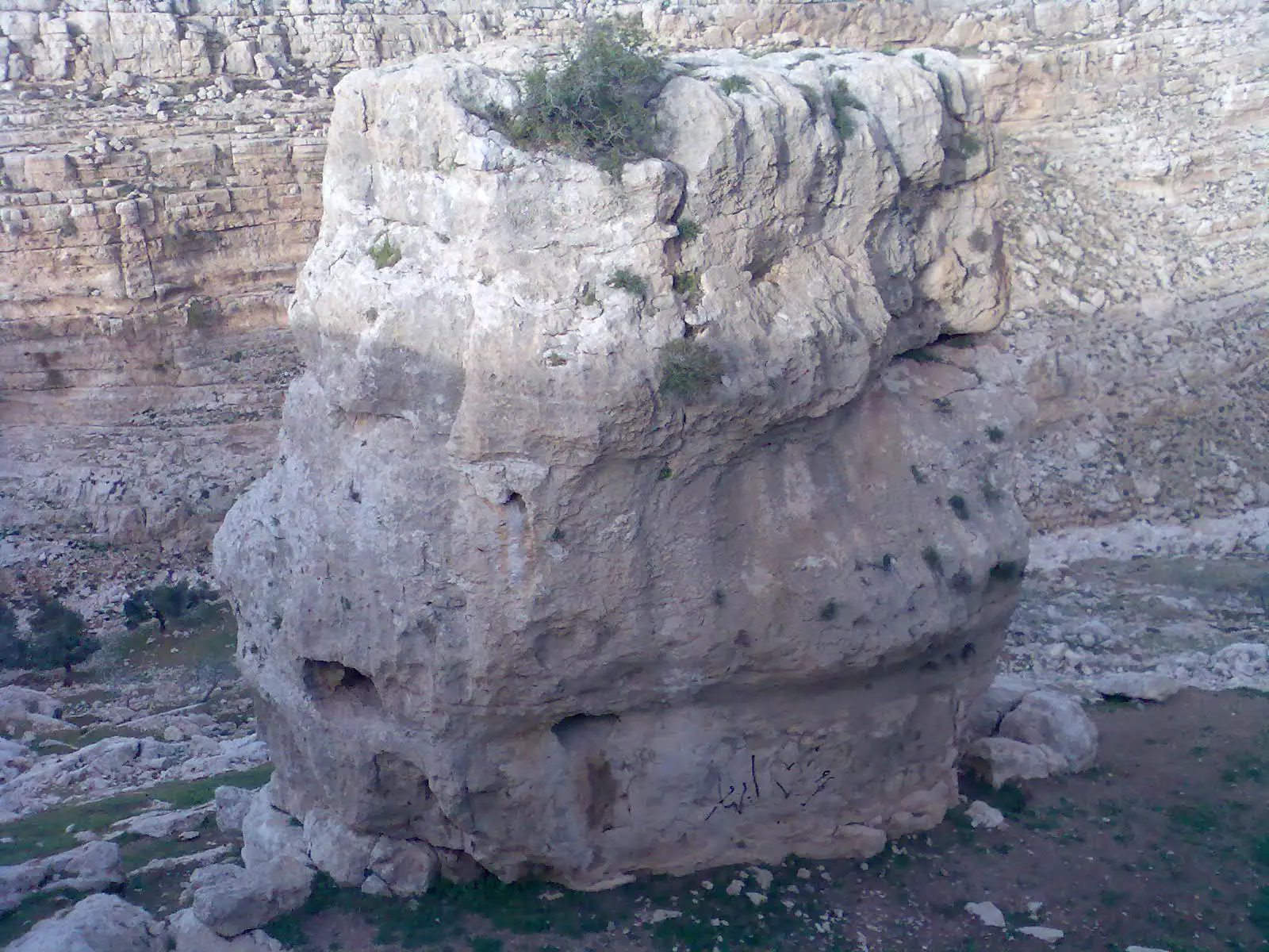
Posted by osaed 1 - منظر عام
Posted by osaed 1 - منظر عام
Posted by osaed 2 - منظر عام
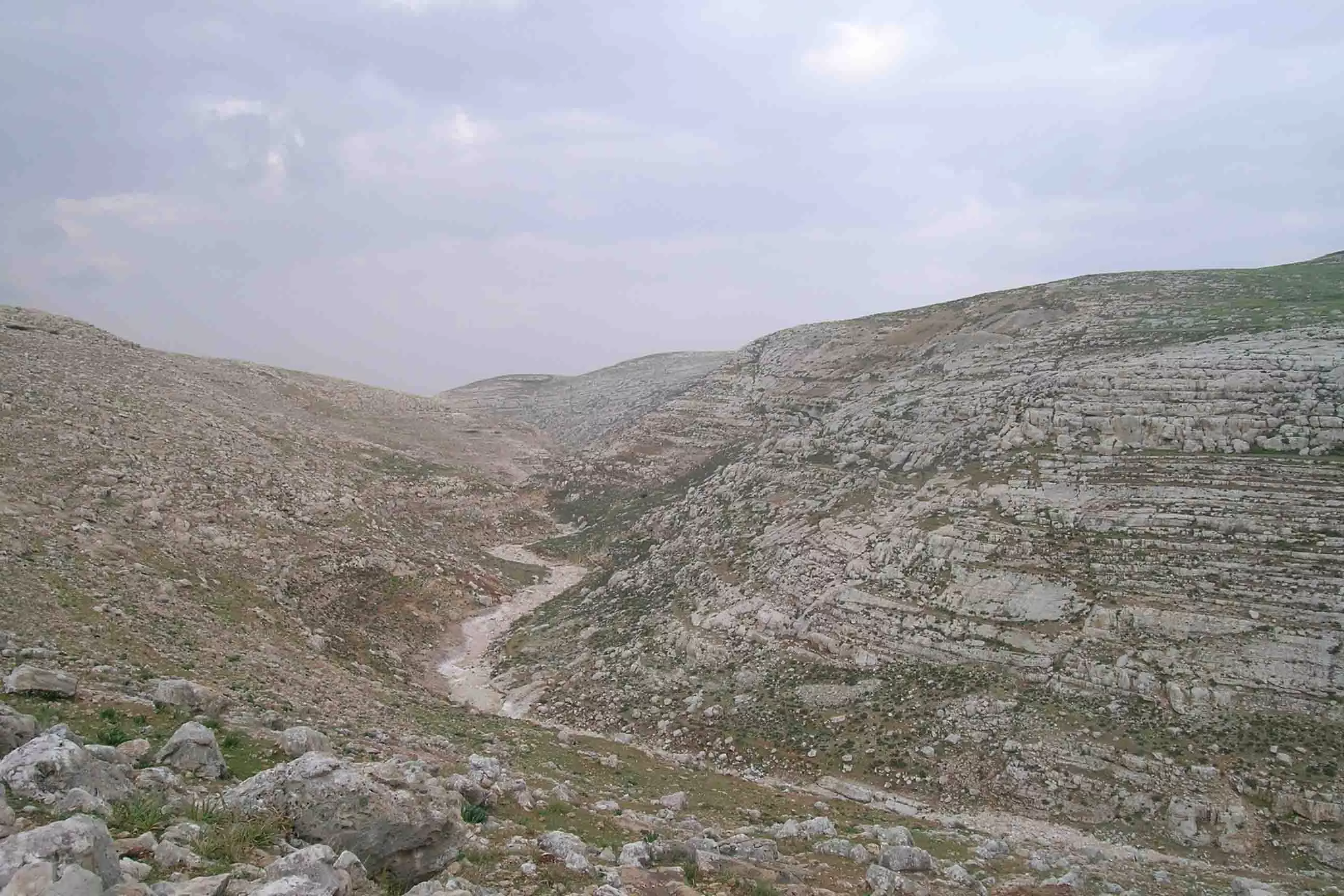
Posted by osaed - منظر عام
Posted by osaed 1 - منظر عام
Posted by osaed 5 - منظر عام
Posted by osaed - منظر عام
Posted by osaed 6 - منظر عام
Posted by osaed - 15
Posted by osaed 1 - 16
Posted by osaed 1 - منظر عام
Posted by osaed 2 - منظر عام
Posted by osaed 1 - منظر عام
Posted by osaed 3 - منظر عام
Posted by osaed 2 - منظر عام
Posted by osaed - البلدة القديمة
Posted by osaed 3 - البلدة القديمة
Posted by osaed 1 - البلدة القديمة
Posted by osaed 2 - البلدة القديمة
Posted by osaed 2 - البلدة القديمة
Posted by osaed 3 - البلدة القديمة
Posted by osaed 3 - 32
Posted by osaed 3 - 33
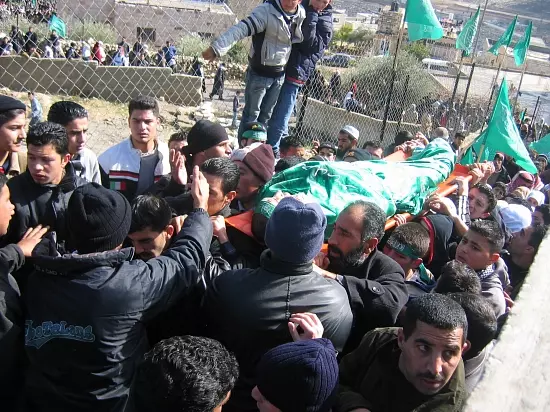
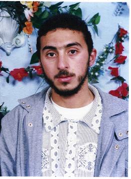
Posted by osaed 2 - الشهيد ثابت
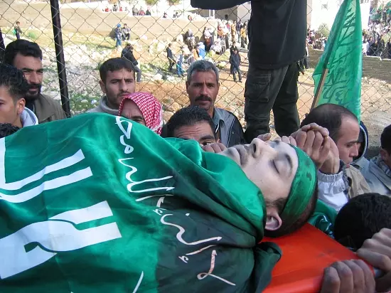
Posted by osaed 8 - الشهيد مؤيد
Posted by osaed 1 - حزما
Posted by osaed 2 - في قريه حزما
Posted by osaed - منظر عام للمغتصبات
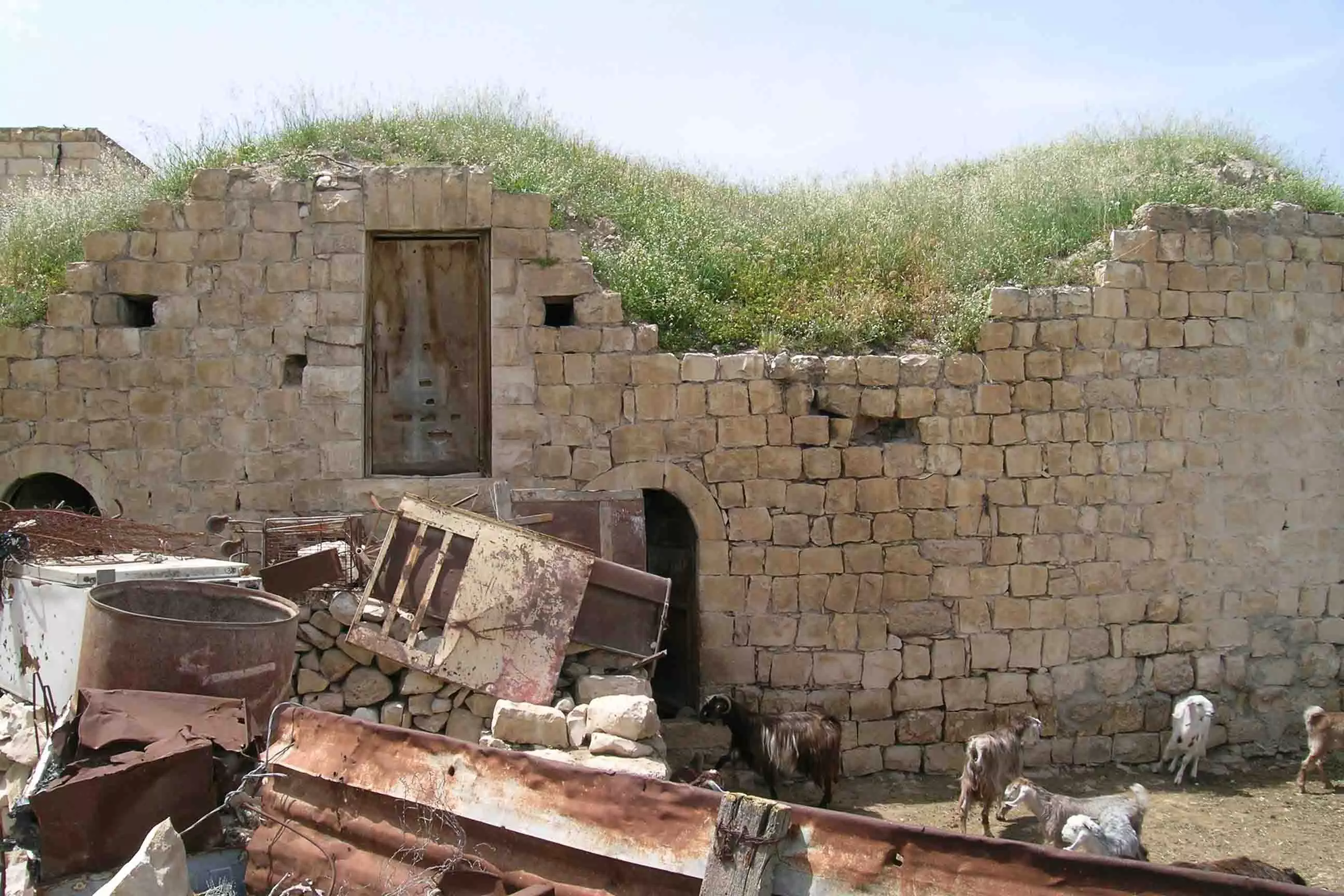
Posted by osaed 5 - البيوت القديمة
Posted by osaed 4 - البيوت القديمة
Posted by osaed 2 - البيوت القديمة
Posted by osaed - 0000
Posted by osaed 2 - البيوت القديمة
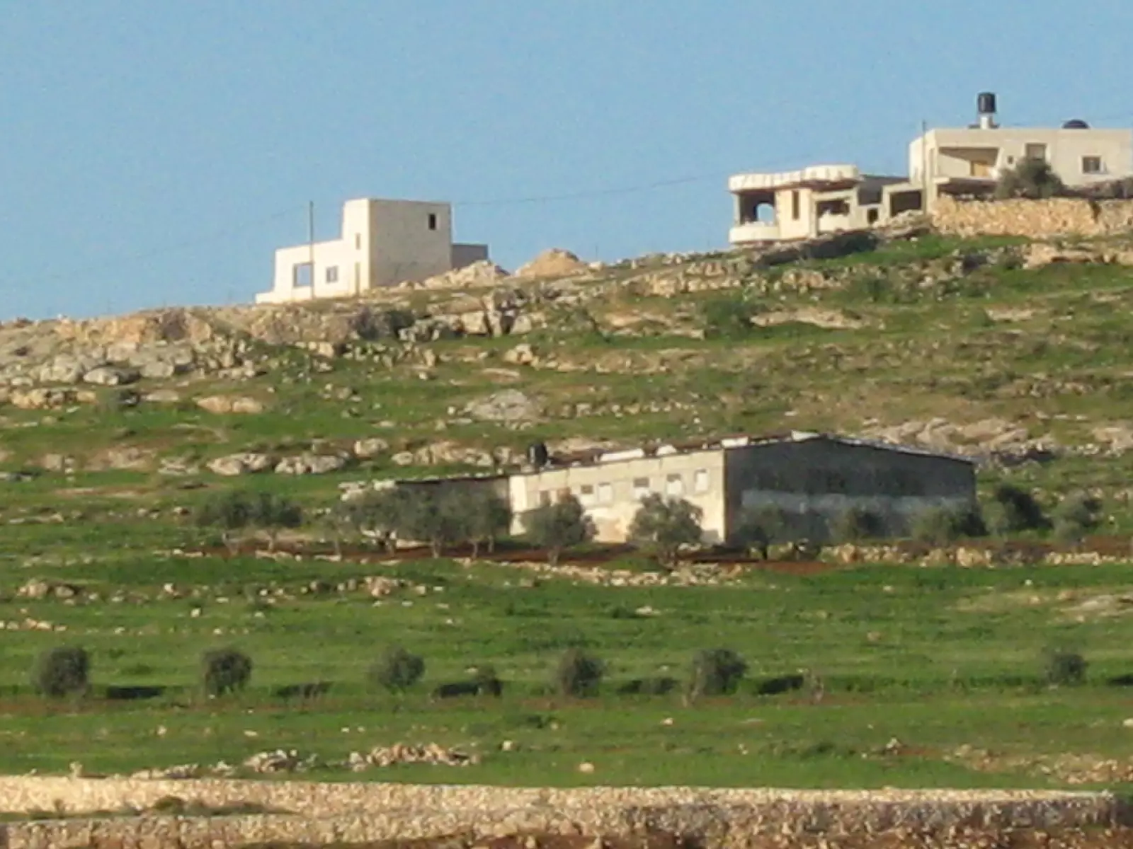
Posted by osaed 4 - صورة للمستعمرات التي تحيط بقرية حزما
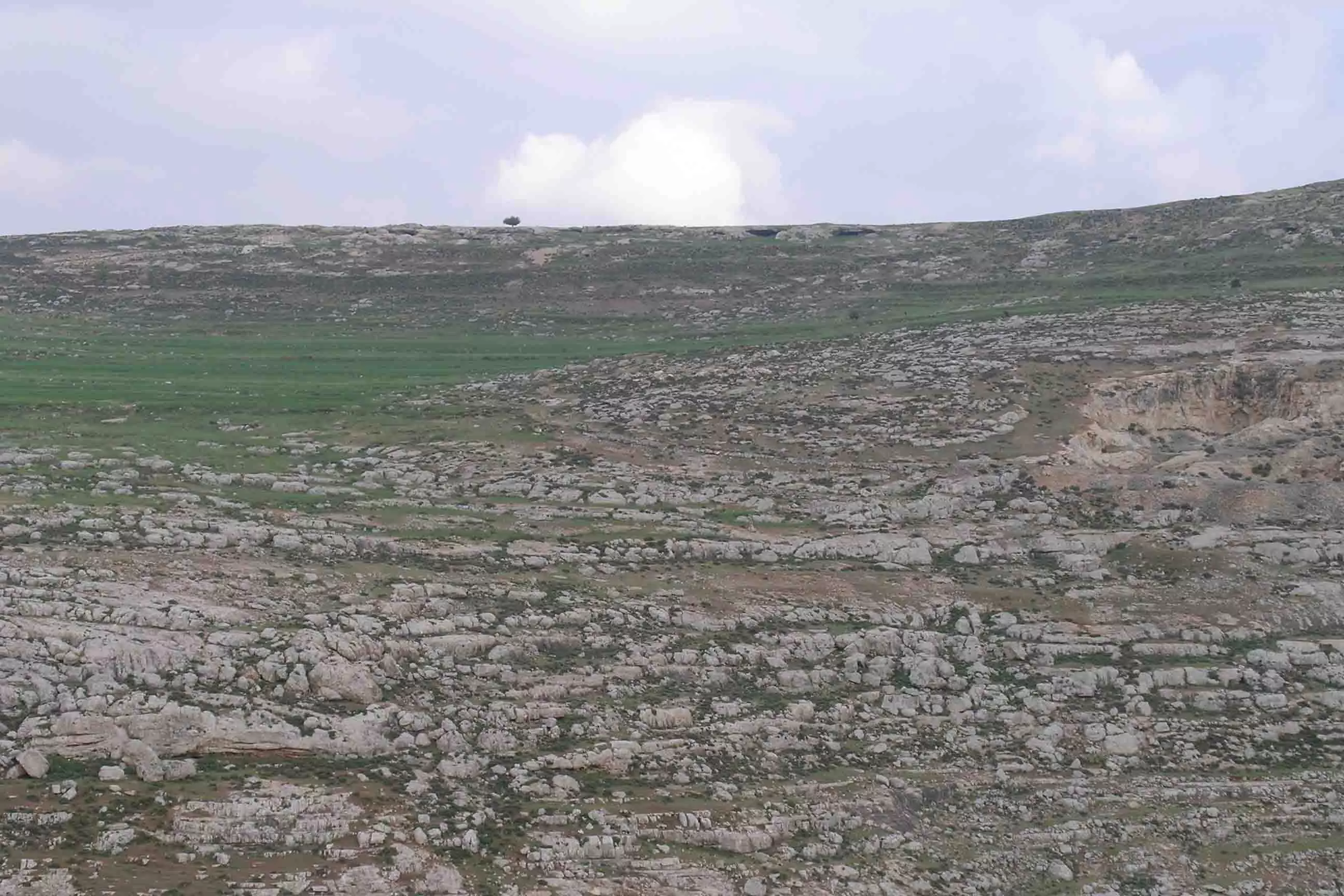
Posted by ميدو 4 - طبيعة حزما
Posted by عاشق البلد 2 - طبيعة حزما
Posted by عاشق البلد 1 - طبيعة حزما
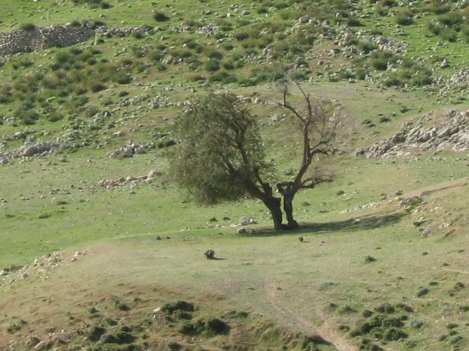
Posted by عاشق البلد 1 - طبيعة حزما-2
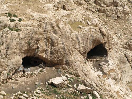
Posted by عاشق البلد 1 - دير عين فارة
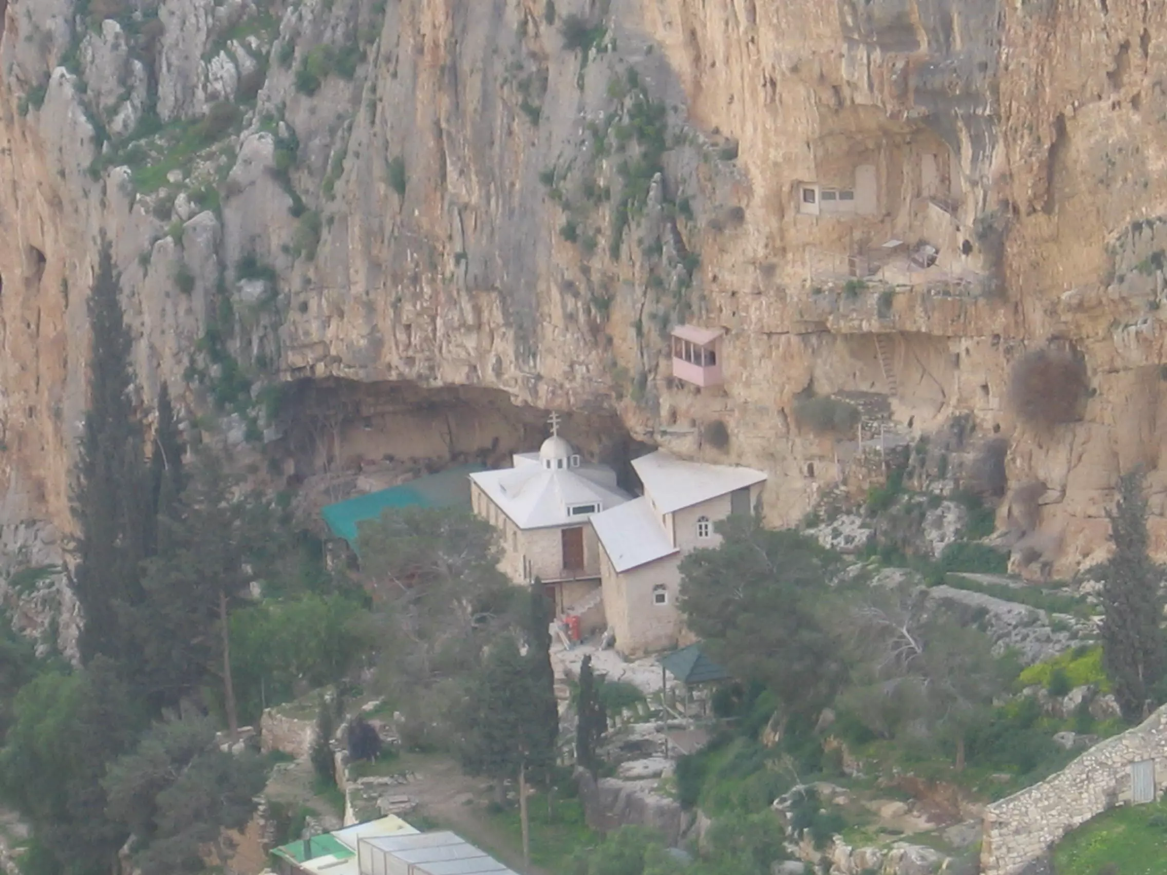
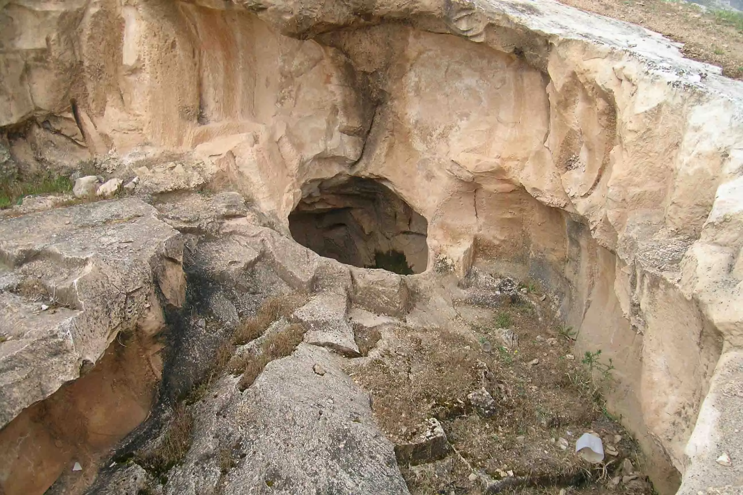
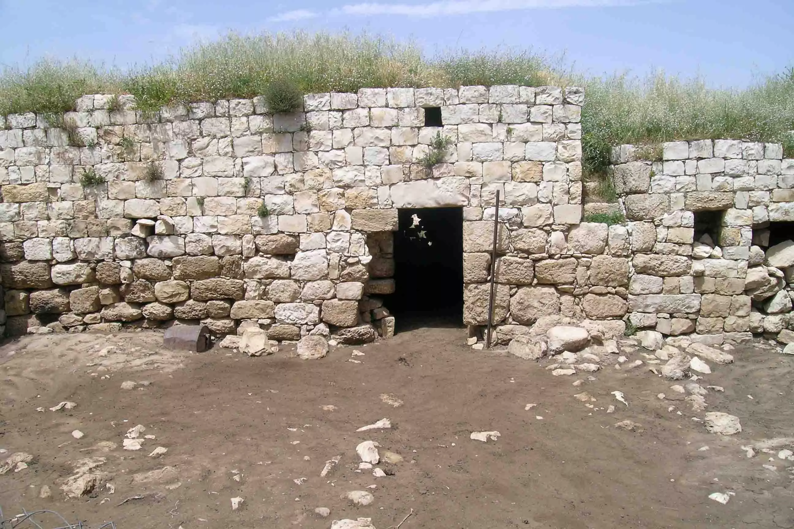
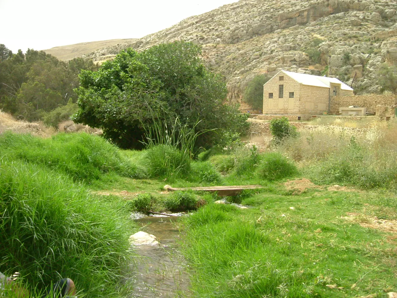
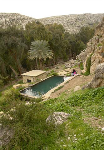
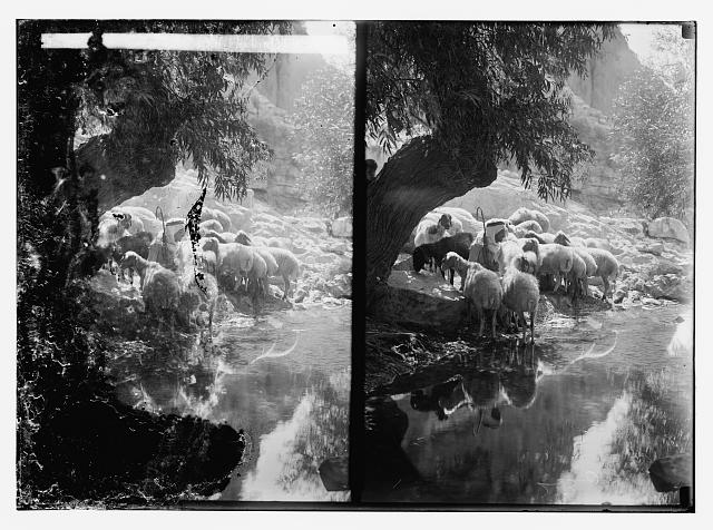
Posted by zead3399 7 - عين فارة
Posted by ابوالليل 3 - اليهوديات
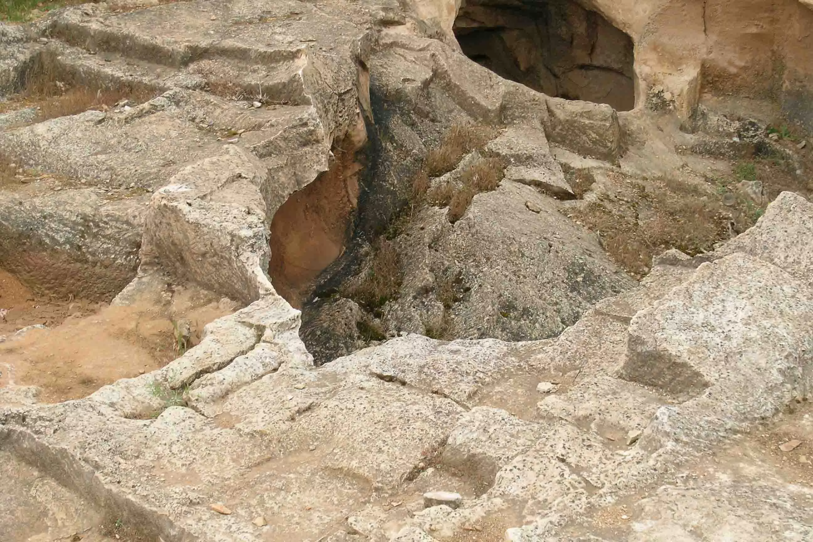
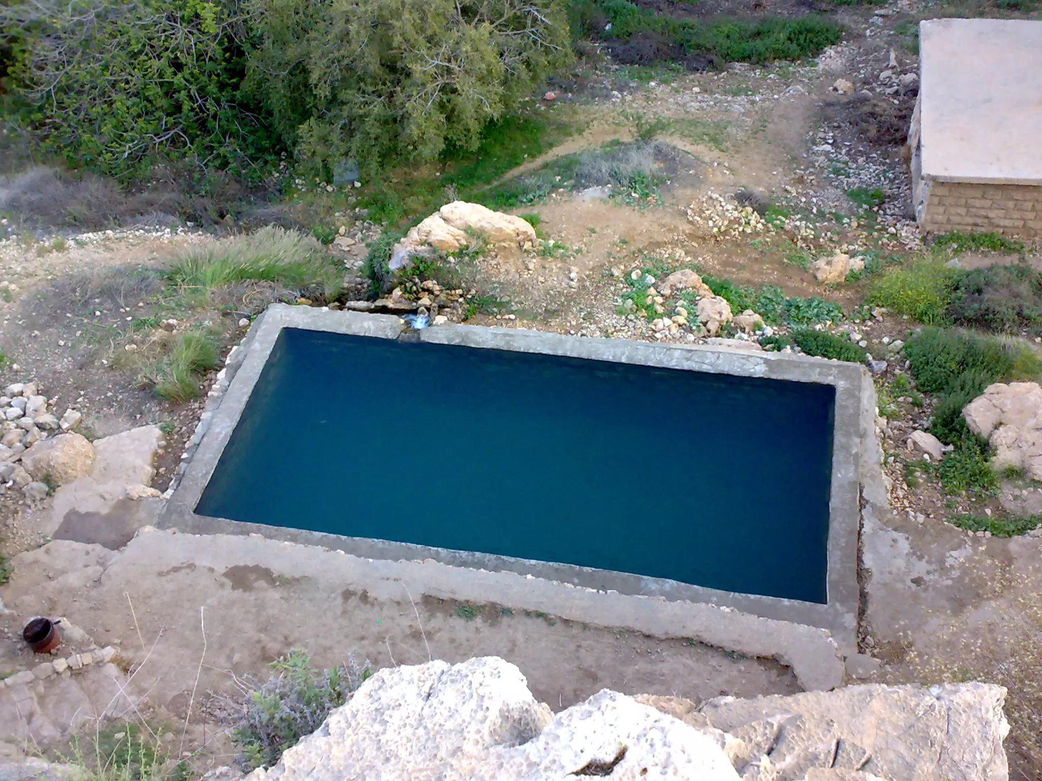
Posted by ابوالليل 4 - البير الموجود في عين فارة
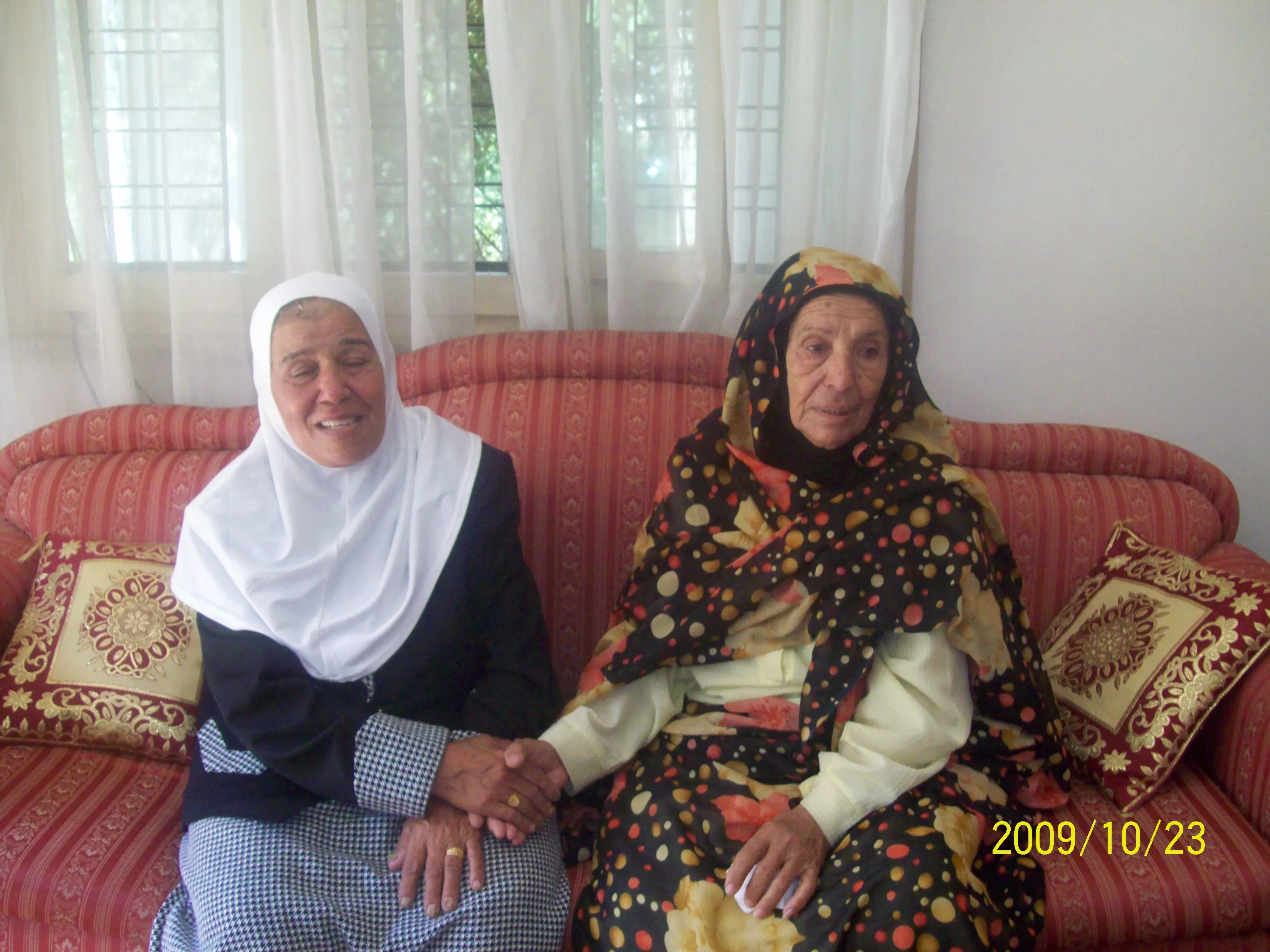
Posted by ابوالليل 3 - الحاجة ام العبد الخطيب تلتقي مع اختها الحاجة ام علي الخطيب من حزما بعد مرور اكثر من اربعين سنة على الفراق بسبب الاحتلال الصهيوني لفلسطين
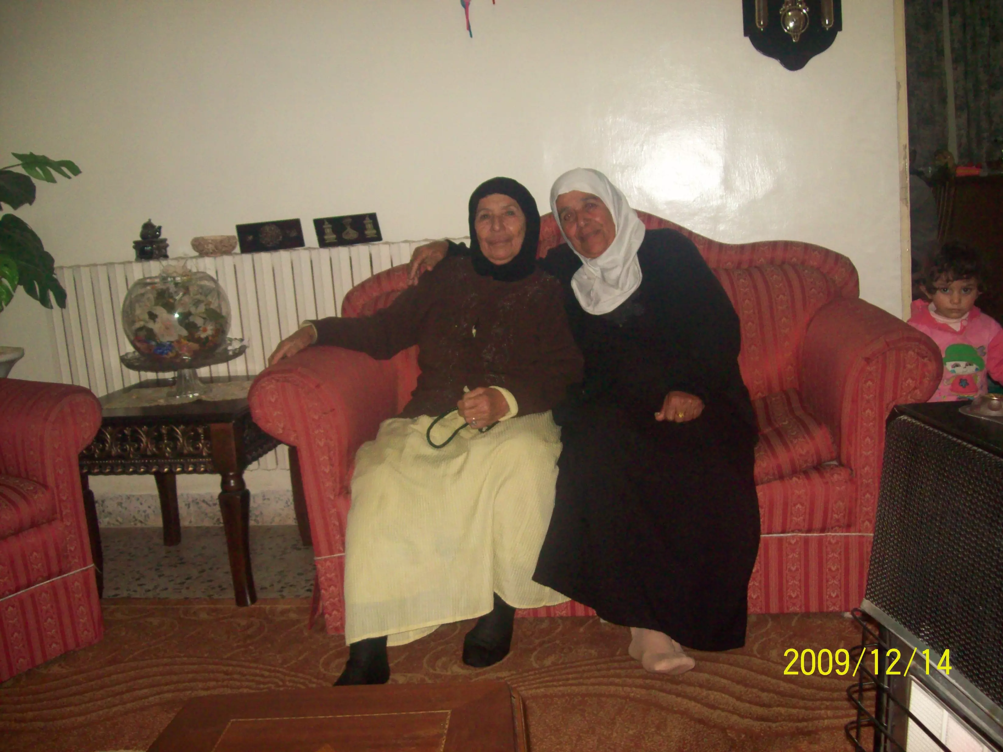
Posted by Azmi Khamis 2 - لقاء الاخوات بعد فراق استمر اربعين سنة الحاجة كفاية الخطيب والمقيمة بجانب حاجز حزما والحاجة ام علي ميسر الخطيب والمقية في دنقلا السودان الشقيق و تظهر بالملابس السودانية
Posted by Azmi Khamis 1 - حزما_ النبطية_شرق البلدة_وتظهرفي الخلفية قرية عناتا المجاورة الي الجنوب
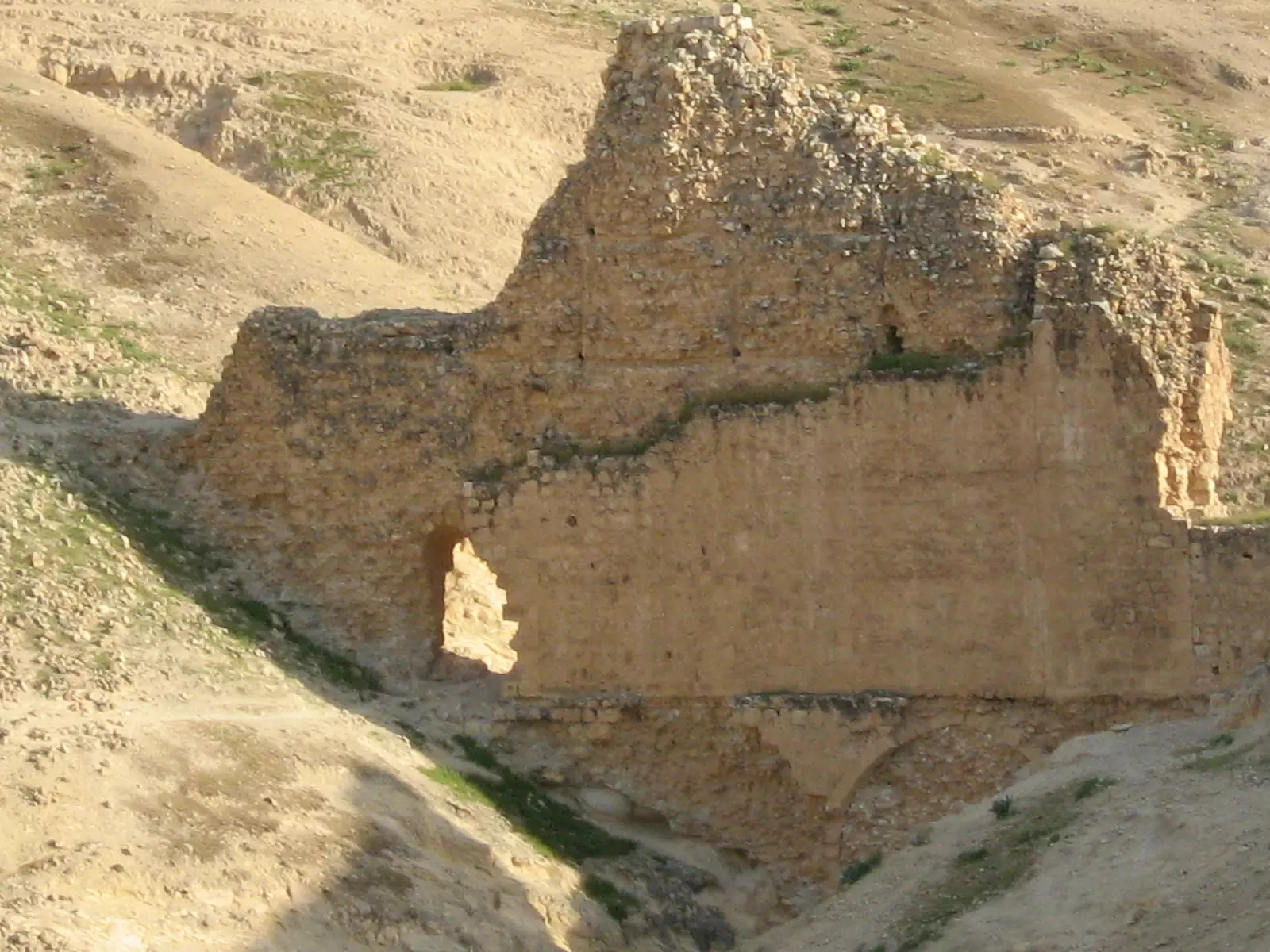
Posted by Slkhateeb 1 - الرديدة
Posted by Slkhateeb - طبيعة حزما في فصل الربيع
Posted by Slkhateeb - قلعة الرديدة الشهيرة
Posted by ابن الرياح - بئر عين فارة
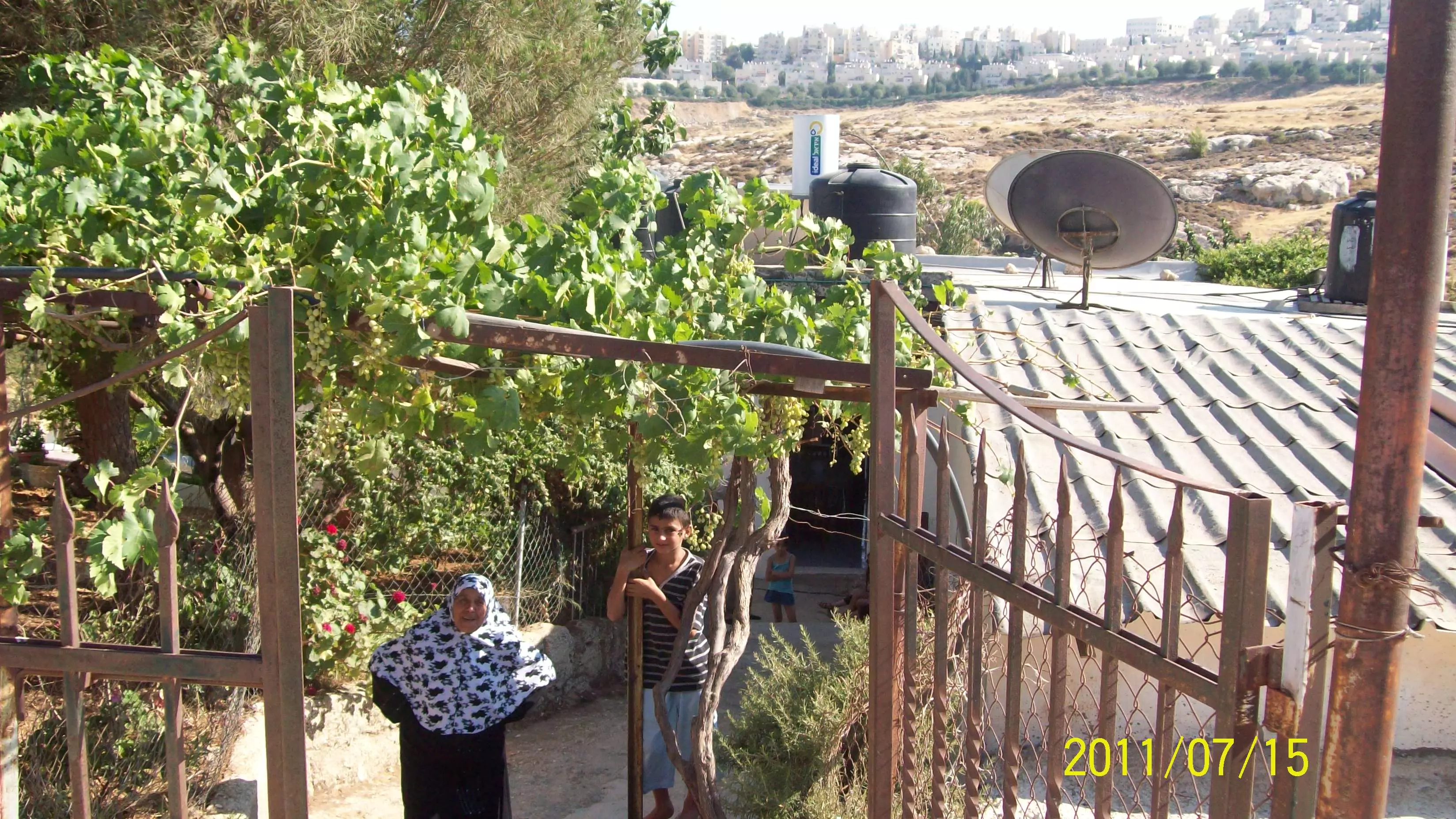
Posted by ابن الرياح - منزل ام العبد الخطيب الصامدة في بيتها رغم محاصرتها من المستوطنات بيجات زئيف - قرب حزما
Posted by azm khamis - برغم الحصار الصهيوني على منزل الحاجة ام العبد لاتزال تتمسك ببيتها و تزرع العنب والزيتون
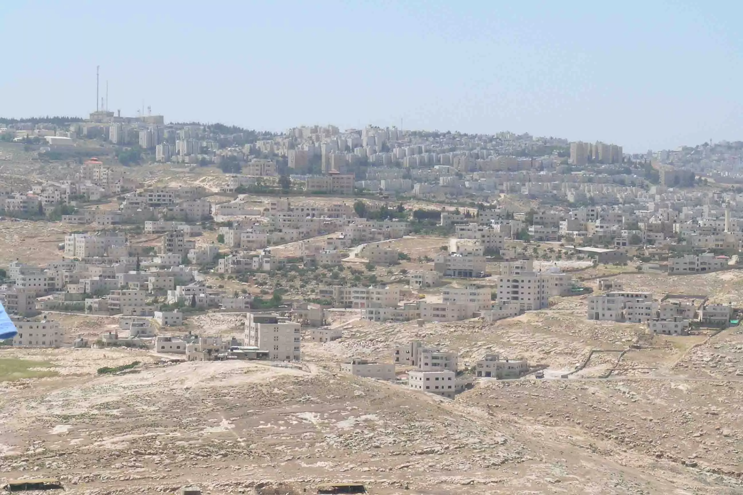
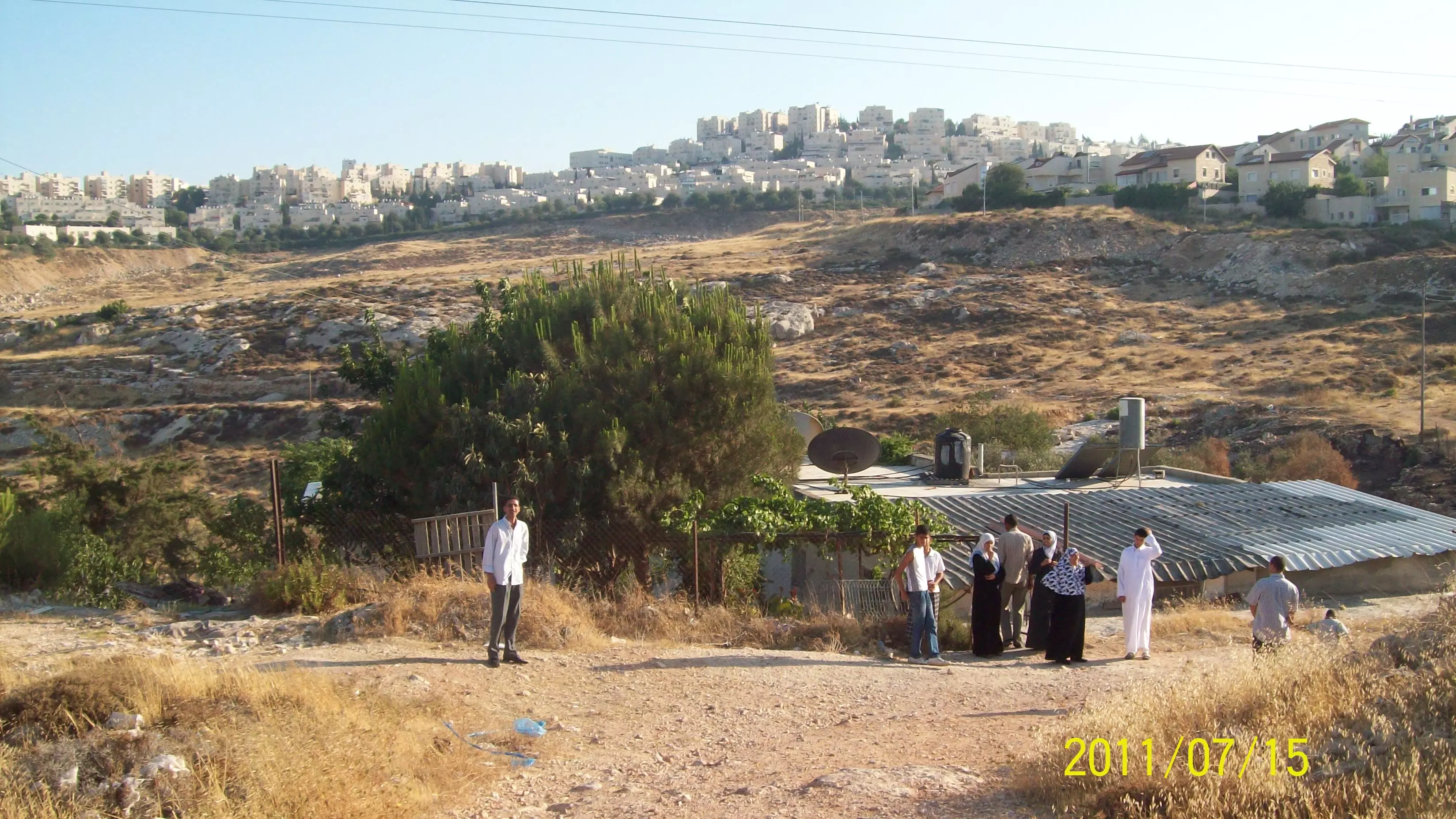
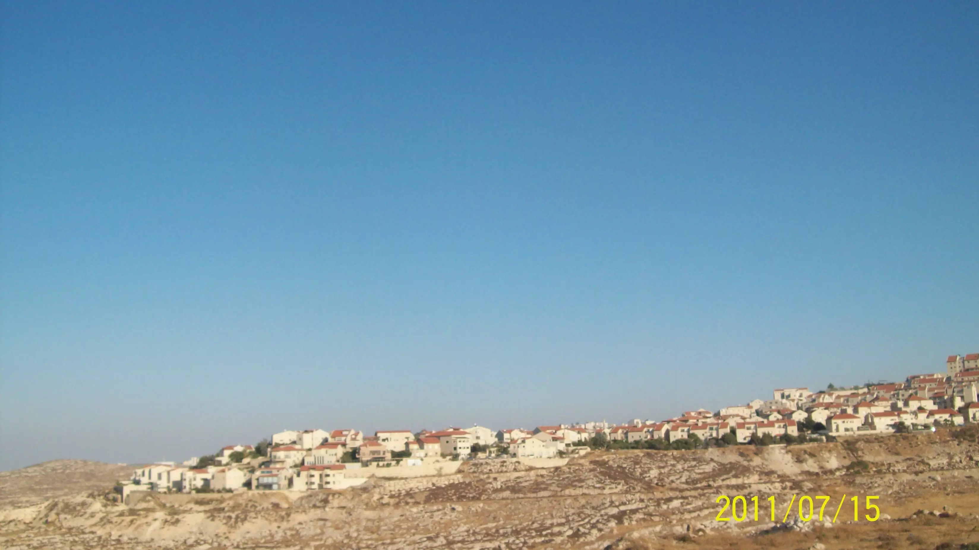
Posted by azm khamis - منظر للمستوطنات الصهيونية التي تفصل قرية حزما عن جارتها قرية عناتا - محافظة القدس
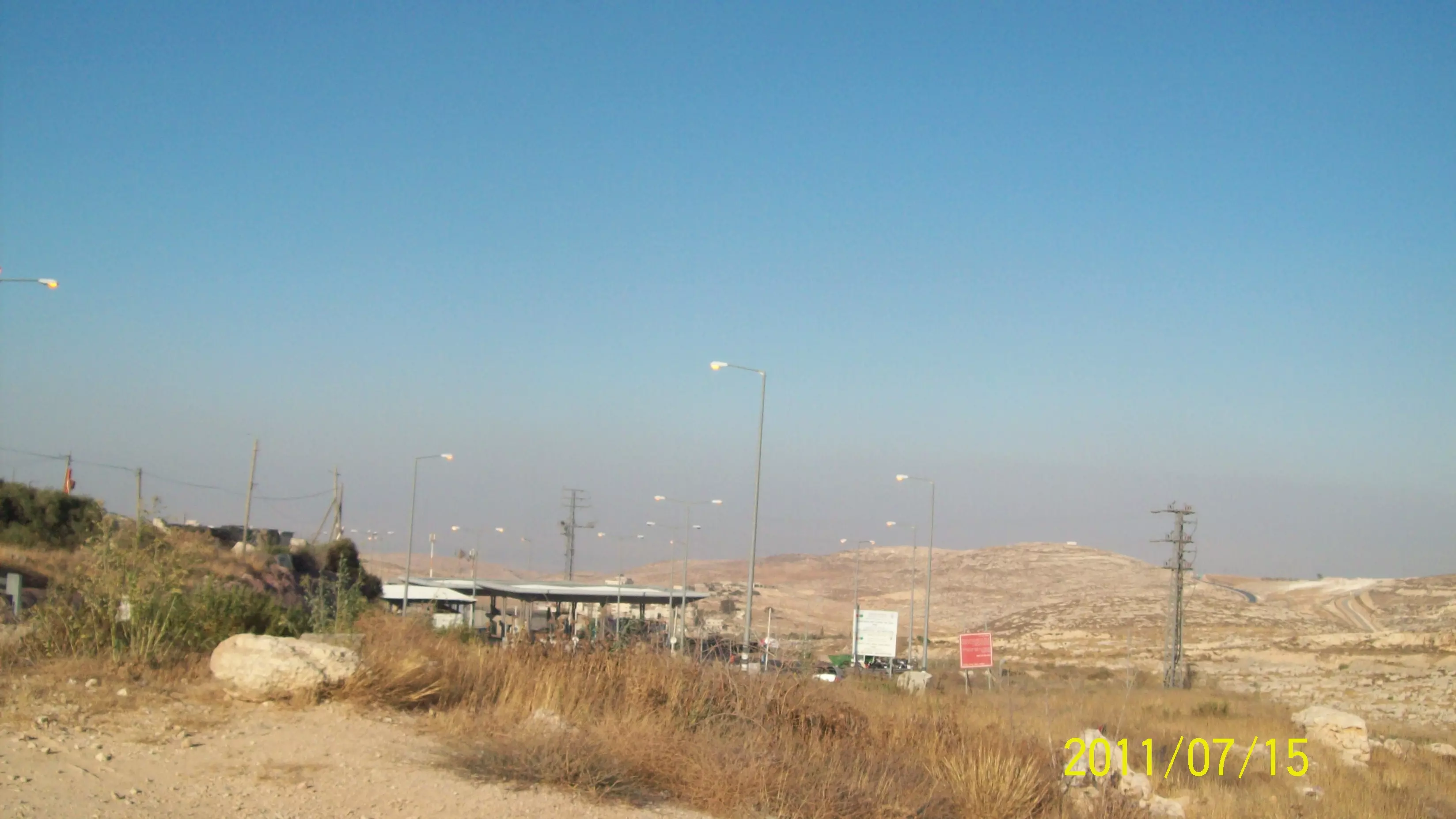
Posted by azm khamis - صورة لحاجز خزما الصهيوني الذي يفصل قرية حزما عن القدس العربية
Posted by azm khamis 1 - عين فارة
Posted by abu rashed
Want to browse more? 80,000 pictures were grouped in these gallaries:
| Display Name | Clan/Hamolah | Country of Residence |
| صدام شوكت صلاح الدين | - | - |
| احمد | - | - |
| لا إله إلا الله | صلاح الدين | فلسطين, حزما |
| حسن نجيب | - | - |
| نصرة المسجدالأقصى | صلاح الدين | فلسطين, حزما |
| معتز الخطيب | الخطيب | - |
| اسلام صبيح | الخطيب | حزما, حزما |
| محمد عبدالرحمن الخطيب | الخطيب | الزرقاء |
| ابو هادي | الخطيب | القدس, حزما |
| sherin nazme | hizma | florida, usa |
| تالين | - | - |
| عاصم ابوخليل | - | حزما |
| ali | - | القدس |
| ايوب الخطيب | - | القدس |
| عبدو | ابو خليل | القدس, حزما |
| osaed | - | - |
| علي العمري | صلاح الدين | - |
No links have been shared yet, be free to the first to share the first link.
 Fake Valor: Why Did Zionist Jews Hoist Nazis Flag on Their Ships in the 1930s?
What is new?
-
Facts About Oct. 7th Gaza Raid
-
Remined Us Please:: Who Did Rape Who? Palestinians Raped Israelis? Or, was the other way around?
-
When Prof. Edward Said was invited to debate Bibi Netanyahu in the 1980s, watch what happened!
-
Ezra Klein of the NY Times on the "Jewish Race".
-
Abusing Blood Libel!
-
Did Israeli Soldiers Activate The Hanniba Direective On Oct. 7th? You Be The Judge
-
Zionist FAQ: Isn't it true that Palestinians don't want peace? Palestinians never accepted the two-state solution
- Facts about Haavara (Transfer) Agreement between Ben-Gurion & Hitler
-
Haavara FAQs: Why Did Zionist Jews Hoist Nazis' Flags on Their Ships in the 1930s?
- Haavara FAQs: When Chaim Weizmann met FDR in mid-1943, why was he silent about rescuing European Jewry?
-
Dear ChatGPT: How did Palestinians resist Napoleon's invasion of their country in 1799?
-
Dear ChatGPT: Gaza had a vibrant Jewish community in the mid-17th century. What happened to them?
-
Dear ChatGPT: Why did the Jewish Agency suppress news of the Holocaust during WWII?
-
Video Playlist: Jews share their DNA tests to end the conflict for good.
-
A Tale of Two Conflicts: Examining the Definition of Genocide
-
Prof. Abraham Polak And The Suppressed History of the Khazars and European Jewry
-
How Ronald Reagan would have framed the genocide in Gaza if he were still alive?
-
Haavara FAQs: Let us do the math: how many German Jews did The Haavara Agreement save?
-
Zionist FAQs: The Hebron Massacre of 1929, "clearly proves" that Palestinians are antisemitic, how could you deny it?
-
Zionist FAQs: Why Anti-Zionist Is Not Antisemitism?
-
Zionist FAQs: Isn't it true that the KGB created Palestinian Nationalism in the early 1960s?
- Zionist FAQs: Muslims are killing Muslims all the time; why are Israeli Jews being singled out in the media?
- Zionist FAQs: How is Israel an apartheid state when 20% of its citizens are Arabs who enjoy full rights?
-
Haavara FAQs: Why Did Dorothy Thompson Flip From A Zionist Advocate to A Silenced Dissenter?
-
Haavara FAQs: Analysis of Herzl's Uganda Scheme and how it could have saved millions of Jews.
-
Haavara FAQs: Why did Hayim Greenberg describe American Jewry as "morally bankrupt" in early 1943?
-
Haavara FAQs: What if the Evian Conference was a resounding success? What would have been the impact of saving European Jewry on Zionism?
- Haavara FAQs: What if the six million were saved, how that would have impacted the Zionist project?
-
Haavara FAQs: How did Zionist leaders react when Europe's Jews lingered in the DP camps after WWII ended?
-
Why does the American Jewish community repeat lies that David Ben-Gurion had debunked before he died?
-
Who has the power to rename the Tatar/Khazar Gene Marker to Jewish IV?
-
Zionist FAQs: Why won't Egypt, Syria, and Jordan take their people back? Jews are indigenous to Palestine, and Arabs immigrated after Jews developed the country. Arabs should leave.
-
Haavara FAQs: Did Hitler and the Nazis conflate between Judaism and Zionist? If that wasn't case, then why?
-
Haavara FAQs: Winston Churchill and antisemitism, a collection of articles written Churchill.
-
Haavara FAQs: Broken by country, how many Jews survived vs. killed during the Holocaust?
-
Haavara FAQs: Why did European Jews vote with their feet and to immigrated to the Americas, not Palestine, after WWII?
-
Watch this American Jewish Girl describing Israeli Jews' cognitive dissonance like no other in under two minutes
-
Haavara FAQs: When the Nazis went out of their way to hide the Holocaust, Israeli Jews did the exact opposite by broadcasting their genocide of Gazans. But why?
-
Haavara FAQs: How Zionist Jews went out of their to show their appreciation to Nazism and Fascism?
- Haavara FAQs: Why Zionist leaders were against bombing the death camps & the Railroads leading to them?
-
Haavara FAQs: Hitler's message to the British and American people: If Jews are such noble citizens and you care about them, how come you're not letting them in? I will gladly ship them to you at my expense, even on luxury liners!
-
A shortlist of Zionist and Israeli false flag operations in the name Jews.
-
The Most Moral Army
- The Land of Kapos (Israel): Where the brave are boycotted and Kapos walk free.
- Why did early Zionists often named their communal enterprises "colonial"?
- Zionist Relations with Nazi Germany by Faris Glubb
-
Two NY Times advertisements by Zionists in the early 1943 that exposes Zionists' treason at the height of the calamity
- Facts Not Lies about the Palestinian-Israeli Conflict.
- Site's pictures have been categorized
- Campgain Against Lice
- A Survey of Palestine, the official source about Palestine before Nakba produced by the British Mandate; over 1200 pages.
- Satellite View & Google Earth: Over 6,000 placemarks identifying all destroyed towns, W. Bank & Gaza Strip Towns, & refugee camps.
- PalestineRemembered.com and its Nakba Oral History Project were featured on al-Jazeera Satellite TV.
- Nakba Oral History Video Podcast:
 Over 700 Oral History interviews (including 3,500+ hours of recording) can be viewed online.
 - Palestine Village Statistics Project
- Gaza Jail Break
- النسخة العربية للموقع الان متوفرة
- Videos: Documenting the destroyed villages in video: Tracing all that remains since Nakba.
- Videos: Responding to Zionist Propaganda
- Interview: The ethnic cleansing of Palestine: George Galloway interviews Israeli Historian Ilan Pappe.
- For Palestinians, memory matters. It provides a blueprint for their future By George Bisharat.
- Zionist FAQ now available in Hebrew שאלות שציונים שואלים, עכשיו בעברית
- Video: The Stephen Walt and John Mearsheimer report on the influence of the Israel Lobby on U.S. Foreign Policy
- The Palestinian-Israeli conflict for beginners
