| PalestineRemembered | About Us | Oral History | العربية | |
| Pictures | Zionist FAQs | Haavara | Maps | |
| Search |
| Camps |
| Districts |
| Acre |
| Baysan |
| Beersheba |
| Bethlehem |
| Gaza |
| Haifa |
| Hebron |
| Jaffa |
| Jericho |
| Jerusalem |
| Jinin |
| Nablus |
| Nazareth |
| Ramallah |
| al-Ramla |
| Safad |
| Tiberias |
| Tulkarm |
| Donate |
| Contact |
| Profile |
| Videos |
|
Prev |
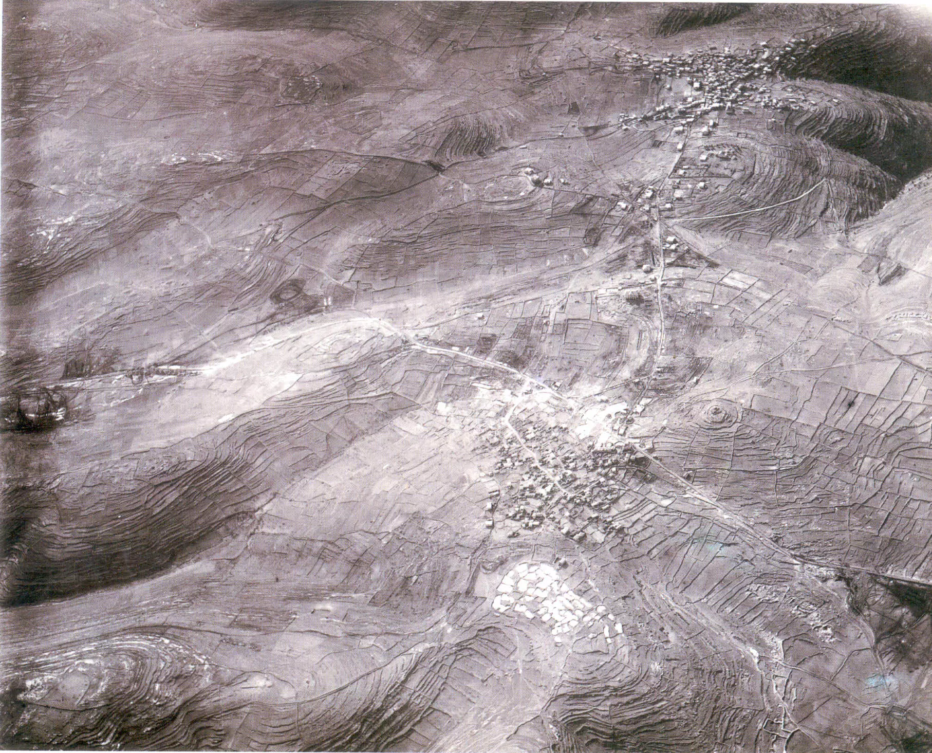
Ramallah - رام الله: Aerial view of Ramallah and al-Bira in 1918, soon after British occupation. North points to the right hand. Note Jerusalem-Nablus main road that cross the picture from left to rightand how it branches to Ramallah2 comments |
Next
العربية |
| On January 17, 2007 |
||
| Upload | Prev 44 45 46 47 48 Next | Satellite |


Post Your Comment
*It should be NOTED that your email address won't be shared, and all communications between members will be routed via the website's mail server.
city ever and im sure the is way .............. batter then u.s and all city's around the world