| PalestineRemembered | About Us | Oral History | العربية | |
| Pictures | Zionist FAQs | Haavara | Maps | |
| Search |
| Camps |
| Districts |
| Acre |
| Baysan |
| Beersheba |
| Bethlehem |
| Gaza |
| Haifa |
| Hebron |
| Jaffa |
| Jericho |
| Jerusalem |
| Jinin |
| Nablus |
| Nazareth |
| Ramallah |
| al-Ramla |
| Safad |
| Tiberias |
| Tulkarm |
| Donate |
| Contact |
| Profile |
| Videos |


Post Your Comment
*It should be NOTED that your email address won't be shared, and all communications between members will be routed via the website's mail server.
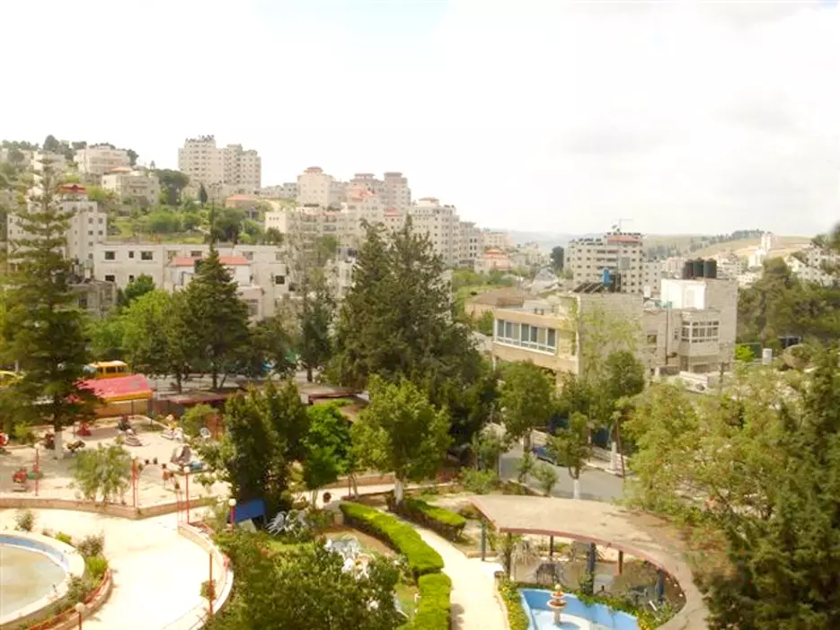
Vanishing point is pointing southward towards Rafat village and Jerusalem beyond. Buildings on hill is Ein-Munjid area, Masyoun beyond. Trees at upper left is location of Christian Cemetery.
Street going left, near red canopy, passes Al-Baladiyyah, and used to roughly demarcate Ramallah El-Tahta from Ramallah El-Foqa.