| PalestineRemembered | About Us | Oral History | العربية | |
| Pictures | Zionist FAQs | Haavara | Maps | |
| Search |
| Camps |
| Districts |
| Acre |
| Baysan |
| Beersheba |
| Bethlehem |
| Gaza |
| Haifa |
| Hebron |
| Jaffa |
| Jericho |
| Jerusalem |
| Jinin |
| Nablus |
| Nazareth |
| Ramallah |
| al-Ramla |
| Safad |
| Tiberias |
| Tulkarm |
| Donate |
| Contact |
| Profile |
| Videos |
|
Prev |
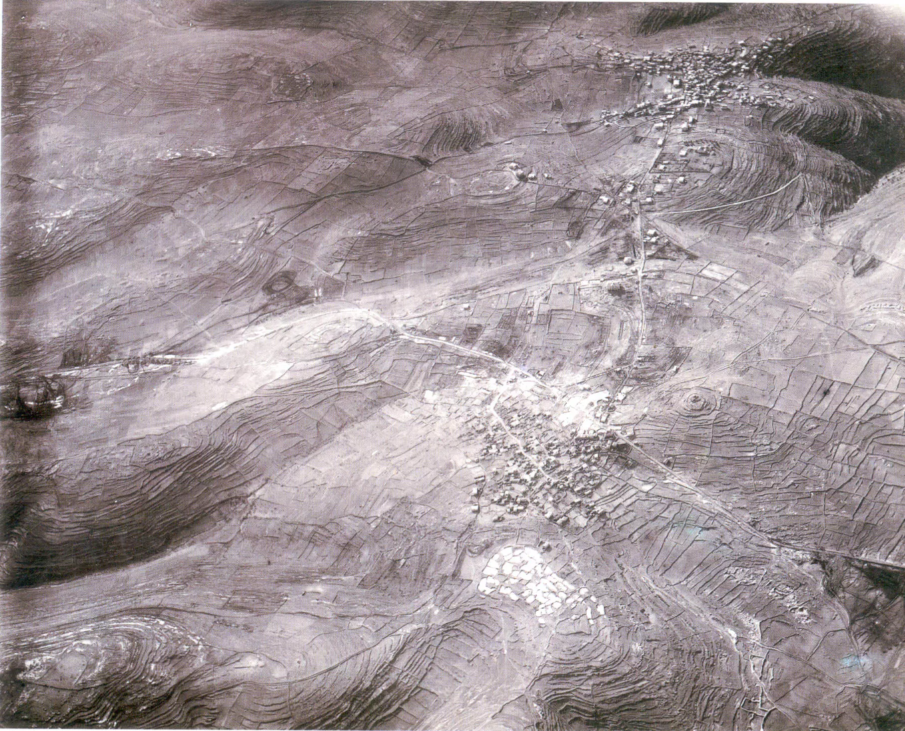
al-Bira - البيرة: Aerial view of Ramallah and al-Bira in 1918, soon after British occupation. North points tothe right hand. Note Jerusalem-Nablus main road that cross the picture from left to rightand how it branches to Ramaallah2 comments |
Next
العربية |
| On January 17, 2007 |
||
| Upload | Prev 3 4 5 6 7 Next | Satellite |


Post Your Comment
*It should be NOTED that your email address won't be shared, and all communications between members will be routed via the website's mail server.
وللحقيقة لي فترة ابحث عن صور جوية قديمة لفلسطين ولم اجد لها اثرا على الانترنت الا في هذا الموقع فارجو ان يذكر لنا رافع الصورة من اين مصدرها وله او لها جزيل الشكر.