| PalestineRemembered | About Us | Oral History | العربية | |
| Pictures | Zionist FAQs | Haavara | Maps | |
| Search |
| Camps |
| Districts |
| Acre |
| Baysan |
| Beersheba |
| Bethlehem |
| Gaza |
| Haifa |
| Hebron |
| Jaffa |
| Jericho |
| Jerusalem |
| Jinin |
| Nablus |
| Nazareth |
| Ramallah |
| al-Ramla |
| Safad |
| Tiberias |
| Tulkarm |
| Donate |
| Contact |
| Profile |
| Videos |
Welcome To Lazzaza - لزازة (לזאזה)
|
District of Safad
Ethnically cleansed days ago |
العربية Google Earth |
 |
Gallery (15) |
- Statistics & Facts
-
Before & After

- Satellite View
- Articles 2
- Pictures 15
- Oral History 1
- Members 2
- All That Remains
- Wikipedia
- Videos 1
- Guest Book 1
- Links
| Statistic & Fact | Value | ||||||||||||||||||
| Occupation Date | May 21, 1948 | ||||||||||||||||||
| Distance From District | 27.5 (km) North East of Safad | ||||||||||||||||||
| Elevation | 75(meters) | ||||||||||||||||||
| Before & After Nakba, Click Map For Details |
|||||||||||||||||||
|
|||||||||||||||||||
| Map Location | See location #12 on the map View from satellite |
||||||||||||||||||
| Military Operation | Operation Yiftach (commanded by the ethnic cleansing champion Yigal Allon) | ||||||||||||||||||
| Attacking Units | The Palmach's First Battalion | ||||||||||||||||||
| Exodus Cause | Haganah 'Wispering' campaign (psychological warfare) | ||||||||||||||||||
| Village Temains | The village has been mostly destroyed with the exception of few stone houses remain. | ||||||||||||||||||
| Ethnically Cleansing | Lazzaza was ethnically cleansed as a result of psychological warfare conducted between 10th and 15th May of 1948. | ||||||||||||||||||
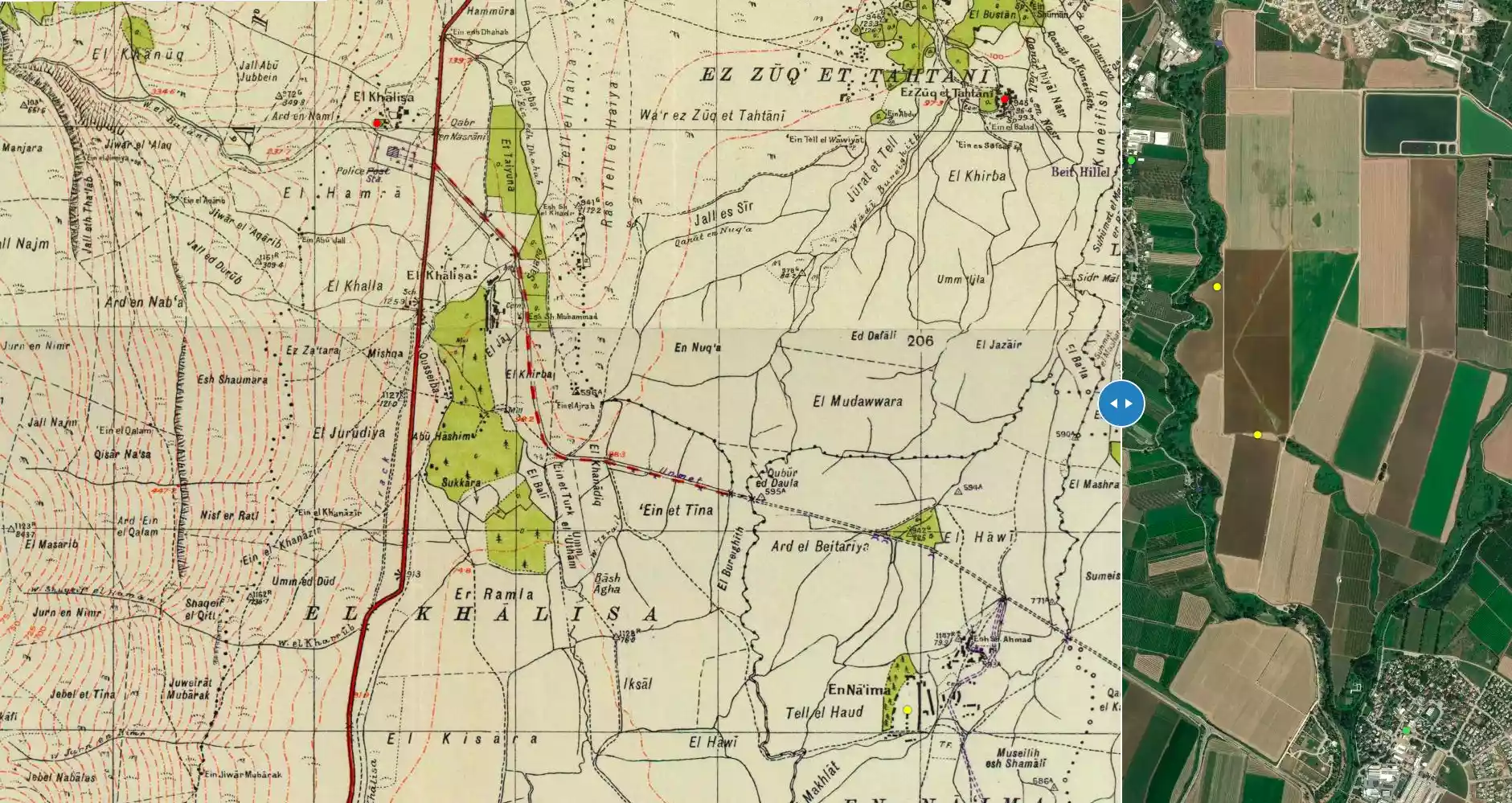
| Pre-Nakba Land Ownership |
**Town Lands' Demarcation Maps |
||||||||||||||||||
| Land Usage As of 1945 |
|
||||||||||||||||||
| Population |
|
||||||||||||||||||
| Number of Houses |
|
||||||||||||||||||
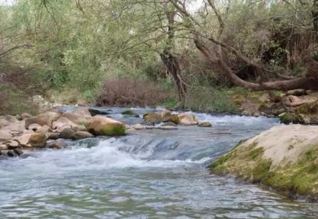
| Nearby Wadies & Rivers | The village was situated close to al-Hasibani River | ||||||||||||||||||
| Exculsive Jewish Colonies Who Usurped Village Lands |
Beyt Hillel | ||||||||||||||||||
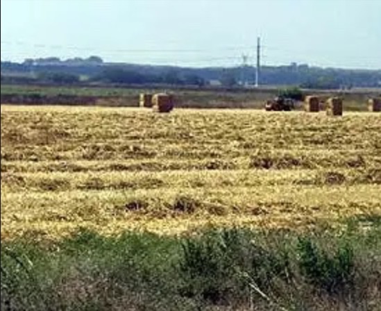
Village Before NakbaThe village was located on flat terrain next to the al-Hasibani River, in the northern section of the aI-Hula Plain. In the late nineteenth century, travelers described Lazzaza as a village built of adobe bricks and situated on a plain near a river. The population was about 70. [SWP (1881) I:89] The village had its own elementary school, in which 26 students were enrolled in 1945. Most of the residents of Lazzaza were Muslims. Their land was fertile and well-suited for agriculture, which was their main source of livelihood. Onions, corn, and fruits were their main crops, although they also raised livestock, kept bees, and fished. In 1944/45 they allocated a total of 95 dunums to cereals; 235 dunums were irrigated or used for orchards.Village Occupation and Ethnic CleaningThe depopulation of Lazzaza is attributed to the 'whispering campaign' (a form of psychological warfare) that was devised by Palmach commander Yigal Allon and implemented during Operation Yiftach (see Abil al-Qamh, Safad sub-district). According to Israeli historian Benny Morris, threats were conveyed to villagers in the eastern Galilee while Operation Yiftach was in progress. But there is some doubt as to the plausibility of this account. While the people of Lazzaza were reported to have fled on 21 May 1948, the 'whispering campaign' was implemented somewhat earlier, between 10 and 15 May, according to Allon himself. [M:122-23]Zionists Colonies on Village LandsThe settlement of Beyt Hillel (206290) was established in 1940, just to the northwest ofthe village site but not on village land.Village TodayOnly a few scattered stones remain on the village site. The surrounding lands are cultivated by the residents of Beyt Hillel.SourceDr. Walid al-Khalidi, 1992: All That Remains. |
|||||||||||||||||||
| Related Maps | Town Lands' Demarcation Maps خرائط للقضاء توضح حدود القرى والاودية Town's map on MapQuest View from satellite Help us map this town at WikiMapia |
||||||||||||||||||
| Related Links | Wikipedia's Page Google Search Google For Images Google For Videos |
||||||||||||||||||
| More Information | في كتاب كي لا ننسى في كتاب بلادنا فلسطين المزيد من موقع هوية |
||||||||||||||||||
- Village Site In 1987
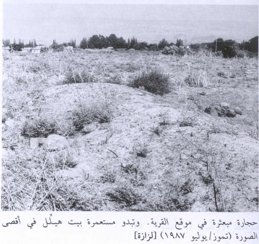
Scanned from "All That Remains" by Dr. Walid Khalidi - اراضي قريه لزازه -لم يتبقى ايا اثر للقريه
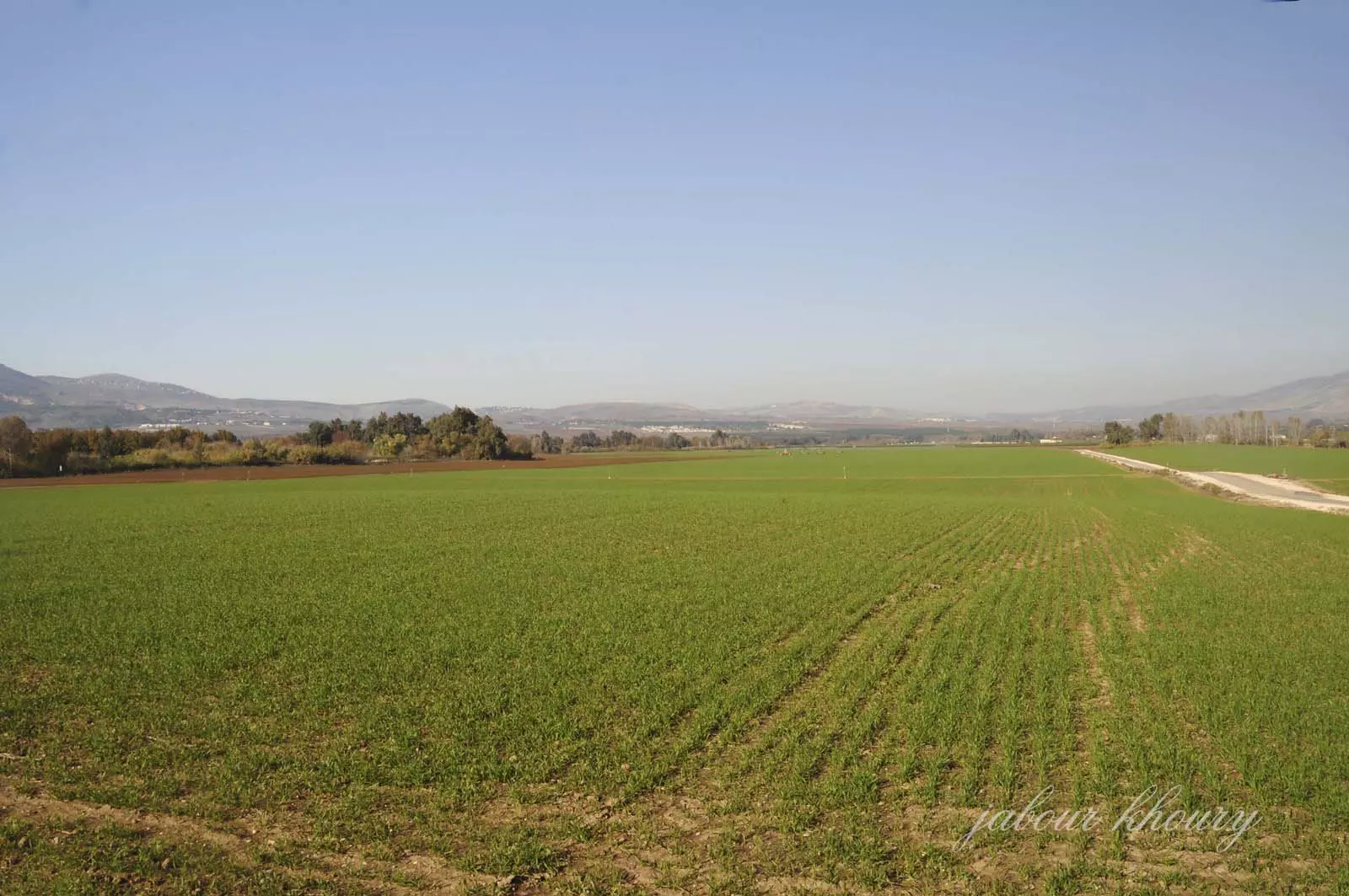
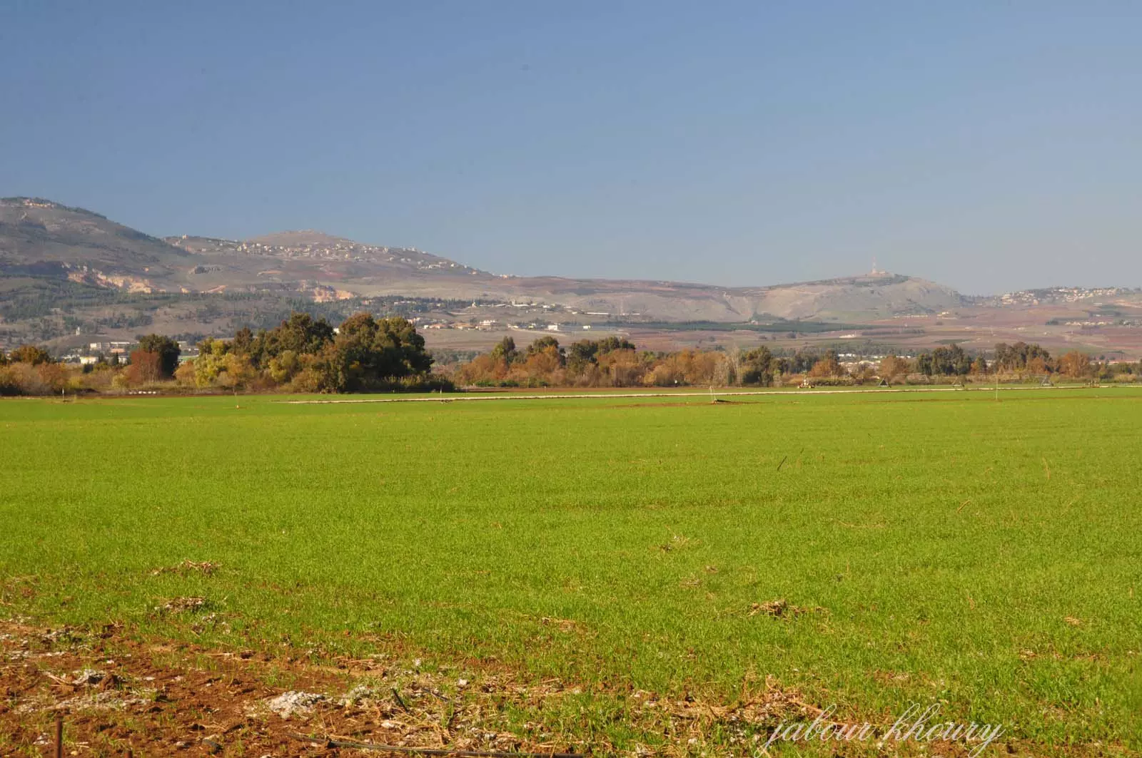
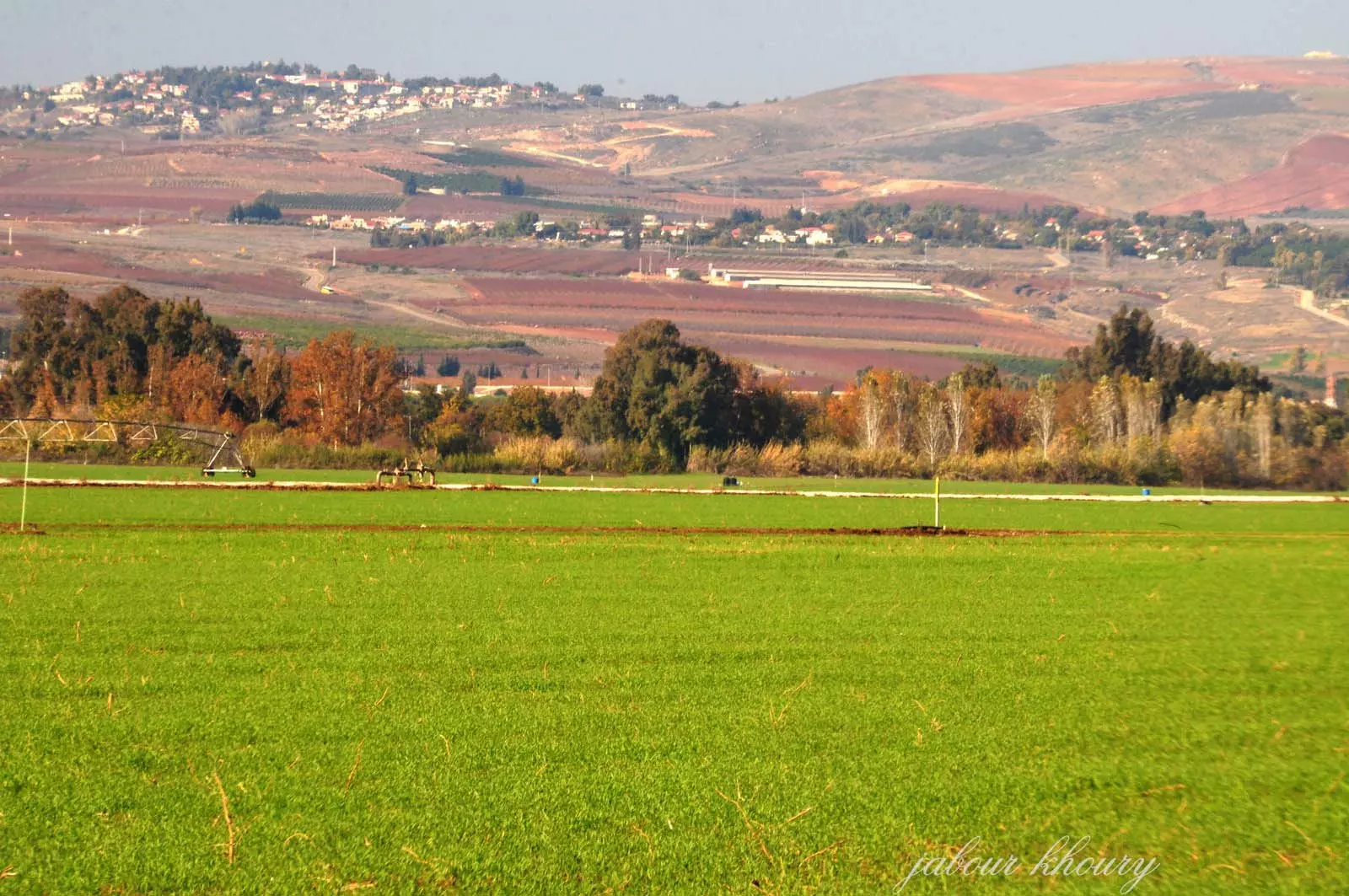
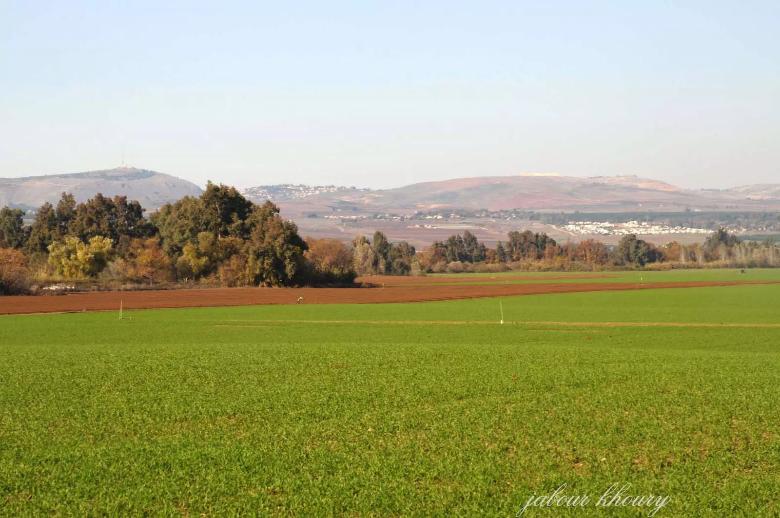
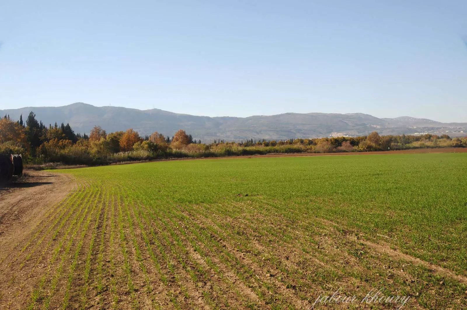
Posted by Jabour Khoury - اراضي القريه
Posted by Jabour Khoury - اراضي القريه نظره من الشرق الى الغرب الاشجار العاليه تشير الى مجرى نهر الحاصباني
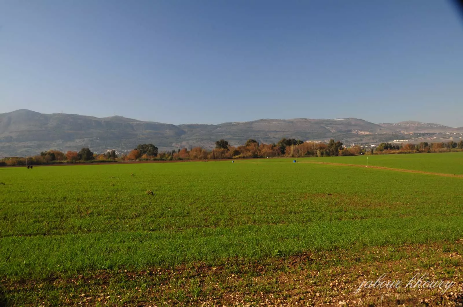
Posted by Jabour Khoury - اراضي القريه يزرعها المستوطنون في بيت هليل وها جوشريم
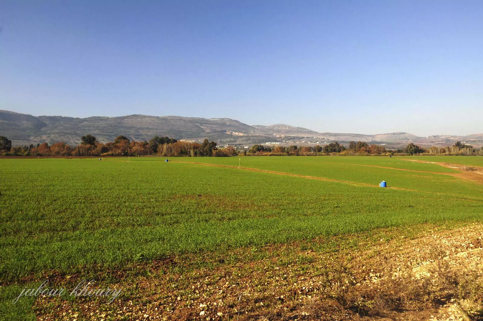
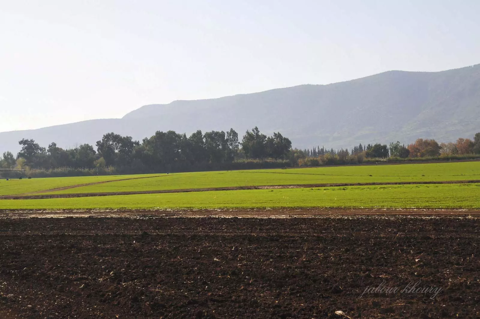
Posted by Jabour Khoury - اراضي القريه
Posted by Jabour Khoury - اراضي القريه
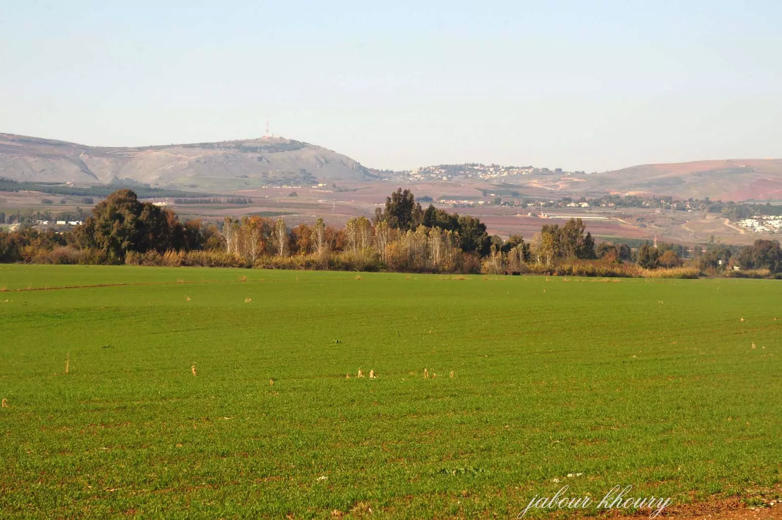
Posted by Jabour Khoury - موقع القريه
Posted by Jabour Khoury - اراضي القريه
Posted by Jabour Khoury - موقع القريه
Posted by Jabour Khoury - نهر الحاصباني بجانب القريه
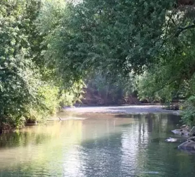
Posted by abu raya - الحاصباني جانب القريه
Posted by abu raya - اراضي القريه
Posted by abu raya - الطبيعه في القريه

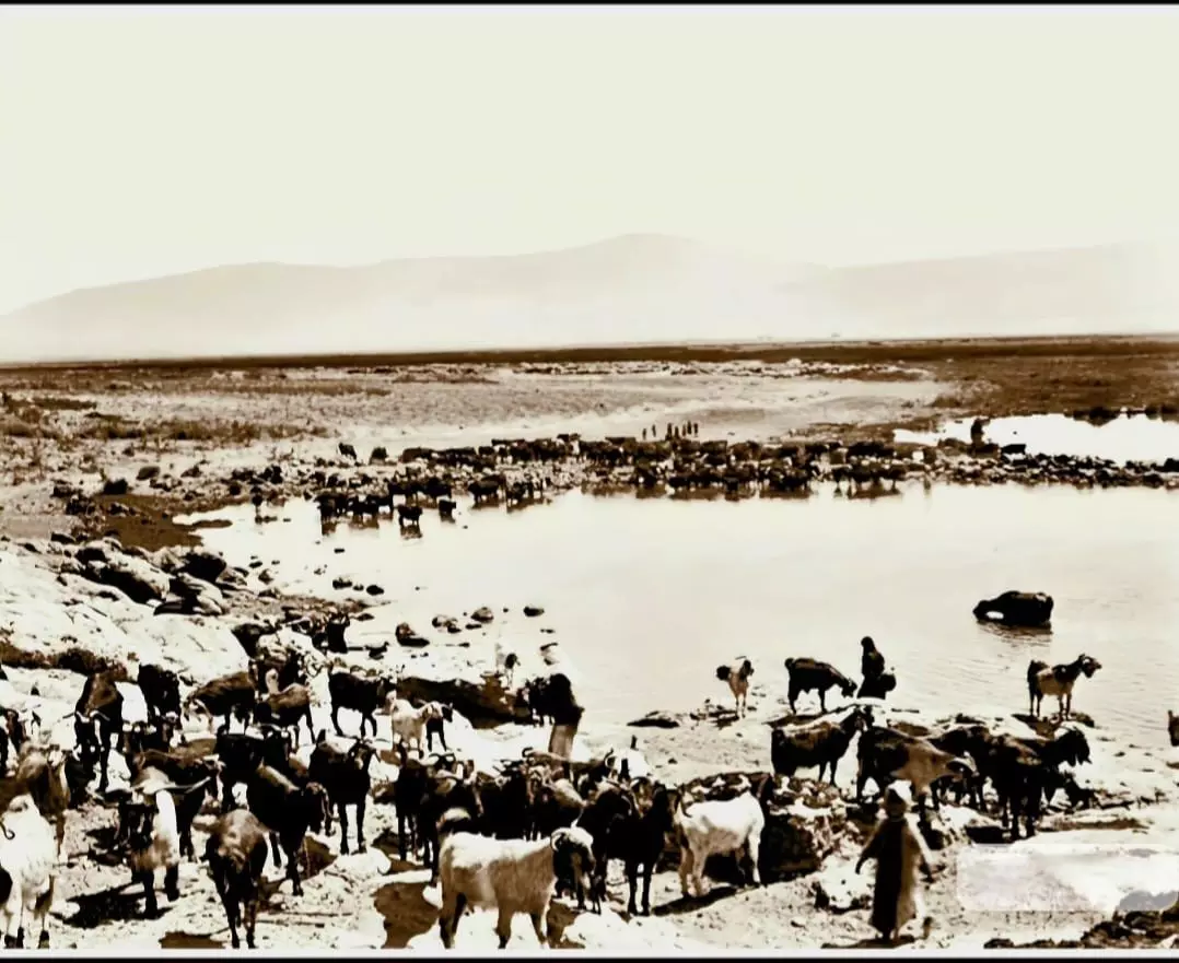
Posted by abu raya - صورة نادرة وساحرة لبحيرة الحولة قضاء صفد ثلاثينيات القرن العشرين..
Want to browse more? 80,000 pictures were grouped in these gallaries:
| Display Name | Clan/Hamolah | Country of Residence |
| عادل السعيد | السعيد | - |
| shukri chahine | - | - |
- الذاكرة مفتاح العودة - الحلقة 75- قرية لزازة Duration: 23 min 22 sec
No links have been shared yet, be free to the first to share the first link.
 Fake Valor: Why Did Zionist Jews Hoist Nazis Flag on Their Ships in the 1930s?
What is new?
-
Facts About Oct. 7th Gaza Raid
-
Remined Us Please:: Who Did Rape Who? Palestinians Raped Israelis? Or, was the other way around?
-
When Prof. Edward Said was invited to debate Bibi Netanyahu in the 1980s, watch what happened!
-
Abusing Blood Libel!
-
Zionist FAQ: Isn't it true that Palestinians don't want peace? Palestinians never accepted the two-state solution
- Facts about Haavara (Transfer) Agreement between Ben-Gurion & Hitler
-
Haavara FAQs: Why Did Zionist Jews Hoist Nazis' Flags on Their Ships in the 1930s?
-
Dear ChatGPT: Why did the Jewish Agency suppress news of the Holocaust during WWII?
-
Video Playlist: Jews share their DNA tests to end the conflict for good.
-
Prof. Abraham Polak And The Suppressed History of the Khazars and European Jewry
-
How Ronald Reagan would have framed the genocide in Gaza if he were still alive?
-
Haavara FAQs: Let us do the math: how many German Jews did The Haavara Agreement save?
-
Zionist FAQs: The Hebron Massacre of 1929, "clearly proves" that Palestinians are antisemitic, how could you deny it?
-
Zionist FAQs: Why Anti-Zionist Is Not Antisemitism?
-
Zionist FAQs: Isn't it true that the KGB create Palestinian Nationalism in the early 1960s?
- Zionist FAQs: Muslims are killing Muslims all the time; why are Israeli Jews being singled out in the media?
- Zionist FAQs: How is Israel an apartheid state when 20% of its citizens are Arabs who enjoy full rights?
-
Haavara FAQs: Analysis of Herzl's Uganda Scheme and how it could have saved millions of Jews.
-
Haavara FAQs: Why did Hayim Greenberg describe American Jewry as "morally bankrupt" in early 1943?
-
Haavara FAQs: What if the Evian Conference was a resounding success? What would have been the impact of saving European Jewry on Zionism?
- Haavara FAQs: What if the six million were saved, how that would have impacted the Zionist project?
-
Haavara FAQs: How did Zionist leaders react when Europe's Jews lingered in the DP camps after WWII ended?
-
Why does the American Jewish community repeat lies that David Ben-Gurion had debunked before he died?
-
Who has the power to rename the Tatar/Khazar Gene Marker to Jewish IV?
-
Zionist FAQs: Why won't Egypt, Syria, and Jordan take their people back? Jews are indigenous to Palestine, and Arabs immigrated after Jews developed the country. Arabs should leave.
-
Haavara FAQs: Did Hitler and the Nazis conflate between Judaism and Zionist? If that wasn't case, then why?
-
Haavara FAQs: Winston Churchill and antisemitism, a collection of articles written Churchill.
-
Haavara FAQs: Broken by country, how many Jews survived vs. killed during the Holocaust?
-
Haavara FAQs: Why did European Jews vote with their feet and to immigrated to the Americas, not Palestine, after WWII?
-
Watch this American Jewish Girl describing Israeli Jews' cognitive dissonance like no other in under two minutes
-
Haavara FAQs: When the Nazis went out of their way to hide the Holocaust, Israeli Jews did the exact opposite by broadcasting their genocide of Gazans. But why?
-
Haavara FAQs: How Zionist Jews went out of their to show their appreciation to Nazism and Fascism?
- Haavara FAQs: Why Zionist leaders were against bombing the death camps & the Railroads leading to them?
-
Haavara FAQs: Hitler's message to the British and American people: If Jews are such noble citizens and you care about them, how come you're not letting them in? I will gladly ship them to you at my expense, even on luxury liners!
-
A shortlist of Zionist and Israeli false flag operations in the name Jews.
-
The Most Moral Army
- The Land of Kapos (Israel): Where the brave are boycotted and Kapos walk free.
- Why did early Zionists often named their communal enterprises "colonial"?
- Zionist Relations with Nazi Germany by Faris Glubb
-
Two NY Times advertisements by Zionists in the early 1943 that exposes Zionists' treason at the height of the calamity
- Facts Not Lies about the Palestinian-Israeli Conflict.
- Site's pictures have been categorized
- Campgain Against Lice
- A Survey of Palestine, the official source about Palestine before Nakba produced by the British Mandate; over 1200 pages.
- Satellite View & Google Earth: Over 6,000 placemarks identifying all destroyed towns, W. Bank & Gaza Strip Towns, & refugee camps.
- PalestineRemembered.com and its Nakba Oral History Project were featured on al-Jazeera Satellite TV.
- Nakba Oral History Video Podcast:
 Over 700 Oral History interviews (including 3,500+ hours of recording) can be viewed online.
 - Palestine Village Statistics Project
- Gaza Jail Break
- النسخة العربية للموقع الان متوفرة
- Videos: Documenting the destroyed villages in video: Tracing all that remains since Nakba.
- Videos: Responding to Zionist Propaganda
- Interview: The ethnic cleansing of Palestine: George Galloway interviews Israeli Historian Ilan Pappe.
- For Palestinians, memory matters. It provides a blueprint for their future By George Bisharat.
- Zionist FAQ now available in Hebrew שאלות שציונים שואלים, עכשיו בעברית
- Video: The Stephen Walt and John Mearsheimer report on the influence of the Israel Lobby on U.S. Foreign Policy
- The Palestinian-Israeli conflict for beginners
