 Click Image For Town Details
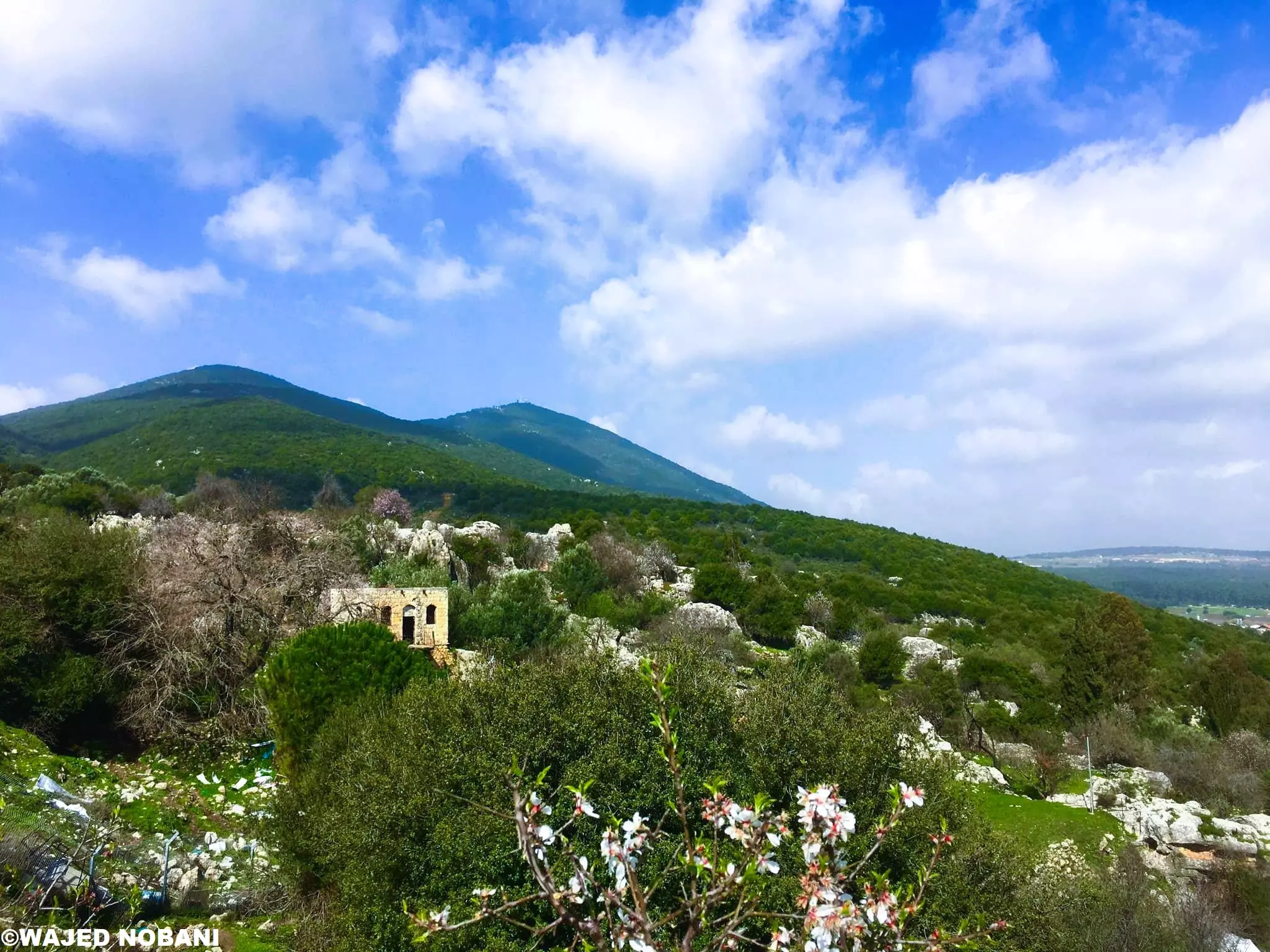
The village was situated on the rocky, gently sloping eastern foot of Mount al-Jarmaq, the highest mountain in Palestine. It overlooked a hilly region in Upper Galilee. Wadi Mirun ran south of the village and constituted its southern border. The village, which lay along the west side of the Safad؟Acre highway, was oriented in a northwest-southeast direction. The Arab geographer al-Dimashqi (d. 1327) mentioned Mirun as a village in Safad that was located near a well-known cave. He reported that Jews (and possibly other villagers) came to the cave to celebrate a Jewish festival by witnessing what they thought was the sudden and miraculous rise of water from basins and sarcophagi in the cave.
al-Dimashqi was probably referring to a festival held on Lag ba-؟Omer, the anniversary of the death of Talmudic sage Rabbi Shim؟on (Simeon) Bar Yochai, who, according to tradition, was buried there. In 1596, Mirun was a village in the nahiya of Jira (liwa؟ of Safad) with a population of 715. It paid taxes on goats, beehives, and a press that was used for processing either olives or grapes.
hani kaawach...mirun lover


Post Your Comment
*It should be NOTED that your email address won't be shared, and all communications between members will be routed via the website's mail server.