| PalestineRemembered | About Us | Oral History | العربية | |
| Pictures | Zionist FAQs | Haavara | Maps | |
| Search |
| Camps |
| Districts |
| Acre |
| Baysan |
| Beersheba |
| Bethlehem |
| Gaza |
| Haifa |
| Hebron |
| Jaffa |
| Jericho |
| Jerusalem |
| Jinin |
| Nablus |
| Nazareth |
| Ramallah |
| al-Ramla |
| Safad |
| Tiberias |
| Tulkarm |
| Donate |
| Contact |
| Profile |
| Videos |
Welcome To al-Dawwara - الدوارة (א-דוארה)
|
District of Safad
Ethnically cleansed days ago |
العربية Google Earth |
 |
Gallery (27) |
- Statistics & Facts
-
Before & After

- Satellite View
- Articles 2
- Pictures 27
- Oral History 2
- Members 2
- All That Remains
- Wikipedia
- Videos 1
- Guest Book 2
- Links
| Statistic & Fact | Value | |||||||||||||||||||||
| Occupation Date | May 25, 1948 | |||||||||||||||||||||
| Distance From District | 27 (km) North East of Safad | |||||||||||||||||||||
| Elevation | 75 (meters) | |||||||||||||||||||||
| Before & After Nakba, Click Map For Details |
||||||||||||||||||||||
|
||||||||||||||||||||||
| Map Location | See location #17 on the map View from satellite |
|||||||||||||||||||||
| Military Operation | Operation Yiftach (commanded by the ethnic cleansing champion Yigal Allon) | |||||||||||||||||||||
| Attacking Units | The Palmach's First Battalion | |||||||||||||||||||||
| Exodus Cause | Haganah 'Wispering' campaign (psychological warfare) | |||||||||||||||||||||
| Village Temains | The village has been completely destroyed, and only house walls and rubble left behind. | |||||||||||||||||||||
| Ethnically Cleansing | al-Dawwara was ethnically cleansed as a result of psychological warfare conducted on the 25th of May 1948 | |||||||||||||||||||||
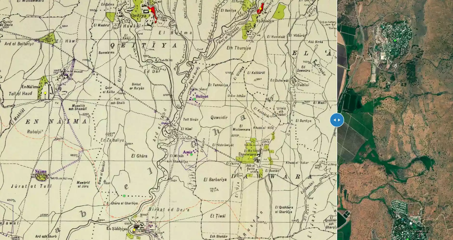
| Pre-Nakba Land Ownership |
**Town Lands' Demarcation Maps |
|||||||||||||||||||||
| Land Usage As of 1945 |
|
|||||||||||||||||||||
| Population |
|
|||||||||||||||||||||
| Number of Houses |
|
|||||||||||||||||||||
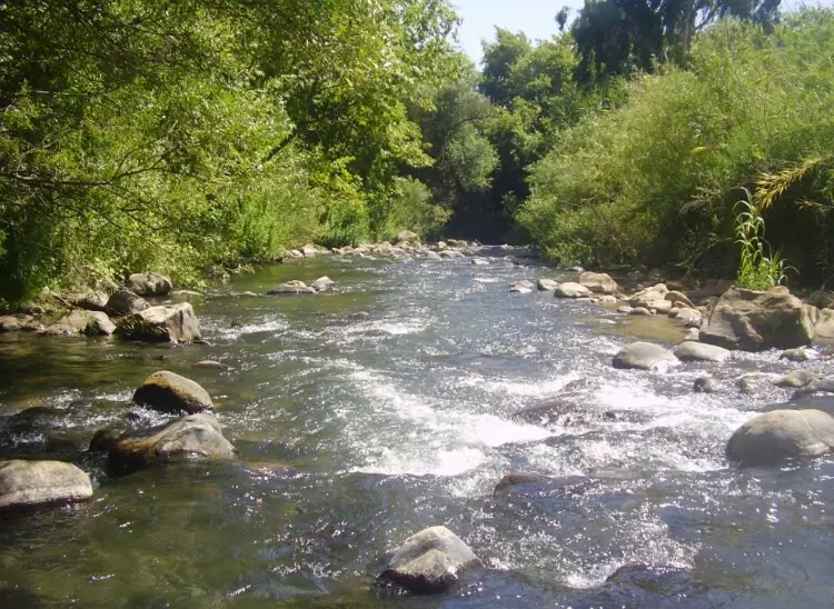
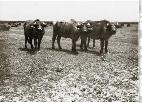
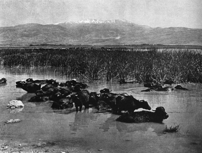
| Nearby Wadies & Rivers | The village bordered three rivers that flowed into lake al-Hula: the al-Hasbani, Banyas, and Dan rivers | |||||||||||||||||||||
| Exculsive Jewish Colonies Who Usurped Village Lands |
Kibbutz 'Amir and Sde Nechemya | |||||||||||||||||||||
| Featured Video | ||||||||||||||||||||||
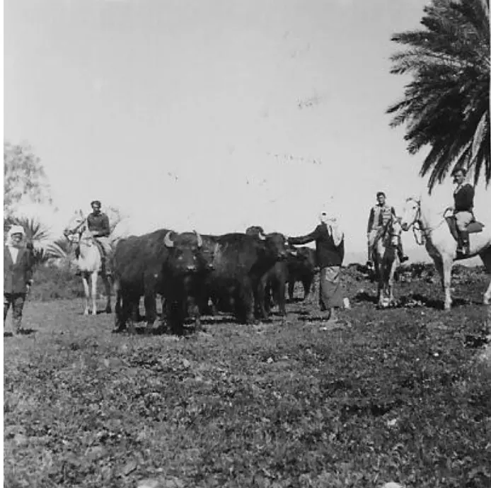
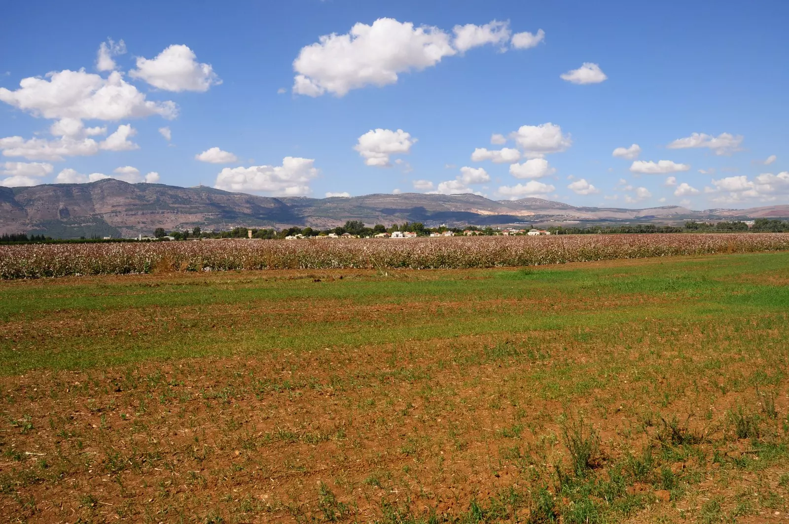
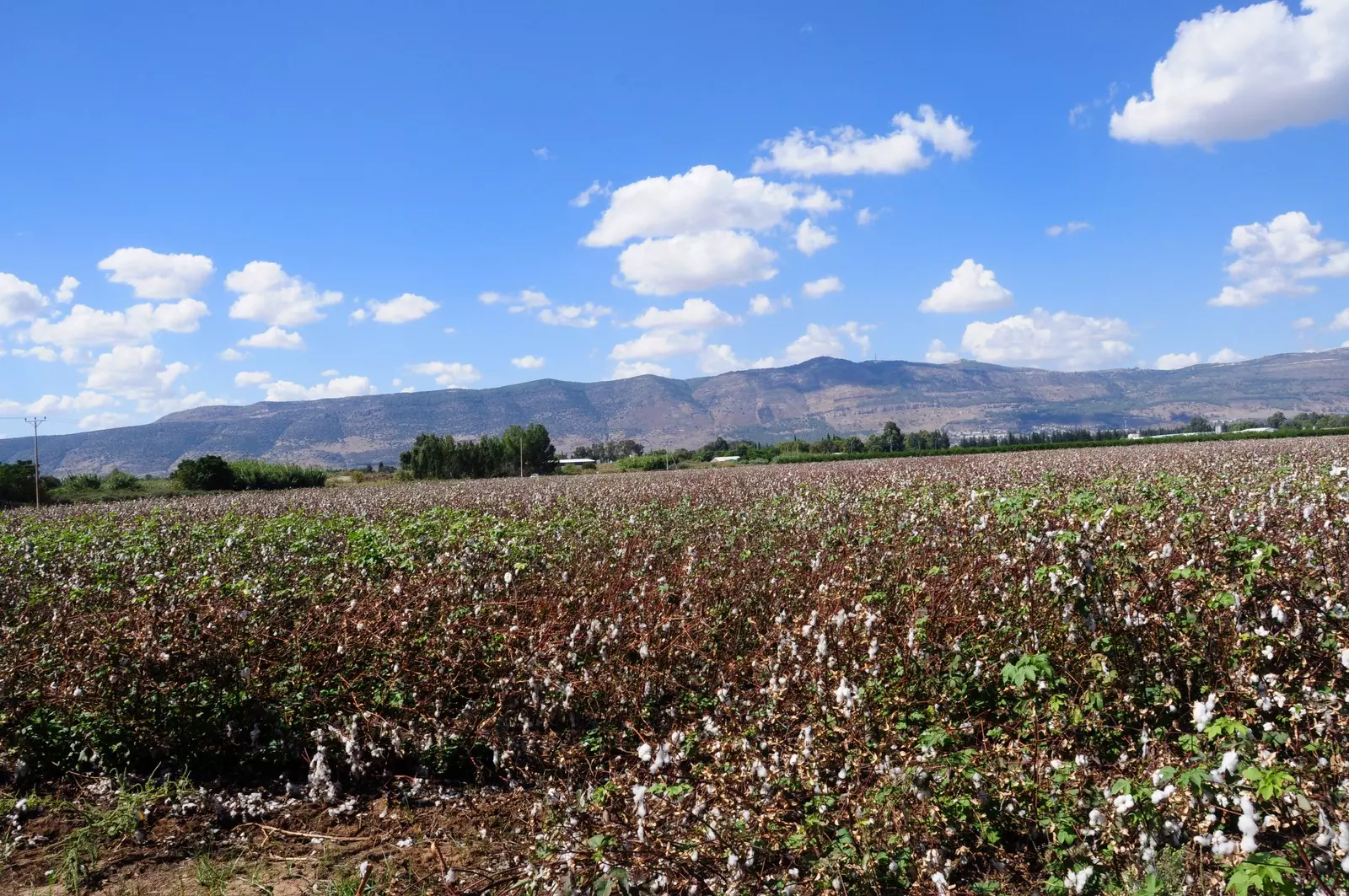
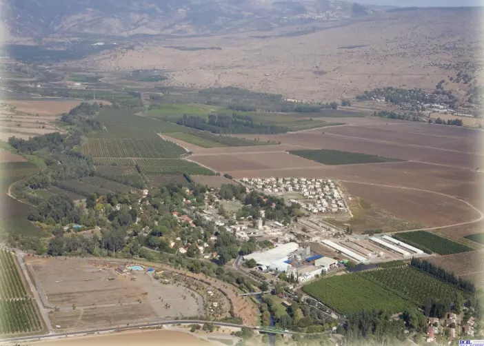
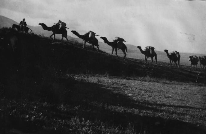
Village Before NakbaThe village stood on flat terrain, overlooking a broad expanse to the north, and faced Mount Hermon (Jabal al-Shaykh) to the northeast. It was near the confluence of three rivers that flowed into Lake aI-Hula: the al-Hasbani, Banyas, and Dan rivers. A secondary road linked it to a highway that led to Safad. In 1931, the entire population was Muslim except for one Christian; no exact breakdown is available for 1945, but the population was predominantly Muslim. AI-Dawwara's older houses were clustered together, separated by narrow alleys; toward the end of the Mandate, the village expanded and newer houses were built further apart. Although most of the houses were made of mud, some were built of basalt stones. The residents worked chiefly in agriculture, growing grain, vegetables, and citrus; their crops were either watered by rainfall or irrigated from springs and rivers. In 1944/45 a total of 68 dunums were devoted to citrus and bananas, and 281 dunums were allocated to cereals; 2,135 dunums were irrigated or used for orchardsVillage Occupation and Ethnic CleaningAl-Dawwara is listed in an Israeli military intelligence report as one of the villages whose inhabitants fled on 25 May 1948, as a result of a 'whispering campaign' conceived by Palmach commander Yigal Allon and implemented during Operation Yiftach (see Abil al-Qamh, Safad sub-district). However, the discrepancy between the date of flight cited by Morris (25 May) and the date that the whispering campaign was launched (10 May) indicates that a military attack on the village may have played a role in the evacuation. [M:122-23]Zionists Colonies on Village LandsThe settlement of Kibbutz 'Amir (208287) was established in 1939, 0.5 km west of the site, and that of Sde Nechemya (208288) in 1940, northwest of the site. Both are on village land.Village TodayThere are hardly any traces of the village left; only a few building stones at the edge of a fish pond remain on the site. The entire area has been converted into a fish hatchery.SourceDr. Walid al-Khalidi, 1992: All That Remains. |
||||||||||||||||||||||
| Related Maps | Town Lands' Demarcation Maps خرائط للقضاء توضح حدود القرى والاودية Town's map on MapQuest View from satellite Help us map this town at WikiMapia |
|||||||||||||||||||||
| Related Links | Wikipedia's Page Google Search Google For Images Google For Videos |
|||||||||||||||||||||
| More Information | في كتاب كي لا ننسى في كتاب بلادنا فلسطين المزيد من موقع هوية |
|||||||||||||||||||||
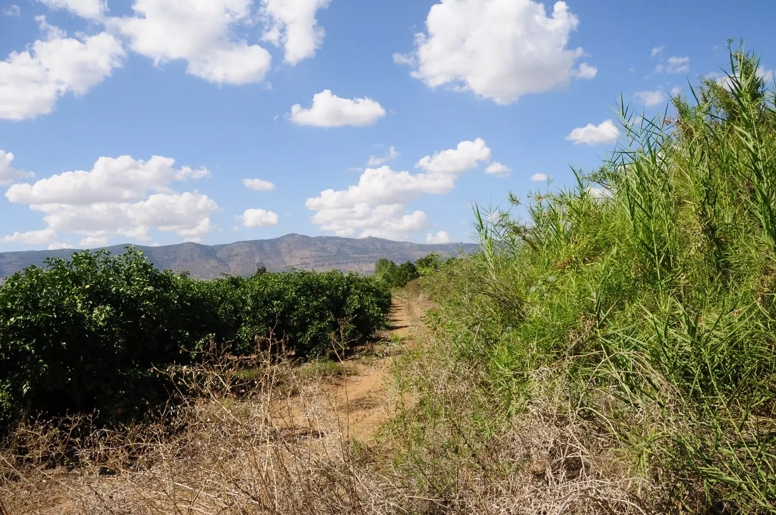
- منظر لاراضي القريه من جهه الشمال
Posted by Jabour Khoury - اراضي الدواره باتجاه الجنوب الغربي وتظهر مستوطنه امير
Posted by Jabour Khoury 1 - اراضي القريه من الجهه الجنوبيه
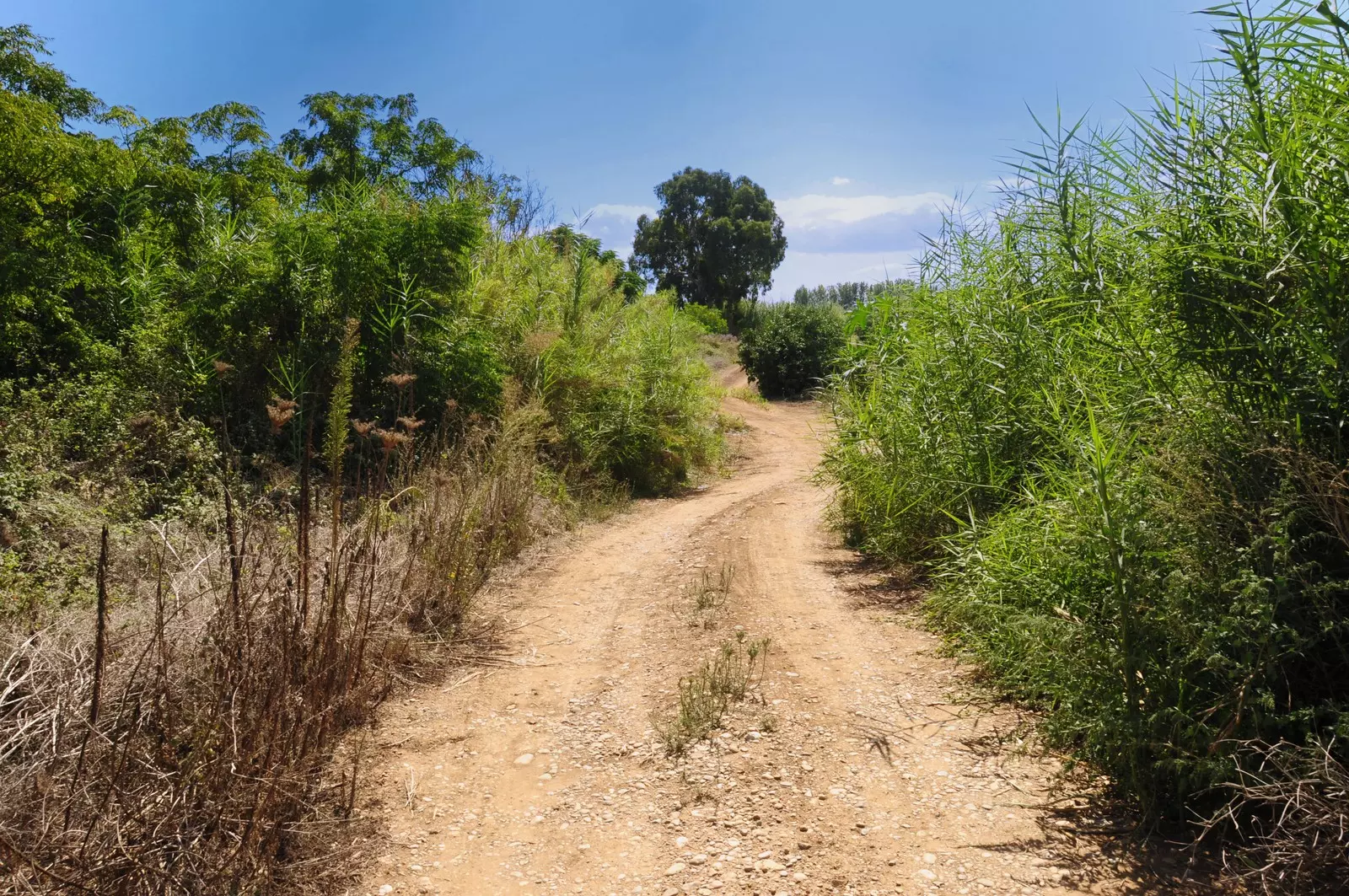
Posted by Jabour Khoury 1 - جنوب القريه
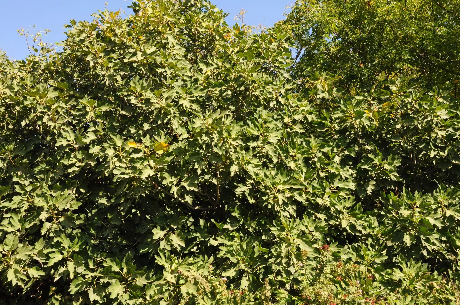
Posted by Jabour Khoury - شجره تين عتيقه تروي قصه من كانو ....
Posted by Jabour Khoury - اراضي قريه الدواره
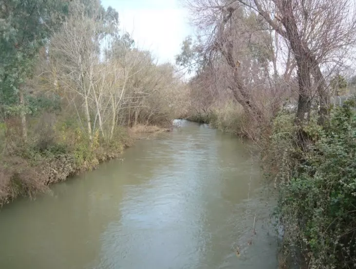
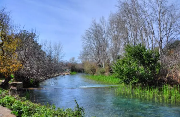
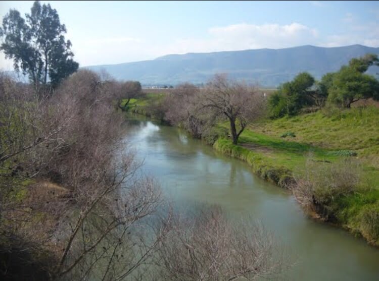
Posted by abu raya - نهر الاردن يمر من اراضي القريه
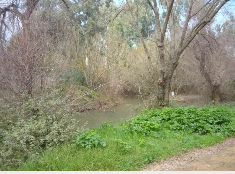
Posted by abu raya - نهر الاردن من اراضي القريه
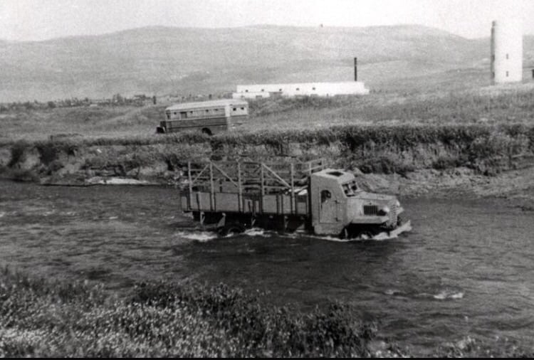
Posted by abu raya - صوره قديمه لنهر الاردن جانب اراضي القريه والمستوطنه المقامه على اراضيها
Posted by abu raya - نهر الاردن قريب من القريه
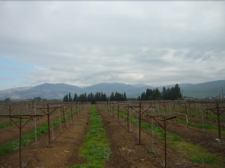
Posted by abu raya - المستوطنه المقامه على اراضي القريه وعلى جهه اليمين مكان موقع القريه
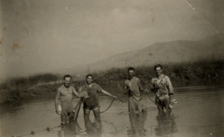
Posted by abu raya - صوره قديمه للمستوطنين يستغلون اراضي القريه لتربيه الاسماك
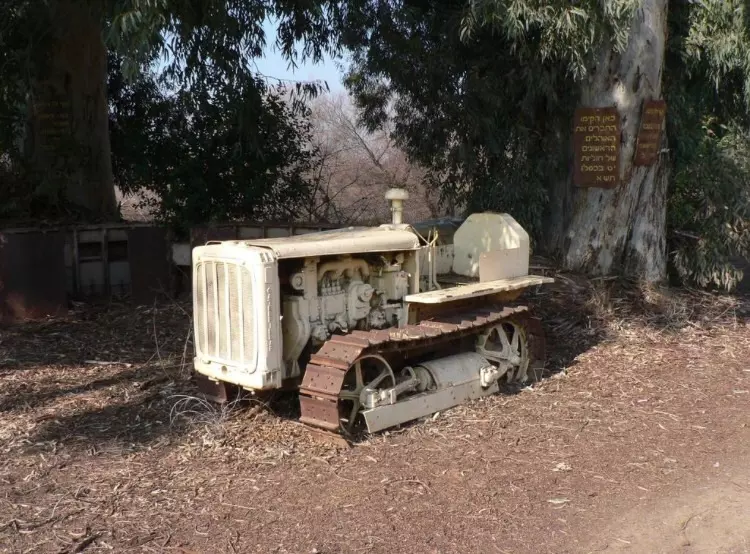
Posted by abu raya - الات زراعيه قديمه بالقرب من موقع القريه
Posted by abu raya - نهر الاردن يتوسط اراضي القريه
Posted by abu raya - صوره قديمه للمستوطنه المقامه بجانب موقع القريه
Posted by abu raya - نهر الاردن من القريه
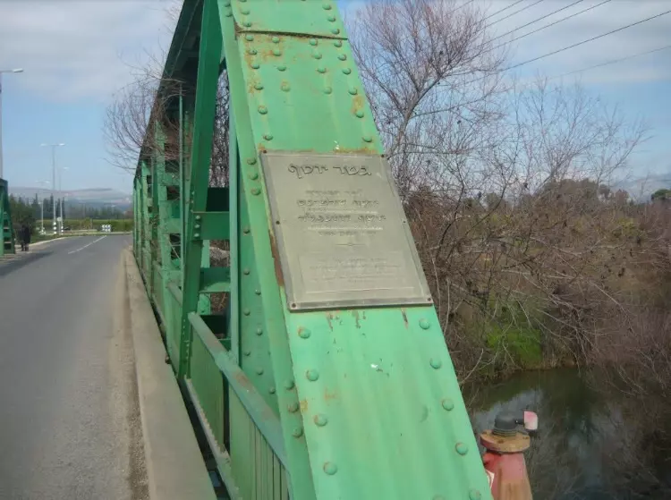
Posted by abu raya - جسر على نهر الاردن من قرب القريه
Posted by abu raya - منظر من التله شرق القريه التي كان يستغلها اهل القريه كمراعي لماشيتهم
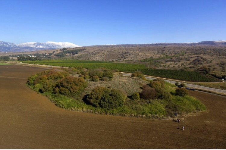
Posted by abu raya - شجر التله
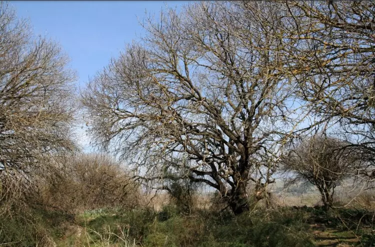
Posted by abu raya - شجر التله المعمر

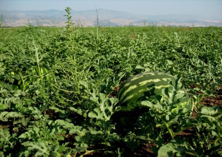
Posted by abu raya - حقول البطيخ في اراضي الدواره
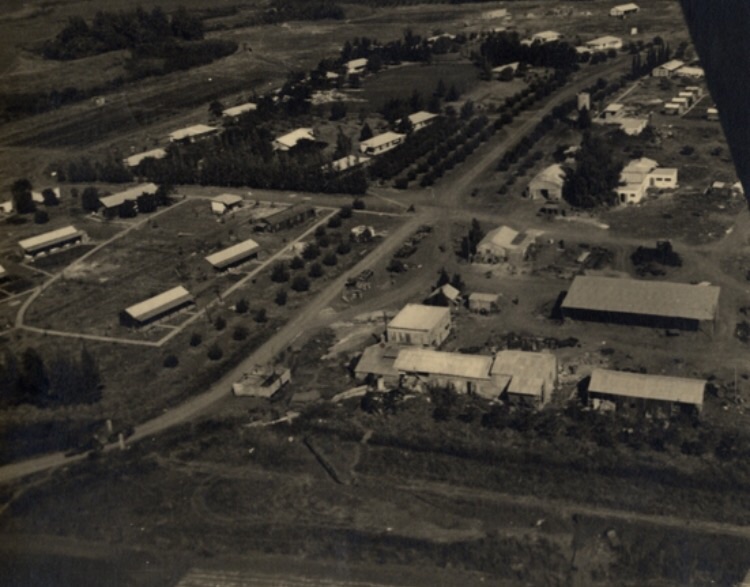
Posted by abu raya - الدواره قبل النكبه
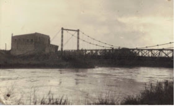
Posted by abu raya - جسر الدواره قبل النكبه
Posted by abu raya - الدواره قبل النكبه
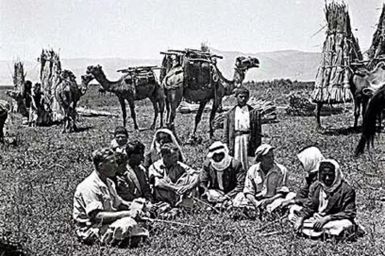
Posted by abu raya - الدواره قبل النكبه
Posted by abu raya - الدواره قبل النكبه
Posted by abu raya - الدواره قبل النكبه
Posted by abu raya
Want to browse more? 80,000 pictures were grouped in these gallaries:
| Display Name | Clan/Hamolah | Country of Residence |
| العقيدي | خميس | - |
| Mazen Hasan | خميس | - |
- الذاكرة مفتاح العودة-الحلقة 22 - قرية الدوارة Duration: 23 min 22 sec
No links have been shared yet, be free to the first to share the first link.
 Fake Valor: Why Did Zionist Jews Hoist Nazis Flag on Their Ships in the 1930s?
What is new?
-
Facts About Oct. 7th Gaza Raid
-
Remined Us Please:: Who Did Rape Who? Palestinians Raped Israelis? Or, was the other way around?
-
When Prof. Edward Said was invited to debate Bibi Netanyahu in the 1980s, watch what happened!
-
Abusing Blood Libel!
-
Zionist FAQ: Isn't it true that Palestinians don't want peace? Palestinians never accepted the two-state solution
- Facts about Haavara (Transfer) Agreement between Ben-Gurion & Hitler
-
Haavara FAQs: Why Did Zionist Jews Hoist Nazis' Flags on Their Ships in the 1930s?
-
Dear ChatGPT: Why did the Jewish Agency suppress news of the Holocaust during WWII?
-
Video Playlist: Jews share their DNA tests to end the conflict for good.
-
A Tale of Two Conflicts: Examining the Definition of Genocide
-
Prof. Abraham Polak And The Suppressed History of the Khazars and European Jewry
-
How Ronald Reagan would have framed the genocide in Gaza if he were still alive?
-
Haavara FAQs: Let us do the math: how many German Jews did The Haavara Agreement save?
-
Zionist FAQs: The Hebron Massacre of 1929, "clearly proves" that Palestinians are antisemitic, how could you deny it?
-
Zionist FAQs: Why Anti-Zionist Is Not Antisemitism?
-
Zionist FAQs: Isn't it true that the KGB create Palestinian Nationalism in the early 1960s?
- Zionist FAQs: Muslims are killing Muslims all the time; why are Israeli Jews being singled out in the media?
- Zionist FAQs: How is Israel an apartheid state when 20% of its citizens are Arabs who enjoy full rights?
-
Haavara FAQs: Analysis of Herzl's Uganda Scheme and how it could have saved millions of Jews.
-
Haavara FAQs: Why did Hayim Greenberg describe American Jewry as "morally bankrupt" in early 1943?
-
Haavara FAQs: What if the Evian Conference was a resounding success? What would have been the impact of saving European Jewry on Zionism?
- Haavara FAQs: What if the six million were saved, how that would have impacted the Zionist project?
-
Haavara FAQs: How did Zionist leaders react when Europe's Jews lingered in the DP camps after WWII ended?
-
Why does the American Jewish community repeat lies that David Ben-Gurion had debunked before he died?
-
Who has the power to rename the Tatar/Khazar Gene Marker to Jewish IV?
-
Zionist FAQs: Why won't Egypt, Syria, and Jordan take their people back? Jews are indigenous to Palestine, and Arabs immigrated after Jews developed the country. Arabs should leave.
-
Haavara FAQs: Did Hitler and the Nazis conflate between Judaism and Zionist? If that wasn't case, then why?
-
Haavara FAQs: Winston Churchill and antisemitism, a collection of articles written Churchill.
-
Haavara FAQs: Broken by country, how many Jews survived vs. killed during the Holocaust?
-
Haavara FAQs: Why did European Jews vote with their feet and to immigrated to the Americas, not Palestine, after WWII?
-
Watch this American Jewish Girl describing Israeli Jews' cognitive dissonance like no other in under two minutes
-
Haavara FAQs: When the Nazis went out of their way to hide the Holocaust, Israeli Jews did the exact opposite by broadcasting their genocide of Gazans. But why?
-
Haavara FAQs: How Zionist Jews went out of their to show their appreciation to Nazism and Fascism?
- Haavara FAQs: Why Zionist leaders were against bombing the death camps & the Railroads leading to them?
-
Haavara FAQs: Hitler's message to the British and American people: If Jews are such noble citizens and you care about them, how come you're not letting them in? I will gladly ship them to you at my expense, even on luxury liners!
-
A shortlist of Zionist and Israeli false flag operations in the name Jews.
-
The Most Moral Army
- The Land of Kapos (Israel): Where the brave are boycotted and Kapos walk free.
- Why did early Zionists often named their communal enterprises "colonial"?
- Zionist Relations with Nazi Germany by Faris Glubb
-
Two NY Times advertisements by Zionists in the early 1943 that exposes Zionists' treason at the height of the calamity
- Facts Not Lies about the Palestinian-Israeli Conflict.
- Site's pictures have been categorized
- Campgain Against Lice
- A Survey of Palestine, the official source about Palestine before Nakba produced by the British Mandate; over 1200 pages.
- Satellite View & Google Earth: Over 6,000 placemarks identifying all destroyed towns, W. Bank & Gaza Strip Towns, & refugee camps.
- PalestineRemembered.com and its Nakba Oral History Project were featured on al-Jazeera Satellite TV.
- Nakba Oral History Video Podcast:
 Over 700 Oral History interviews (including 3,500+ hours of recording) can be viewed online.
 - Palestine Village Statistics Project
- Gaza Jail Break
- النسخة العربية للموقع الان متوفرة
- Videos: Documenting the destroyed villages in video: Tracing all that remains since Nakba.
- Videos: Responding to Zionist Propaganda
- Interview: The ethnic cleansing of Palestine: George Galloway interviews Israeli Historian Ilan Pappe.
- For Palestinians, memory matters. It provides a blueprint for their future By George Bisharat.
- Zionist FAQ now available in Hebrew שאלות שציונים שואלים, עכשיו בעברית
- Video: The Stephen Walt and John Mearsheimer report on the influence of the Israel Lobby on U.S. Foreign Policy
- The Palestinian-Israeli conflict for beginners
