PalestineRemembered About Us Oral History العربية
Menu Pictures Zionist FAQs Haavara Maps
PalestineRemembered.com Satellite View Search Donate Contact Us Looting 101 العربية
About Us Zionist FAQs Conflict 101 Pictures Maps Oral History Haavara Facts Not Lies Zionism 101 Zionist Quotes

Wadi al-Hawarith - وادي الحوارث: معلومات ومشاهد فضائية لوادي الحوارث

Posted by AbuHsein on November 25, 2008

Picture for Wadi al-Hawarith Village - Palestine: : المرحومة عايشة الصالح زوجة عبد الفتاح شلبي مواليد وادي الحوارث Click Image For Town Details
معلومات ومشاهد فضائية لوادي الحوارث من الرابط

http://cosmos.ucc.ie/cs1064/jabowen/IPSC/php/place.php?plid=561


Latitude: 32.3942037
Longitude: 34.8975134

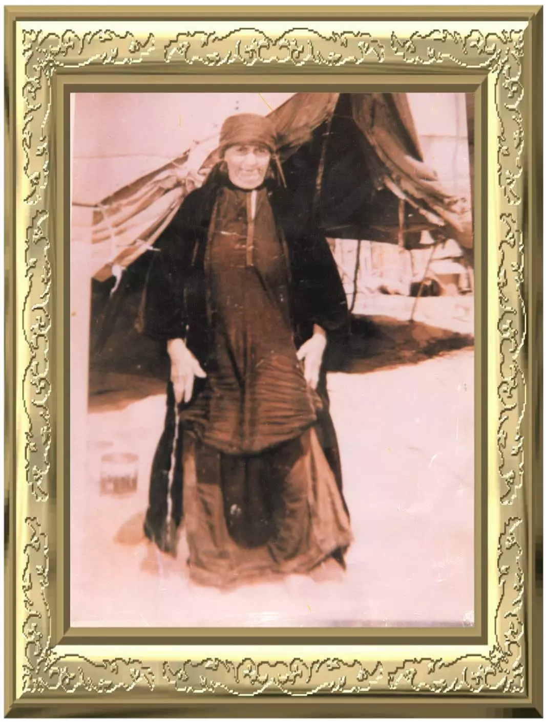
Wadi al-Hawarith was a Bedouin village (belonging to the Bani al-Haritha). It was depopulated during 1948 Arab-Israeli War and was mostly destroyed with the exception of four houses which survived destruction. Currently, one of these houses is occupied by a Palestinian-Israeli family, and the others are occupied by Israeli Jewish settlers.
The area is known by Israeli Jews as Emek Hefer


If you are the above author of the Article, you can edit your Article by clicking the button below:

Disclaimer

The above documents, article, interviews, movies, podcasts, or stories reflects solely the research and opinions of its authors. PalestineRemembered.com makes its best effort to validate its contents.


Post Your Comment

 
Fake Valor: Why Did Zionist Jews Hoist Nazis Flag on Their Ships in the 1930s?

What is new?