| PalestineRemembered | About Us | Oral History | العربية | |
| Pictures | Zionist FAQs | Haavara | Maps | |
| Search |
| Camps |
| Districts |
| Acre |
| Baysan |
| Beersheba |
| Bethlehem |
| Gaza |
| Haifa |
| Hebron |
| Jaffa |
| Jericho |
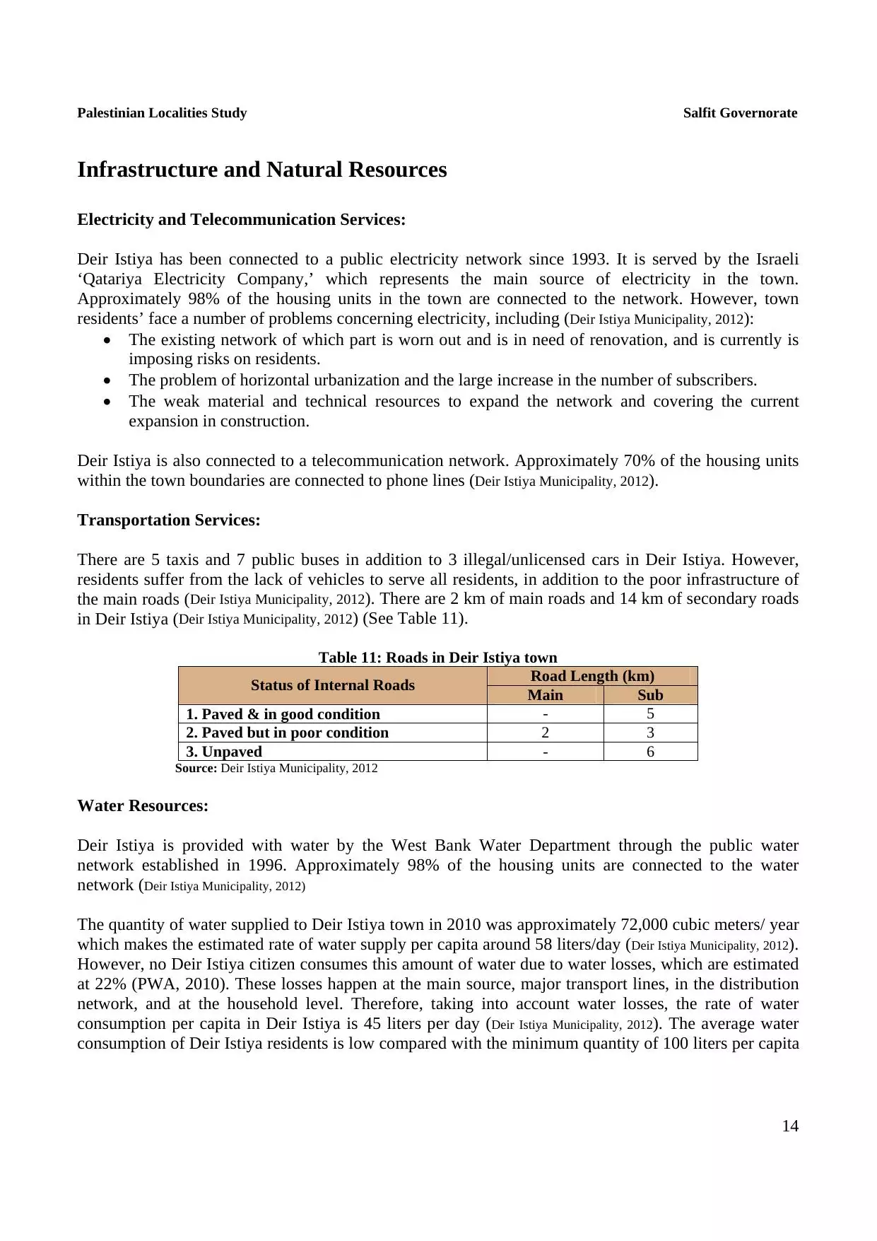
| Jerusalem |
| Jinin |
| Nablus |
| Nazareth |
| Ramallah |
| al-Ramla |
| Safad |
| Tiberias |
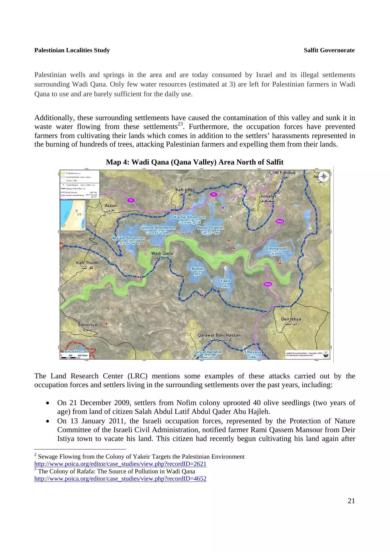
| Tulkarm |
| Donate |
| Contact |
| Profile |
| Videos |
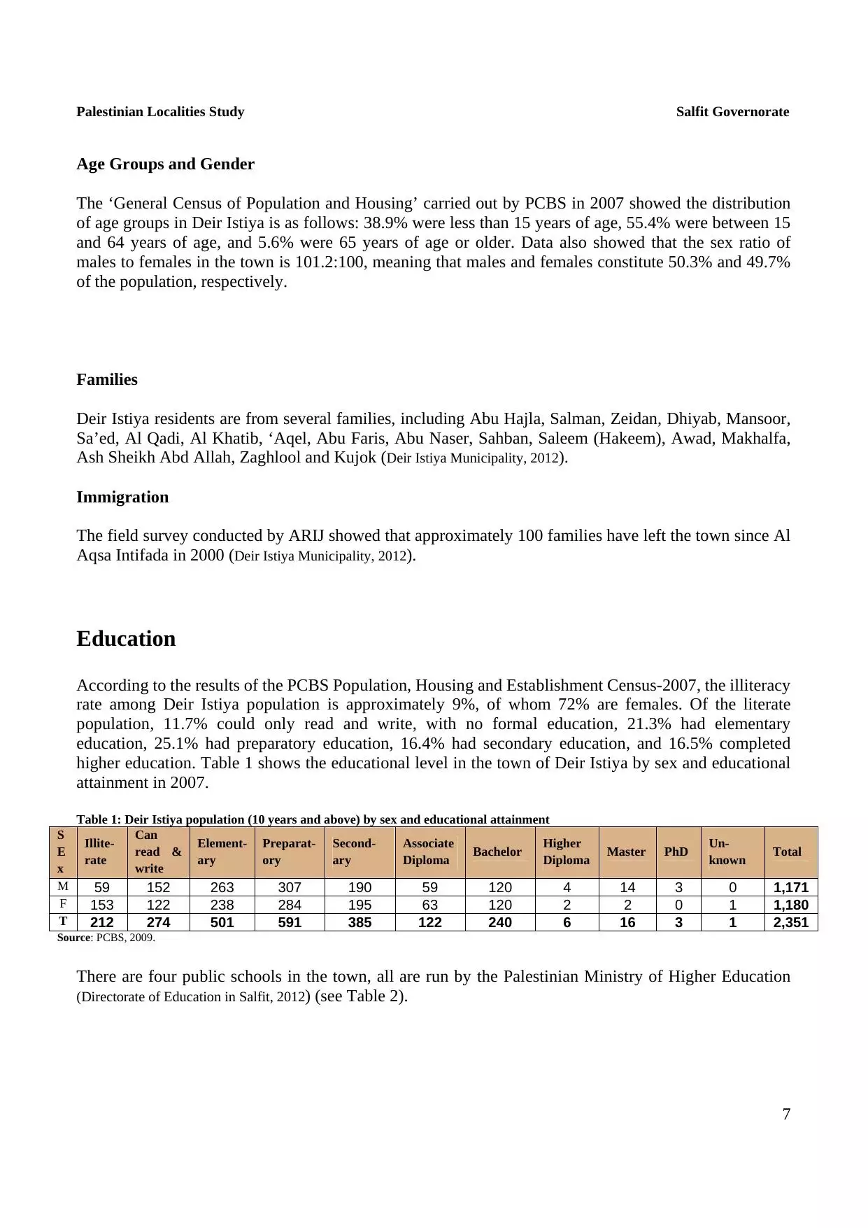
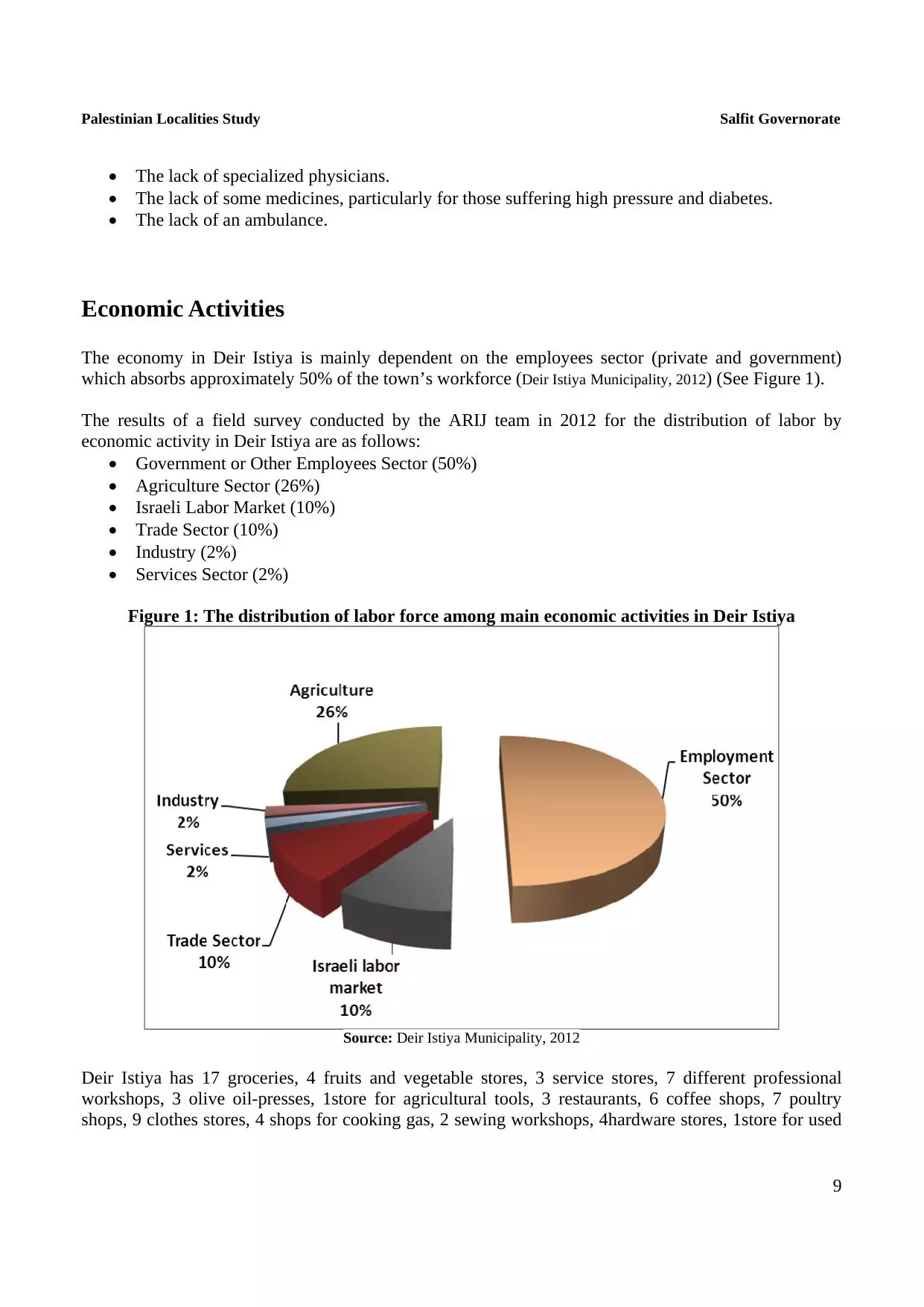
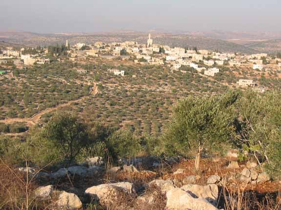
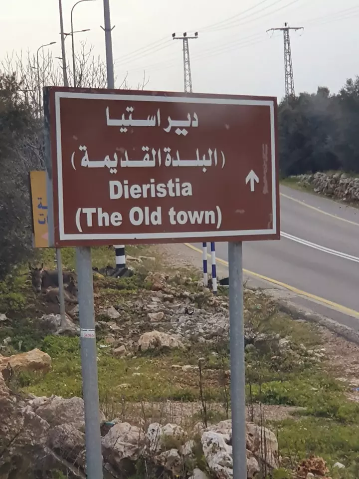
Welcome To Dayr Istiya - دير أستيا (דיר איסתיא)
|
District of Nablus
Occupied days ago |
العربية Google Earth |
 |
Gallery (241) |
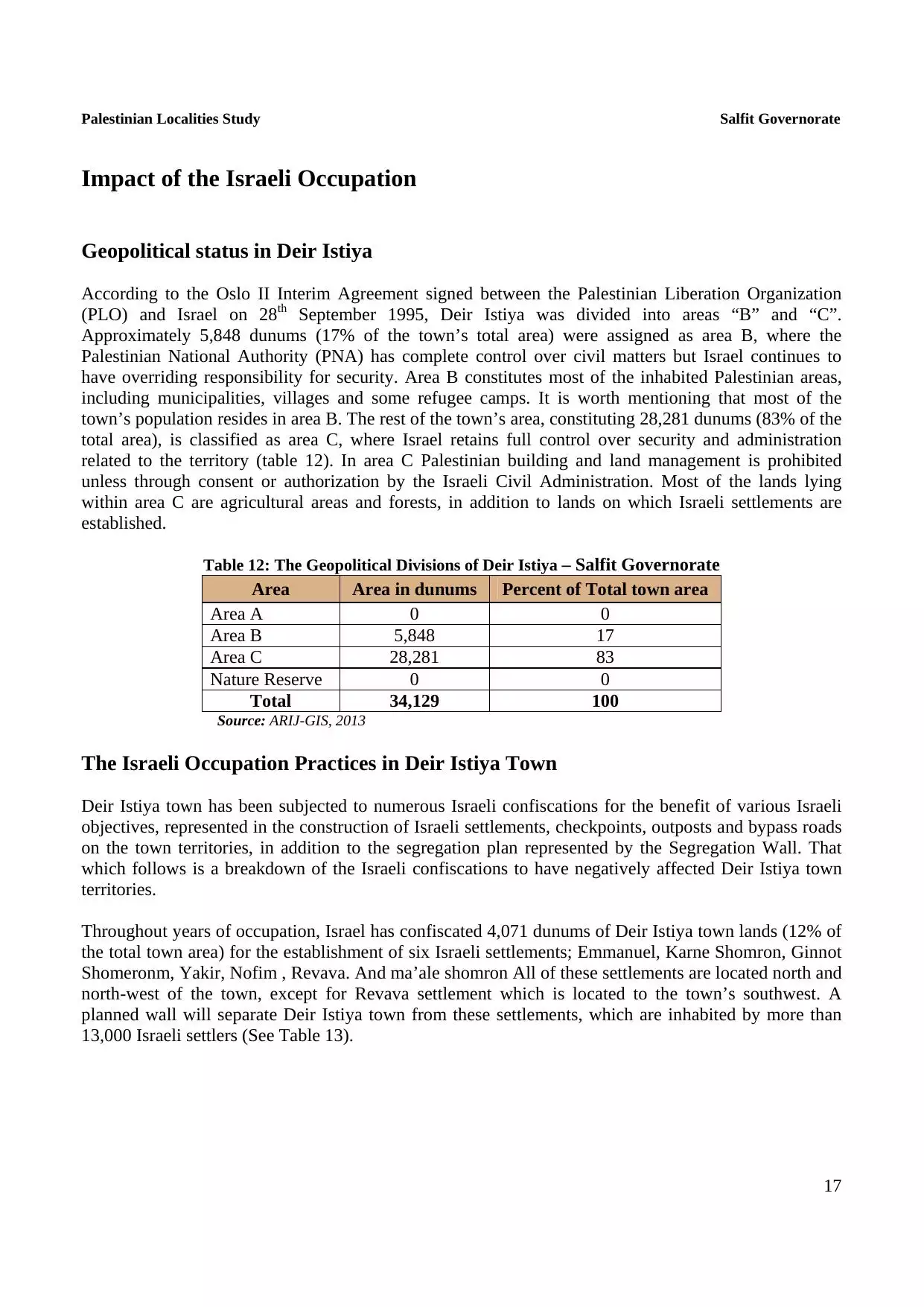
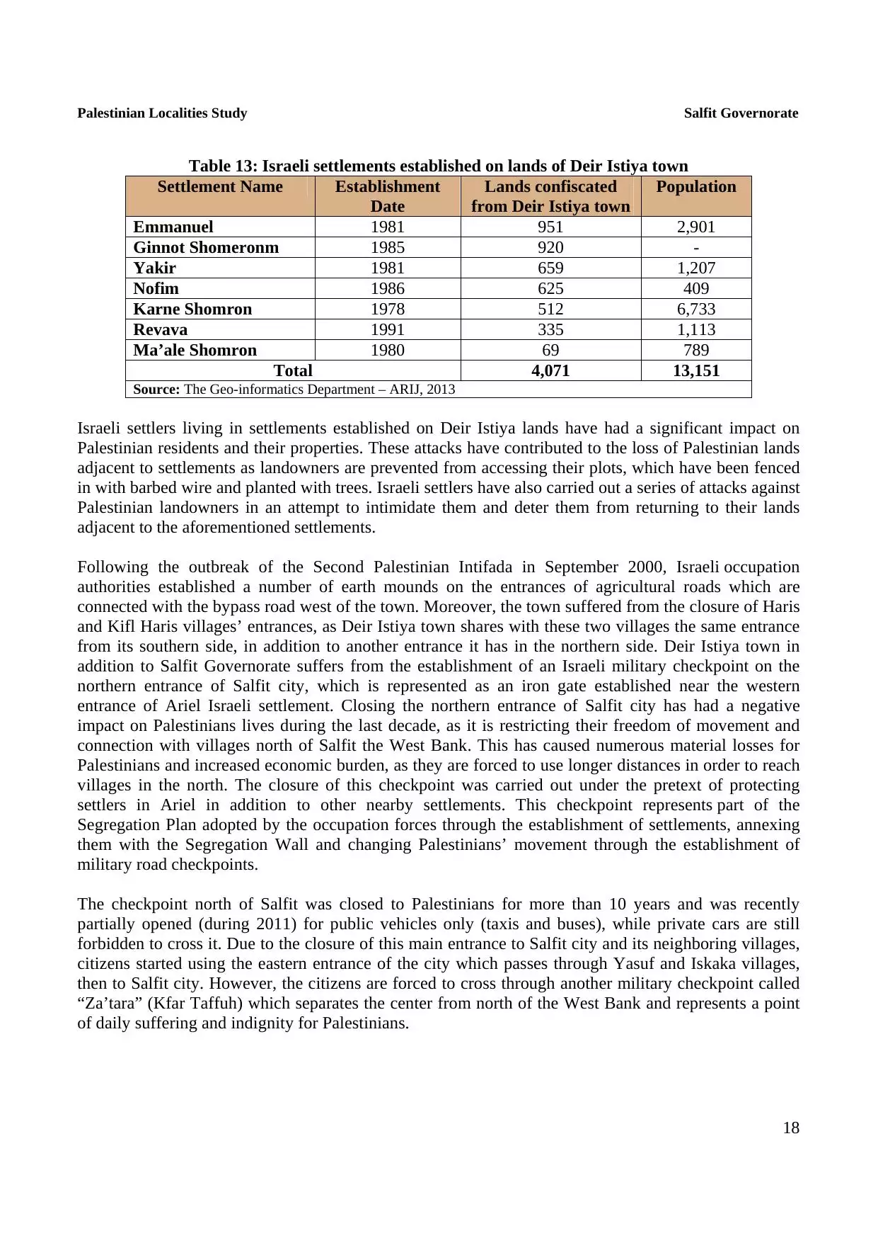
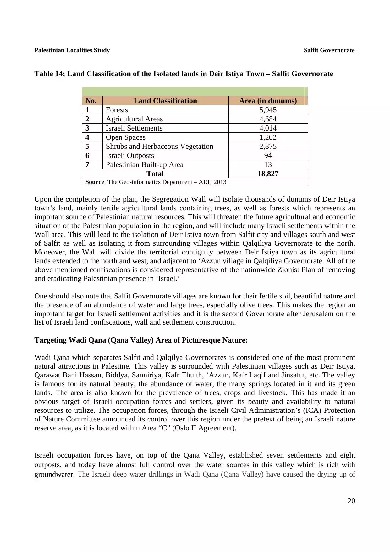
- Statistics & Facts
-
Before & After

- Satellite View
- Articles 15
- Pictures 241
- Mayrters & Prisoners 8
- Members 30
- Families
- Wikipedia
- ARIJ Guide
- Videos 3
- Guest Book 9
- Links
| Statistic & Fact | Value | ||||||||||||||||||||||
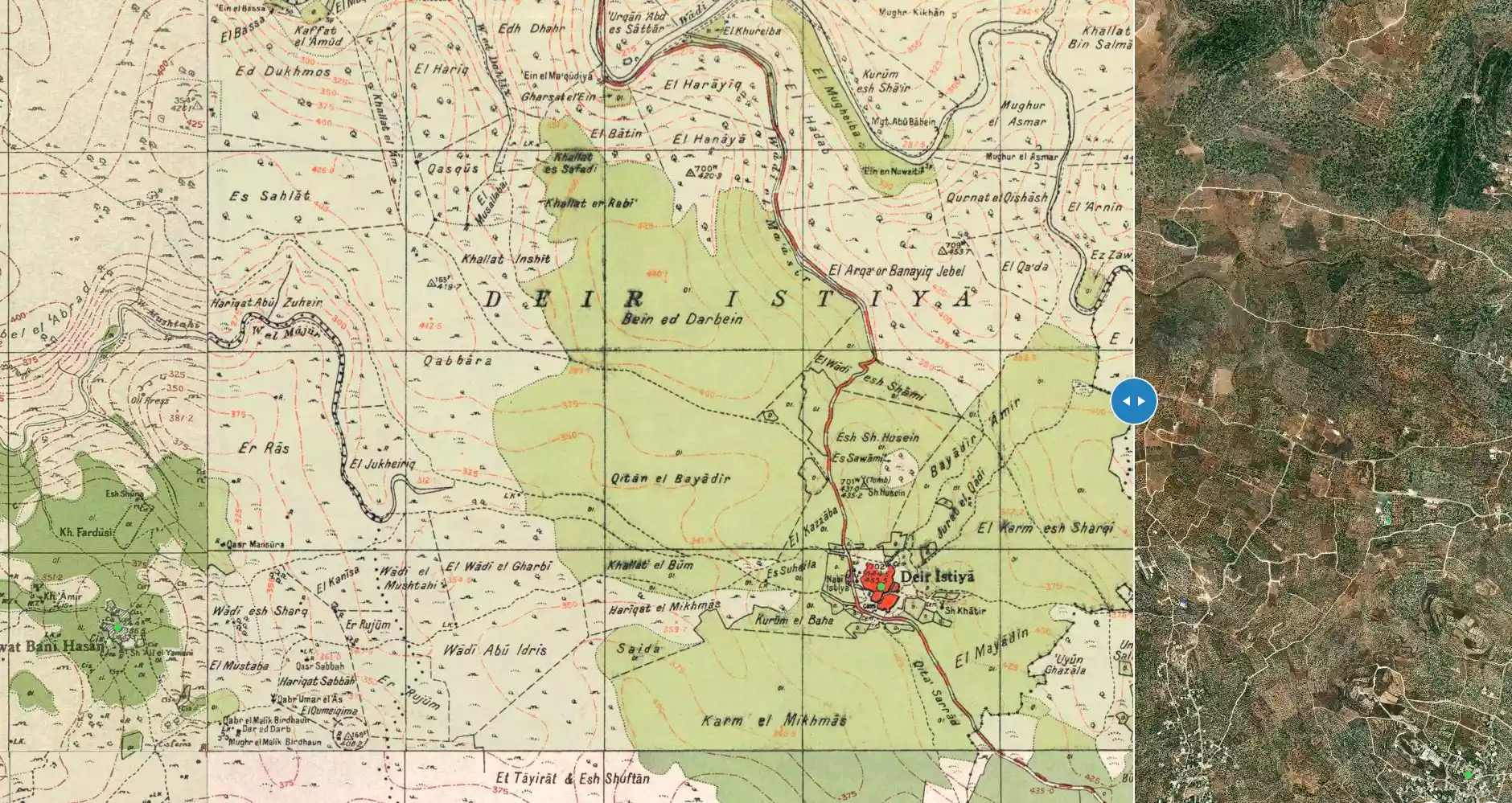
| Distance From District | 25 km southwest of Nablus | ||||||||||||||||||||||
| Elevation | 430 meters | ||||||||||||||||||||||
| Before & After Nakba, Click Map For Details |
|||||||||||||||||||||||
|
|||||||||||||||||||||||
| Land Ownership |
**Town Lands' Demarcation Maps |
||||||||||||||||||||||
| Land Usage As of 1945 |
|
||||||||||||||||||||||
| Population |
|
||||||||||||||||||||||
| Near By Towns |
|||||||||||||||||||||||
|
|||||||||||||||||||||||
| Featured Video | |||||||||||||||||||||||
| ARIJ Guide | |||||||||||||||||||||||
|
Click here to browse online. |
|||||||||||||||||||||||
| Related Maps | Town Lands' Demarcation Maps خرائط للقضاء توضح حدود القرى والاودية View from satellite Town's map on MapQuest Help us map this town at WikiMapia |
||||||||||||||||||||||
| Related Links | Wikipedia's Page Facebook Page ARIJ Guide Google Search Google For Images Google For Videos في كتاب بلادنا فلسطين دليل أريج المزيد من موقع هوية |
||||||||||||||||||||||
- dayr istriya
- ديراستيا في سطور-منقول-
- تطور بلدة ديراستيا
- الفردوس المفقود في وادي قانا
- نادي ديراستيا الرياضي في سطور
- قطاف الزيتون عرس كنعاني قديم
- لجنة متطوعي الهلال في دير استيا تضم 80 متطوعا ومتطوعة
- شهداء ديراستيا
- خبز الطابون ؟ جودة النكهة ؟ تراث الأجداد الحاضر الدائم
- الله يرحمك يا ستي
- الشهداء نجوم في سماء فلسطين
- السعوديه
- تصحيح لمعلومات الاراضي القديمة في بلدة ديراستيا
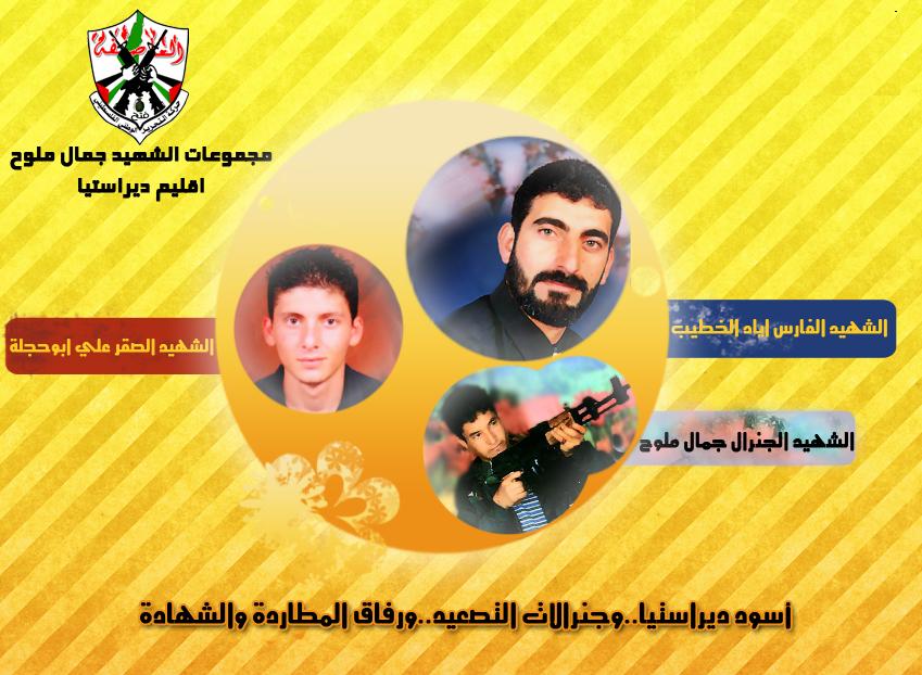
- الشهيد البطل جمال ملوح ورفاق دربه وشهادته فرسان ديراستيا الثلاثة
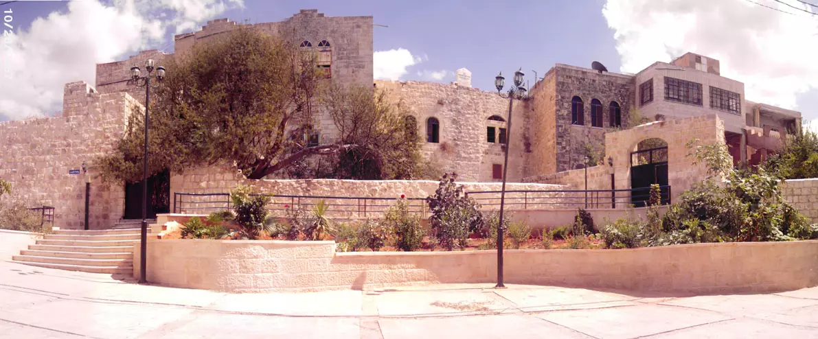
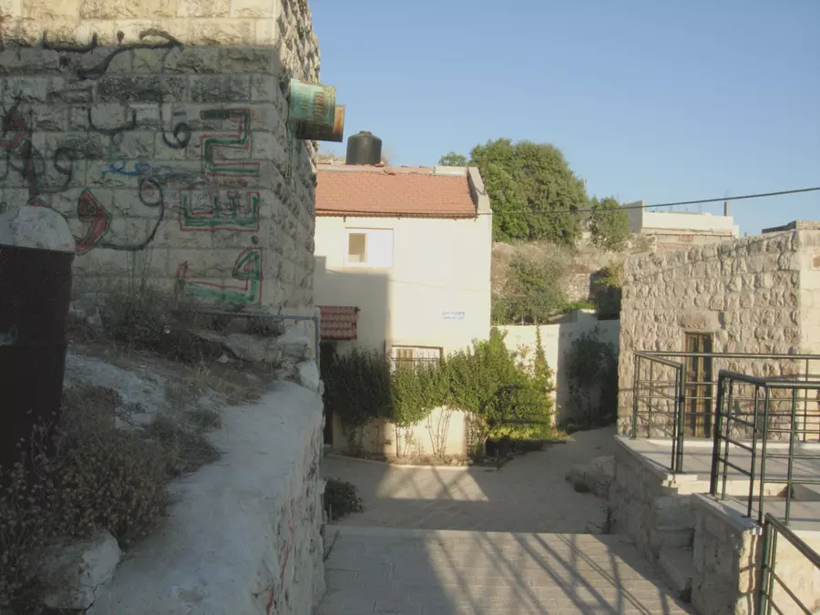
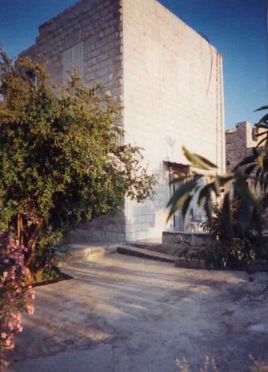
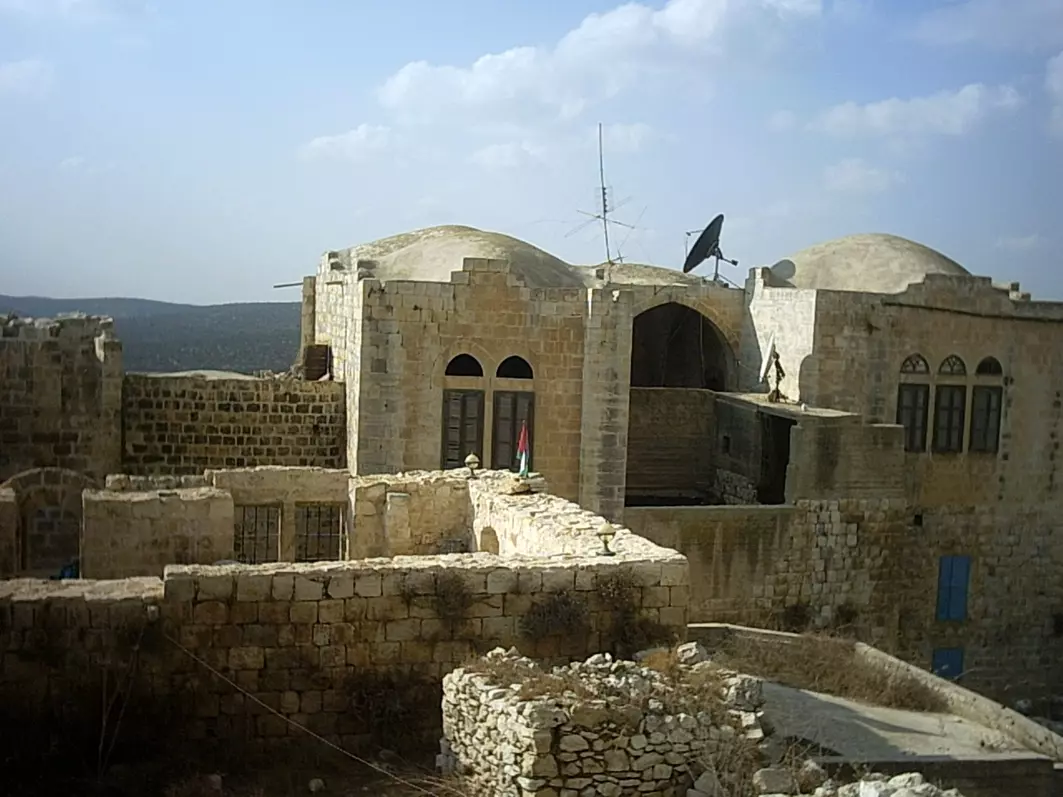
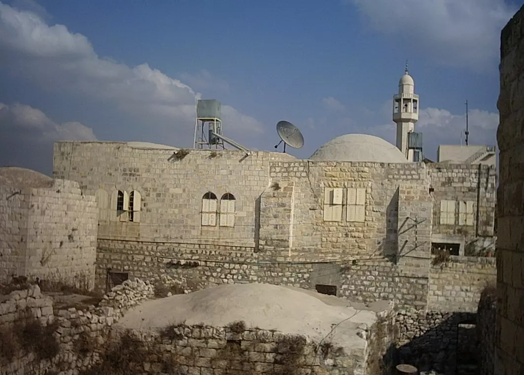
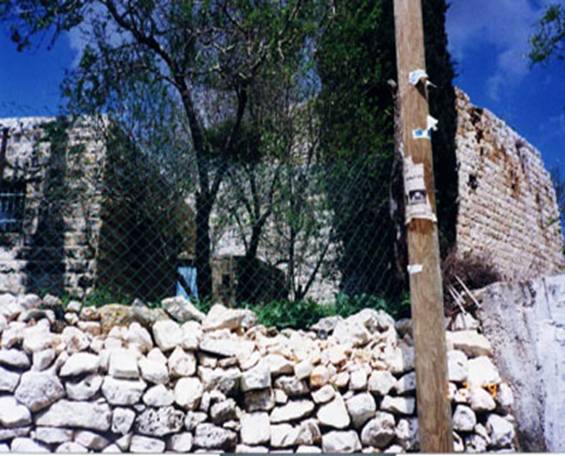
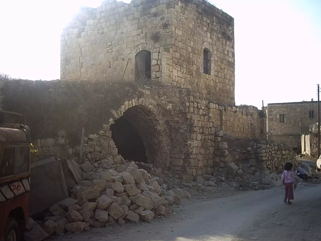
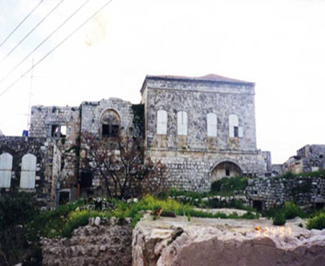
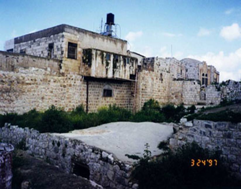
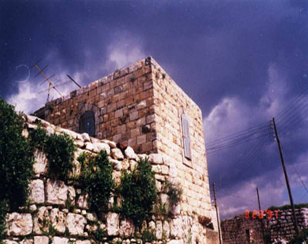
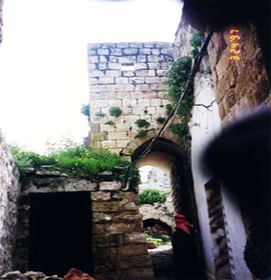
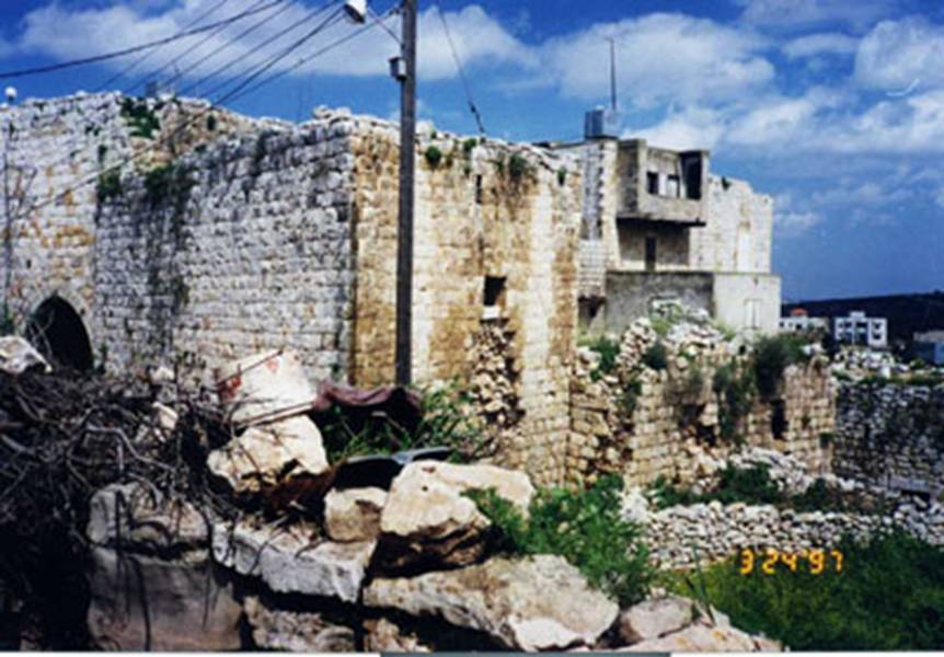
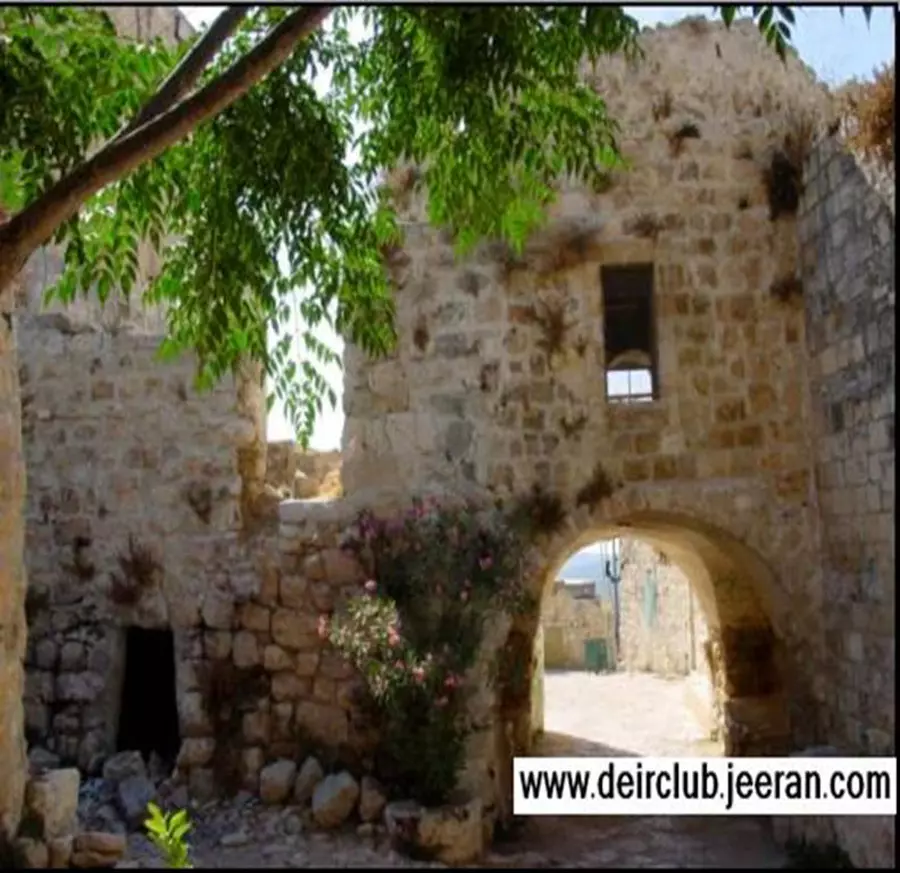
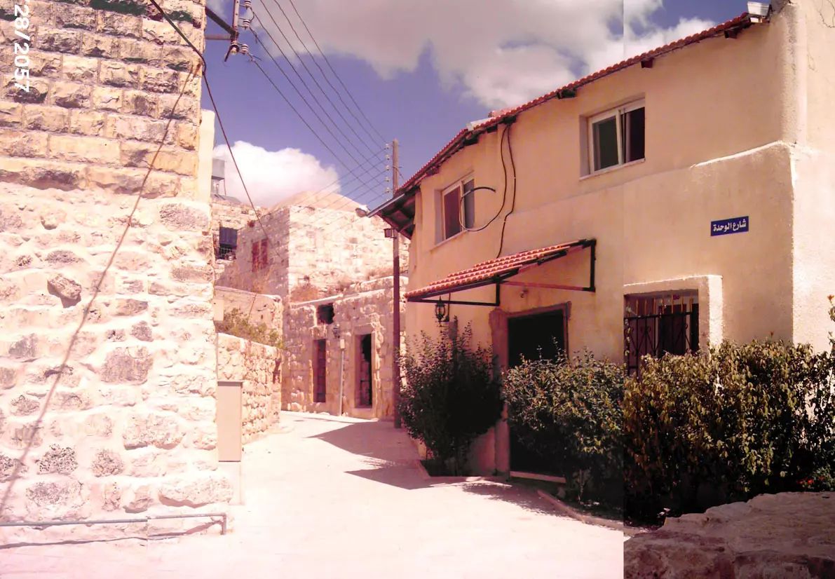
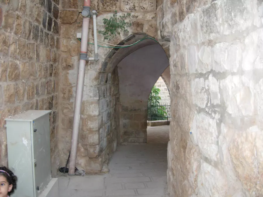
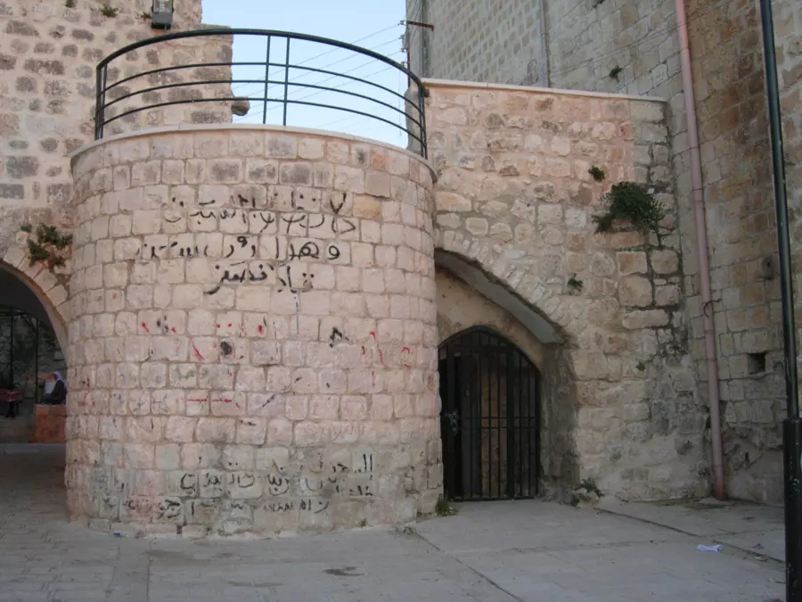
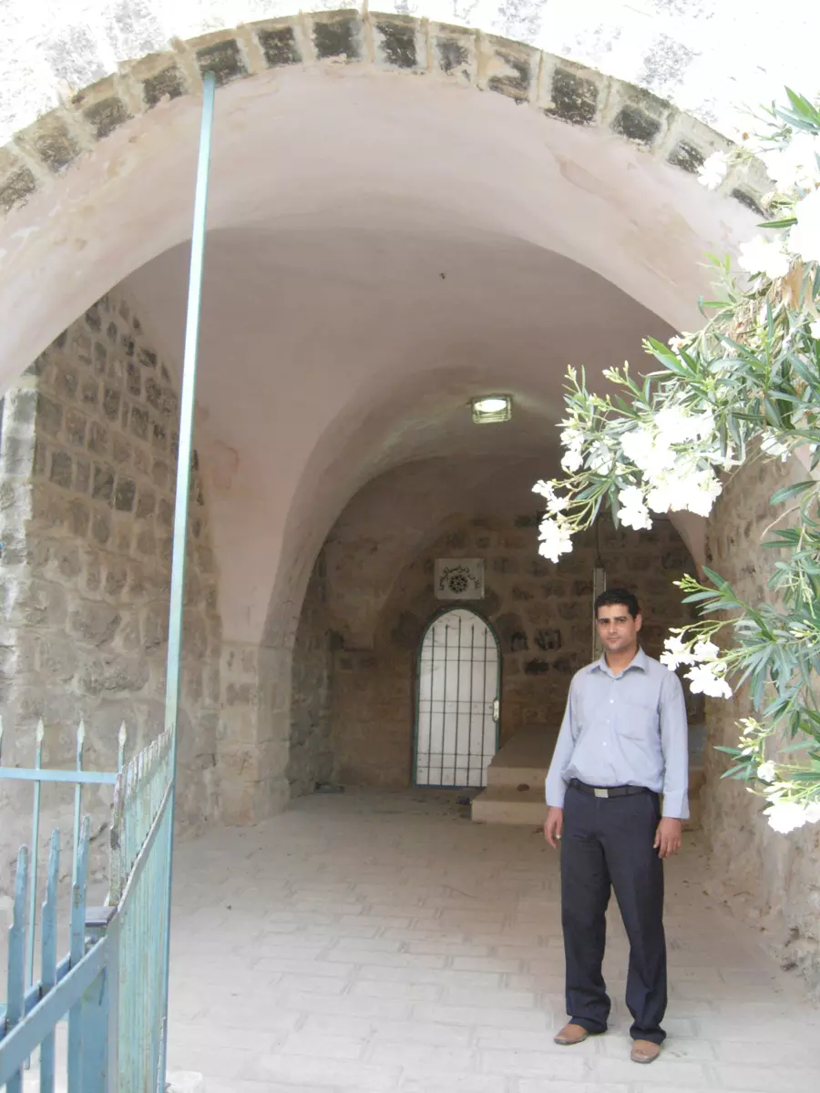
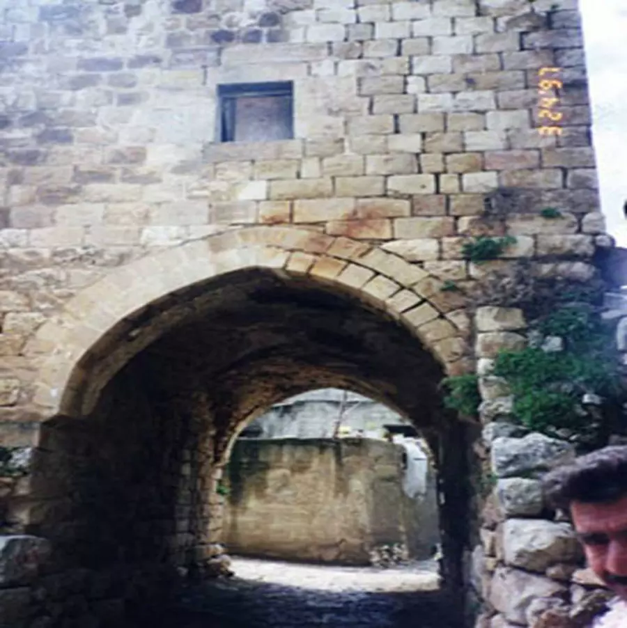
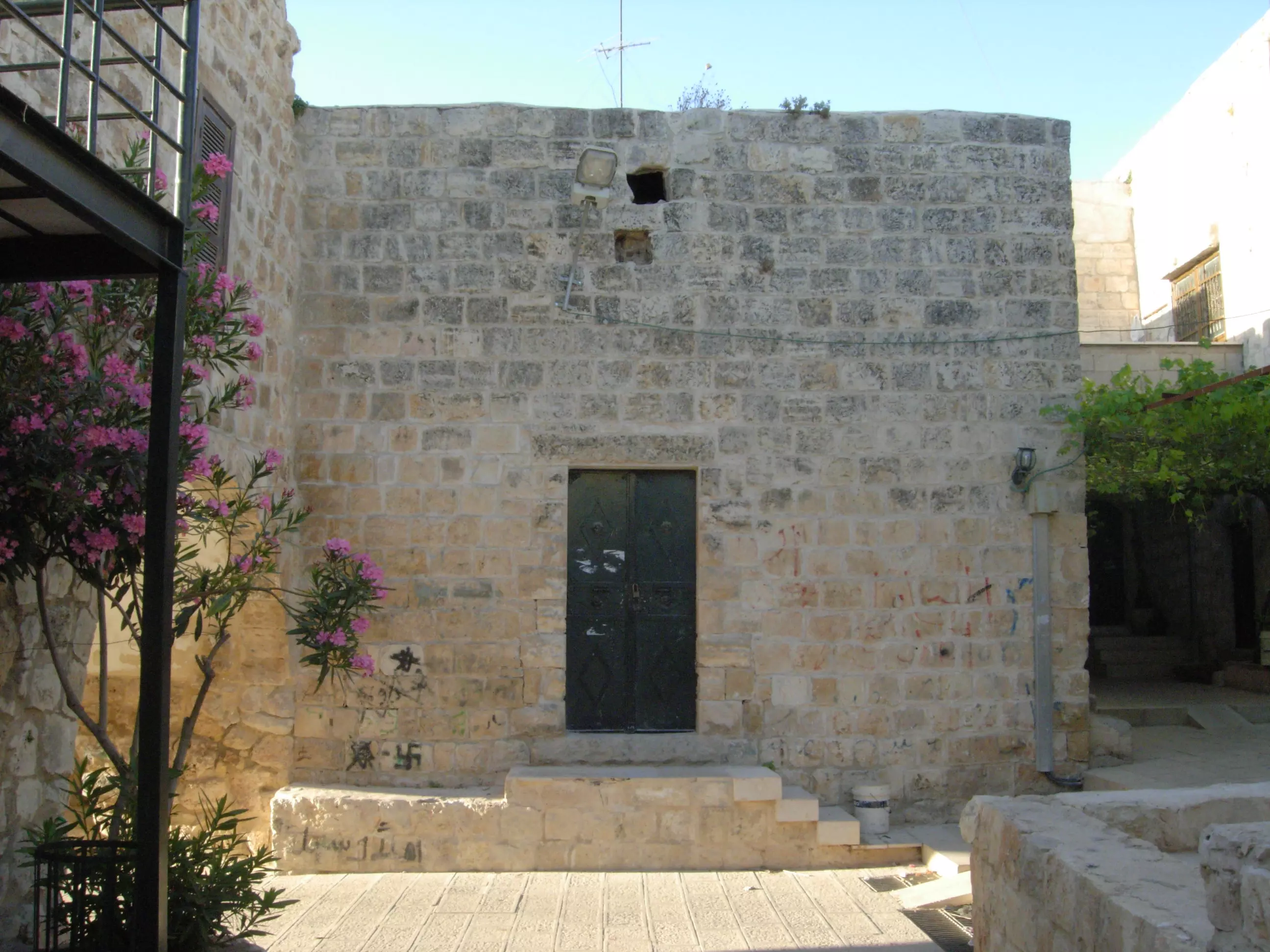
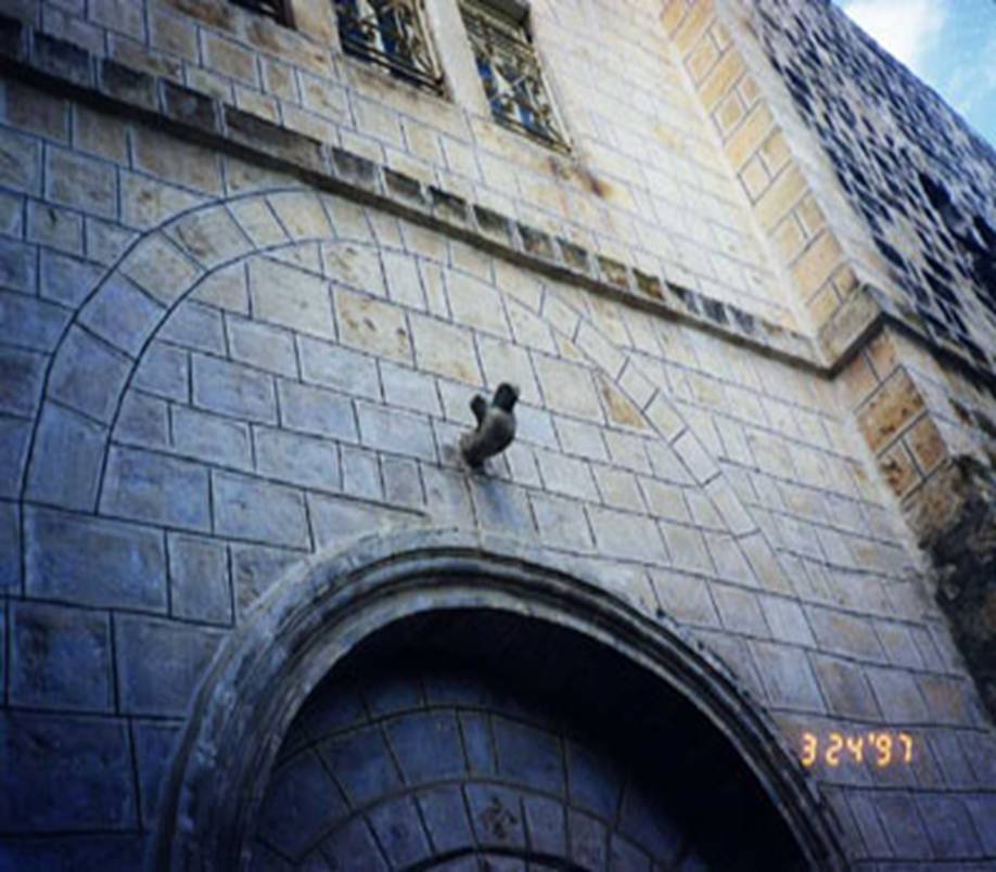
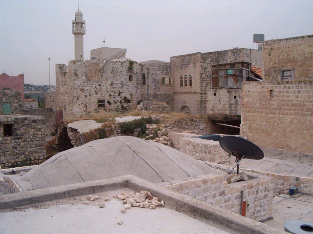
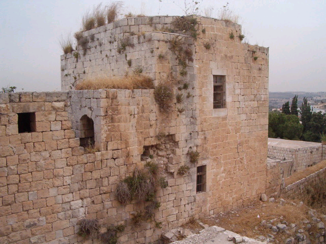
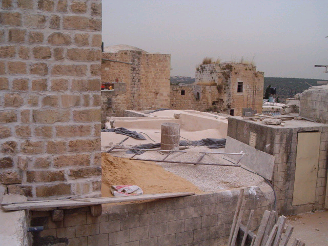
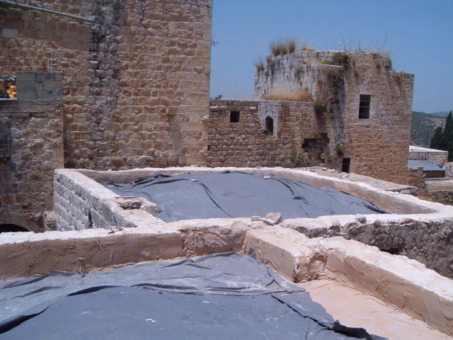
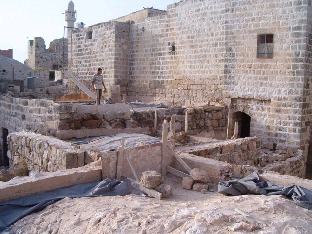
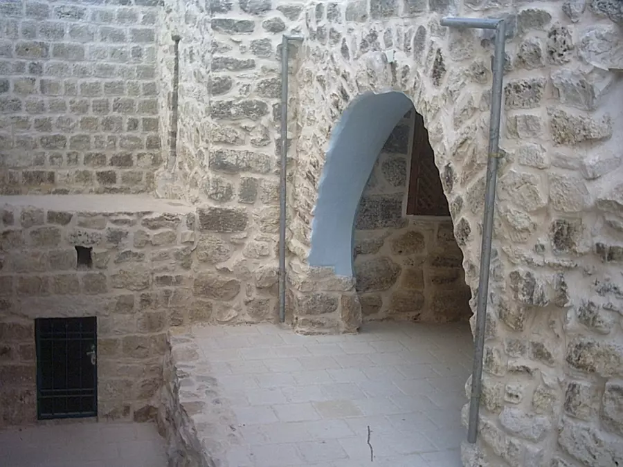
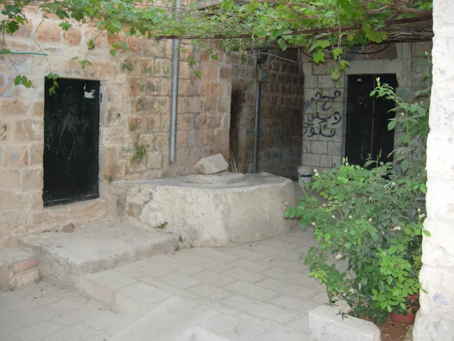
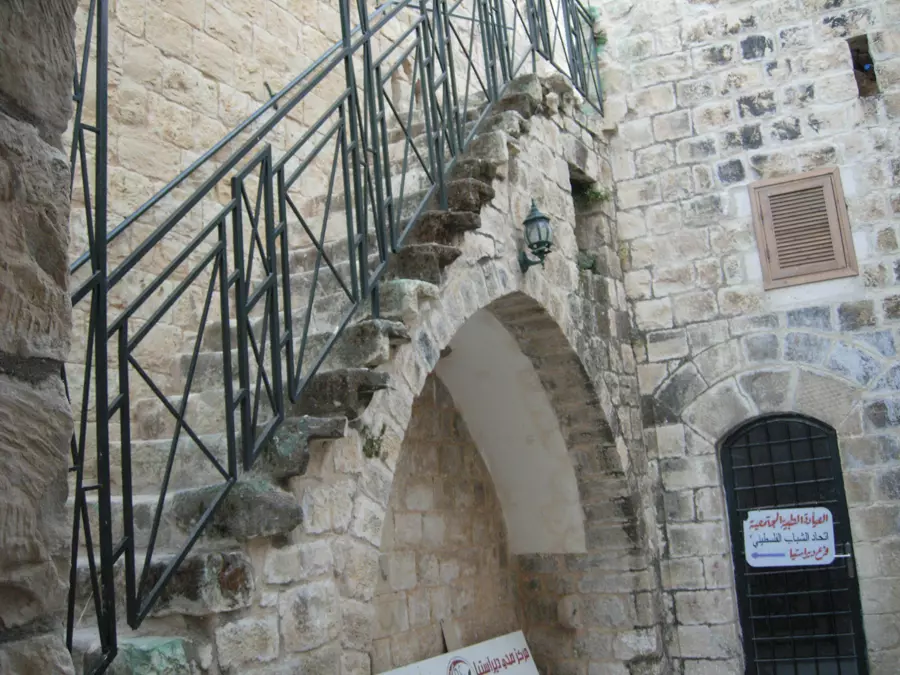
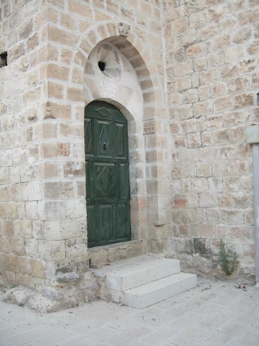
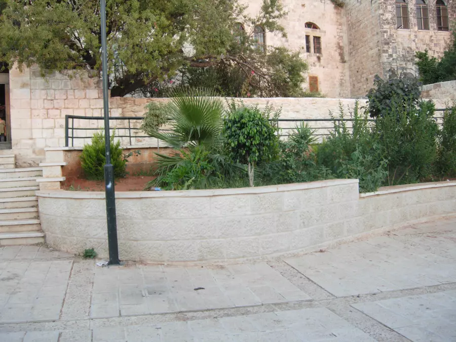
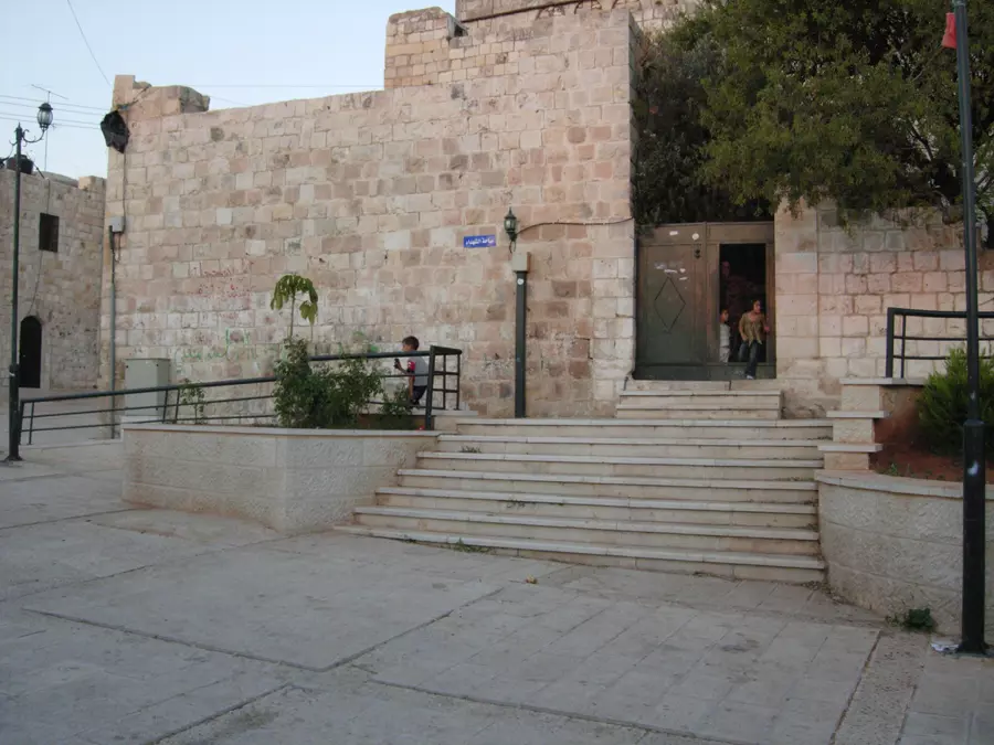
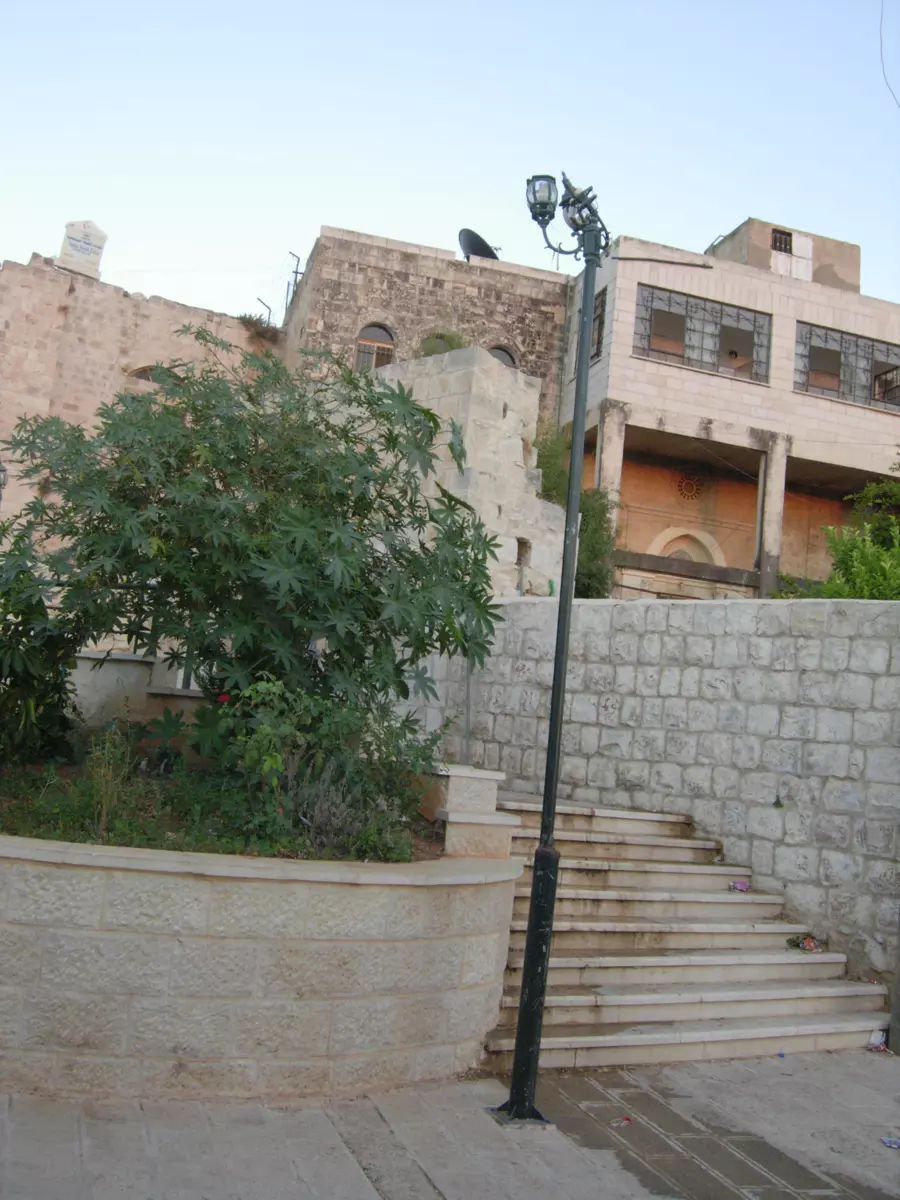
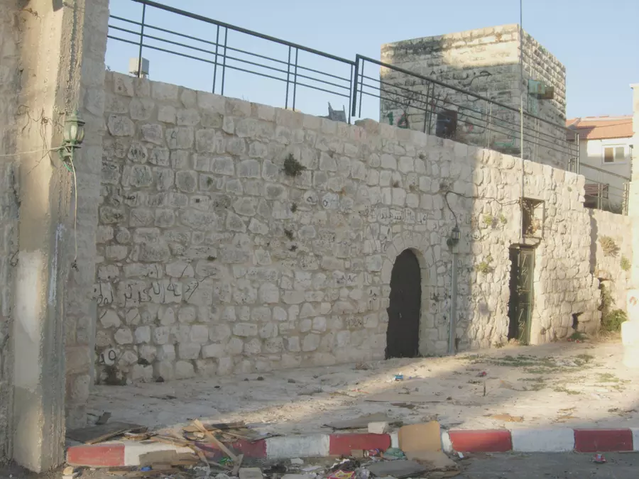
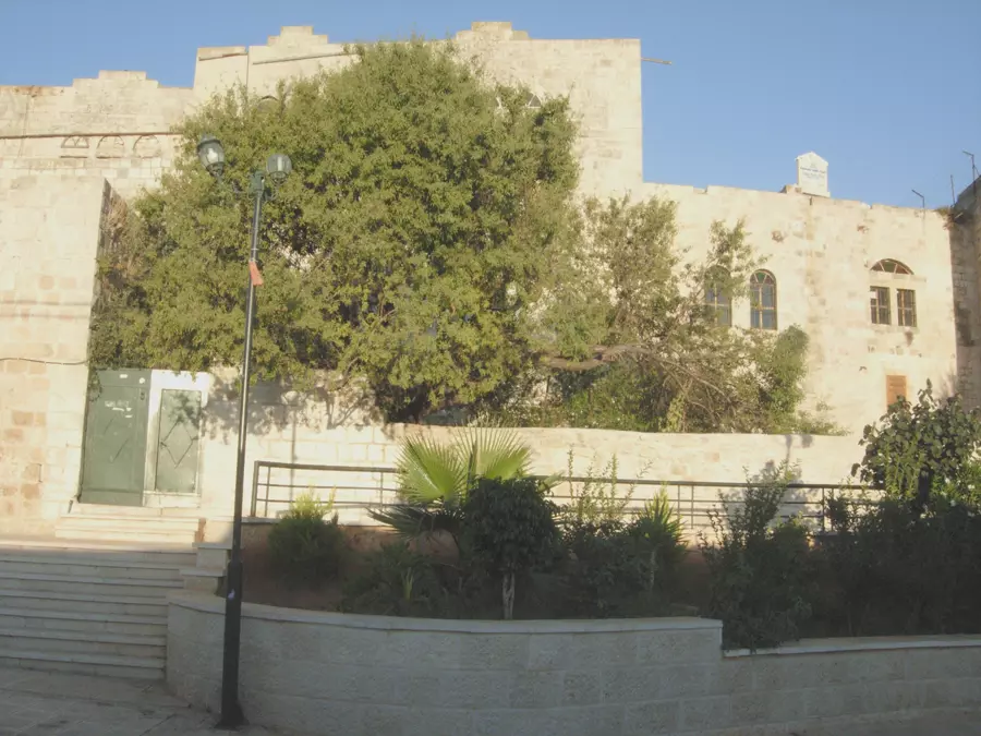
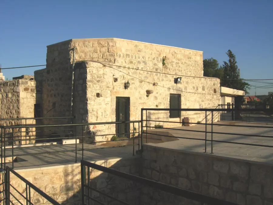
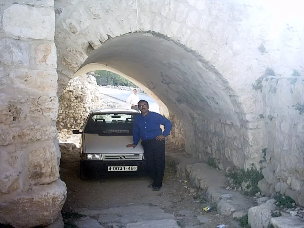
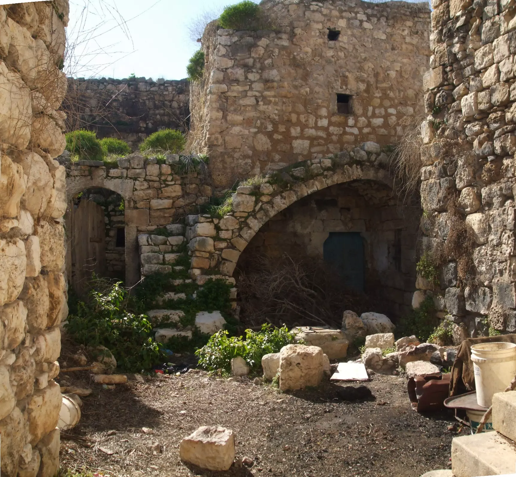
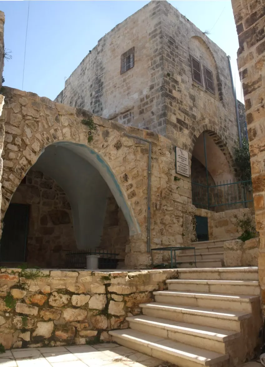
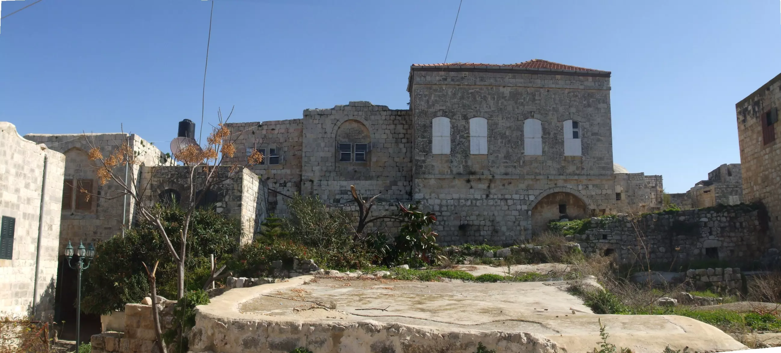
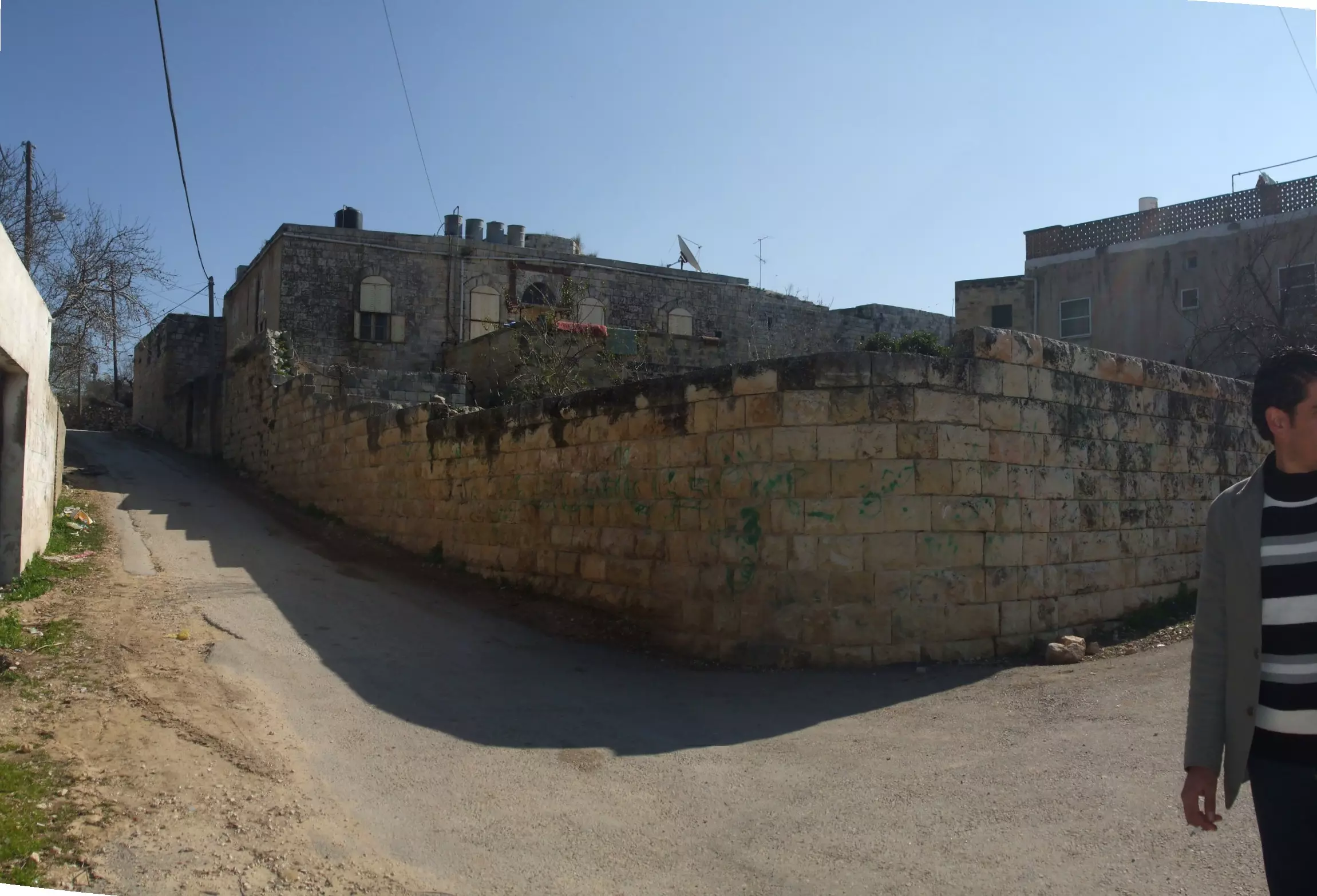
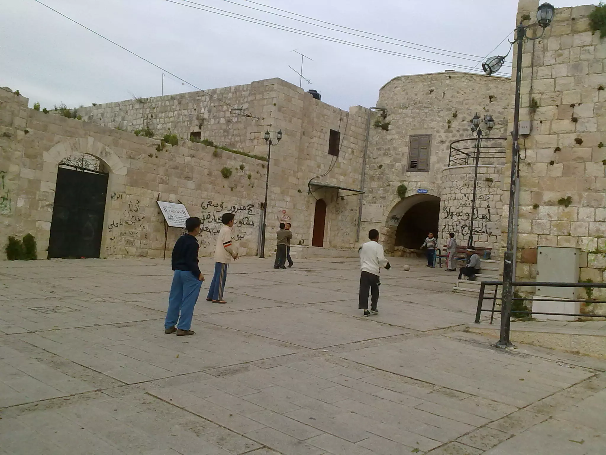
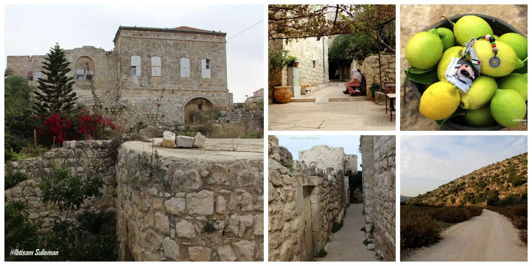
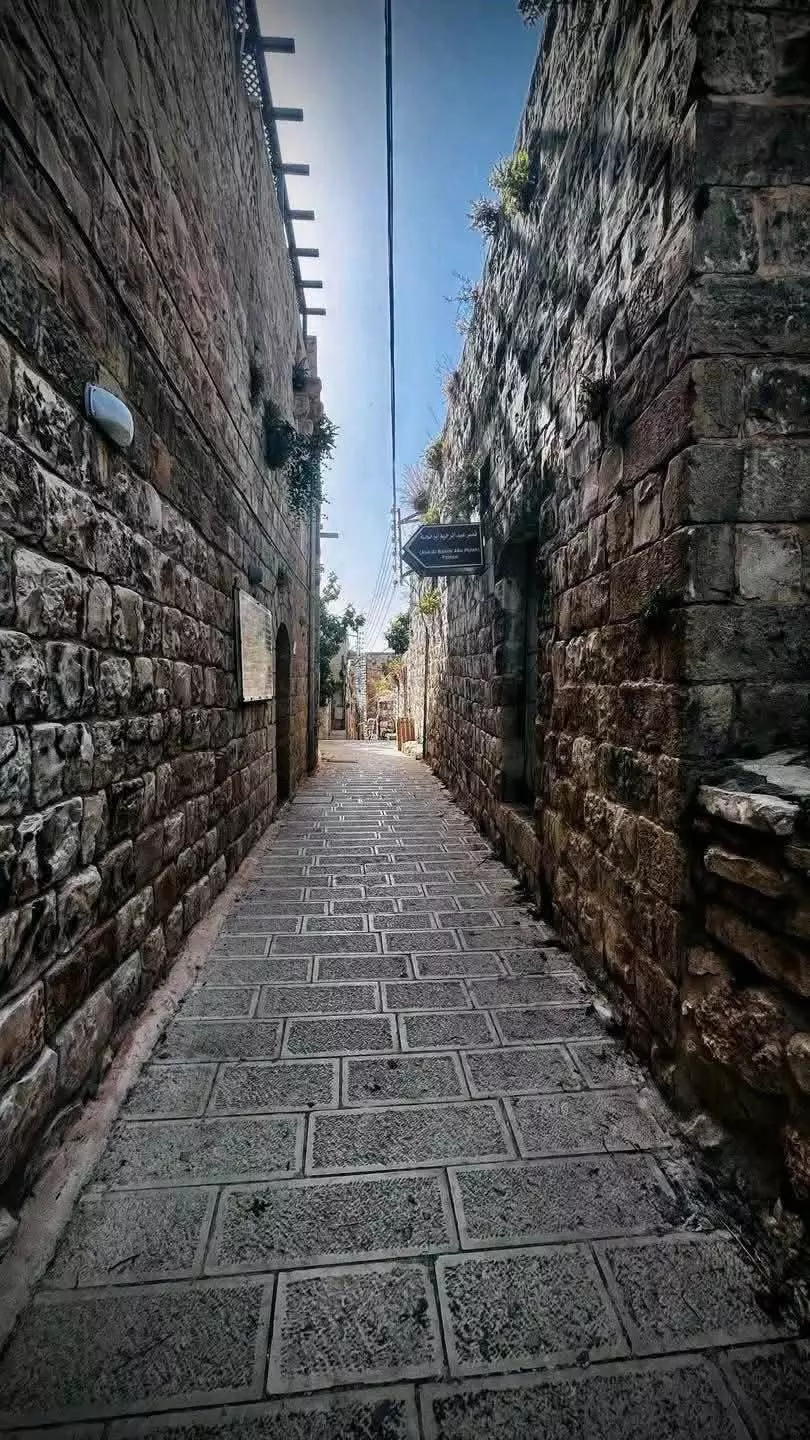
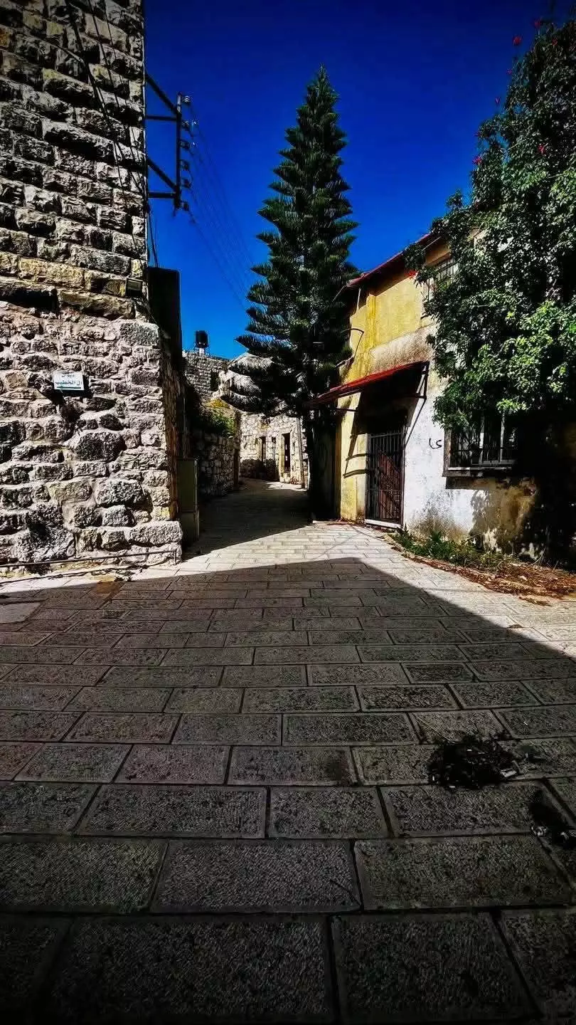
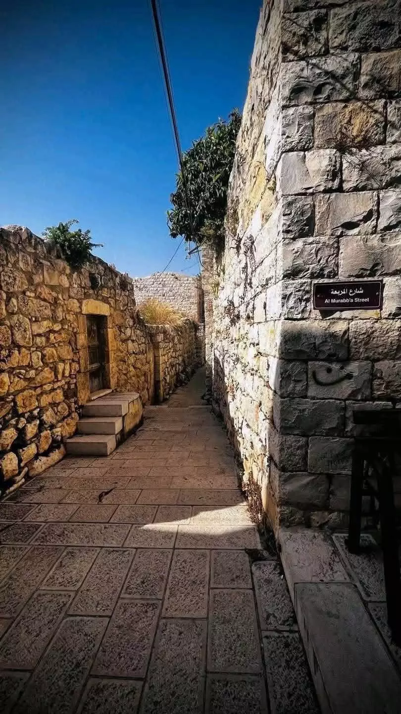
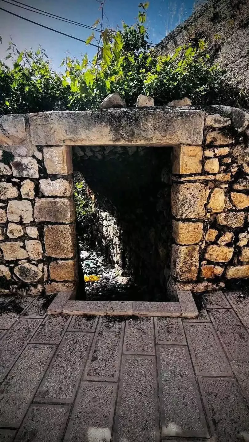
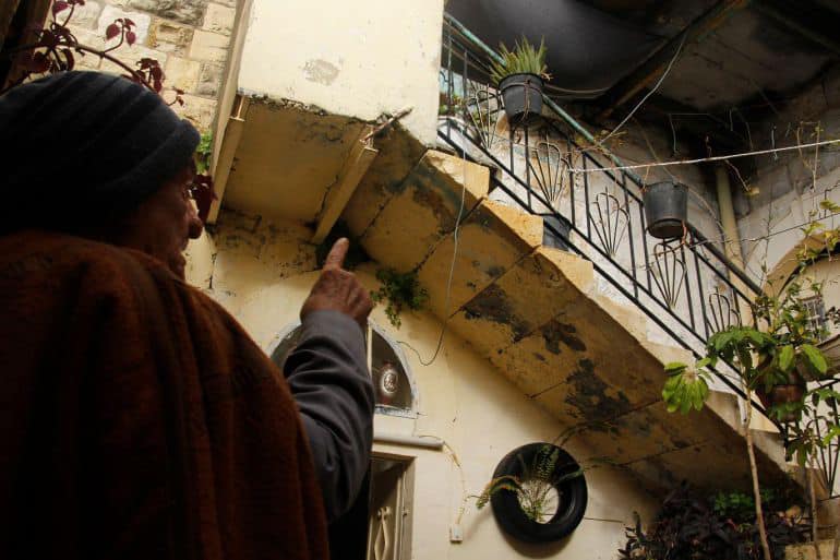
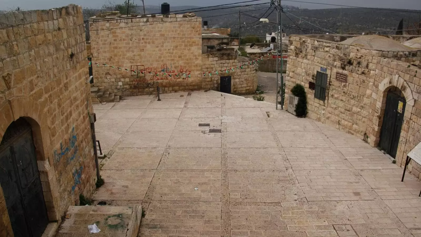
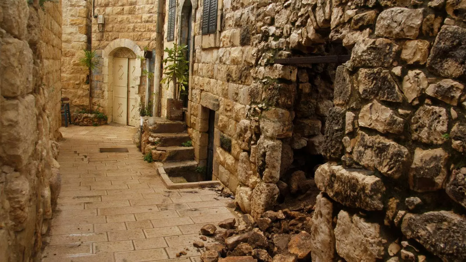
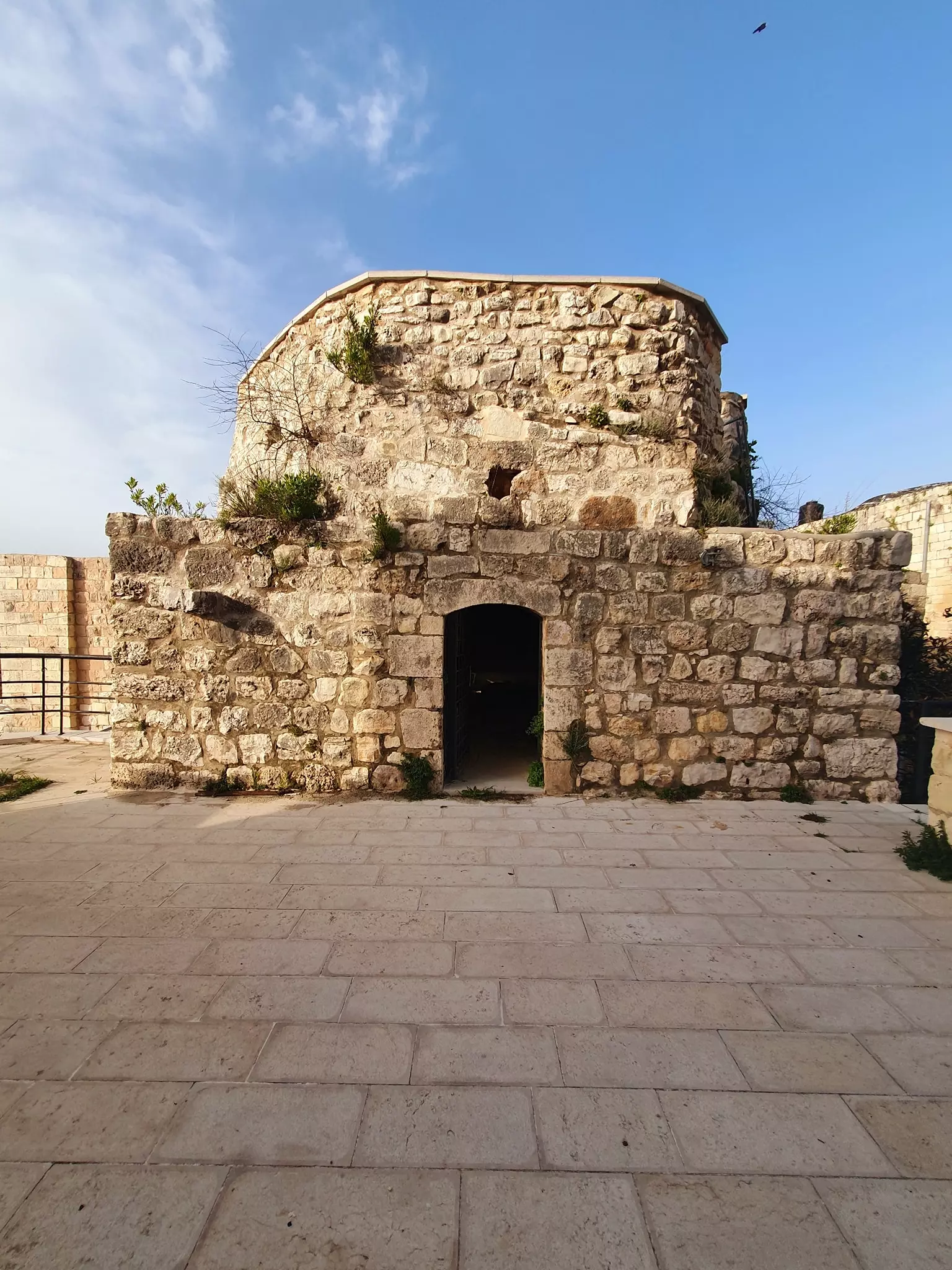
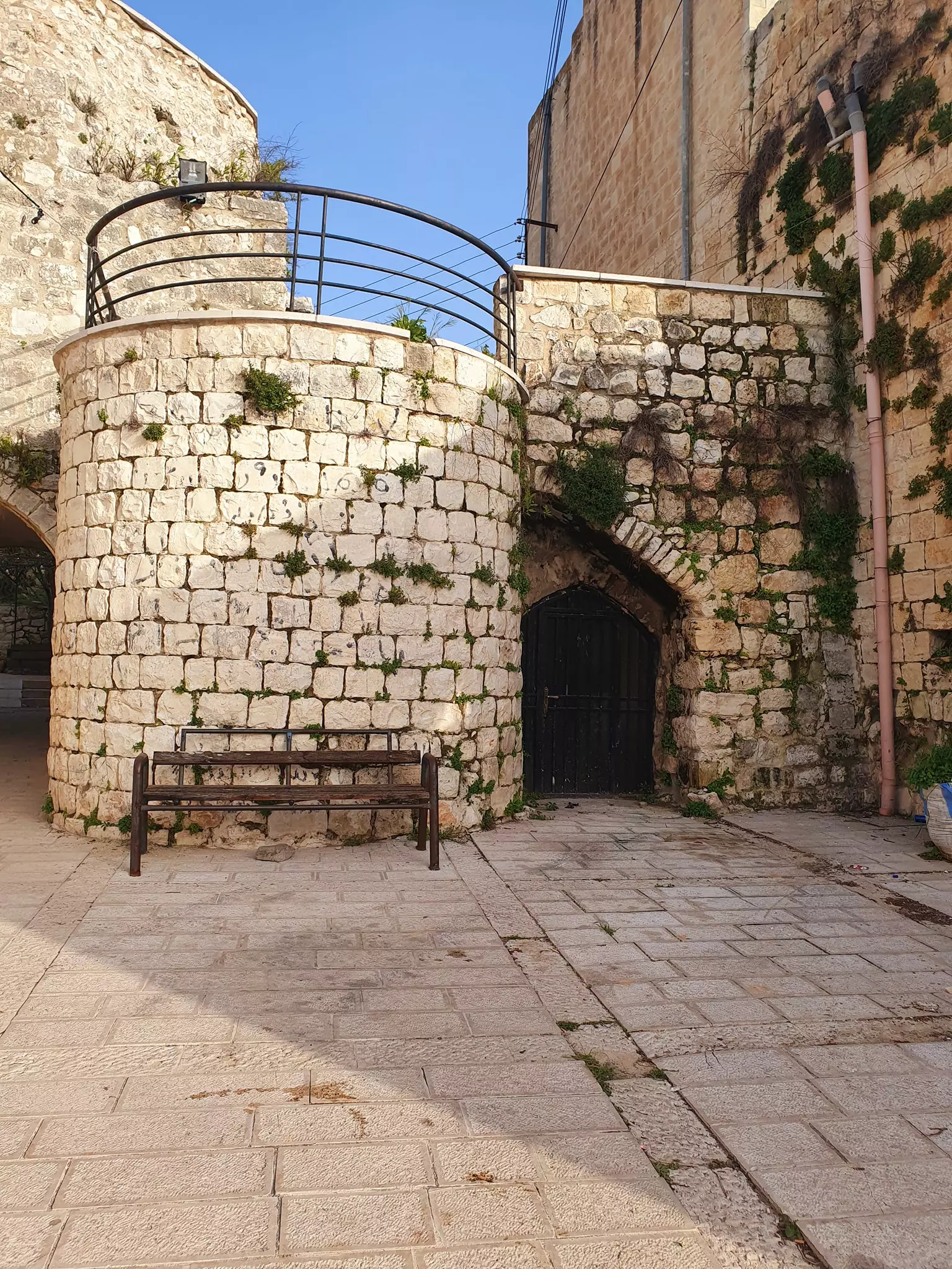
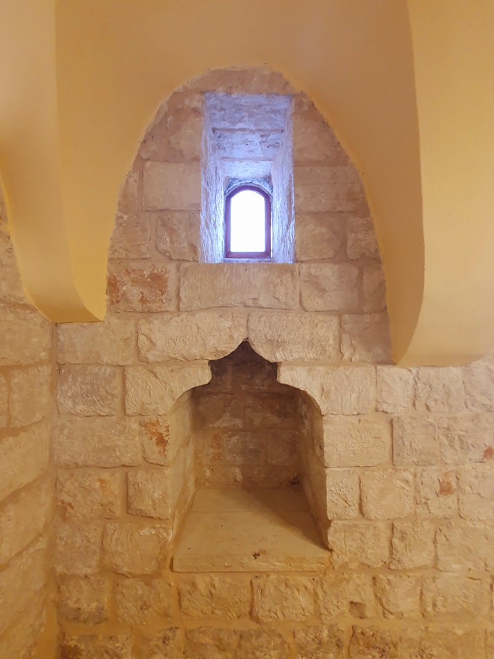
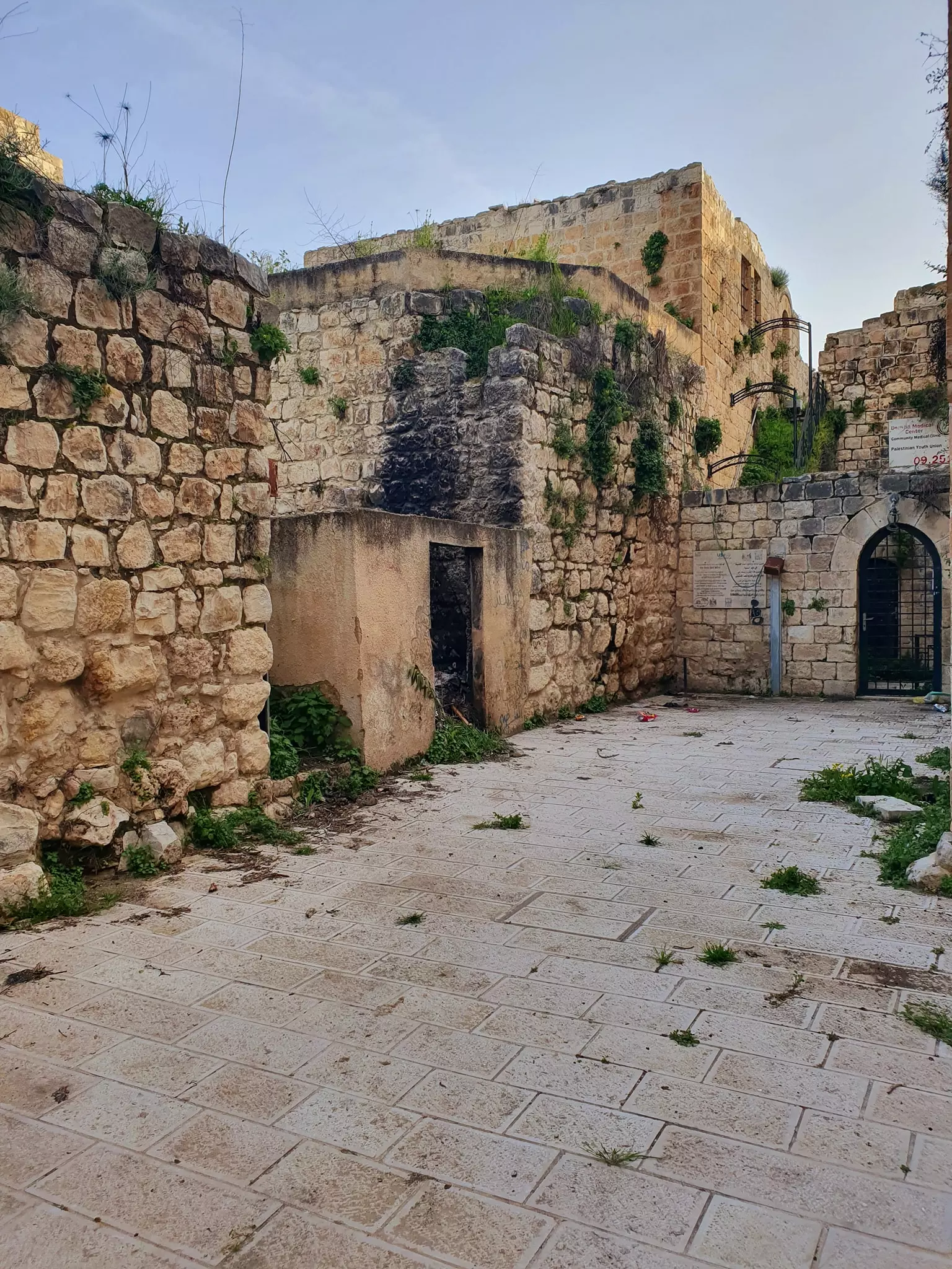
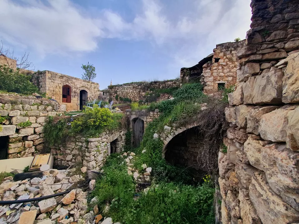
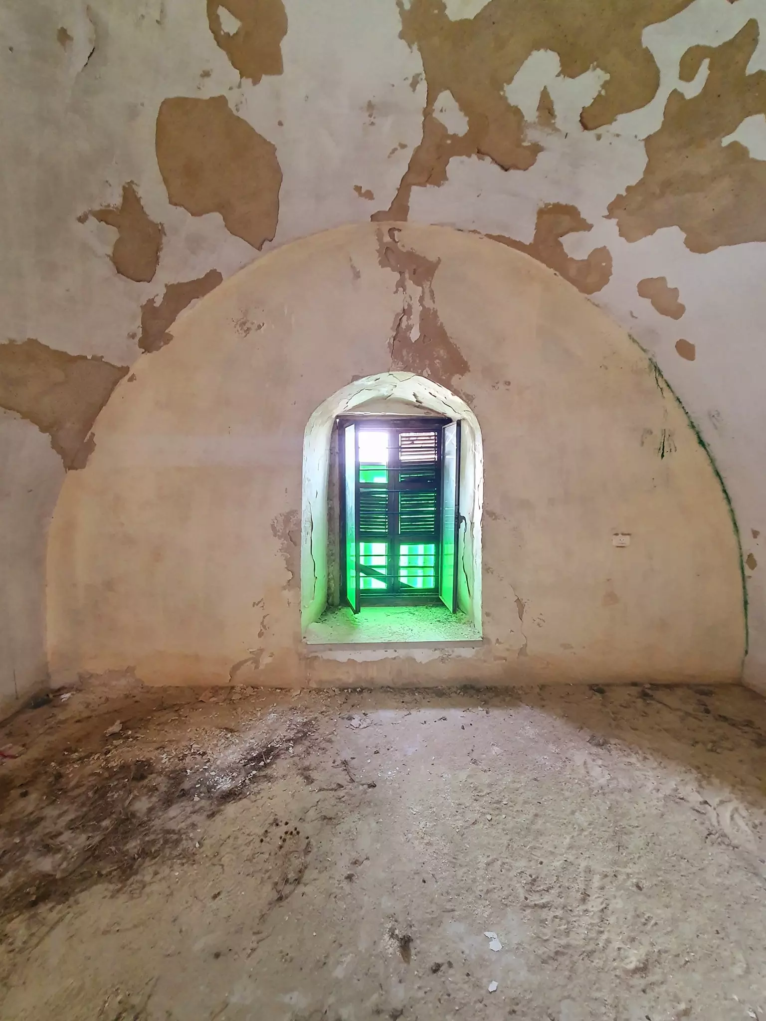
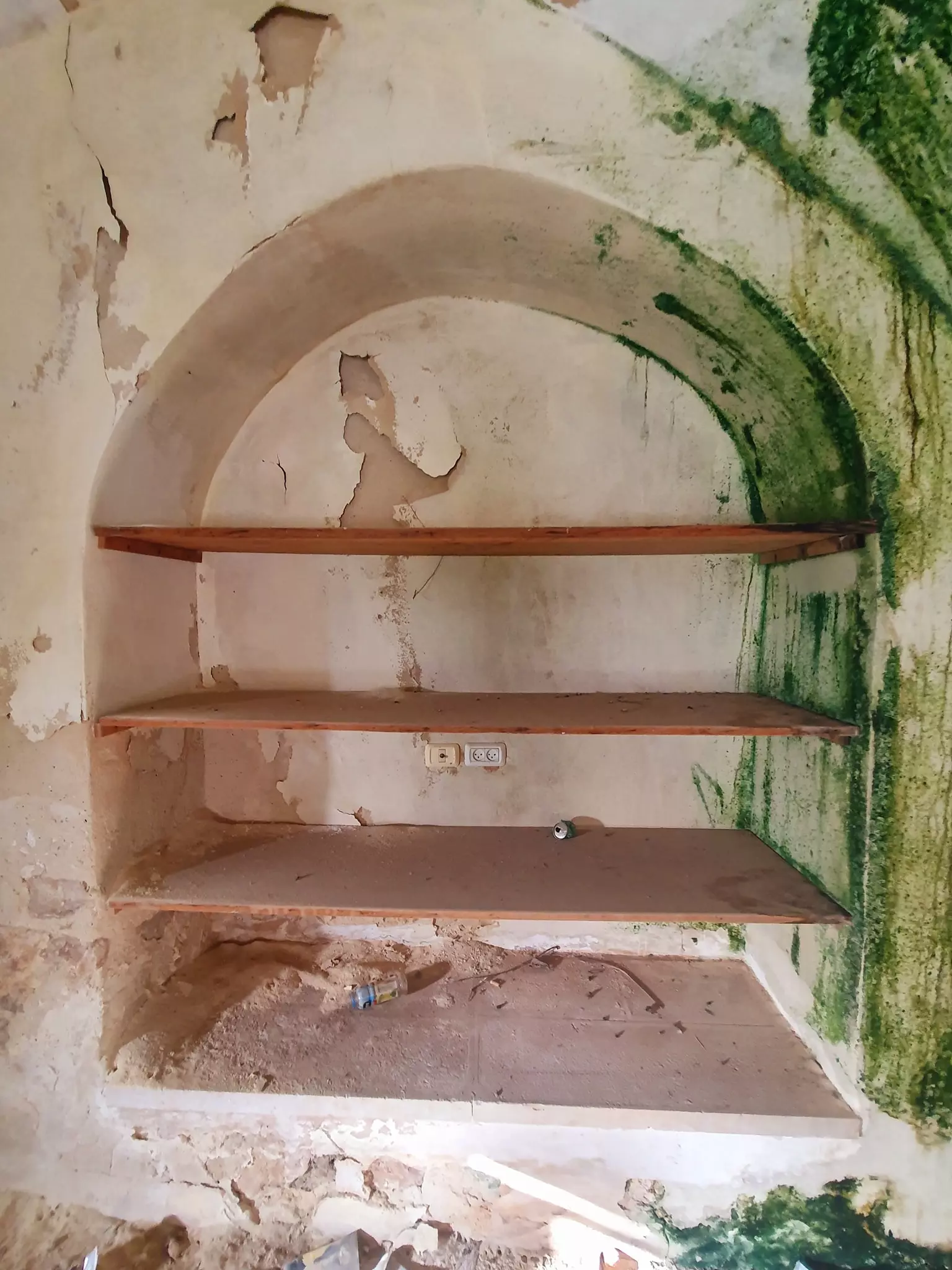
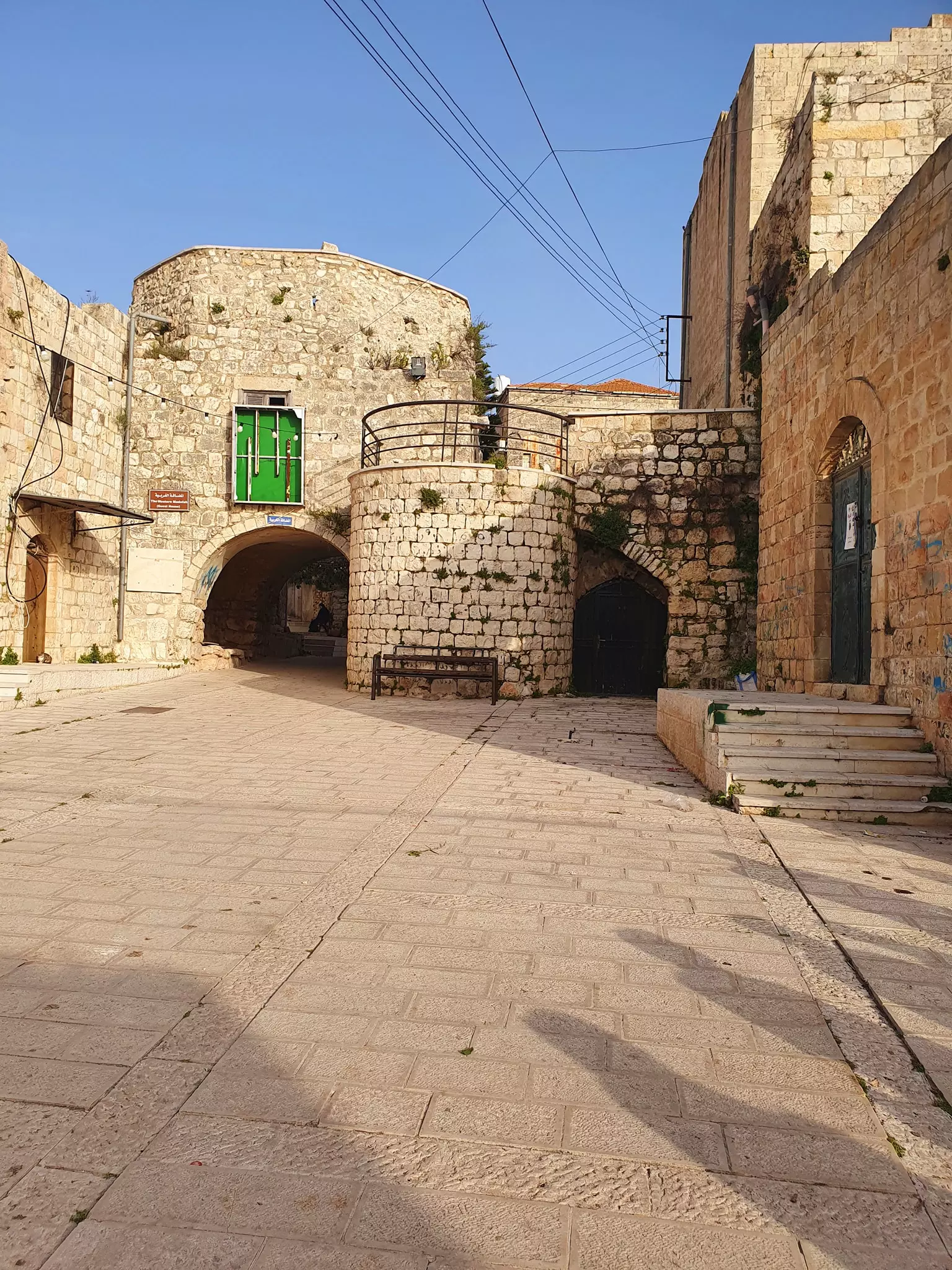
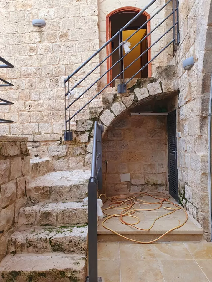
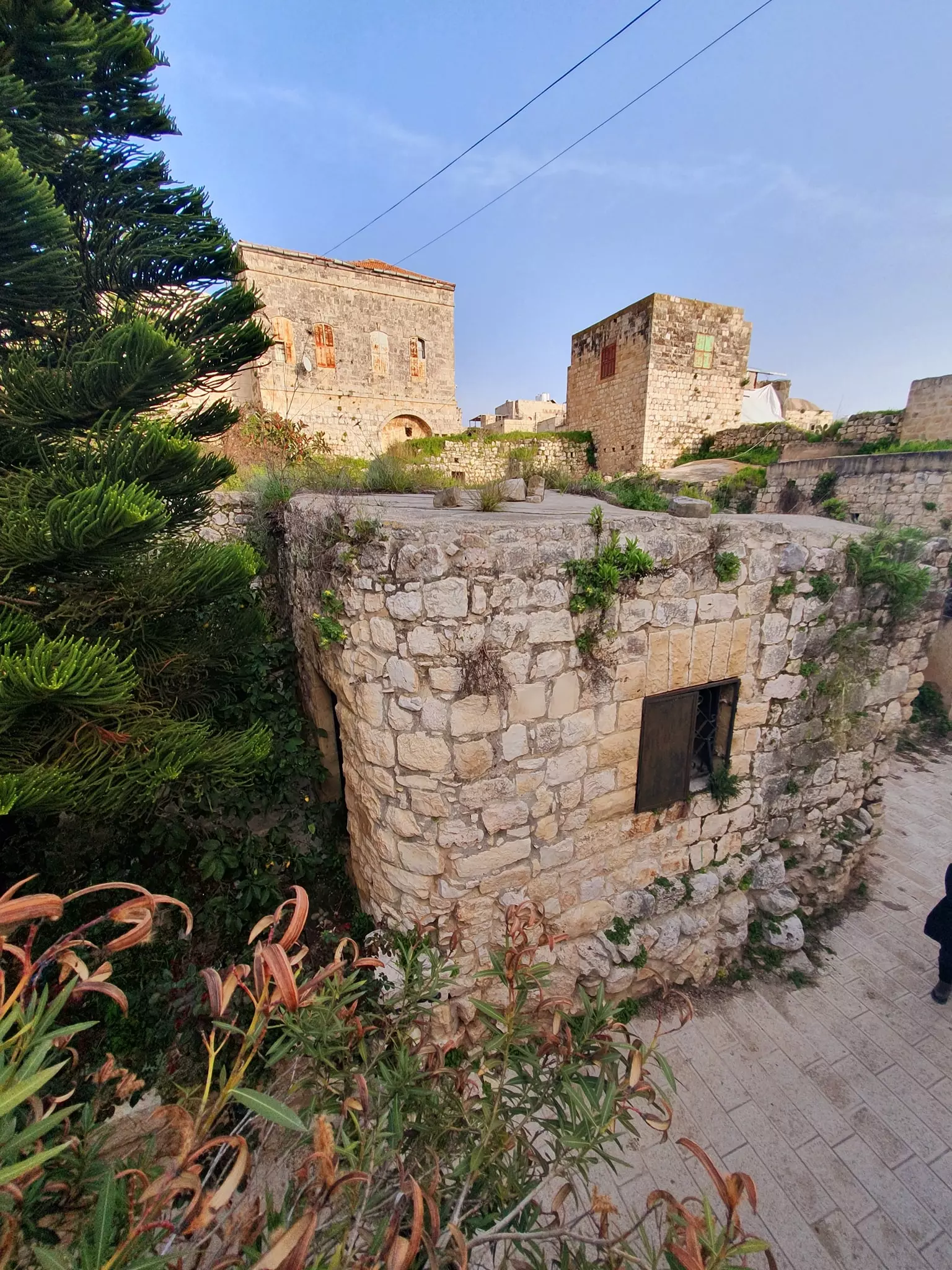
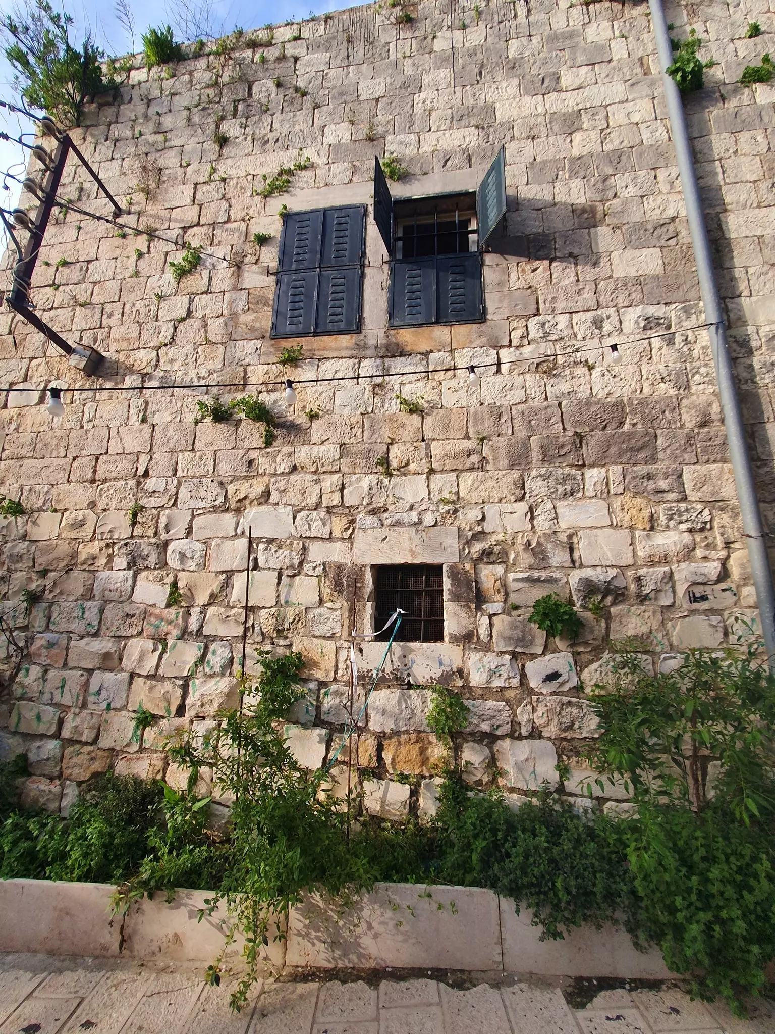
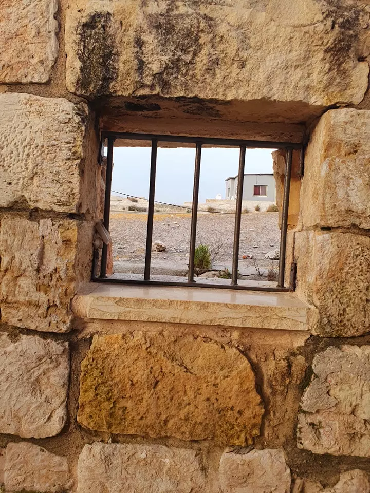
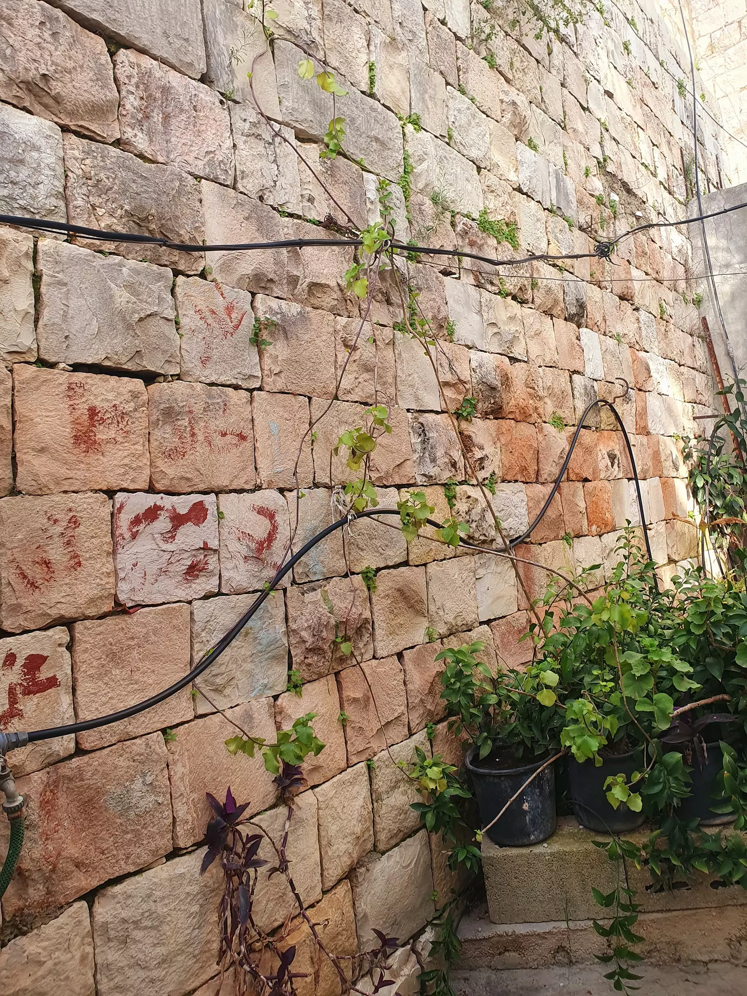
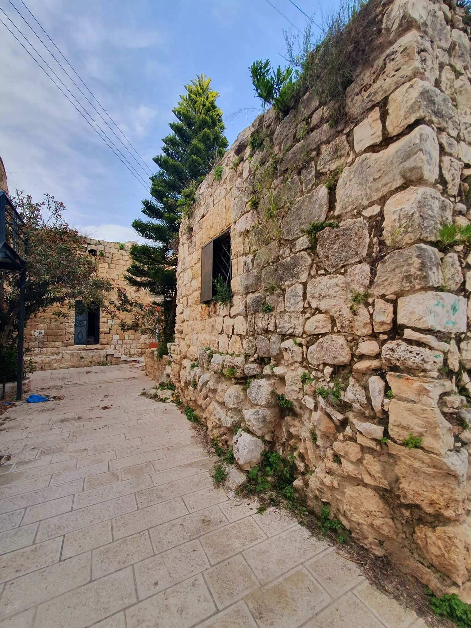
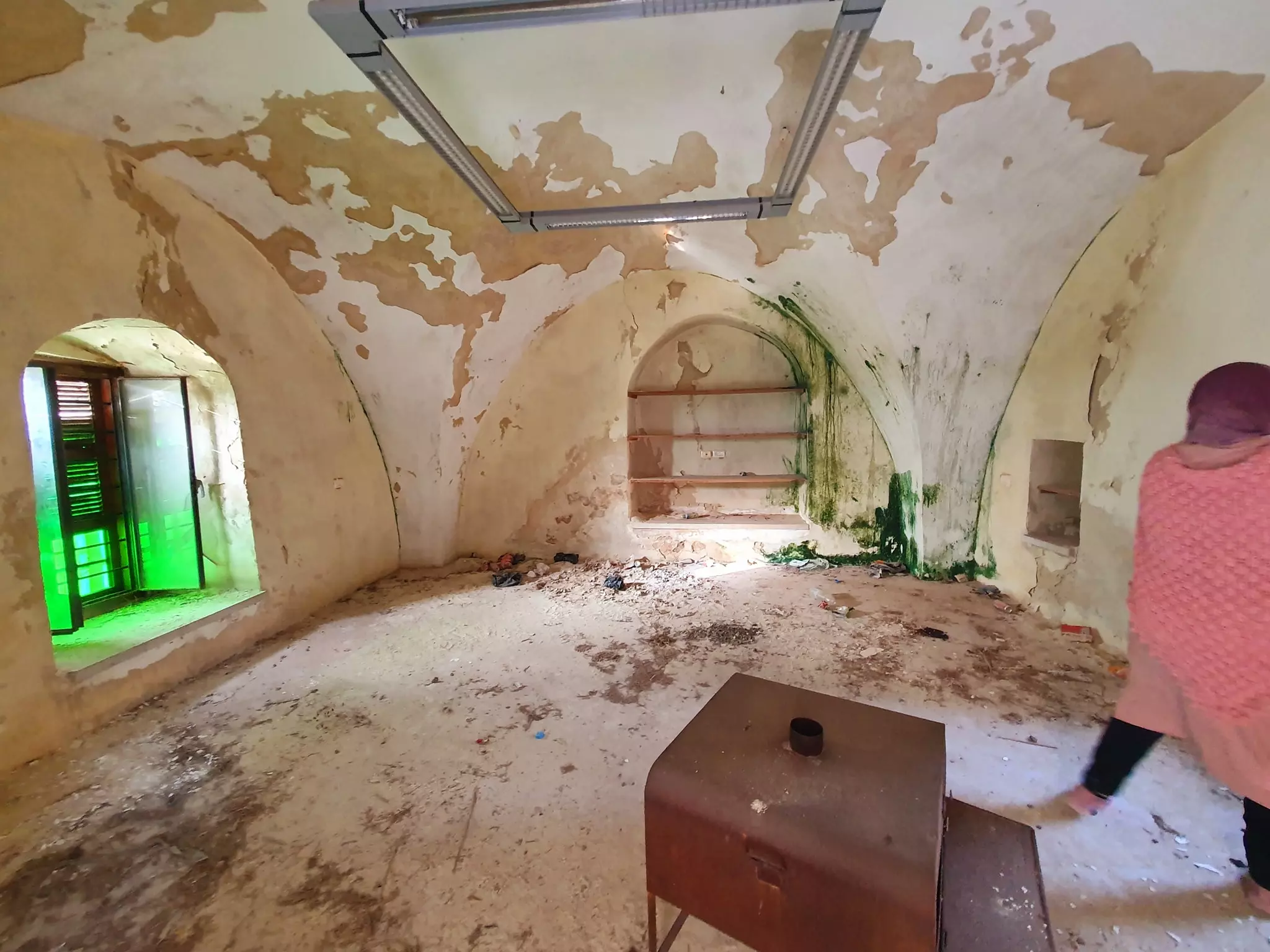
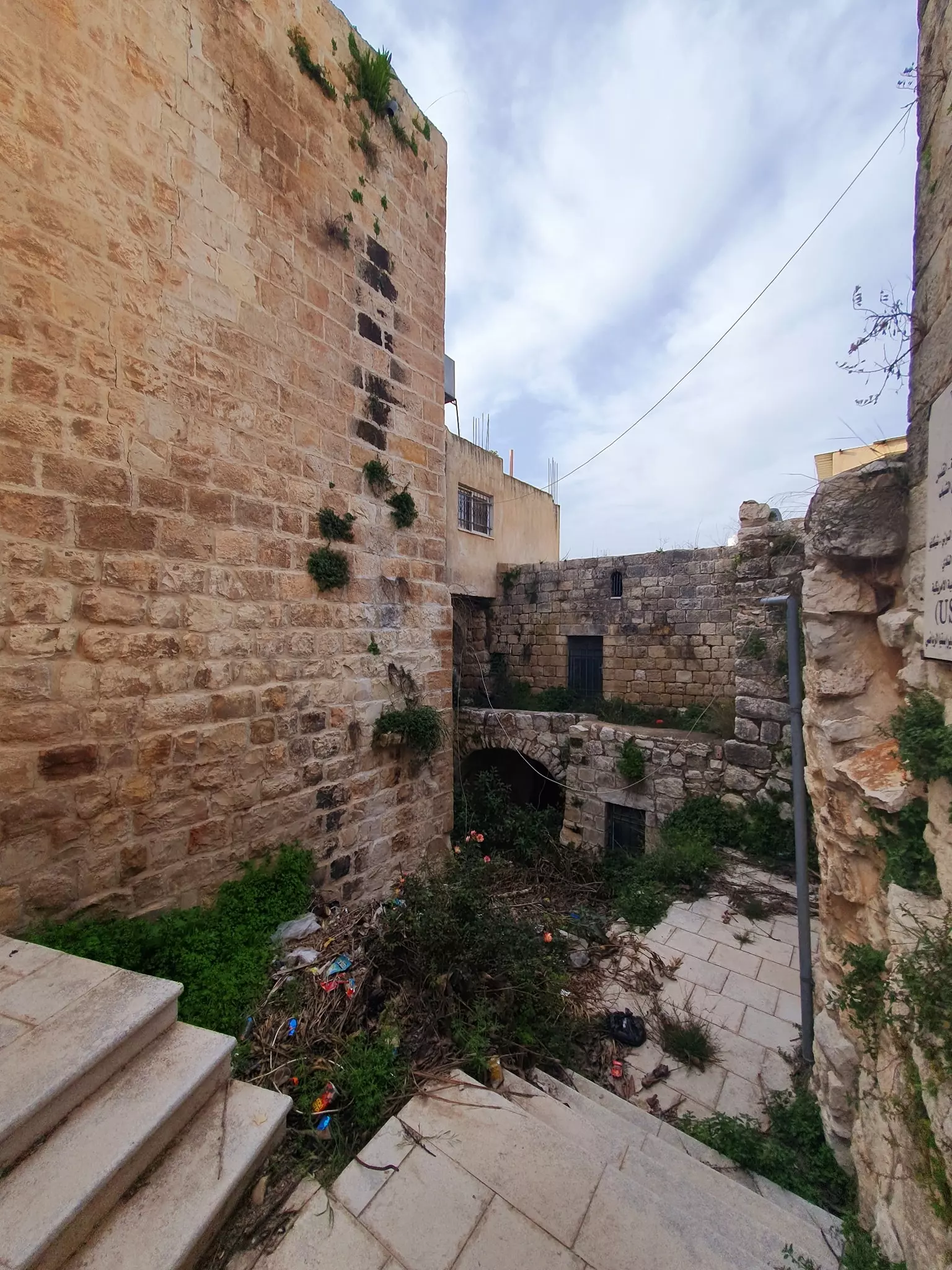
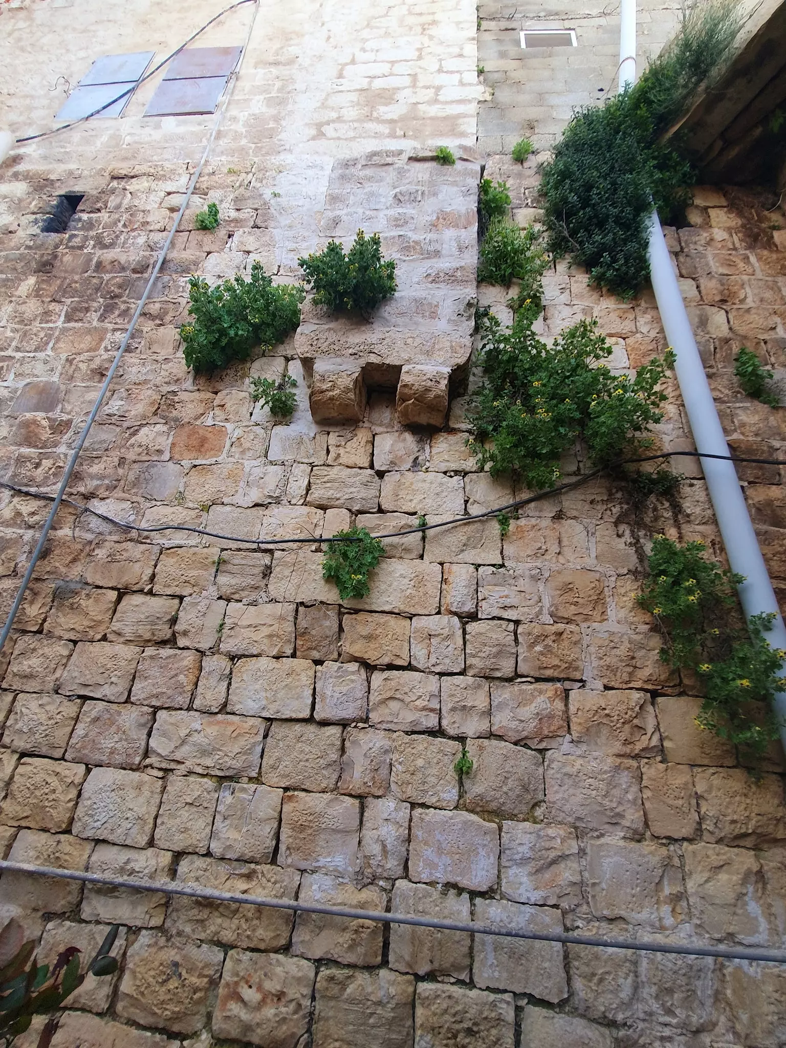
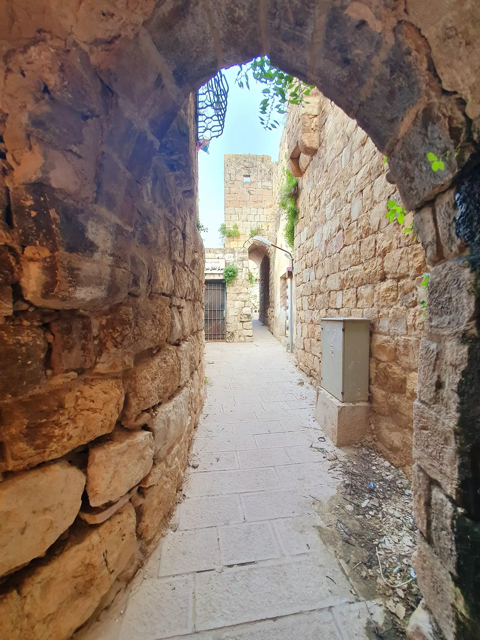
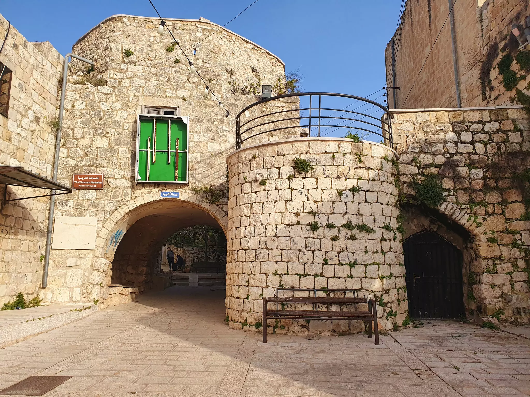
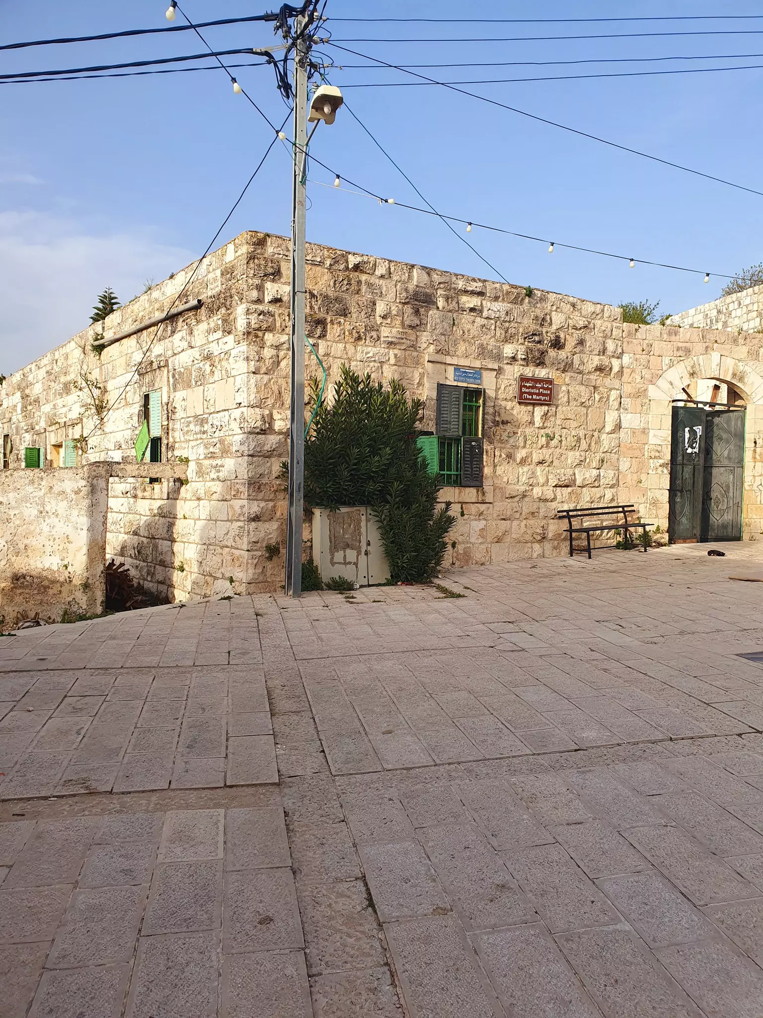
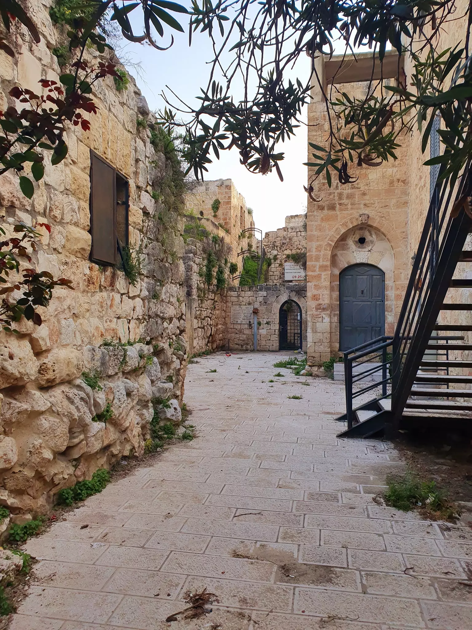
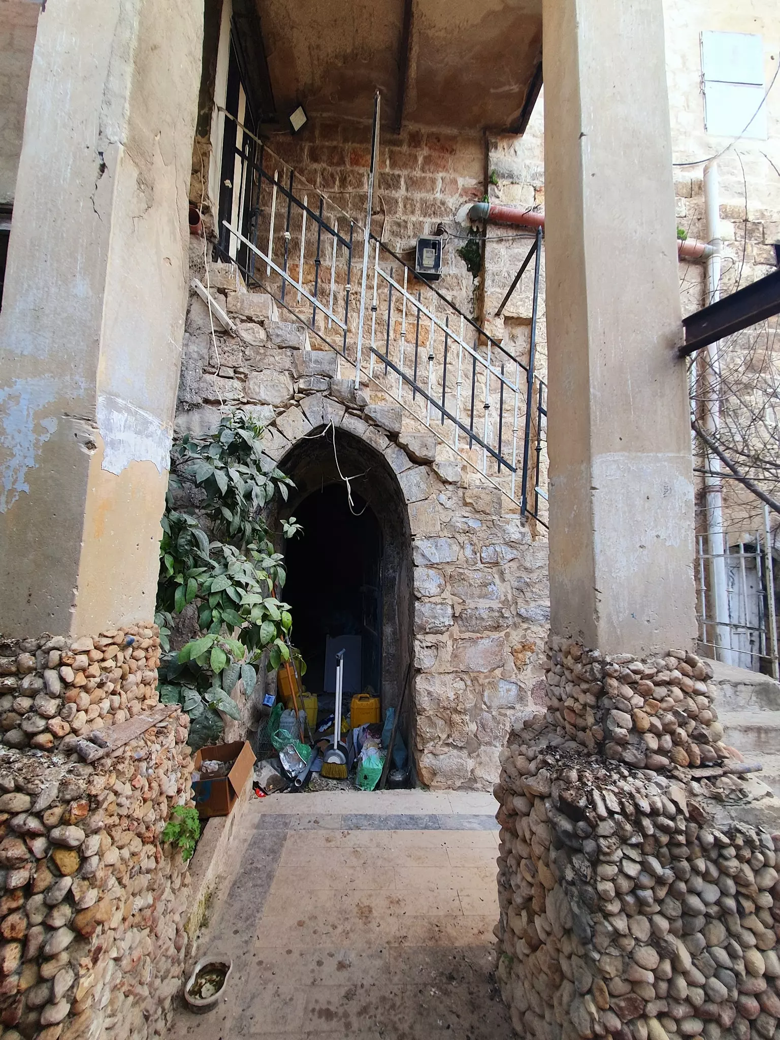
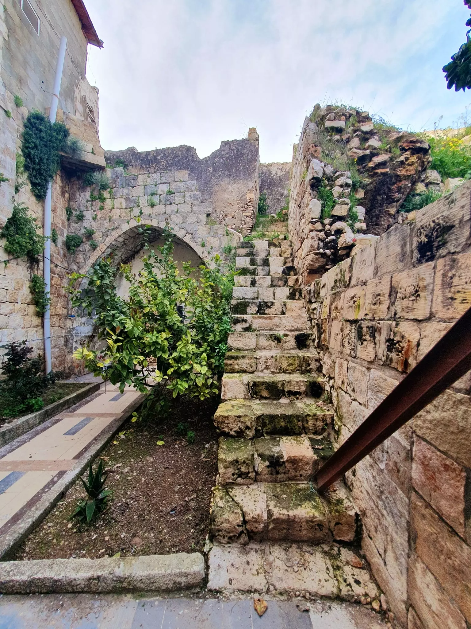
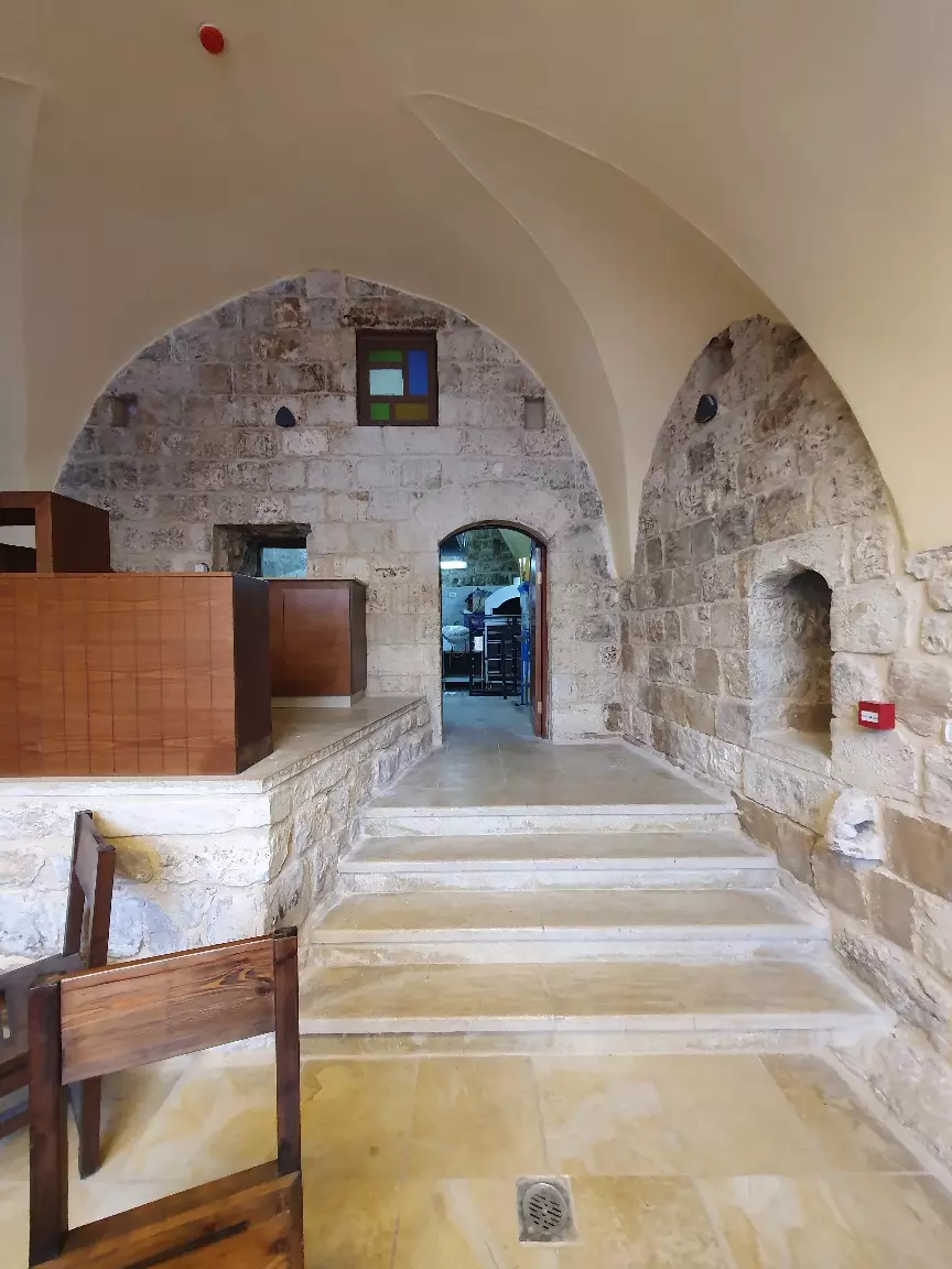
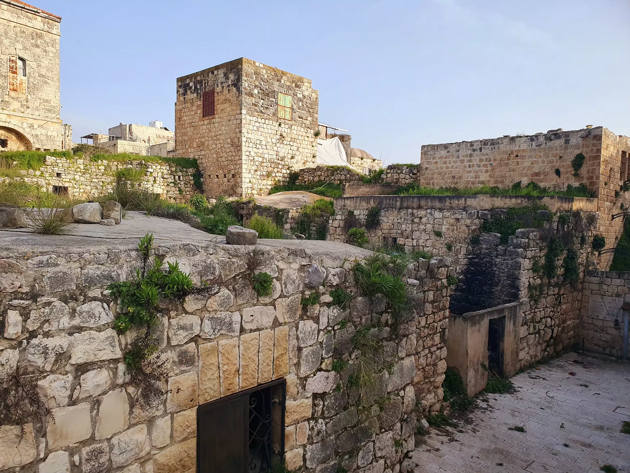
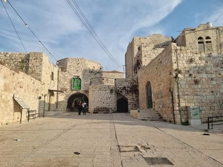
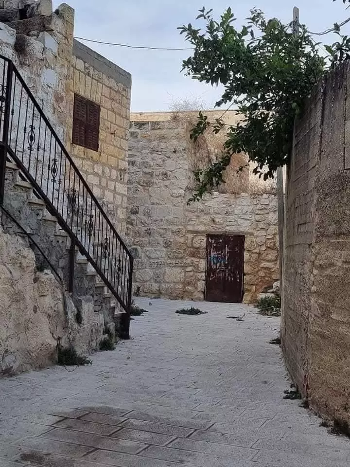
- البلدة القديمة في ديراستيا
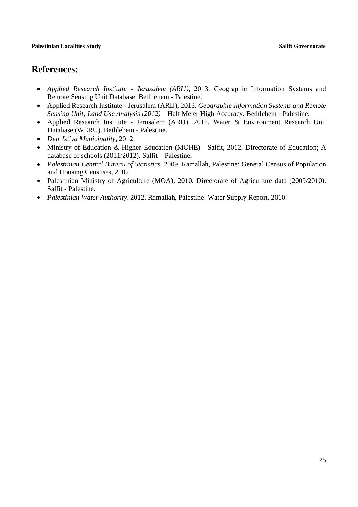
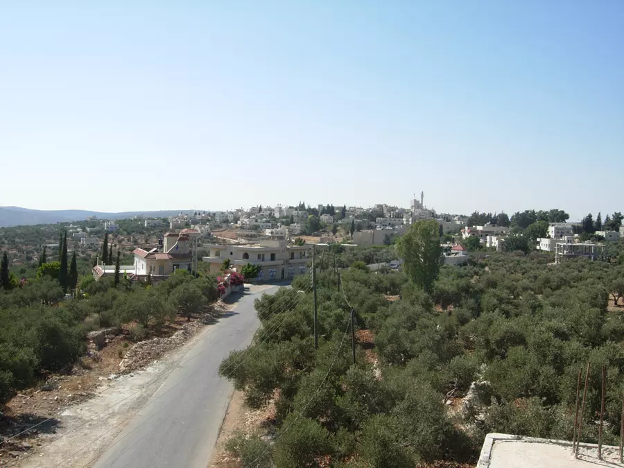
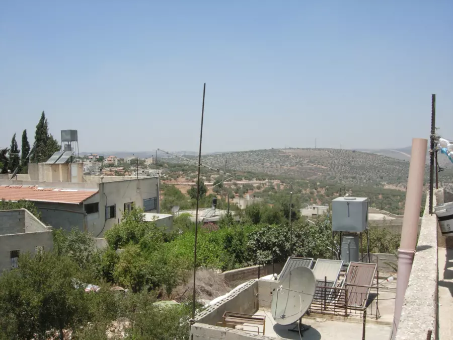
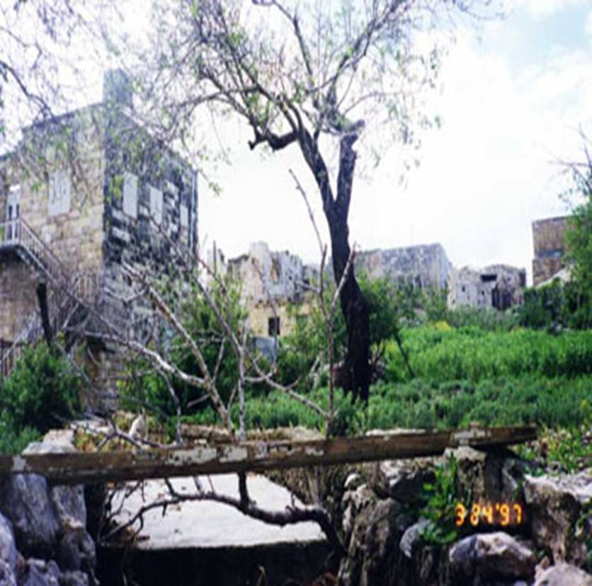
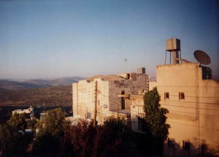
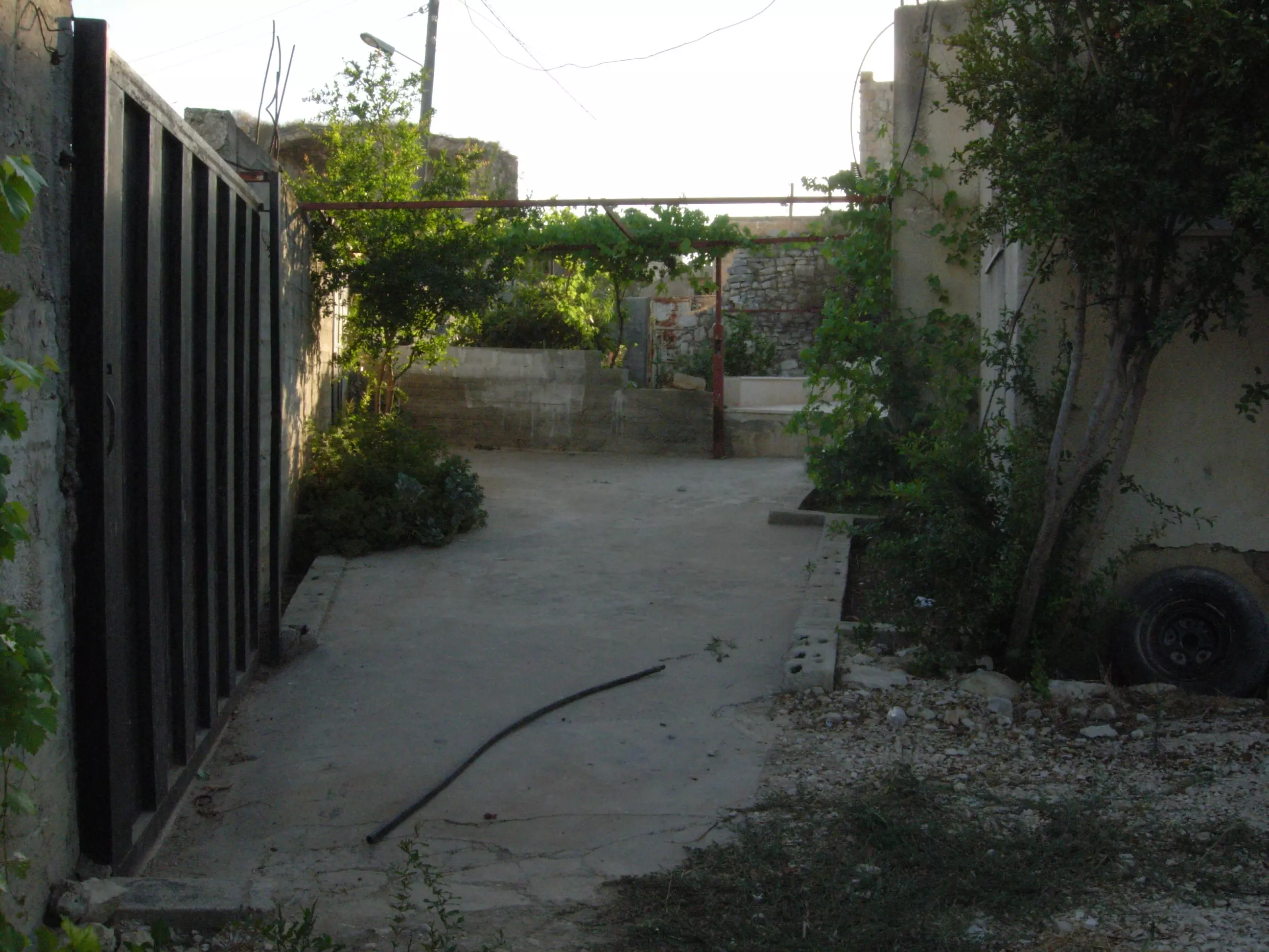
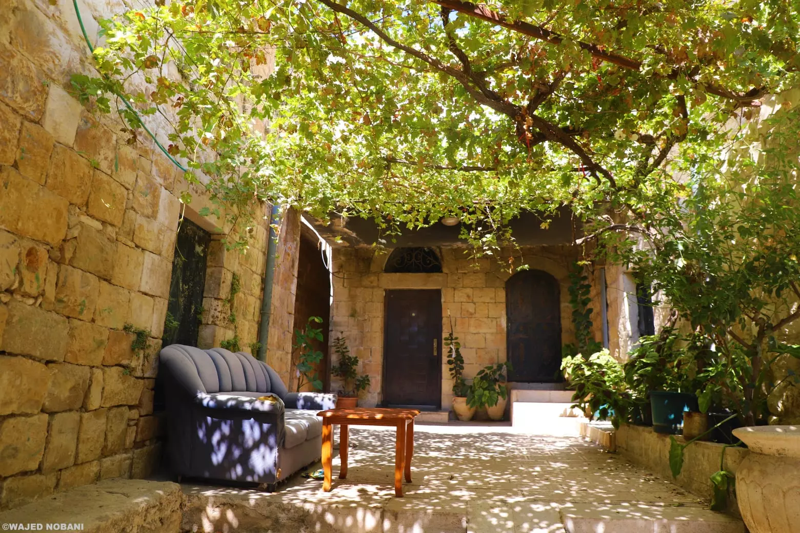
- Dayr Istiya - returning to the village from olive groves at the end of a day of picking
Posted by Khaaleda 2 - معالم من ديراستيا
Posted by مجهولة الهوية - مناظر من ديراستيا
Posted by مجهولة الهوية - مناظر من ديراستيا
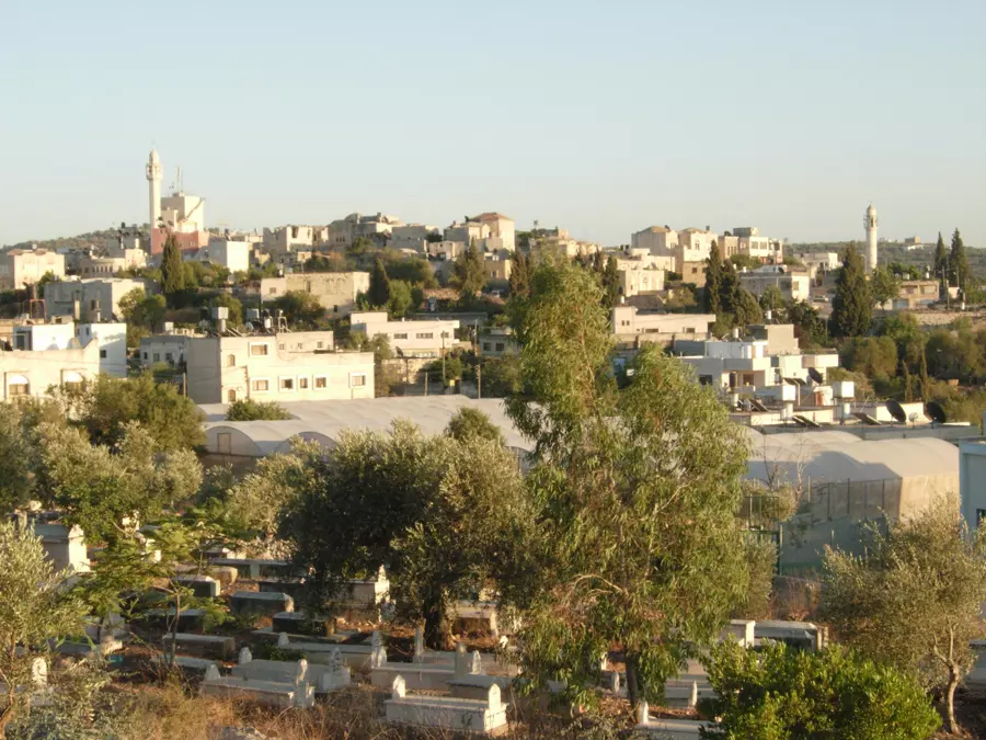
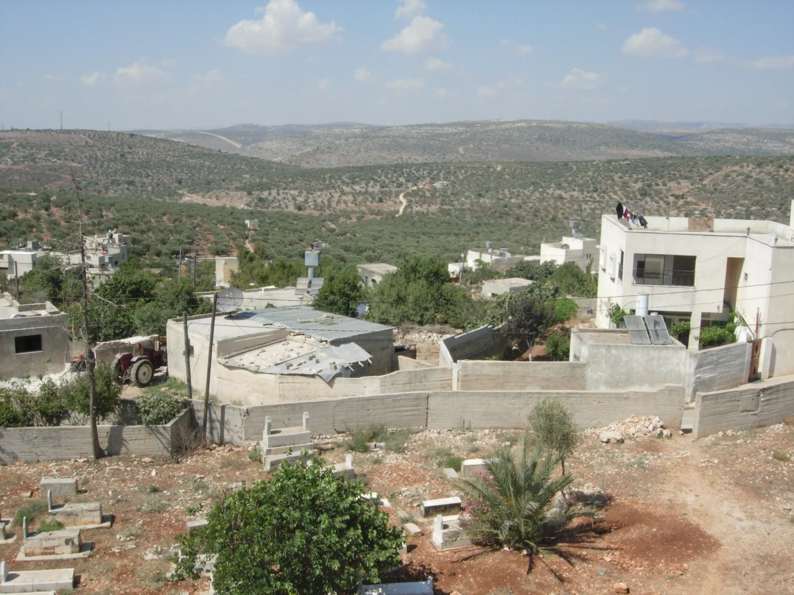
Posted by مجهولة الهوية 2 - منظر عام وتظهر مقبرة ديراستيا
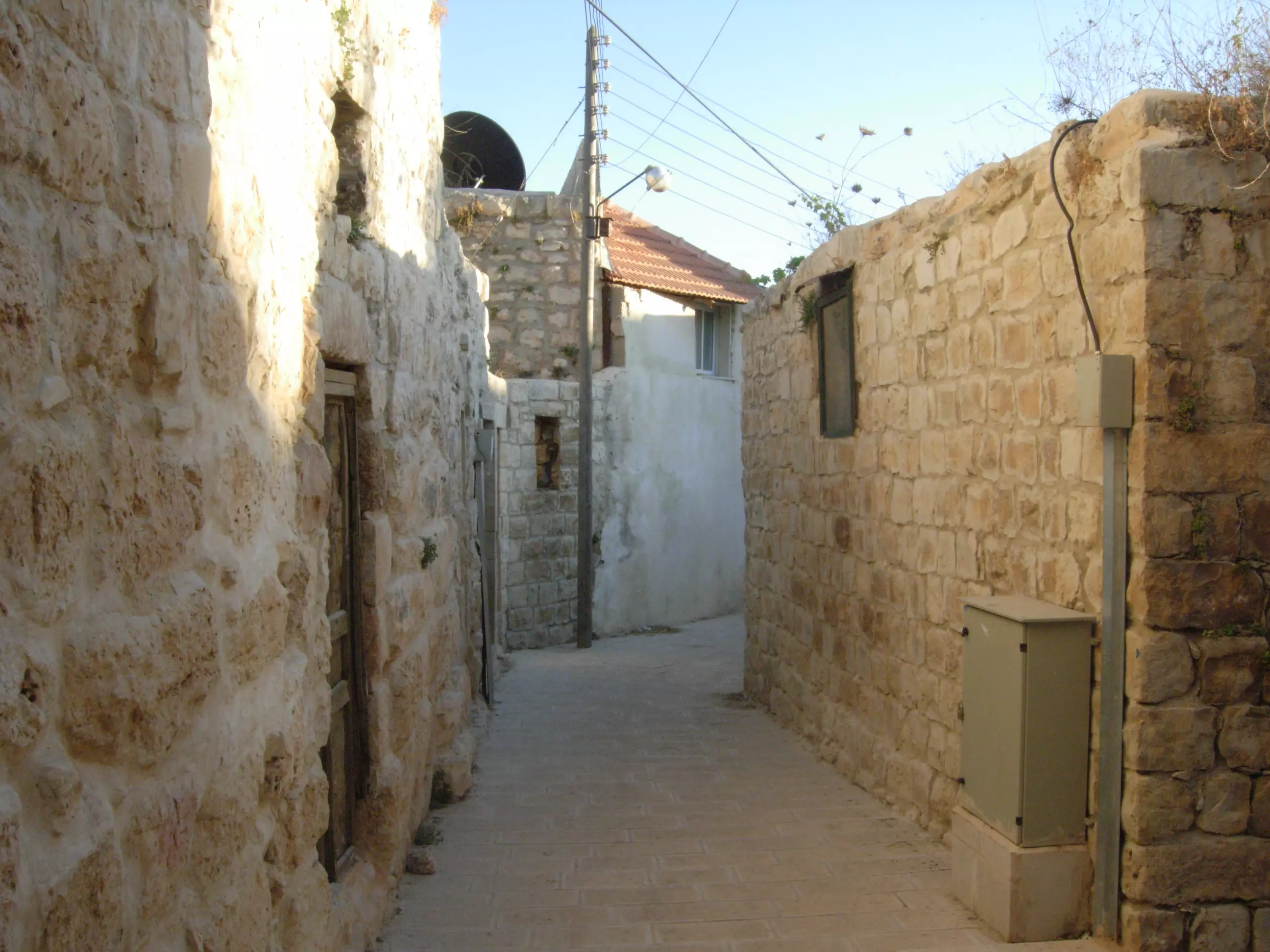
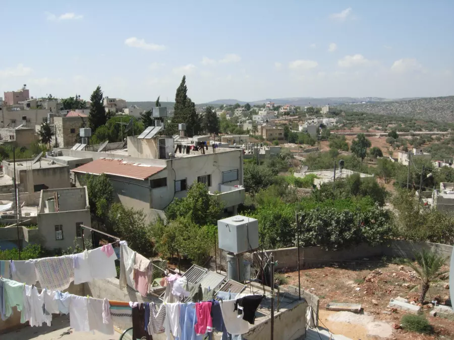
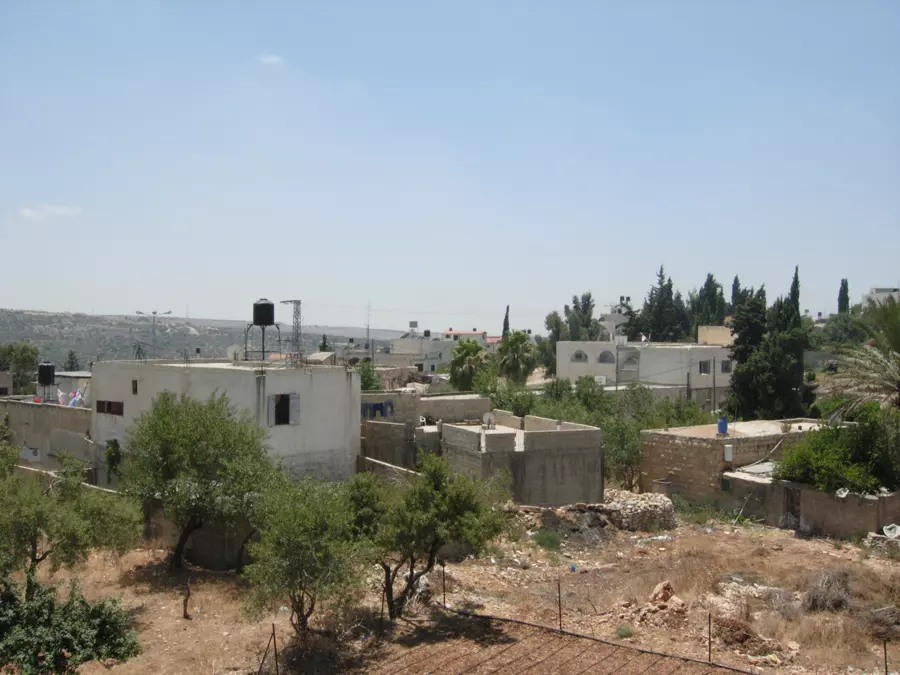
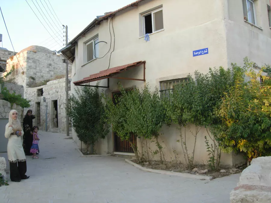
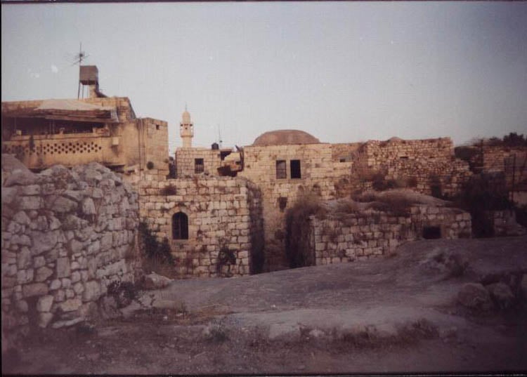
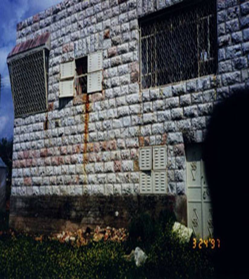
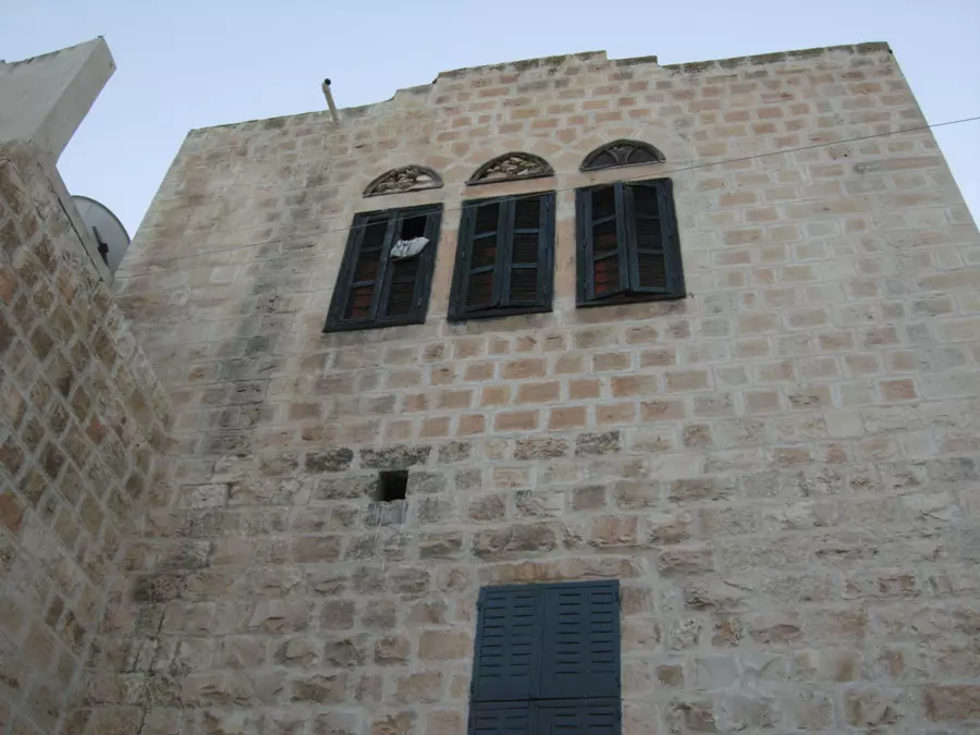
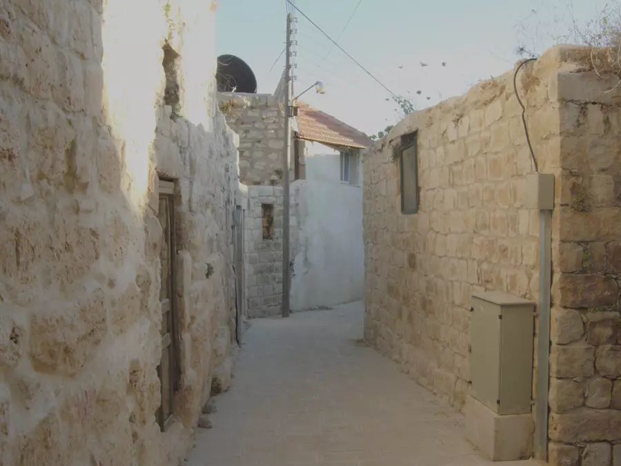
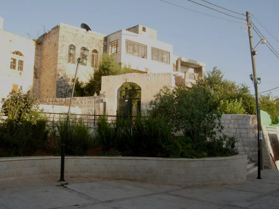
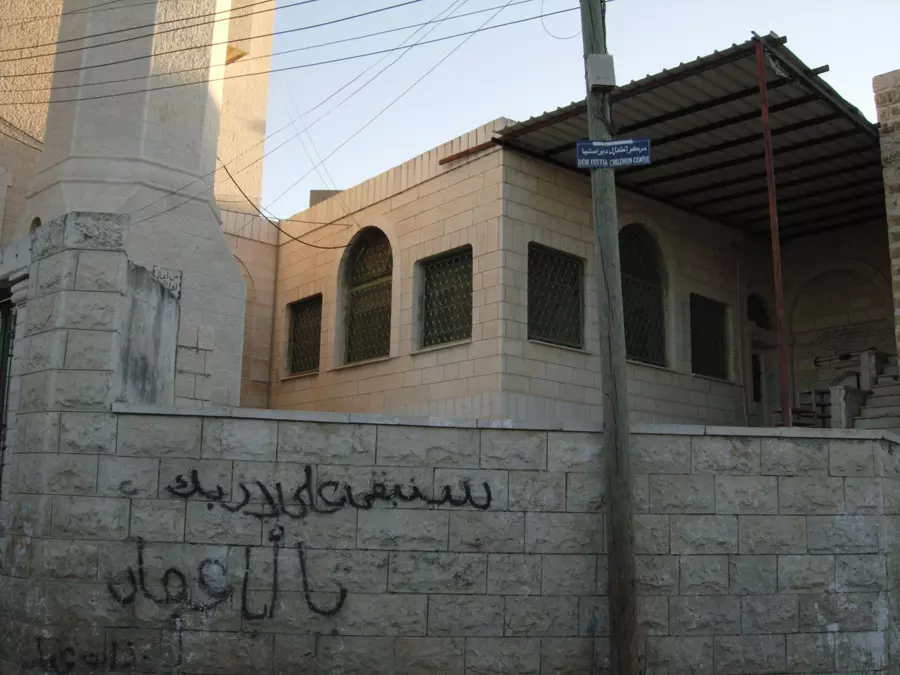
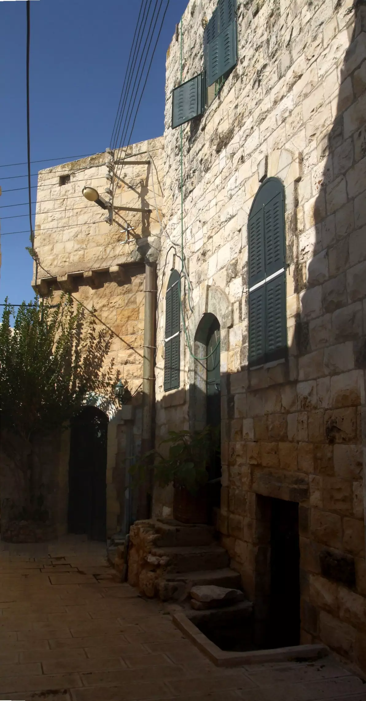
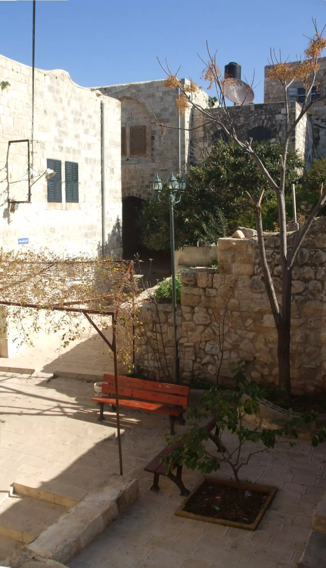
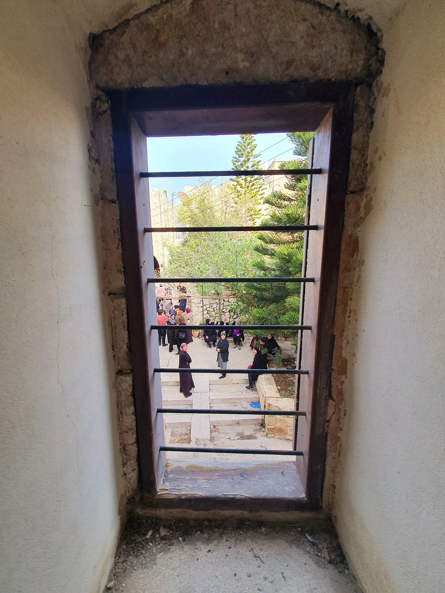
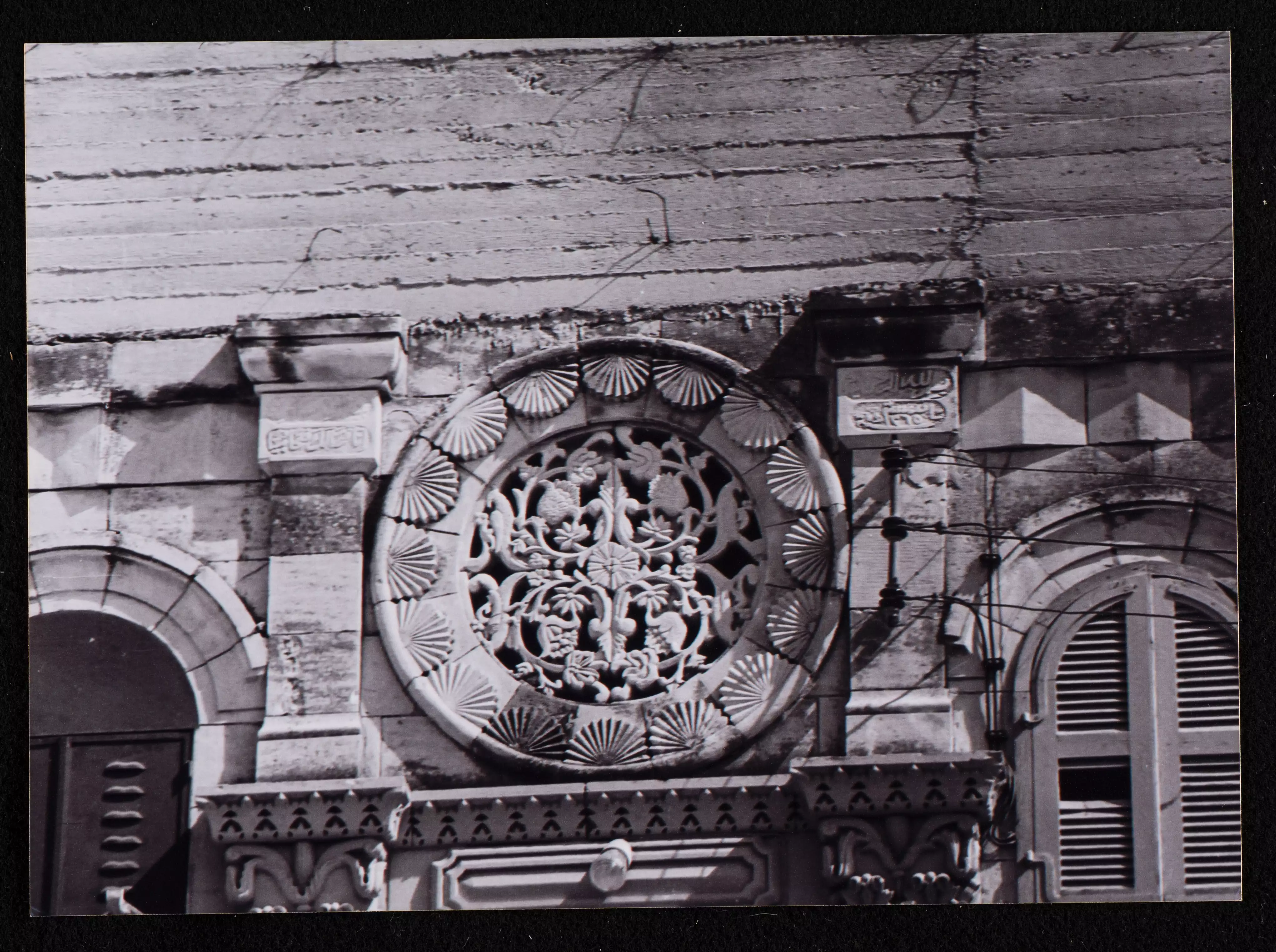
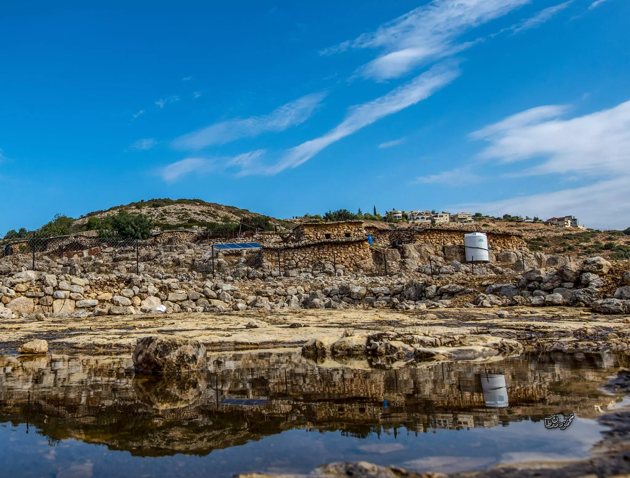
Posted by مجهولة الهوية - Houses in the village center
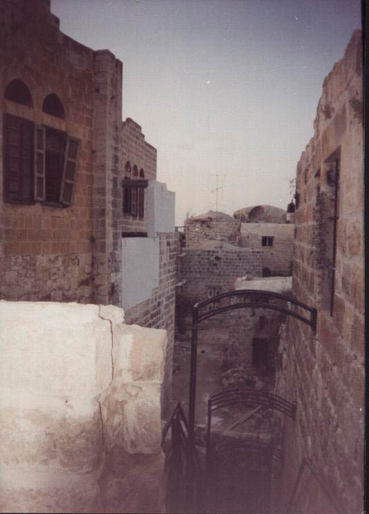
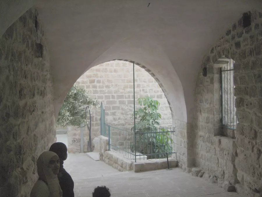
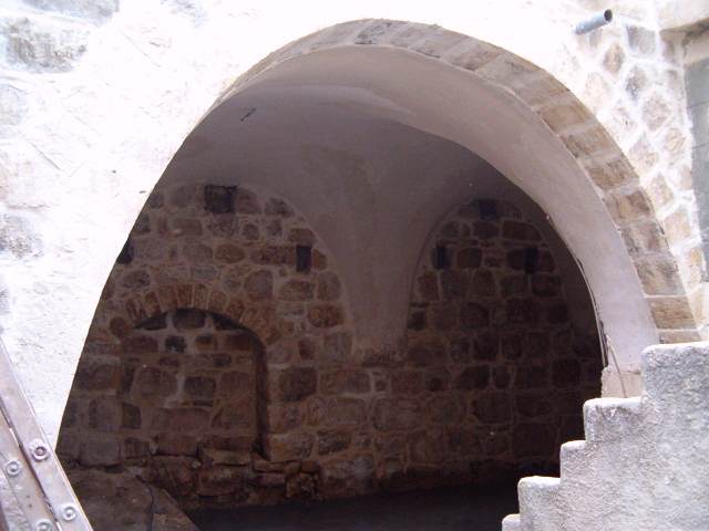
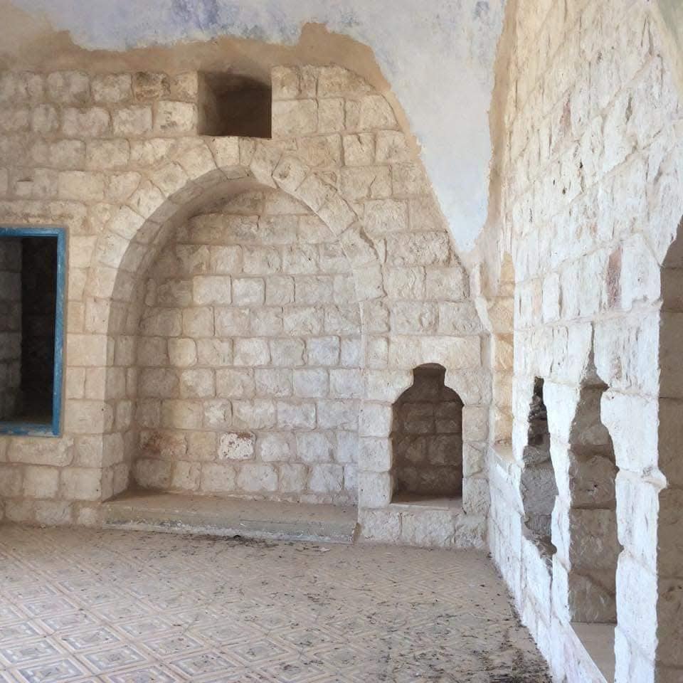
Posted by karamwd 1 - البلدة القديمة -منظر داخلي
Posted by RAMZI ZEIDAN - منزل ذكور ديراستيا الثانوية
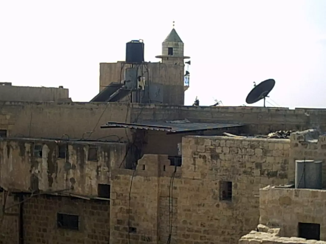
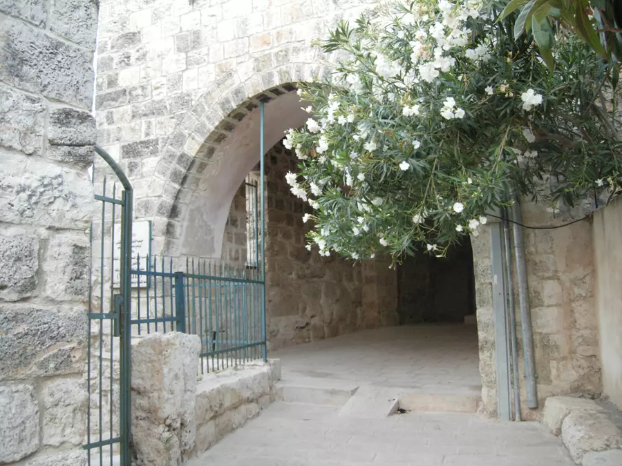
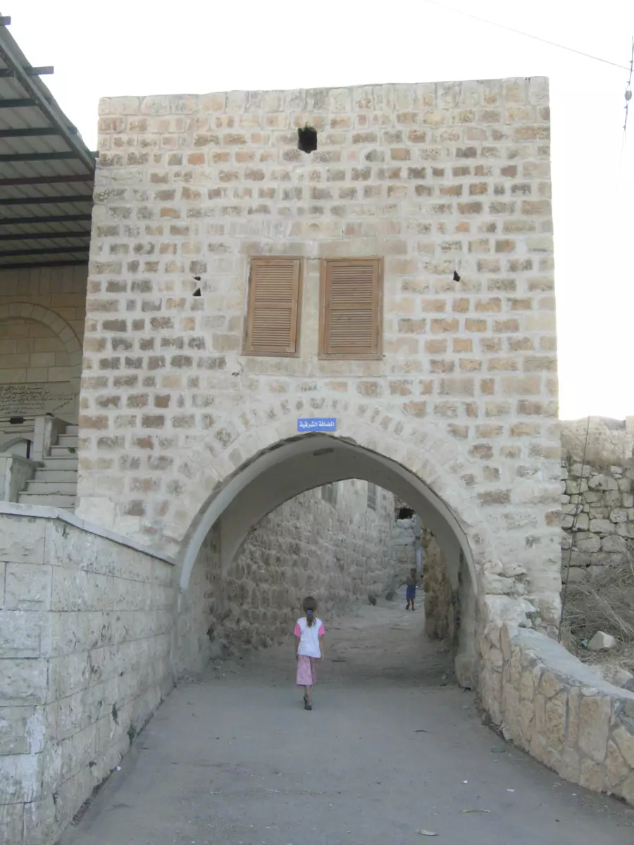
Posted by مجهولة الهوية 7 - جانب من البلدة القديمة
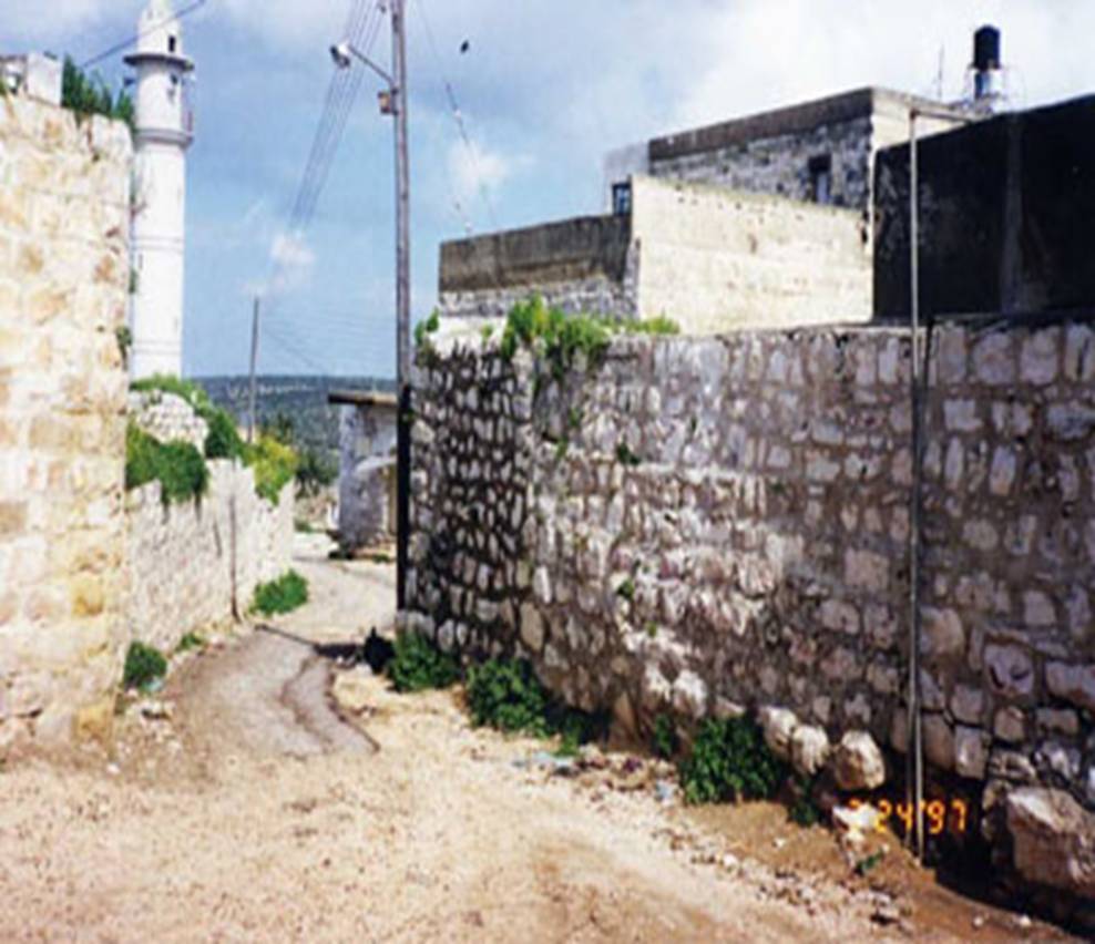
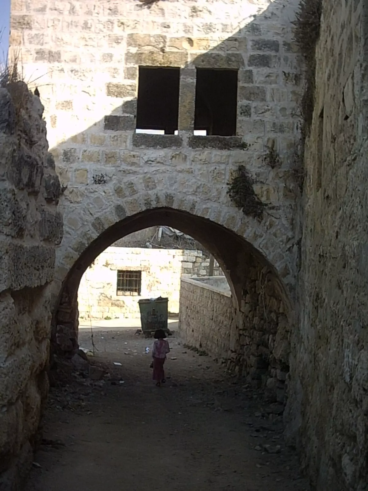
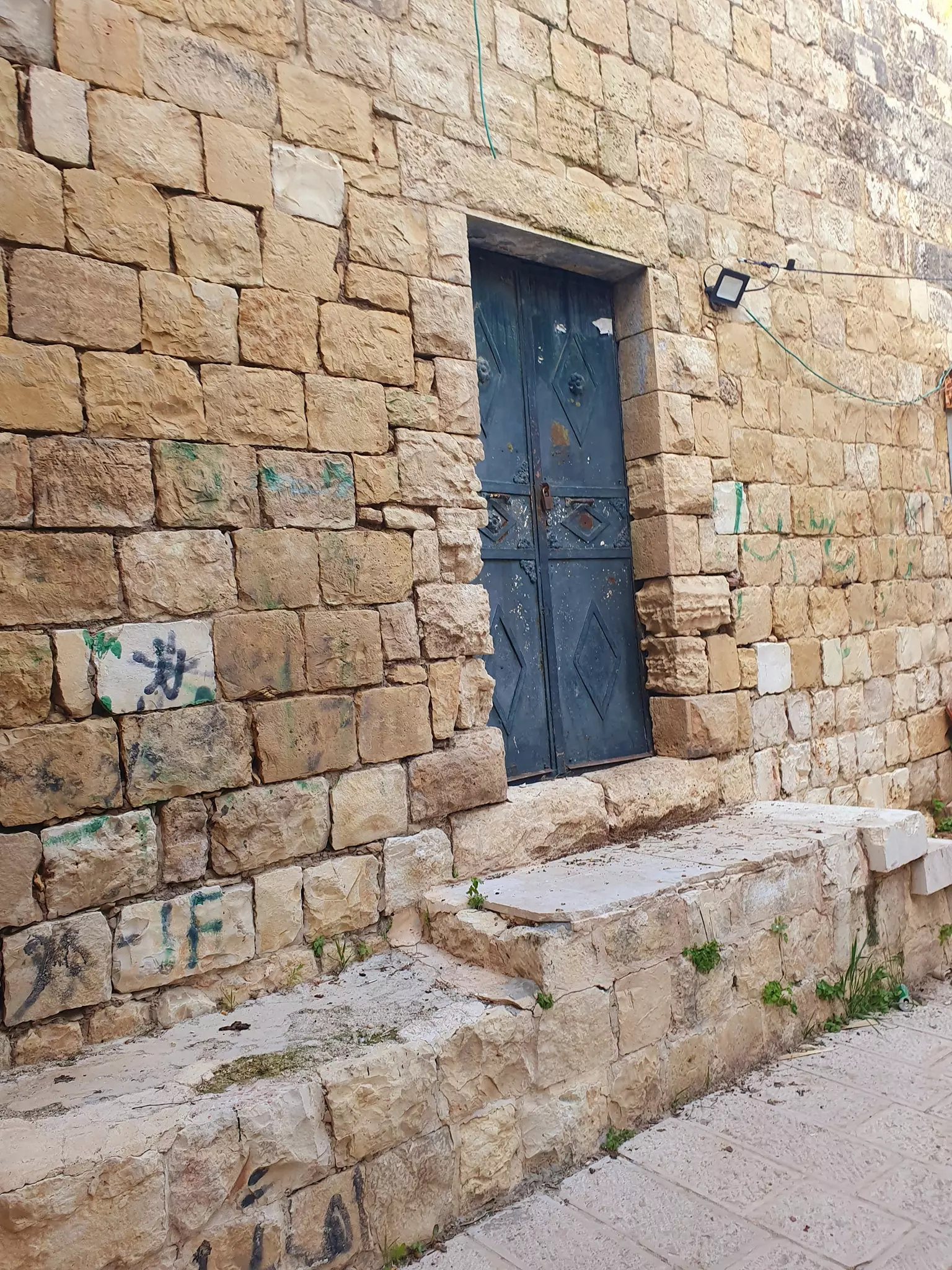
Posted by مجهولة الهوية - جانب من البلدة القديمة
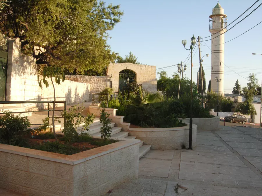
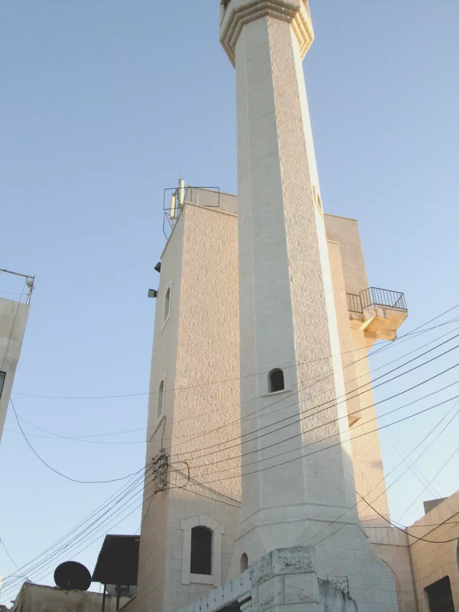
Posted by مجهولة الهوية 1 - مسجد الحارة الغربية في ديراستيا
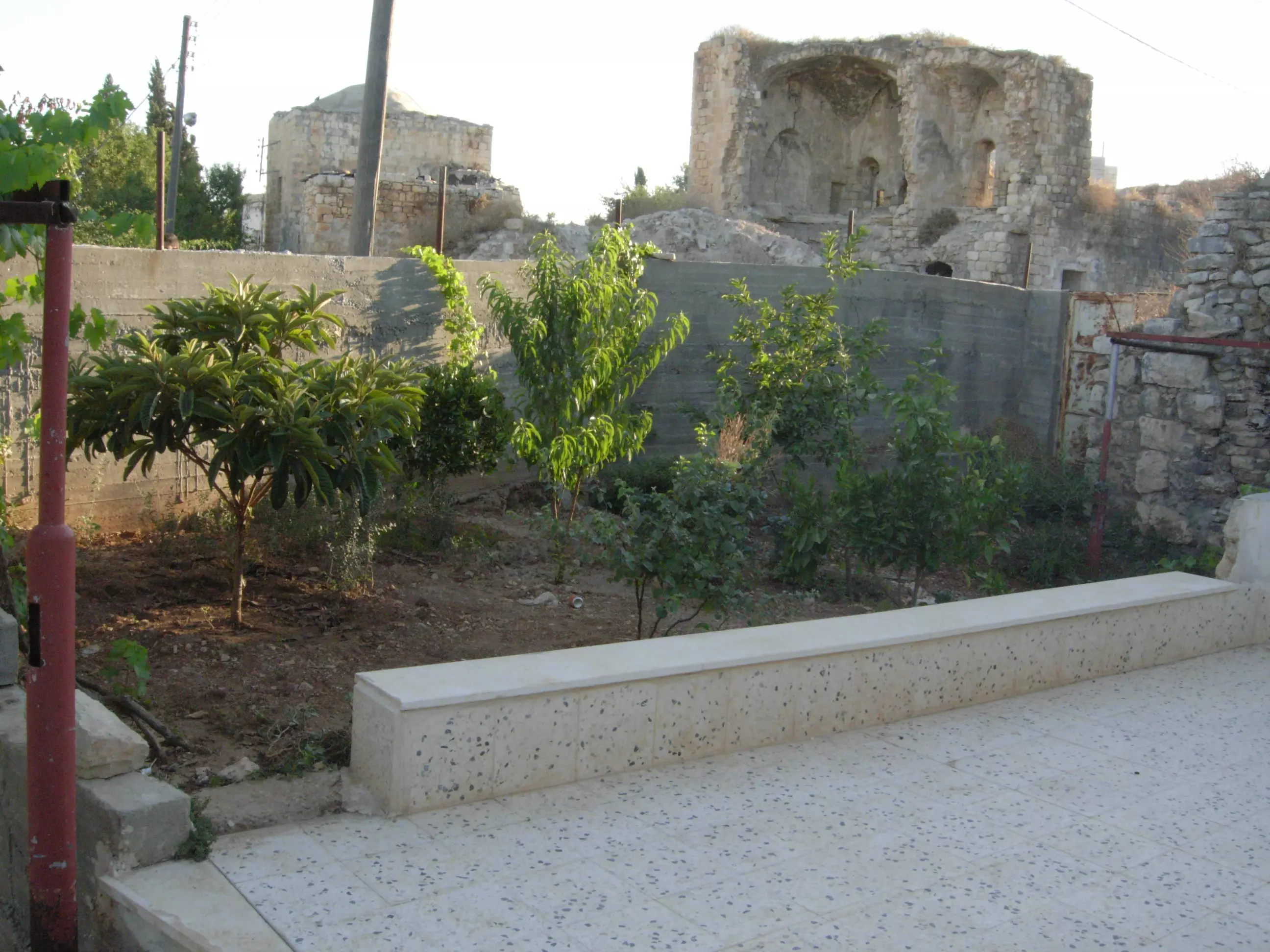
Posted by مجهولة الهوية 1 - معالم من ديراستيا
Posted by مجهولة الهوية 3 - مناظر من ديراستيا
Posted by مجهولة الهوية - مناظر من ديراستيا
Posted by مجهولة الهوية 1 - مناظر من ديراستيا
Posted by مجهولة الهوية - مناظر من ديراستيا
Posted by مجهولة الهوية - مناظر من ديراستيا
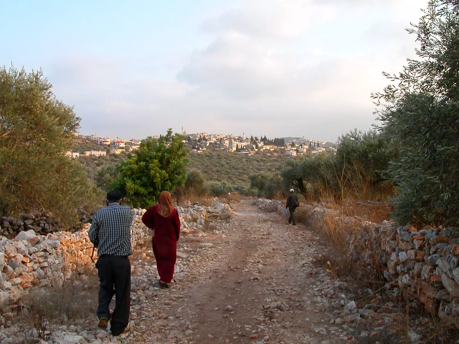
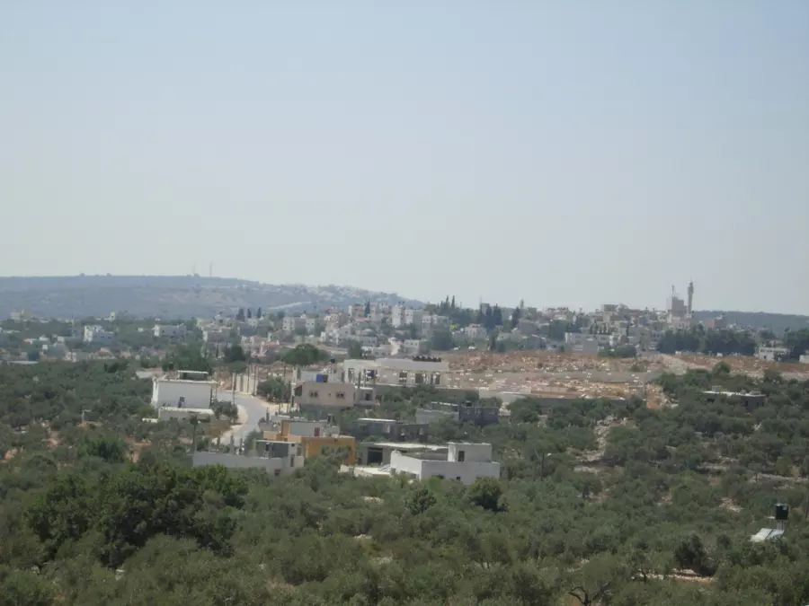
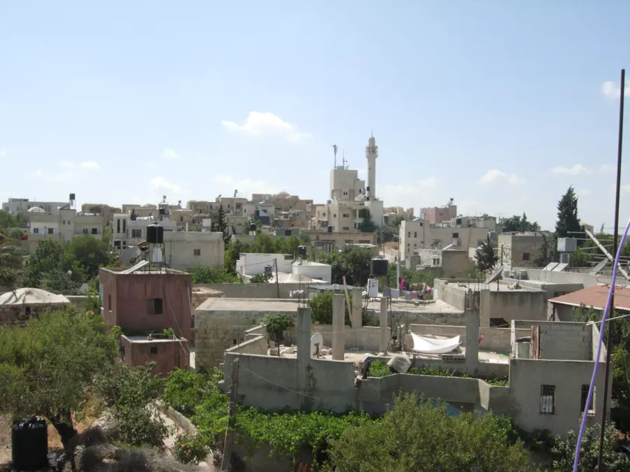
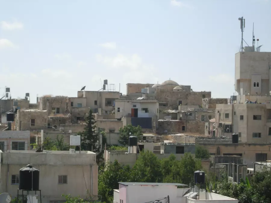
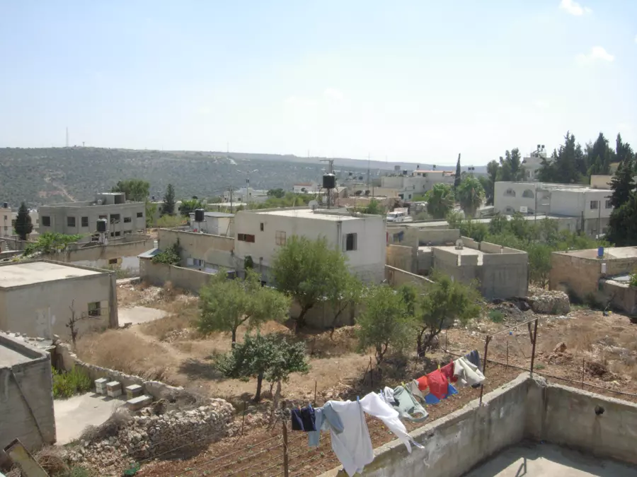
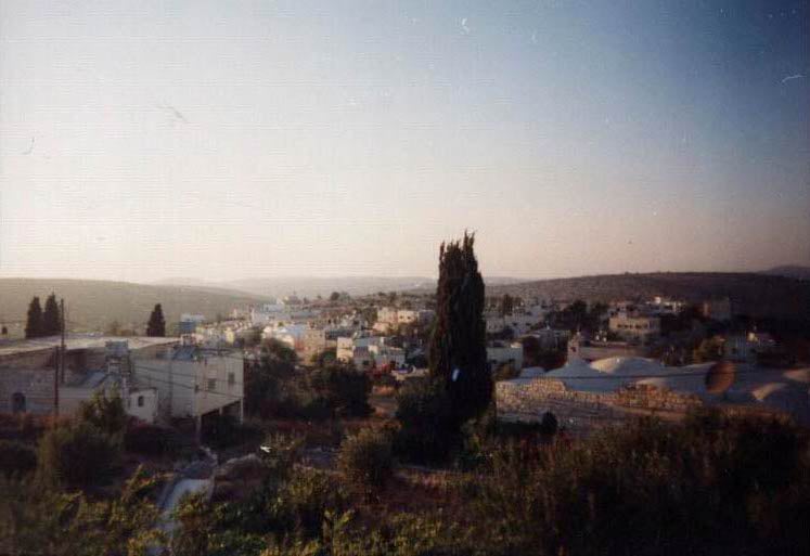
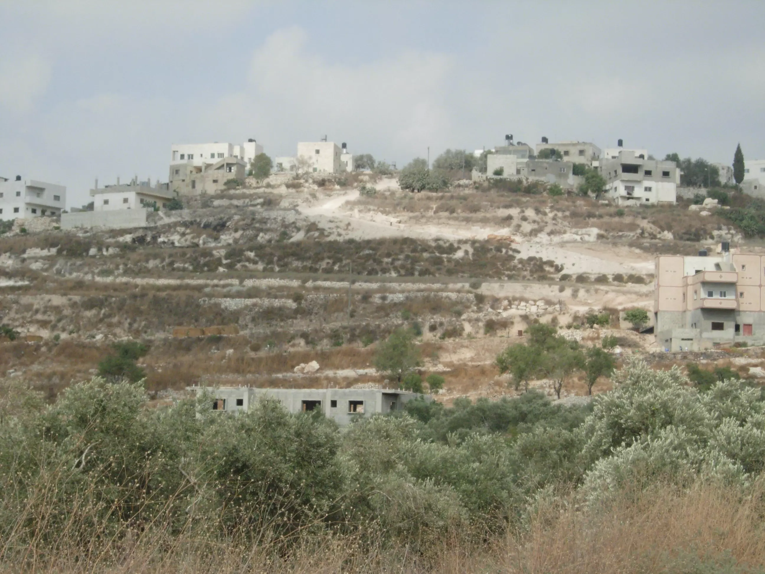
Posted by مجهولة الهوية - منظر عام للقريه، أنقر الصورة لتكبيرها
Posted by RAMZI ZEIDAN - Houses in the village center (#2)
Posted by karamwd - احدى منازل القرية-منزل ابو جاسر
Posted by RAMZI ZEIDAN - معالم من ديراستيا
Posted by مجهولة الهوية - معالم من ديراستيا
Posted by مجهولة الهوية - معالم من ديراستيا
Posted by مجهولة الهوية - معالم من ديراستيا
Posted by مجهولة الهوية - معالم من ديراستيا
Posted by مجهولة الهوية - معالم من ديراستيا
Posted by مجهولة الهوية - مناظر من ديراستيا
Posted by مجهولة الهوية - مناظر من ديراستيا
Posted by مجهولة الهوية - مناظر من ديراستيا
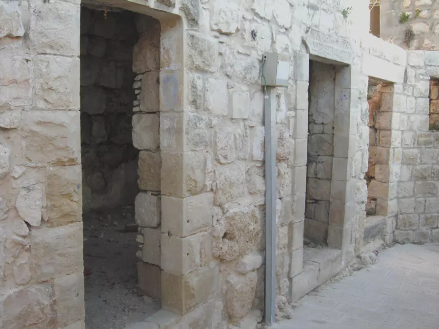
Posted by مجهولة الهوية - بيوت قديمة
Posted by مجهولة الهوية - بيوت قديمة
Posted by مجهولة الهوية - بيوت قديمة
Posted by مجهولة الهوية - بيوت قديمة
Posted by مجهولة الهوية - بيوت قديمة
Posted by مجهولة الهوية - بيوت قديمة
Posted by مجهولة الهوية - بيوت قديمة
Posted by مجهولة الهوية - بيوت قديمة
Posted by مجهولة الهوية - بيوت قديمة
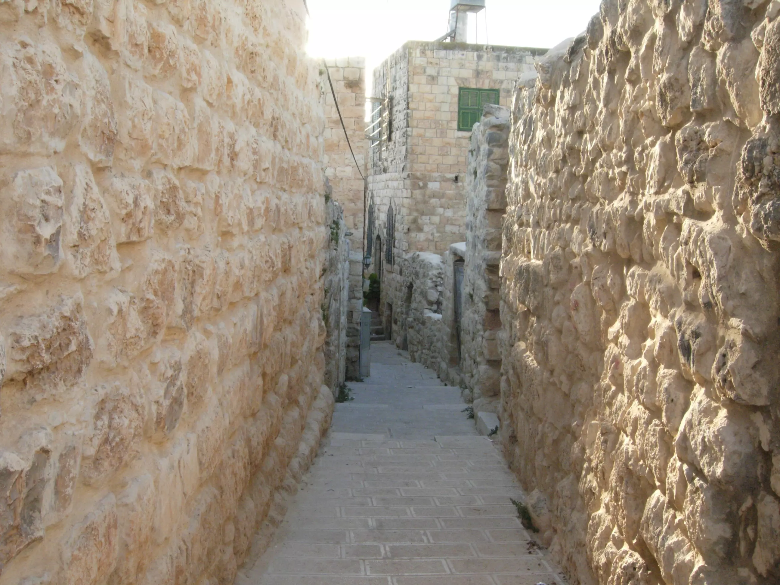
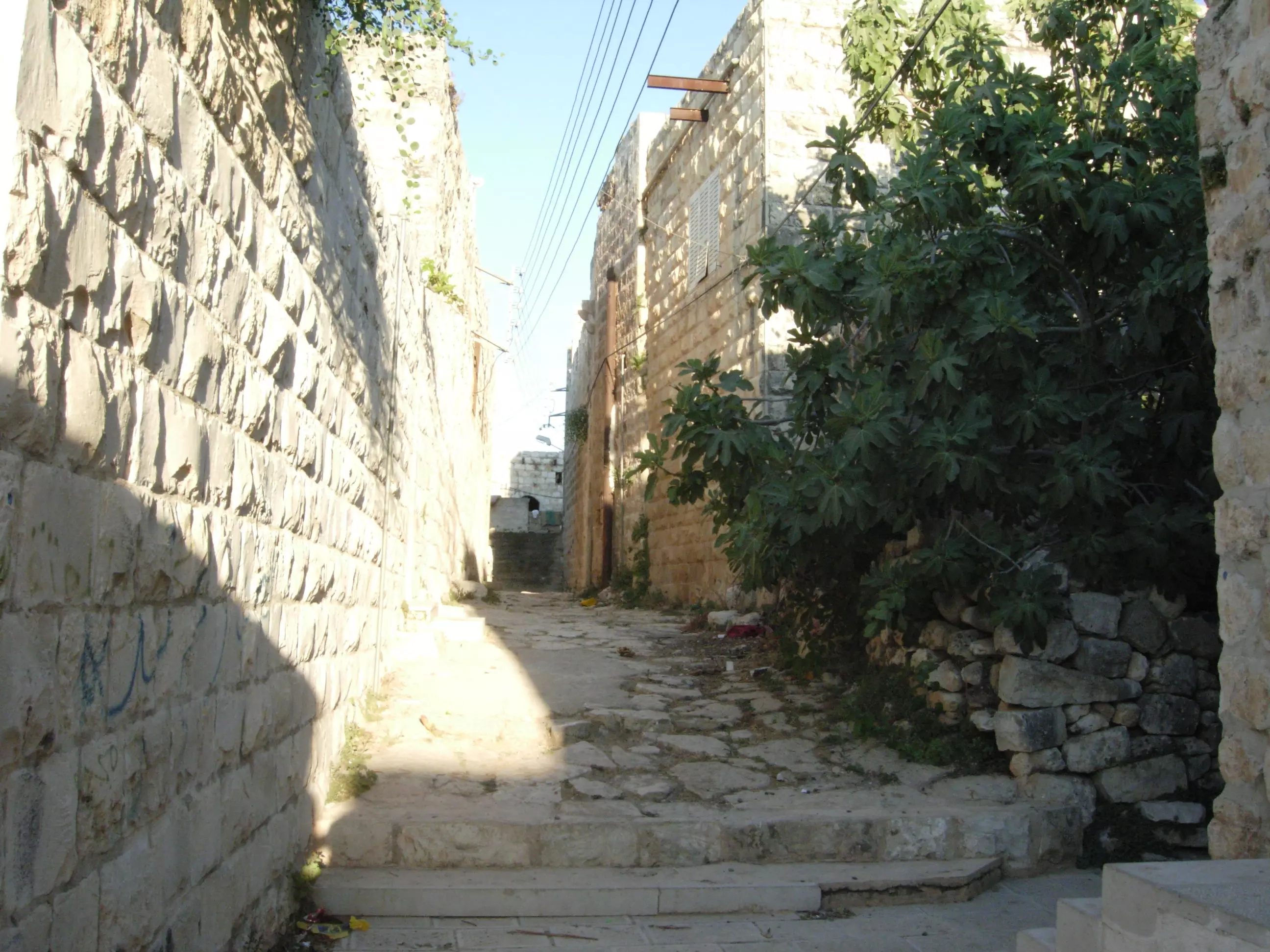
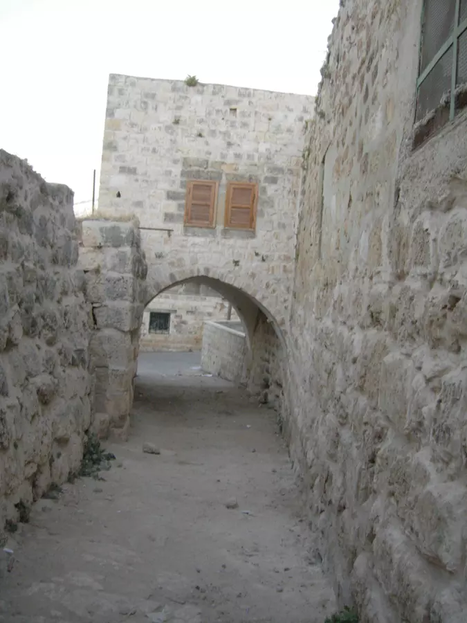
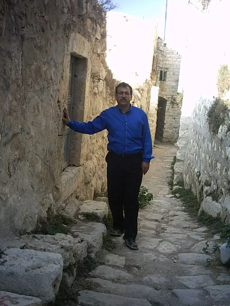
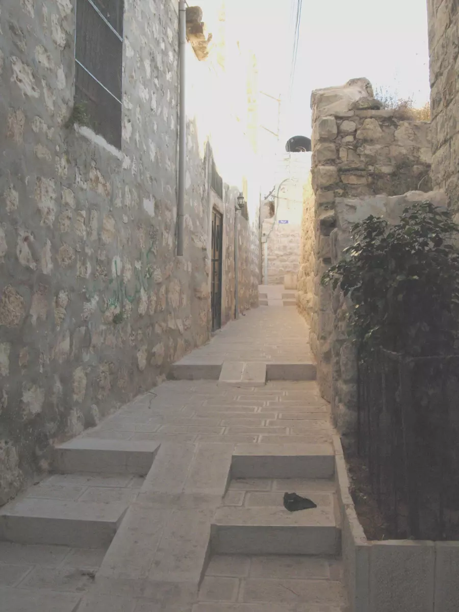
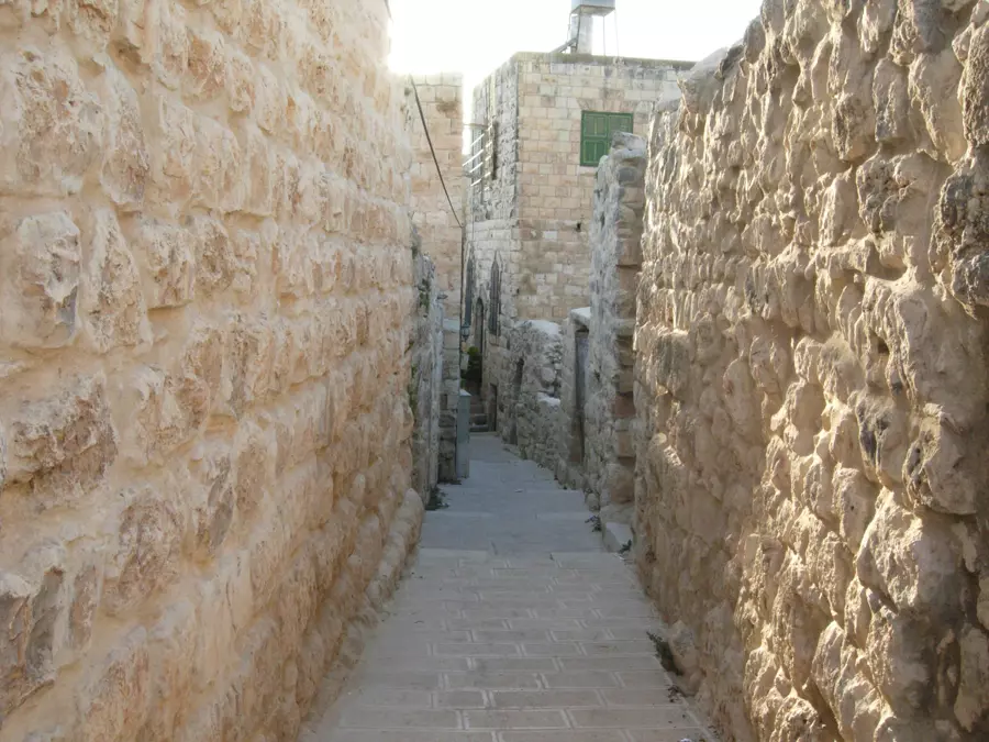
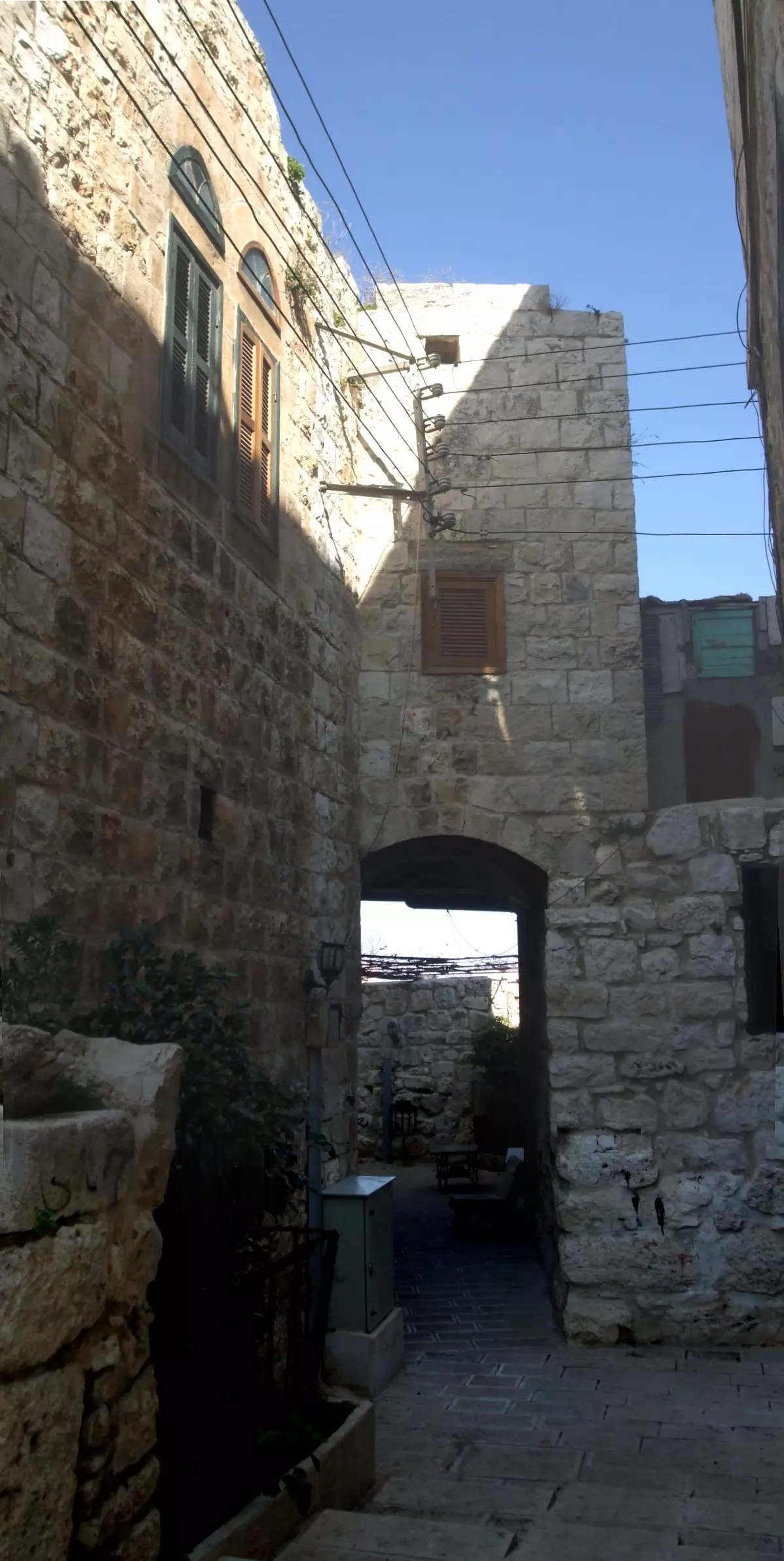
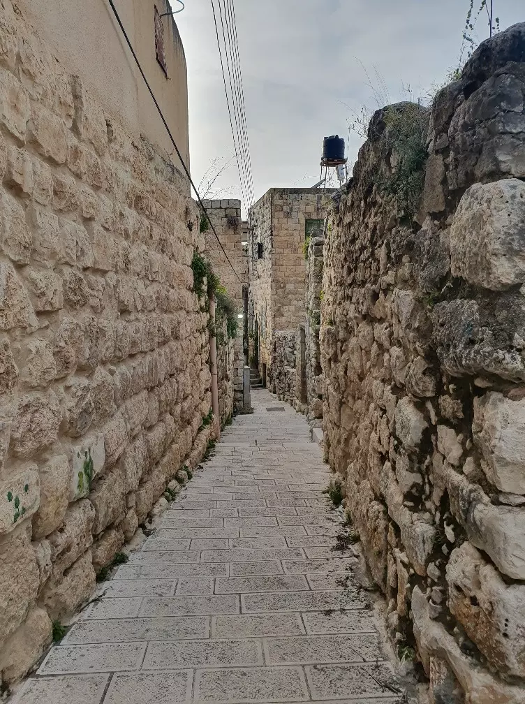
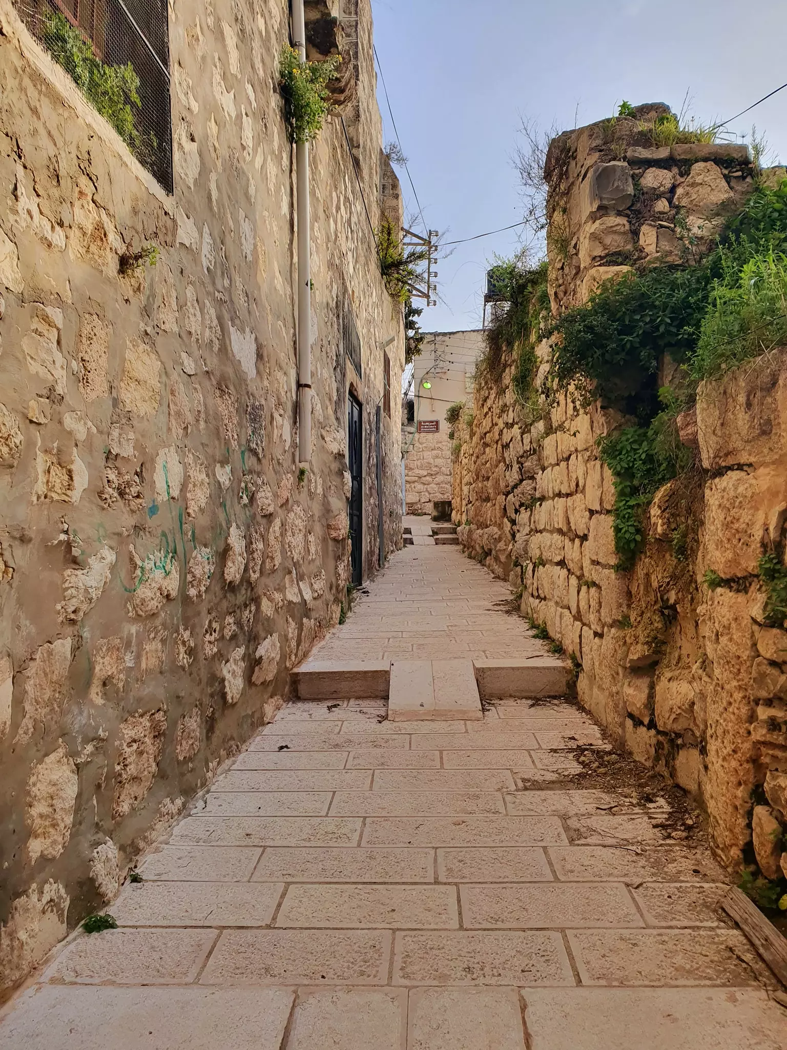
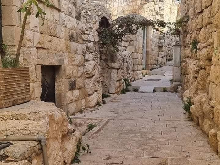
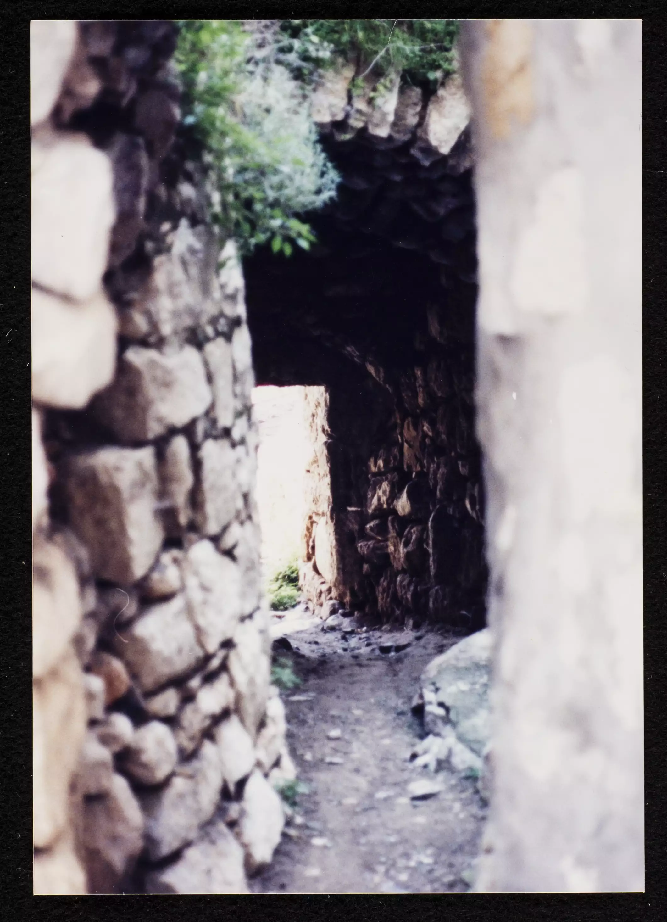
Posted by مجهولة الهوية - أزقة في ديراستيا
Posted by مجهولة الهوية 2 - أزقة في ديراستيا
Posted by مجهولة الهوية 1 - أزقة في ديراستيا
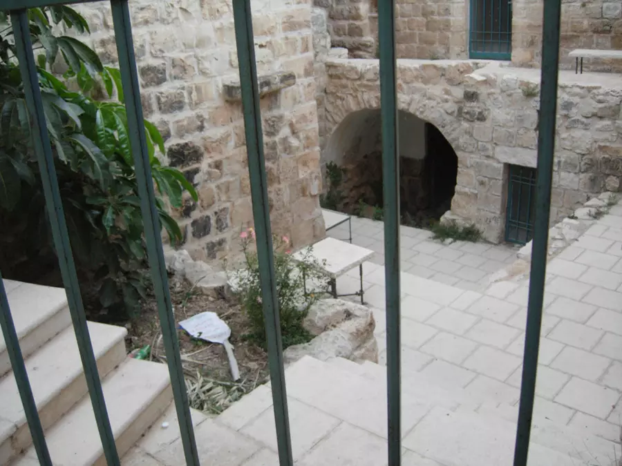
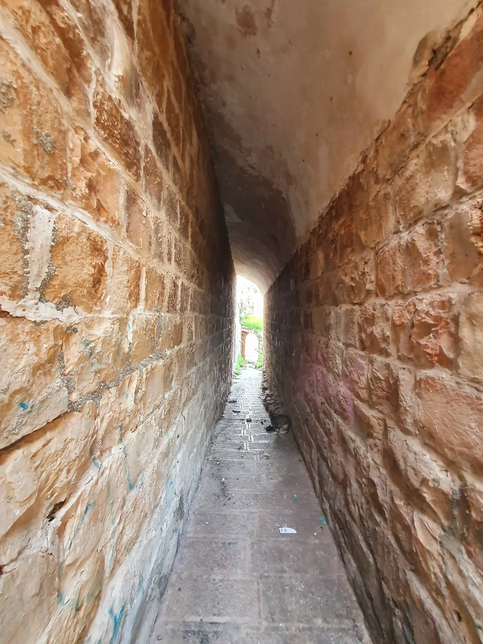
Posted by مجهولة الهوية - أسبطة في ديراستيا
Posted by مجهولة الهوية - أسبطة في ديراستيا
Posted by مجهولة الهوية - Houses in the village center (#3)
Posted by karamwd 1 - منظر عام
Posted by RAMZI ZEIDAN - منظر عام
Posted by مجهولة الهوية - أسبطة في ديراستيا
Posted by مجهولة الهوية - أسبطة في ديراستيا
Posted by مجهولة الهوية - أسبطة في ديراستيا
Posted by مجهولة الهوية - أسبطة في ديراستيا
Posted by مجهولة الهوية - أسبطة في ديراستيا
Posted by مجهولة الهوية - أسبطة في ديراستيا
Posted by مجهولة الهوية - أسبطة في ديراستيا
Posted by مجهولة الهوية - أسبطة في ديراستيا
Posted by مجهولة الهوية - أسبطة في ديراستيا
Posted by مجهولة الهوية - أسبطة في ديراستيا
Posted by مجهولة الهوية 1 - أسبطة في ديراستيا
Posted by مجهولة الهوية - أسبطة في ديراستيا
Posted by مجهولة الهوية - أسبطة في ديراستيا
Posted by مجهولة الهوية - أسبطة في ديراستيا
Posted by مجهولة الهوية - أسبطة في ديراستيا
Posted by مجهولة الهوية - أسبطة في ديراستيا
Posted by مجهولة الهوية - أسبطة في ديراستيا
Posted by مجهولة الهوية - أسبطة في ديراستيا
Posted by مجهولة الهوية - البلدة القديمة
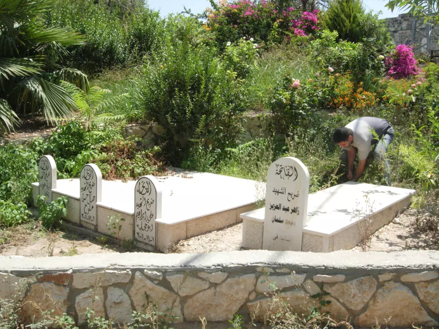
Posted by RAMZI ZEIDAN - مقبرة الشهداء في ديراستيا
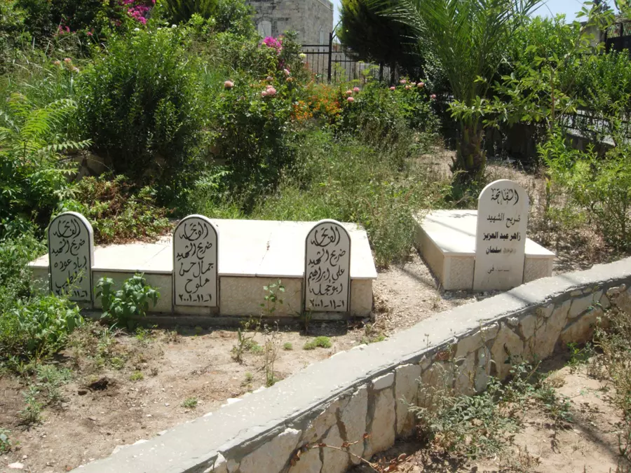
Posted by مجهولة الهوية 1 - مقبرة الشهداء في ديراستيا
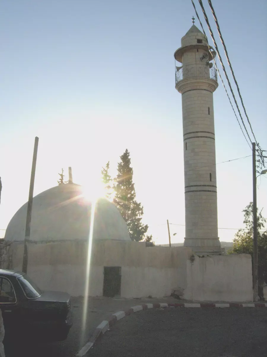
Posted by مجهولة الهوية 2 - ضريح في ديراستيا
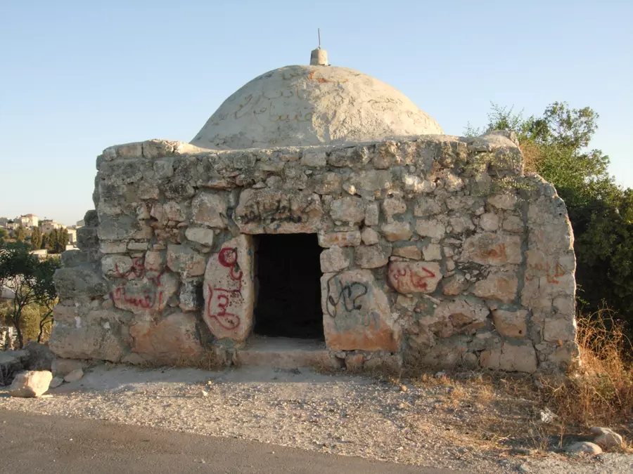
Posted by مجهولة الهوية - ضريح في ديراستيا
Posted by مجهولة الهوية - ضريح في ديراستيا
Posted by مجهولة الهوية - منظرعام للقرية -منظر باتجاه غرب القرية
Posted by RAMZI ZEIDAN 1 - البلدة القديمة
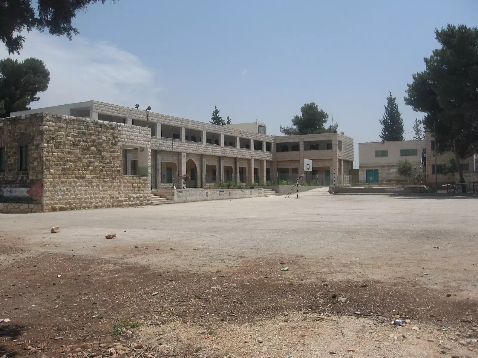
Posted by مجهولة الهوية - مدرسة ذكور ديراستيا الابتدائية
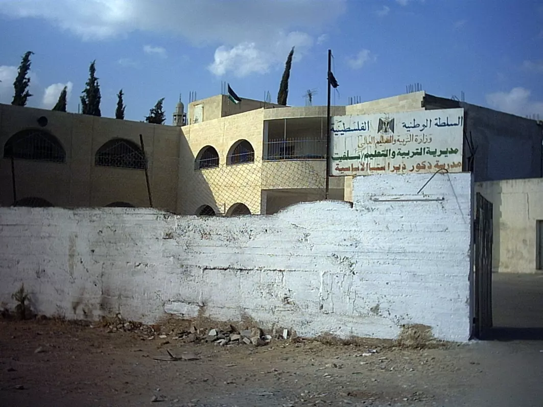
Posted by مجهولة الهوية - مدرسة بنات ديراستيا الثانوية
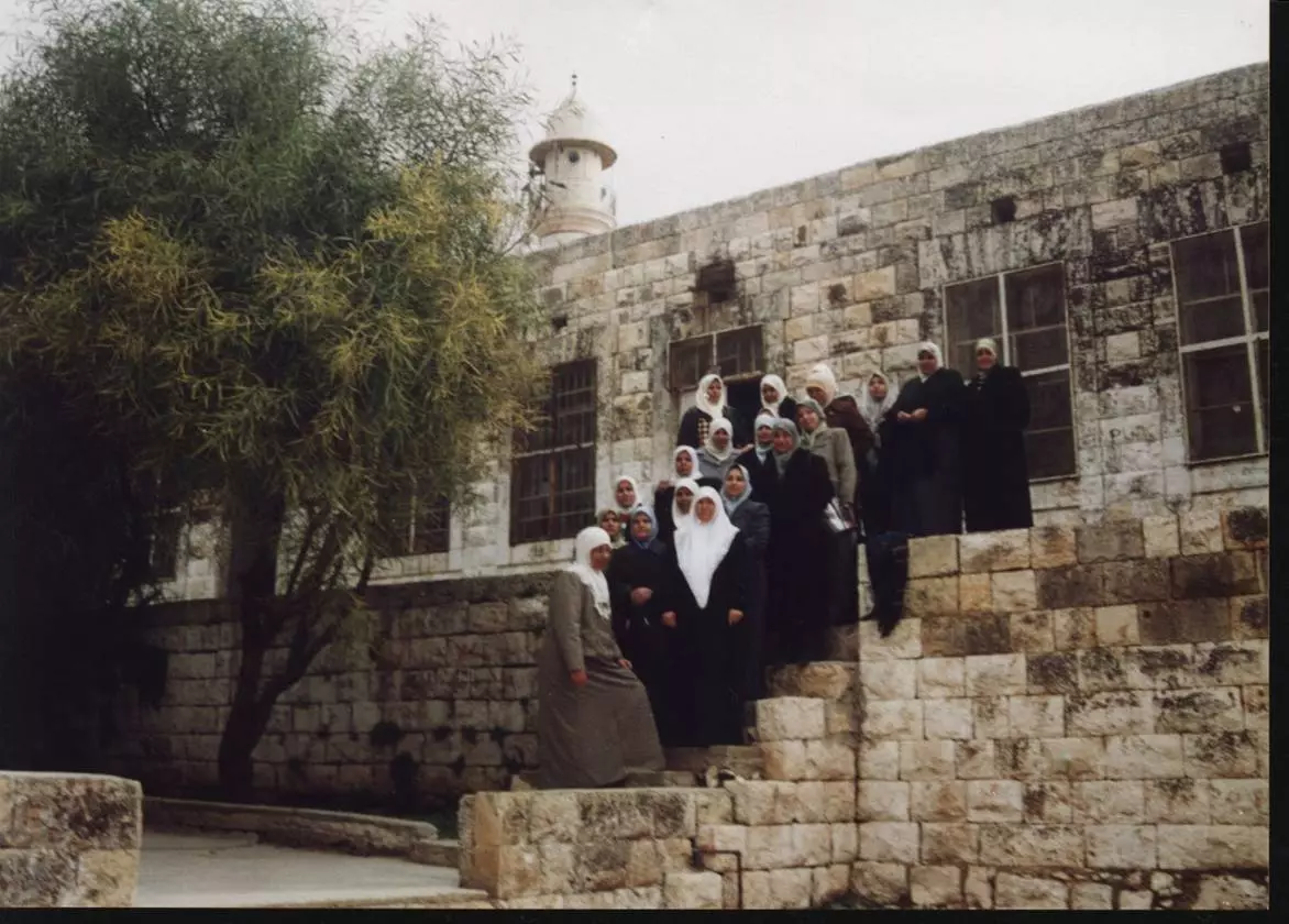
Posted by مجهولة الهوية 1 - مسجد الحارة الغربية
Posted by مجهولة الهوية - أحد بيوت البلدة
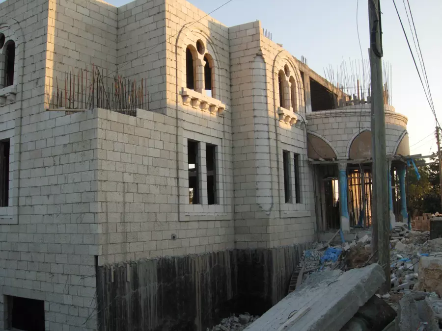
Posted by مجهولة الهوية - قصر
Posted by مجهولة الهوية - نادي ديراستيا الرياضي
Posted by مجهولة الهوية - نادي ديراستيا الرياضي
Posted by مجهولة الهوية - نادي ديراستيا الرياضي
Posted by مجهولة الهوية - نادي ديراستيا الرياضي
Posted by مجهولة الهوية - نادي ديراستيا الرياضي
Posted by مجهولة الهوية - نادي ديراستيا الرياضي
Posted by مجهولة الهوية - نادي ديراستيا الرياضي
Posted by مجهولة الهوية - نادي ديراستيا الرياضي
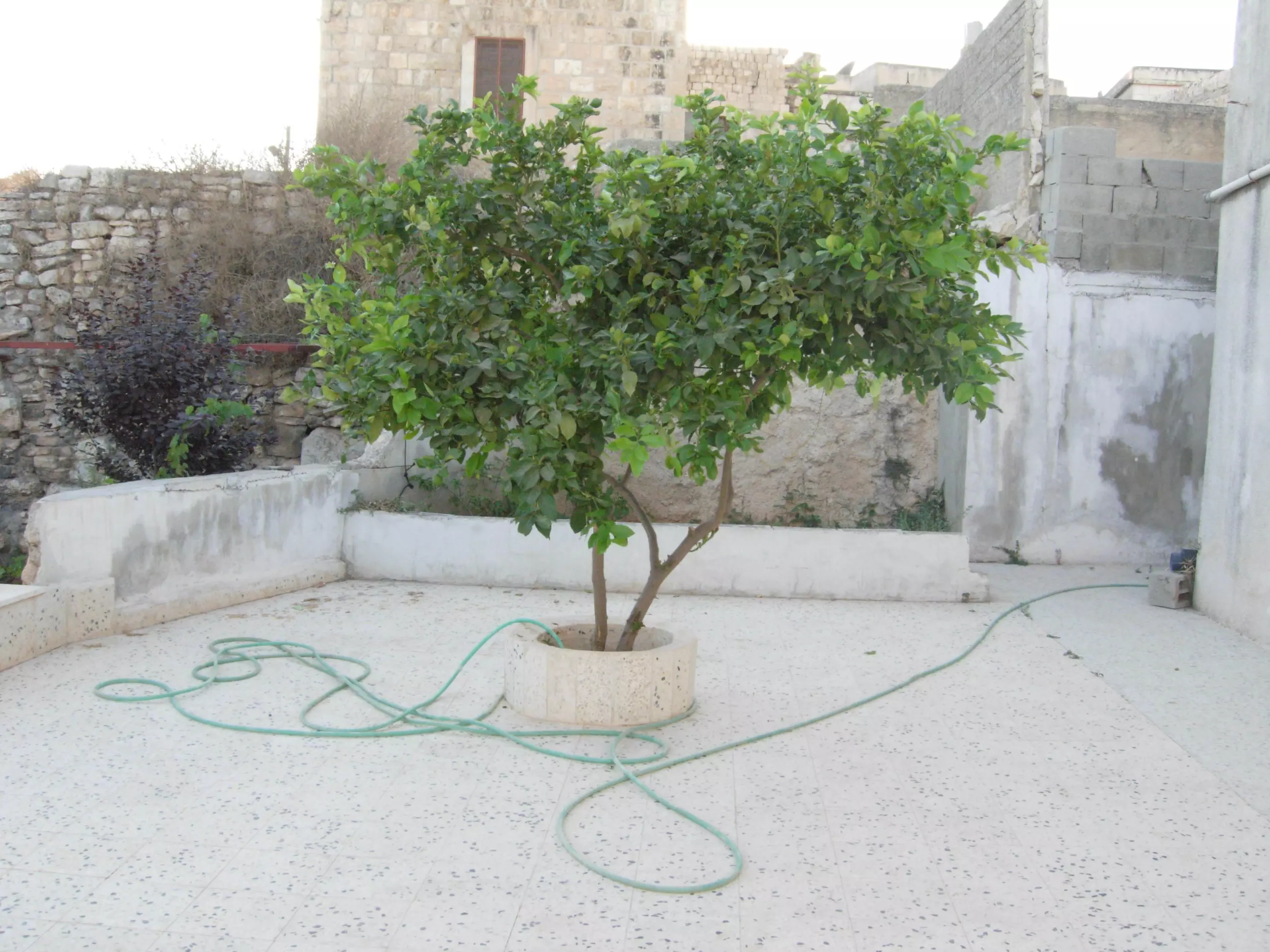
Posted by مجهولة الهوية - منزلي في ديراستيا
Posted by مجهولة الهوية 1 - منزلي في ديراستيا
Posted by مجهولة الهوية - منزلي في ديراستيا
Posted by مجهولة الهوية - صور من البلدة القديمة في ديراستيا
Posted by مجهولة الهوية - صور من البلدة القديمة في ديراستيا
Posted by مجهولة الهوية - صور من البلدة القديمة في ديراستيا
Posted by مجهولة الهوية - صور من البلدة القديمة في ديراستيا
Posted by مجهولة الهوية 1 - صور من البلدة القديمة في ديراستيا
Posted by مجهولة الهوية 3 - صور من البلدة القديمة في ديراستيا
Posted by مجهولة الهوية - صور من البلدة القديمة في ديراستيا
Posted by مجهولة الهوية 3 - صور من البلدة القديمة في ديراستيا
Posted by مجهولة الهوية 1 - صور من البلدة القديمة في ديراستيا
Posted by مجهولة الهوية - صور من البلدة القديمة في ديراستيا
Posted by مجهولة الهوية - صور من البلدة القديمة في ديراستيا
Posted by مجهولة الهوية 1 - صور من البلدة القديمة في ديراستيا
Posted by مجهولة الهوية 1 - صور من البلدة القديمة في ديراستيا
Posted by مجهولة الهوية - صور من البلدة القديمة في ديراستيا
Posted by مجهولة الهوية 1 - صور من البلدة القديمة في ديراستيا
Posted by مجهولة الهوية - صور من البلدة القديمة في ديراستيا
Posted by مجهولة الهوية - صور من البلدة القديمة في ديراستيا
Posted by مجهولة الهوية - صور من البلدة القديمة في ديراستيا
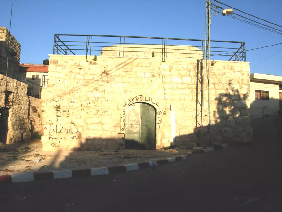
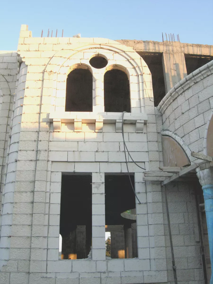
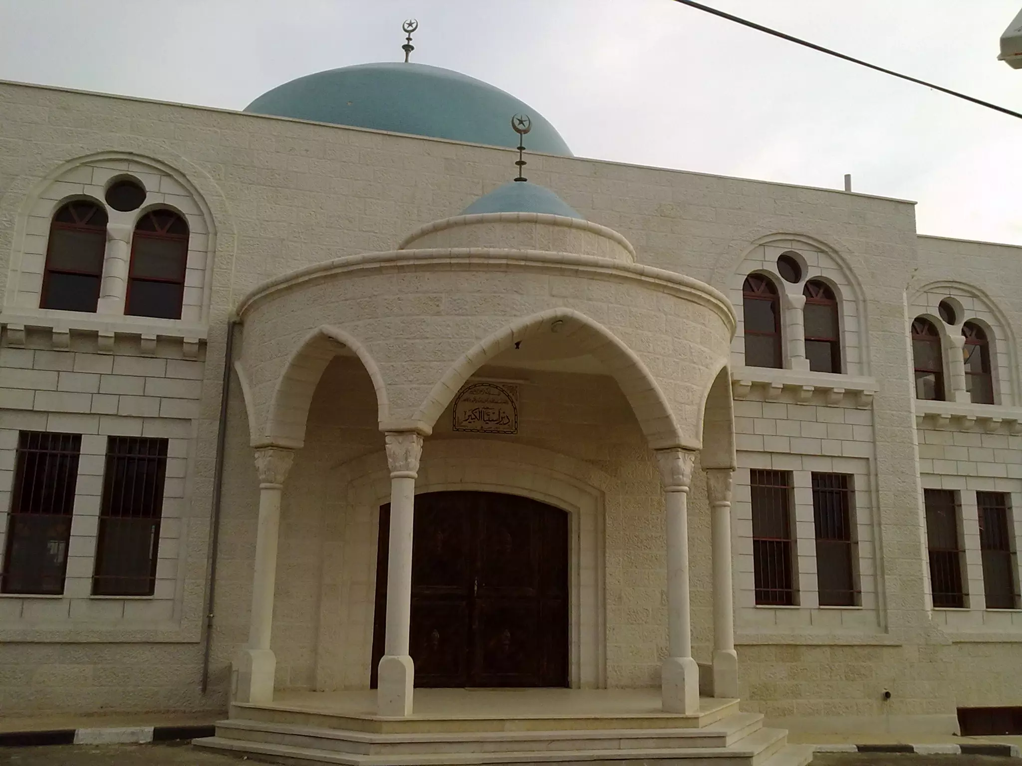
Posted by مجهولة الهوية - مسجد ديراستيا الجديد
Posted by مجهولة الهوية - مسجد ديراستيا الجديد
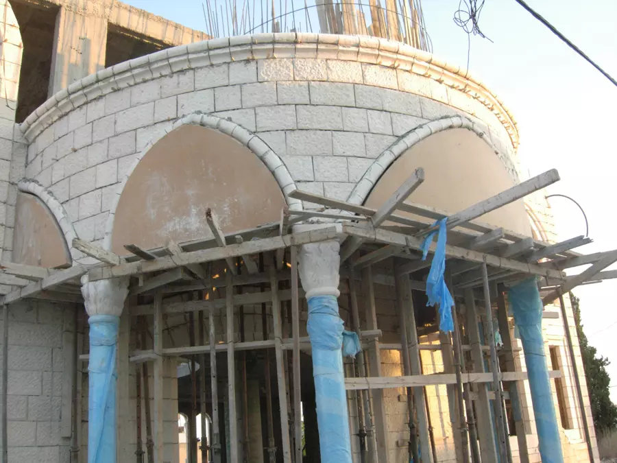
Posted by مجهولة الهوية - مسجد ديراستيا الجديد
Posted by مجهولة الهوية - مسجد الحارة الغربية في ديراستيا
Posted by مجهولة الهوية - مسجد الحارة الغربية في ديراستيا
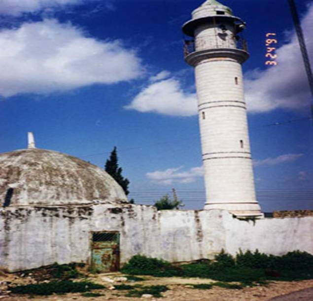
Posted by مجهولة الهوية - مسجد الحارة الشرقية في ديراستيا
Posted by مجهولة الهوية - مسجد الحارة الشرقية في ديراستيا
Posted by مجهولة الهوية - مناظر من ديراستيا
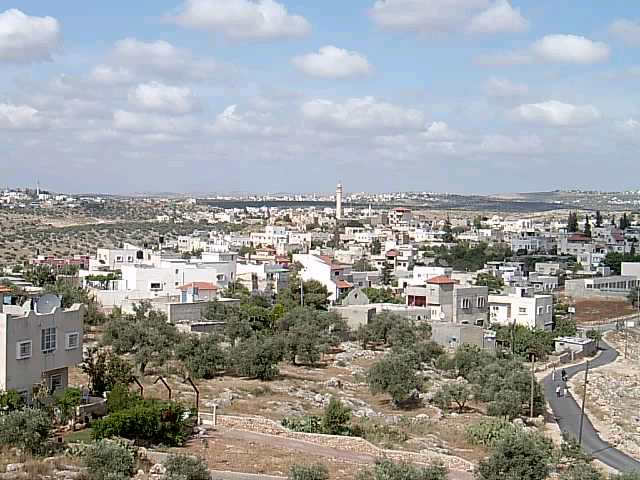
Posted by مجهولة الهوية - منظر عام
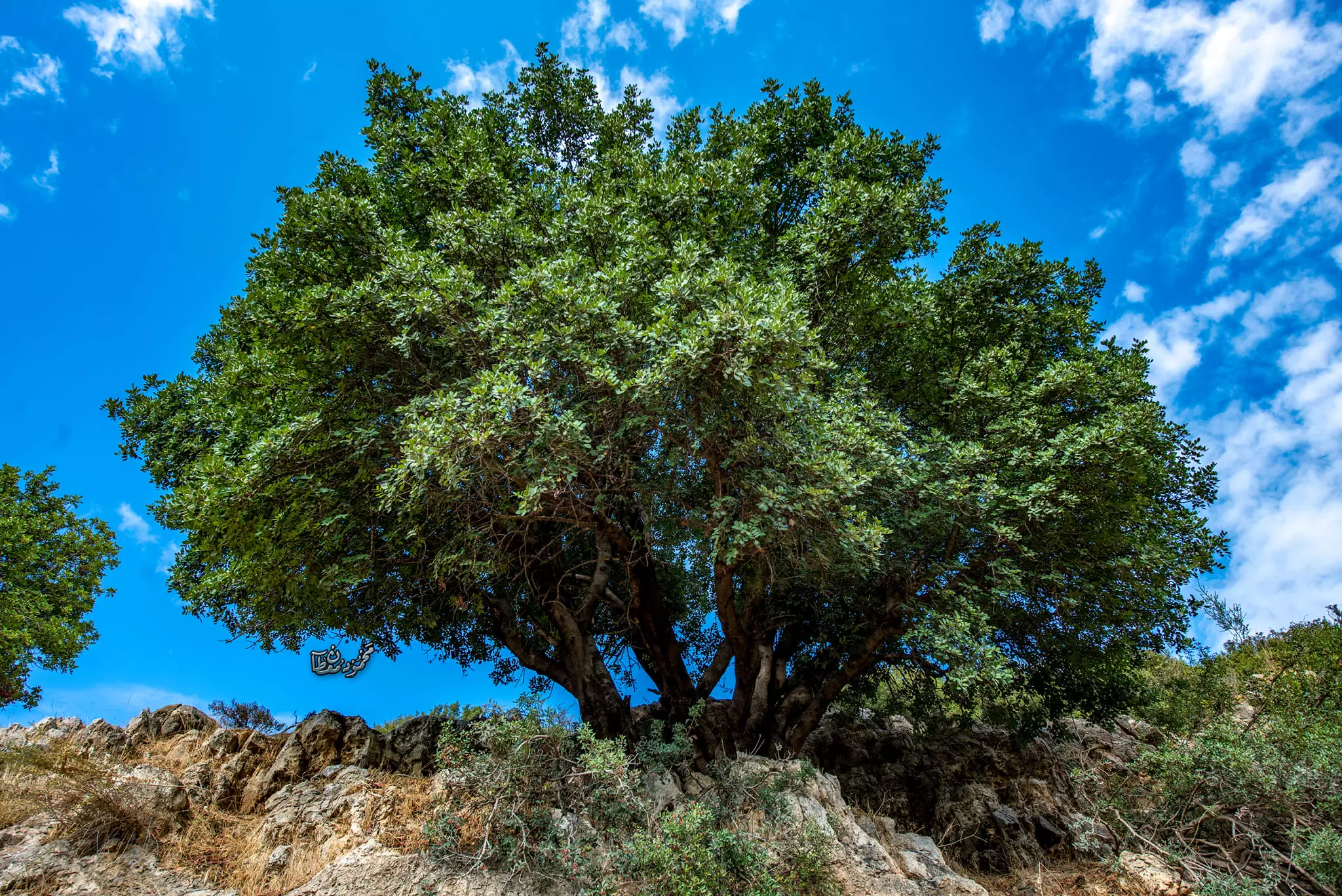
Posted by مجهولة الهوية - اشجار الزيتون

Posted by مجهولة الهوية - أسبطة في ديراستيا
Posted by مجهولة الهوية - أسبطة في ديراستيا
Posted by مجهولة الهوية - أسبطة في ديراستيا
Posted by مجهولة الهوية - أسبطة في ديراستيا
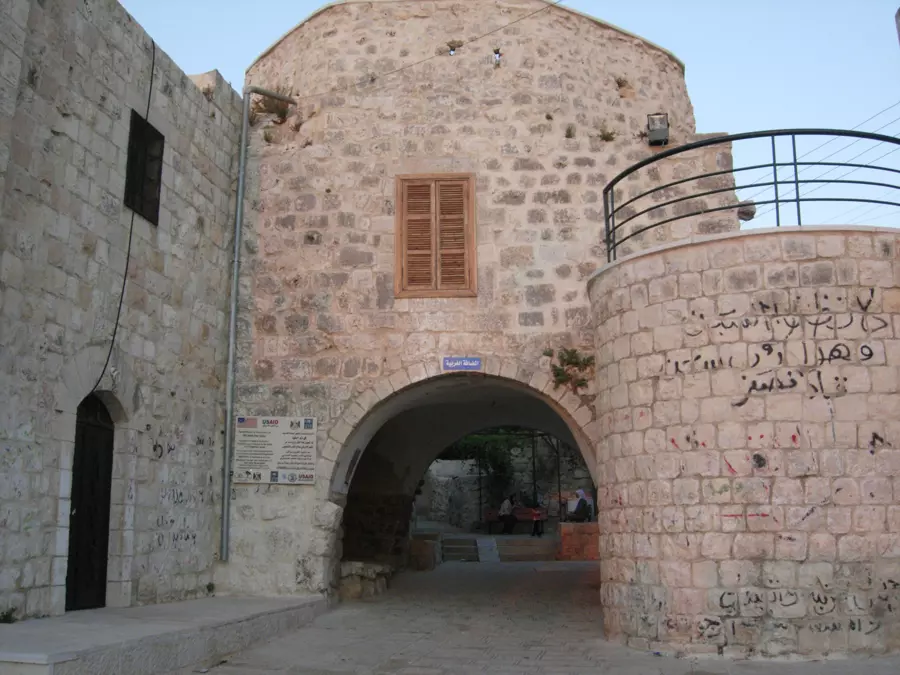
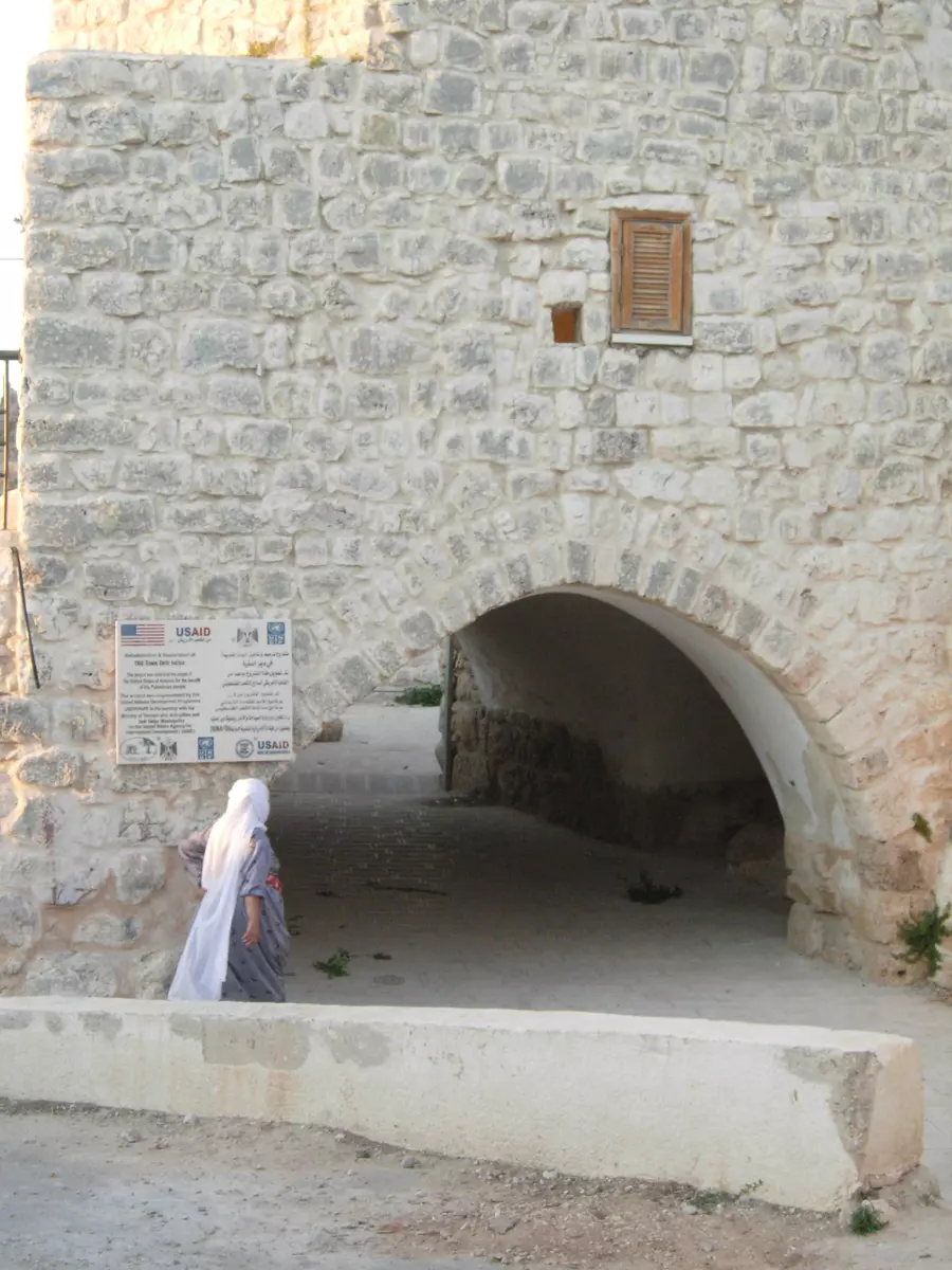
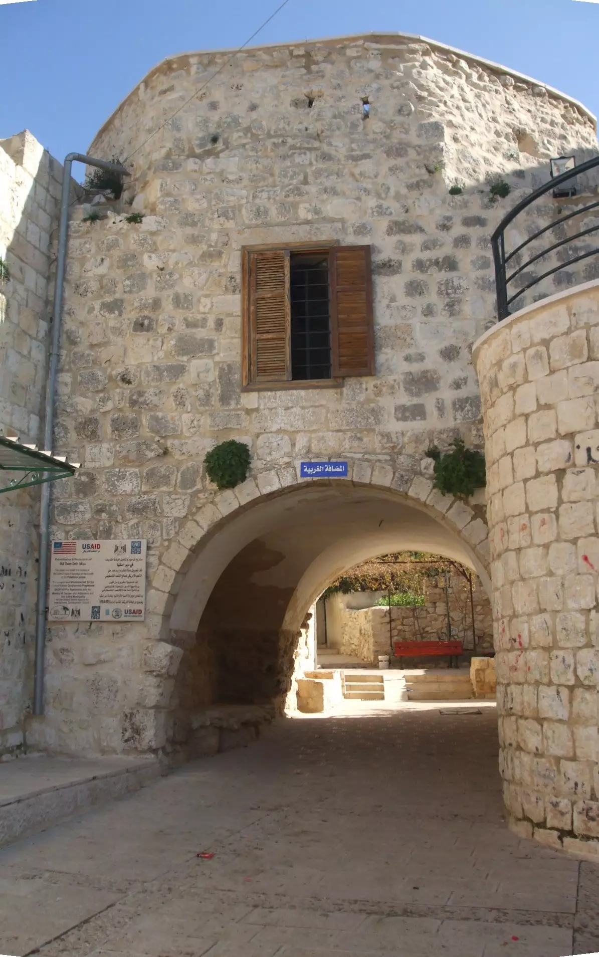
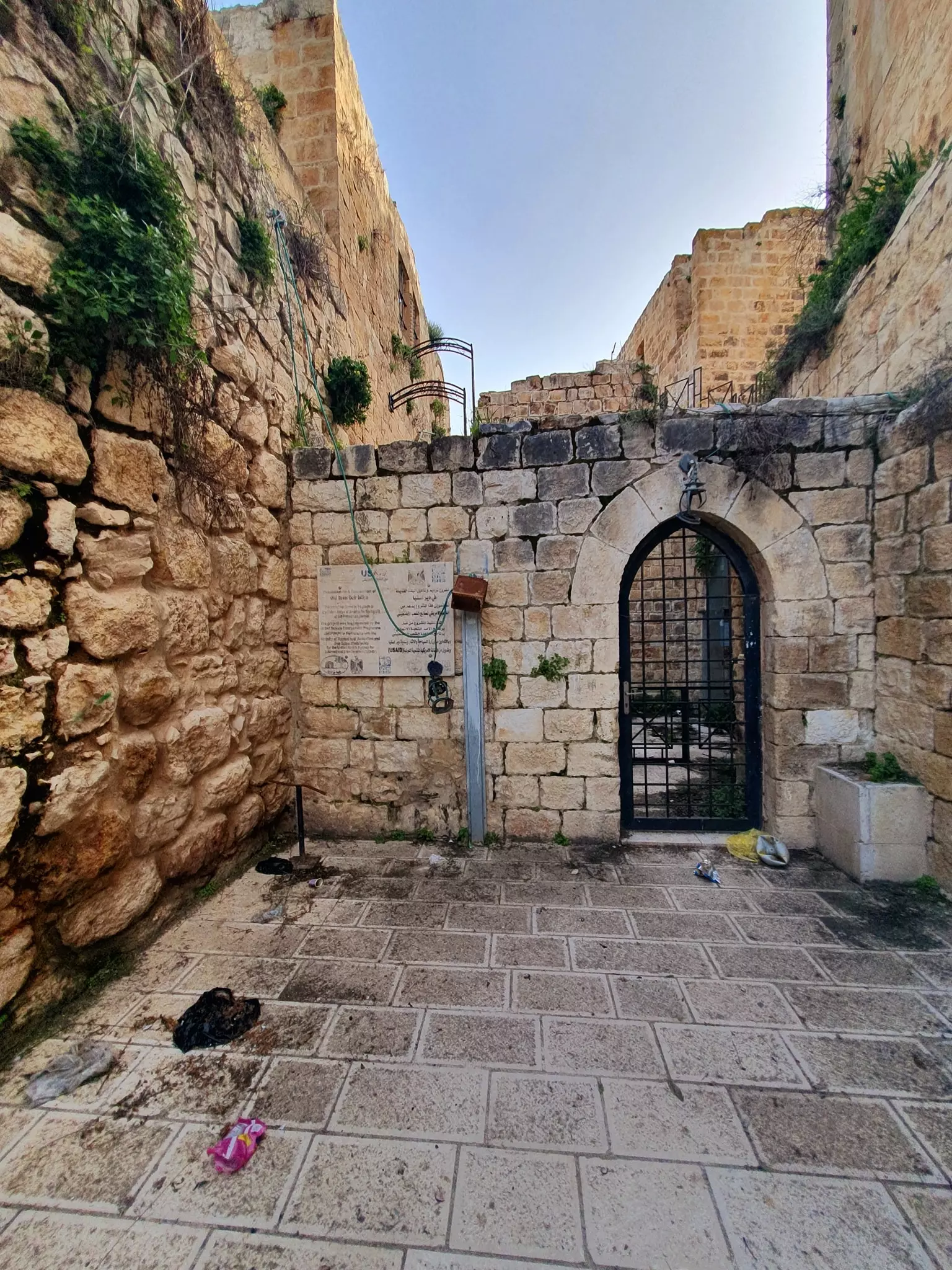
Posted by مجهولة الهوية - a nice photo for the old city of dayristia, this location is not renovated yet it will renovated in the next phase of the usaid project
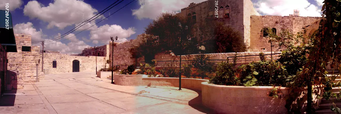
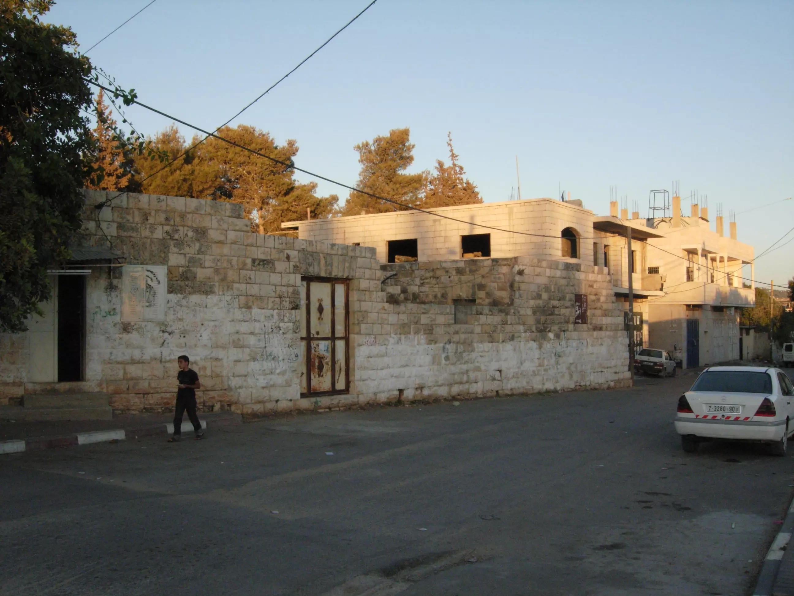
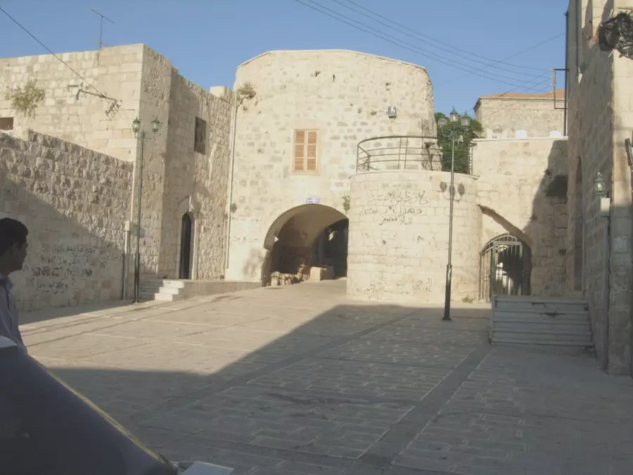
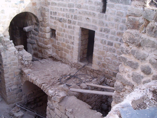
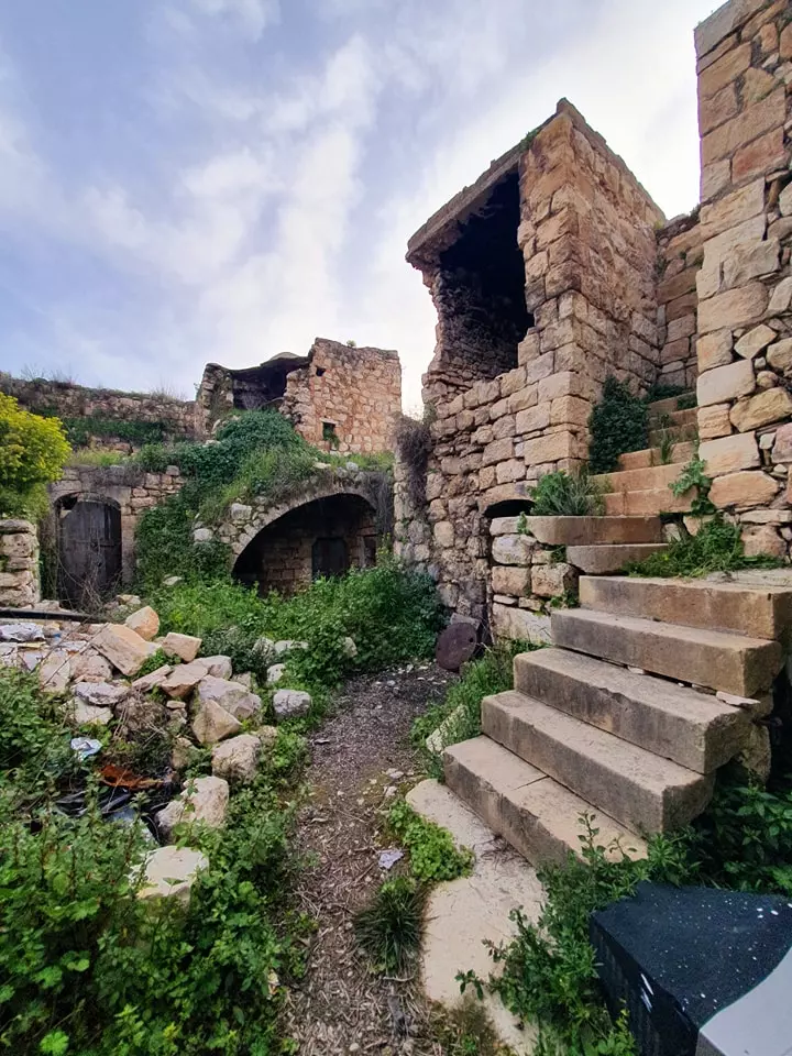
Posted by karamwd - البلده القديمه

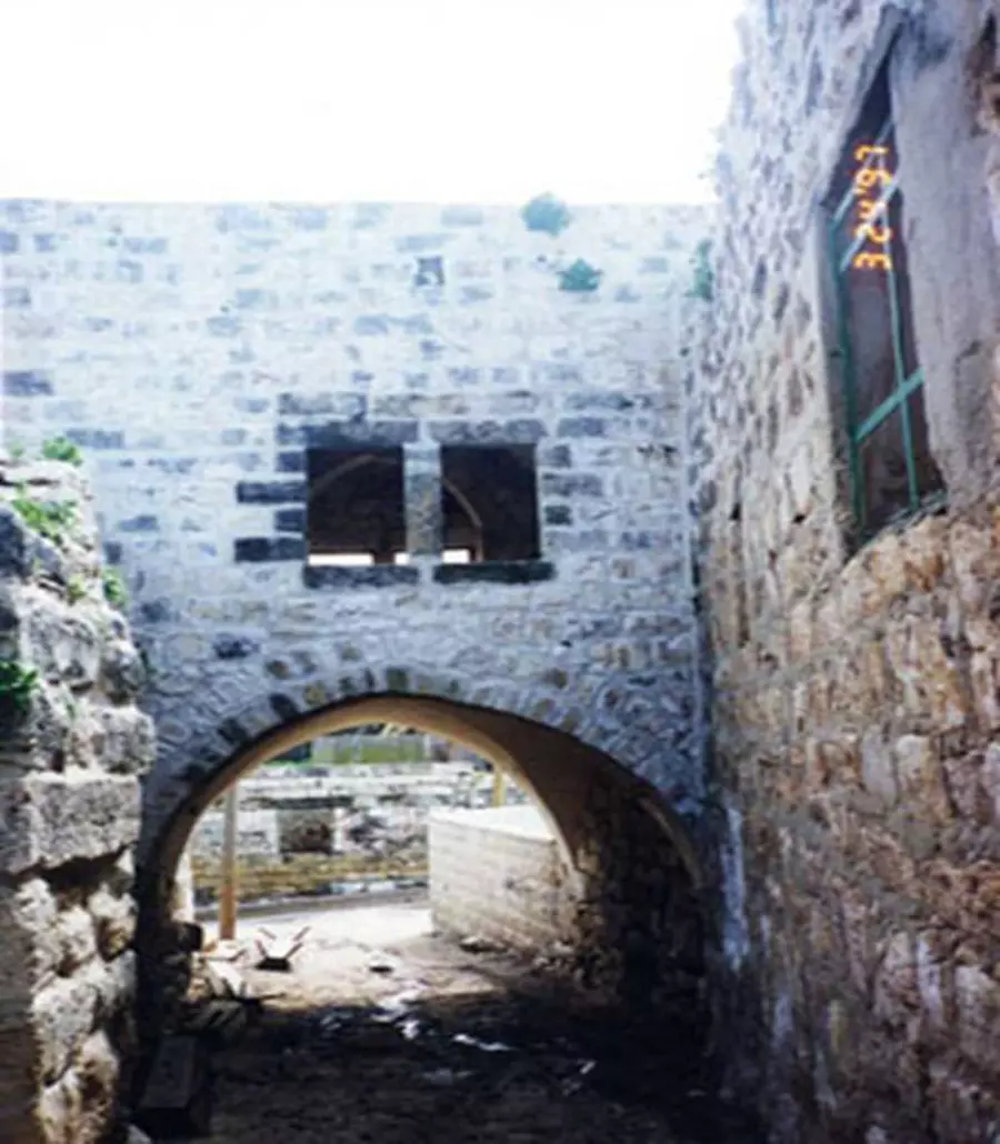
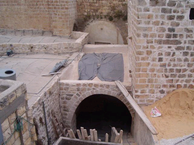
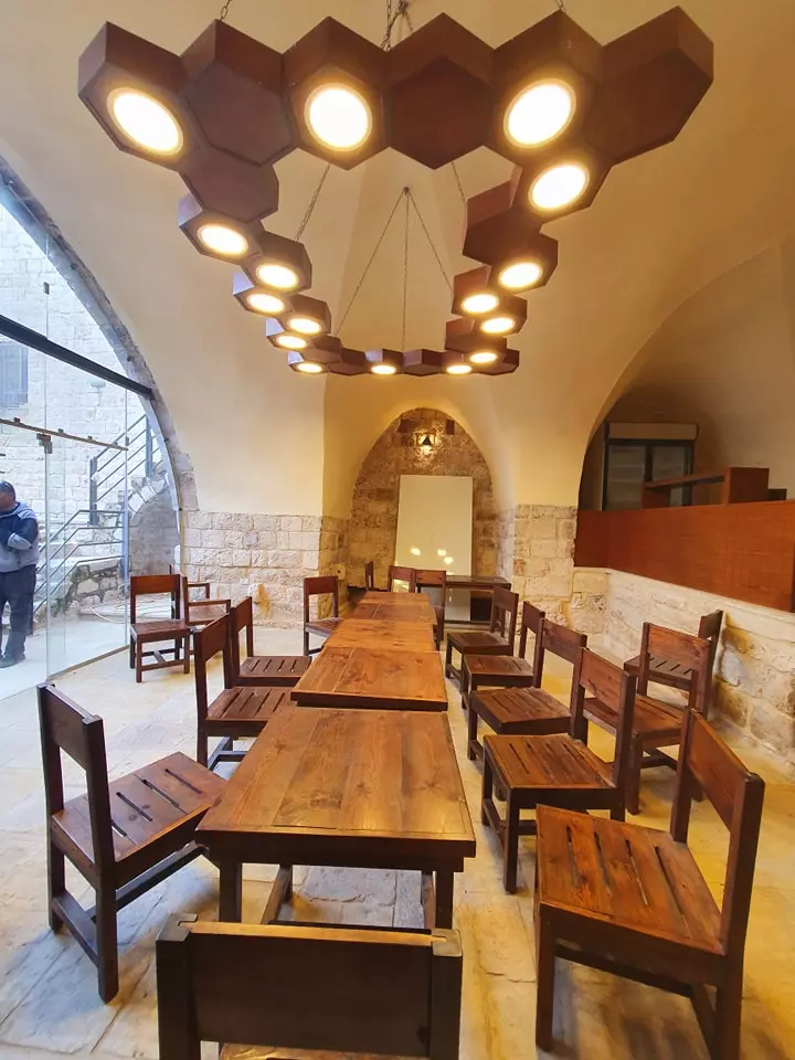
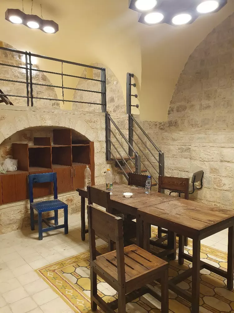
Posted by RAMZI ZEIDAN - البلده القديمه بعد التحديث
Posted by RAMZI ZEIDAN 3 - البلده القديمه بعد التحديث2
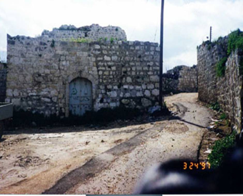
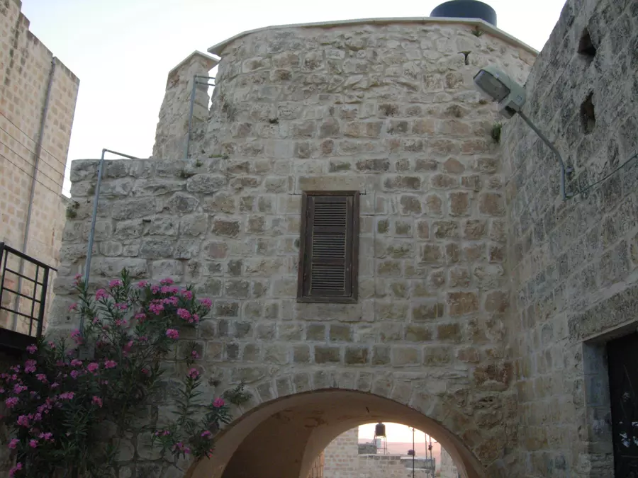
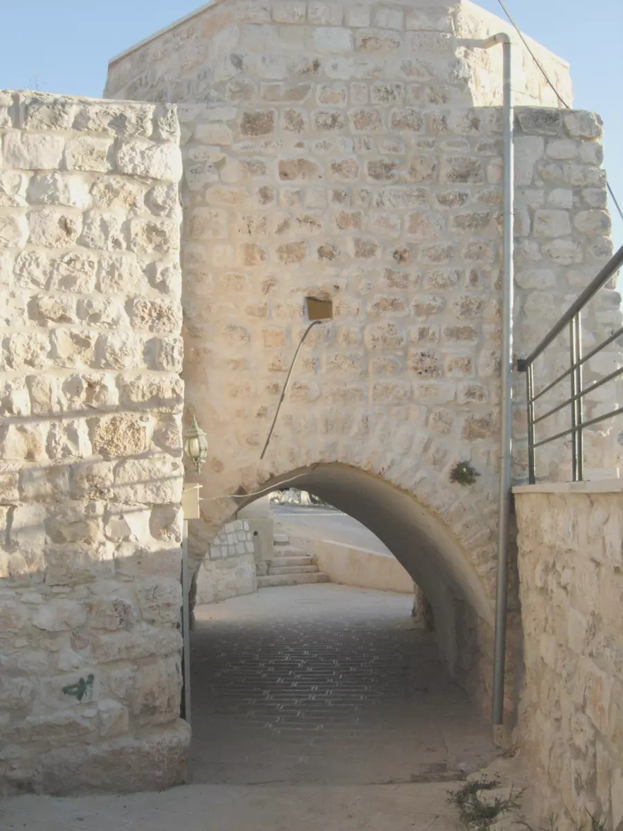
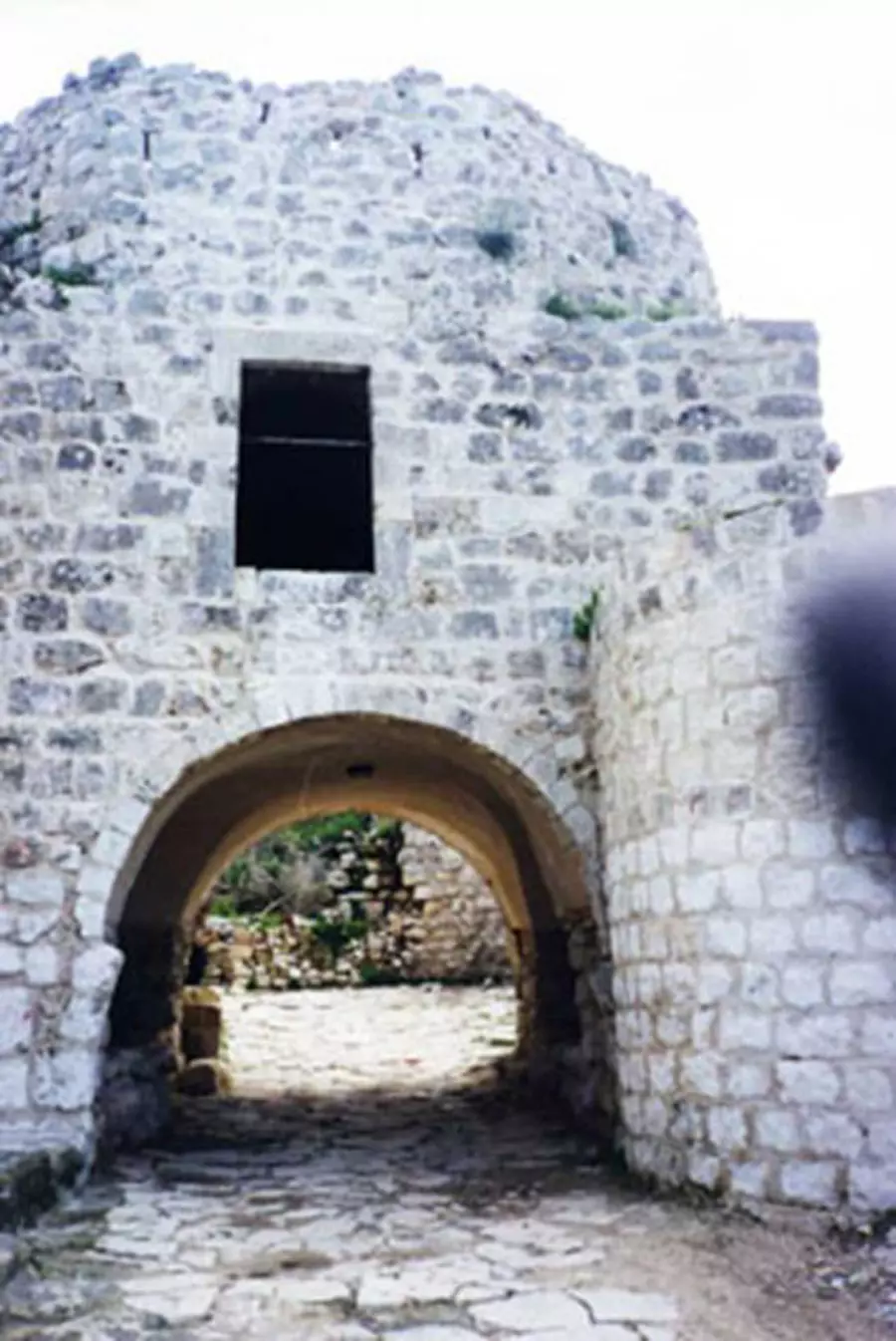
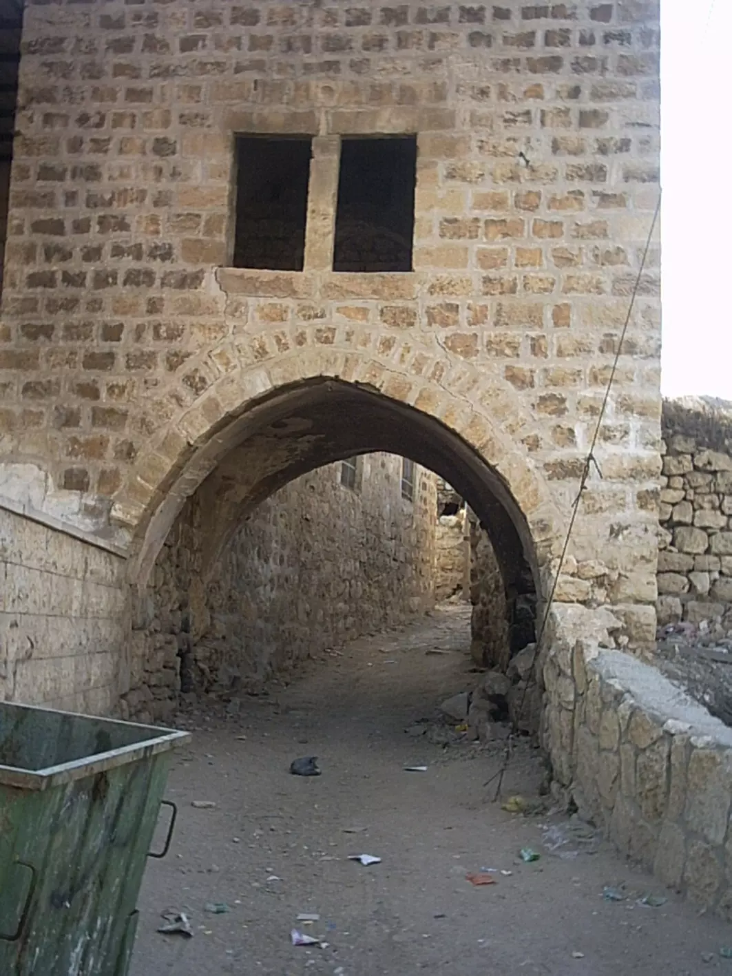
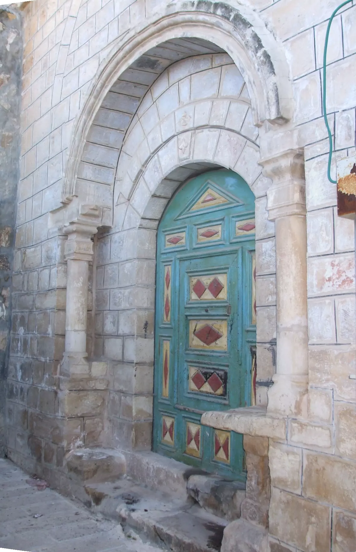
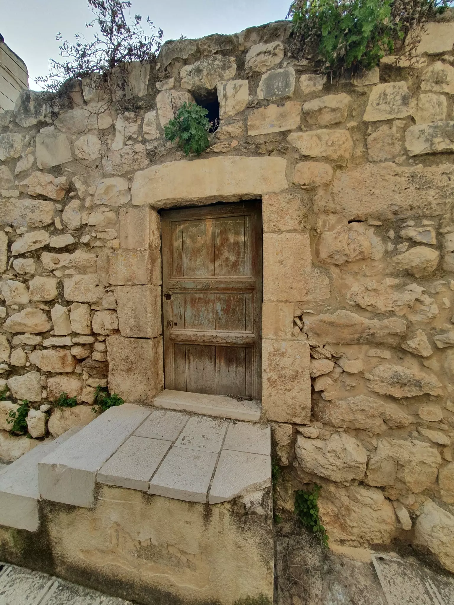
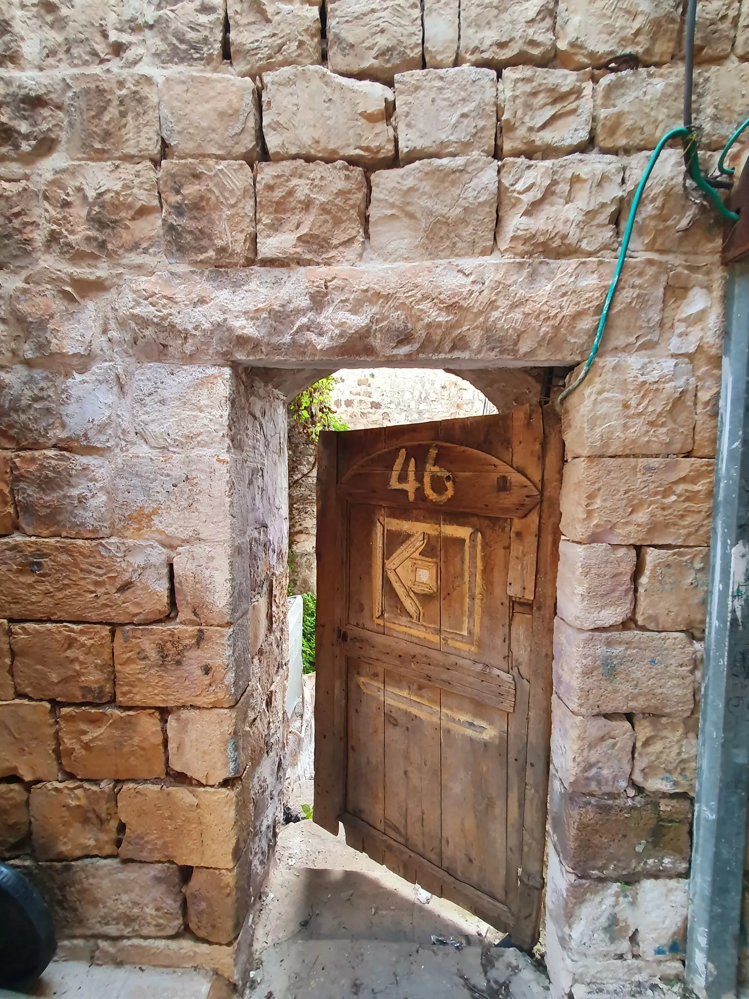
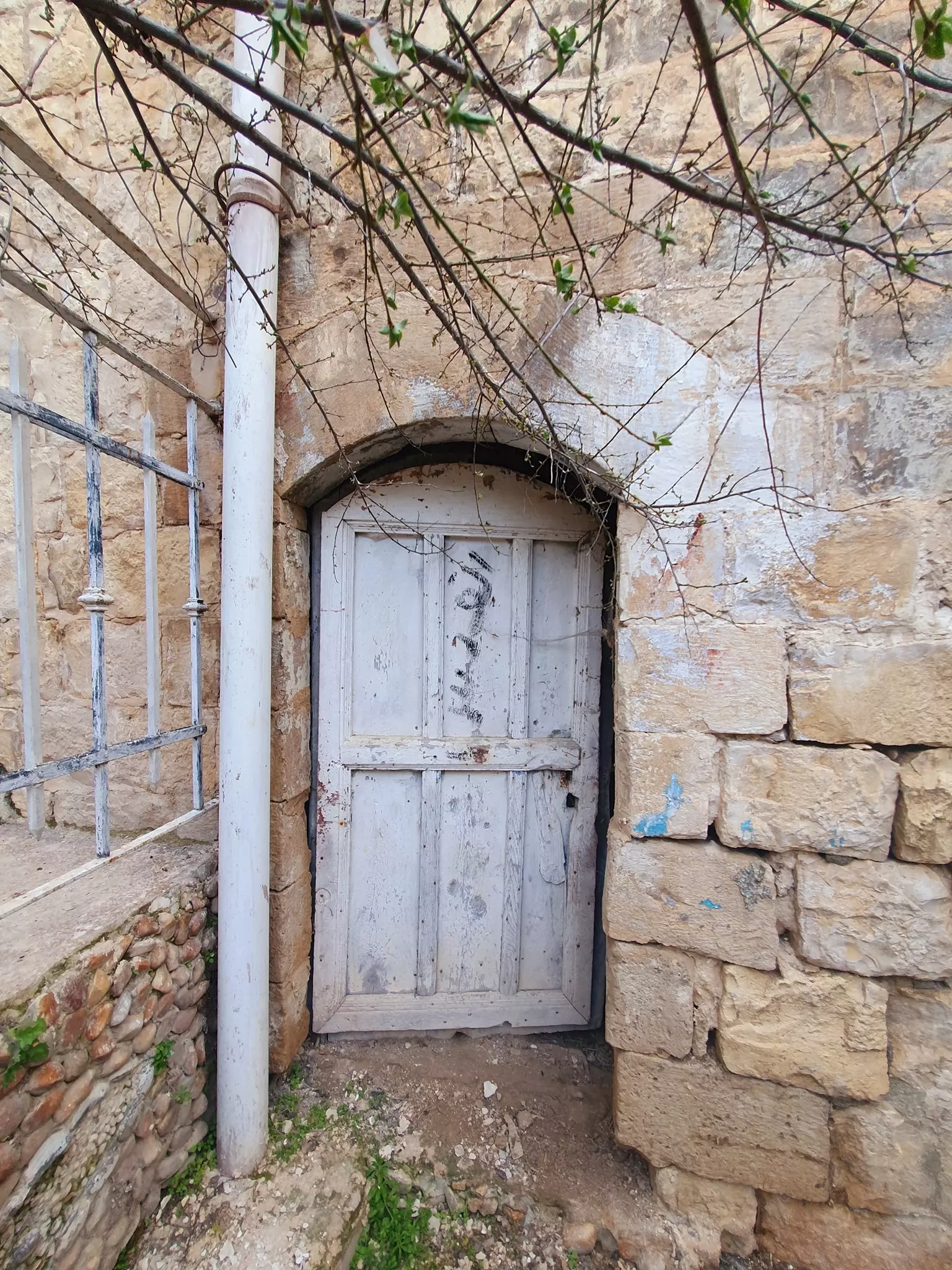
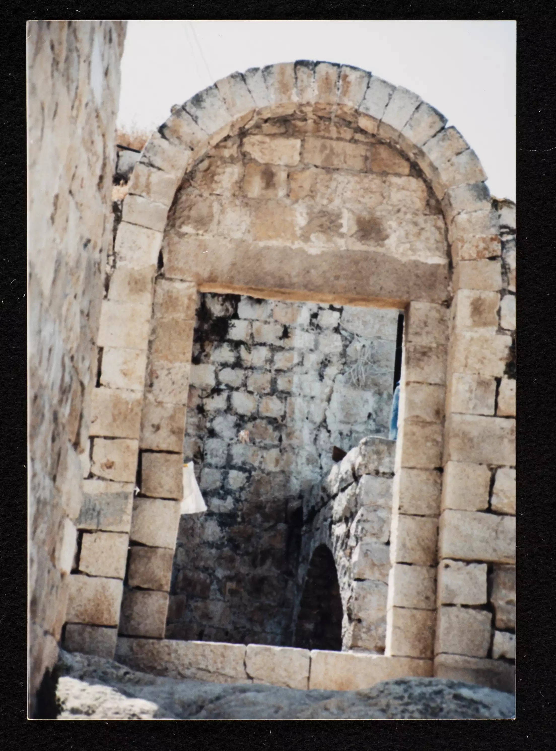
Posted by RAMZI ZEIDAN - احدى ابواب القريه القديمه
Posted by RAMZI ZEIDAN - البلده القديمه بعد التحديث3
Posted by RAMZI ZEIDAN - البلده القديمه بعد التحديث4
Posted by RAMZI ZEIDAN - البلده القديمه بعد التحديث5
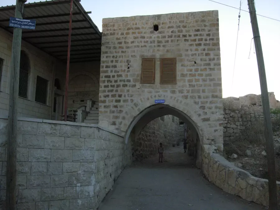
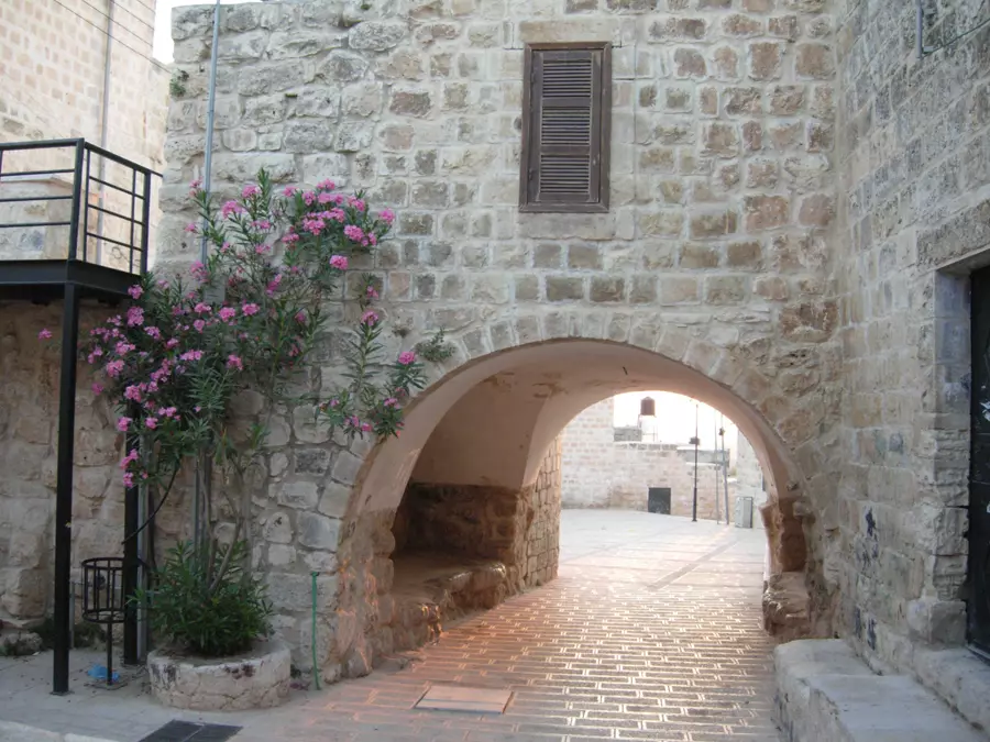
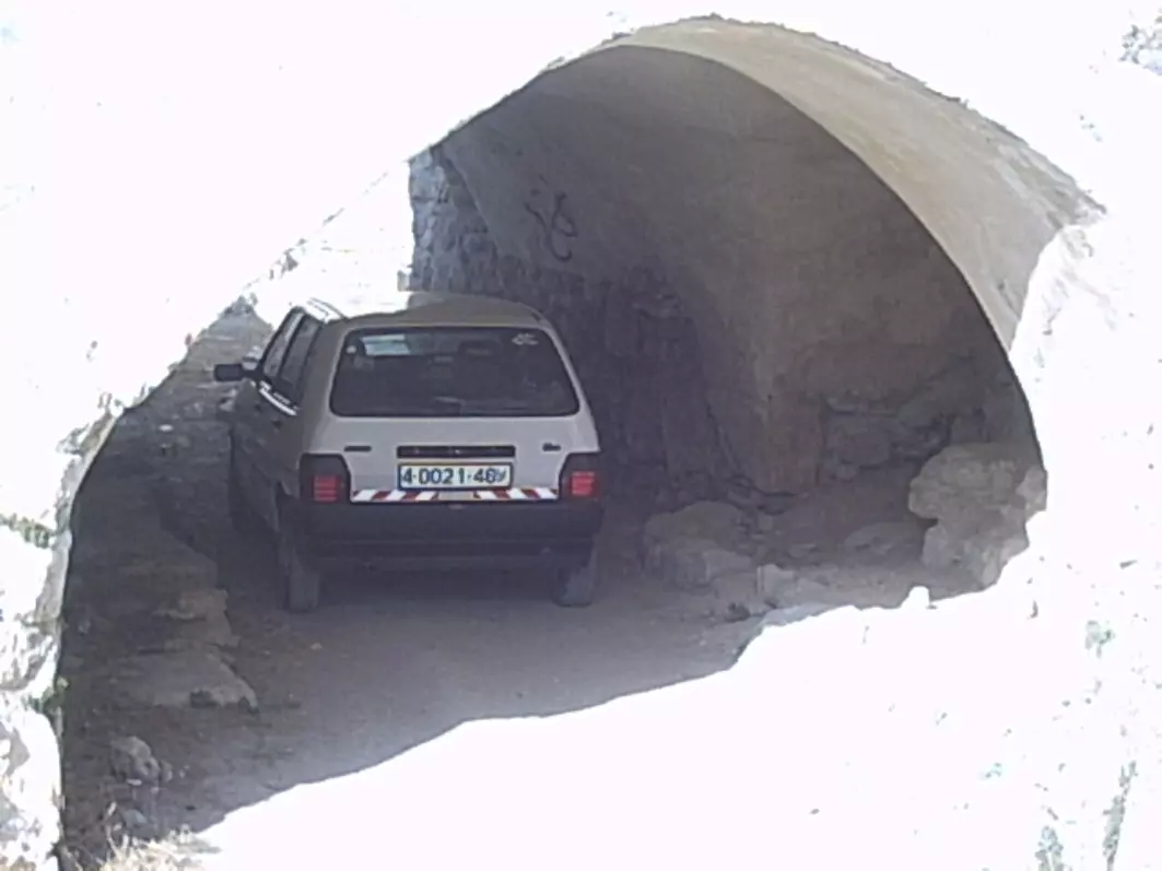
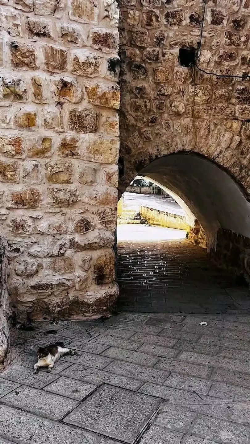
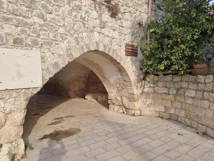
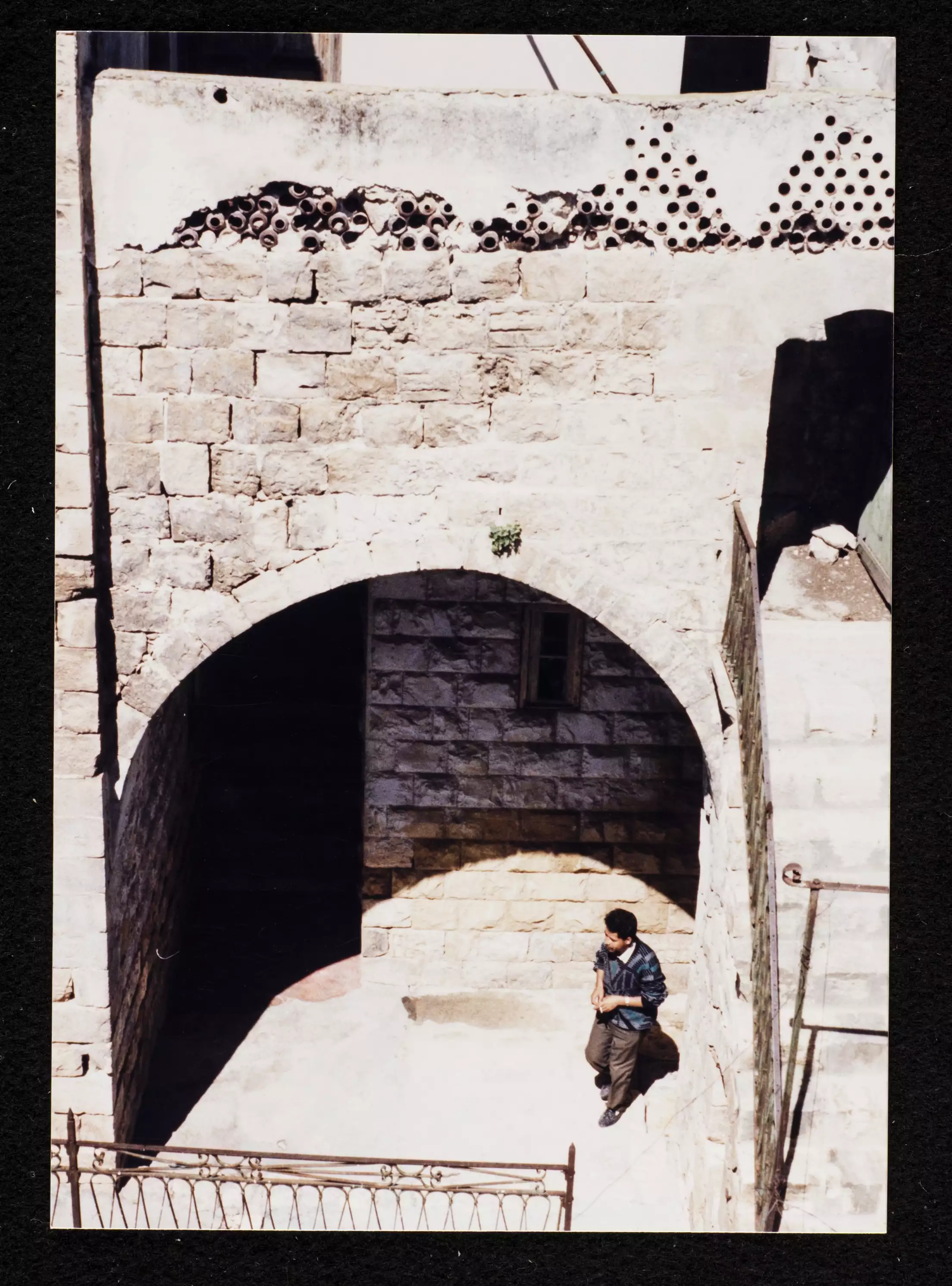
Posted by RAMZI ZEIDAN - احدى سوابيط البلدة
Posted by RAMZI ZEIDAN 1 - احدى شوارع البلدة
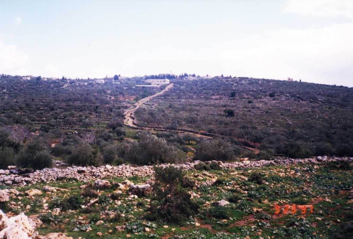
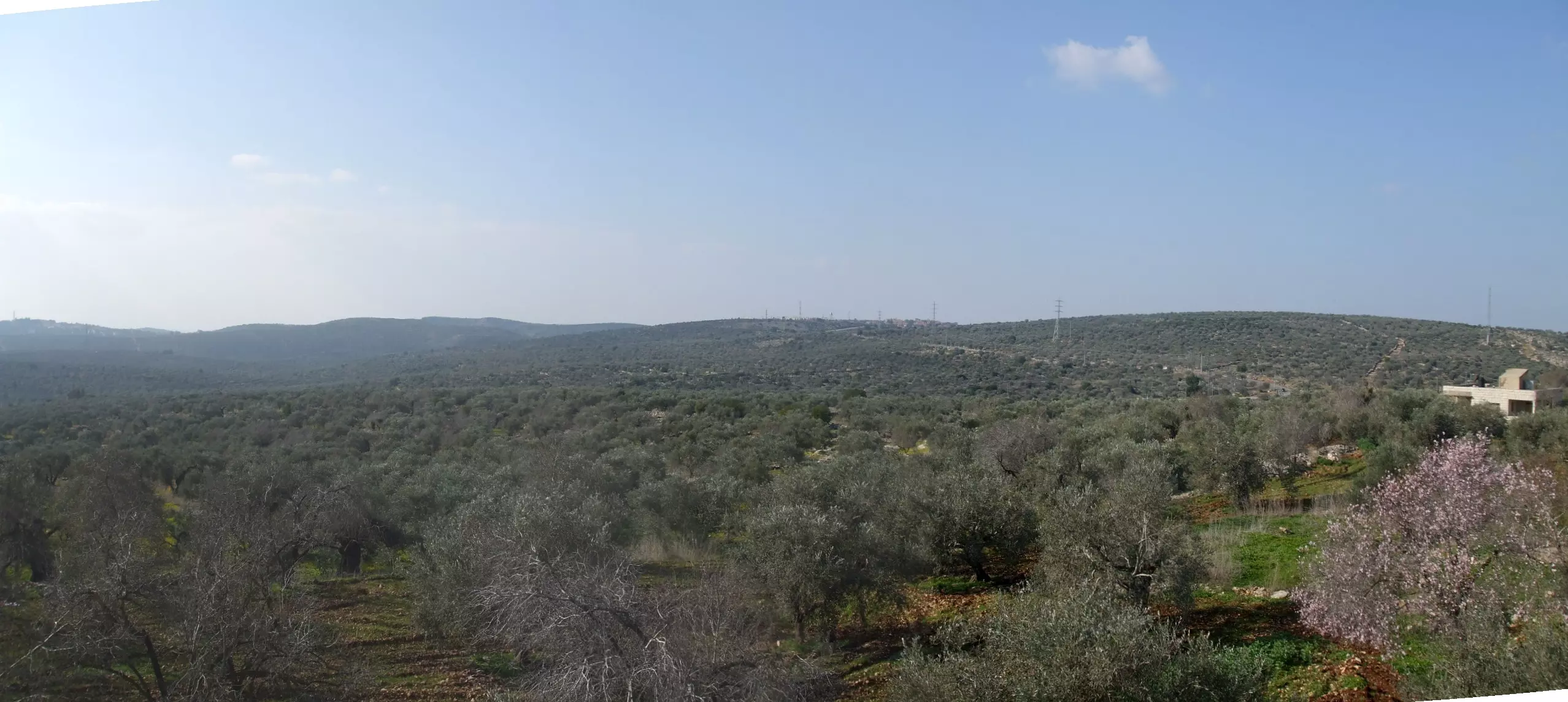
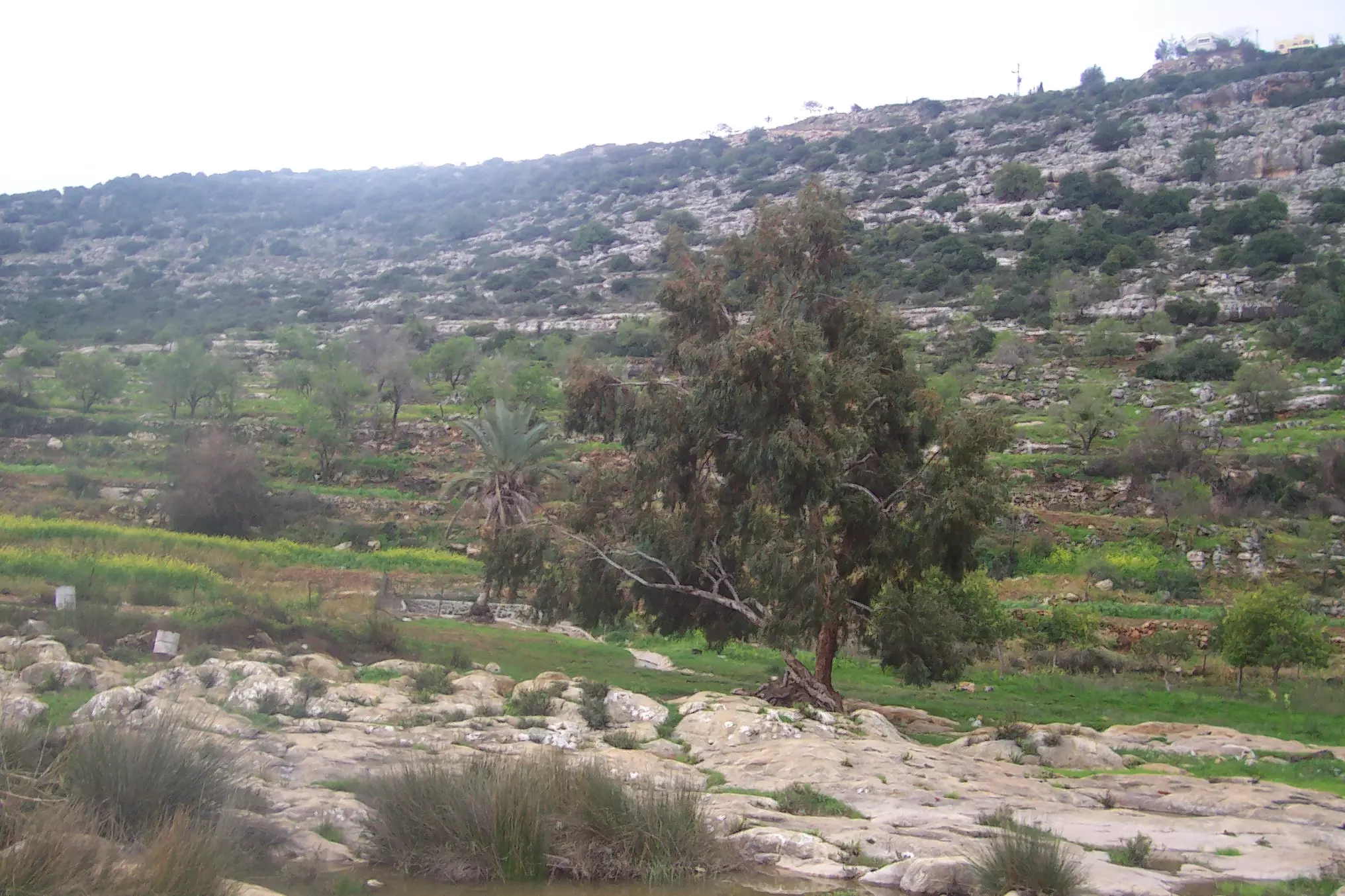
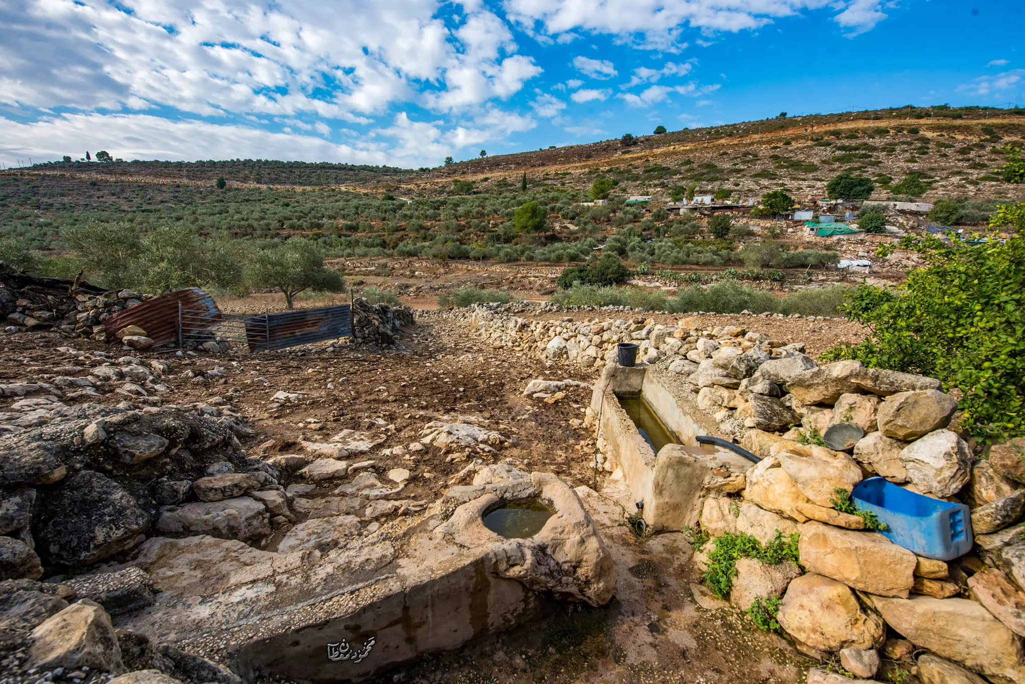
Posted by RAMZI ZEIDAN 1 - تلول الزيتون
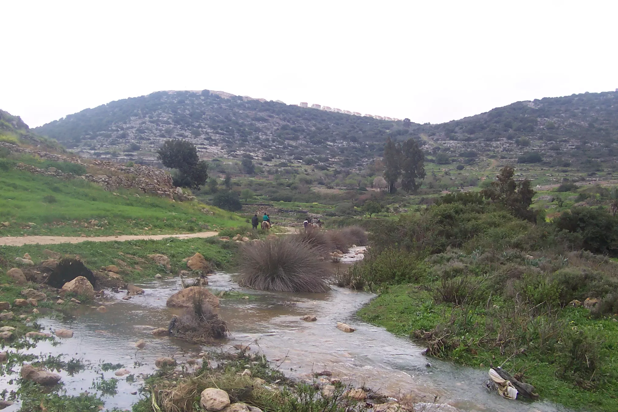
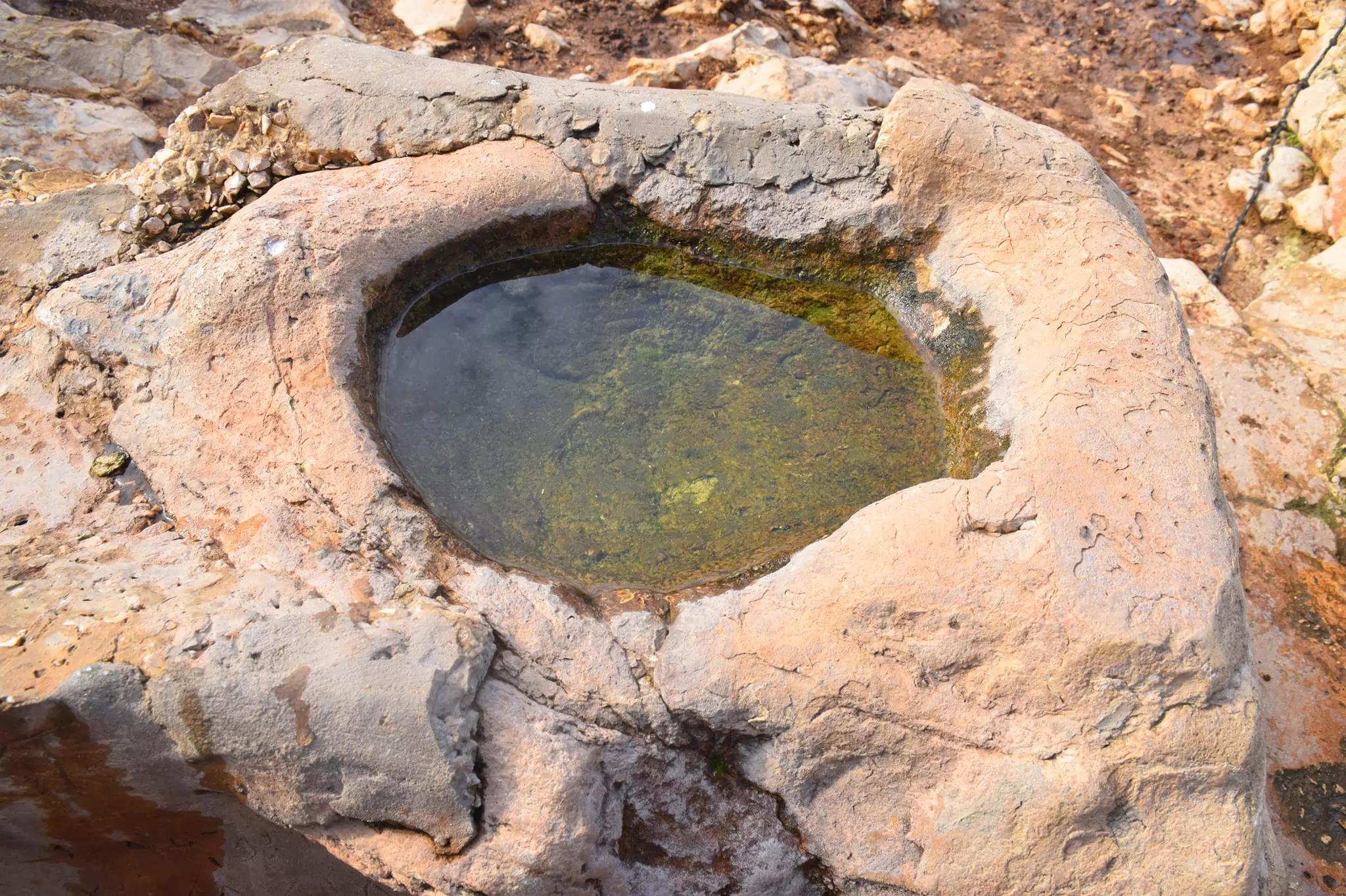
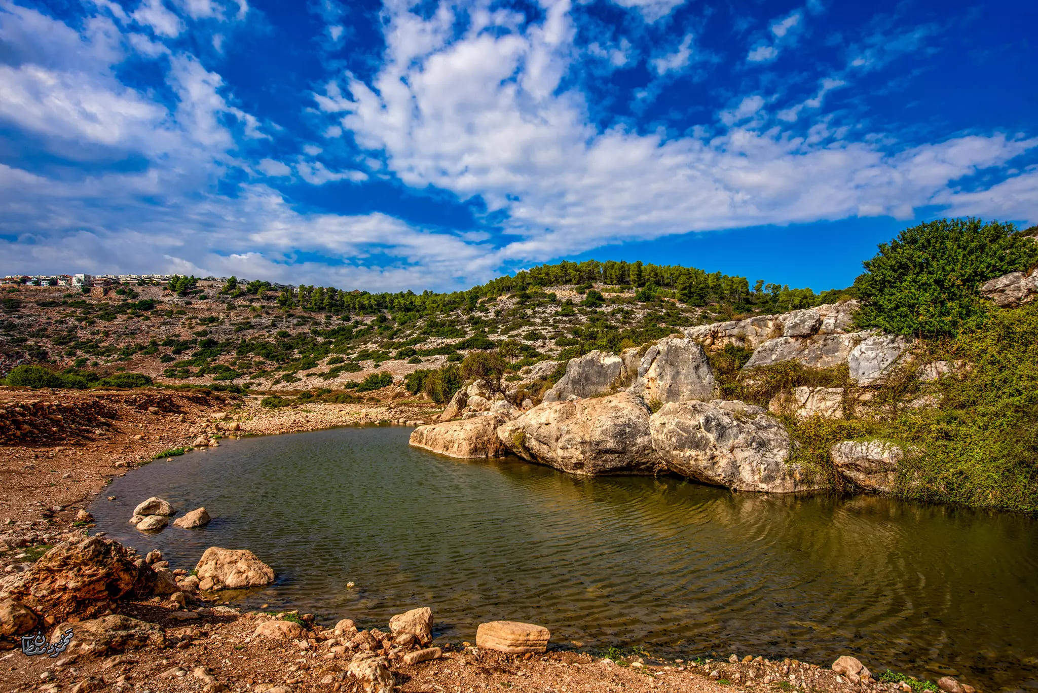
Posted by RAMZI ZEIDAN 3 - واد قانا
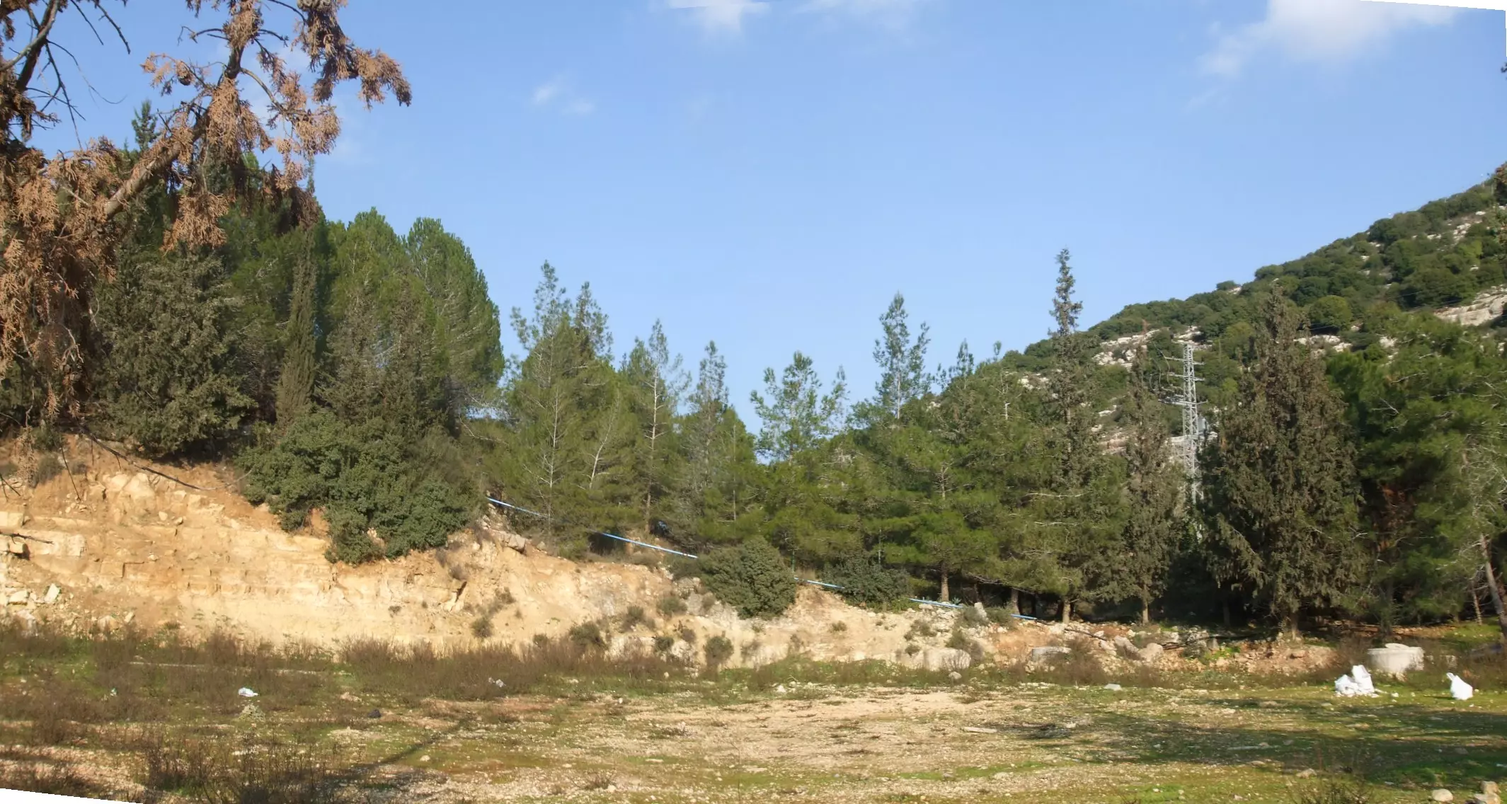
Posted by RAMZI ZEIDAN 1 - واد قانا2
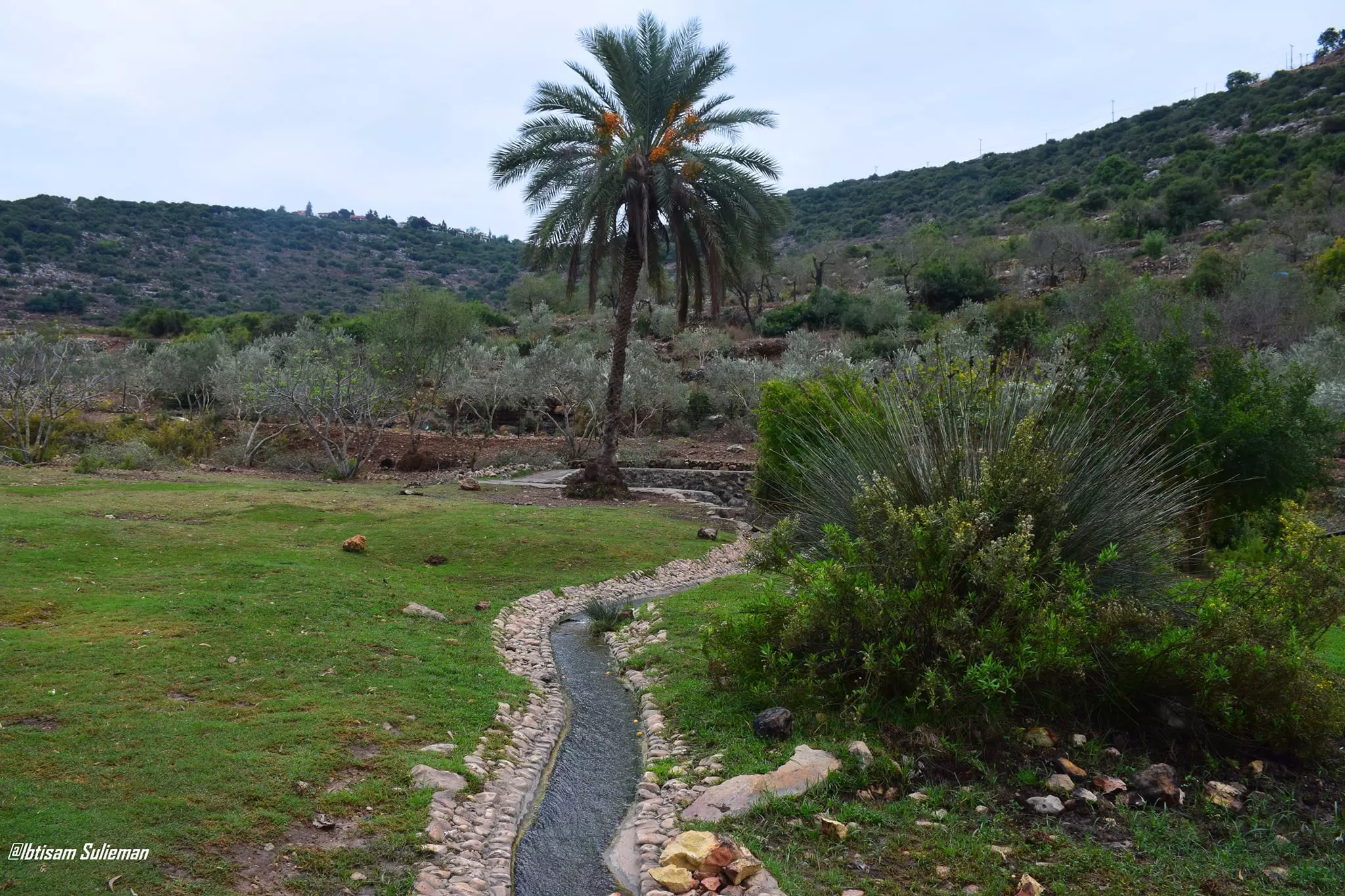
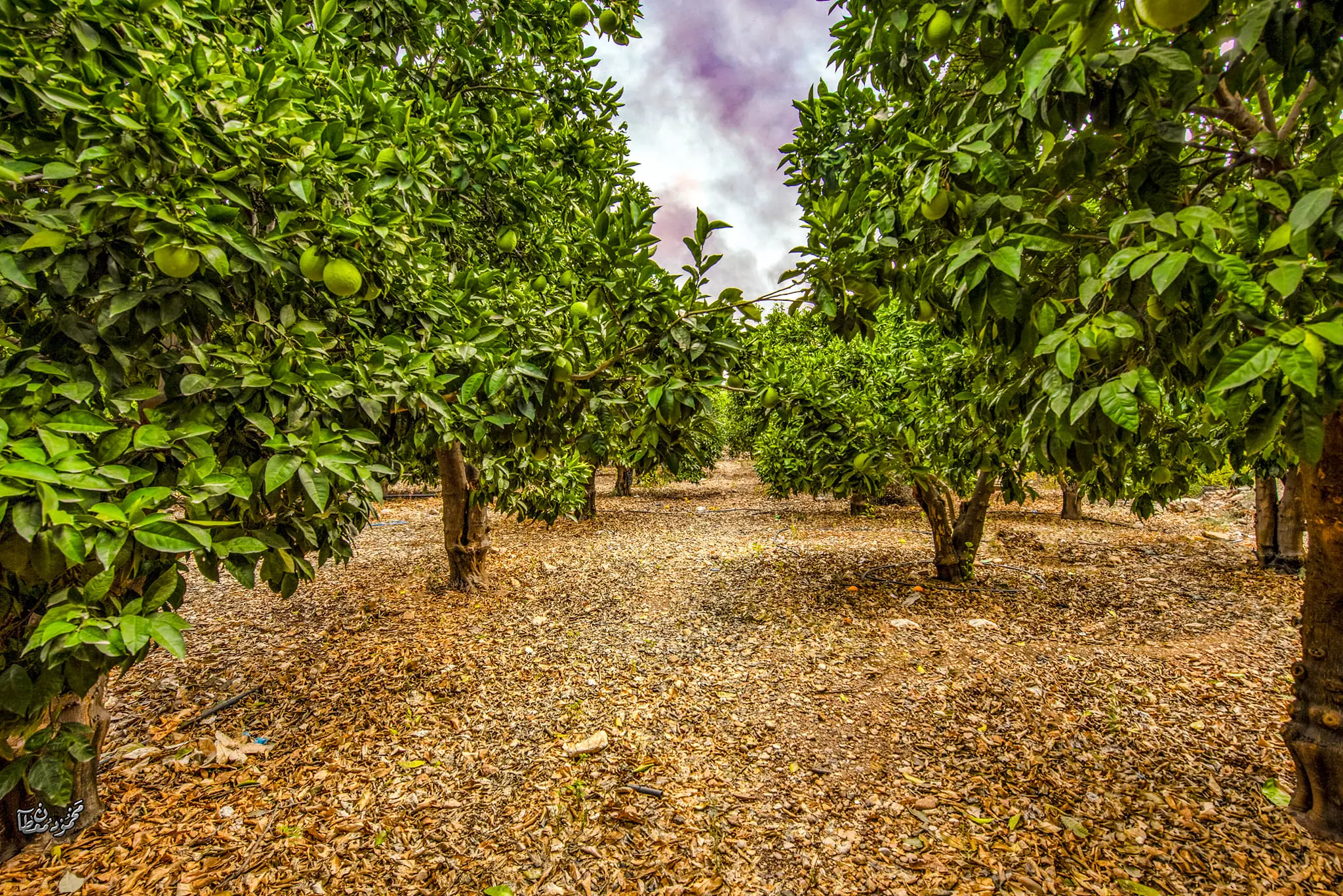
Posted by RAMZI ZEIDAN 1 - واد قانا بساتين البرتقال
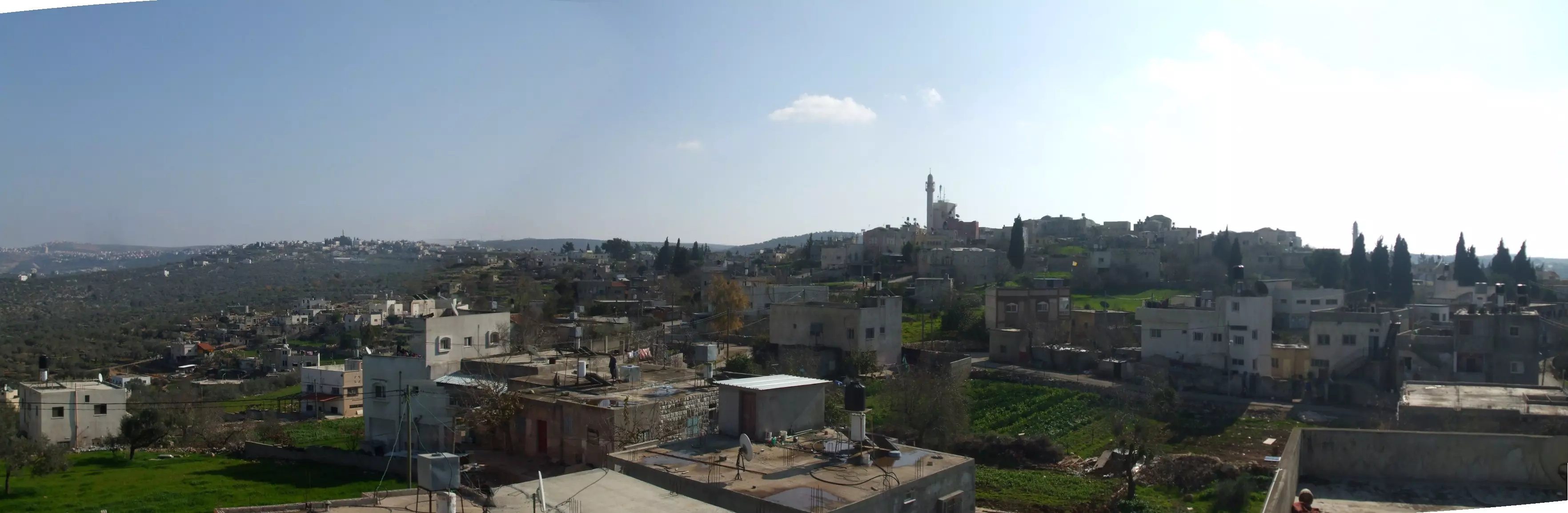
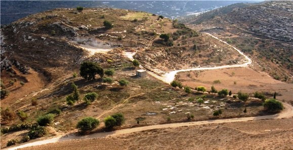
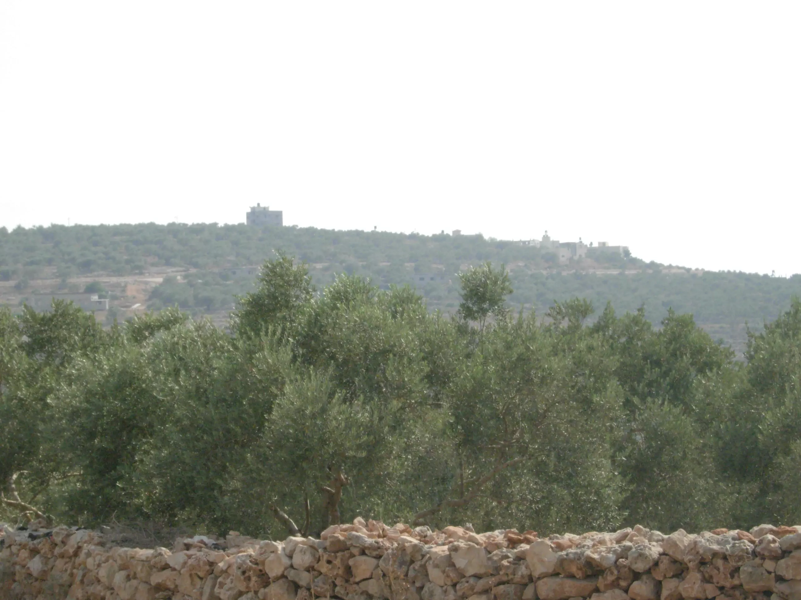
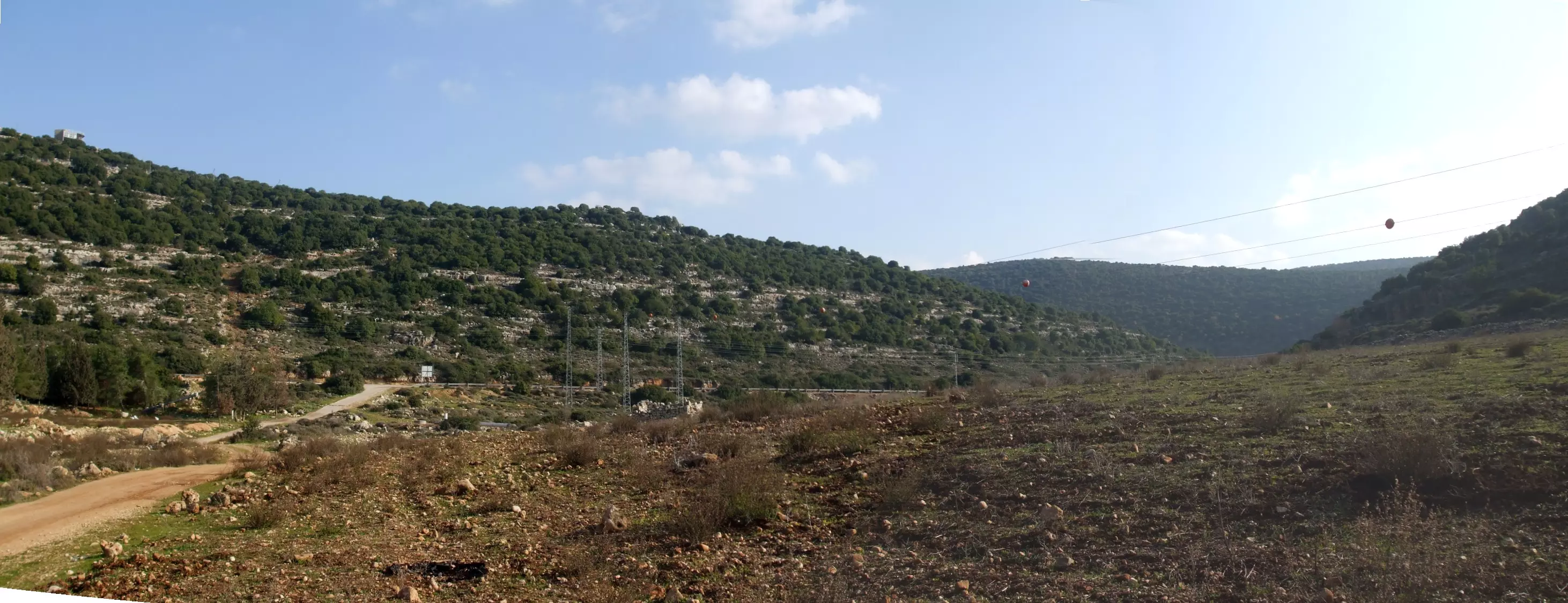
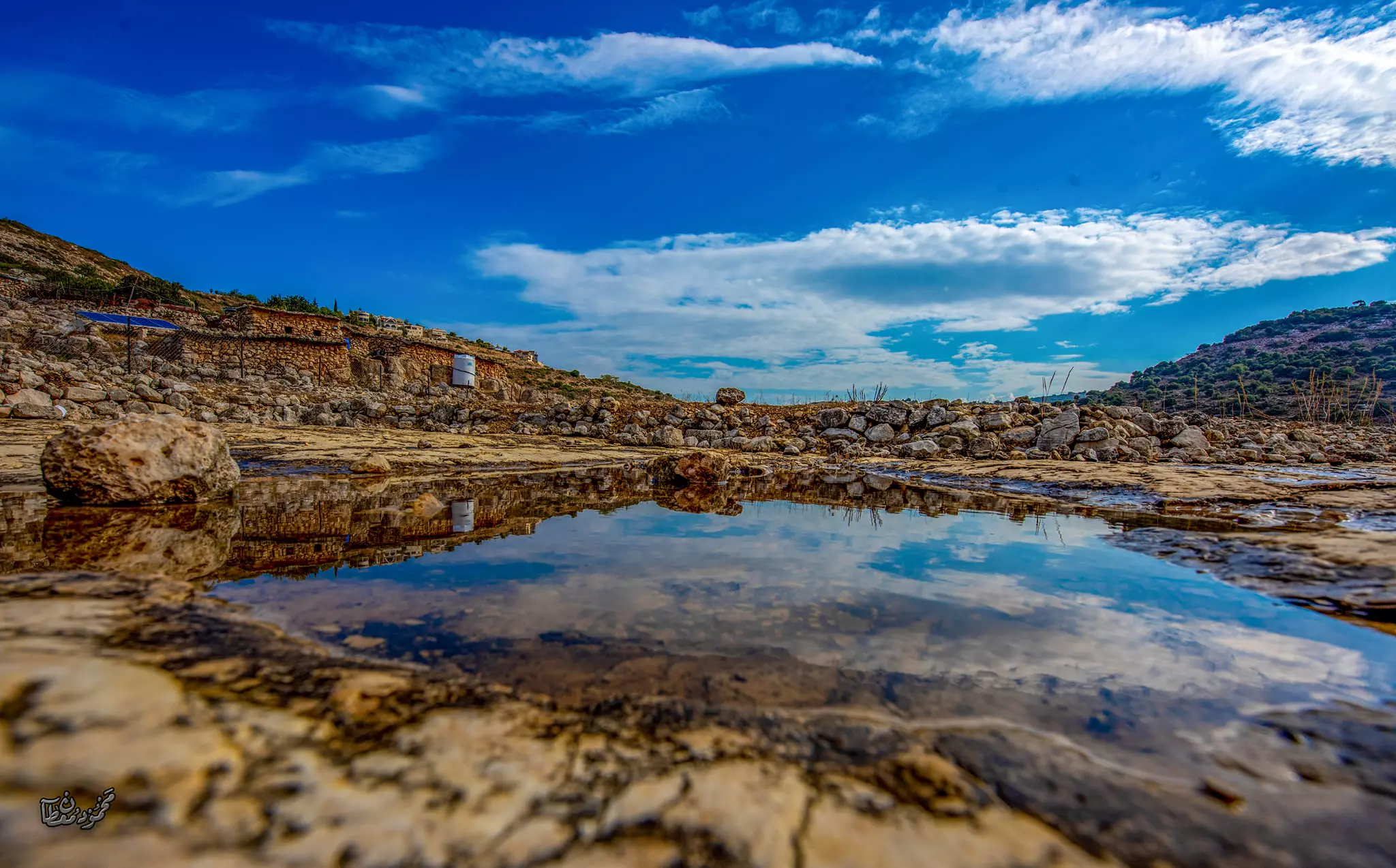
Posted by RAMZI ZEIDAN 6 - منظر من البعد
Posted by Ghanem Mustafa 2 - واد قانا-1/3/2009 -1- تصوير عبدالسلام بشير
Posted by عبدالسلام بشير - واد قانا-1/3/2009 -2- تصوير عبدالسلام بشير
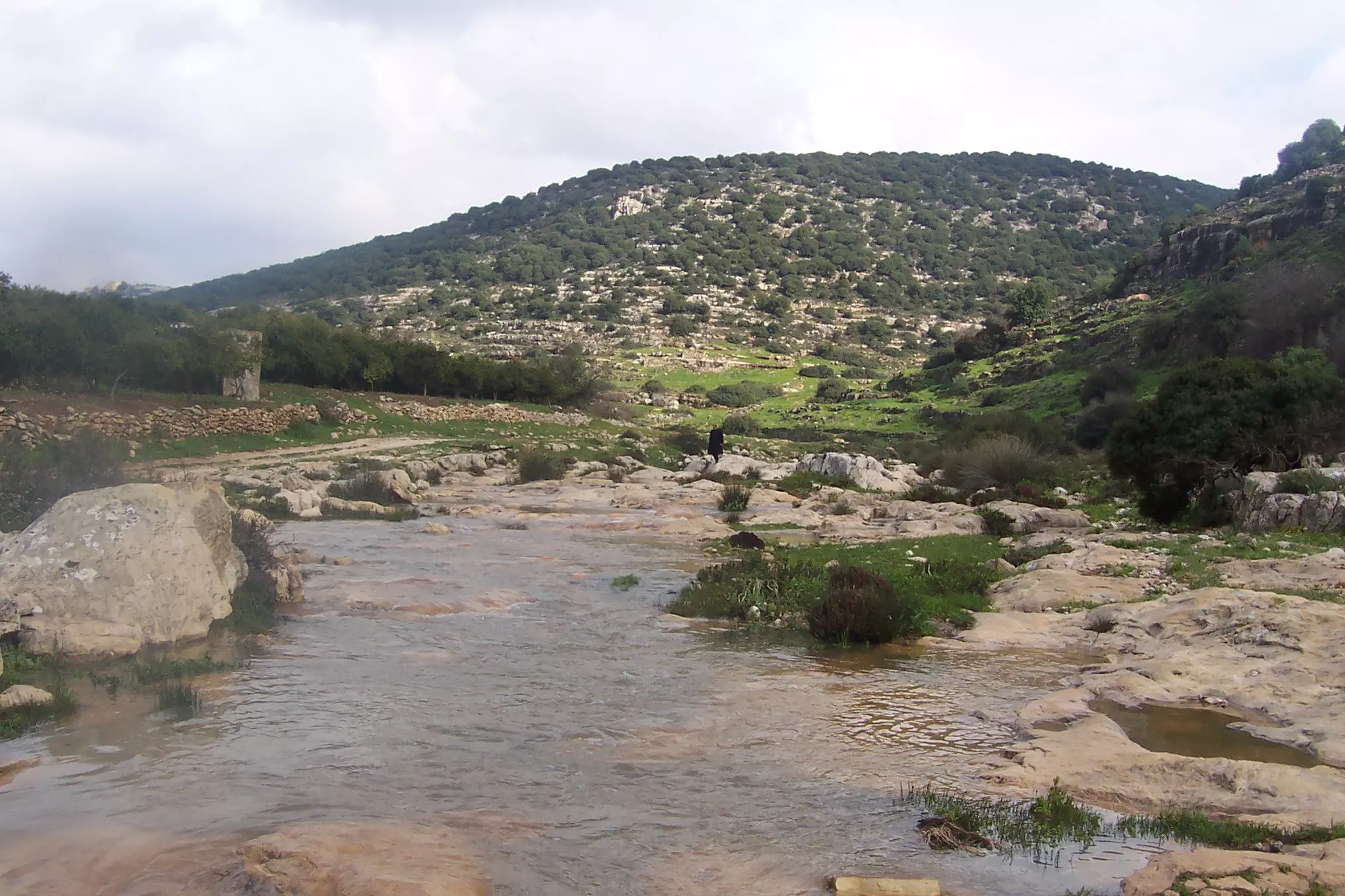
Posted by عبدالسلام بشير 2 - واد قانا-1/3/2009 -3- تصوير عبدالسلام بشير
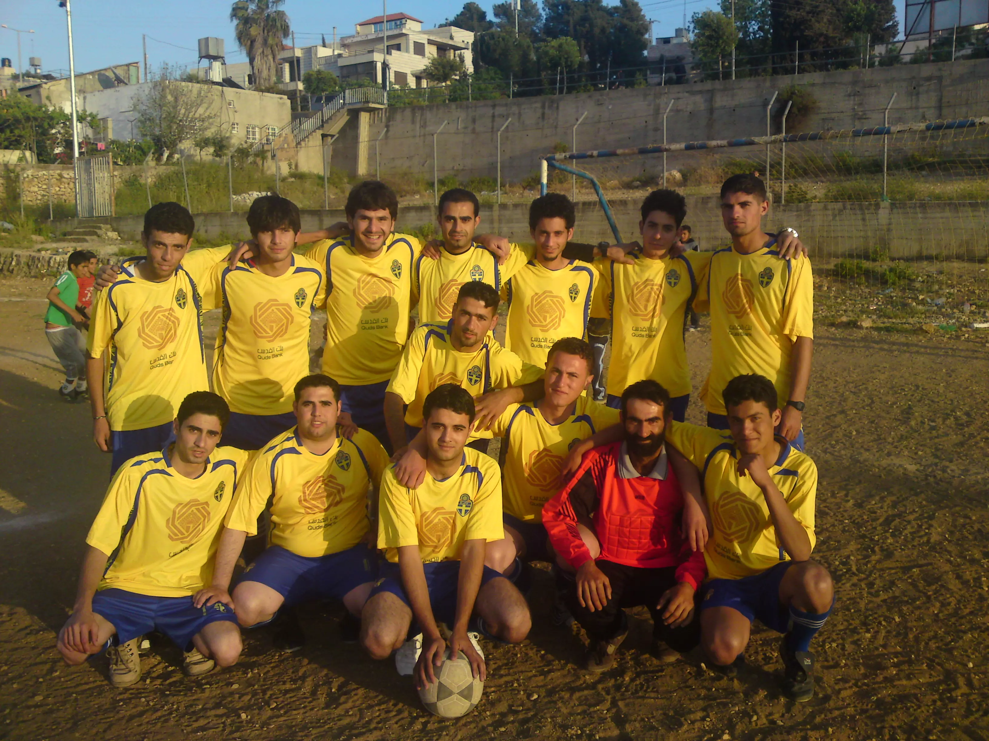
Posted by عبدالسلام بشير 1 - احدى فرق كرة القدم
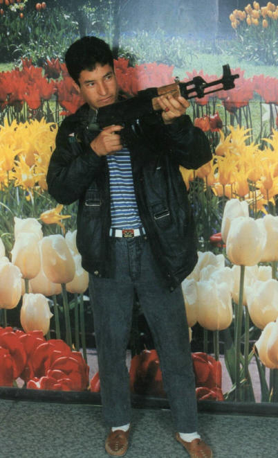
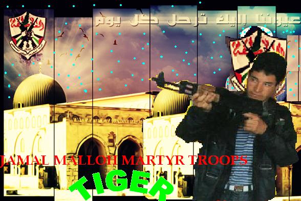
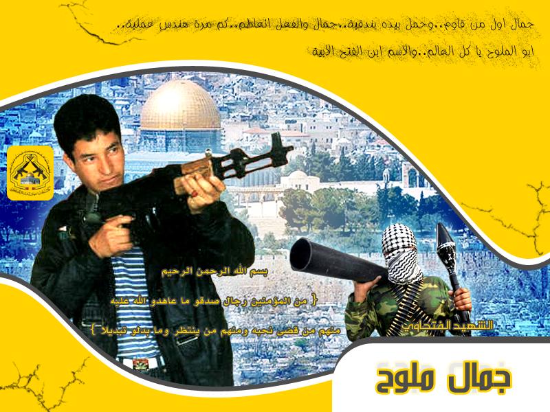
Posted by ابو احمد 2 - قلعة الشهيد جمال ملوح ابن ديراستيا الدوار الغربي صورة
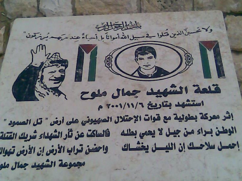
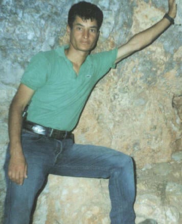
Posted by ابو قصي الديراوي 1 - الشهيد جمال ملوح ابن ديراستيا الصمود
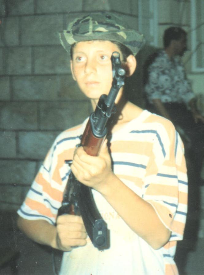
Posted by ابو قصي الديراوي - الشهيد جمال ملوح ديراستيا منفذ عملية تل البطولية مع رفيقي دربه اياد وعلي
Posted by ابو قصي الديراوي - مسجد ديراستيا الكبير جديد 2010م
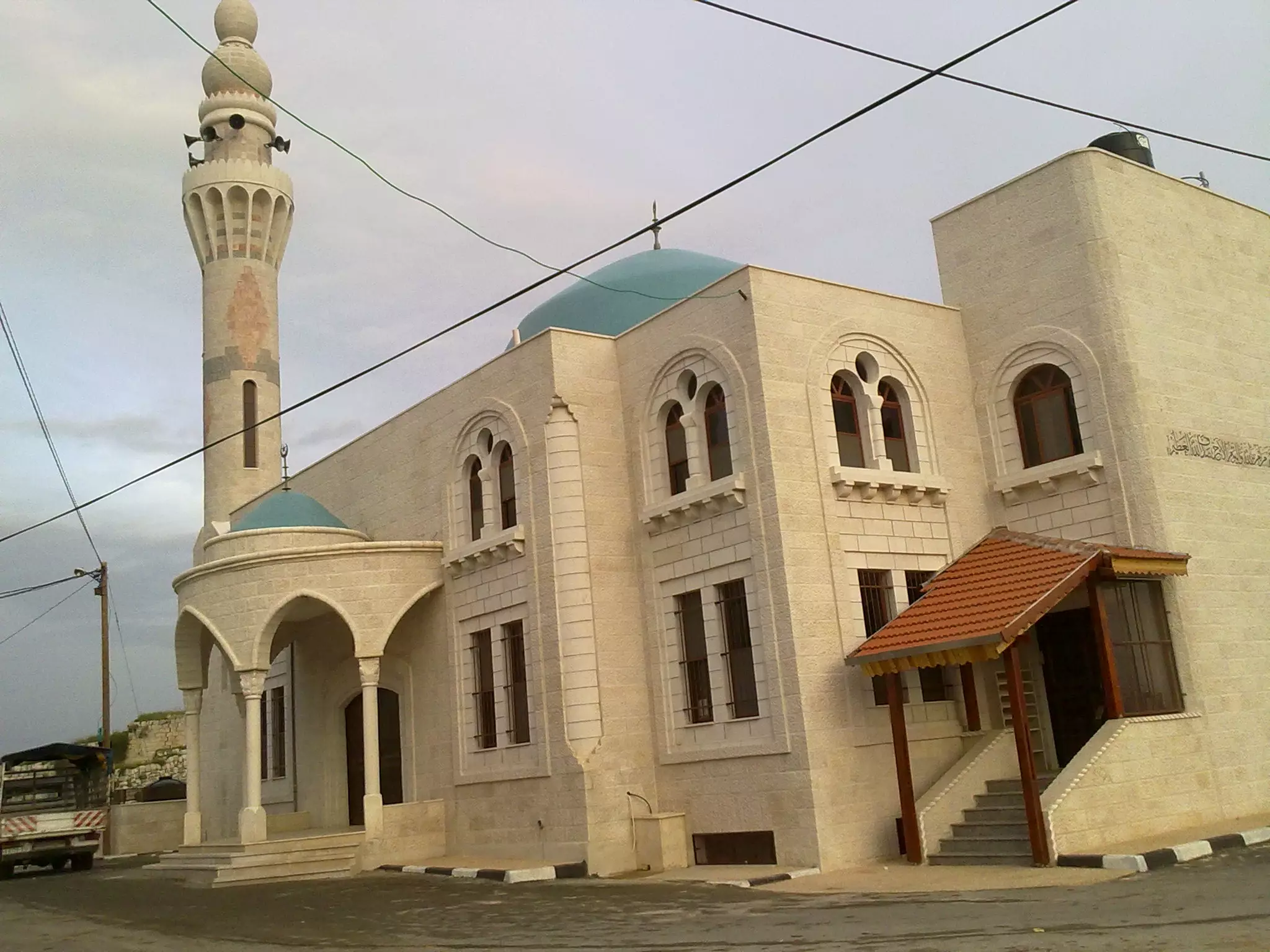
Posted by ابو قصي الديراوي 1 - مسجد ديراستيا الكبير 2
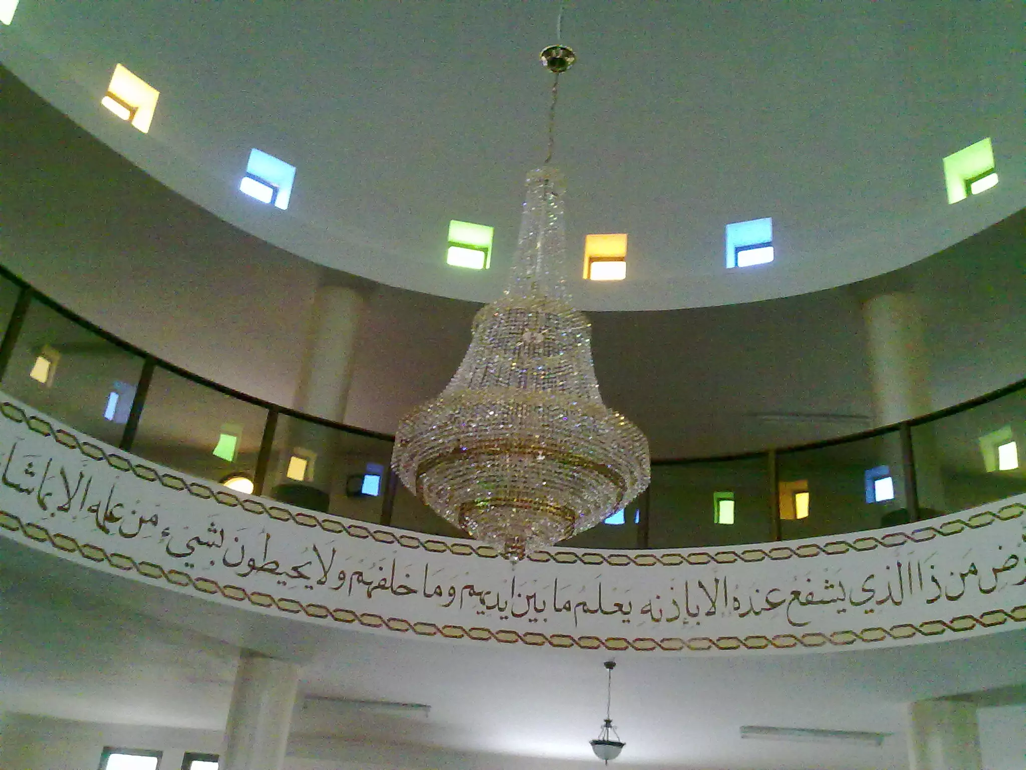
Posted by ابو قصي الديراوي 1 - مسجد ديراستيا الكبير3
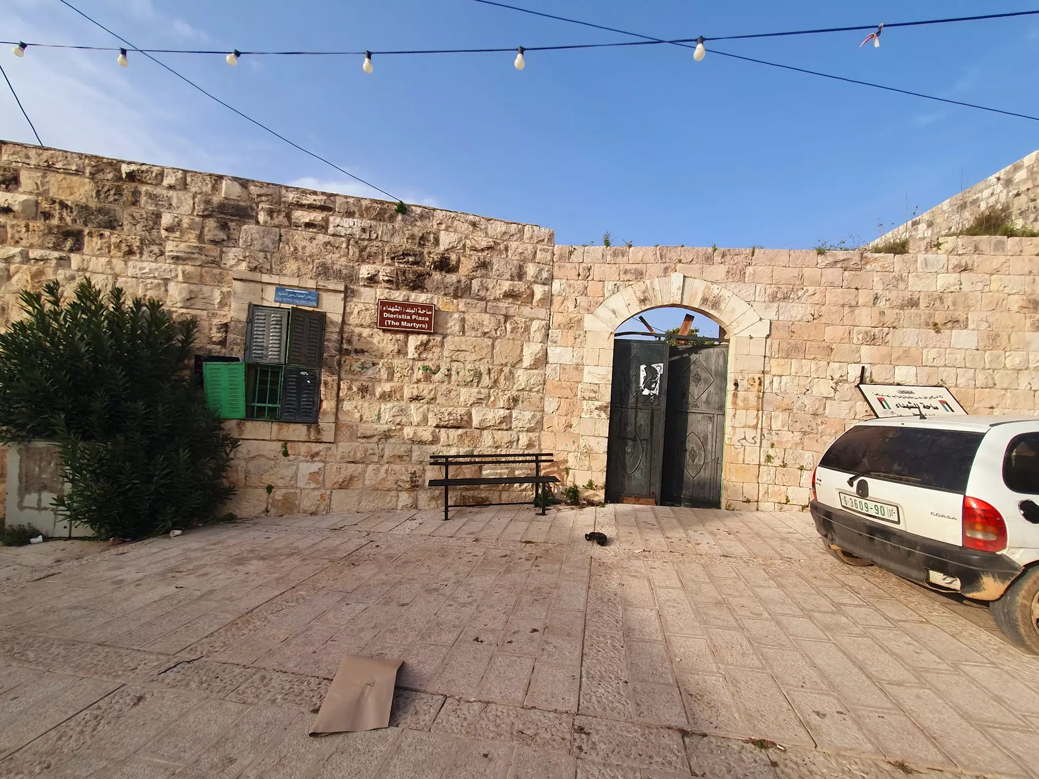
Posted by ابو قصي الديراوي 1 - ساحة الشهداء ديراستيا الدوار الغربي2010
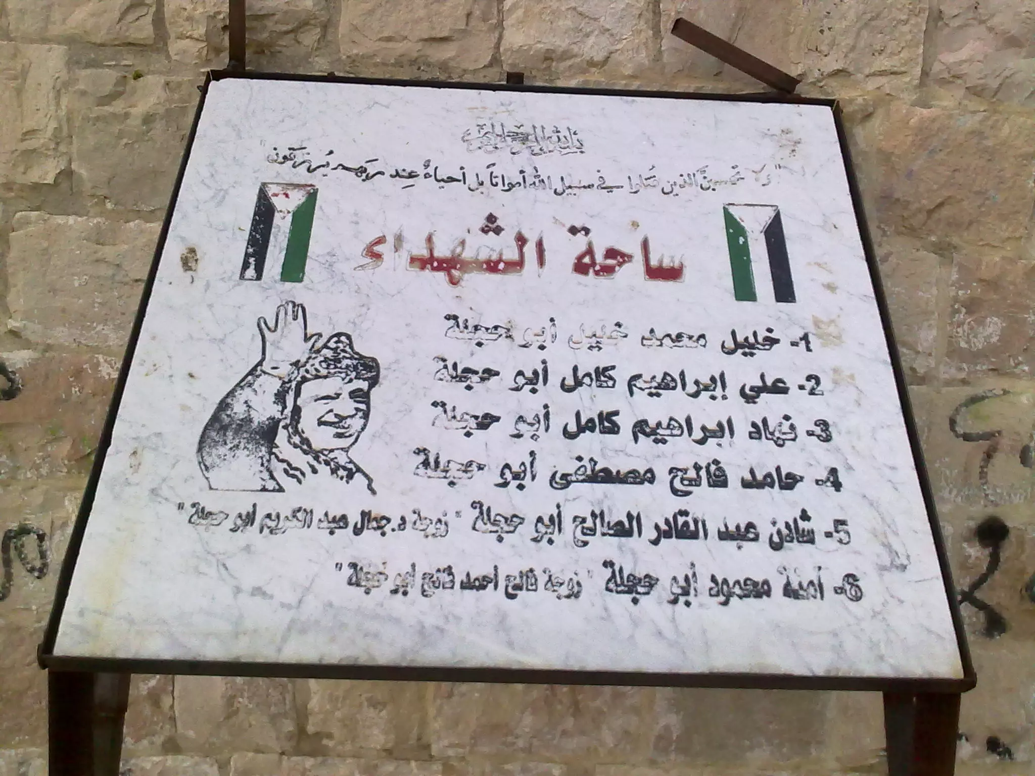
Posted by ابو قصي الديراوي - منظر عام لساحة الشهداء مدخل البلدة القديمة2010
Posted by ابو قصي الديراوي - مركز توفيق للانترنت ديراستيا ديراستيا اعلان
Posted by ابو قصي الديراوي - الشهيد جمال ملوح ابن ديراستيا صورة بغاااااااية الرووووووعة ديراستيا سلفيت
Posted by ابو قصي الديراوي - الشهداء /جمال ملوح. اياد الخطيب. علي ابو حجلة. ابناء ديراستيا
Posted by ابو قصي الديراوي 2 - الشهيد جمال ملوح معركة تل البطولية ديراستيا
Posted by ابو قصي الديراوي - الشهيد علي ابو حجلة ديراستيا بطل عملية تل شرق نابلس
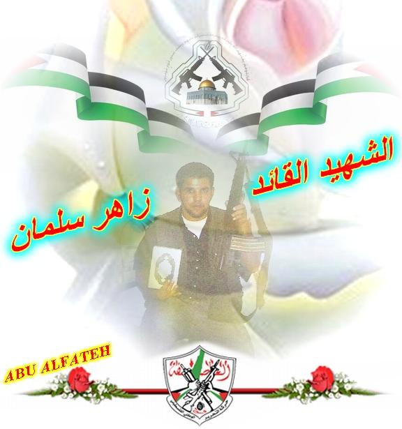
Posted by ابو قصي الديراوي - الشهيد القائد زاهر سلمان ديراستيا صورة رائعة
Posted by ابو قصي الديراوي - صورة الشهيد جمال ملوح ديراستيا تصميم 2010 جديد
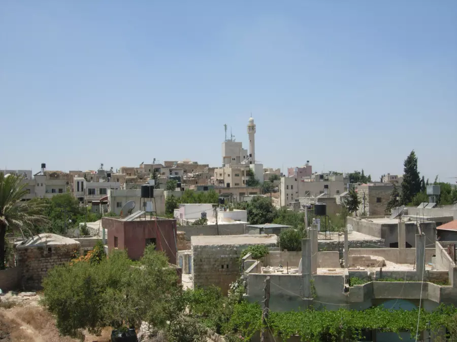
Posted by ابو قصي الديراوي - منظر عام
- وادي قانا -- Ibtisam Sulieman
- وادي قانا -- Ibtisam Sulieman #2
- وادي قانا -- Ibtisam Sulieman #3
- وادي قانا -- Ibtisam Sulieman #4
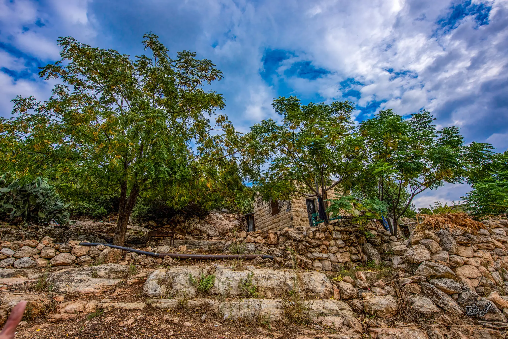
- جولة في بيوت القرية القديمة
- جولة في بيوت القرية القديمة #2
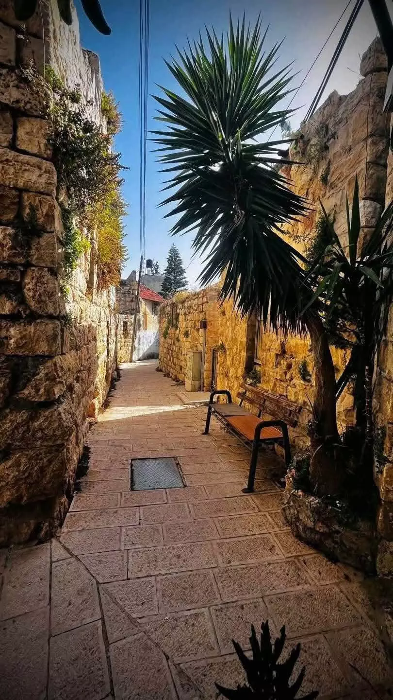
- جولة في بيوت القرية القديمة #3
- جولة في بيوت القرية القديمة #4
- جولة في بيوت القرية القديمة #5
- جولة في بيوت القرية القديمة #6
- بيت قديم من الداخل -- واجد النوباني
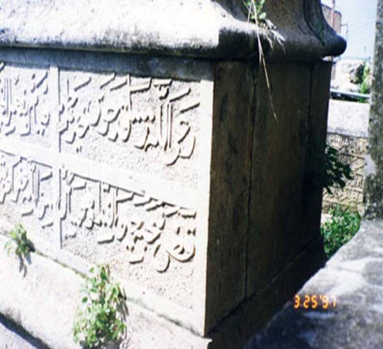
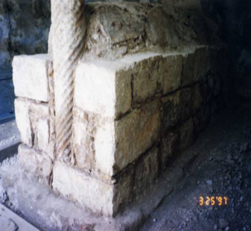
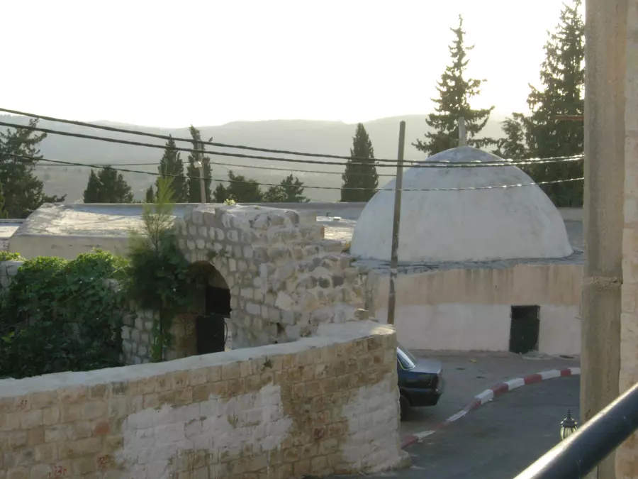
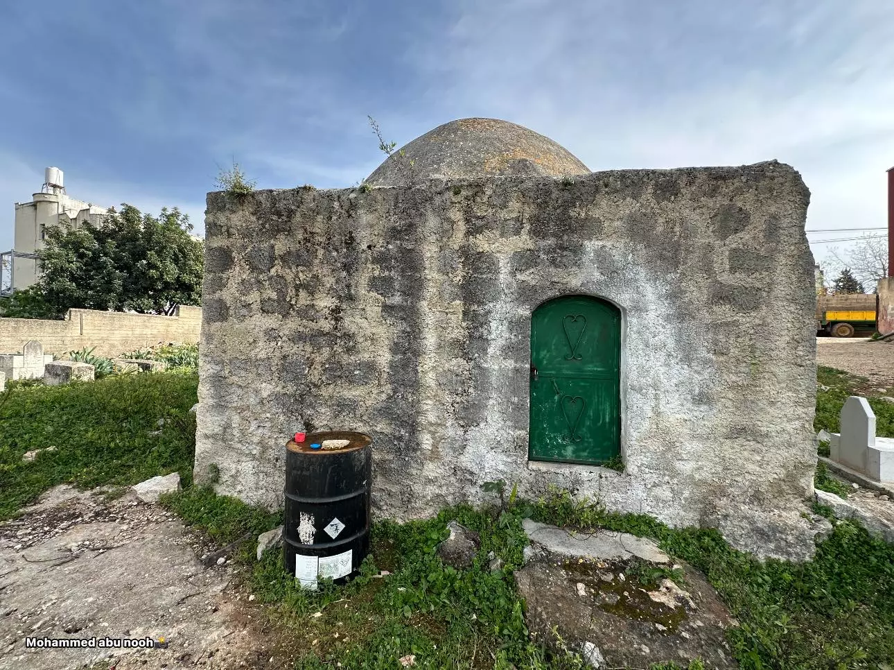
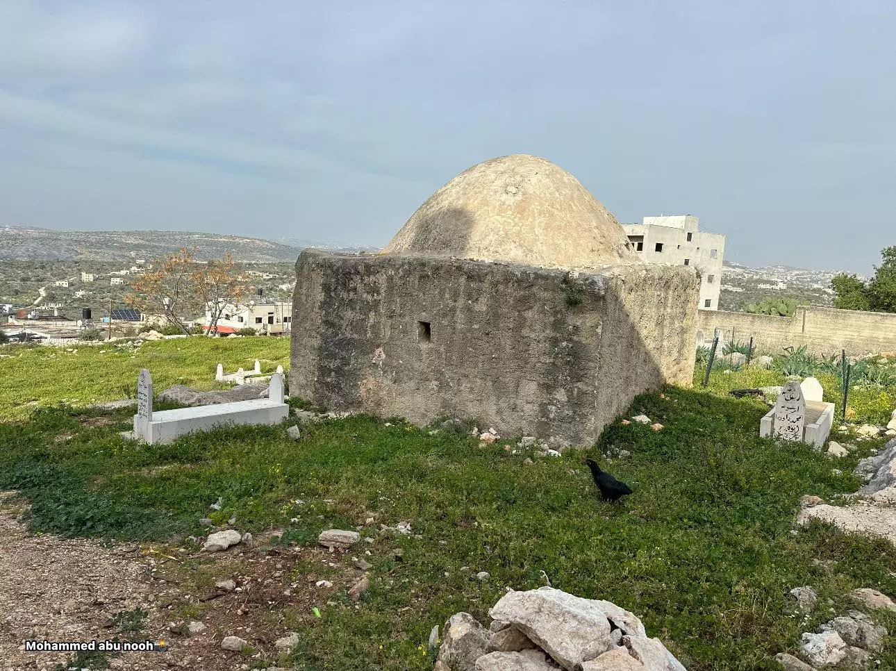
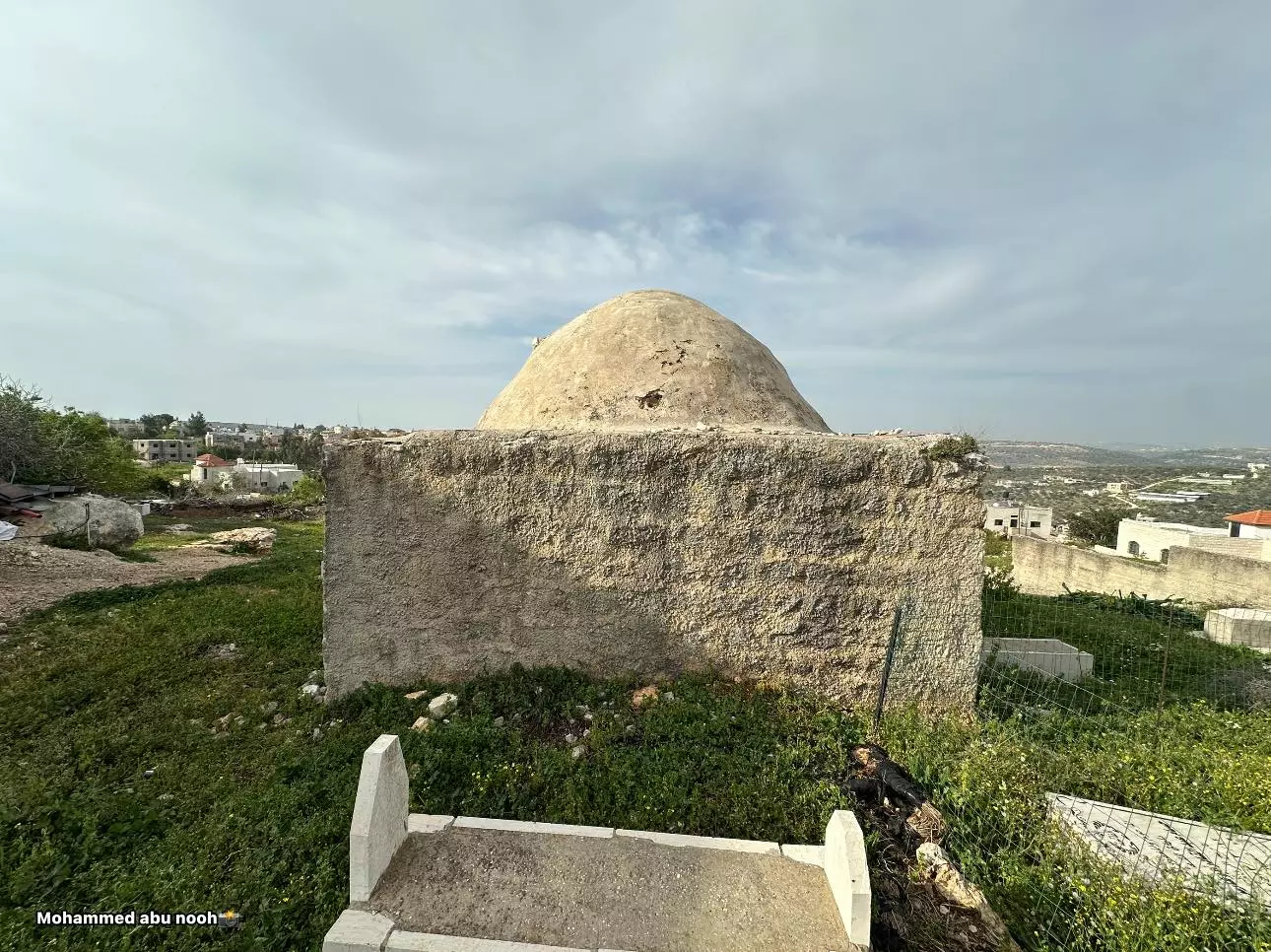
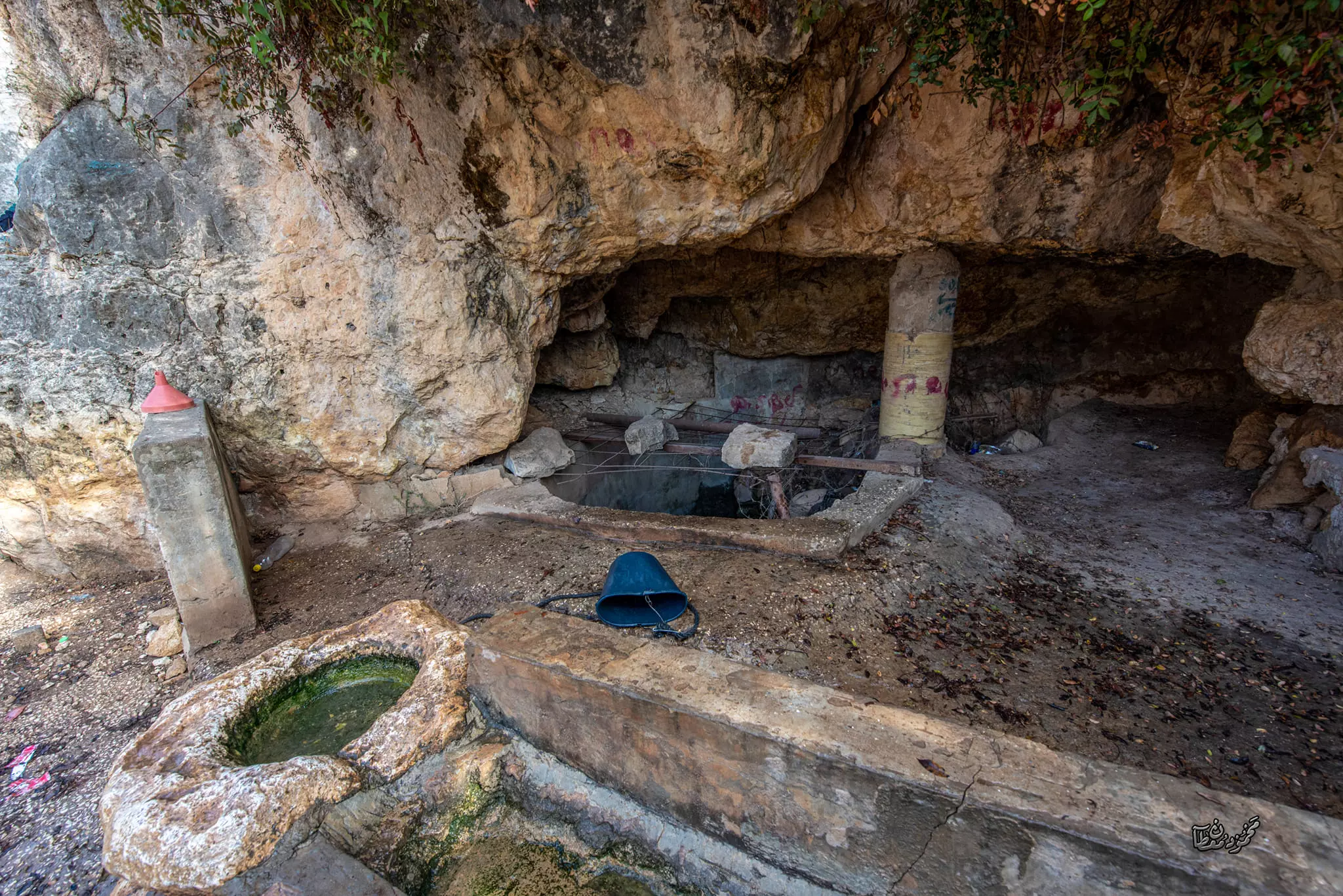
- مقام الشيخ خاطر- دير استيا - سلفيت -- المزيد عنها في قسم التعليقات اسفل الصورة -- محمد أبو نوح
1 - مقام الشيخ خاطر- دير استيا - سلفيت -- المزيد عنها في قسم التعليقات اسفل الصورة -- محمد أبو نوح #2
- مقام الشيخ خاطر- دير استيا - سلفيت -- المزيد عنها في قسم التعليقات اسفل الصورة -- محمد أبو نوح #3
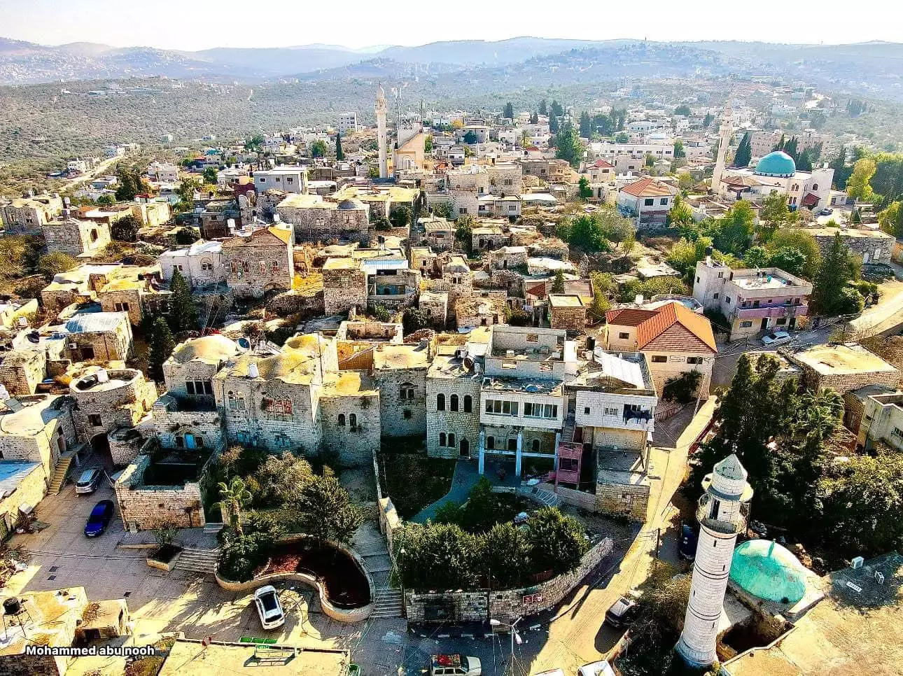
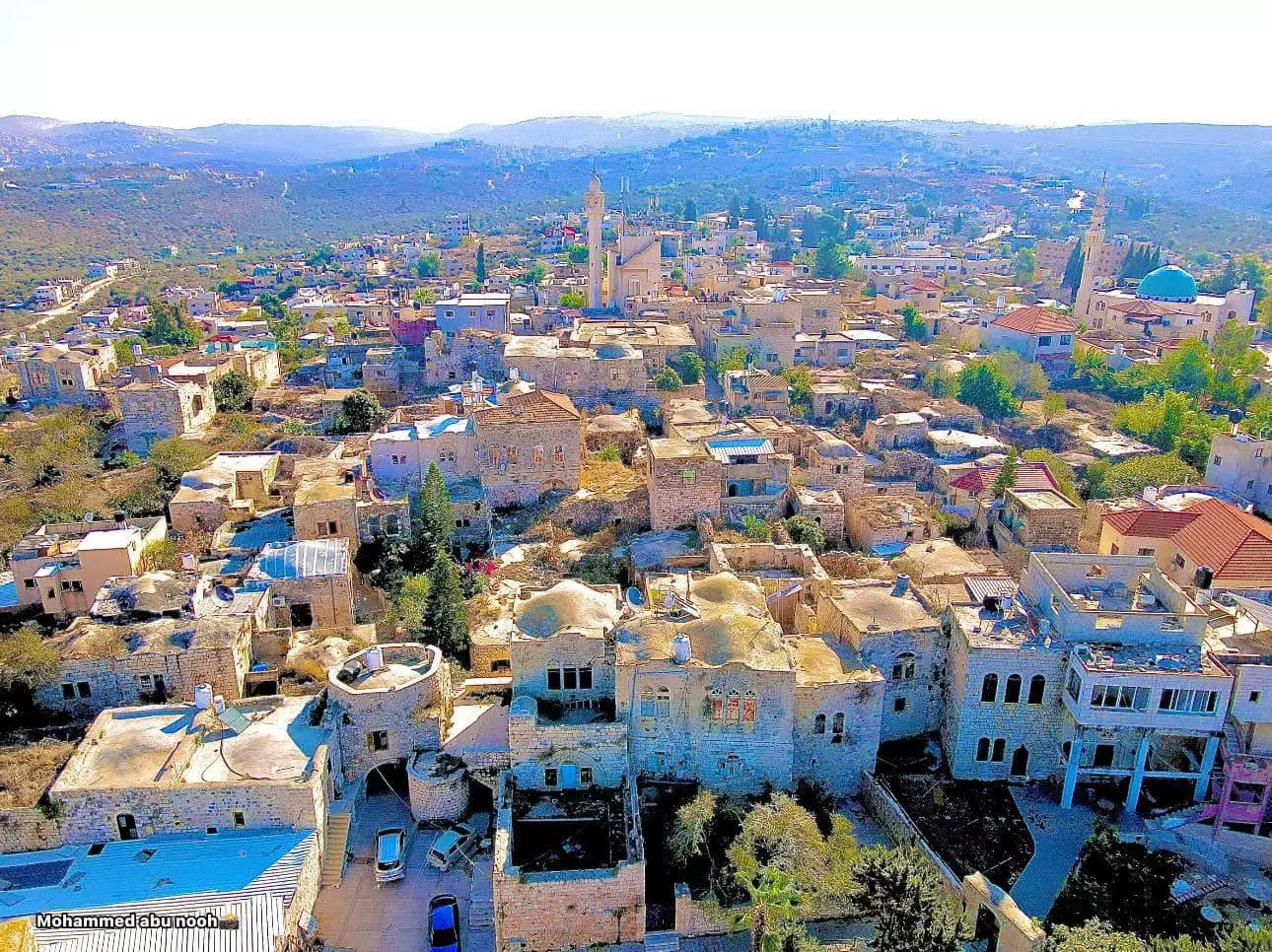
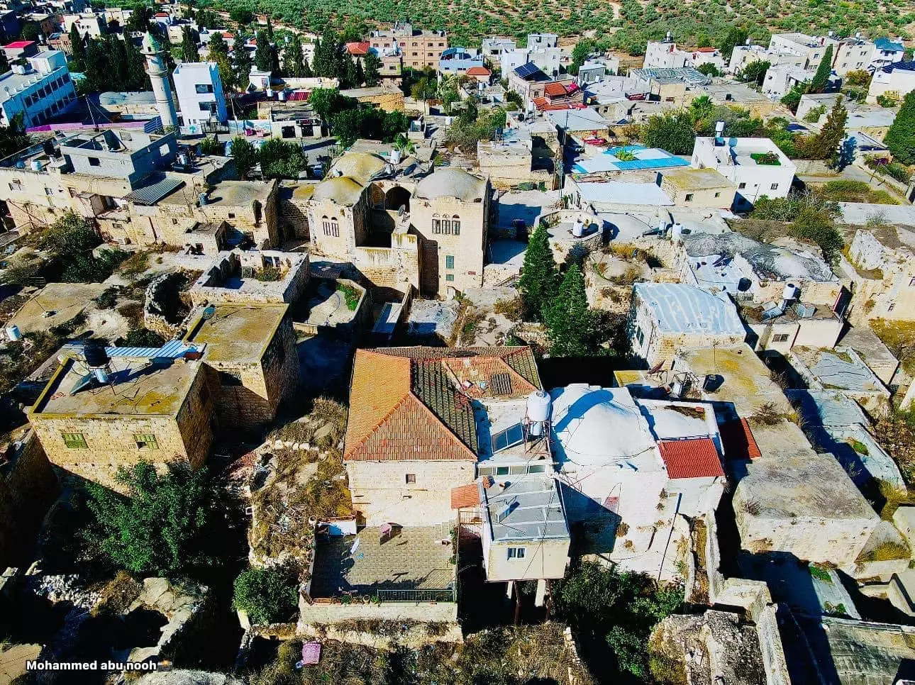
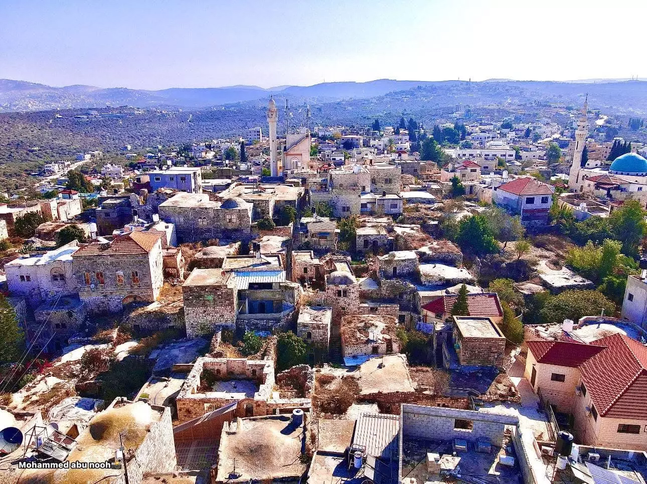
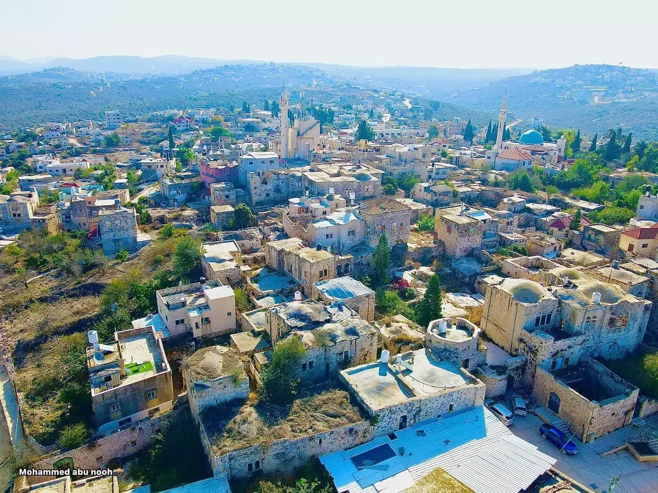
- تصوير جوي لدير استيا سلفيت ..تصوير : محمد أبو نوح
- تصوير جوي لدير استيا سلفيت ..تصوير : محمد أبو نوح #2
- تصوير جوي لدير استيا سلفيت ..تصوير : محمد أبو نوح #3
- تصوير جوي لدير استيا سلفيت ..تصوير : محمد أبو نوح #4
- تصوير جوي لدير استيا سلفيت ..تصوير : محمد أبو نوح #5
- جولة بين البيوت القديمة
- جولة بين البيوت القديمة #2
- جولة بين البيوت القديمة #3
- جولة بين البيوت القديمة #4
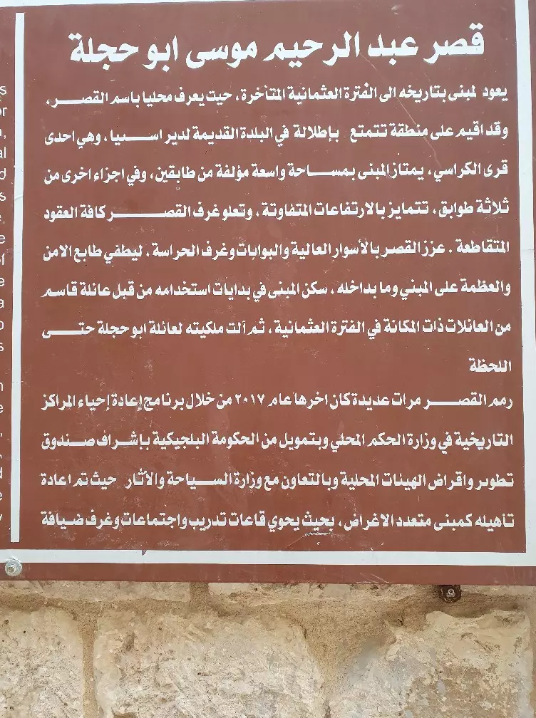
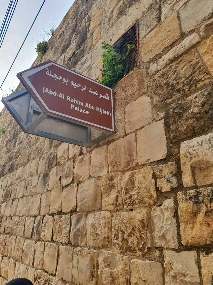
- جوله رائعة بين بيوت وأزقة البلدة القديمة وقصر عبد الرحيم موسى ابو حجلة -- April 2022 -- Nabela Salem
- جوله رائعة بين بيوت وأزقة البلدة القديمة وقصر عبد الرحيم موسى ابو حجلة -- April 2022 -- Nabela Salem #2
- جوله رائعة بين بيوت وأزقة البلدة القديمة وقصر عبد الرحيم موسى ابو حجلة -- April 2022 -- Nabela Salem #3
- جوله رائعة بين بيوت وأزقة البلدة القديمة وقصر عبد الرحيم موسى ابو حجلة -- April 2022 -- Nabela Salem #4
- جوله رائعة بين بيوت وأزقة البلدة القديمة وقصر عبد الرحيم موسى ابو حجلة -- April 2022 -- Nabela Salem #5
- جوله رائعة بين بيوت وأزقة البلدة القديمة وقصر عبد الرحيم موسى ابو حجلة -- April 2022 -- Nabela Salem #6
- جوله رائعة بين بيوت وأزقة البلدة القديمة وقصر عبد الرحيم موسى ابو حجلة -- April 2022 -- Nabela Salem #7
- جوله رائعة بين بيوت وأزقة البلدة القديمة وقصر عبد الرحيم موسى ابو حجلة -- April 2022 -- Nabela Salem #8
- جوله رائعة بين بيوت وأزقة البلدة القديمة وقصر عبد الرحيم موسى ابو حجلة -- April 2022 -- Nabela Salem #9
- جوله رائعة بين بيوت وأزقة البلدة القديمة وقصر عبد الرحيم موسى ابو حجلة -- April 2022 -- Nabela Salem #10
- جوله رائعة بين بيوت وأزقة البلدة القديمة وقصر عبد الرحيم موسى ابو حجلة -- April 2022 -- Nabela Salem #11
- جوله رائعة بين بيوت وأزقة البلدة القديمة وقصر عبد الرحيم موسى ابو حجلة -- April 2022 -- Nabela Salem #12
- جوله رائعة بين بيوت وأزقة البلدة القديمة وقصر عبد الرحيم موسى ابو حجلة -- April 2022 -- Nabela Salem #13
- جوله رائعة بين بيوت وأزقة البلدة القديمة وقصر عبد الرحيم موسى ابو حجلة -- April 2022 -- Nabela Salem #14
- جوله رائعة بين بيوت وأزقة البلدة القديمة وقصر عبد الرحيم موسى ابو حجلة -- April 2022 -- Nabela Salem #15
- جوله رائعة بين بيوت وأزقة البلدة القديمة وقصر عبد الرحيم موسى ابو حجلة -- April 2022 -- Nabela Salem #16
- جوله رائعة بين بيوت وأزقة البلدة القديمة وقصر عبد الرحيم موسى ابو حجلة -- April 2022 -- Nabela Salem #17
- جوله رائعة بين بيوت وأزقة البلدة القديمة وقصر عبد الرحيم موسى ابو حجلة -- April 2022 -- Nabela Salem #18
- جوله رائعة بين بيوت وأزقة البلدة القديمة وقصر عبد الرحيم موسى ابو حجلة -- April 2022 -- Nabela Salem #19
- جوله رائعة بين بيوت وأزقة البلدة القديمة وقصر عبد الرحيم موسى ابو حجلة -- April 2022 -- Nabela Salem #20
- جوله رائعة بين بيوت وأزقة البلدة القديمة وقصر عبد الرحيم موسى ابو حجلة -- April 2022 -- Nabela Salem #21
- جوله رائعة بين بيوت وأزقة البلدة القديمة وقصر عبد الرحيم موسى ابو حجلة -- April 2022 -- Nabela Salem #22
- جوله رائعة بين بيوت وأزقة البلدة القديمة وقصر عبد الرحيم موسى ابو حجلة -- April 2022 -- Nabela Salem #23
- جوله رائعة بين بيوت وأزقة البلدة القديمة وقصر عبد الرحيم موسى ابو حجلة -- April 2022 -- Nabela Salem #24
- جوله رائعة بين بيوت وأزقة البلدة القديمة وقصر عبد الرحيم موسى ابو حجلة -- April 2022 -- Nabela Salem #25
- جوله رائعة بين بيوت وأزقة البلدة القديمة وقصر عبد الرحيم موسى ابو حجلة -- April 2022 -- Nabela Salem #26
- جوله رائعة بين بيوت وأزقة البلدة القديمة وقصر عبد الرحيم موسى ابو حجلة -- April 2022 -- Nabela Salem #27
- جوله رائعة بين بيوت وأزقة البلدة القديمة وقصر عبد الرحيم موسى ابو حجلة -- April 2022 -- Nabela Salem #28
- جوله رائعة بين بيوت وأزقة البلدة القديمة وقصر عبد الرحيم موسى ابو حجلة -- April 2022 -- Nabela Salem #29
- جوله رائعة بين بيوت وأزقة البلدة القديمة وقصر عبد الرحيم موسى ابو حجلة -- April 2022 -- Nabela Salem #30
- جوله رائعة بين بيوت وأزقة البلدة القديمة وقصر عبد الرحيم موسى ابو حجلة -- April 2022 -- Nabela Salem #31
- جوله رائعة بين بيوت وأزقة البلدة القديمة وقصر عبد الرحيم موسى ابو حجلة -- April 2022 -- Nabela Salem #32
- جوله رائعة بين بيوت وأزقة البلدة القديمة وقصر عبد الرحيم موسى ابو حجلة -- April 2022 -- Nabela Salem #33
- جوله رائعة بين بيوت وأزقة البلدة القديمة وقصر عبد الرحيم موسى ابو حجلة -- April 2022 -- Nabela Salem #34
- جوله رائعة بين بيوت وأزقة البلدة القديمة وقصر عبد الرحيم موسى ابو حجلة -- April 2022 -- Nabela Salem #35
- جوله رائعة بين بيوت وأزقة البلدة القديمة وقصر عبد الرحيم موسى ابو حجلة -- April 2022 -- Nabela Salem #36
- جوله رائعة بين بيوت وأزقة البلدة القديمة وقصر عبد الرحيم موسى ابو حجلة -- April 2022 -- Nabela Salem #37
- جوله رائعة بين بيوت وأزقة البلدة القديمة وقصر عبد الرحيم موسى ابو حجلة -- April 2022 -- Nabela Salem #38
- جوله رائعة بين بيوت وأزقة البلدة القديمة وقصر عبد الرحيم موسى ابو حجلة -- April 2022 -- Nabela Salem #39
- جوله رائعة بين بيوت وأزقة البلدة القديمة وقصر عبد الرحيم موسى ابو حجلة -- April 2022 -- Nabela Salem #40
- جوله رائعة بين بيوت وأزقة البلدة القديمة وقصر عبد الرحيم موسى ابو حجلة -- April 2022 -- Nabela Salem #41
- جولة رائعة في البلدة القديمة
- جولة رائعة في البلدة القديمة #2
- جولة رائعة في البلدة القديمة #3
- جولة رائعة في البلدة القديمة #4
- جولة رائعة في البلدة القديمة #5
- A rare tour of the village's old houses (mostly for Abdul Raheem Abu Hijlah) in the 1980s was done by the Riwaq Center
- A rare tour of the village's old houses (mostly for Abdul Raheem Abu Hijlah) in the 1980s was done by the Riwaq Center #2
- A rare tour of the village's old houses (mostly for Abdul Raheem Abu Hijlah) in the 1980s was done by the Riwaq Center #3
- A rare tour of the village's old houses (mostly for Abdul Raheem Abu Hijlah) in the 1980s was done by the Riwaq Center #4
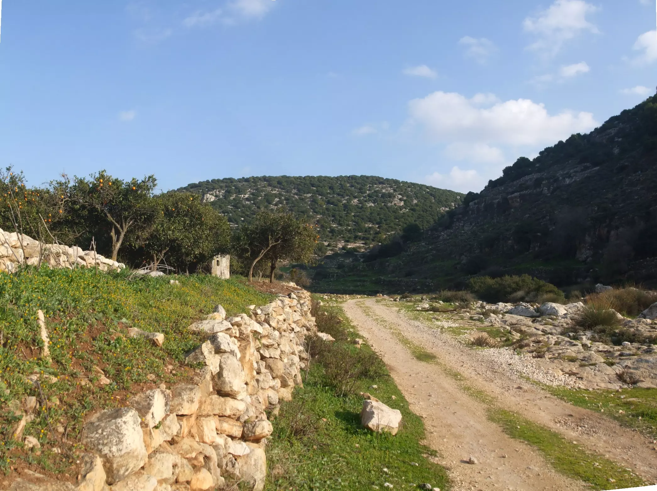
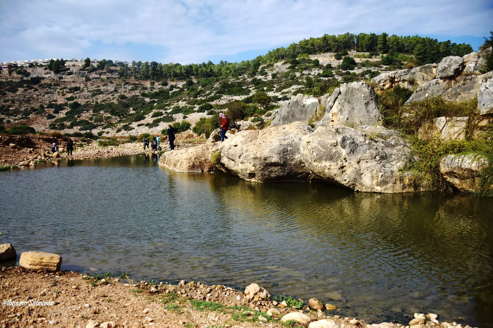
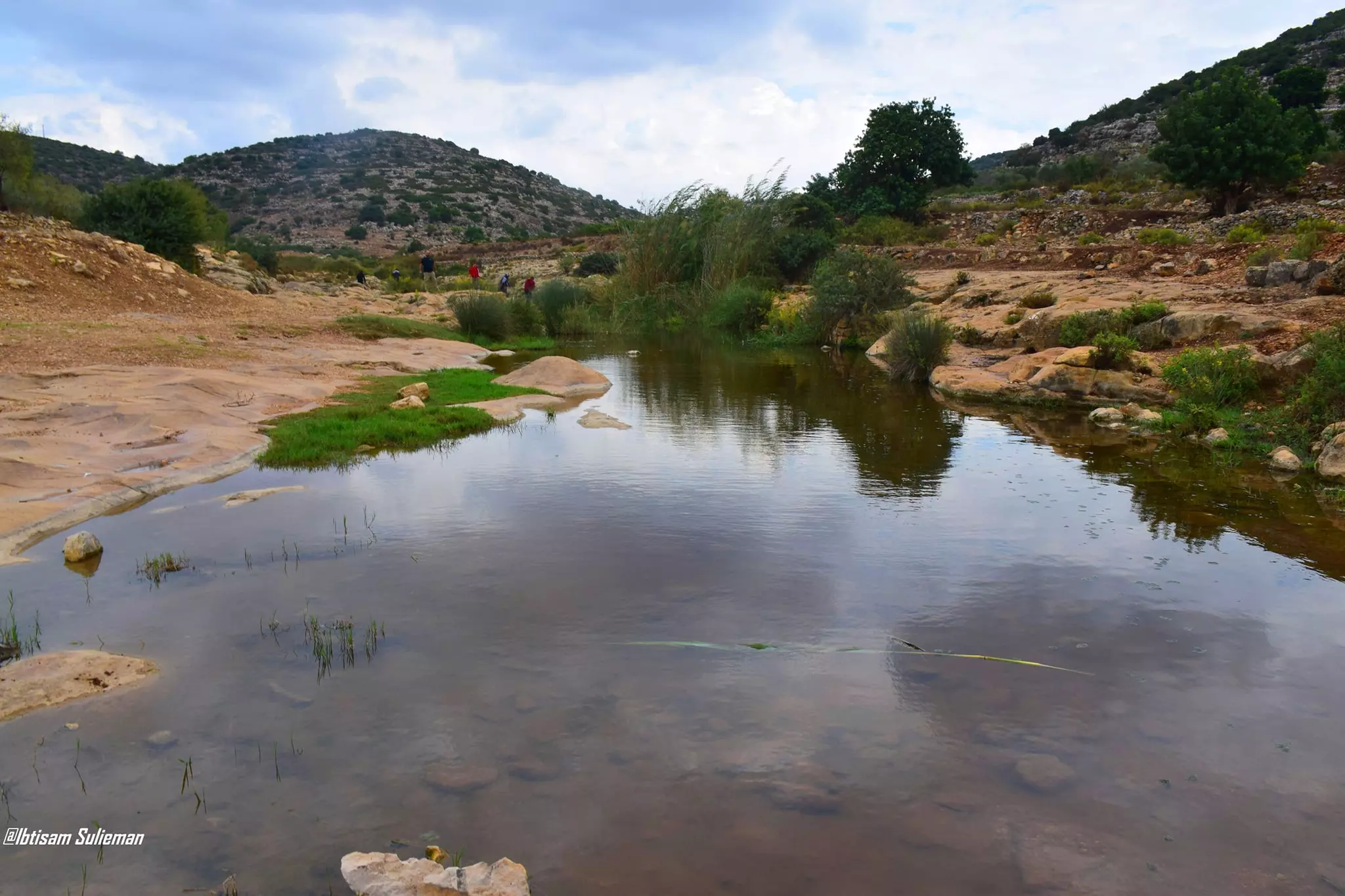
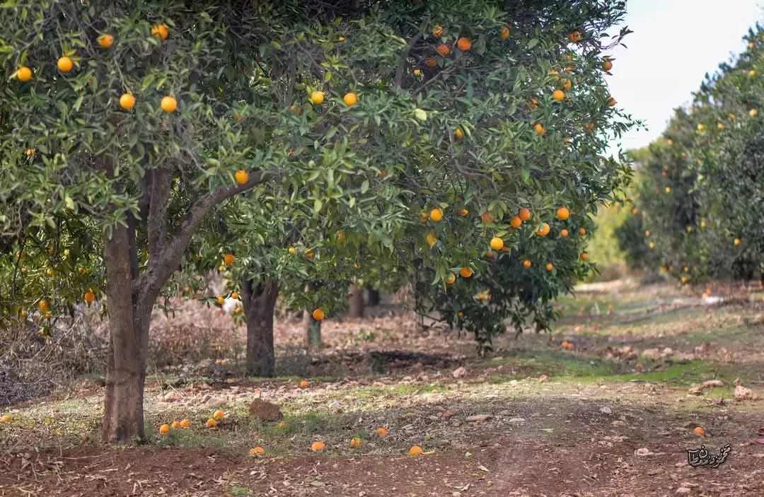
- جولة رائعة في وادي قانا وهو محمية طبيعية تعد من ضمن أراضي قرية دير استيا. يتجاوز مساحة الوادي ١٠٠٠٠ دونم من الأراضي الزراعية الخضراء المليئة بالبيارات -- Dec. 2024 -- Mahmoud Moutan
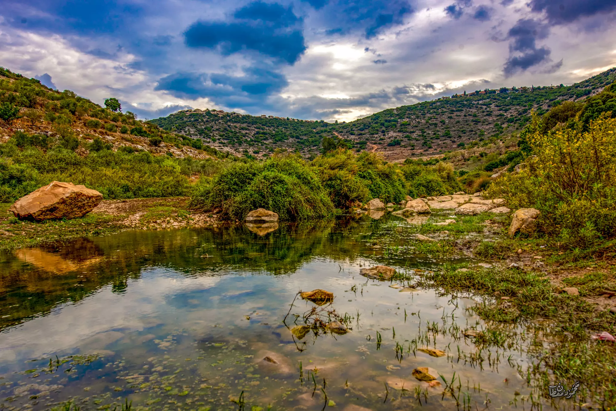
- جولة رائعة في وادي قانا وهو محمية طبيعية تعد من ضمن أراضي قرية دير استيا. يتجاوز مساحة الوادي ١٠٠٠٠ دونم من الأراضي الزراعية الخضراء المليئة بالبيارات -- Dec. 2024 -- Mahmoud Moutan #2
- جولة رائعة في وادي قانا وهو محمية طبيعية تعد من ضمن أراضي قرية دير استيا. يتجاوز مساحة الوادي ١٠٠٠٠ دونم من الأراضي الزراعية الخضراء المليئة بالبيارات -- Dec. 2024 -- Mahmoud Moutan #3
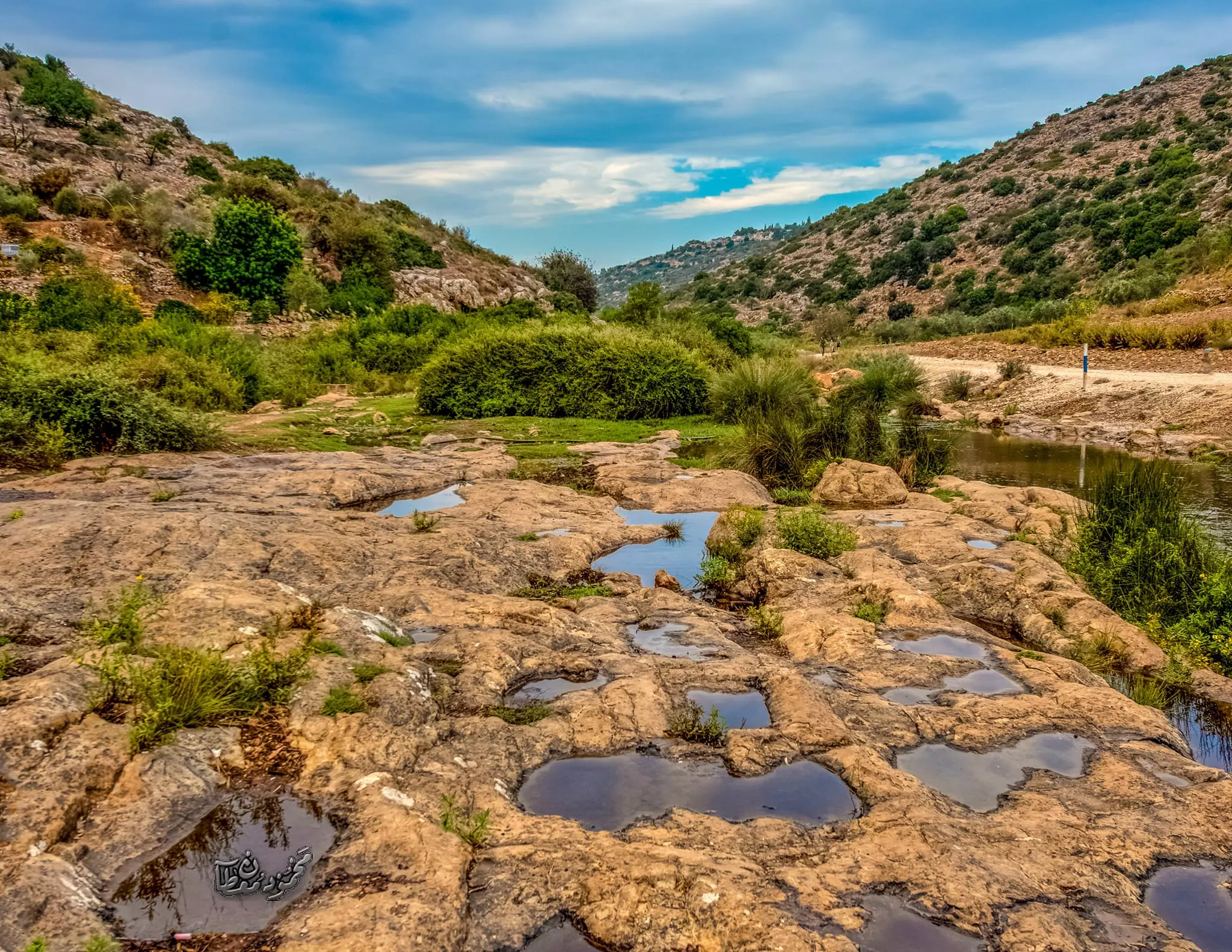
- جولة رائعة في وادي قانا وهو محمية طبيعية تعد من ضمن أراضي قرية دير استيا. يتجاوز مساحة الوادي ١٠٠٠٠ دونم من الأراضي الزراعية الخضراء المليئة بالبيارات -- Dec. 2024 -- Mahmoud Moutan #4
- جولة رائعة في وادي قانا وهو محمية طبيعية تعد من ضمن أراضي قرية دير استيا. يتجاوز مساحة الوادي ١٠٠٠٠ دونم من الأراضي الزراعية الخضراء المليئة بالبيارات -- Dec. 2024 -- Mahmoud Moutan #5
- جولة رائعة في وادي قانا وهو محمية طبيعية تعد من ضمن أراضي قرية دير استيا. يتجاوز مساحة الوادي ١٠٠٠٠ دونم من الأراضي الزراعية الخضراء المليئة بالبيارات -- Dec. 2024 -- Mahmoud Moutan #6
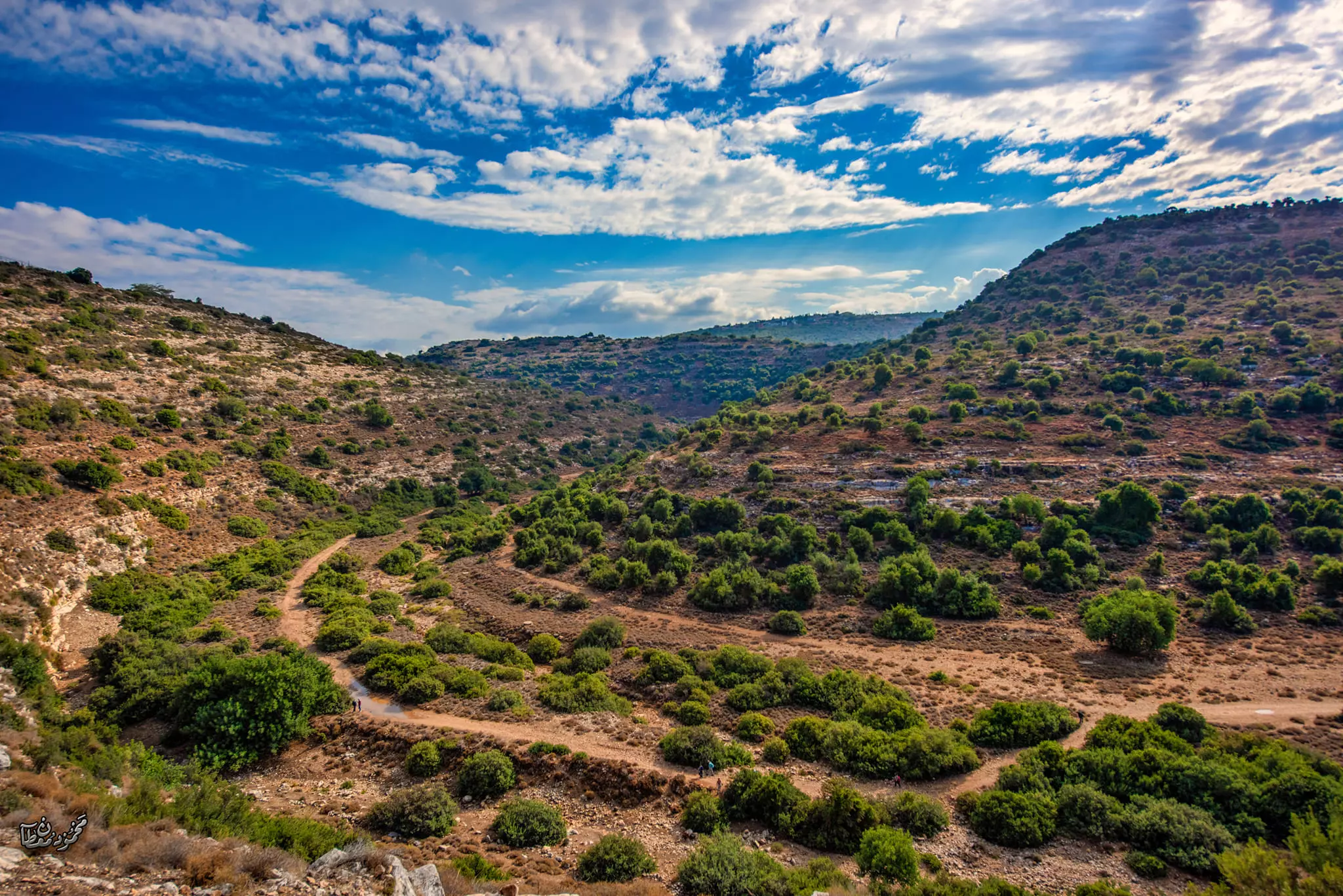
- جولة رائعة في وادي قانا وهو محمية طبيعية تعد من ضمن أراضي قرية دير استيا. يتجاوز مساحة الوادي ١٠٠٠٠ دونم من الأراضي الزراعية الخضراء المليئة بالبيارات -- Dec. 2024 -- Mahmoud Moutan #7
- جولة رائعة في وادي قانا وهو محمية طبيعية تعد من ضمن أراضي قرية دير استيا. يتجاوز مساحة الوادي ١٠٠٠٠ دونم من الأراضي الزراعية الخضراء المليئة بالبيارات -- Dec. 2024 -- Mahmoud Moutan #8
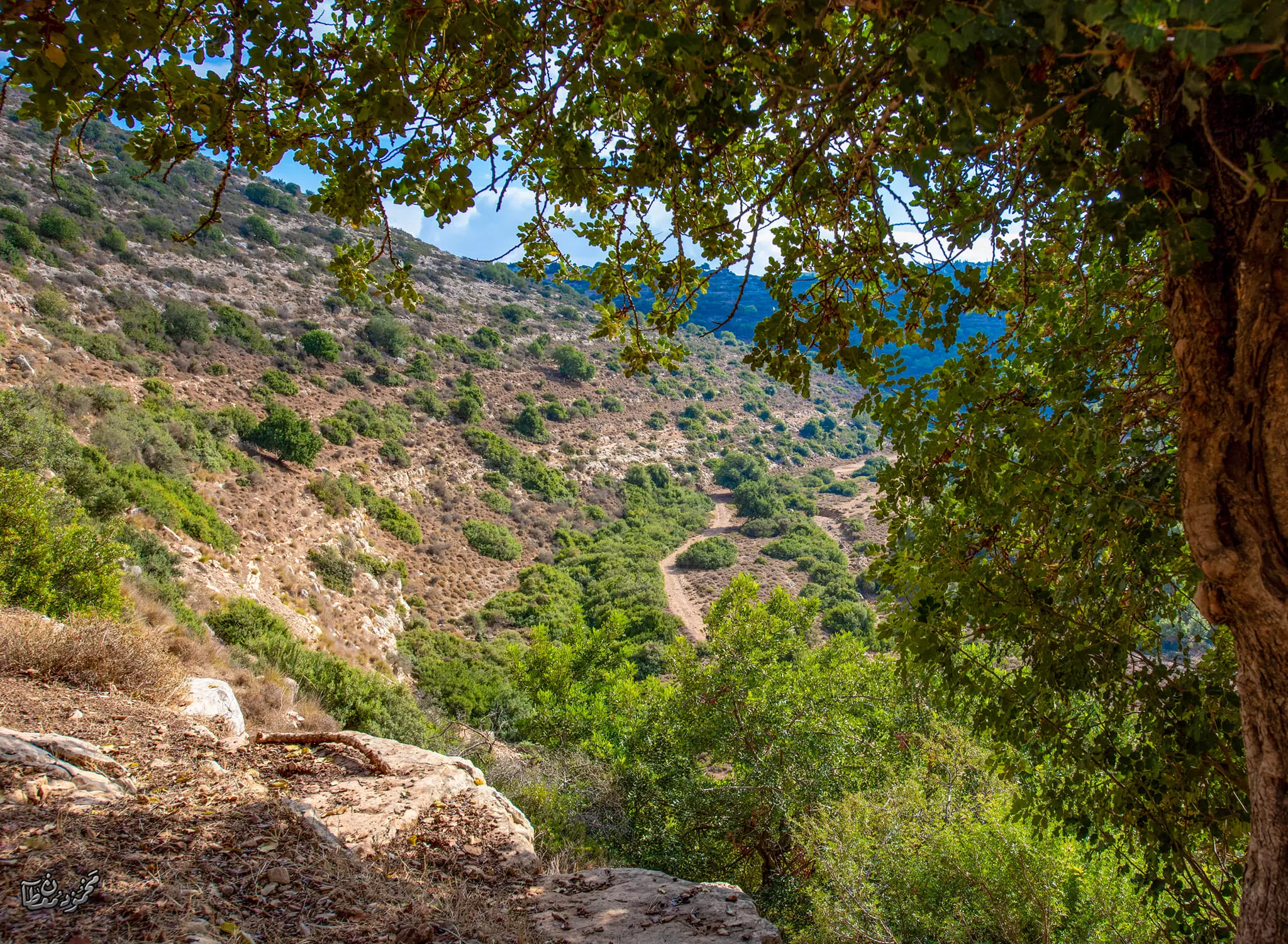
- جولة رائعة في وادي قانا وهو محمية طبيعية تعد من ضمن أراضي قرية دير استيا. يتجاوز مساحة الوادي ١٠٠٠٠ دونم من الأراضي الزراعية الخضراء المليئة بالبيارات -- Dec. 2024 -- Mahmoud Moutan #9
- جولة رائعة في وادي قانا وهو محمية طبيعية تعد من ضمن أراضي قرية دير استيا. يتجاوز مساحة الوادي ١٠٠٠٠ دونم من الأراضي الزراعية الخضراء المليئة بالبيارات -- Dec. 2024 -- Mahmoud Moutan #10
- جولة رائعة في وادي قانا وهو محمية طبيعية تعد من ضمن أراضي قرية دير استيا. يتجاوز مساحة الوادي ١٠٠٠٠ دونم من الأراضي الزراعية الخضراء المليئة بالبيارات -- Dec. 2024 -- Mahmoud Moutan #11
- جولة رائعة في وادي قانا وهو محمية طبيعية تعد من ضمن أراضي قرية دير استيا. يتجاوز مساحة الوادي ١٠٠٠٠ دونم من الأراضي الزراعية الخضراء المليئة بالبيارات -- Dec. 2024 -- Mahmoud Moutan #12
- جولة رائعة في وادي قانا وهو محمية طبيعية تعد من ضمن أراضي قرية دير استيا. يتجاوز مساحة الوادي ١٠٠٠٠ دونم من الأراضي الزراعية الخضراء المليئة بالبيارات -- Dec. 2024 -- Mahmoud Moutan #13
Want to browse more? 80,000 pictures were grouped in these gallaries:
- مقبرة الشهداء في ديراستيا
Posted by مجهولة الهوية 1 - مقبرة الشهداء في ديراستيا
Posted by مجهولة الهوية 2 - مدرسة بنات ديراستيا الثانوية
Posted by مجهولة الهوية 1 - قلعة الشهيد جمال ملوح ابن ديراستيا الدوار الغربي صورة
Posted by ابو قصي الديراوي 1 - الشهيد جمال ملوح ابن ديراستيا الصمود
Posted by ابو قصي الديراوي - ساحة الشهداء ديراستيا الدوار الغربي2010
Posted by ابو قصي الديراوي - الشهداء /جمال ملوح. اياد الخطيب. علي ابو حجلة. ابناء ديراستيا
Posted by ابو قصي الديراوي 2 - الشهيد القائد زاهر سلمان ديراستيا صورة رائعة
Posted by ابو قصي الديراوي
| Display Name | Clan/Hamolah | Country of Residence |
| Muhammad Abdallah | عبدالله | Dallas, United States |
| Ramzi Zeidan | زيدان | عمان, الاردن |
| سعد السعيد | عوض | Ontario, Canada |
| naimeh zaghloul | zaghloul | il, il |
| نعيم ذياب | ذياب | الأردن, الأردن |
| ابو قصي الديراوي | - | - |
| طارق ابوفارس | ابوفارس | السعودية, السعودية |
| وائل الخطيب | الخطيب | الزرقاء, الأردن |
| Ahmad Abuhejleh | - | WI, USA |
| ابو زيد | ابو زيد | الرياض, ديراستيا |
| باسم زغلـــــول | - | الزرقاء, الاردن |
| ابو لواحه | سمحان | الزرقاء |
| علي مصطفى كجك | - | الاردن |
| محمد زغلول | - | الزرقاء, الاردن |
| امتثال ابو ناصر | ابو ناصر | - |
| عماد الدين مصباح ابوحجلة | ابو حجلة | ابو ظبي, دير استيا/نابلس |
| Amin Al-zagloul | الزغلول | Kuwait, Kuwait |
| Eng. Hala Abu Naser | abu naser | TX, U.S.A |
| Tamim | القاضي | - |
| ابوفارس | ابوفارس | مادبا, الاردن |
| أبوفارس-الديرستاوي | أبوفارس | مادبا, الأردن |
| أبوفارس | أبوفارس | مأدبا, الأردن |
| السيد فرج أبوزيد | - | zarqa |
| Ali Hammad | Hammad Abu-Nasser | - |
| عبدالوهاب ابوحجله | ابوحجله | الكويت, الكويت |
| مجدي دويكات | - | نابلس |
| سندس | ابو ناصر | عمان, الاردن |
| محمد زيدان | زيدان | jordan |
| Joanna Abu Hijleh | Abu Hejleh | Abu Dhabi, palestine living in Abu Dhabi |
| alhejlawy | abuhejleh | jordan, jordan |
- هذا الصباح - دير استيا.. تراث تاريخي ومعماري فلسطيني Duration: 3 min 7 sec
- مرورا من بلدة دير استيا Duration: 4 min 15 sec
- جولة رائعة في حارات القرية Duration: 9 min 59 sec
No links have been shared yet, be free to the first to share the first link.
 Fake Valor: Why Did Zionist Jews Hoist Nazis Flag on Their Ships in the 1930s?
What is new?
-
Facts About Oct. 7th Gaza Raid
-
Remined Us Please:: Who Did Rape Who? Palestinians Raped Israelis? Or, was the other way around?
-
When Prof. Edward Said was invited to debate Bibi Netanyahu in the 1980s, watch what happened!
-
Ezra Klein of the NY Times on the "Jewish Race".
-
Abusing Blood Libel!
-
Zionist FAQ: Isn't it true that Palestinians don't want peace? Palestinians never accepted the two-state solution
- Facts about Haavara (Transfer) Agreement between Ben-Gurion & Hitler
-
Haavara FAQs: Why Did Zionist Jews Hoist Nazis' Flags on Their Ships in the 1930s?
-
Dear ChatGPT: Why did the Jewish Agency suppress news of the Holocaust during WWII?
-
Video Playlist: Jews share their DNA tests to end the conflict for good.
-
A Tale of Two Conflicts: Examining the Definition of Genocide
-
Prof. Abraham Polak And The Suppressed History of the Khazars and European Jewry
-
How Ronald Reagan would have framed the genocide in Gaza if he were still alive?
-
Haavara FAQs: Let us do the math: how many German Jews did The Haavara Agreement save?
-
Zionist FAQs: The Hebron Massacre of 1929, "clearly proves" that Palestinians are antisemitic, how could you deny it?
-
Zionist FAQs: Why Anti-Zionist Is Not Antisemitism?
-
Zionist FAQs: Isn't it true that the KGB create Palestinian Nationalism in the early 1960s?
- Zionist FAQs: Muslims are killing Muslims all the time; why are Israeli Jews being singled out in the media?
- Zionist FAQs: How is Israel an apartheid state when 20% of its citizens are Arabs who enjoy full rights?
-
Haavara FAQs: Analysis of Herzl's Uganda Scheme and how it could have saved millions of Jews.
-
Haavara FAQs: Why did Hayim Greenberg describe American Jewry as "morally bankrupt" in early 1943?
-
Haavara FAQs: What if the Evian Conference was a resounding success? What would have been the impact of saving European Jewry on Zionism?
- Haavara FAQs: What if the six million were saved, how that would have impacted the Zionist project?
-
Haavara FAQs: How did Zionist leaders react when Europe's Jews lingered in the DP camps after WWII ended?
-
Why does the American Jewish community repeat lies that David Ben-Gurion had debunked before he died?
-
Who has the power to rename the Tatar/Khazar Gene Marker to Jewish IV?
-
Zionist FAQs: Why won't Egypt, Syria, and Jordan take their people back? Jews are indigenous to Palestine, and Arabs immigrated after Jews developed the country. Arabs should leave.
-
Haavara FAQs: Did Hitler and the Nazis conflate between Judaism and Zionist? If that wasn't case, then why?
-
Haavara FAQs: Winston Churchill and antisemitism, a collection of articles written Churchill.
-
Haavara FAQs: Broken by country, how many Jews survived vs. killed during the Holocaust?
-
Haavara FAQs: Why did European Jews vote with their feet and to immigrated to the Americas, not Palestine, after WWII?
-
Watch this American Jewish Girl describing Israeli Jews' cognitive dissonance like no other in under two minutes
-
Haavara FAQs: When the Nazis went out of their way to hide the Holocaust, Israeli Jews did the exact opposite by broadcasting their genocide of Gazans. But why?
-
Haavara FAQs: How Zionist Jews went out of their to show their appreciation to Nazism and Fascism?
- Haavara FAQs: Why Zionist leaders were against bombing the death camps & the Railroads leading to them?
-
Haavara FAQs: Hitler's message to the British and American people: If Jews are such noble citizens and you care about them, how come you're not letting them in? I will gladly ship them to you at my expense, even on luxury liners!
-
A shortlist of Zionist and Israeli false flag operations in the name Jews.
-
The Most Moral Army
- The Land of Kapos (Israel): Where the brave are boycotted and Kapos walk free.
- Why did early Zionists often named their communal enterprises "colonial"?
- Zionist Relations with Nazi Germany by Faris Glubb
-
Two NY Times advertisements by Zionists in the early 1943 that exposes Zionists' treason at the height of the calamity
- Facts Not Lies about the Palestinian-Israeli Conflict.
- Site's pictures have been categorized
- Campgain Against Lice
- A Survey of Palestine, the official source about Palestine before Nakba produced by the British Mandate; over 1200 pages.
- Satellite View & Google Earth: Over 6,000 placemarks identifying all destroyed towns, W. Bank & Gaza Strip Towns, & refugee camps.
- PalestineRemembered.com and its Nakba Oral History Project were featured on al-Jazeera Satellite TV.
- Nakba Oral History Video Podcast:
 Over 700 Oral History interviews (including 3,500+ hours of recording) can be viewed online.
 - Palestine Village Statistics Project
- Gaza Jail Break
- النسخة العربية للموقع الان متوفرة
- Videos: Documenting the destroyed villages in video: Tracing all that remains since Nakba.
- Videos: Responding to Zionist Propaganda
- Interview: The ethnic cleansing of Palestine: George Galloway interviews Israeli Historian Ilan Pappe.
- For Palestinians, memory matters. It provides a blueprint for their future By George Bisharat.
- Zionist FAQ now available in Hebrew שאלות שציונים שואלים, עכשיו בעברית
- Video: The Stephen Walt and John Mearsheimer report on the influence of the Israel Lobby on U.S. Foreign Policy
- The Palestinian-Israeli conflict for beginners
