| PalestineRemembered | About Us | Oral History | العربية | |
| Pictures | Zionist FAQs | Haavara | Maps | |
| Search |
| Camps |
| Districts |
| Acre |
| Baysan |
| Beersheba |
| Bethlehem |
| Gaza |
| Haifa |
| Hebron |
| Jaffa |
| Jericho |
| Jerusalem |
| Jinin |
| Nablus |
| Nazareth |
| Ramallah |
| al-Ramla |
| Safad |
| Tiberias |
| Tulkarm |
| Donate |
| Contact |
| Profile |
| Videos |
Welcome To 'Abasan al-Kabir - عبسان الكبيرة (עבסאן אל-כבירה)
|
District of Gaza
|
العربية Google Earth |
 |
Gallery (45) |
- Statistics & Facts
-
Before & After

- Satellite View
- Articles 3
- Pictures 45
- Members 6
- Wikipedia
- Videos
- Guest Book 12
- Links 1
| Statistic & Fact | Value | ||||||||||||||
| Distance From District | 4 km southwest Gaza | ||||||||||||||
| Elevation | 75 meters | ||||||||||||||
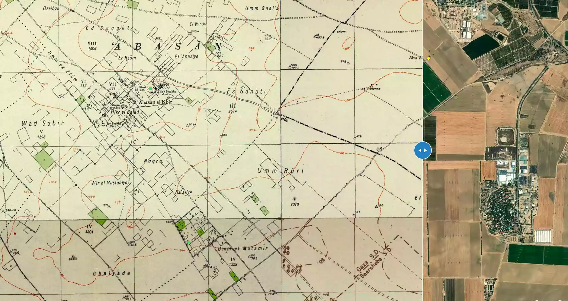
| Before & After Nakba, Click Map For Details |
|||||||||||||||
|
|||||||||||||||
| Land Ownership |
**Town Lands' Demarcation Maps |
||||||||||||||
| Land Usage As of 1945 |
|
||||||||||||||
| Lands usurped within armistice area | 625 Dunums | ||||||||||||||
| Population |
|
||||||||||||||
| Related Maps | Town Lands' Demarcation Maps خرائط للقضاء توضح حدود القرى والاودية View from satellite Town's map on MapQuest Help us map this town at WikiMapia |
||||||||||||||
| Related Links | Wikipedia's Page Facebook Page Google Search Google For Images Google For Videos في كتاب بلادنا فلسطين المزيد من موقع هوية |
||||||||||||||
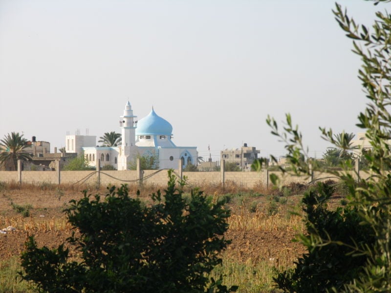
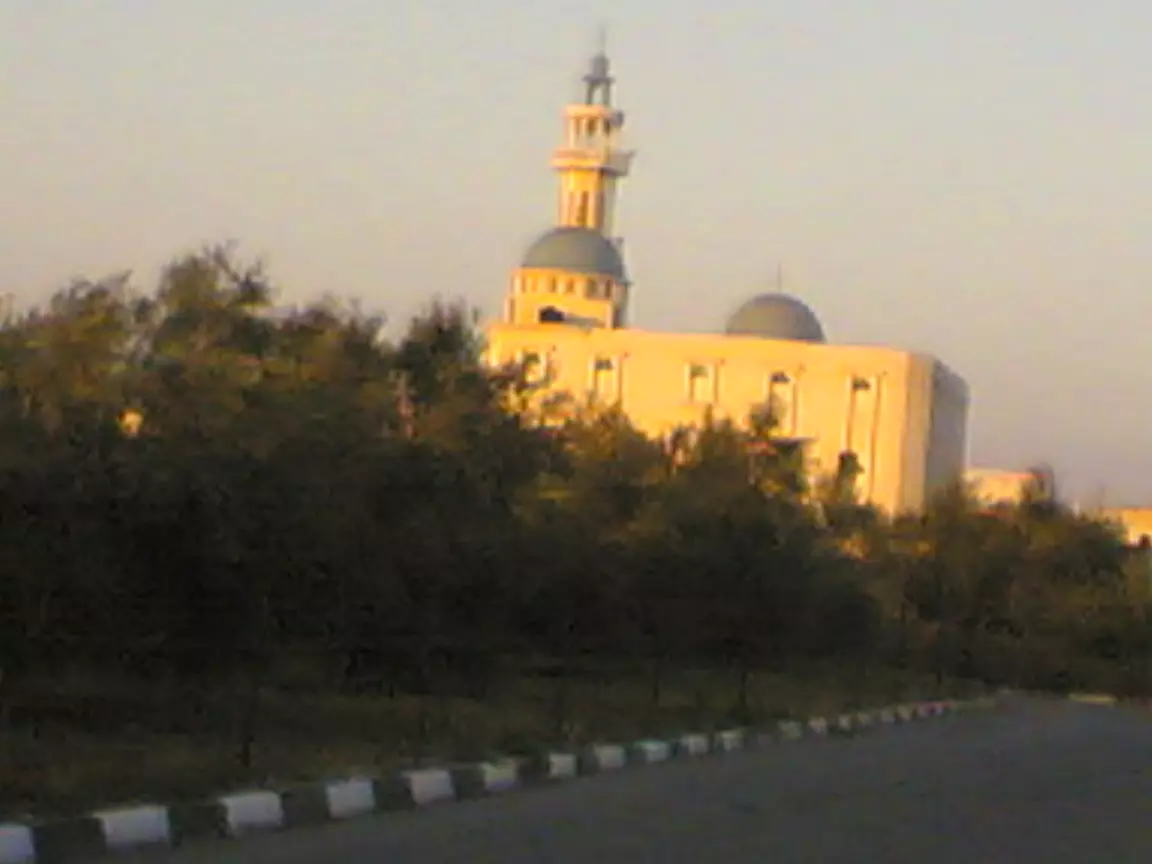
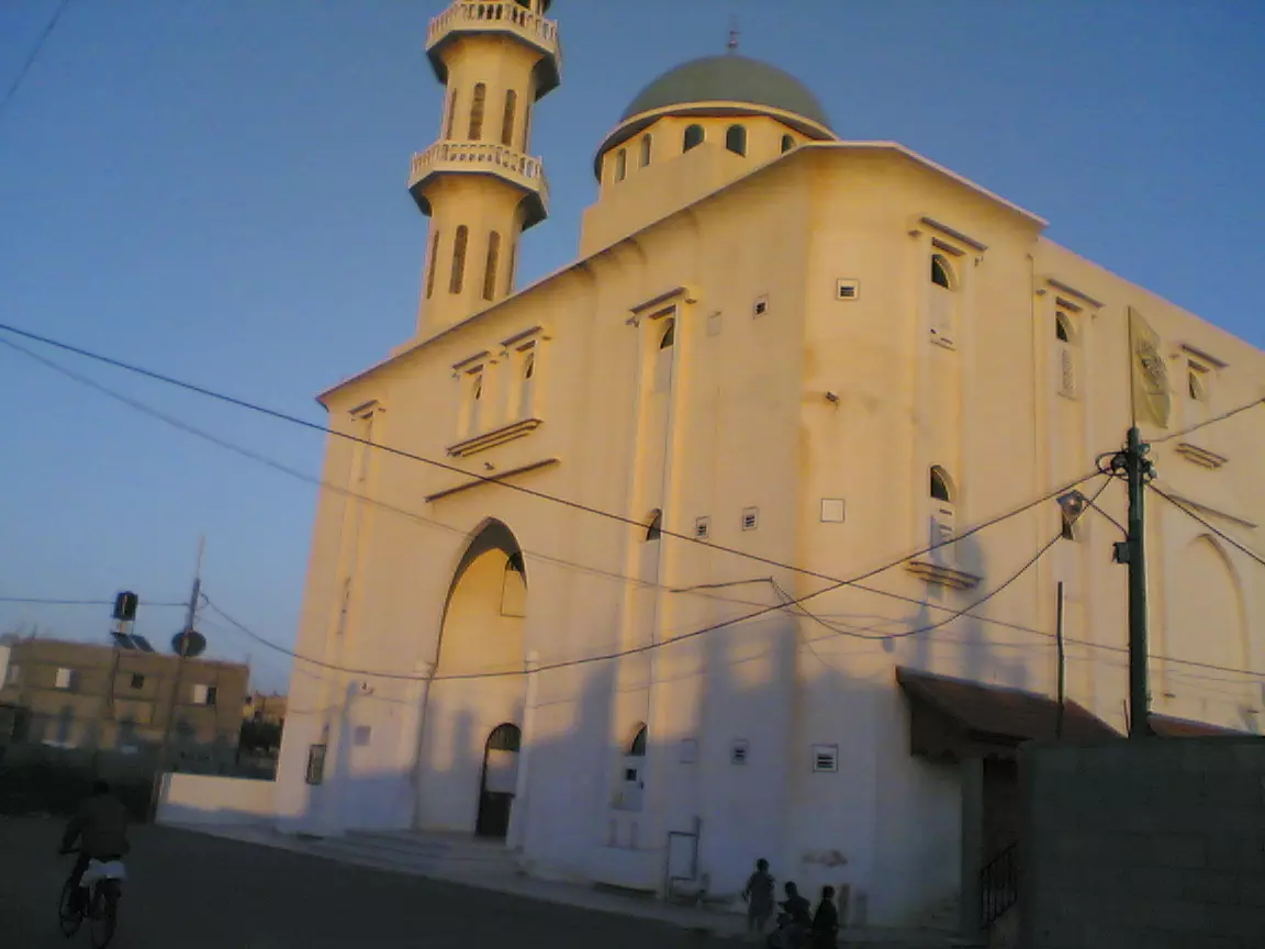
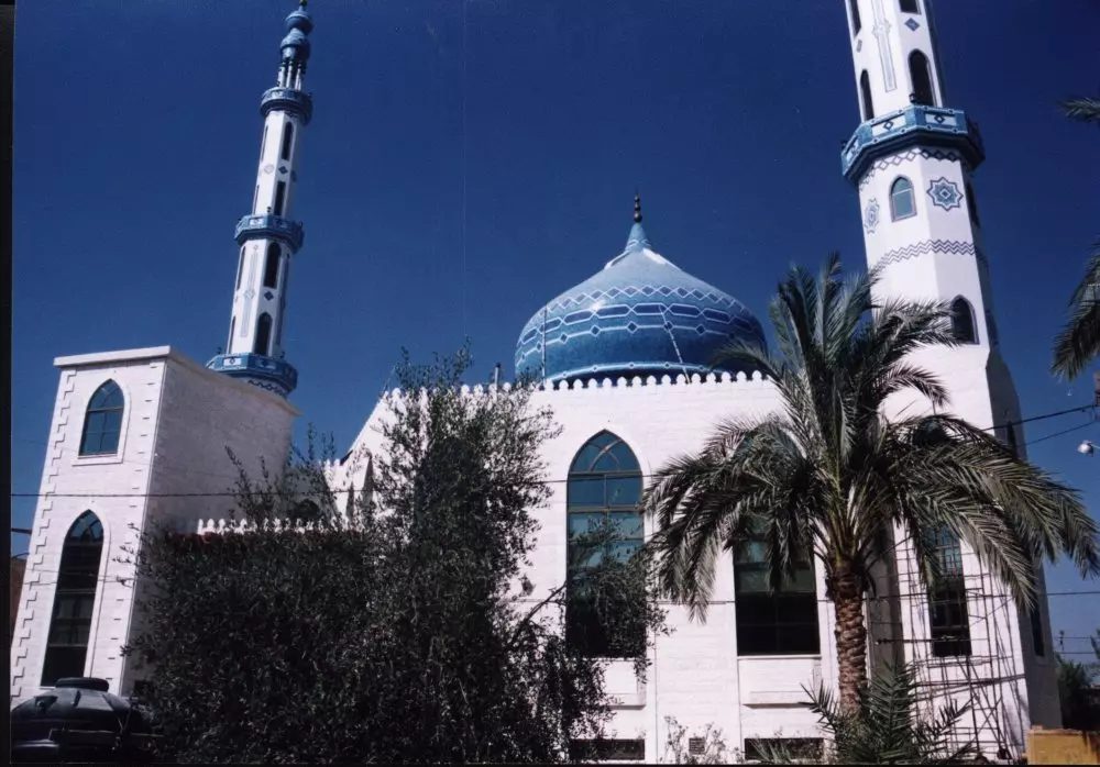
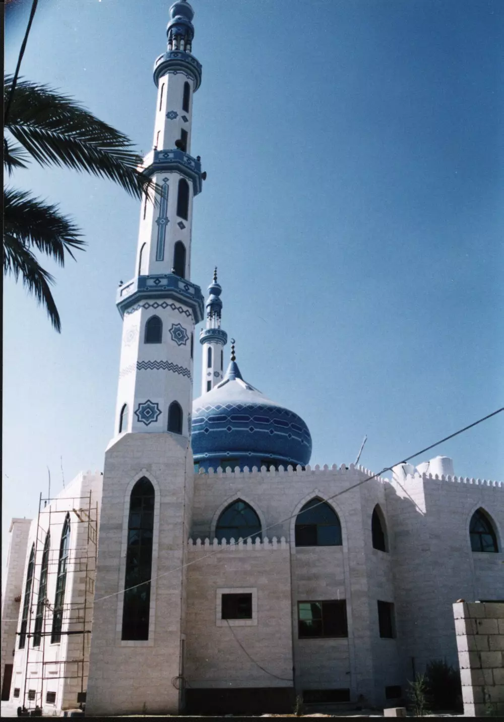
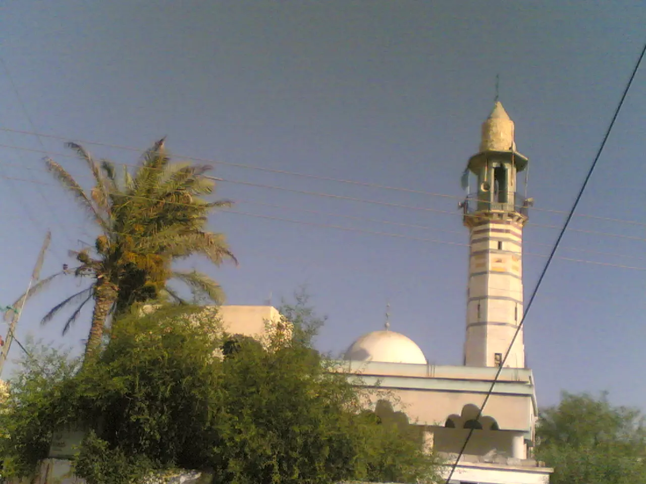
- A Beautiful Mosque In Abasan Al-Kabir
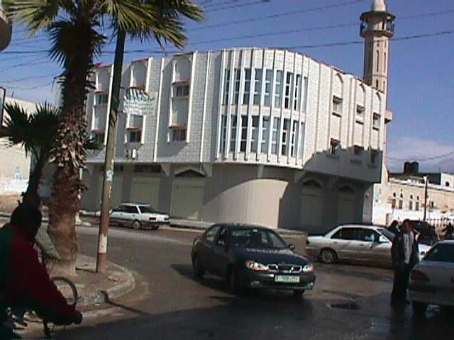
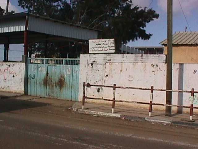
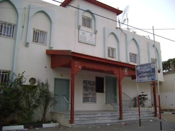
Posted by Mohammad Ahmad - المجلس البلدي
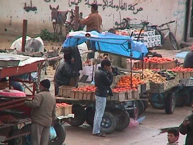
Posted by Younis Tabash - سوق الأحد
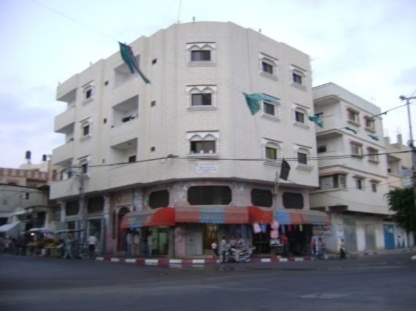
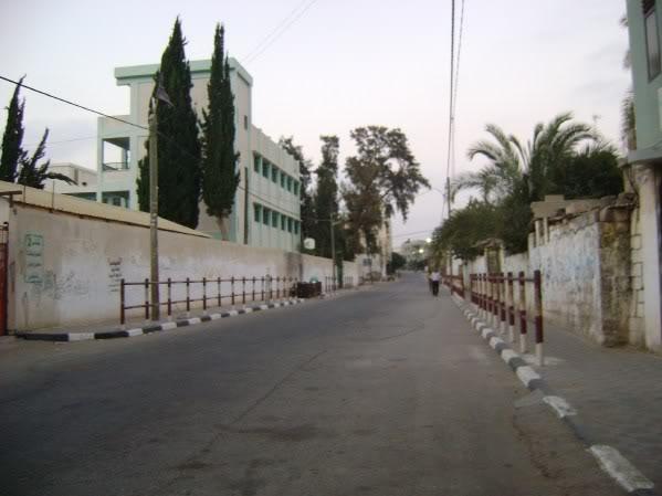
Posted by Younis Tabash - الشارع العام

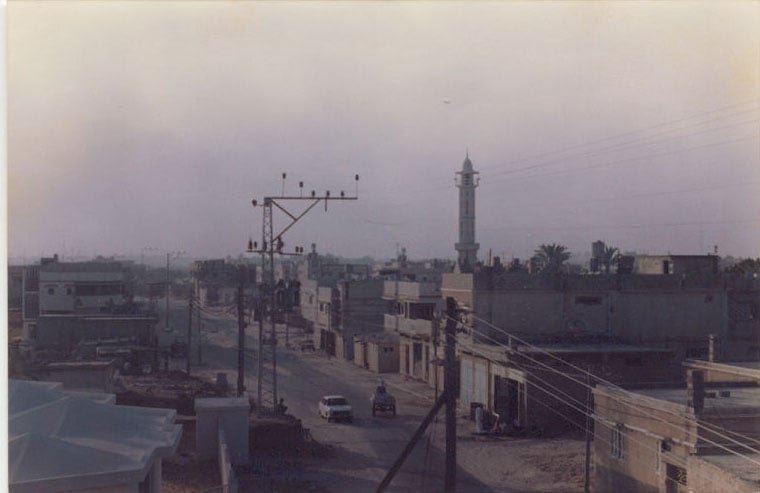
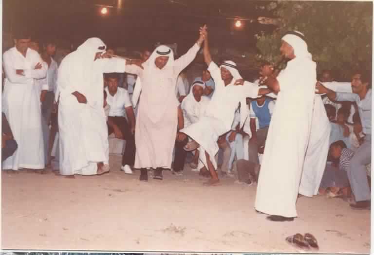
Posted by Younis Tabash 7 - عبسان- الشارع العام في الثمانينيات
Posted by Younis Tabash 3 - سوق الأحد- منظر عام

Posted by Younis Tabash 1 - شارع المجلس القروي
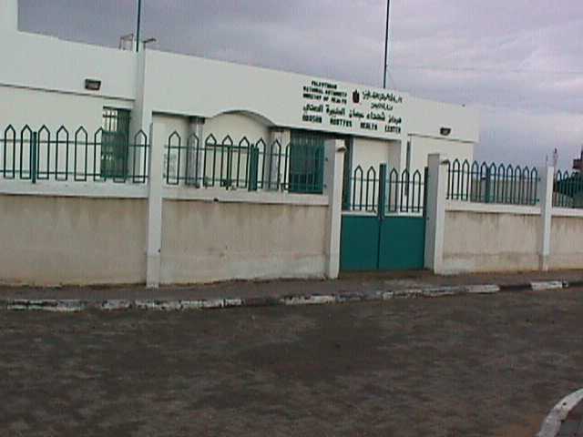
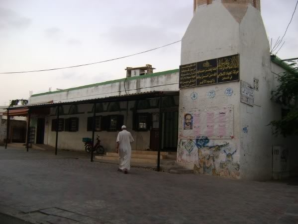
Posted by Younis Tabash 1 - مستوصف الشهداء
Posted by Younis Tabash 1 - واد صابر
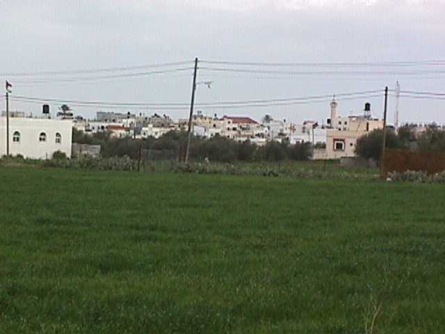
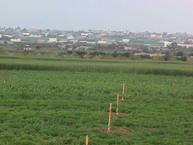
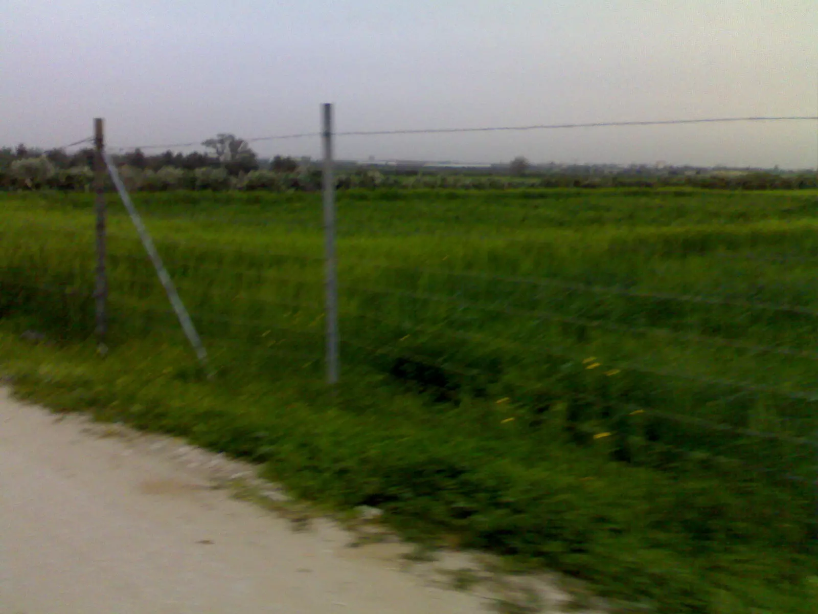
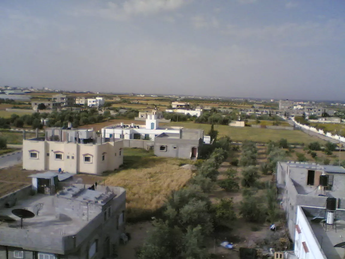
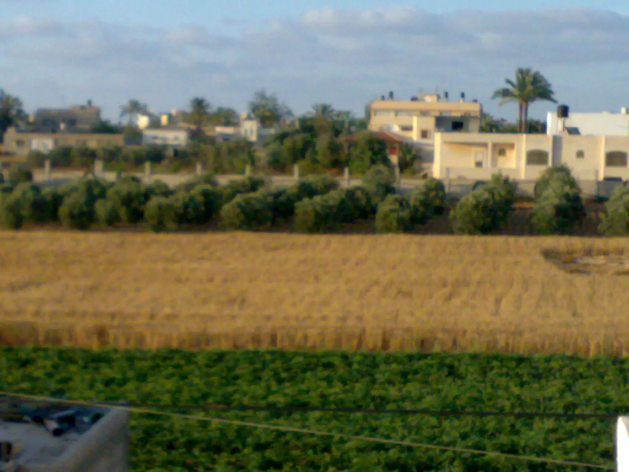
Posted by Younis Tabash 1 - عبسان -منظر عام
Posted by Younis Tabash - مستوصف الشهداء
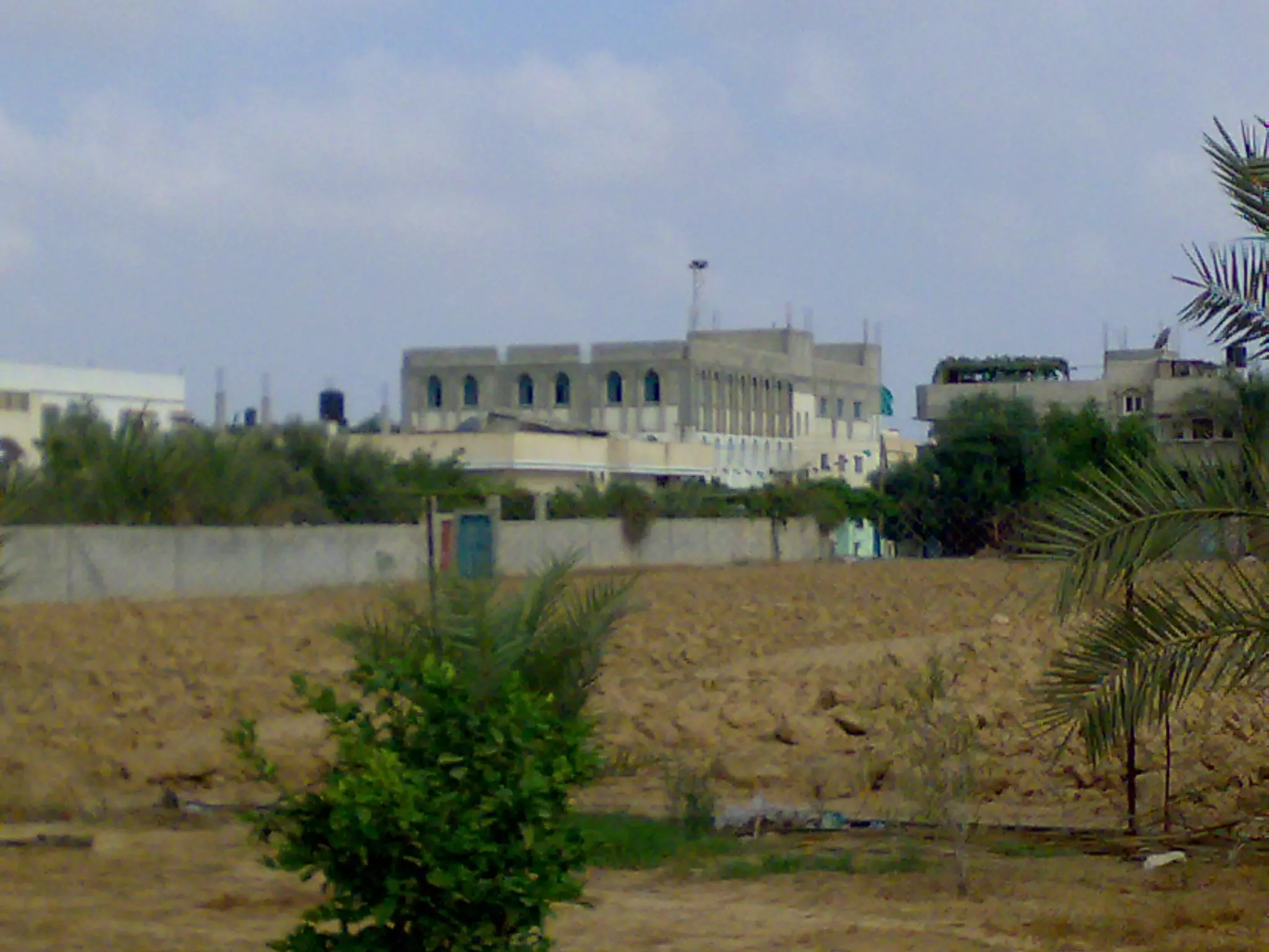
Posted by Younis Tabash 2 - عبسان -منظر عام
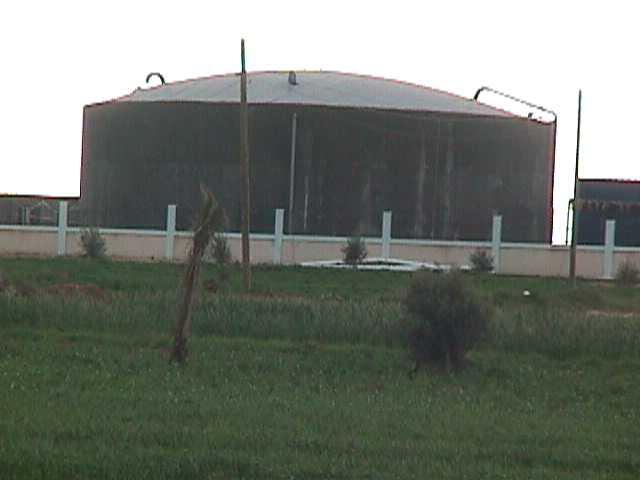
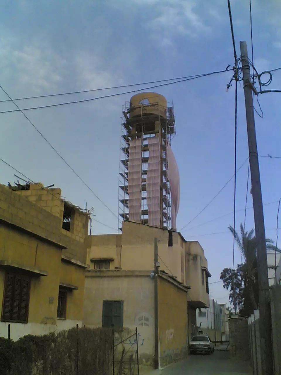
Posted by Younis Tabash - خزان المياه الجنوبي
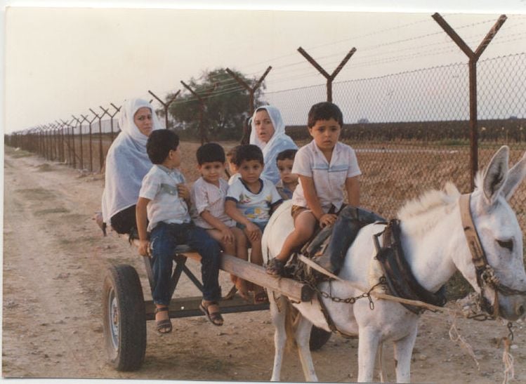
Posted by Younis Tabash - Border Between Abassan and Israel(1984)
Posted by Younis Tabash 5 - An old house (around 1942)
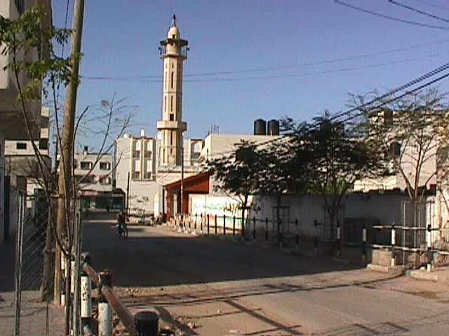
Posted by Younis Tabash 1 - مسجد البشرى بعبسان حارة طبش
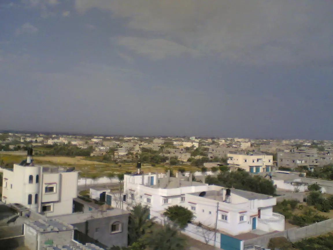
Posted by Yousef Qablan 1 - منظر عام
Posted by Yousef Qablan 2 - مسجد البشرى
Posted by Yousef Qablan 1 - منظر طبيعي غياضة
Posted by Yousef Qablan 10 - معمرة من عبسان
Posted by Yousef Qablan 4 - تجريف قوات الإحتلال للسناطي في 2/5/2008
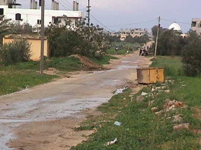
Posted by MahmoudTair 1 - منظر واد صابر
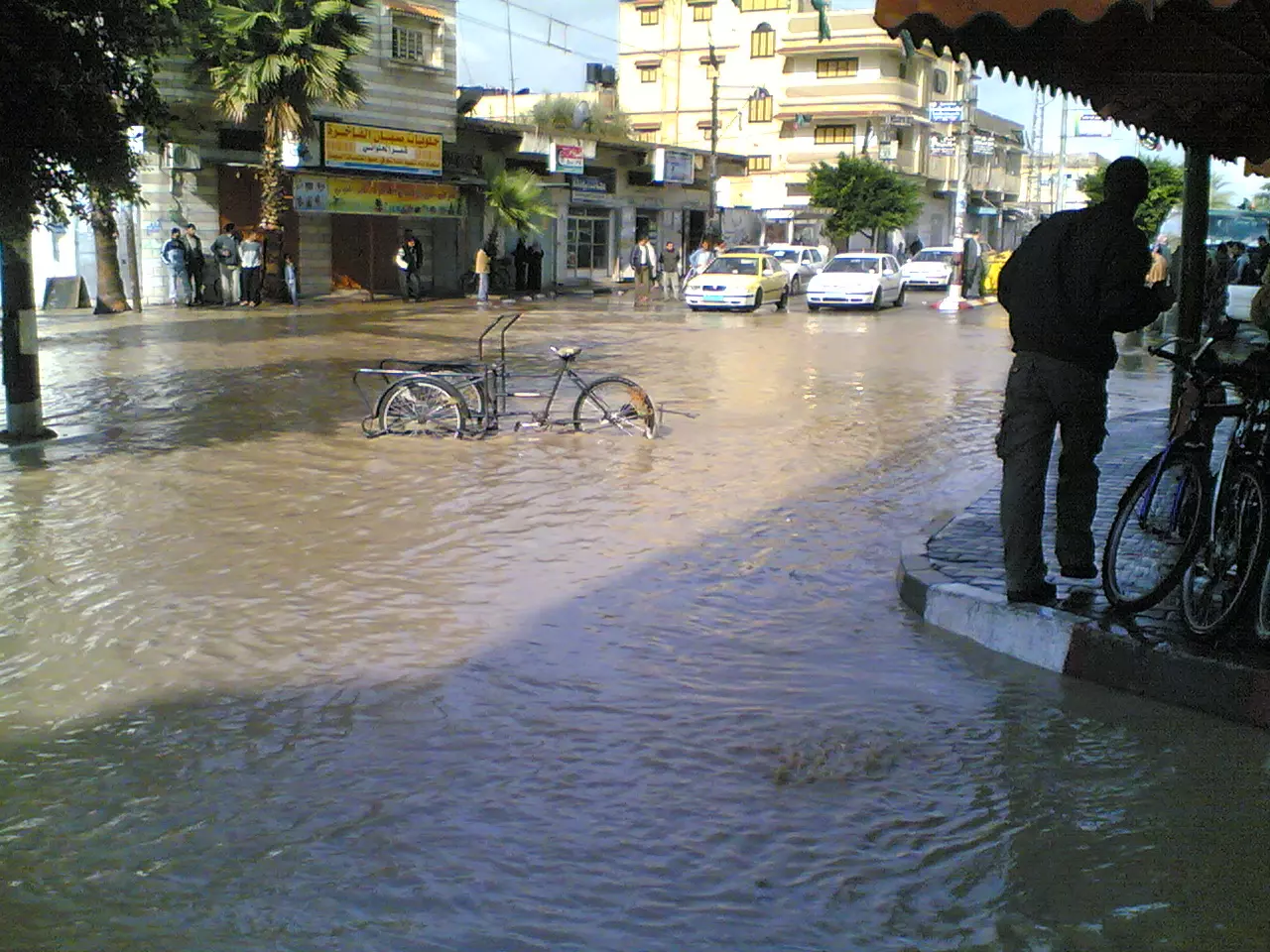
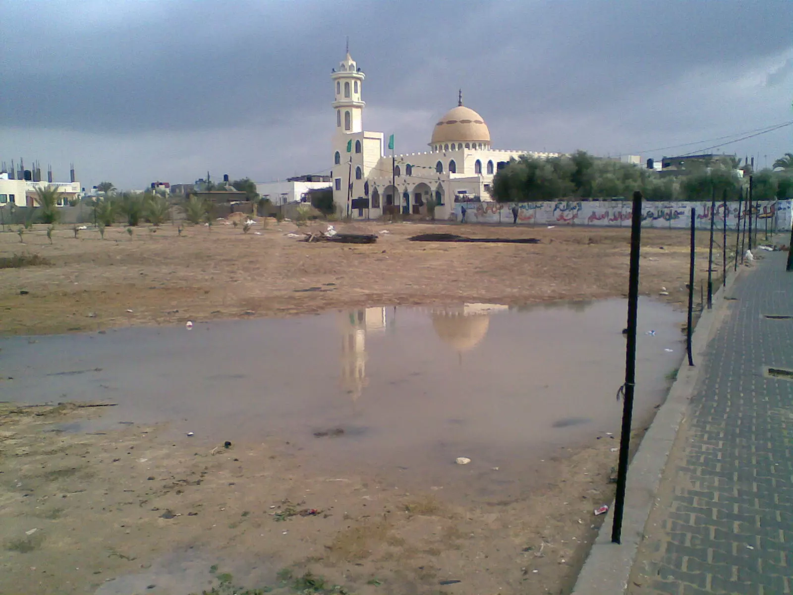
Posted by isl3me 2 - قوى فيضانات في عبسان الكبيرة منذ عشرات السنين - شتاء 29-10-2008
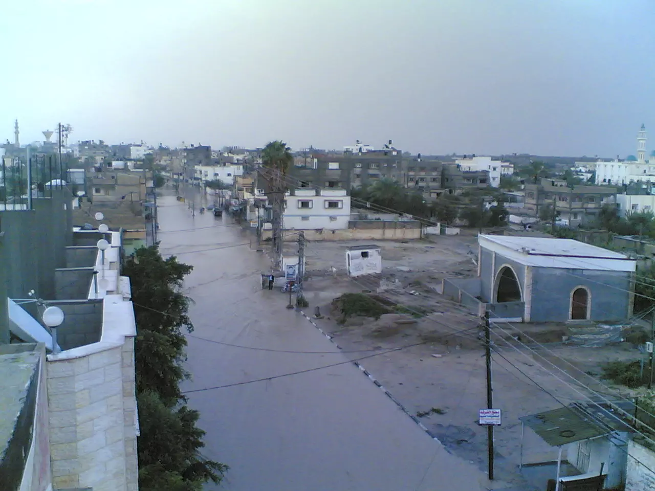
Posted by Mahtair 4 - دوار عبسان الكبيرة بعد الأمطار الغزيرة
Posted by Mahtair 1 - خزان بلدية عبسان الكبيرة ( الحاووز) اثناء الهدم في 5/6/2008
Posted by Mahtair 2 - مسجد عمر بن العزيز في منطقة الفراحين ( أبو دقة ) المبنى الجديد
Posted by tareq430 - مسجد عمر بن العزيز في منطقة الفراحين ( أبو دقة )
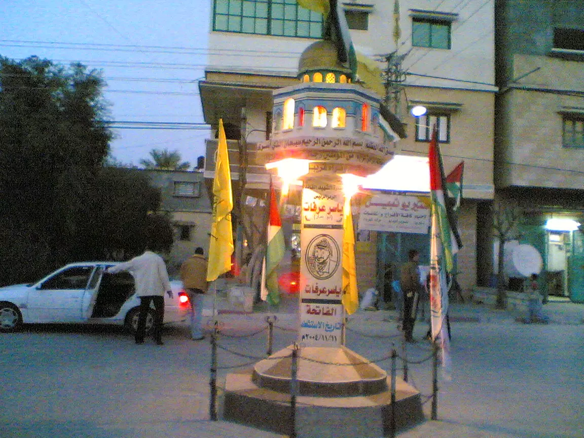
Posted by tareq430 1 - دوار عبسان
Posted by Yousef Qablan 1 - مدخل مسجد ابو بكر الصديق الجنوبي
Posted by Yousef Qablan 1 - منظر عام جنوب عبسان يظهر أجزاء من مقبرة عبسان ومستوصف عبسان بعض بيوت عائلة أبو عيد وعائلة الشواف
Posted by Yousef Qablan 3 - منظر عام لعبسان يظهر بعض بيوت عائلة طبش وعائلة الشواف
Posted by Yousef Qablan 1 - مكتبة عبسان
Posted by Yousef Qablan - طريق المجلس البلدي القديم وتبدو في الصورة مدرسة عبسان الابتدائية
Posted by Yousef Qablan 2 - مسجد في عبسان الكبيره
Posted by غزاويه وراسي مرفوع فوق بنت البلد 1 - الصناطي
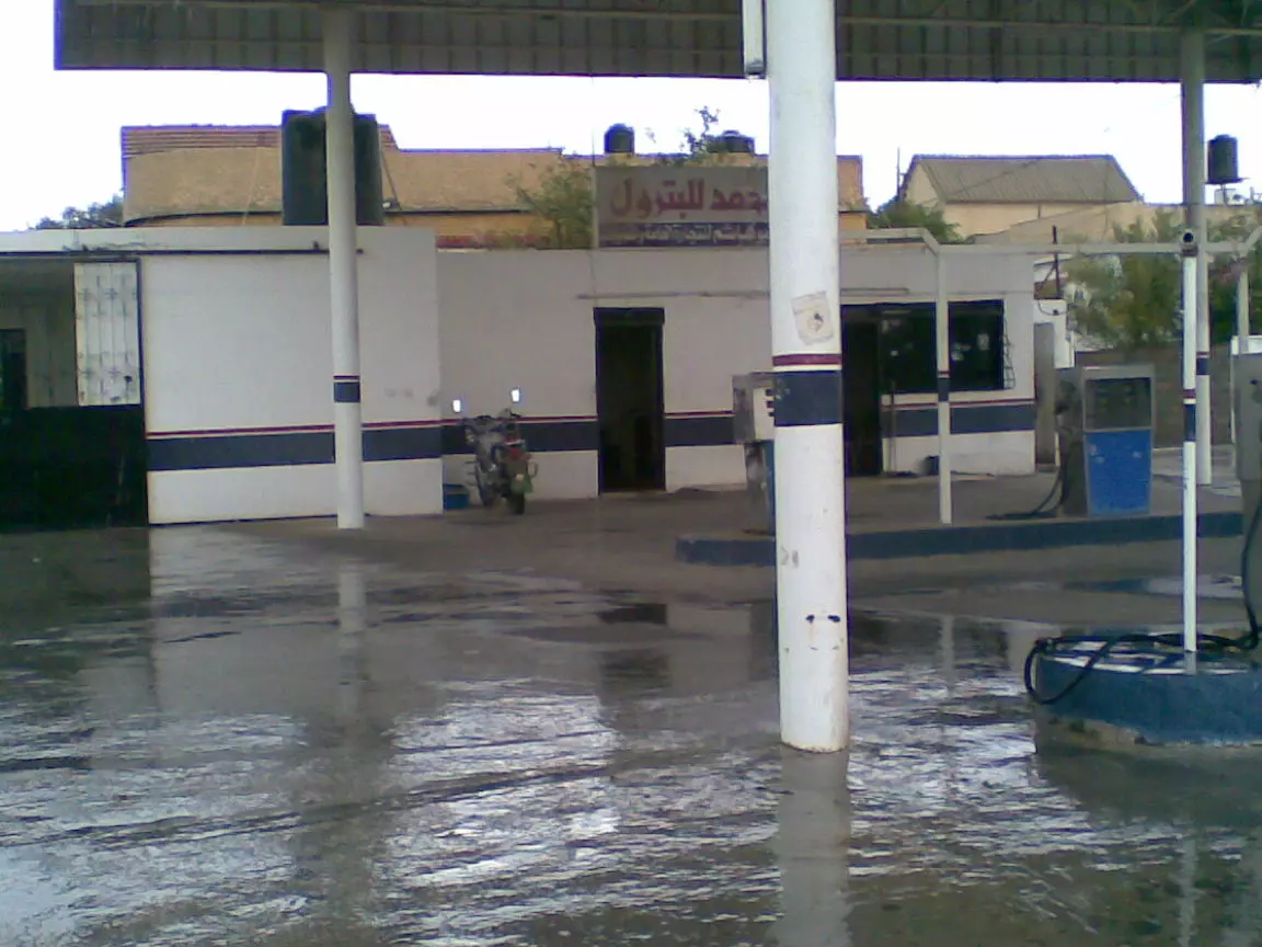
Posted by غزاويه وراسي مرفوع فوق بنت البلد 2 - محطه ابوحمد في عبسان الكبيره
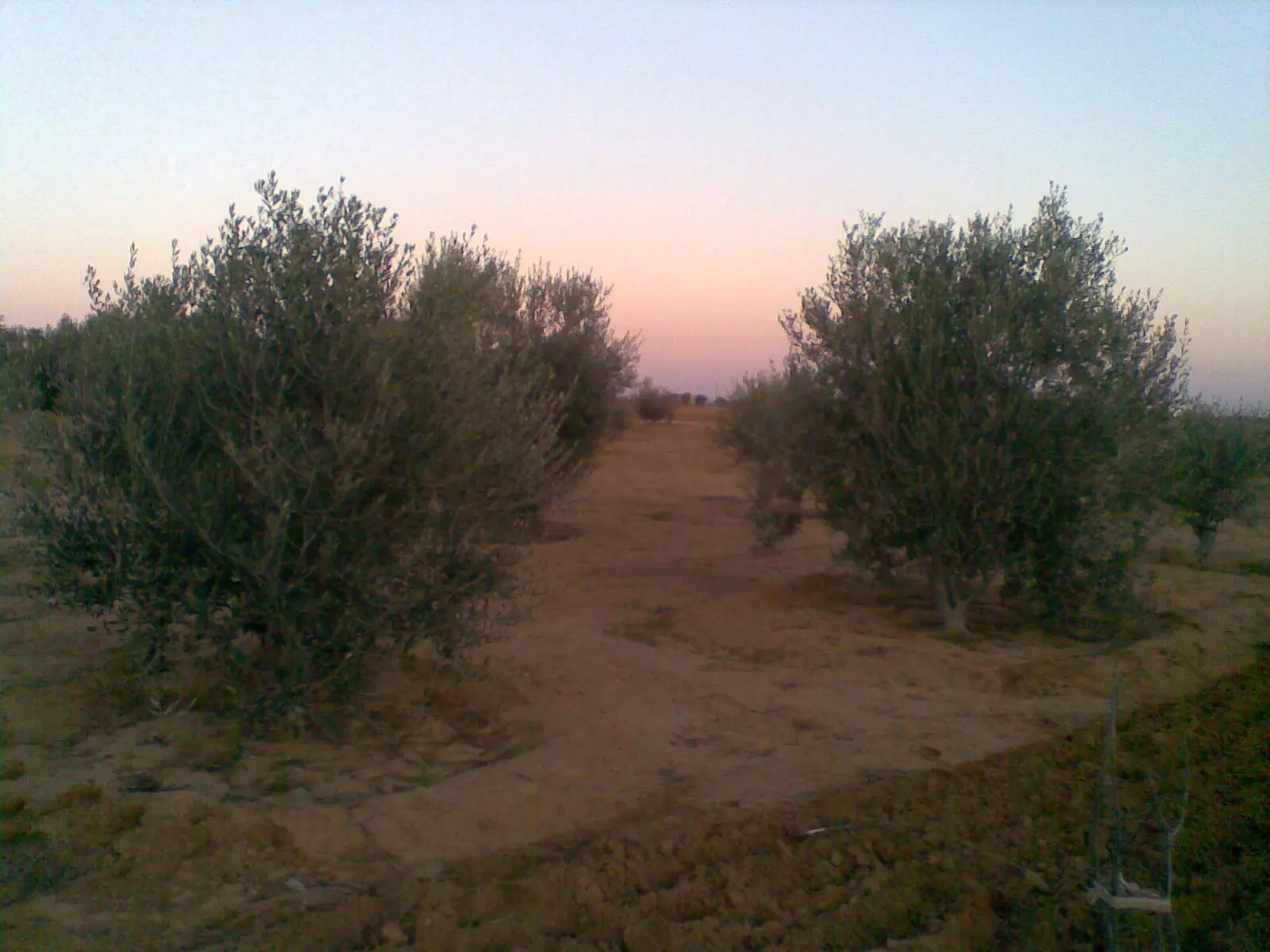
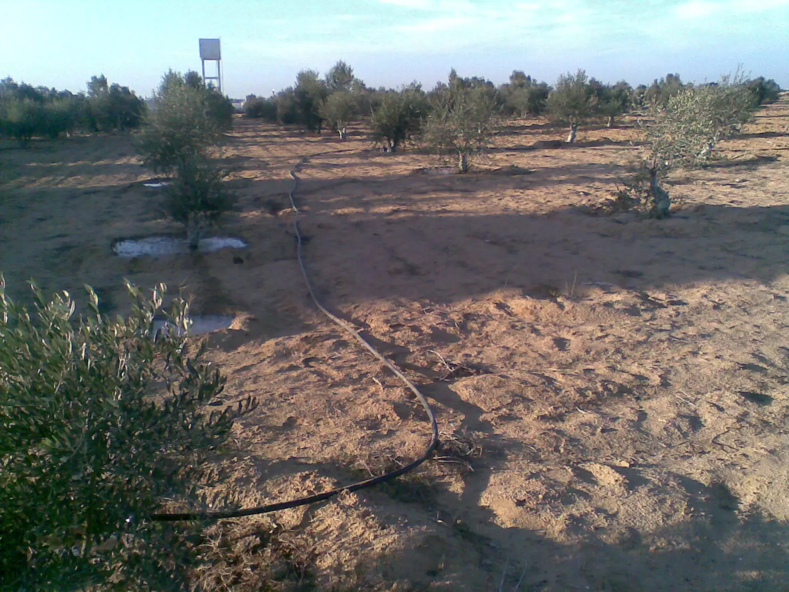
Posted by غزاويه وراسي مرفوع فوق بنت البلد - شجر الزيتون في عبسان الكبيره
Posted by غزاويه وراسي مرفوع فوق بنت البلد 3 - مسجد التوية ويبجو في الصورة بعض بيوت عائلة طبش و أبو يوسف
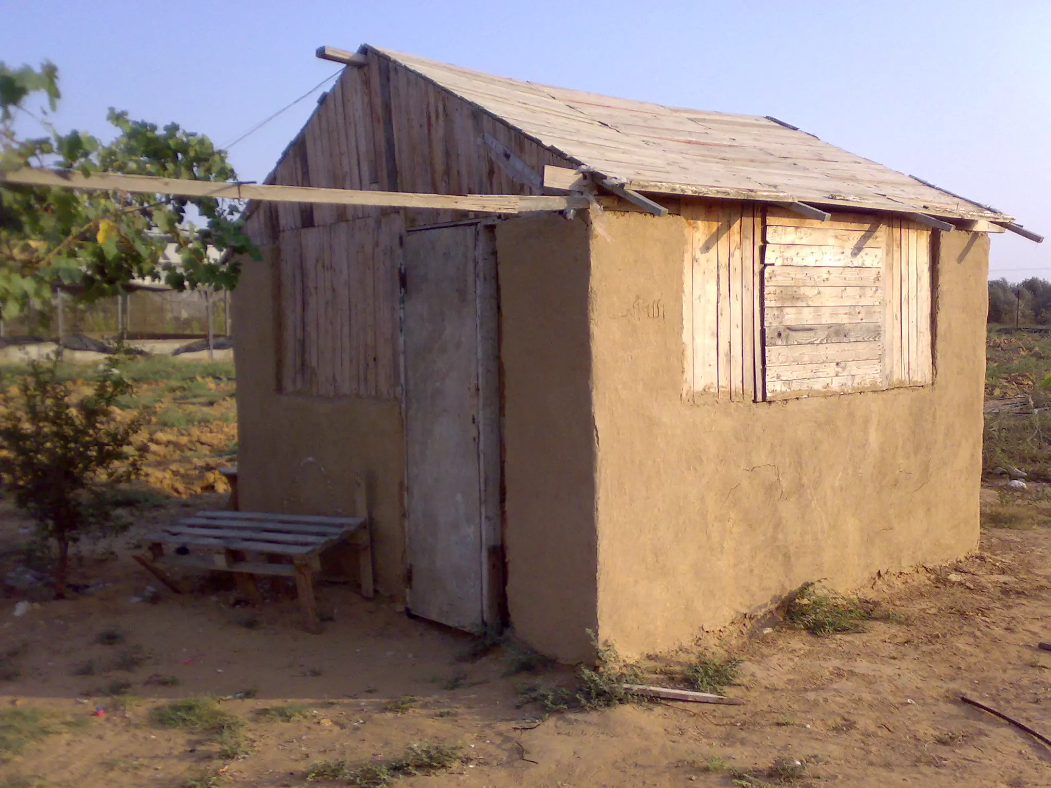
Posted by Yousef Qablan 1 - هكذا تبنى البيوت لعدم وجود مواد بناء نتيجة الحصار الذي يخضع له قطاع غزة "بيت من عبسان"
Posted by Yousef Qablan 1 - ال قديح
Posted by ابوشادي قديح 1 - ال قديح
Posted by ابوشادي قديح 1 - منطقة ادقات ابو ظريفة
Posted by abassan2010 - عبسان الكبيرة ال قديح
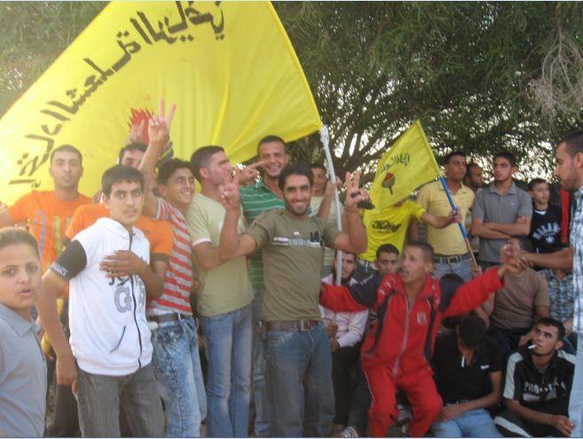
Posted by فريدقديح - شباب ابوطير
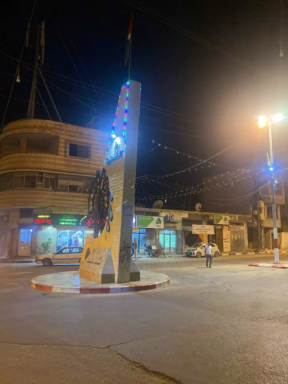
Posted by احمد ابوطير 2 - دوار عبسان الكبيرة قبل 7من اكتوبر
Posted by ahmed draz
Want to browse more? 80,000 pictures were grouped in these gallaries:
| Display Name | Clan/Hamolah | Country of Residence |
| ziafawzi | ابو حوا | عبسان الكبيرة |
| ابوشادي قديح | قديح | عبسان الكبيره, عبسان الكبيره |
| ابن عبسان | ابودقة | الرياض, السعوديه |
| غزاويه وراسي مرفوع فوق بنت البلد | - | - |
| fatoma | - | 3abssan |
| Yousef Qablan | قبلان | - |
 Fake Valor: Why Did Zionist Jews Hoist Nazis Flag on Their Ships in the 1930s?
What is new?
-
Facts About Oct. 7th Gaza Raid
-
Remined Us Please:: Who Did Rape Who? Palestinians Raped Israelis? Or, was the other way around?
-
When Prof. Edward Said was invited to debate Bibi Netanyahu in the 1980s, watch what happened!
-
Ezra Klein of the NY Times on the "Jewish Race".
-
Abusing Blood Libel!
-
Zionist FAQ: Isn't it true that Palestinians don't want peace? Palestinians never accepted the two-state solution
- Facts about Haavara (Transfer) Agreement between Ben-Gurion & Hitler
-
Haavara FAQs: Why Did Zionist Jews Hoist Nazis' Flags on Their Ships in the 1930s?
-
Dear ChatGPT: Why did the Jewish Agency suppress news of the Holocaust during WWII?
-
Video Playlist: Jews share their DNA tests to end the conflict for good.
-
A Tale of Two Conflicts: Examining the Definition of Genocide
-
Prof. Abraham Polak And The Suppressed History of the Khazars and European Jewry
-
How Ronald Reagan would have framed the genocide in Gaza if he were still alive?
-
Haavara FAQs: Let us do the math: how many German Jews did The Haavara Agreement save?
-
Zionist FAQs: The Hebron Massacre of 1929, "clearly proves" that Palestinians are antisemitic, how could you deny it?
-
Zionist FAQs: Why Anti-Zionist Is Not Antisemitism?
-
Zionist FAQs: Isn't it true that the KGB create Palestinian Nationalism in the early 1960s?
- Zionist FAQs: Muslims are killing Muslims all the time; why are Israeli Jews being singled out in the media?
- Zionist FAQs: How is Israel an apartheid state when 20% of its citizens are Arabs who enjoy full rights?
-
Haavara FAQs: Analysis of Herzl's Uganda Scheme and how it could have saved millions of Jews.
-
Haavara FAQs: Why did Hayim Greenberg describe American Jewry as "morally bankrupt" in early 1943?
-
Haavara FAQs: What if the Evian Conference was a resounding success? What would have been the impact of saving European Jewry on Zionism?
- Haavara FAQs: What if the six million were saved, how that would have impacted the Zionist project?
-
Haavara FAQs: How did Zionist leaders react when Europe's Jews lingered in the DP camps after WWII ended?
-
Why does the American Jewish community repeat lies that David Ben-Gurion had debunked before he died?
-
Who has the power to rename the Tatar/Khazar Gene Marker to Jewish IV?
-
Zionist FAQs: Why won't Egypt, Syria, and Jordan take their people back? Jews are indigenous to Palestine, and Arabs immigrated after Jews developed the country. Arabs should leave.
-
Haavara FAQs: Did Hitler and the Nazis conflate between Judaism and Zionist? If that wasn't case, then why?
-
Haavara FAQs: Winston Churchill and antisemitism, a collection of articles written Churchill.
-
Haavara FAQs: Broken by country, how many Jews survived vs. killed during the Holocaust?
-
Haavara FAQs: Why did European Jews vote with their feet and to immigrated to the Americas, not Palestine, after WWII?
-
Watch this American Jewish Girl describing Israeli Jews' cognitive dissonance like no other in under two minutes
-
Haavara FAQs: When the Nazis went out of their way to hide the Holocaust, Israeli Jews did the exact opposite by broadcasting their genocide of Gazans. But why?
-
Haavara FAQs: How Zionist Jews went out of their to show their appreciation to Nazism and Fascism?
- Haavara FAQs: Why Zionist leaders were against bombing the death camps & the Railroads leading to them?
-
Haavara FAQs: Hitler's message to the British and American people: If Jews are such noble citizens and you care about them, how come you're not letting them in? I will gladly ship them to you at my expense, even on luxury liners!
-
A shortlist of Zionist and Israeli false flag operations in the name Jews.
-
The Most Moral Army
- The Land of Kapos (Israel): Where the brave are boycotted and Kapos walk free.
- Why did early Zionists often named their communal enterprises "colonial"?
- Zionist Relations with Nazi Germany by Faris Glubb
-
Two NY Times advertisements by Zionists in the early 1943 that exposes Zionists' treason at the height of the calamity
- Facts Not Lies about the Palestinian-Israeli Conflict.
- Site's pictures have been categorized
- Campgain Against Lice
- A Survey of Palestine, the official source about Palestine before Nakba produced by the British Mandate; over 1200 pages.
- Satellite View & Google Earth: Over 6,000 placemarks identifying all destroyed towns, W. Bank & Gaza Strip Towns, & refugee camps.
- PalestineRemembered.com and its Nakba Oral History Project were featured on al-Jazeera Satellite TV.
- Nakba Oral History Video Podcast:
 Over 700 Oral History interviews (including 3,500+ hours of recording) can be viewed online.
 - Palestine Village Statistics Project
- Gaza Jail Break
- النسخة العربية للموقع الان متوفرة
- Videos: Documenting the destroyed villages in video: Tracing all that remains since Nakba.
- Videos: Responding to Zionist Propaganda
- Interview: The ethnic cleansing of Palestine: George Galloway interviews Israeli Historian Ilan Pappe.
- For Palestinians, memory matters. It provides a blueprint for their future By George Bisharat.
- Zionist FAQ now available in Hebrew שאלות שציונים שואלים, עכשיו בעברית
- Video: The Stephen Walt and John Mearsheimer report on the influence of the Israel Lobby on U.S. Foreign Policy
- The Palestinian-Israeli conflict for beginners
