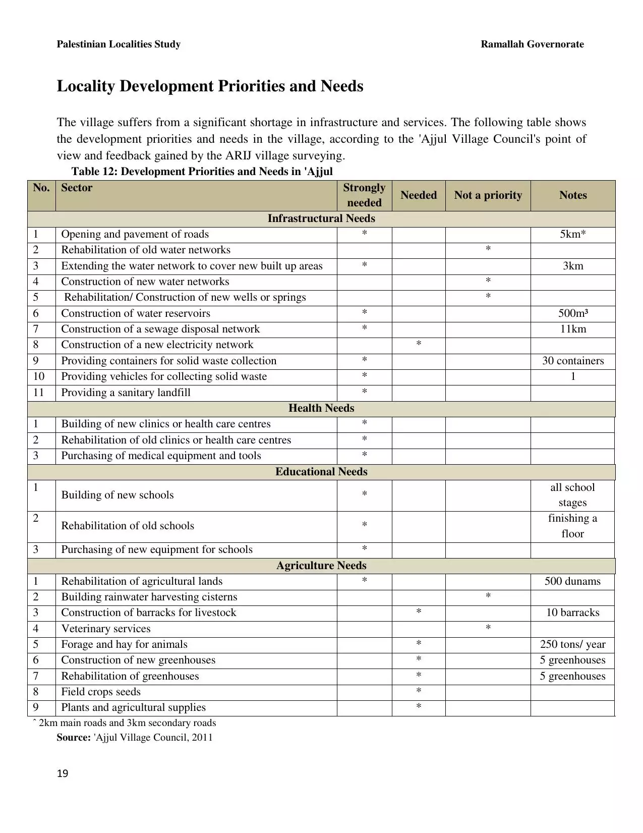
| PalestineRemembered | About Us | Oral History | العربية | |
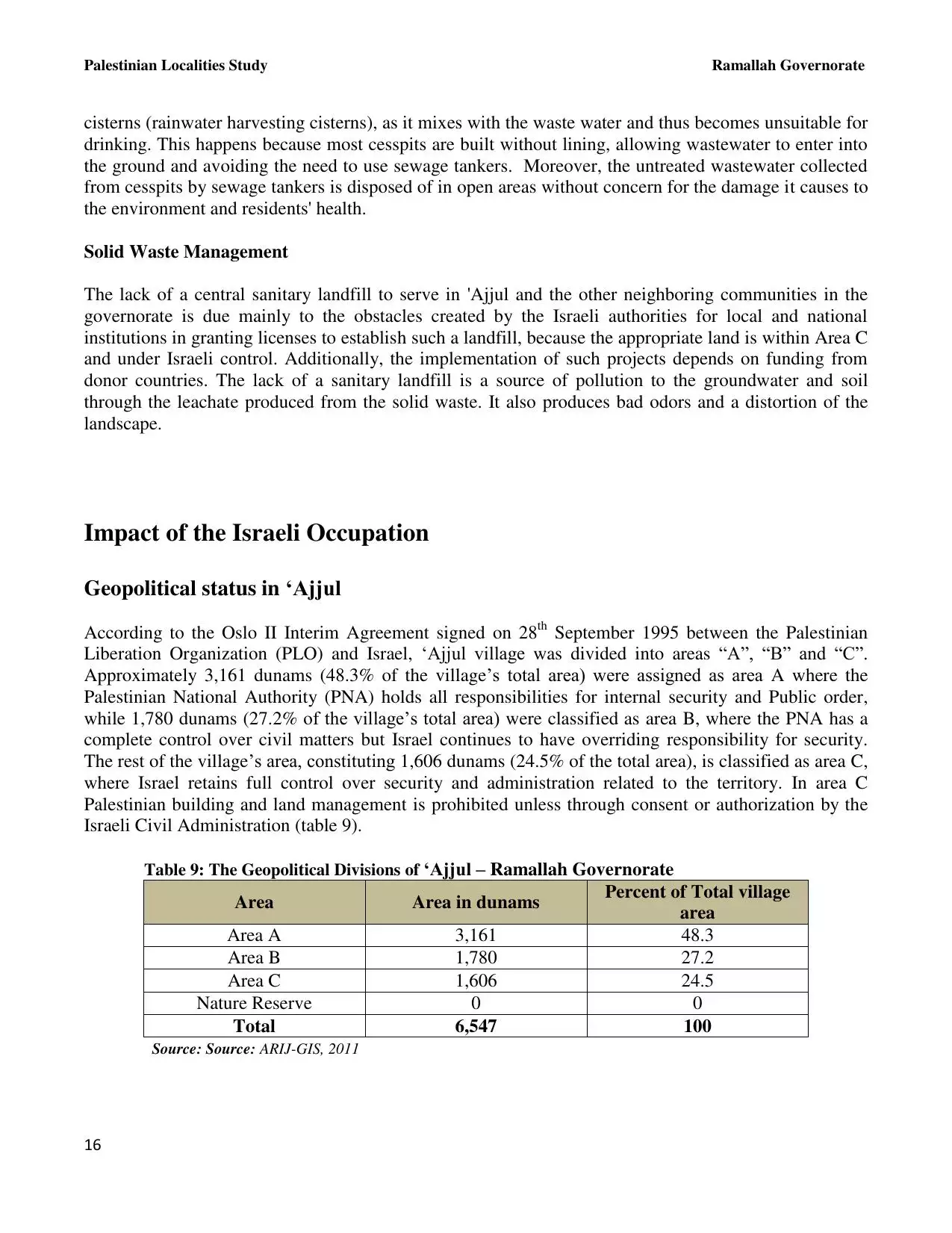
| Pictures | Zionist FAQs | Haavara | Maps | |
| Search |
| Camps |
| Districts |
| Acre |
| Baysan |
| Beersheba |
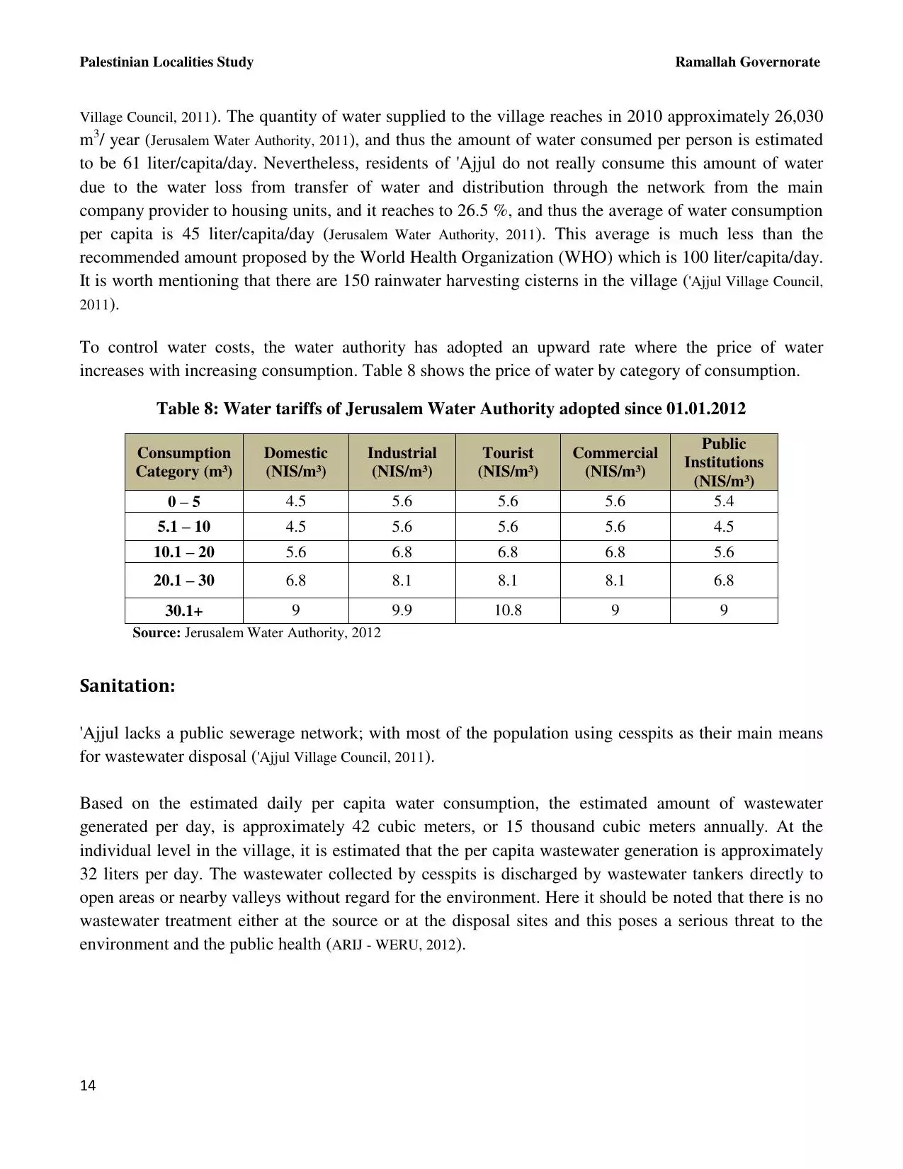
| Bethlehem |
| Gaza |
| Haifa |
| Hebron |
| Jaffa |
| Jericho |
| Jerusalem |
| Jinin |
| Nablus |
| Nazareth |
| Ramallah |
| al-Ramla |
| Safad |
| Tiberias |
| Tulkarm |
| Donate |
| Contact |
| Profile |
| Videos |
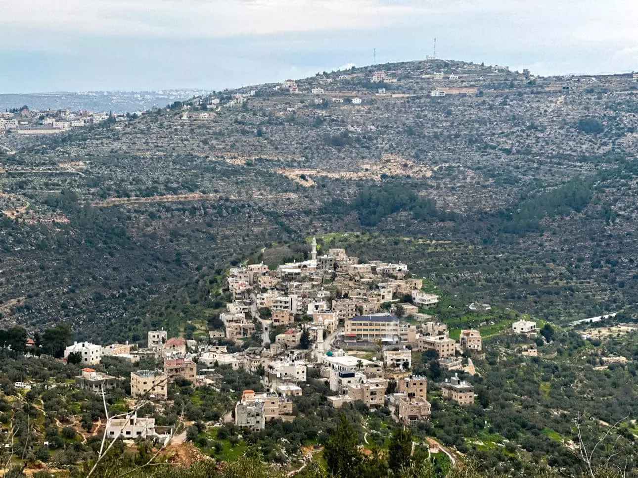
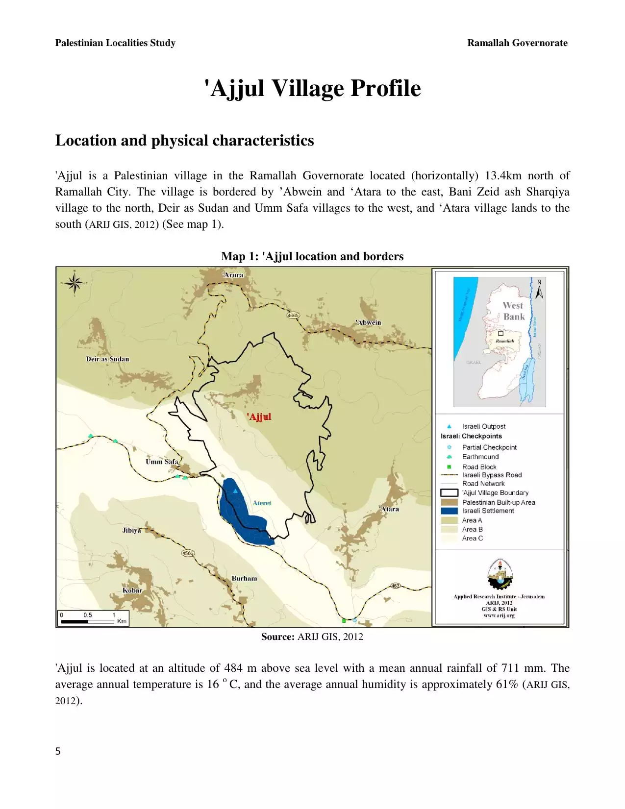
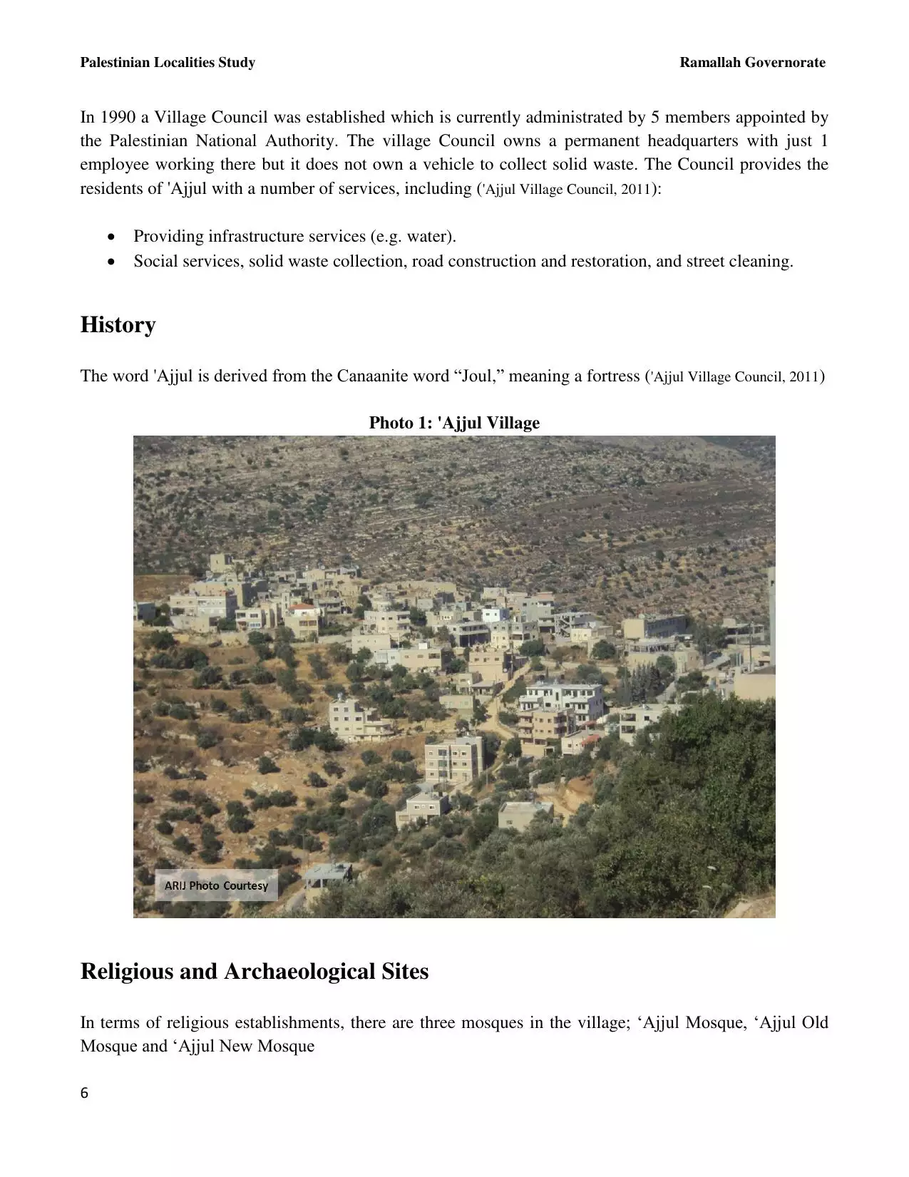
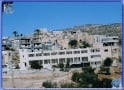
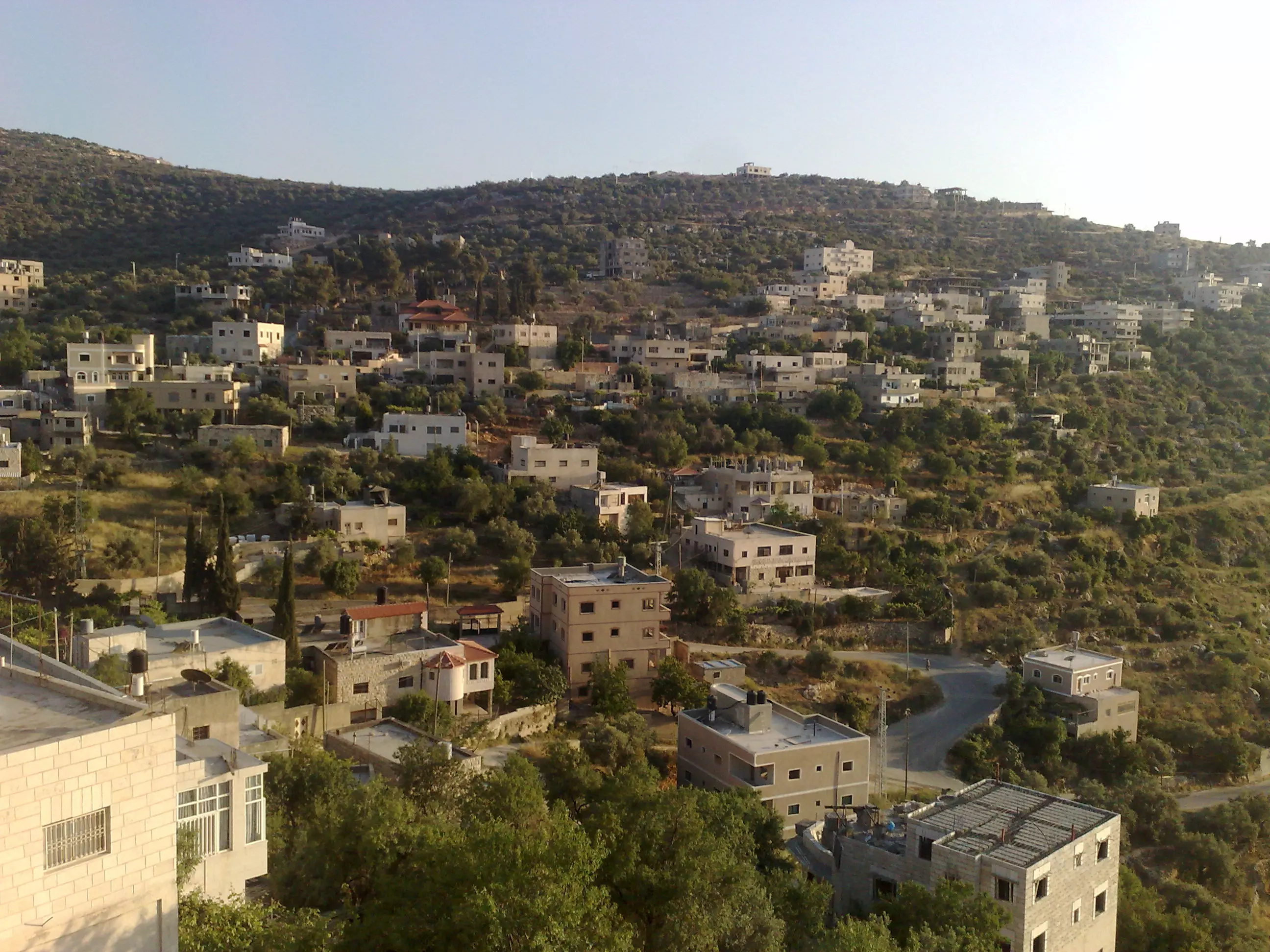
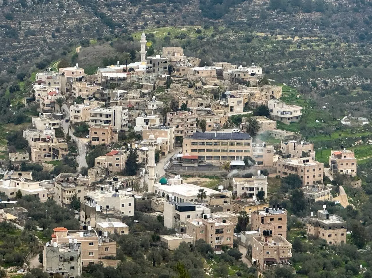
Welcome To 'Ajjul - عجول (עג'ול)
|
District of Ramallah
Occupied days ago |
العربية Google Earth |
 |
Gallery (170) |
- Statistics & Facts
-
Before & After

- Satellite View
- Articles 5
- Pictures 170
- Members 6
- Families
- Wikipedia
- ARIJ Guide
- Videos 5
- Guest Book 9
- Links
| Statistic & Fact | Value | ||||||||||||||||
| Distance From District | 20 km northwest of Ramallah | ||||||||||||||||
| Elevation | 500 meters | ||||||||||||||||
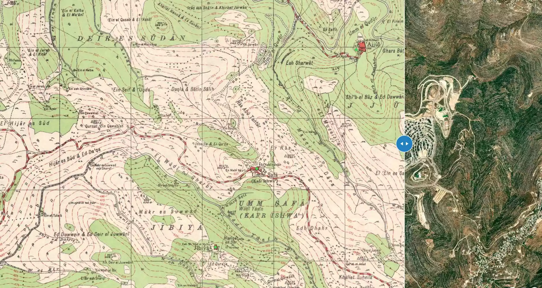
| Before & After Nakba, Click Map For Details |
|||||||||||||||||
|
|||||||||||||||||
| Land Ownership |
**Town Lands' Demarcation Maps |
||||||||||||||||
| Land Usage As of 1945 |
|
||||||||||||||||
| Population |
|
||||||||||||||||
| Near By Towns |
|||||||||||||||||
|
|
|||||||||||||||||
| ARIJ Guide | |||||||||||||||||
|
Click here to browse online. |
|||||||||||||||||
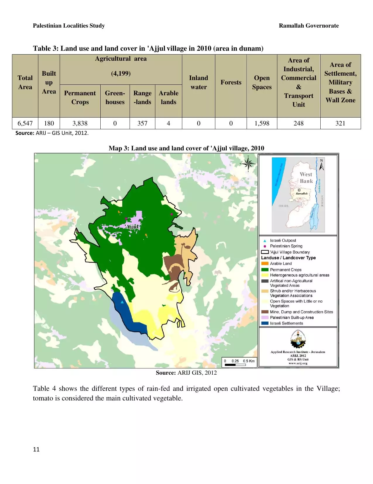
| Related Maps | Town Lands' Demarcation Maps خرائط للقضاء توضح حدود القرى والاودية View from satellite Town's map on MapQuest Help us map this town at WikiMapia |
||||||||||||||||
| Related Links | Wikipedia's Page Facebook Page ARIJ Guide Google Search Google For Images Google For Videos في كتاب بلادنا فلسطين دليل أريج المزيد من موقع هوية |
||||||||||||||||
- طلائع المستعمرين في الحرب العالمية الأولى -هدية من صفافي-
Posted by ابو عمر 6 - وادي القريه في فصل الشتاء
Posted by زينب عيسى 1 - وادي القريه في فصل الشتاء#2
Posted by زينب عيسى - عجول
Posted by اسيد مخالفة 2 - قوربات عجول اول البلد
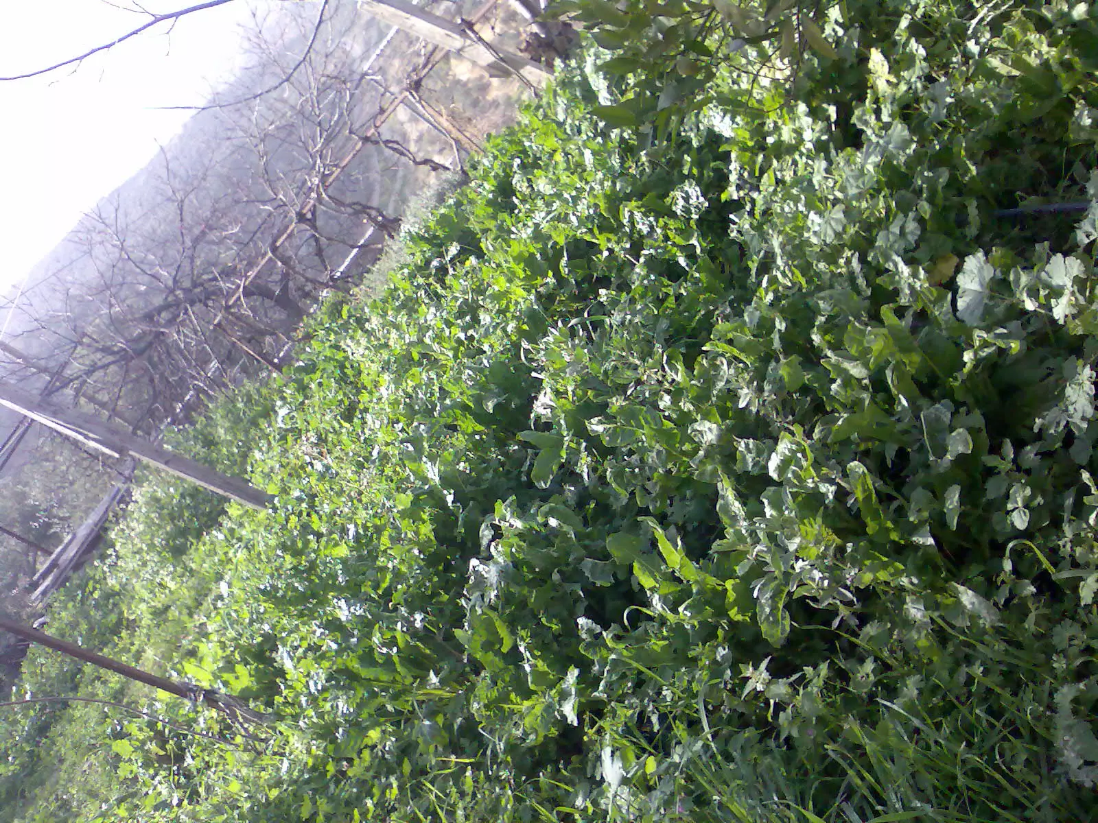
Posted by اسيد مخالفة 2 - صورة مزروعات جميلة لعجول
Posted by اسيد مخالفة 3 - ععجولل
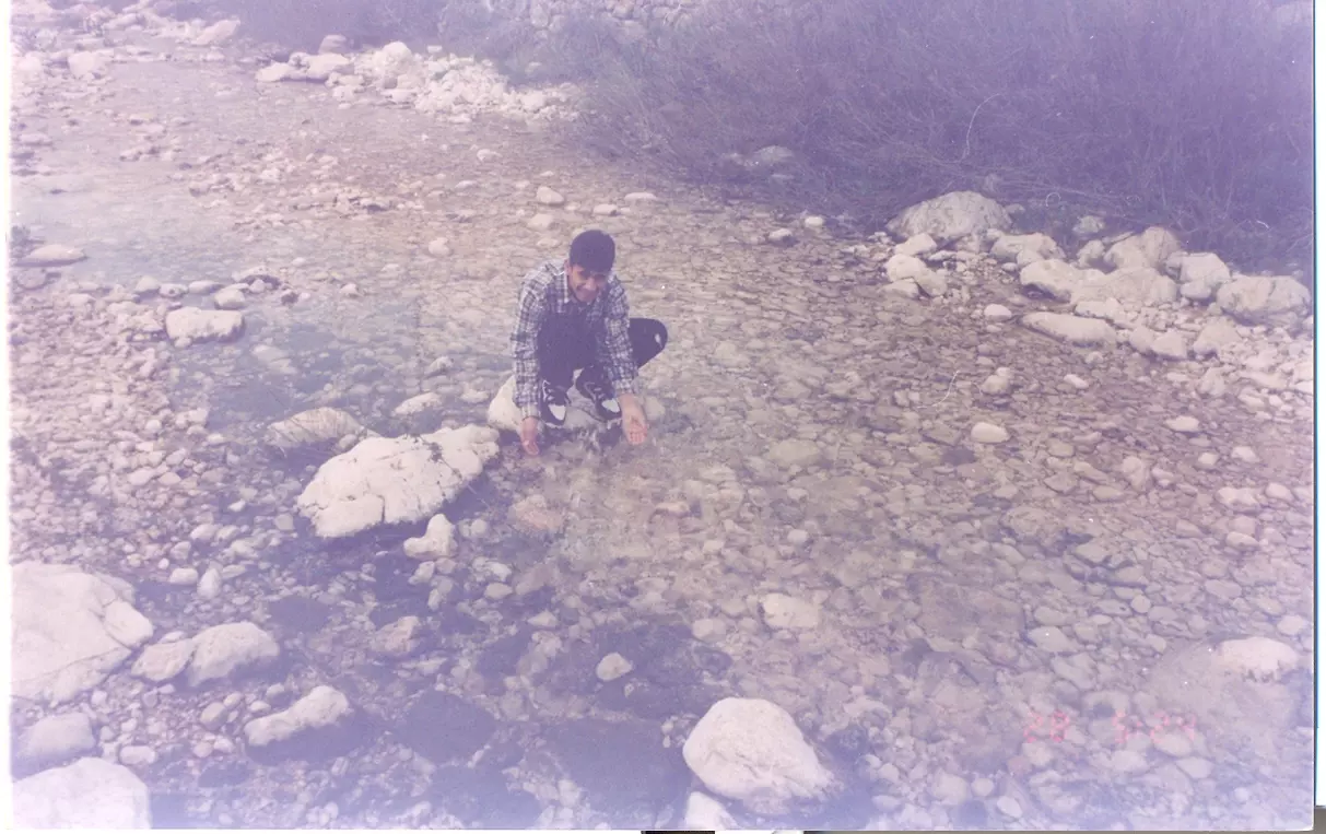
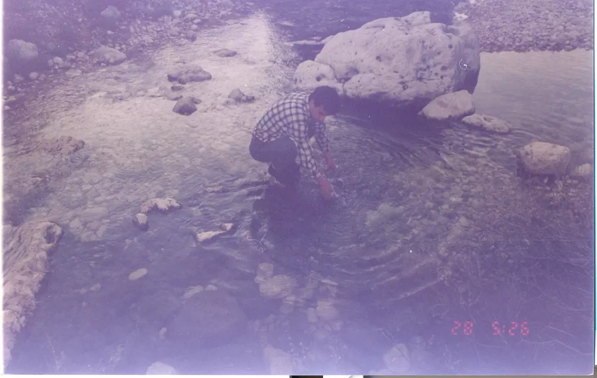
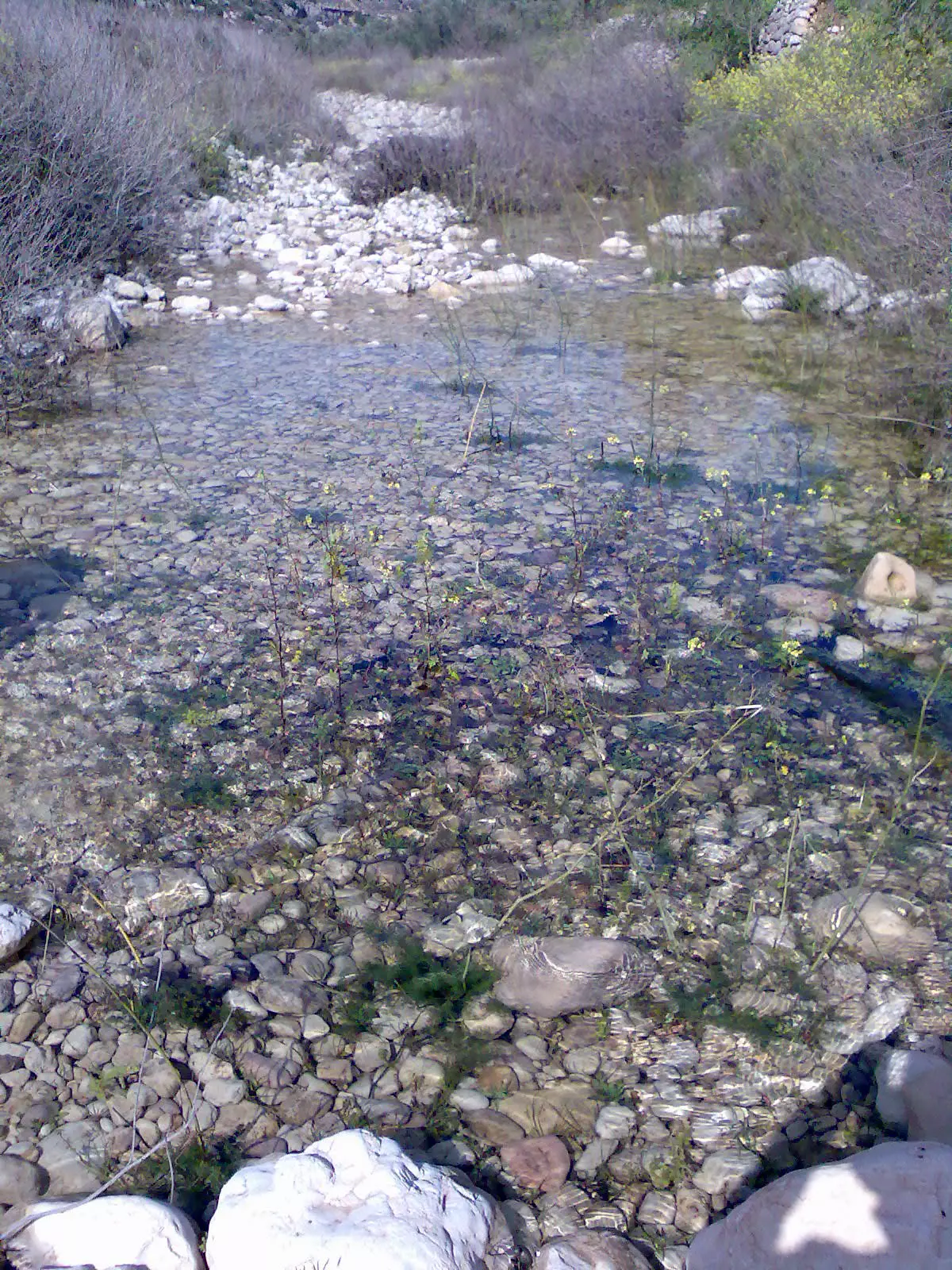
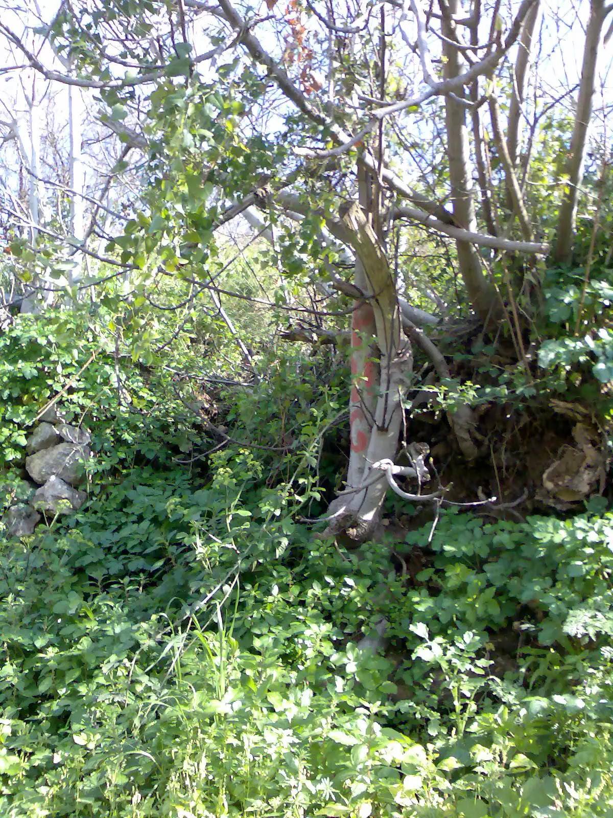
Posted by اسيد مخالفة 1 - مياه الواد في عجول
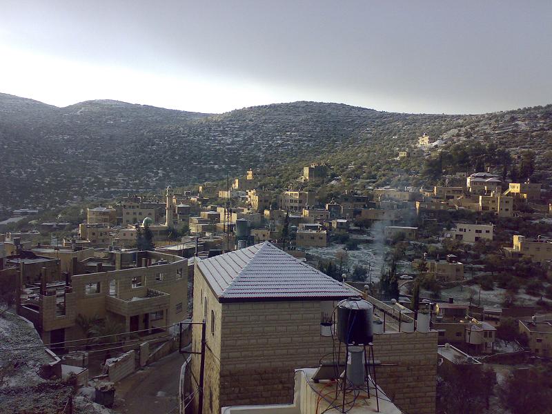
Posted by اسيد مخالفة 6 - منظر من مناظر عجول
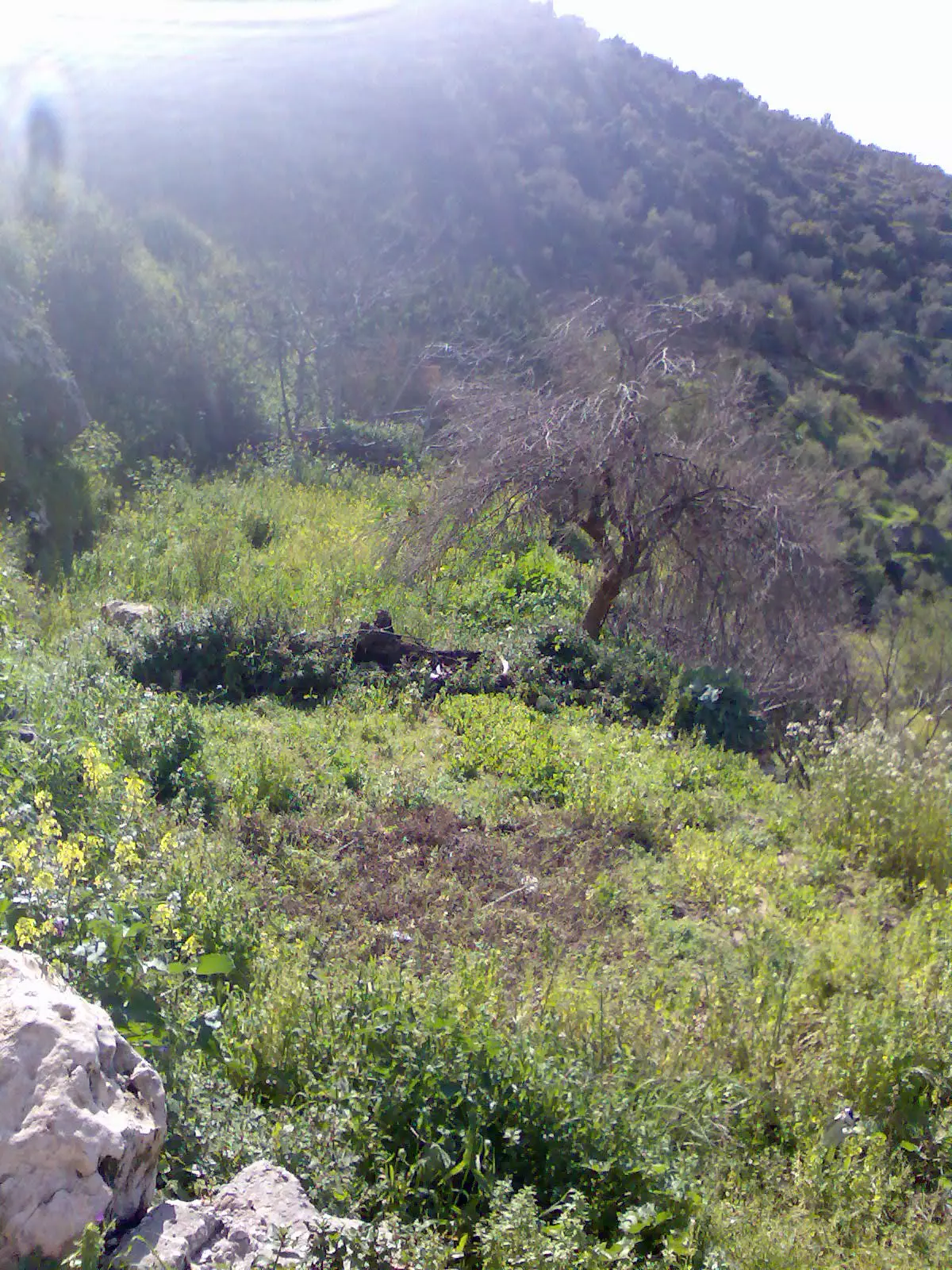
Posted by اسيد مخالفة 3 - منظر من مناظر الطبيعة في عجول
Posted by اسيد مخالفة 1 - منظر طبيعي في عجول
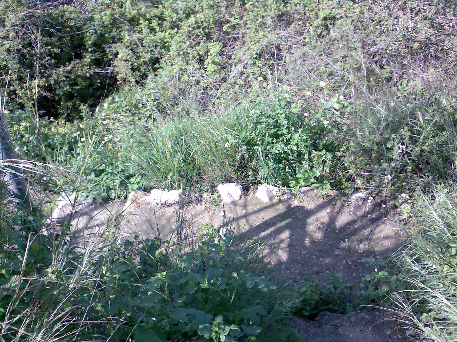
Posted by اسيد مخالفة - عين عجول الجميلة
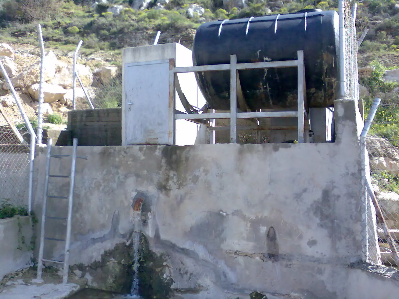
Posted by اسيد مخالفة 3 - عين عجول
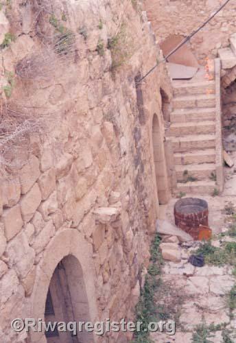
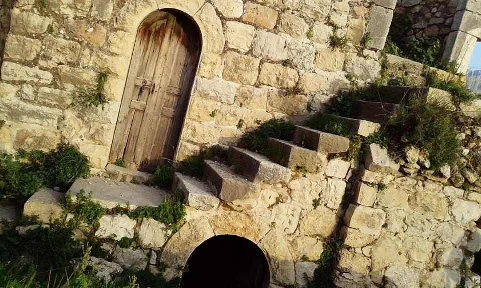
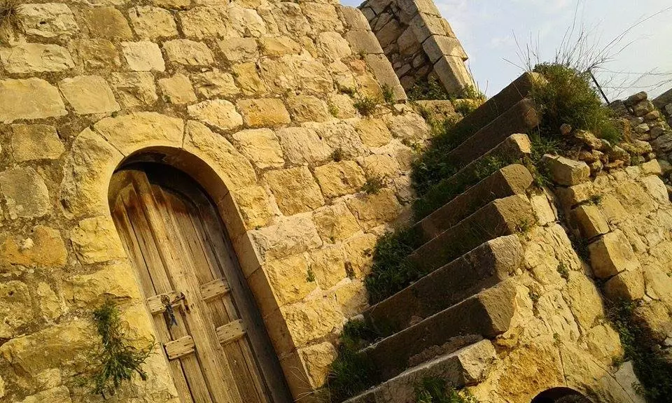
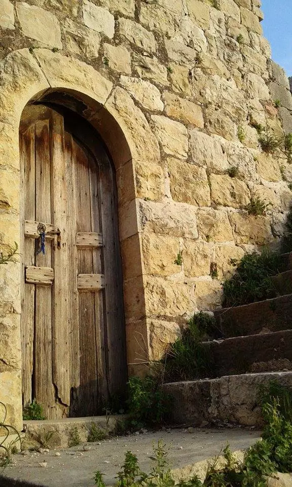
Posted by اسيد مخالفة - درج عين عجول الجميلة
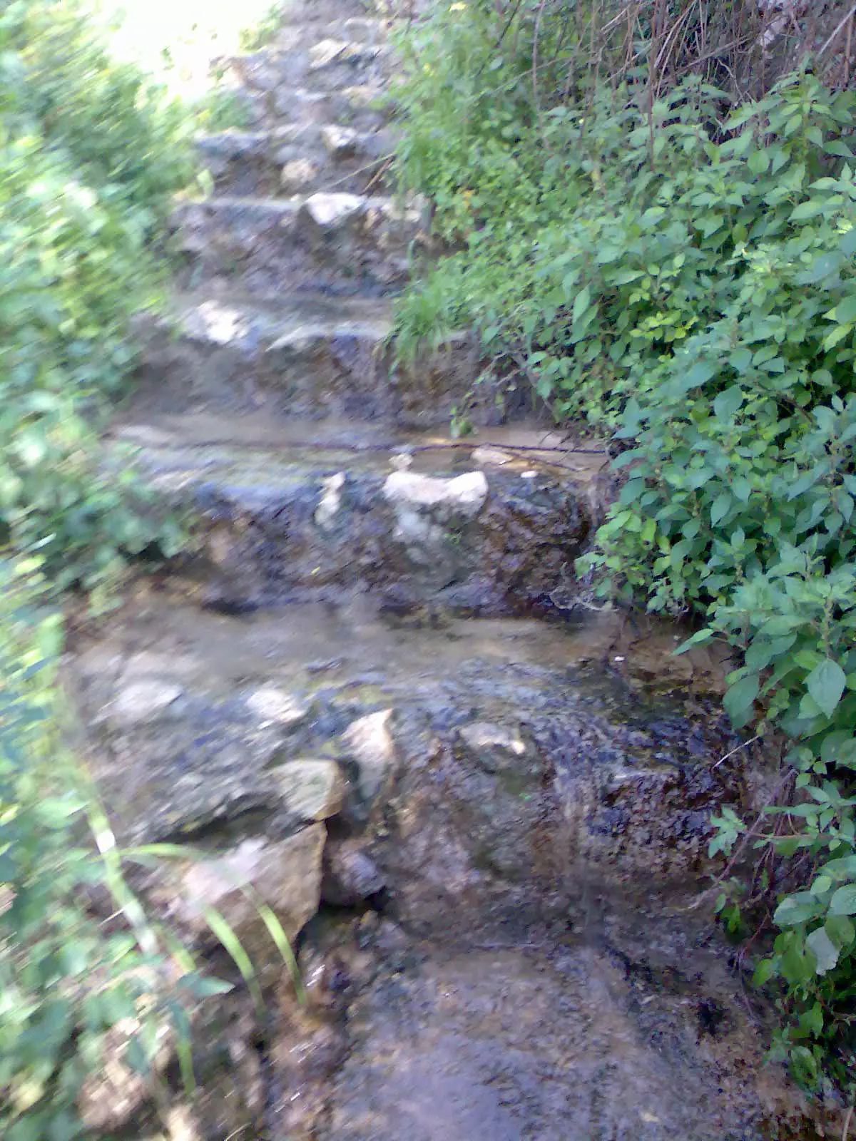
Posted by اسيد مخالفة - درج العين في عجول
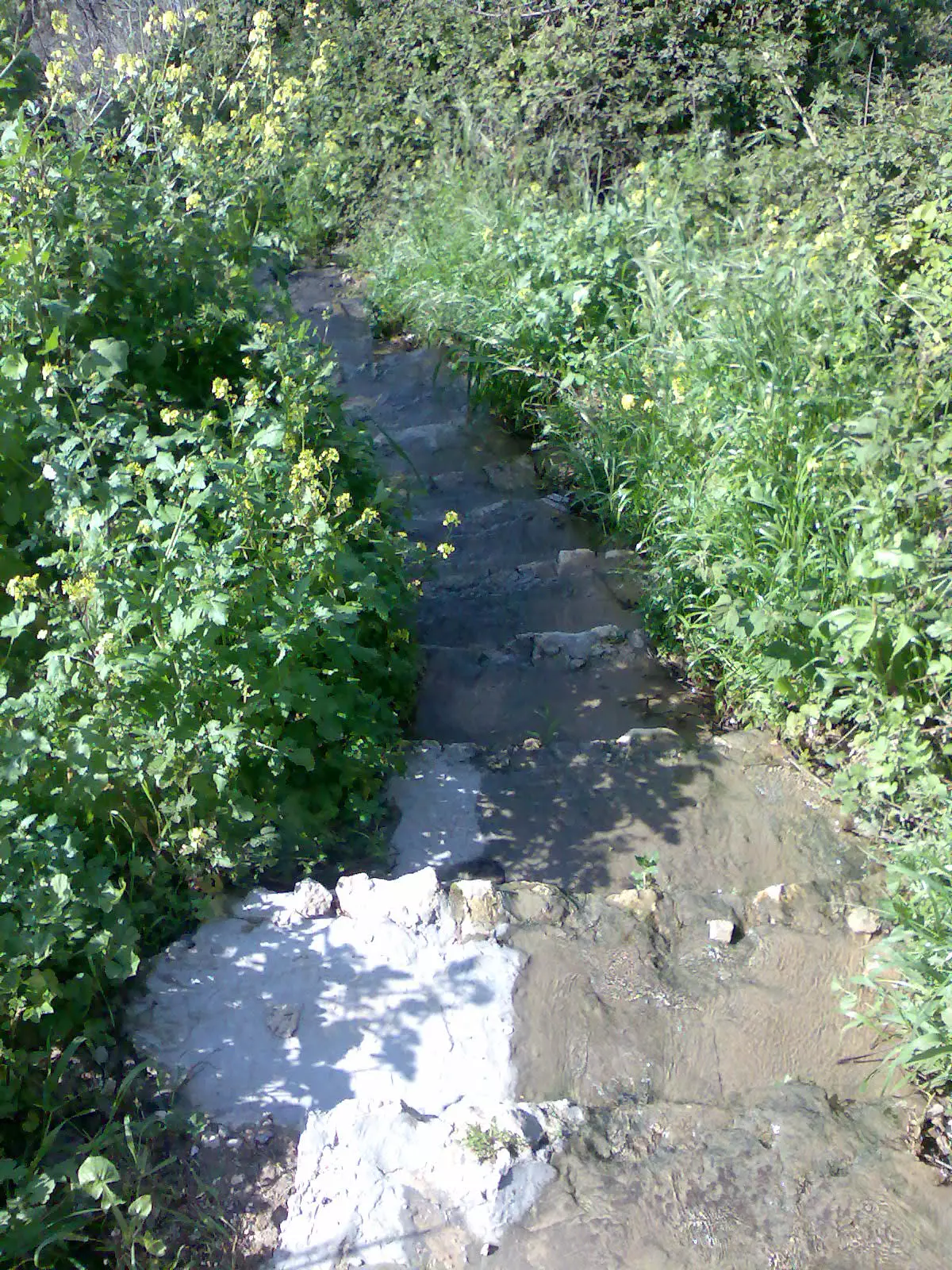
Posted by اسيد مخالفة - درج العين
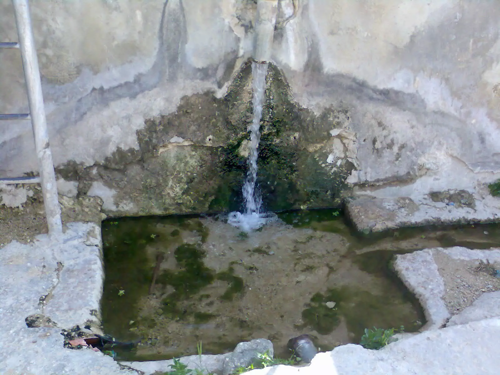
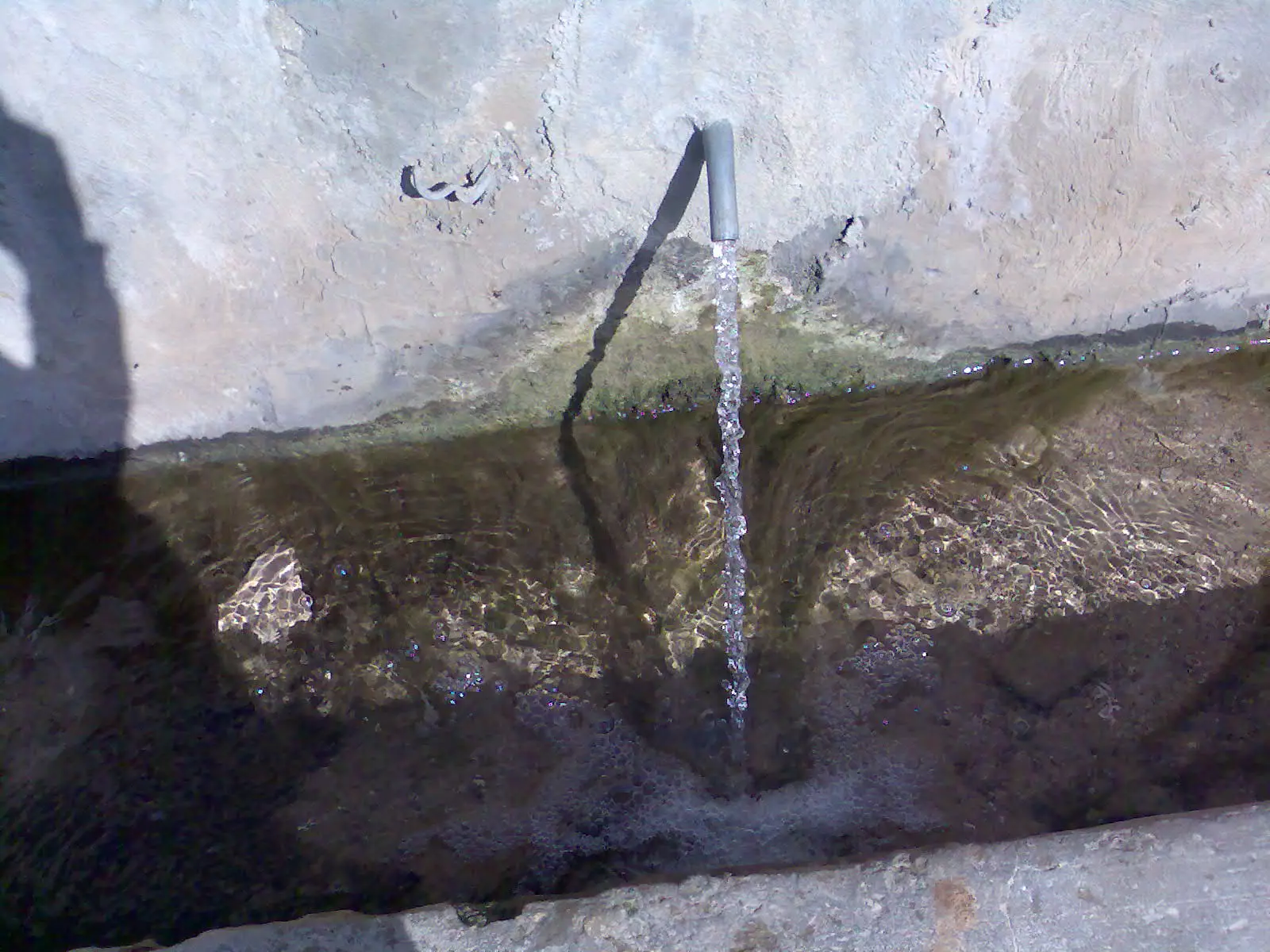
Posted by اسيد مخالفة - حنفية مياه العين في عجول
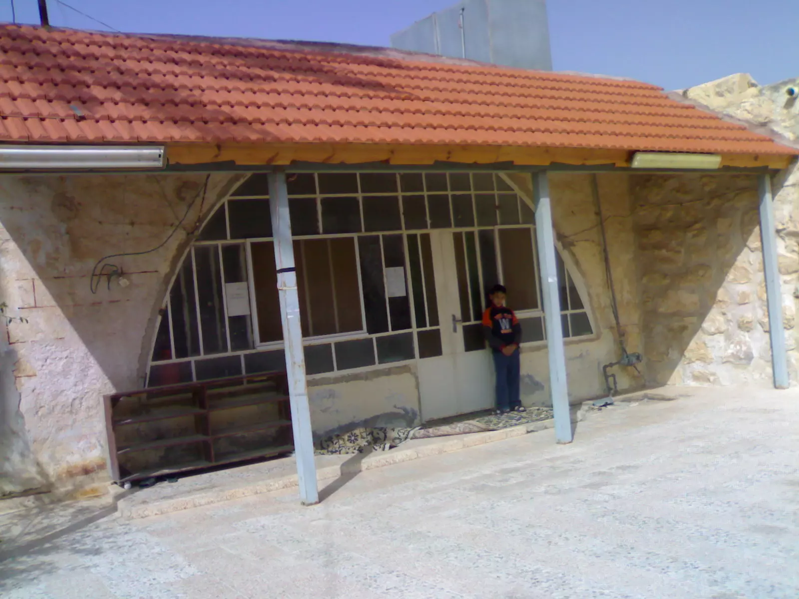
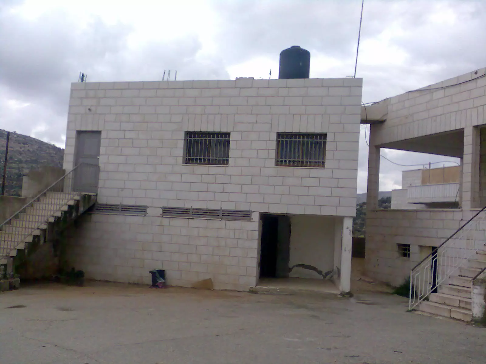
Posted by اسيد مخالفة - مدرسة عجول
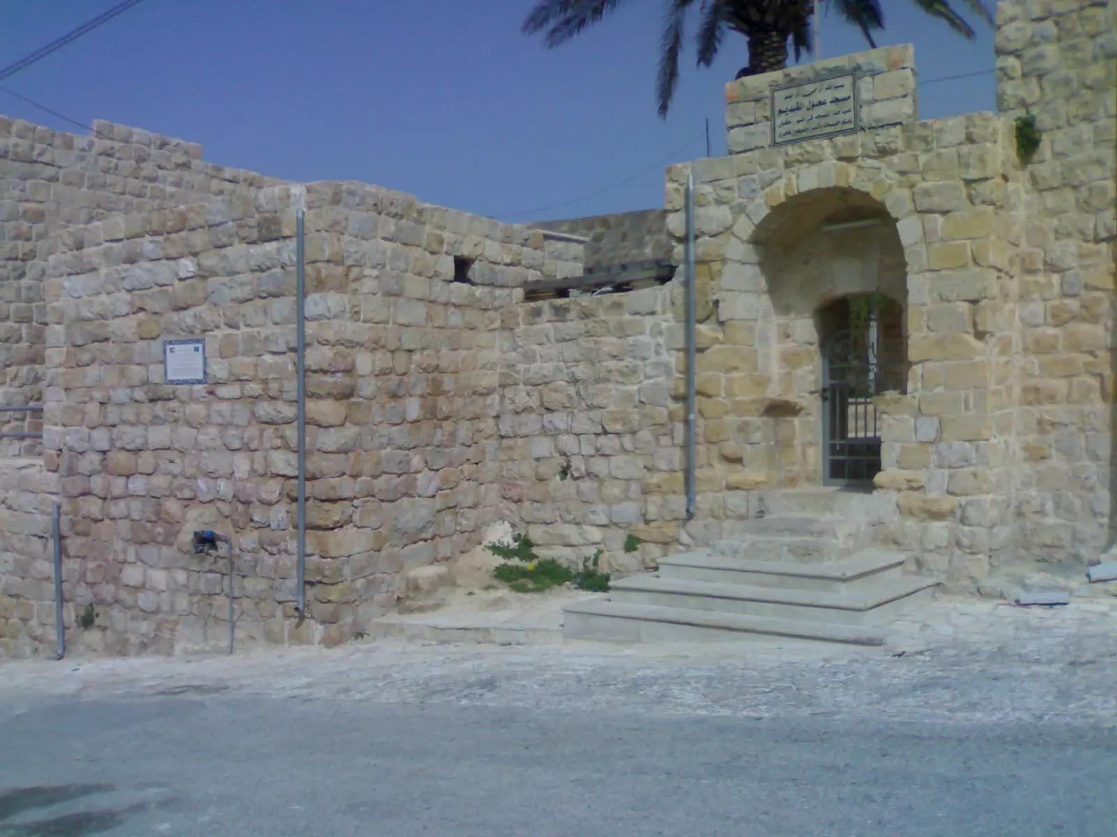
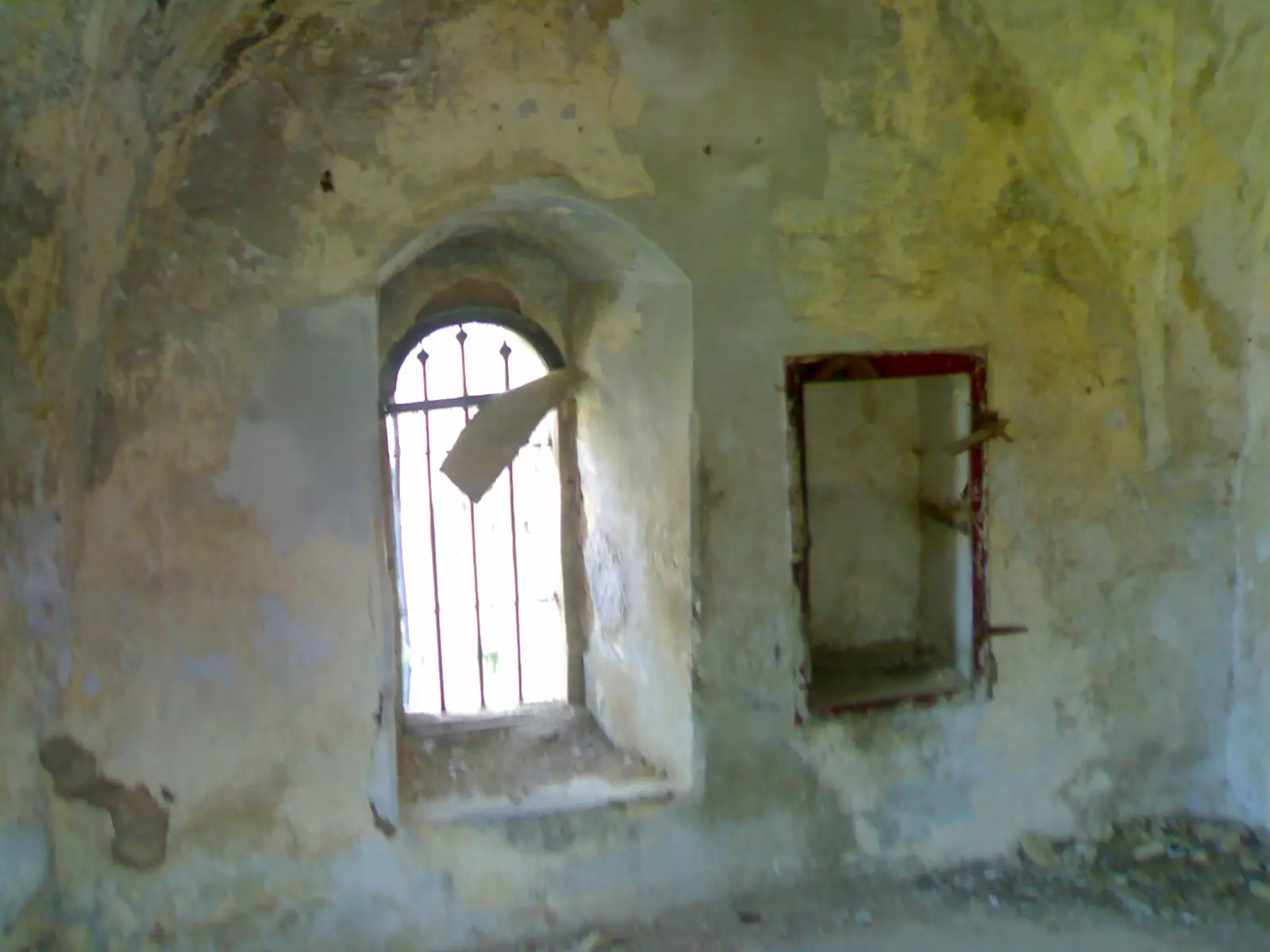
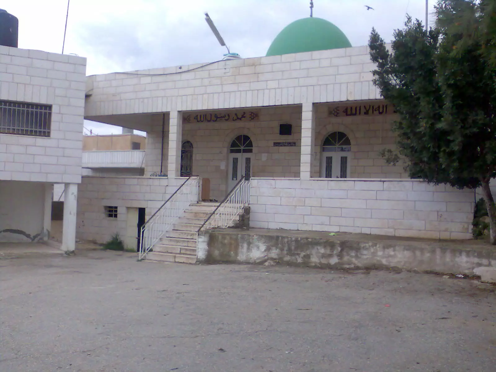
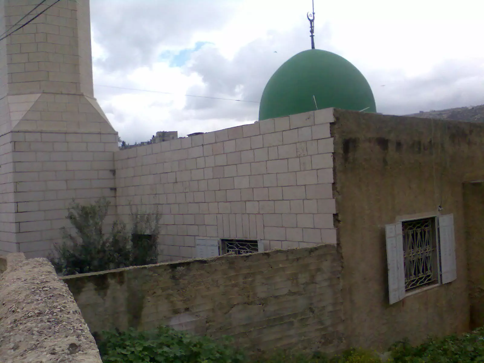
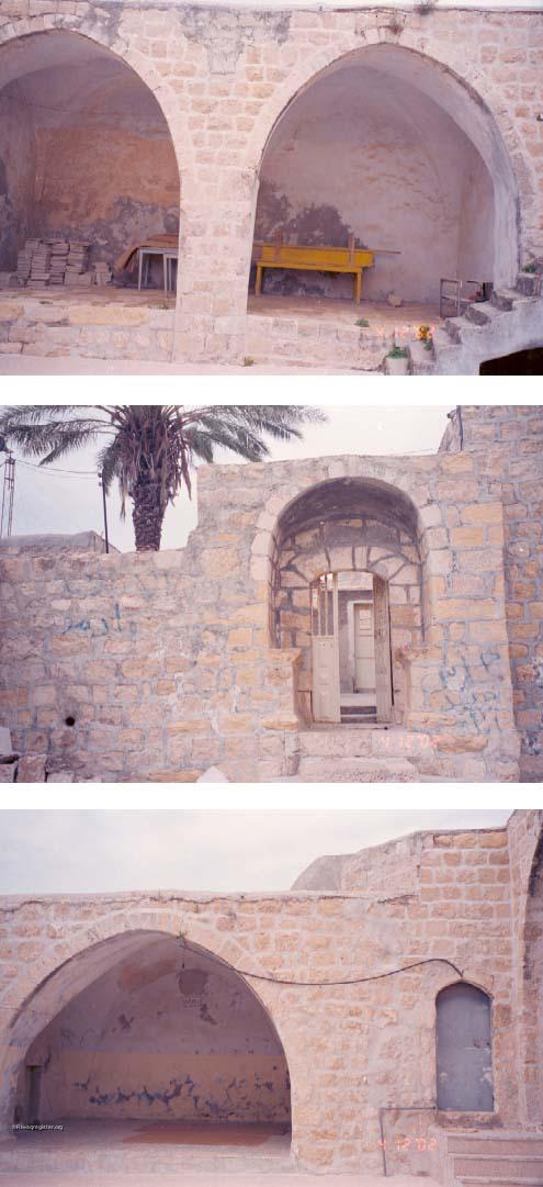
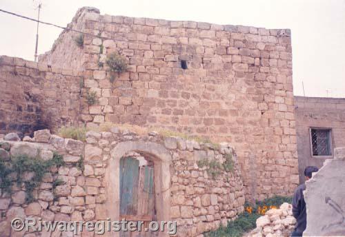
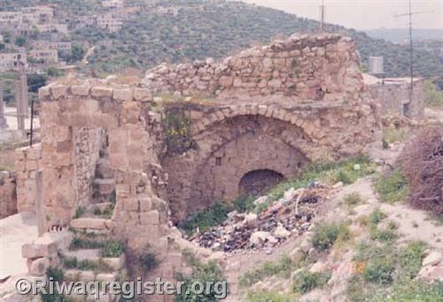
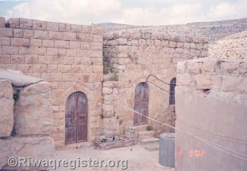
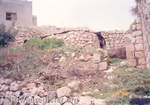
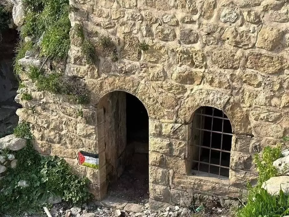
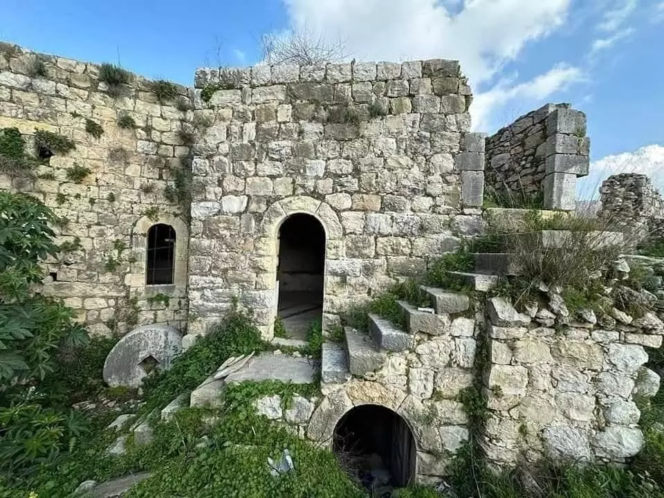
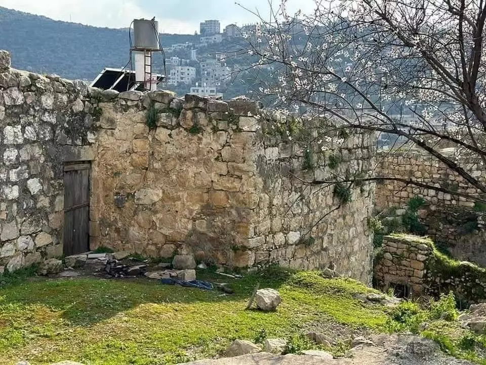
Posted by اسيد مخالفة 1 - *المسجد القديم في عجول*
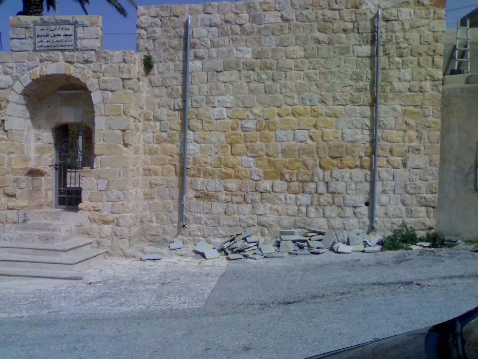
Posted by اسيد مخالفة - باب المسجد القديم
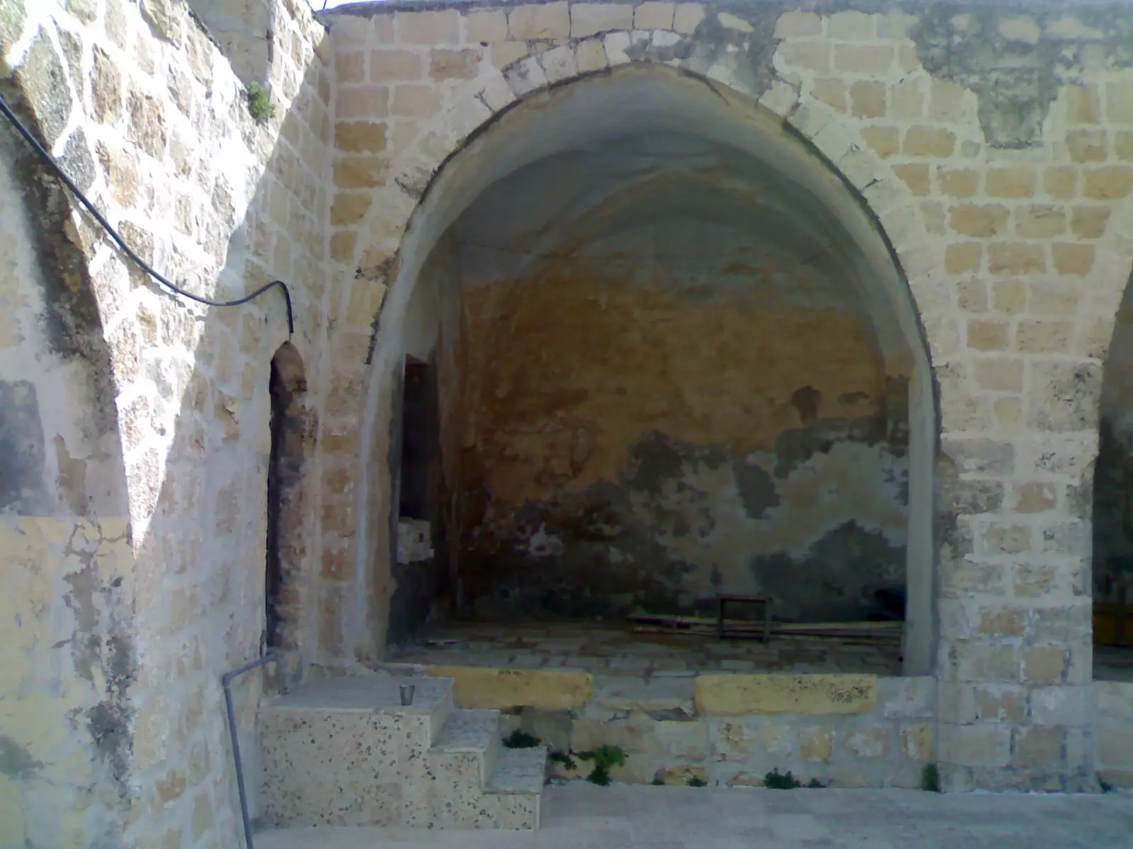
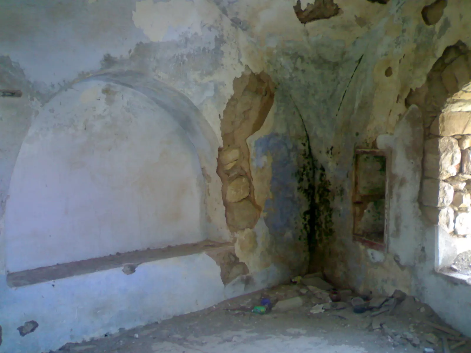
Posted by اسيد مخالفة - احد الاروقة في المسجد القديم
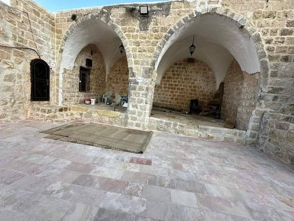
Posted by اسيد مخالفة 1 - المسجد القديم بعد الترميم
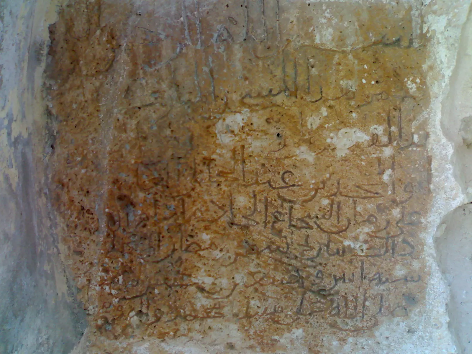
Posted by اسيد مخالفة 1 - حجر يدل على تاريخ المسجد القديم من زمن عمر بن عبد العزيز
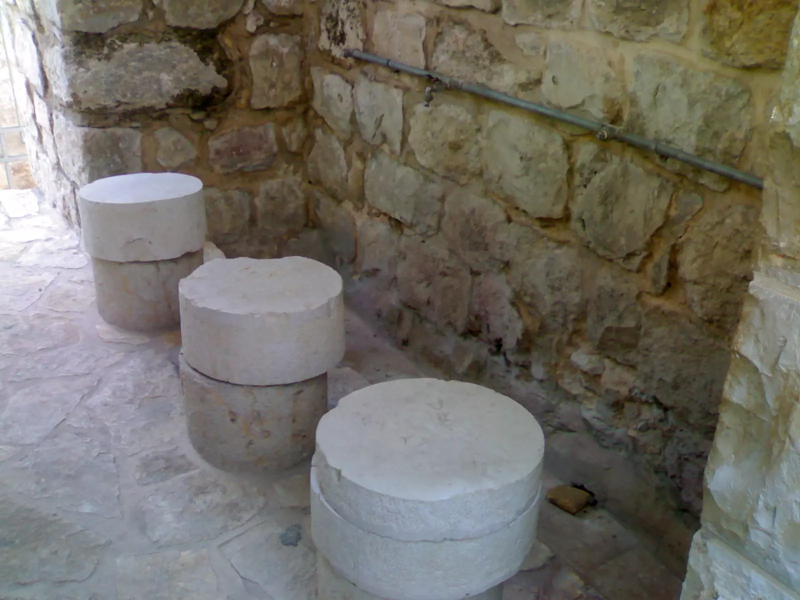
Posted by اسيد مخالفة 3 - الموضئ في المسجد القديم
Posted by اسيد مخالفة - منبر المسجد القديم

Posted by اسيد مخالفة - مسجد النساء
Posted by اسيد مخالفة - ساحة في المسجد القديم
Posted by اسيد مخالفة - المكتبة في المسجد القديم
Posted by اسيد مخالفة - مجلس قروي عجول
Posted by اسيد مخالفة 2 - عجول الجميلة
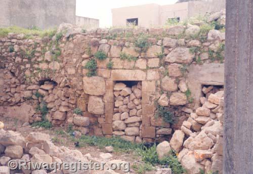
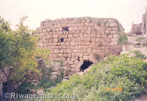
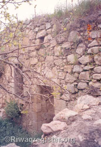
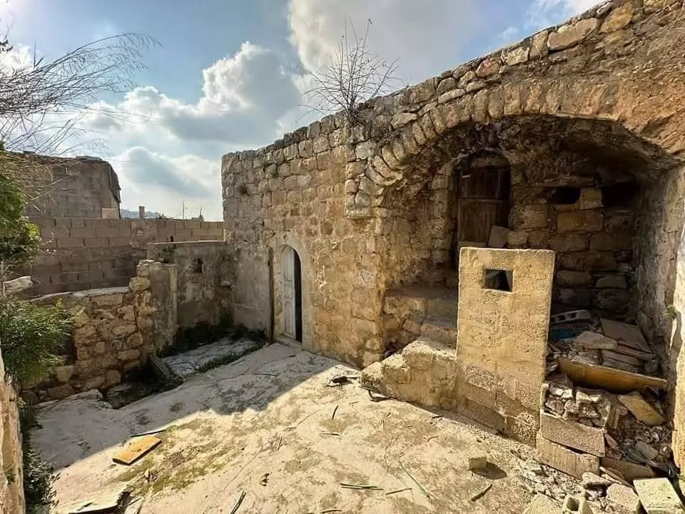
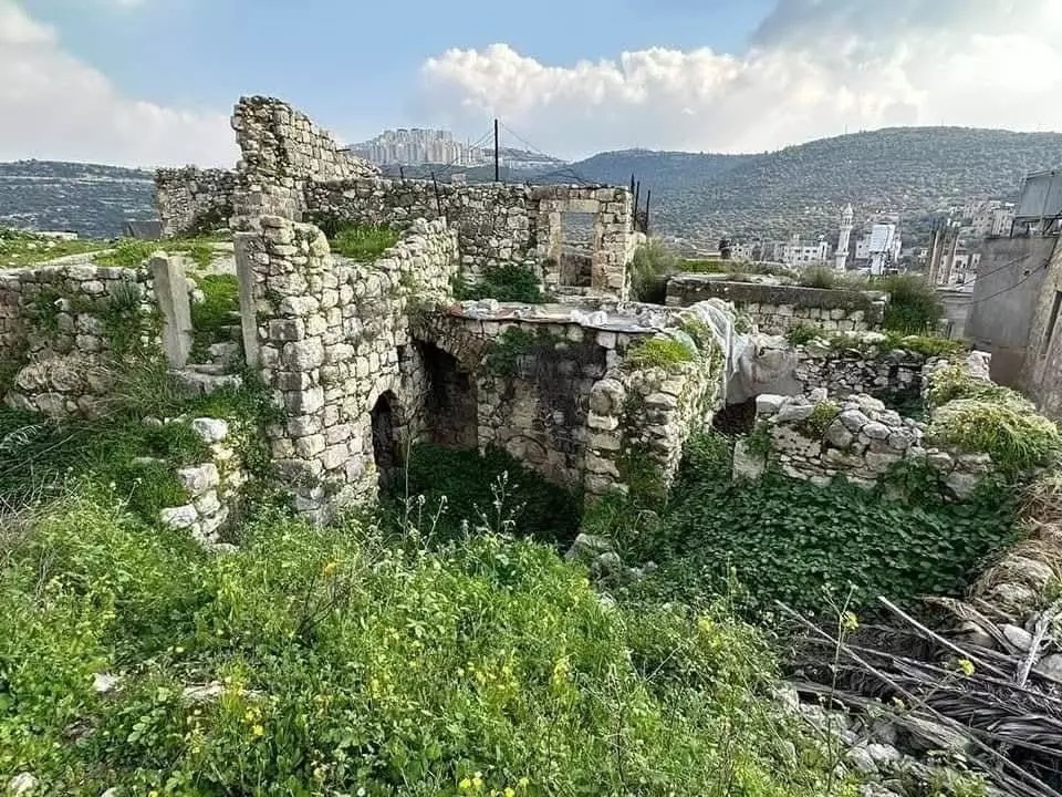
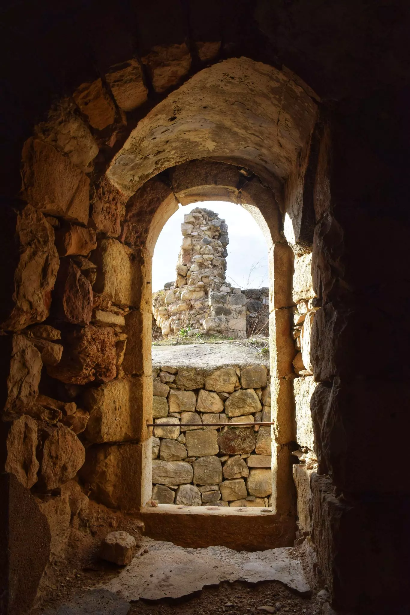
Posted by اسيد مخالفة - عجول القديمة
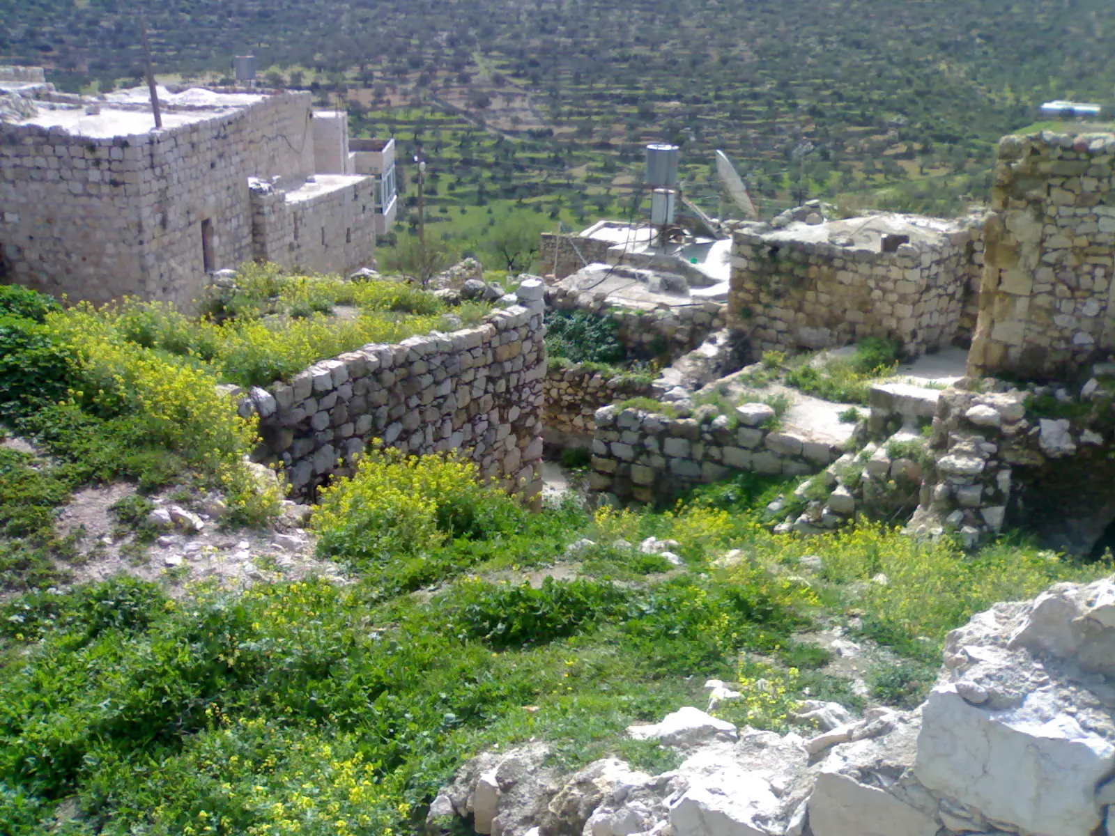
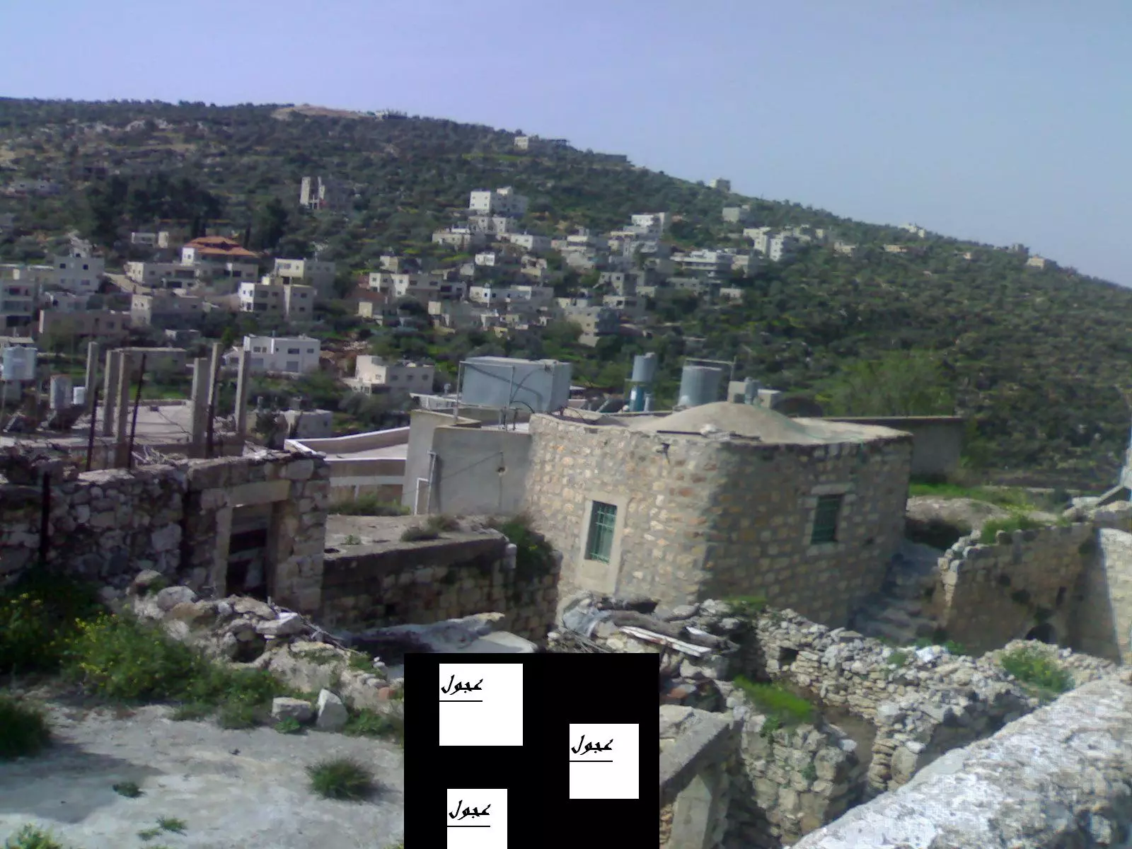
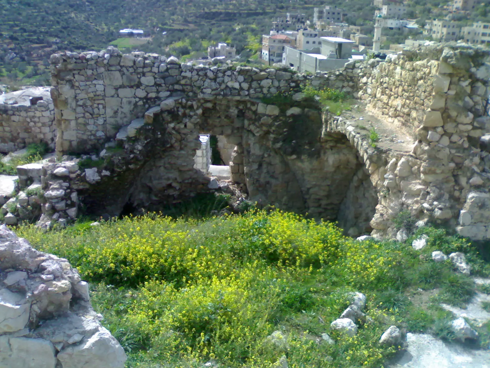
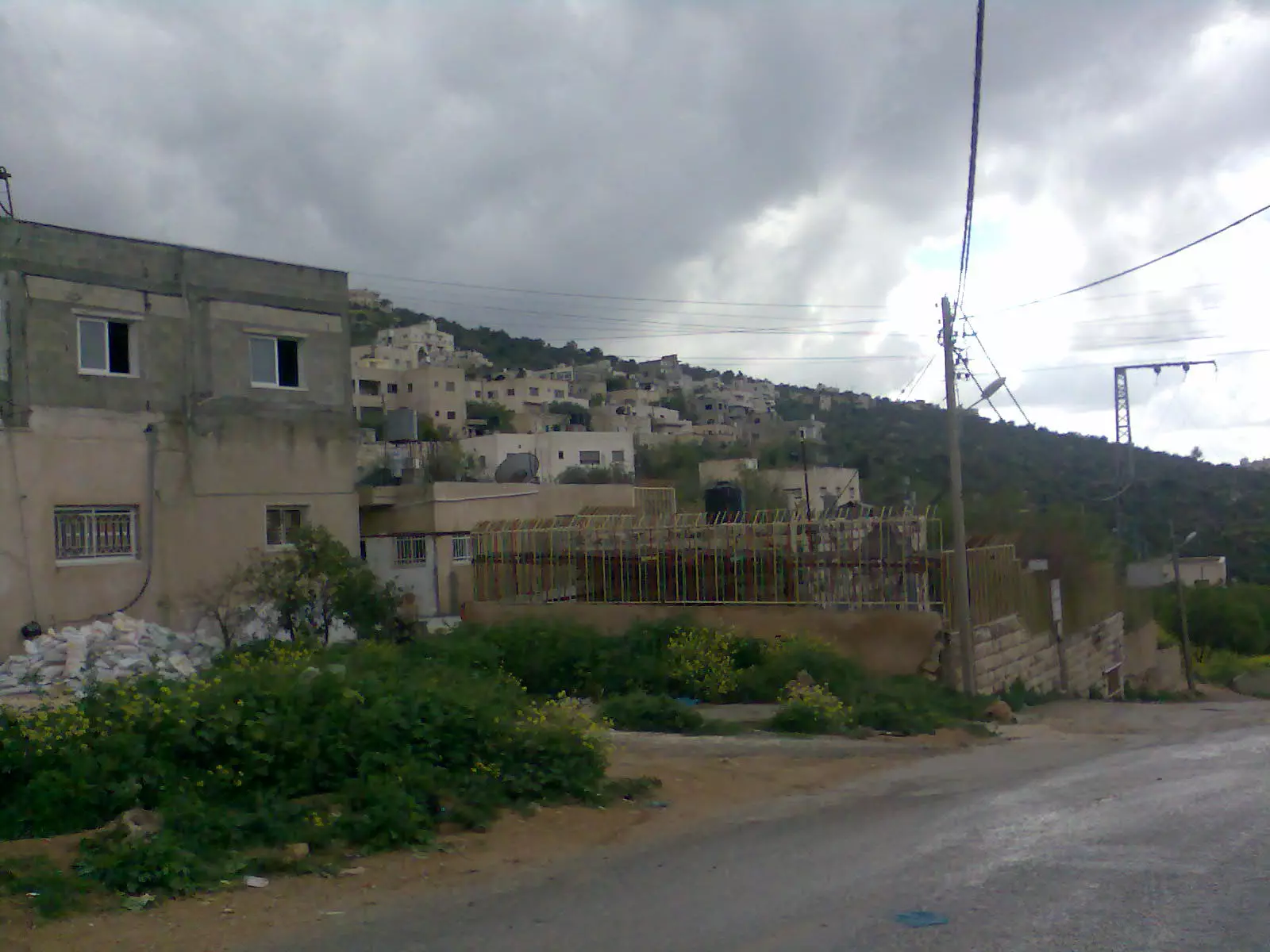
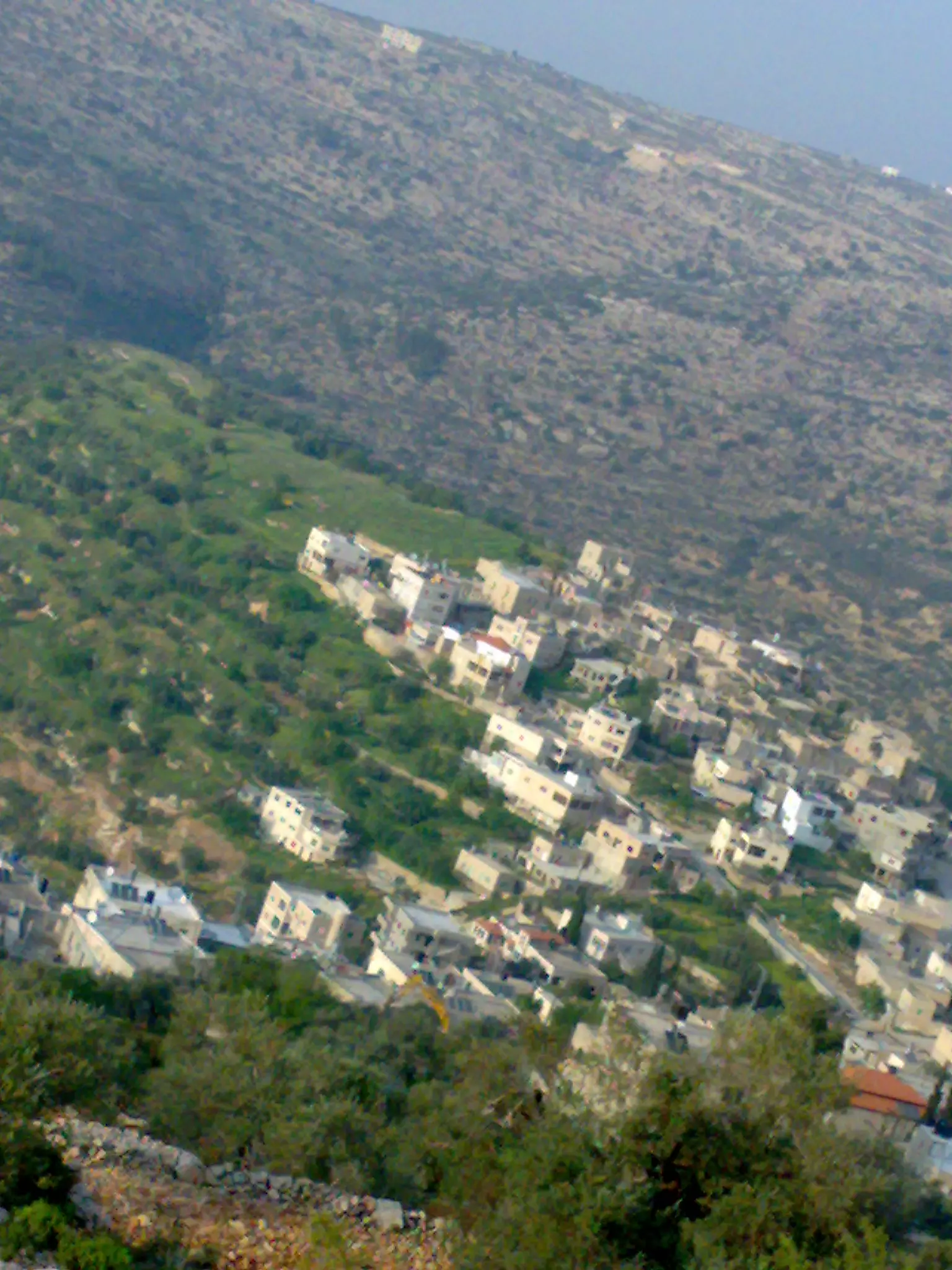
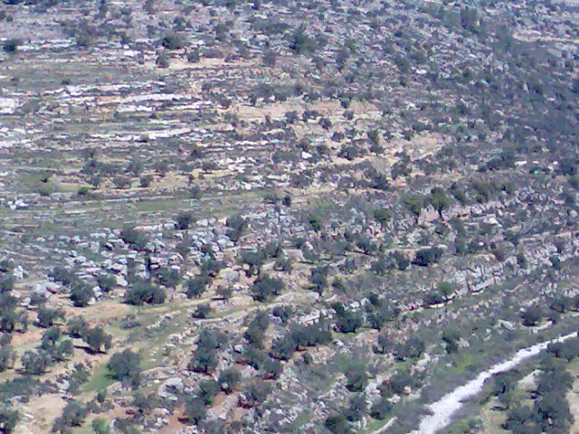
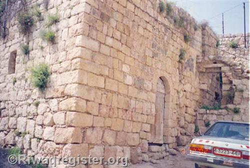
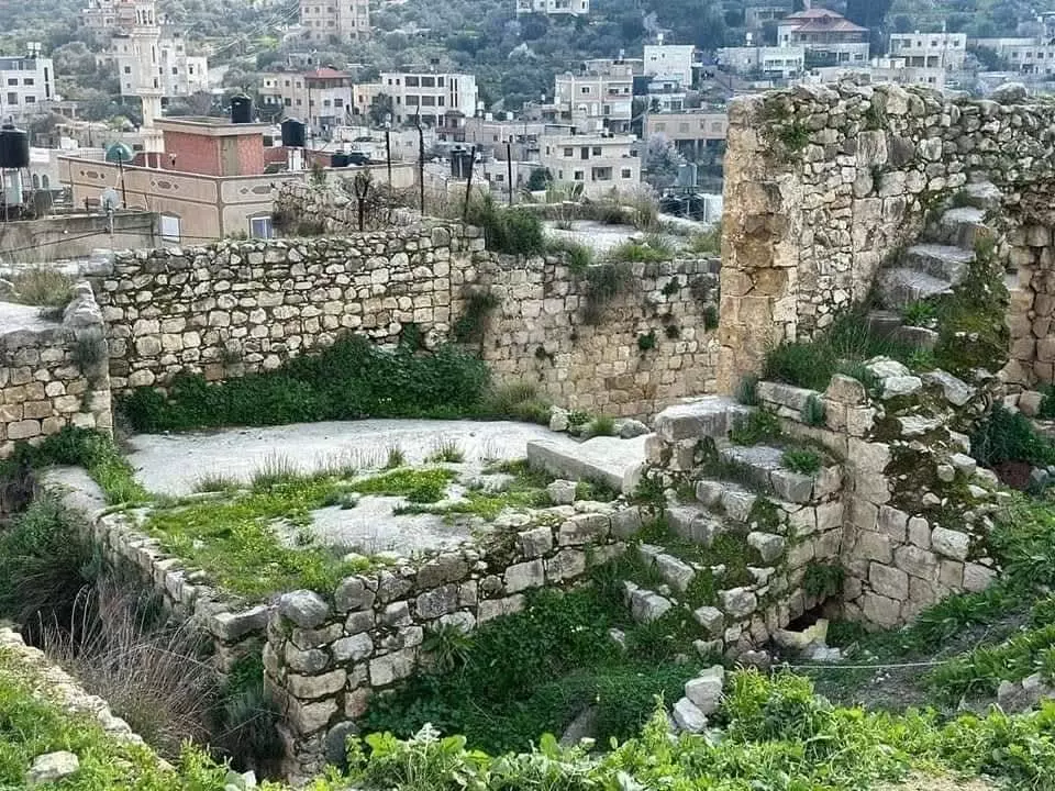
Posted by اسيد مخالفة - البلد القديمة من الاعلى
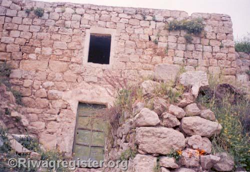
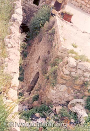
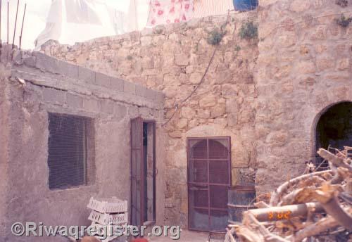
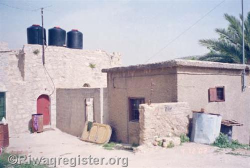
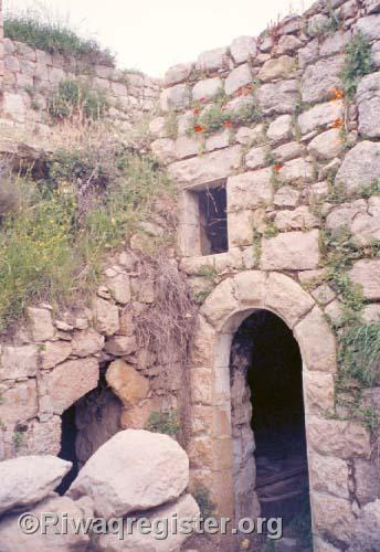
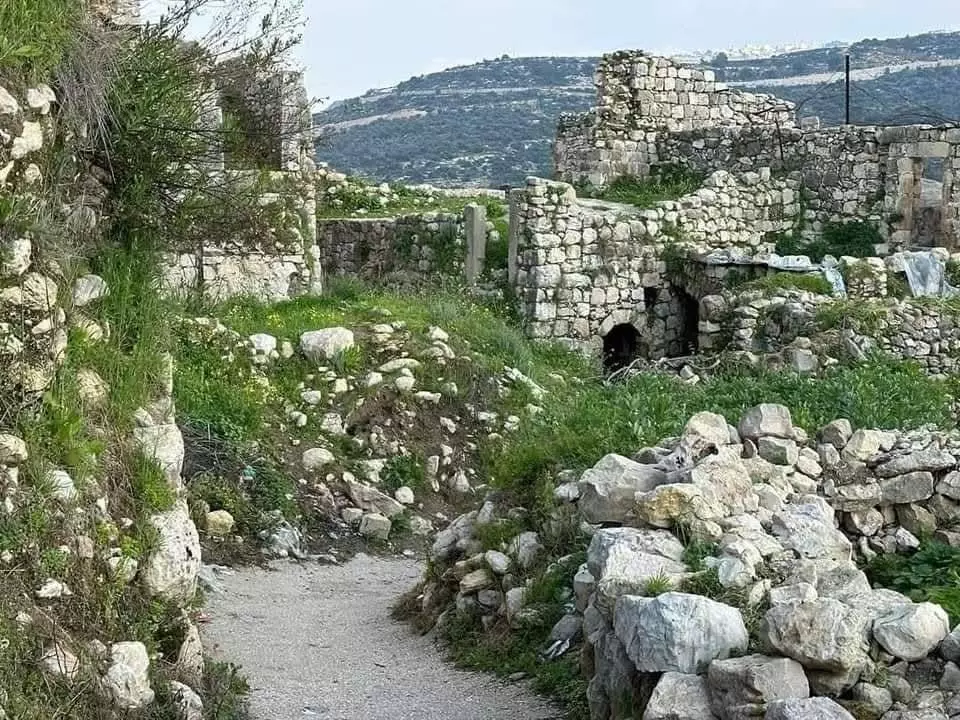
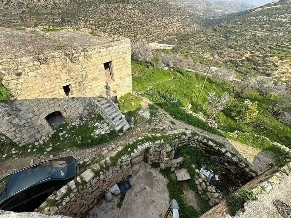
Posted by اسيد مخالفة - البيوت القديمة
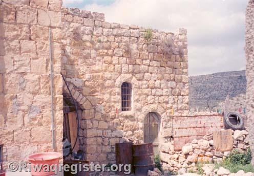
Posted by اسيد مخالفة 3 - البلد القديمة
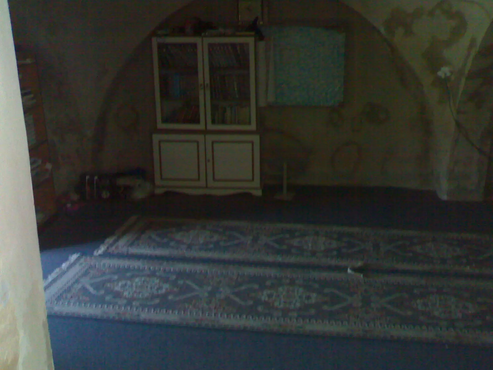
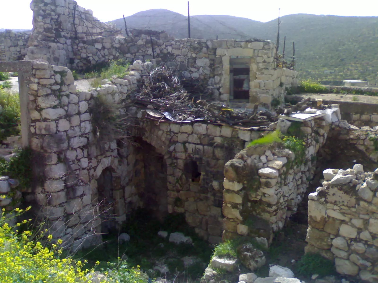
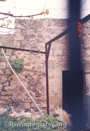
Posted by اسيد مخالفة 2 - احد البيوت القديمة من الداخل
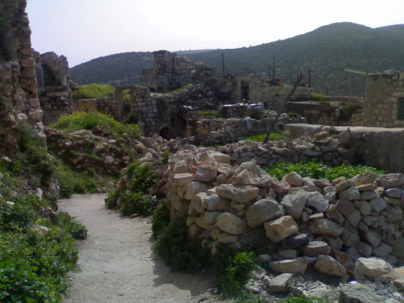
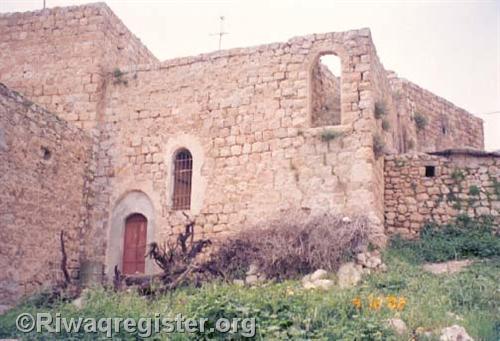
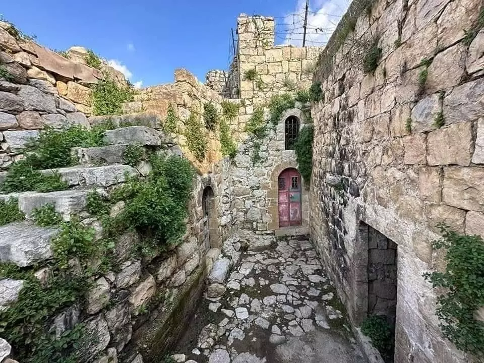
Posted by اسيد مخالفة 1 - البلد القديمة عجول
Posted by اسيد مخالفة - احدى البيوت القديمة فقي عجول من الداخل
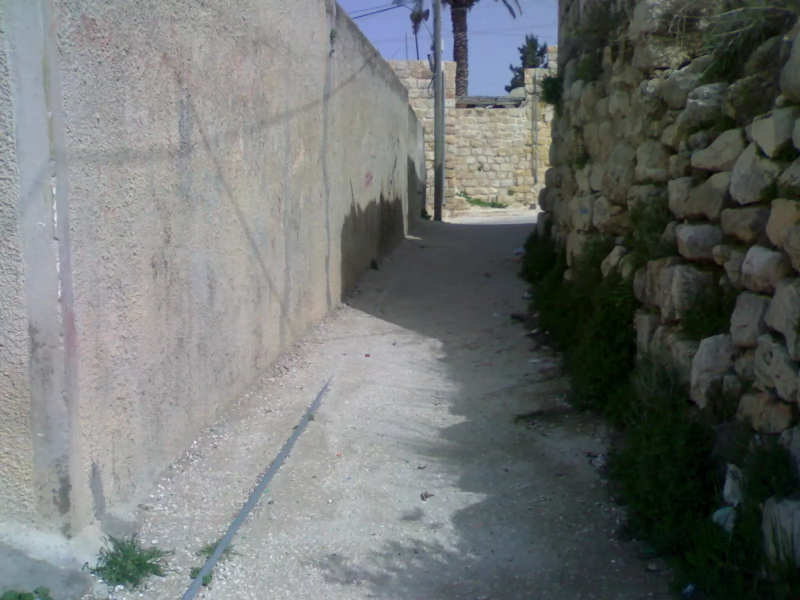
Posted by اسيد مخالفة - طريق من عجووووووووول الى البلد القديمة
Posted by اسيد مخالفة - عجول في فصل الشتاء ____عجول في الثلج
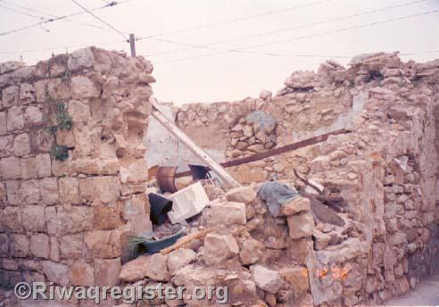
Posted by ربيع اديب سامي مخالفة 4 - مسجد عجول الذي هو الان قيد الهدم
Posted by اسيد مخالفة 2 - مسجد النساء
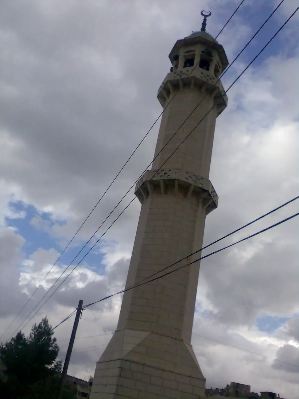
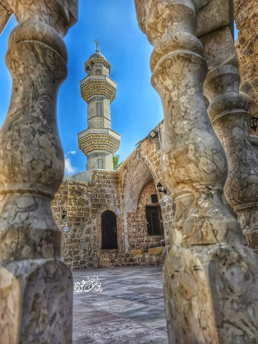
Posted by اسيد مخالفة - مأذنة المسجد
Posted by اسيد مخالفة - جامع البلد
Posted by اسيد مخالفة - عجول -----حارة الجبيل
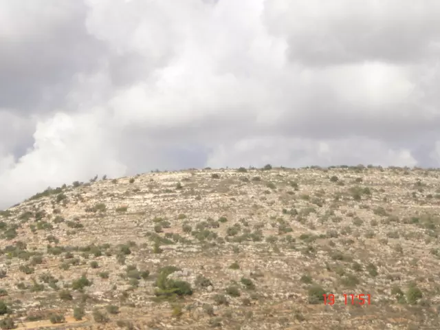
Posted by اسيد مخالفة - جبال --عجول
Posted by اسيد مخالفة - 232457
Posted by سامح نديم سامي مخالفة - الصليب
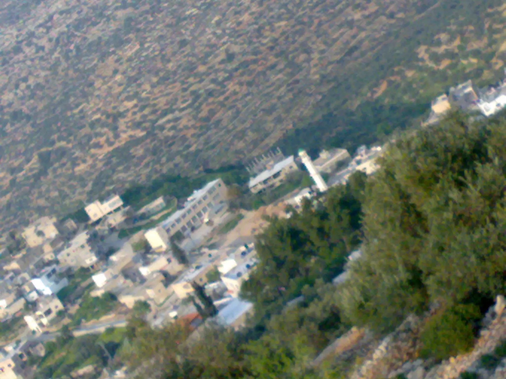
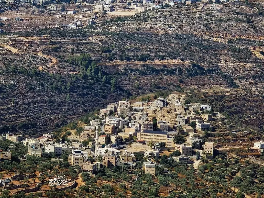
Posted by اسيد مخالفة - عجول من الاعلى
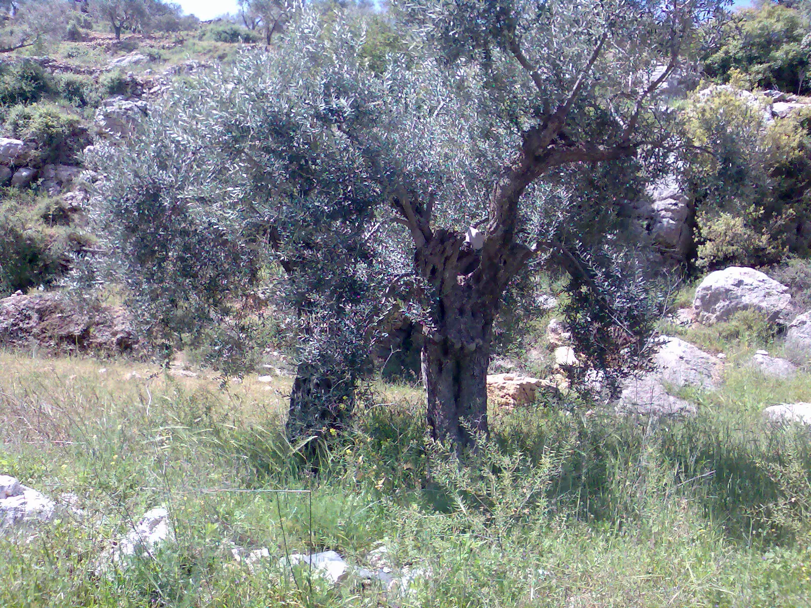
Posted by اسيد مخالفة - صورة لشجرة زيتون تدعى توم العرايس
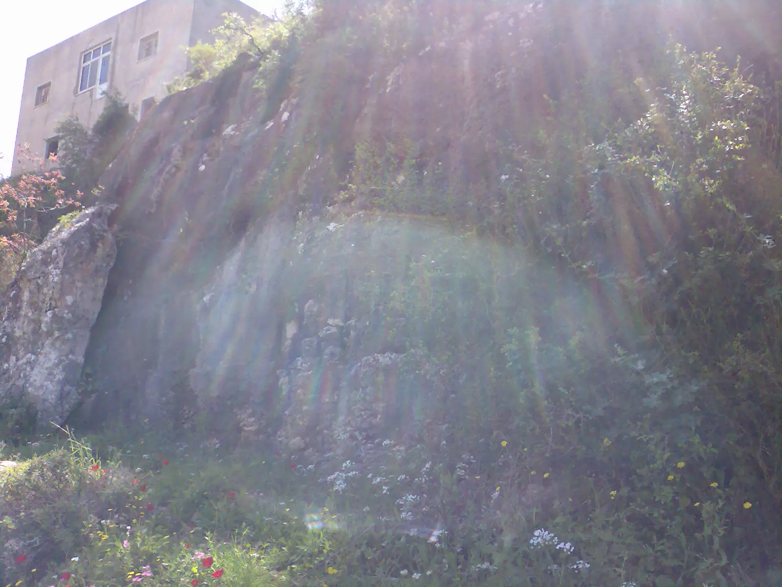
Posted by اسيد مخالفة 3 - صخور عجول
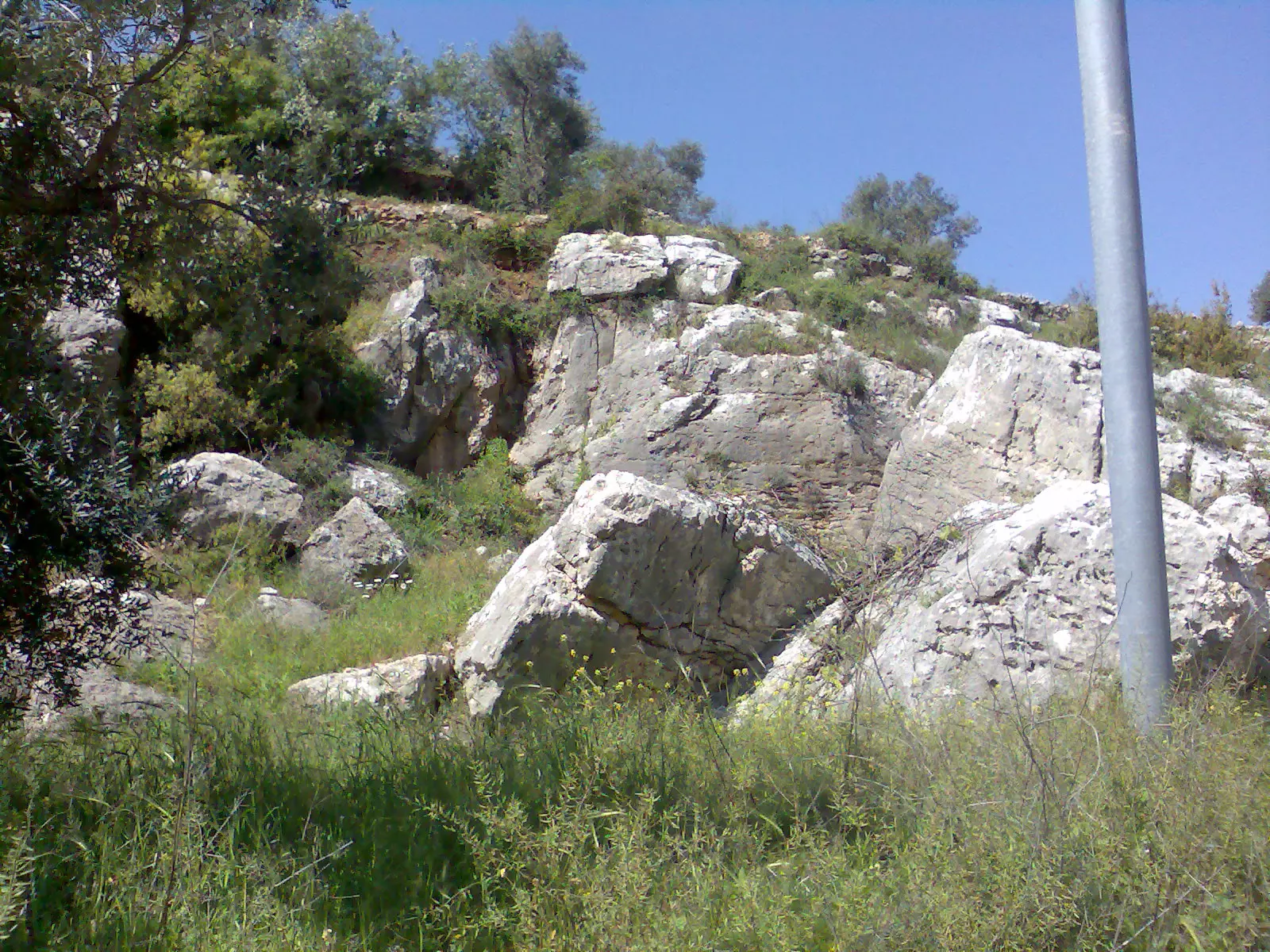
Posted by اسيد مخالفة - صخرة كبيرة تدعى عراق العين
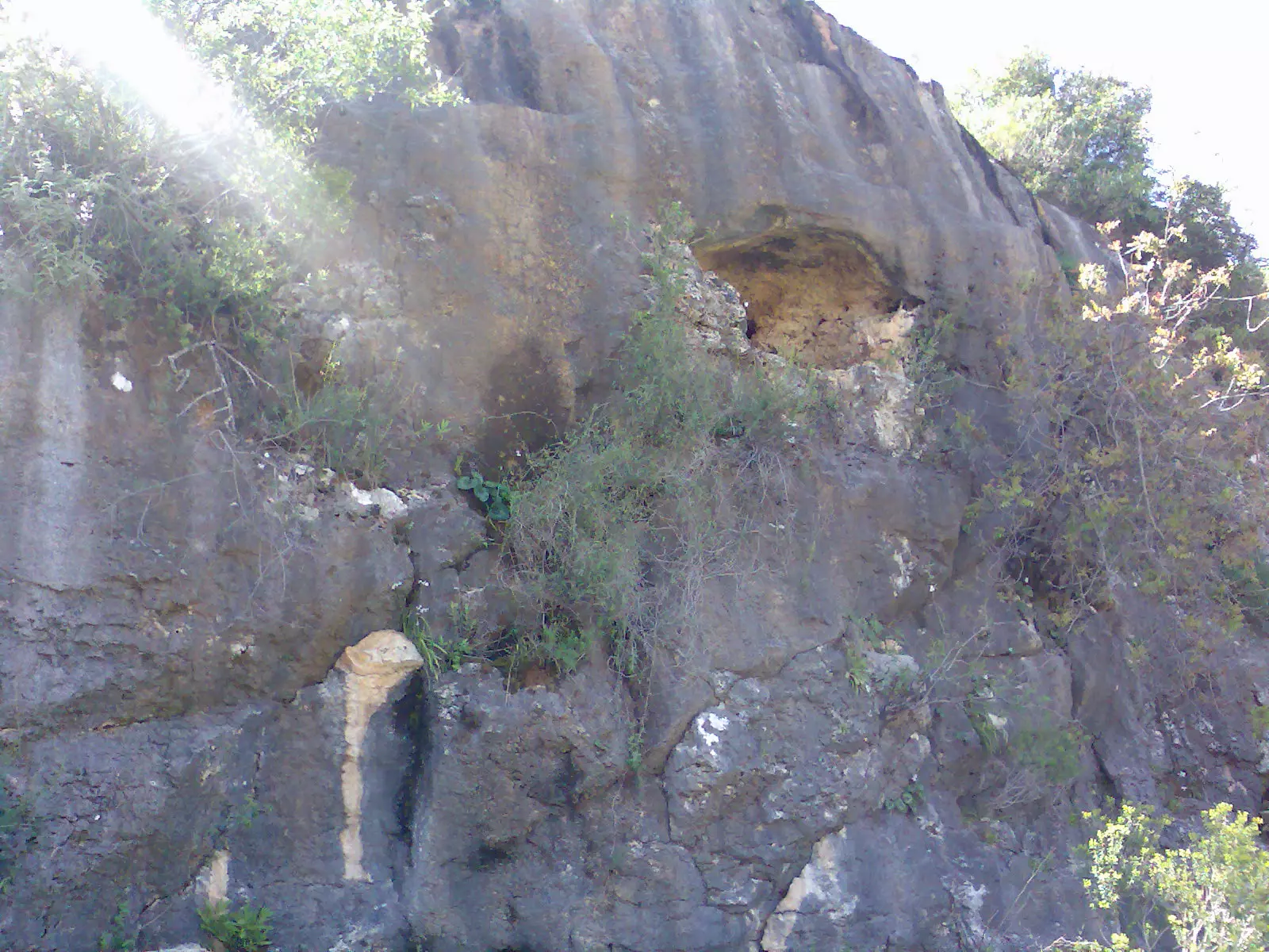
Posted by اسيد مخالفة 2 - عراق العين
Posted by اسيد مخالفة - الصليب
Posted by اسيد مخالفة 1 - صورة للصليب والبلد من الاعلى
Posted by اسيد مخالفة - المدرسة والجامع من الاعلى
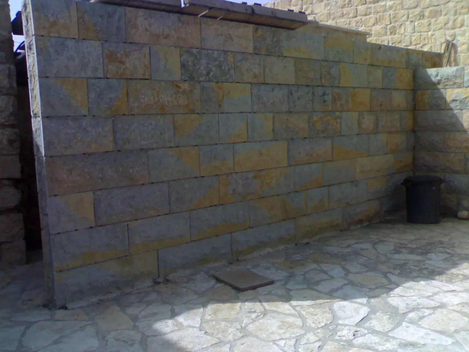
Posted by اسيد مخالفة 3 - عجول
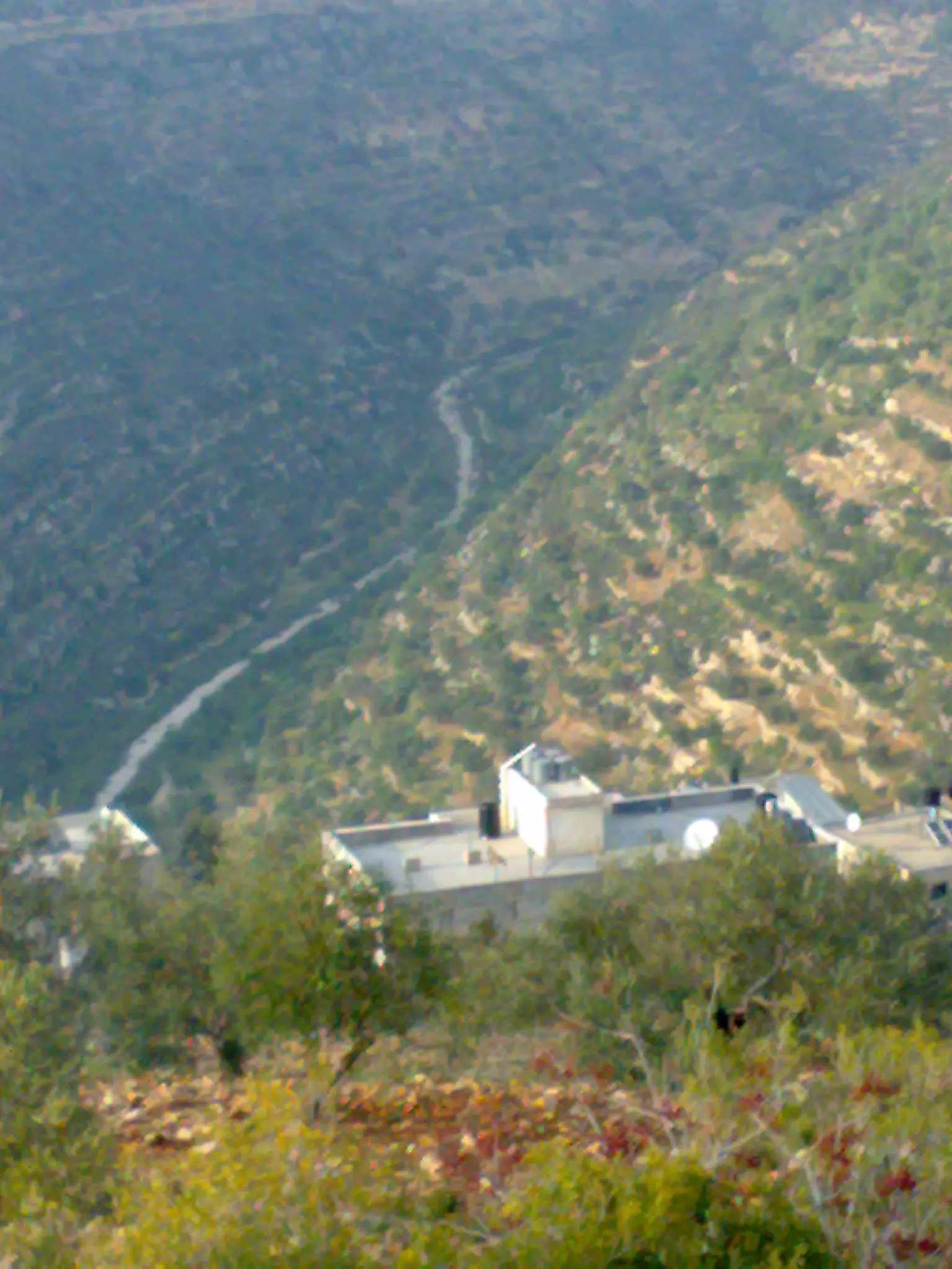
Posted by اسيد مخالفة - صورة بين جبال عجول _الواد
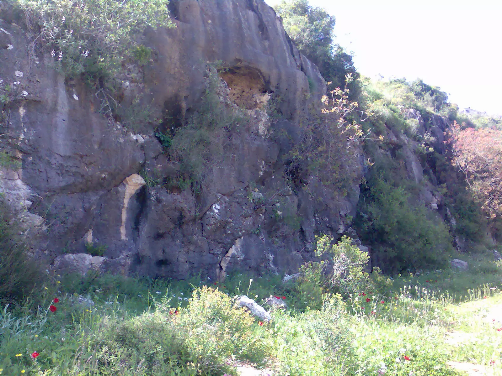
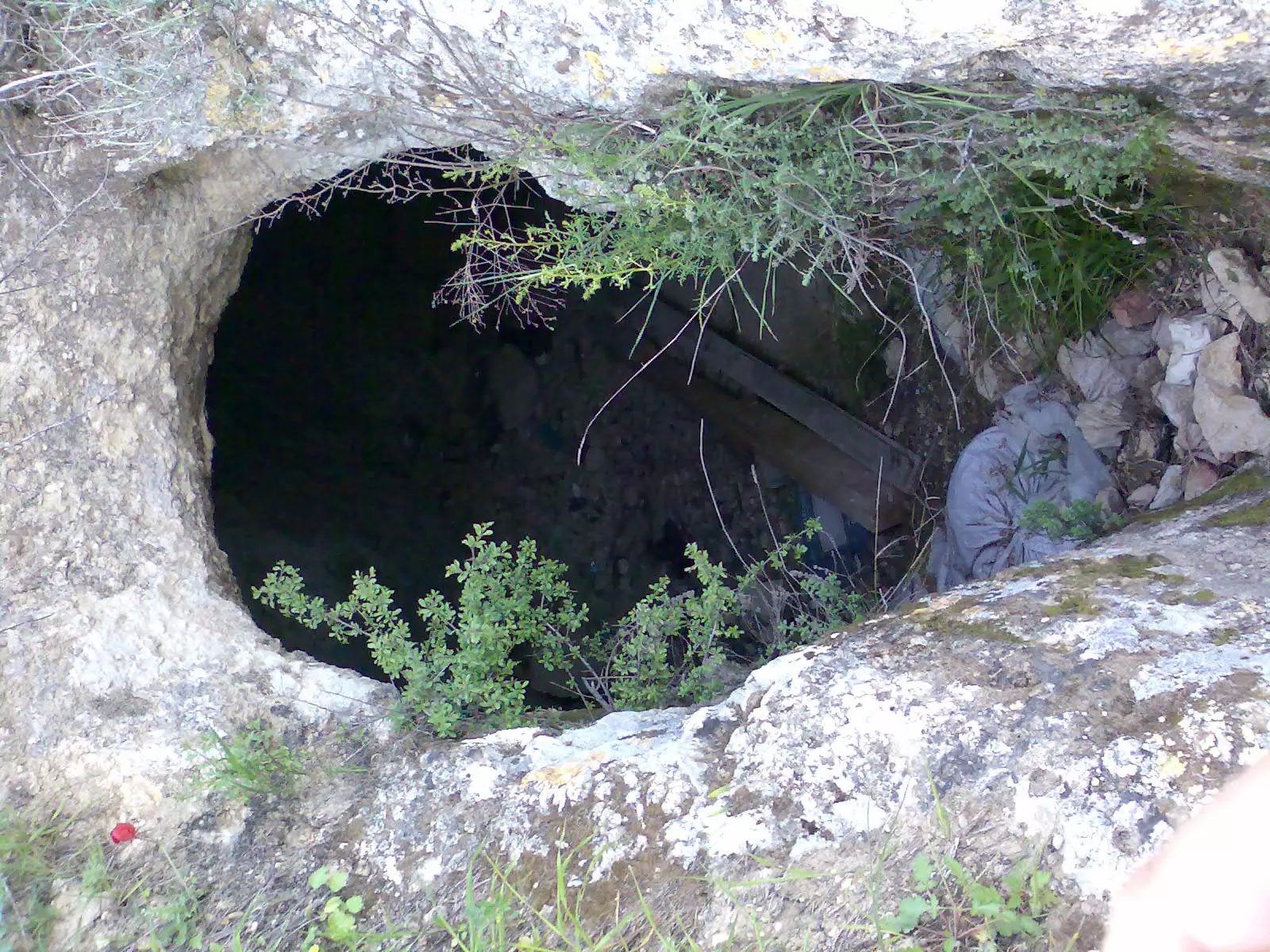
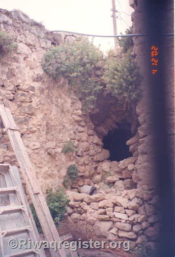
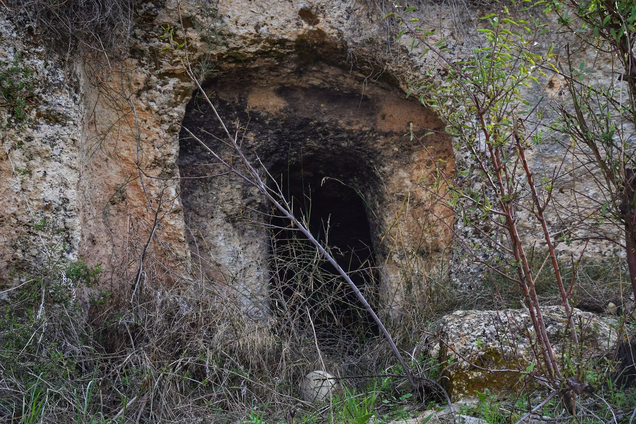
Posted by اسيد مخالفة 1 - مغارة الغزالات
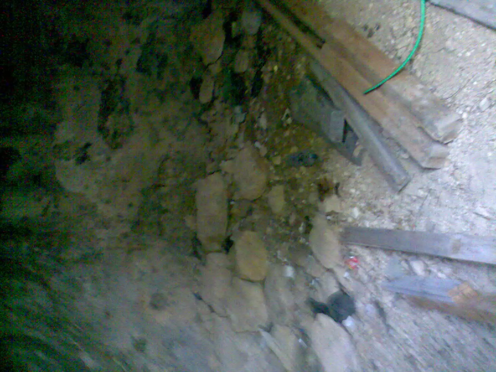
Posted by اسيد مخالفة 1 - صورة من داخل مغارة الغزالات
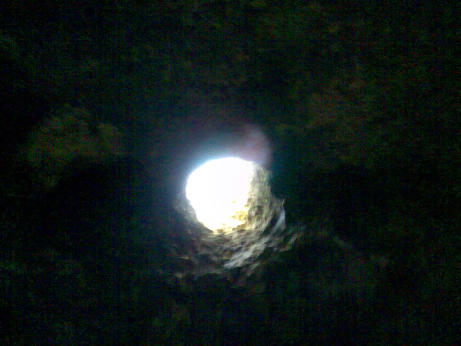
Posted by اسيد مخالفة 4 - من داخل مغارة الغزالات
Posted by اسيد مخالفة - araq alaein
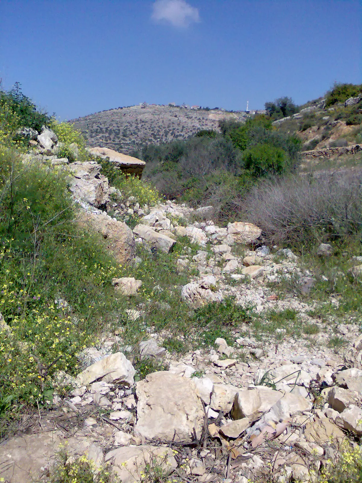
Posted by اسيد مخالفة 4 - صورة للواد
Posted by اسيد مخالفة 1 - عجول من فوق _-_-_-_-_-_-_عجول
Posted by اسيد مخالفة 4 - مغارة _-في_-الجلدي
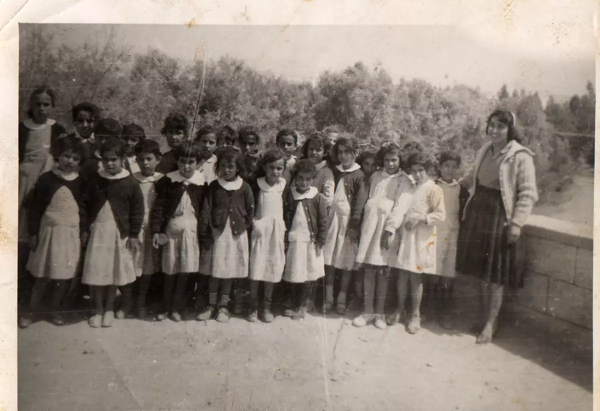
Posted by اسيد مخالفة 2 - first girls' school in Ajjul with their teacher Fatheyyah
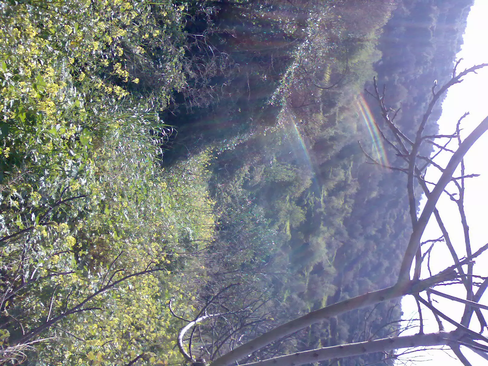
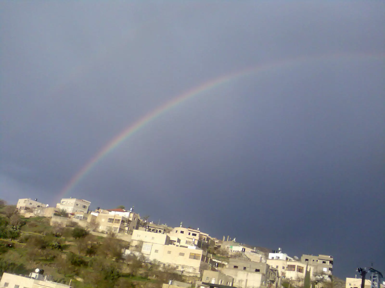
Posted by Mohannad Musleh 2 - قوس قزح في عجول
Posted by اسيد مخالفة - المسجد القديم
Posted by اسيد مخالفة - بد البيك
Posted by اسيد مخالفة - بد دار داهود ابو مصطفى
Posted by اسيد مخالفة - بيت ابراهيم صالح ابراهيم بواطنة في البلد القديمة
Posted by اسيد مخالفة - بيت صالح ابراهيم بواطنة في البلد القديمة
Posted by اسيد مخالفة - بيت محمود جبر بواطنة
Posted by اسيد مخالفة - بيت محمد صالح العالم
Posted by اسيد مخالفة - دار ابو حسن
Posted by اسيد مخالفة - دار البيك
Posted by اسيد مخالفة - دار السيد محمود موسى بواطنة
Posted by اسيد مخالفة - بد دار مخالفة معصرة زيتون
Posted by اسيد مخالفة - بيت ابراهيم عبد القادر
Posted by اسيد مخالفة - بيت احمد ابراهيم هوشة
Posted by اسيد مخالفة - بيت اسماعيل يوسف برهم
Posted by اسيد مخالفة - بيت الحاجة حليمة صالح
Posted by اسيد مخالفة - بيت دار عبد الله الصوا
Posted by اسيد مخالفة - بيت صالح شحادة بواطنة
Posted by اسيد مخالفة - بيت عبد السلام حسين بواطنة
Posted by اسيد مخالفة 1 - بيت محمود فرج
Posted by اسيد مخالفة - بيت موسى العثمان هوشة
Posted by اسيد مخالفة - بيت يوسف محمد شريم مخالفة
Posted by اسيد مخالفة 1 - دار ابو محمد عبد الرحيم
Posted by اسيد مخالفة - دار عبد الخليل صالح بواطنة
Posted by اسيد مخالفة - دار عبد الطيف عودة
Posted by اسيد مخالفة 3 - دار عودة حسين بواطنة
Posted by اسيد مخالفة - دار محمد خطاب بواطنة
Posted by اسيد مخالفة 1 - دار محمود موسى بواطنة
Posted by اسيد مخالفة - دار مفلح خليل ياسين صالح
Posted by اسيد مخالفة - دار موسى محمود بواطنه
Posted by اسيد مخالفة - دار يعقوب صالح بواطنة1
Posted by اسيد مخالفة - دار يعقوب صالح بواطنه
Posted by اسيد مخالفة - سقيفة دار ابو رشيد
Posted by اسيد مخالفة 1 - طابون دار يوسف
Posted by اسيد مخالفة - مجلس قروي عجول
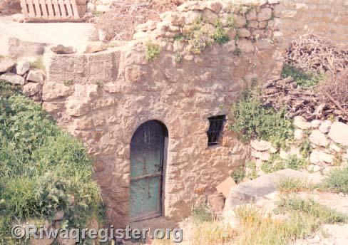
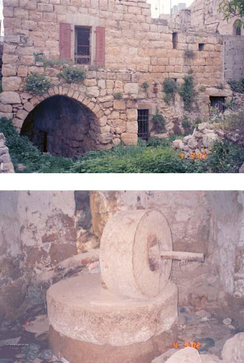
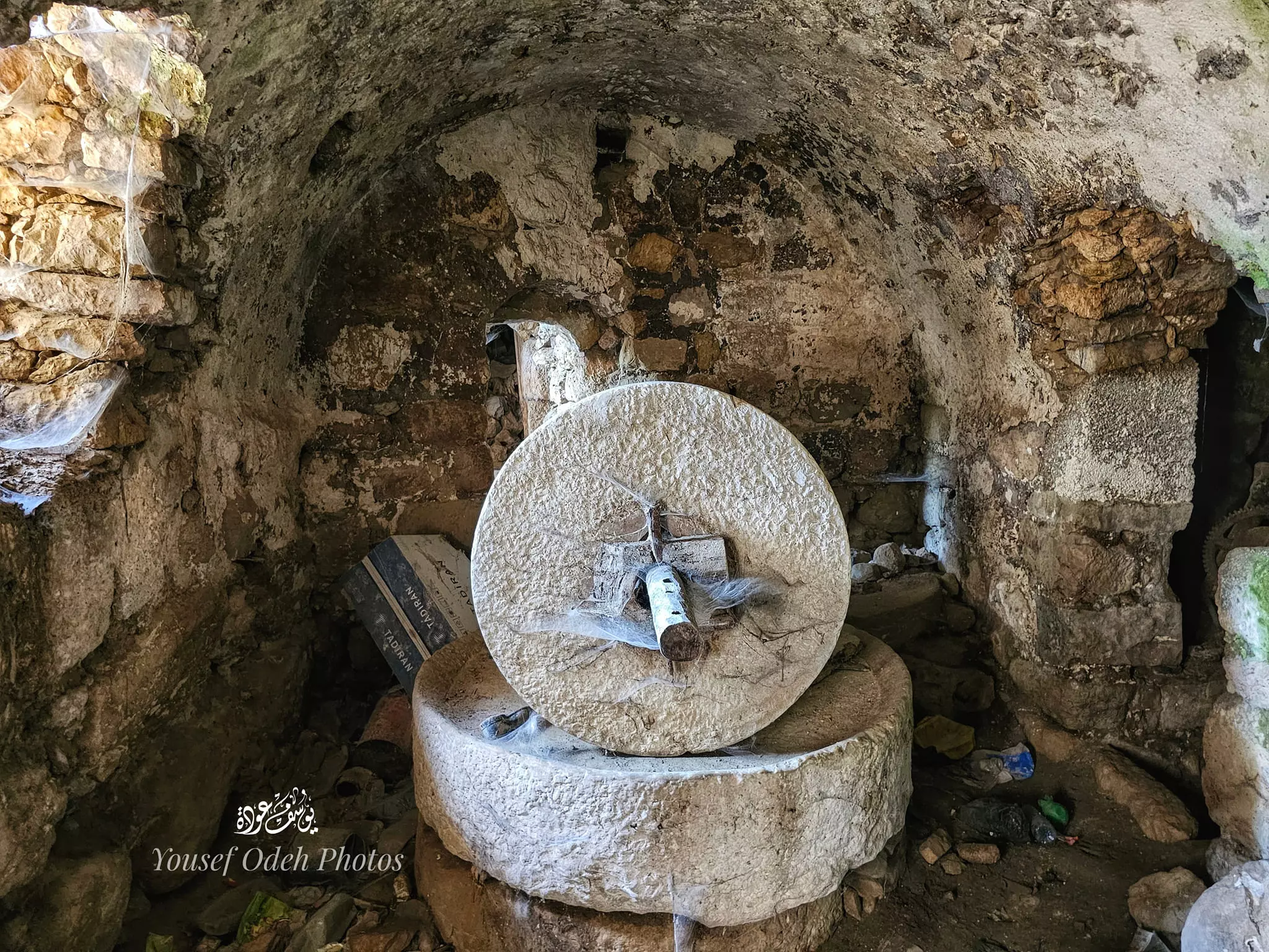
Posted by اسيد مخالفة - مطحنة ابراهيم عبد القادر
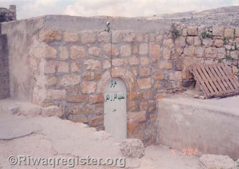
Posted by اسيد مخالفة - مقام الشيخ خليل
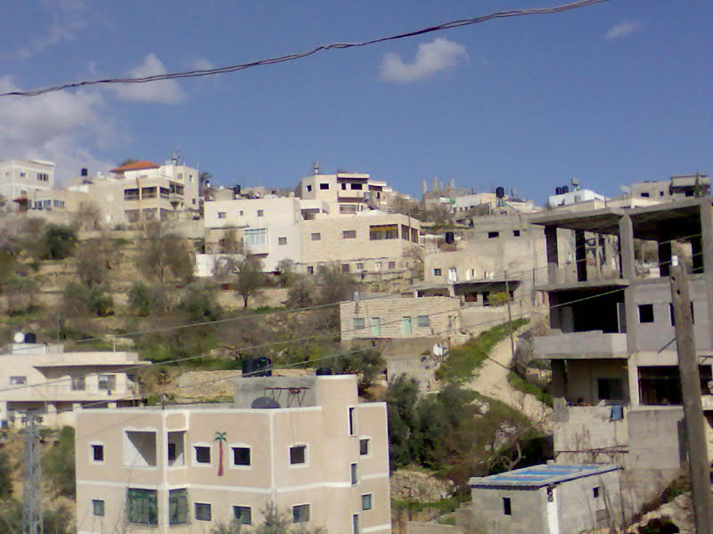
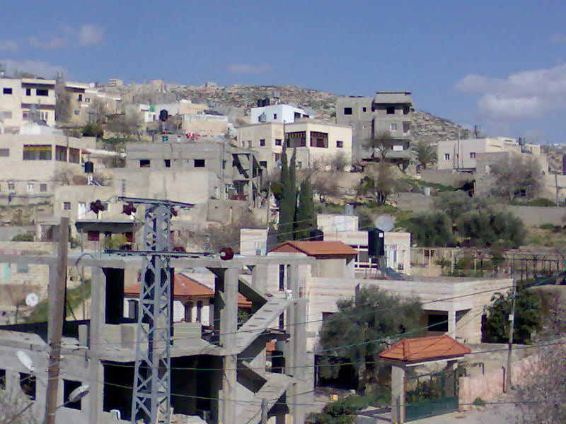
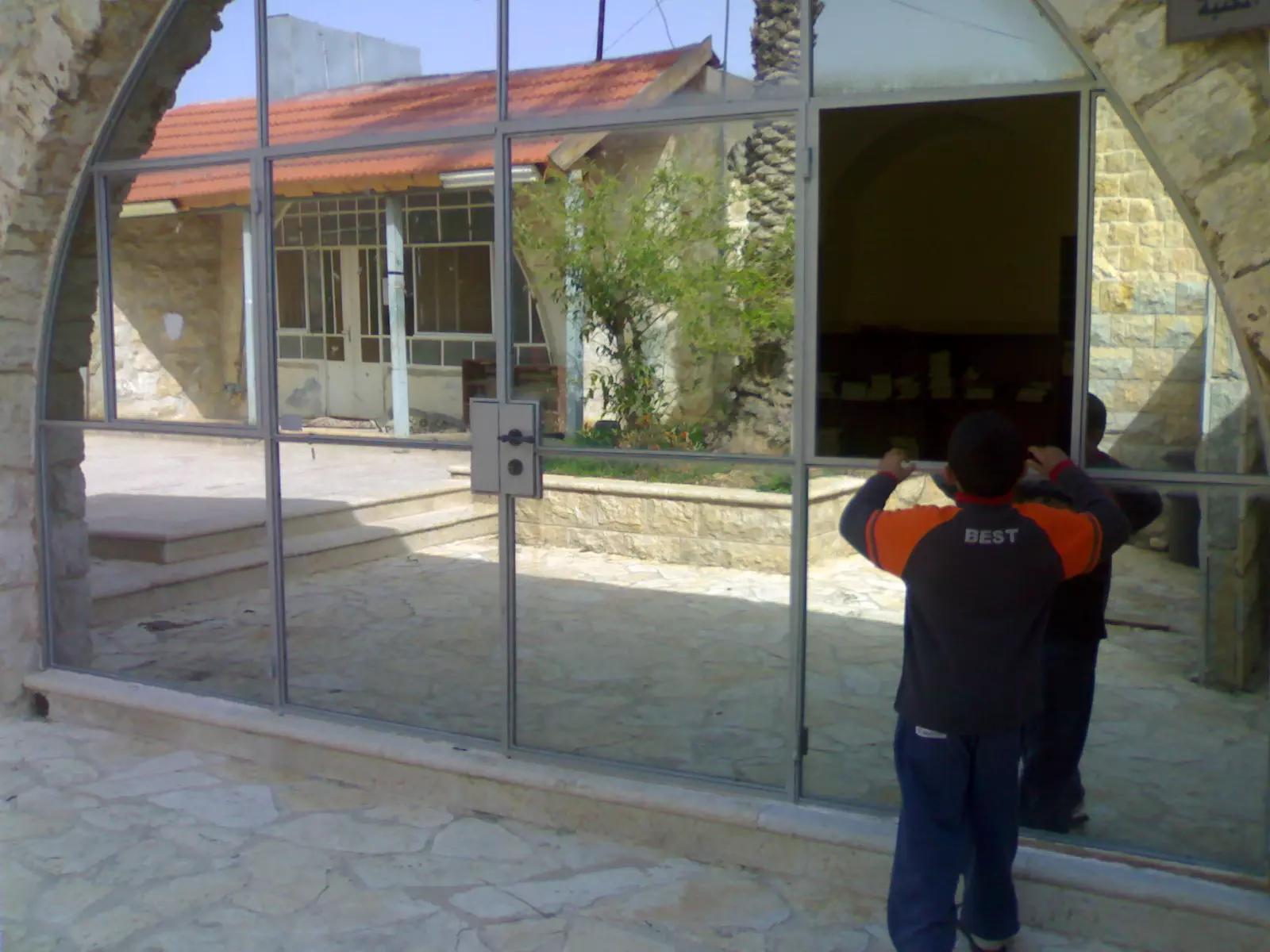
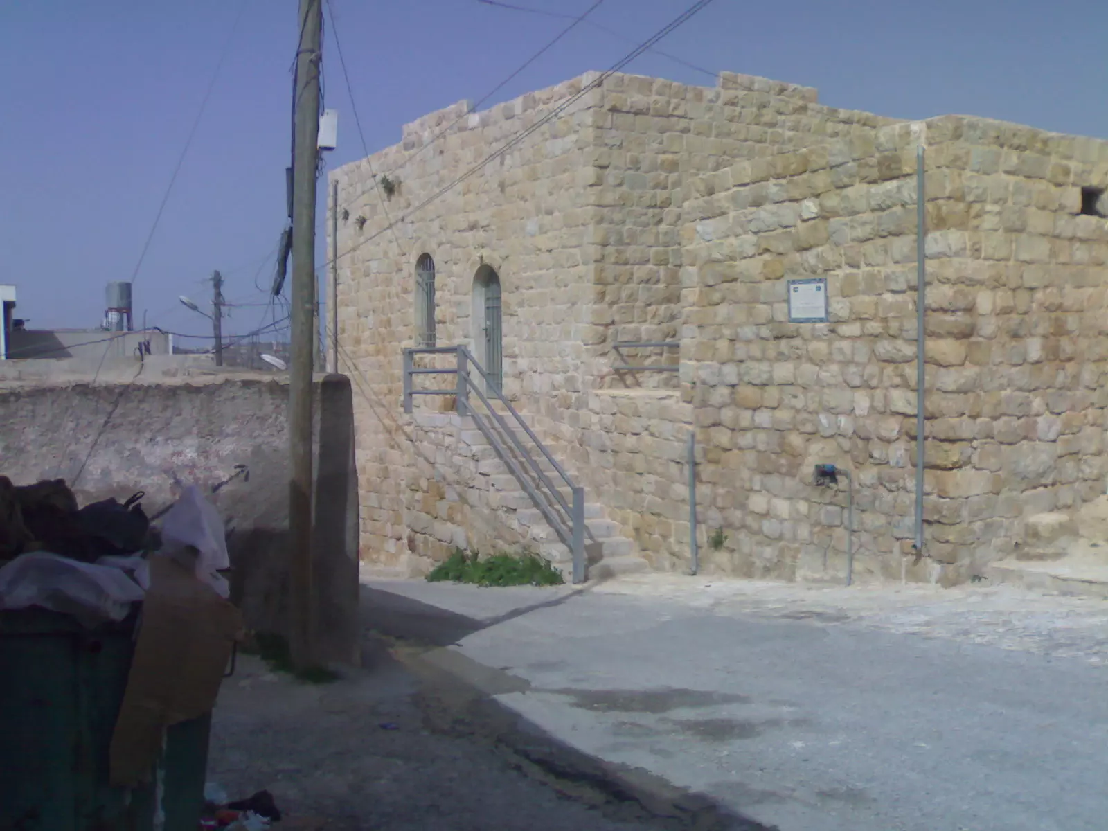
Posted by اسيد مخالفة - عجوووووووووووووول حاليا
Posted by king abu shhady 3 - عجوووووووووووووول حاليا

Posted by king abu shhady 2 - من عبق التراث بيت قديم - عدسة :محمد مخالفة
- من عبق التراث بيت قديم - عدسة :محمد مخالفة
1 - من عبق التراث بيت قديم - عدسة :محمد مخالفة
- من البيوت القديمة في قرية عجول -- Mohammab Abo Nooh
- من البيوت القديمة في قرية عجول -- Mohammab Abo Nooh #2
- من البيوت القديمة في قرية عجول -- Mohammab Abo Nooh #3
- من البيوت القديمة في قرية عجول -- Mohammab Abo Nooh #4

- من البيوت القديمة في قرية عجول -- Mohammab Abo Nooh #5
- من البيوت القديمة في قرية عجول -- Mohammab Abo Nooh #6
- من البيوت القديمة في قرية عجول -- Mohammab Abo Nooh #7
- من البيوت القديمة في قرية عجول -- Mohammab Abo Nooh #8
- من البيوت القديمة في قرية عجول -- Mohammab Abo Nooh #9
- من البيوت القديمة في قرية عجول -- Mohammab Abo Nooh #10
- من البيوت القديمة في قرية عجول -- Mohammab Abo Nooh #11
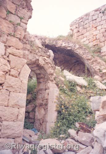
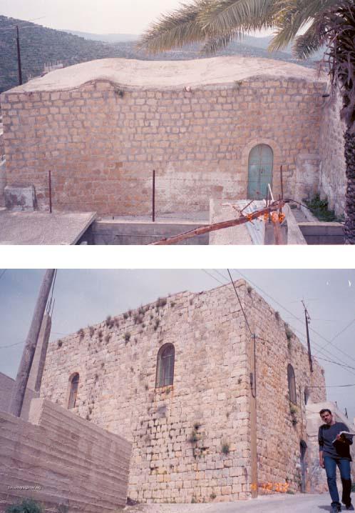
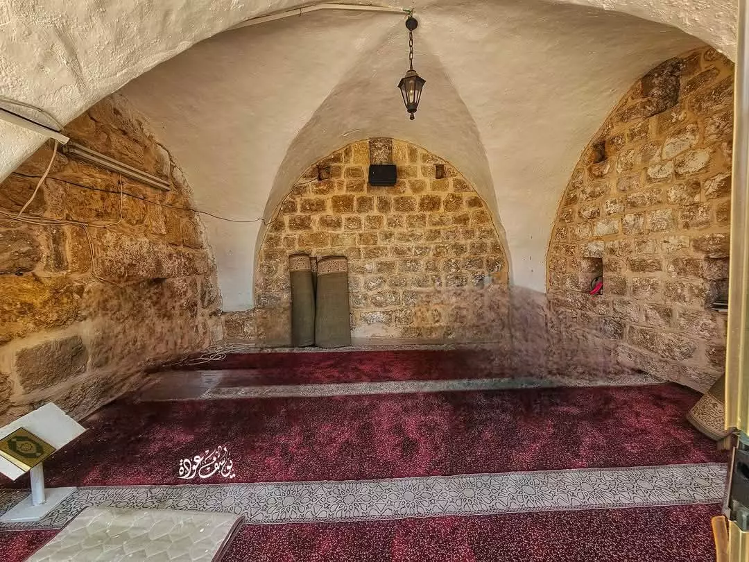
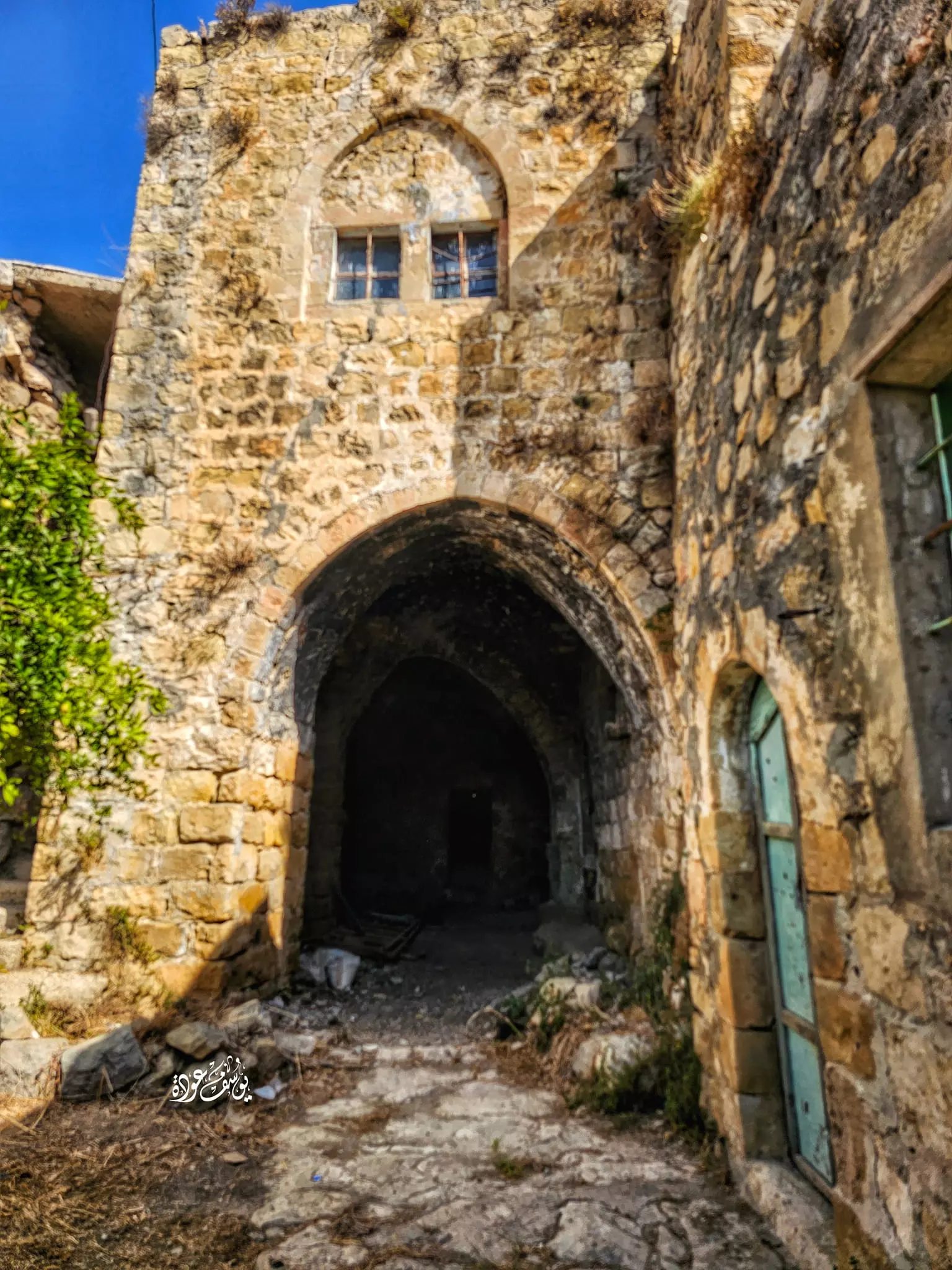
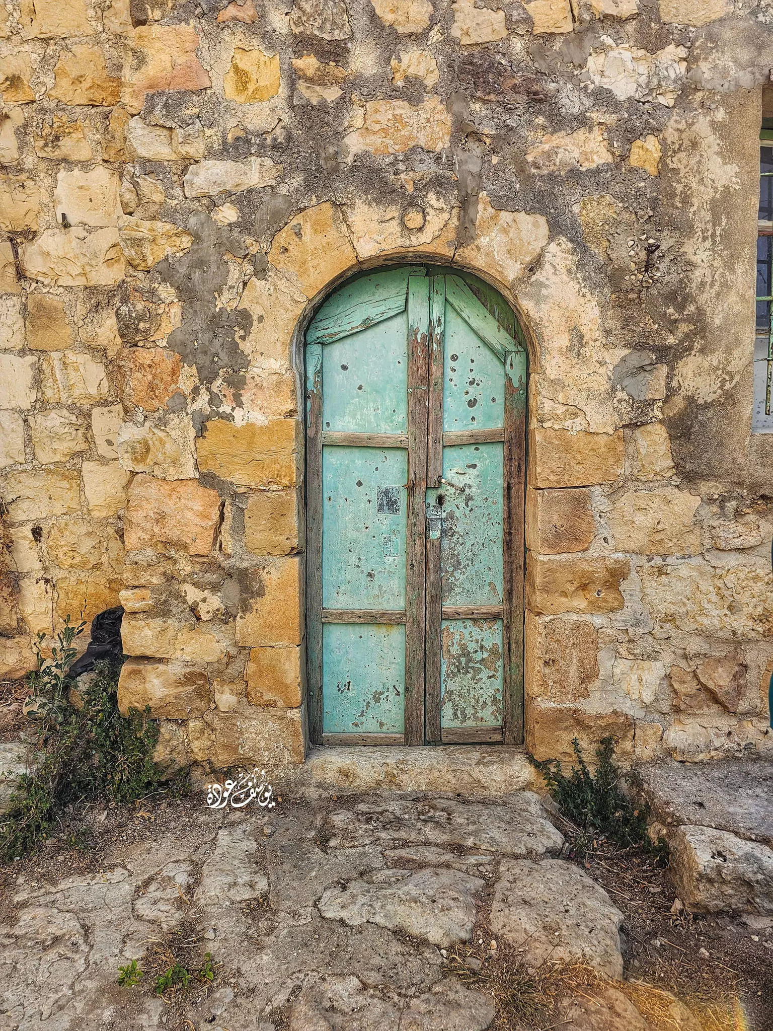
- مسجد عجول القديم -- Yousif Odeh
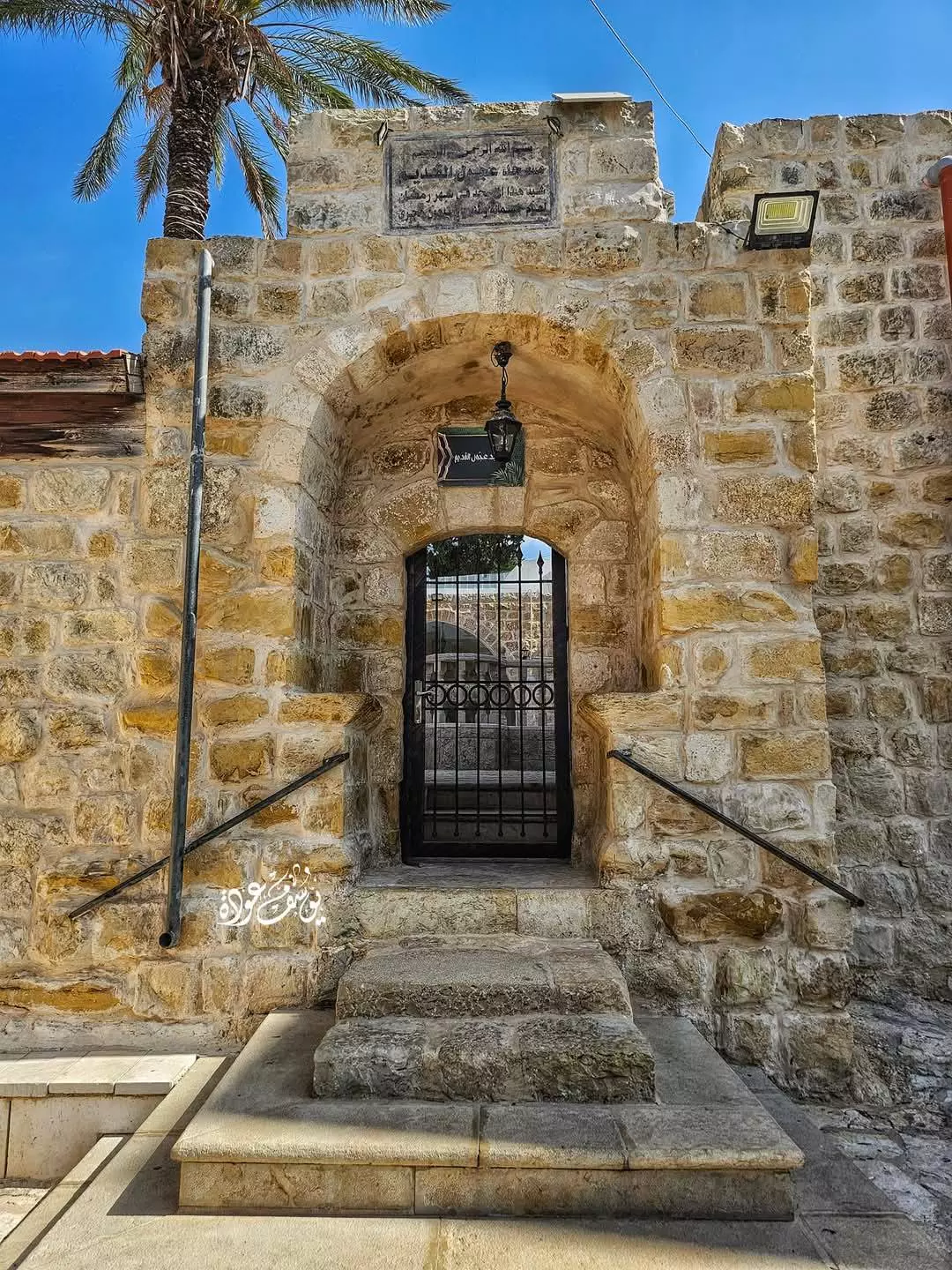
- مسجد عجول القديم -- Yousif Odeh #2
- مسجد عجول القديم -- Yousif Odeh #3
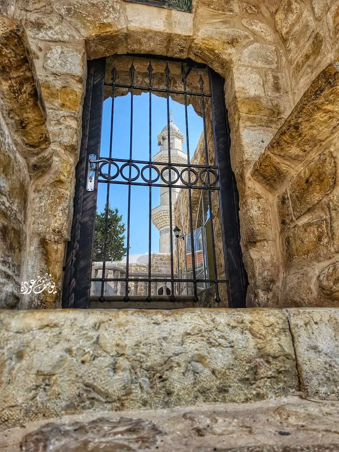
- مسجد عجول القديم -- Yousif Odeh #4
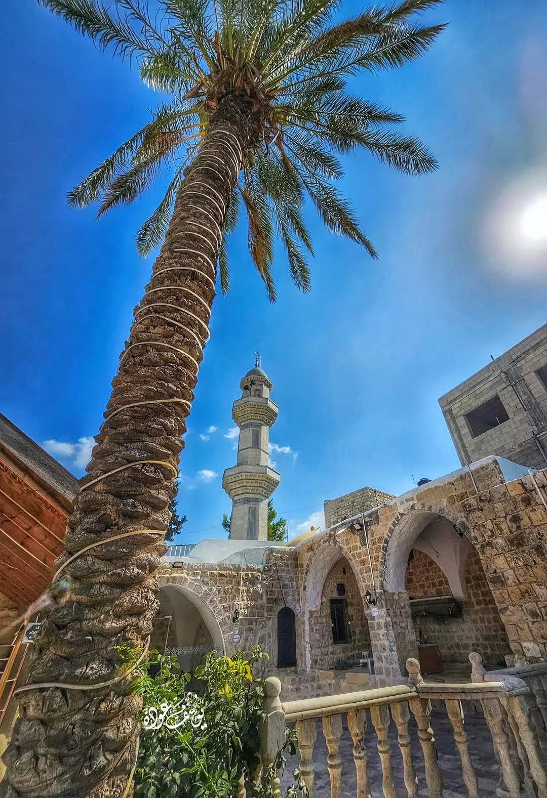
- مسجد عجول القديم -- Yousif Odeh #5
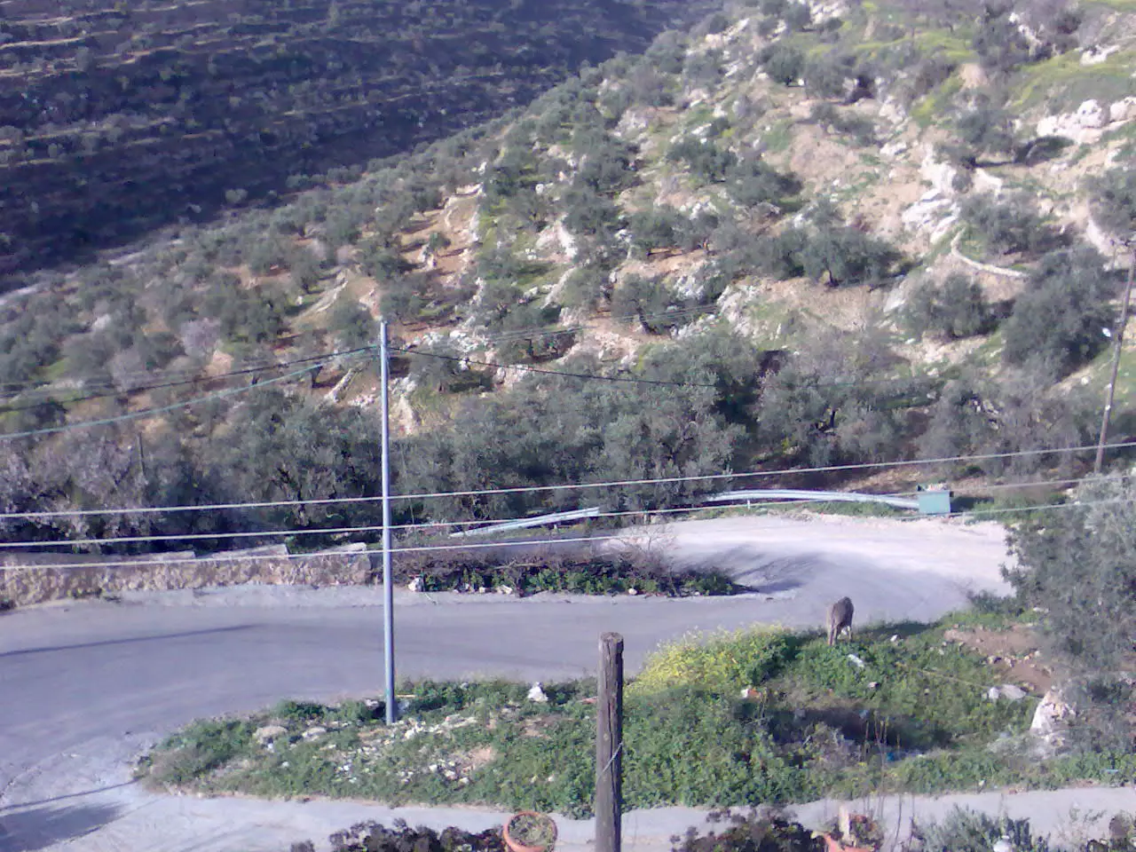
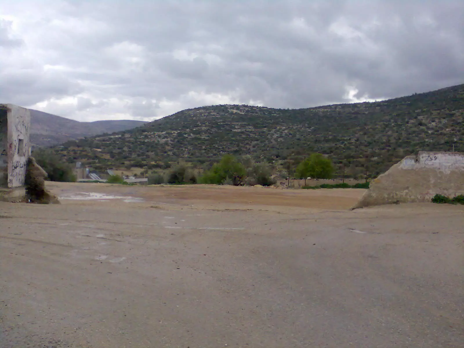
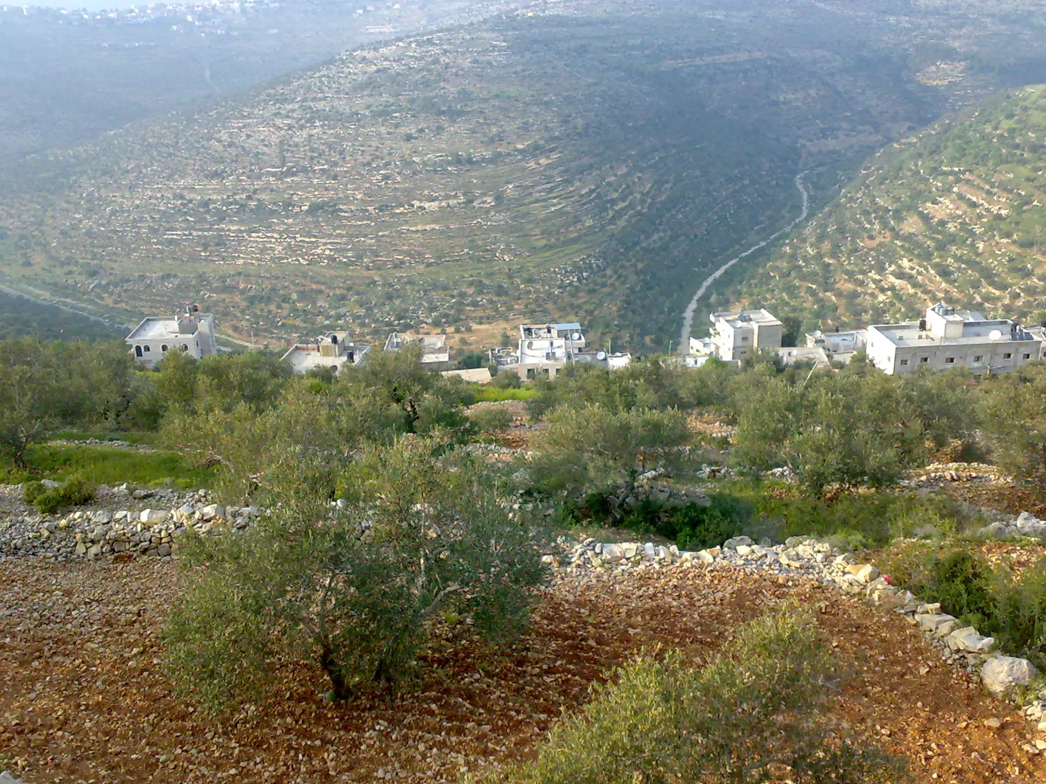
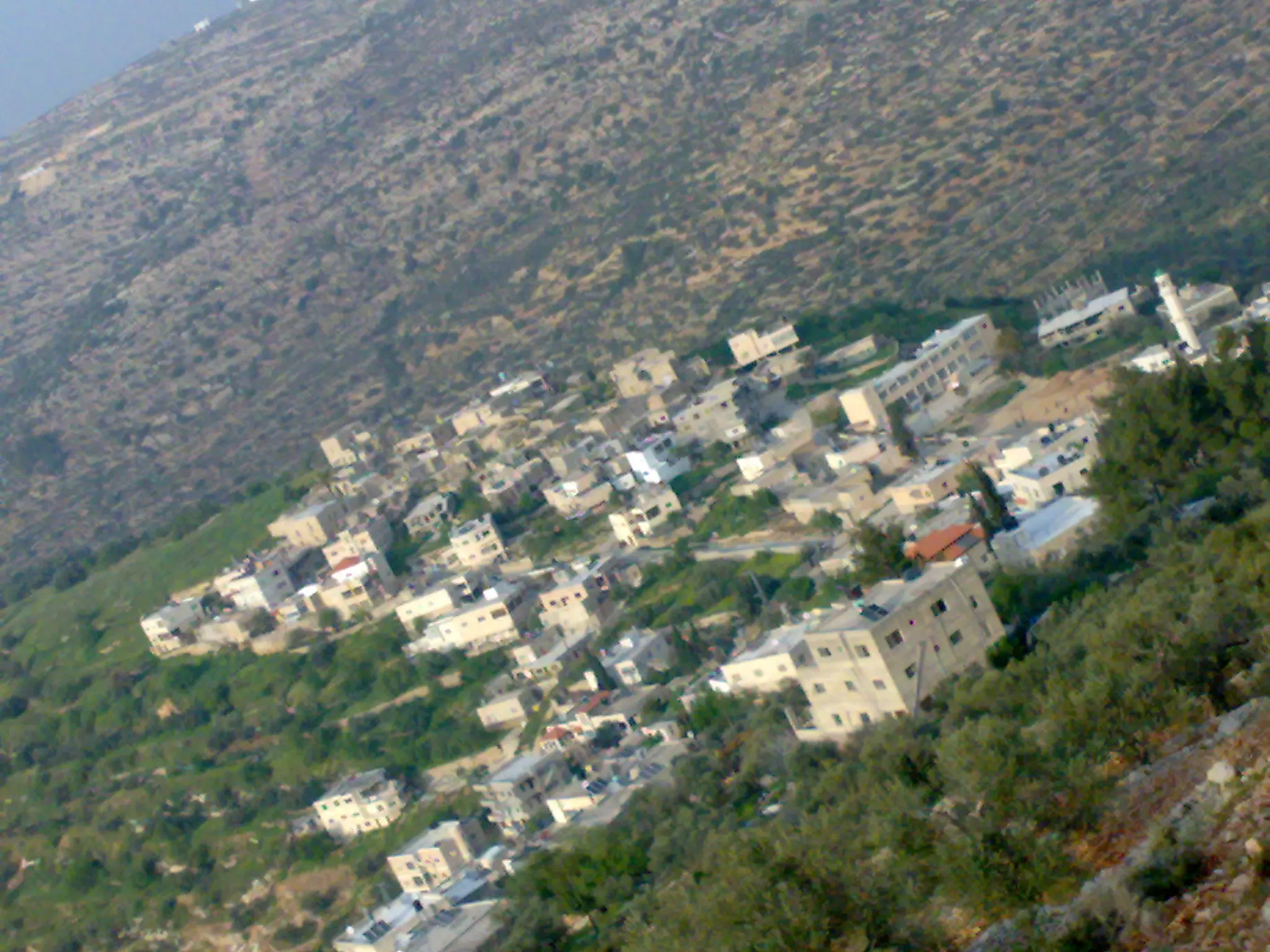
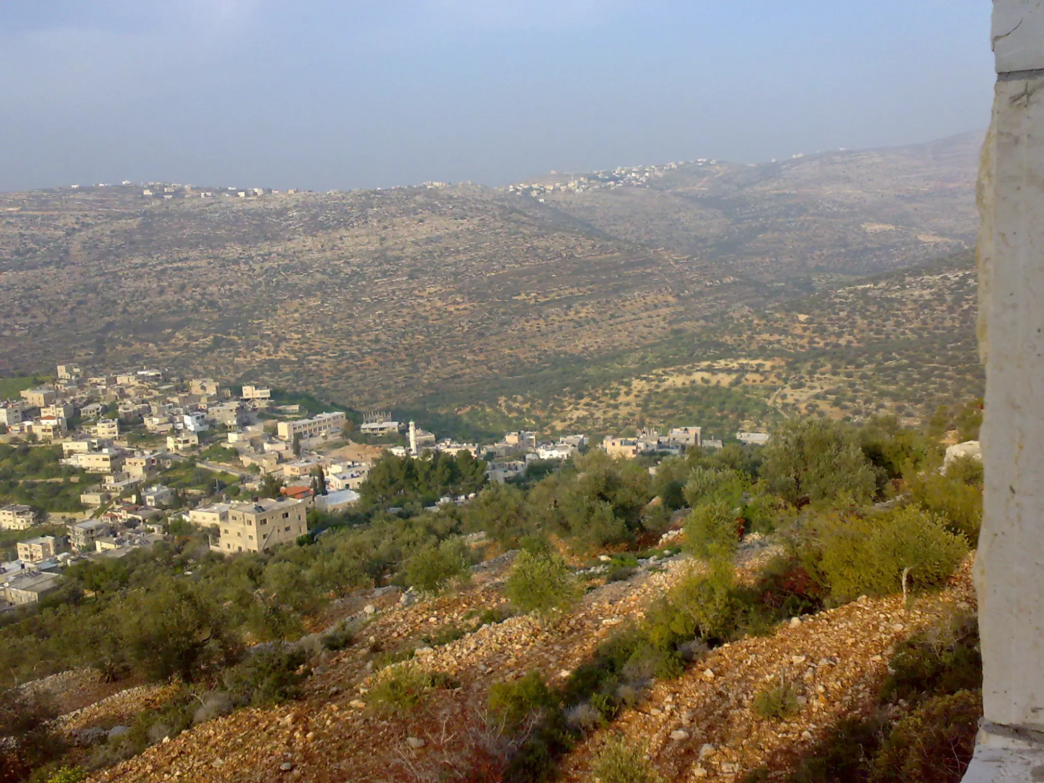
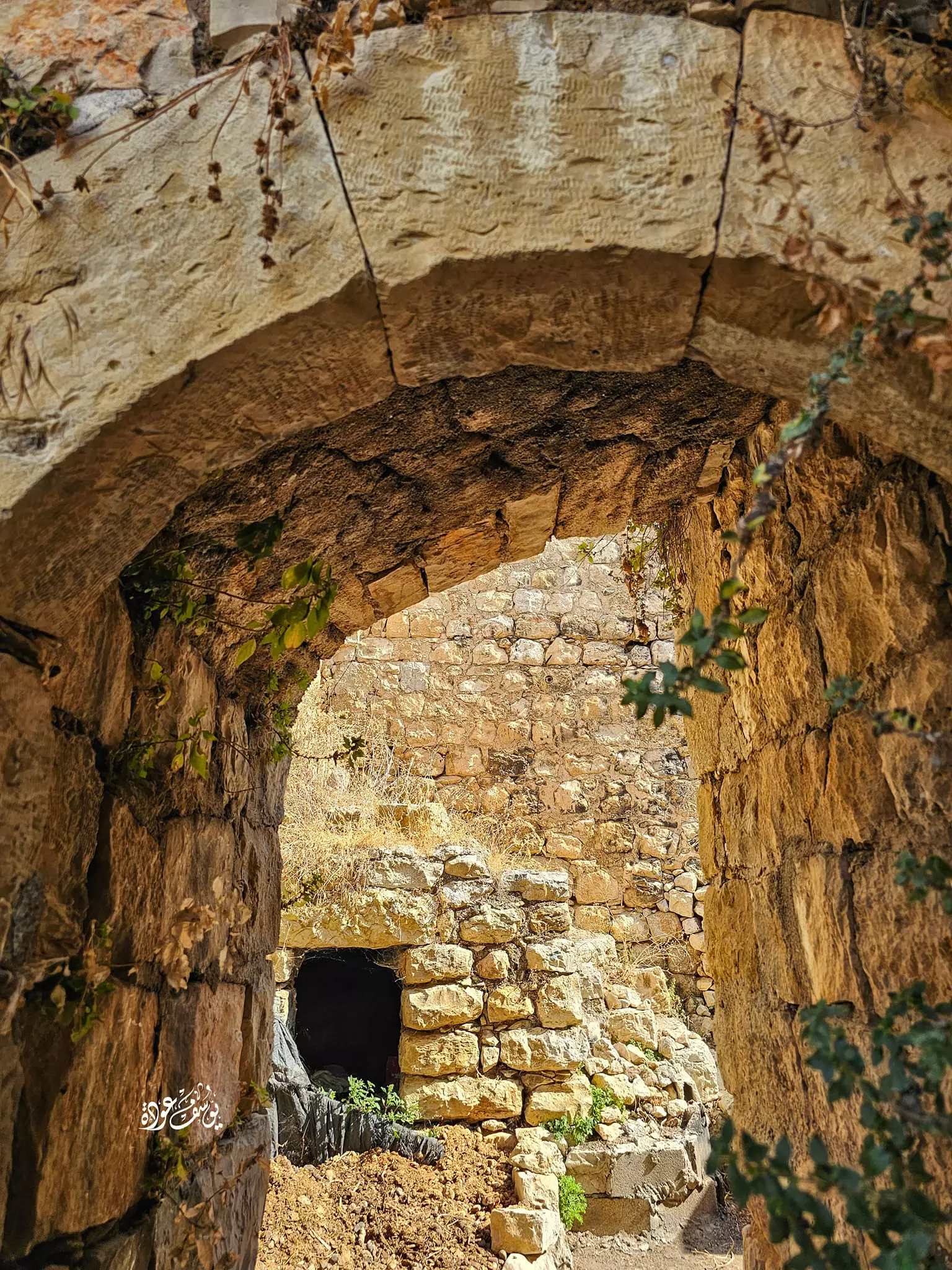
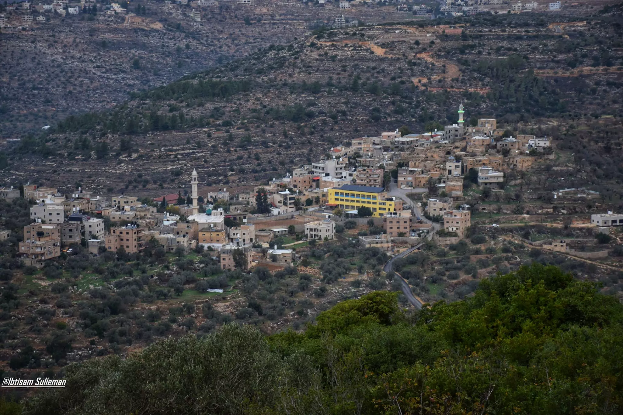
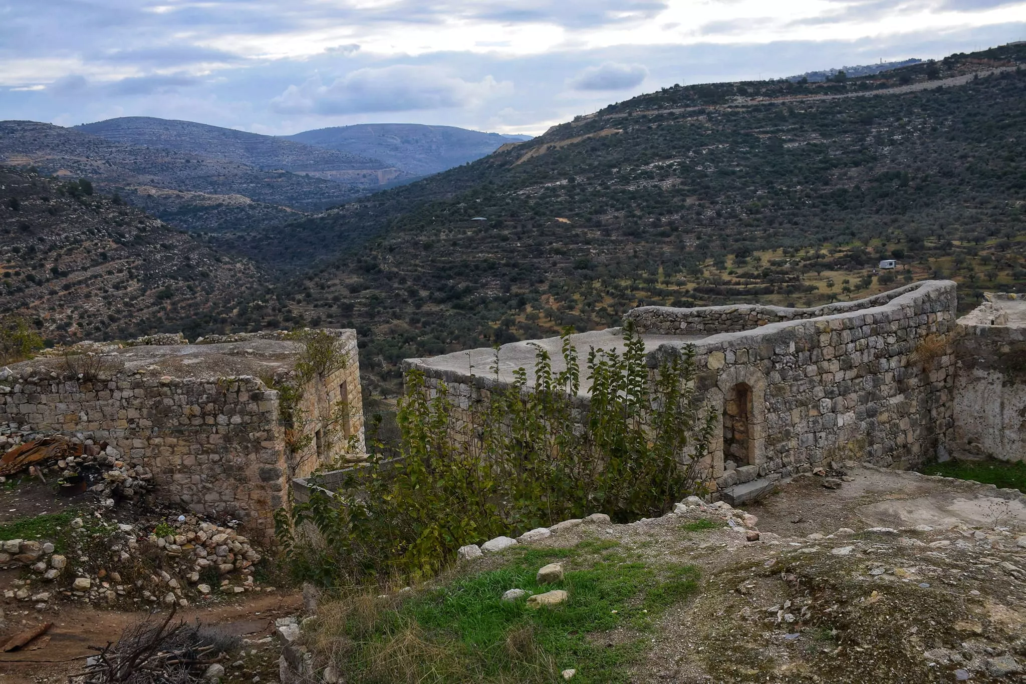
- منظر عام
- منظر عام #2
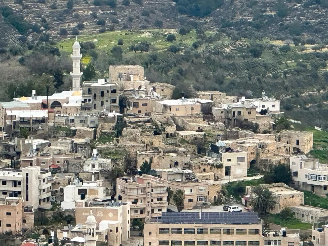
- منظر عام #3
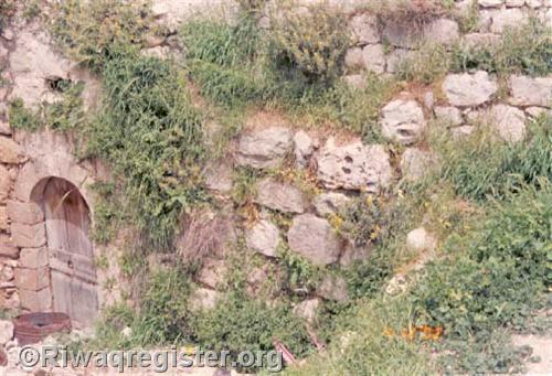
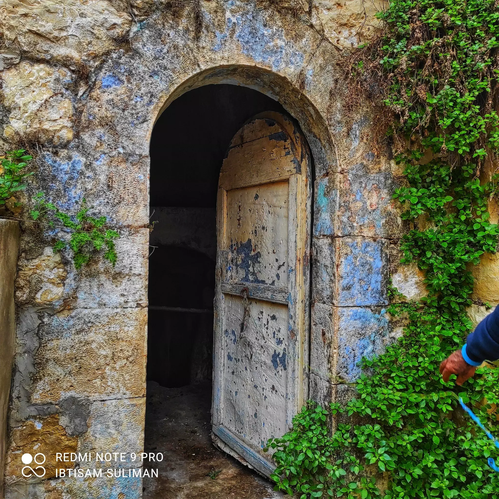
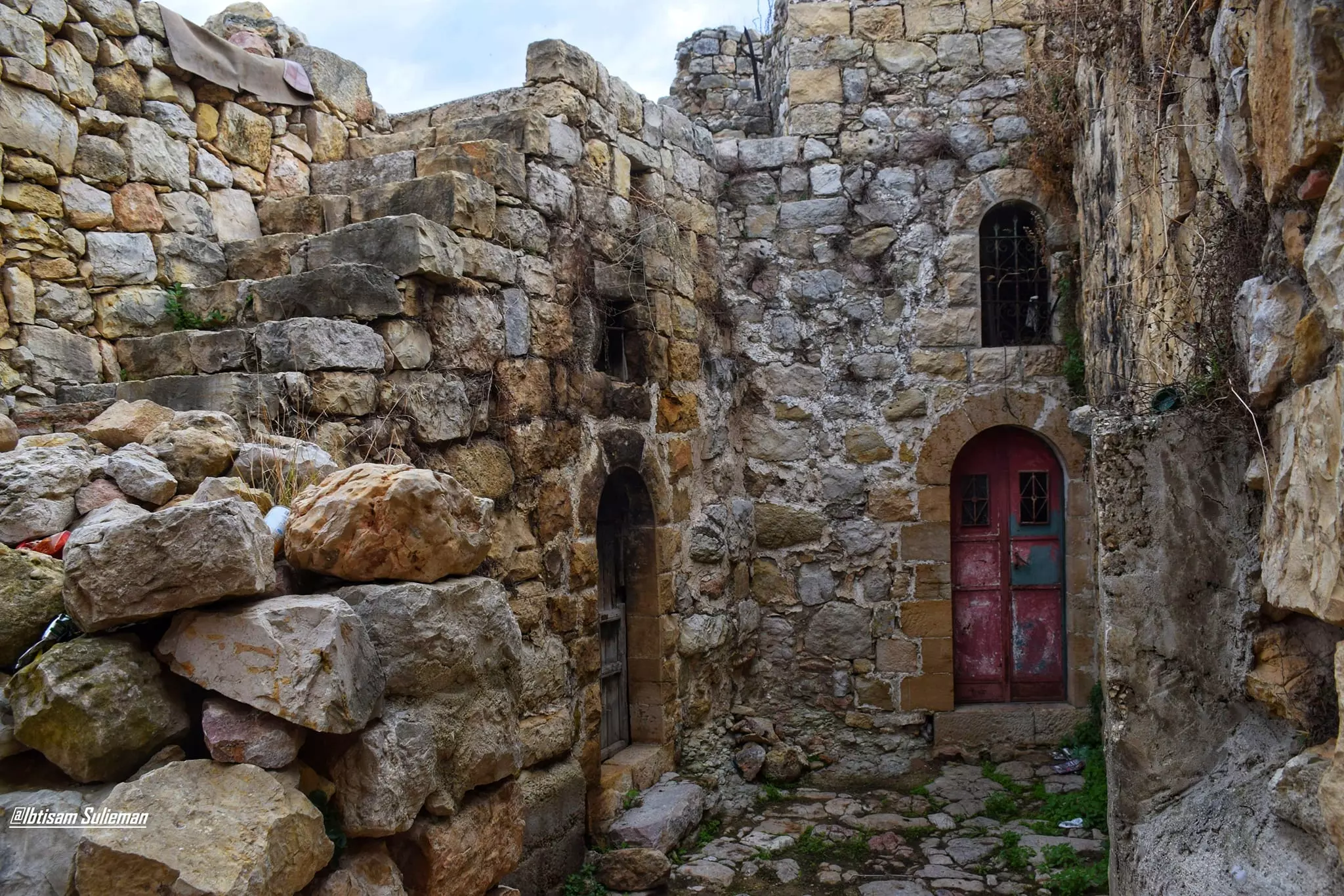
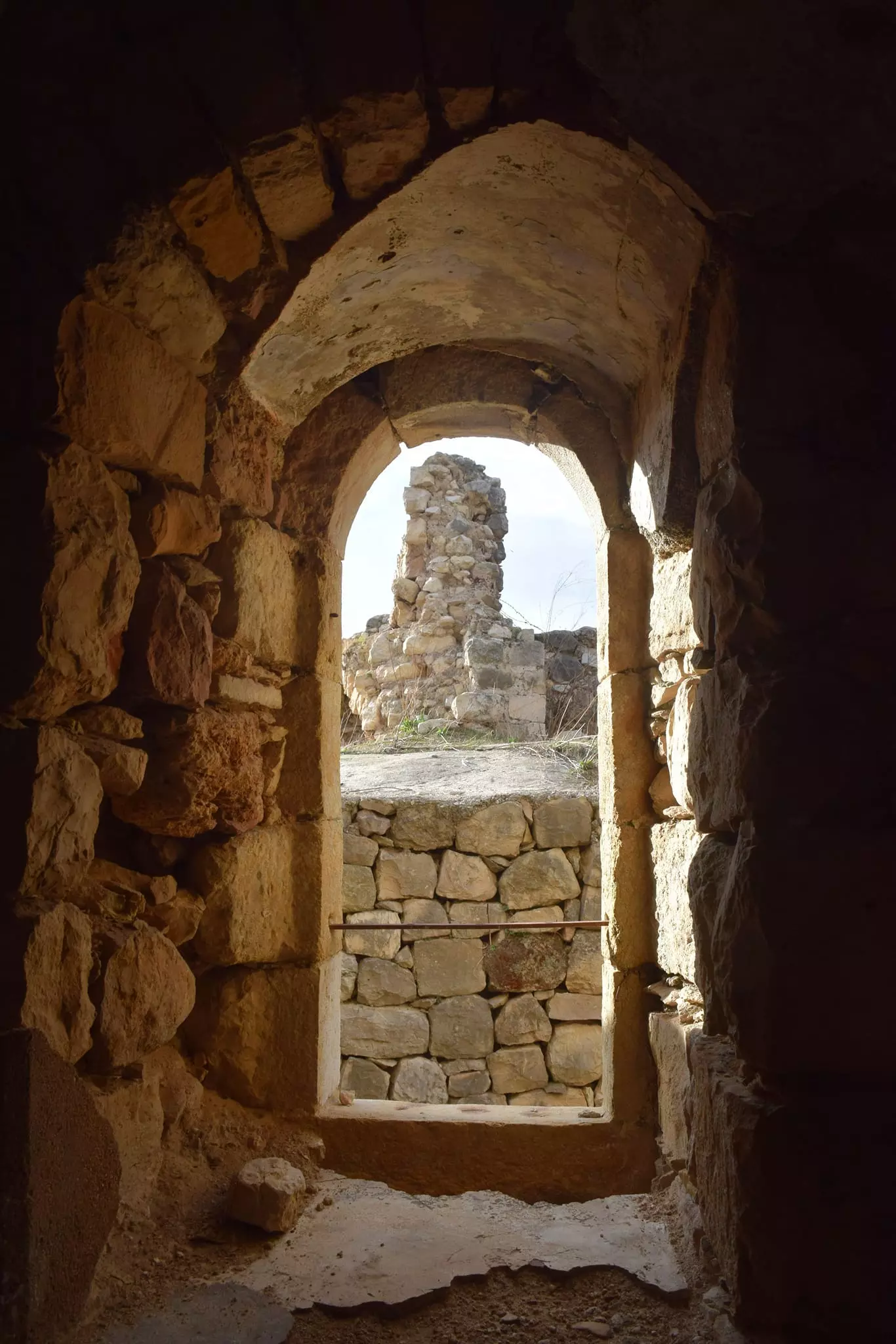
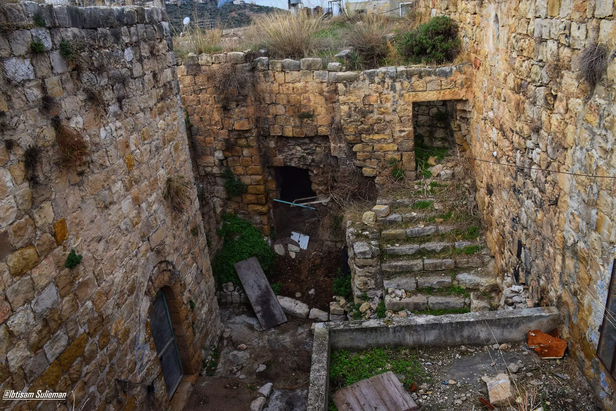
- جولة بين بيوت البلدة القديمة -- Ibtisam Sulieman
- جولة بين بيوت البلدة القديمة -- Ibtisam Sulieman #2
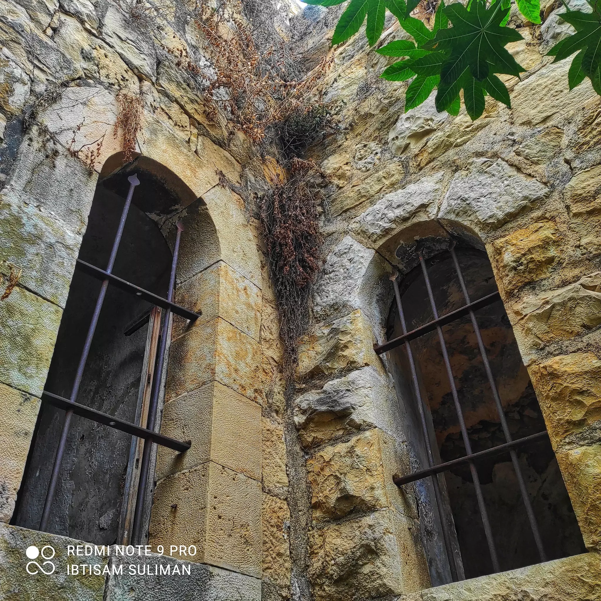
- جولة بين بيوت البلدة القديمة -- Ibtisam Sulieman #3
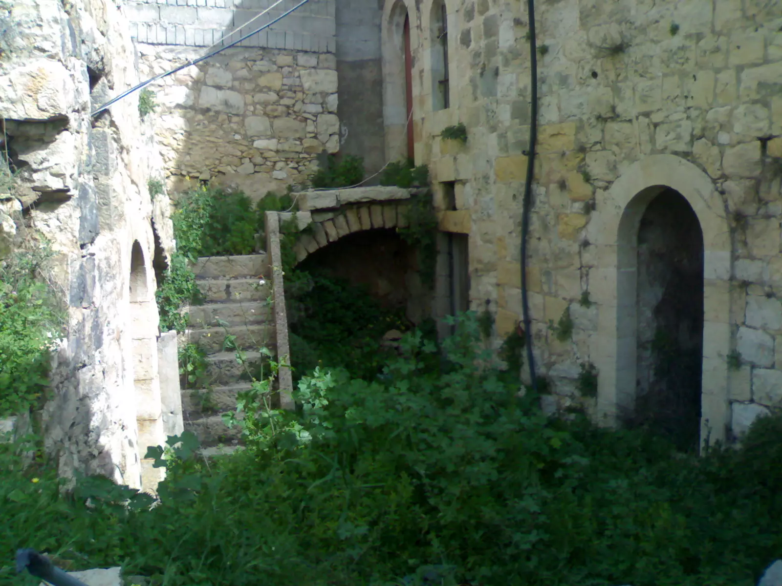
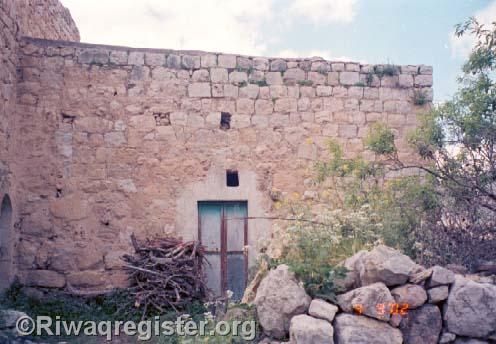
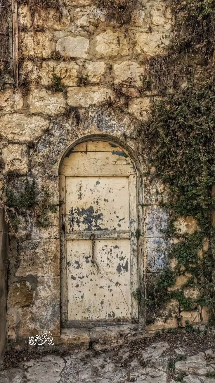
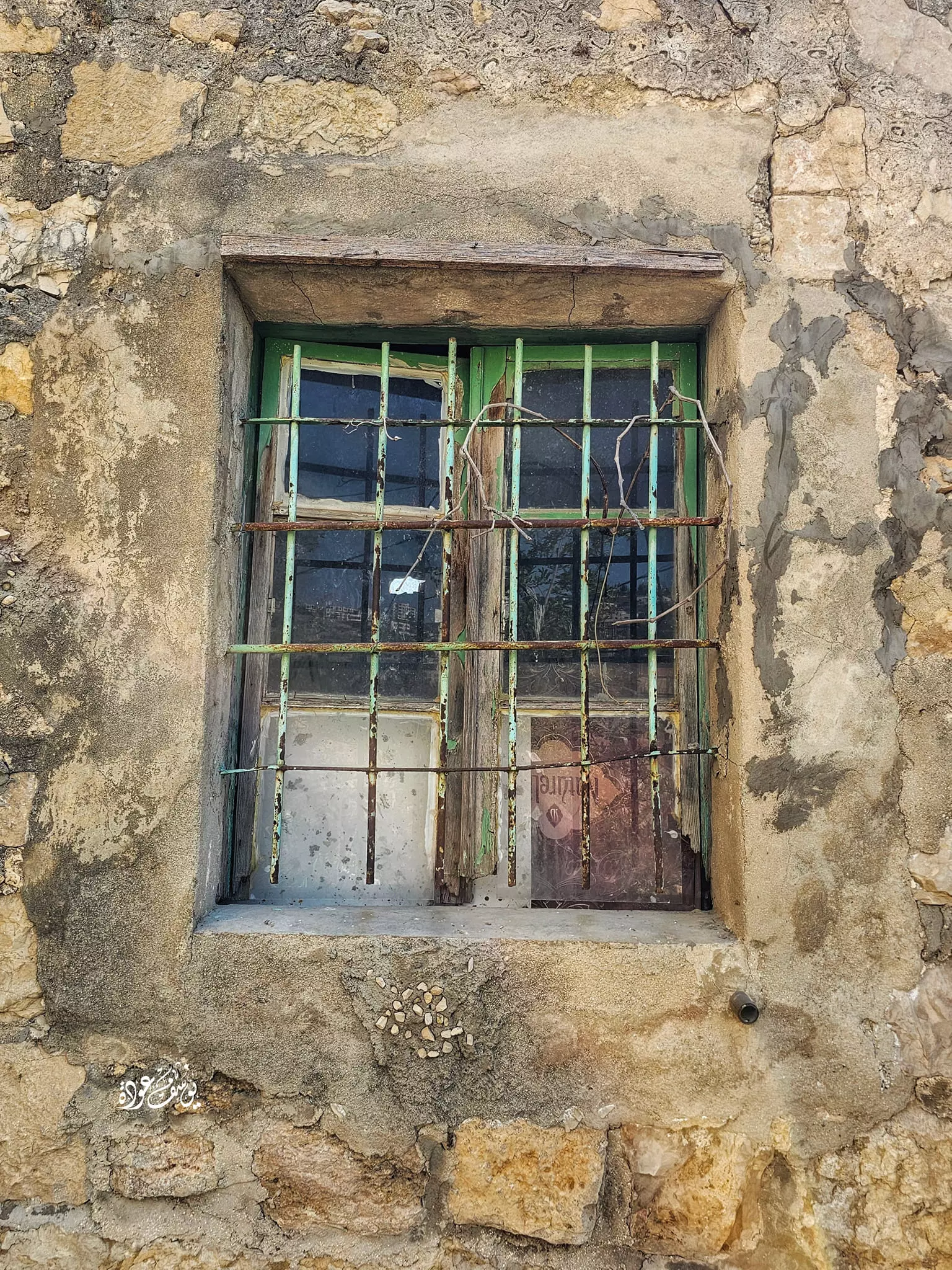
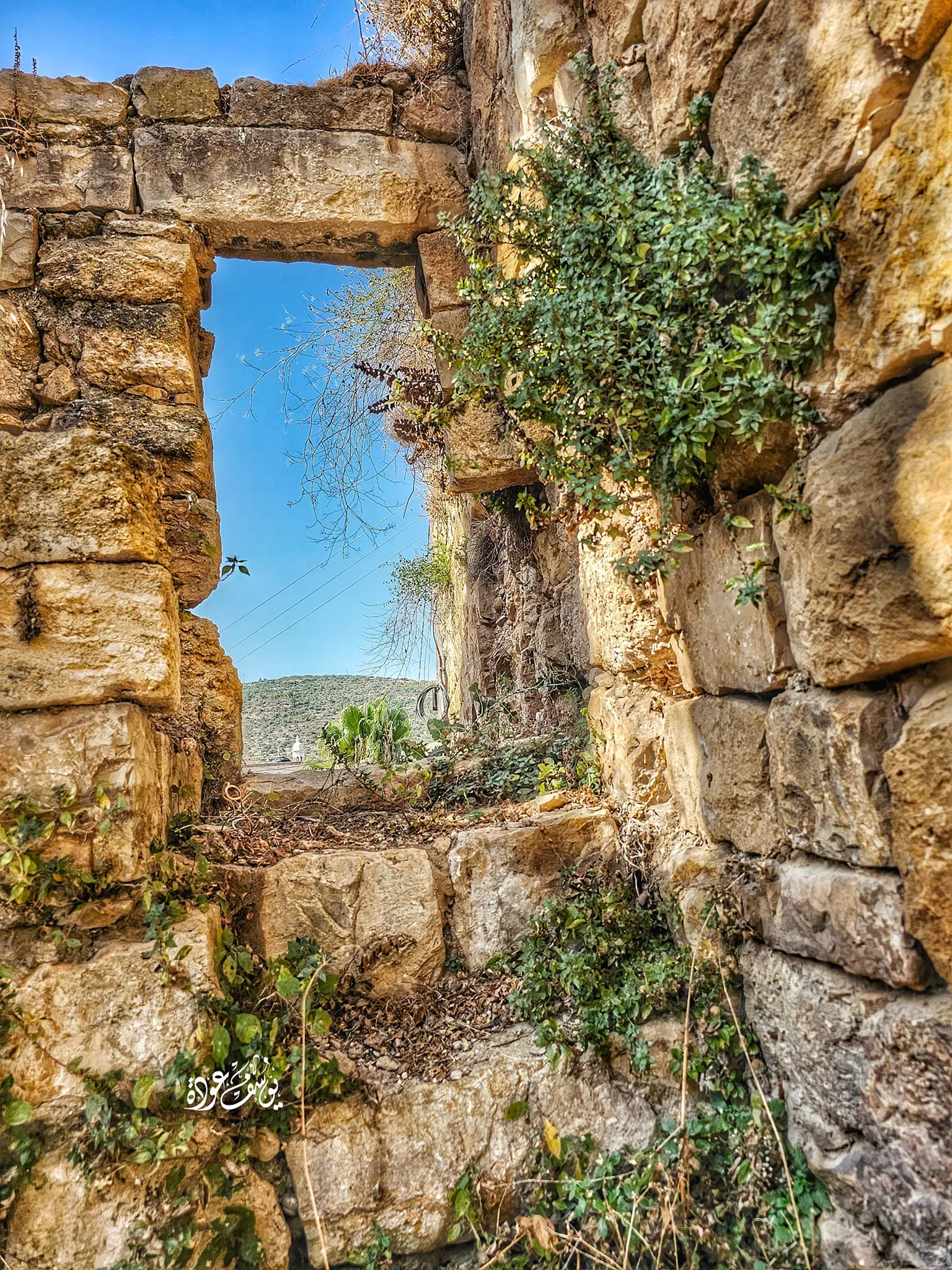
- بيت قديم -- يوسف عودة
- جولة رائعة في احد بيوت القرية القديمة -- Yousif Odeh
- جولة رائعة في احد بيوت القرية القديمة -- Yousif Odeh #2
- جولة رائعة في احد بيوت القرية القديمة -- Yousif Odeh #3
- جولة رائعة في احد بيوت القرية القديمة -- Yousif Odeh #4
- جولة رائعة في احد بيوت القرية القديمة -- Yousif Odeh #5
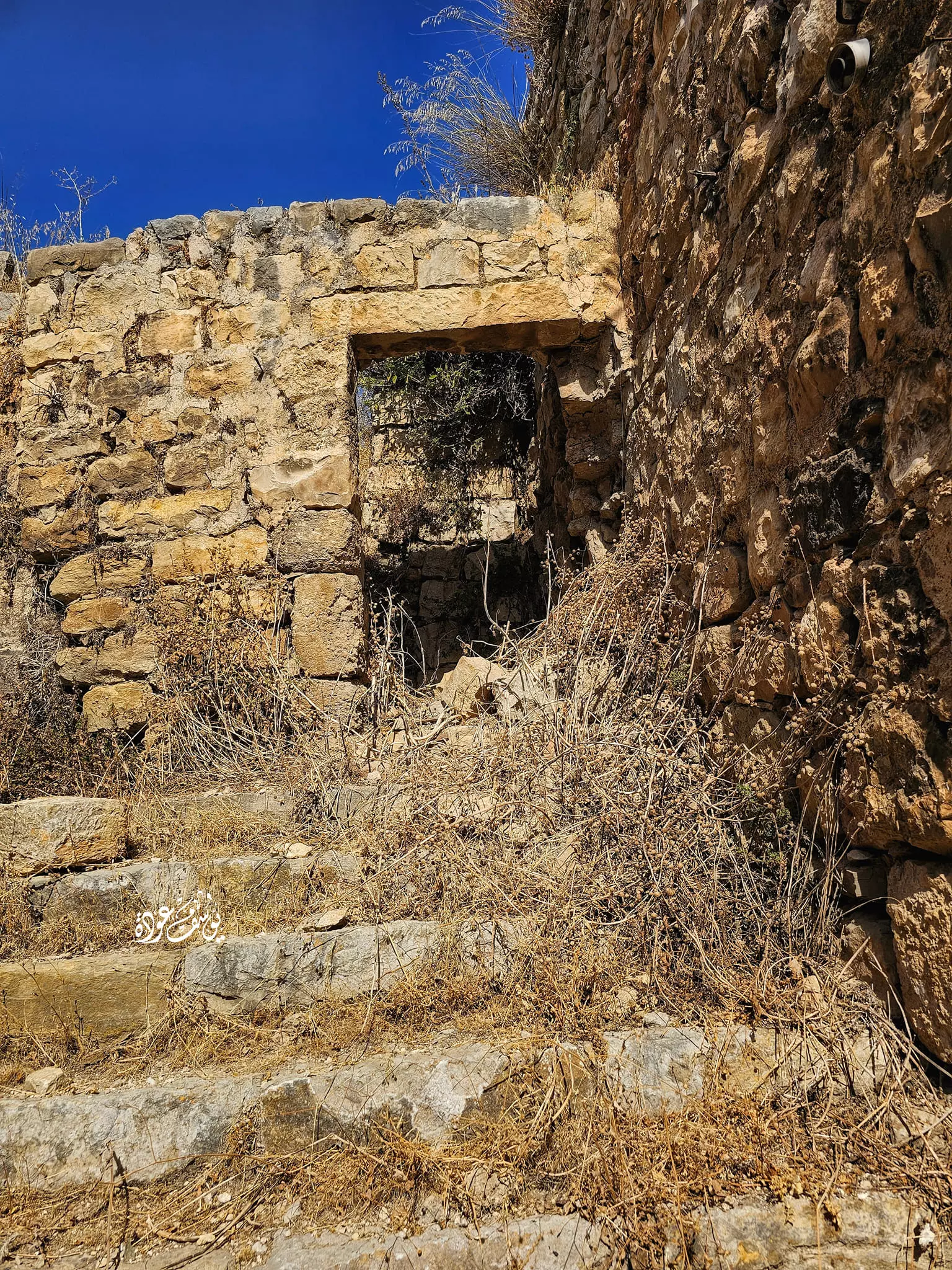
- منظر عام -- يوسف عودة
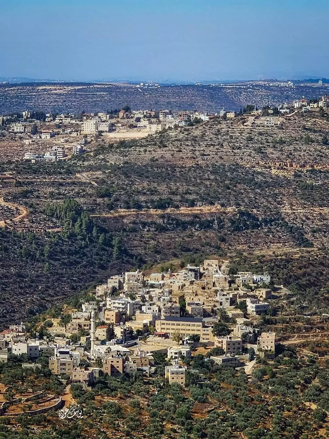
- منظر عام -- يوسف عودة #2
- منظر عام -- يوسف عودة #3
- بيت قديم -- يوسف عودة

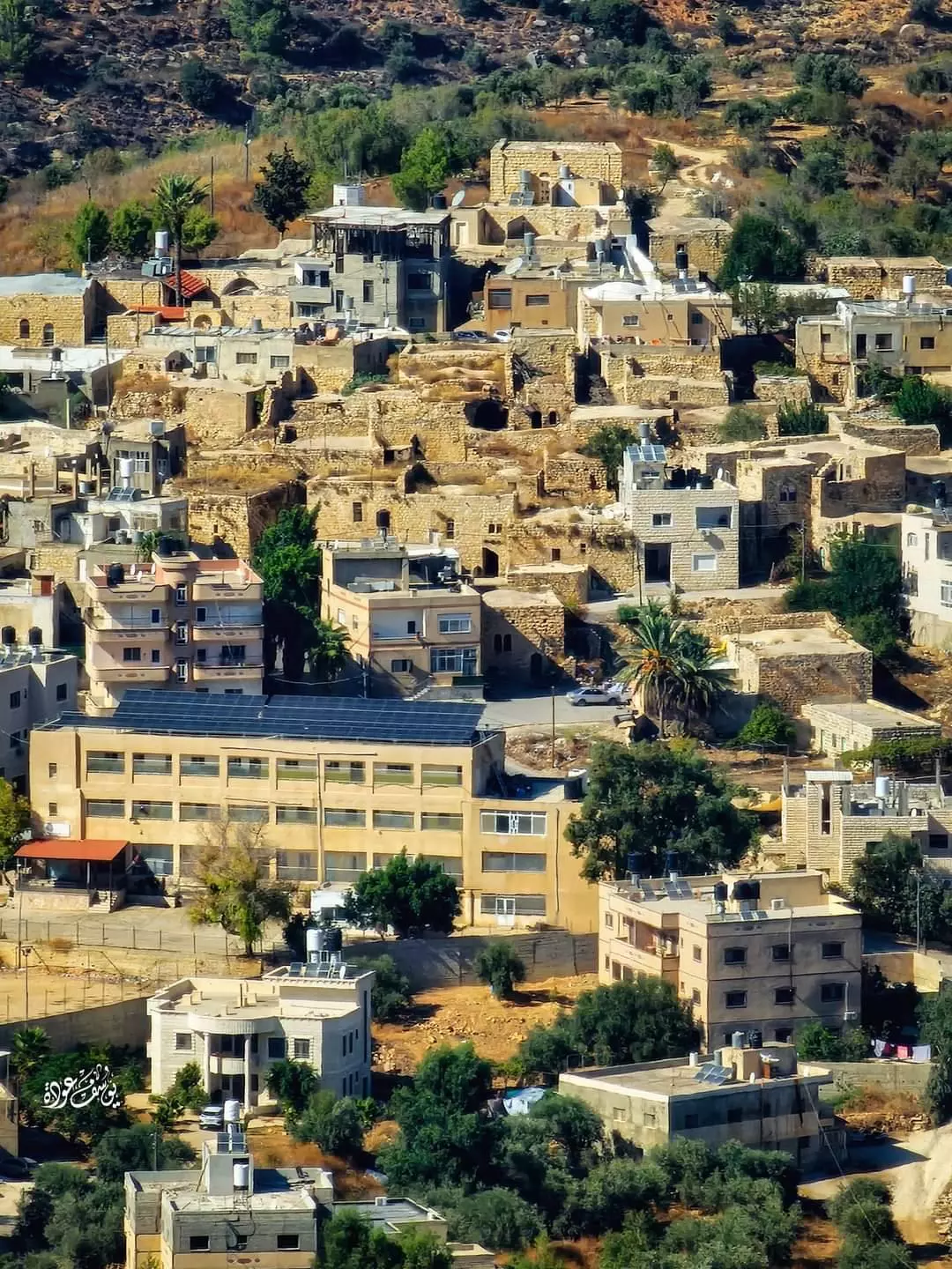
- البلدة القديمة -- يوسف عودة
- شجرة زيتون معمرة -- يوسف عودة
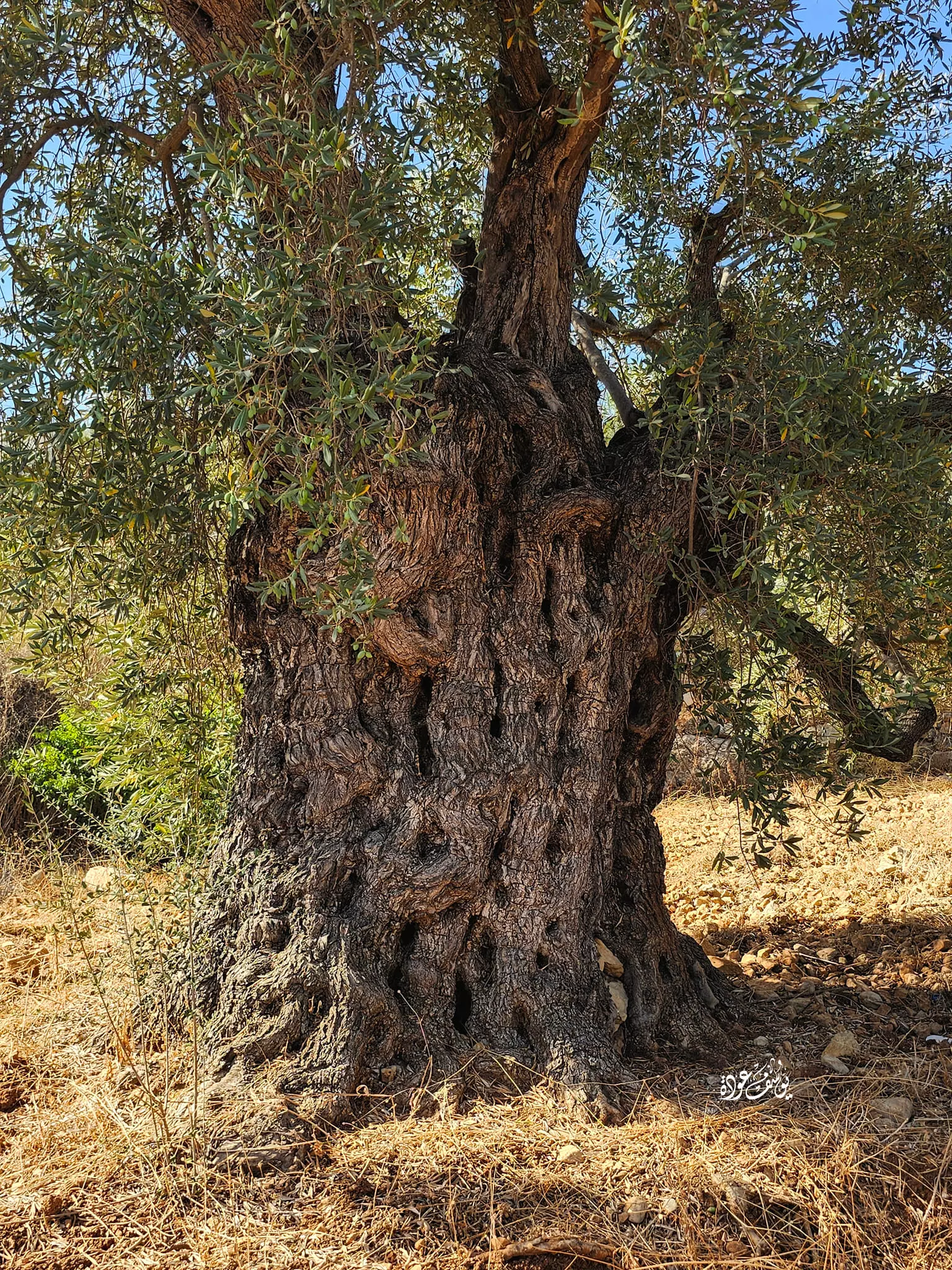
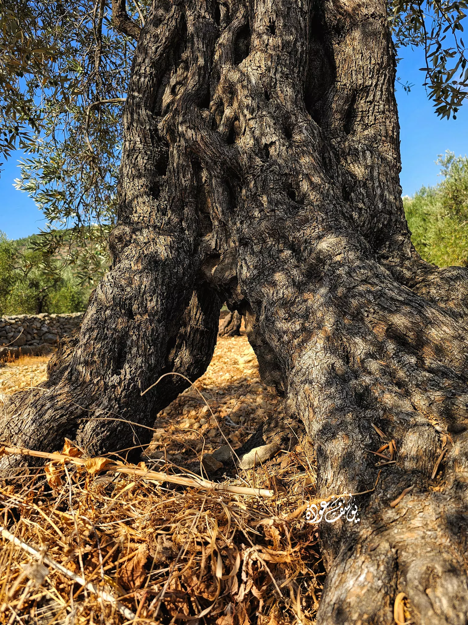
- شجرة زيتون معمرة -- يوسف عودة
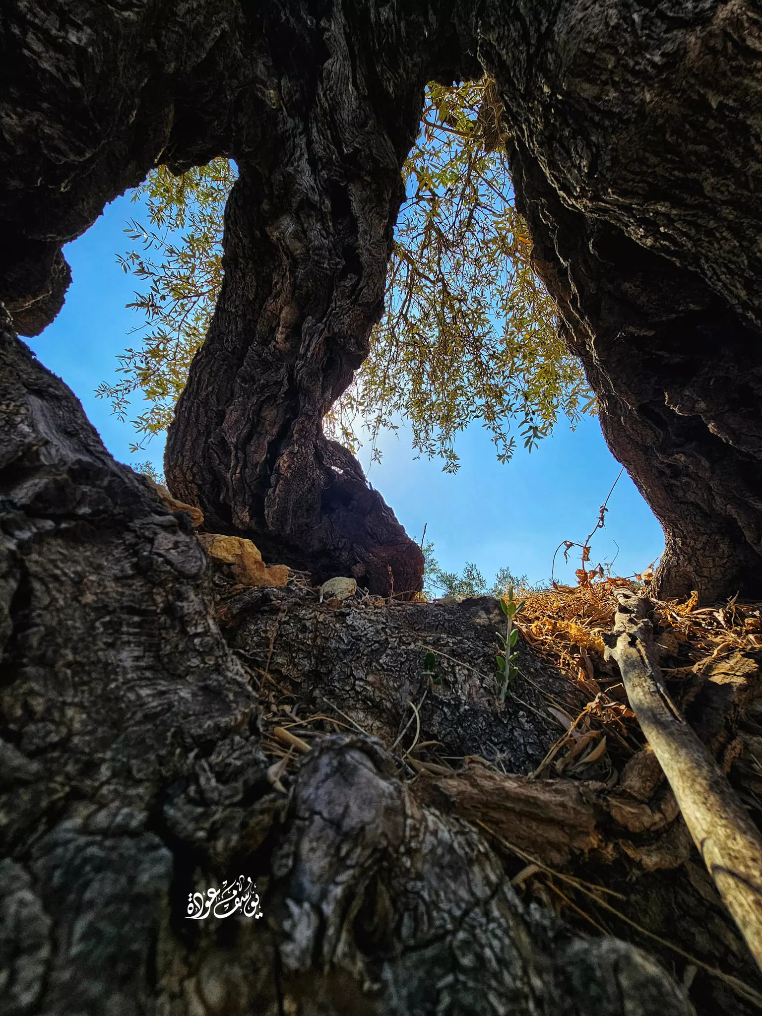
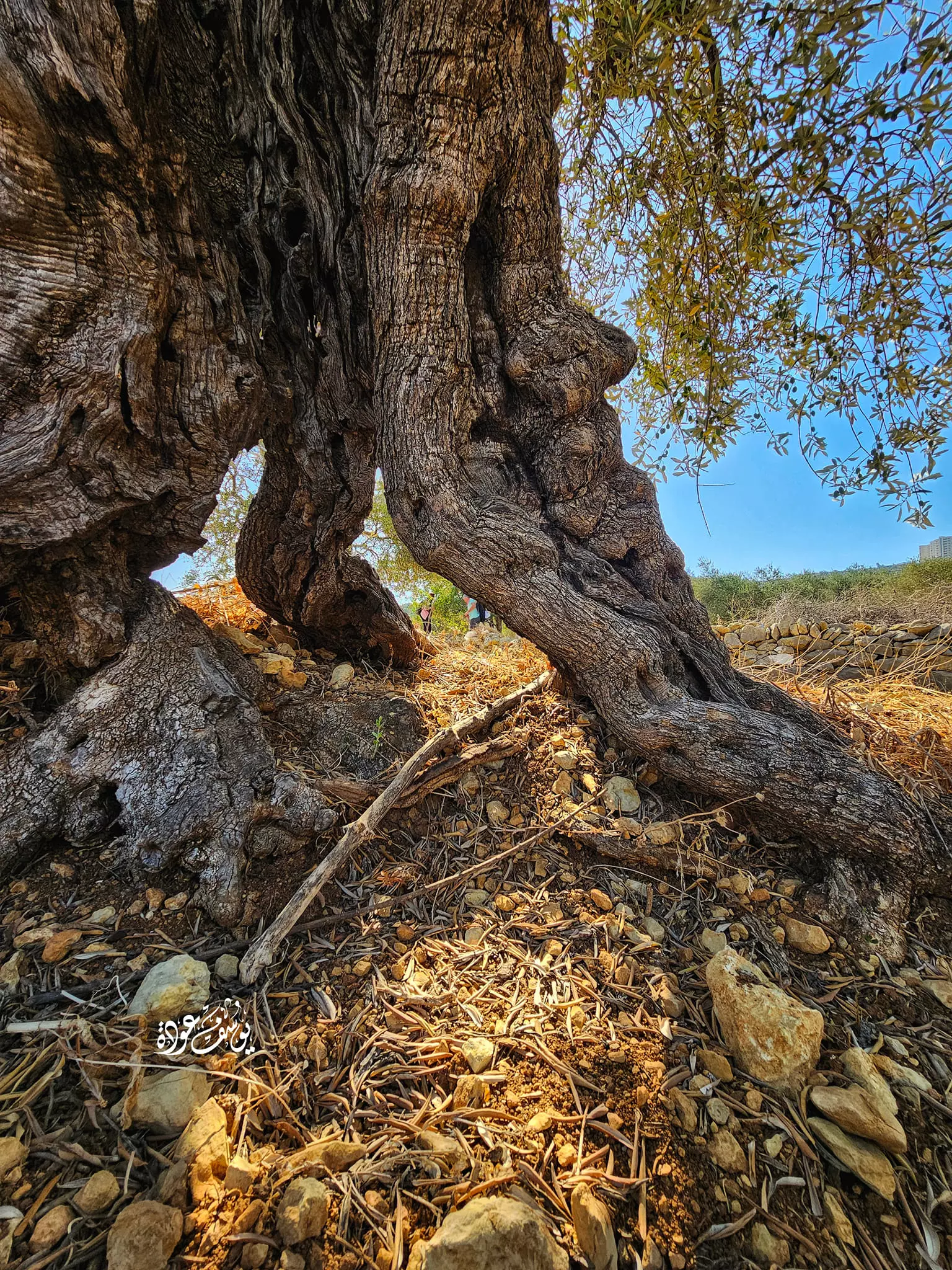
- شجرة زيتون معمرة -- يوسف عودة #2
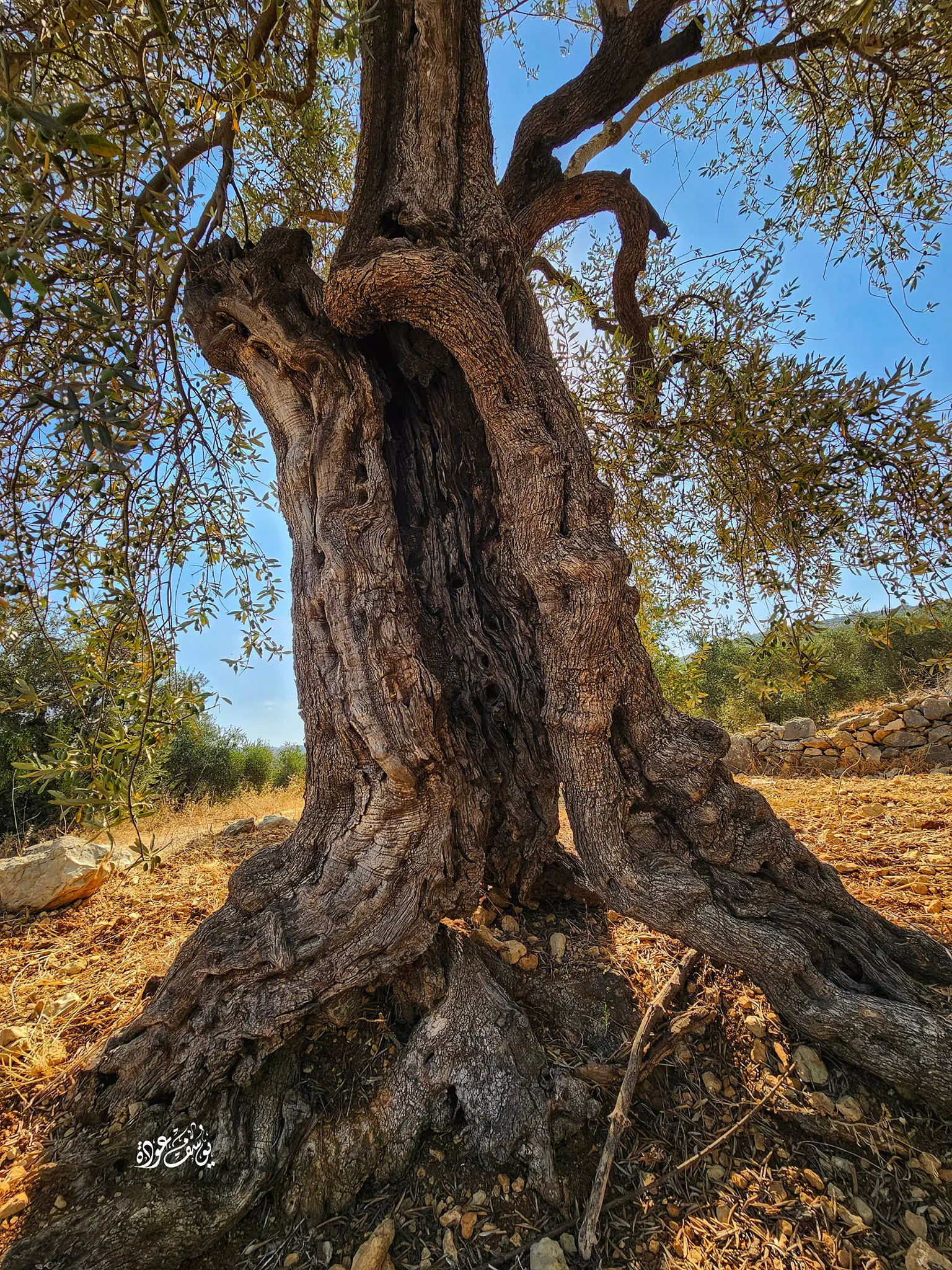
- شجرة زيتون معمرة -- يوسف عودة #3
- شجرة زيتون معمرة -- يوسف عودة #4
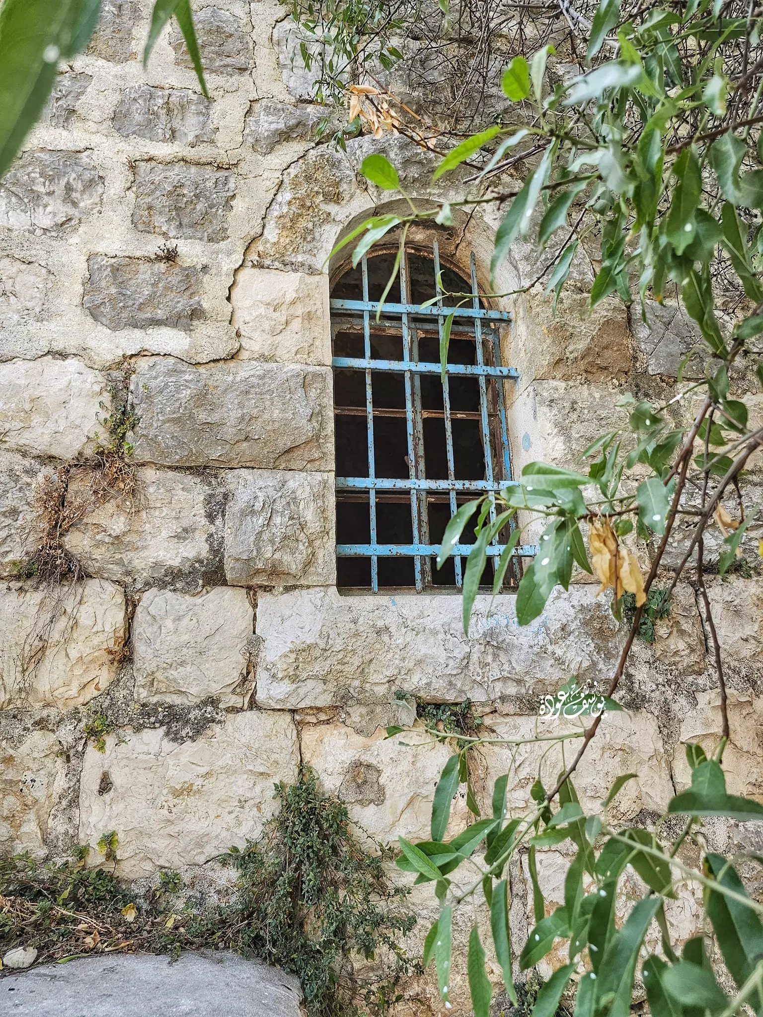
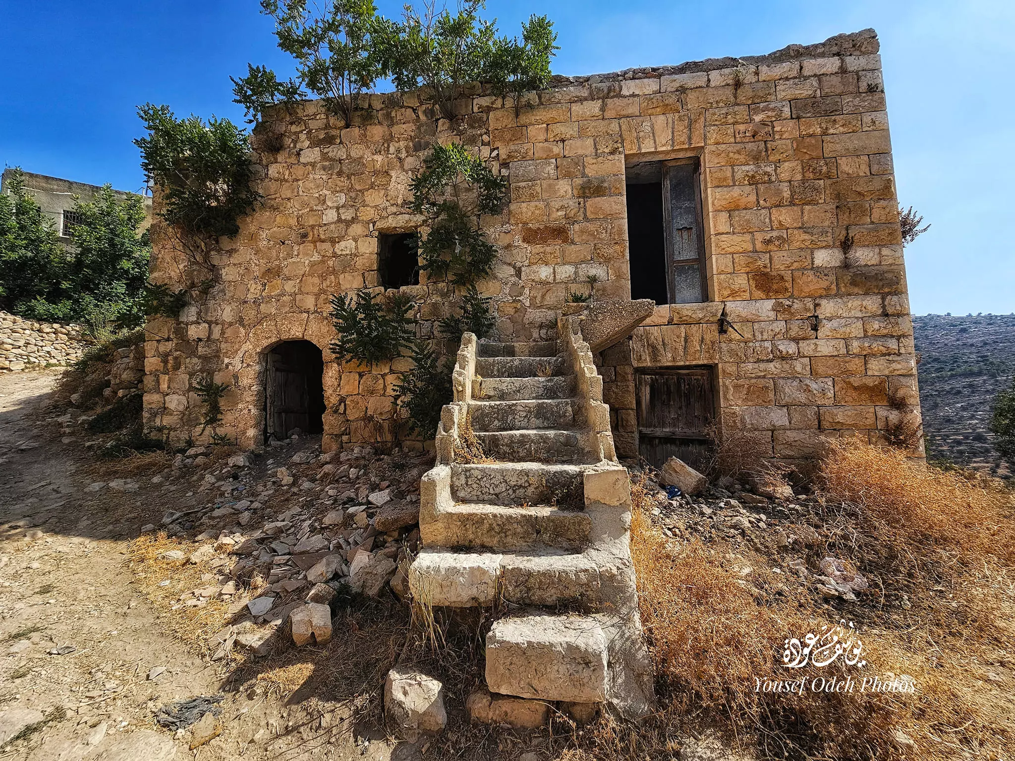
- بيت قديم -- يوسف عودة
- بيت قديم -- يوسف عودة
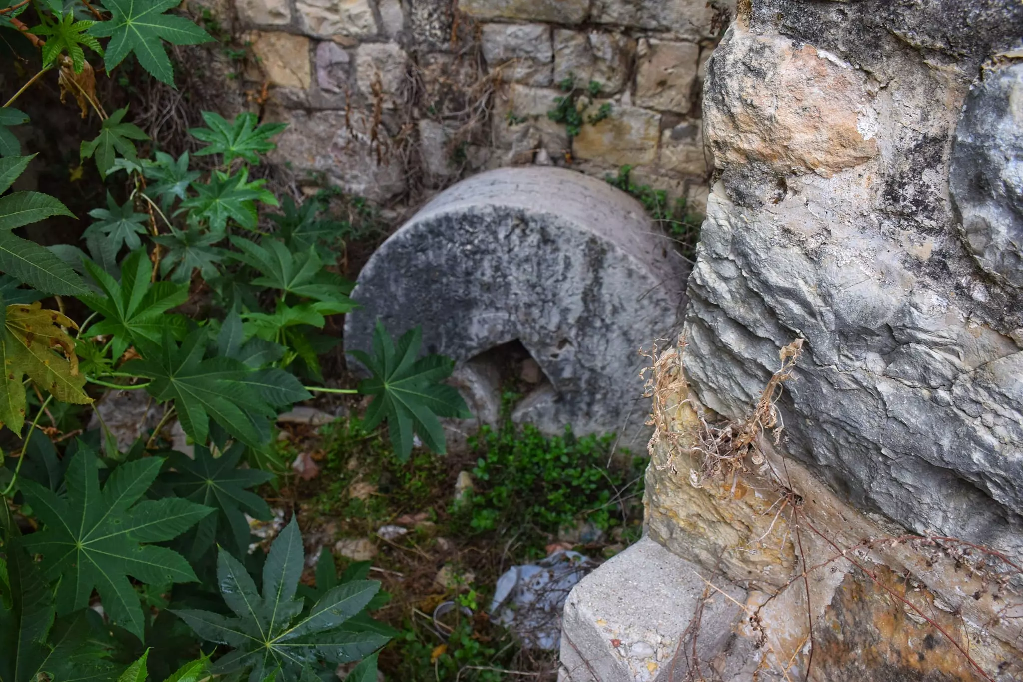
- معصرة زيتون قديمة -- يوسف عودة
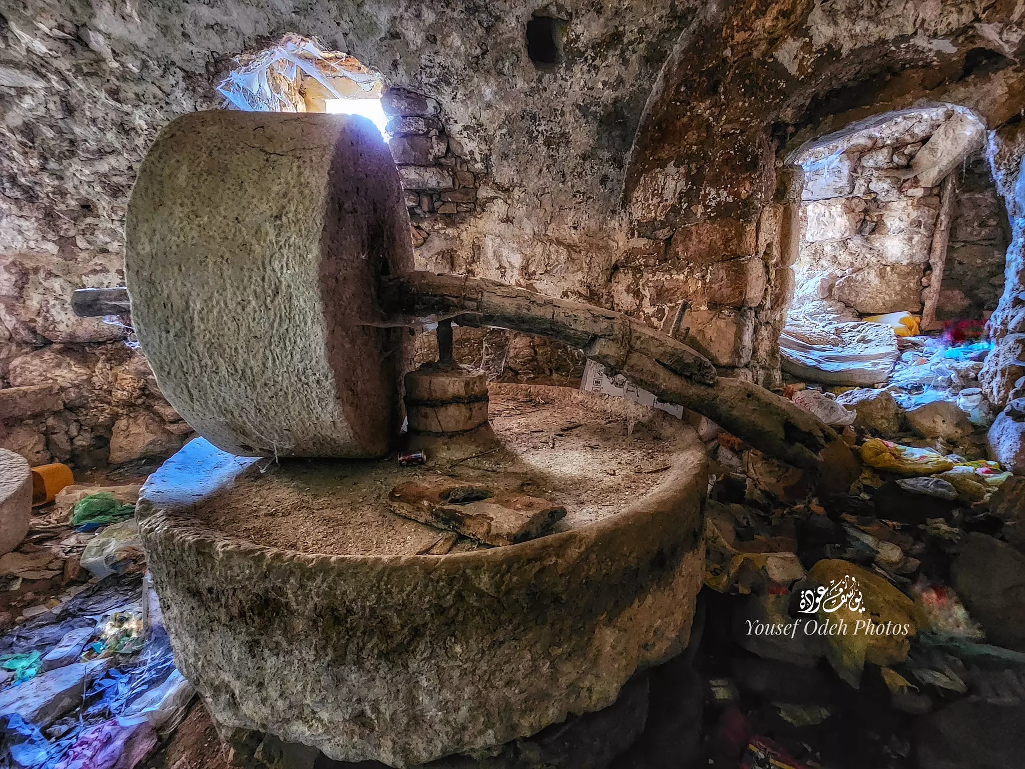
- معصرة زيتون قديمة -- يوسف عودة #2
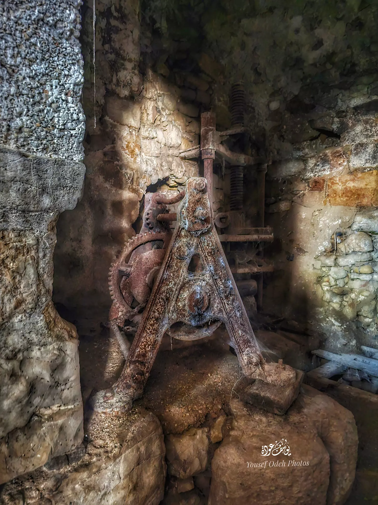
- معصرة زيتون قديمة -- يوسف عودة #3
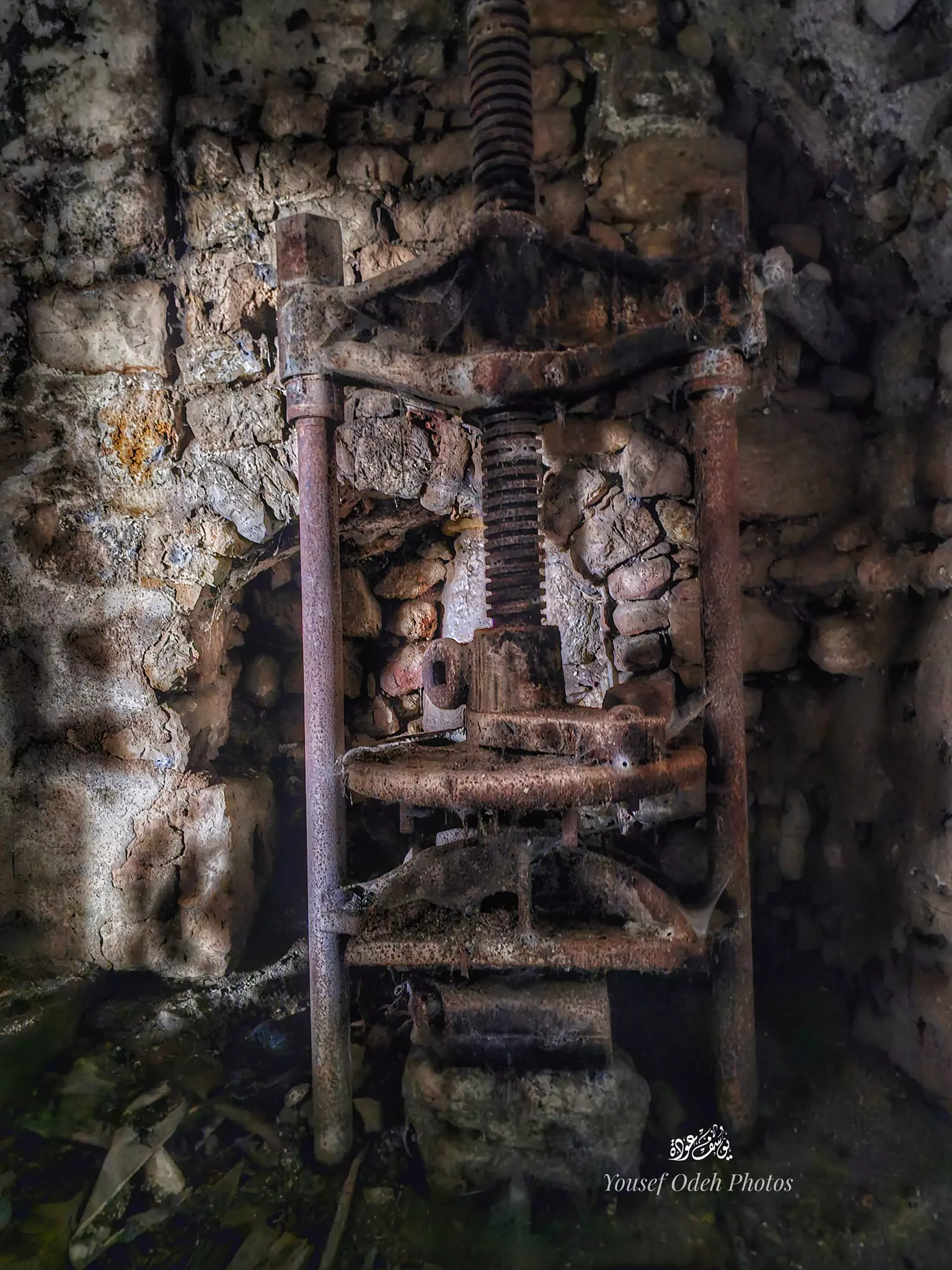
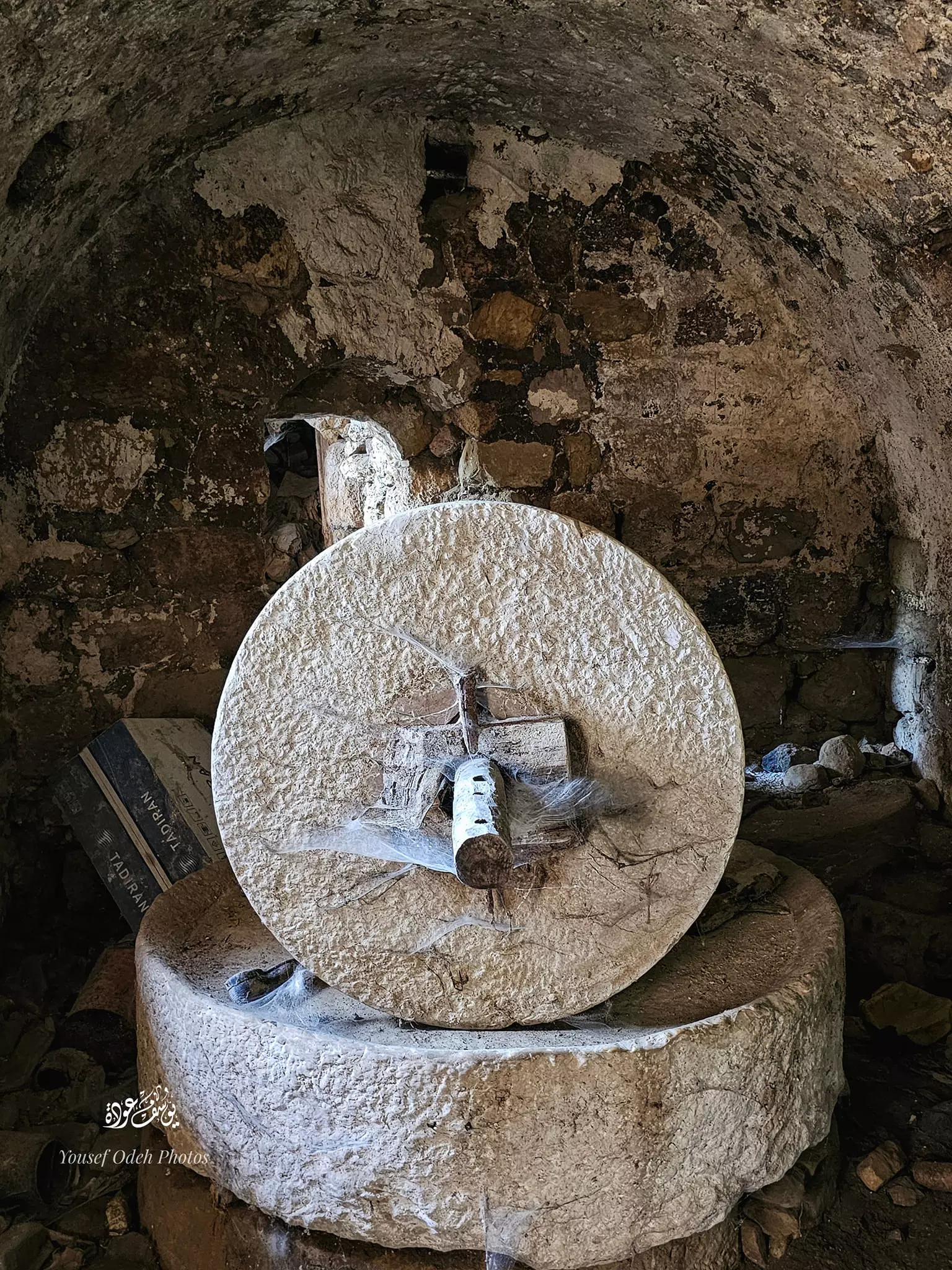
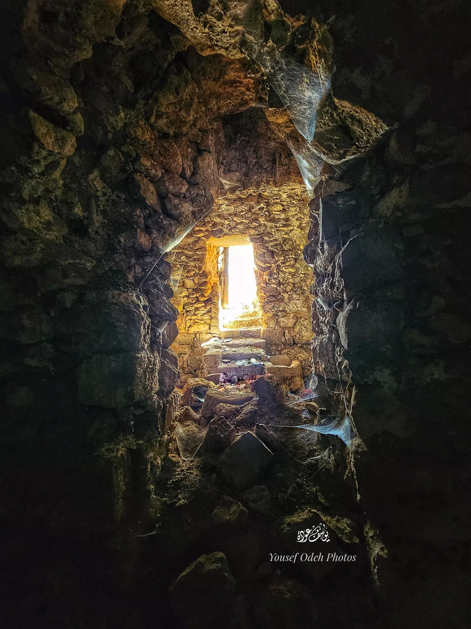
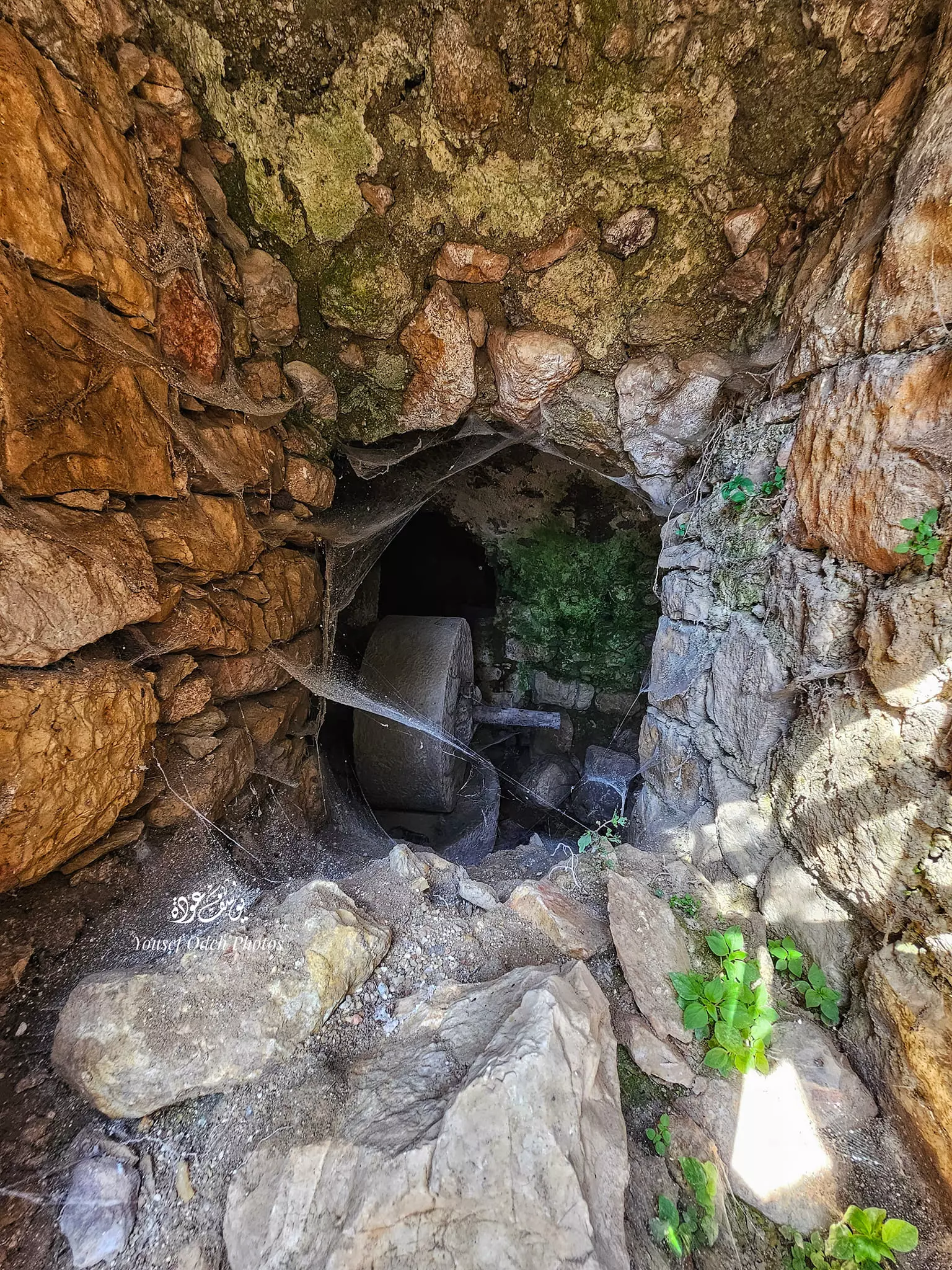
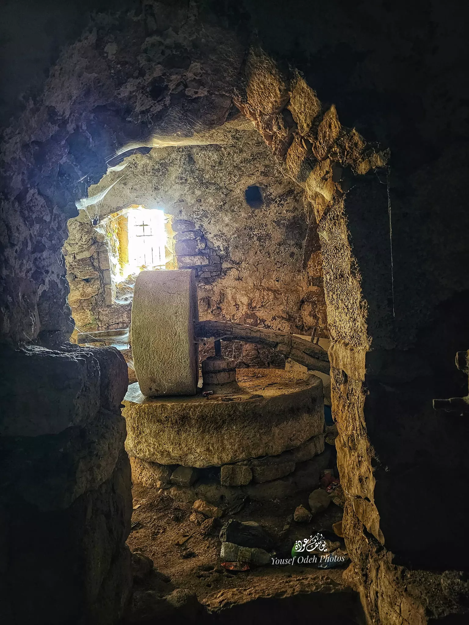
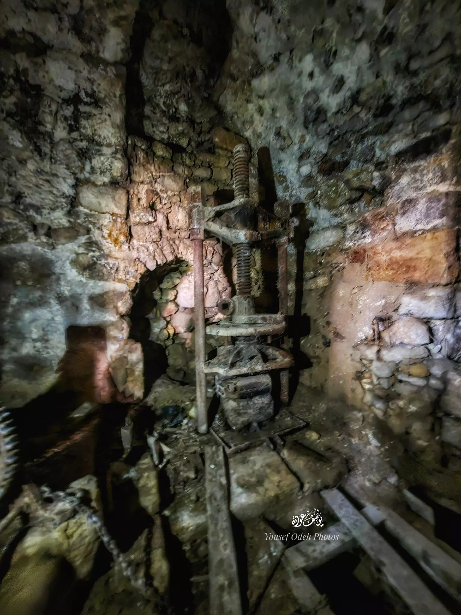
- معصرة زيتون قديمة -- يوسف عودة #4
- معصرة زيتون قديمة -- يوسف عودة #5
- معصرة زيتون قديمة -- يوسف عودة #6
- معصرة زيتون قديمة -- يوسف عودة #7
- معصرة زيتون قديمة -- يوسف عودة #8
- معصرة زيتون قديمة -- يوسف عودة #9
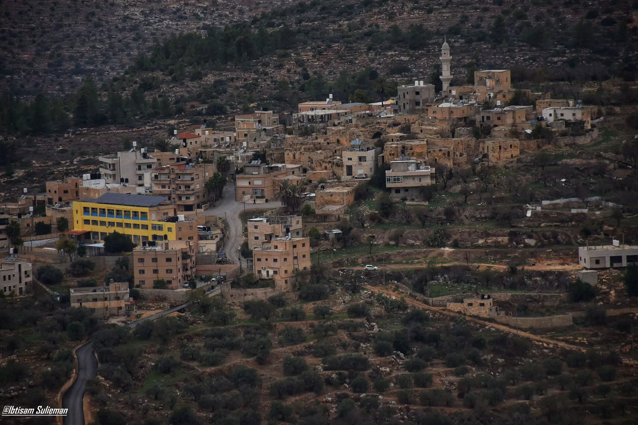
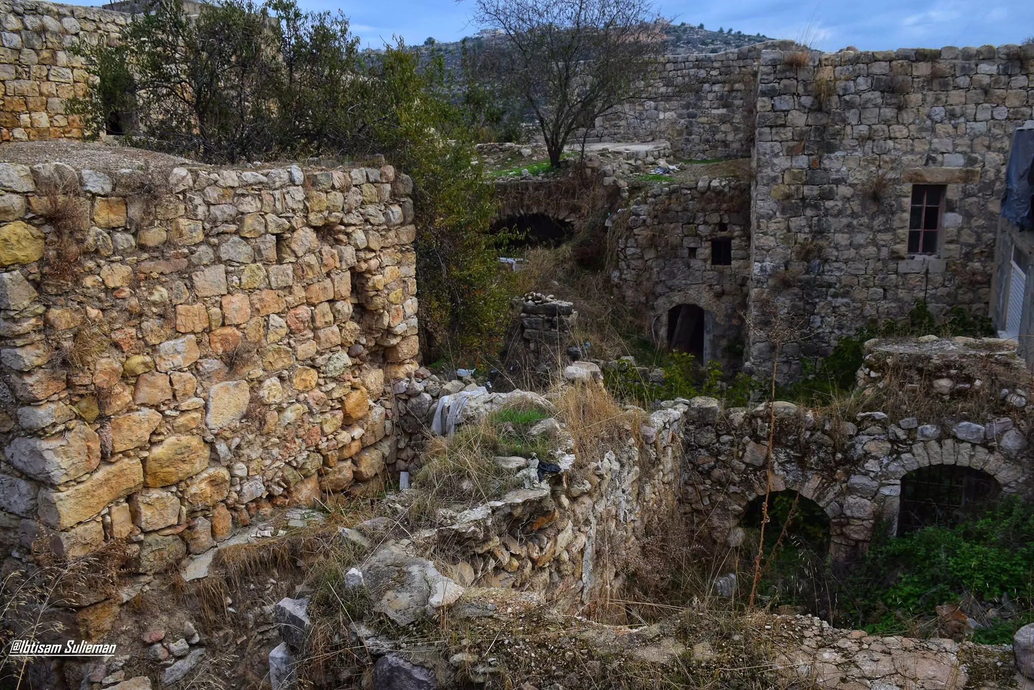
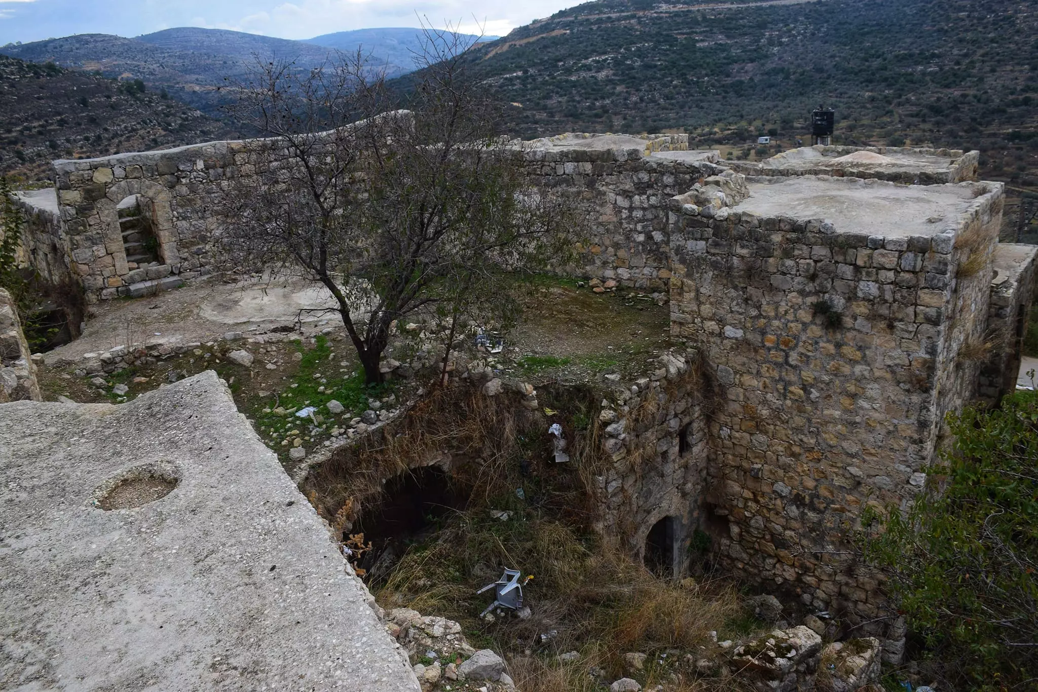
- General view -- Ibtisam Sulieman
- General view -- Ibtisam Sulieman #2
- جولة رائعة بين بيوت القرية القديمة -- Ibtisam Sulieman
- جولة رائعة بين بيوت القرية القديمة -- Ibtisam Sulieman #2
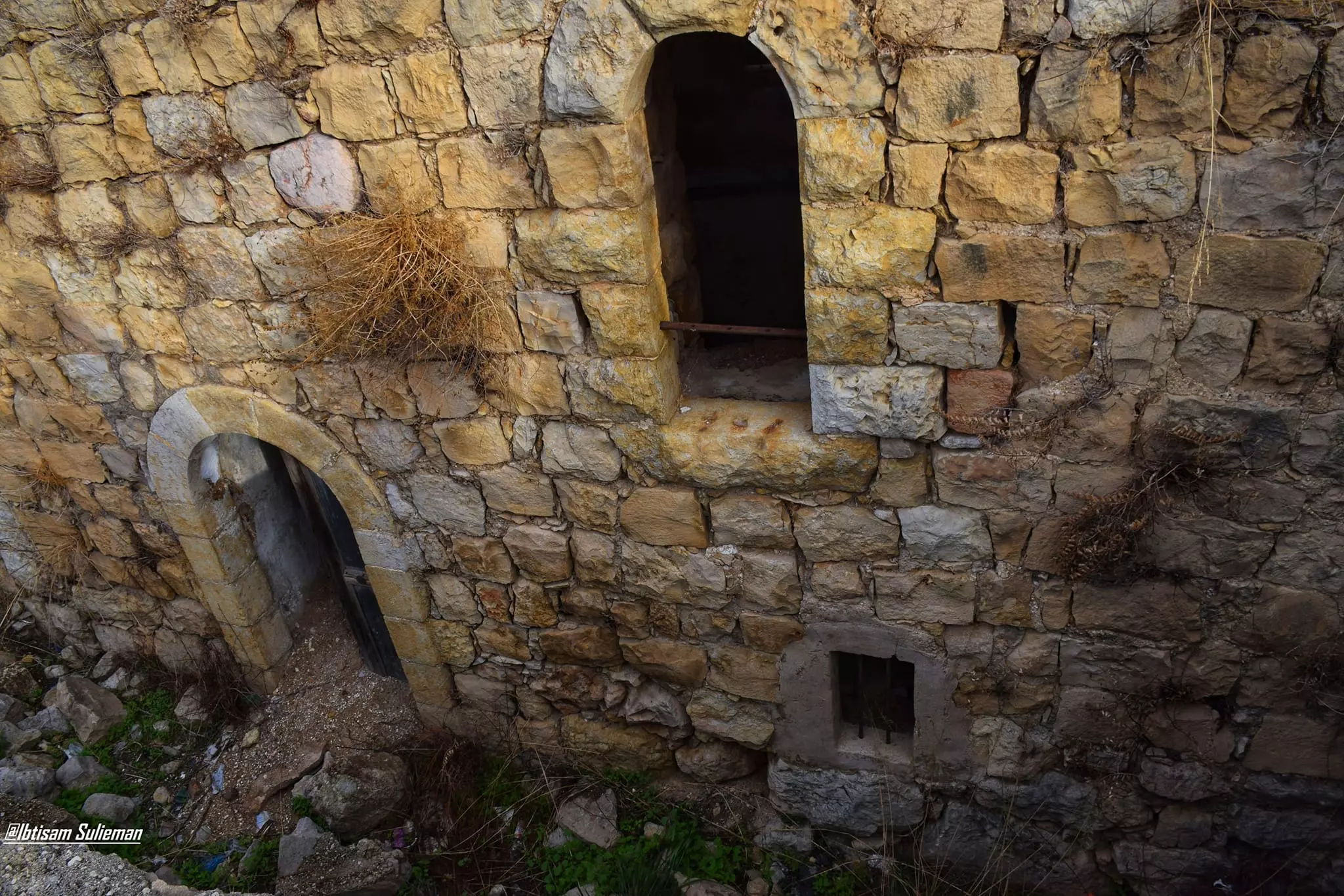
- جولة رائعة بين بيوت القرية القديمة -- Ibtisam Sulieman #3
- جولة رائعة بين بيوت القرية القديمة -- Ibtisam Sulieman #4
- جولة رائعة بين بيوت القرية القديمة -- Ibtisam Sulieman #5
- جولة رائعة بين بيوت القرية القديمة -- Ibtisam Sulieman #6

- جولة رائعة بين بيوت القرية القديمة -- Ibtisam Sulieman #7
- جولة رائعة بين بيوت القرية القديمة -- Ibtisam Sulieman #8
- جولة رائعة بين بيوت القرية القديمة -- Ibtisam Sulieman #9
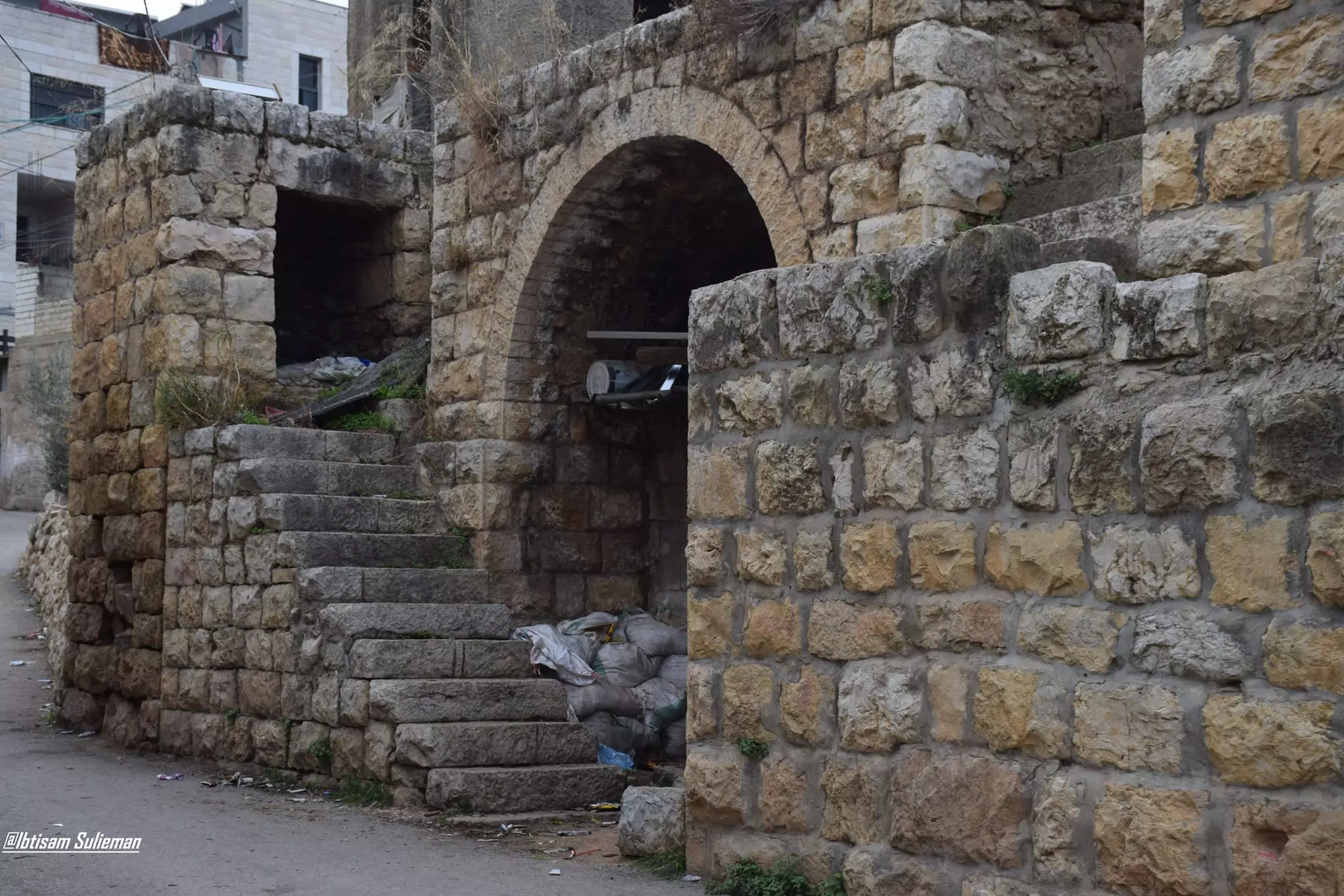
- جولة رائعة بين بيوت القرية القديمة -- Ibtisam Sulieman #10
- جولة رائعة بين بيوت القرية القديمة -- Ibtisam Sulieman #11
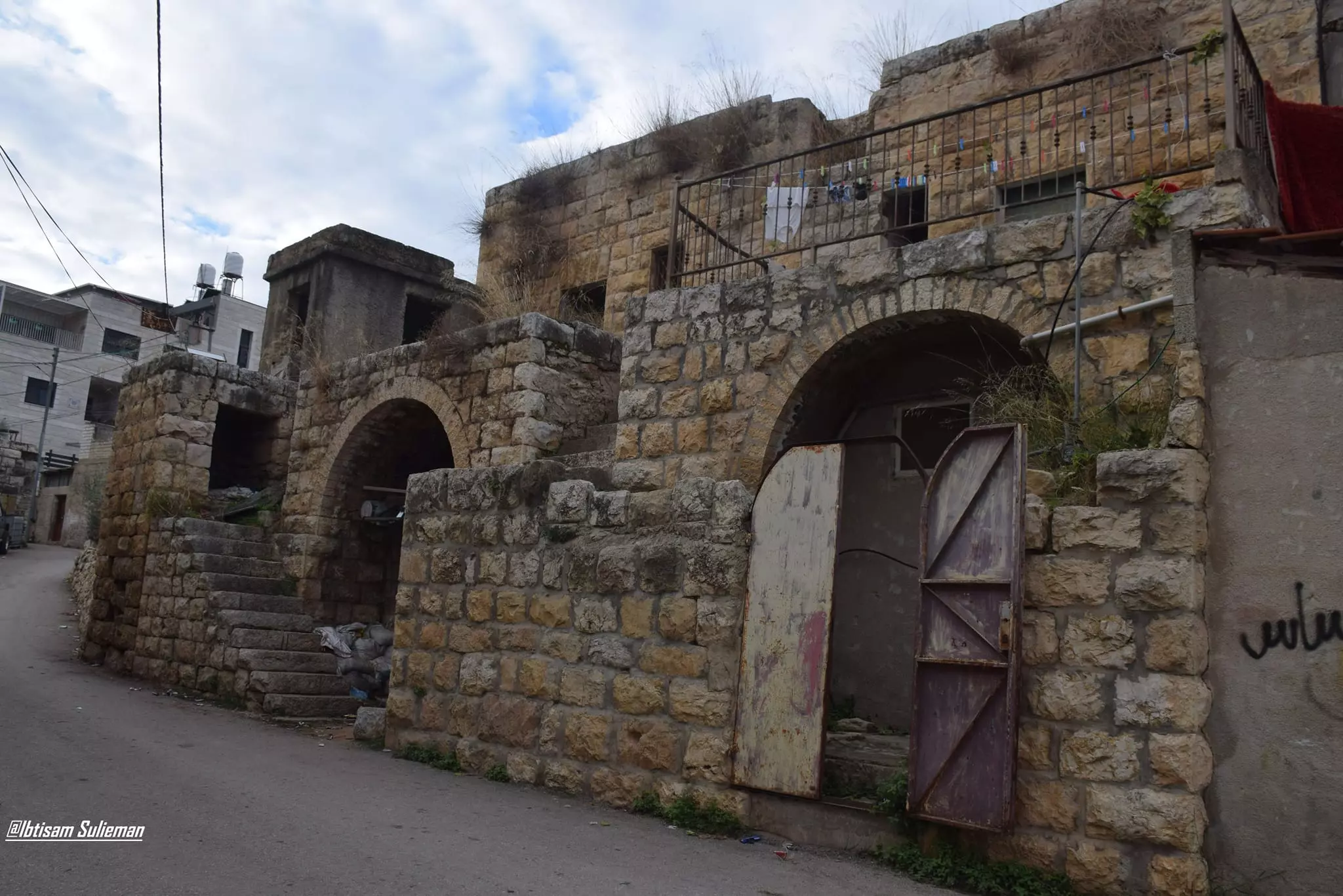
- جولة رائعة بين بيوت القرية القديمة -- Ibtisam Sulieman #12
Want to browse more? 80,000 pictures were grouped in these gallaries:
| Display Name | Clan/Hamolah | Country of Residence |
| عمرو موسى | - | - |
| king abu basem | - | رام الله, عجووووووووووووول |
| king abu shhady | - | الضفة الغربية, عجوووووووووووووول |
| صقر الحرية | - | - |
| سامح نديم سامي مخالفة | مخالفة | رام الله, عجول |
| اسيد مخالفة | مخالفة | عجول, عجول |
No links have been shared yet, be free to the first to share the first link.
 Fake Valor: Why Did Zionist Jews Hoist Nazis Flag on Their Ships in the 1930s?
What is new?
-
Facts About Oct. 7th Gaza Raid
-
Remined Us Please:: Who Did Rape Who? Palestinians Raped Israelis? Or, was the other way around?
-
When Prof. Edward Said was invited to debate Bibi Netanyahu in the 1980s, watch what happened!
-
Ezra Klein of the NY Times on the "Jewish Race".
-
Abusing Blood Libel!
-
Zionist FAQ: Isn't it true that Palestinians don't want peace? Palestinians never accepted the two-state solution
- Facts about Haavara (Transfer) Agreement between Ben-Gurion & Hitler
-
Haavara FAQs: Why Did Zionist Jews Hoist Nazis' Flags on Their Ships in the 1930s?
-
Dear ChatGPT: Why did the Jewish Agency suppress news of the Holocaust during WWII?
-
Video Playlist: Jews share their DNA tests to end the conflict for good.
-
A Tale of Two Conflicts: Examining the Definition of Genocide
-
Prof. Abraham Polak And The Suppressed History of the Khazars and European Jewry
-
How Ronald Reagan would have framed the genocide in Gaza if he were still alive?
-
Haavara FAQs: Let us do the math: how many German Jews did The Haavara Agreement save?
-
Zionist FAQs: The Hebron Massacre of 1929, "clearly proves" that Palestinians are antisemitic, how could you deny it?
-
Zionist FAQs: Why Anti-Zionist Is Not Antisemitism?
-
Zionist FAQs: Isn't it true that the KGB create Palestinian Nationalism in the early 1960s?
- Zionist FAQs: Muslims are killing Muslims all the time; why are Israeli Jews being singled out in the media?
- Zionist FAQs: How is Israel an apartheid state when 20% of its citizens are Arabs who enjoy full rights?
-
Haavara FAQs: Analysis of Herzl's Uganda Scheme and how it could have saved millions of Jews.
-
Haavara FAQs: Why did Hayim Greenberg describe American Jewry as "morally bankrupt" in early 1943?
-
Haavara FAQs: What if the Evian Conference was a resounding success? What would have been the impact of saving European Jewry on Zionism?
- Haavara FAQs: What if the six million were saved, how that would have impacted the Zionist project?
-
Haavara FAQs: How did Zionist leaders react when Europe's Jews lingered in the DP camps after WWII ended?
-
Why does the American Jewish community repeat lies that David Ben-Gurion had debunked before he died?
-
Who has the power to rename the Tatar/Khazar Gene Marker to Jewish IV?
-
Zionist FAQs: Why won't Egypt, Syria, and Jordan take their people back? Jews are indigenous to Palestine, and Arabs immigrated after Jews developed the country. Arabs should leave.
-
Haavara FAQs: Did Hitler and the Nazis conflate between Judaism and Zionist? If that wasn't case, then why?
-
Haavara FAQs: Winston Churchill and antisemitism, a collection of articles written Churchill.
-
Haavara FAQs: Broken by country, how many Jews survived vs. killed during the Holocaust?
-
Haavara FAQs: Why did European Jews vote with their feet and to immigrated to the Americas, not Palestine, after WWII?
-
Watch this American Jewish Girl describing Israeli Jews' cognitive dissonance like no other in under two minutes
-
Haavara FAQs: When the Nazis went out of their way to hide the Holocaust, Israeli Jews did the exact opposite by broadcasting their genocide of Gazans. But why?
-
Haavara FAQs: How Zionist Jews went out of their to show their appreciation to Nazism and Fascism?
- Haavara FAQs: Why Zionist leaders were against bombing the death camps & the Railroads leading to them?
-
Haavara FAQs: Hitler's message to the British and American people: If Jews are such noble citizens and you care about them, how come you're not letting them in? I will gladly ship them to you at my expense, even on luxury liners!
-
A shortlist of Zionist and Israeli false flag operations in the name Jews.
-
The Most Moral Army
- The Land of Kapos (Israel): Where the brave are boycotted and Kapos walk free.
- Why did early Zionists often named their communal enterprises "colonial"?
- Zionist Relations with Nazi Germany by Faris Glubb
-
Two NY Times advertisements by Zionists in the early 1943 that exposes Zionists' treason at the height of the calamity
- Facts Not Lies about the Palestinian-Israeli Conflict.
- Site's pictures have been categorized
- Campgain Against Lice
- A Survey of Palestine, the official source about Palestine before Nakba produced by the British Mandate; over 1200 pages.
- Satellite View & Google Earth: Over 6,000 placemarks identifying all destroyed towns, W. Bank & Gaza Strip Towns, & refugee camps.
- PalestineRemembered.com and its Nakba Oral History Project were featured on al-Jazeera Satellite TV.
- Nakba Oral History Video Podcast:
 Over 700 Oral History interviews (including 3,500+ hours of recording) can be viewed online.
 - Palestine Village Statistics Project
- Gaza Jail Break
- النسخة العربية للموقع الان متوفرة
- Videos: Documenting the destroyed villages in video: Tracing all that remains since Nakba.
- Videos: Responding to Zionist Propaganda
- Interview: The ethnic cleansing of Palestine: George Galloway interviews Israeli Historian Ilan Pappe.
- For Palestinians, memory matters. It provides a blueprint for their future By George Bisharat.
- Zionist FAQ now available in Hebrew שאלות שציונים שואלים, עכשיו בעברית
- Video: The Stephen Walt and John Mearsheimer report on the influence of the Israel Lobby on U.S. Foreign Policy
- The Palestinian-Israeli conflict for beginners
