| PalestineRemembered | About Us | Oral History | العربية | |
| Pictures | Zionist FAQs | Haavara | Maps | |
| Search |
| Camps |
| Districts |
| Acre |
| Baysan |
| Beersheba |
| Bethlehem |
| Gaza |
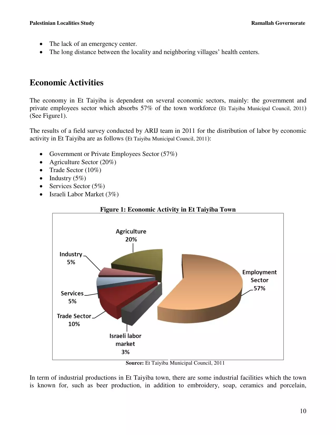
| Haifa |
| Hebron |
| Jaffa |
| Jericho |
| Jerusalem |
| Jinin |
| Nablus |
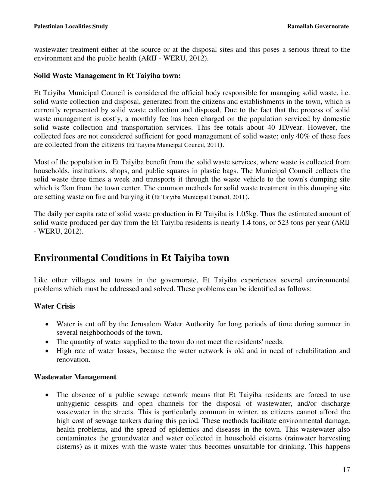
| Nazareth |
| Ramallah |
| al-Ramla |
| Safad |
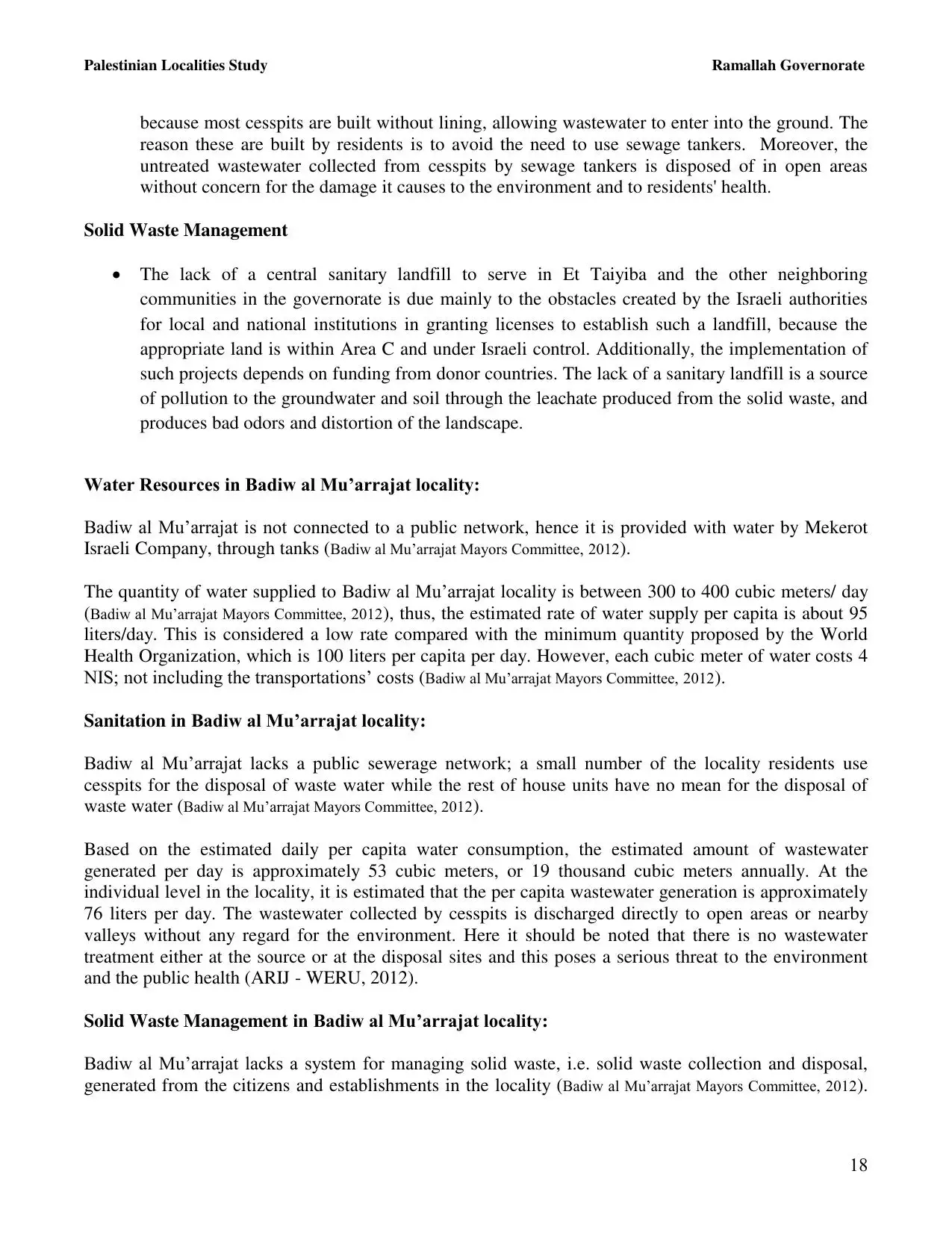
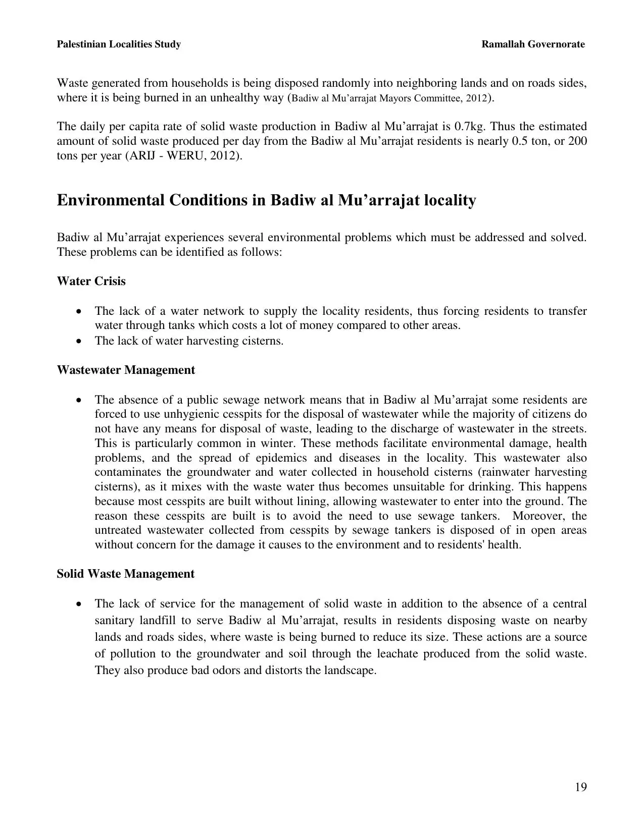
| Tiberias |
| Tulkarm |
| Donate |
| Contact |
| Profile |
| Videos |
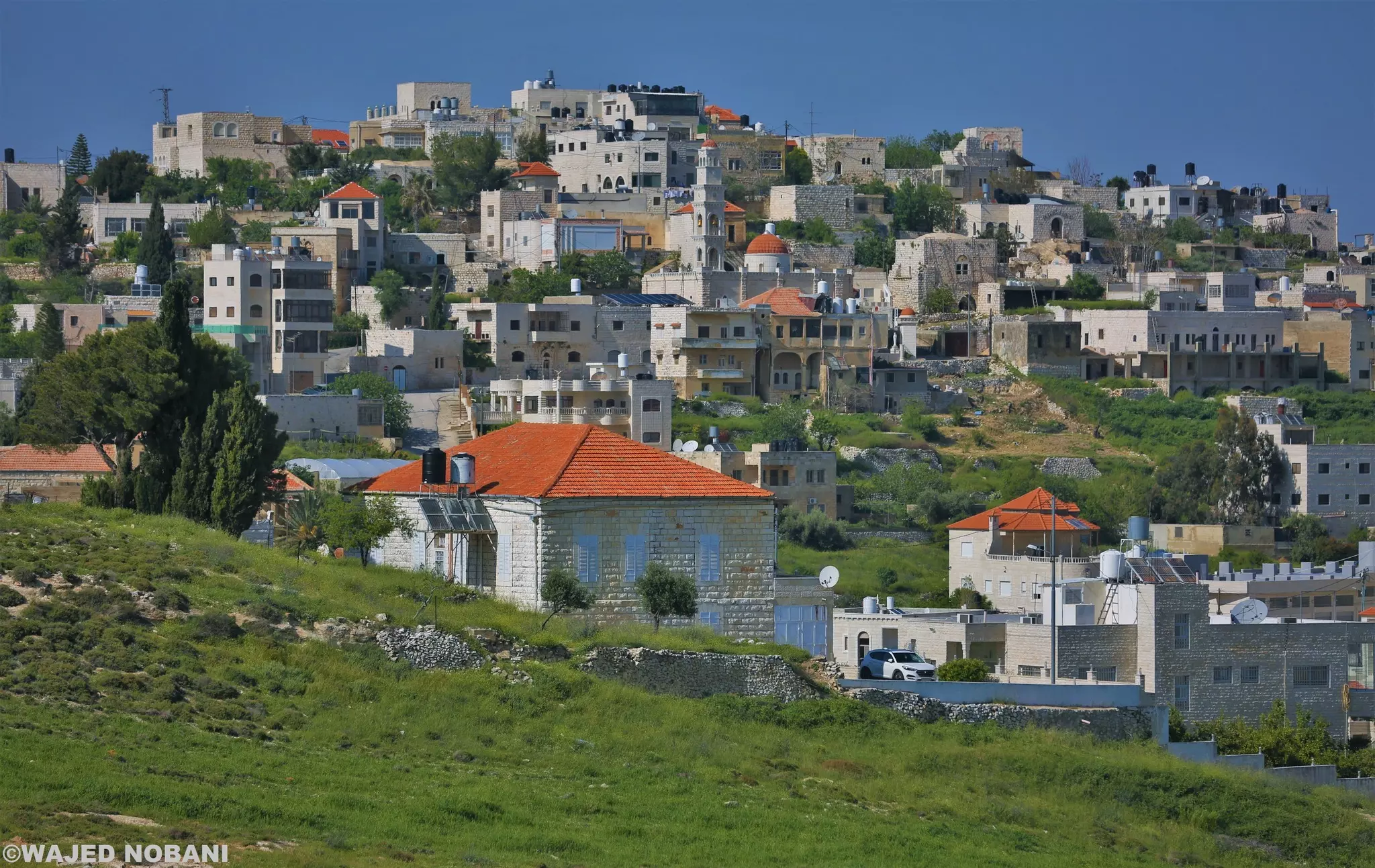
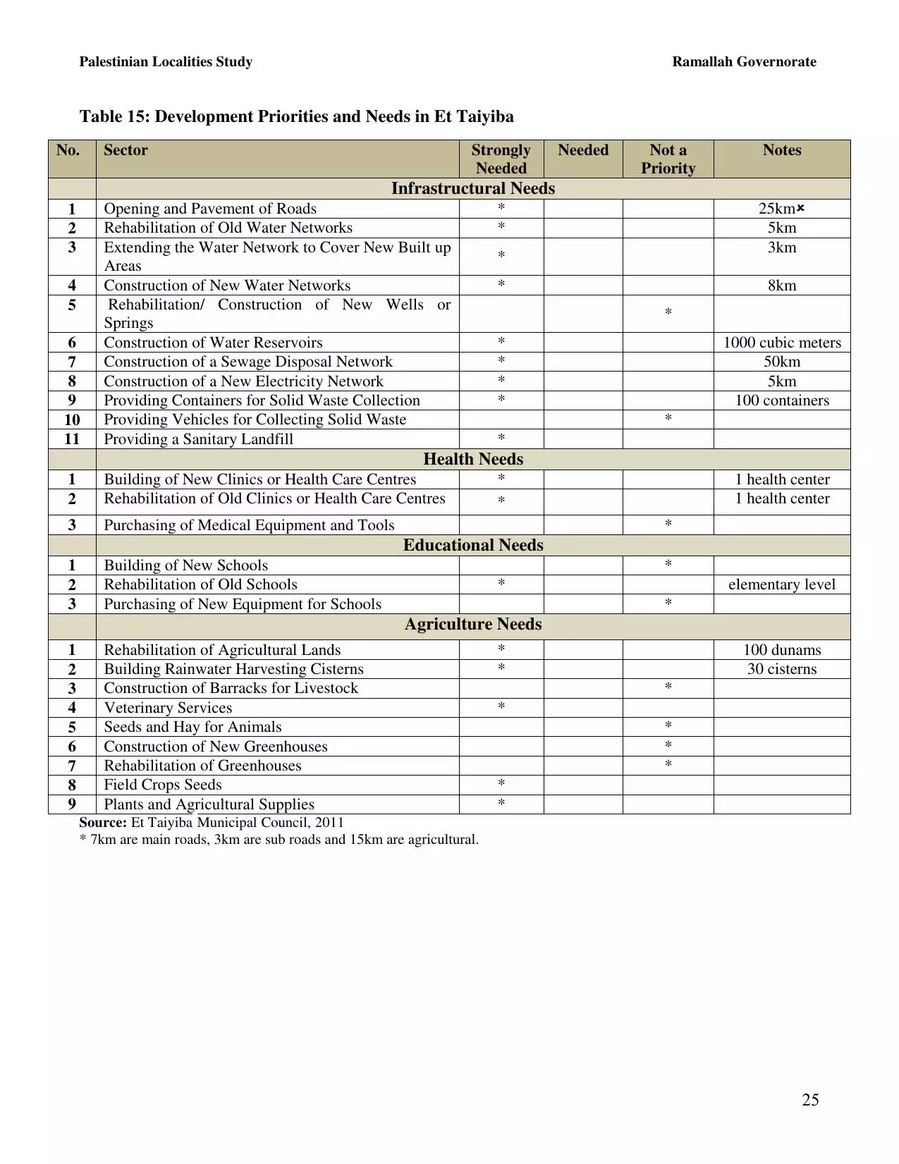
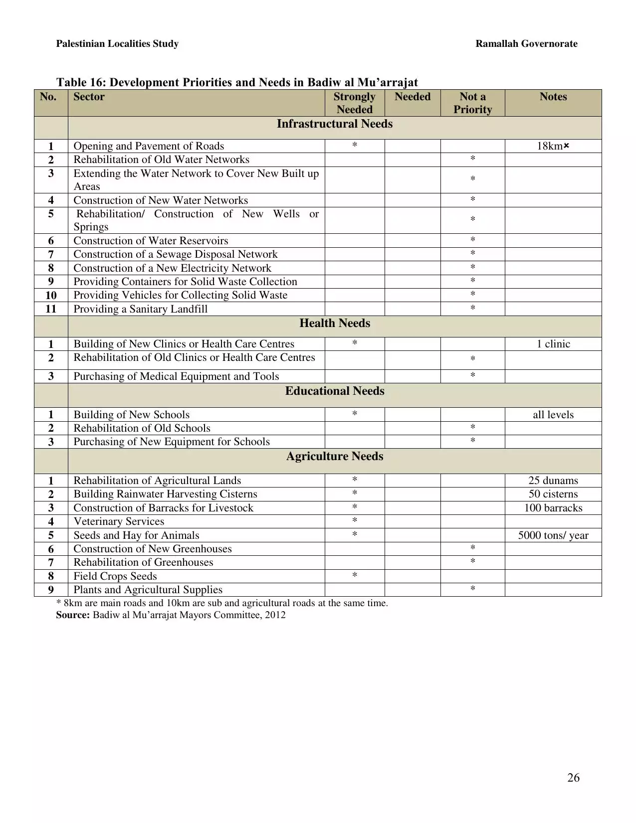
Welcome To al-Tayyiba - الطيبه (טייבה [נפת רמאללה ואל-בירה])
|
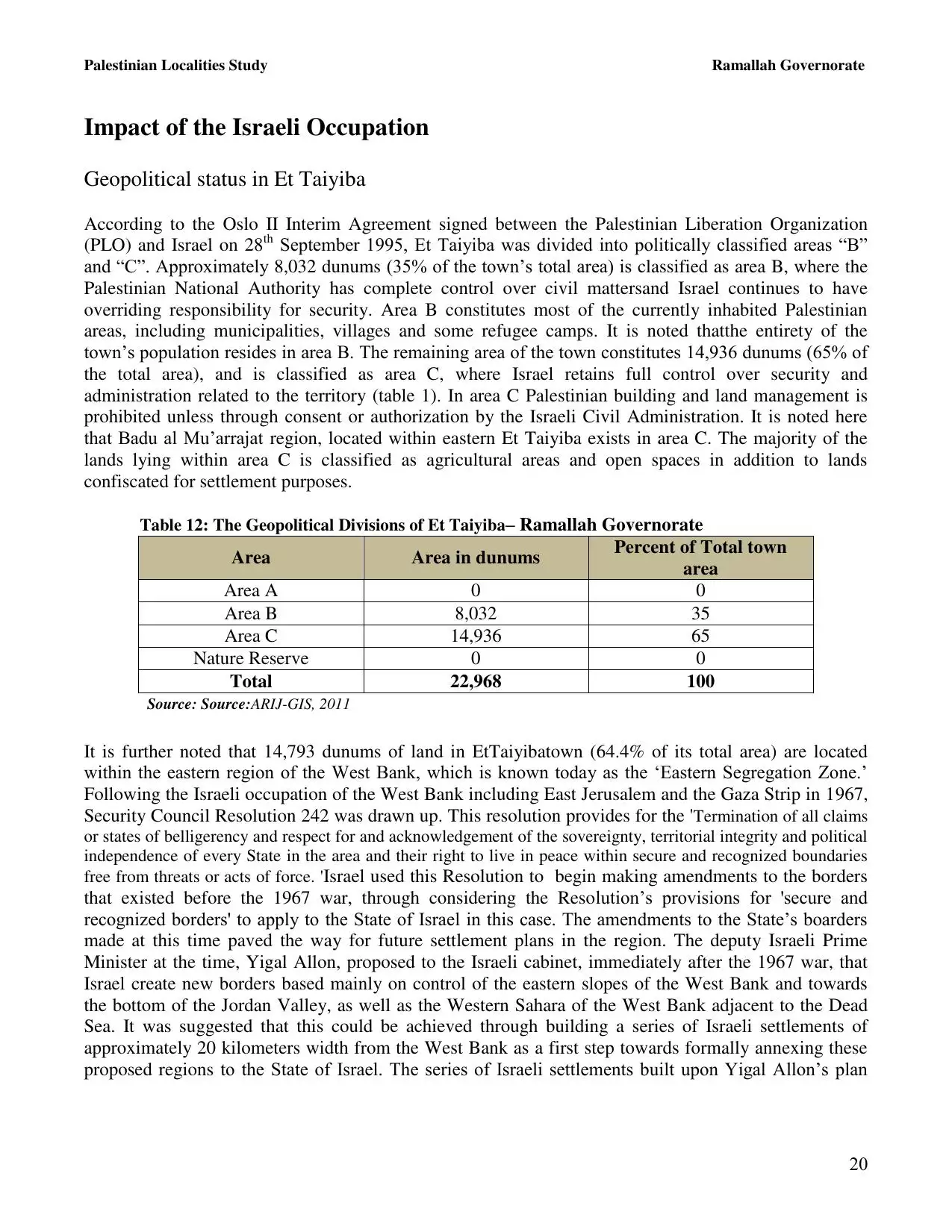
District of Ramallah
Occupied days ago |
العربية Google Earth |
 |
Gallery (107) |
- Statistics & Facts
-
Before & After

- Satellite View
- Articles 1
- Pictures 107
- Members 8
- Families
- Wikipedia
- ARIJ Guide
- Videos 1
- Guest Book 8
- Links
| Statistic & Fact | Value | ||||||||||||||||||||||
| Distance From District | 12 km northeast of Ramallah | ||||||||||||||||||||||
| Elevation | 860 meters | ||||||||||||||||||||||
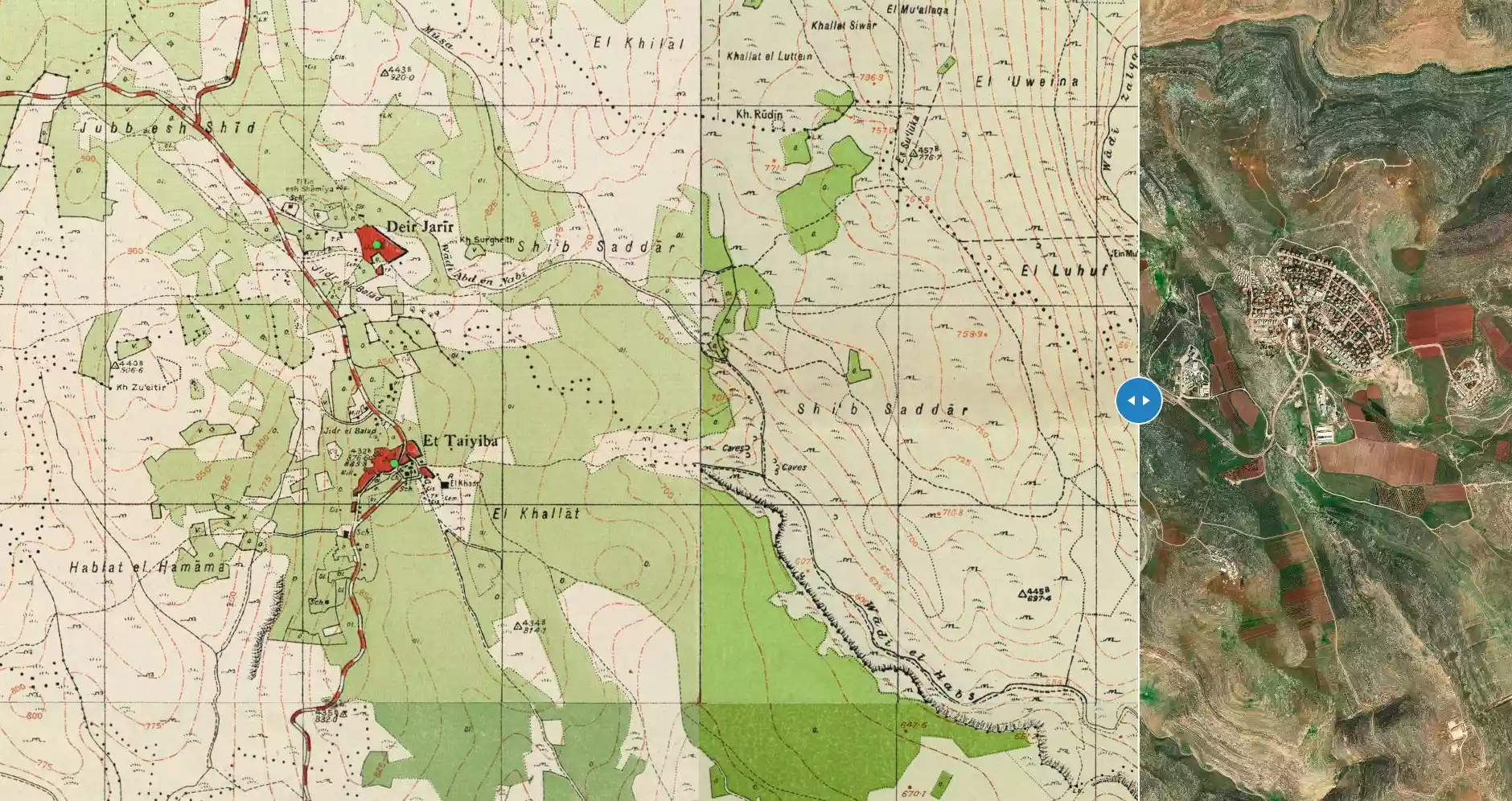
| Before & After Nakba, Click Map For Details |
|||||||||||||||||||||||
|
|||||||||||||||||||||||
| Land Ownership |
**Town Lands' Demarcation Maps |
||||||||||||||||||||||
| Land Usage As of 1945 |
|
||||||||||||||||||||||
| Population |
|
||||||||||||||||||||||
| Near By Towns |
|||||||||||||||||||||||
|
|||||||||||||||||||||||
| Featured Video | |||||||||||||||||||||||
| ARIJ Guide | |||||||||||||||||||||||
|
Click here to browse online. |
|||||||||||||||||||||||
| Related Maps | Town Lands' Demarcation Maps خرائط للقضاء توضح حدود القرى والاودية View from satellite Town's map on MapQuest Help us map this town at WikiMapia |
||||||||||||||||||||||
| Related Links | Wikipedia's Page Facebook Page ARIJ Guide Google Search Google For Images Google For Videos في كتاب بلادنا فلسطين دليل أريج المزيد من موقع هوية |
||||||||||||||||||||||
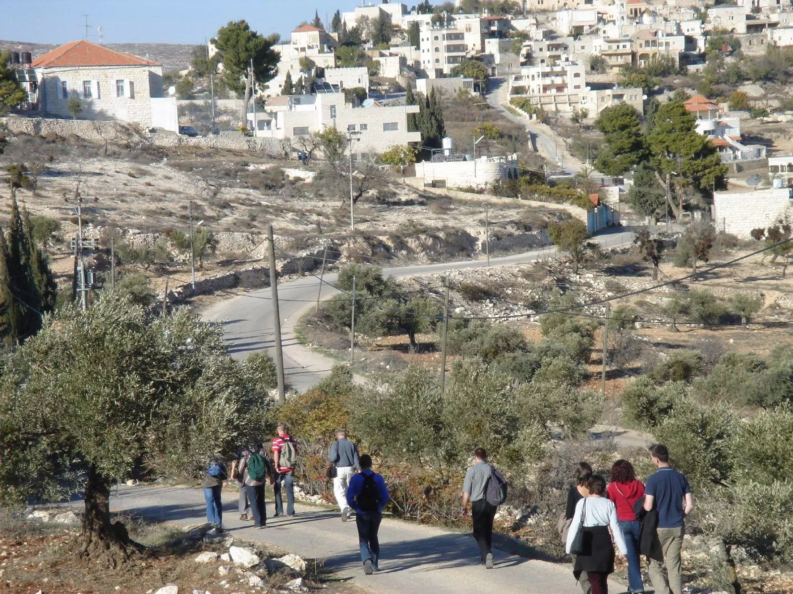
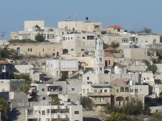
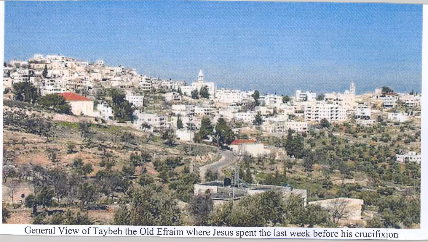
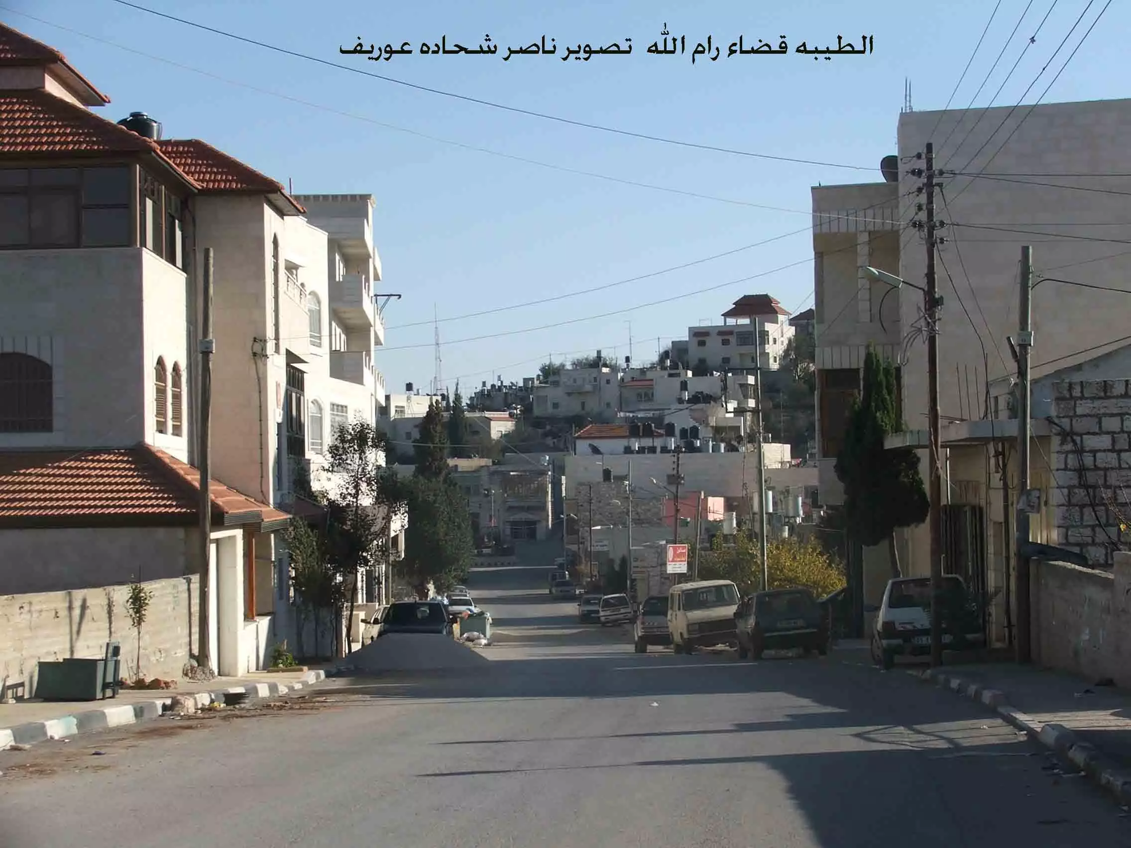
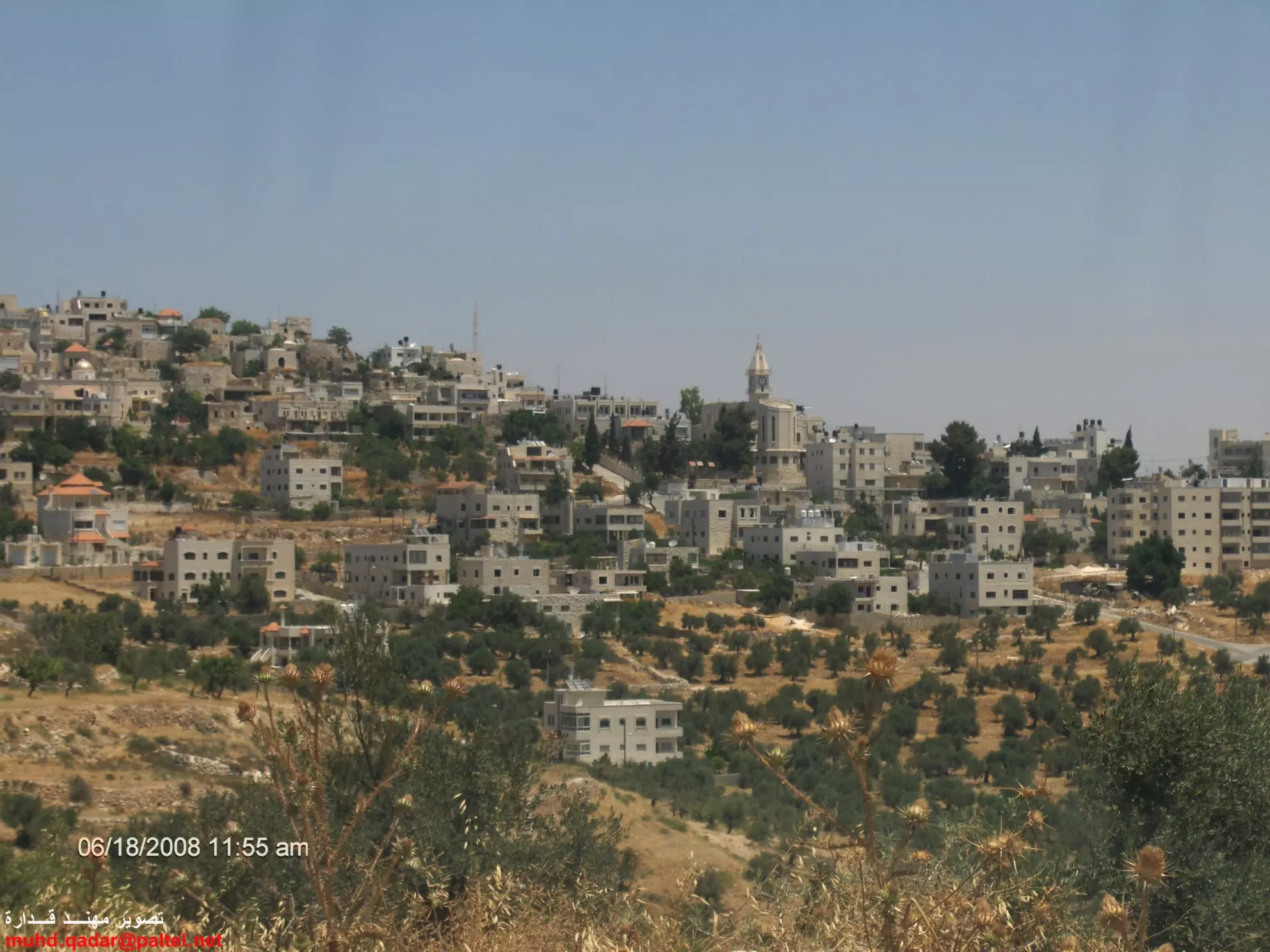
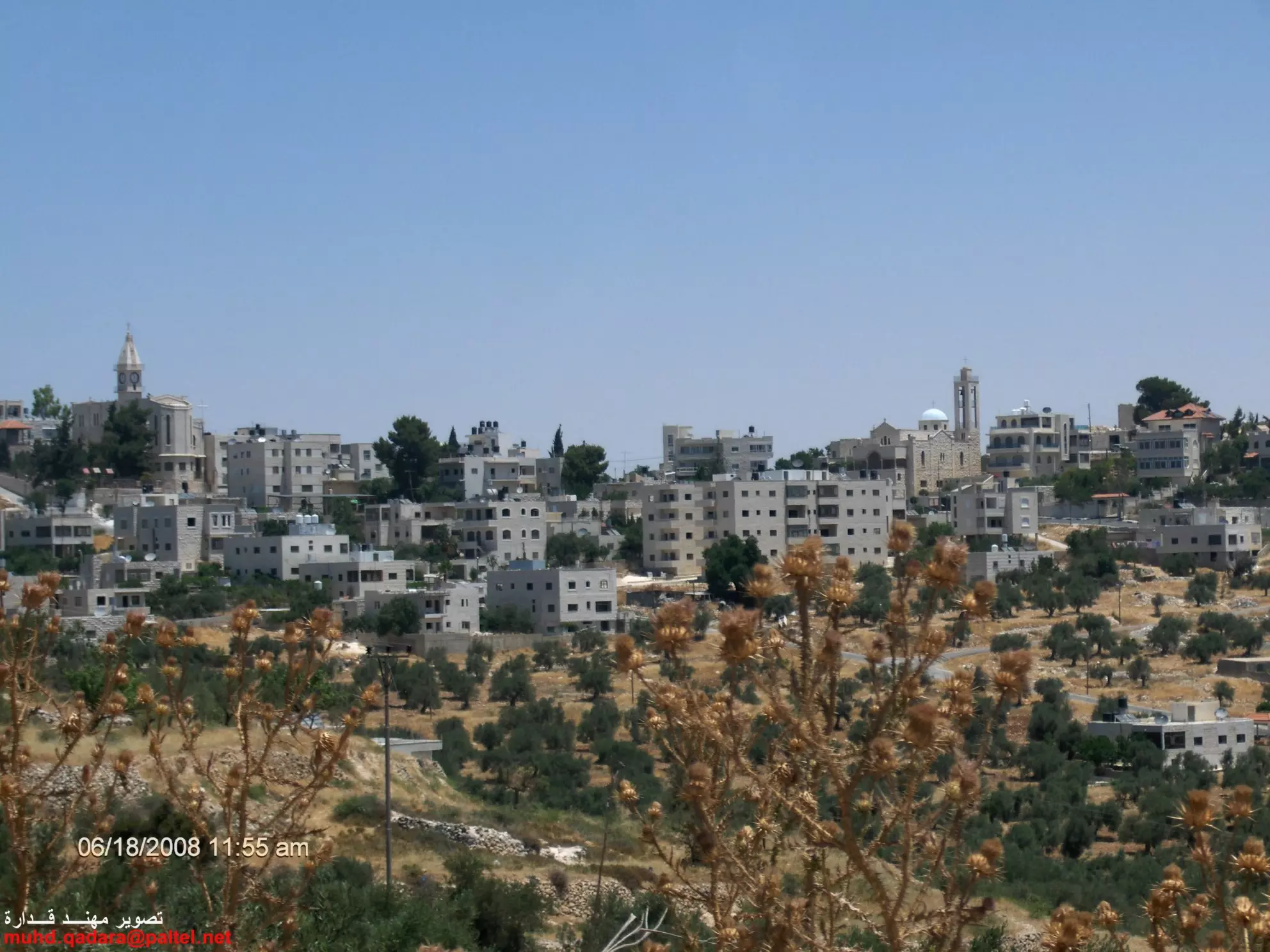
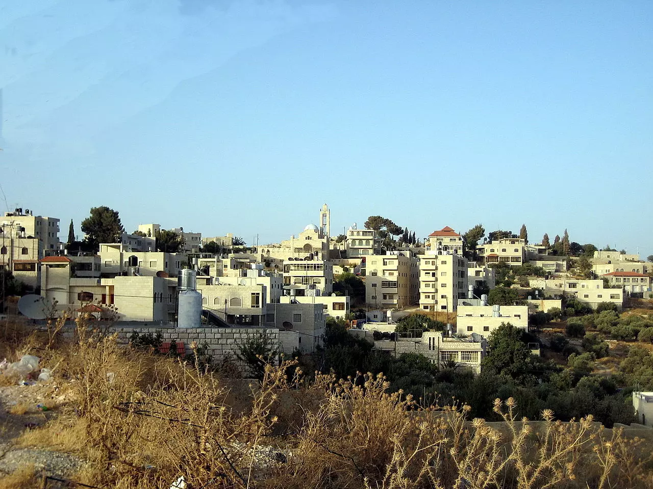
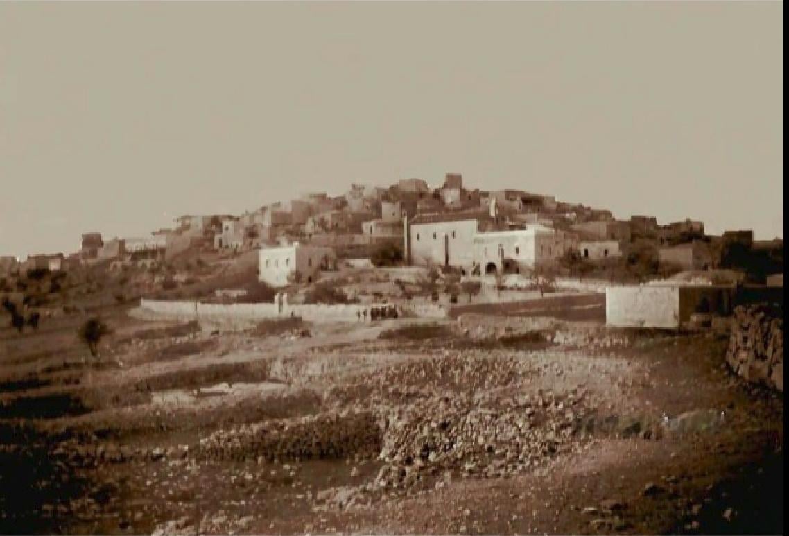
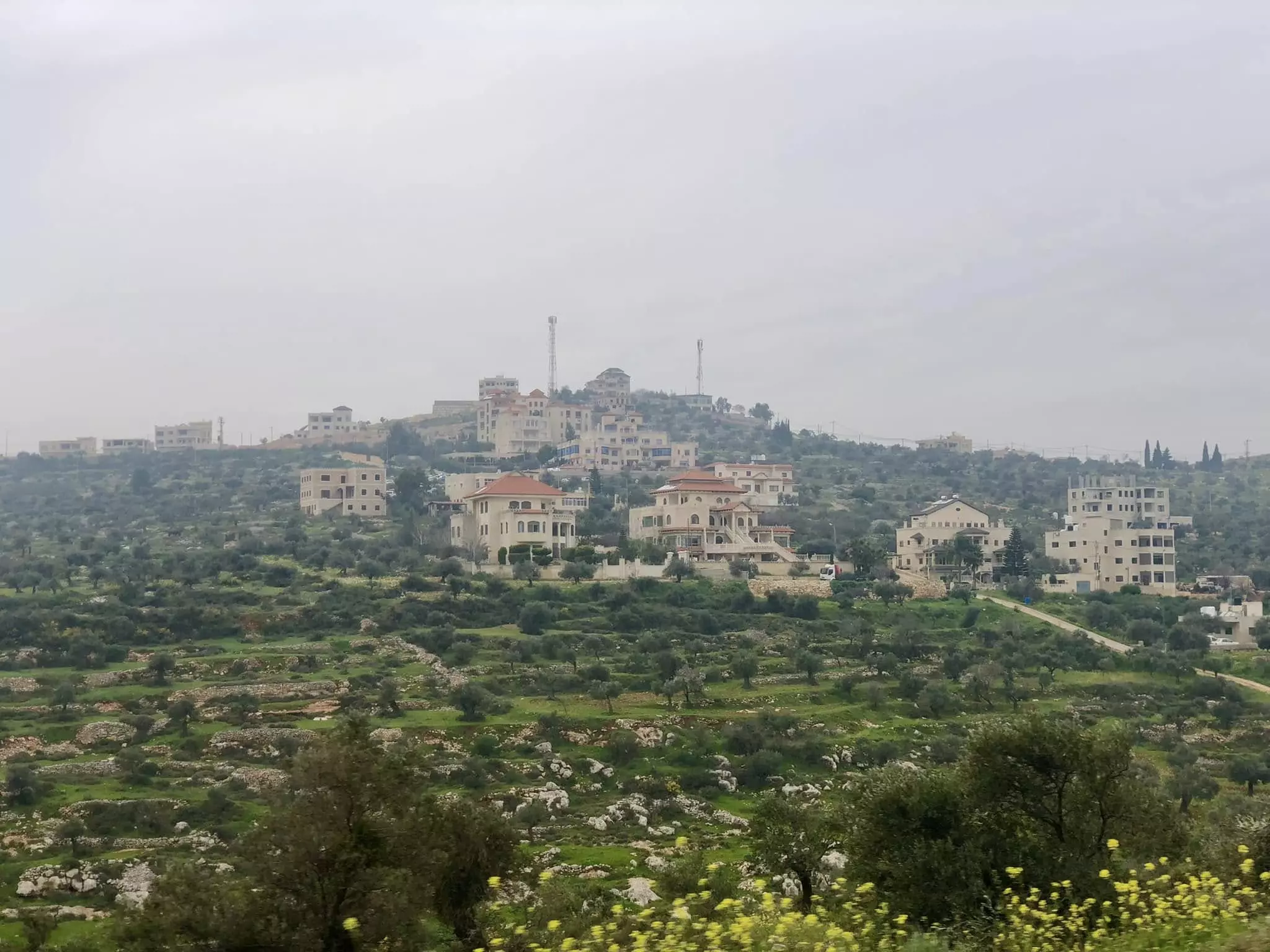
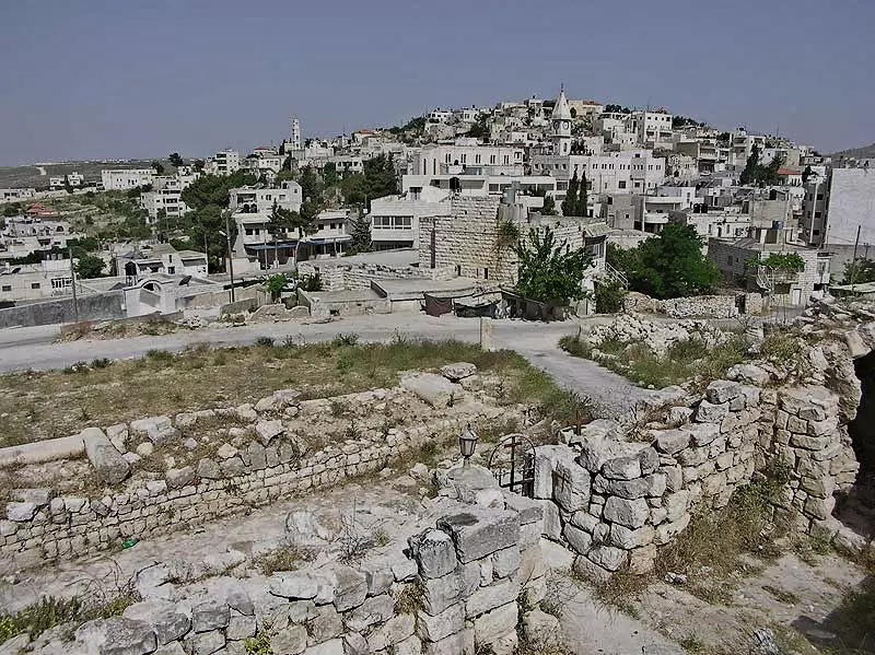
- General view
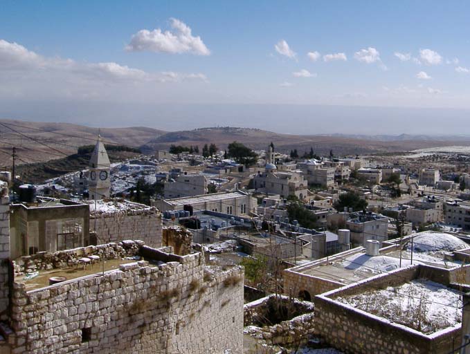
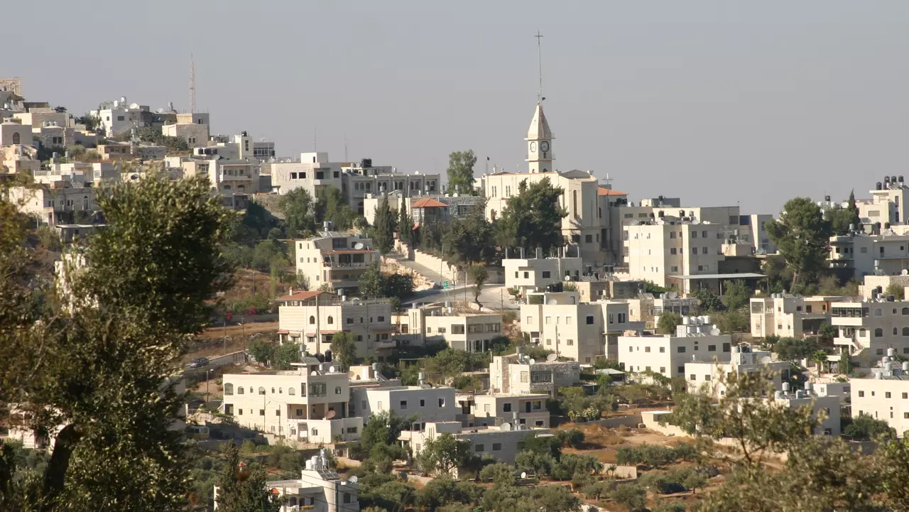
3 - General view #2
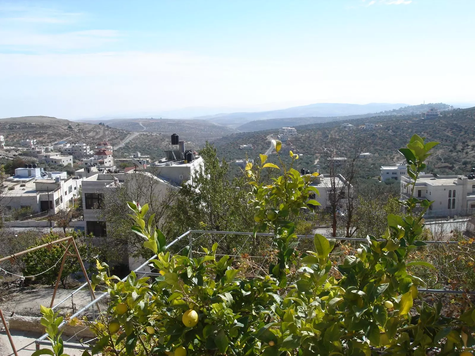
1 - Rooftop view, note the lemon tree in the foreground
1 - طيبة رام الله تصوير ناصر شحاده عوريف 0507559901
Posted by naser abed 2 - طيبة رام الله تصوير ناصر شحاده عوريف 0507559901
Posted by naser abed 1 - General view of the old section
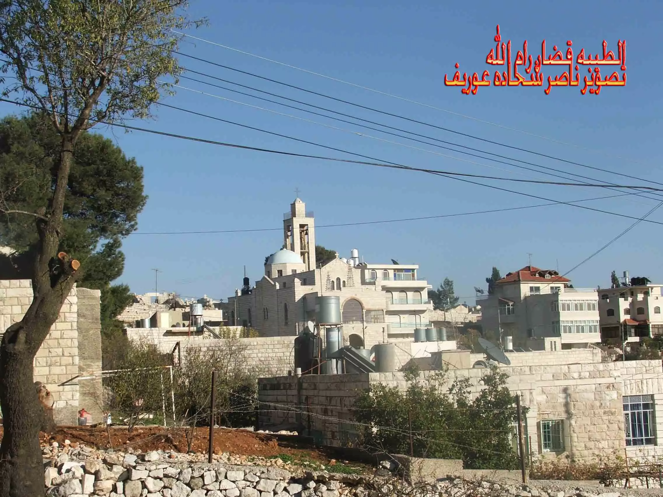
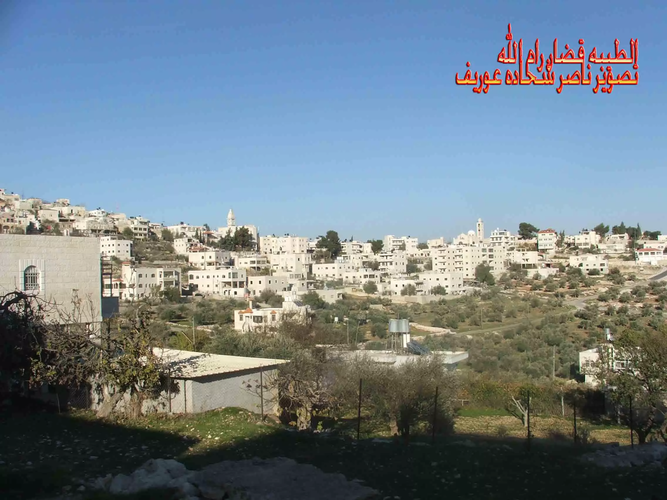
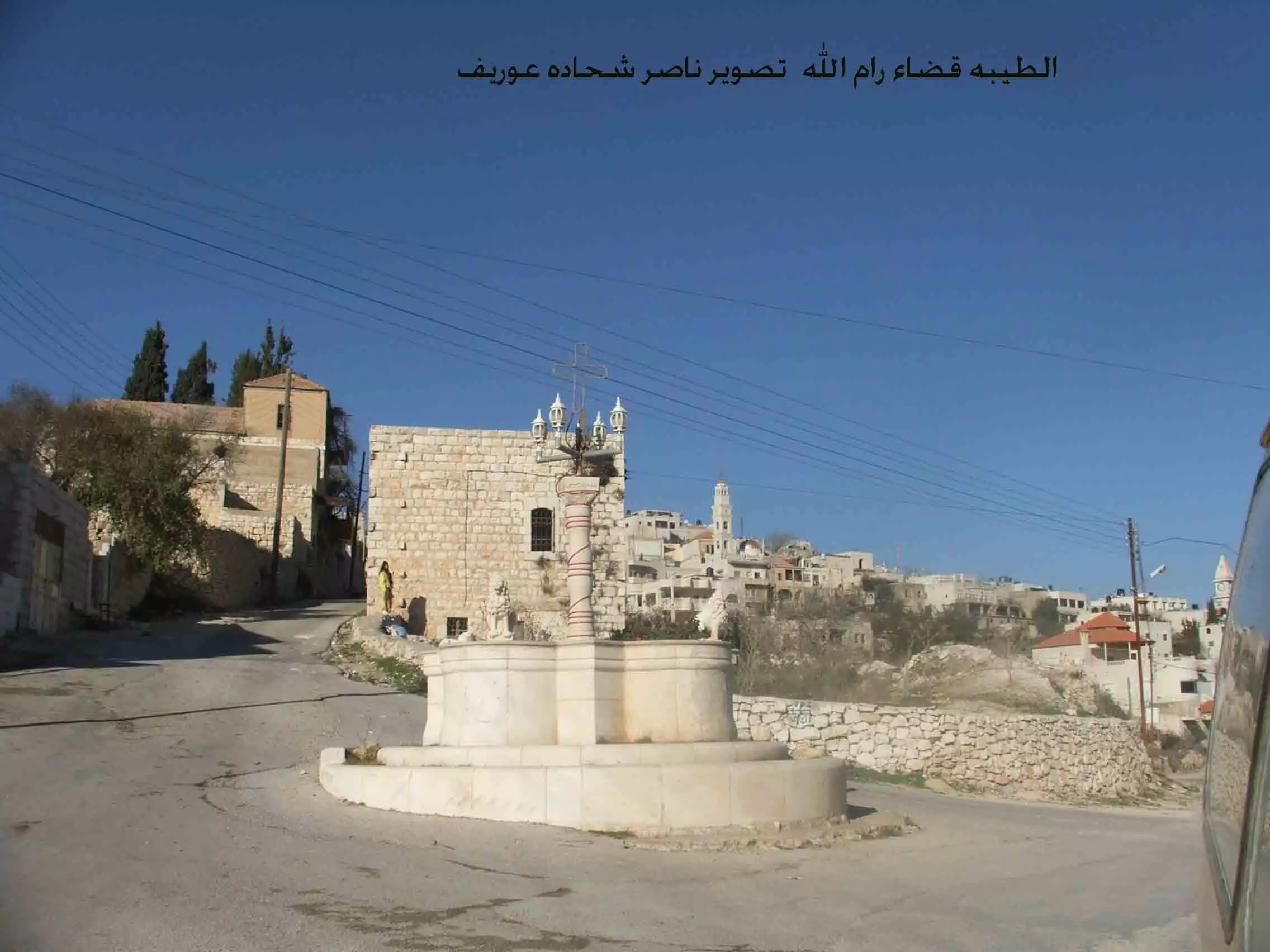
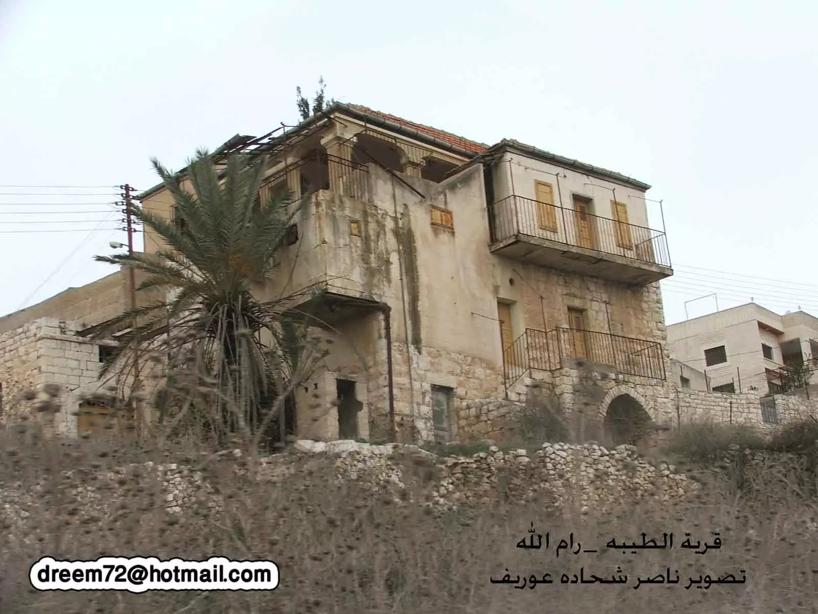
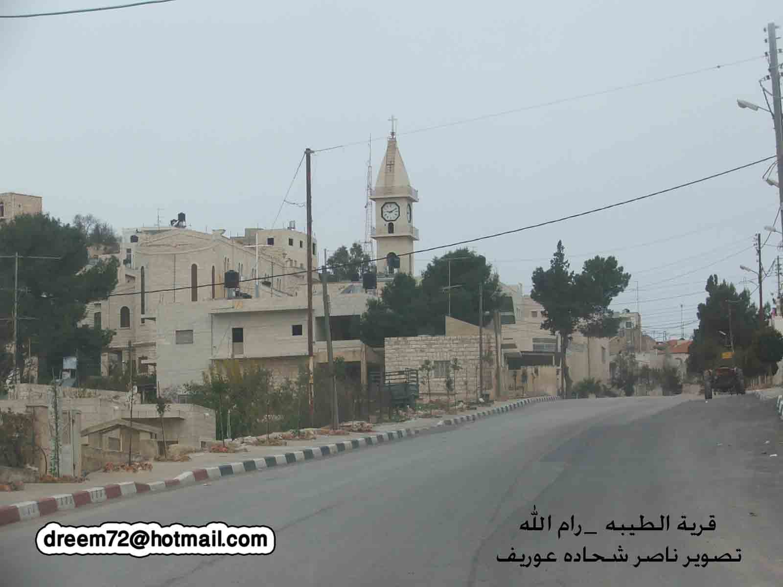
- طيبة رام الله تصوير ناصر شحاده عوريف 0507559901
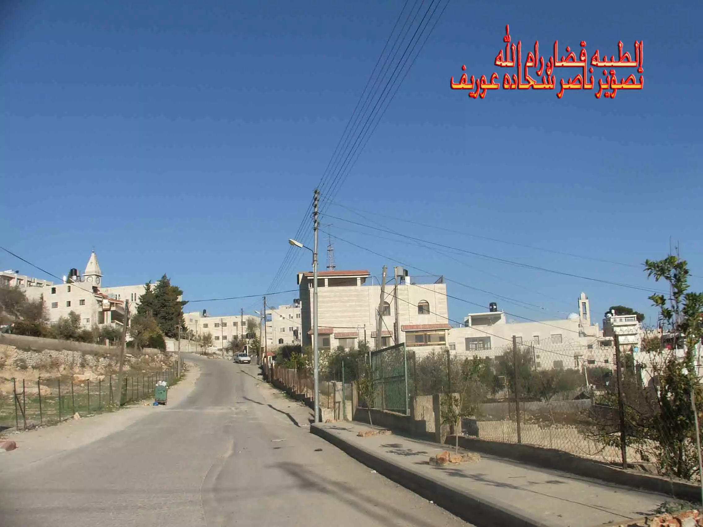
Posted by naser abed - طيبة رام الله تصوير ناصر شحاده عوريف 0507559901
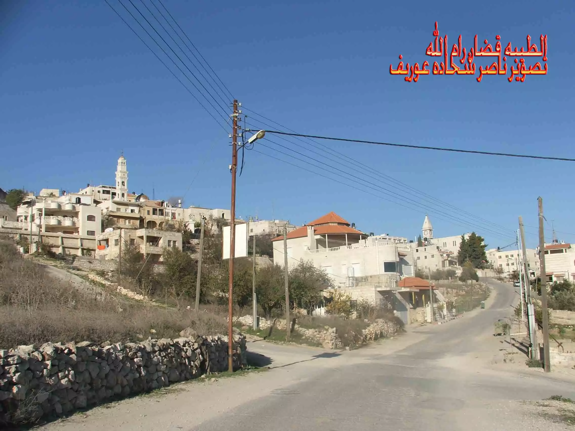
Posted by naser abed - طيبة رام الله تصوير ناصر شحاده عوريف 0507559901
Posted by naser abed - General view
Posted by Haitsu - General view
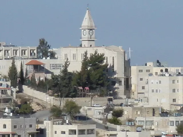
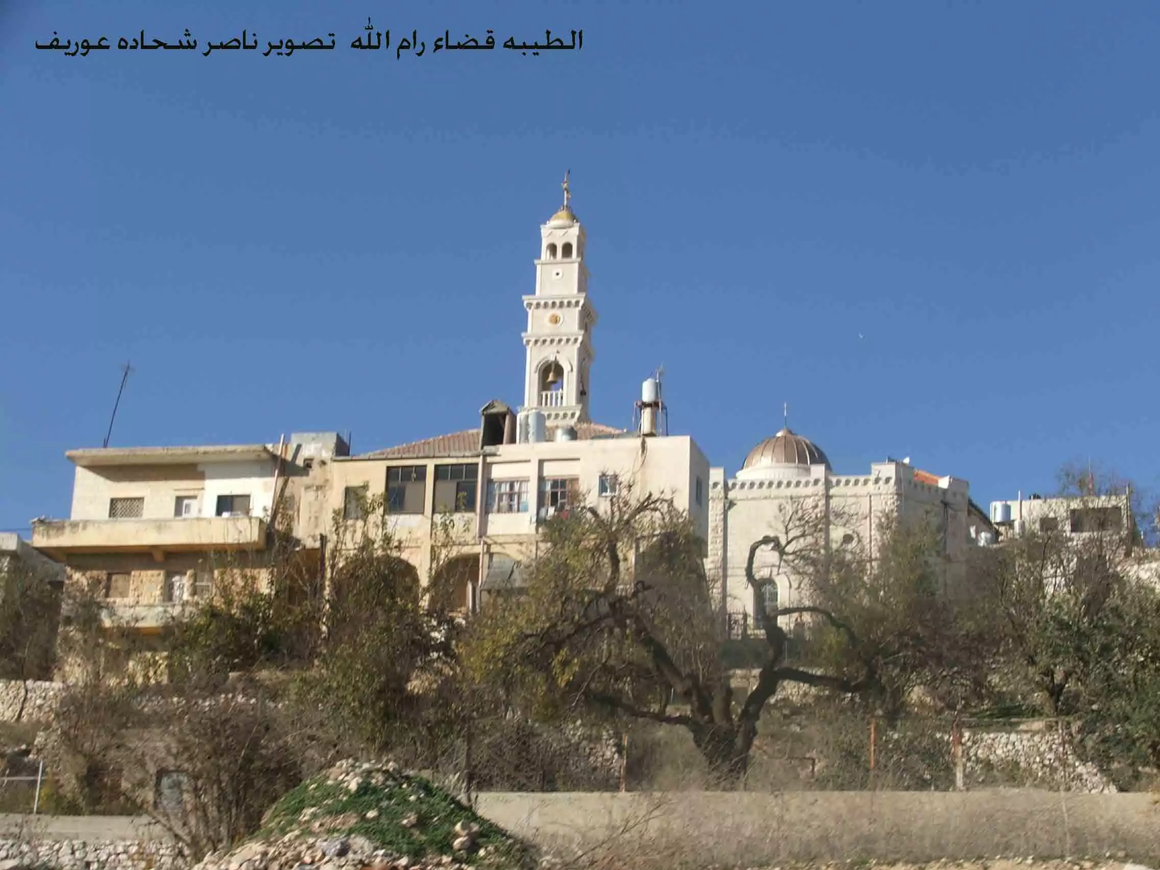
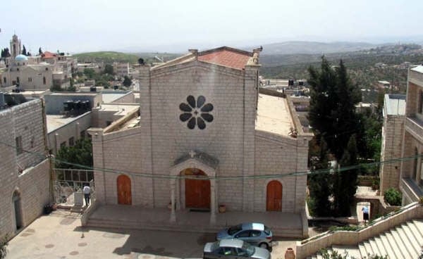
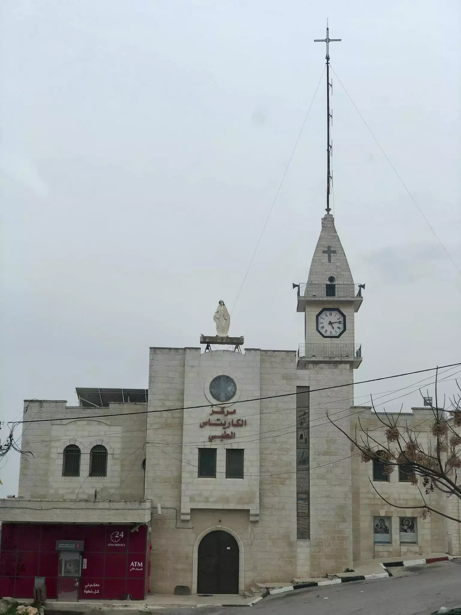
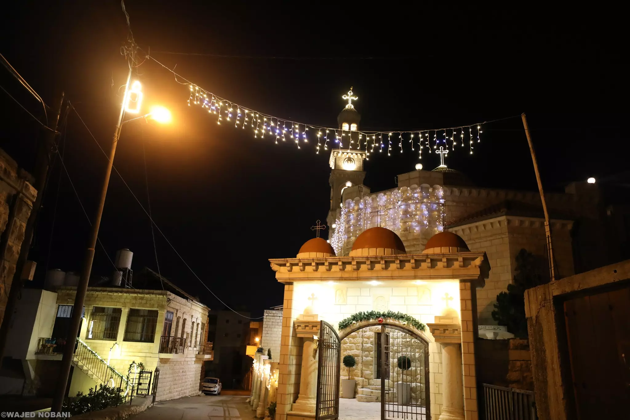
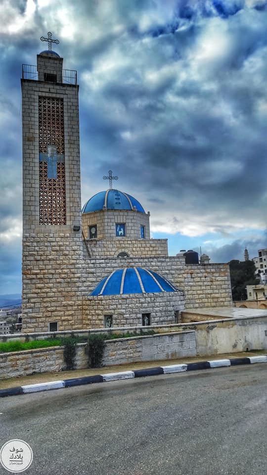
Posted by Haitsu 1 - The main church
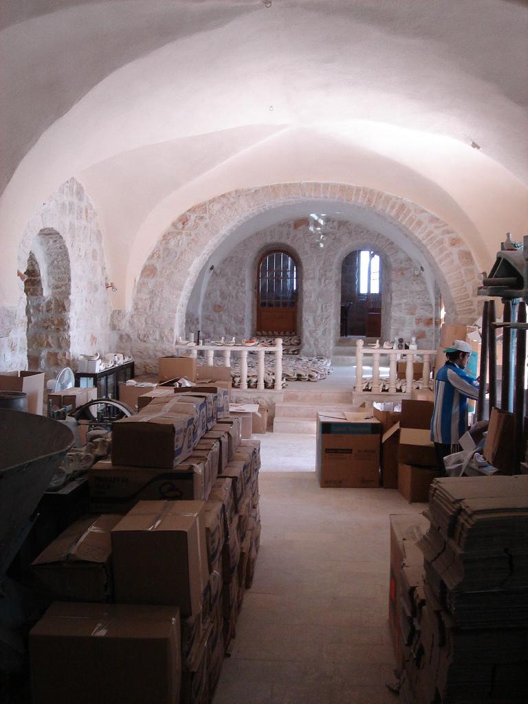
- Inside the peace lamp factory
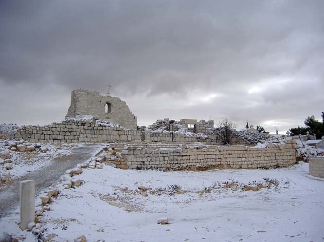
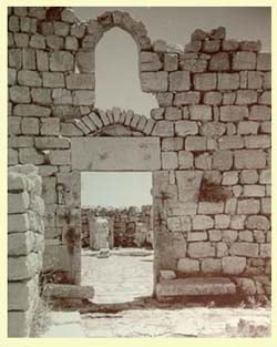
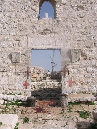
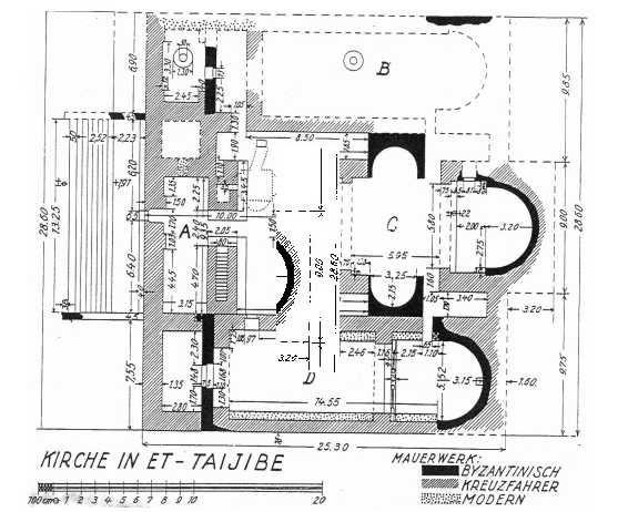
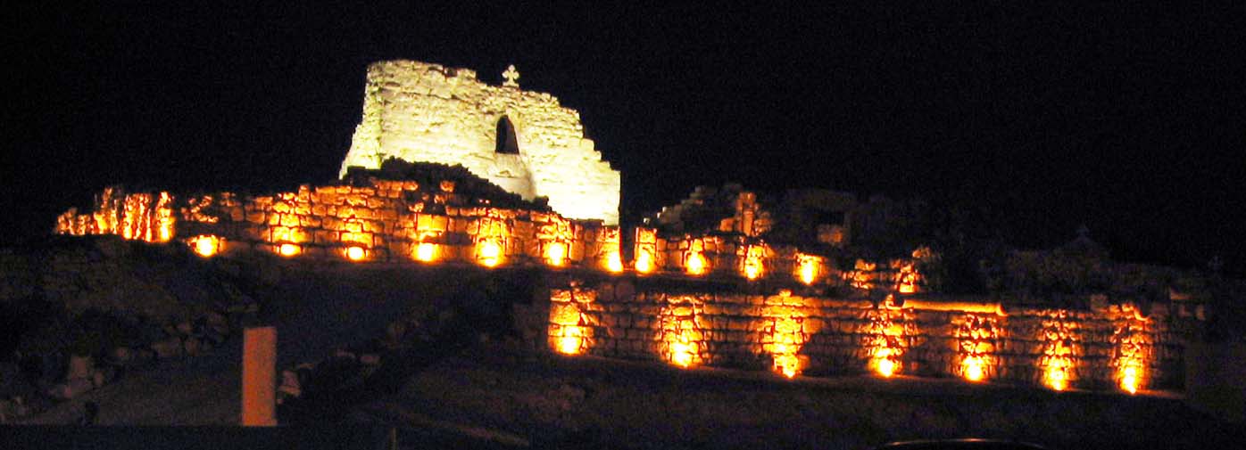
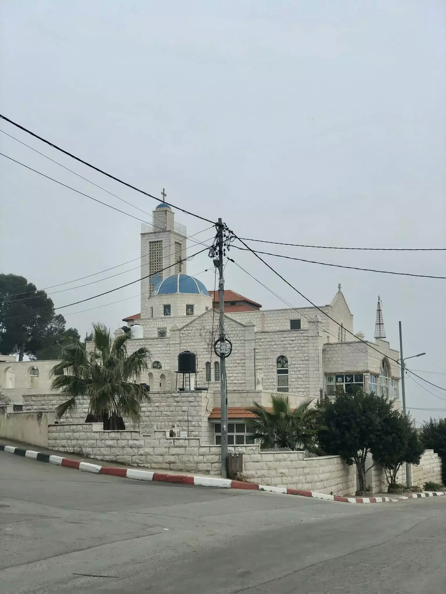
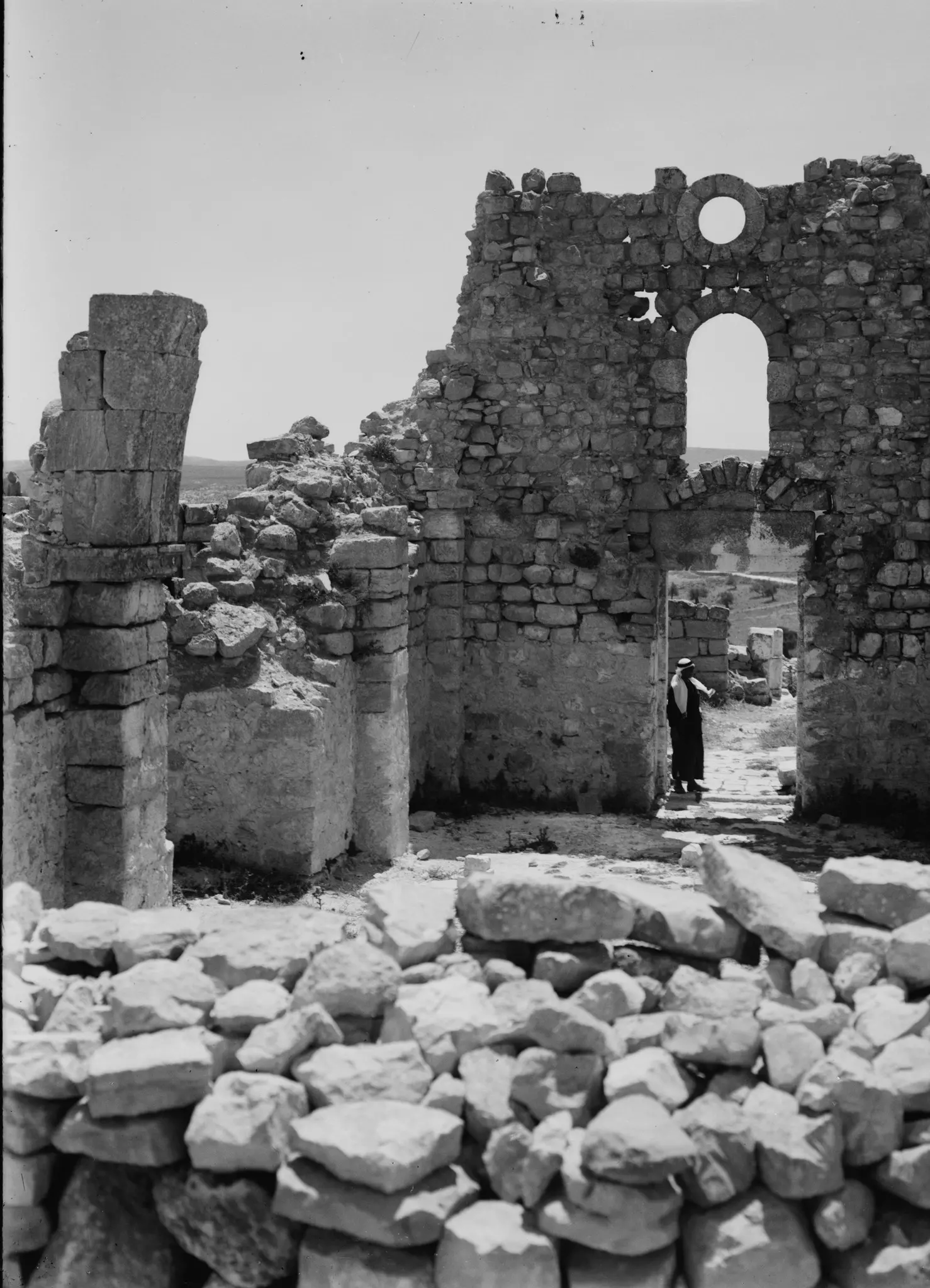
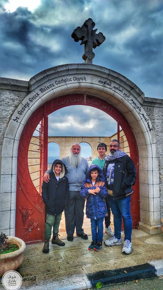
1 - The ancient church of St. George

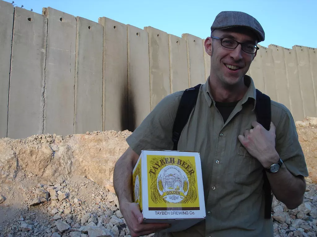
2 - Indigenous Palestinian Beer: Taybeh Beer anyone!
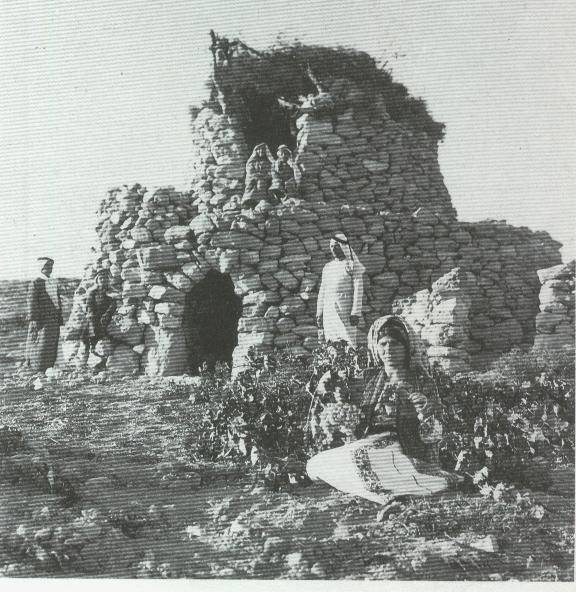
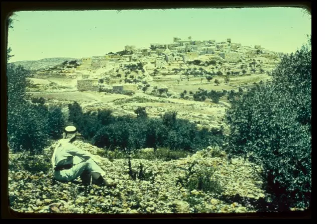
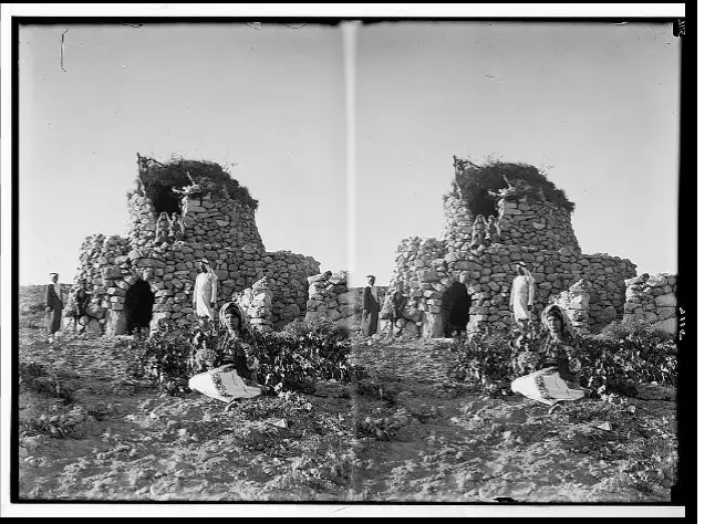
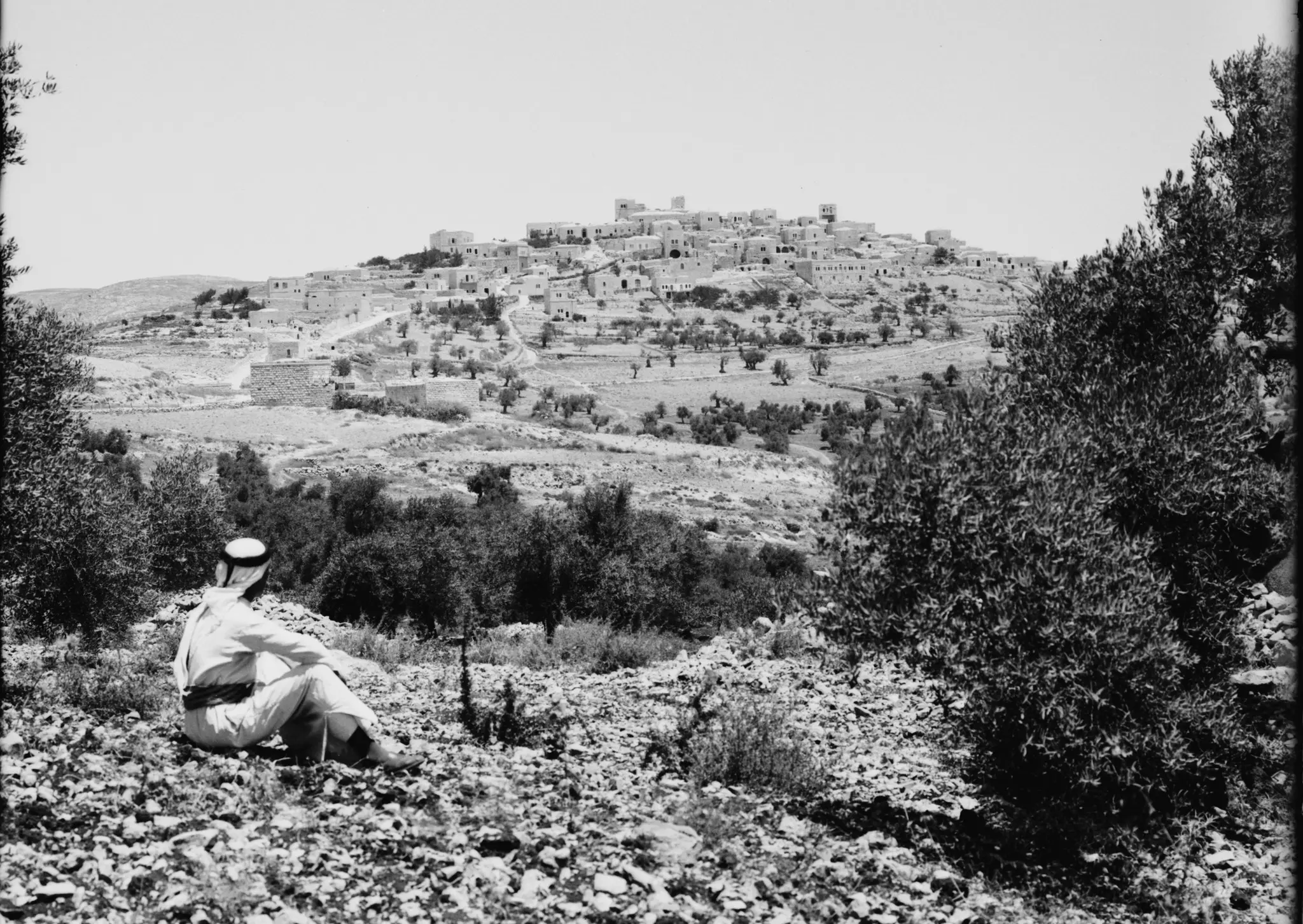
3 - Taybah-Palestinian Village Near Ramallah in 1937
Posted by Fadel Haddad 1 - طيبة رام الله تصوير ناصر شحاده عوريف 0507559901
Posted by naser abed 1 - طيبة رام الله تصوير ناصر شحاده عوريف 0507559901
Posted by naser abed 1 - طيبة رام الله تصوير ناصر شحاده عوريف 0507559901
Posted by naser abed - طيبة رام الله تصوير ناصر شحاده عوريف 0507559901
Posted by naser abed - Alkhader
Posted by Haitsu 1 - Alkhader
Posted by Haitsu - Alkhader
Posted by Haitsu - Alkhader
Posted by Haitsu - Alkhader
Posted by Haitsu 1 - Alkhader
Posted by Haitsu - Alkhader
Posted by Haitsu 1 - Alkhader
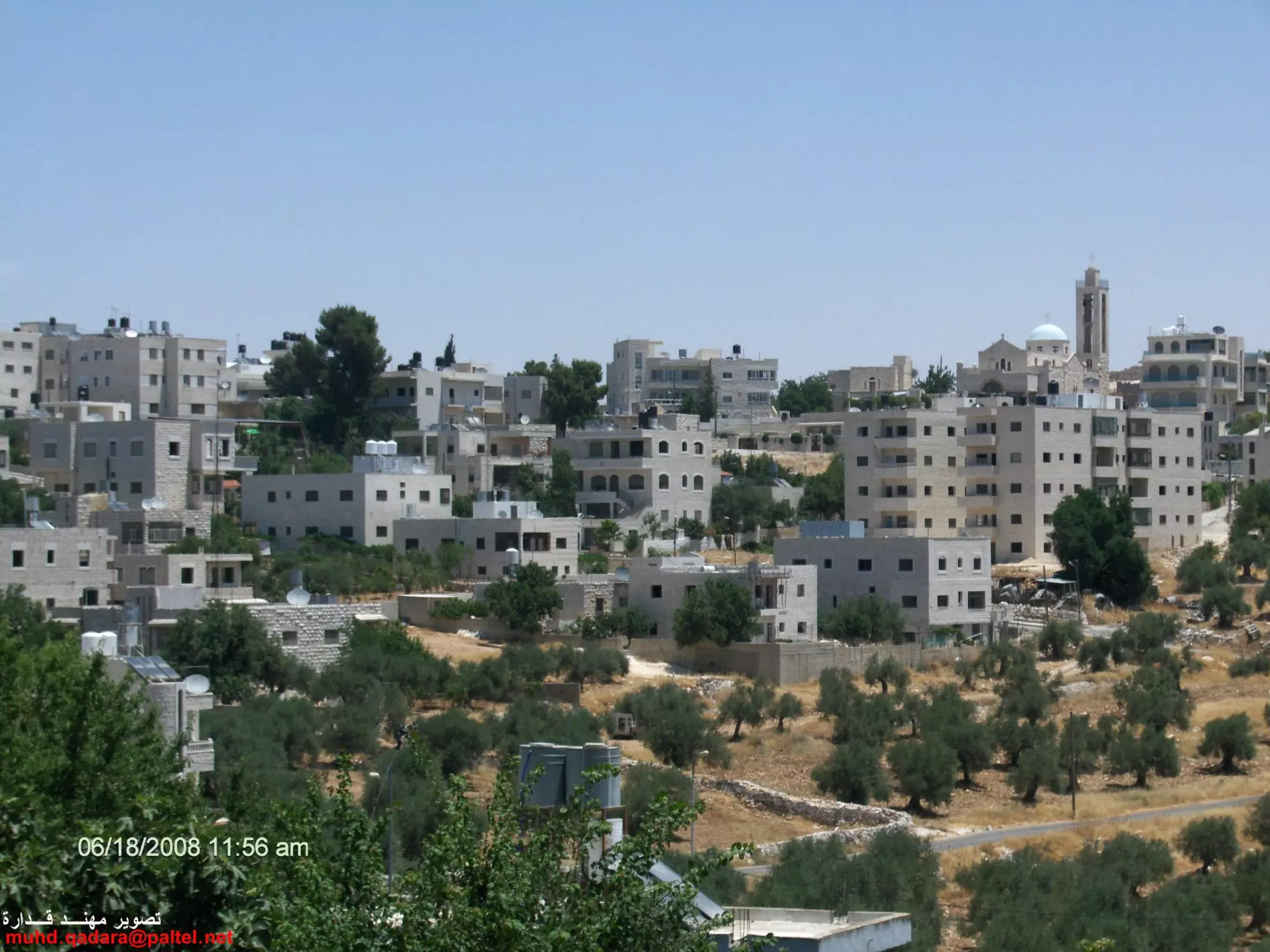
Posted by Haitsu 1 - الطيبة بعدسة مهند قدارة
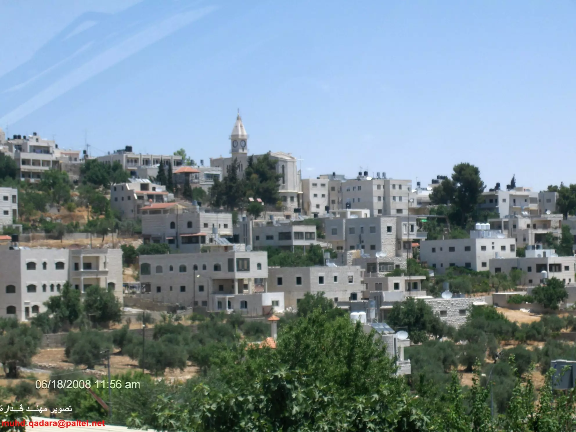
Posted by مهند قداره - الطيبة بعدسة مهند قدارة 2
Posted by مهند قداره - الطيبة بعدسة مهند قدارة 3
Posted by مهند قداره - الطيبة بعدسة مهند قدارة 4
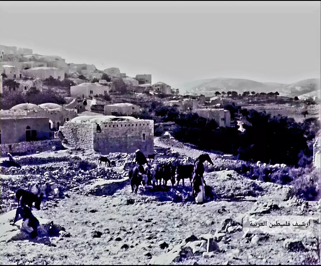
Posted by مهند قداره - صوره قديمه من القريه سنه 1932
Posted by abu raya - صوره قديمه من قريه الطيبه
Posted by abu raya - صوره قديمه من قريه الطيبه
Posted by abu raya - قريه الطيبه سنوات الاربعين
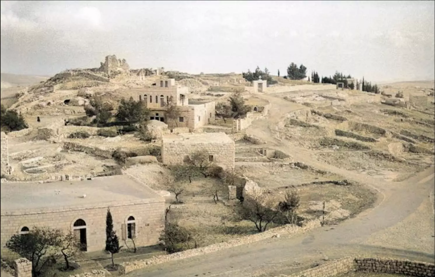
Posted by abu raya - منظر عام
- منظر عام #2

- صورة نادرة وساحرة لقرية الطيبة قضاء رام الله عام 1920
- قرية الطيبة قضاء رام الله في صورة من عام 1924..
- في عام 1921
- جولة في القرية --- واجد النوباني
- جولة في القرية --- واجد النوباني #2
- جولة في القرية --- واجد النوباني #3
- جولة في القرية --- واجد النوباني #4
- جولة في القرية --- واجد النوباني #5
- جولة في القرية --- واجد النوباني #6
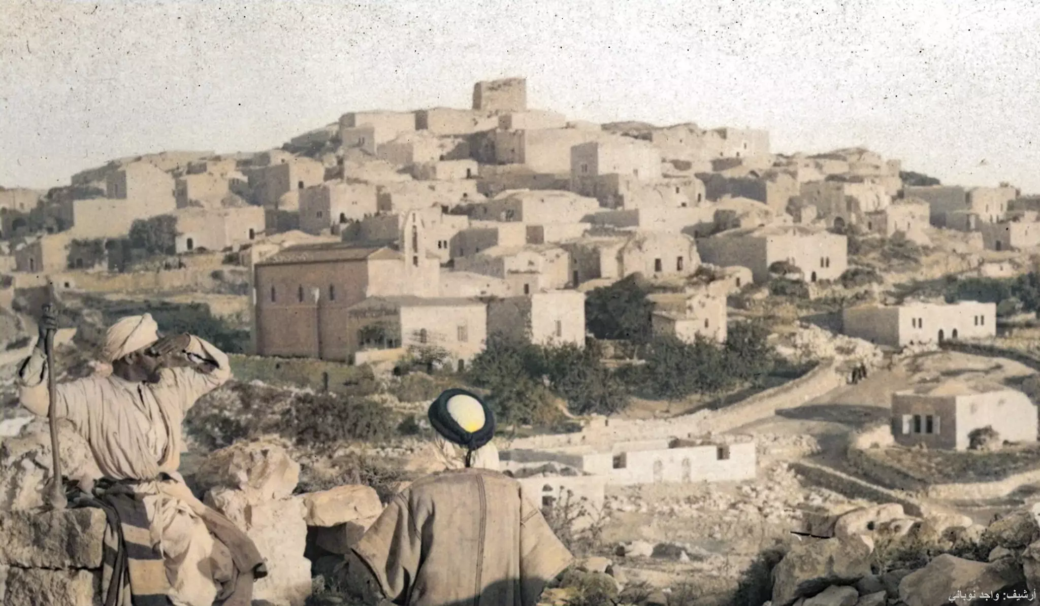
- قرية الطيبة في شرق رام الله بدايات القرن الماضي
- منظر عام -- واجد النوباني
- منظر عام -- واجد النوباني
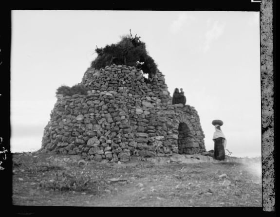
- بيت قديم

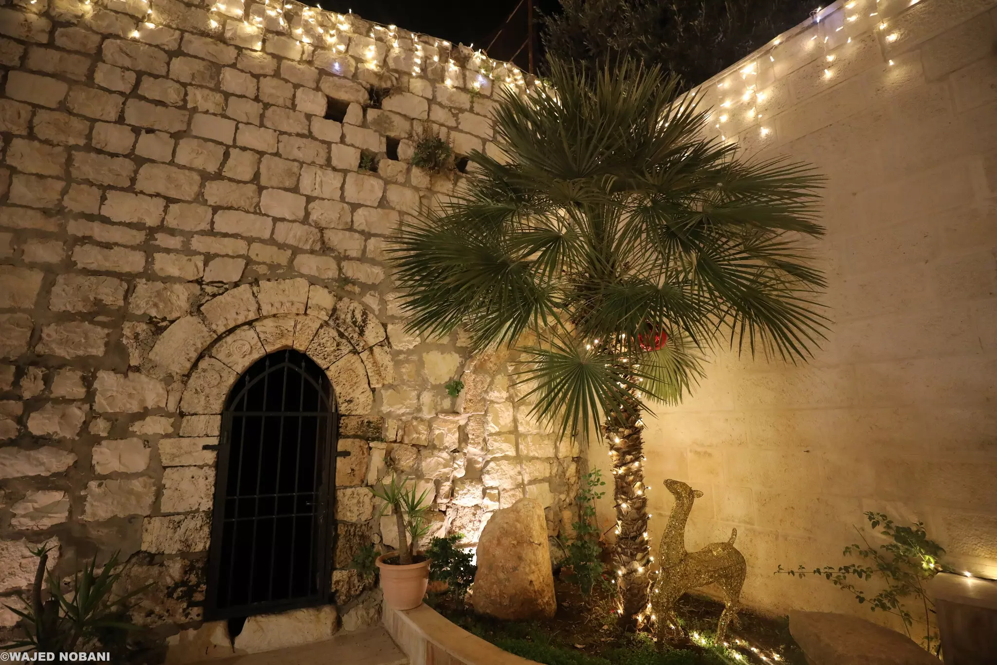
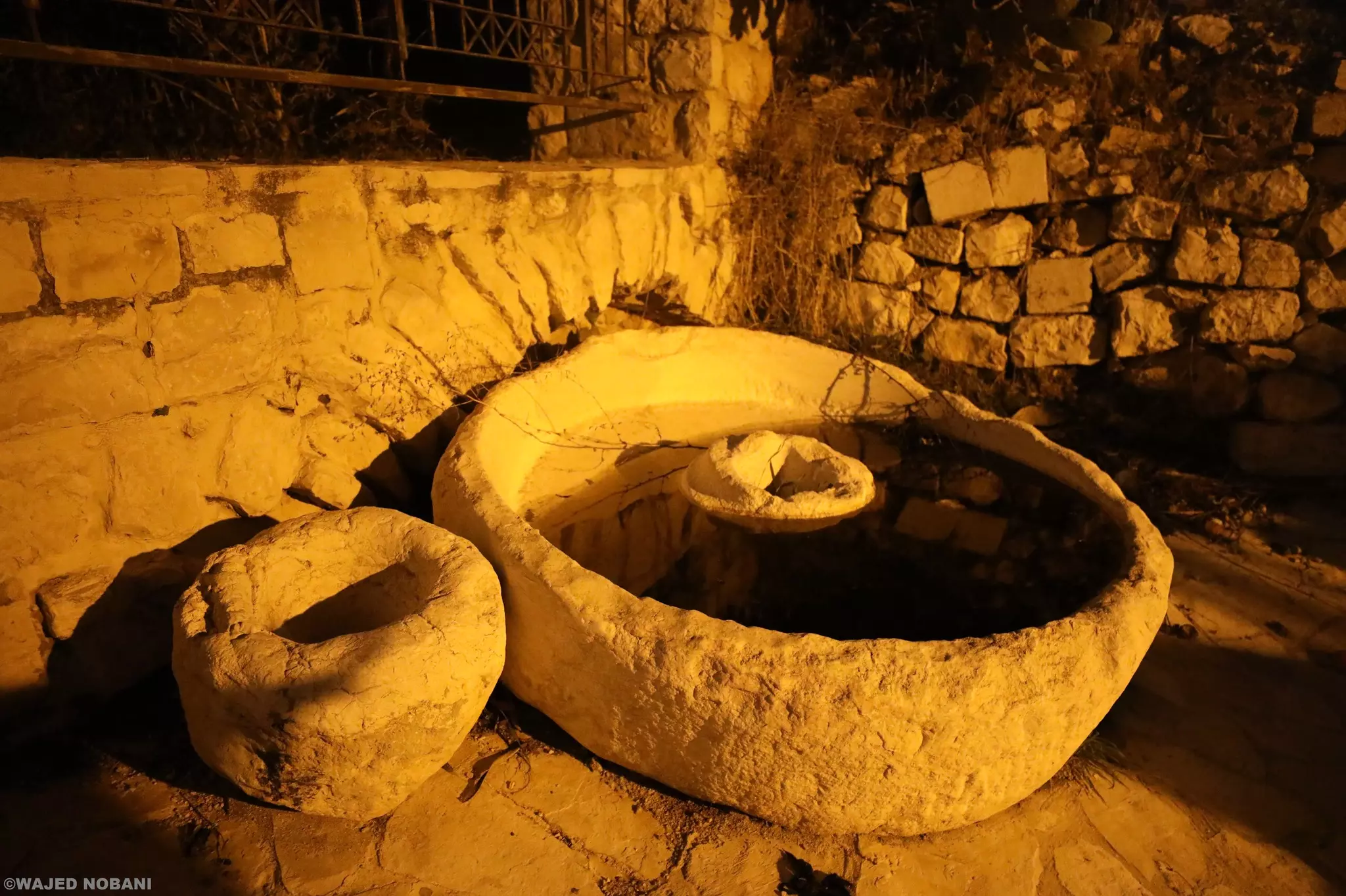
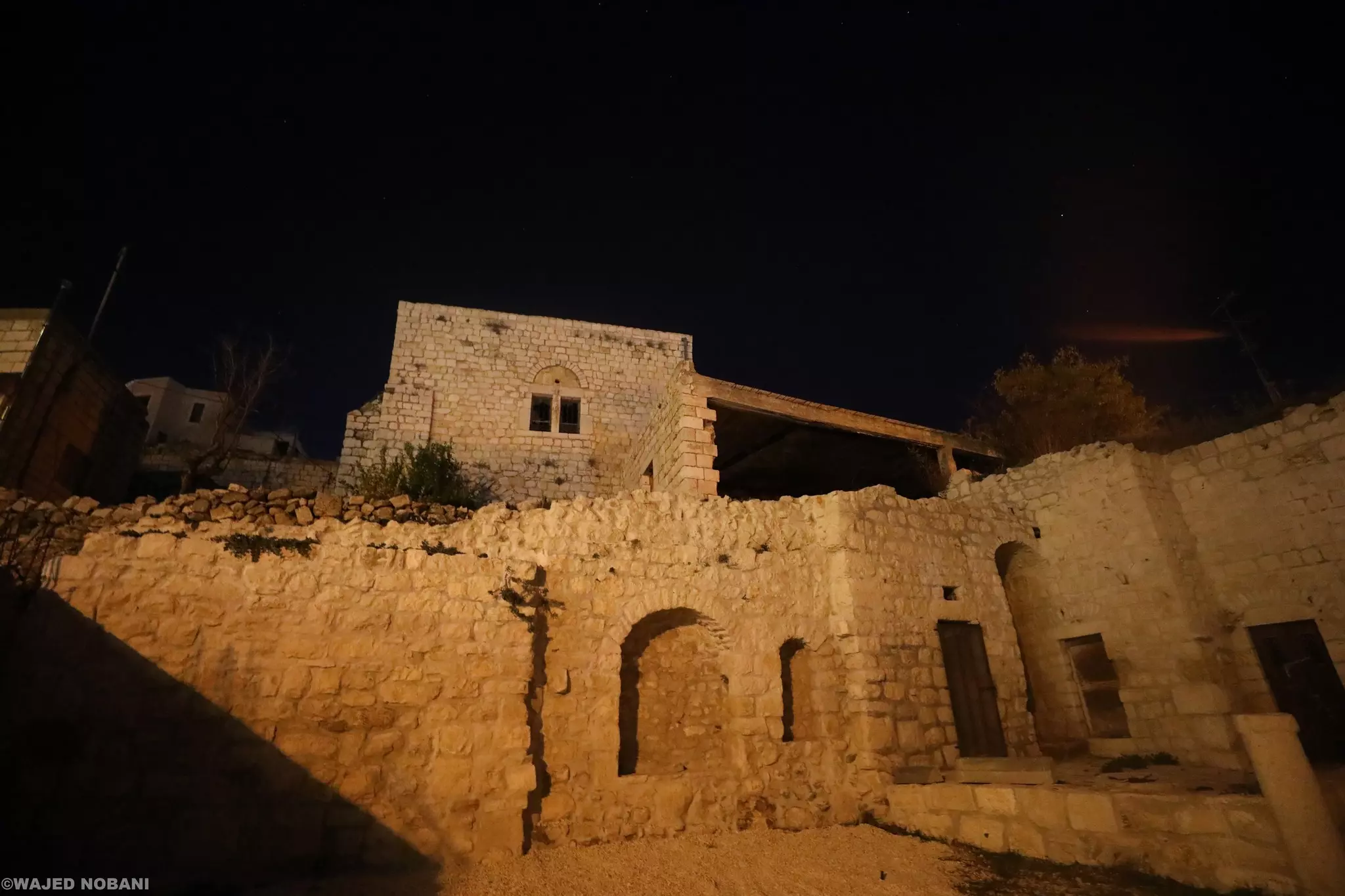
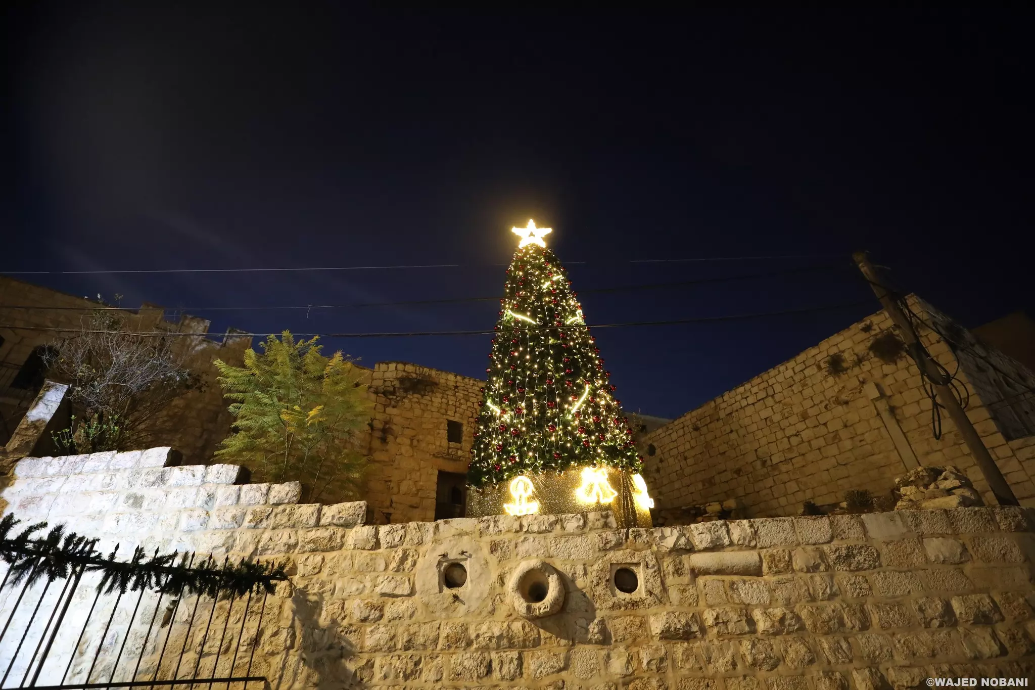
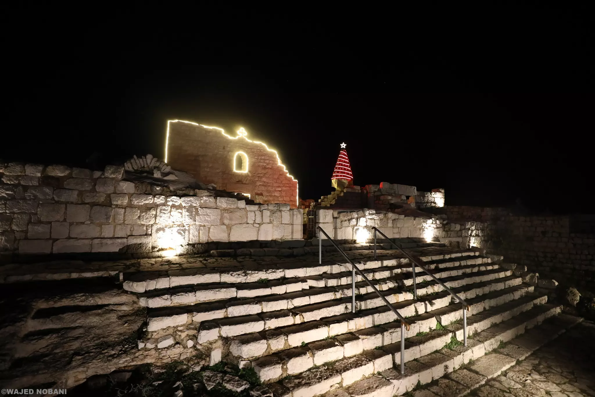
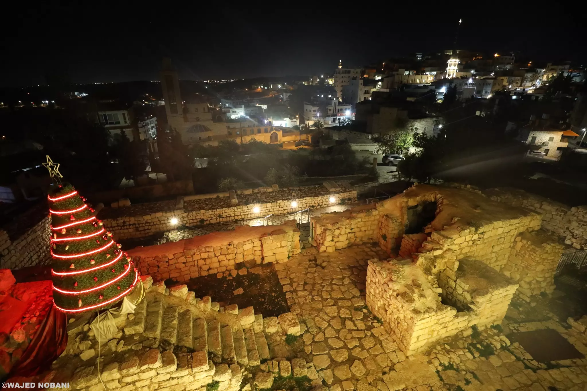
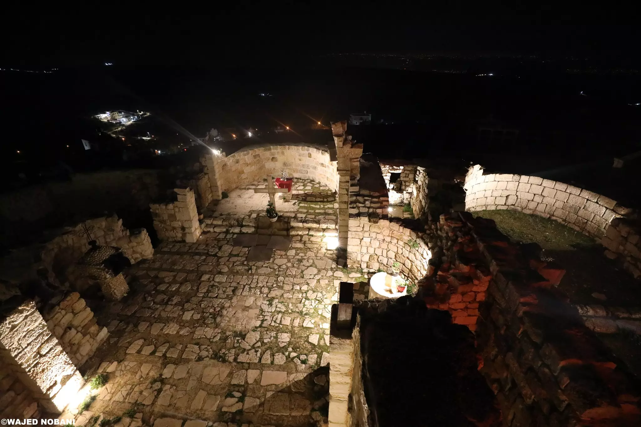
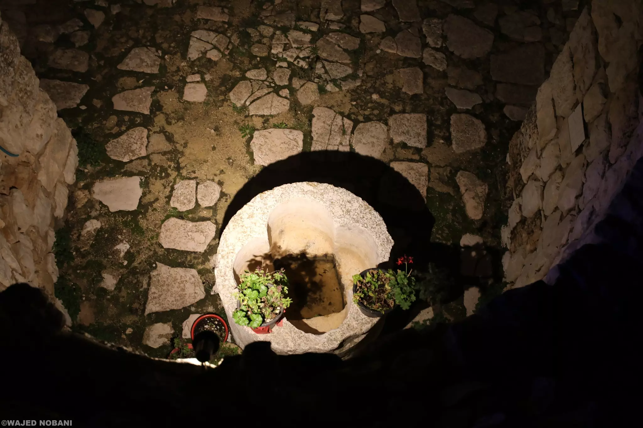
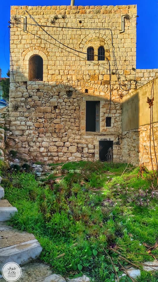
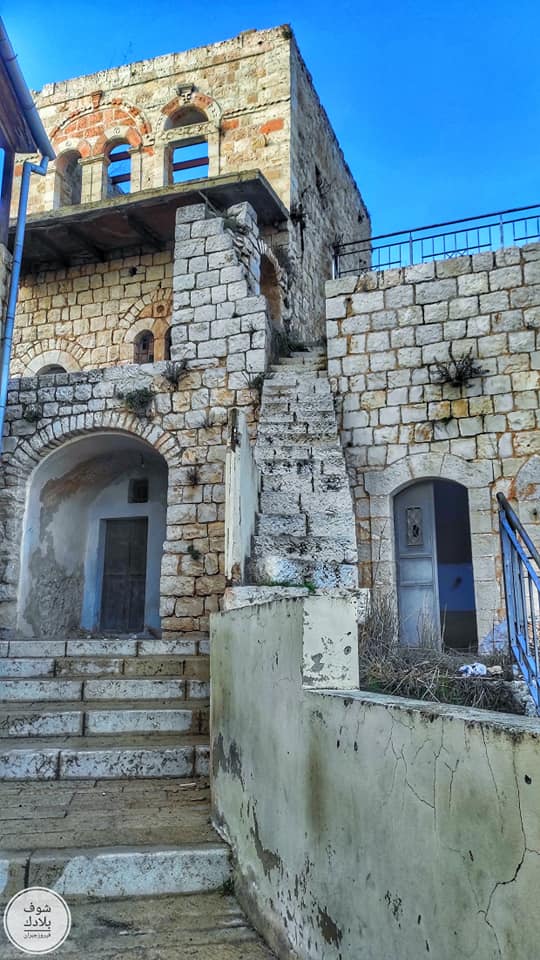
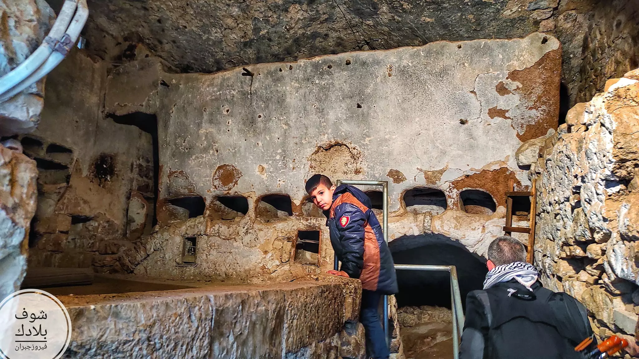
- جولة بين بيوت وأثار الطيبة القديمة -- واجد النوباني
- جولة بين بيوت وأثار الطيبة القديمة -- واجد النوباني #2
- جولة بين بيوت وأثار الطيبة القديمة -- واجد النوباني #3
- جولة بين بيوت وأثار الطيبة القديمة -- واجد النوباني #4
- جولة بين بيوت وأثار الطيبة القديمة -- واجد النوباني #5
- جولة بين بيوت وأثار الطيبة القديمة -- واجد النوباني #6
- جولة بين بيوت وأثار الطيبة القديمة -- واجد النوباني #7
- جولة بين بيوت وأثار الطيبة القديمة -- واجد النوباني #8
- جولة بين بيوت وأثار الطيبة القديمة -- واجد النوباني #9
- جولة بين بيوت وأثار الطيبة القديمة -- واجد النوباني #10
- جولة بين بيوت وأثار الطيبة القديمة -- واجد النوباني #11
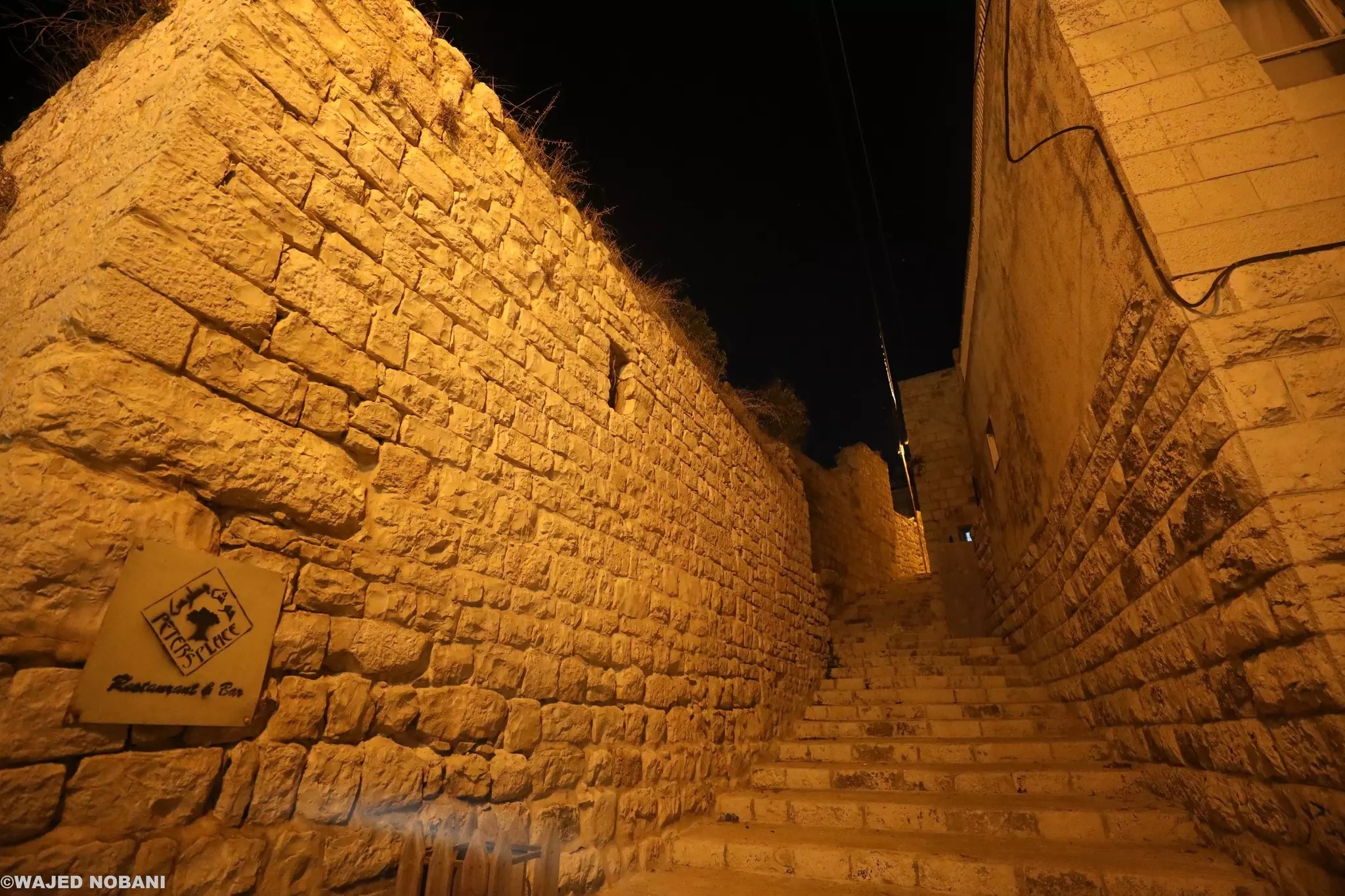
- جولة بين بيوت وأثار الطيبة القديمة -- واجد النوباني #12
- جولة بين بيوت وأثار الطيبة القديمة -- واجد النوباني #13
- قرية الطيبة 1937م
- قرية الطيبة 1937م #2
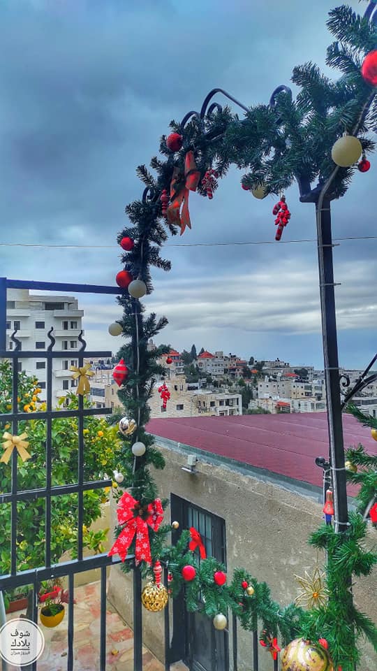
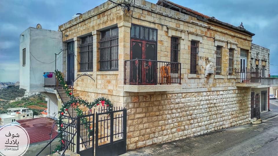
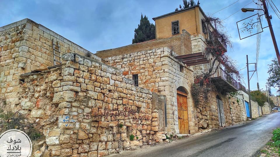
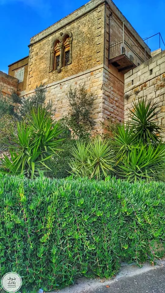
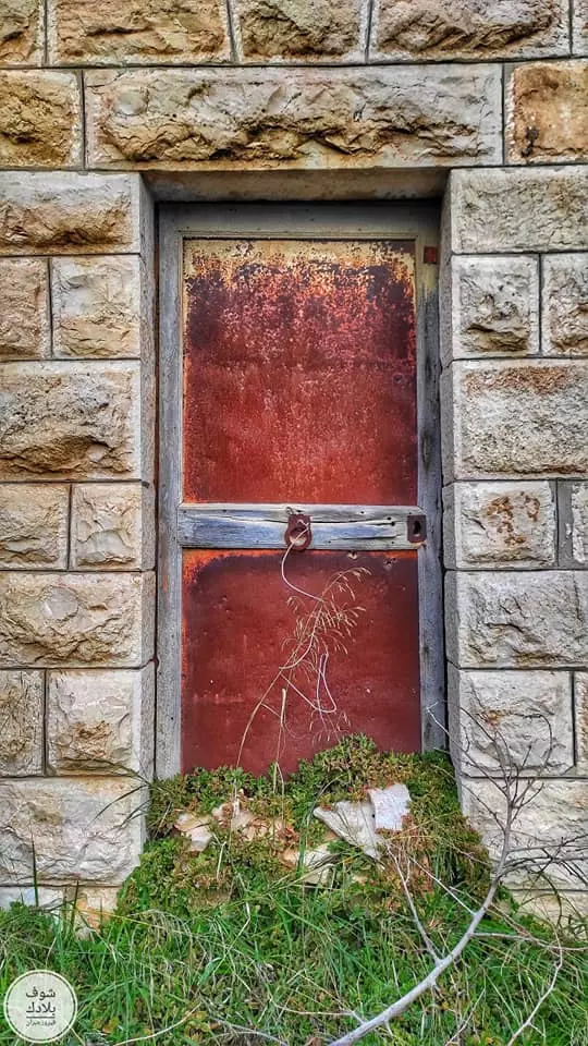
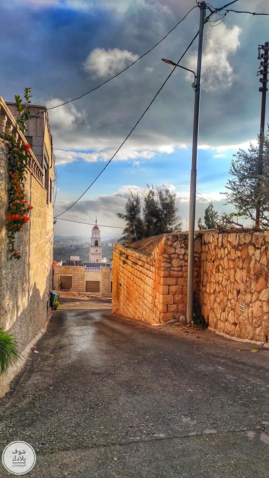
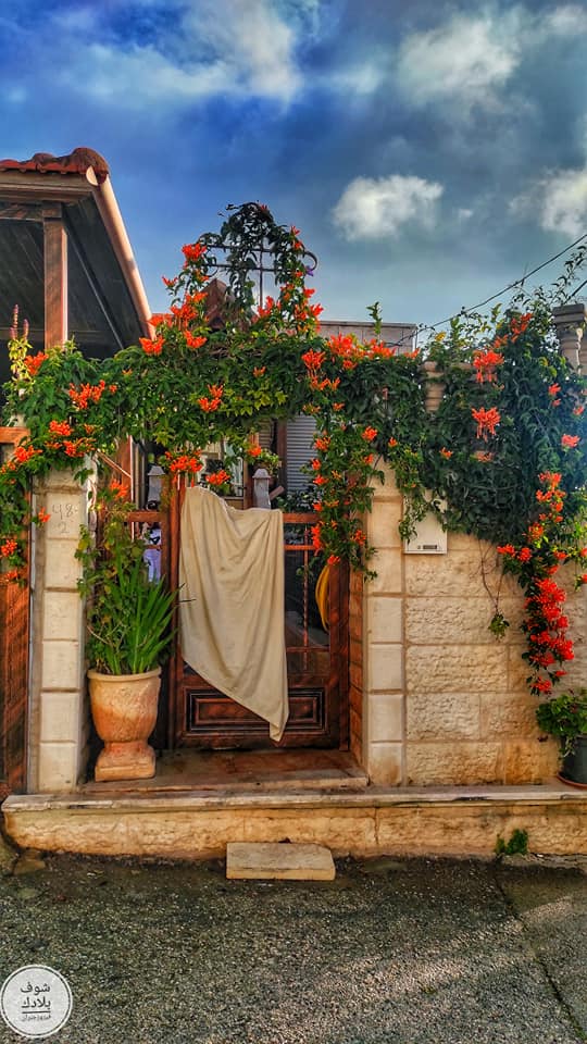
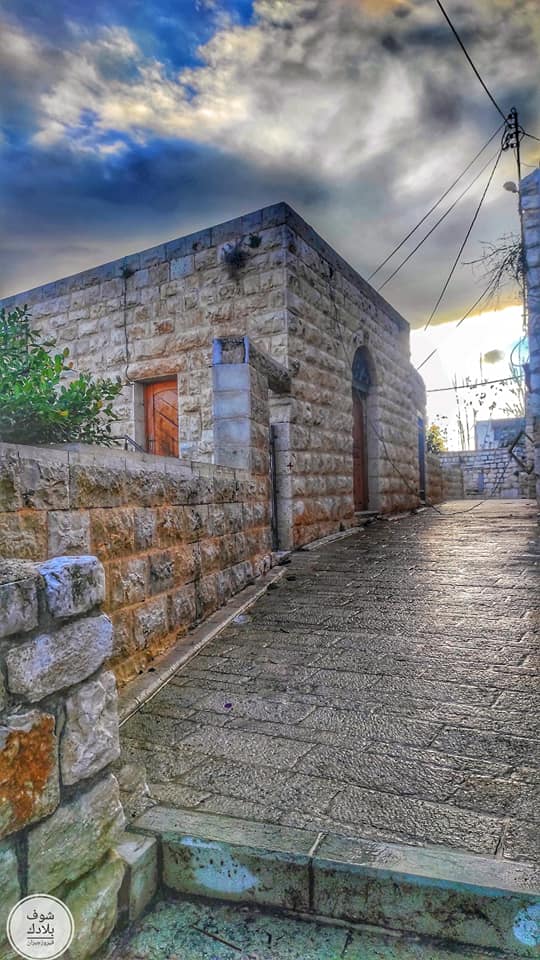
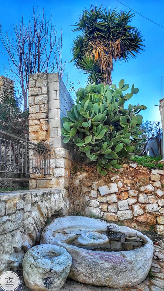
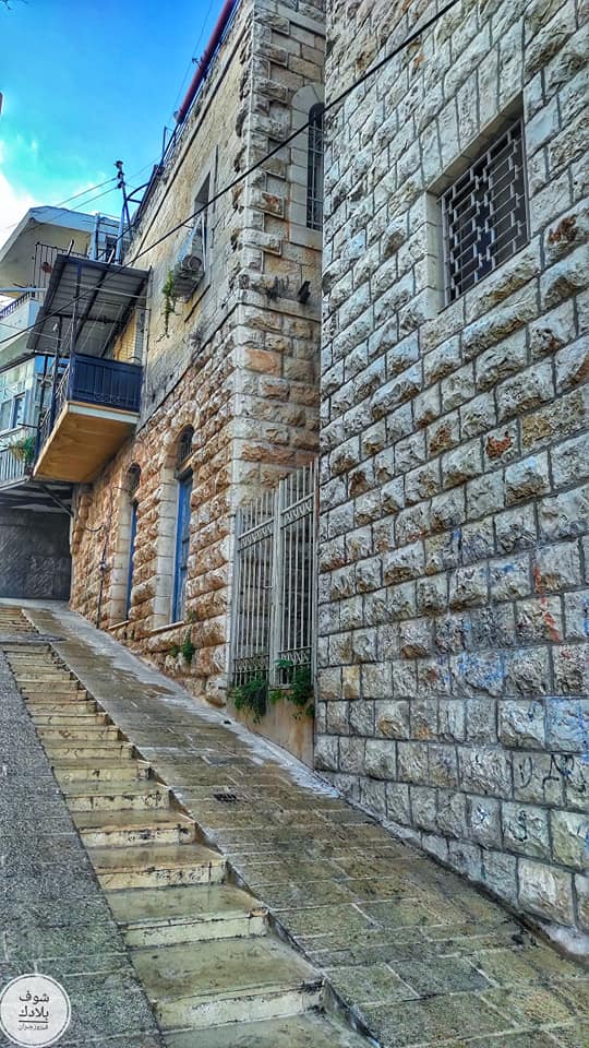
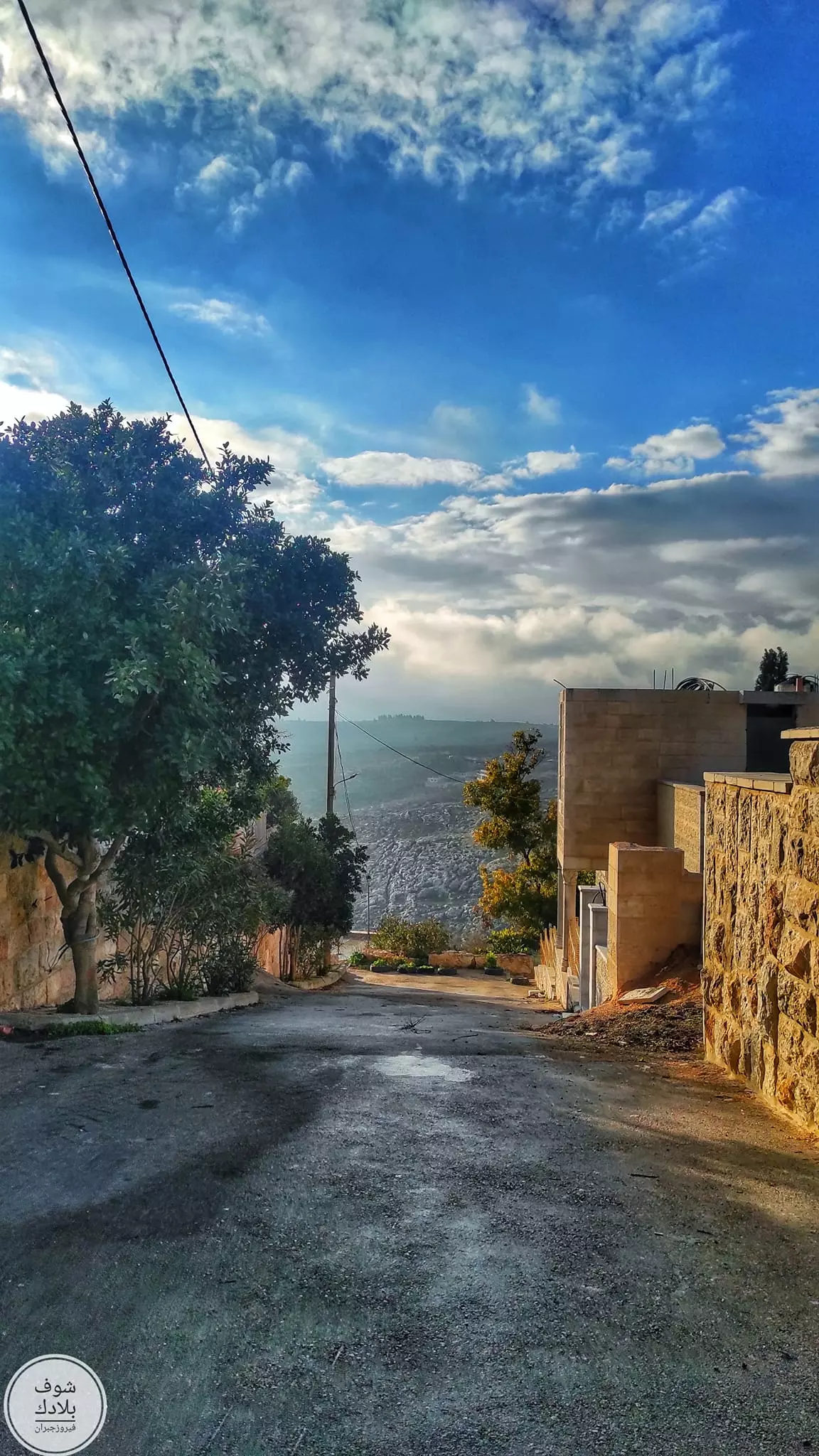
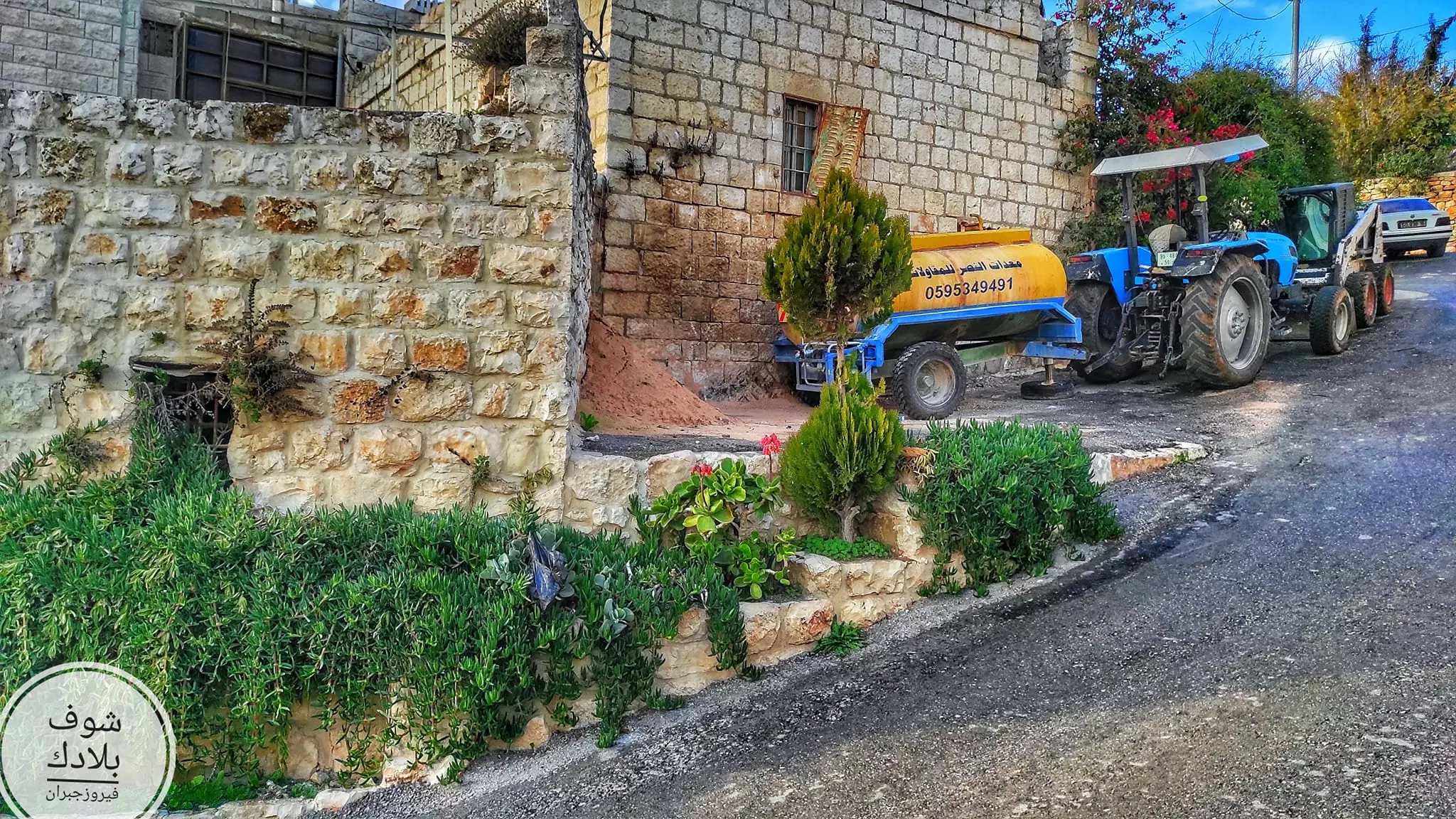
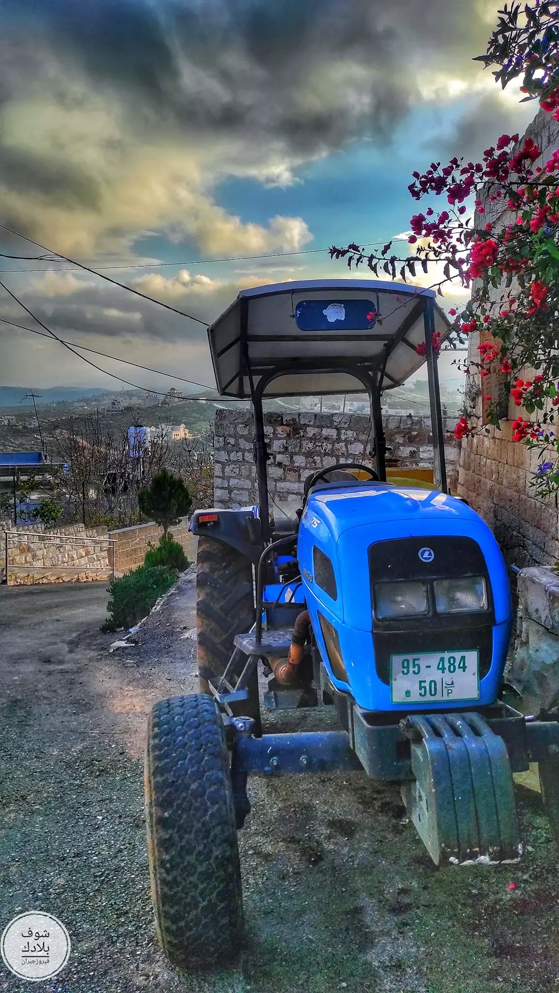
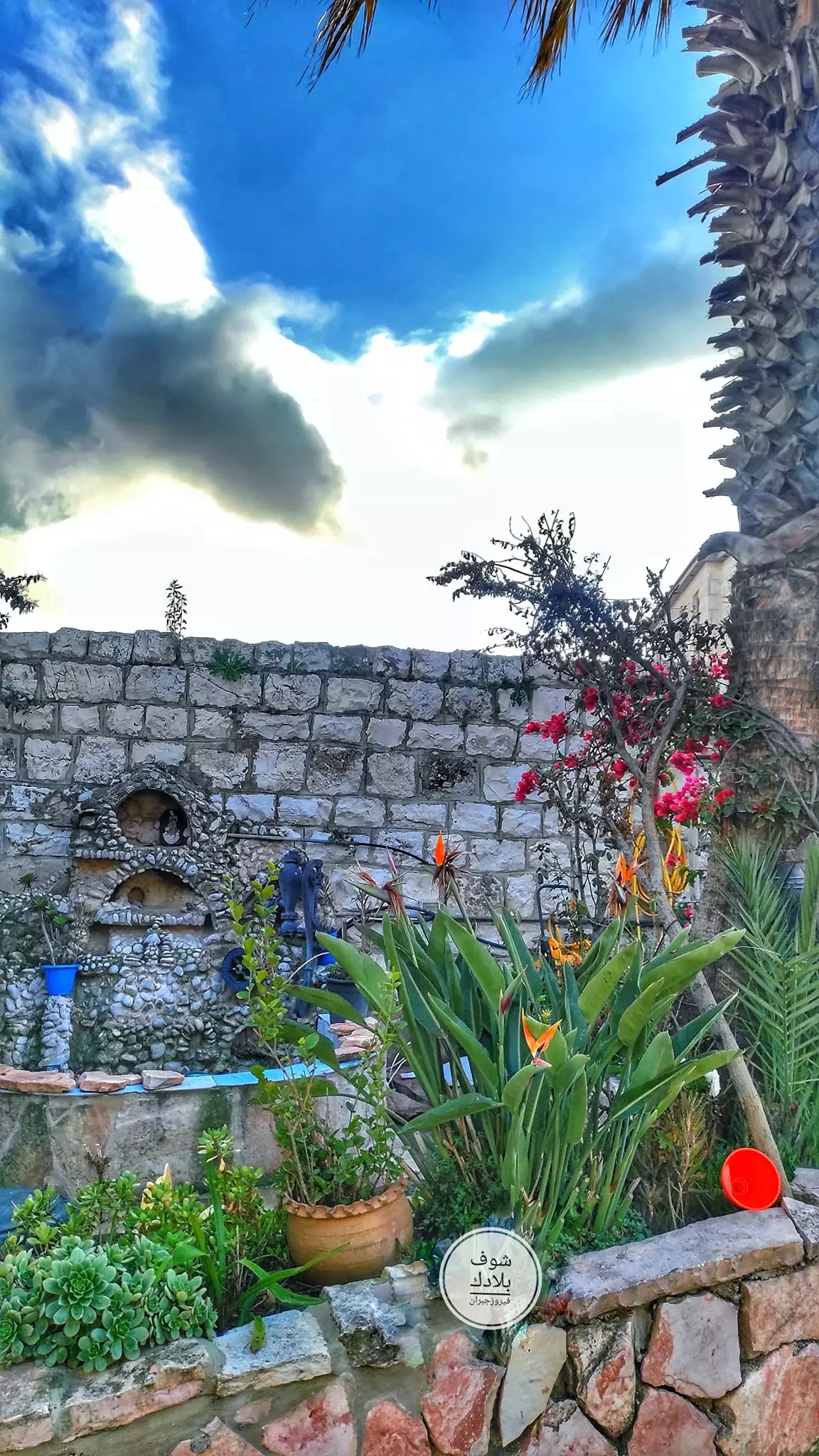
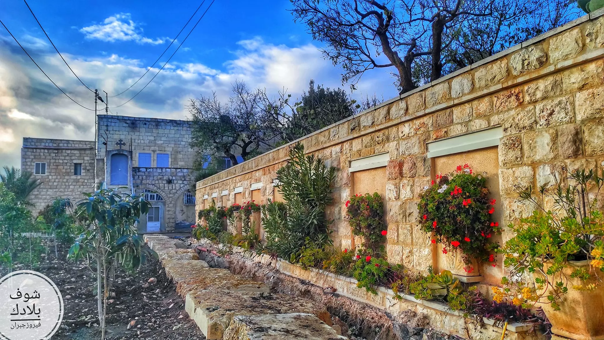
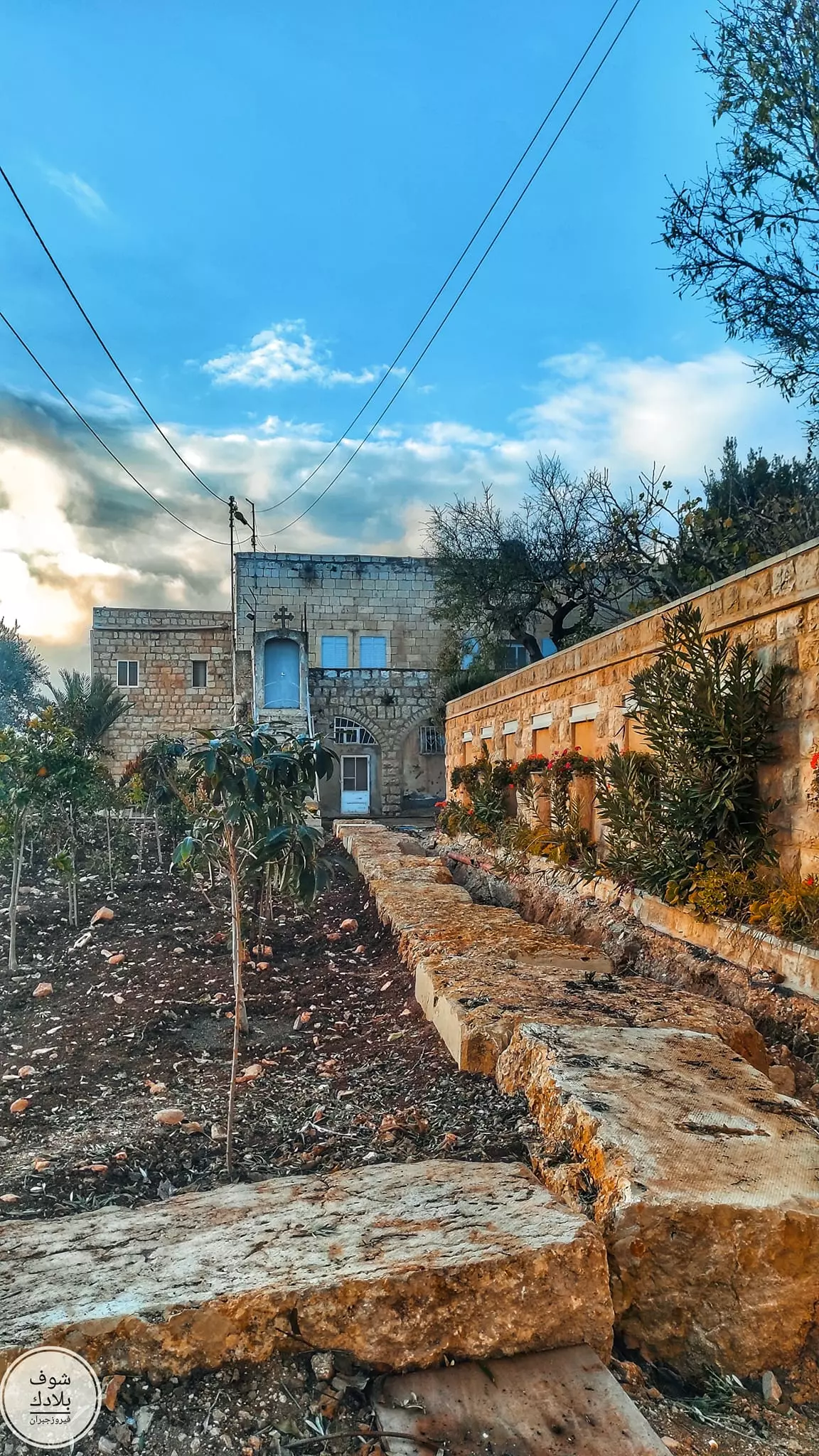
- جولة رائعة بين البيوت القديمة -- Fayrouz Jubran -- Jan. 2023
- جولة رائعة بين البيوت القديمة -- Fayrouz Jubran -- Jan. 2023 #2
- جولة رائعة بين البيوت القديمة -- Fayrouz Jubran -- Jan. 2023 #3
- جولة رائعة بين البيوت القديمة -- Fayrouz Jubran -- Jan. 2023 #4
- جولة رائعة بين البيوت القديمة -- Fayrouz Jubran -- Jan. 2023 #5
- جولة رائعة بين البيوت القديمة -- Fayrouz Jubran -- Jan. 2023 #6
- جولة رائعة بين البيوت القديمة -- Fayrouz Jubran -- Jan. 2023 #7
- جولة رائعة بين البيوت القديمة -- Fayrouz Jubran -- Jan. 2023 #8
- جولة رائعة بين البيوت القديمة -- Fayrouz Jubran -- Jan. 2023 #9
- جولة رائعة بين البيوت القديمة -- Fayrouz Jubran -- Jan. 2023 #10
- جولة رائعة بين البيوت القديمة -- Fayrouz Jubran -- Jan. 2023 #11
- جولة رائعة بين البيوت القديمة -- Fayrouz Jubran -- Jan. 2023 #12
- جولة رائعة بين البيوت القديمة -- Fayrouz Jubran -- Jan. 2023 #13
- جولة رائعة بين البيوت القديمة -- Fayrouz Jubran -- Jan. 2023 #14
- جولة رائعة بين البيوت القديمة -- Fayrouz Jubran -- Jan. 2023 #15
- جولة رائعة بين البيوت القديمة -- Fayrouz Jubran -- Jan. 2023 #16
- جولة رائعة بين البيوت القديمة -- Fayrouz Jubran -- Jan. 2023 #17
- جولة رائعة بين البيوت القديمة -- Fayrouz Jubran -- Jan. 2023 #18
- جولة رائعة بين البيوت القديمة -- Fayrouz Jubran -- Jan. 2023 #19
- جولة رائعة بين البيوت القديمة -- Fayrouz Jubran -- Jan. 2023 #20
- جولة رائعة بين البيوت القديمة -- Fayrouz Jubran -- Jan. 2023 #21
- جولة رائعة بين البيوت القديمة -- Fayrouz Jubran -- Jan. 2023 #22
- جولة رائعة بين البيوت القديمة -- Fayrouz Jubran -- Jan. 2023 #23
- جولة رائعة بين البيوت القديمة -- Fayrouz Jubran -- Jan. 2023 #24
- جولة رائعة بين البيوت القديمة -- Fayrouz Jubran -- Jan. 2023 #25
- جولة رائعة بين البيوت القديمة -- Fayrouz Jubran -- Jan. 2023 #26
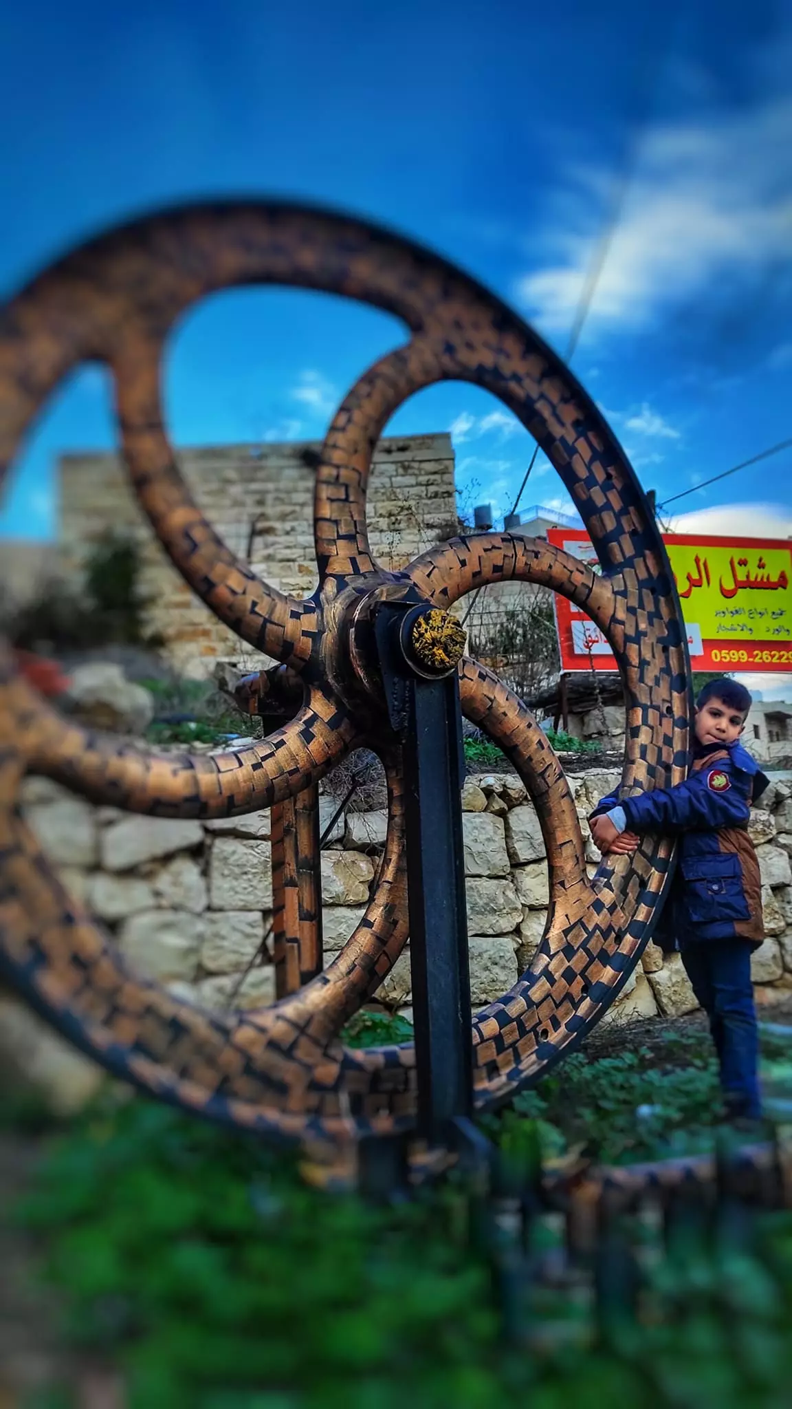
- جولة رائعة بين البيوت القديمة -- Fayrouz Jubran -- Jan. 2023 #27
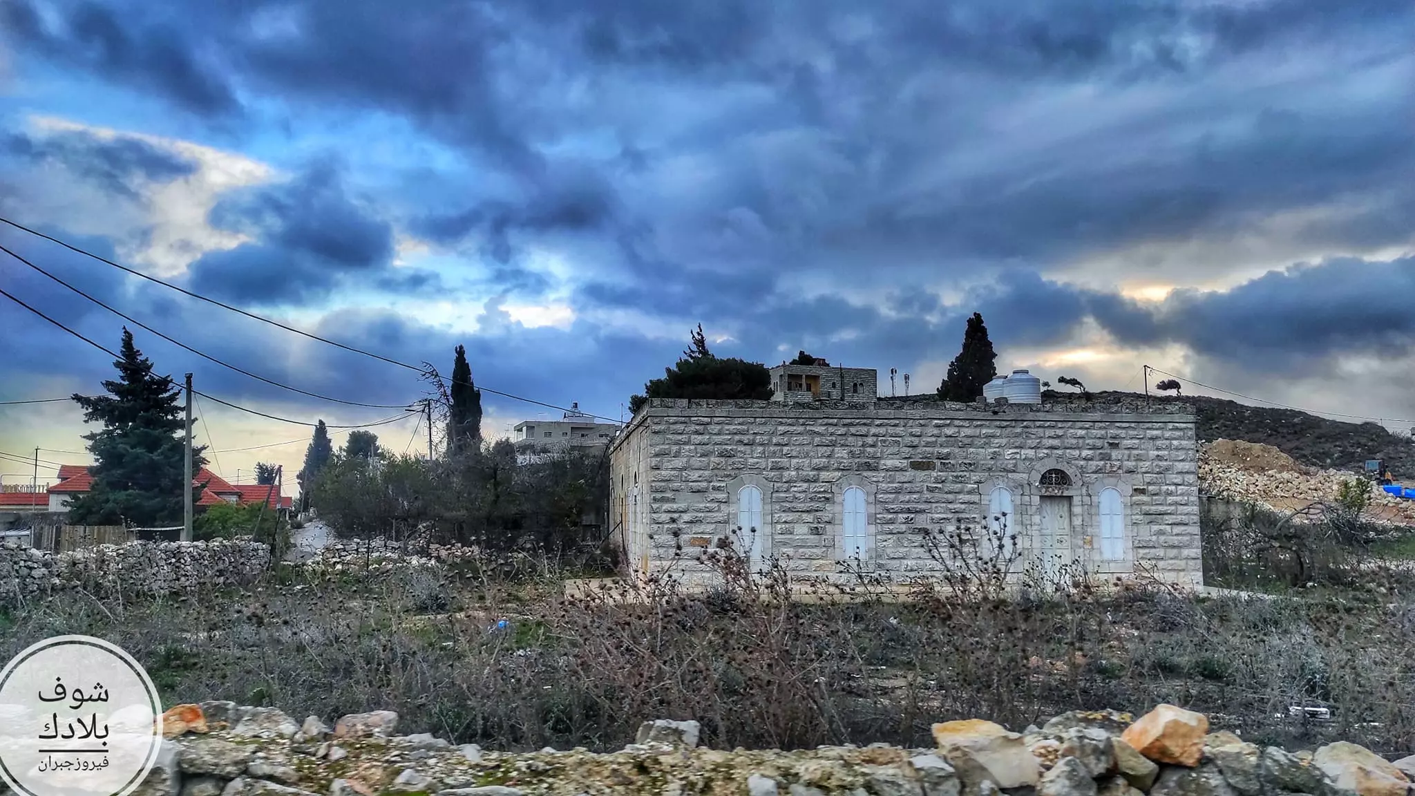
- جولة رائعة بين البيوت القديمة -- Fayrouz Jubran -- Jan. 2023 #28
- جولة رائعة بين البيوت القديمة -- Fayrouz Jubran -- Jan. 2023 #29
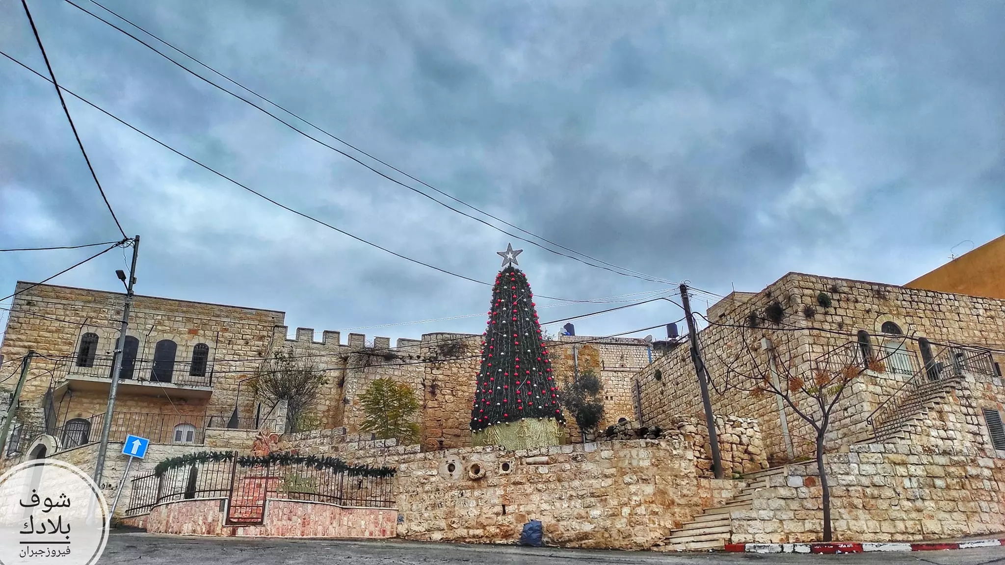
- جولة رائعة بين البيوت القديمة -- Fayrouz Jubran -- Jan. 2023 #30
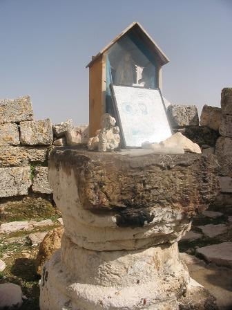
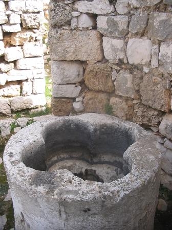
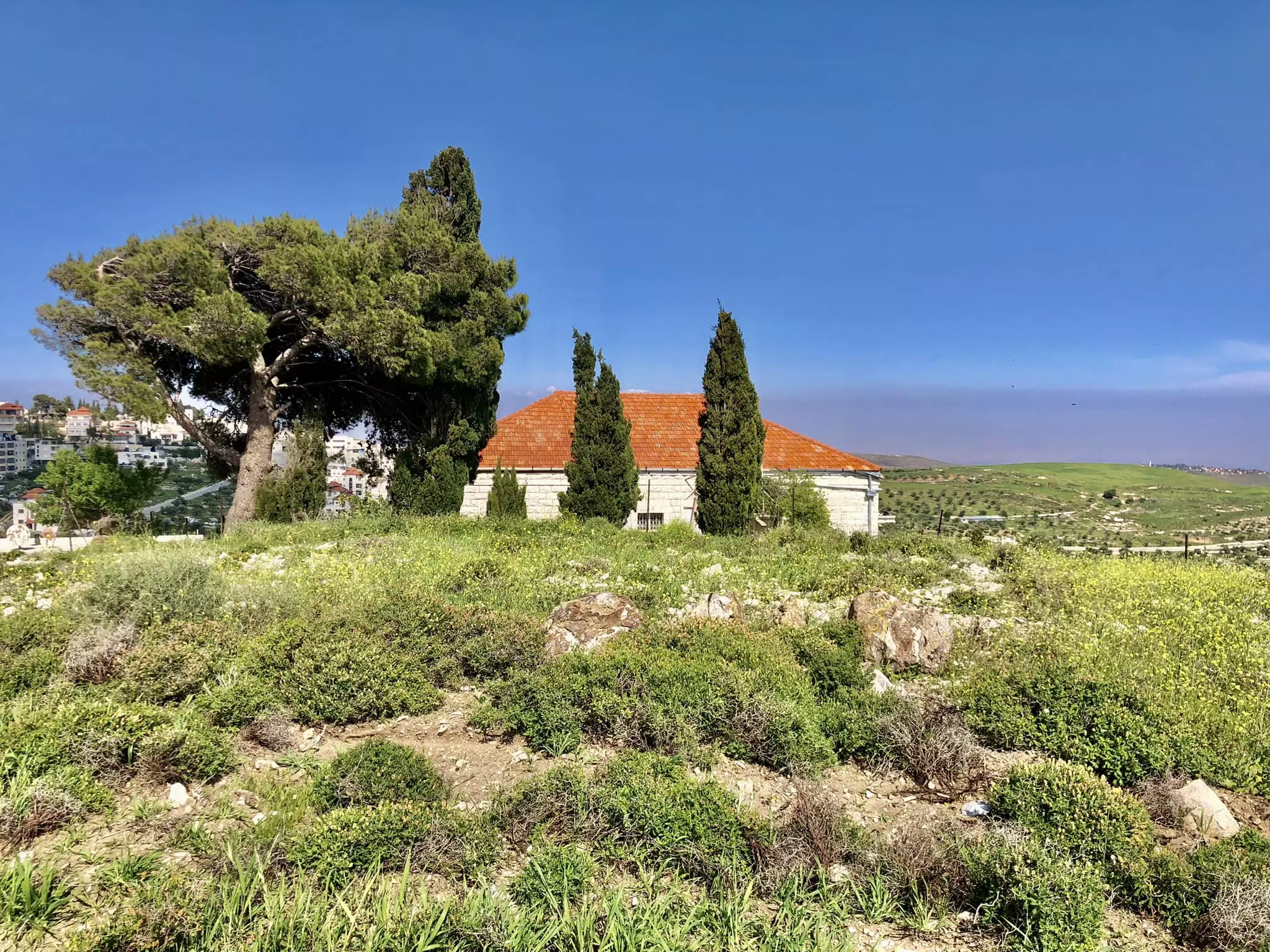
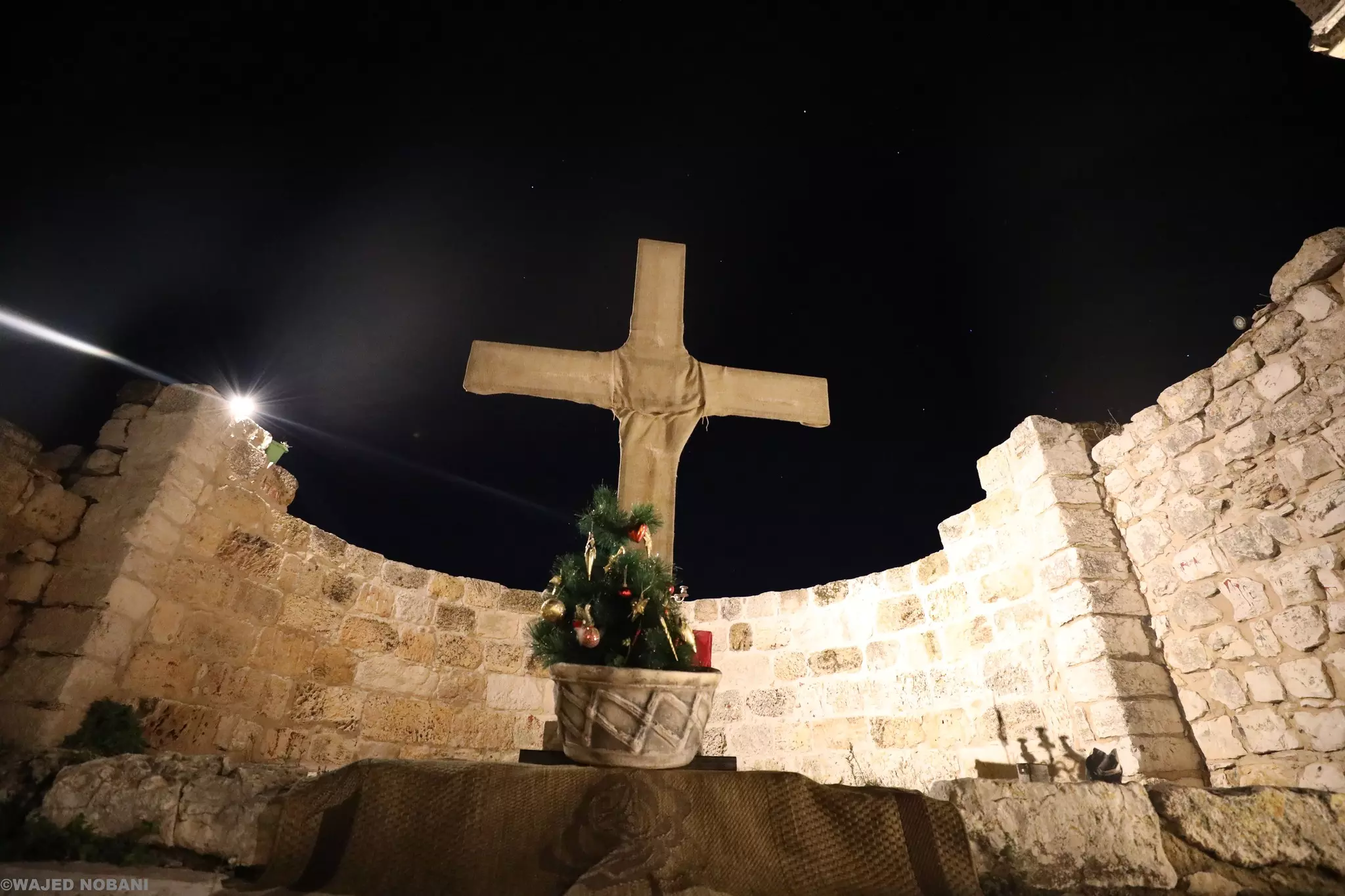
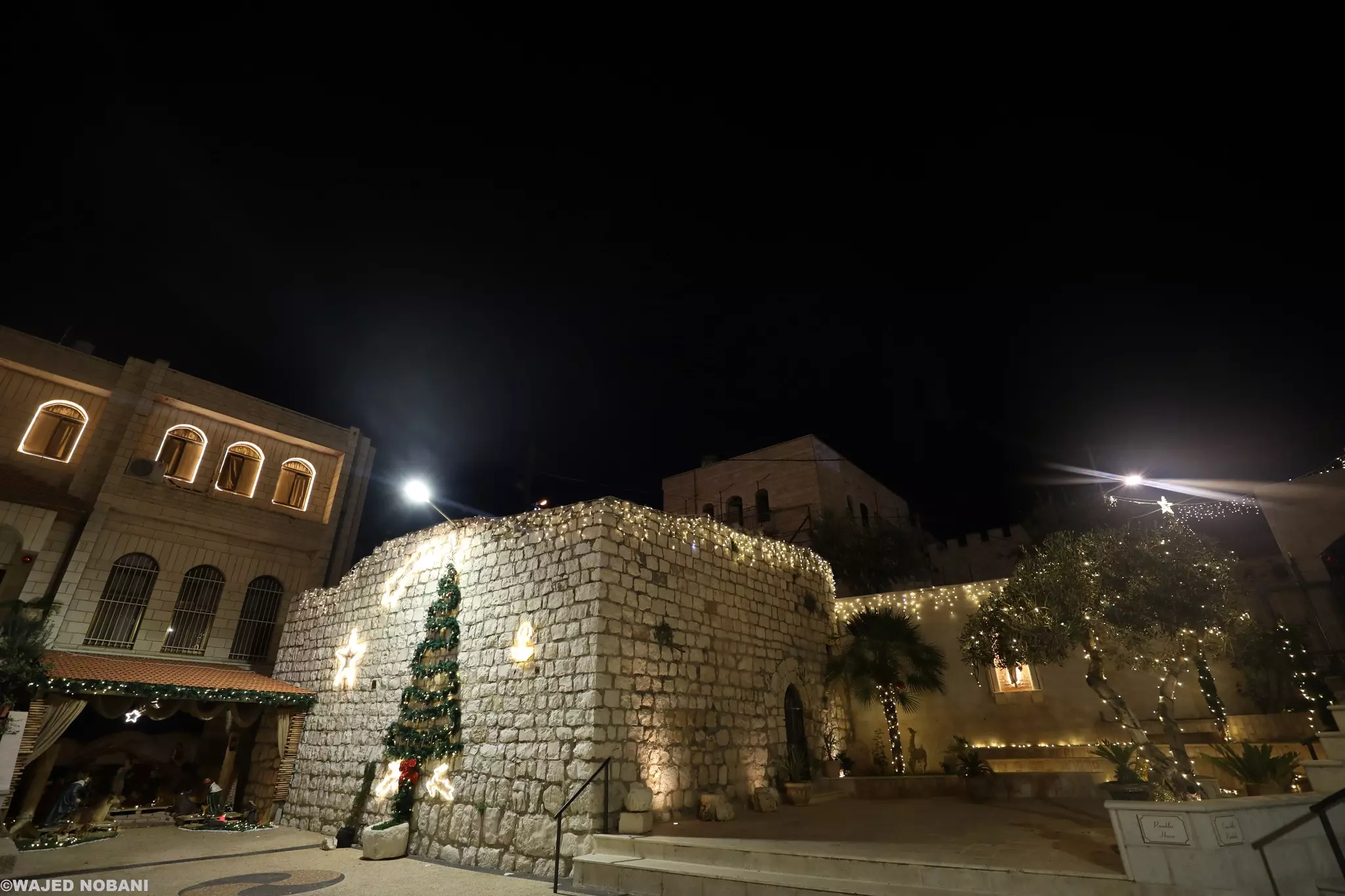
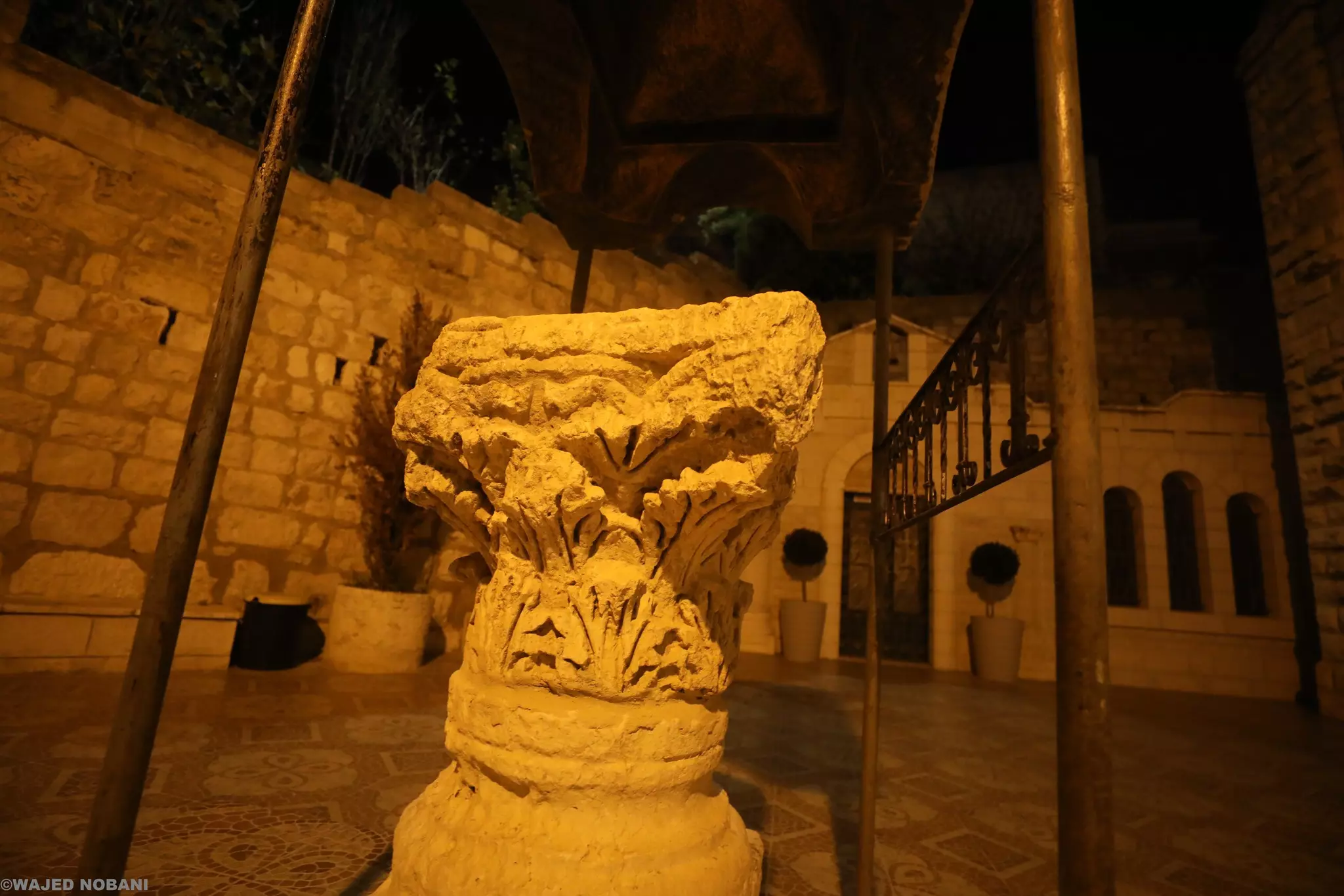
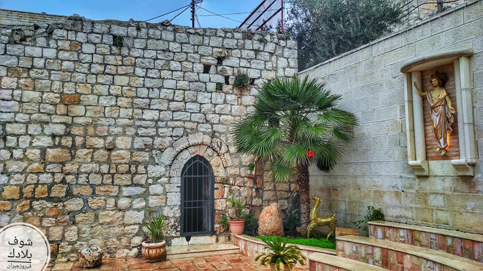
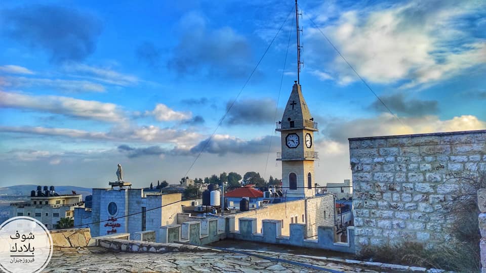
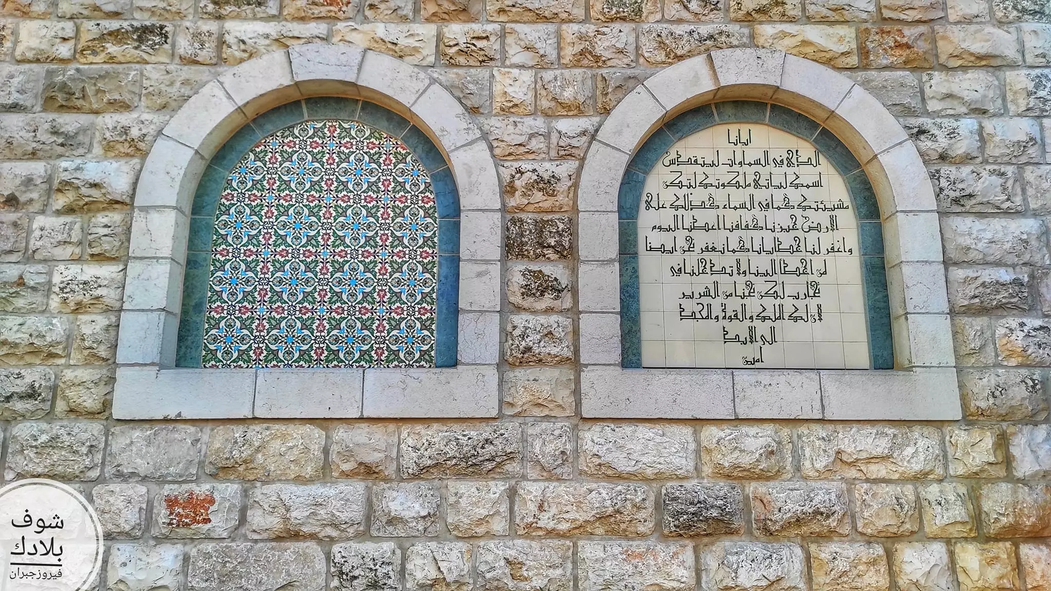
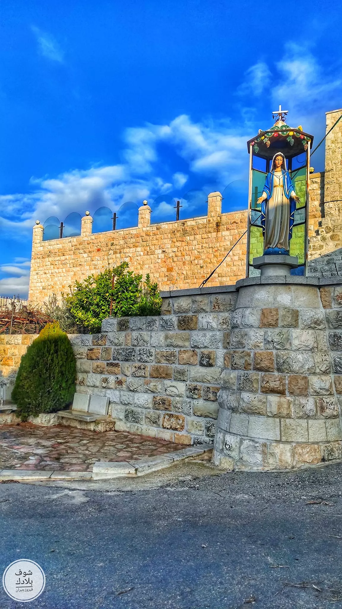
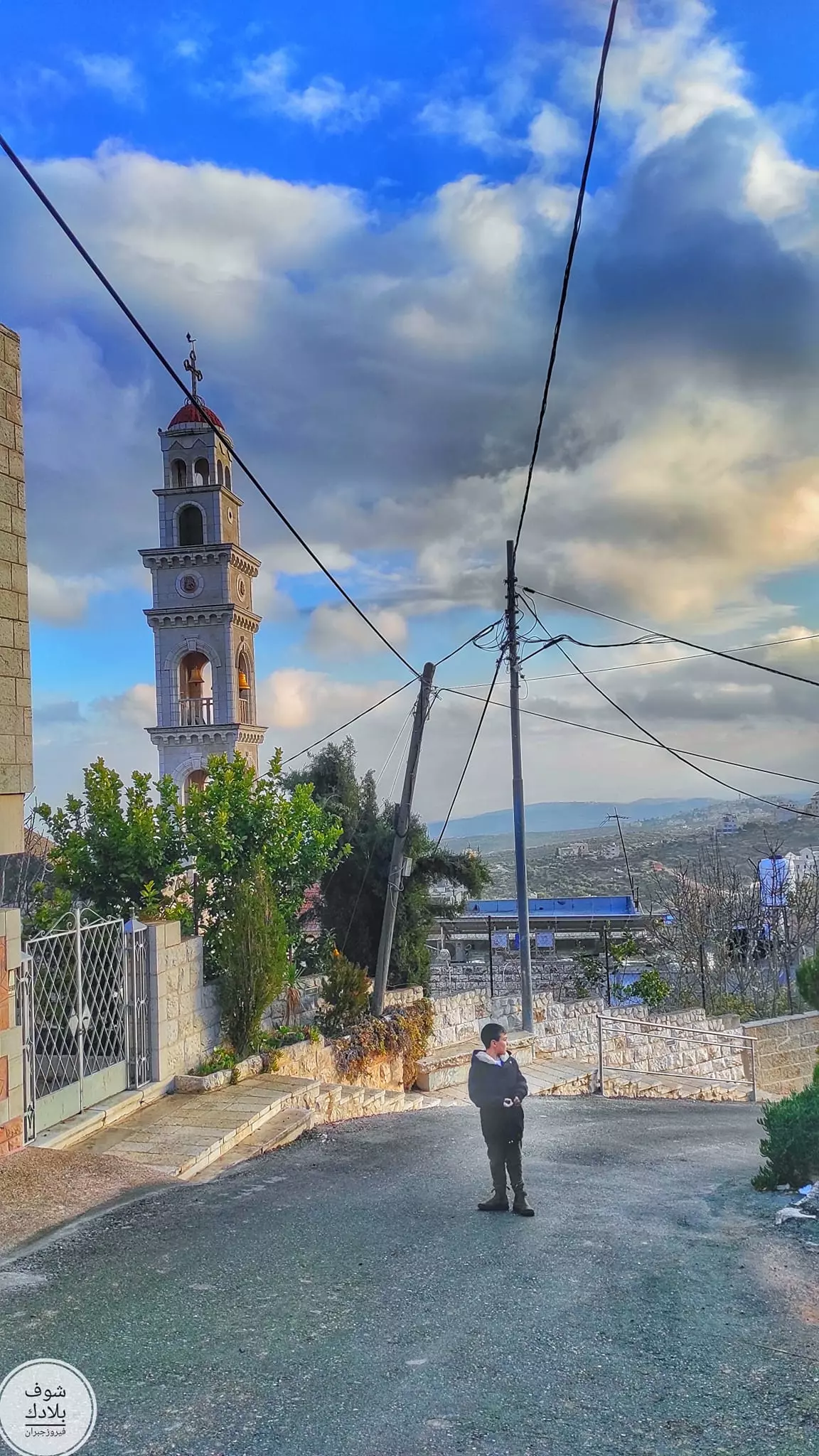
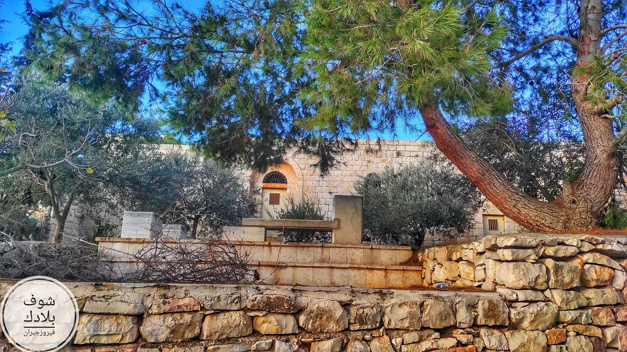
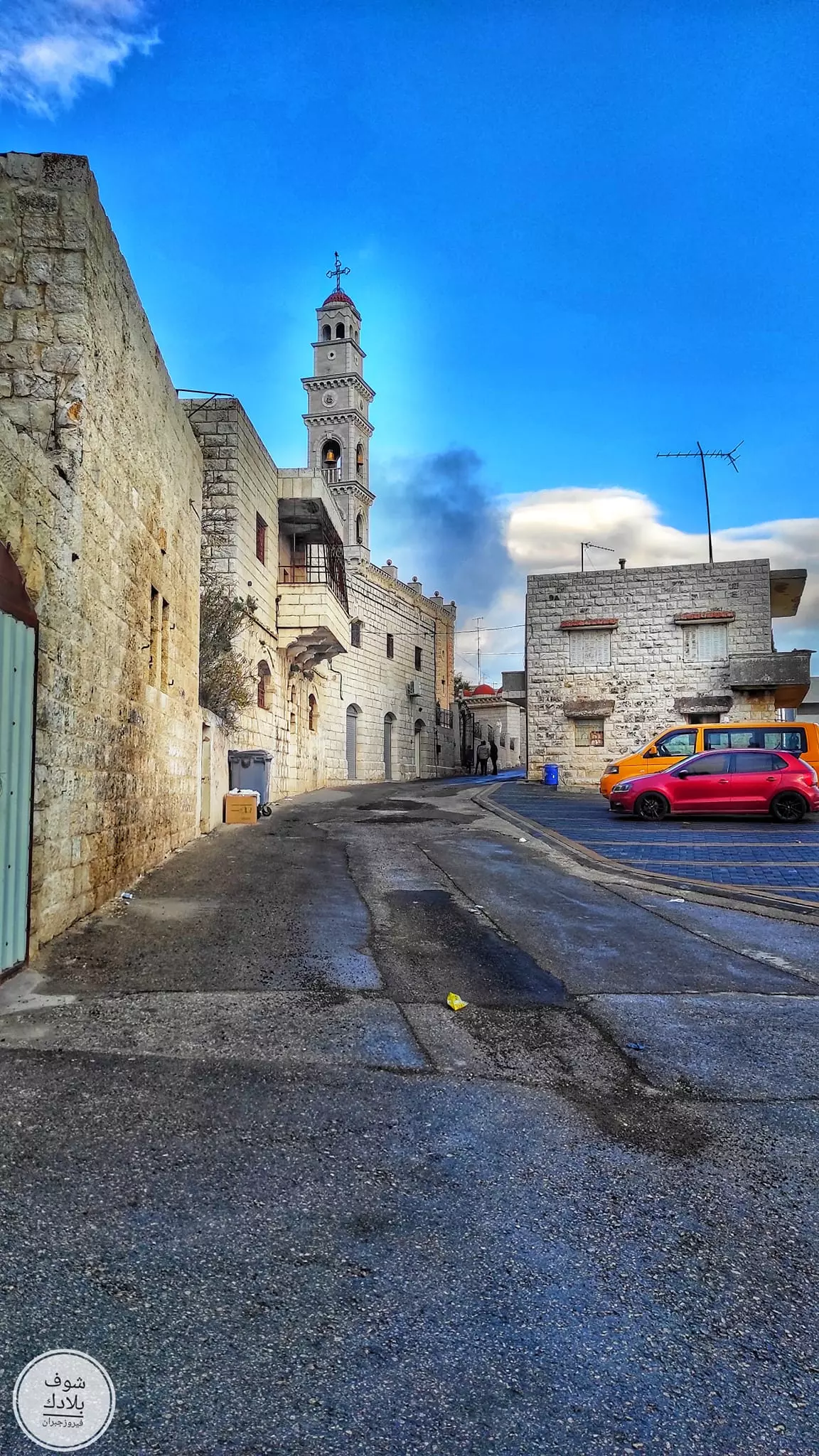
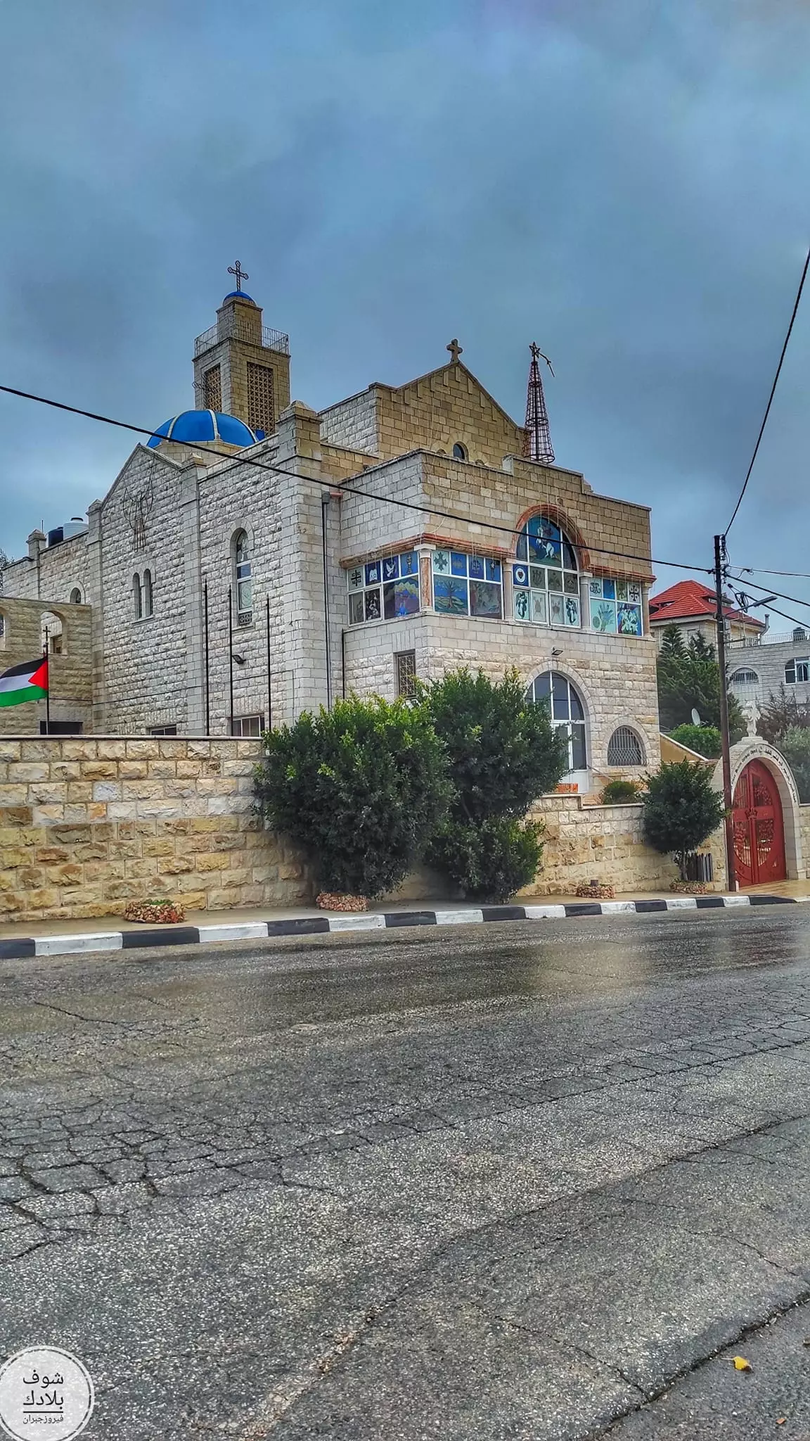
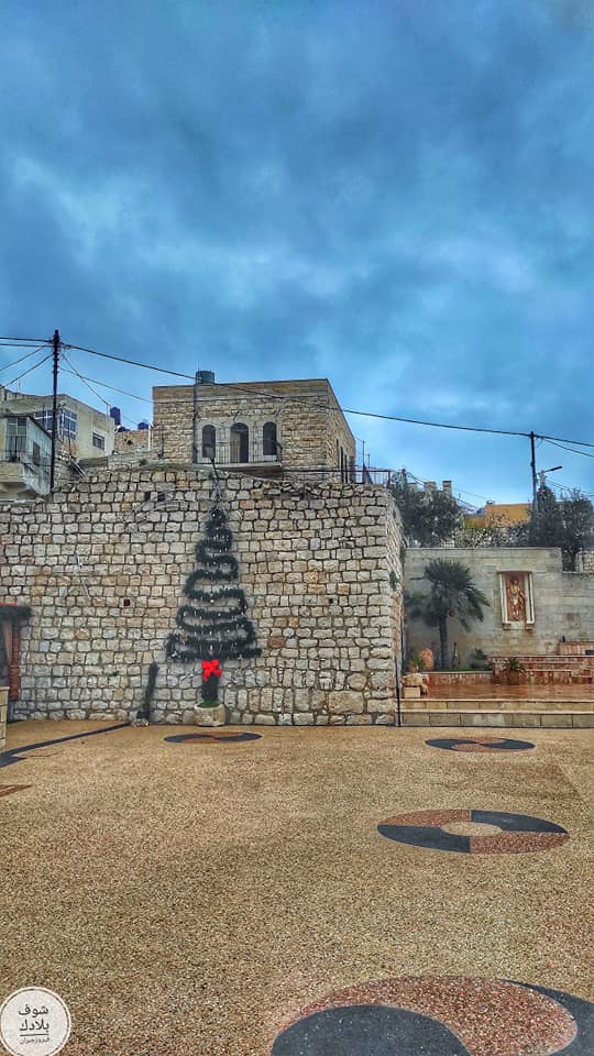
- جولة في كنائس قرية الطيبه -- Fairouz Jubran - Jan. 2023
- جولة في كنائس قرية الطيبه -- Fairouz Jubran - Jan. 2023 #2
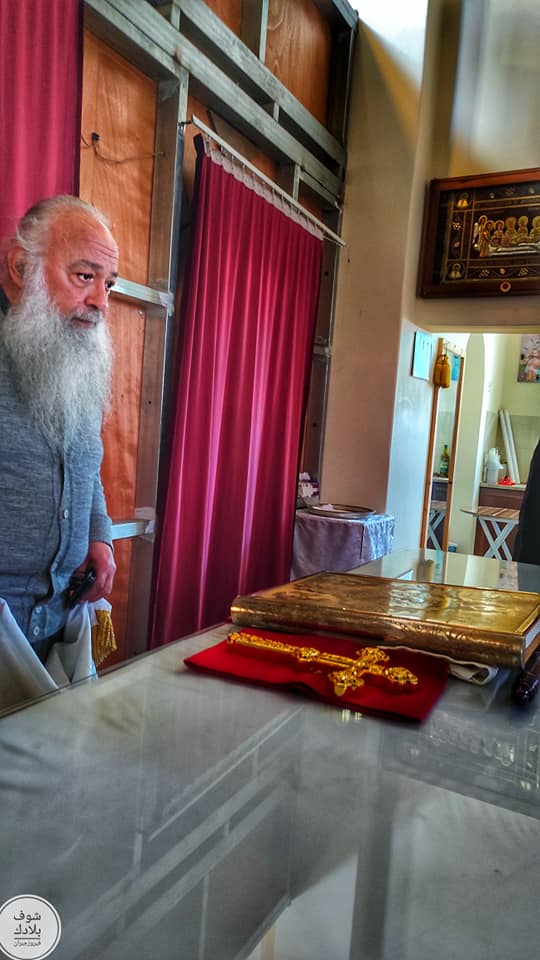
- جولة في كنائس قرية الطيبه -- Fairouz Jubran - Jan. 2023 #3
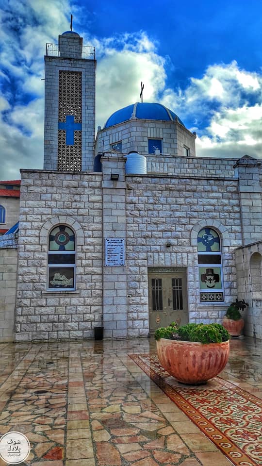
- جولة في كنائس قرية الطيبه -- Fairouz Jubran - Jan. 2023 #4
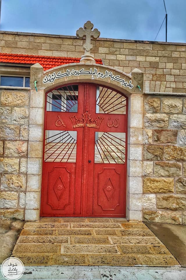
- جولة في كنائس قرية الطيبه -- Fairouz Jubran - Jan. 2023 #5
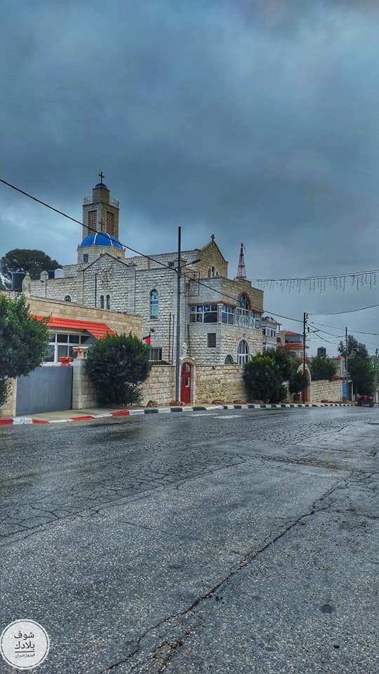
- جولة في كنائس قرية الطيبه -- Fairouz Jubran - Jan. 2023 #6
- جولة في كنائس قرية الطيبه -- Fairouz Jubran - Jan. 2023 #7
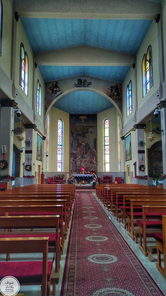
- جولة في كنائس قرية الطيبه -- Fairouz Jubran - Jan. 2023 #8
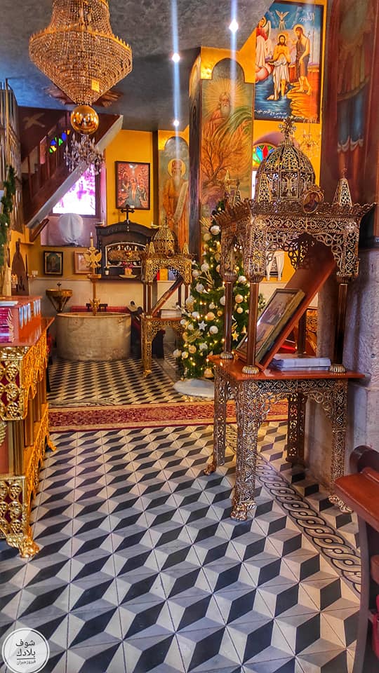
- جولة في كنائس قرية الطيبه -- Fairouz Jubran - Jan. 2023 #9
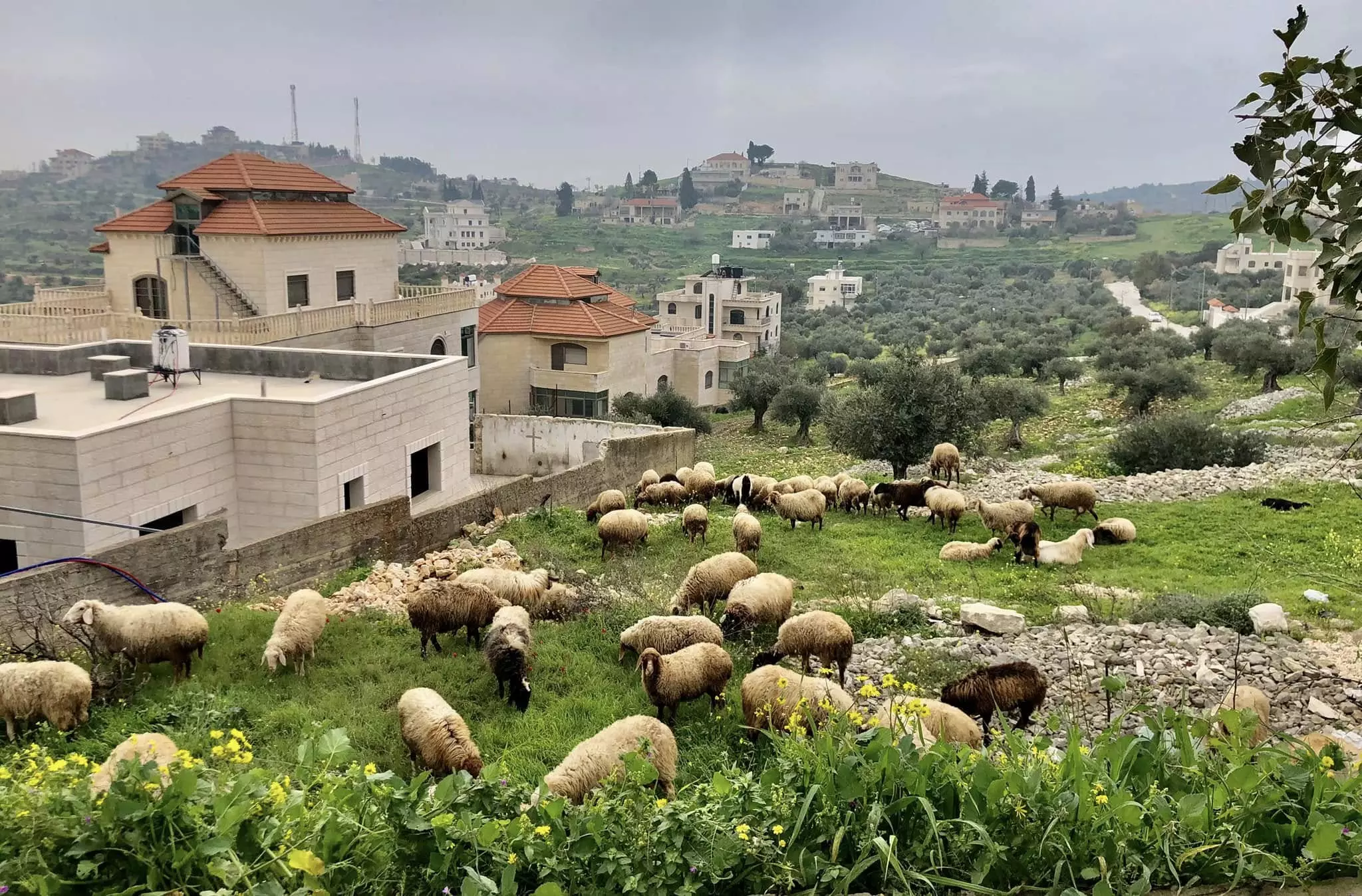
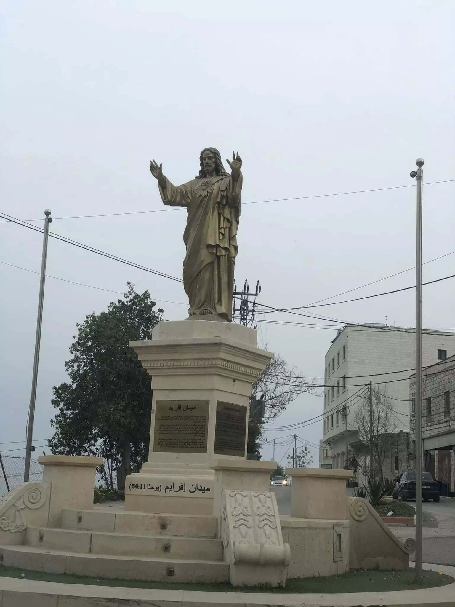
- منظر عام
- منظر عام -- 2010
Want to browse more? 80,000 pictures were grouped in these gallaries:
| Display Name | Clan/Hamolah | Country of Residence |
| AbuSimon | - | - |
| Fadia Fayez Nazzal | Radadeh | Amman, Jordan |
| روجين | - | رامالله, رامالله |
| Haitsu | Kawaneh | Vantaa, Finland |
| wisam khoury | tababzeh | taybeh, taybeh |
| Samia Ibrahim Nazzal | Nazzal | NY, NY |
| samia nazzal | `Nazzal | lebanon, lebanon |
| sonia fayez nazzal | nazzal | - |
No links have been shared yet, be free to the first to share the first link.
 Fake Valor: Why Did Zionist Jews Hoist Nazis Flag on Their Ships in the 1930s?
What is new?
-
Facts About Oct. 7th Gaza Raid
-
Remined Us Please:: Who Did Rape Who? Palestinians Raped Israelis? Or, was the other way around?
-
When Prof. Edward Said was invited to debate Bibi Netanyahu in the 1980s, watch what happened!
-
Abusing Blood Libel!
-
Zionist FAQ: Isn't it true that Palestinians don't want peace? Palestinians never accepted the two-state solution
- Facts about Haavara (Transfer) Agreement between Ben-Gurion & Hitler
-
Haavara FAQs: Why Did Zionist Jews Hoist Nazis' Flags on Their Ships in the 1930s?
-
Dear ChatGPT: Why did the Jewish Agency suppress news of the Holocaust during WWII?
-
Video Playlist: Jews share their DNA tests to end the conflict for good.
-
A Tale of Two Conflicts: Examining the Definition of Genocide
-
Prof. Abraham Polak And The Suppressed History of the Khazars and European Jewry
-
How Ronald Reagan would have framed the genocide in Gaza if he were still alive?
-
Haavara FAQs: Let us do the math: how many German Jews did The Haavara Agreement save?
-
Zionist FAQs: The Hebron Massacre of 1929, "clearly proves" that Palestinians are antisemitic, how could you deny it?
-
Zionist FAQs: Why Anti-Zionist Is Not Antisemitism?
-
Zionist FAQs: Isn't it true that the KGB create Palestinian Nationalism in the early 1960s?
- Zionist FAQs: Muslims are killing Muslims all the time; why are Israeli Jews being singled out in the media?
- Zionist FAQs: How is Israel an apartheid state when 20% of its citizens are Arabs who enjoy full rights?
-
Haavara FAQs: Analysis of Herzl's Uganda Scheme and how it could have saved millions of Jews.
-
Haavara FAQs: Why did Hayim Greenberg describe American Jewry as "morally bankrupt" in early 1943?
-
Haavara FAQs: What if the Evian Conference was a resounding success? What would have been the impact of saving European Jewry on Zionism?
- Haavara FAQs: What if the six million were saved, how that would have impacted the Zionist project?
-
Haavara FAQs: How did Zionist leaders react when Europe's Jews lingered in the DP camps after WWII ended?
-
Why does the American Jewish community repeat lies that David Ben-Gurion had debunked before he died?
-
Who has the power to rename the Tatar/Khazar Gene Marker to Jewish IV?
-
Zionist FAQs: Why won't Egypt, Syria, and Jordan take their people back? Jews are indigenous to Palestine, and Arabs immigrated after Jews developed the country. Arabs should leave.
-
Haavara FAQs: Did Hitler and the Nazis conflate between Judaism and Zionist? If that wasn't case, then why?
-
Haavara FAQs: Winston Churchill and antisemitism, a collection of articles written Churchill.
-
Haavara FAQs: Broken by country, how many Jews survived vs. killed during the Holocaust?
-
Haavara FAQs: Why did European Jews vote with their feet and to immigrated to the Americas, not Palestine, after WWII?
-
Watch this American Jewish Girl describing Israeli Jews' cognitive dissonance like no other in under two minutes
-
Haavara FAQs: When the Nazis went out of their way to hide the Holocaust, Israeli Jews did the exact opposite by broadcasting their genocide of Gazans. But why?
-
Haavara FAQs: How Zionist Jews went out of their to show their appreciation to Nazism and Fascism?
- Haavara FAQs: Why Zionist leaders were against bombing the death camps & the Railroads leading to them?
-
Haavara FAQs: Hitler's message to the British and American people: If Jews are such noble citizens and you care about them, how come you're not letting them in? I will gladly ship them to you at my expense, even on luxury liners!
-
A shortlist of Zionist and Israeli false flag operations in the name Jews.
-
The Most Moral Army
- The Land of Kapos (Israel): Where the brave are boycotted and Kapos walk free.
- Why did early Zionists often named their communal enterprises "colonial"?
- Zionist Relations with Nazi Germany by Faris Glubb
-
Two NY Times advertisements by Zionists in the early 1943 that exposes Zionists' treason at the height of the calamity
- Facts Not Lies about the Palestinian-Israeli Conflict.
- Site's pictures have been categorized
- Campgain Against Lice
- A Survey of Palestine, the official source about Palestine before Nakba produced by the British Mandate; over 1200 pages.
- Satellite View & Google Earth: Over 6,000 placemarks identifying all destroyed towns, W. Bank & Gaza Strip Towns, & refugee camps.
- PalestineRemembered.com and its Nakba Oral History Project were featured on al-Jazeera Satellite TV.
- Nakba Oral History Video Podcast:
 Over 700 Oral History interviews (including 3,500+ hours of recording) can be viewed online.
 - Palestine Village Statistics Project
- Gaza Jail Break
- النسخة العربية للموقع الان متوفرة
- Videos: Documenting the destroyed villages in video: Tracing all that remains since Nakba.
- Videos: Responding to Zionist Propaganda
- Interview: The ethnic cleansing of Palestine: George Galloway interviews Israeli Historian Ilan Pappe.
- For Palestinians, memory matters. It provides a blueprint for their future By George Bisharat.
- Zionist FAQ now available in Hebrew שאלות שציונים שואלים, עכשיו בעברית
- Video: The Stephen Walt and John Mearsheimer report on the influence of the Israel Lobby on U.S. Foreign Policy
- The Palestinian-Israeli conflict for beginners
