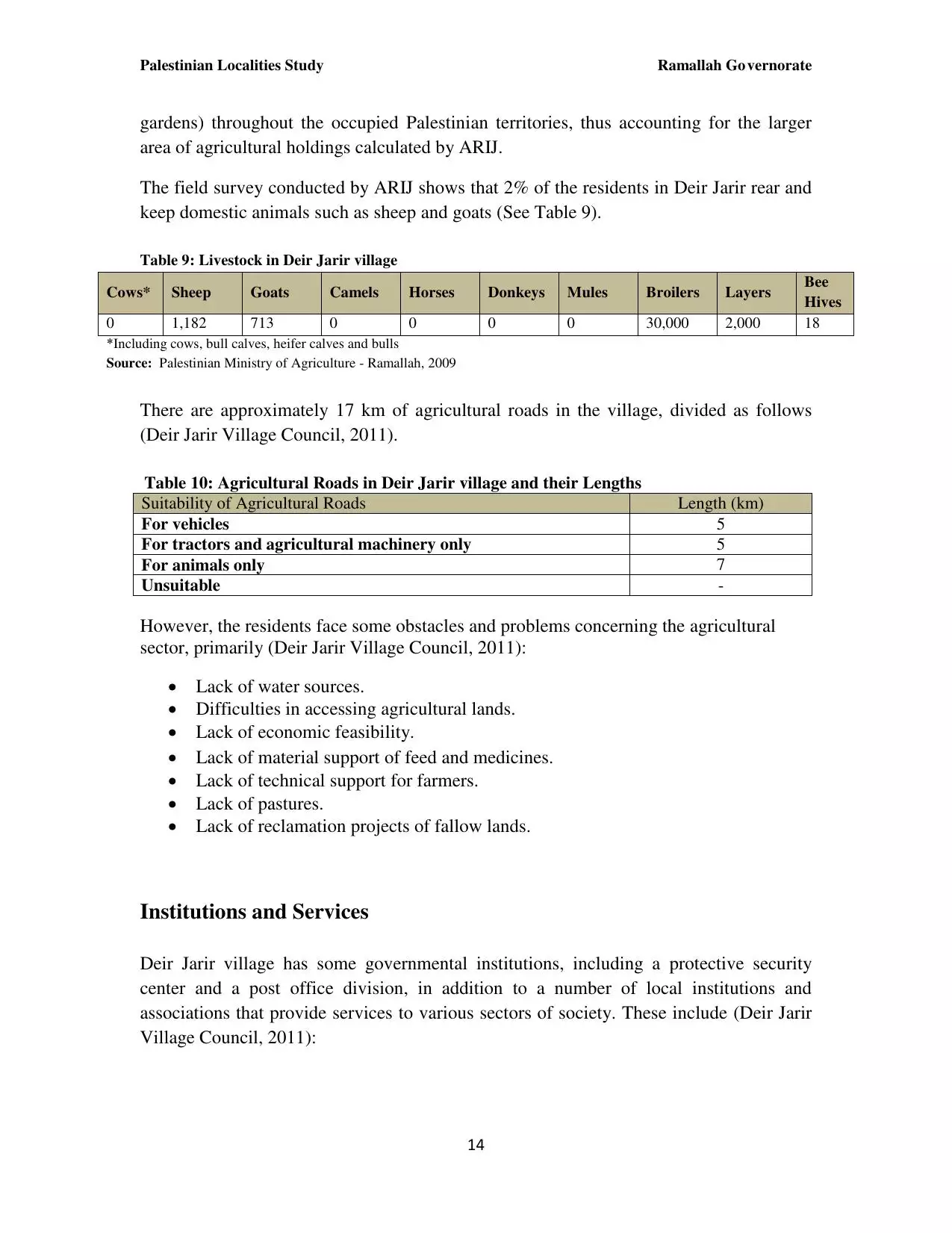
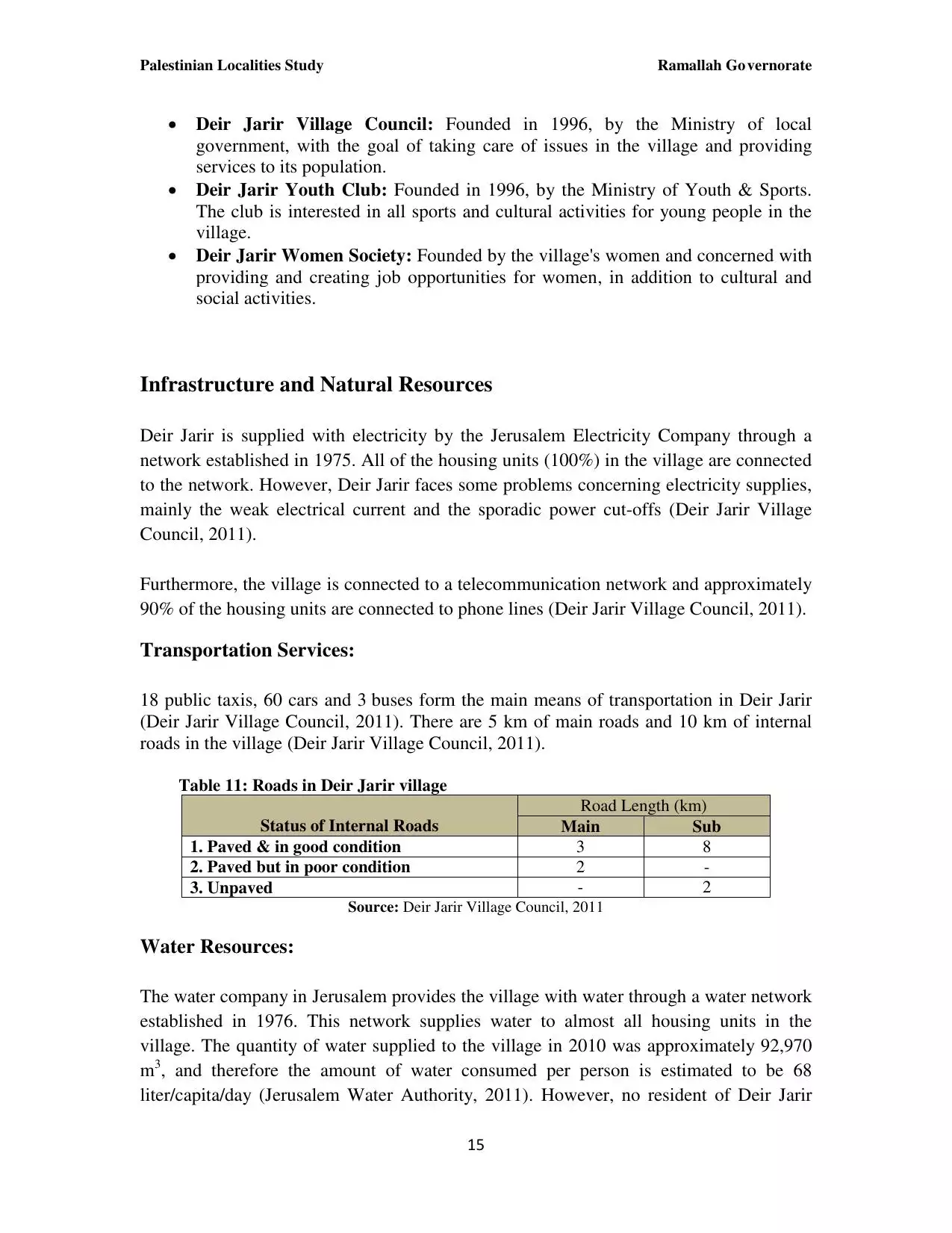
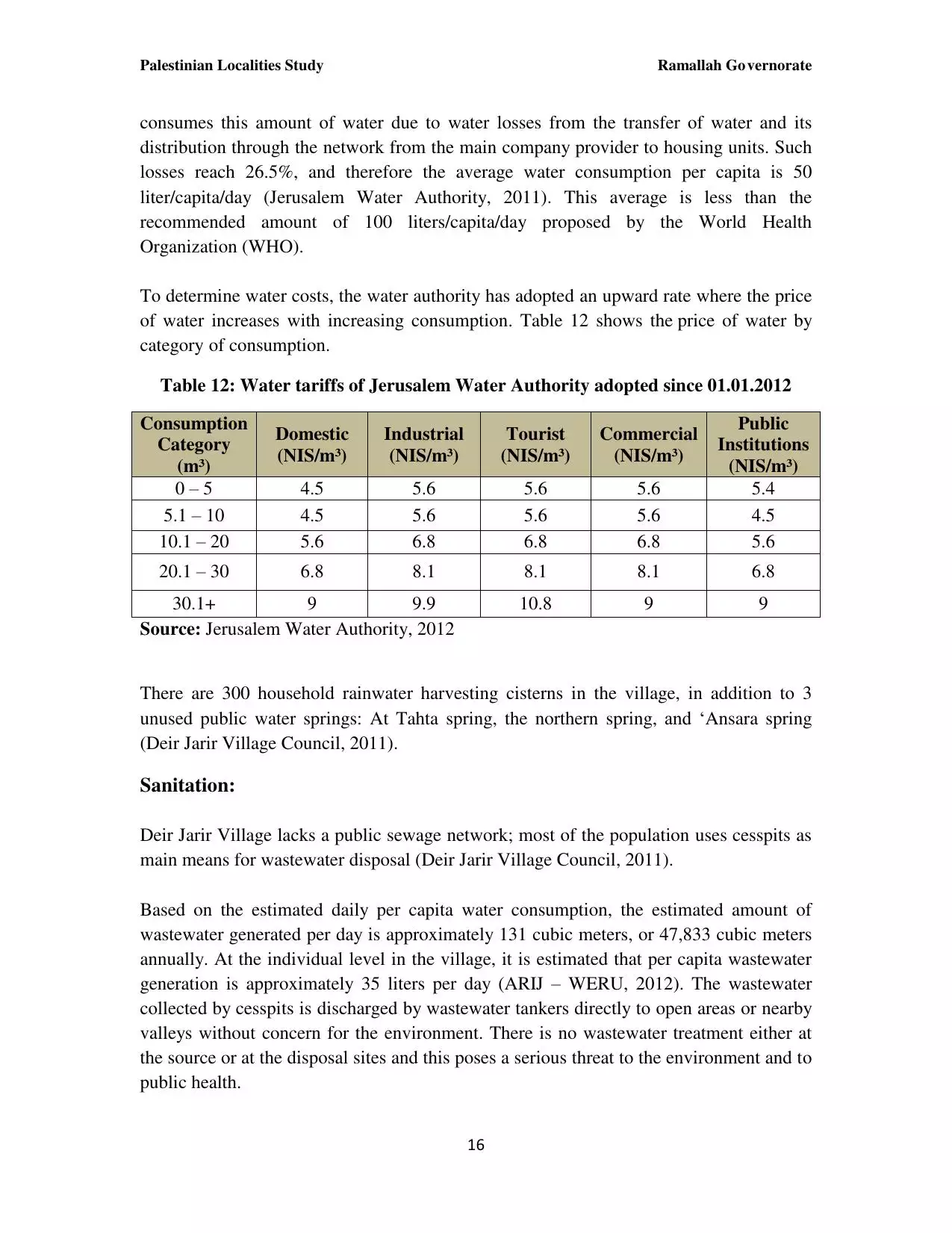
| PalestineRemembered | About Us | Oral History | العربية | |
| Pictures | Zionist FAQs | Haavara | Maps | |
| Search |
| Camps |
| Districts |
| Acre |
| Baysan |
| Beersheba |
| Bethlehem |
| Gaza |
| Haifa |
| Hebron |
| Jaffa |
| Jericho |
| Jerusalem |
| Jinin |
| Nablus |
| Nazareth |
| Ramallah |
| al-Ramla |
| Safad |
| Tiberias |
| Tulkarm |
| Donate |
| Contact |
| Profile |
| Videos |
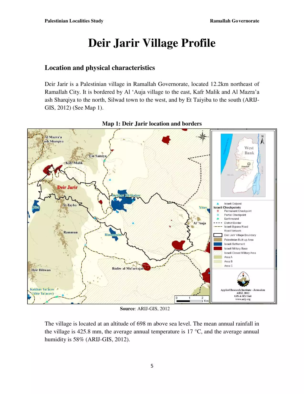
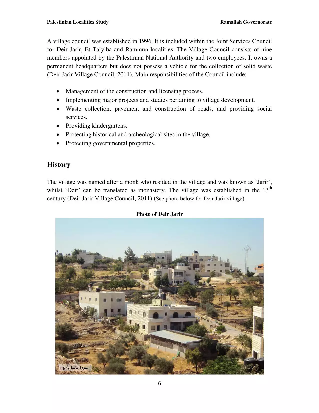
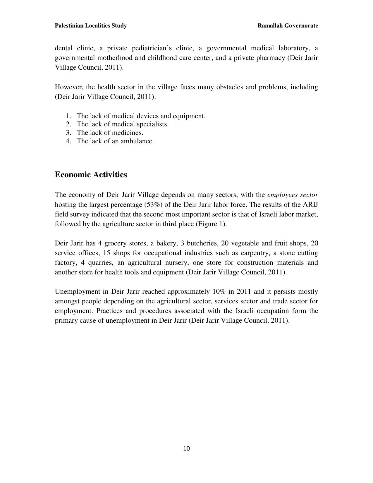
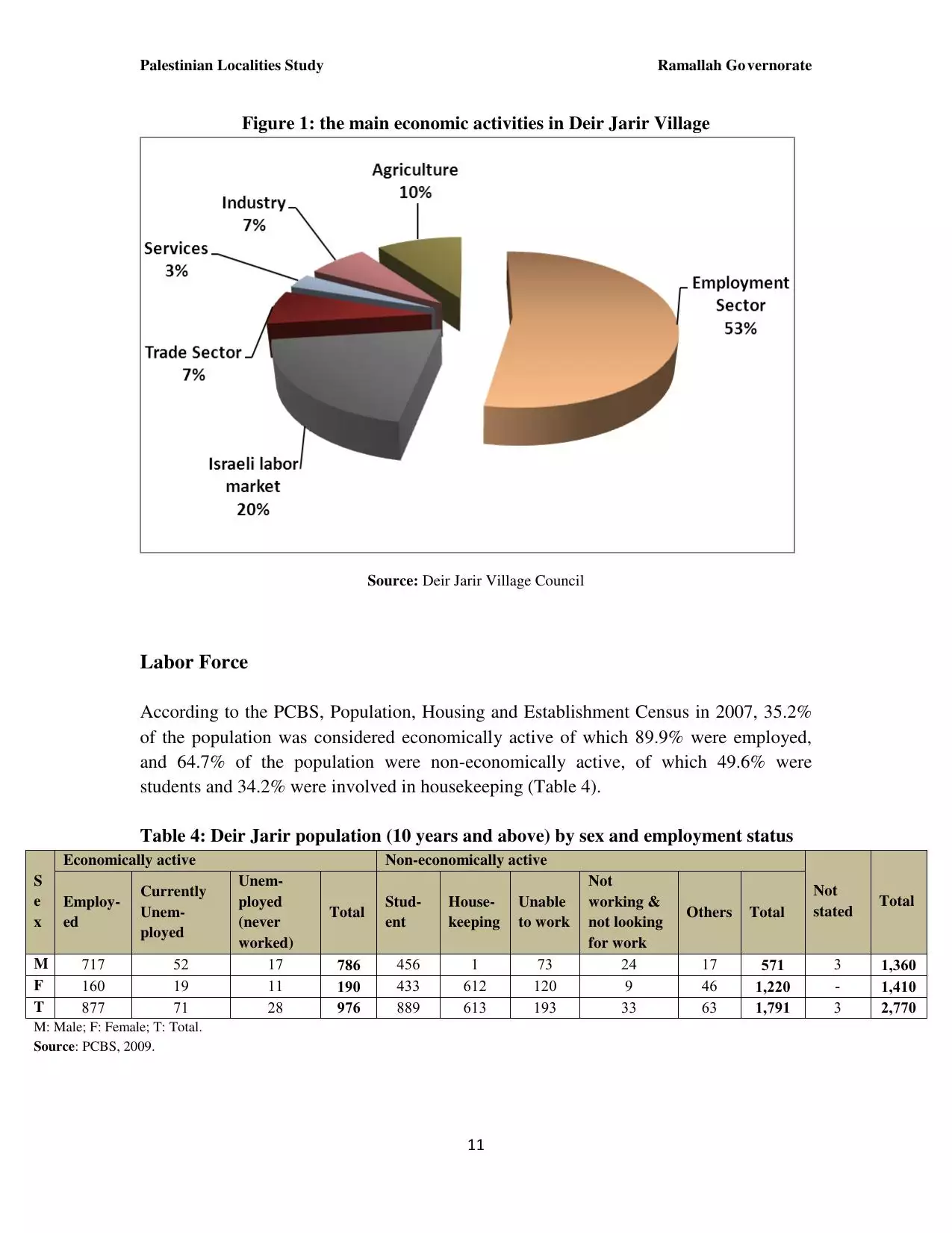
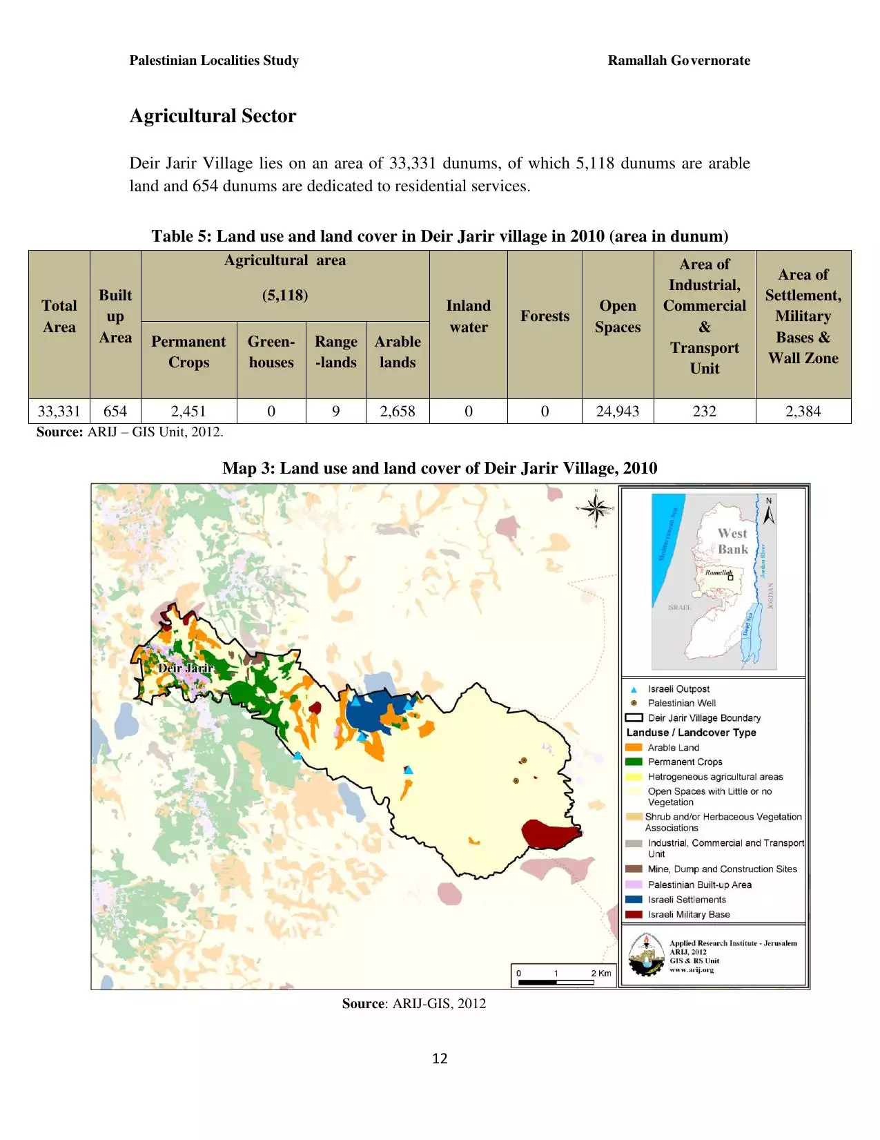
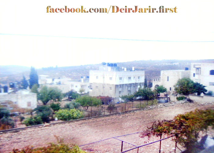
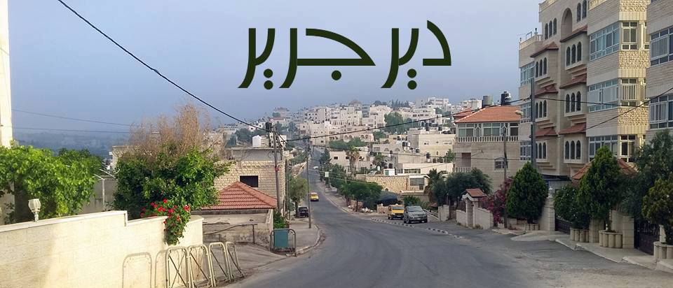
Welcome To Dayr Jarir - دير جرير (דיר ג'ריר)
|
District of Ramallah
Occupied days ago |
العربية Google Earth |
 |
Gallery (163) |
- Statistics & Facts
-
Before & After

- Satellite View
- Articles 4
- Pictures 163
- Members 31
- Families
- Wikipedia
- ARIJ Guide
- Videos 1
- Guest Book 30
- Links 1
| Statistic & Fact | Value | ||||||||||||||||||||
| Distance From District | 12 km northeast of Ramallah | ||||||||||||||||||||
| Elevation | 900 meters | ||||||||||||||||||||
| Before & After Nakba, Click Map For Details |
|||||||||||||||||||||
|
|||||||||||||||||||||
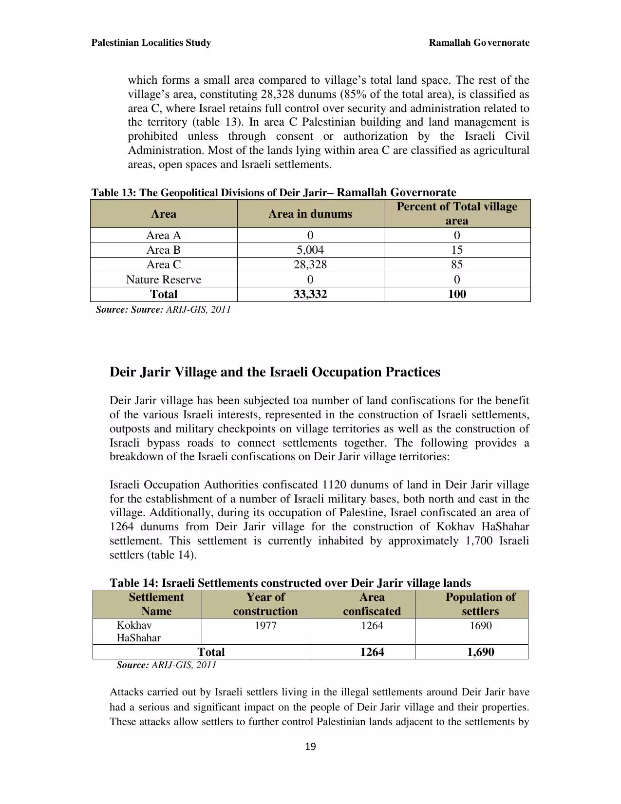
| Land Ownership |
**Town Lands' Demarcation Maps |
||||||||||||||||||||
| Land Usage As of 1945 |
|
||||||||||||||||||||
| Population |
|
||||||||||||||||||||
| Near By Towns |
|||||||||||||||||||||
|
|||||||||||||||||||||
| Featured Video | |||||||||||||||||||||
| ARIJ Guide | |||||||||||||||||||||
3.
4. 
5. 
6. 
7. 
8. 
9. 
10. 
11. 
12. 
13. 
14. 
15. 
16. 
17. 
18. 
19. 
20. 
21. 
22. 
23. 
Click here to browse online. |
|||||||||||||||||||||
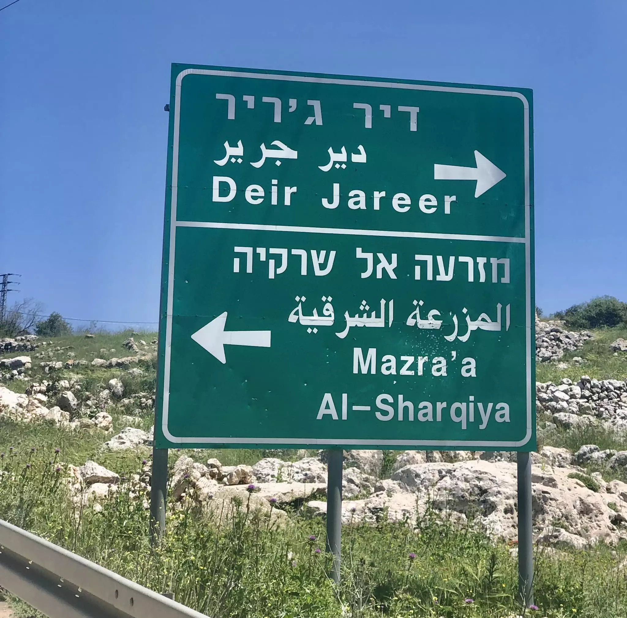
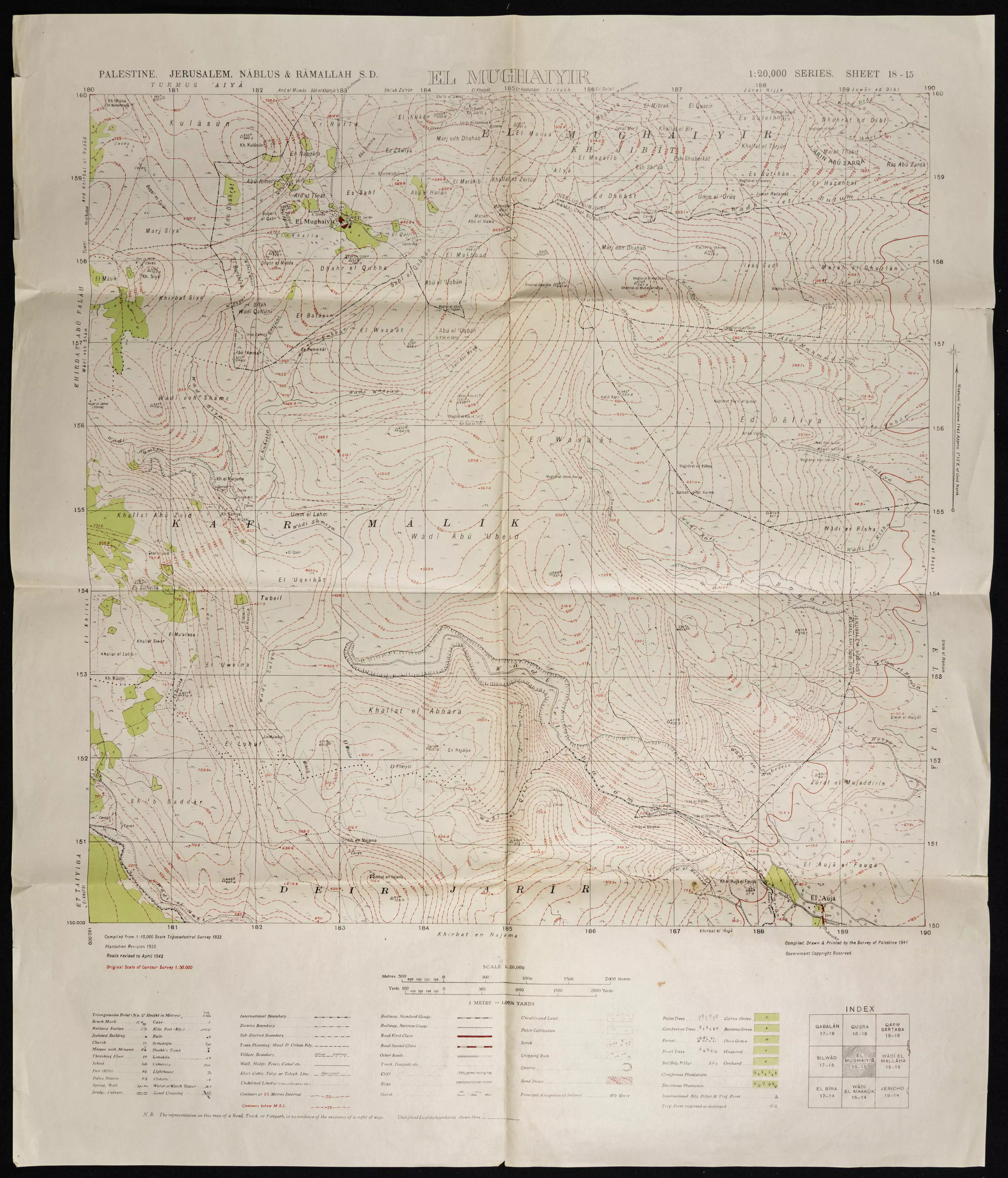
| Related Maps | Town Lands' Demarcation Maps خرائط للقضاء توضح حدود القرى والاودية View from satellite Town's map on MapQuest Help us map this town at WikiMapia |
||||||||||||||||||||
| Related Links | Wikipedia's Page Facebook Page ARIJ Guide Google Search Google For Images Google For Videos في كتاب بلادنا فلسطين دليل أريج المزيد من موقع هوية |
||||||||||||||||||||
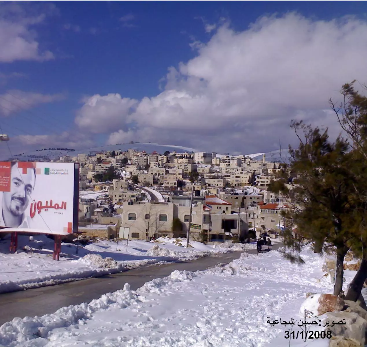
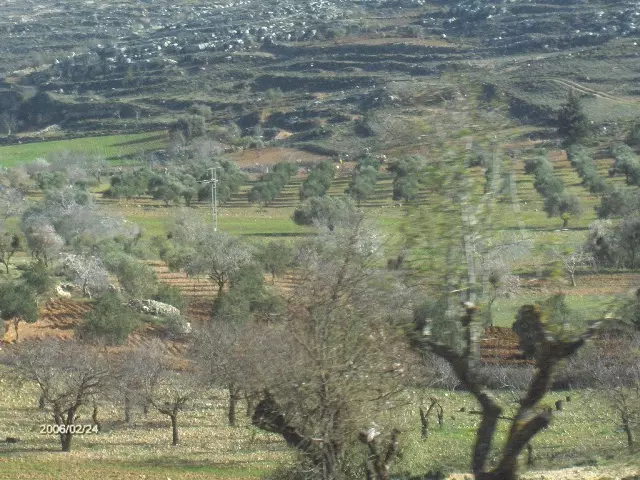
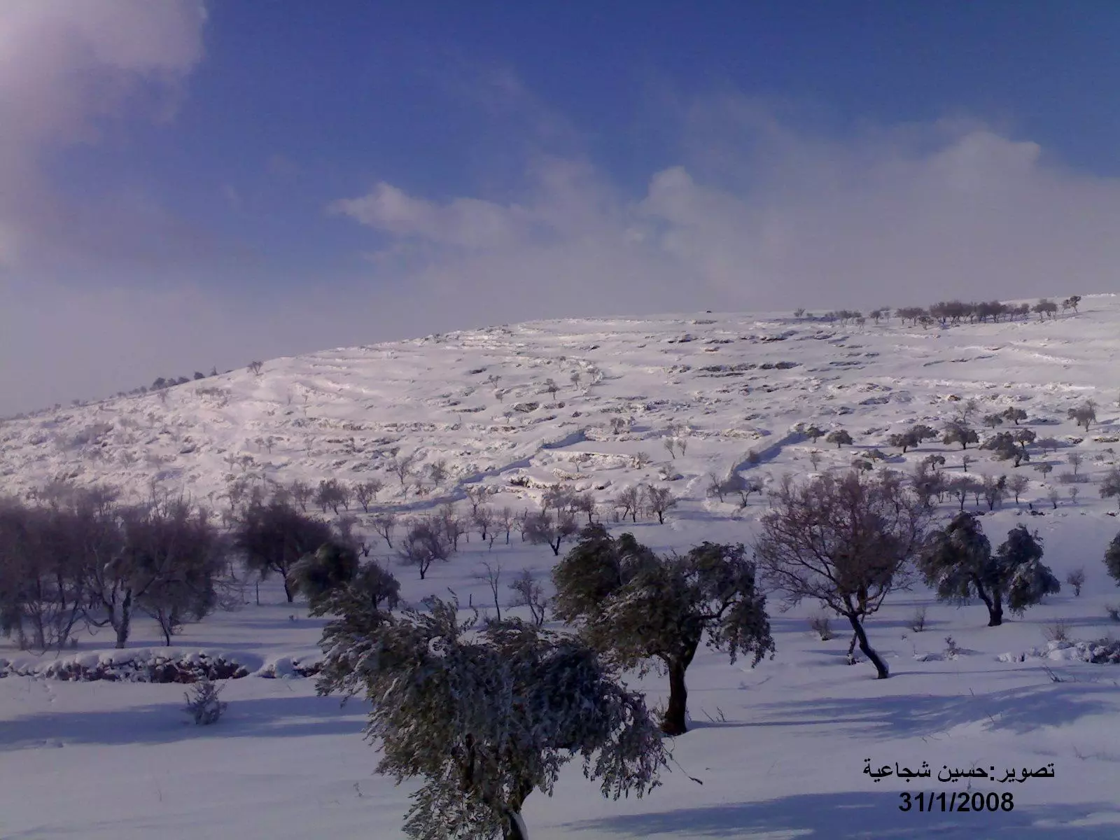
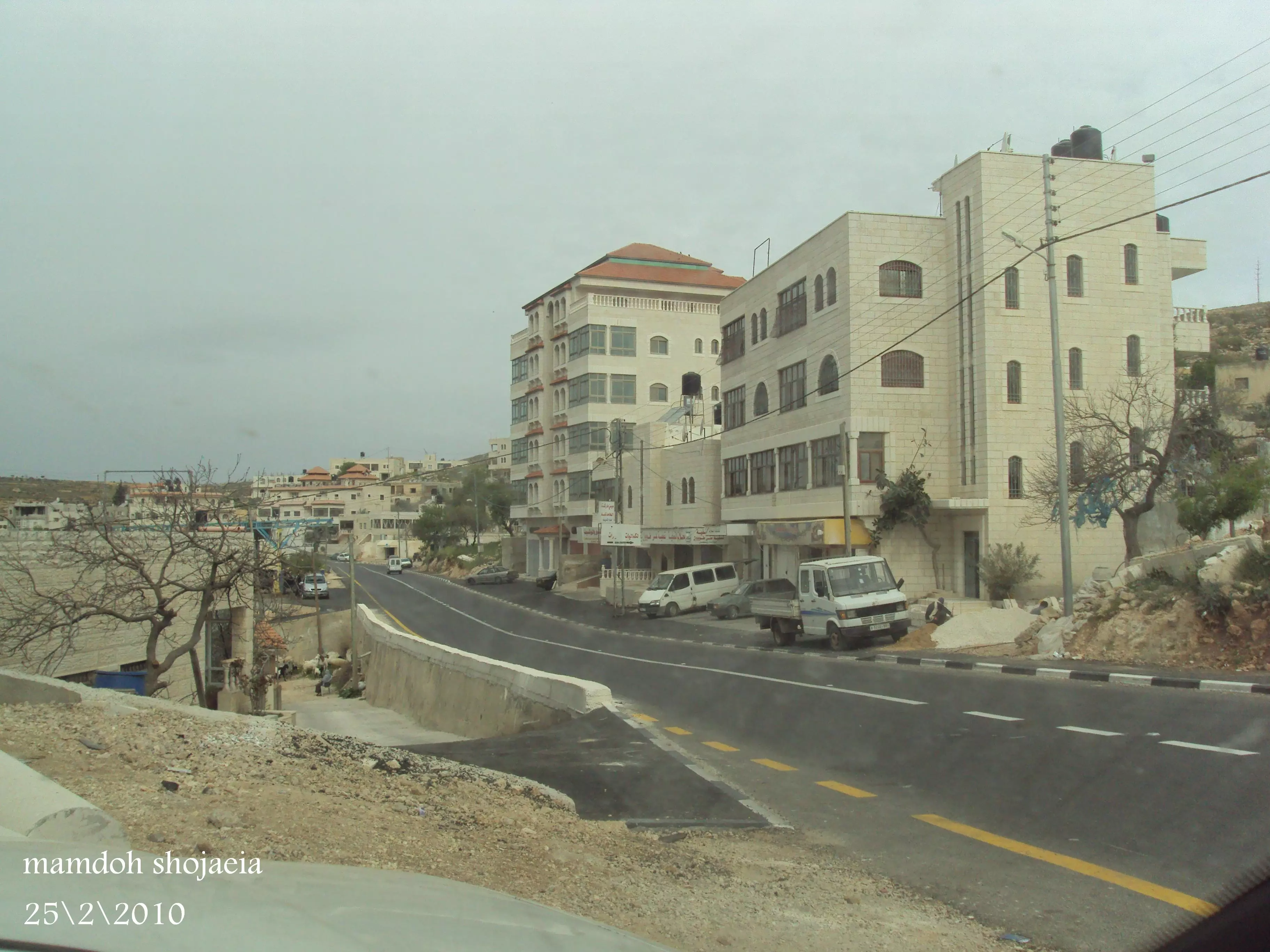
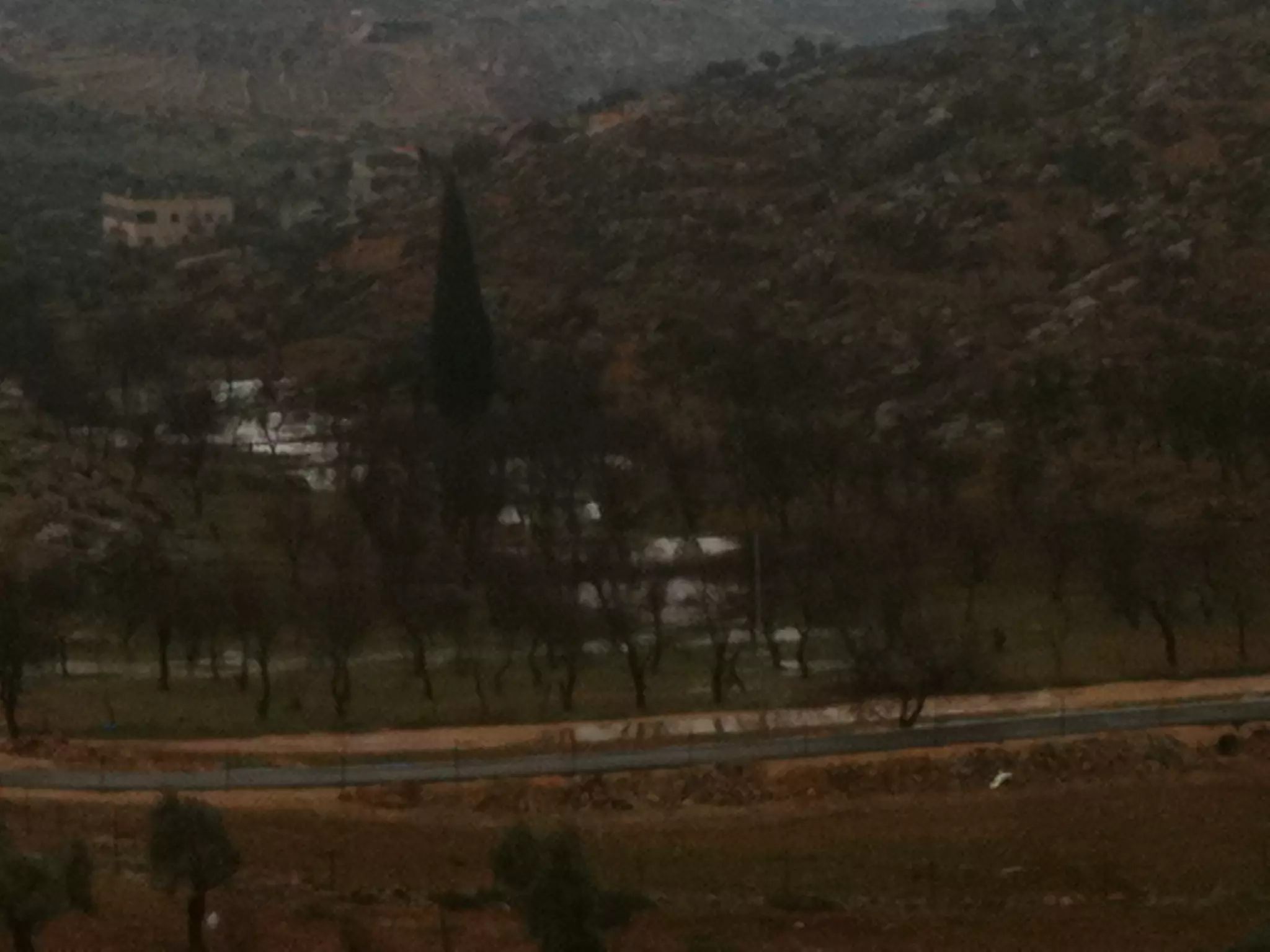
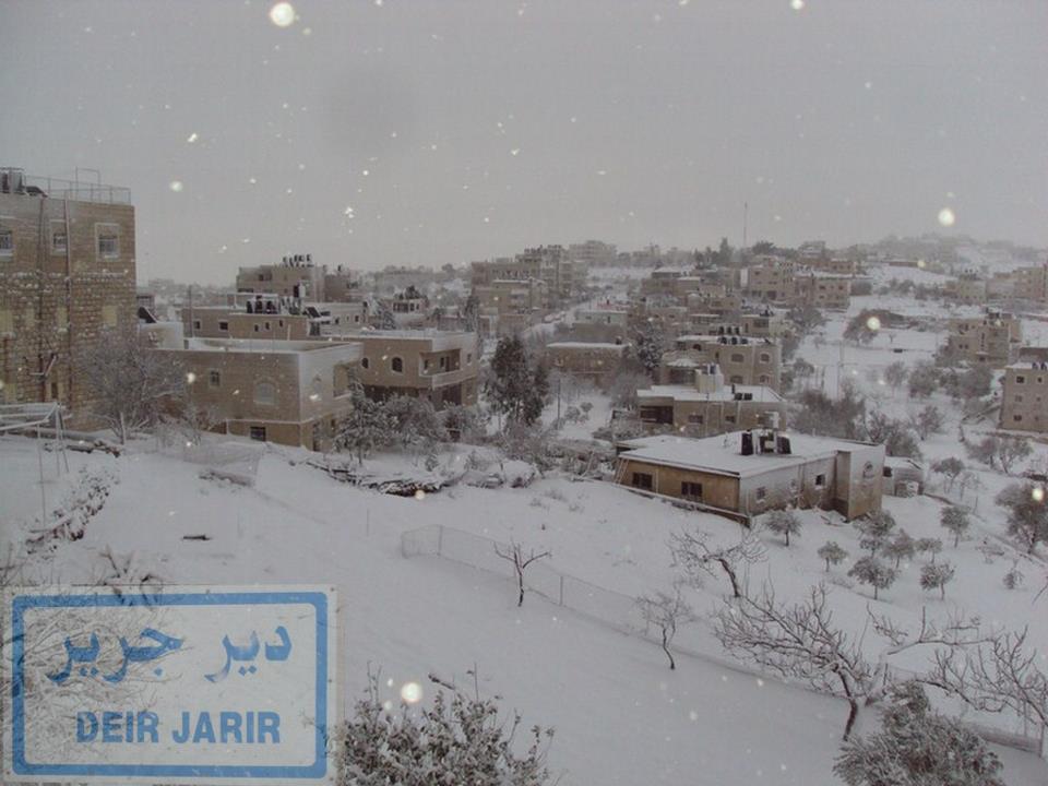
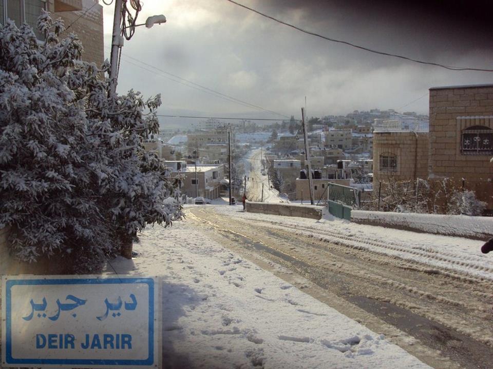
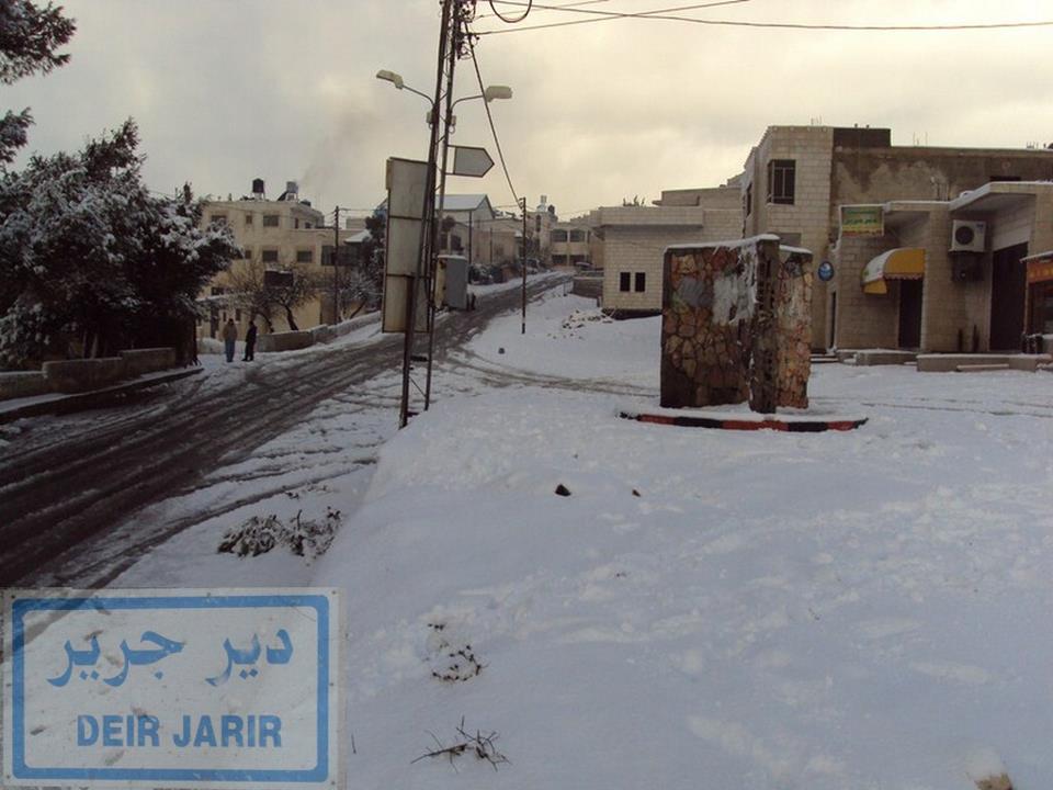
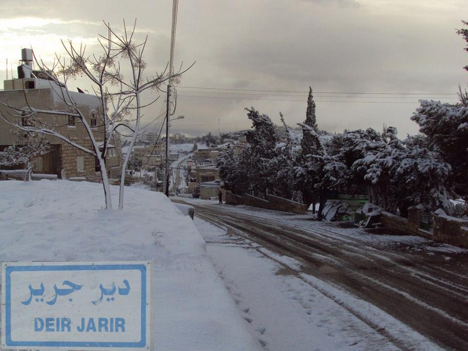
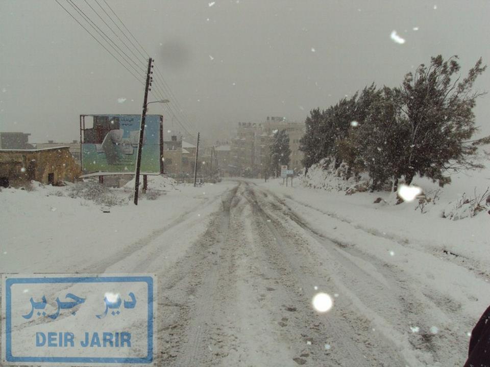
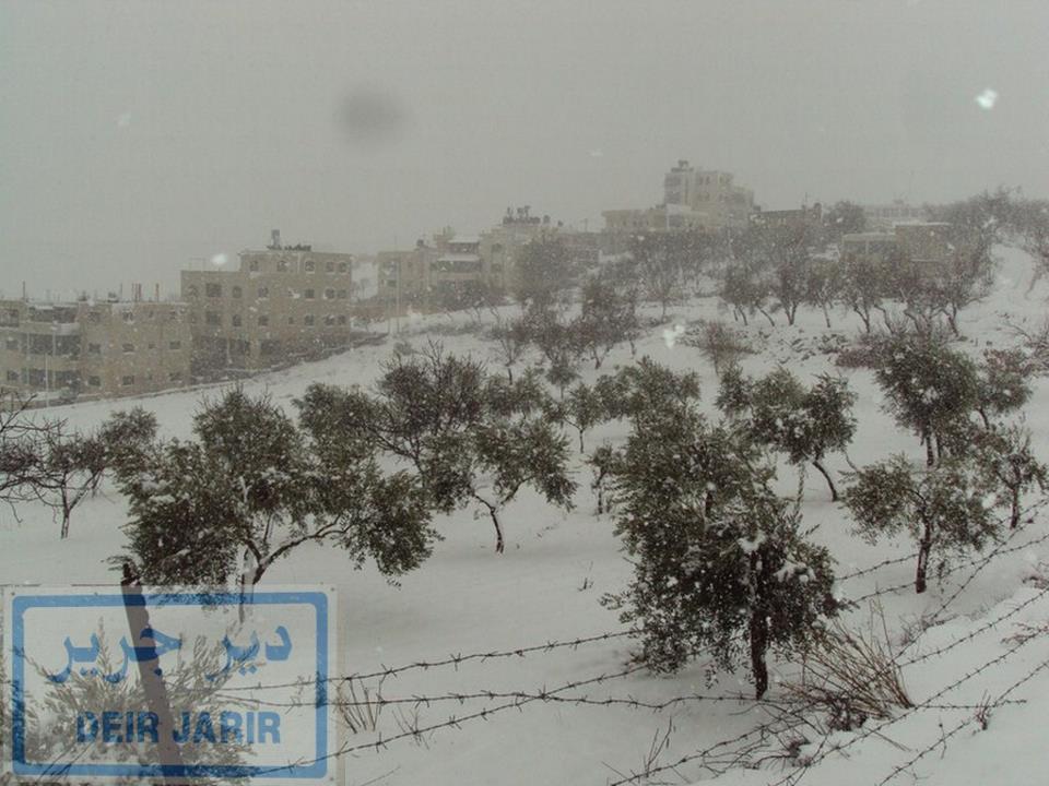
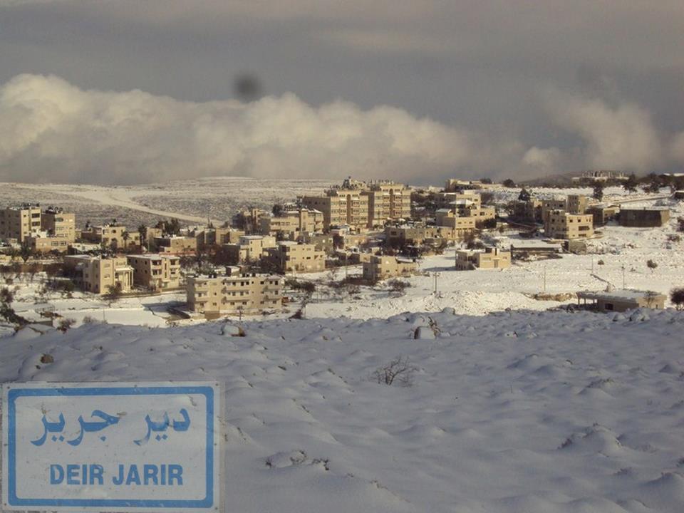
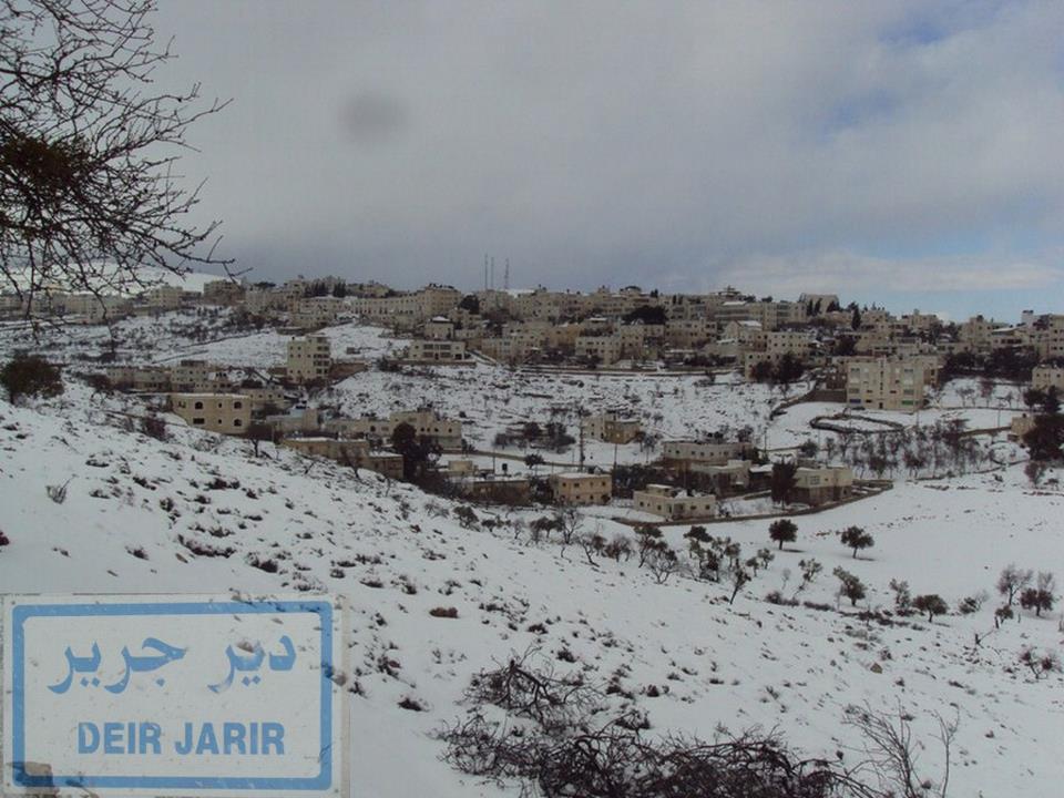
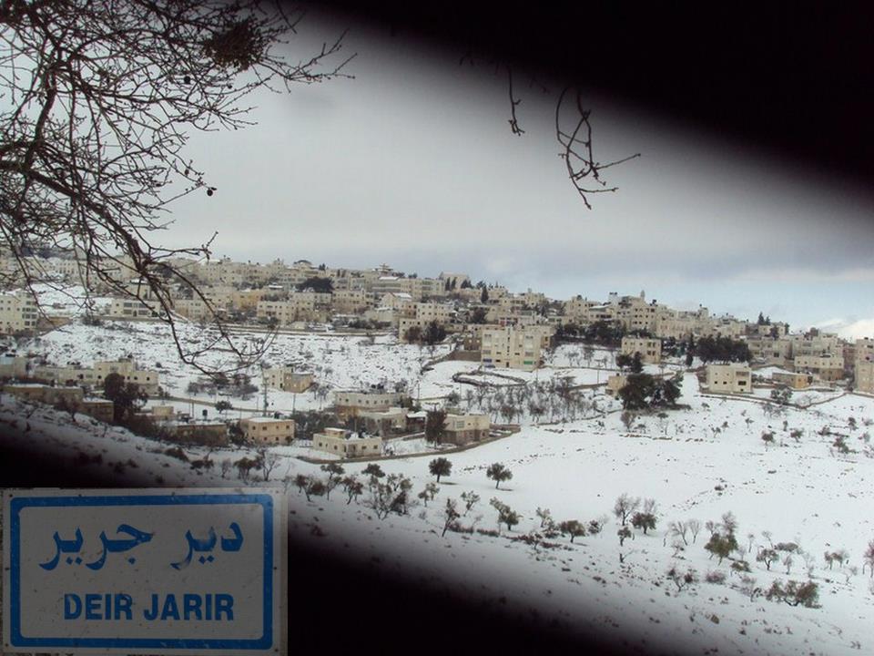
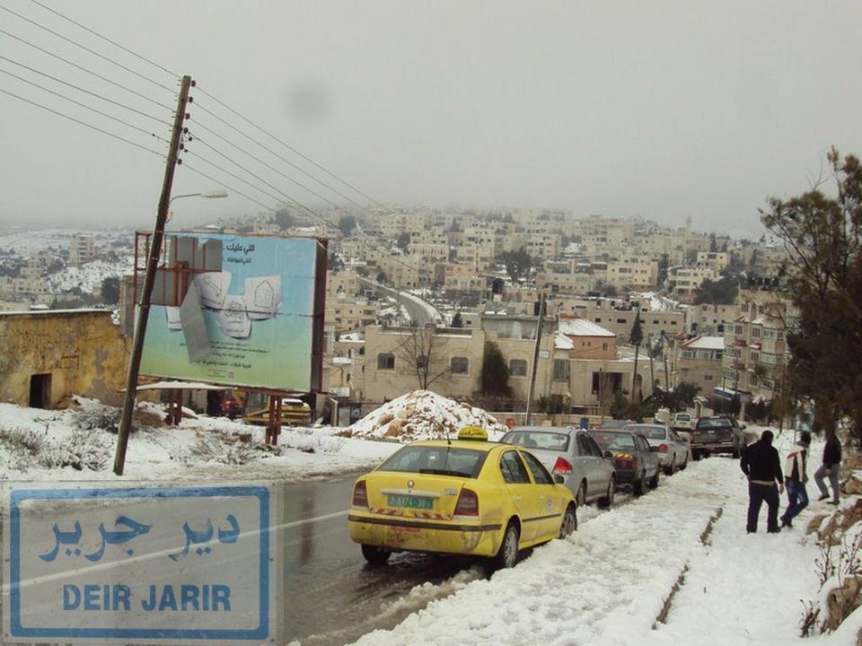
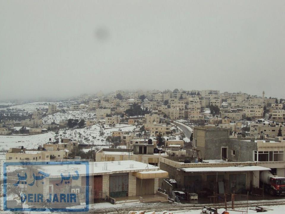
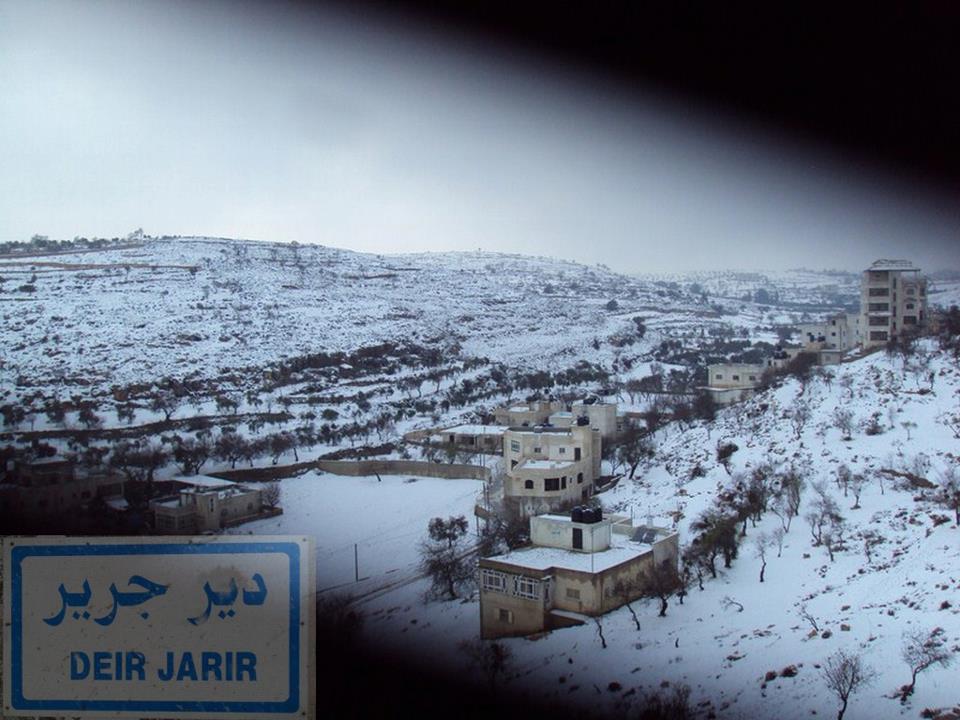
- شتاء ديرجرير
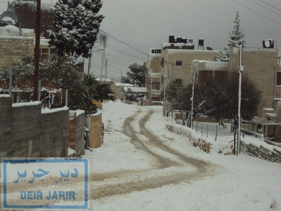
Posted by حسين شجاعية 13 - ربيع ديرجرير
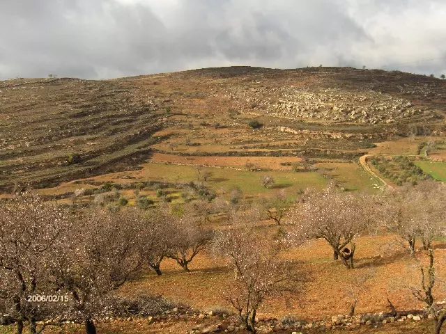
Posted by ASHRAF HAMDAN 5 - ربيع ديرجرير
Posted by ASHRAF HAMDAN 1 - دير جرير رام الله تصوير ناصر شحاده عوريف 0507559901
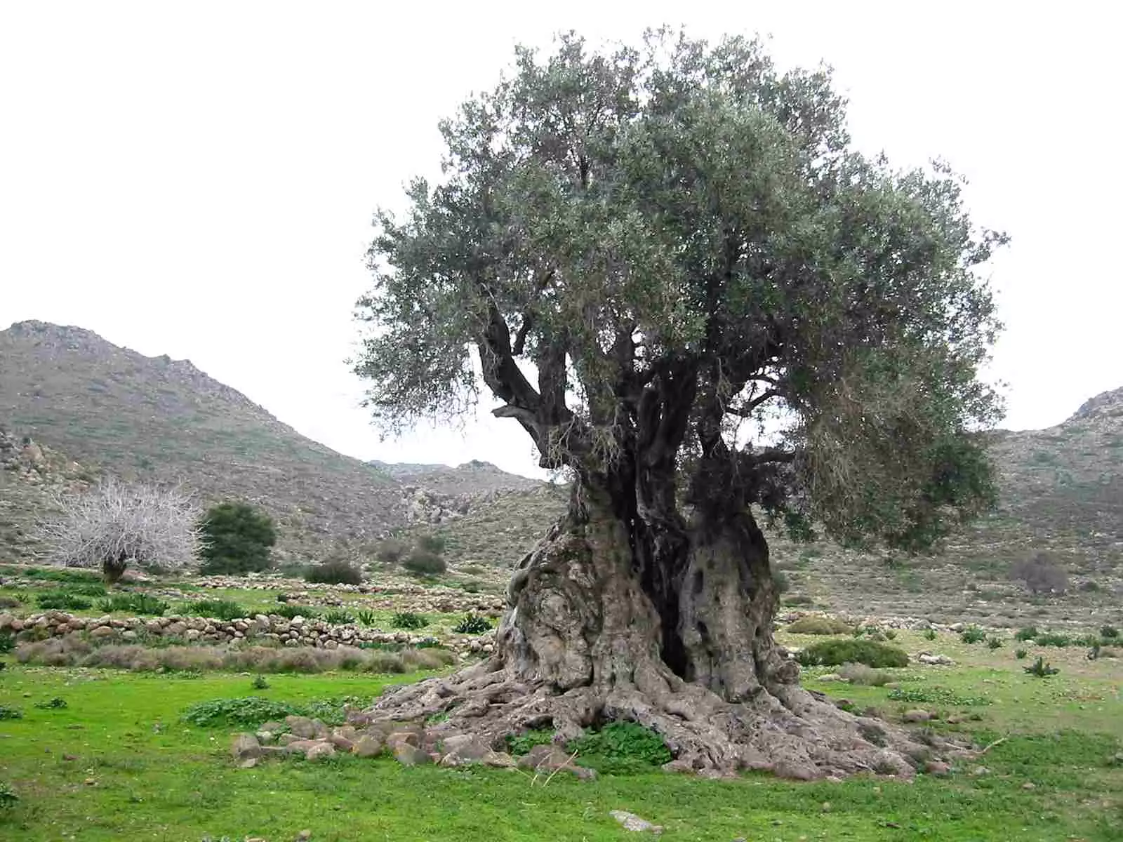
Posted by naser abed 2 - جذور القرية كجذور زيتونها
Posted by Hamed Abu Makhou 11 - شتاء ديرجرير
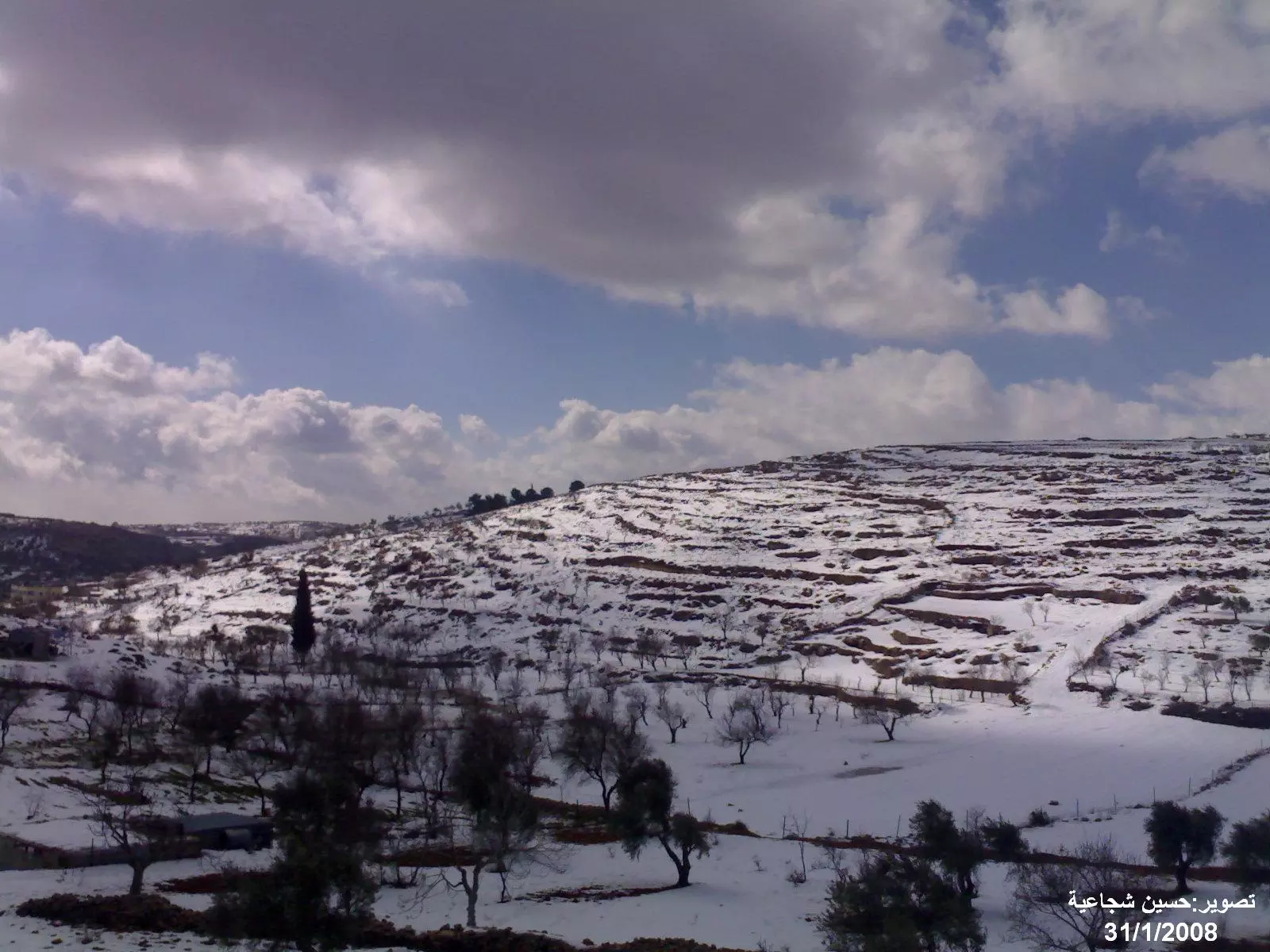
Posted by حسين شجاعية 5 - شتاء ديرجرير
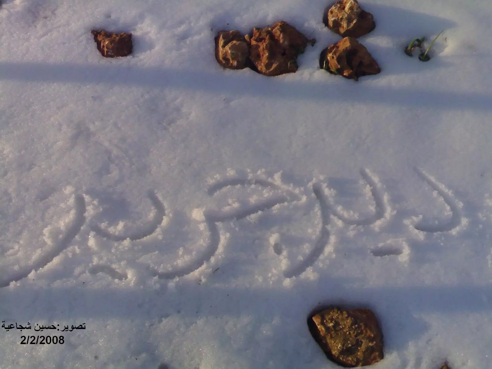
Posted by حسين شجاعية 5 - شتاء ديرجرير
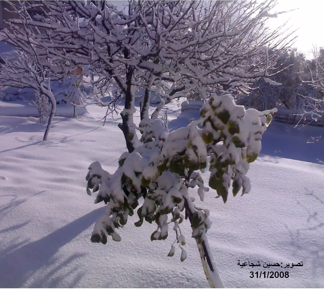
Posted by حسين شجاعية 5 - شتاء ديرجرير
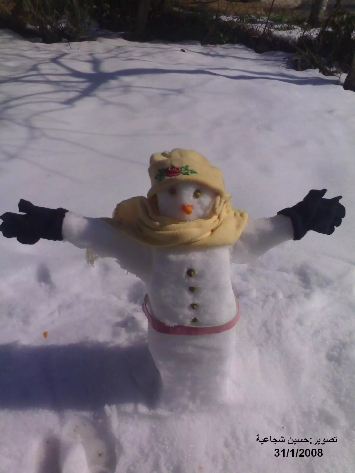
Posted by حسين شجاعية 3 - شتاء ديرجرير
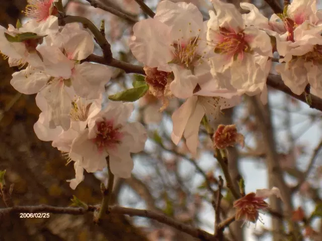
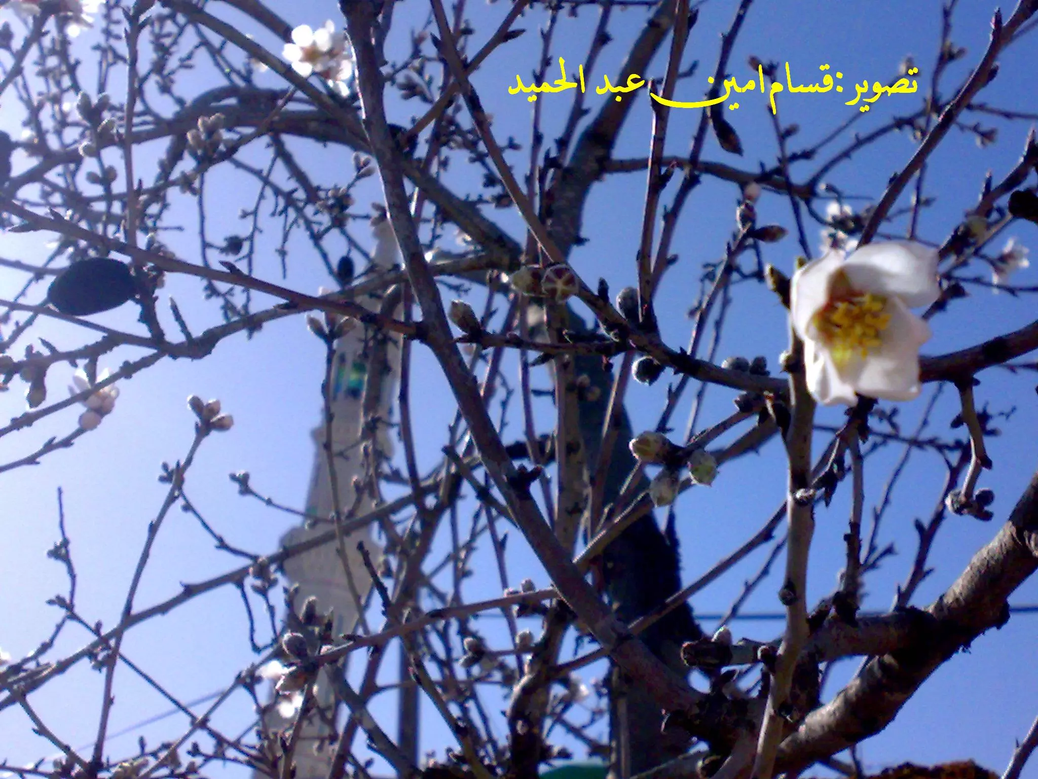
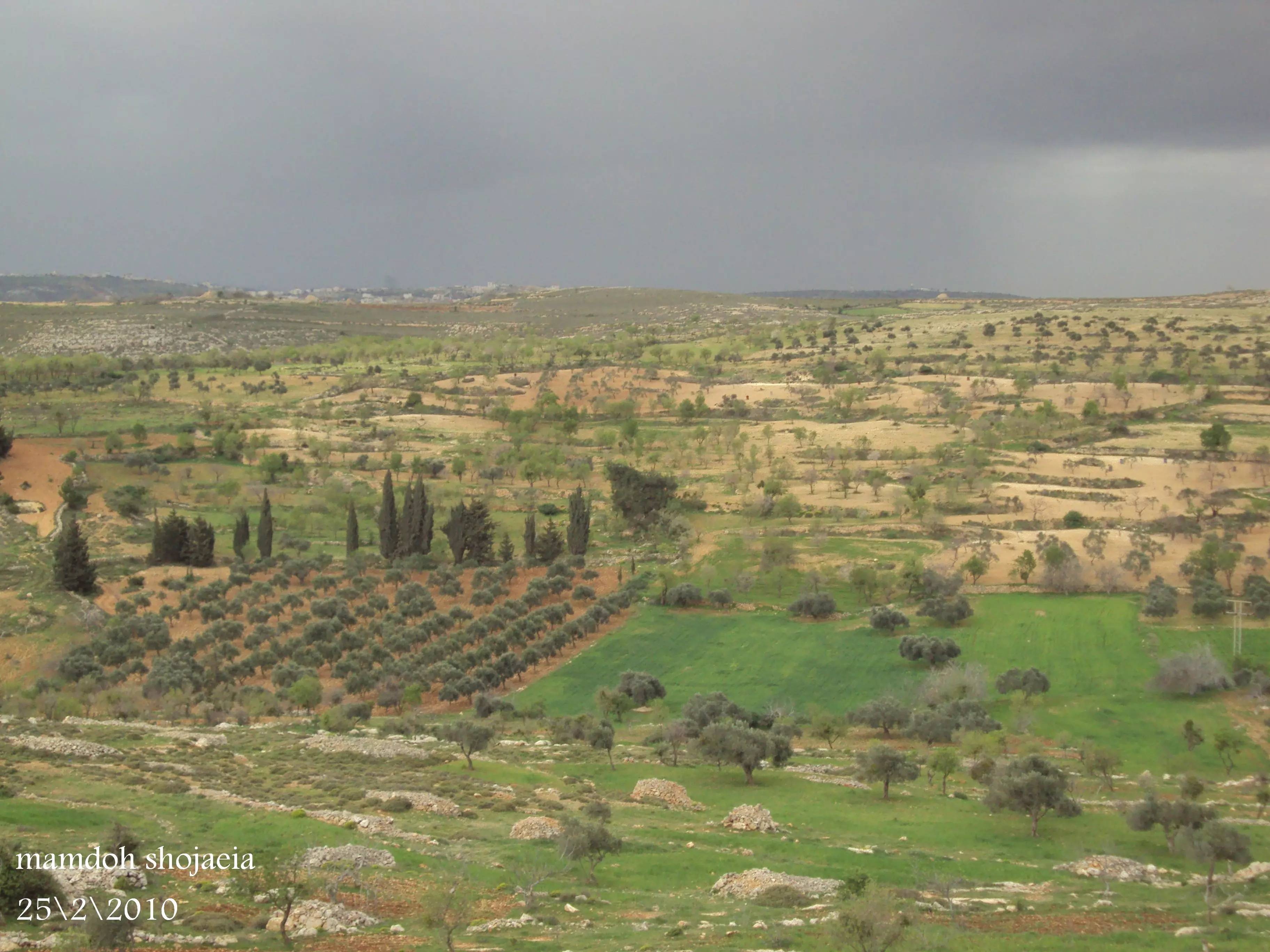
Posted by حسين شجاعية 5 - أزهار اللوز في دير جرير
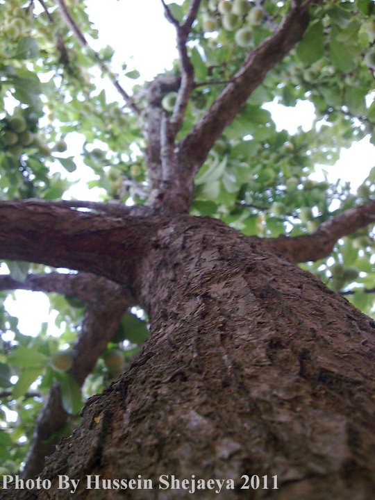
Posted by Hamed Abu Makhou 7 - زهر اللوز
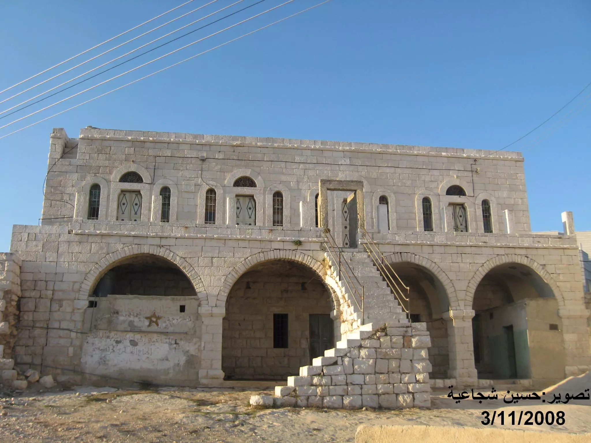
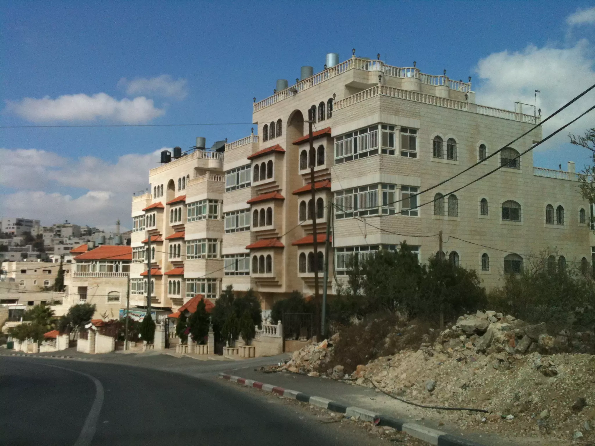
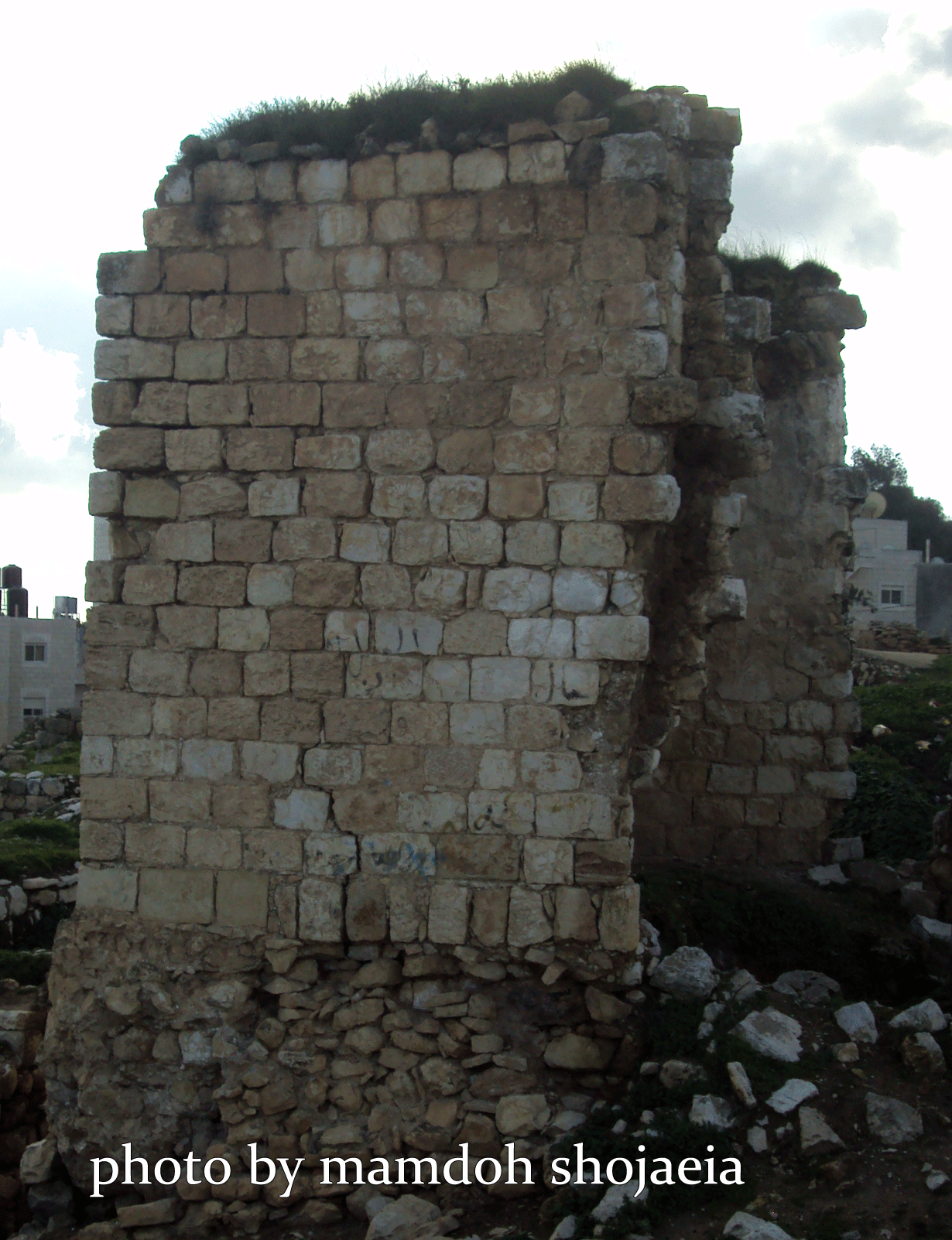
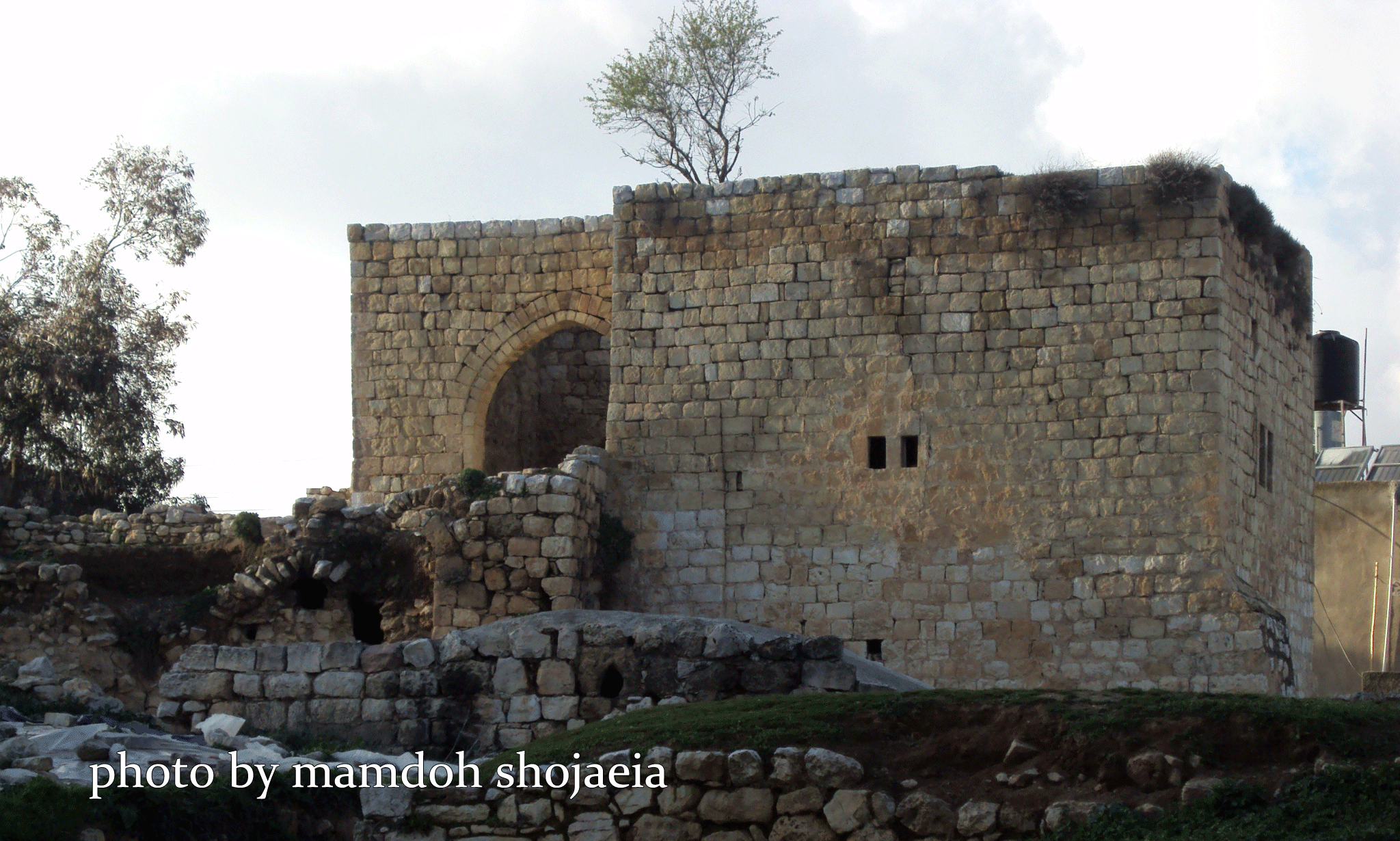
Posted by ASHRAF HAMDAN 2 - قصر الذكريات
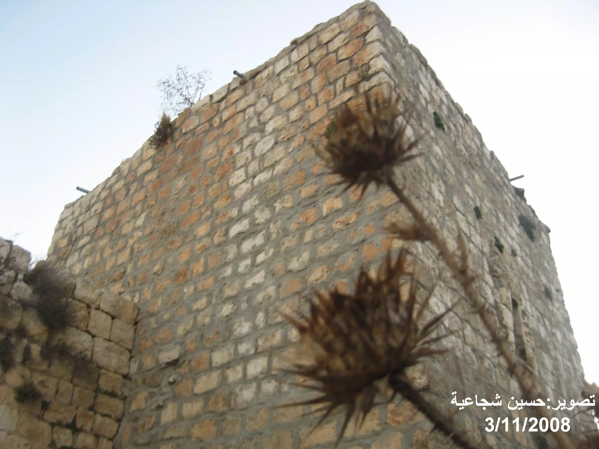
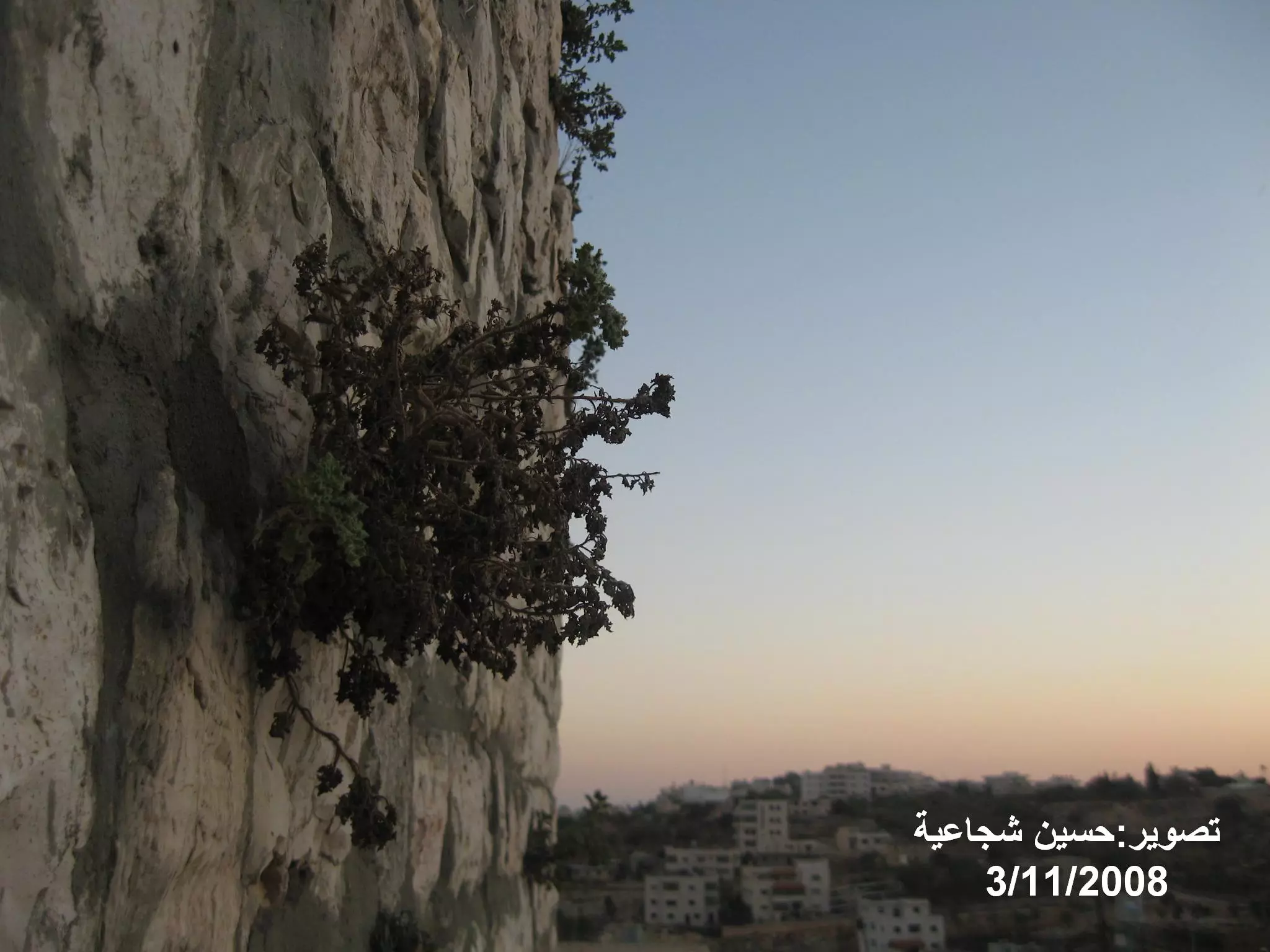
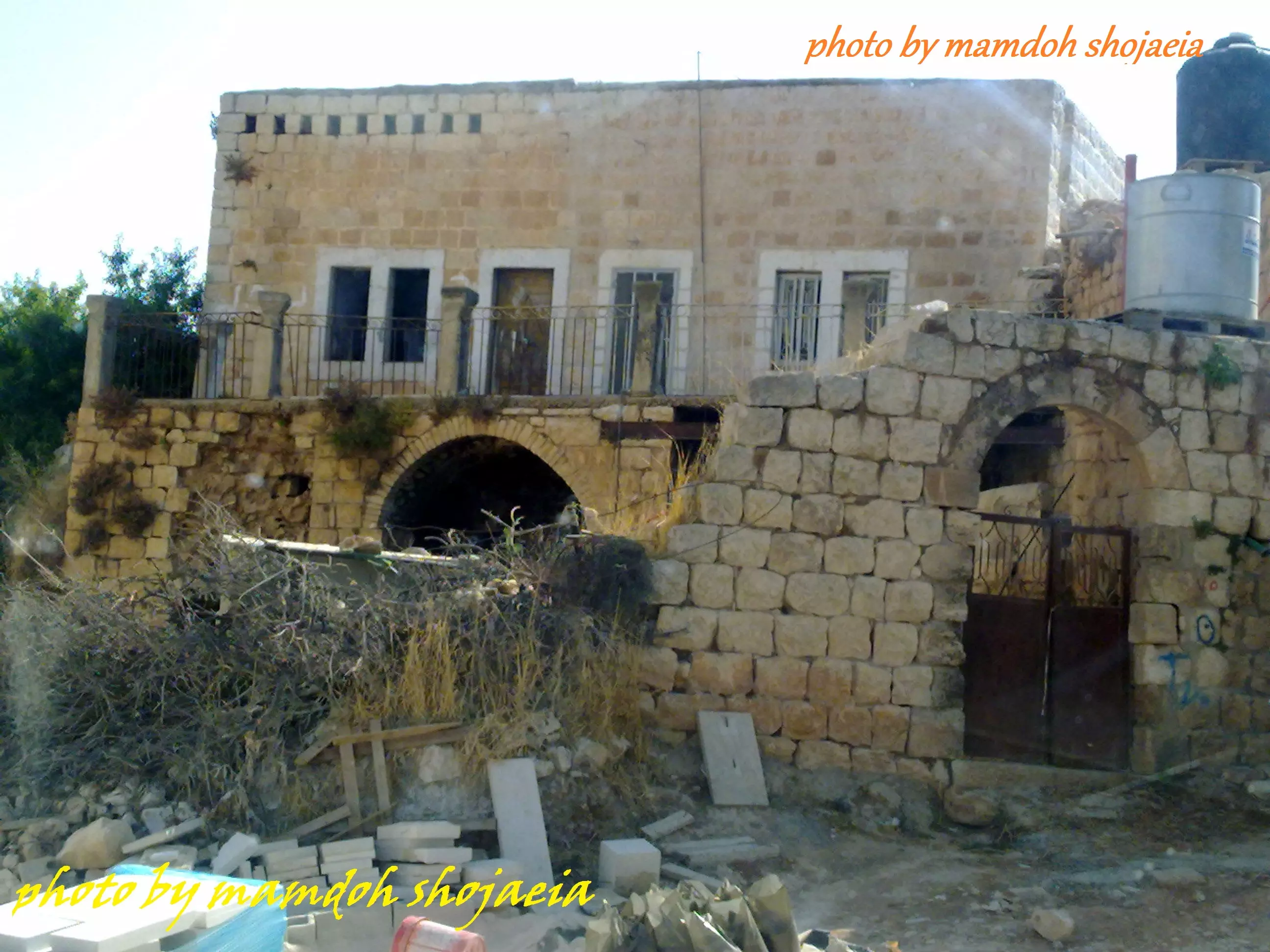
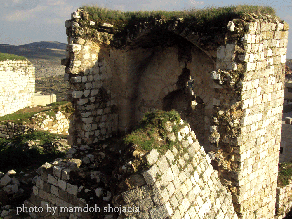
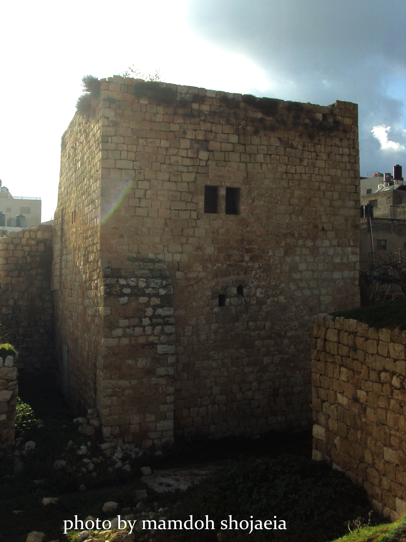
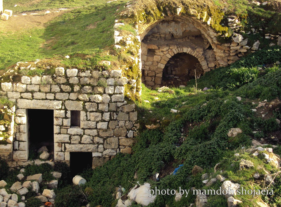
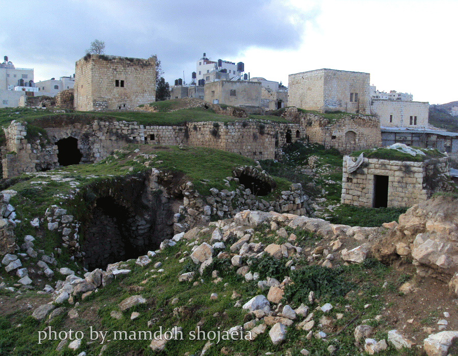
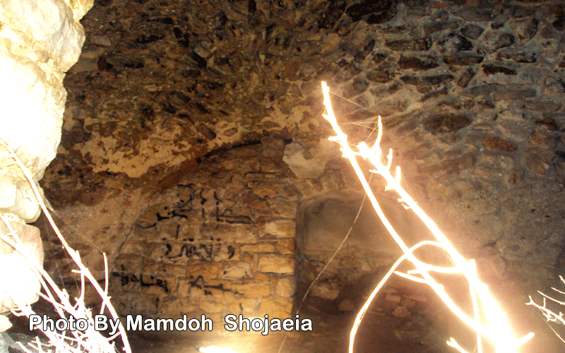
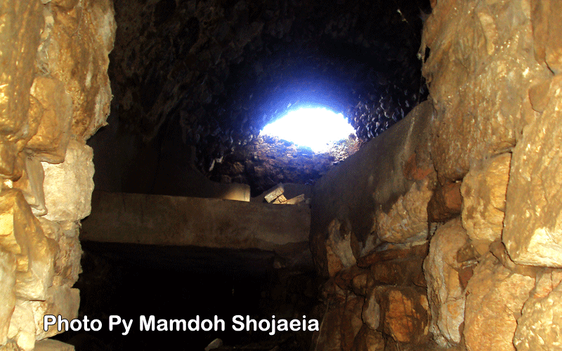
Posted by ASHRAF HAMDAN 1 - البلدة القديمة
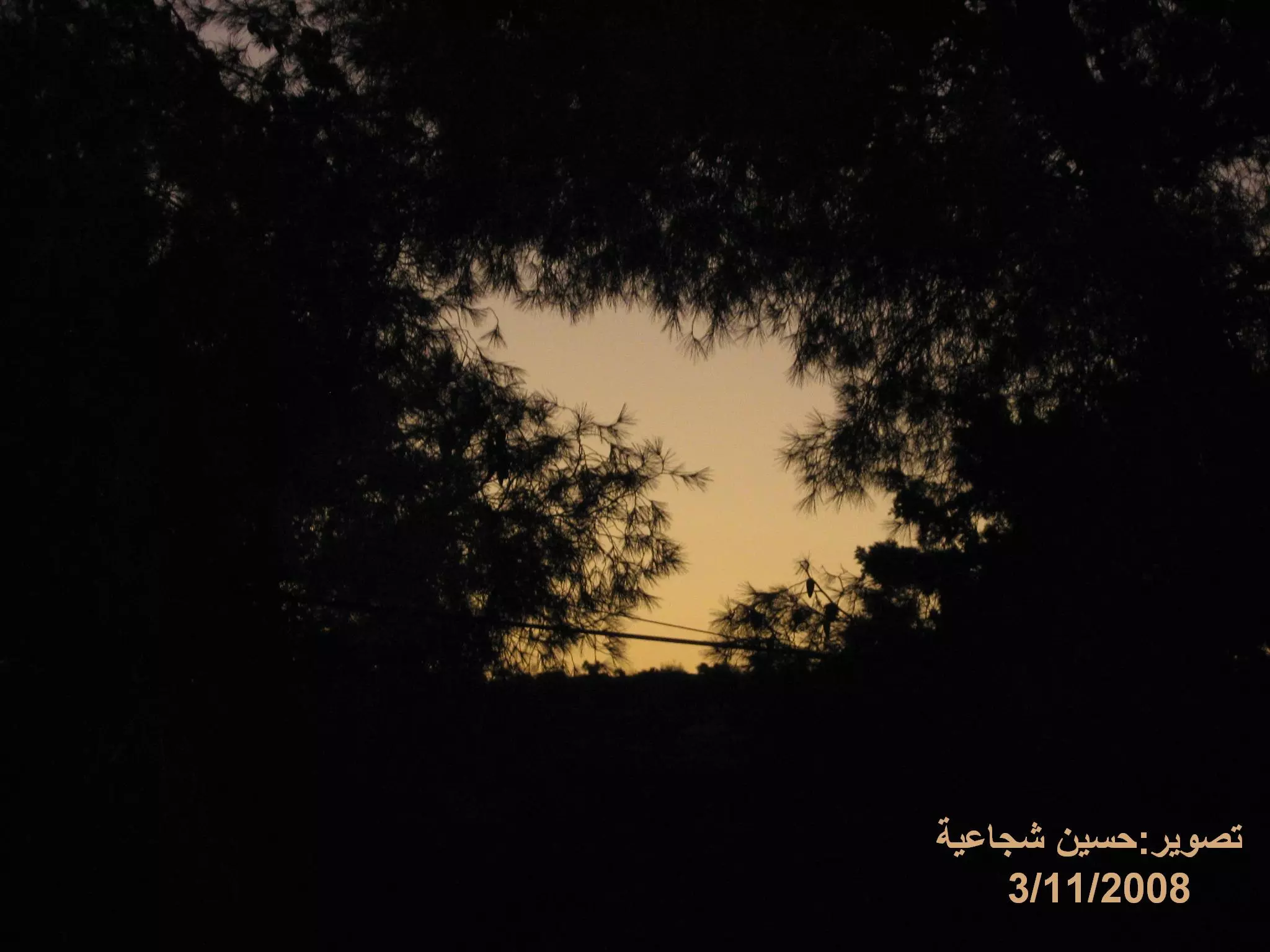
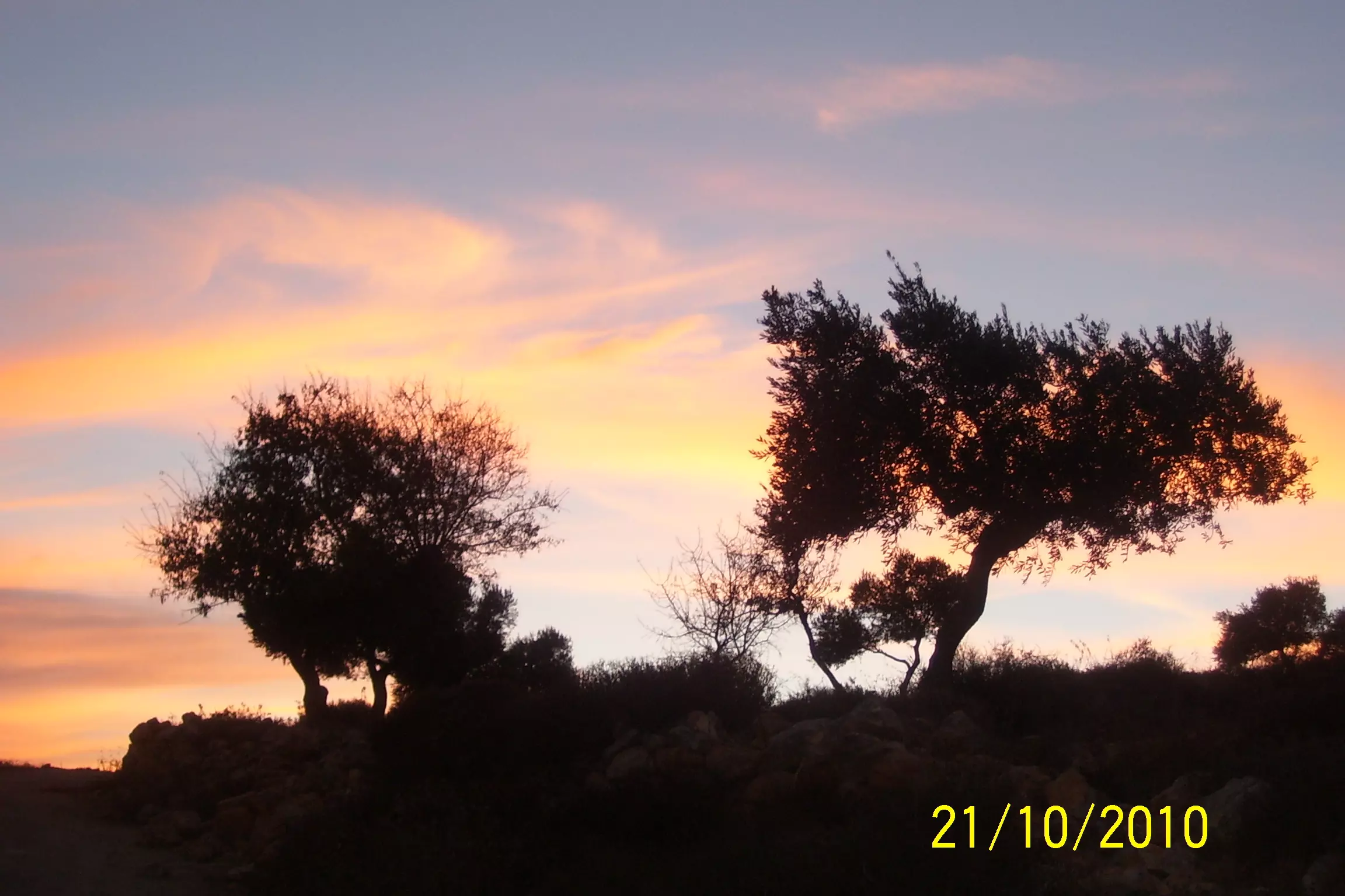
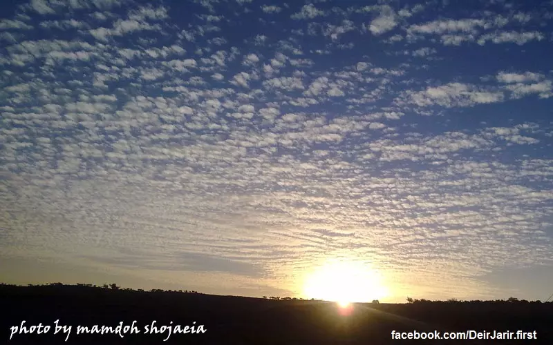
Posted by حسين شجاعية 5 - الغرووب
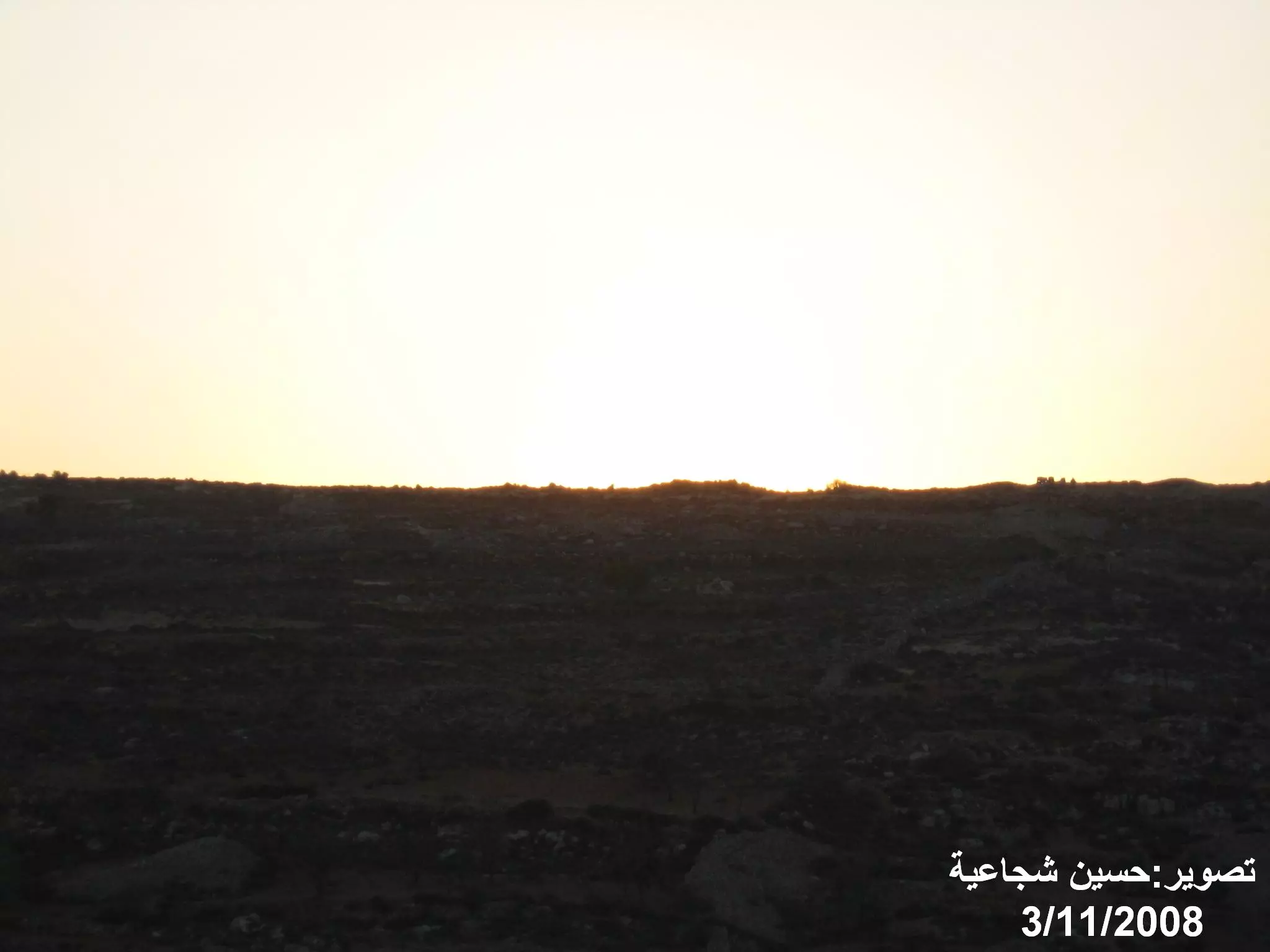
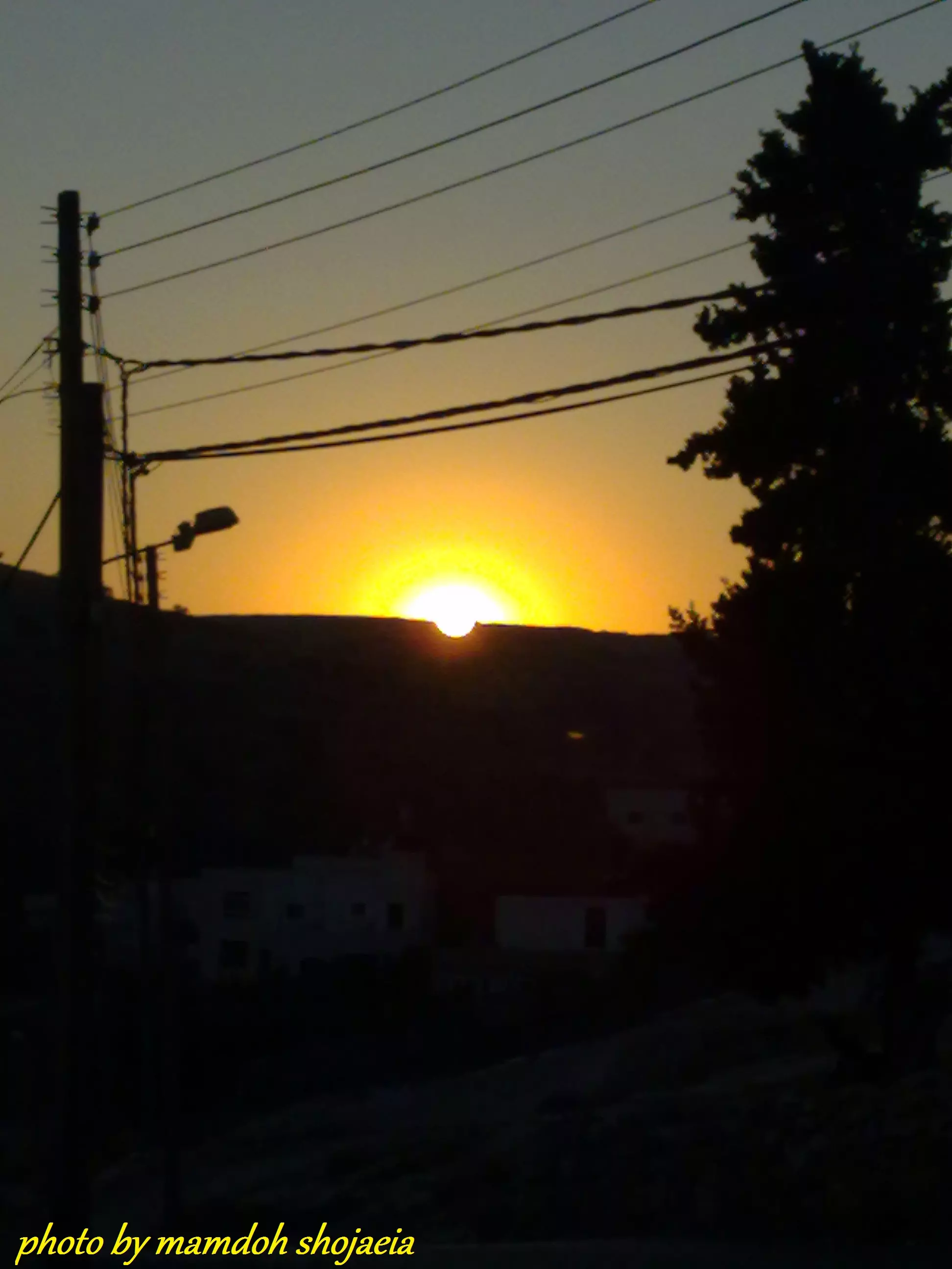
Posted by حسين شجاعية - الغرووب
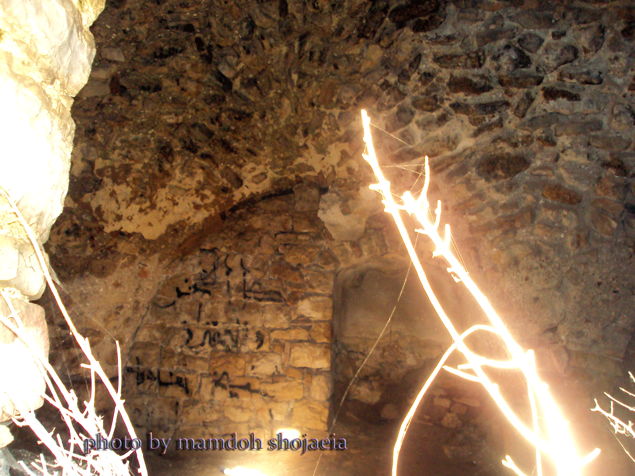
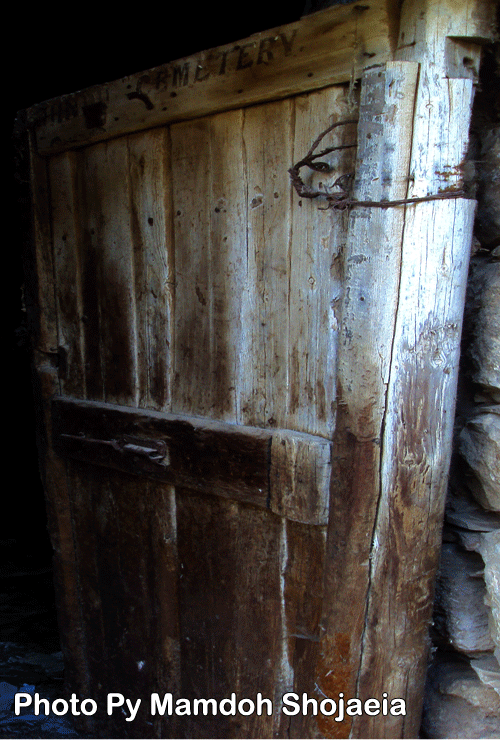
Posted by حسين شجاعية 1 - الابنة القديمة
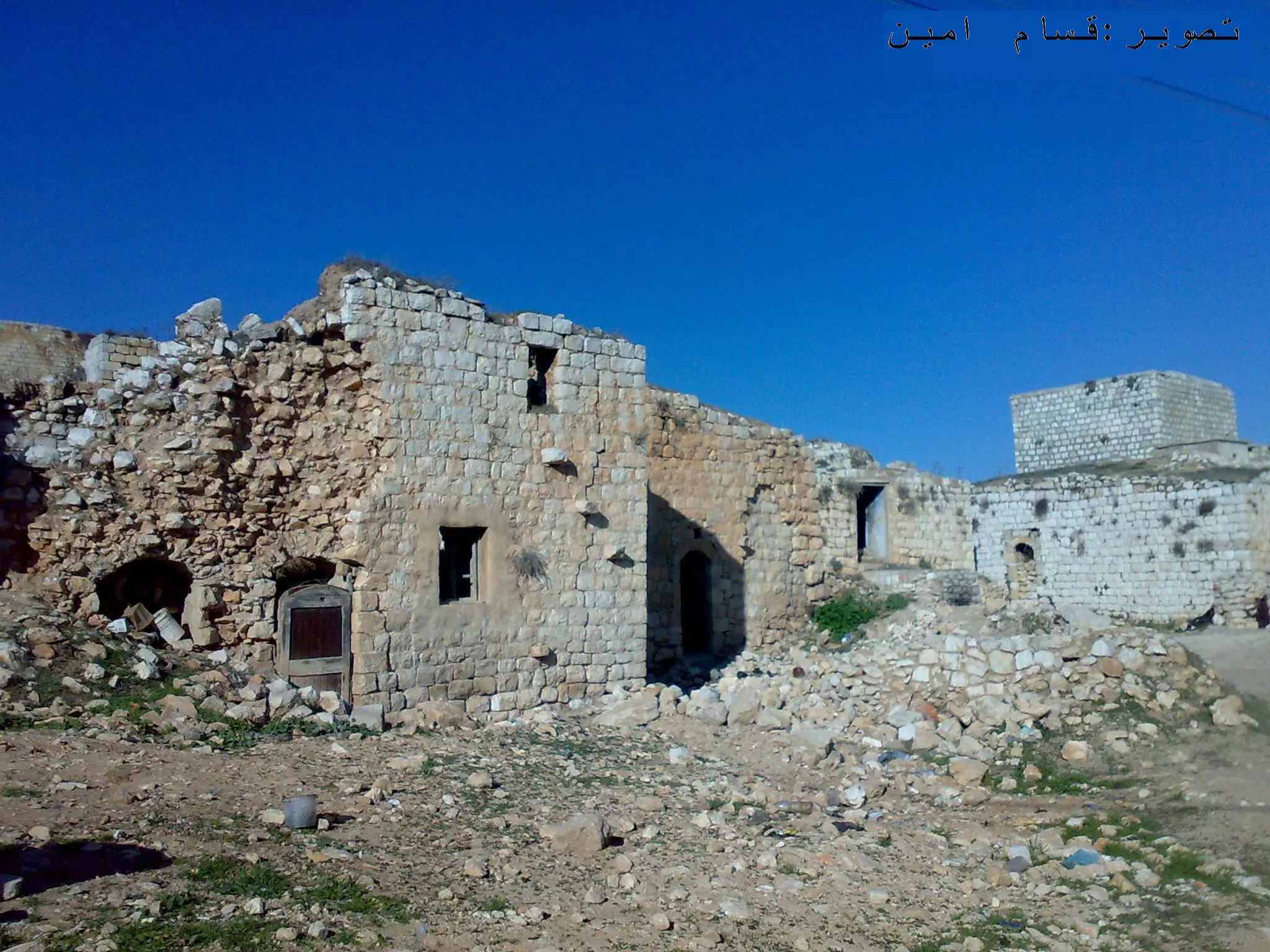
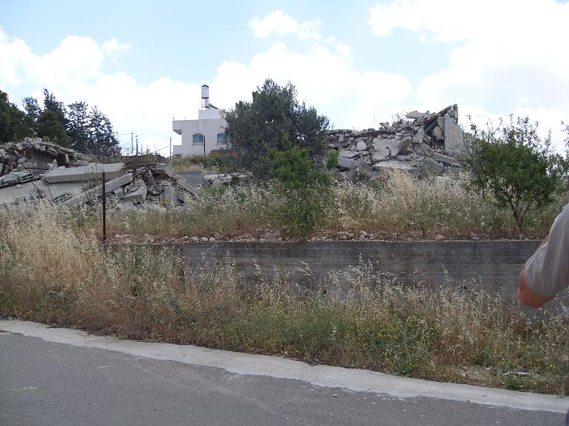
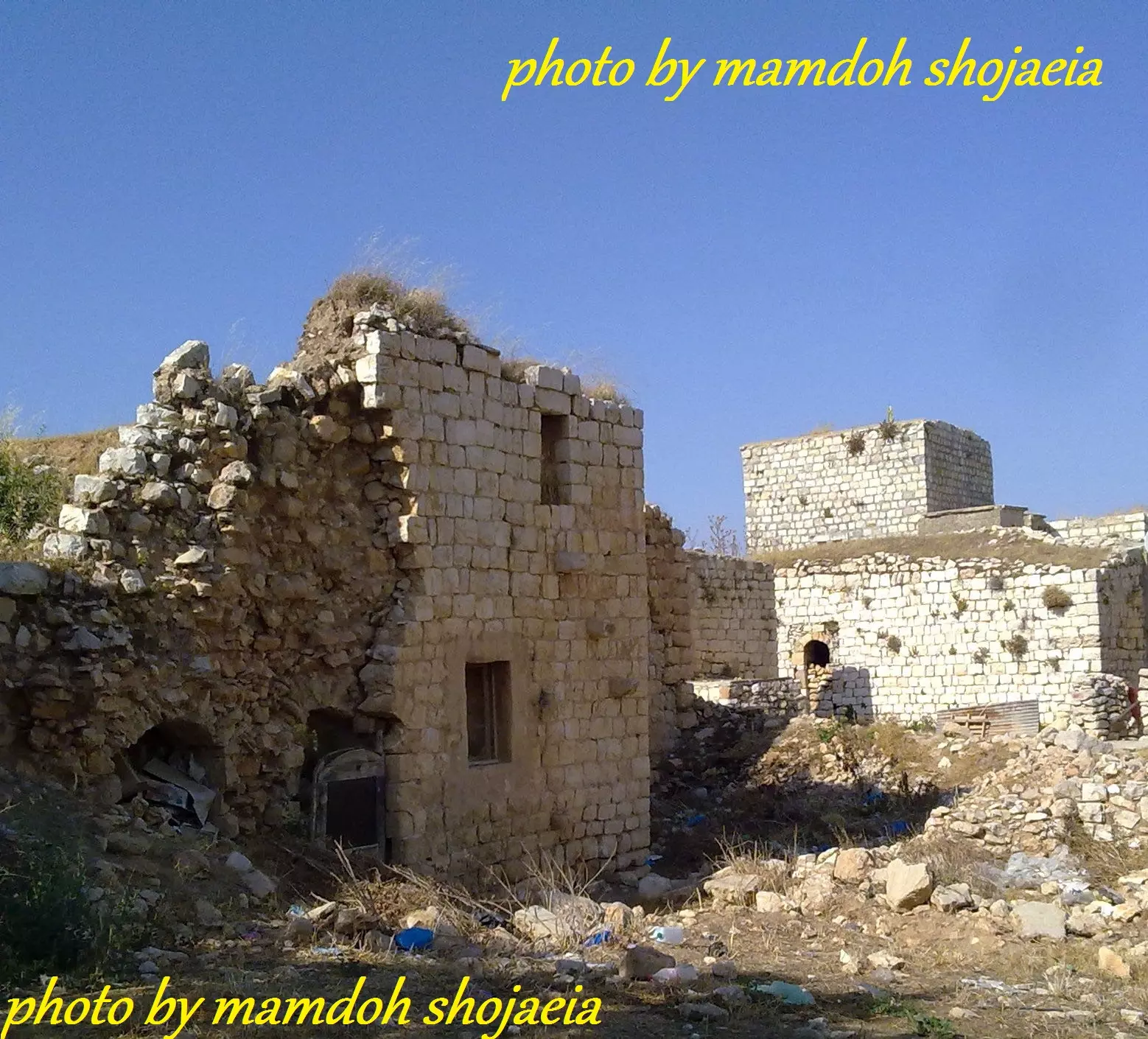
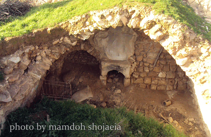
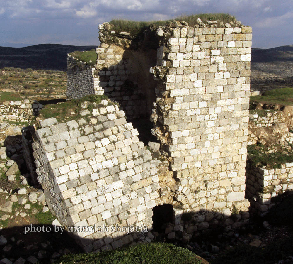
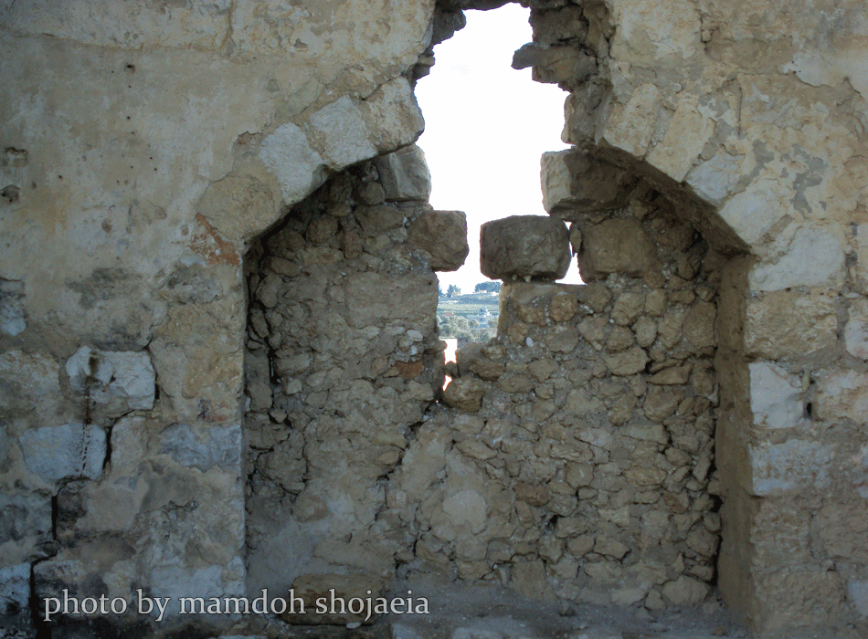
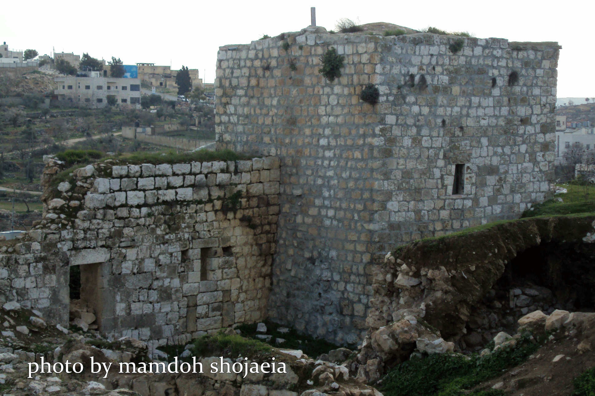
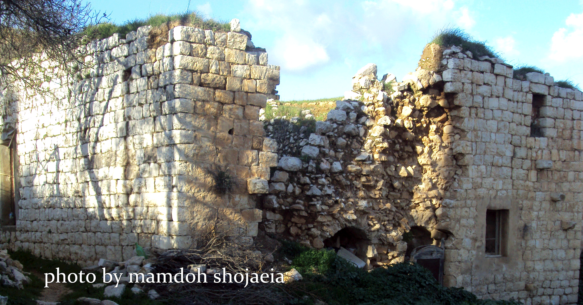
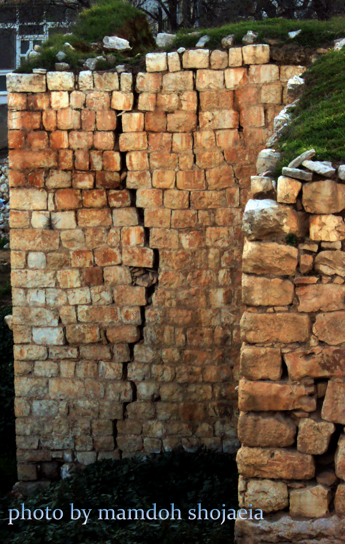
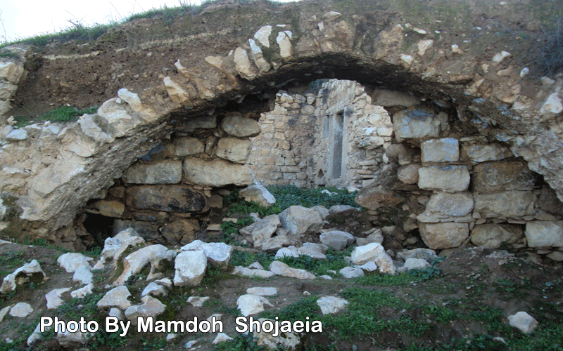
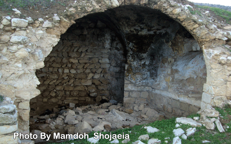
Posted by حسين شجاعية 8 - دمار في البلدة القديمة
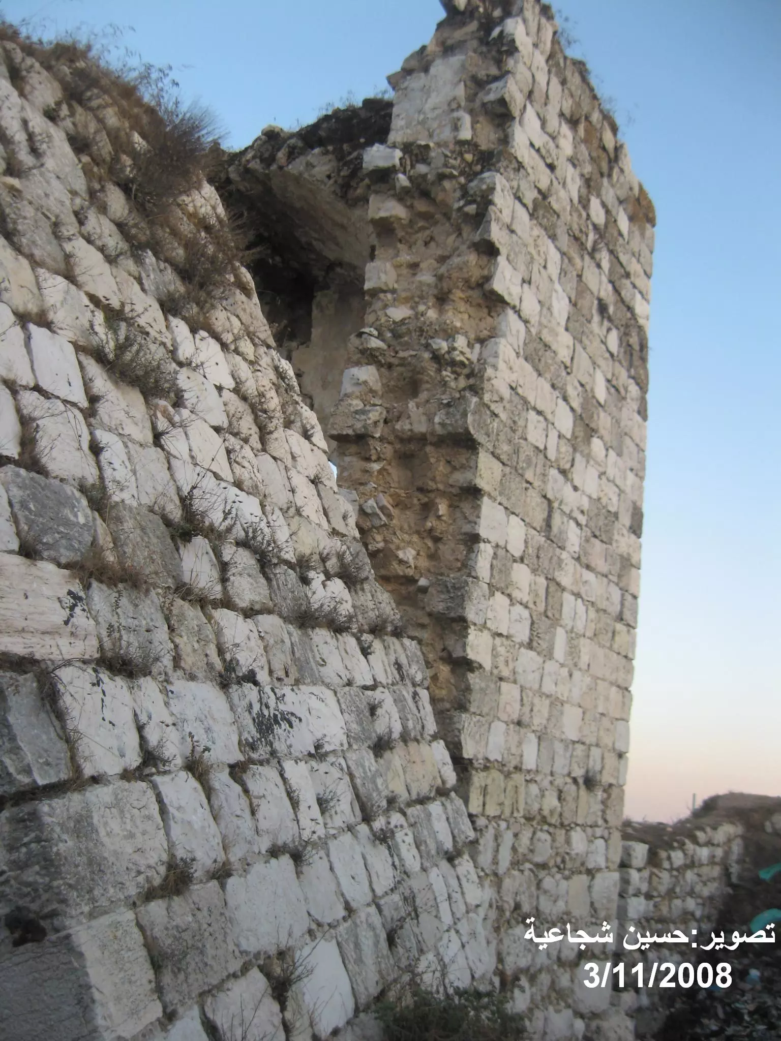
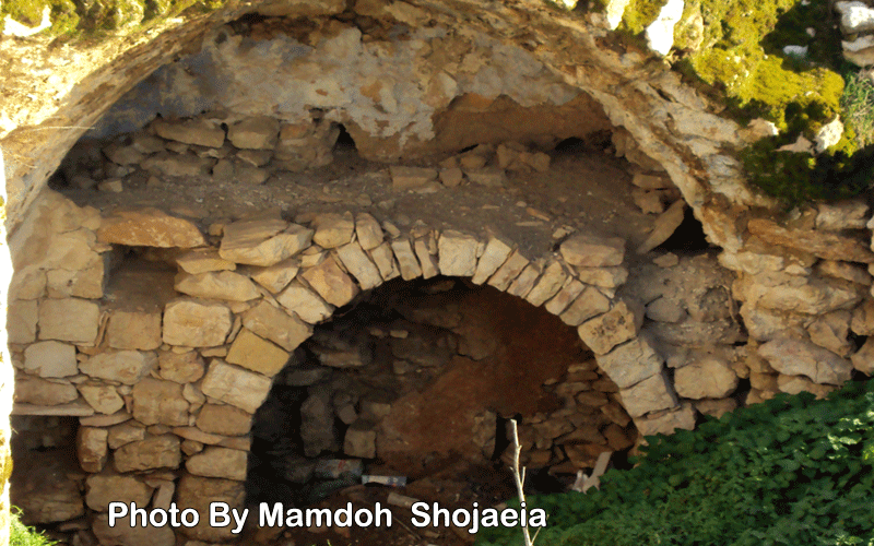
Posted by حسين شجاعية 3 - البلدة القديمة
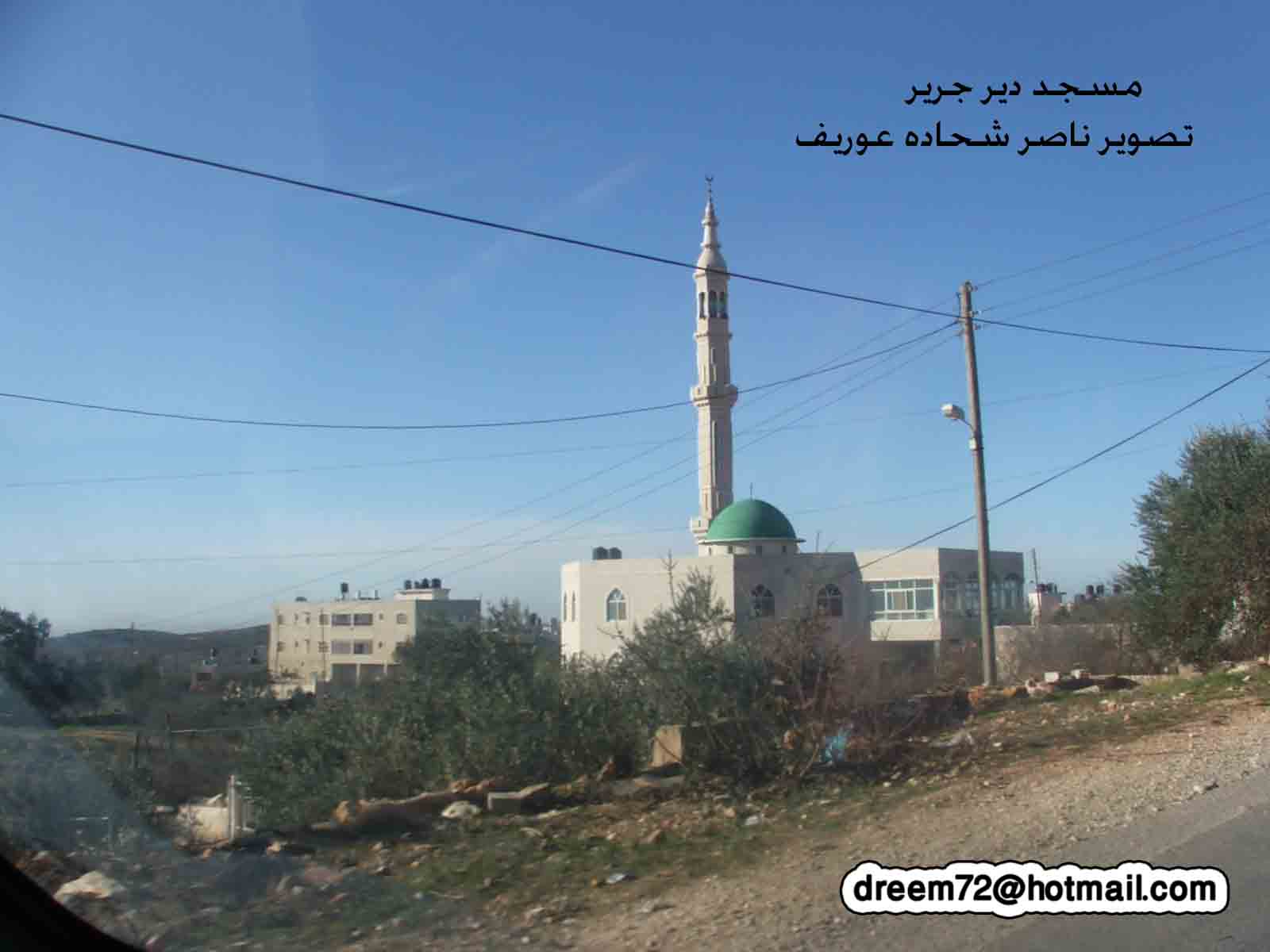
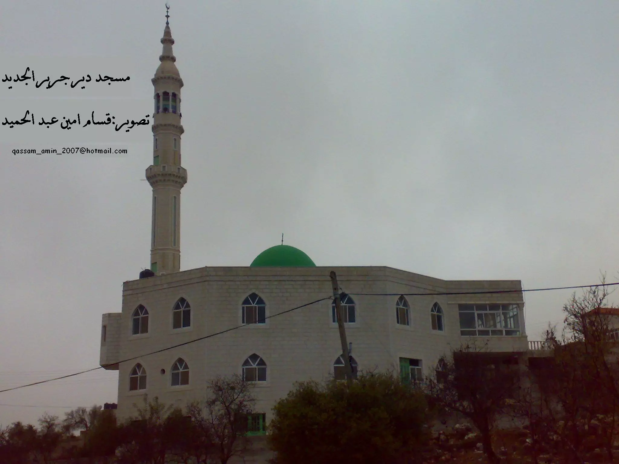
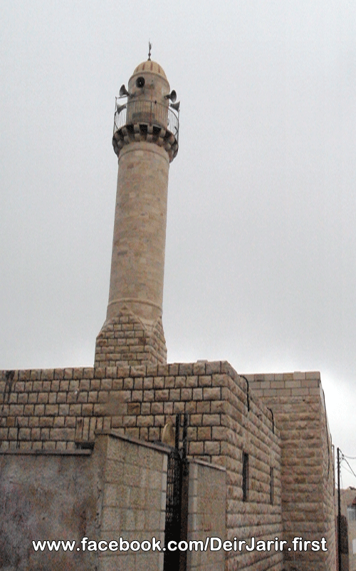
Posted by حسين شجاعية 1 - مسجد بر الوالدين
Posted by قسام امين 2 - غروب الشمس في ديرجرير تصوير مصطفى امين عبد الحميد
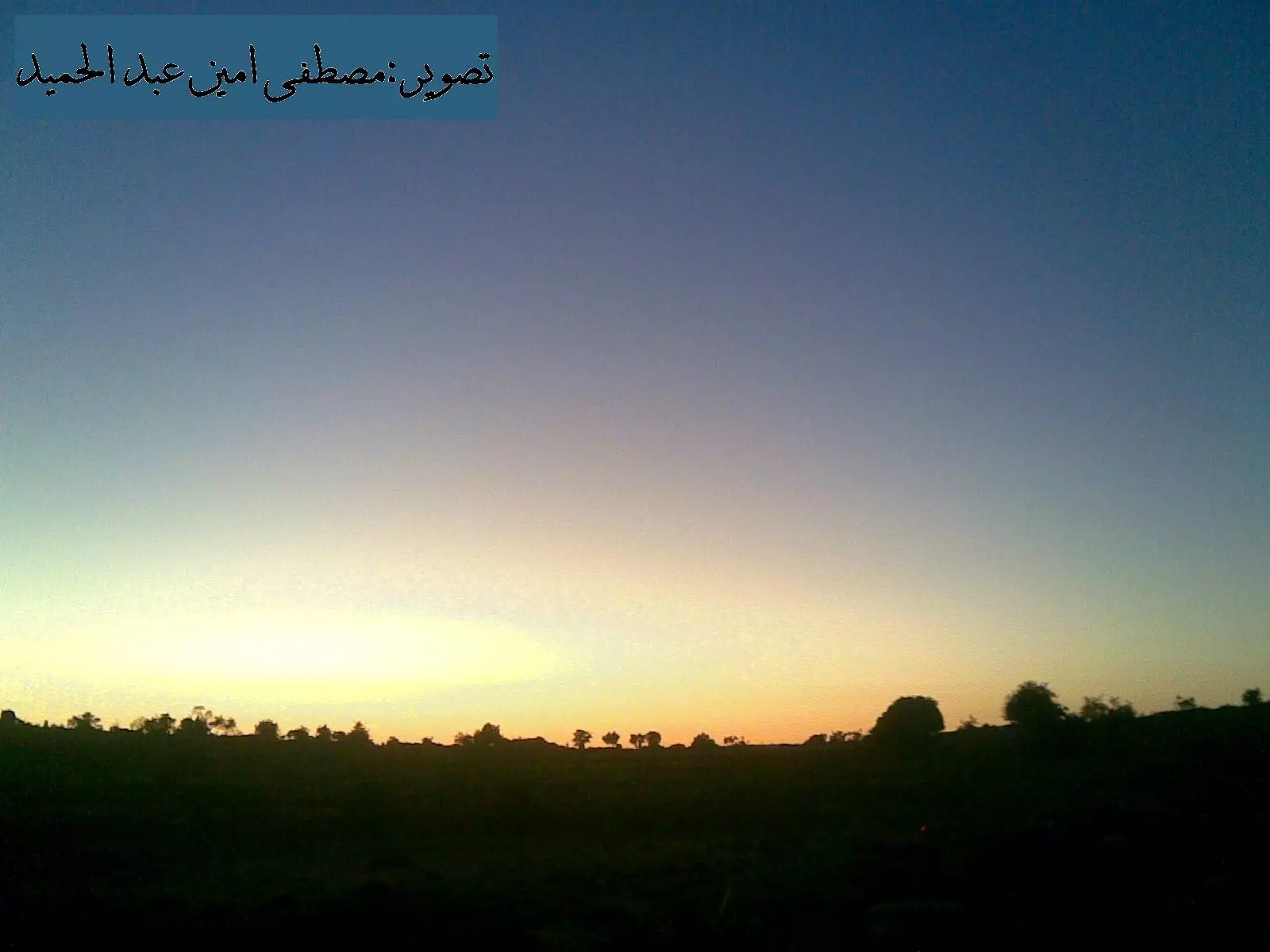
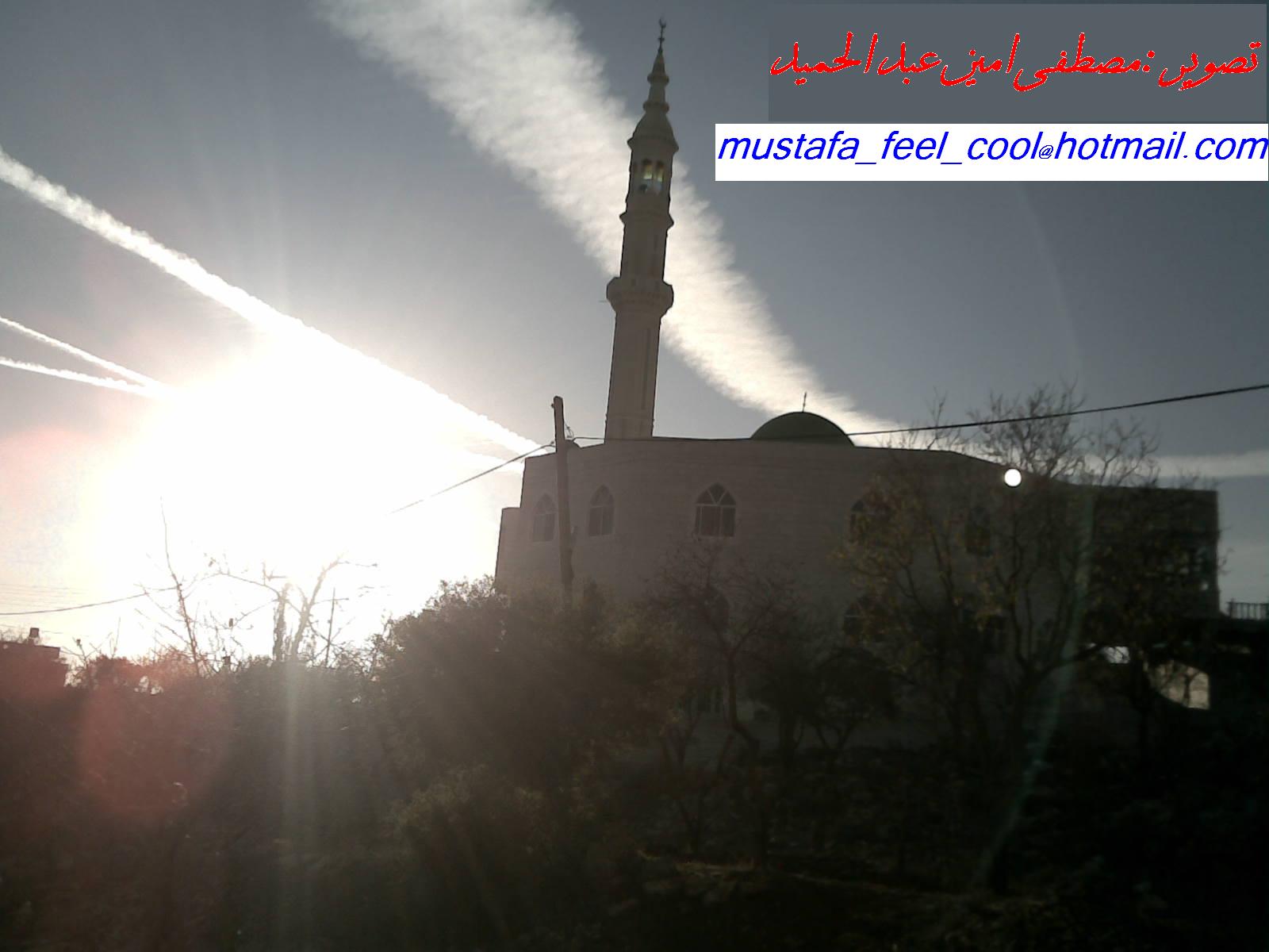
Posted by قسام امين 2 - غروب الشمس ومسجد بر الوالدين تصوير مصطفى امين عبد الحميد
Posted by قسام امين 2 - البلدة القديمة في ديرجرير الحارة التحته -*-*-*-تصوير :: قسام امين عبد الحميد
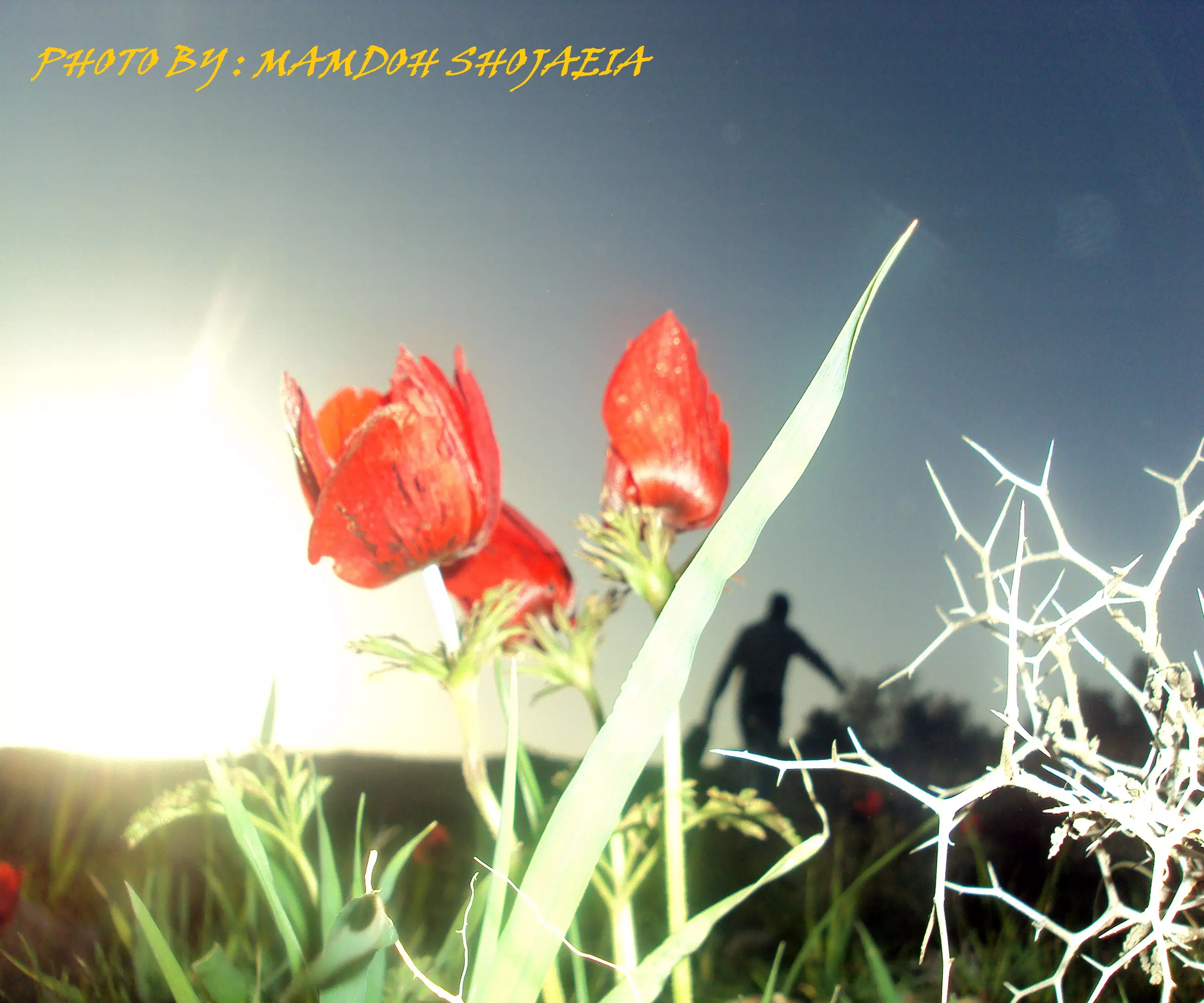
Posted by قسام امين 2 - ازهار اللوز
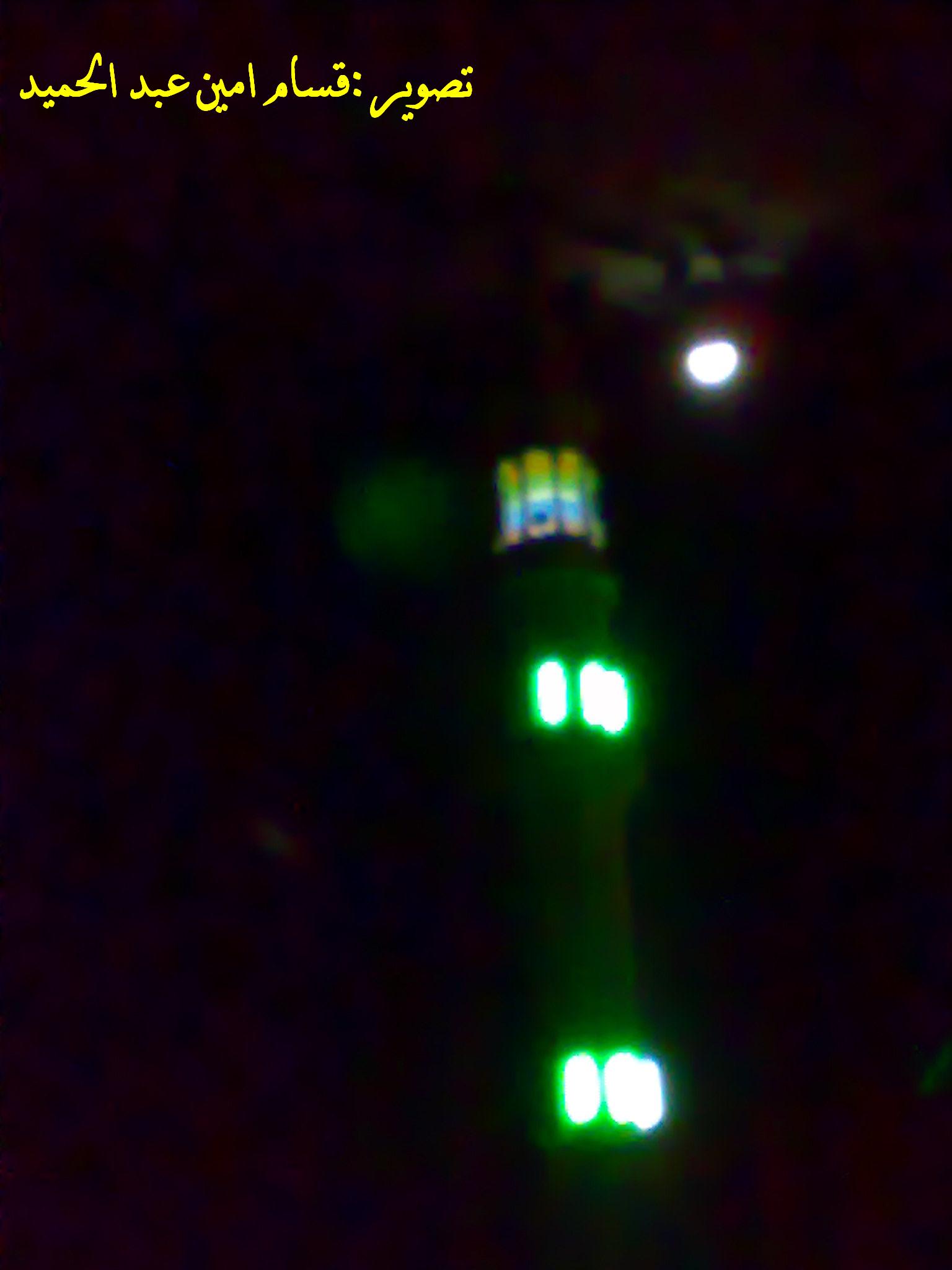
Posted by قسام امين - ضو القمر
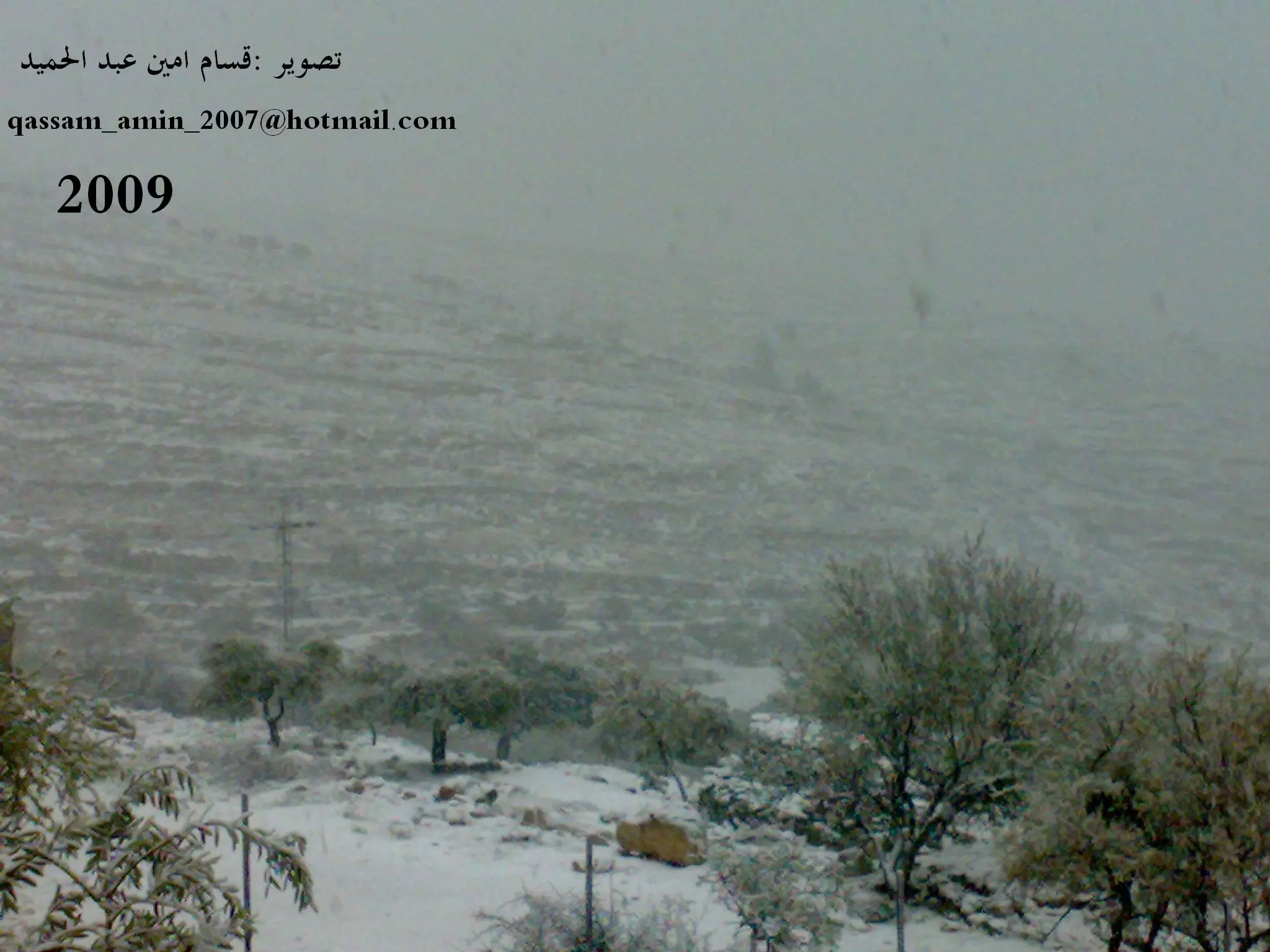
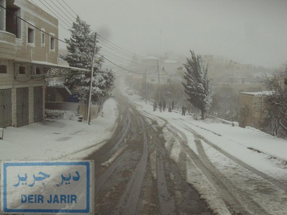
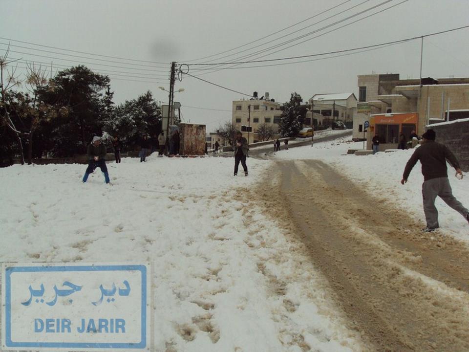
Posted by قسام امين 1 - الثلج في ديرجرير تصوير قسام امين
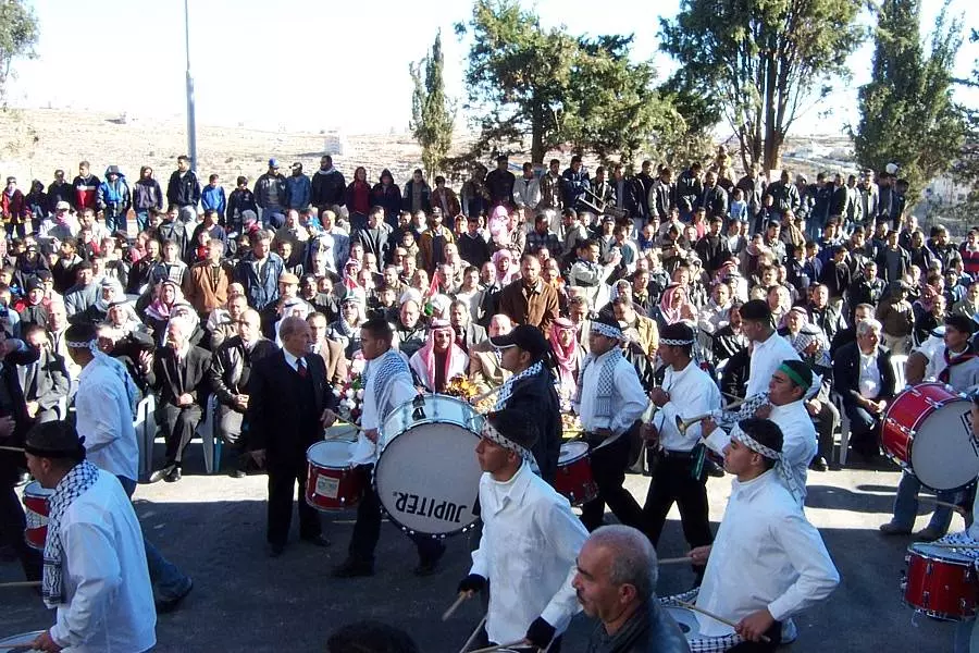
Posted by قسام امين - مجموعة كشافة ديرجرير في احدى الاحتفالات
Posted by حسين شجاعية - house
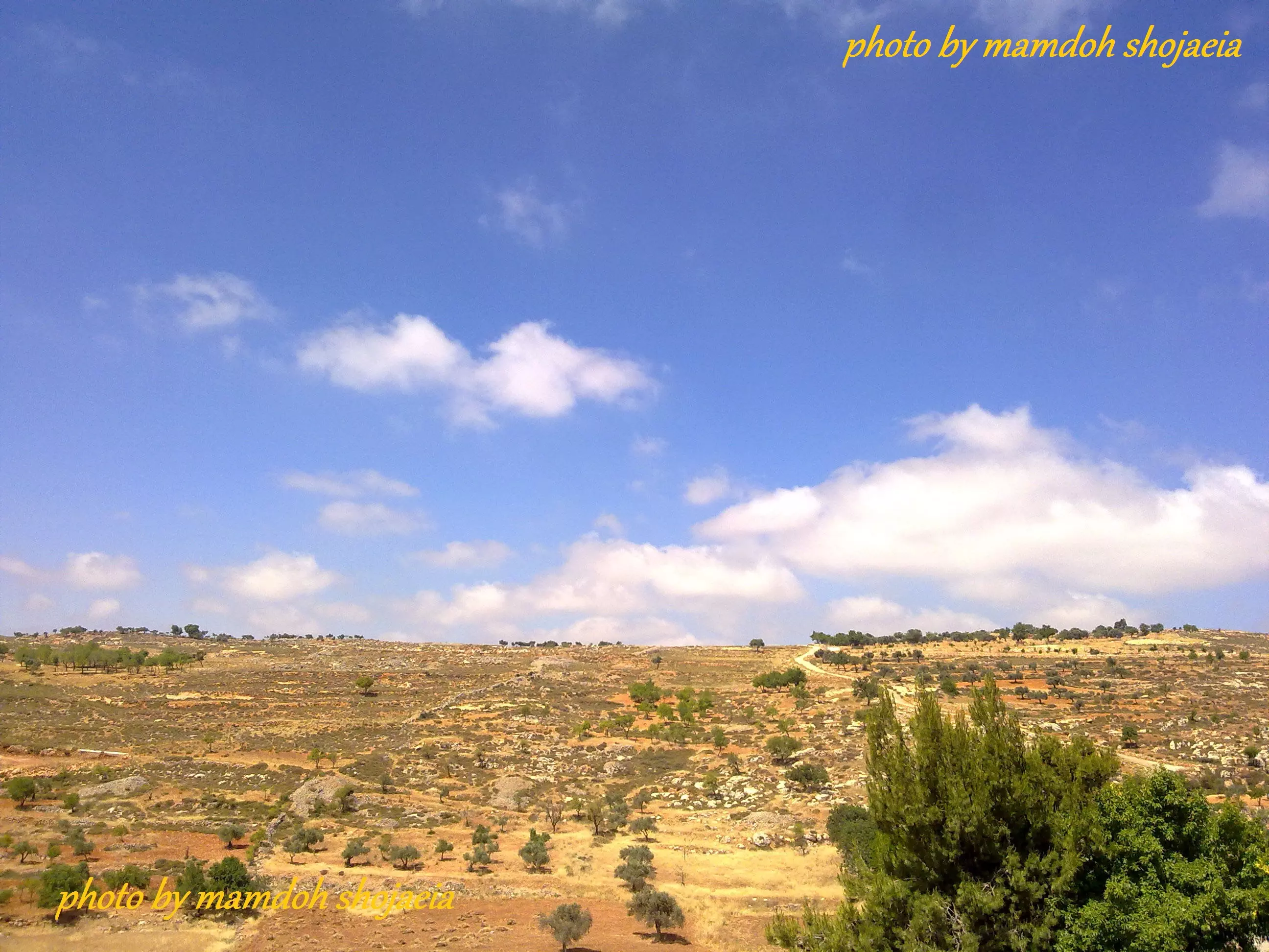
Posted by Basim Hussein - طبيعة بلادي
Posted by ليندا ابو مخو 2 - mamdoh shojaeia
Posted by mamdoh shojaeia 1 - mamdoh shojaeia
Posted by mamdoh shojaeia 1 - ديرجرير
Posted by mamdoh shojaeia - ديرجرير
Posted by mamdoh shojaeia 1 - جوار السمن ,,ديرجرير
Posted by mamdoh shojaeia - اجمل صوره ,,,ديرجرير
Posted by mamdoh shojaeia 1 - derjrer.net
Posted by m7maad m5oo 2 - derjrer.net
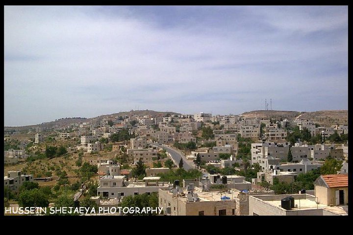
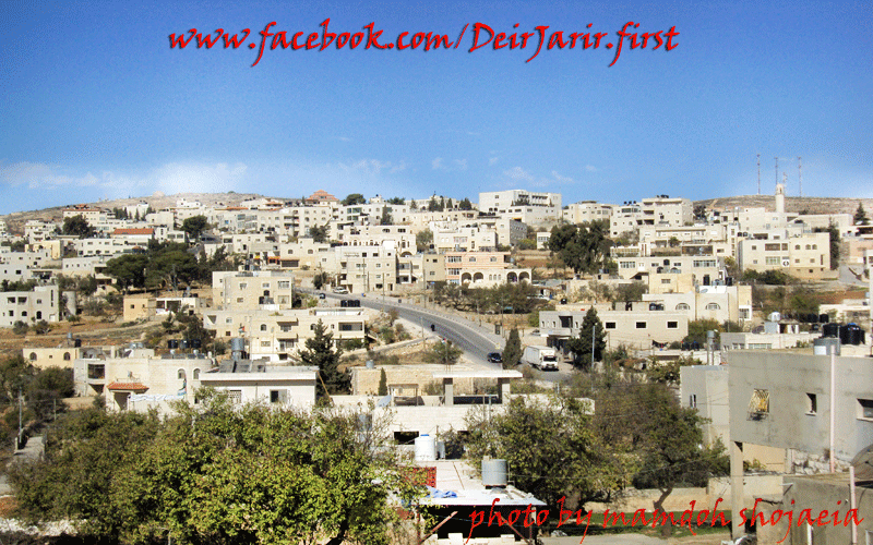
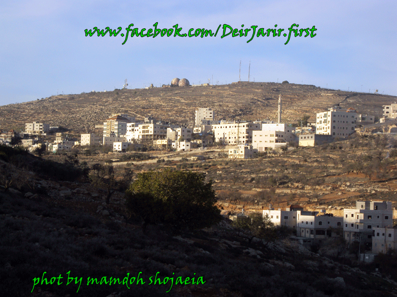
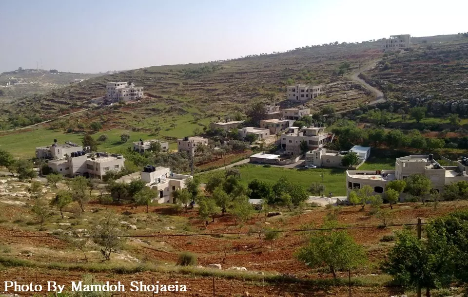
Posted by m7maad m5oo - منظر عام للقرية
Posted by Hussein Shejaeya - جذورنا بالارض وفروعنا بالسماء
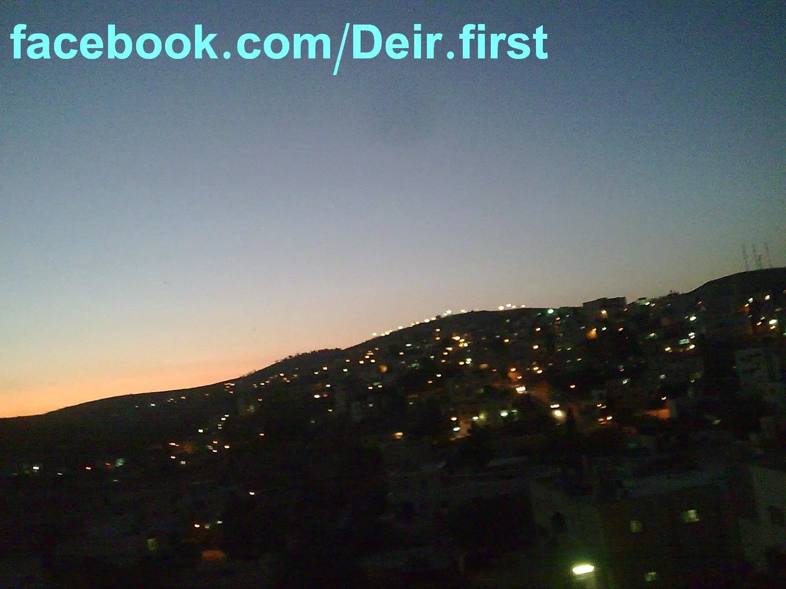
Posted by Hussein Shejaeya - غرووووب ديرجرير
Posted by Hussein Shejaeya - ديرجرير اولا
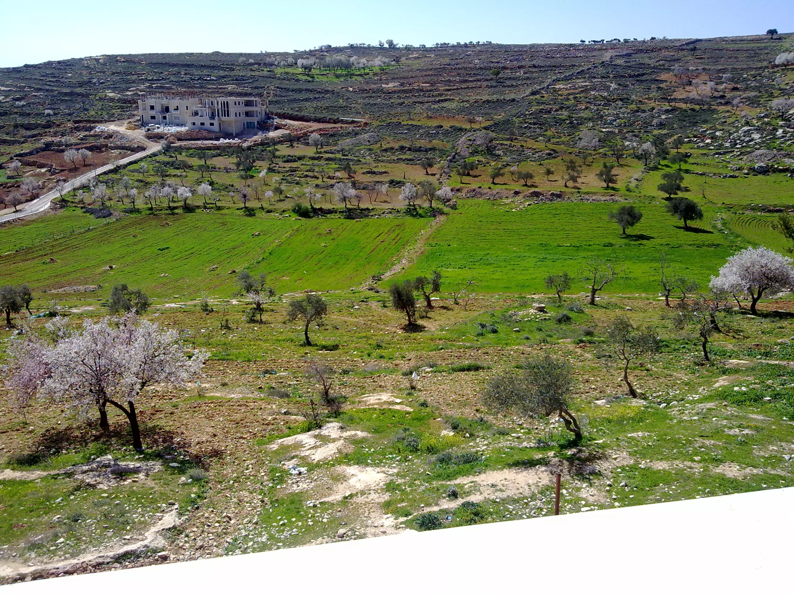
Posted by mamdoh shojaeia - جمال الطبيعة في قرية ديرجرير _ رام الله ..في فصل الربيع!!!
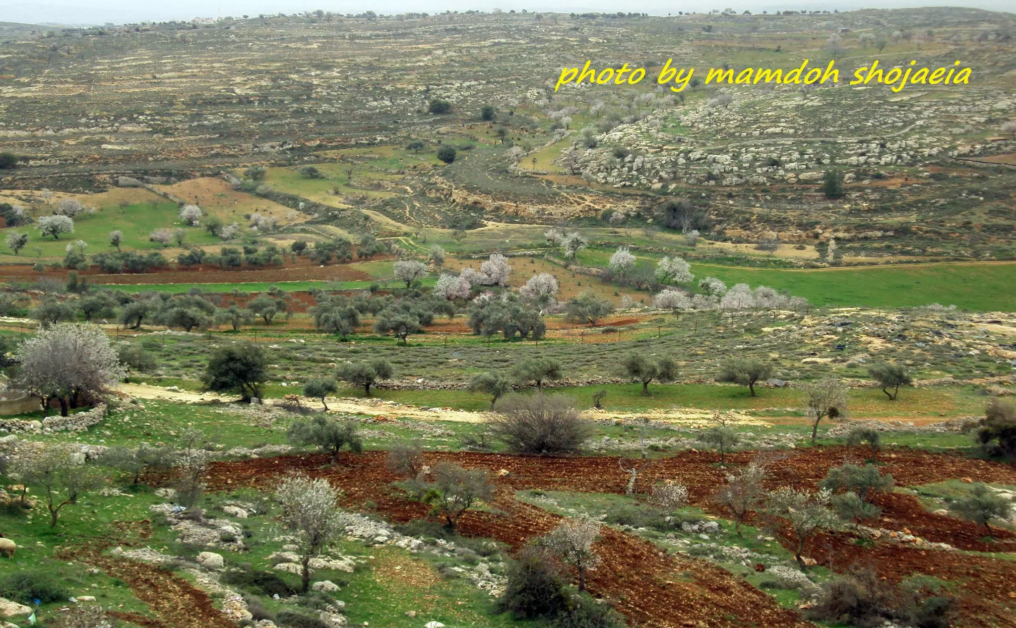
Posted by mamdoh shojaeia - جمال الطبيعة في قرية ديرجرير _ رام الله ..في فصل الربيع!!!
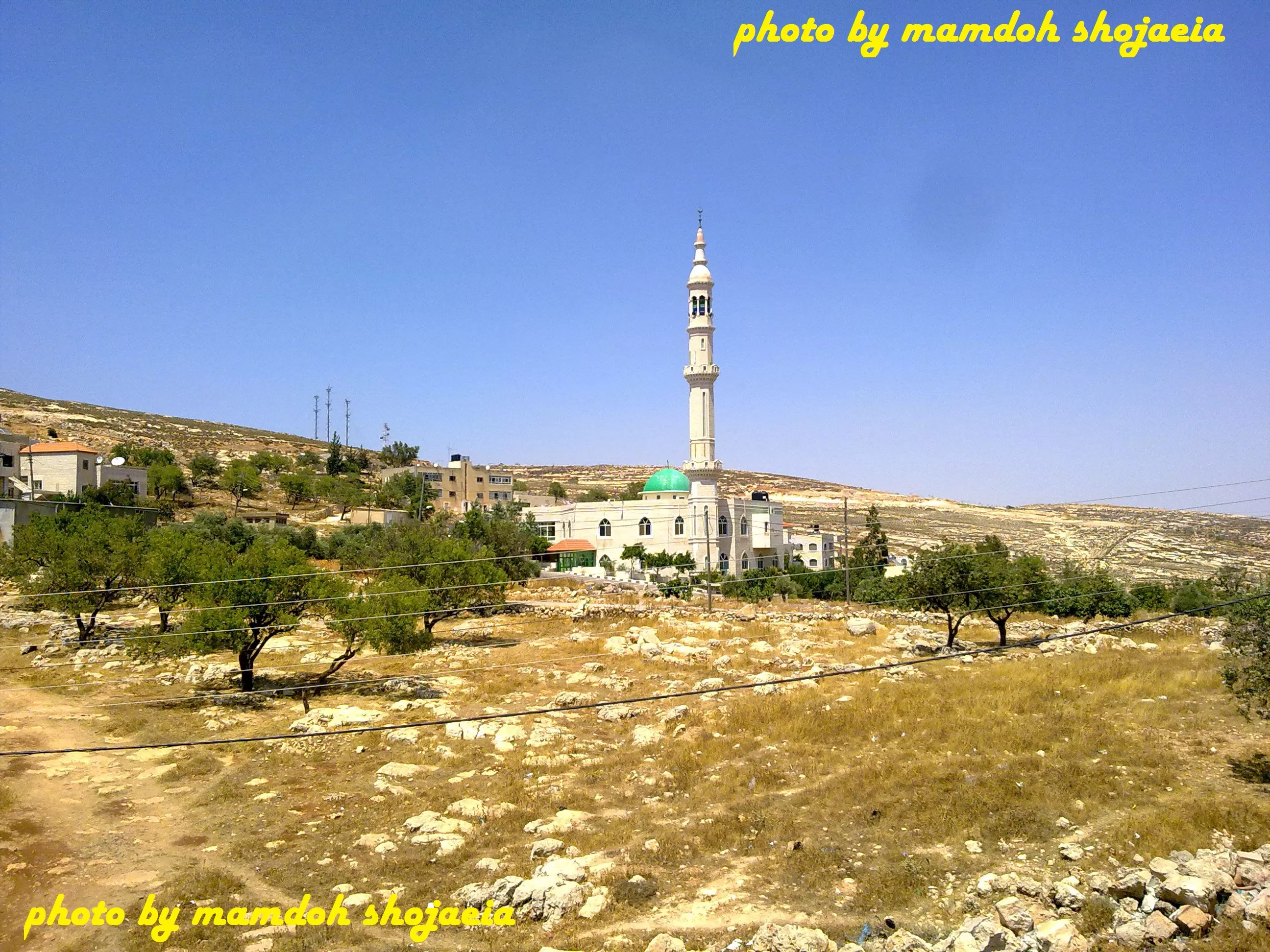
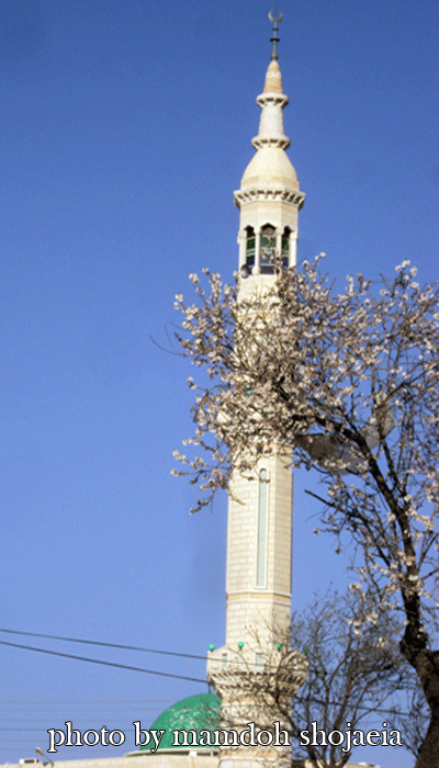
Posted by mamdoh shojaeia - مسجد ديرجرير الجديد
Posted by mamdoh shojaeia - صوره من البلده القديمه __ديرجرير
Posted by mamdoh shojaeia - غروب الشمس في ديرجرير
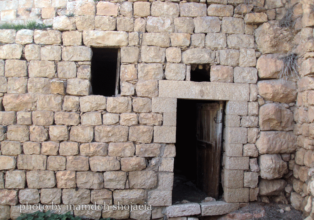
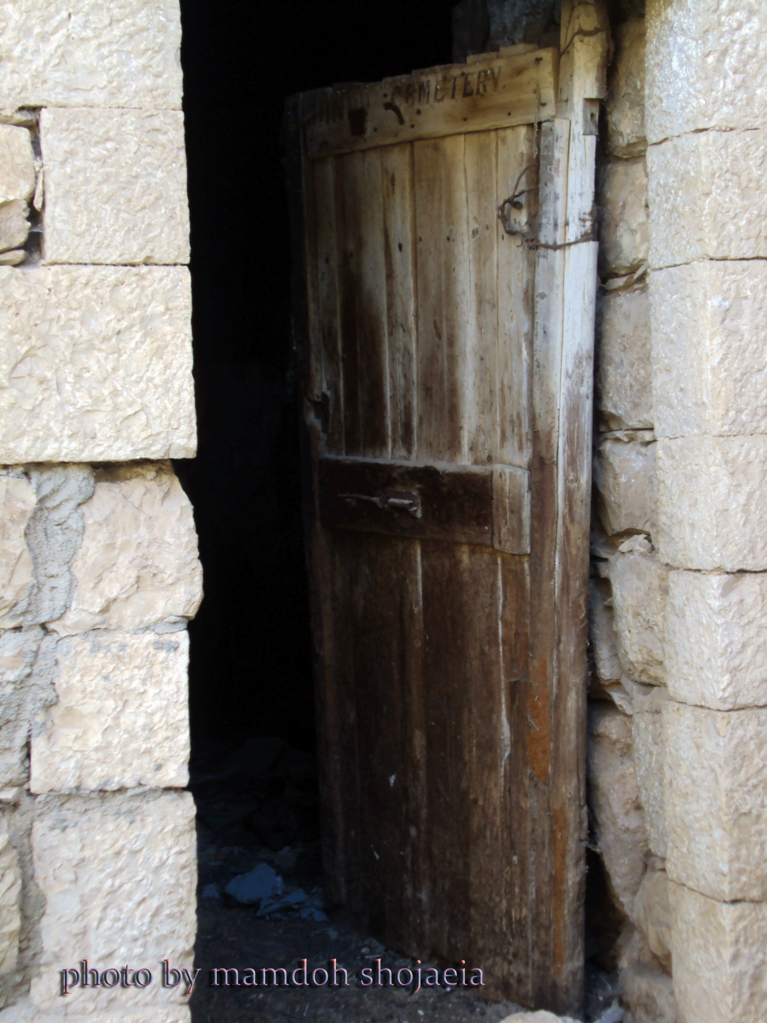
Posted by mamdoh shojaeia - البلده القديمه__ديرجرير
Posted by mamdoh shojaeia - ديرجرير احلى
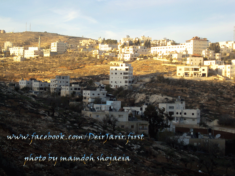
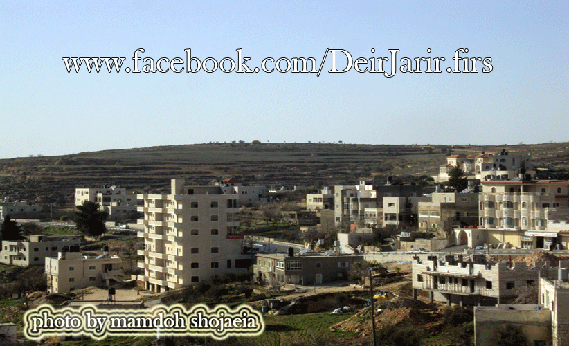
Posted by mamdoh shojaeia - deir jarir first
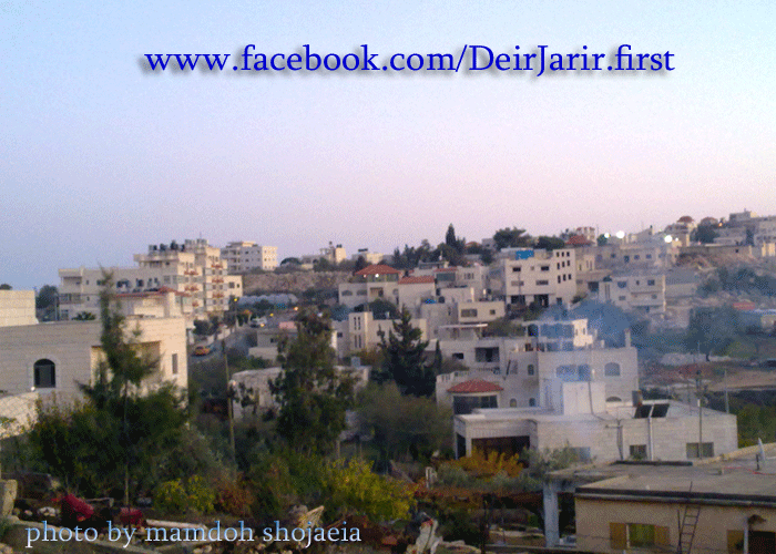
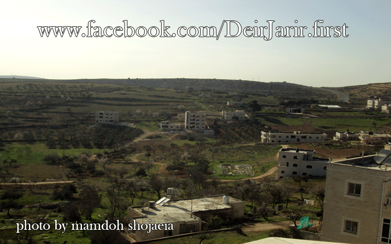
Posted by mamdoh shojaeia - deir jarir first
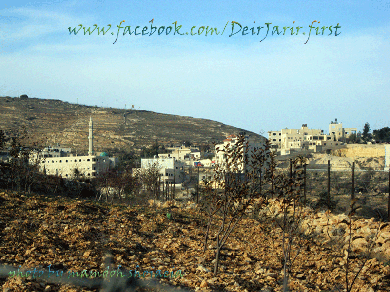
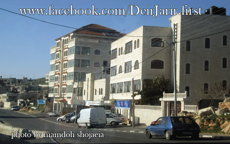
Posted by mamdoh shojaeia - deir jarir first
Posted by mamdoh shojaeia - deir jarir first
Posted by mamdoh shojaeia - deir jarir first
Posted by mamdoh shojaeia - deir jarir first
Posted by mamdoh shojaeia - deir jarir first
Posted by mamdoh shojaeia - ديرجرير 2012
Posted by mamdoh shojaeia - ديرجرير 2012
Posted by mamdoh shojaeia - ديرجرير 2012
Posted by mamdoh shojaeia - ديرجرير 2012
Posted by mamdoh shojaeia - ديرجرير 2012
Posted by mamdoh shojaeia - ديرجرير 2012
Posted by mamdoh shojaeia - ديرجرير 2012
Posted by mamdoh shojaeia - ديرجرير 2012
Posted by mamdoh shojaeia - ديرجرير 2012
Posted by mamdoh shojaeia - ديرجرير 2012
Posted by mamdoh shojaeia - ديرجرير 2012
Posted by mamdoh shojaeia - ديرجرير 2012
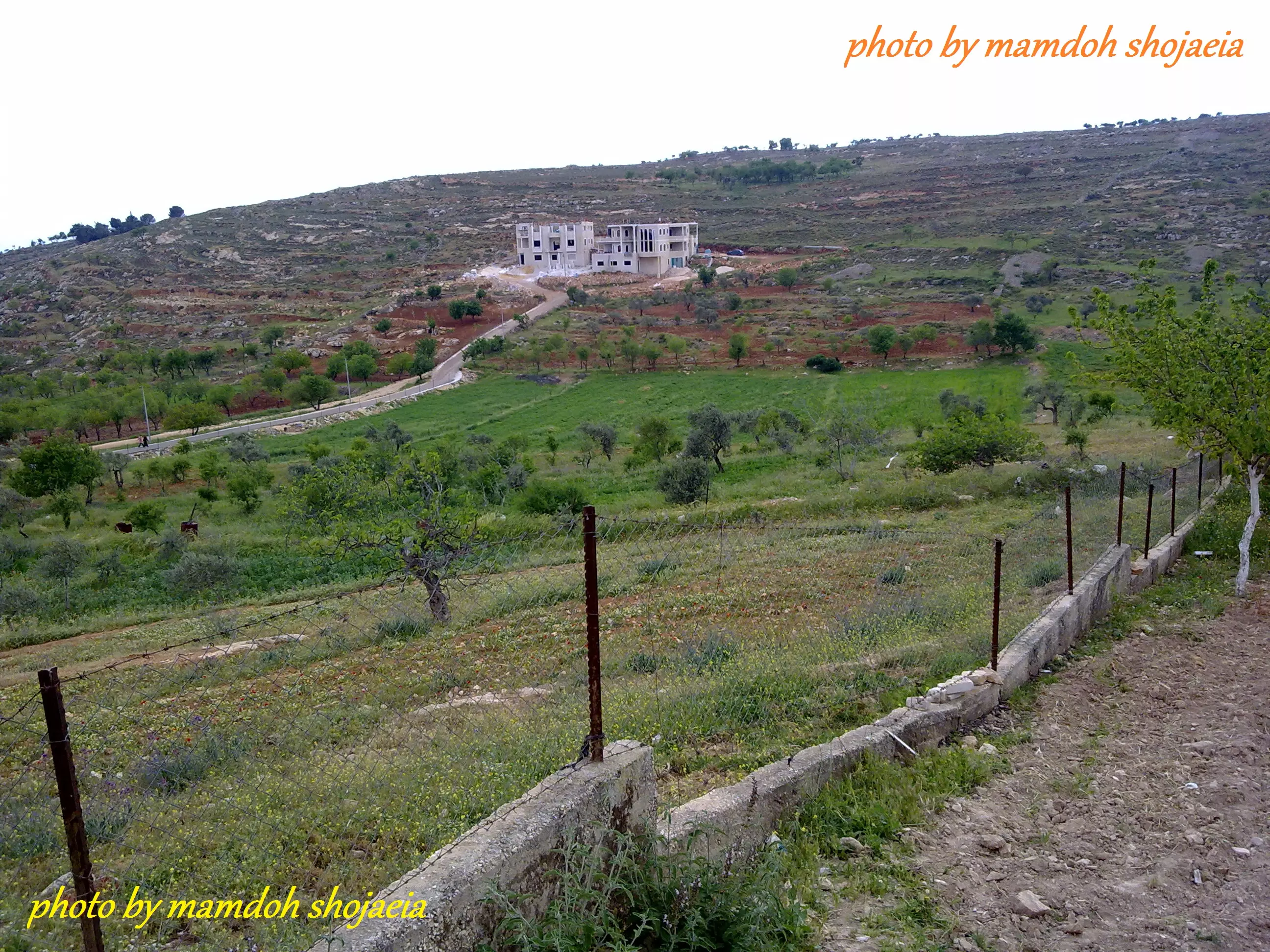
Posted by mamdoh shojaeia - ديرجرير
Posted by mamdoh shojaeia - ديرجرير البلدة القديمة 2012
Posted by mamdoh shojaeia - ديرجرير البلدة القديمة 2012
Posted by mamdoh shojaeia - ديرجرير البلدة القديمة 2012
Posted by mamdoh shojaeia - ديرجرير البلدة القديمة 2012
Posted by mamdoh shojaeia - ديرجرير البلدة القديمة 2012
Posted by mamdoh shojaeia - ديرجرير البلدة القديمة 2012
Posted by mamdoh shojaeia - ديرجرير البلدة القديمة 2012
Posted by mamdoh shojaeia - ديرجرير البلدة القديمة 2012
Posted by mamdoh shojaeia - ديرجرير البلدة القديمة 2012
Posted by mamdoh shojaeia - ديرجرير البلدة القديمة 2012
Posted by mamdoh shojaeia - ديرجرير البلدة القديمة 2012
Posted by mamdoh shojaeia - ديرجرير البلدة القديمة 2012
Posted by mamdoh shojaeia - ديرجرير البلدة القديمة 2012
Posted by mamdoh shojaeia - ديرجرير البلدة القديمة 2012
Posted by mamdoh shojaeia - ديرجرير البلدة القديمة 2012
Posted by mamdoh shojaeia - ديرجرير البلدة القديمة 2012
Posted by mamdoh shojaeia - ديرجرير البلدة القديمة 2012
Posted by mamdoh shojaeia - ديرجرير البلدة القديمة 2012
Posted by mamdoh shojaeia - ديرجرير البلدة القديمة2012
Posted by mamdoh shojaeia - ديرجرير البلدة القديمة2012
Posted by mamdoh shojaeia - ديرجرير البلدة القديمة2012
Posted by mamdoh shojaeia - ديرجرير البلدة القديمة2012
Posted by mamdoh shojaeia - ديرجرير البلدة القديمة2012
Posted by mamdoh shojaeia - ديرجرير البلدة القديمة2012
Posted by mamdoh shojaeia - ديرجرير البلدة القديمة2012
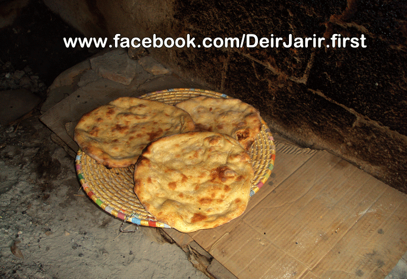
Posted by mamdoh shojaeia - خبز طابون
Posted by mamdoh shojaeia 2 - خبز طابون
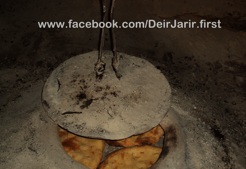
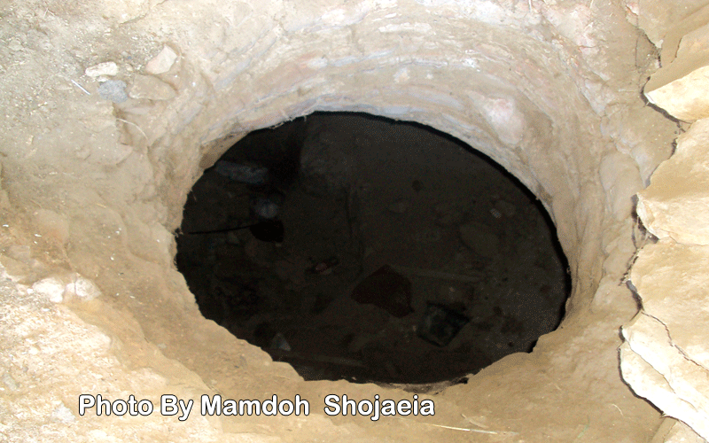
Posted by mamdoh shojaeia - طابون
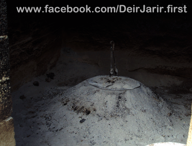
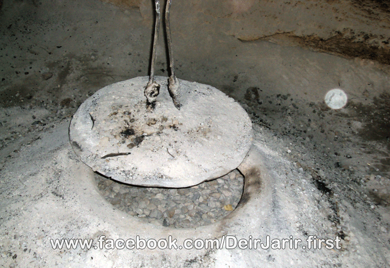
Posted by mamdoh shojaeia - طابون
Posted by mamdoh shojaeia - الجامع القديم .. وسط البلد
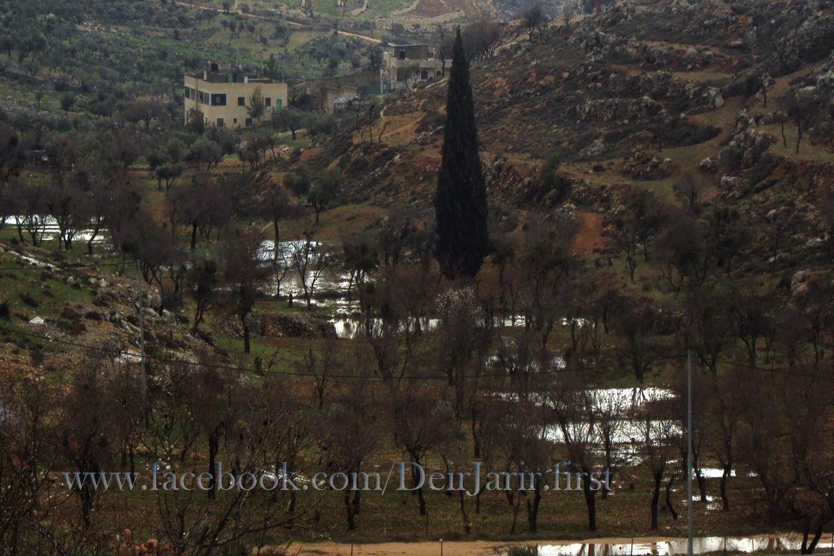
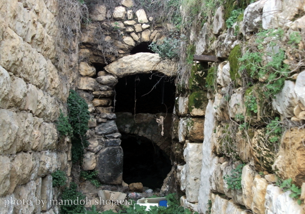
Posted by mamdoh shojaeia - صورة من واد الجامع
Posted by mamdoh shojaeia - صورة من واد الجامع
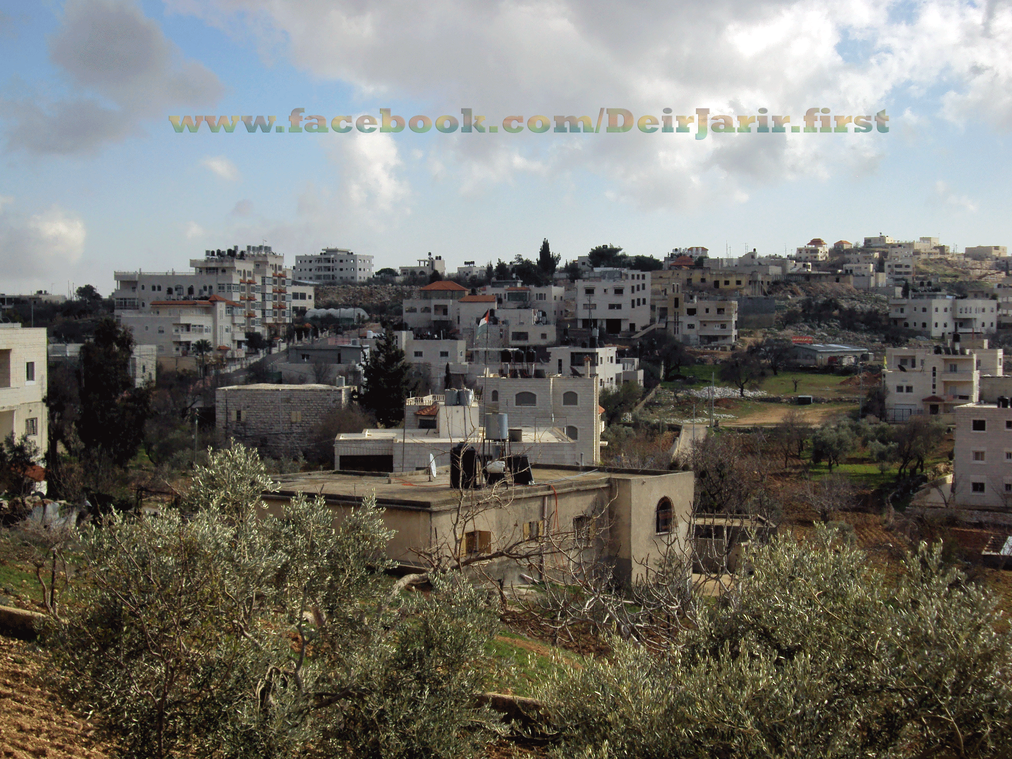
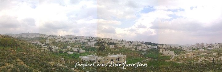
Posted by mamdoh shojaeia - صورة بانورما للقرية |
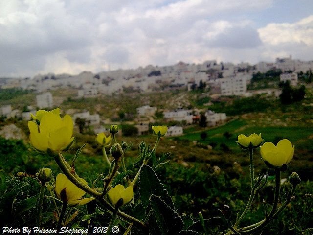
Posted by حسين شجاعية - صورة لزهور في الجبال وفي الخلفية قرية ديرجرير
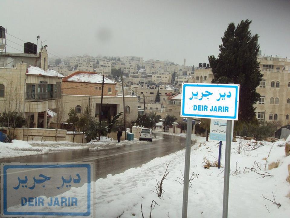
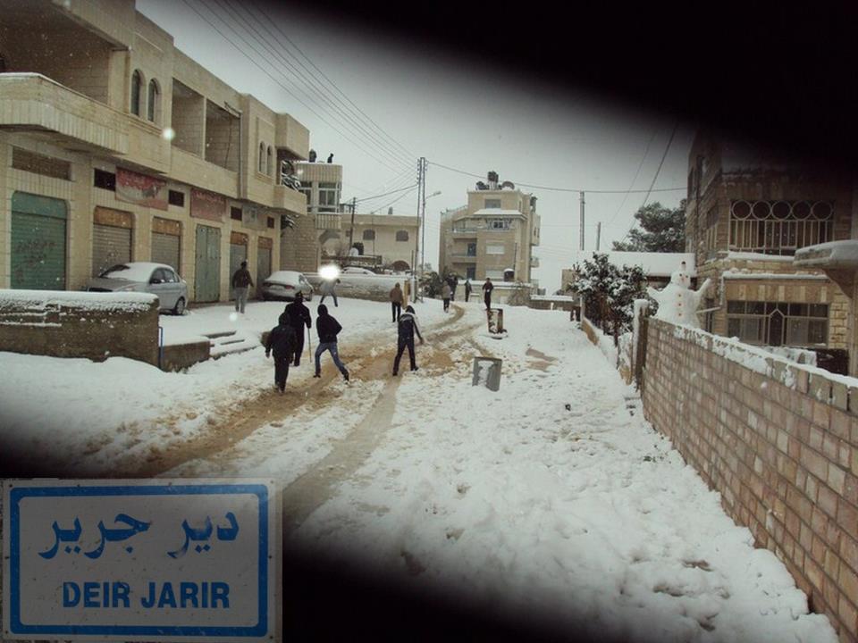
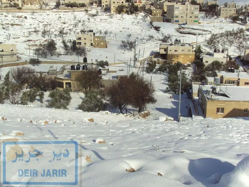
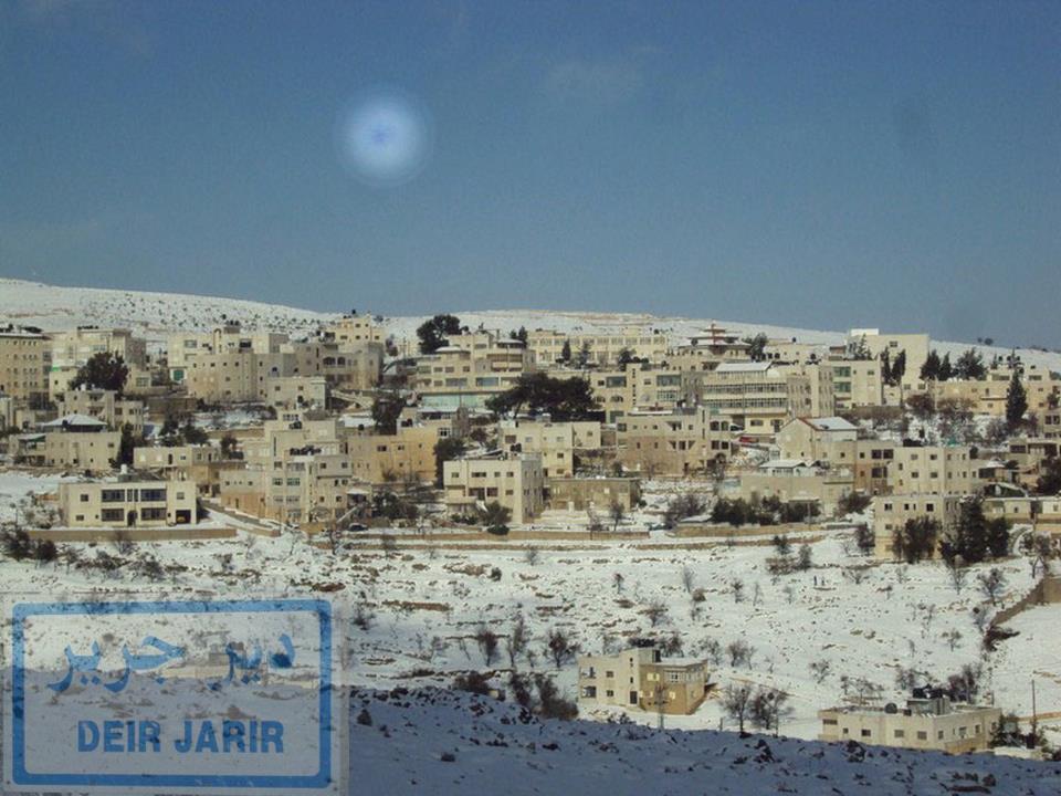
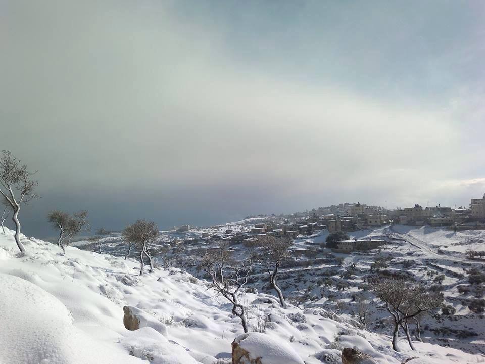
Posted by حسين شجاعية - ثلج ديرجرير
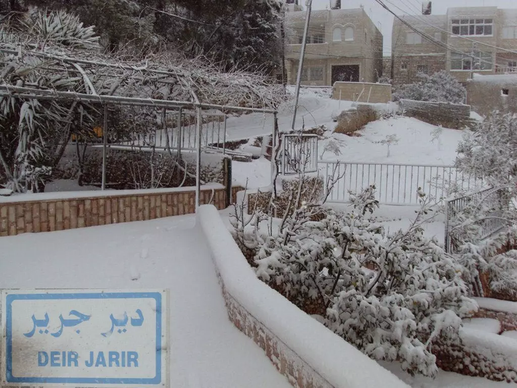
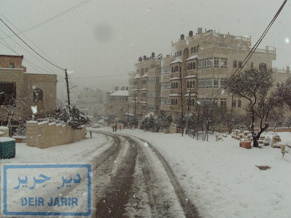
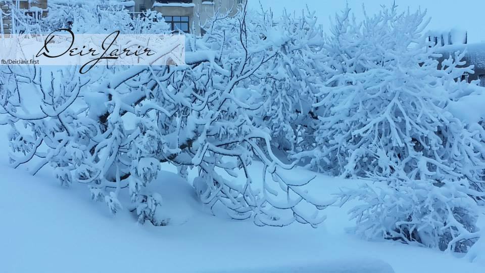
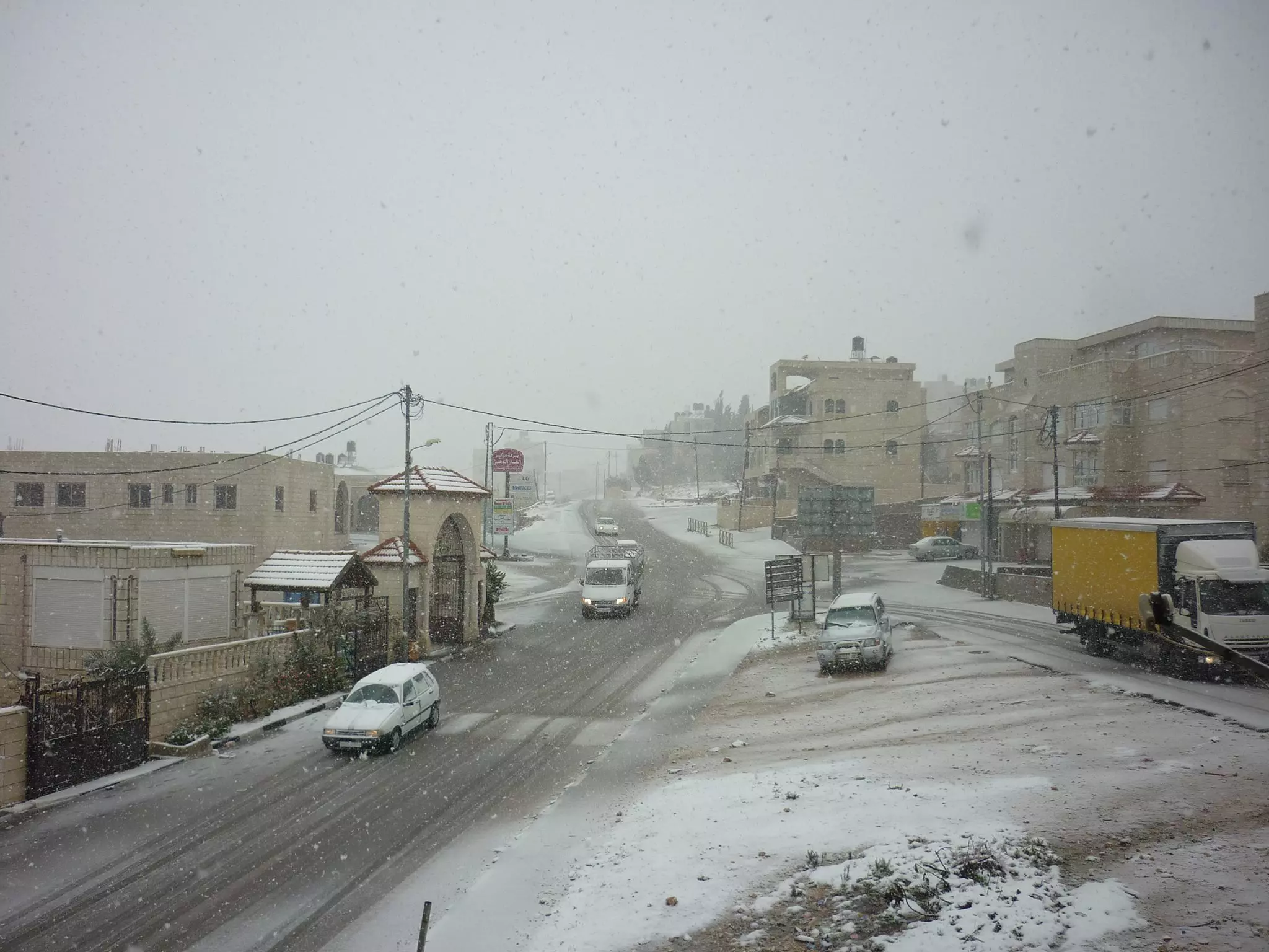
Posted by mamdoh shojaeia - ثلج ديرجرير .2013
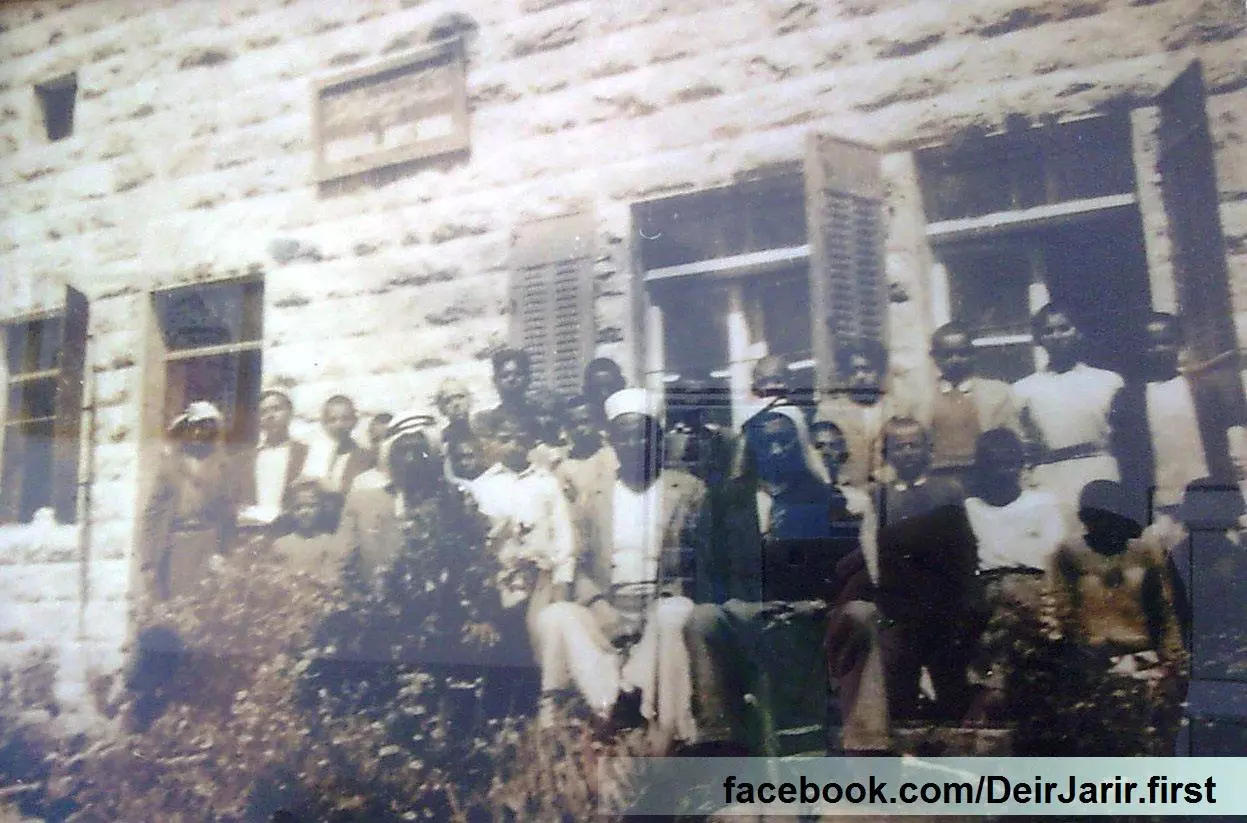
Posted by mamdoh shojaeia - صور نادرة لطلاب ومعلمين مدرسة ديرجرير سنة 1946
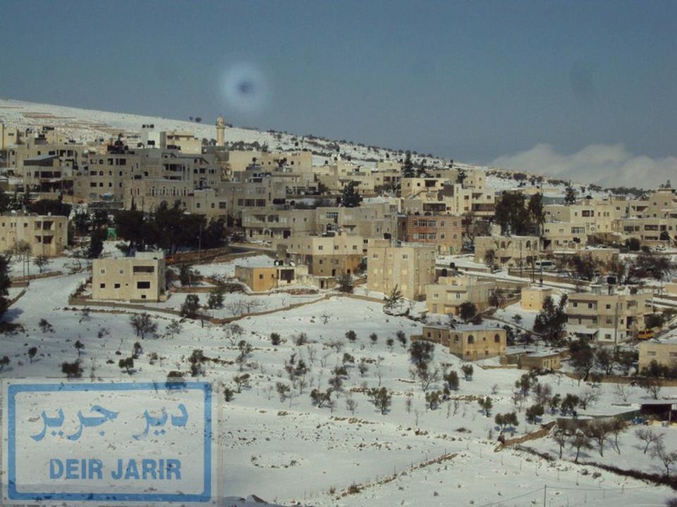
Posted by mamdoh shojaeia 1 - ثلج ديرجرير
Posted by mamdoh shojaeia - ثلج ديرجرير .2013
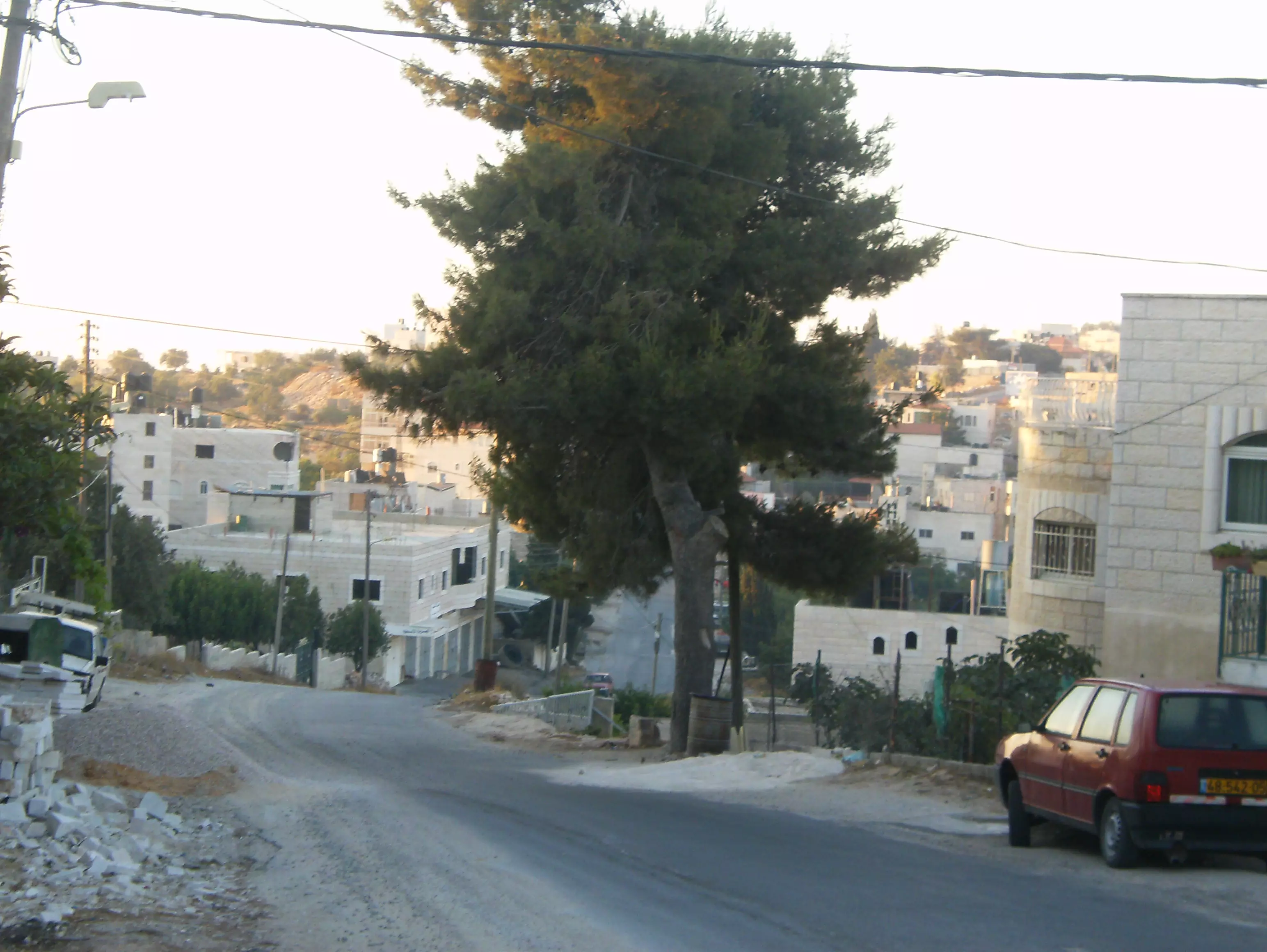
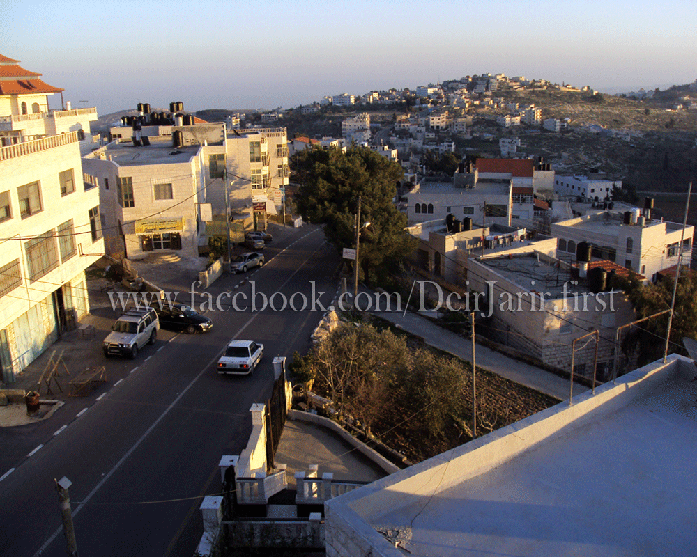
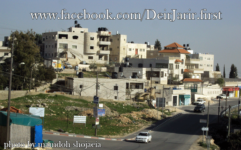
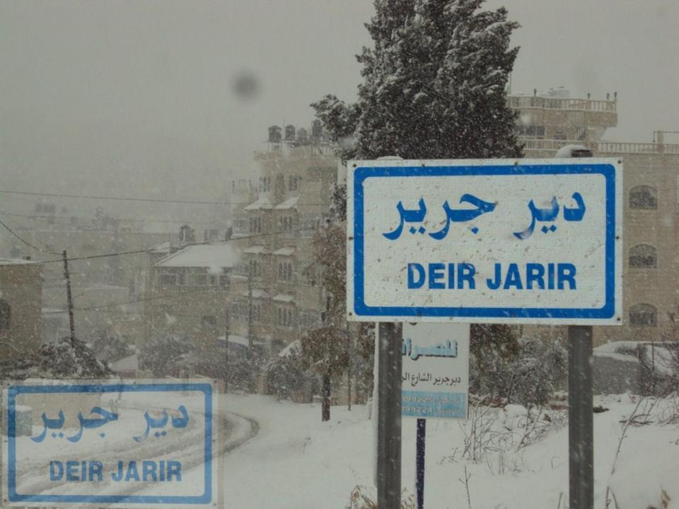
Posted by mamdoh shojaeia - الاشارة _ وسط البلد ديرجرير
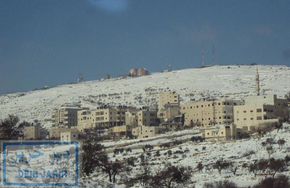
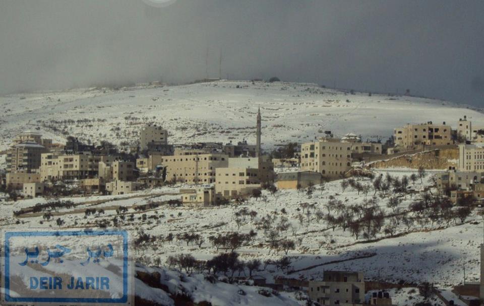
Posted by mamdoh shojaeia - ثلوج ديرجرير 2013
Posted by mamdoh shojaeia 1 - الثلج في ديرجرير احلى
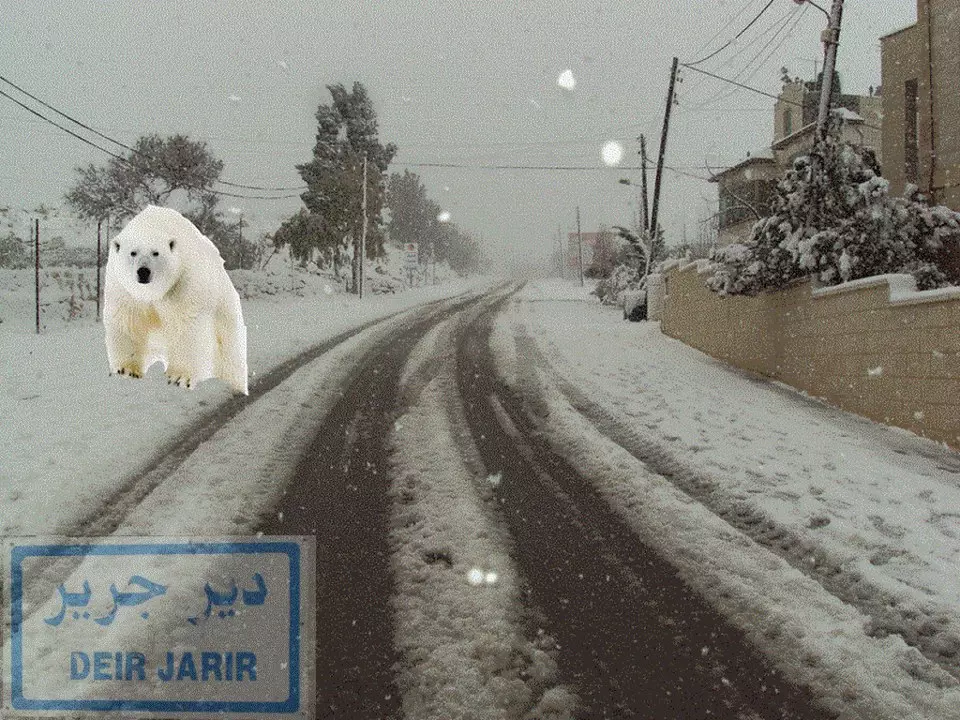
Posted by mamdoh shojaeia - دب قطبي في ديرجرير
Posted by mamdoh shojaeia - ثلوج ديرجرير 2013
Posted by mamdoh shojaeia - ثلوج ديرجرير 2013

Posted by mamdoh shojaeia - ثلج ديرجرير
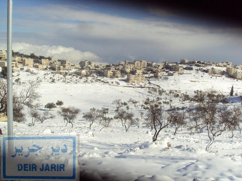
Posted by mamdoh shojaeia - ثلوج ديرجرير 2013
Posted by mamdoh shojaeia - ثلج ديرجرير
Posted by mamdoh shojaeia - اجواء الثلج في قرية ديرجرير
Posted by mamdoh shojaeia - ثلوج ديرجرير 2013
Posted by mamdoh shojaeia - الميدان يكتسح بالثلوج .ديرجرير
Posted by mamdoh shojaeia - ثلج ديرجرير
Posted by mamdoh shojaeia - الثلوج تكتسي جبل العاصور الذي يعلو قرية ديرجرير
Posted by mamdoh shojaeia - ثلوج ديرجرير 2013
Posted by mamdoh shojaeia - ثلوج ديرجرير 2013
Posted by mamdoh shojaeia - ثلوج ديرجرير 2013
Posted by mamdoh shojaeia - ديرجريراحلى بلد
Posted by mamdoh shojaeia - ديرجرير دائما في القمة
Posted by mamdoh shojaeia - جميلة قرية ديرجرير بالثوب الابيض
Posted by mamdoh shojaeia - ثلوج ديرجرير 2013
Posted by mamdoh shojaeia - ثلوج ديرجرير 2013
Posted by mamdoh shojaeia - احلى بلد ديرجرير
Posted by mamdoh shojaeia - ثلوج ديرجرير 2013
Posted by mamdoh shojaeia - ديرجرير .
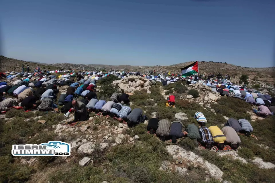
Posted by mamdoh shojaeia - صلاة الجمعة يوم أمس، مواطنو المنطقة الشرقية في رام الله يؤدون صلاة الجمعة فوق الأراضي المهدةة بالمصادرة لصالح مستوطنة عوفرة... (أراضي ديرجرير - سلواد)
- ثلوج ديرجرير 2013
Posted by mamdoh shojaeia - ثلوج ديرجرير 2013
Posted by mamdoh shojaeia - ثلوج ديرجرير 2013
Posted by mamdoh shojaeia - ثلوج ديرجرير 2013 الجامع القديم
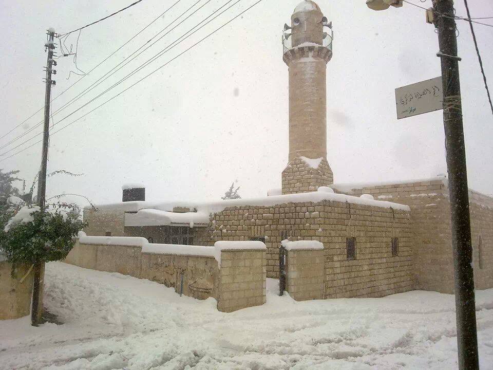
Posted by mamdoh shojaeia - ثلوج ديرجرير 2013 الجامع القديم

Posted by mamdoh shojaeia - The Junction
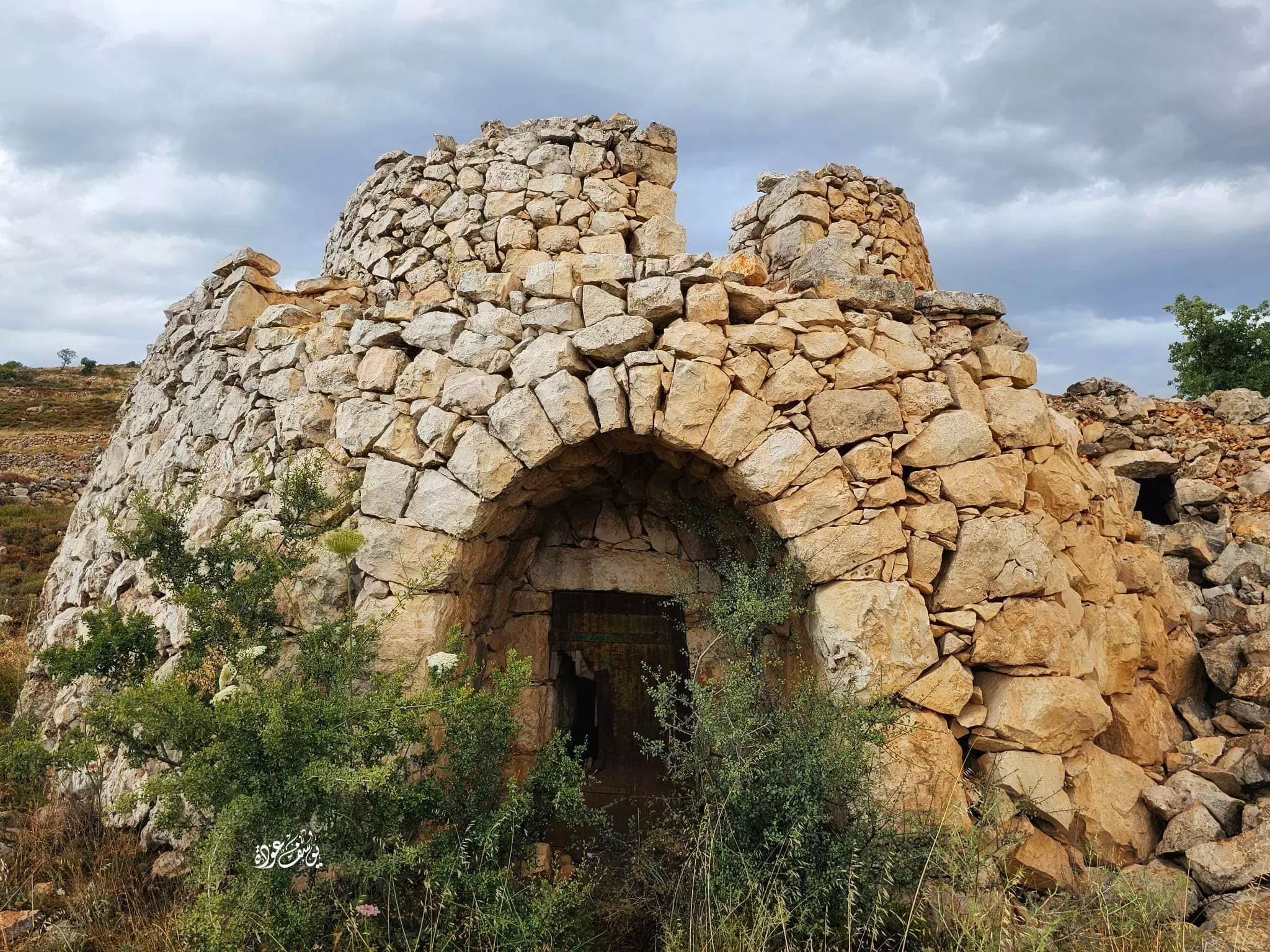
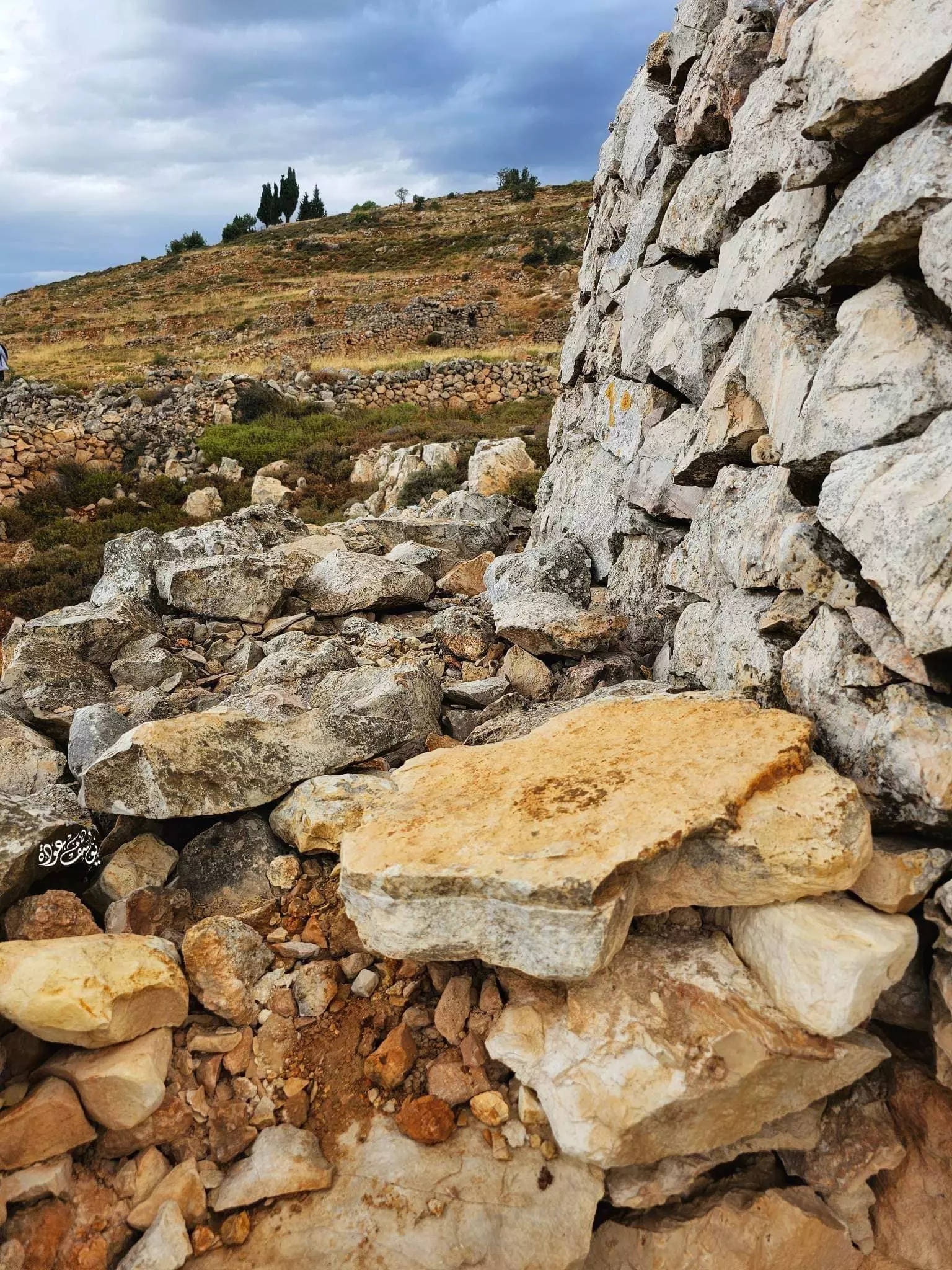
- جولة بين المناطير أو القصور الفلاحية الزراعية المدهشة المقامة على الأراضي الواقعة ما بين دير جرير وسلواد-- يوسف عوده -- 2023
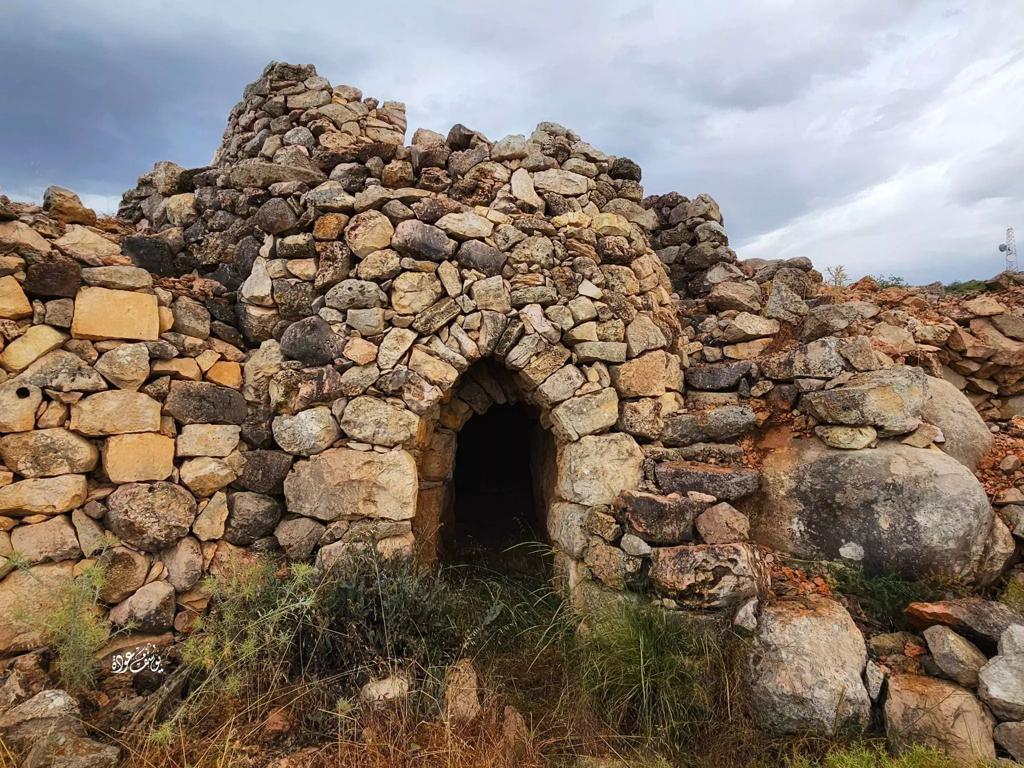
- جولة بين المناطير أو القصور الفلاحية الزراعية المدهشة المقامة على الأراضي الواقعة ما بين دير جرير وسلواد-- يوسف عوده -- 2023 #2
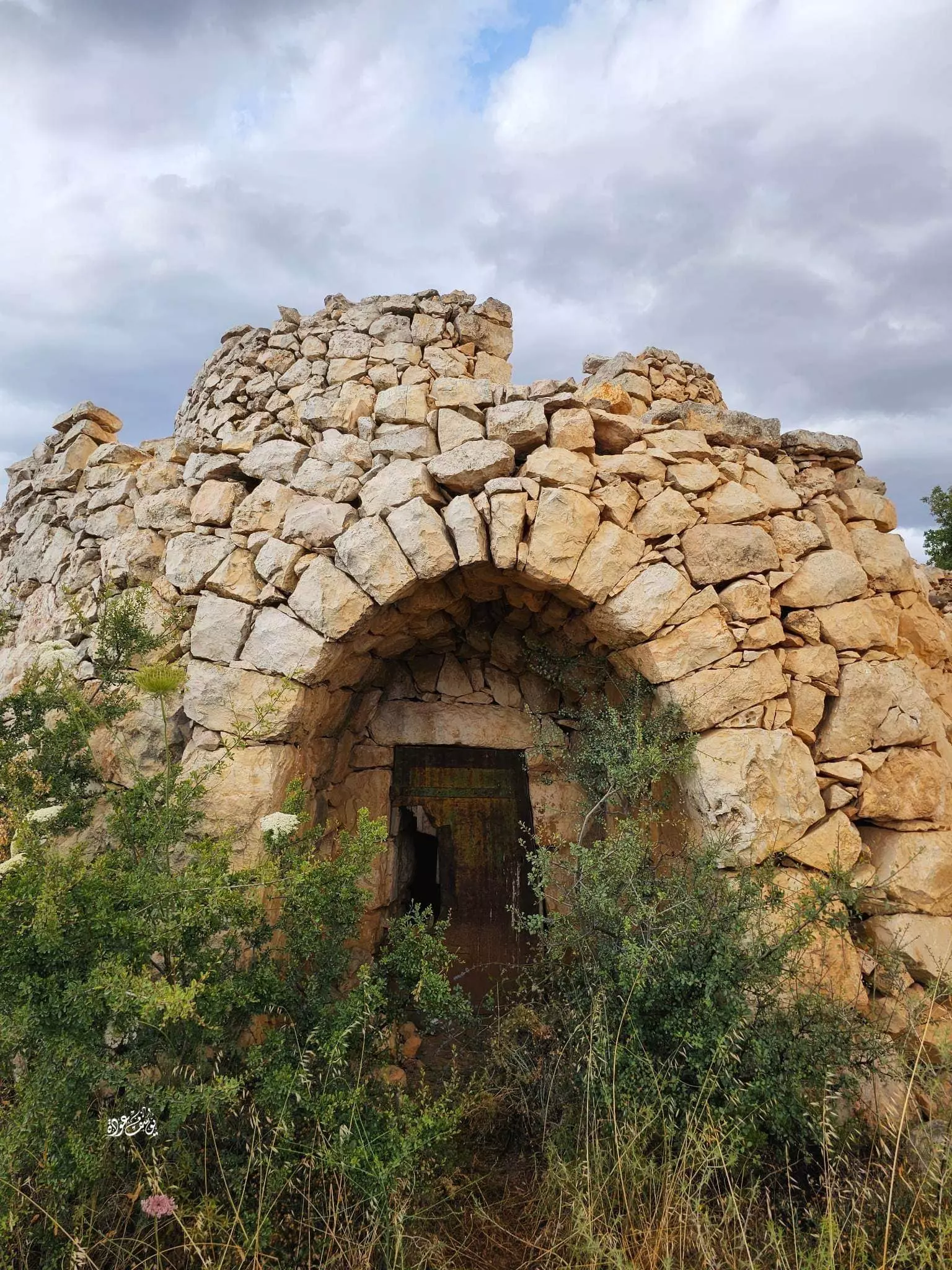
- جولة بين المناطير أو القصور الفلاحية الزراعية المدهشة المقامة على الأراضي الواقعة ما بين دير جرير وسلواد-- يوسف عوده -- 2023 #3
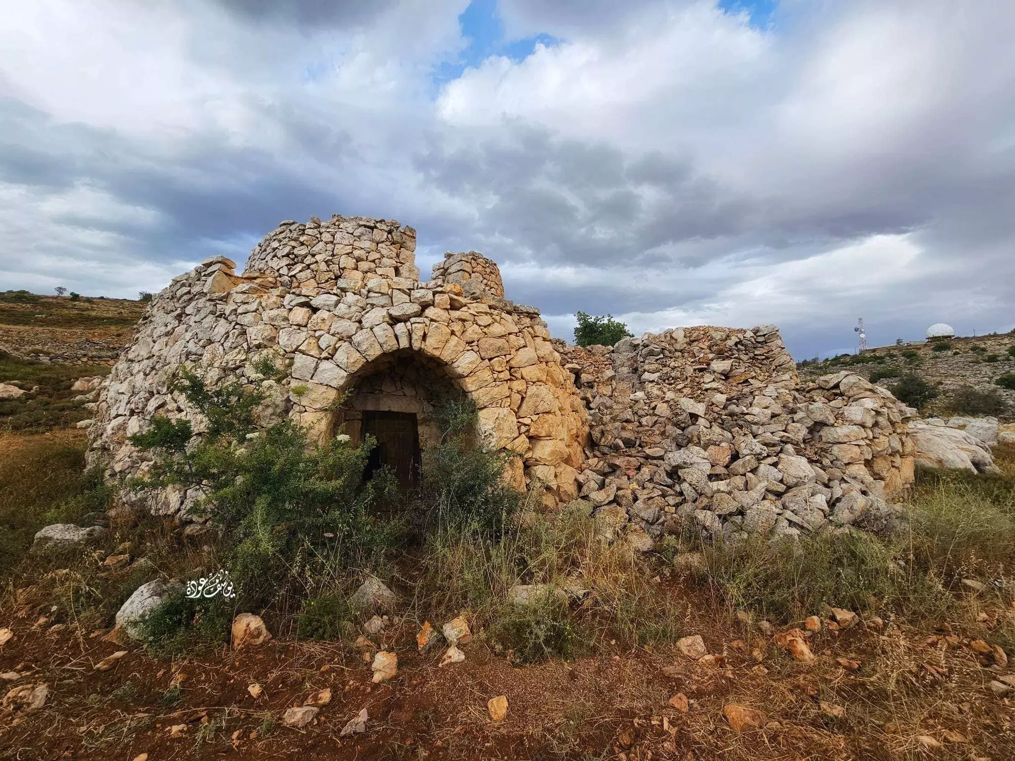
- جولة بين المناطير أو القصور الفلاحية الزراعية المدهشة المقامة على الأراضي الواقعة ما بين دير جرير وسلواد-- يوسف عوده -- 2023 #4

- جولة بين المناطير أو القصور الفلاحية الزراعية المدهشة المقامة على الأراضي الواقعة ما بين دير جرير وسلواد-- يوسف عوده -- 2023 #5
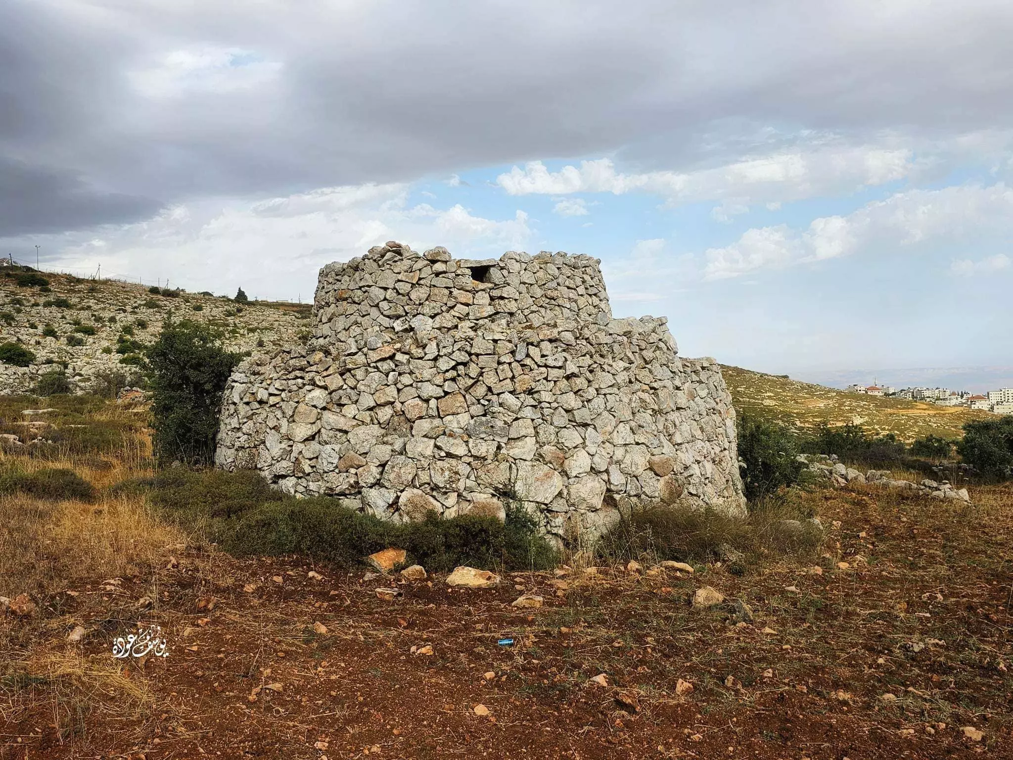
- جولة بين المناطير أو القصور الفلاحية الزراعية المدهشة المقامة على الأراضي الواقعة ما بين دير جرير وسلواد-- يوسف عوده -- 2023 #6
- جولة بين المناطير أو القصور الفلاحية الزراعية المدهشة المقامة على الأراضي الواقعة ما بين دير جرير وسلواد-- يوسف عوده -- 2023 #7
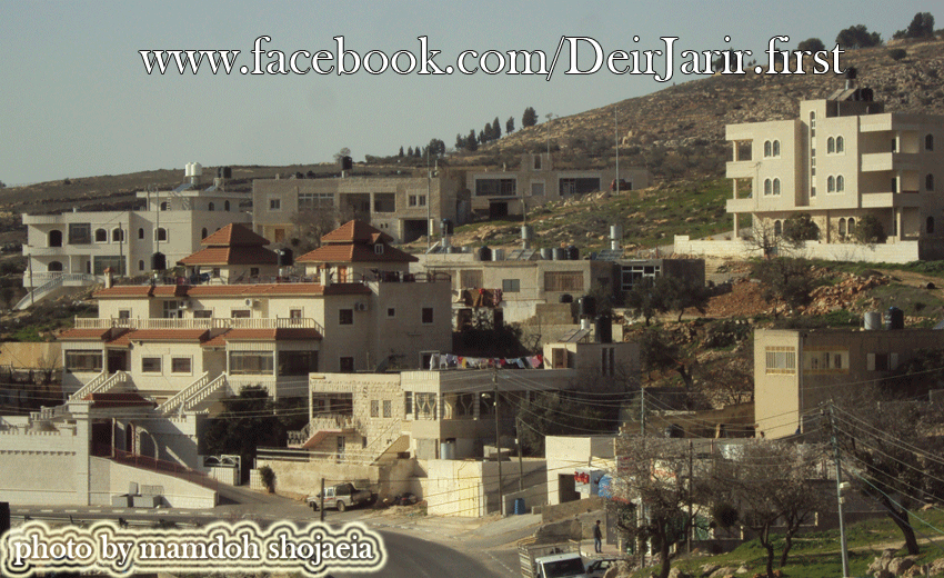
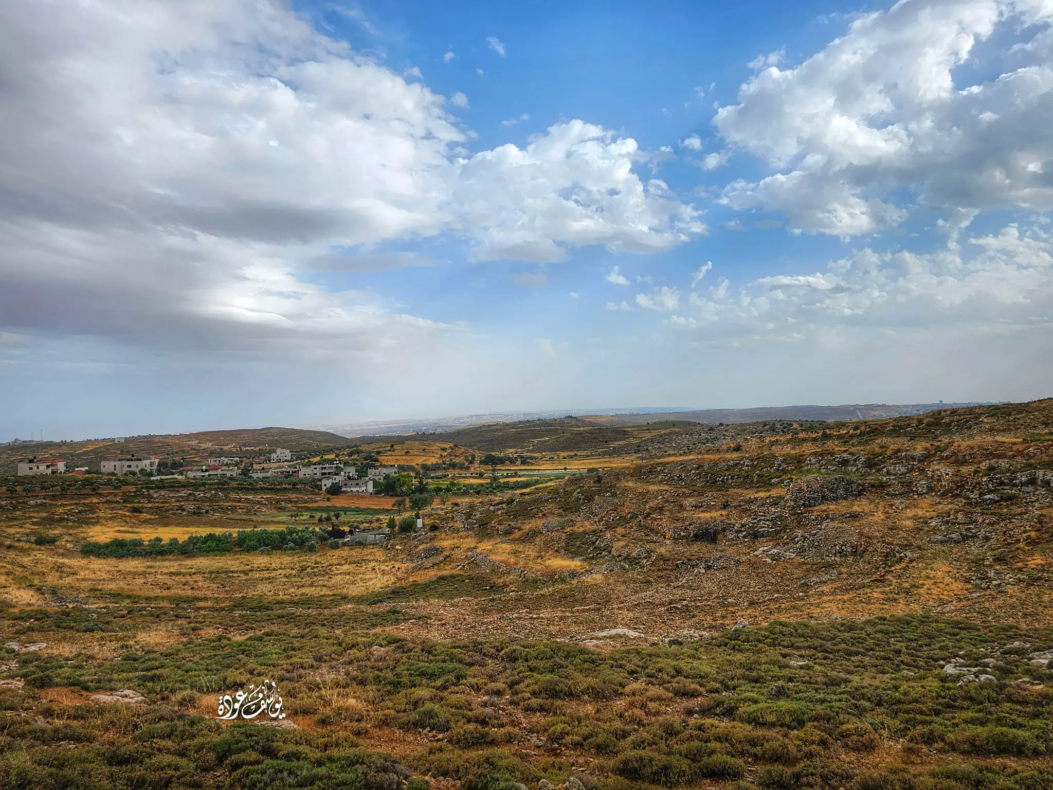
- منظر عام
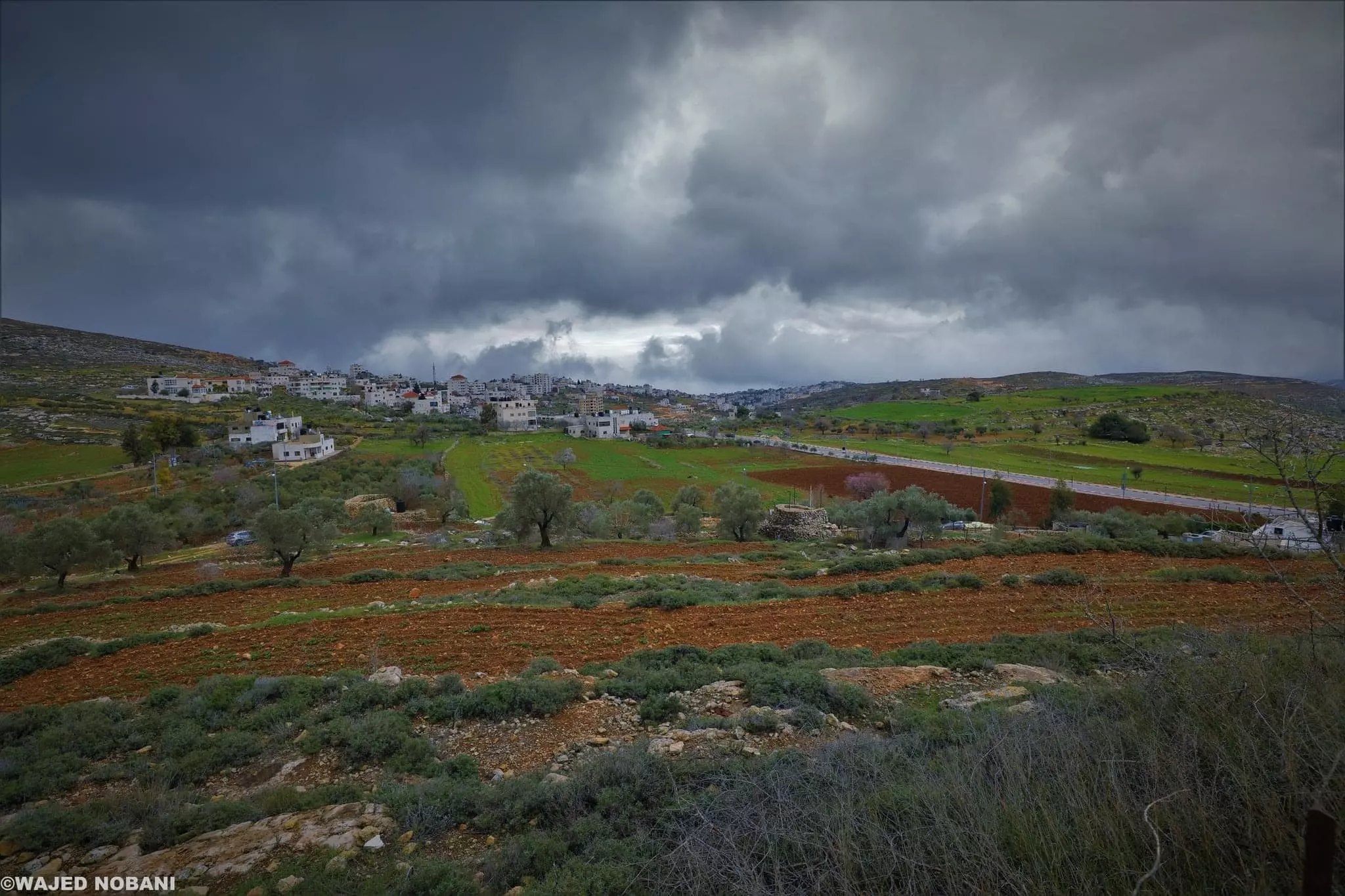
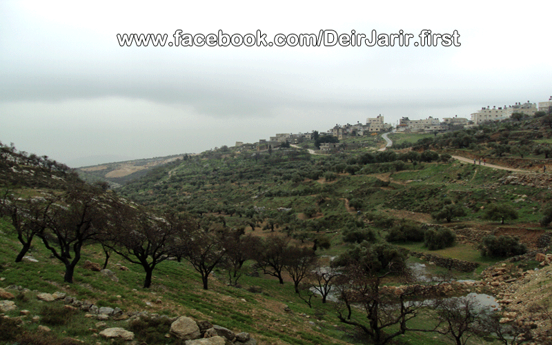
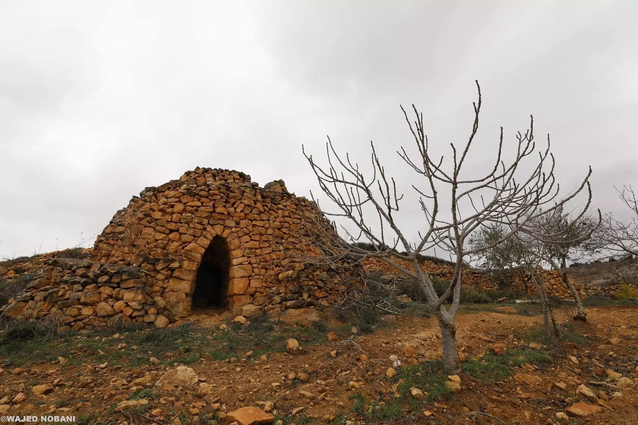
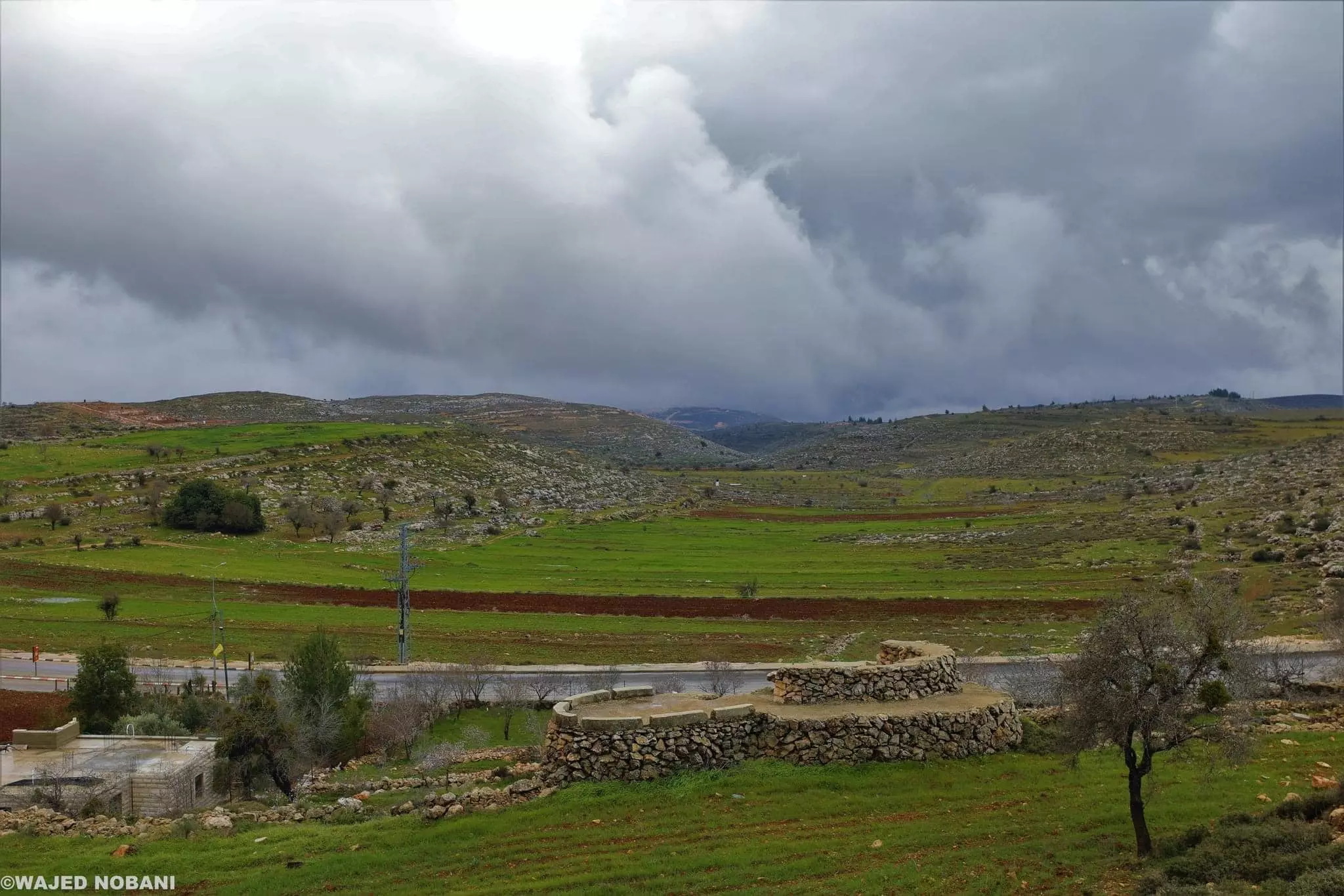
- الطبيعة الخلابة في قرية دير جرير شمال شرق مدينة رام الله
تصوير : واجد النوباني
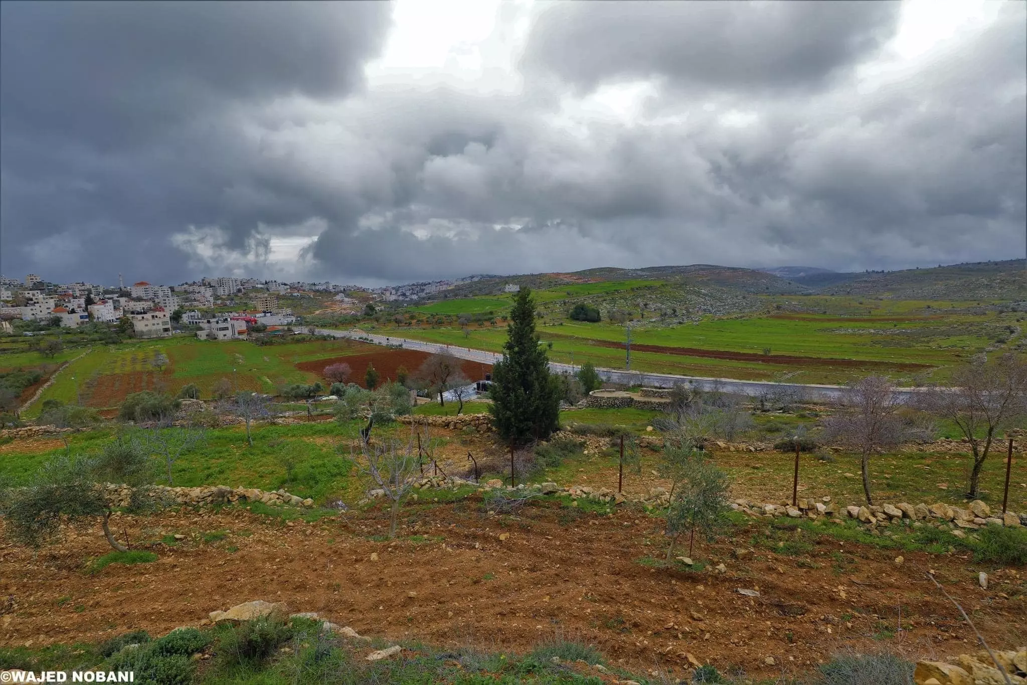
- الطبيعة الخلابة في قرية دير جرير شمال شرق مدينة رام الله
تصوير : واجد النوباني #2
- الطبيعة الخلابة في قرية دير جرير شمال شرق مدينة رام الله
تصوير : واجد النوباني #3
- الطبيعة الخلابة في قرية دير جرير شمال شرق مدينة رام الله
تصوير : واجد النوباني #4
- منظر عام -- 2013

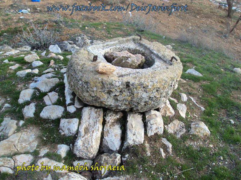
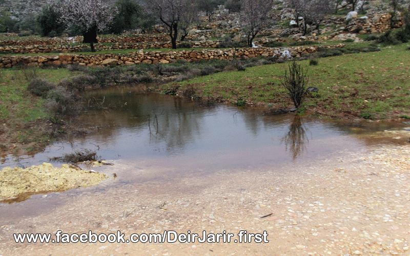
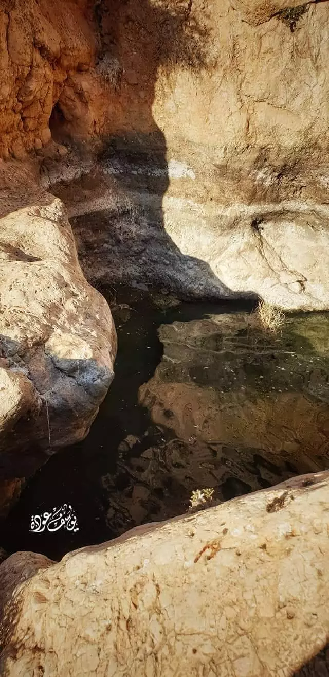
- بئر المخرور - واد الوحيت -- من أراضي دير جرير وحتى نهاية طريق المعرجات -- يوسف عودة
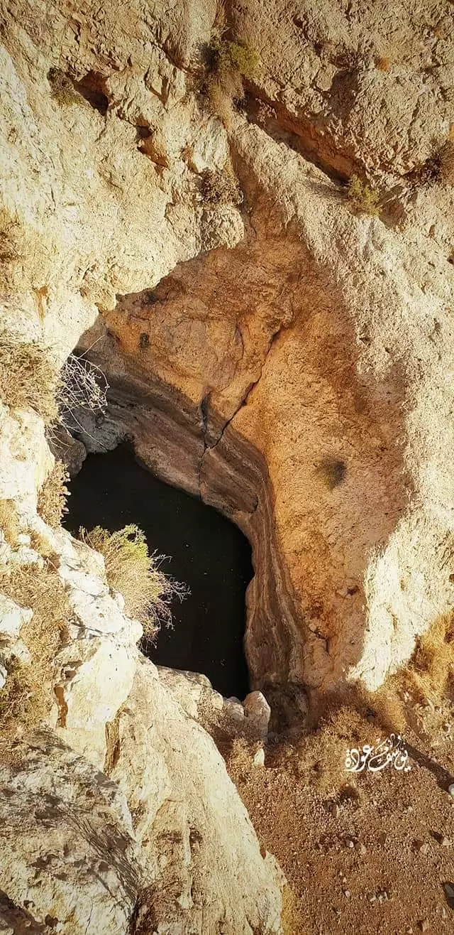
- بئر المخرور - واد الوحيت -- من أراضي دير جرير وحتى نهاية طريق المعرجات -- يوسف عودة #2
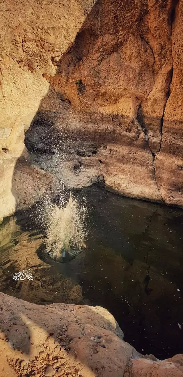
- بئر المخرور - واد الوحيت -- من أراضي دير جرير وحتى نهاية طريق المعرجات -- يوسف عودة #3
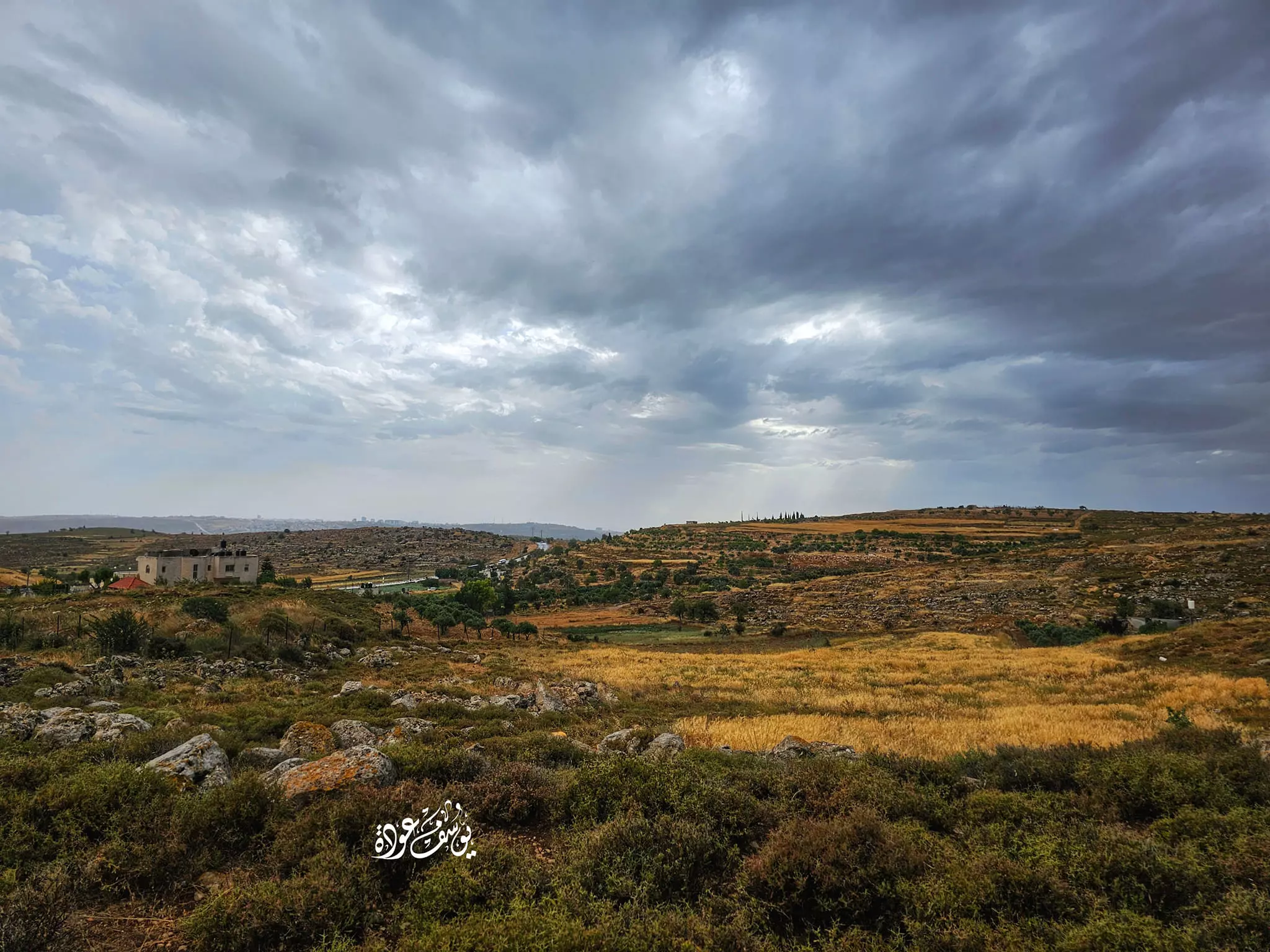
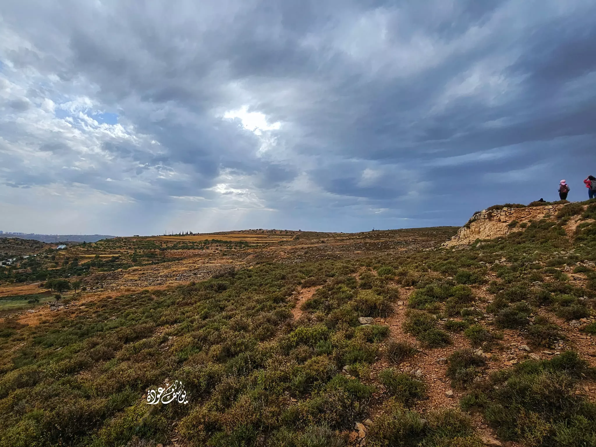
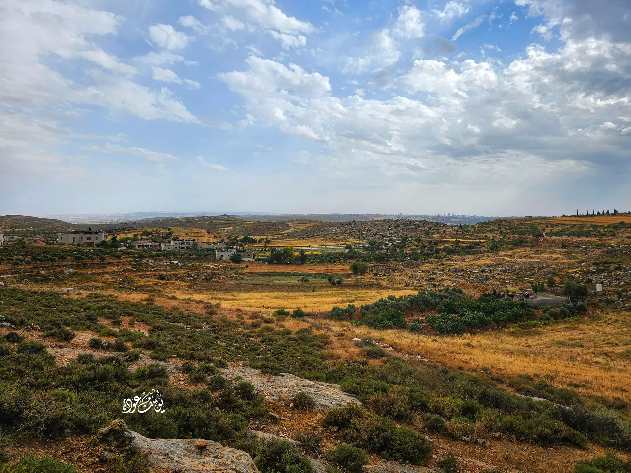
- جولة في الجبال والأودية المحيطة -- يوسف عودة
- جولة في الجبال والأودية المحيطة -- يوسف عودة #2
- جولة في الجبال والأودية المحيطة -- يوسف عودة #3
- جولة في الجبال والأودية المحيطة -- يوسف عودة #4
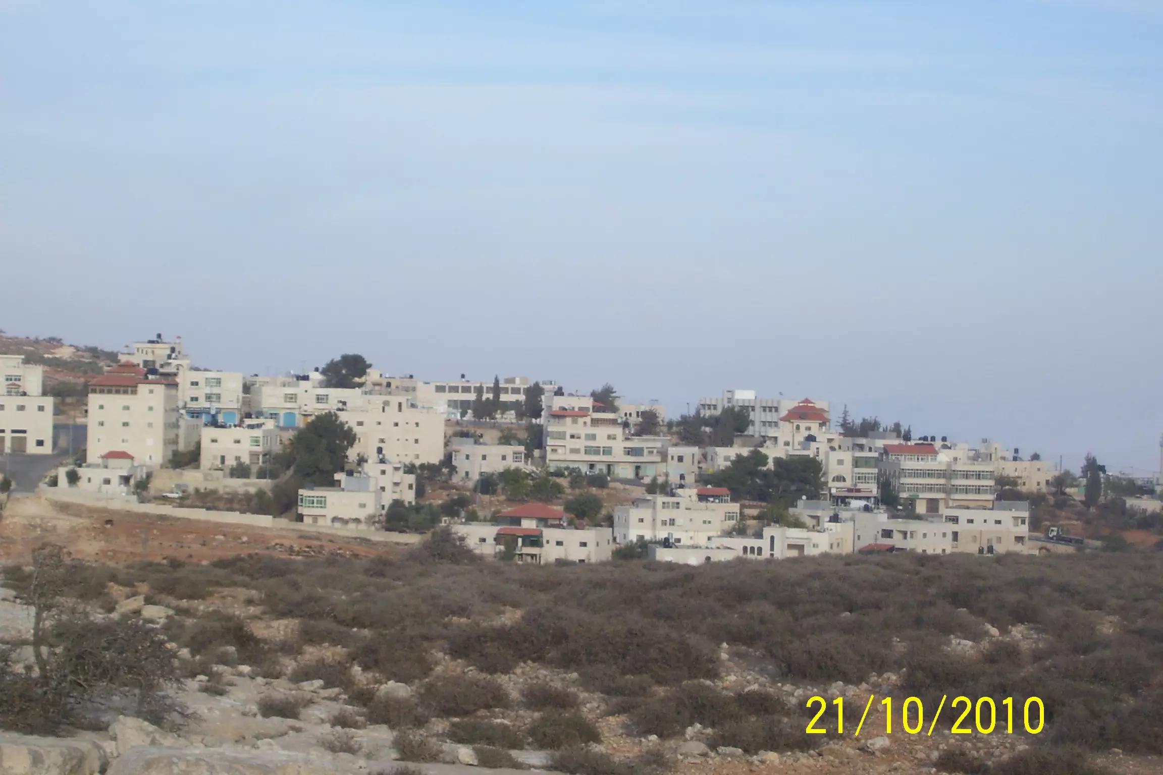
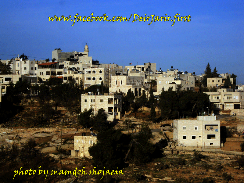
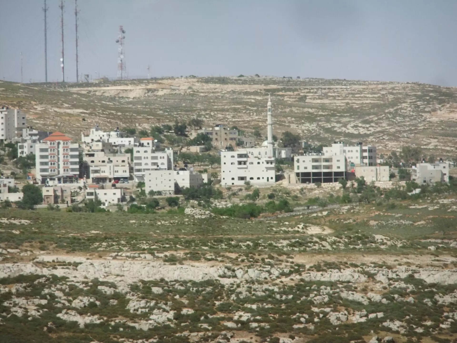
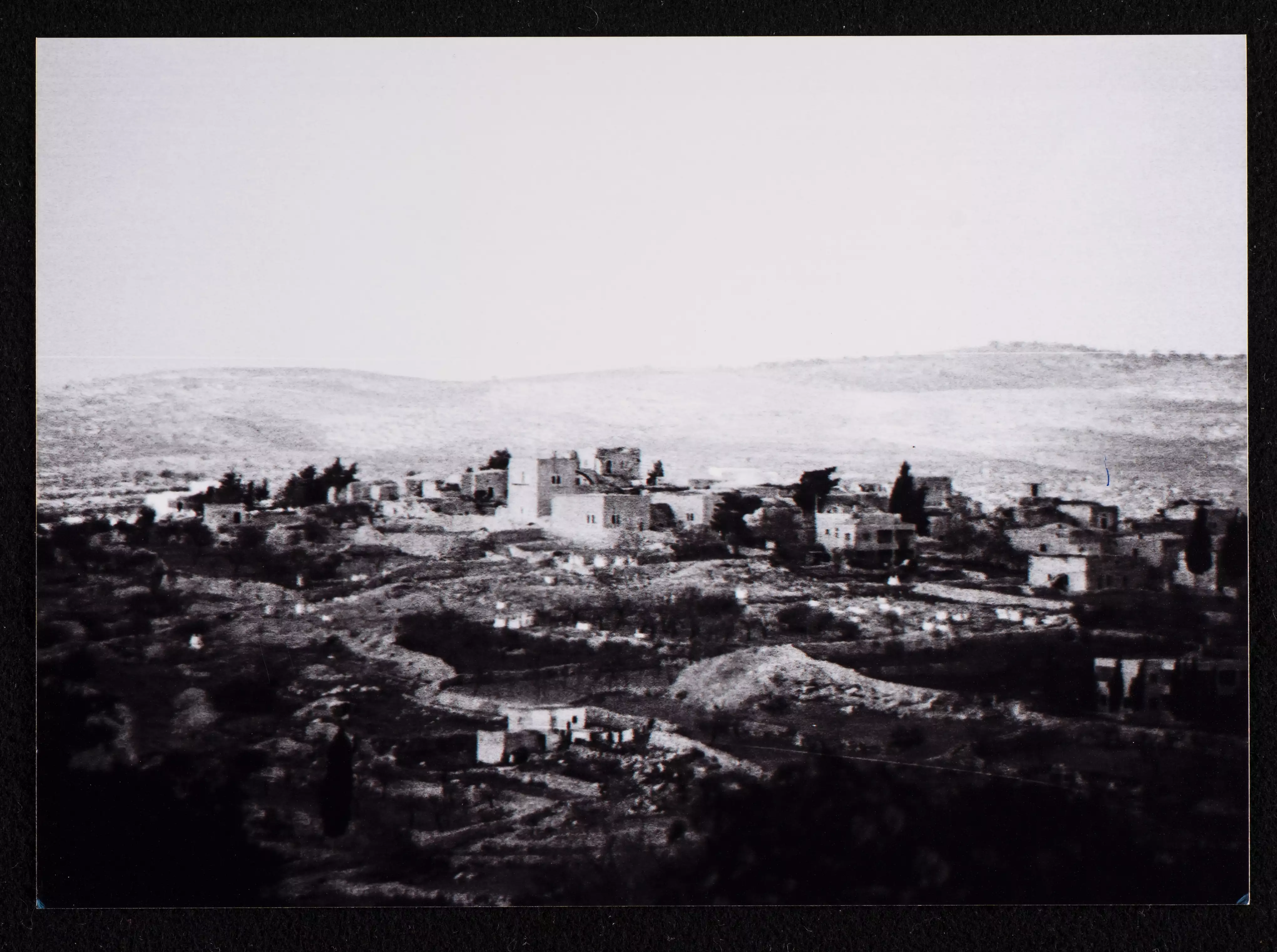
- General view of the village taken in the 1980s by Riwaq Center
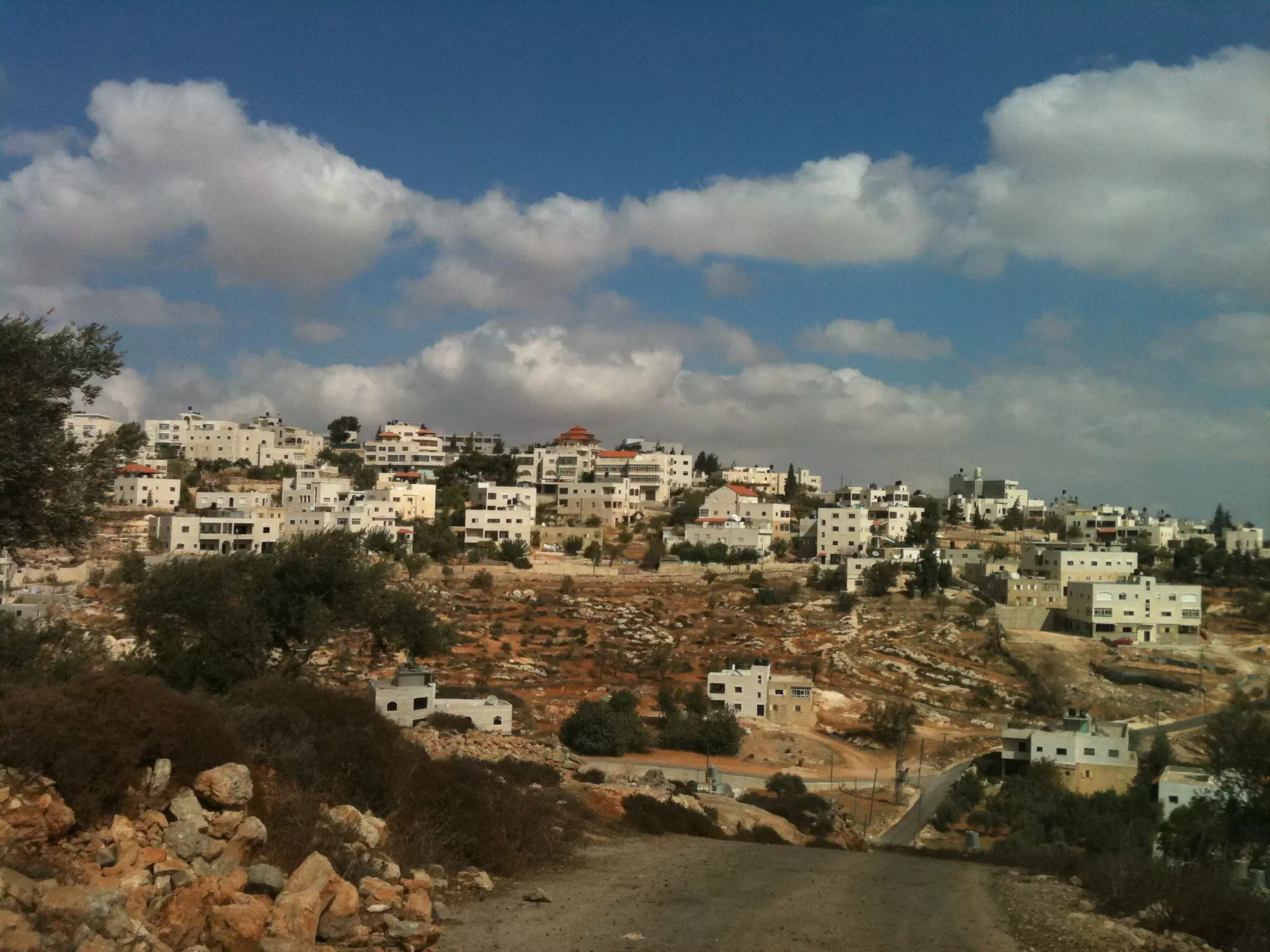
- General View
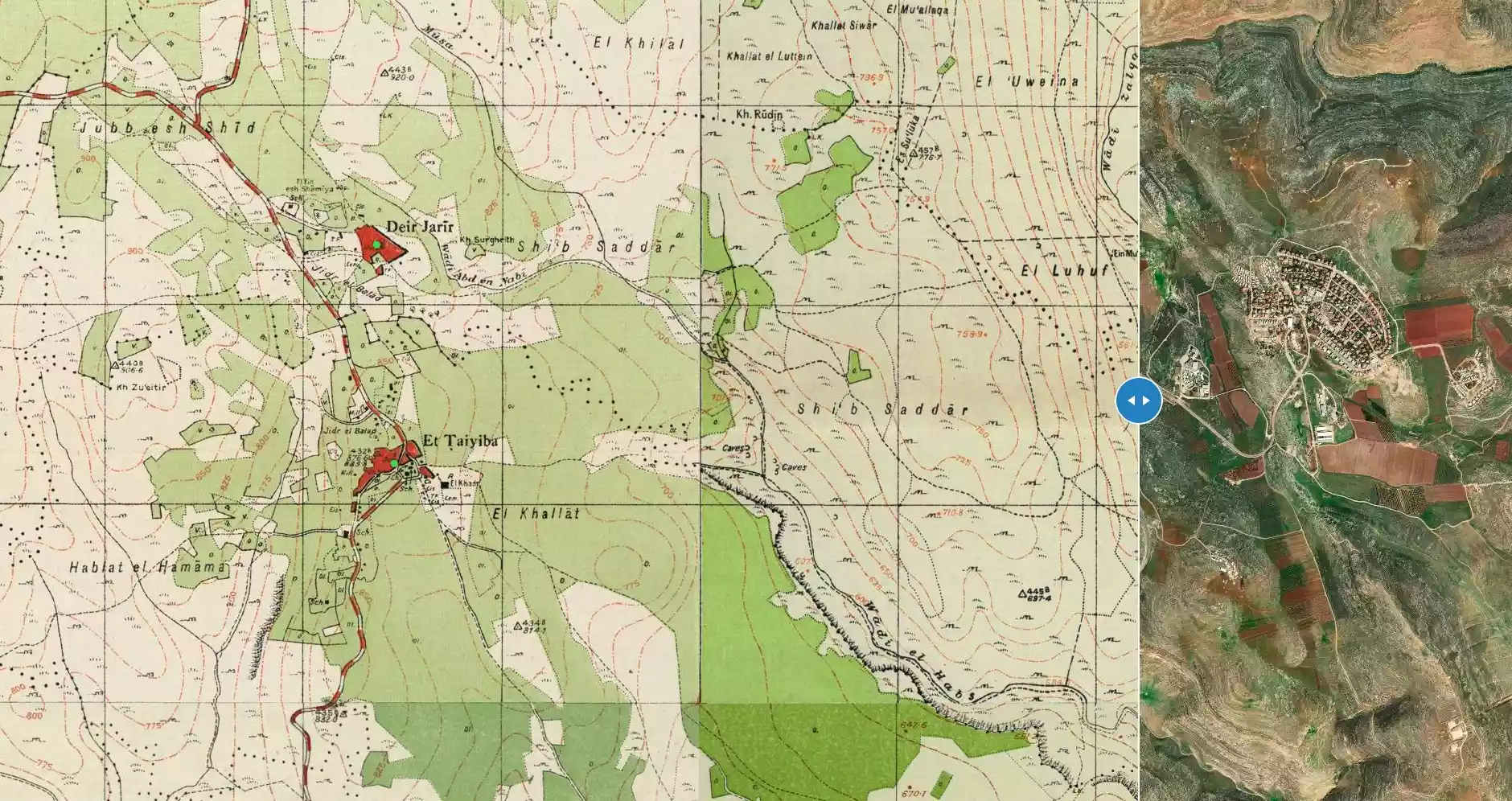
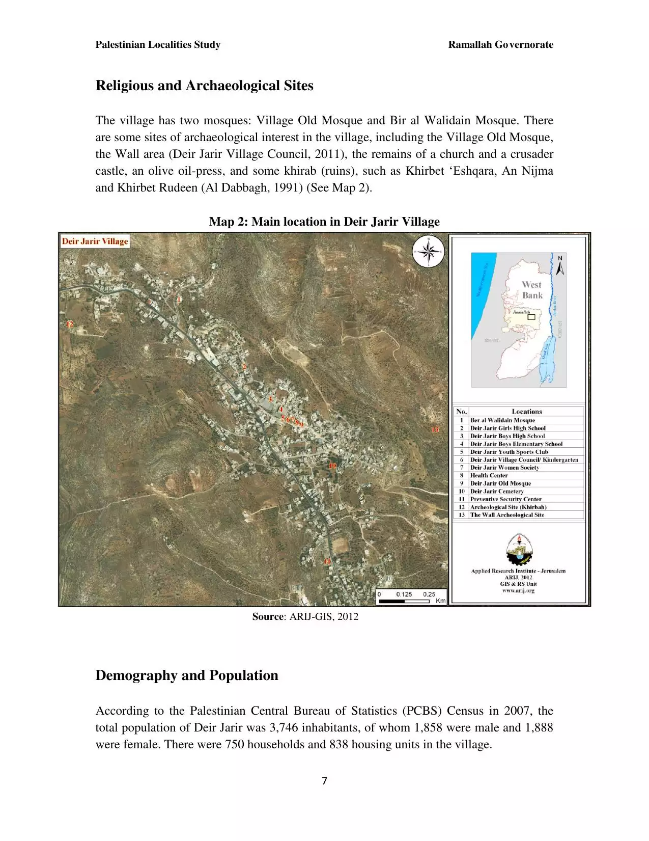
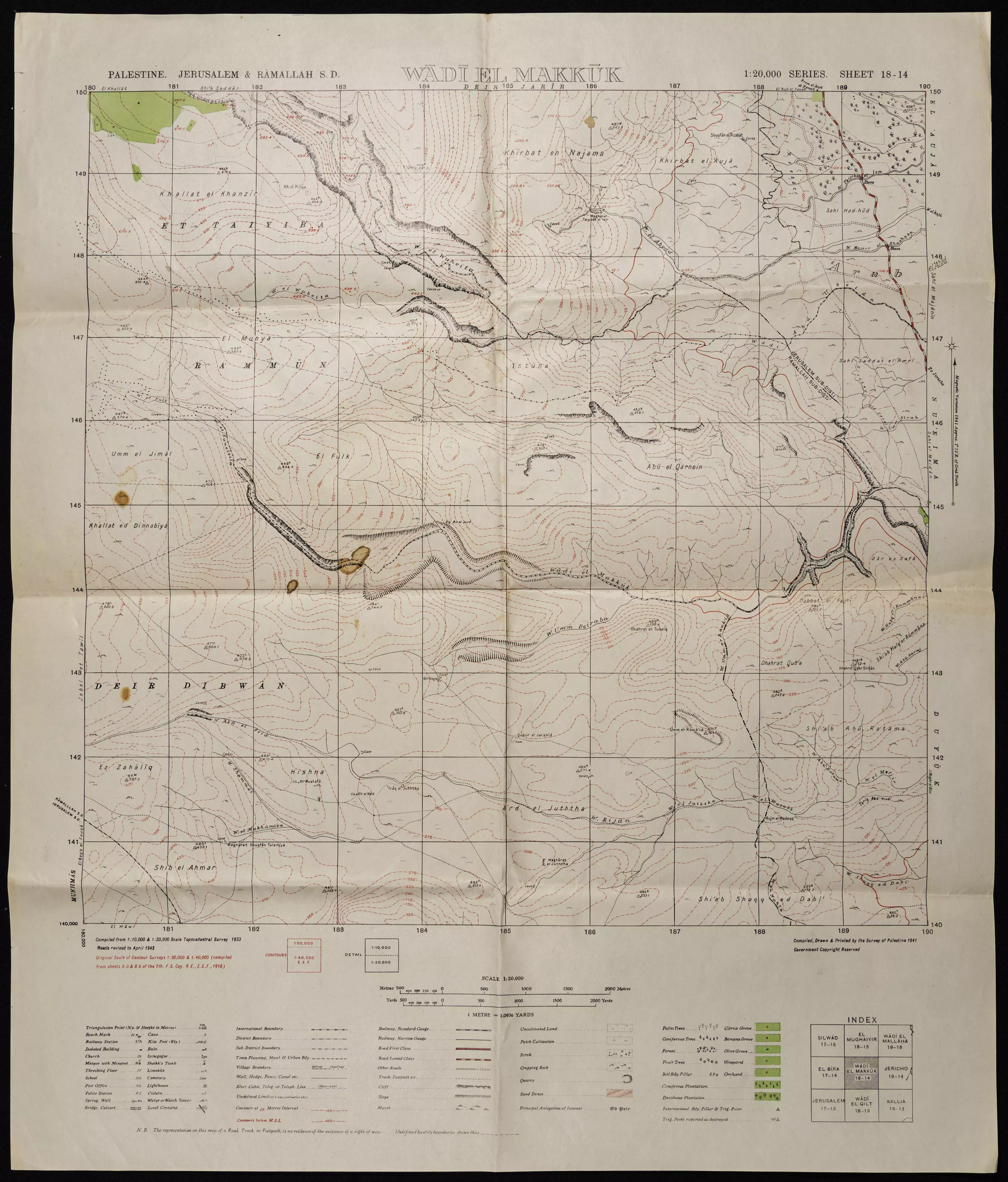
- خارطة وادي المكوك بالقرب من دير جرير ودير دبوان
- خارطة الاراضي والاودية بين المغير وكفر مالك ودير جرير
Want to browse more? 80,000 pictures were grouped in these gallaries:
| Display Name | Clan/Hamolah | Country of Residence |
| عيد حماد | - | - |
| ah_alawi | علوي | - |
| منيف الشجاعية | الشجاعية | - |
| ابو زكي | حمادنة | Amman, jordan |
| Jihad .O. Al-Najjar | - | Amman |
| معالي | - | - |
| قسام امين | - | ramallah, ramallah |
| qassam | عـــــــــــــــجــــــــــاج | ramallah, ramallah |
| Rami Muhanna | - | DUBAI, UAE |
| حسن هاني حسن عبدالله عرمي | عرمي | - |
| حسن هاني حسن عبدالله | فراخنة | brasil |
| أبو هيثم محمد عجاج | - | - |
| حازم عجاج | عجاج | رام الله, فلسطين |
| جميل معالي | معالي | - |
| نائل غوينم | أبو مخو | عمان, الأردن |
| T@MER AJAJ | - | RAMALLAH, PALESTINE |
| Bayan | - | IL, USA |
| Iyad Al-Najjar | - | U.A.E |
| مازن سلامة | شجاعية | - |
| hamzah hasheesh | - | - |
| fadi | alkashara | amman, jordan |
| صابر ابومخو | غوينم | - |
| ahlam hammad hammad | hammad | kuwait |
| أم خالد | عجاج | -, QATAR |
| عمر عبدالسلام | الكشره | amman, jordan |
| جودة | - | - |
| حسين شجاعية | شجاعية | رام الله |
| Hamed Abu Makhou | - | - |
| شكري ابو مخو | ابو مخو | رام الله, فلسطين |
| heba | katoof | amman, jordan |
| ASHRAF HAMDAN | الشجاعية | الامارات, الامارات |
- مرورا من قرية دير جرير Duration: 3 min 48 sec
 Fake Valor: Why Did Zionist Jews Hoist Nazis Flag on Their Ships in the 1930s?
What is new?
-
Facts About Oct. 7th Gaza Raid
-
Remined Us Please:: Who Did Rape Who? Palestinians Raped Israelis? Or, was the other way around?
-
When Prof. Edward Said was invited to debate Bibi Netanyahu in the 1980s, watch what happened!
-
Ezra Klein of the NY Times on the "Jewish Race".
-
Abusing Blood Libel!
-
Did Israeli Soldiers Activate The Hanniba Direective On Oct. 7th? You Be The Judge
-
Zionist FAQ: Isn't it true that Palestinians don't want peace? Palestinians never accepted the two-state solution
- Facts about Haavara (Transfer) Agreement between Ben-Gurion & Hitler
-
Haavara FAQs: Why Did Zionist Jews Hoist Nazis' Flags on Their Ships in the 1930s?
- Haavara FAQs: When Chaim Weizmann met FDR in mid-1943, why was he silent about rescuing European Jewry?
-
Dear ChatGPT: How did Palestinians resist Napoleon's invasion of their country in 1799?
-
Dear ChatGPT: Gaza had a vibrant Jewish community in the mid-17th century. What happened to them?
-
Dear ChatGPT: Why did the Jewish Agency suppress news of the Holocaust during WWII?
-
Video Playlist: Jews share their DNA tests to end the conflict for good.
-
A Tale of Two Conflicts: Examining the Definition of Genocide
-
Prof. Abraham Polak And The Suppressed History of the Khazars and European Jewry
-
How Ronald Reagan would have framed the genocide in Gaza if he were still alive?
-
Haavara FAQs: Let us do the math: how many German Jews did The Haavara Agreement save?
-
Zionist FAQs: The Hebron Massacre of 1929, "clearly proves" that Palestinians are antisemitic, how could you deny it?
-
Zionist FAQs: Why Anti-Zionist Is Not Antisemitism?
-
Zionist FAQs: Isn't it true that the KGB created Palestinian Nationalism in the early 1960s?
- Zionist FAQs: Muslims are killing Muslims all the time; why are Israeli Jews being singled out in the media?
- Zionist FAQs: How is Israel an apartheid state when 20% of its citizens are Arabs who enjoy full rights?
-
Haavara FAQs: Why Did Dorothy Thompson Flip From A Zionist Advocate to A Silenced Dissenter?
-
Haavara FAQs: Analysis of Herzl's Uganda Scheme and how it could have saved millions of Jews.
-
Haavara FAQs: Why did Hayim Greenberg describe American Jewry as "morally bankrupt" in early 1943?
-
Haavara FAQs: What if the Evian Conference was a resounding success? What would have been the impact of saving European Jewry on Zionism?
- Haavara FAQs: What if the six million were saved, how that would have impacted the Zionist project?
-
Haavara FAQs: How did Zionist leaders react when Europe's Jews lingered in the DP camps after WWII ended?
-
Why does the American Jewish community repeat lies that David Ben-Gurion had debunked before he died?
-
Who has the power to rename the Tatar/Khazar Gene Marker to Jewish IV?
-
Zionist FAQs: Why won't Egypt, Syria, and Jordan take their people back? Jews are indigenous to Palestine, and Arabs immigrated after Jews developed the country. Arabs should leave.
-
Haavara FAQs: Did Hitler and the Nazis conflate between Judaism and Zionist? If that wasn't case, then why?
-
Haavara FAQs: Winston Churchill and antisemitism, a collection of articles written Churchill.
-
Haavara FAQs: Broken by country, how many Jews survived vs. killed during the Holocaust?
-
Haavara FAQs: Why did European Jews vote with their feet and to immigrated to the Americas, not Palestine, after WWII?
-
Watch this American Jewish Girl describing Israeli Jews' cognitive dissonance like no other in under two minutes
-
Haavara FAQs: When the Nazis went out of their way to hide the Holocaust, Israeli Jews did the exact opposite by broadcasting their genocide of Gazans. But why?
-
Haavara FAQs: How Zionist Jews went out of their to show their appreciation to Nazism and Fascism?
- Haavara FAQs: Why Zionist leaders were against bombing the death camps & the Railroads leading to them?
-
Haavara FAQs: Hitler's message to the British and American people: If Jews are such noble citizens and you care about them, how come you're not letting them in? I will gladly ship them to you at my expense, even on luxury liners!
-
A shortlist of Zionist and Israeli false flag operations in the name Jews.
-
The Most Moral Army
- The Land of Kapos (Israel): Where the brave are boycotted and Kapos walk free.
- Why did early Zionists often named their communal enterprises "colonial"?
- Zionist Relations with Nazi Germany by Faris Glubb
-
Two NY Times advertisements by Zionists in the early 1943 that exposes Zionists' treason at the height of the calamity
- Facts Not Lies about the Palestinian-Israeli Conflict.
- Site's pictures have been categorized
- Campgain Against Lice
- A Survey of Palestine, the official source about Palestine before Nakba produced by the British Mandate; over 1200 pages.
- Satellite View & Google Earth: Over 6,000 placemarks identifying all destroyed towns, W. Bank & Gaza Strip Towns, & refugee camps.
- PalestineRemembered.com and its Nakba Oral History Project were featured on al-Jazeera Satellite TV.
- Nakba Oral History Video Podcast:
 Over 700 Oral History interviews (including 3,500+ hours of recording) can be viewed online.
 - Palestine Village Statistics Project
- Gaza Jail Break
- النسخة العربية للموقع الان متوفرة
- Videos: Documenting the destroyed villages in video: Tracing all that remains since Nakba.
- Videos: Responding to Zionist Propaganda
- Interview: The ethnic cleansing of Palestine: George Galloway interviews Israeli Historian Ilan Pappe.
- For Palestinians, memory matters. It provides a blueprint for their future By George Bisharat.
- Zionist FAQ now available in Hebrew שאלות שציונים שואלים, עכשיו בעברית
- Video: The Stephen Walt and John Mearsheimer report on the influence of the Israel Lobby on U.S. Foreign Policy
- The Palestinian-Israeli conflict for beginners
