| PalestineRemembered | About Us | Oral History | العربية | |
| Pictures | Zionist FAQs | Haavara | Maps | |
| Search |
| Camps |
| Districts |
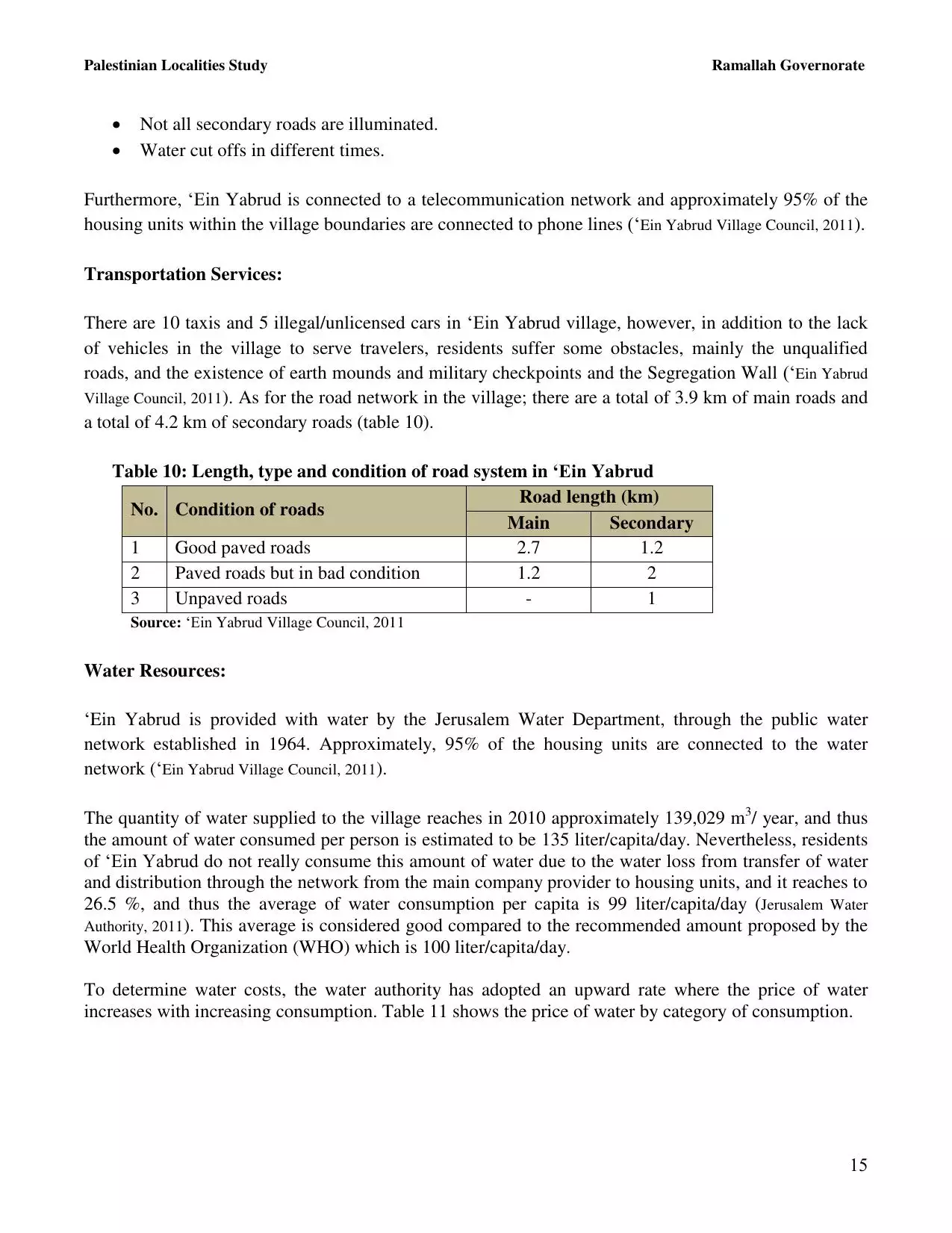
| Acre |
| Baysan |
| Beersheba |
| Bethlehem |
| Gaza |
| Haifa |
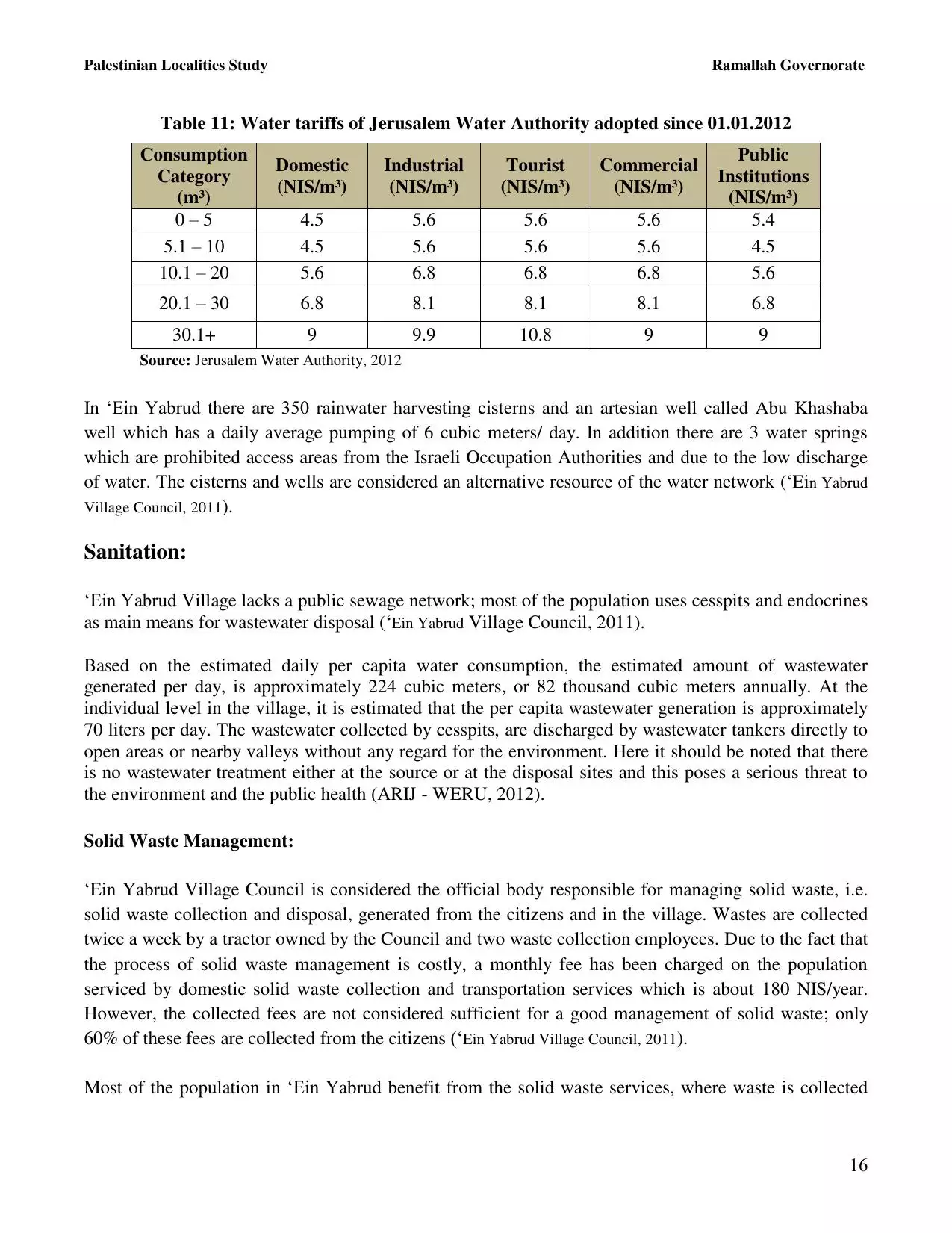
| Hebron |
| Jaffa |
| Jericho |
| Jerusalem |
| Jinin |
| Nablus |
| Nazareth |
| Ramallah |
| al-Ramla |
| Safad |
| Tiberias |
| Tulkarm |
| Donate |
| Contact |
| Profile |
| Videos |
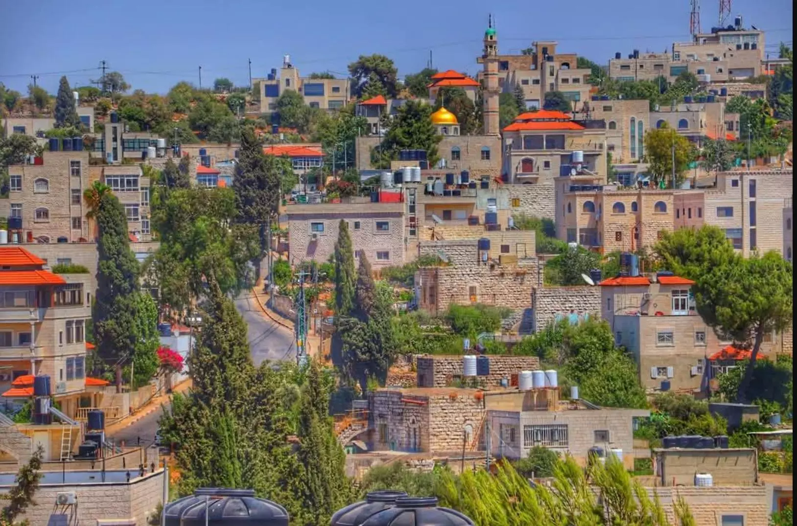
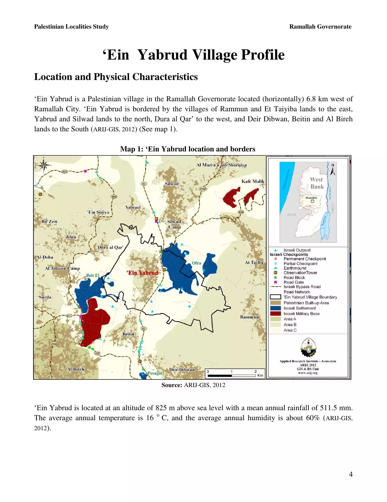
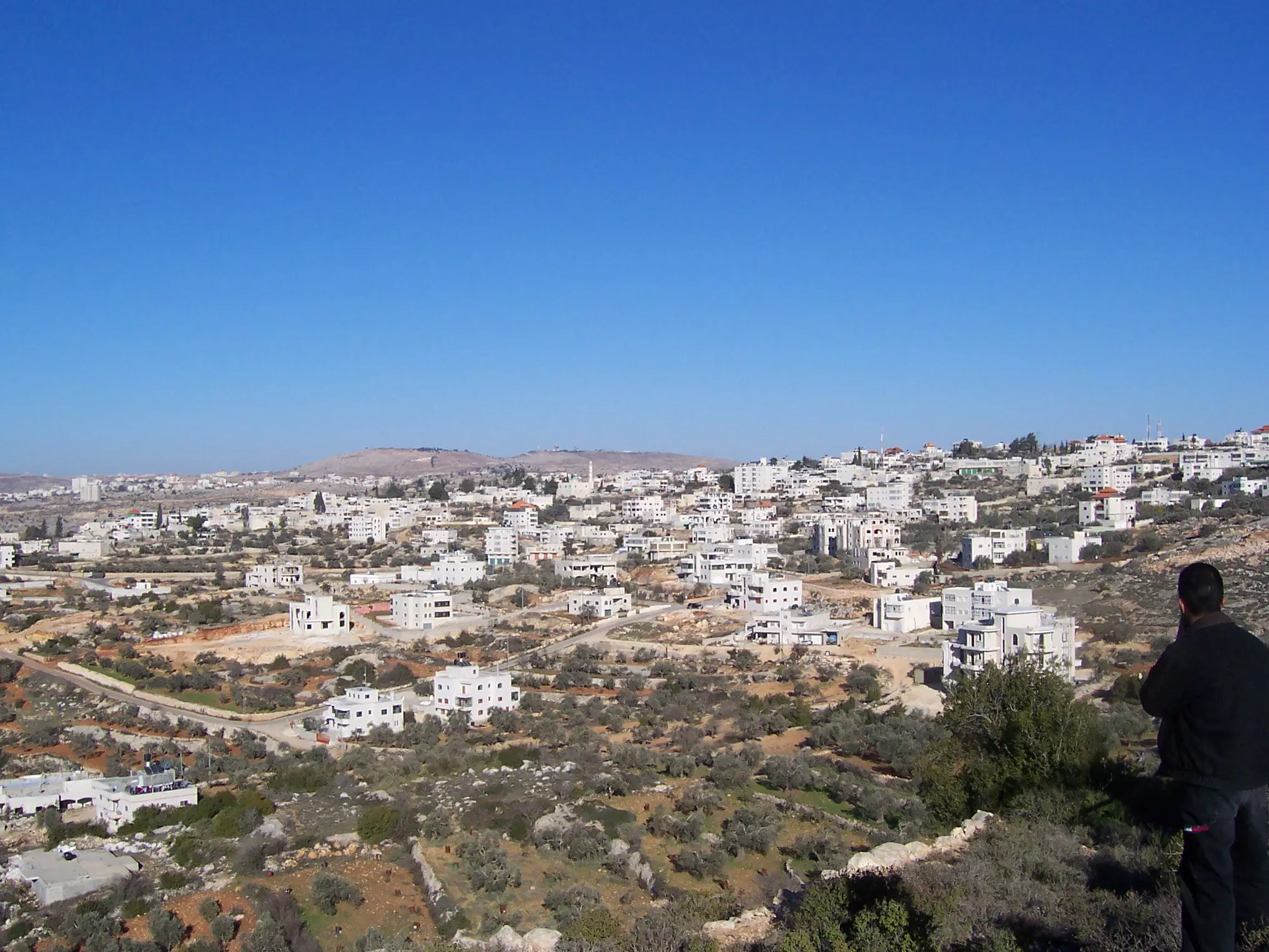
Welcome To 'Ayn Yabrud - عين يبرود (עין יברוד)
|
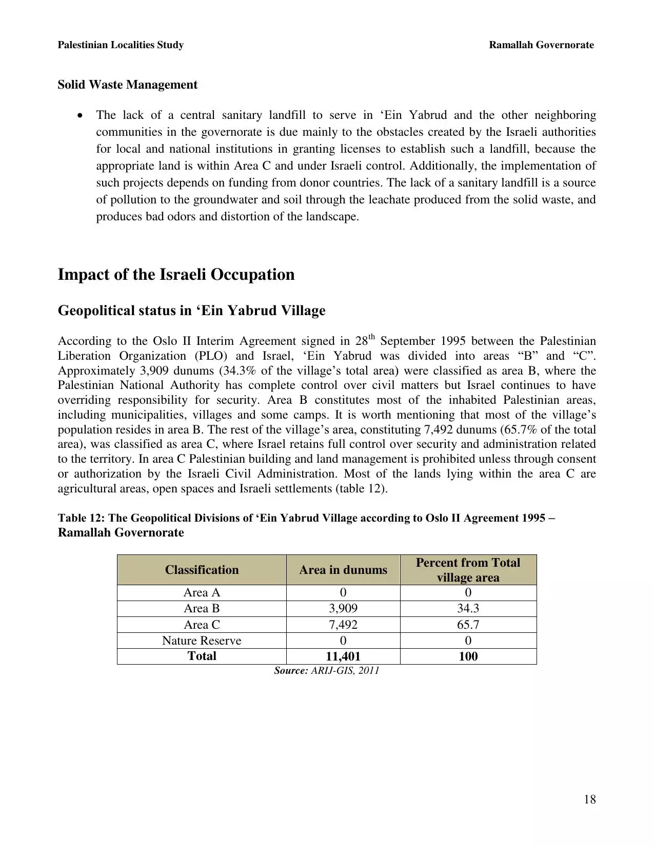
District of Ramallah
Occupied days ago |
العربية Google Earth |
 |
Gallery (116) |
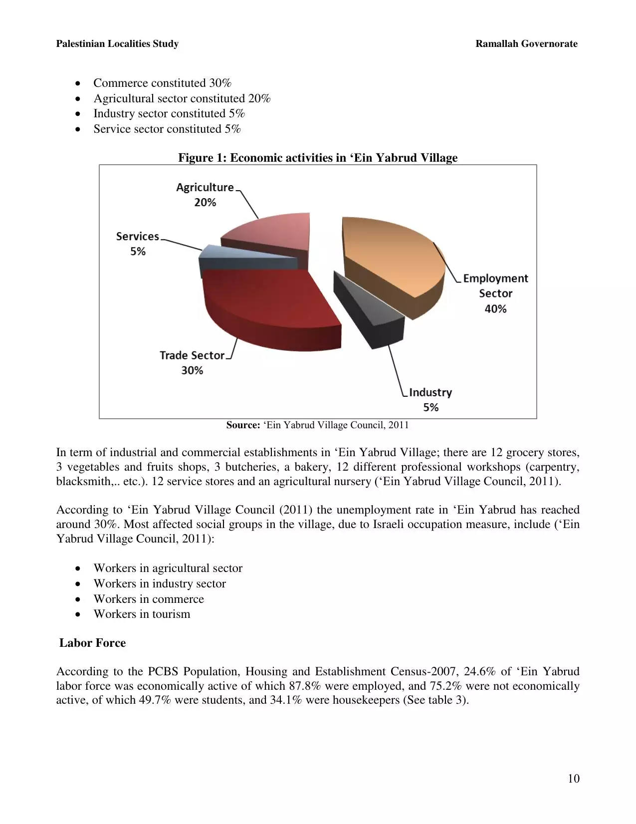
- Statistics & Facts
-
Before & After

- Satellite View
- Articles 8
- Pictures 116
- Mayrters & Prisoners 1
- Members 29
- Families
- Town's Map
- Wikipedia
- ARIJ Guide
- Videos 4
- Guest Book 25
- Links
| Statistic & Fact | Value | ||||||||||||||||||||
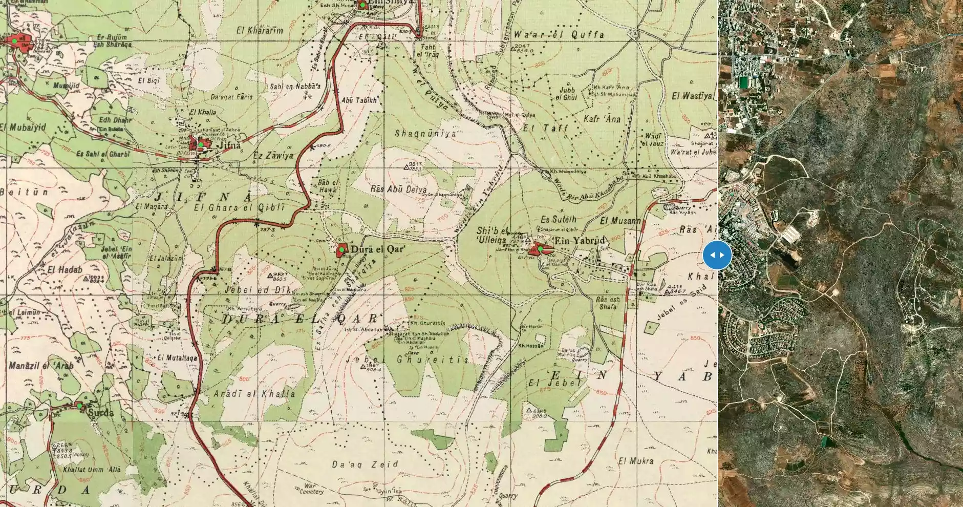
| Distance From District | 7 km northeast of Ramallah | ||||||||||||||||||||
| Elevation | 800 meters | ||||||||||||||||||||
| Before & After Nakba, Click Map For Details |
|||||||||||||||||||||
|
|||||||||||||||||||||
| Land Ownership |
**Town Lands' Demarcation Maps |
||||||||||||||||||||
| Land Usage As of 1945 |
|
||||||||||||||||||||
| Population |
|
||||||||||||||||||||
| Near By Towns |
|||||||||||||||||||||
|
|
|||||||||||||||||||||
| Featured Video | |||||||||||||||||||||
| ARIJ Guide | |||||||||||||||||||||
|
Click here to browse online. |
|||||||||||||||||||||
| Related Maps | Town Lands' Demarcation Maps خرائط للقضاء توضح حدود القرى والاودية View from satellite Town's map on MapQuest Help us map this town at WikiMapia |
||||||||||||||||||||
| Related Links | Detailed Map Detailed Map Wikipedia's Page Facebook Page ARIJ Guide Google Search Google For Images Google For Videos مخطط البلد في كتاب بلادنا فلسطين دليل أريج المزيد من موقع هوية |
||||||||||||||||||||

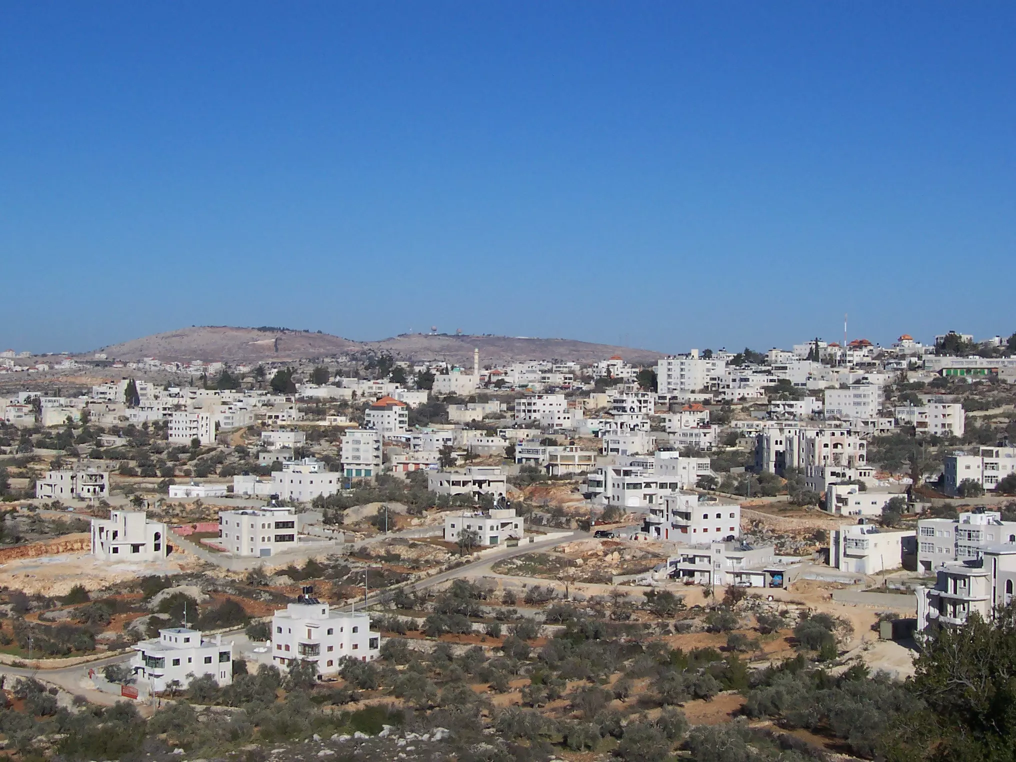
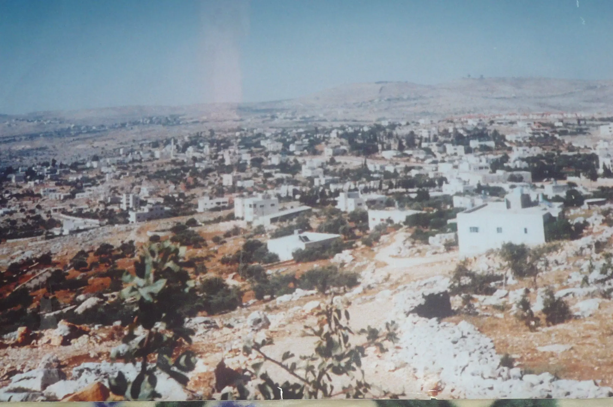
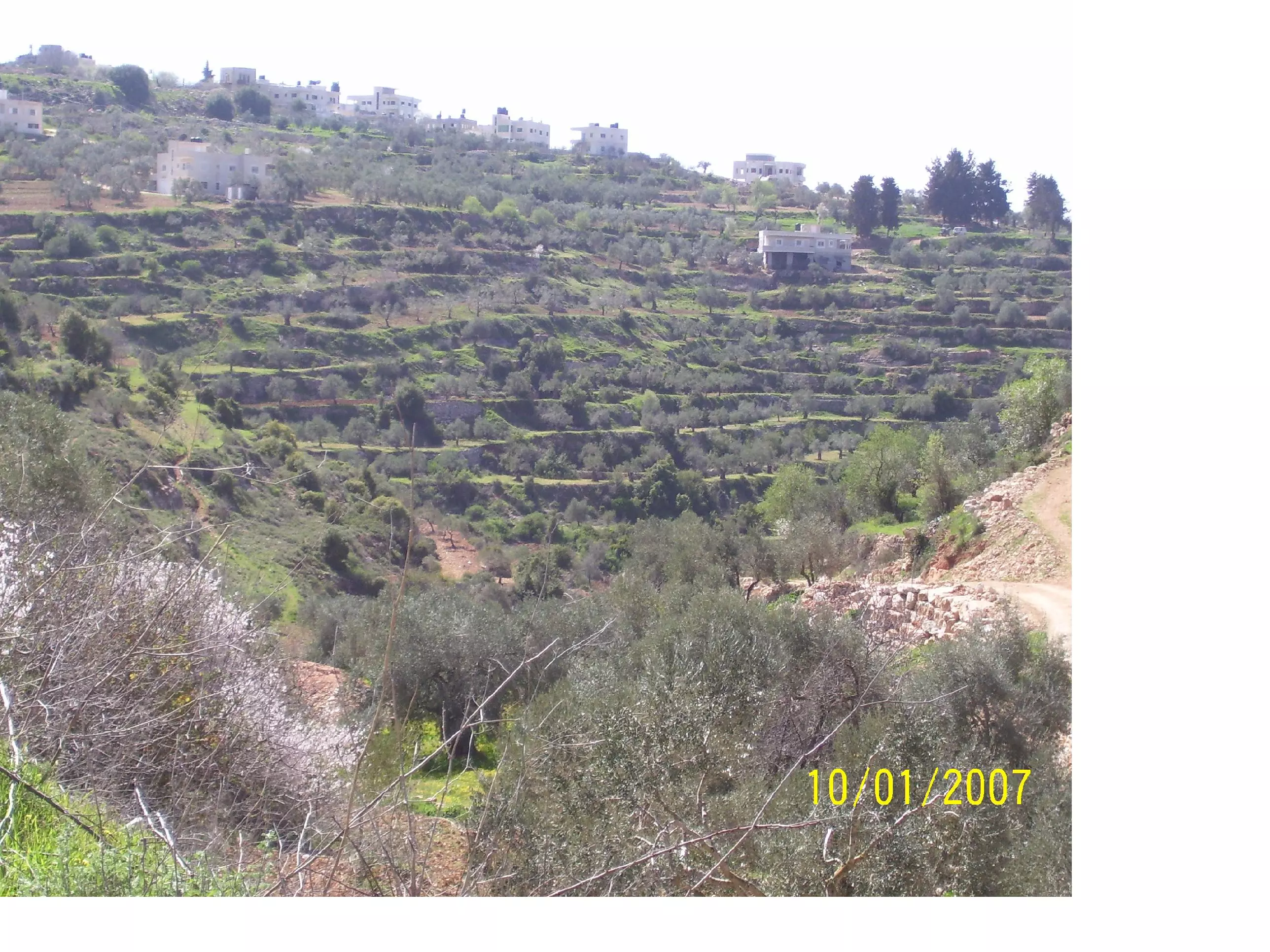
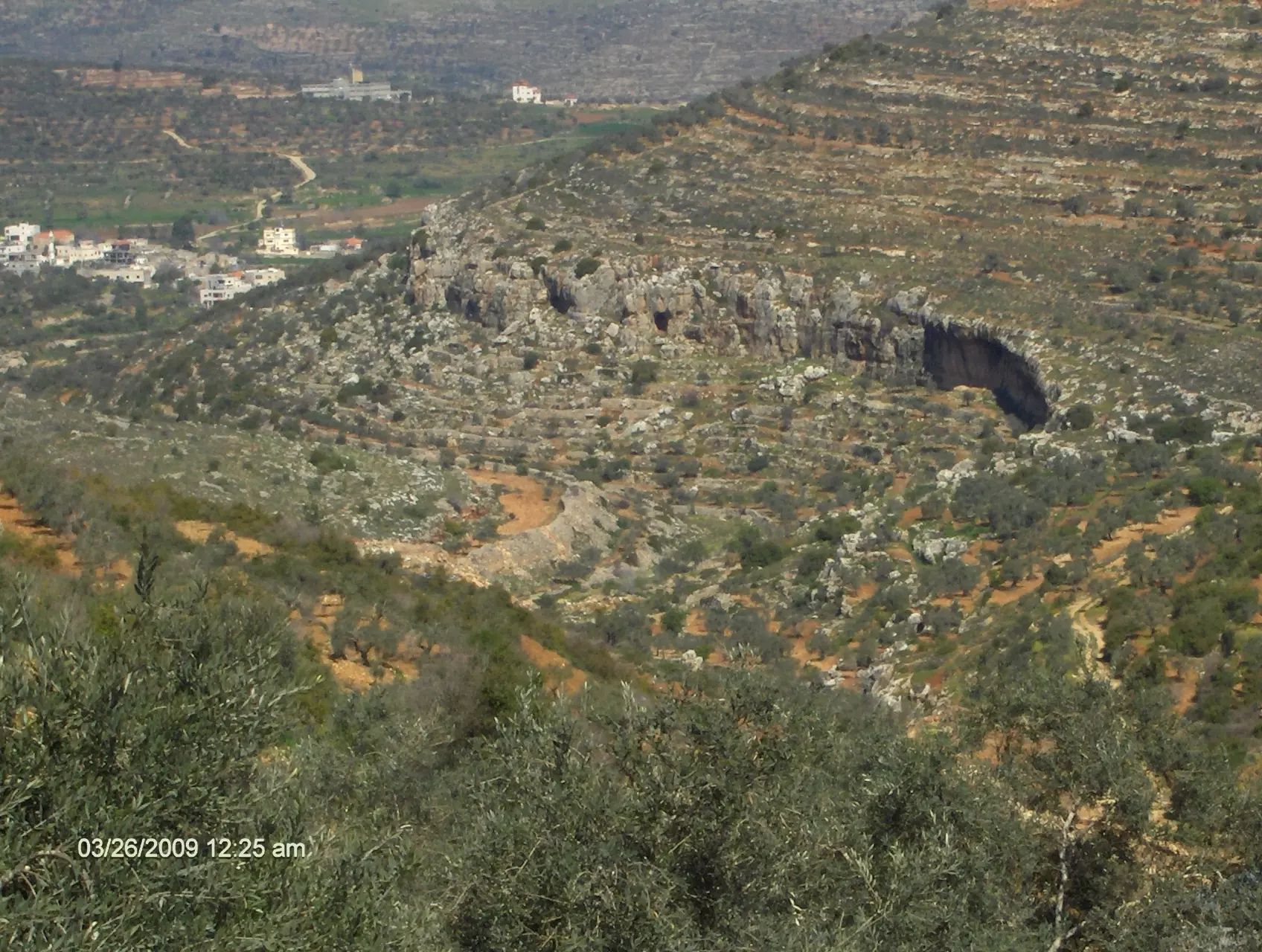
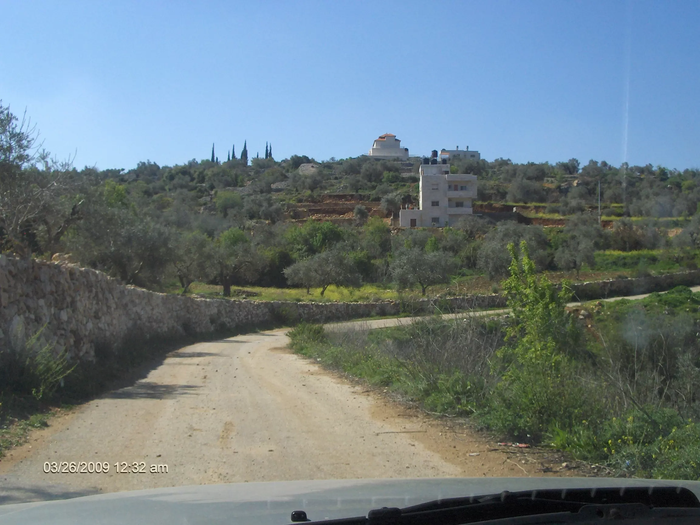
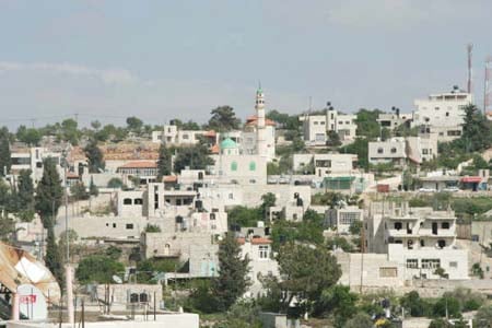
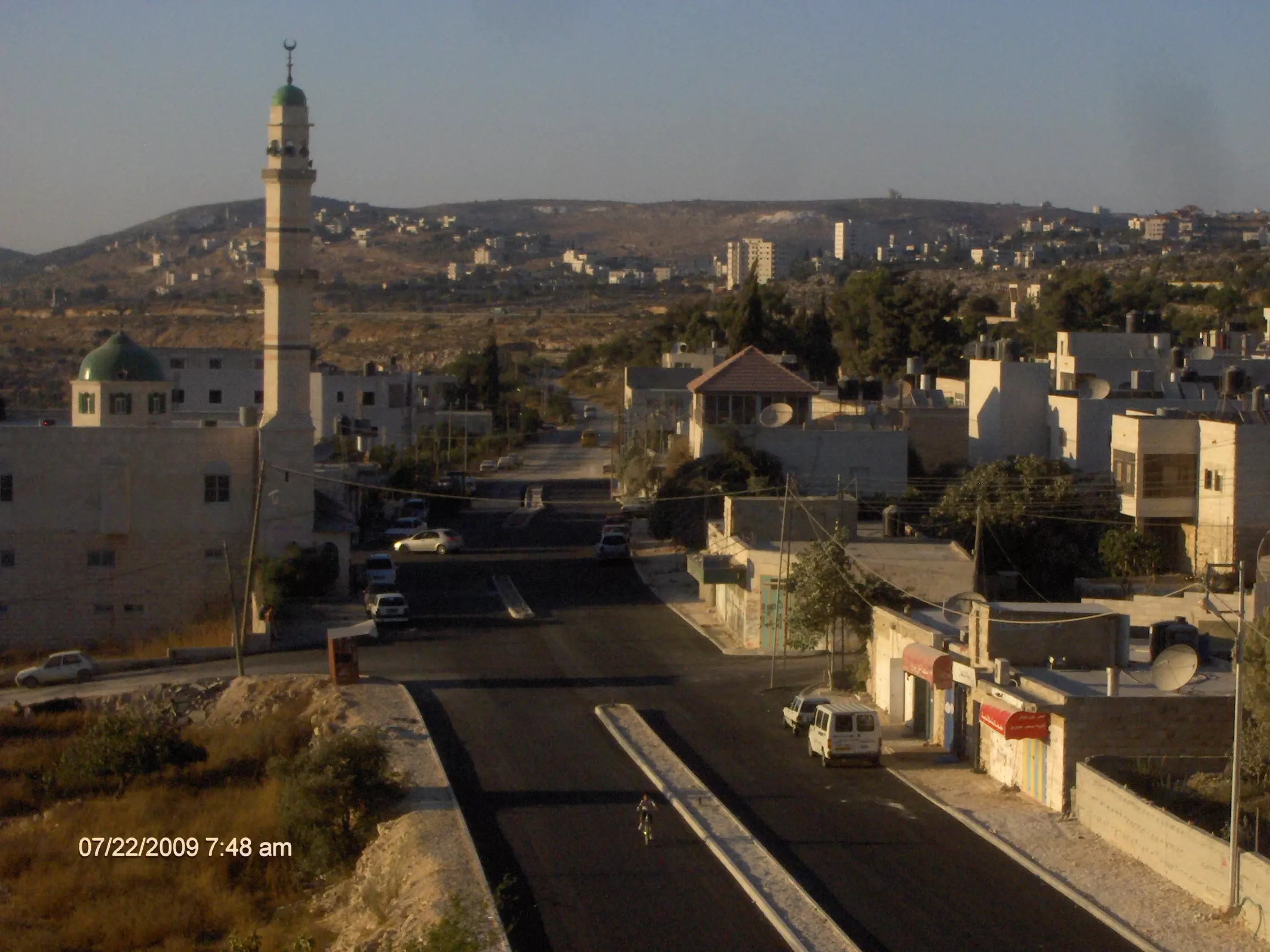
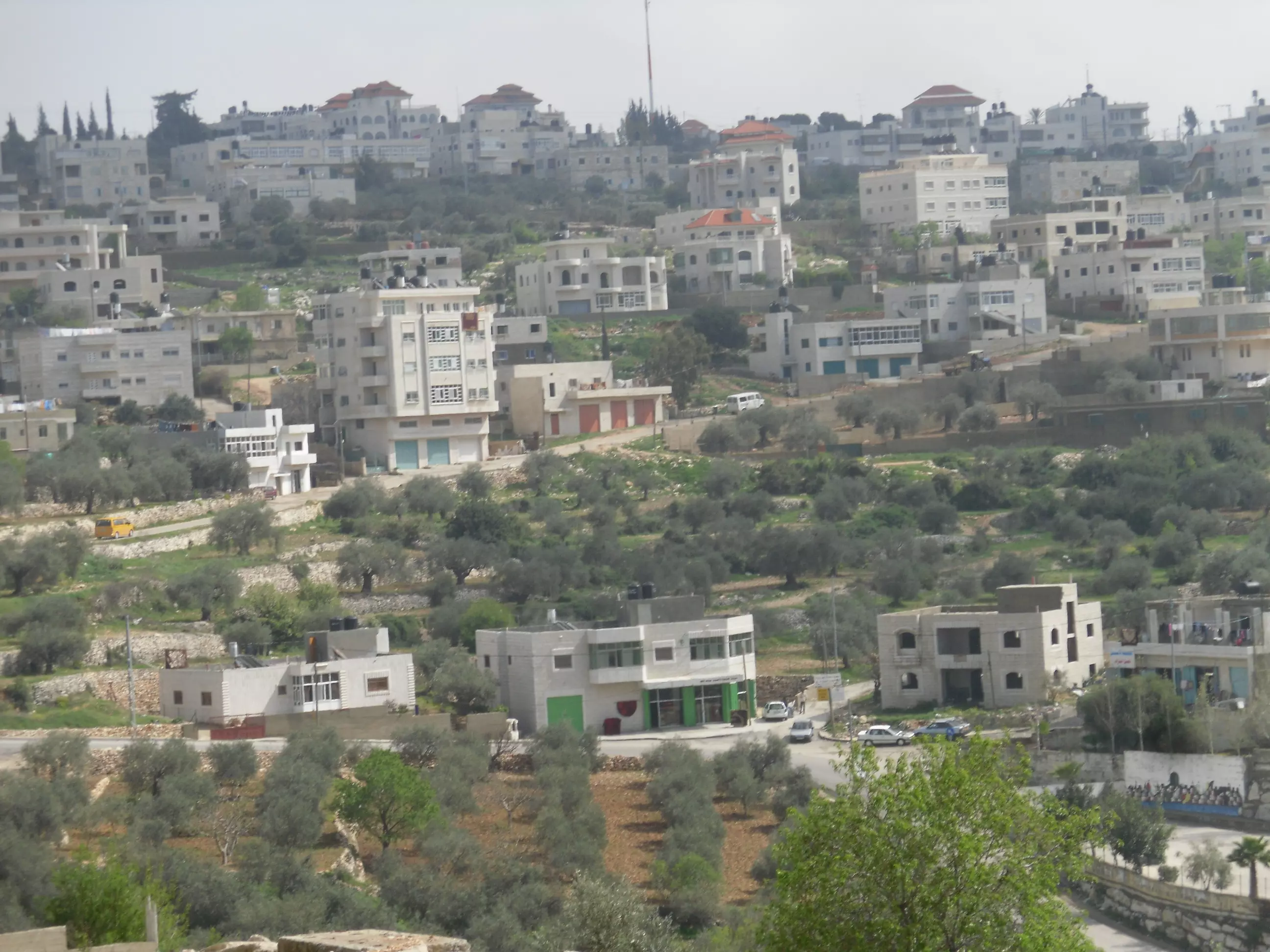
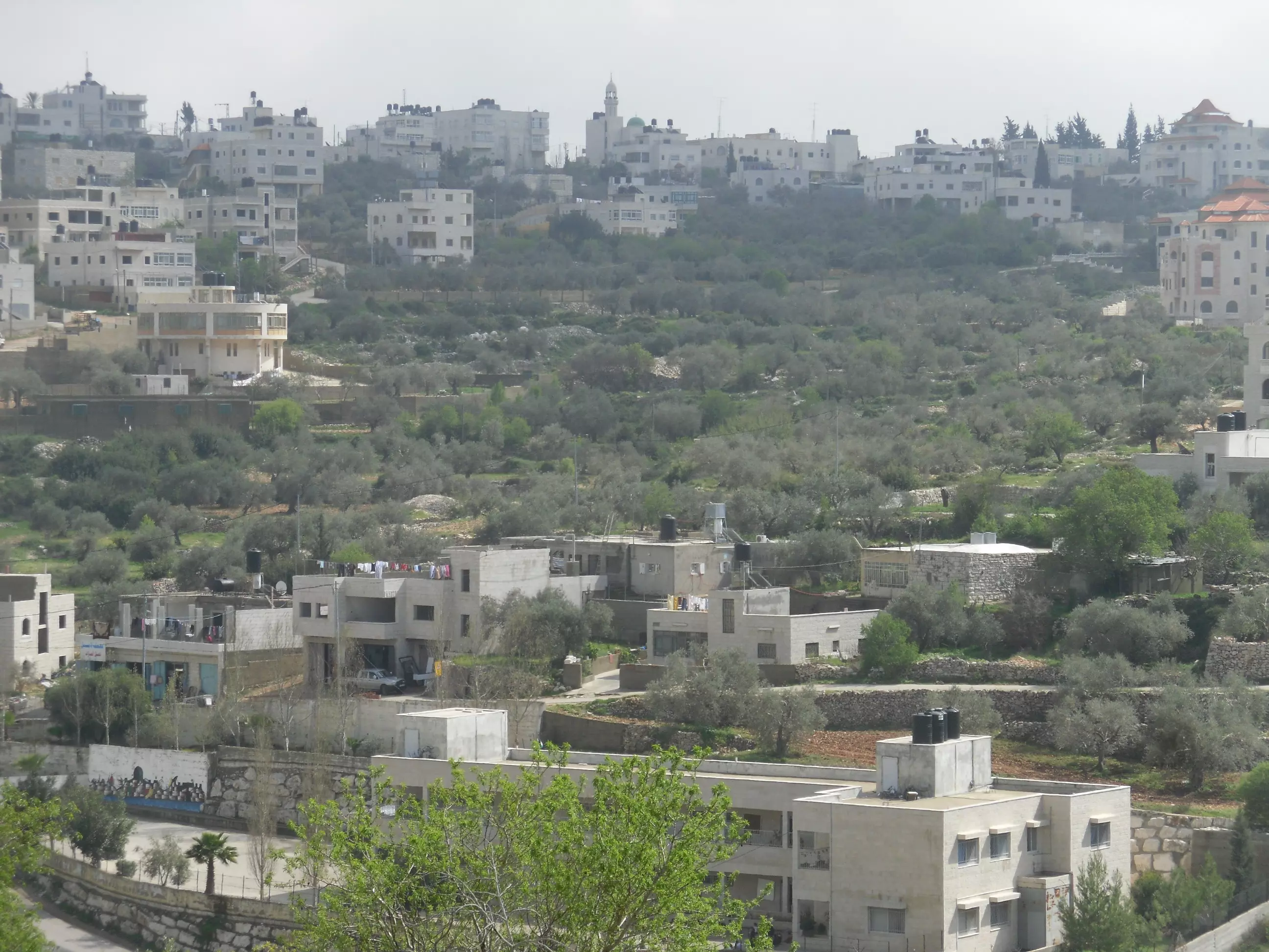
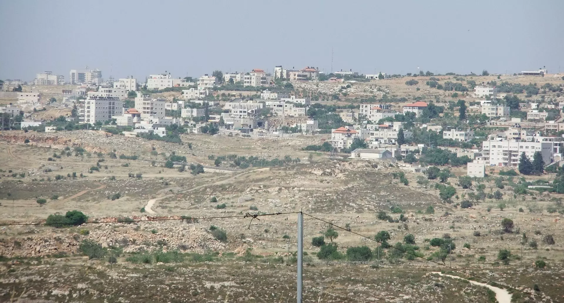
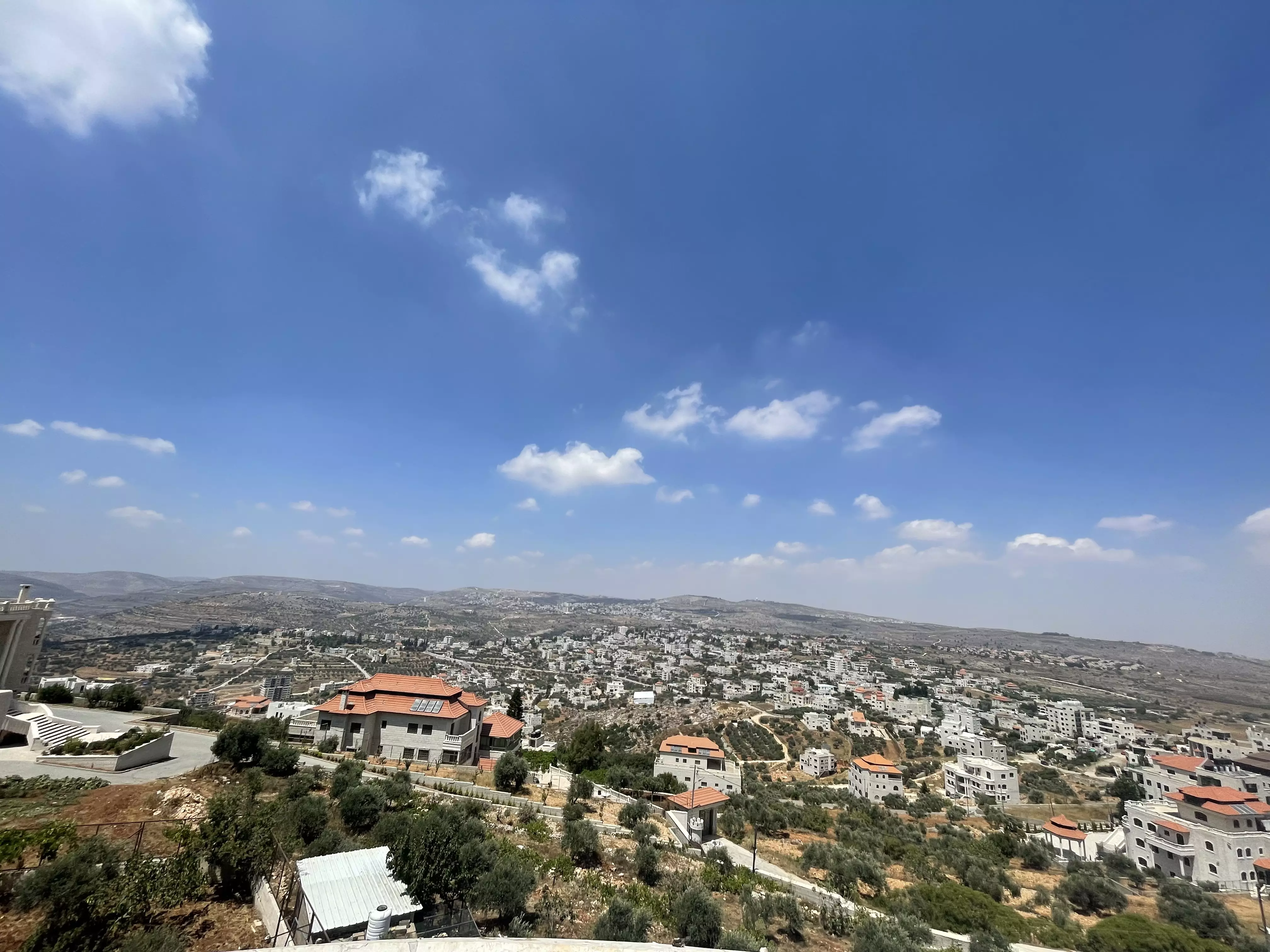
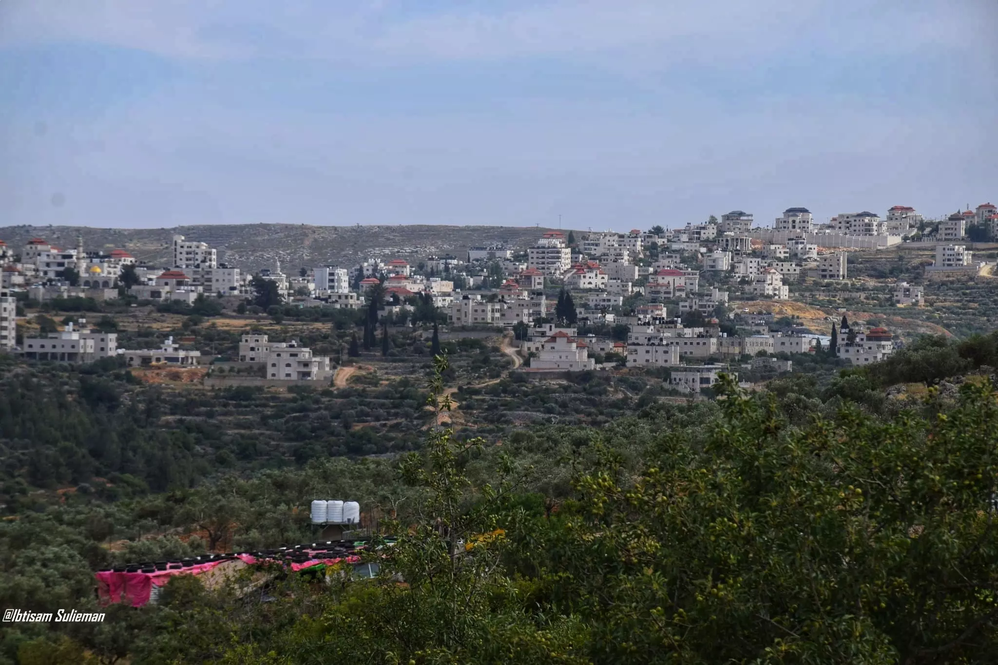
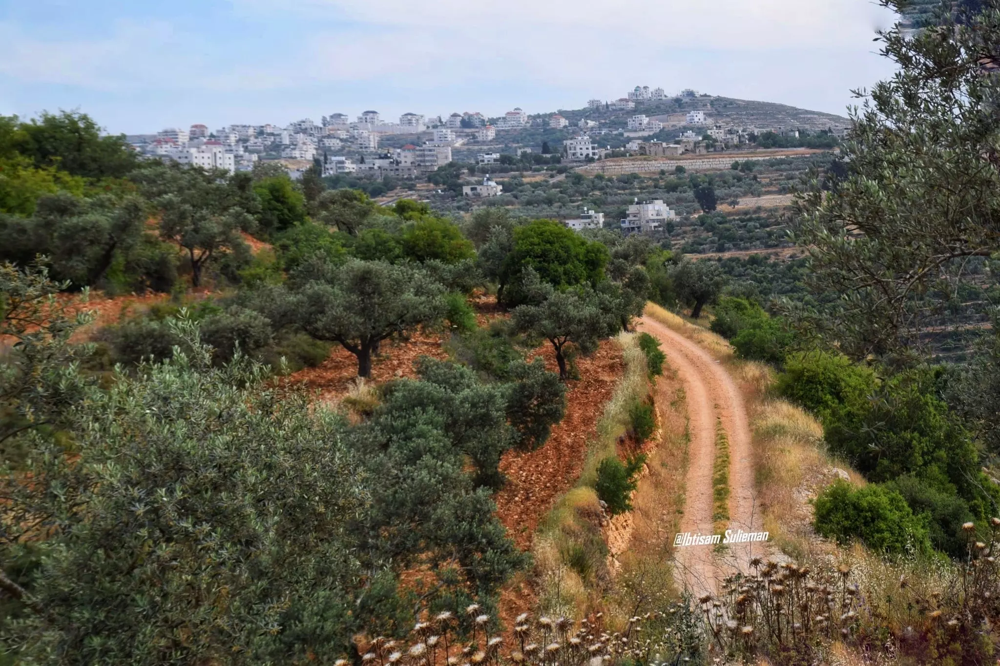
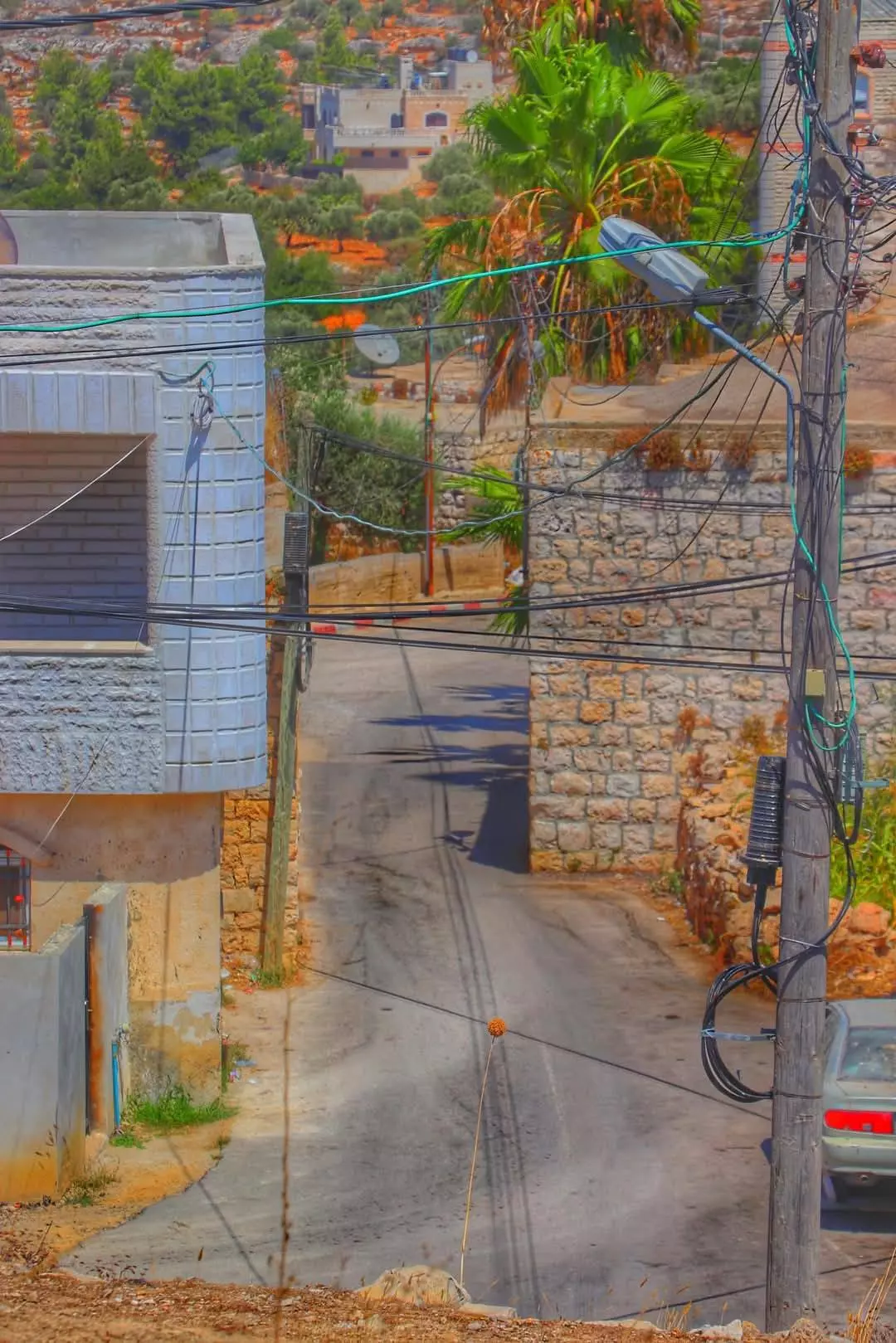
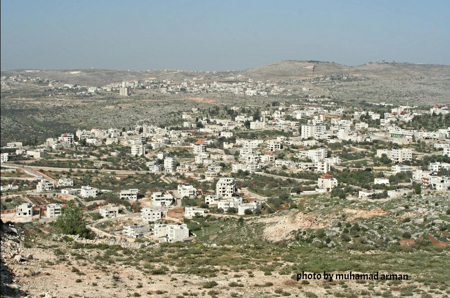
- منظر عام، اُنقر الصورة لتكبيرها.
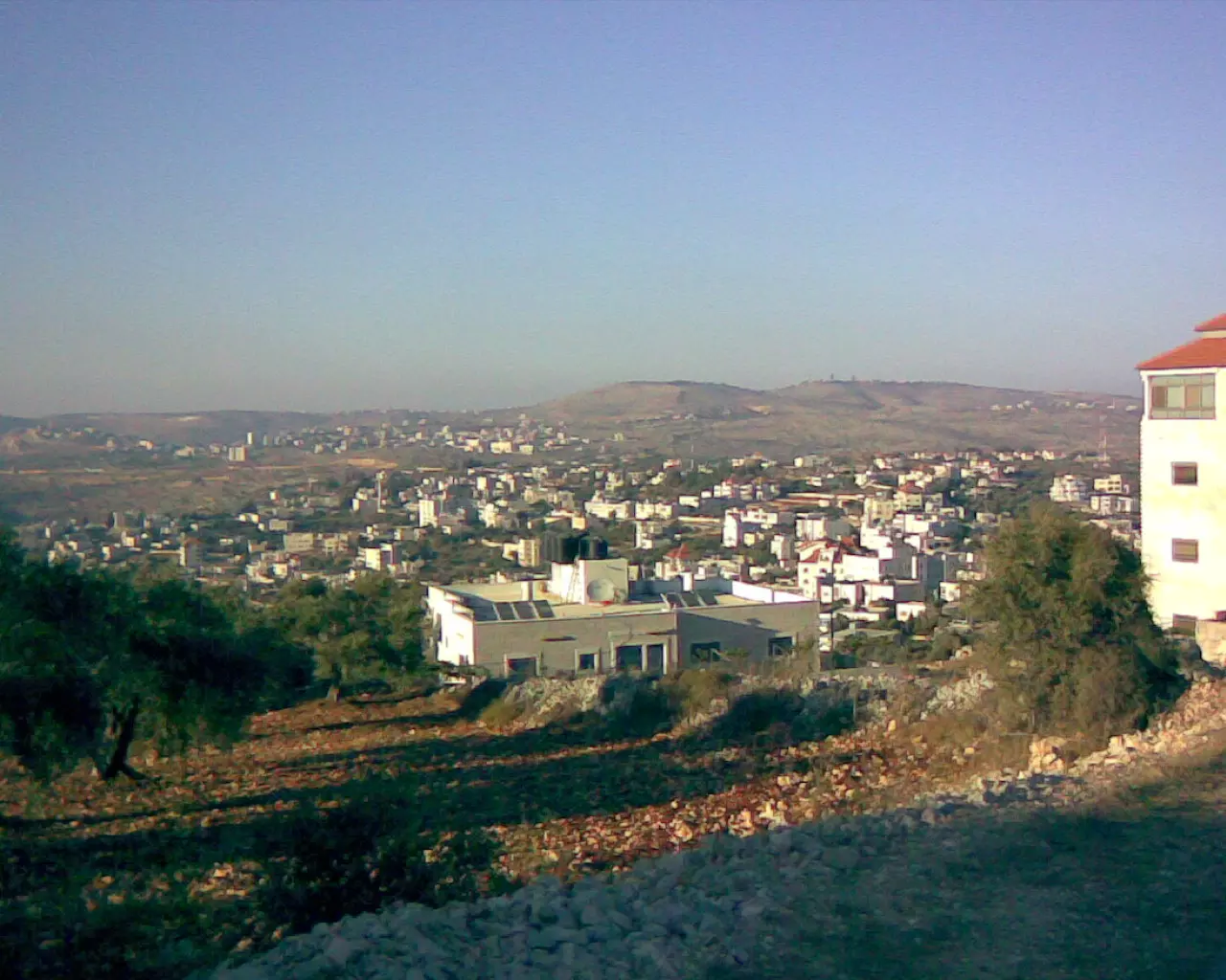
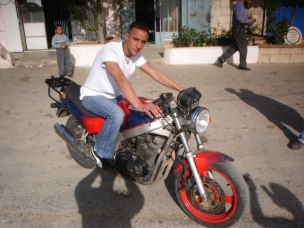
Posted by yousef dahabra 8 - منظر عام
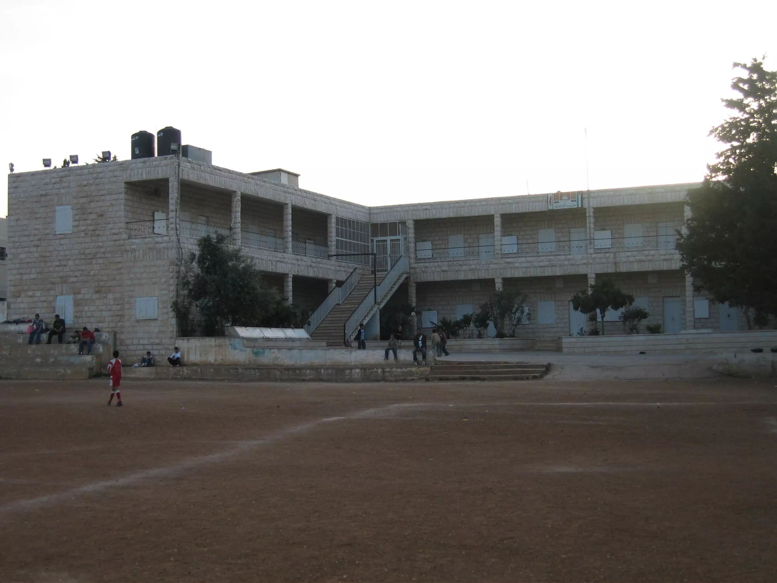
Posted by yousef dahabra 3 - مدرسة عين يبرود عاشت للأبد
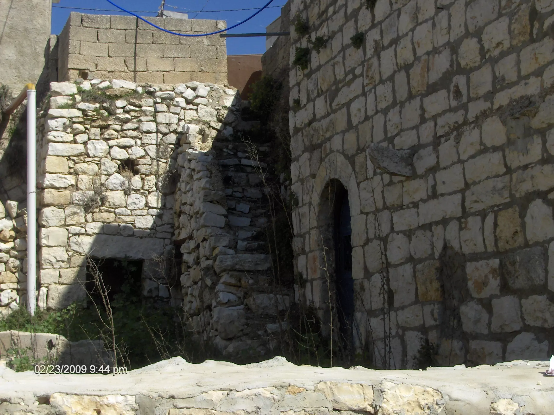
Posted by يوسف عرمان يوسف عرمان 4 - البلدة القديمة
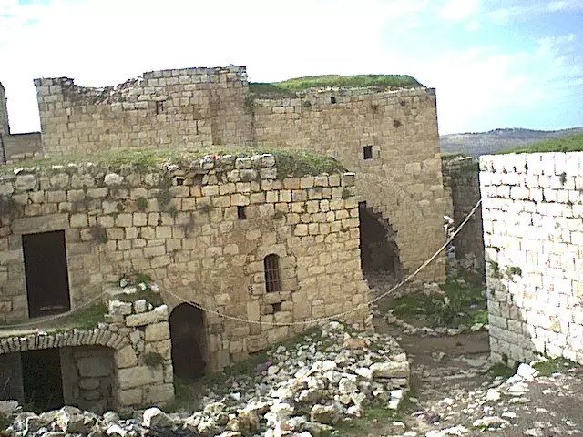
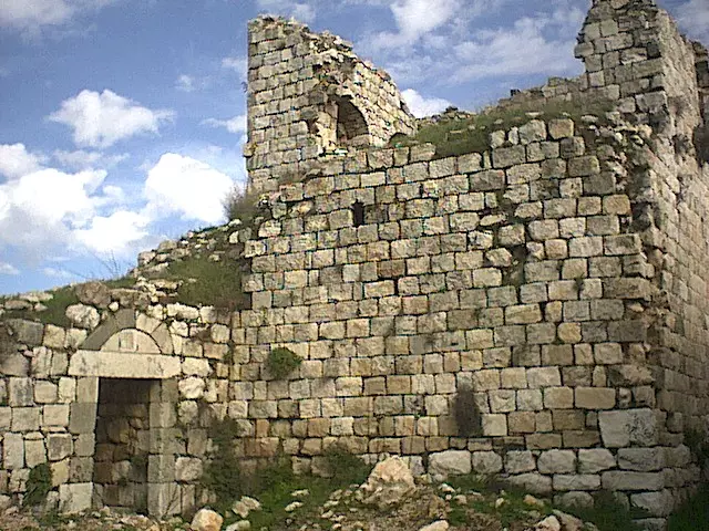
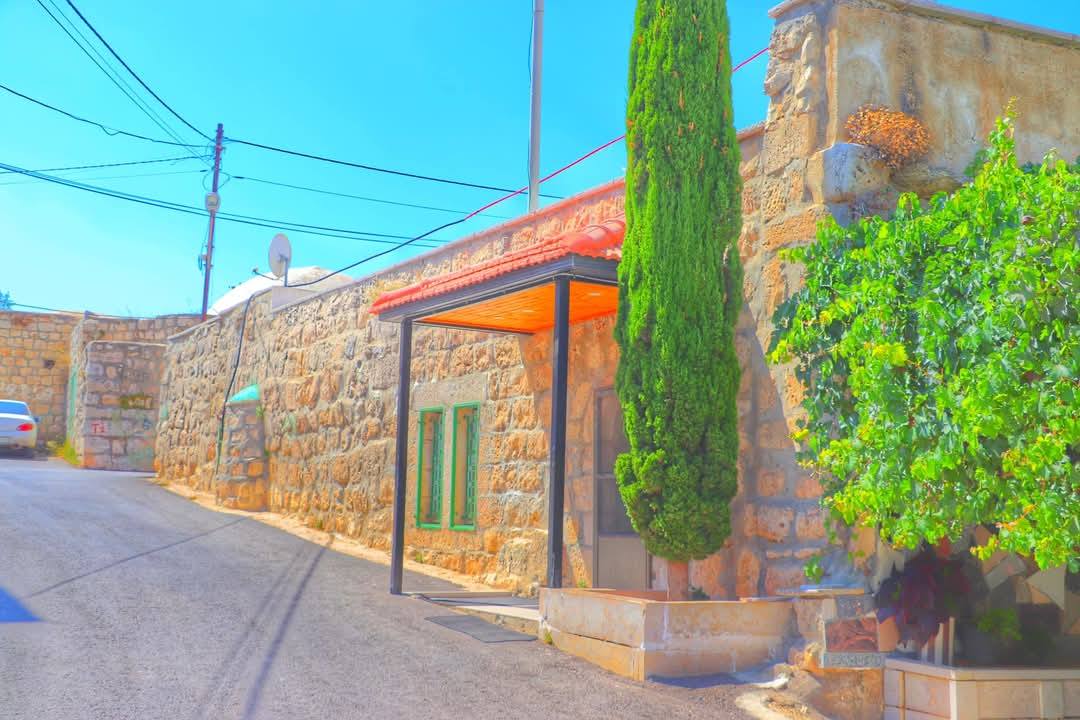
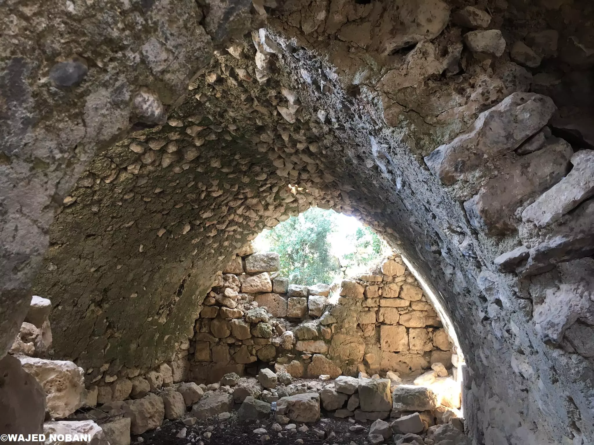
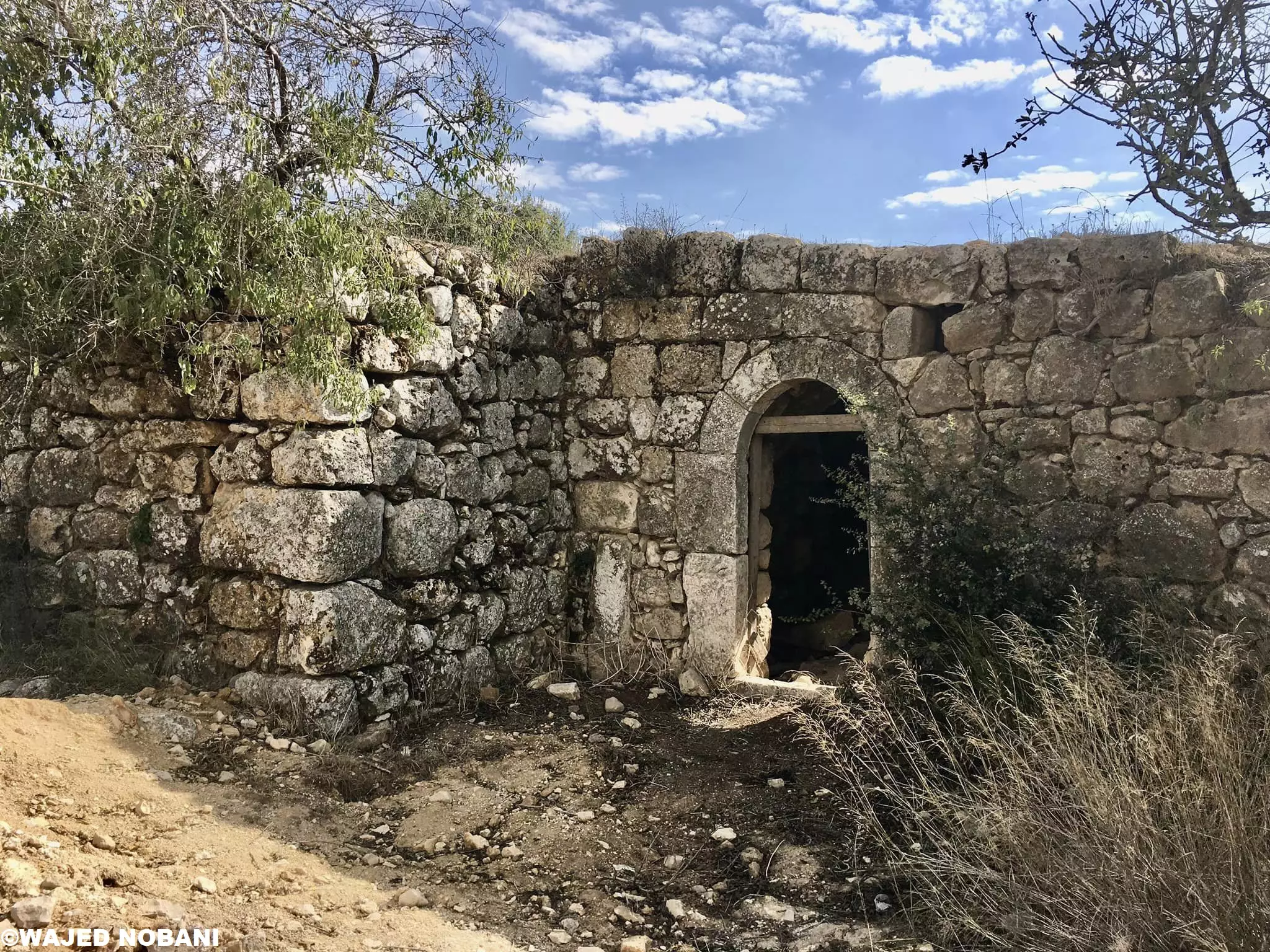
Posted by yousef dahabra - البلدة القديمة
Posted by yousef dahabra 1 - البلدة القديمة
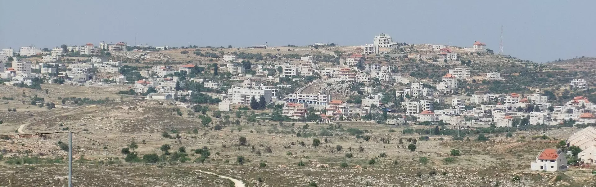
Posted by yousef dahabra - منظر عام
Posted by yousef dahabra 1 - Genaral view
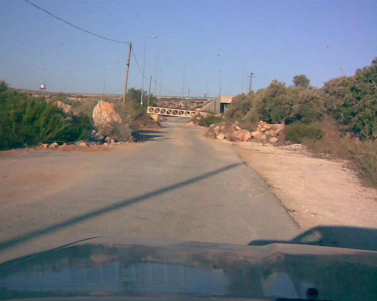
Posted by Said Zedeia - Roadblocks between Ain Yabroud and Silwad
Posted by Said Zedeia - الاسير عمر نواف
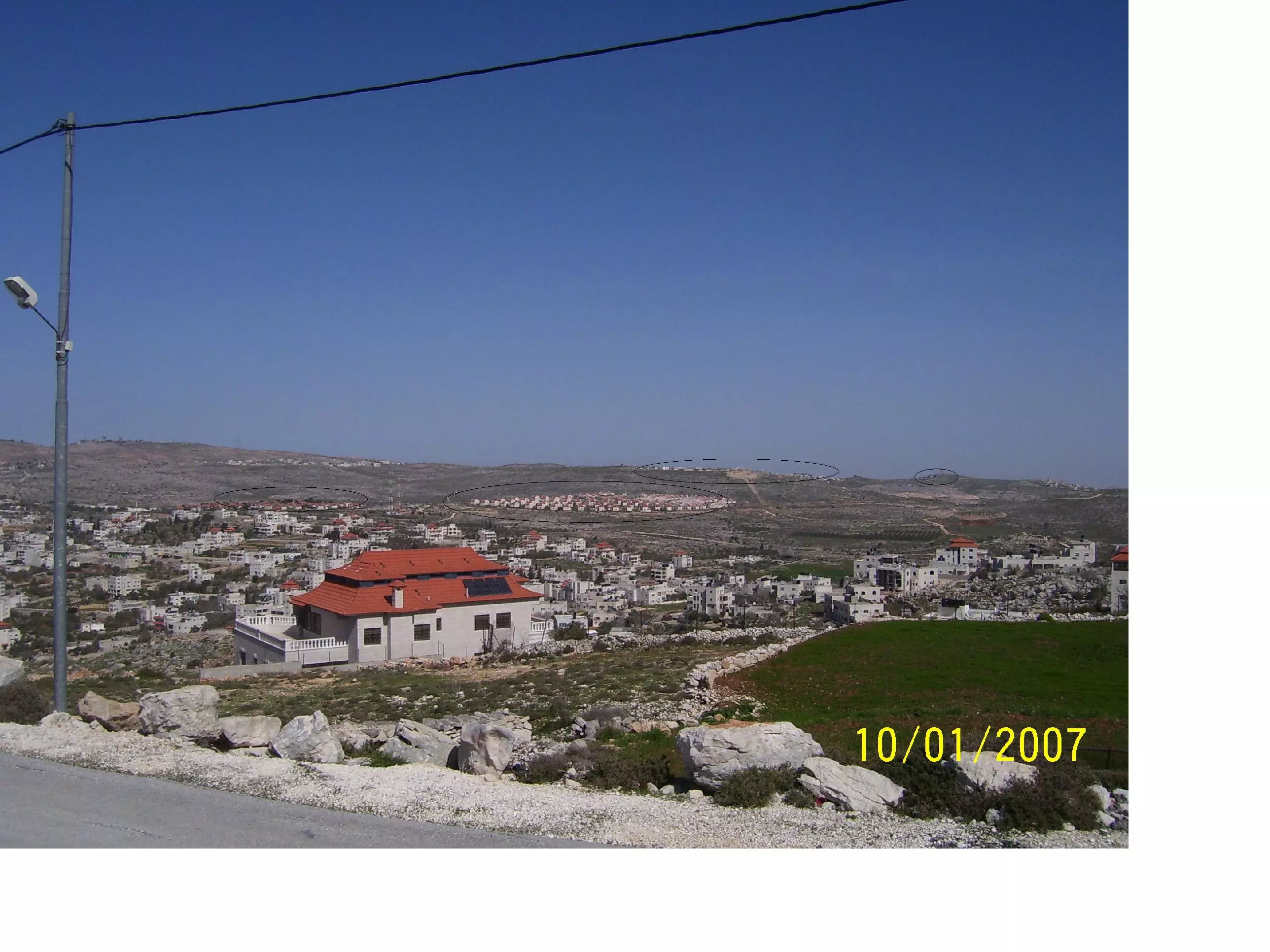
Posted by محمد صالح 11 - The confiscation of Ayn yabroud's lands- Ofra settlement
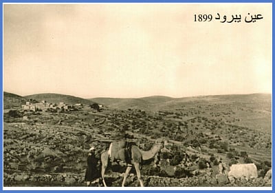
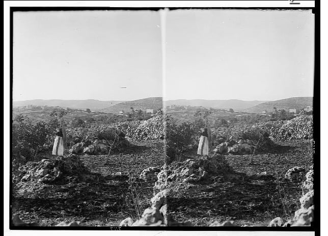
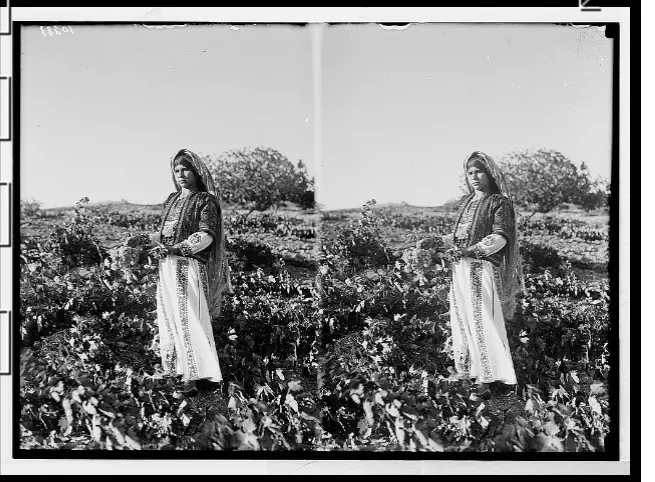
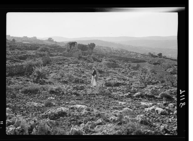
Posted by Said Zedeia - عين يبرود 1899
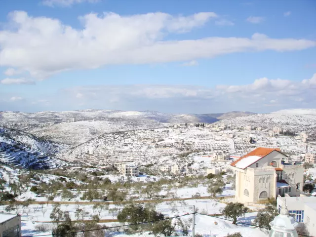
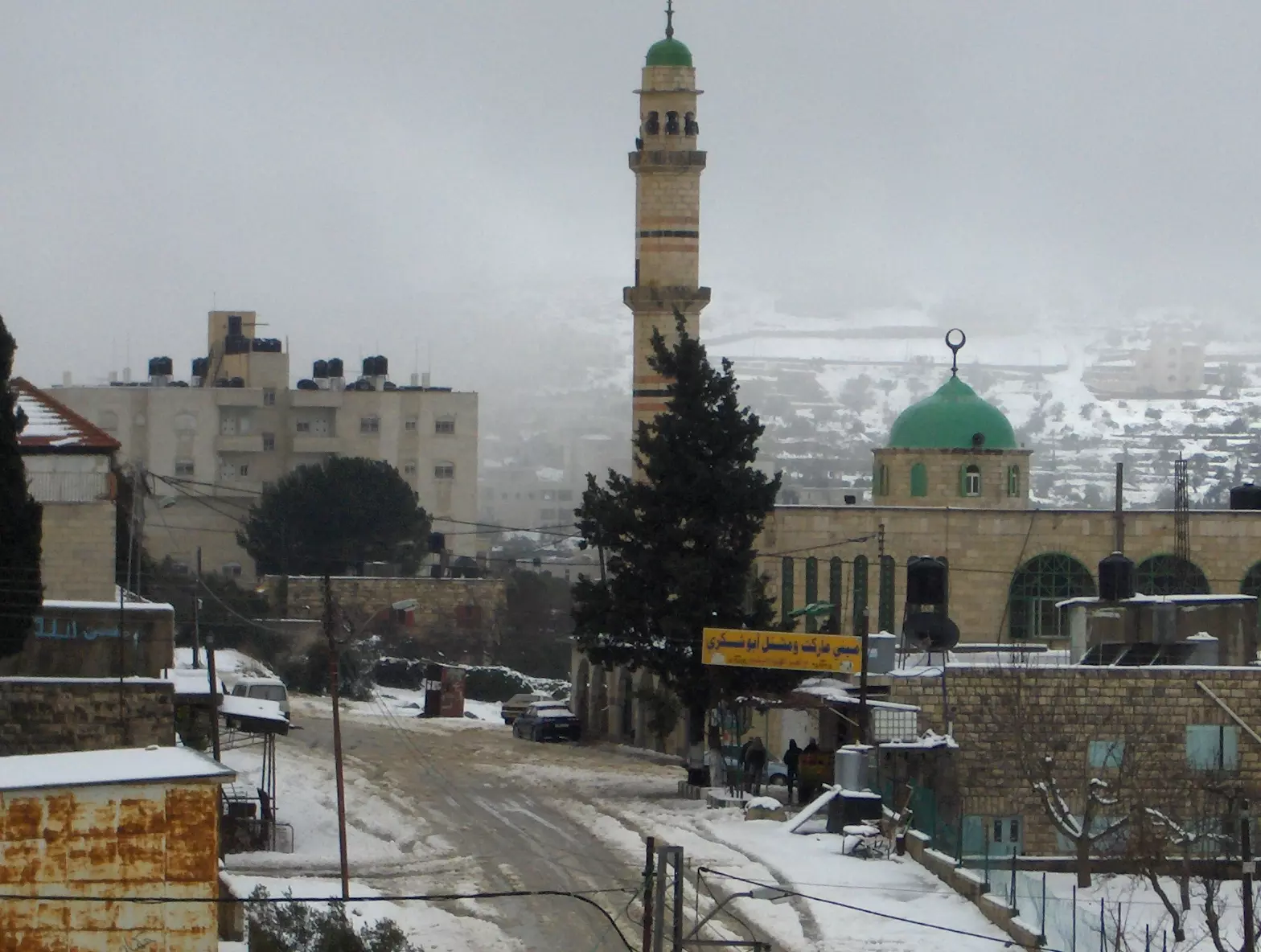
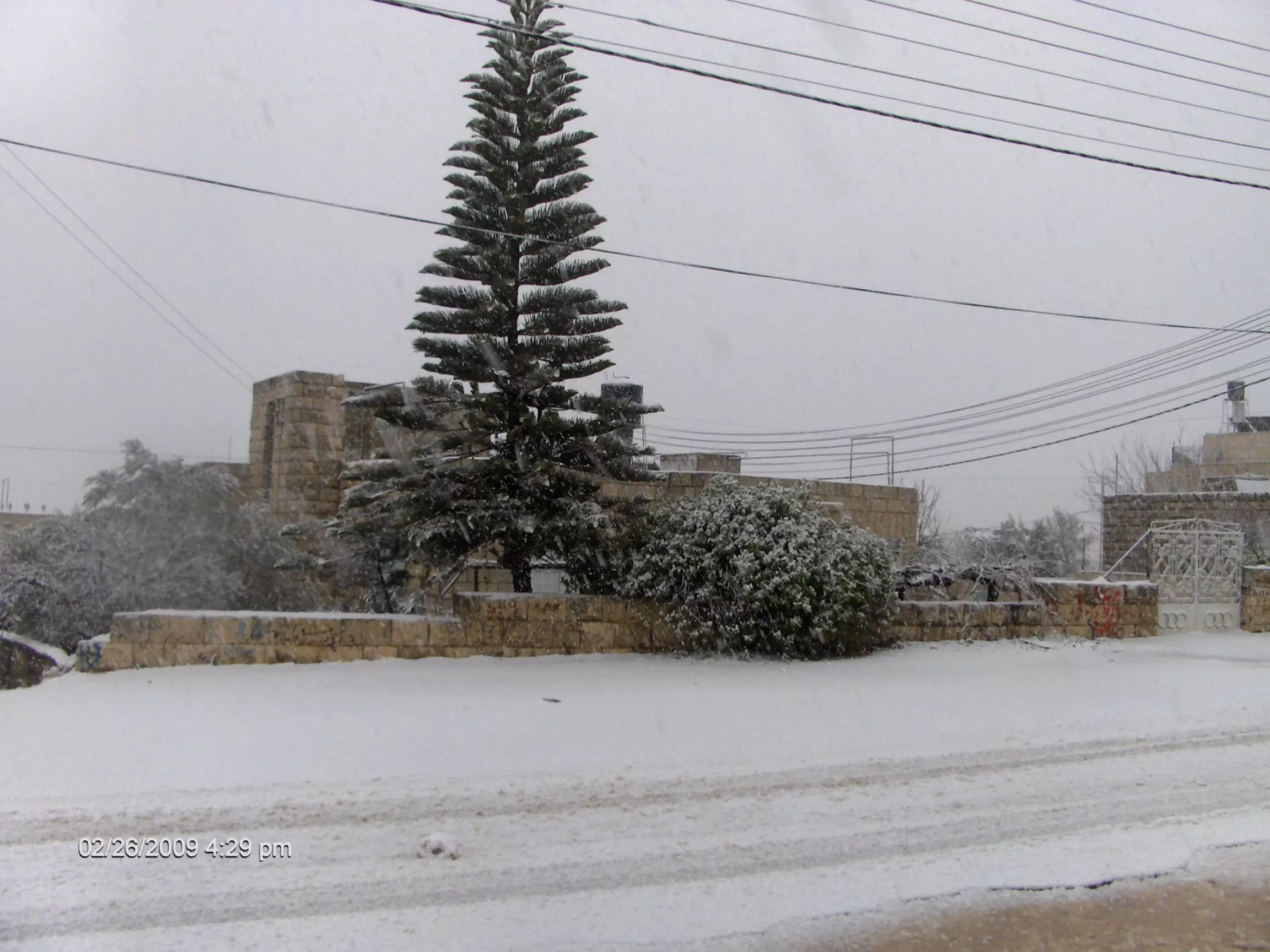
Posted by hakim elsheik - عين يبرود و الثلج
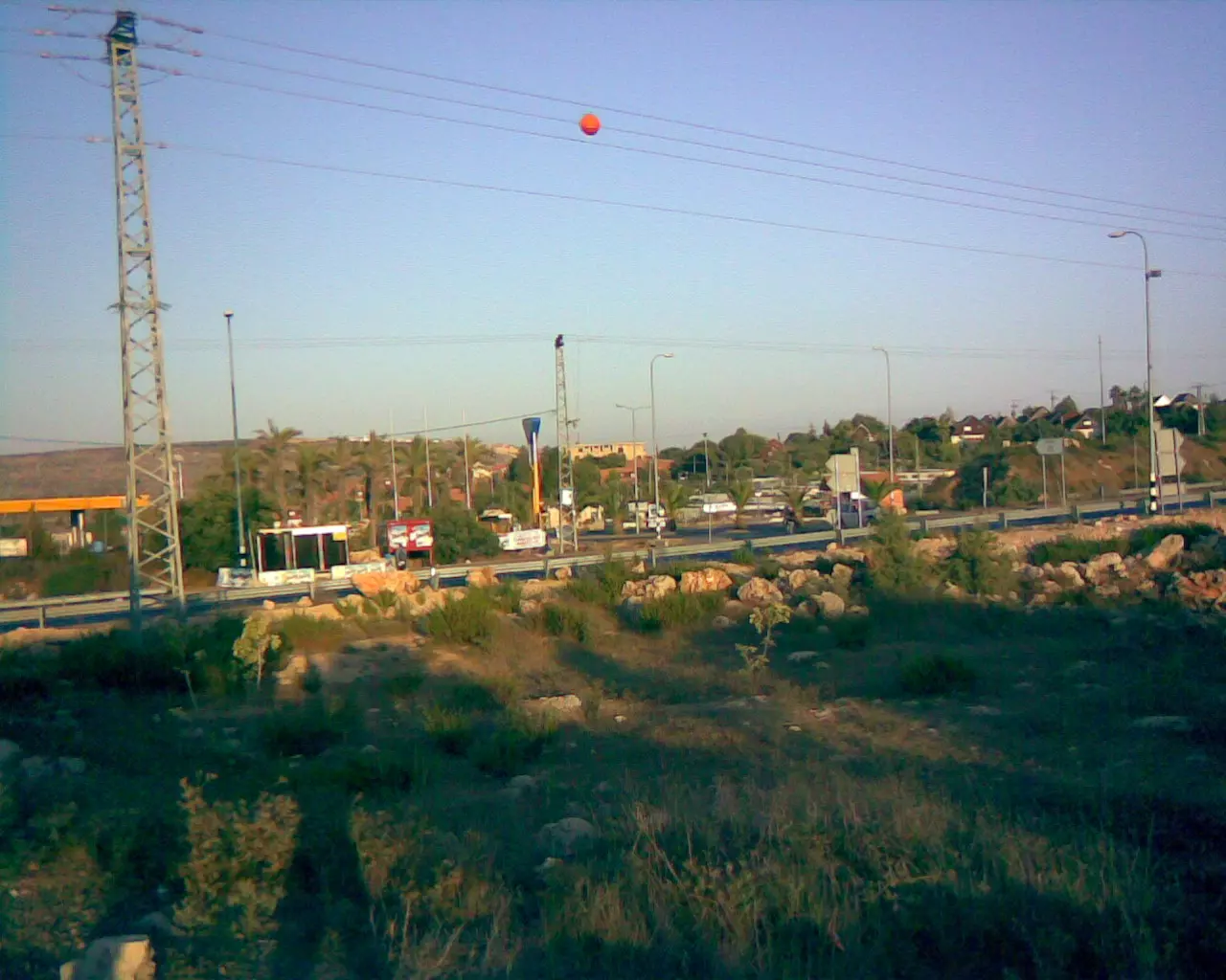
Posted by يوسف عرمان يوسف عرمان 2 - before 60 hwy
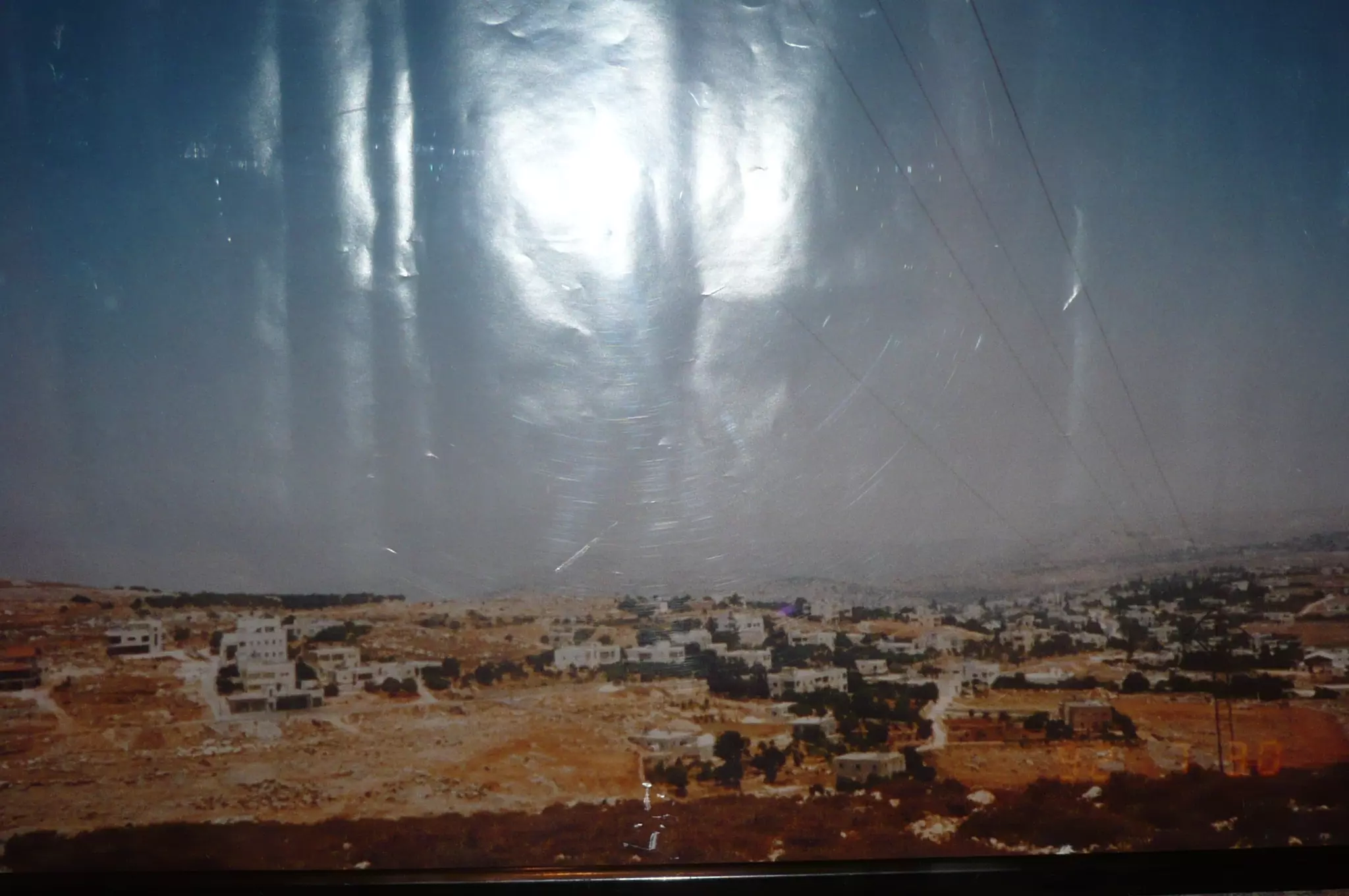
Posted by Issa Odeh 1 - General view 07/30/1992
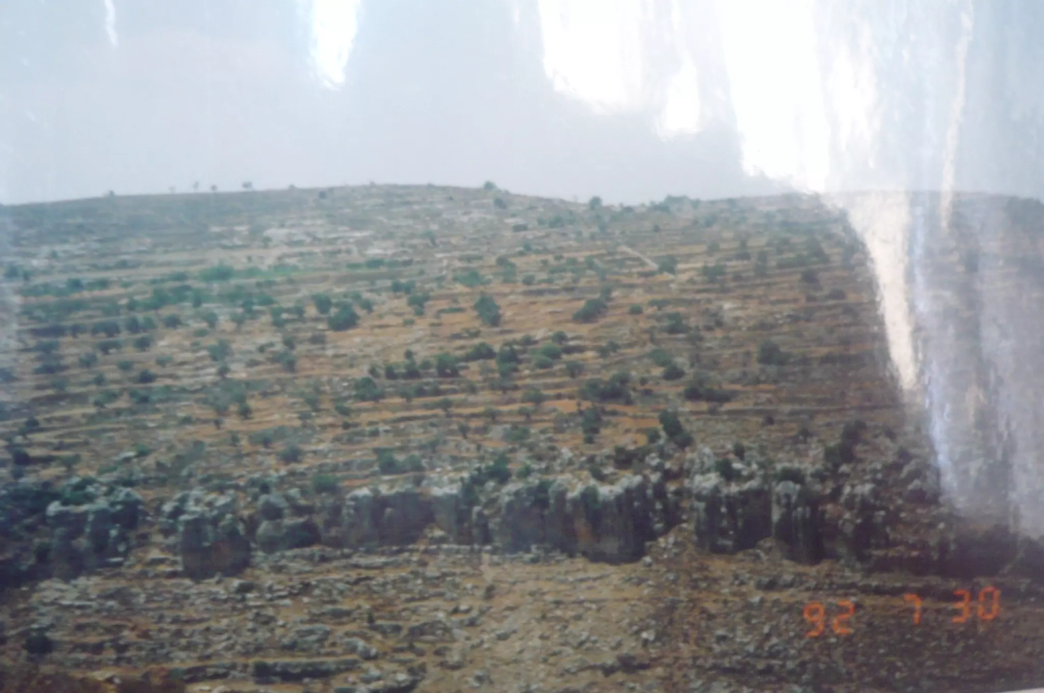
Posted by Issa Odeh - jebel shakh abdallah 07/30/1992
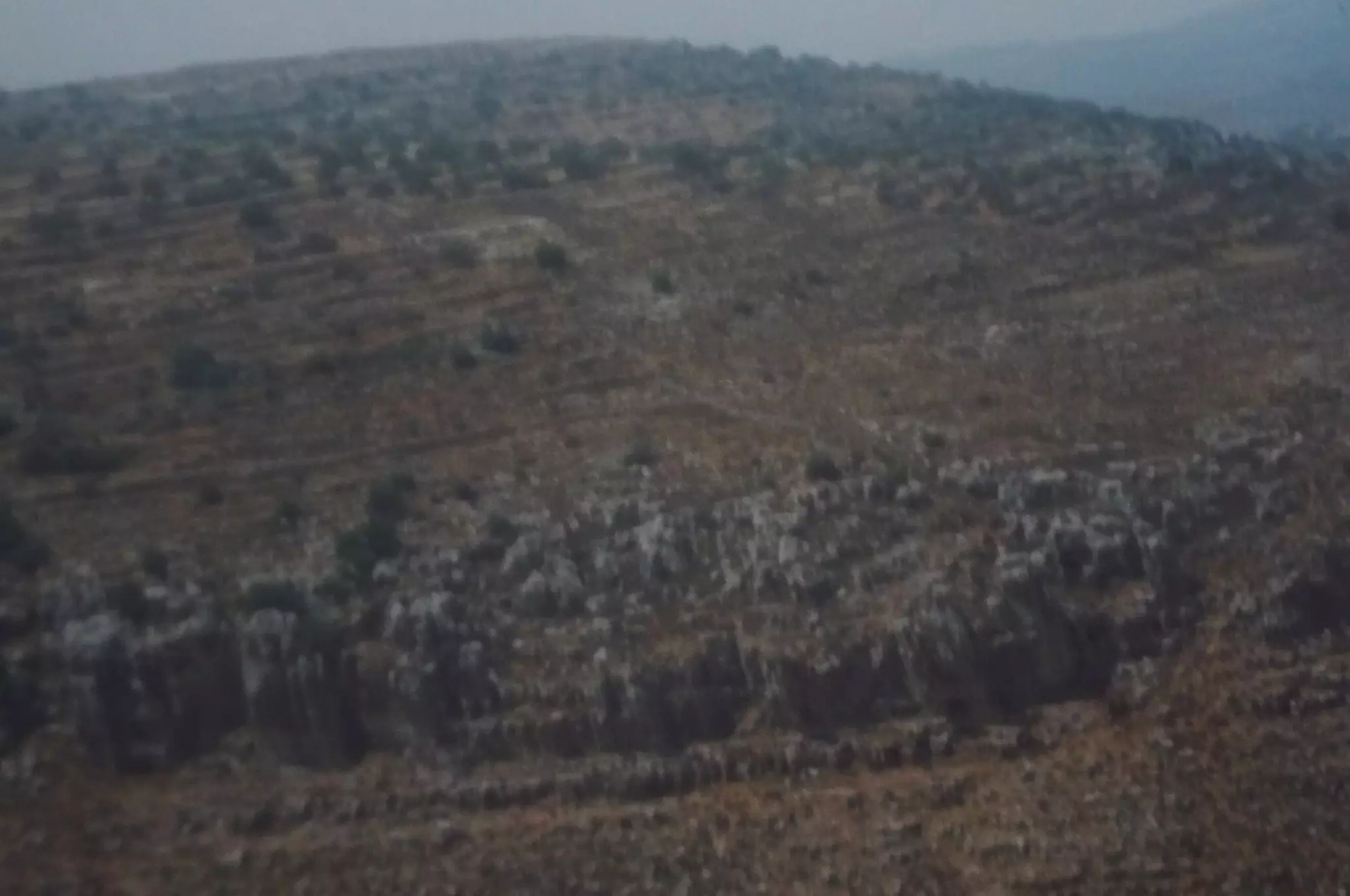
Posted by Issa Odeh - jebel shakh abdallah 07/30/1992
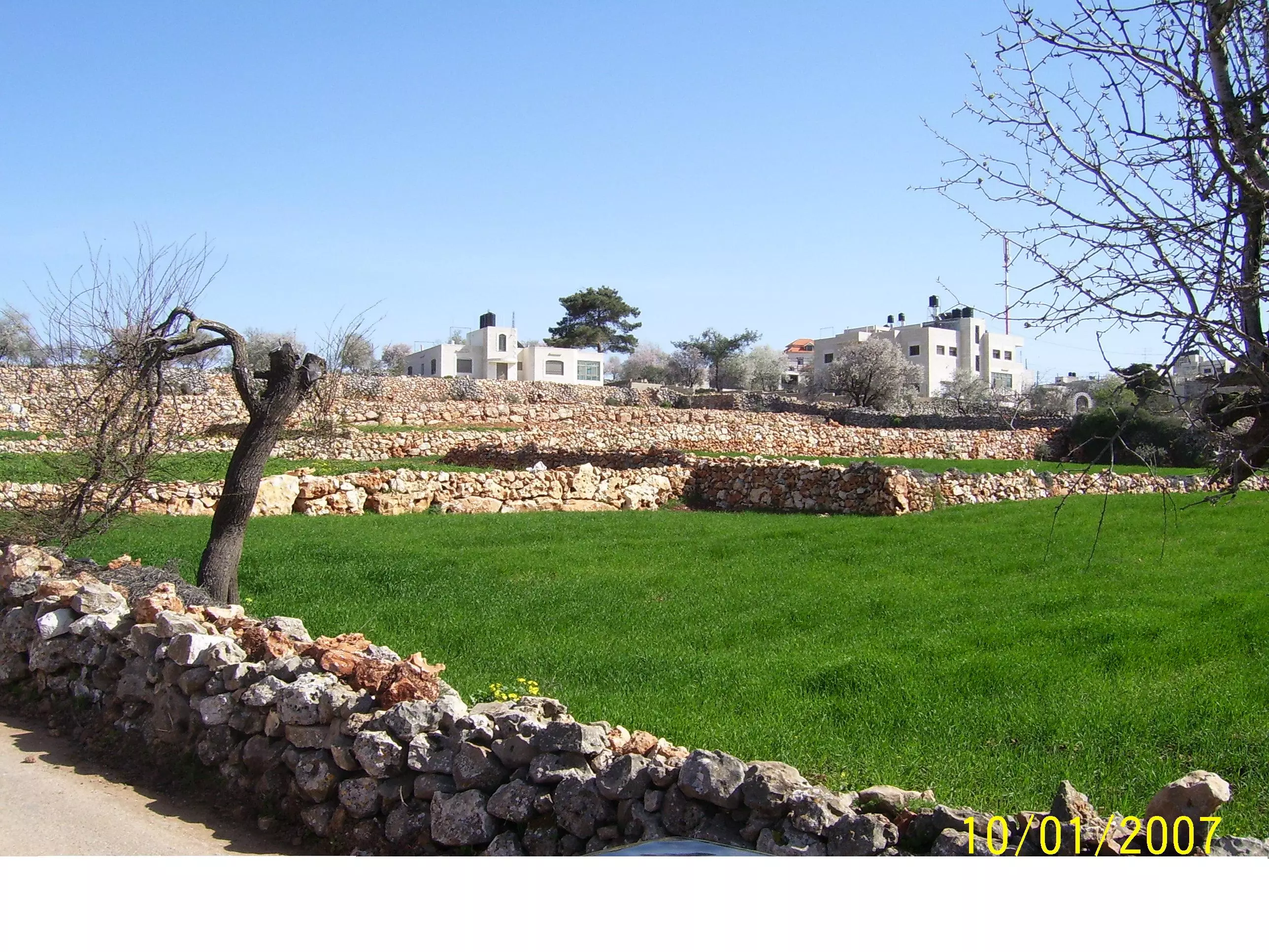
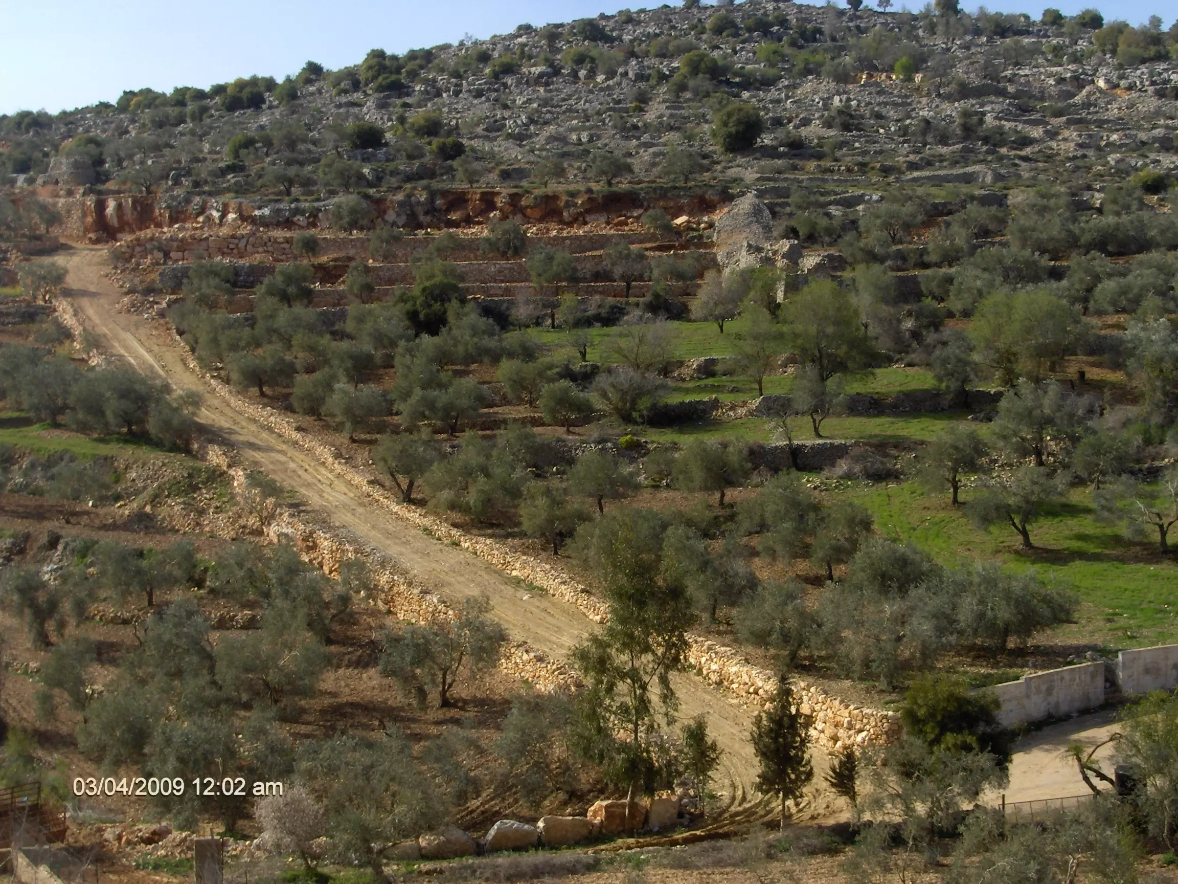
Posted by Issa Odeh - الربيع في عين يبرود
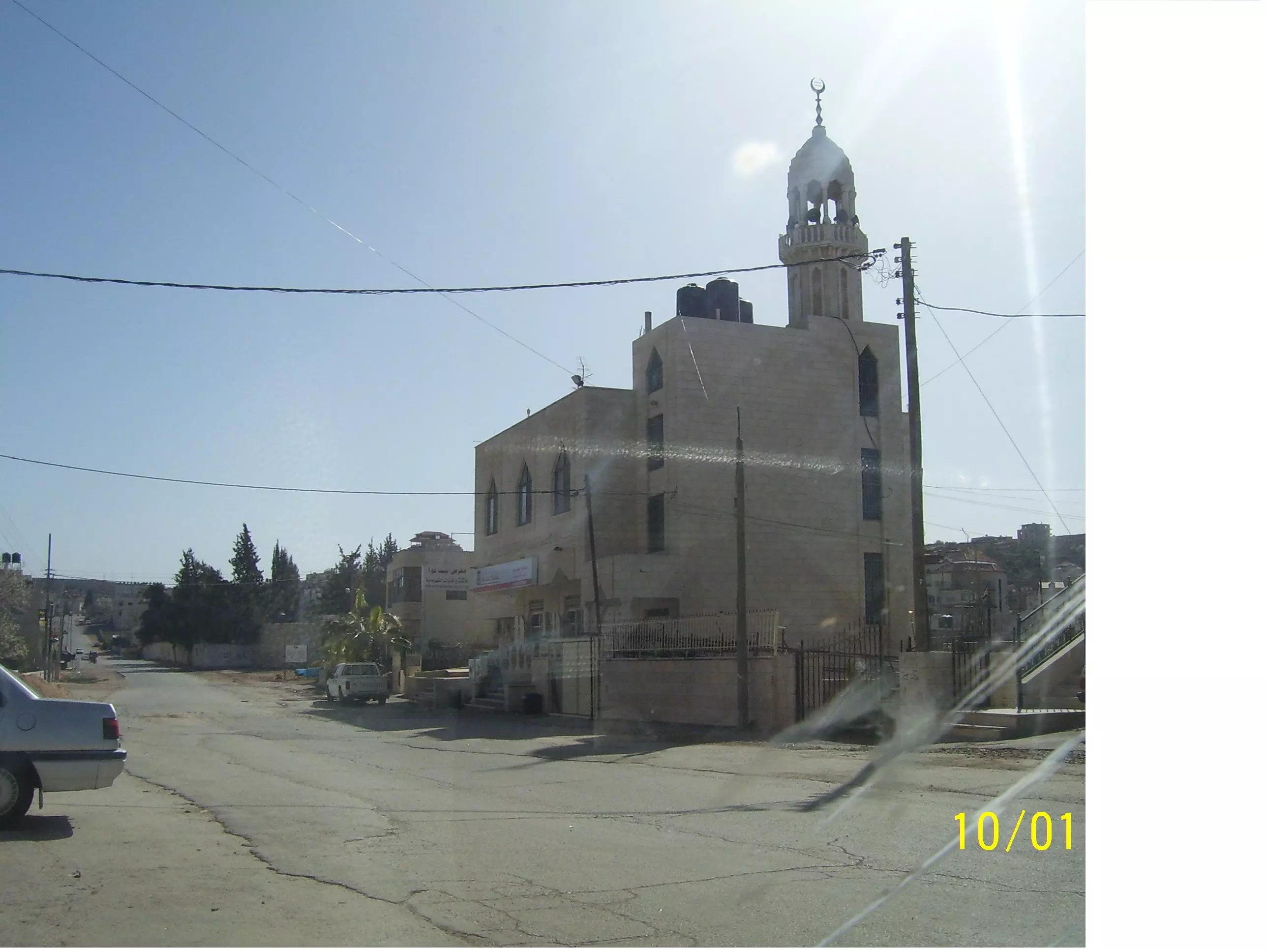
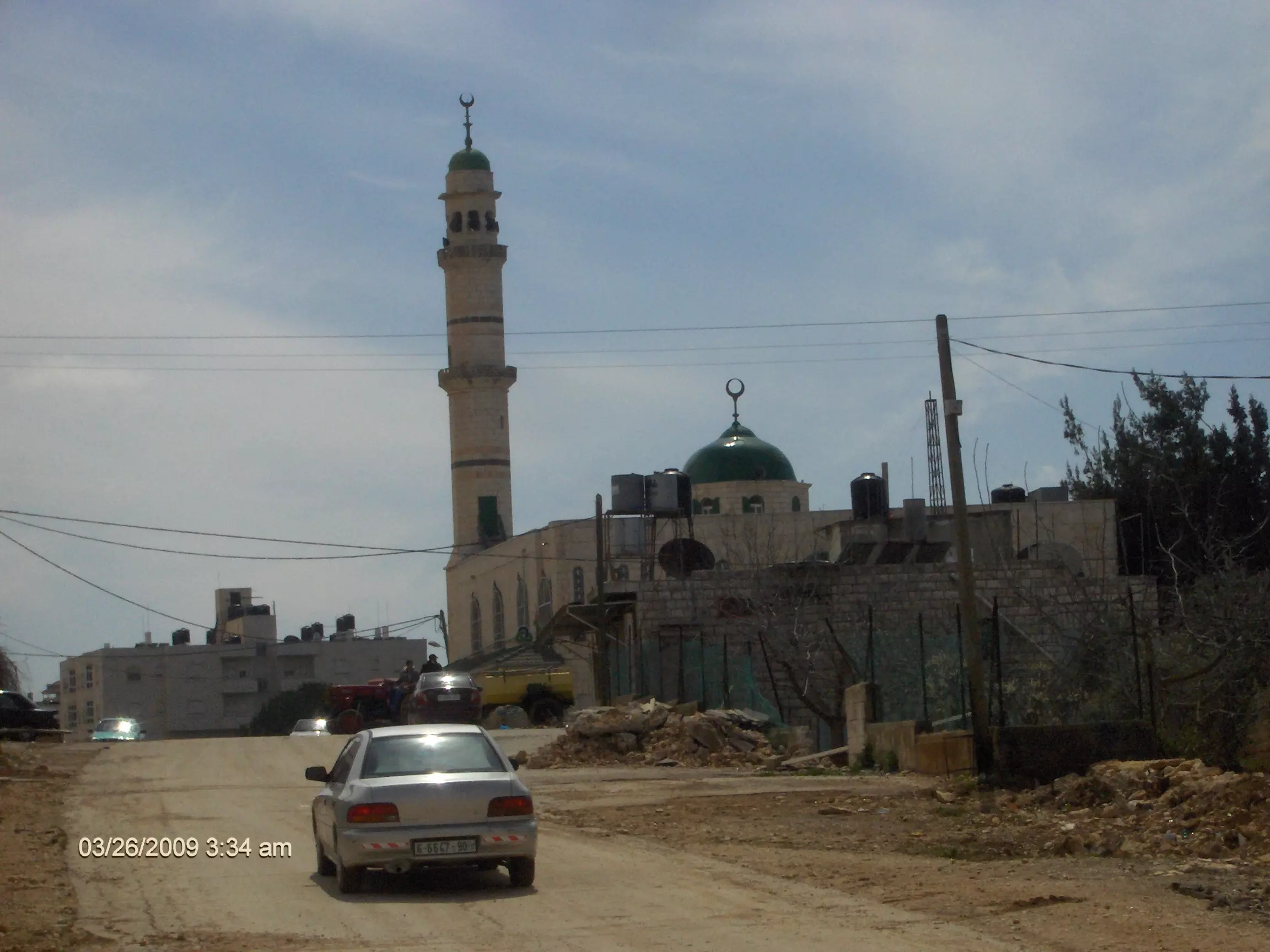
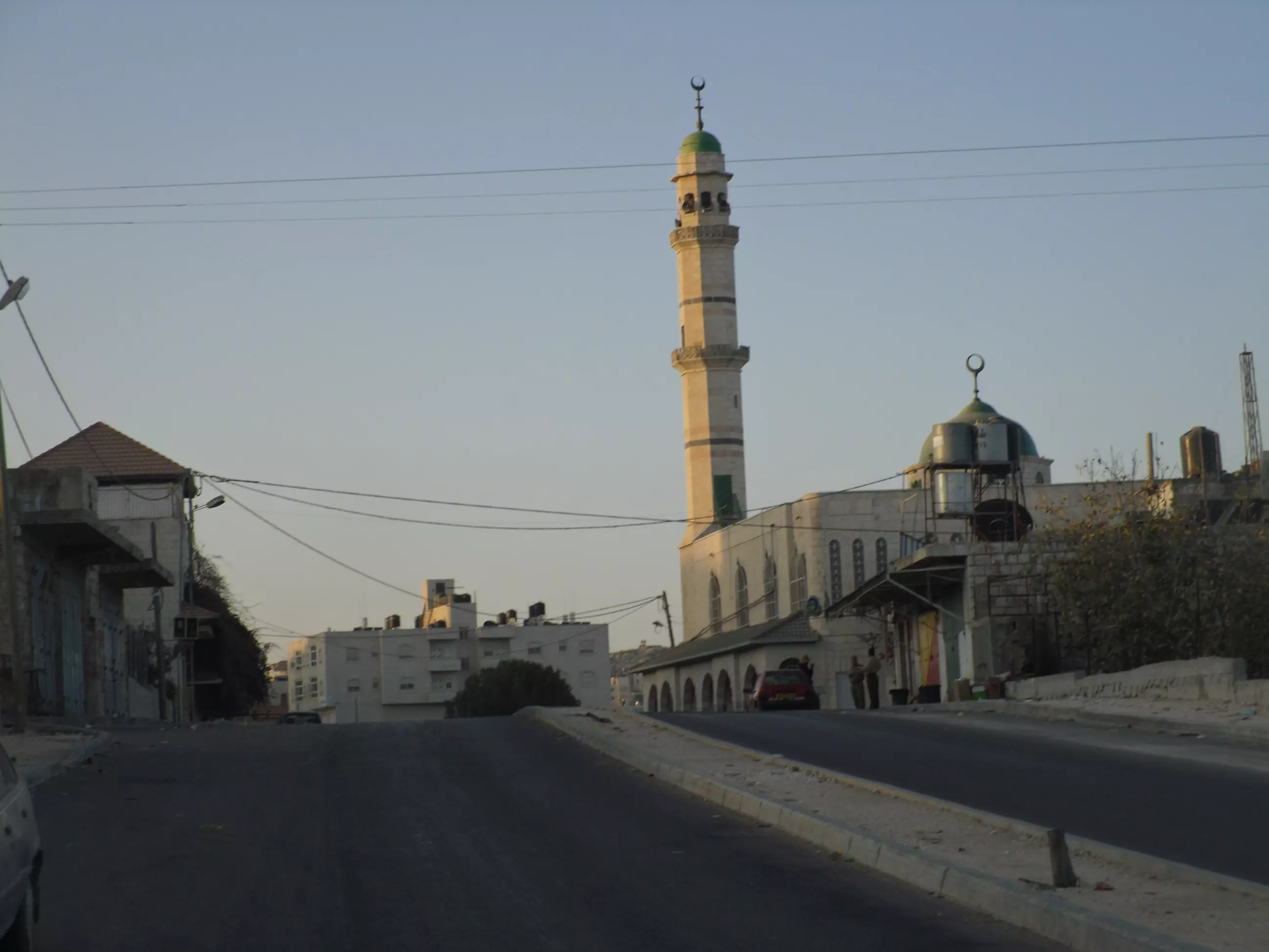
Posted by abu-alwan - مسجد الرحمن (المسجد الجديد)
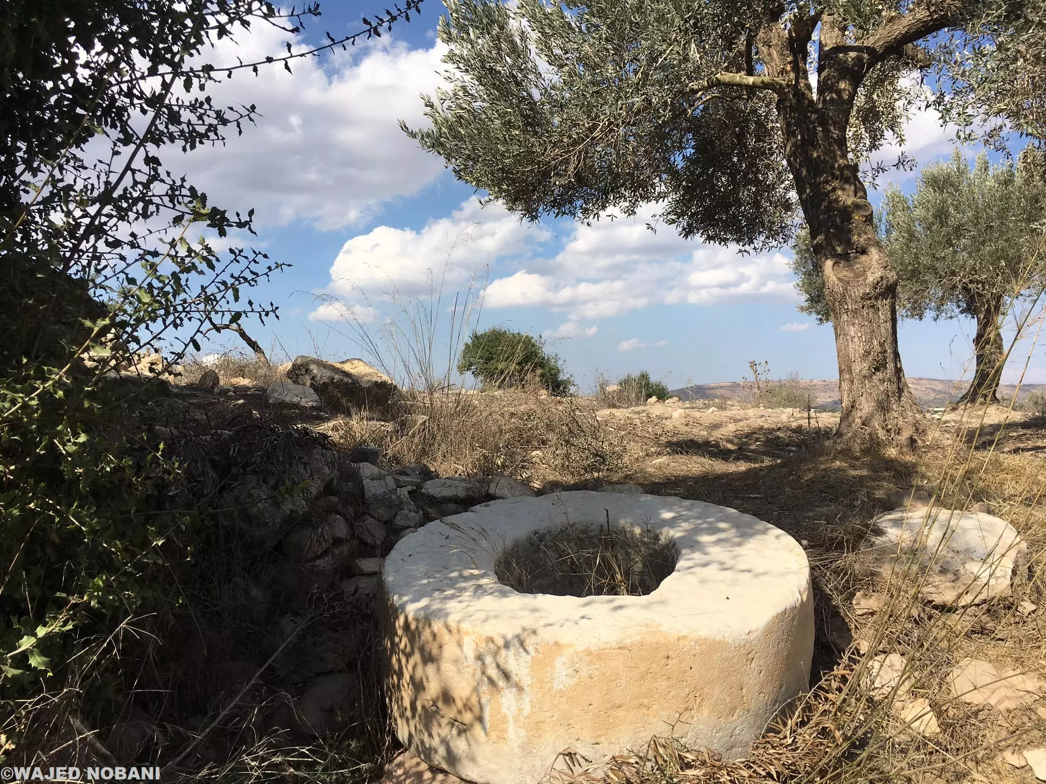
Posted by abu-alwan - بير ابو خشبة العتيد
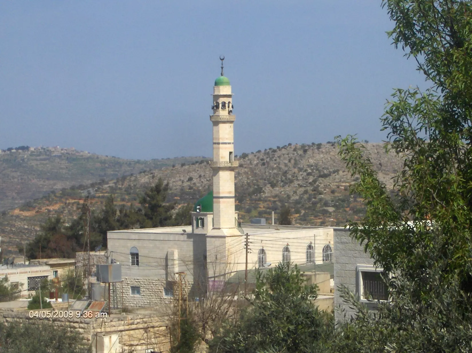
Posted by abu-alwan 1 - المسجد الكبير
Posted by abu-alwan - مسطوطنة عوفرة
Posted by abu-alwan 1 - الزراعة في عين يبرود(قمح)
Posted by abu-alwan - عين يبرود في الشتاء
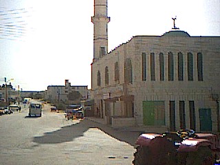
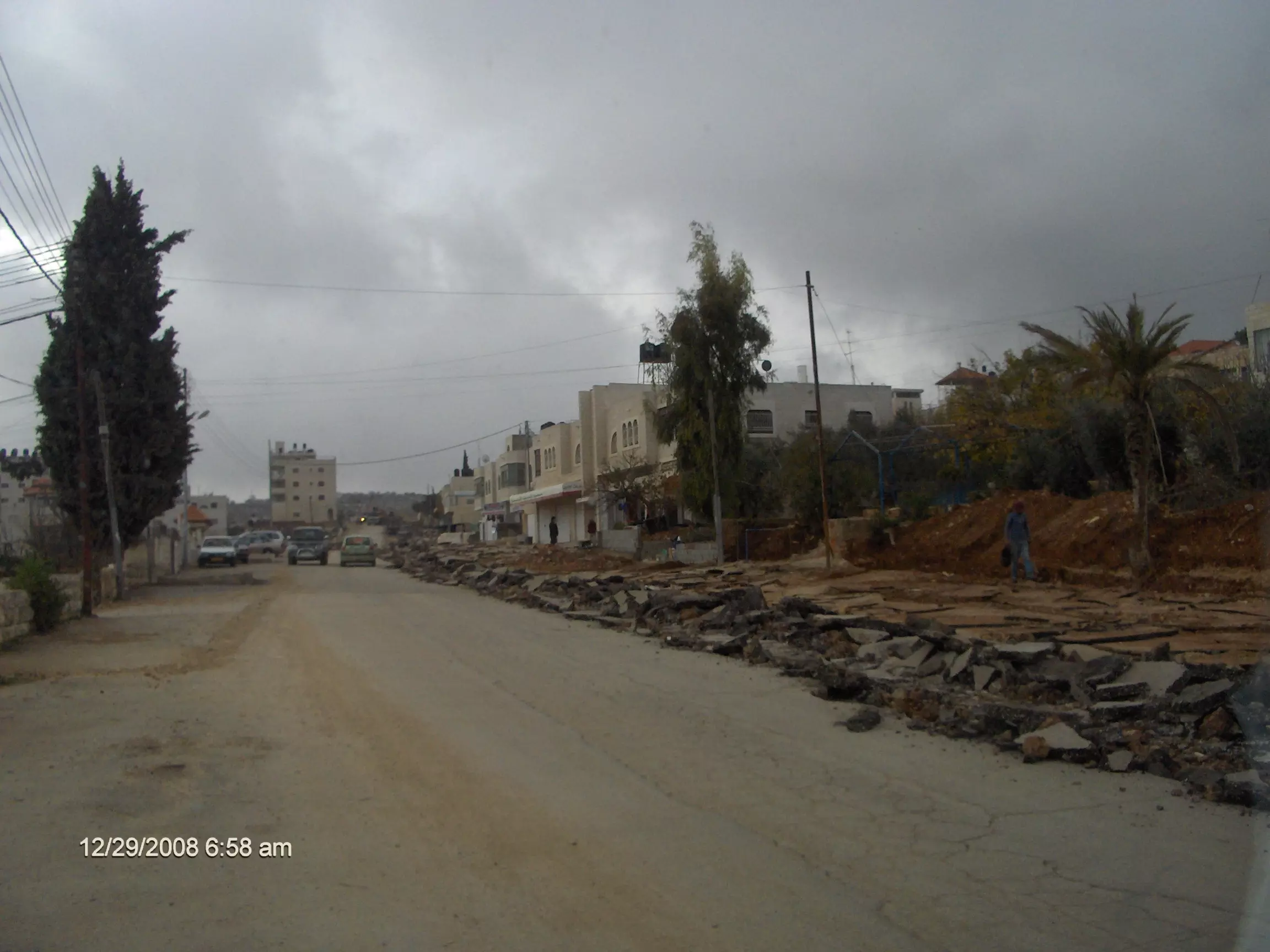
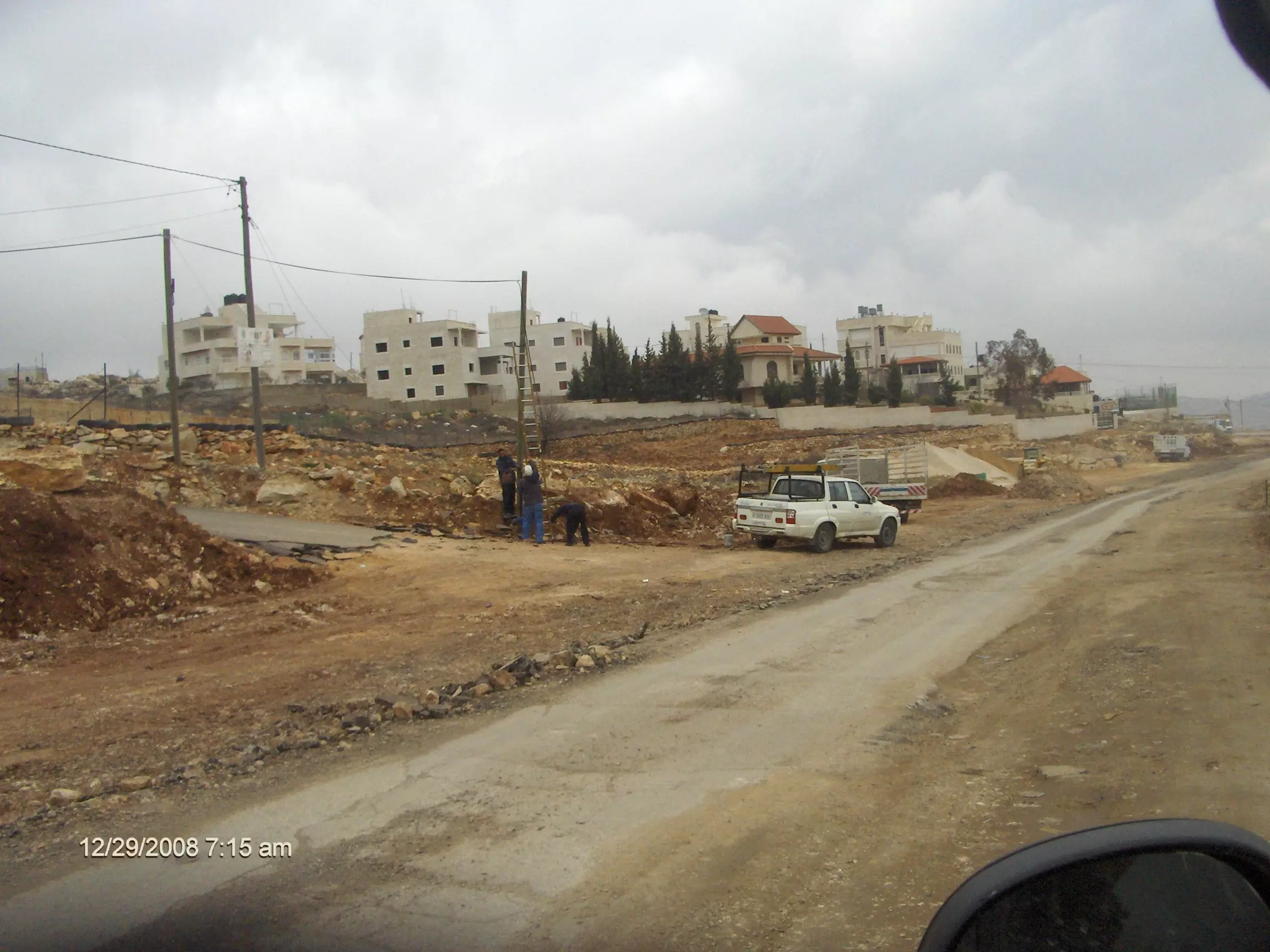
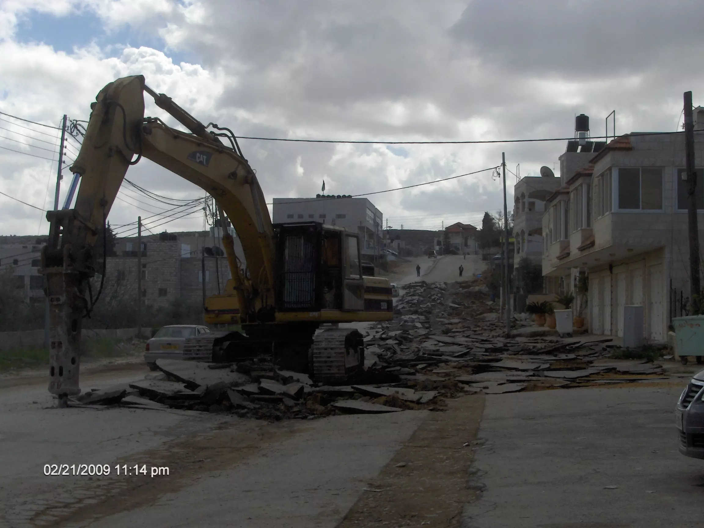
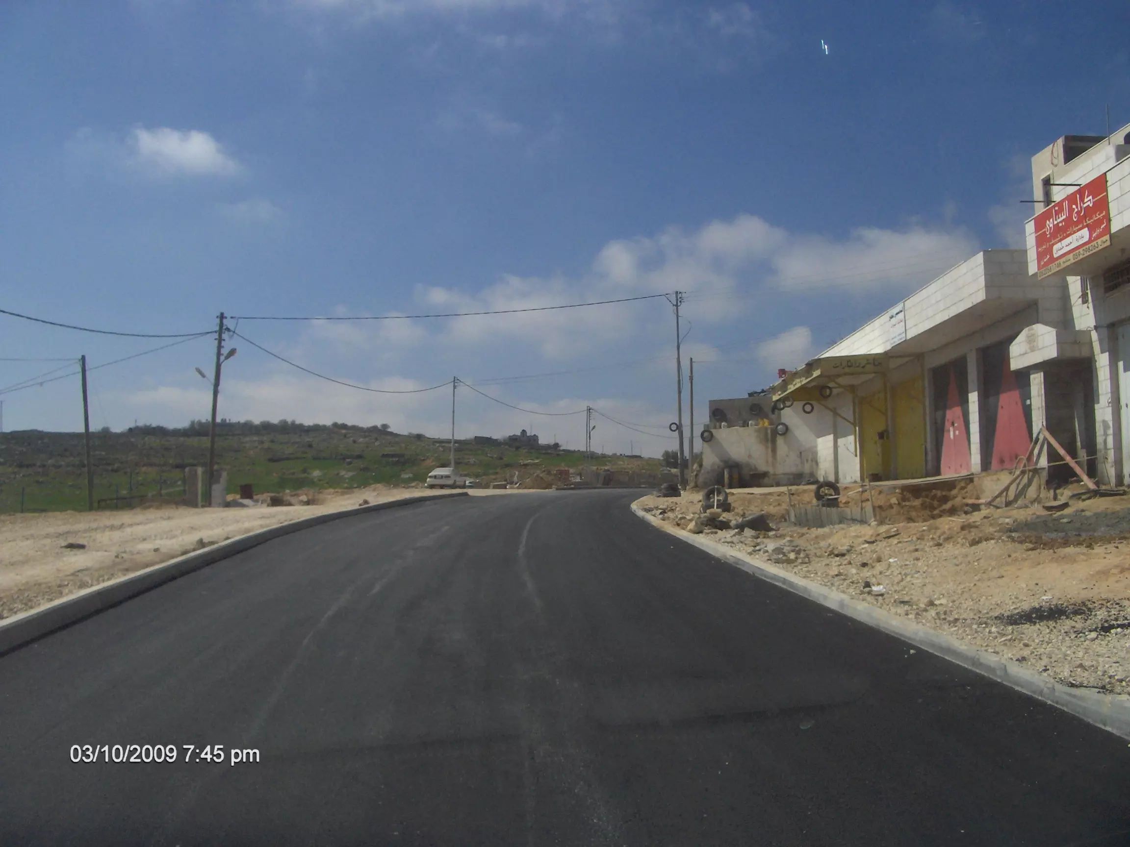
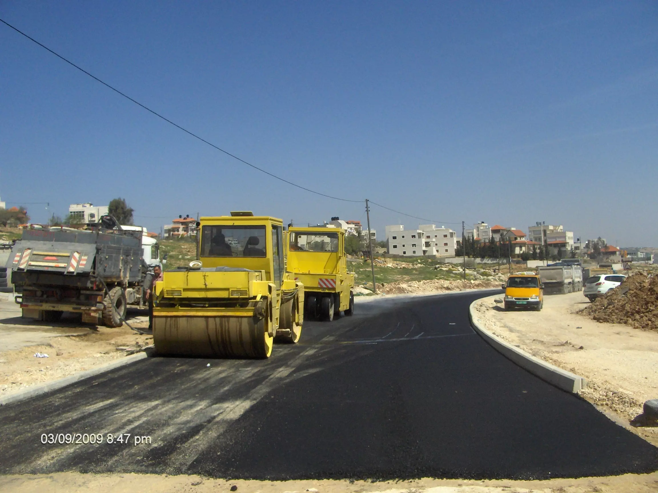
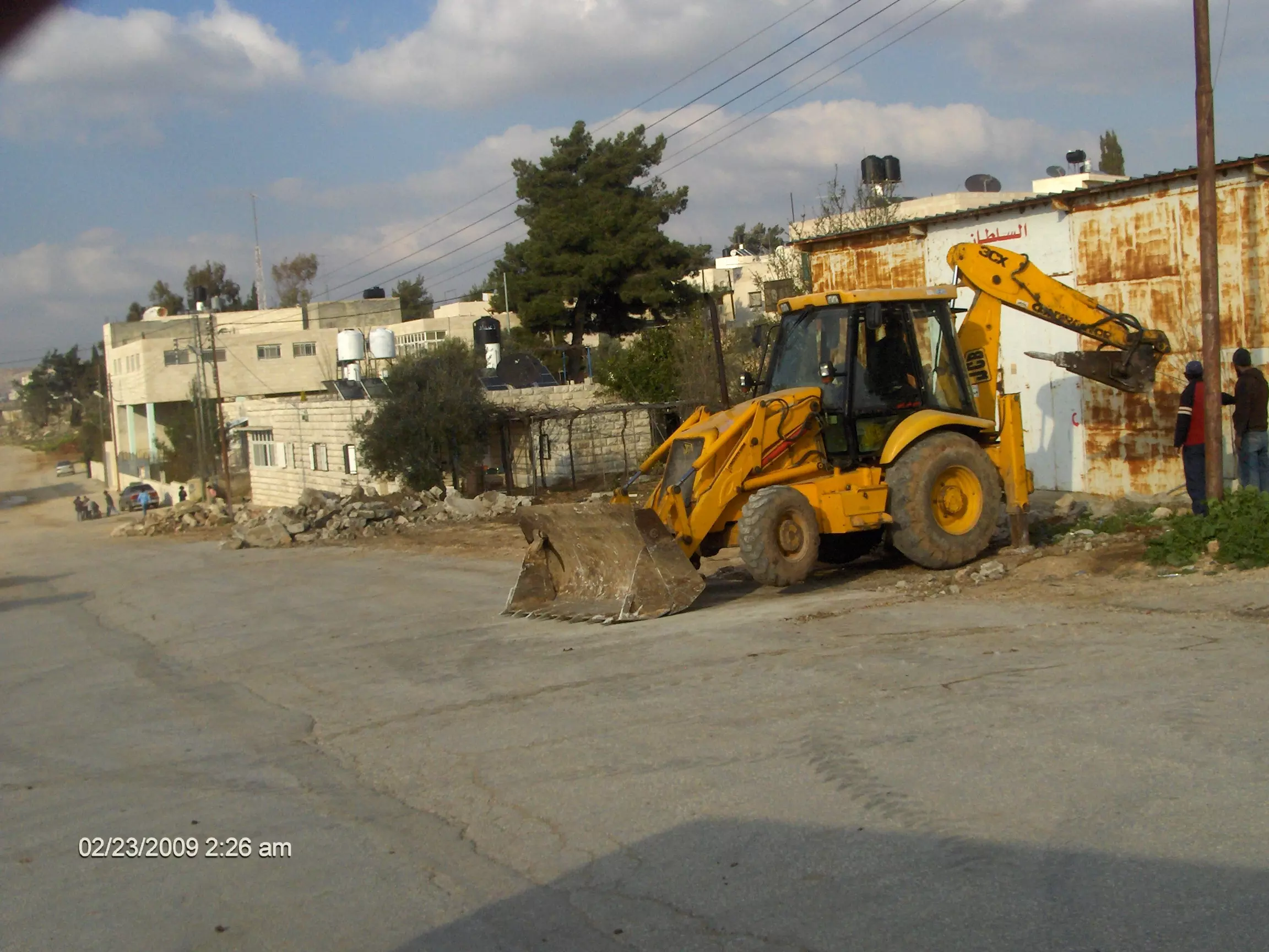
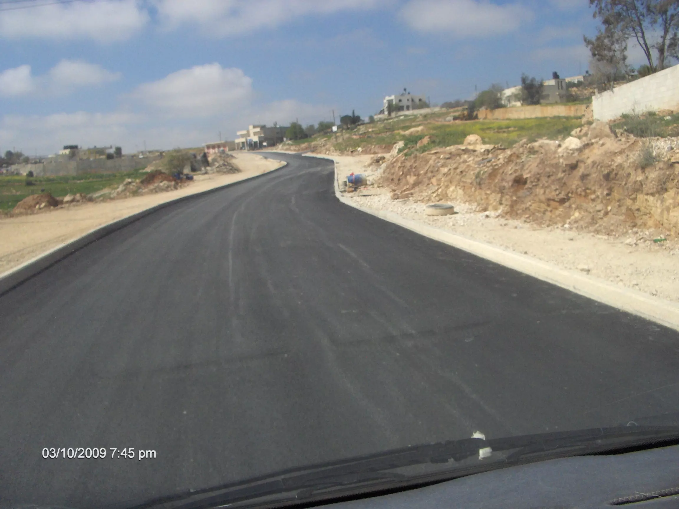
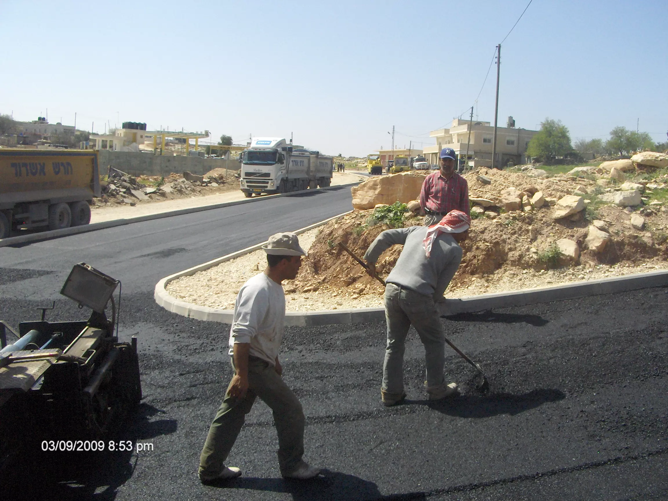
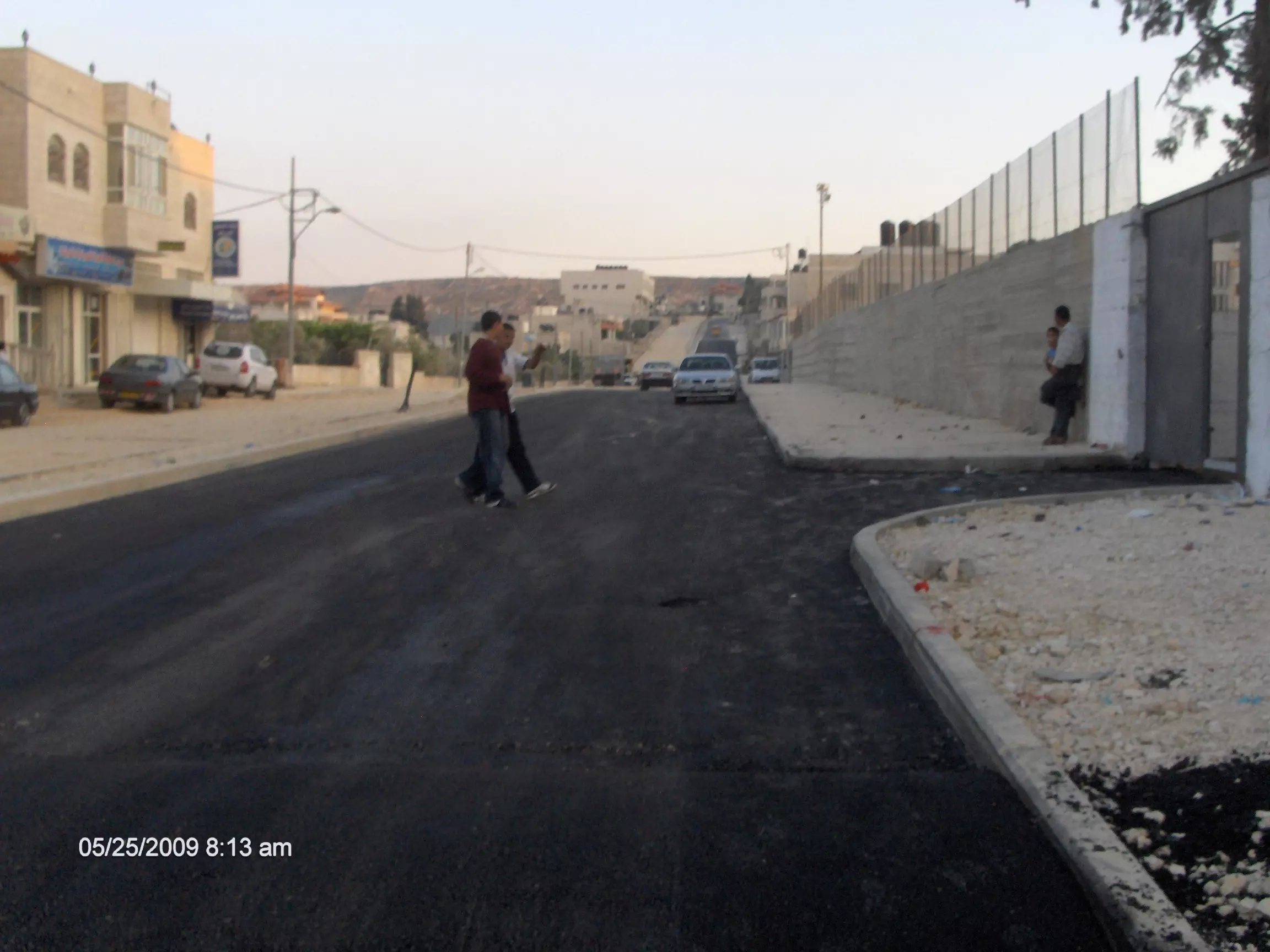
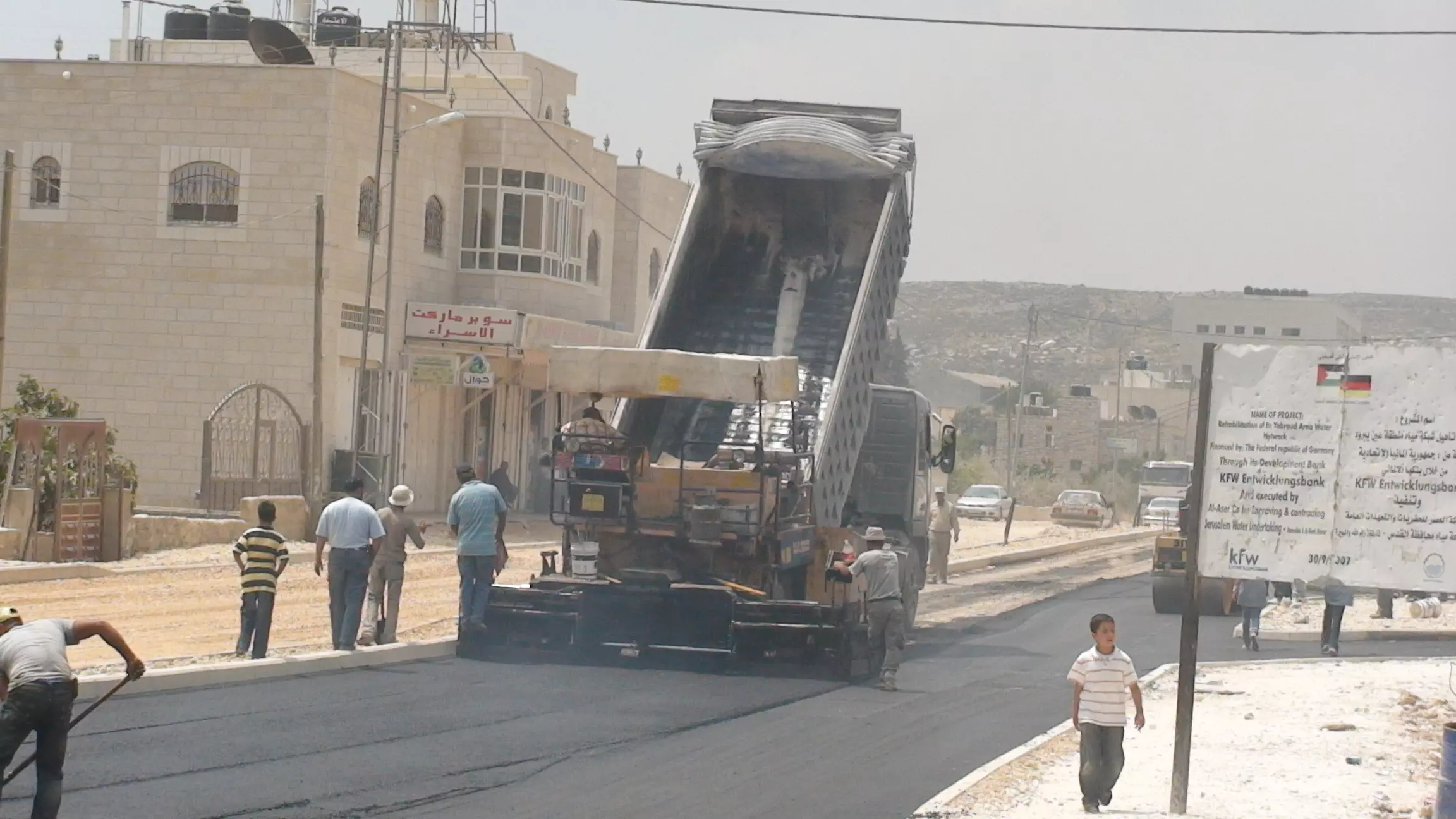
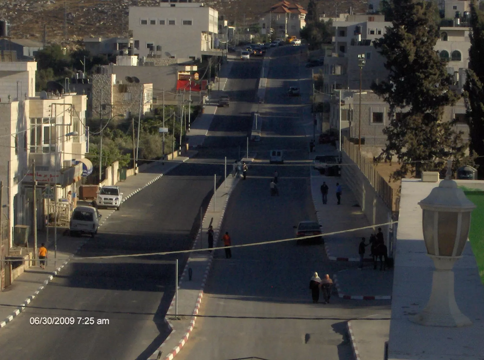
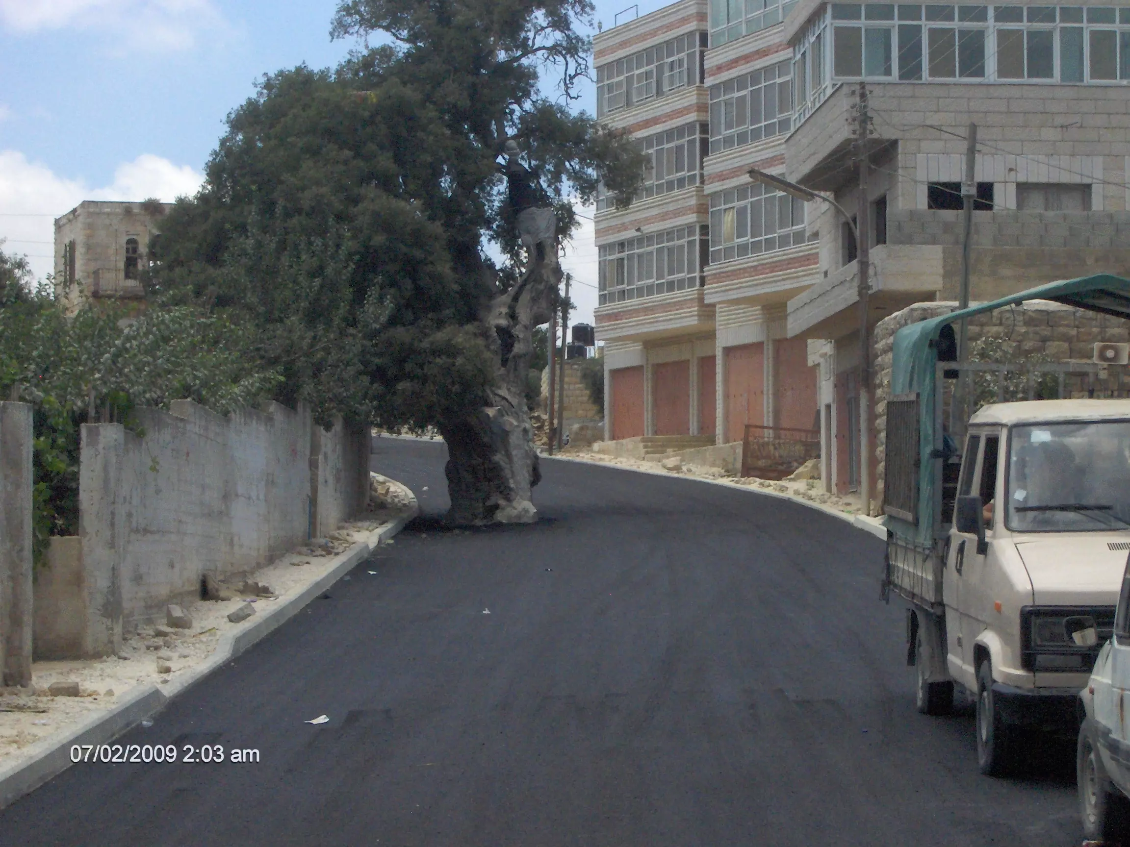
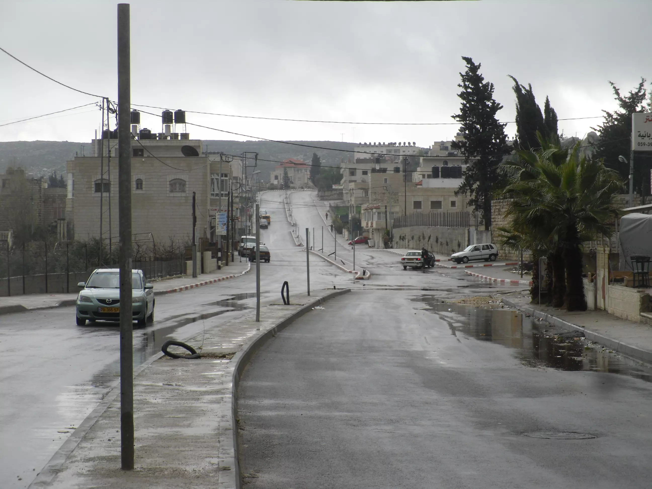
Posted by fawaz atra 1 - العمل في الشارع الرئيسي
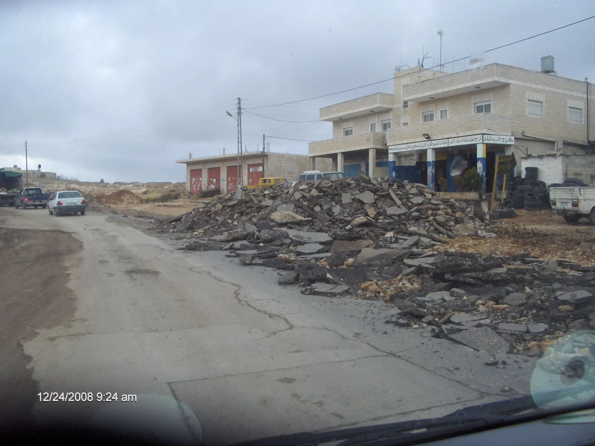
Posted by fawaz atra 1 - العمل في الشارع الرئيسي
Posted by fawaz atra 2 - العمل في الشارع الرئيسي
Posted by fawaz atra 1 - عين يبرود العمل في الشارع الرئيسي
Posted by fawaz atra - عين يبرود العمل في الشارع الرئيسي
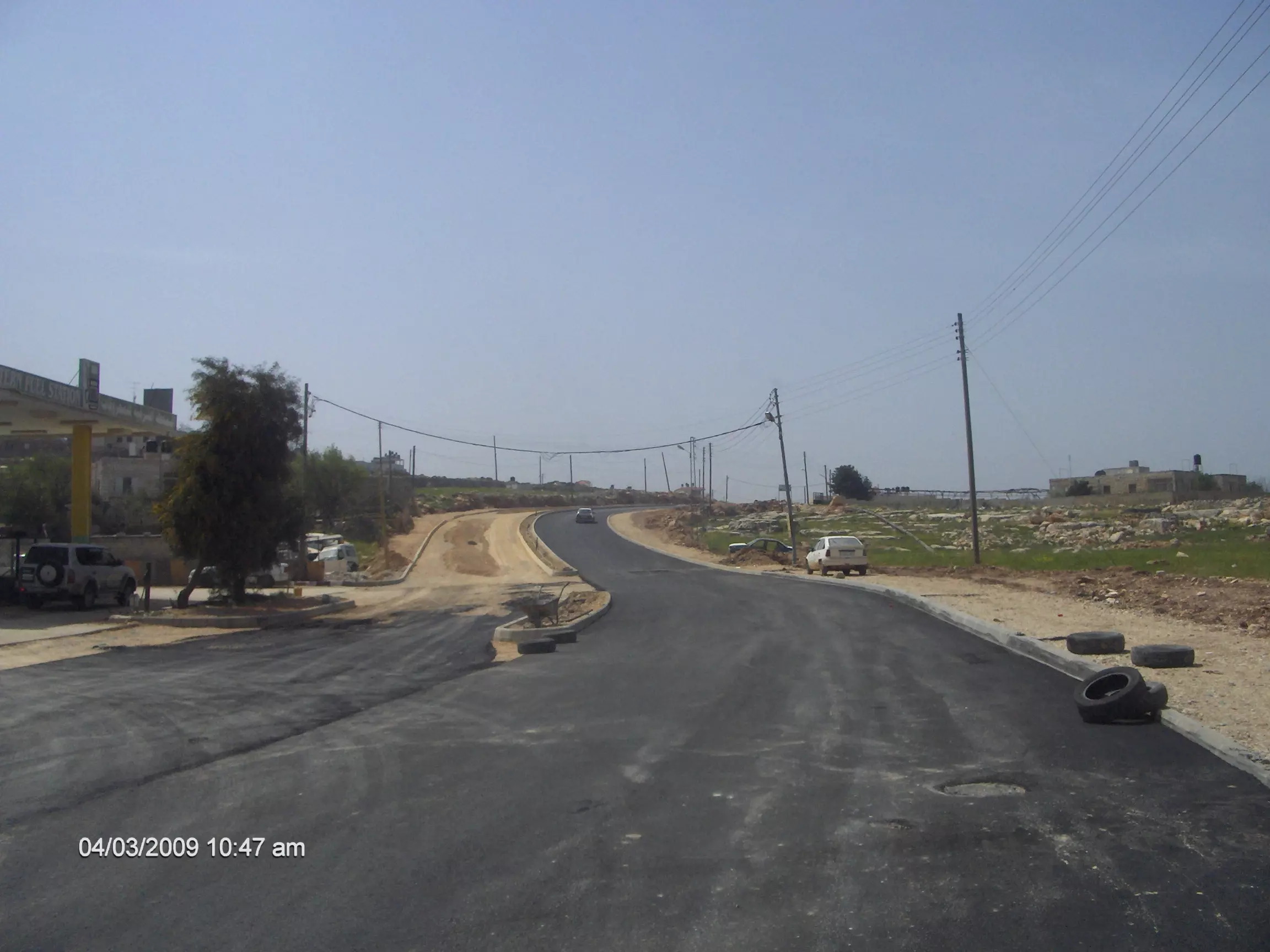
Posted by fawaz atra - عين يبرود الى الامام
Posted by fawaz atra - الشارع الرئيسي من الجهة الجنوبيه

Posted by fawaz atra - عين يبرود الجهة الشماليه
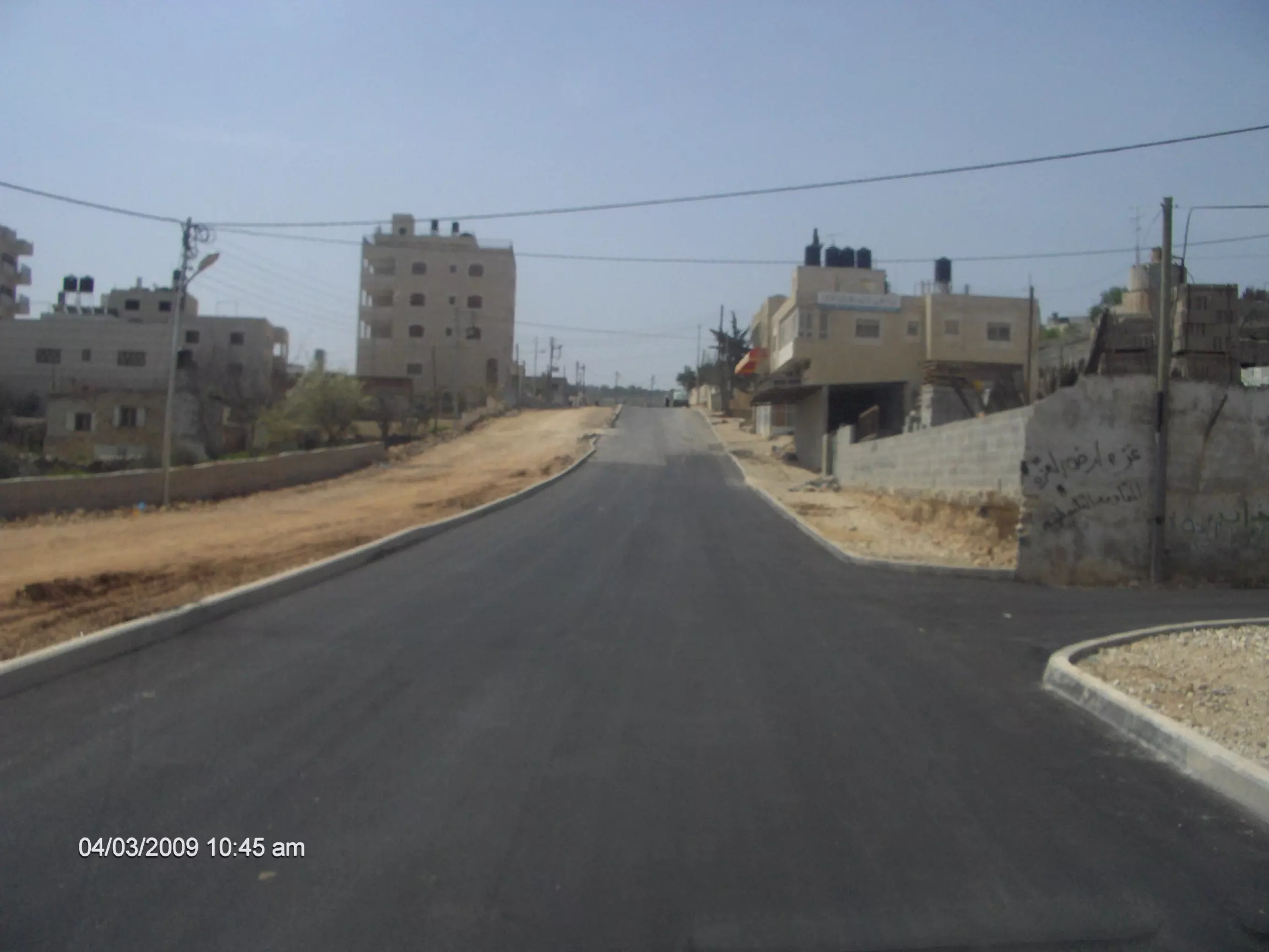
Posted by fawaz atra - عين يبرود البلد القديمه
Posted by fawaz atra - الشارع الرئيسي
Posted by fawaz atra - الشارع الرئيسي
Posted by fawaz atra - عين يبرود الشارع الرئيسي
Posted by fawaz atra - عين يبرود الشارع الرئيسي
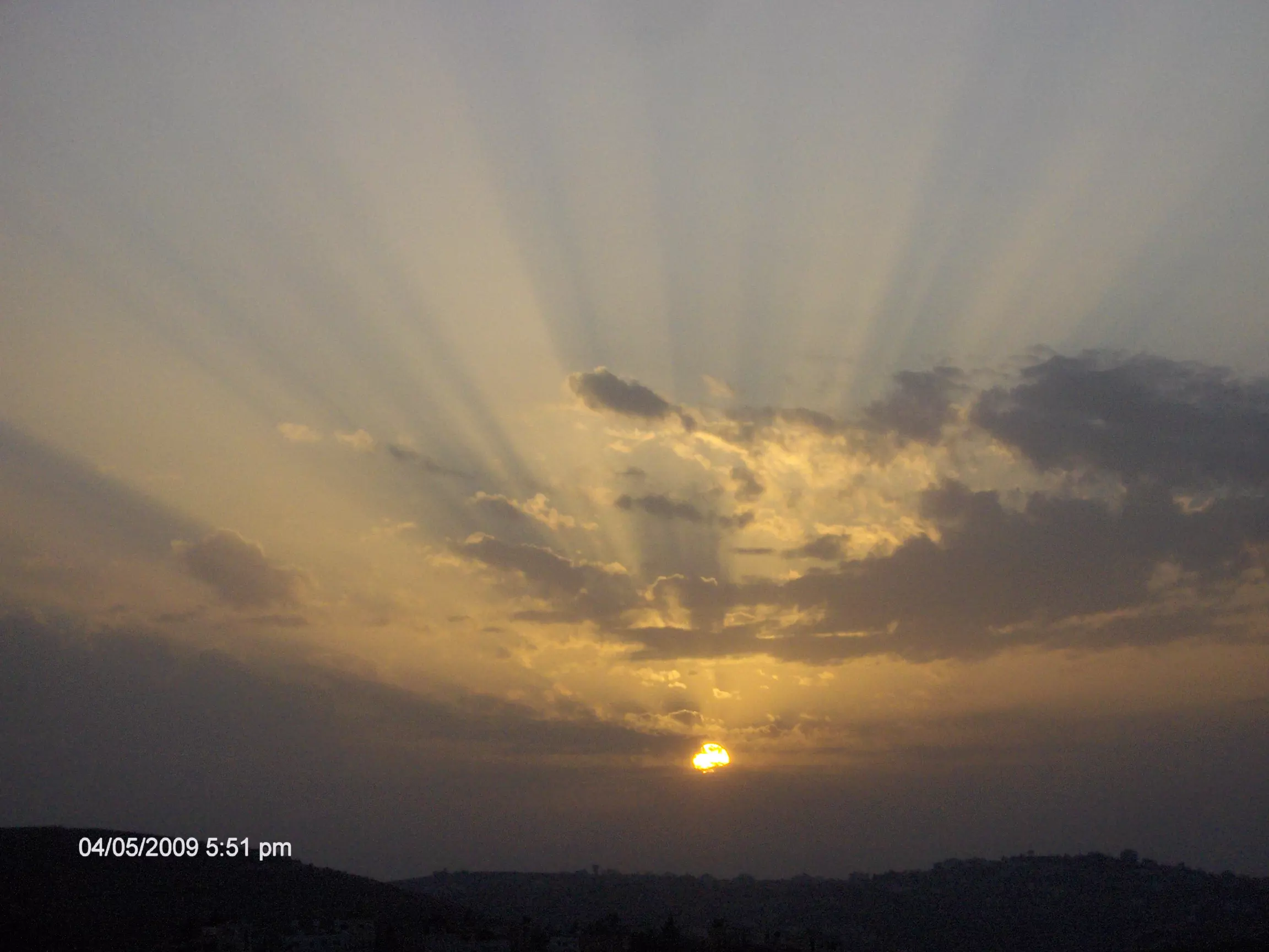
Posted by fawaz atra 1 - عين يبرود وقت الغروب
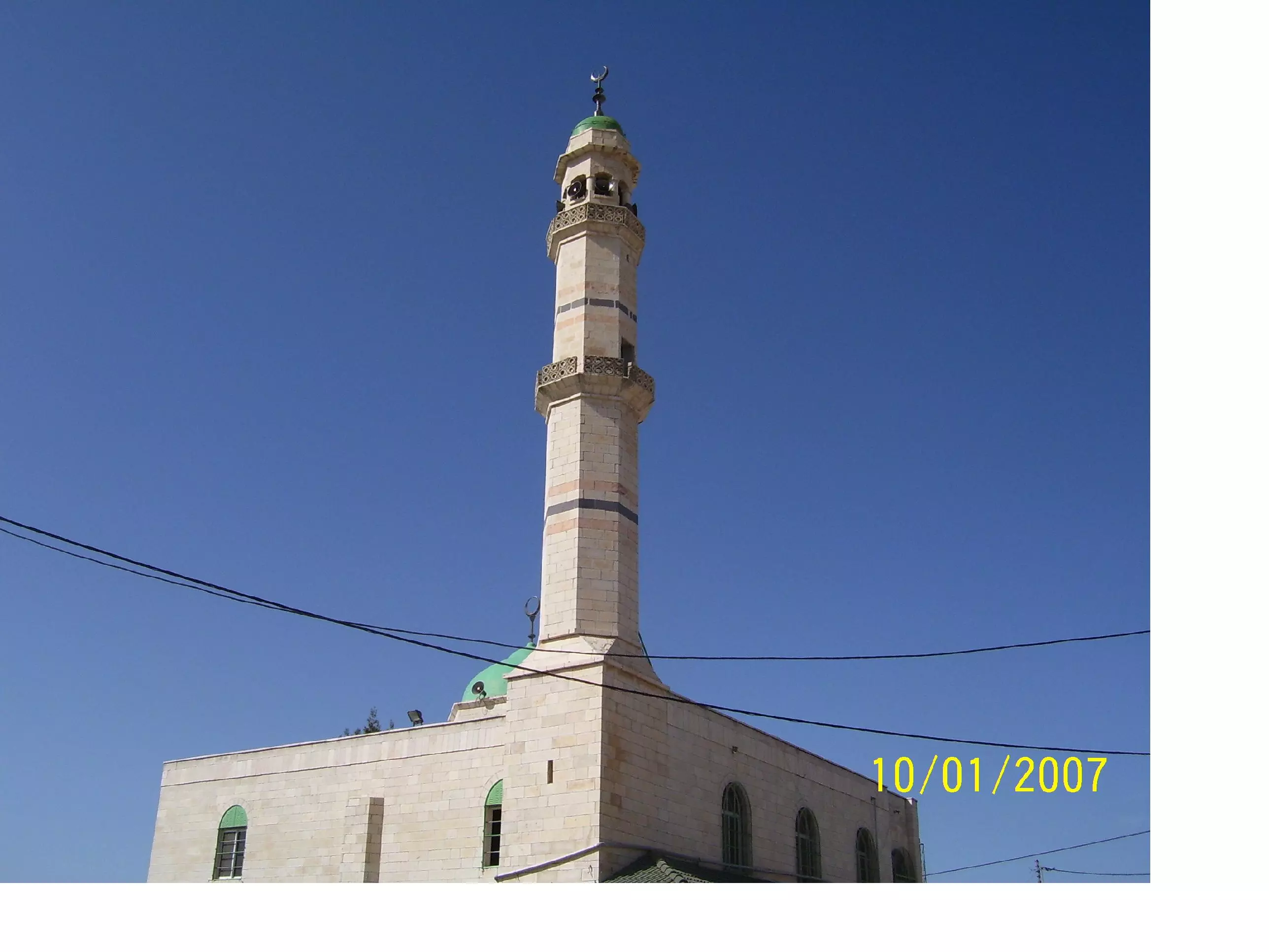
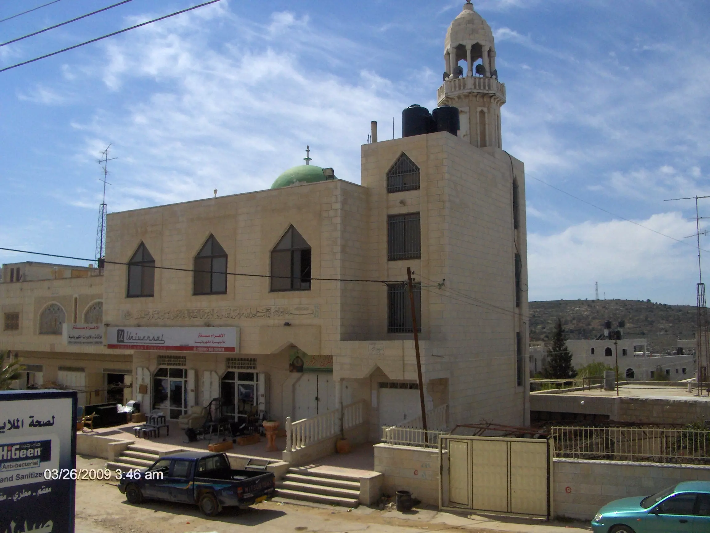
Posted by fawaz atra 1 - عين يبرود الجامع الكبير
Posted by fawaz atra - عين يبرود الجامع القبلي
Posted by fawaz atra - عين يبرود ثلوج 2009
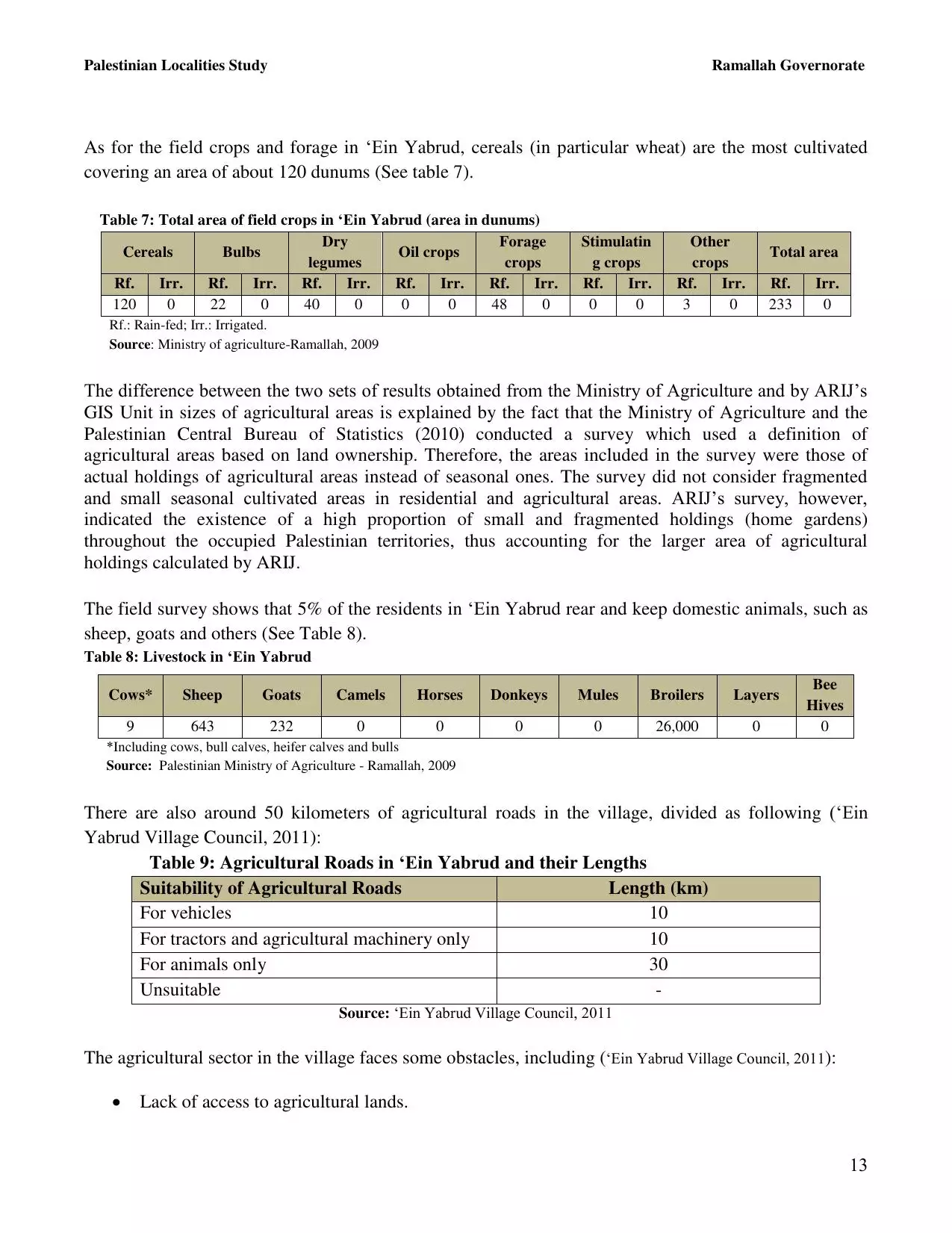
Posted by fawaz atra - منطقة بير ابو خشبه
Posted by fawaz atra - عين يبرود منطقة واد القليه
Posted by fawaz atra - عين يبرود طريق بير ابو خشبه
Posted by fawaz atra 1 - شمال عين يبرود
Posted by fawaz atra - عين يبرود البلد القديمه
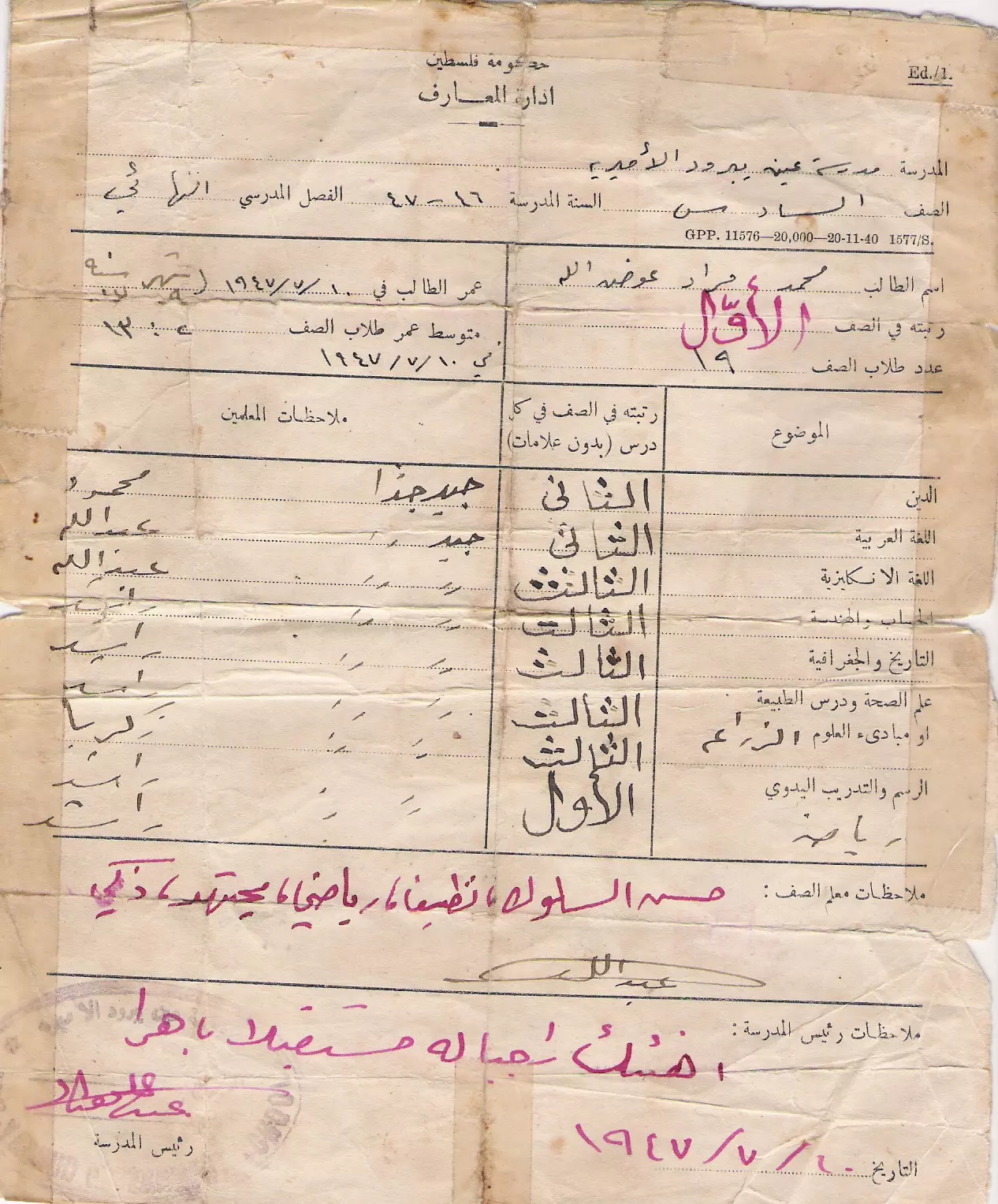
Posted by fawaz atra - شهادة السيد محمد مراد في عام 1947في الصف السادس الابتدائي
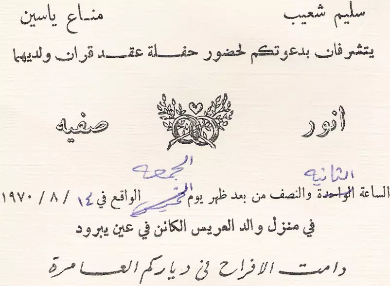
Posted by fawaz atra 1 - كرت عرس السيد انور شعيب عام 1970
Posted by fawaz atra - الشارع الرئيسي
Posted by fawaz atra - الشارع الرئيسي
Posted by fawaz atra 1 - الشارع الرئيسي
Posted by fawaz atra 1 - شارع البلد الشاحون
Posted by fawaz atra 1 - ayn yabrud
Posted by Abu Raya Muafaq 1 - ayn yabrud
Posted by Abu Raya Muafaq - ayn yabrud
Posted by Abu Raya Muafaq - ayn yabrud
Posted by Abu Raya Muafaq - ayn yabrud
Posted by Abu Raya Muafaq 1 - عين يبرود الشارع الرئيسي

Posted by fawaz atra - عين يبرود وسط البلد
Posted by fawaz atra - عين يبرود بوابة دار عبدالله عوده
Posted by fawaz atra - الجامع القديم
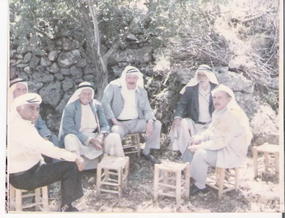
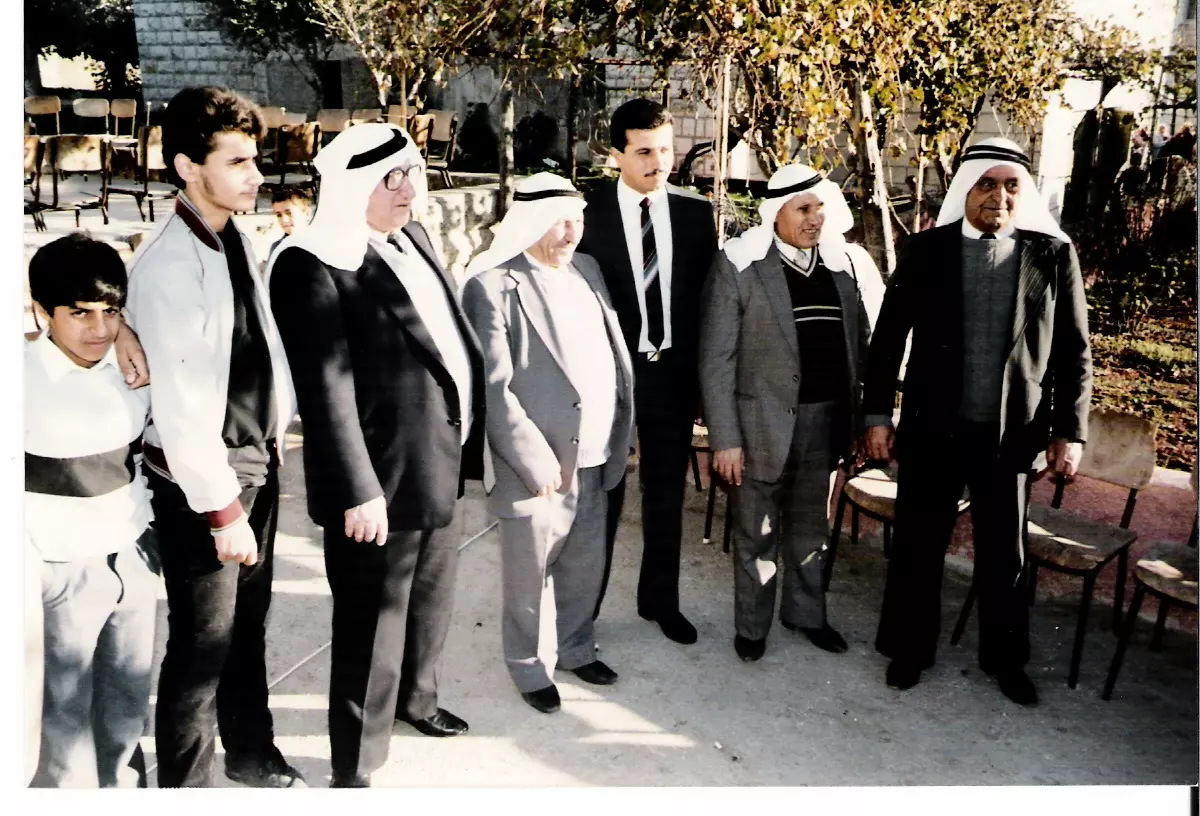
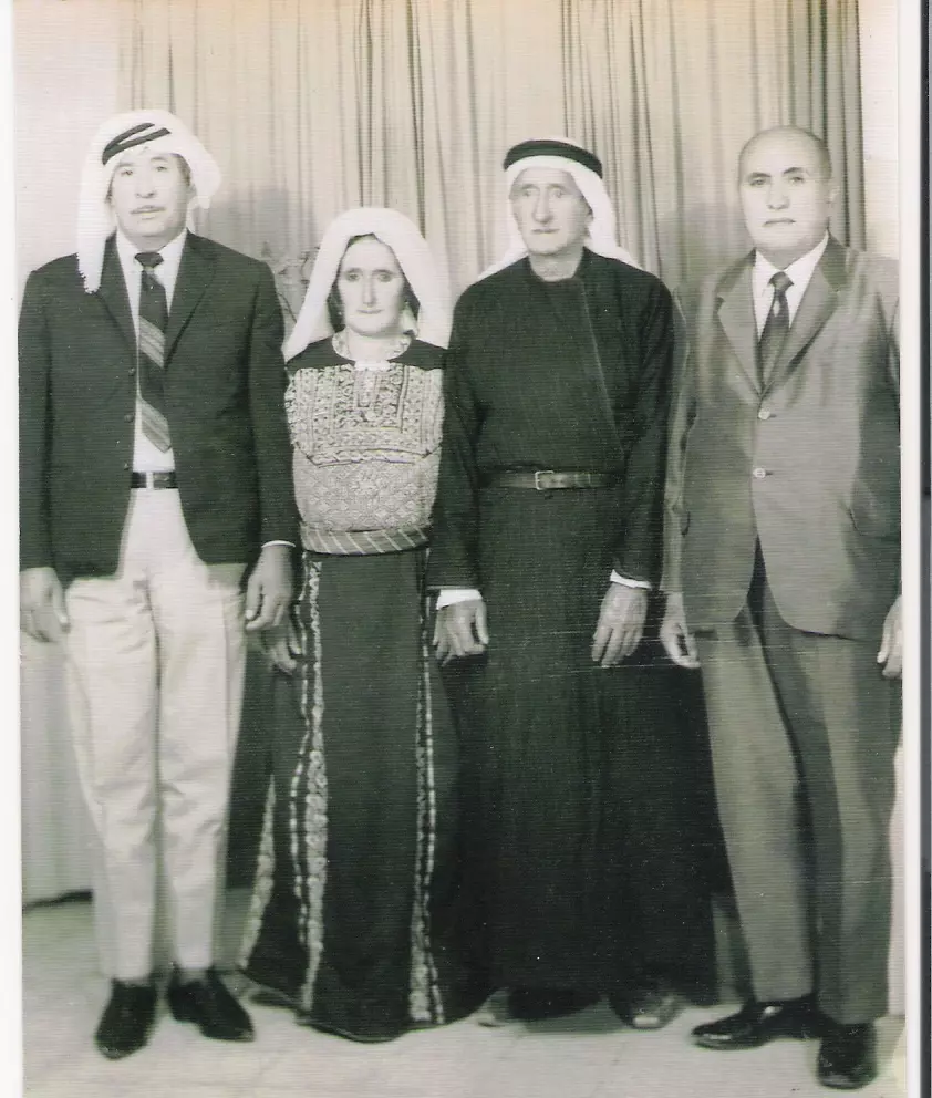
Posted by fawaz atra - من كبار البلد
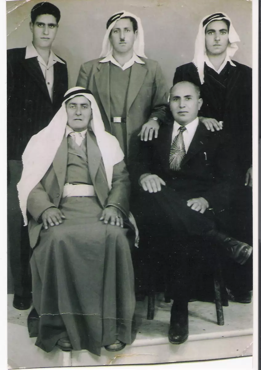
Posted by fawaz atra - ال يا سين عين يبرود
Posted by fawaz atra - ال حويح عين يبرود
Posted by fawaz atra - ال الشيخ عين يبرود
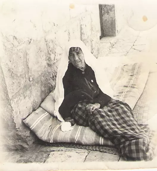
Posted by fawaz atra - الحاجه يامنه الشكري عين يبرود
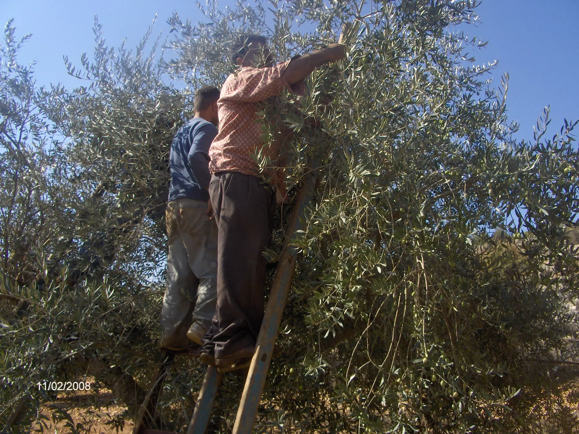
Posted by fawaz atra 1 - موسم قطف الزيتون عين يبرود
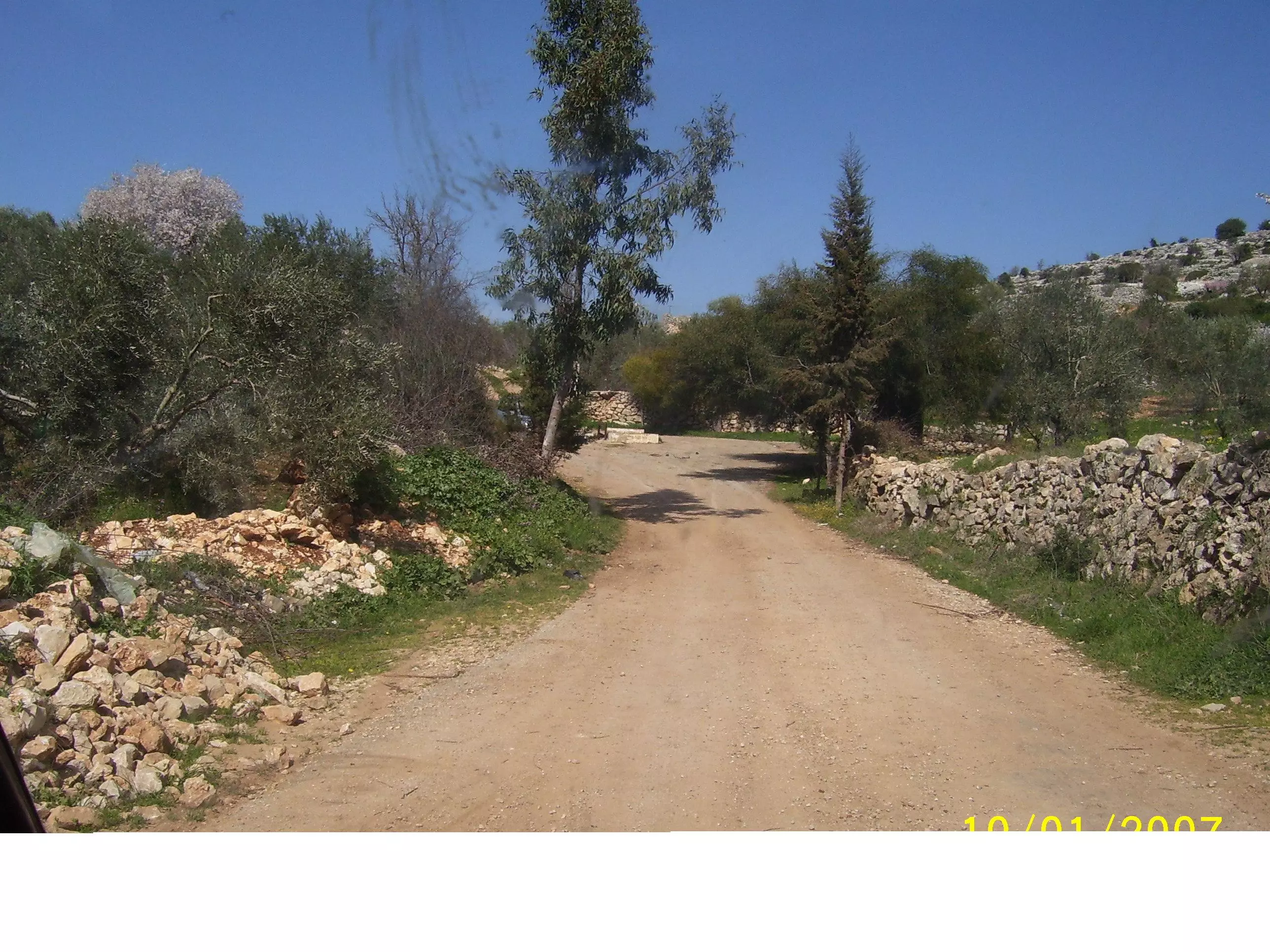
Posted by fawaz atra - wadi elkoulia
Posted by FARES ZEIDEIA - Fares Zeideia old house
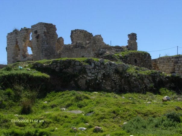
Posted by FARES ZEIDEIA - old city
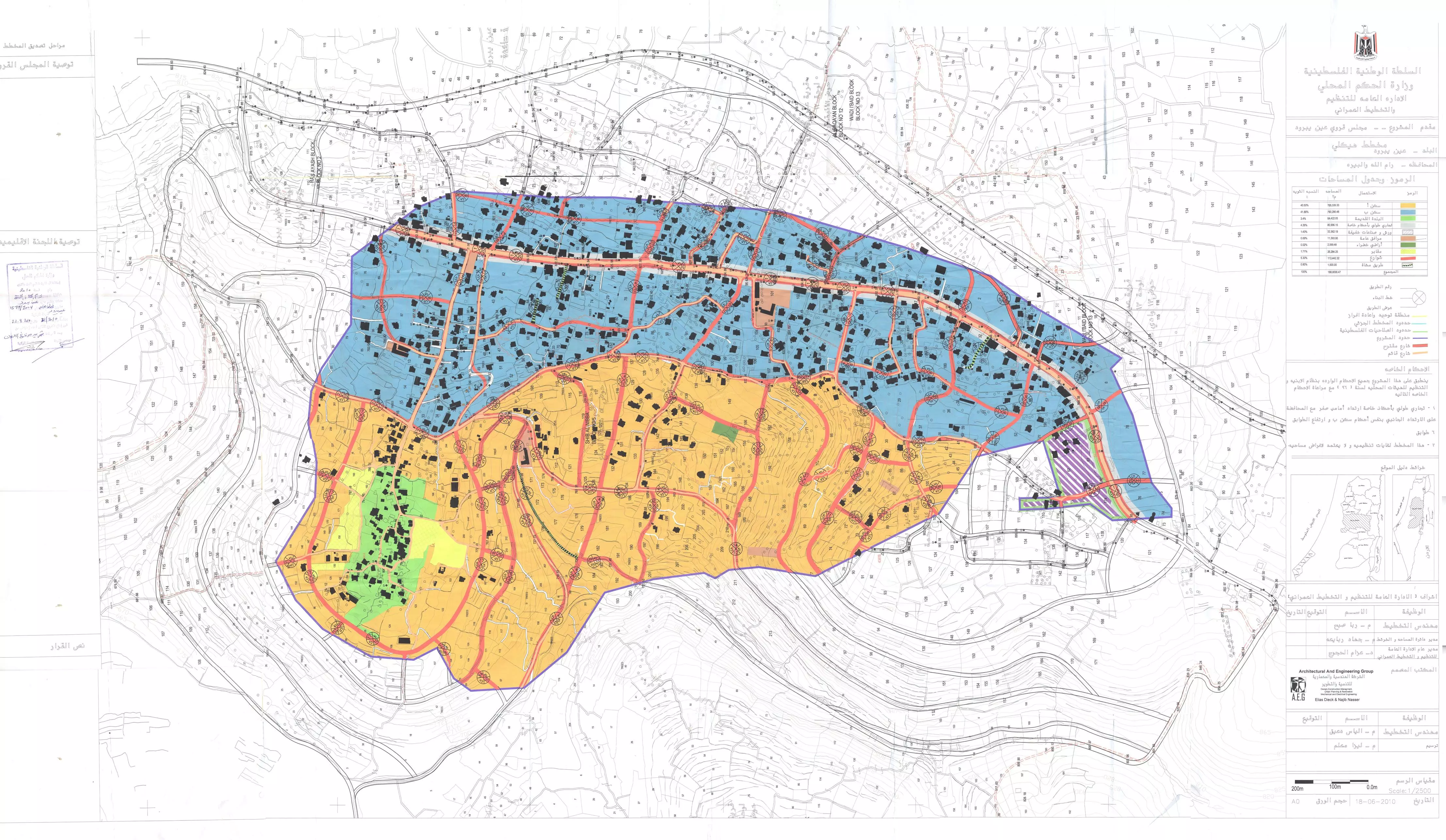
Posted by M. Abu Zahra - المخطط الهيكلي الجديد لقرية عين يبرود
Posted by fawaz atra 1 - عين يبرود البلد
Posted by fawaz atra 1 - عين يبرود البلد
Posted by fawaz atra - عين يبرود البلد
Posted by fawaz atra - صورة نصر الحجار من قرية عين يبرود
- صوره من عين يبرود سنه 1934
Posted by abu raya - عين يبرود في الثلاثينات
Posted by abu raya - عين يبرود في الثلاثينات
Posted by abu raya - منظر عام
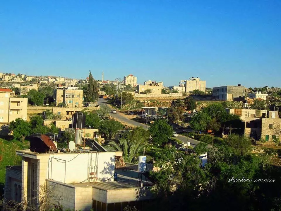
Posted by Abu Al-Sous - منظر عام
- منظر عام #2
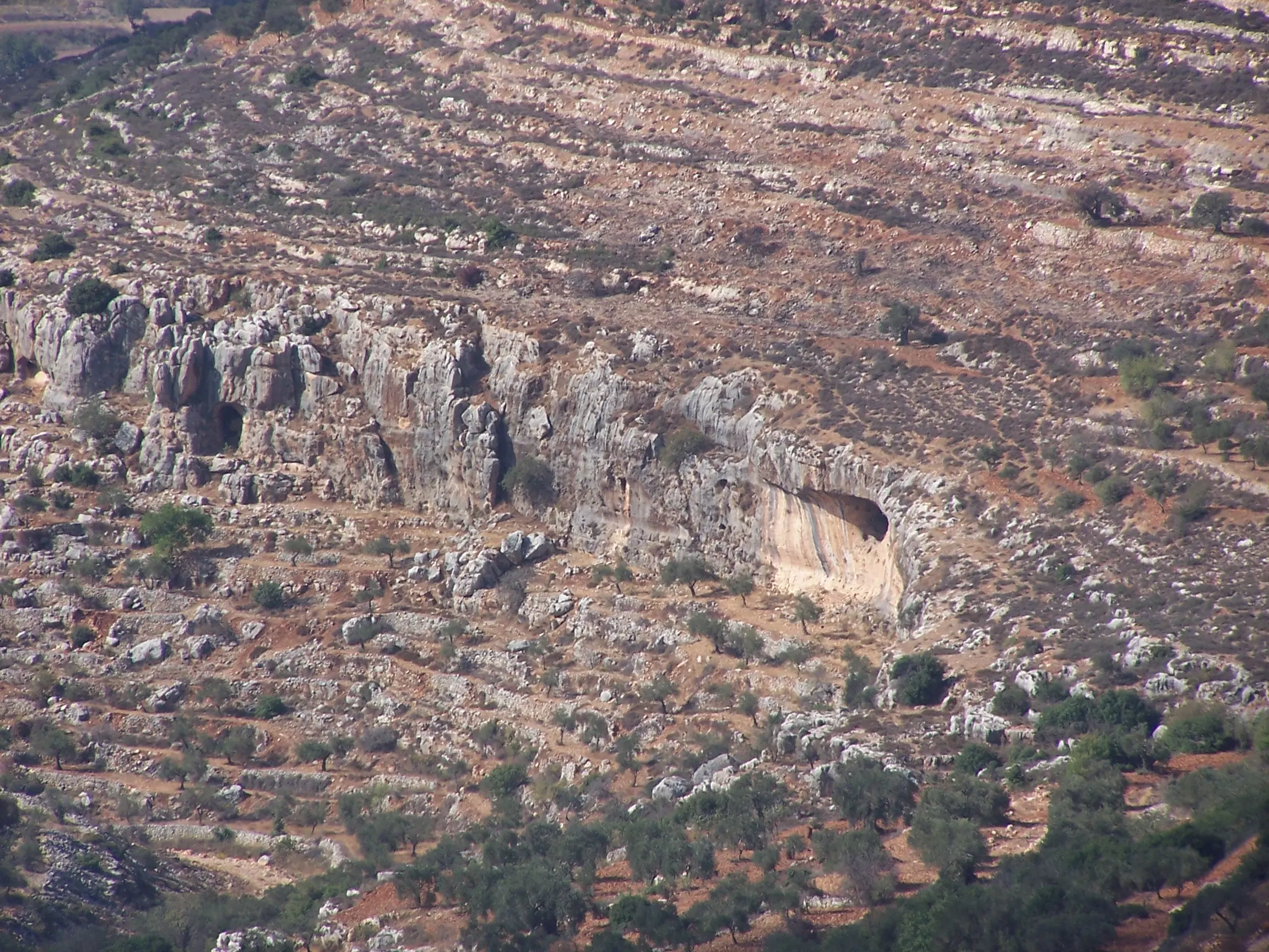
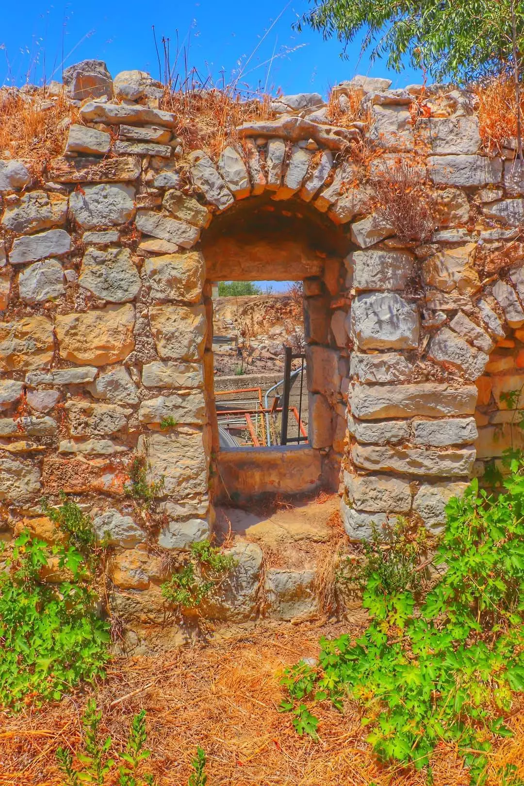
- مغر بأراضي عين يبرود \ قضاء رام اللله
- مغر بأراضي عين يبرود \ قضاء رام اللله #2
- مغر بأراضي عين يبرود \ قضاء رام اللله #3
- عين يبرود
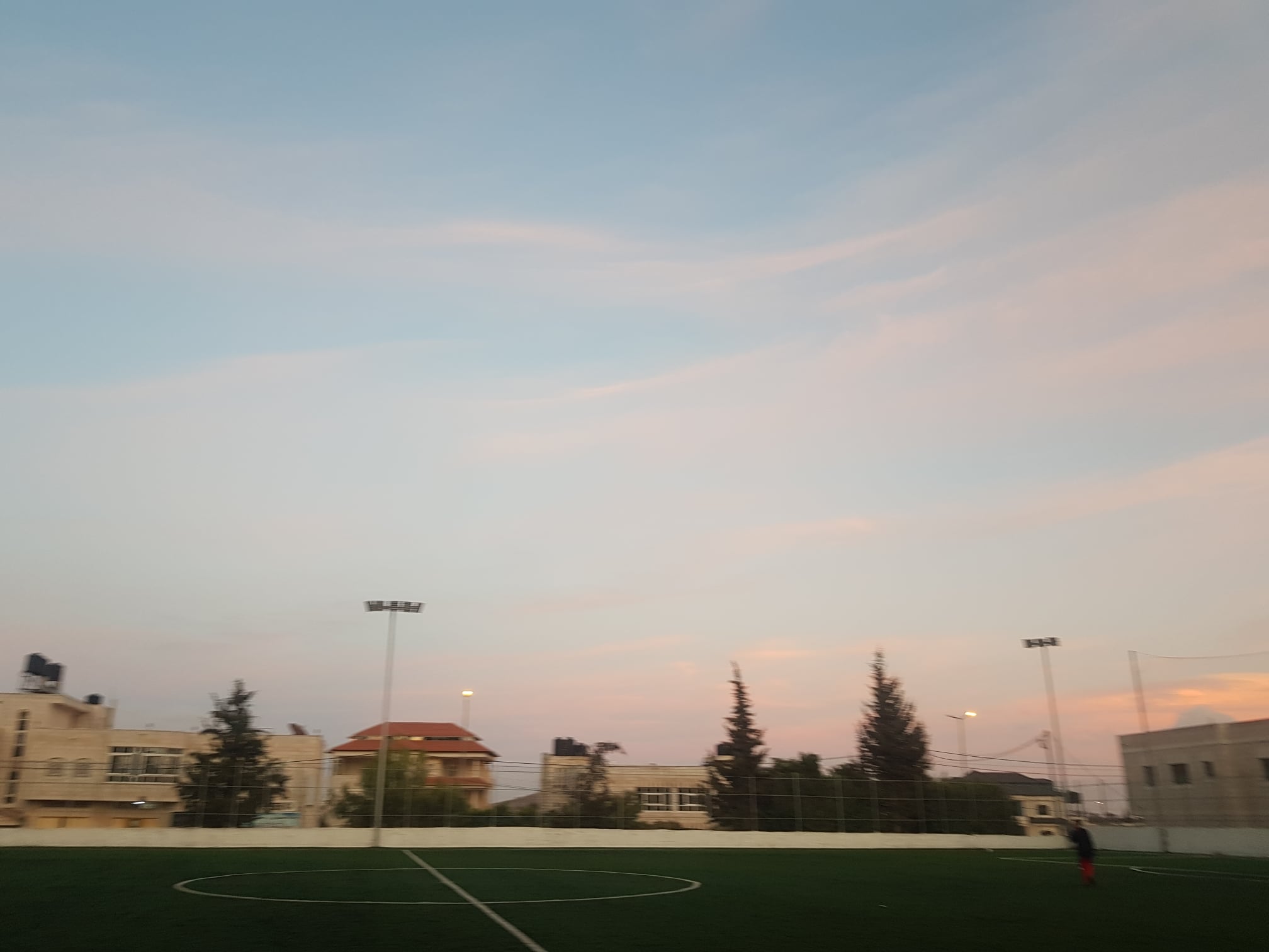
Posted by محمد جراد - ملعب عين يبرود الحديثة
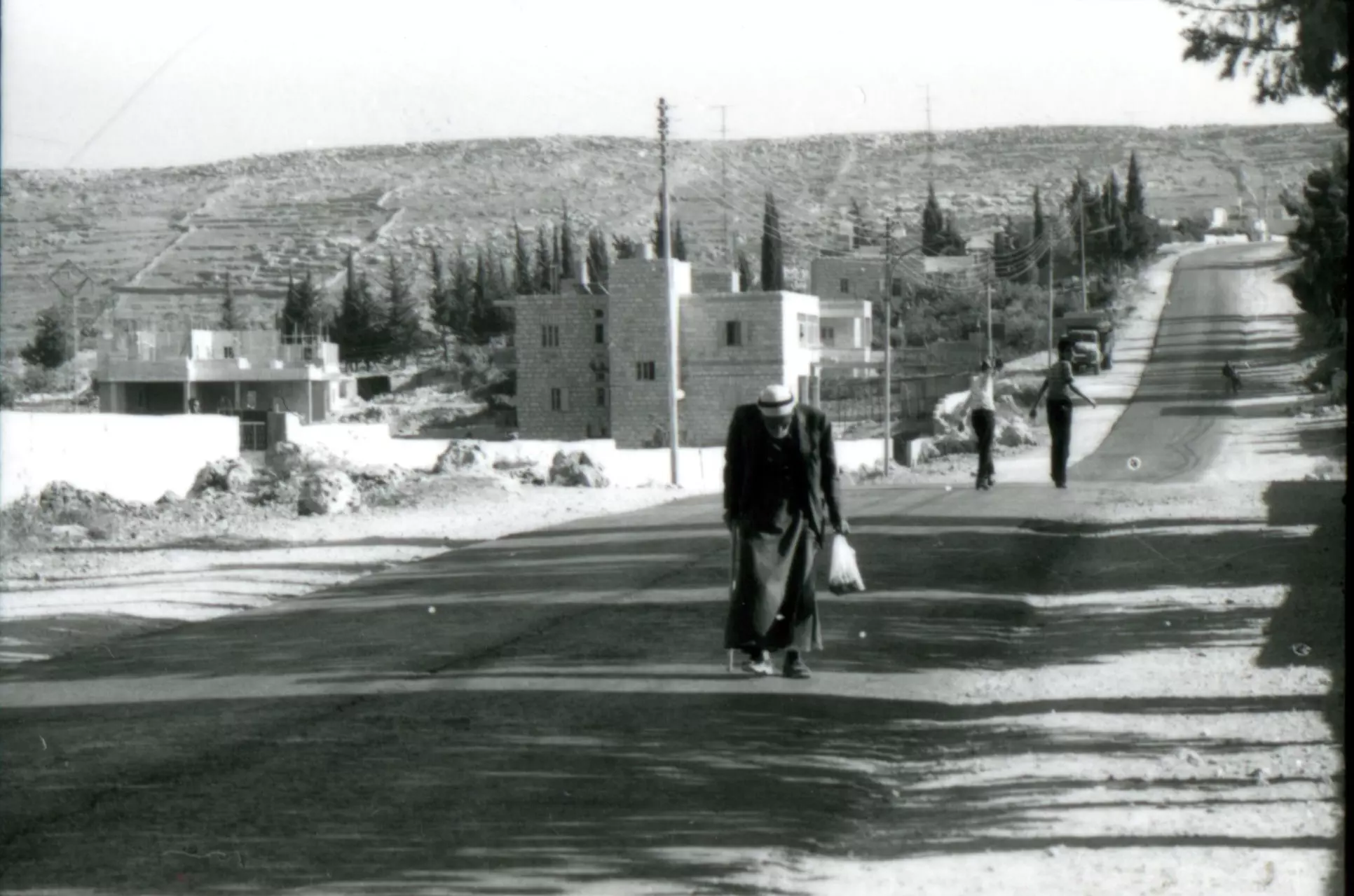
Posted by Mahmoud darwish - منظر عام
- منظر عام #2
- منظر عام
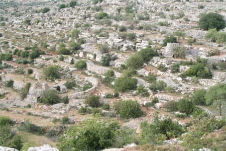
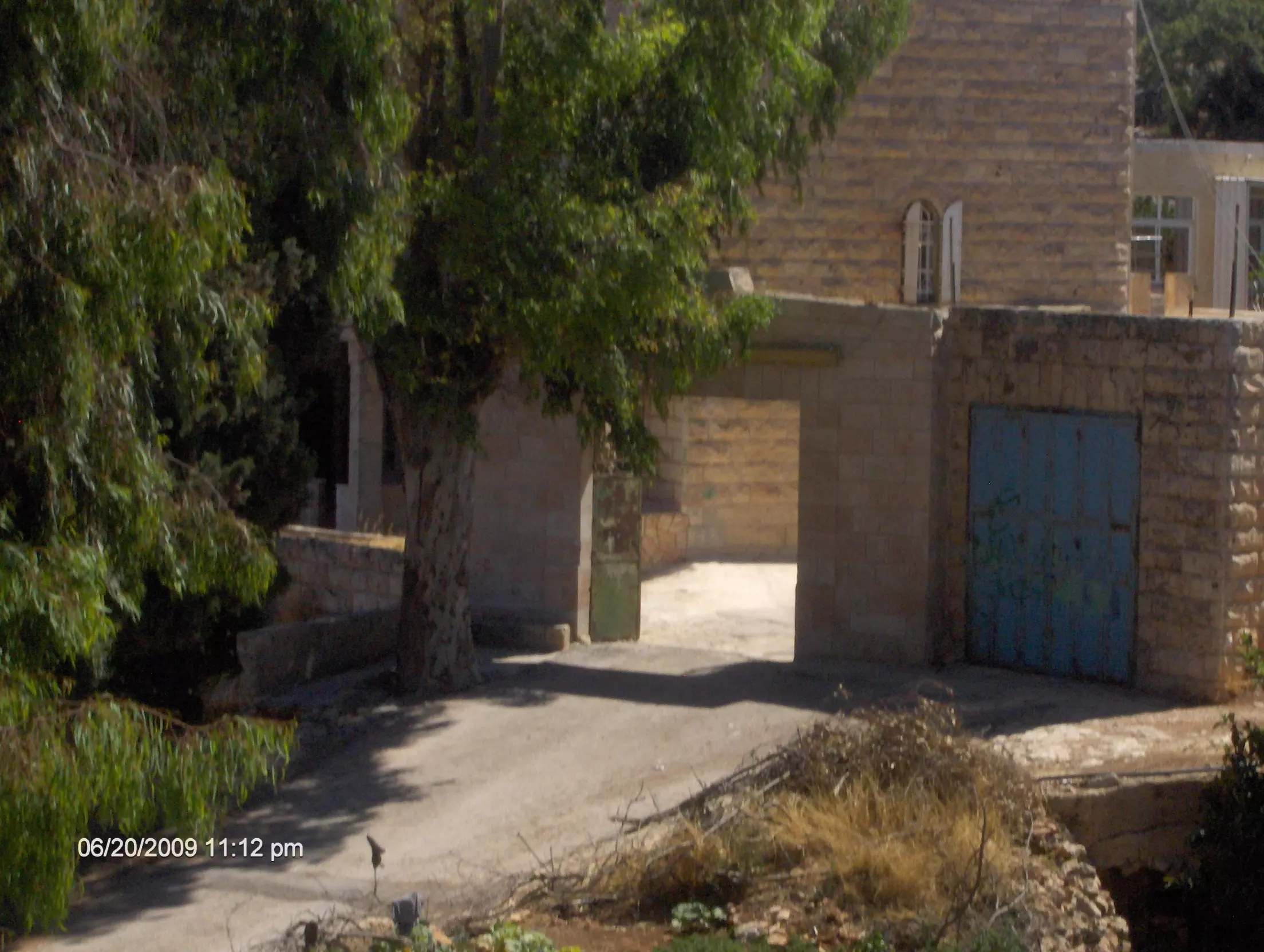
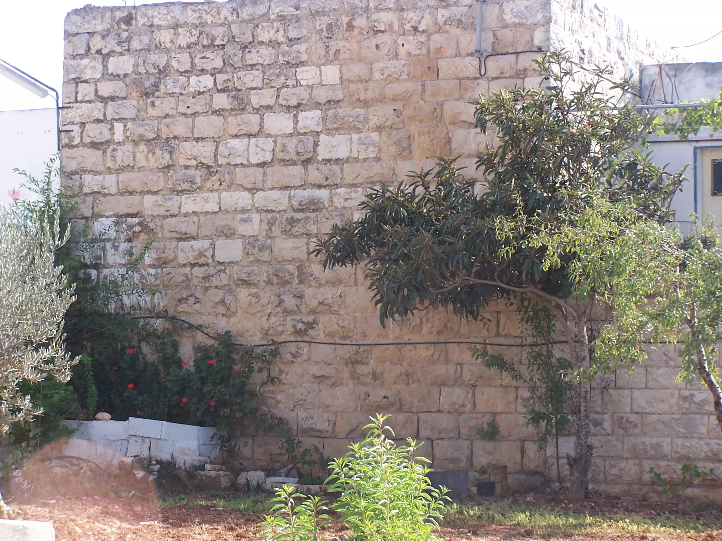
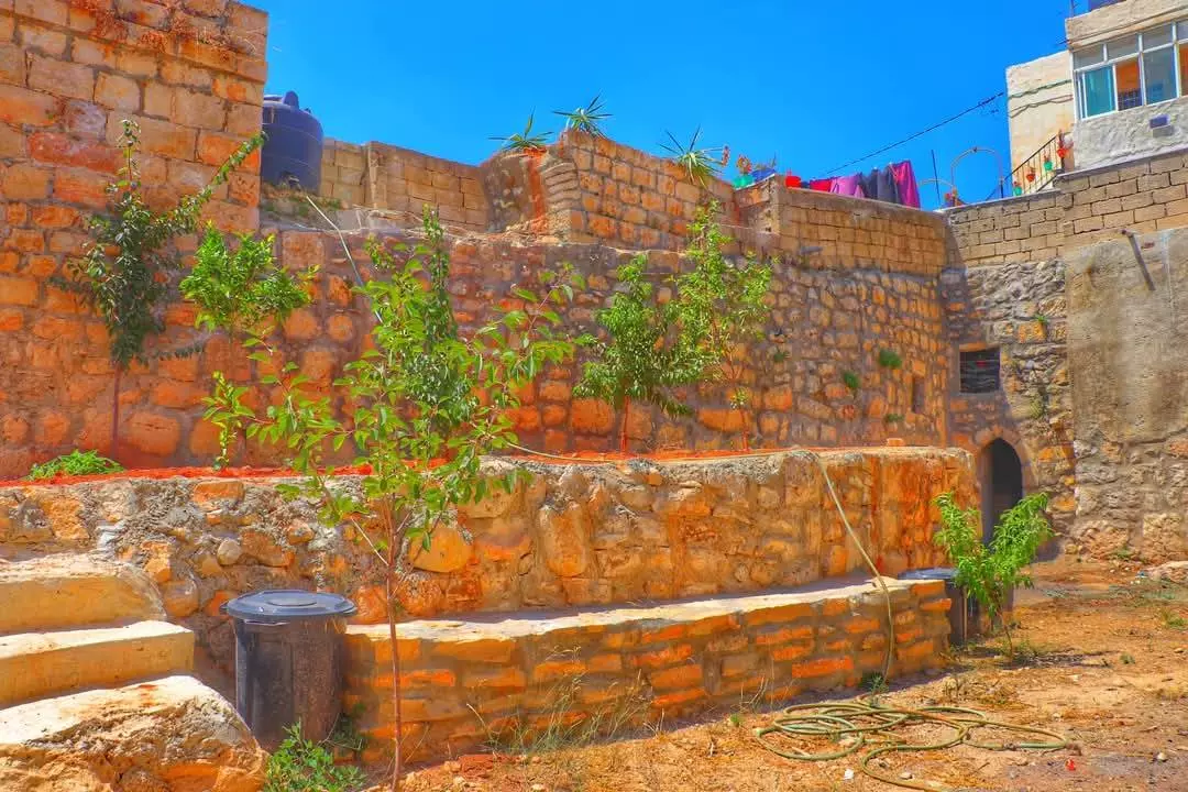
- جولة بين بيوت القرية القديمه
- جولة بين بيوت القرية القديمه #2
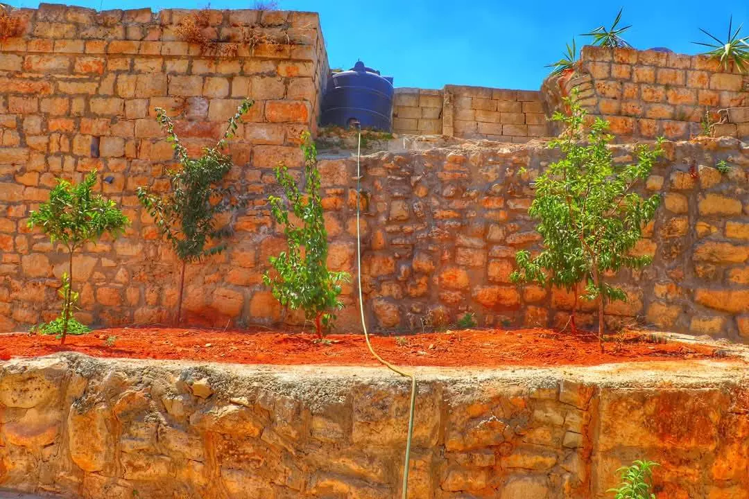
- جولة بين بيوت القرية القديمه #3
- جولة بين بيوت القرية القديمه #4
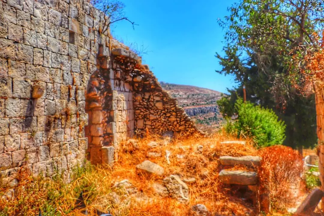
- جولة بين بيوت القرية القديمه #5
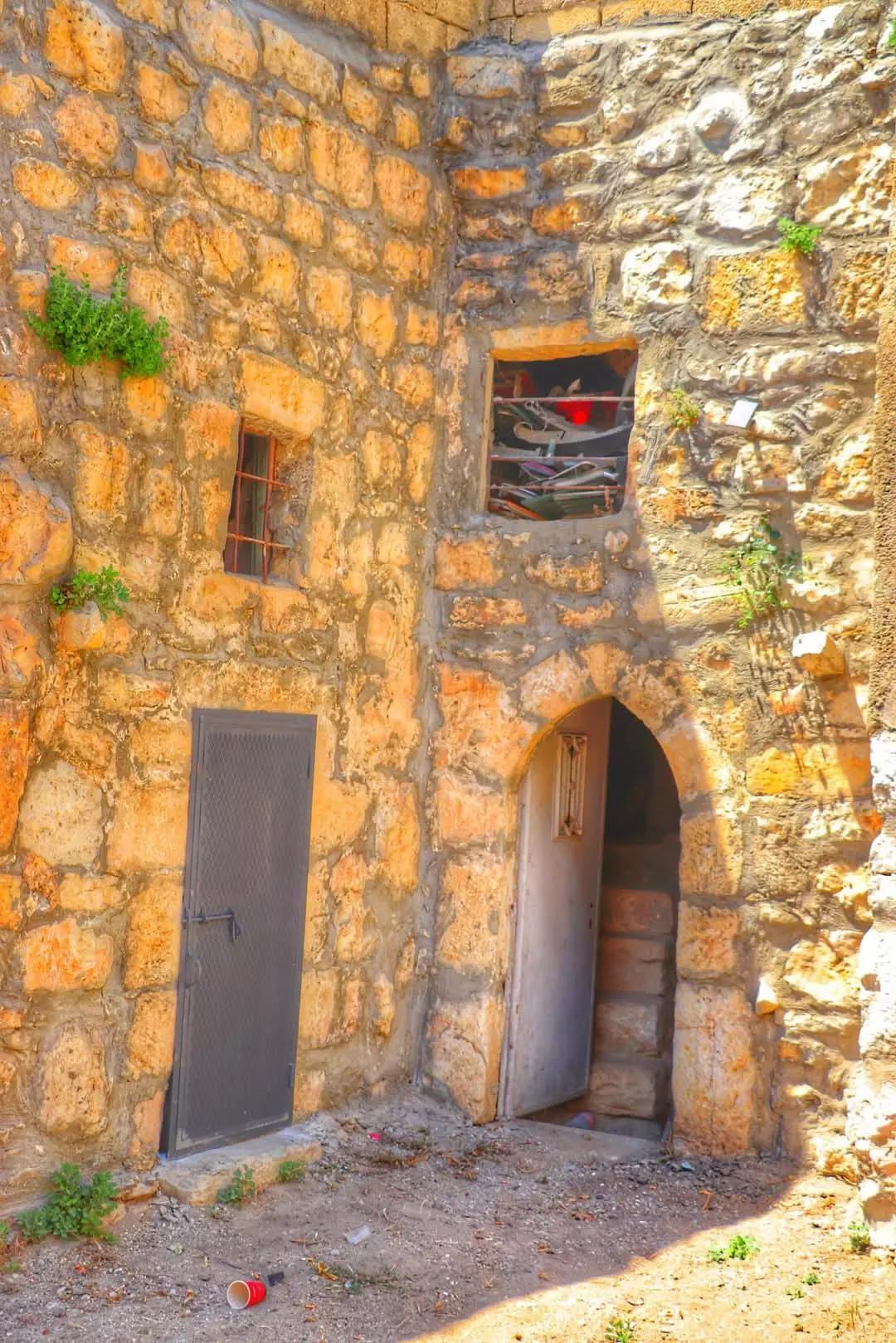
- جولة بين بيوت القرية القديمه #6
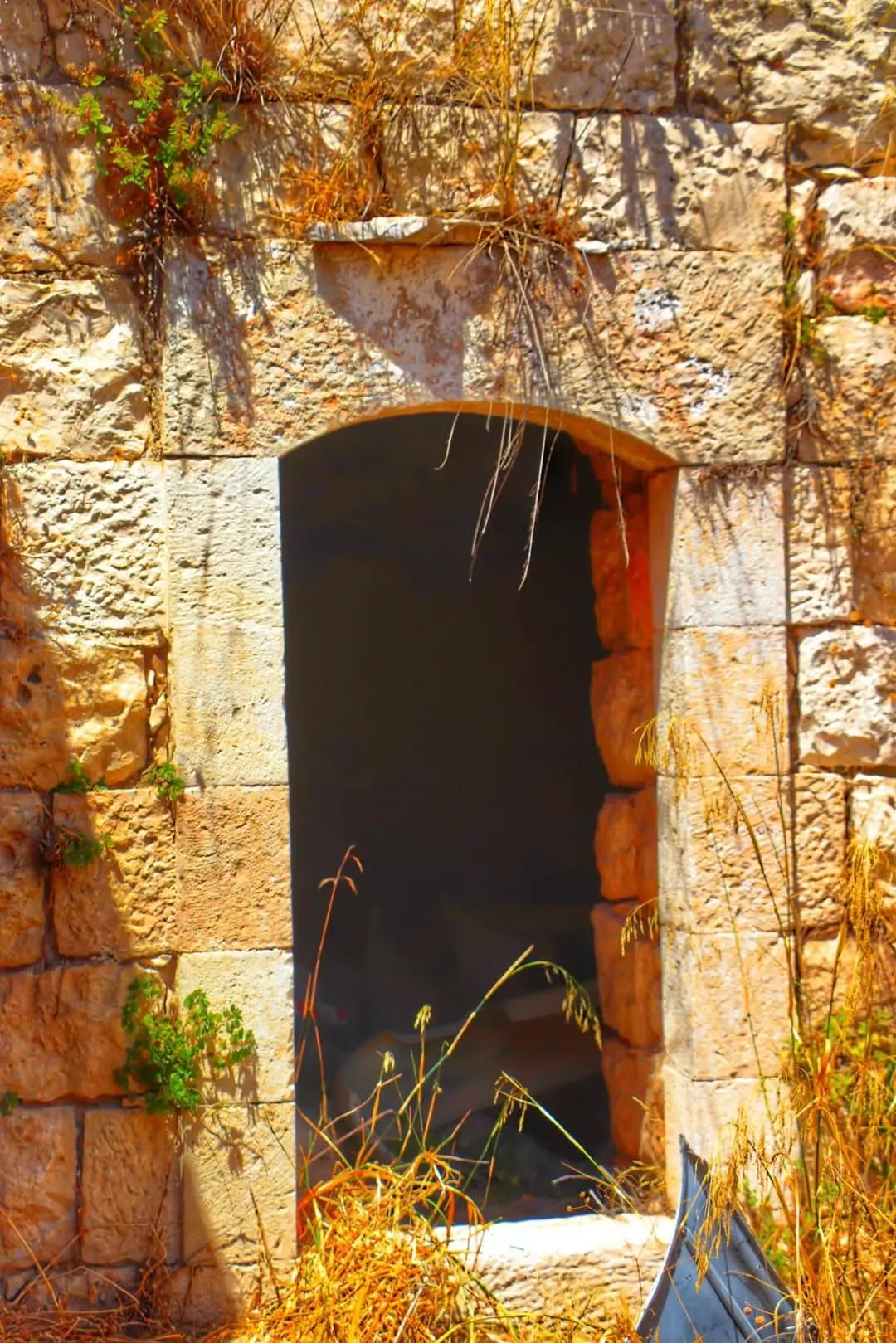
- جولة بين بيوت القرية القديمه #7
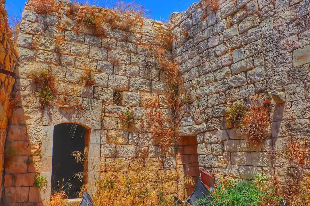
- جولة بين بيوت القرية القديمه #8
- جولة بين بيوت القرية القديمه #9
- عين يبرود 1979
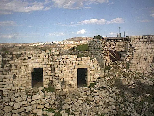
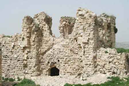
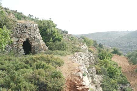
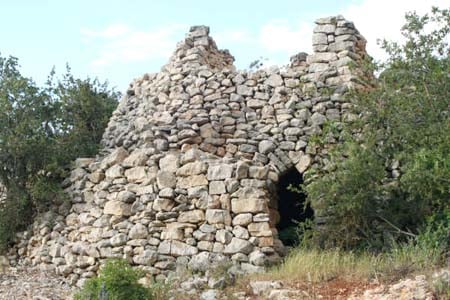
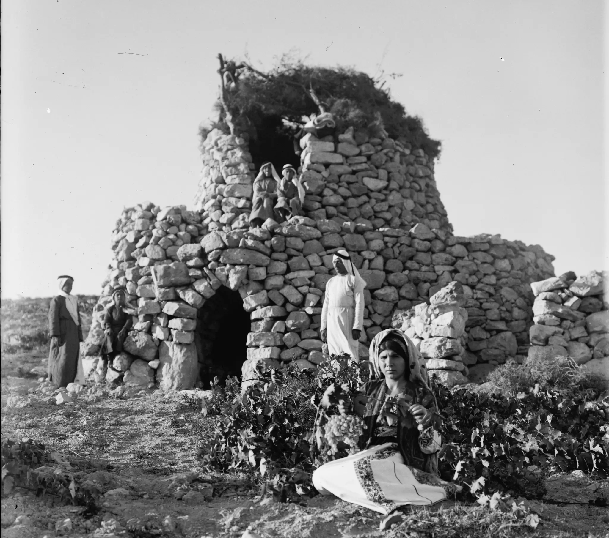
- هذه المناطير كانت تشكل قصوراً للفلاحين، وهي بيوت تبنى بصورة بسيطة ليسكنها أصحاب الأرض في فترة الصيف وبخاصة في موسم التين والعنب، وذلك من أجل حراسة الكروم في أيام القرى تلك.. تقريبا توقف استخدام هذه المناطير في فترة الثمانينات -- 1934
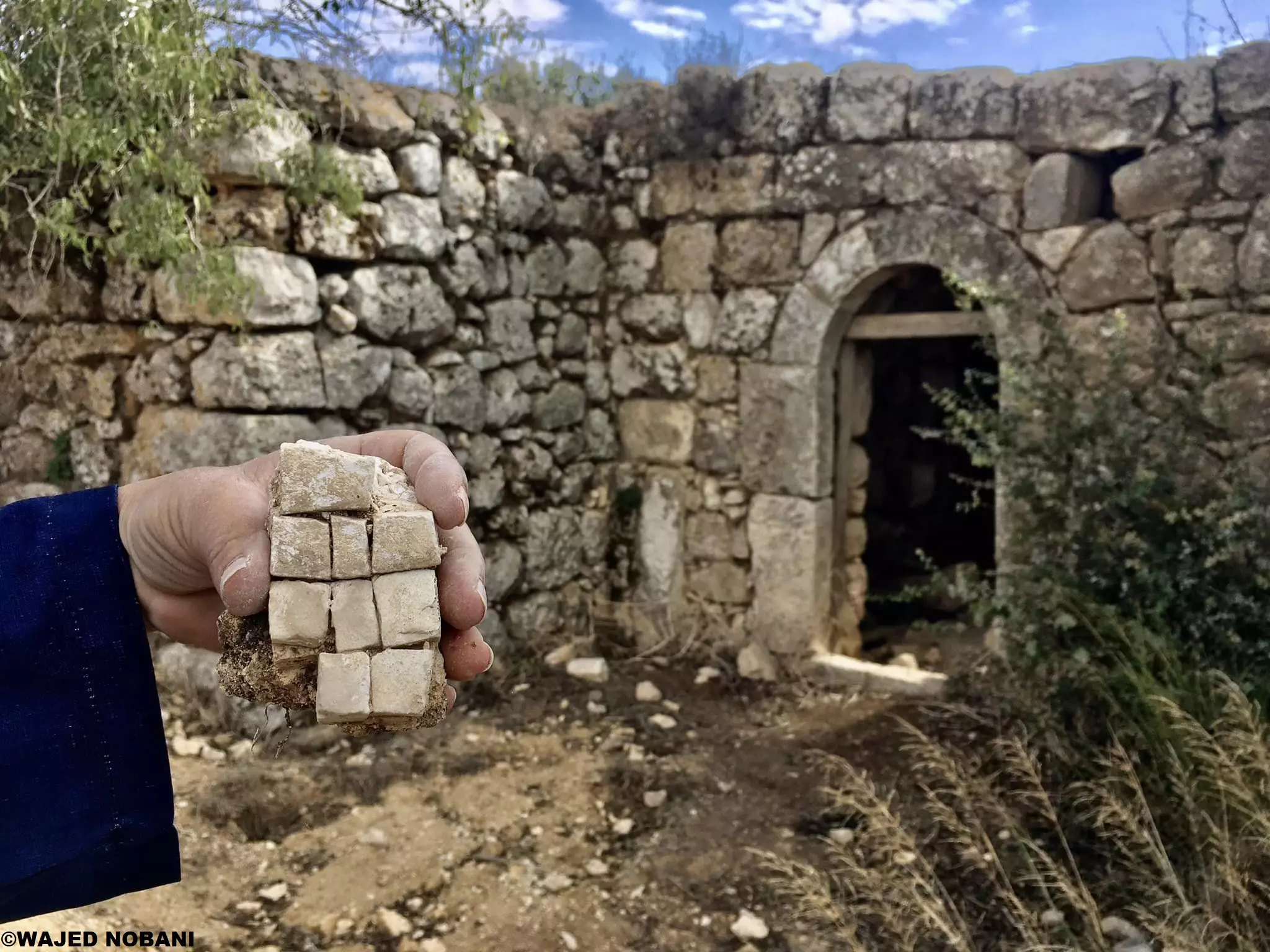
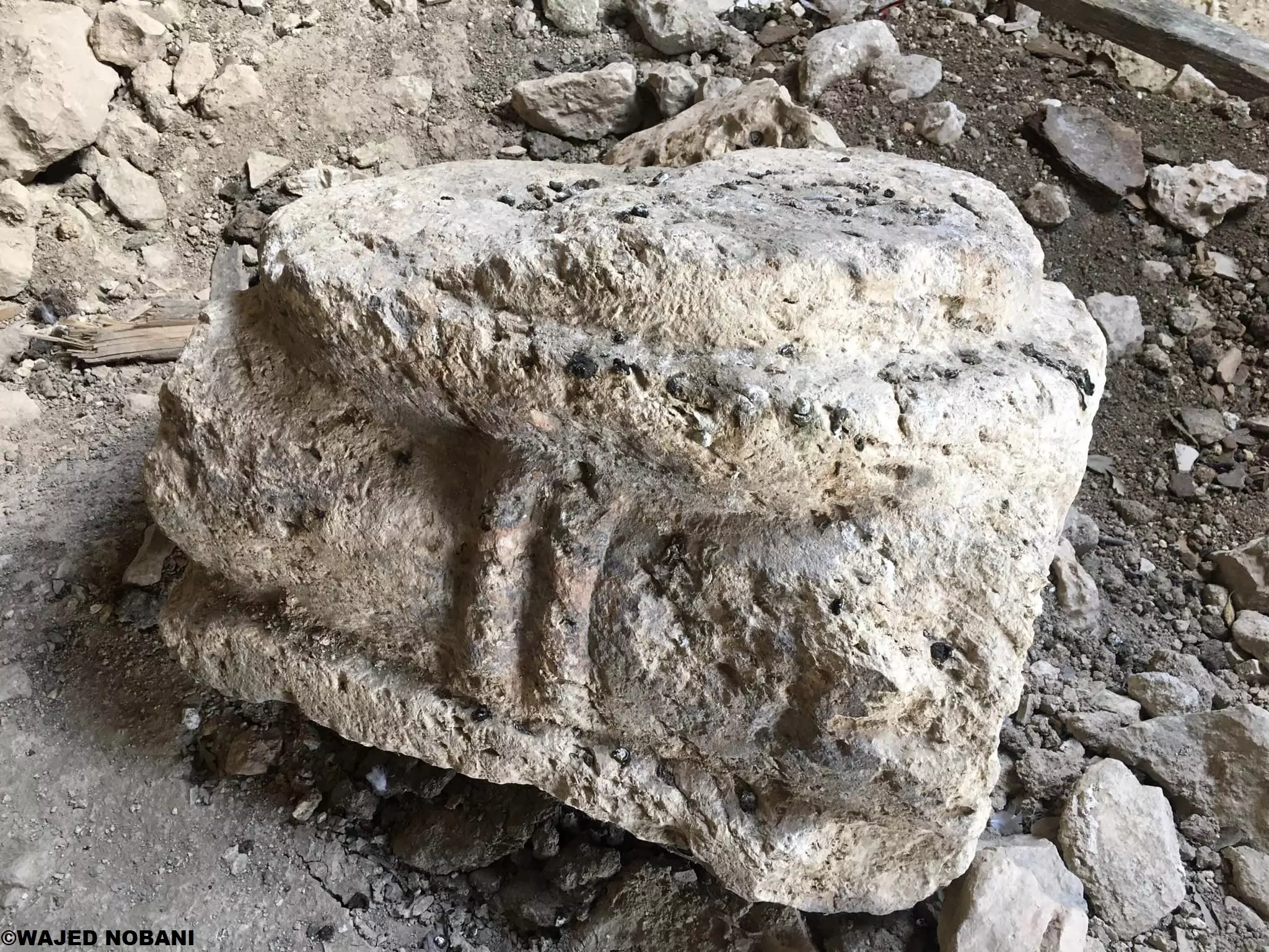
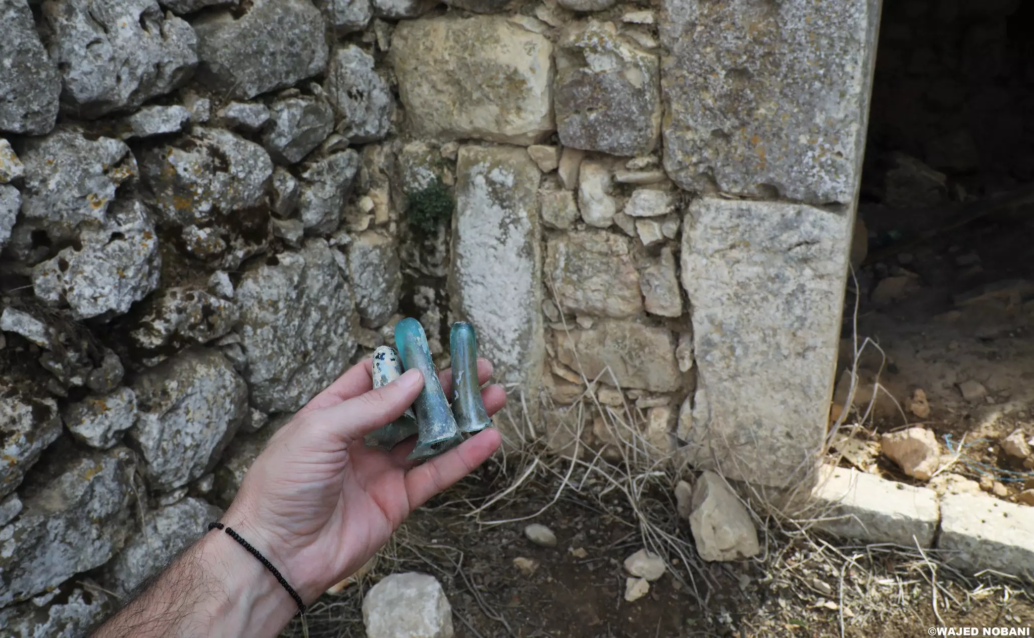
- توجد خربة باسم خربة كفر عانة قريبة من يبرود وسلواد وعين يبرود -- واجد النوباني
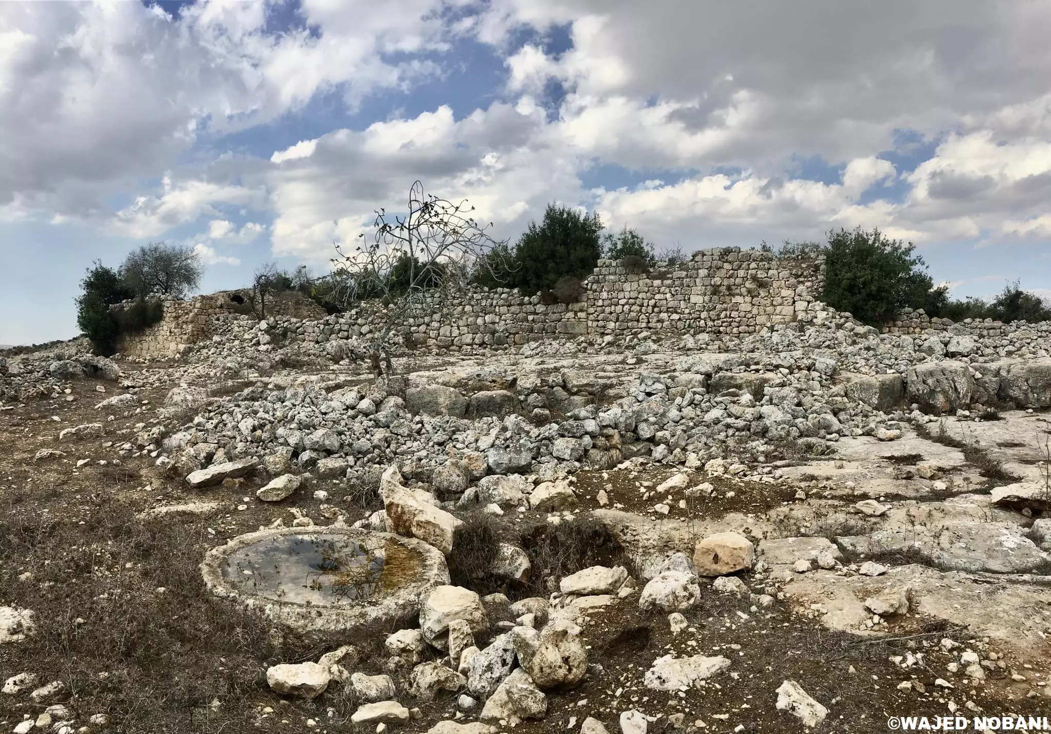
- توجد خربة باسم خربة كفر عانة قريبة من يبرود وسلواد وعين يبرود -- واجد النوباني #2
- توجد خربة باسم خربة كفر عانة قريبة من يبرود وسلواد وعين يبرود -- واجد النوباني #3
- توجد خربة باسم خربة كفر عانة قريبة من يبرود وسلواد وعين يبرود -- واجد النوباني #4
- توجد خربة باسم خربة كفر عانة قريبة من يبرود وسلواد وعين يبرود -- واجد النوباني #5
- توجد خربة باسم خربة كفر عانة قريبة من يبرود وسلواد وعين يبرود -- واجد النوباني #6
- توجد خربة باسم خربة كفر عانة قريبة من يبرود وسلواد وعين يبرود -- واجد النوباني #7
- توجد خربة باسم خربة كفر عانة قريبة من يبرود وسلواد وعين يبرود -- واجد النوباني #8
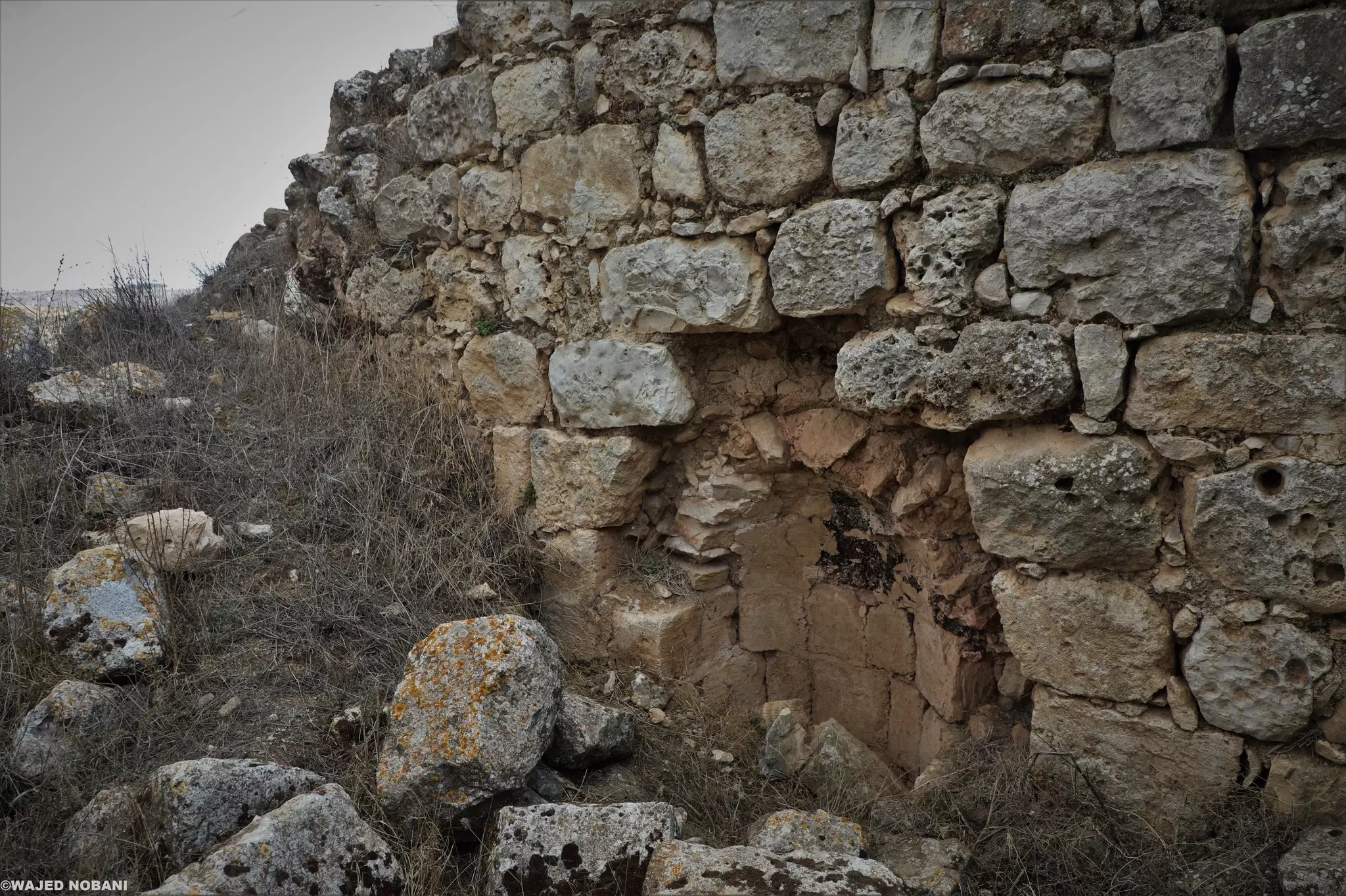
- توجد خربة باسم خربة كفر عانة قريبة من يبرود وسلواد وعين يبرود -- واجد النوباني #9
- منظر عام -- 2008
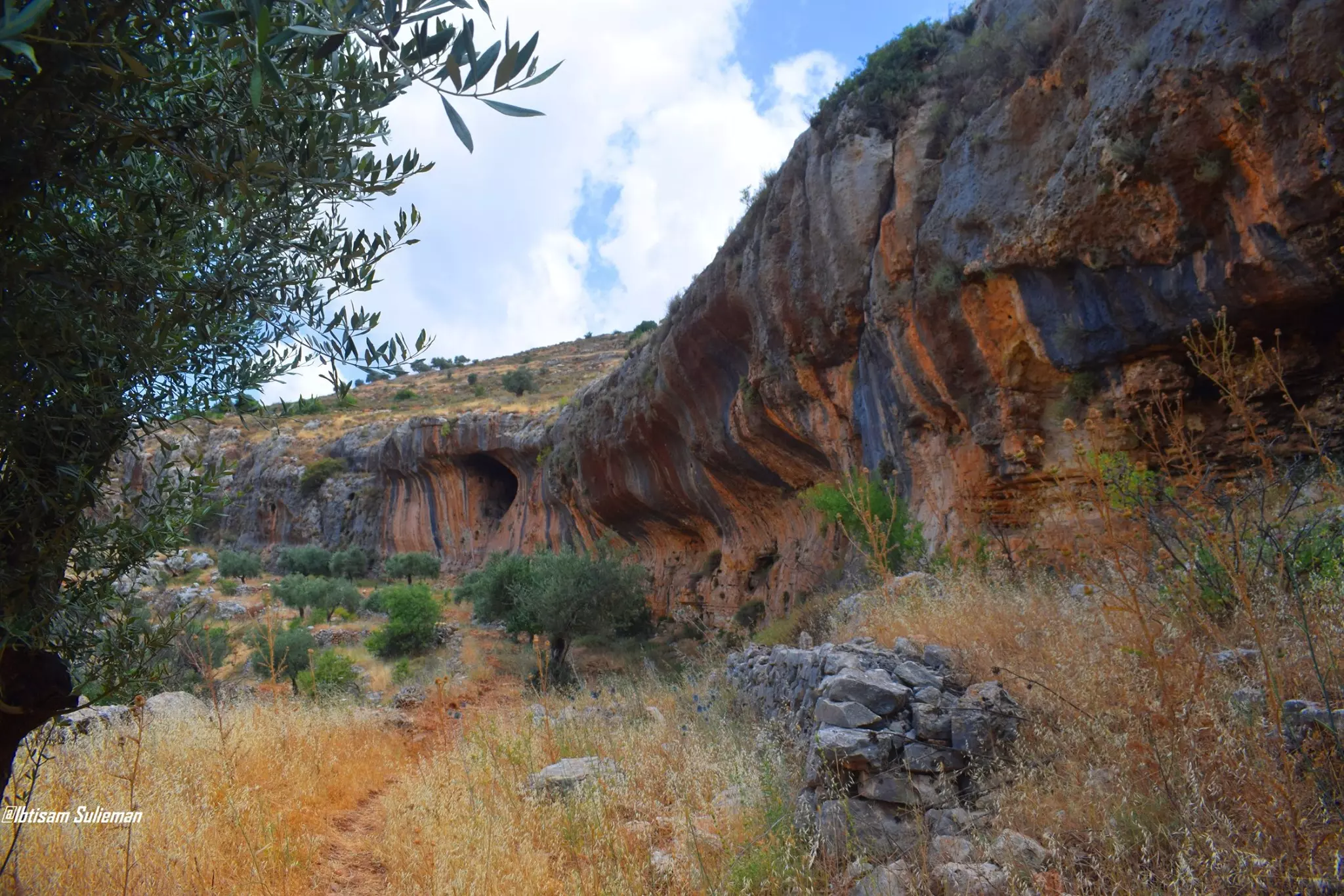
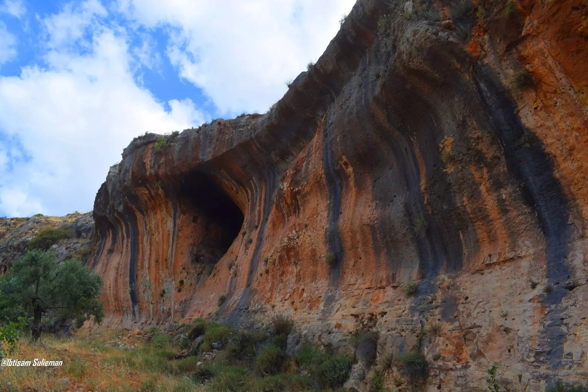
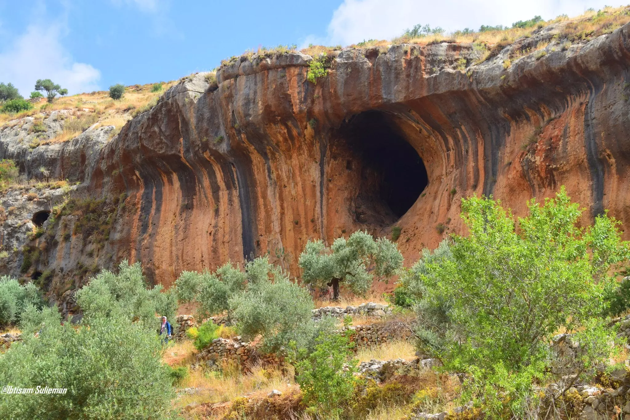
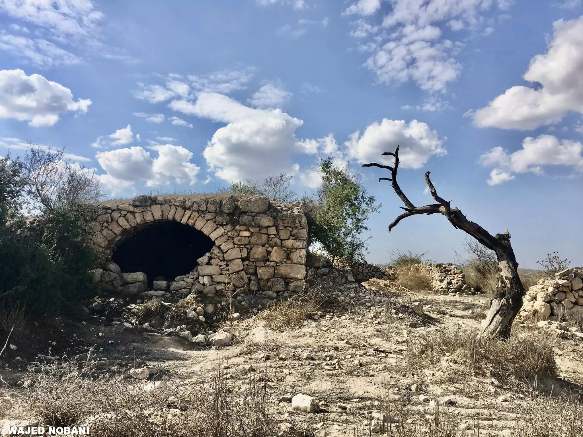
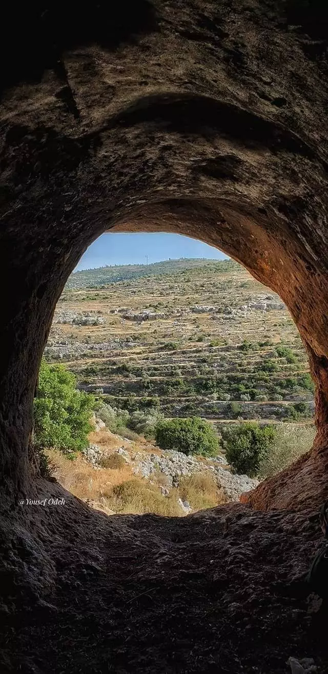
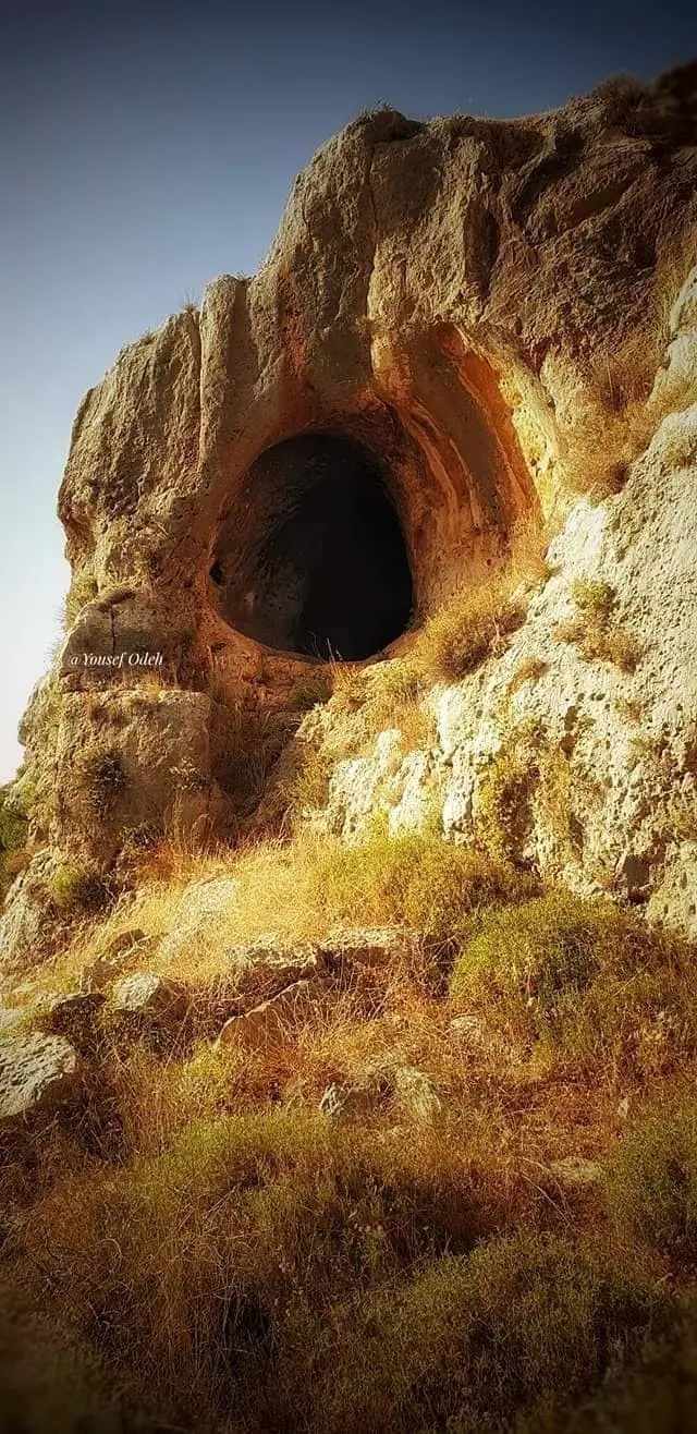
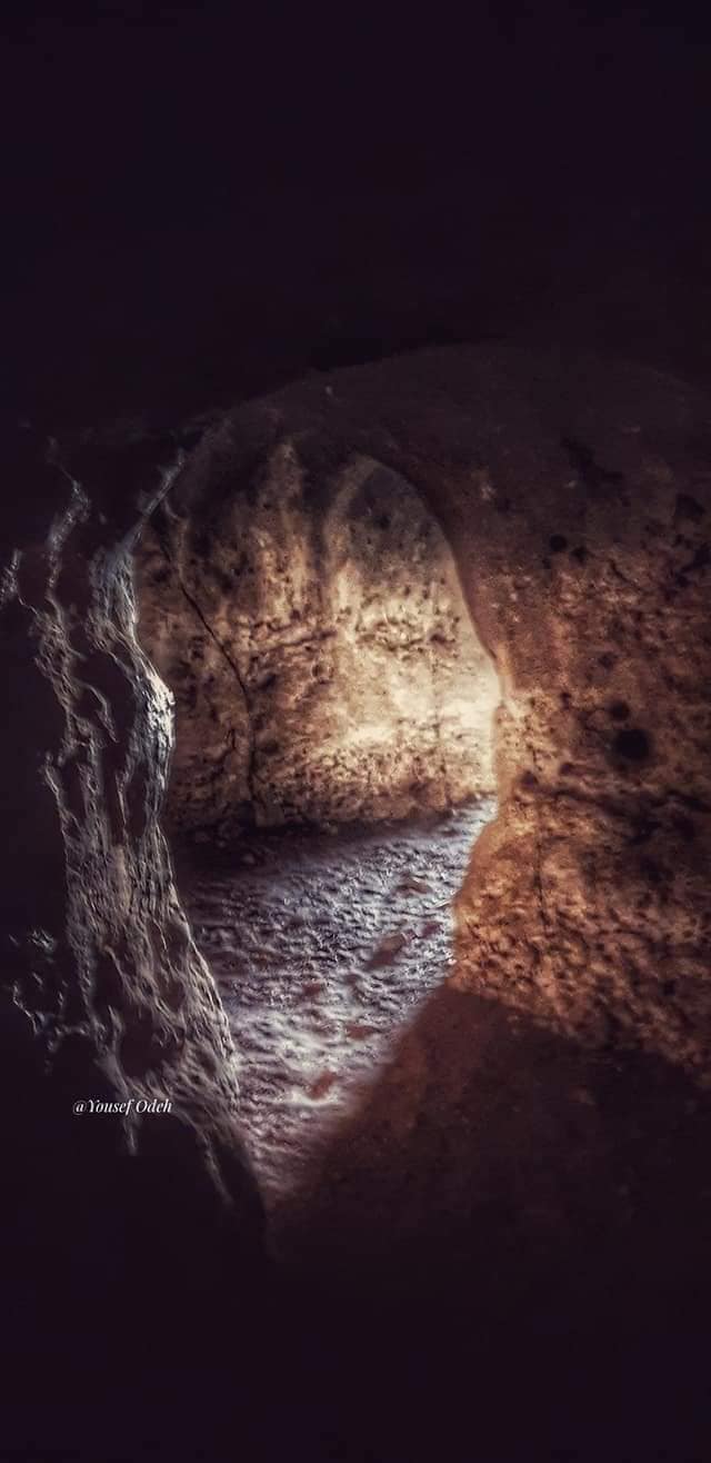
- مغارة واد الكلية الواقعة ما بين دورا القرع وعين يبرود -- يوسف عودة
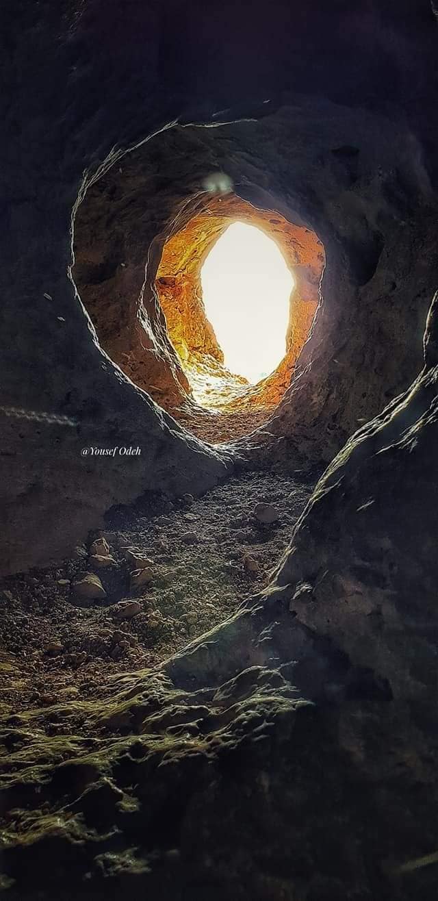
- مغارة واد الكلية الواقعة ما بين دورا القرع وعين يبرود -- يوسف عودة #2
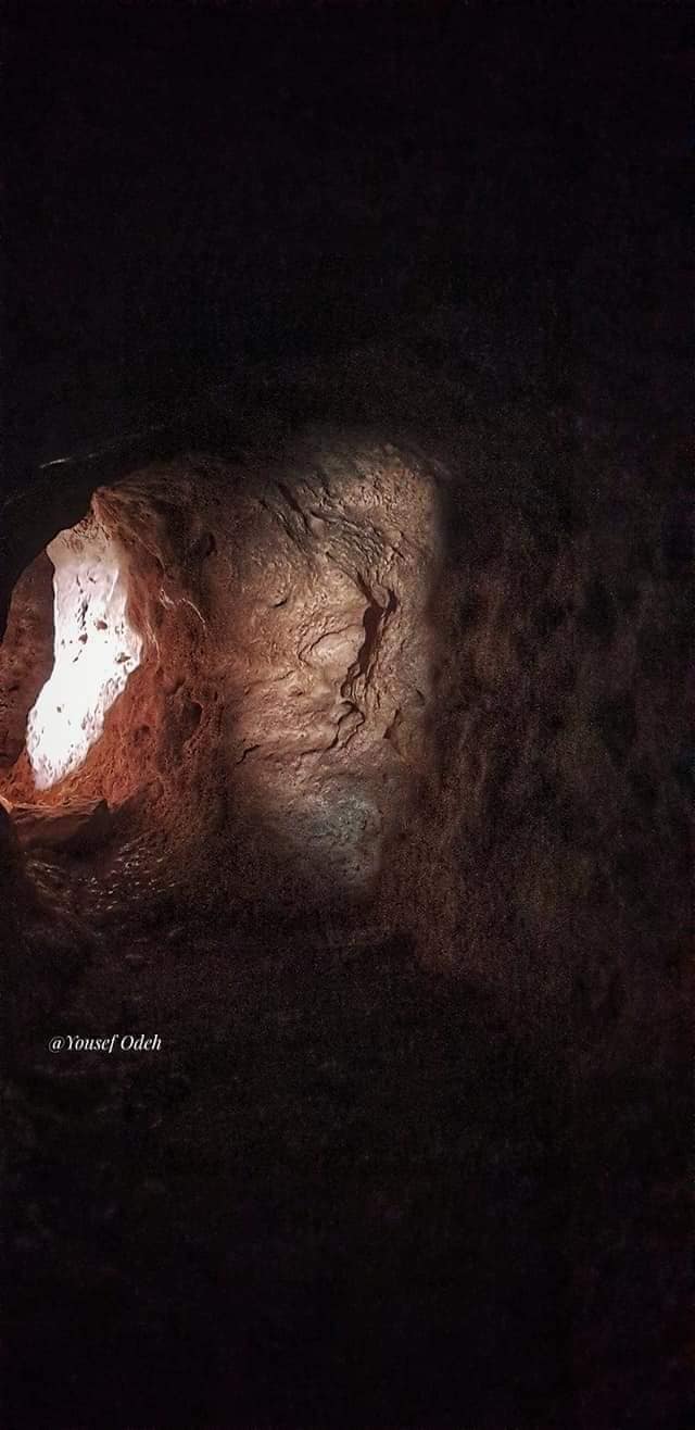
- مغارة واد الكلية الواقعة ما بين دورا القرع وعين يبرود -- يوسف عودة #3
- مغارة واد الكلية الواقعة ما بين دورا القرع وعين يبرود -- يوسف عودة #4
- مغارة واد الكلية الواقعة ما بين دورا القرع وعين يبرود -- يوسف عودة #5
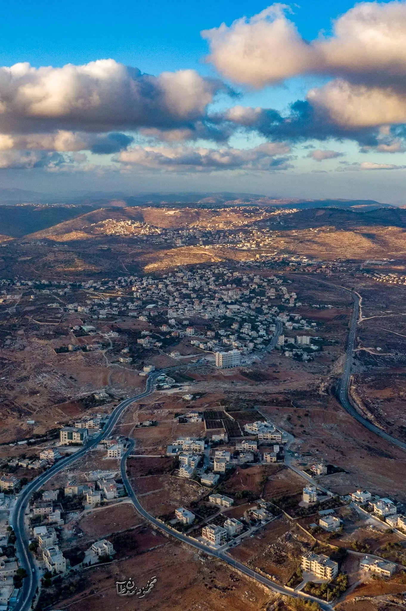
- أجزاء من قرية بتين وقرية عين يبرود وخلفهم بلدة سلواد -- June 2024 -- Mahmoud Moutan
Want to browse more? 80,000 pictures were grouped in these gallaries:
| Display Name | Clan/Hamolah | Country of Residence |
| سراج عرمان | دحابرة | - |
| hanan shehada | - | - |
| A.Y DAHABRA | - | ILLINOIS, ILLINOIS |
| M. Abu Zahra | - | Chicago U.S.A. |
| AYMAN ELSCHIEK | - | - |
| khalil yacoub | - | ein yabroud |
| AWAB MUNIR | - | FLORIDA, usa |
| أدهم أحمد شحادة | شحادة | - |
| fawaz atra | - | - |
| WISAM *** WL | - | - |
| MOHAMMAD DEIAH DAHABRA | - | tenneesee, tenneesee |
| Judd | الشيخ | Amman |
| nabil dahabra | - | - |
| amar | - | - |
| www.einyabrud.com | www.einyabrud.com | www.einyabrud.com, www.einyabrud.com |
| raed zahra | jagama | il, ein yabrud |
| مصعب زكي | دحابرة | عين يبرود |
| Mohamed khaled | dar eshada | - |
| fadie dar abo kabel | dahabra dar atallah | new jersey, use |
| rasheed alfakih | alfakih | - |
| AMEEL | جغمة | را م الله, عين يبرود |
| محمد صالح | - | - |
| Said Zedeia | Shehada | NY, USA |
| yousef dahabra | dahabra | ramalla, palestine |
| قبيبة شاهين | شاهين | فلسطين, غزة |
| شهيد عزام | مصلح ..دحابرة | TEXAS, USA |
| يوسف عرمان يوسف عرمان | دحابرة | فلسطين, Palestine |
| Morid Rahim | - | - |
| www.einyabrud.com | www.einyabrud.com | www.einyabrud.com, www.einyabrud.com |
- أبو الحمدين في رام الله Duration: 3 min 3 sec
- عيد الاضحى عين يبرود 2010
- قرية عين يبرود Duration: 16 min 7 sec
- مرورا من عين يبرود Duration: 4 min 13 sec
No links have been shared yet, be free to the first to share the first link.
 Fake Valor: Why Did Zionist Jews Hoist Nazis Flag on Their Ships in the 1930s?
What is new?
-
Facts About Oct. 7th Gaza Raid
-
Remined Us Please:: Who Did Rape Who? Palestinians Raped Israelis? Or, was the other way around?
-
When Prof. Edward Said was invited to debate Bibi Netanyahu in the 1980s, watch what happened!
-
Ezra Klein of the NY Times on the "Jewish Race".
-
Abusing Blood Libel!
-
Zionist FAQ: Isn't it true that Palestinians don't want peace? Palestinians never accepted the two-state solution
- Facts about Haavara (Transfer) Agreement between Ben-Gurion & Hitler
-
Haavara FAQs: Why Did Zionist Jews Hoist Nazis' Flags on Their Ships in the 1930s?
-
Dear ChatGPT: How did Palestinians resist Napoleon's invasion of their country in 1799?
-
Dear ChatGPT: Gaza had a vibrant Jewish community in the mid-17th century. What happened to them?
-
Dear ChatGPT: Why did the Jewish Agency suppress news of the Holocaust during WWII?
-
Video Playlist: Jews share their DNA tests to end the conflict for good.
-
A Tale of Two Conflicts: Examining the Definition of Genocide
-
Prof. Abraham Polak And The Suppressed History of the Khazars and European Jewry
-
How Ronald Reagan would have framed the genocide in Gaza if he were still alive?
-
Haavara FAQs: Let us do the math: how many German Jews did The Haavara Agreement save?
-
Zionist FAQs: The Hebron Massacre of 1929, "clearly proves" that Palestinians are antisemitic, how could you deny it?
-
Zionist FAQs: Why Anti-Zionist Is Not Antisemitism?
-
Zionist FAQs: Isn't it true that the KGB create Palestinian Nationalism in the early 1960s?
- Zionist FAQs: Muslims are killing Muslims all the time; why are Israeli Jews being singled out in the media?
- Zionist FAQs: How is Israel an apartheid state when 20% of its citizens are Arabs who enjoy full rights?
-
Haavara FAQs: Analysis of Herzl's Uganda Scheme and how it could have saved millions of Jews.
-
Haavara FAQs: Why did Hayim Greenberg describe American Jewry as "morally bankrupt" in early 1943?
-
Haavara FAQs: What if the Evian Conference was a resounding success? What would have been the impact of saving European Jewry on Zionism?
- Haavara FAQs: What if the six million were saved, how that would have impacted the Zionist project?
-
Haavara FAQs: How did Zionist leaders react when Europe's Jews lingered in the DP camps after WWII ended?
-
Why does the American Jewish community repeat lies that David Ben-Gurion had debunked before he died?
-
Who has the power to rename the Tatar/Khazar Gene Marker to Jewish IV?
-
Zionist FAQs: Why won't Egypt, Syria, and Jordan take their people back? Jews are indigenous to Palestine, and Arabs immigrated after Jews developed the country. Arabs should leave.
-
Haavara FAQs: Did Hitler and the Nazis conflate between Judaism and Zionist? If that wasn't case, then why?
-
Haavara FAQs: Winston Churchill and antisemitism, a collection of articles written Churchill.
-
Haavara FAQs: Broken by country, how many Jews survived vs. killed during the Holocaust?
-
Haavara FAQs: Why did European Jews vote with their feet and to immigrated to the Americas, not Palestine, after WWII?
-
Watch this American Jewish Girl describing Israeli Jews' cognitive dissonance like no other in under two minutes
-
Haavara FAQs: When the Nazis went out of their way to hide the Holocaust, Israeli Jews did the exact opposite by broadcasting their genocide of Gazans. But why?
-
Haavara FAQs: How Zionist Jews went out of their to show their appreciation to Nazism and Fascism?
- Haavara FAQs: Why Zionist leaders were against bombing the death camps & the Railroads leading to them?
-
Haavara FAQs: Hitler's message to the British and American people: If Jews are such noble citizens and you care about them, how come you're not letting them in? I will gladly ship them to you at my expense, even on luxury liners!
-
A shortlist of Zionist and Israeli false flag operations in the name Jews.
-
The Most Moral Army
- The Land of Kapos (Israel): Where the brave are boycotted and Kapos walk free.
- Why did early Zionists often named their communal enterprises "colonial"?
- Zionist Relations with Nazi Germany by Faris Glubb
-
Two NY Times advertisements by Zionists in the early 1943 that exposes Zionists' treason at the height of the calamity
- Facts Not Lies about the Palestinian-Israeli Conflict.
- Site's pictures have been categorized
- Campgain Against Lice
- A Survey of Palestine, the official source about Palestine before Nakba produced by the British Mandate; over 1200 pages.
- Satellite View & Google Earth: Over 6,000 placemarks identifying all destroyed towns, W. Bank & Gaza Strip Towns, & refugee camps.
- PalestineRemembered.com and its Nakba Oral History Project were featured on al-Jazeera Satellite TV.
- Nakba Oral History Video Podcast:
 Over 700 Oral History interviews (including 3,500+ hours of recording) can be viewed online.
 - Palestine Village Statistics Project
- Gaza Jail Break
- النسخة العربية للموقع الان متوفرة
- Videos: Documenting the destroyed villages in video: Tracing all that remains since Nakba.
- Videos: Responding to Zionist Propaganda
- Interview: The ethnic cleansing of Palestine: George Galloway interviews Israeli Historian Ilan Pappe.
- For Palestinians, memory matters. It provides a blueprint for their future By George Bisharat.
- Zionist FAQ now available in Hebrew שאלות שציונים שואלים, עכשיו בעברית
- Video: The Stephen Walt and John Mearsheimer report on the influence of the Israel Lobby on U.S. Foreign Policy
- The Palestinian-Israeli conflict for beginners
