| PalestineRemembered | About Us | Oral History | العربية | |
| Pictures | Zionist FAQs | Haavara | Maps | |
| Search |
| Camps |
| Districts |
| Acre |
| Baysan |
| Beersheba |
| Bethlehem |
| Gaza |
| Haifa |
| Hebron |
| Jaffa |
| Jericho |
| Jerusalem |
| Jinin |
| Nablus |
| Nazareth |
| Ramallah |
| al-Ramla |
| Safad |
| Tiberias |
| Tulkarm |
| Donate |
| Contact |
| Profile |
| Videos |
Welcome To 'Arab al-Shamalina - عرب الشمالنه (ערב א-שמאלנה)
|
District of Safad
Ethnically cleansed days ago |
العربية Google Earth |
 |
Gallery (18) |
- Statistics & Facts
-
Before & After

- Satellite View
- Articles 1
- Pictures 18
- Oral History 1
- Members 15
- All That Remains
- Wikipedia
- Videos
- Guest Book 1
- Links
| Statistic & Fact | Value | ||||||||||
| Occupation Date | May 4, 1948 | ||||||||||
| Distance From District | 13 (km) South East of Safad | ||||||||||
| Elevation | -200 (meters) | ||||||||||
| Before & After Nakba, Click Map For Details |
|||||||||||
|
|||||||||||
| Map Location | See location #77 on the map View from satellite |
||||||||||
| Military Operation | Operation Matate (Broom) (Sub operation of Yiftach Operation) | ||||||||||
| Exodus Cause | Expulsion by Zionist troops | ||||||||||
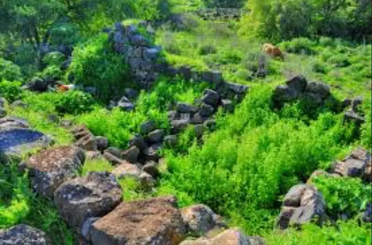
| Village Temains | Based on orders of Yigal Allon, the village was completely destroyed soon after occupation. | ||||||||||
| Ethnically Cleansing | 'Arab al-Shamalina inhabitants were completely ethnically cleansed. | ||||||||||
| Pre-Nakba Land Ownership |
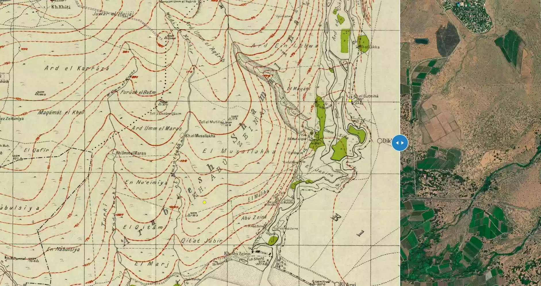
**Town Lands' Demarcation Maps |
||||||||||
| Land Usage As of 1945 |
|
||||||||||
| Population |
|
||||||||||
| Number of Houses |
|
||||||||||
| Town's Name Through History | The village was also known by Khirbat Abu Zayna | ||||||||||
| Inhabitants Place of Origin | The village may have picked its name from 'Arab al-Shamalina Bedouin tribe who settled earlier in village. | ||||||||||
| Nearby Wadies & Rivers | The village was situated close to the Jordan River. | ||||||||||
| Exculsive Jewish Colonies Who Usurped Village Lands |
Almagor | ||||||||||
| Featured Video | |||||||||||
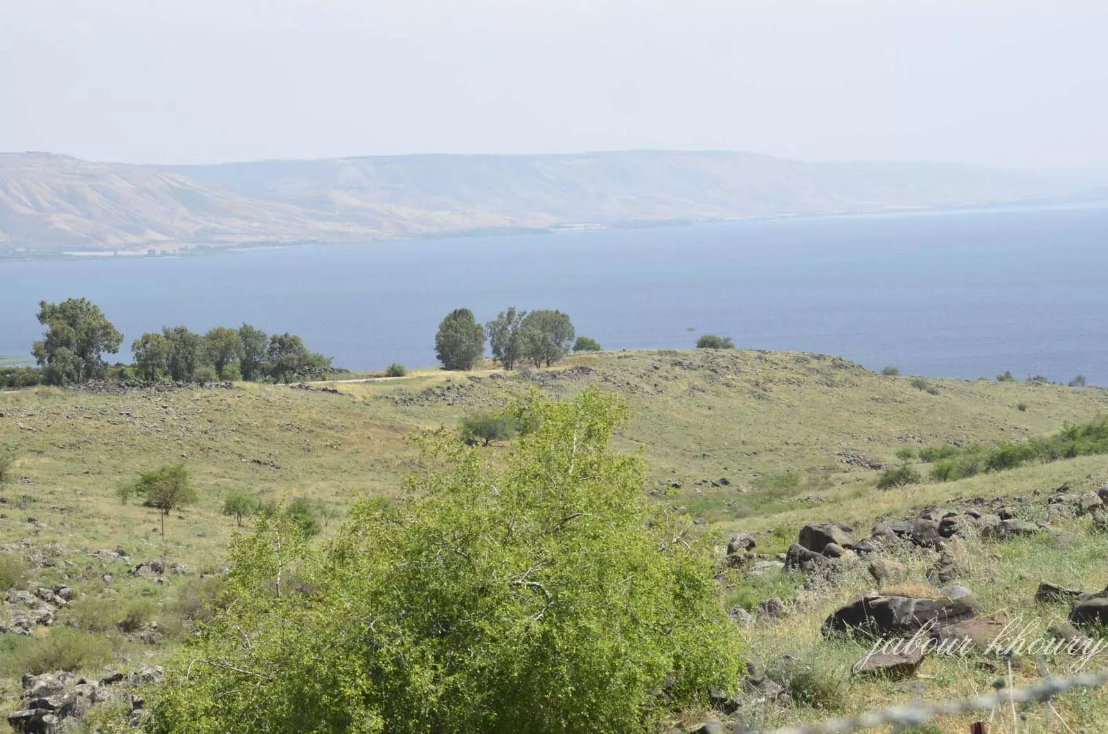
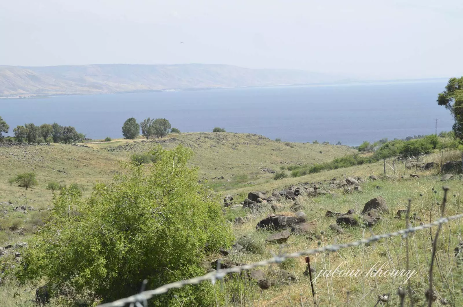
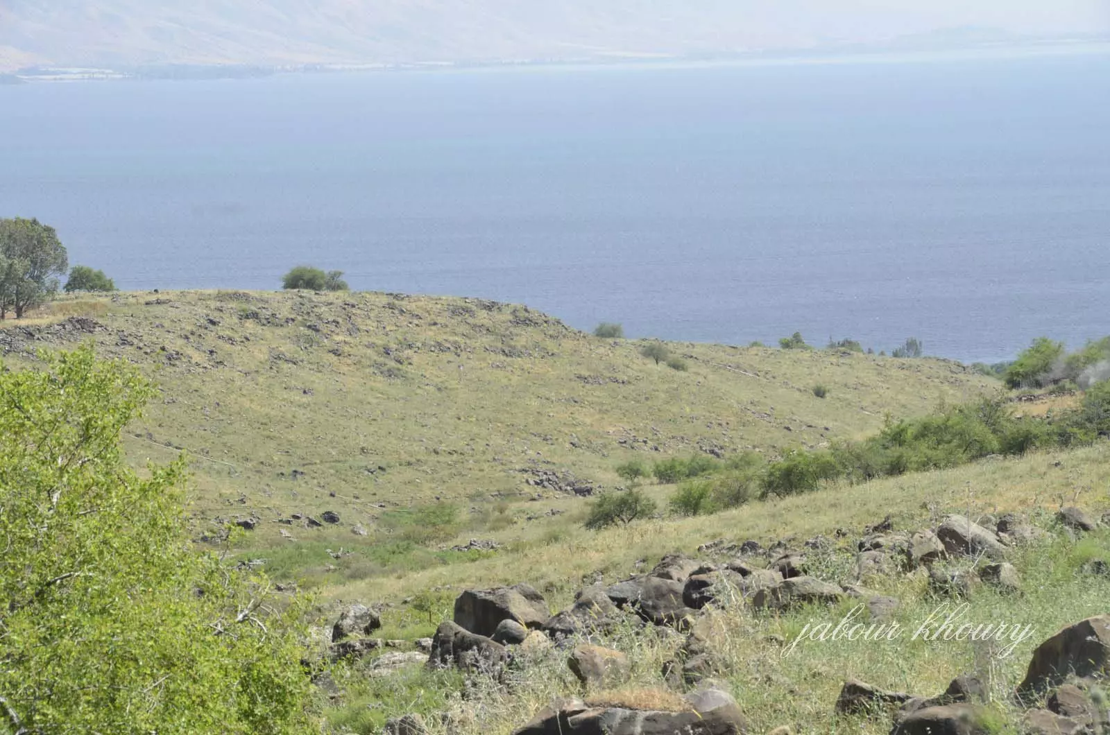
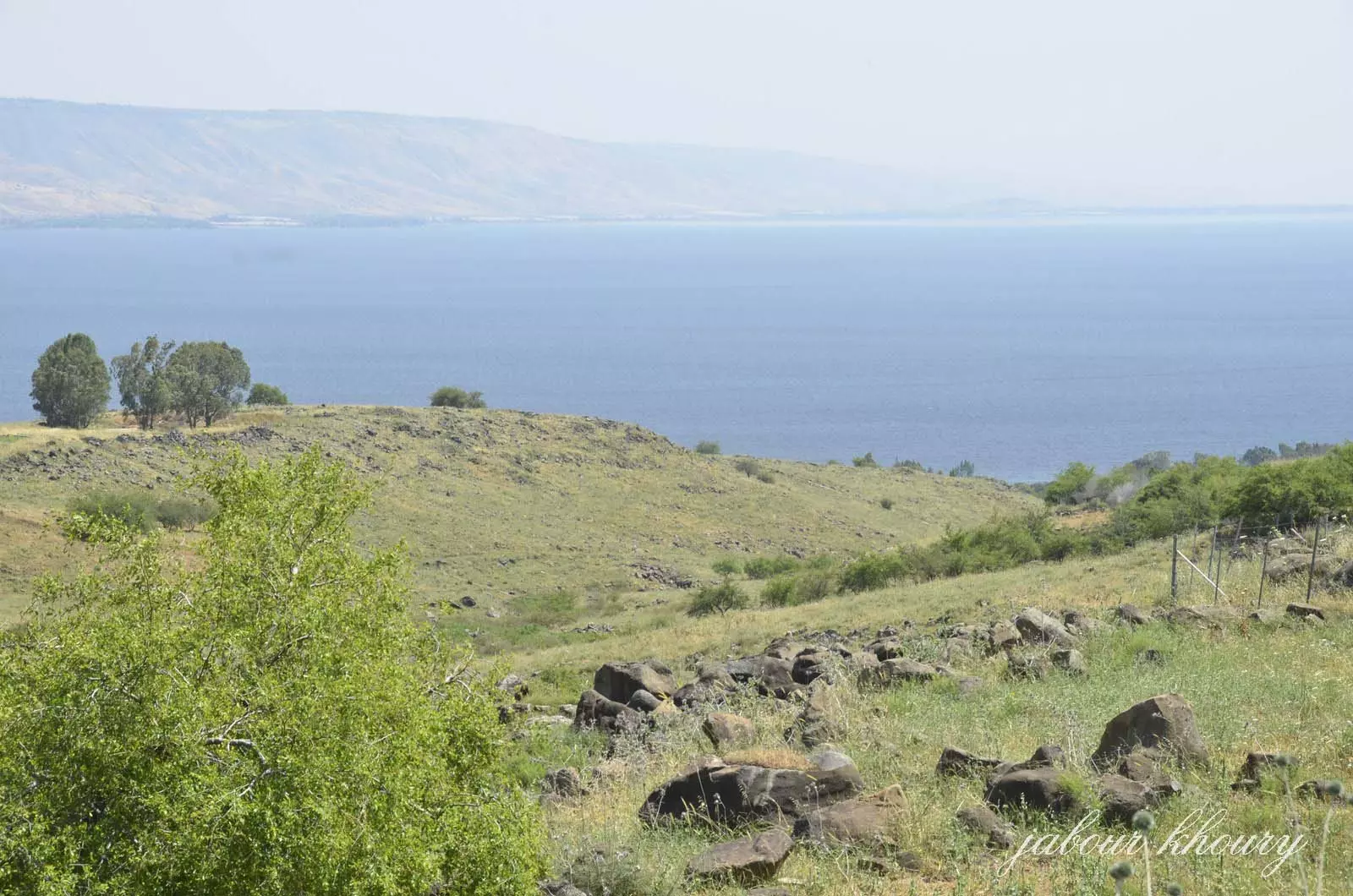
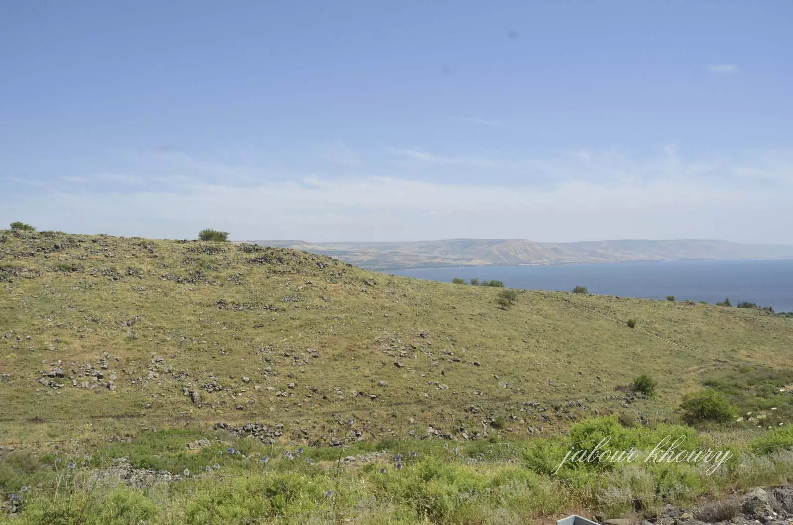
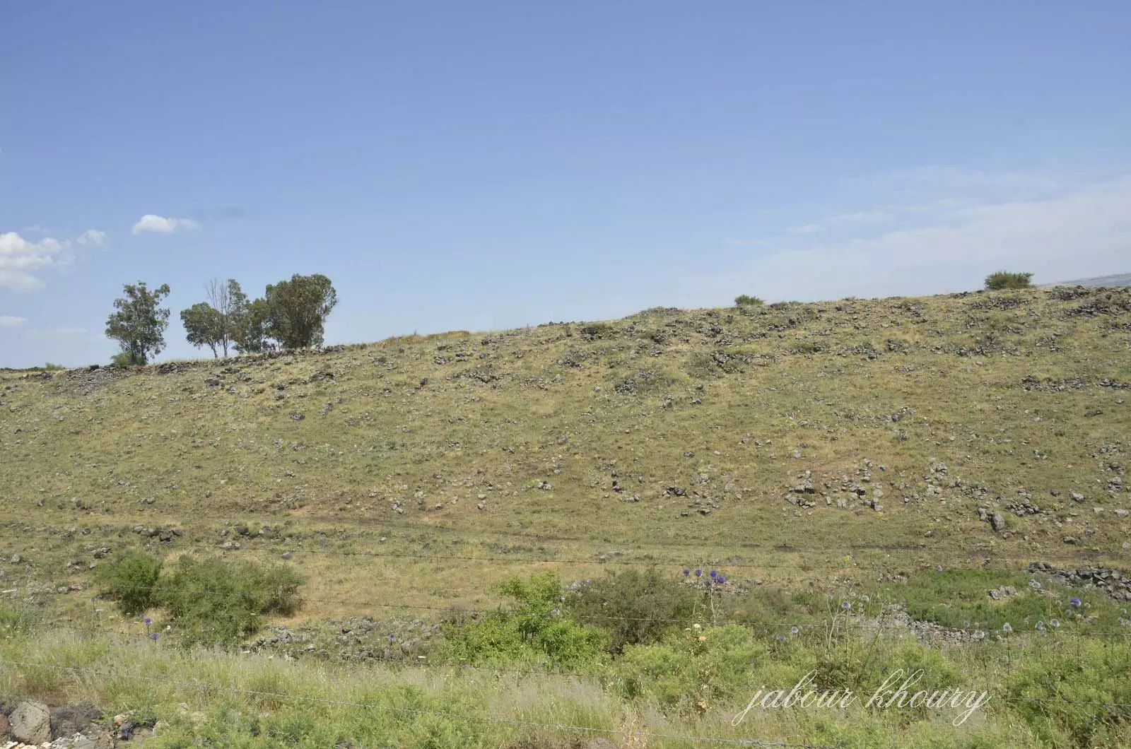
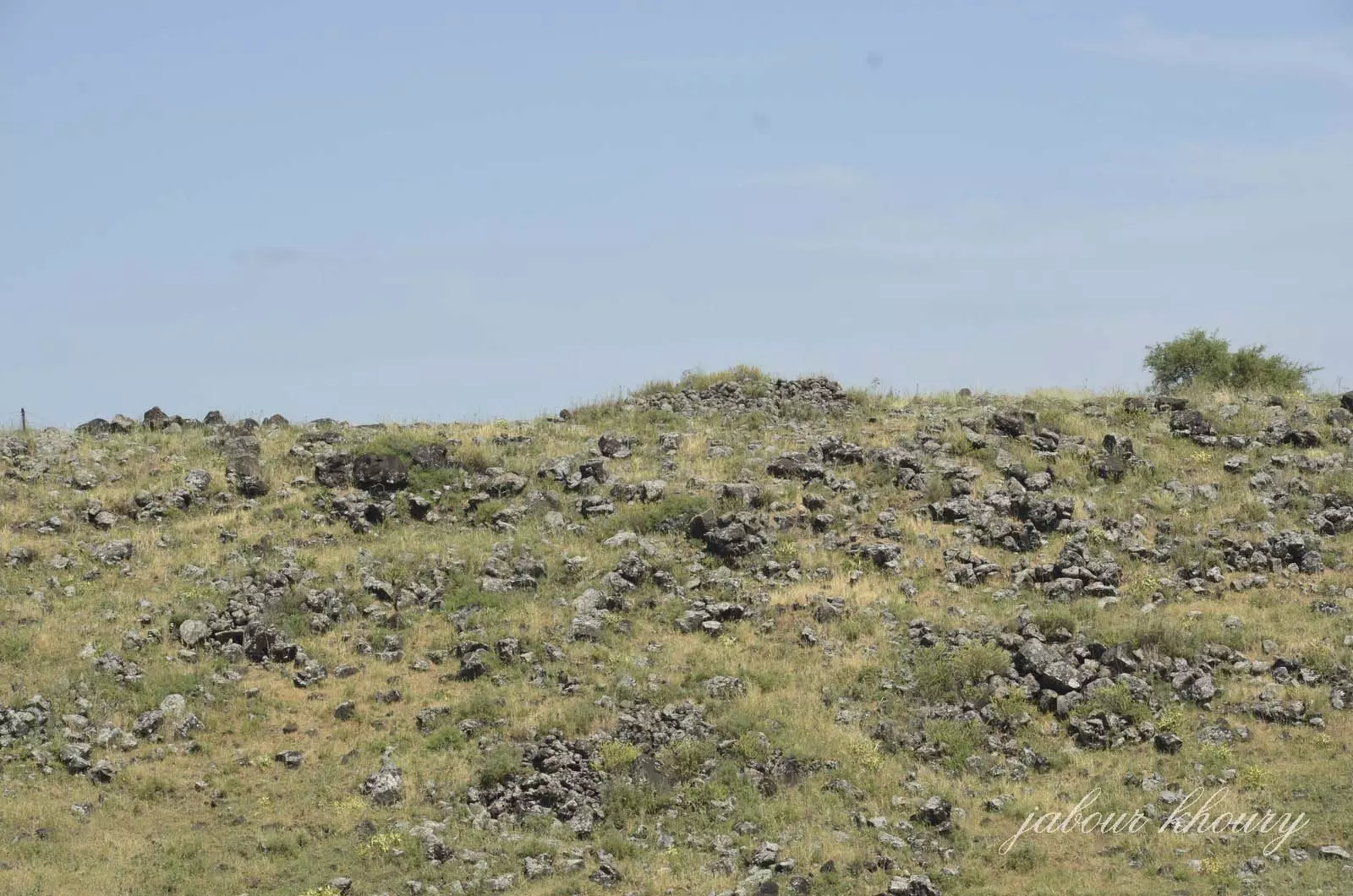
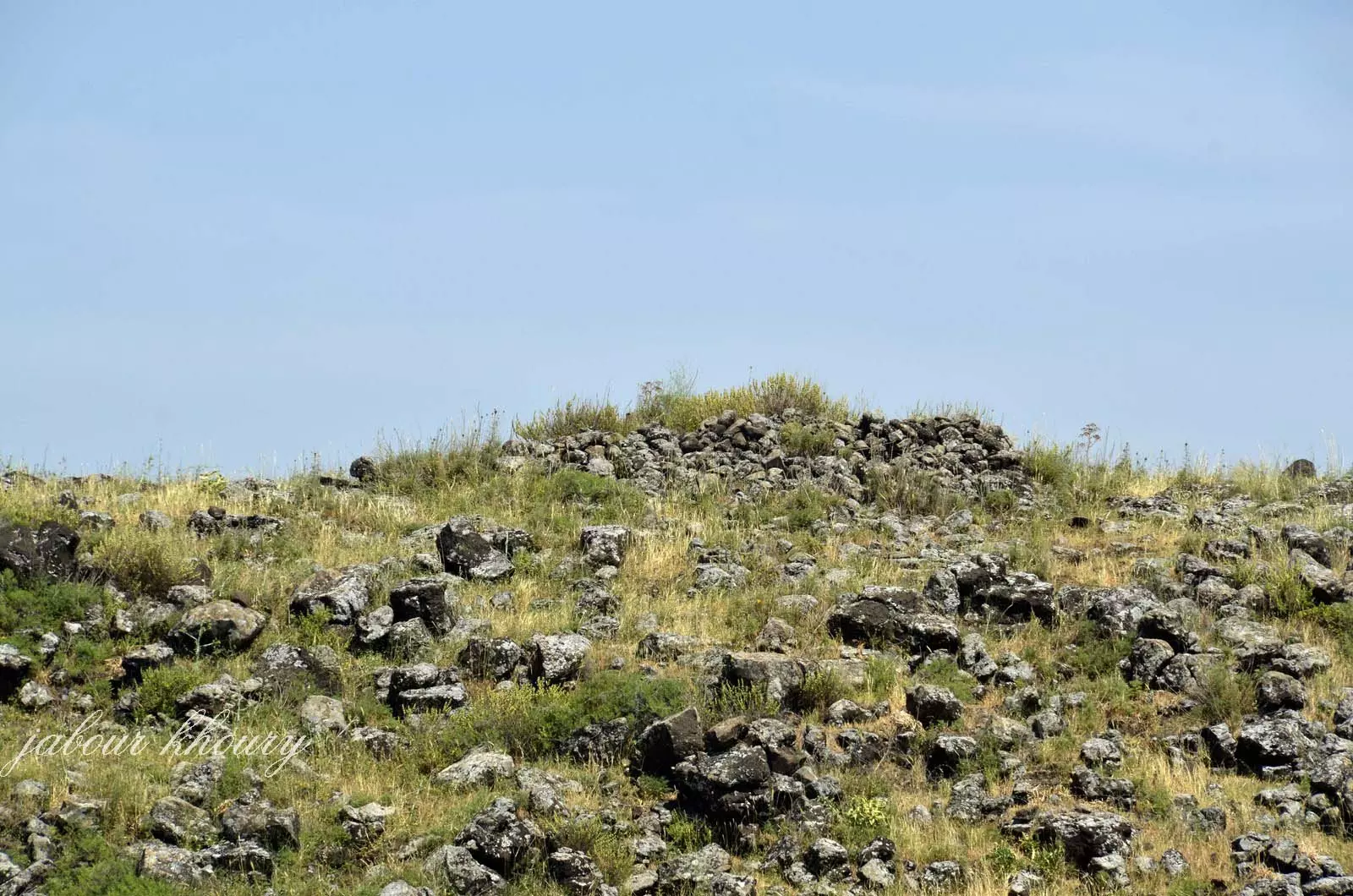
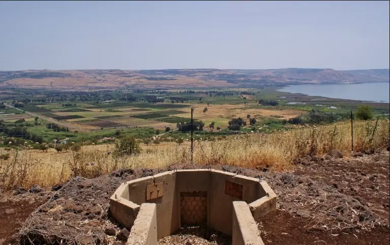
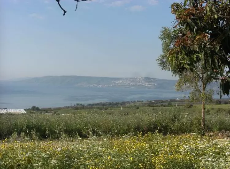
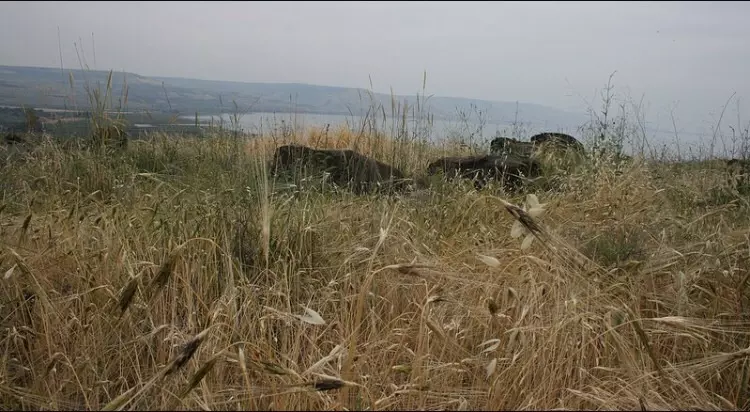
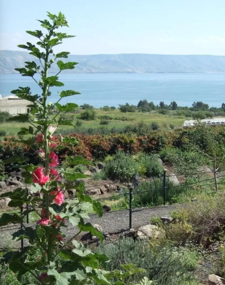
Village Before NakbaThe village (also known as Khirbat Abu Zayna) was situated on a plain that lay west of the Syrian border, north of the point where the Jordan River flowed into Lake Tiberias. It overlooked the northernmost shoreline of the lake. A secondary road linked it to the village of al-Tabigha, also on the lake shore but to the southwest, and to a highway that curved around the lake and led to the city of Tiberias. Its stone houses were built between this secondary road and the banks of the Jordan. It was inhabited by the settled members of the 'Arab al-Shamalina Bedouin tribe. They tilled the land north of the village, along the river, cultivating citrus and vegetables. The river and several springs provided them with water for both drinking and irrigation. In 1944/45 a total of 3,842 dunums was allocated to cereals and 238 dunums were irrigated or used for orchards. Several archaeological sites were found nearby.Village Occupation and Ethnic CleaningIn the course of Operation Yiftach, designed to occupy and 'cleanse' eastern Galilee (see Abil al-Qamh, Safad sub-disctrict), a limited sub-operation was launched to expel all Palestinian inhabitants from an area between Lake aI-Hula and Lake Tiberias. 'Arab al-Shamalina was occupied during this offensive, which was named Operation Matate (Broom) and was implemented on 4 May 1948. According to Israeli historian Benny Morris, the operational order said specifically that this village should be attacked, its houses blown up, and its residents expelled. Before the assault, Palmach troops shelled the area with mortars, and Morris claims that the villagers fled with the approach of the occupying force. Operation Broom had an important impact on the people of Safad and the aI-Hula Valley, according to the operation's commander, Palmach chief Yiga Allon. The Syrians told the British that this Palmach thrust resulted in 2,000 more refugees from the area.Zionists Colonies on Village LandsThe village lands are used by the settlement of Almagor (206257), which was established 2 km northwest of the village site in 1961.Village TodayThe site, which is mostly covered with thorny grass, is strewn with the rubble of houses. Eucalyptus and palm trees also grow on the site. Most of the surrounding land is used as pasture, although some of it is cultivated.SourceDr. Walid al-Khalidi, 1992: All That Remains. |
|||||||||||
| Related Maps | Town Lands' Demarcation Maps خرائط للقضاء توضح حدود القرى والاودية Town's map on MapQuest View from satellite Help us map this town at WikiMapia |
||||||||||
| Related Links | Wikipedia's Page Google Search Google For Images Google For Videos |
||||||||||
| More Information | في كتاب كي لا ننسى في كتاب بلادنا فلسطين المزيد من موقع هوية |
||||||||||
- موقع القريه الى الشمال من بحيره طبريا ويظهر بالصوره احد مستودعات مستوطنه الماغور المقامه على اراضي القريه
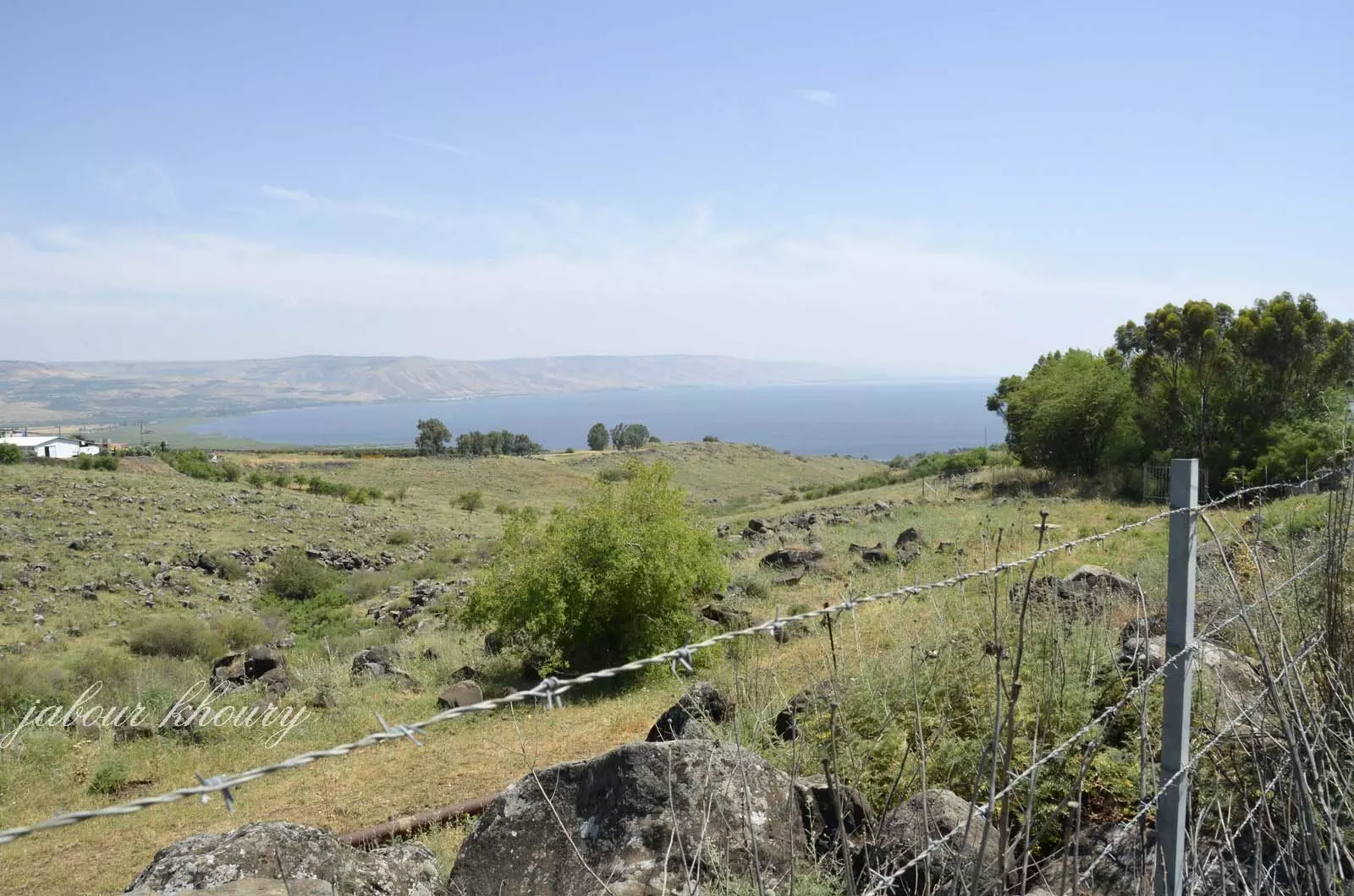
Posted by Jabour Khoury - موقع القريه القريب من شواطئ بحيره طبريا
Posted by Jabour Khoury - موقع القريه
Posted by Jabour Khoury - موقع القريه بحيره طبريا والجولان يظهر في البعيد
Posted by Jabour Khoury - موقع القريه
Posted by Jabour Khoury - مركز القريه
Posted by Jabour Khoury 2 - الجهه الجنوبيه من القريه ويظهر بالصوره ركام المنازل
Posted by Jabour Khoury - ركام المنازل
Posted by Jabour Khoury - بقايا احد المنازل في اعلى التله التي تقع عليها القريه
Posted by Jabour Khoury - موقع القريه
Posted by abu raya - اثار القريه
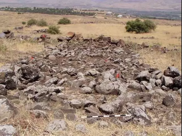
Posted by abu raya - اثار بيوت القريه
Posted by abu raya - موقع القريه على التله
Posted by abu raya - منظر من شمال القريه باتجاه بحيره طبريا
Posted by abu raya - موقع القريه واثار البيوت
Posted by abu raya - منظر من المستوطنه المقامه شمال القريه باتجاه موقع القريه وبحيره طبريا
Posted by abu raya - من المناضلين من عشيرة الشمالنة قضاء صفد
محمد حسين علي ابو عبدالله

Posted by نور العين 2 -
رحمك الله عشت مناضل
ومت مناضل
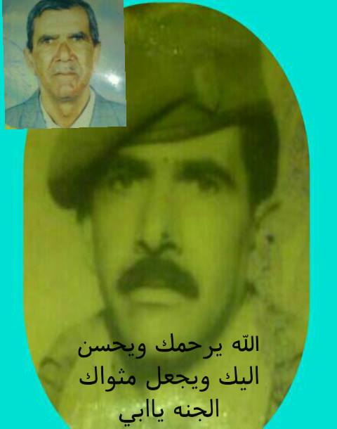
Posted by نور العين
Want to browse more? 80,000 pictures were grouped in these gallaries:
| Display Name | Clan/Hamolah | Country of Residence |
| نور الهدى | الحج احمد | دمشق, سوريا |
| ayman shamloni | - | - |
| ابو علي دوشكا الشملوني | شمالنه | دمشق, شمالنة صفد |
| أبوعمران | شمالنة | دمشق, سورية |
| الشملوني الأبيض | خليل | - |
| alshmlony | شمالنة | - |
| يوسف غوري | السوالمة | - |
| باسم درزي | السوالمة | - |
| راضي الغوري | السوالمه | عمان, الاردن |
| رستم الشامي | الشمالنة | - |
| yaser shadh huosin alshamlony | خليل | - |
| ali ahmad sharghy | al haj ahmad | damascus, syria |
| ali sharghy | - | sbina, syria |
| mohamed | ismail | west bank, palestine |
| sakher al falah | al falah | syria |
No links have been shared yet, be free to the first to share the first link.
 Fake Valor: Why Did Zionist Jews Hoist Nazis Flag on Their Ships in the 1930s?
What is new?
-
Facts About Oct. 7th Gaza Raid
-
Remined Us Please:: Who Did Rape Who? Palestinians Raped Israelis? Or, was the other way around?
-
When Prof. Edward Said was invited to debate Bibi Netanyahu in the 1980s, watch what happened!
-
Ezra Klein of the NY Times on the "Jewish Race".
-
Abusing Blood Libel!
-
Did Israeli Soldiers Activate The Hanniba Direective On Oct. 7th? You Be The Judge
-
Zionist FAQ: Isn't it true that Palestinians don't want peace? Palestinians never accepted the two-state solution
- Facts about Haavara (Transfer) Agreement between Ben-Gurion & Hitler
-
Haavara FAQs: Why Did Zionist Jews Hoist Nazis' Flags on Their Ships in the 1930s?
- Haavara FAQs: When Chaim Weizmann met FDR in mid-1943, why was he silent about rescuing European Jewry?
-
Dear ChatGPT: How did Palestinians resist Napoleon's invasion of their country in 1799?
-
Dear ChatGPT: Gaza had a vibrant Jewish community in the mid-17th century. What happened to them?
-
Dear ChatGPT: Why did the Jewish Agency suppress news of the Holocaust during WWII?
-
Video Playlist: Jews share their DNA tests to end the conflict for good.
-
A Tale of Two Conflicts: Examining the Definition of Genocide
-
Prof. Abraham Polak And The Suppressed History of the Khazars and European Jewry
-
How Ronald Reagan would have framed the genocide in Gaza if he were still alive?
-
Haavara FAQs: Let us do the math: how many German Jews did The Haavara Agreement save?
-
Zionist FAQs: The Hebron Massacre of 1929, "clearly proves" that Palestinians are antisemitic, how could you deny it?
-
Zionist FAQs: Why Anti-Zionist Is Not Antisemitism?
-
Zionist FAQs: Isn't it true that the KGB created Palestinian Nationalism in the early 1960s?
- Zionist FAQs: Muslims are killing Muslims all the time; why are Israeli Jews being singled out in the media?
- Zionist FAQs: How is Israel an apartheid state when 20% of its citizens are Arabs who enjoy full rights?
-
Haavara FAQs: Why Did Dorothy Thompson Flip From A Zionist Advocate to A Silenced Dissenter?
-
Haavara FAQs: Analysis of Herzl's Uganda Scheme and how it could have saved millions of Jews.
-
Haavara FAQs: Why did Hayim Greenberg describe American Jewry as "morally bankrupt" in early 1943?
-
Haavara FAQs: What if the Evian Conference was a resounding success? What would have been the impact of saving European Jewry on Zionism?
- Haavara FAQs: What if the six million were saved, how that would have impacted the Zionist project?
-
Haavara FAQs: How did Zionist leaders react when Europe's Jews lingered in the DP camps after WWII ended?
-
Why does the American Jewish community repeat lies that David Ben-Gurion had debunked before he died?
-
Who has the power to rename the Tatar/Khazar Gene Marker to Jewish IV?
-
Zionist FAQs: Why won't Egypt, Syria, and Jordan take their people back? Jews are indigenous to Palestine, and Arabs immigrated after Jews developed the country. Arabs should leave.
-
Haavara FAQs: Did Hitler and the Nazis conflate between Judaism and Zionist? If that wasn't case, then why?
-
Haavara FAQs: Winston Churchill and antisemitism, a collection of articles written Churchill.
-
Haavara FAQs: Broken by country, how many Jews survived vs. killed during the Holocaust?
-
Haavara FAQs: Why did European Jews vote with their feet and to immigrated to the Americas, not Palestine, after WWII?
-
Watch this American Jewish Girl describing Israeli Jews' cognitive dissonance like no other in under two minutes
-
Haavara FAQs: When the Nazis went out of their way to hide the Holocaust, Israeli Jews did the exact opposite by broadcasting their genocide of Gazans. But why?
-
Haavara FAQs: How Zionist Jews went out of their to show their appreciation to Nazism and Fascism?
- Haavara FAQs: Why Zionist leaders were against bombing the death camps & the Railroads leading to them?
-
Haavara FAQs: Hitler's message to the British and American people: If Jews are such noble citizens and you care about them, how come you're not letting them in? I will gladly ship them to you at my expense, even on luxury liners!
-
A shortlist of Zionist and Israeli false flag operations in the name Jews.
-
The Most Moral Army
- The Land of Kapos (Israel): Where the brave are boycotted and Kapos walk free.
- Why did early Zionists often named their communal enterprises "colonial"?
- Zionist Relations with Nazi Germany by Faris Glubb
-
Two NY Times advertisements by Zionists in the early 1943 that exposes Zionists' treason at the height of the calamity
- Facts Not Lies about the Palestinian-Israeli Conflict.
- Site's pictures have been categorized
- Campgain Against Lice
- A Survey of Palestine, the official source about Palestine before Nakba produced by the British Mandate; over 1200 pages.
- Satellite View & Google Earth: Over 6,000 placemarks identifying all destroyed towns, W. Bank & Gaza Strip Towns, & refugee camps.
- PalestineRemembered.com and its Nakba Oral History Project were featured on al-Jazeera Satellite TV.
- Nakba Oral History Video Podcast:
 Over 700 Oral History interviews (including 3,500+ hours of recording) can be viewed online.
 - Palestine Village Statistics Project
- Gaza Jail Break
- النسخة العربية للموقع الان متوفرة
- Videos: Documenting the destroyed villages in video: Tracing all that remains since Nakba.
- Videos: Responding to Zionist Propaganda
- Interview: The ethnic cleansing of Palestine: George Galloway interviews Israeli Historian Ilan Pappe.
- For Palestinians, memory matters. It provides a blueprint for their future By George Bisharat.
- Zionist FAQ now available in Hebrew שאלות שציונים שואלים, עכשיו בעברית
- Video: The Stephen Walt and John Mearsheimer report on the influence of the Israel Lobby on U.S. Foreign Policy
- The Palestinian-Israeli conflict for beginners
