| PalestineRemembered | About Us | Oral History | العربية | |
| Pictures | Zionist FAQs | Haavara | Maps | |
| Search |
| Camps |
| Districts |
| Acre |
| Baysan |
| Beersheba |
| Bethlehem |
| Gaza |
| Haifa |
| Hebron |
| Jaffa |
| Jericho |
| Jerusalem |
| Jinin |
| Nablus |
| Nazareth |
| Ramallah |
| al-Ramla |
| Safad |
| Tiberias |
| Tulkarm |
| Donate |
| Contact |
| Profile |
| Videos |
Welcome To Fara - فارة (פארה)
|
District of Safad
Ethnically cleansed days ago |
العربية Google Earth |
 |
Gallery (22) |
- Statistics & Facts
-
Before & After

- Satellite View
- Articles 1
- Pictures 22
- Oral History 7
- Members 14
- All That Remains
- Wikipedia
- Videos
- Guest Book 8
- Links
| Statistic & Fact | Value | ||||||||||||||||
| Occupation Date | October 30, 1948 | ||||||||||||||||
| Distance From District | 11.5 (km) North of Safad | ||||||||||||||||
| Elevation | 675 (meters) | ||||||||||||||||
| Before & After Nakba, Click Map For Details |
|||||||||||||||||

|
|||||||||||||||||
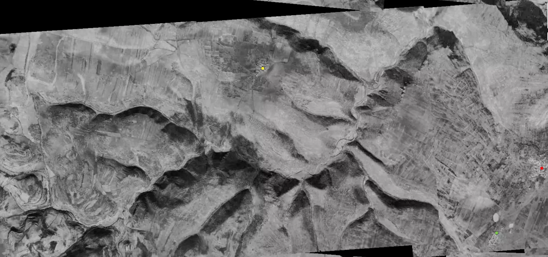
| Pre-Nakba Aerial View |
|||||||||||||||||
|
|||||||||||||||||
| Map Location | See location #38 on the map View from satellite |
||||||||||||||||
| Military Operation | Operation Hiram | ||||||||||||||||
| Attacking Units | The terror troops of Sheva' (Seventh) Brigade (committed several massacres) | ||||||||||||||||
| Exodus Cause | Military assault by Zionist troops | ||||||||||||||||
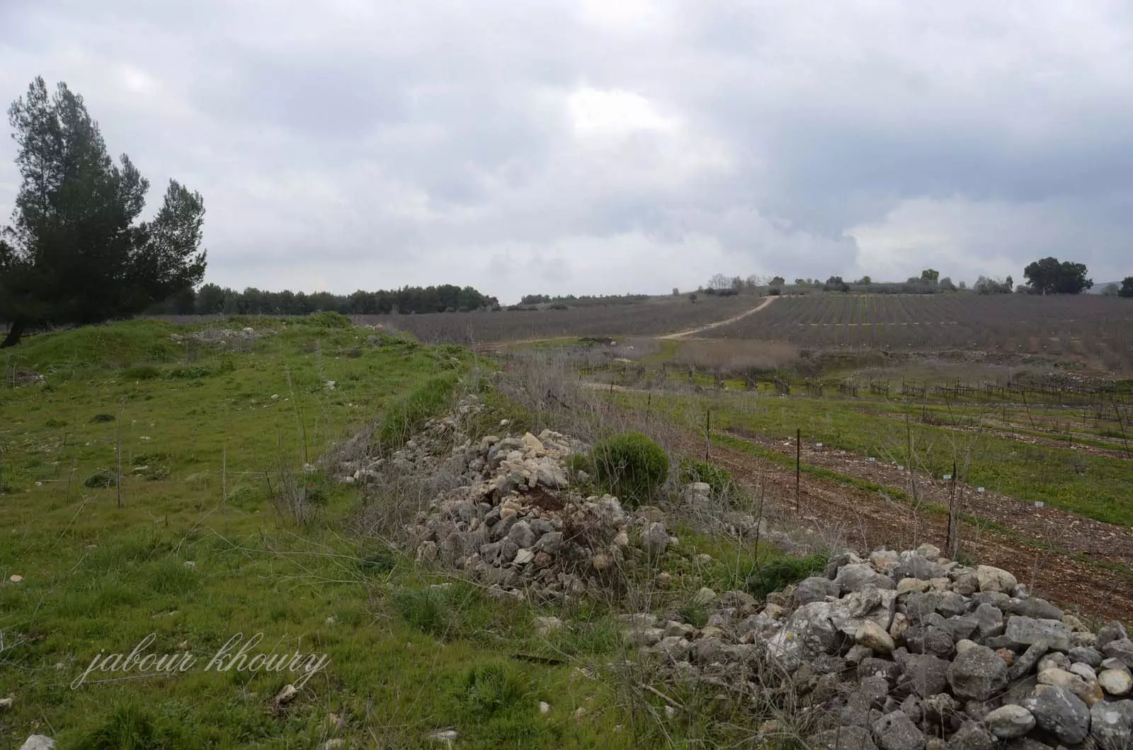
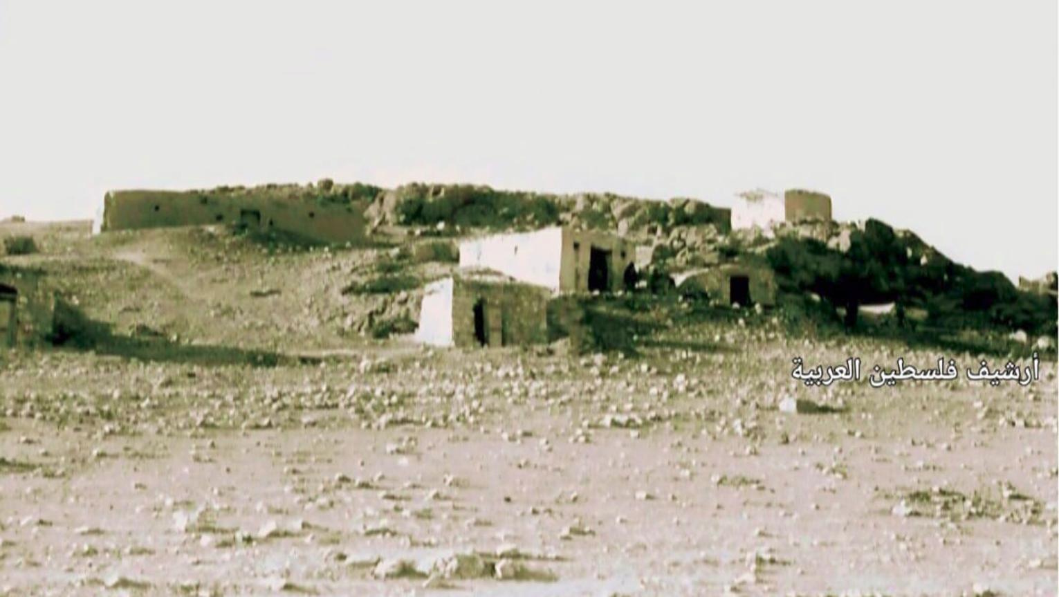
| Village Temains | The village has been completely destroyed with the exception of the village mosque. | ||||||||||||||||
| Ethnically Cleansing | The village has been mostly terrorized by the news of the massacre committed by the Sheva' (Seventh) Brigade in the nearby villages of Safsaf and Jish. | ||||||||||||||||
| Pre-Nakba Land Ownership |
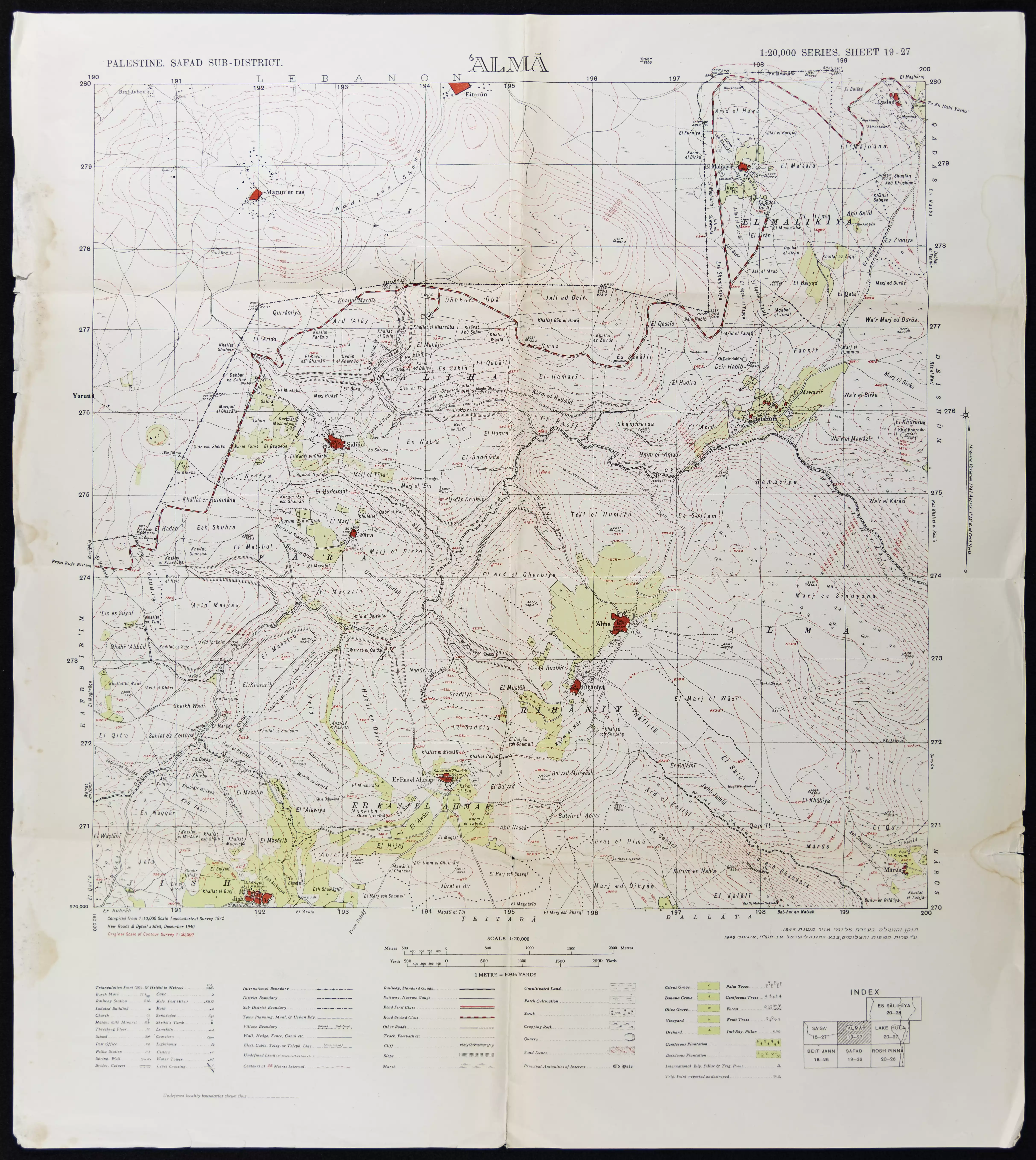
**Town Lands' Demarcation Maps |
||||||||||||||||
| Land Usage As of 1945 |
|
||||||||||||||||
| Population |
|
||||||||||||||||
| Number of Houses | In (931): 42 | ||||||||||||||||
| Places of Warship | One Mosque (still standing, but it needs renovation guys!) | ||||||||||||||||
| Nearby Wadies & Rivers | The village overlooked Wadi al-Fara. | ||||||||||||||||
| Exculsive Jewish Colonies Who Usurped Village Lands |
Yir'on | ||||||||||||||||
| Featured Video | |||||||||||||||||
Village Before NakbaThe village was perched on a relatively high, rocky hill that faced the southeast and overlooked Wadi Fara. Two roads that passed through other neighboring villages connected it to Safad. In 1596, Fara was a village in the nahiya of Jira (liwa' of Safad) with a population of 281. It paid taxes on a number of crops, including wheat, barley, and olives, as well as on other types of produce and property, such as goats, beehives, vineyards, and a press that was used for processing either olives or grapes. [Hut. and Abd.:178] In the late nineteenth century, Fara was situated at the foot of a large hill and had a population of about 100. The houses were built of basalt stones and mud. [SWP (1881) I:197] The village had a rectangular layout; its longer sides were oriented in a northeast-southwest direction, and its houses were clustered together. It had a cistern on its east side and a pool about 0.25 km to the northeast. All of the residents of Fara were Muslims, and they earned their living primarily from animal husbandry and agriculture. Grain was their most important crop, but they also cultivated fruit trees; their orchards were west and southwest of the village. In 1944 a total of 3,738 dunums was allocated to cereals and 173 dunums were irrigated or used for orchards.Village Occupation and Ethnic CleaningThe village fell into Israeli hands on 30 October 1948, in the final stage of Operation Hiram (see 'Arab al-Samniyya, Acre sub-district). Judging from information gathered by Israeli historian Benny Morris, Fara was probably captured by units of the Israeli army's Sheva' (Seventh) Brigade as they advanced through upper Galilee from Sa'sa' to al-Malikiyya, moving eastwards along a road parallel to the Lebanese border. Morris does not indicate what happened to the inhabitants, but if events followed the same pattern as in other villages in the area, they either were expelled or fled out of fear. They were likely to have heard of the nearby massacres committed at the beginning of Operation Hiram; after news of the carnage spread in Upper Galilee, only a few communities remained. [M:xiv, 217-19; see T:326]Zionists Colonies on Village LandsThere are no Israeli settlements on village land.Village TodayOne stone building (probably a mosque) stands on the site, as well as several stone terraces. On the whole, however, the site is overgrown with grass and fig trees. Less that 1 km north of it lies the settlement of Yir'on (192275). A portion of the land around the village is planted with fruit trees, such as apples, but the land along the valley's slope is deserted and uncultivated.SourceDr. Walid al-Khalidi, 1992: All That Remains. |
|||||||||||||||||
| Related Maps | Town Lands' Demarcation Maps خرائط للقضاء توضح حدود القرى والاودية Town's map on MapQuest View from satellite Help us map this town at WikiMapia |
||||||||||||||||
| Related Links | Wikipedia's Page Google Search Google For Images Google For Videos |
||||||||||||||||
| More Information | في كتاب كي لا ننسى في كتاب بلادنا فلسطين المزيد من موقع هوية |
||||||||||||||||
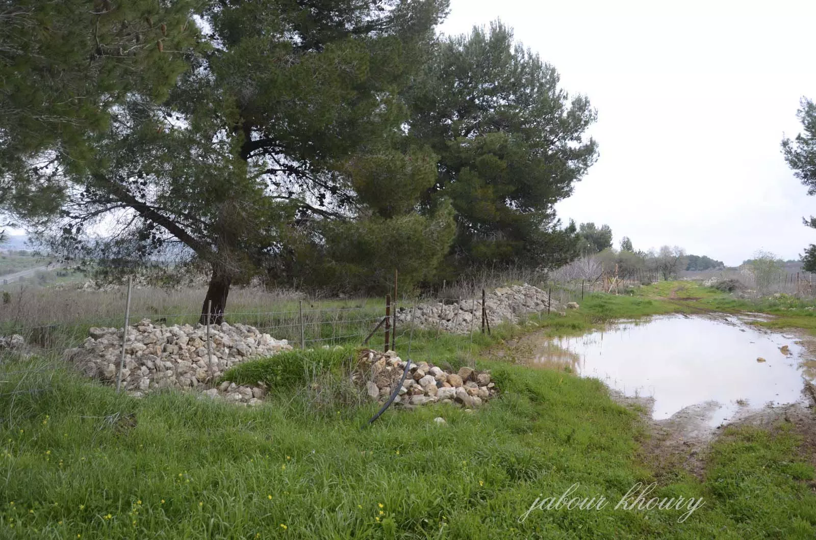
- اراضي القريه المسيجه ولا يمكن الوصول الى مركز القريه
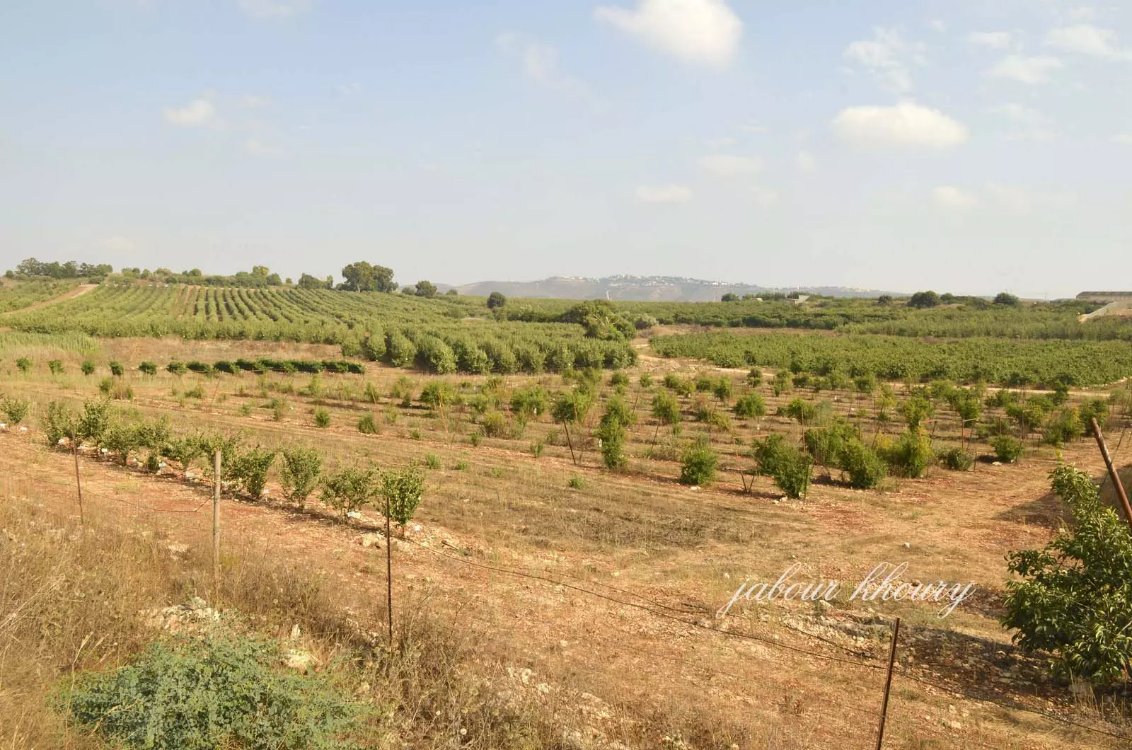
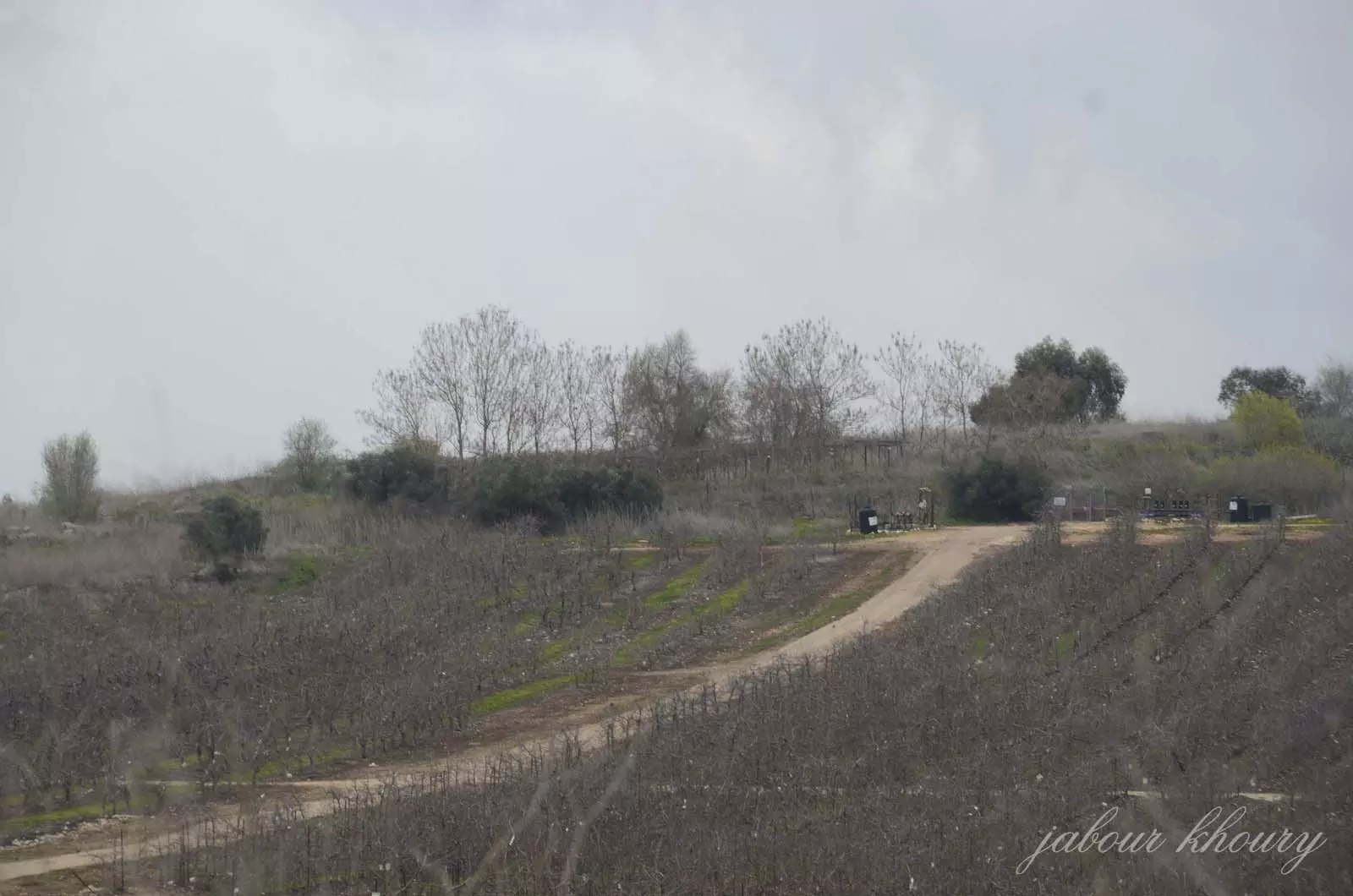
Posted by Jabour Khoury - البساتين المزروعه في اراضي القريه
Posted by Jabour Khoury - موقع القريه على التل المقابل
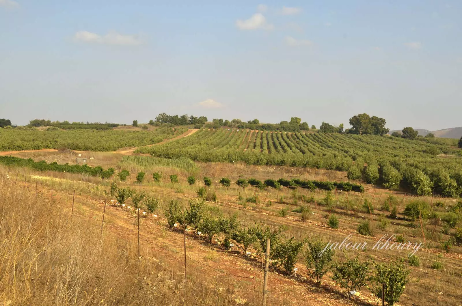
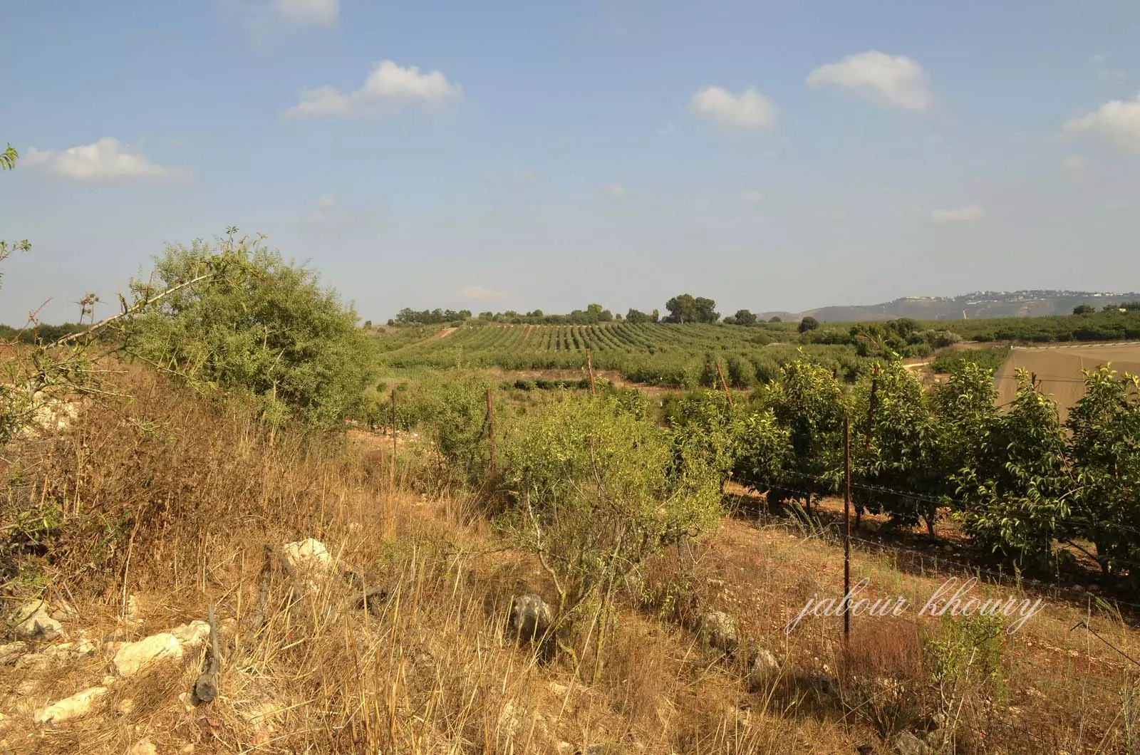
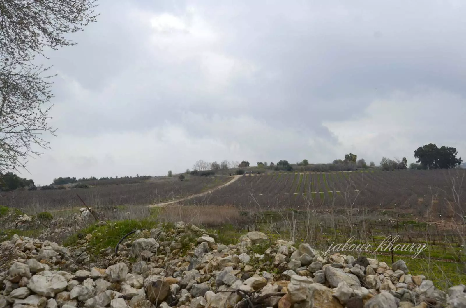
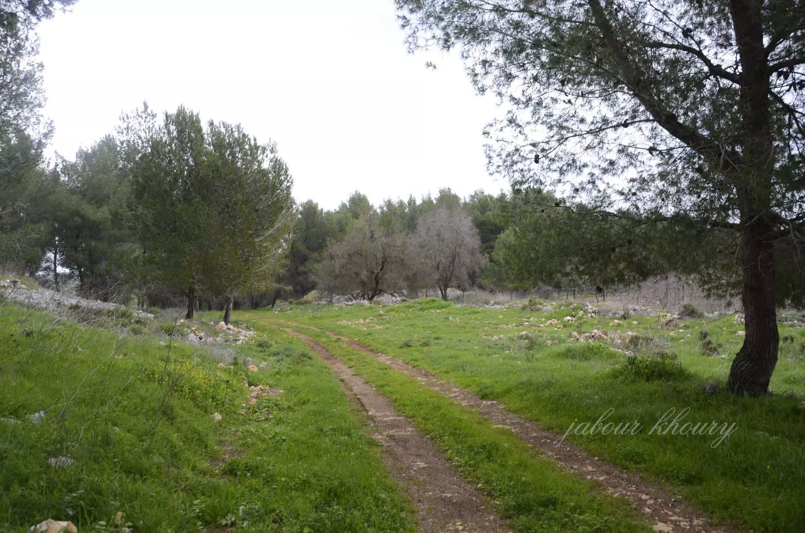
Posted by Jabour Khoury - اراضي القريه
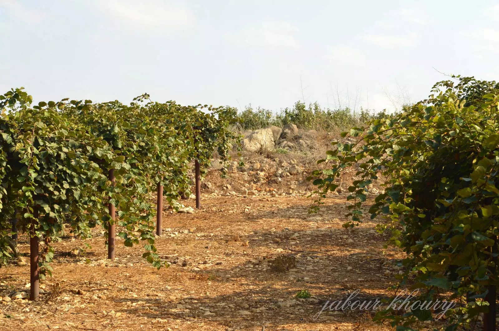
Posted by Jabour Khoury - ردم احد المنازل بين اشجار الكيوي
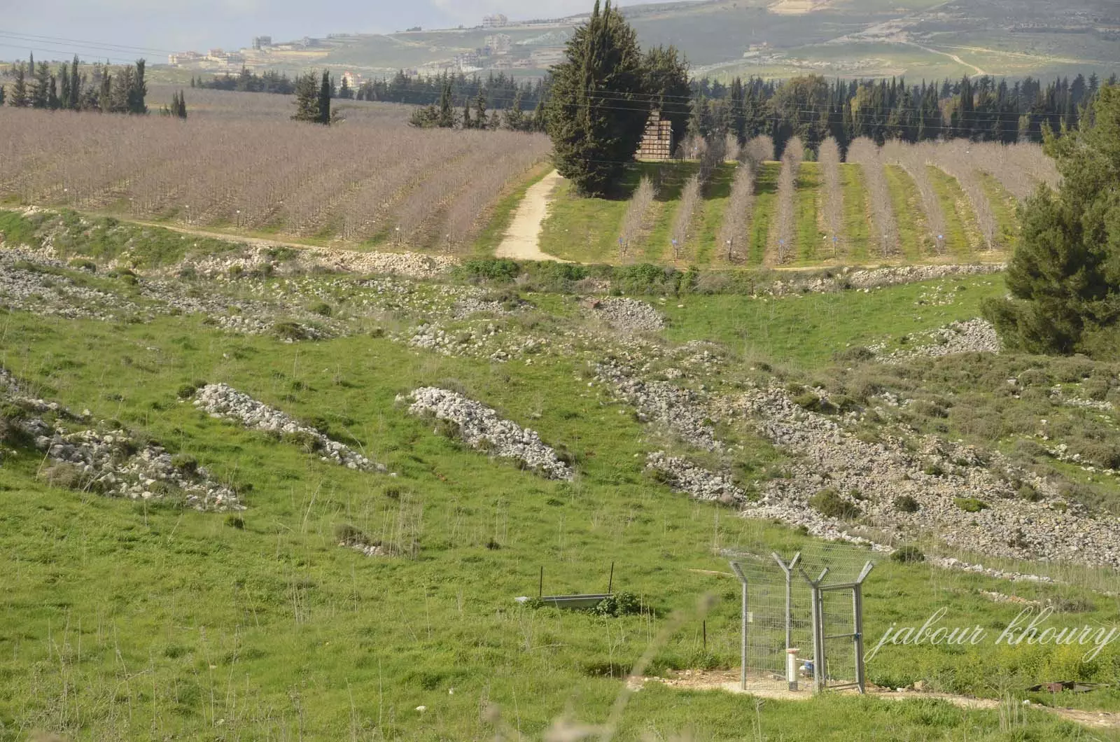
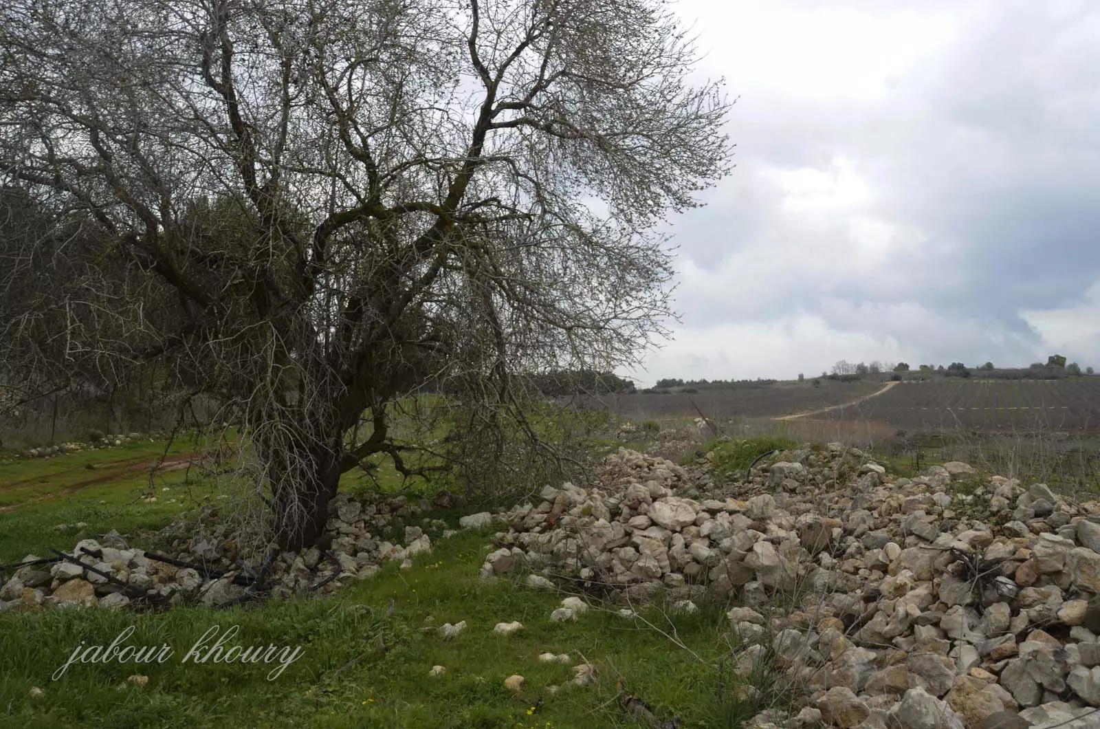
Posted by Jabour Khoury - القسم الغربي من اراضي القريه ربما اكوام الحجاره هذه ردم للمنازل وفي الجهه المقابله تظهر بلده يارون اللبنانيه
Posted by Jabour Khoury - الجهه الغربيه من اراضي القريه
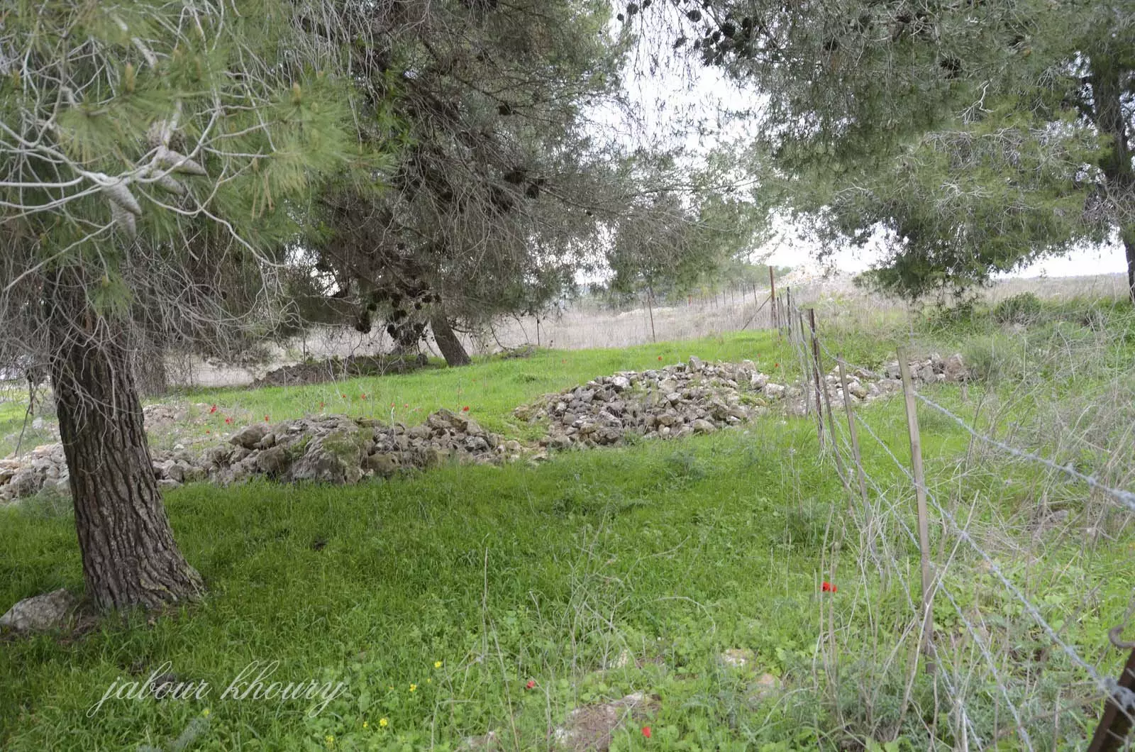
Posted by Jabour Khoury 1 - ردم بعض المنازل في الجهه الغربيه الشماليه
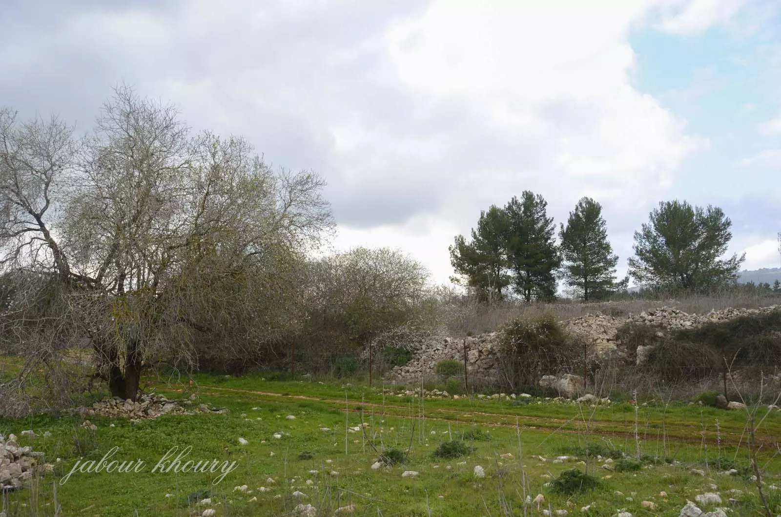
Posted by Jabour Khoury - موقع القريه على التل المقابل
Posted by Jabour Khoury - نظره تقريبيه لمركز القريه ويظهر من البعيد وفي يسار المشاهد بعض ردم البيوت
Posted by Jabour Khoury - ردم بعض البيوت في الجهه الشماليه للقلريه
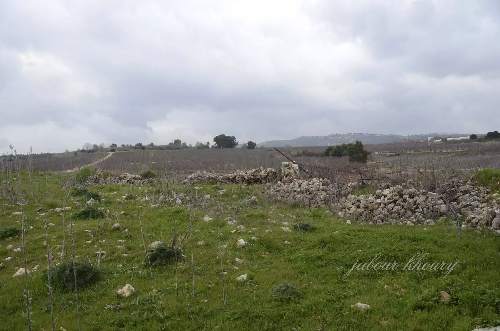
Posted by Jabour Khoury - اراضي القريه والردم
Posted by Jabour Khoury - اراضي القريه وردم البيوت في الجهه الشماليه للقريه
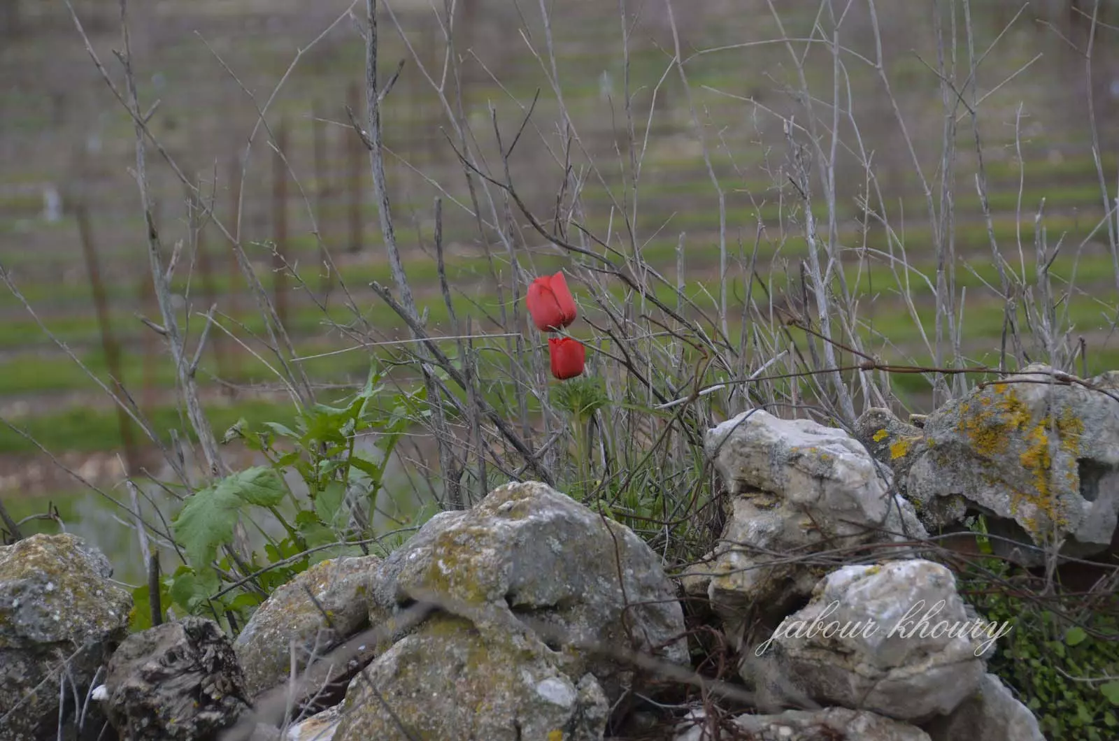
Posted by Jabour Khoury - زهره شقائق النعمان التي نبتت بين ردم احد البيوت
Posted by Jabour Khoury - الجهه الشماليه من القريه
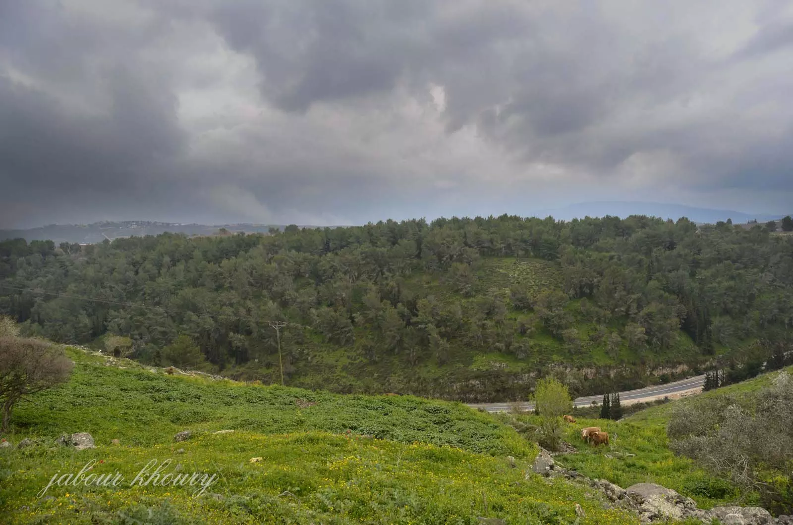
Posted by Jabour Khoury - الجهه الشماليه الشرقيه نظره من الغرب الى الشرق
Posted by Jabour Khoury - نظره من الغرب الشمالي الى الجنوب الشرقي
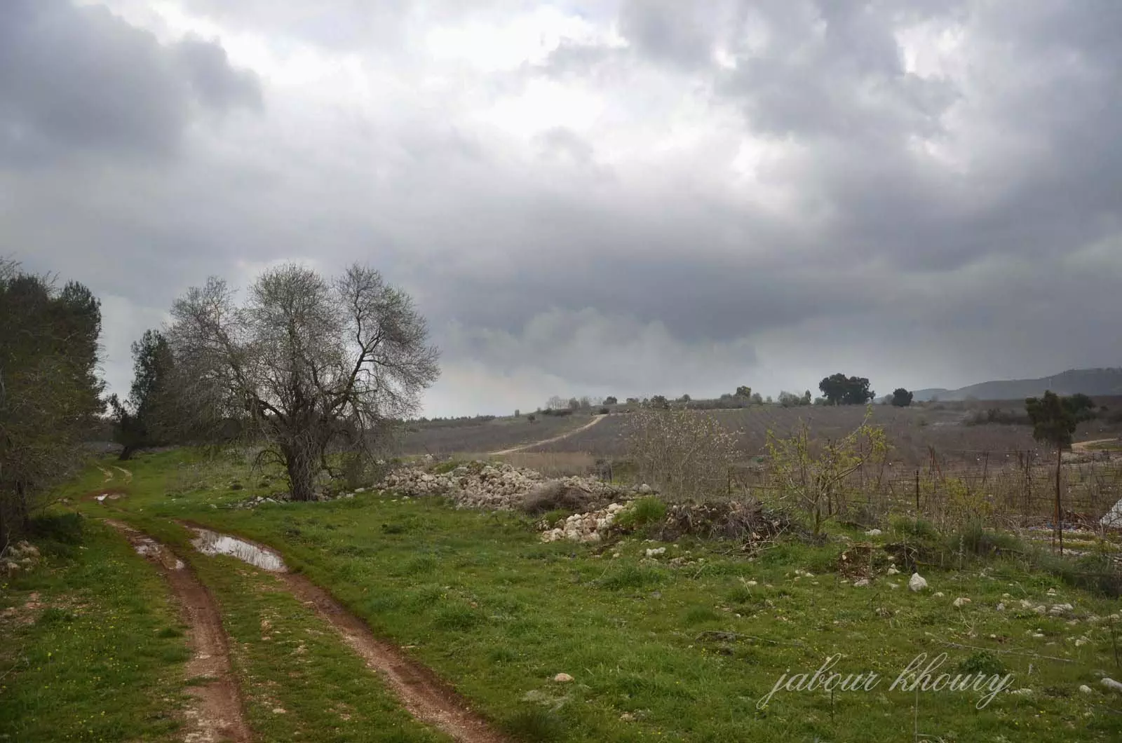
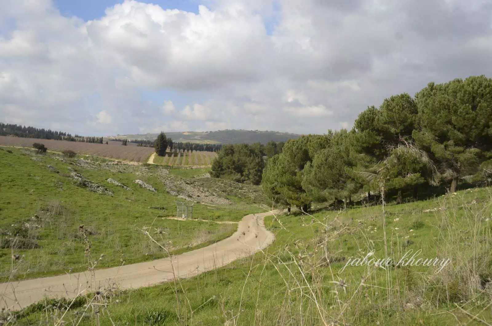
Posted by Jabour Khoury - اراضي القريه من جهه الشمال
Posted by Jabour Khoury - اطلاله من اراضي صلحه الشرقيه على اراضي فاره التي تقع خلف التل المقابل ووادي فاره يجري بين التلتين وبمحاذه الشارع الظاهر في الصوره ويستمر حتى التقاءه بوادي ديشوم
Posted by Jabour Khoury - Pre-Nakba Aerial view of the village / صورة من الجو للقرية اخذت قبل النكبة
- صورة نادرة لقرية وادي فارة قضاء صفد عام 1934..
- خارطة تُظهِر الحدود والطرق بأنواعها والأماكن المقدسة والطبيعة الطوبغرافية من تلال وسهول ومنحدرات والتشكيلة الطبيعية للأرض وأنواع المزروعات. نُشرت الخريطة فترة الانتداب البريطاني، تم إضافة تعديلات عليها من قِبَل خدمة الخرائط والصور التابعة للقوات العسكرية الاسرائيلية فترة الأربعينيات.
Want to browse more? 80,000 pictures were grouped in these gallaries:
| Display Name | Clan/Hamolah | Country of Residence |
| Redwan Youssef | - | - |
| Kadi Difilipantonio Davidson (Farra) | Farra | Salem, United States |
| Yasser | - | Odense, Odense |
| الحاج | الحاج | أبوظبي, الإمارات |
| Hanan | Assad | الدوحة, قطر |
| ali hussien | - | - |
| abo ali | - | - |
| Hassan AL assaad | AL ASSAAD | UAE |
| Marwan Youssef | Elhajj | - |
| non | - | - |
| daad abed marmar | - | - |
| Rana Abdul Kader Kawash | Abdul Kader | Sharjah, UAE |
| Gazi Al Assaad | al assaad | - |
| kassem assaad | Assaad | - |
No links have been shared yet, be free to the first to share the first link.
 Fake Valor: Why Did Zionist Jews Hoist Nazis Flag on Their Ships in the 1930s?
What is new?
-
Facts About Oct. 7th Gaza Raid
-
Remined Us Please:: Who Did Rape Who? Palestinians Raped Israelis? Or, was the other way around?
-
When Prof. Edward Said was invited to debate Bibi Netanyahu in the 1980s, watch what happened!
-
Ezra Klein of the NY Times on the "Jewish Race".
-
Abusing Blood Libel!
-
Did Israeli Soldiers Activate The Hanniba Direective On Oct. 7th? You Be The Judge
-
Zionist FAQ: Isn't it true that Palestinians don't want peace? Palestinians never accepted the two-state solution
- Facts about Haavara (Transfer) Agreement between Ben-Gurion & Hitler
-
Haavara FAQs: Why Did Zionist Jews Hoist Nazis' Flags on Their Ships in the 1930s?
- Haavara FAQs: When Chaim Weizmann met FDR in mid-1943, why was he silent about rescuing European Jewry?
-
Dear ChatGPT: How did Palestinians resist Napoleon's invasion of their country in 1799?
-
Dear ChatGPT: Gaza had a vibrant Jewish community in the mid-17th century. What happened to them?
-
Dear ChatGPT: Why did the Jewish Agency suppress news of the Holocaust during WWII?
-
Video Playlist: Jews share their DNA tests to end the conflict for good.
-
A Tale of Two Conflicts: Examining the Definition of Genocide
-
Prof. Abraham Polak And The Suppressed History of the Khazars and European Jewry
-
How Ronald Reagan would have framed the genocide in Gaza if he were still alive?
-
Haavara FAQs: Let us do the math: how many German Jews did The Haavara Agreement save?
-
Zionist FAQs: The Hebron Massacre of 1929, "clearly proves" that Palestinians are antisemitic, how could you deny it?
-
Zionist FAQs: Why Anti-Zionist Is Not Antisemitism?
-
Zionist FAQs: Isn't it true that the KGB created Palestinian Nationalism in the early 1960s?
- Zionist FAQs: Muslims are killing Muslims all the time; why are Israeli Jews being singled out in the media?
- Zionist FAQs: How is Israel an apartheid state when 20% of its citizens are Arabs who enjoy full rights?
-
Haavara FAQs: Why Did Dorothy Thompson Flip From A Zionist Advocate to A Silenced Dissenter?
-
Haavara FAQs: Analysis of Herzl's Uganda Scheme and how it could have saved millions of Jews.
-
Haavara FAQs: Why did Hayim Greenberg describe American Jewry as "morally bankrupt" in early 1943?
-
Haavara FAQs: What if the Evian Conference was a resounding success? What would have been the impact of saving European Jewry on Zionism?
- Haavara FAQs: What if the six million were saved, how that would have impacted the Zionist project?
-
Haavara FAQs: How did Zionist leaders react when Europe's Jews lingered in the DP camps after WWII ended?
-
Why does the American Jewish community repeat lies that David Ben-Gurion had debunked before he died?
-
Who has the power to rename the Tatar/Khazar Gene Marker to Jewish IV?
-
Zionist FAQs: Why won't Egypt, Syria, and Jordan take their people back? Jews are indigenous to Palestine, and Arabs immigrated after Jews developed the country. Arabs should leave.
-
Haavara FAQs: Did Hitler and the Nazis conflate between Judaism and Zionist? If that wasn't case, then why?
-
Haavara FAQs: Winston Churchill and antisemitism, a collection of articles written Churchill.
-
Haavara FAQs: Broken by country, how many Jews survived vs. killed during the Holocaust?
-
Haavara FAQs: Why did European Jews vote with their feet and to immigrated to the Americas, not Palestine, after WWII?
-
Watch this American Jewish Girl describing Israeli Jews' cognitive dissonance like no other in under two minutes
-
Haavara FAQs: When the Nazis went out of their way to hide the Holocaust, Israeli Jews did the exact opposite by broadcasting their genocide of Gazans. But why?
-
Haavara FAQs: How Zionist Jews went out of their to show their appreciation to Nazism and Fascism?
- Haavara FAQs: Why Zionist leaders were against bombing the death camps & the Railroads leading to them?
-
Haavara FAQs: Hitler's message to the British and American people: If Jews are such noble citizens and you care about them, how come you're not letting them in? I will gladly ship them to you at my expense, even on luxury liners!
-
A shortlist of Zionist and Israeli false flag operations in the name Jews.
-
The Most Moral Army
- The Land of Kapos (Israel): Where the brave are boycotted and Kapos walk free.
- Why did early Zionists often named their communal enterprises "colonial"?
- Zionist Relations with Nazi Germany by Faris Glubb
-
Two NY Times advertisements by Zionists in the early 1943 that exposes Zionists' treason at the height of the calamity
- Facts Not Lies about the Palestinian-Israeli Conflict.
- Site's pictures have been categorized
- Campgain Against Lice
- A Survey of Palestine, the official source about Palestine before Nakba produced by the British Mandate; over 1200 pages.
- Satellite View & Google Earth: Over 6,000 placemarks identifying all destroyed towns, W. Bank & Gaza Strip Towns, & refugee camps.
- PalestineRemembered.com and its Nakba Oral History Project were featured on al-Jazeera Satellite TV.
- Nakba Oral History Video Podcast:
 Over 700 Oral History interviews (including 3,500+ hours of recording) can be viewed online.
 - Palestine Village Statistics Project
- Gaza Jail Break
- النسخة العربية للموقع الان متوفرة
- Videos: Documenting the destroyed villages in video: Tracing all that remains since Nakba.
- Videos: Responding to Zionist Propaganda
- Interview: The ethnic cleansing of Palestine: George Galloway interviews Israeli Historian Ilan Pappe.
- For Palestinians, memory matters. It provides a blueprint for their future By George Bisharat.
- Zionist FAQ now available in Hebrew שאלות שציונים שואלים, עכשיו בעברית
- Video: The Stephen Walt and John Mearsheimer report on the influence of the Israel Lobby on U.S. Foreign Policy
- The Palestinian-Israeli conflict for beginners
