| PalestineRemembered | About Us | Oral History | العربية | |
| Pictures | Zionist FAQs | Haavara | Maps | |
| Search |
| Camps |
| Districts |
| Acre |
| Baysan |
| Beersheba |
| Bethlehem |
| Gaza |
| Haifa |
| Hebron |
| Jaffa |
| Jericho |
| Jerusalem |
| Jinin |
| Nablus |
| Nazareth |
| Ramallah |
| al-Ramla |
| Safad |
| Tiberias |
| Tulkarm |
| Donate |
| Contact |
| Profile |
| Videos |
Welcome To Jahula - جاحولا (ג'אחולא)
|
District of Safad
Ethnically cleansed days ago |
العربية Google Earth |
 |
Gallery (47) |
- Statistics & Facts
-
Before & After

- Satellite View
- Articles 2
- Pictures 47
- Oral History 6
- Members 7
- All That Remains
- Wikipedia
- Videos 1
- Guest Book 4
- Links
| Statistic & Fact | Value | ||||||||||||||||||
| Occupation Date | May 1, 1948 | ||||||||||||||||||
| Distance From District | 11 (km) North East of Safad | ||||||||||||||||||
| Elevation | 150 (meters) | ||||||||||||||||||
| Before & After Nakba, Click Map For Details |
|||||||||||||||||||
|
|||||||||||||||||||
| Map Location | See location #24 on the map View from satellite |
||||||||||||||||||
| Military Operation | Operation Yiftach (commanded by the ethnic cleansing champion Yigal Allon) | ||||||||||||||||||
| Attacking Units | The Palmach's First Battalion | ||||||||||||||||||
| Exodus Cause | Military assault by Zionist troops | ||||||||||||||||||
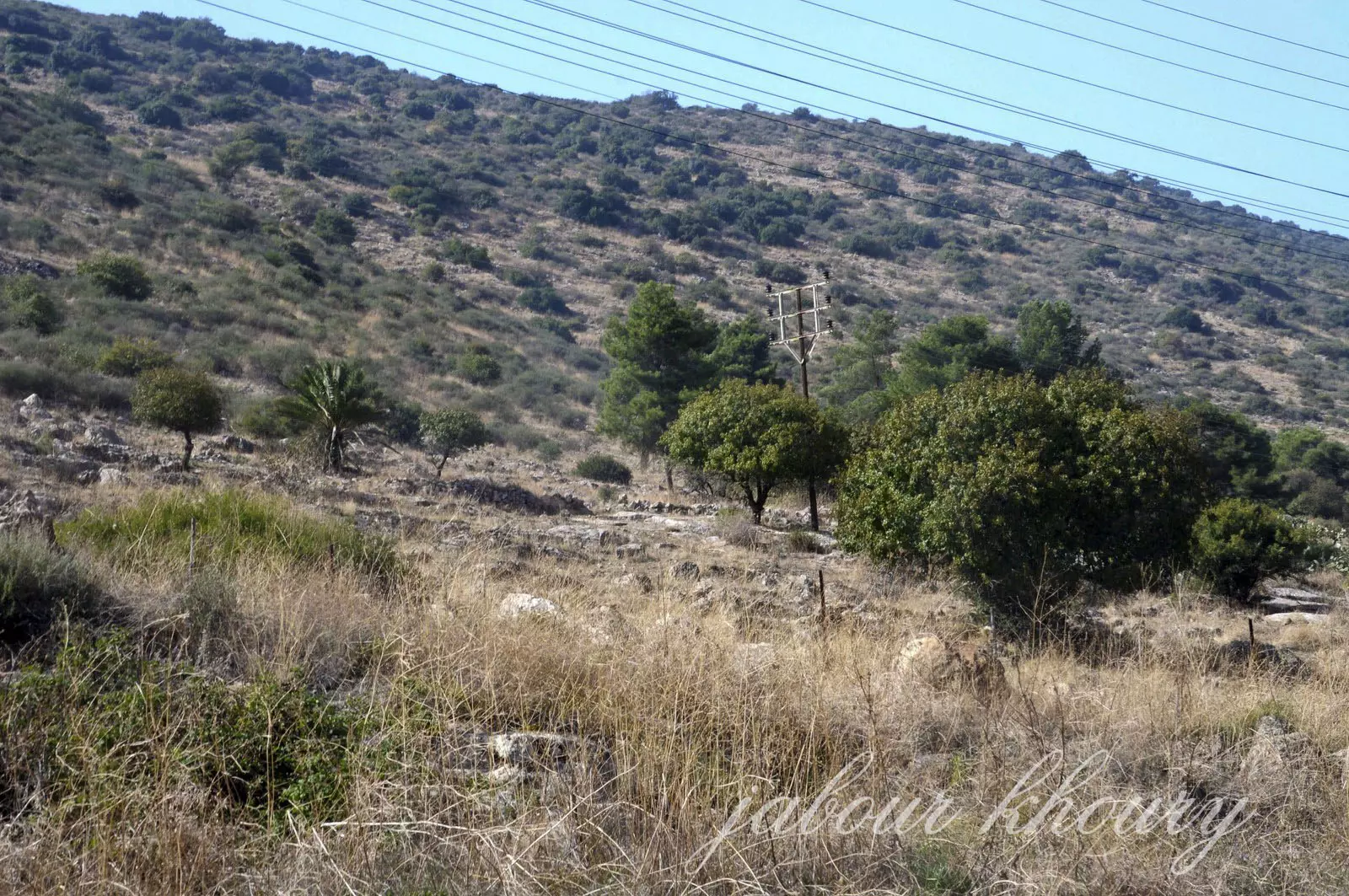
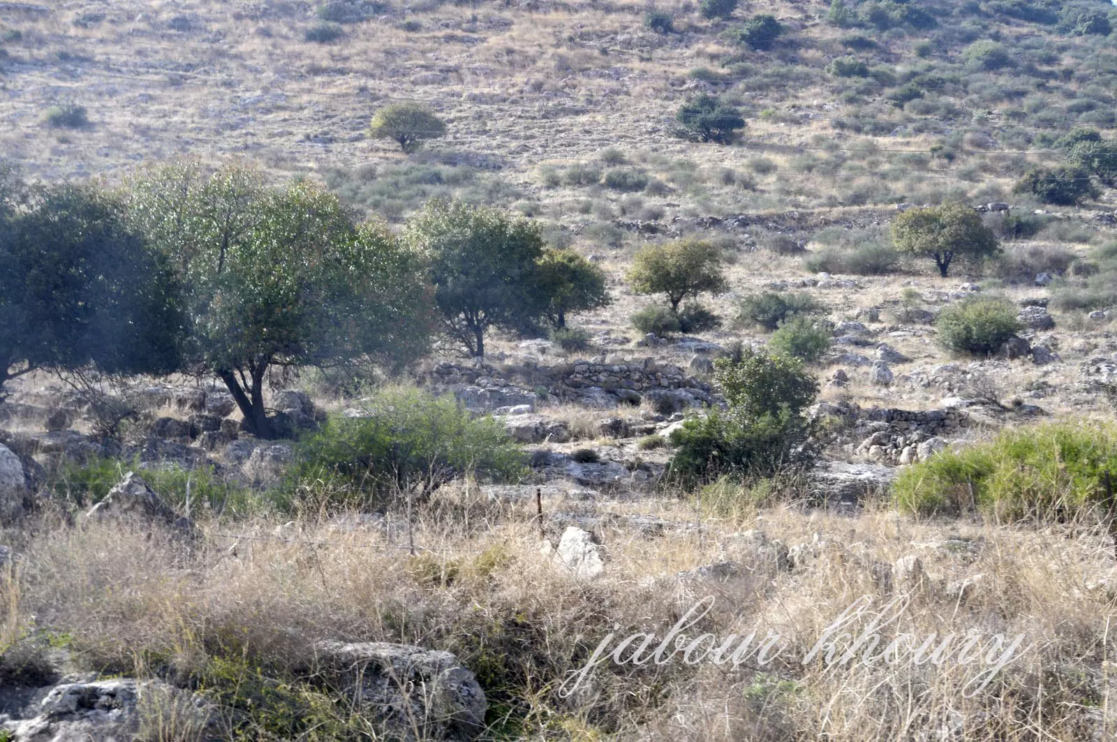
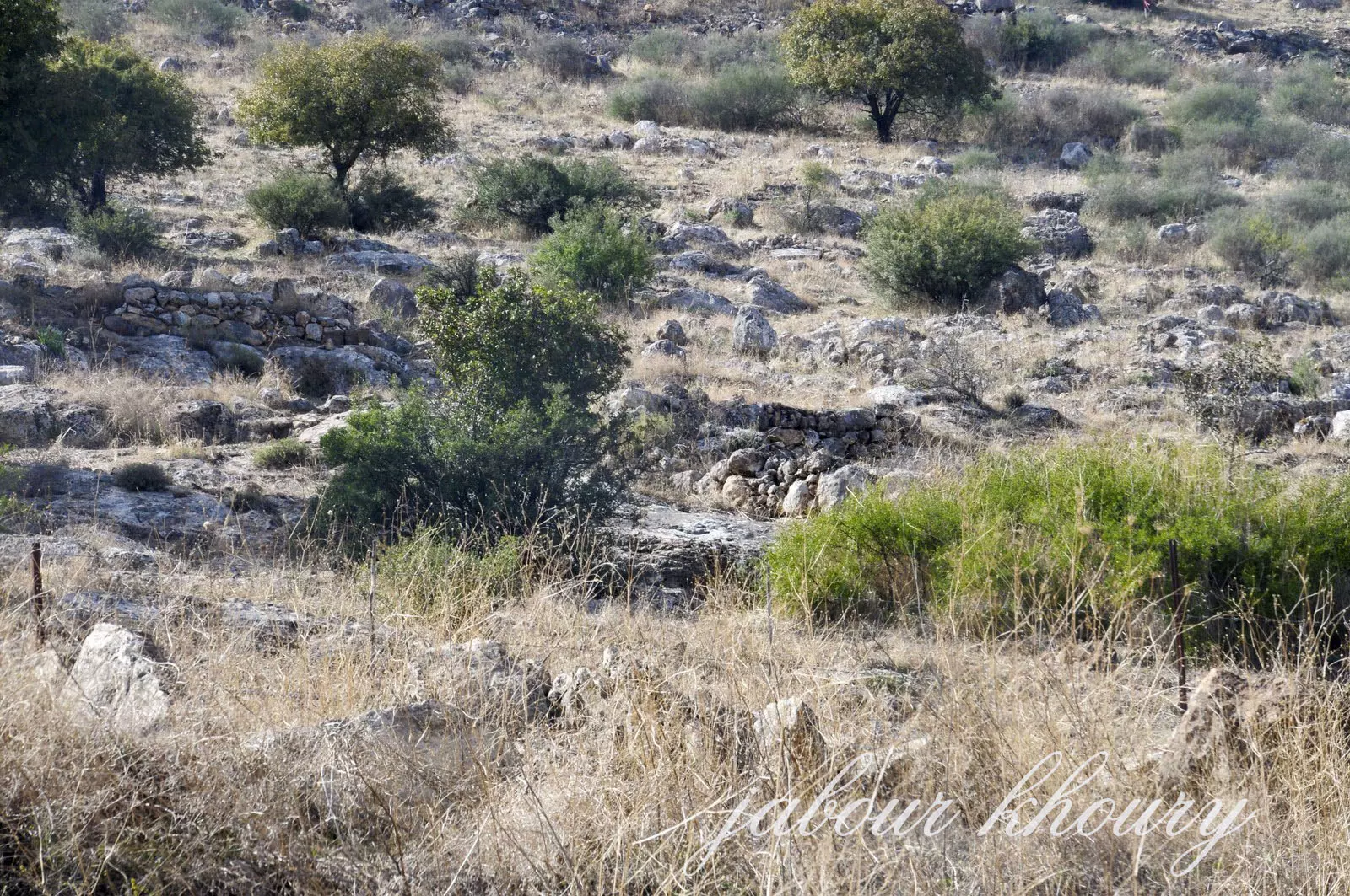
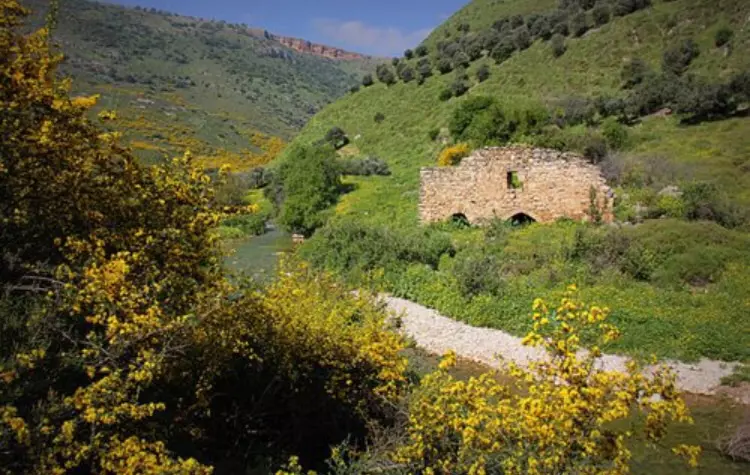
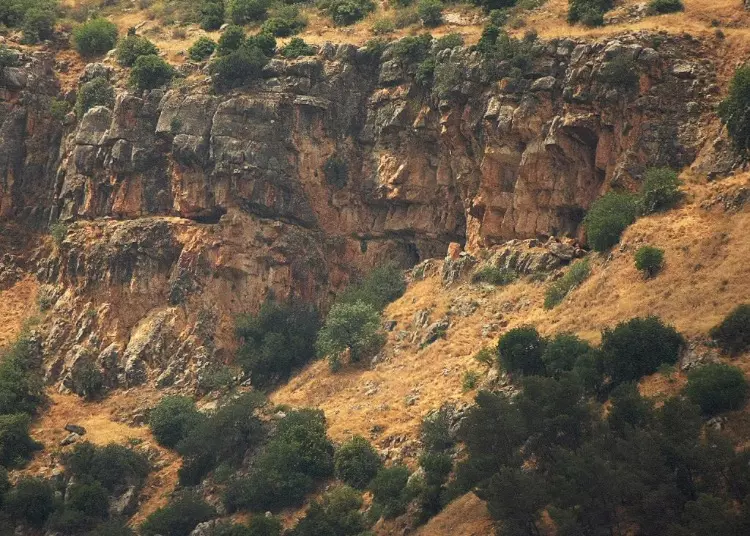
| Village Temains | The village has been completely obliterated, and only house rubble left behind. | ||||||||||||||||||
| Ethnically Cleansing | Jahula inhabitants were completely ethnically cleansed. | ||||||||||||||||||
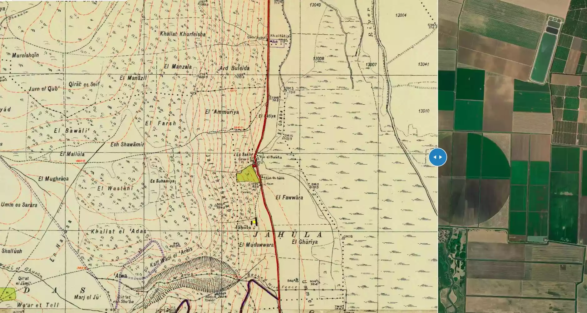
| Pre-Nakba Land Ownership |
**Town Lands' Demarcation Maps |
||||||||||||||||||
| Land Usage As of 1945 |
|
||||||||||||||||||
| Population |
|
||||||||||||||||||
| Number of Houses |
|
||||||||||||||||||
| Near By Towns |
|||||||||||||||||||
|
|||||||||||||||||||
| Places of Warship | One mosque | ||||||||||||||||||
| Shrines / Maqams | One shrine for a local sage known by al-Shaykh Salih | ||||||||||||||||||
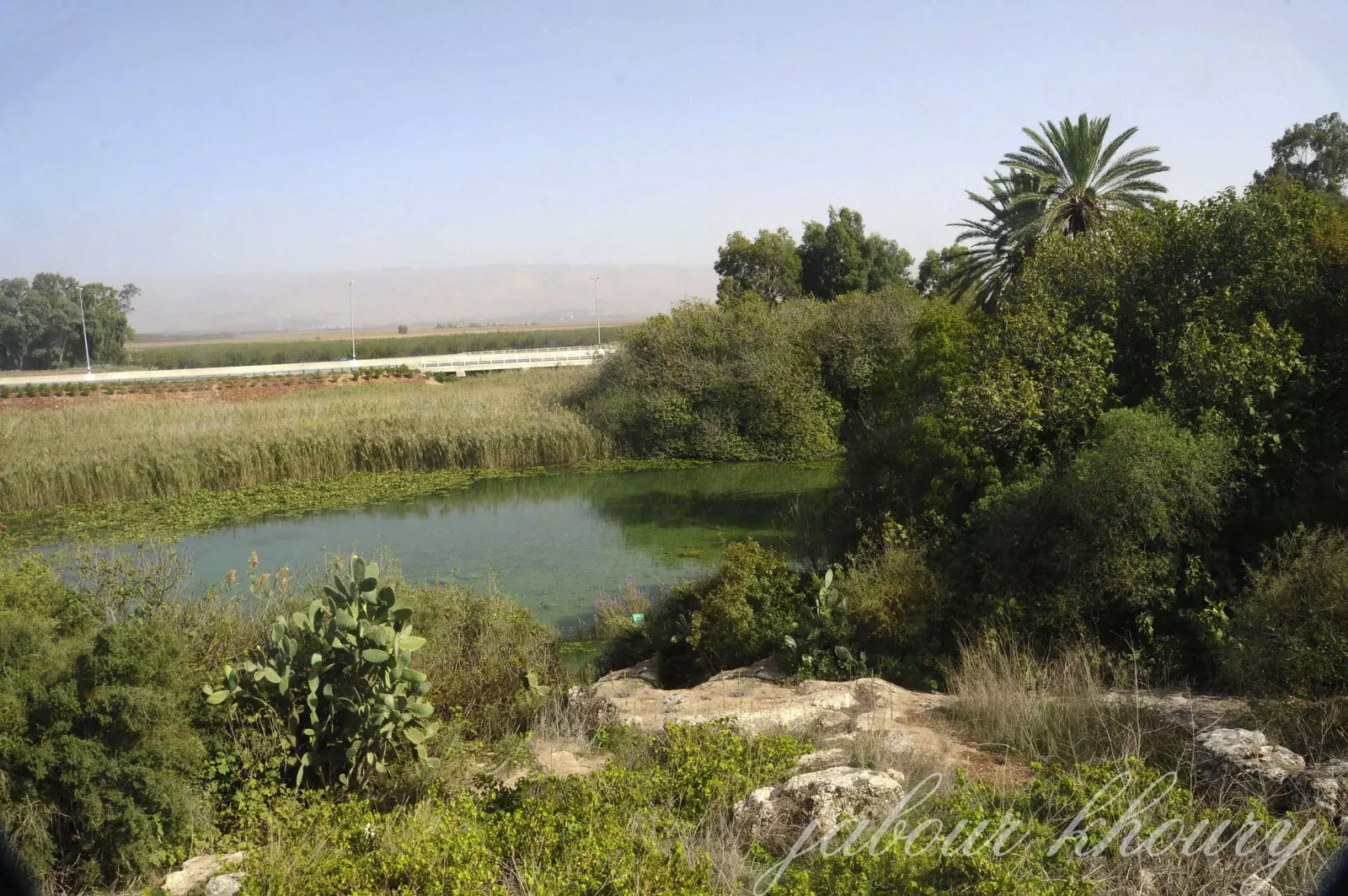
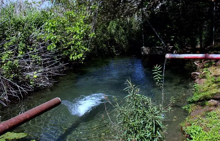
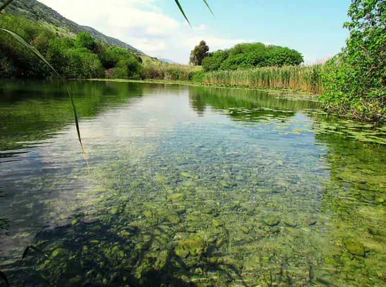
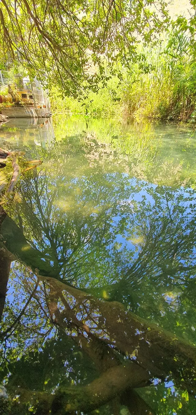
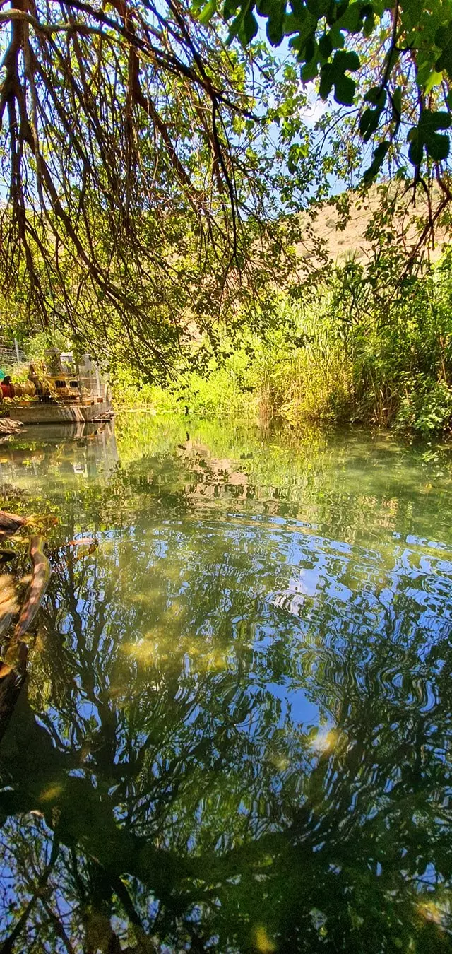
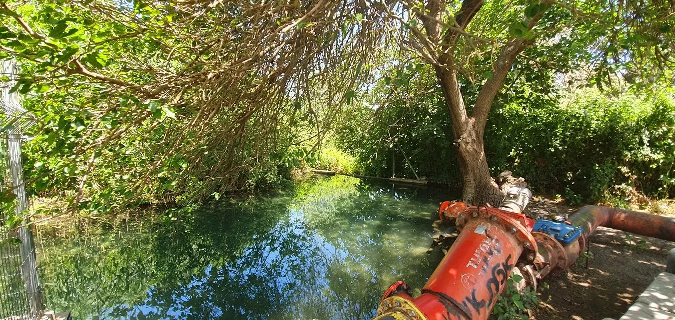
| Water Supply | The village contained several springs, and one of them is currently being used by Jewish settlers | ||||||||||||||||||
| Exculsive Jewish Colonies Who Usurped Village Lands |
Yiftach is nearby village lands | ||||||||||||||||||
| Featured Video | |||||||||||||||||||
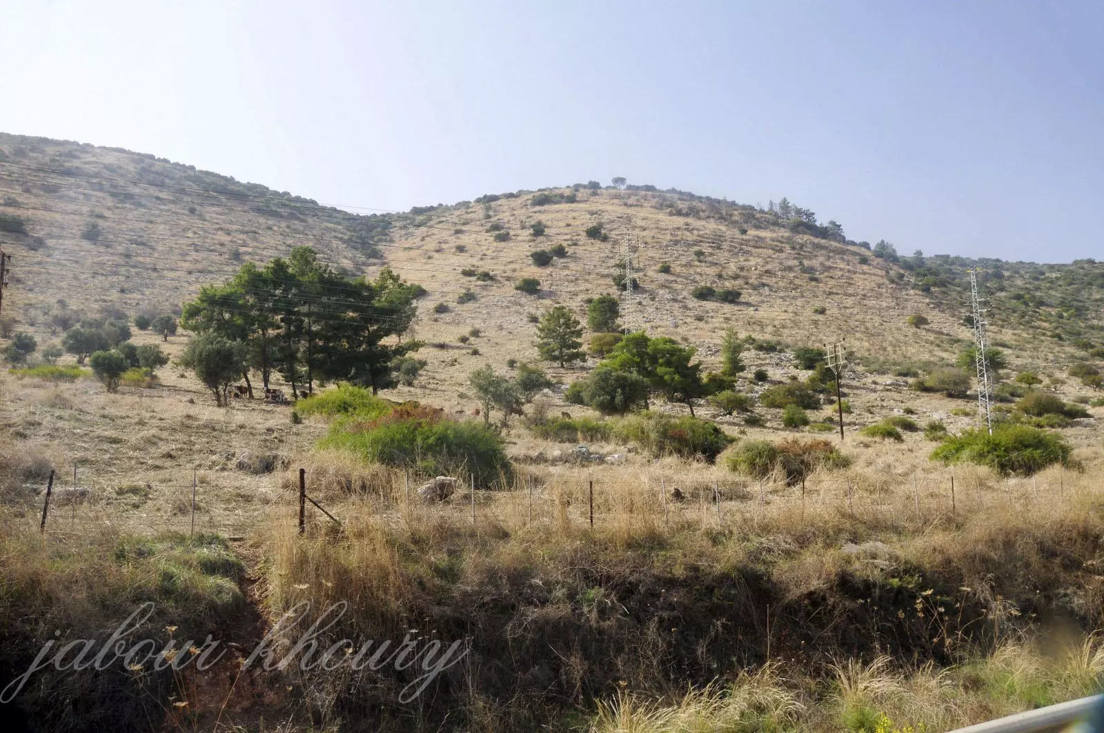
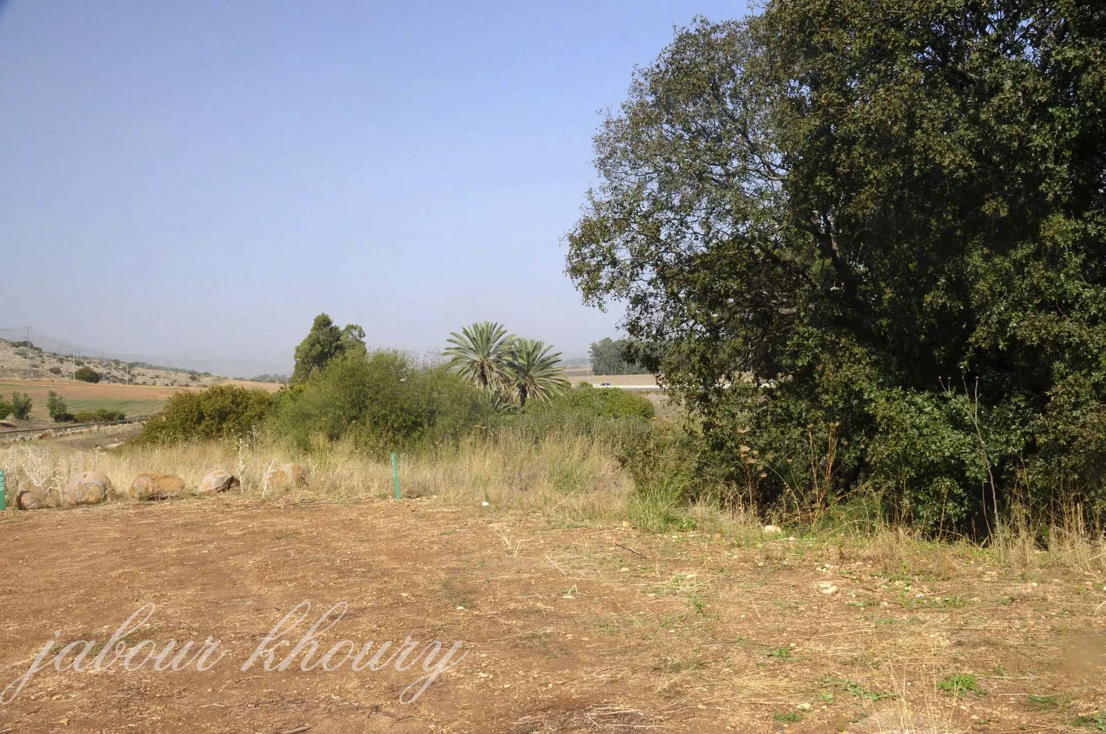
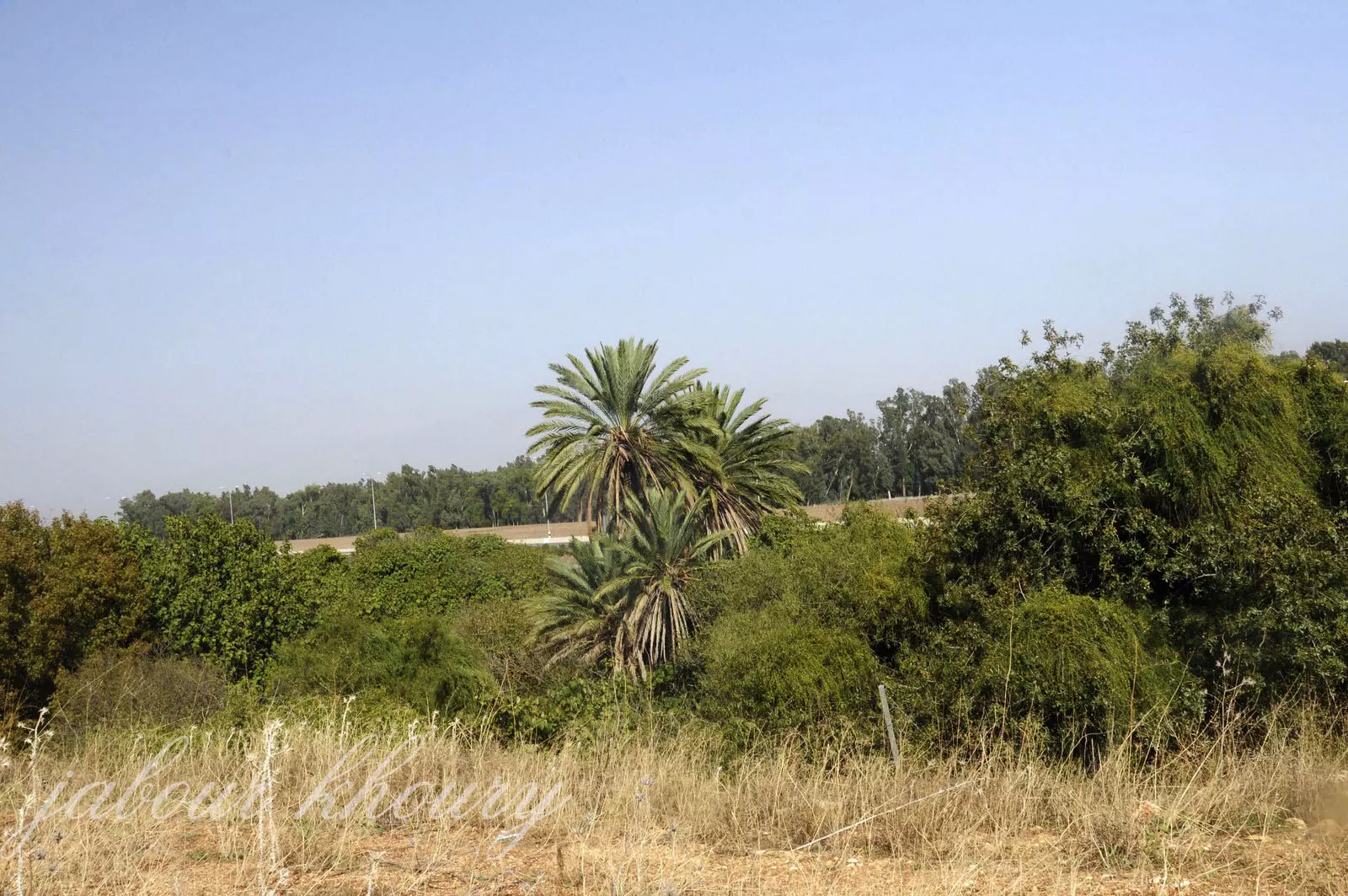
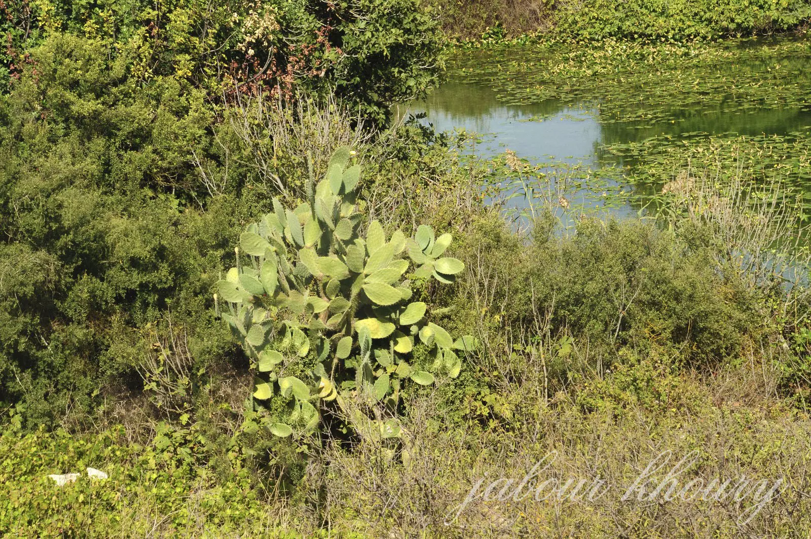
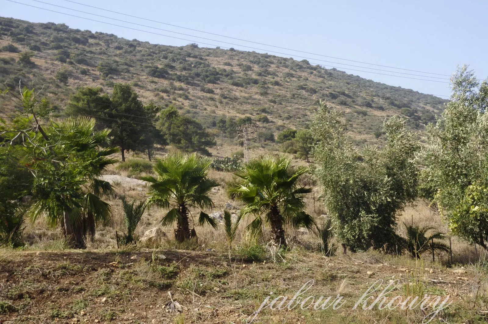
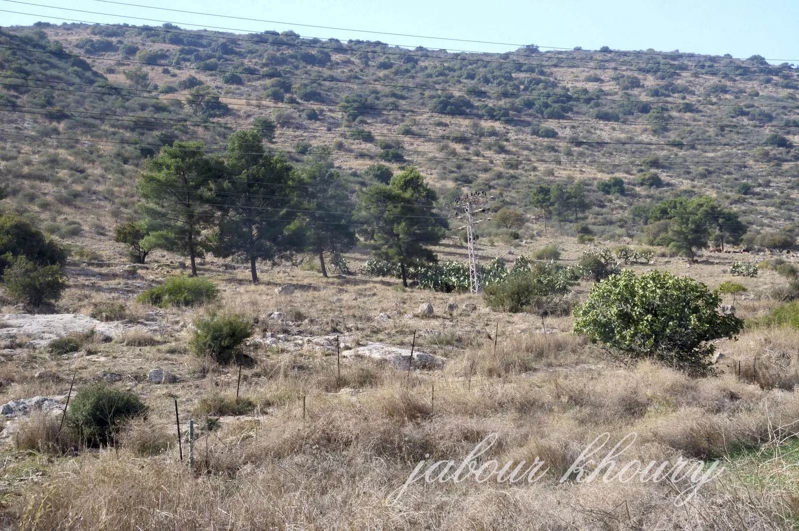
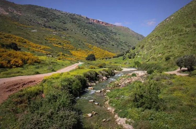
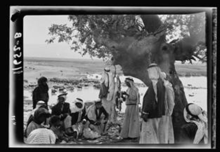
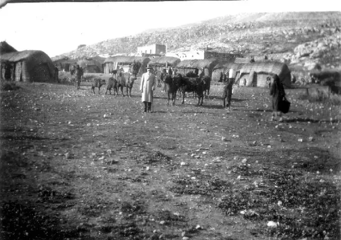
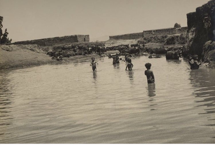
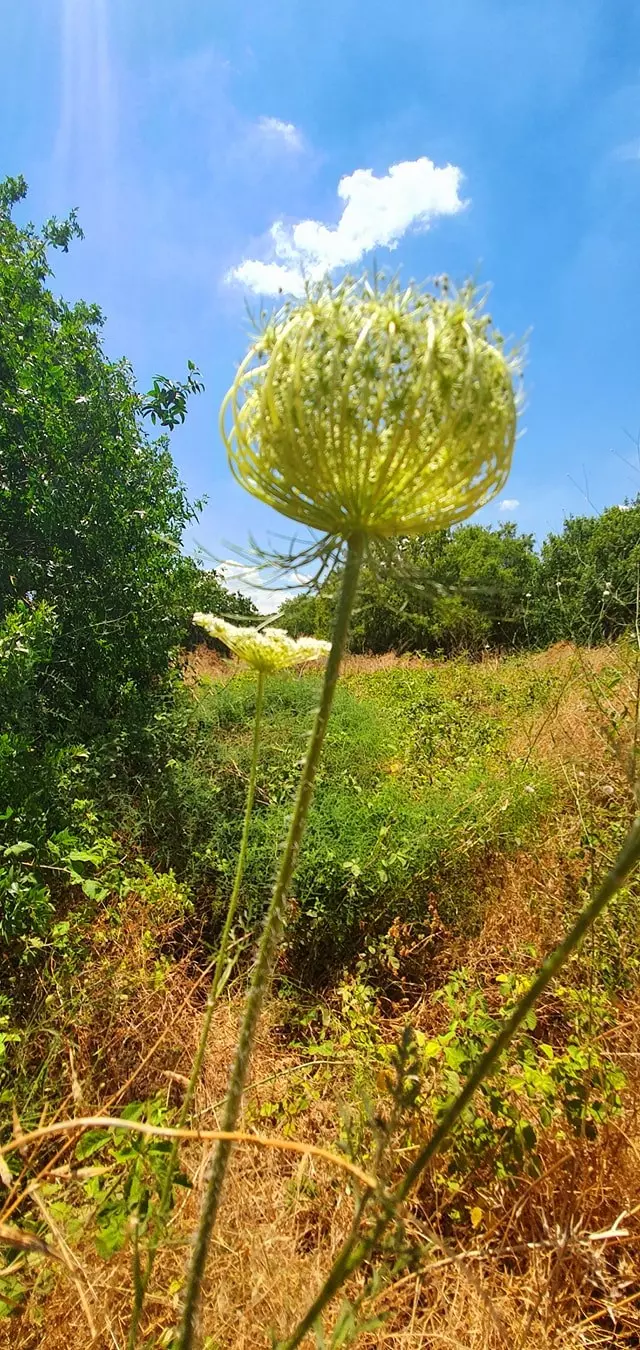
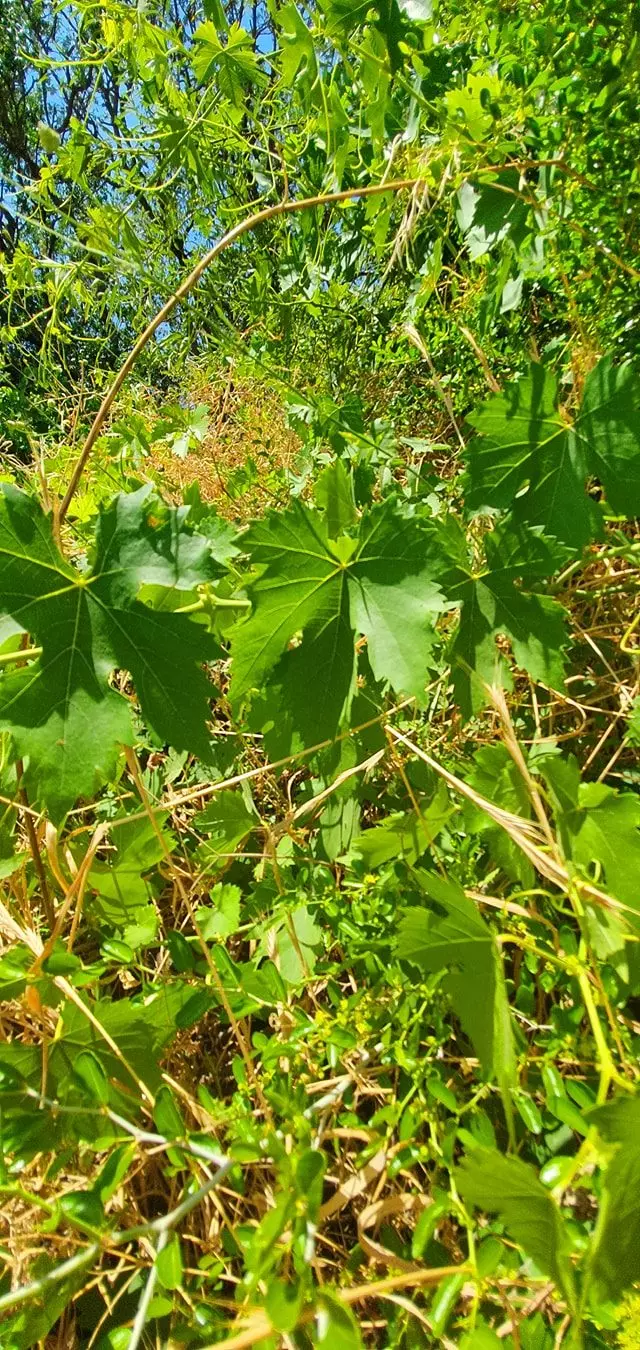
Village Before NakbaThe village was situated in the foothills of the Galilee Mountains and overlooked the al-Hula Plain on the western side. It was laid out in a north-south direction along the Tiberias-al-Mutilla highway. In 1596, Jahula was a village in the nahiya of Jira (liwa' of Safad) with a population of twenty eight. It paid taxes on a number of crops, including wheat and barley, as well as on other types of produce, such as goats, beehives, and water buffalos. [[Hut. and Abd.:178]] The village mosque, built about 1 km north of the village site, surrounded the shrine for Shaykh Salih, a local religious teacher. Its population was predominantly Muslim. The houses in Jahula were made of masonry. A spring on the northern edge of the village supplied it with drinking water. Although most villagers worked in agriculture, some were employed in the stone quarries north of the village. In 1944/45 a total of 1,626 dunums was used for cultivating grain. Archaeological excavations in 1986 near 'Ayn Jahula revealed that the site had been occupied from the seventh through the third millennium B.C.Village Occupation and Ethnic CleaningAlthough the exact date of the village's occupation cannot be determined, Jahula was probably taken towards the end of Operation Yiftach (see Abil al-Qamh, Safad sub-district), around the same time as the seizure of al-Zawiya, 4.5 km to the northeast, and Mallaha, 3.5 km to the southeast, on 24 and 25 May, respectively. [[M:120-24]]Zionists Colonies on Village LandsThere are no settlements on village lands. Yiftach (202281) is 2 km northwest of the village site. [[M:xix]]s and trees grow on it. The village spring is still in use by Israelis. Parts of the village land are planted in cotton and watermelons, while other parts are wooded and hilly.Village TodayThe only remains of the destroyed village are a few stone terraces. The site is enclosed by barbed wire, and cactuseSourceDr. Walid al-Khalidi, 1992: All That Remains. |
|||||||||||||||||||
| Related Maps | Town Lands' Demarcation Maps خرائط للقضاء توضح حدود القرى والاودية Town's map on MapQuest View from satellite Help us map this town at WikiMapia |
||||||||||||||||||
| Related Links | Wikipedia's Page Facebook Page Google Search Google For Images Google For Videos |
||||||||||||||||||
| More Information | في كتاب كي لا ننسى في كتاب بلادنا فلسطين المزيد من موقع هوية |
||||||||||||||||||
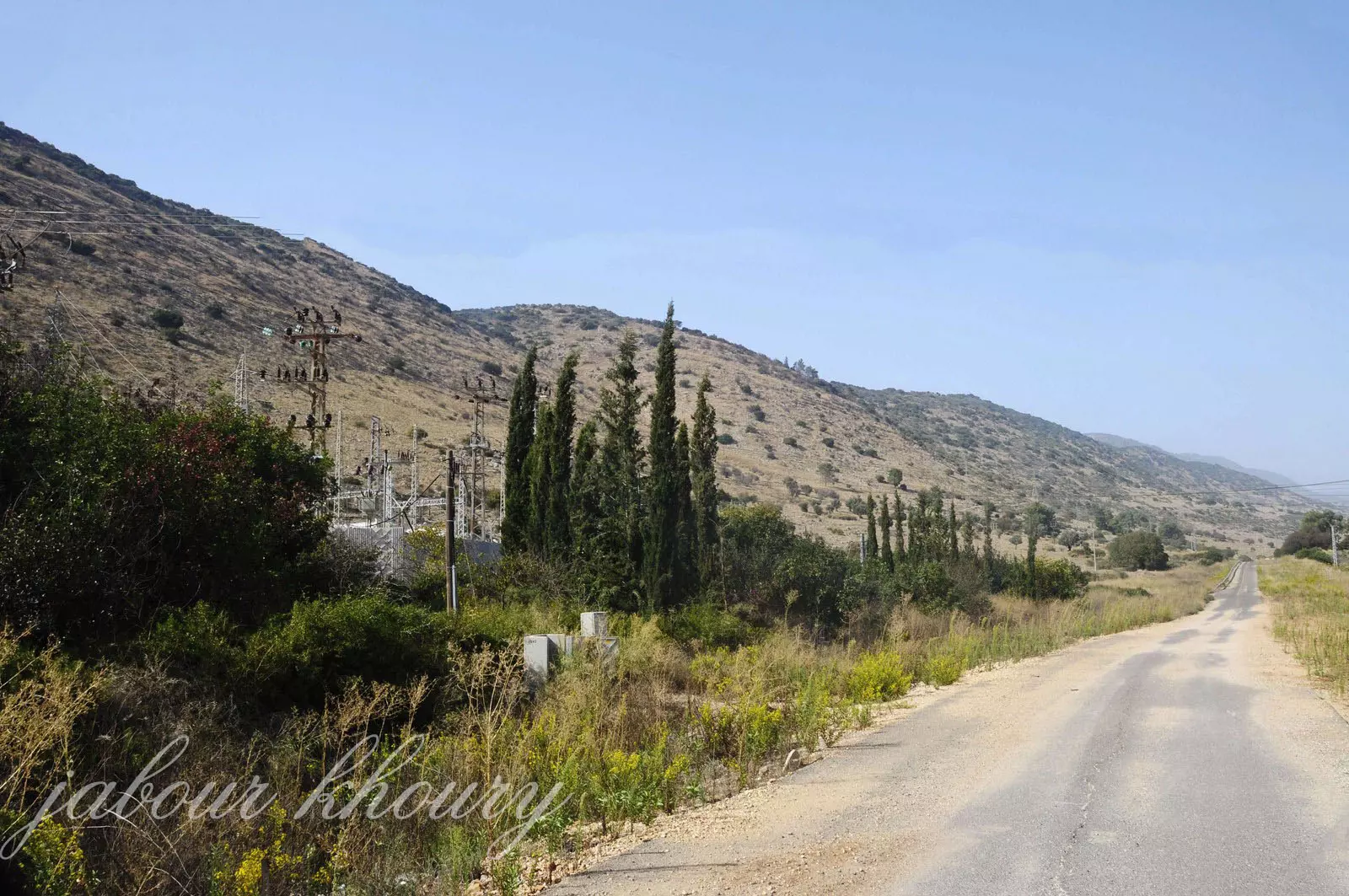
- الجاحولا- غرب القريه
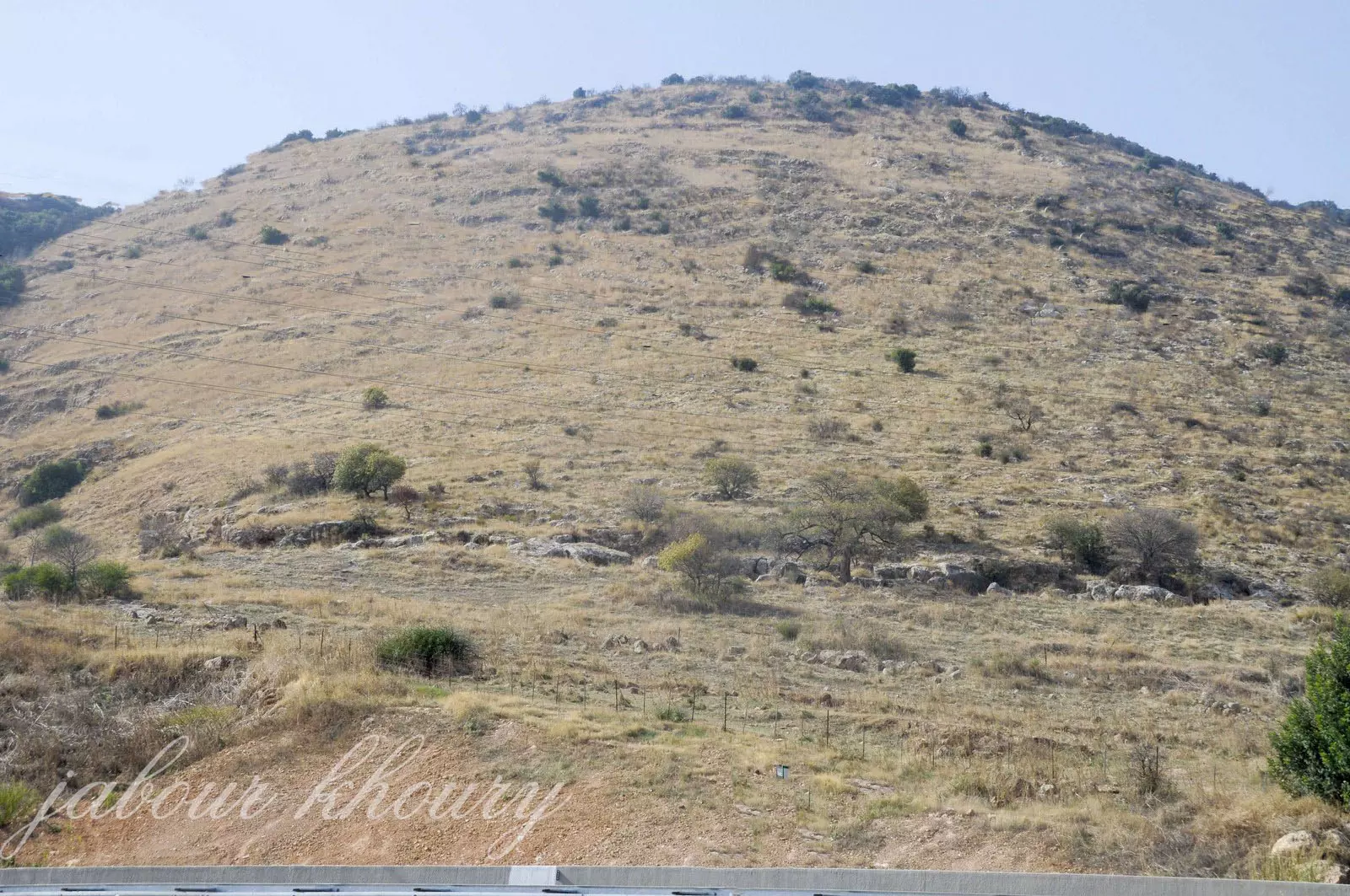
Posted by Jabour Khoury - الجاحولا- التلال والوادي المحيط بالقريه من جهه الجنوب عرب
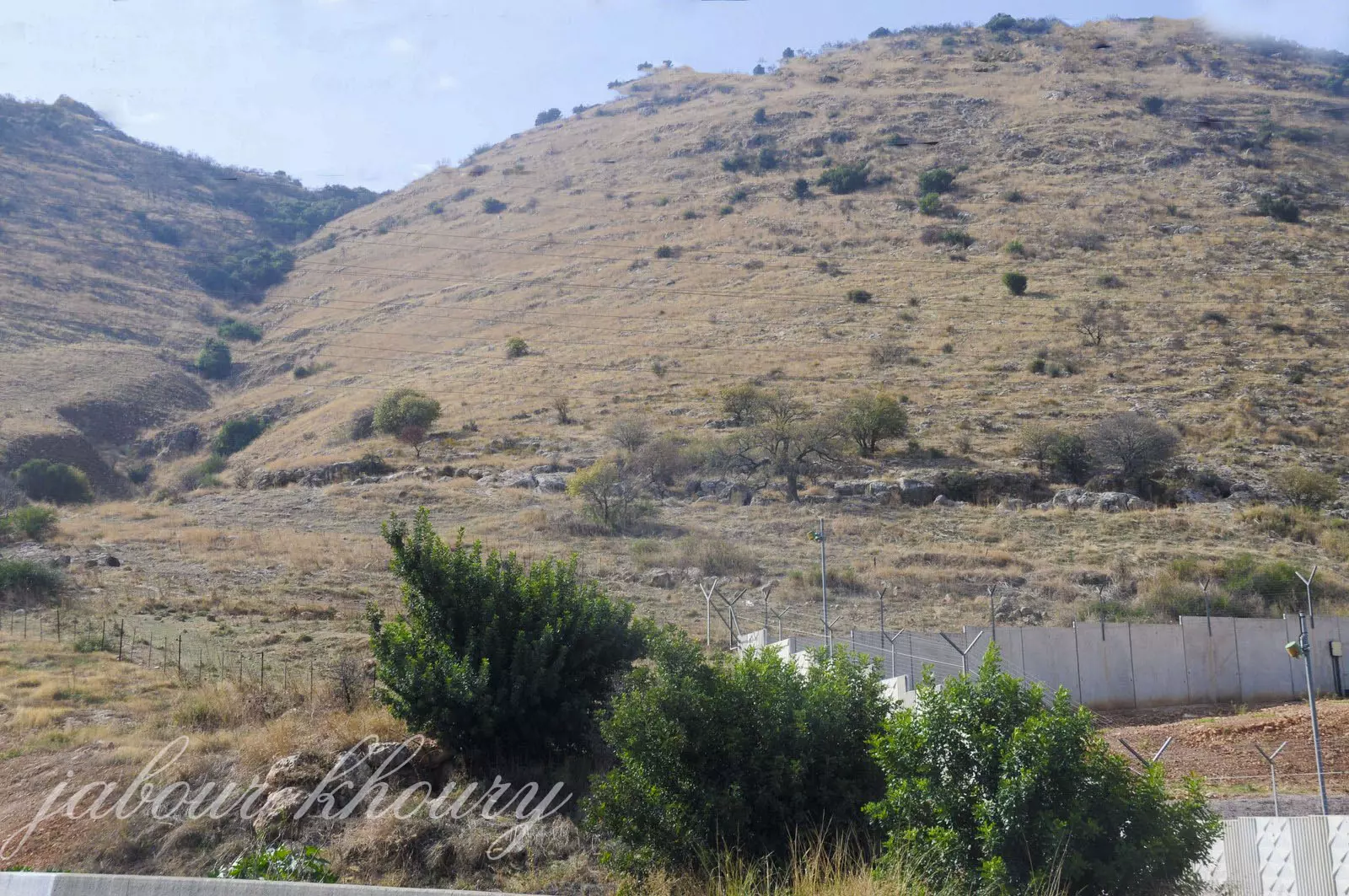
Posted by Jabour Khoury - الجاحولا- الطريق المؤديه الى مركز القريه
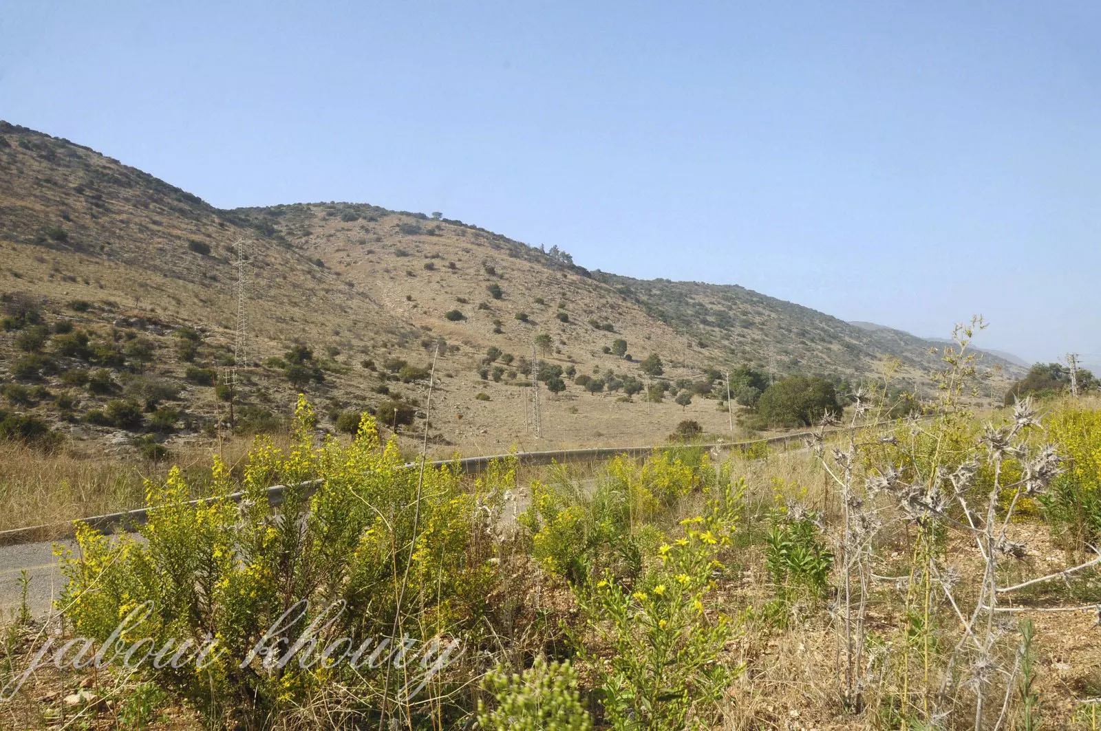
Posted by Jabour Khoury - الجاحولا- نظره من جنوب القريه باتجاه الشمال
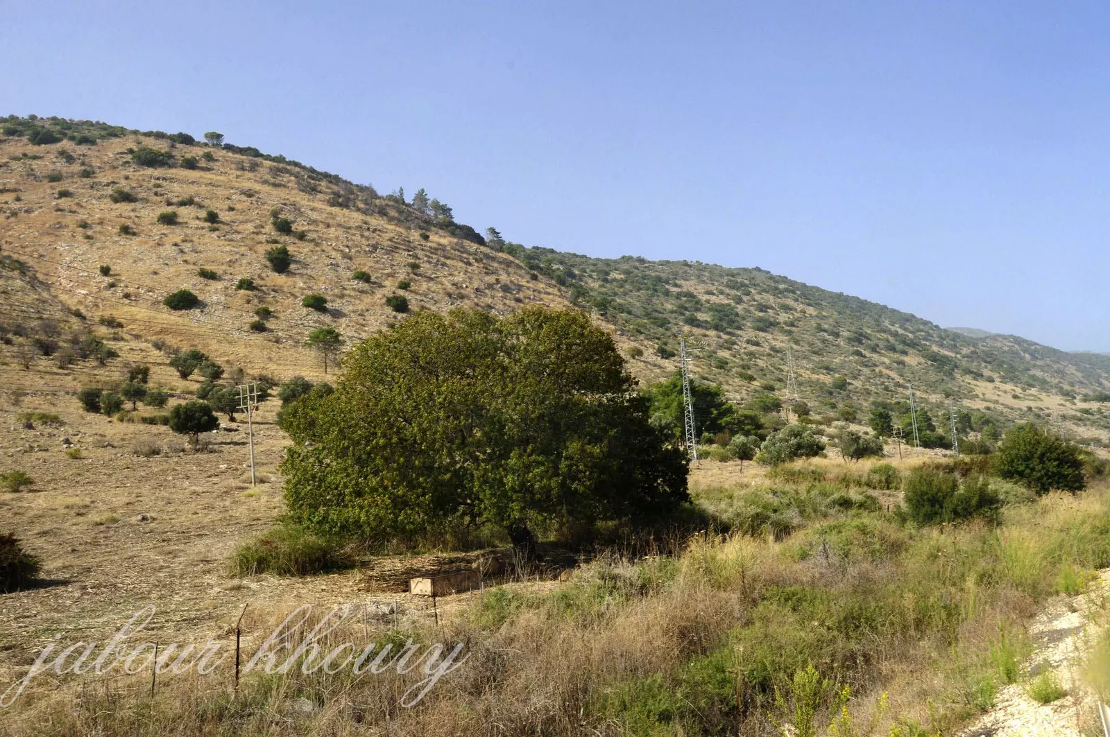
Posted by Jabour Khoury - الجاحولا- اشجار الزيتون والخروب في موقع القريه
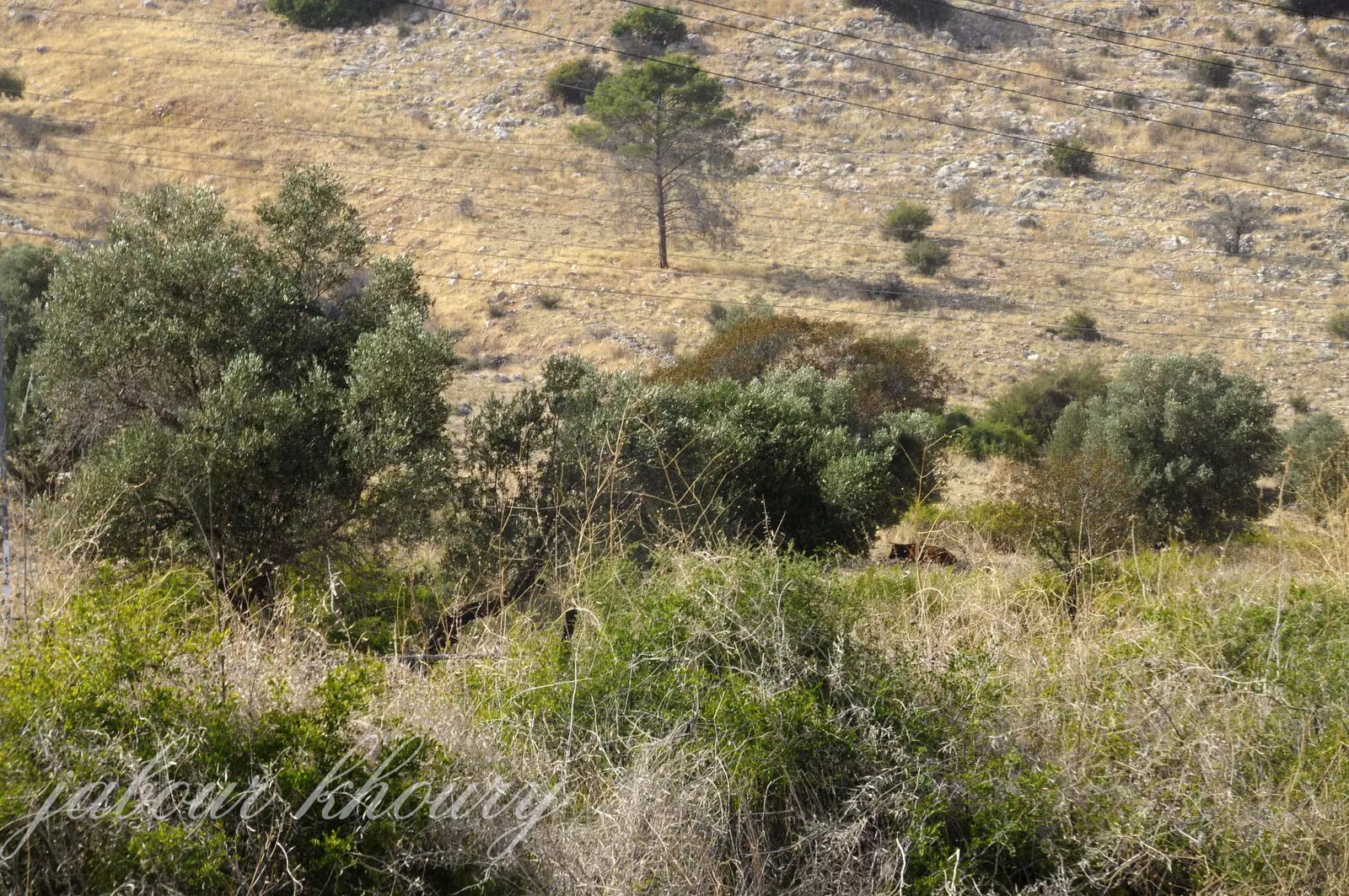
Posted by Jabour Khoury - الجاحولا- اشجار الزيتون والرمان في موقع القريه
Posted by Jabour Khoury - الجاحولا-اراضي القريه من جهه الغرب
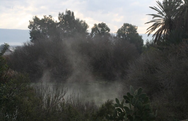
Posted by Jabour Khoury - الجاحولا- منطقه العين
Posted by Jabour Khoury - الجاحولا - منطقه عين الماء
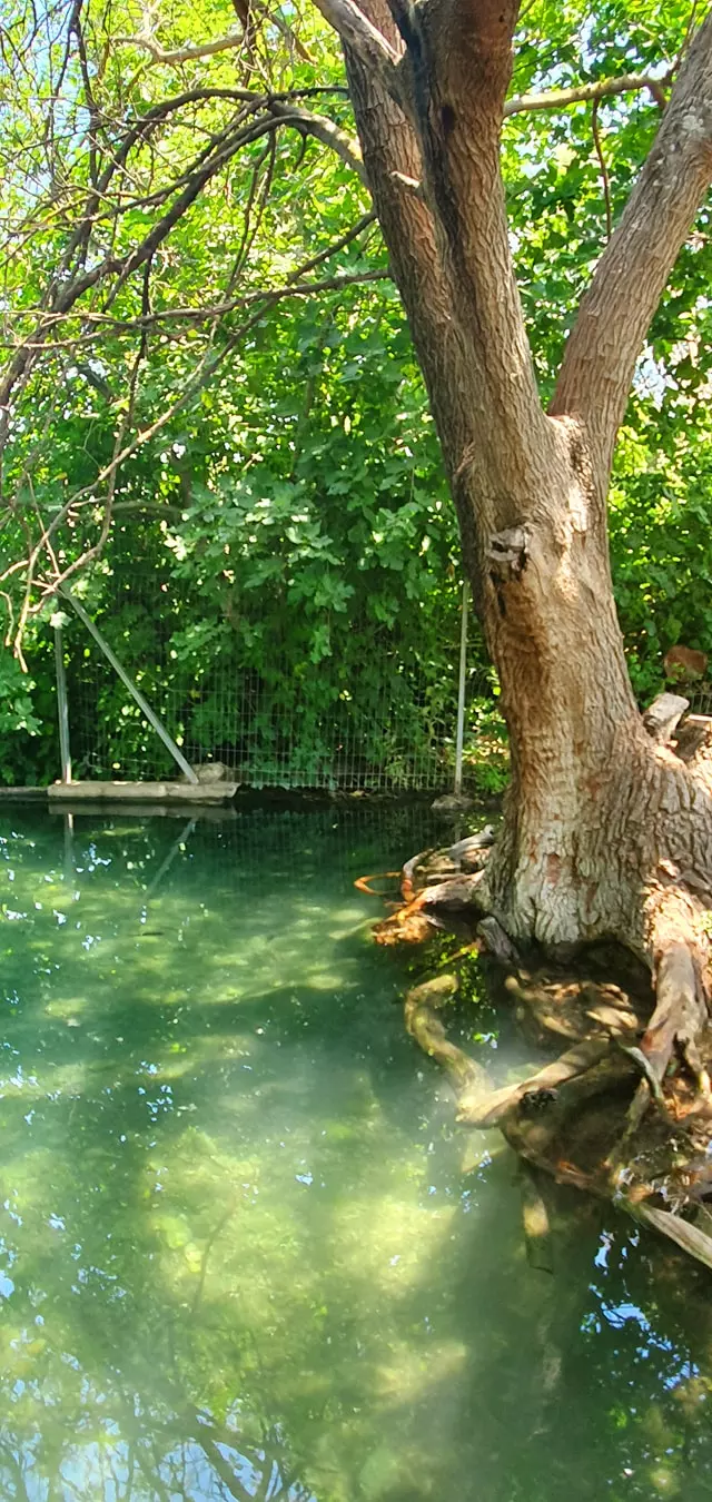
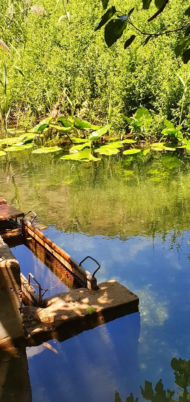
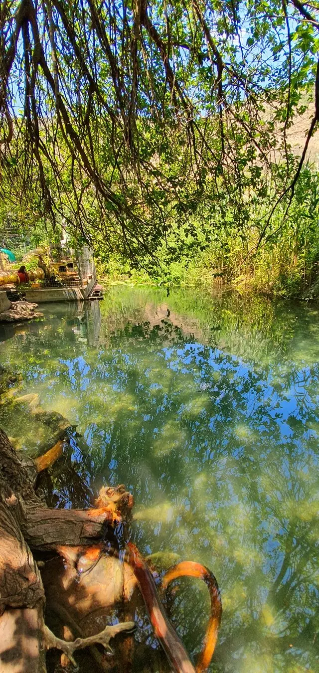
Posted by Jabour Khoury - الجاحولا- عين الجاحولا وتسمى عين بلاطه
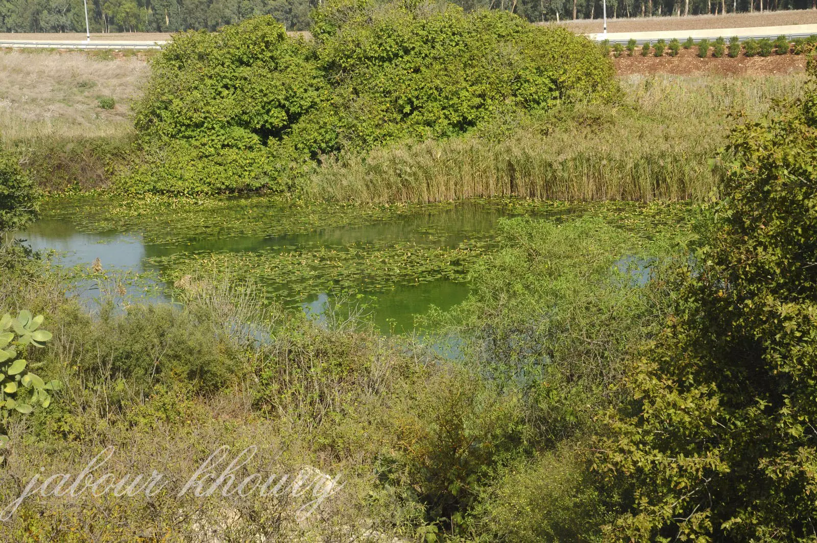
Posted by Jabour Khoury - الجاحولا-عين الجاحولا
Posted by Jabour Khoury - الجاحولا- عين بلاطه
Posted by Jabour Khoury - الجاحولا- شمال غرب القريه
Posted by Jabour Khoury - الجاحولا- غرب القريه وأثار ردم البيوت
Posted by Jabour Khoury - الجاحولا- بقايا بعض المنازل في غرب القريه
Posted by Jabour Khoury - الجاحولا- اشجار النخيل في شمال القريه
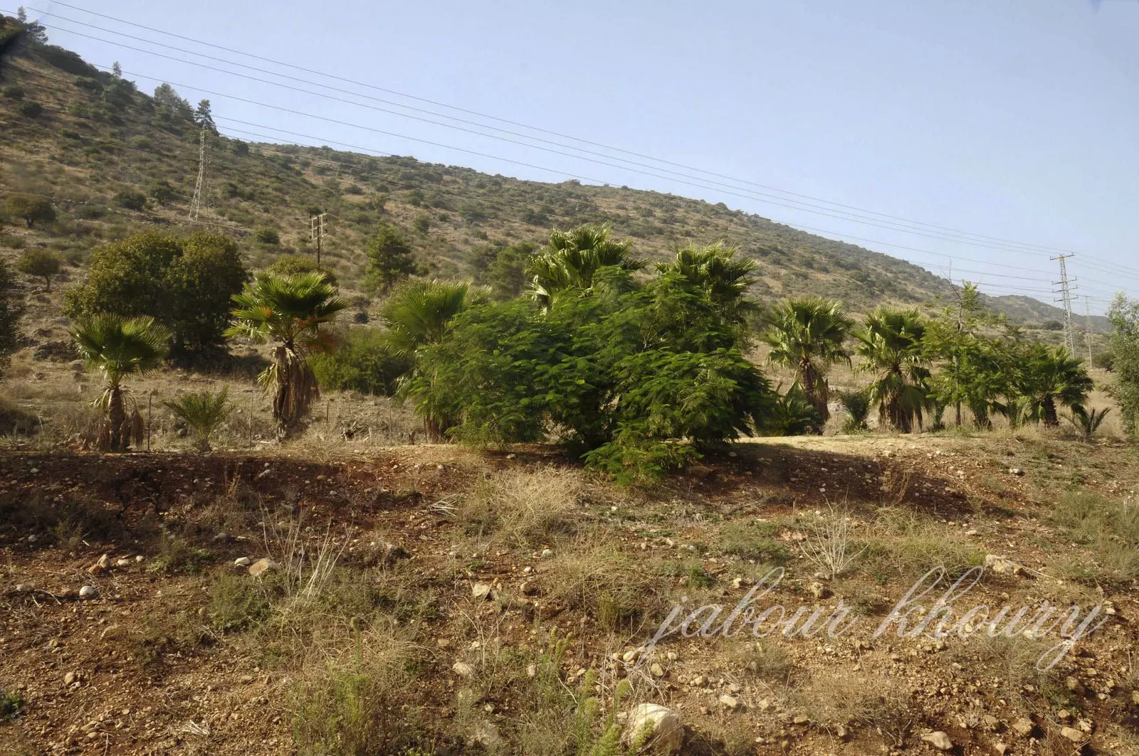
Posted by Jabour Khoury - الجاحولا- اشجار الصبار والنخيل في شمال غرب القريه
Posted by Jabour Khoury - الجاحولا- اشجار الصبار والتين في غرب القريه
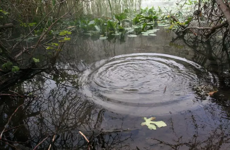
Posted by Jabour Khoury - مياه وادي الخنداج جنوب القريه
Posted by abu raya - طاحونه على وادي الخنداج جنوب القريه
Posted by abu raya - عين بلاطه

Posted by abu raya - مياه عين بلاطه شرق القريه
Posted by abu raya - عين بلاطه
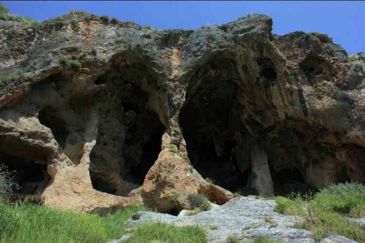
Posted by abu raya - مغر قريبه من موقع القريه
Posted by abu raya - عين بلاطه
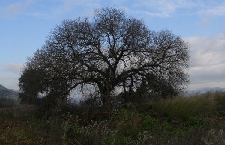
Posted by abu raya - اشجار القريه المعمره
Posted by abu raya - عين بلاطه في القريه
Posted by abu raya - مغر قديمه غرب القريه
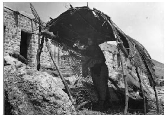
Posted by abu raya - جاحولا قبل النكبه
Posted by abu raya - جاحولا قبل النكبه
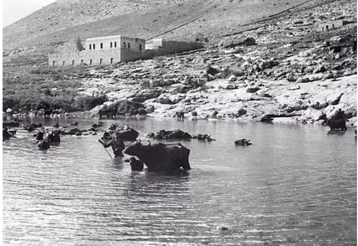
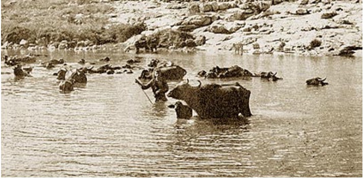
Posted by abu raya - اطفال جاحولا يستحمون في عين بلاطه قبل النكبه
Posted by abu raya - جاحولا وعين بلاطه قبل النكبه
Posted by abu raya - جاحولا قبل النكبه
Posted by abu raya - صوره قديمه من عين بلاطه في قريه جاحولا قبل النكبه
Posted by abu raya - عين بلاطه سنه 1935
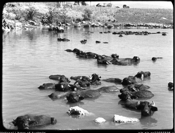
Posted by abu raya - حزم القصب في محيط بحيرة الحولة عام 1946..
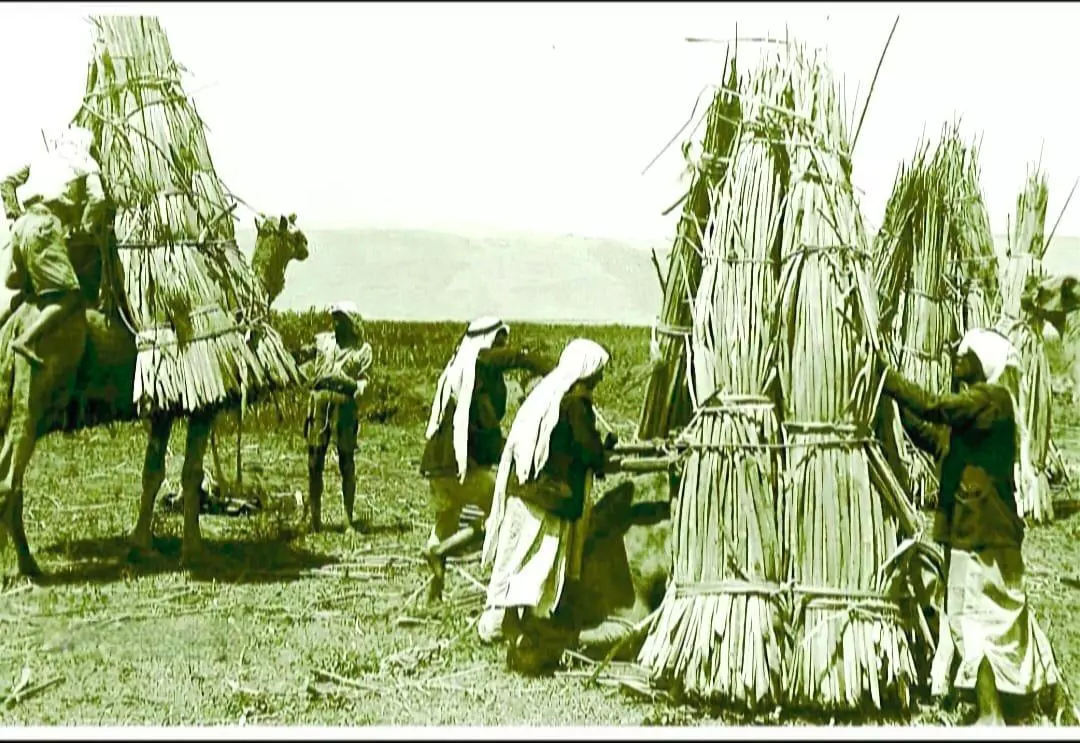
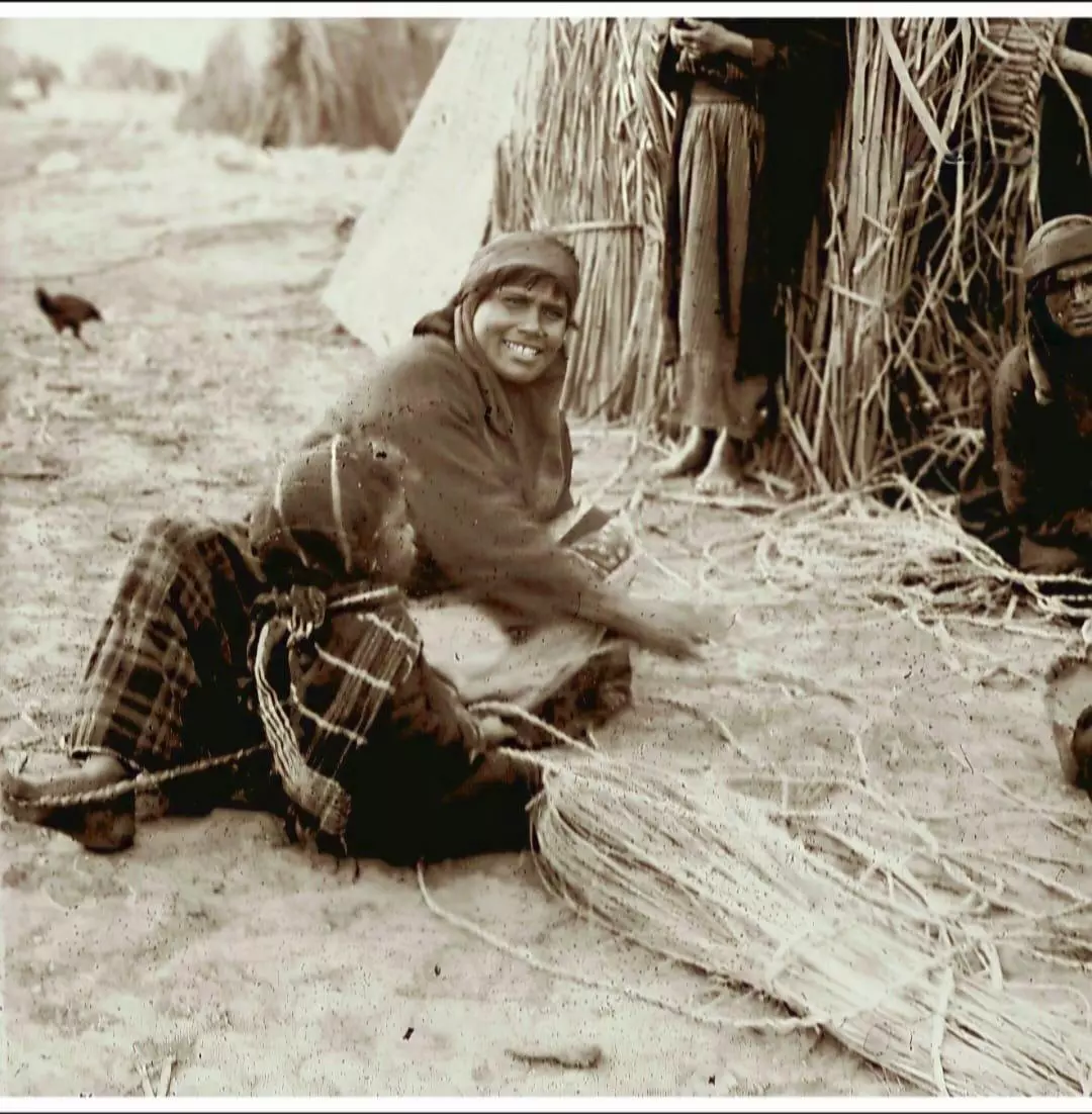
- صناعة السلال والحصر من الحلفاء والقصب في إحدى قرى سهل الحولة بين عام 1915-1920..
- جولة في عين بلاطة قرية جحولا المهجرة May 2021 -- Nabela Salem
- جولة في عين بلاطة قرية جحولا المهجرة May 2021 -- Nabela Salem #2
- جولة في عين بلاطة قرية جحولا المهجرة May 2021 -- Nabela Salem #3
- جولة في عين بلاطة قرية جحولا المهجرة May 2021 -- Nabela Salem #4
- جولة في عين بلاطة قرية جحولا المهجرة May 2021 -- Nabela Salem #5
- جولة في عين بلاطة قرية جحولا المهجرة May 2021 -- Nabela Salem #6
- جولة في عين بلاطة قرية جحولا المهجرة May 2021 -- Nabela Salem #7
- جولة في عين بلاطة قرية جحولا المهجرة May 2021 -- Nabela Salem #8
- جولة في عين بلاطة قرية جحولا المهجرة May 2021 -- Nabela Salem #9
- جولة في عين بلاطة قرية جحولا المهجرة May 2021 -- Nabela Salem #10
Want to browse more? 80,000 pictures were grouped in these gallaries:
| Display Name | Clan/Hamolah | Country of Residence |
| لؤي محمد | - | دمشق, سوريا |
| كمال محمد | - | دمشق, سوريا |
| fadel chaaban | chaaban | sweden, sweden |
| Jamal Ali Saleh | - | Damascus, Syria |
| khaled khoder mohammed | - | saudi arabia/ lebanon / syria |
| Hassan Atia | Atia | Libanon, Libanon |
| Ahmad Chaaban | chaaban | Angered |
- عين قرية جاحولا المهجرة - عين بلاطة -قرى مهجرة حول سهل الحولة Duration: min 46 sec
No links have been shared yet, be free to the first to share the first link.
 Fake Valor: Why Did Zionist Jews Hoist Nazis Flag on Their Ships in the 1930s?
What is new?
-
Facts About Oct. 7th Gaza Raid
-
Remined Us Please:: Who Did Rape Who? Palestinians Raped Israelis? Or, was the other way around?
-
When Prof. Edward Said was invited to debate Bibi Netanyahu in the 1980s, watch what happened!
-
Ezra Klein of the NY Times on the "Jewish Race".
-
Abusing Blood Libel!
-
Zionist FAQ: Isn't it true that Palestinians don't want peace? Palestinians never accepted the two-state solution
- Facts about Haavara (Transfer) Agreement between Ben-Gurion & Hitler
-
Haavara FAQs: Why Did Zionist Jews Hoist Nazis' Flags on Their Ships in the 1930s?
-
Dear ChatGPT: Why did the Jewish Agency suppress news of the Holocaust during WWII?
-
Video Playlist: Jews share their DNA tests to end the conflict for good.
-
A Tale of Two Conflicts: Examining the Definition of Genocide
-
Prof. Abraham Polak And The Suppressed History of the Khazars and European Jewry
-
How Ronald Reagan would have framed the genocide in Gaza if he were still alive?
-
Haavara FAQs: Let us do the math: how many German Jews did The Haavara Agreement save?
-
Zionist FAQs: The Hebron Massacre of 1929, "clearly proves" that Palestinians are antisemitic, how could you deny it?
-
Zionist FAQs: Why Anti-Zionist Is Not Antisemitism?
-
Zionist FAQs: Isn't it true that the KGB create Palestinian Nationalism in the early 1960s?
- Zionist FAQs: Muslims are killing Muslims all the time; why are Israeli Jews being singled out in the media?
- Zionist FAQs: How is Israel an apartheid state when 20% of its citizens are Arabs who enjoy full rights?
-
Haavara FAQs: Analysis of Herzl's Uganda Scheme and how it could have saved millions of Jews.
-
Haavara FAQs: Why did Hayim Greenberg describe American Jewry as "morally bankrupt" in early 1943?
-
Haavara FAQs: What if the Evian Conference was a resounding success? What would have been the impact of saving European Jewry on Zionism?
- Haavara FAQs: What if the six million were saved, how that would have impacted the Zionist project?
-
Haavara FAQs: How did Zionist leaders react when Europe's Jews lingered in the DP camps after WWII ended?
-
Why does the American Jewish community repeat lies that David Ben-Gurion had debunked before he died?
-
Who has the power to rename the Tatar/Khazar Gene Marker to Jewish IV?
-
Zionist FAQs: Why won't Egypt, Syria, and Jordan take their people back? Jews are indigenous to Palestine, and Arabs immigrated after Jews developed the country. Arabs should leave.
-
Haavara FAQs: Did Hitler and the Nazis conflate between Judaism and Zionist? If that wasn't case, then why?
-
Haavara FAQs: Winston Churchill and antisemitism, a collection of articles written Churchill.
-
Haavara FAQs: Broken by country, how many Jews survived vs. killed during the Holocaust?
-
Haavara FAQs: Why did European Jews vote with their feet and to immigrated to the Americas, not Palestine, after WWII?
-
Watch this American Jewish Girl describing Israeli Jews' cognitive dissonance like no other in under two minutes
-
Haavara FAQs: When the Nazis went out of their way to hide the Holocaust, Israeli Jews did the exact opposite by broadcasting their genocide of Gazans. But why?
-
Haavara FAQs: How Zionist Jews went out of their to show their appreciation to Nazism and Fascism?
- Haavara FAQs: Why Zionist leaders were against bombing the death camps & the Railroads leading to them?
-
Haavara FAQs: Hitler's message to the British and American people: If Jews are such noble citizens and you care about them, how come you're not letting them in? I will gladly ship them to you at my expense, even on luxury liners!
-
A shortlist of Zionist and Israeli false flag operations in the name Jews.
-
The Most Moral Army
- The Land of Kapos (Israel): Where the brave are boycotted and Kapos walk free.
- Why did early Zionists often named their communal enterprises "colonial"?
- Zionist Relations with Nazi Germany by Faris Glubb
-
Two NY Times advertisements by Zionists in the early 1943 that exposes Zionists' treason at the height of the calamity
- Facts Not Lies about the Palestinian-Israeli Conflict.
- Site's pictures have been categorized
- Campgain Against Lice
- A Survey of Palestine, the official source about Palestine before Nakba produced by the British Mandate; over 1200 pages.
- Satellite View & Google Earth: Over 6,000 placemarks identifying all destroyed towns, W. Bank & Gaza Strip Towns, & refugee camps.
- PalestineRemembered.com and its Nakba Oral History Project were featured on al-Jazeera Satellite TV.
- Nakba Oral History Video Podcast:
 Over 700 Oral History interviews (including 3,500+ hours of recording) can be viewed online.
 - Palestine Village Statistics Project
- Gaza Jail Break
- النسخة العربية للموقع الان متوفرة
- Videos: Documenting the destroyed villages in video: Tracing all that remains since Nakba.
- Videos: Responding to Zionist Propaganda
- Interview: The ethnic cleansing of Palestine: George Galloway interviews Israeli Historian Ilan Pappe.
- For Palestinians, memory matters. It provides a blueprint for their future By George Bisharat.
- Zionist FAQ now available in Hebrew שאלות שציונים שואלים, עכשיו בעברית
- Video: The Stephen Walt and John Mearsheimer report on the influence of the Israel Lobby on U.S. Foreign Policy
- The Palestinian-Israeli conflict for beginners
