| PalestineRemembered | About Us | Oral History | العربية | |
| Pictures | Zionist FAQs | Haavara | Maps | |
| Search |
| Camps |
| Districts |
| Acre |
| Baysan |
| Beersheba |
| Bethlehem |
| Gaza |
| Haifa |
| Hebron |
| Jaffa |
| Jericho |
| Jerusalem |
| Jinin |
| Nablus |
| Nazareth |
| Ramallah |
| al-Ramla |
| Safad |
| Tiberias |
| Tulkarm |
| Donate |
| Contact |
| Profile |
| Videos |
Welcome To Baysamun - بيسمون (ביסמון)
|
District of Safad
Ethnically cleansed days ago |
العربية Google Earth |
 |
Gallery (15) |
- Statistics & Facts
-
Before & After

- Satellite View
- Articles 2
- Pictures 15
- Oral History 1
- Members 2
- All That Remains
- Wikipedia
- Videos
- Guest Book 1
- Links
| Statistic & Fact | Value | ||||||||||||
| Occupation Date | May 25, 1948 | ||||||||||||
| Distance From District | 16.5 (km) North East of Safad | ||||||||||||
| Elevation | 75 (meters) | ||||||||||||
| Before & After Nakba, Click Map For Details |
|||||||||||||
|
|||||||||||||
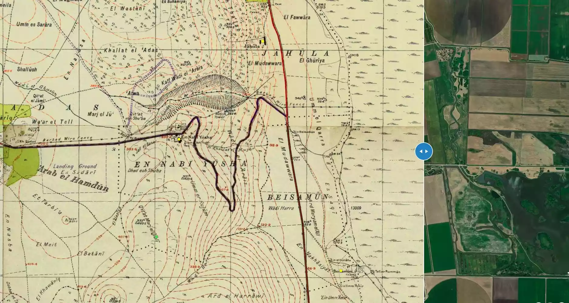
| Map Location | See location #30 on the map View from satellite |
||||||||||||
| Military Operation | Operation Yiftach (commanded by the ethnic cleansing champion Yigal Allon) | ||||||||||||
| Attacking Units | The Palmach's First Battalion | ||||||||||||
| Exodus Cause | Haganah 'Wispering' campaign (psychological warfare) | ||||||||||||
| Village Temains | The village has been completely obliterated | ||||||||||||
| Ethnically Cleansing | Baysamun was ethnically cleansed as a result of psychological warfare conducted on the 25th of May 1948. | ||||||||||||
| Pre-Nakba Land Ownership |
**Town Lands' Demarcation Maps |
||||||||||||
| Land Usage As of 1945 |
|
||||||||||||
| Population |
|
||||||||||||
| Number of Houses |
|
||||||||||||
| Near By Towns |
|||||||||||||
|
|||||||||||||
| Town's Name Through History | Baysamun name may have been a derivation of Bayt (meeaning a house) and Ashmun (a Phoenician god). | ||||||||||||
| Exculsive Jewish Colonies Who Usurped Village Lands |
No settlements on village lands | ||||||||||||
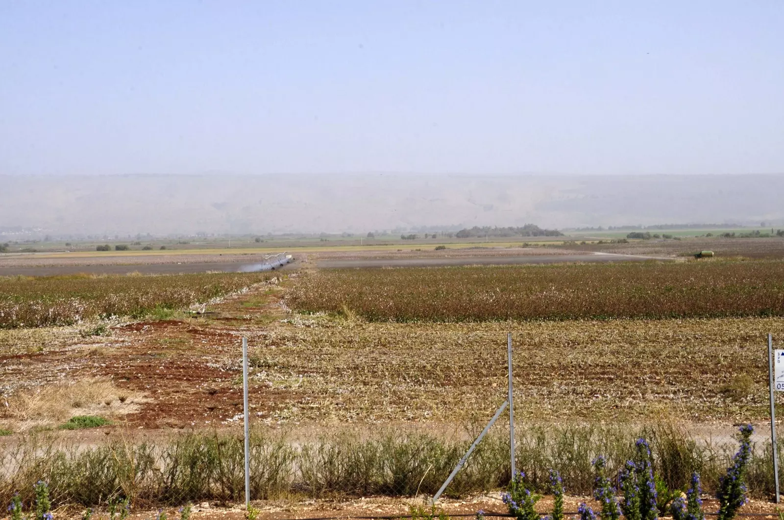
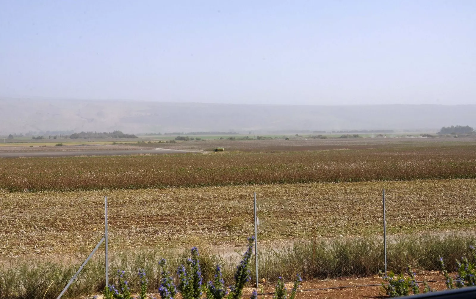
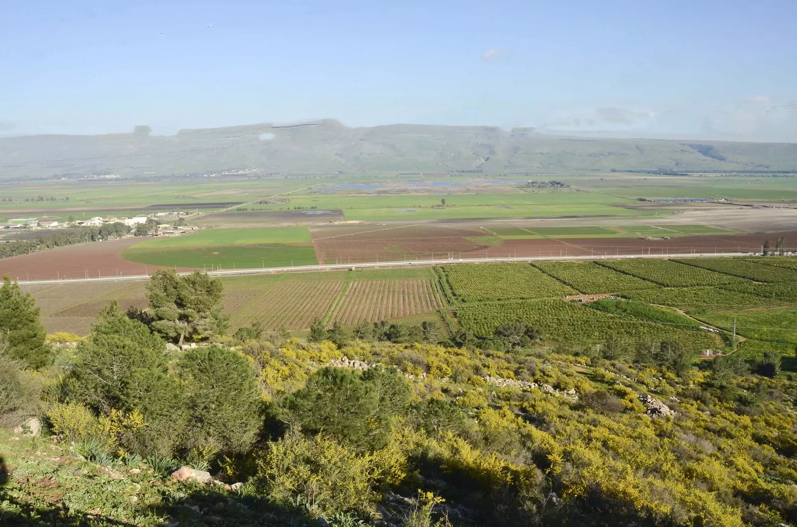
Village Before NakbaThe village stood in a flat area that faced a mountain range on the west and overlooked the aI-Hula Plain on the other sides. It was linked by a short dirt road to a highway that ran west of it and led to Safad and Tiberias. The name Baysamun may have been a derivation of bayt (house) and Ashmun (a Phoenician god), which would mean "temple of Ashmun" in Phoenician. In modern times, Baysamun was a small village, designated a hamlet in the Mandate-era Palestine Index Gazetteer, whose houses were scattered in an east-west direction along the road that connected it to the highway. Its population was predominantly Muslim. Springs lay on its western and southern sides, and orange trees were planted to the north. In 1944/45 the villagers used 1,817 dunums of its land for growing cereals; 107 dunums were irrigated or used for orchards.Village Occupation and Ethnic CleaningAccording to an Israeli military intelligence report in June 1948, the people of Baysamun fled as a direct result of a Palmach "whispering campaign" on 25 May. Such exercises in psychological warfare were an integral part of Operation Yiftach (see Abil al-Qamh, Safad sub-disctrict). [M:122-23)Zionists Colonies on Village LandsThere are no Israeli settlements on the village site or on village lands.Village TodayNo traces of the houses remain. The site is occupied by warehouses for agricultural implements used by Kibbutz Manara (201289), which had been established in 1943 (see photo). The land around the site is cultivated and fish ponds have been constructed close to it.SourceDr. Walid al-Khalidi, 1992: All That Remains. |
|||||||||||||
| Related Maps | Town Lands' Demarcation Maps خرائط للقضاء توضح حدود القرى والاودية Town's map on MapQuest View from satellite Help us map this town at WikiMapia |
||||||||||||
| Related Links | Wikipedia's Page Google Search Google For Images Google For Videos |
||||||||||||
| More Information | في كتاب كي لا ننسى المزيد من موقع هوية |
||||||||||||
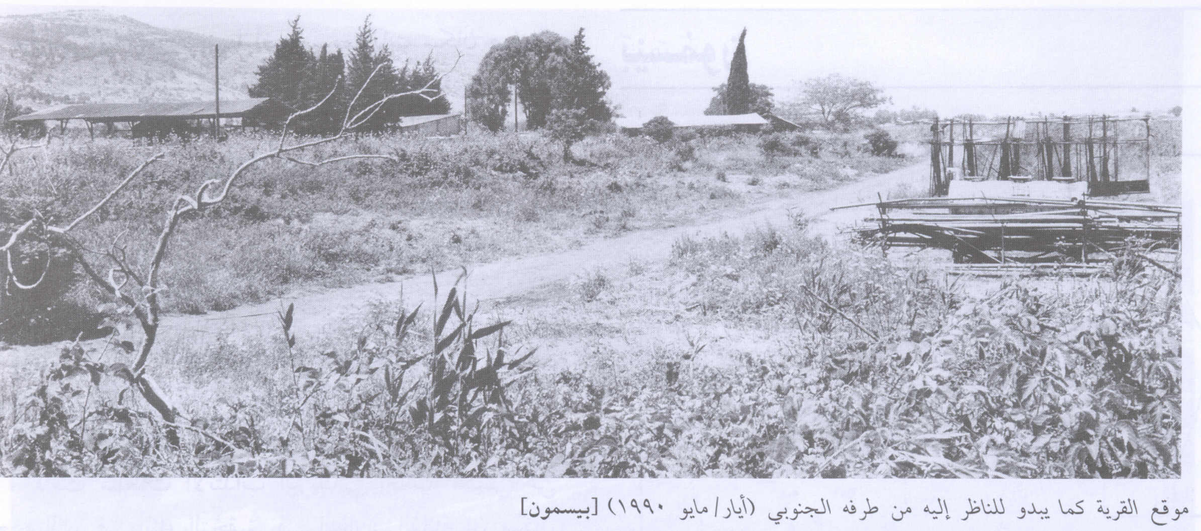
- The Village Site In 1990
Scanned from "All That Remains" by Dr. Walid Khalidi 1 - بيسمون- أراضي القريه -لم يبقى أيا اثر للقريه
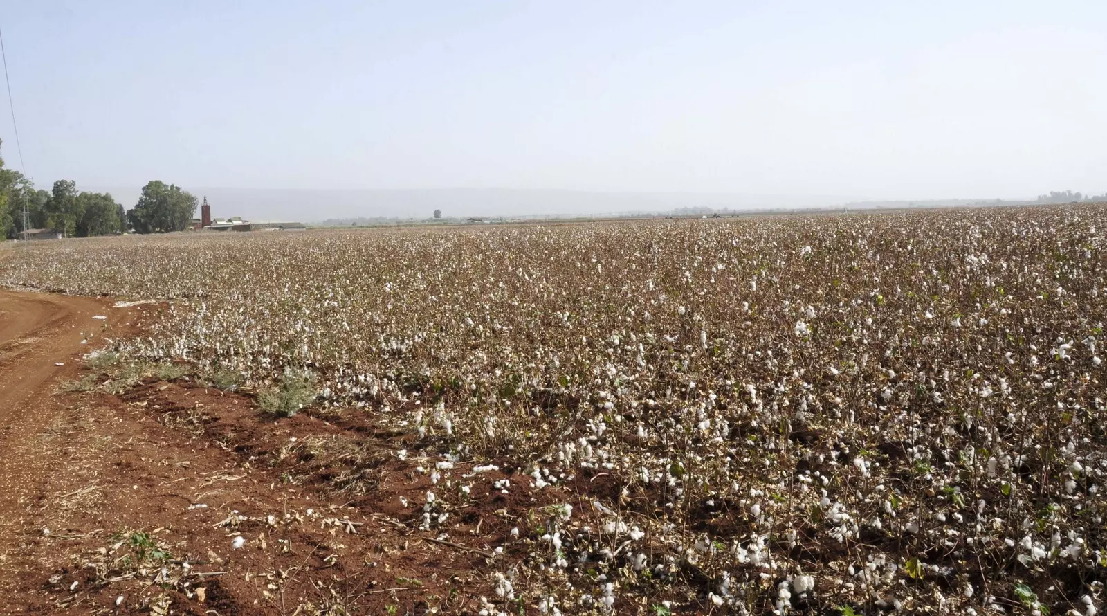
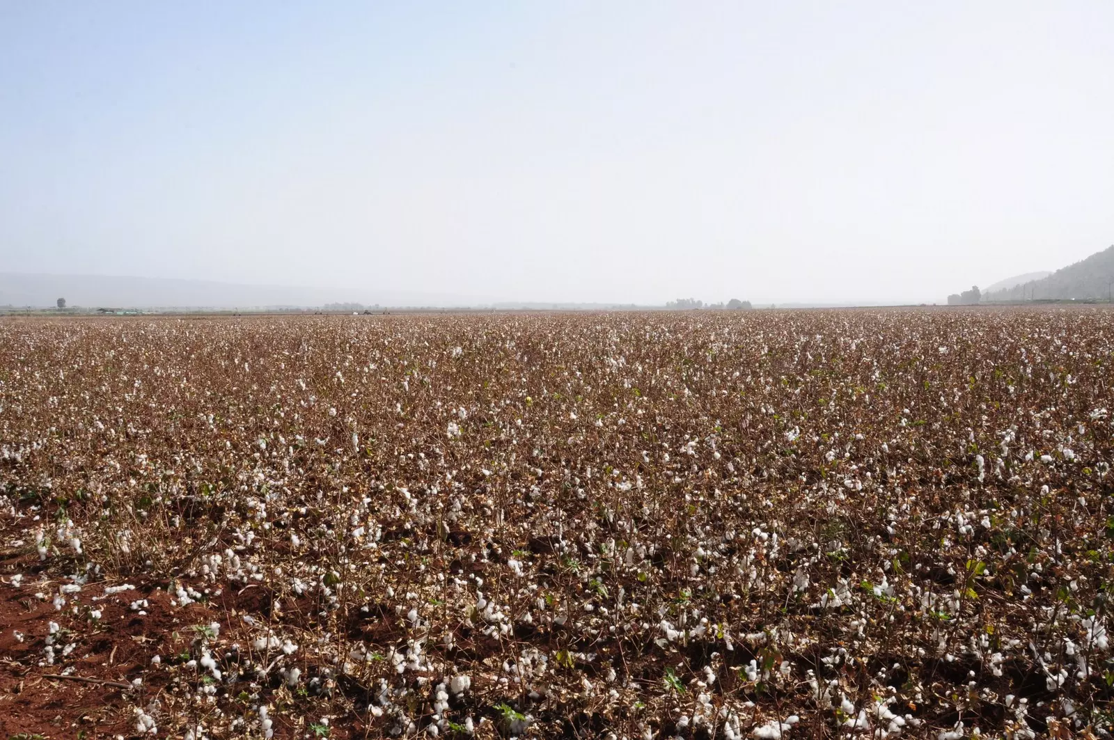
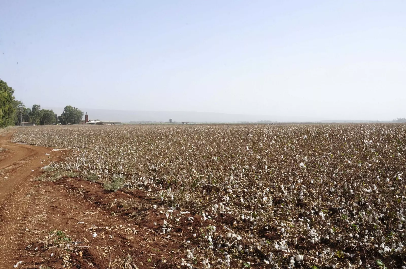
Posted by Jabour Khoury - بيسمون- اراضي القريه
Posted by Jabour Khoury - بيسمون- اراضي القريه
Posted by Jabour Khoury - بيسمون- اراضي القريه
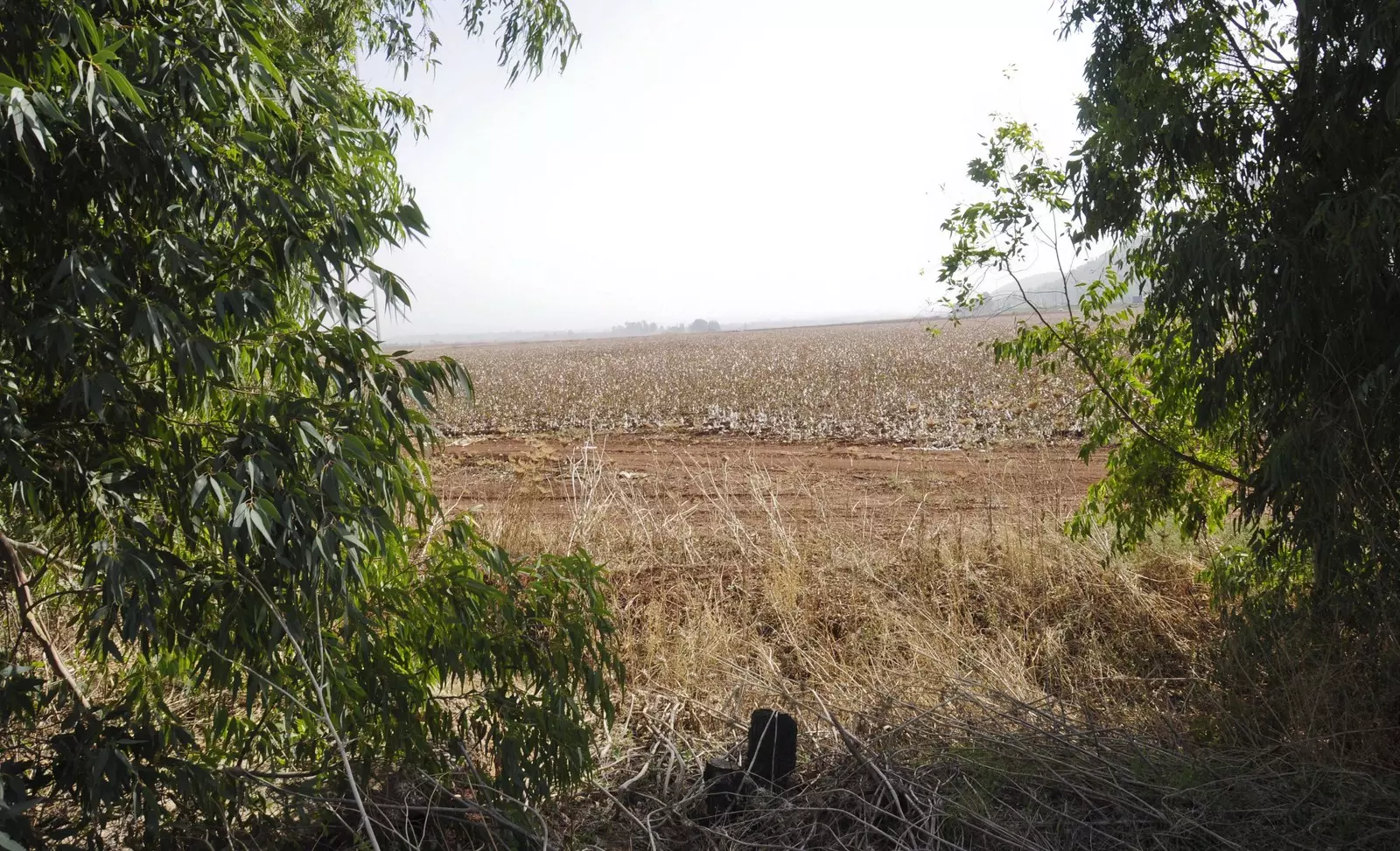
Posted by Jabour Khoury - بيسمون- موقع القريه
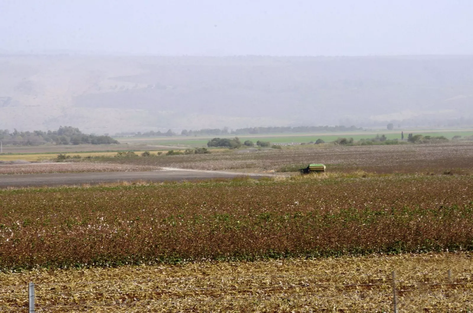
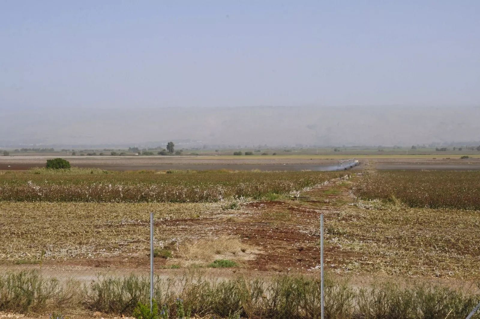
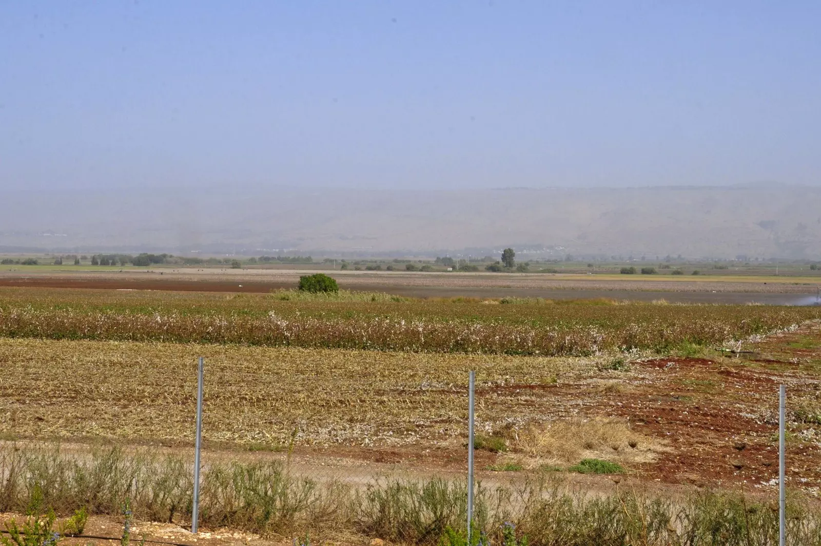
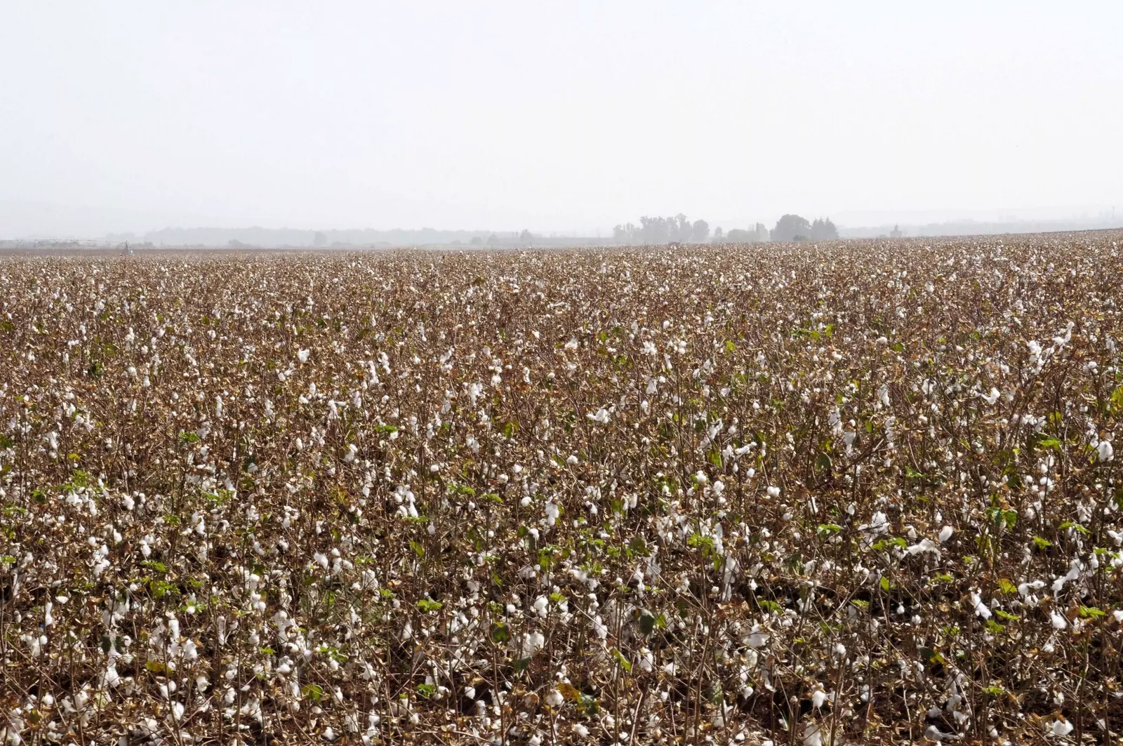
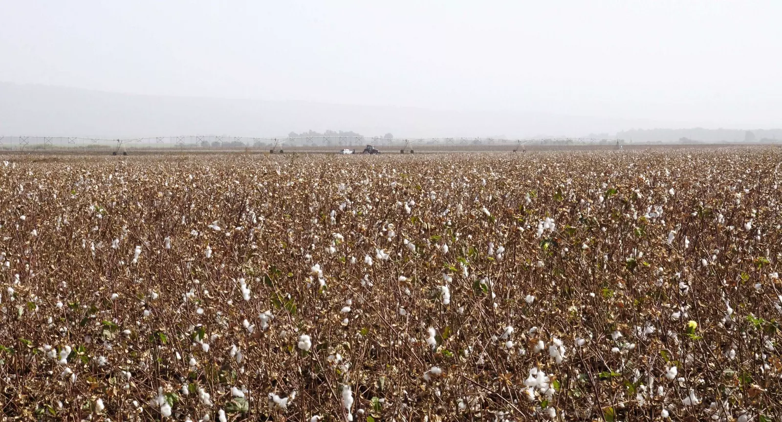
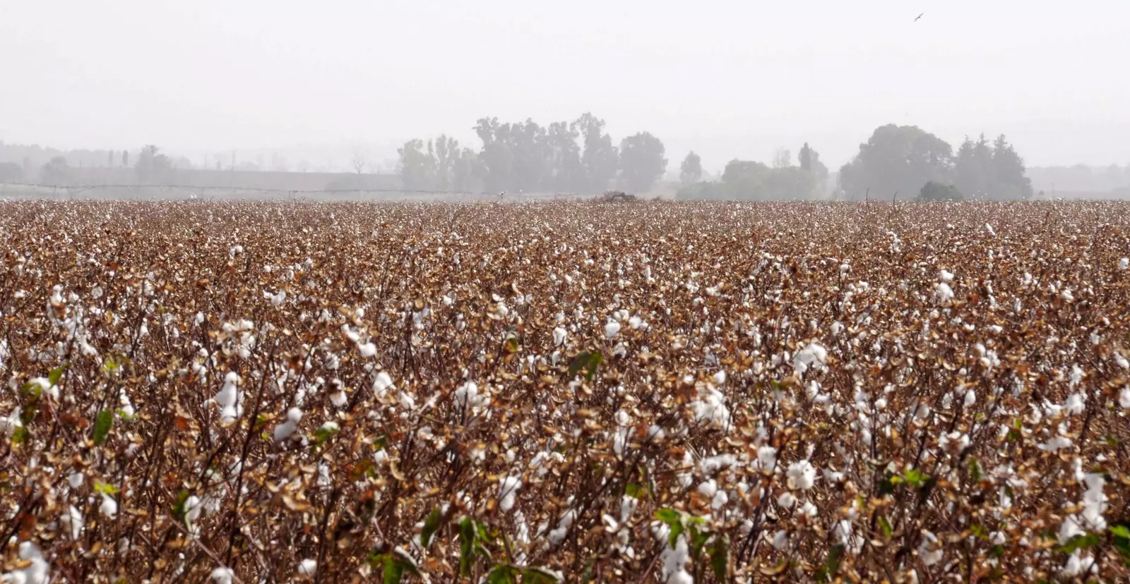
Posted by Jabour Khoury - بيسمون- اراضي القريه المزروعه بالقطن
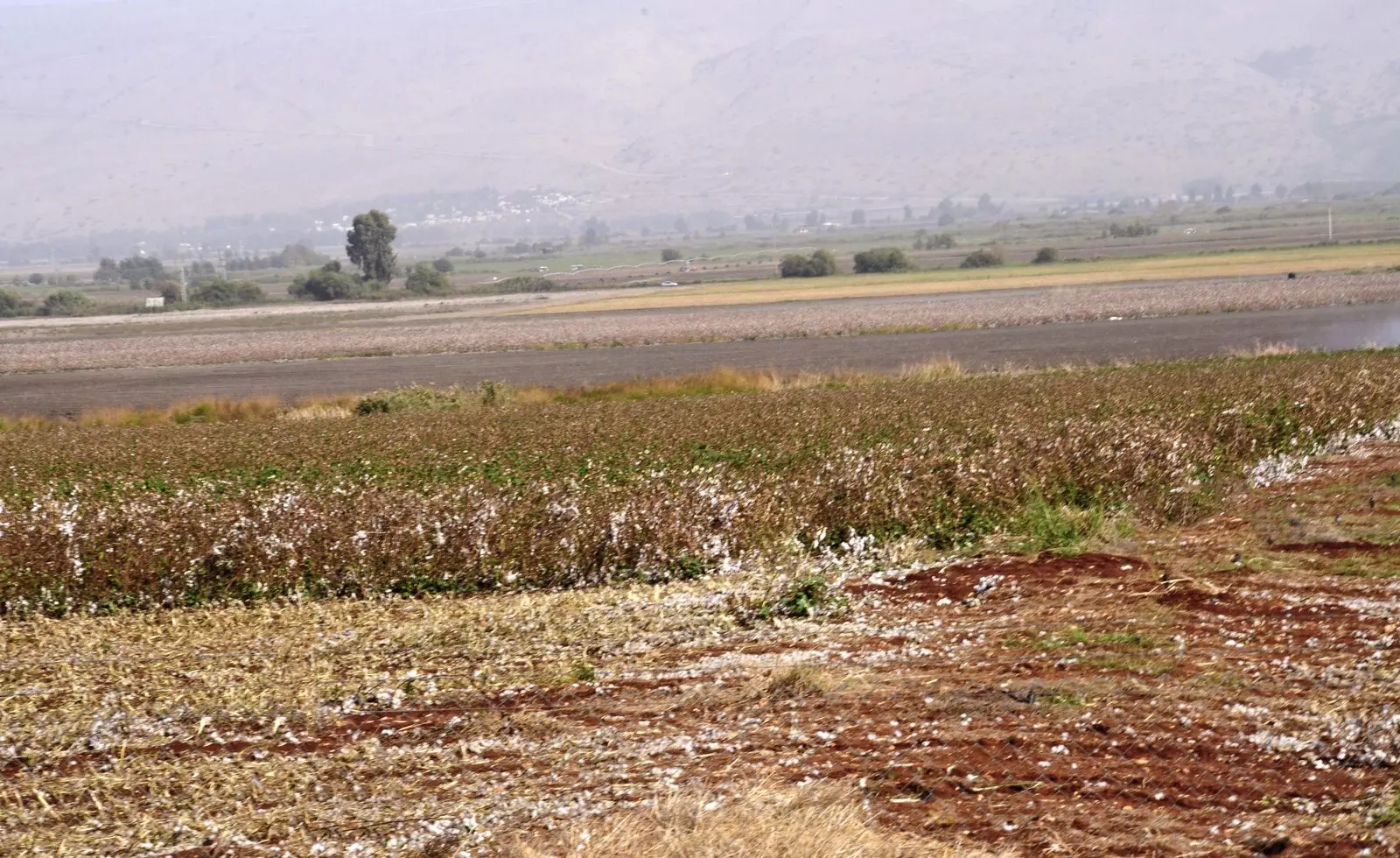
Posted by Jabour Khoury - بيسمون- القطن المزروع باراضي القريه
Posted by Jabour Khoury - بيسمون
Posted by Jabour Khoury - بيسمون- شمال القريه
Posted by Jabour Khoury - بيسمون- نظره من الشمال الى الجنوب
Posted by Jabour Khoury - بيسمون - تظهر قريه الملاحه في خلفيه الصوره
Posted by Jabour Khoury - بيسمون- القسم الشمالي من اراضي القريه
Posted by Jabour Khoury - نظره الى اراضي بيسمون والملاحه من الشمال الى الجنوب
Posted by Jabour Khoury - اراضي بيسمون كما تظهر من قريه النبي يوشه وفي اقصى الصوره الجولان الحبيب
Posted by Jabour Khoury
Want to browse more? 80,000 pictures were grouped in these gallaries:
| Display Name | Clan/Hamolah | Country of Residence |
| yassin soueidan | Soueidan | ILL, USA |
| SAFAD100 | - | - |
No links have been shared yet, be free to the first to share the first link.
 Fake Valor: Why Did Zionist Jews Hoist Nazis Flag on Their Ships in the 1930s?
What is new?
-
Facts About Oct. 7th Gaza Raid
-
Remined Us Please:: Who Did Rape Who? Palestinians Raped Israelis? Or, was the other way around?
-
When Prof. Edward Said was invited to debate Bibi Netanyahu in the 1980s, watch what happened!
-
Ezra Klein of the NY Times on the "Jewish Race".
-
Abusing Blood Libel!
-
Did Israeli Soldiers Activate The Hanniba Direective On Oct. 7th? You Be The Judge
-
Zionist FAQ: Isn't it true that Palestinians don't want peace? Palestinians never accepted the two-state solution
- Facts about Haavara (Transfer) Agreement between Ben-Gurion & Hitler
-
Haavara FAQs: Why Did Zionist Jews Hoist Nazis' Flags on Their Ships in the 1930s?
- Haavara FAQs: When Chaim Weizmann met FDR in mid-1943, why was he silent about rescuing European Jewry?
-
Dear ChatGPT: How did Palestinians resist Napoleon's invasion of their country in 1799?
-
Dear ChatGPT: Gaza had a vibrant Jewish community in the mid-17th century. What happened to them?
-
Dear ChatGPT: Why did the Jewish Agency suppress news of the Holocaust during WWII?
-
Video Playlist: Jews share their DNA tests to end the conflict for good.
-
A Tale of Two Conflicts: Examining the Definition of Genocide
-
Prof. Abraham Polak And The Suppressed History of the Khazars and European Jewry
-
How Ronald Reagan would have framed the genocide in Gaza if he were still alive?
-
Haavara FAQs: Let us do the math: how many German Jews did The Haavara Agreement save?
-
Zionist FAQs: The Hebron Massacre of 1929, "clearly proves" that Palestinians are antisemitic, how could you deny it?
-
Zionist FAQs: Why Anti-Zionist Is Not Antisemitism?
-
Zionist FAQs: Isn't it true that the KGB created Palestinian Nationalism in the early 1960s?
- Zionist FAQs: Muslims are killing Muslims all the time; why are Israeli Jews being singled out in the media?
- Zionist FAQs: How is Israel an apartheid state when 20% of its citizens are Arabs who enjoy full rights?
-
Haavara FAQs: Why Did Dorothy Thompson Flip From A Zionist Advocate to A Silenced Dissenter?
-
Haavara FAQs: Analysis of Herzl's Uganda Scheme and how it could have saved millions of Jews.
-
Haavara FAQs: Why did Hayim Greenberg describe American Jewry as "morally bankrupt" in early 1943?
-
Haavara FAQs: What if the Evian Conference was a resounding success? What would have been the impact of saving European Jewry on Zionism?
- Haavara FAQs: What if the six million were saved, how that would have impacted the Zionist project?
-
Haavara FAQs: How did Zionist leaders react when Europe's Jews lingered in the DP camps after WWII ended?
-
Why does the American Jewish community repeat lies that David Ben-Gurion had debunked before he died?
-
Who has the power to rename the Tatar/Khazar Gene Marker to Jewish IV?
-
Zionist FAQs: Why won't Egypt, Syria, and Jordan take their people back? Jews are indigenous to Palestine, and Arabs immigrated after Jews developed the country. Arabs should leave.
-
Haavara FAQs: Did Hitler and the Nazis conflate between Judaism and Zionist? If that wasn't case, then why?
-
Haavara FAQs: Winston Churchill and antisemitism, a collection of articles written Churchill.
-
Haavara FAQs: Broken by country, how many Jews survived vs. killed during the Holocaust?
-
Haavara FAQs: Why did European Jews vote with their feet and to immigrated to the Americas, not Palestine, after WWII?
-
Watch this American Jewish Girl describing Israeli Jews' cognitive dissonance like no other in under two minutes
-
Haavara FAQs: When the Nazis went out of their way to hide the Holocaust, Israeli Jews did the exact opposite by broadcasting their genocide of Gazans. But why?
-
Haavara FAQs: How Zionist Jews went out of their to show their appreciation to Nazism and Fascism?
- Haavara FAQs: Why Zionist leaders were against bombing the death camps & the Railroads leading to them?
-
Haavara FAQs: Hitler's message to the British and American people: If Jews are such noble citizens and you care about them, how come you're not letting them in? I will gladly ship them to you at my expense, even on luxury liners!
-
A shortlist of Zionist and Israeli false flag operations in the name Jews.
-
The Most Moral Army
- The Land of Kapos (Israel): Where the brave are boycotted and Kapos walk free.
- Why did early Zionists often named their communal enterprises "colonial"?
- Zionist Relations with Nazi Germany by Faris Glubb
-
Two NY Times advertisements by Zionists in the early 1943 that exposes Zionists' treason at the height of the calamity
- Facts Not Lies about the Palestinian-Israeli Conflict.
- Site's pictures have been categorized
- Campgain Against Lice
- A Survey of Palestine, the official source about Palestine before Nakba produced by the British Mandate; over 1200 pages.
- Satellite View & Google Earth: Over 6,000 placemarks identifying all destroyed towns, W. Bank & Gaza Strip Towns, & refugee camps.
- PalestineRemembered.com and its Nakba Oral History Project were featured on al-Jazeera Satellite TV.
- Nakba Oral History Video Podcast:
 Over 700 Oral History interviews (including 3,500+ hours of recording) can be viewed online.
 - Palestine Village Statistics Project
- Gaza Jail Break
- النسخة العربية للموقع الان متوفرة
- Videos: Documenting the destroyed villages in video: Tracing all that remains since Nakba.
- Videos: Responding to Zionist Propaganda
- Interview: The ethnic cleansing of Palestine: George Galloway interviews Israeli Historian Ilan Pappe.
- For Palestinians, memory matters. It provides a blueprint for their future By George Bisharat.
- Zionist FAQ now available in Hebrew שאלות שציונים שואלים, עכשיו בעברית
- Video: The Stephen Walt and John Mearsheimer report on the influence of the Israel Lobby on U.S. Foreign Policy
- The Palestinian-Israeli conflict for beginners
