| PalestineRemembered | About Us | Oral History | العربية | |
| Pictures | Zionist FAQs | Haavara | Maps | |
| Search |
| Camps |
| Districts |
| Acre |
| Baysan |
| Beersheba |
| Bethlehem |
| Gaza |
| Haifa |
| Hebron |
| Jaffa |
| Jericho |
| Jerusalem |
| Jinin |
| Nablus |
| Nazareth |
| Ramallah |
| al-Ramla |
| Safad |
| Tiberias |
| Tulkarm |
| Donate |
| Contact |
| Profile |
| Videos |
Welcome To al-Butayha - البطيحه (אל-בוטיחה)
|
District of Safad
Ethnically cleansed days ago |
العربية Google Earth |
 |
Gallery (24) |
- Statistics & Facts
-
Before & After

- Satellite View
- Articles 1
- Pictures 24
- Members 1
- All That Remains
- Wikipedia
- Videos
- Guest Book
- Links
| Statistic & Fact | Value | ||||||||||
| Occupation Date | May 4, 1948 | ||||||||||
| Distance From District | 13 (km) South East of Safad | ||||||||||
| Elevation | -200 (meters) | ||||||||||
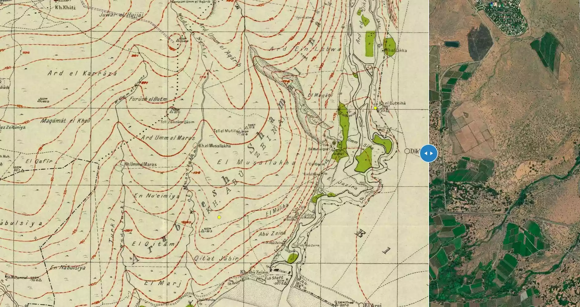
| Before & After Nakba, Click Map For Details |
|||||||||||
|
|||||||||||
| Map Location | See location #76 on the map View from satellite |
||||||||||
| Military Operation | Operation Matate (Broom) (a sub-operation of Operation Yiftach) | ||||||||||
| Attacking Units | The Palmach's First Battalion | ||||||||||
| Defenders | Local militia & Arab Liberation Army | ||||||||||
| Refugees' Migration Routes | Refugees were mostly forced into Syria. | ||||||||||
| Exodus Cause | Expulsion by Zionist troops | ||||||||||
| Village Temains | The village has been completely destroyed, and only house walls and rubble left behind. | ||||||||||
| Ethnically Cleansing | al-Butayha inhabitants were completely ethnically cleansed. | ||||||||||
| Pre-Nakba Land Ownership |
**Town Lands' Demarcation Maps |
||||||||||
| Population |
|
||||||||||
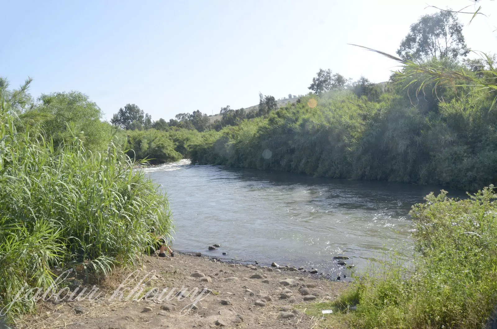
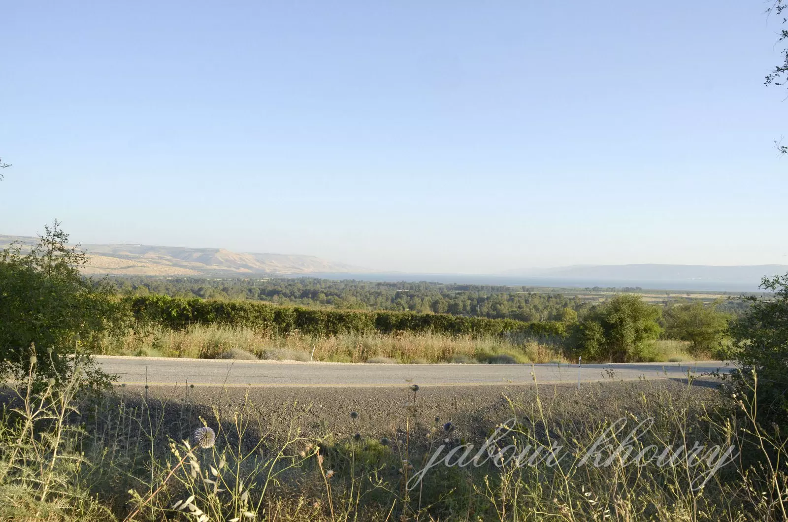
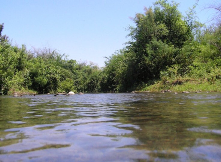
| Nearby Wadies & Rivers | The village was situated 1/4 km east of the Jordan river and 2 km north of Lake Tiberias. | ||||||||||
| Exculsive Jewish Colonies Who Usurped Village Lands |
Almagor settlement and a picnic area known by Park ha-Yarden. | ||||||||||
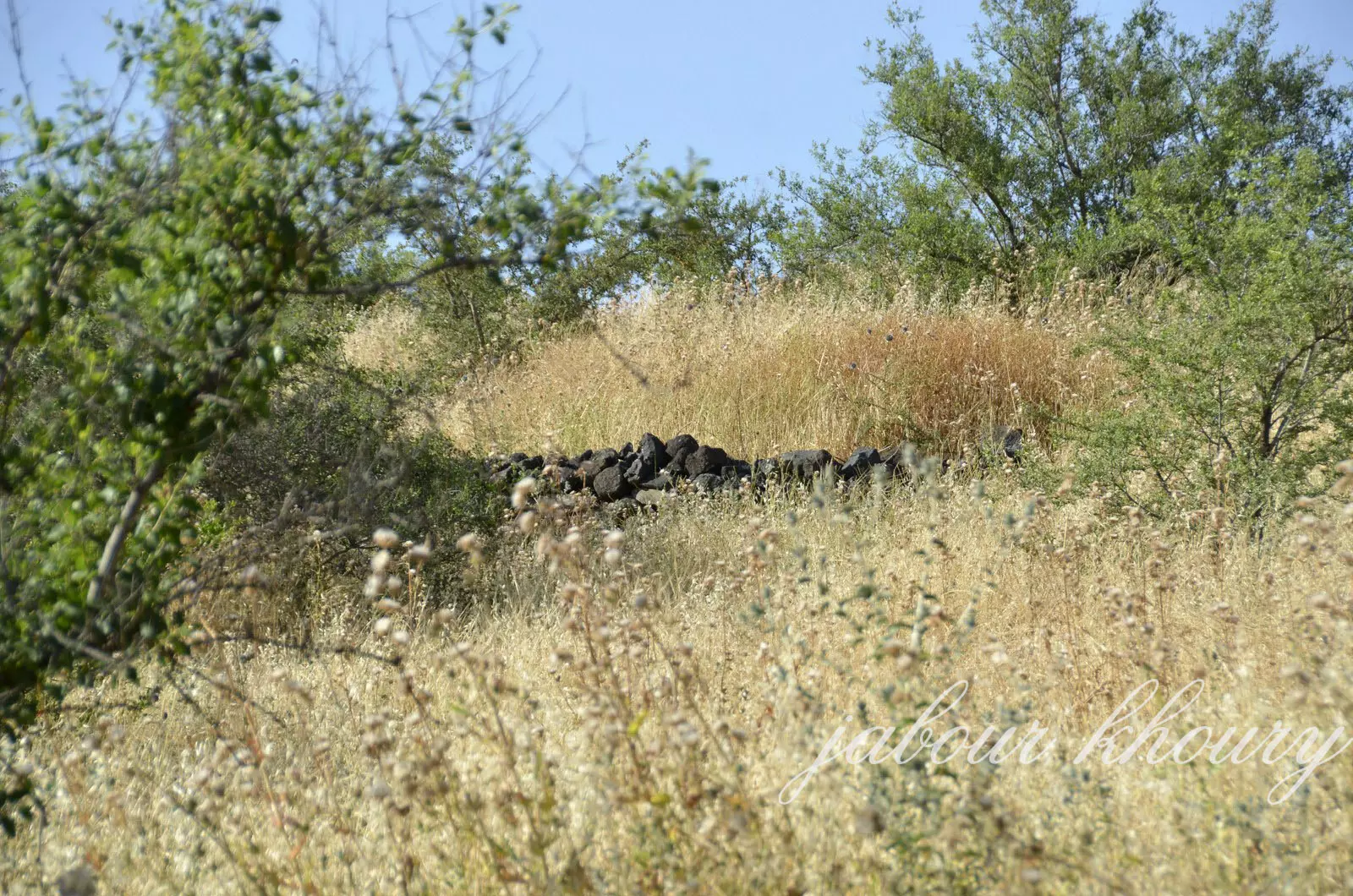
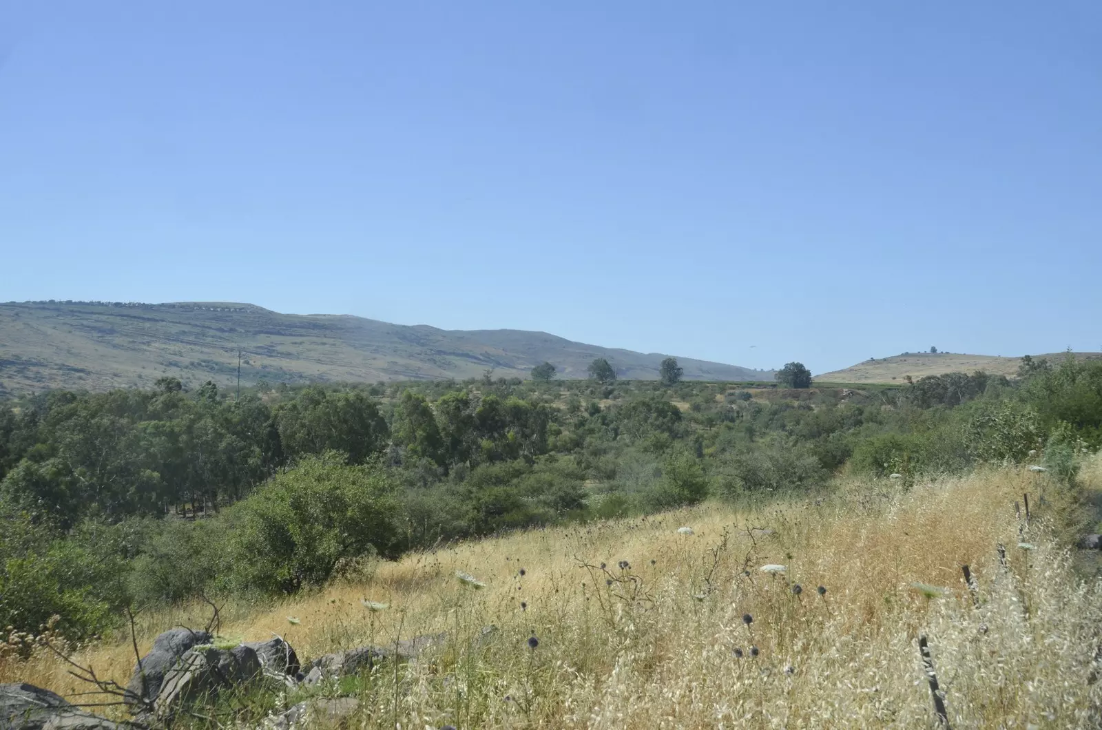
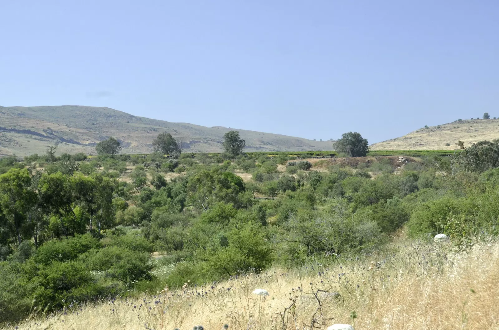
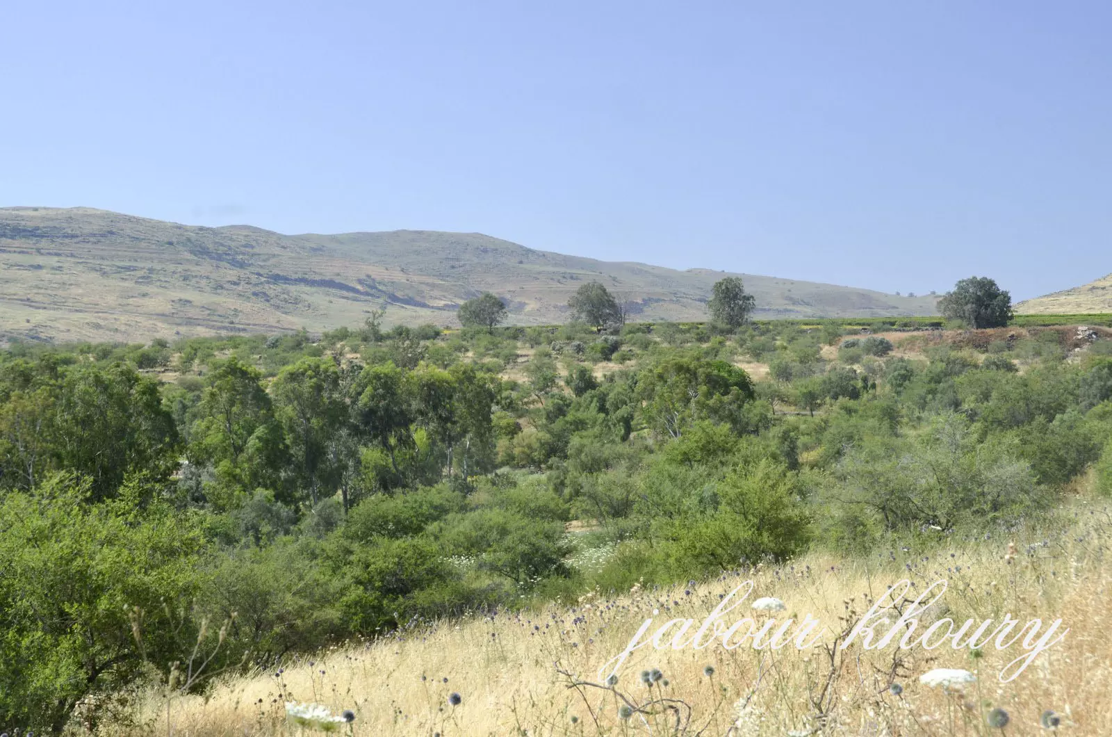
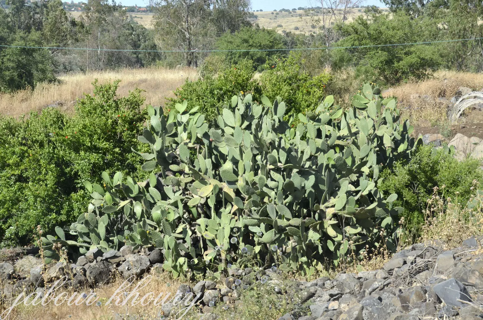
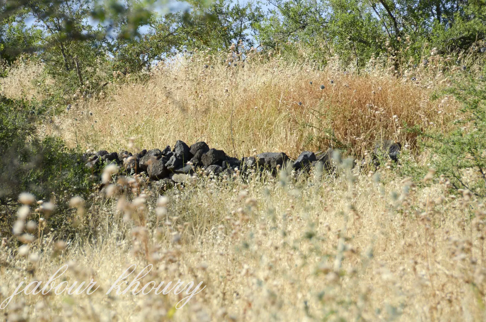
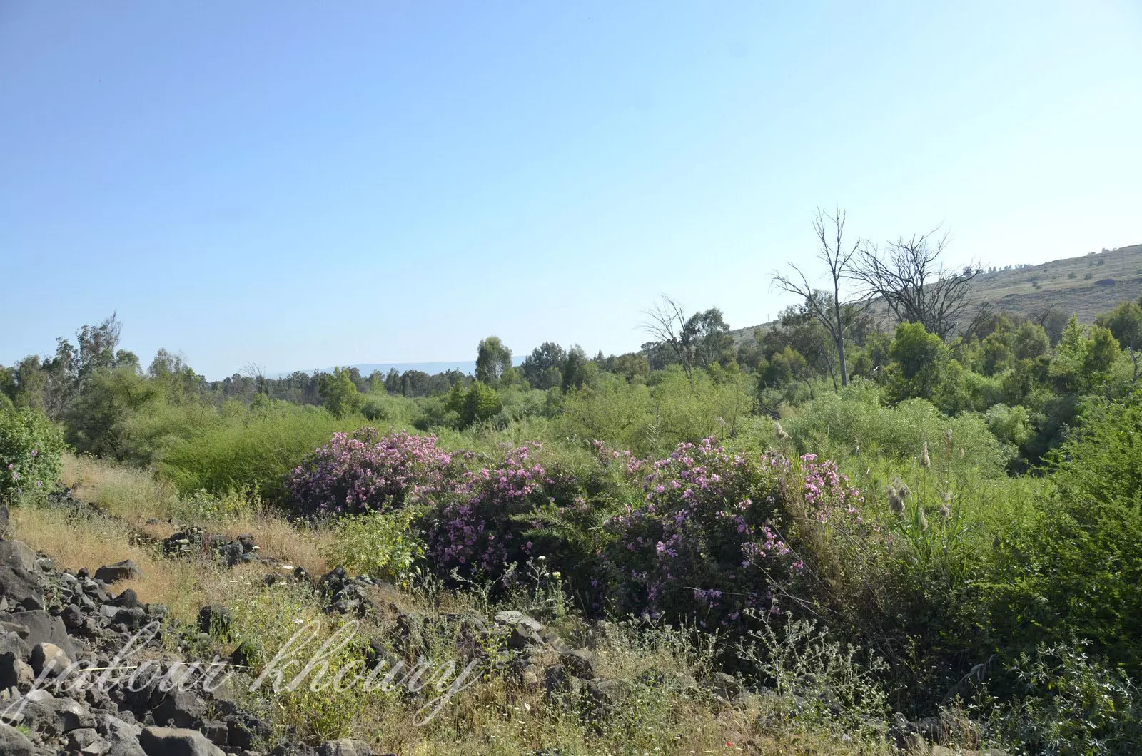
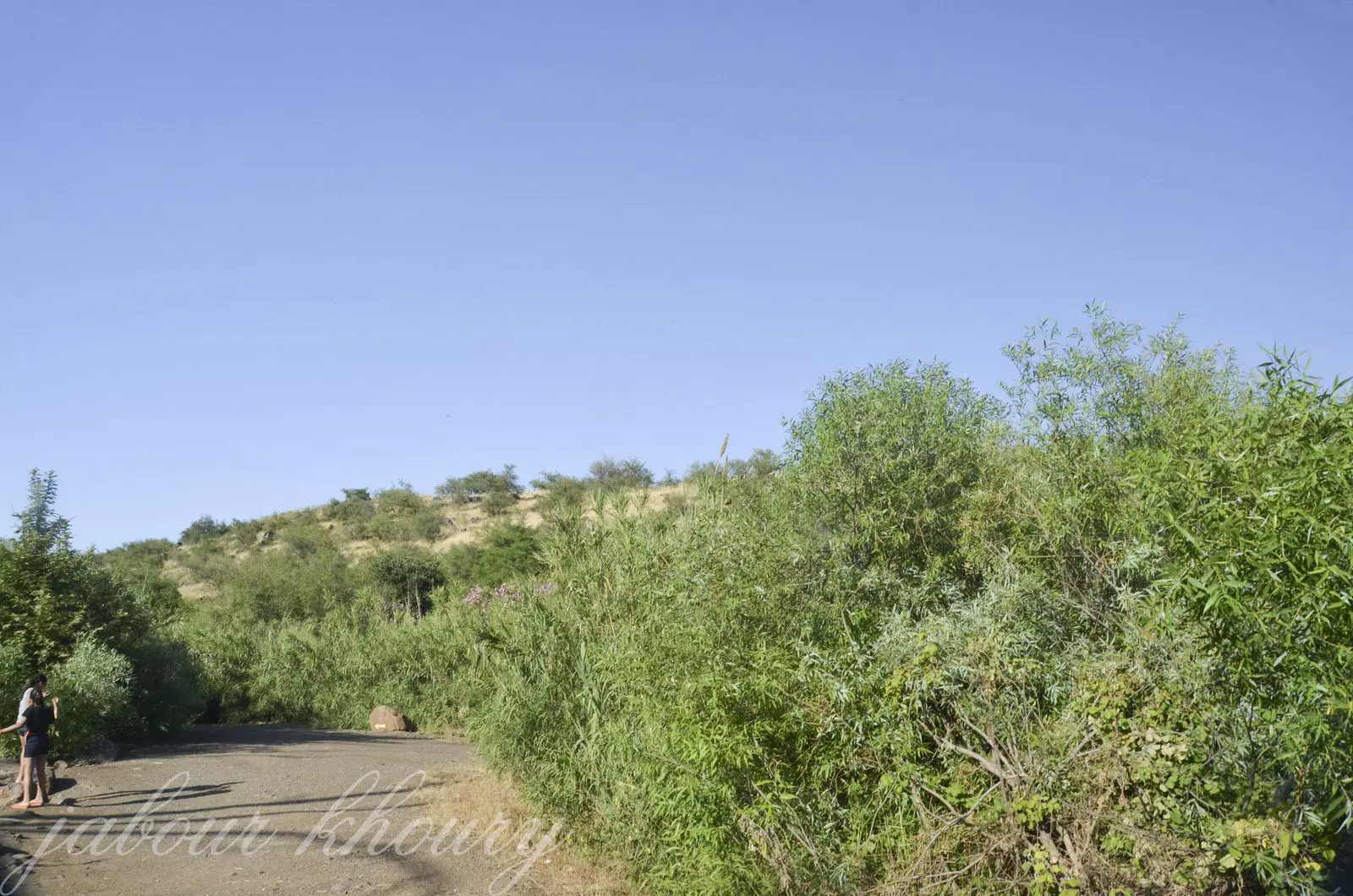
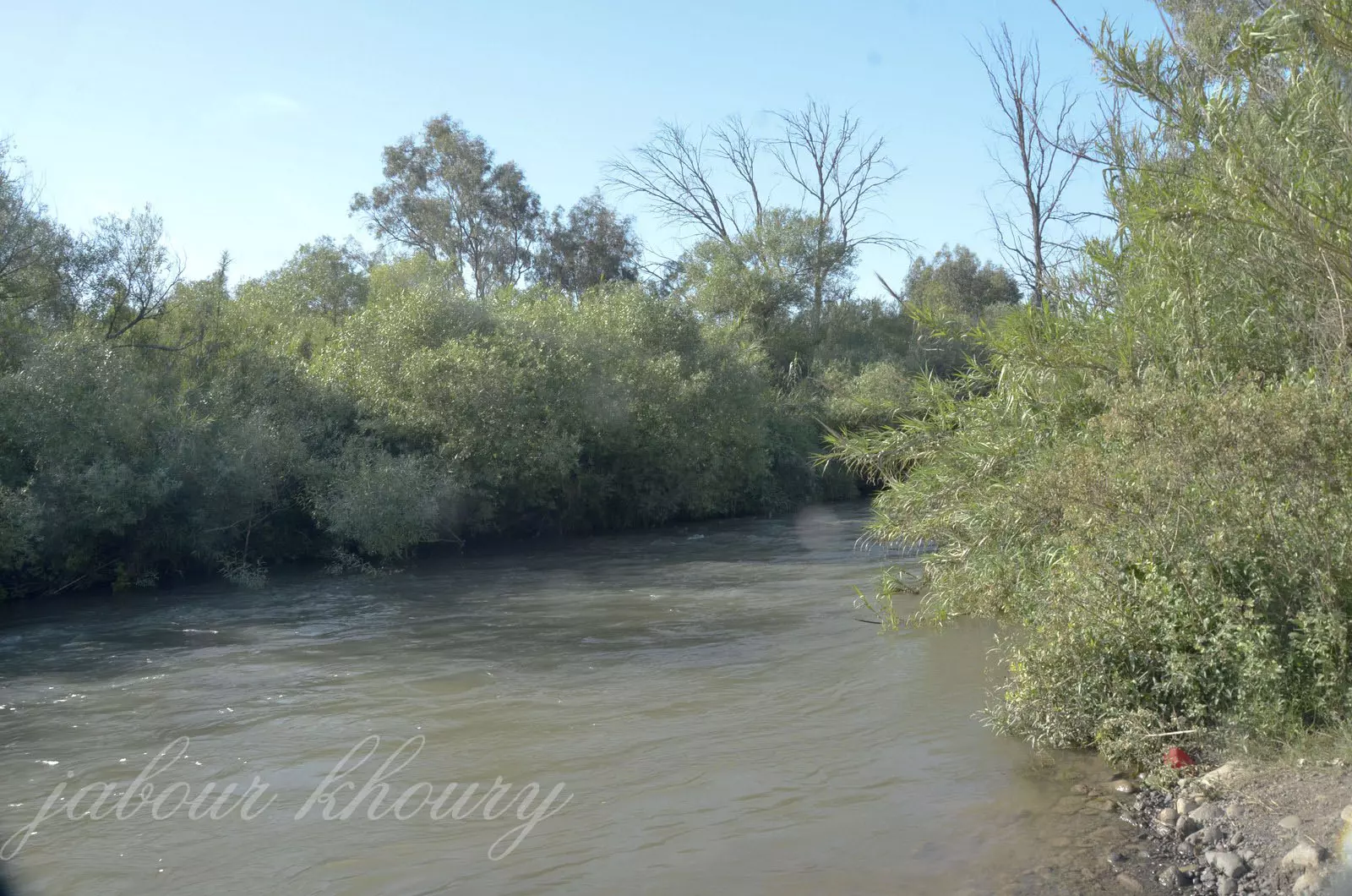
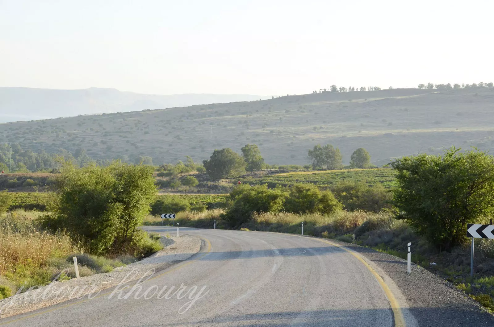
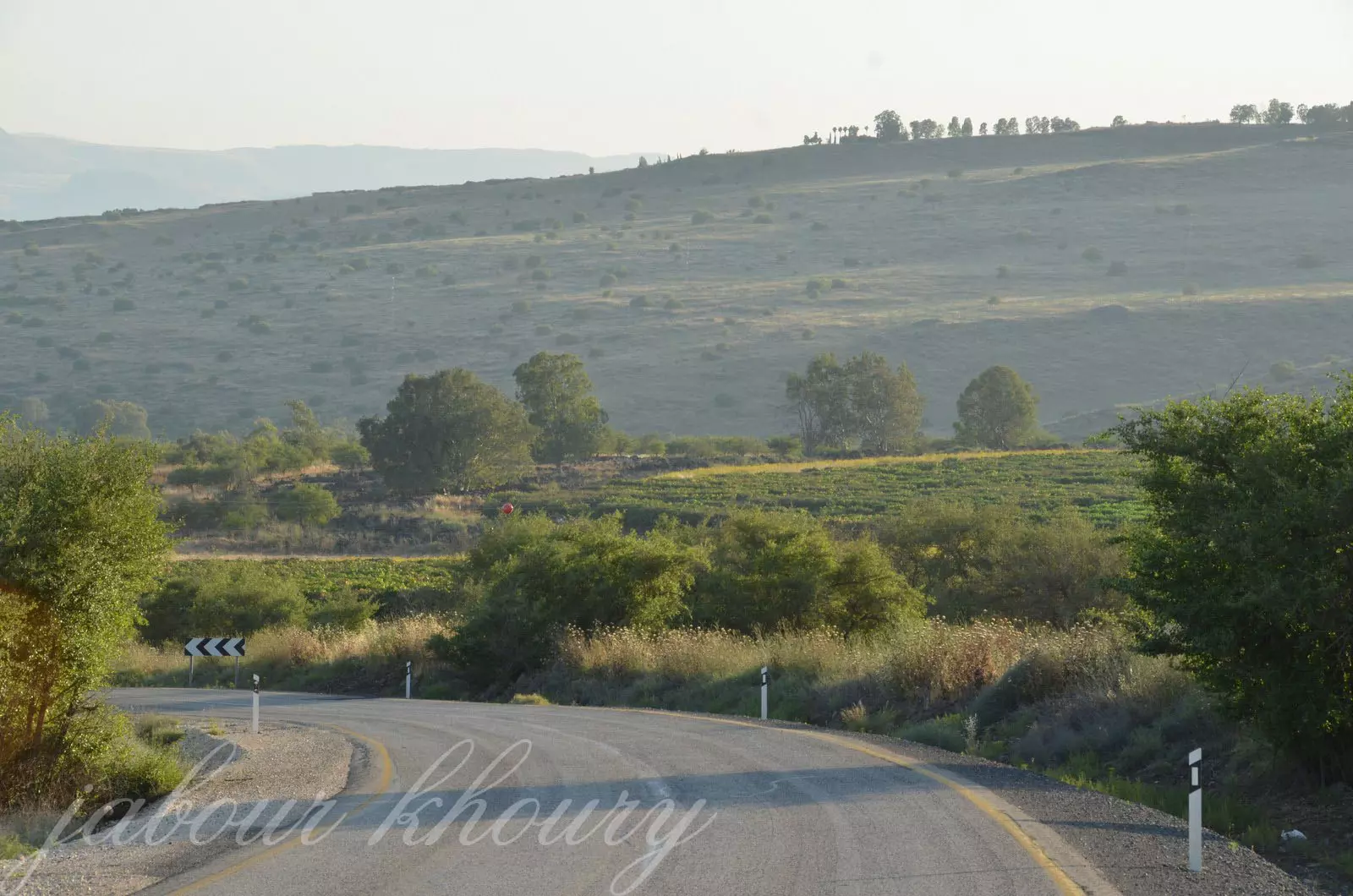
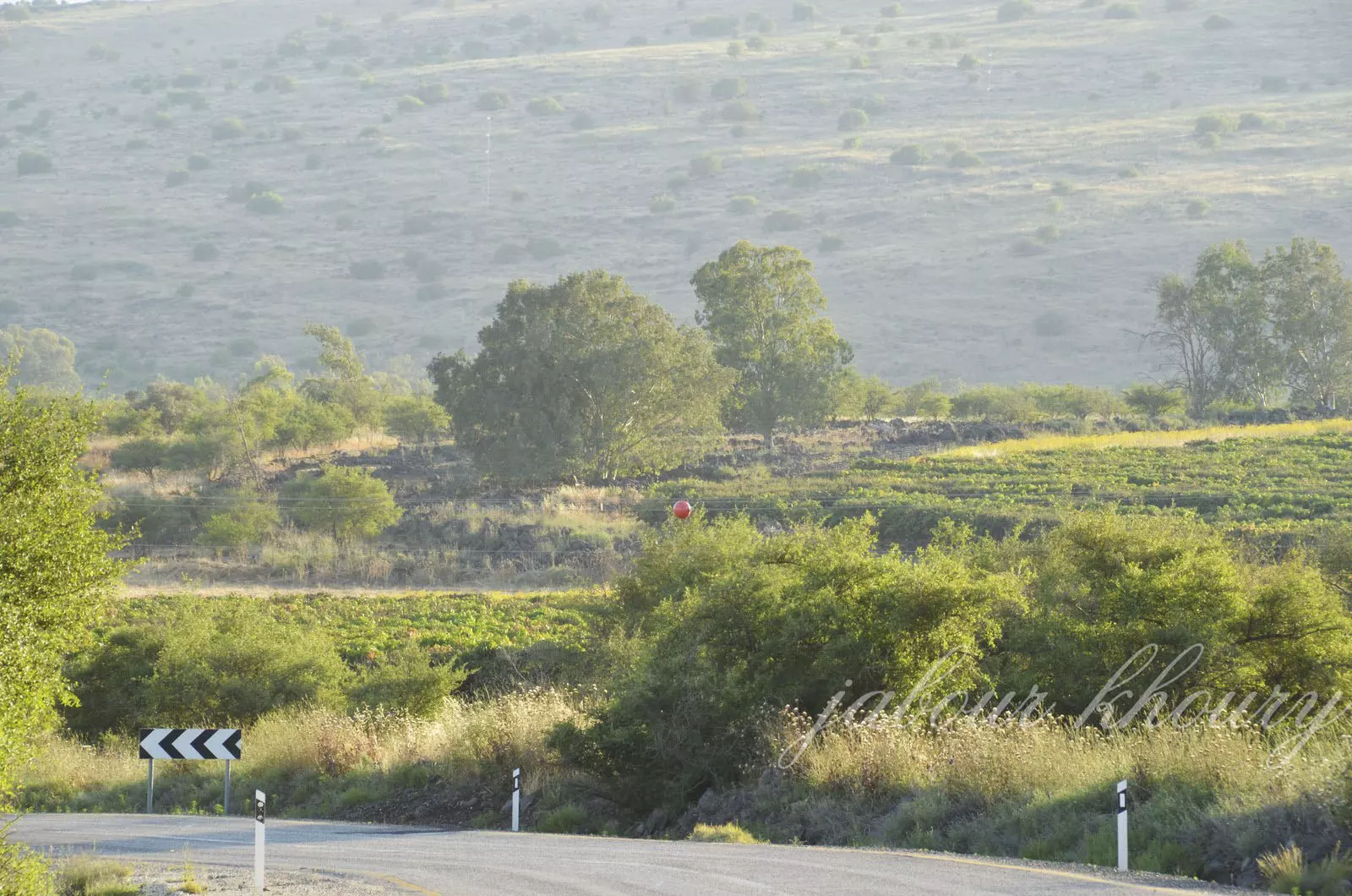
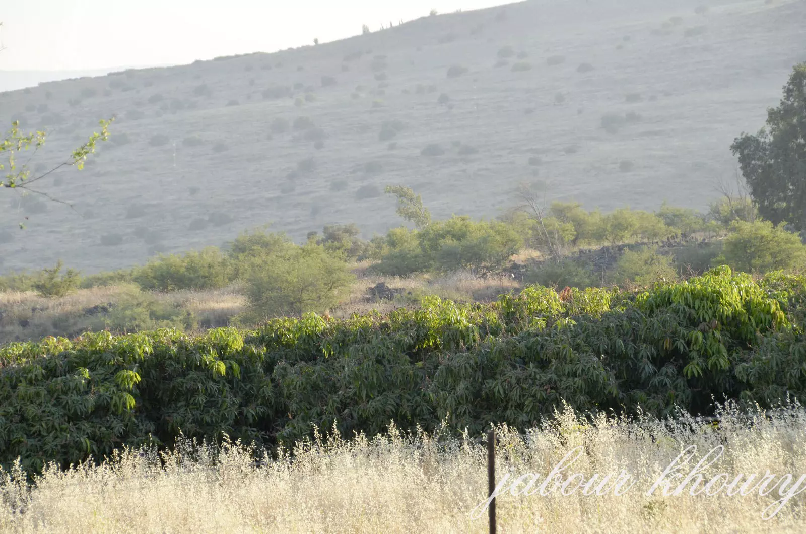
Village Before NakbaThe village was located in a hilly area next to the Syrian border, about 0.25 km east of the Jordan and 2 km from Lake Tiberias. It overlooked a broad expanse of land to the south of the city of Tiberias. Its name meant 'marshland' in Arabic. [D 6/2:269 fn.1.] The Arab geographer al-Qalqashandi, writing in 1459, described it as a settlement in the sub-district of Safad. [Cited in D 6/2:317] Modern al-Butayha was classified as a hamlet by the Palestine Index Gazetteer. In 1944/45 a total of 3,842 dunums of its land was allocated to cereals; 238 dunums were irrigated or used for orchards.Village Occupation and Ethnic CleaningAI-Butayha's location indicates that it was targeted for occupation during the Haganah's Operation Matate (Broom), a portion of Operation Yiftach (see Abil al-Qamh, Safad sub-district). Operation Matate (Broom), implemented on 4 May 1948, was designed to 'clear' an area north of Lake Tiberias and west of the Jordan River. Israeli historian Benny Morris writes that it also did much to undermine morale among residents of the whole region. The justification given for the onslaught by the Zionist forces was that residents had been harassing traffic to and from the Jewish settlement of Ro'sh Pinna. Morris reports that many houses in the occupied villages were razed to the ground the very next day by Palmach sappers. Operation Broom resulted in the displacement of 2,000 refugees to Syria, according to Syrian authorities quoted by Morris. [M:121-22; S:1582]Zionists Colonies on Village LandsThe village lands are used by the settlement of Almagor (206257), established in 1961. A picnic area known as Parkha-Yarden is some 200 m south of the site.Village TodayOnly the black basalt walls of destroyed houses remain. Doum palms and olive trees grow among these ruins and further mark the site. On the northern edge of the site, tall eucalyptus trees grow, as well as scattered patches of cactus. A man-made canal runs in a north-south direction and turns eastward near the northern edge of the site (see photos section).SourceDr. Walid al-Khalidi, 1992: All That Remains. |
|||||||||||
| Related Maps | Town Lands' Demarcation Maps خرائط للقضاء توضح حدود القرى والاودية Town's map on MapQuest View from satellite Help us map this town at WikiMapia |
||||||||||
| Related Links | Wikipedia's Page Facebook Page Google Search Google For Images Google For Videos |
||||||||||
| More Information | في كتاب كي لا ننسى المزيد من موقع هوية |
||||||||||
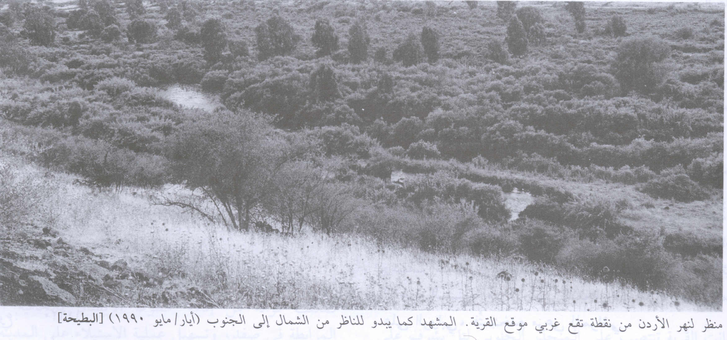
- Jordan River seen from west of the village site,1990
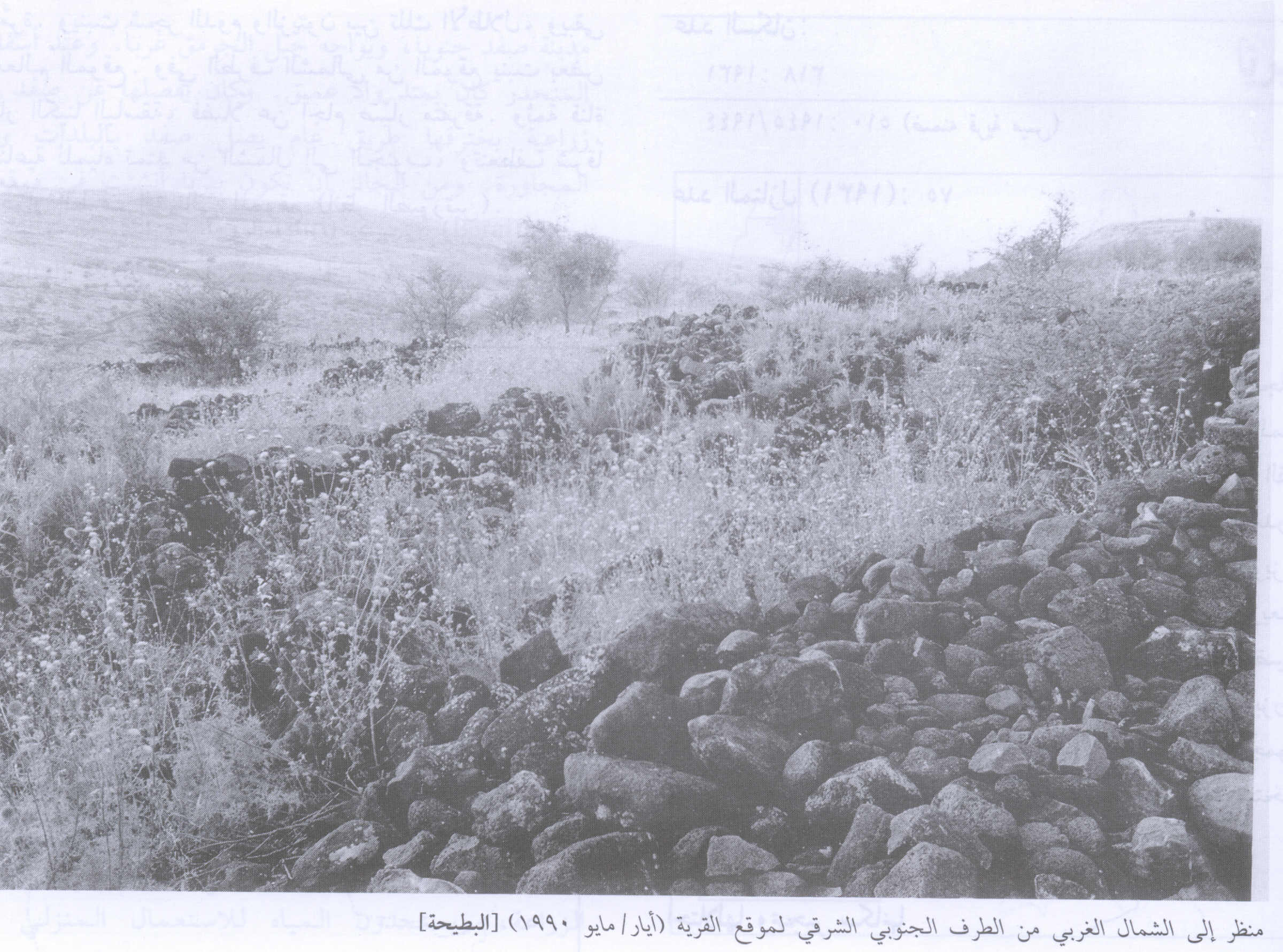
Scanned from "All That Remains" by Dr. Walid Khalidi 1 - Village Rubble In 1990
Scanned from "All That Remains" by Dr. Walid Khalidi 1 - موقع القريه على التل المقابل -نظره من الجنوب
Posted by Jabour Khoury - نظره من الجنوب الى الشمال على مركز القريه
Posted by Jabour Khoury - ردم احد البيوت بين الاعشاب
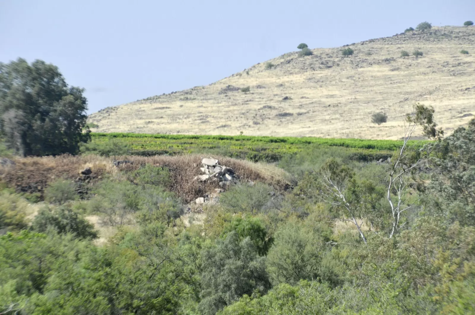
Posted by Jabour Khoury - مركز القريه بين اشجار الكينا واثار الردم
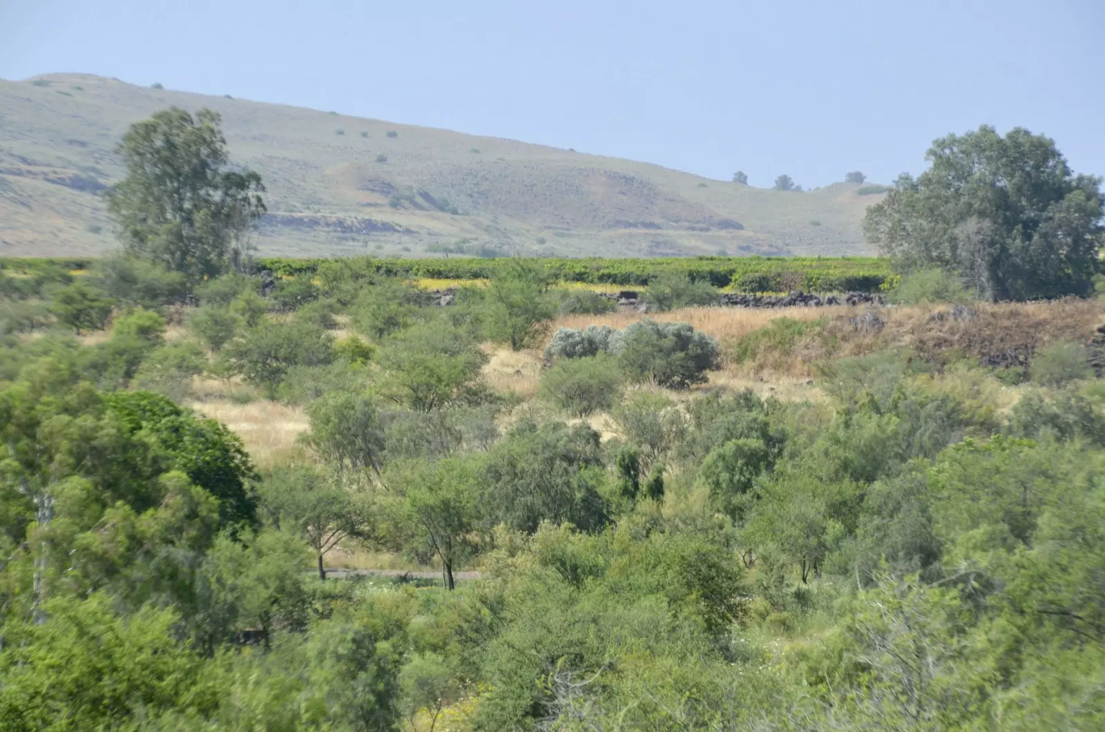
Posted by Jabour Khoury - البطيحه- اطلاله من الجنوب
Posted by Jabour Khoury - اشجار الصبار في اراضي القريه لتقضح الاغتصاب
Posted by Jabour Khoury - ردم البيوت بين الاعشاب
Posted by Jabour Khoury - أثار ردم البيوت
Posted by Jabour Khoury - مجرى نهر الاردن الذي يمر بغرب القريه
Posted by Jabour Khoury - مجرى نهر الاردن في غرب القريه - نظره باتجاه الشمال
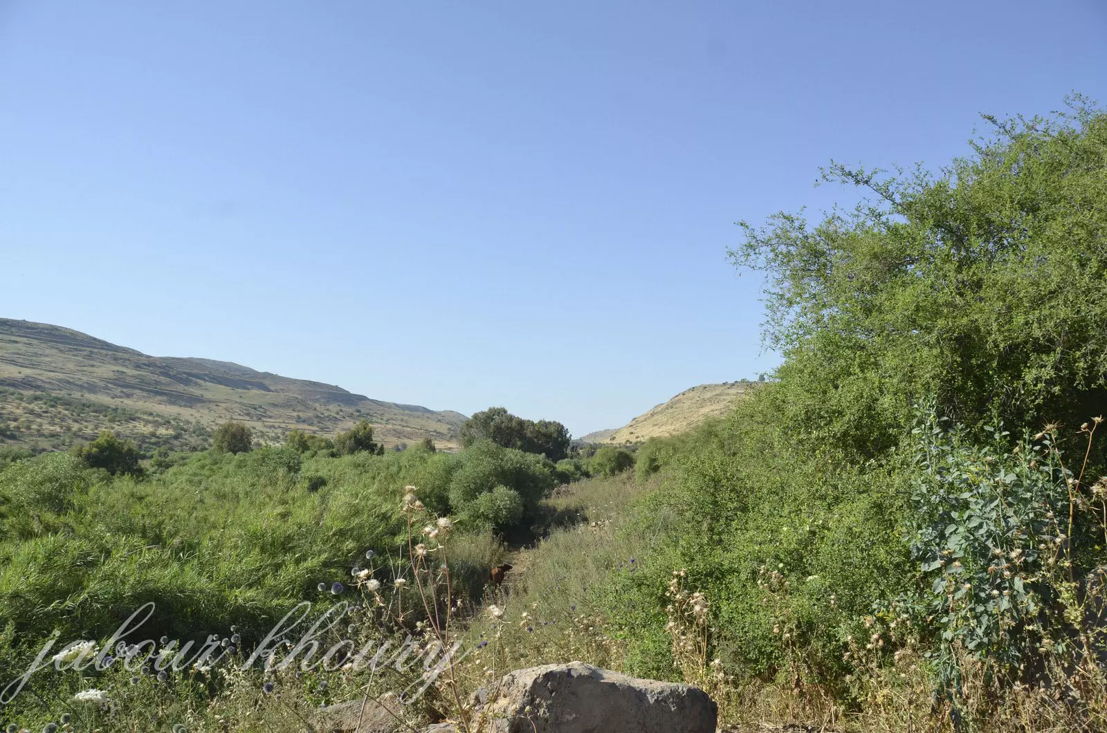
Posted by Jabour Khoury - مجرى نهر الاردن غرب القريه نظره باتجاه الجنوب

Posted by Jabour Khoury - غرب التل التي تقع عليها القريه
Posted by Jabour Khoury - نهر الاردن الذي يمر باراضي القريه
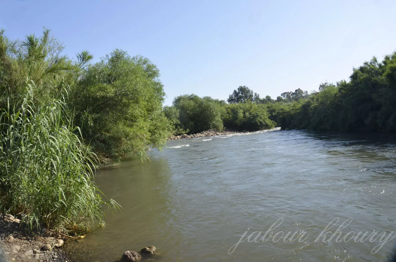
Posted by Jabour Khoury - نهر الاردن الاردن
Posted by Jabour Khoury - نهر الاردن غرب القريه
Posted by Jabour Khoury - موقع القريه بين اشجار الكينا -نظره من الشمال
Posted by Jabour Khoury - نظره من الشمال الى مركز القريه
Posted by Jabour Khoury - اثار البيوت بين الاعشاب واشجار الكينا
Posted by Jabour Khoury - اطلاله على بحيره طبريا والجولان من موقع القريه
Posted by Jabour Khoury - اراضي القريه المسيجه والمستغله من قبل المستوطنات المحيطه
Posted by Jabour Khoury - مجرى نهر الاردن بجانب القريه
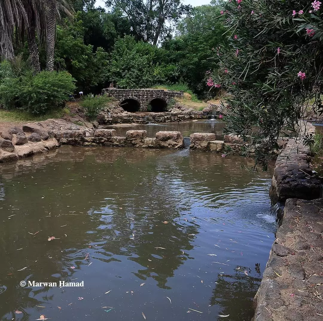
Posted by abu raya - عين البطيحه
Want to browse more? 80,000 pictures were grouped in these gallaries:
| Display Name | Clan/Hamolah | Country of Residence |
| Kholoud | AlSafadi | Amman, Jordan |
No links have been shared yet, be free to the first to share the first link.
 Fake Valor: Why Did Zionist Jews Hoist Nazis Flag on Their Ships in the 1930s?
What is new?
-
Facts About Oct. 7th Gaza Raid
-
Remined Us Please:: Who Did Rape Who? Palestinians Raped Israelis? Or, was the other way around?
-
When Prof. Edward Said was invited to debate Bibi Netanyahu in the 1980s, watch what happened!
-
Ezra Klein of the NY Times on the "Jewish Race".
-
Abusing Blood Libel!
-
Zionist FAQ: Isn't it true that Palestinians don't want peace? Palestinians never accepted the two-state solution
- Facts about Haavara (Transfer) Agreement between Ben-Gurion & Hitler
-
Haavara FAQs: Why Did Zionist Jews Hoist Nazis' Flags on Their Ships in the 1930s?
-
Dear ChatGPT: Why did the Jewish Agency suppress news of the Holocaust during WWII?
-
Video Playlist: Jews share their DNA tests to end the conflict for good.
-
A Tale of Two Conflicts: Examining the Definition of Genocide
-
Prof. Abraham Polak And The Suppressed History of the Khazars and European Jewry
-
How Ronald Reagan would have framed the genocide in Gaza if he were still alive?
-
Haavara FAQs: Let us do the math: how many German Jews did The Haavara Agreement save?
-
Zionist FAQs: The Hebron Massacre of 1929, "clearly proves" that Palestinians are antisemitic, how could you deny it?
-
Zionist FAQs: Why Anti-Zionist Is Not Antisemitism?
-
Zionist FAQs: Isn't it true that the KGB create Palestinian Nationalism in the early 1960s?
- Zionist FAQs: Muslims are killing Muslims all the time; why are Israeli Jews being singled out in the media?
- Zionist FAQs: How is Israel an apartheid state when 20% of its citizens are Arabs who enjoy full rights?
-
Haavara FAQs: Analysis of Herzl's Uganda Scheme and how it could have saved millions of Jews.
-
Haavara FAQs: Why did Hayim Greenberg describe American Jewry as "morally bankrupt" in early 1943?
-
Haavara FAQs: What if the Evian Conference was a resounding success? What would have been the impact of saving European Jewry on Zionism?
- Haavara FAQs: What if the six million were saved, how that would have impacted the Zionist project?
-
Haavara FAQs: How did Zionist leaders react when Europe's Jews lingered in the DP camps after WWII ended?
-
Why does the American Jewish community repeat lies that David Ben-Gurion had debunked before he died?
-
Who has the power to rename the Tatar/Khazar Gene Marker to Jewish IV?
-
Zionist FAQs: Why won't Egypt, Syria, and Jordan take their people back? Jews are indigenous to Palestine, and Arabs immigrated after Jews developed the country. Arabs should leave.
-
Haavara FAQs: Did Hitler and the Nazis conflate between Judaism and Zionist? If that wasn't case, then why?
-
Haavara FAQs: Winston Churchill and antisemitism, a collection of articles written Churchill.
-
Haavara FAQs: Broken by country, how many Jews survived vs. killed during the Holocaust?
-
Haavara FAQs: Why did European Jews vote with their feet and to immigrated to the Americas, not Palestine, after WWII?
-
Watch this American Jewish Girl describing Israeli Jews' cognitive dissonance like no other in under two minutes
-
Haavara FAQs: When the Nazis went out of their way to hide the Holocaust, Israeli Jews did the exact opposite by broadcasting their genocide of Gazans. But why?
-
Haavara FAQs: How Zionist Jews went out of their to show their appreciation to Nazism and Fascism?
- Haavara FAQs: Why Zionist leaders were against bombing the death camps & the Railroads leading to them?
-
Haavara FAQs: Hitler's message to the British and American people: If Jews are such noble citizens and you care about them, how come you're not letting them in? I will gladly ship them to you at my expense, even on luxury liners!
-
A shortlist of Zionist and Israeli false flag operations in the name Jews.
-
The Most Moral Army
- The Land of Kapos (Israel): Where the brave are boycotted and Kapos walk free.
- Why did early Zionists often named their communal enterprises "colonial"?
- Zionist Relations with Nazi Germany by Faris Glubb
-
Two NY Times advertisements by Zionists in the early 1943 that exposes Zionists' treason at the height of the calamity
- Facts Not Lies about the Palestinian-Israeli Conflict.
- Site's pictures have been categorized
- Campgain Against Lice
- A Survey of Palestine, the official source about Palestine before Nakba produced by the British Mandate; over 1200 pages.
- Satellite View & Google Earth: Over 6,000 placemarks identifying all destroyed towns, W. Bank & Gaza Strip Towns, & refugee camps.
- PalestineRemembered.com and its Nakba Oral History Project were featured on al-Jazeera Satellite TV.
- Nakba Oral History Video Podcast:
 Over 700 Oral History interviews (including 3,500+ hours of recording) can be viewed online.
 - Palestine Village Statistics Project
- Gaza Jail Break
- النسخة العربية للموقع الان متوفرة
- Videos: Documenting the destroyed villages in video: Tracing all that remains since Nakba.
- Videos: Responding to Zionist Propaganda
- Interview: The ethnic cleansing of Palestine: George Galloway interviews Israeli Historian Ilan Pappe.
- For Palestinians, memory matters. It provides a blueprint for their future By George Bisharat.
- Zionist FAQ now available in Hebrew שאלות שציונים שואלים, עכשיו בעברית
- Video: The Stephen Walt and John Mearsheimer report on the influence of the Israel Lobby on U.S. Foreign Policy
- The Palestinian-Israeli conflict for beginners
