| PalestineRemembered | About Us | Oral History | العربية | |
| Pictures | Zionist FAQs | Haavara | Maps | |
| Search |
| Camps |
| Districts |
| Acre |
| Baysan |
| Beersheba |
| Bethlehem |
| Gaza |
| Haifa |
| Hebron |
| Jaffa |
| Jericho |
| Jerusalem |
| Jinin |
| Nablus |
| Nazareth |
| Ramallah |
| al-Ramla |
| Safad |
| Tiberias |
| Tulkarm |
| Donate |
| Contact |
| Profile |
| Videos |
Welcome To al-Sanbariyya - السنبرية (א-סנבריה)
|
District of Safad
Ethnically cleansed days ago |
العربية Google Earth |
 |
Gallery (13) |
- Statistics & Facts
-
Before & After

- Satellite View
- Articles 1
- Pictures 13
- Oral History 1
- Members
- All That Remains
- Wikipedia
- Videos
- Guest Book
- Links
| Statistic & Fact | Value | |||||||||||||||
| Occupation Date | May 1, 1948 | |||||||||||||||
| Distance From District | 31.5 (km) North East of Safad | |||||||||||||||
| Elevation | 150 (meters) | |||||||||||||||
| Before & After Nakba, Click Map For Details |
||||||||||||||||
|
||||||||||||||||
| Map Location | See location #5 on the map View from satellite |
|||||||||||||||
| Military Operation | Operation Yiftach (commanded by the ethnic cleansing champion Yigal Allon) | |||||||||||||||
| Attacking Units | The Palmach's First Battalion | |||||||||||||||
| Exodus Cause | Military assault by Zionist troops | |||||||||||||||
| Village Temains | The village has been completely obliterated on the orders of the Jewish National Fund official Yosif Witz | |||||||||||||||
| Ethnically Cleansing | al-Sanbariyya inhabitants were completely ethnically cleansed. | |||||||||||||||
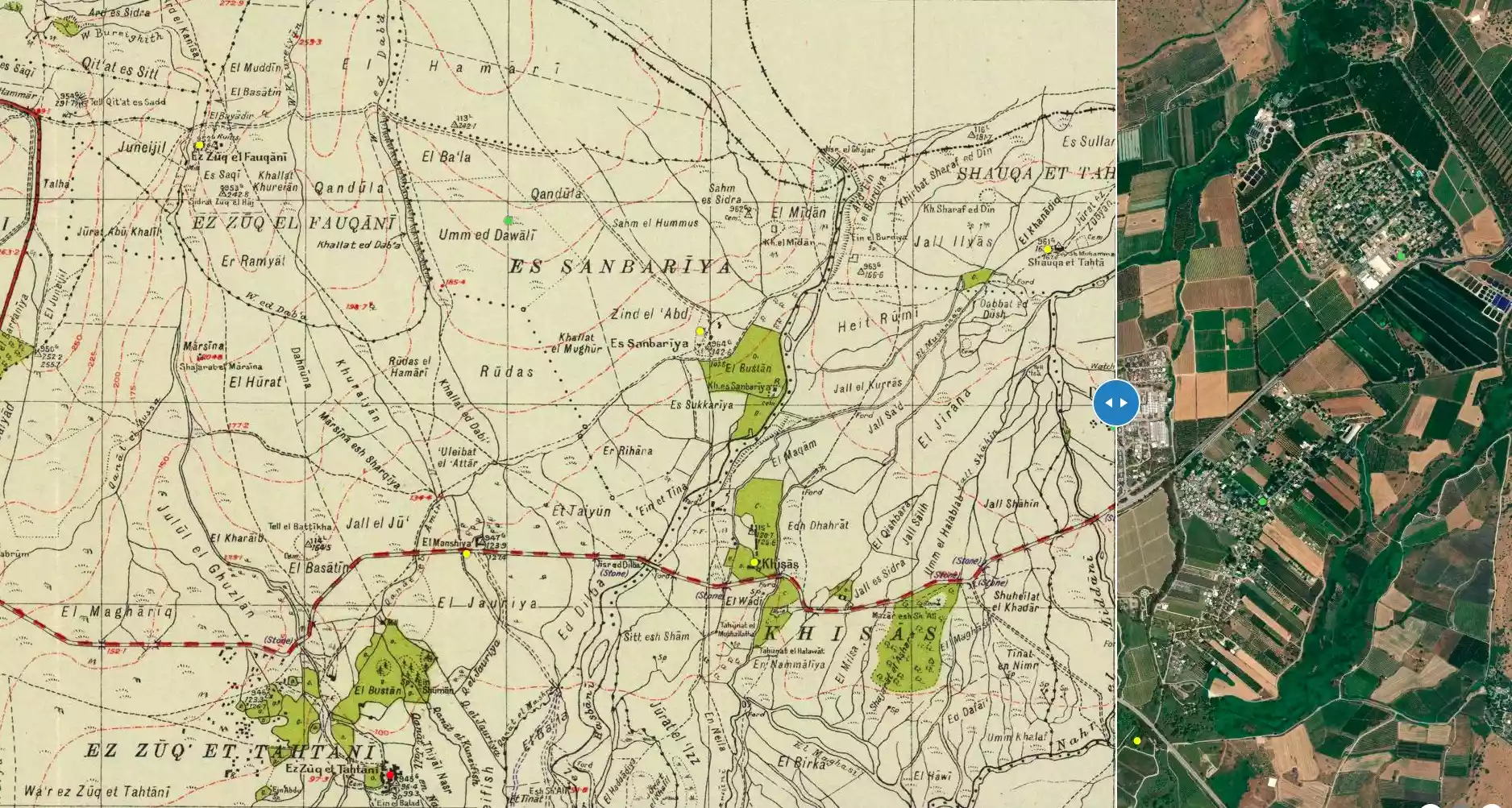
| Pre-Nakba Land Ownership |
**Town Lands' Demarcation Maps |
|||||||||||||||
| Land Usage As of 1945 |
|
|||||||||||||||
| Population |
|
|||||||||||||||
| Number of Houses |
|
|||||||||||||||
| Nearby Wadies & Rivers | The village was near Wadi Hasibani | |||||||||||||||
| Archeological Sites | The village contained an important inscription, cut into a Roman column, that referred to the Roman Emperor Julian (A.D. 331-363) | |||||||||||||||
| Exculsive Jewish Colonies Who Usurped Village Lands |
Ma'yan Barukh and Dafna | |||||||||||||||
| Featured Video | ||||||||||||||||
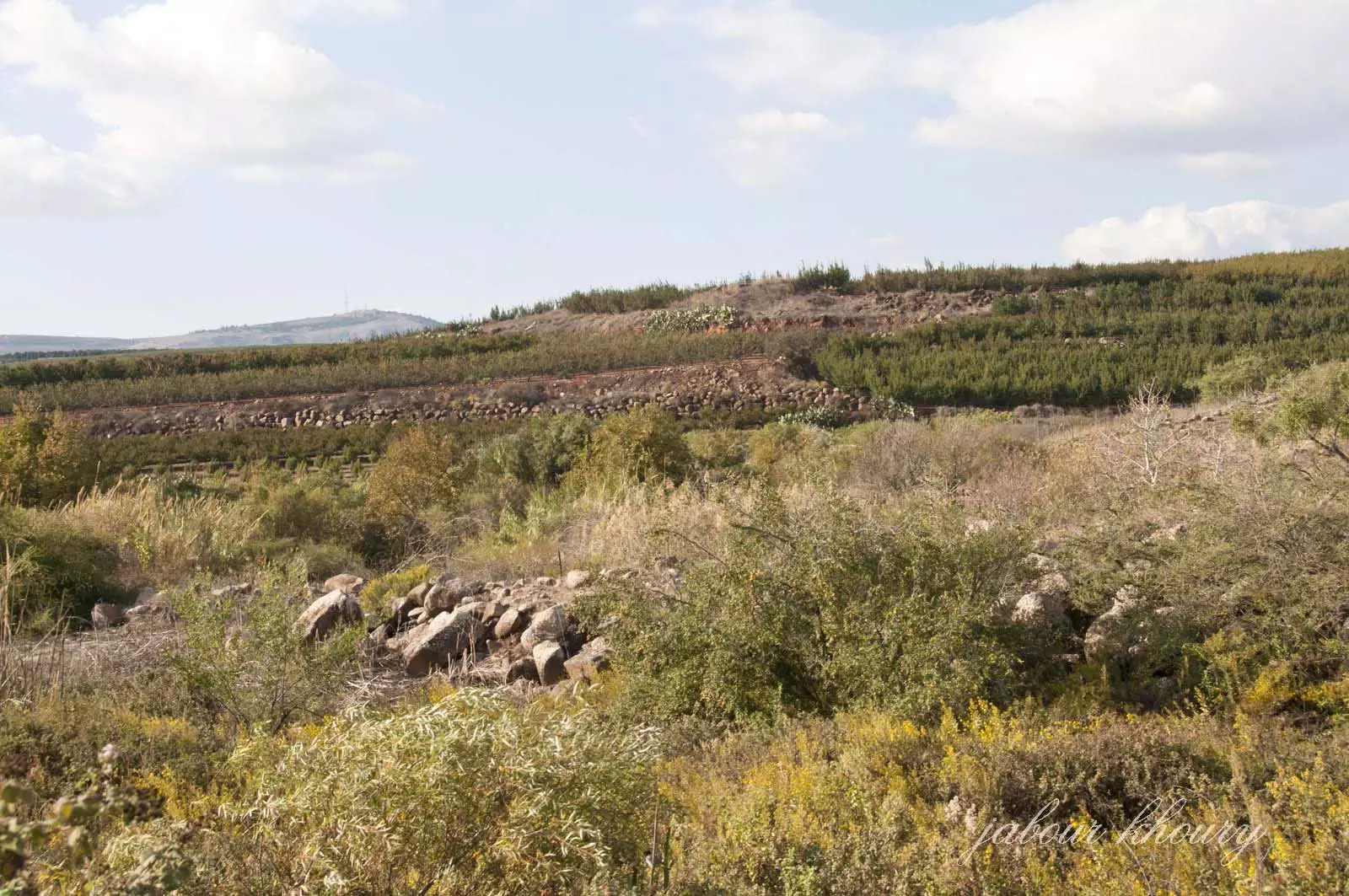
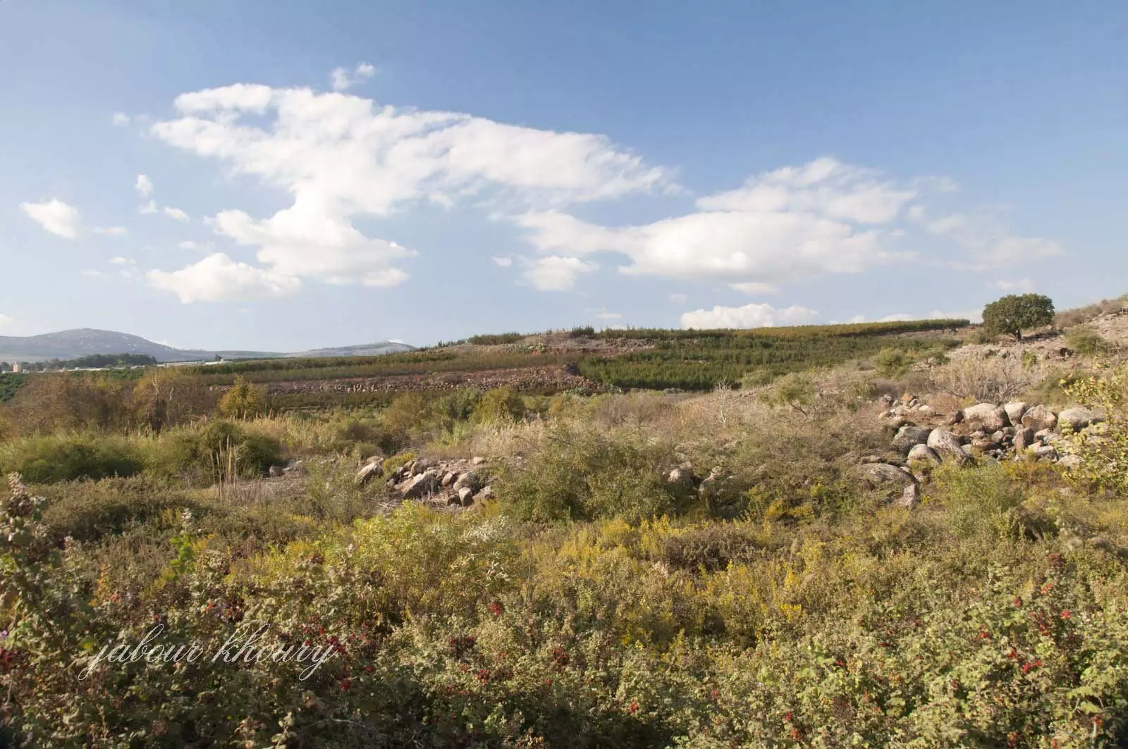
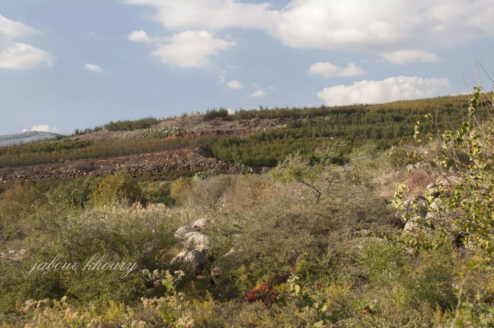
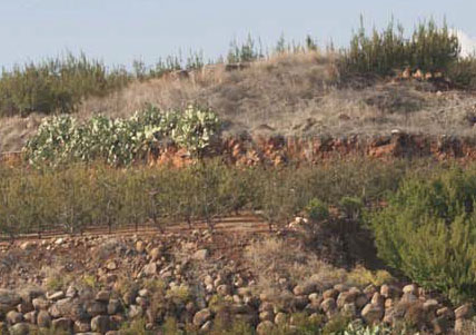
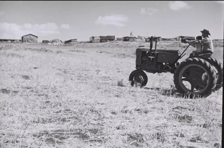
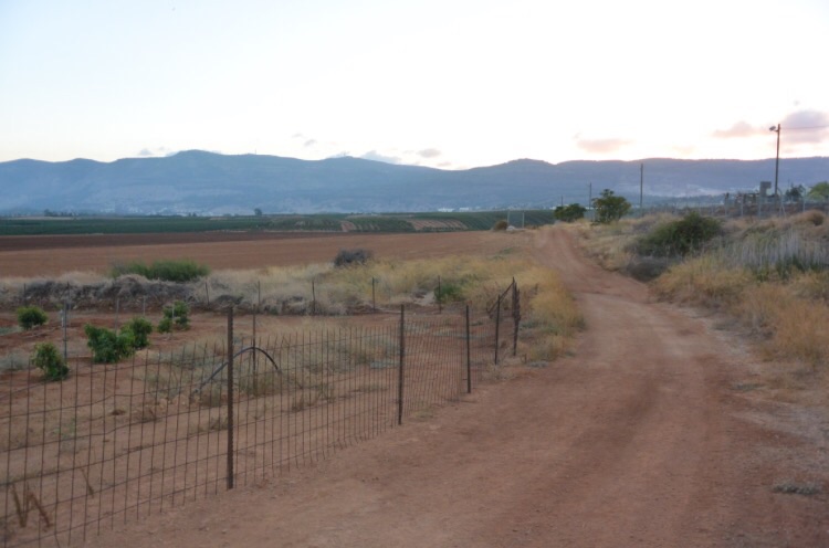
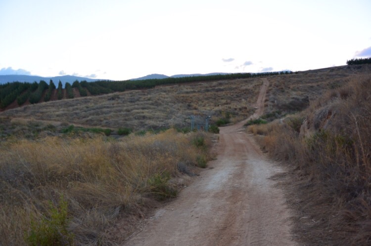
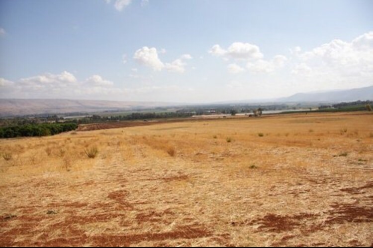
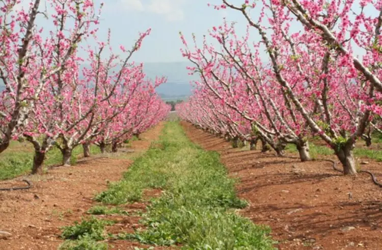
Village Before NakbaThe village was located on gently sloping terrain on the northern edge of the al-Hula Plain. Paved roads and tracks linked it to several neighboring villages. AI-Sanbariyya's houses were not arranged in any particular pattern, but spread along this network of roads. In modern times, the people of al-Sanbariyya, all of whom were Muslims, obtained their drinking water from the nearby springs. They relied on agriculture for their livelihood, growing fruits and vegetables on the north and south sides of the site. In 1944/45 a total of 1,739 dunums was allocated to cereals; 539 dunums were irrigated or used for orchards. A prehistoric site more than 100,000 years old was found a bit more than 1 km north of the village, on a terrace that was about 100 m higher in elevation than the village. Furthermore, a number of cave-tombs dating to the end of the third millenium B.C. were also nearby, on village land. Finally, archaeologists discovered an important inscription, cut into a Roman column, that referred to the Roman Emperor Julian (A.D. 331‒363). The column was found just north of al-Sanbariyya, near a Roman bridge that spanned Wadi Hasibani. All of this suggests that the area around the village may have been densely settled in ancient times.Village Occupation and Ethnic CleaningAlthough the date of its occupation is unknown, al-Sanbariyya was probably taken in May 1948. The village lay within the operational area of Operation Yiftach (see Abil al-Qamh, Safad sub-disctrict), the offensive launched in Upper Galilee in the second half of April 1948. [See M:120-24] Later in the summer of 1948, a representative of the Jewish National Fund (JNF) toured the area and found that several houses were still standing in al-Sanbariyya, albeit without roofs. (The fact that some houses were roofless implies that the village was subject to a direct attack.) According to Israeli historian Benny Morris, the JNF official instructed the secretariat of the nearby kibbutz of Ma'yan Barukh to destroy the houses immediately. As an incentive, he told them that this would enable the kibbutz to take the village's lands, as it would prevent the villagers from returning. This was agreed to immediately (and presumably soon carried out). Later, one member of the kibbutz, who described this sequence of events, complained to the leaders of the Mapam party about the destruction, on military grounds. He argued that in border areas, 'there is a danger that the Arabs will use [the abandoned villages] for military operations if they get a chance.'Zionists Colonies on Village LandsThe settlement of Ma'yan Barukh (207294) was established in 1947 on village land, just north of the village site. The settlement of Dafna (210292), established in 1939, is about 3 km east of the village. Yuval (206294), established in 1952 on land belonging to the destroyed village of Abil al-Qamh (Safad sub-district), is about 1 km northwest of the site.Village TodayThe uneven land of the site is covered by grass and trees, including some old olive trees. No sign of the village remains. The surrounding lands are cultivated by Israeli farmers.SourceDr. Walid al-Khalidi, 1992: All That Remains. |
||||||||||||||||
| Related Maps | Town Lands' Demarcation Maps خرائط للقضاء توضح حدود القرى والاودية Town's map on MapQuest View from satellite Help us map this town at WikiMapia |
|||||||||||||||
| Related Links | Wikipedia's Page Google Search Google For Images Google For Videos |
|||||||||||||||
| More Information | في كتاب كي لا ننسى في كتاب بلادنا فلسطين المزيد من موقع هوية |
|||||||||||||||
- نظره الى موقع القريه من الجنوب الى الشمال - الموقع مغلق ولا يمكن الوصول الى مركز القريه
Posted by Jabour Khoury - موقع القريه ونبات الصبار في كل مكان
Posted by Jabour Khoury - اراضي القريه القريبه من الحدود اللبنانيه نظره باتجاه الشمال
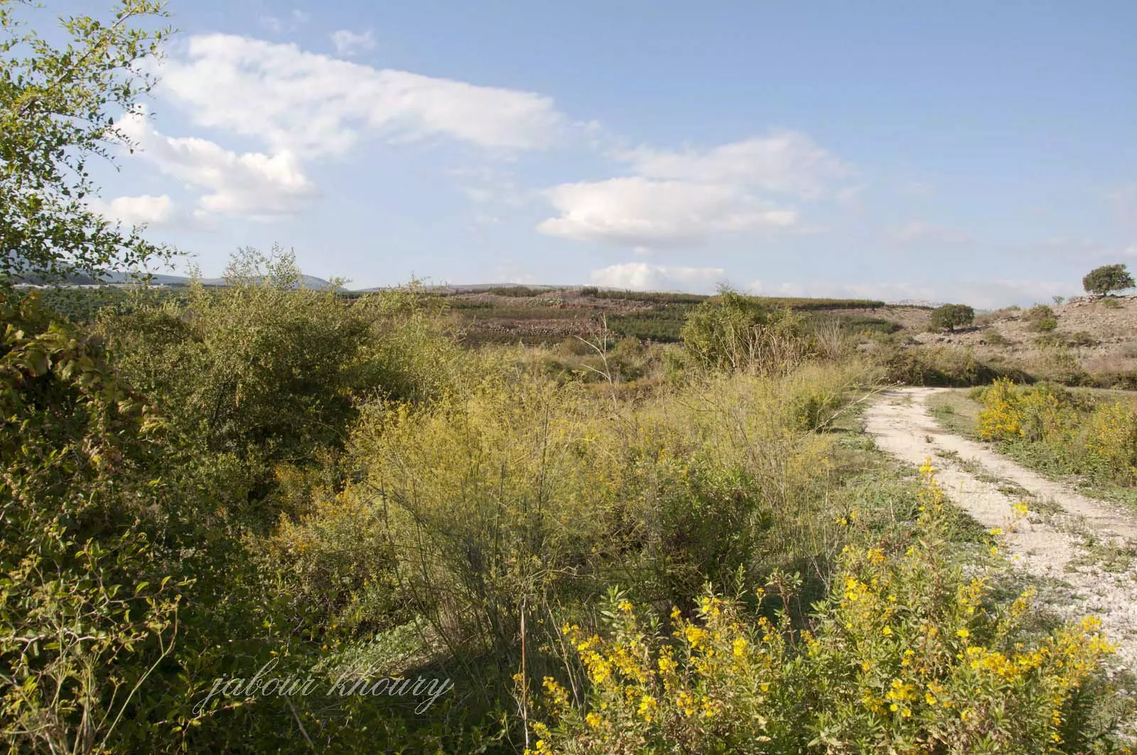
Posted by Jabour Khoury - اراضي القريه
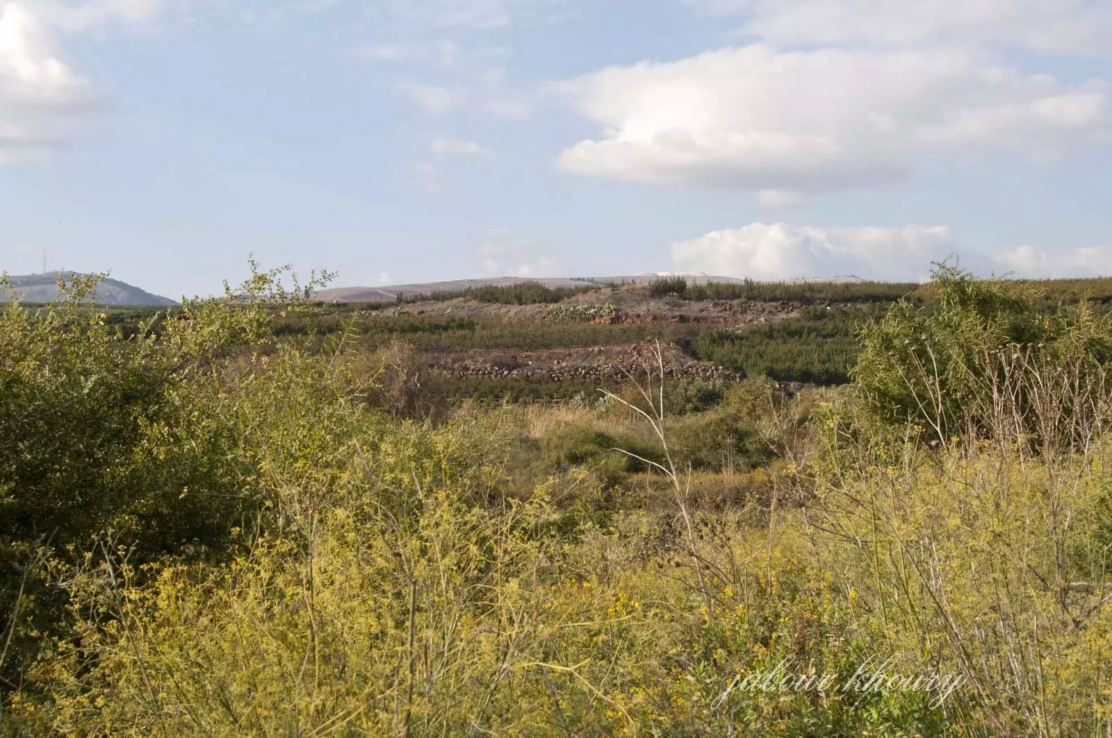
Posted by Jabour Khoury - موقع القريه
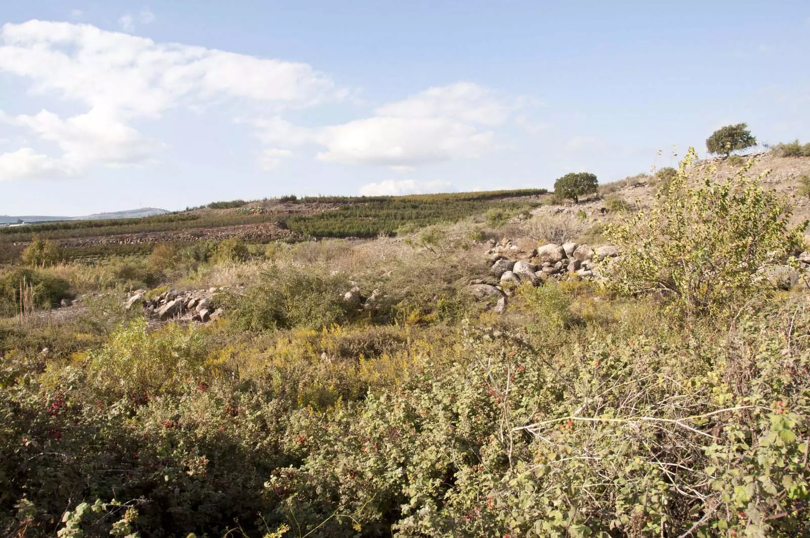
Posted by Jabour Khoury - مركز القريه على راس التل وهناك اثار بعض المنازل المهدمه
Posted by Jabour Khoury - احد المنازل على قمه التل
Posted by Jabour Khoury - صوره قديمه من السنبريه بعد احتلالها واستغلال المستوطنين اراضيها
Posted by abu raya - منظر من اراضي السنبريه
Posted by abu raya - منظر قريب من موقع القريه
Posted by abu raya - نهر الحاصباني بالقرب من القريه

Posted by abu raya - اراضي القريه
Posted by abu raya - اراضي السنبريه
Posted by abu raya
Want to browse more? 80,000 pictures were grouped in these gallaries:
| Display Name | Clan/Hamolah | Country of Residence |
No links have been shared yet, be free to the first to share the first link.
 Fake Valor: Why Did Zionist Jews Hoist Nazis Flag on Their Ships in the 1930s?
What is new?
-
Facts About Oct. 7th Gaza Raid
-
Remined Us Please:: Who Did Rape Who? Palestinians Raped Israelis? Or, was the other way around?
-
When Prof. Edward Said was invited to debate Bibi Netanyahu in the 1980s, watch what happened!
-
Ezra Klein of the NY Times on the "Jewish Race".
-
Abusing Blood Libel!
-
Did Israeli Soldiers Activate The Hanniba Direective On Oct. 7th? You Be The Judge
-
Zionist FAQ: Isn't it true that Palestinians don't want peace? Palestinians never accepted the two-state solution
- Facts about Haavara (Transfer) Agreement between Ben-Gurion & Hitler
-
Haavara FAQs: Why Did Zionist Jews Hoist Nazis' Flags on Their Ships in the 1930s?
- Haavara FAQs: When Chaim Weizmann met FDR in mid-1943, why was he silent about rescuing European Jewry?
-
Dear ChatGPT: How did Palestinians resist Napoleon's invasion of their country in 1799?
-
Dear ChatGPT: Gaza had a vibrant Jewish community in the mid-17th century. What happened to them?
-
Dear ChatGPT: Why did the Jewish Agency suppress news of the Holocaust during WWII?
-
Video Playlist: Jews share their DNA tests to end the conflict for good.
-
A Tale of Two Conflicts: Examining the Definition of Genocide
-
Prof. Abraham Polak And The Suppressed History of the Khazars and European Jewry
-
How Ronald Reagan would have framed the genocide in Gaza if he were still alive?
-
Haavara FAQs: Let us do the math: how many German Jews did The Haavara Agreement save?
-
Zionist FAQs: The Hebron Massacre of 1929, "clearly proves" that Palestinians are antisemitic, how could you deny it?
-
Zionist FAQs: Why Anti-Zionist Is Not Antisemitism?
-
Zionist FAQs: Isn't it true that the KGB created Palestinian Nationalism in the early 1960s?
- Zionist FAQs: Muslims are killing Muslims all the time; why are Israeli Jews being singled out in the media?
- Zionist FAQs: How is Israel an apartheid state when 20% of its citizens are Arabs who enjoy full rights?
-
Haavara FAQs: Why Did Dorothy Thompson Flip From A Zionist Advocate to A Silenced Dissenter?
-
Haavara FAQs: Analysis of Herzl's Uganda Scheme and how it could have saved millions of Jews.
-
Haavara FAQs: Why did Hayim Greenberg describe American Jewry as "morally bankrupt" in early 1943?
-
Haavara FAQs: What if the Evian Conference was a resounding success? What would have been the impact of saving European Jewry on Zionism?
- Haavara FAQs: What if the six million were saved, how that would have impacted the Zionist project?
-
Haavara FAQs: How did Zionist leaders react when Europe's Jews lingered in the DP camps after WWII ended?
-
Why does the American Jewish community repeat lies that David Ben-Gurion had debunked before he died?
-
Who has the power to rename the Tatar/Khazar Gene Marker to Jewish IV?
-
Zionist FAQs: Why won't Egypt, Syria, and Jordan take their people back? Jews are indigenous to Palestine, and Arabs immigrated after Jews developed the country. Arabs should leave.
-
Haavara FAQs: Did Hitler and the Nazis conflate between Judaism and Zionist? If that wasn't case, then why?
-
Haavara FAQs: Winston Churchill and antisemitism, a collection of articles written Churchill.
-
Haavara FAQs: Broken by country, how many Jews survived vs. killed during the Holocaust?
-
Haavara FAQs: Why did European Jews vote with their feet and to immigrated to the Americas, not Palestine, after WWII?
-
Watch this American Jewish Girl describing Israeli Jews' cognitive dissonance like no other in under two minutes
-
Haavara FAQs: When the Nazis went out of their way to hide the Holocaust, Israeli Jews did the exact opposite by broadcasting their genocide of Gazans. But why?
-
Haavara FAQs: How Zionist Jews went out of their to show their appreciation to Nazism and Fascism?
- Haavara FAQs: Why Zionist leaders were against bombing the death camps & the Railroads leading to them?
-
Haavara FAQs: Hitler's message to the British and American people: If Jews are such noble citizens and you care about them, how come you're not letting them in? I will gladly ship them to you at my expense, even on luxury liners!
-
A shortlist of Zionist and Israeli false flag operations in the name Jews.
-
The Most Moral Army
- The Land of Kapos (Israel): Where the brave are boycotted and Kapos walk free.
- Why did early Zionists often named their communal enterprises "colonial"?
- Zionist Relations with Nazi Germany by Faris Glubb
-
Two NY Times advertisements by Zionists in the early 1943 that exposes Zionists' treason at the height of the calamity
- Facts Not Lies about the Palestinian-Israeli Conflict.
- Site's pictures have been categorized
- Campgain Against Lice
- A Survey of Palestine, the official source about Palestine before Nakba produced by the British Mandate; over 1200 pages.
- Satellite View & Google Earth: Over 6,000 placemarks identifying all destroyed towns, W. Bank & Gaza Strip Towns, & refugee camps.
- PalestineRemembered.com and its Nakba Oral History Project were featured on al-Jazeera Satellite TV.
- Nakba Oral History Video Podcast:
 Over 700 Oral History interviews (including 3,500+ hours of recording) can be viewed online.
 - Palestine Village Statistics Project
- Gaza Jail Break
- النسخة العربية للموقع الان متوفرة
- Videos: Documenting the destroyed villages in video: Tracing all that remains since Nakba.
- Videos: Responding to Zionist Propaganda
- Interview: The ethnic cleansing of Palestine: George Galloway interviews Israeli Historian Ilan Pappe.
- For Palestinians, memory matters. It provides a blueprint for their future By George Bisharat.
- Zionist FAQ now available in Hebrew שאלות שציונים שואלים, עכשיו בעברית
- Video: The Stephen Walt and John Mearsheimer report on the influence of the Israel Lobby on U.S. Foreign Policy
- The Palestinian-Israeli conflict for beginners
