| PalestineRemembered | About Us | Oral History | العربية | |
| Pictures | Zionist FAQs | Haavara | Maps | |
| Search |
| Camps |
| Districts |
| Acre |
| Baysan |
| Beersheba |
| Bethlehem |
| Gaza |
| Haifa |
| Hebron |
| Jaffa |
| Jericho |
| Jerusalem |
| Jinin |
| Nablus |
| Nazareth |
| Ramallah |
| al-Ramla |
| Safad |
| Tiberias |
| Tulkarm |
| Donate |
| Contact |
| Profile |
| Videos |
Welcome To al-Murassas - المرصص (אל-מרצץ)
|
District of Baysan
Ethnically cleansed days ago |
العربية Google Earth |
 |
Gallery (18) |
- Statistics & Facts
-
Before & After

- Satellite View
- Articles 1
- Pictures 18
- Oral History 2
- Members 12
- All That Remains
- Wikipedia
- Videos 2
- Guest Book 3
- Links
| Statistic & Fact | Value | ||||||||||||||||||
| Occupation Date | May 16, 1948 | ||||||||||||||||||
| Distance From District | 7 (km) North of Baysan | ||||||||||||||||||
| Elevation | 100 (meters) | ||||||||||||||||||
| Before & After Nakba, Click Map For Details |
|||||||||||||||||||
|
|||||||||||||||||||
| Map Location | See location #13 on the map View from satellite |
||||||||||||||||||
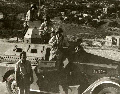
| Military Operation | Operation Gideon | ||||||||||||||||||
| Attacking Units | Golani Brigades | ||||||||||||||||||
| Exodus Cause | Influence of fall of, or exoduce from, neighboring town | ||||||||||||||||||
| Village Temains | The village was completely defaced. | ||||||||||||||||||
| Ethnically Cleansing | al-Murassas inhabitants were completely ethnically cleansed. | ||||||||||||||||||
| Pre-Nakba Land Ownership |
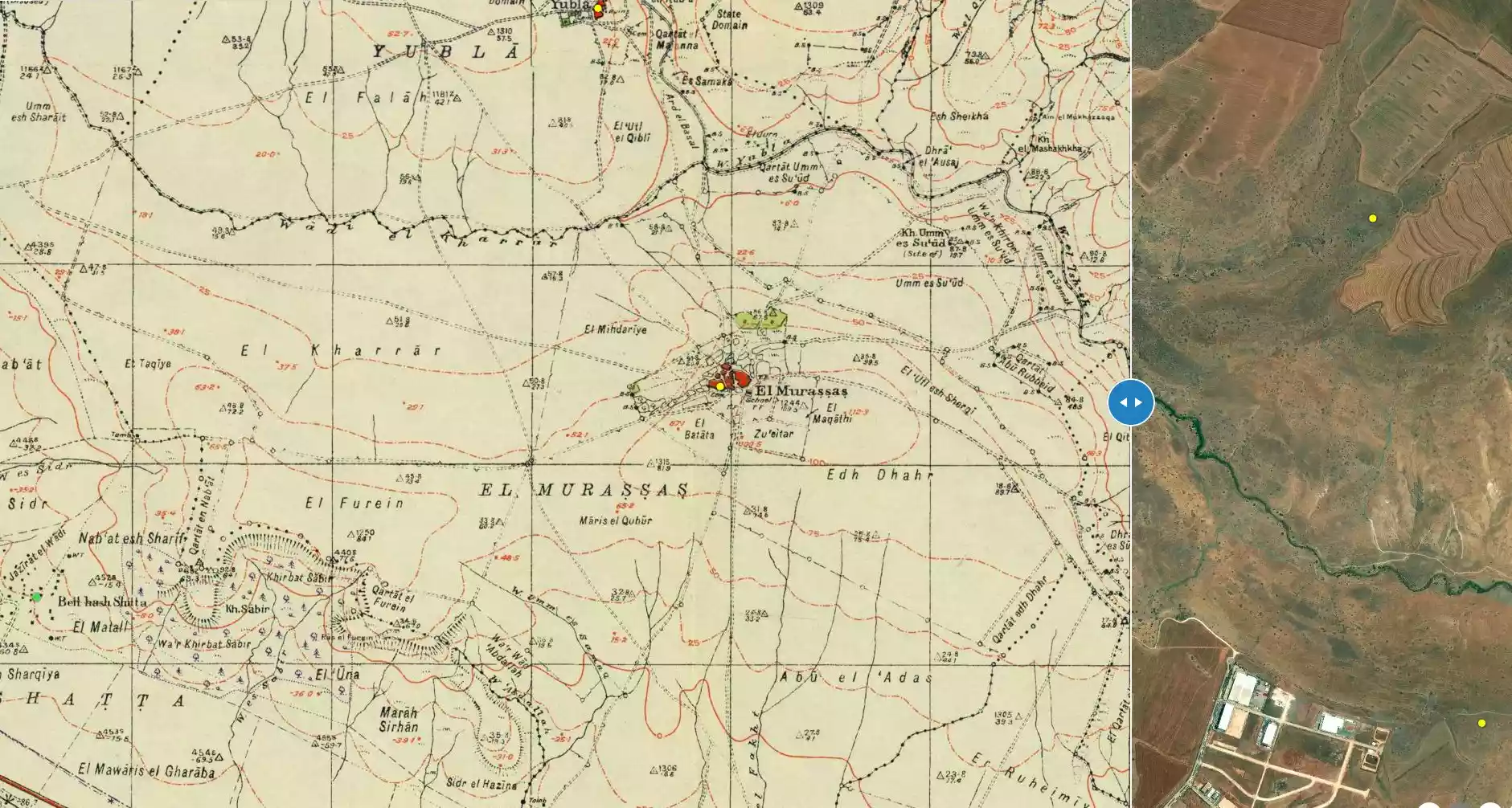
**Town Lands' Demarcation Maps |
||||||||||||||||||
| Land Usage As of 1945 |
|
||||||||||||||||||
| Population |
|
||||||||||||||||||
| Number of Houses |
|
||||||||||||||||||
| Near By Towns |
|||||||||||||||||||
|
|
|||||||||||||||||||
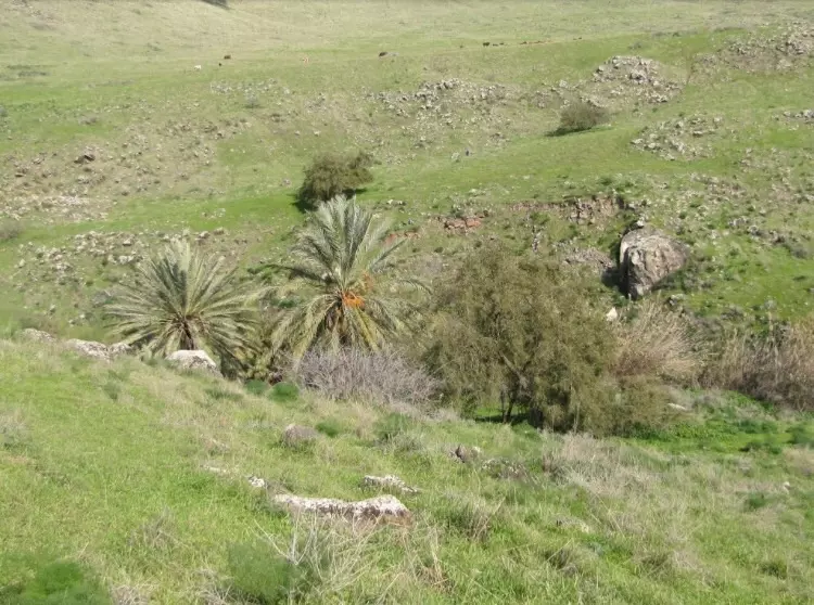
| Nearby Wadies & Rivers | al-Murassas bordered Wadi al-'Ashsha to the North and Wadi Jalud to the south. | ||||||||||||||||||
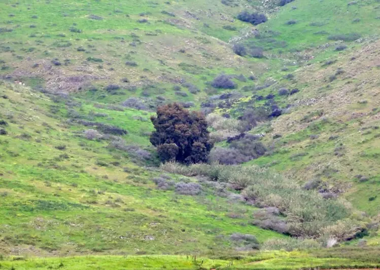
| Archeological Sites | The village contains an ancient pool known by al-Fakht. | ||||||||||||||||||
| Exculsive Jewish Colonies Who Usurped Village Lands |
No Israeli settlements on village lands. | ||||||||||||||||||
| Featured Video | |||||||||||||||||||
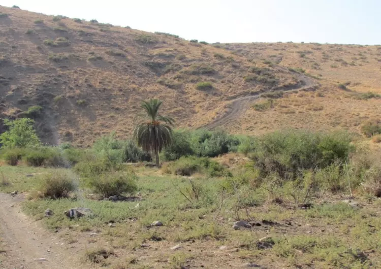
Village Before NakbaThe village stood on a low ridge that jutted up between Wadi al-'Ashsha (to the north) and Wadi Jalud (to the south). It overlooked the terrain to the south, which gradually descended to Wadi Jalud. A secondary road connected it to a highway running between Baysan and the village of Afula, to the northwest, which ultimately led to Haifa, on the coast. Other secondary roads linked it to several neighboring villages. A few springs west of the village, together with wells that collected rain water, satisfied the water needs of the villagers. In 1596 al-Murassas was a farm that paid taxes to the Ottoman government. The Swiss traveler Burckhardt, who visited the area in the early nineteenth century, mentioned it but did not provide any description.In the late nineteenth century, al-Murassas was a small village, situated on high ground and built of adobe bricks, surrounded by farmland. A small forest lay to the west of the village site. The village plan was circular in shape, with the houses concentrated around the crossroads at the village center. A few houses were also built on the eastern heights of the village. Of the 460 people living in al-Murassas, 450 were Muslims and 10 were Christians. The villagers worked in agriculture, which was based on grain and vegetables, and planted the farmlands to the west and north of the village. In 1944/45 a total of 9,894 dunums was allocated to cereals; 16 dunums were irrigated or used for orchards. An ancient pool in the southern part of the village, called al-Fakht, contained a cistern Zionists Colonies on Village LandsThere are no Israeli settlements on village lands. Sde Nachum , founded in 1937 some 3 km to the south of the site, was built on the lands of the town of Baysan. Beyt ha-Shitta , established in 1935 on land purchased from the village of Shatta, is 4 km west-southwest of the site.Village TodayThe village site is part of an agricultural area that is exploited by the settlements of Sde Nachum and Beyt ha-Shitta. The only structures in the area are telephone poles and a small shed. A small tell on the site, surrounded by plowed fields, is littered with rubble.SourceDr. Walid al-Khalidi, 1992: All That Remains. |
|||||||||||||||||||
| Related Maps | Town Lands' Demarcation Maps خرائط للقضاء توضح حدود القرى والاودية Town's map on MapQuest View from satellite Help us map this town at WikiMapia |
||||||||||||||||||
| Related Links | Wikipedia's Page Facebook Page Google Search Google For Images Google For Videos |
||||||||||||||||||
| More Information | في كتاب كي لا ننسى في كتاب بلادنا فلسطين المزيد من موقع هوية |
||||||||||||||||||
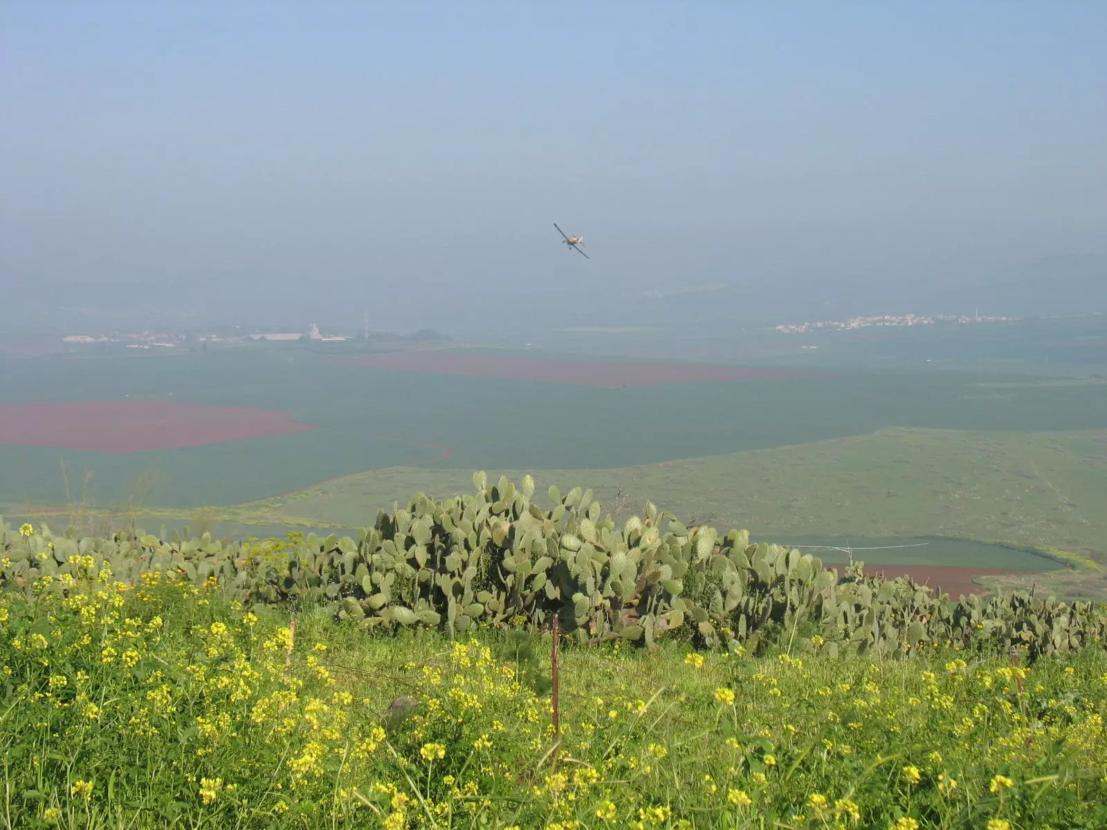
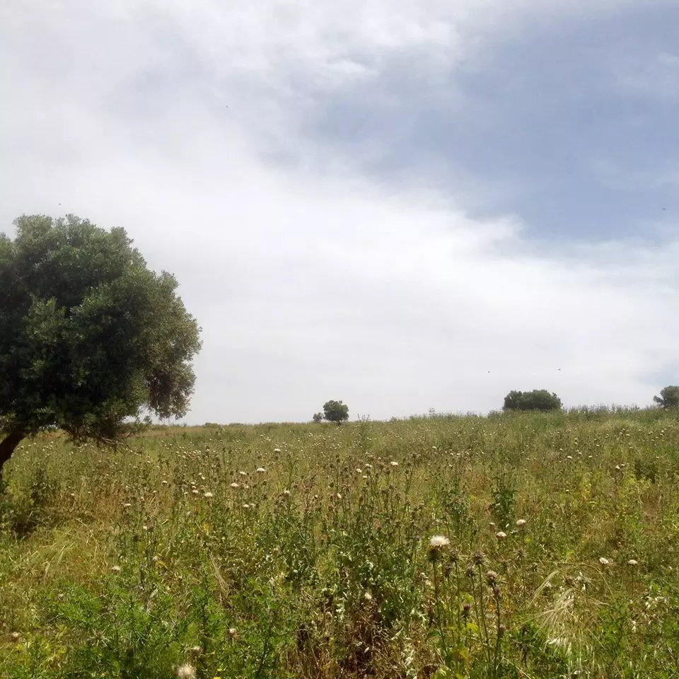
- General view, note the airplane and clearly a Jordanian village can be seen in the background.
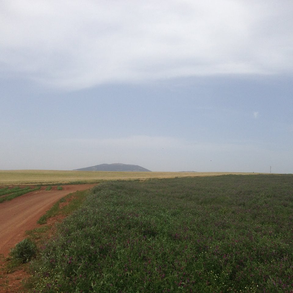
Posted by Noga Kadman 6 - المرصص كروم الزيتون

Posted by فتحي ابو رضا \ العايدي - منظر الى الغرب
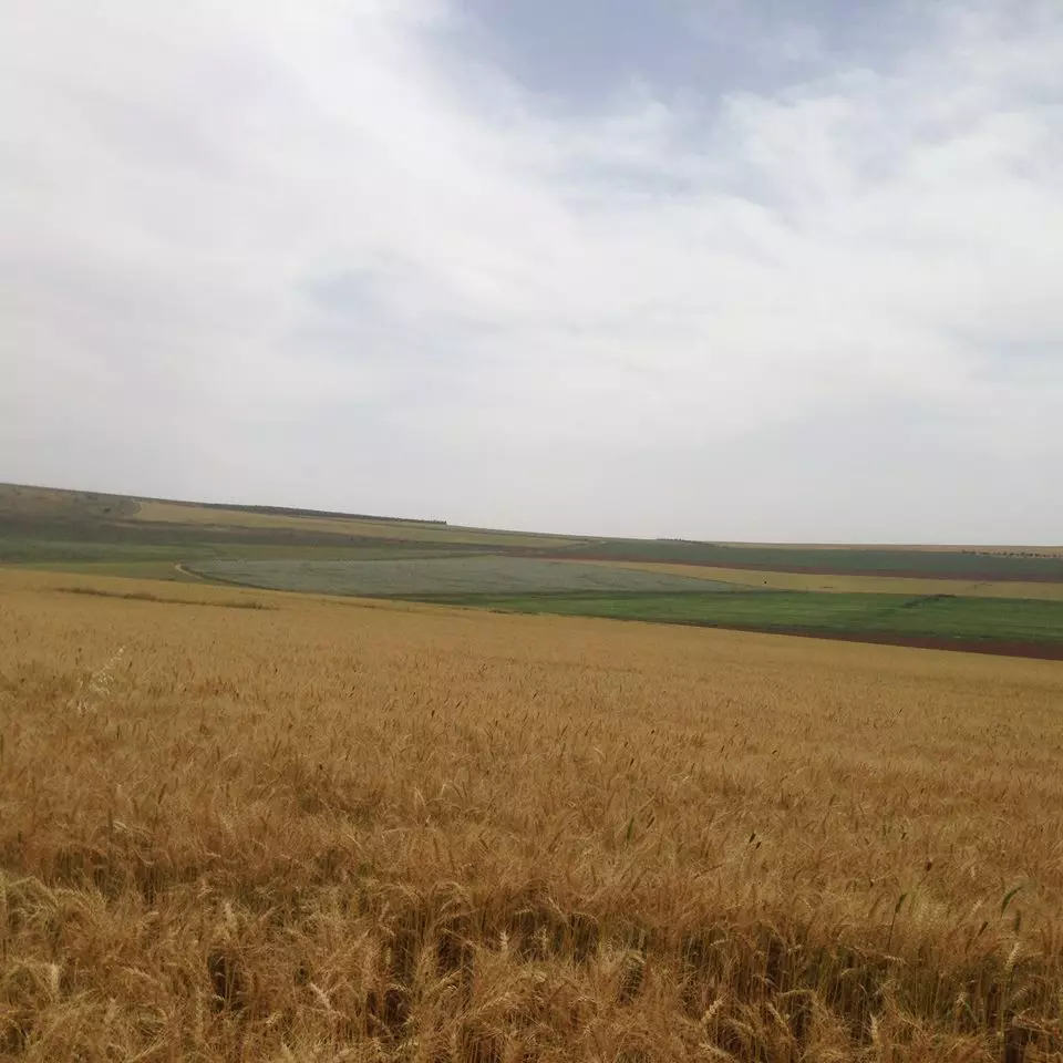
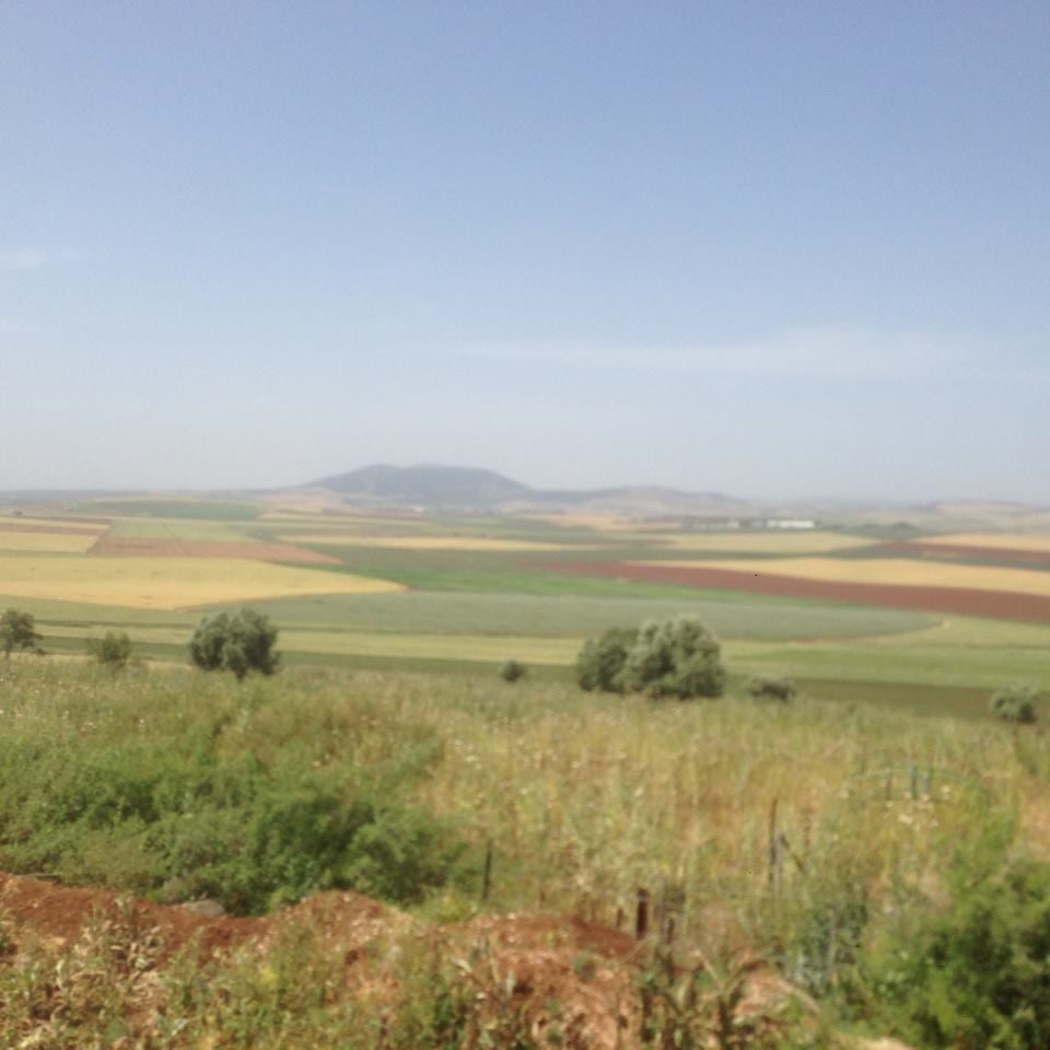
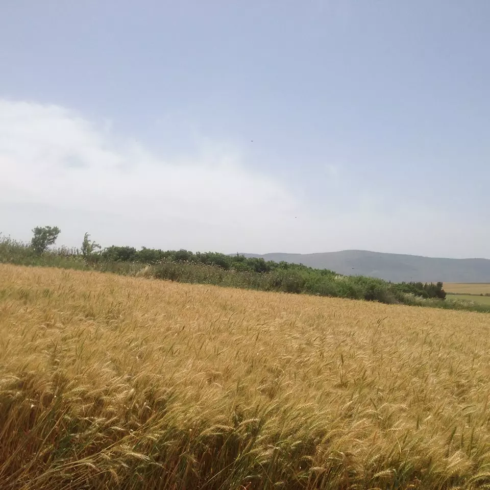
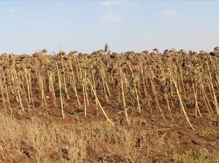
Posted by فتحي ابو رضا \ العايدي - المرصص حقول القمح الاراضي السلوبة
Posted by فتحي ابو رضا \ العايدي - الزيتون والزعكور
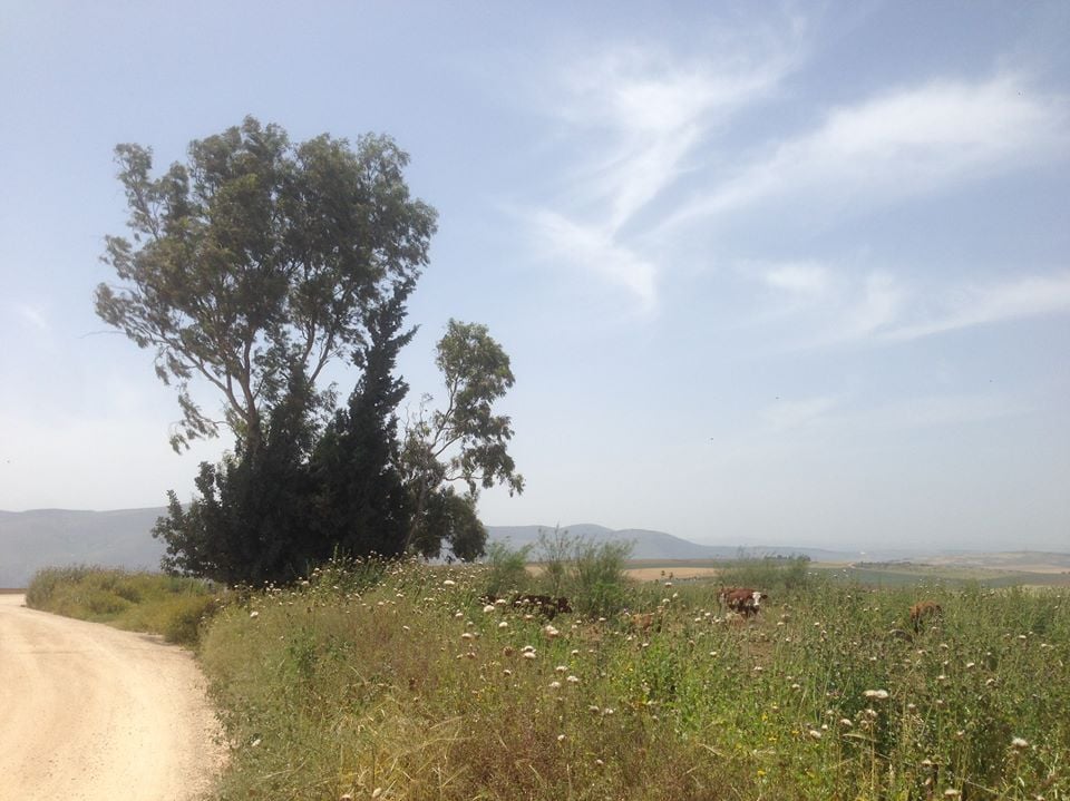
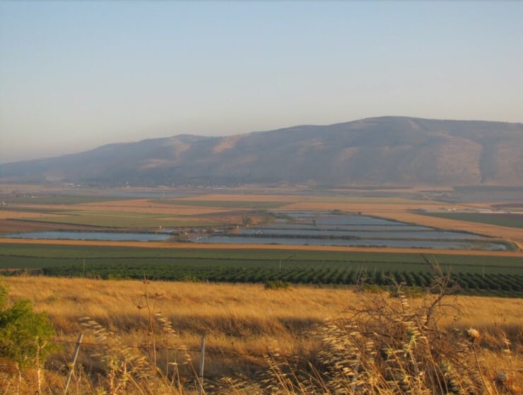
Posted by فتحي ابو رضا \ العايدي - منظر باتجاة الشمال الغربي ويظهر جبل الحي
Posted by فتحي ابو رضا \ العايدي - اصبحت مراعي الابقار
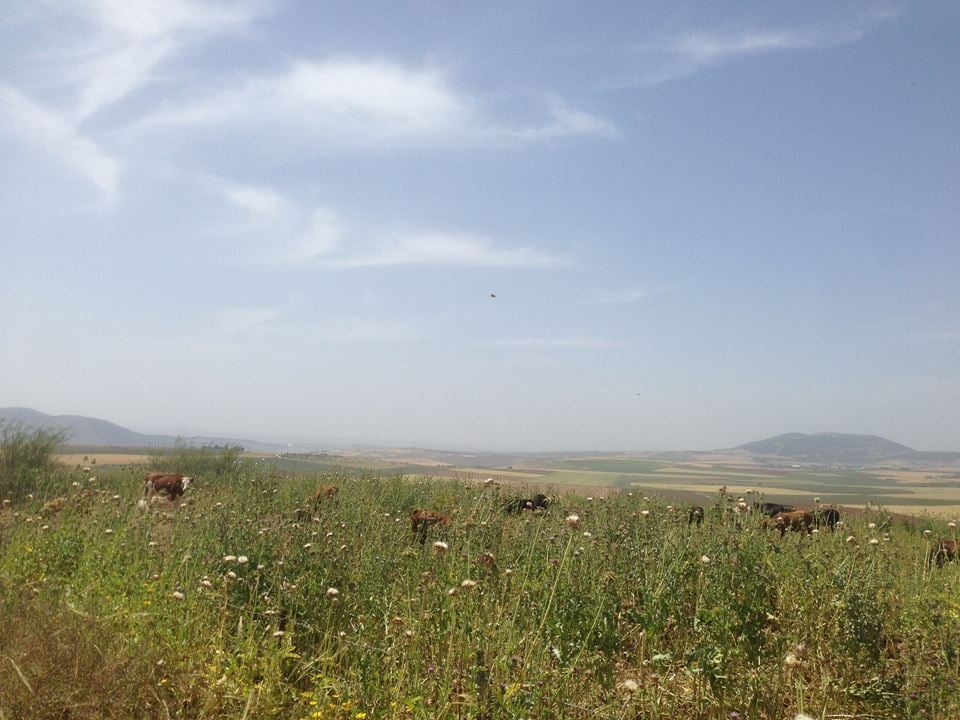
Posted by فتحي ابو رضا \ العايدي - المرصص اصبحت مراعي ابقار مغتصبيها
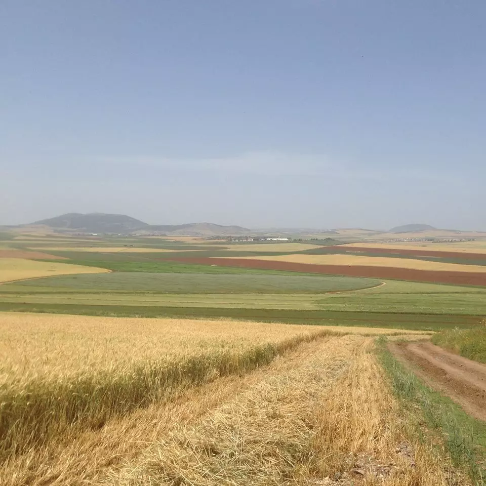
Posted by فتحي ابو رضا \ العايدي - حقول القمح
Posted by فتحي ابو رضا \ العايدي - حقول القمح ويطهر جبل الدحي
Posted by فتحي ابو رضا \ العايدي 1 - اراضي القريه
Posted by abu raya - موقع القريه محاط بالسياج
Posted by abu raya - اراضي القريه
Posted by abu raya - منظر بالقرب من القريه
Posted by abu raya - من موقع القريه
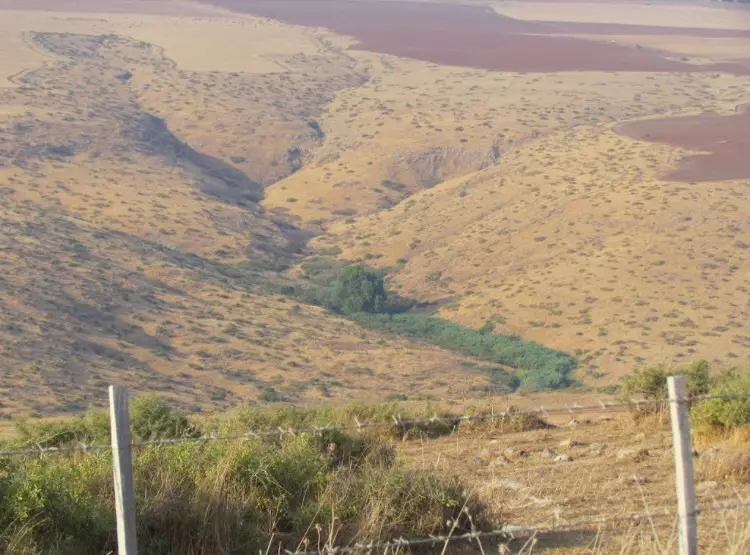
Posted by abu raya - مصادر المياه شرق القريه
Posted by abu raya - عيون مياه القريه
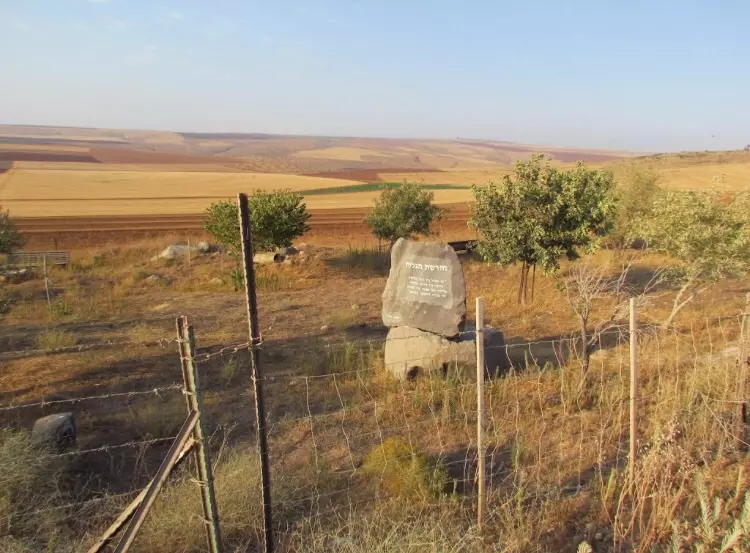
Posted by abu raya - بعد احتلال وتطهير القرية من سكانها عد حرب النكبة 1948
Want to browse more? 80,000 pictures were grouped in these gallaries:
| Display Name | Clan/Hamolah | Country of Residence |
| أديب | الشريف | - |
| poshksh | alkhateeb | - |
| عاصم السكجي | السكجي | - |
| الجبعي | الجبعي | بيسان, بيسان |
| محمد السكجي | - | - |
| ayman | aburadwan | sweden, sweden |
| myj | فشافشه | الاردن, الاردن |
| sewanda | Odeh | Amman, Palestine |
| Sewanda | ابو همام | Amman |
| hatem abu-hammam | abu - hammam | amman, Jordan |
| Malik Odah-Abu Hammam | Abu Hammam | Amman, Jordan |
| omar sakaji | sakaji | jordan, jordan |
- زيارة لقرية المرصص المهجرة Duration: 24 min 45 sec
- في رحاب قضاء بيسان: مرج ابن عامر، يُبلة – مُرصص – دنة – كفرة – جبول – زُبْعة إنه وادي العِّشِّة Duration: 3 min 54 sec
No links have been shared yet, be free to the first to share the first link.
 Fake Valor: Why Did Zionist Jews Hoist Nazis Flag on Their Ships in the 1930s?
What is new?
-
Facts About Oct. 7th Gaza Raid
-
Remined Us Please:: Who Did Rape Who? Palestinians Raped Israelis? Or, was the other way around?
-
When Prof. Edward Said was invited to debate Bibi Netanyahu in the 1980s, watch what happened!
-
Ezra Klein of the NY Times on the "Jewish Race".
-
Abusing Blood Libel!
-
Did Israeli Soldiers Activate The Hanniba Direective On Oct. 7th? You Be The Judge
-
Zionist FAQ: Isn't it true that Palestinians don't want peace? Palestinians never accepted the two-state solution
- Facts about Haavara (Transfer) Agreement between Ben-Gurion & Hitler
-
Haavara FAQs: Why Did Zionist Jews Hoist Nazis' Flags on Their Ships in the 1930s?
- Haavara FAQs: When Chaim Weizmann met FDR in mid-1943, why was he silent about rescuing European Jewry?
-
Dear ChatGPT: How did Palestinians resist Napoleon's invasion of their country in 1799?
-
Dear ChatGPT: Gaza had a vibrant Jewish community in the mid-17th century. What happened to them?
-
Dear ChatGPT: Why did the Jewish Agency suppress news of the Holocaust during WWII?
-
Video Playlist: Jews share their DNA tests to end the conflict for good.
-
A Tale of Two Conflicts: Examining the Definition of Genocide
-
Prof. Abraham Polak And The Suppressed History of the Khazars and European Jewry
-
How Ronald Reagan would have framed the genocide in Gaza if he were still alive?
-
Haavara FAQs: Let us do the math: how many German Jews did The Haavara Agreement save?
-
Zionist FAQs: The Hebron Massacre of 1929, "clearly proves" that Palestinians are antisemitic, how could you deny it?
-
Zionist FAQs: Why Anti-Zionist Is Not Antisemitism?
-
Zionist FAQs: Isn't it true that the KGB created Palestinian Nationalism in the early 1960s?
- Zionist FAQs: Muslims are killing Muslims all the time; why are Israeli Jews being singled out in the media?
- Zionist FAQs: How is Israel an apartheid state when 20% of its citizens are Arabs who enjoy full rights?
-
Haavara FAQs: Why Did Dorothy Thompson Flip From A Zionist Advocate to A Silenced Dissenter?
-
Haavara FAQs: Analysis of Herzl's Uganda Scheme and how it could have saved millions of Jews.
-
Haavara FAQs: Why did Hayim Greenberg describe American Jewry as "morally bankrupt" in early 1943?
-
Haavara FAQs: What if the Evian Conference was a resounding success? What would have been the impact of saving European Jewry on Zionism?
- Haavara FAQs: What if the six million were saved, how that would have impacted the Zionist project?
-
Haavara FAQs: How did Zionist leaders react when Europe's Jews lingered in the DP camps after WWII ended?
-
Why does the American Jewish community repeat lies that David Ben-Gurion had debunked before he died?
-
Who has the power to rename the Tatar/Khazar Gene Marker to Jewish IV?
-
Zionist FAQs: Why won't Egypt, Syria, and Jordan take their people back? Jews are indigenous to Palestine, and Arabs immigrated after Jews developed the country. Arabs should leave.
-
Haavara FAQs: Did Hitler and the Nazis conflate between Judaism and Zionist? If that wasn't case, then why?
-
Haavara FAQs: Winston Churchill and antisemitism, a collection of articles written Churchill.
-
Haavara FAQs: Broken by country, how many Jews survived vs. killed during the Holocaust?
-
Haavara FAQs: Why did European Jews vote with their feet and to immigrated to the Americas, not Palestine, after WWII?
-
Watch this American Jewish Girl describing Israeli Jews' cognitive dissonance like no other in under two minutes
-
Haavara FAQs: When the Nazis went out of their way to hide the Holocaust, Israeli Jews did the exact opposite by broadcasting their genocide of Gazans. But why?
-
Haavara FAQs: How Zionist Jews went out of their to show their appreciation to Nazism and Fascism?
- Haavara FAQs: Why Zionist leaders were against bombing the death camps & the Railroads leading to them?
-
Haavara FAQs: Hitler's message to the British and American people: If Jews are such noble citizens and you care about them, how come you're not letting them in? I will gladly ship them to you at my expense, even on luxury liners!
-
A shortlist of Zionist and Israeli false flag operations in the name Jews.
-
The Most Moral Army
- The Land of Kapos (Israel): Where the brave are boycotted and Kapos walk free.
- Why did early Zionists often named their communal enterprises "colonial"?
- Zionist Relations with Nazi Germany by Faris Glubb
-
Two NY Times advertisements by Zionists in the early 1943 that exposes Zionists' treason at the height of the calamity
- Facts Not Lies about the Palestinian-Israeli Conflict.
- Site's pictures have been categorized
- Campgain Against Lice
- A Survey of Palestine, the official source about Palestine before Nakba produced by the British Mandate; over 1200 pages.
- Satellite View & Google Earth: Over 6,000 placemarks identifying all destroyed towns, W. Bank & Gaza Strip Towns, & refugee camps.
- PalestineRemembered.com and its Nakba Oral History Project were featured on al-Jazeera Satellite TV.
- Nakba Oral History Video Podcast:
 Over 700 Oral History interviews (including 3,500+ hours of recording) can be viewed online.
 - Palestine Village Statistics Project
- Gaza Jail Break
- النسخة العربية للموقع الان متوفرة
- Videos: Documenting the destroyed villages in video: Tracing all that remains since Nakba.
- Videos: Responding to Zionist Propaganda
- Interview: The ethnic cleansing of Palestine: George Galloway interviews Israeli Historian Ilan Pappe.
- For Palestinians, memory matters. It provides a blueprint for their future By George Bisharat.
- Zionist FAQ now available in Hebrew שאלות שציונים שואלים, עכשיו בעברית
- Video: The Stephen Walt and John Mearsheimer report on the influence of the Israel Lobby on U.S. Foreign Policy
- The Palestinian-Israeli conflict for beginners
