| PalestineRemembered | About Us | Oral History | العربية | |
| Pictures | Zionist FAQs | Haavara | Maps | |
| Search |
| Camps |
| Districts |
| Acre |
| Baysan |
| Beersheba |
| Bethlehem |
| Gaza |
| Haifa |
| Hebron |
| Jaffa |
| Jericho |
| Jerusalem |
| Jinin |
| Nablus |
| Nazareth |
| Ramallah |
| al-Ramla |
| Safad |
| Tiberias |
| Tulkarm |
| Donate |
| Contact |
| Profile |
| Videos |
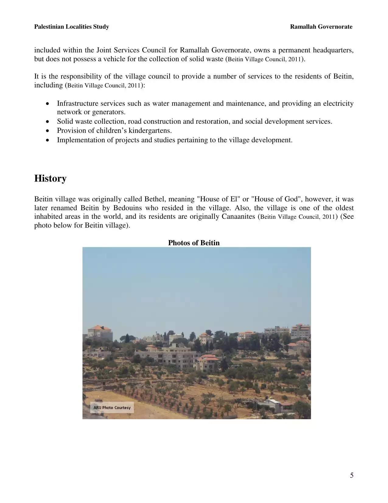
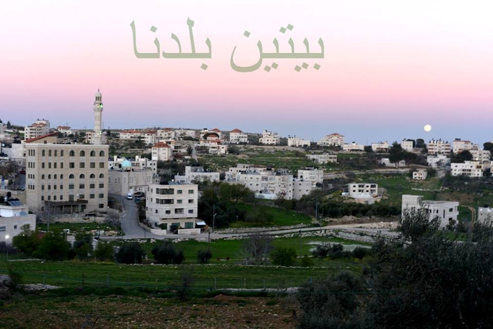
Welcome To Beitin - بيتين (ביתין)
|
District of Ramallah
Occupied days ago |
العربية Google Earth |
 |
Gallery (99) |
- Statistics & Facts
-
Before & After

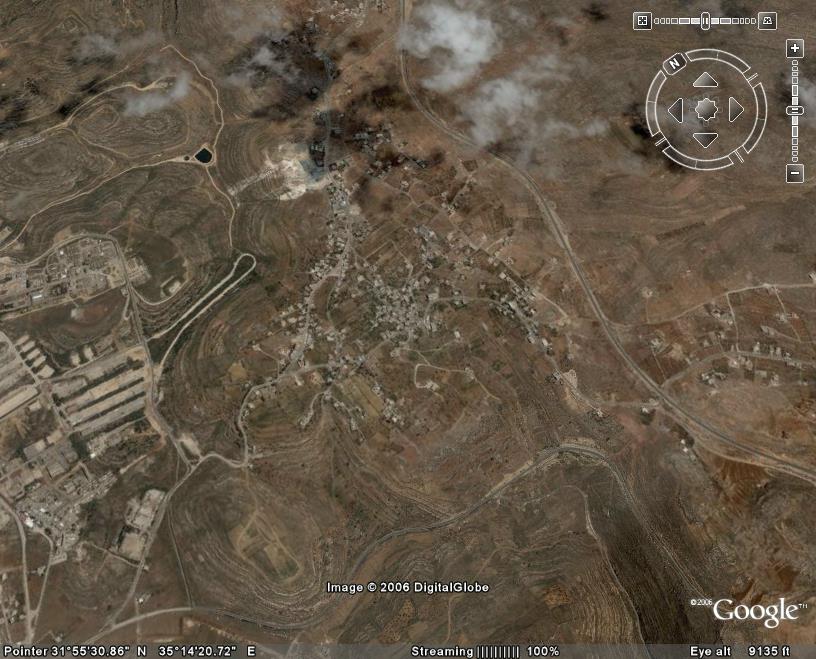
- Satellite View
- Articles 1
- Pictures 99
- Mayrters & Prisoners 1
- Members 7
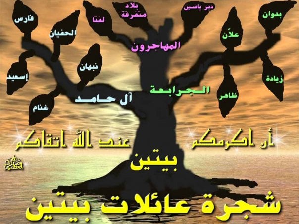
- Families
- Wikipedia
- ARIJ Guide
- Videos 3
- Guest Book 11
- Links
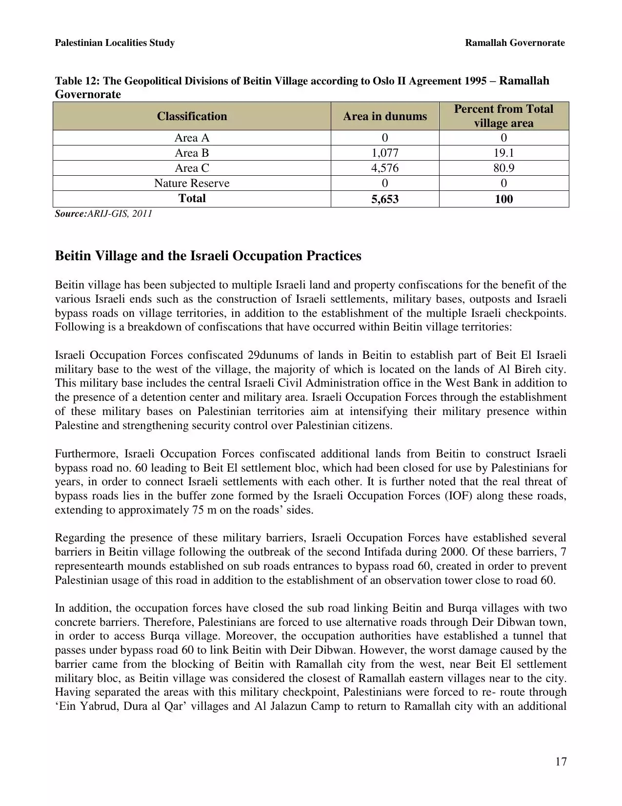
| Statistic & Fact | Value | ||||||||||||||||||||
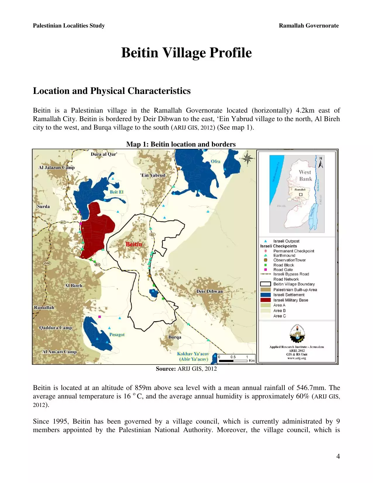
| Distance From District | 5 km northeast of Ramallah | ||||||||||||||||||||
| Elevation | 894 meters | ||||||||||||||||||||
| Before & After Nakba, Click Map For Details |
|||||||||||||||||||||
|
|||||||||||||||||||||
| Land Ownership |
**Town Lands' Demarcation Maps |
||||||||||||||||||||
| Land Usage As of 1945 |
|
||||||||||||||||||||
| Population |
|
||||||||||||||||||||
| Near By Towns |
|||||||||||||||||||||
|
|||||||||||||||||||||
| Featured Video | |||||||||||||||||||||
| ARIJ Guide | |||||||||||||||||||||
|
Click here to browse online. |
|||||||||||||||||||||
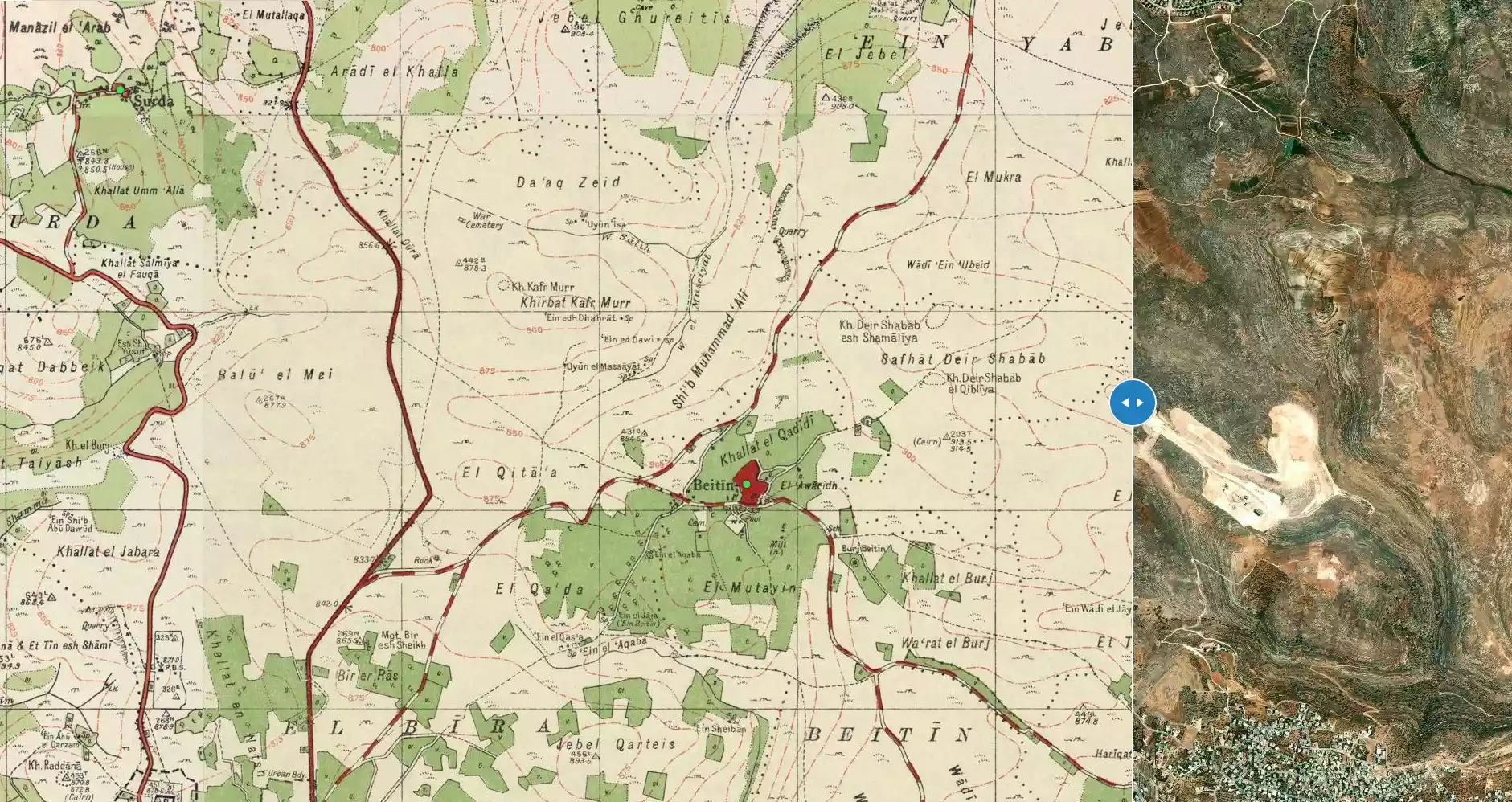
| Related Maps | Town Lands' Demarcation Maps خرائط للقضاء توضح حدود القرى والاودية View from satellite Town's map on MapQuest Help us map this town at WikiMapia |
||||||||||||||||||||
| Related Links | Wikipedia's Page Facebook Page ARIJ Guide Google Search Google For Images Google For Videos في كتاب بلادنا فلسطين دليل أريج المزيد من موقع هوية |
||||||||||||||||||||
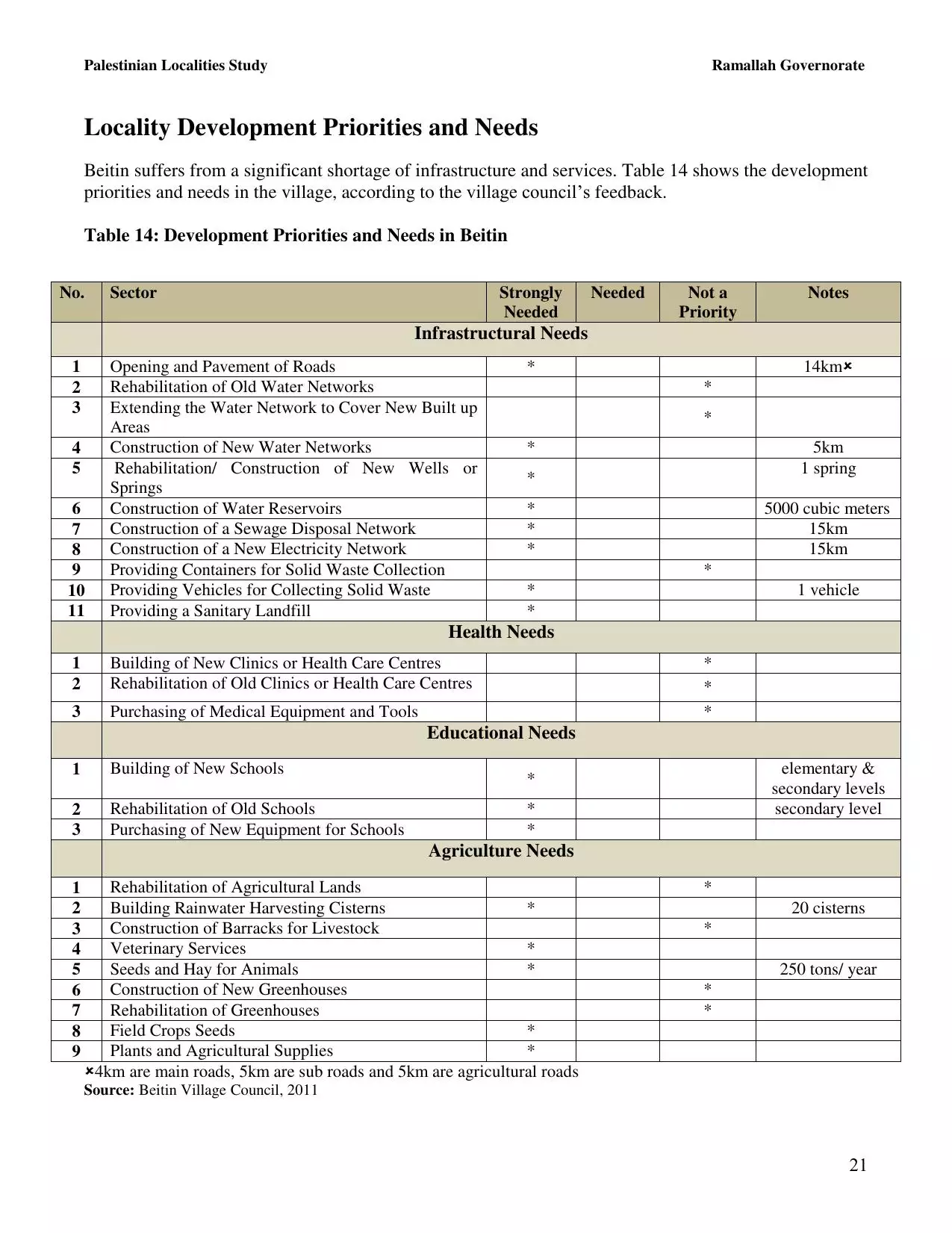
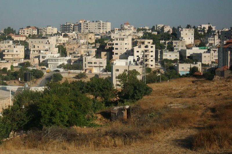
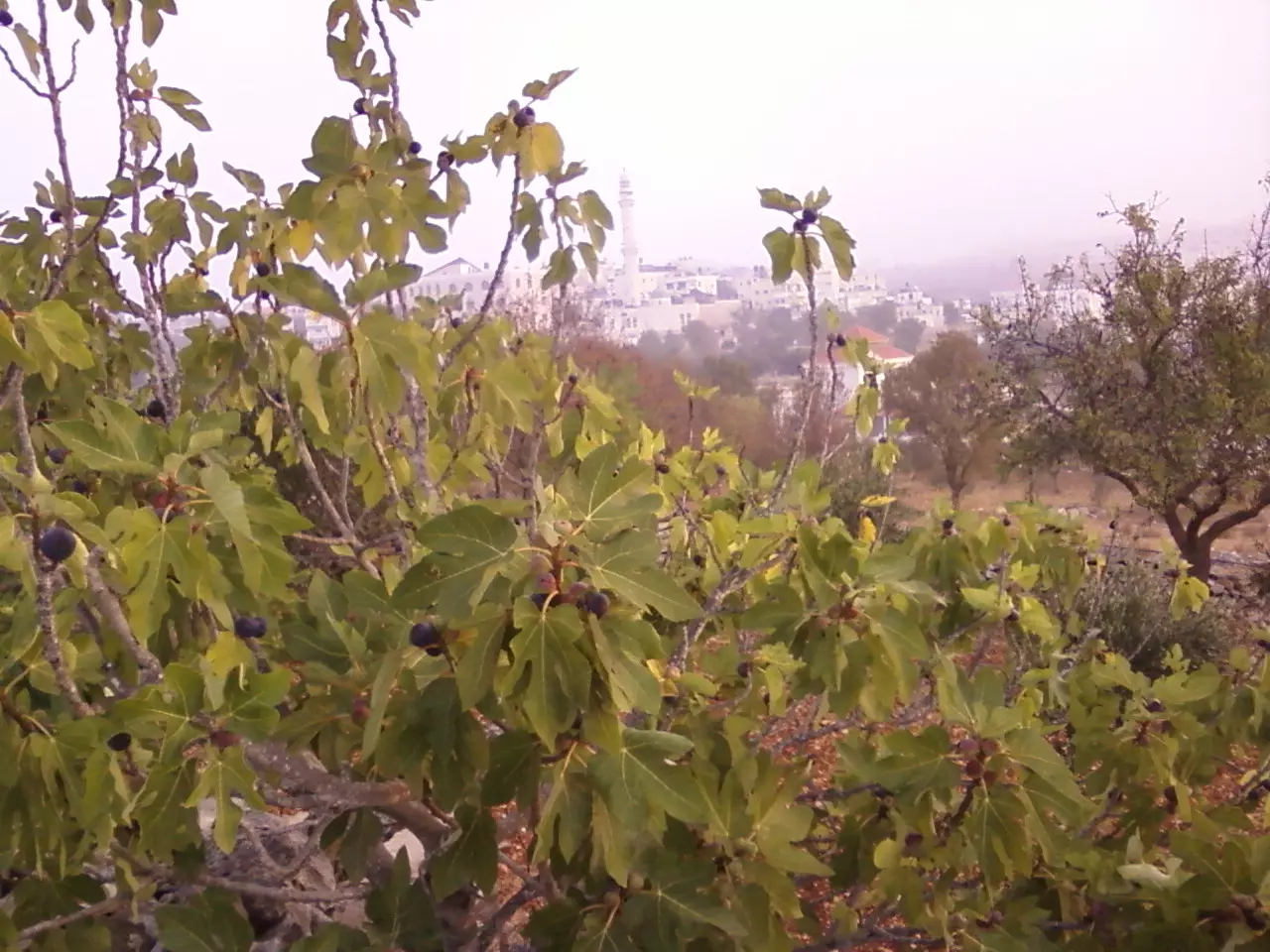
- صورة عامة للبلدة من الناحية الشرقية
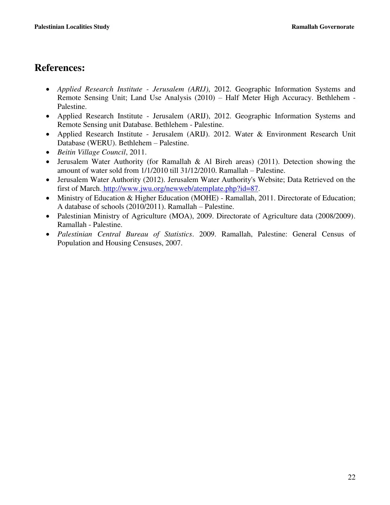
Posted by صائب 5 - The ruins of el-Burj in 1935
Posted by صائب - العين مليان بمية الشتوية
Posted by موسى حامد 4 - ايام الهناء
Posted by ابو عمر 1 - ايام العز
Posted by ابو عمر - من ايامها وهم يمكرون والله خير الماكرين
Posted by ابو عمر 1 - اّخ على ايام البيادر (الجرون)
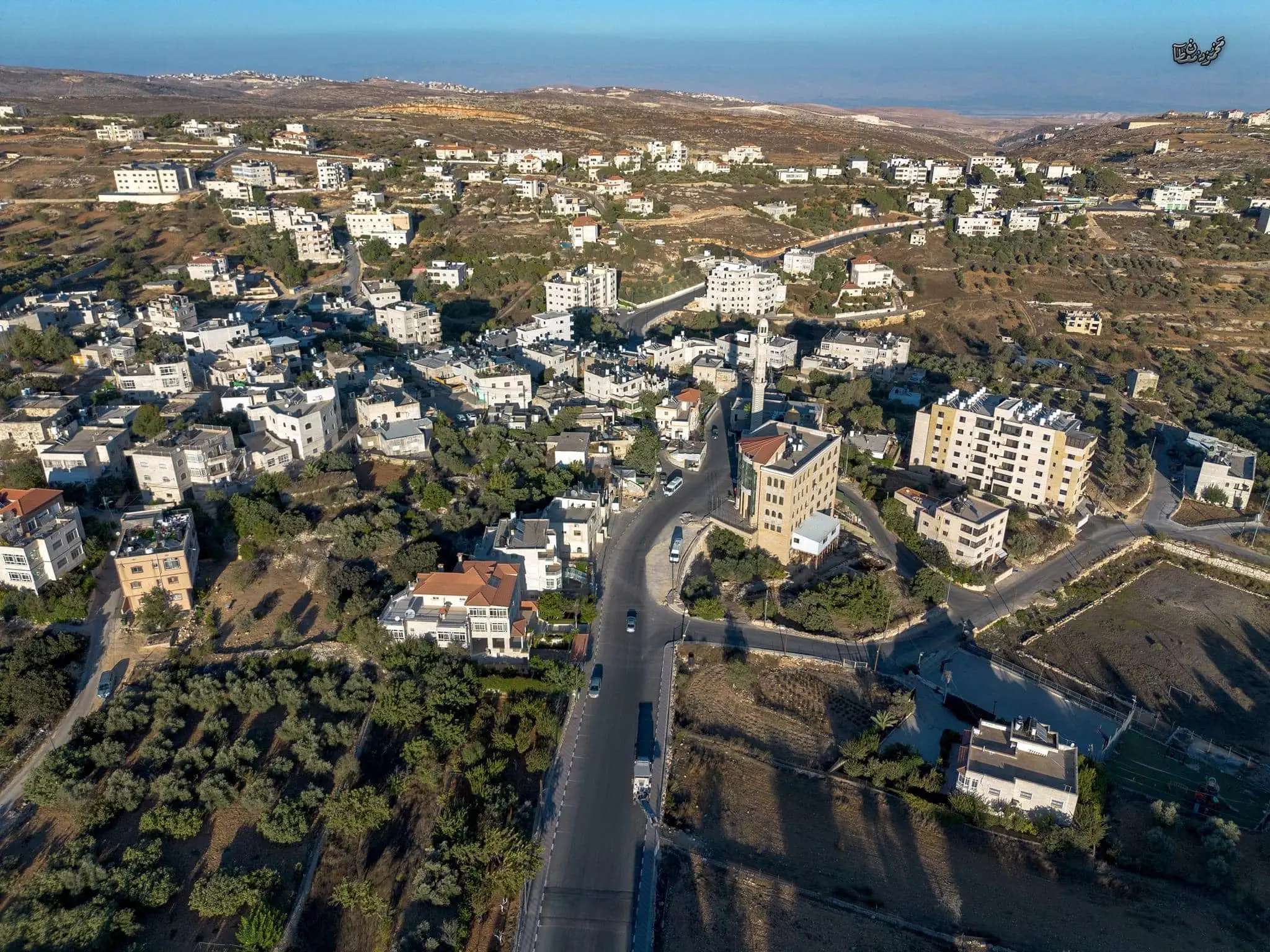
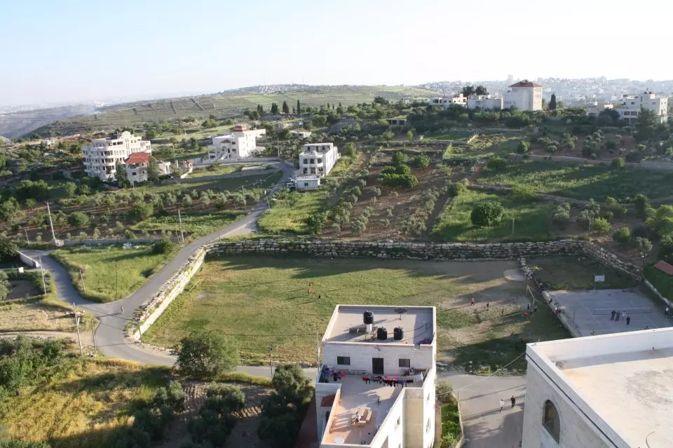
Posted by ابو عمر - بيتين من الجو
Posted by موسى حامد 1 - شجرة عائلات بيتين
Posted by موسى حامد 2 - والله يا هيك رؤسه المجالس ولابلاش
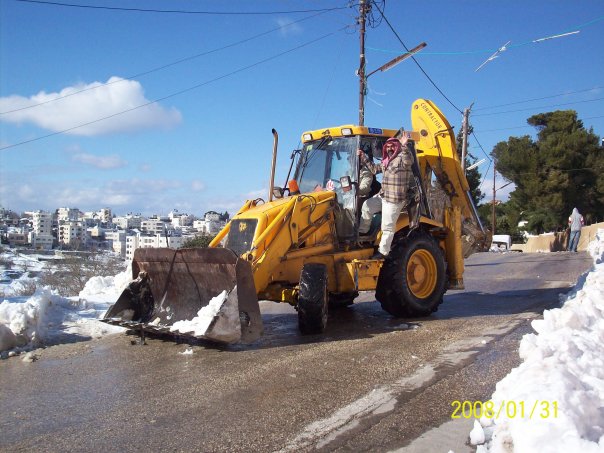
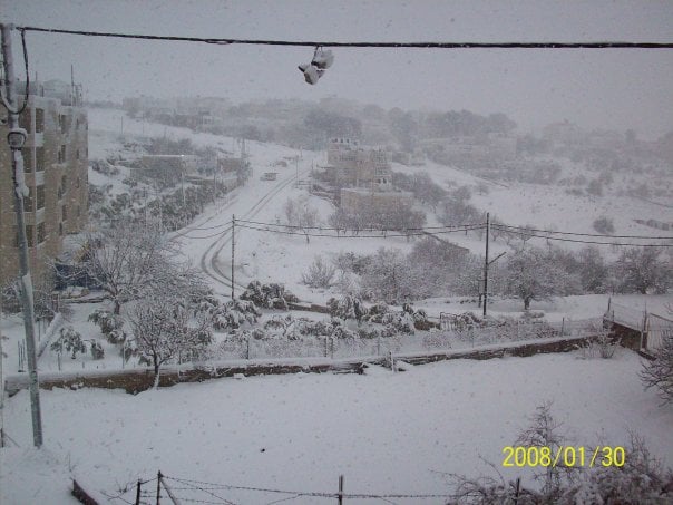
Posted by موسى حامد 4 - بيتين في الثلج
Posted by موسى حامد 8 - betin
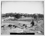
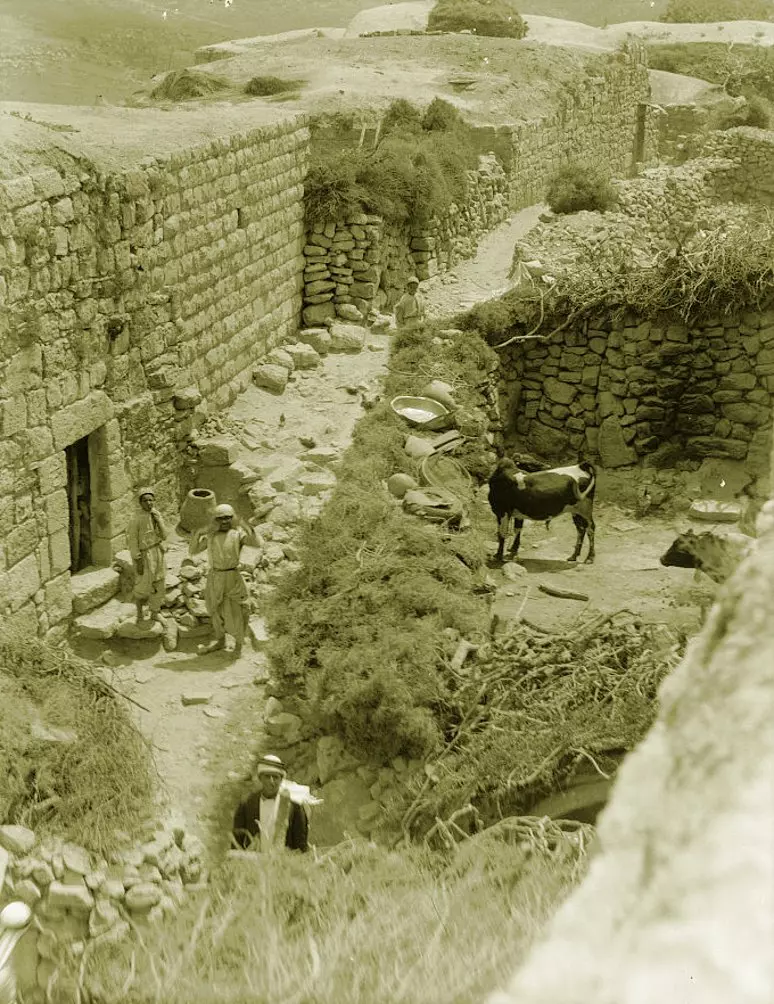
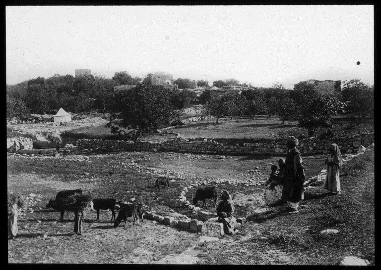
Posted by anzol 1 - BEITIN 1 - Matson Collection, late 19th, early 20th C.
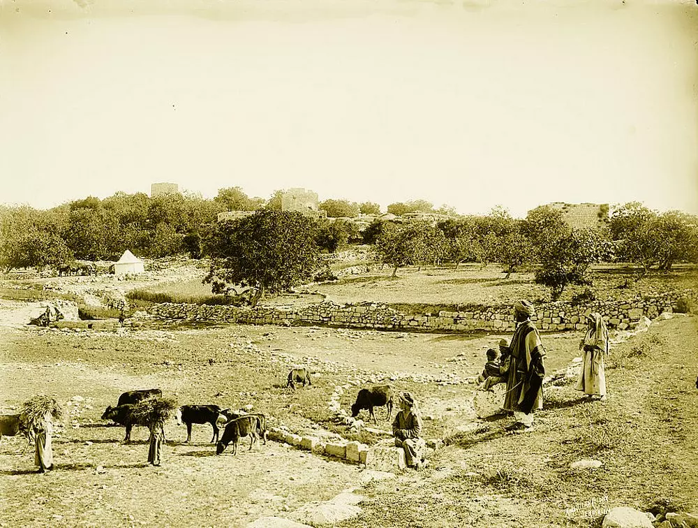
Posted by Rami Atwan - BEITIN 2 - Matson Collection, late 19th, early 20th C.
Posted by Rami Atwan - BEITIN 3 - Matson Collection, late 19th, early 20th C.
Posted by Rami Atwan - BEITIN 4 - Matson Collection, late 19th, early 20th C.
Posted by Rami Atwan - BEITIN 5 - Matson Collection, late 19th, early 20th C.
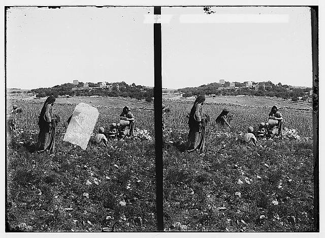
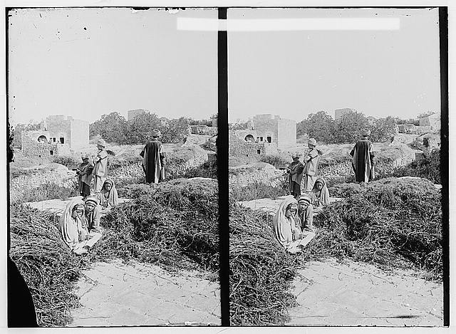
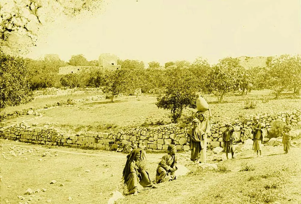
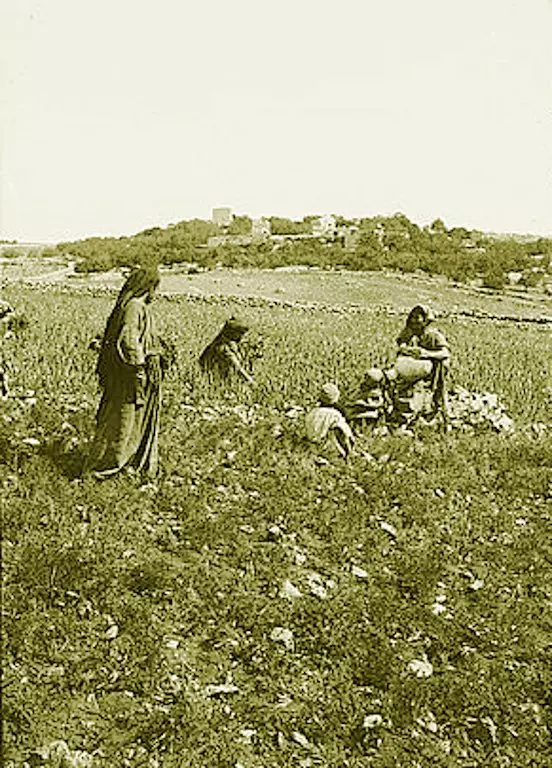
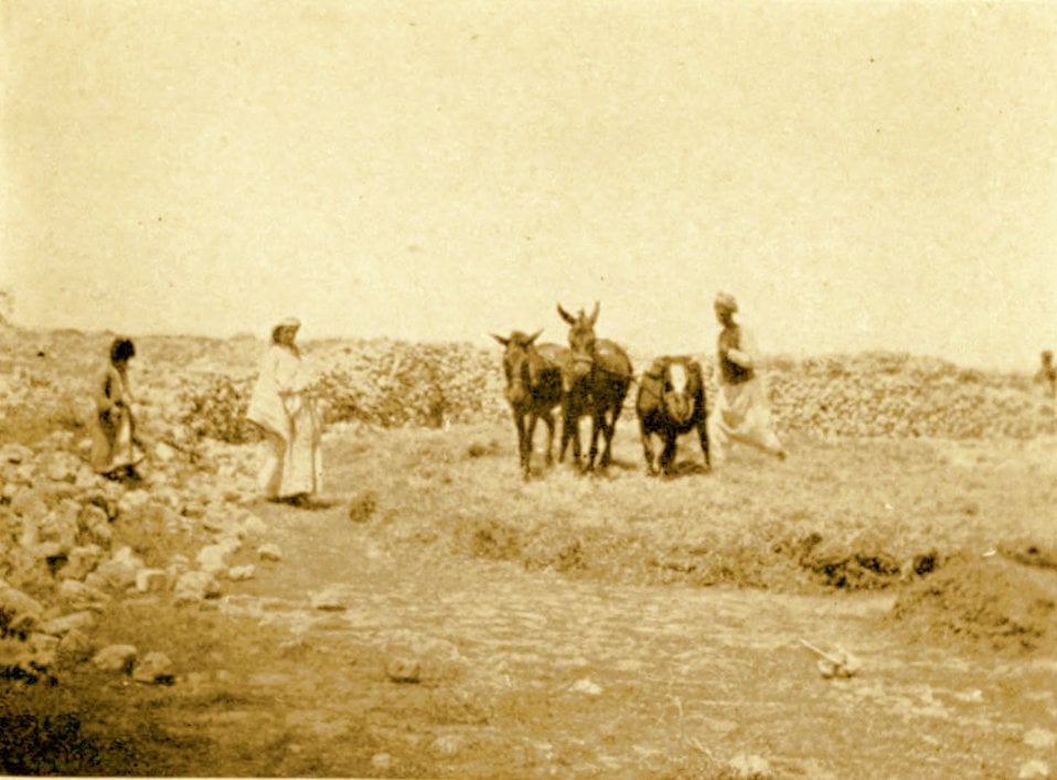
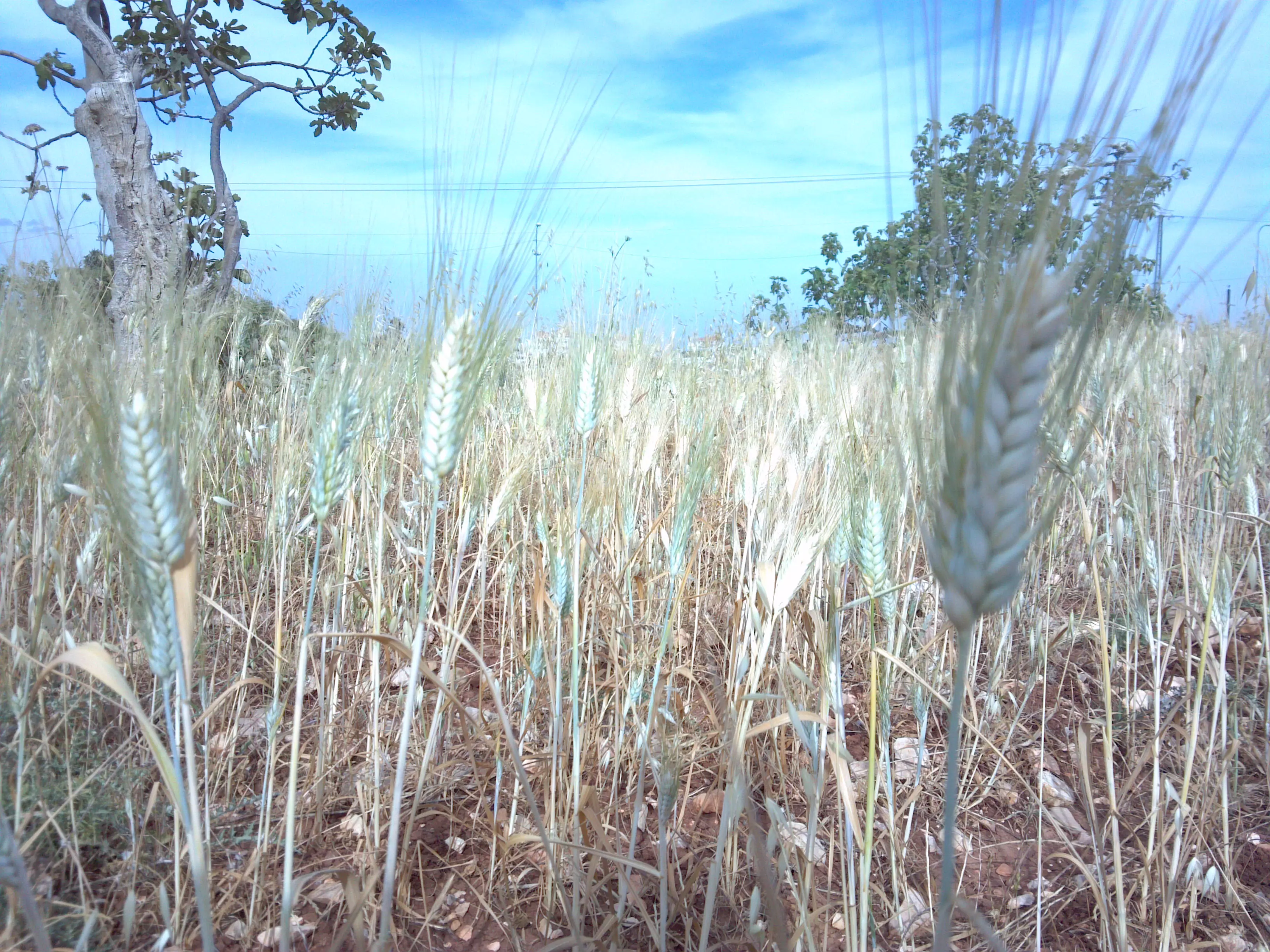
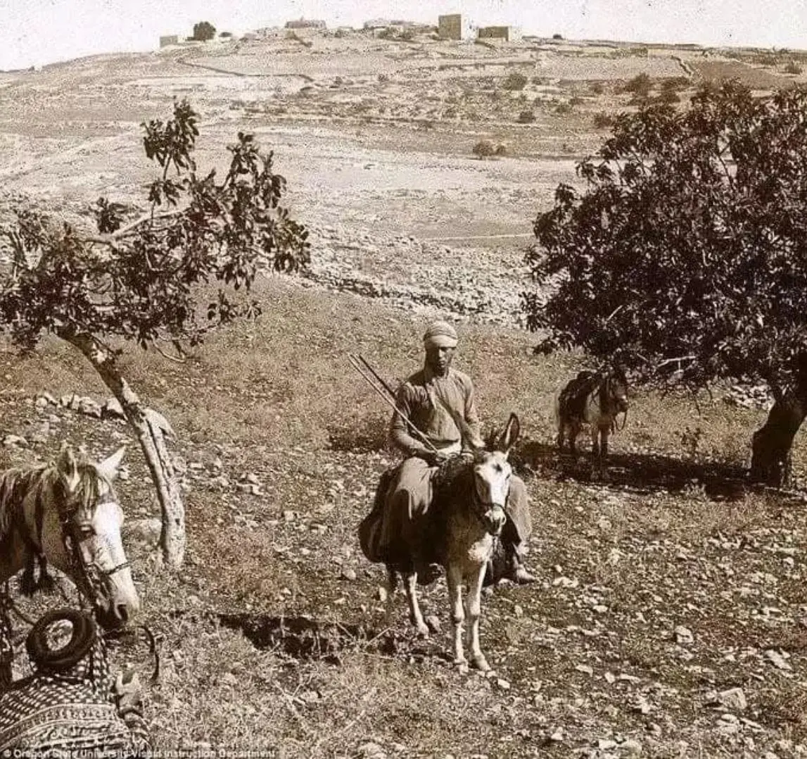
Posted by Rami Atwan 1 - BEITIN - Palestinian farmers Gathering Tares From Wheat at Beitin, circa 1890s (Per Reem Ackall)
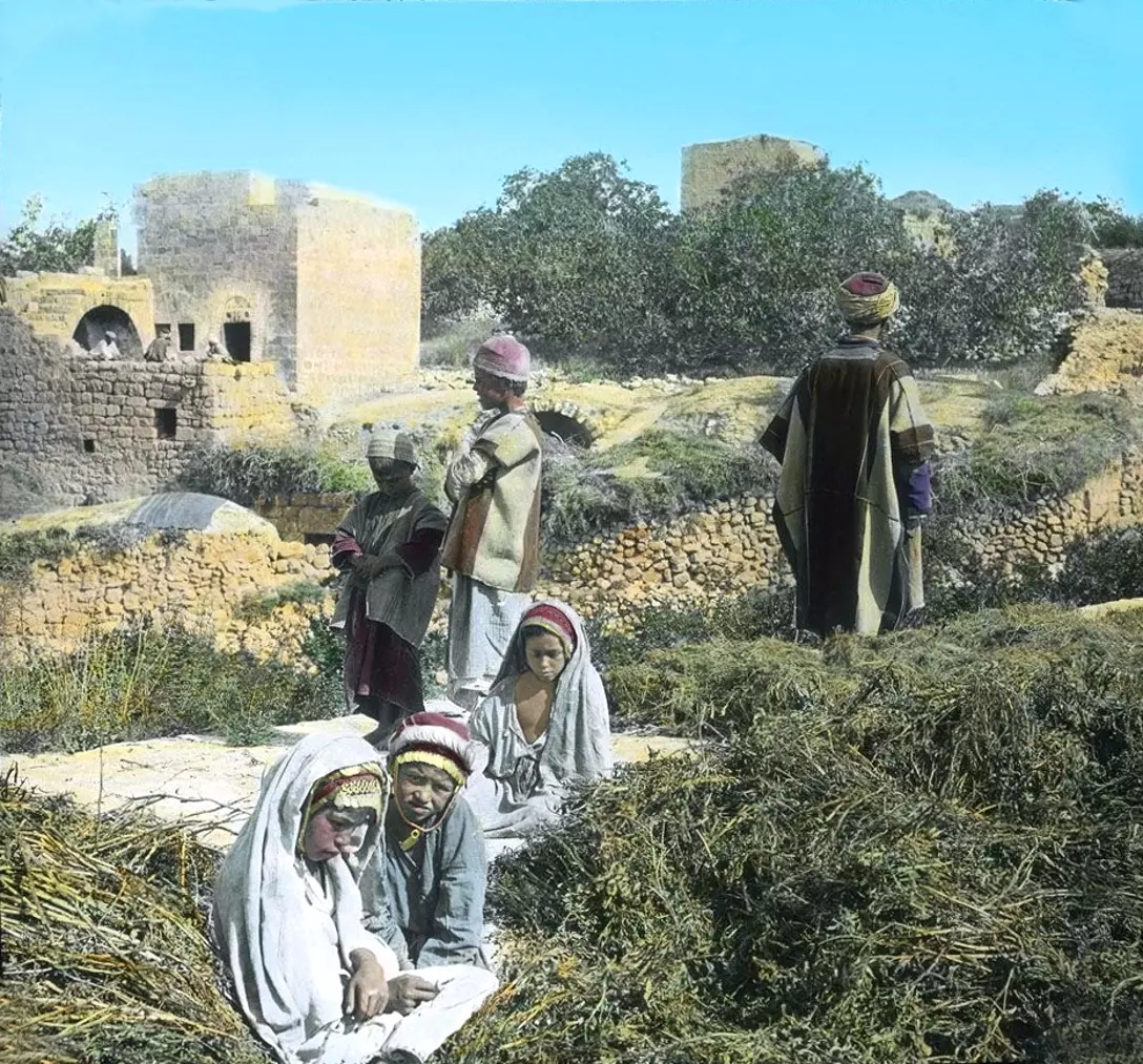
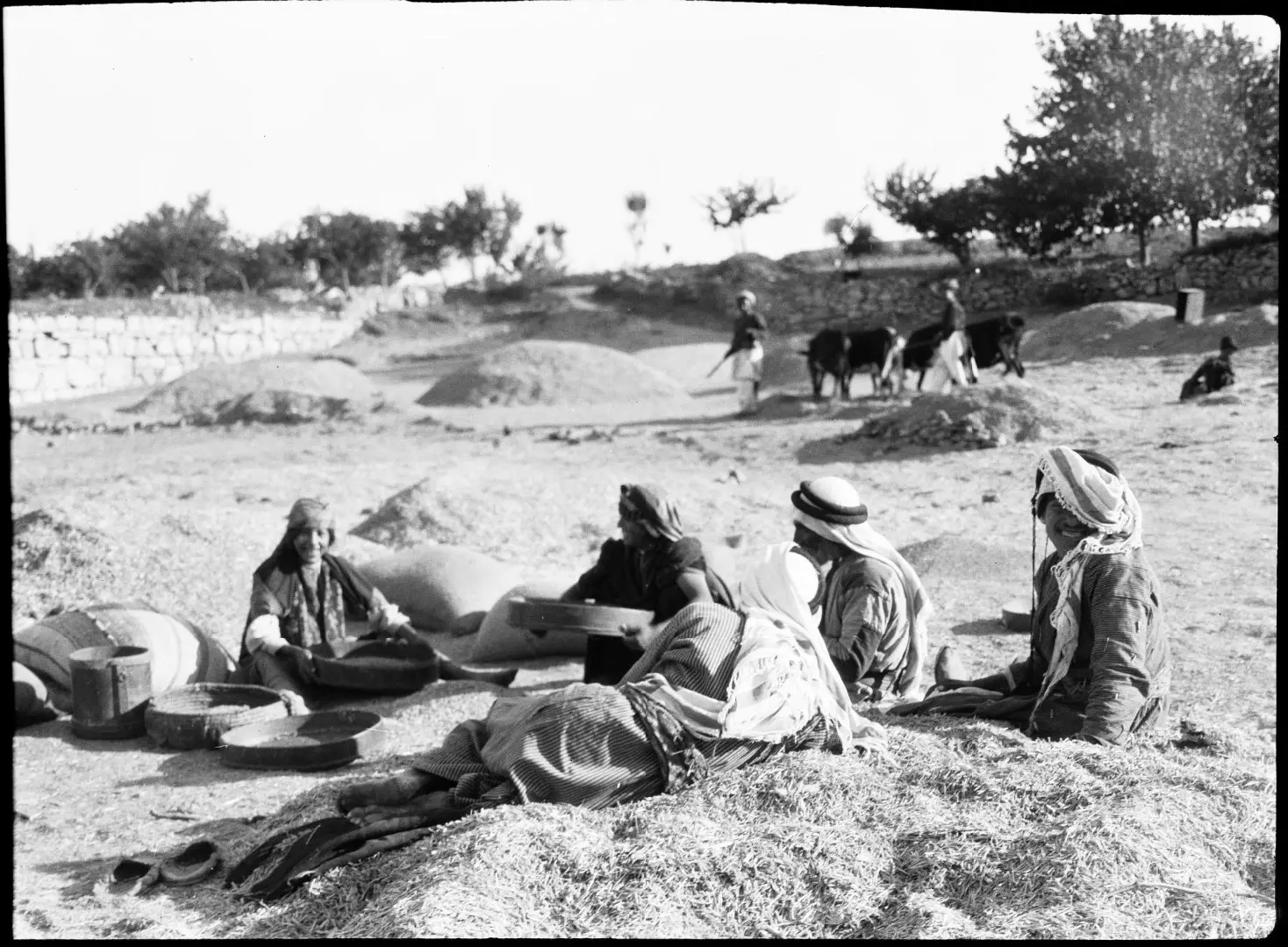
Posted by Rami Atwan - BEITIN - Palestinians whiling away a Summer's afternoon at the threshing floors (Al-Biader) of Beitin, circa 1900-20s - American Library of Congress (Colourised)
Posted by Rami Atwan - bitin 2011
Posted by شريف ابو عنتر - bitin summer 2011
Posted by شريف ابو عنتر - bitein summer
Posted by شريف ابو عنتر - bitin 2011 >
Posted by شريف ابو عنتر - bitin summer 2011
Posted by شريف ابو عنتر - bitin summer 2011
Posted by شريف ابو عنتر - bitin 2011

Posted by شريف ابو عنتر - betein palestine 2011
Posted by شريف ابو عنتر - betein palestine 2011
Posted by شريف ابو عنتر - betein palestine 2011
Posted by شريف ابو عنتر - betein palestine 2011
Posted by شريف ابو عنتر - betein palestine 2011
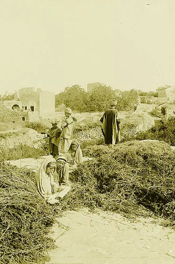
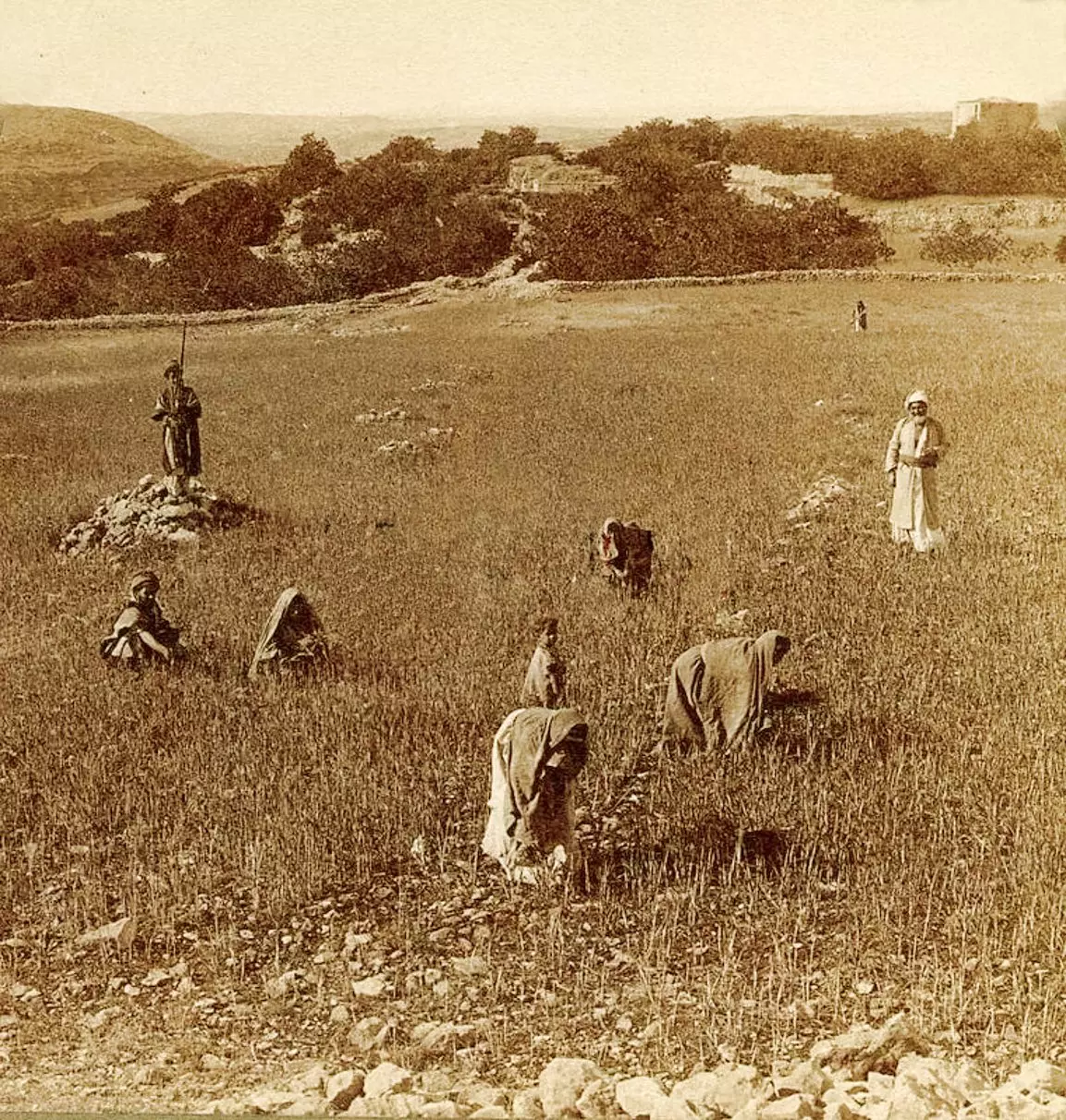
Posted by شريف ابو عنتر - BEITIN - A threshing floor in the Ramallah area (Possibly in Beitin), circa 1910s (Per Reem Ackall)
Posted by Rami Atwan 1 - BEITIN - A threshing scene in Beitin, circa 1910s (Per Reem Ackall)
Posted by Rami Atwan - بيتين من الشمال الشرقي
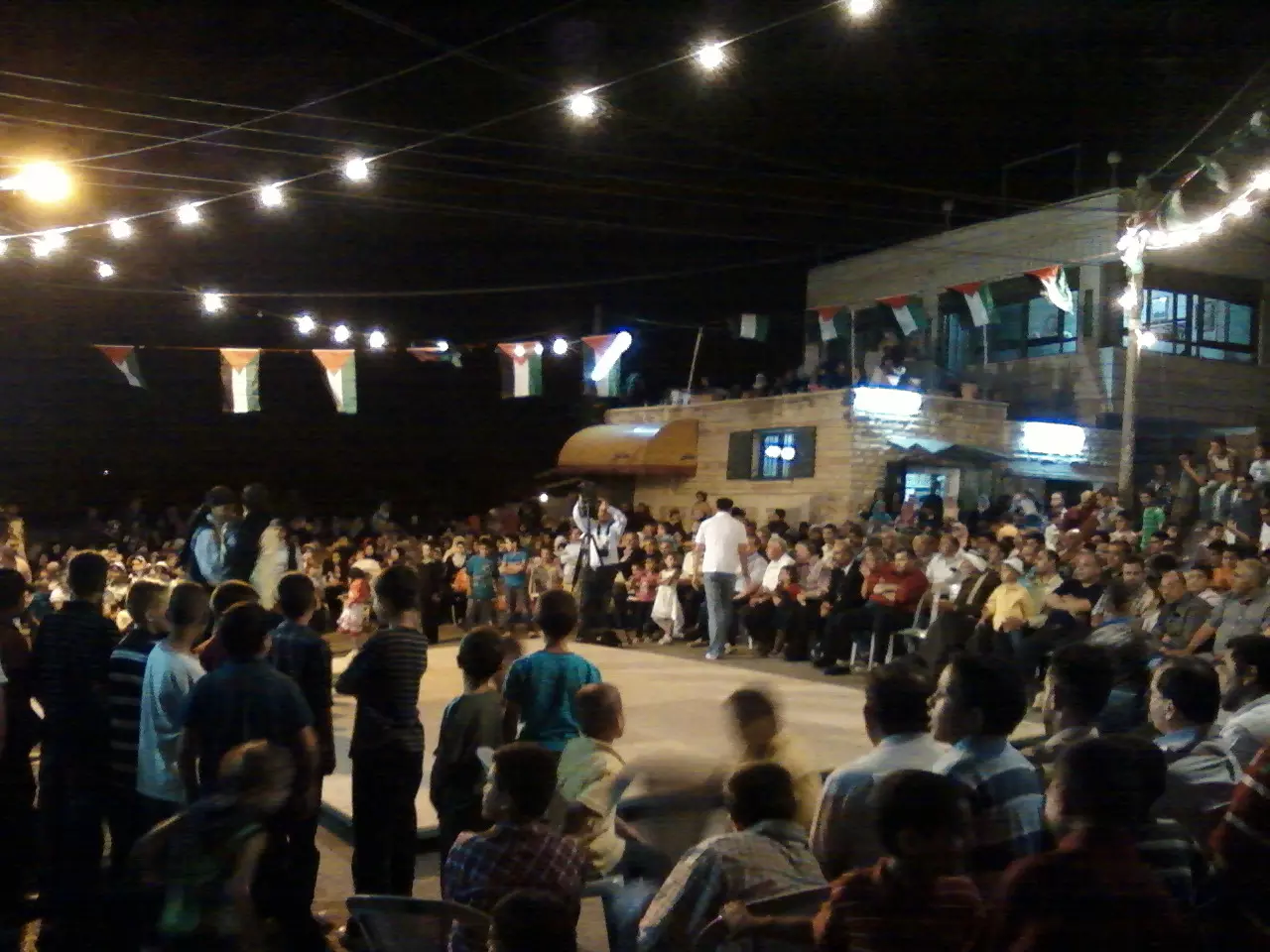
Posted by شريف ابو عنتر - مجلس قروي بيتين
Posted by شريف ابو عنتر - بيادر بيتين
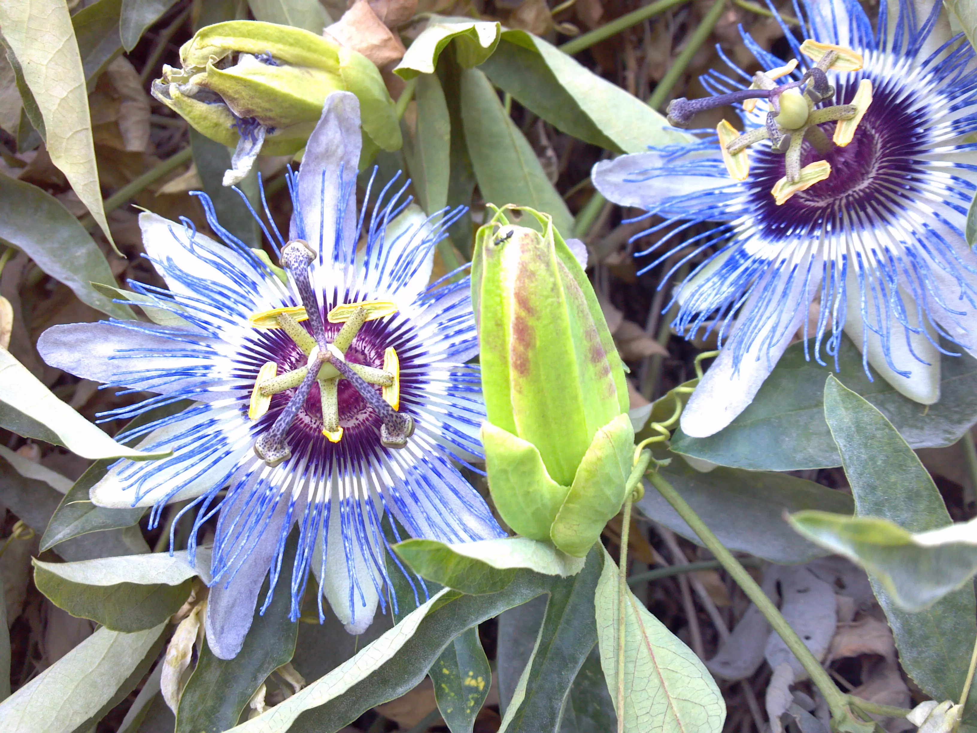
Posted by شريف ابو عنتر - beitin flowers
Posted by شريف ابو عنتر - بيتين و ازهارها
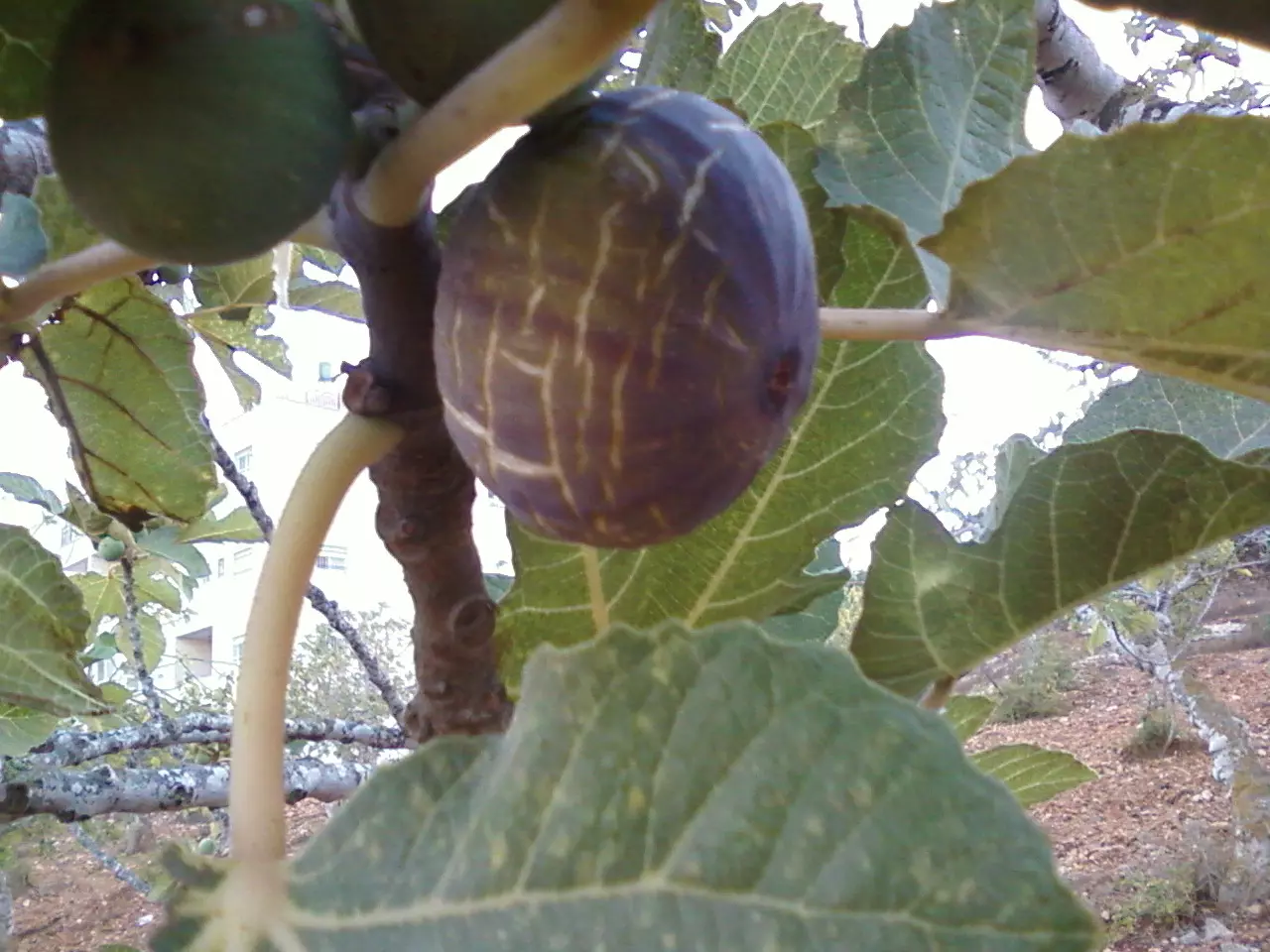
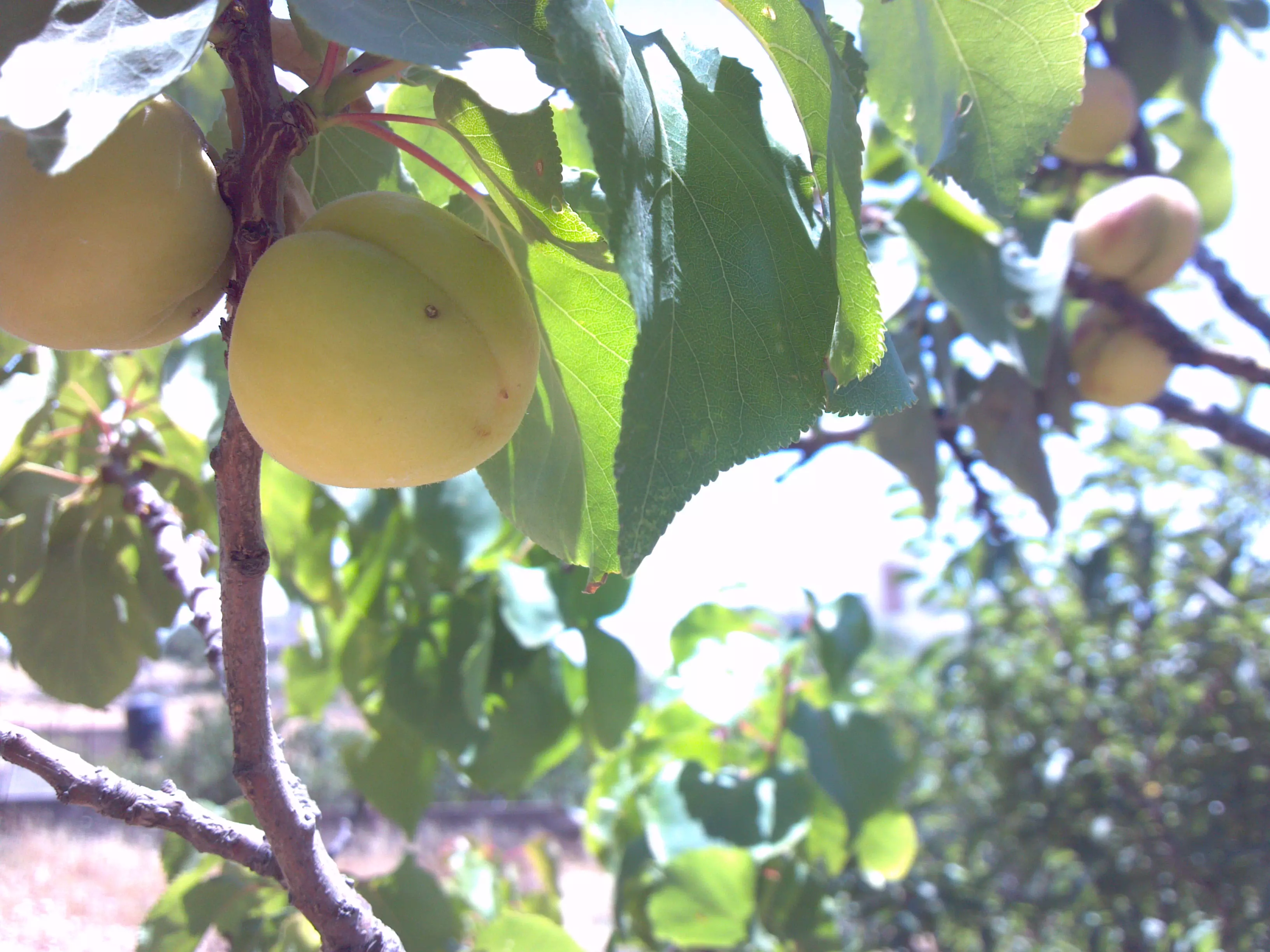
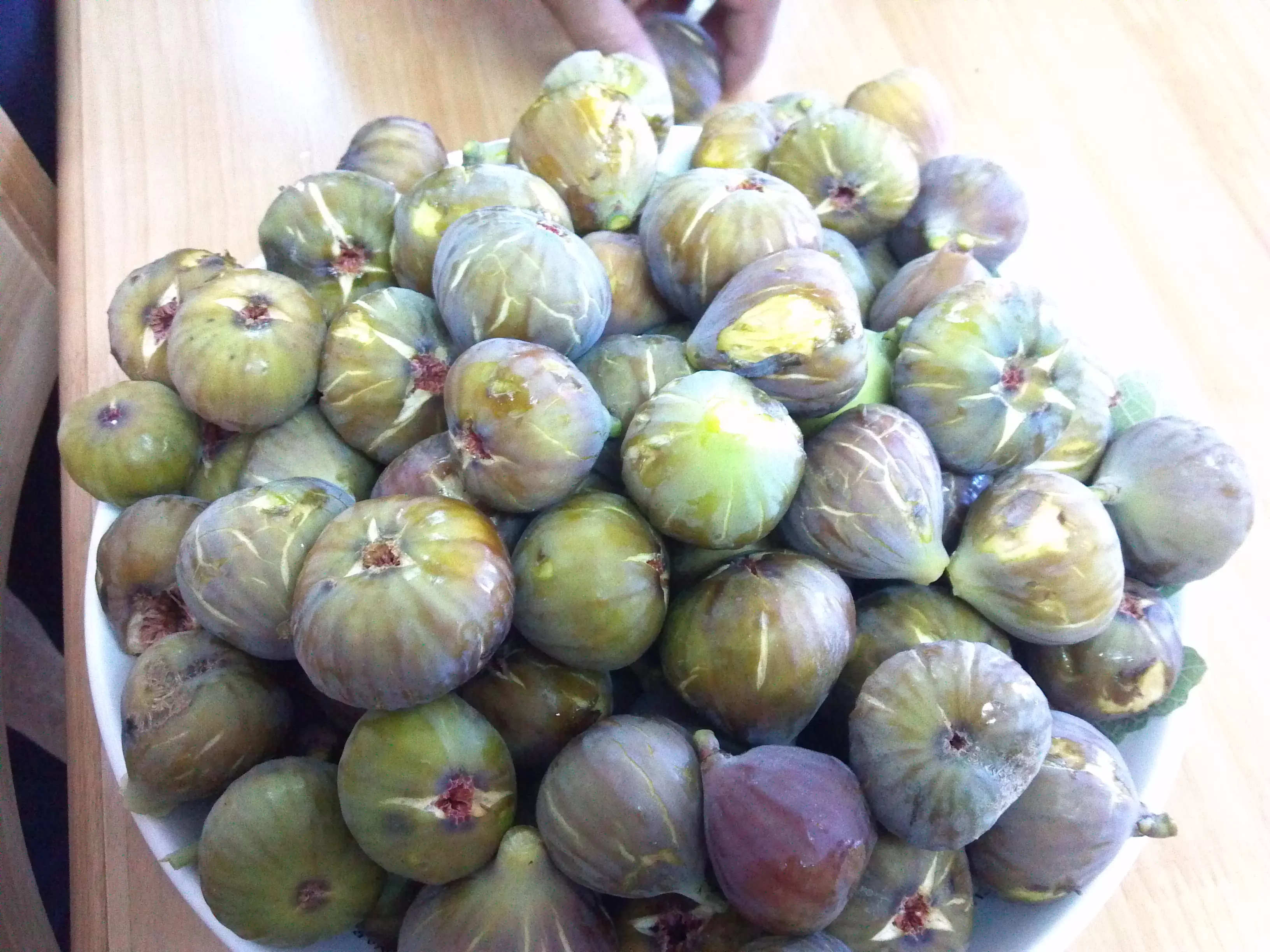
Posted by شريف ابو عنتر - مشمش بيتين
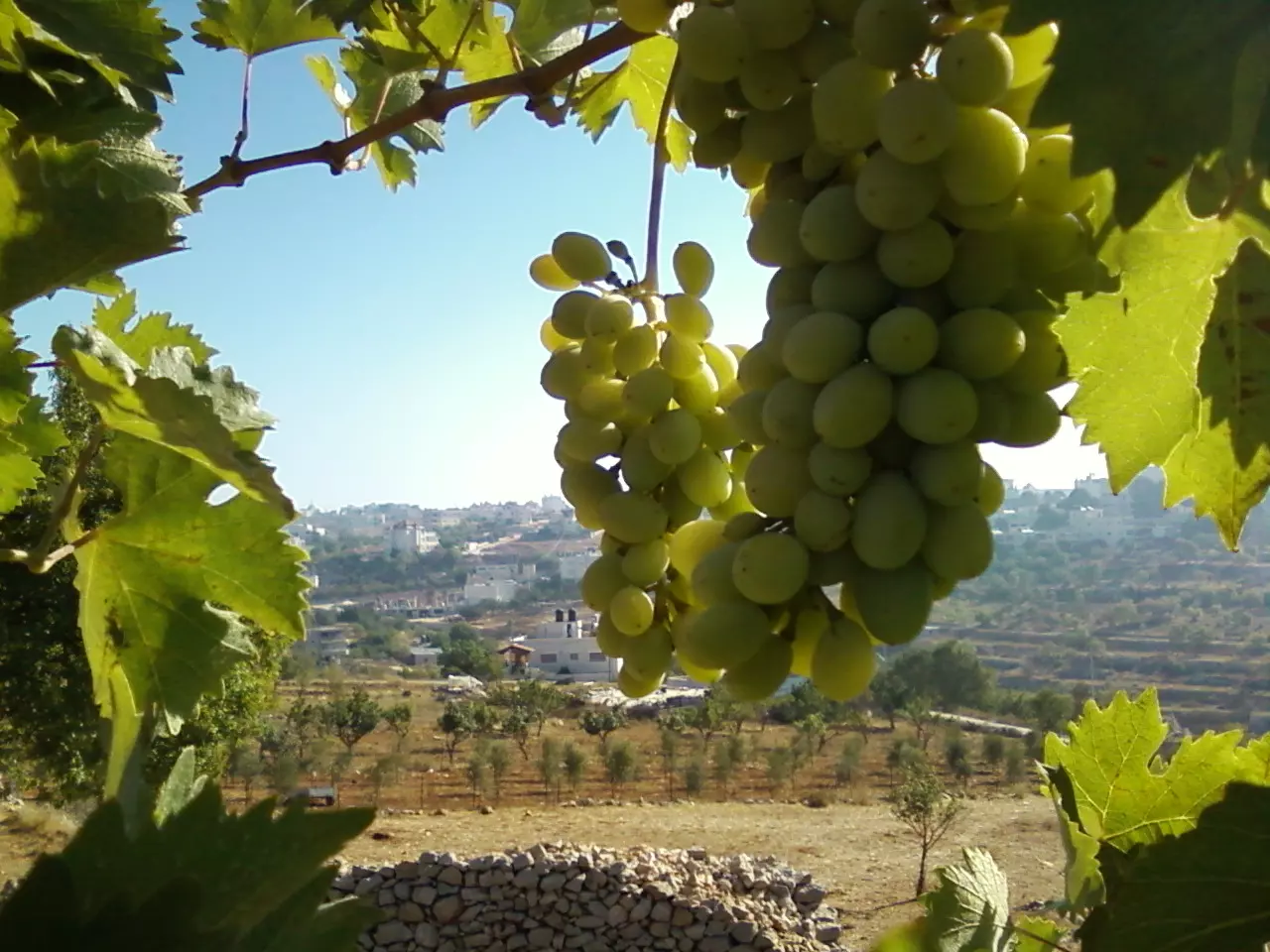
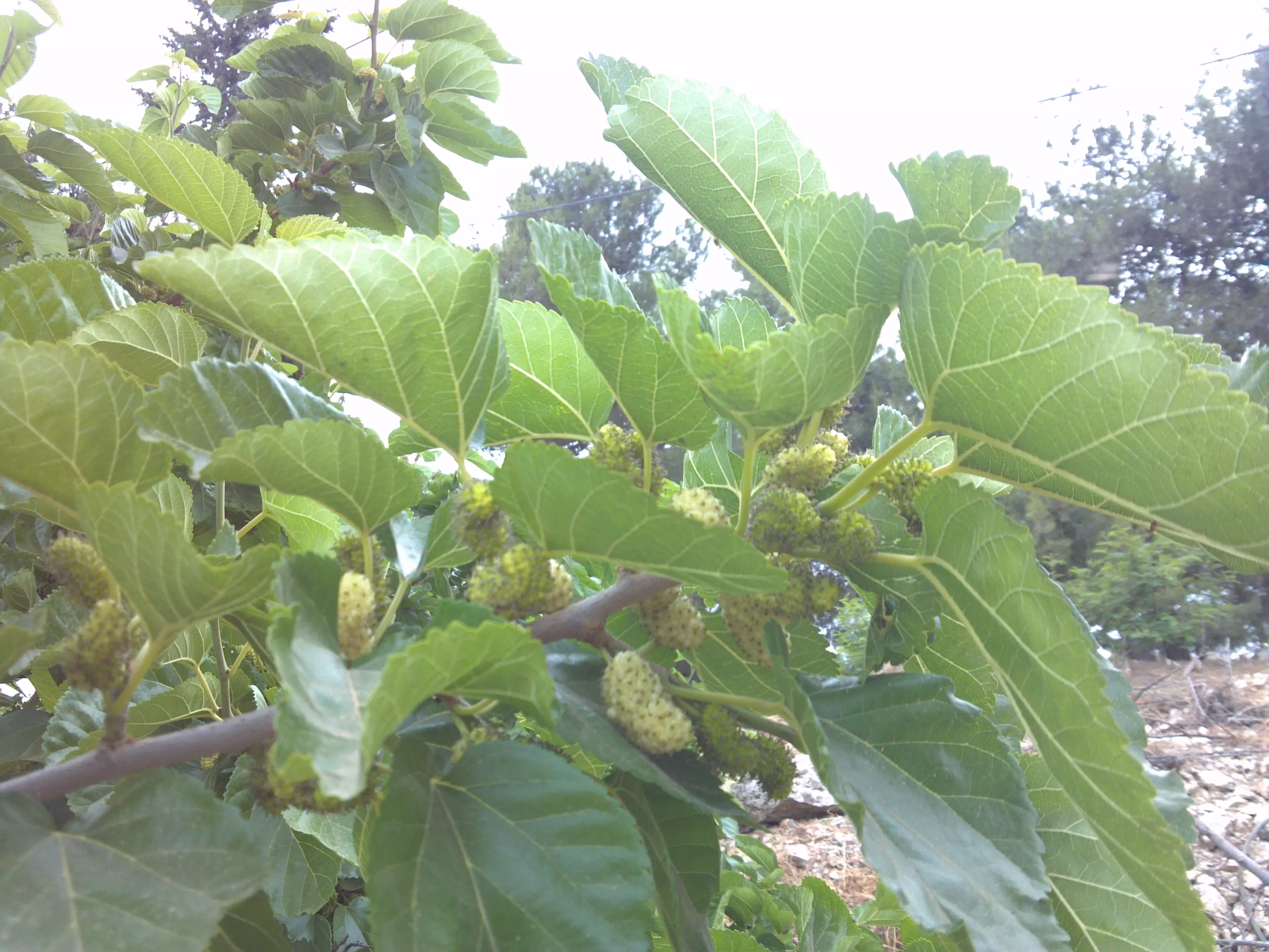
Posted by شريف ابو عنتر - توت بيتين mulberry
Posted by شريف ابو عنتر - بيتين فلسطين
Posted by شريف ابو عنتر - بيتين فلسطين
Posted by شريف ابو عنتر - بيتين فلسطين picture by s/j
Posted by شريف ابو عنتر - we all one

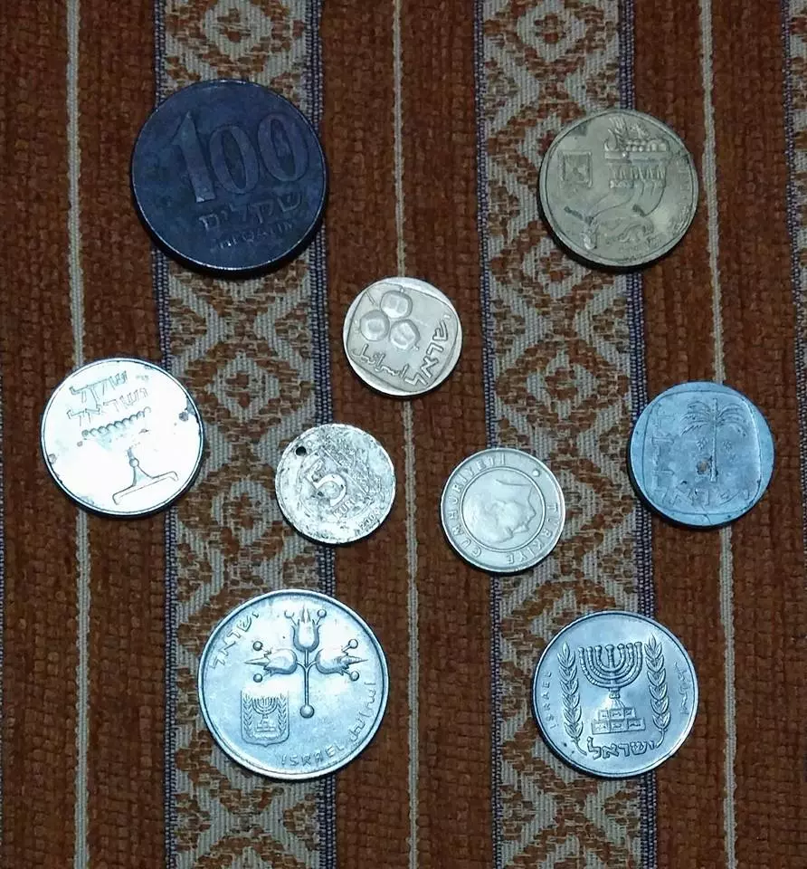
Posted by شريف ابو عنتر - old coins
Posted by شريف ابو عنتر - بيتين فلسطين
Posted by شريف ابو عنتر - بيتين فلسطين
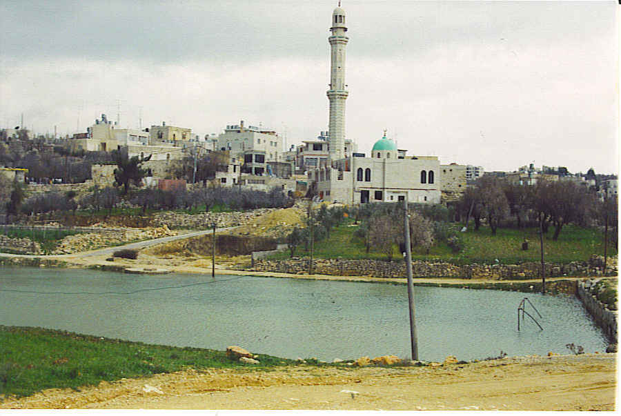
Posted by شريف ابو عنتر 2 - مسجد بيتين من هنا ياتي النصر.....
Posted by شريف ابو عنتر 1 - بيتين ....
Posted by شريف ابو عنتر - بيتين ....بفضل الله وكرمه
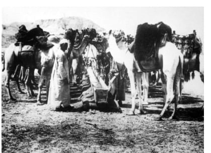
Posted by شريف ابو عنتر 1 - قريه بيتين سنه 1918
Posted by abu raya - قريه بيتين سنه 1918
Posted by abu raya - بيتين 1910
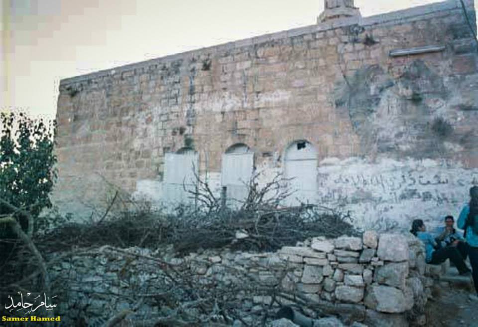
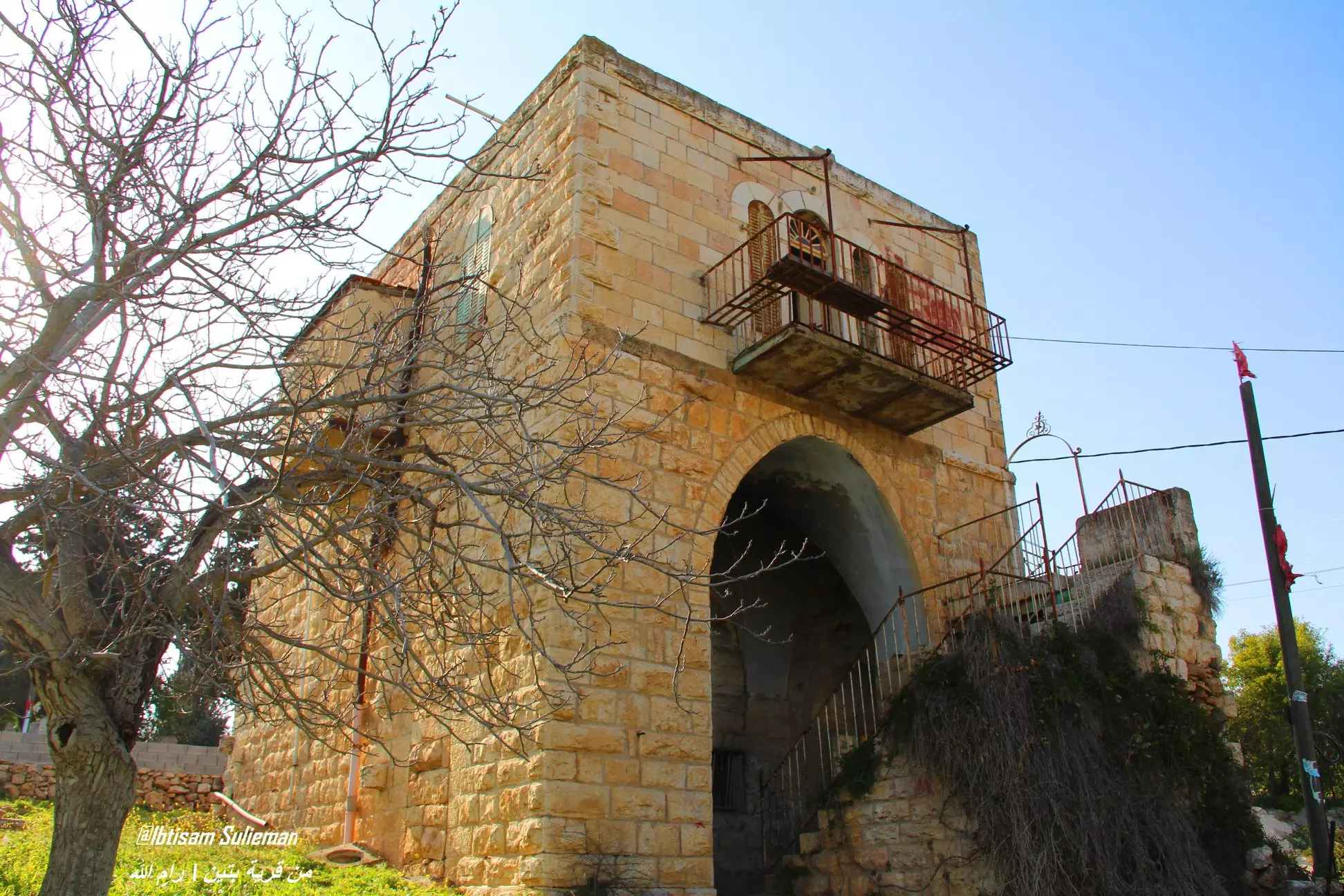
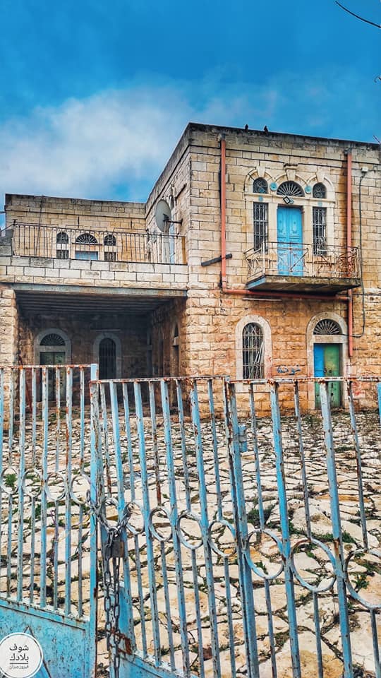
Posted by أبو اليزن السعافين - احد البيوت القديمة
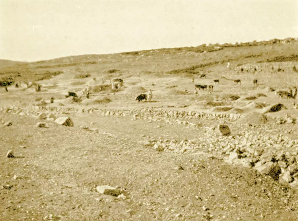
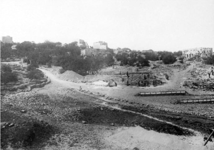
- صورة من محيط قرية بيتين قضاء رام الله في بداية القرن العشرين.
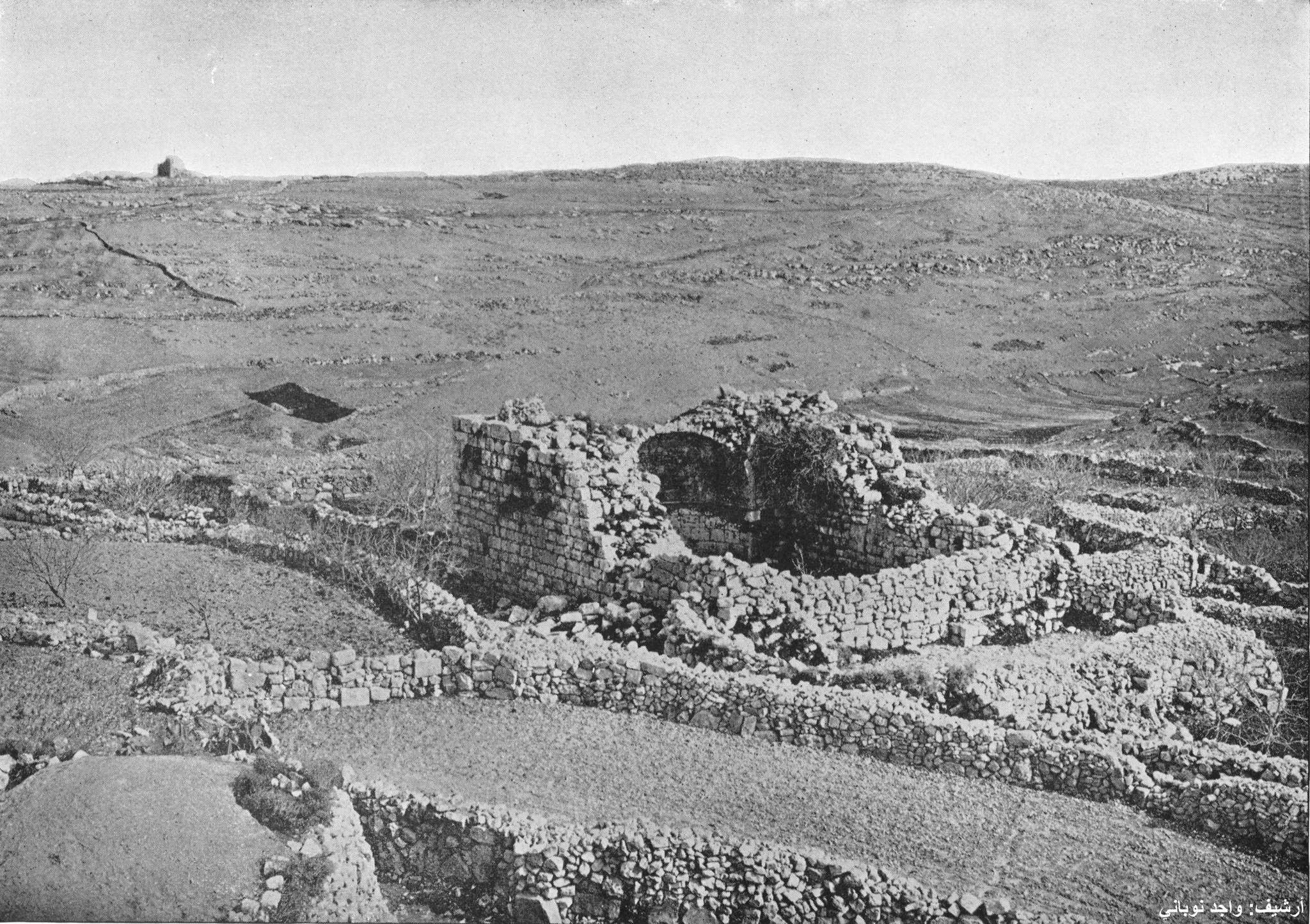
- قرية بيتين في 1894م. على القمة بُرج بيتين في موقع صليبي بيزنطي.
- قبل 100 عام
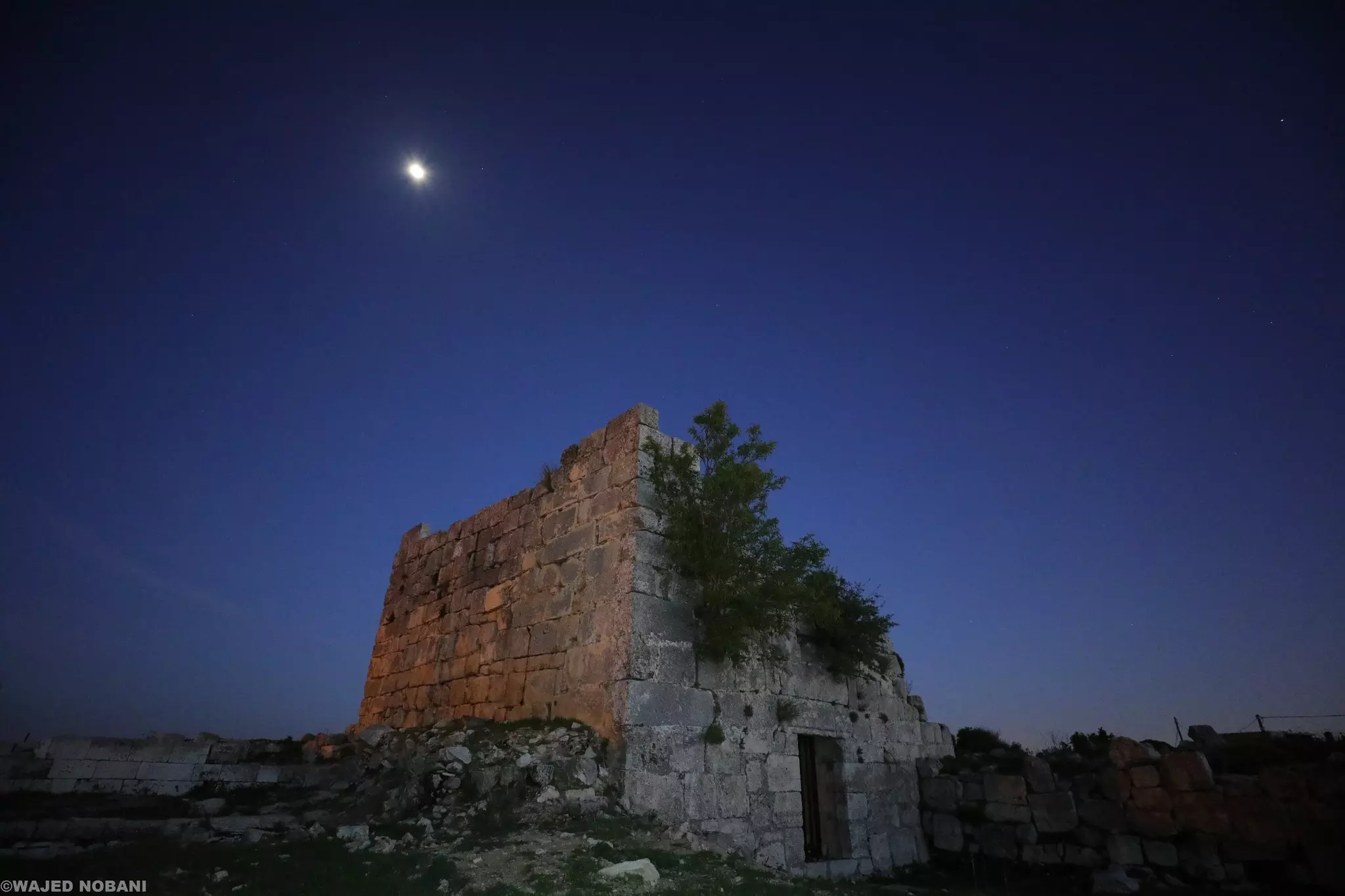
- بقايا الكنيسة البيزنطية وحِنْيَتها، وبجانبها برج من الفترة الصليبية -- واجد النوباني
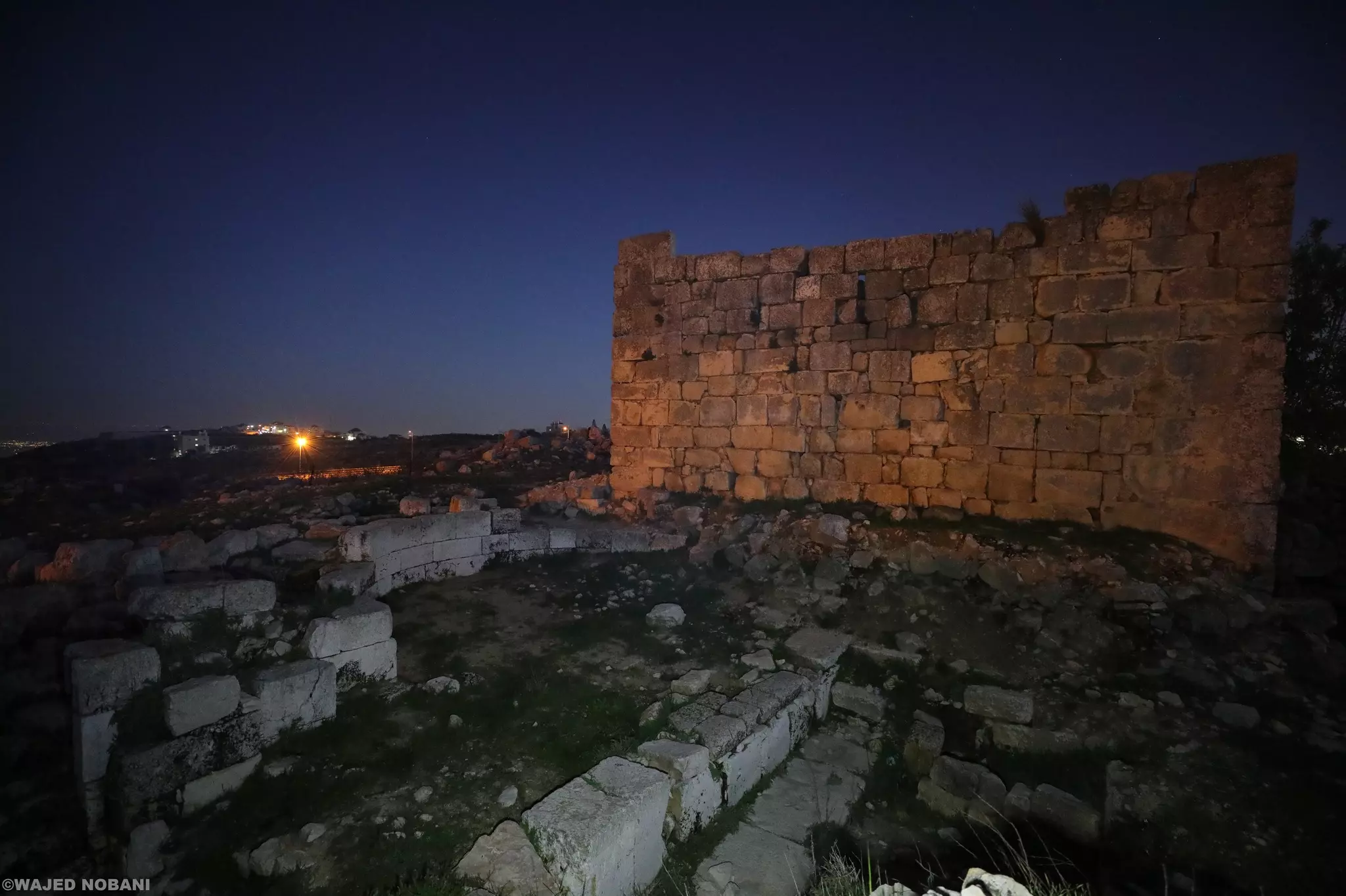
- بقايا الكنيسة البيزنطية وحِنْيَتها، وبجانبها برج من الفترة الصليبية -- واجد النوباني #2
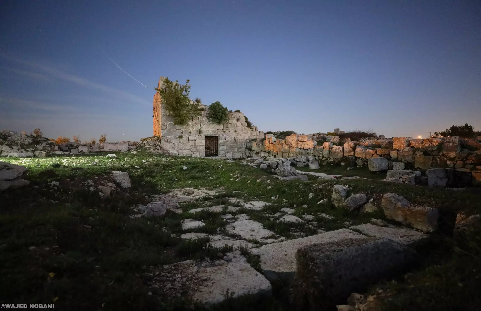
- بقايا الكنيسة البيزنطية وحِنْيَتها، وبجانبها برج من الفترة الصليبية -- واجد النوباني #3
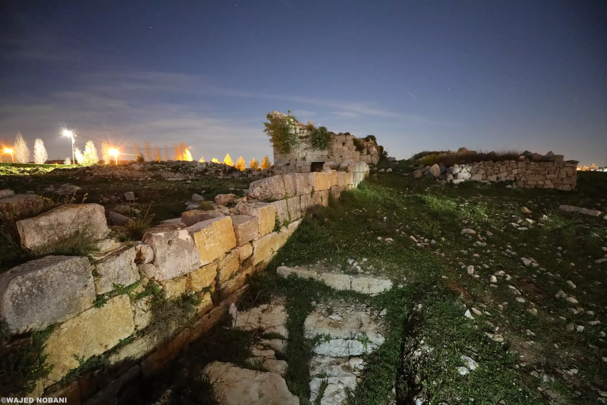
- بقايا الكنيسة البيزنطية وحِنْيَتها، وبجانبها برج من الفترة الصليبية -- واجد النوباني #4
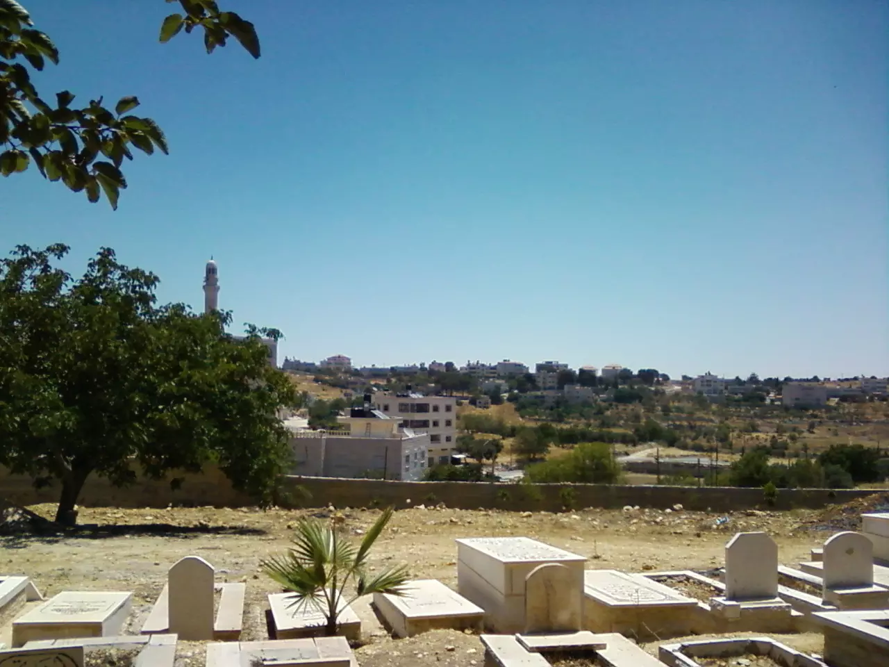
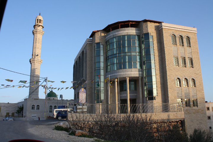
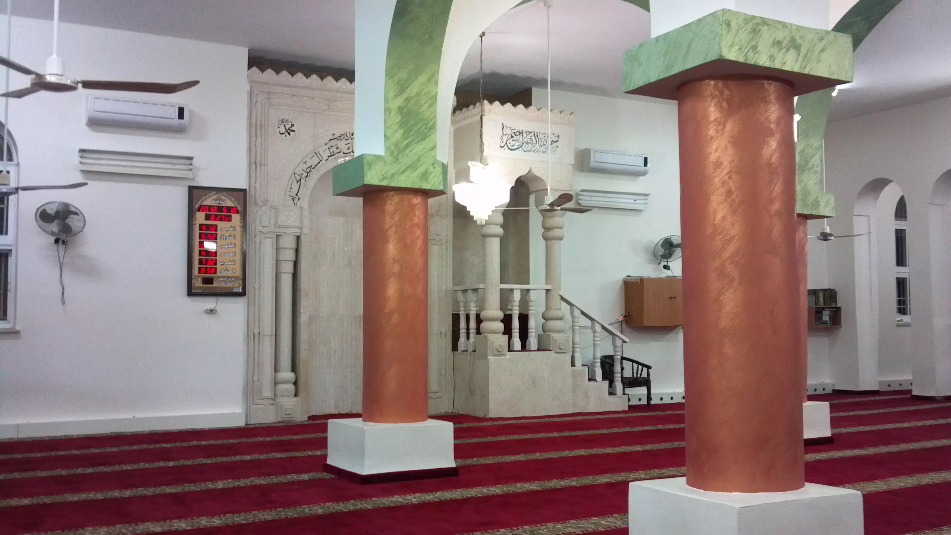
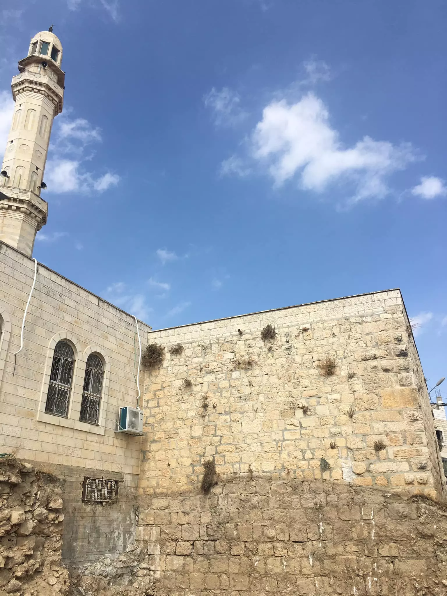
- جامع القرية
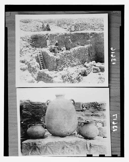
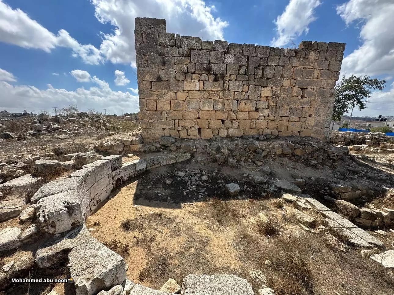
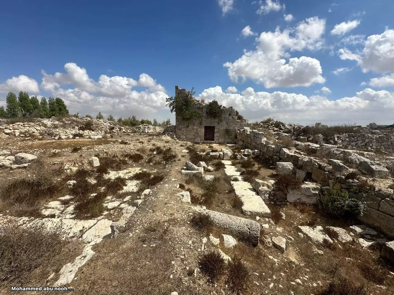
- جولة في خربة البرج الاثرية بيتين- رام الله--تصوير: محمد أبو نوح
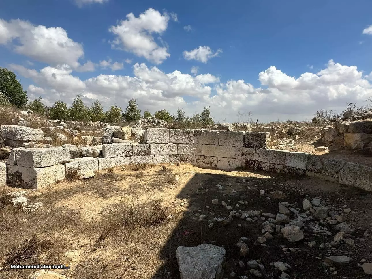
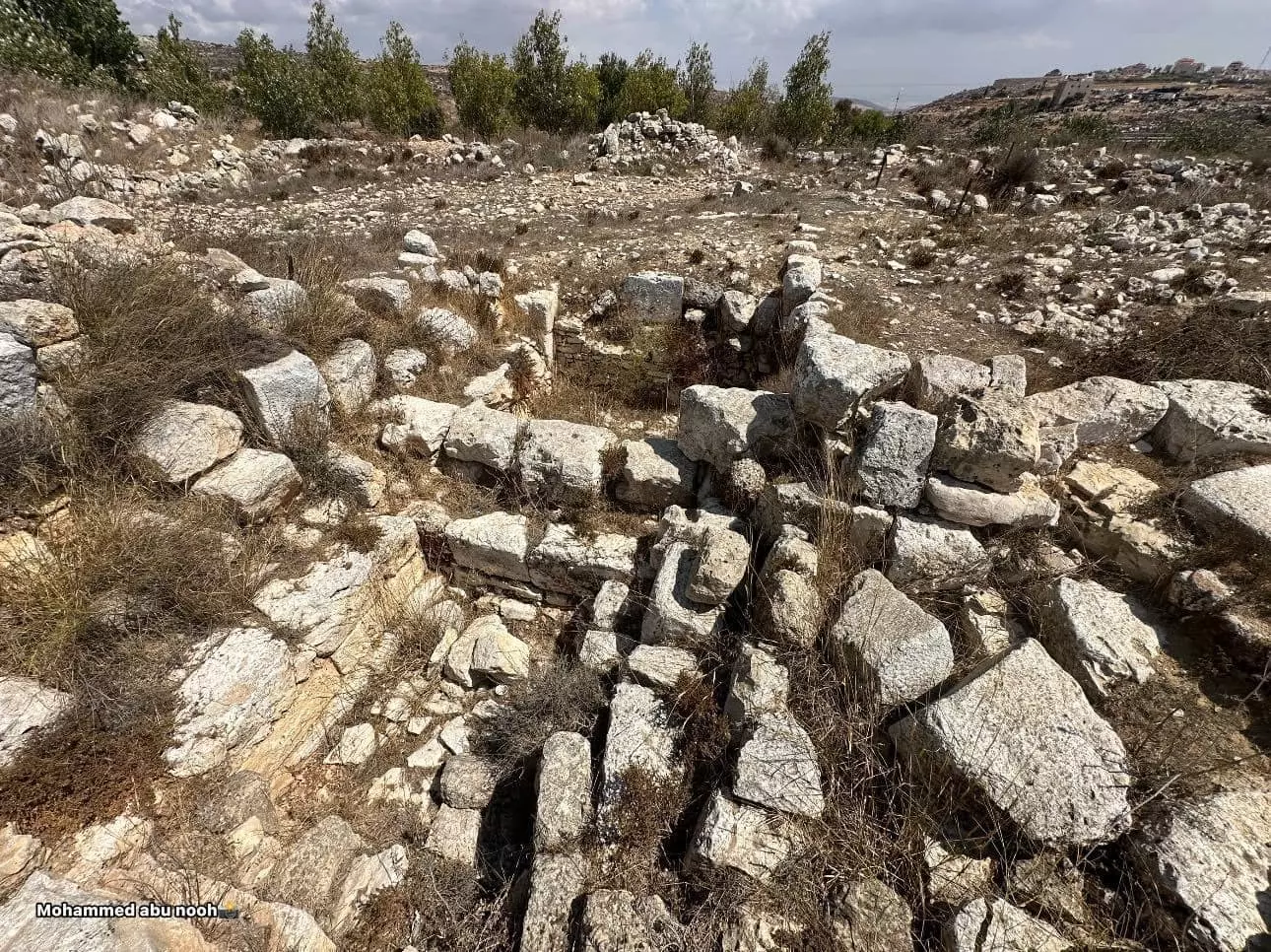
- جولة في خربة البرج الاثرية بيتين- رام الله--تصوير: محمد أبو نوح #2
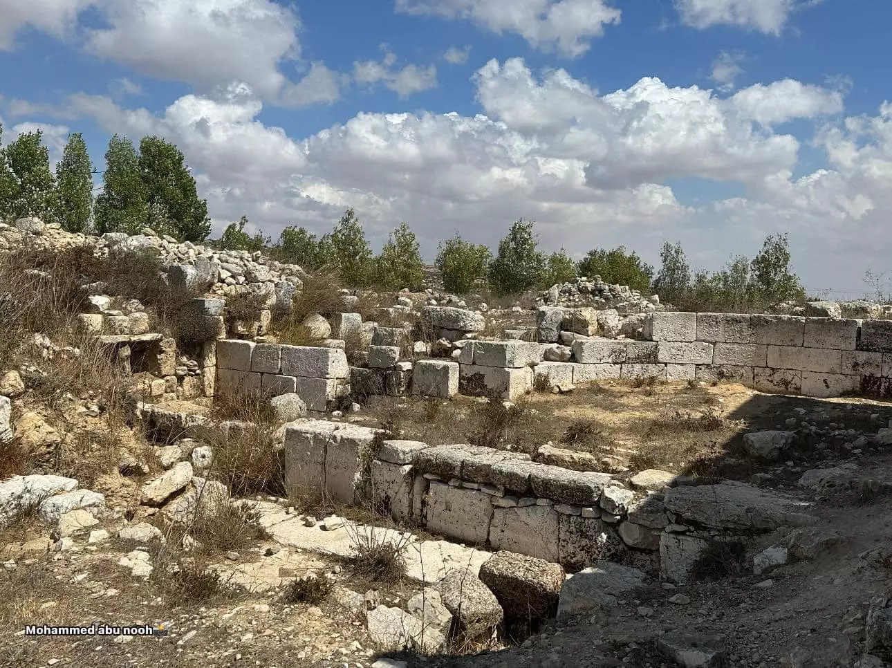
- جولة في خربة البرج الاثرية بيتين- رام الله--تصوير: محمد أبو نوح #3
- جولة في خربة البرج الاثرية بيتين- رام الله--تصوير: محمد أبو نوح #4
- جولة في خربة البرج الاثرية بيتين- رام الله--تصوير: محمد أبو نوح #5
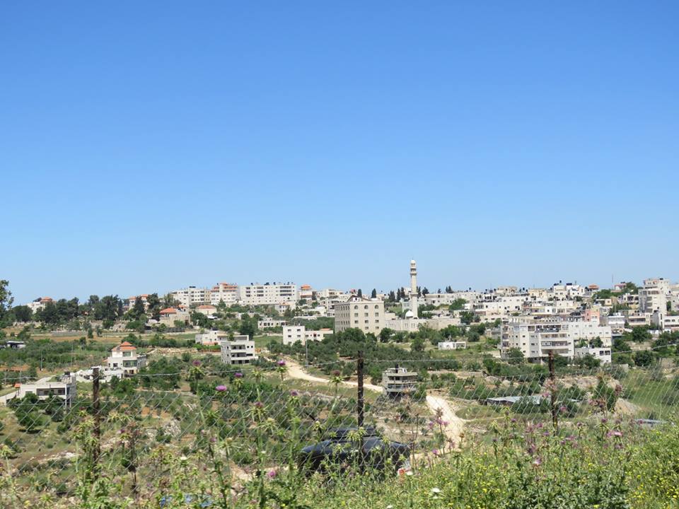
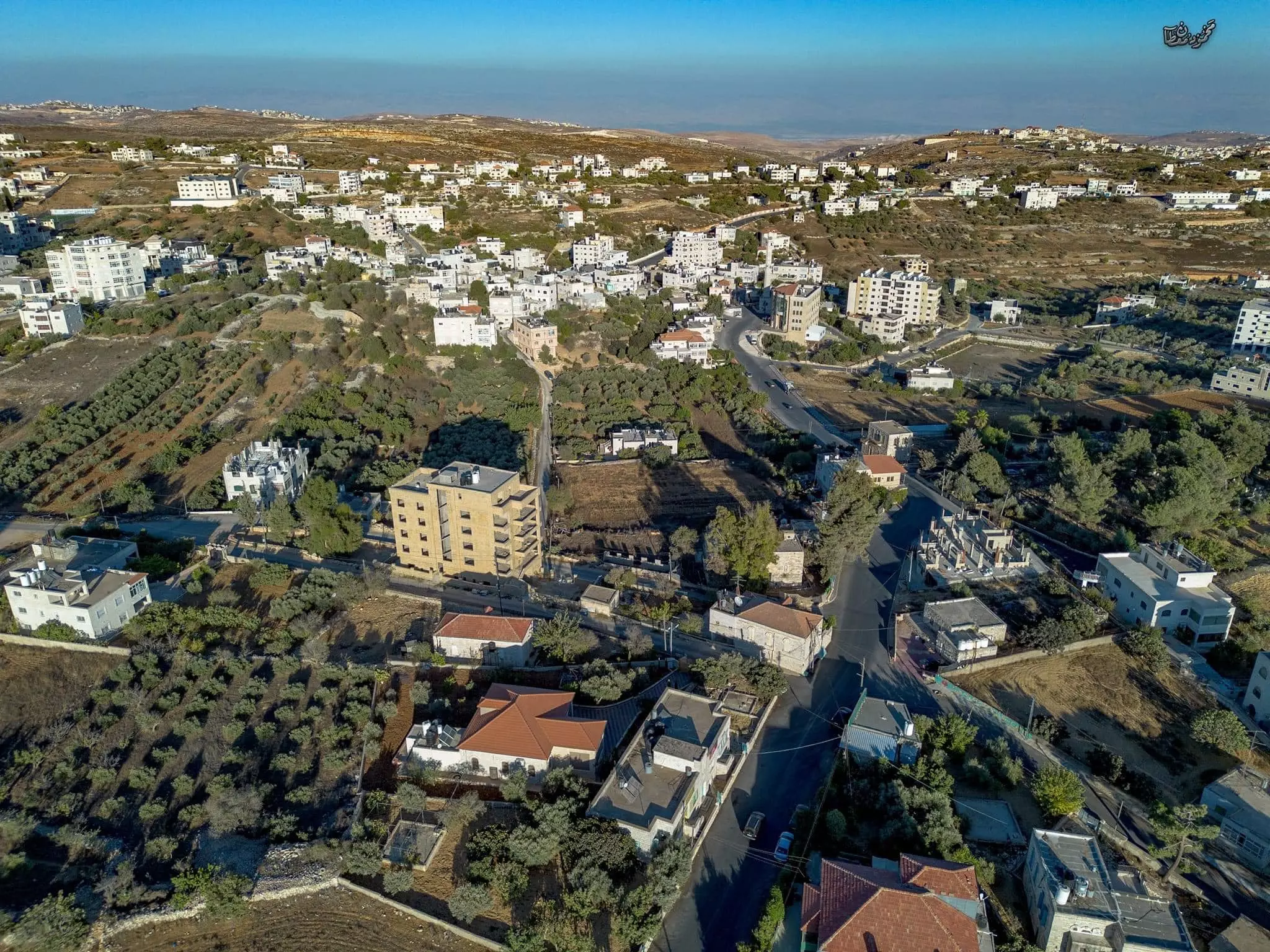
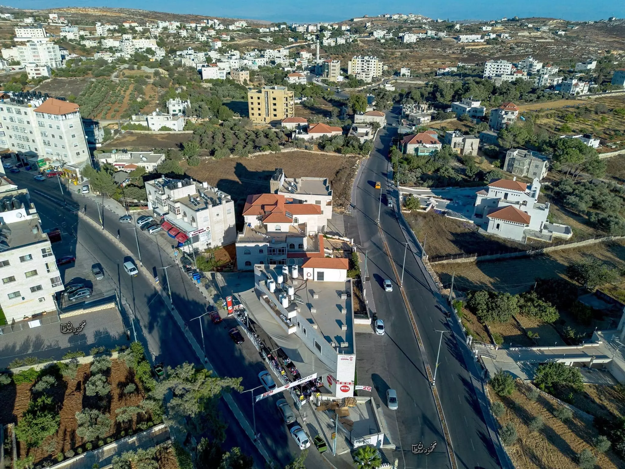
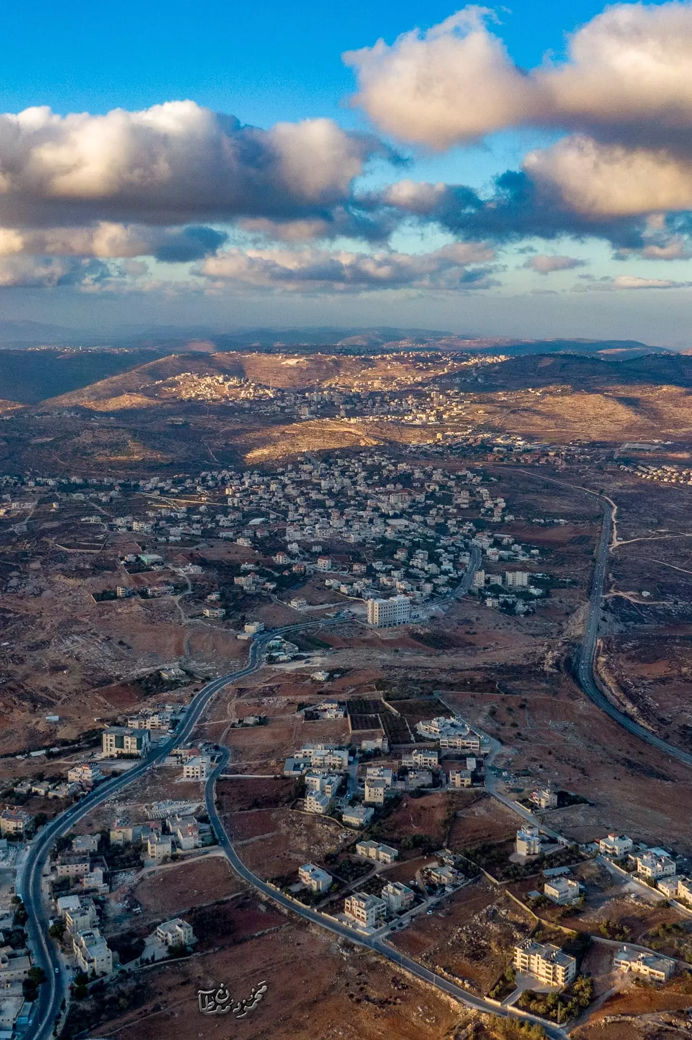
- صور جوية لقرية بيتين،، قضاء رام الله -- محمود معطان
- صور جوية لقرية بيتين،، قضاء رام الله -- محمود معطان #2
- صور جوية لقرية بيتين،، قضاء رام الله -- محمود معطان #3

- صور جوية لقرية بيتين،، قضاء رام الله -- محمود معطان #4
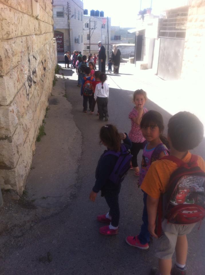
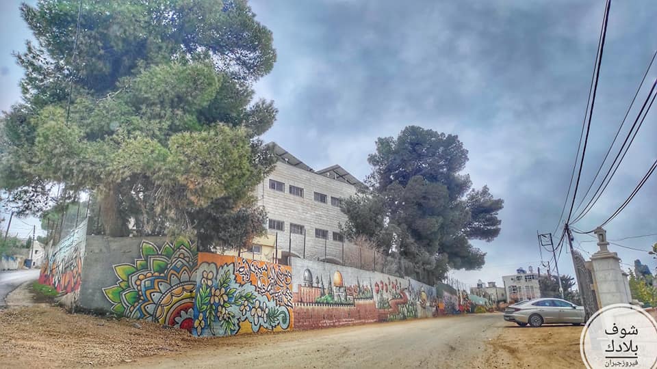
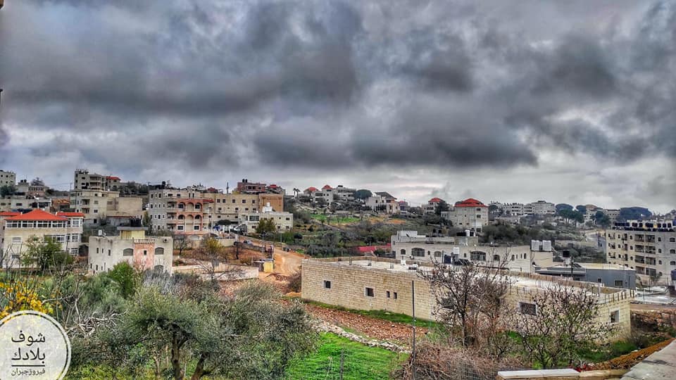
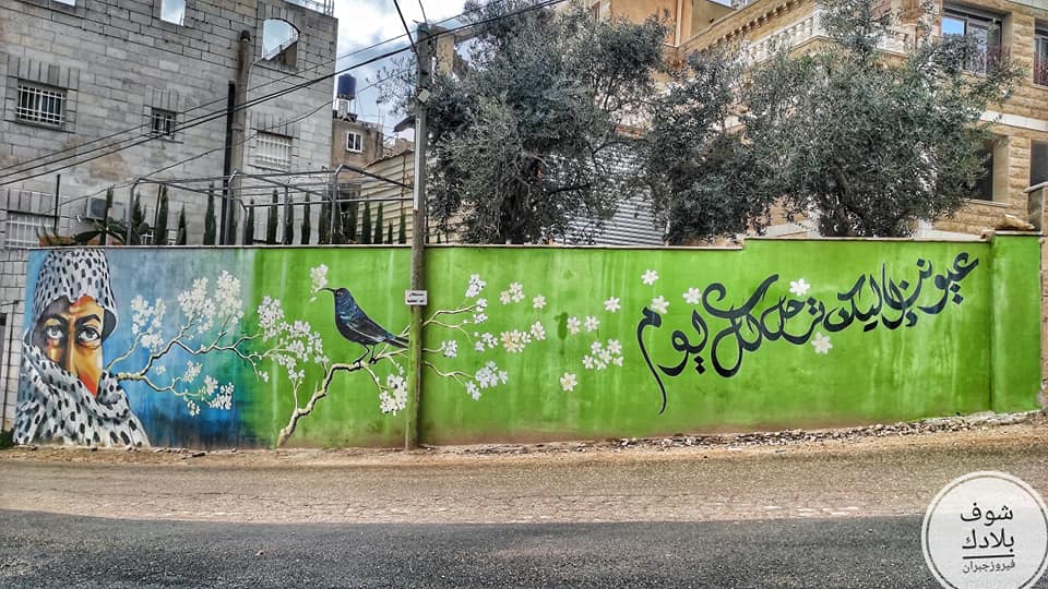
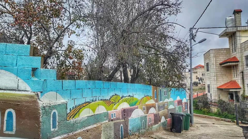
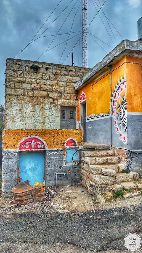
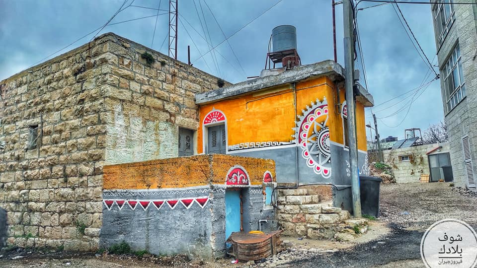
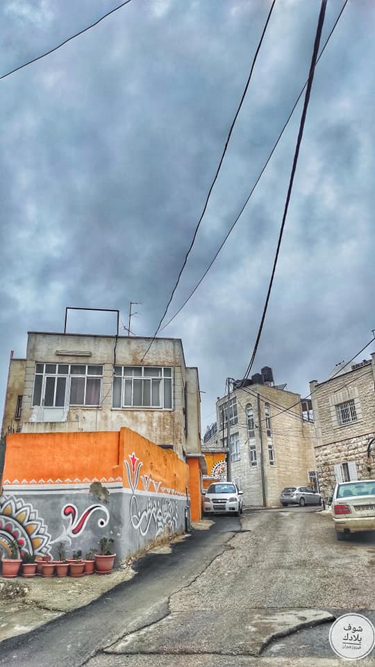
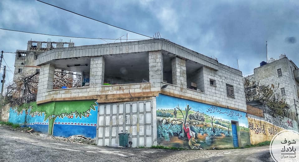
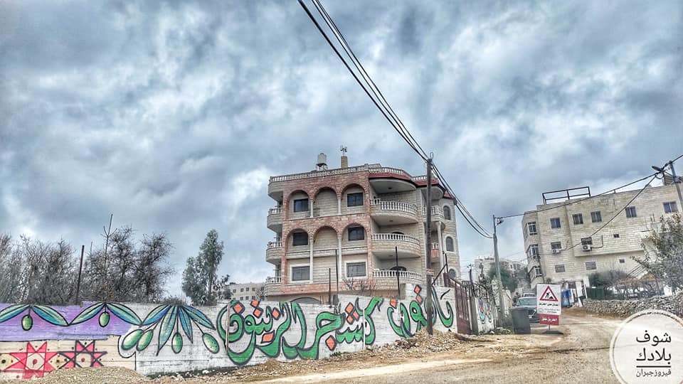
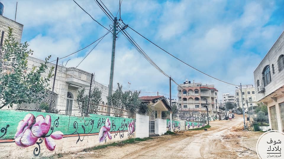
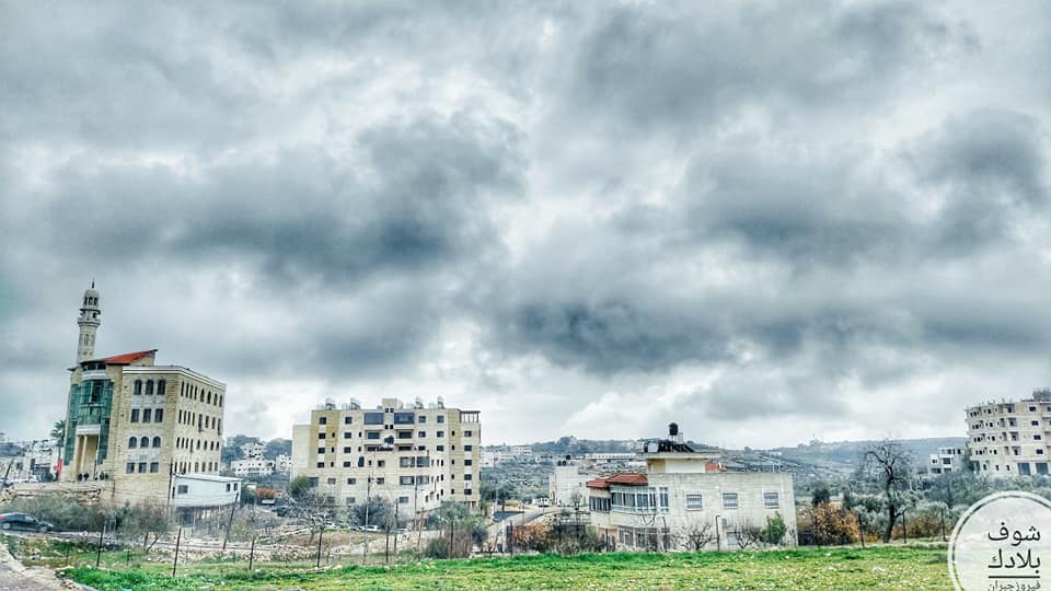
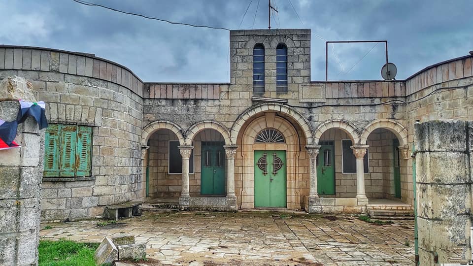
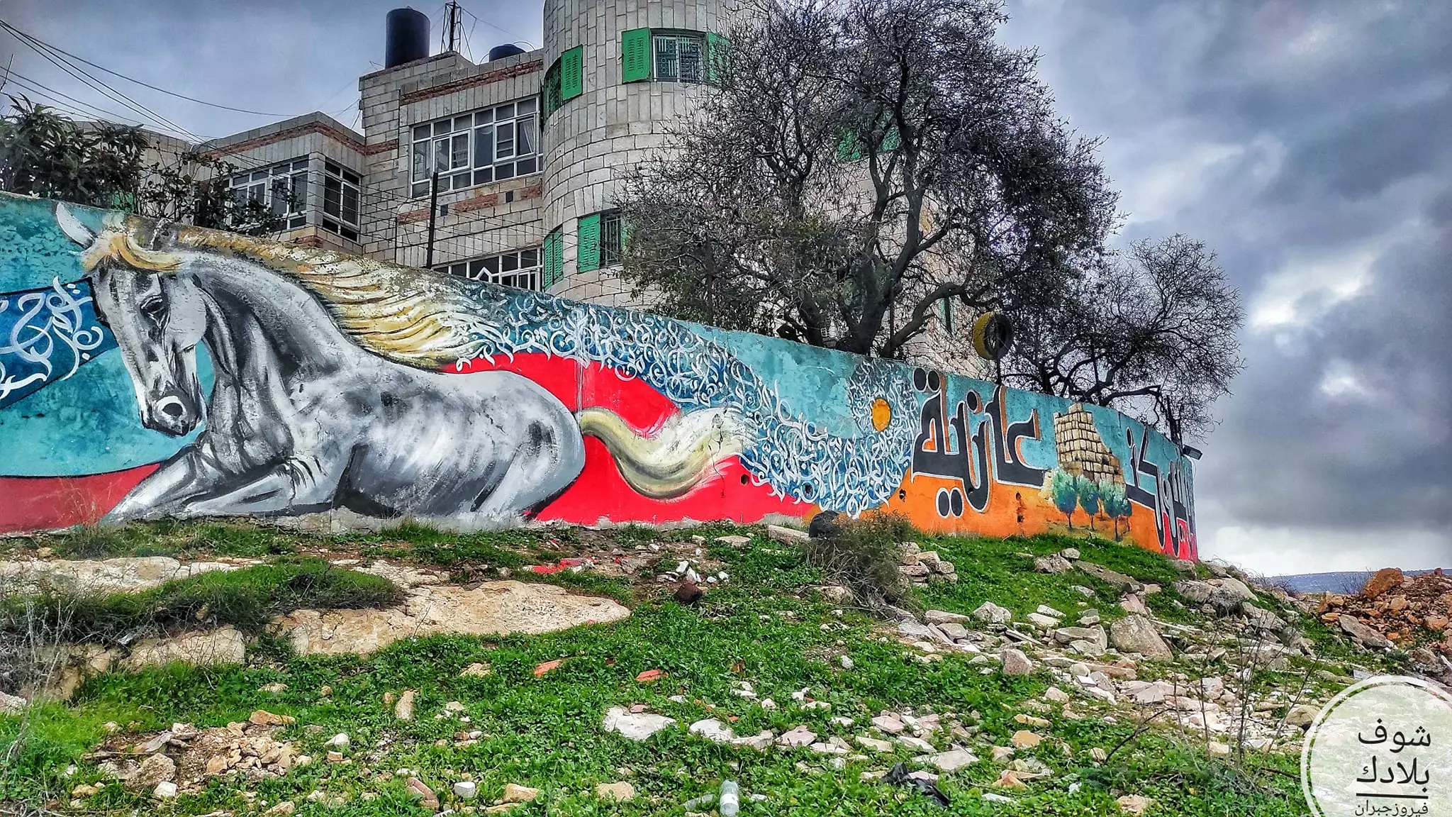
- جولة في حارت القرية Fairouz Jubran -- Jan. 2023
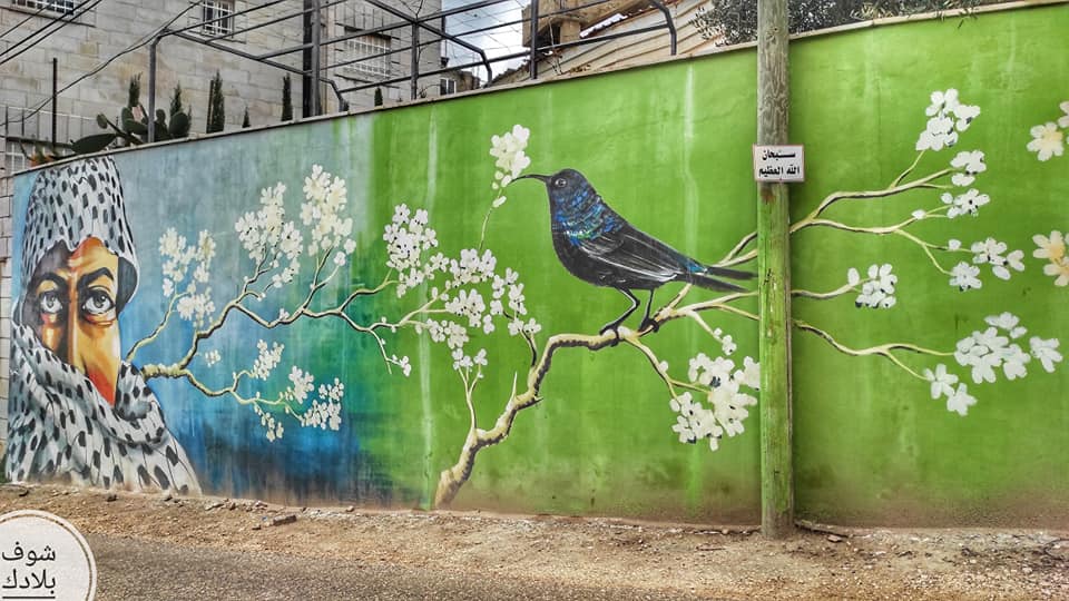
- جولة في حارت القرية Fairouz Jubran -- Jan. 2023 #2
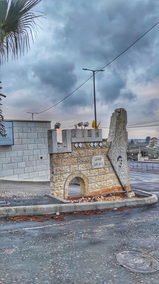
- جولة في حارت القرية Fairouz Jubran -- Jan. 2023 #3
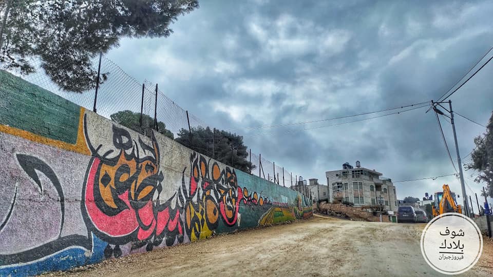
- جولة في حارت القرية Fairouz Jubran -- Jan. 2023 #4
- جولة في حارت القرية Fairouz Jubran -- Jan. 2023 #5
- جولة في حارت القرية Fairouz Jubran -- Jan. 2023 #6
- جولة في حارت القرية Fairouz Jubran -- Jan. 2023 #7
- جولة في حارت القرية Fairouz Jubran -- Jan. 2023 #8
- جولة في حارت القرية Fairouz Jubran -- Jan. 2023 #9
- جولة في حارت القرية Fairouz Jubran -- Jan. 2023 #10
- جولة في حارت القرية Fairouz Jubran -- Jan. 2023 #11
- جولة في حارت القرية Fairouz Jubran -- Jan. 2023 #12
- جولة في حارت القرية Fairouz Jubran -- Jan. 2023 #13
- جولة في حارت القرية Fairouz Jubran -- Jan. 2023 #14
- جولة في حارت القرية Fairouz Jubran -- Jan. 2023 #15
- جولة في حارت القرية Fairouz Jubran -- Jan. 2023 #16
- جولة في حارت القرية Fairouz Jubran -- Jan. 2023 #17
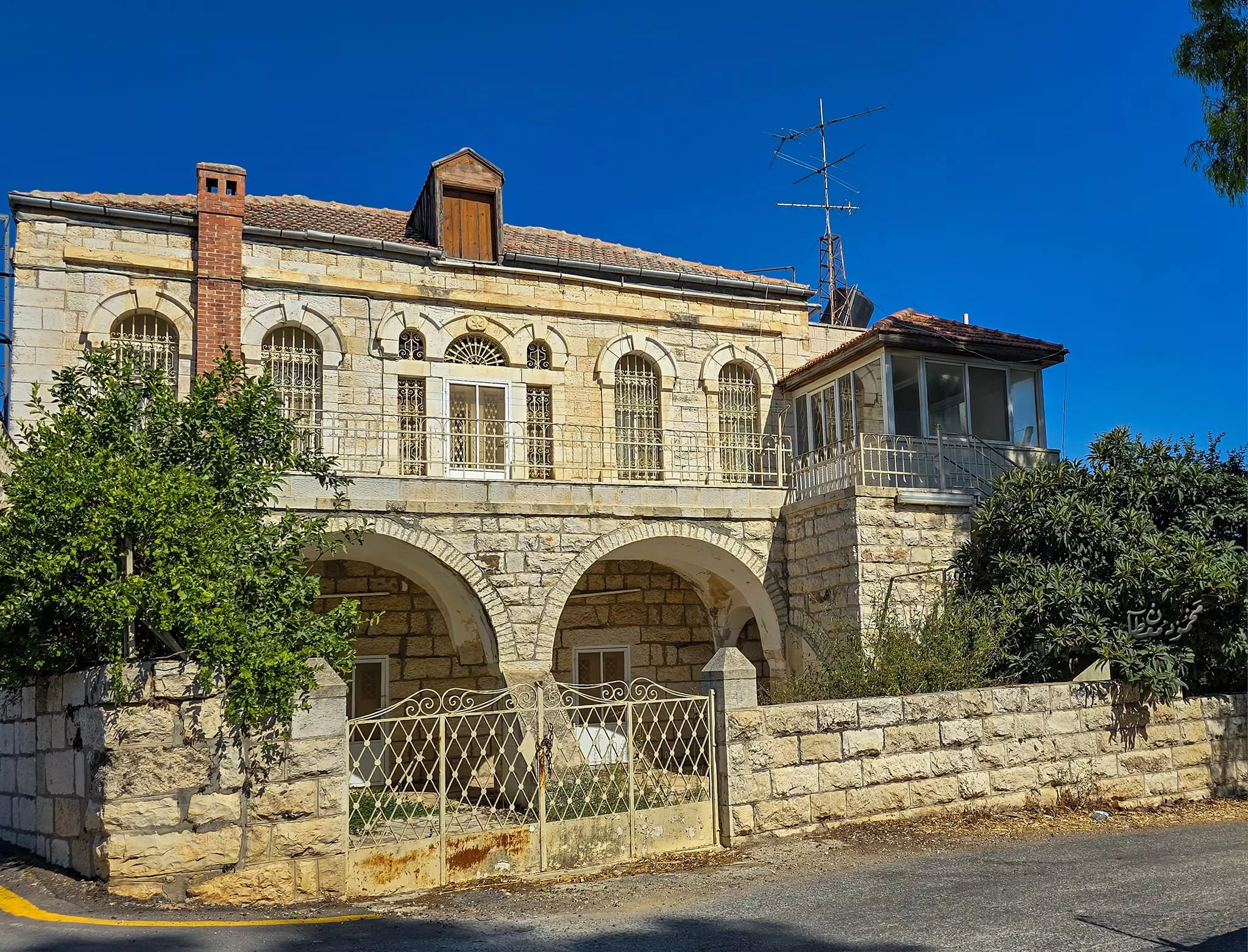
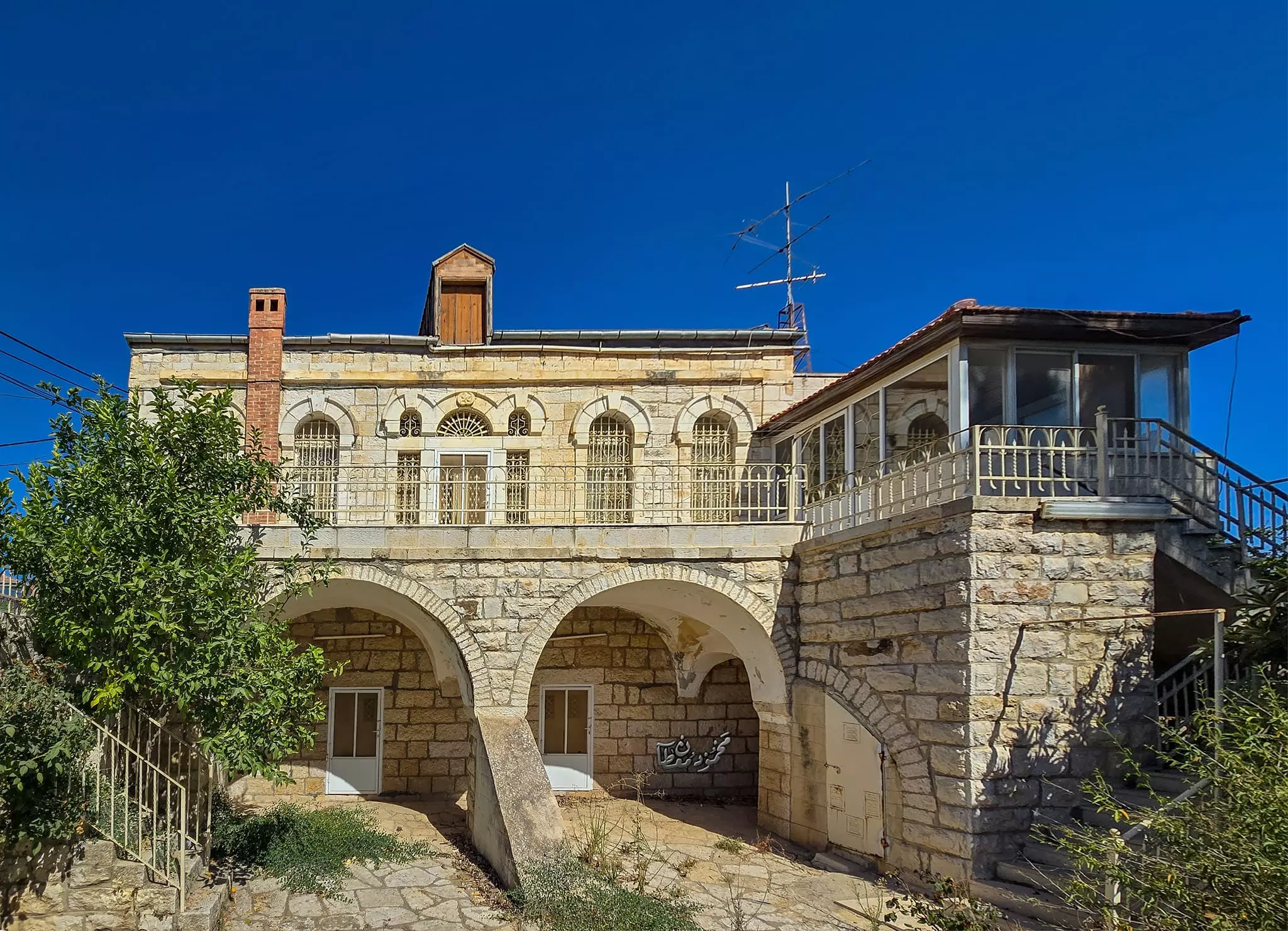
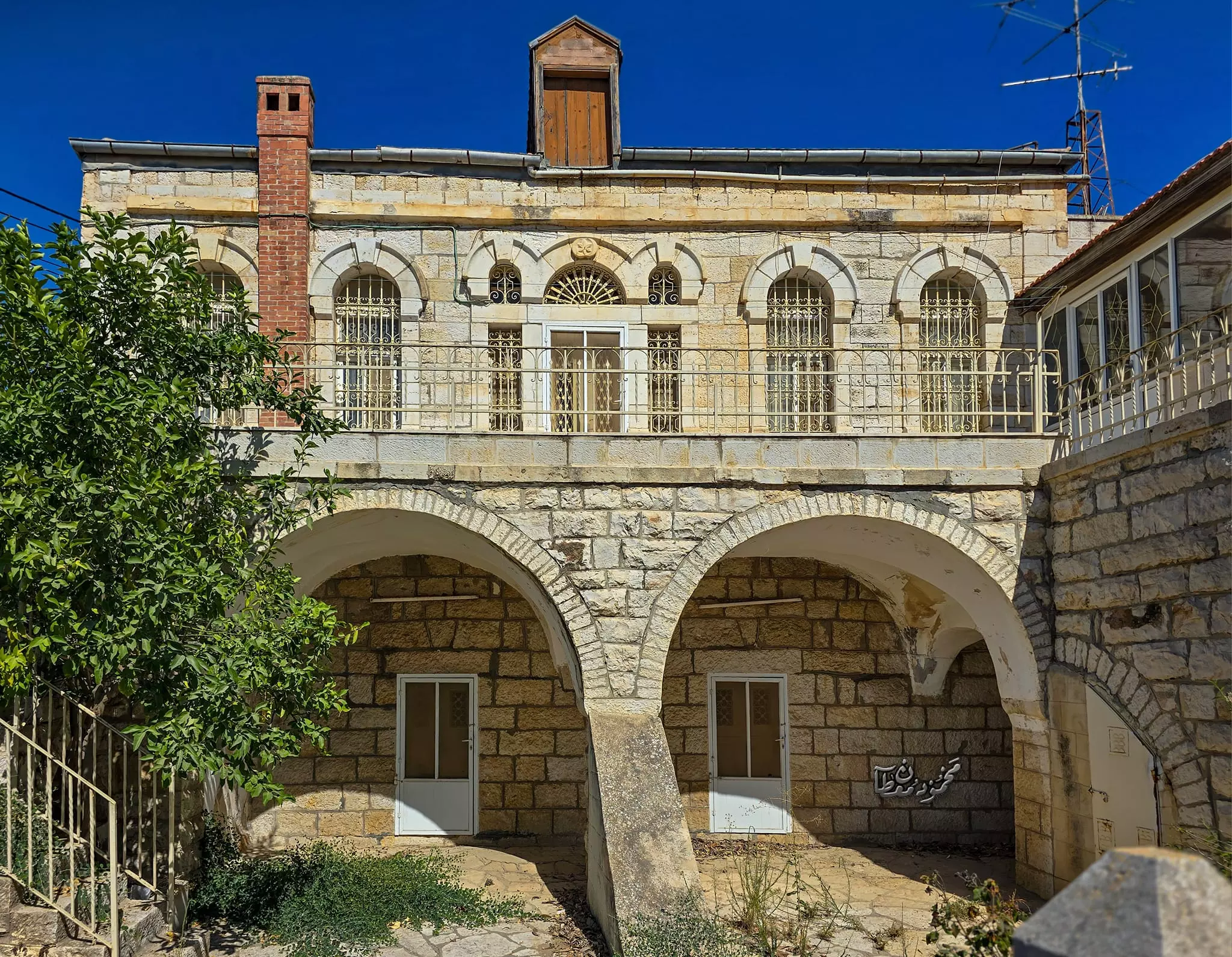
- بيت قديم -- Mahmoud Moutan
- بيت قديم -- Mahmoud Moutan #2
- بيت قديم -- Mahmoud Moutan #3
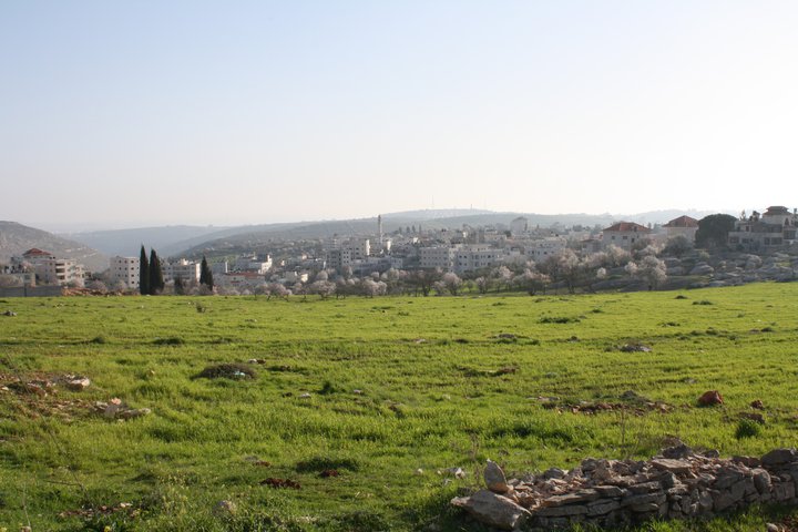
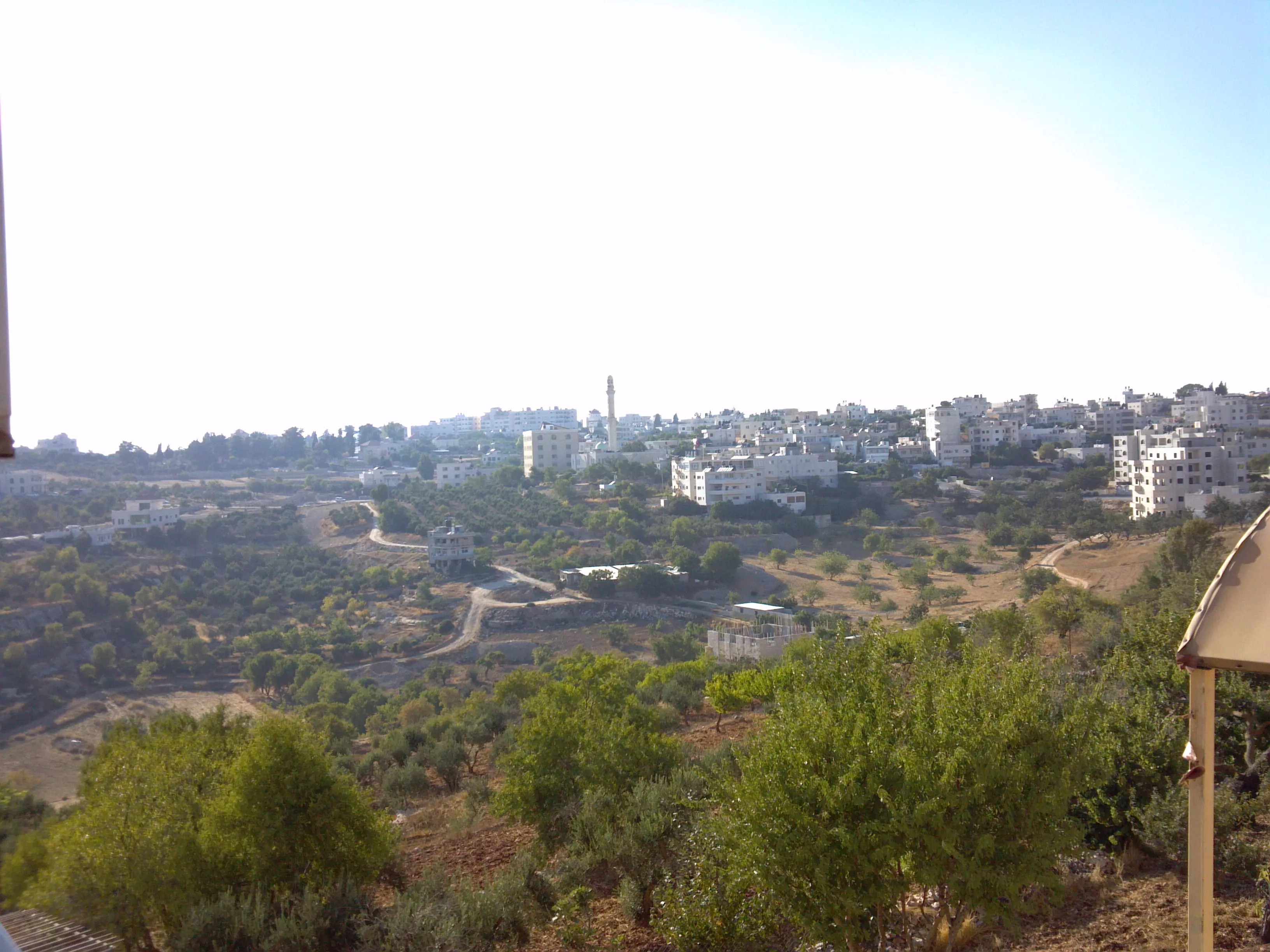
- غروب الشمس من قرية بتين

- أجزاء من قرية بتين وقرية عين يبرود وخلفهم بلدة سلواد -- June 2024 -- Mahmoud Moutan
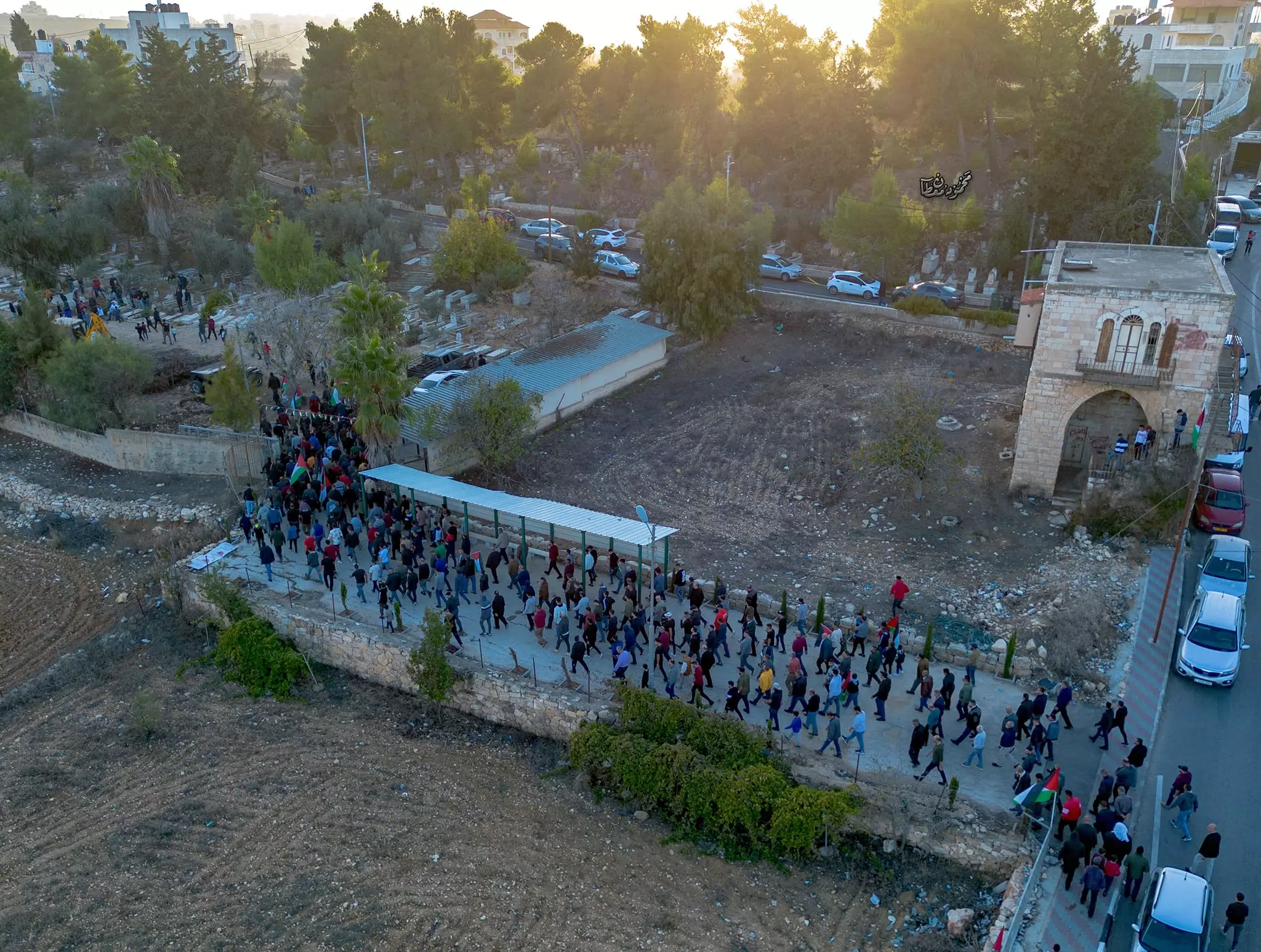
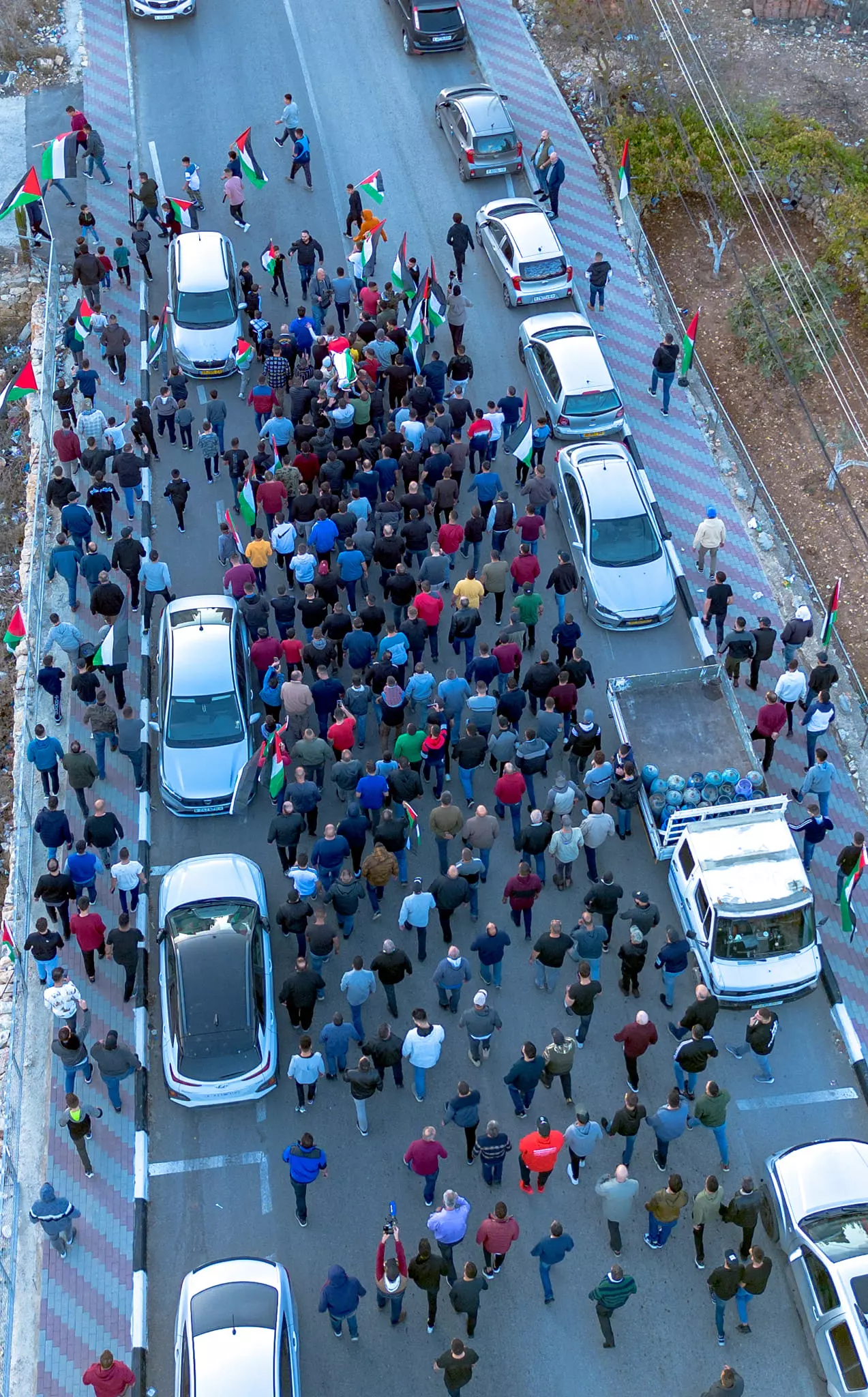
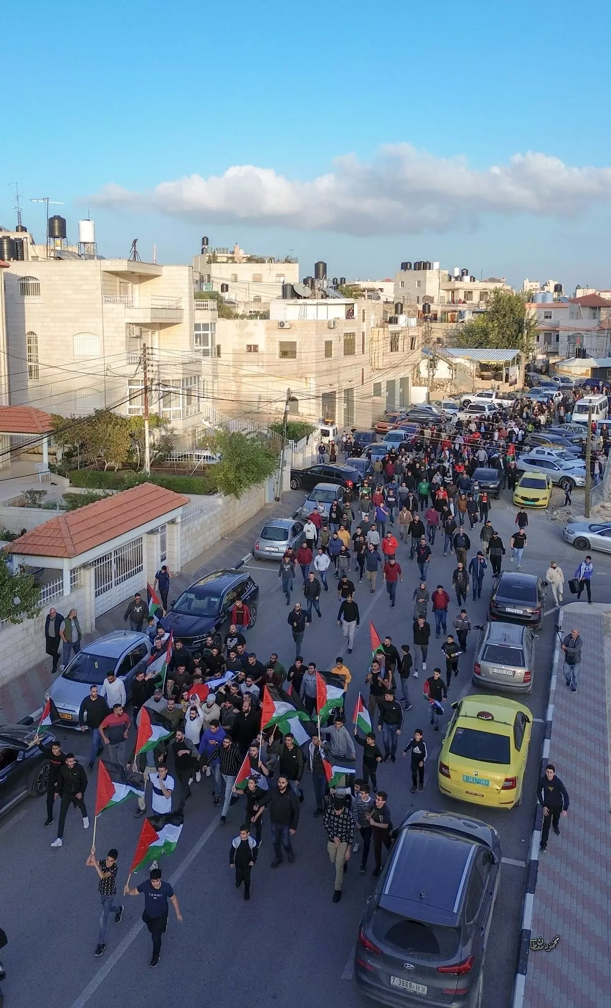
- جنازة الشهيد خضر السيد علي علوان (٤٦ عاماً) برصاص الاحتلال بتين قضاء رام الله-- Nov. 23rd, 2023 -- Mahmoud Moutan
- جنازة الشهيد خضر السيد علي علوان (٤٦ عاماً) برصاص الاحتلال بتين قضاء رام الله -- Nov. 23rd, 2023 -- Mahmoud Moutan #2

- جنازة الشهيد خضر السيد علي علوان (٤٦ عاماً) برصاص الاحتلال بتين قضاء رام الله -- Nov. 23rd, 2023 -- Mahmoud Moutan #3
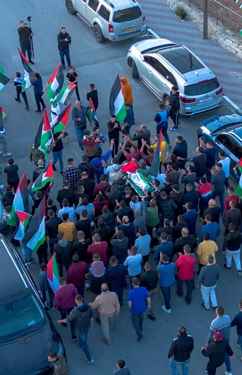
- جنازة الشهيد خضر السيد علي علوان (٤٦ عاماً) برصاص الاحتلال بتين قضاء رام الله -- Nov. 23rd, 2023 -- Mahmoud Moutan #4
- جنازة الشهيد خضر السيد علي علوان (٤٦ عاماً) برصاص الاحتلال بتين قضاء رام الله -- Nov. 23rd, 2023 -- Mahmoud Moutan #5
- جنازة الشهيد خضر السيد علي علوان (٤٦ عاماً) برصاص الاحتلال بتين قضاء رام الله -- Nov. 23rd, 2023 -- Mahmoud Moutan #6
Want to browse more? 80,000 pictures were grouped in these gallaries:
| Display Name | Clan/Hamolah | Country of Residence |
| ٍsamer.hamed | حامد | بيتين, بيتين |
| mohammad montaser asad ahmad hassan museitef | - | wisconsin,north carolina, usa |
| am ishaq | badwan | oh, usa |
| FUFU | حامد | رام الله , بيتين |
| Dala317 | Isaed | North Carolina, USA |
| موسى حامد | حامد | رام الله, بيتين |
| صائب | - | - |
- بيتين في الشتاء - شتاء عام 2015
- برنامج حلوة يا دنيا في بتين Duration: 12 min 31 sec
- مرورا من قرية بيتين العريقة Duration: 4 min 13 sec
No links have been shared yet, be free to the first to share the first link.
 Fake Valor: Why Did Zionist Jews Hoist Nazis Flag on Their Ships in the 1930s?
What is new?
-
Facts About Oct. 7th Gaza Raid
-
Remined Us Please:: Who Did Rape Who? Palestinians Raped Israelis? Or, was the other way around?
-
When Prof. Edward Said was invited to debate Bibi Netanyahu in the 1980s, watch what happened!
-
Ezra Klein of the NY Times on the "Jewish Race".
-
Abusing Blood Libel!
-
Zionist FAQ: Isn't it true that Palestinians don't want peace? Palestinians never accepted the two-state solution
- Facts about Haavara (Transfer) Agreement between Ben-Gurion & Hitler
-
Haavara FAQs: Why Did Zionist Jews Hoist Nazis' Flags on Their Ships in the 1930s?
-
Dear ChatGPT: Why did the Jewish Agency suppress news of the Holocaust during WWII?
-
Video Playlist: Jews share their DNA tests to end the conflict for good.
-
A Tale of Two Conflicts: Examining the Definition of Genocide
-
Prof. Abraham Polak And The Suppressed History of the Khazars and European Jewry
-
How Ronald Reagan would have framed the genocide in Gaza if he were still alive?
-
Haavara FAQs: Let us do the math: how many German Jews did The Haavara Agreement save?
-
Zionist FAQs: The Hebron Massacre of 1929, "clearly proves" that Palestinians are antisemitic, how could you deny it?
-
Zionist FAQs: Why Anti-Zionist Is Not Antisemitism?
-
Zionist FAQs: Isn't it true that the KGB create Palestinian Nationalism in the early 1960s?
- Zionist FAQs: Muslims are killing Muslims all the time; why are Israeli Jews being singled out in the media?
- Zionist FAQs: How is Israel an apartheid state when 20% of its citizens are Arabs who enjoy full rights?
-
Haavara FAQs: Analysis of Herzl's Uganda Scheme and how it could have saved millions of Jews.
-
Haavara FAQs: Why did Hayim Greenberg describe American Jewry as "morally bankrupt" in early 1943?
-
Haavara FAQs: What if the Evian Conference was a resounding success? What would have been the impact of saving European Jewry on Zionism?
- Haavara FAQs: What if the six million were saved, how that would have impacted the Zionist project?
-
Haavara FAQs: How did Zionist leaders react when Europe's Jews lingered in the DP camps after WWII ended?
-
Why does the American Jewish community repeat lies that David Ben-Gurion had debunked before he died?
-
Who has the power to rename the Tatar/Khazar Gene Marker to Jewish IV?
-
Zionist FAQs: Why won't Egypt, Syria, and Jordan take their people back? Jews are indigenous to Palestine, and Arabs immigrated after Jews developed the country. Arabs should leave.
-
Haavara FAQs: Did Hitler and the Nazis conflate between Judaism and Zionist? If that wasn't case, then why?
-
Haavara FAQs: Winston Churchill and antisemitism, a collection of articles written Churchill.
-
Haavara FAQs: Broken by country, how many Jews survived vs. killed during the Holocaust?
-
Haavara FAQs: Why did European Jews vote with their feet and to immigrated to the Americas, not Palestine, after WWII?
-
Watch this American Jewish Girl describing Israeli Jews' cognitive dissonance like no other in under two minutes
-
Haavara FAQs: When the Nazis went out of their way to hide the Holocaust, Israeli Jews did the exact opposite by broadcasting their genocide of Gazans. But why?
-
Haavara FAQs: How Zionist Jews went out of their to show their appreciation to Nazism and Fascism?
- Haavara FAQs: Why Zionist leaders were against bombing the death camps & the Railroads leading to them?
-
Haavara FAQs: Hitler's message to the British and American people: If Jews are such noble citizens and you care about them, how come you're not letting them in? I will gladly ship them to you at my expense, even on luxury liners!
-
A shortlist of Zionist and Israeli false flag operations in the name Jews.
-
The Most Moral Army
- The Land of Kapos (Israel): Where the brave are boycotted and Kapos walk free.
- Why did early Zionists often named their communal enterprises "colonial"?
- Zionist Relations with Nazi Germany by Faris Glubb
-
Two NY Times advertisements by Zionists in the early 1943 that exposes Zionists' treason at the height of the calamity
- Facts Not Lies about the Palestinian-Israeli Conflict.
- Site's pictures have been categorized
- Campgain Against Lice
- A Survey of Palestine, the official source about Palestine before Nakba produced by the British Mandate; over 1200 pages.
- Satellite View & Google Earth: Over 6,000 placemarks identifying all destroyed towns, W. Bank & Gaza Strip Towns, & refugee camps.
- PalestineRemembered.com and its Nakba Oral History Project were featured on al-Jazeera Satellite TV.
- Nakba Oral History Video Podcast:
 Over 700 Oral History interviews (including 3,500+ hours of recording) can be viewed online.
 - Palestine Village Statistics Project
- Gaza Jail Break
- النسخة العربية للموقع الان متوفرة
- Videos: Documenting the destroyed villages in video: Tracing all that remains since Nakba.
- Videos: Responding to Zionist Propaganda
- Interview: The ethnic cleansing of Palestine: George Galloway interviews Israeli Historian Ilan Pappe.
- For Palestinians, memory matters. It provides a blueprint for their future By George Bisharat.
- Zionist FAQ now available in Hebrew שאלות שציונים שואלים, עכשיו בעברית
- Video: The Stephen Walt and John Mearsheimer report on the influence of the Israel Lobby on U.S. Foreign Policy
- The Palestinian-Israeli conflict for beginners
