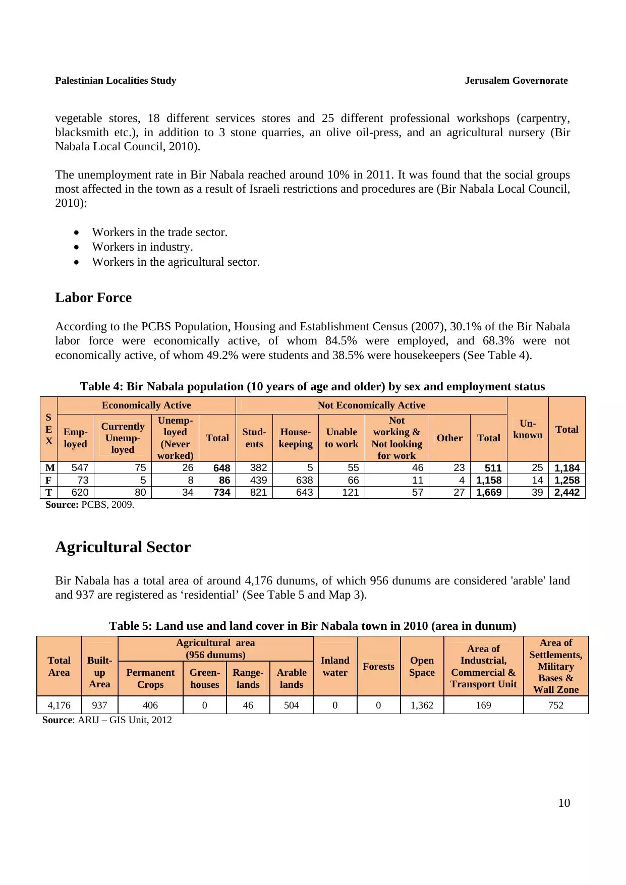
| PalestineRemembered | About Us | Oral History | العربية | |
| Pictures | Zionist FAQs | Haavara | Maps | |
| Search |
| Camps |
| Districts |
| Acre |
| Baysan |
| Beersheba |
| Bethlehem |
| Gaza |
| Haifa |
| Hebron |
| Jaffa |
| Jericho |
| Jerusalem |
| Jinin |
| Nablus |
| Nazareth |
| Ramallah |
| al-Ramla |
| Safad |
| Tiberias |
| Tulkarm |
| Donate |
| Contact |
| Profile |
| Videos |
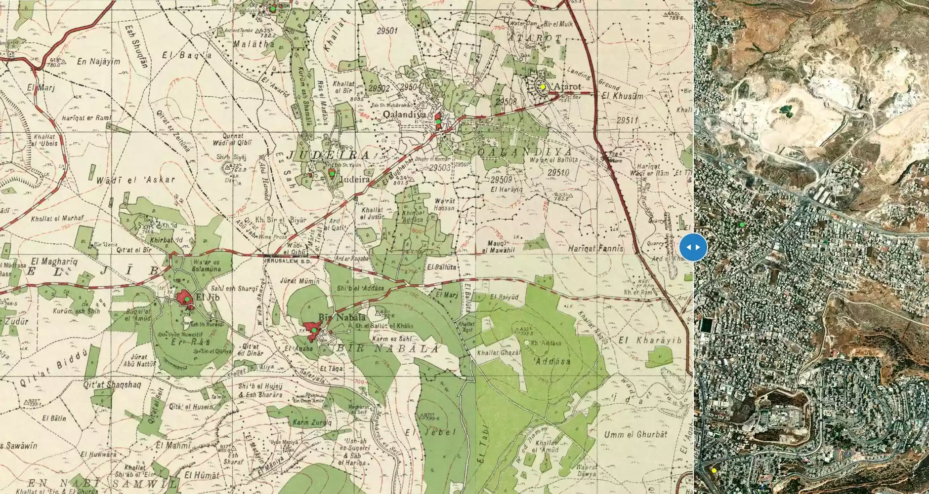
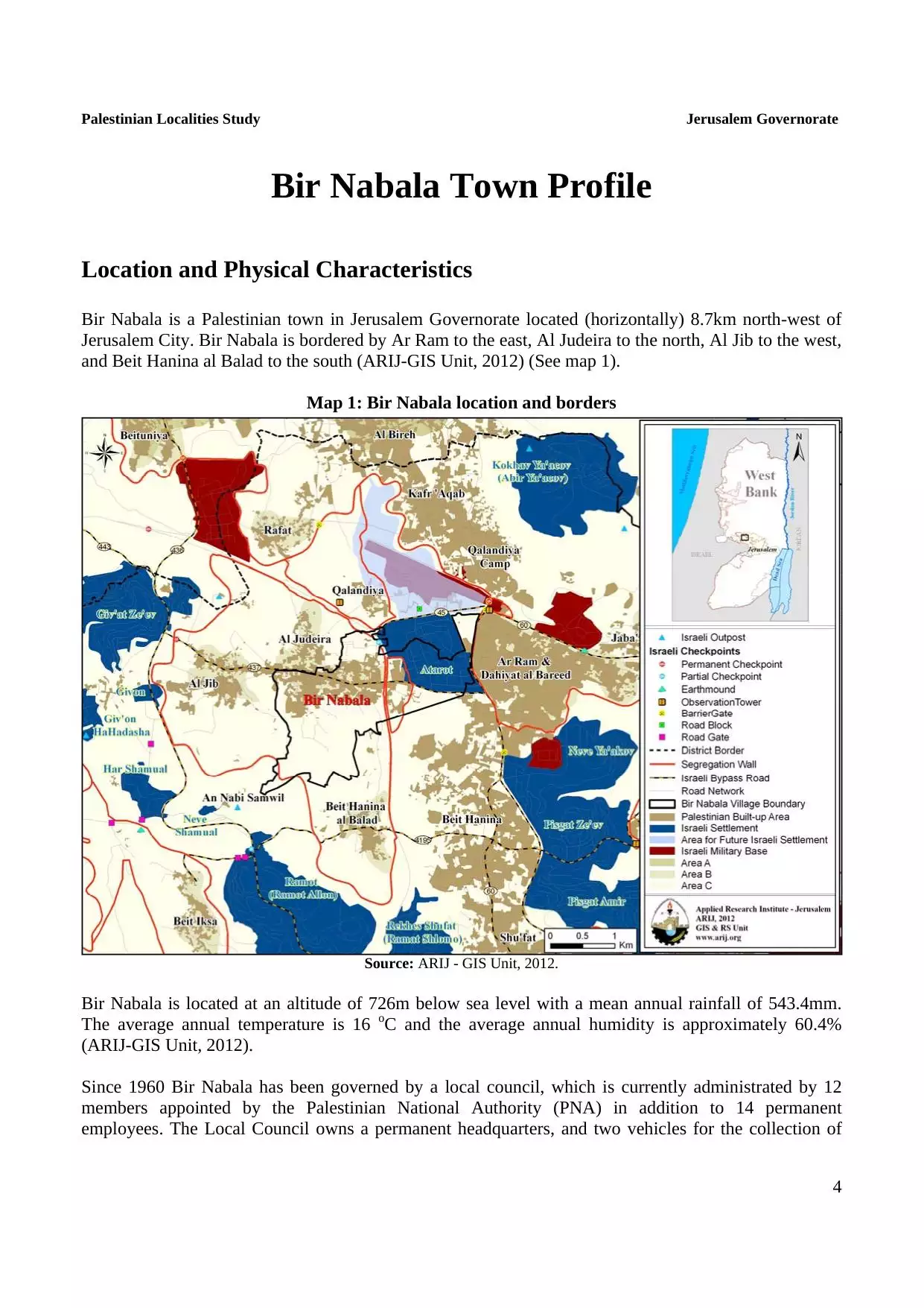
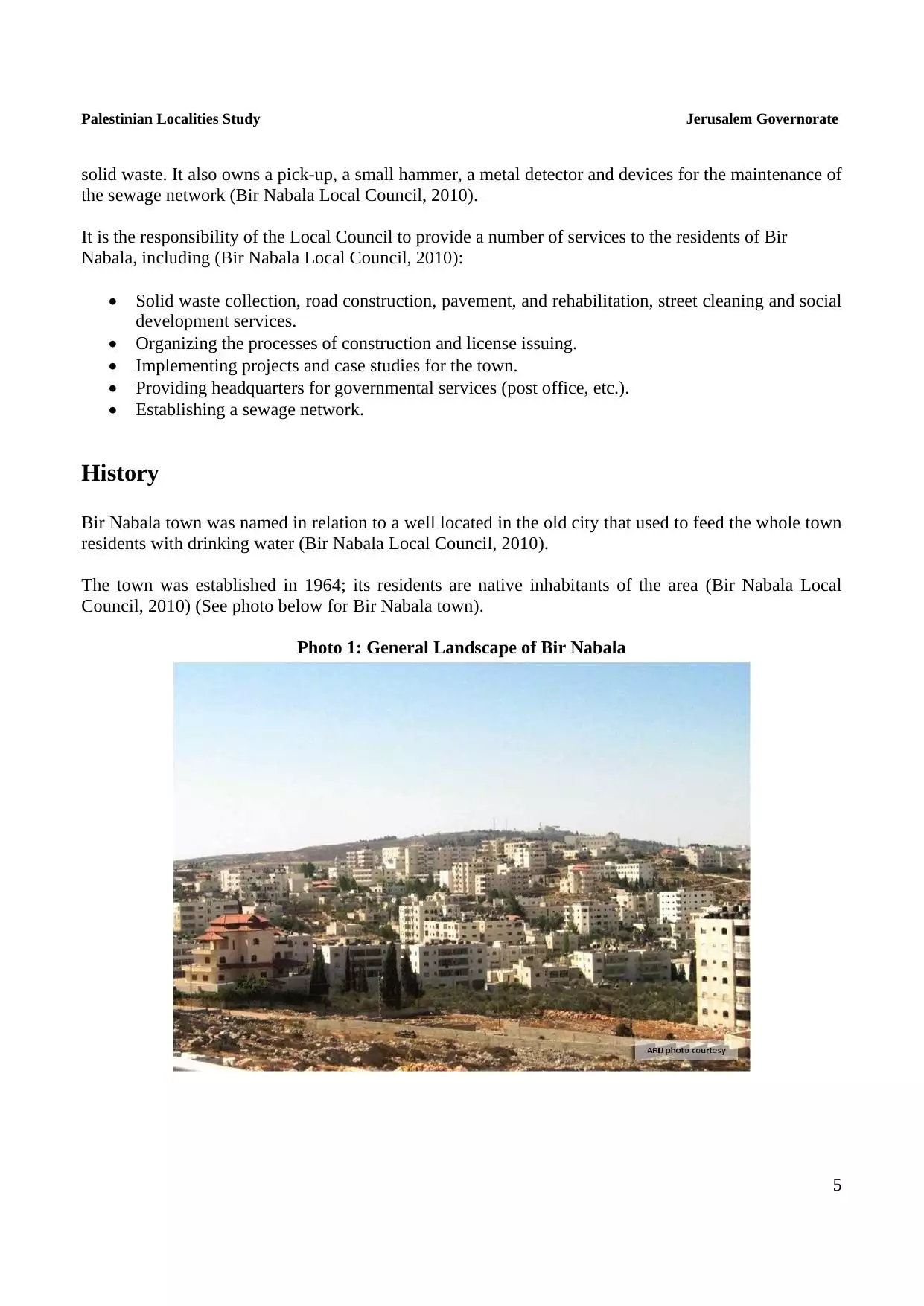
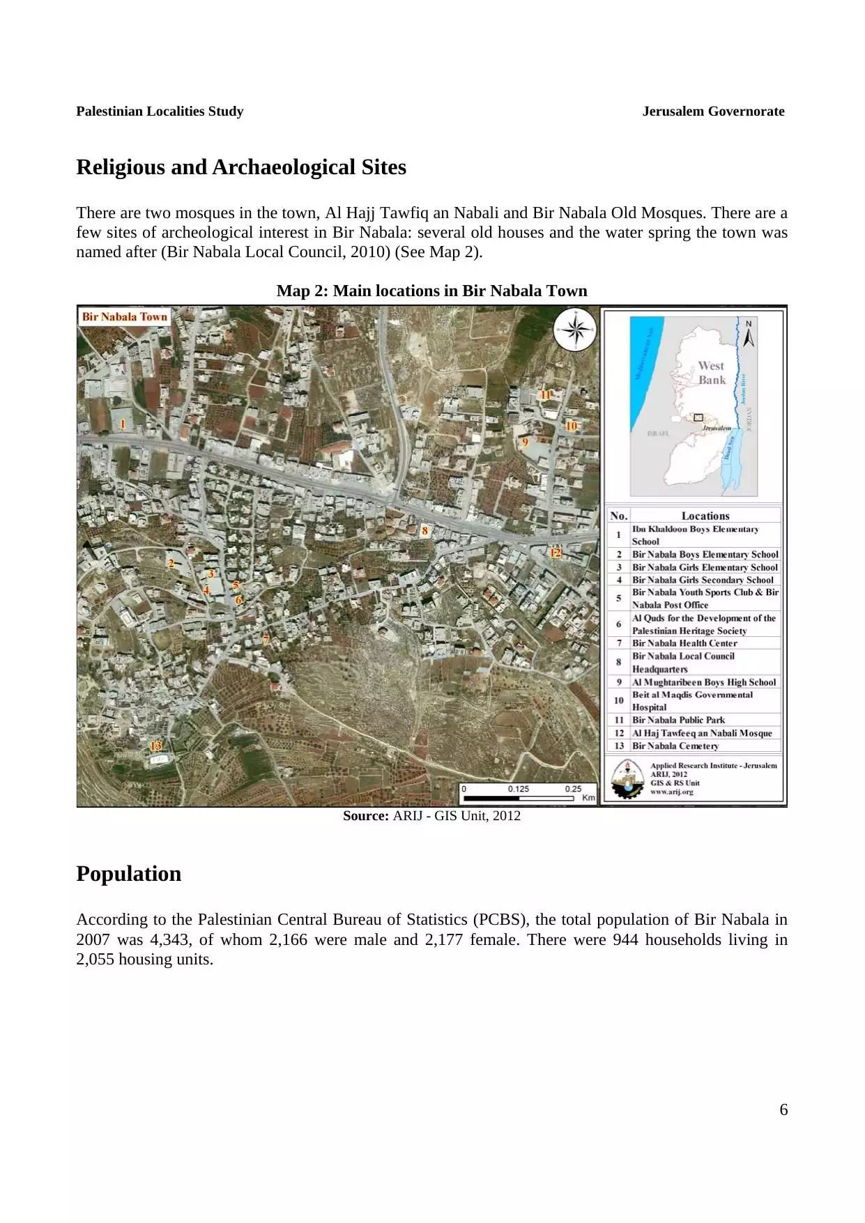
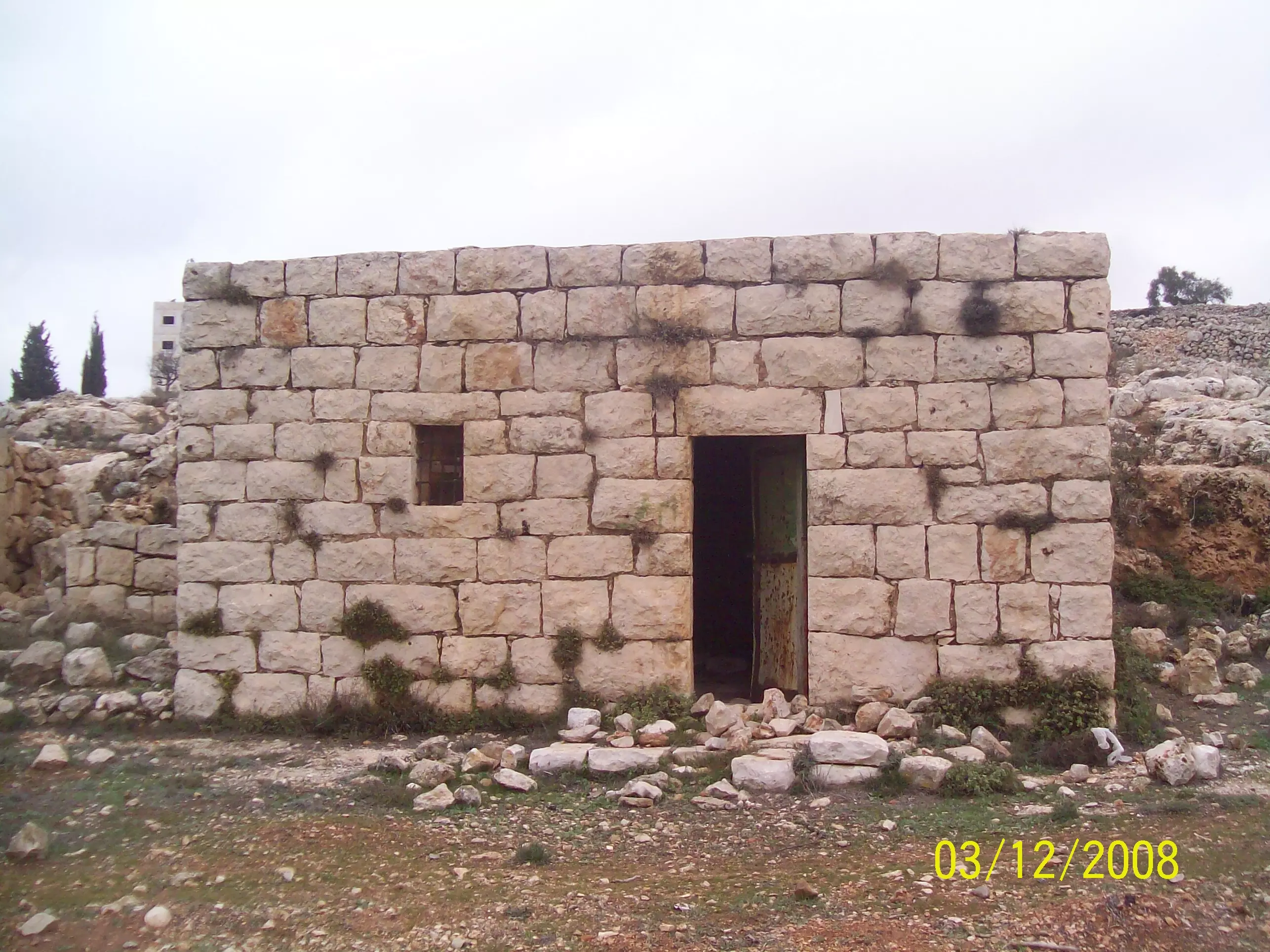
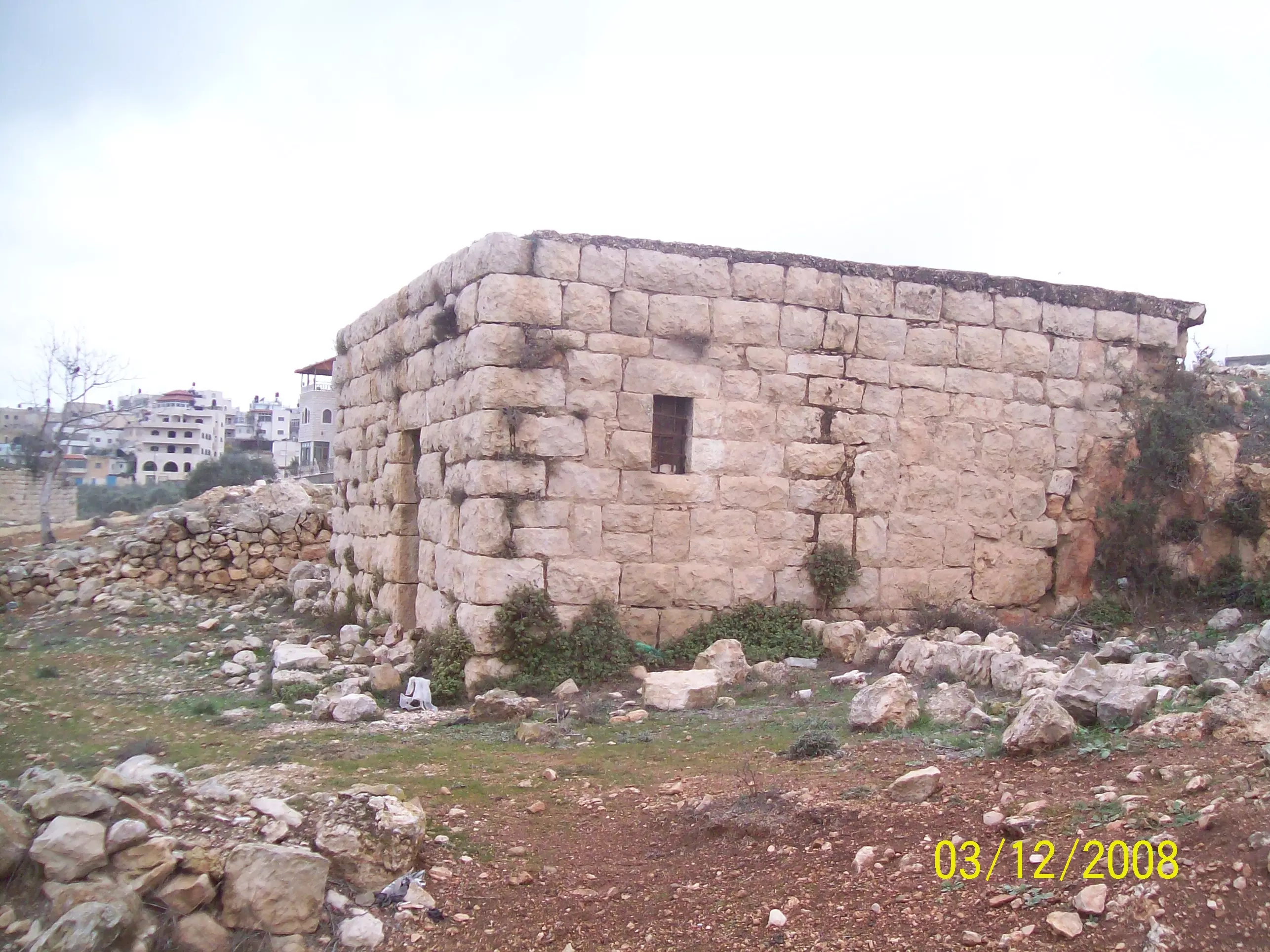
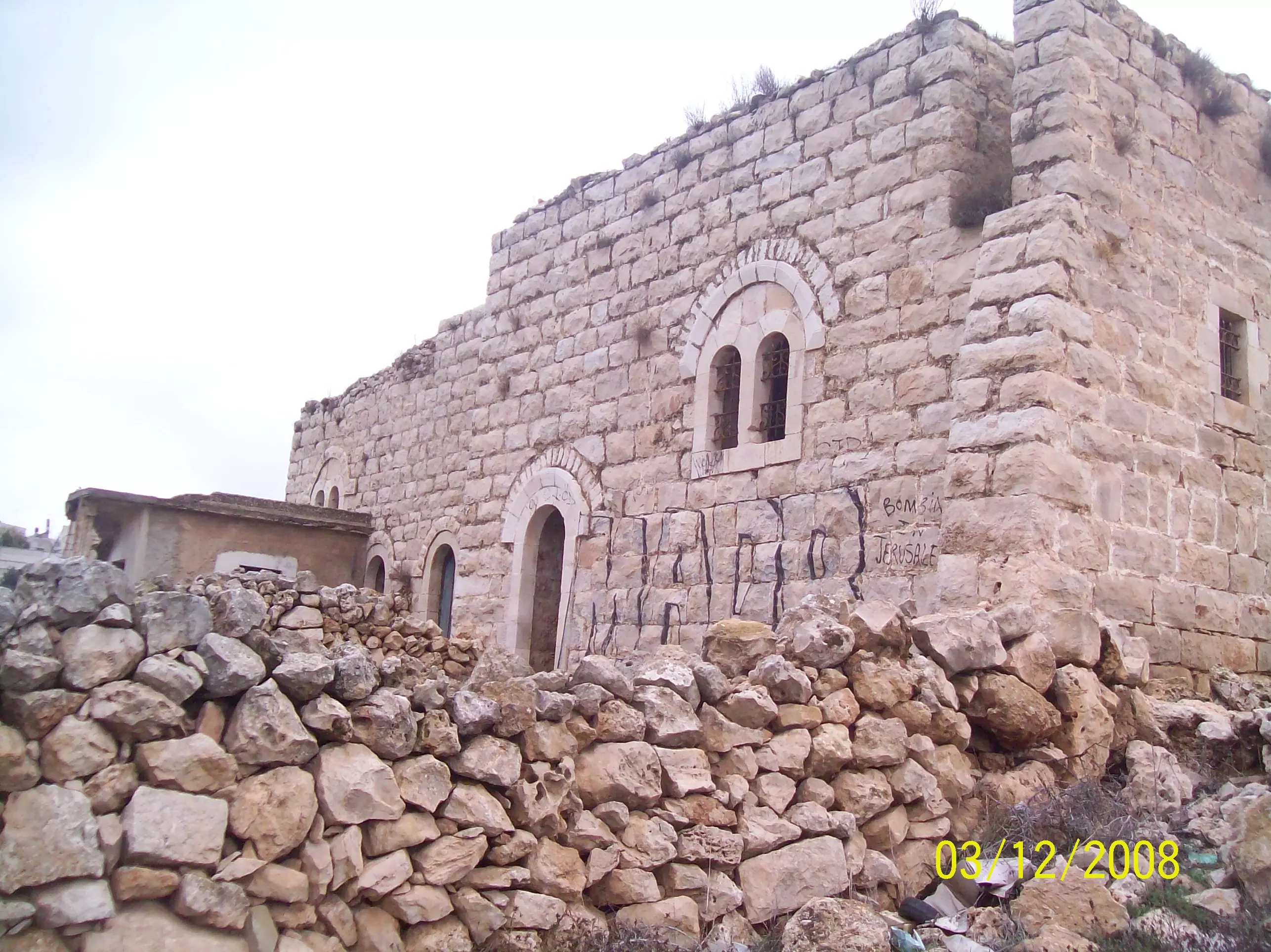
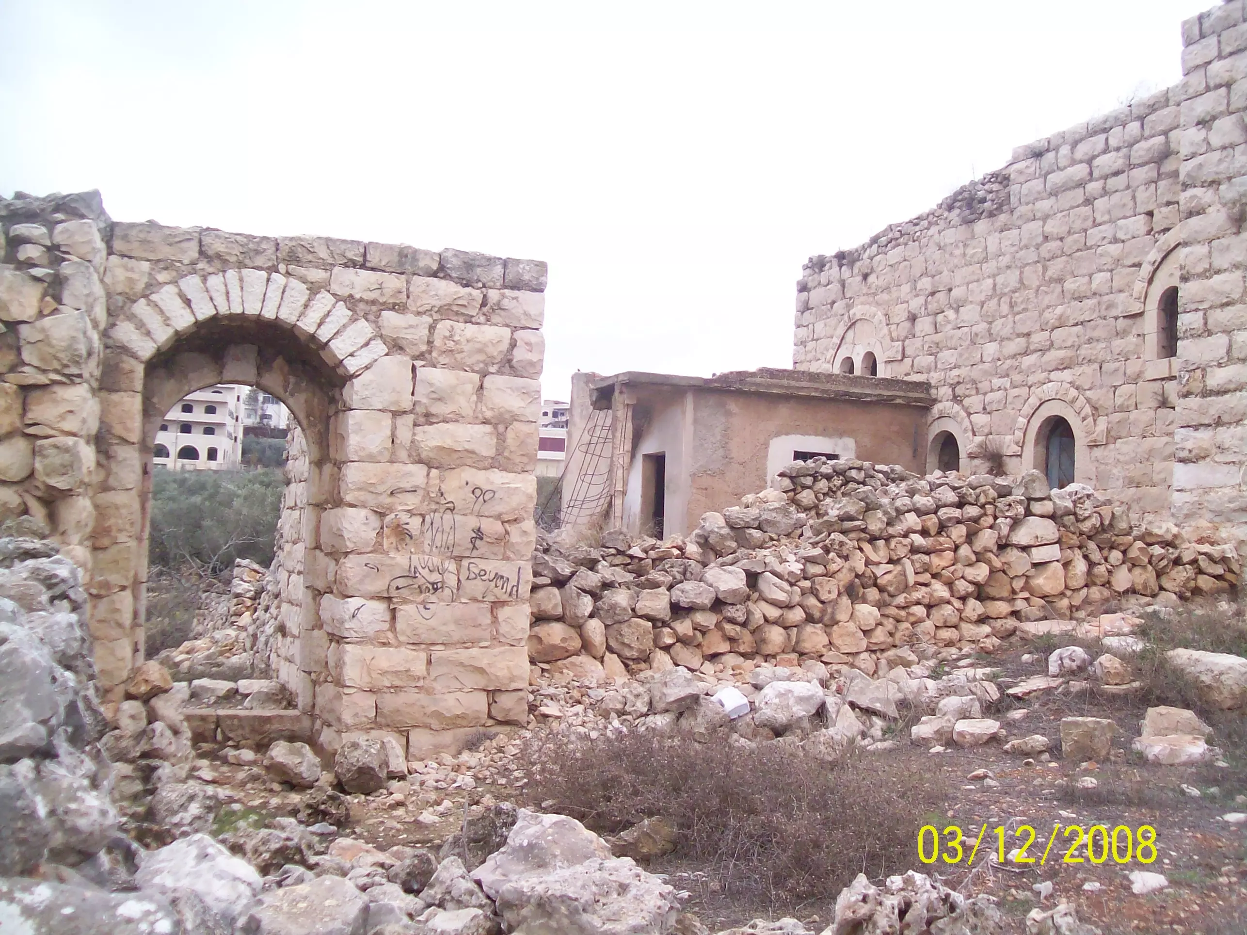
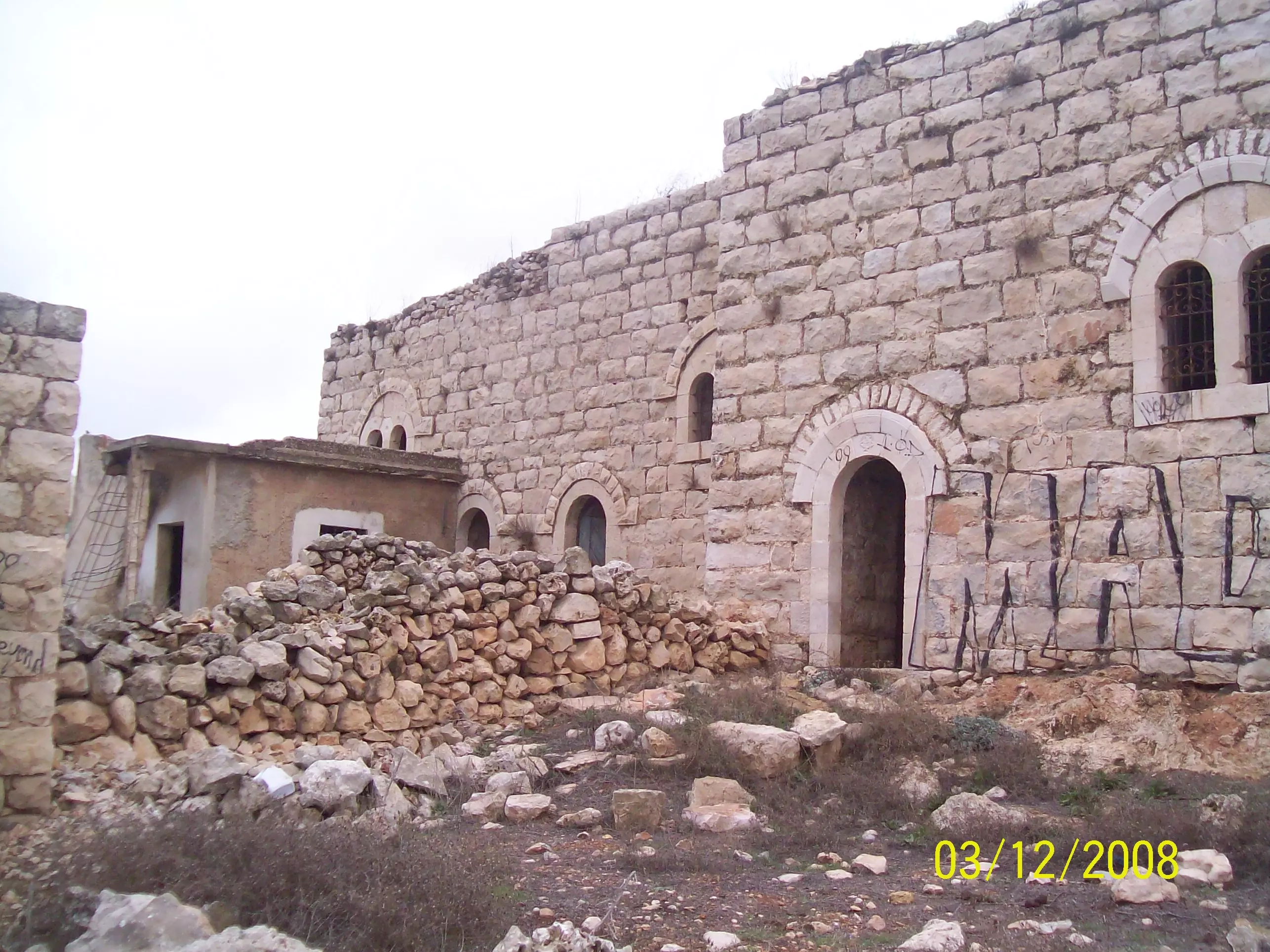
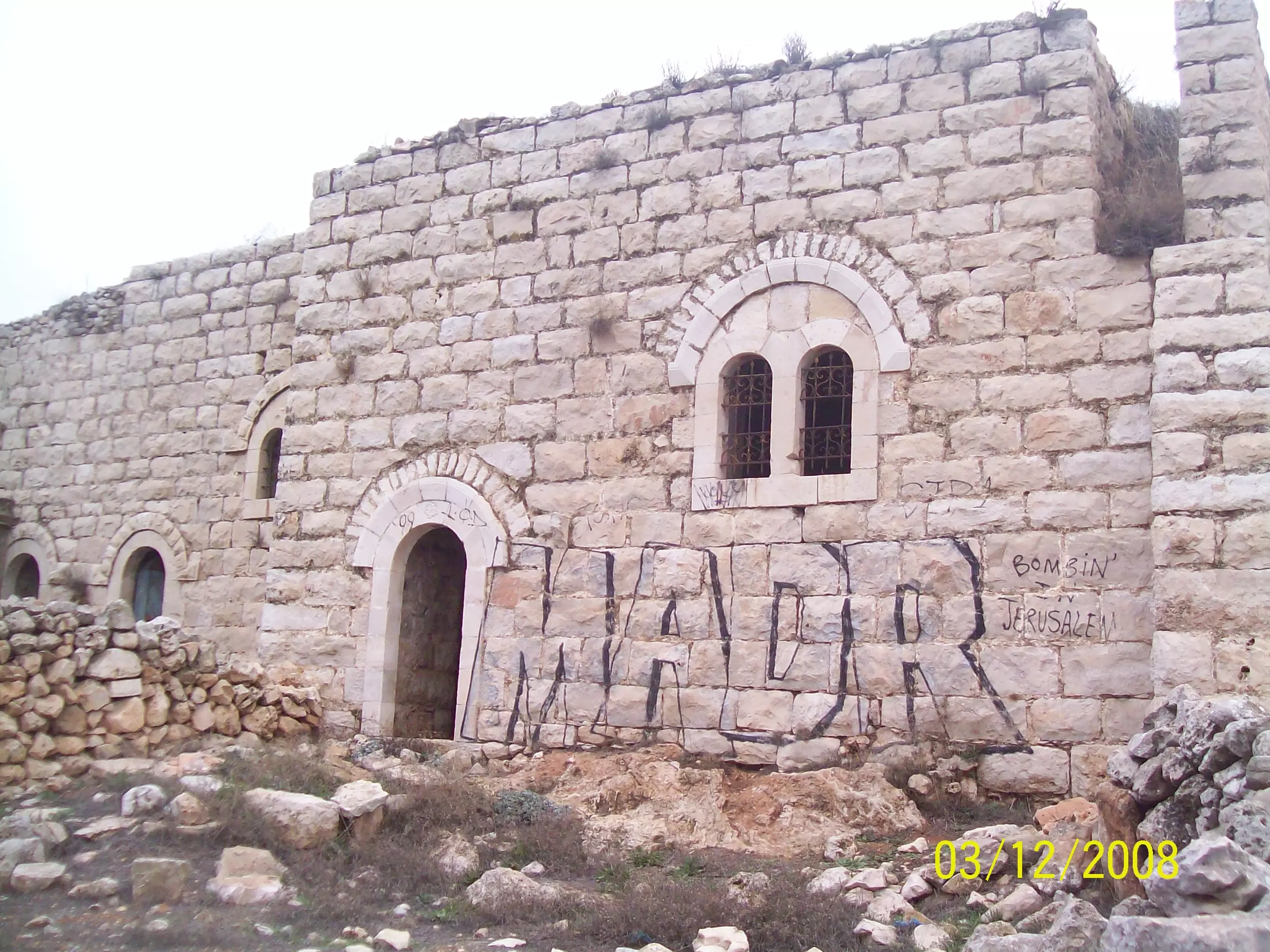
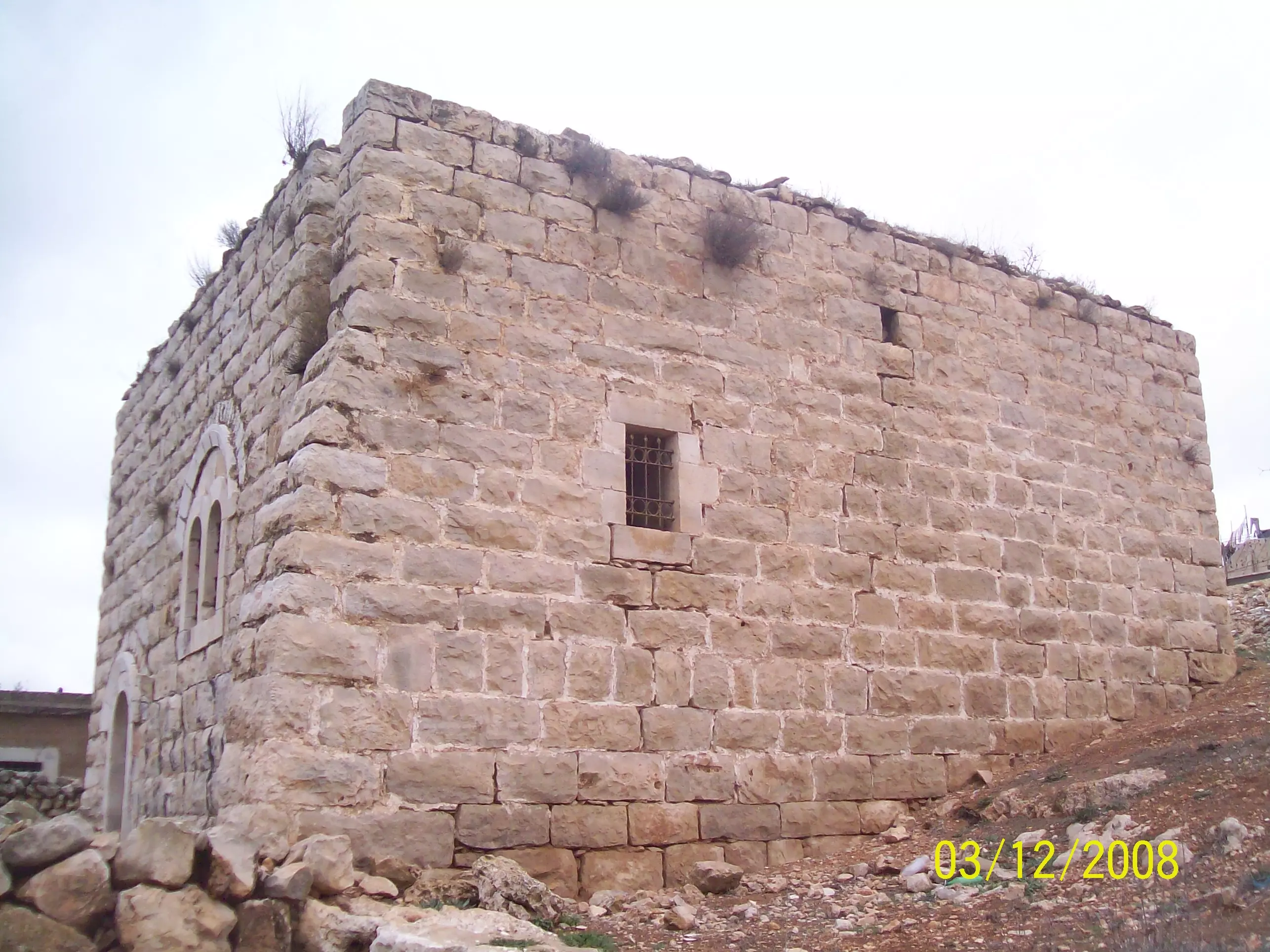
Welcome To Bir Nabala - بير نبالا (ביר נבאלא)
|
District of Jerusalem
Occupied days ago |
العربية Google Earth |
 |
Gallery (39) |
- Statistics & Facts
-
Before & After

- Satellite View
- Articles 2
- Pictures 39
- Members 37
- Families
- Wikipedia
- ARIJ Guide
- Videos 2
- Guest Book 16
- Links 1
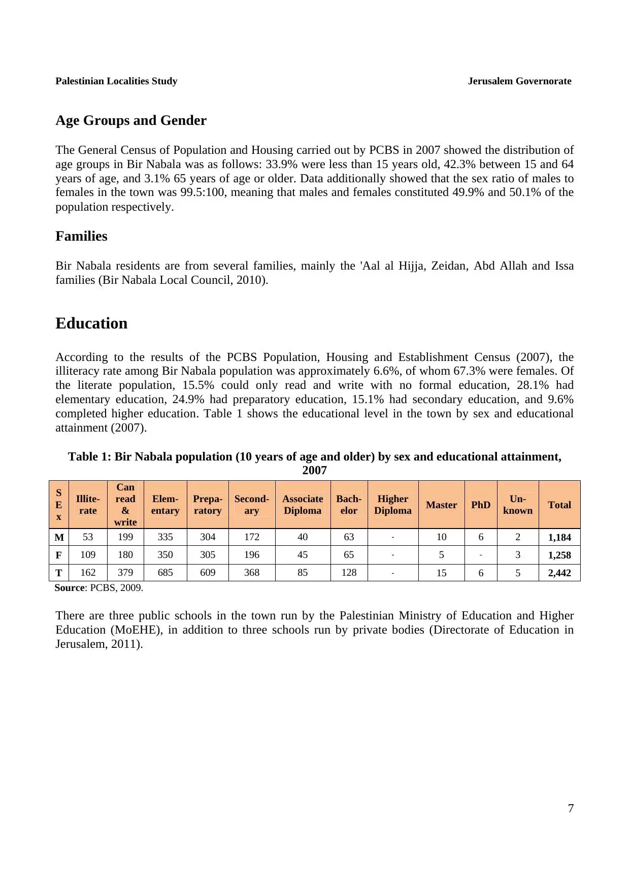
| Statistic & Fact | Value | |||||||||||||||||||||
| Distance From District | 8 km northeast of Jerusalem | |||||||||||||||||||||
| Elevation | 780 meters | |||||||||||||||||||||
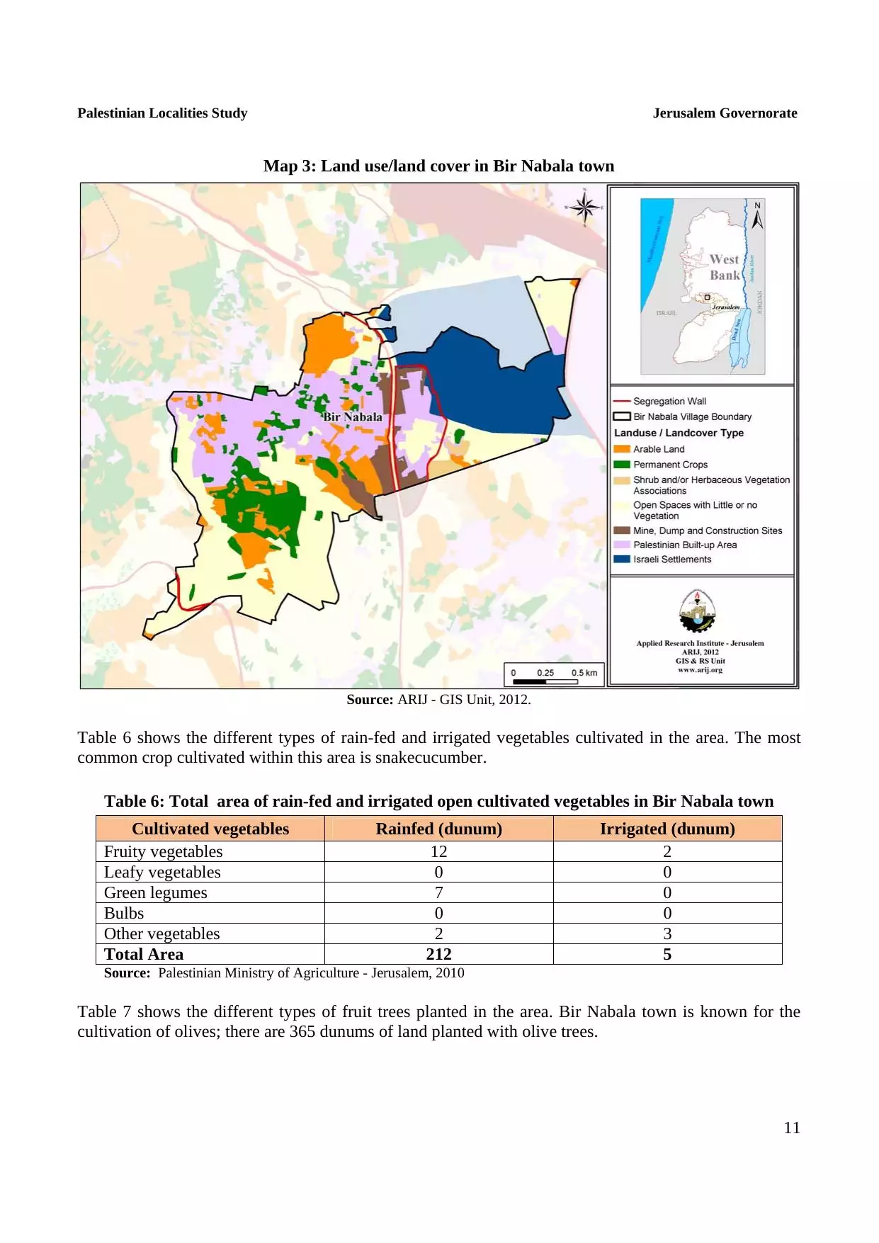
| Before & After Nakba, Click Map For Details |
||||||||||||||||||||||
|
||||||||||||||||||||||
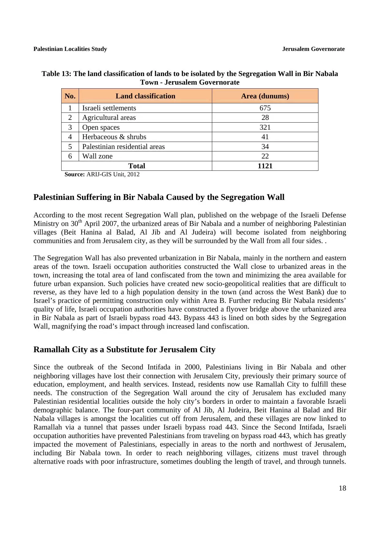
| Land Ownership |
**Town Lands' Demarcation Maps |
|||||||||||||||||||||
| Land Usage As of 1945 |
|
|||||||||||||||||||||
| Population |
|
|||||||||||||||||||||
| Near By Towns |
||||||||||||||||||||||
|
||||||||||||||||||||||
| Featured Video | ||||||||||||||||||||||
| ARIJ Guide | ||||||||||||||||||||||
|
Click here to browse online. |
||||||||||||||||||||||
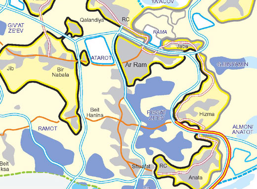
| Related Maps | Town Lands' Demarcation Maps خرائط للقضاء توضح حدود القرى والاودية View from satellite Town's map on MapQuest Help us map this town at WikiMapia |
|||||||||||||||||||||
| Related Links | Wikipedia's Page ARIJ Guide Google Search Google For Images Google For Videos في كتاب بلادنا فلسطين دليل أريج المزيد من موقع هوية |
|||||||||||||||||||||
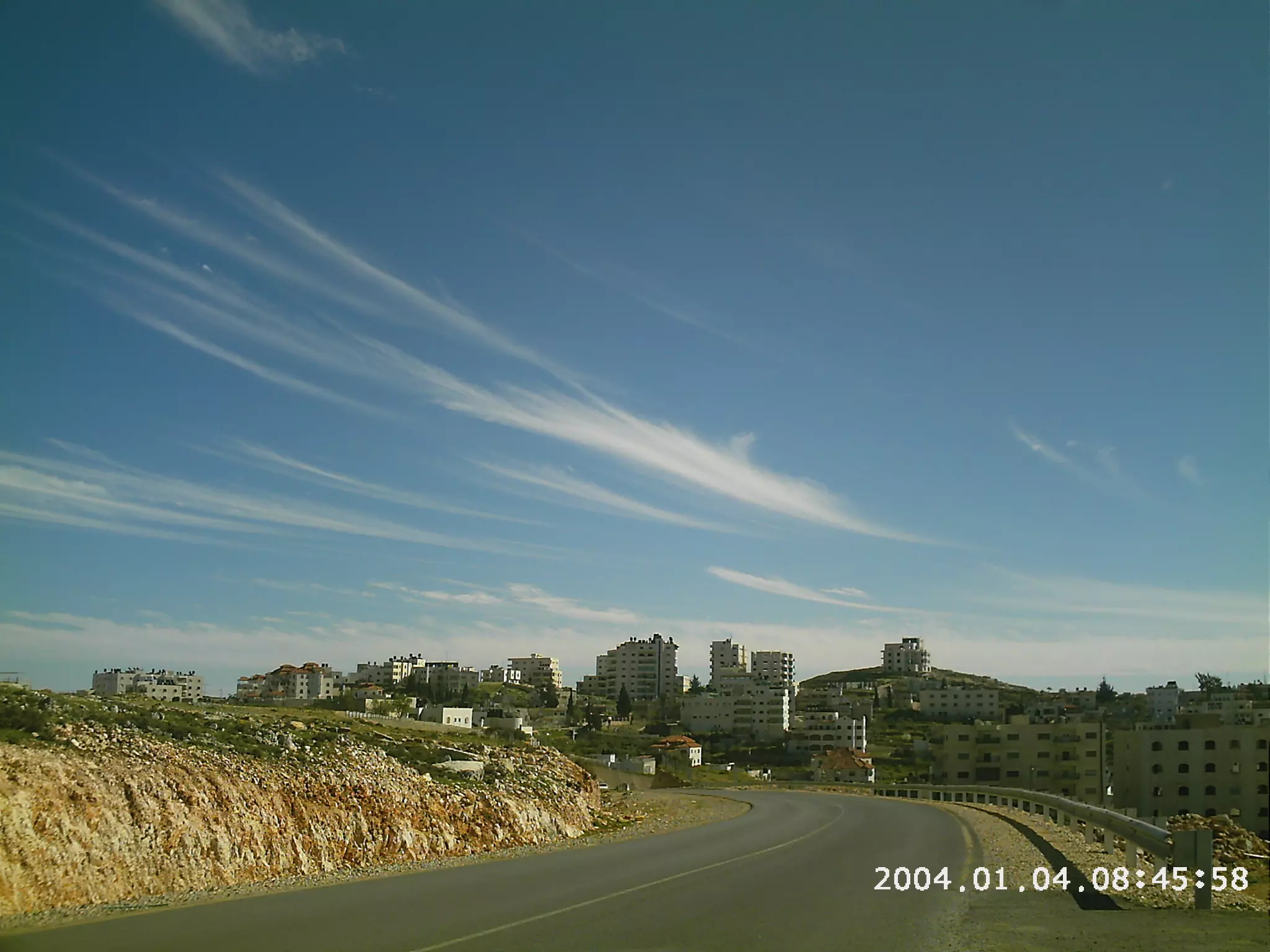
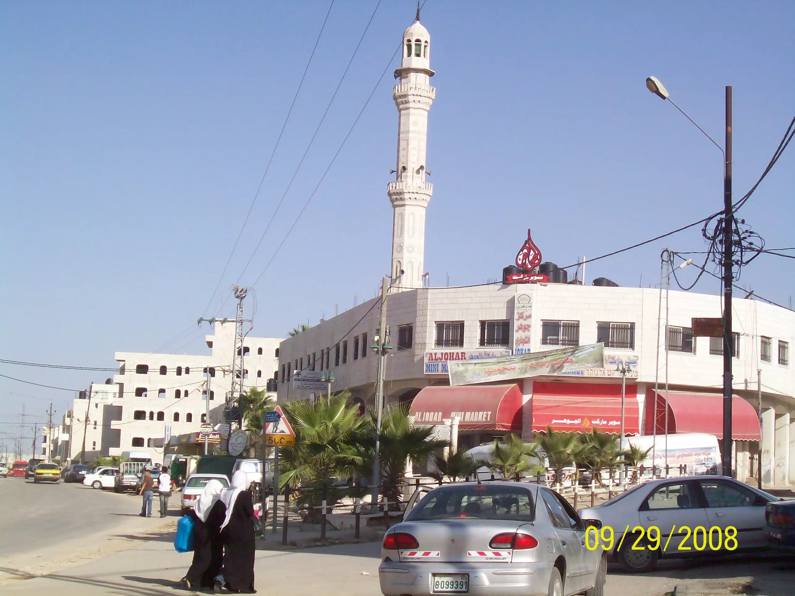
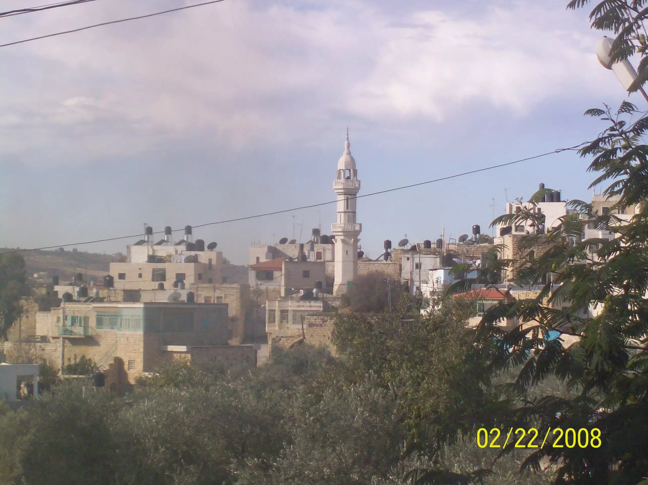
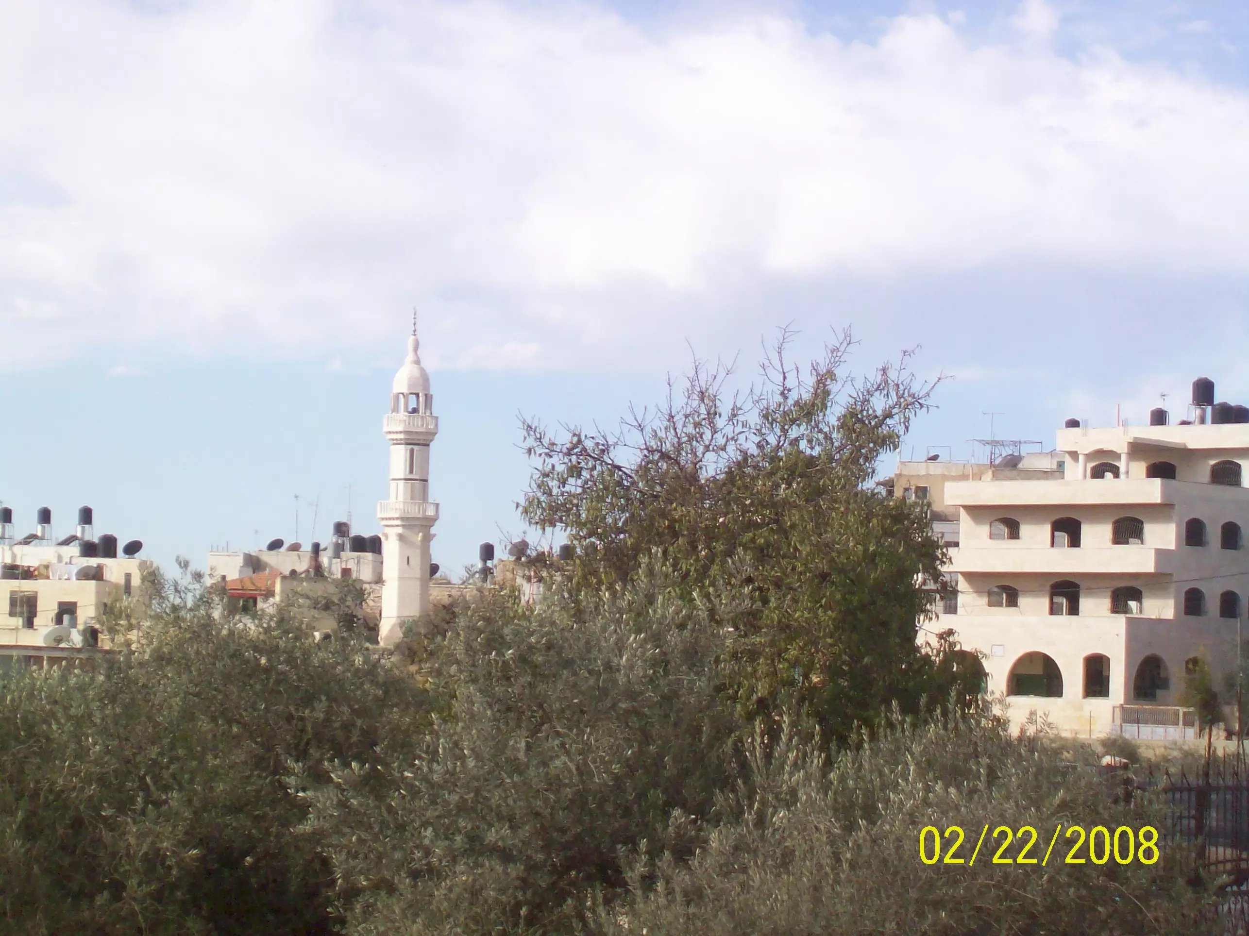
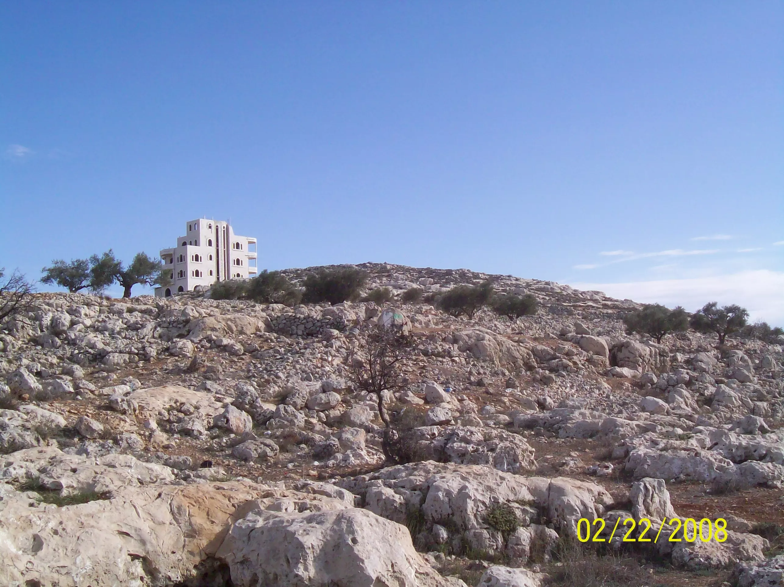
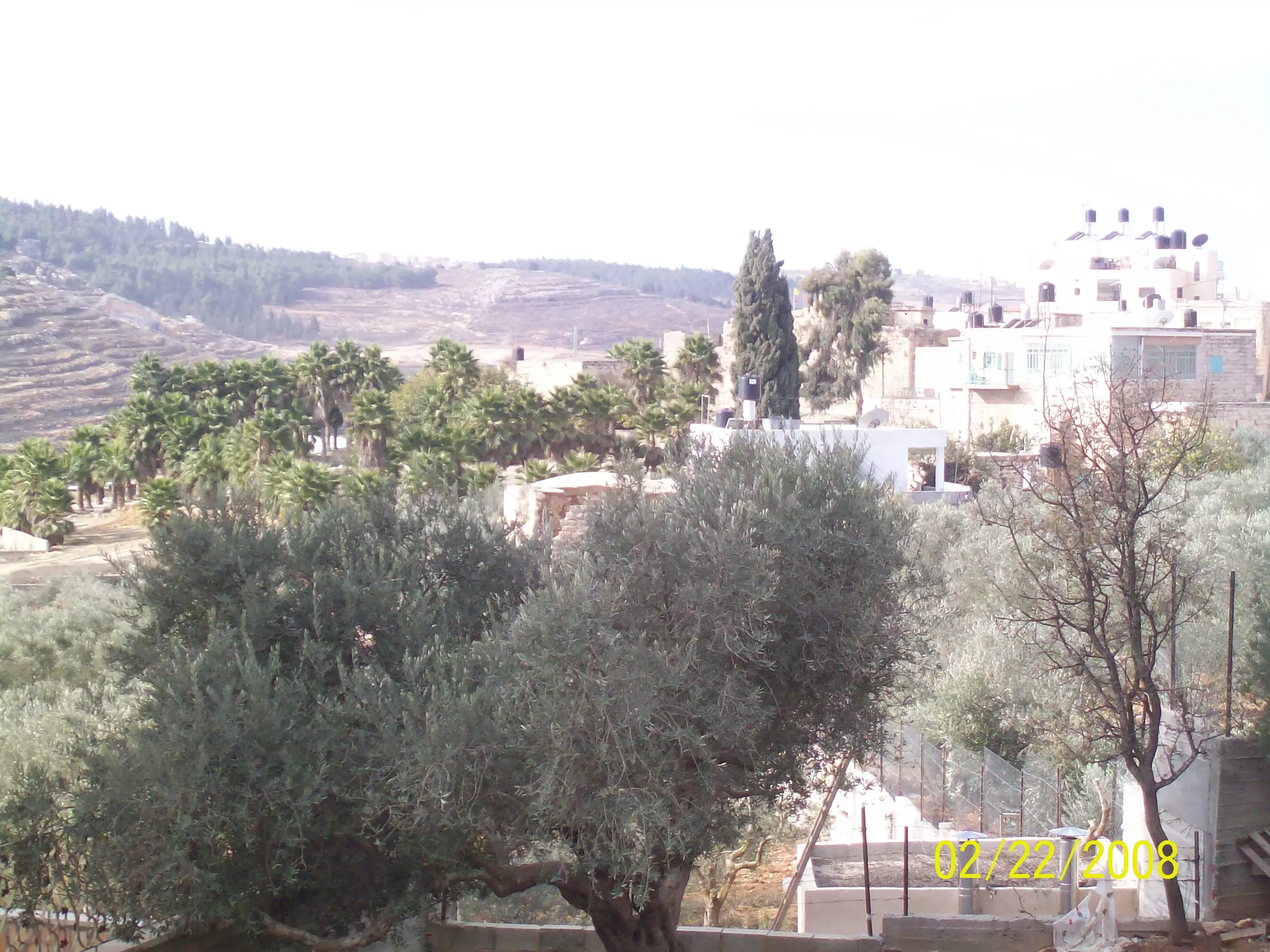
- منظر عاما
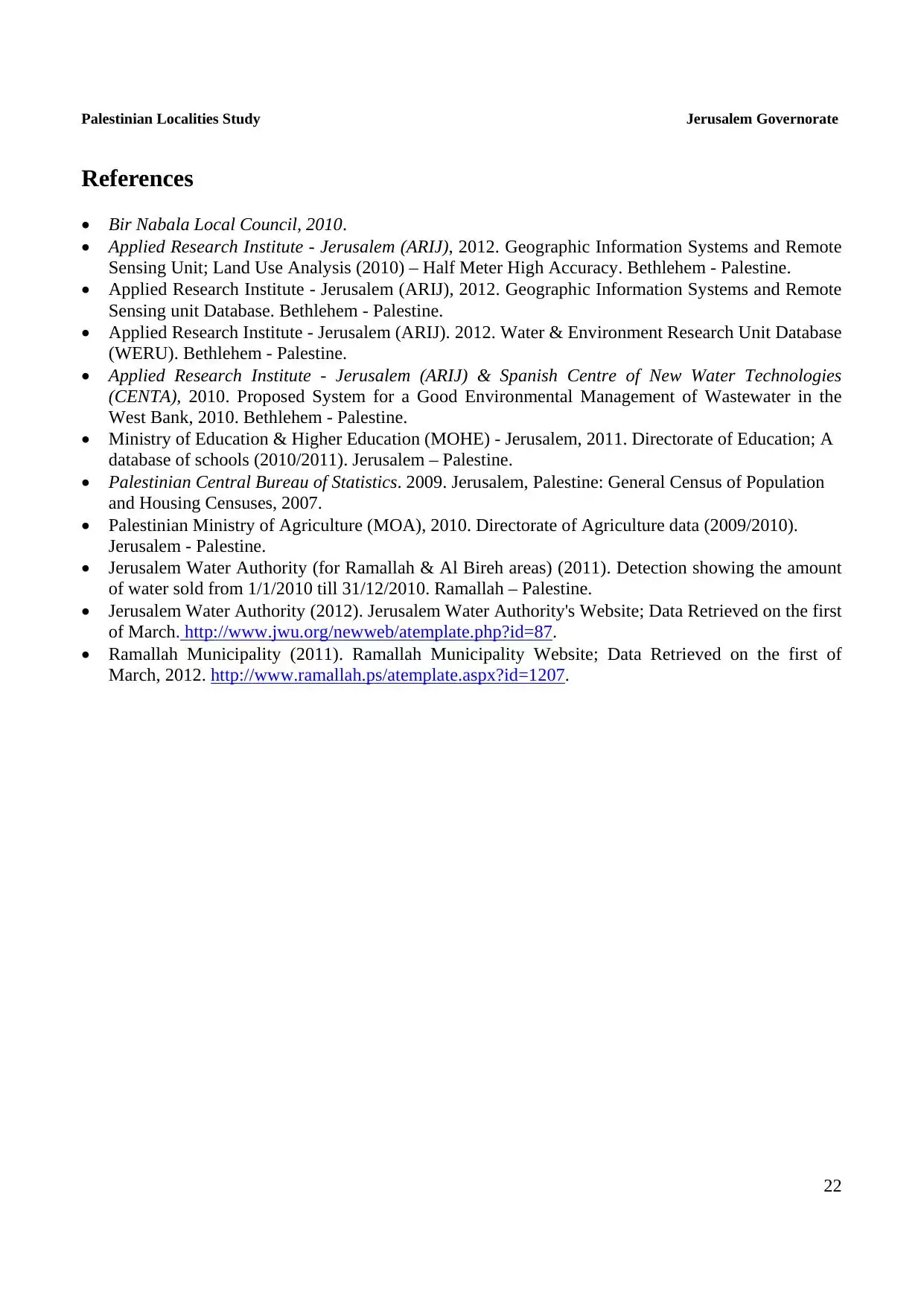
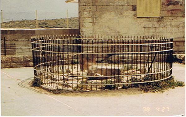
Posted by Hatim Jawhar 4 - البئر الذي سميت البلد باسمه
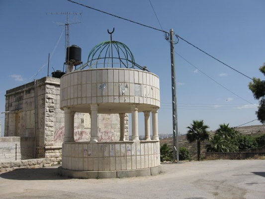
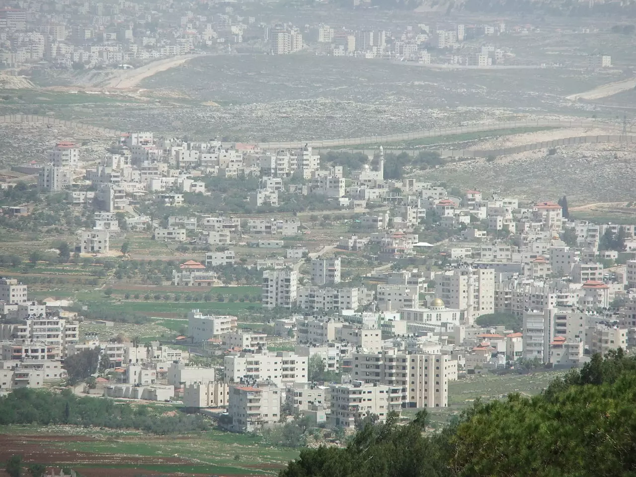
Posted by Hatim Jawhar 10 - The apparetheid wall
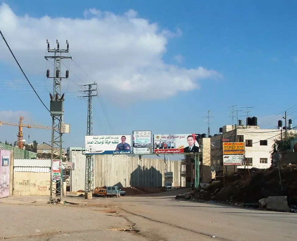
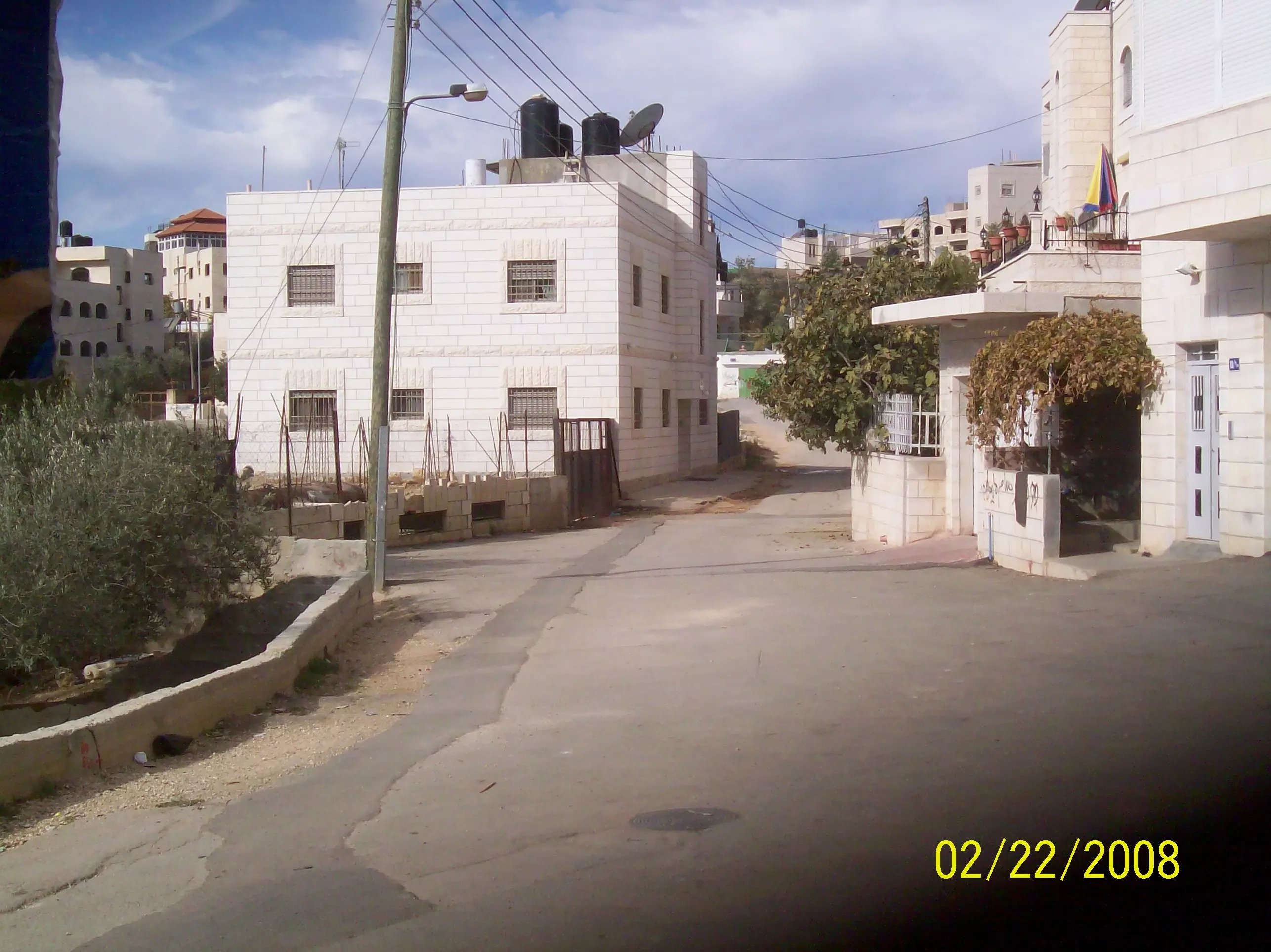
3 - Road towards Bir Nabala
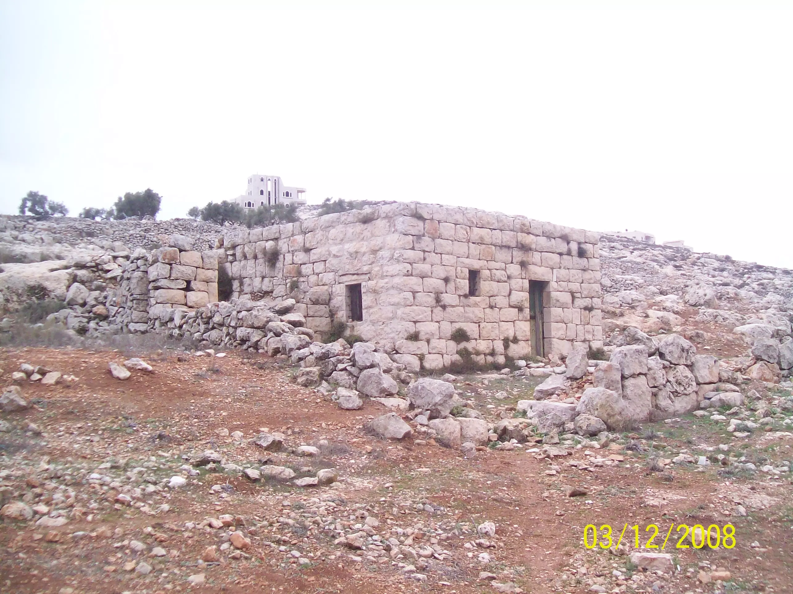
Posted by Nabala104 4 - THE ORIGINAL BIR OF BIR NABALA
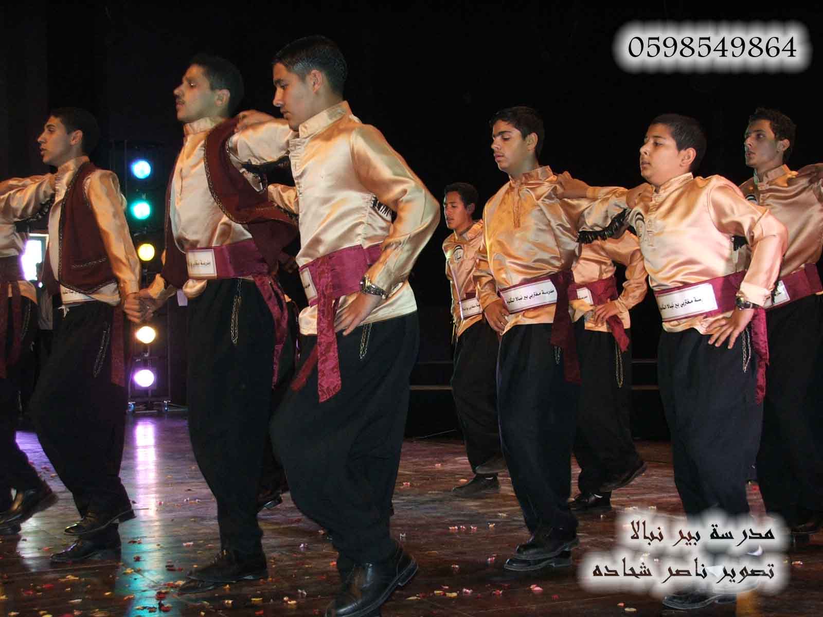
Posted by ALI RIZEK (ALNABALI) 5 - فرقة بير نبالا للدبكة الشعبية تصوير ناصر شحاده عوريف
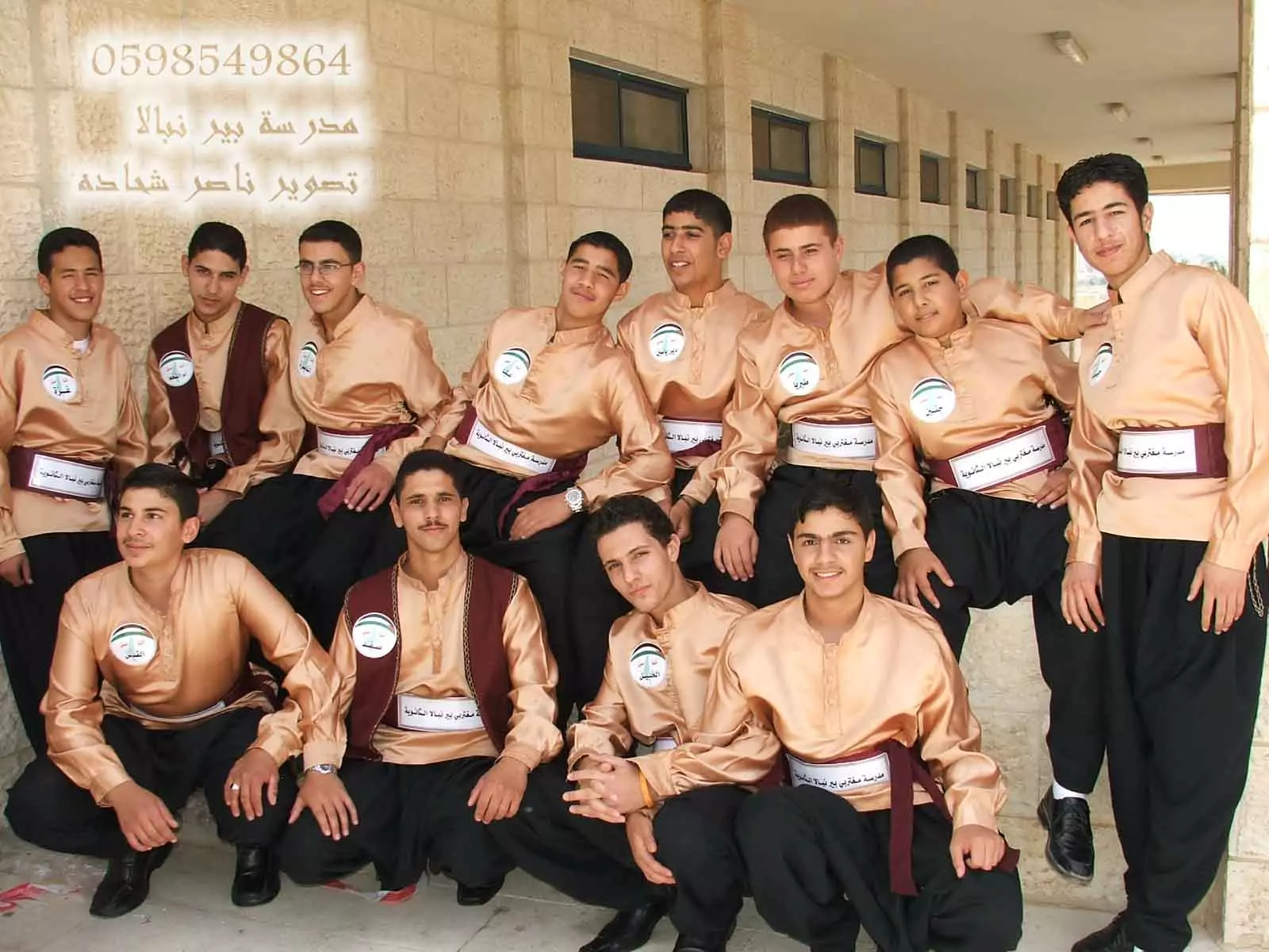
Posted by naser abed 1 - فرقة بير نبالا للدبكة الشعبية تصوير ناصر شحاده عوريف
Posted by naser abed 11 - خارطة الجدار المقرر في بيرنبالا
Posted by رافت الاشقر 1 - beir naballa
Posted by moe zedin 11 - beirnaballa
Posted by moe zedin 4 - beir naballa
Posted by moe zedin 3 - beir naballa
Posted by moe zedin 3 - beir naballa
Posted by moe zedin 2 - makbaret beir naballa m3 alna5el
Posted by moe zedin 2 - nice cat in beir naballa
Posted by moe zedin 2 - dar em m3mer
Posted by moe zedin 3 - dar em m3mer
Posted by moe zedin - dar em m3mer
Posted by moe zedin - bet qadem in beirnaballa
Posted by moe zedin 2 - bet qadem in beirnaballa
Posted by moe zedin - bet qadem in beirnaballa
Posted by moe zedin 5 - bet qadem in beirnaballa
Posted by moe zedin - bet qadem in beirnaballa
Posted by moe zedin - m8ara in beirnaballa fe gabal kreen
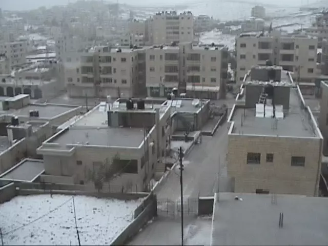
Posted by moe zedin 7 - بير نبالا في الثلج
Posted by n rizek 1 - رجل الثلج في بيرنبالا

Posted by n rizek 2 - الساحة الثالثة

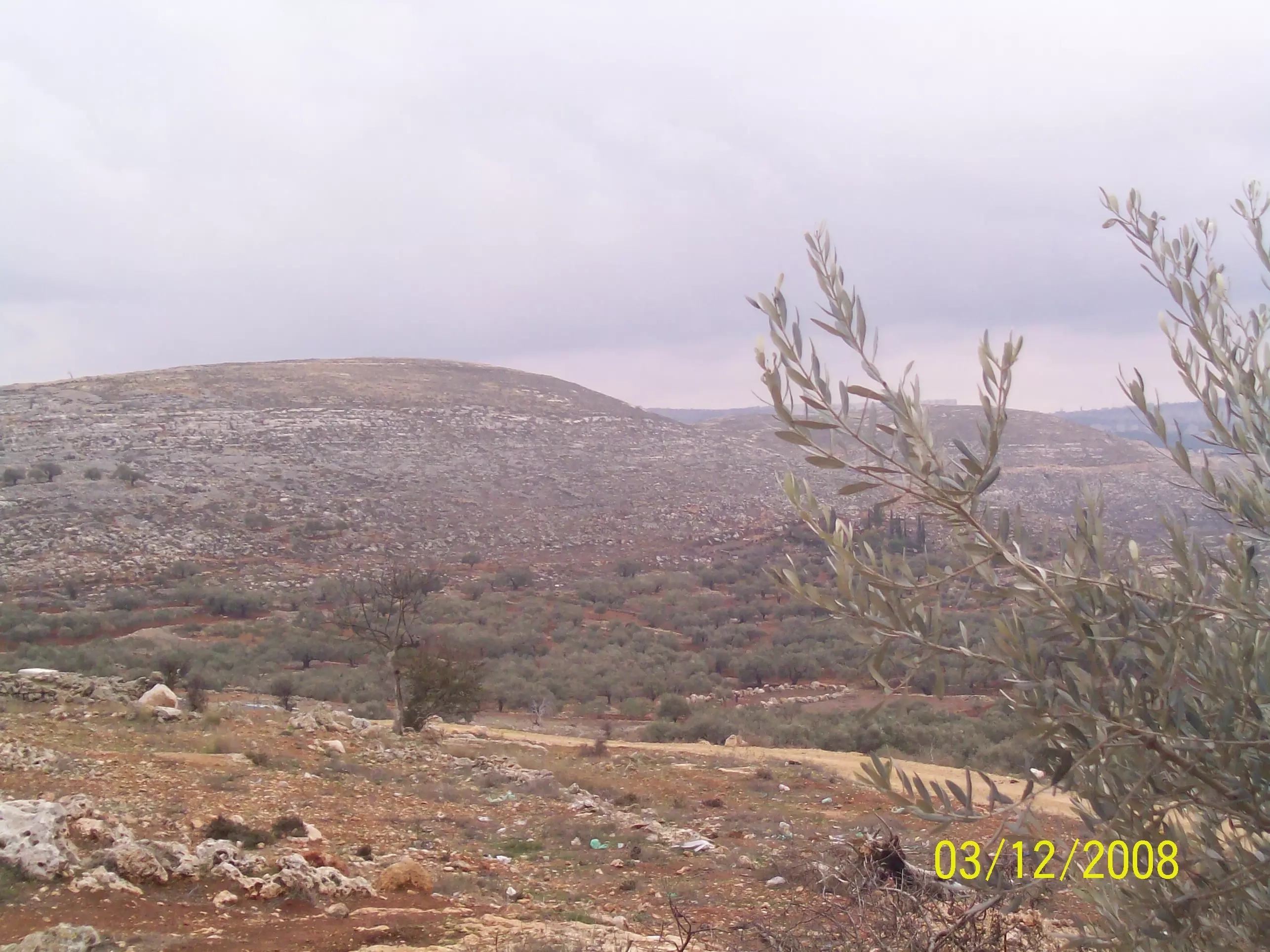
Posted by n rizek 2 - منظر بسيط من المدخل
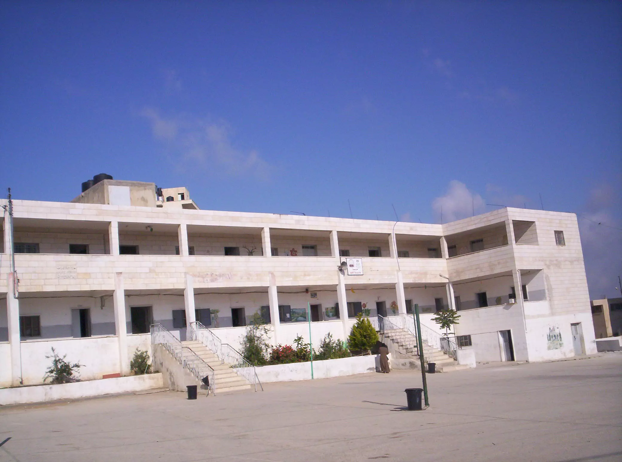
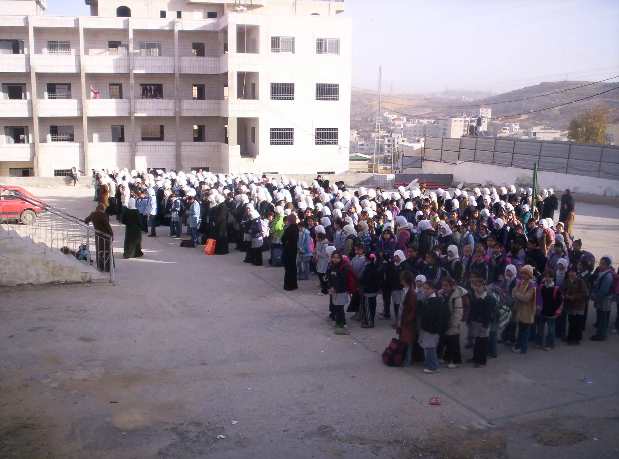
Posted by n rizek - مدرسة بنات بيرنبالا الثانوية
Posted by n rizek 2 - الطابور الصباحي
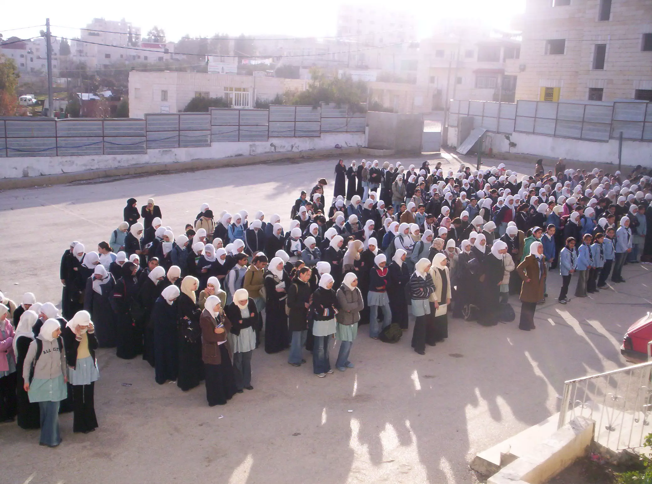
Posted by n rizek 2 - الطابور
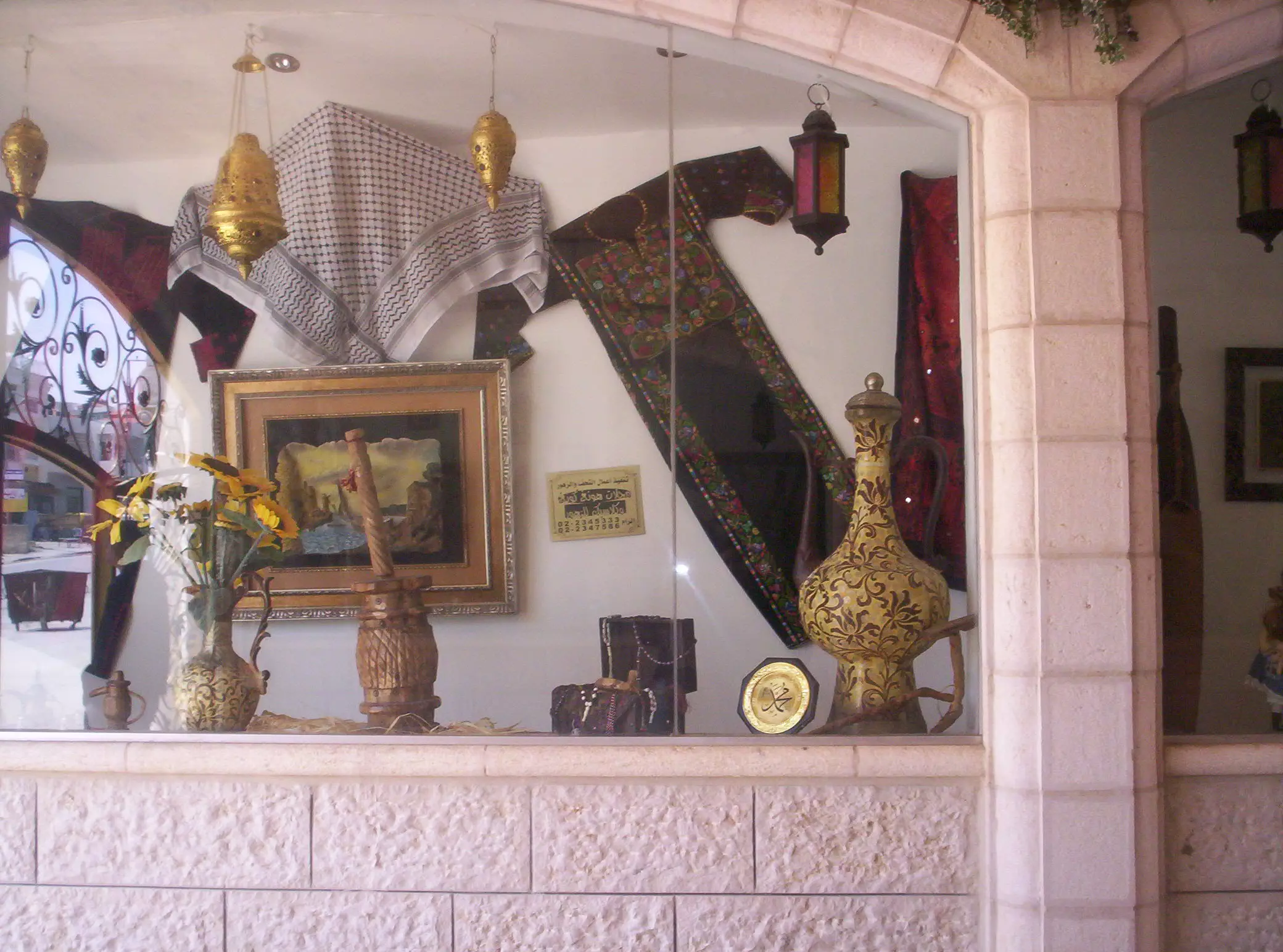
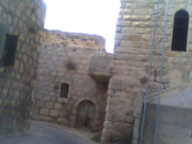
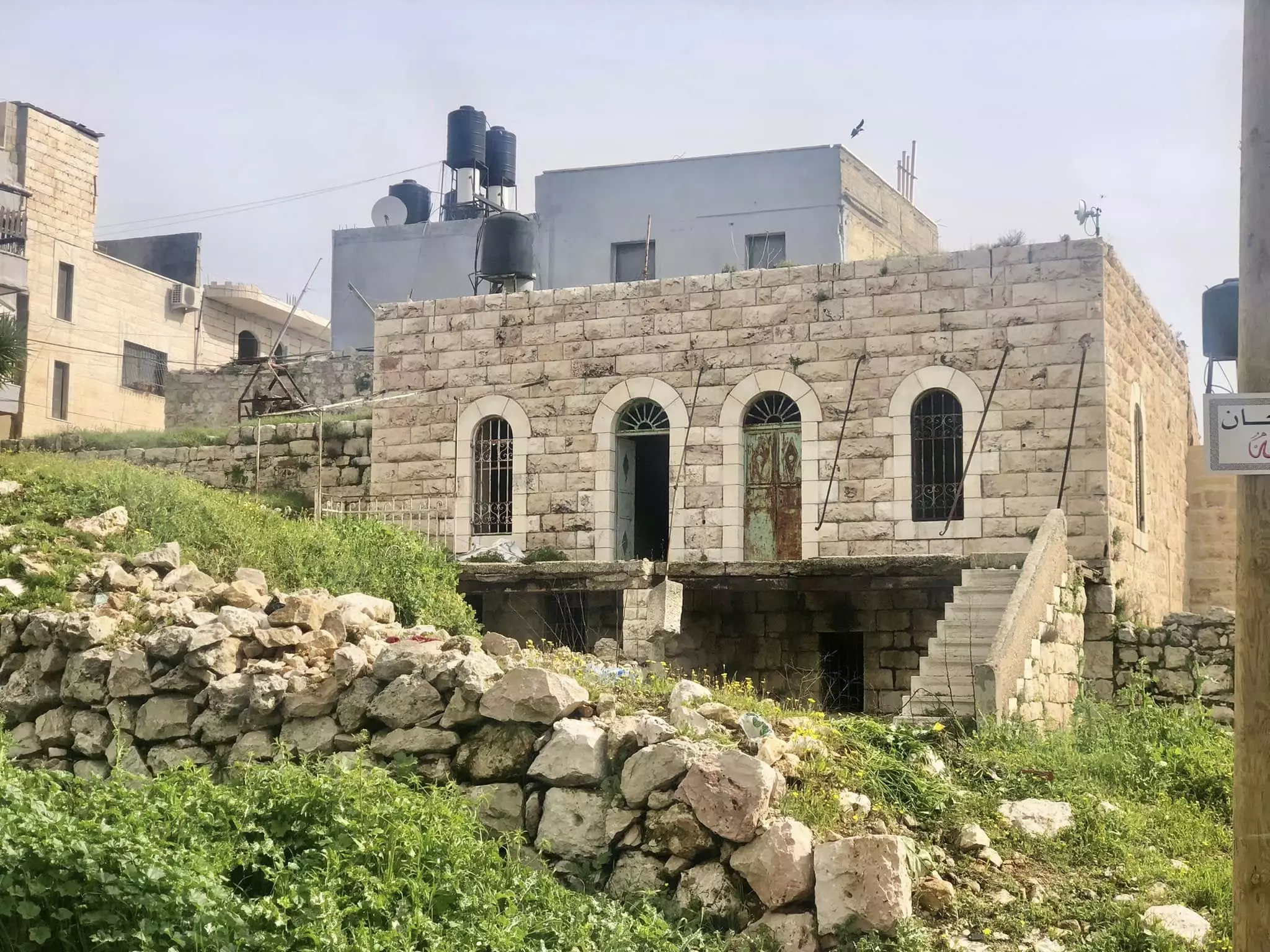
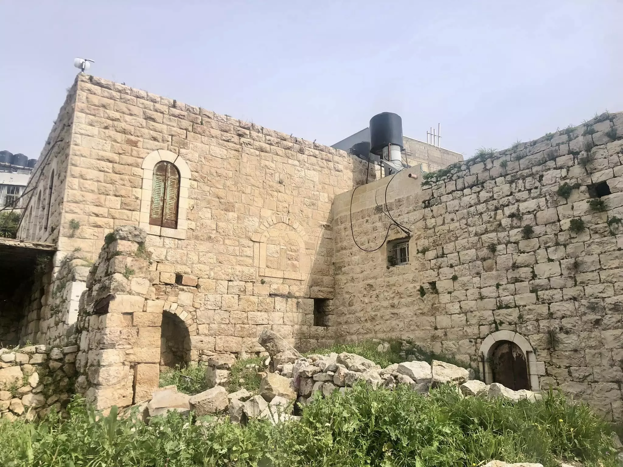
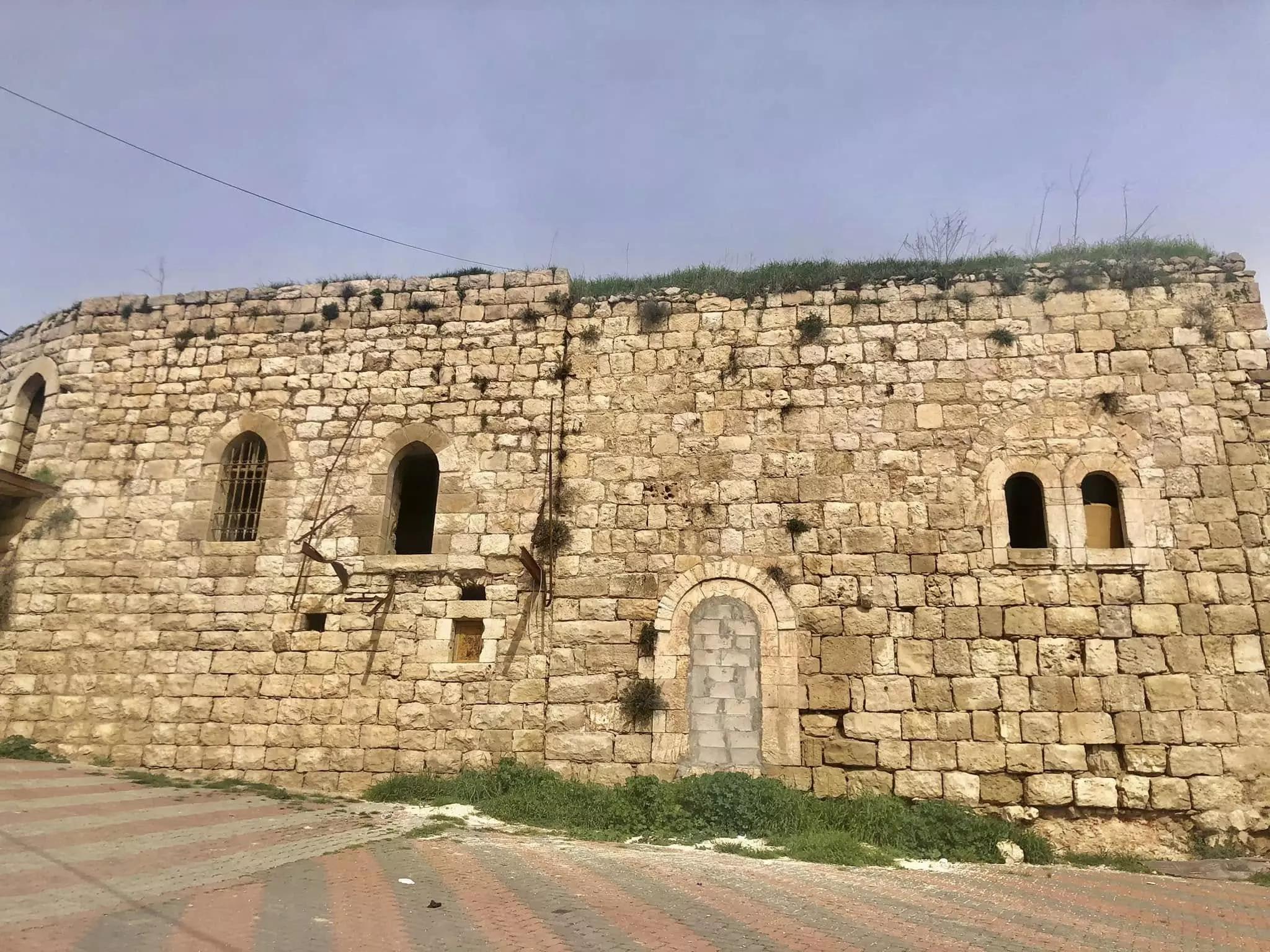
Posted by n rizek - Old town
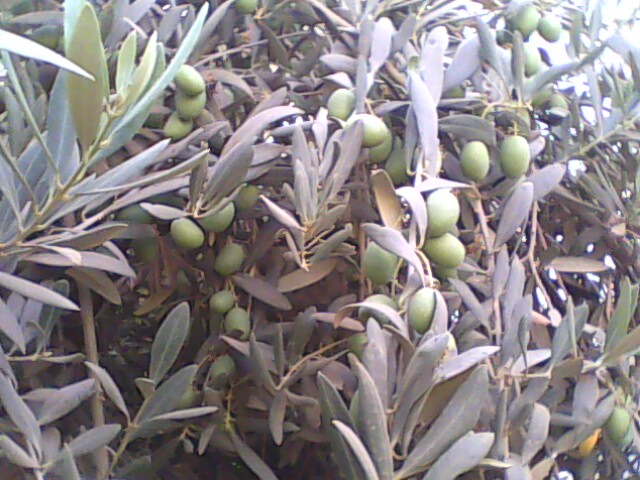
Posted by Tarek Ramadan - Native Zatoon
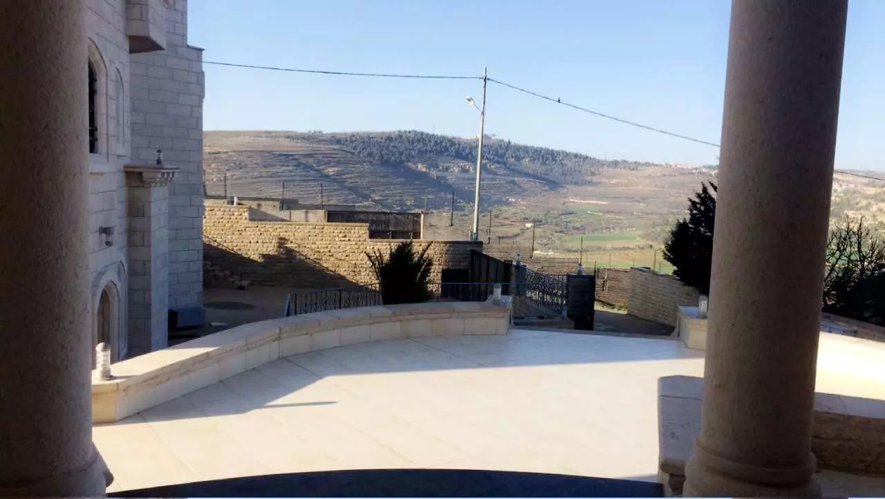
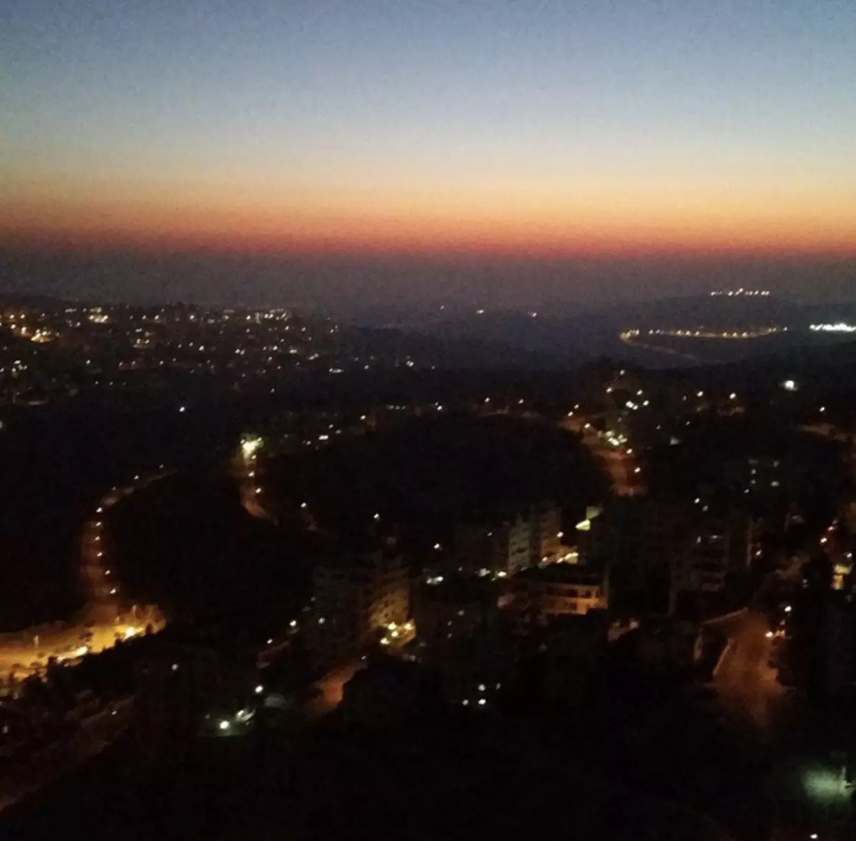
Posted by Tarek Ramadan 3 - منظر عام
- Bir nabala
Posted by Ali Mahmoud affan Khattab - Ramallah, Palestine trade tower view
Posted by Ali Mahmoud affan Khattab - جولة بين بيوت بير نبالا القديمة -- واجد النوباني
- جولة بين بيوت بير نبالا القديمة -- واجد النوباني #2
- جولة بين بيوت بير نبالا القديمة -- واجد النوباني #3
Want to browse more? 80,000 pictures were grouped in these gallaries:
| Display Name | Clan/Hamolah | Country of Residence |
| Alvaro Moises | Suleiman | El Salvador |
| ramzi issa (abdelrasoul) | issa | - |
| abu fawzi | - | north carolina, usa |
| احمد صالح المدمشق | المدمشق | - |
| laila | abed al rahman | arizona, usa |
| Jameel Jalal Jawhar | Hajja | Virginia (USA), Virginia (USA) |
| Tarek Ramadan | - | - |
| محمد حسن شاكر عوض الله | عوض الله | عمان, الاردن |
| ياسر حسن شاكر عوض الله | عوض الله | عمان, الاردن |
| امنه حسن شاكر عوض الله | عوض الله | عمان, الاردن |
| شاكر عوض الله | عوض الله | هافانا, كوبا |
| حسن عوض الله | عوض الله | عمان, الاردن |
| n rizek | - | بيرنبالا, بيرنبالا |
| Amal Nayef Ramadan | Ramadan/Abdalla | Illinois, USA |
| moe zedin | - | - |
| waeil abdallah | abdallah | - |
| Dhaher | Zeidan | IL, IL |
| amjad ashkar | Zedian | illnois, u s a |
| Sameria Ramadan | Ramadan/AbduAllah | Illinois, Illinois |
| amal | - | - |
| ام الحسن | zedan | - |
| Saadi Ramadan | Ramadan | IL, USA |
| قيس عواد عيسى | - | - |
| ehab rizek al Nabali | Nabali | Ohio, USA |
| Ahmed Reda Alshaikhibrahim | الشيخ ابراهيم | Norway,Europe, Kristiansand,Norway |
| ABU RIZEK | DAR AL NABALI | NY, USA |
| Omar Naser Aref Ali | - | New York, New York |
| Mohammed Ali | - | New York, United States |
| nabdel3 | - | Illinois, USA |
| Nahed Zidan | zidan | OHIO, Usa |
| Tarek Ribhi Ramadan | Abdulallah | NJ, USA |
| reyad | zeidan | palestine, palestine |
| Said Abdelhay | Abdallah | - |
| abu bashar | zaidan | illinois, beirnabala |
| pali samo | zidan | nj, usa |
| وردة بيرنبالا | - | بيرنبالا |
| Yasser AwadAllah | - | amman, jordan |
- Israel Ambassador being STOPPED at UC from Students
- قدس وجدار - بير نبالا Duration: 21 min 23 sec
 Fake Valor: Why Did Zionist Jews Hoist Nazis Flag on Their Ships in the 1930s?
What is new?
-
Facts About Oct. 7th Gaza Raid
-
Remined Us Please:: Who Did Rape Who? Palestinians Raped Israelis? Or, was the other way around?
-
When Prof. Edward Said was invited to debate Bibi Netanyahu in the 1980s, watch what happened!
-
Ezra Klein of the NY Times on the "Jewish Race".
-
Abusing Blood Libel!
-
Zionist FAQ: Isn't it true that Palestinians don't want peace? Palestinians never accepted the two-state solution
- Facts about Haavara (Transfer) Agreement between Ben-Gurion & Hitler
-
Haavara FAQs: Why Did Zionist Jews Hoist Nazis' Flags on Their Ships in the 1930s?
-
Dear ChatGPT: Why did the Jewish Agency suppress news of the Holocaust during WWII?
-
Video Playlist: Jews share their DNA tests to end the conflict for good.
-
A Tale of Two Conflicts: Examining the Definition of Genocide
-
Prof. Abraham Polak And The Suppressed History of the Khazars and European Jewry
-
How Ronald Reagan would have framed the genocide in Gaza if he were still alive?
-
Haavara FAQs: Let us do the math: how many German Jews did The Haavara Agreement save?
-
Zionist FAQs: The Hebron Massacre of 1929, "clearly proves" that Palestinians are antisemitic, how could you deny it?
-
Zionist FAQs: Why Anti-Zionist Is Not Antisemitism?
-
Zionist FAQs: Isn't it true that the KGB create Palestinian Nationalism in the early 1960s?
- Zionist FAQs: Muslims are killing Muslims all the time; why are Israeli Jews being singled out in the media?
- Zionist FAQs: How is Israel an apartheid state when 20% of its citizens are Arabs who enjoy full rights?
-
Haavara FAQs: Analysis of Herzl's Uganda Scheme and how it could have saved millions of Jews.
-
Haavara FAQs: Why did Hayim Greenberg describe American Jewry as "morally bankrupt" in early 1943?
-
Haavara FAQs: What if the Evian Conference was a resounding success? What would have been the impact of saving European Jewry on Zionism?
- Haavara FAQs: What if the six million were saved, how that would have impacted the Zionist project?
-
Haavara FAQs: How did Zionist leaders react when Europe's Jews lingered in the DP camps after WWII ended?
-
Why does the American Jewish community repeat lies that David Ben-Gurion had debunked before he died?
-
Who has the power to rename the Tatar/Khazar Gene Marker to Jewish IV?
-
Zionist FAQs: Why won't Egypt, Syria, and Jordan take their people back? Jews are indigenous to Palestine, and Arabs immigrated after Jews developed the country. Arabs should leave.
-
Haavara FAQs: Did Hitler and the Nazis conflate between Judaism and Zionist? If that wasn't case, then why?
-
Haavara FAQs: Winston Churchill and antisemitism, a collection of articles written Churchill.
-
Haavara FAQs: Broken by country, how many Jews survived vs. killed during the Holocaust?
-
Haavara FAQs: Why did European Jews vote with their feet and to immigrated to the Americas, not Palestine, after WWII?
-
Watch this American Jewish Girl describing Israeli Jews' cognitive dissonance like no other in under two minutes
-
Haavara FAQs: When the Nazis went out of their way to hide the Holocaust, Israeli Jews did the exact opposite by broadcasting their genocide of Gazans. But why?
-
Haavara FAQs: How Zionist Jews went out of their to show their appreciation to Nazism and Fascism?
- Haavara FAQs: Why Zionist leaders were against bombing the death camps & the Railroads leading to them?
-
Haavara FAQs: Hitler's message to the British and American people: If Jews are such noble citizens and you care about them, how come you're not letting them in? I will gladly ship them to you at my expense, even on luxury liners!
-
A shortlist of Zionist and Israeli false flag operations in the name Jews.
-
The Most Moral Army
- The Land of Kapos (Israel): Where the brave are boycotted and Kapos walk free.
- Why did early Zionists often named their communal enterprises "colonial"?
- Zionist Relations with Nazi Germany by Faris Glubb
-
Two NY Times advertisements by Zionists in the early 1943 that exposes Zionists' treason at the height of the calamity
- Facts Not Lies about the Palestinian-Israeli Conflict.
- Site's pictures have been categorized
- Campgain Against Lice
- A Survey of Palestine, the official source about Palestine before Nakba produced by the British Mandate; over 1200 pages.
- Satellite View & Google Earth: Over 6,000 placemarks identifying all destroyed towns, W. Bank & Gaza Strip Towns, & refugee camps.
- PalestineRemembered.com and its Nakba Oral History Project were featured on al-Jazeera Satellite TV.
- Nakba Oral History Video Podcast:
 Over 700 Oral History interviews (including 3,500+ hours of recording) can be viewed online.
 - Palestine Village Statistics Project
- Gaza Jail Break
- النسخة العربية للموقع الان متوفرة
- Videos: Documenting the destroyed villages in video: Tracing all that remains since Nakba.
- Videos: Responding to Zionist Propaganda
- Interview: The ethnic cleansing of Palestine: George Galloway interviews Israeli Historian Ilan Pappe.
- For Palestinians, memory matters. It provides a blueprint for their future By George Bisharat.
- Zionist FAQ now available in Hebrew שאלות שציונים שואלים, עכשיו בעברית
- Video: The Stephen Walt and John Mearsheimer report on the influence of the Israel Lobby on U.S. Foreign Policy
- The Palestinian-Israeli conflict for beginners
