| PalestineRemembered | About Us | Oral History | العربية | |
| Pictures | Zionist FAQs | Haavara | Maps | |
| Search |
| Camps |
| Districts |
| Acre |
| Baysan |
| Beersheba |
| Bethlehem |
| Gaza |
| Haifa |
| Hebron |
| Jaffa |
| Jericho |
| Jerusalem |
| Jinin |
| Nablus |
| Nazareth |
| Ramallah |
| al-Ramla |
| Safad |
| Tiberias |
| Tulkarm |
| Donate |
| Contact |
| Profile |
| Videos |
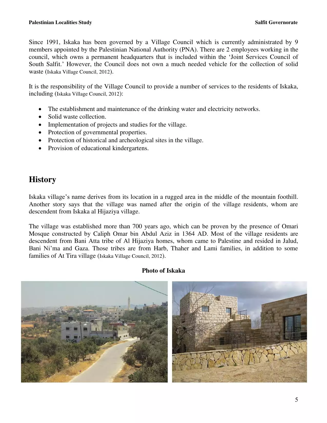
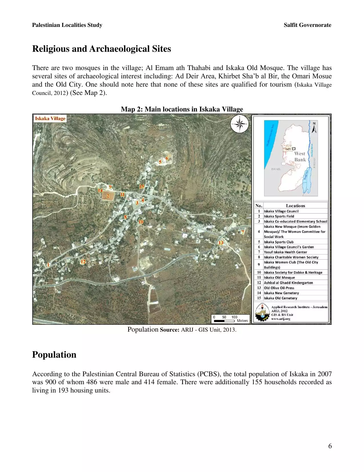
Welcome To Iskaka - إسكاكا (איסכאכא)
|
District of Nablus
Occupied days ago |
العربية Google Earth |
 |
Gallery (174) |
- Statistics & Facts
-
Before & After

- Satellite View
- Articles 1
- Pictures 174
- Mayrters & Prisoners 4
- Members 11
- Families
- Wikipedia
- ARIJ Guide
- Videos
- Guest Book 14
- Links
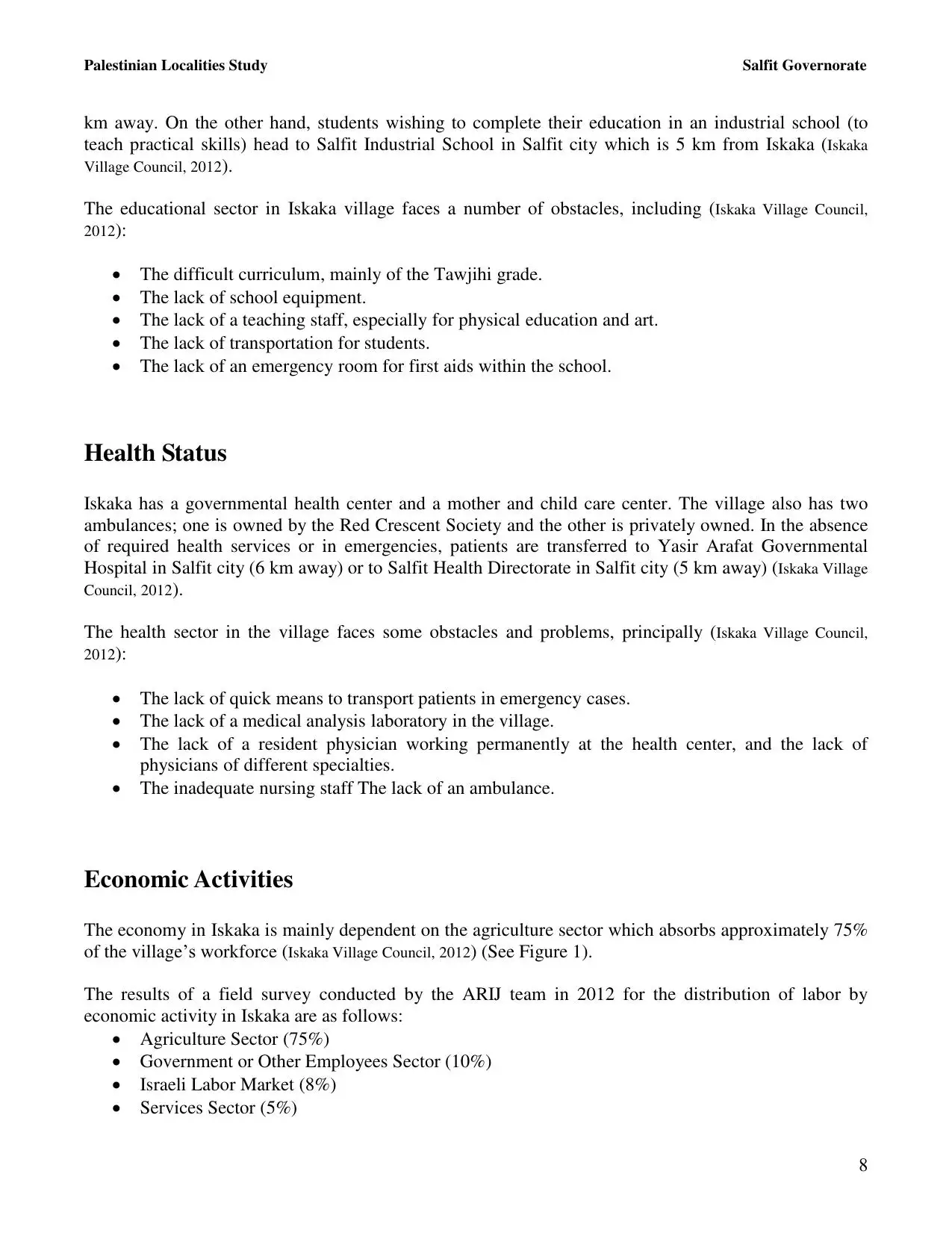
| Statistic & Fact | Value | ||||||||||||||
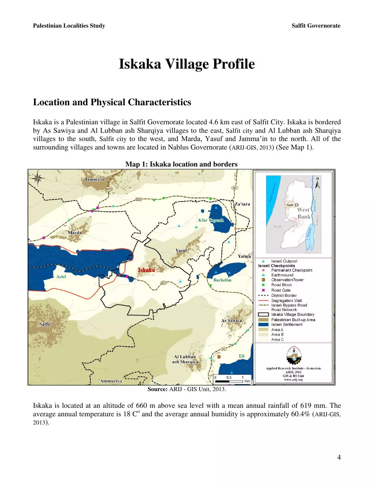
| Distance From District | 27 km southwest of Nablus | ||||||||||||||
| Elevation | 600 meters | ||||||||||||||
| Before & After Nakba, Click Map For Details |
|||||||||||||||
|
|||||||||||||||
| Land Ownership |
**Town Lands' Demarcation Maps |
||||||||||||||
| Land Usage As of 1945 |
|
||||||||||||||
| Population |
|
||||||||||||||
| Near By Towns |
|||||||||||||||
|
|||||||||||||||
| Featured Video | |||||||||||||||
| ARIJ Guide | |||||||||||||||
3.
4. 
5. 
6. 
7. 
8. 
9. 
10. 
11. 
12. 
13. 
14. 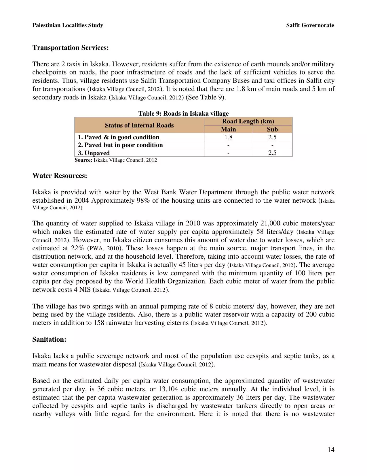
15. 
16. 
17. 
18. 
19. 
20. 
21. 
22. 
23. 
Click here to browse online. |
|||||||||||||||
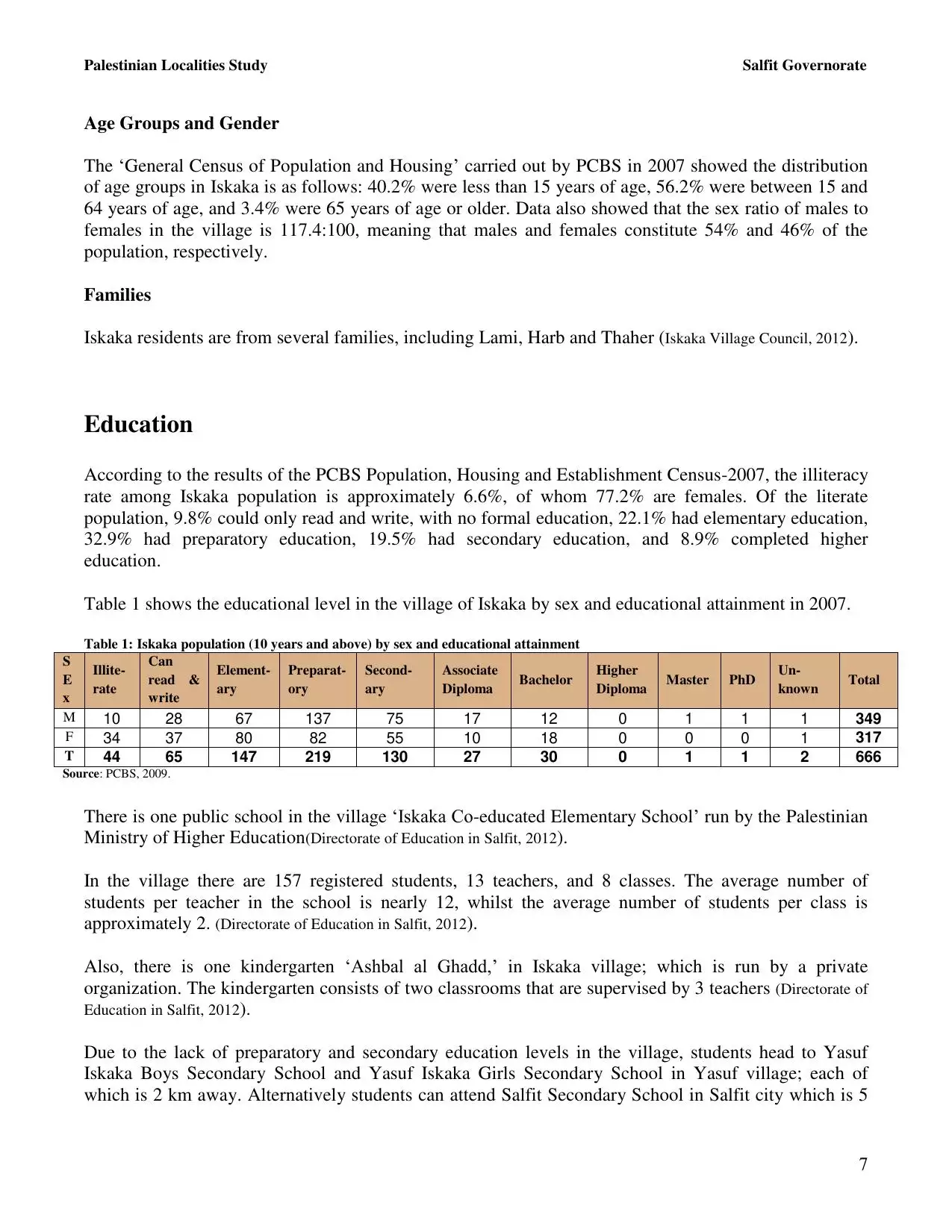
| Related Maps | Town Lands' Demarcation Maps خرائط للقضاء توضح حدود القرى والاودية View from satellite Town's map on MapQuest Help us map this town at WikiMapia |
||||||||||||||
| Related Links | Wikipedia's Page Facebook Page ARIJ Guide Google Search Google For Images Google For Videos في كتاب بلادنا فلسطين دليل أريج المزيد من موقع هوية |
||||||||||||||
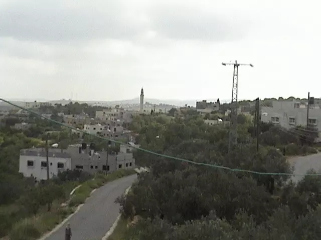
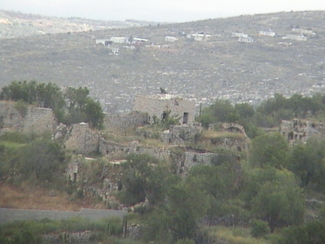
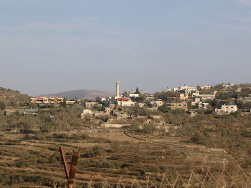
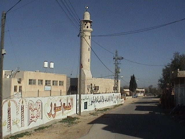
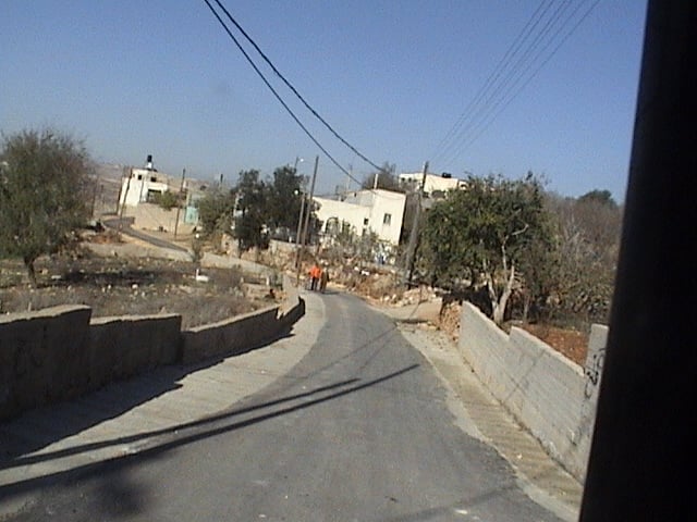
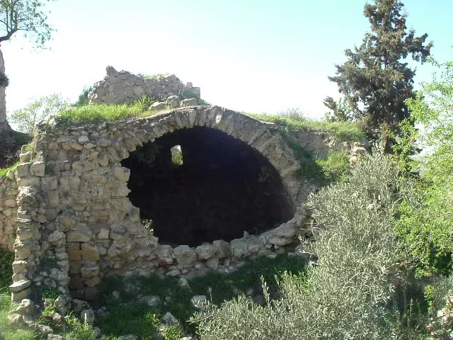
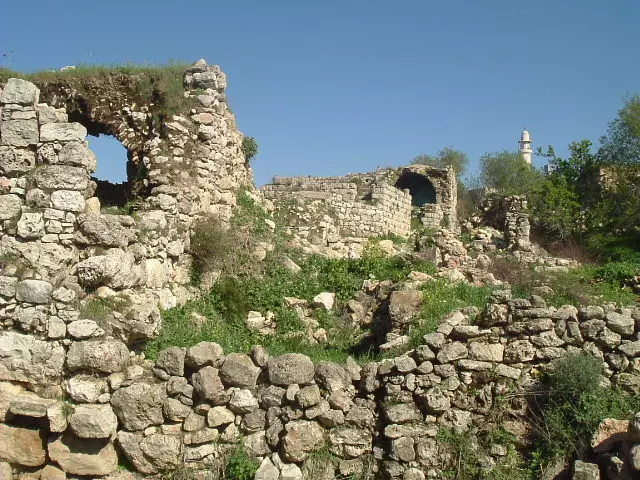
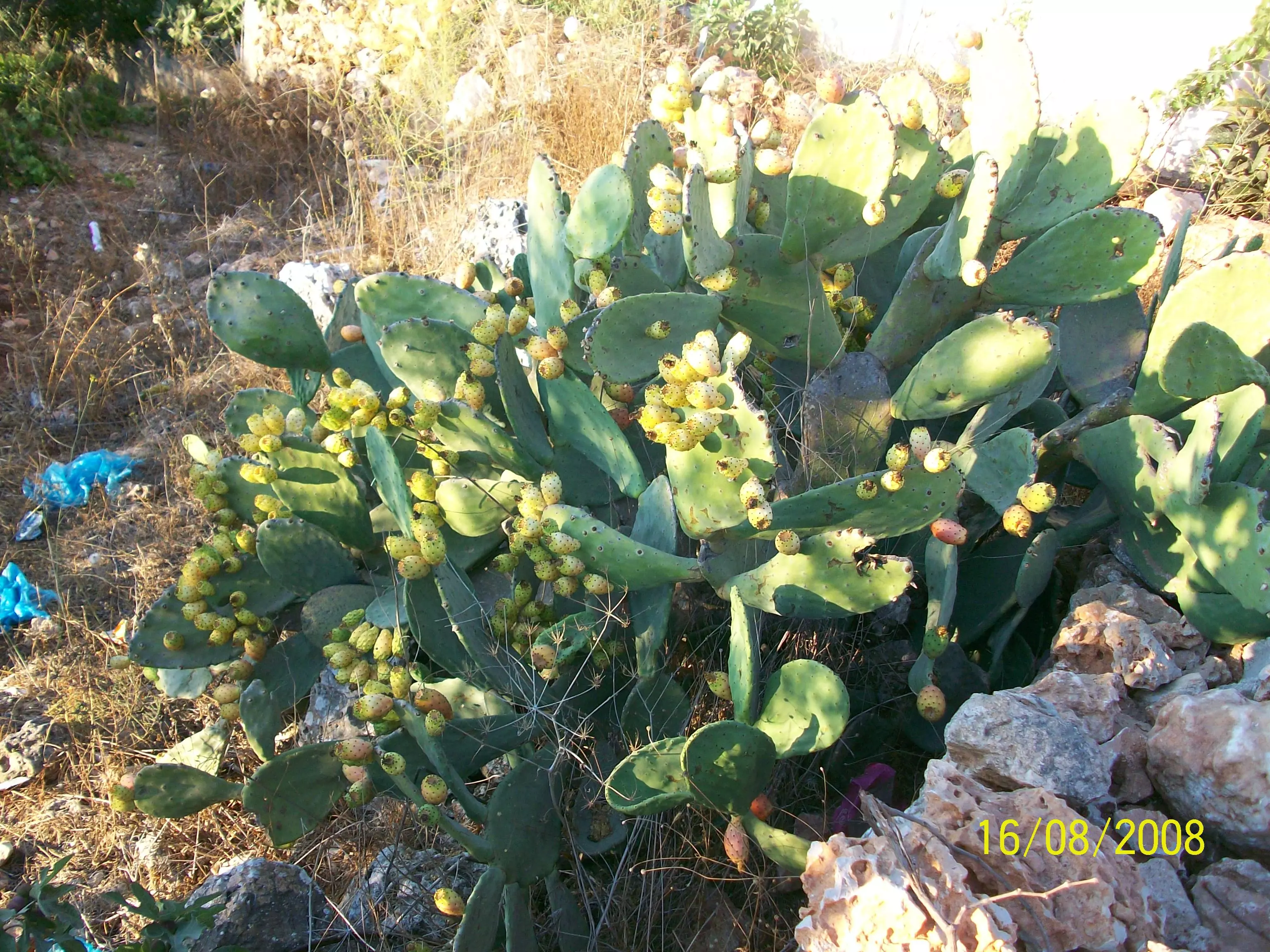
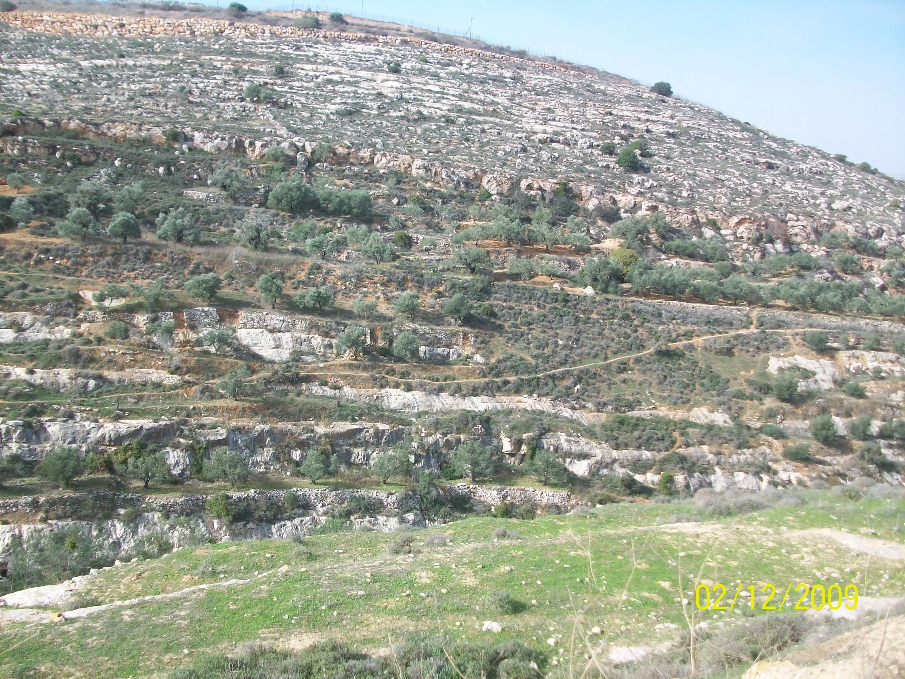
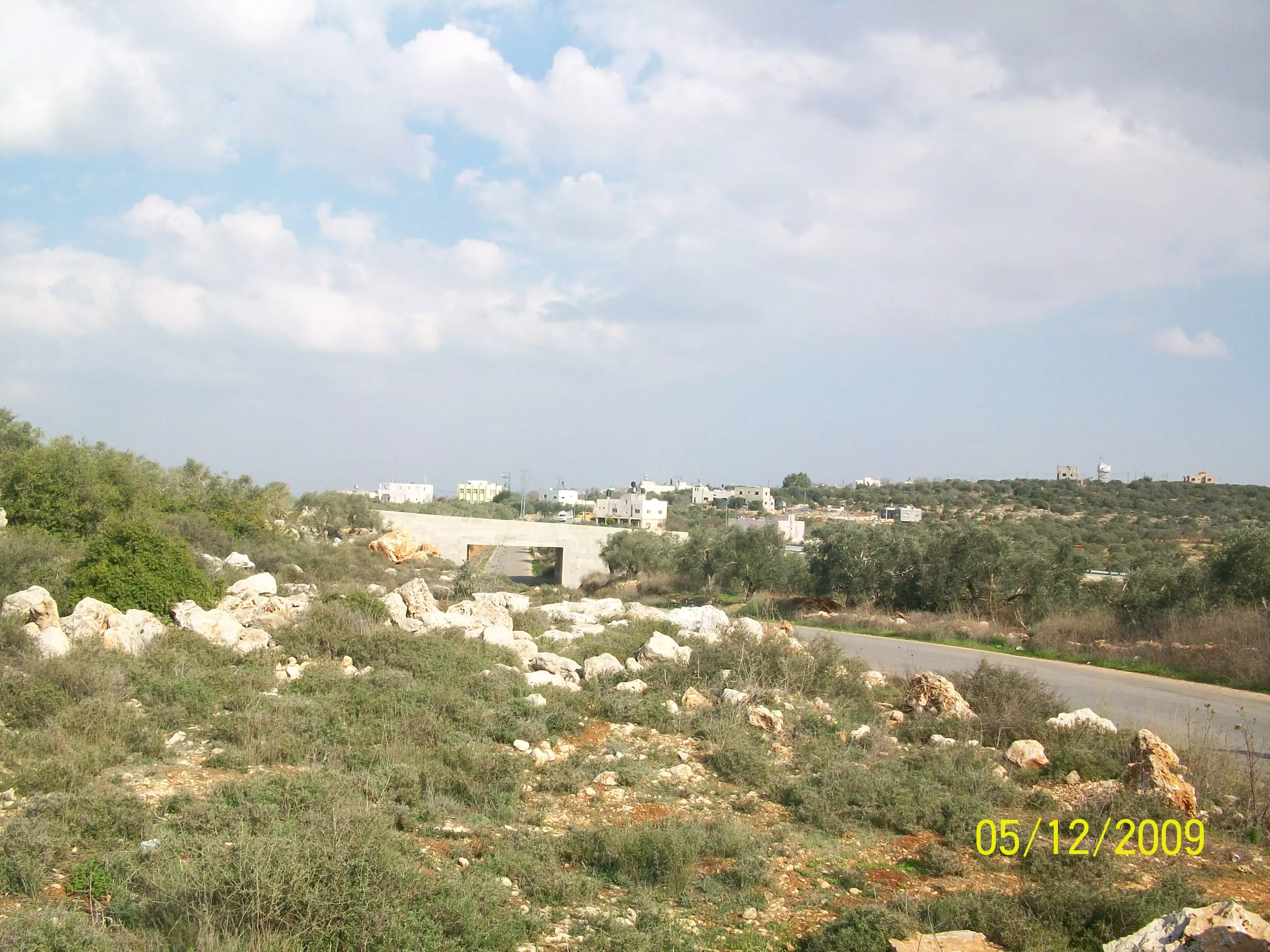
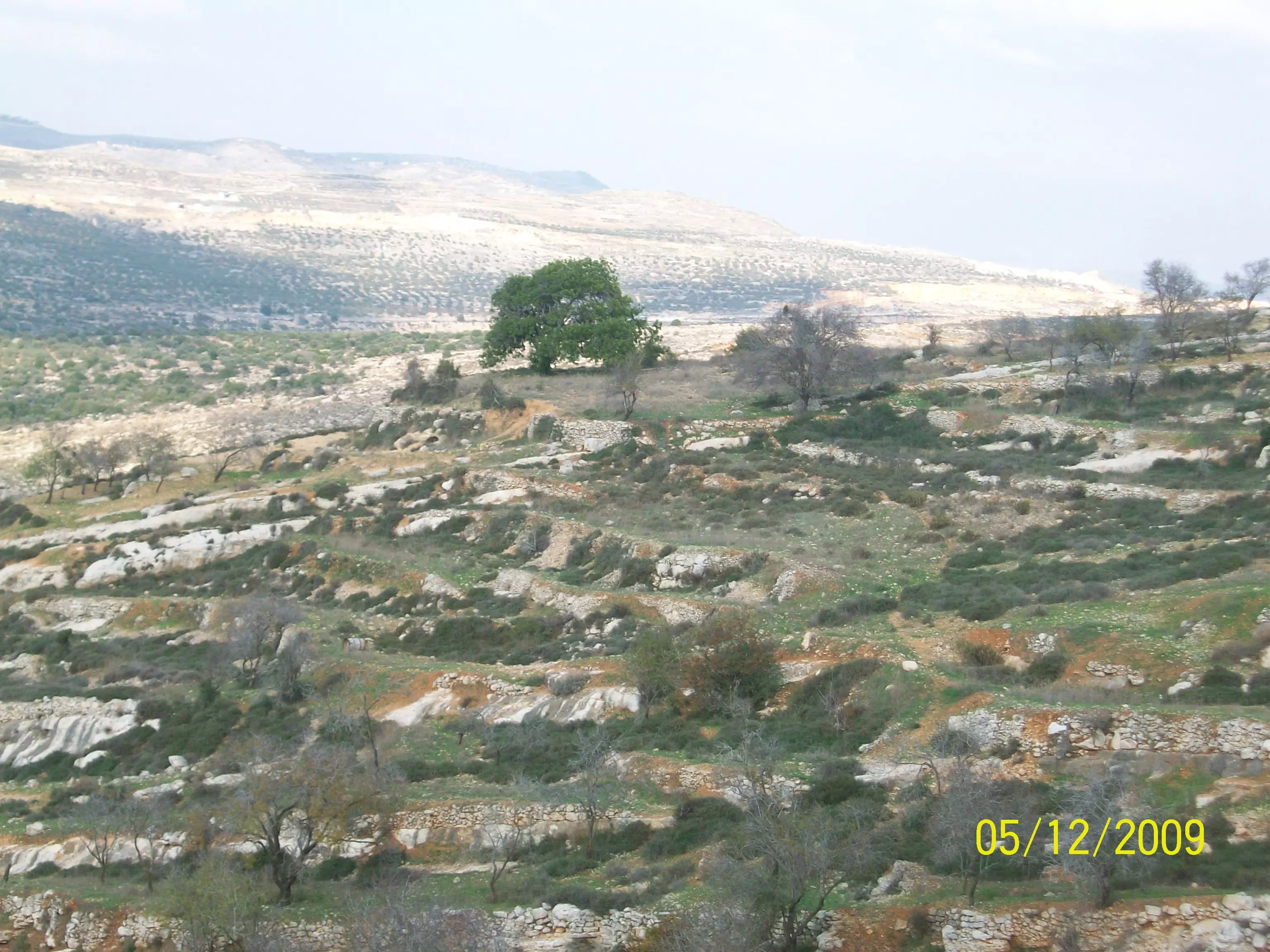
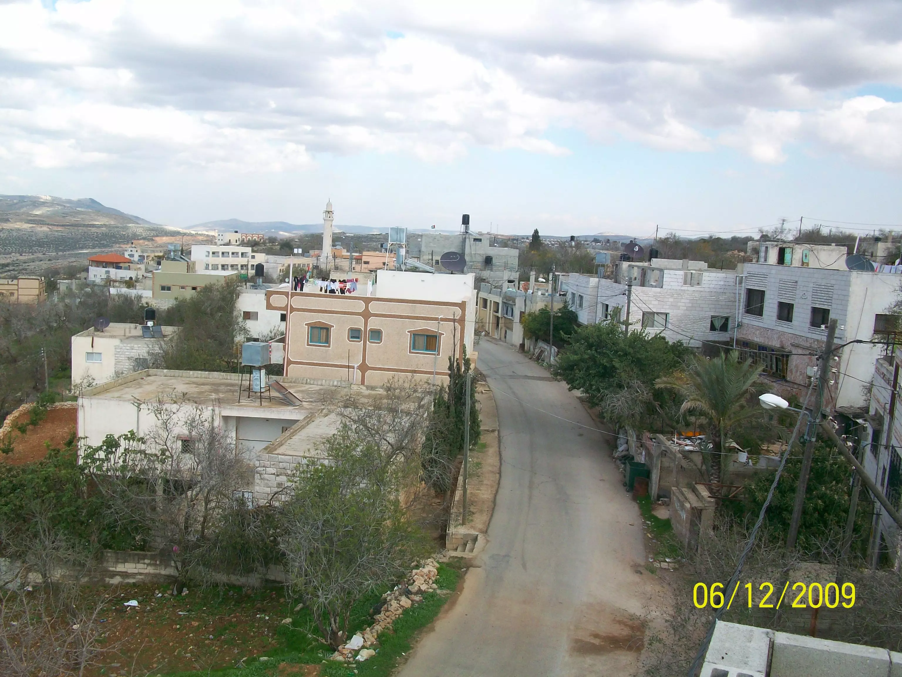
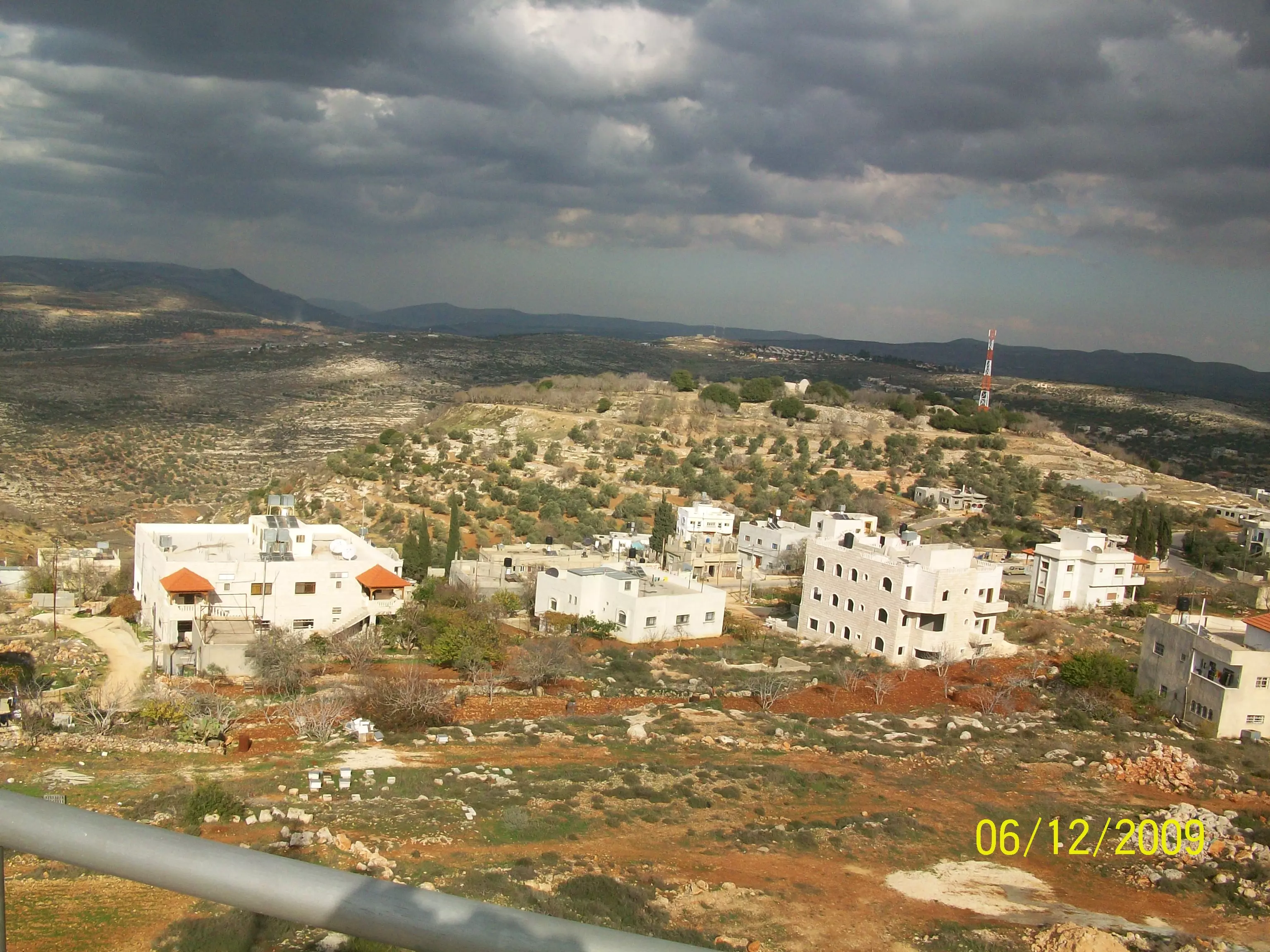
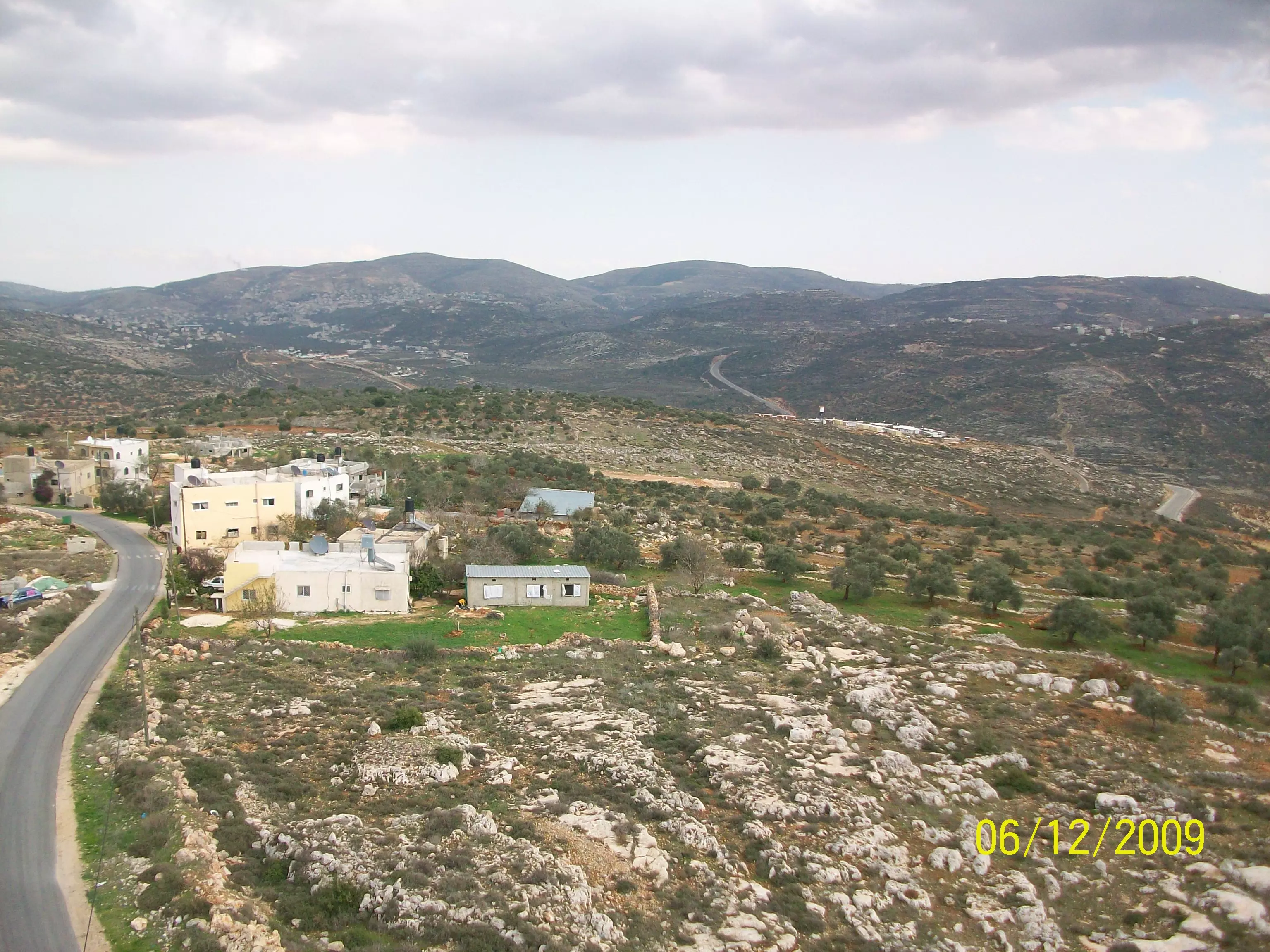
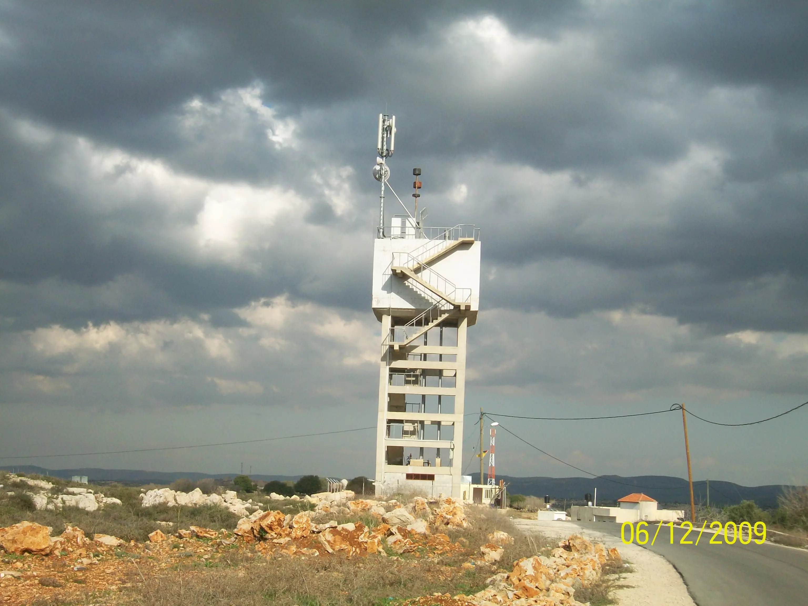
- صورة عامة للقرية ويظهر فيها مئذنة المسجد
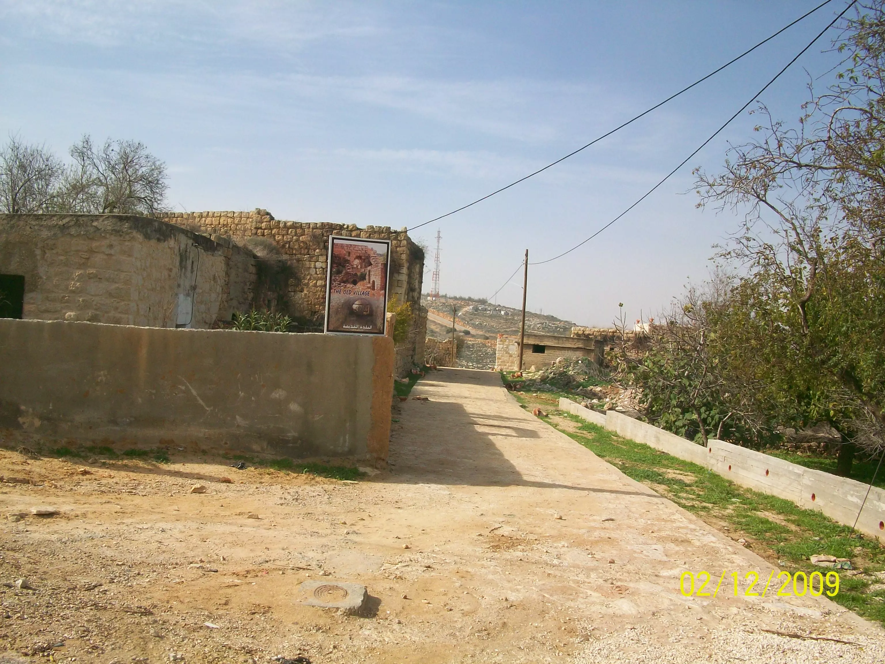
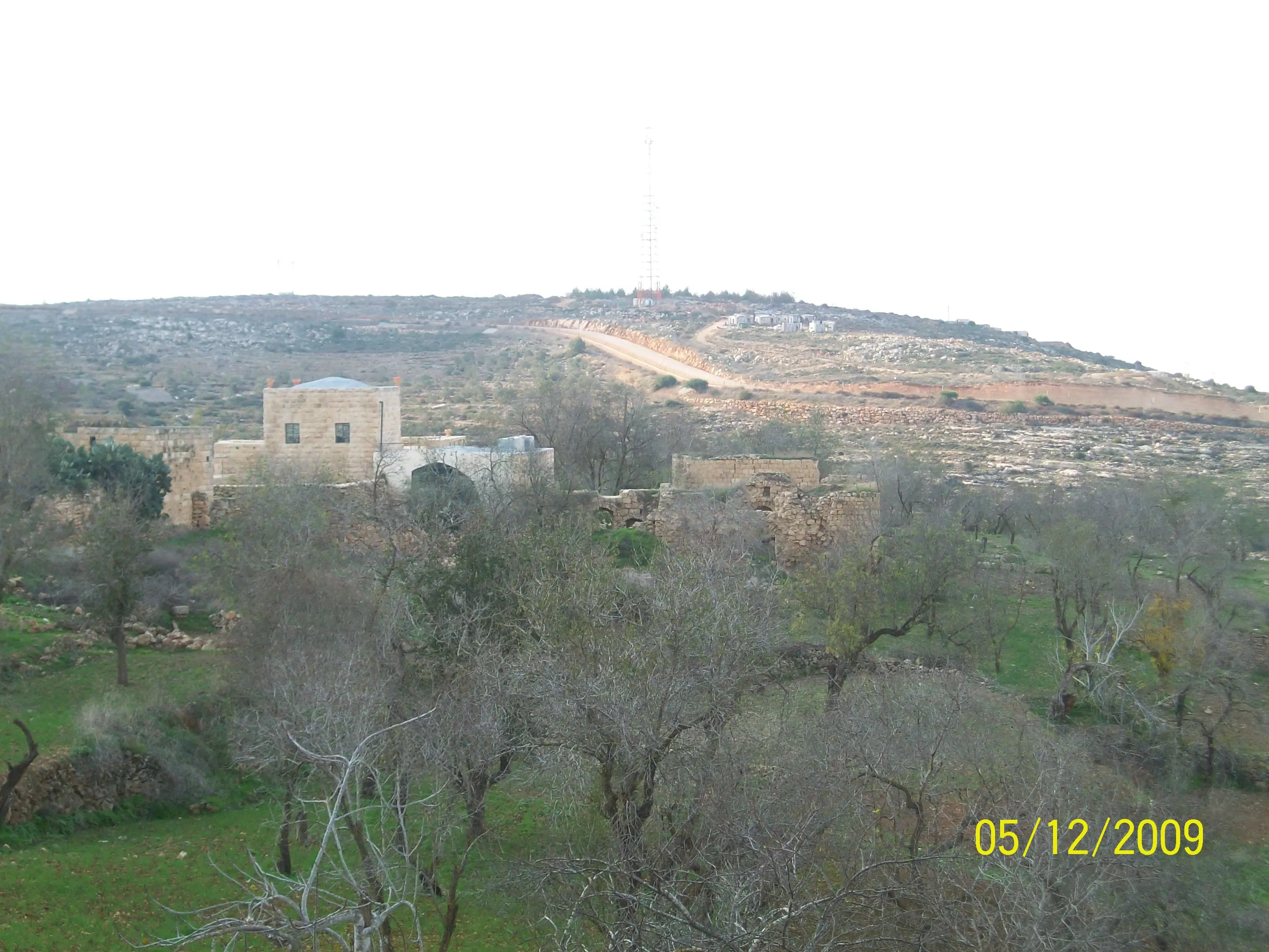
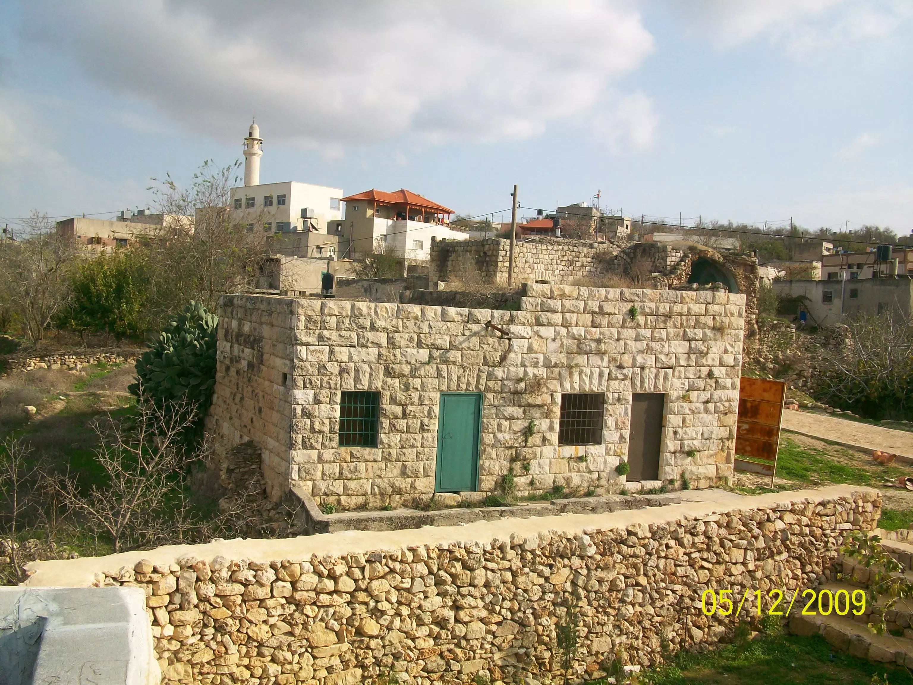
Posted by abu mahmoud 5 - البلدة القديمة
Posted by abu mahmoud 2 - تحت كذبة السلام زاد ألأستيطان وبنوا الجدران وقتلو ألأنسان وهدموا البنيان وسرقوا ألأرص
Posted by abu mahmoud 2 - الشهيد البطل عيسى رافع عيسى حميدي
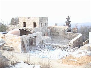
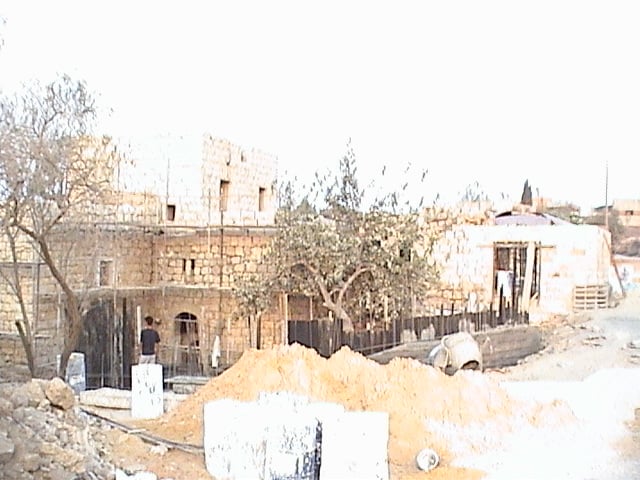
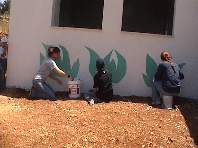
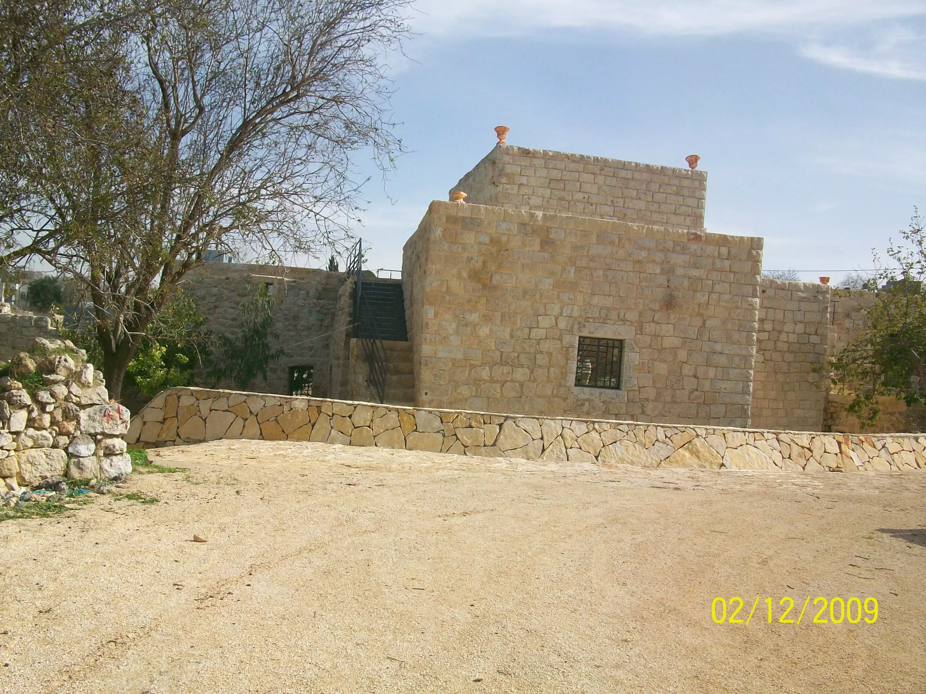
Posted by فتاة بلا فارس 26 - ترميم البناء القديم للقرية بهمة السواعد اللتي تعمل محافظة عاى التراث وألأرث الحضاري لبلادنا الصامدة
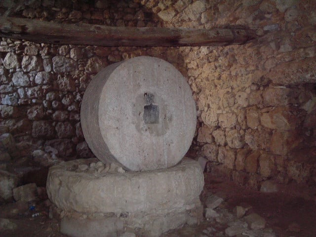
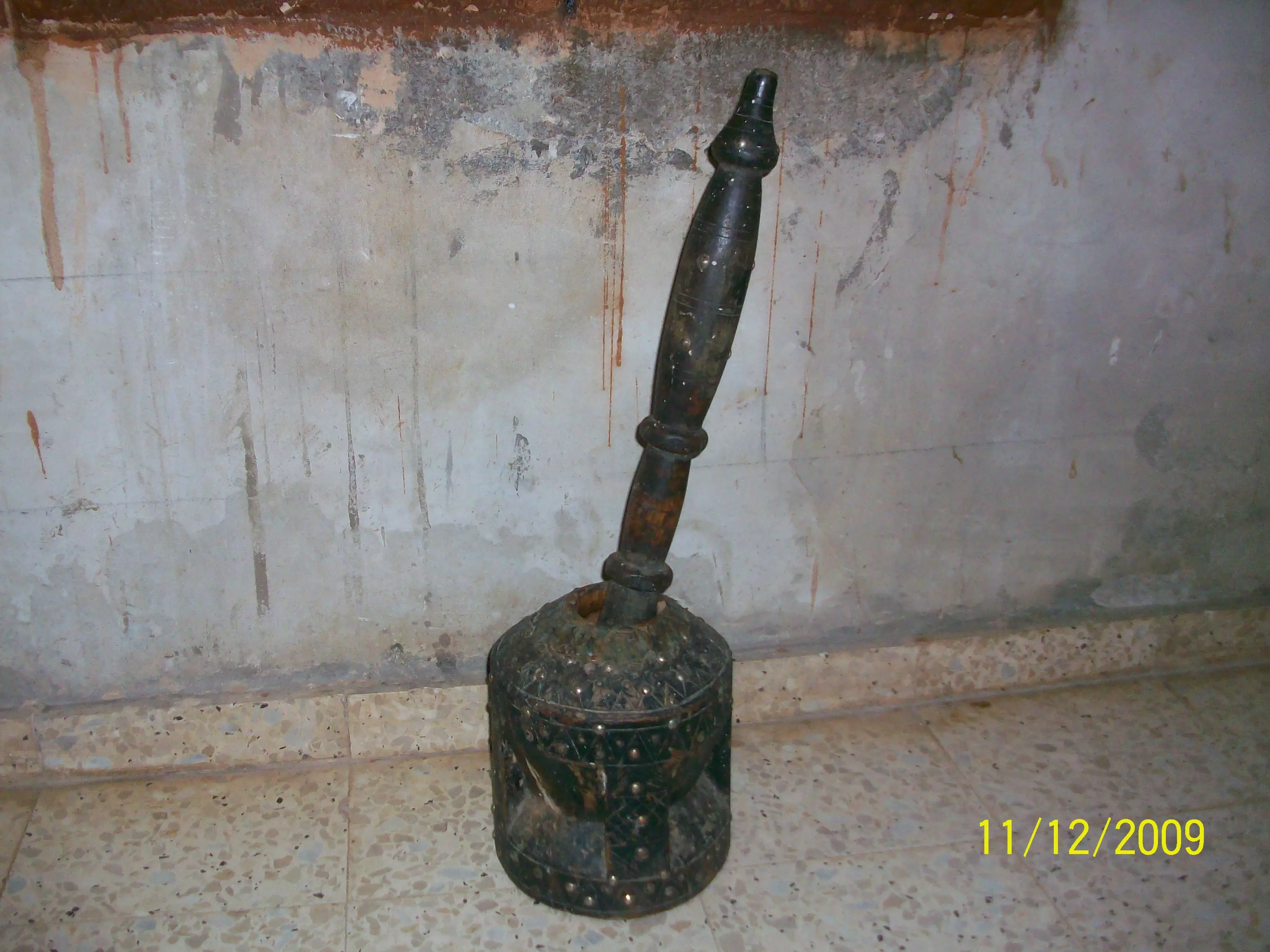
Posted by abu mahmoud 2 - حجر البد في البلدة القديمة ويظهر حجمة العملاق والذي يدل على عظمة ألأجداد رحمهم اللة جميعا
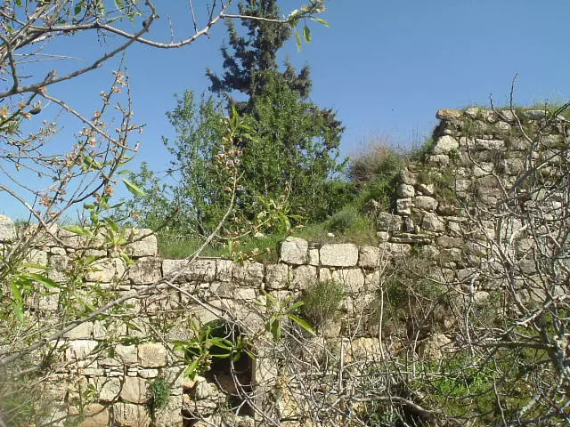
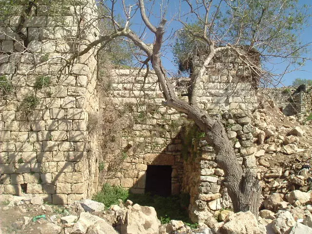
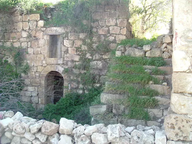
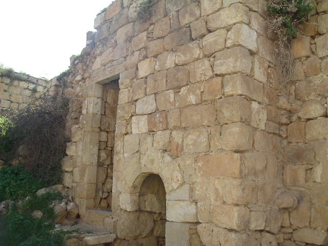
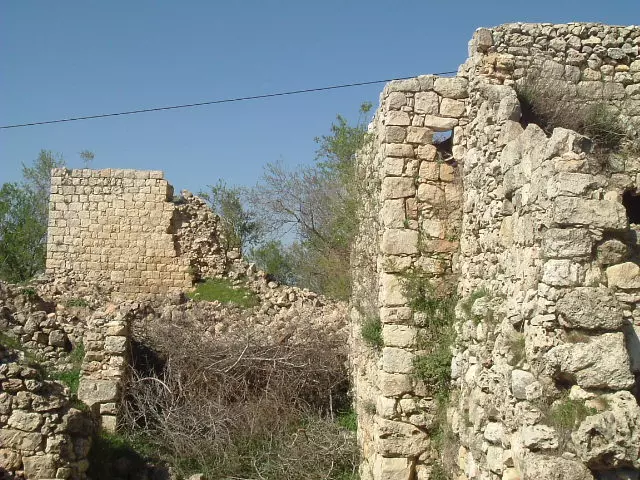
Posted by abu mahmoud 1 - البلدة القدبمة بعض من مبانيها ا قدم ممن سرقوها ونهبوها اصيلة اصالة الأرض وأصابهاا
Posted by abu mahmoud - الجدار الملعون داخل الضفة الغربية عمل دون كلل من قبل الأحتلال ونحن نتفاوض نتفرج نتصارع
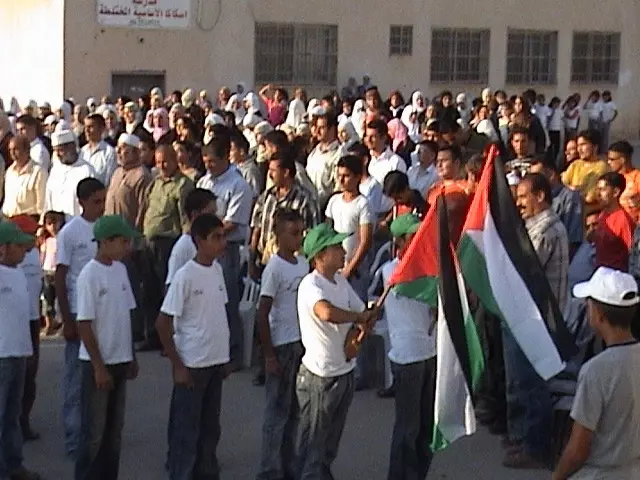
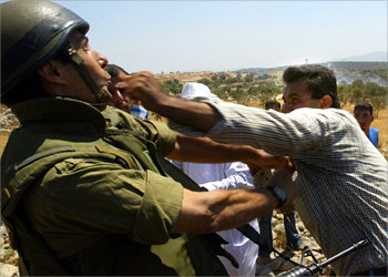
Posted by abu mahmoud 1 - صورة لأهل القرية في بعض الفعاليات ضد الجدارالذي ابتلع اراضي القرية والذي ابطلتة محكمة العدل الدولية ولم نفعل هذا القرار وانما مهنمون بالحوار
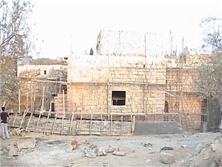
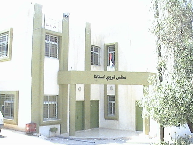
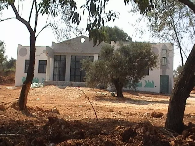
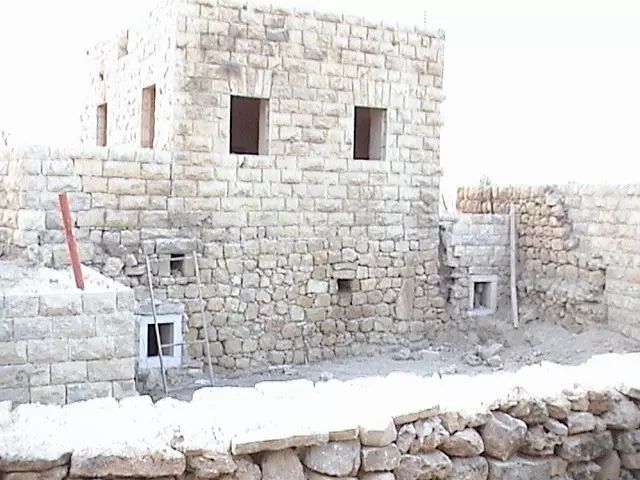
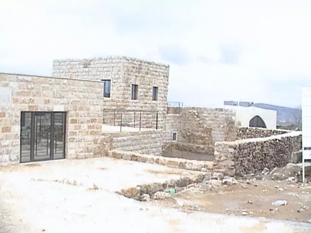
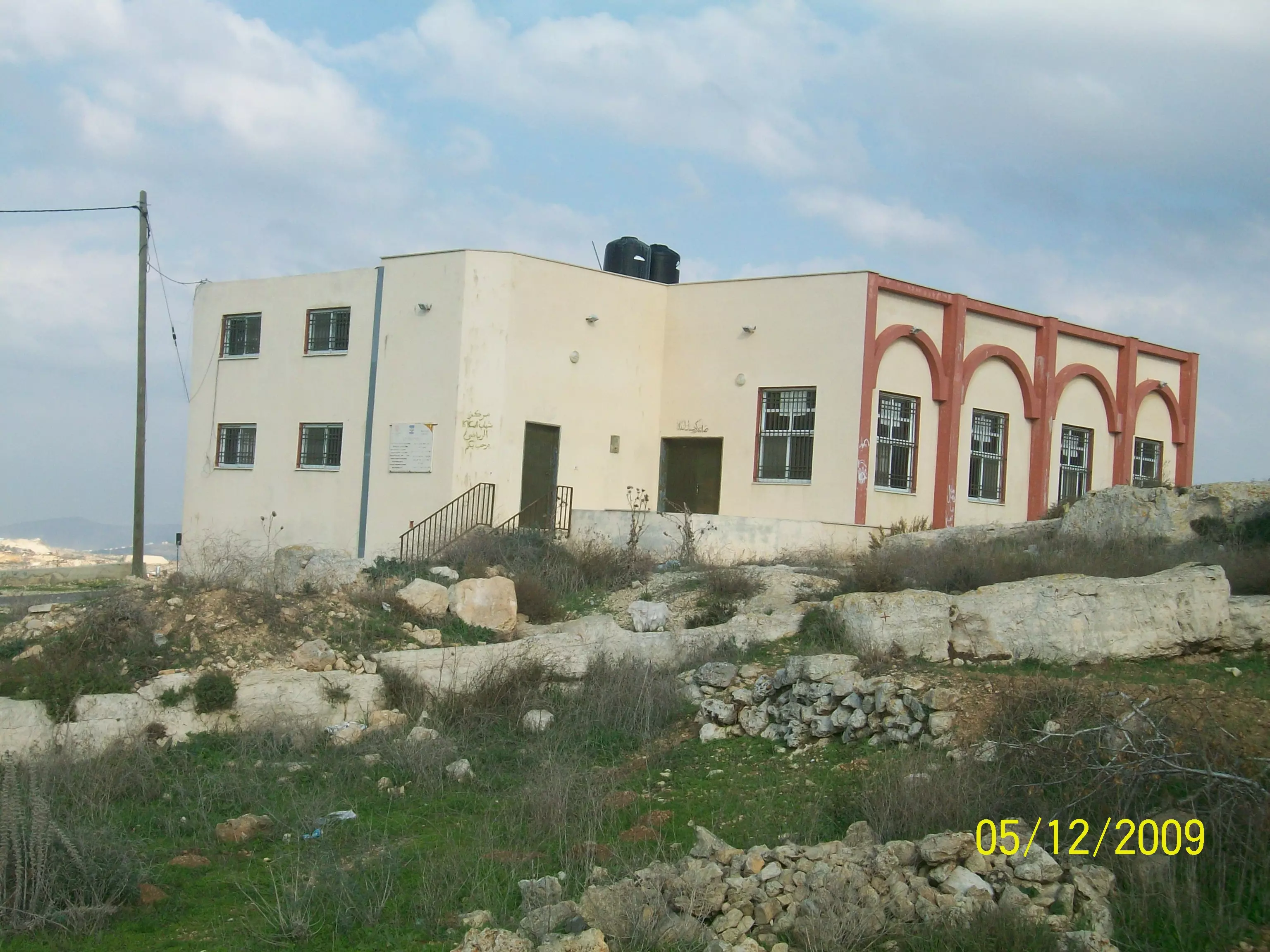
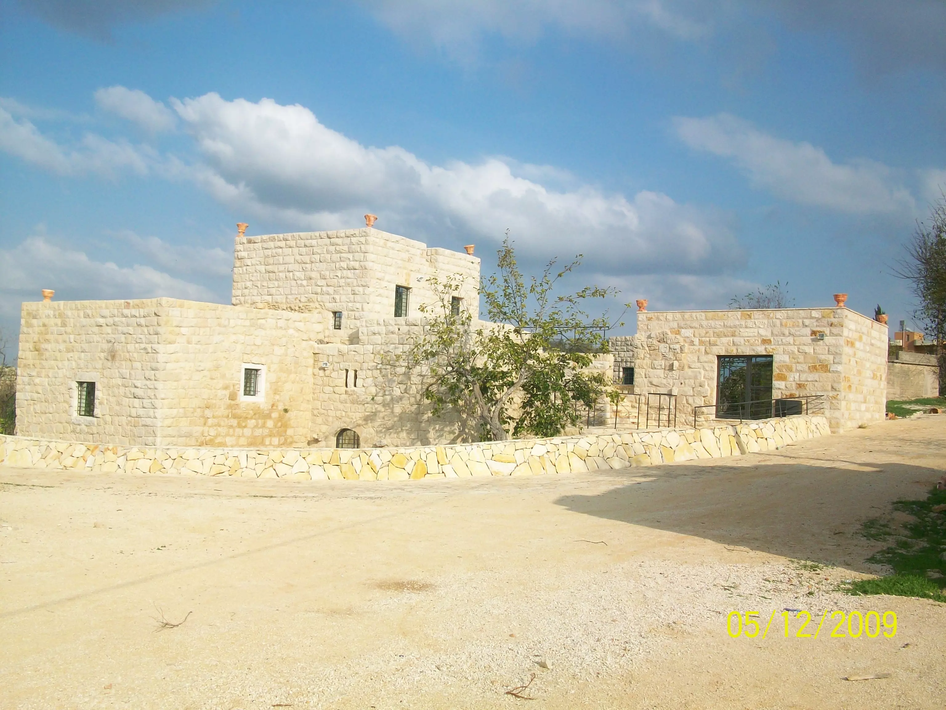
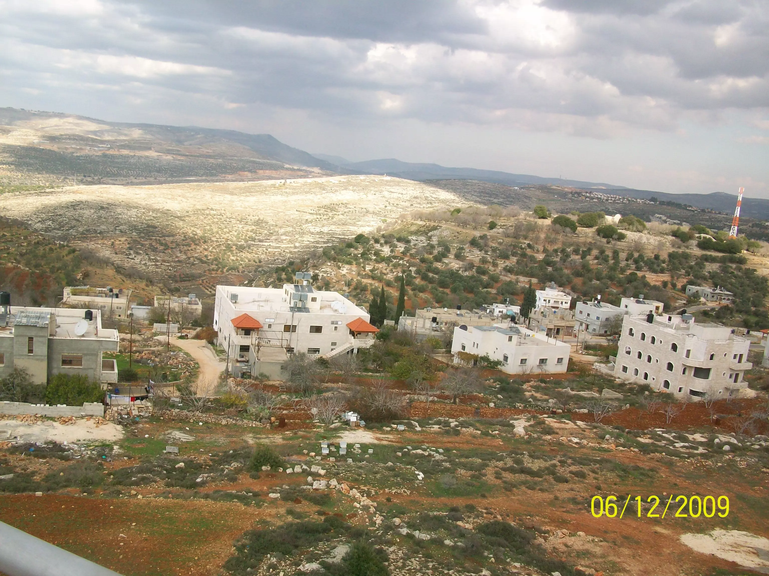
Posted by abu mahmoud - المبنى الجديد للقرية
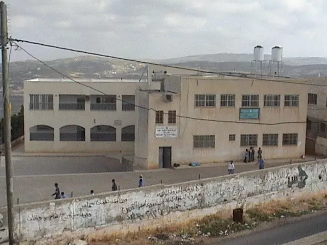
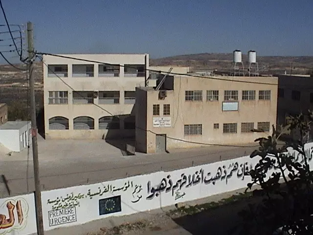
Posted by abu mahmoud 1 - صورة مدرسة البلد الأبتدائية.

Posted by abu mahmoud 1 - بعض المباني القديمة في القديمة اقدم من ظهور وانشاء بعض ما تسمى بالدول في هذا الزمان المقلوب
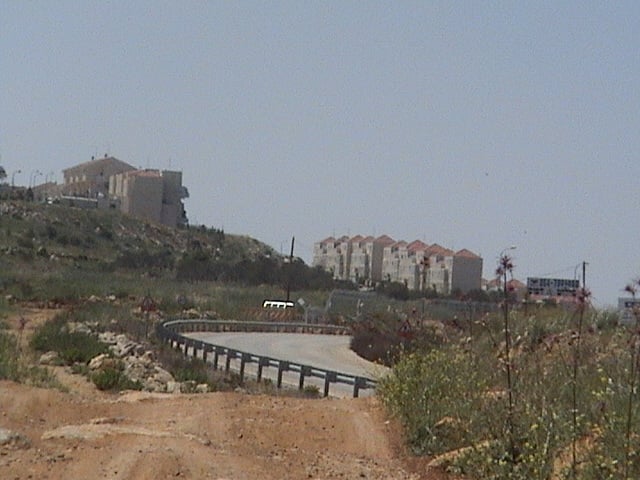
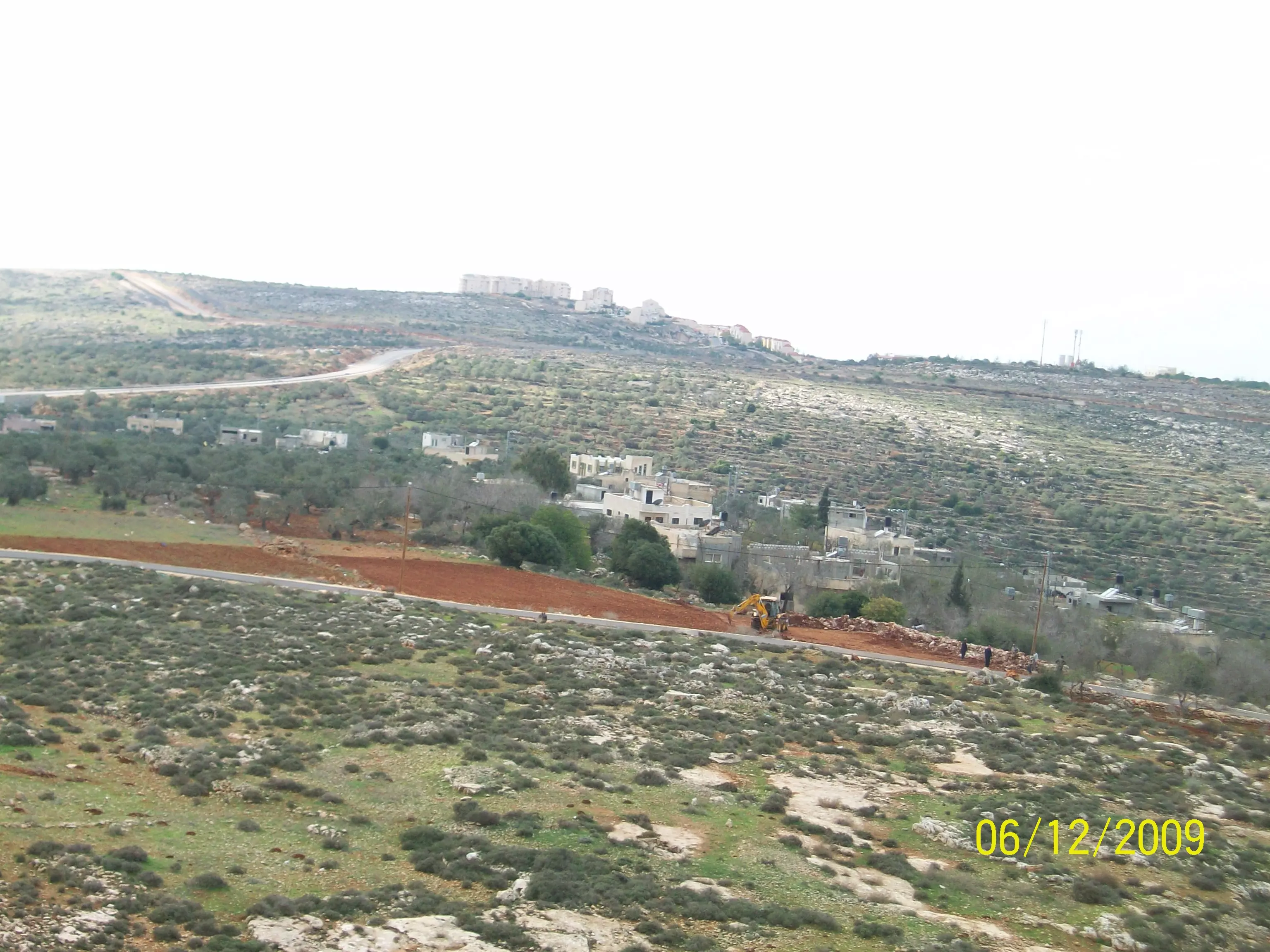
Posted by abu mahmoud - مباني مغتصبة ارئييل في ارض القرية بعض منها يا سارق ألأرض لا تفرح لعثرتنا بلحظة يغير اللة من حال الى حال
Posted by abu mahmoud 2 - بعض المباني القدية فب القرية
Posted by abu mahmoud - روضة اشبال الغد في القرية
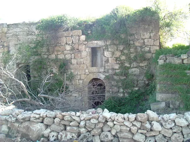
Posted by abu mahmoud 1 - منظر للقرية القدبمة
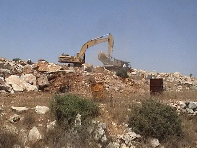
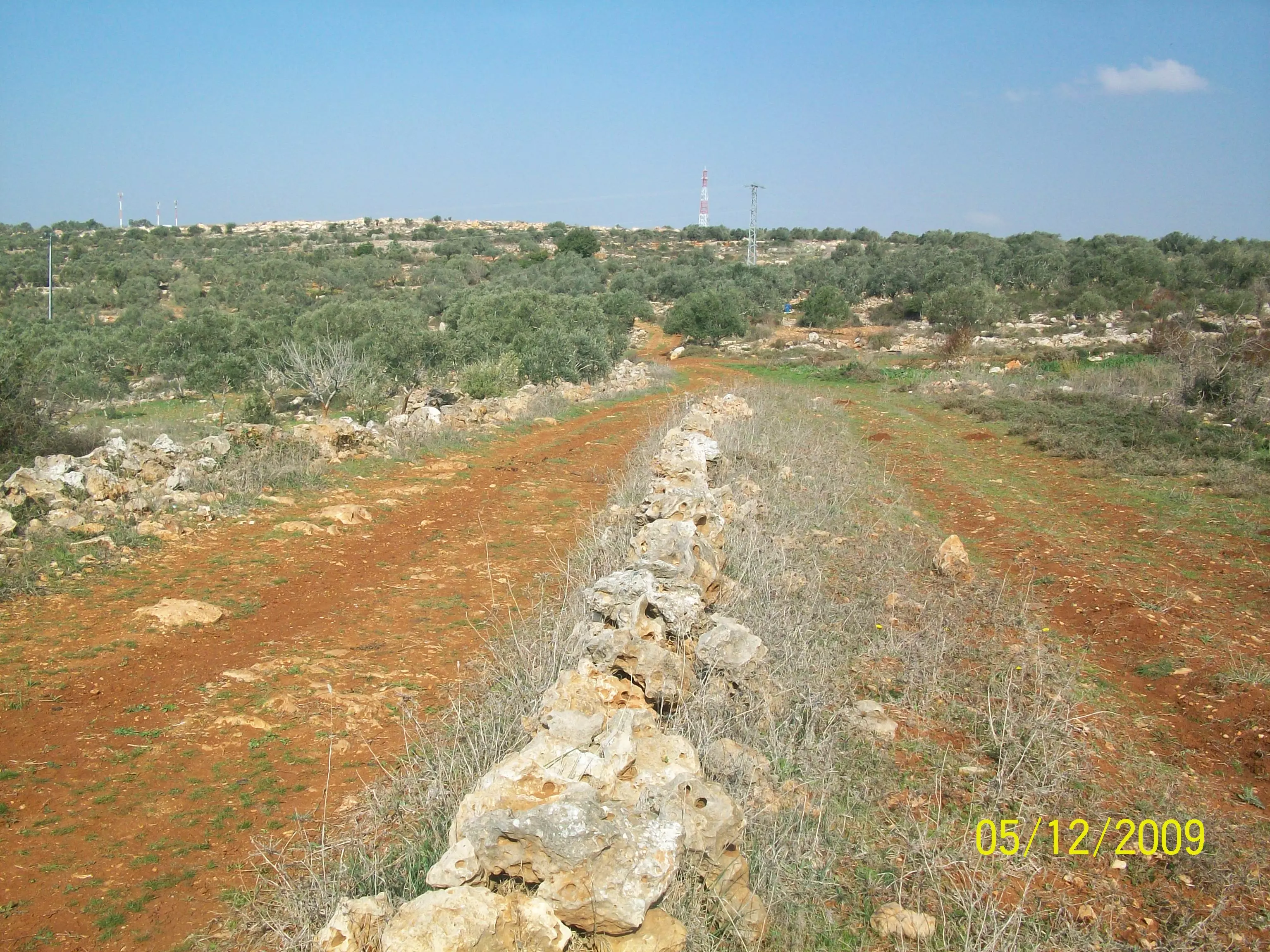
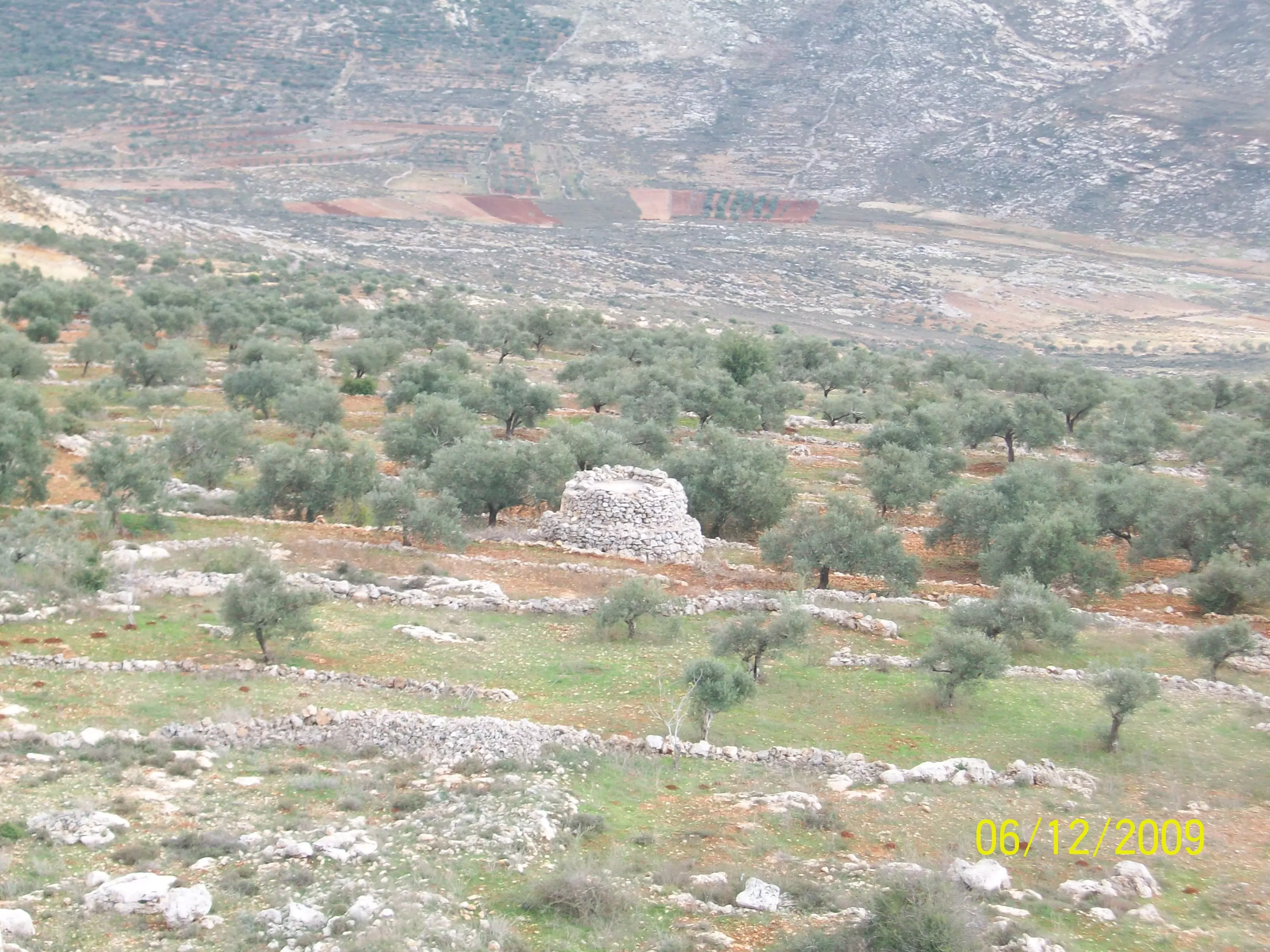
Posted by abu mahmoud - بعض الطرق ألألتفافية ويظهر الندمير من خلال قطع اشجار الزيتون
Posted by abu mahmoud - بعض مباني القرية التي بجري عليها الترميم بفضل السواعد التي تعمل ولا تتكلم
Posted by abu mahmoud - روضة ألأطفال في القرية
Posted by abu mahmoud - تجهيز روضة الأطفال في القرية
Posted by abu mahmoud - ترميم يعض المباتي القديمة في القرية
Posted by abu mahmoud - منظر لبيت قديم تم ترميمة
Posted by abu mahmoud 1 - منظر البيت والساحة بعد اكتمال الترميم
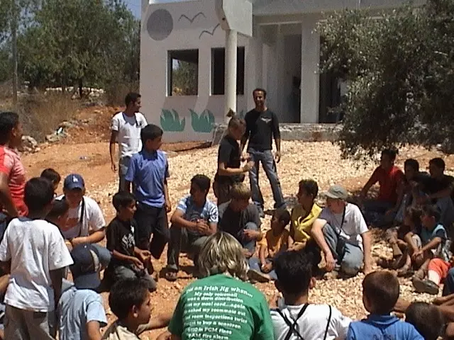
Posted by abu mahmoud - صور لشباب القرية مع بعض المتضامنين الغربيين ضد جدار الفصل العنصري
Posted by abu mahmoud - صورة للمدرسة الأبتدائية للقرية
Posted by abu mahmoud 1 - صورة عن بعد تظهر فيها مباني القرية ومئذنة المسجد
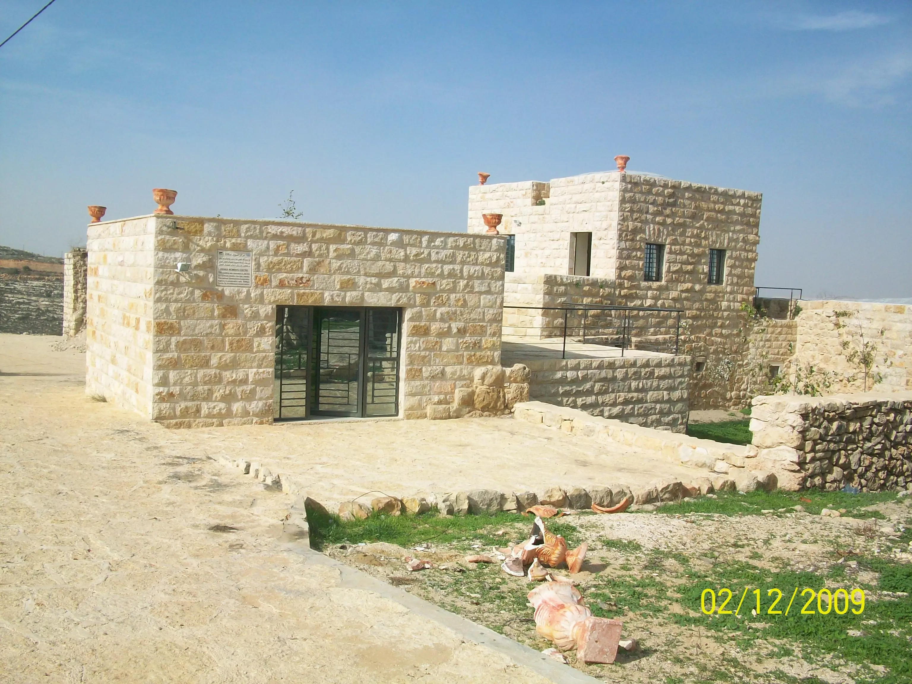
Posted by abu mahmoud - المركز النسوي الجديد في القرية بعد الترميم
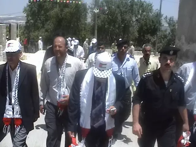
Posted by abu mahmoud 1 - رئيس المجلس القروي الحاج سمير حريص وكبار المدعووين وأهالي البلدة فيحفل افتتاح المركز النسوي في القرية
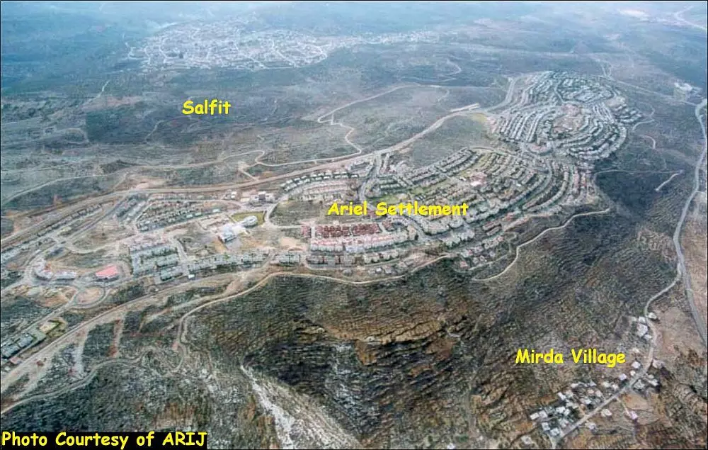
Posted by abu mahmoud 1 - مغتصبة ارائيل على اراضي قرى اسكاكا ومردة وسلفيت مثال لبطش الظلم والعدوان لأهل الأرض والأنسان
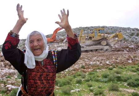
Posted by abu mahmoud 1 - فلسطينية من حرائر فلسطين تستنجد وتصتصرخ لنجدتها وحماية ارضها من المغتصبين في مستوطنة ارائيل
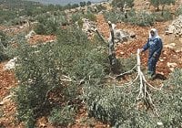
Posted by abu mahmoud - فلاحة وأم تندب من يرى الظلم والقهر من المغتصبين في ارائيل وهم يقلعون اشجار الزيتون ولا يساعدونها لمنعهم
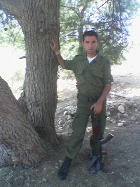
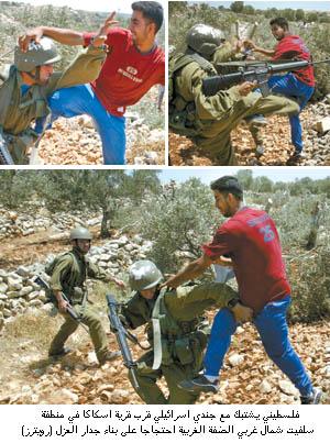
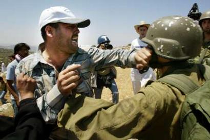
Posted by abu mahmoud - فلسطيني من قرية اسكاكا يواجة جندي الأحتلال املدجج بالسلاح بجسمة لمنع بناء جدار الفصل العنصري
Posted by abu mahmoud 1 - المعتقل الأداري المجاهد وليد حرب فك اللة اسرة واخوانة جميع المعتقلين

Posted by abu mahmoud - المناضل الجريح وليد حرب عافاة اللة الأول من اليمين مع بعض رفاقة الذين استشهدو
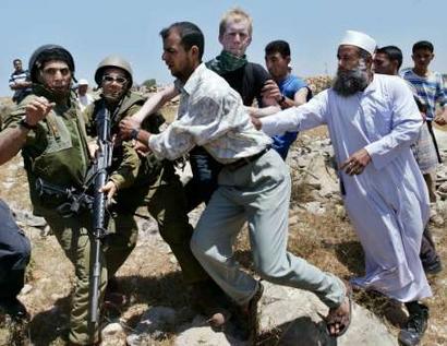
Posted by abu mahmoud 1 - احد ابناء القربة يتصدى لجندي الأحتلال في يوم النفير ضد جدار الفصل العنصري
Posted by abu mahmoud 1 - اهالي قرية اسكاكا يتصدون بصدورهم لجنود الأحتلال لمنعهم من الأستيلاء على اراضيهم بعد ان خذلهم الجميع انهم يستحقون الرتب والنياشين وحدهم ومن يدعمهم
Posted by abu mahmoud - يدافع بكل جرأة وقوة لايخافون جنود الأحتلال لا يختبؤون كما يفعل غيرهم انكم تيجان رؤوسنا
Posted by abu mahmoud 2 - مسجد القرية
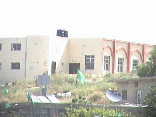
Posted by abu mahmoud - مدرسة القرية وبظهر فيها الفصول الجدبدة التي تم اضافتها للمدرسة
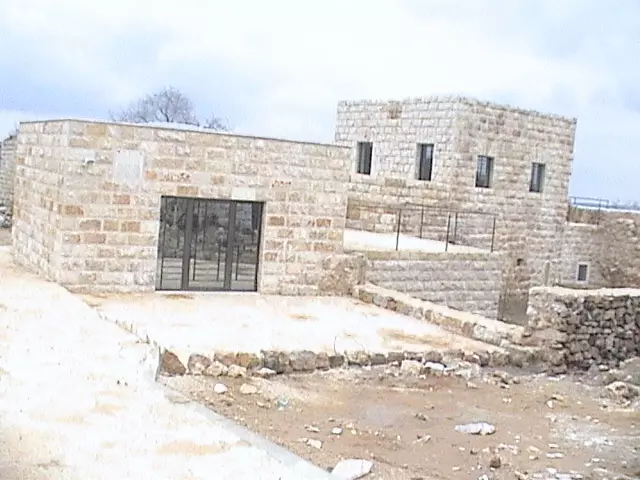
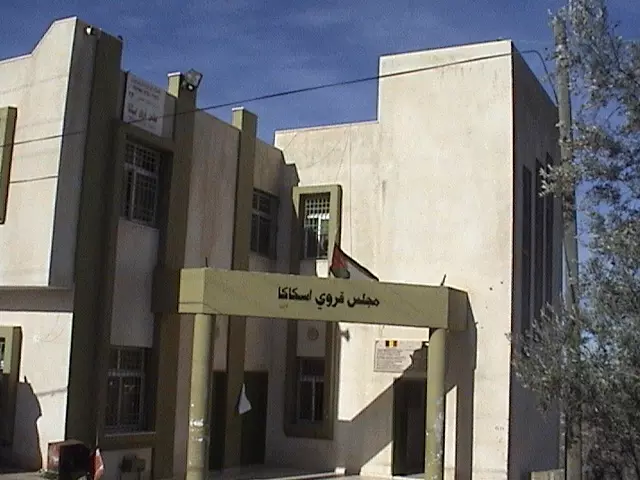
Posted by abu mahmoud - مبنى المجلس القروي الجديد في القرية
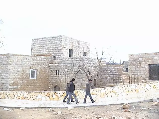
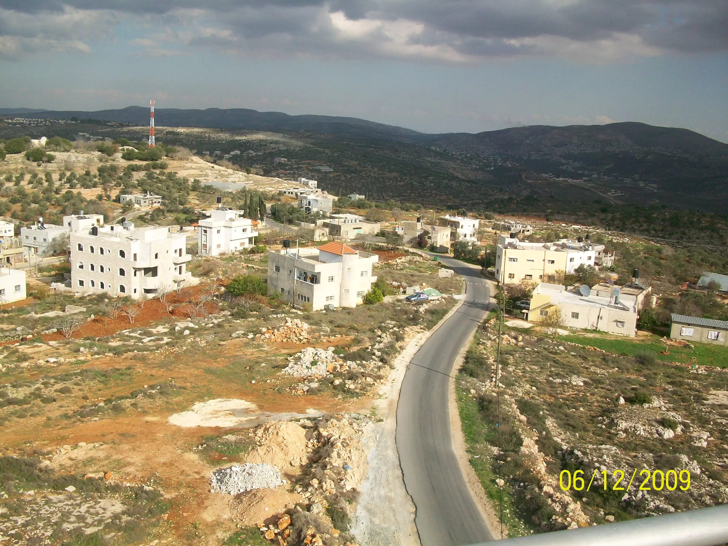
Posted by abu mahmoud 1 - بعض الشوارع الجديدة في القرية
Posted by abu mahmoud - iskaka old village
Posted by abualoul - iskaka old village
Posted by abualoul - old village
Posted by abualoul - old village

Posted by abualoul - old village
Posted by abualoul - old village
Posted by abualoul - old village

Posted by abualoul - old village
Posted by abualoul - old village
Posted by abualoul - old village
Posted by abualoul - old village
Posted by abualoul - old village
Posted by abualoul - old village
Posted by abualoul - old village
Posted by abualoul - old village
Posted by abualoul - old village
Posted by abualoul - old village
Posted by abualoul - old village
Posted by abualoul - old village
Posted by abualoul - old village
Posted by abualoul - old village
Posted by abualoul 1 - old village
Posted by abualoul - old village
Posted by abualoul - old village
Posted by abualoul - old village
Posted by abualoul - old village
Posted by abualoul - old village
Posted by abualoul - old village
Posted by abualoul 1 - old village
Posted by abualoul - old village
Posted by abualoul - old village
Posted by abualoul - old village

Posted by abualoul - old village
Posted by abualoul - old village

Posted by abualoul - old village
Posted by abualoul - old village
Posted by abualoul - old village
Posted by abualoul - old village
Posted by abualoul - old village
Posted by abualoul - old village
Posted by abualoul - old village
Posted by abualoul - old village
Posted by abualoul - old village
Posted by abualoul - old village
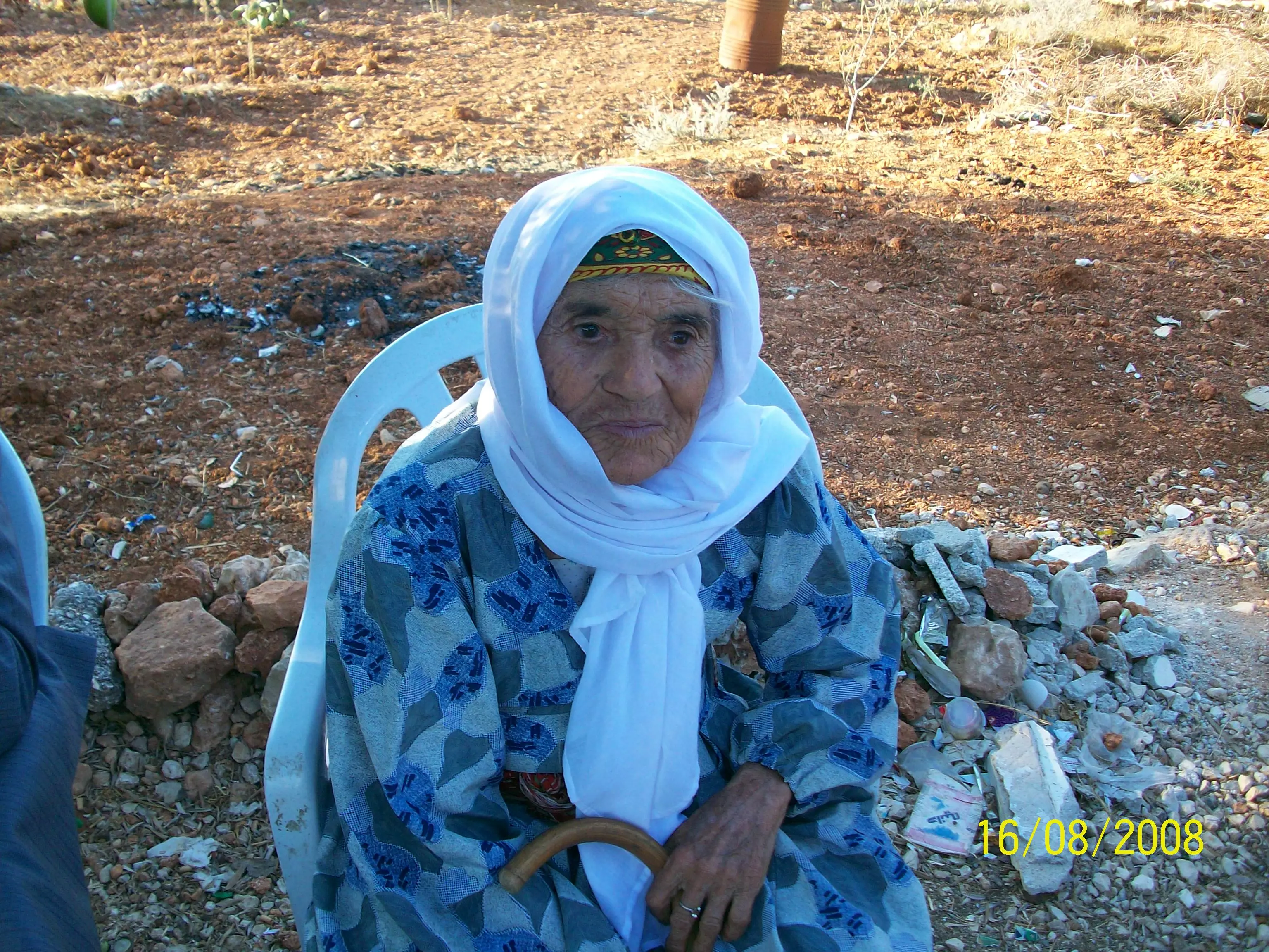
Posted by abualoul - alhaja um ahmad /atal allah fe omreha aameen.
Posted by abualoul - allteen wama adrak ma allteen.
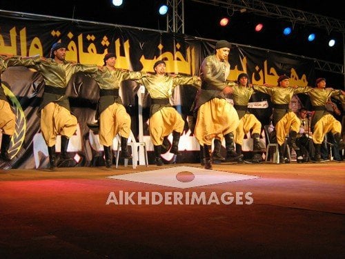
Posted by abualoul - فرقة اسكاكا
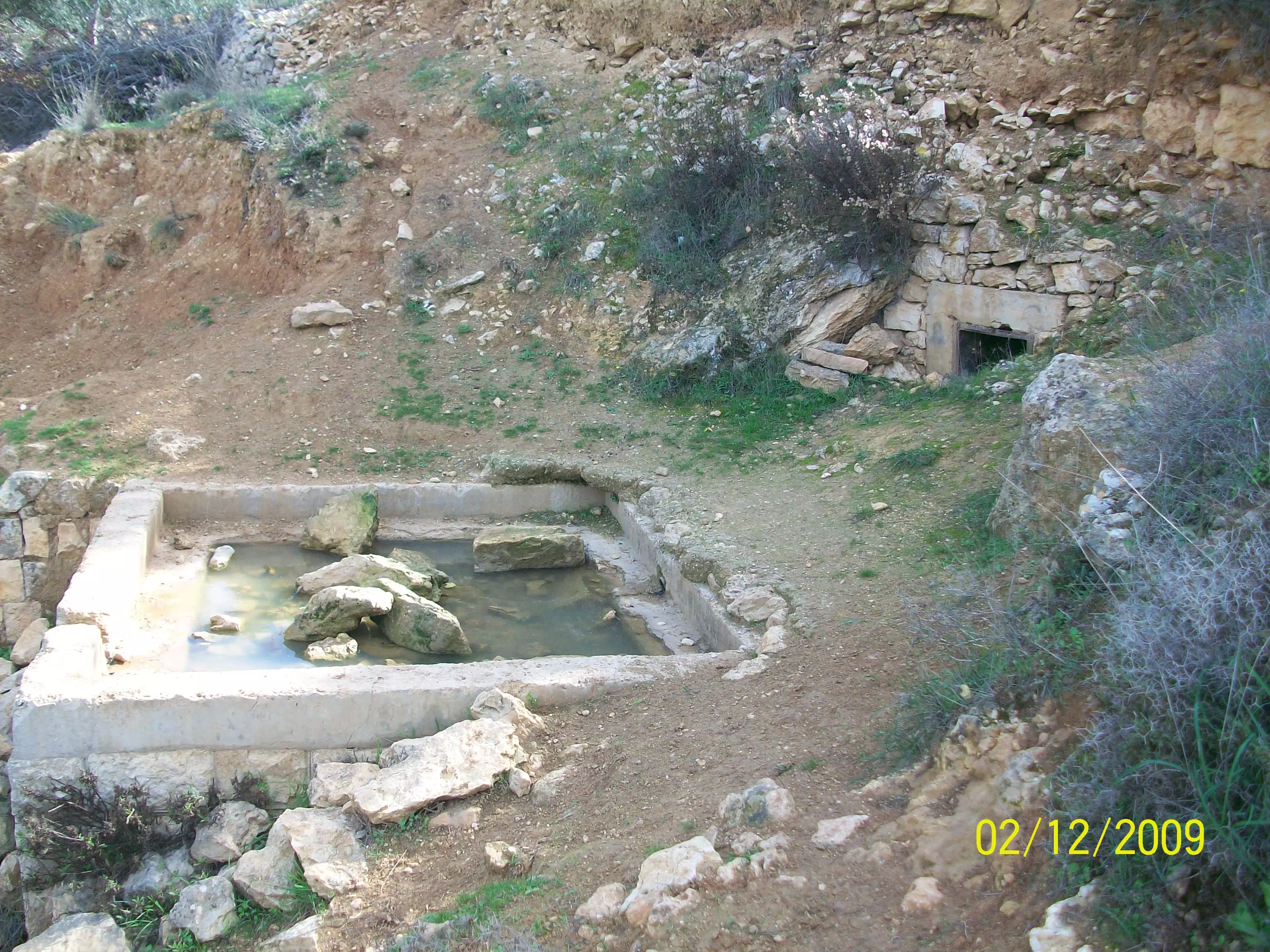
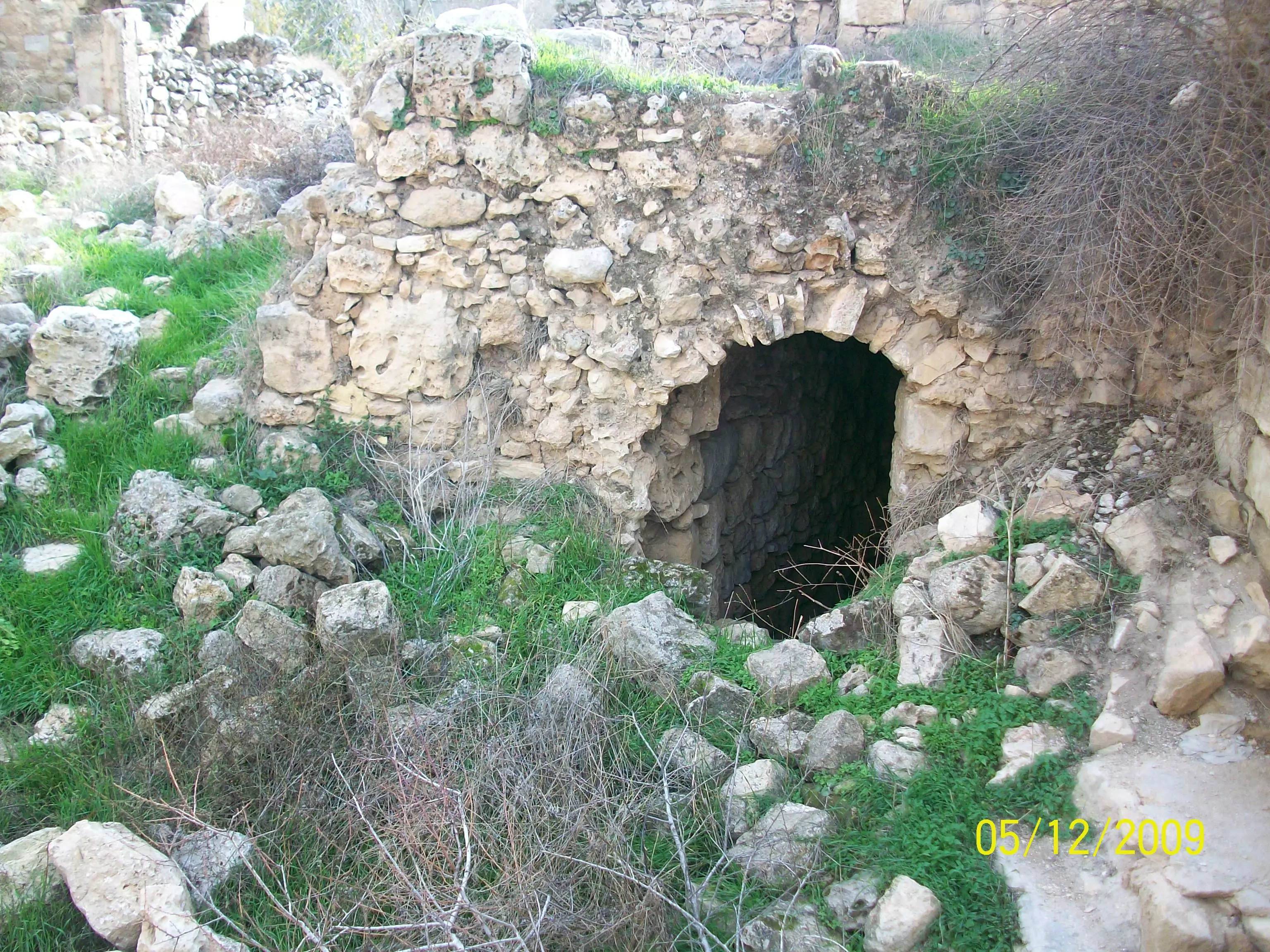
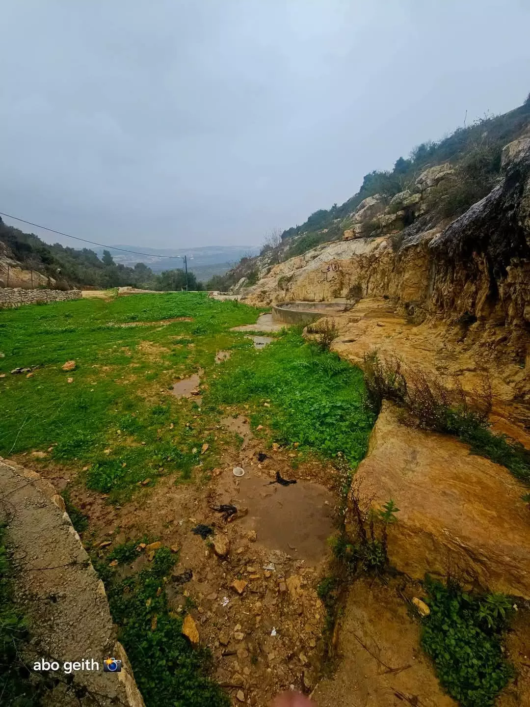
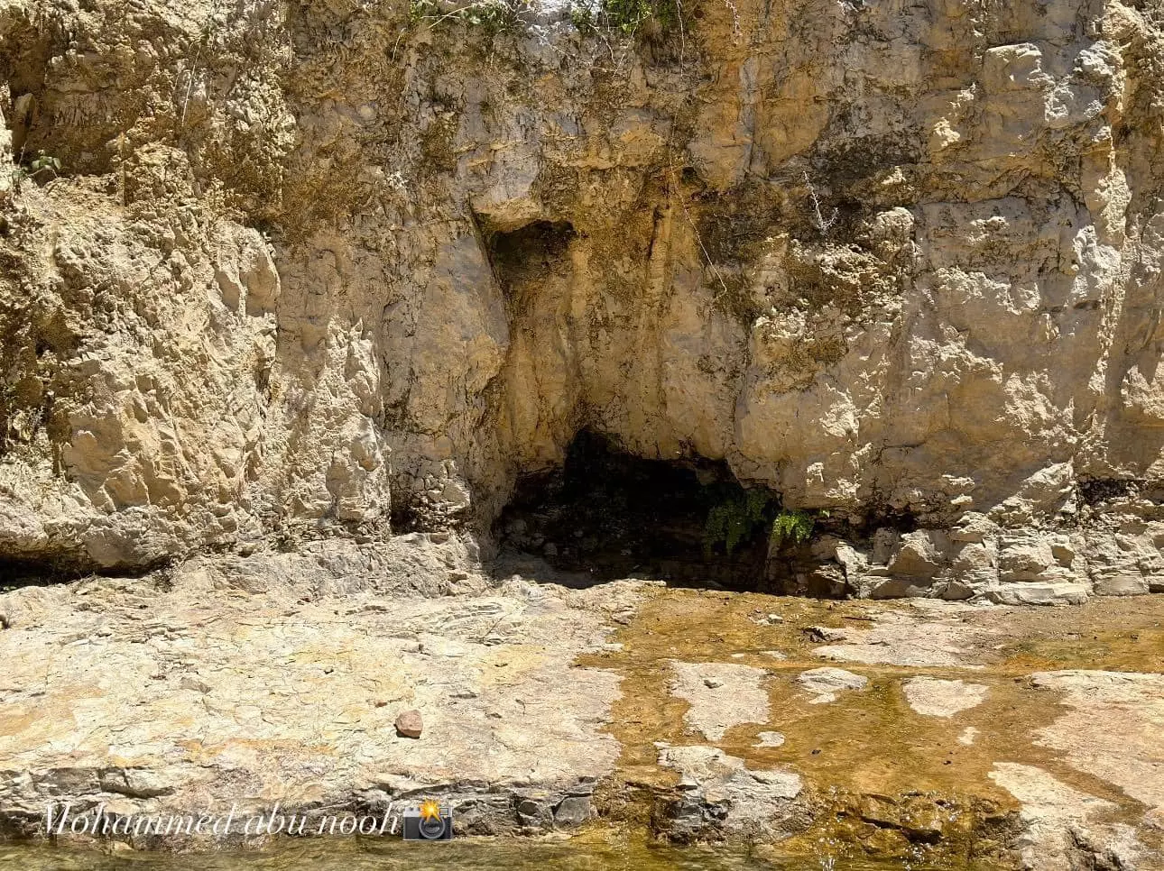
Posted by وحيد ابو شهاب - صورة عامة لعين القصب وللأسف اصبحت خراب
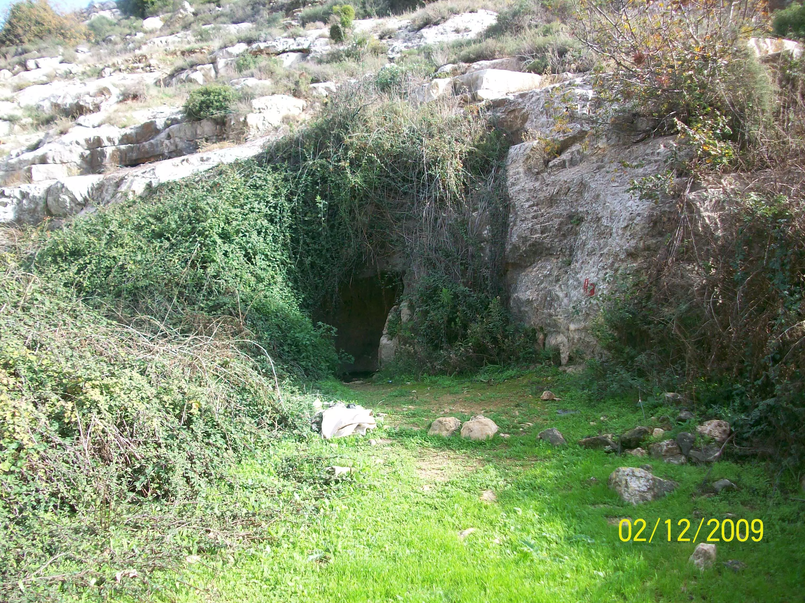
Posted by abualoul - صورة عامة للعين التحته من الخارج
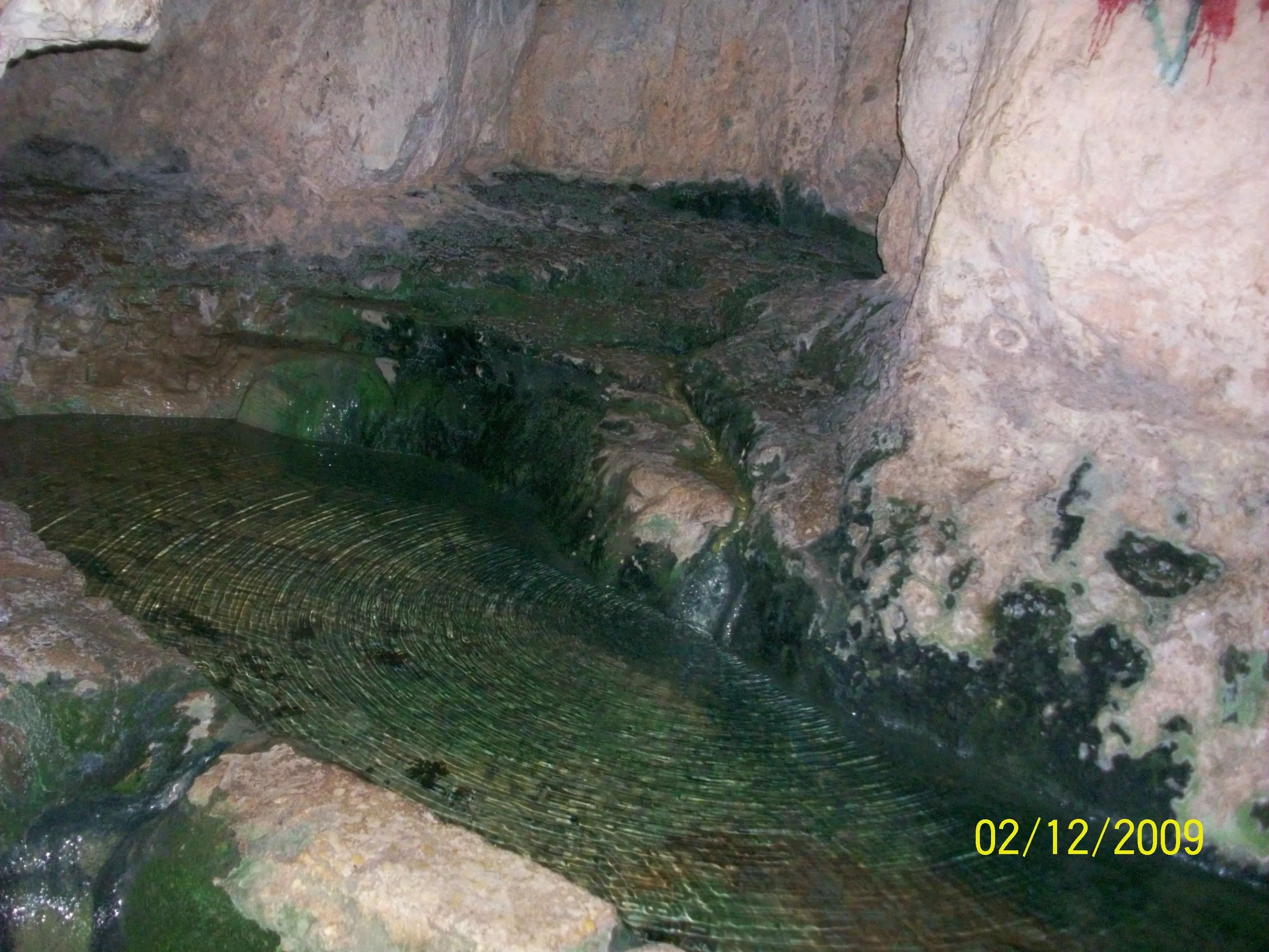
Posted by abualoul - صورة عامة للعين التحته من الداخل
Posted by abualoul - صورة عامة للطريق المؤدي الى العين التحتة
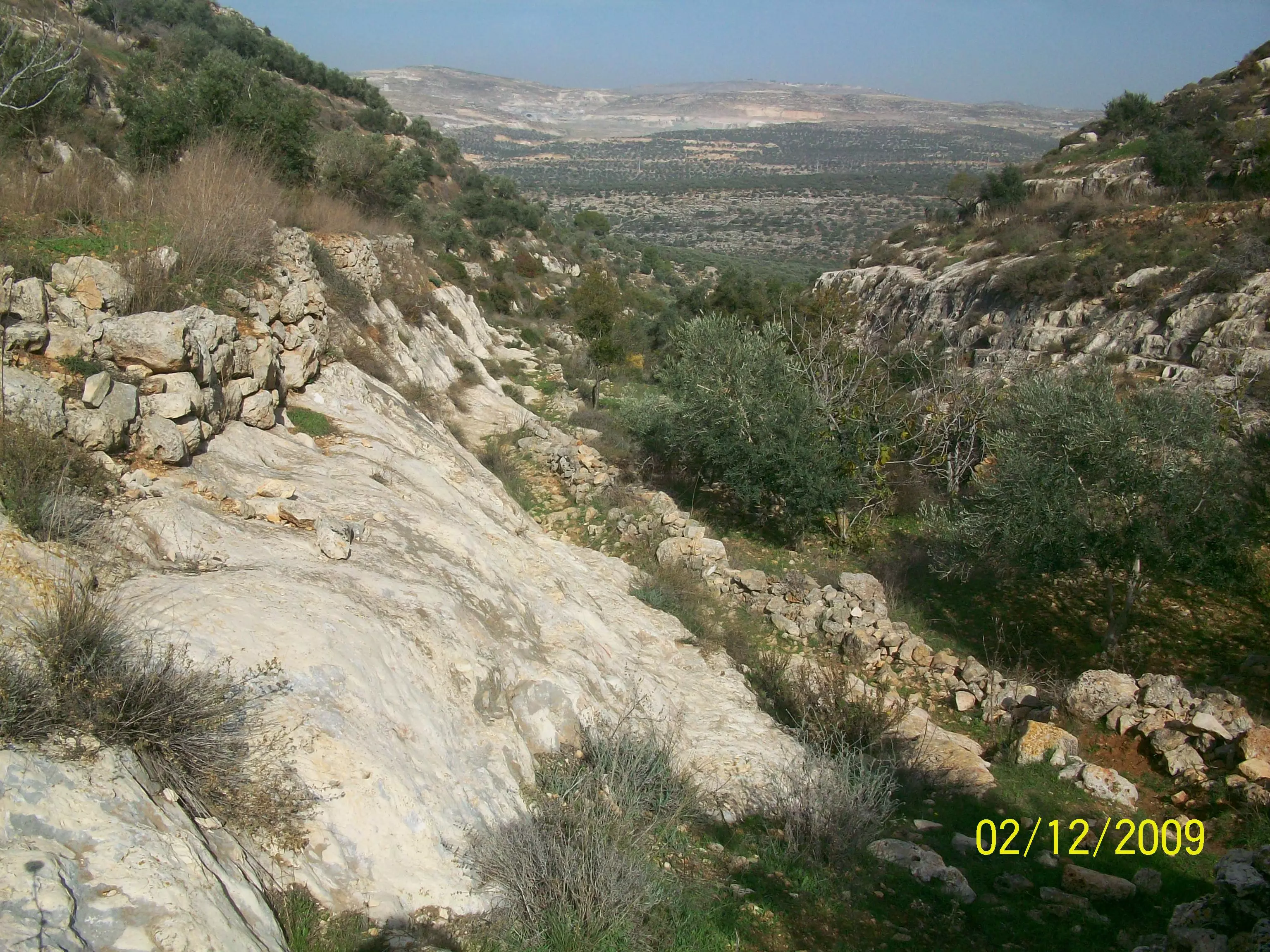
Posted by abualoul - صورة لمنطقة كرم العين
Posted by abualoul - صورة لمنطقة كرم العين وتظهر فيها جماعين وواديها
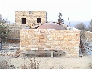
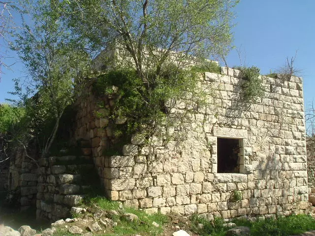
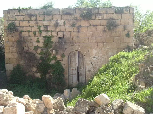
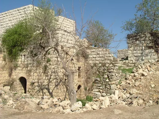
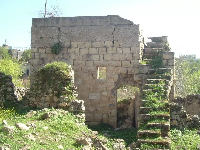
Posted by abualoul - صورة احدى البيوت القديمة بعد الترميم و تعود لدار ابو قباعر
Posted by abualoul - صورة لبيت قديم ما زال شامخا ويعود لدار ابو البيك
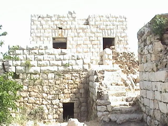
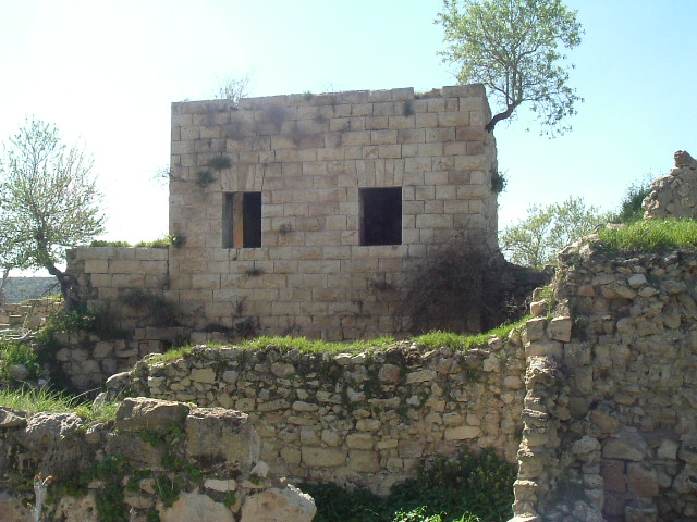
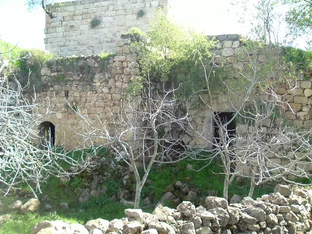
Posted by abualoul 2 - صورة عامة للبيوت القديمة بعد الترميم وما زالت شامخة
Posted by abualoul - صورة الطريق المؤدية للبلد القديمة
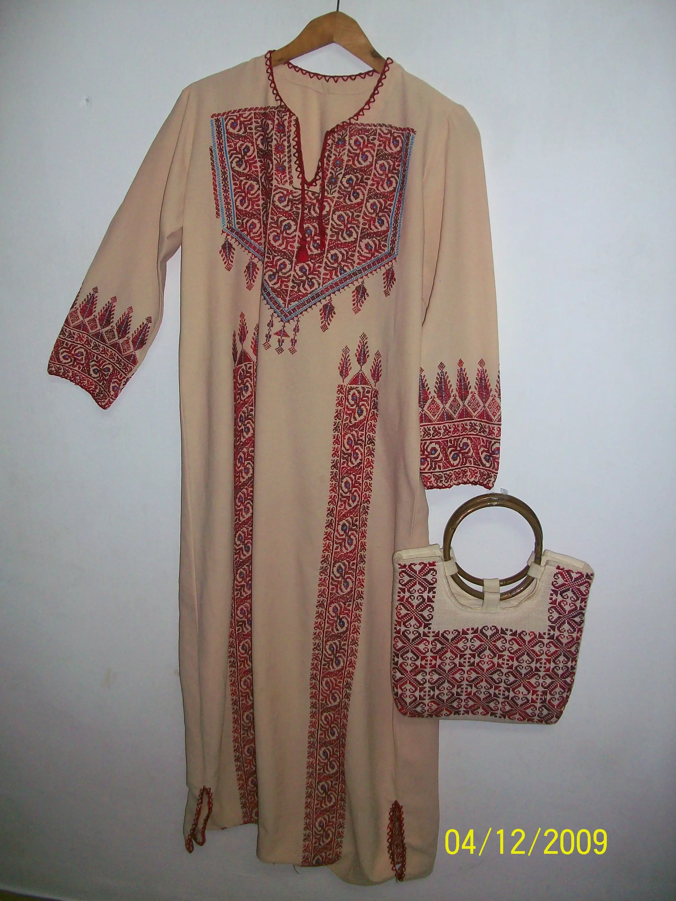
Posted by abualoul 1 - الثوب الفلسطينى من قرية اسكاكا (دينا فوزى)
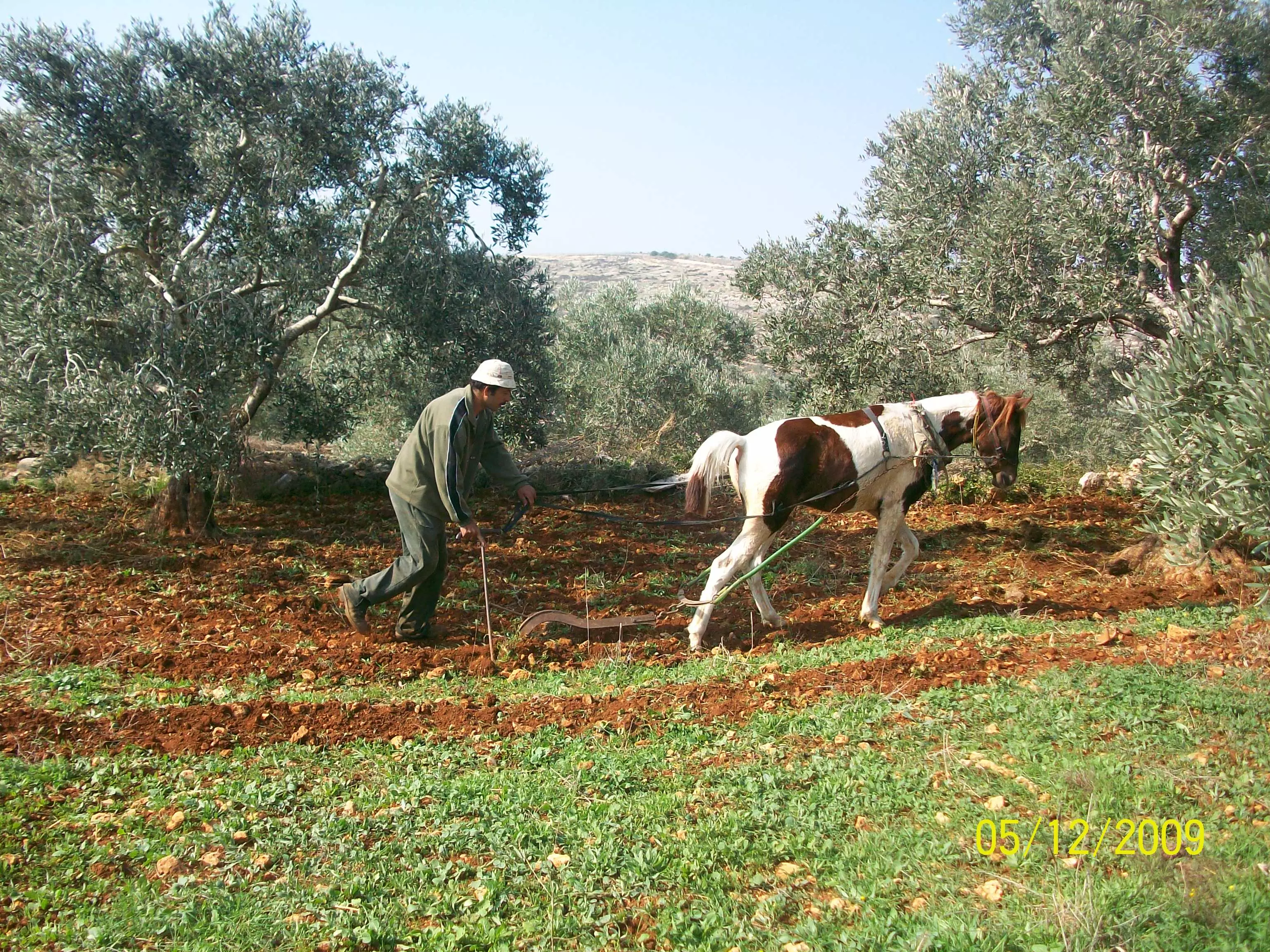
Posted by abualoul - ابو ادهم يقوم بحراثة الارض
Posted by abualoul - منطقة باب دريا والطريق المؤدى لباب البدون
Posted by abualoul - منطقة الحرابك وفى الخلف تظهر المغتصبات الصهيونية
Posted by abualoul - منطقة باب دريا والشعاب وفي الصورة طريق قطان الحويط
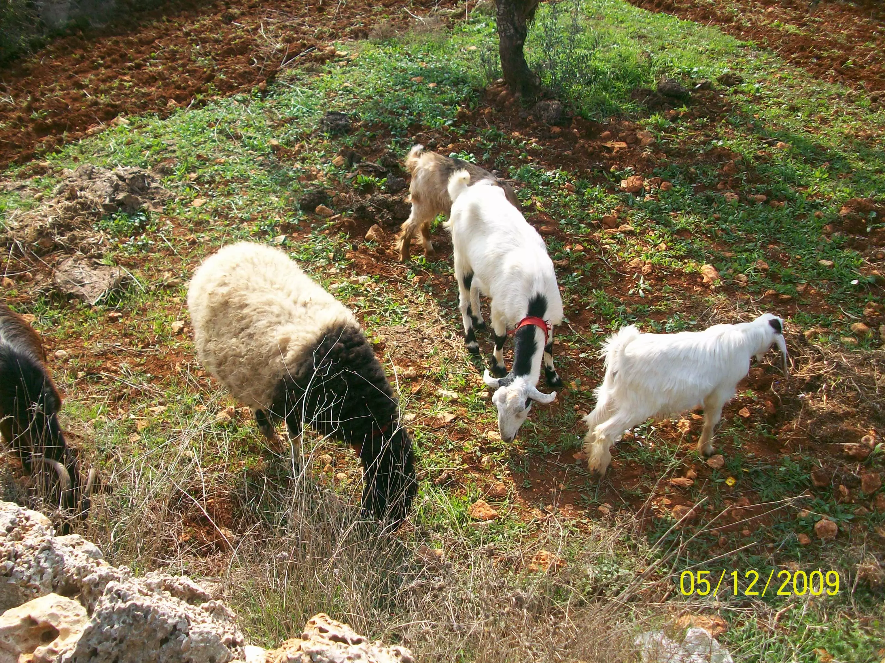
Posted by abualoul - الاغنام وهي ترعى بارك الله في الحلال
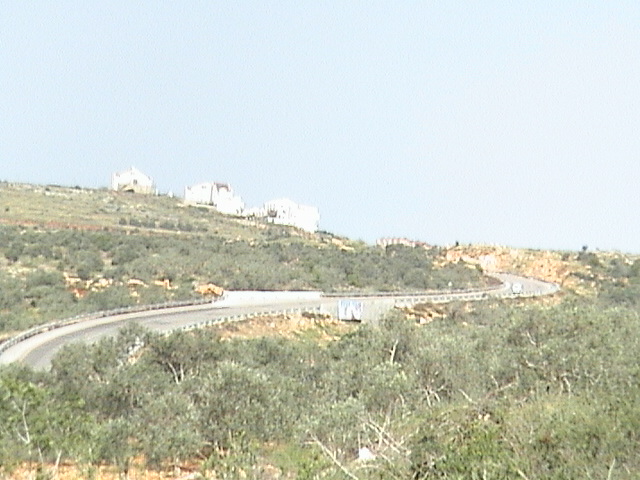
Posted by abualoul - منطقة بابا السهل ويظهر الجسر الذي بناه الاحتلال
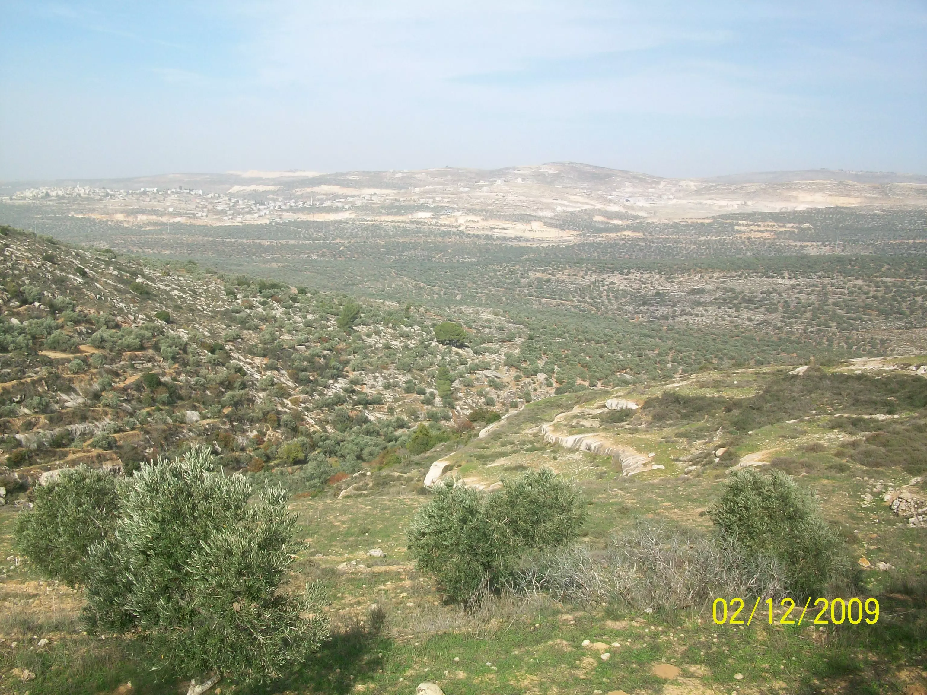
Posted by abualoul - قرية ياسوف وجنائنها وفي الصورة تظهر مستعمرة تفوح
Posted by abualoul 1 - منطقة ابو الزرد
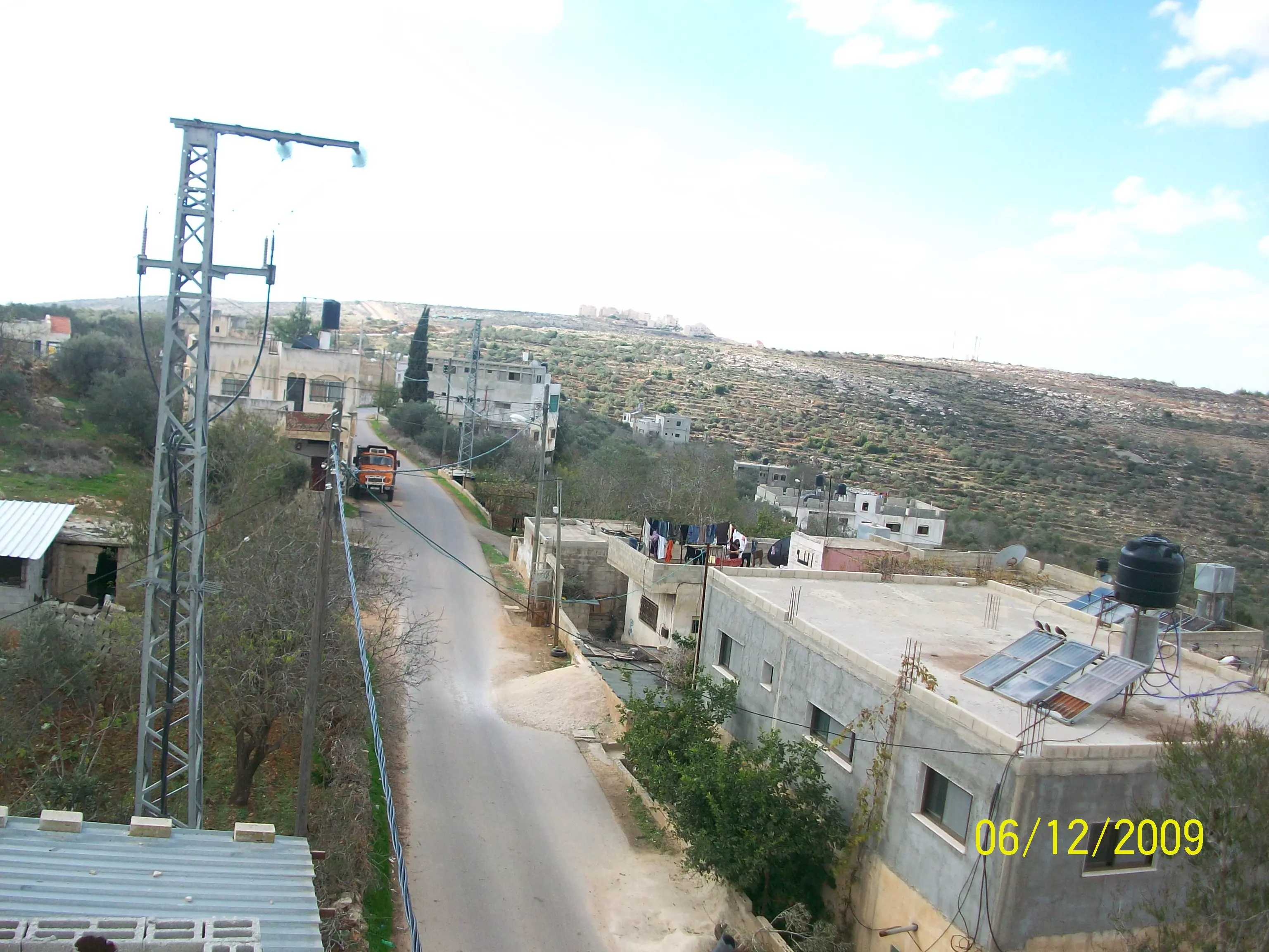
Posted by abualoul - بيوت قرية اسكاكا من جهة الشرق
Posted by abualoul 1 - نادي شباب اسكاكا الجديد
Posted by abualoul 1 - البلدة القديمة وفي الصورة منطقة المواجهة والطرق الالتفافية في الجبل
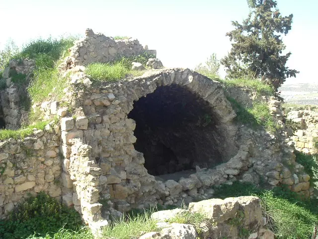
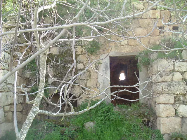
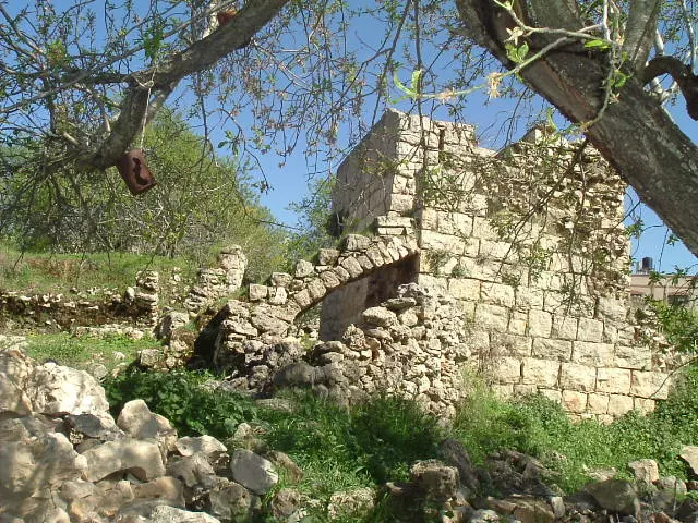
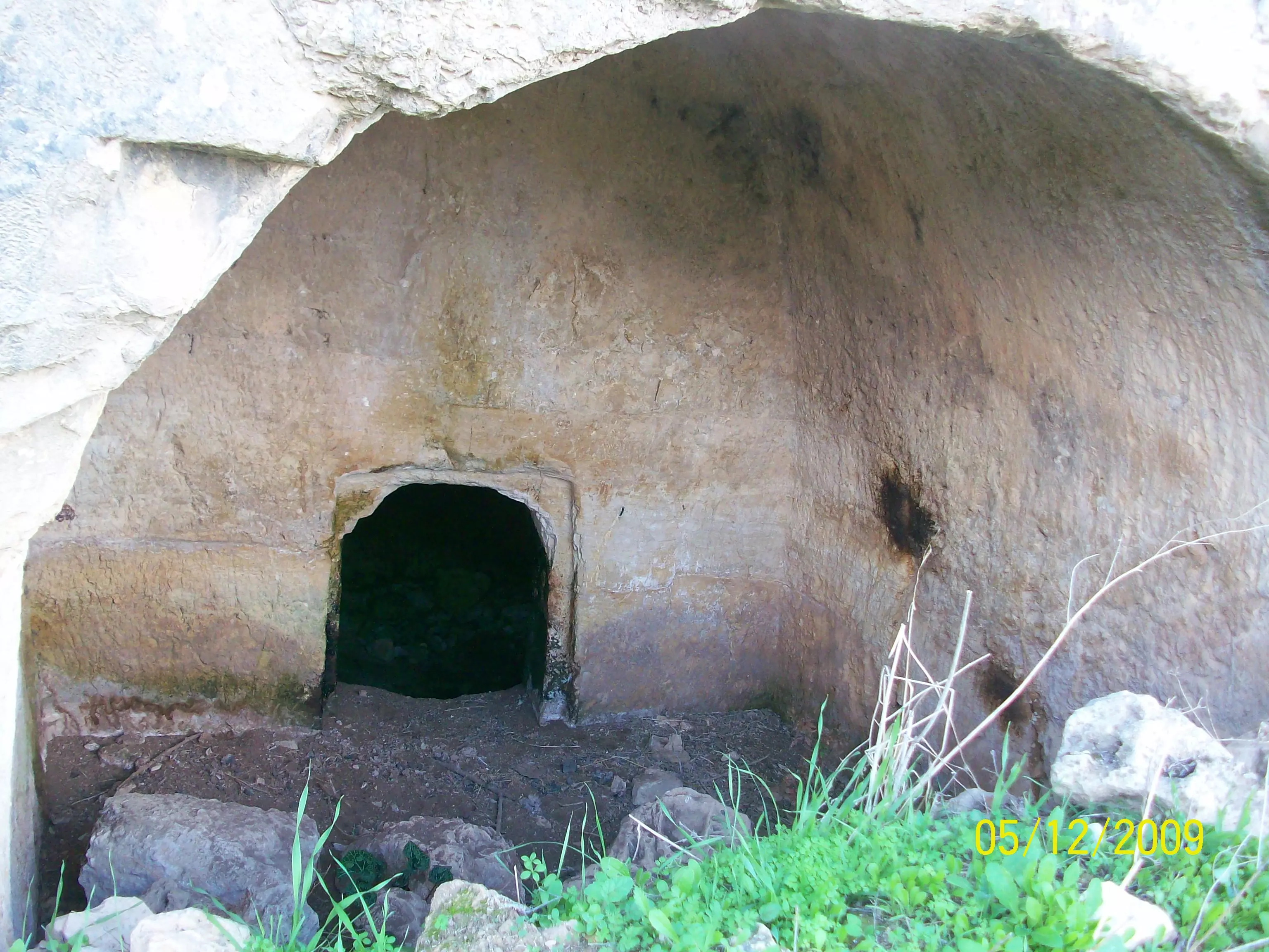
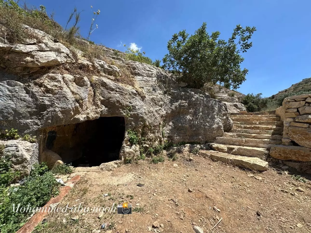
Posted by abualoul - مغارة دار ابو البيك في شعب العسعوس من الخارج
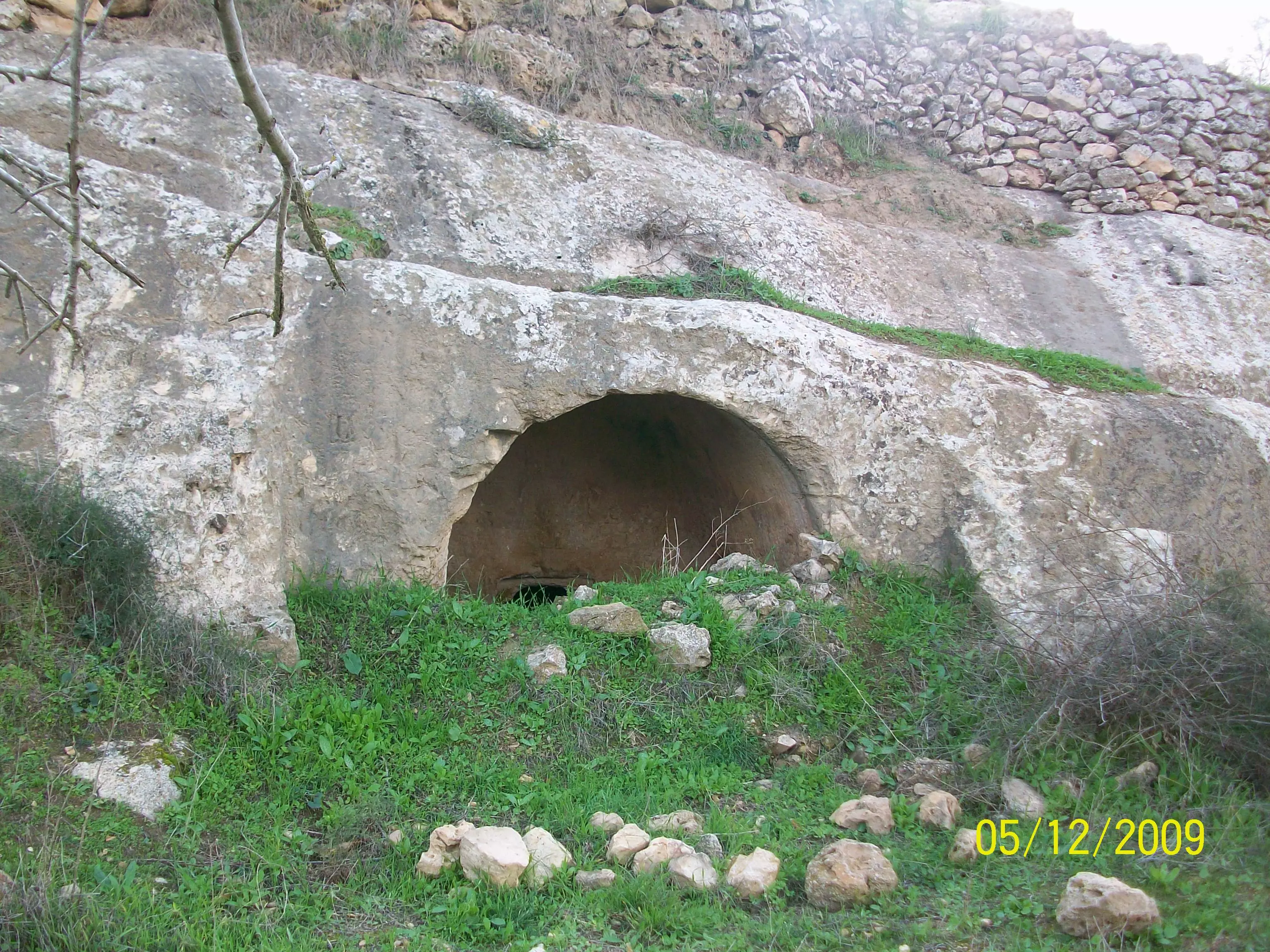
Posted by abualoul - مغارة دار ابو البك في شعب العسعوس من الداخل
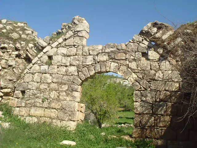
Posted by abualoul - منطقة ورا الدير وفي الصورة تظهر خروبة دار ابو البيك
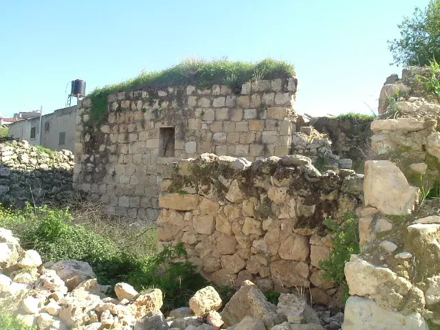
Posted by abualoul - بيت قديم يعود لدار ابو محمود وابو مالك المفلح رحمهم الله
Posted by abualoul - البيوت القديمة بعد الترميم وفي الصورة يميناً مركز نسوي اسكاكا
Posted by abualoul - بيت قديم يعود لدار ابو فاروق
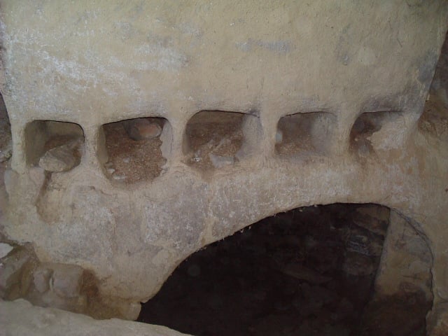
Posted by abualoul - صورة لمدخل البد
Posted by abualoul - صورة بيت قديم يعود للمرحوم عبد القادر الحاج محمد
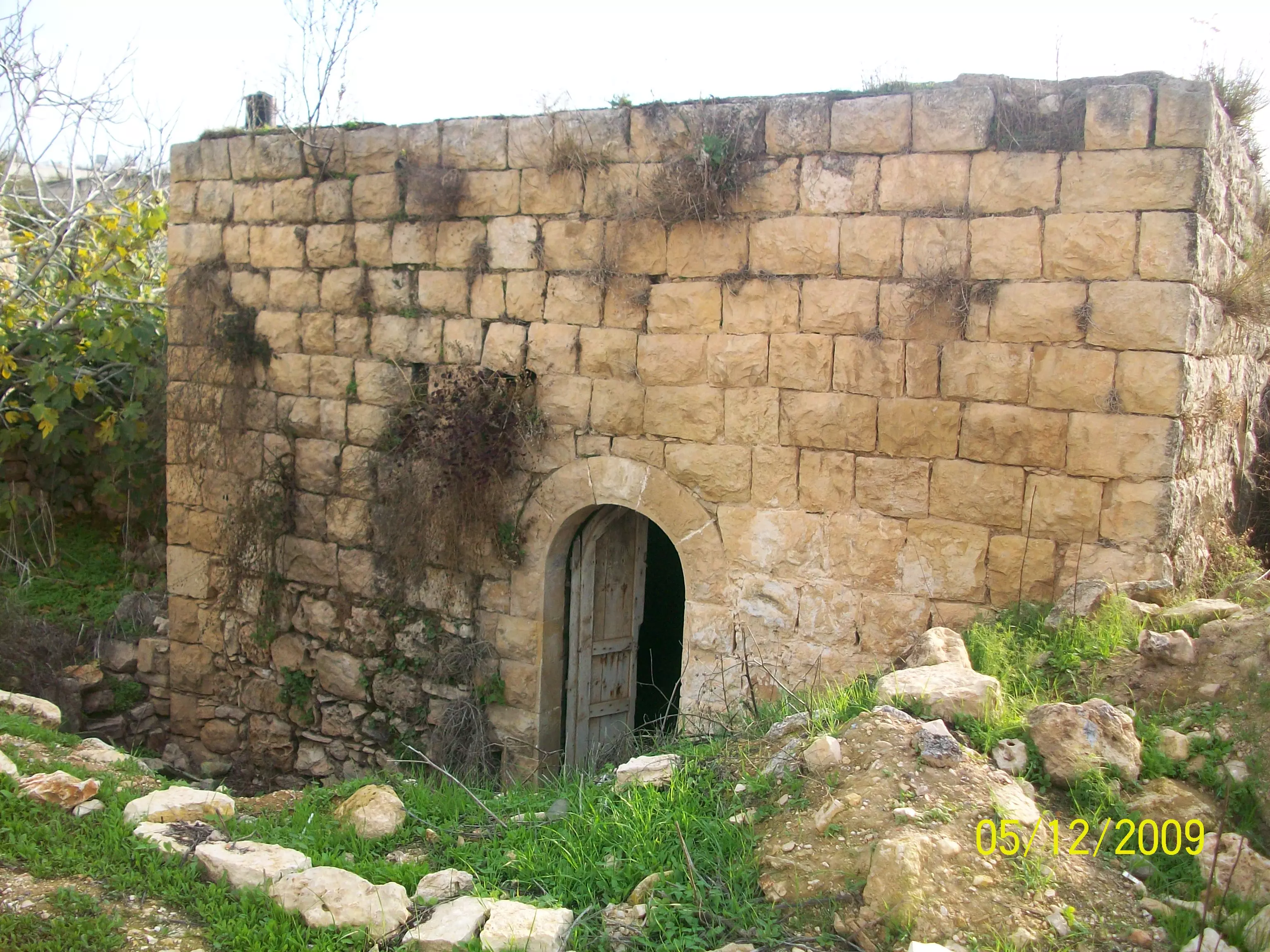
Posted by abualoul - صورة بيت قديم يعود لدار عواد
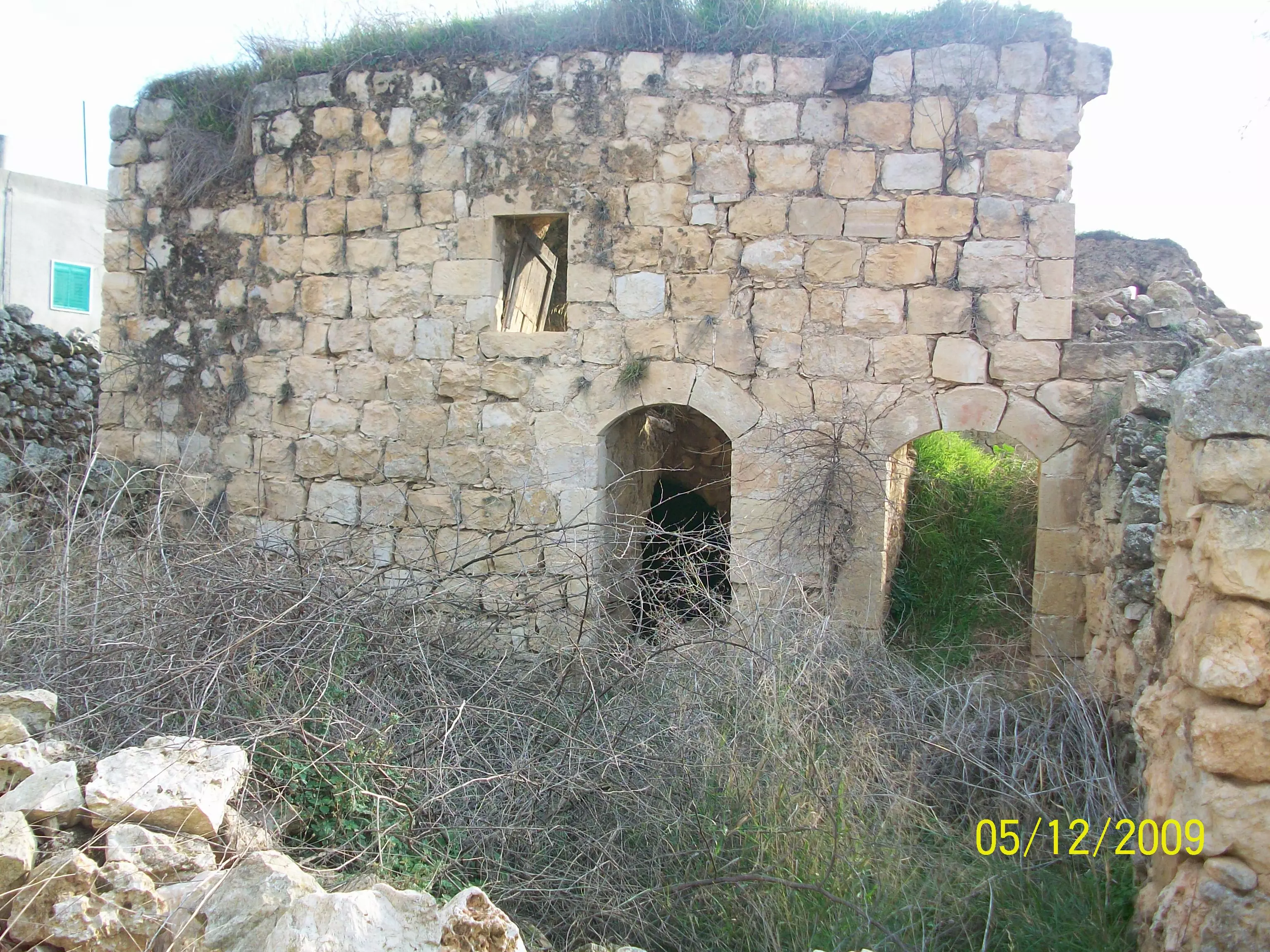
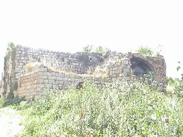
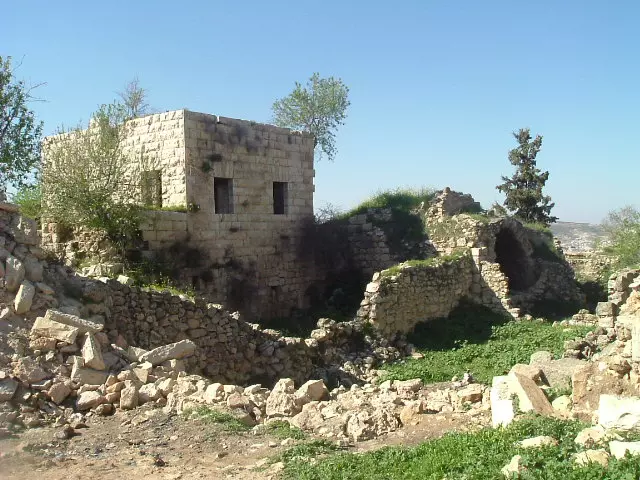
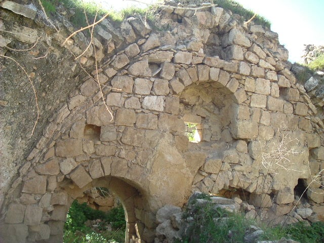
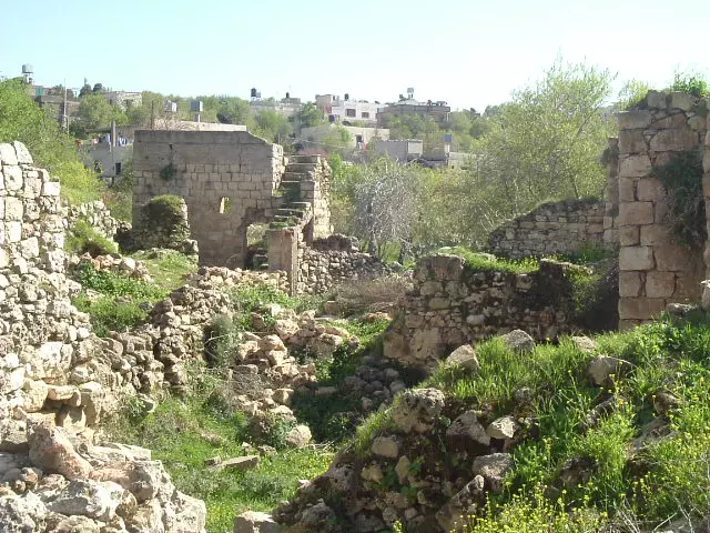
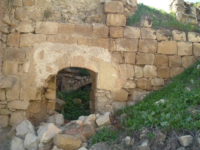
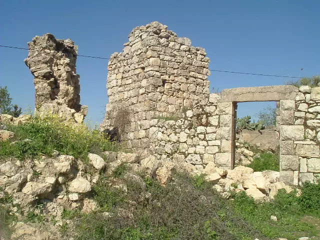
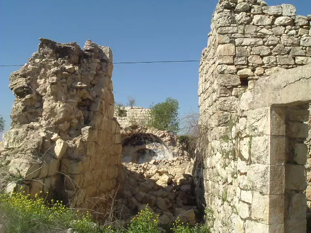
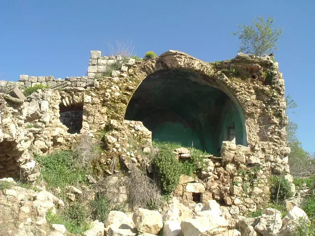
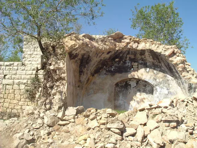
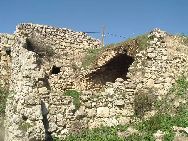
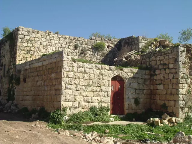
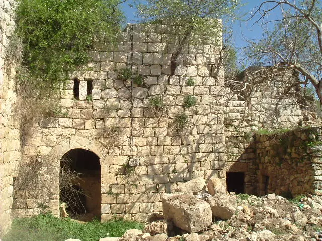
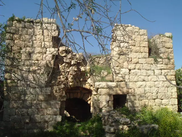
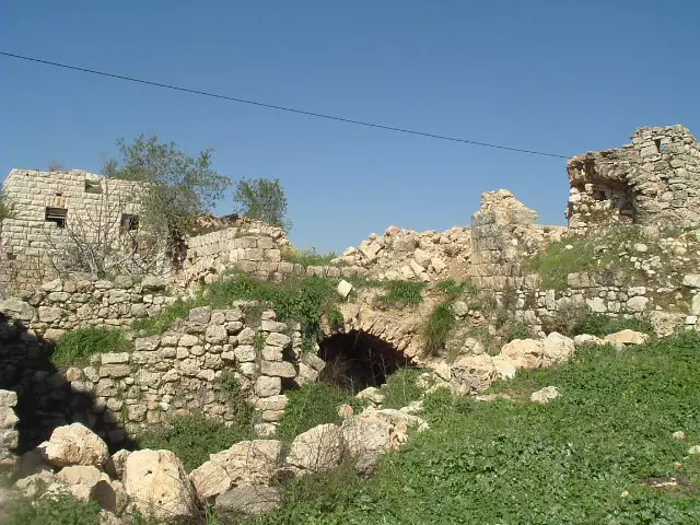
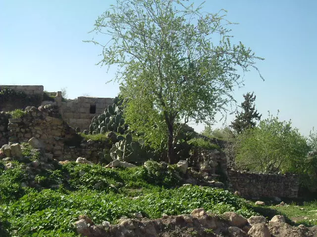
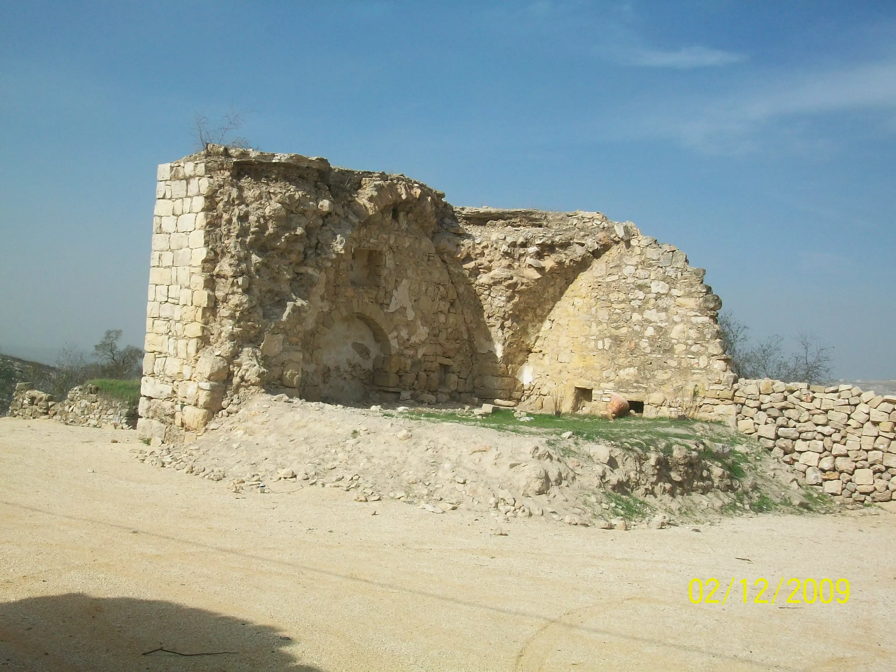
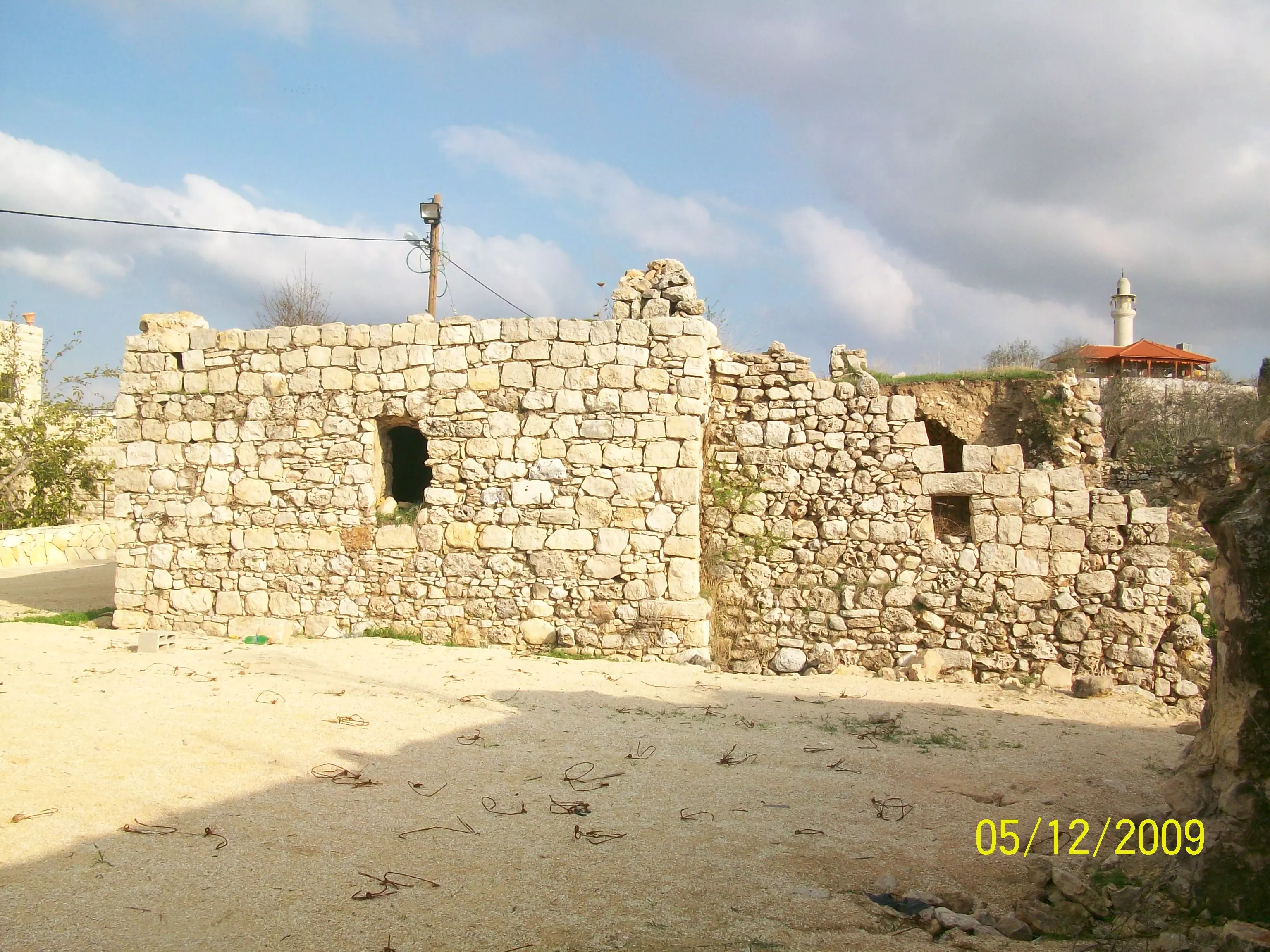
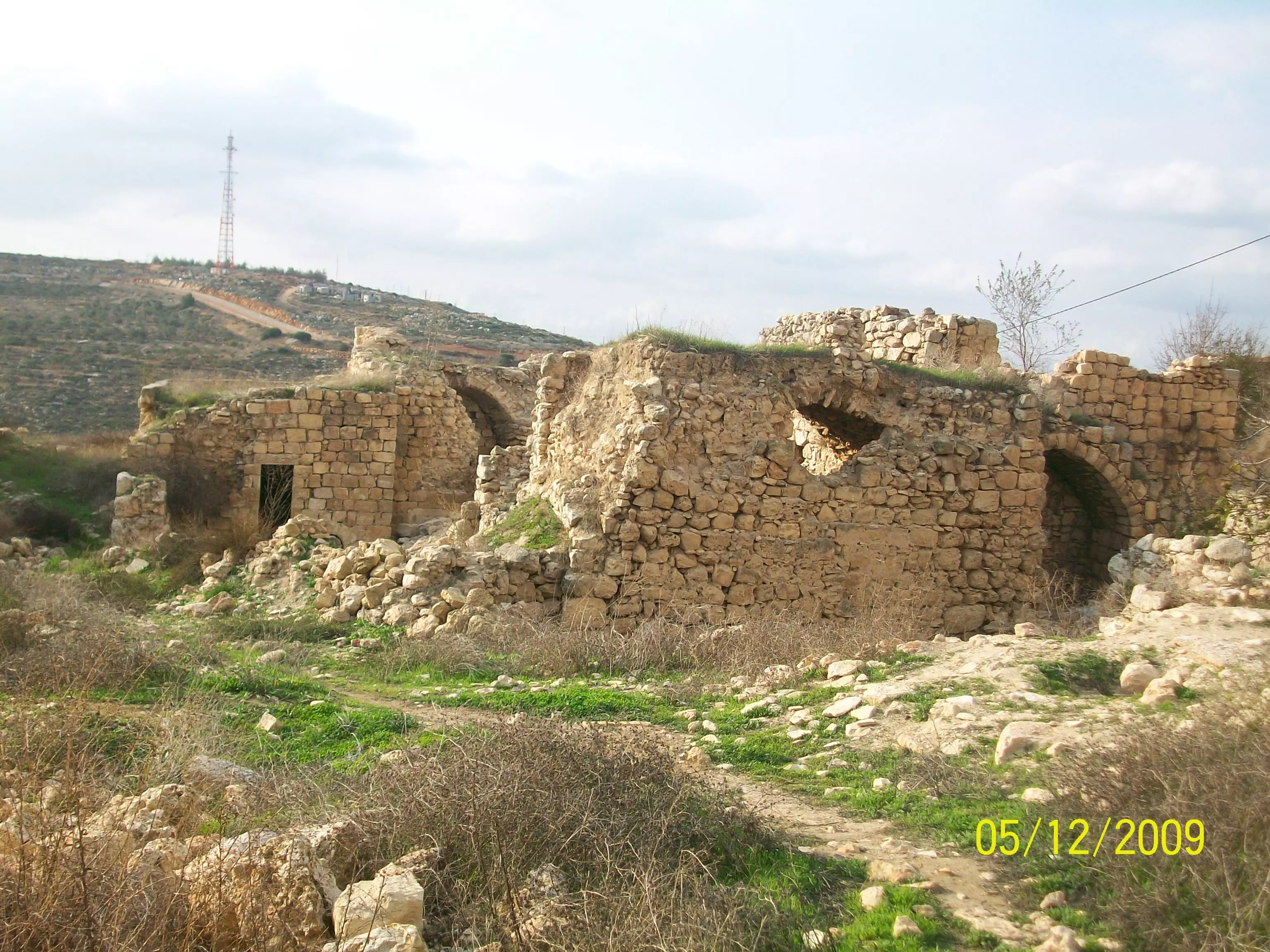
Posted by abualoul - صورة عامة للبلدة القديمة المهدمة
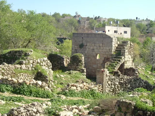
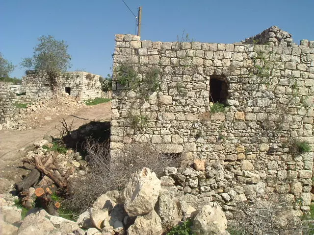
Posted by abualoul - صورة لوسط القرية
Posted by abualoul - صور الحارة الغربية
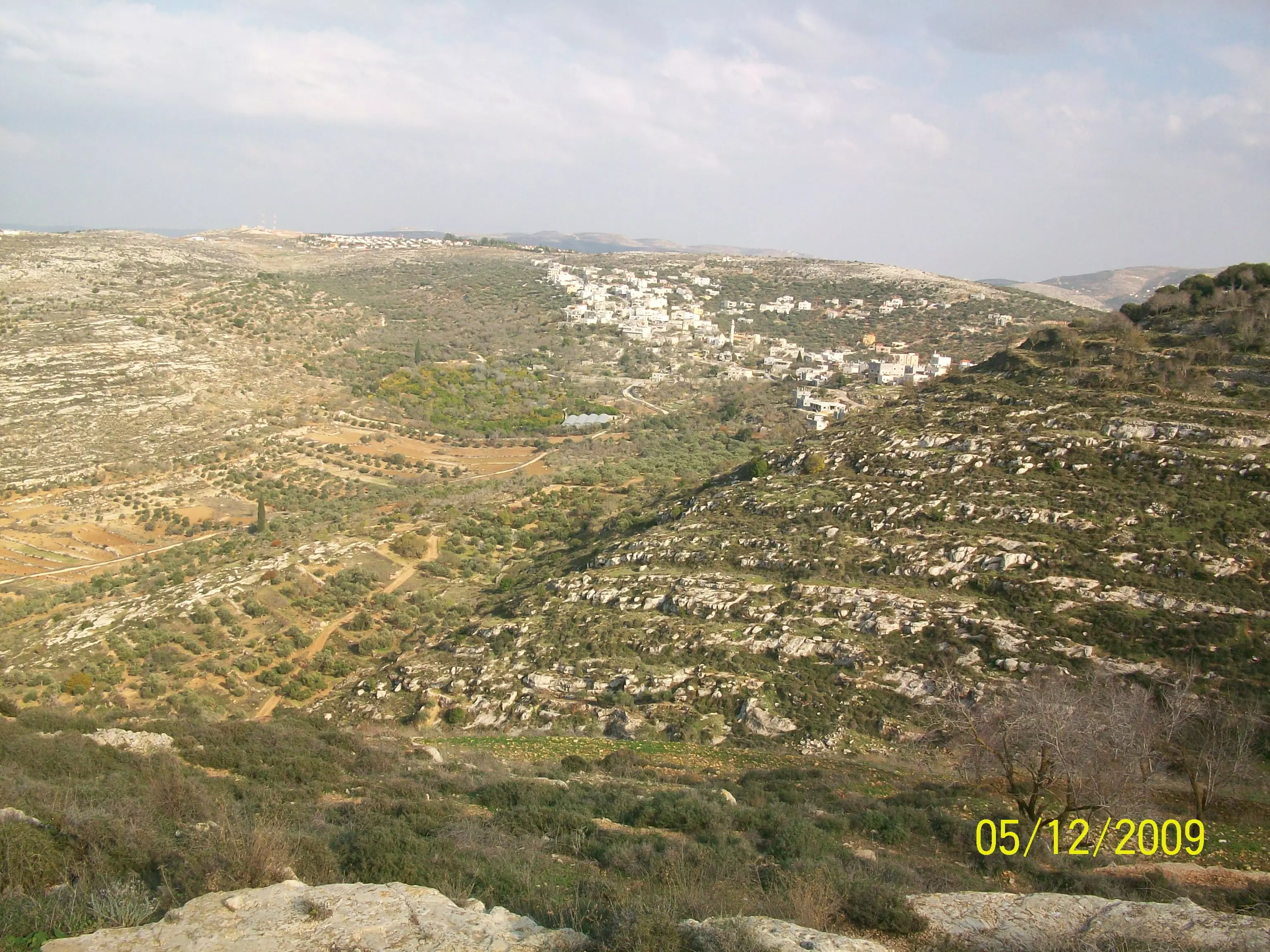
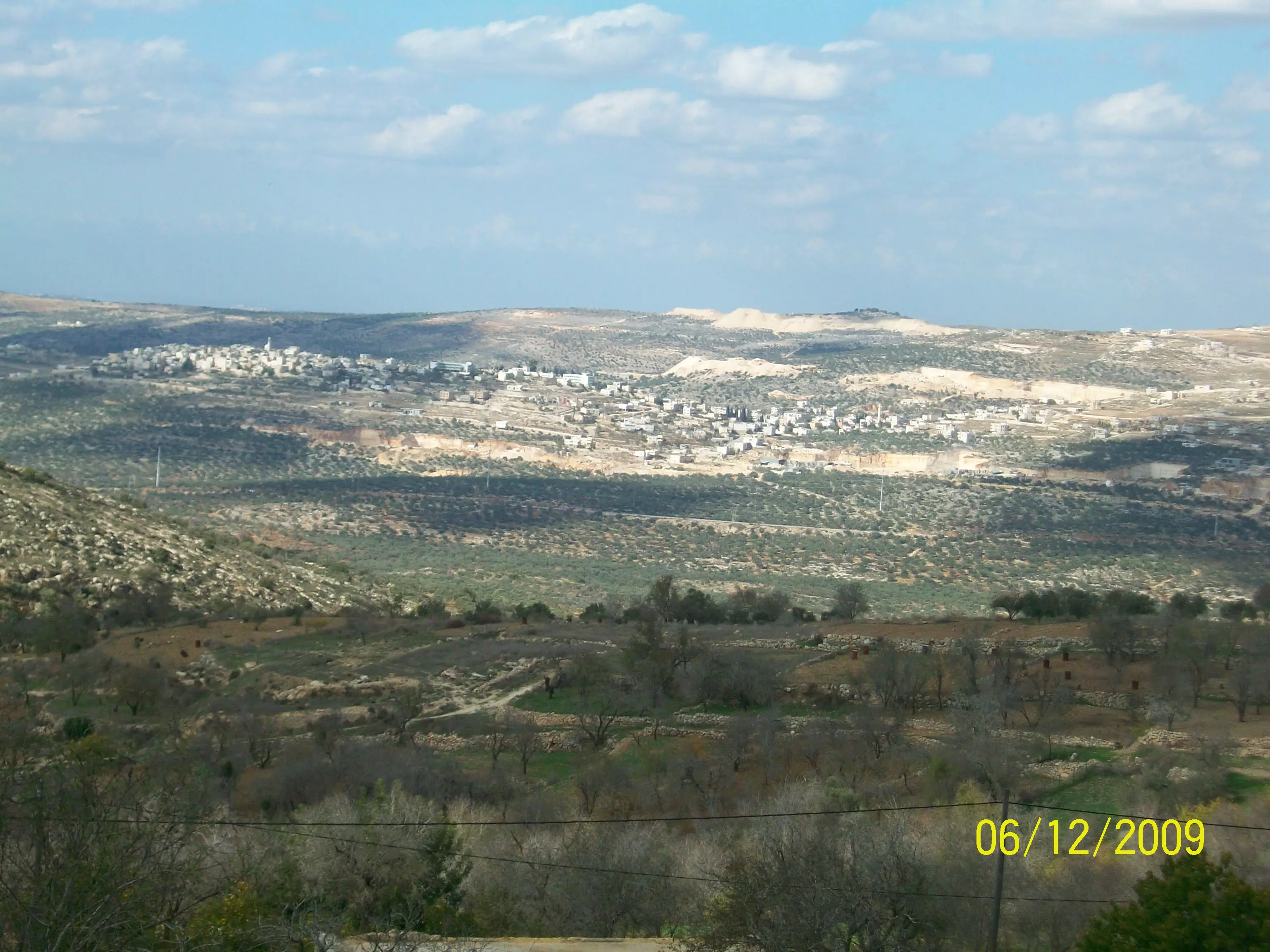
Posted by abualoul - صورة لمنطقة البيوض وفى الصورة قرية جماعين
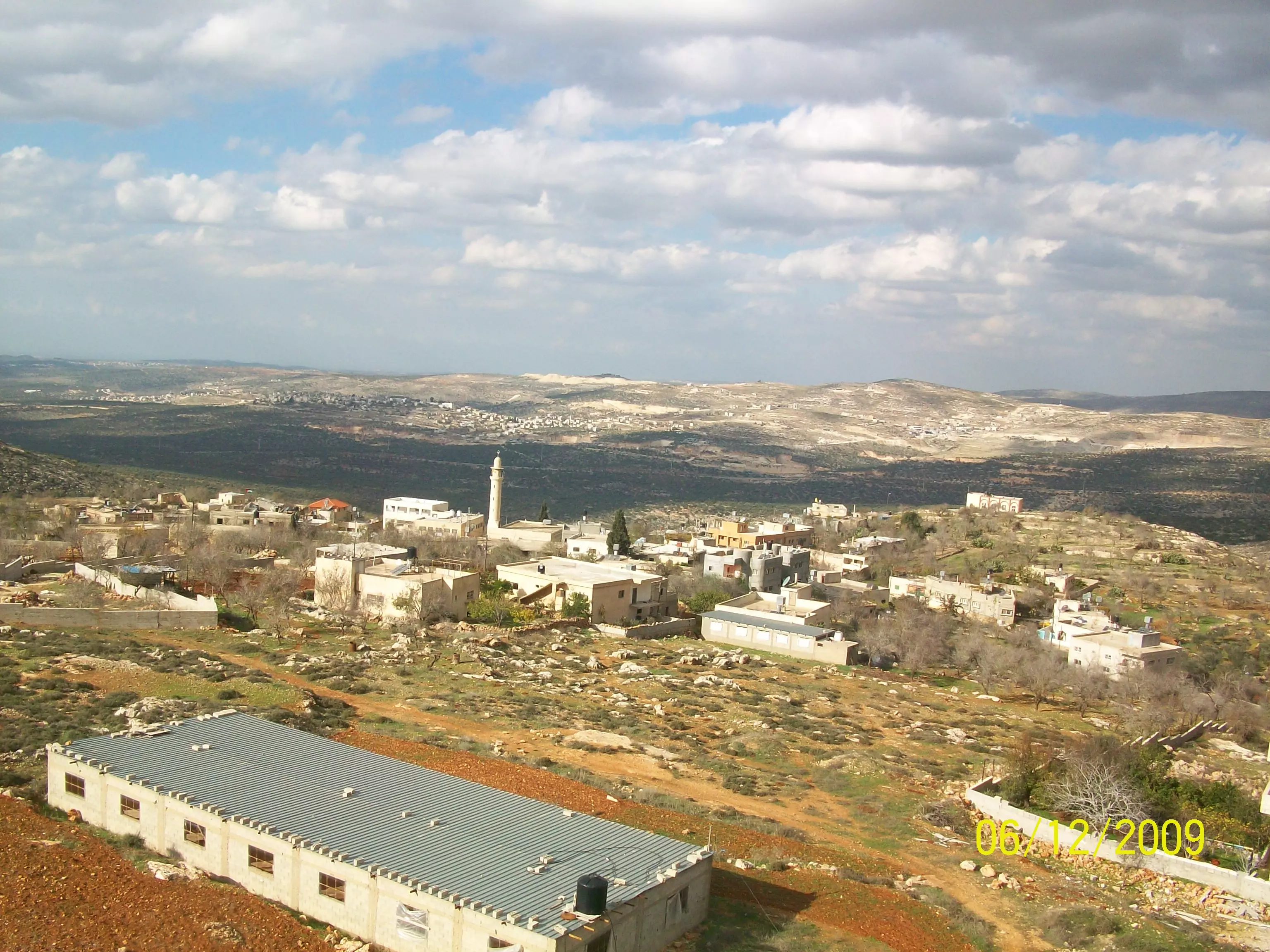
Posted by abualoul - صورة عامة للقرية التقطت من وعرة البيادر
Posted by abualoul - صورة عامة للحارة الشرقية ويظهر ابو الزرد
Posted by abualoul - طريق تركيا الجديد وبيوت الحارة الشرقية
Posted by abualoul - صورة عامة لطريق تركيا وتظهر وعرة البيادر
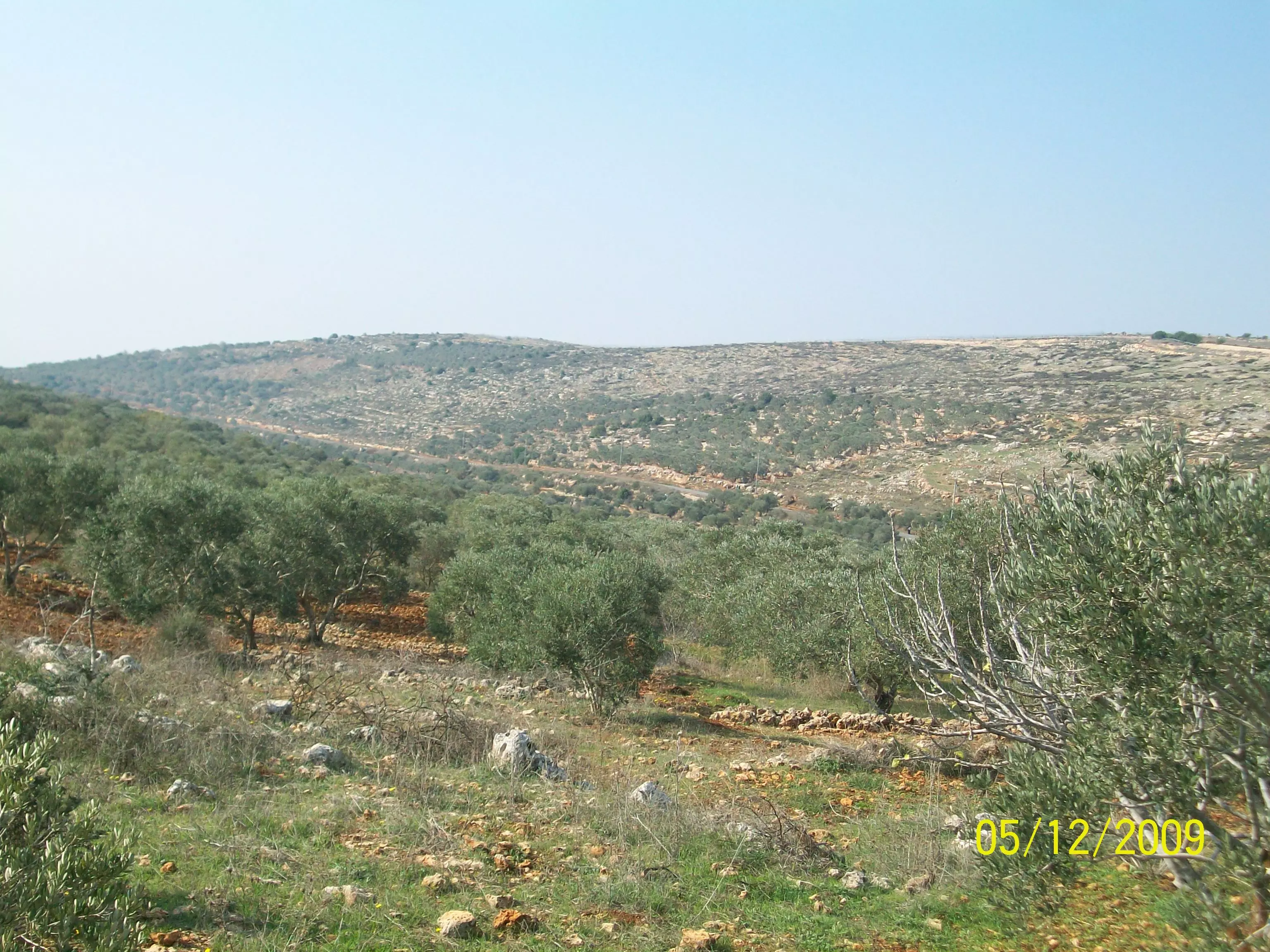
Posted by abualoul - صورة عامة التقطت من وعرة البيادر وتظهر جبال عمورية وما جاورها والطريق الالتفافى
Posted by abualoul - صورة عامة التقطت من وعرة البيادر وتظهر قرية قبلان وجبالها والطرق الالتفافية
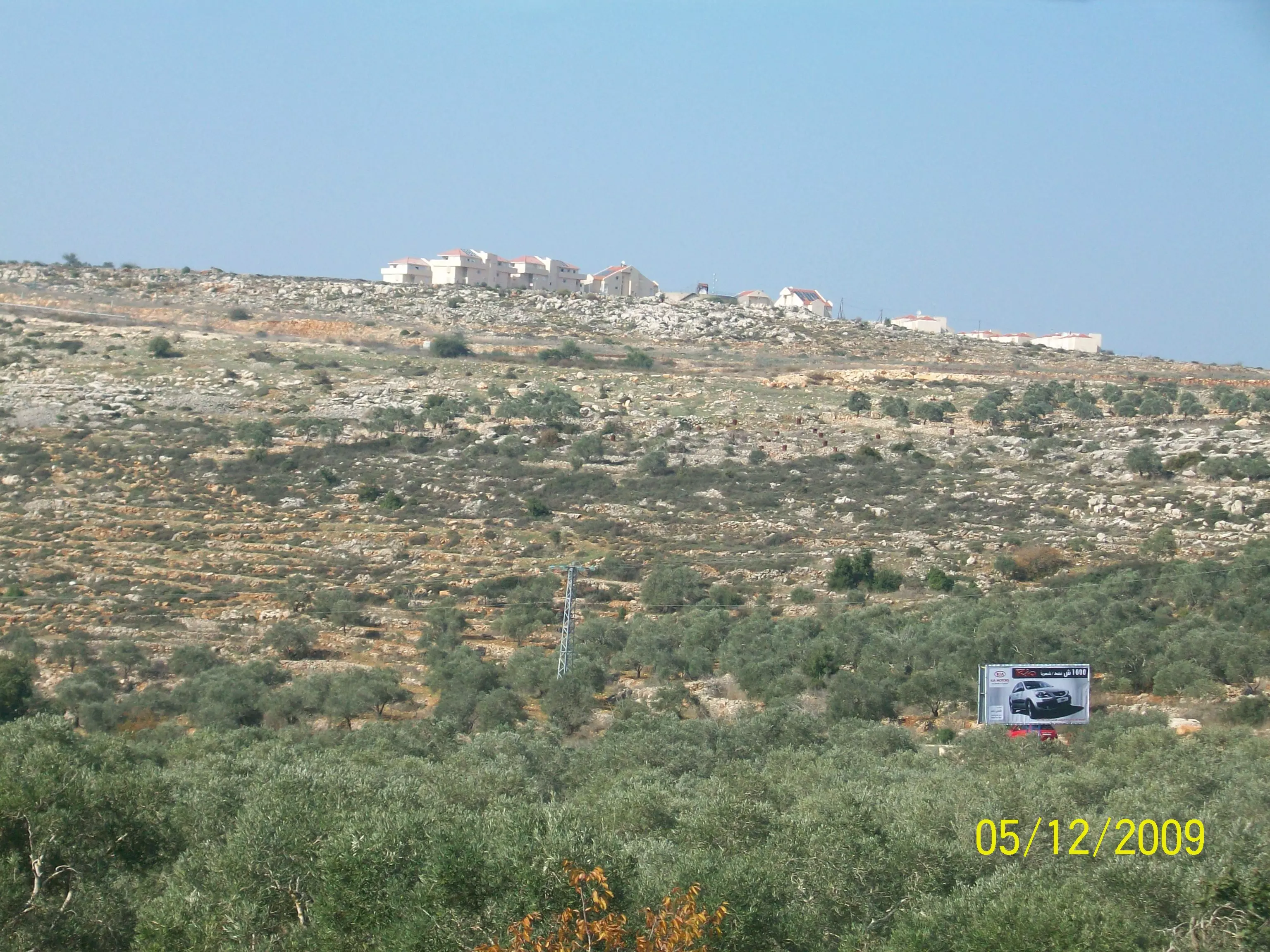
Posted by abualoul 1 - صورة عامة التقطت من وعرة البيادر وتظهر بعض مبانى مستعمرة ارائيل
Posted by abualoul - صورة عامة التقطت من وعرة البيادر
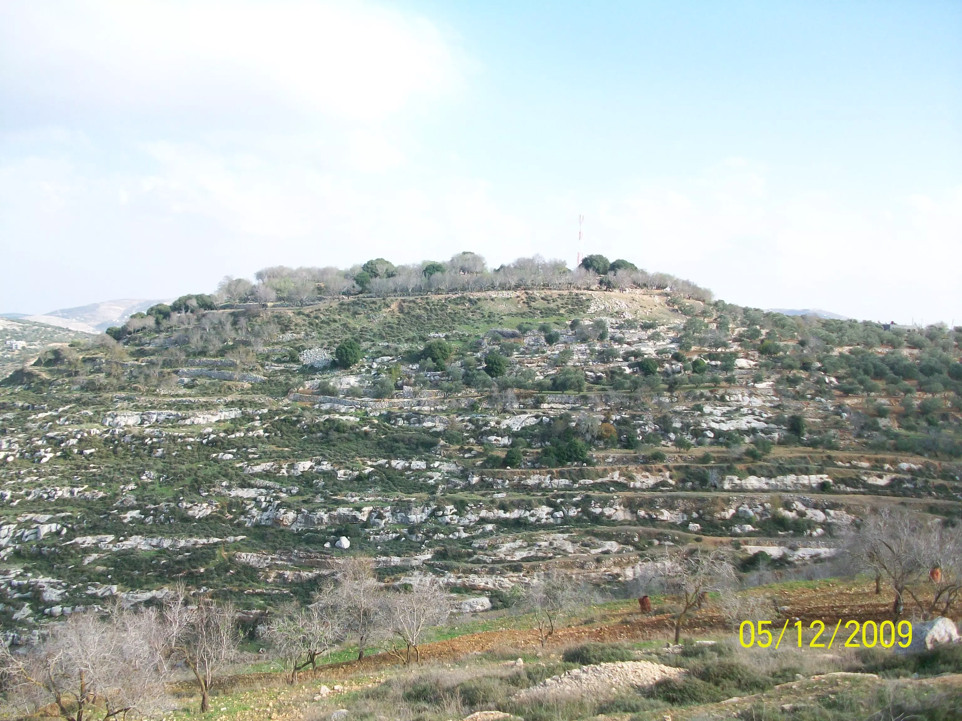
Posted by abualoul - صورة عامة لوعر فايز رحمة اللة ويظهر قصر قديم
Posted by abualoul - صورة عامة لحاووز القرية
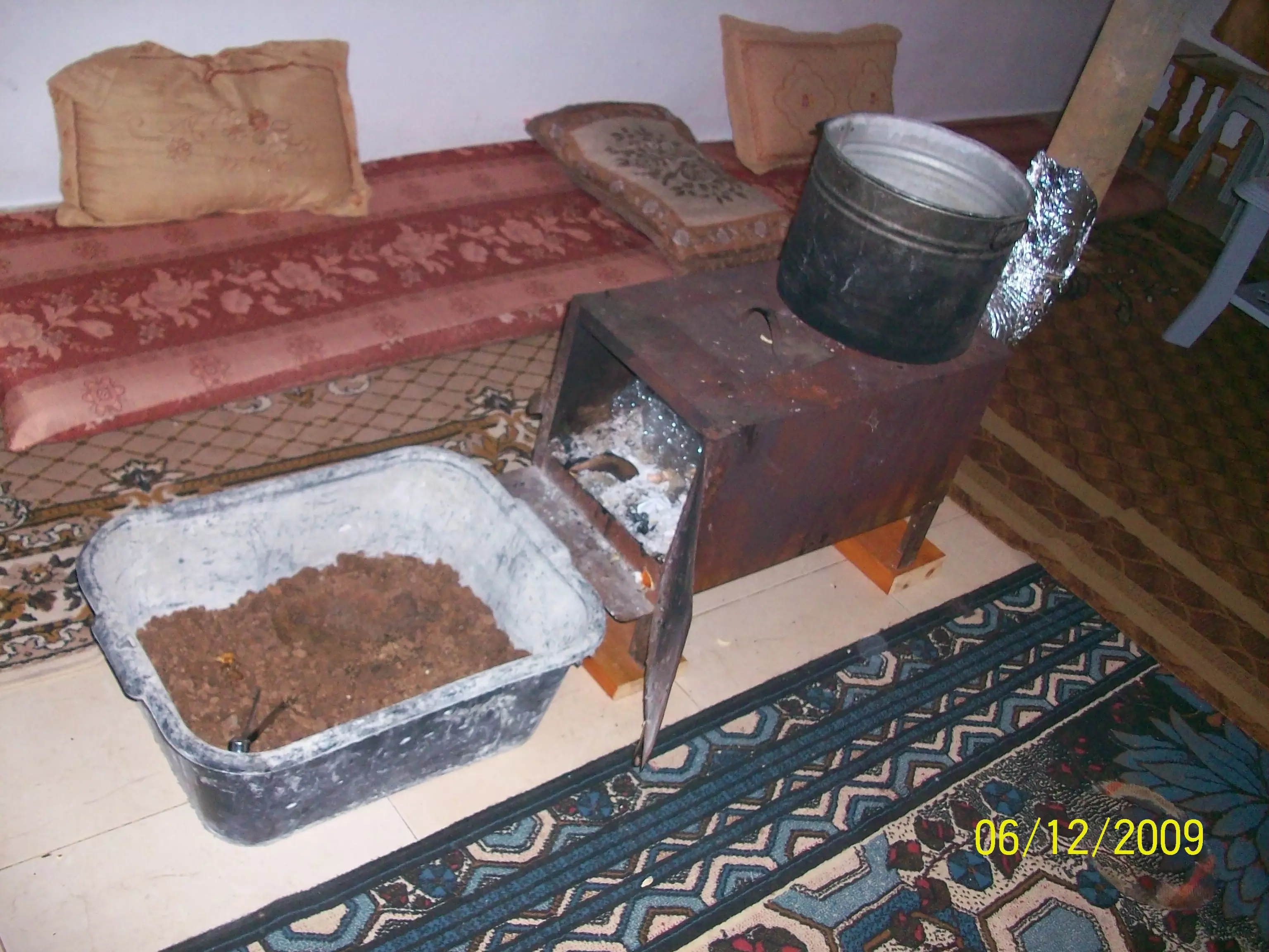
Posted by abualoul - صورة لصوبة حطب قديمة وتظهر سخانة الماء وبعض من الجفت -النار فاكهة الشتاء-
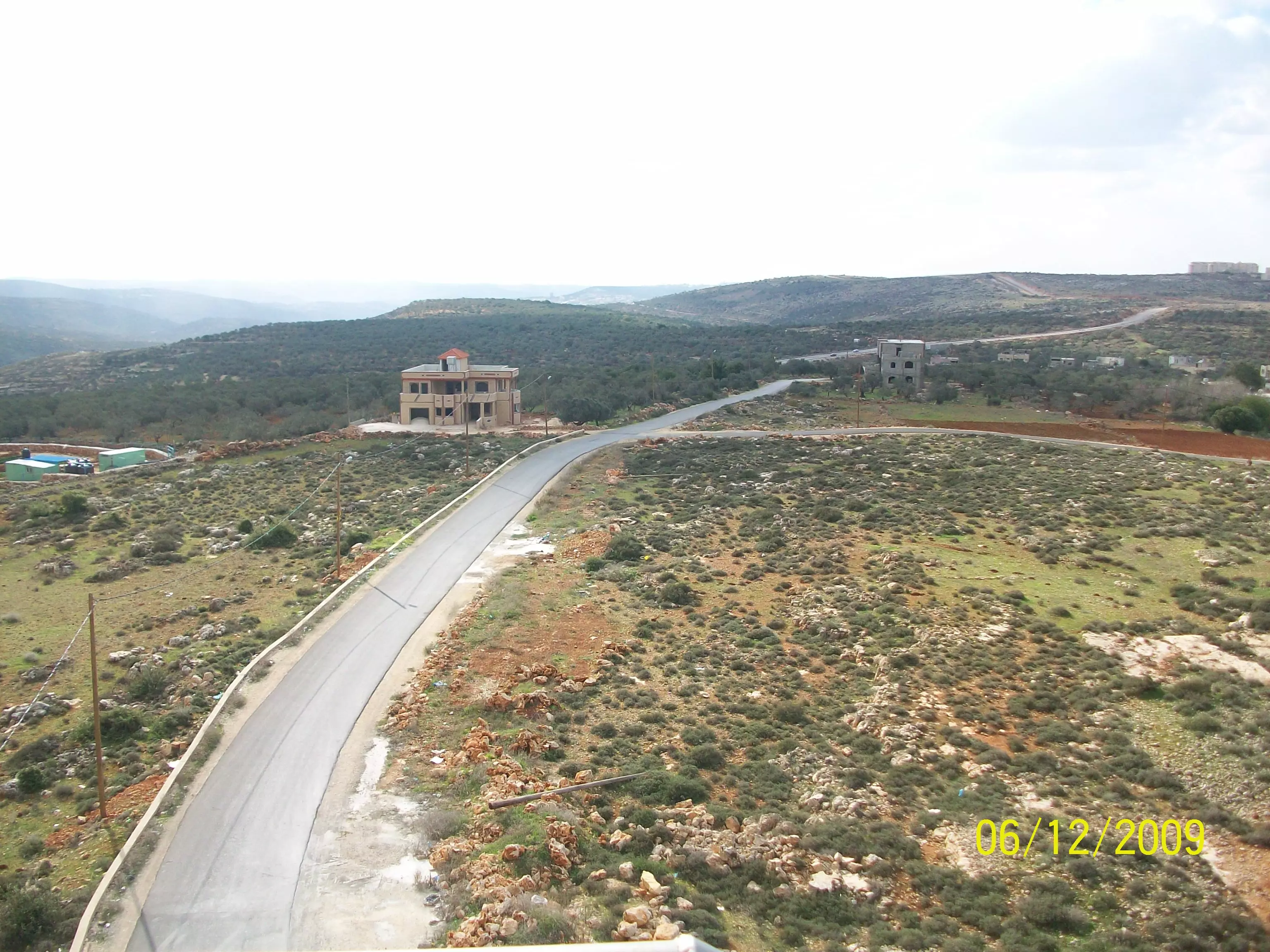
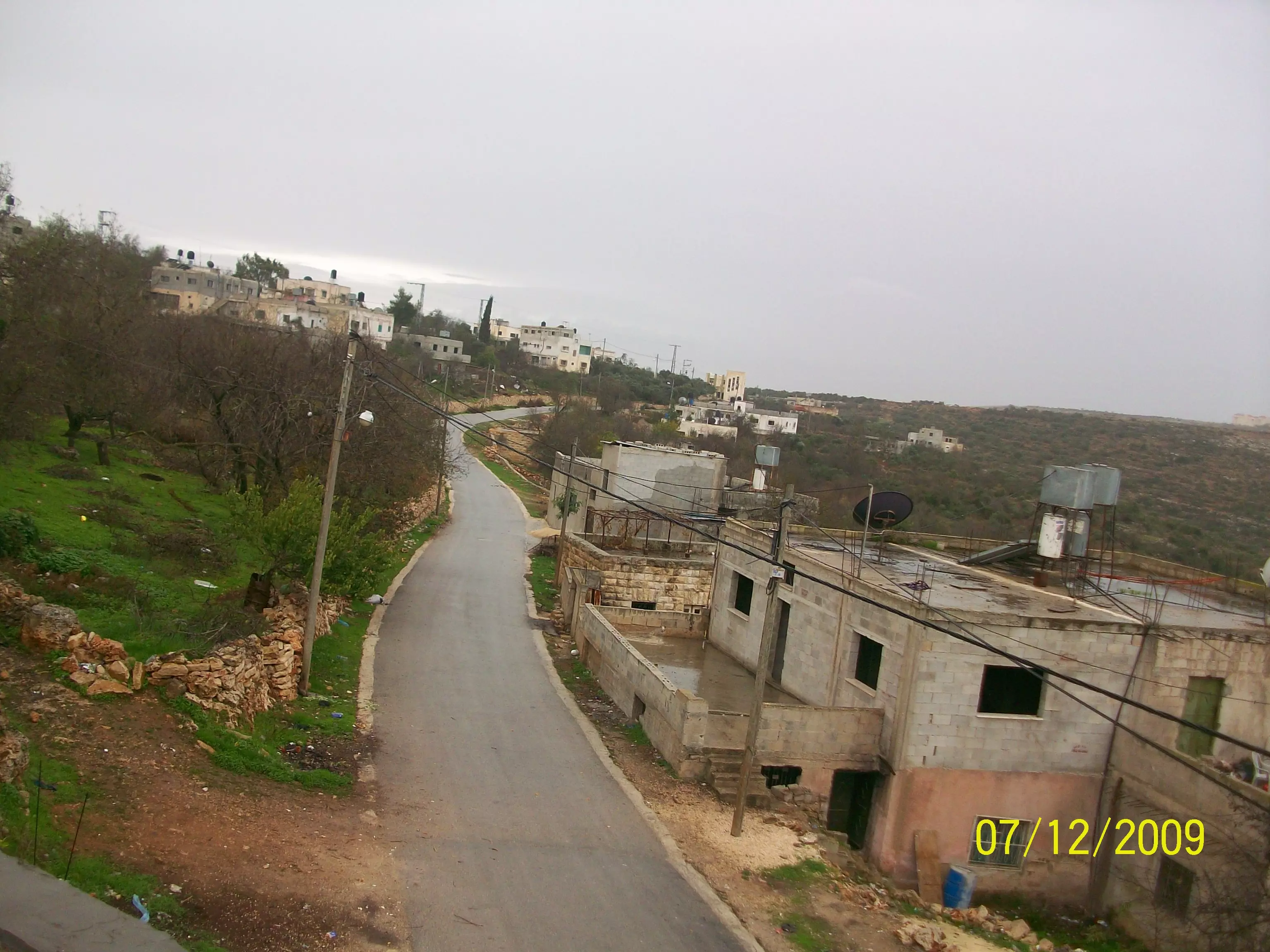
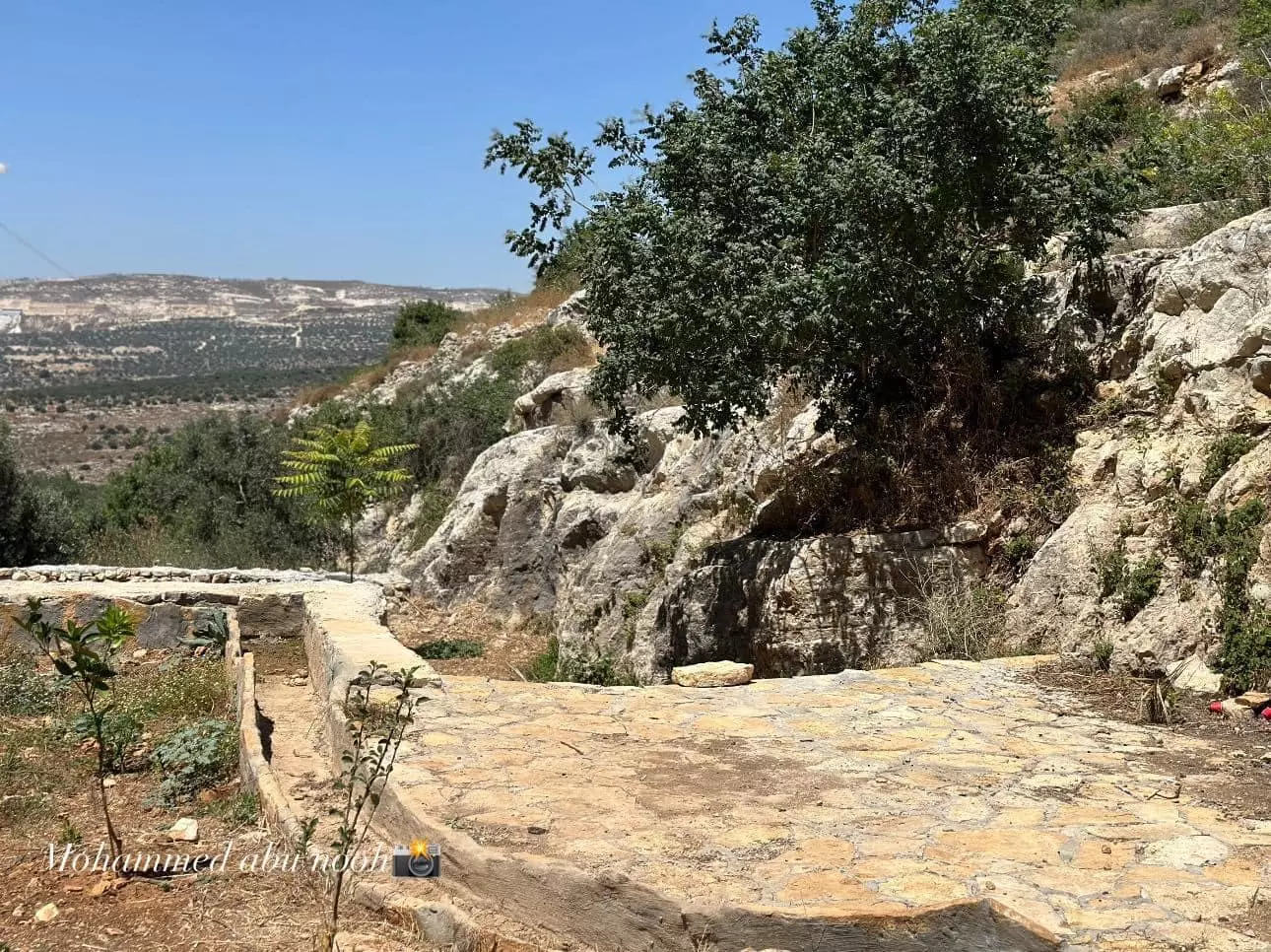
Posted by abualoul 1 - صورة للطريق الجديدة التي تصل الى المجلس القروي
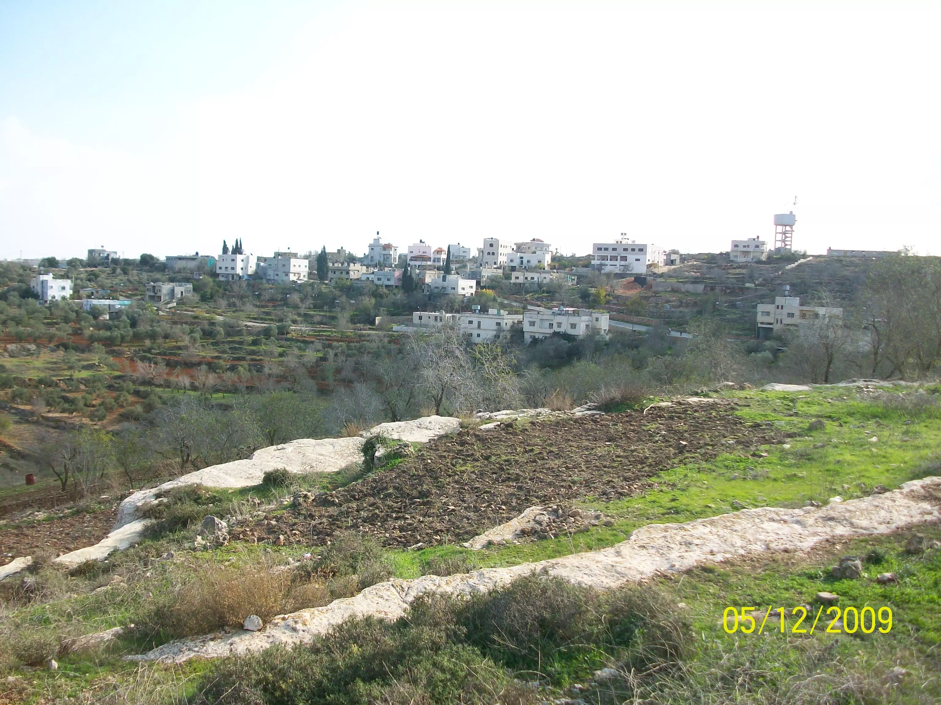
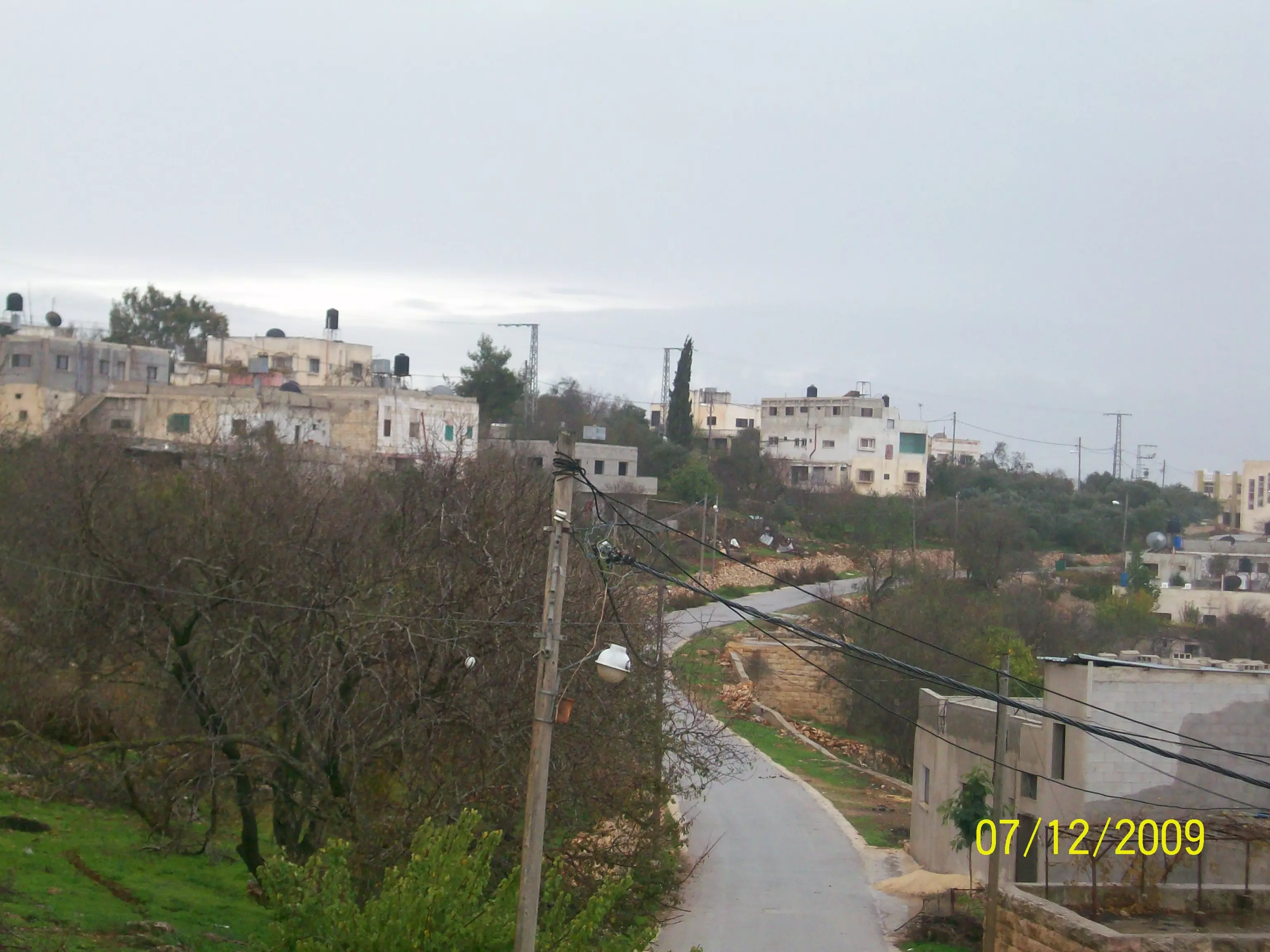
Posted by abualoul - صورة عامة للقرية
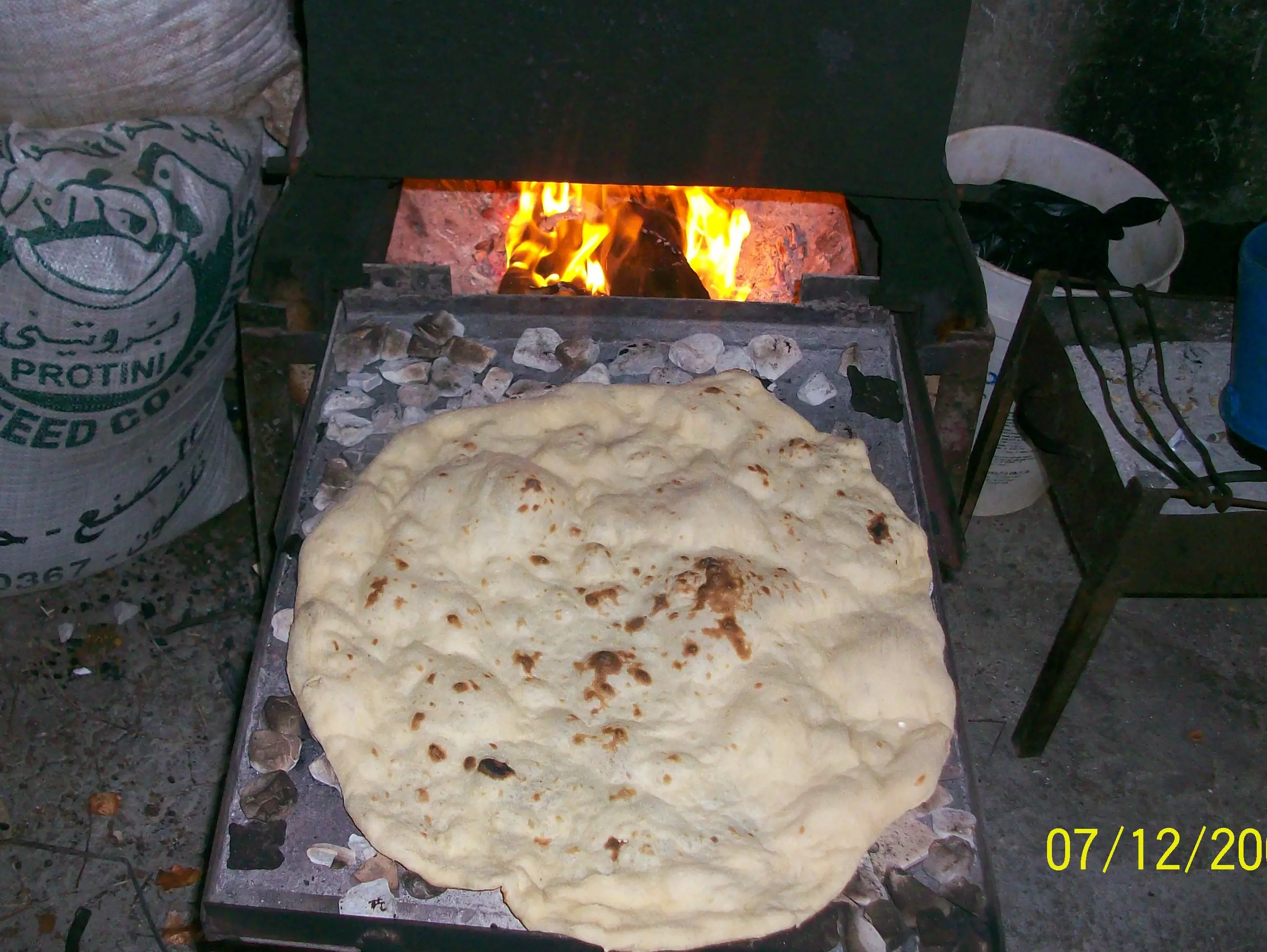
Posted by abualoul - الخبز الفلسطيني على الرظف رغيف خبز مع صحن زيت وزعتر وراس بصل على هالصبح علي الطربوش احسن من خاروف
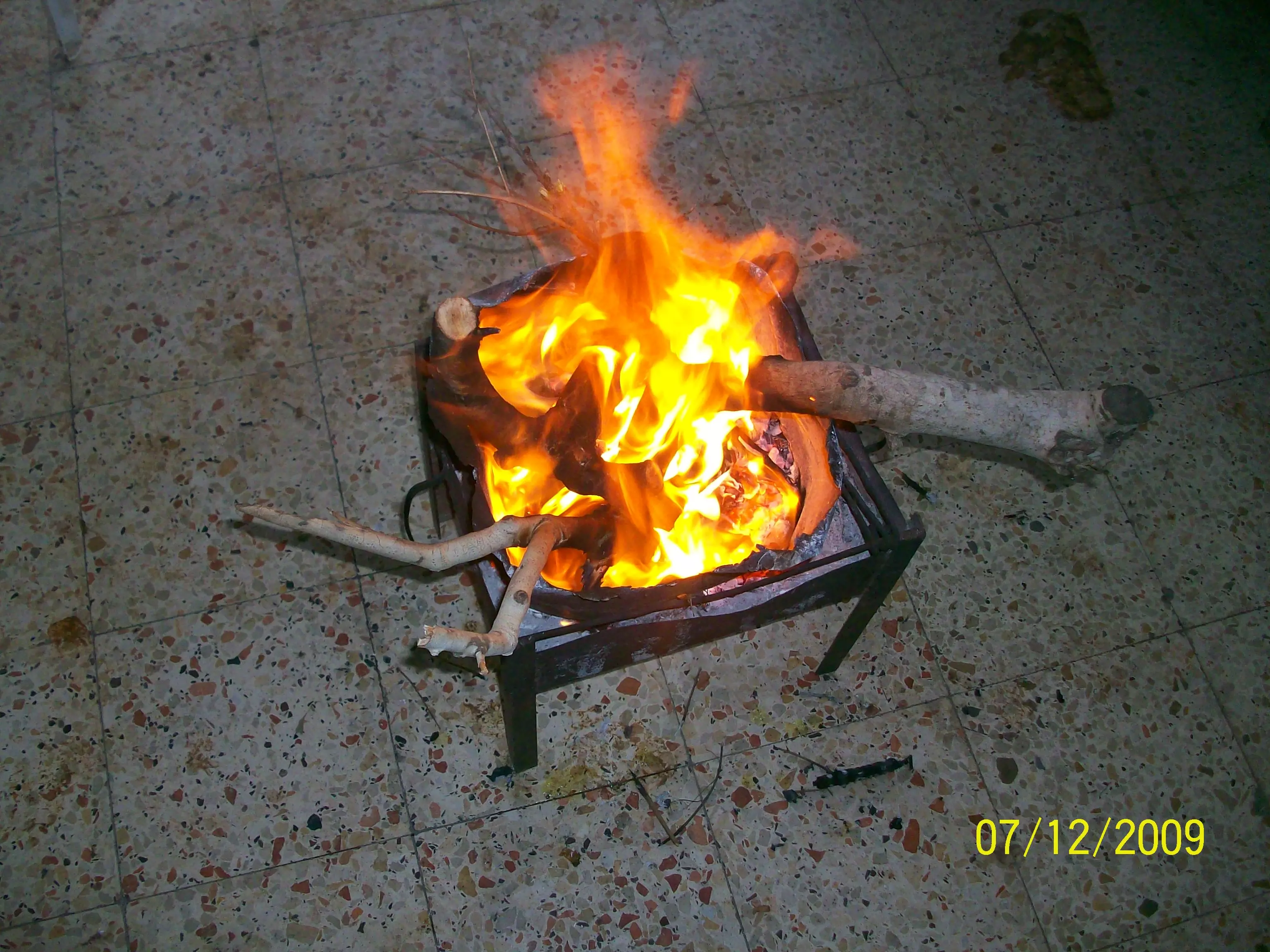
Posted by abualoul - كانون النار وقرامي الزيتون تشتعل
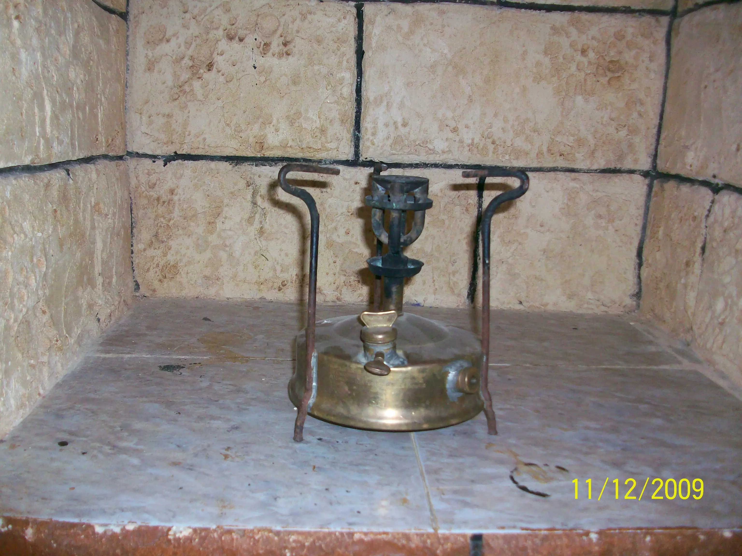
Posted by abualoul - صورة لبابور كاز قديم استعملة اباؤنا واجدادنا رحمهم اللة ساق اللة على ايام زمان
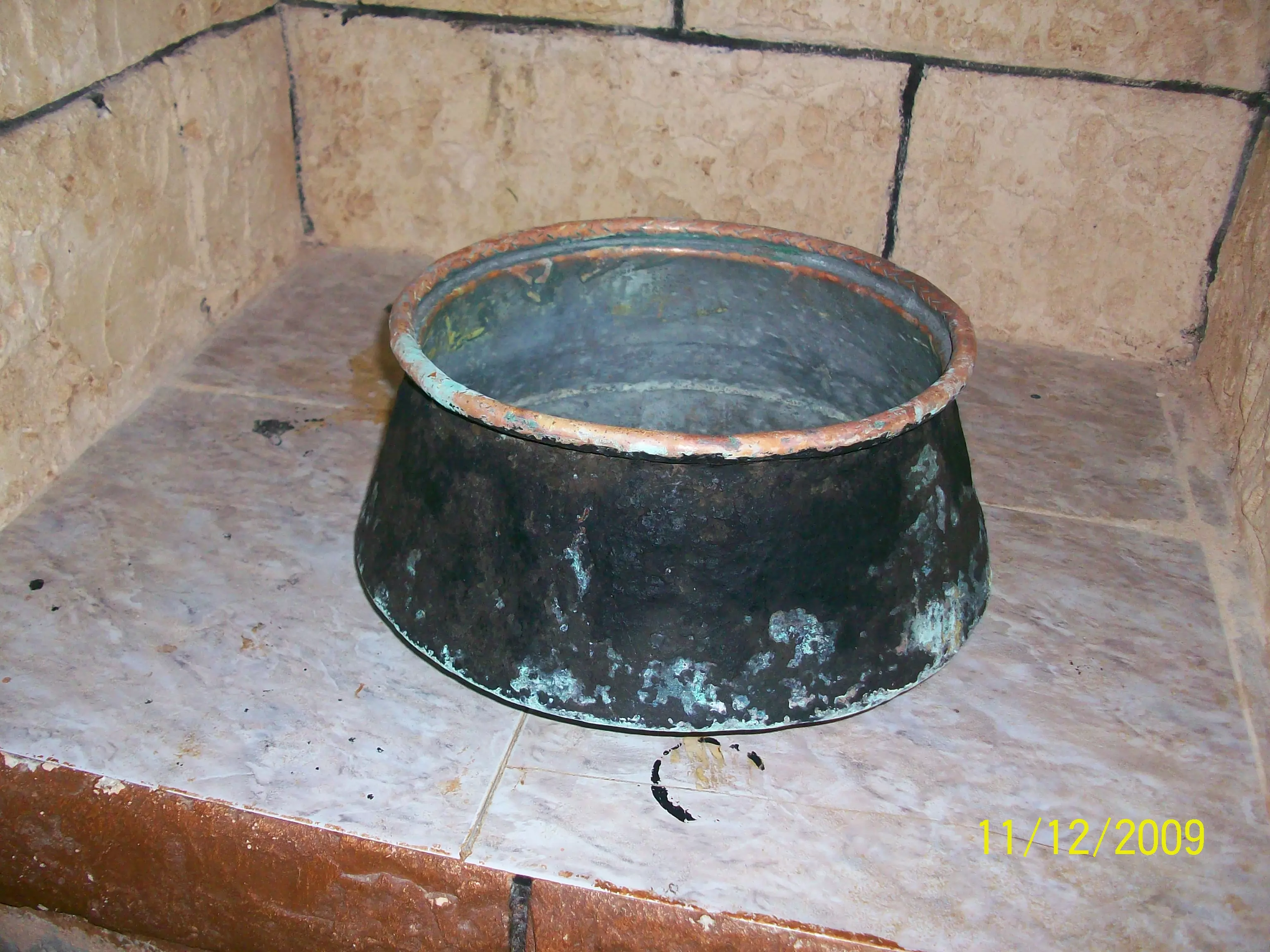
Posted by abualoul - صورة لقدرة نحاس قديمة
Posted by abualoul - صورة لمهباش القهوة --دق المهباش يا سويلم
Posted by abualoul - صورة لجونية قديمة
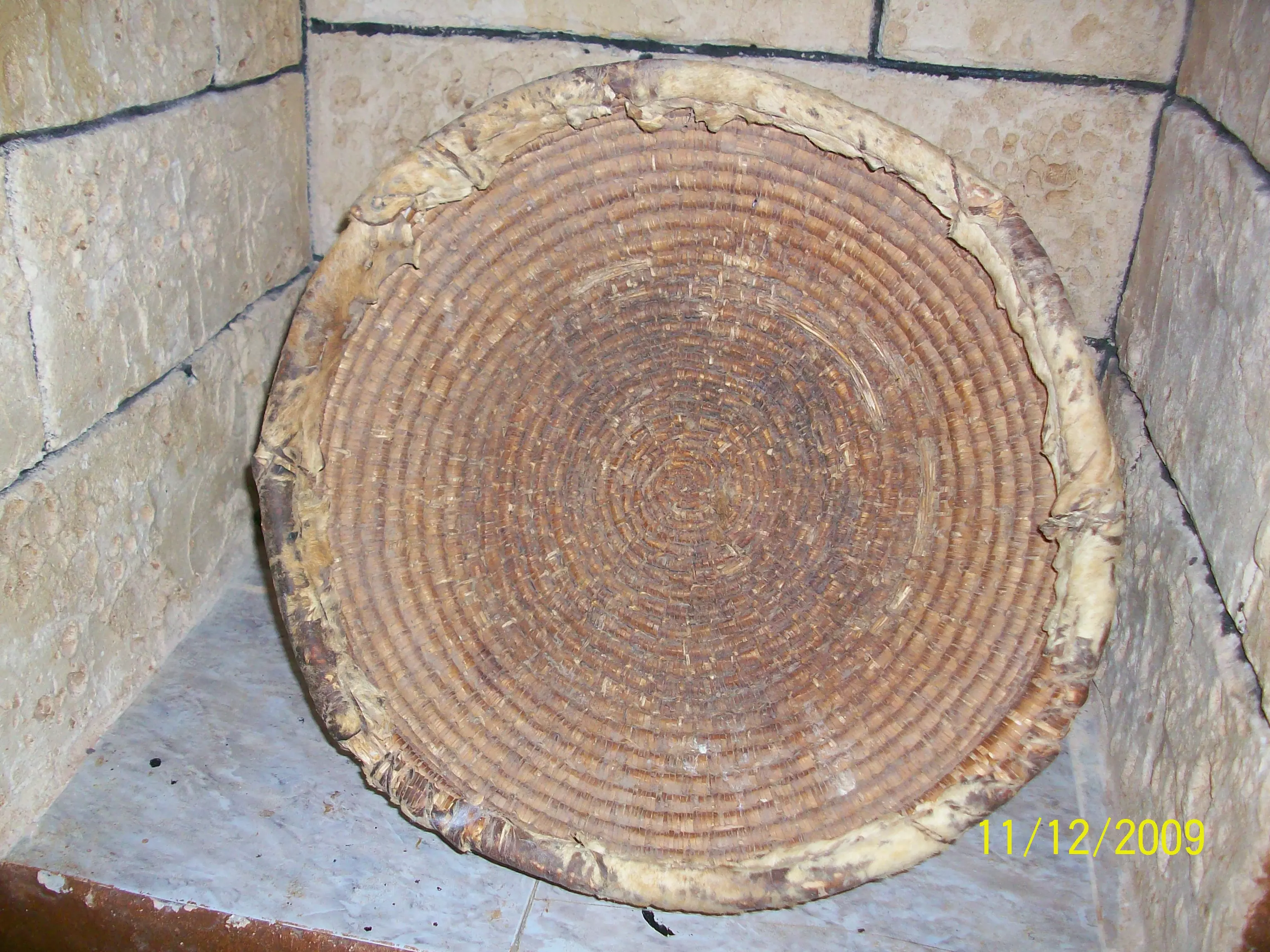
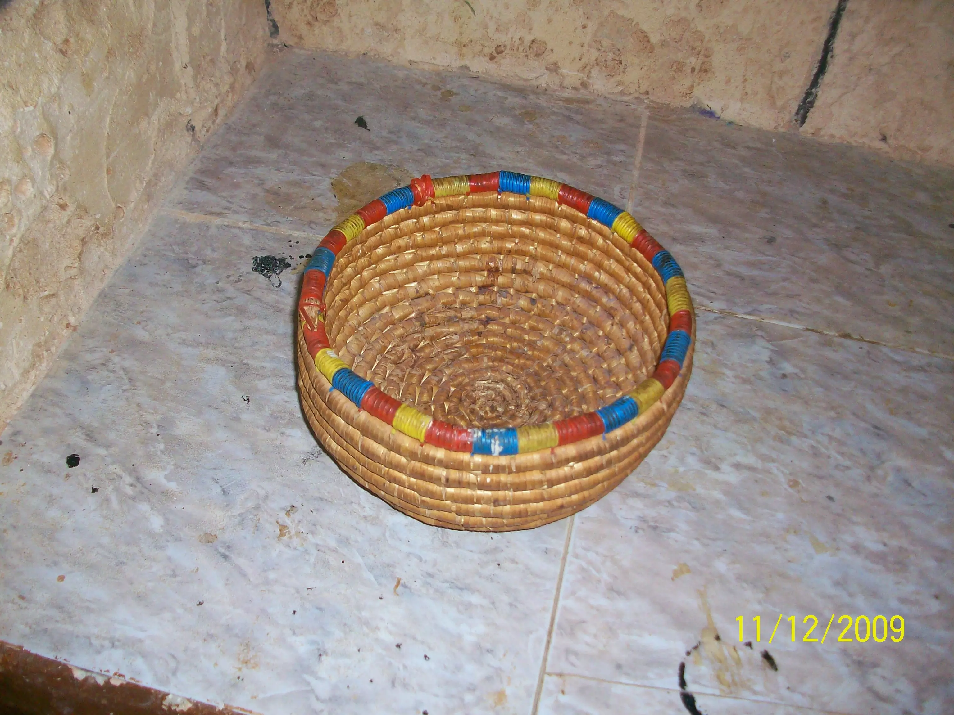
Posted by abualoul - صورة لصينية قش قديمة
Posted by abualoul - صورة لحمالة القمح التى كانت توضع على ظهر الدواب ايام الحصاد
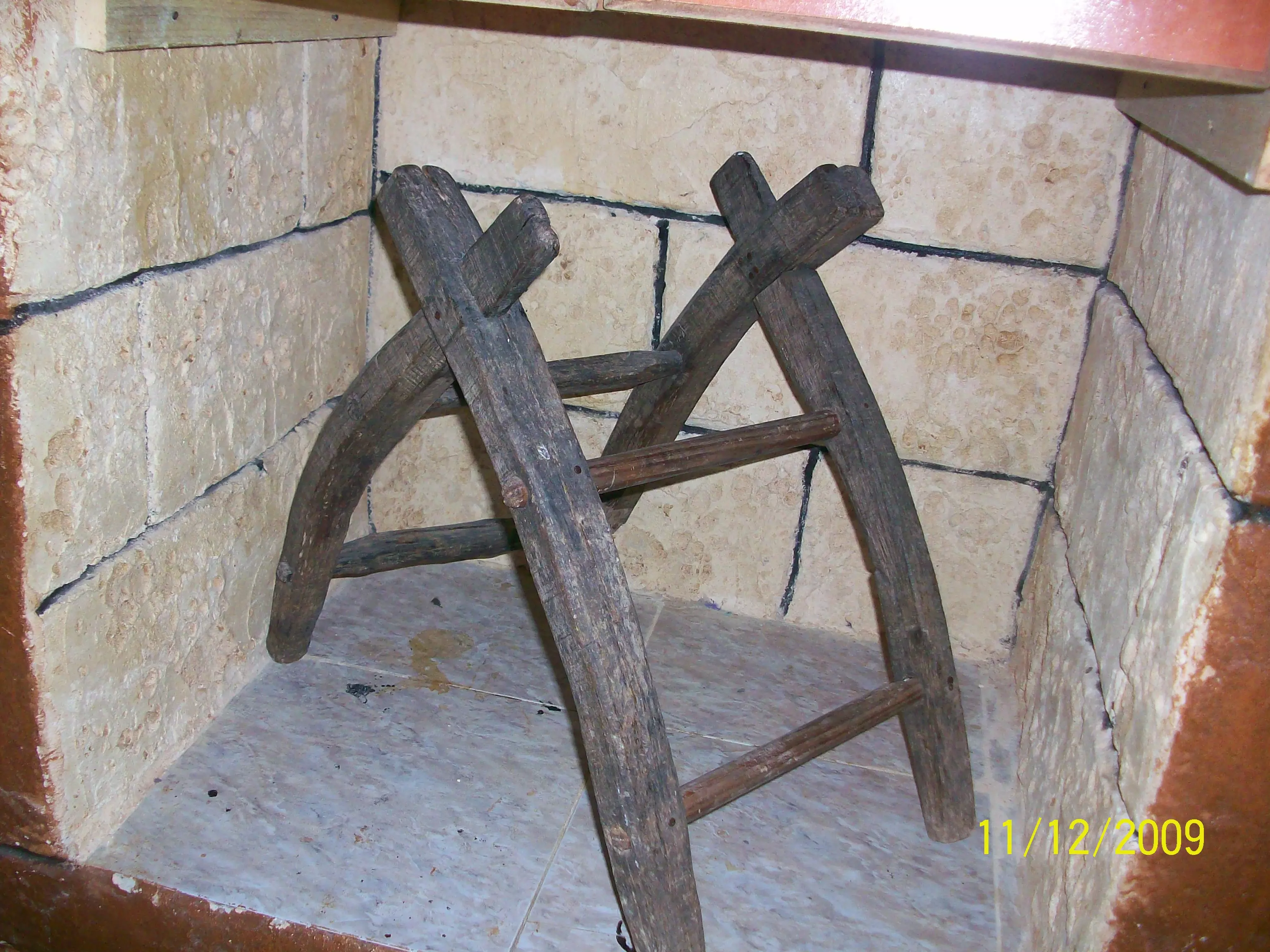
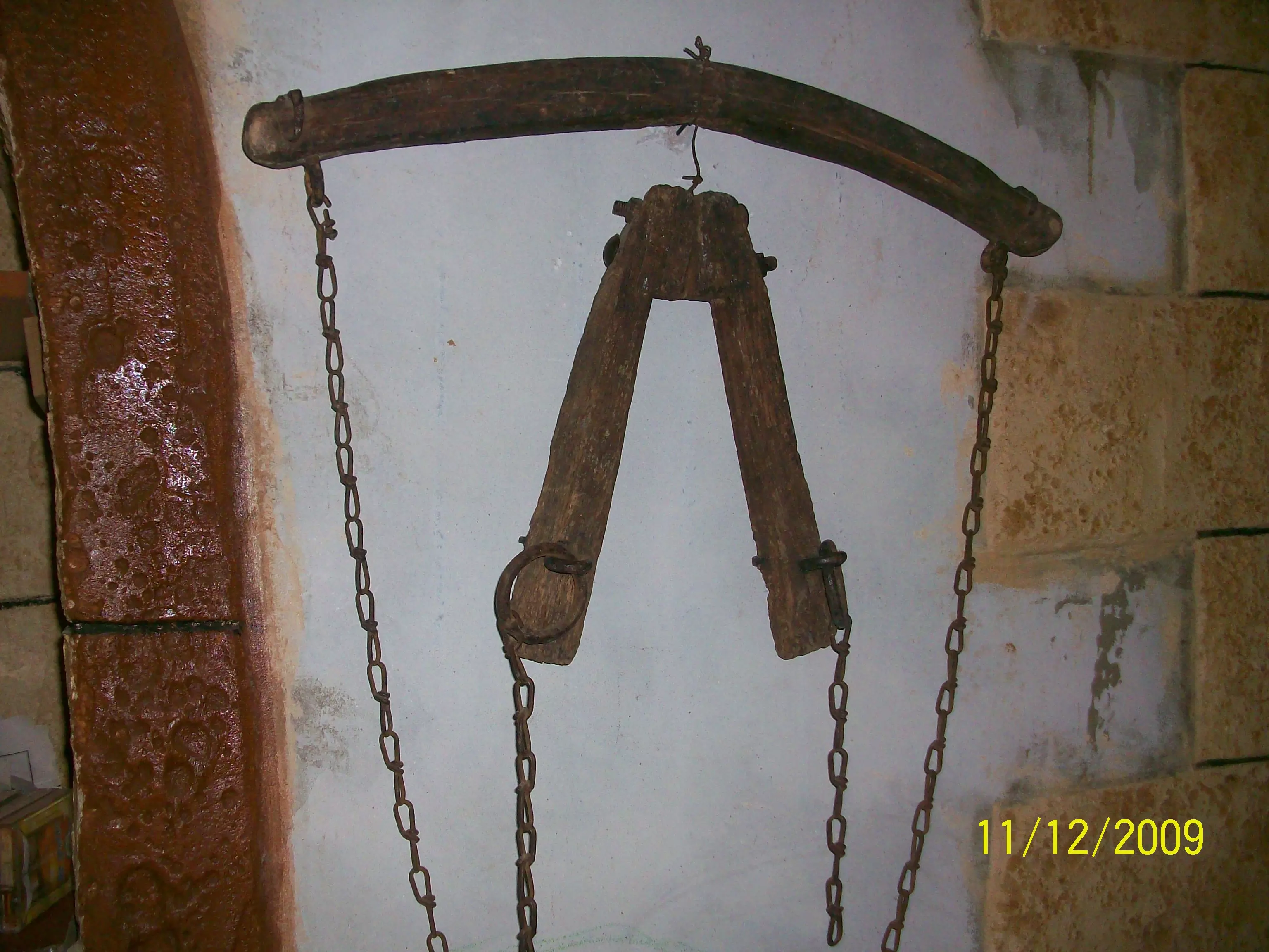
Posted by abualoul - صورة لادوات الحراثة القديمة
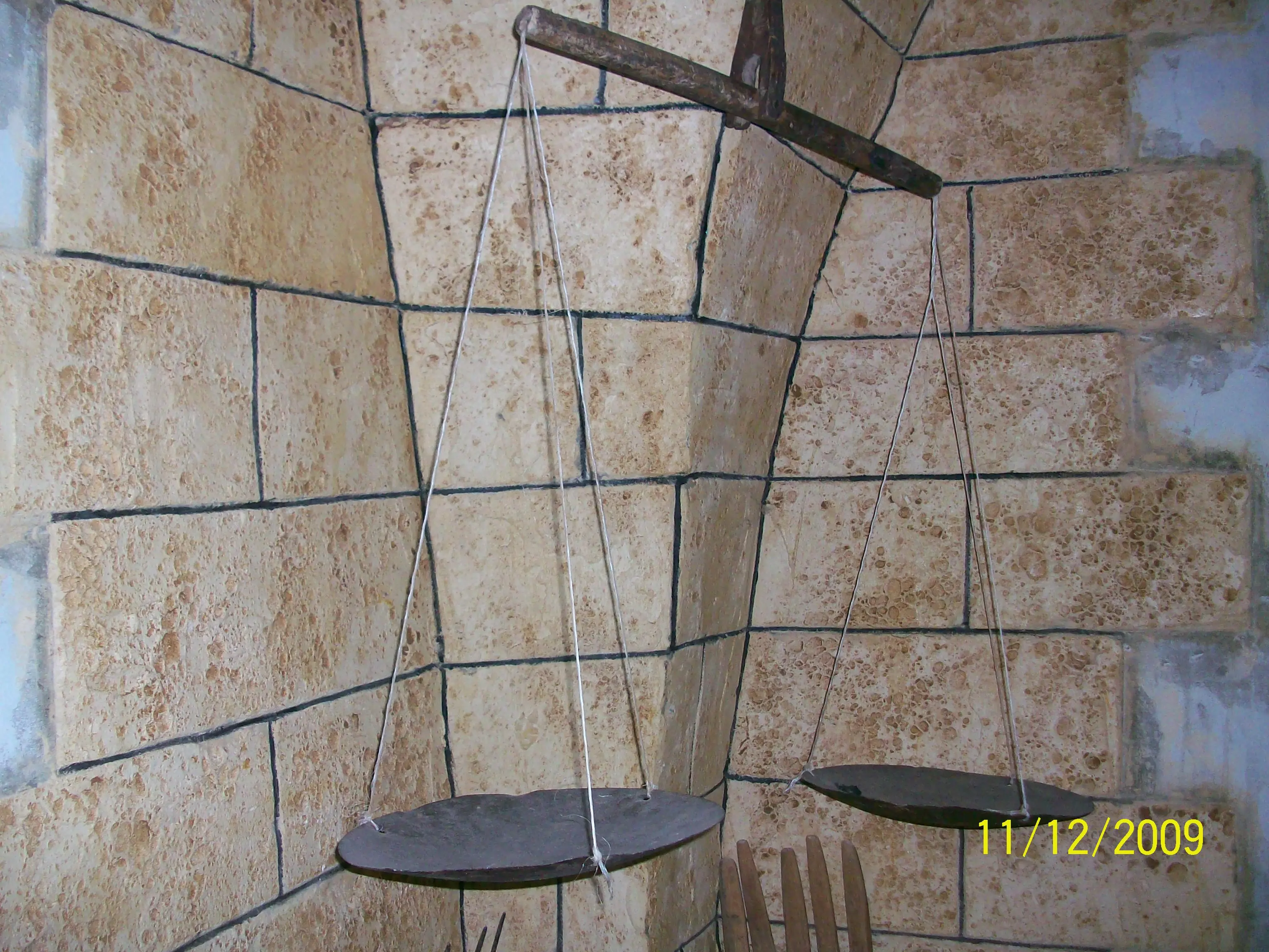
Posted by abualoul - صورة لميزان قديم جدا
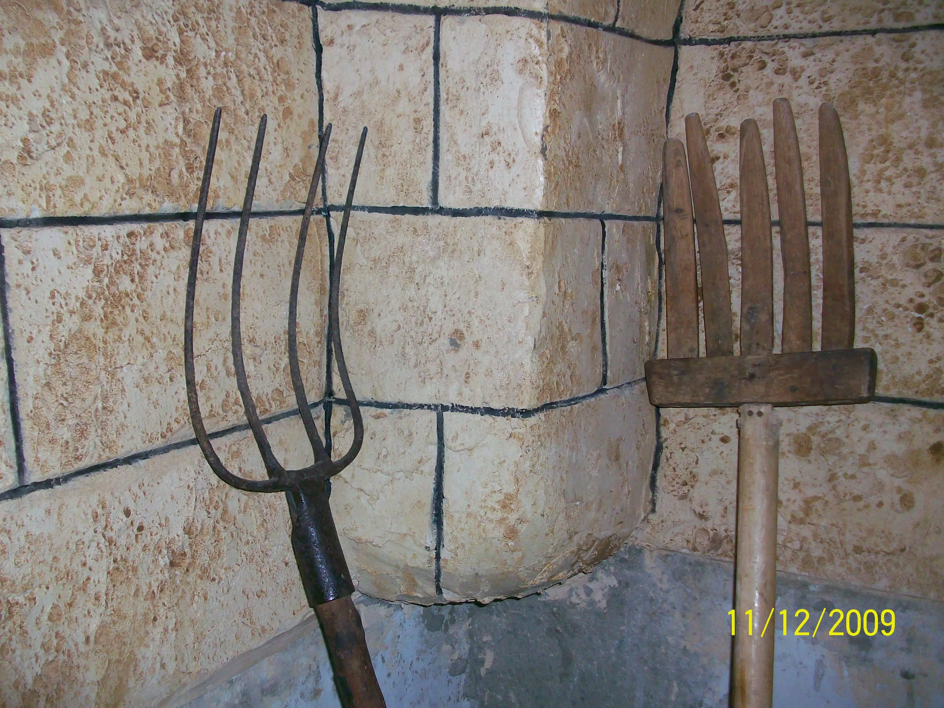
Posted by abualoul - صورة للشاعوب والمذراة تستعمل فى موسم الحصاد
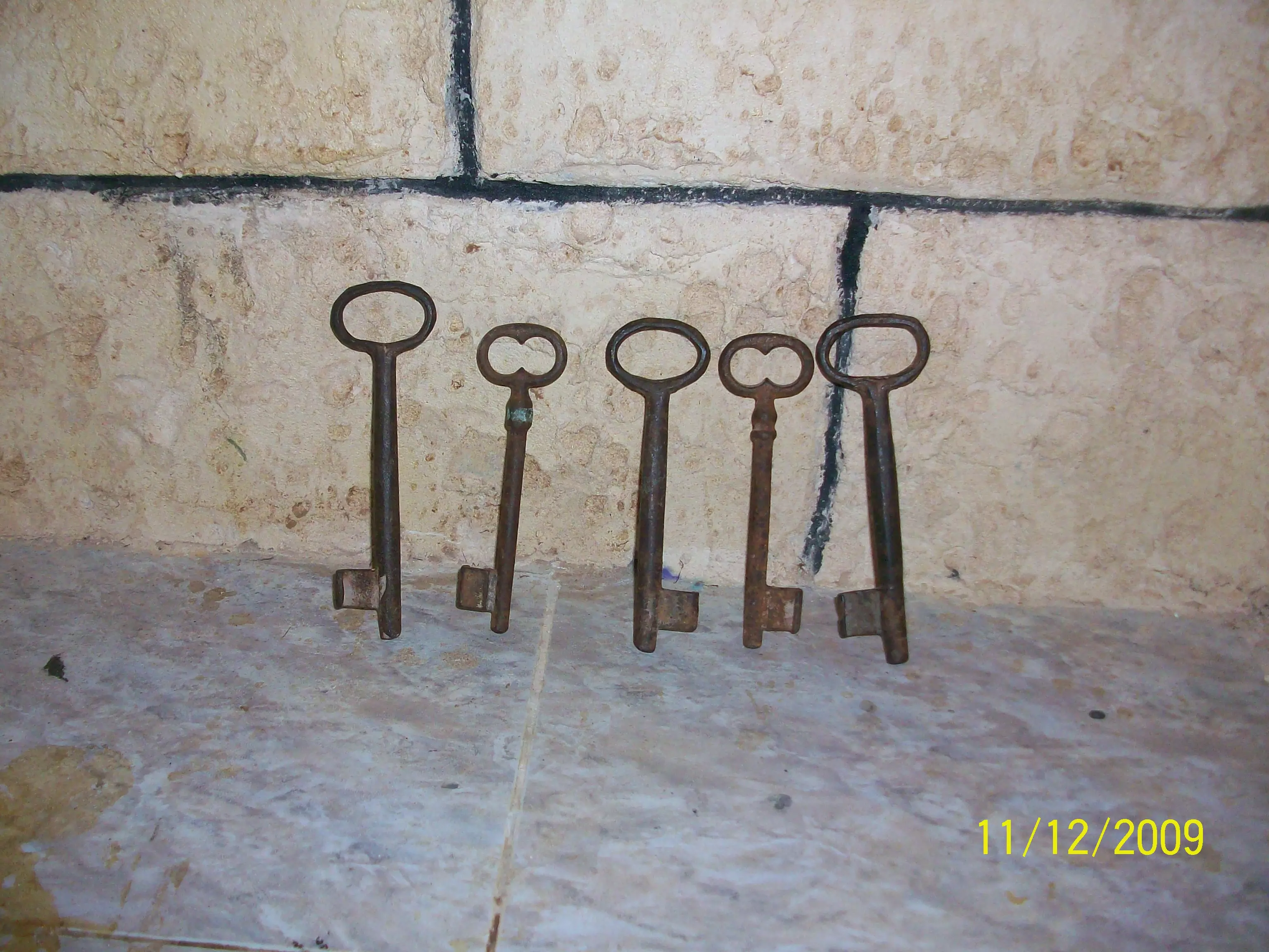
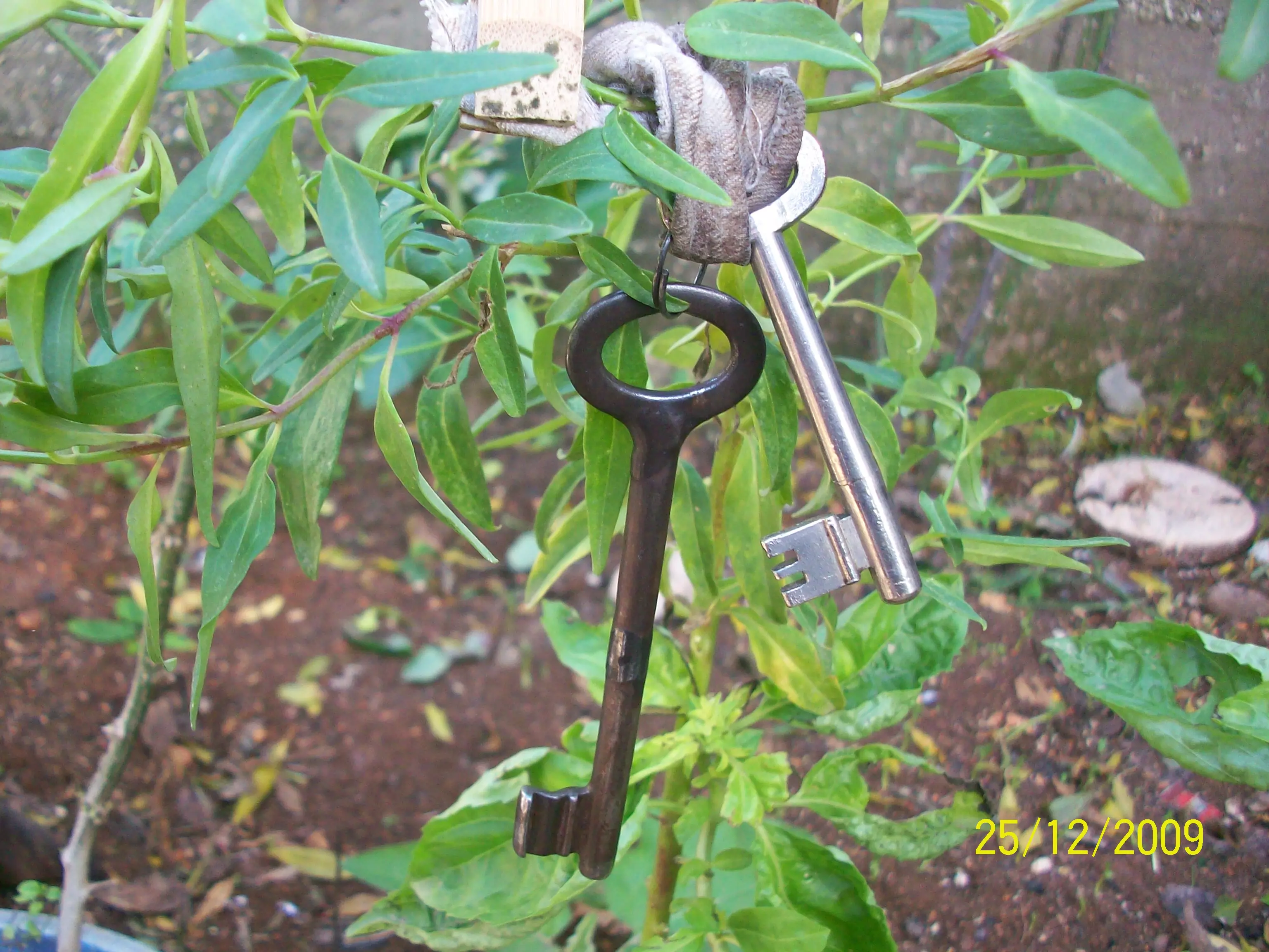
Posted by abualoul - صورةلمفاتيح البيوت القديمة
Posted by abualoul - قبعة القش التى كانت تستخدم لوضع بيض الدجاج
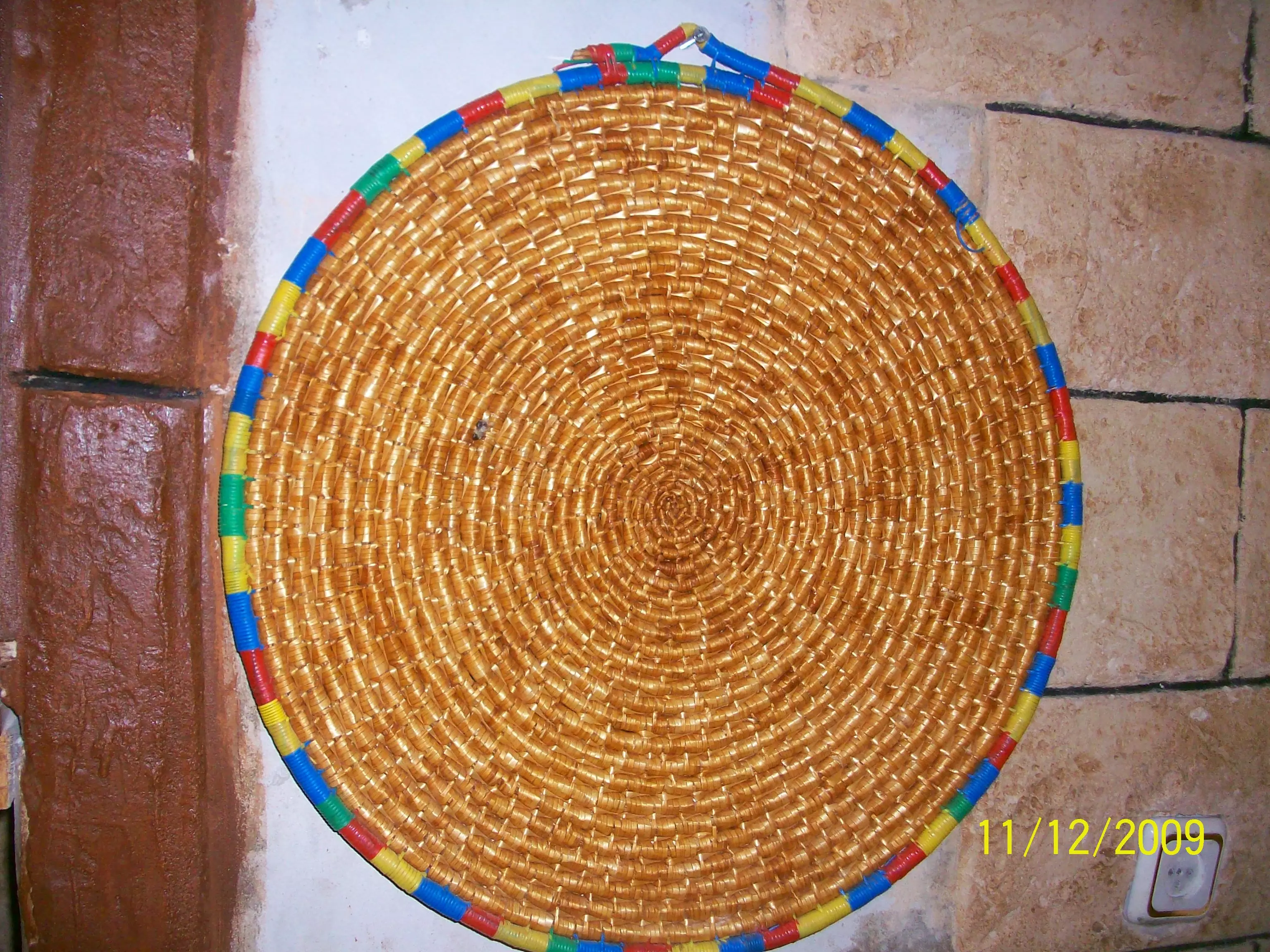
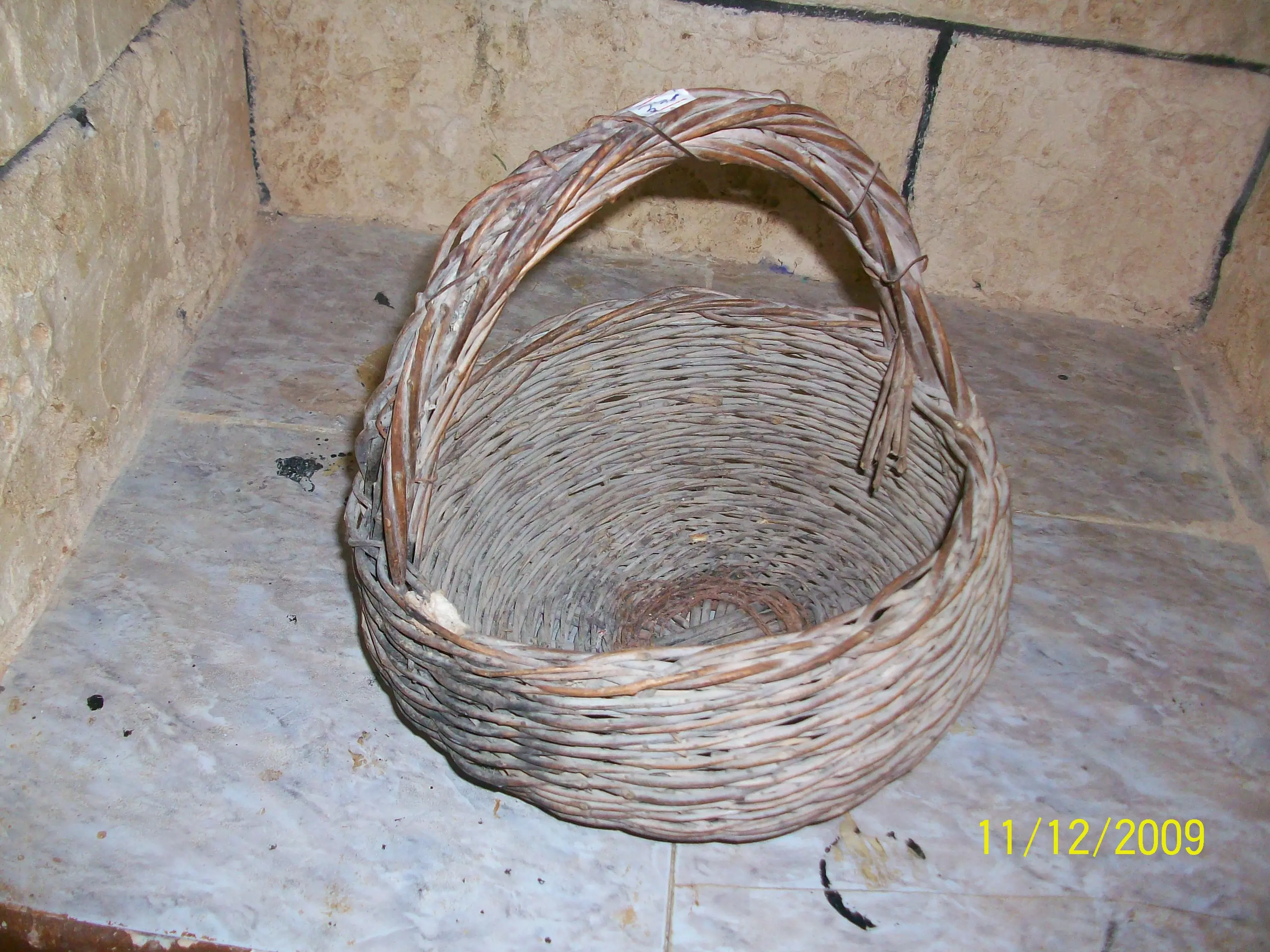
Posted by abualoul - صورة لقرطلة مصنوعة من شريب الزيتون
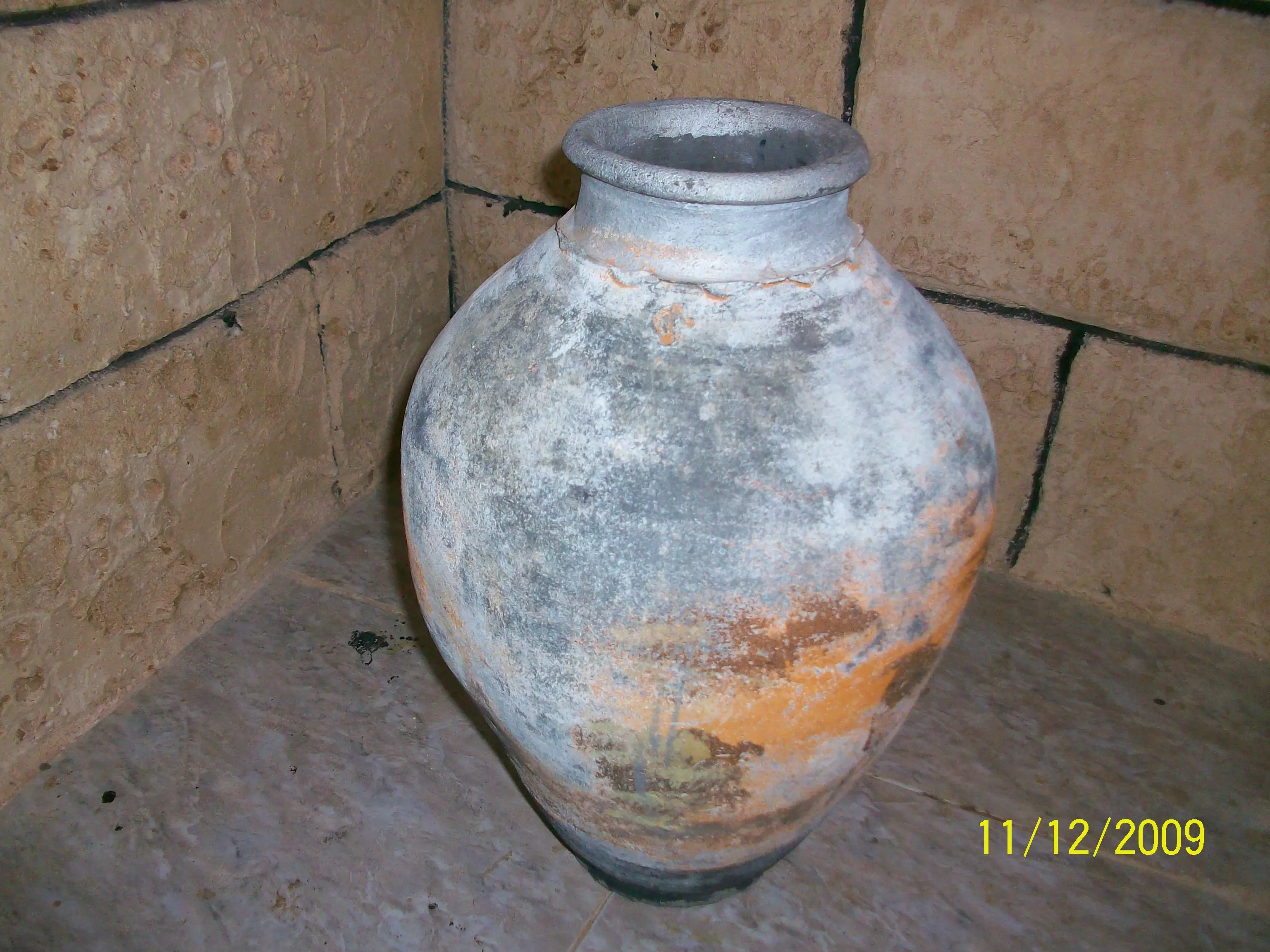
Posted by abualoul - صورة لانية فخار قديمة
Posted by abualoul - مفتاح بيت قديم عمرة 48 سنة يعود لمنزل ام زيدان رحمها اللة
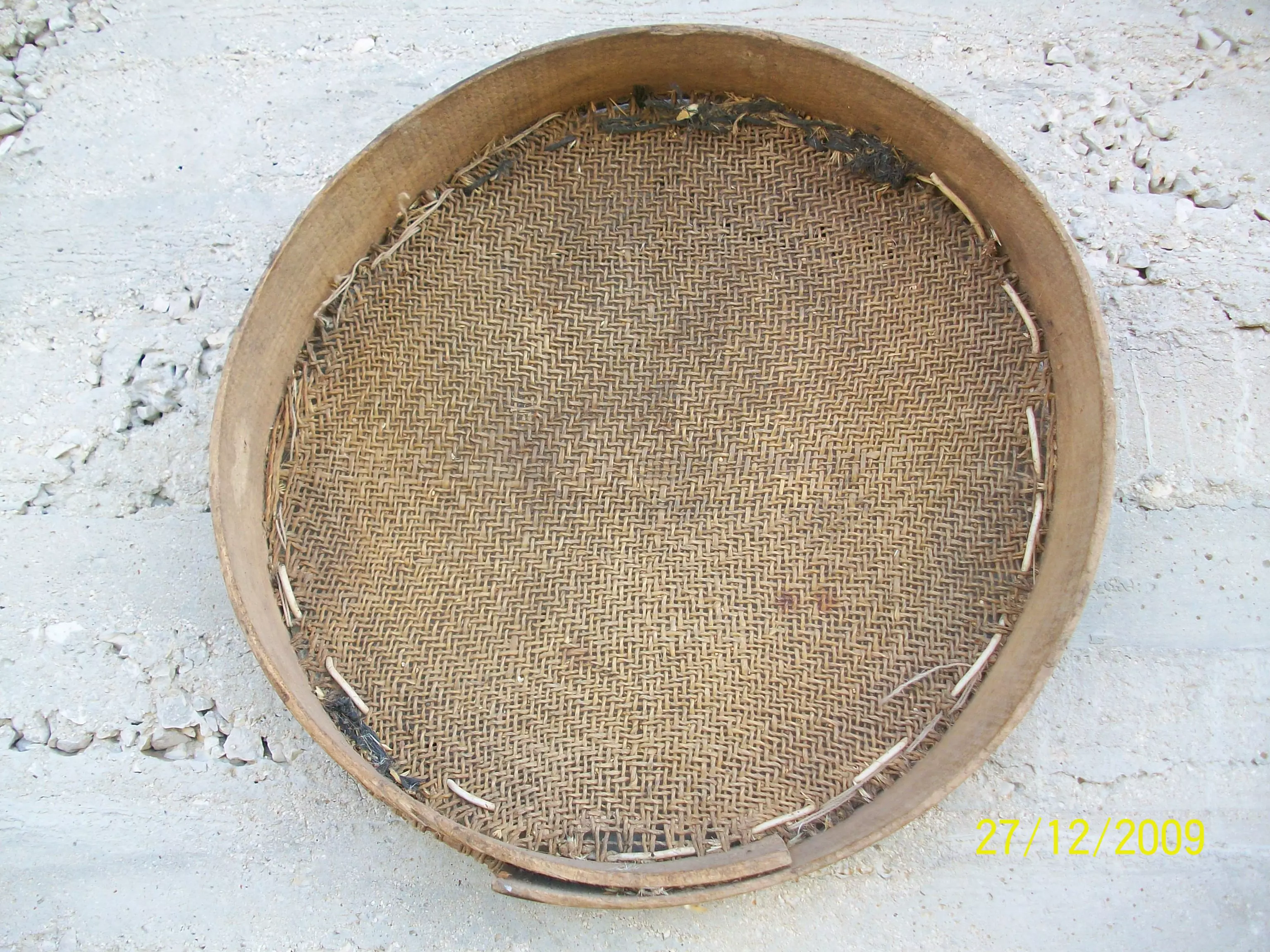
Posted by abualoul - غربال كان يستعمل لغربلة القمح ايام الحصاد
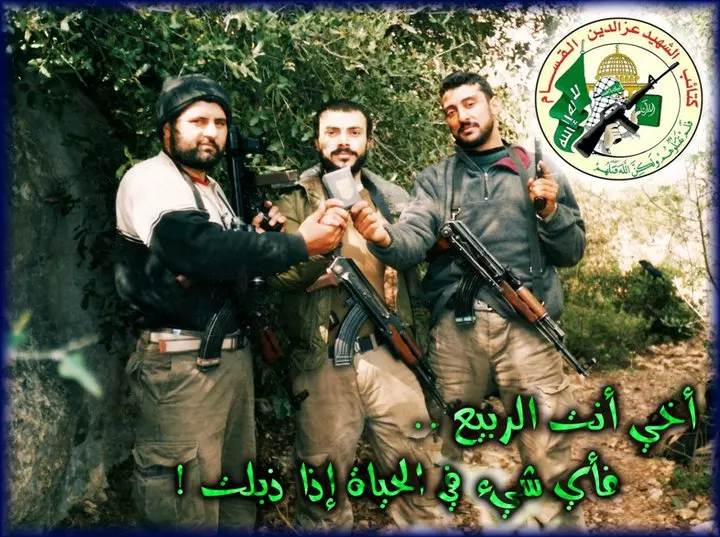
Posted by abualoul 1 - الشهيد القسامي البطل ربيع علي حرب ابن قرية اسكاكا واحد قادة كتائب القسام في محافظة سلفيت
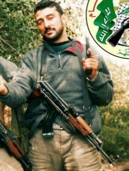
Posted by vendetta1990 - الشهيد القسامي ربيع حرب مع رفاقه الذين سبقوه بالشهادة
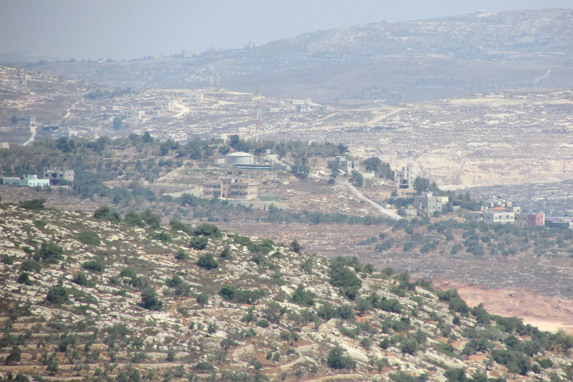
Posted by vendetta1990 1 - منظر عام
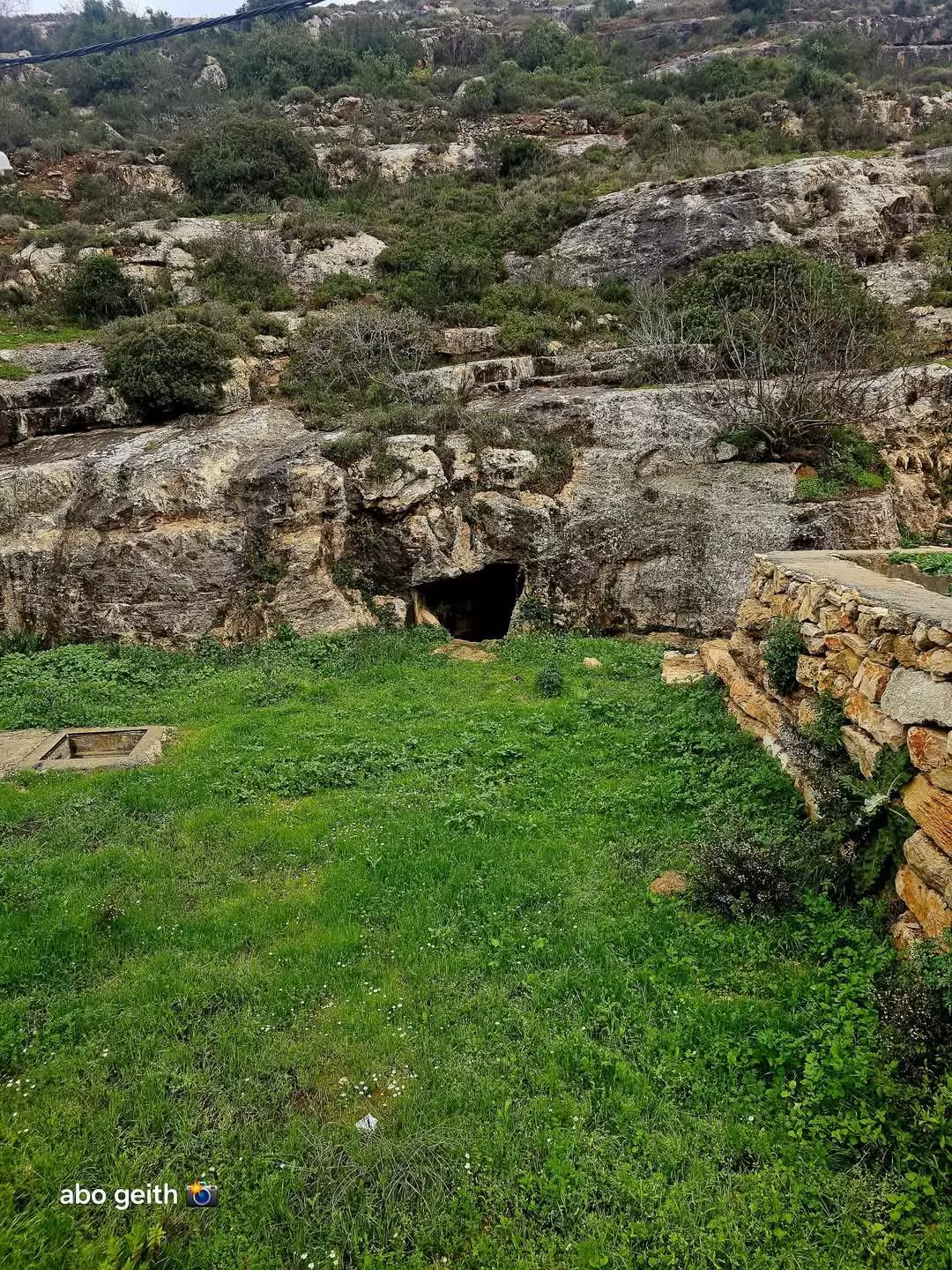
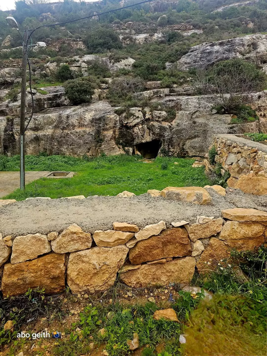
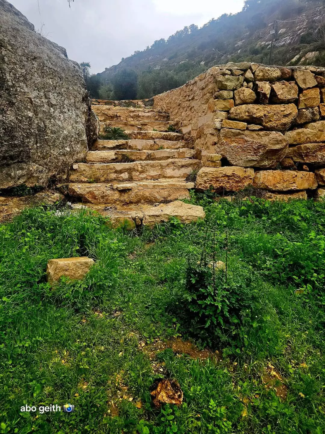
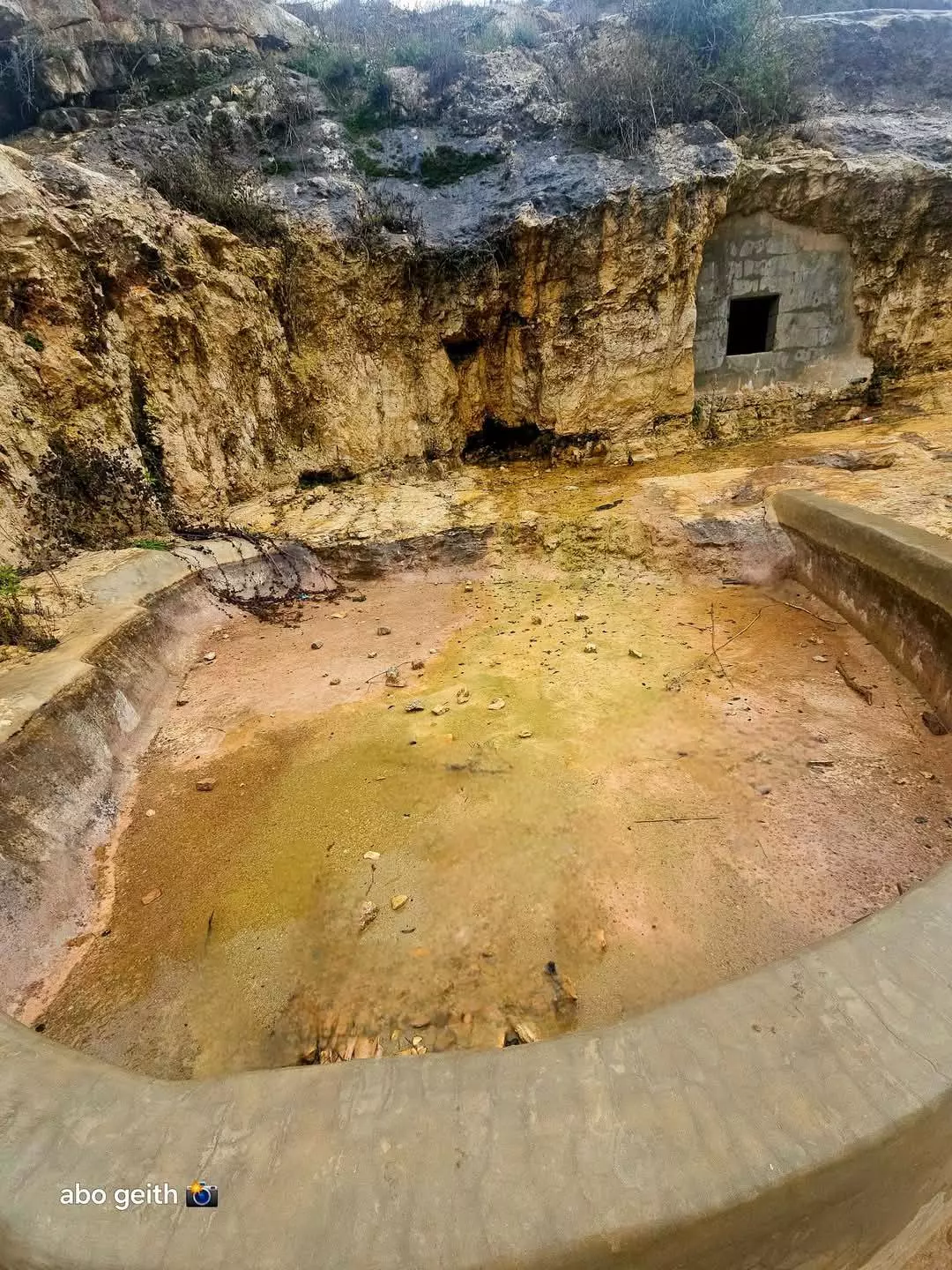
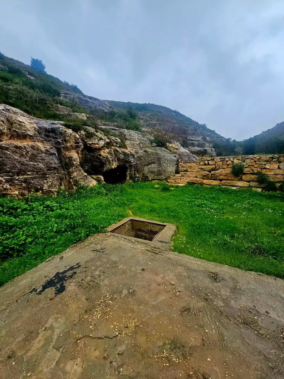
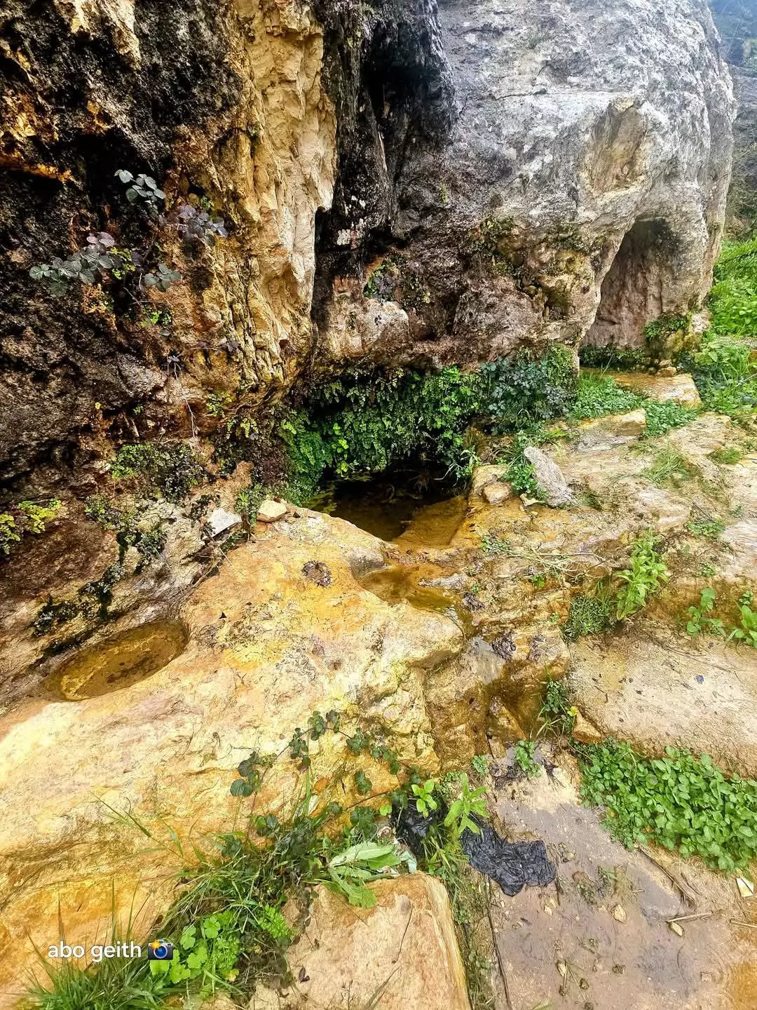
- العين التحتا في سكاكا تصوير ---Abo Geith
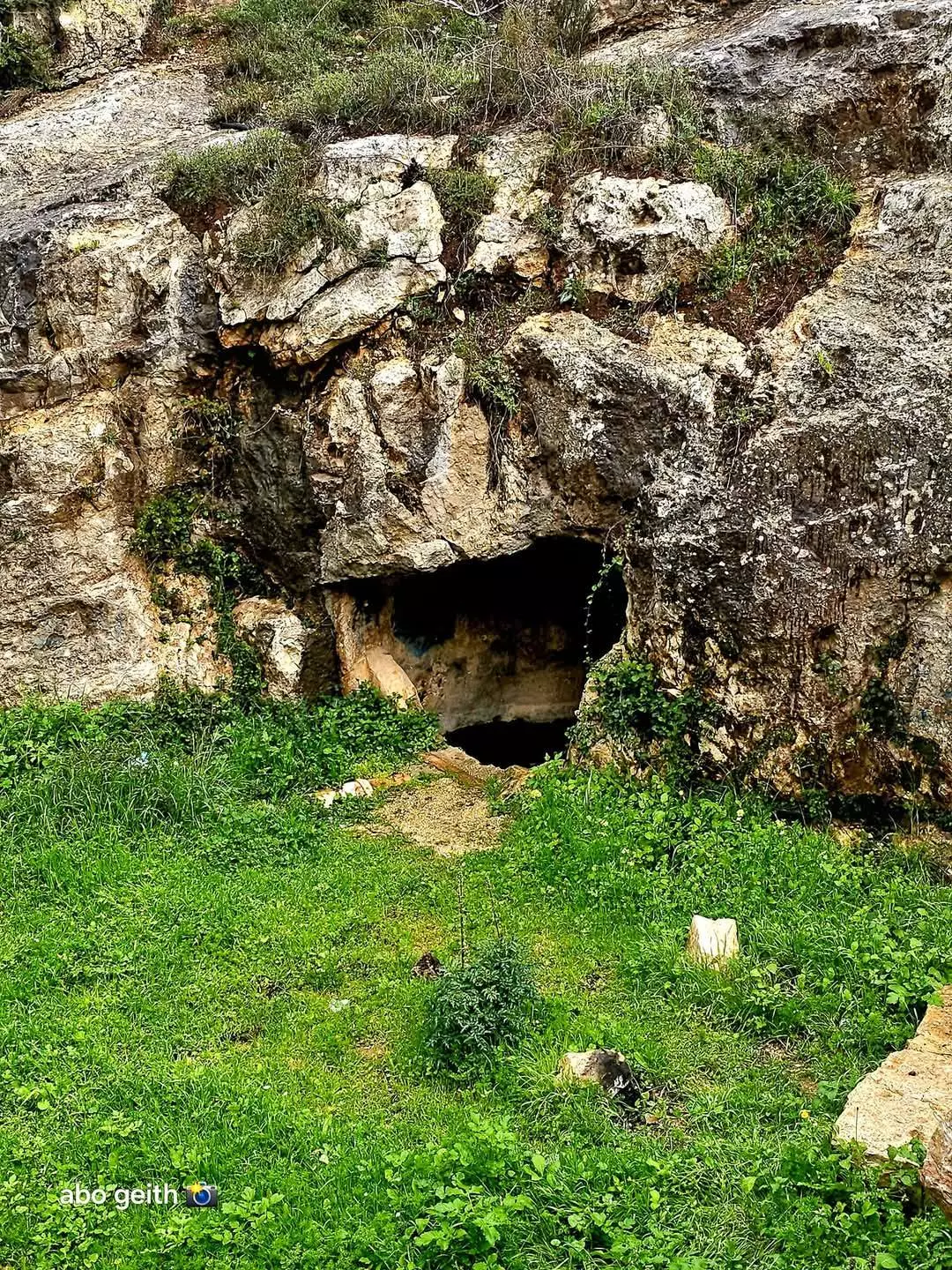
- العين التحتا في سكاكا تصوير ---Abo Geith #2
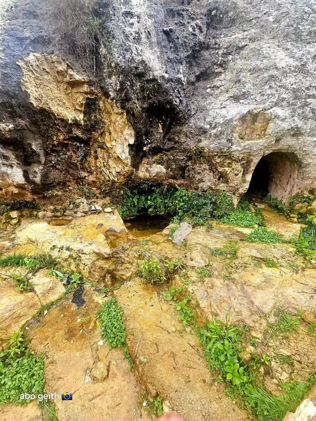
- العين التحتا في سكاكا تصوير ---Abo Geith #3
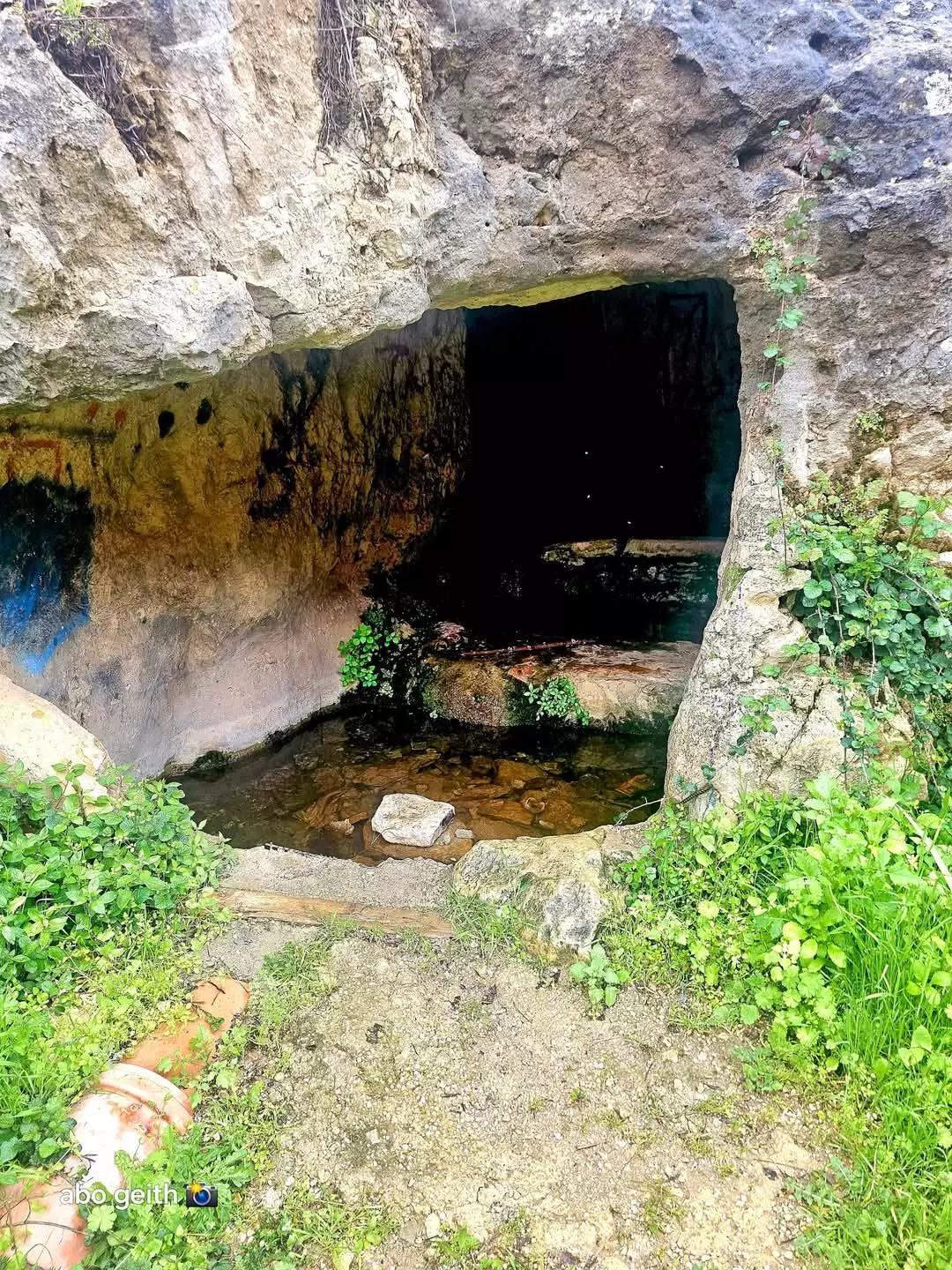
- العين التحتا في سكاكا تصوير ---Abo Geith #4
- العين التحتا في سكاكا تصوير ---Abo Geith #5
- العين التحتا في سكاكا تصوير ---Abo Geith #6
- العين التحتا في سكاكا تصوير ---Abo Geith #7
- العين التحتا في سكاكا تصوير ---Abo Geith #8
- العين التحتا في سكاكا تصوير ---Abo Geith #9
- العين التحتا في سكاكا تصوير ---Abo Geith #10
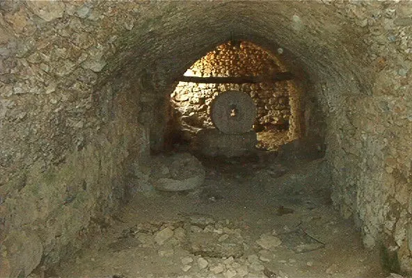
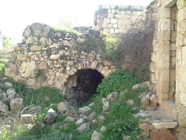
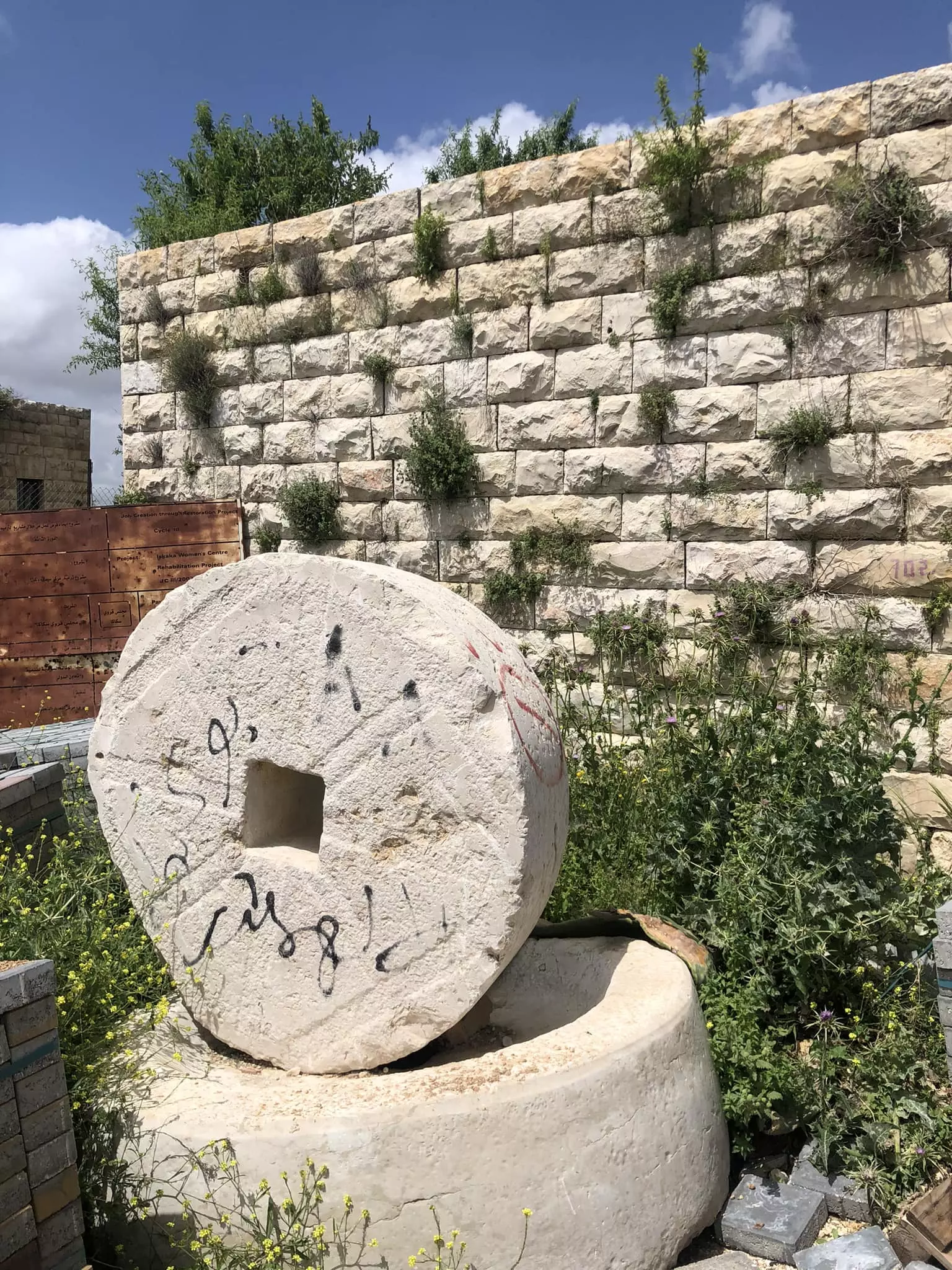
- معصرة زيتون قديمة
- جولة في العين التحتا -- محمد ابو نوح
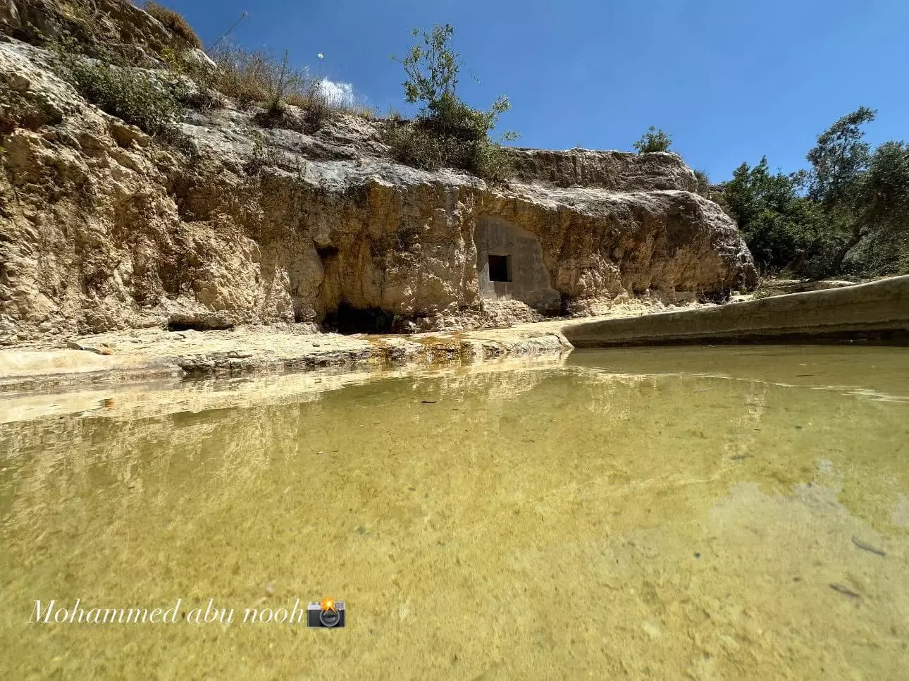
- جولة في العين التحتا -- محمد ابو نوح #2
- جولة في العين التحتا -- محمد ابو نوح #3
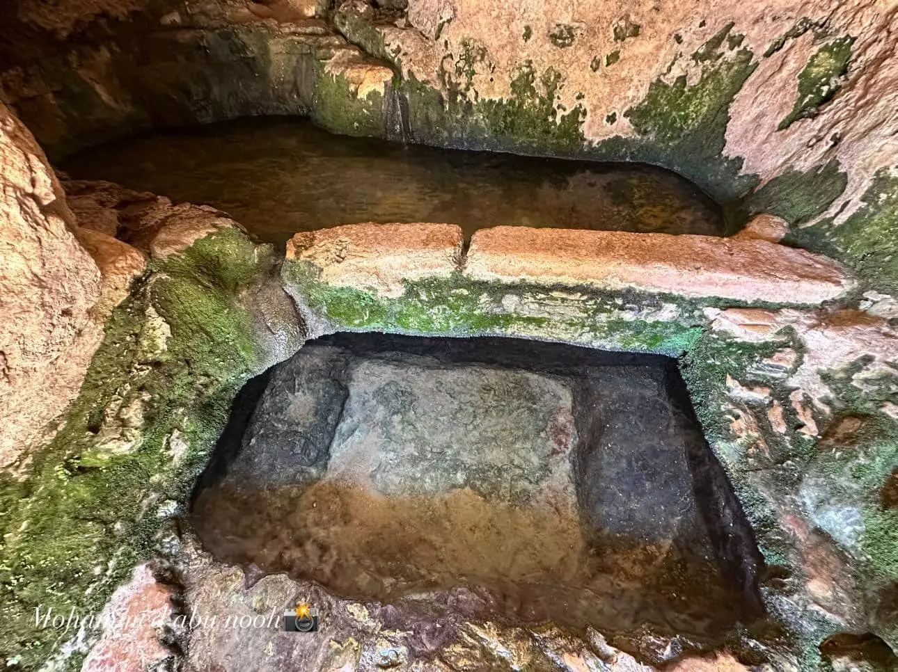
- جولة في العين التحتا -- محمد ابو نوح #4
- جولة في العين التحتا -- محمد ابو نوح #5
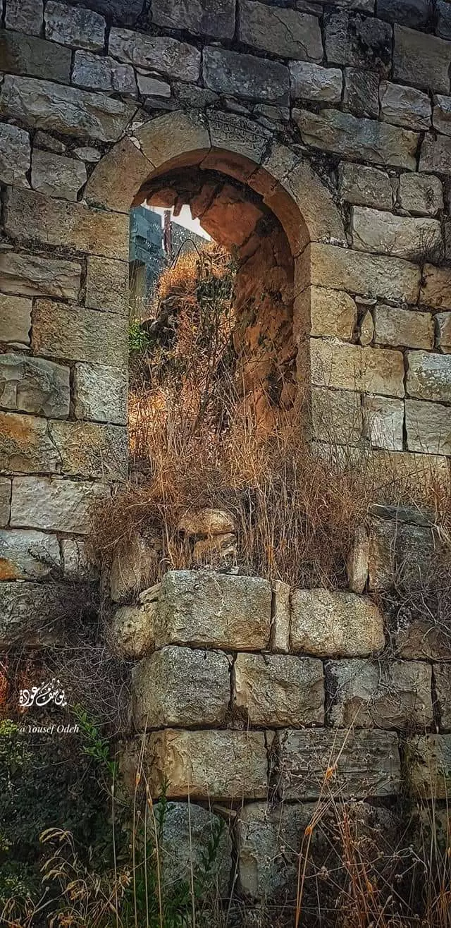
- بيت قديم -- يوسف عودة
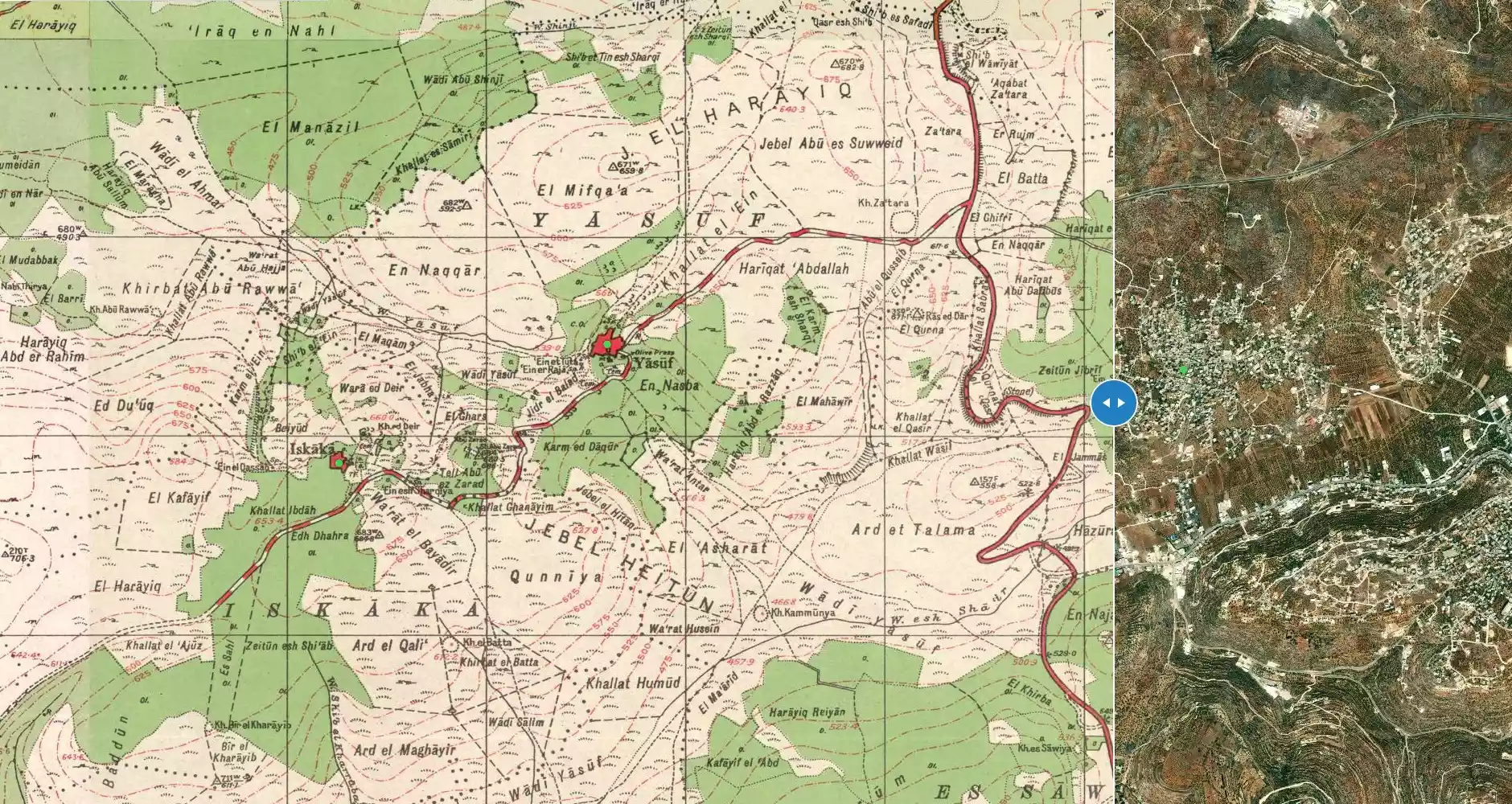
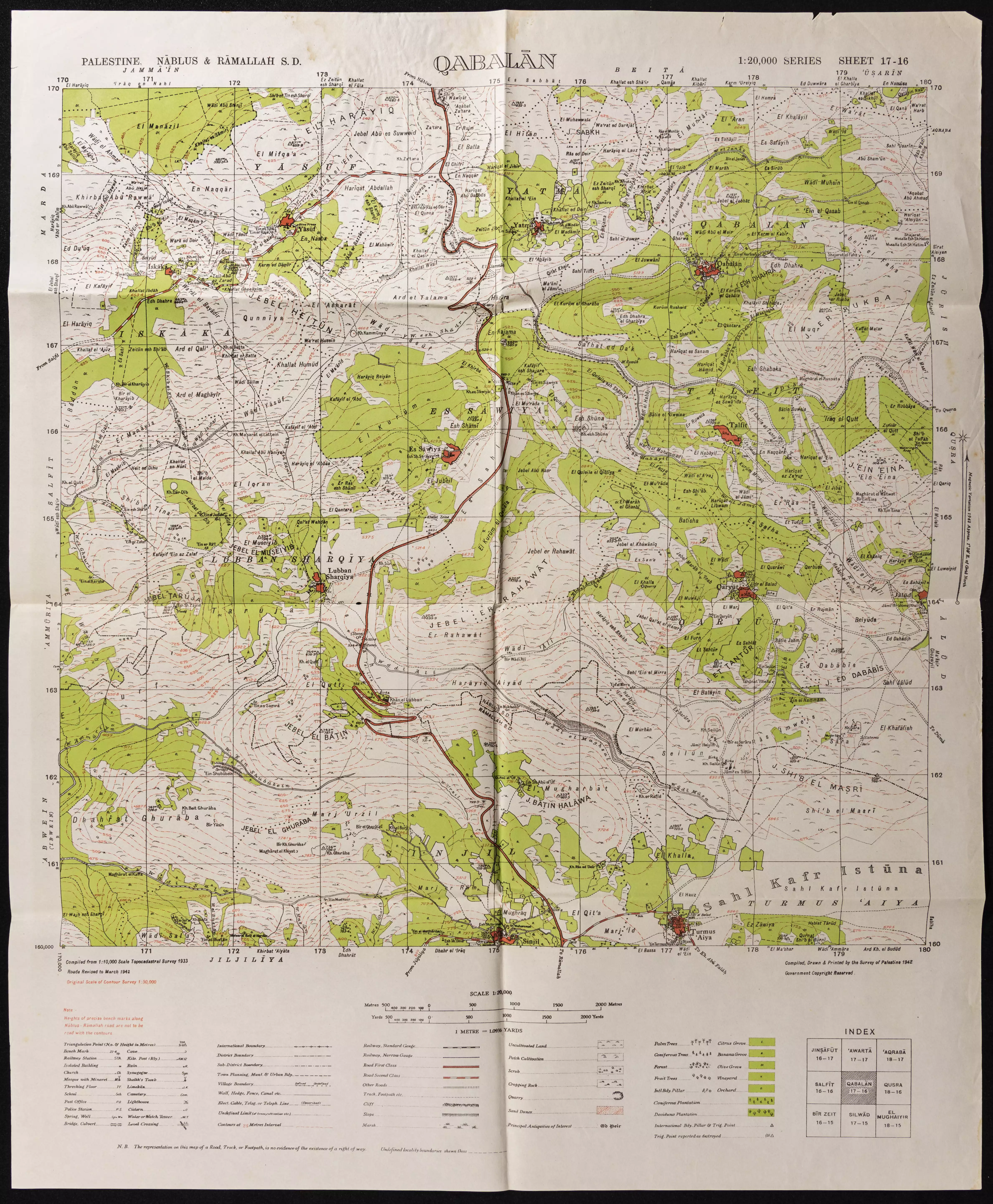
- خارطة تُظهِر الحدود والطرق بأنواعها والأماكن المقدسة والطبيعة الطوبغرافية من تلال وسهول ومنحدرات والتشكيلة الطبيعية للأرض وأنواع المزروعات. نُشرت الخريطة فترة الانتداب البريطاني، تم إضافة تعديلات عليها من قِبَل خدمة الخرائط والصور التابعة للقوات العسكرية الاسرائيلية فترة الأربعينيات.
Want to browse more? 80,000 pictures were grouped in these gallaries:
- الشهيد البطل عيسى رافع عيسى حميدي
Posted by فتاة بلا فارس 26 - المناضل الجريح وليد حرب عافاة اللة الأول من اليمين مع بعض رفاقة الذين استشهدو
Posted by abu mahmoud 1 - الشهيد القسامي البطل ربيع علي حرب ابن قرية اسكاكا واحد قادة كتائب القسام في محافظة سلفيت
Posted by vendetta1990 - الشهيد القسامي ربيع حرب مع رفاقه الذين سبقوه بالشهادة
Posted by vendetta1990 1
| Display Name | Clan/Hamolah | Country of Residence |
| omar harb | حرب | - |
| ابوجهاد | - | - |
| fuad harb | HARB | AL-AIN, AL-AIN |
| حسام الدين معروف فايز المصري | المصري | - |
| Eyad Harb | - | - |
| MOMO | HARB | ABU-DHABI, U.A.E |
| Abu Ibrahim | Harb | Texas, USA |
| أســد سكـاكـا | البيك | الكويت, الكويت |
| بو خالد | حميدي | - |
| abu mahmoud | lami | - |
| elyyan mahmoud | lami | - |
No links have been shared yet, be free to the first to share the first link.
 Fake Valor: Why Did Zionist Jews Hoist Nazis Flag on Their Ships in the 1930s?
What is new?
-
Facts About Oct. 7th Gaza Raid
-
Remined Us Please:: Who Did Rape Who? Palestinians Raped Israelis? Or, was the other way around?
-
When Prof. Edward Said was invited to debate Bibi Netanyahu in the 1980s, watch what happened!
-
Ezra Klein of the NY Times on the "Jewish Race".
-
Abusing Blood Libel!
-
Did Israeli Soldiers Activate The Hanniba Direective On Oct. 7th? You Be The Judge
-
Zionist FAQ: Isn't it true that Palestinians don't want peace? Palestinians never accepted the two-state solution
- Facts about Haavara (Transfer) Agreement between Ben-Gurion & Hitler
-
Haavara FAQs: Why Did Zionist Jews Hoist Nazis' Flags on Their Ships in the 1930s?
- Haavara FAQs: When Chaim Weizmann met FDR in mid-1943, why was he silent about rescuing European Jewry?
-
Dear ChatGPT: How did Palestinians resist Napoleon's invasion of their country in 1799?
-
Dear ChatGPT: Gaza had a vibrant Jewish community in the mid-17th century. What happened to them?
-
Dear ChatGPT: Why did the Jewish Agency suppress news of the Holocaust during WWII?
-
Video Playlist: Jews share their DNA tests to end the conflict for good.
-
A Tale of Two Conflicts: Examining the Definition of Genocide
-
Prof. Abraham Polak And The Suppressed History of the Khazars and European Jewry
-
How Ronald Reagan would have framed the genocide in Gaza if he were still alive?
-
Haavara FAQs: Let us do the math: how many German Jews did The Haavara Agreement save?
-
Zionist FAQs: The Hebron Massacre of 1929, "clearly proves" that Palestinians are antisemitic, how could you deny it?
-
Zionist FAQs: Why Anti-Zionist Is Not Antisemitism?
-
Zionist FAQs: Isn't it true that the KGB created Palestinian Nationalism in the early 1960s?
- Zionist FAQs: Muslims are killing Muslims all the time; why are Israeli Jews being singled out in the media?
- Zionist FAQs: How is Israel an apartheid state when 20% of its citizens are Arabs who enjoy full rights?
-
Haavara FAQs: Why Did Dorothy Thompson Flip From A Zionist Advocate to A Silenced Dissenter?
-
Haavara FAQs: Analysis of Herzl's Uganda Scheme and how it could have saved millions of Jews.
-
Haavara FAQs: Why did Hayim Greenberg describe American Jewry as "morally bankrupt" in early 1943?
-
Haavara FAQs: What if the Evian Conference was a resounding success? What would have been the impact of saving European Jewry on Zionism?
- Haavara FAQs: What if the six million were saved, how that would have impacted the Zionist project?
-
Haavara FAQs: How did Zionist leaders react when Europe's Jews lingered in the DP camps after WWII ended?
-
Why does the American Jewish community repeat lies that David Ben-Gurion had debunked before he died?
-
Who has the power to rename the Tatar/Khazar Gene Marker to Jewish IV?
-
Zionist FAQs: Why won't Egypt, Syria, and Jordan take their people back? Jews are indigenous to Palestine, and Arabs immigrated after Jews developed the country. Arabs should leave.
-
Haavara FAQs: Did Hitler and the Nazis conflate between Judaism and Zionist? If that wasn't case, then why?
-
Haavara FAQs: Winston Churchill and antisemitism, a collection of articles written Churchill.
-
Haavara FAQs: Broken by country, how many Jews survived vs. killed during the Holocaust?
-
Haavara FAQs: Why did European Jews vote with their feet and to immigrated to the Americas, not Palestine, after WWII?
-
Watch this American Jewish Girl describing Israeli Jews' cognitive dissonance like no other in under two minutes
-
Haavara FAQs: When the Nazis went out of their way to hide the Holocaust, Israeli Jews did the exact opposite by broadcasting their genocide of Gazans. But why?
-
Haavara FAQs: How Zionist Jews went out of their to show their appreciation to Nazism and Fascism?
- Haavara FAQs: Why Zionist leaders were against bombing the death camps & the Railroads leading to them?
-
Haavara FAQs: Hitler's message to the British and American people: If Jews are such noble citizens and you care about them, how come you're not letting them in? I will gladly ship them to you at my expense, even on luxury liners!
-
A shortlist of Zionist and Israeli false flag operations in the name Jews.
-
The Most Moral Army
- The Land of Kapos (Israel): Where the brave are boycotted and Kapos walk free.
- Why did early Zionists often named their communal enterprises "colonial"?
- Zionist Relations with Nazi Germany by Faris Glubb
-
Two NY Times advertisements by Zionists in the early 1943 that exposes Zionists' treason at the height of the calamity
- Facts Not Lies about the Palestinian-Israeli Conflict.
- Site's pictures have been categorized
- Campgain Against Lice
- A Survey of Palestine, the official source about Palestine before Nakba produced by the British Mandate; over 1200 pages.
- Satellite View & Google Earth: Over 6,000 placemarks identifying all destroyed towns, W. Bank & Gaza Strip Towns, & refugee camps.
- PalestineRemembered.com and its Nakba Oral History Project were featured on al-Jazeera Satellite TV.
- Nakba Oral History Video Podcast:
 Over 700 Oral History interviews (including 3,500+ hours of recording) can be viewed online.
 - Palestine Village Statistics Project
- Gaza Jail Break
- النسخة العربية للموقع الان متوفرة
- Videos: Documenting the destroyed villages in video: Tracing all that remains since Nakba.
- Videos: Responding to Zionist Propaganda
- Interview: The ethnic cleansing of Palestine: George Galloway interviews Israeli Historian Ilan Pappe.
- For Palestinians, memory matters. It provides a blueprint for their future By George Bisharat.
- Zionist FAQ now available in Hebrew שאלות שציונים שואלים, עכשיו בעברית
- Video: The Stephen Walt and John Mearsheimer report on the influence of the Israel Lobby on U.S. Foreign Policy
- The Palestinian-Israeli conflict for beginners
