| PalestineRemembered | About Us | Oral History | العربية | |
| Pictures | Zionist FAQs | Haavara | Maps | |
| Search |
| Camps |
| Districts |
| Acre |
| Baysan |
| Beersheba |
| Bethlehem |
| Gaza |
| Haifa |
| Hebron |
| Jaffa |
| Jericho |
| Jerusalem |
| Jinin |
| Nablus |
| Nazareth |
| Ramallah |
| al-Ramla |
| Safad |
| Tiberias |
| Tulkarm |
| Donate |
| Contact |
| Profile |
| Videos |
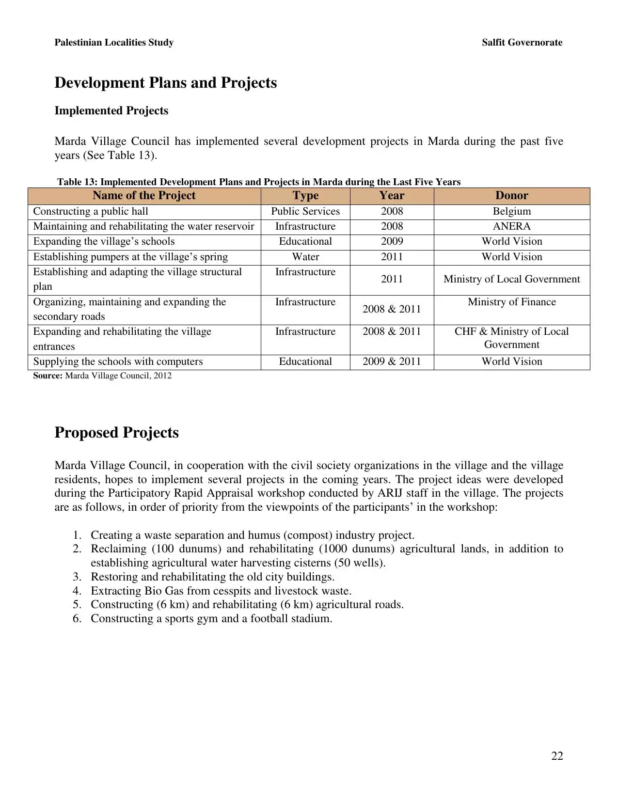
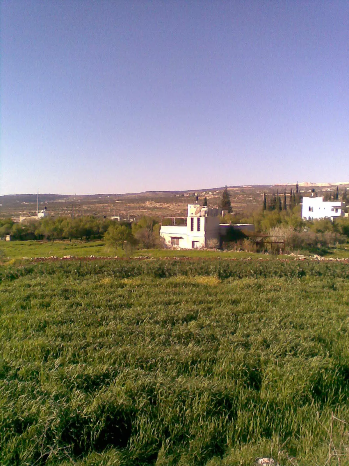
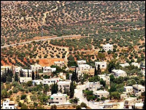
Welcome To Marda - مرده (מרדה (כפר))
|
District of Nablus
Occupied days ago |
العربية Google Earth |
 |
Gallery (119) |
- Statistics & Facts
-
Before & After

- Satellite View
- Articles 20
- Pictures 119
- Mayrters & Prisoners 1
- Members 27
- Families
- Wikipedia
- ARIJ Guide
- Videos 3
- Guest Book 12
- Links
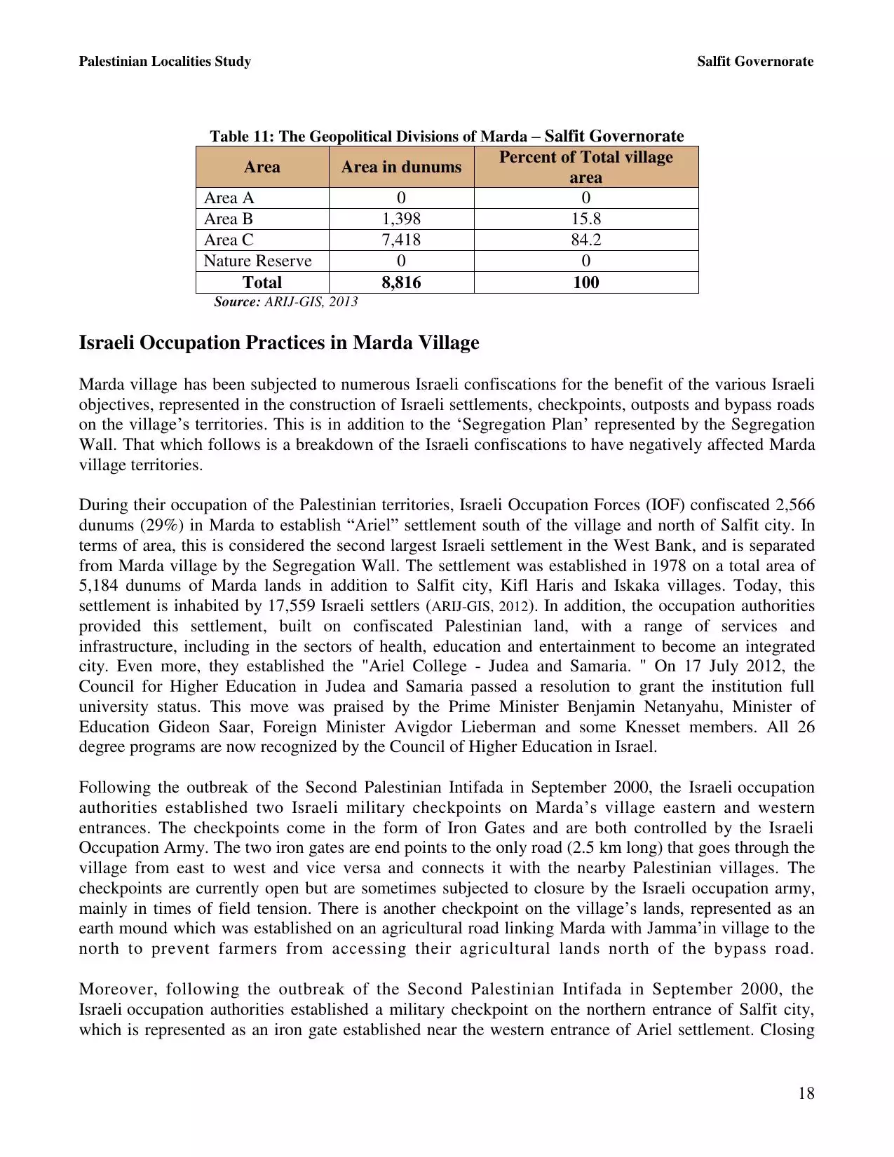
| Statistic & Fact | Value | ||||||||||||||||||||
| Distance From District | 18 km southwest of Nablus | ||||||||||||||||||||
| Elevation | 430 meters | ||||||||||||||||||||
| Before & After Nakba, Click Map For Details |
|||||||||||||||||||||
|
|||||||||||||||||||||
| Land Ownership |
**Town Lands' Demarcation Maps |
||||||||||||||||||||
| Land Usage As of 1945 |
|
||||||||||||||||||||
| Population |
|
||||||||||||||||||||
| Near By Towns |
|||||||||||||||||||||
|
|||||||||||||||||||||
| Featured Video | |||||||||||||||||||||
| ARIJ Guide | |||||||||||||||||||||
3.
4. 
5. 
6. 
7. 
8. 
9. 
10. 
11. 
12. 
13. 
14. 
15. 
16. 
17. 
18. 
19. 
20. 
21. 
22. 
23. 
24. 
Click here to browse online. |
|||||||||||||||||||||
| Related Maps | Town Lands' Demarcation Maps خرائط للقضاء توضح حدود القرى والاودية View from satellite Town's map on MapQuest Help us map this town at WikiMapia |
||||||||||||||||||||
| Related Links | Wikipedia's Page Facebook Page ARIJ Guide Google Search Google For Images Google For Videos في كتاب بلادنا فلسطين دليل أريج المزيد من موقع هوية |
||||||||||||||||||||
- ادارة القرية
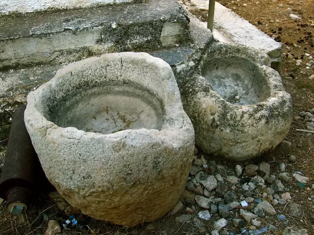
- الميـــــــــــاه
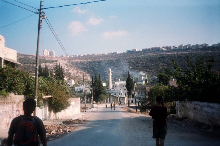
- مدينة مردا
- اسماء الشوارع في مرده
- النسيج العائلي للقرية
- مواقف مشرقه لاهل القريه
- معومات عن مردة ومدارسها
- *** مجلس قروى مردا واهم الانجازات ***
- علماء يفتخر بهم من مردا وشهرتهم في زمنهم كشهرة الشيخ القرضاوي في يومنا
- تقرير عن مردا من اعداد مركز ابحاث الاراضي-القدس
- صناعات تراثية من بلدي
- كان يا ما كان في سالف العصر والأوان
- بلادي
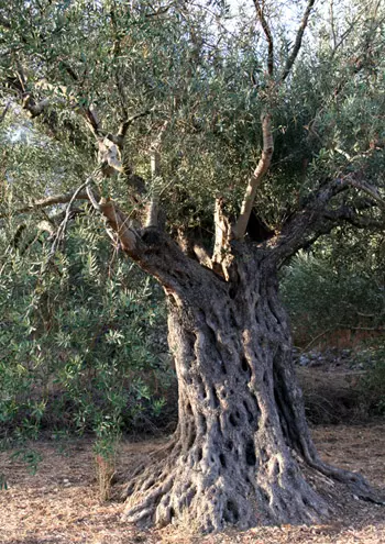
- التين
- موسم قطاف الزيتون (الجداد)
- رقم قياسي
- عدد المتوفين في مرده
- خطبه جمعه مميزه في مردا
- انتهاء فتره المجلس القروي القديم واستلام مجلس جديد للقريه
- سيرة المجاهد الشهيد عبد الحميد سليمان احمد المرداوي
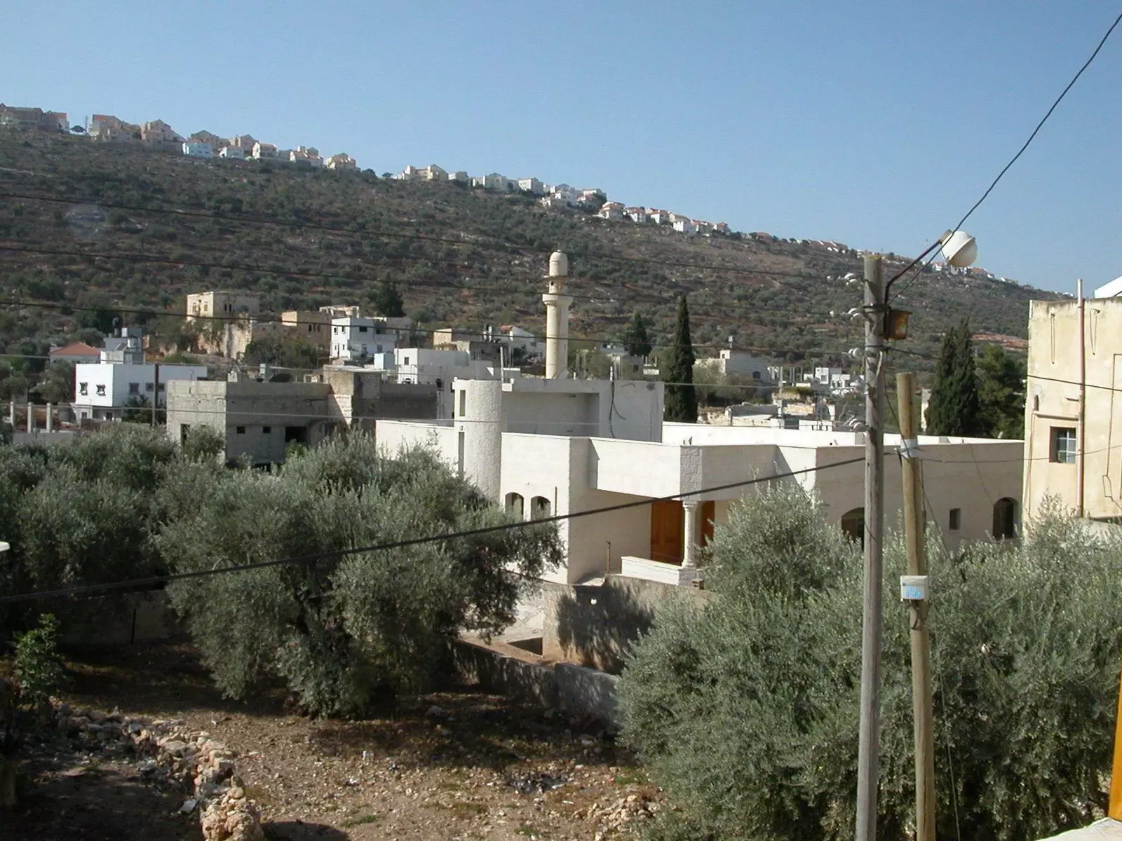
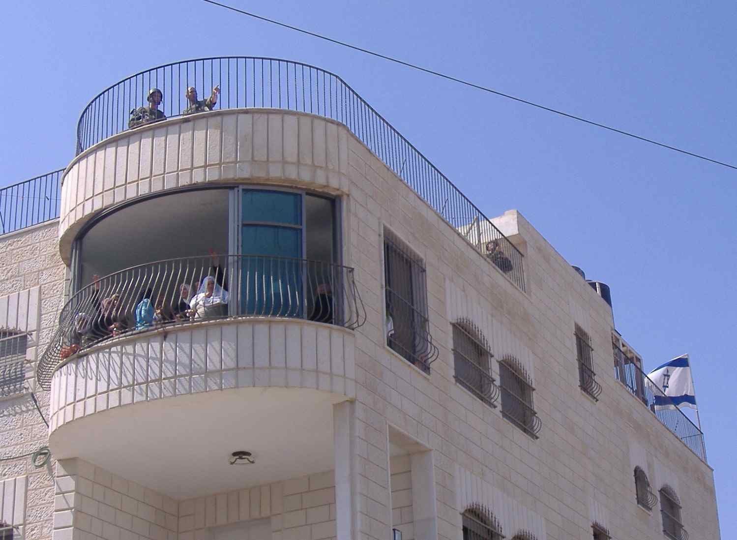
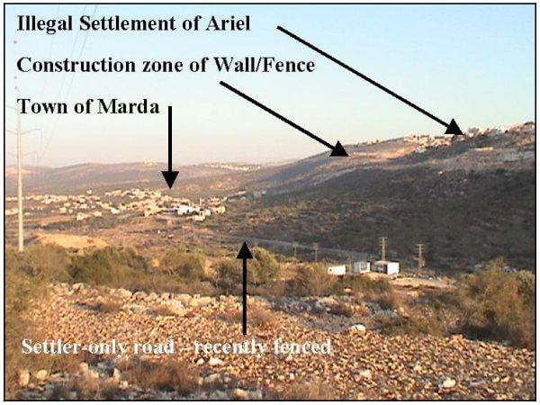
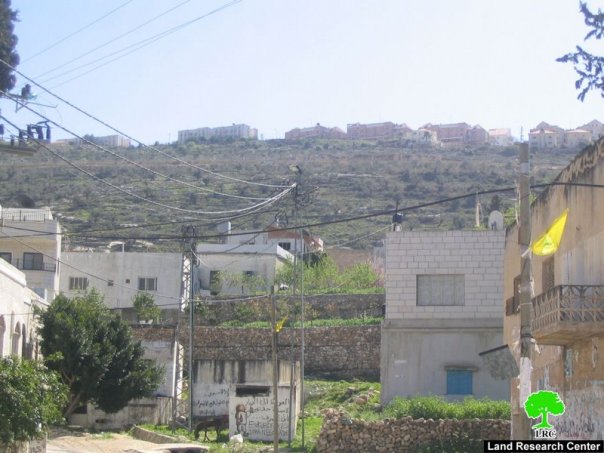
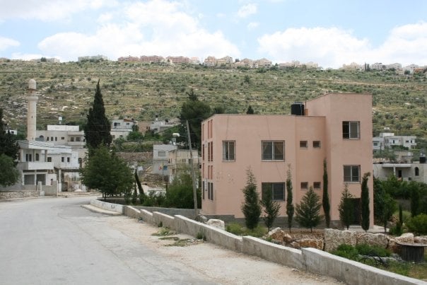
- Rooftop view looking up (northwest) towards the exclusive Jewish colony of Areil
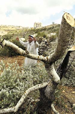
7 - مزارع يصرخ بسبب اغتصاب وقلع الاشجار الزيتون من ارضه التى زرعها بعرق الجبين
Posted by المرداوى 6 - قمر مردة الشهيد الشيخ سامي الخفش
Posted by هاني 8 - marda

Posted by shoran 5 - صور حديثه للقريه
Posted by mansour mansour 2 - صور حديثه للقريه2
Posted by mansour mansour 2 - صور حديثه للقريه3
Posted by mansour mansour 3 - صور حديثه للقريه4
Posted by mansour mansour 3 - صور حديثه للقريه5
Posted by mansour mansour 4 - صور حديثه للقريه6
Posted by mansour mansour 4 - مردا من الجو
Posted by mansour mansour 4 - زيتون رومي
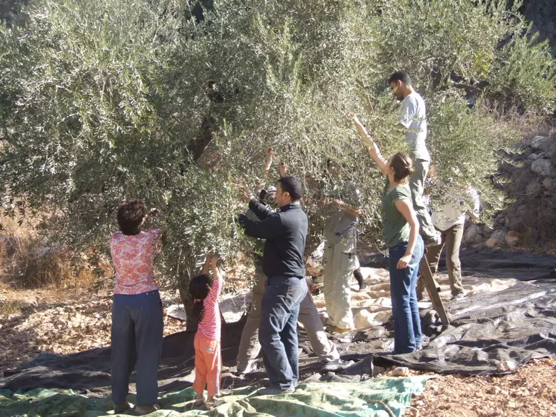
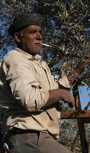
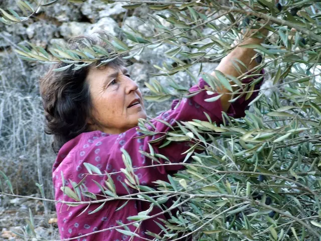
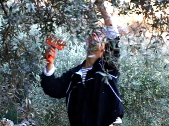
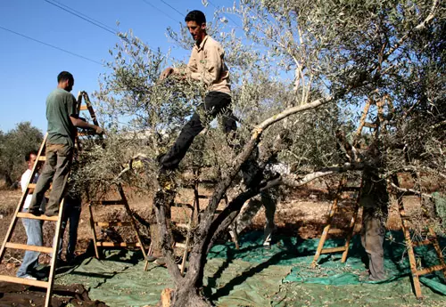
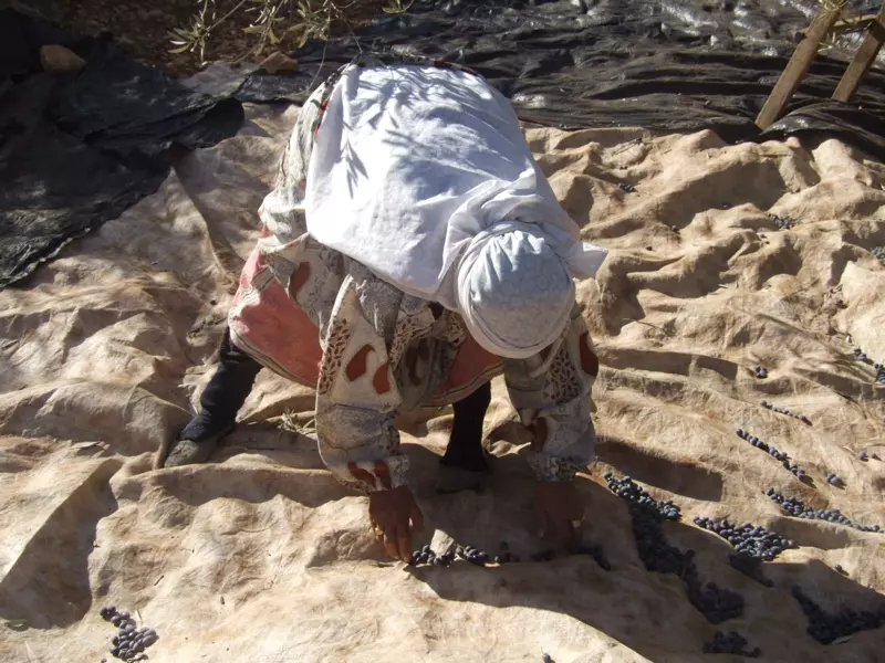
Posted by mansour mansour 1 - موسم قطف الزيتون والمعاناه
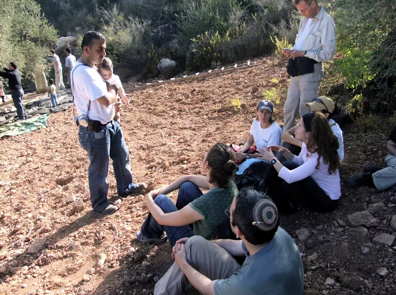
Posted by mansour mansour 2 - موسم قطف الزيتون والمتضامنين الاجانب
Posted by mansour mansour 2 - موسم قطف الزيتون والمتضامنين الاجانب
Posted by mansour mansour 5 - موسم قطف الزيتون والمتضامنين الاجانب
Posted by mansour mansour 2 - موسم قطف الزيتون والمتضامنين الاجانب
Posted by mansour mansour 2 - موسم قطف الزيتون والمتضامنين الاجانب
Posted by mansour mansour 1 - موسم قطف الزيتون والمتضامنين الاجانب
Posted by mansour mansour 1 - بئــــــــــــــــــــــــــر القريــــــــــــــه وهو فارغ
Posted by mansour mansour - ساحـــــــــه بيــــــــــــــــر القريـــــــــــــــه
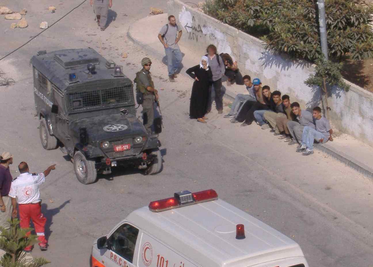
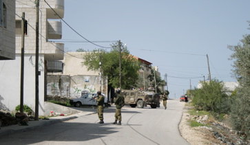
Posted by mansour mansour - المعتقلون خلال مداهمه القريه واحتلال منزل فيها
Posted by mansour mansour 2 - المنزل الذي تم احتلاله
Posted by mansour mansour 2 - مزارع يشير الى ارضه التي صودرت لاقامه الشيك الامني
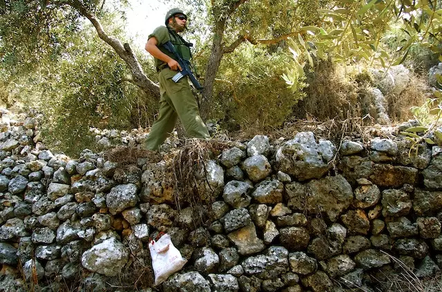
Posted by mansour mansour 1 - جندي يطارد شباب الحجاره
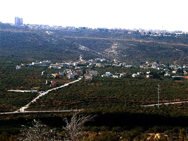
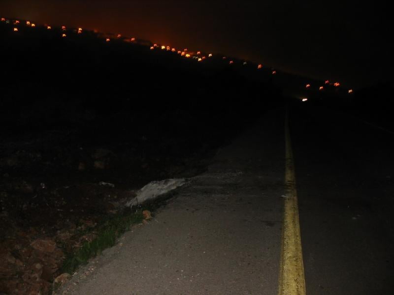
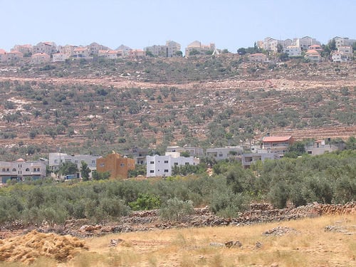
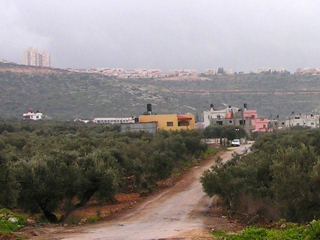
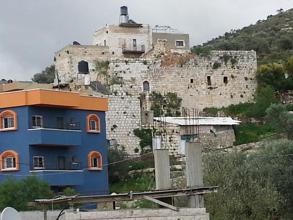
Posted by mansour mansour 1 - مردة من أرئيل
Posted by Ghanem Mustafa 1 - وادي مردة - جماعين
Posted by Ghanem Mustafa 2 - وادي مردة-جماعين
Posted by Ghanem Mustafa - مردة-1

Posted by Ghanem Mustafa - مردة-2
Posted by Ghanem Mustafa - مردة-3
Posted by Ghanem Mustafa 1 - خلع أشجار الزيتون-1
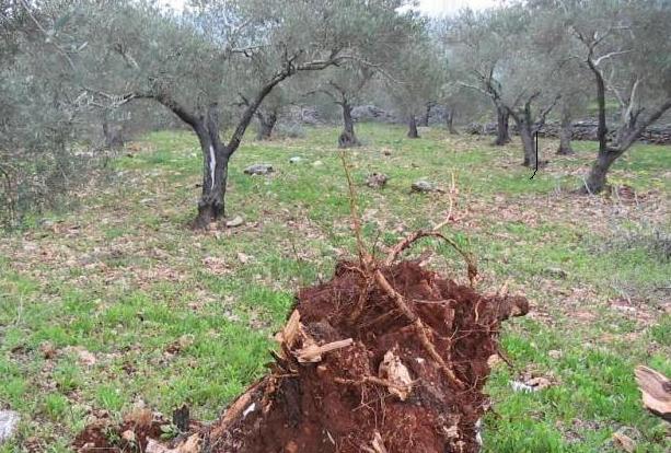
Posted by Ghanem Mustafa - خلع أشجار الزيتون-2
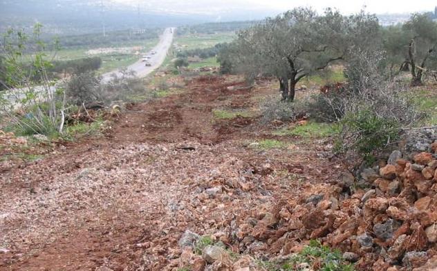
Posted by Ghanem Mustafa 1 - خلع أشجار الزيتون-3
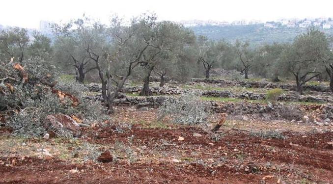
Posted by Ghanem Mustafa - آثار جرافات الاحتلال وهي تخرب ليلا
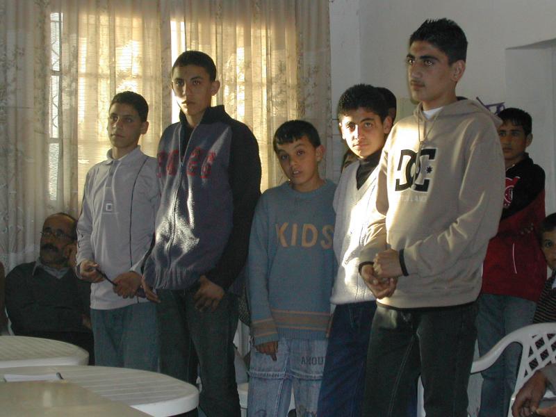
Posted by Ghanem Mustafa - أطفال أبرياء من مردة سجنهم المحتل
Posted by Ghanem Mustafa 5 - سيارة المرحوم احمد ابو شما بعد الحادث
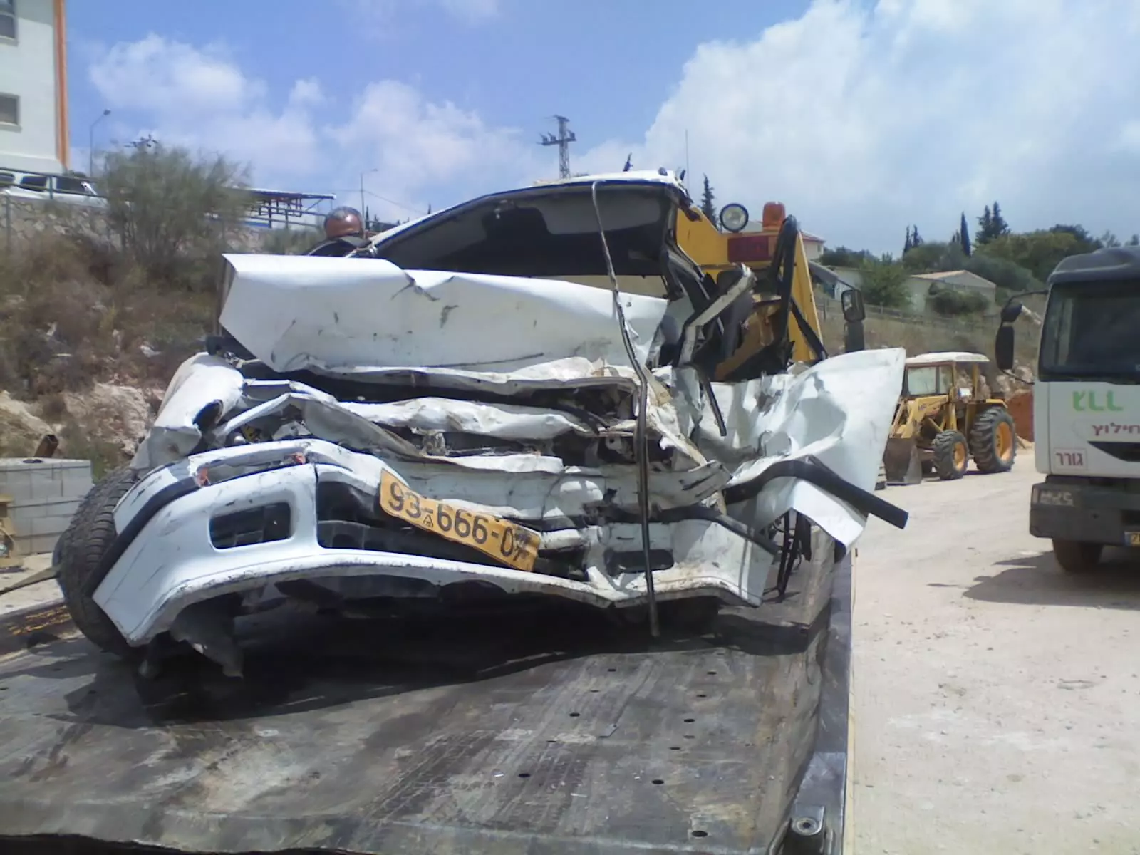
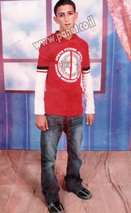
Posted by المرداوي 1 - صوره المرحوم احمد ابو شما
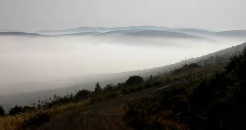
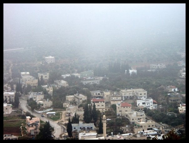
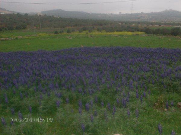
Posted by المرداوي 3 - منظر ساحر لمردة وجماعين في الضباب
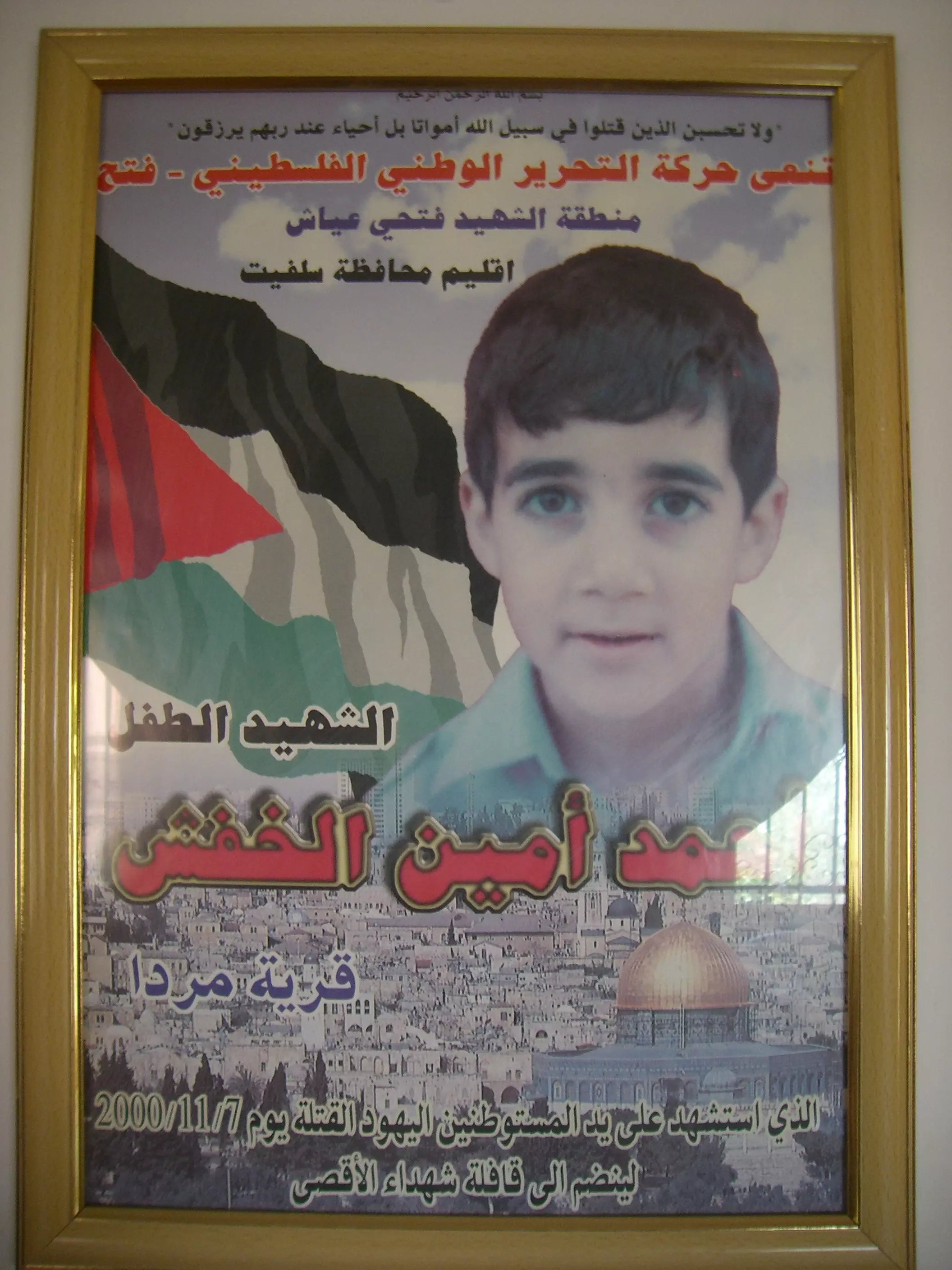
Posted by Ghanem Mustafa 1 - الشهيد الطفل احمد امين خفش
Posted by mardawi 8 - self destruction of our history
Posted by Wael AlSaad - صوره بتاريخ 12/10/2009
Posted by mansour mansour - صوره قديمه لبيوت على زمن الحكم التركي )
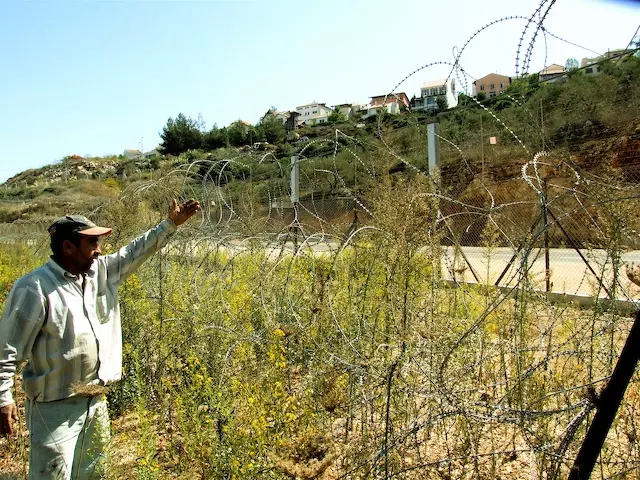
Posted by mansour mansour - صوره توضح موقع مردا بين مستعمره ارئيل
Posted by mansour mansour - احد البيوت قديمه في القريه
Posted by mansour mansour - لقطه جانبيه للقريه
Posted by mansour mansour - لقطه اخرى للقريه
Posted by mansour mansour - مرده العامره
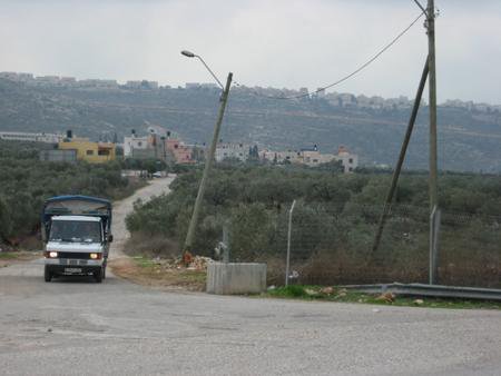
Posted by mansour mansour - المدخل الشمالي للقريه
Posted by mansour mansour 1 - وسط القريه
Posted by mansour mansour - لقطه توضح واد قريقع
Posted by mansour mansour - وسط القريه2
Posted by mansour mansour - وسط القيه3
Posted by mansour mansour - الصبر في القريه
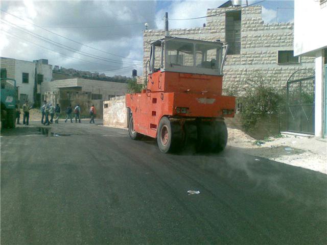
Posted by mansour mansour - احد مشاريع المجلس في تزفيت الشوارع
Posted by mansour mansour - موسم الحصاد+
Posted by mansour mansour - لقطه جانبيه اخرى للقريه

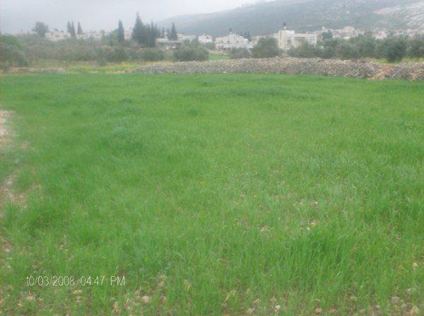
Posted by mansour mansour - موسم الربيع
Posted by mansour mansour - المدخل الشمالي للقريه قرب البوابه
Posted by mansour mansour - موسم الربيع2
Posted by mansour mansour - مبنى المجلس القروى
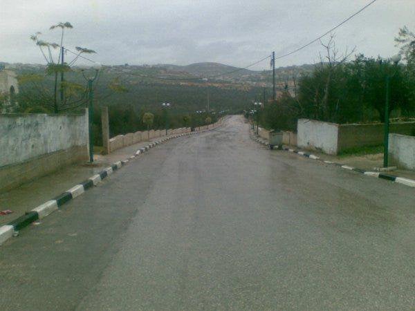
Posted by mansour mansour - مردا في الشتاء
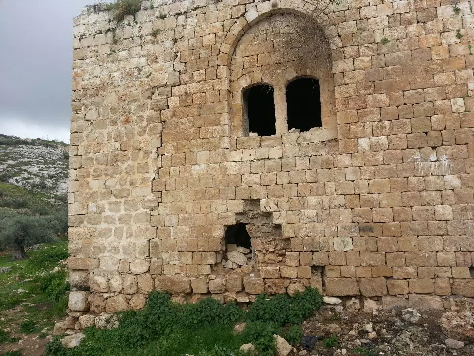
Posted by mansour mansour - احد اثار في قريه مردا ويسمى بالشيخ جمعه
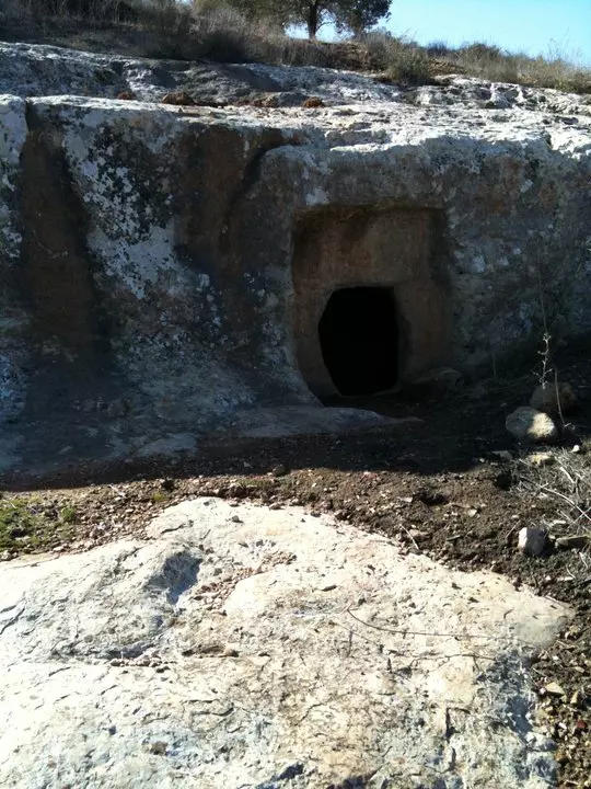
Posted by mansour mansour 1 - هذا الموقع لنبع من الماء يسمى بالنامــــــــــــــــــــــــــــــــوس
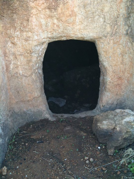
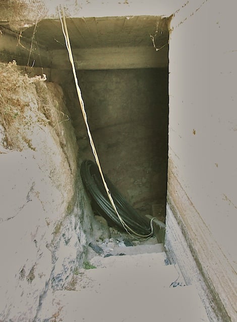
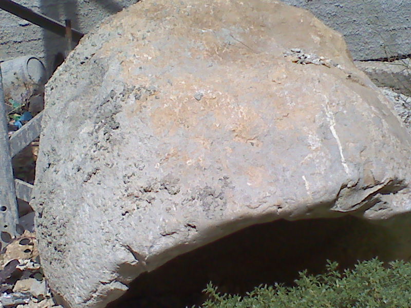
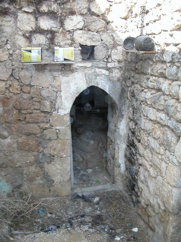
Posted by mansour mansour - احد الكهوف في قريه مردا
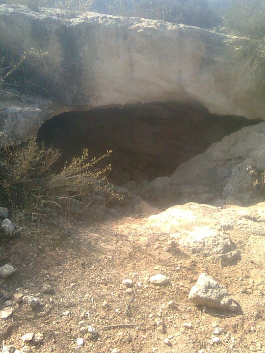
Posted by mansour mansour - صوره اخرى للمسك
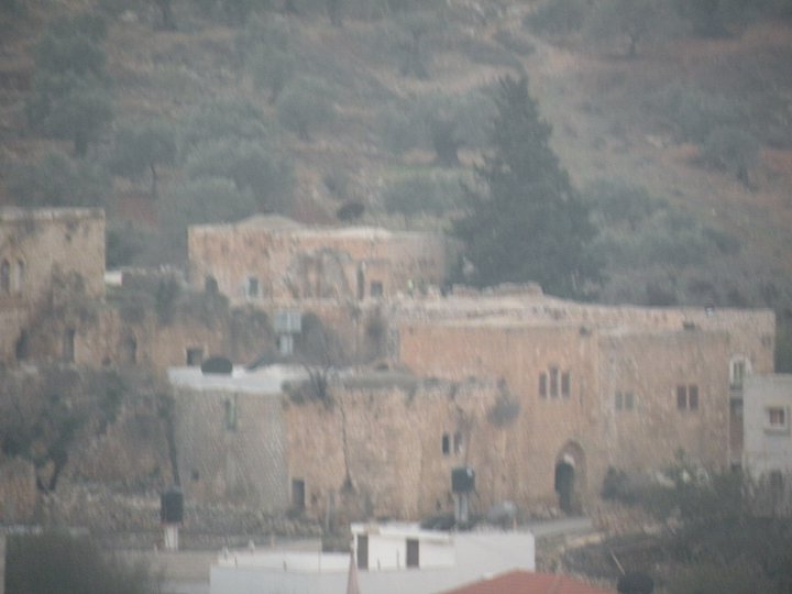
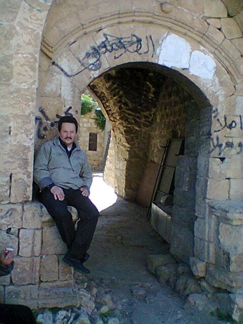
Posted by mansour mansour - مردا القديمه حيث البنايات من زمن الاتراك
Posted by mansour mansour 1 - مردا يوم الجمعه 15/3/2013
Posted by mansour mansour - مردا يوم الجمعه 15/3/2013
Posted by mansour mansour - مردا يوم الجمعه 15/3/2013وسط القريه
Posted by mansour mansour - مردا يوم الجمعه 15/3/2013الحاراه الشماليه
Posted by mansour mansour - مردا يوم الجمعه 15/3/2013
Posted by mansour mansour - المرسه الثانويه والاساسيه على اليمين
Posted by mansour mansour - مردا يوم الجمعه 15/3/2013
Posted by mansour mansour - صوُّر للقريه قديمه جدا
Posted by mansour mansour - صوُّر للقريه قديمه جدا
Posted by mansour mansour - صوُّر للقريه قديمه جدا
Posted by mansour mansour - صوُّر للقريه قديمه جدا
Posted by mansour mansour - صوُّر للقريه قديمه جدا
Posted by mansour mansour - مردا قديما وحديثاً
Posted by mansour mansour - مردا قديما وحديثاً
Posted by mansour mansour - مكان جلوس الحرس على الحاكم في ذلك الوقت حيث كان مكتبه في الاعلى
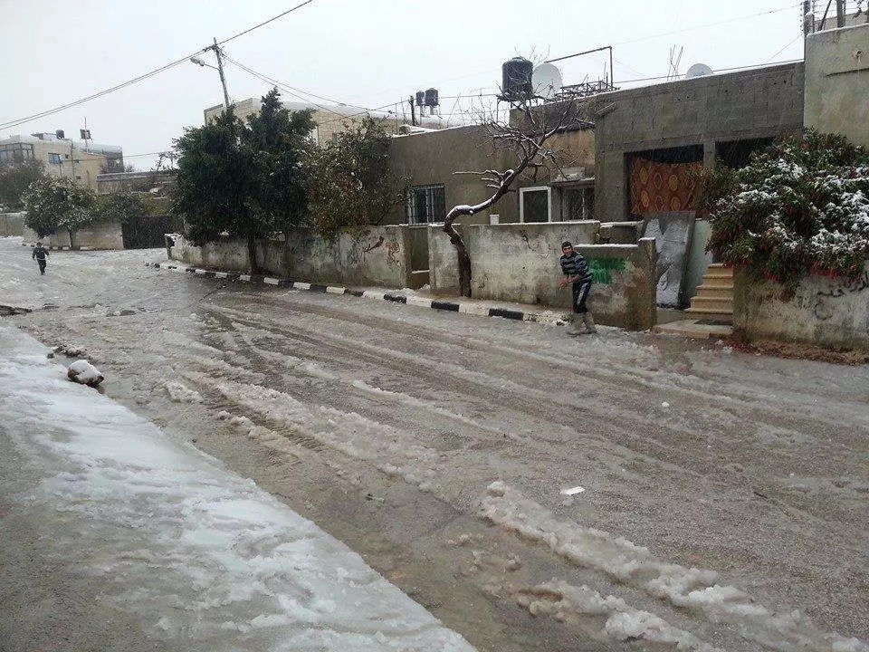
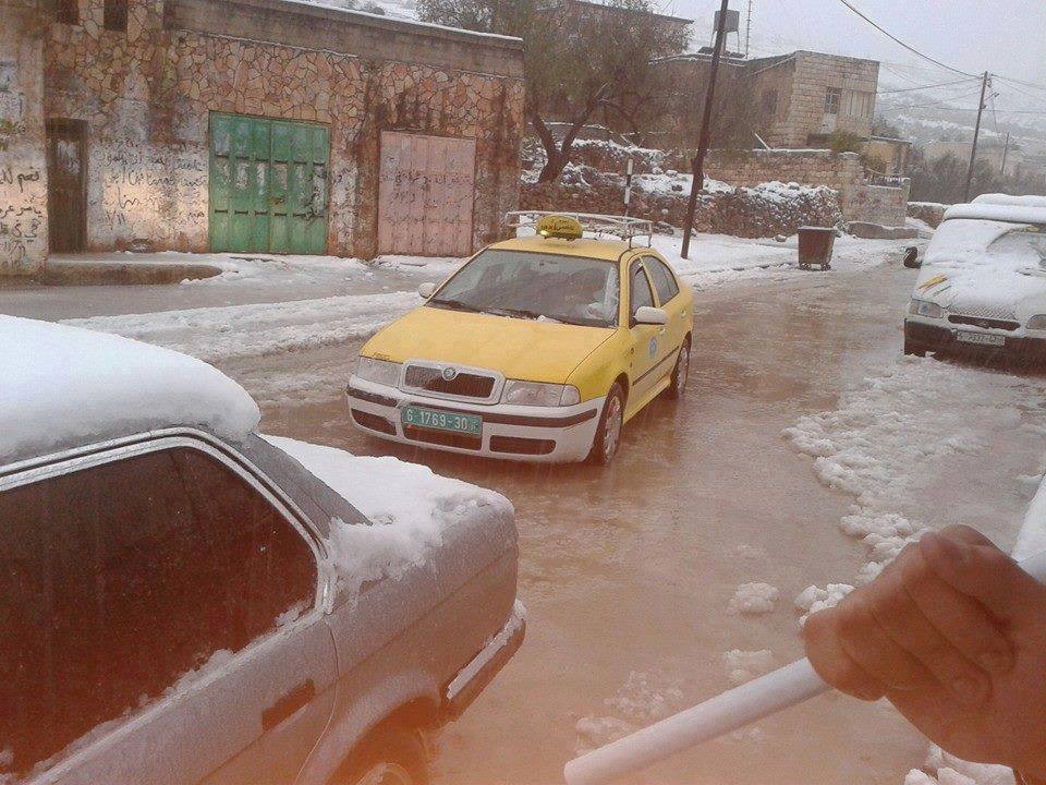
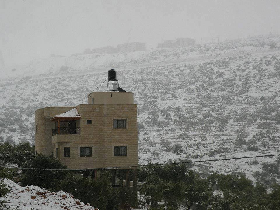
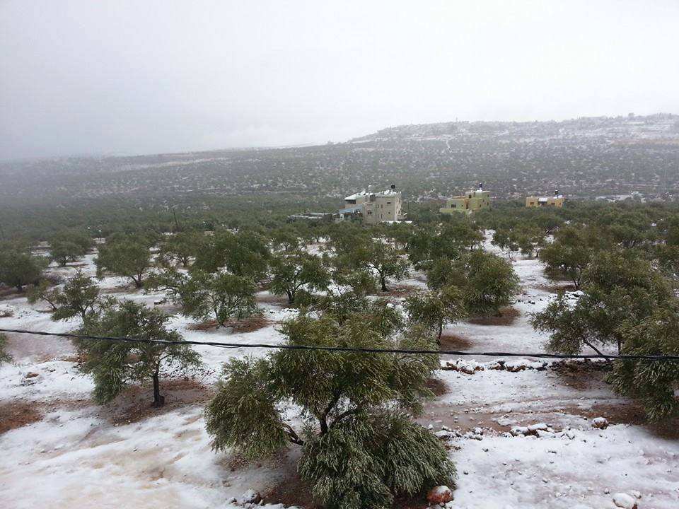
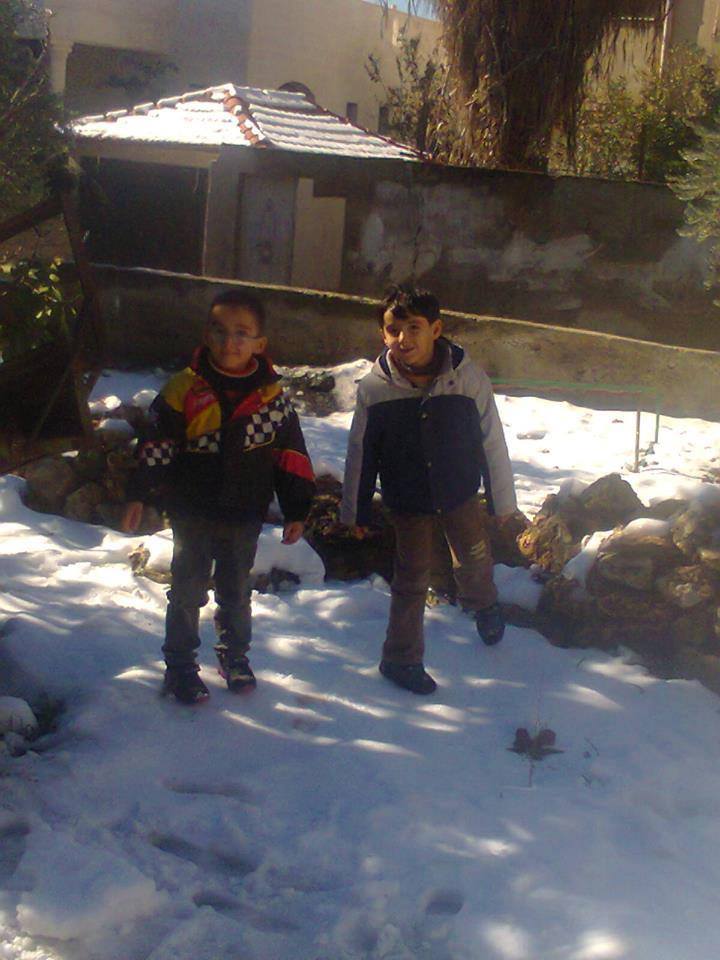
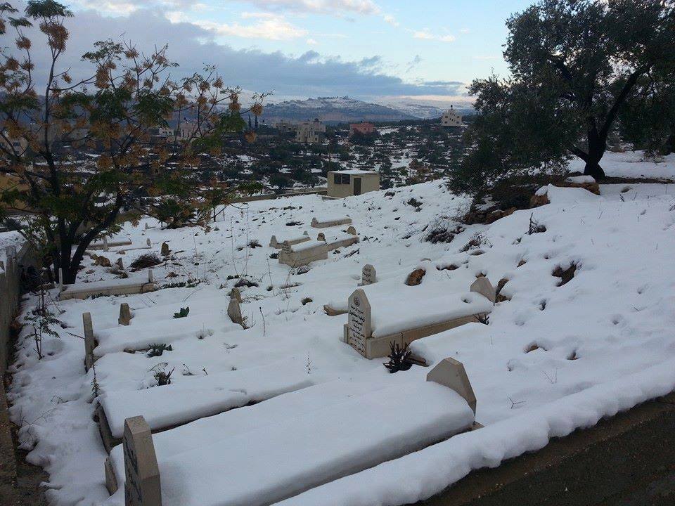
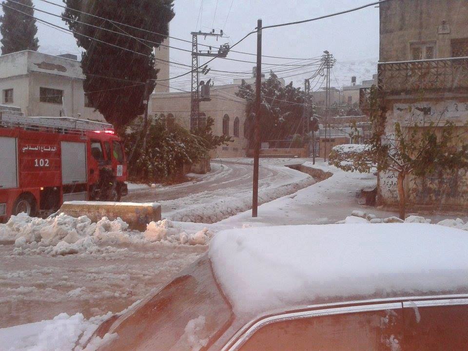
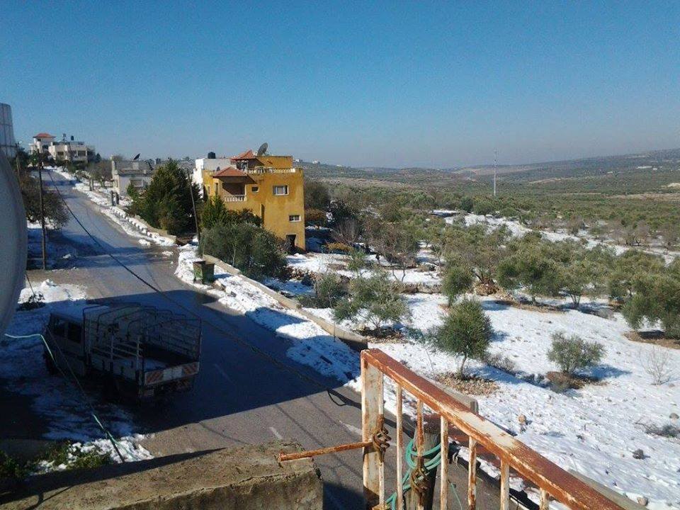
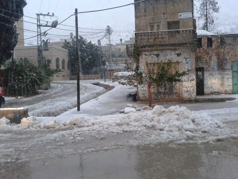
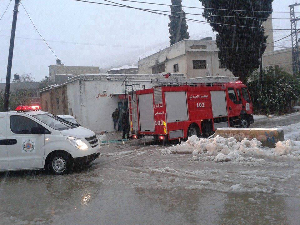
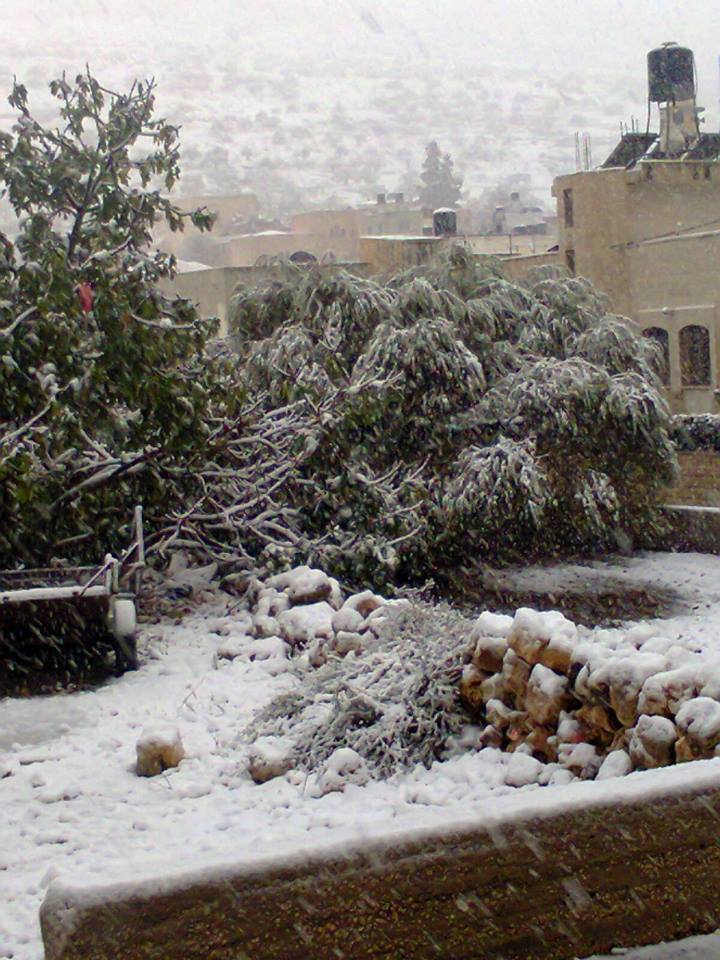
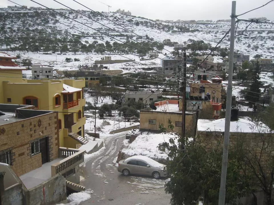
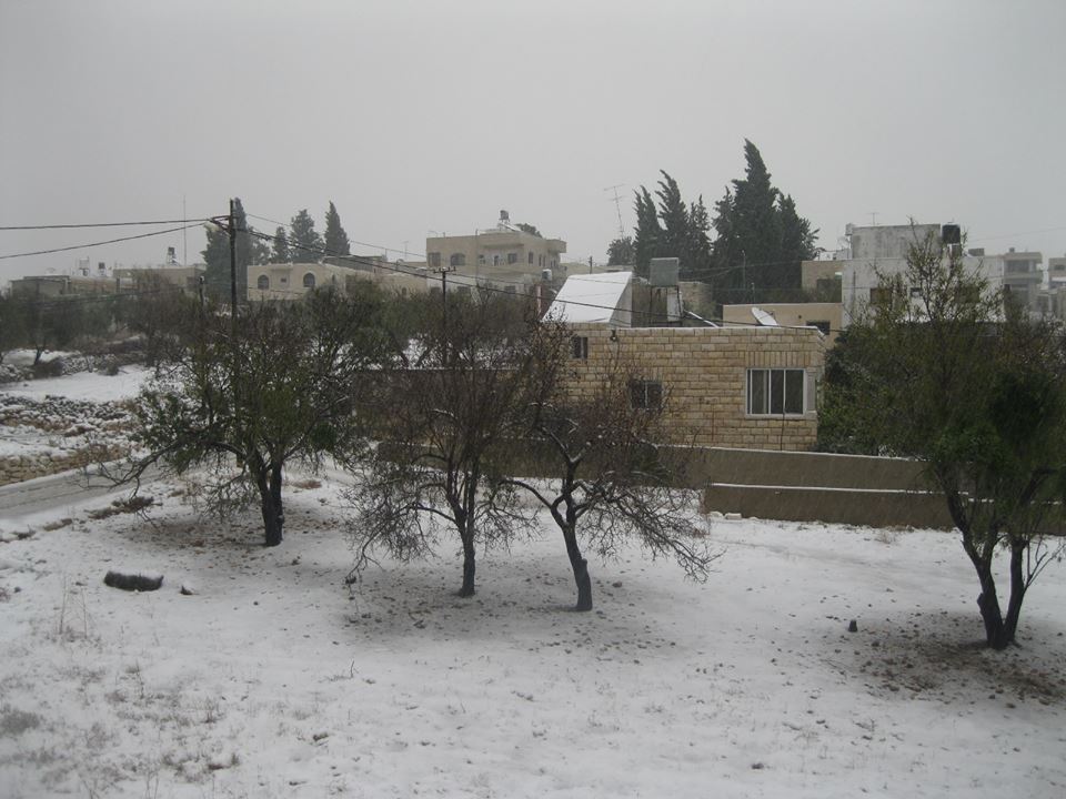
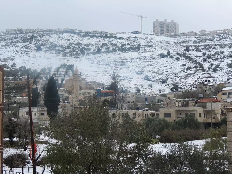
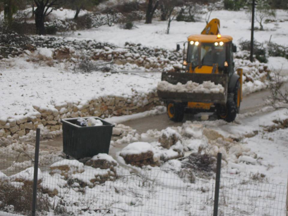
Posted by mansour mansour - الثلوج في قريه مردا 13/12/2013

Posted by mansour mansour - الثلوج في قريه مردا 13/12/2013

Posted by mansour mansour - 1
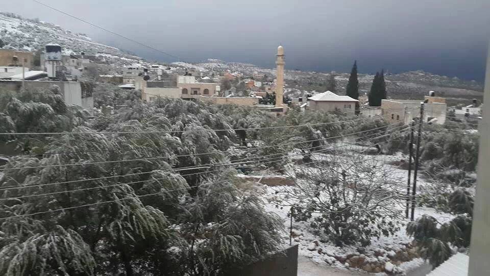
Posted by mansour mansour - الثلوج في قريه مردا 13/12/2013

Posted by mansour mansour - الثلوج في قريه مردا 13/12/2013
Posted by mansour mansour - الثلوج في قريه مردا 13/12/2013
Posted by mansour mansour - الثلوج في قريه مردا 13/12/2013
Posted by mansour mansour - الثلوج في قريه مردا 13/12/2013
Posted by mansour mansour - الثلوج في قريه مردا 13/12/2013
Posted by mansour mansour - الثلوج في قريه مردا 13/12/2013.....
Posted by mansour mansour - الثلوج في قريه مردا 13/12/2013
Posted by mansour mansour - الثلوج في قريه مردا 13/12/2013
Posted by mansour mansour - الثلوج في قريه مردا 13/12/2013
Posted by mansour mansour - الثلوج في قريه مردا 13/12/2013
Posted by mansour mansour - الثلوج في قريه مردا 13/12/2013
Posted by mansour mansour - الثلوج في قريه مردا 13/12/2013

Posted by mansour mansour - الثلوج في قريه مردا 13/12/2013
Posted by mansour mansour - الثلوج في قريه مردا 13/12/2013
Posted by mansour mansour - الثلوج في قريه مردا 13/12/2013
Posted by mansour mansour - الثلوج في قريه مردا 13/12/2013
Posted by mansour mansour - صوره للقرية من الجهه الغربيه سنة 2014
Posted by mansour mansour - صوره للقرية من الجهه الغربيه سنة 2014
Posted by mansour mansour 1 - وسط القريه والقريه التي تاقبلها جماعين
Posted by mansour mansour - صوره حديثهتظهر بها قريتي جماعين وزيتا
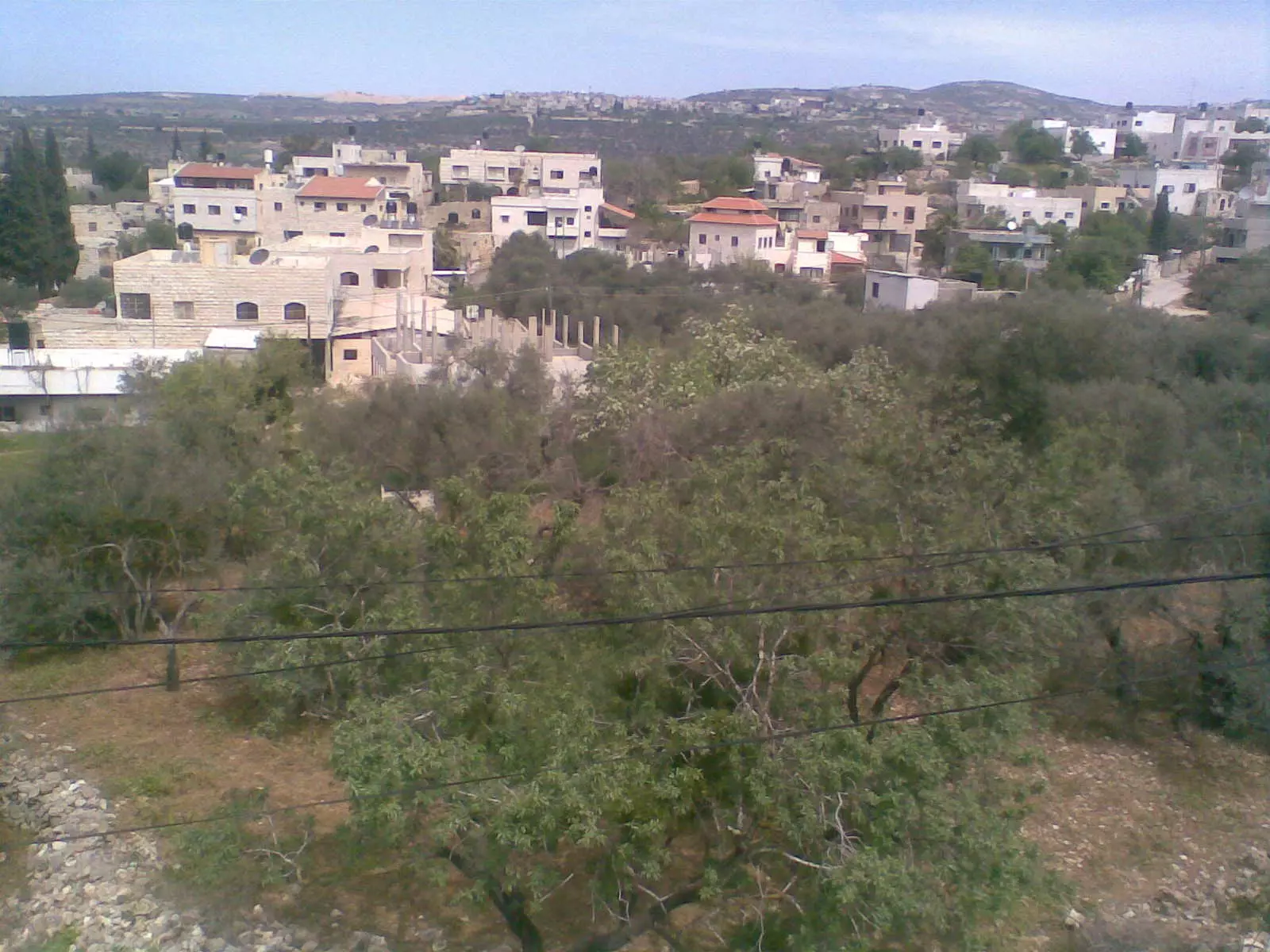
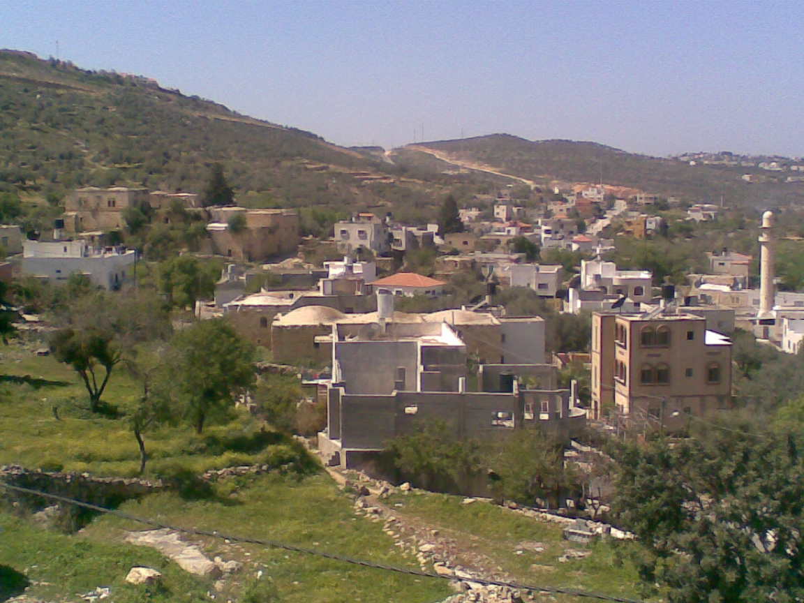
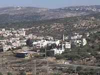
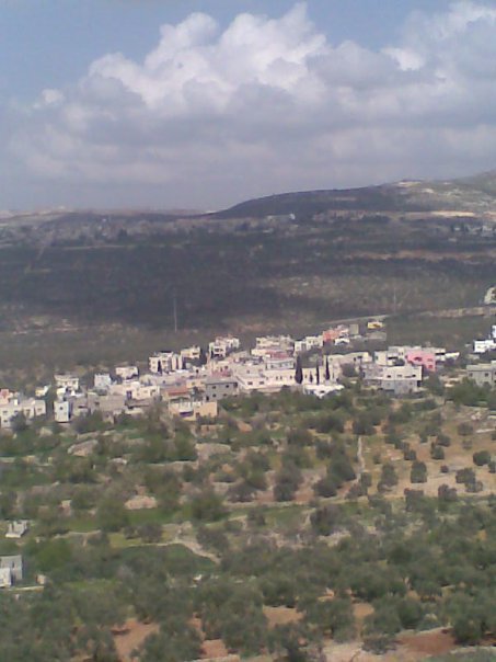
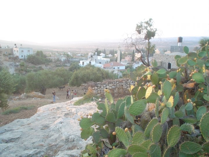
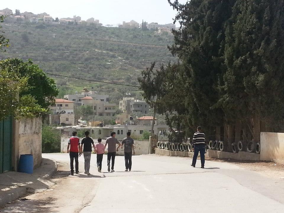
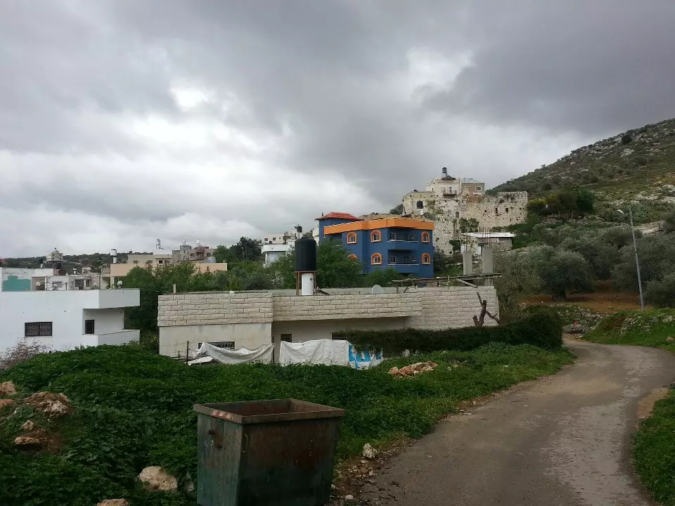
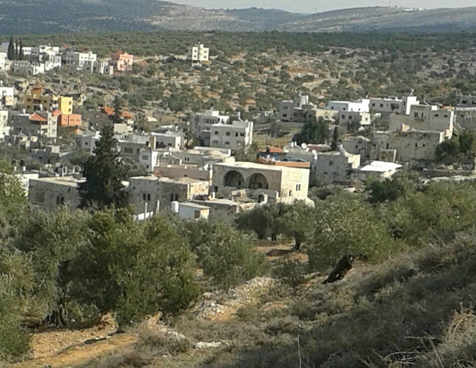
Posted by mansour mansour - منظر عام
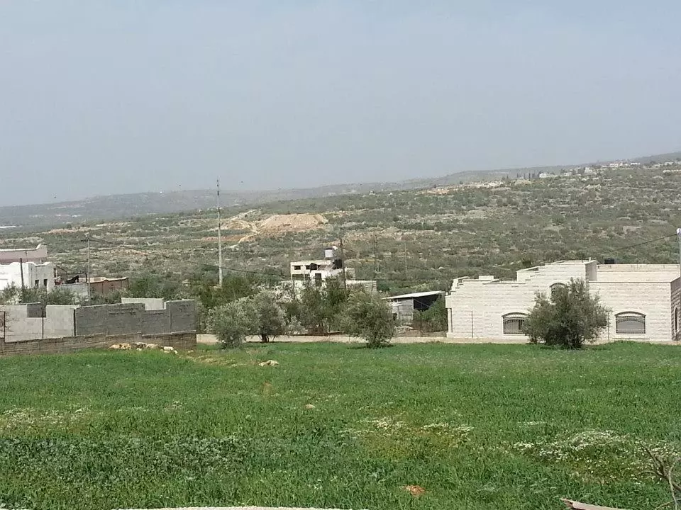
- منظر عام #2
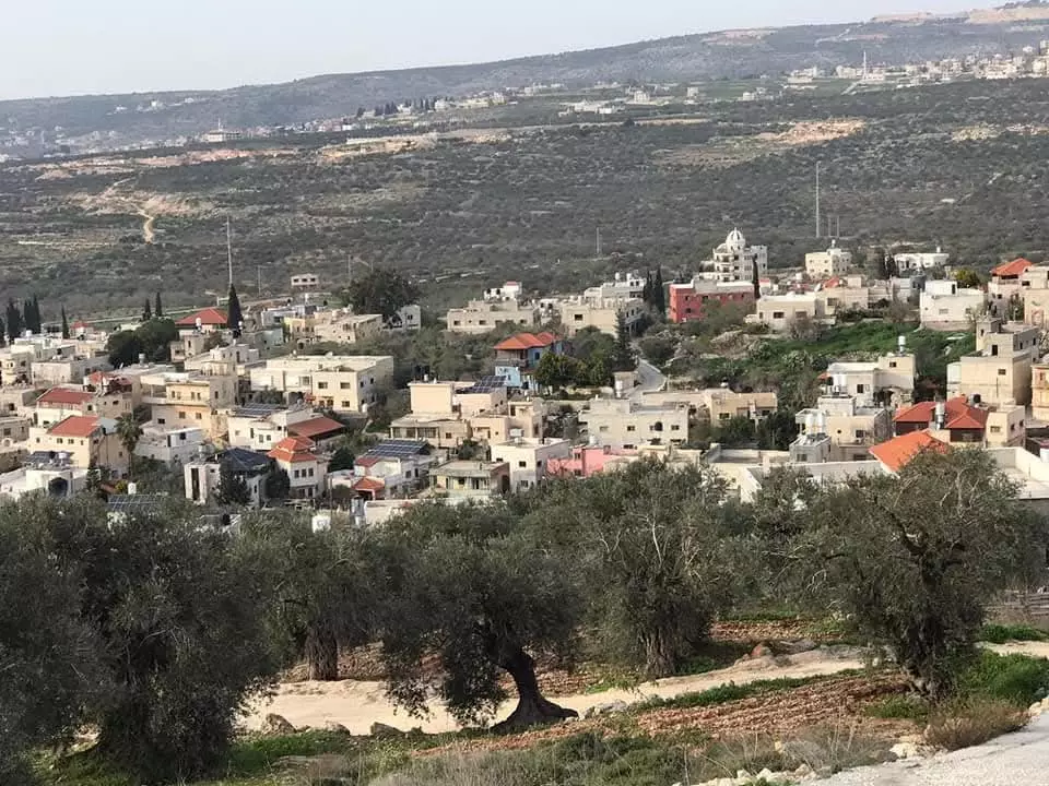
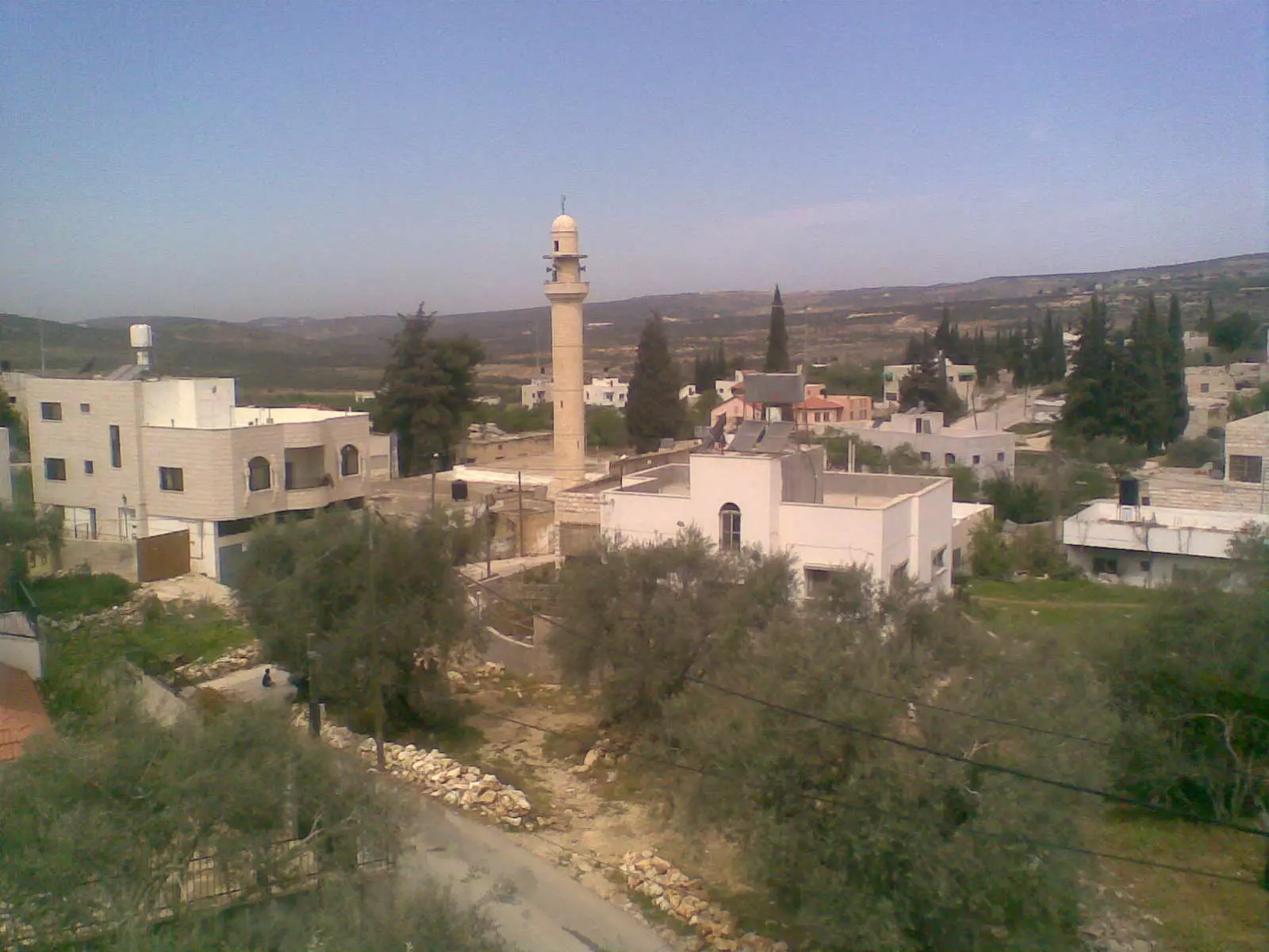
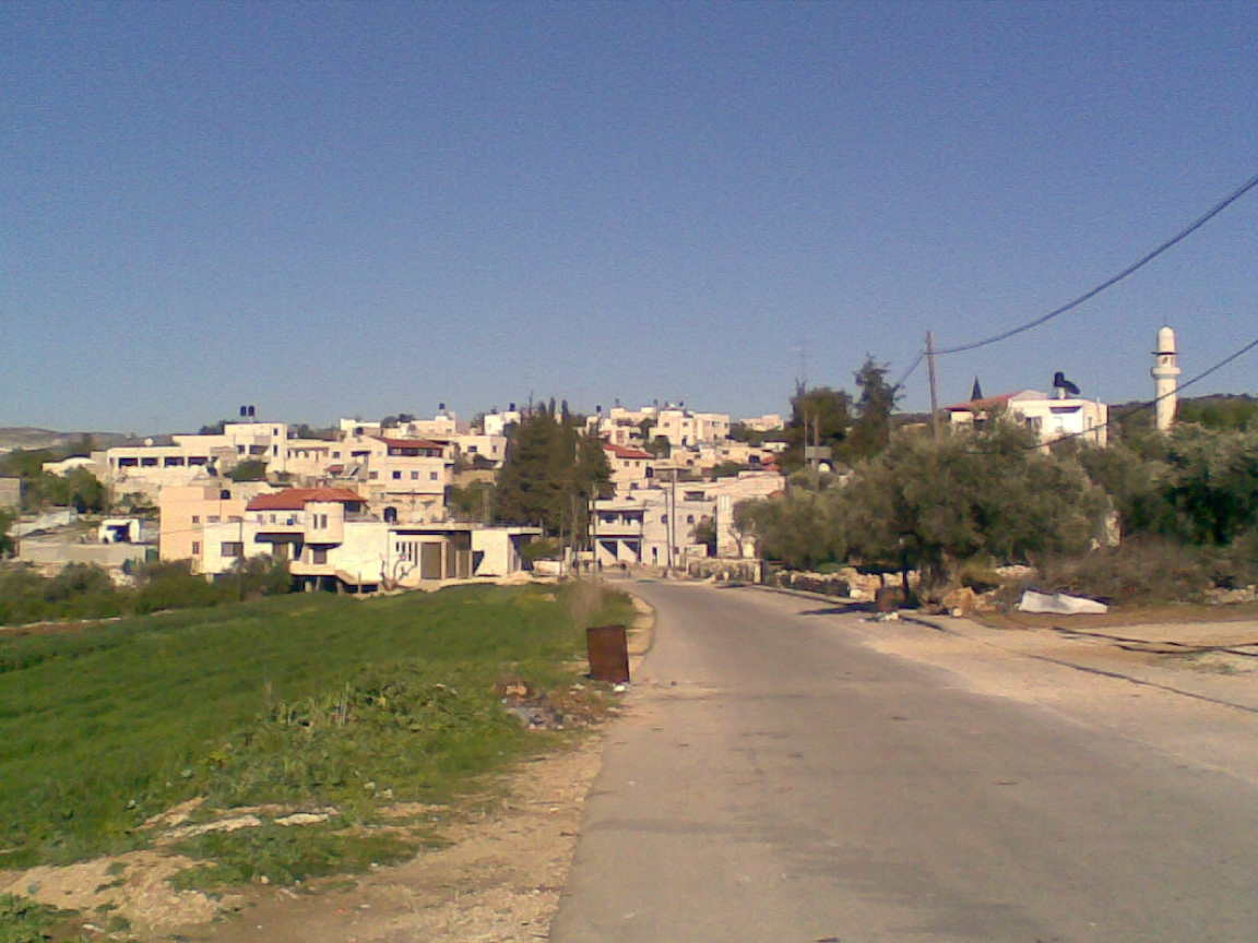
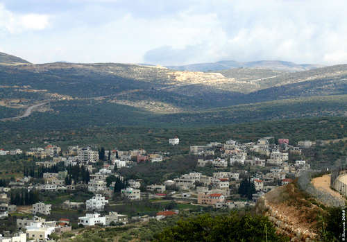
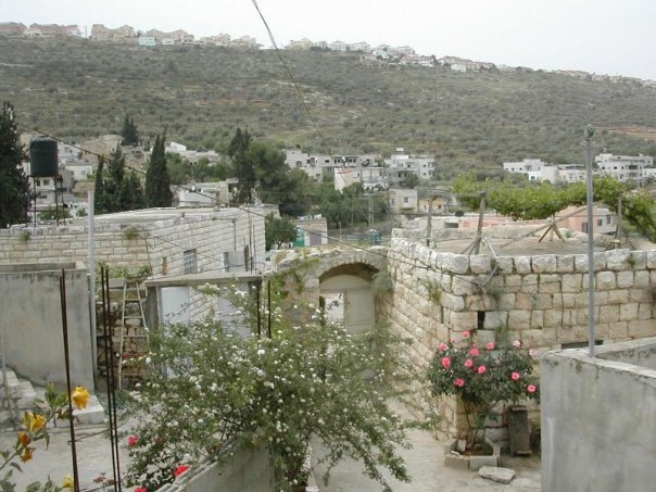
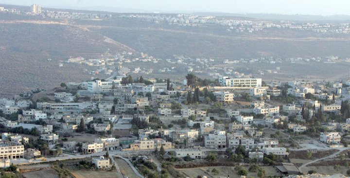
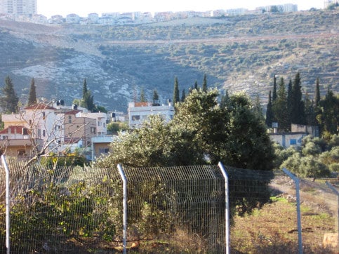
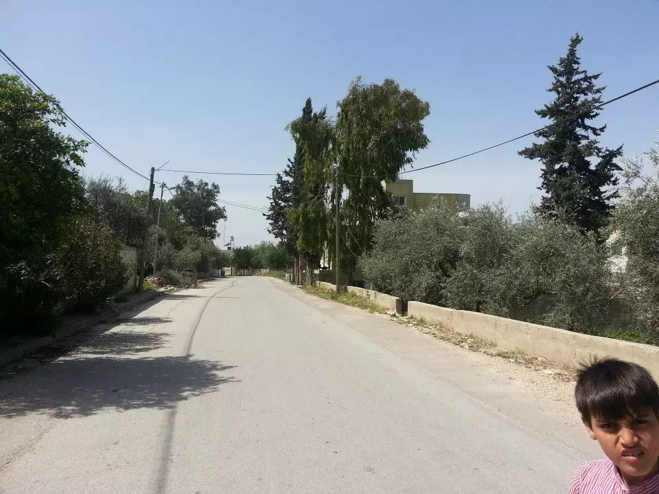
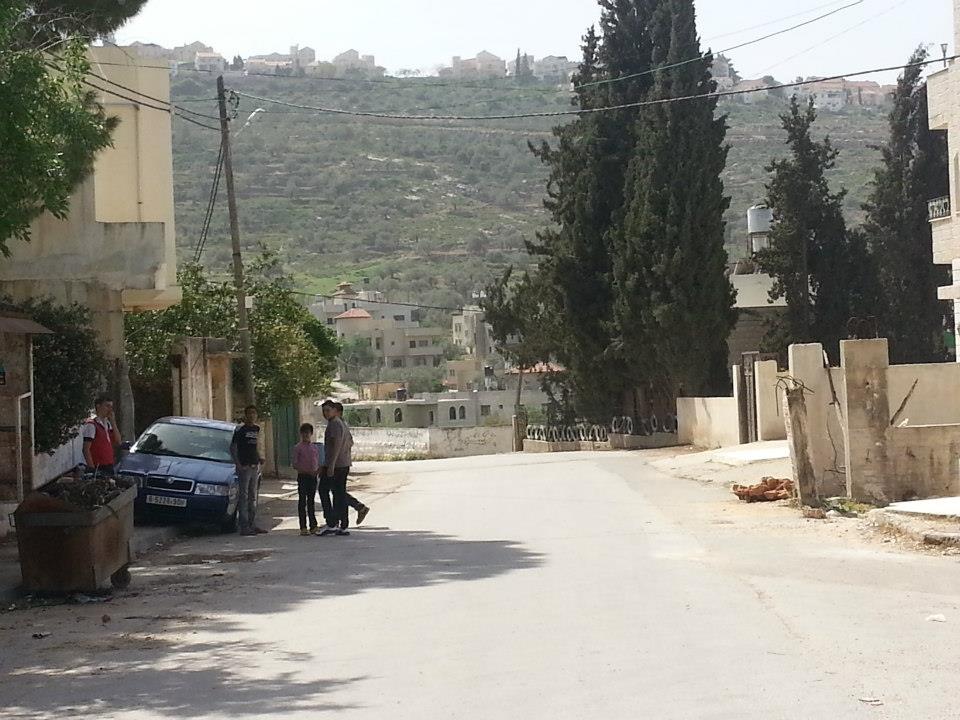
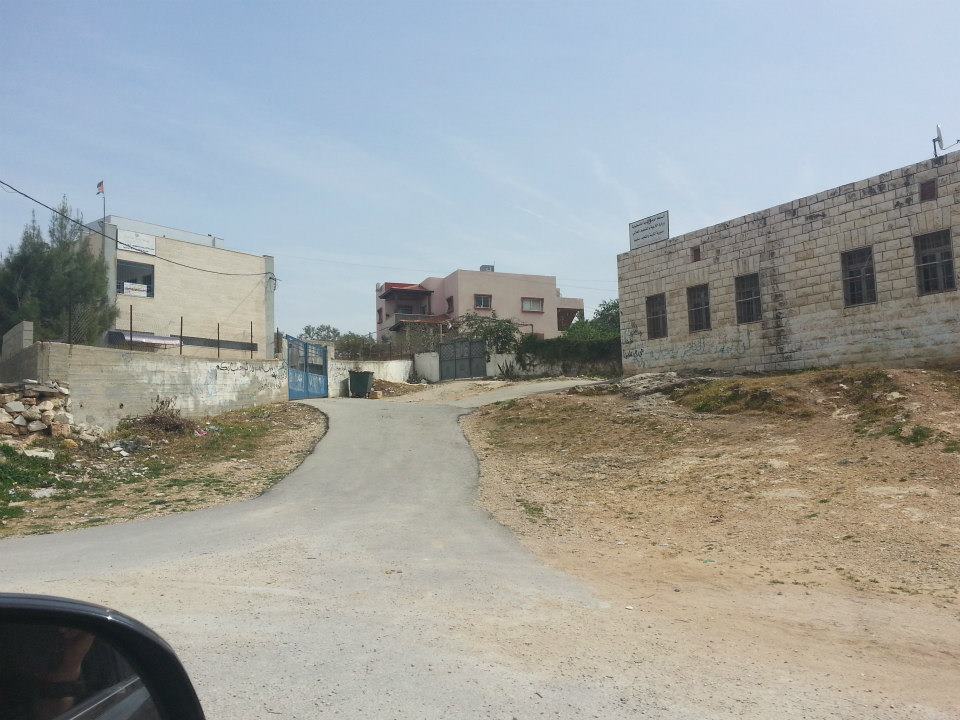
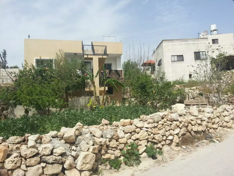
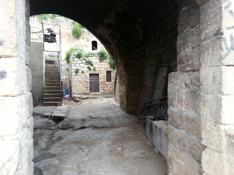
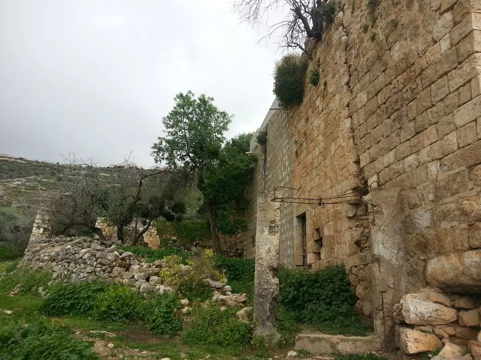
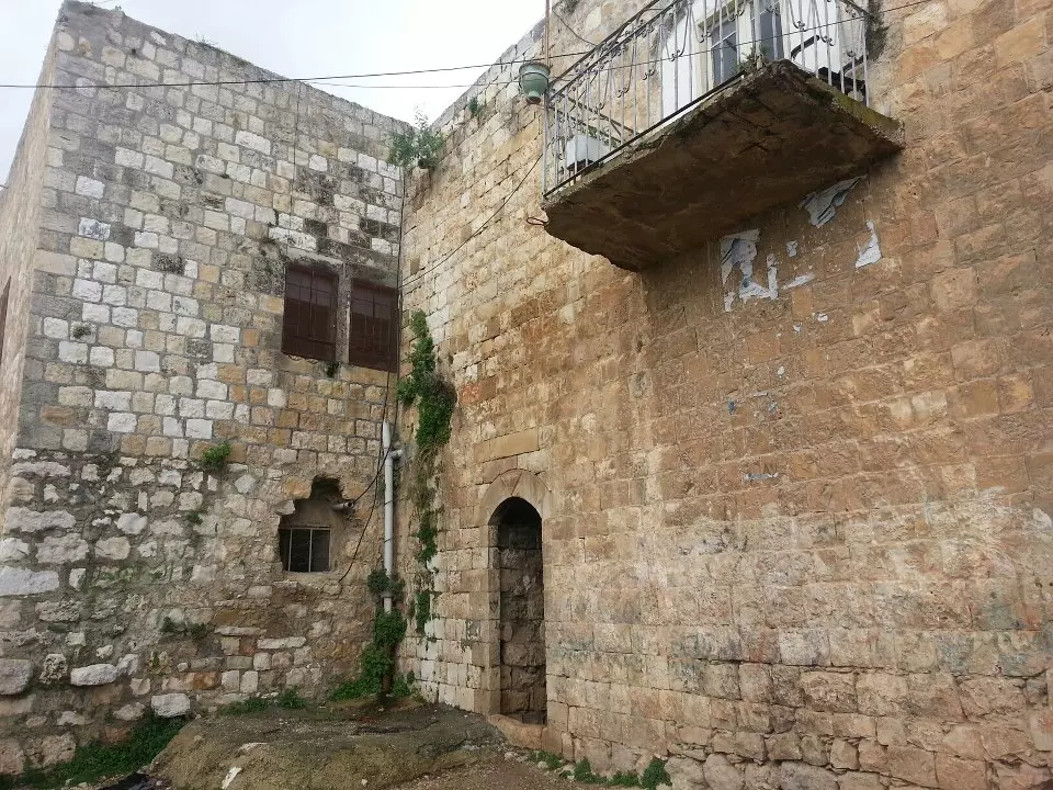
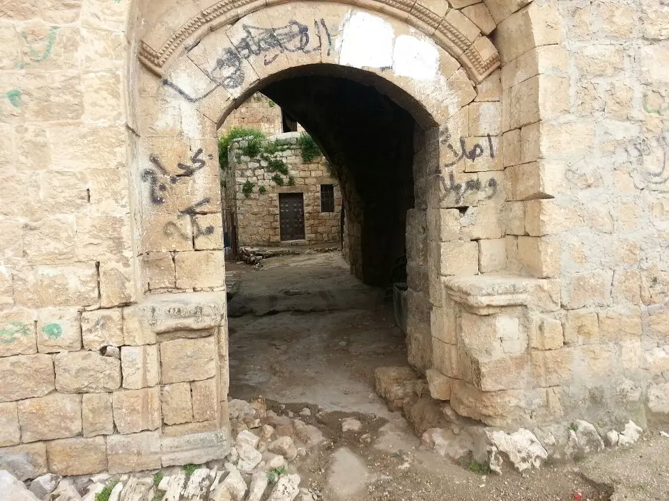
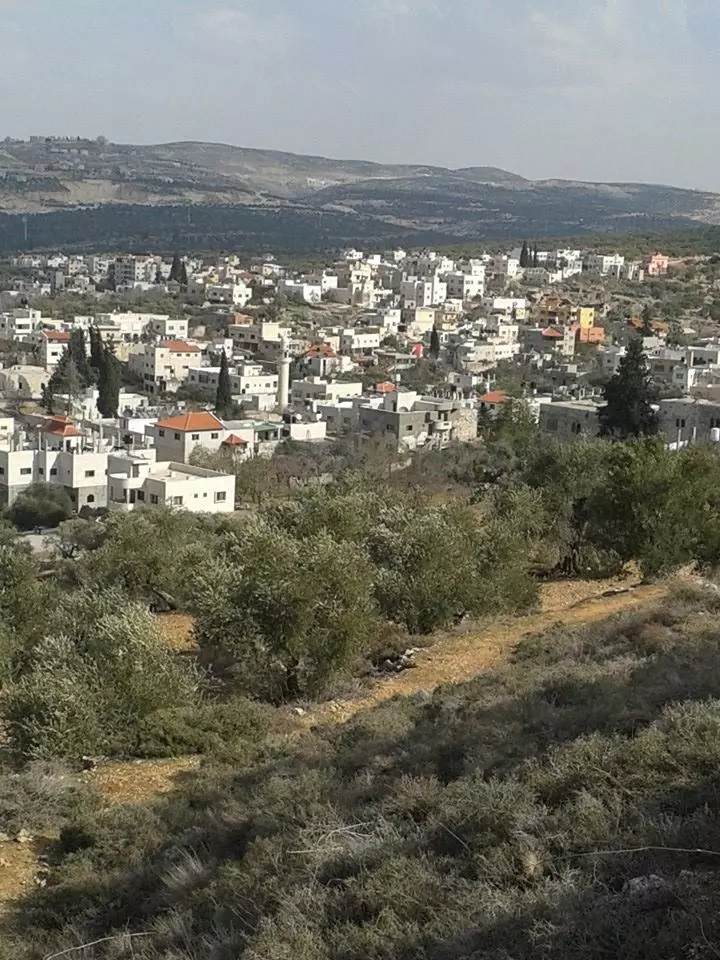
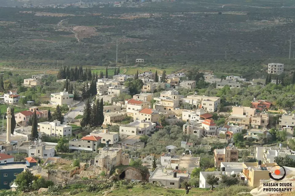
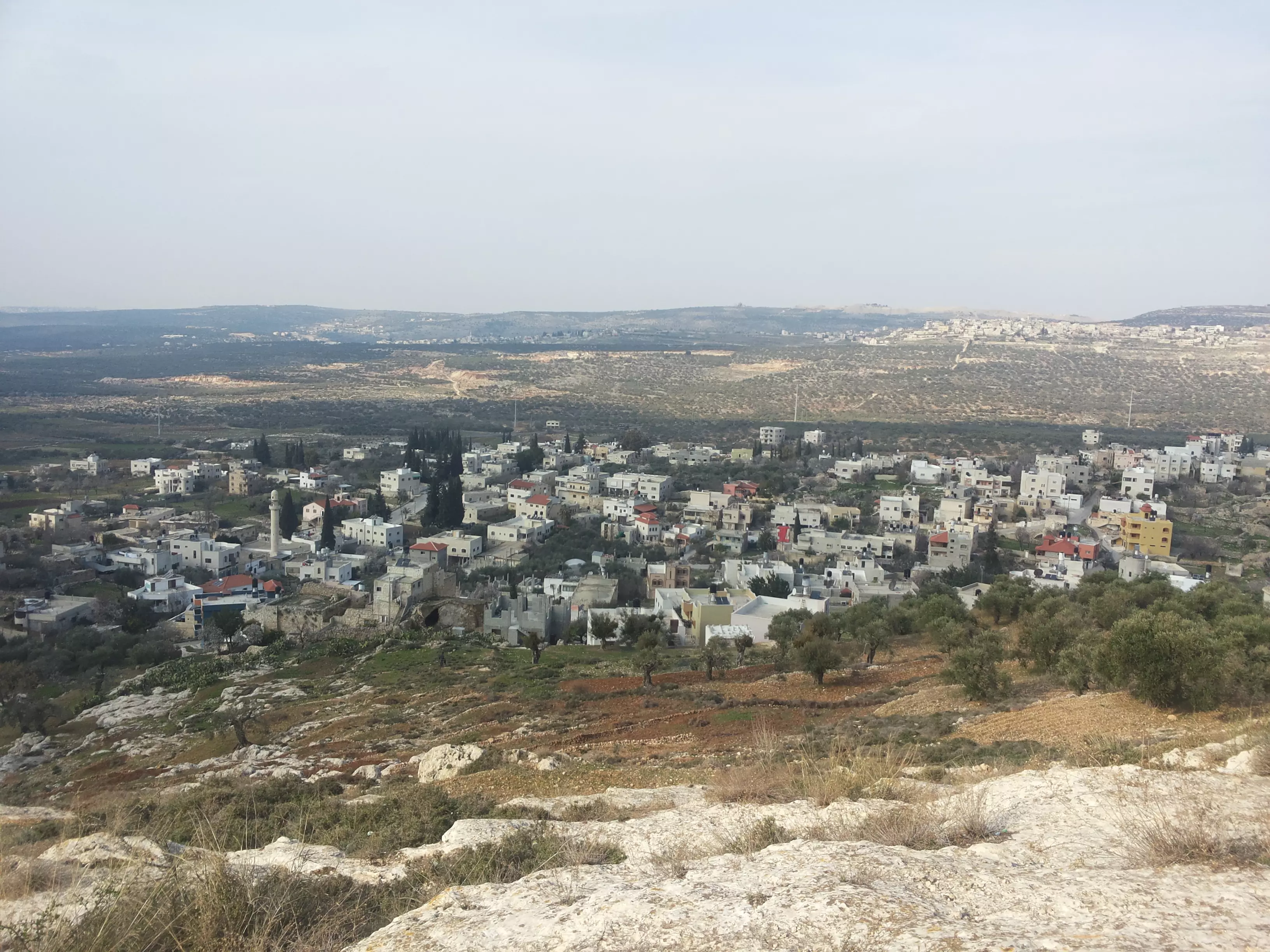
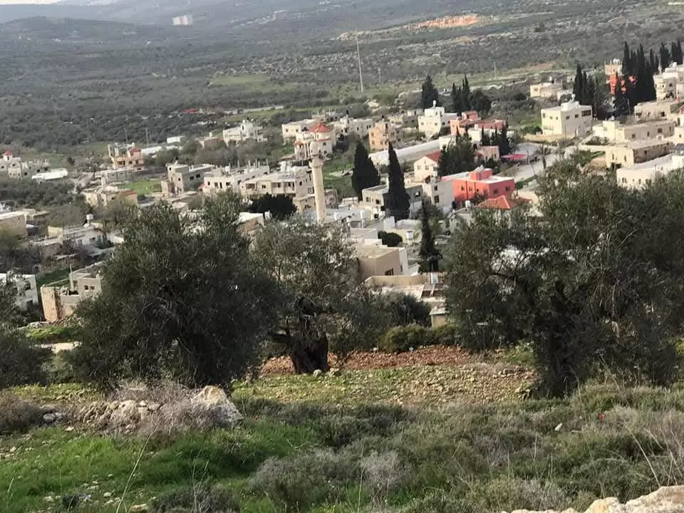
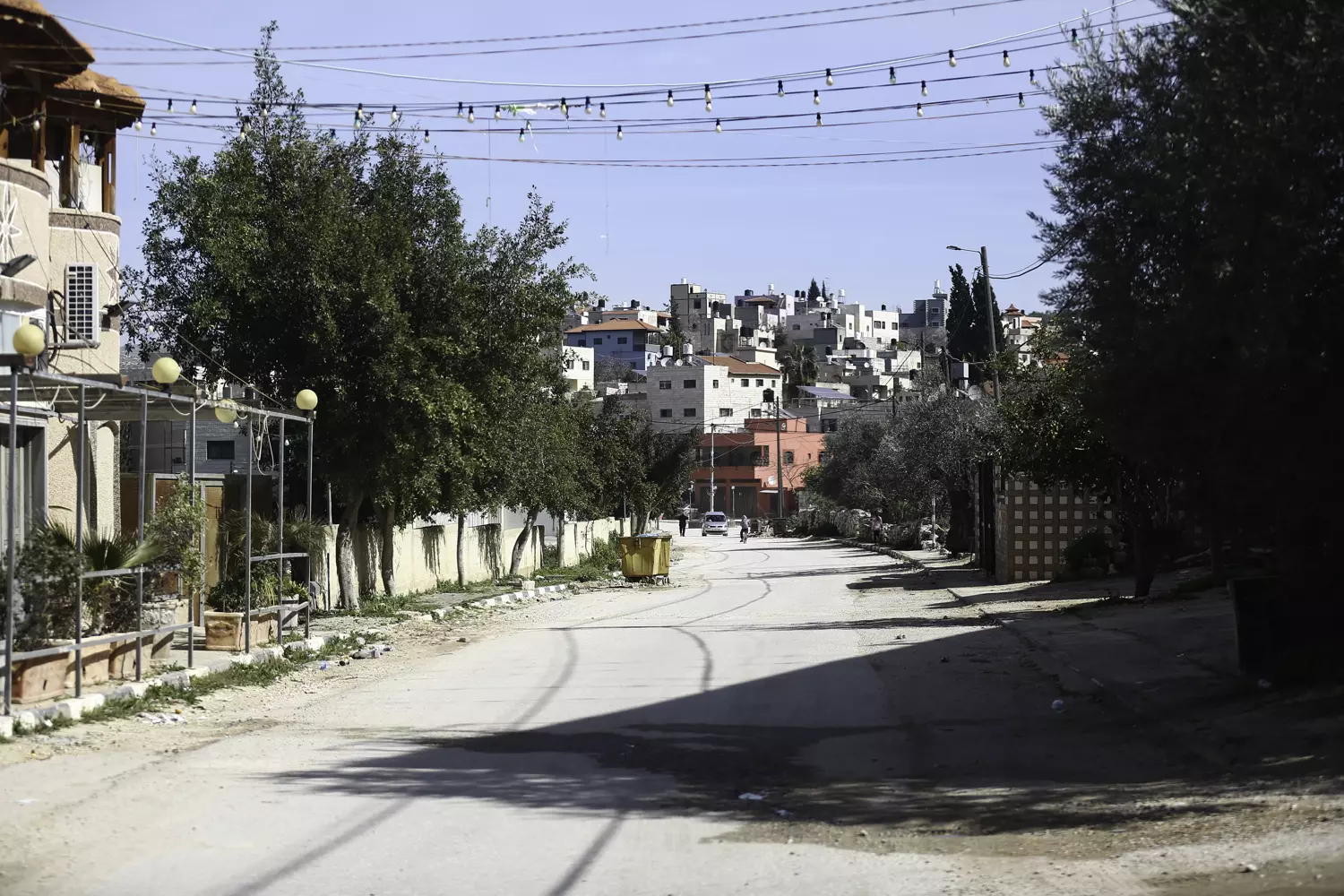
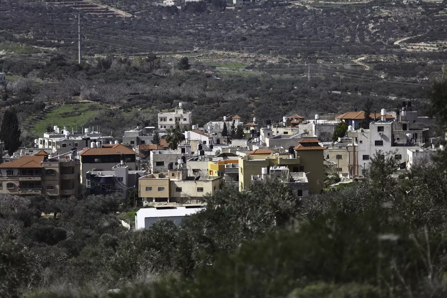
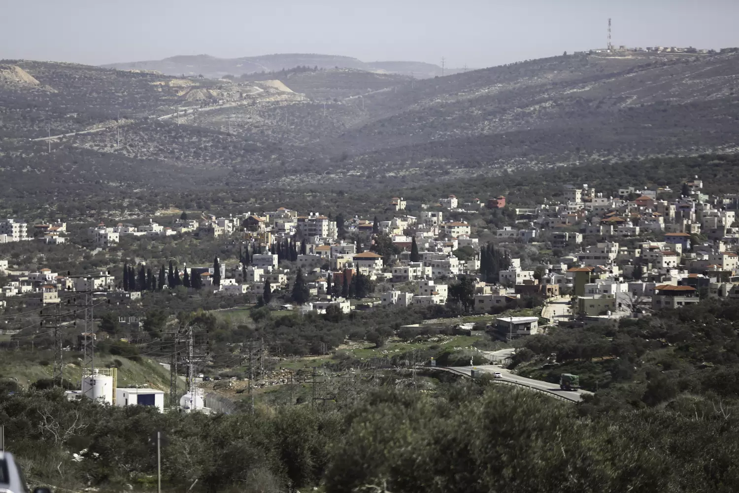
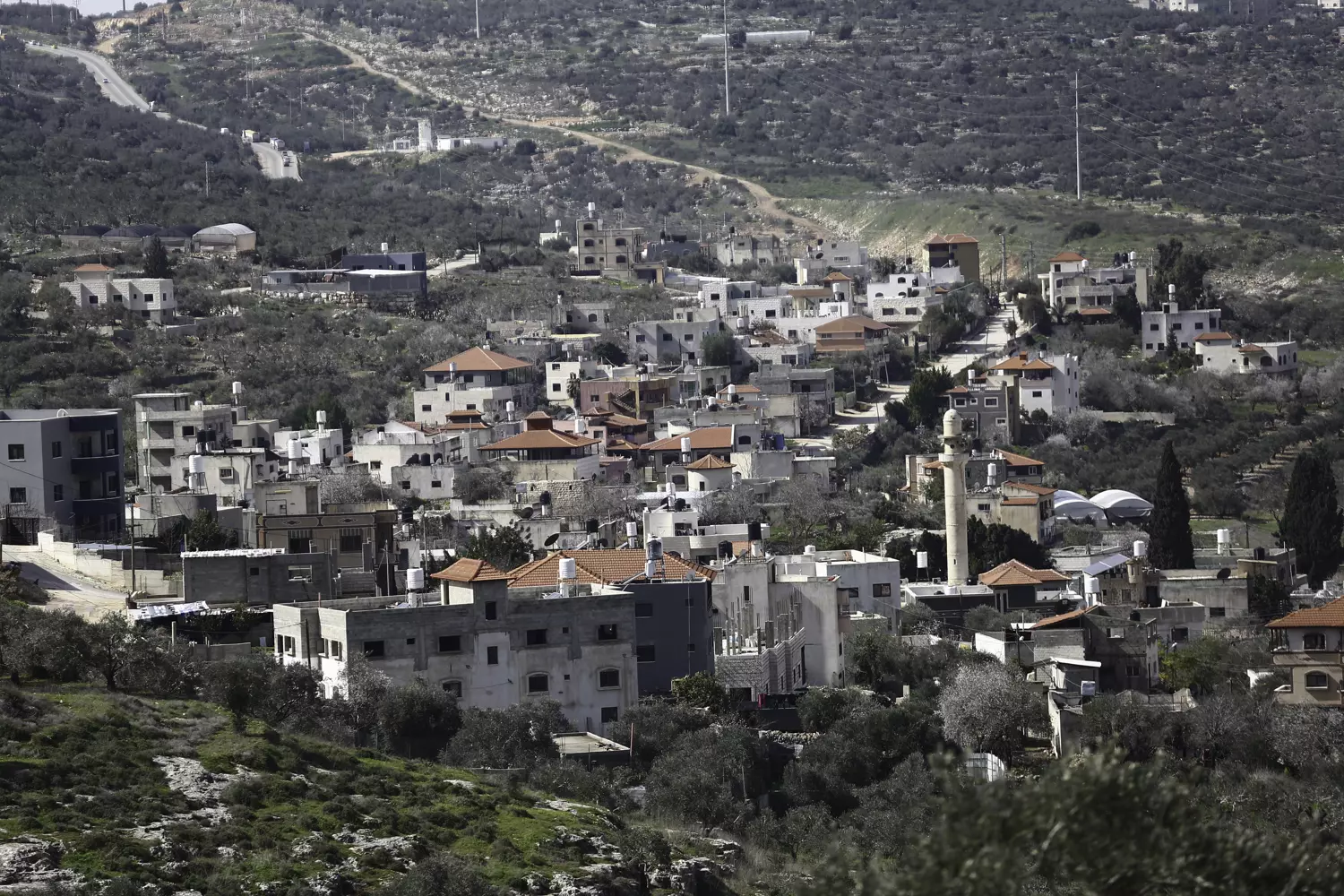
- General view of the town, 2021

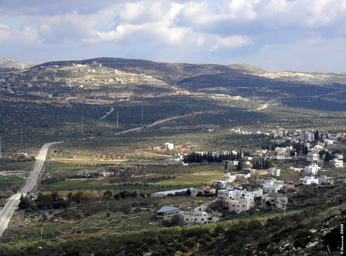
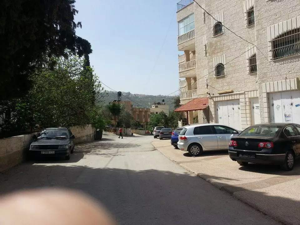
- General view of the town, 2021 #2

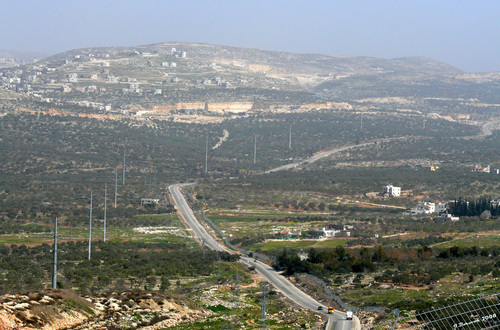
- General view of the town, 2021 #3
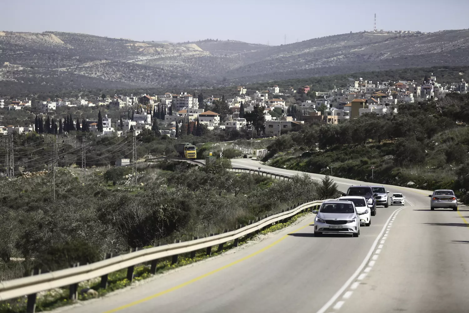
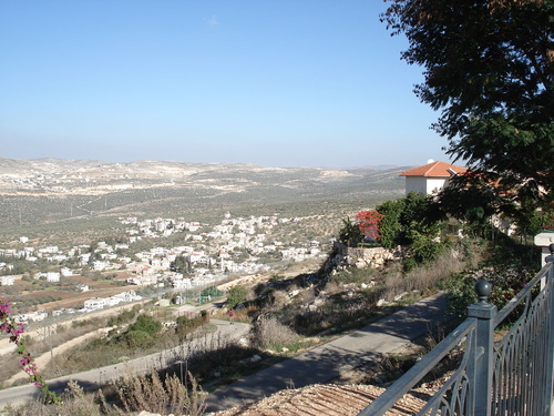
- General view of the town, 2021 #4
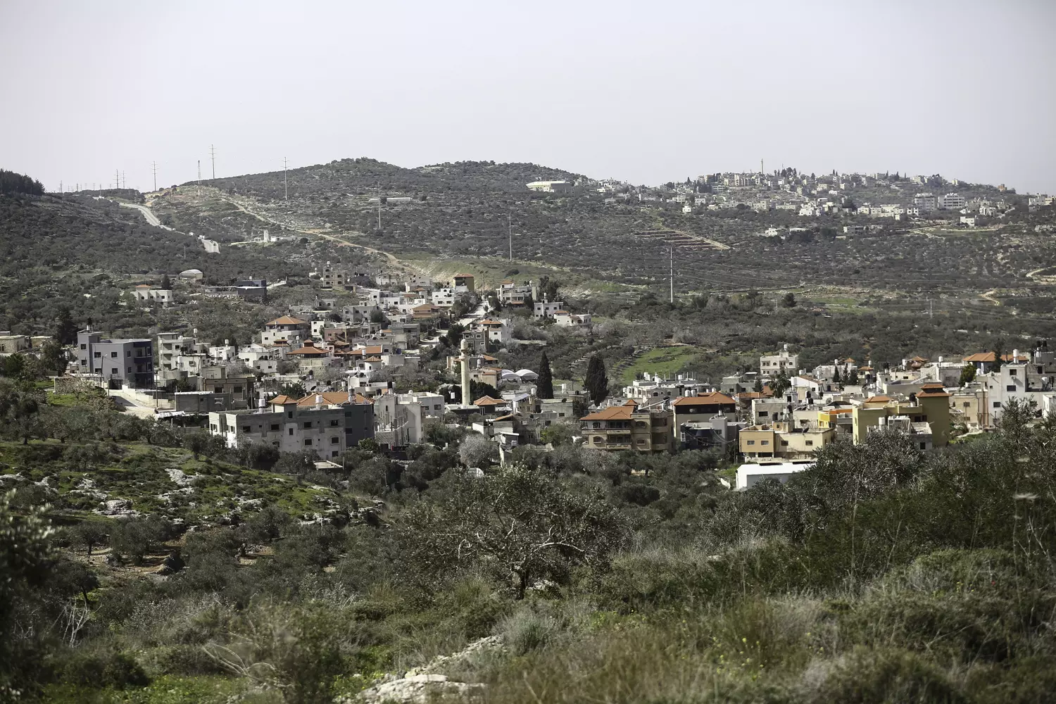
- General view of the town, 2021 #5
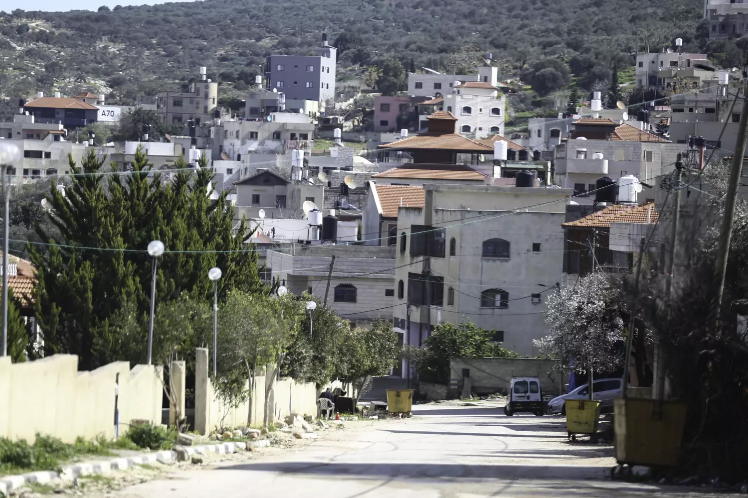
- General view of the town, 2021 #6
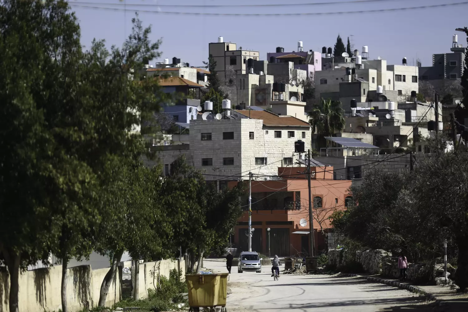
- General view of the town, 2021 #7
- General view of the town, 2021 #8
- General view of the town, 2021 #9
- General view of the town, 2021 #10
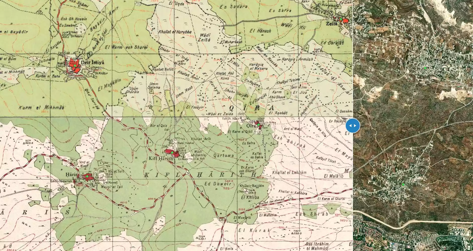
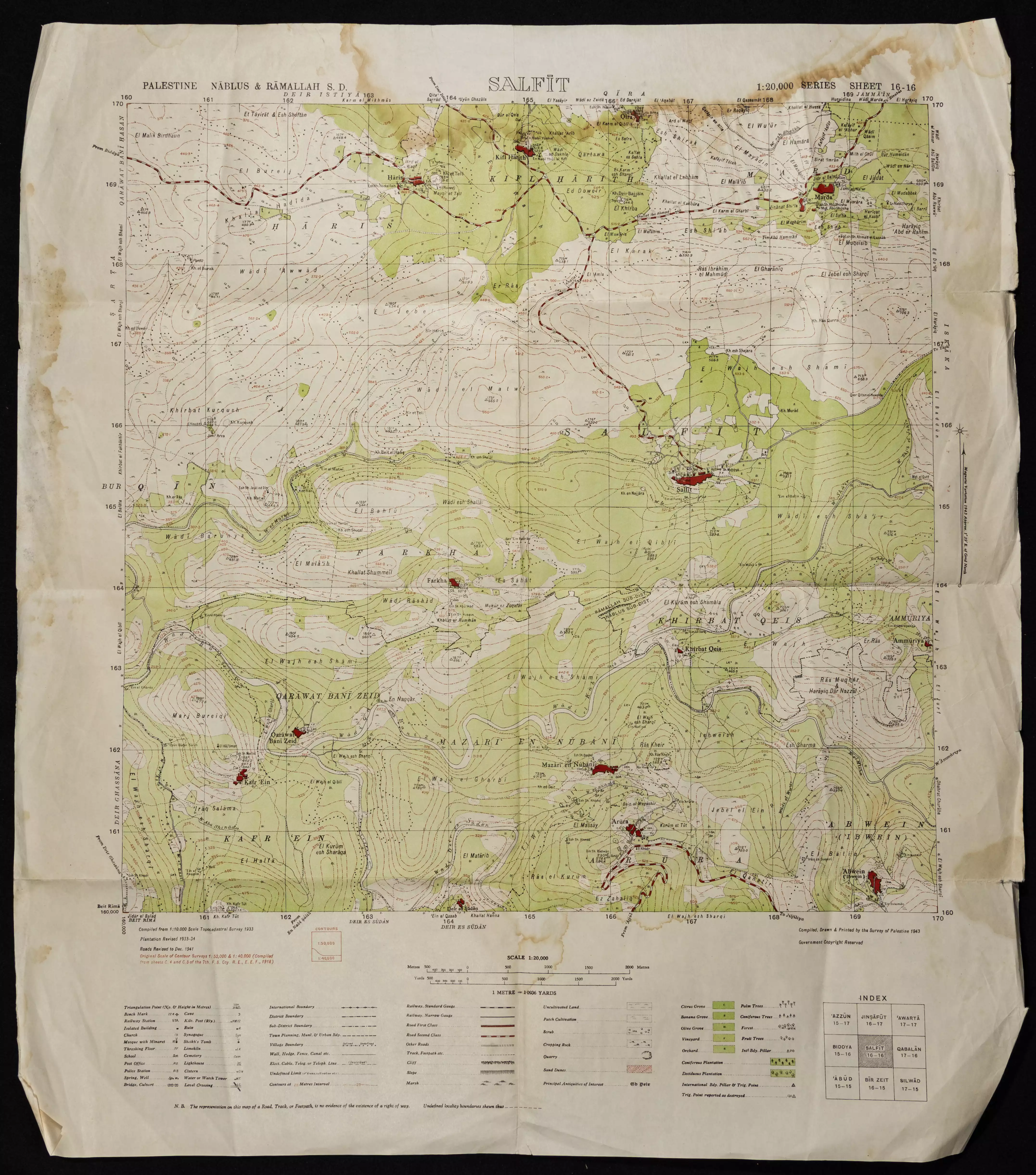
- خارطة تُظهِر الحدود والطرق بأنواعها والأماكن المقدسة والطبيعة الطوبغرافية من تلال وسهول ومنحدرات والتشكيلة الطبيعية للأرض وأنواع المزروعات. نُشرت الخريطة فترة الانتداب البريطاني، تم إضافة تعديلات عليها من قِبَل خدمة الخرائط والصور التابعة للقوات العسكرية الاسرائيلية فترة الأربعينيات.
Want to browse more? 80,000 pictures were grouped in these gallaries:
| Display Name | Clan/Hamolah | Country of Residence |
| Ahmed Hjayyer | Hjayyer | Indiana, USA |
| zoher khuffash | - | - |
| Haya Khuffash | - | - |
| بنت زهرة المدائن | ابداح | - |
| احمد فايز الخفش | - | الكويت |
| Hanandy Khuffash | Khuffash | مردة |
| انت عيني | - | مردا |
| فايز امين الخفش | - | الكويت |
| محمد مجدي الوني | الوني | عمان, الاردن |
| هنادي رافت | - | - |
| zoom star 2014 | - | - |
| احمد جودة | - | - |
| محمود سليمان | - | دبي, الامارات |
| علي إبداح | إبداح | أبوظبي, الإمارات المتحدة |
| منيــر الخفش | الخفش | دبي, الامارات |
| حمساوي مرداوي | سليمان | - |
| Majdi Abd Al Majeed | Abd Al Majeed | Abu Dhabi, U.A.E |
| الشايب | قاسم | اوكرانيا, اوكرانيا |
| ذيب علي | ال طليب | الاردن, الاردن |
| المحترم | - | - |
| shoran | khuffash | uae, uae |
| fasi | - | fes, maroc |
| majdi abd al majeed | marda-nablus | u.a.e, u.a.e |
| أبو عمرو | الخفش | عمان, الأردن |
| mansour mansour | al-mardawi | - |
| المرداوى | منصور | فلسطين, 092596912 |
| feras hajeer | حجير | amman, jordan |
No links have been shared yet, be free to the first to share the first link.
 Fake Valor: Why Did Zionist Jews Hoist Nazis Flag on Their Ships in the 1930s?
What is new?
-
Facts About Oct. 7th Gaza Raid
-
Remined Us Please:: Who Did Rape Who? Palestinians Raped Israelis? Or, was the other way around?
-
When Prof. Edward Said was invited to debate Bibi Netanyahu in the 1980s, watch what happened!
-
Ezra Klein of the NY Times on the "Jewish Race".
-
Abusing Blood Libel!
-
Did Israeli Soldiers Activate The Hanniba Direective On Oct. 7th? You Be The Judge
-
Zionist FAQ: Isn't it true that Palestinians don't want peace? Palestinians never accepted the two-state solution
- Facts about Haavara (Transfer) Agreement between Ben-Gurion & Hitler
-
Haavara FAQs: Why Did Zionist Jews Hoist Nazis' Flags on Their Ships in the 1930s?
- Haavara FAQs: When Chaim Weizmann met FDR in mid-1943, why was he silent about rescuing European Jewry?
-
Dear ChatGPT: How did Palestinians resist Napoleon's invasion of their country in 1799?
-
Dear ChatGPT: Gaza had a vibrant Jewish community in the mid-17th century. What happened to them?
-
Dear ChatGPT: Why did the Jewish Agency suppress news of the Holocaust during WWII?
-
Video Playlist: Jews share their DNA tests to end the conflict for good.
-
A Tale of Two Conflicts: Examining the Definition of Genocide
-
Prof. Abraham Polak And The Suppressed History of the Khazars and European Jewry
-
How Ronald Reagan would have framed the genocide in Gaza if he were still alive?
-
Haavara FAQs: Let us do the math: how many German Jews did The Haavara Agreement save?
-
Zionist FAQs: The Hebron Massacre of 1929, "clearly proves" that Palestinians are antisemitic, how could you deny it?
-
Zionist FAQs: Why Anti-Zionist Is Not Antisemitism?
-
Zionist FAQs: Isn't it true that the KGB created Palestinian Nationalism in the early 1960s?
- Zionist FAQs: Muslims are killing Muslims all the time; why are Israeli Jews being singled out in the media?
- Zionist FAQs: How is Israel an apartheid state when 20% of its citizens are Arabs who enjoy full rights?
-
Haavara FAQs: Why Did Dorothy Thompson Flip From A Zionist Advocate to A Silenced Dissenter?
-
Haavara FAQs: Analysis of Herzl's Uganda Scheme and how it could have saved millions of Jews.
-
Haavara FAQs: Why did Hayim Greenberg describe American Jewry as "morally bankrupt" in early 1943?
-
Haavara FAQs: What if the Evian Conference was a resounding success? What would have been the impact of saving European Jewry on Zionism?
- Haavara FAQs: What if the six million were saved, how that would have impacted the Zionist project?
-
Haavara FAQs: How did Zionist leaders react when Europe's Jews lingered in the DP camps after WWII ended?
-
Why does the American Jewish community repeat lies that David Ben-Gurion had debunked before he died?
-
Who has the power to rename the Tatar/Khazar Gene Marker to Jewish IV?
-
Zionist FAQs: Why won't Egypt, Syria, and Jordan take their people back? Jews are indigenous to Palestine, and Arabs immigrated after Jews developed the country. Arabs should leave.
-
Haavara FAQs: Did Hitler and the Nazis conflate between Judaism and Zionist? If that wasn't case, then why?
-
Haavara FAQs: Winston Churchill and antisemitism, a collection of articles written Churchill.
-
Haavara FAQs: Broken by country, how many Jews survived vs. killed during the Holocaust?
-
Haavara FAQs: Why did European Jews vote with their feet and to immigrated to the Americas, not Palestine, after WWII?
-
Watch this American Jewish Girl describing Israeli Jews' cognitive dissonance like no other in under two minutes
-
Haavara FAQs: When the Nazis went out of their way to hide the Holocaust, Israeli Jews did the exact opposite by broadcasting their genocide of Gazans. But why?
-
Haavara FAQs: How Zionist Jews went out of their to show their appreciation to Nazism and Fascism?
- Haavara FAQs: Why Zionist leaders were against bombing the death camps & the Railroads leading to them?
-
Haavara FAQs: Hitler's message to the British and American people: If Jews are such noble citizens and you care about them, how come you're not letting them in? I will gladly ship them to you at my expense, even on luxury liners!
-
A shortlist of Zionist and Israeli false flag operations in the name Jews.
-
The Most Moral Army
- The Land of Kapos (Israel): Where the brave are boycotted and Kapos walk free.
- Why did early Zionists often named their communal enterprises "colonial"?
- Zionist Relations with Nazi Germany by Faris Glubb
-
Two NY Times advertisements by Zionists in the early 1943 that exposes Zionists' treason at the height of the calamity
- Facts Not Lies about the Palestinian-Israeli Conflict.
- Site's pictures have been categorized
- Campgain Against Lice
- A Survey of Palestine, the official source about Palestine before Nakba produced by the British Mandate; over 1200 pages.
- Satellite View & Google Earth: Over 6,000 placemarks identifying all destroyed towns, W. Bank & Gaza Strip Towns, & refugee camps.
- PalestineRemembered.com and its Nakba Oral History Project were featured on al-Jazeera Satellite TV.
- Nakba Oral History Video Podcast:
 Over 700 Oral History interviews (including 3,500+ hours of recording) can be viewed online.
 - Palestine Village Statistics Project
- Gaza Jail Break
- النسخة العربية للموقع الان متوفرة
- Videos: Documenting the destroyed villages in video: Tracing all that remains since Nakba.
- Videos: Responding to Zionist Propaganda
- Interview: The ethnic cleansing of Palestine: George Galloway interviews Israeli Historian Ilan Pappe.
- For Palestinians, memory matters. It provides a blueprint for their future By George Bisharat.
- Zionist FAQ now available in Hebrew שאלות שציונים שואלים, עכשיו בעברית
- Video: The Stephen Walt and John Mearsheimer report on the influence of the Israel Lobby on U.S. Foreign Policy
- The Palestinian-Israeli conflict for beginners
