| PalestineRemembered | About Us | Oral History | العربية | |
| Pictures | Zionist FAQs | Haavara | Maps | |
| Search |
| Camps |
| Districts |
| Acre |
| Baysan |
| Beersheba |
| Bethlehem |
| Gaza |
| Haifa |
| Hebron |
| Jaffa |
| Jericho |
| Jerusalem |
| Jinin |
| Nablus |
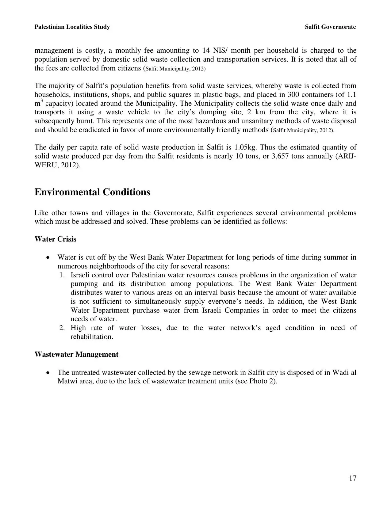
| Nazareth |
| Ramallah |
| al-Ramla |
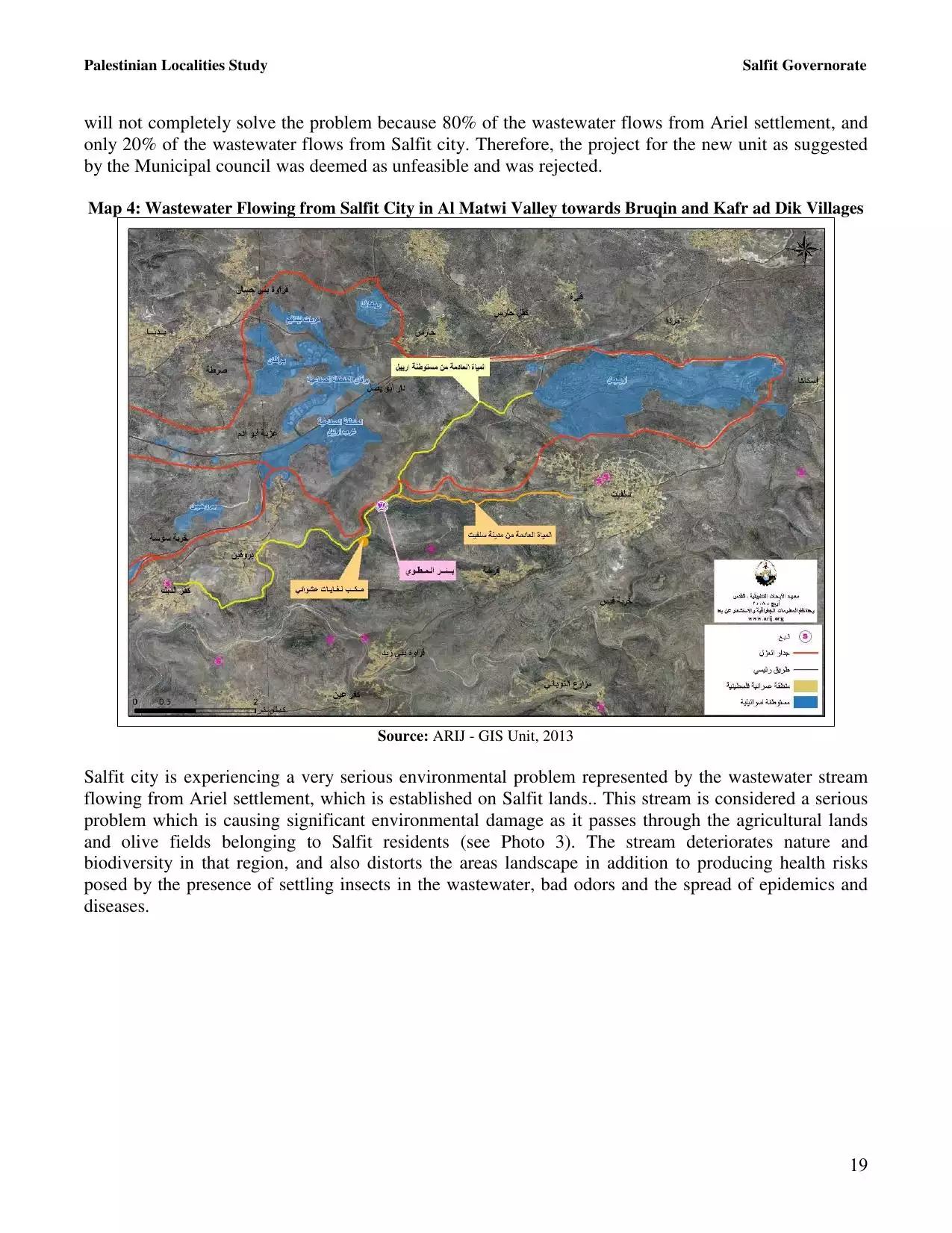
| Safad |
| Tiberias |
| Tulkarm |
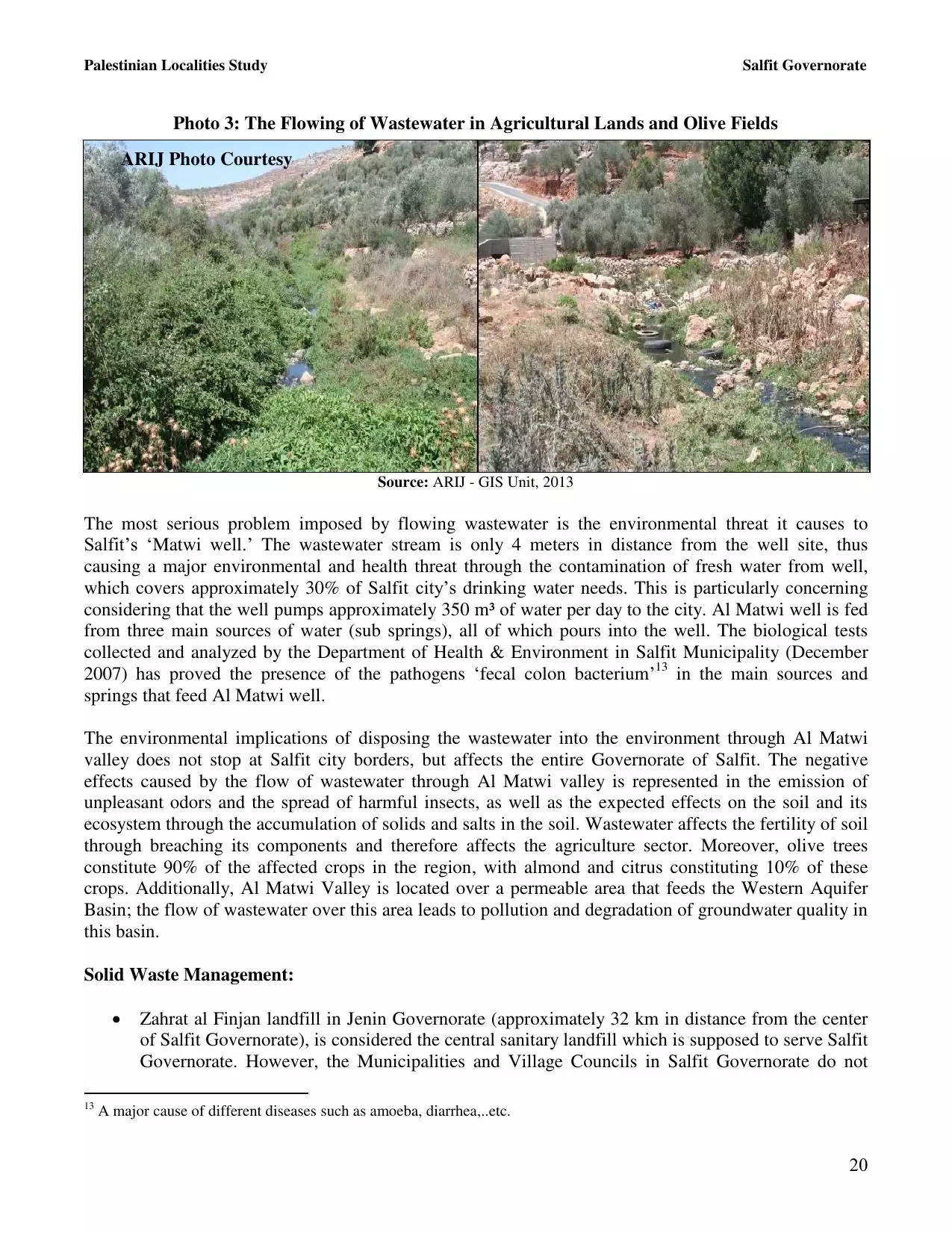
| Donate |
| Contact |
| Profile |
| Videos |
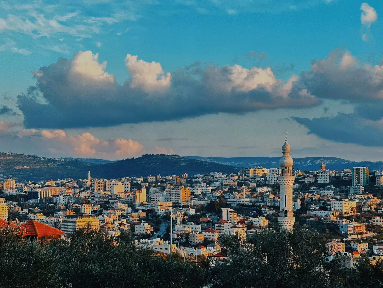
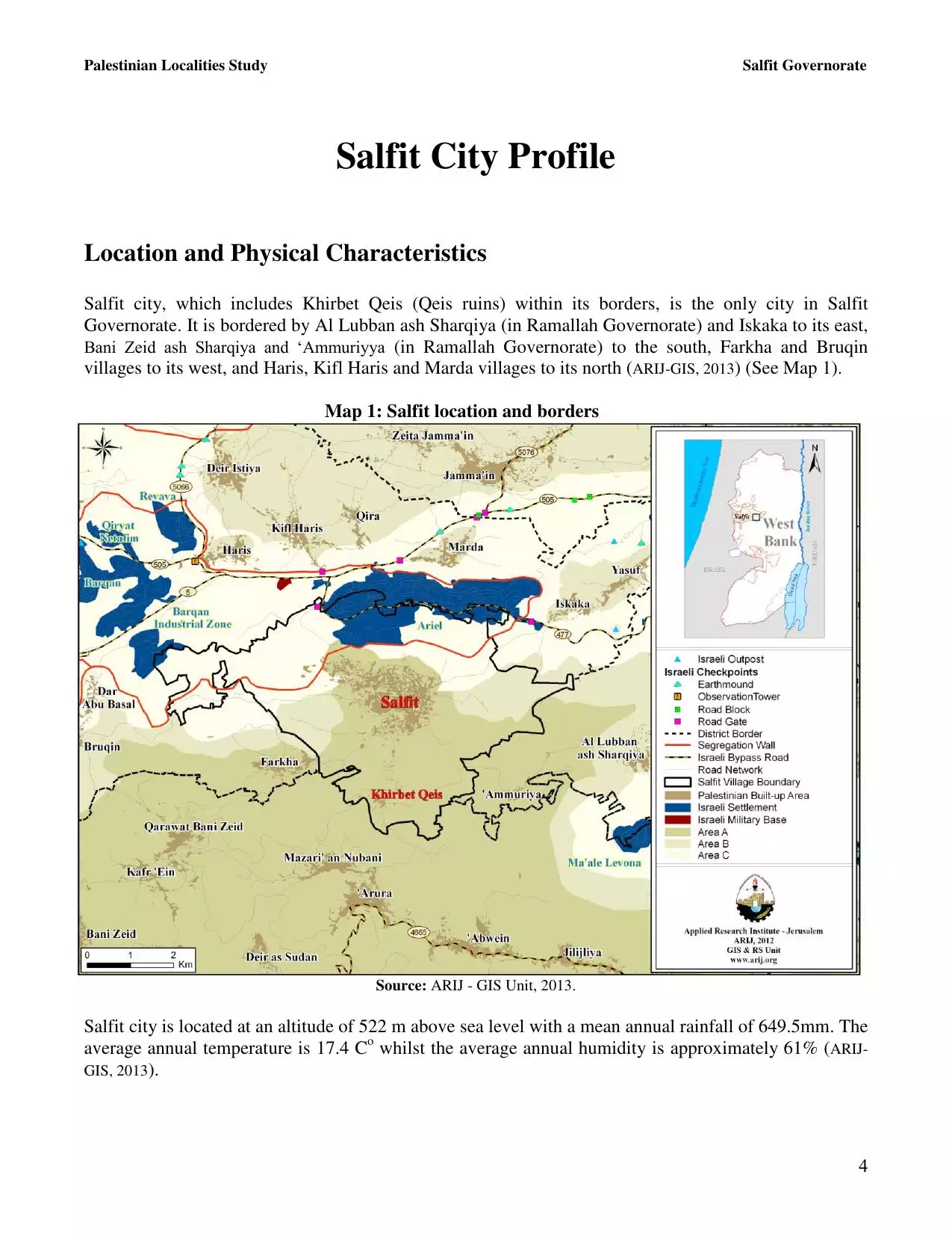
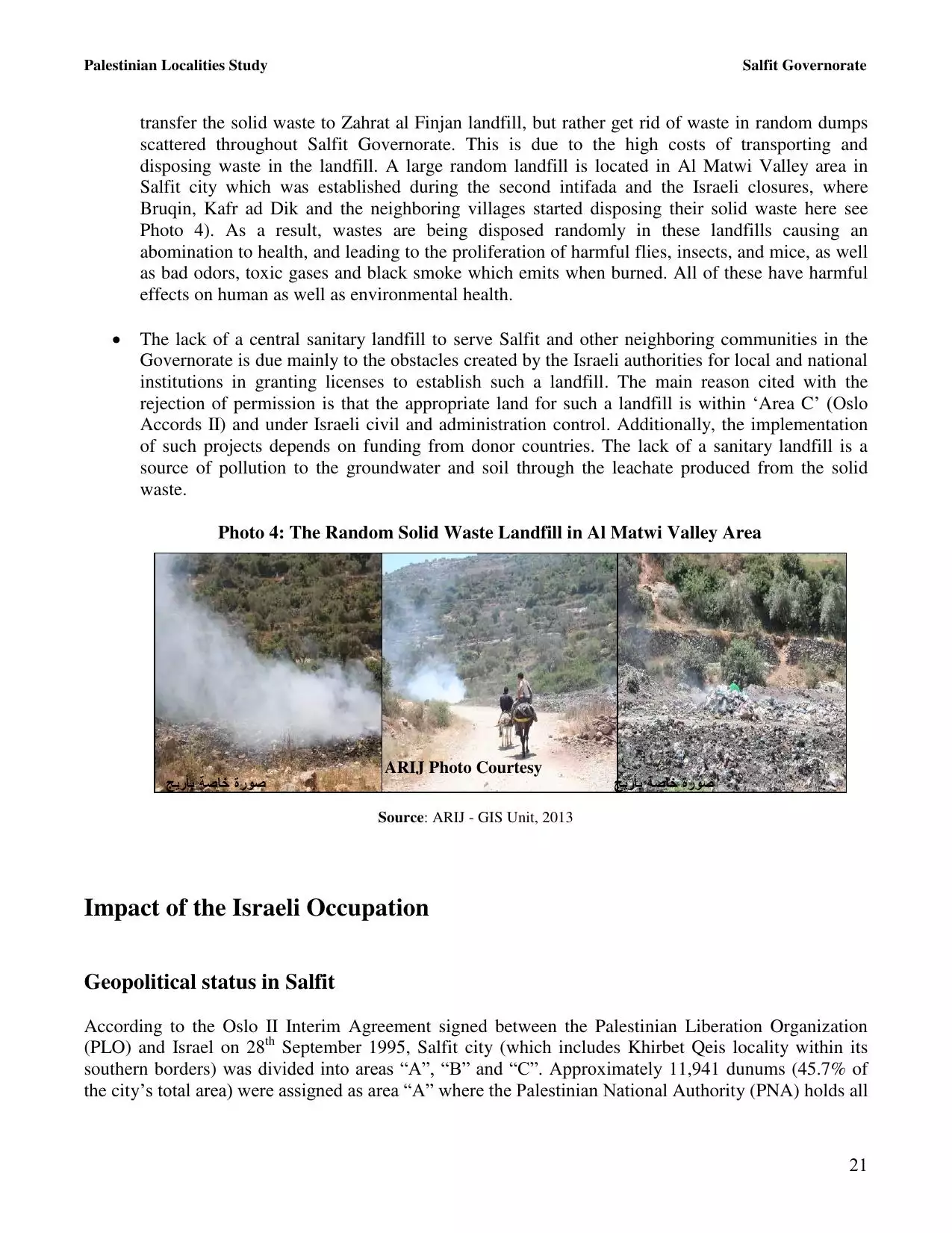
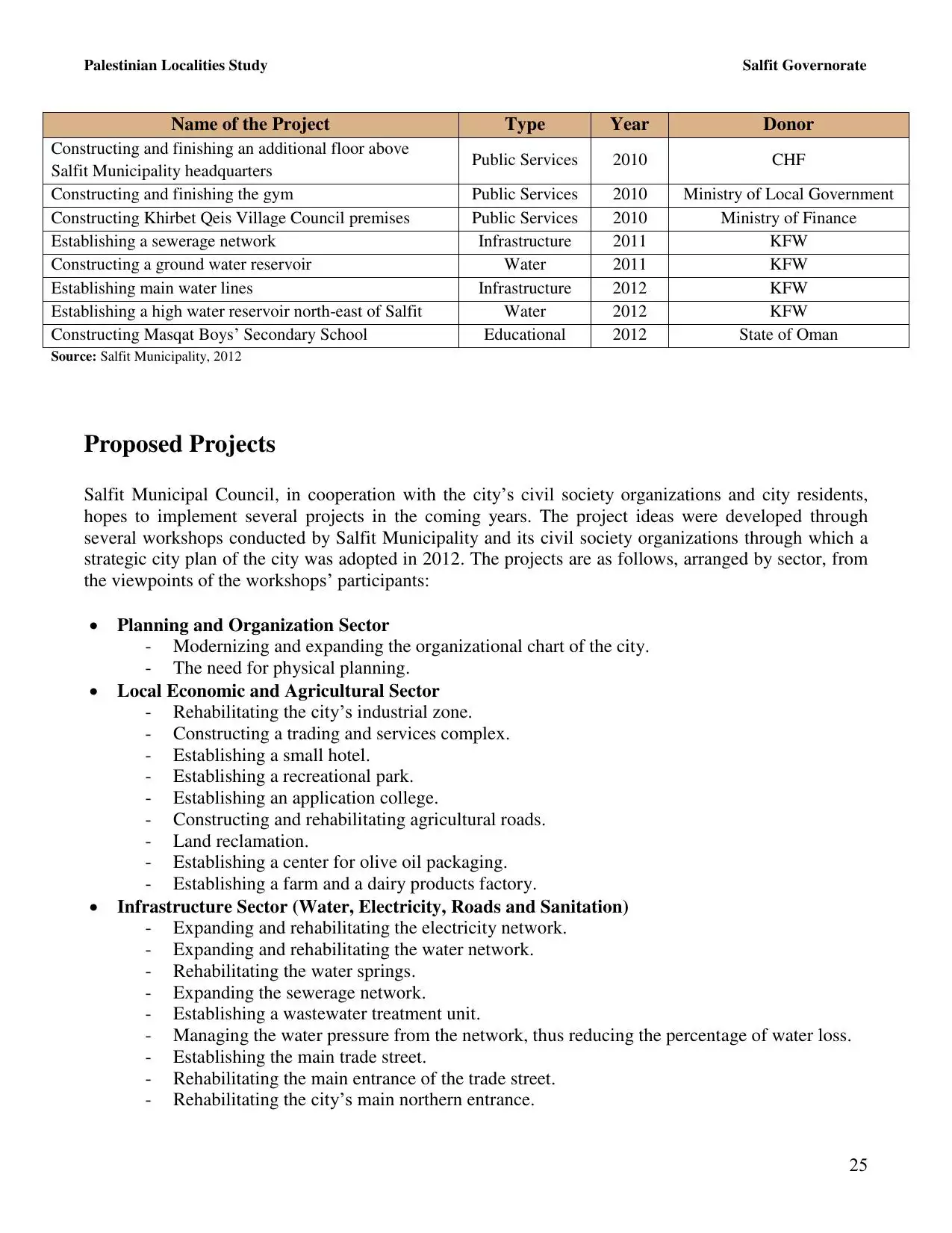
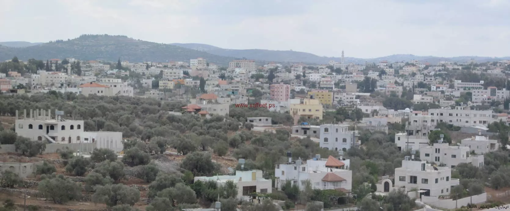
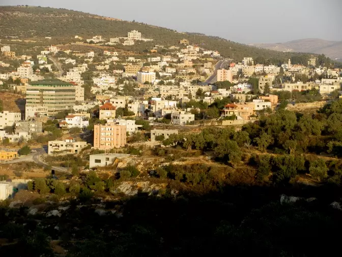
Welcome To Salfit - سلفيت (סלפית)
|
District of Nablus
Occupied days ago |
العربية Google Earth |
 |
Gallery (84) |
- Statistics & Facts
-
Before & After

- Satellite View
- Articles 2
- Pictures 84
- Land Deeds 2
- Members 10
- Families
- Wikipedia
- ARIJ Guide
- Videos 1
- Guest Book 10
- Links
| Statistic & Fact | Value | ||||||||||||||||||||
| Distance From District | 26 km southwest of Nablus | ||||||||||||||||||||
| Elevation | 520 meters | ||||||||||||||||||||
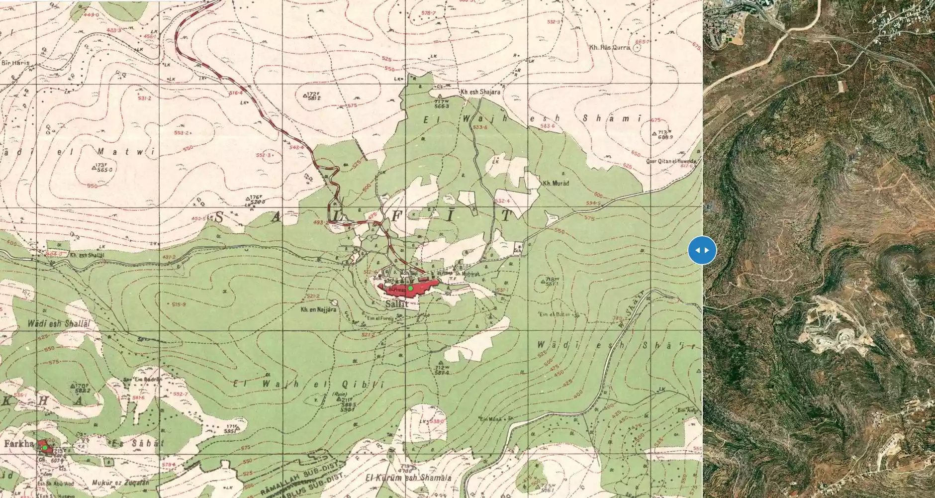
| Before & After Nakba, Click Map For Details |
|||||||||||||||||||||
|
|||||||||||||||||||||
| Land Ownership |
**Town Lands' Demarcation Maps |
||||||||||||||||||||
| Land Usage As of 1945 |
|
||||||||||||||||||||
| Population |
|
||||||||||||||||||||
| Near By Towns |
|||||||||||||||||||||
|
|||||||||||||||||||||
| Featured Video | |||||||||||||||||||||
| ARIJ Guide | |||||||||||||||||||||
3.
4. 
5. 
6. 
7. 
8. 
9. 
10. 
11. 
12. 
13. 
14. 
15. 
16. 
17. 
18. 
19. 
20. 
21. 
22. 
23. 
24. 
25. 
26. 
27. 
28. 
Click here to browse online. |
|||||||||||||||||||||
| Related Maps | Town Lands' Demarcation Maps خرائط للقضاء توضح حدود القرى والاودية View from satellite Town's map on MapQuest Help us map this town at WikiMapia |
||||||||||||||||||||
| Related Links | Wikipedia's Page Facebook Page ARIJ Guide Google Search Google For Images Google For Videos في كتاب بلادنا فلسطين دليل أريج المزيد من موقع هوية |
||||||||||||||||||||
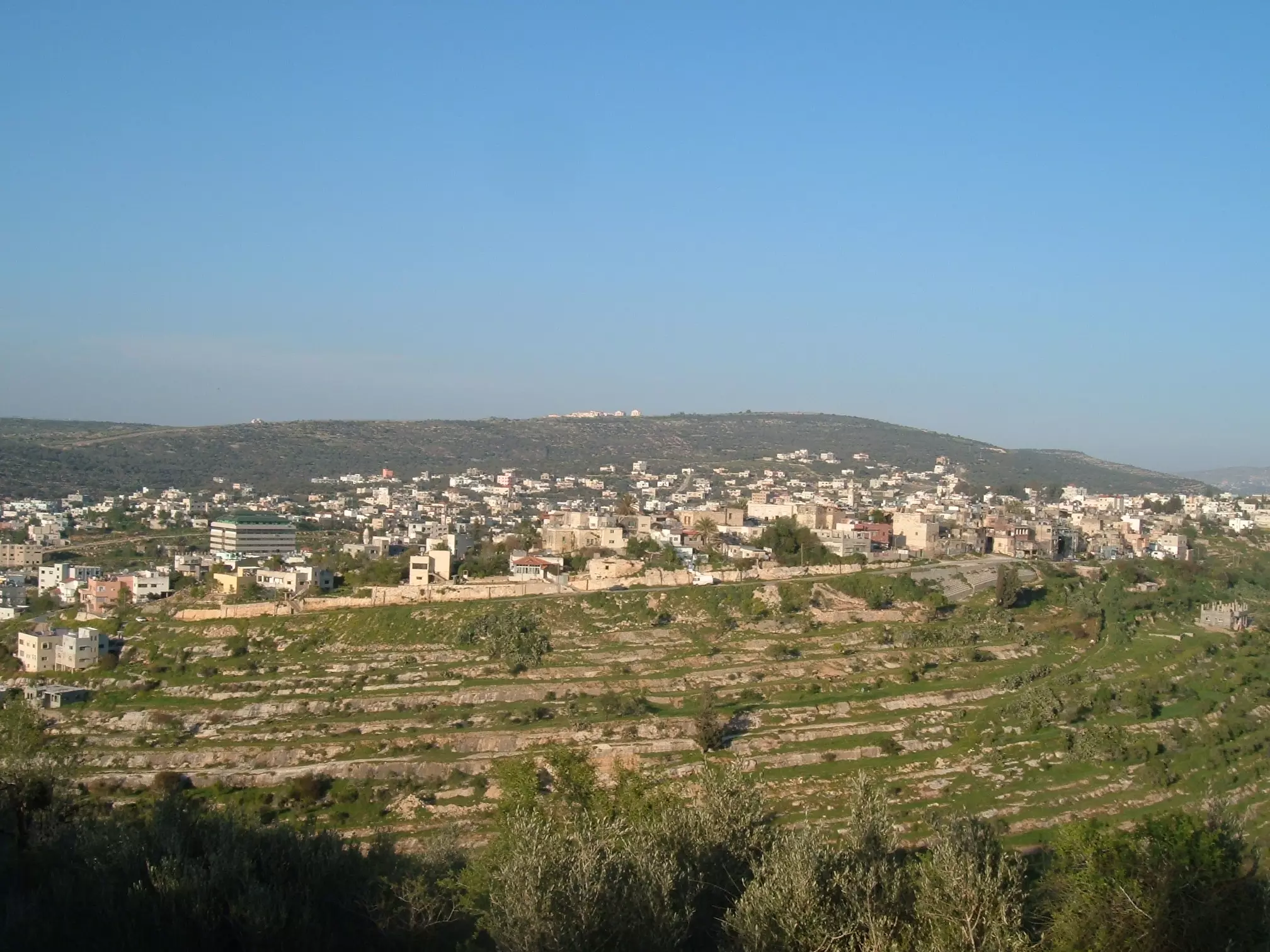
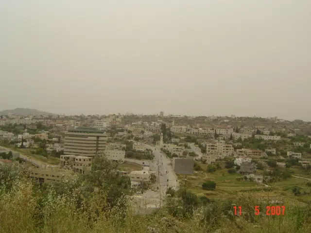
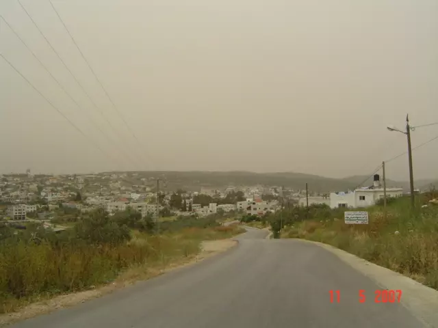
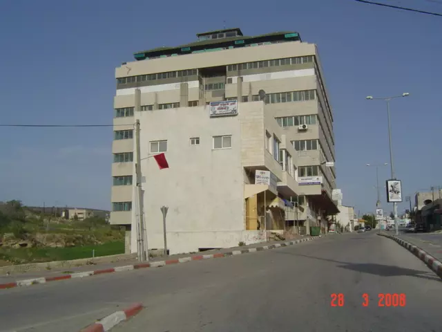
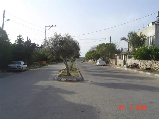
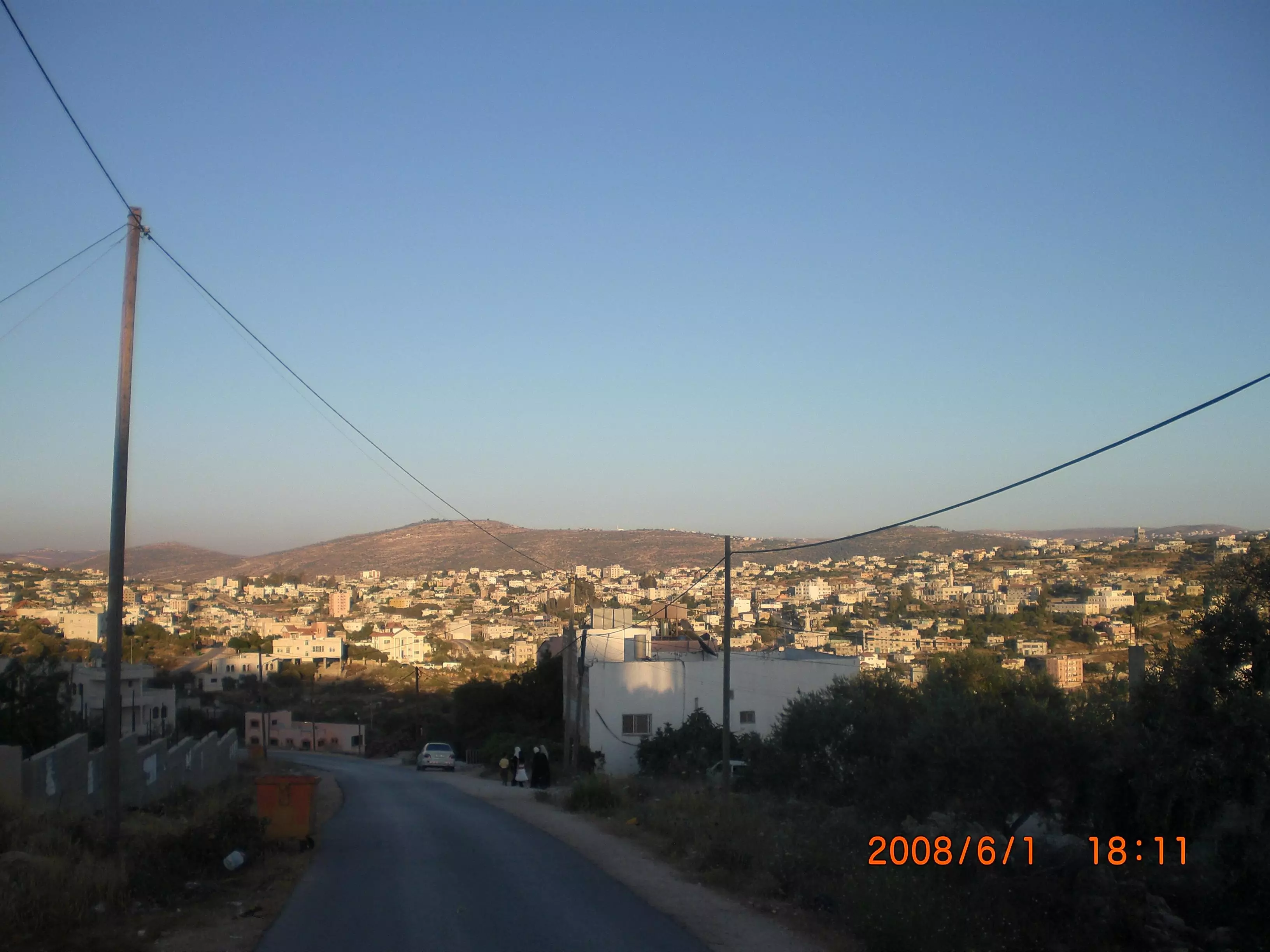
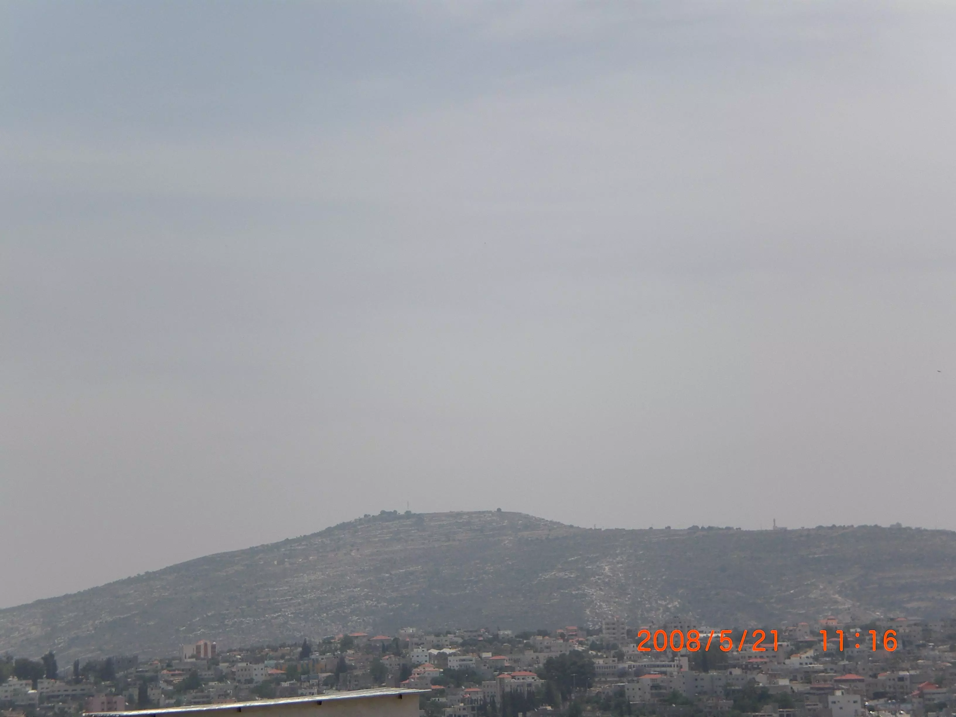
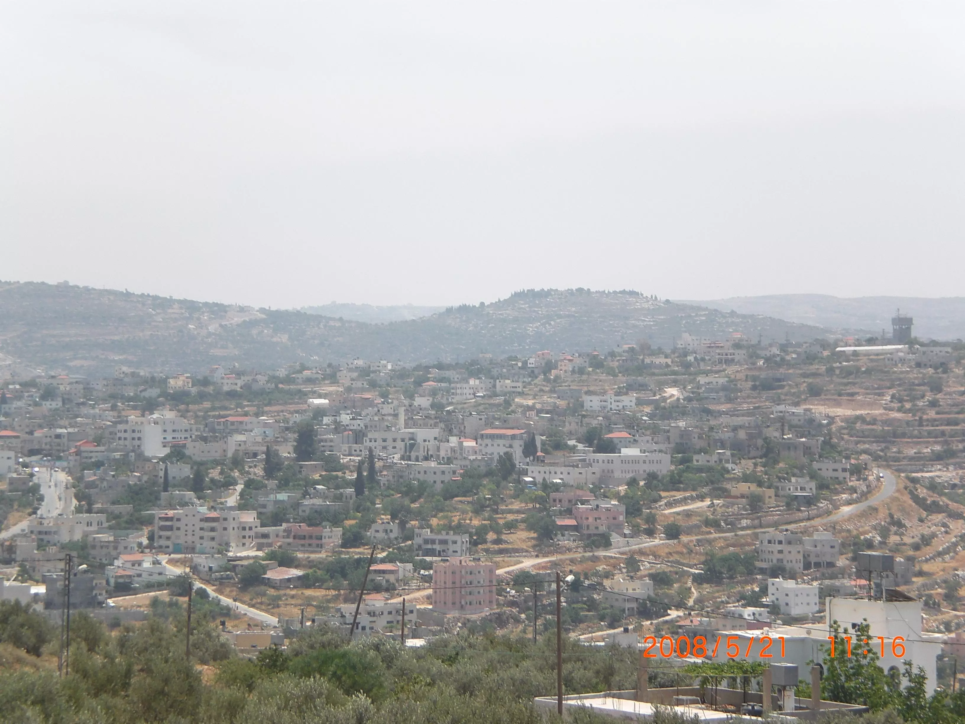
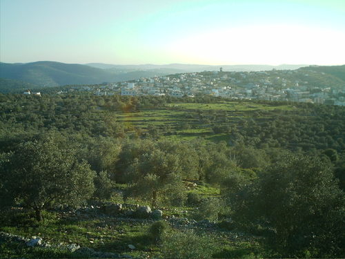
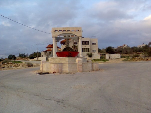
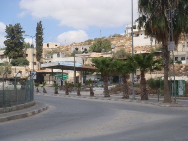
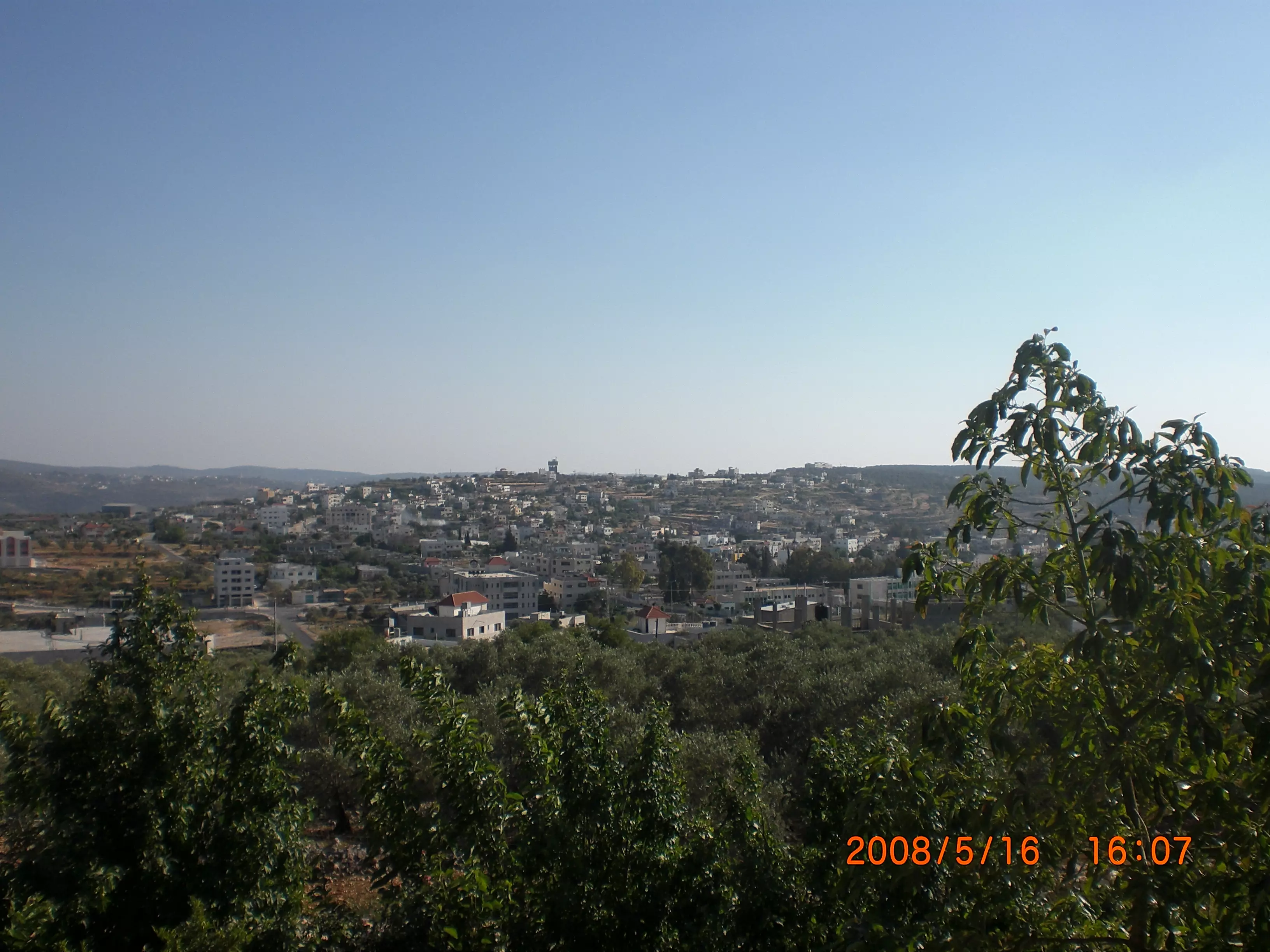
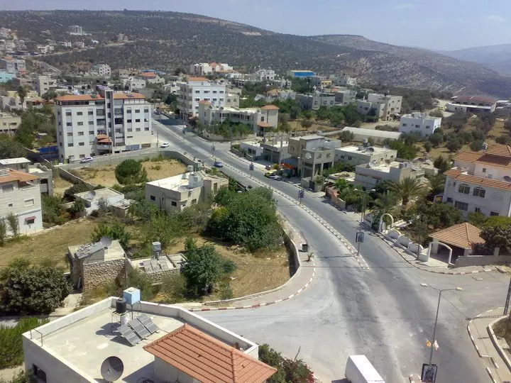
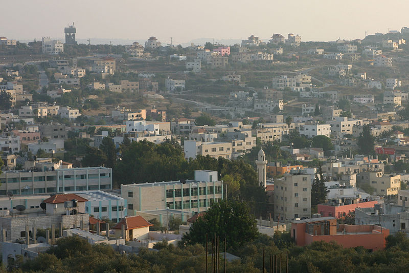
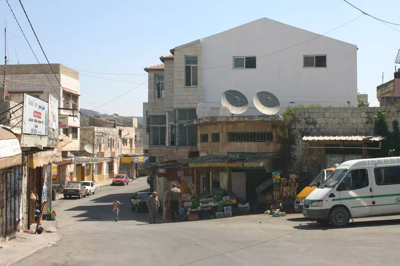
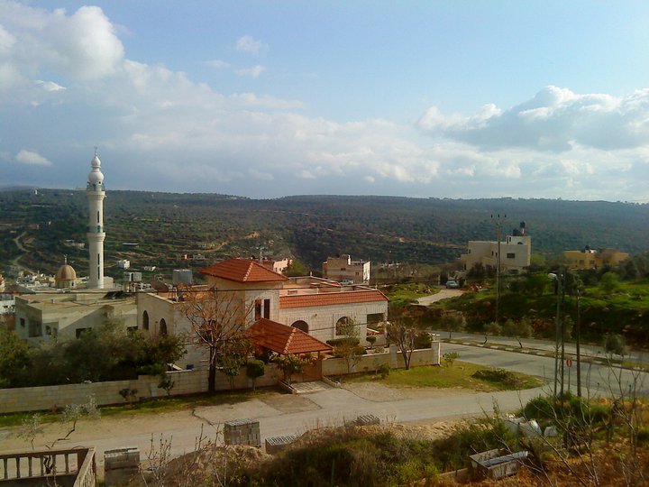
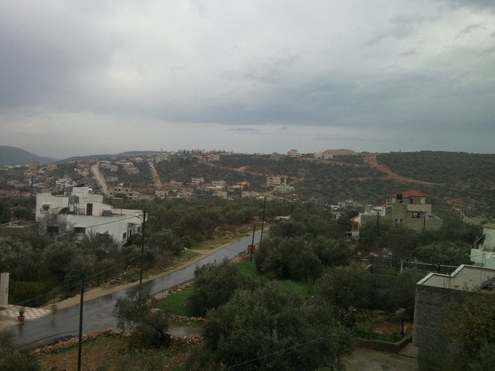
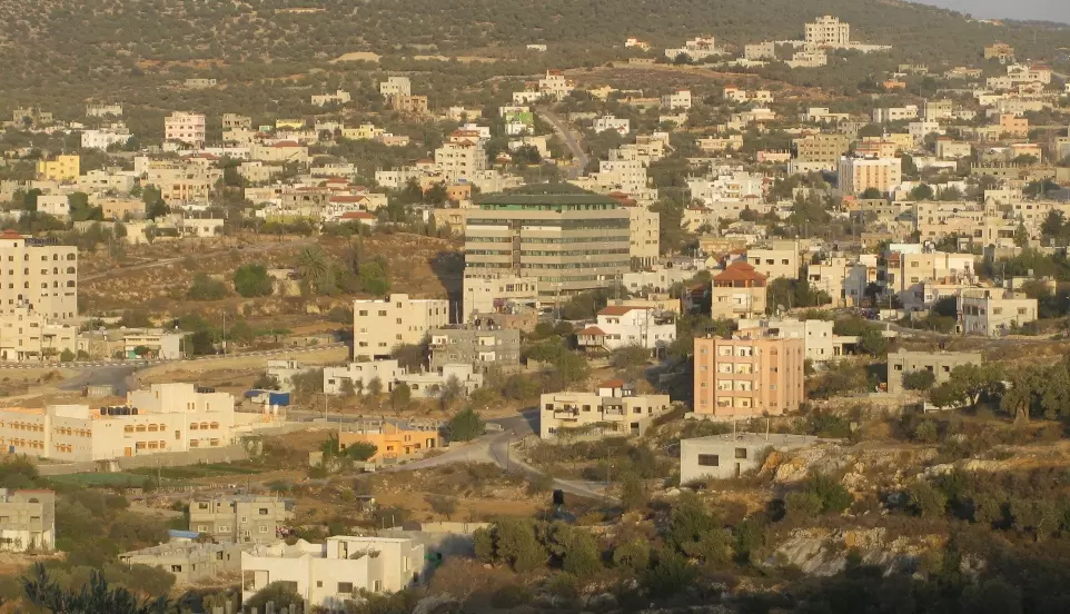
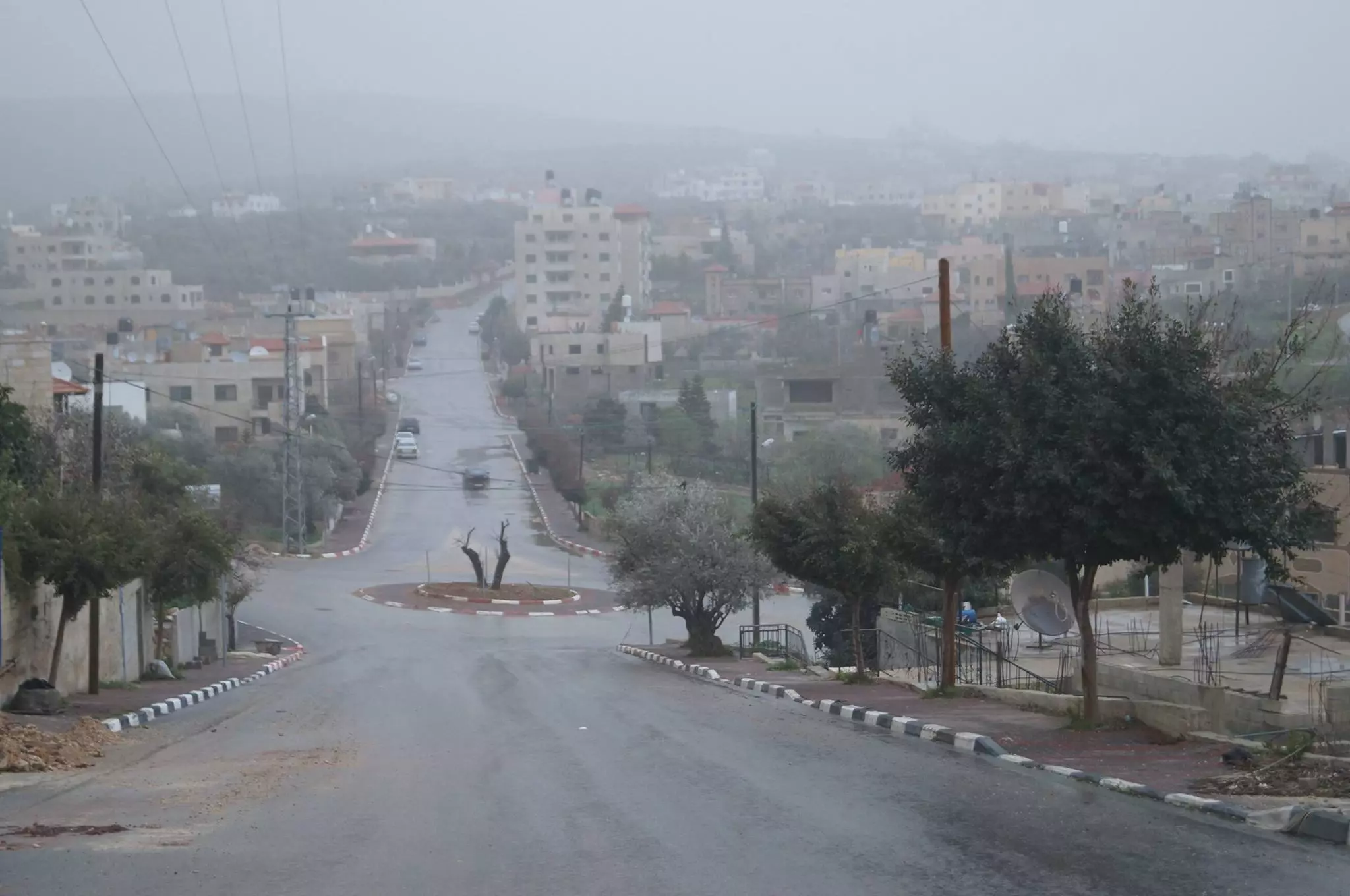
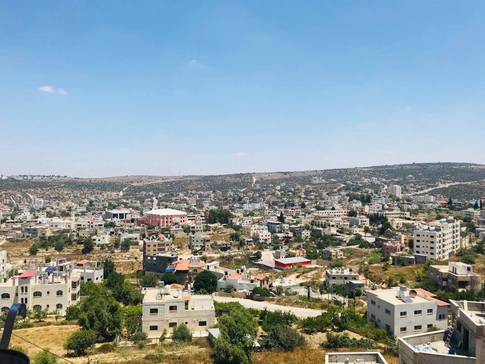
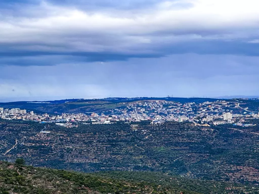
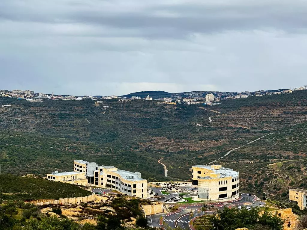
- منظرعام
Posted by alooo2 7 - Green City

Posted by zubaidia 1 - العين القبليه
Posted by Dr-Abdelkarim nasif 3 - مدخل المدينه
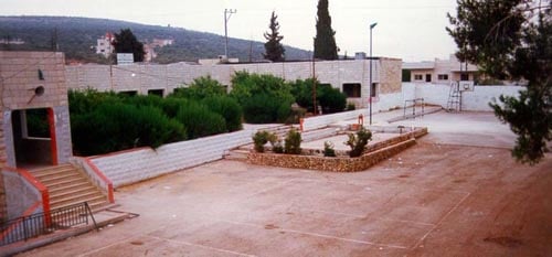
Posted by Dr-Abdelkarim nasif 5 - ساحة المدرسه الثانويه للبنين
Posted by Dr-Abdelkarim nasif 7 - مناظر عامة

Posted by Dr-Abdelkarim nasif 1 - المدخل الشرقي للمدينه
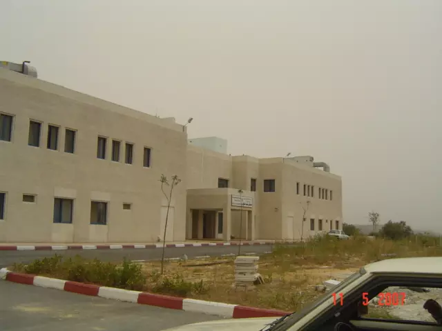
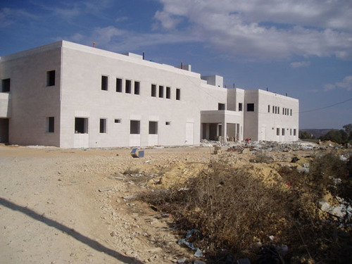
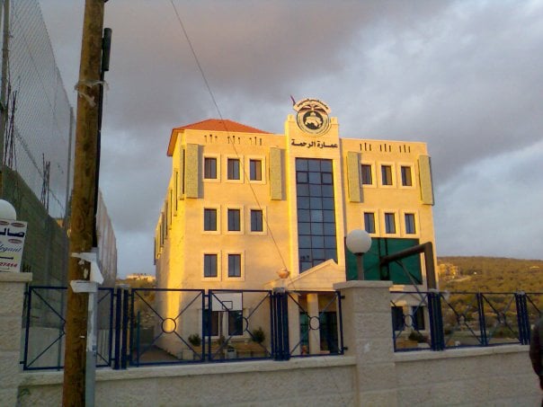
Posted by Dr-Abdelkarim nasif 2 - مستشفى سلفيت الحكومي
Posted by Dr-Abdelkarim nasif 3 - منظر عام
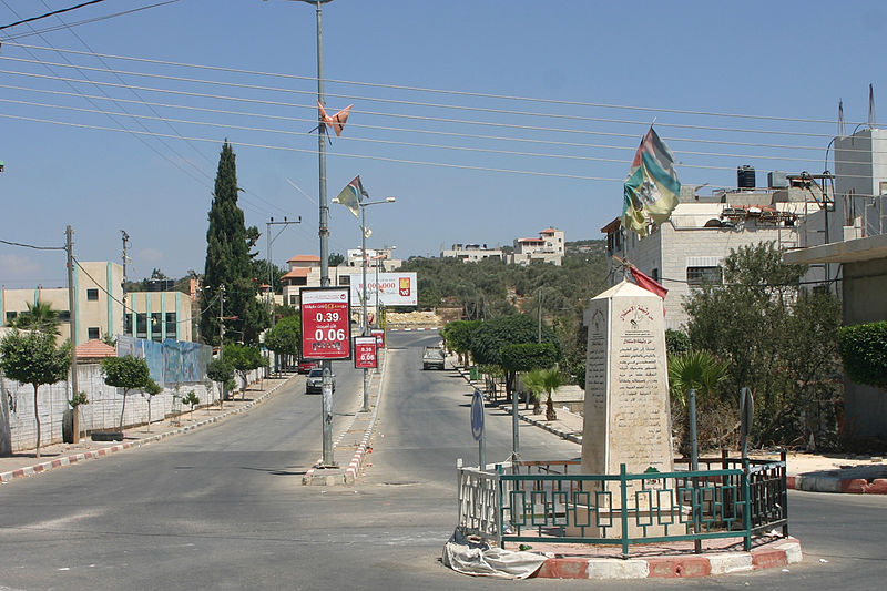
Posted by عصام تاصيف 1 - مدخل سلفيت الشمالي
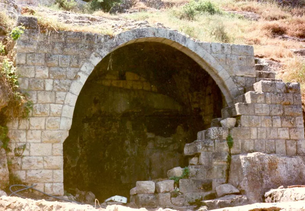
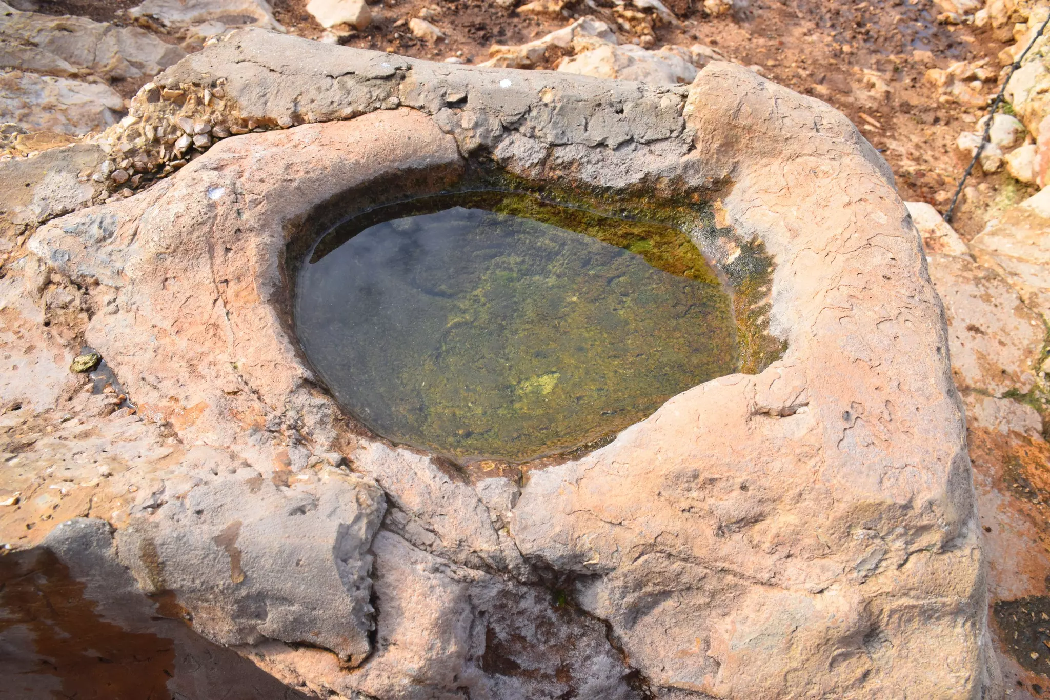
Posted by Dr-Abdelkarim nasif 1 - عين ماء
Posted by alooo2 4 - nice city
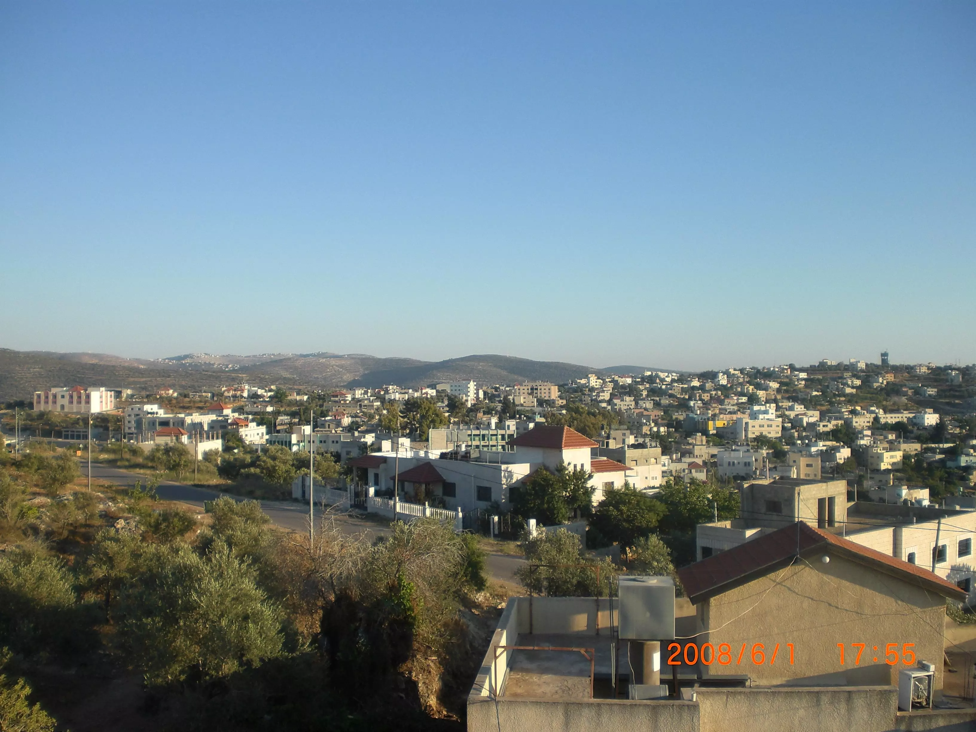
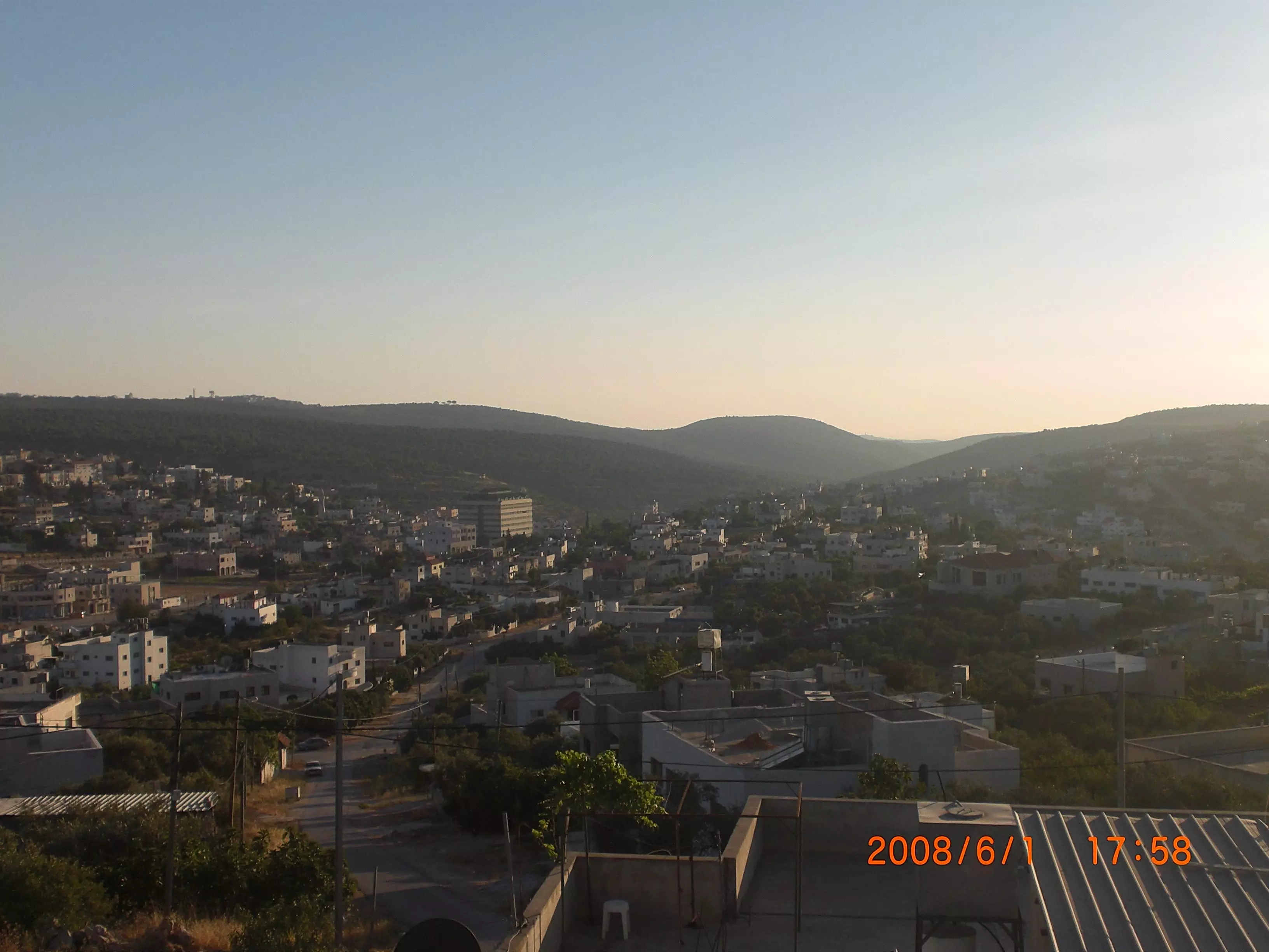
Posted by zubaidia 2 - منظر عام
Posted by zubaidia - salfeet eastern side
Posted by zubaidia - salfeet- western side
Posted by zubaidia 1 - salfeet-the midle of the city
Posted by zubaidia - شروق الشمس على سلفيت
Posted by Ghanem Mustafa 1 - موعد مع الجمال وقت الغسق

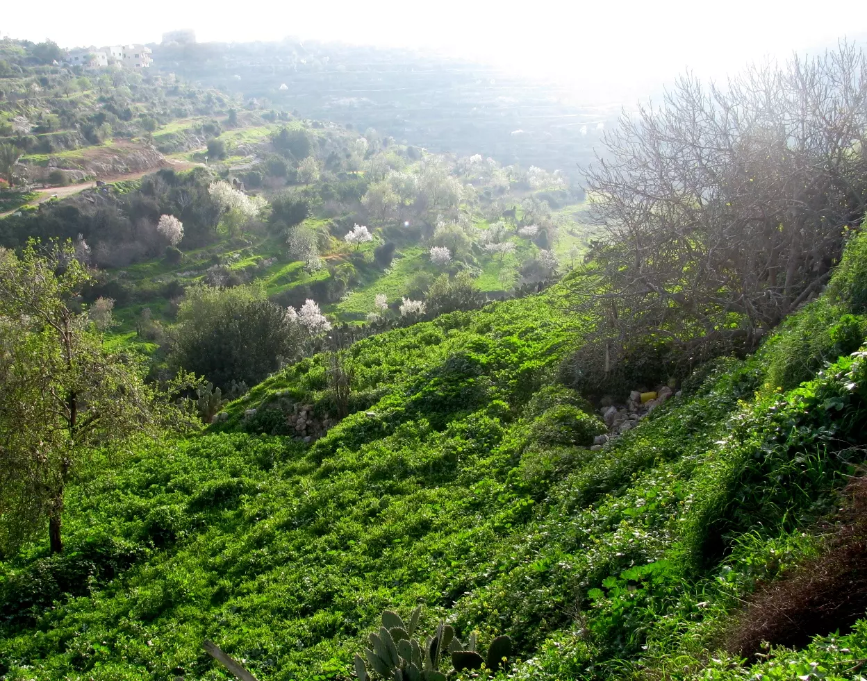
Posted by Ghanem Mustafa 1 - أول وادي المطوي
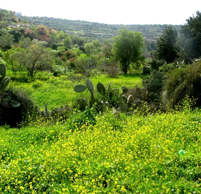
Posted by Ghanem Mustafa 1 - في وقت الربيع
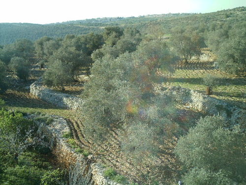
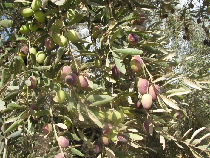
Posted by Ghanem Mustafa 1 - أشجار الزيتون
Posted by Ghanem Mustafa 1 - مستشفى الشهيد ياسر عرفات-طريق فرخة
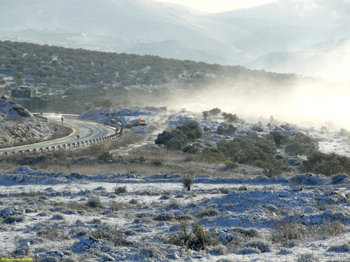
Posted by Ghanem Mustafa 1 - ثلوج على جبال سلفيت
Posted by Ghanem Mustafa - مدخل محافظة سلفيت الشرقي
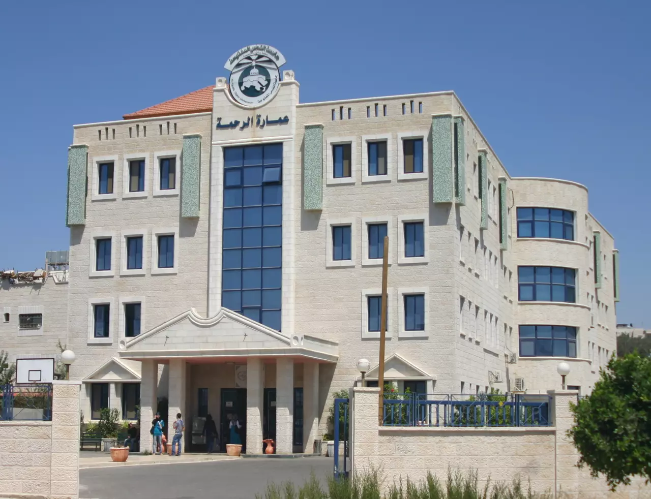
Posted by Samoo Odeh - جامعة القدس المفتوحه
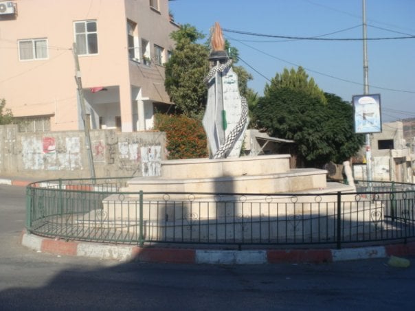
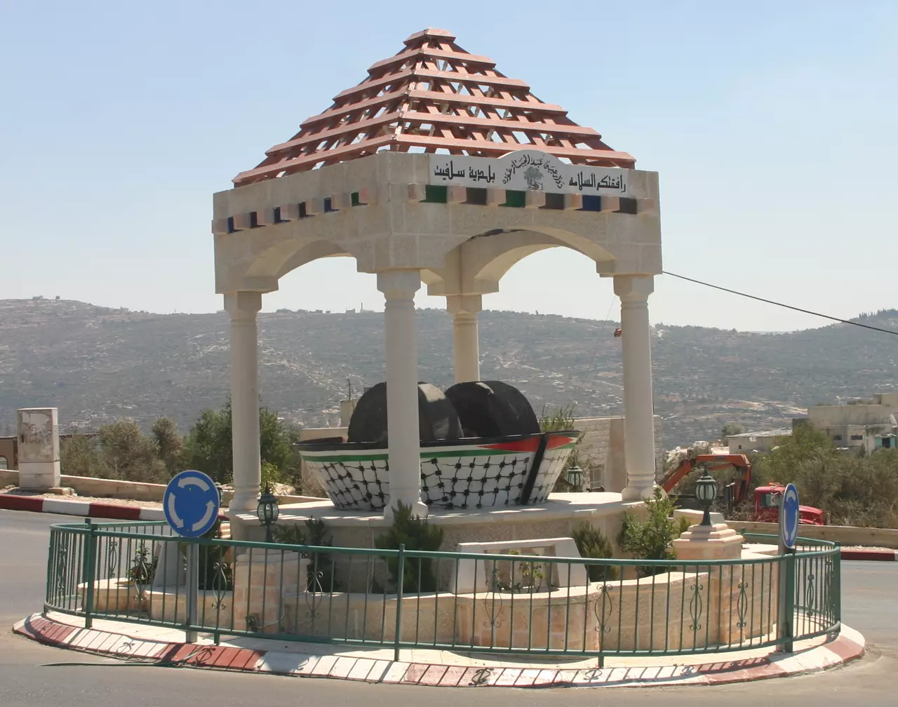
Posted by Samoo Odeh - دوار الشهداء
Posted by Samoo Odeh - منطقة الدوير
Posted by Samoo Odeh - منطقة الدوير 2
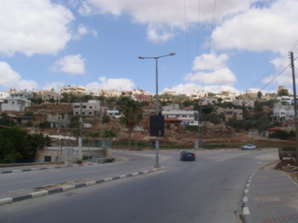
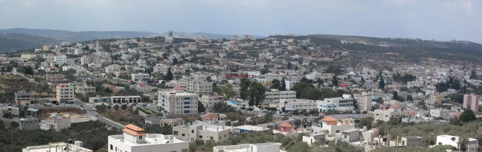
Posted by Samoo Odeh - صورة لمدينة سلفيت
Posted by bashar shaheen - صورة لمدينة سلفيت في الربيع
Posted by bashar shaheen - صورة لمدينة سلفيت 2009
Posted by bashar shaheen 2 - Green city
Posted by zubaidia 1 - Salfit
Posted by Al-Rammal - salfit
Posted by Al-Rammal - salfit
Posted by Al-Rammal - salfit
Posted by Al-Rammal - salfit
Posted by Al-Rammal - salfit natur
Posted by Al-Rammal 1 - salfit
Posted by Al-Rammal - salfit
Posted by Al-Rammal - salfit
Posted by Al-Rammal - salfit
Posted by Al-Rammal - salfit
Posted by Al-Rammal - salfit
Posted by Al-Rammal - salfit
Posted by Al-Rammal - Salfit- wad abu monqar
Posted by Al-Rammal - salfit
Posted by Al-Rammal - salfit
Posted by Al-Rammal - salfit
Posted by Al-Rammal - salfit-a part of the old city
Posted by Al-Rammal - salfit-Al-Quds University
Posted by Al-Rammal - salfit
Posted by Al-Rammal - salfit-
Posted by Al-Rammal - salfit
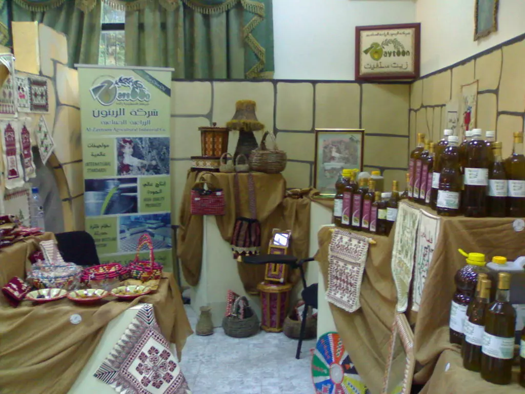
Posted by Al-Rammal - من معرض الزيتون الثالث في سلفيت
Posted by ياسر ماضي 1 - محافظة سلفيت
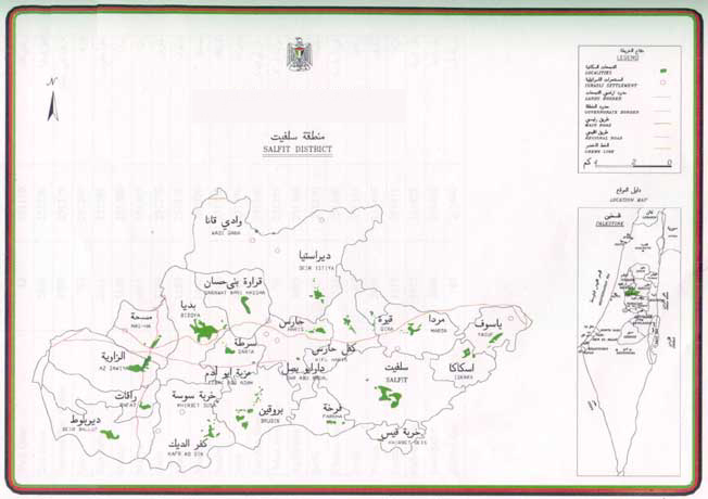
Posted by Rajae mahmoud - خارطة محافظة سلفيت
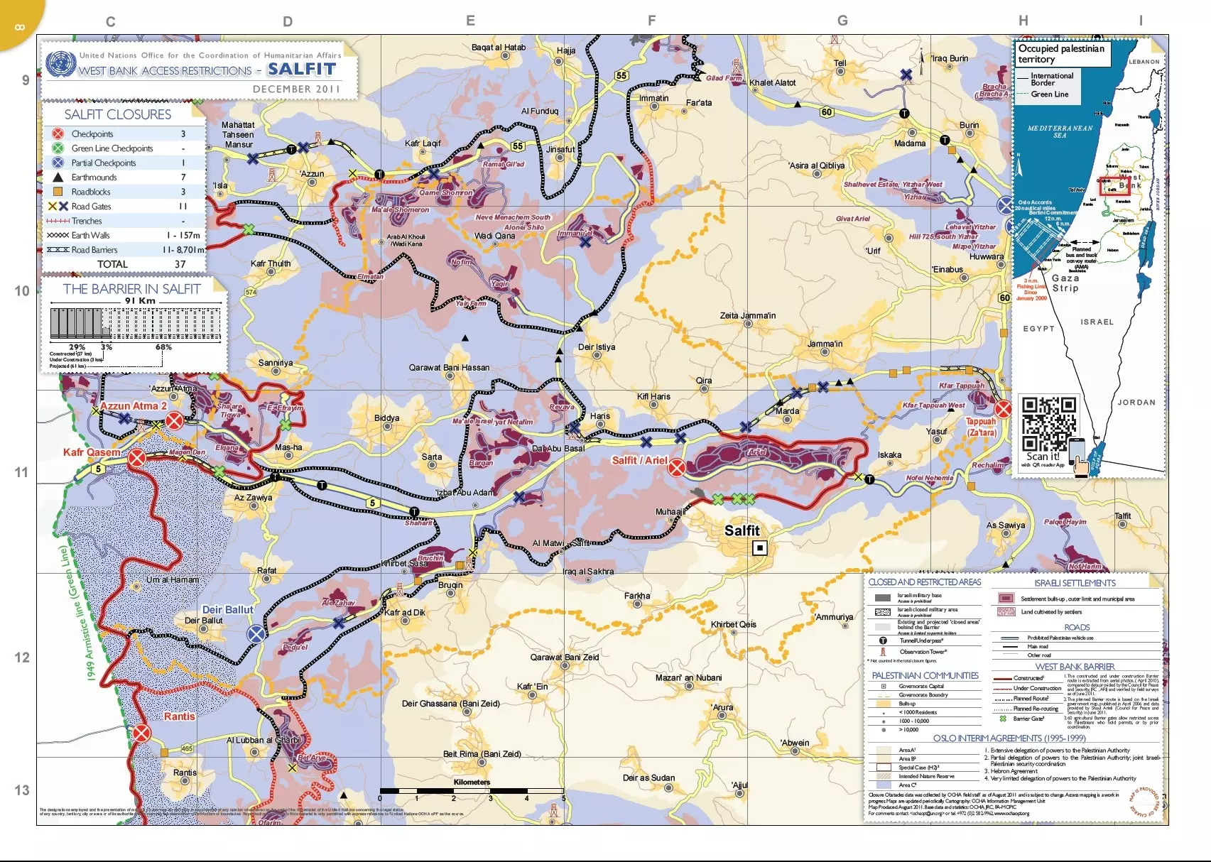
Posted by Rajae mahmoud - خارطة محافظة سلفيت من OCHA
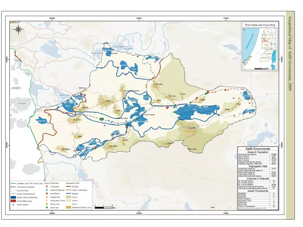
Posted by Rajae mahmoud - الخارطة الجيوسياسية لمحافظة سلفيت 2009م
Posted by Rajae mahmoud - الحي الشمالي
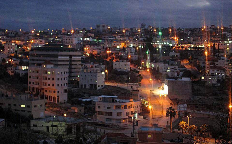
- مدينة سلفيت ليلا
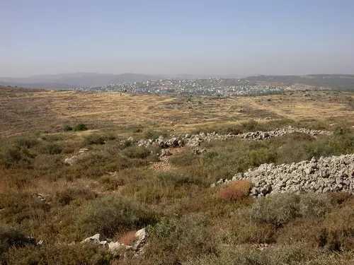
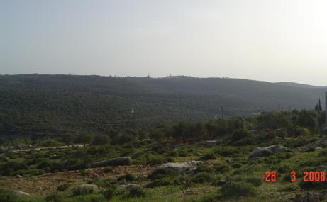
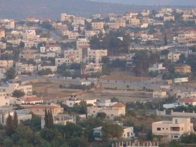
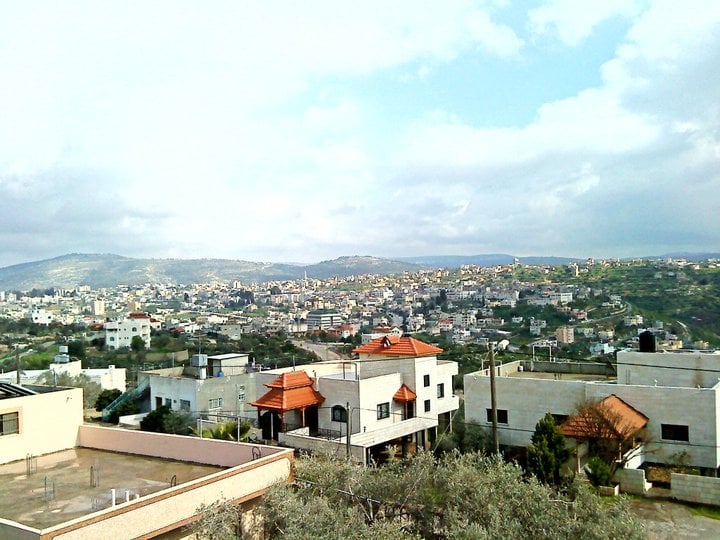
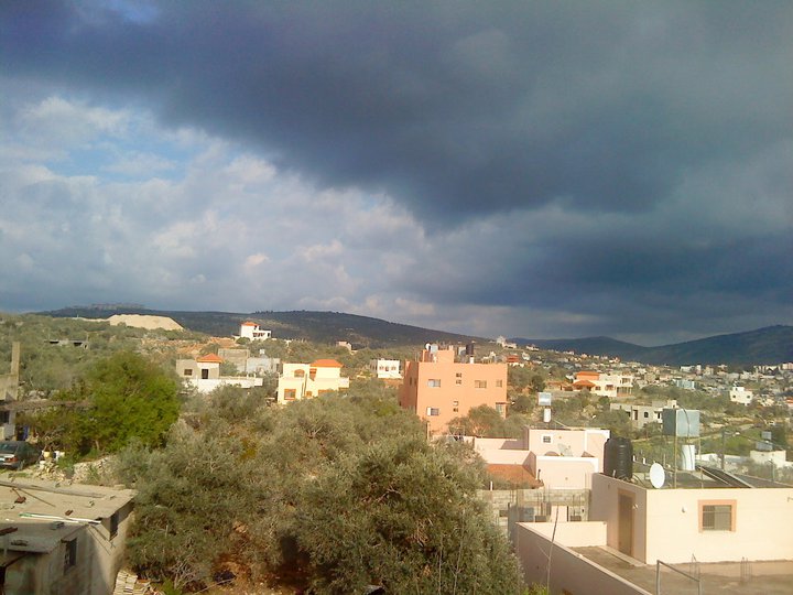
- منظر عام
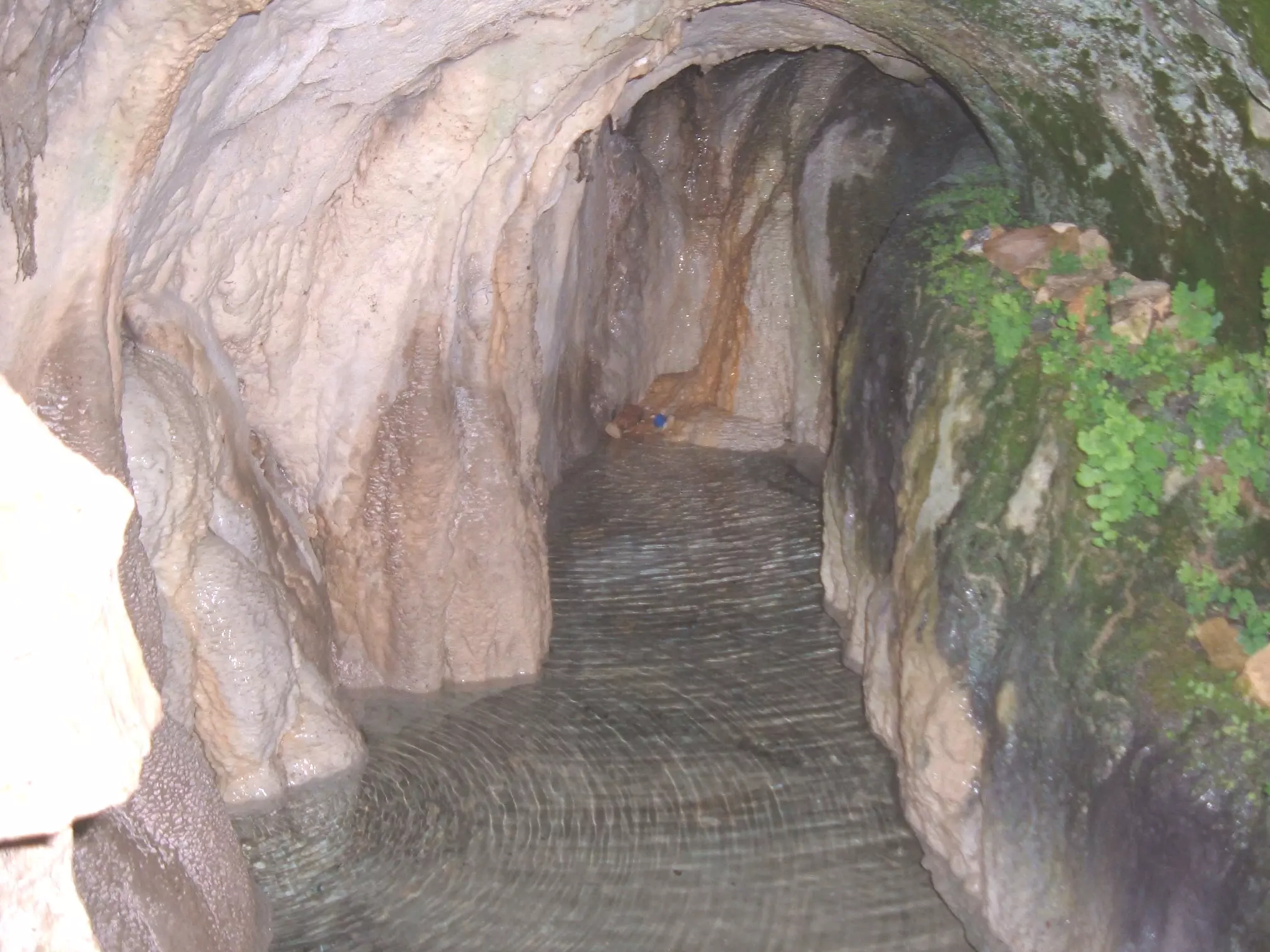
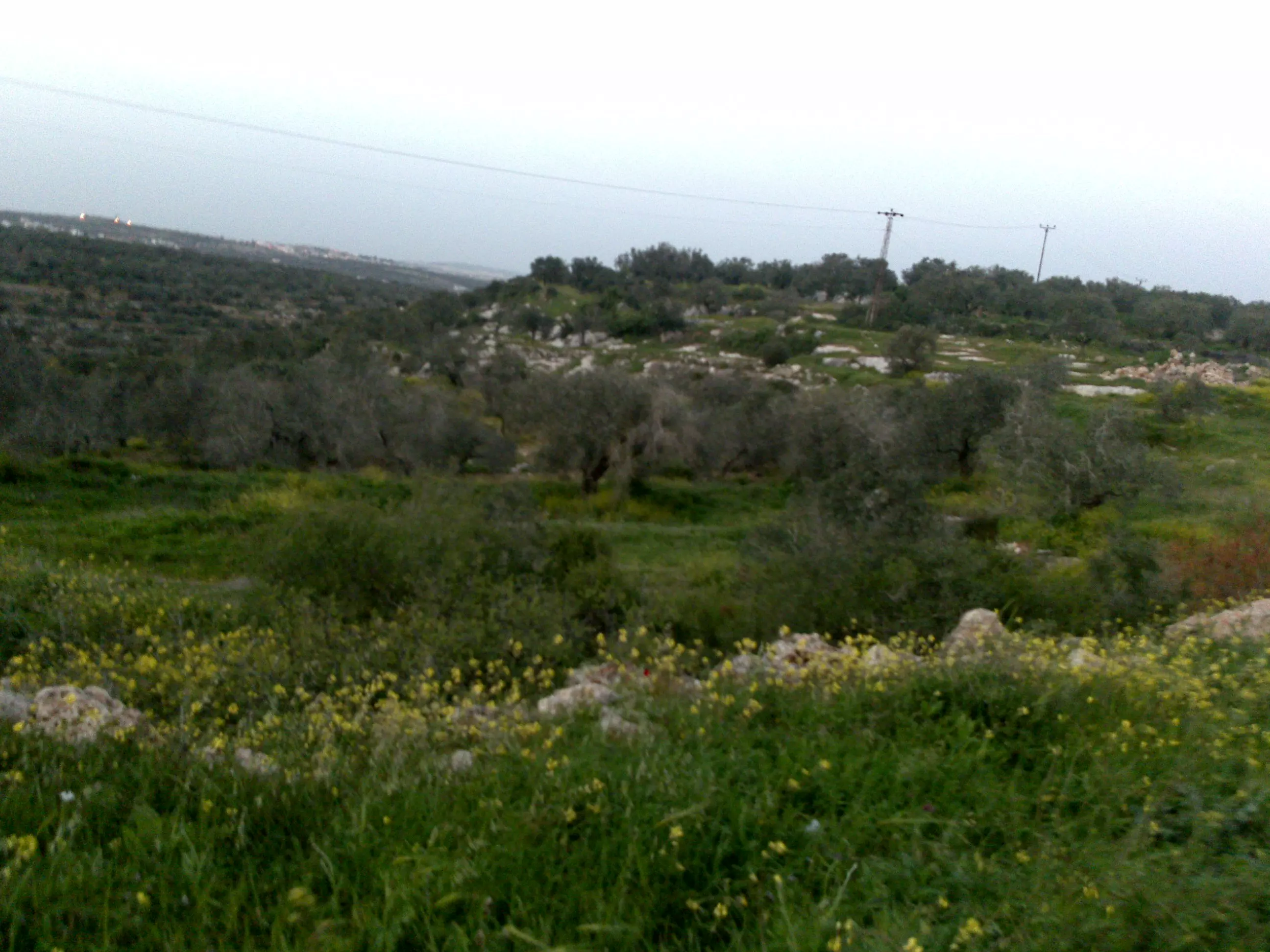
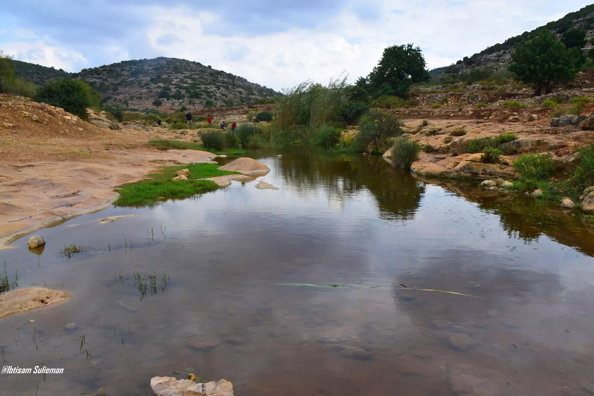
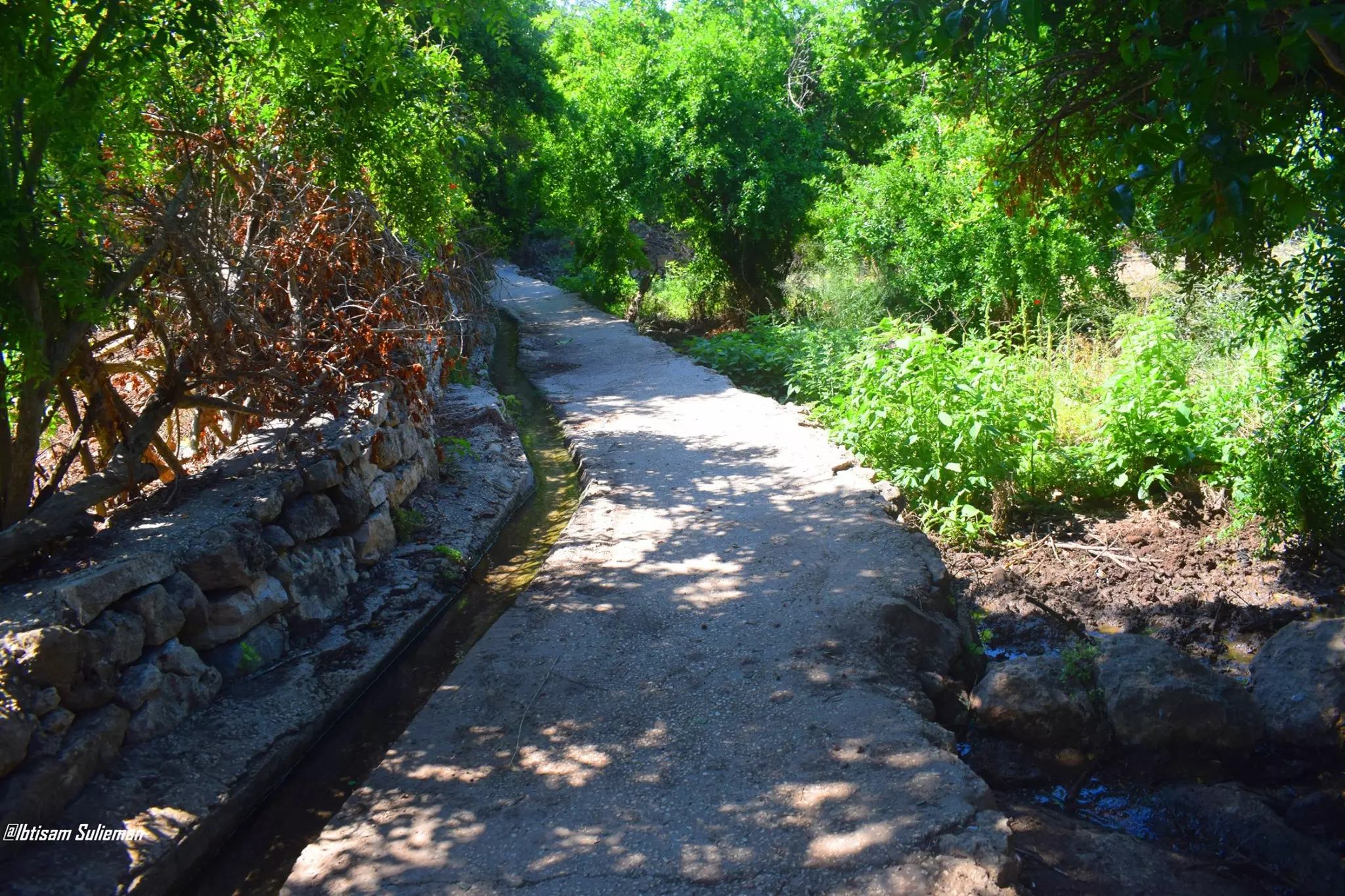
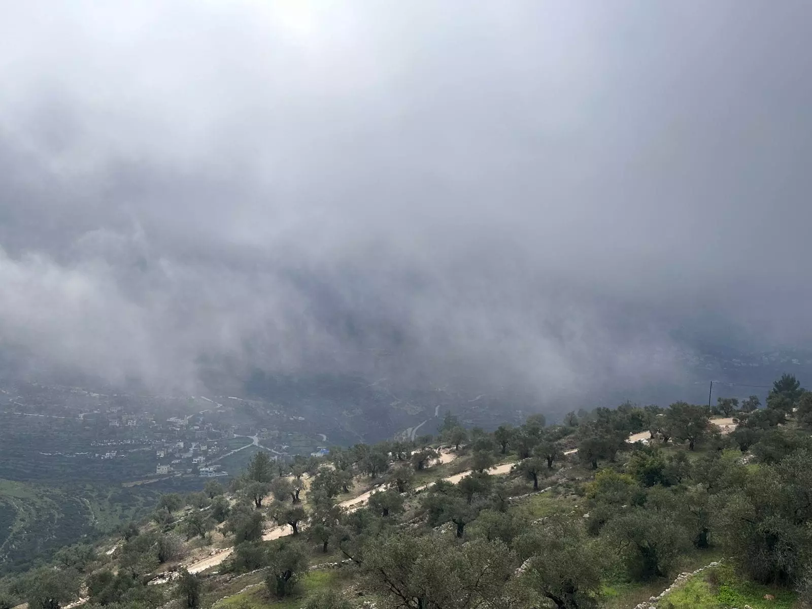
- جولة في وادي قانا \منطقة سلفيت
- جولة في وادي قانا \منطقة سلفيت #2
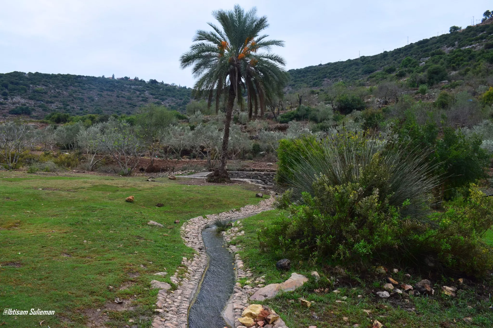
- جولة في وادي قانا \منطقة سلفيت #3
- جولة في وادي قانا \منطقة سلفيت #4
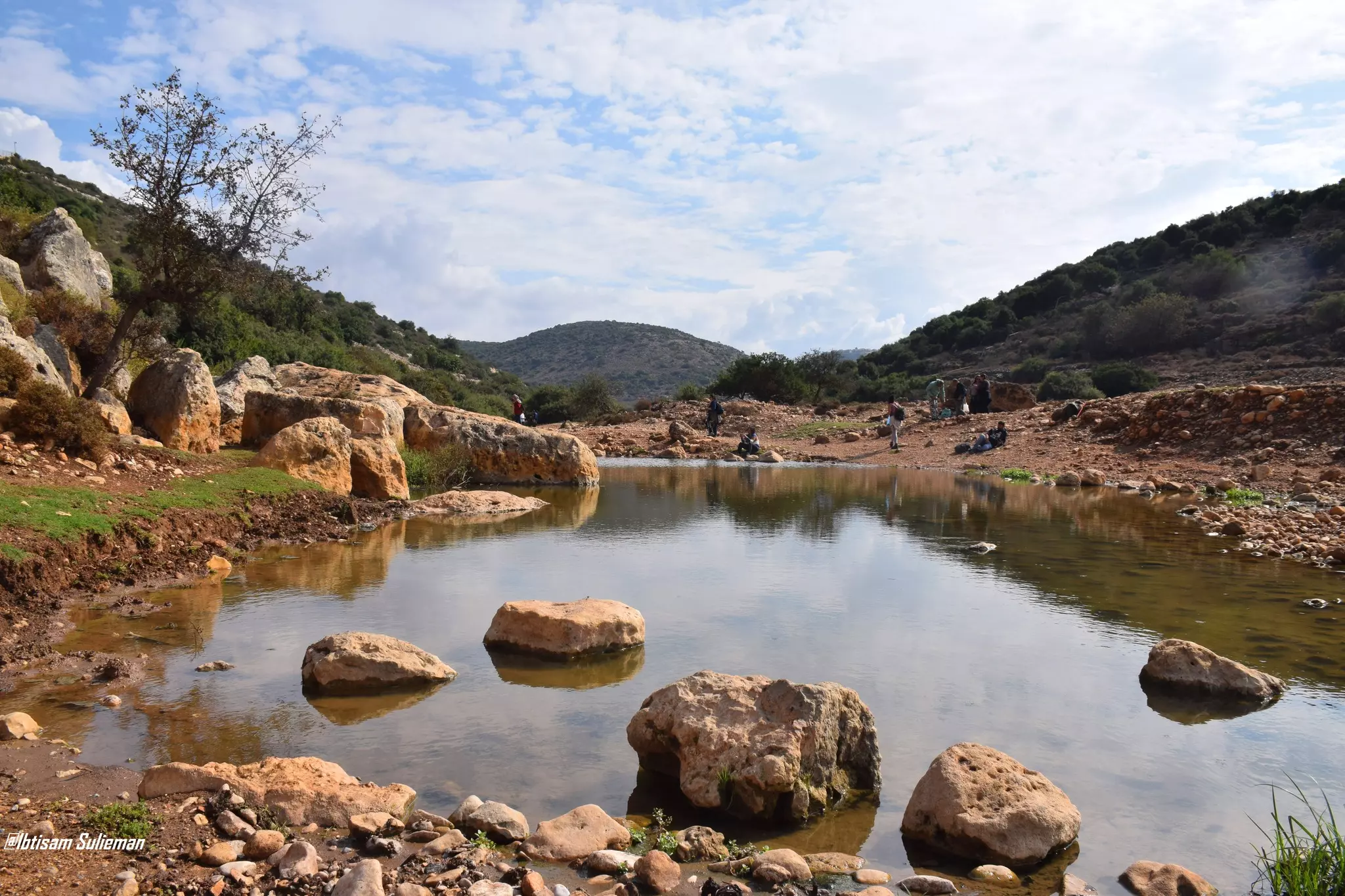
- جولة في وادي قانا \منطقة سلفيت #5
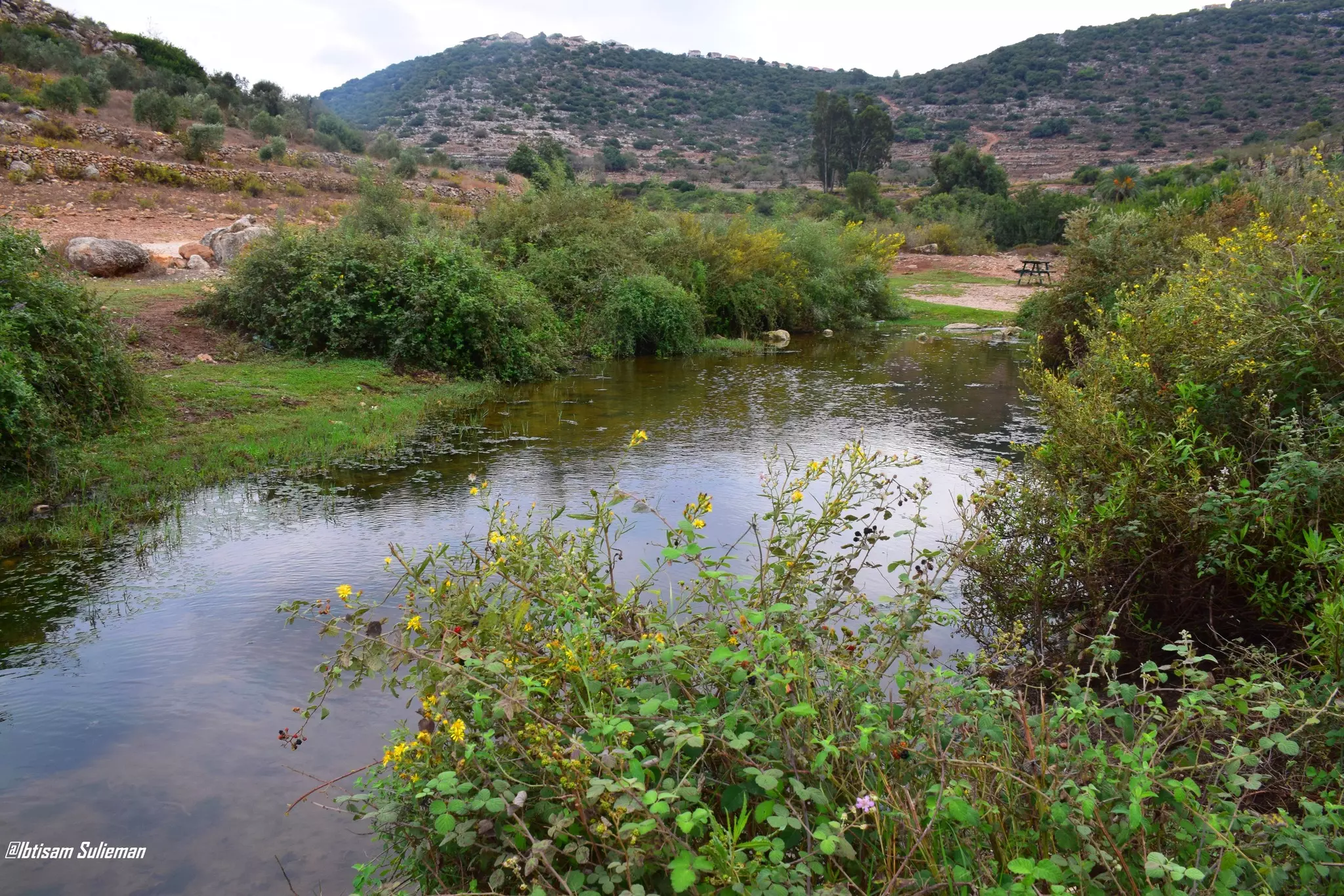
- جولة في وادي قانا \منطقة سلفيت #6
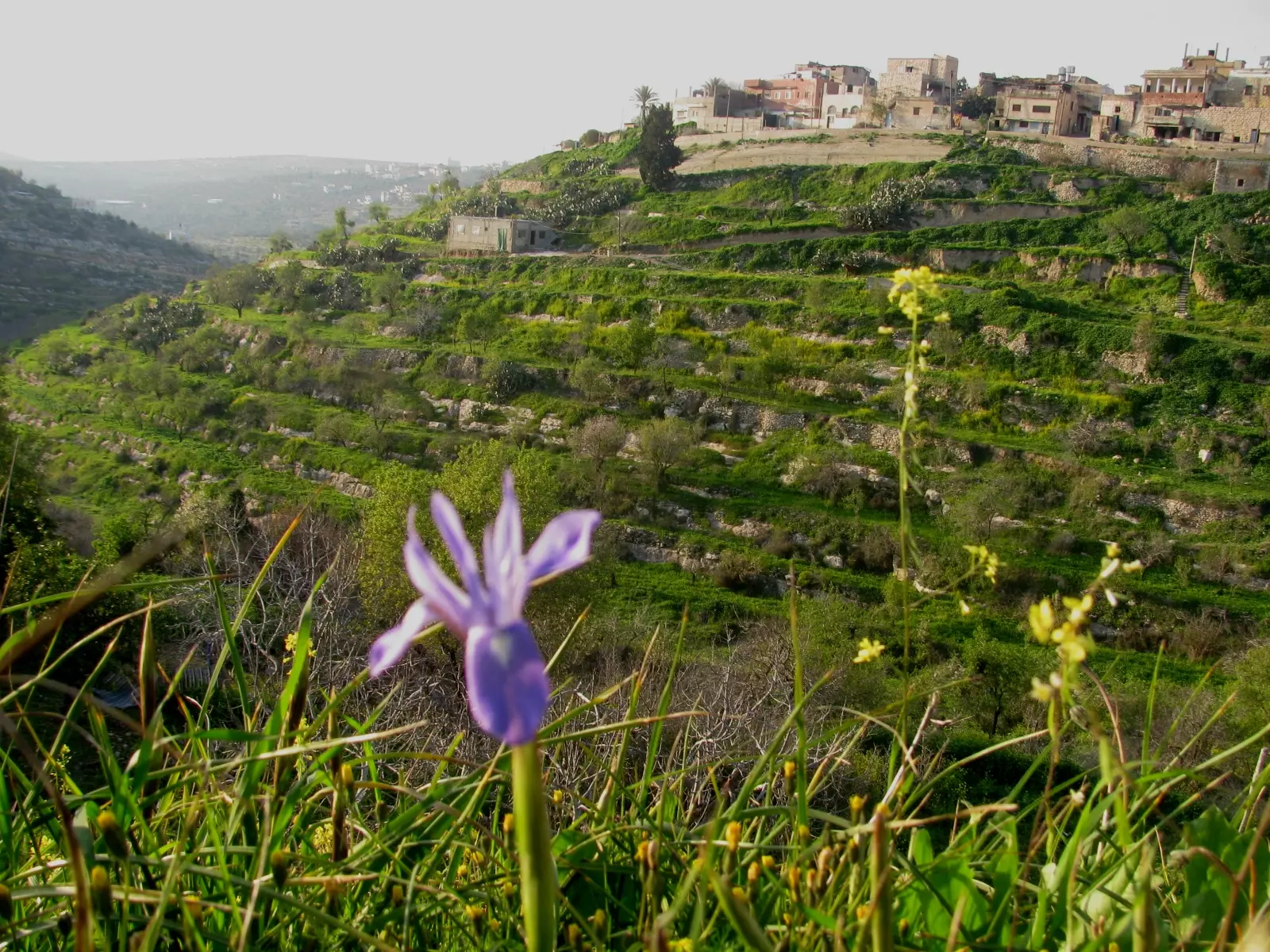
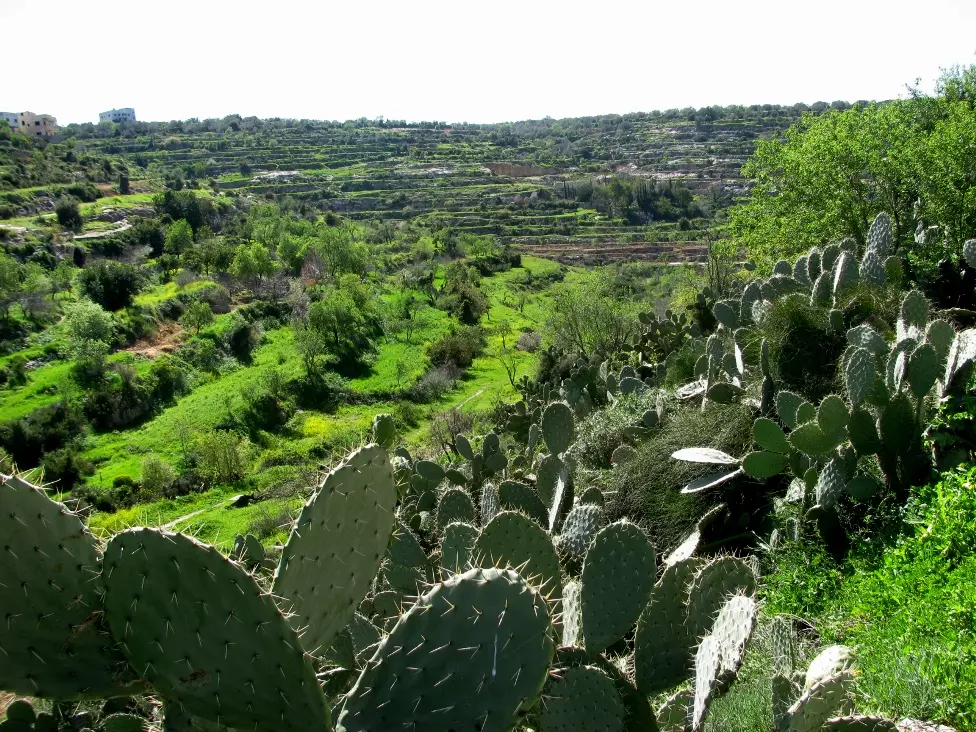
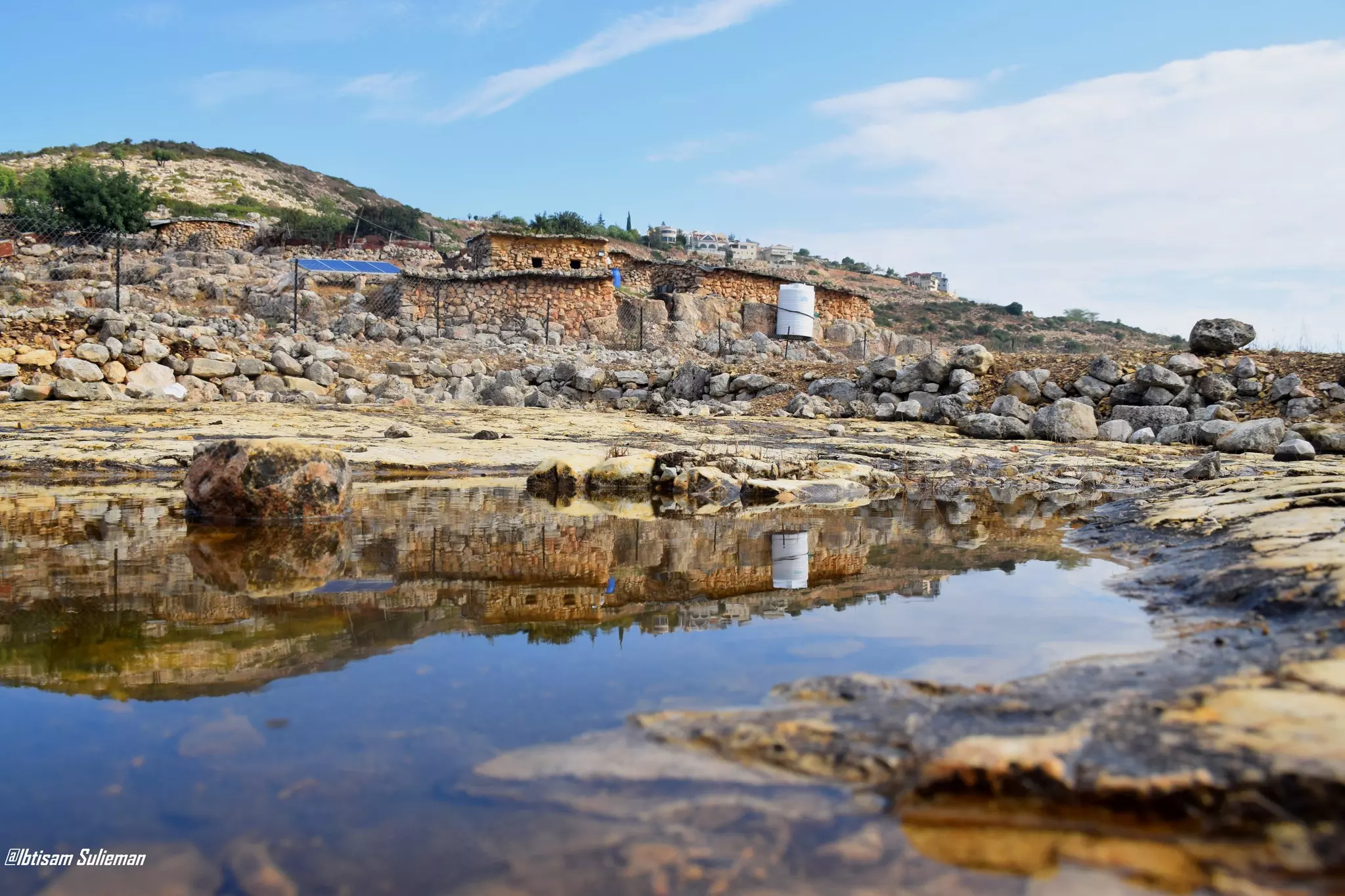
- عين ياسوف وخضارها وسناسلها \منطقة جميلة جداااااا قضاء سلفيت
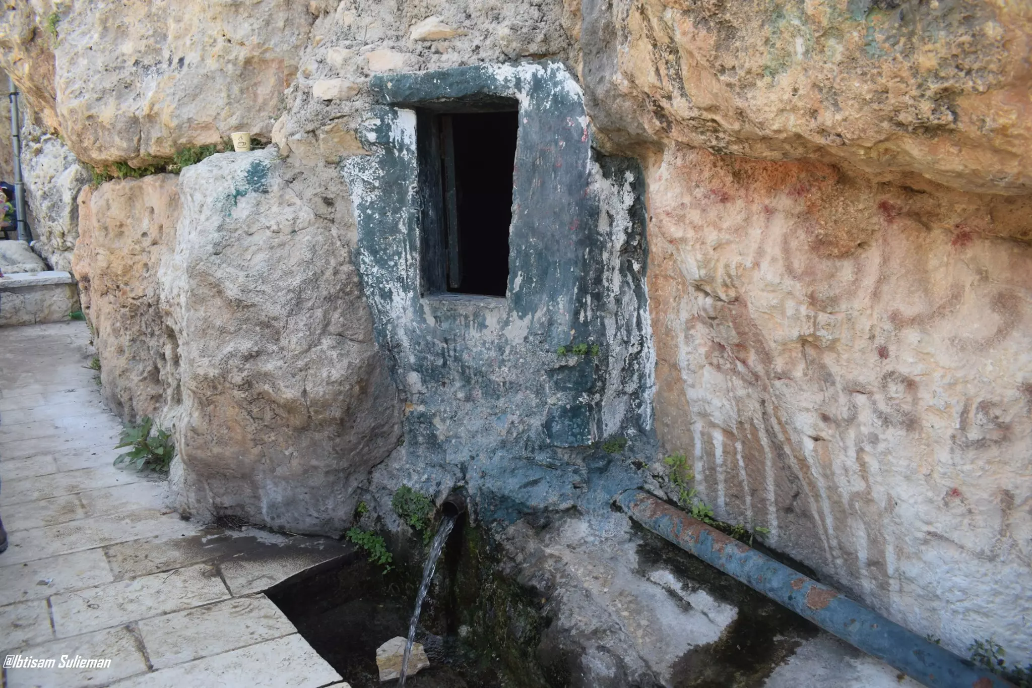
- عين ياسوف وخضارها وسناسلها \منطقة جميلة جداااااا قضاء سلفيت #2
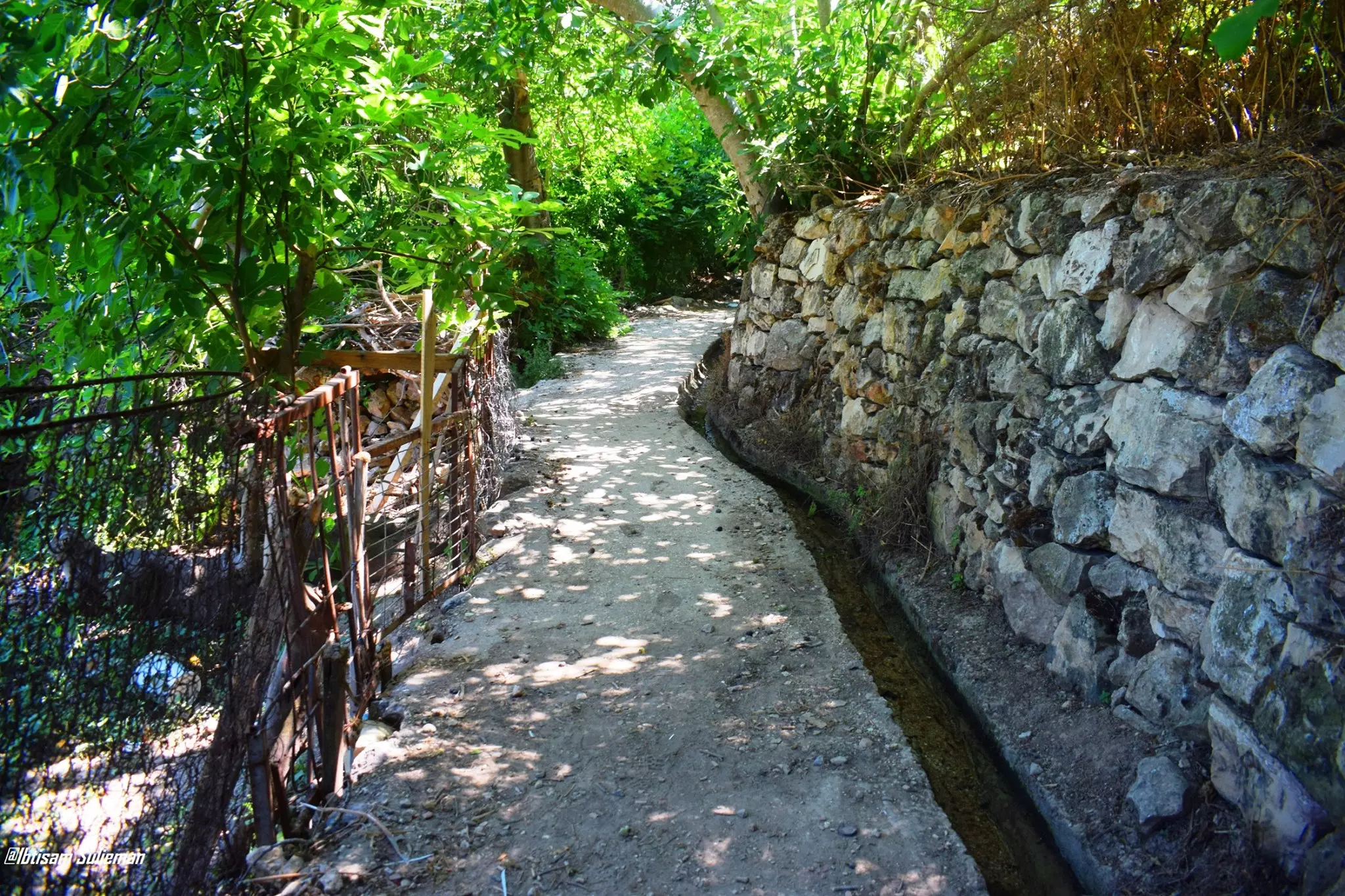
- عين ياسوف وخضارها وسناسلها \منطقة جميلة جداااااا قضاء سلفيت #3
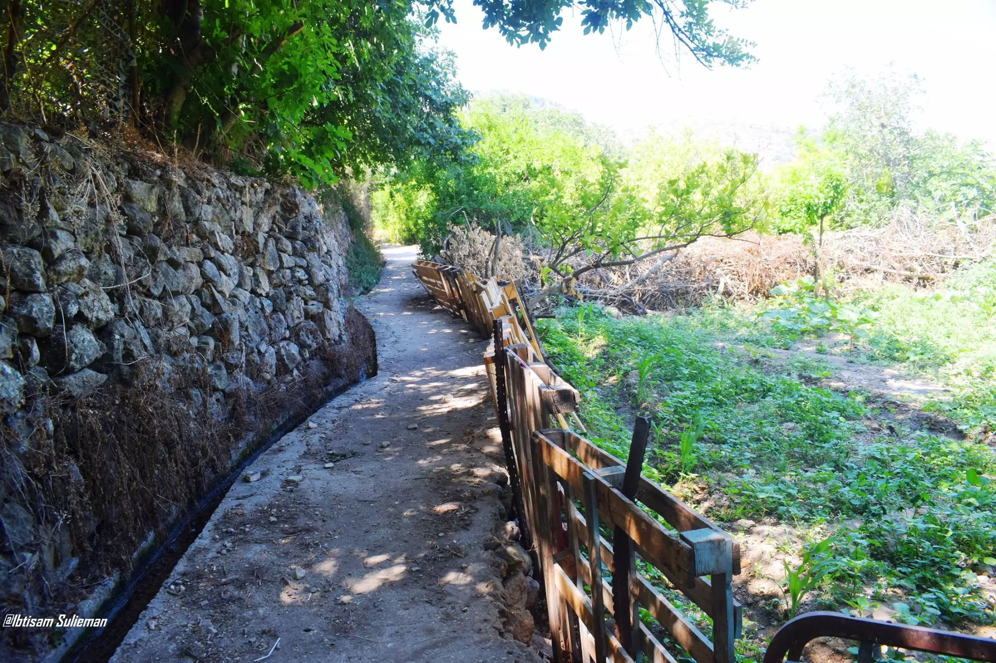
- عين ياسوف وخضارها وسناسلها \منطقة جميلة جداااااا قضاء سلفيت #4
- عين ياسوف وخضارها وسناسلها \منطقة جميلة جداااااا قضاء سلفيت #5
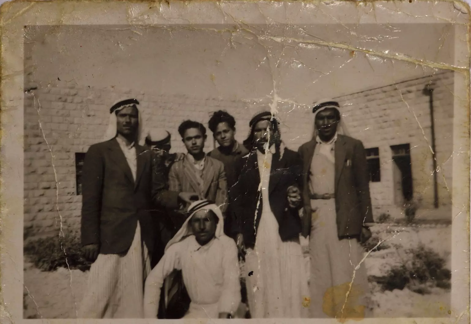
- راجح السلفيتي ومع مدرسين اخرين في مدرسة البنن 1940
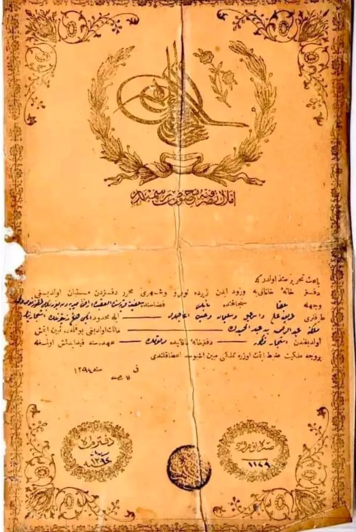
- كوشان أرض عثماني توثق ملكية عائلة فلسطينية في قرية سلفيت قضاء نابلس.
- حجة قسمة بابور الزيت "معصرة الزيت" وقطعة أرض تسمى بـ "كفة السامرة" من أملاك عبد الله عفانة في سلفيت، اشتملت الحجة على وصفٍ لنوع الملك ومقدار الحصة التي حصل عليها كل وارث، مؤرخة في 15 تموز 1942.
- خربة قرقش - سلفيت
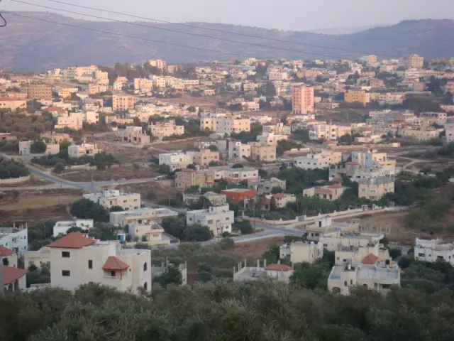
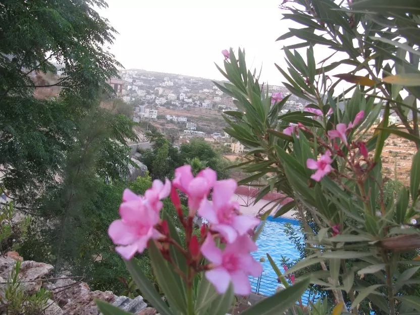
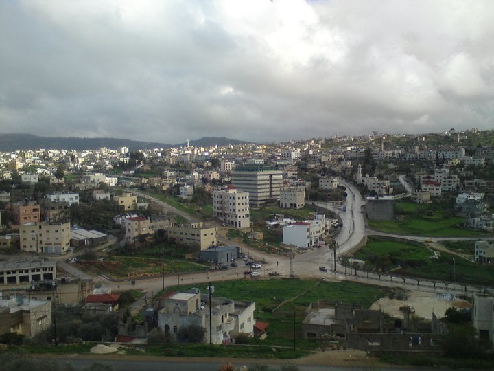
- منظر عام
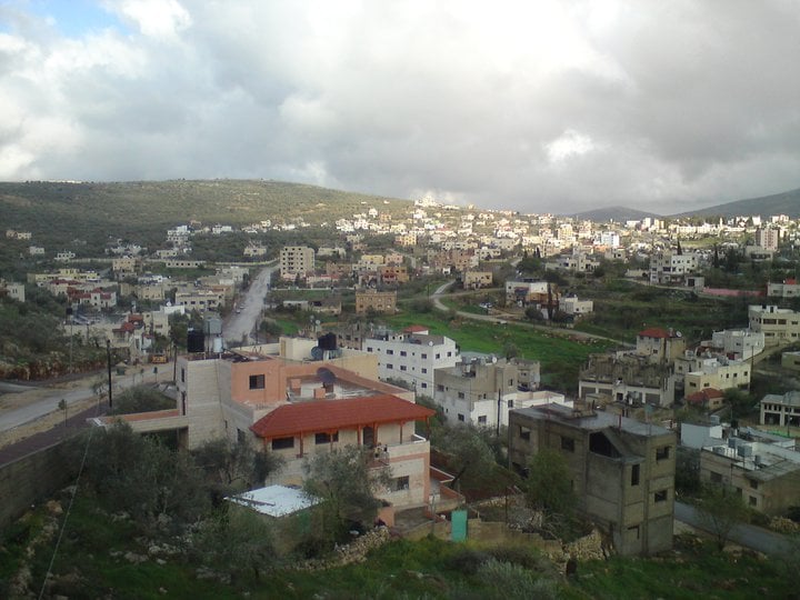
- منظر عام
- منظر عام رائعة للمدينة -- آية حسن
- منظر عام رائعة للمدينة -- آية حسن #2
- منظر عام رائعة للمدينة -- آية حسن #3
- منظر عام رائعة للمدينة -- آية حسن #4
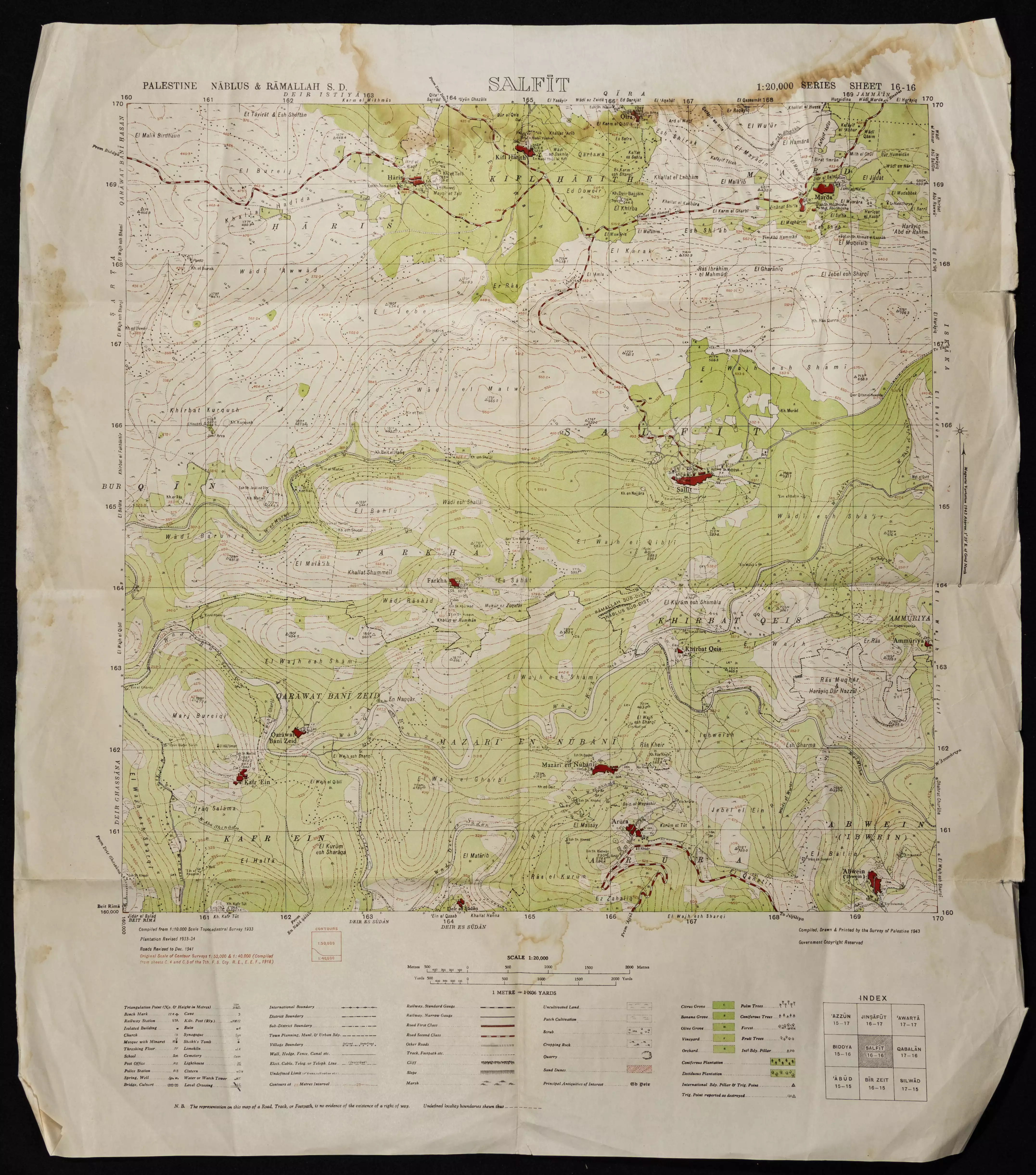
- خارطة تُظهِر الحدود والطرق بأنواعها والأماكن المقدسة والطبيعة الطوبغرافية من تلال وسهول ومنحدرات والتشكيلة الطبيعية للأرض وأنواع المزروعات. نُشرت الخريطة فترة الانتداب البريطاني، تم إضافة تعديلات عليها من قِبَل خدمة الخرائط والصور التابعة للقوات العسكرية الاسرائيلية فترة الأربعينيات.
Want to browse more? 80,000 pictures were grouped in these gallaries:
| Display Name | Clan/Hamolah | Country of Residence |
| احمدعدنان | ال ماضي | السعودية, الرياض |
| محمد سليم | سليم | Salfeet, Salfeet |
| أبو عمر | عزريل | U.A.E, U.A.E |
| حسين حسام عاصي | الحاج حسن | قراوة, قراوة |
| نور صانوري | - | سلفيت |
| سفيان حسن | حسن | - |
| alooo2 | - | - |
| منير دواهقة | - | salfit, salfit |
| توتو | - | - |
| حكمت قنداح | - | ابو شخيدم\ |
No links have been shared yet, be free to the first to share the first link.
 Fake Valor: Why Did Zionist Jews Hoist Nazis Flag on Their Ships in the 1930s?
What is new?
-
Facts About Oct. 7th Gaza Raid
-
Remined Us Please:: Who Did Rape Who? Palestinians Raped Israelis? Or, was the other way around?
-
When Prof. Edward Said was invited to debate Bibi Netanyahu in the 1980s, watch what happened!
-
Ezra Klein of the NY Times on the "Jewish Race".
-
Abusing Blood Libel!
-
Did Israeli Soldiers Activate The Hanniba Direective On Oct. 7th? You Be The Judge
-
Zionist FAQ: Isn't it true that Palestinians don't want peace? Palestinians never accepted the two-state solution
- Facts about Haavara (Transfer) Agreement between Ben-Gurion & Hitler
-
Haavara FAQs: Why Did Zionist Jews Hoist Nazis' Flags on Their Ships in the 1930s?
- Haavara FAQs: When Chaim Weizmann met FDR in mid-1943, why was he silent about rescuing European Jewry?
-
Dear ChatGPT: How did Palestinians resist Napoleon's invasion of their country in 1799?
-
Dear ChatGPT: Gaza had a vibrant Jewish community in the mid-17th century. What happened to them?
-
Dear ChatGPT: Why did the Jewish Agency suppress news of the Holocaust during WWII?
-
Video Playlist: Jews share their DNA tests to end the conflict for good.
-
A Tale of Two Conflicts: Examining the Definition of Genocide
-
Prof. Abraham Polak And The Suppressed History of the Khazars and European Jewry
-
How Ronald Reagan would have framed the genocide in Gaza if he were still alive?
-
Haavara FAQs: Let us do the math: how many German Jews did The Haavara Agreement save?
-
Zionist FAQs: The Hebron Massacre of 1929, "clearly proves" that Palestinians are antisemitic, how could you deny it?
-
Zionist FAQs: Why Anti-Zionist Is Not Antisemitism?
-
Zionist FAQs: Isn't it true that the KGB created Palestinian Nationalism in the early 1960s?
- Zionist FAQs: Muslims are killing Muslims all the time; why are Israeli Jews being singled out in the media?
- Zionist FAQs: How is Israel an apartheid state when 20% of its citizens are Arabs who enjoy full rights?
-
Haavara FAQs: Why Did Dorothy Thompson Flip From A Zionist Advocate to A Silenced Dissenter?
-
Haavara FAQs: Analysis of Herzl's Uganda Scheme and how it could have saved millions of Jews.
-
Haavara FAQs: Why did Hayim Greenberg describe American Jewry as "morally bankrupt" in early 1943?
-
Haavara FAQs: What if the Evian Conference was a resounding success? What would have been the impact of saving European Jewry on Zionism?
- Haavara FAQs: What if the six million were saved, how that would have impacted the Zionist project?
-
Haavara FAQs: How did Zionist leaders react when Europe's Jews lingered in the DP camps after WWII ended?
-
Why does the American Jewish community repeat lies that David Ben-Gurion had debunked before he died?
-
Who has the power to rename the Tatar/Khazar Gene Marker to Jewish IV?
-
Zionist FAQs: Why won't Egypt, Syria, and Jordan take their people back? Jews are indigenous to Palestine, and Arabs immigrated after Jews developed the country. Arabs should leave.
-
Haavara FAQs: Did Hitler and the Nazis conflate between Judaism and Zionist? If that wasn't case, then why?
-
Haavara FAQs: Winston Churchill and antisemitism, a collection of articles written Churchill.
-
Haavara FAQs: Broken by country, how many Jews survived vs. killed during the Holocaust?
-
Haavara FAQs: Why did European Jews vote with their feet and to immigrated to the Americas, not Palestine, after WWII?
-
Watch this American Jewish Girl describing Israeli Jews' cognitive dissonance like no other in under two minutes
-
Haavara FAQs: When the Nazis went out of their way to hide the Holocaust, Israeli Jews did the exact opposite by broadcasting their genocide of Gazans. But why?
-
Haavara FAQs: How Zionist Jews went out of their to show their appreciation to Nazism and Fascism?
- Haavara FAQs: Why Zionist leaders were against bombing the death camps & the Railroads leading to them?
-
Haavara FAQs: Hitler's message to the British and American people: If Jews are such noble citizens and you care about them, how come you're not letting them in? I will gladly ship them to you at my expense, even on luxury liners!
-
A shortlist of Zionist and Israeli false flag operations in the name Jews.
-
The Most Moral Army
- The Land of Kapos (Israel): Where the brave are boycotted and Kapos walk free.
- Why did early Zionists often named their communal enterprises "colonial"?
- Zionist Relations with Nazi Germany by Faris Glubb
-
Two NY Times advertisements by Zionists in the early 1943 that exposes Zionists' treason at the height of the calamity
- Facts Not Lies about the Palestinian-Israeli Conflict.
- Site's pictures have been categorized
- Campgain Against Lice
- A Survey of Palestine, the official source about Palestine before Nakba produced by the British Mandate; over 1200 pages.
- Satellite View & Google Earth: Over 6,000 placemarks identifying all destroyed towns, W. Bank & Gaza Strip Towns, & refugee camps.
- PalestineRemembered.com and its Nakba Oral History Project were featured on al-Jazeera Satellite TV.
- Nakba Oral History Video Podcast:
 Over 700 Oral History interviews (including 3,500+ hours of recording) can be viewed online.
 - Palestine Village Statistics Project
- Gaza Jail Break
- النسخة العربية للموقع الان متوفرة
- Videos: Documenting the destroyed villages in video: Tracing all that remains since Nakba.
- Videos: Responding to Zionist Propaganda
- Interview: The ethnic cleansing of Palestine: George Galloway interviews Israeli Historian Ilan Pappe.
- For Palestinians, memory matters. It provides a blueprint for their future By George Bisharat.
- Zionist FAQ now available in Hebrew שאלות שציונים שואלים, עכשיו בעברית
- Video: The Stephen Walt and John Mearsheimer report on the influence of the Israel Lobby on U.S. Foreign Policy
- The Palestinian-Israeli conflict for beginners
