| PalestineRemembered | About Us | Oral History | العربية | |
| Pictures | Zionist FAQs | Haavara | Maps | |
| Search |
| Camps |
| Districts |
| Acre |
| Baysan |
| Beersheba |
| Bethlehem |
| Gaza |
| Haifa |
| Hebron |
| Jaffa |
| Jericho |
| Jerusalem |
| Jinin |
| Nablus |
| Nazareth |
| Ramallah |
| al-Ramla |
| Safad |
| Tiberias |
| Tulkarm |
| Donate |
| Contact |
| Profile |
| Videos |
Welcome To Juneid - جنيد
|
District of Nablus
Occupied days ago |
العربية Google Earth |
 |
Gallery (38) |
- Statistics & Facts
- Satellite View
- Articles 14
- Pictures 38
- Mayrters & Prisoners 3
- Members 13
- Videos
- Guest Book 7
- Links
| Statistic & Fact | Value | ||||||||||||||
| Distance From District | 6 km west of Nablus | ||||||||||||||
| Land Ownership |
**Town Lands' Demarcation Maps |
||||||||||||||
| Land Usage As of 1945 |
|
||||||||||||||
| Population |
|
||||||||||||||
| Near By Towns |
|||||||||||||||
|
|||||||||||||||
| Related Maps | Town Lands' Demarcation Maps خرائط للقضاء توضح حدود القرى والاودية View from satellite Town's map on MapQuest Help us map this town at WikiMapia |
||||||||||||||
| Related Links | Google Search Google For Images Google For Videos في كتاب بلادنا فلسطين المزيد من موقع هوية |
||||||||||||||
- هذه المقالة نشرت في جريدة السبيل الاردنية الاسبوعية العدد(662) بتاريخ26/9/2006 كاتب المقالة == عزام الجنيدي== بعنوان ( تحررت فلسطين)
- مقاله للكاتب == عزام الجنيدي=== بعنوان (قف من فضلك تامل وقارن) نشرت المقالة في جريدة السيبل الاردنية الاسبوعية
- مقالة للكاتب == عزام الجنيدي == بعنوان( مسيرة الجبال ...بيت حانون)نشرت بجريدة السبيل العدد(668) بتاريخ4/11/2006
- مقالة للكاتب == عزام الجنيدي == بعنوان( نزار ريان ...بين العلم والجهاد ) نشرت بجريدة السبيل العدد(714) بتاريخ9/10/2007
- مقالة للكاتب == عزام الجنيدي == بعنوان( 9/4 دير ياسين ..... بغداد.)نشرت بجريدة السبيل الاردنية الاسبوعية
- مقالة للكاتب== عزام الجنيدي== بعنوان(رح تبقى واقف يا شعبي) نشرت في جريدة السبيل الاردنية اليومية بتارخ 8/3/2009
- مقالة للكاتب ==عزام الجنيدي== بعنوان _( لم يسقط اولمرت)نشرت في جريدة السيبل الاردنية بتاريخ 5/1/2006
- مقالةه للكاتب== عزام الجنيدي== بعنوان ( من للحبيب المصطفى =صلى الله عليه وسلم=) نشرت في جريدة السيبل الاردنية
- مقالة للكاتب ==عزام الجنيدي= بعنوان (اليس منكم رجل رشيد)نشرت في جريدة السبيل الاردنية بتاريخ 13/2/2007
- مقاله للكاتب == عزام الجنيدي== بعنوان(شهيق وزفير الحرية)نشرت في جريدة السبيل الاردنية
- مقاله للكاتب==عزام الجنيدي== بعنوان ( لو كنت اسرائيليا)نشرت في جريدة السيبل بتارخ 4/9/2006
- مقالة للكاتب== عزام الجنيدي بعنوان ( متى يكون الفرح على معبر رفح) نشرت في جريدة السيبل الاردنية اليومية بتاريخ 7/7/2009
- تعين رئيس جديد للديوان
- صفحة جديده لقرية الجنيد على الفيس بوك
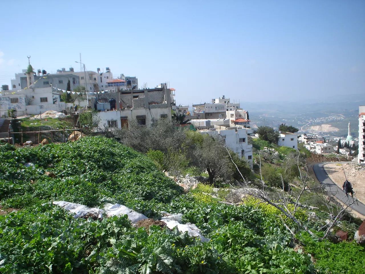
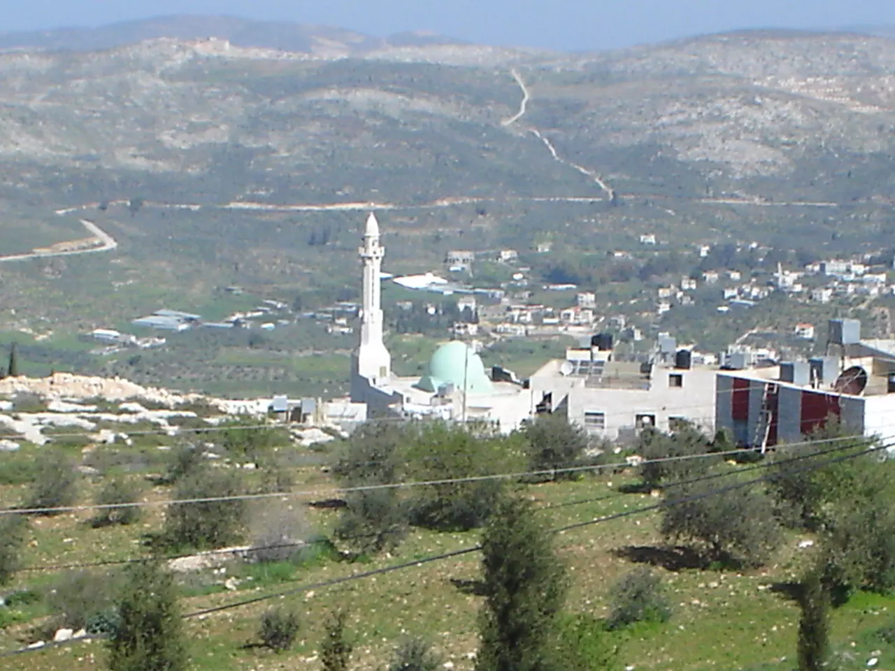
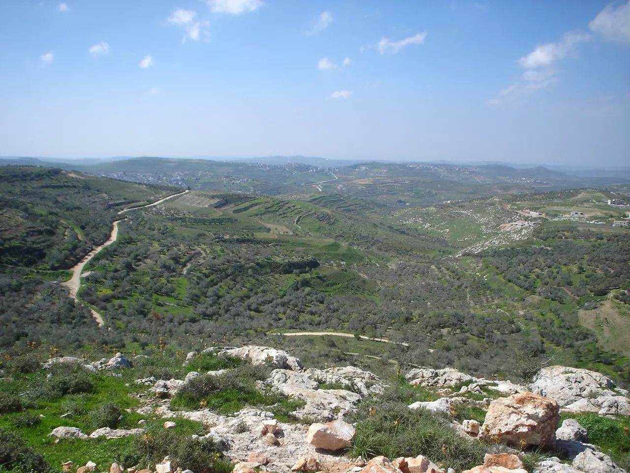
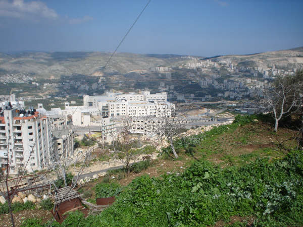
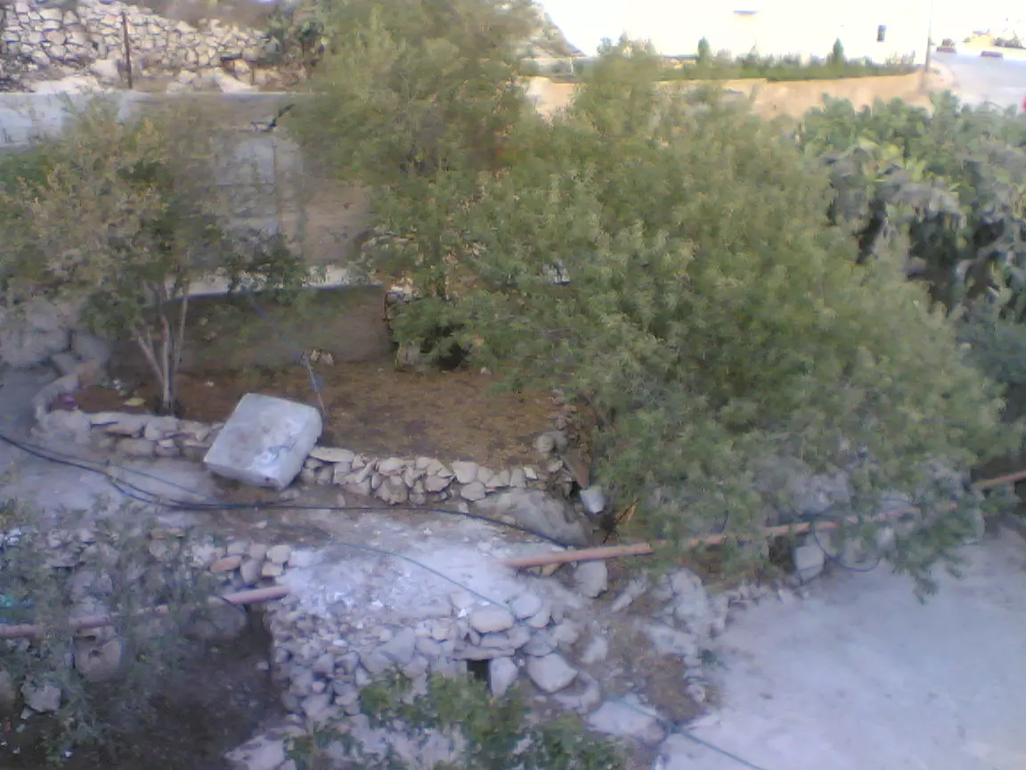
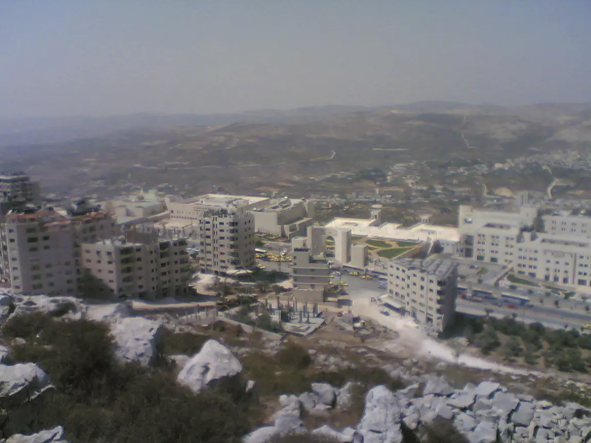
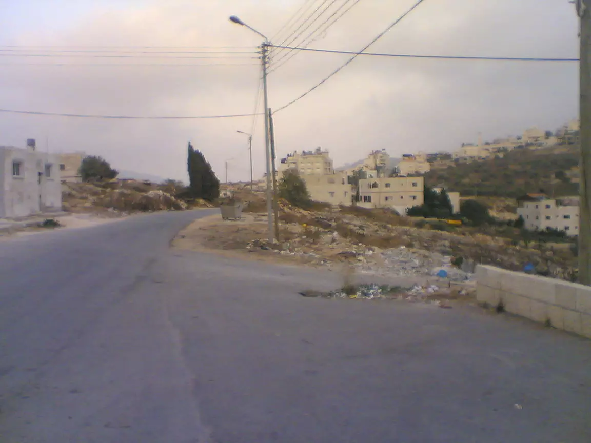
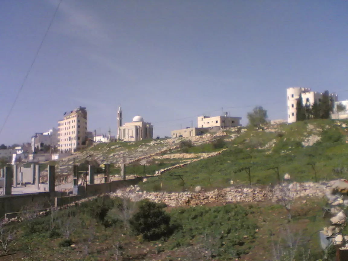
- منظر عام
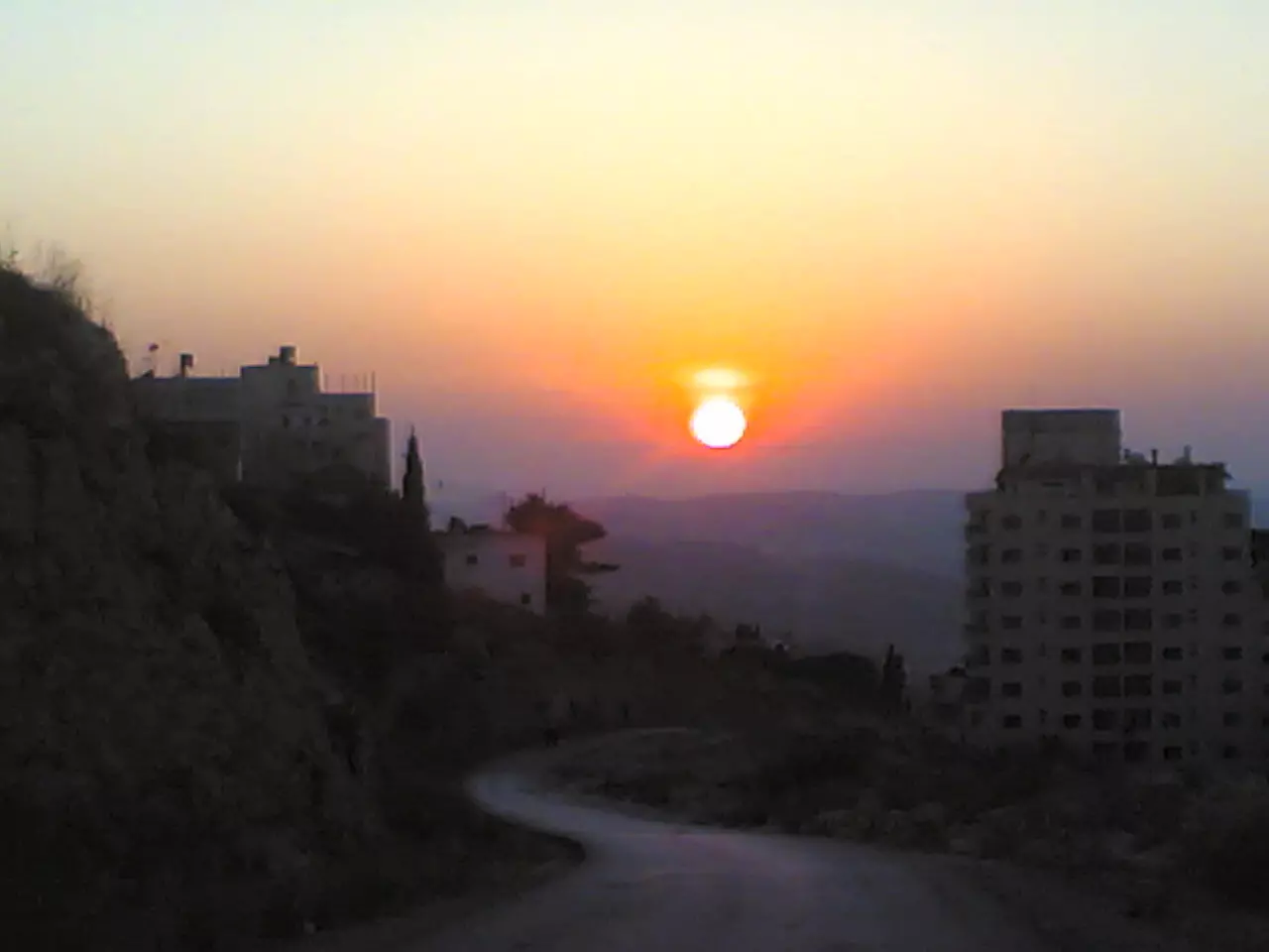
Posted by Tarik yasin 2 - منظر عام
Posted by Tarik yasin 1 - منظر عام
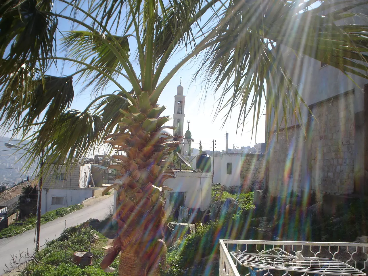
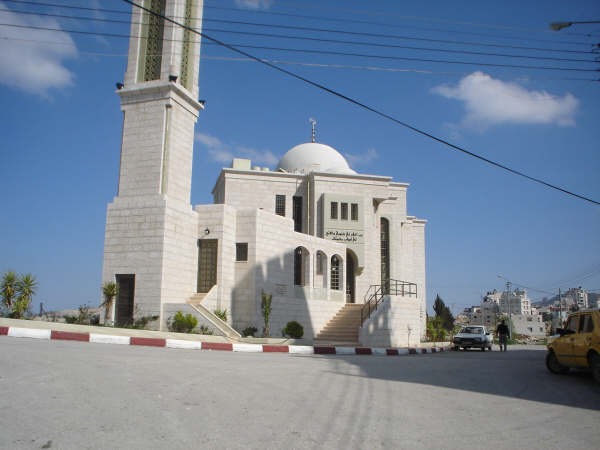
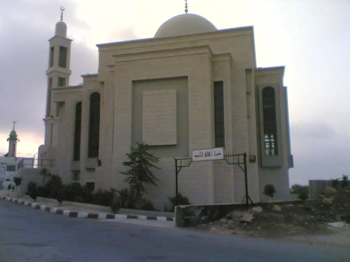
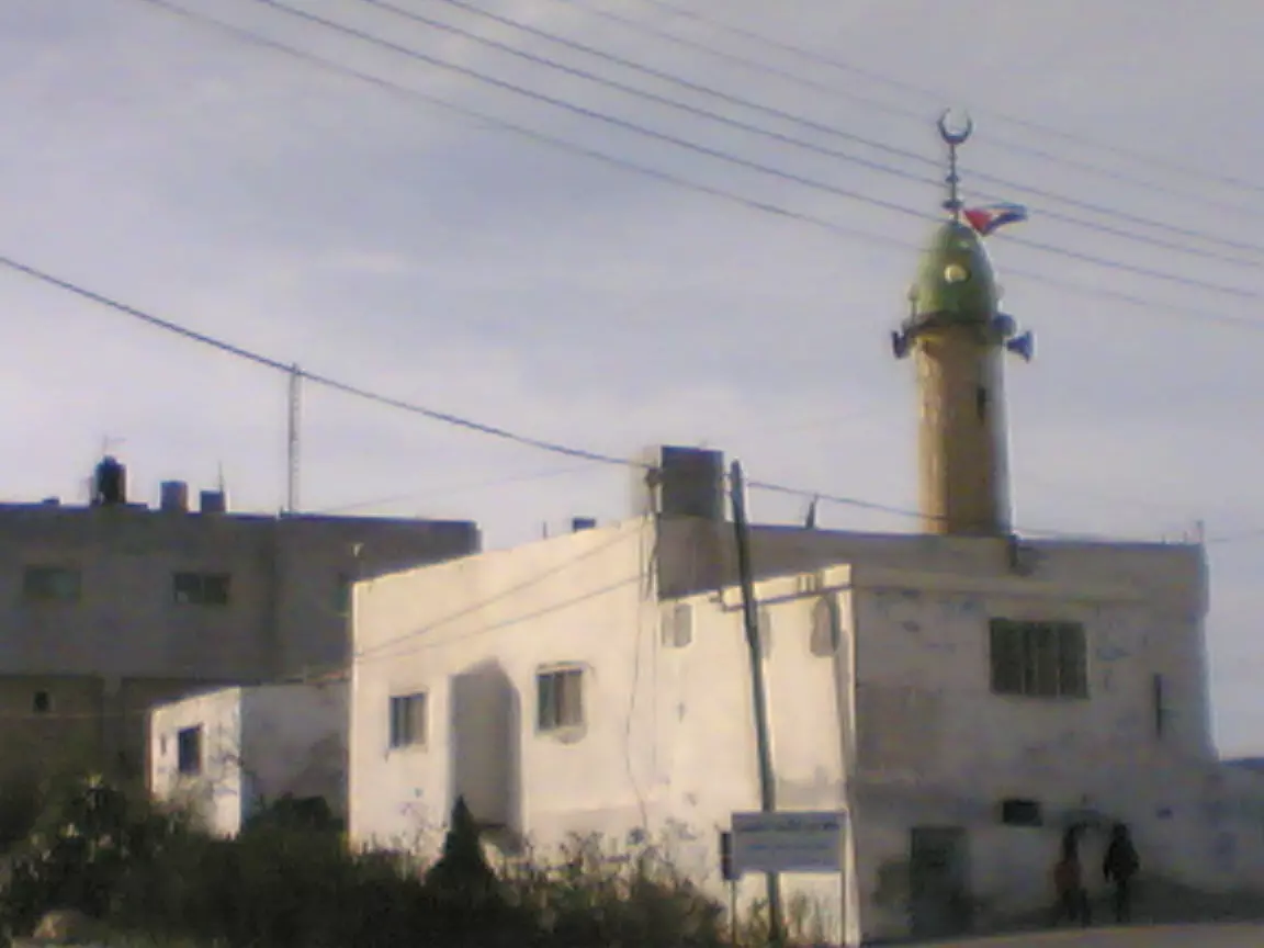
Posted by Tarik yasin 2 - الجامع
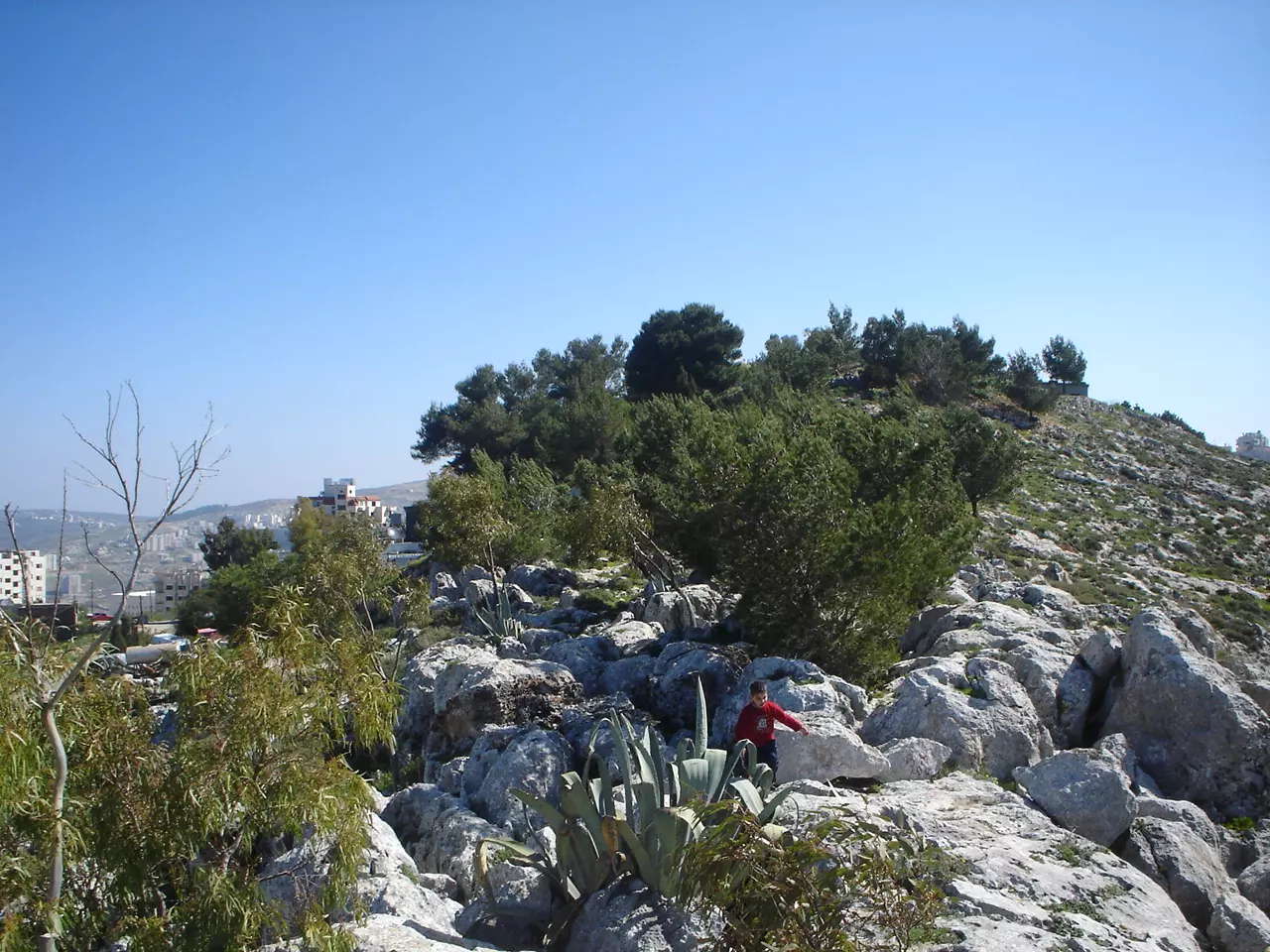
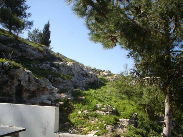
Posted by Tarik yasin 1 - الطبيعة المحيطة
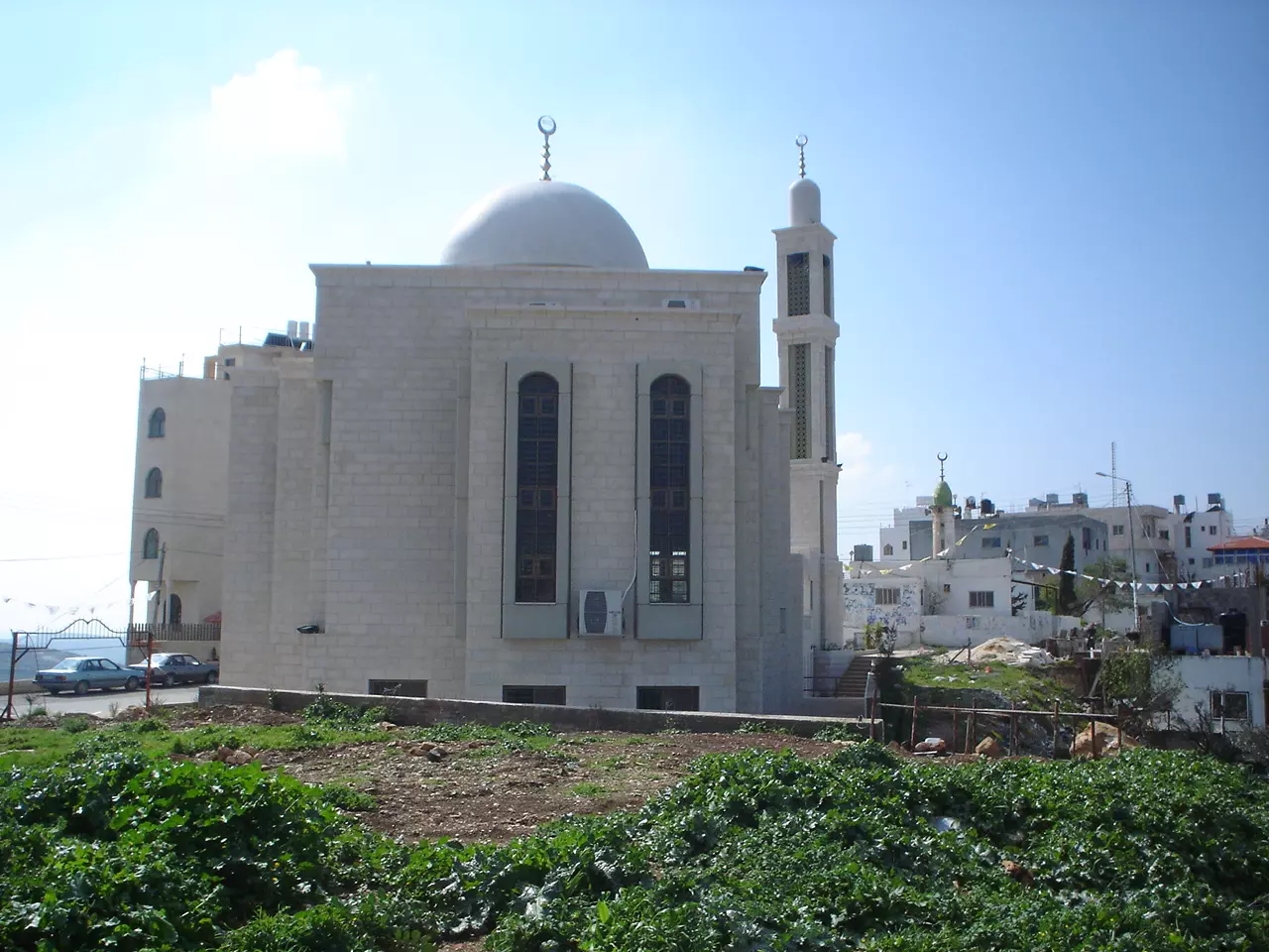
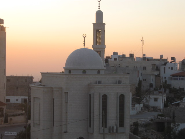
Posted by Tarik yasin 1 - الجامع الجديد
Posted by Tarik yasin 1 - منظر عام
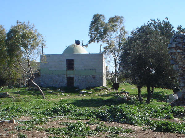
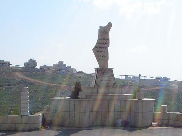
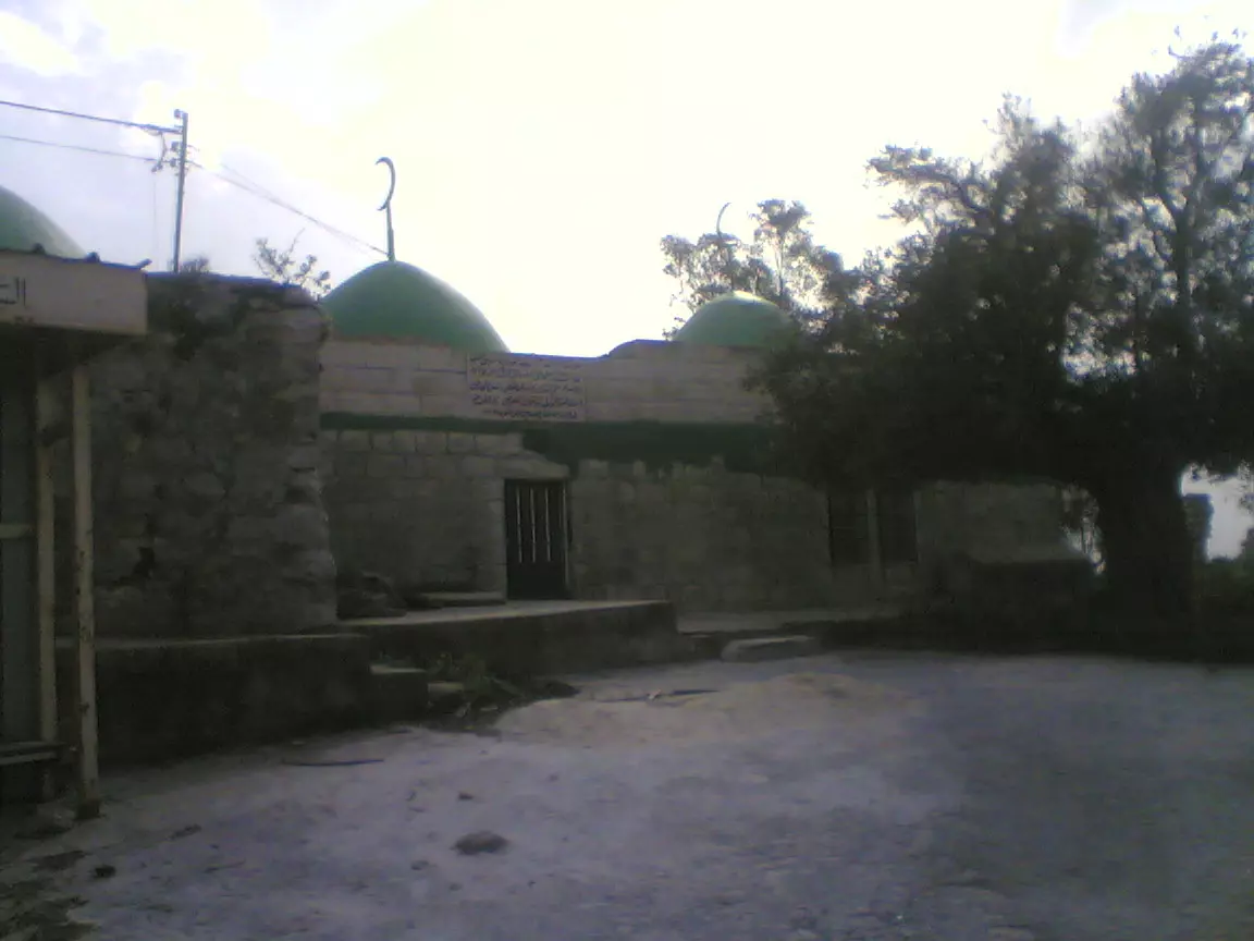
Posted by Tarik yasin - ضريح او مقام
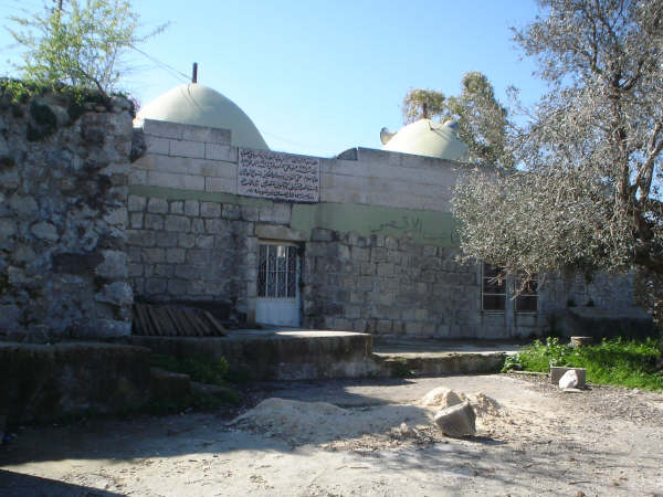
Posted by Tarik yasin 2 - ضريح او مقام
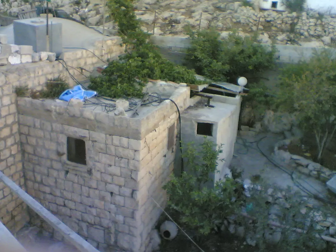
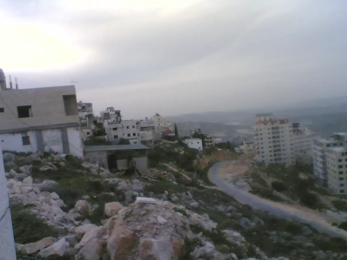
Posted by Tarik yasin 1 - منظر عام
Posted by Tarik yasin 1 - منظر عام
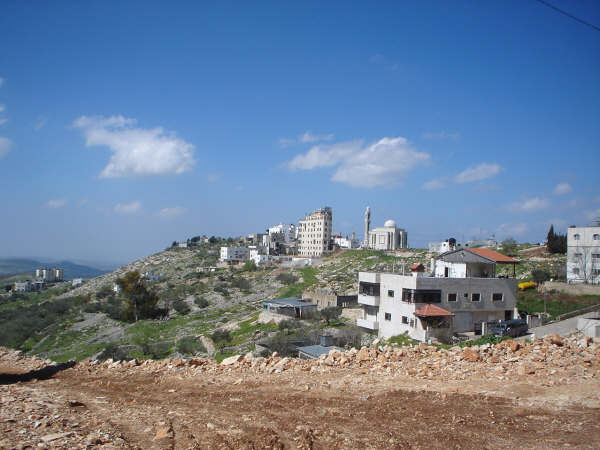
Posted by Tarik yasin 1 - منظر عام
Posted by Tarik yasin 1 - منظر عام
Posted by Tarik yasin - منظر عام
Posted by Tarik yasin - الجامع الجديد
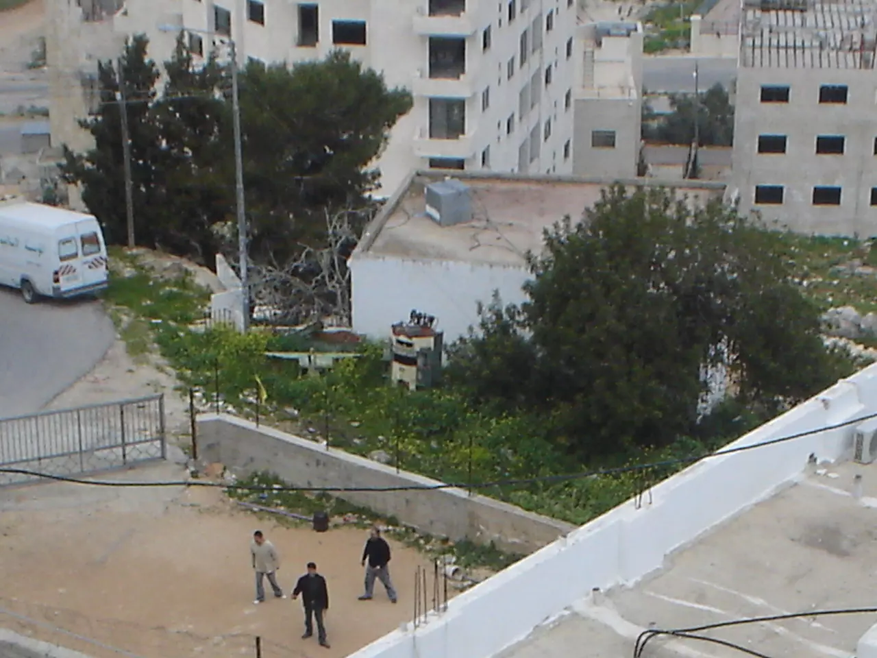
Posted by Tarik yasin 2 - سجن الجنيد
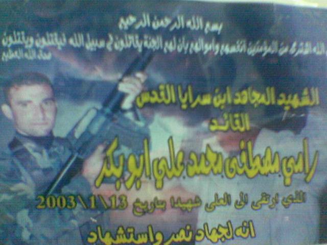
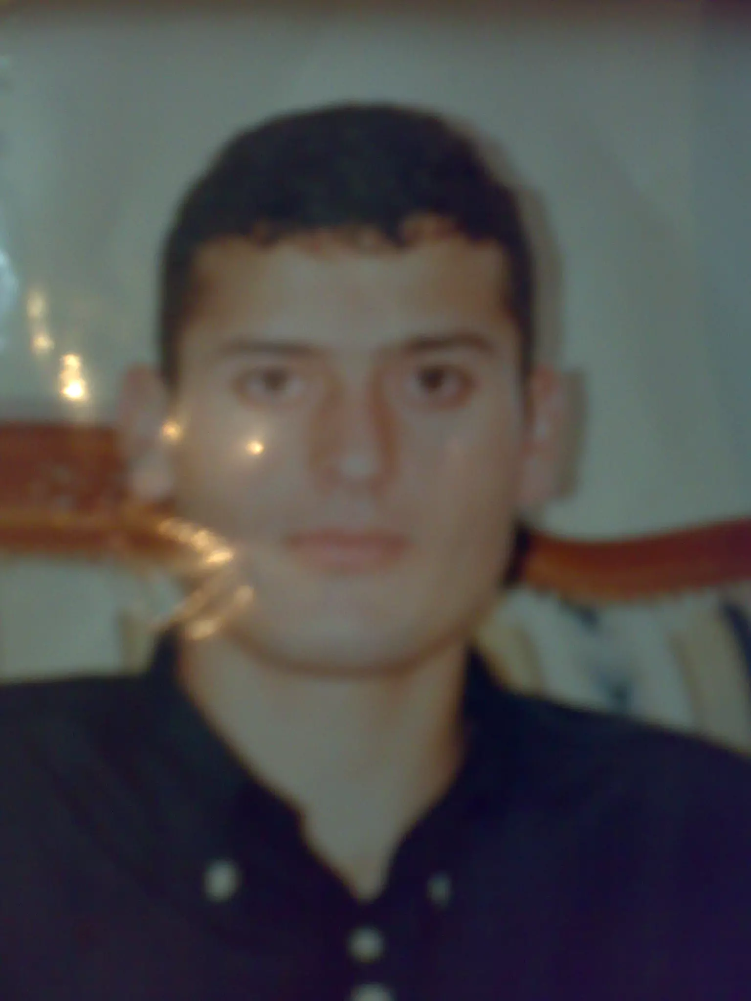
Posted by Tarik yasin 1 - صورة الشهيد البطل القائد
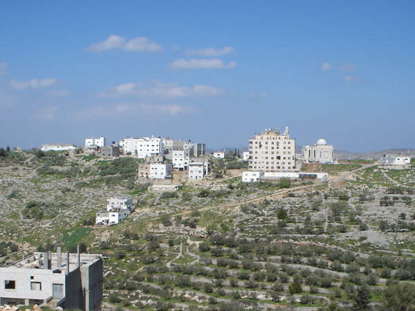
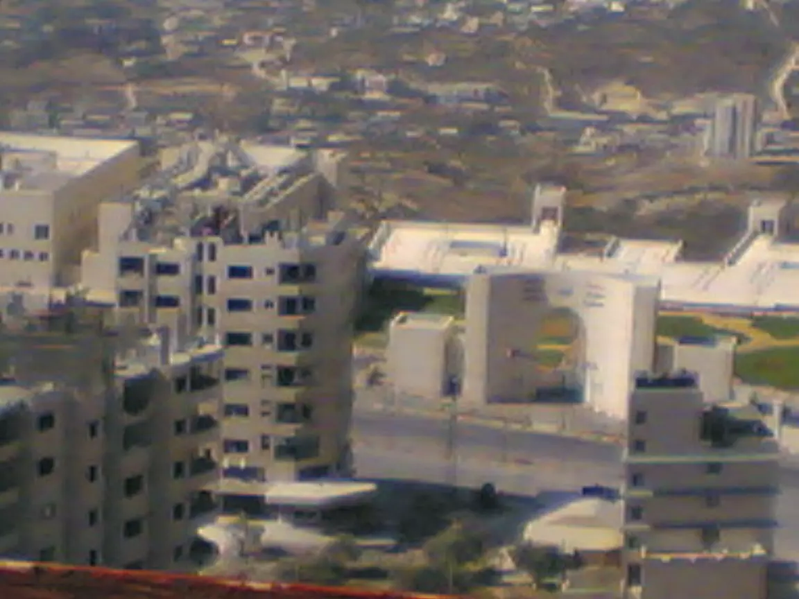
Posted by سراج الاقصى 1 - منظر عام للقرية
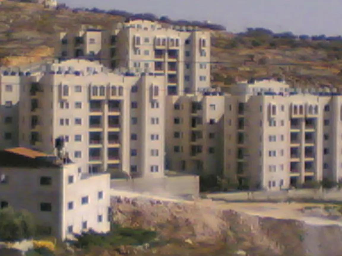
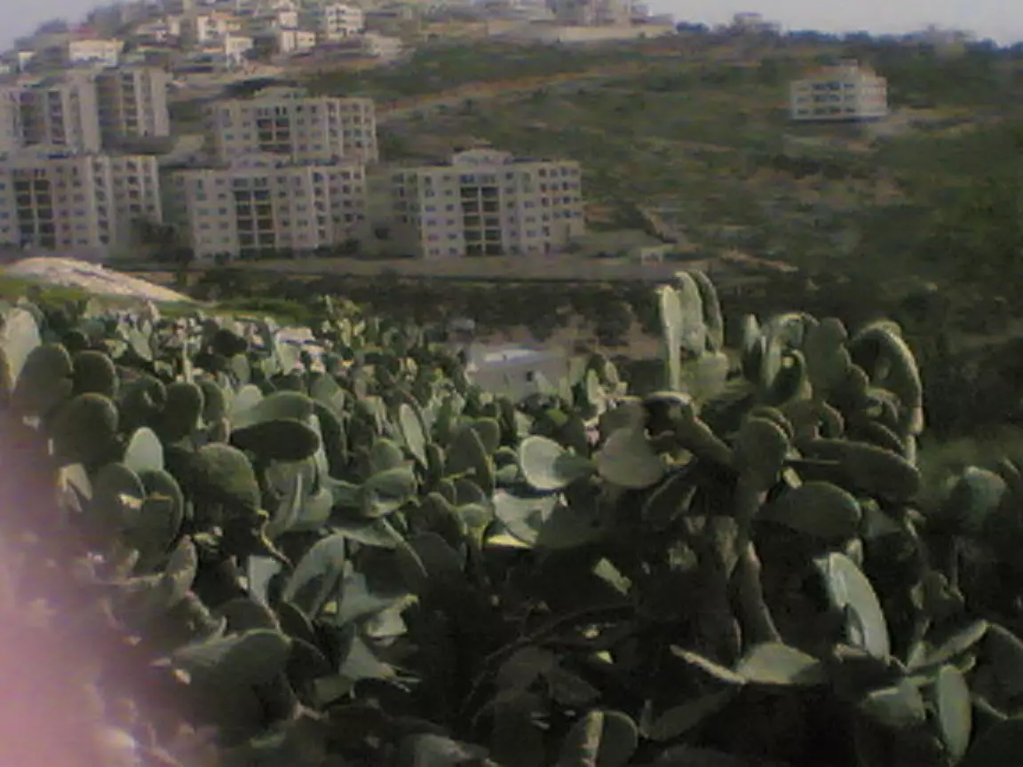
Posted by سراج الاقصى - اسكان العامرية
Posted by سراج الاقصى 1 - منظر عام للقرية
Posted by سراج الاقصى - الشهيد القائد عمر عبد الفتاح ياسين بطل عملية مستوطنة غور الاردن
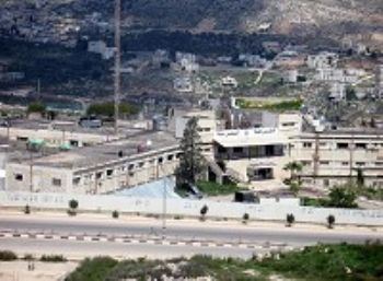
Posted by سراج الاقصى 4 - جامعة النجاح -فرع الجنيد
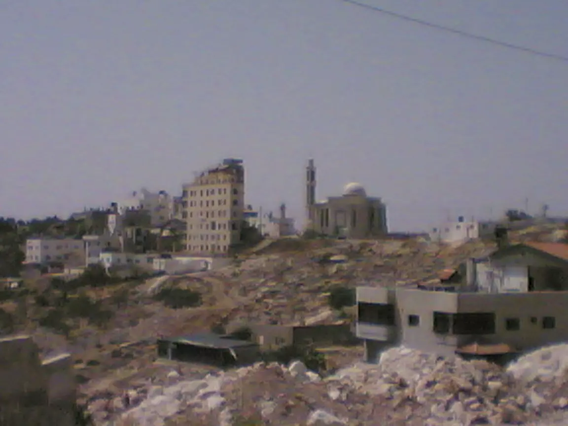
Posted by المغربي - منظر عام -الجهة الجنوبية للقرية
Posted by المغربي 1 - مدخل عام القرية من الجهة الشرقية
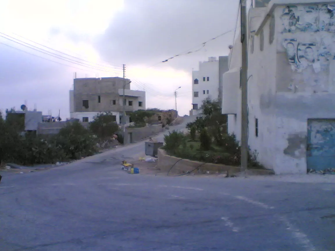
Posted by المغربي - مدخل منطقة اسكان العامرية الجنيد
Posted by المغربي - بوابة الجامعة
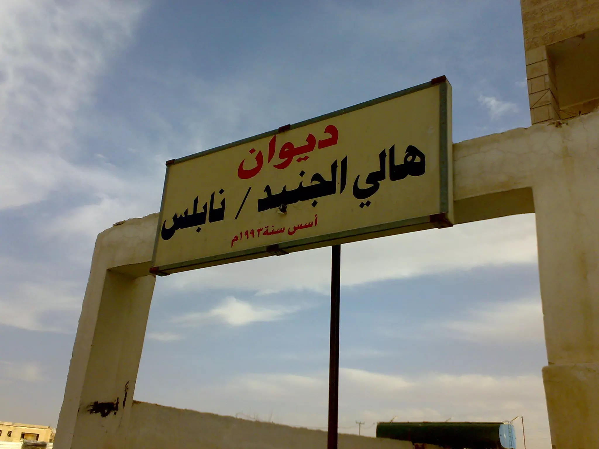
Posted by المغربي 1 - مسجد الرحمن الجديد وباسفله ديوان اهالي الجنيد
Posted by المغربي 1 - ديوان اهلي قرية الجنيد في منطقة طارق الزرقاء
Posted by سراج الاقصى 1 - al-juneid
Posted by amjad al-juneidy 1 - الجامع القديم
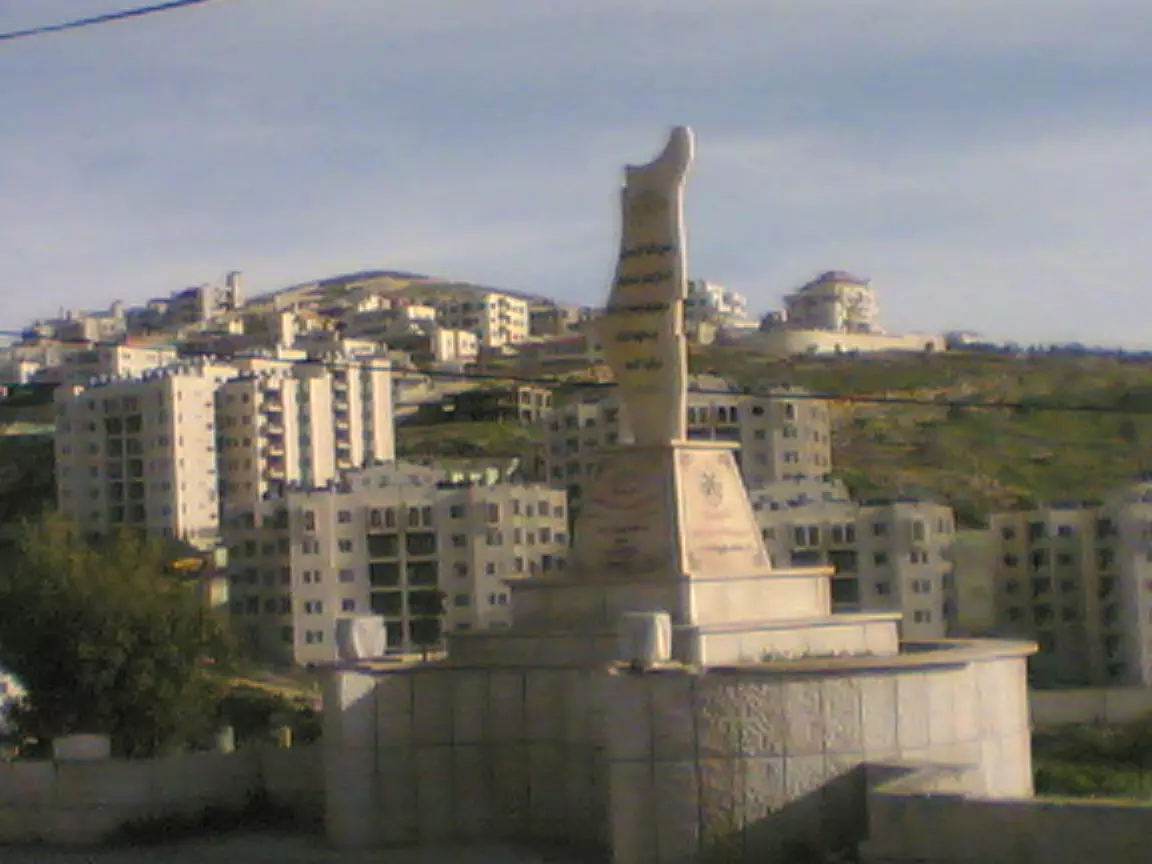
Posted by المغربي - الشاهد مكتوب عليه اسماء الشهداء الابطال من قرية الجنيد من الناحية الغربية للبلدة
Posted by المغربي - مدرسة القرية
Posted by المغربي - منظر عام للقرية من اسكان العامرية
Posted by المغربي - مقام ابي القاسم الجنيدي في مقبرة الجنيد
Posted by المغربي - منظر من المقبرة على اسكان العامرية الجديد بالجنيد
Posted by المغربي 1 - قبر الشهيد رامي ابو بكر احد ابطال قرية الجنيد
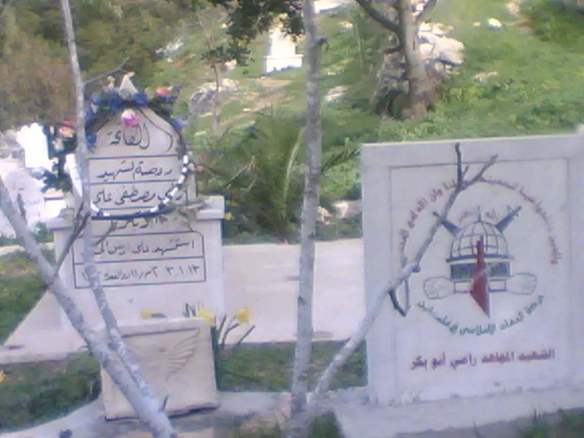
Posted by المغربي 1 - شارع الشهيد رامي ابو بكر وقت الغروب في الجنيد
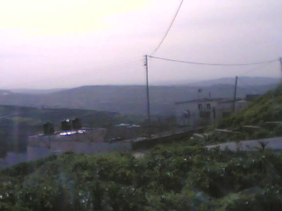
Posted by المغربي 1 - منظر عام للقرية من الشارع الخلفي للقرية
Posted by المغربي 1
Want to browse more? 80,000 pictures were grouped in these gallaries:
| Display Name | Clan/Hamolah | Country of Residence |
| ABUYAMEN | YASSIN | ZARQA, JORDAN |
| عبداللــــــــه حجــــــازي | - | - |
| بنت الجنيد | - | الزرقاء, الاردن |
| amjad al-juneidy | - | نابلس, الجنيد |
| اسامة | الياسين | - |
| ليلى | الجنيد | الزرقاء, الاردن |
| حلم العودة | الجنيدي | لزرقاء, الاردن |
| مراد الجنيدي | - | نابلس- الجنيد |
| رائدالياسين | ياسين | الزرقاء, الاردن |
| المغربي | المغربي | - |
| اخو سراج | الجنيدي | الاردن |
| سراج الاقصى | الجنيدي | الجنيد, الاردن _ |
| Tarik yasin | - | - |
No links have been shared yet, be free to the first to share the first link.
 Fake Valor: Why Did Zionist Jews Hoist Nazis Flag on Their Ships in the 1930s?
What is new?
-
Facts About Oct. 7th Gaza Raid

-
Remined Us Please:: Who Did Rape Who? Palestinians Raped Israelis? Or, was the other way around?
-
When Prof. Edward Said was invited to debate Bibi Netanyahu in the 1980s, watch what happened!
-
Ezra Klein of the NY Times on the "Jewish Race".
-
Abusing Blood Libel!
-
Did Israeli Soldiers Activate The Hanniba Direective On Oct. 7th? You Be The Judge
-
Zionist FAQ: Isn't it true that Palestinians don't want peace? Palestinians never accepted the two-state solution
- Facts about Haavara (Transfer) Agreement between Ben-Gurion & Hitler
-
Haavara FAQs: Why Did Zionist Jews Hoist Nazis' Flags on Their Ships in the 1930s?
- Haavara FAQs: When Chaim Weizmann met FDR in mid-1943, why was he silent about rescuing European Jewry?
-
Dear ChatGPT: How did Palestinians resist Napoleon's invasion of their country in 1799?
-
Dear ChatGPT: Gaza had a vibrant Jewish community in the mid-17th century. What happened to them?
-
Dear ChatGPT: Why did the Jewish Agency suppress news of the Holocaust during WWII?
-
Video Playlist: Jews share their DNA tests to end the conflict for good.
-
A Tale of Two Conflicts: Examining the Definition of Genocide
-
Prof. Abraham Polak And The Suppressed History of the Khazars and European Jewry
-
How Ronald Reagan would have framed the genocide in Gaza if he were still alive?
-
Haavara FAQs: Let us do the math: how many German Jews did The Haavara Agreement save?
-
Zionist FAQs: The Hebron Massacre of 1929, "clearly proves" that Palestinians are antisemitic, how could you deny it?
-
Zionist FAQs: Why Anti-Zionist Is Not Antisemitism?
-
Zionist FAQs: Isn't it true that the KGB created Palestinian Nationalism in the early 1960s?
- Zionist FAQs: Muslims are killing Muslims all the time; why are Israeli Jews being singled out in the media?
- Zionist FAQs: How is Israel an apartheid state when 20% of its citizens are Arabs who enjoy full rights?
-
Haavara FAQs: Why Did Dorothy Thompson Flip From A Zionist Advocate to A Silenced Dissenter?
-
Haavara FAQs: Analysis of Herzl's Uganda Scheme and how it could have saved millions of Jews.
-
Haavara FAQs: Why did Hayim Greenberg describe American Jewry as "morally bankrupt" in early 1943?
-
Haavara FAQs: What if the Evian Conference was a resounding success? What would have been the impact of saving European Jewry on Zionism?
- Haavara FAQs: What if the six million were saved, how that would have impacted the Zionist project?
-
Haavara FAQs: How did Zionist leaders react when Europe's Jews lingered in the DP camps after WWII ended?
-
Why does the American Jewish community repeat lies that David Ben-Gurion had debunked before he died?
-
Who has the power to rename the Tatar/Khazar Gene Marker to Jewish IV?
-
Zionist FAQs: Why won't Egypt, Syria, and Jordan take their people back? Jews are indigenous to Palestine, and Arabs immigrated after Jews developed the country. Arabs should leave.
-
Haavara FAQs: Did Hitler and the Nazis conflate between Judaism and Zionist? If that wasn't case, then why?
-
Haavara FAQs: Winston Churchill and antisemitism, a collection of articles written Churchill.
-
Haavara FAQs: Broken by country, how many Jews survived vs. killed during the Holocaust?
-
Haavara FAQs: Why did European Jews vote with their feet and to immigrated to the Americas, not Palestine, after WWII?
-
Watch this American Jewish Girl describing Israeli Jews' cognitive dissonance like no other in under two minutes
-
Haavara FAQs: When the Nazis went out of their way to hide the Holocaust, Israeli Jews did the exact opposite by broadcasting their genocide of Gazans. But why?
-
Haavara FAQs: How Zionist Jews went out of their to show their appreciation to Nazism and Fascism?
- Haavara FAQs: Why Zionist leaders were against bombing the death camps & the Railroads leading to them?
-
Haavara FAQs: Hitler's message to the British and American people: If Jews are such noble citizens and you care about them, how come you're not letting them in? I will gladly ship them to you at my expense, even on luxury liners!
-
A shortlist of Zionist and Israeli false flag operations in the name Jews.
-
The Most Moral Army
- The Land of Kapos (Israel): Where the brave are boycotted and Kapos walk free.
- Why did early Zionists often named their communal enterprises "colonial"?
- Zionist Relations with Nazi Germany by Faris Glubb
-
Two NY Times advertisements by Zionists in the early 1943 that exposes Zionists' treason at the height of the calamity
- Facts Not Lies about the Palestinian-Israeli Conflict.
- Site's pictures have been categorized
- Campgain Against Lice
- A Survey of Palestine, the official source about Palestine before Nakba produced by the British Mandate; over 1200 pages.
- Satellite View & Google Earth: Over 6,000 placemarks identifying all destroyed towns, W. Bank & Gaza Strip Towns, & refugee camps.
- PalestineRemembered.com and its Nakba Oral History Project were featured on al-Jazeera Satellite TV.
- Nakba Oral History Video Podcast:
 Over 700 Oral History interviews (including 3,500+ hours of recording) can be viewed online.
 - Palestine Village Statistics Project
- Gaza Jail Break
- النسخة العربية للموقع الان متوفرة
- Videos: Documenting the destroyed villages in video: Tracing all that remains since Nakba.
- Videos: Responding to Zionist Propaganda
- Interview: The ethnic cleansing of Palestine: George Galloway interviews Israeli Historian Ilan Pappe.
- For Palestinians, memory matters. It provides a blueprint for their future By George Bisharat.
- Zionist FAQ now available in Hebrew שאלות שציונים שואלים, עכשיו בעברית
- Video: The Stephen Walt and John Mearsheimer report on the influence of the Israel Lobby on U.S. Foreign Policy
- The Palestinian-Israeli conflict for beginners
