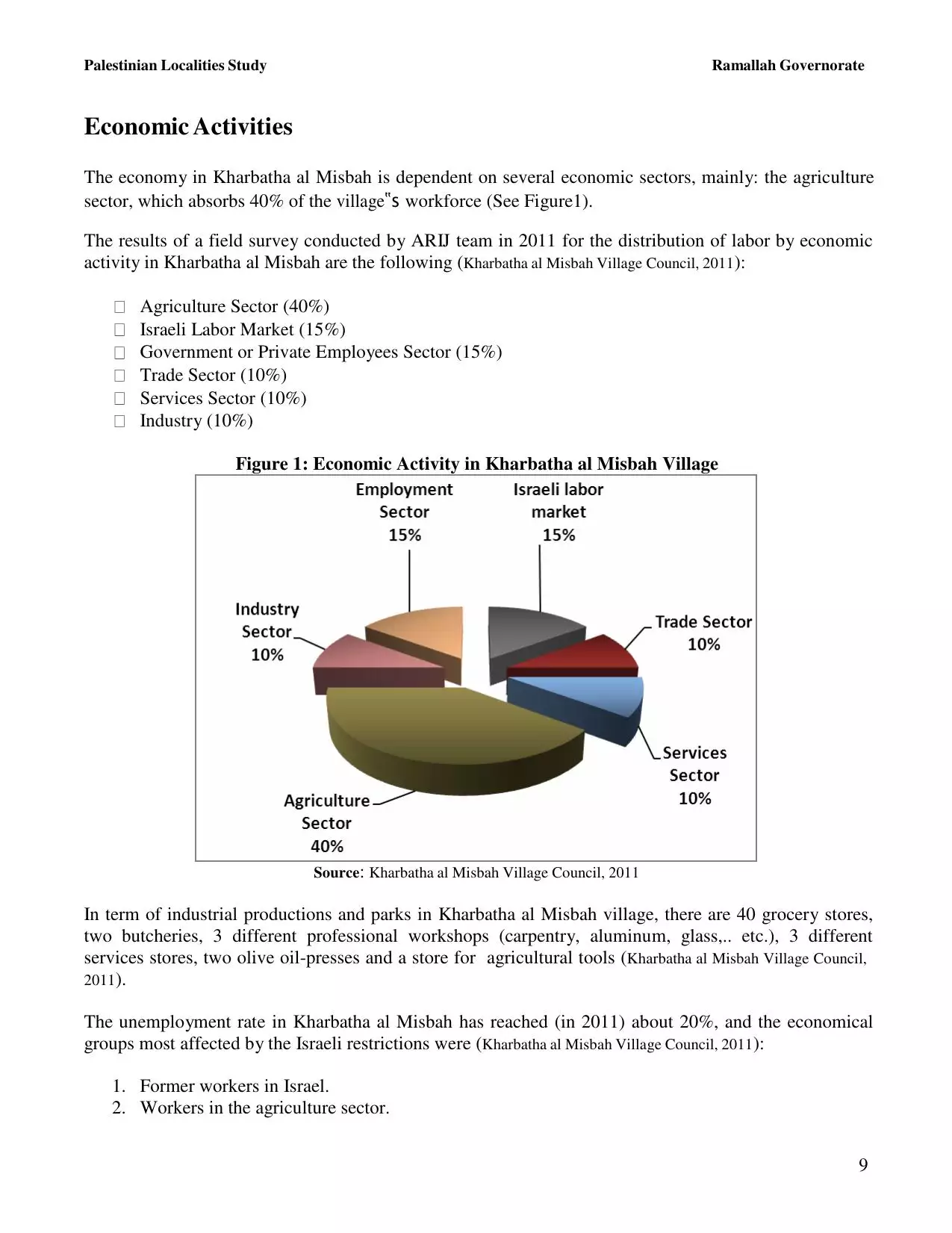
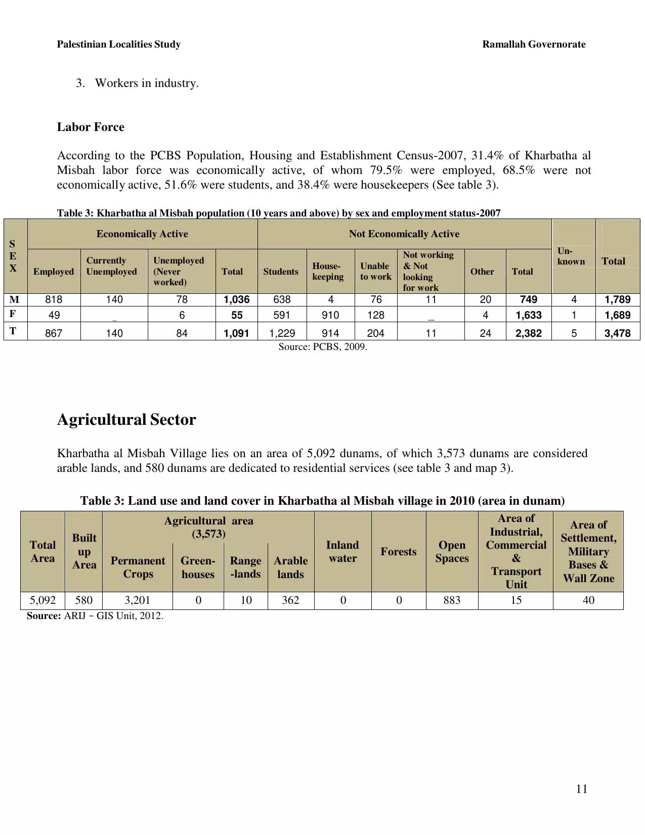
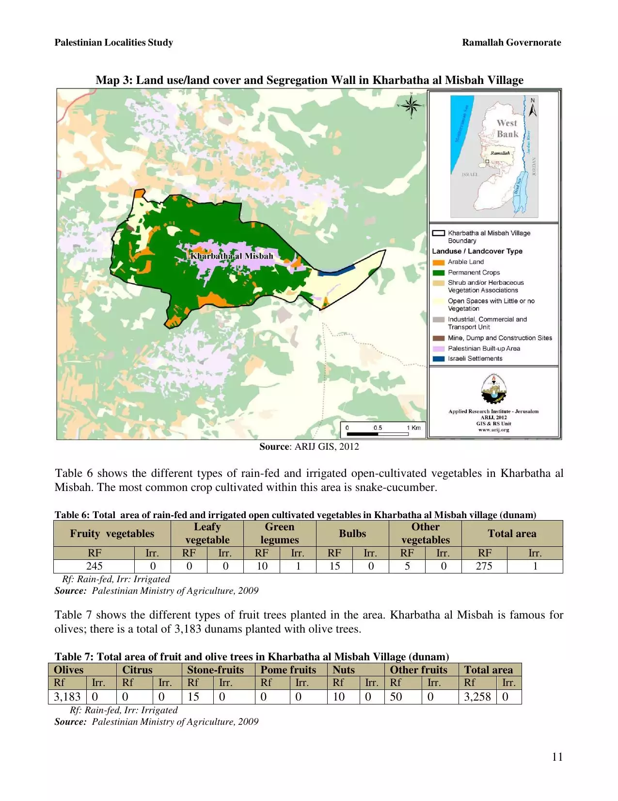
| PalestineRemembered | About Us | Oral History | العربية | |
| Pictures | Zionist FAQs | Haavara | Maps | |
| Search |
| Camps |
| Districts |
| Acre |
| Baysan |
| Beersheba |
| Bethlehem |
| Gaza |
| Haifa |
| Hebron |
| Jaffa |
| Jericho |
| Jerusalem |
| Jinin |
| Nablus |
| Nazareth |
| Ramallah |
| al-Ramla |
| Safad |
| Tiberias |
| Tulkarm |
| Donate |
| Contact |
| Profile |
| Videos |
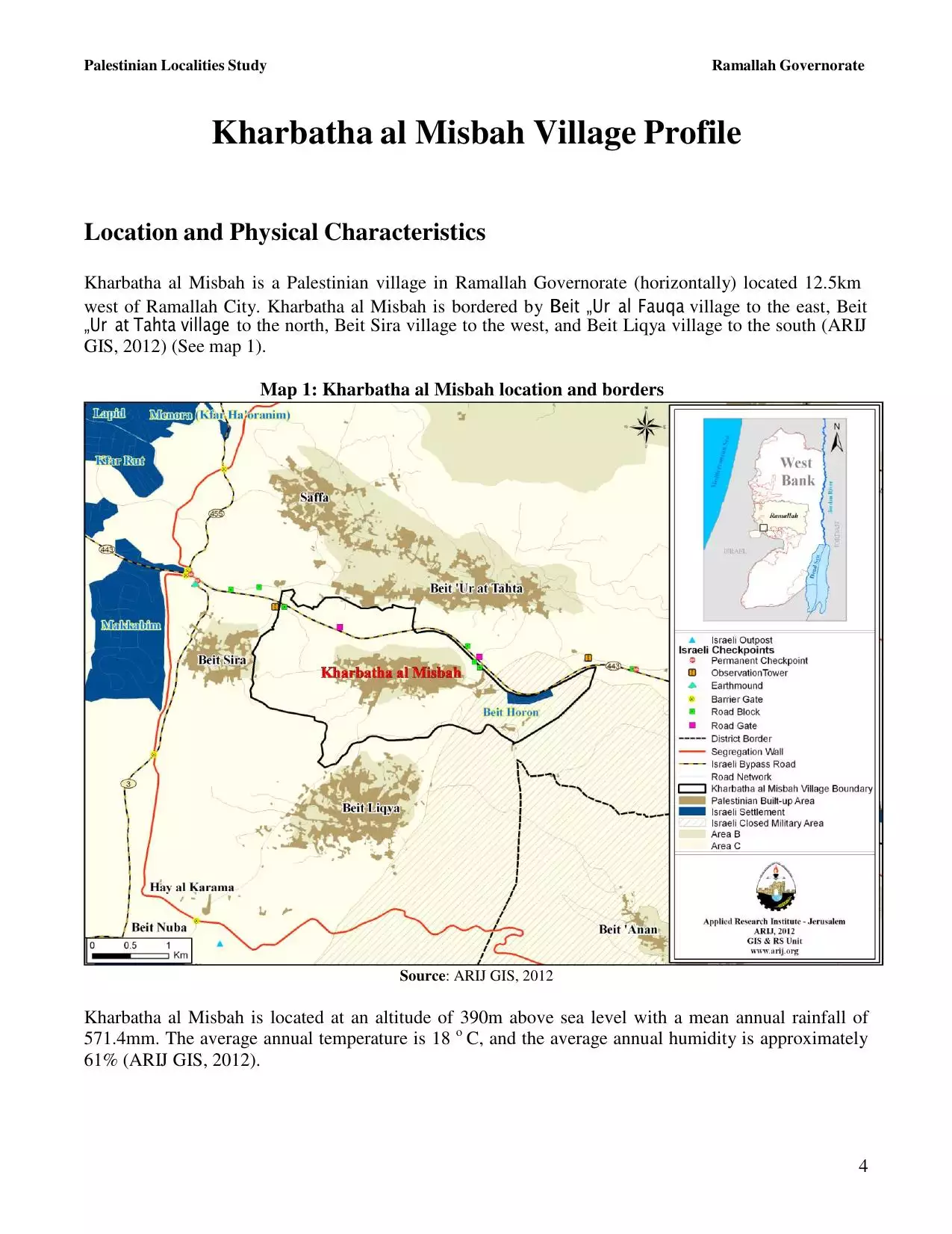
Welcome To Kh. al-Misbah - خربثا المصباح (חרבתא אל-מצבאח)
|
District of Ramallah
Occupied days ago |
العربية Google Earth |
 |
Gallery (136) |
- Statistics & Facts
-
Before & After

- Satellite View
- Articles 3
- Pictures 136
- Mayrters & Prisoners 3
- Members 32
- Families
- Wikipedia
- ARIJ Guide
- Videos
- Guest Book 40
- Links 1
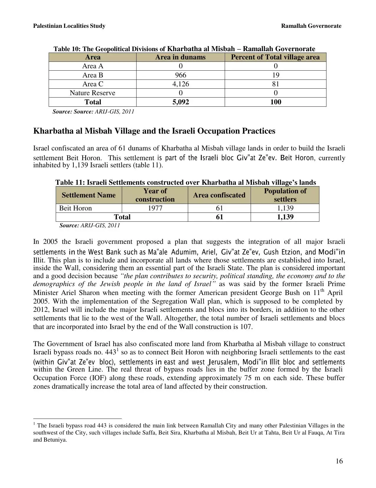
| Statistic & Fact | Value | ||||||||||||||||||
| Distance From District | 15 km southwest of Ramallah | ||||||||||||||||||
| Elevation | 352 meters | ||||||||||||||||||
| Before & After Nakba, Click Map For Details |
|||||||||||||||||||
|
|||||||||||||||||||
| Land Ownership |
**Town Lands' Demarcation Maps |
||||||||||||||||||
| Land Usage As of 1945 |
|
||||||||||||||||||
| Population |
|
||||||||||||||||||
| Near By Towns |
|||||||||||||||||||
|
|
|||||||||||||||||||
| Featured Video | |||||||||||||||||||
| ARIJ Guide | |||||||||||||||||||
|
Click here to browse online. |
|||||||||||||||||||
| Related Maps | Town Lands' Demarcation Maps خرائط للقضاء توضح حدود القرى والاودية View from satellite Town's map on MapQuest Help us map this town at WikiMapia |
||||||||||||||||||
| Related Links | Wikipedia's Page Facebook Page ARIJ Guide Google Search Google For Images Google For Videos في كتاب بلادنا فلسطين دليل أريج |
||||||||||||||||||
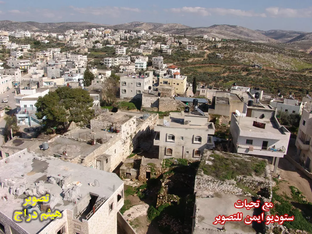
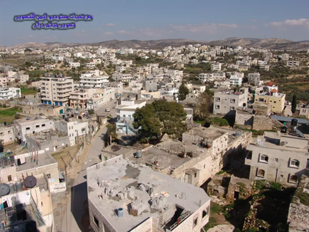
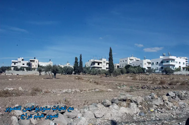
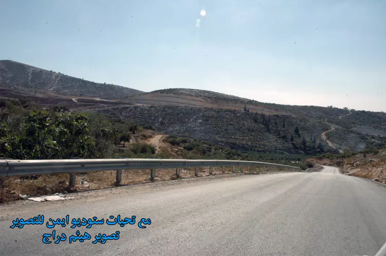
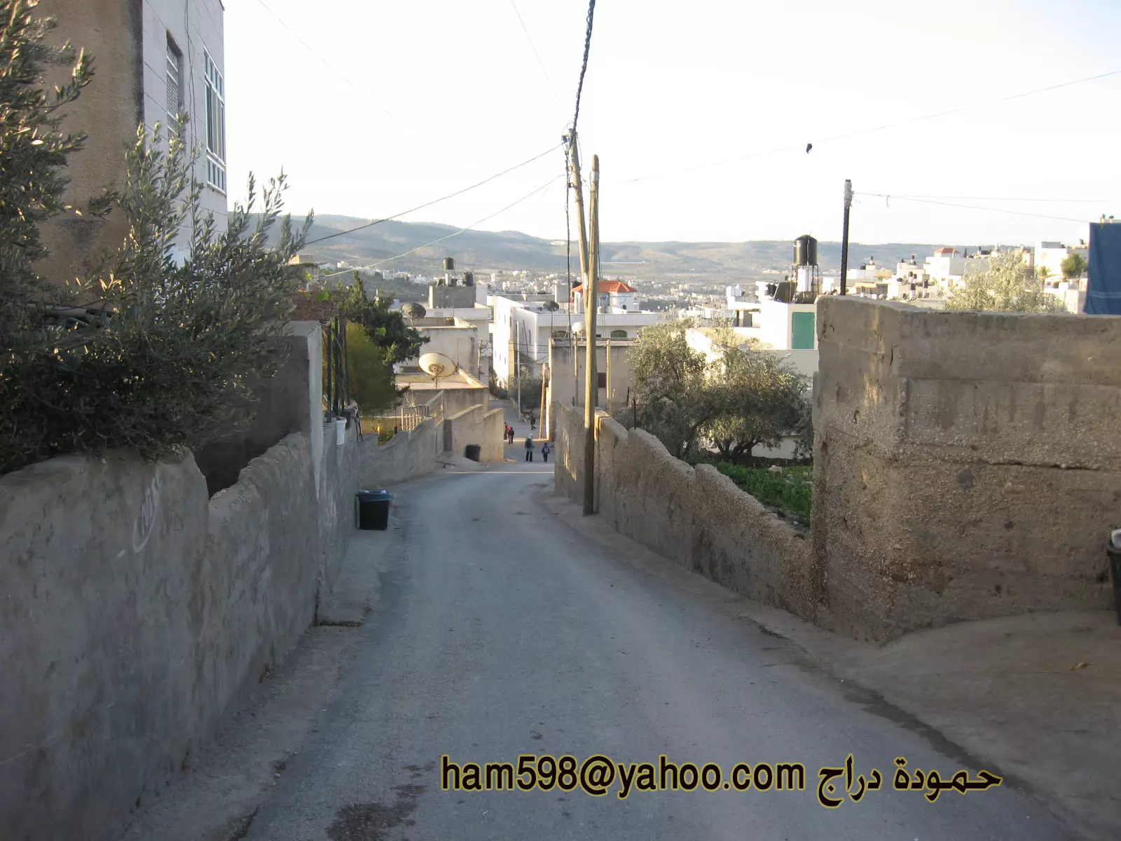
- الجهة الجنوبية من القرية
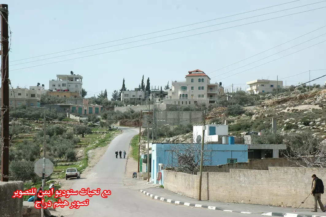
Posted by ستوديو ايمن للتصوير 16 - مدخل القرية من الجهة الغربية
Posted by ستوديو ايمن للتصوير 14 - مدخل القرية من الجهة الشرقية
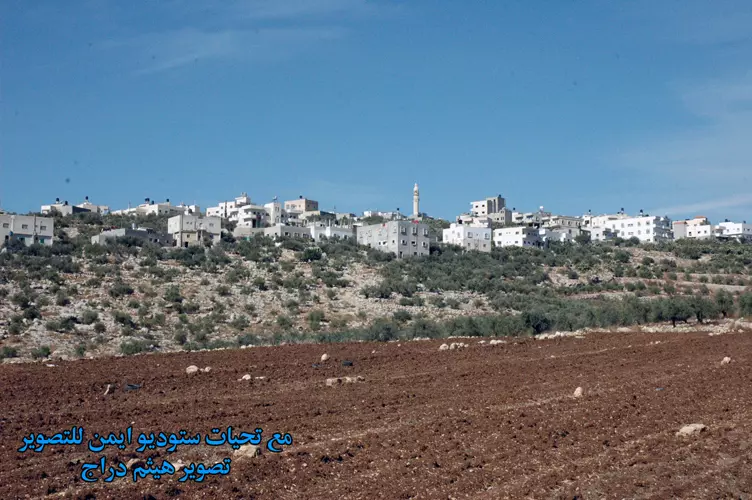
Posted by ستوديو ايمن للتصوير 4 - الجهة الغربية من القرية
Posted by ستوديو ايمن للتصوير 5 - صورة لجانب من القرية من جهة قرية بيت لقيا
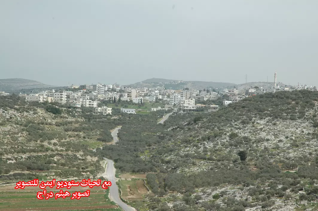
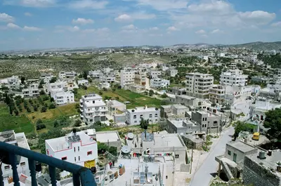
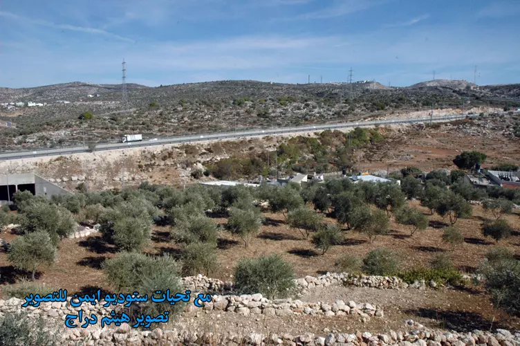
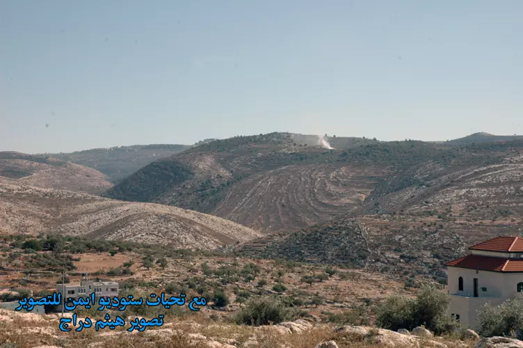
Posted by ستوديو ايمن للتصوير 2 - منظر عام
Posted by ستوديو ايمن للتصوير 2 - منظر عام للقرية
Posted by ستوديو ايمن للتصوير 6 - منظر عام
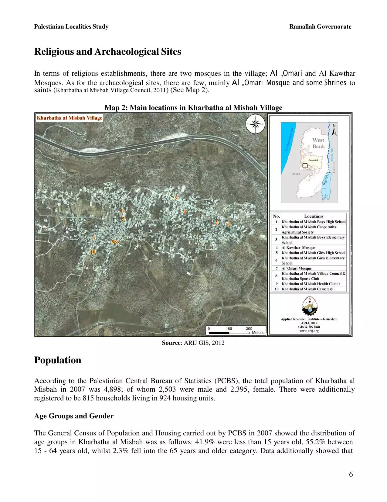
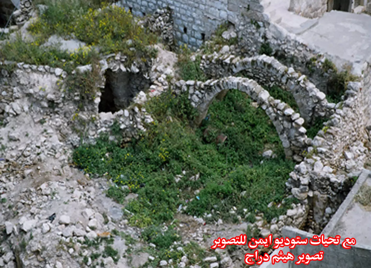
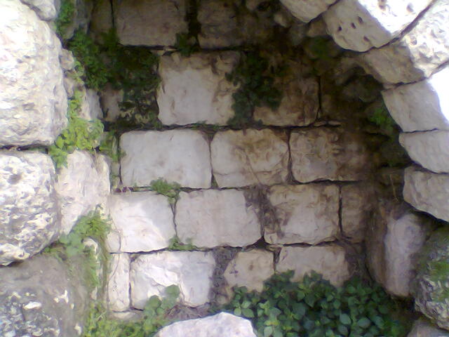
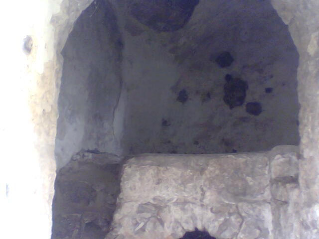
Posted by ستوديو ايمن للتصوير 2 - موقع اثري في قرية خربثا المصباح
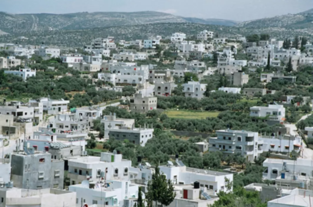
Posted by ستوديو ايمن للتصوير 5 - منظر عام
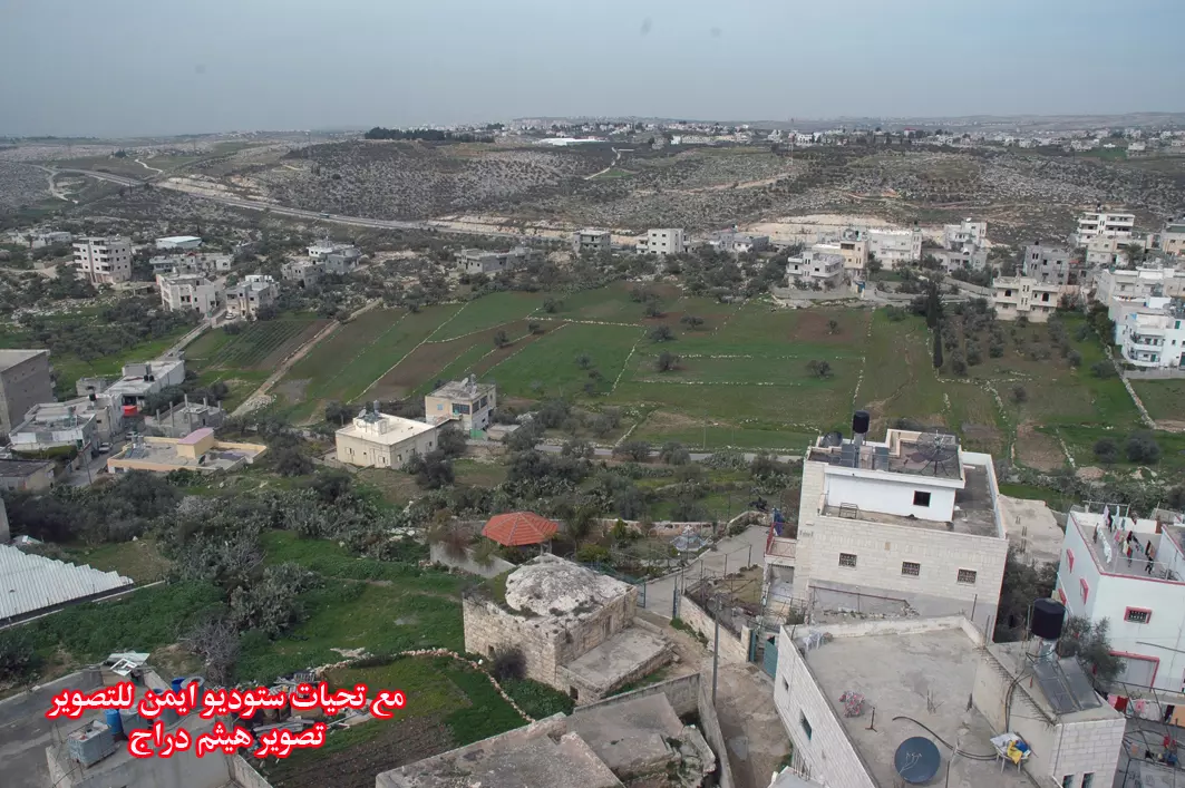
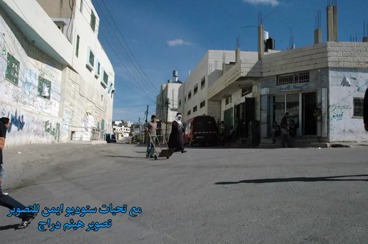
Posted by ستوديو ايمن للتصوير 1 - مركز البلد
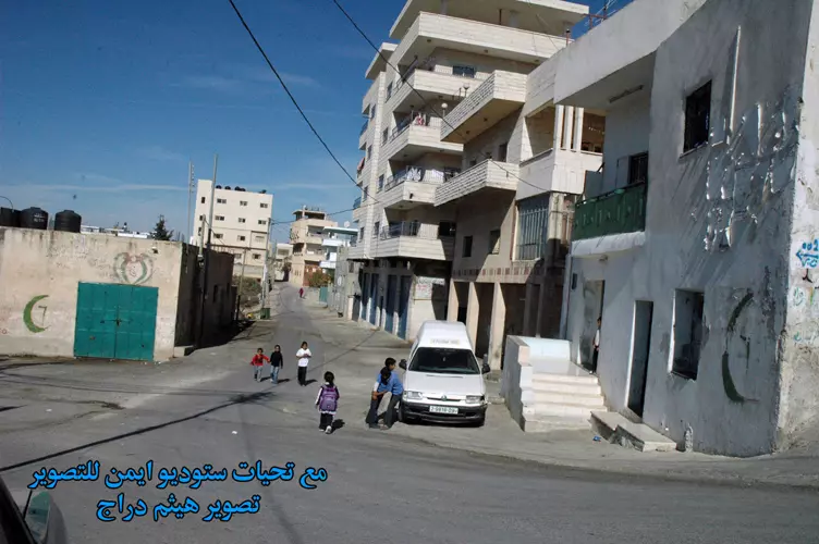
Posted by ستوديو ايمن للتصوير 2 - شارع الحارة الشامية
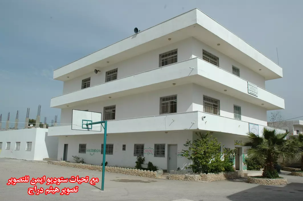
Posted by ستوديو ايمن للتصوير - مدرسة بنات خربثا المصباح الابتدائية
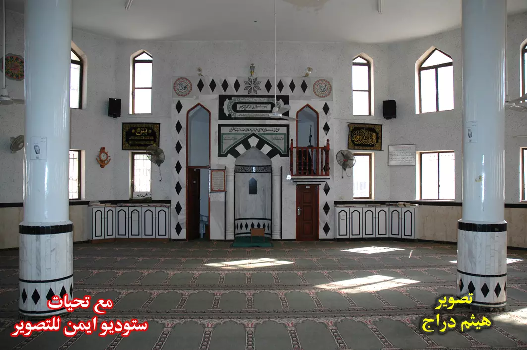
Posted by ستوديو ايمن للتصوير 1 - المسجد العمري من الداخل
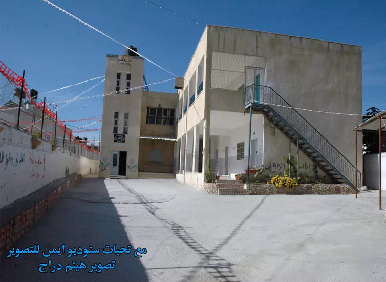
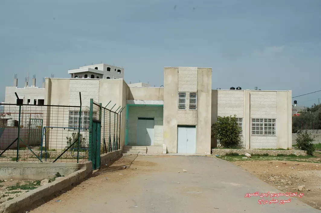
Posted by ستوديو ايمن للتصوير 1 - المركز الصحي للقرية
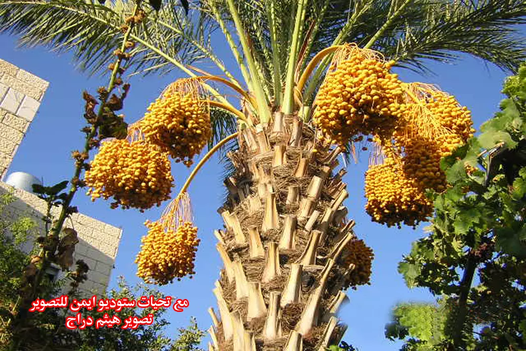
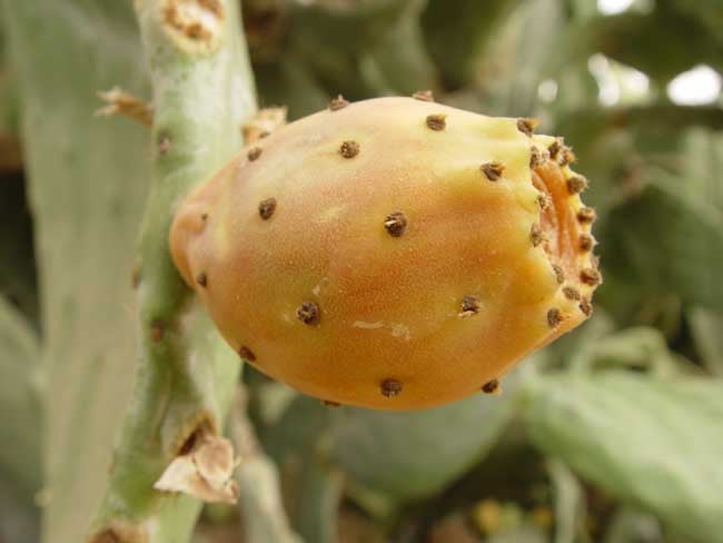
Posted by ستوديو ايمن للتصوير 1 - بلح من خربثا
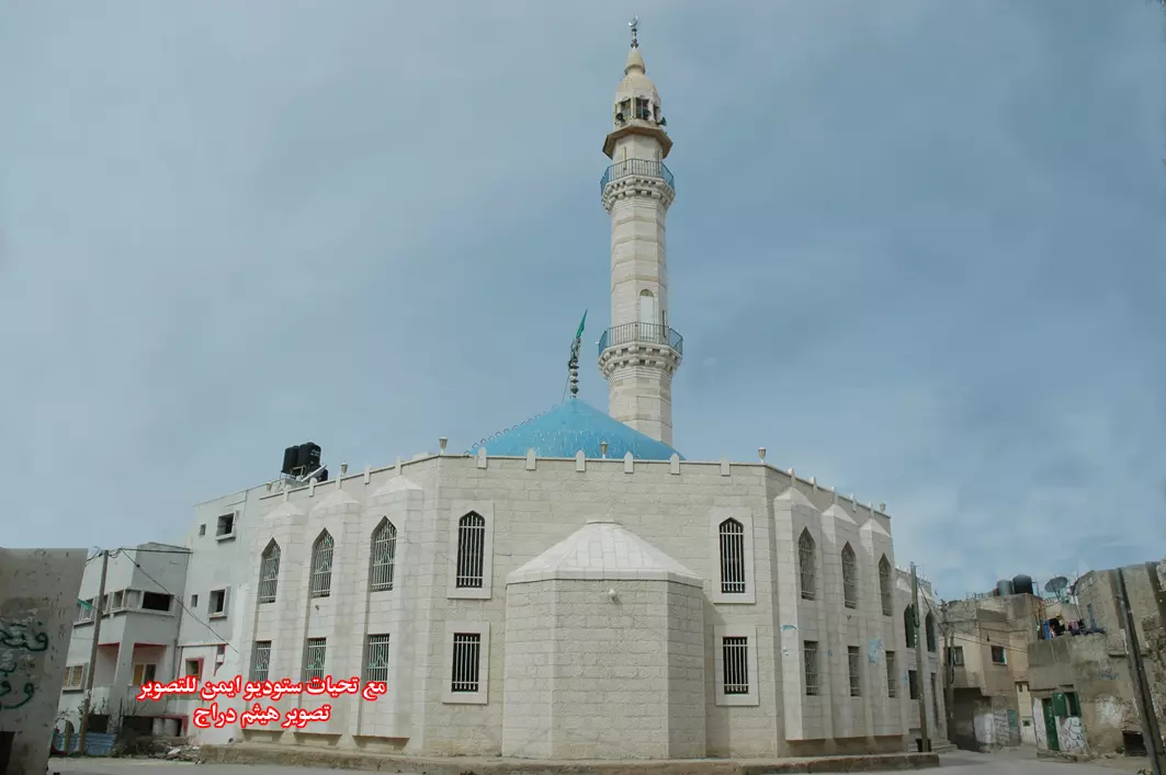
Posted by ستوديو ايمن للتصوير 1 - المسجد العمري
Posted by ستوديو ايمن للتصوير 1 - مدرسة بنات خربثا المصباح الثانوية
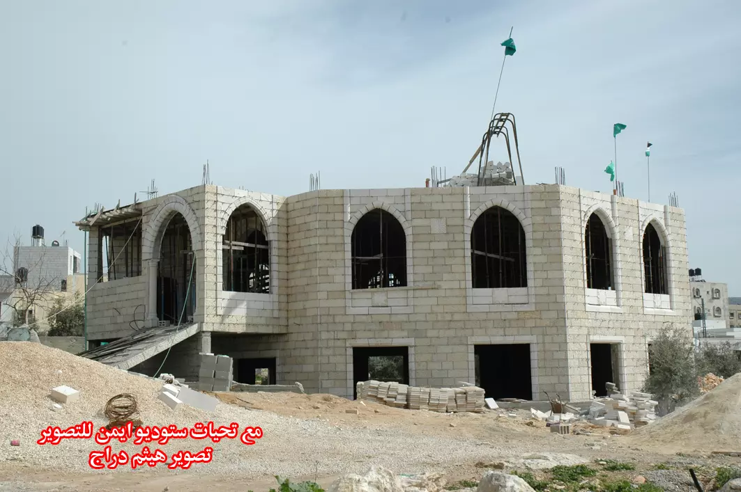
Posted by ستوديو ايمن للتصوير 1 - مسجد الكوثر قيد الانشاء
Posted by ستوديو ايمن للتصوير 1 - روضة مجلس قروي خربثا المصباح
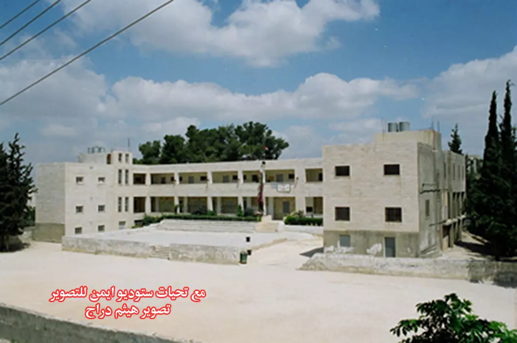
Posted by ستوديو ايمن للتصوير - مدرسة ذكور خربثا المصباح الثانوية
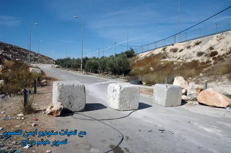
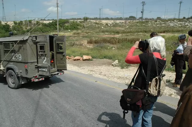
Posted by ستوديو ايمن للتصوير 2 - مدخل القرية على الشارع الرئيسي المغلق
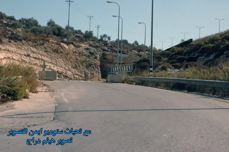
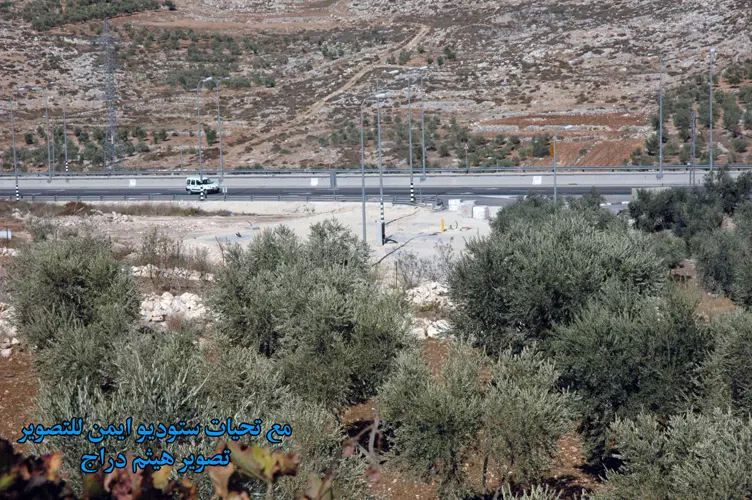
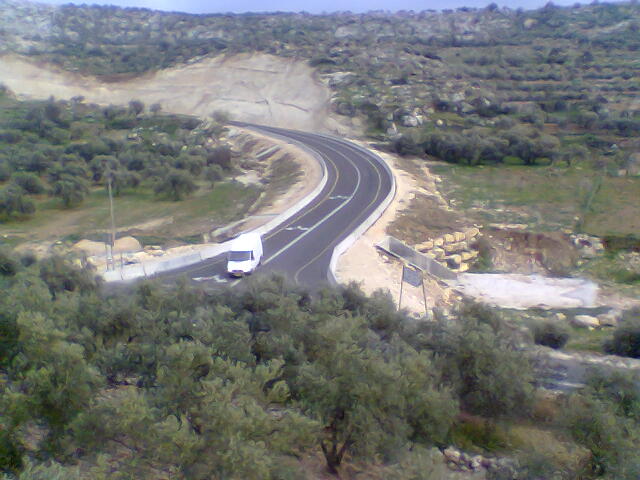
Posted by ستوديو ايمن للتصوير 1 - الشارع الرئيسي المحاذي للقرية شارع 443
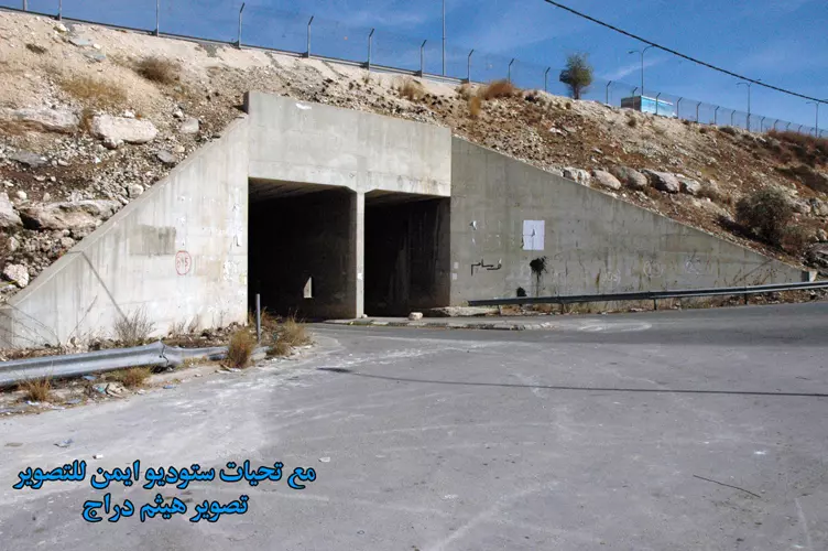
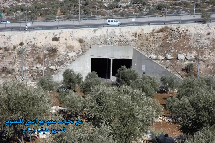
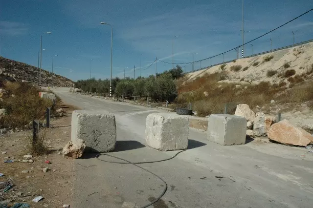
Posted by ستوديو ايمن للتصوير 1 - بوابة للإحتلال
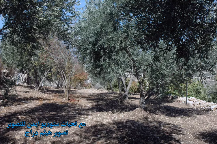
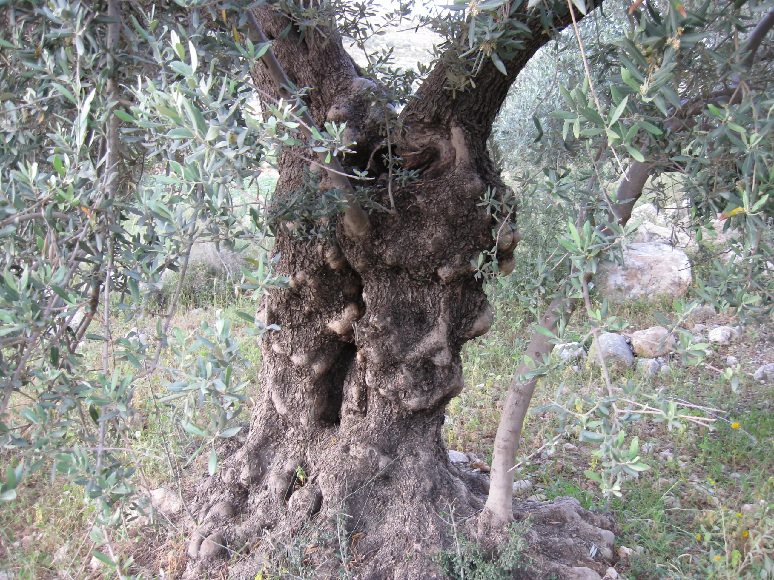
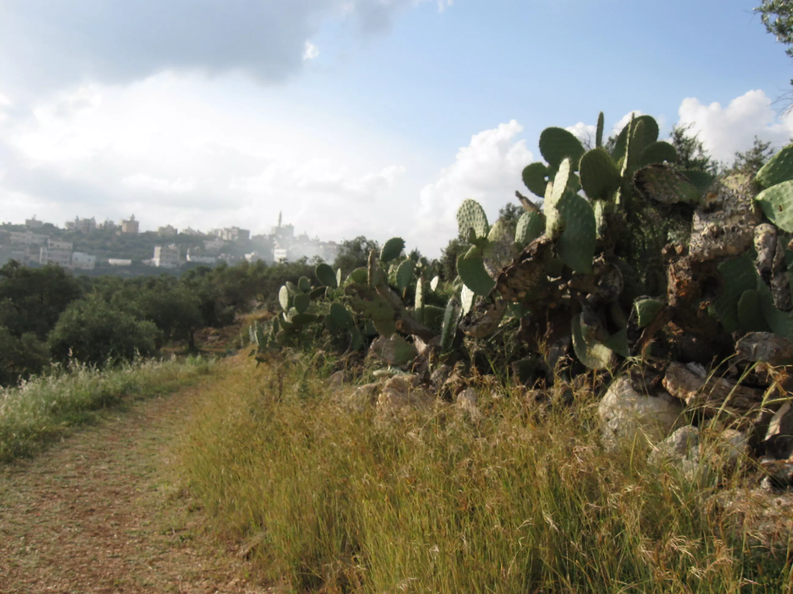
Posted by ستوديو ايمن للتصوير 1 - زيتون خربثا
Posted by ستوديو ايمن للتصوير 1 - الشارع الرئيسي المحاذي للقرية شارع 443
Posted by ستوديو ايمن للتصوير - الشارع الرئيسي المحاذي للقرية شارع 443
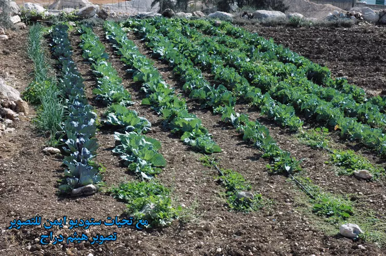
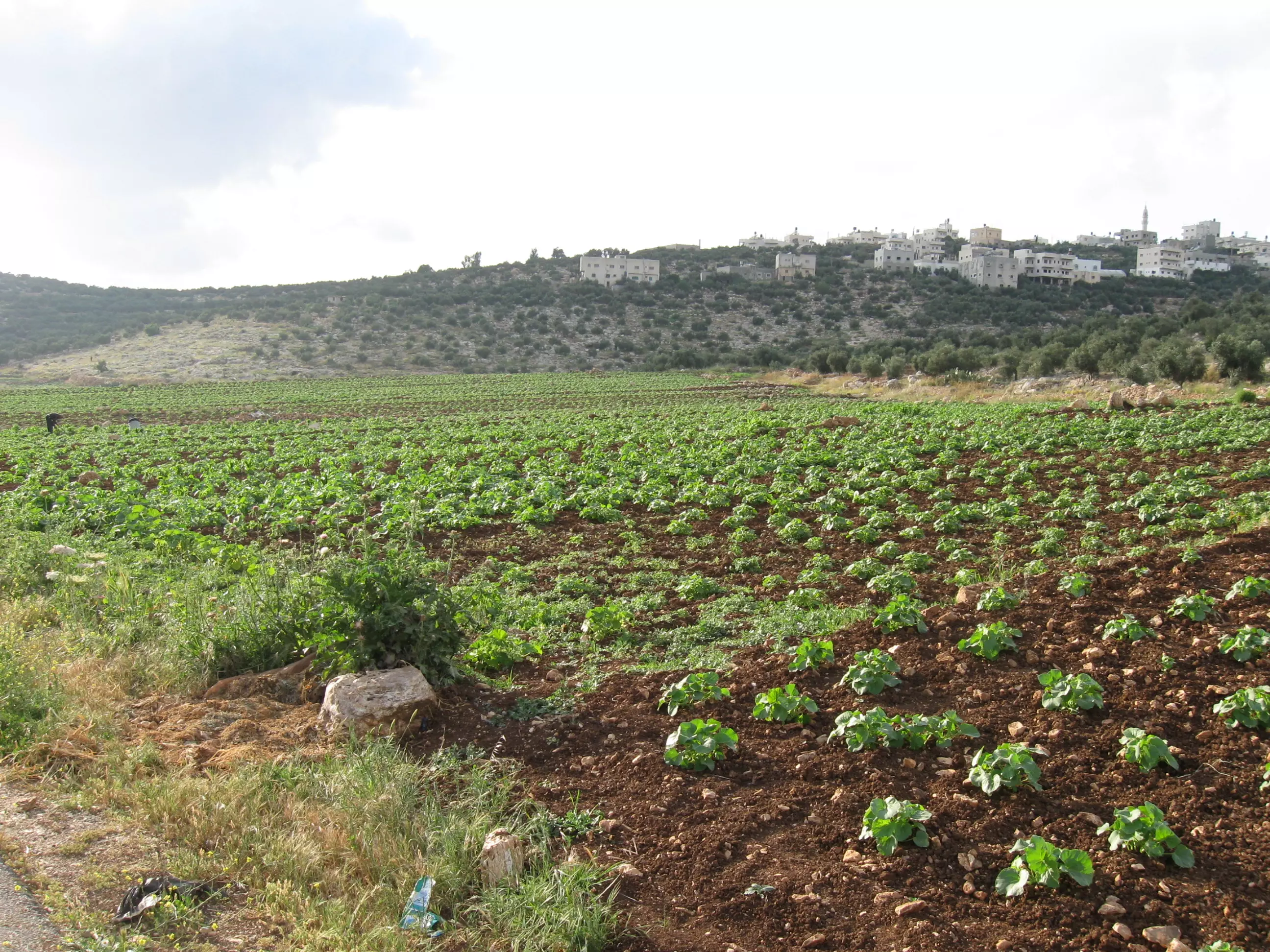
Posted by ستوديو ايمن للتصوير 1 - مزروعات في القرية
Posted by ستوديو ايمن للتصوير 2 - مسجد الكوثر الطابق الثالث
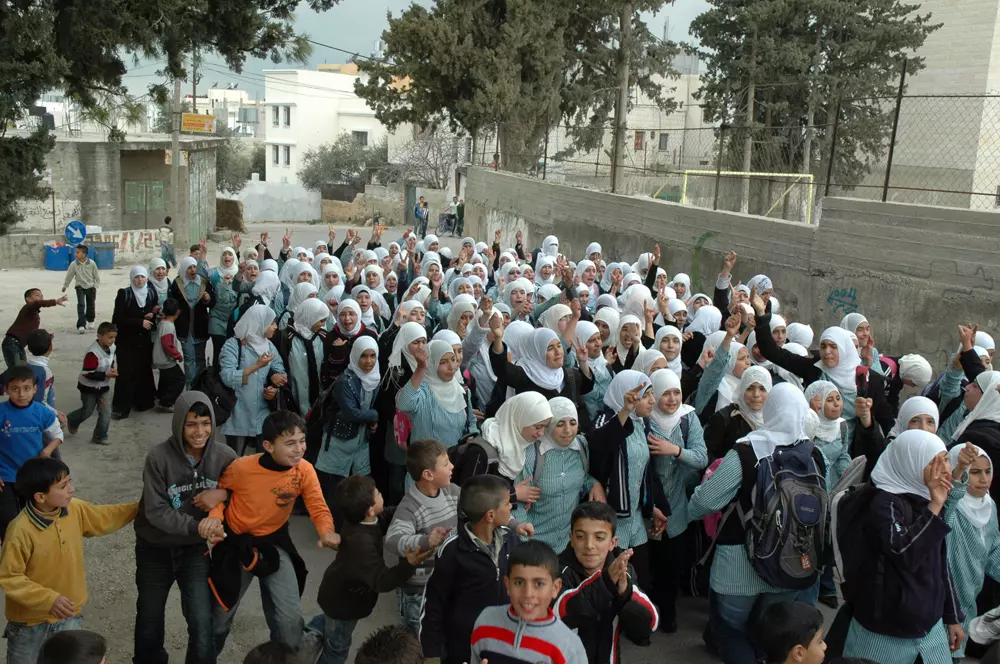
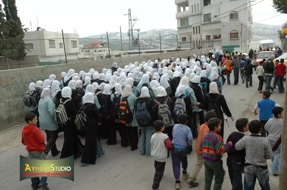
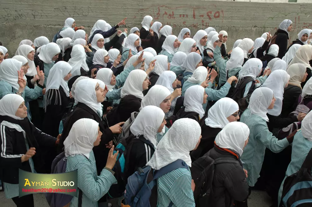
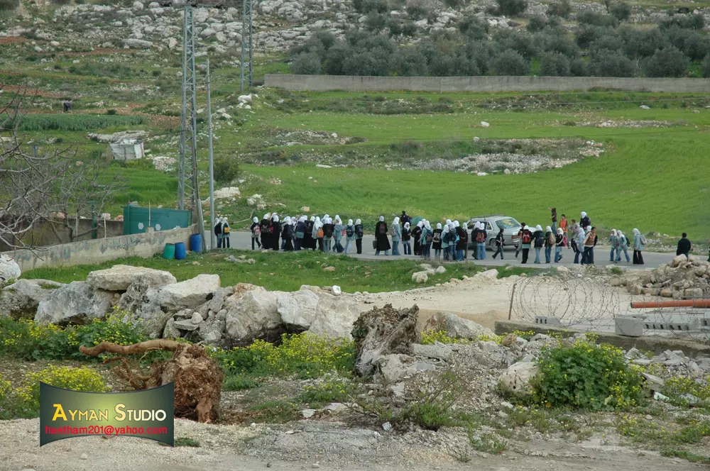
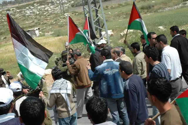
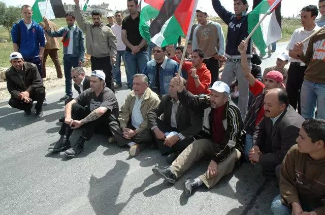
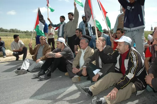
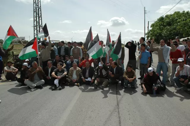
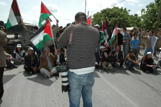
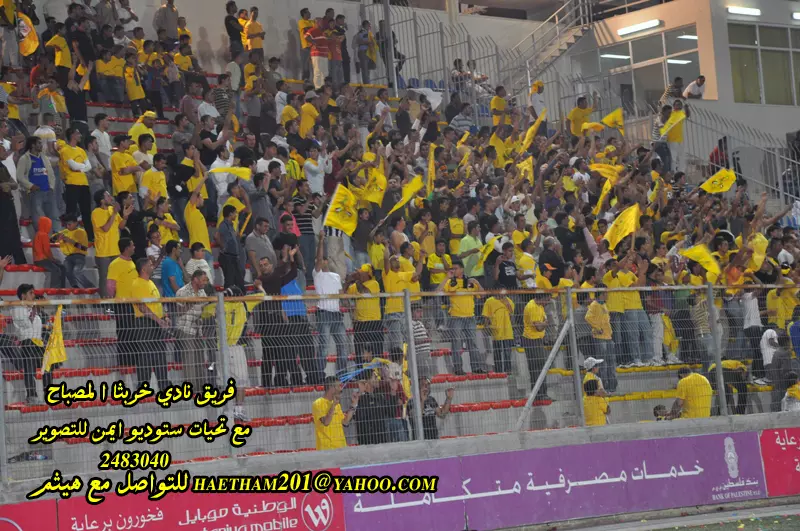
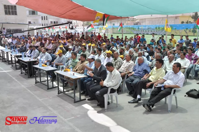
Posted by ستوديو ايمن للتصوير 2 - جانب من المسيرة السلمية للمطالبة بفتح الشارع الرئيسي للقرية
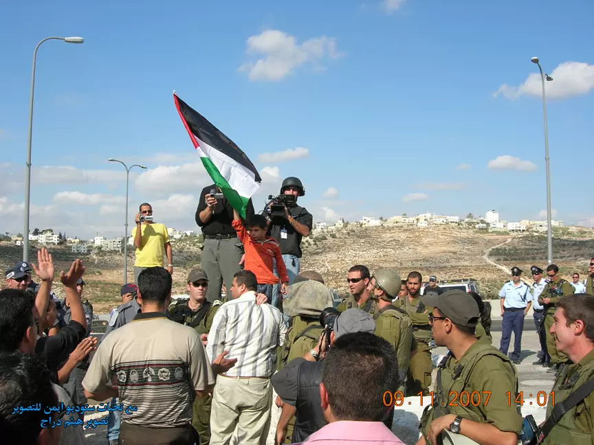
Posted by ستوديو ايمن للتصوير 1 - جانب من المسيرة السلمية للمطالبة بفتح الشارع الرئيسي للقرية
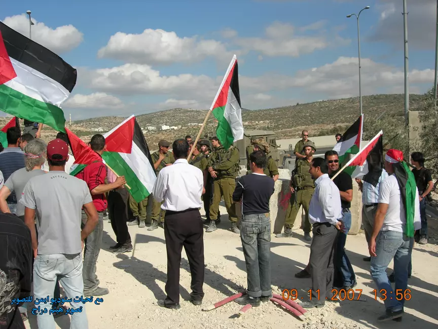
Posted by ستوديو ايمن للتصوير 1 - جانب من المسيرة السلمية للمطالبة بفتح الشارع الرئيسي للقرية
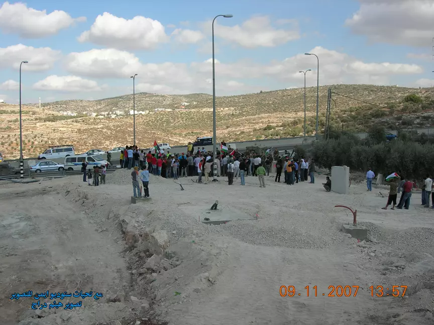
Posted by ستوديو ايمن للتصوير 1 - جانب من المسيرة السلمية للمطالبة بفتح الشارع الرئيسي للقرية
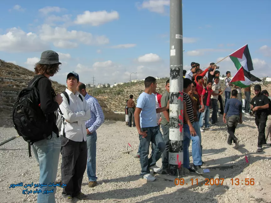
Posted by ستوديو ايمن للتصوير 1 - جانب من المسيرة السلمية للمطالبة بفتح الشارع الرئيسي للقرية
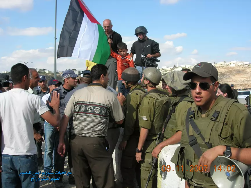
Posted by ستوديو ايمن للتصوير 1 - جانب من المسيرة السلمية للمطالبة بفتح الشارع الرئيسي للقرية

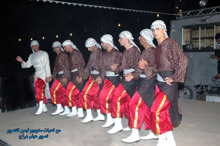
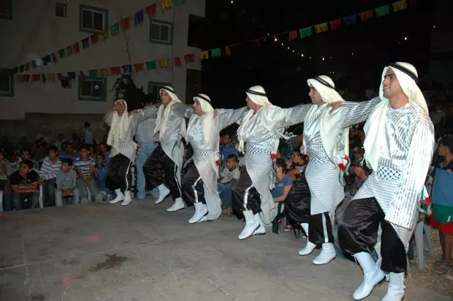
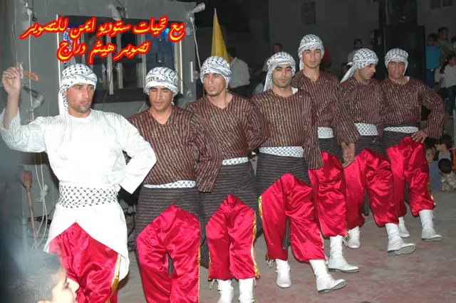
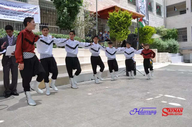
Posted by ستوديو ايمن للتصوير - فرقة خربثا المصباح للدبكة الشعبية
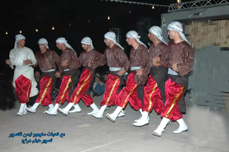
Posted by ستوديو ايمن للتصوير - فرقة خربثا المصباح للدبكة الشعبية
Posted by ستوديو ايمن للتصوير 4 - جانب من الشارع الجديد جنوب القرية الذي التهم بعض اراضي القرية
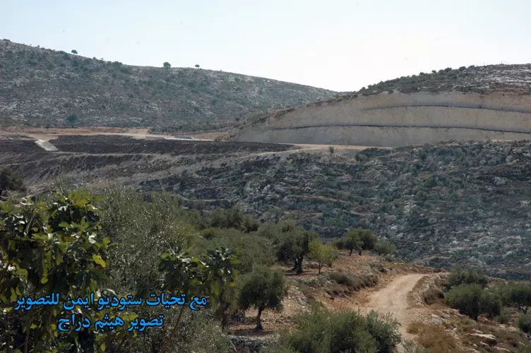
Posted by ستوديو ايمن للتصوير - جانب من الشارع الجديد جنوب القرية الذي التهم بعض اراضي القرية
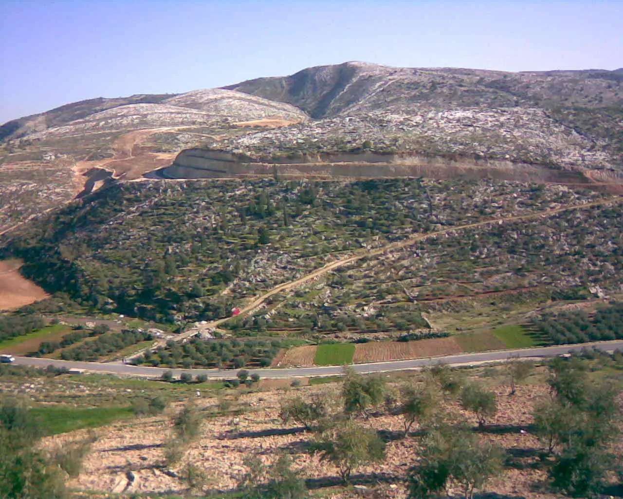
Posted by ستوديو ايمن للتصوير - الجبال المحاذية للقرية من الجهة الشرقية
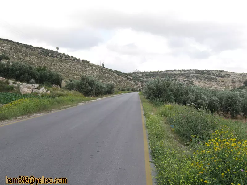
Posted by ستوديو ايمن للتصوير - شارع 443 المحاذي للقرية
Posted by ستوديو ايمن للتصوير 3 - صور
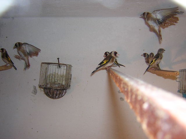
Posted by ناجح حرفوش - طائر الحسون في خربثا المصباح
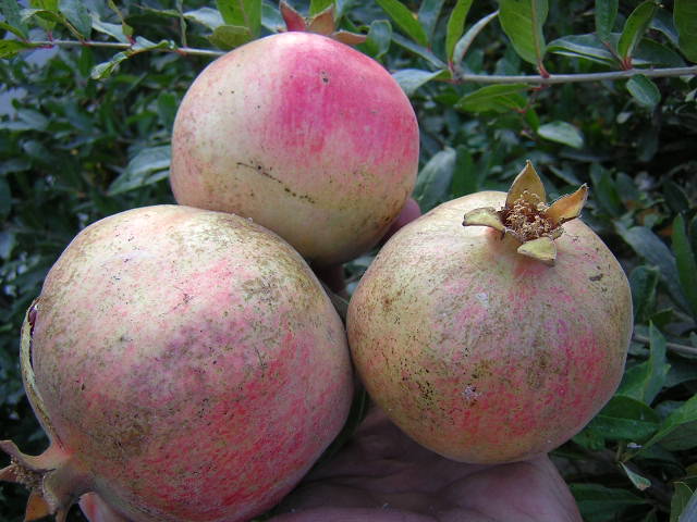
Posted by حمزة دراج - رمان من خربثا المصباح
Posted by خالد دراج - علية حرفوش
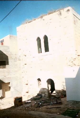
Posted by tiger 1 - صورة بيت قديم

Posted by tiger 2 - صورة بيت قديم

Posted by tiger 1 - صورة بيت قديم

Posted by tiger - تاريخ خربثا
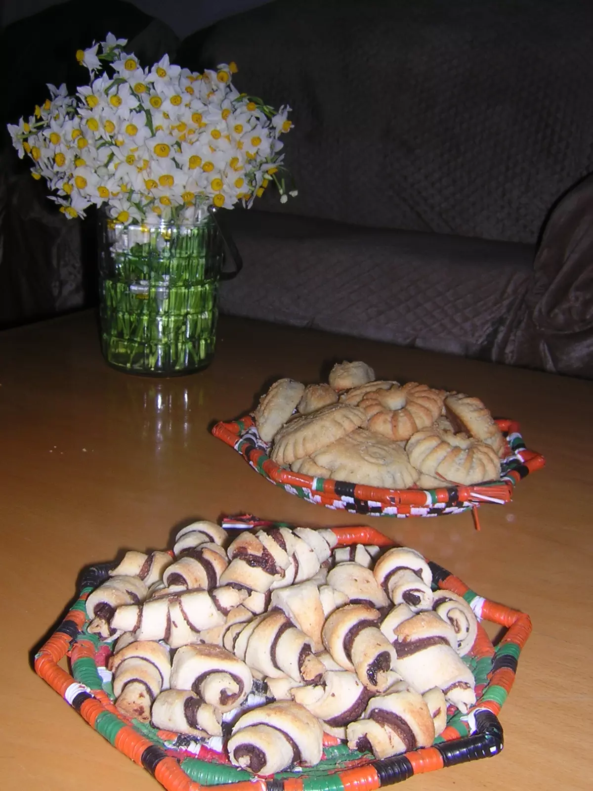
Posted by كارم محمود - حلويات خربثا
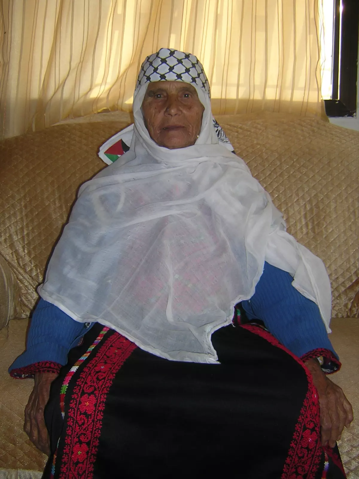
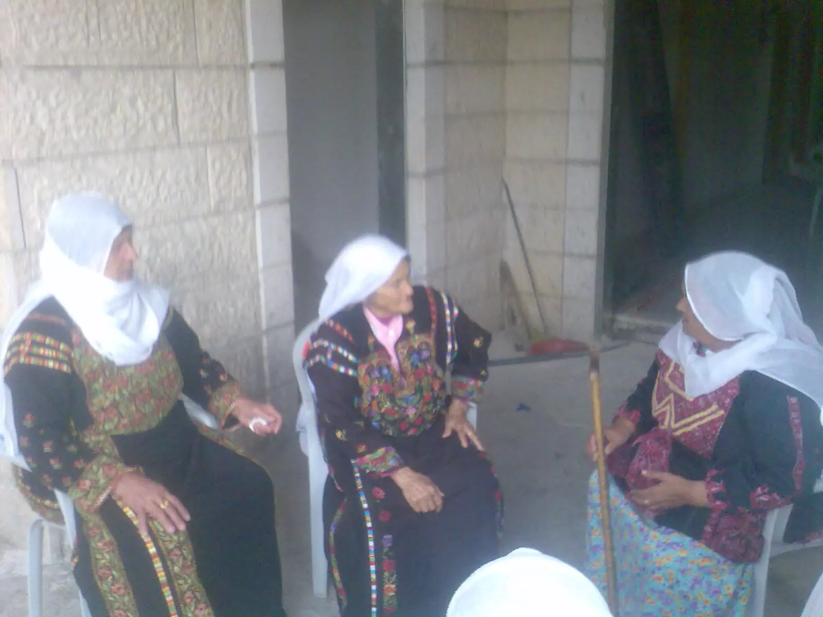
Posted by كارم محمود 1 - من النساء المسنات في خربثا المصباح
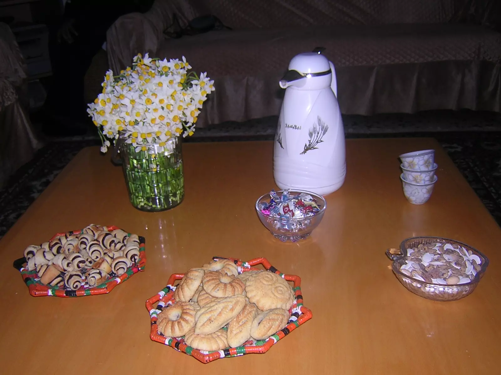
Posted by نيدو 5 - العيد في خرثا
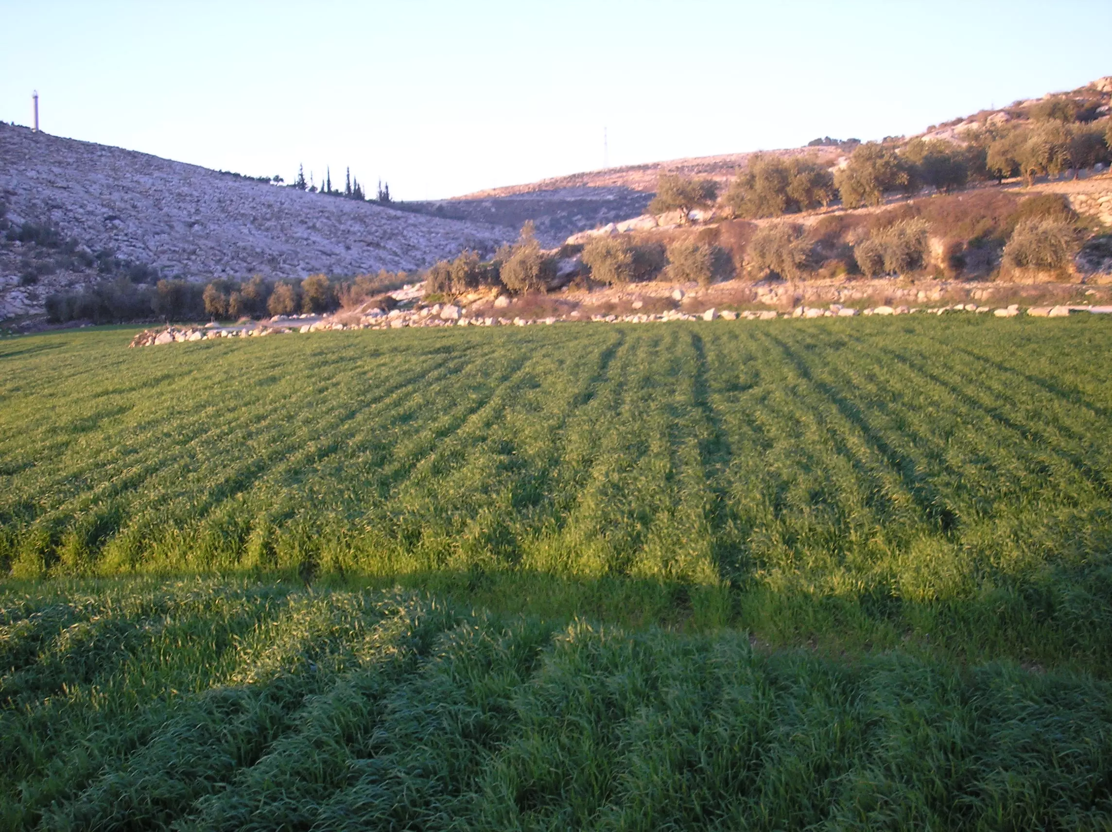
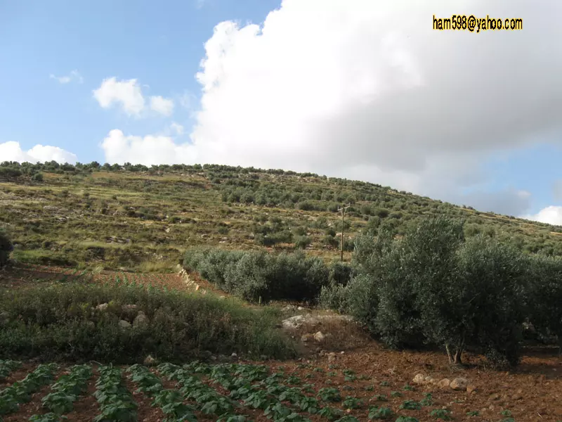
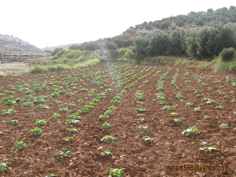
Posted by كارم محمود 2 - مزروعات خربثا
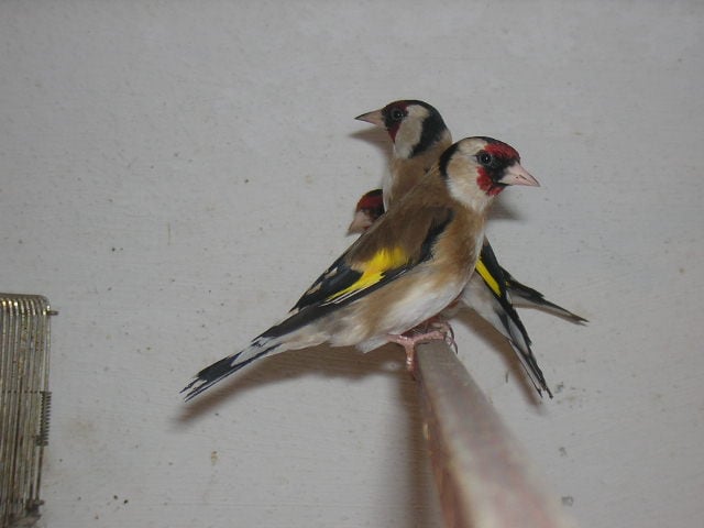
Posted by خالد دراج - طيور خربثا المصباح (طائر الحسون)خاص بحمزه دراج
Posted by medo4ever4u 3 - مسيرة تضامنية مع شعب غزة مدرسة بنات خربثا المصباح الثانوية 1
Posted by ستوديو ايمن للتصوير 1 - مسيرة تضامنية مع شعب غزة مدرسة بنات خربثا المصباح الثانوية 2
Posted by ستوديو ايمن للتصوير - مسيرة تضامنية مع شعب غزة مدرسة بنات خربثا المصباح الثانوية 2
Posted by ستوديو ايمن للتصوير - مسيرة تضامنية مع شعب غزة مدرسة بنات خربثا المصباح الثانوية 2
Posted by ستوديو ايمن للتصوير - اعراس القرية
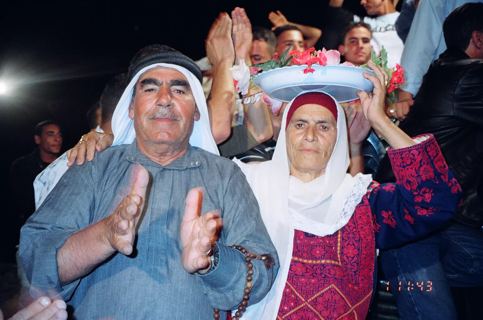
Posted by أبو حمزة 2 - اعراس القرية
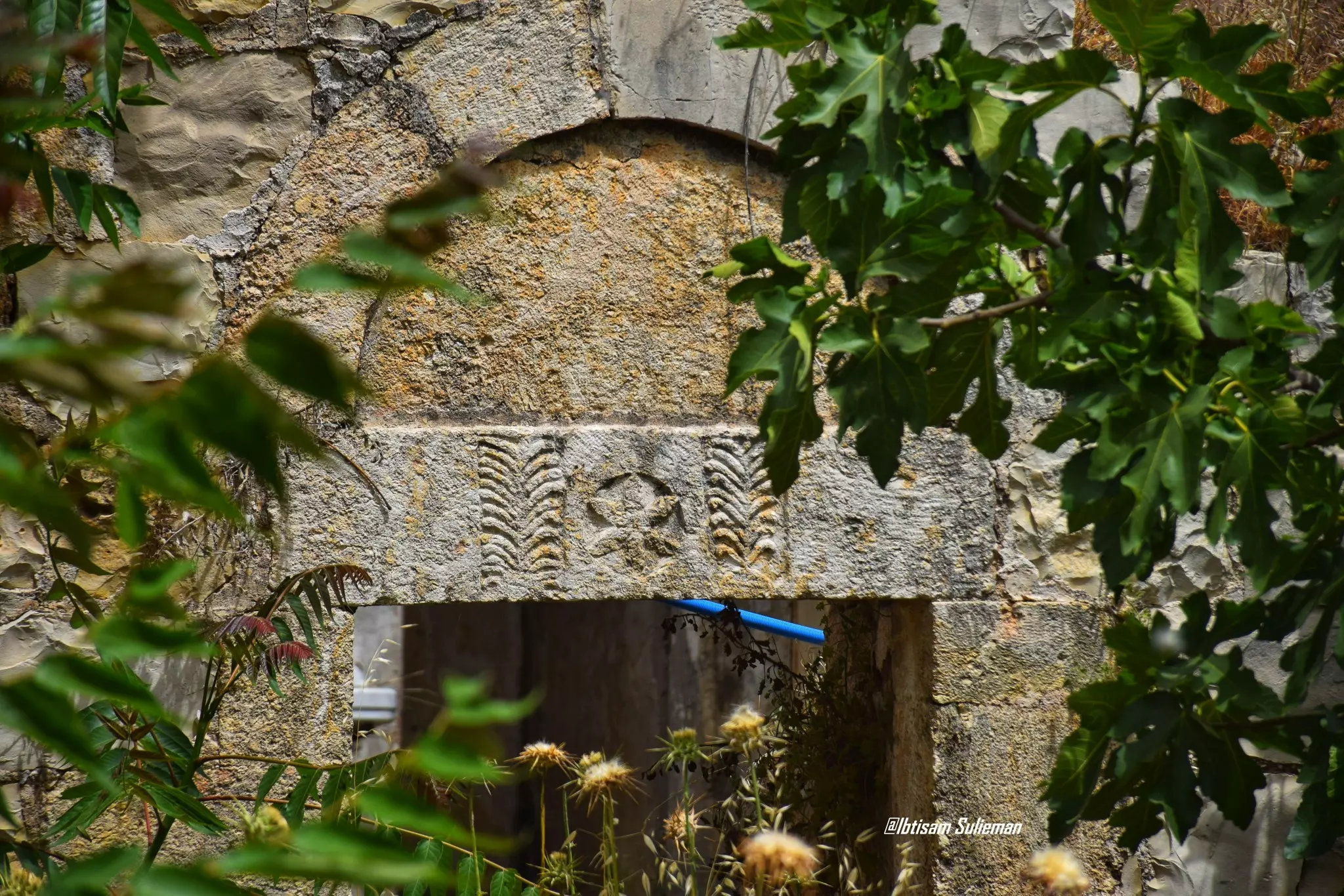
Posted by أبو حمزة 6 - أثار من بلادي

Posted by ابن دراج - أثار من بلادي

Posted by ابن دراج - أثار من بلادي
Posted by ابن دراج - أثار من بلادي
Posted by ابن دراج - أثار من بلادي
Posted by ابن دراج - أراضي قرية خربثا المصباح في منطقة وادي سلمان
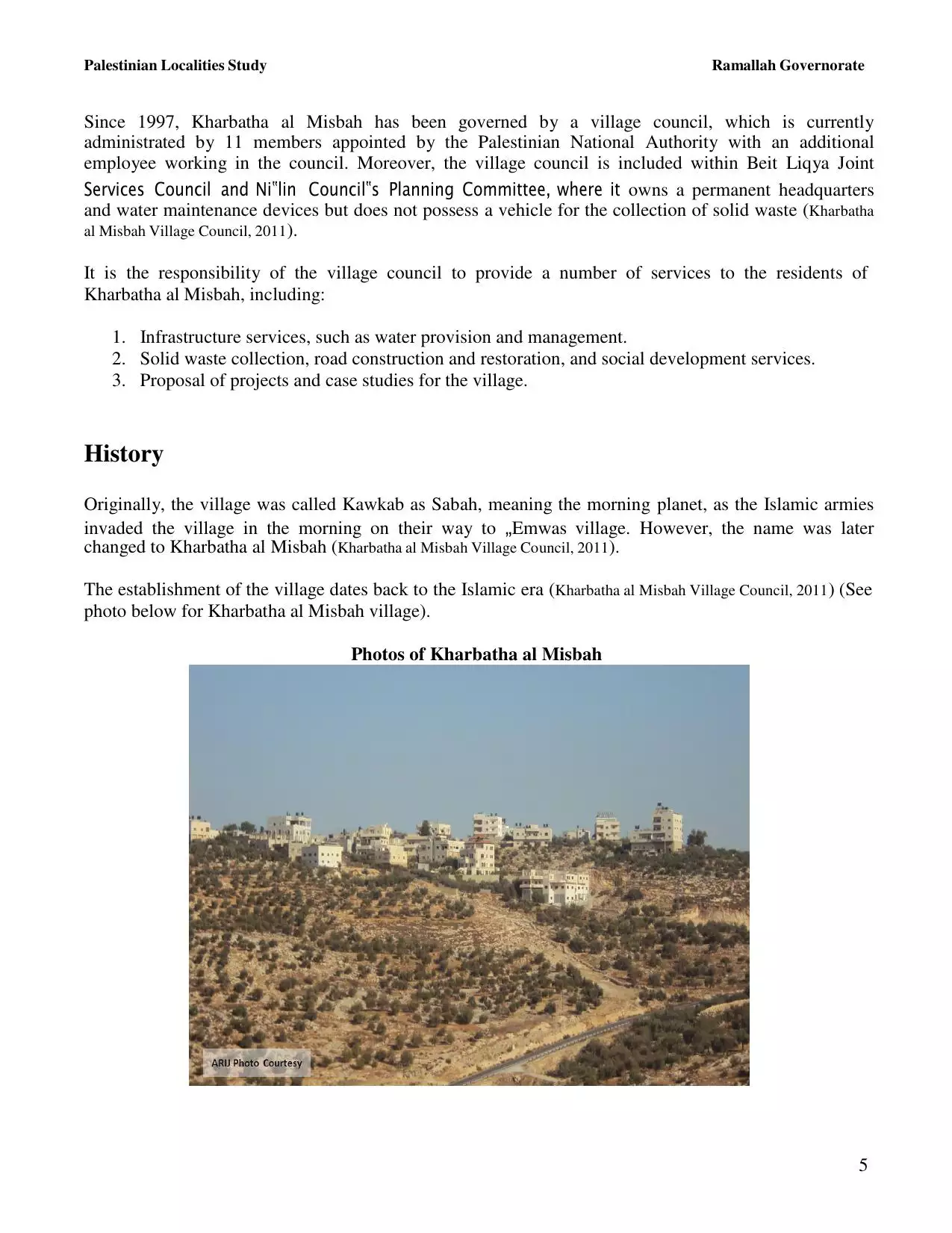
Posted by ابن فلسطين - جانب من المسيرة السلمية للمطالبة بفتح الشارع الرئيسي المحاذي للقرية 443
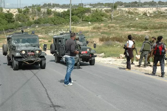
Posted by ستوديو ايمن للتصوير - جانب من المسيرة السلمية للمطالبة بفتح الشارع الرئيسي المحاذي للقرية 443 (4 / 4 /2008 )
Posted by ستوديو ايمن للتصوير 2 - جانب من المسيرة السلمية للمطالبة بفتح الشارع الرئيسي المحاذي للقرية 443 (4 / 4 /2008 )
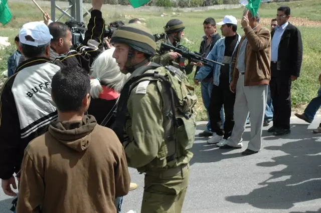
Posted by ستوديو ايمن للتصوير - جانب من المسيرة السلمية للمطالبة بفتح الشارع الرئيسي المحاذي للقرية 443 (4 / 4 /2008 )
Posted by ستوديو ايمن للتصوير - جانب من المسيرة السلمية للمطالبة بفتح الشارع الرئيسي المحاذي للقرية 443 (4 / 4 /2008 )
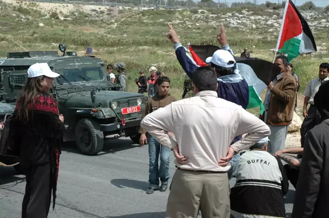
Posted by ستوديو ايمن للتصوير - جانب من المسيرة السلمية للمطالبة بفتح الشارع الرئيسي المحاذي للقرية 443 (4 / 4 /2008 )
Posted by ستوديو ايمن للتصوير - جانب من المسيرة السلمية للمطالبة بفتح الشارع الرئيسي المحاذي للقرية 443 (4 / 4 /2008 )

Posted by ستوديو ايمن للتصوير 1 - جانب من المسيرة السلمية للمطالبة بفتح الشارع الرئيسي المحاذي للقرية 443 (4 / 4 /2008 )
Posted by ستوديو ايمن للتصوير - جانب من المسيرة السلمية للمطالبة بفتح الشارع الرئيسي المحاذي للقرية 443 (4 / 4 /2008 )
Posted by ستوديو ايمن للتصوير - جانب من المسيرة السلمية للمطالبة بفتح الشارع الرئيسي المحاذي للقرية 443 (4 / 4 /2008 )
Posted by ستوديو ايمن للتصوير - جانب من المسيرة السلمية للمطالبة بفتح الشارع الرئيسي المحاذي للقرية 443 (4 / 4 /2008 )
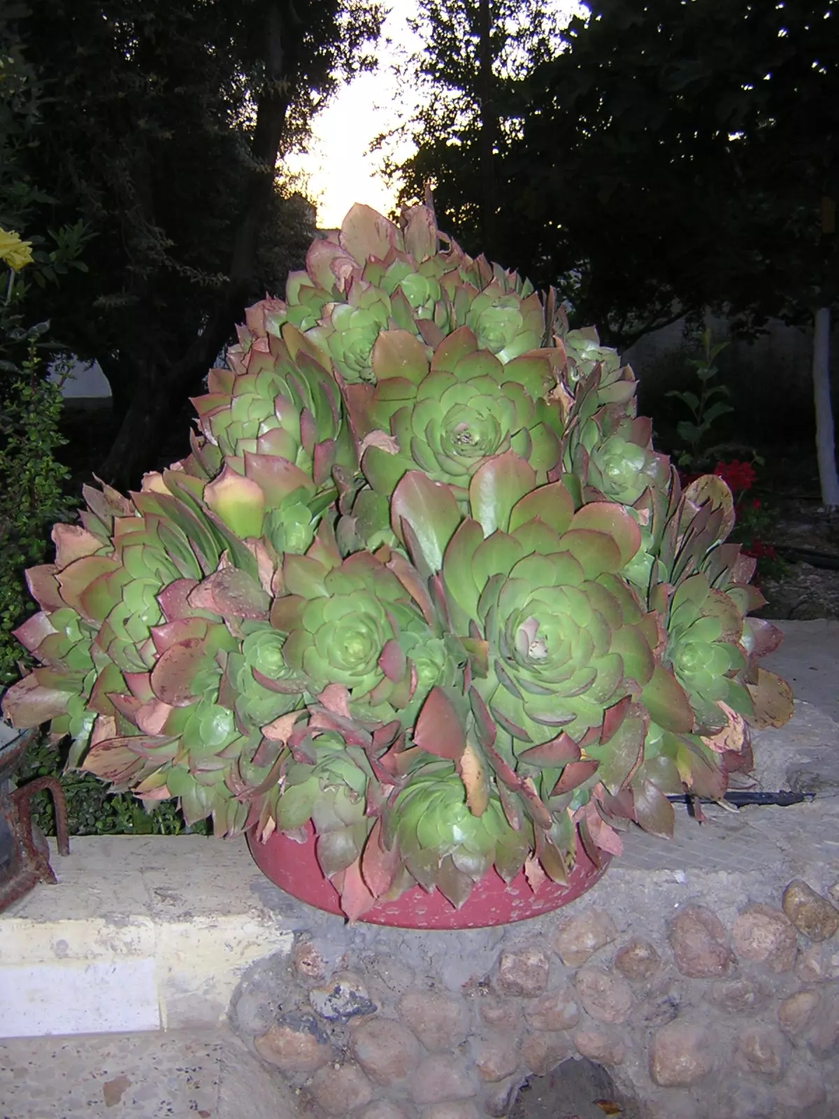
Posted by ستوديو ايمن للتصوير - حديقة خربثا
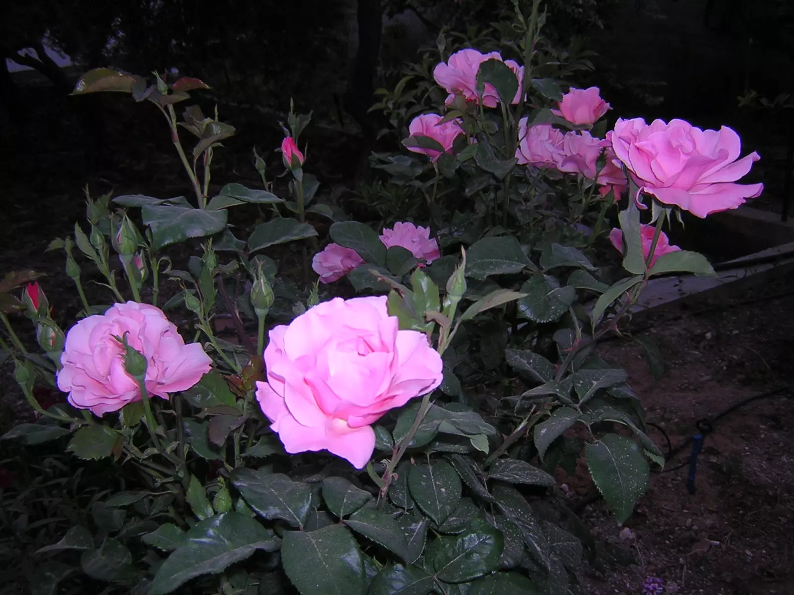
Posted by كارم محمود 1 - من زهور خربثا
Posted by كارم محمود 1 - افراح خربثا فرقة الدبكة الشعبية
Posted by ستوديو ايمن للتصوير 1 - فرقة الدبكة الشعبية 2008
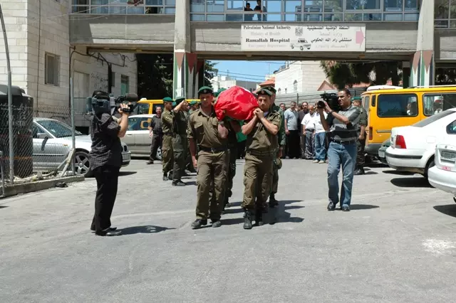
Posted by ستوديو ايمن للتصوير 2 - مراسم جنازة المرحوم عطا محمود الهبل ( ابو يوسف) 29-5-2008
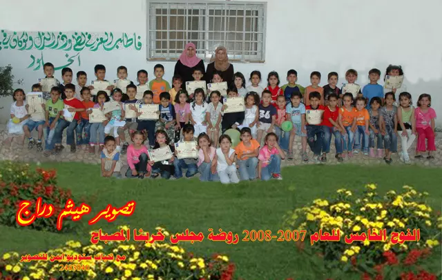
Posted by ستوديو ايمن للتصوير 1 - براعم الفوج الخامس روضة مجلس قروي خربثا المصباح للعام 2007-2008
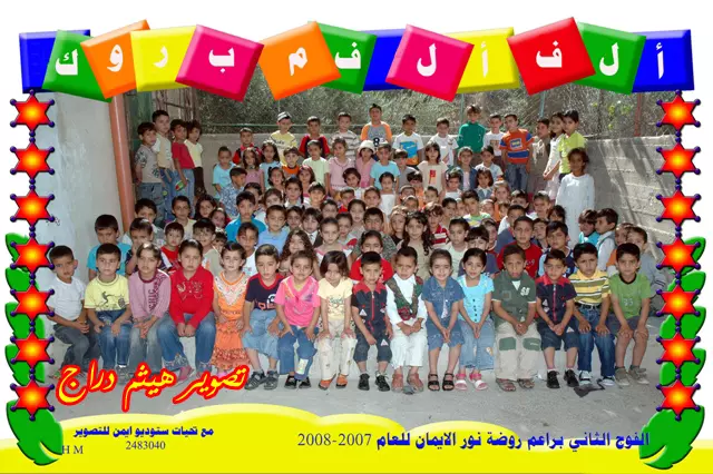
Posted by ستوديو ايمن للتصوير 1 - براعم الفوج الثاني روضة نور الايمان للعام 2007-2008
Posted by ستوديو ايمن للتصوير 2 - جانب من مراسم جنازة المرحوم ابو يوسف
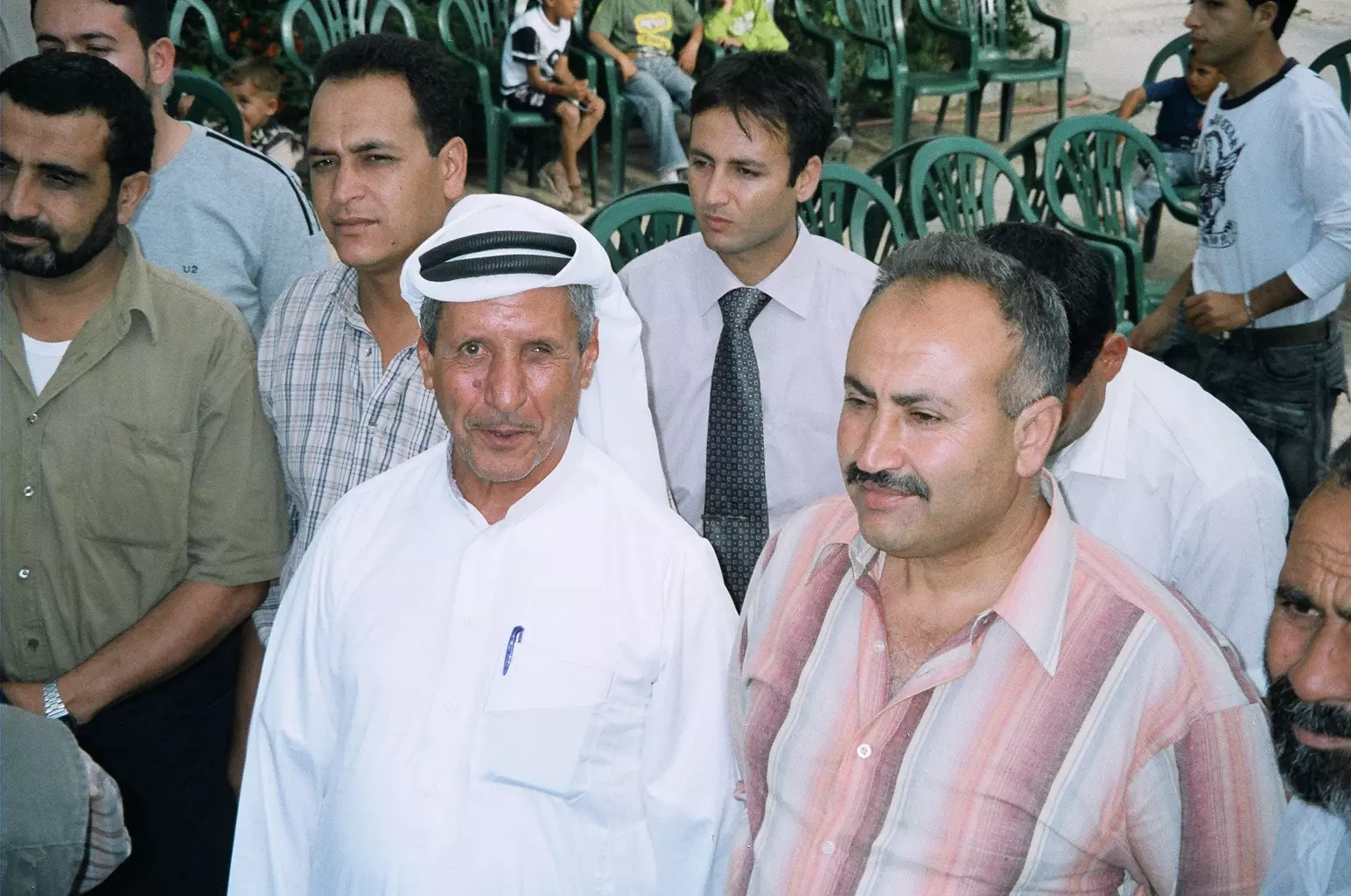
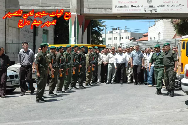
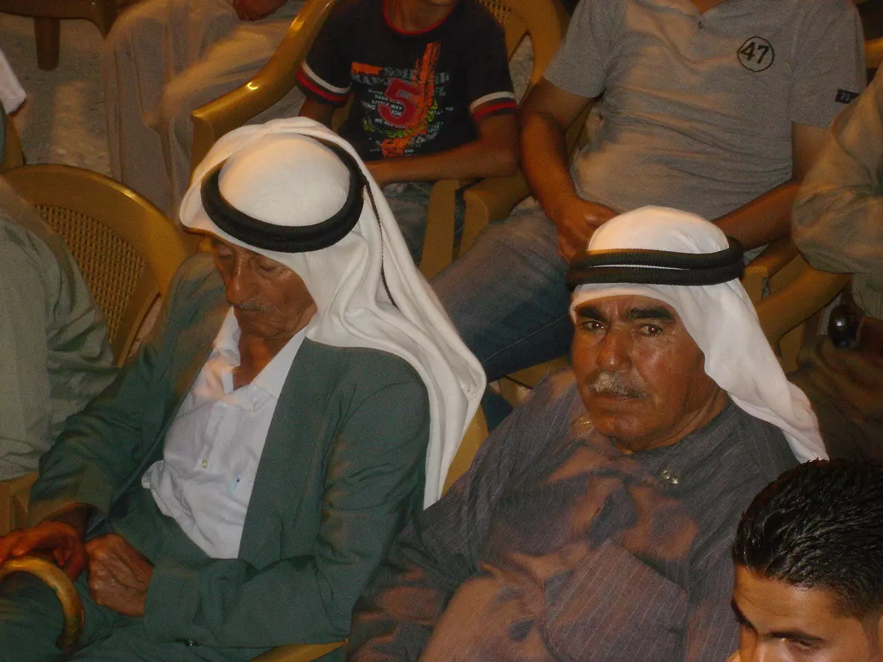
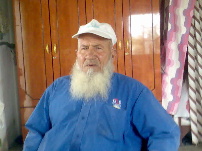
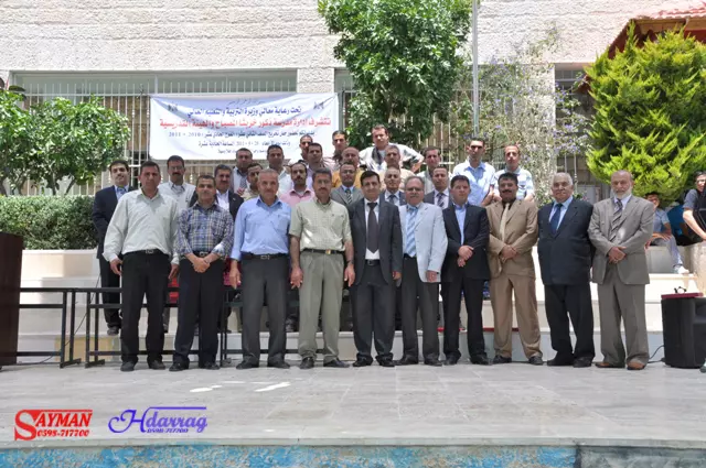
Posted by ستوديو ايمن للتصوير 1 - مخاتير القرية
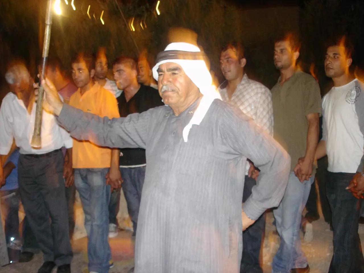
Posted by أبو حمزة 1 - أفراح في القرية
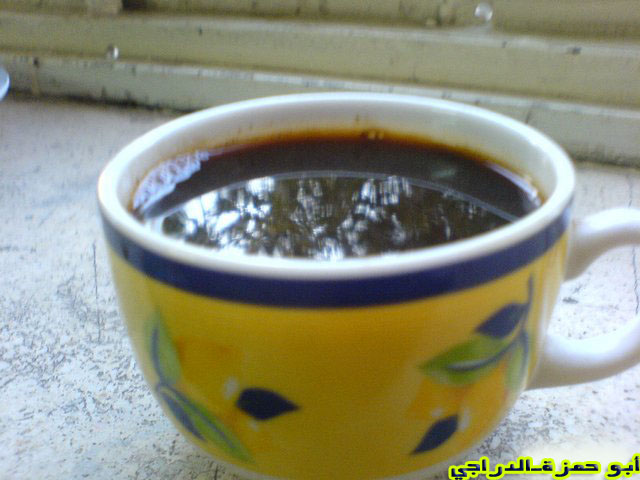
Posted by أبو حمزة - للقهوة طعم في قريتي وهي عنوان الضيافة
Posted by أبو حمزة 1 - من ثمار القرية
Posted by أبو حمزة 2 - حياة المرحوم ابراهيم اسماعيل أبو جبريل
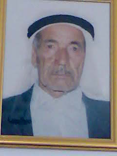
Posted by فلسطيني أصيل - أحد مشايخ القرية الفاضلين
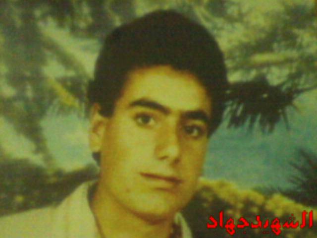
Posted by فلسطيني أصيل 1 - شهيد من شهداء قرية بيت لقيا استشهد بتاريخ 2/4/1988
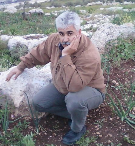
Posted by مرعي عاصي - بلدتي
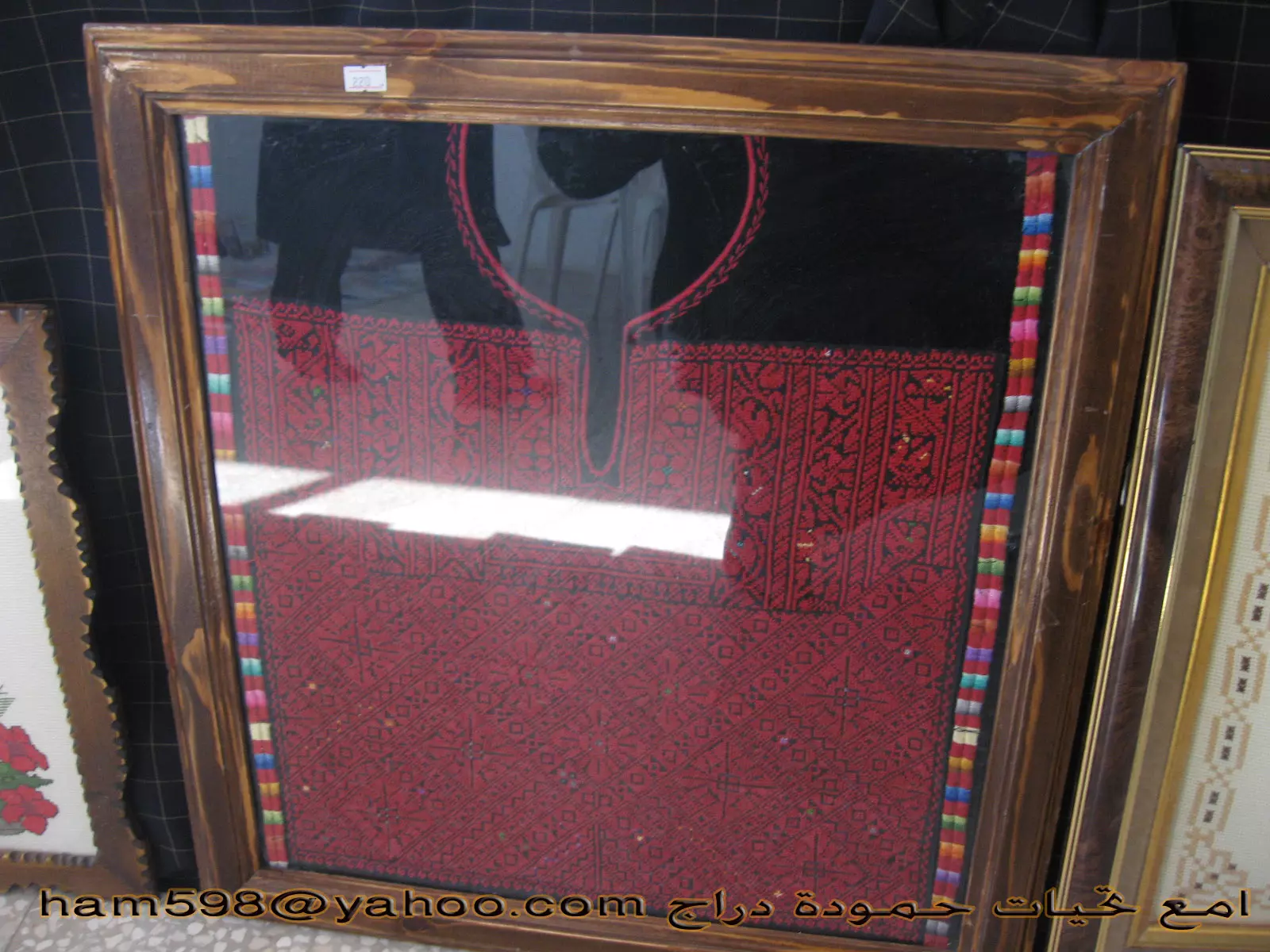
Posted by أبو حمزة 1 - من زخارف القرية
Posted by أبو حمزة - خربثا المصباح................
Posted by أبو حمزة - خربثا المصباح..........0
Posted by أبو حمزة - خربثا المصباح................
Posted by أبو حمزة - خربثا المصباح
Posted by أبو حمزة - خربثا المصباح
Posted by أبو حمزة - خربثا المصباح
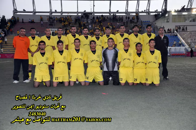
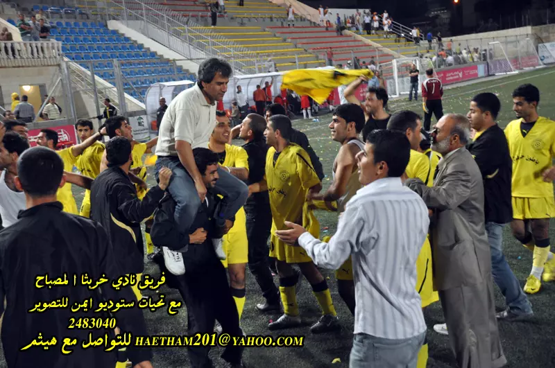
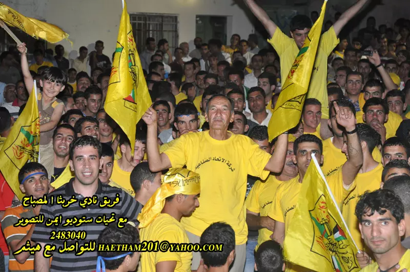
Posted by أبو حمزة - فريق نادي خربثا المصباح
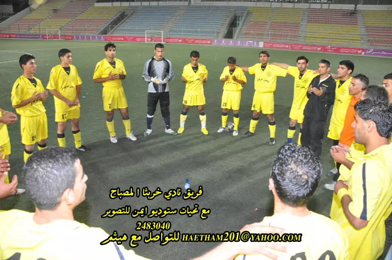
Posted by ستوديو ايمن للتصوير - فريق خربثا المصباح 14-5-2010 2
Posted by ستوديو ايمن للتصوير - نادي خربثا المصباح 14-5-2010 5
Posted by ستوديو ايمن للتصوير - فريق نادي خربثا المصباح 14-5-2010 6
Posted by ستوديو ايمن للتصوير - فريق نادي خربثا المصباح 14-5-2010 7
Posted by ستوديو ايمن للتصوير - فريق نادي خربثا المصباح 14-5-2010 8
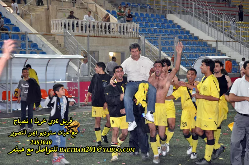
Posted by ستوديو ايمن للتصوير - فريق نادي خربثا المصباح 14-5-2010 9
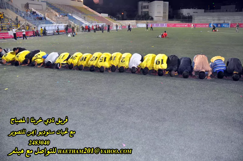
Posted by ستوديو ايمن للتصوير 2 - فريق نادي خربثا المصباح 14-5-2010 10
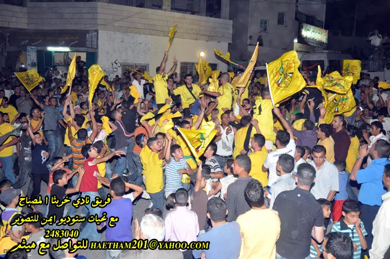
Posted by ستوديو ايمن للتصوير 1 - فريق نادي خربثا المصباح 14-5-2010 10
Posted by ستوديو ايمن للتصوير 1 - صور من حفل تكريم الثانوية العامة للعام 2010-2011
Posted by ستوديو ايمن للتصوير - طلاب الثانوية العامة للعام 2010 - 2011 مدرسة ذكور خربثا المصباح الثانوية
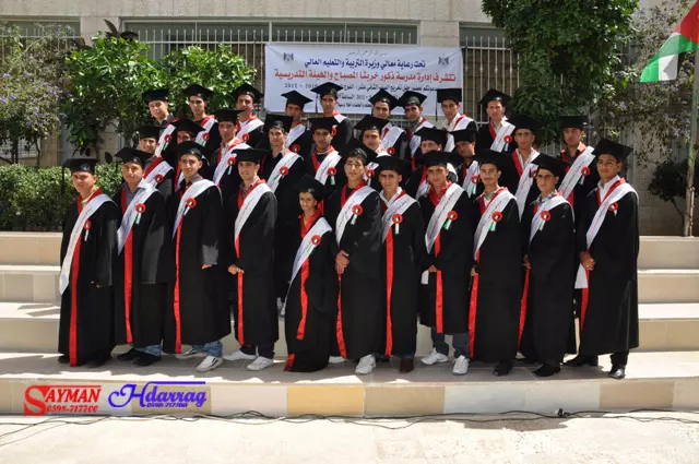
Posted by ستوديو ايمن للتصوير - طلاب الثانوية العامة للعام 2010 - 2011 مدرسة ذكور خربثا المصباح الثانوية 2
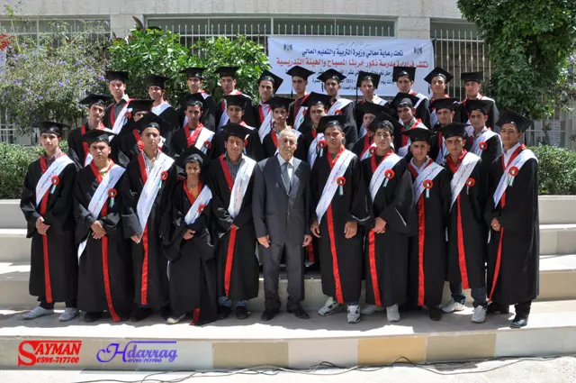
Posted by ستوديو ايمن للتصوير - صور من حفل تكريم الثانوية العامة للعام 2010-2011 مدرسة ذكور خربثا المصباح الثانوية
Posted by ستوديو ايمن للتصوير - لجنة التكريم في حفل تخريج الثانوية العامة للعام 2011 مدرسة ذكور خربثا المصباح
Posted by ستوديو ايمن للتصوير - الاسير المحرر
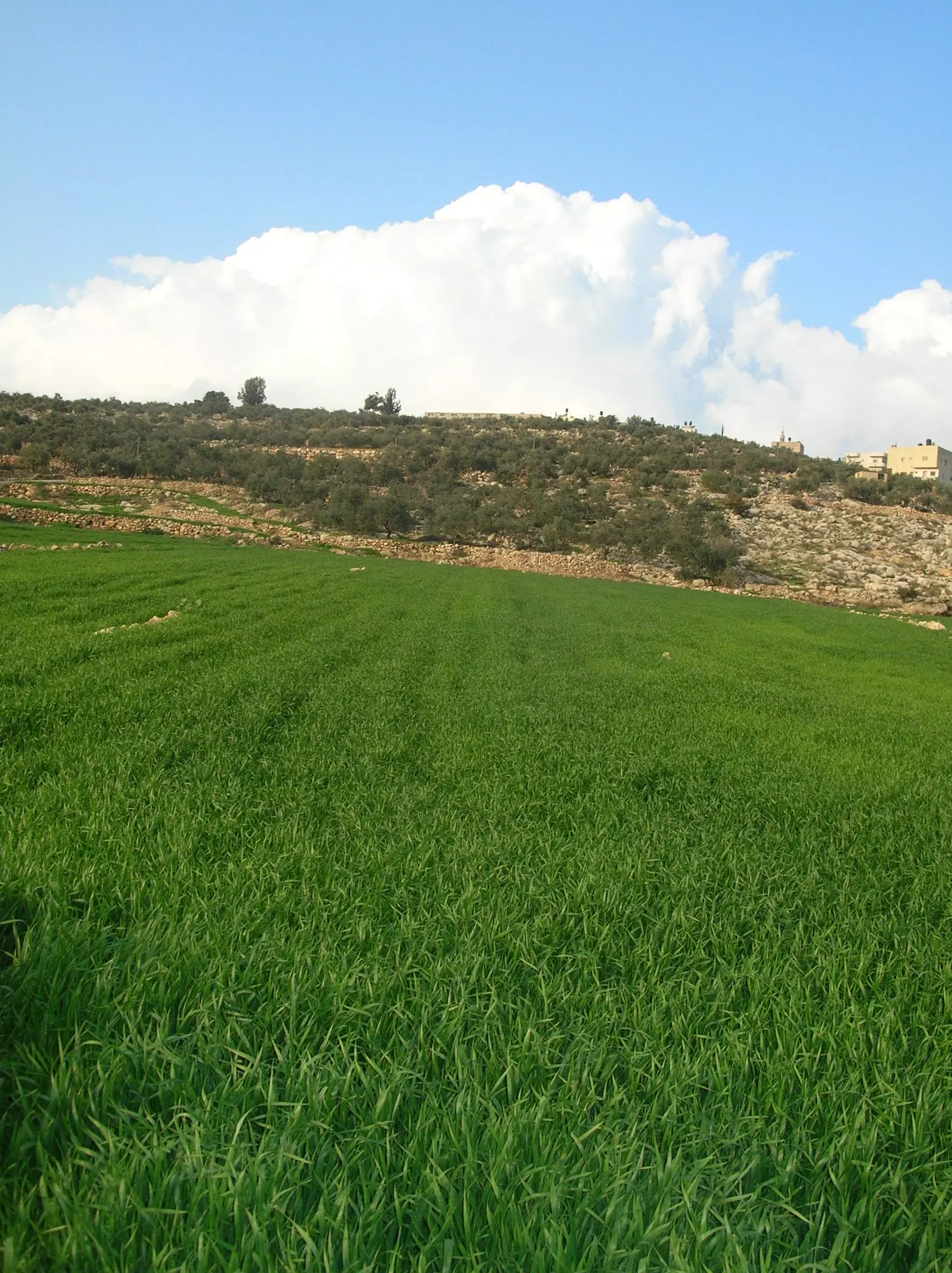
Posted by ام علي - خربثا خضراء
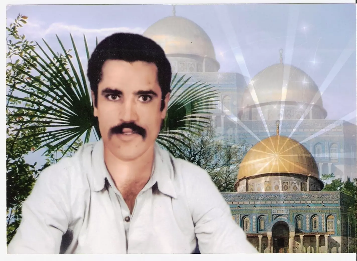
Posted by معاذ درّاج - الشهيد البطل ابراهيم خالد الهبل (ابو خالد)
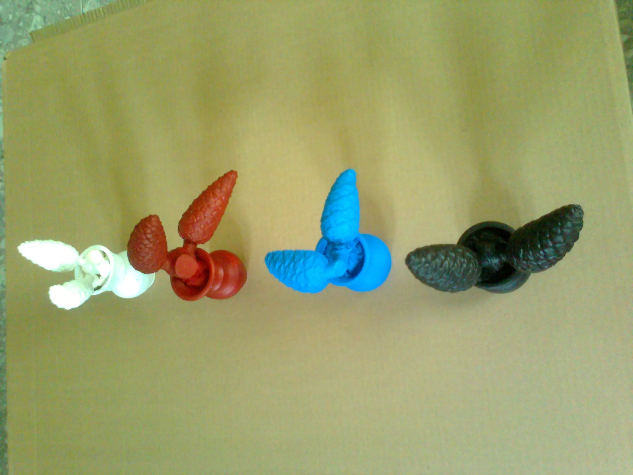
Posted by معاذ درّاج - فن (شجر الصنوبر)
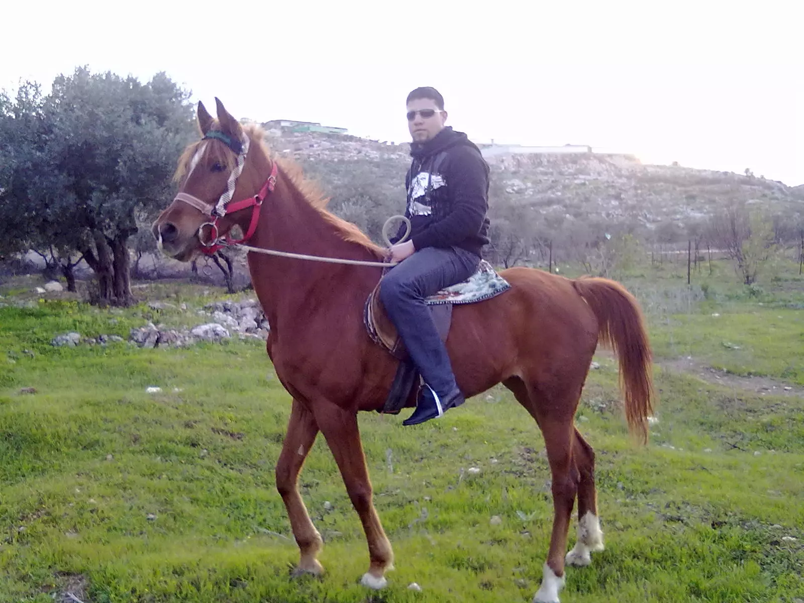
Posted by معاذ درّاج - الخيل في خربثا المصباح(الفرس زين)
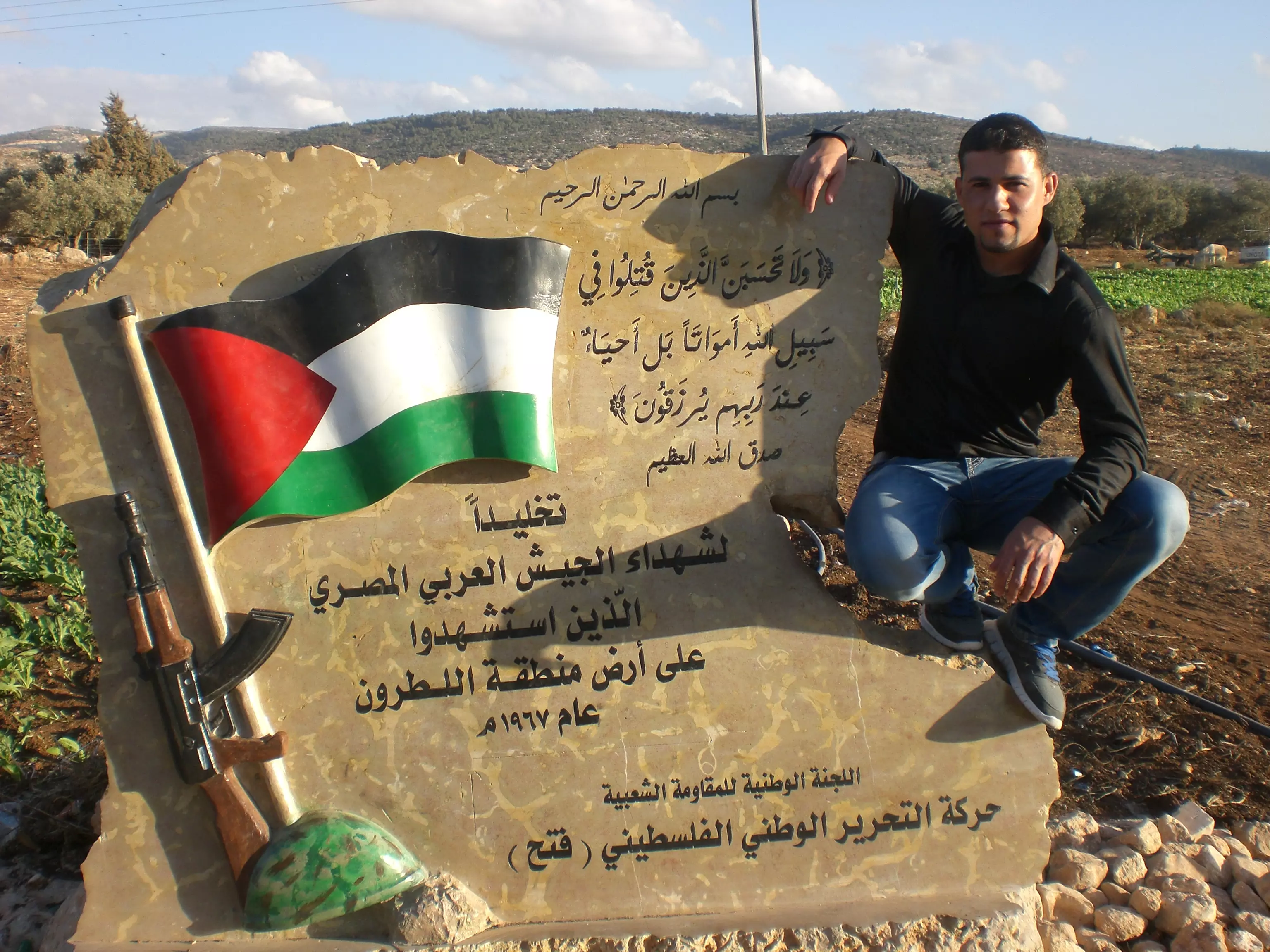
Posted by معاذ درّاج - مقام شهداء الجيش العربي المصري(اللطرون)بيت نوبا
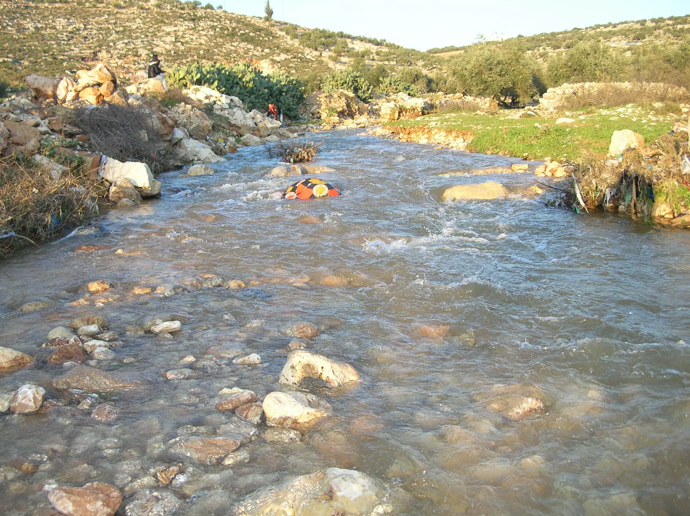
Posted by معاذ درّاج 1 - وادي سلمان 2013
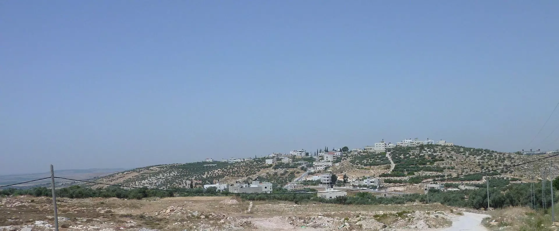
Posted by معاذ درّاج - منظر عام
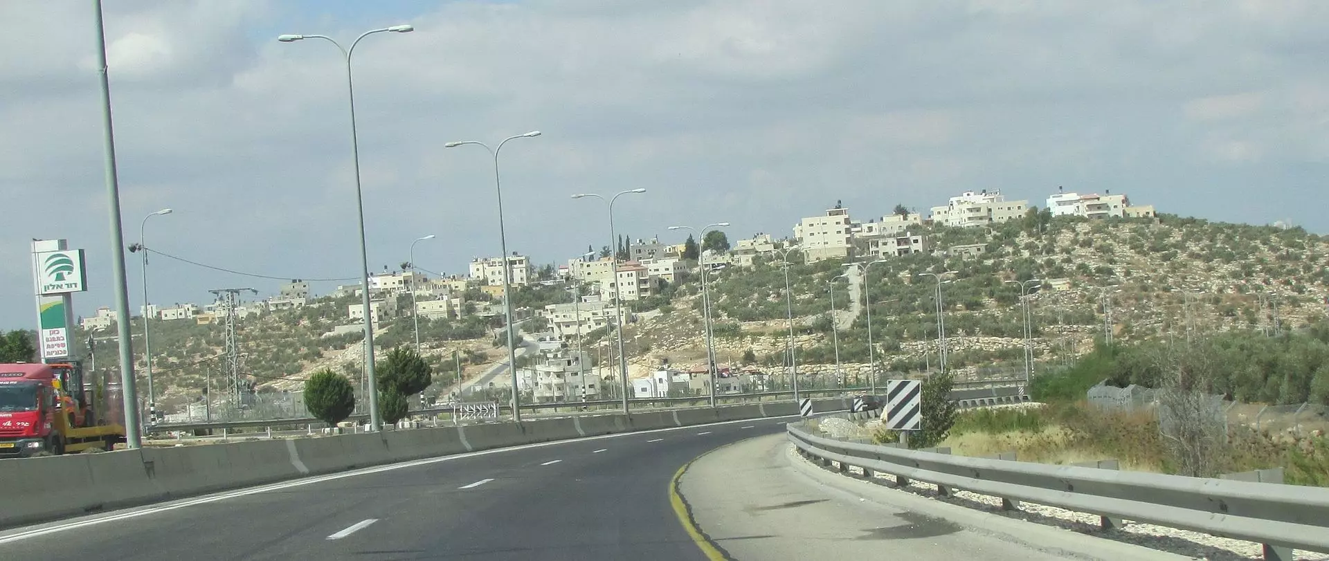
- منظر عام #2
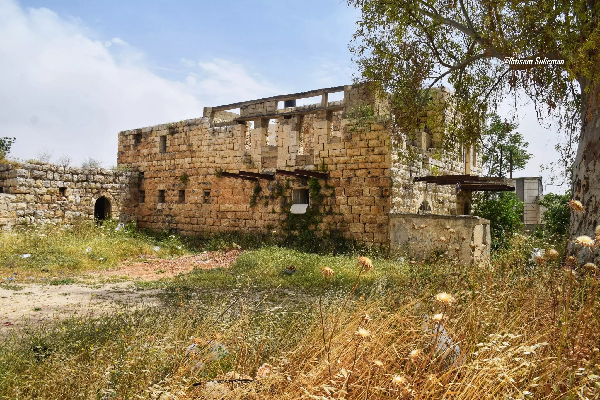
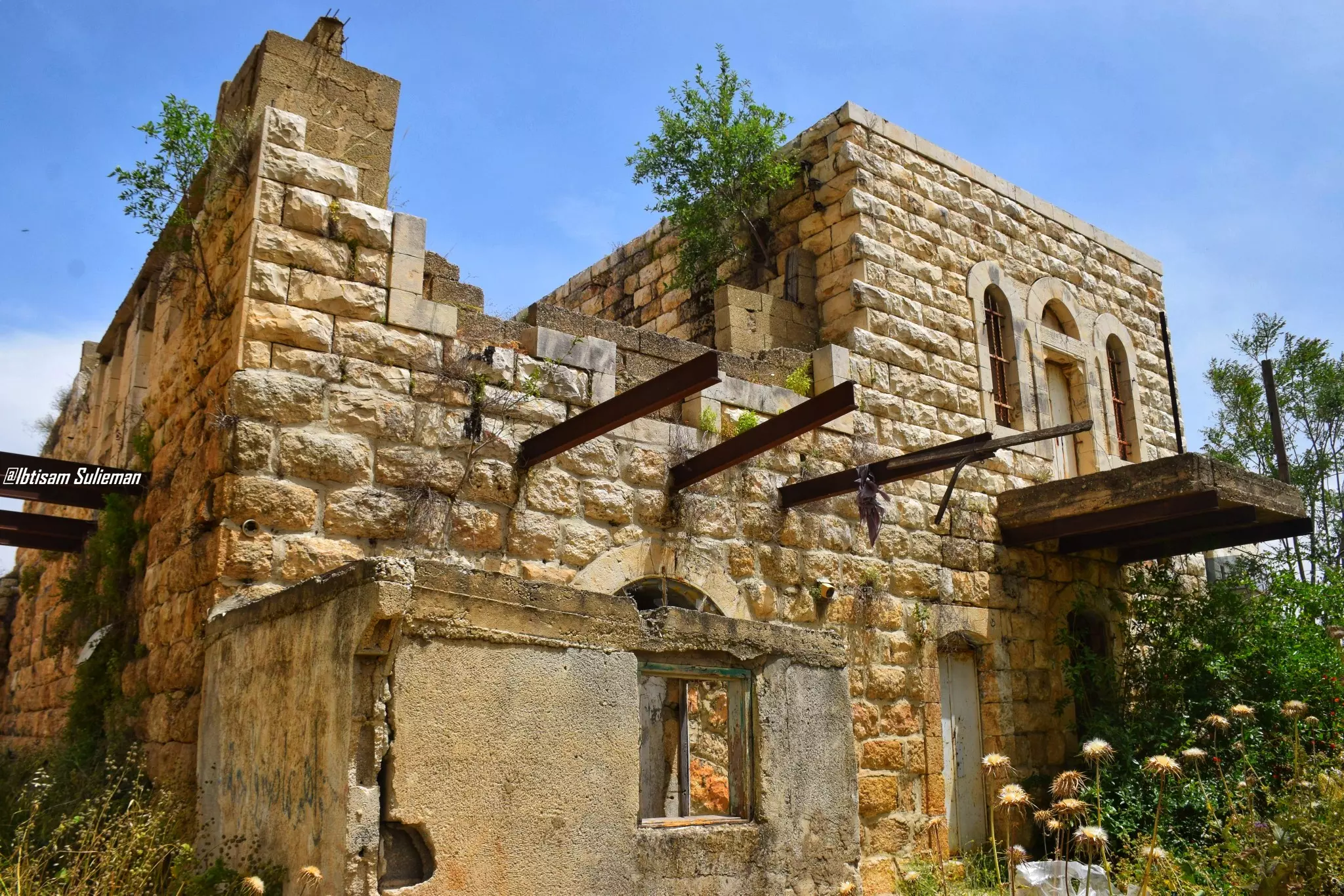
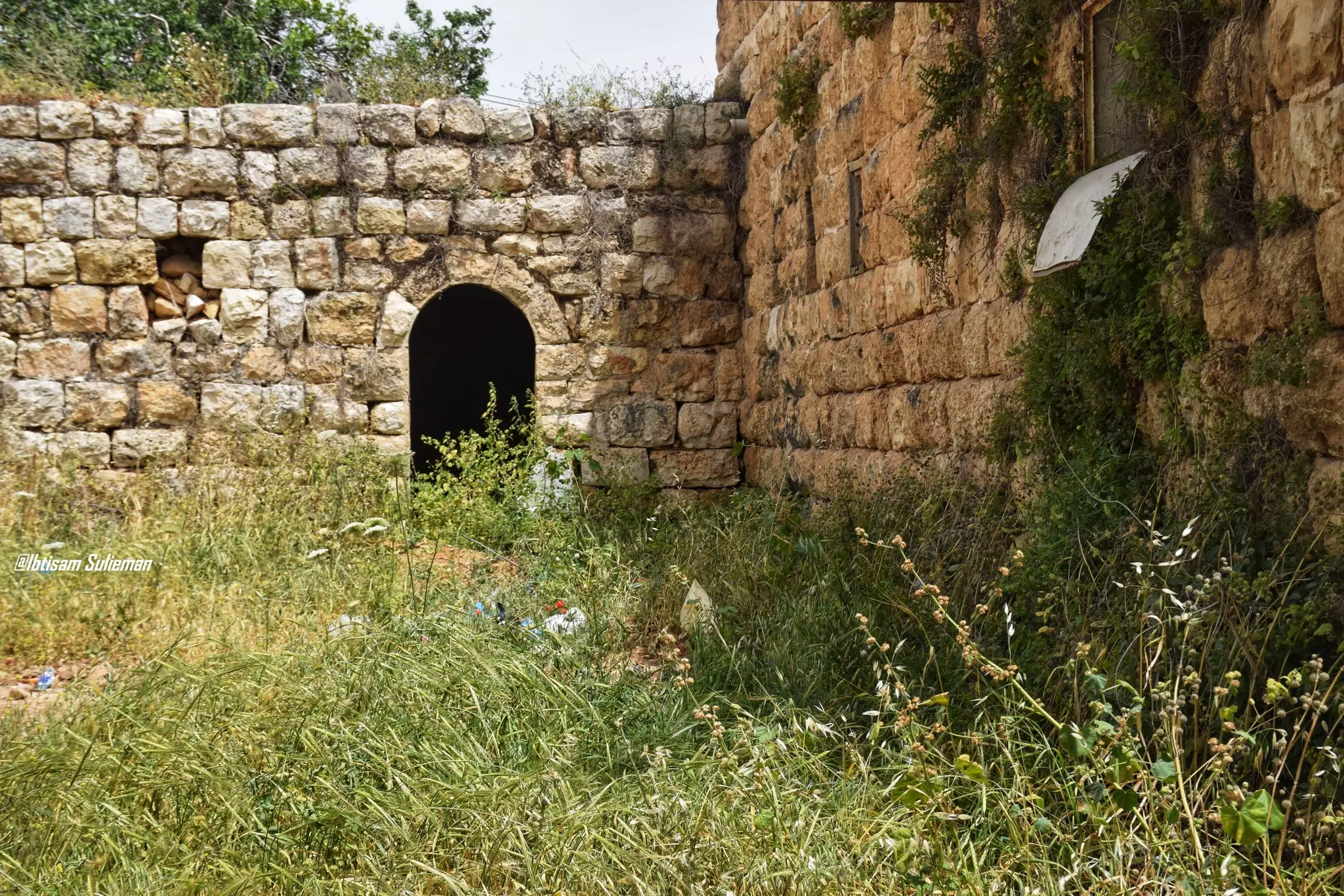
- جولة بين بيوت البلدة القديمة -- Ibtisam Sulieman
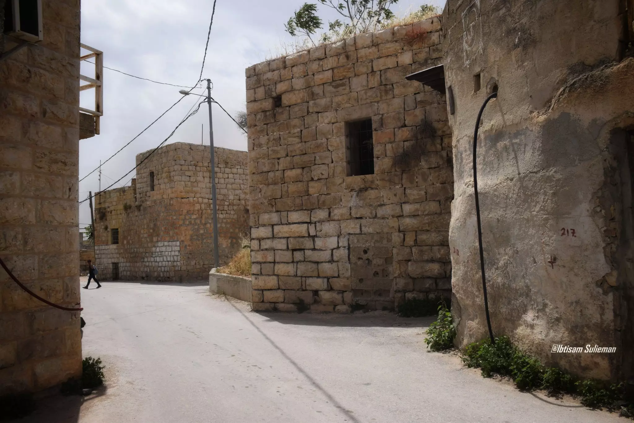
- جولة بين بيوت البلدة القديمة -- Ibtisam Sulieman #2
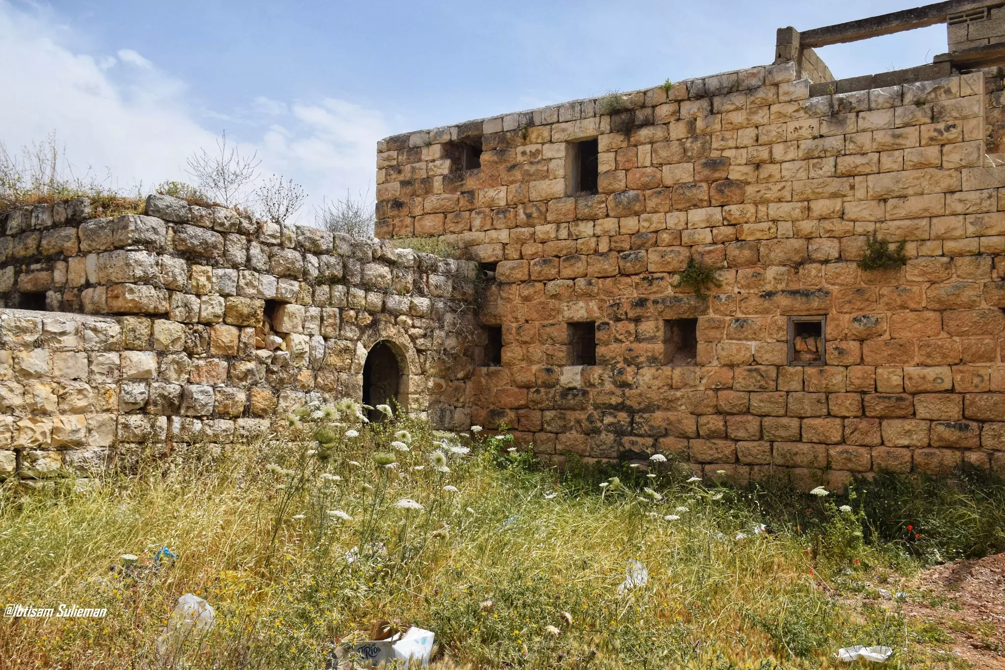
- جولة بين بيوت البلدة القديمة -- Ibtisam Sulieman #3
- جولة بين بيوت البلدة القديمة -- Ibtisam Sulieman #4
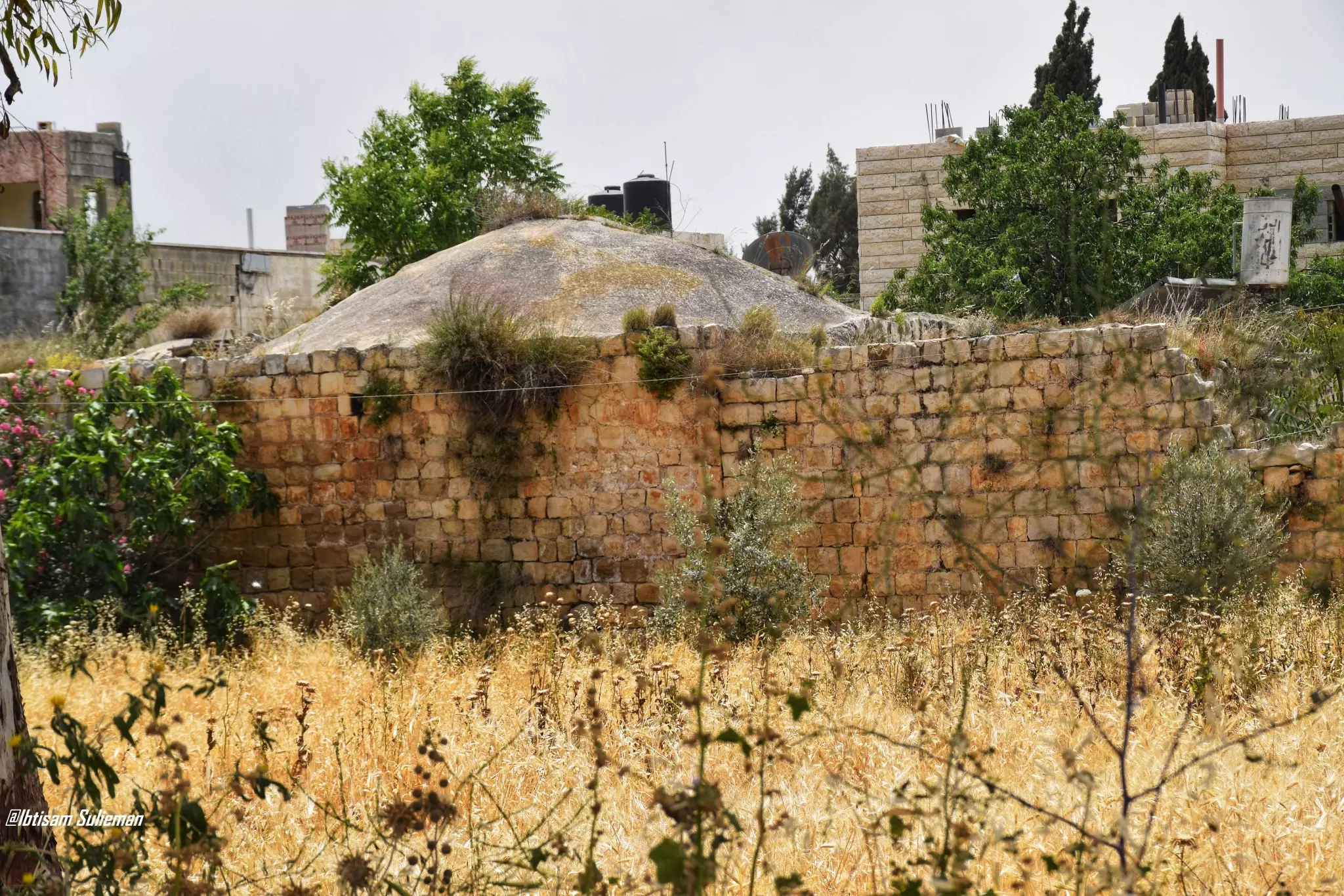
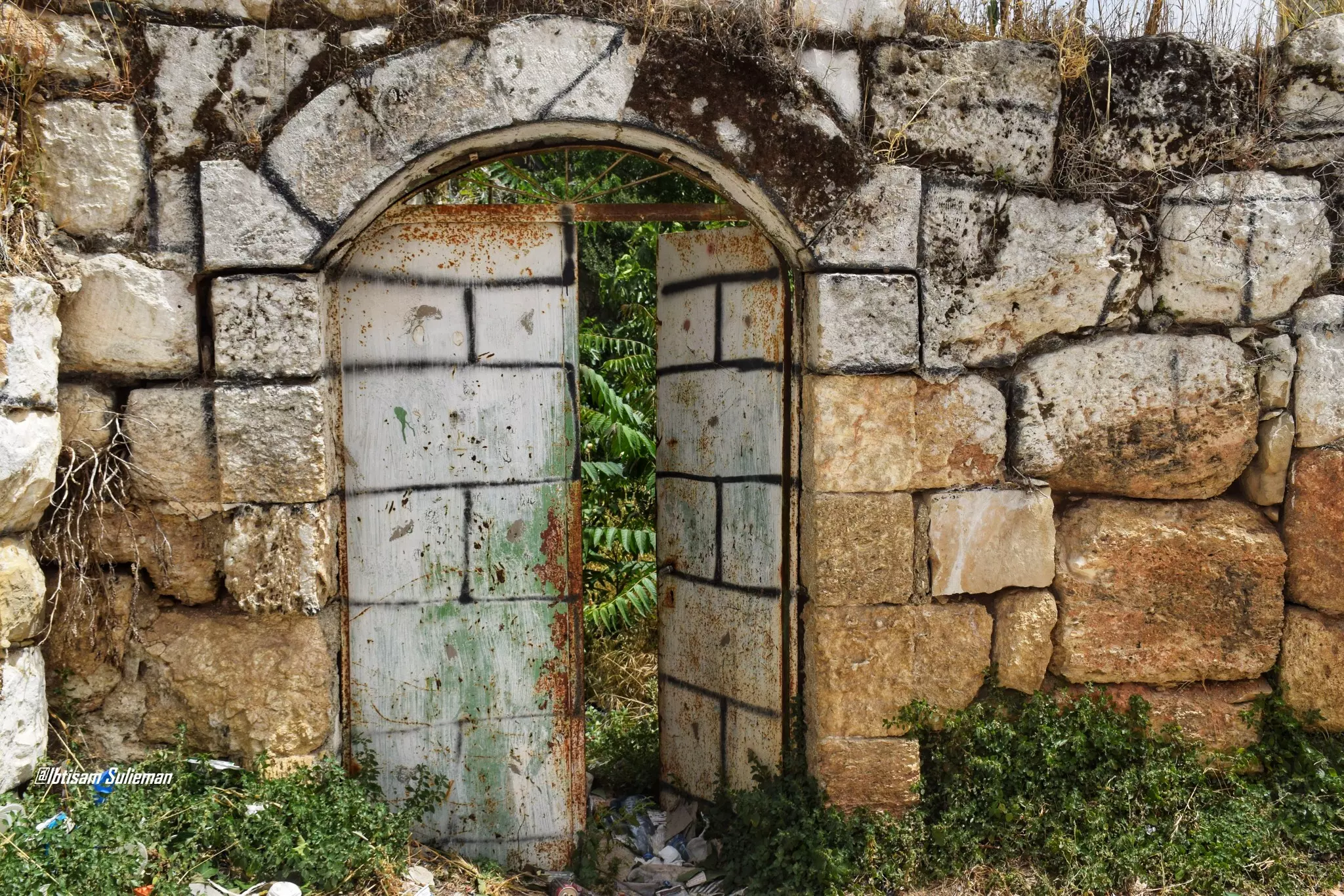
- جولة بين بيوت البلدة القديمة -- Ibtisam Sulieman #5
- جولة بين بيوت البلدة القديمة -- Ibtisam Sulieman #6
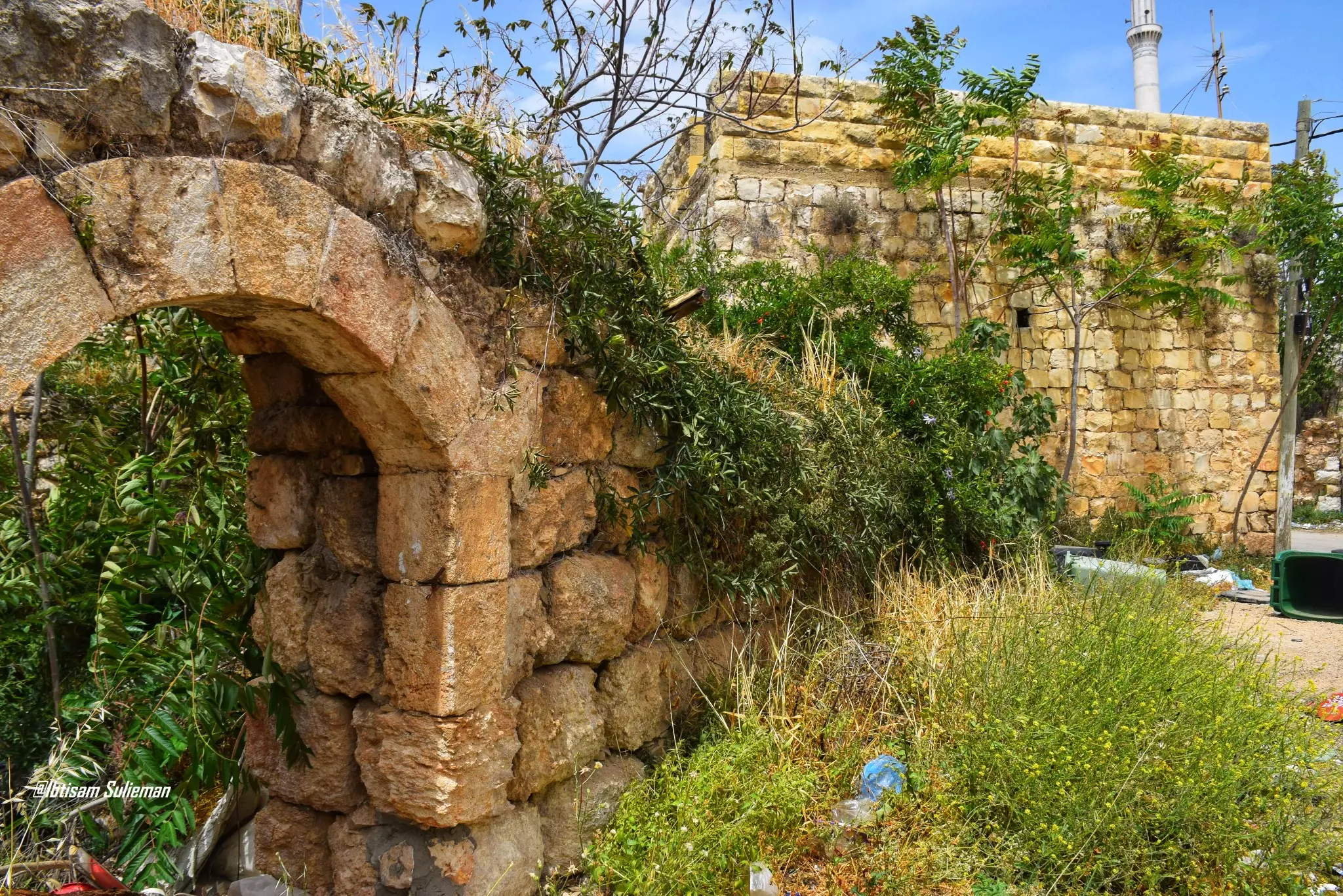
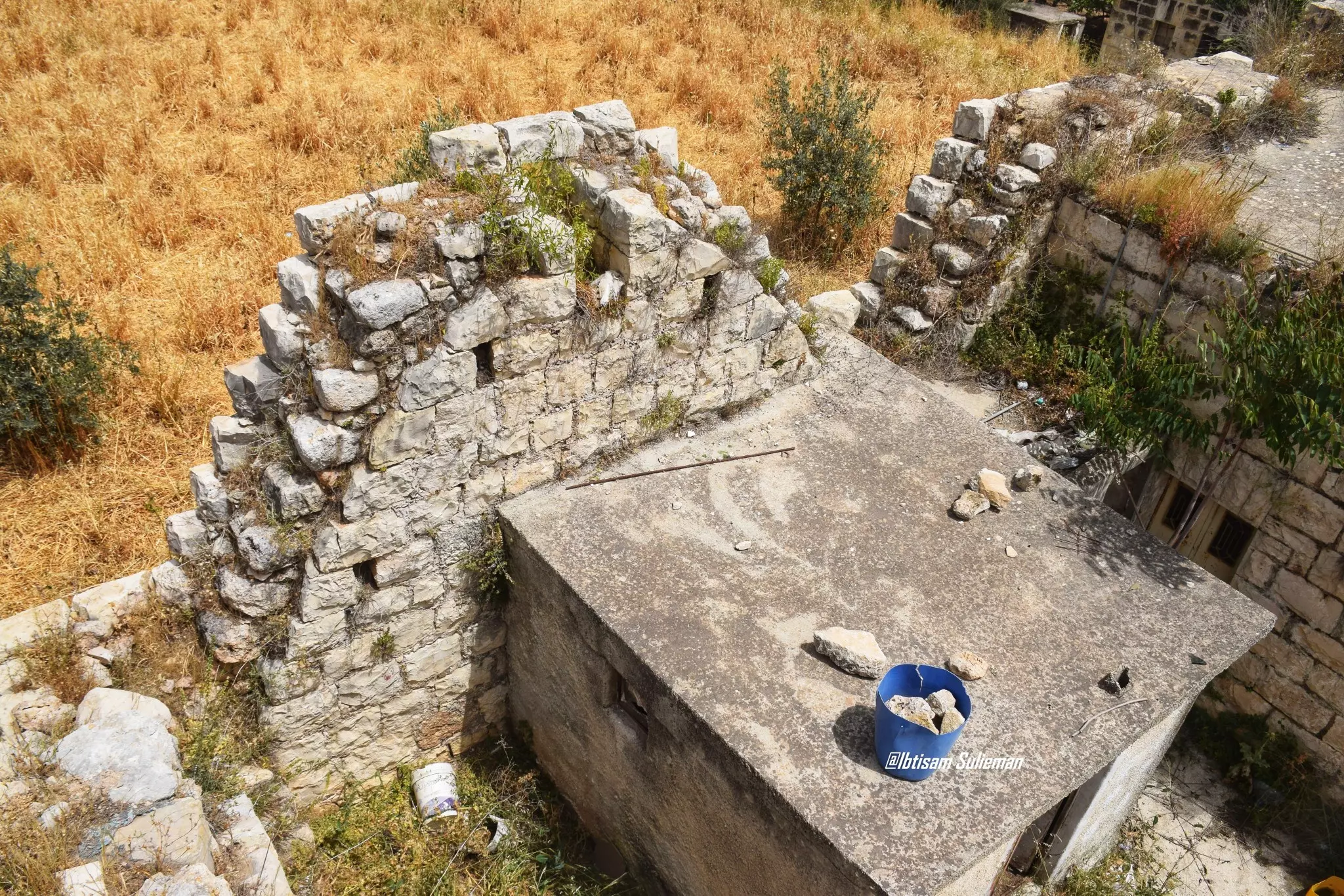
- جولة بين بيوت البلدة القديمة -- Ibtisam Sulieman #7
- جولة بين بيوت البلدة القديمة -- Ibtisam Sulieman #8
- جولة بين بيوت البلدة القديمة -- Ibtisam Sulieman #9
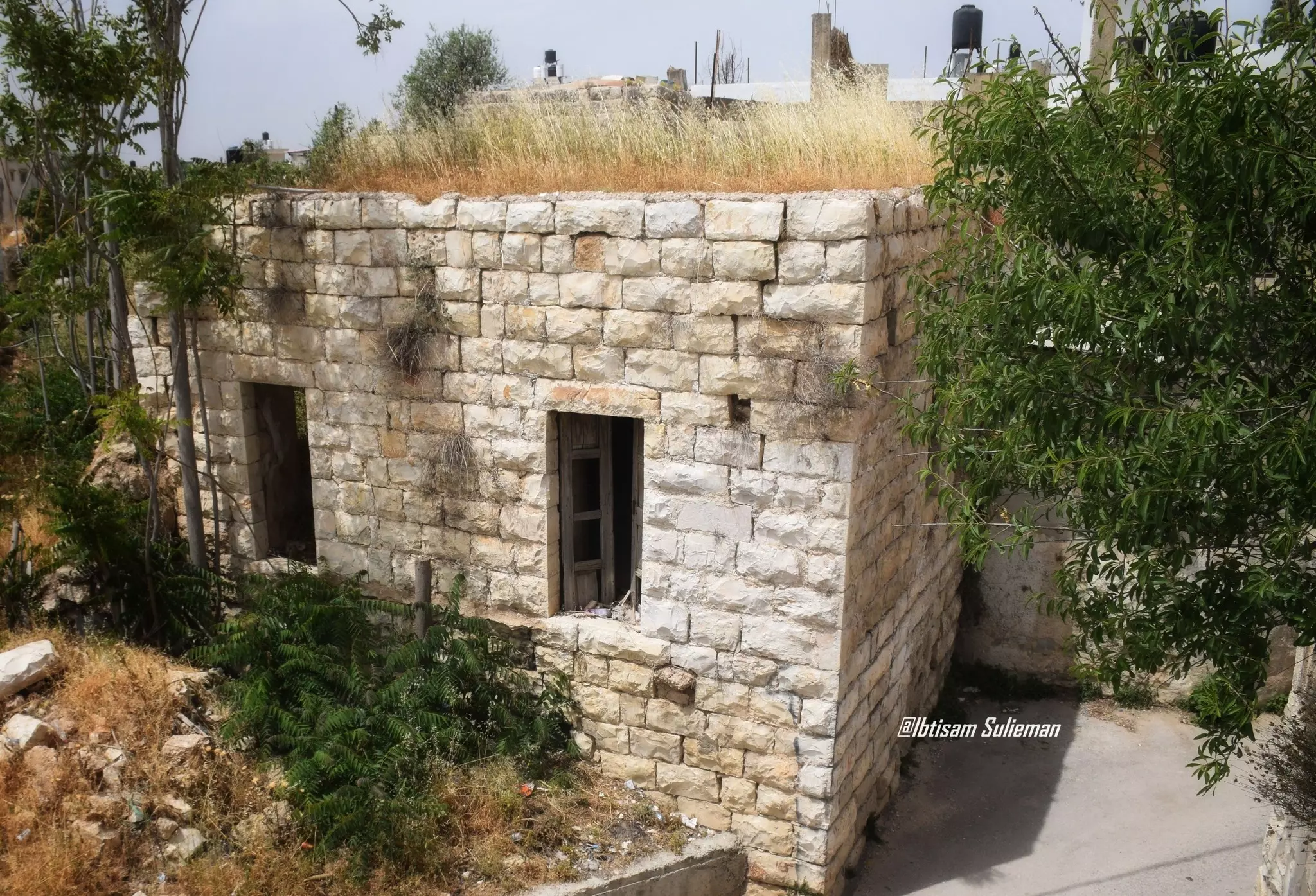
- جولة بين بيوت البلدة القديمة -- Ibtisam Sulieman #10
- جولة بين بيوت البلدة القديمة -- Ibtisam Sulieman #11
- جولة بين بيوت البلدة القديمة -- Ibtisam Sulieman #12
- المدخل الشرقي

Want to browse more? 80,000 pictures were grouped in these gallaries:
| Display Name | Clan/Hamolah | Country of Residence |
| خربثا | الهبل | فلسطين, خربثا |
| ستوديو أحمد للتصوير | - | فلسطين |
| HFH | - | - |
| احمد حمدان | دراج | عمان - مرج الحمام, الاردن |
| نورس فلسطين | حرفوش | رام الله |
| APOLLO | Harfoush | Minnesota, U S A |
| ابن فلسطين | علان | رام الله, بيت عور التحتا |
| منير حمايل | - | - |
| اْل حمايل | - | - |
| شرف دراج | دراج | - |
| ANAN SWEITY | السويطي | الخليل, فلسطين |
| الرشيد | الهبل | - |
| Without Country | Harfoush | Illinois, U.S.A, Kh. Al-Misbah |
| جمال محمود حسن حرفوش | حرفوش | Rio Grande do Sul, Brazil |
| زهرة نيسان | مصلح | رام الله |
| ابن فلسطين | دراج | رام الله, خربثا |
| ابن دراج | دراج | رام الله |
| أبو حمزة | دراج | رام الله, خربثا |
| medo4ever4u | - | - |
| فادي دراج | - | - |
| tiger | - | - |
| ابو عمر | مصلح | الزرقاء, الاردن |
| ناجح حرفوش | - | - |
| خالد دراج | - | - |
| ابن خربثا | - | - |
| محمد احمد عبد عطيه | - | الزرقاء, الاردن |
| fofo abukhaleel | - | - |
| عصام حرفوش | - | - |
| ستوديو ايمن للتصوير | - | رام الله, 02 |
| محمد الحاج | - | بيت سيرا, بيت سيرا |
| بهاء اللحام | - | - |
| فلسطيني الغربة | مصلح | - |
 Fake Valor: Why Did Zionist Jews Hoist Nazis Flag on Their Ships in the 1930s?
What is new?
-
Facts About Oct. 7th Gaza Raid
-
Remined Us Please:: Who Did Rape Who? Palestinians Raped Israelis? Or, was the other way around?
-
When Prof. Edward Said was invited to debate Bibi Netanyahu in the 1980s, watch what happened!
-
Ezra Klein of the NY Times on the "Jewish Race".
-
Abusing Blood Libel!
-
Zionist FAQ: Isn't it true that Palestinians don't want peace? Palestinians never accepted the two-state solution
- Facts about Haavara (Transfer) Agreement between Ben-Gurion & Hitler
-
Haavara FAQs: Why Did Zionist Jews Hoist Nazis' Flags on Their Ships in the 1930s?
-
Dear ChatGPT: Why did the Jewish Agency suppress news of the Holocaust during WWII?
-
Video Playlist: Jews share their DNA tests to end the conflict for good.
-
A Tale of Two Conflicts: Examining the Definition of Genocide
-
Prof. Abraham Polak And The Suppressed History of the Khazars and European Jewry
-
How Ronald Reagan would have framed the genocide in Gaza if he were still alive?
-
Haavara FAQs: Let us do the math: how many German Jews did The Haavara Agreement save?
-
Zionist FAQs: The Hebron Massacre of 1929, "clearly proves" that Palestinians are antisemitic, how could you deny it?
-
Zionist FAQs: Why Anti-Zionist Is Not Antisemitism?
-
Zionist FAQs: Isn't it true that the KGB create Palestinian Nationalism in the early 1960s?
- Zionist FAQs: Muslims are killing Muslims all the time; why are Israeli Jews being singled out in the media?
- Zionist FAQs: How is Israel an apartheid state when 20% of its citizens are Arabs who enjoy full rights?
-
Haavara FAQs: Analysis of Herzl's Uganda Scheme and how it could have saved millions of Jews.
-
Haavara FAQs: Why did Hayim Greenberg describe American Jewry as "morally bankrupt" in early 1943?
-
Haavara FAQs: What if the Evian Conference was a resounding success? What would have been the impact of saving European Jewry on Zionism?
- Haavara FAQs: What if the six million were saved, how that would have impacted the Zionist project?
-
Haavara FAQs: How did Zionist leaders react when Europe's Jews lingered in the DP camps after WWII ended?
-
Why does the American Jewish community repeat lies that David Ben-Gurion had debunked before he died?
-
Who has the power to rename the Tatar/Khazar Gene Marker to Jewish IV?
-
Zionist FAQs: Why won't Egypt, Syria, and Jordan take their people back? Jews are indigenous to Palestine, and Arabs immigrated after Jews developed the country. Arabs should leave.
-
Haavara FAQs: Did Hitler and the Nazis conflate between Judaism and Zionist? If that wasn't case, then why?
-
Haavara FAQs: Winston Churchill and antisemitism, a collection of articles written Churchill.
-
Haavara FAQs: Broken by country, how many Jews survived vs. killed during the Holocaust?
-
Haavara FAQs: Why did European Jews vote with their feet and to immigrated to the Americas, not Palestine, after WWII?
-
Watch this American Jewish Girl describing Israeli Jews' cognitive dissonance like no other in under two minutes
-
Haavara FAQs: When the Nazis went out of their way to hide the Holocaust, Israeli Jews did the exact opposite by broadcasting their genocide of Gazans. But why?
-
Haavara FAQs: How Zionist Jews went out of their to show their appreciation to Nazism and Fascism?
- Haavara FAQs: Why Zionist leaders were against bombing the death camps & the Railroads leading to them?
-
Haavara FAQs: Hitler's message to the British and American people: If Jews are such noble citizens and you care about them, how come you're not letting them in? I will gladly ship them to you at my expense, even on luxury liners!
-
A shortlist of Zionist and Israeli false flag operations in the name Jews.
-
The Most Moral Army
- The Land of Kapos (Israel): Where the brave are boycotted and Kapos walk free.
- Why did early Zionists often named their communal enterprises "colonial"?
- Zionist Relations with Nazi Germany by Faris Glubb
-
Two NY Times advertisements by Zionists in the early 1943 that exposes Zionists' treason at the height of the calamity
- Facts Not Lies about the Palestinian-Israeli Conflict.
- Site's pictures have been categorized
- Campgain Against Lice
- A Survey of Palestine, the official source about Palestine before Nakba produced by the British Mandate; over 1200 pages.
- Satellite View & Google Earth: Over 6,000 placemarks identifying all destroyed towns, W. Bank & Gaza Strip Towns, & refugee camps.
- PalestineRemembered.com and its Nakba Oral History Project were featured on al-Jazeera Satellite TV.
- Nakba Oral History Video Podcast:
 Over 700 Oral History interviews (including 3,500+ hours of recording) can be viewed online.
 - Palestine Village Statistics Project
- Gaza Jail Break
- النسخة العربية للموقع الان متوفرة
- Videos: Documenting the destroyed villages in video: Tracing all that remains since Nakba.
- Videos: Responding to Zionist Propaganda
- Interview: The ethnic cleansing of Palestine: George Galloway interviews Israeli Historian Ilan Pappe.
- For Palestinians, memory matters. It provides a blueprint for their future By George Bisharat.
- Zionist FAQ now available in Hebrew שאלות שציונים שואלים, עכשיו בעברית
- Video: The Stephen Walt and John Mearsheimer report on the influence of the Israel Lobby on U.S. Foreign Policy
- The Palestinian-Israeli conflict for beginners
