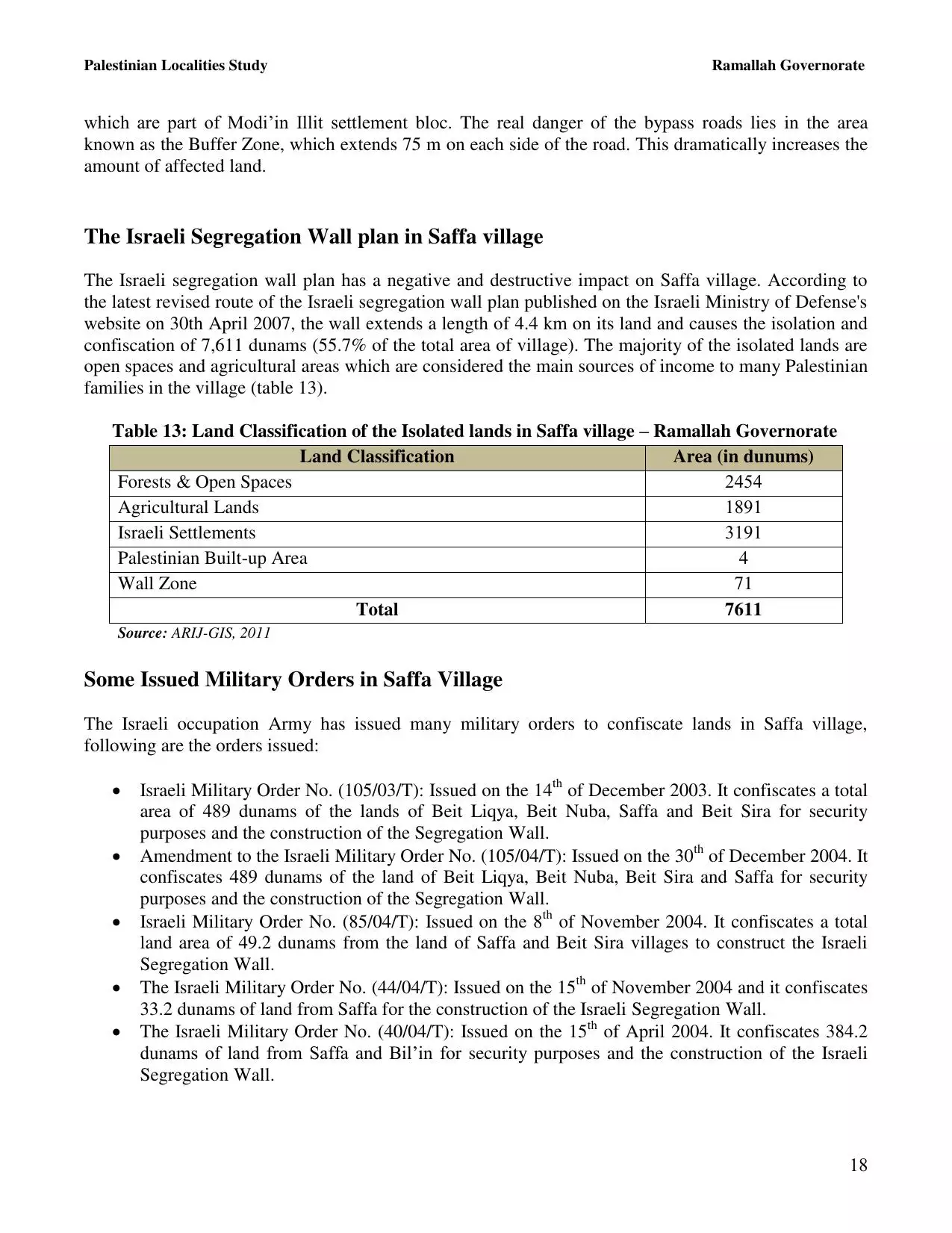
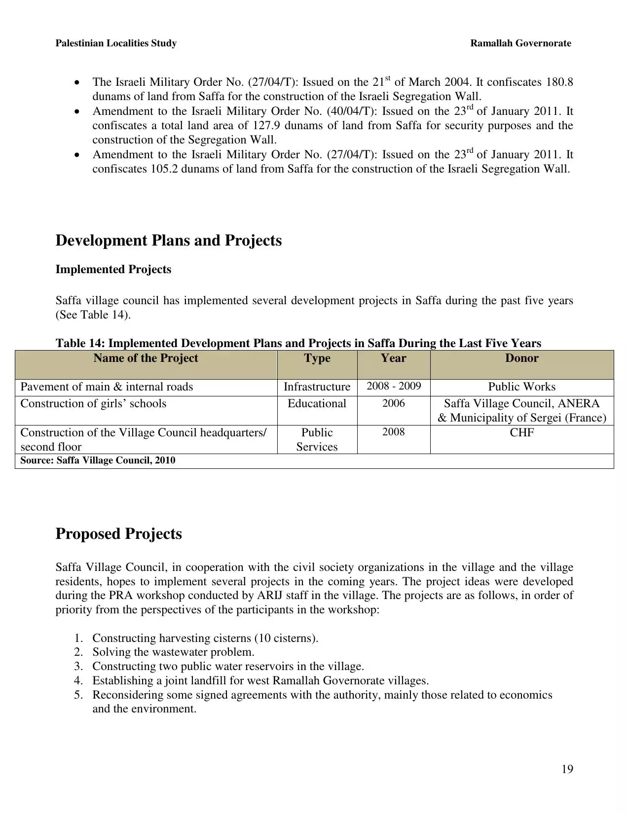
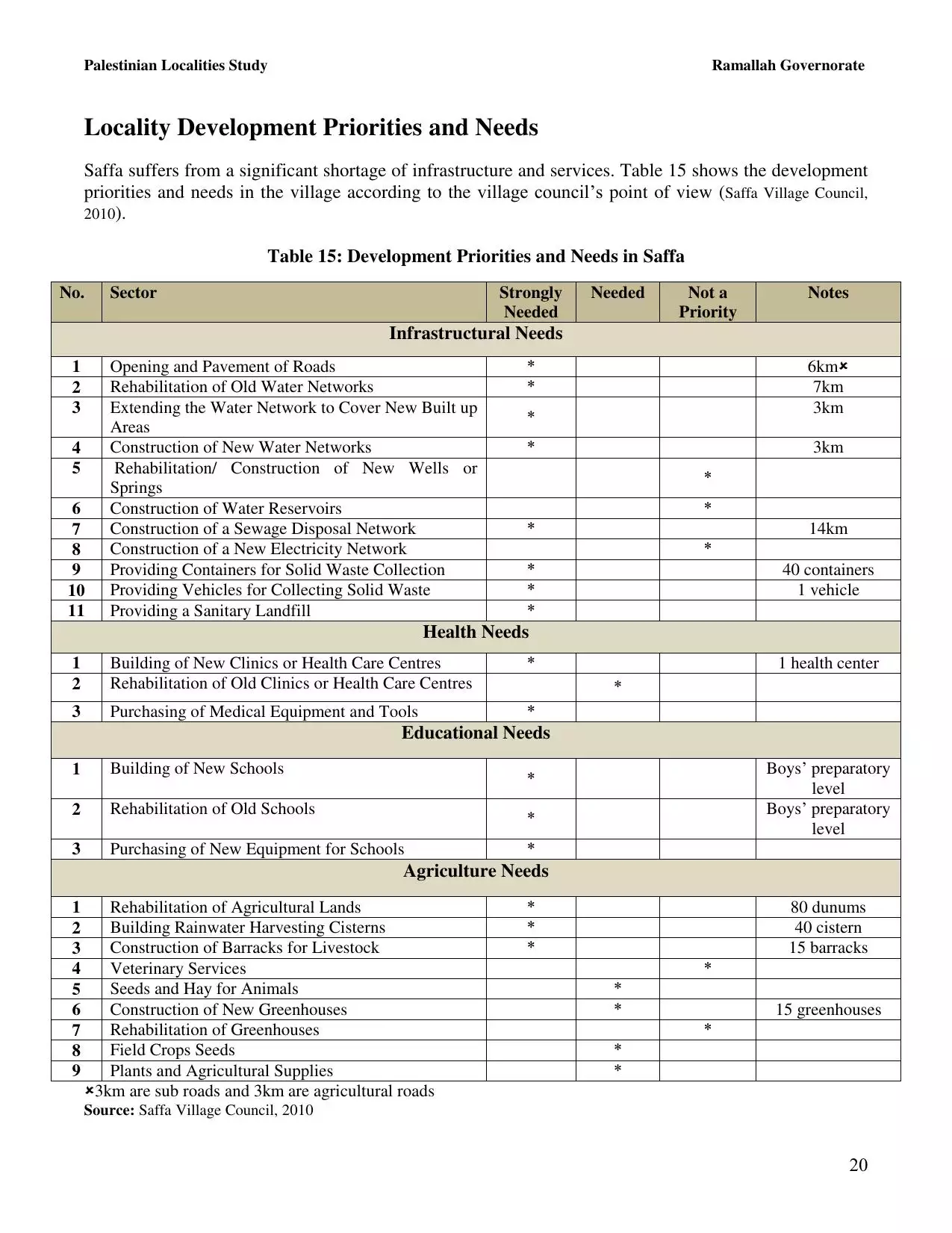
| PalestineRemembered | About Us | Oral History | العربية | |
| Pictures | Zionist FAQs | Haavara | Maps | |
| Search |
| Camps |
| Districts |
| Acre |
| Baysan |
| Beersheba |
| Bethlehem |
| Gaza |
| Haifa |
| Hebron |
| Jaffa |
| Jericho |
| Jerusalem |
| Jinin |
| Nablus |
| Nazareth |
| Ramallah |
| al-Ramla |
| Safad |
| Tiberias |
| Tulkarm |
| Donate |
| Contact |
| Profile |
| Videos |
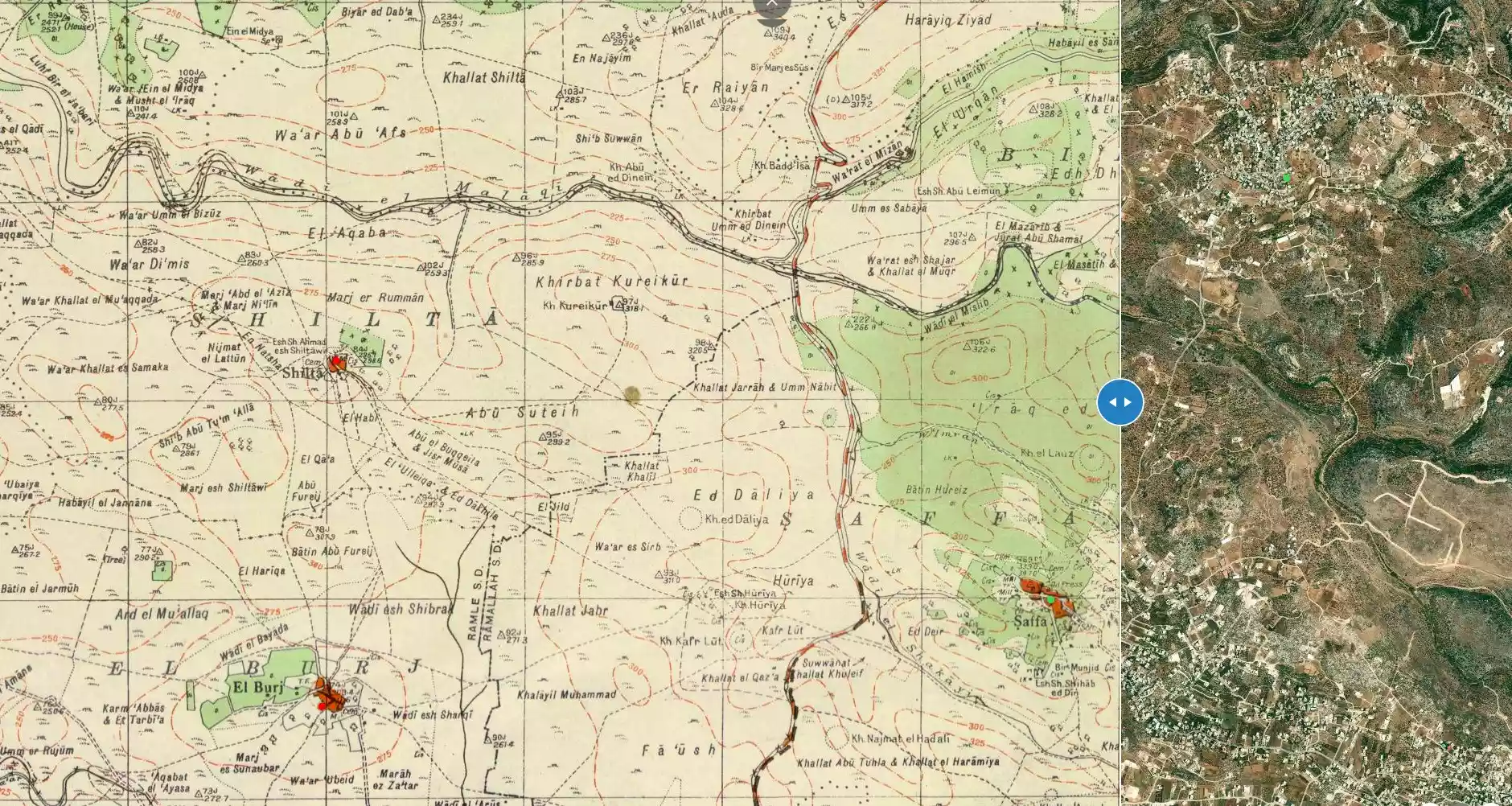
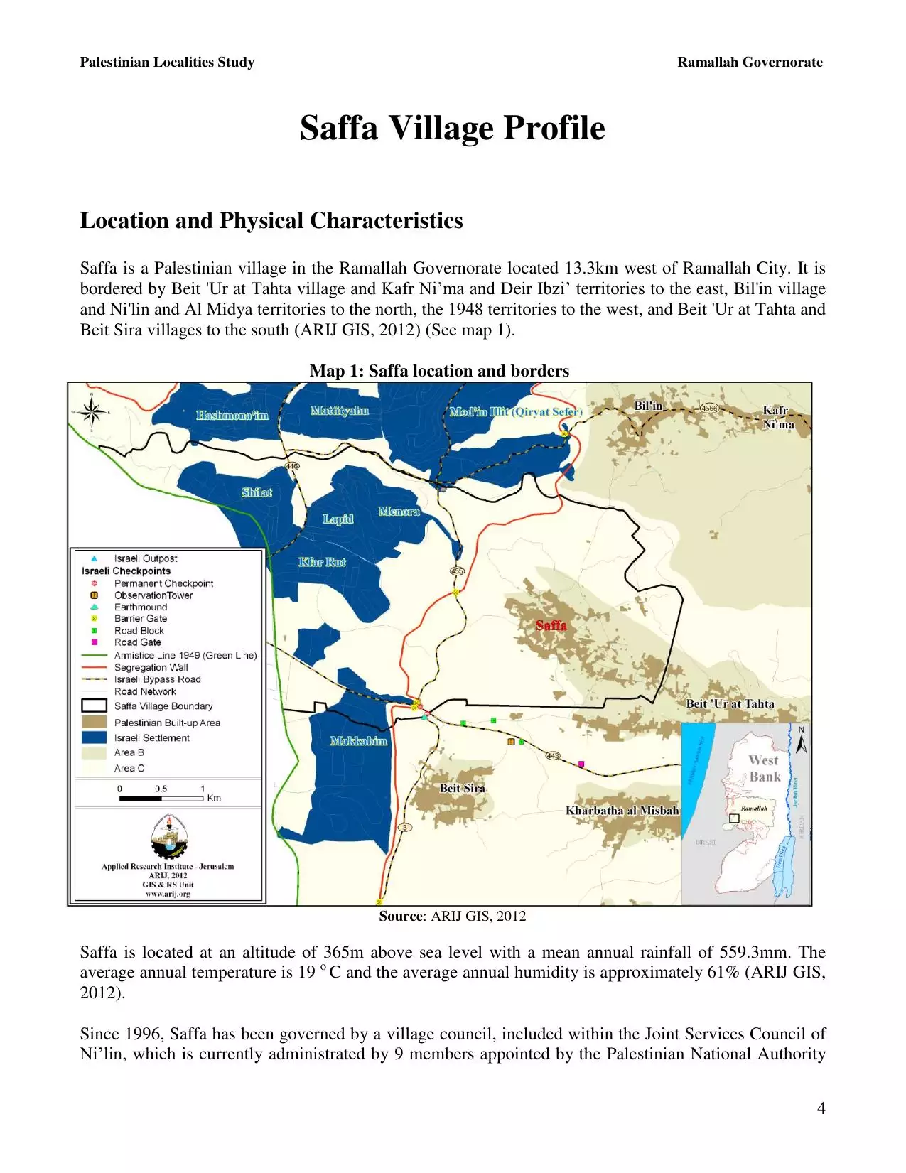
Welcome To Saffa - صفا (סאפא)
|
District of Ramallah
Occupied days ago |
العربية Google Earth |
 |
Gallery (62) |
- Statistics & Facts
-
Before & After

- Satellite View
- Articles 32
- Pictures 62
- Members 16
- Families
- Wikipedia
- ARIJ Guide
- Videos 4
- Guest Book 7
- Links
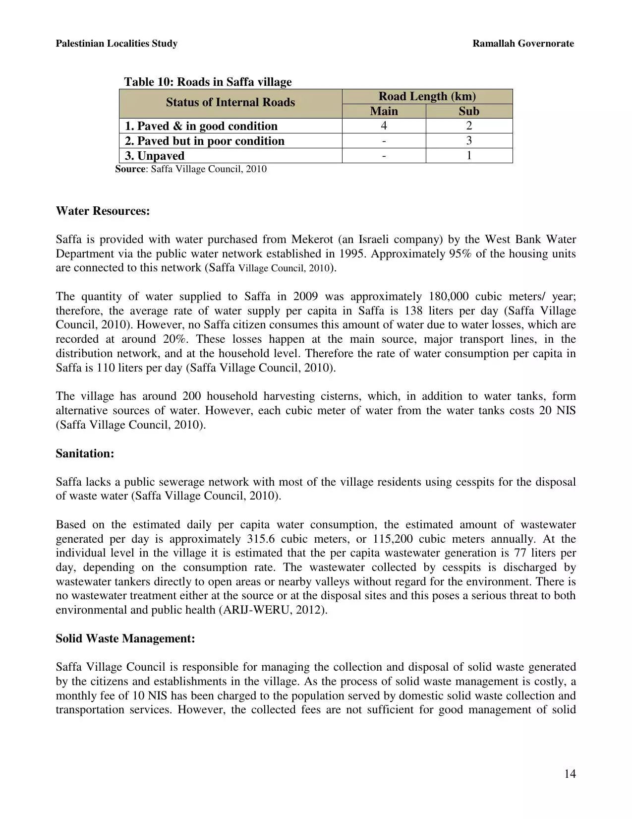
| Statistic & Fact | Value | ||||||||||||||||
| Distance From District | 18 km west of Ramallah | ||||||||||||||||
| Elevation | 350 meters | ||||||||||||||||
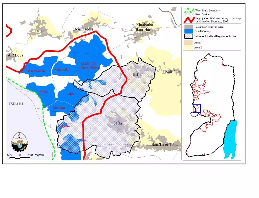
| Before & After Nakba, Click Map For Details |
|||||||||||||||||
|
|||||||||||||||||
| Land Ownership |
**Town Lands' Demarcation Maps |
||||||||||||||||
| Land Usage As of 1945 |
|
||||||||||||||||
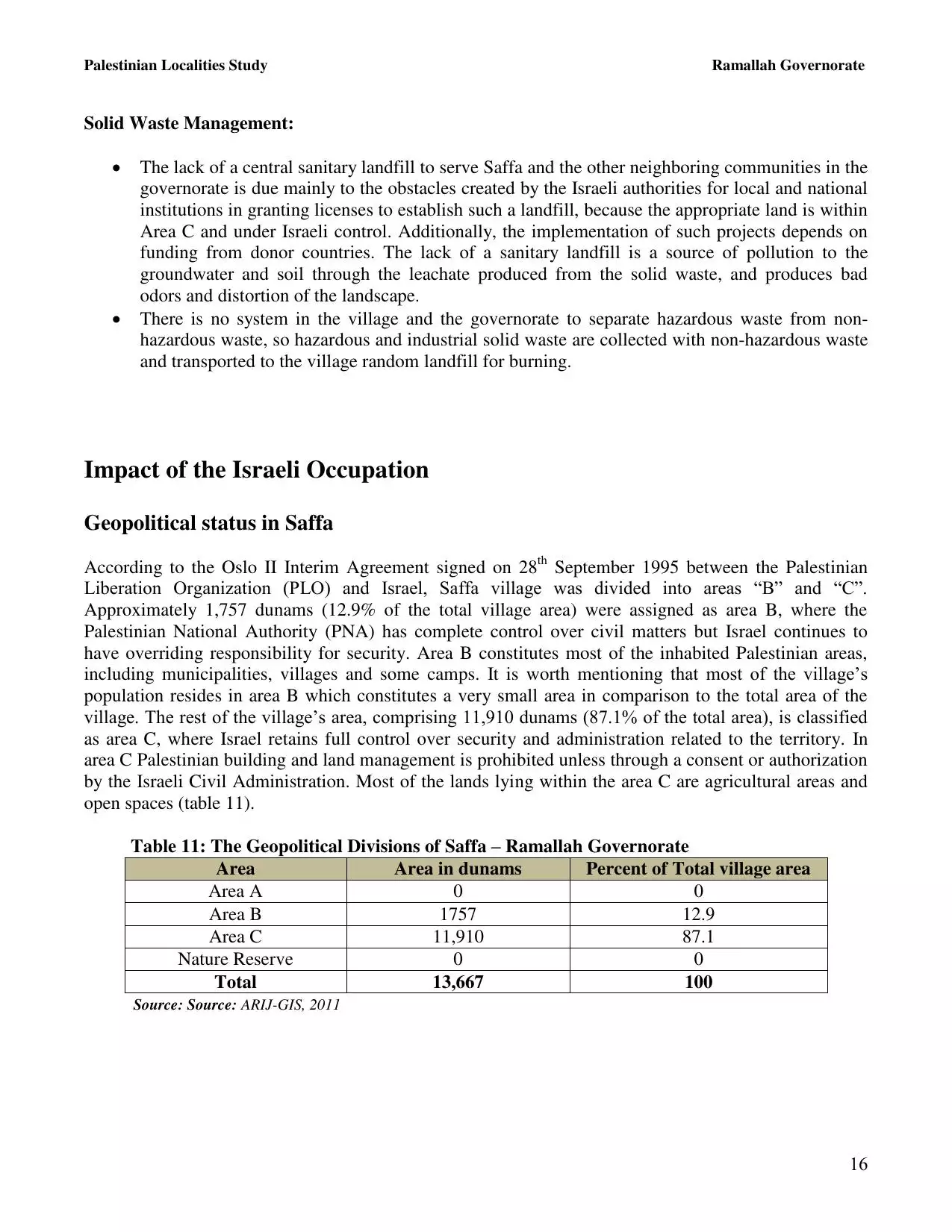
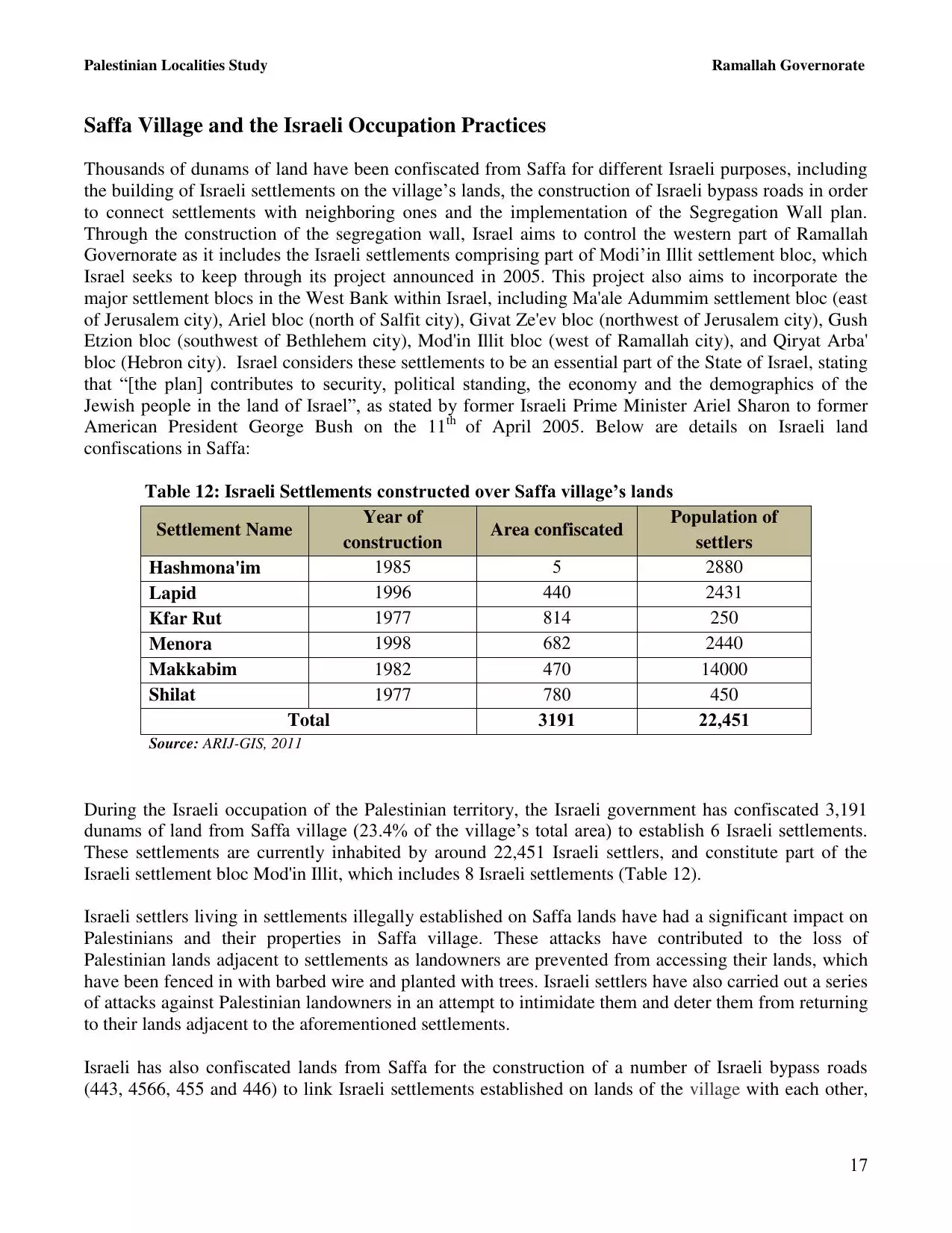
| Lands usurped within armistice area | 1,960 Dunums | ||||||||||||||||
| Population |
|
||||||||||||||||
| Near By Towns |
|||||||||||||||||
|
|||||||||||||||||
| Featured Video | |||||||||||||||||
| ARIJ Guide | |||||||||||||||||
|
Click here to browse online. |
|||||||||||||||||
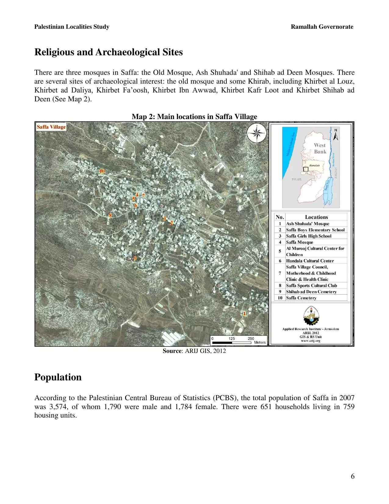
| Related Maps | Town Lands' Demarcation Maps خرائط للقضاء توضح حدود القرى والاودية View from satellite Town's map on MapQuest Help us map this town at WikiMapia |
||||||||||||||||
| Related Links | Wikipedia's Page Facebook Page ARIJ Guide Google Search Google For Images Google For Videos في كتاب بلادنا فلسطين دليل أريج المزيد من موقع هوية |
||||||||||||||||
- صفا
- karajah قراجا/ قراجة /كراجة/karajha
- saffa , ramallah
- قرية فلسطينية تكرم ذكرى ناجي العلي
- ريـم بنا تحيي أغاني التراث في مهرجان صفّا....
- صفّا، ليحفظ الله "جيرونيمو"!
- Nonviolent Demonstration Leaves Six Injured
- Young Men Targeted for Arrest in Saffa & Bil?ain
- فلنة
- Children organized their own demonstration !!
- محافظ رام الله والبيرة يفتتح حديقة أطفال في قرية صفا !!
- اول من سكن صفا
- النبات الطبيعي في القرية
- التربة في القرية
- مناخ القرية
- جيولوجيةالمنطقة
- لجنة المبادرة النسوية في قرية صفا تحيي يوم المرأة العالمي!
- تكريـم أهالي الشهداء والجرحى والأسرى في صفا
- القطاع النسوي في المبادرة الوطنية الفلسطينية محافظة رام الله قرية صفا يكرم الامهات بمناسبة عيد الام !
- التجمع الوطني الديموقراطي يحيي يوم الارض في صفا!!
- ورشة عمل حول (( الشباب ومواجهة مرحلة المراهقة )) في قرية صفا !!
- التجمع الطلابي في قرية صفا ينظم احتفالا بيوم الارض!!
- قوات الاحتلال تقتحم معرضاً ثقافياً في قرية صفا !!
- بدعم من المساعدات الشعبية النرويجية اتحاد لجان العمل الزراعي يحيي مهرجان يوم الأرض في صفا!!
- تنفيذ مجموعة من الأنشطة في قريتي صفا وبيت عور التحتا لدعم الشباب وتفعيل العمل التطوعي !!
- بمناسبة مرور 23 عاماً على اعتقال الأسيرين كراجة الشعبية تنظم مهرجان نسور الحرية في قرية صفا!!
- صفحات مشرقة من ذاكرة الاسر - الاسيران رافع كراجه ومحمد كراجه !!
- مركز تأهيل الأسرة يختتم المرحلة الثالثة من مشروع مبادرون في قرية صفا !
- 2008.08.31 حنظلة عنوان مهرجان ثقافي في صفا الفلسطينية ..... إحياء للذكرى الحادية والعشرين لرحيل ناجي العلي
- نادي صفا الرياضي يزف كأس بطولة الوفاء للمقاومة والشهداء إلى عرينه !!!!
- Heritage of Safff - Ramallah
- سجل نفوس قرية صفا في اواخر العهد العثماني- ١٩٠٥ الى ١٩١٣ ميلادي
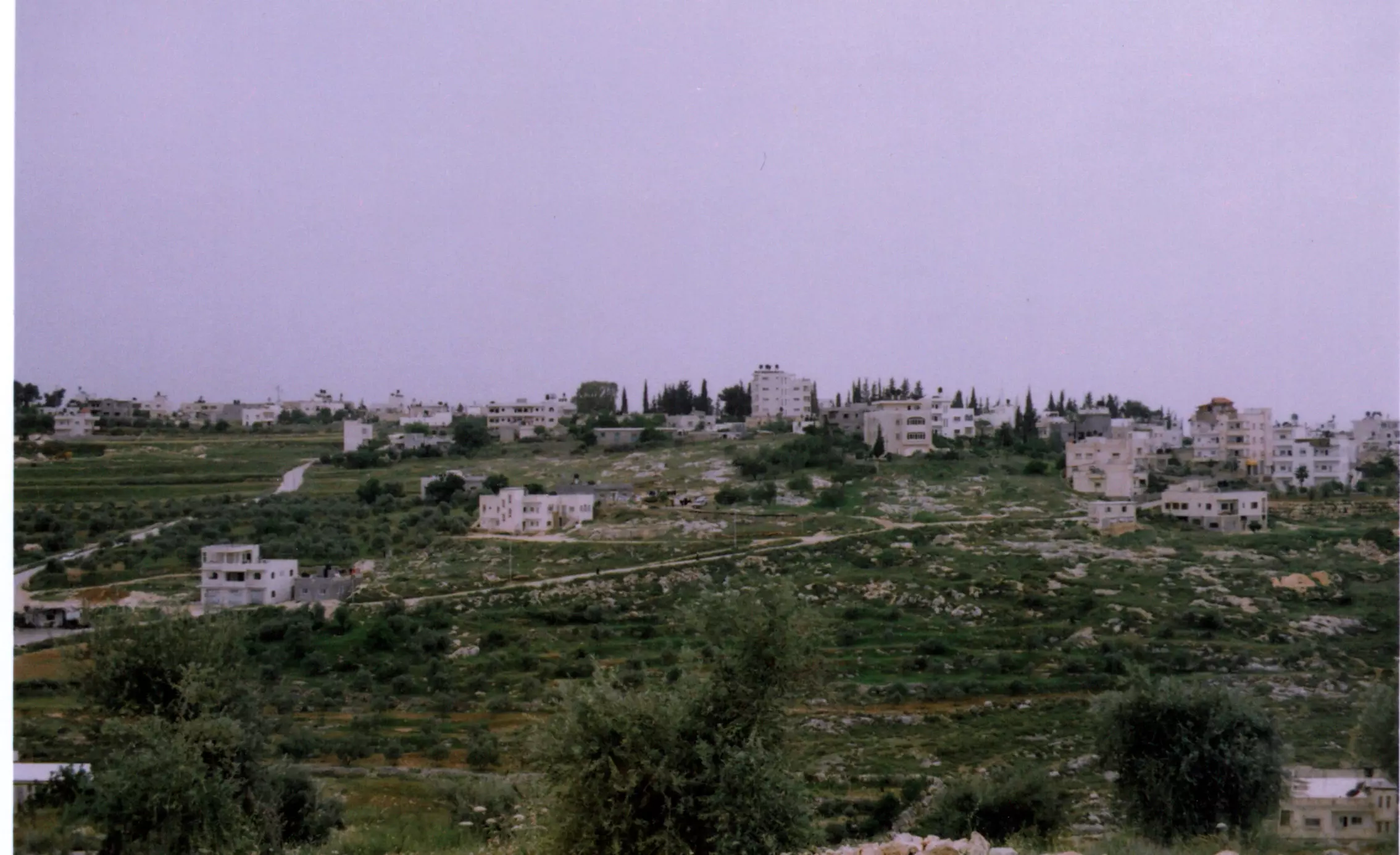
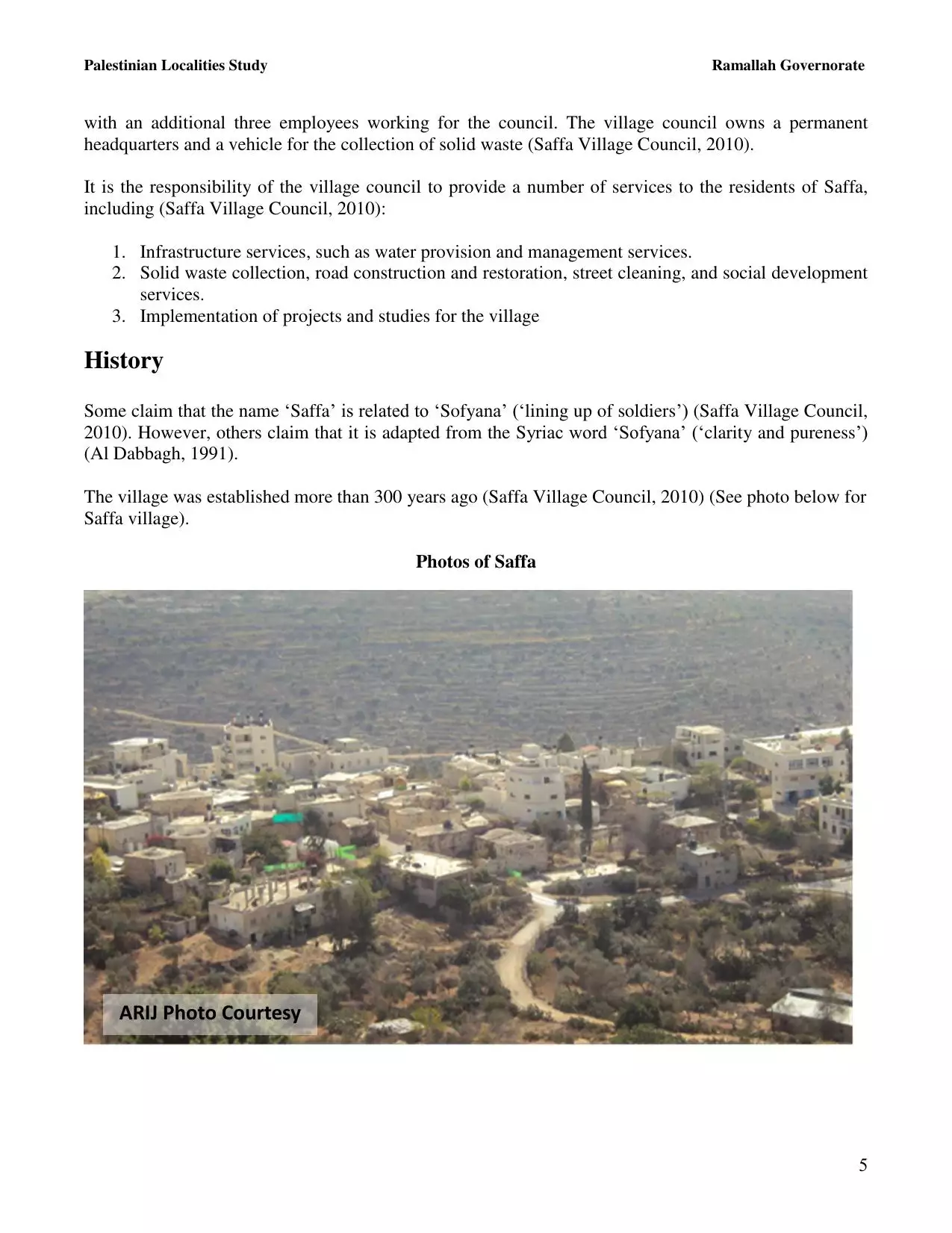
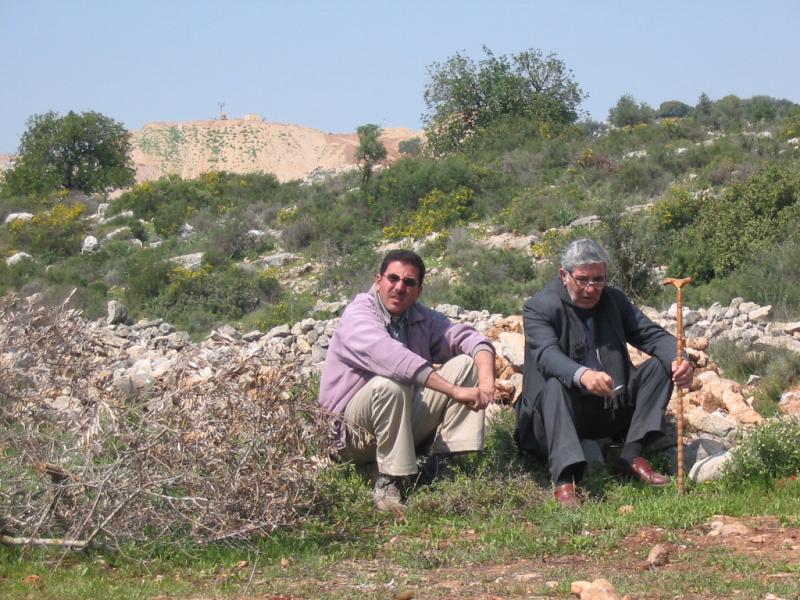
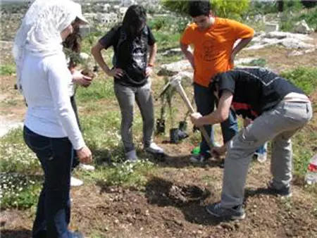
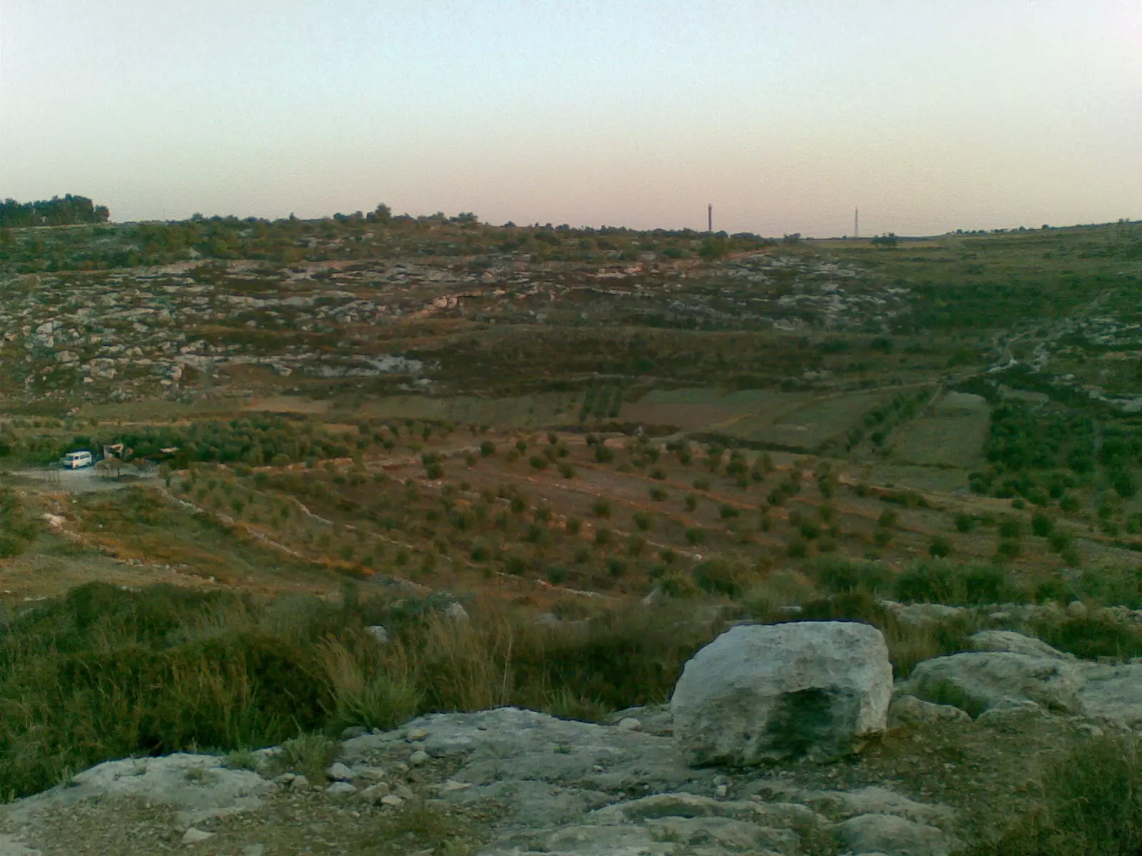
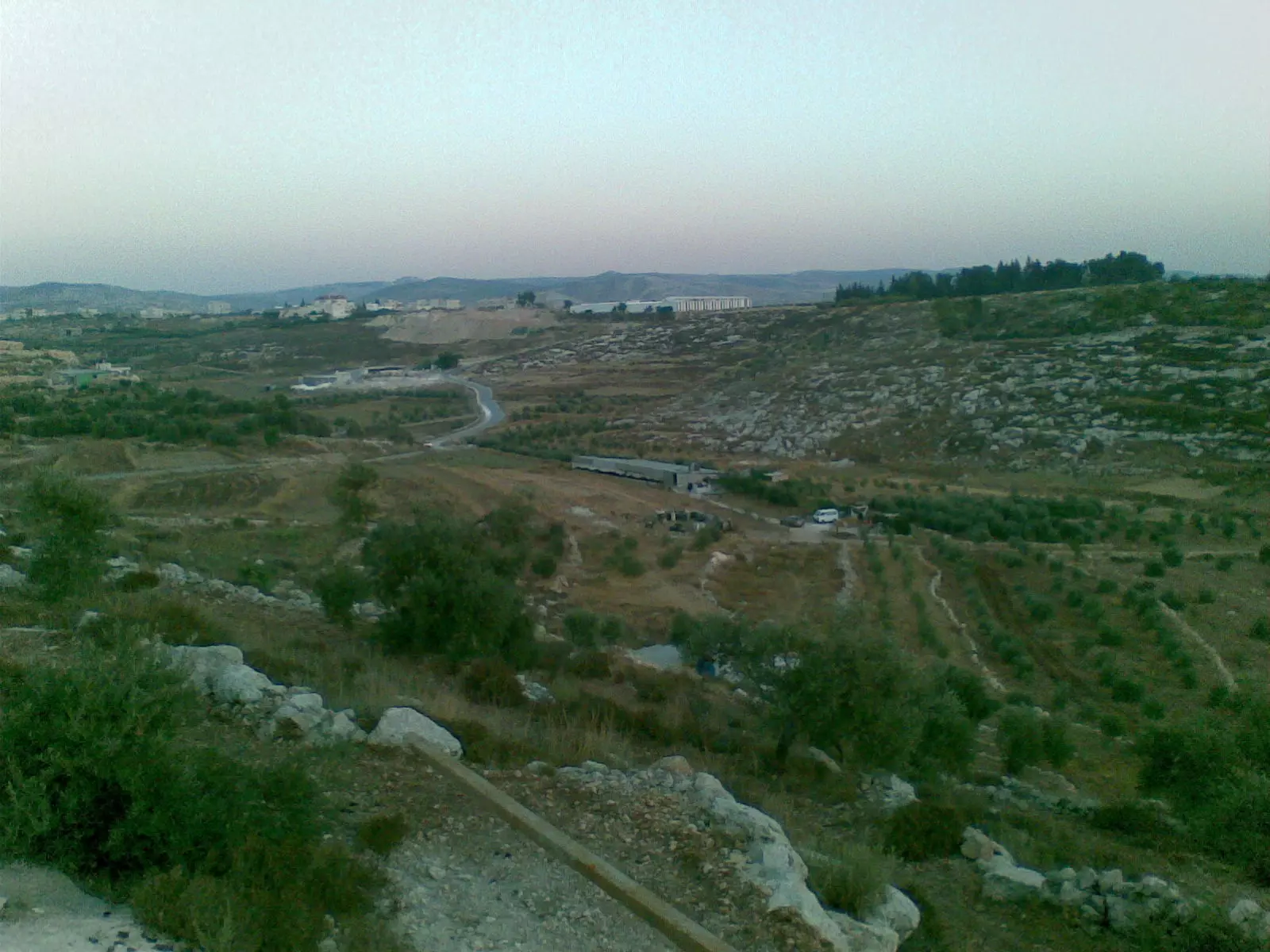
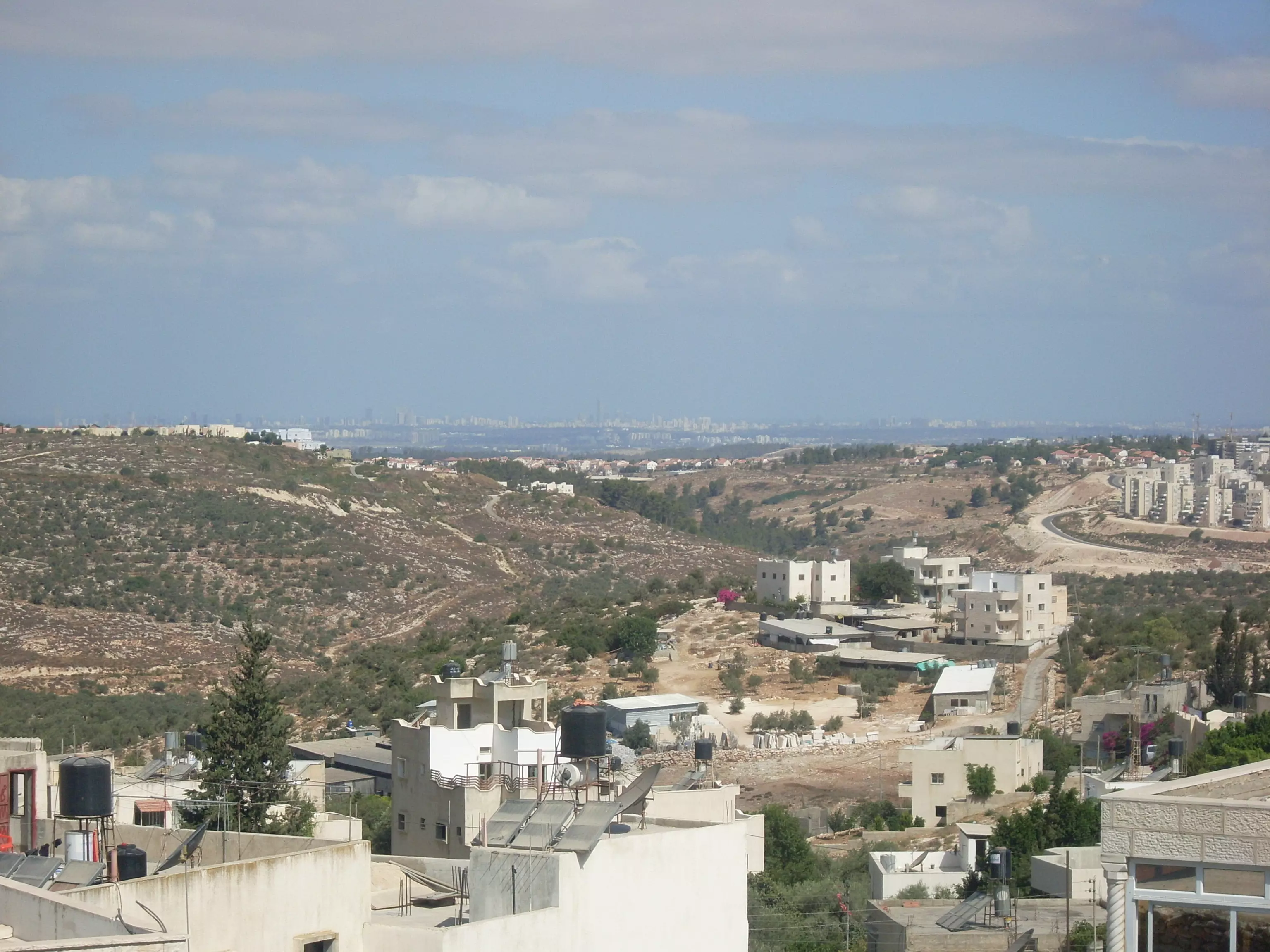
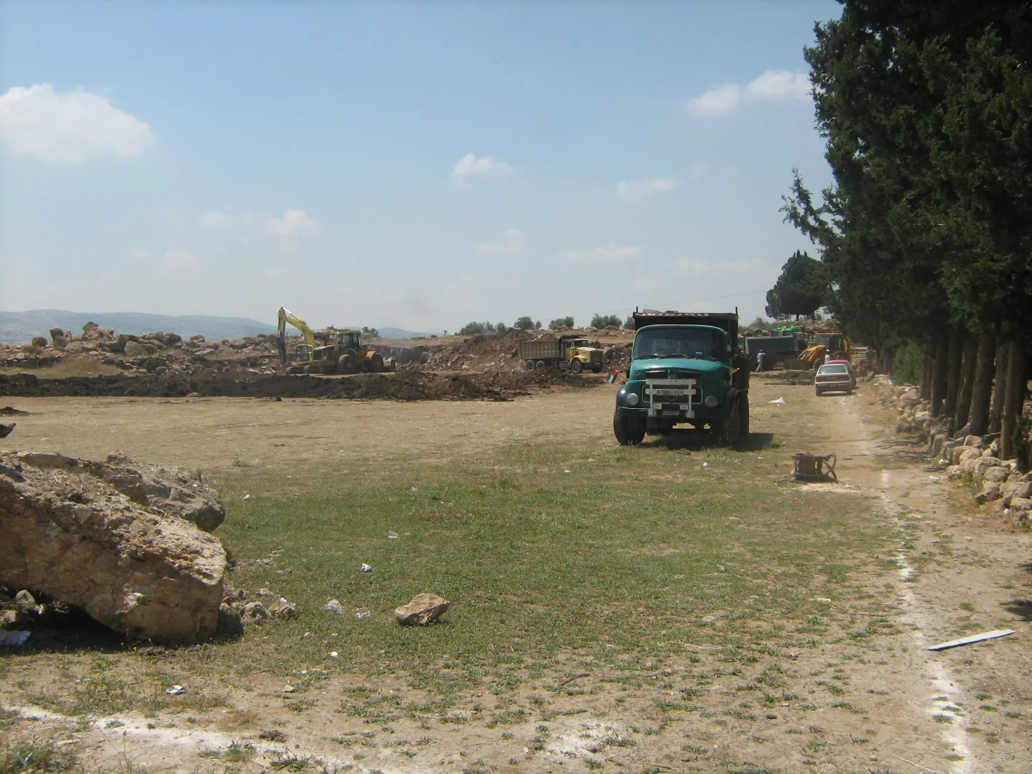
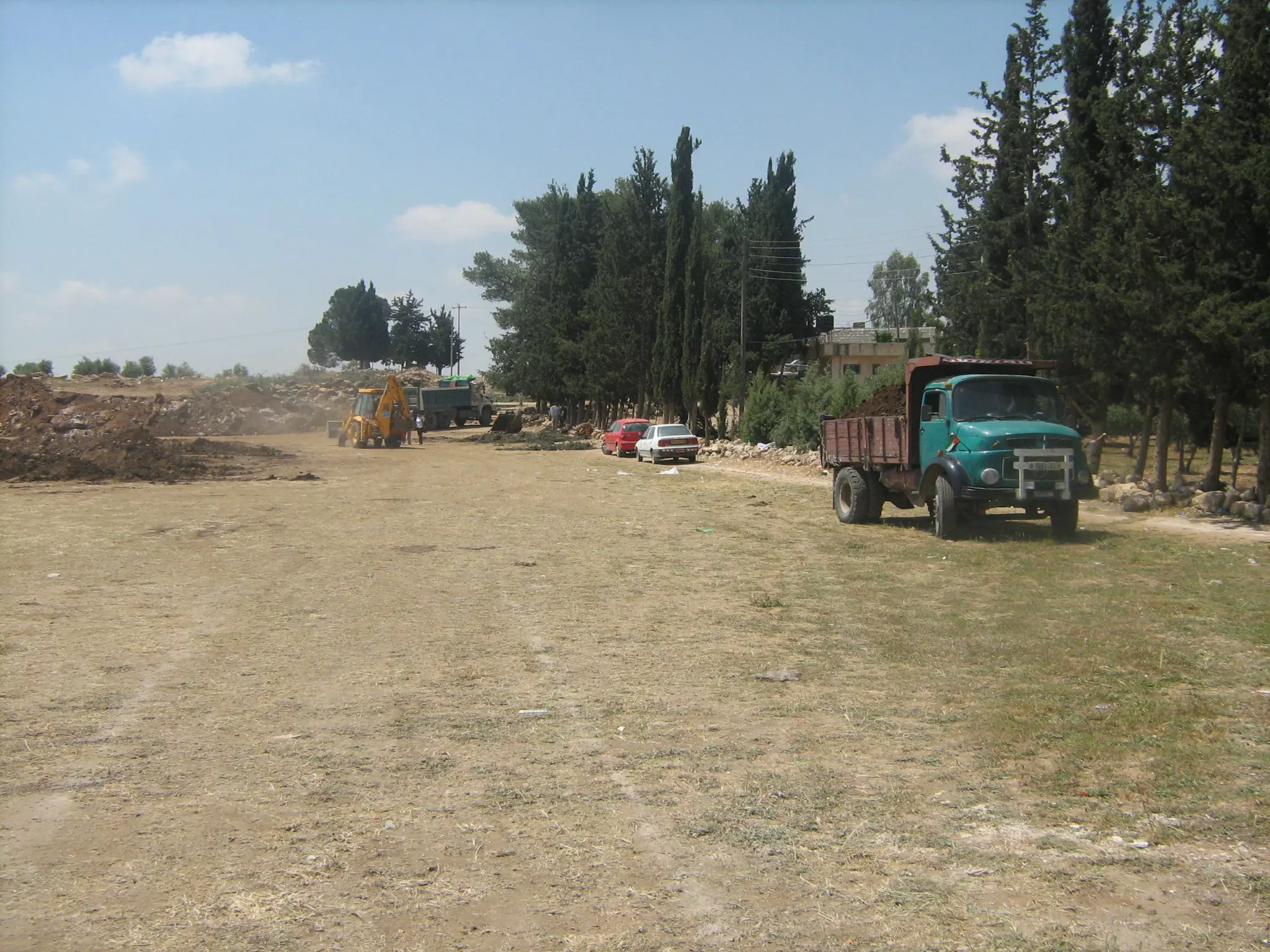
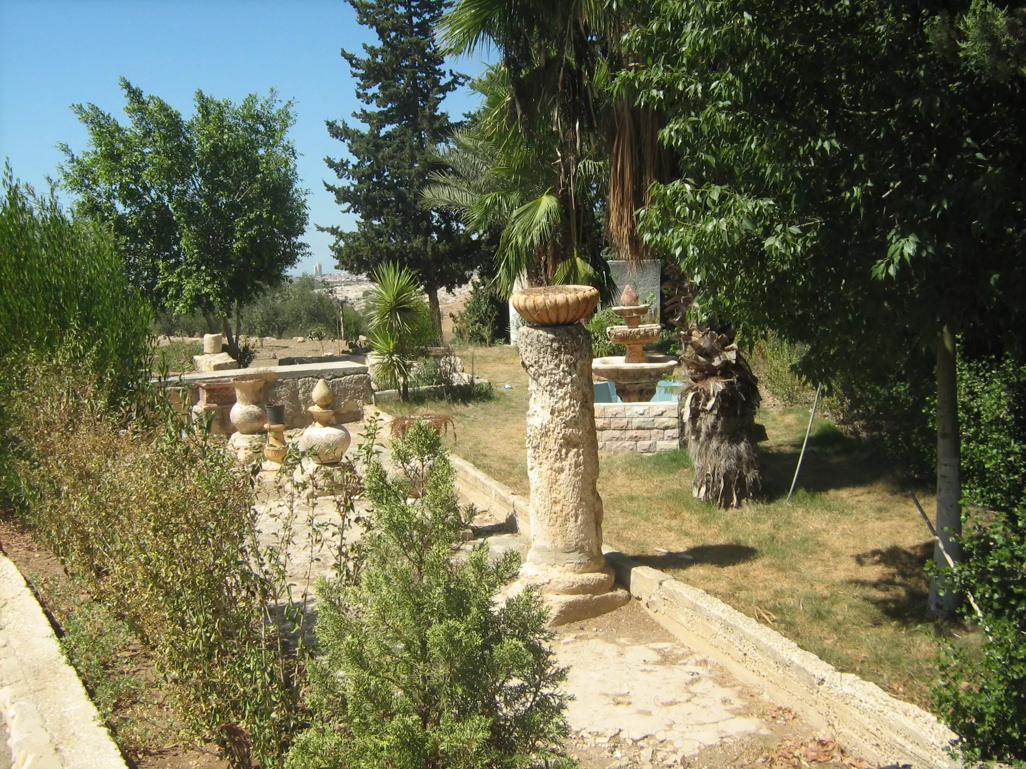
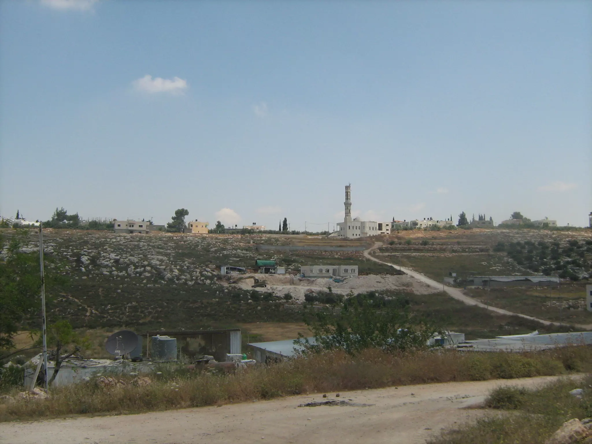
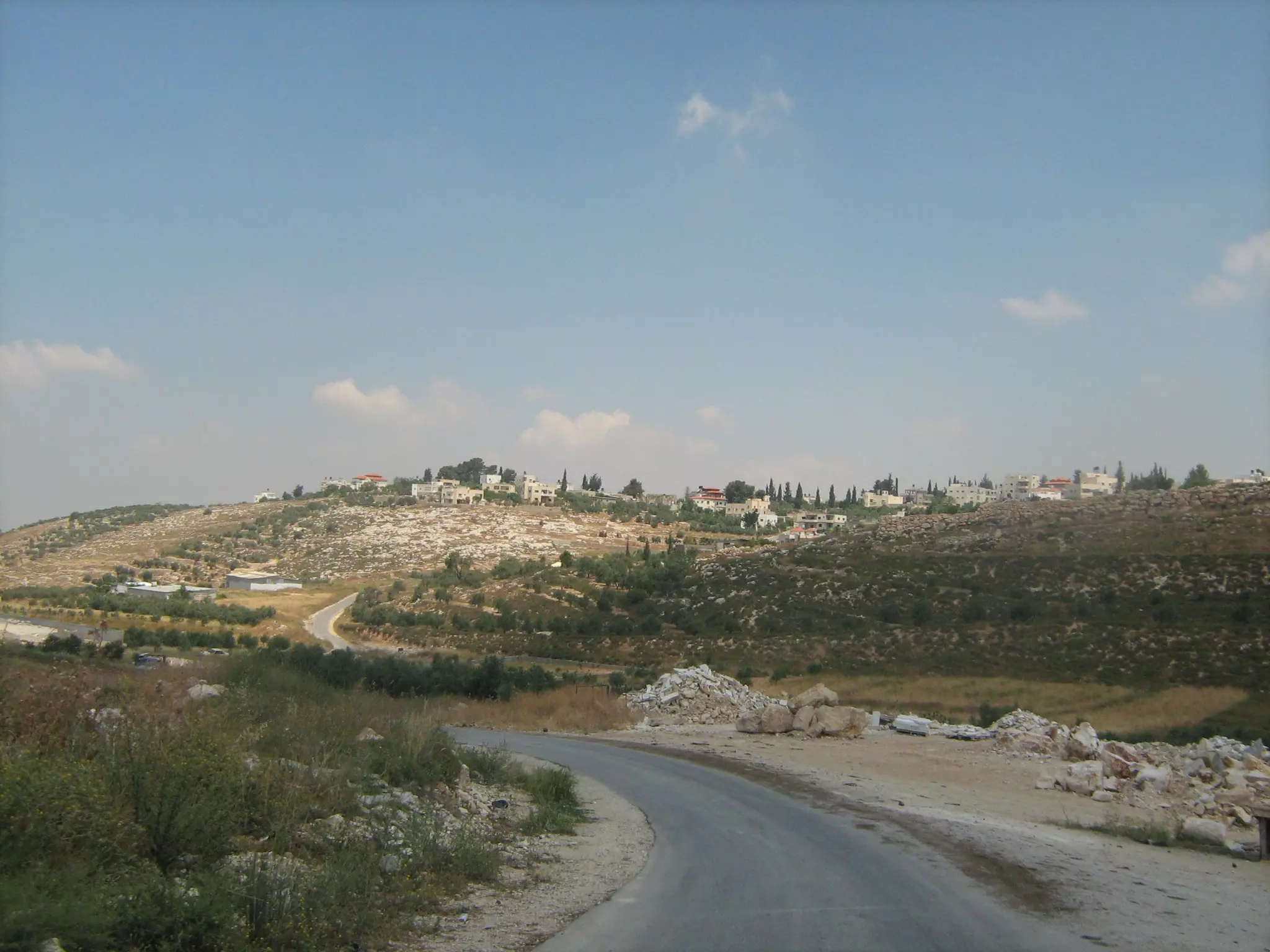
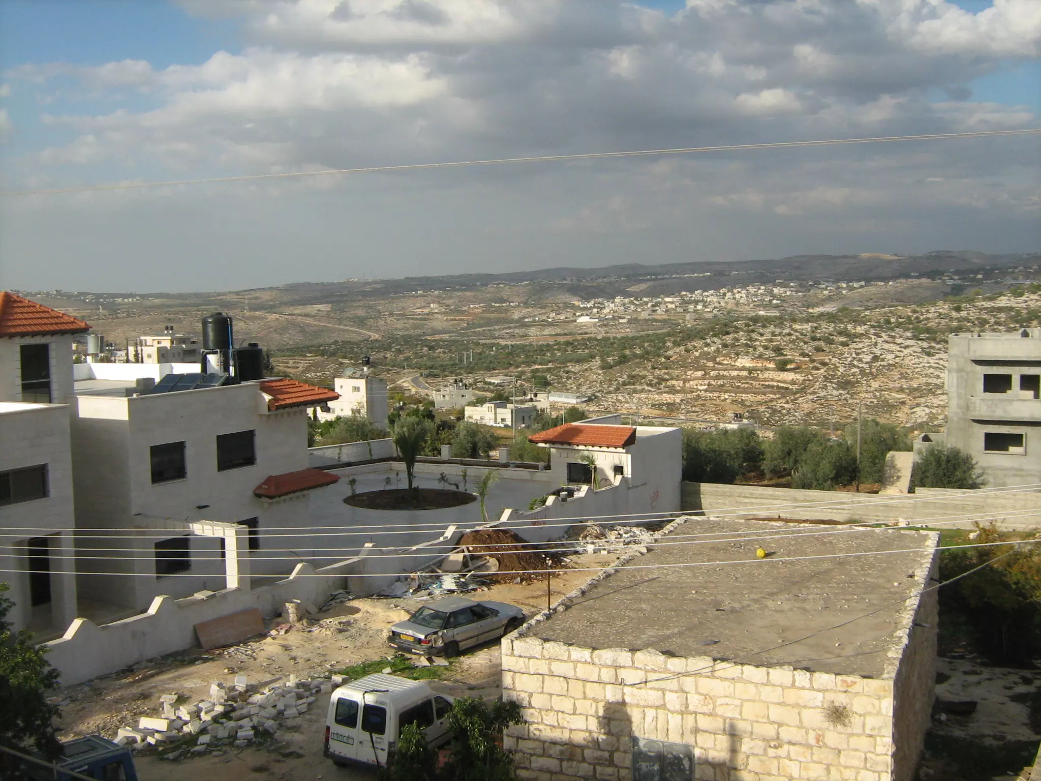
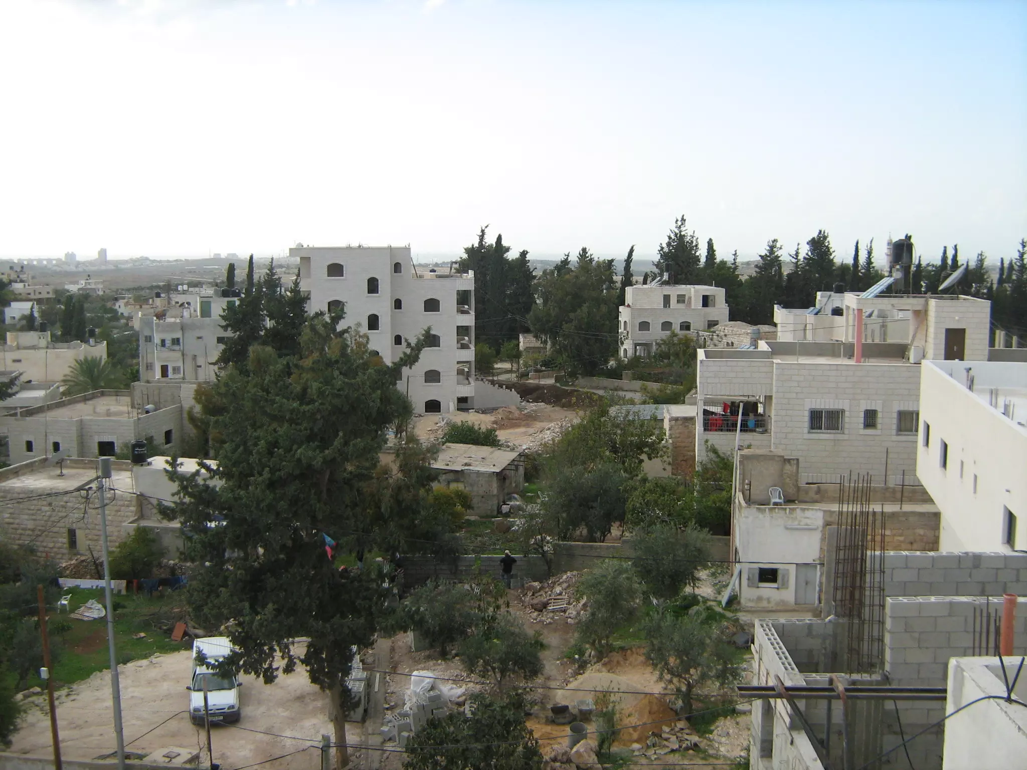
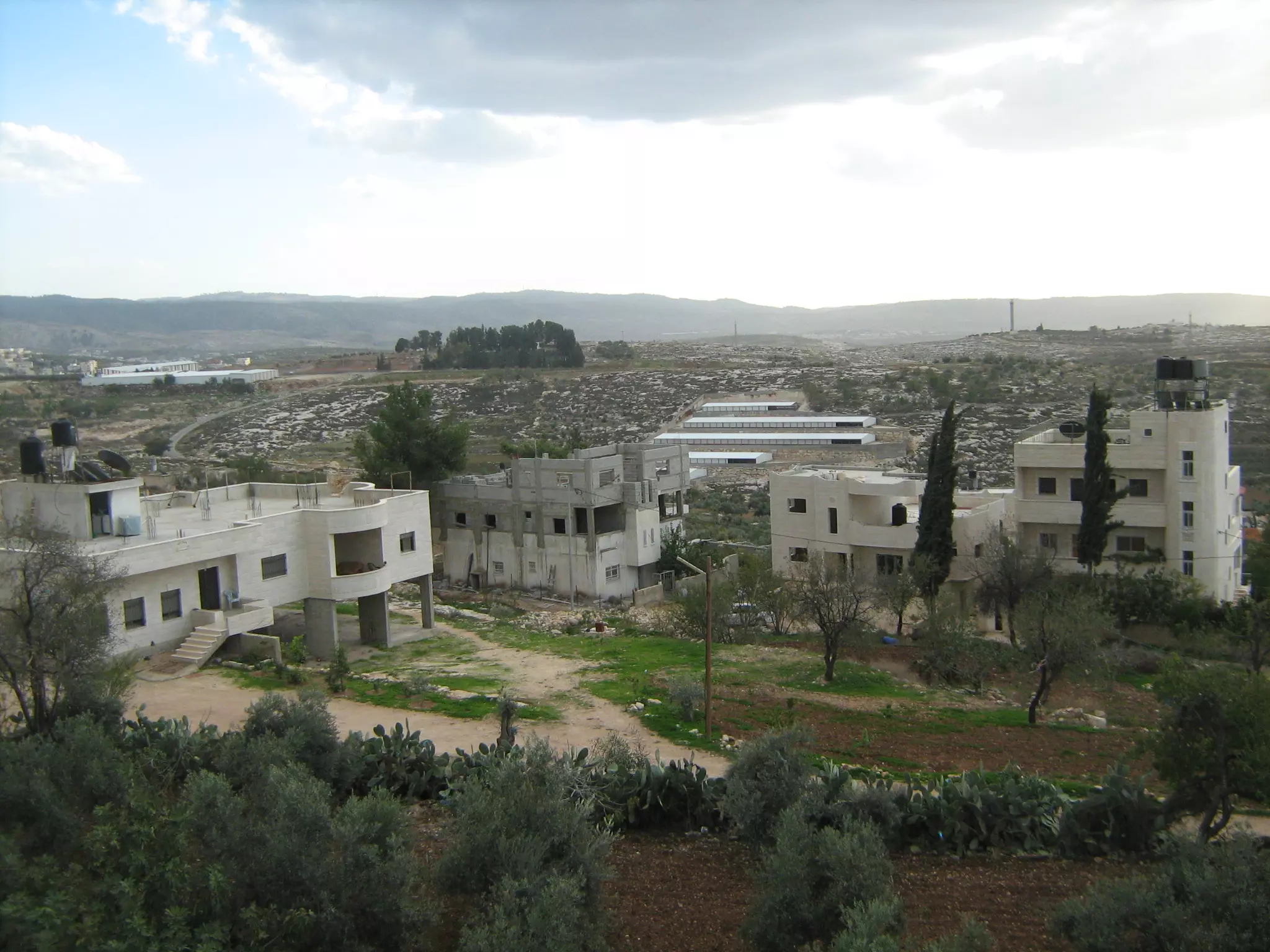
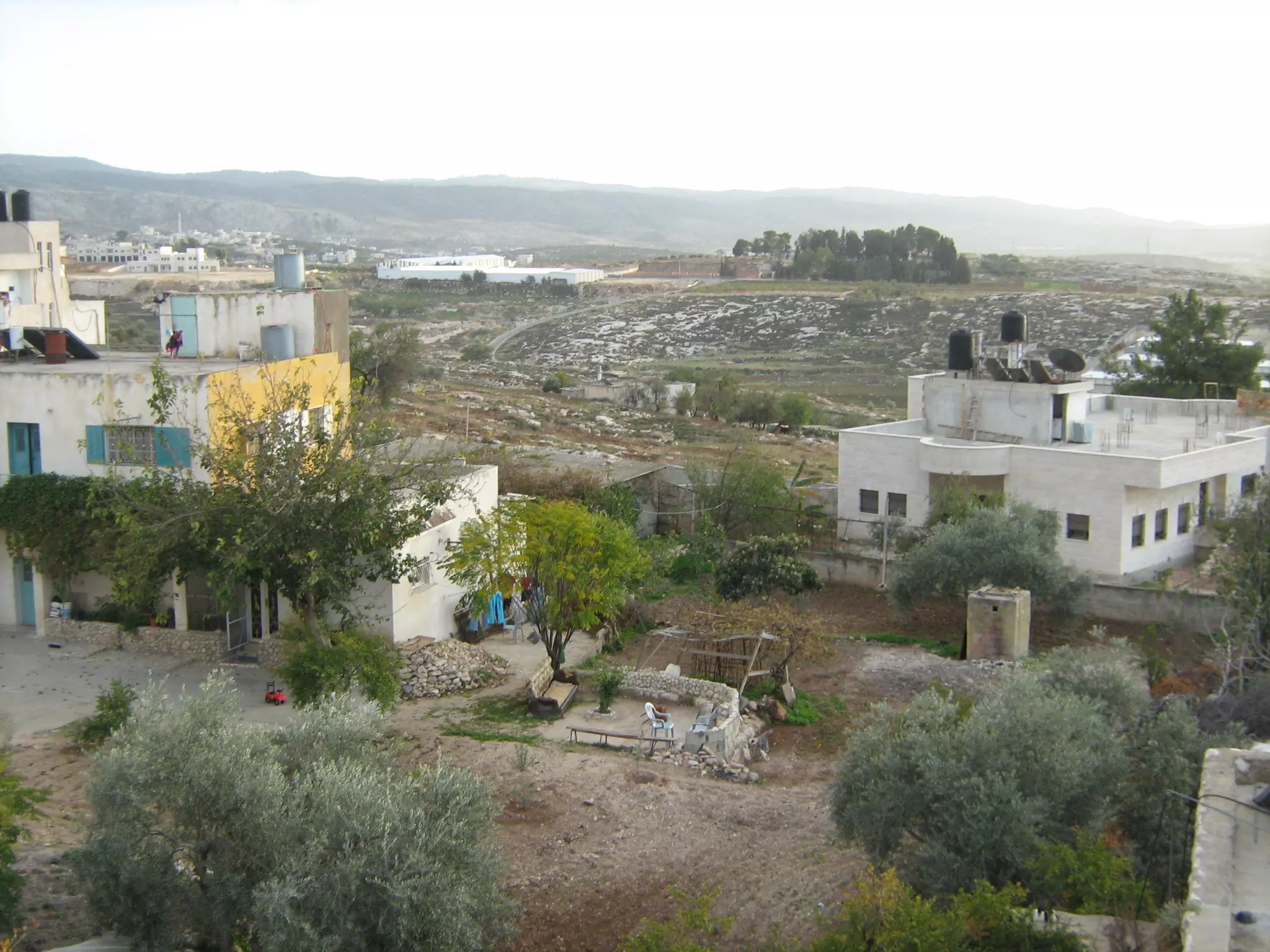
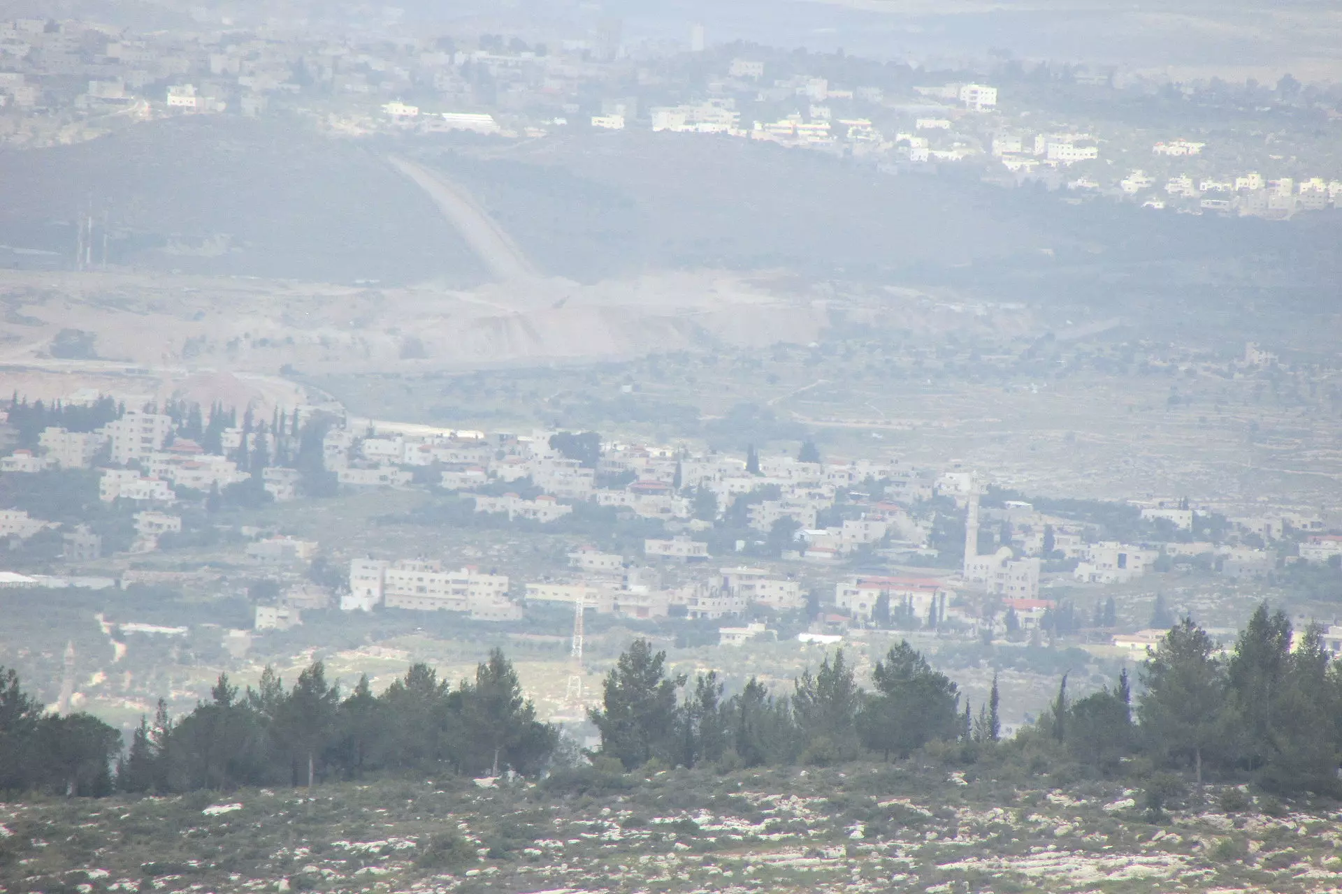
- General view
Posted by shadi odeh 4 - General view
Posted by shadi odeh 2 - General view
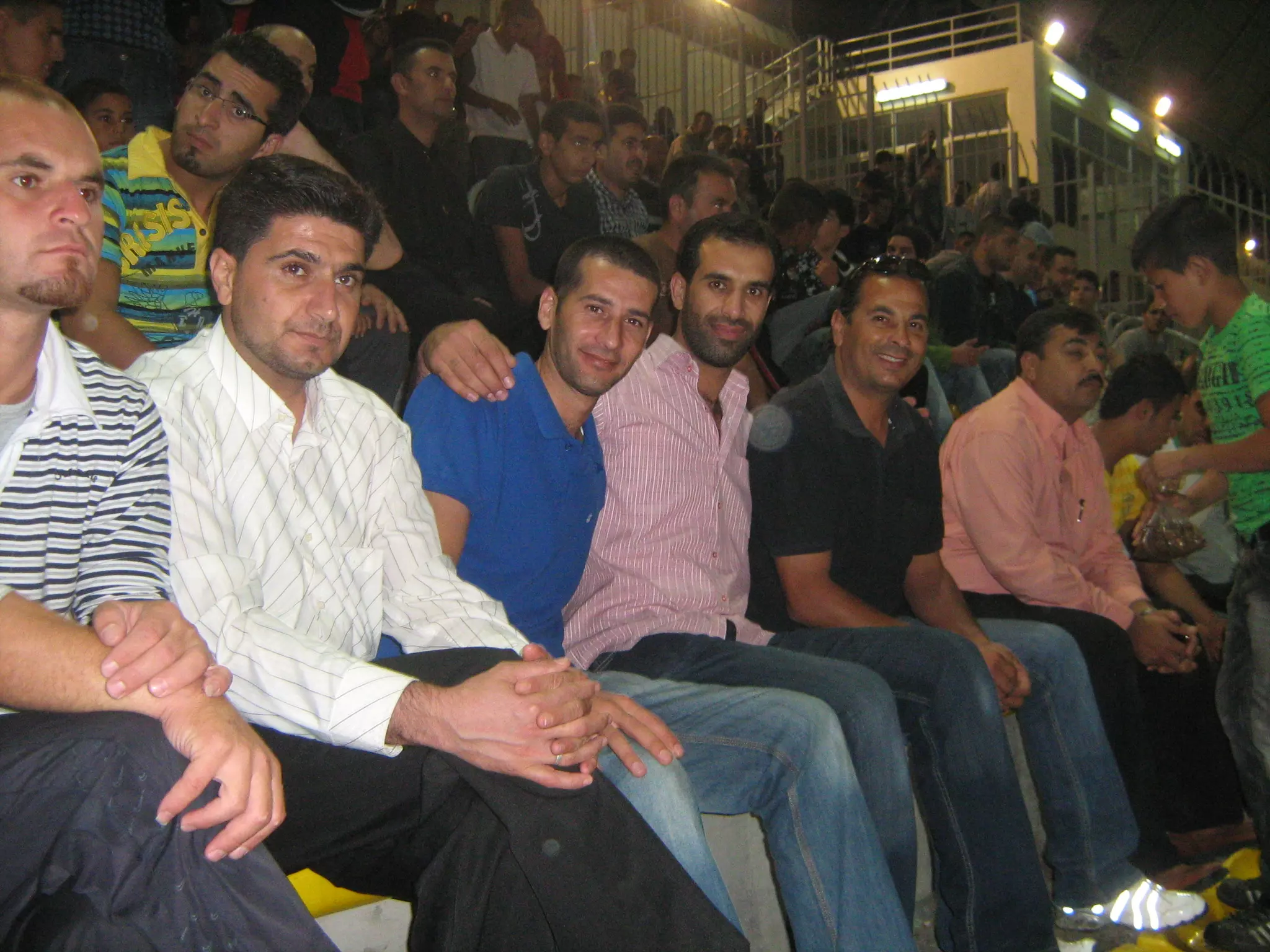
Posted by shadi odeh 1 - Saffa Wall Protests
Posted by shadi odeh 6 - Saffa Wall Protests
Posted by shadi odeh 1 - Saffa Wall Protests
Posted by shadi odeh 1 - Saffa Wall Protests
Posted by shadi odeh 1 - Area confiscated from Communities
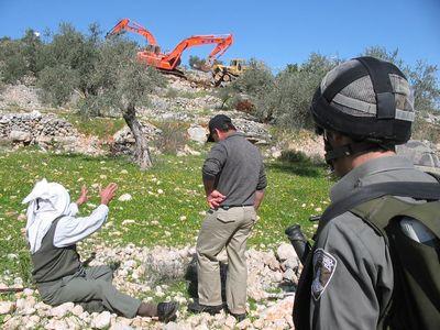
Posted by shadi odeh 1 - a small group of protesters marches peacefully towards the bulldozer uprooting their olive trees in preparation for the separation wall.
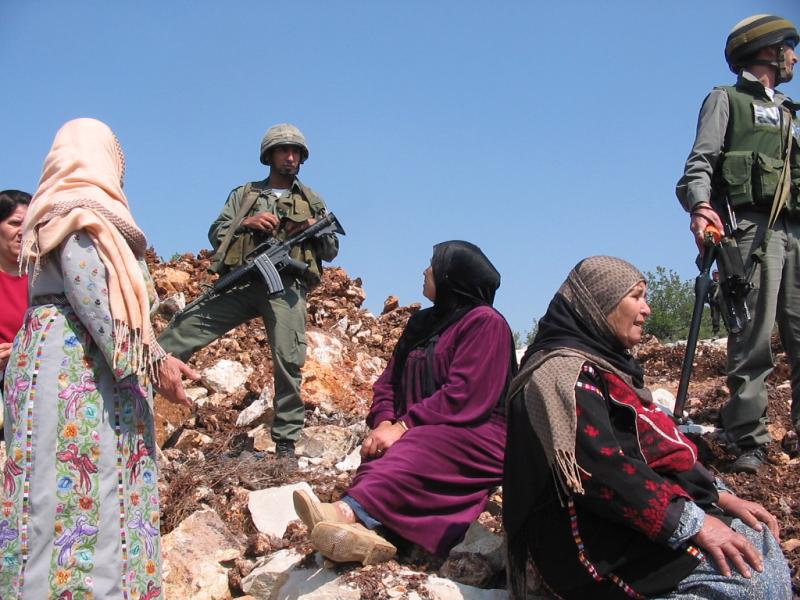
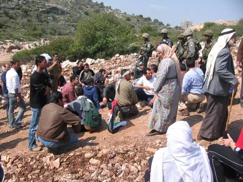
Posted by shadi odeh 1 - a group of women sit down on rouble in front of the bulldozers as an act of protest. when they refuse to leave, soldiers throw a series of sound bombs at them (sound bombs are supposed to be thrown away from crowds, only intended to make a loud noise).
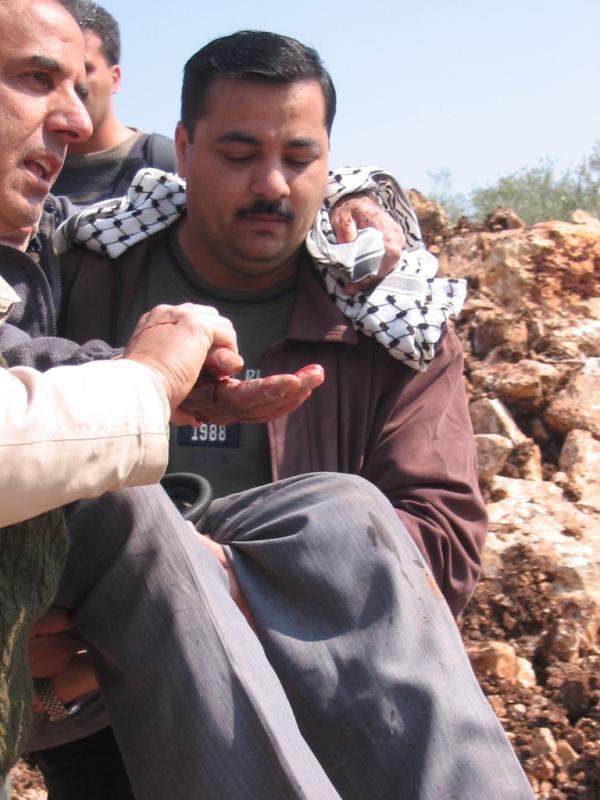
Posted by shadi odeh 1 - several people are injured by sound bombs thrown into a group of sitting protesters. one old man fell into the rouble, cutting a deep gash into his right hand.
Posted by shadi odeh 2 - protesters sit down again, refusing to be dispersed by the sound bombs. several protesters sit back on the rouble in the path of the bulldozer.
Posted by shadi odeh 1 - protesters sit down again, refusing to be dispersed by the sound bombs. several protesters sit back on the rouble in the path of the bulldozer.
Posted by shadi odeh 2 - the army threatens protesters that if they do not leave their land the soldiers will be
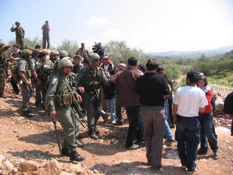
Posted by shadi odeh 1 - soldiers throw more sound bombs, scattering demonstrators and injuring several more.
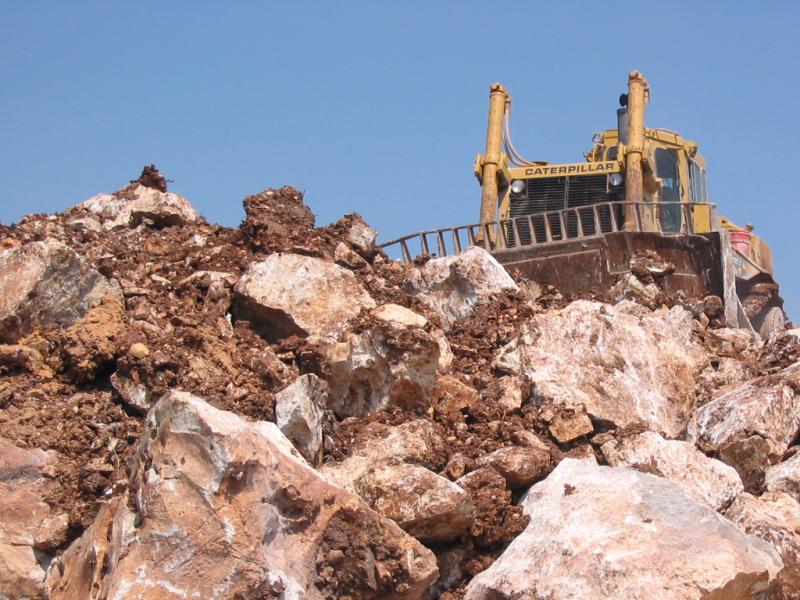
Posted by shadi odeh 3 - the bulldozer continues to work, crashing over the rocks where protesters were trying to demonstrate.
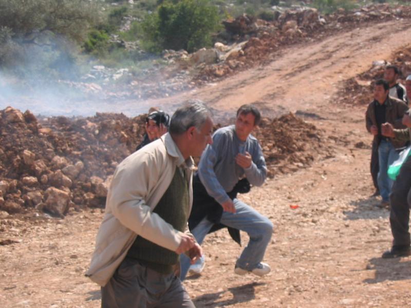
Posted by shadi odeh 2 - protesters sit down yet again, determined to prevent or at least witness the destruction of their land. one old man walks up towards his trees despite soldiers barking for him to come down. he ignores them. soldiers begin throwing tear gas and more sound bombs out of frustration with the persistent demonstrators
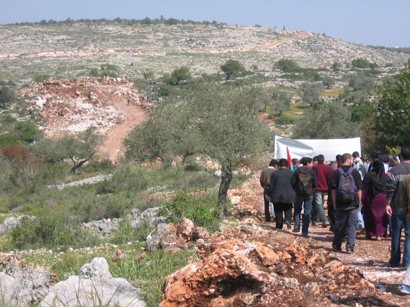
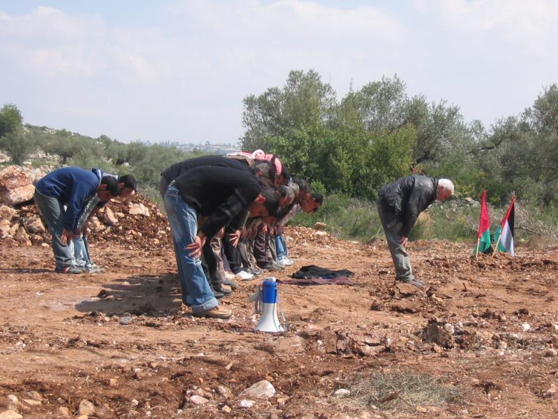
Posted by shadi odeh 2 - protesters line up and pray on the village's leveled land, perhaps for the last time?
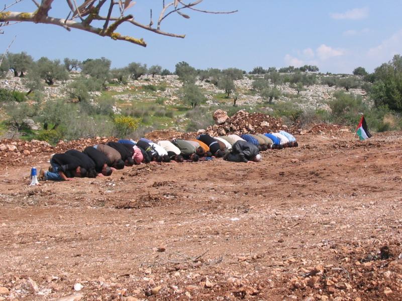
Posted by shadi odeh 3 - protesters line up and pray on the village's leveled land, perhaps for the last time?
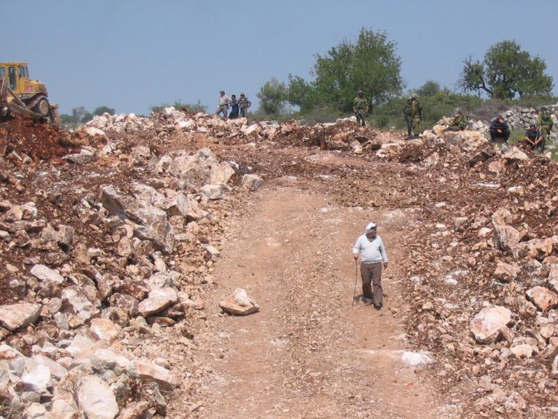
Posted by shadi odeh 3 - the old man returns from his land after a while, the one victor of the day.
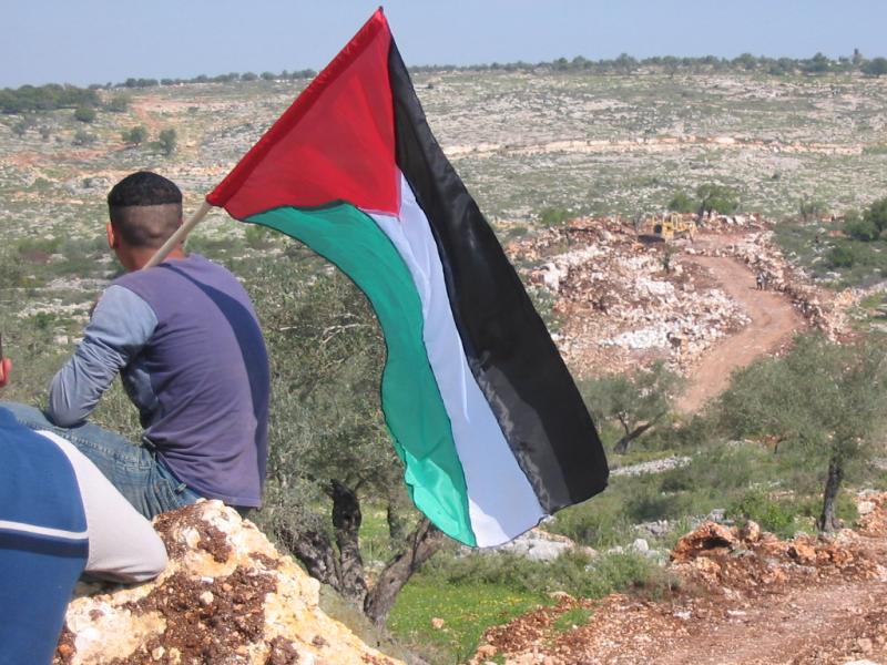
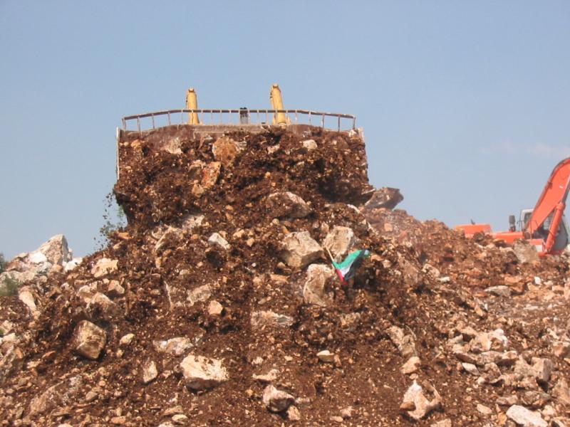
Posted by shadi odeh 2 - one young protester climbs up the rouble to stick a palestinian flag on top of it.
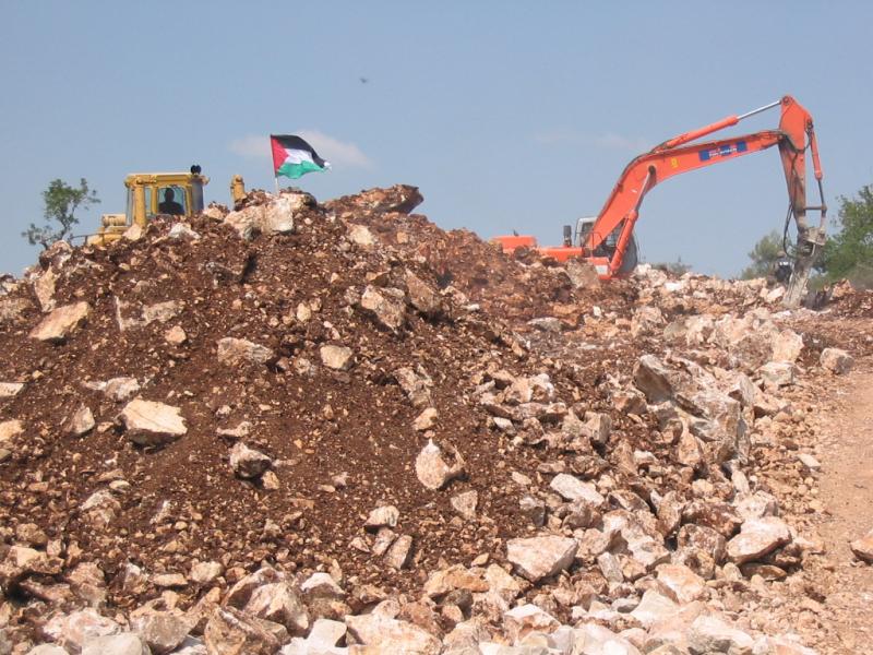
Posted by shadi odeh 1 - minutes later, a bulldozer adds more destroyed land to the pile, symbolically knocking down and suffocating the palestinian flag that a boy had placed atop the rouble.
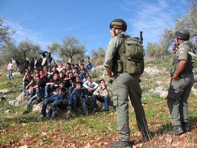
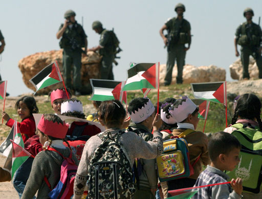
Posted by shadi odeh 1 - Children from Bi'lin and Saffa villages organized their own demonstration against the Apartheid Wall. Occupation Forces were there to stop it!!
Posted by shadi odeh 1 - يوم الارض
Posted by shadi odeh 2 - يوم الارض
Posted by shadi odeh 2 - يوم الارض
Posted by shadi odeh 1 - مدرسة اتحاد صفا تتوج بكأس مدارس المرحلة الثانوية لمدارس المحافظة
Posted by shadi odeh 1 - تظاهرة ضد الجدار

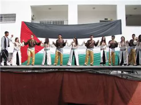
Posted by Ghanem Mustafa - صور احتفال مدرسة بنات صفا الثانويه بتخريج الفوج التاسع من طالباتها!
Posted by shadi odeh 2 - saffa.full view
Posted by y.n.m 1 - صفا
Posted by y.n.m - saffa_ithad street
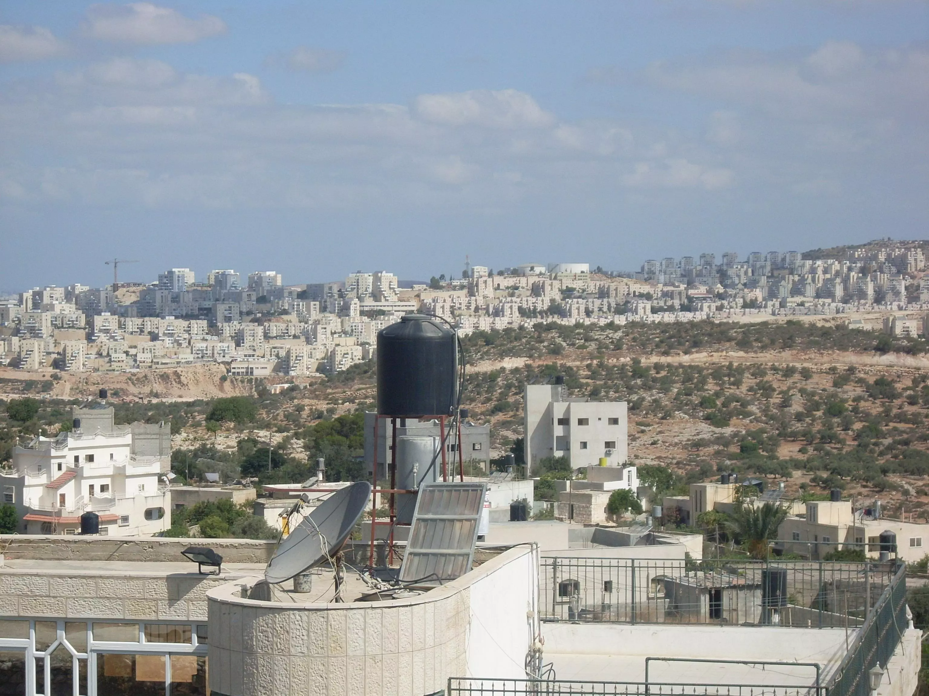
Posted by y.n.m 1 - مستوطنات إسرائيلية في صفّا....Israeli settlements around SAFFA !!
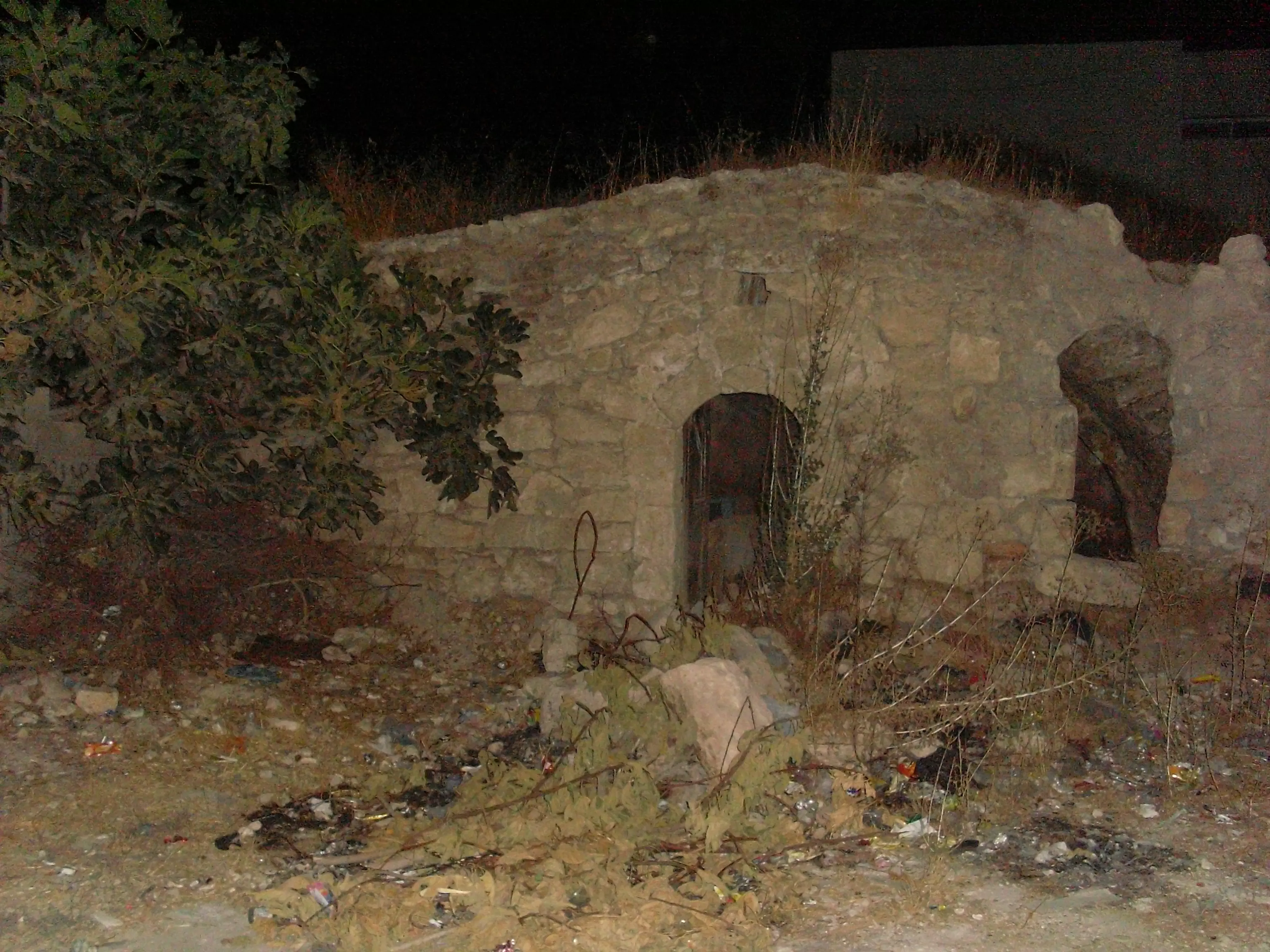
Posted by shadi odeh - Saffa ! old house in the old town !
Posted by shadi odeh - مستوطنات إسرائيلية في صفّا....Israeli settlements around SAFFA
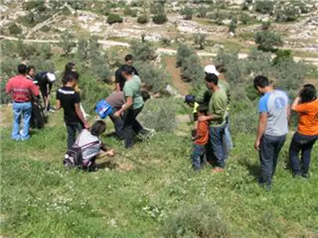
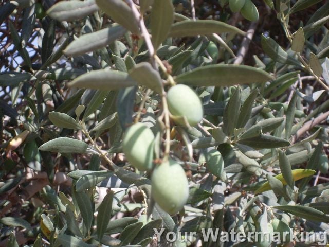
Posted by shadi odeh - olives in SAFFA
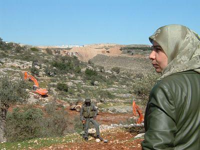
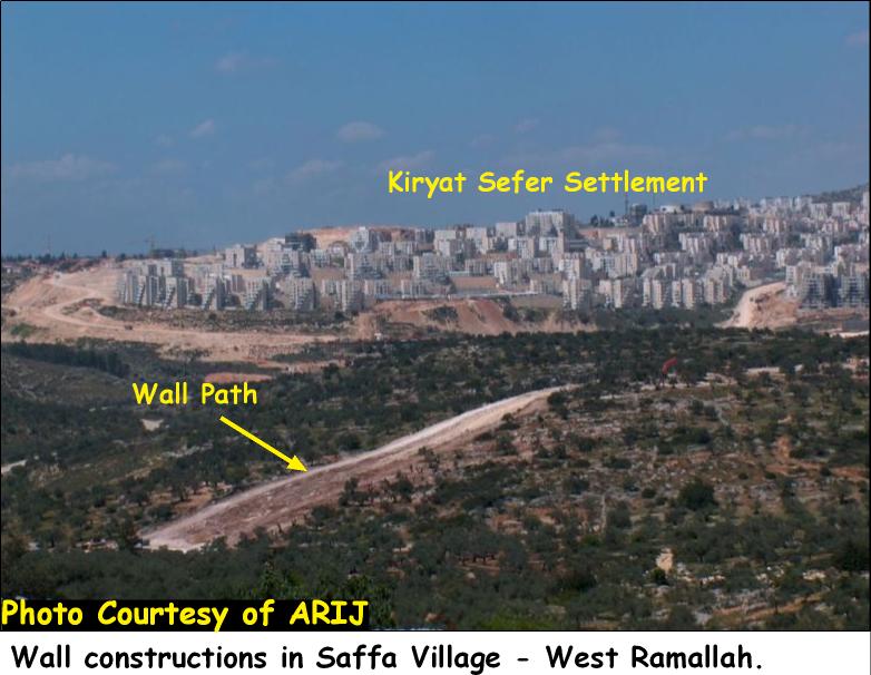
Posted by shadi odeh - Wall constructions in SAFFA !
Posted by shadi odeh - اتحاد صفا الثانويه
Posted by محمد الحاج - اتحاد صفا الثانويه
Posted by محمد الحاج 1 - مدير مدرسه اتحاد صفا
Posted by محمد الحاج 1 - مدرسه اتحاد صفا
Posted by محمد الحاج 4 - مدرسه اتحاد صفا
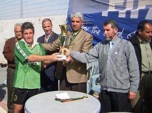
Posted by محمد الحاج - ادرت نادي صفا
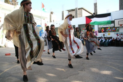
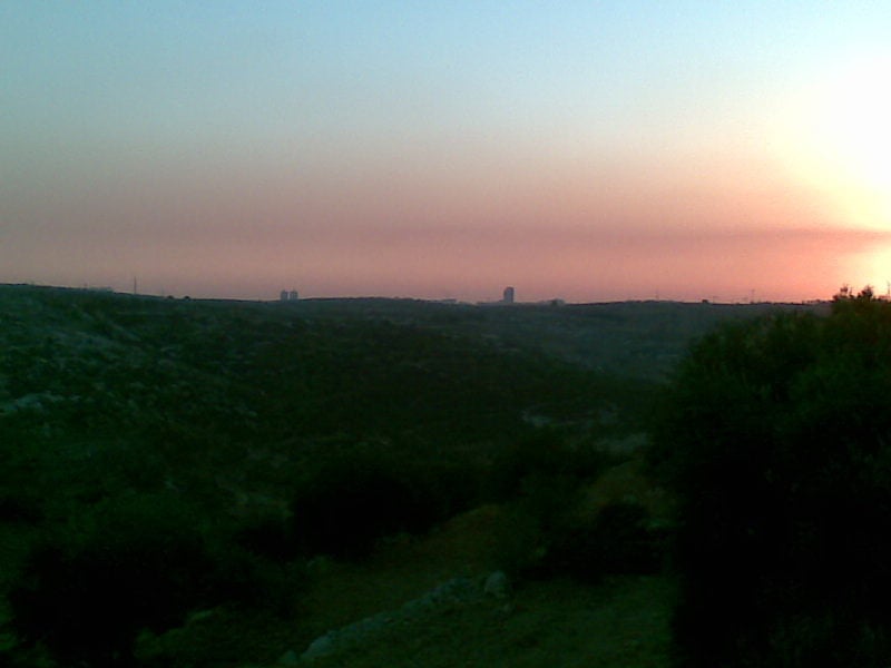
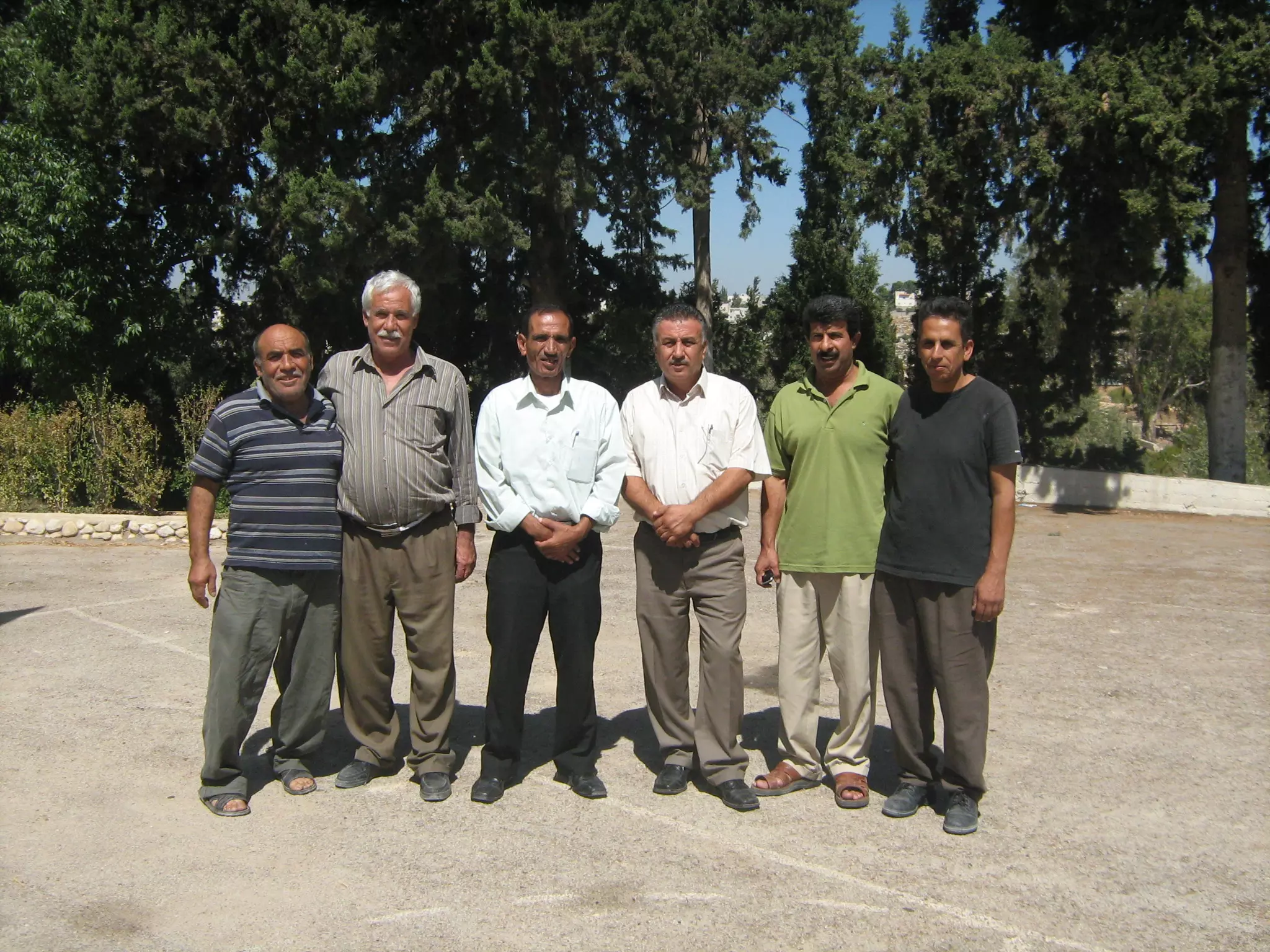
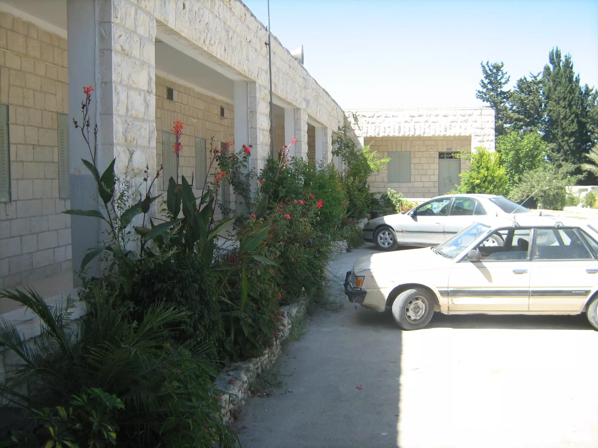
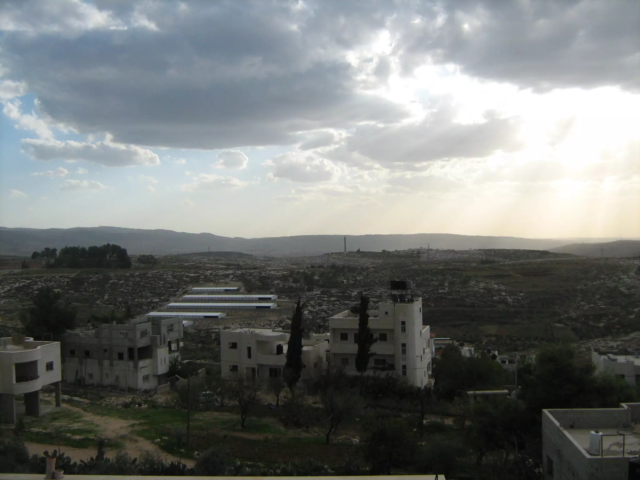
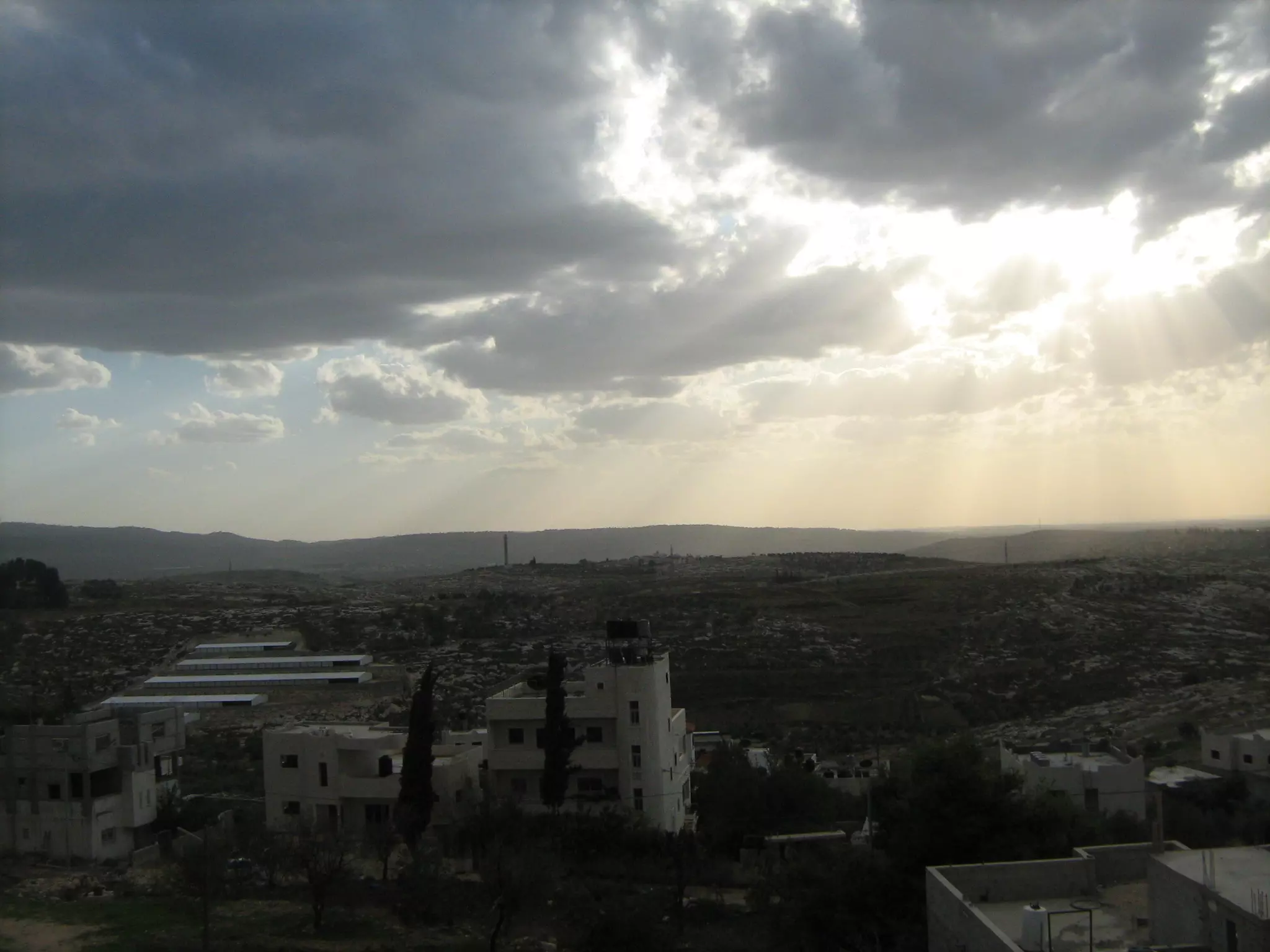
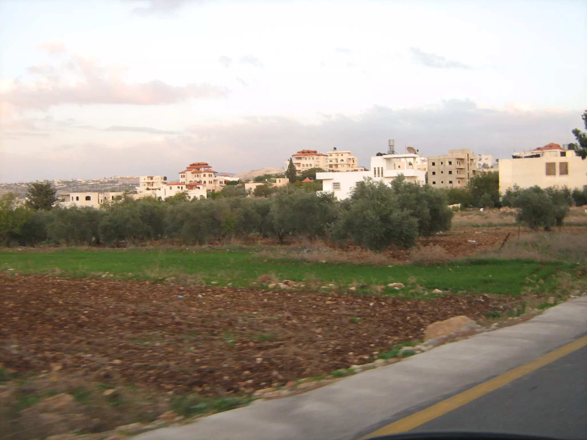
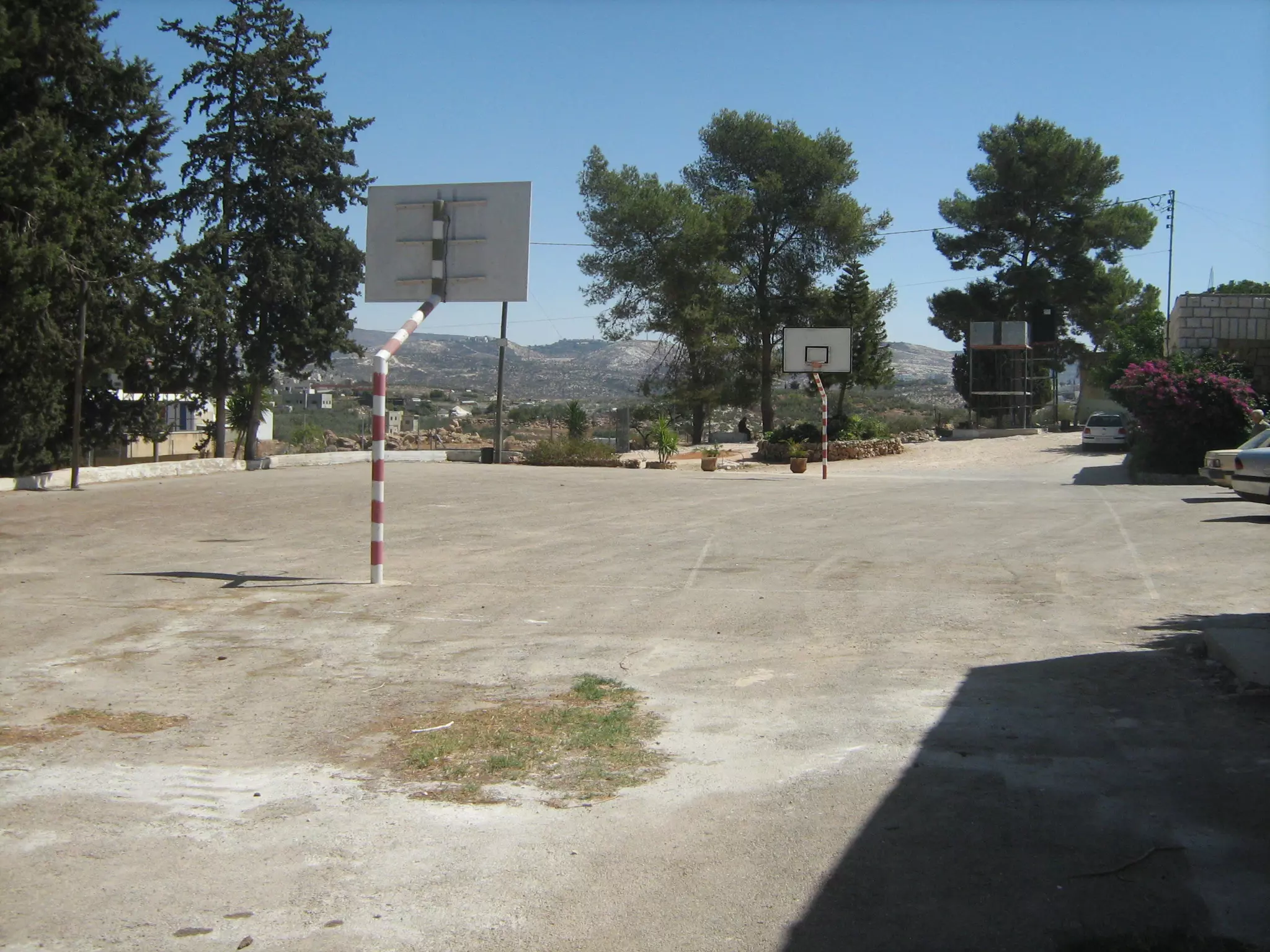
Posted by محمد الحاج 6 - مظر عام
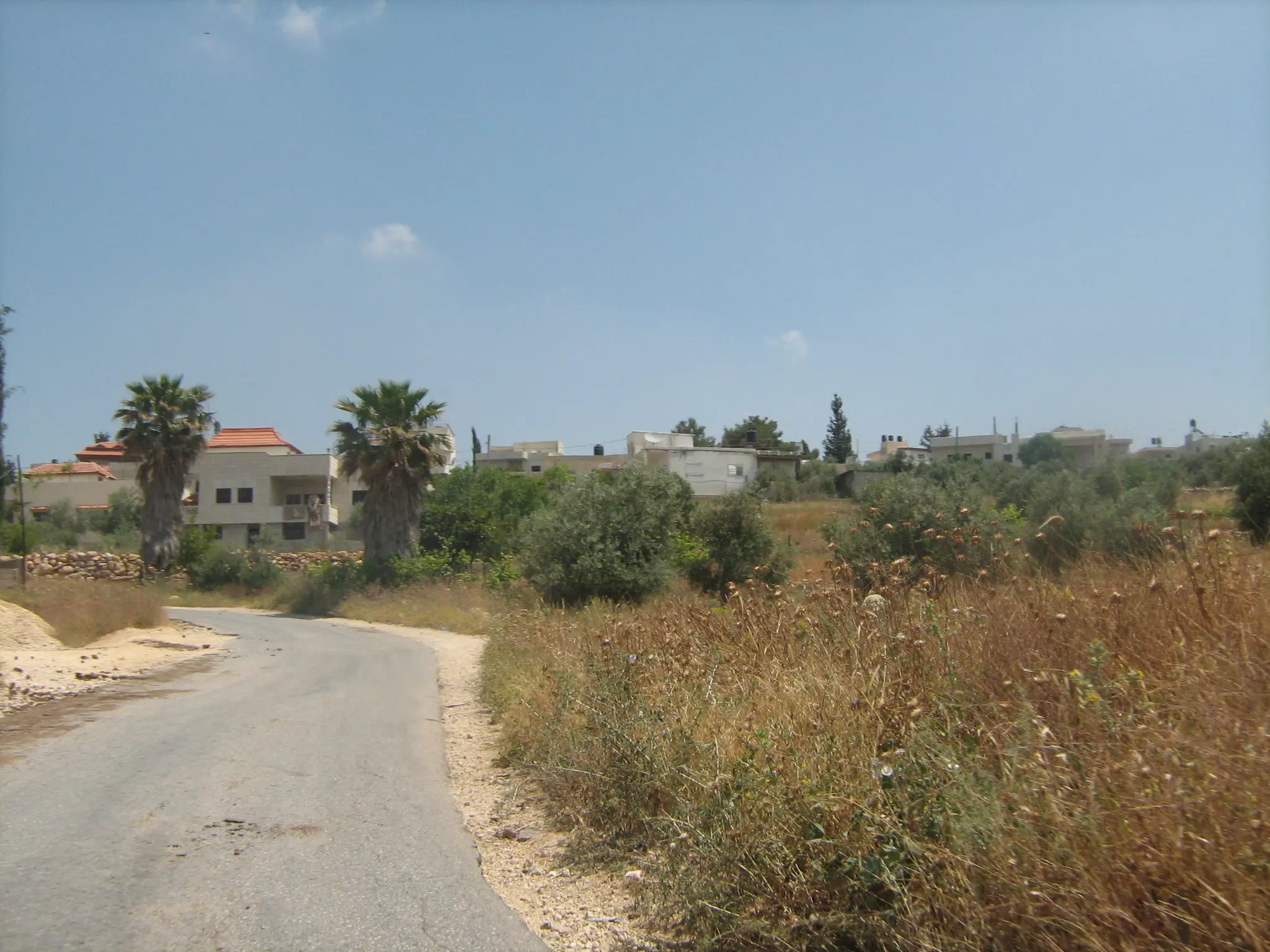
Posted by محمد الحاج - منظر عام
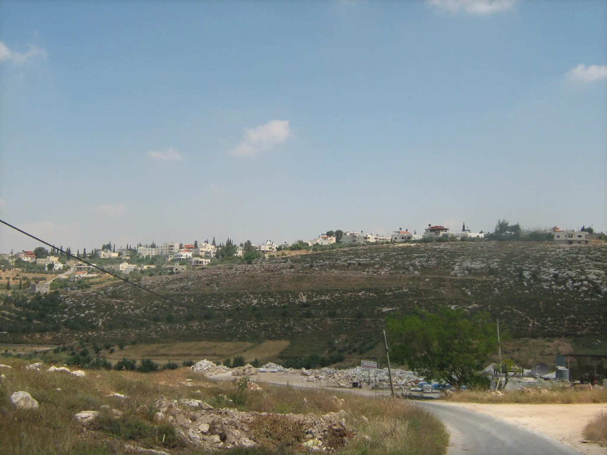
Posted by محمد الحاج - منظر عام
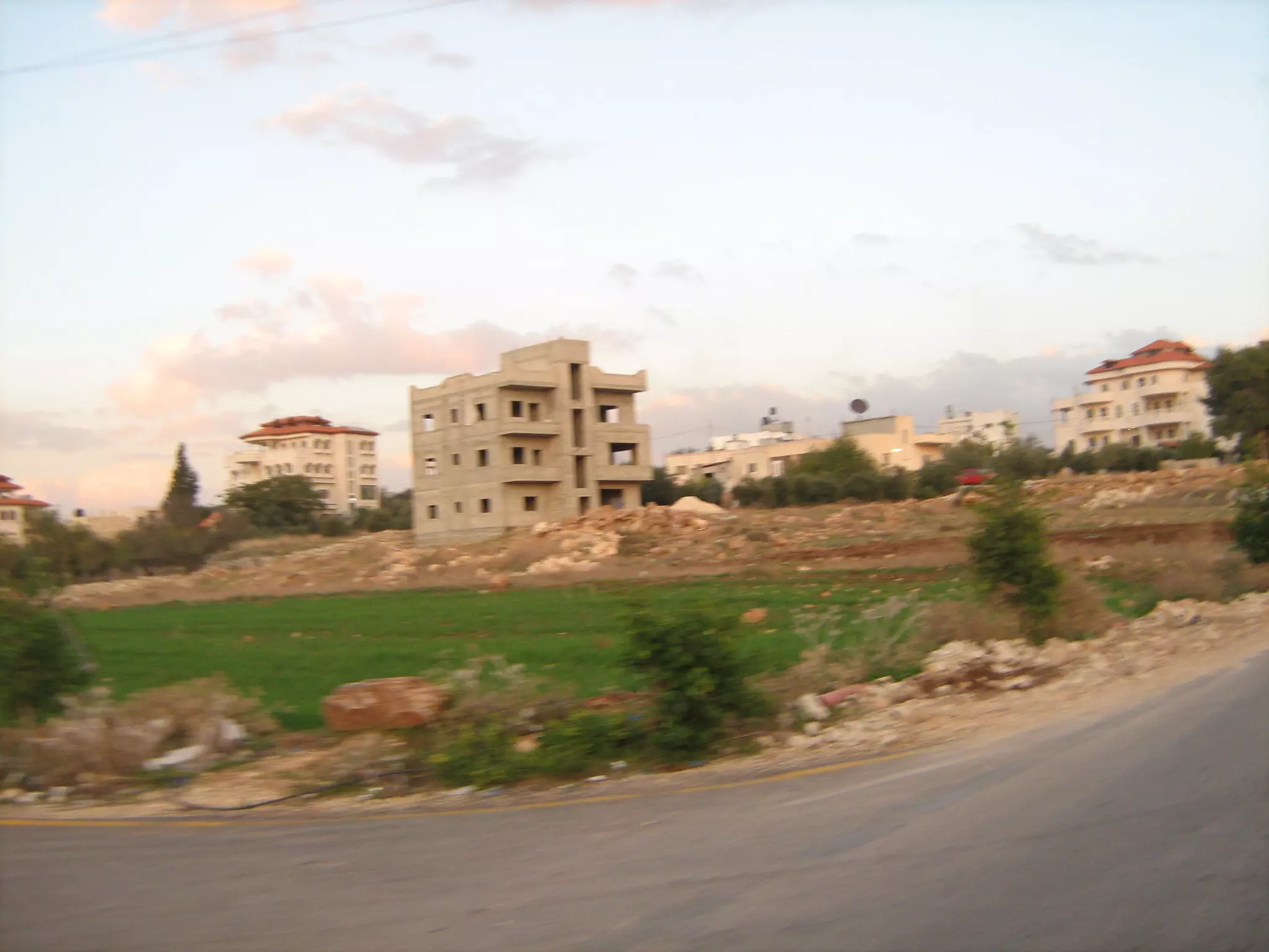
Posted by محمد الحاج 2 - منظر عام
Posted by محمد الحاج 1 - منظر عام
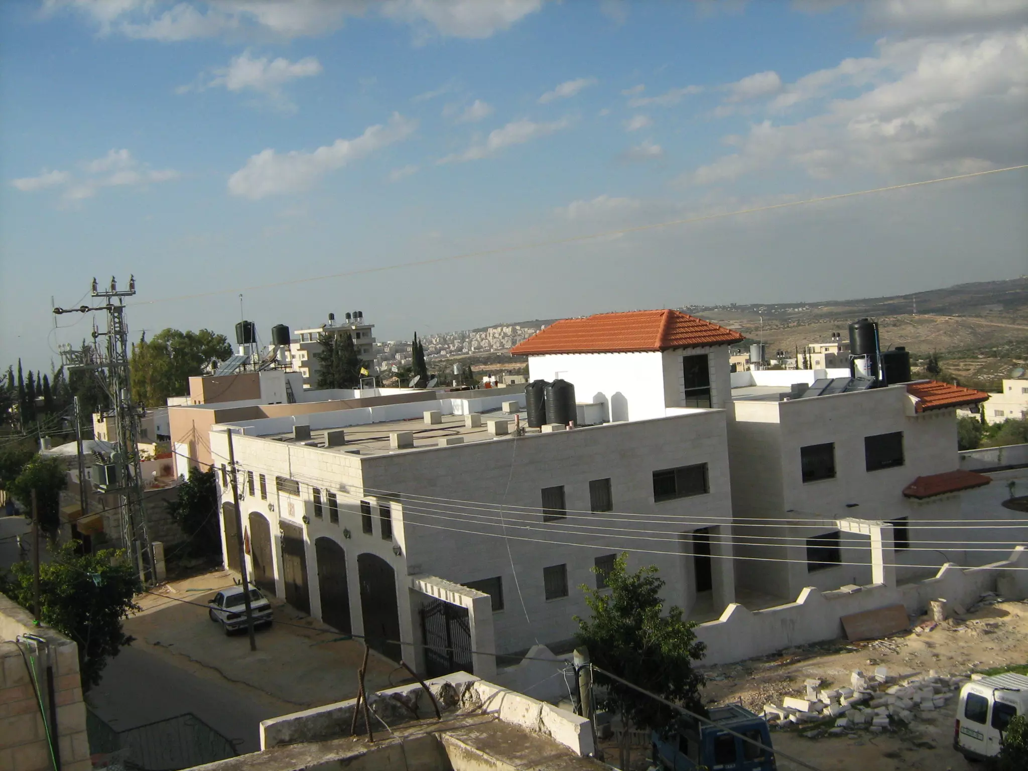
Posted by محمد الحاج - منظر عام
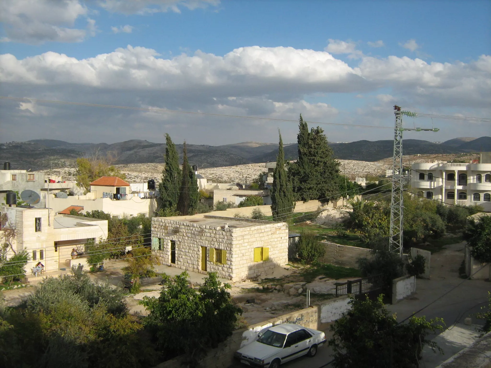
Posted by محمد الحاج - منظر عام
Posted by محمد الحاج - مظر عام
Posted by محمد الحاج - منظر عام
Posted by محمد الحاج - منضر عام
Posted by محمد الحاج - منظر عام
Posted by محمد الحاج - منظر عام
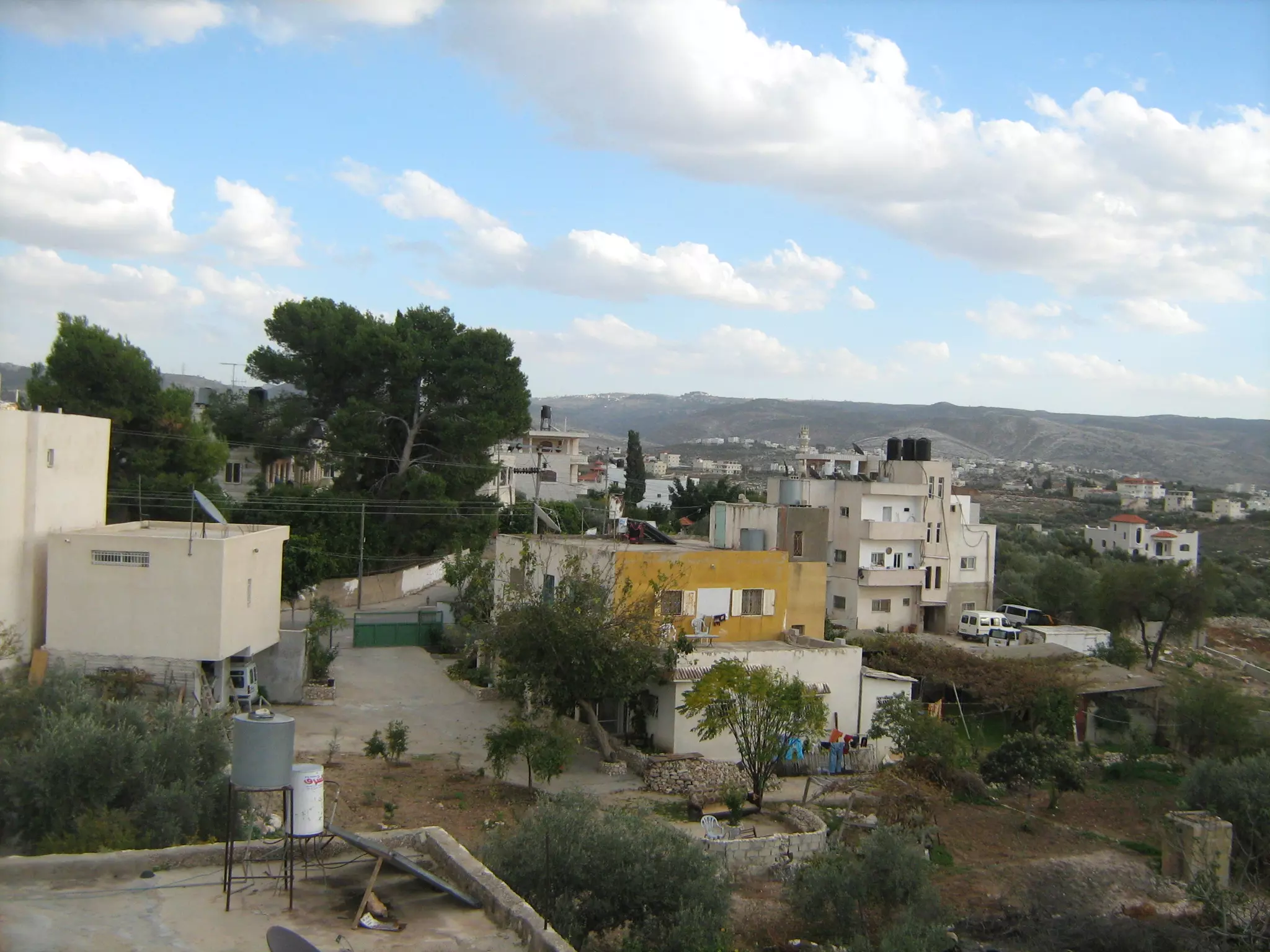
Posted by محمد الحاج - منظر عام
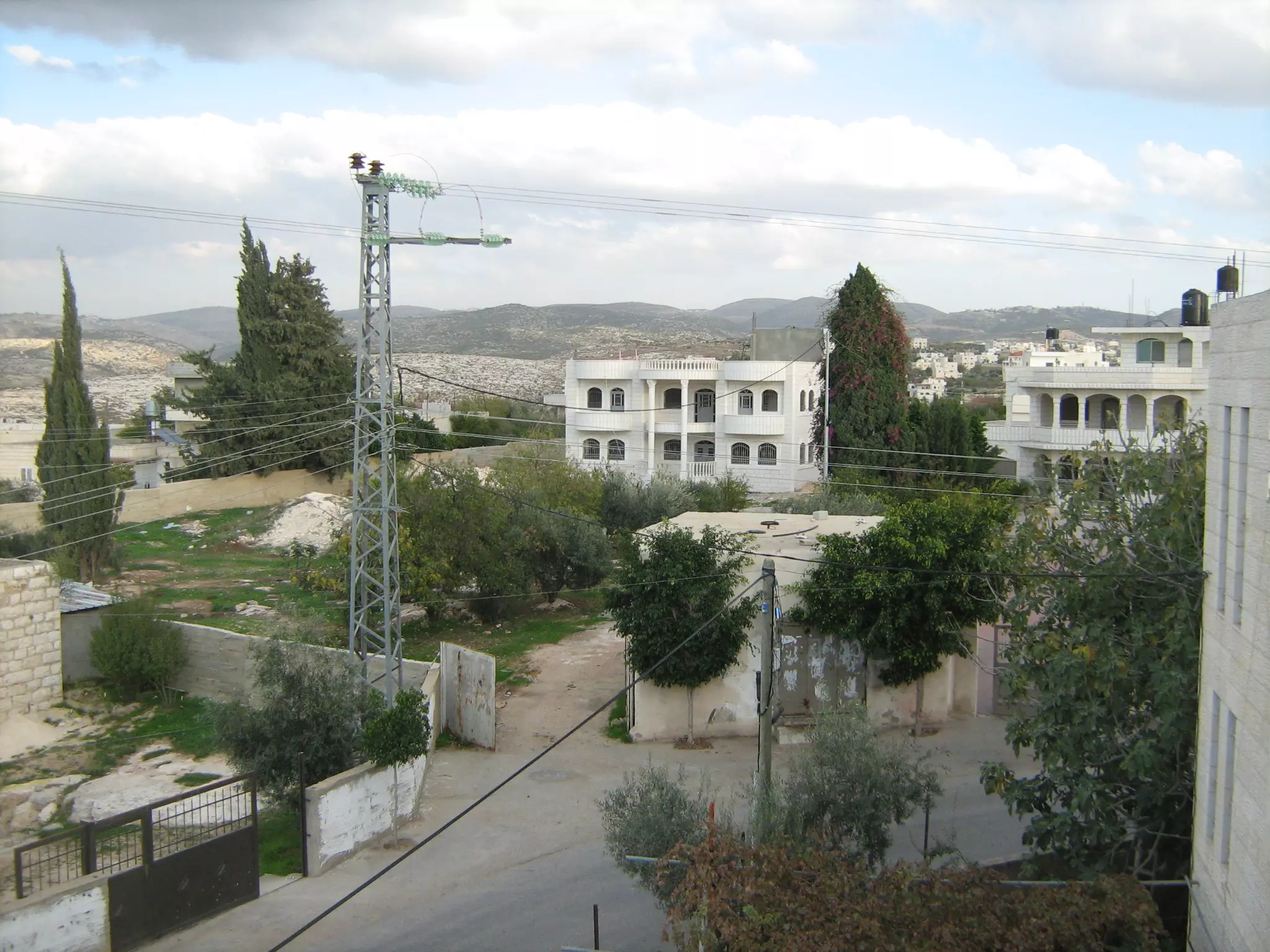
Posted by محمد الحاج 3 - منظر عام
Posted by محمد الحاج - منظر عام
Posted by محمد الحاج - منظر عام
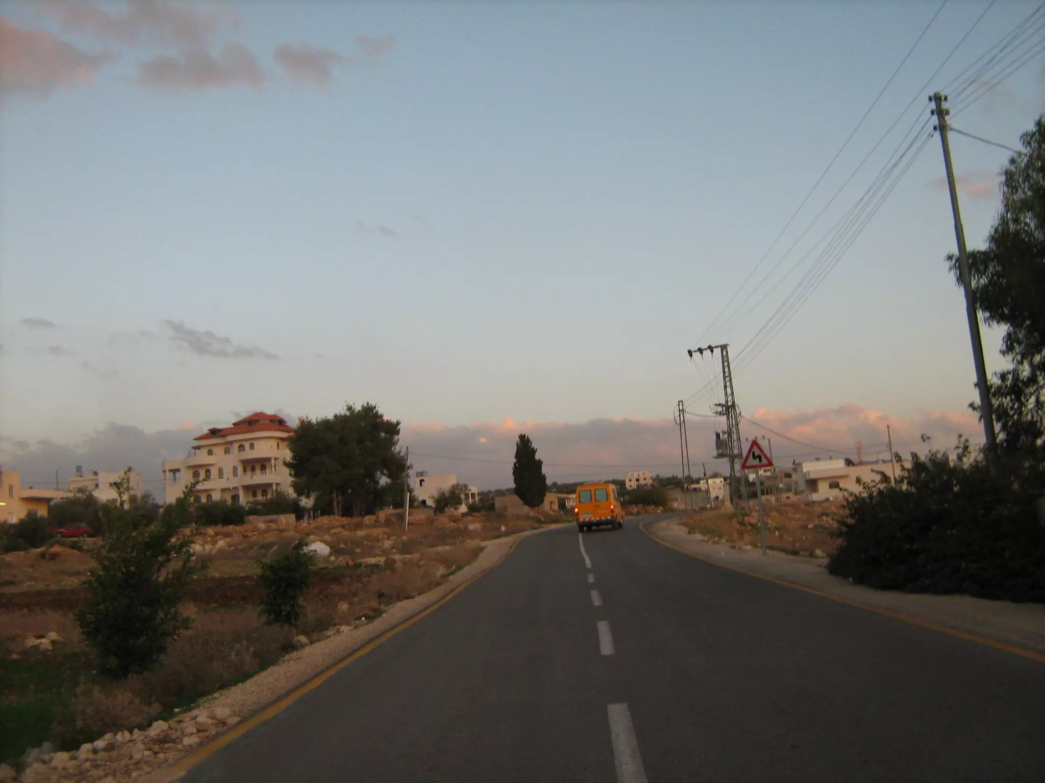
Posted by محمد الحاج - شارع صفا
Posted by محمد الحاج - اتحاد صفا
Posted by محمد الحاج - منظر عام
Want to browse more? 80,000 pictures were grouped in these gallaries:
| Display Name | Clan/Hamolah | Country of Residence |
| Abu Noor | Karajah | VA, USA |
| ابن البلد | - | عمان, صفا-رام الله |
| mujtahed samara | karajah | ramallah, palestine |
| العلقم | علقم | فلسطين, صفّا |
| osams hamad | حمد | فلسطين |
| ابن فلسطين | علان | رام الله, بيت عور التحتا |
| y.n.m | nasser | amman, jordan |
| Big B | Karajah | - |
| ABU SHADY | فلنه | RS, BRAZIL |
| abutarek | - | Brazil, Brazil |
| Bakr Talab Abdul-Salam Abdul-Hadi Abdul-Fattah Khaleel Karajah | Karajah | California, United States of America |
| كورني | - | - |
| abed karajah | karajah | ramallah, saffa |
| محمد الحاج | - | بيت سيرا, بيت سيرا |
| ABU KAMAL | MANSOUR | RS, BRASIL |
| shadi odeh | karajah | vienna , austria |
- Saffa - Palestine - Protest
- 20-6-2009
- صمود كراجة
- حلوة يا بلدي (قرية صفا) Duration: 12 min 36 sec
No links have been shared yet, be free to the first to share the first link.
 Fake Valor: Why Did Zionist Jews Hoist Nazis Flag on Their Ships in the 1930s?
What is new?
-
Facts About Oct. 7th Gaza Raid
-
Remined Us Please:: Who Did Rape Who? Palestinians Raped Israelis? Or, was the other way around?
-
When Prof. Edward Said was invited to debate Bibi Netanyahu in the 1980s, watch what happened!
-
Ezra Klein of the NY Times on the "Jewish Race".
-
Abusing Blood Libel!
-
Zionist FAQ: Isn't it true that Palestinians don't want peace? Palestinians never accepted the two-state solution
- Facts about Haavara (Transfer) Agreement between Ben-Gurion & Hitler
-
Haavara FAQs: Why Did Zionist Jews Hoist Nazis' Flags on Their Ships in the 1930s?
-
Dear ChatGPT: Why did the Jewish Agency suppress news of the Holocaust during WWII?
-
Video Playlist: Jews share their DNA tests to end the conflict for good.
-
A Tale of Two Conflicts: Examining the Definition of Genocide
-
Prof. Abraham Polak And The Suppressed History of the Khazars and European Jewry
-
How Ronald Reagan would have framed the genocide in Gaza if he were still alive?
-
Haavara FAQs: Let us do the math: how many German Jews did The Haavara Agreement save?
-
Zionist FAQs: The Hebron Massacre of 1929, "clearly proves" that Palestinians are antisemitic, how could you deny it?
-
Zionist FAQs: Why Anti-Zionist Is Not Antisemitism?
-
Zionist FAQs: Isn't it true that the KGB create Palestinian Nationalism in the early 1960s?
- Zionist FAQs: Muslims are killing Muslims all the time; why are Israeli Jews being singled out in the media?
- Zionist FAQs: How is Israel an apartheid state when 20% of its citizens are Arabs who enjoy full rights?
-
Haavara FAQs: Analysis of Herzl's Uganda Scheme and how it could have saved millions of Jews.
-
Haavara FAQs: Why did Hayim Greenberg describe American Jewry as "morally bankrupt" in early 1943?
-
Haavara FAQs: What if the Evian Conference was a resounding success? What would have been the impact of saving European Jewry on Zionism?
- Haavara FAQs: What if the six million were saved, how that would have impacted the Zionist project?
-
Haavara FAQs: How did Zionist leaders react when Europe's Jews lingered in the DP camps after WWII ended?
-
Why does the American Jewish community repeat lies that David Ben-Gurion had debunked before he died?
-
Who has the power to rename the Tatar/Khazar Gene Marker to Jewish IV?
-
Zionist FAQs: Why won't Egypt, Syria, and Jordan take their people back? Jews are indigenous to Palestine, and Arabs immigrated after Jews developed the country. Arabs should leave.
-
Haavara FAQs: Did Hitler and the Nazis conflate between Judaism and Zionist? If that wasn't case, then why?
-
Haavara FAQs: Winston Churchill and antisemitism, a collection of articles written Churchill.
-
Haavara FAQs: Broken by country, how many Jews survived vs. killed during the Holocaust?
-
Haavara FAQs: Why did European Jews vote with their feet and to immigrated to the Americas, not Palestine, after WWII?
-
Watch this American Jewish Girl describing Israeli Jews' cognitive dissonance like no other in under two minutes
-
Haavara FAQs: When the Nazis went out of their way to hide the Holocaust, Israeli Jews did the exact opposite by broadcasting their genocide of Gazans. But why?
-
Haavara FAQs: How Zionist Jews went out of their to show their appreciation to Nazism and Fascism?
- Haavara FAQs: Why Zionist leaders were against bombing the death camps & the Railroads leading to them?
-
Haavara FAQs: Hitler's message to the British and American people: If Jews are such noble citizens and you care about them, how come you're not letting them in? I will gladly ship them to you at my expense, even on luxury liners!
-
A shortlist of Zionist and Israeli false flag operations in the name Jews.
-
The Most Moral Army
- The Land of Kapos (Israel): Where the brave are boycotted and Kapos walk free.
- Why did early Zionists often named their communal enterprises "colonial"?
- Zionist Relations with Nazi Germany by Faris Glubb
-
Two NY Times advertisements by Zionists in the early 1943 that exposes Zionists' treason at the height of the calamity
- Facts Not Lies about the Palestinian-Israeli Conflict.
- Site's pictures have been categorized
- Campgain Against Lice
- A Survey of Palestine, the official source about Palestine before Nakba produced by the British Mandate; over 1200 pages.
- Satellite View & Google Earth: Over 6,000 placemarks identifying all destroyed towns, W. Bank & Gaza Strip Towns, & refugee camps.
- PalestineRemembered.com and its Nakba Oral History Project were featured on al-Jazeera Satellite TV.
- Nakba Oral History Video Podcast:
 Over 700 Oral History interviews (including 3,500+ hours of recording) can be viewed online.
 - Palestine Village Statistics Project
- Gaza Jail Break
- النسخة العربية للموقع الان متوفرة
- Videos: Documenting the destroyed villages in video: Tracing all that remains since Nakba.
- Videos: Responding to Zionist Propaganda
- Interview: The ethnic cleansing of Palestine: George Galloway interviews Israeli Historian Ilan Pappe.
- For Palestinians, memory matters. It provides a blueprint for their future By George Bisharat.
- Zionist FAQ now available in Hebrew שאלות שציונים שואלים, עכשיו בעברית
- Video: The Stephen Walt and John Mearsheimer report on the influence of the Israel Lobby on U.S. Foreign Policy
- The Palestinian-Israeli conflict for beginners
