| PalestineRemembered | About Us | Oral History | العربية | |
| Pictures | Zionist FAQs | Haavara | Maps | |
| Search |
| Camps |
| Districts |
| Acre |
| Baysan |
| Beersheba |
| Bethlehem |
| Gaza |
| Haifa |
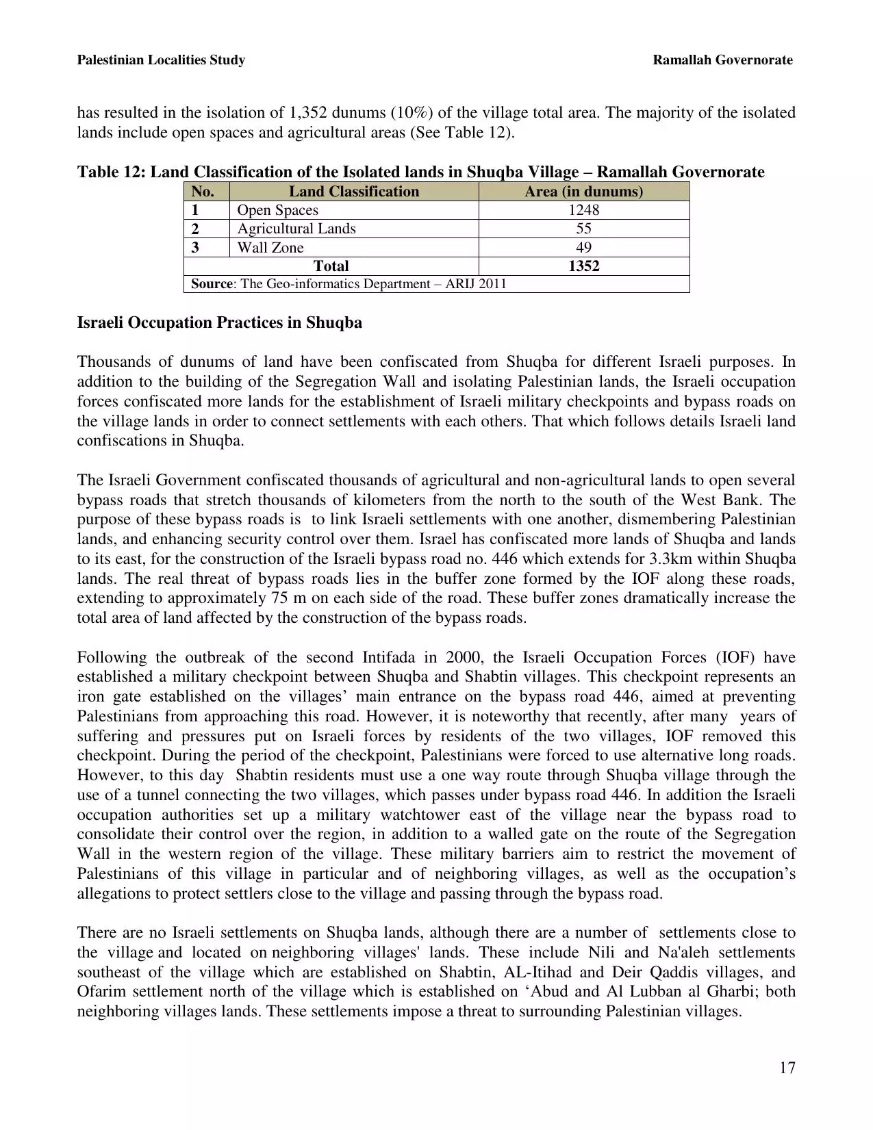
| Hebron |
| Jaffa |
| Jericho |
| Jerusalem |
| Jinin |
| Nablus |
| Nazareth |
| Ramallah |
| al-Ramla |
| Safad |
| Tiberias |
| Tulkarm |
| Donate |
| Contact |
| Profile |
| Videos |
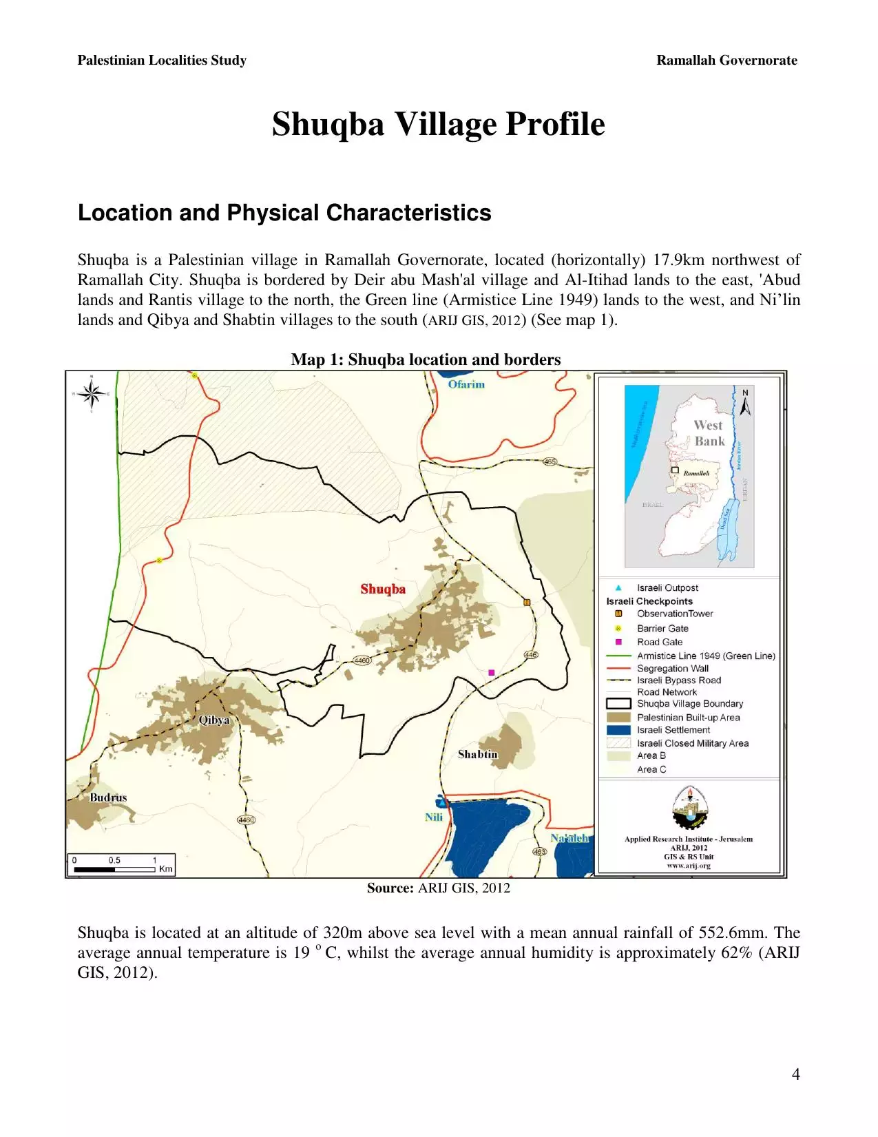
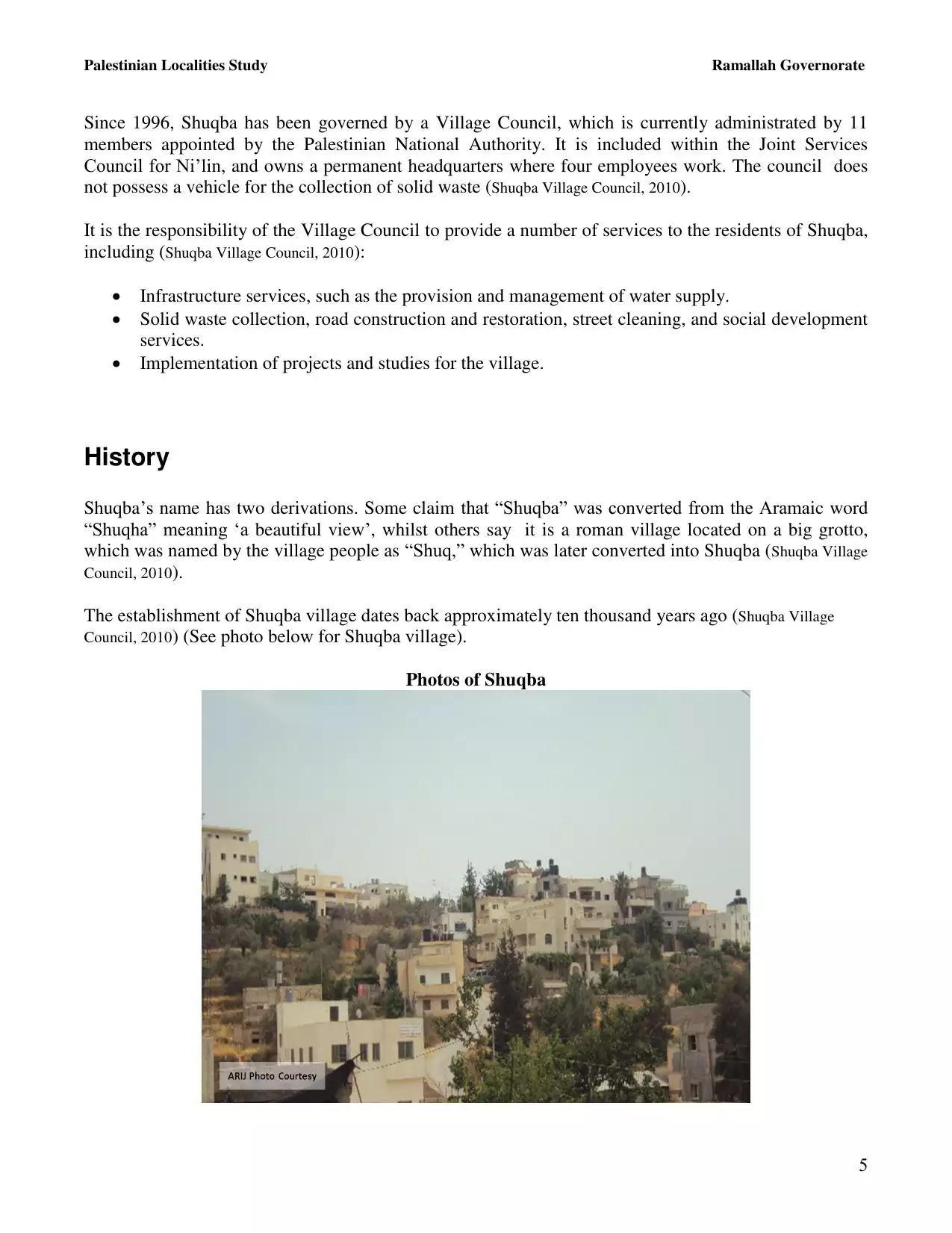
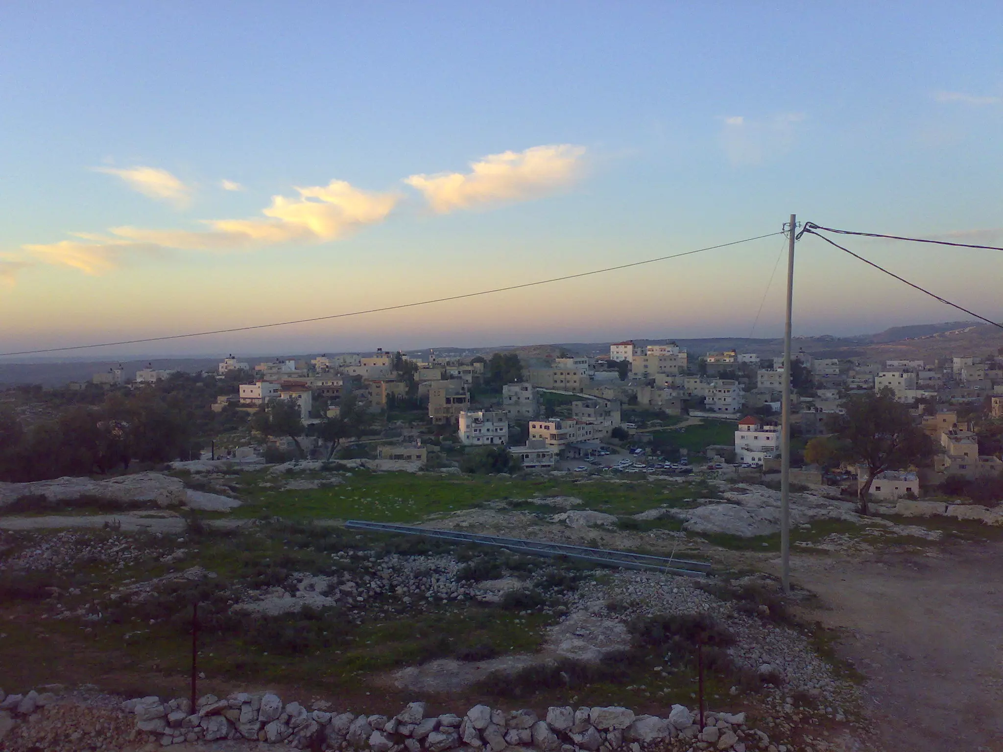
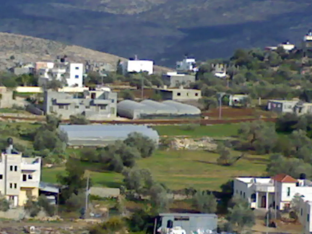
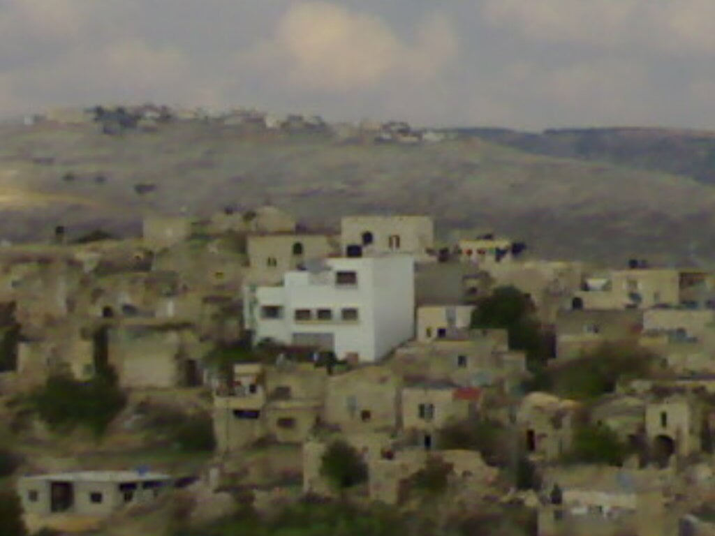
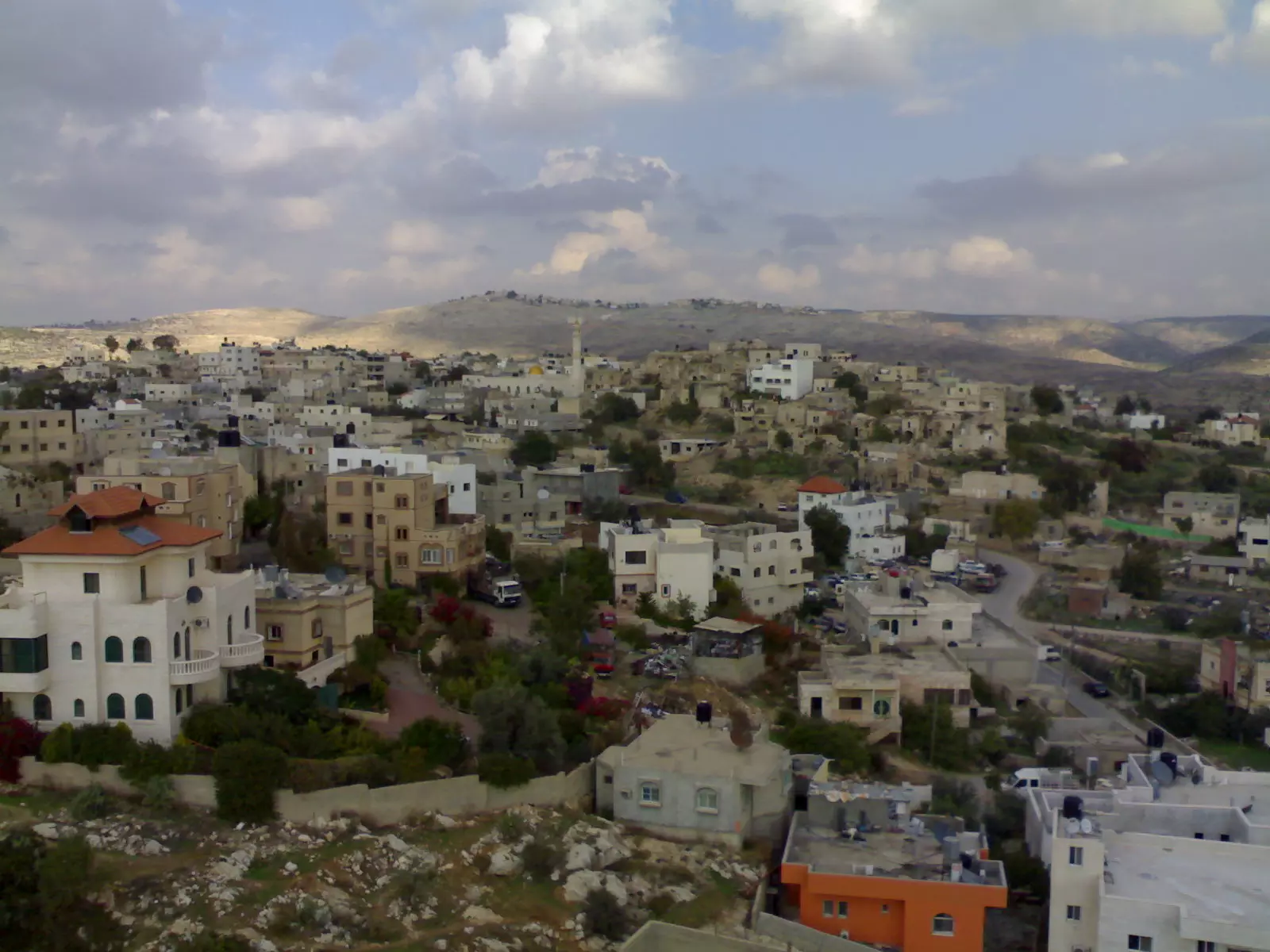
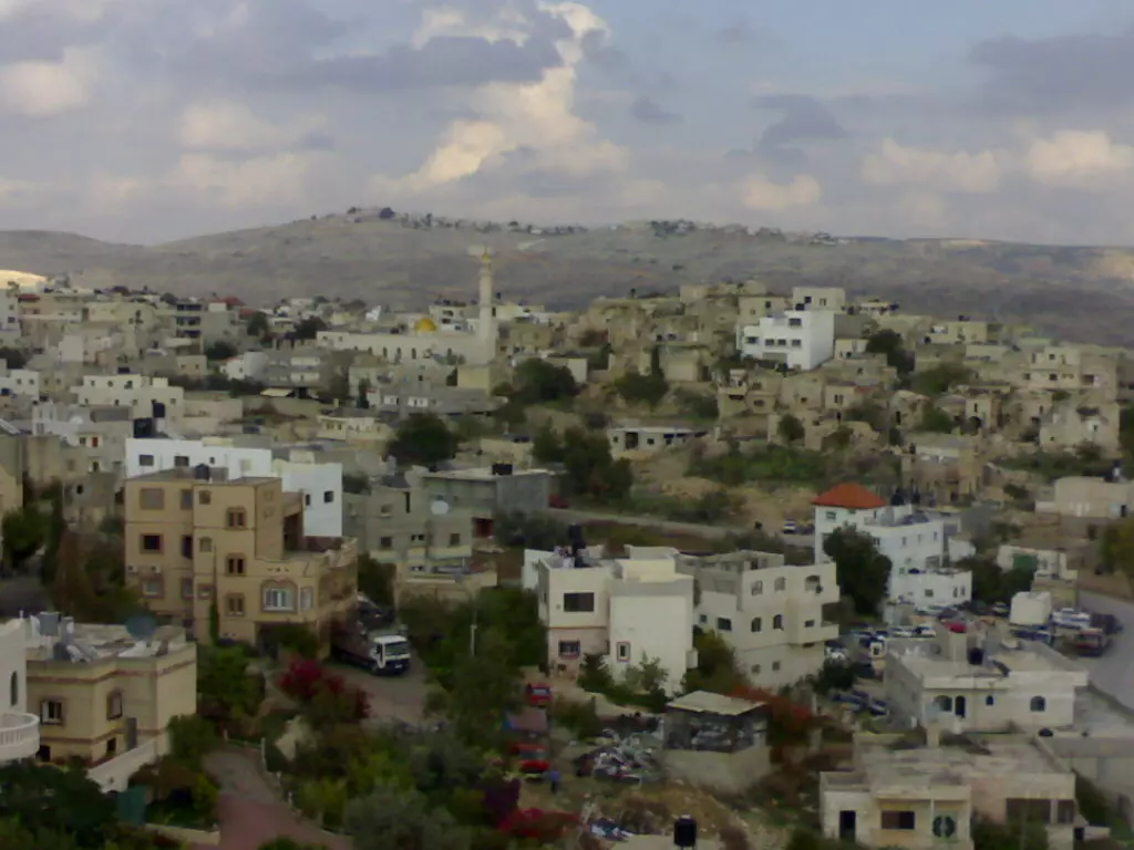
Welcome To Shuqba - شقبه (שוקבא)
|
District of Ramallah
Occupied days ago |
العربية Google Earth |
 |
Gallery (108) |
- Statistics & Facts
-
Before & After

- Satellite View
- Articles 4
- Pictures 108
- Members 33
- Families
- Wikipedia
- ARIJ Guide
- Videos 9
- Guest Book 18
- Links 1
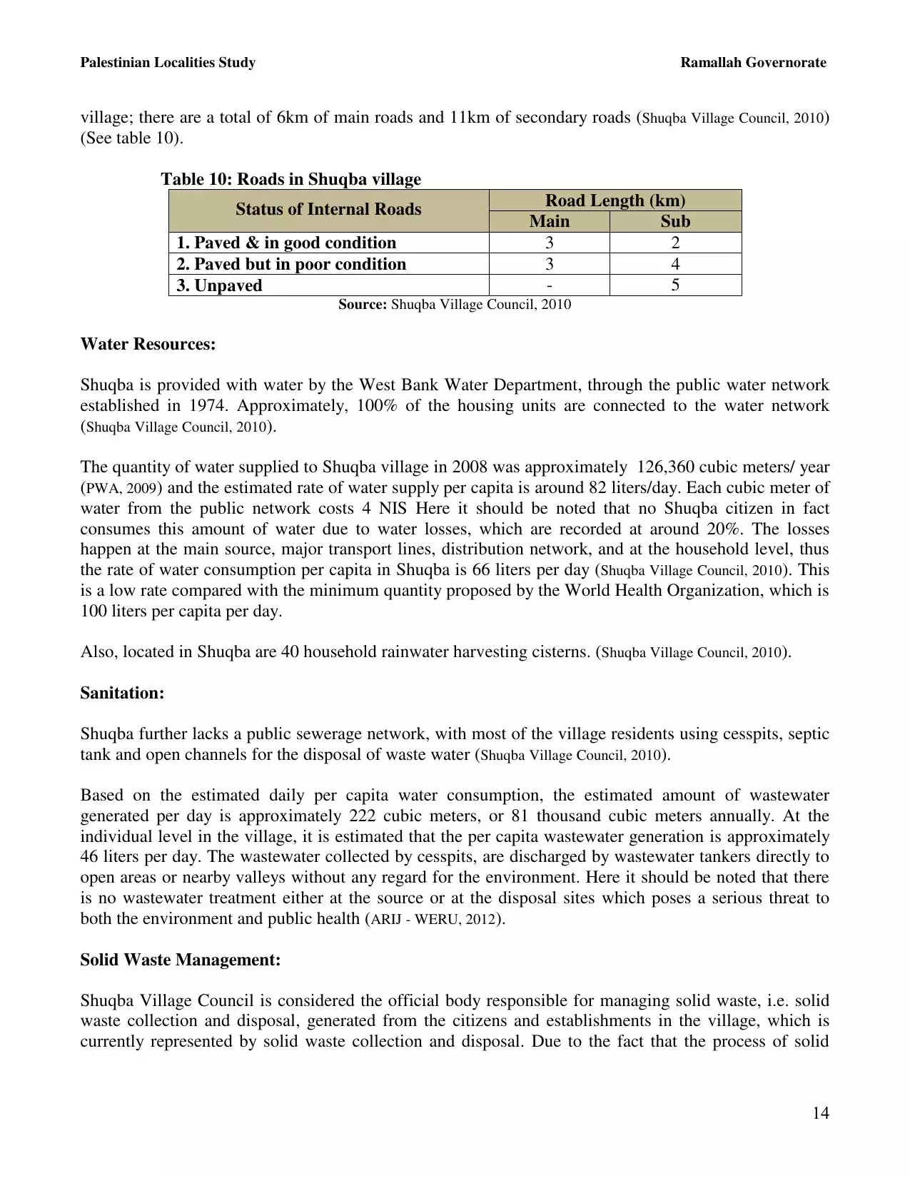
| Statistic & Fact | Value | ||||||||||||||||
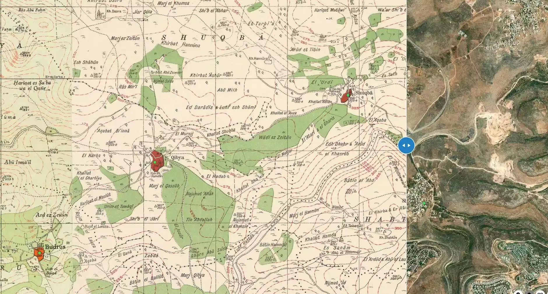
| Distance From District | 25 km northwest of Ramallah | ||||||||||||||||
| Elevation | 322 meters | ||||||||||||||||
| Before & After Nakba, Click Map For Details |
|||||||||||||||||
|
|||||||||||||||||
| Land Ownership |
**Town Lands' Demarcation Maps |
||||||||||||||||
| Land Usage As of 1945 |
|
||||||||||||||||
| Lands usurped within armistice area | 1,842 Dunums | ||||||||||||||||
| Population |
|
||||||||||||||||
| Near By Towns |
|||||||||||||||||
|
|
|||||||||||||||||
| Featured Video | |||||||||||||||||
| ARIJ Guide | |||||||||||||||||
|
Click here to browse online. |
|||||||||||||||||
| Related Maps | Town Lands' Demarcation Maps خرائط للقضاء توضح حدود القرى والاودية View from satellite Town's map on MapQuest Help us map this town at WikiMapia |
||||||||||||||||
| Related Links | Wikipedia's Page Facebook Page ARIJ Guide Google Search Google For Images Google For Videos في كتاب بلادنا فلسطين دليل أريج المزيد من موقع هوية |
||||||||||||||||
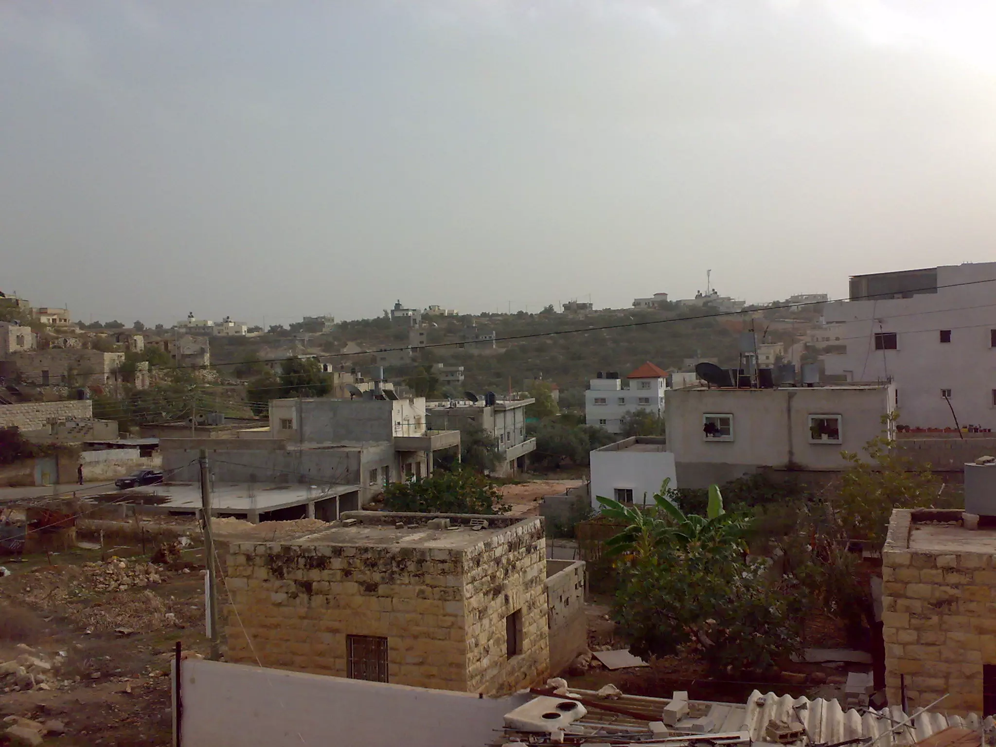
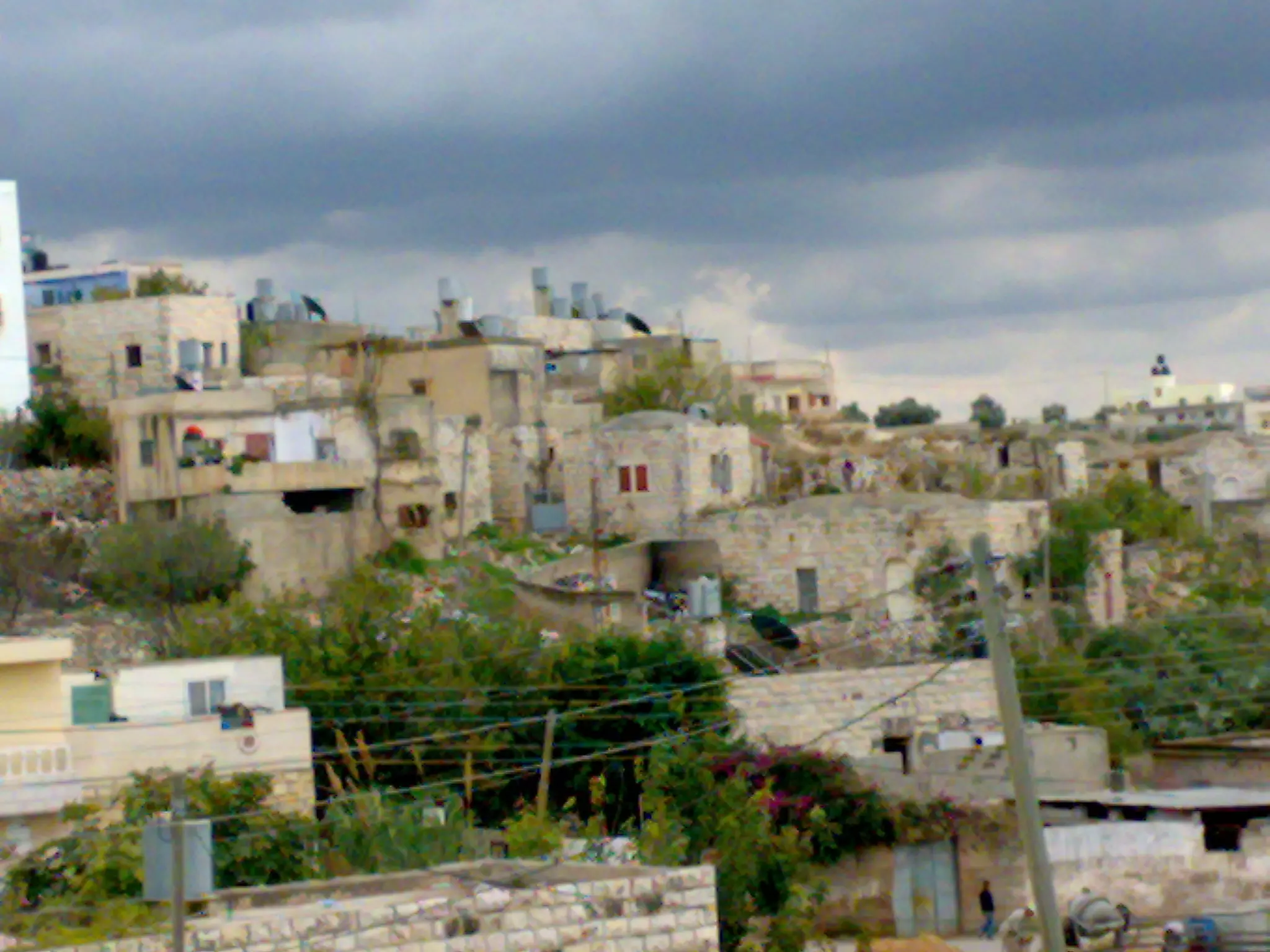
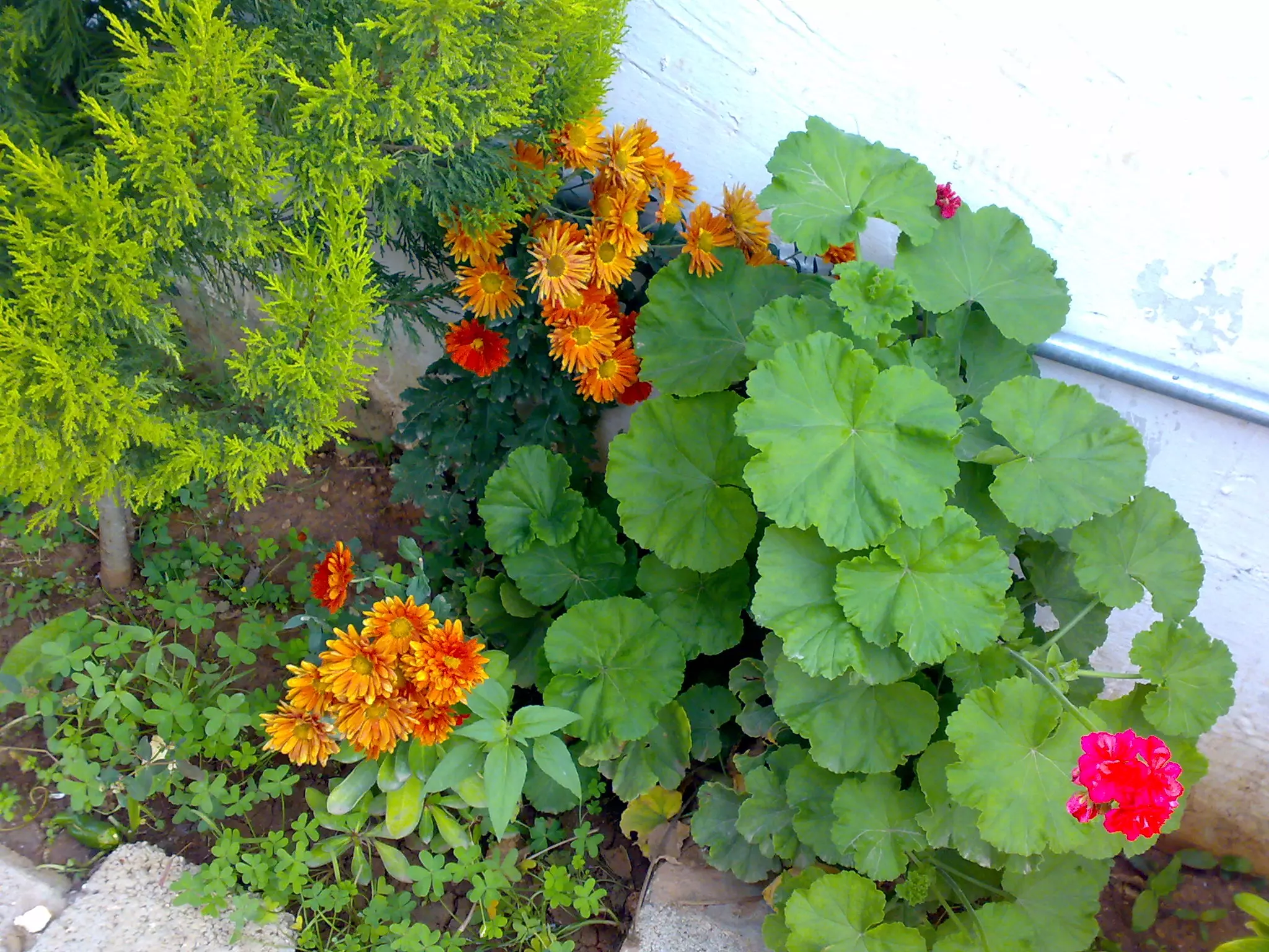
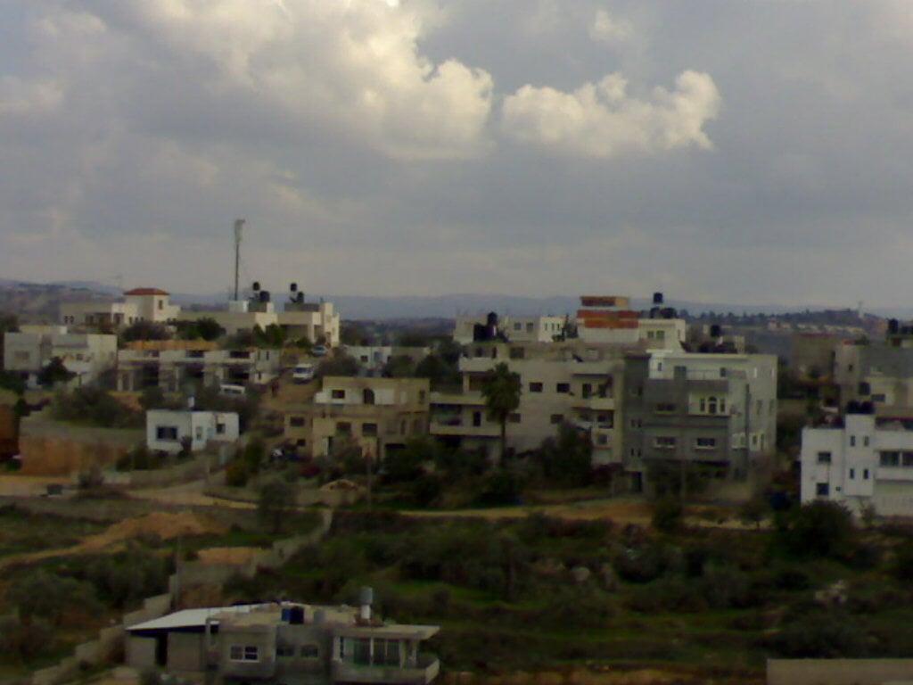
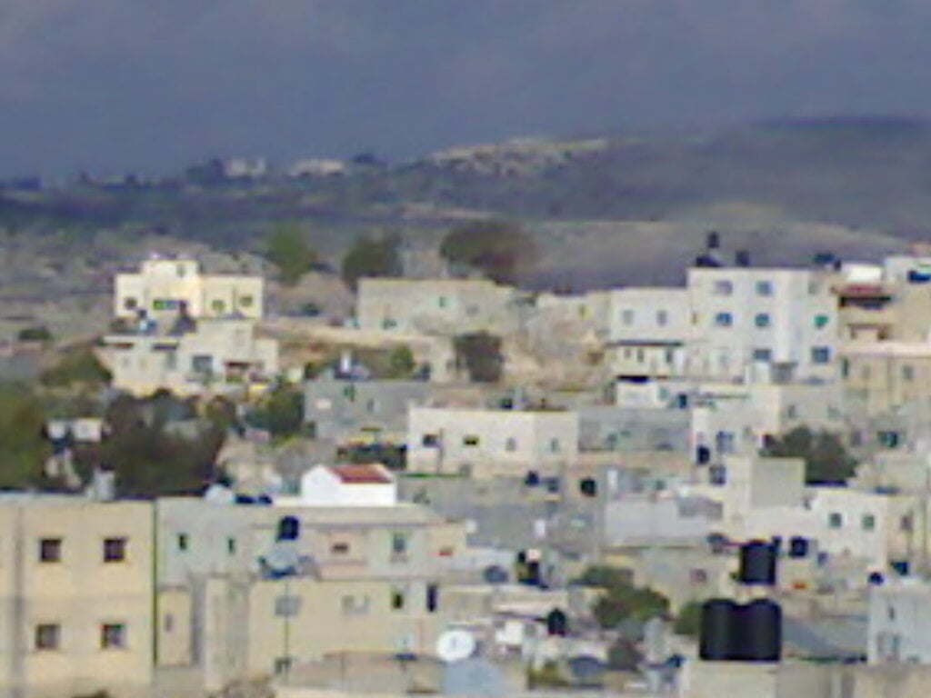
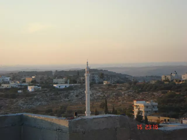
- منظر عام من العطاري
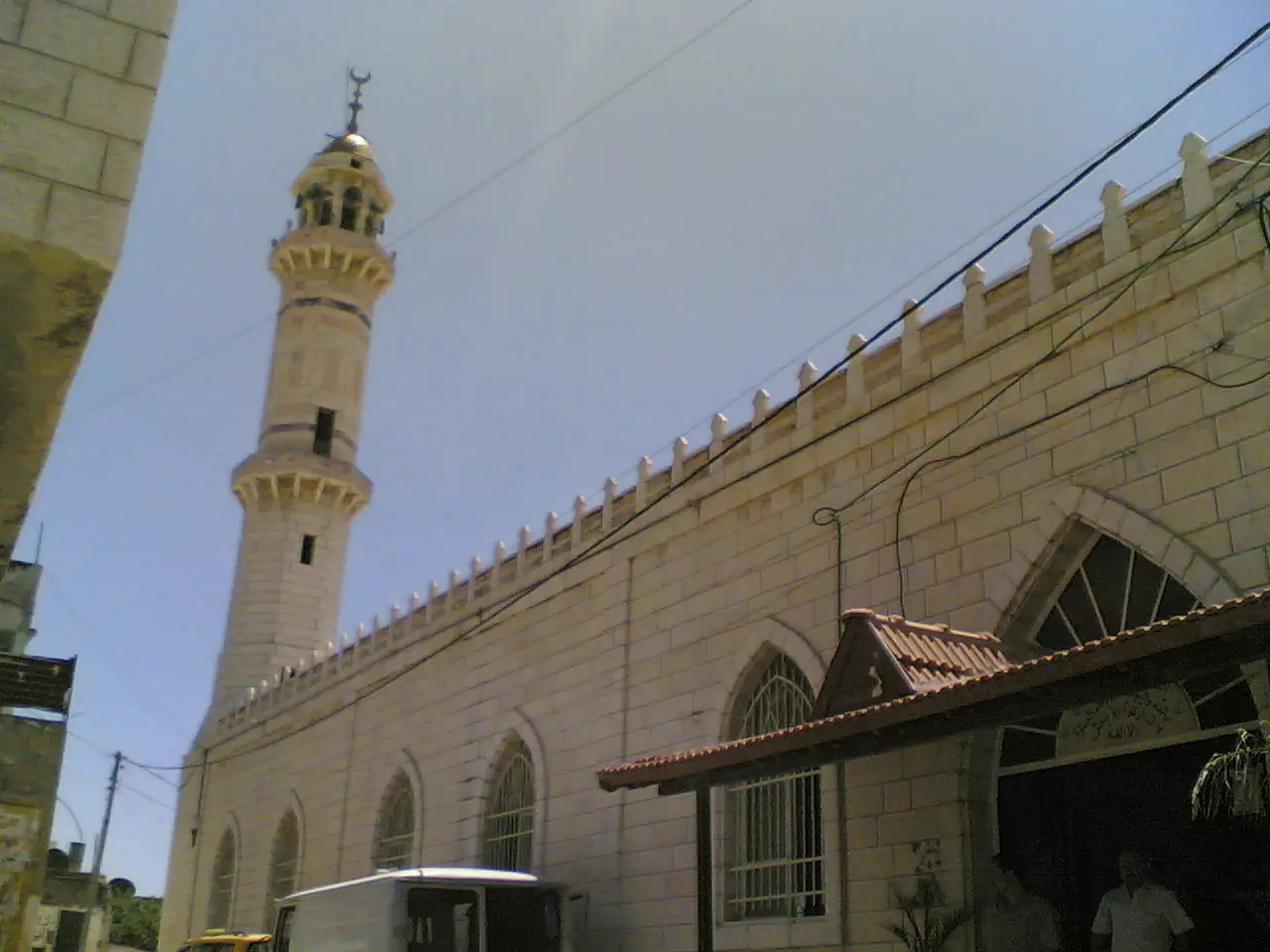
Posted by asadshalash 8 - الجامع
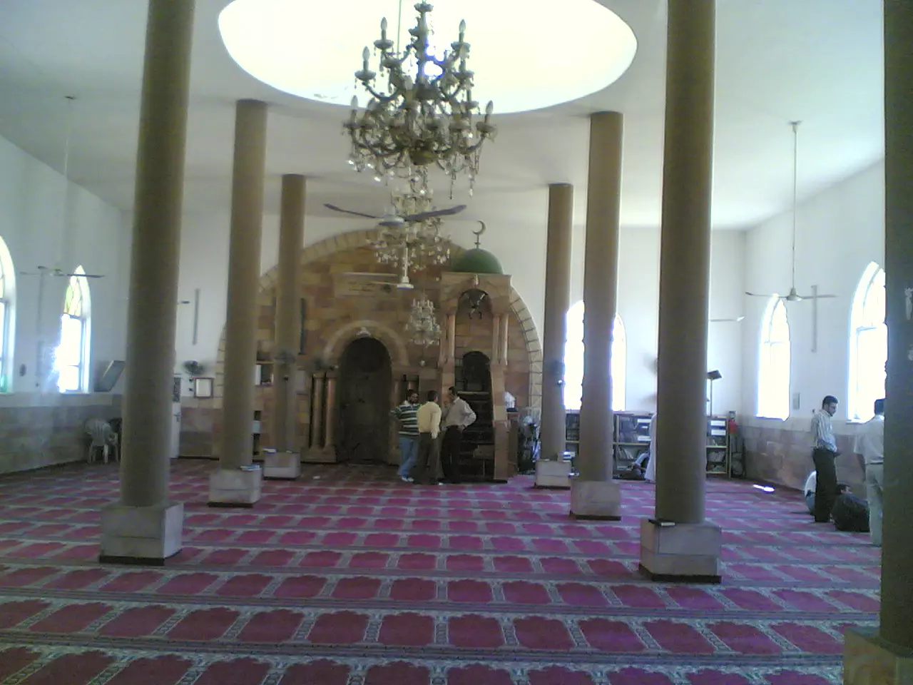
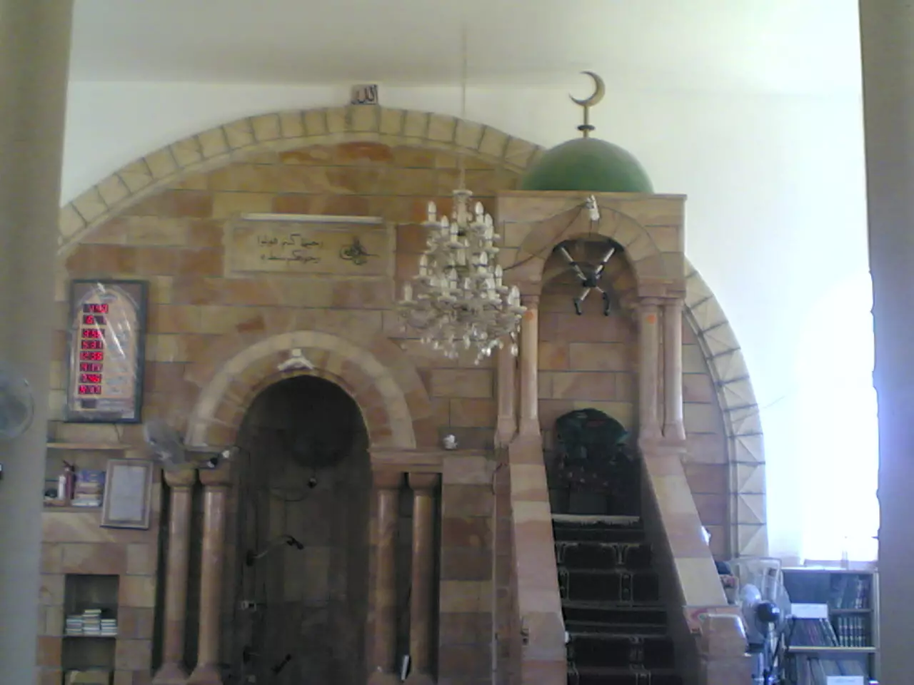
Posted by nathmi hassan - داخل الجامع
Posted by nathmi hassan 2 - جهة من البلد
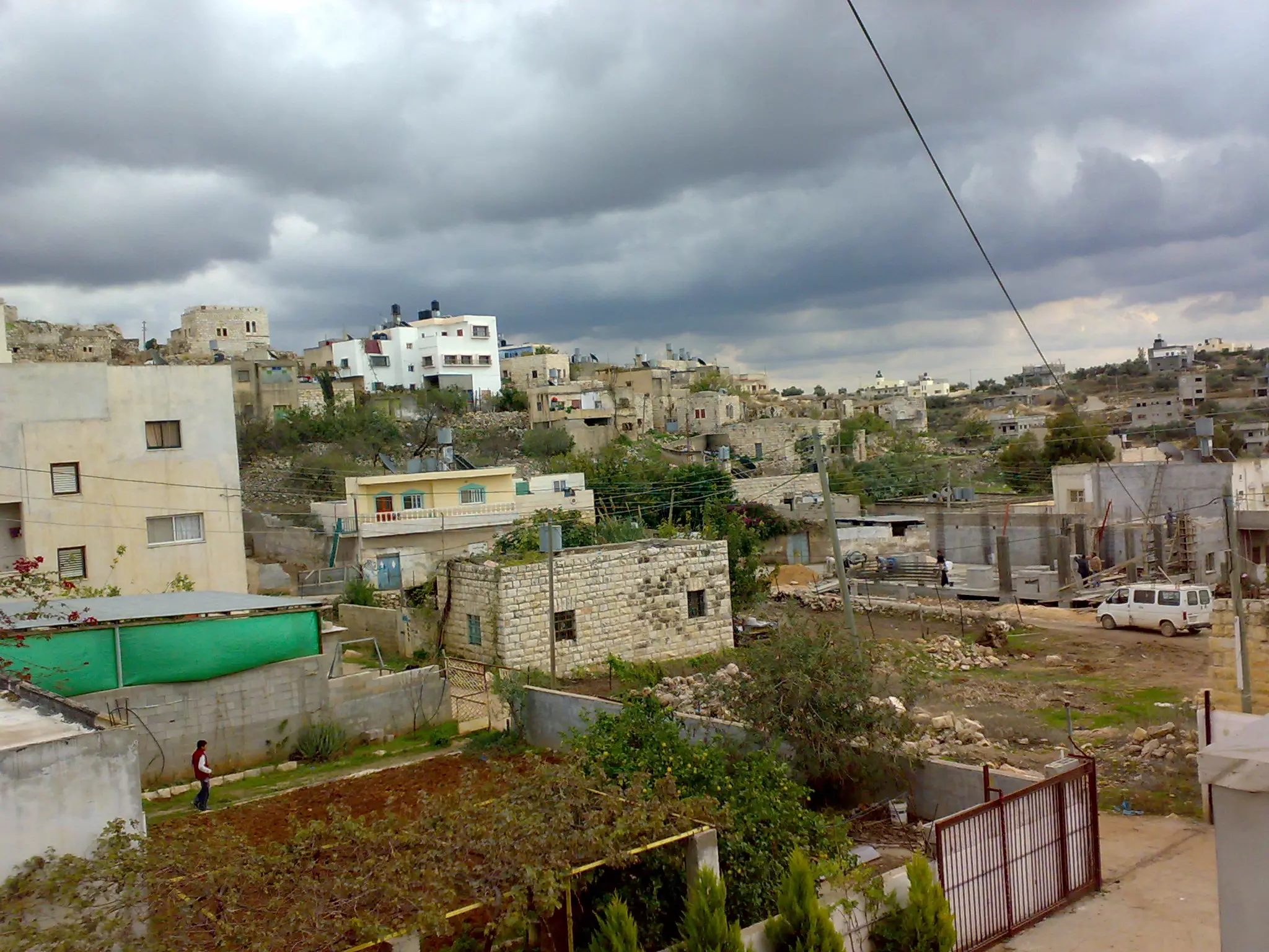
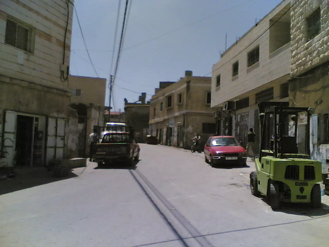
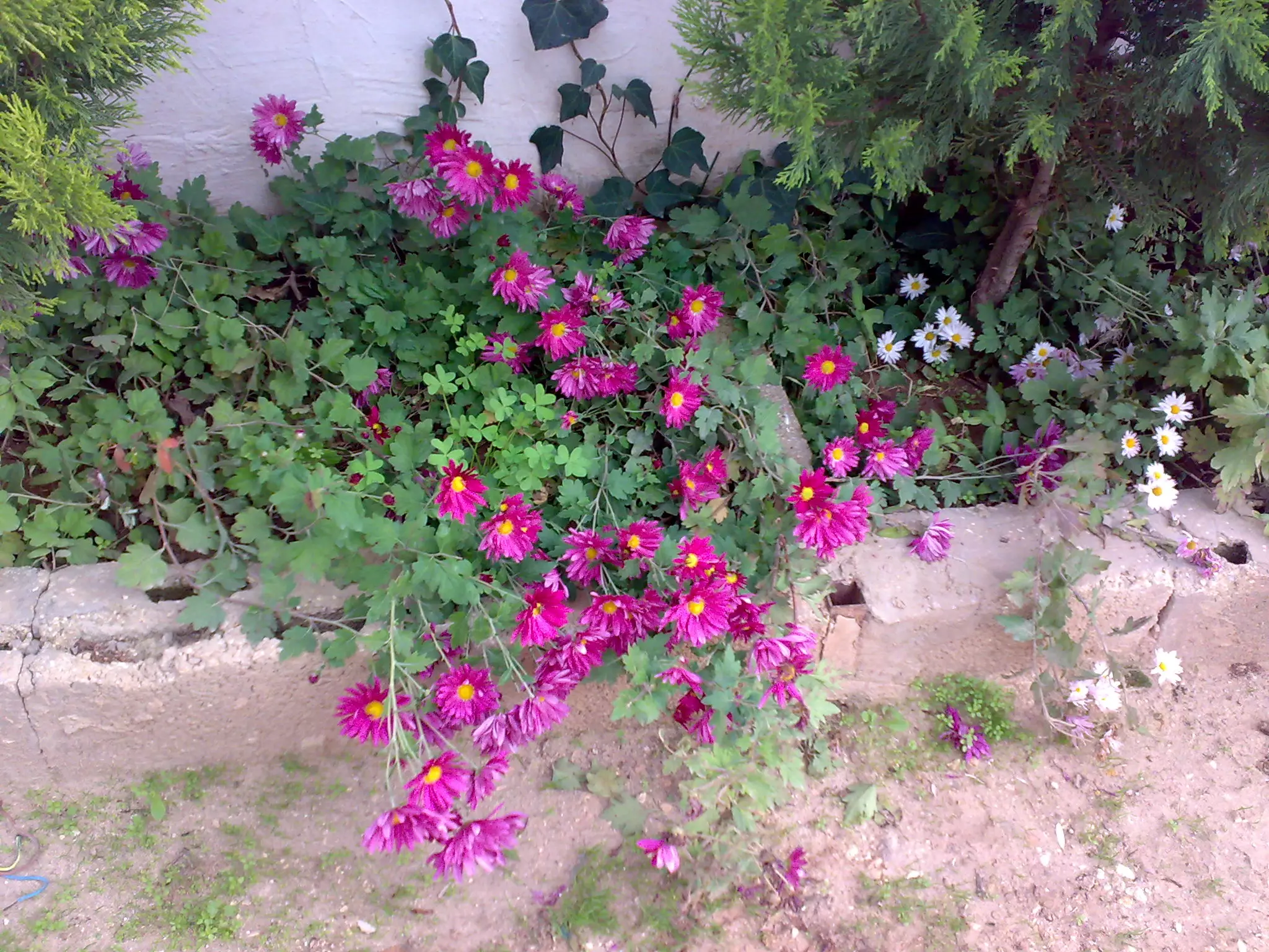
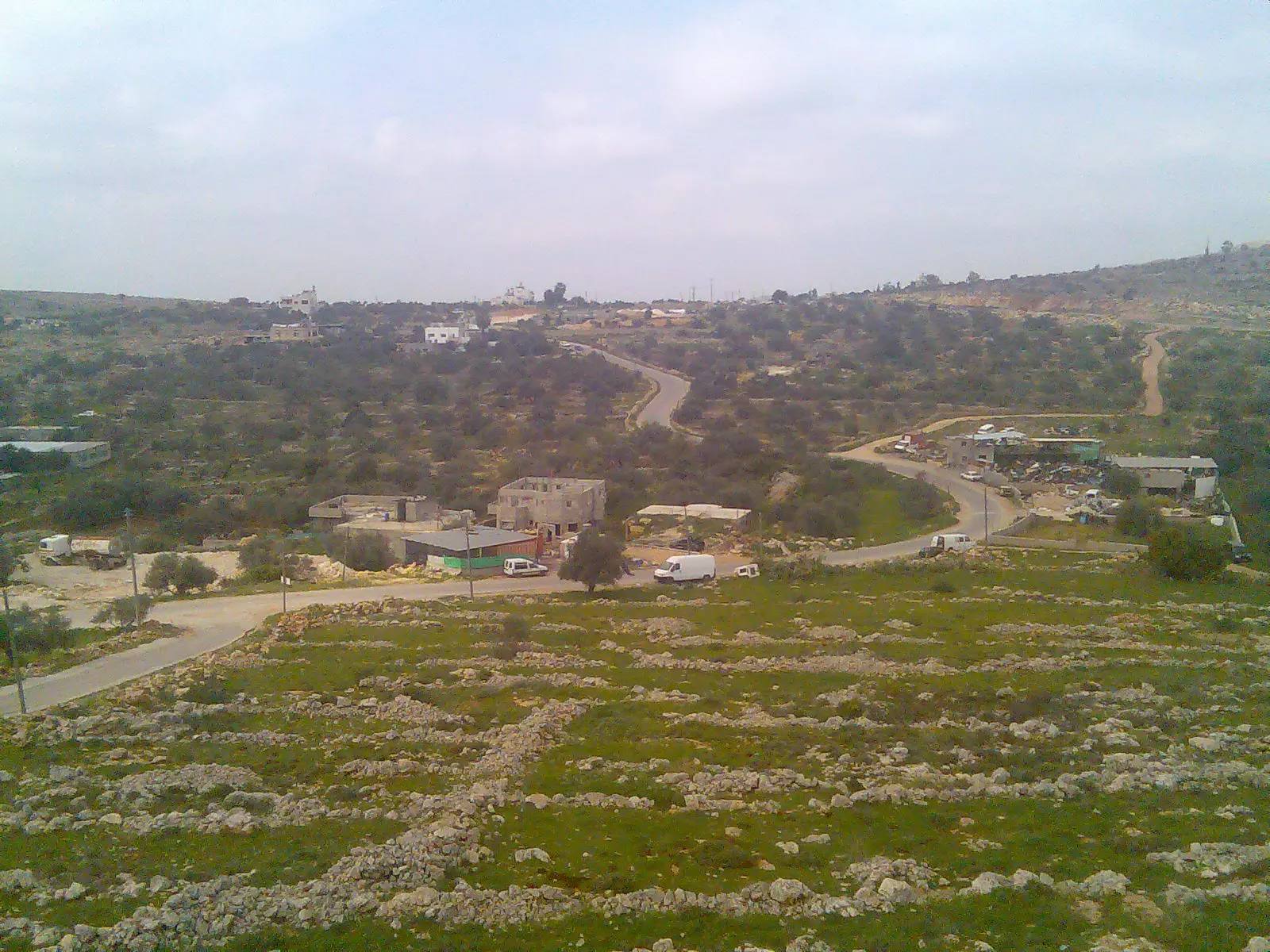
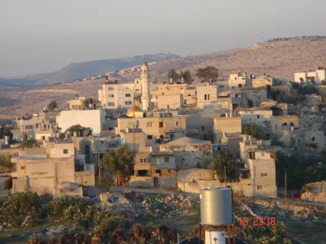
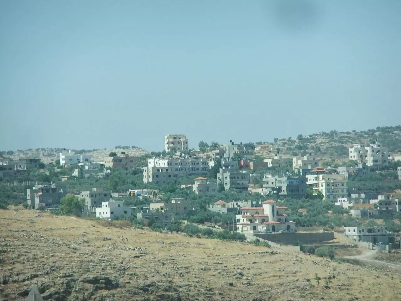
Posted by bilal yahya shalash 3 - منظر من البلدة
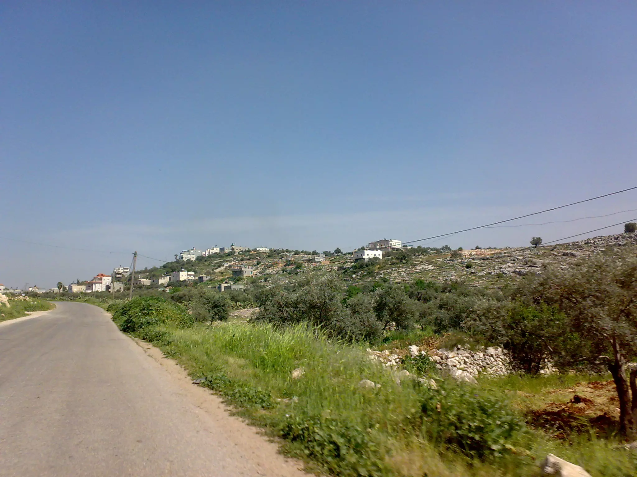
Posted by bilal yahya shalash 6 - مدخل القريه من جهة قبيا
Posted by bilal yahya shalash 5 - وسط البلد
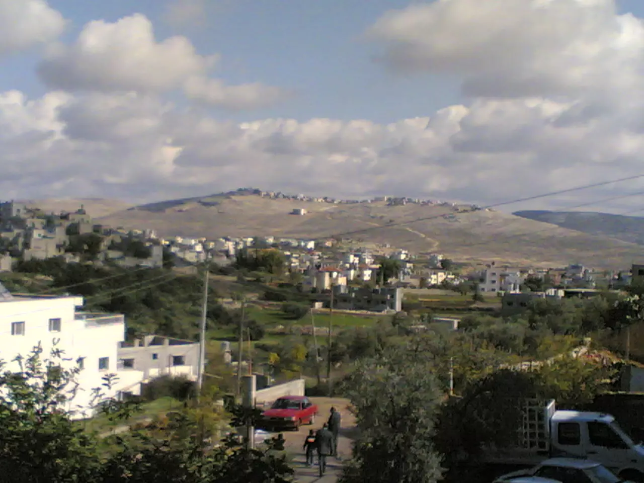
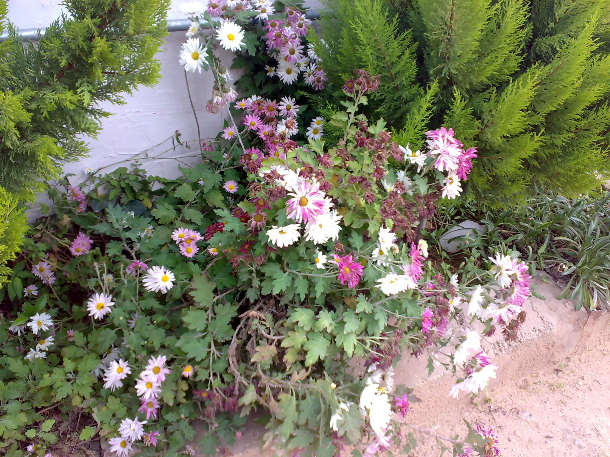
Posted by nathmi hassan 3 - منظر عام في القرية
Posted by nathmi hassan 1 - منبر الجامع
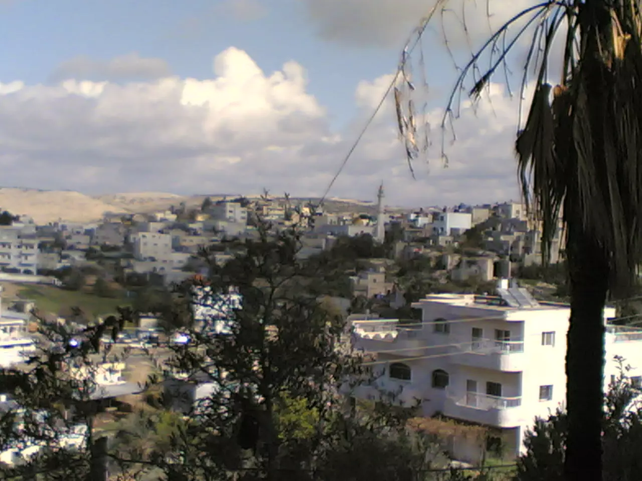
Posted by nathmi hassan 2 - منظر عام
Posted by nathmi hassan 1 - منظر عام
Posted by nathmi hassan 1 - الجامع الجديد
Posted by nathmi hassan 2 - studio shuqba
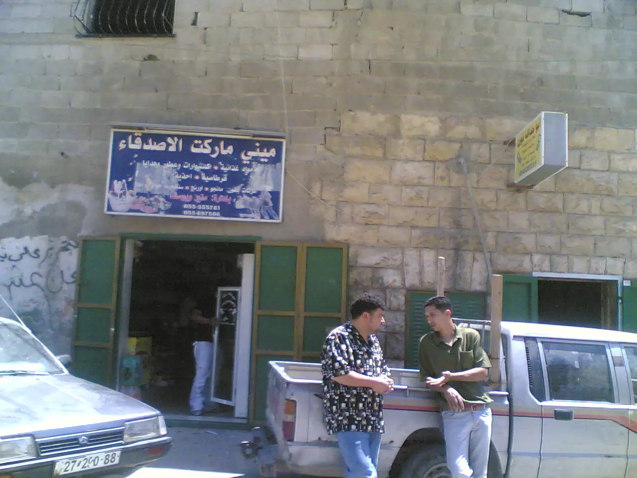
Posted by nathmi hassan 3 - mini market
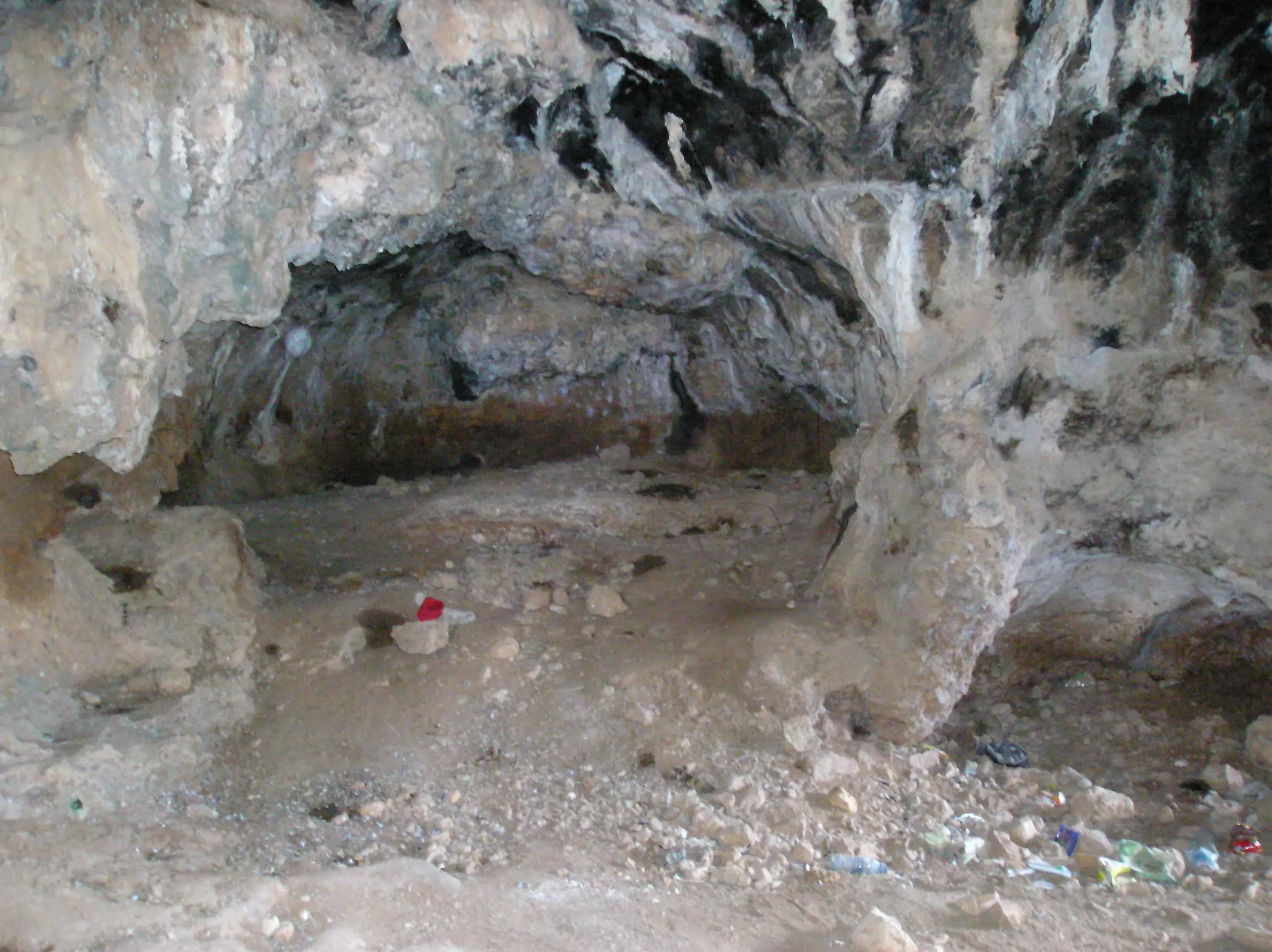
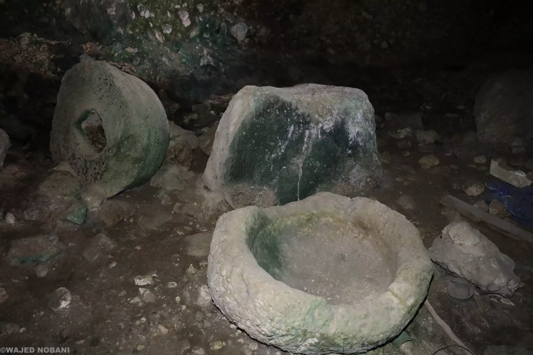
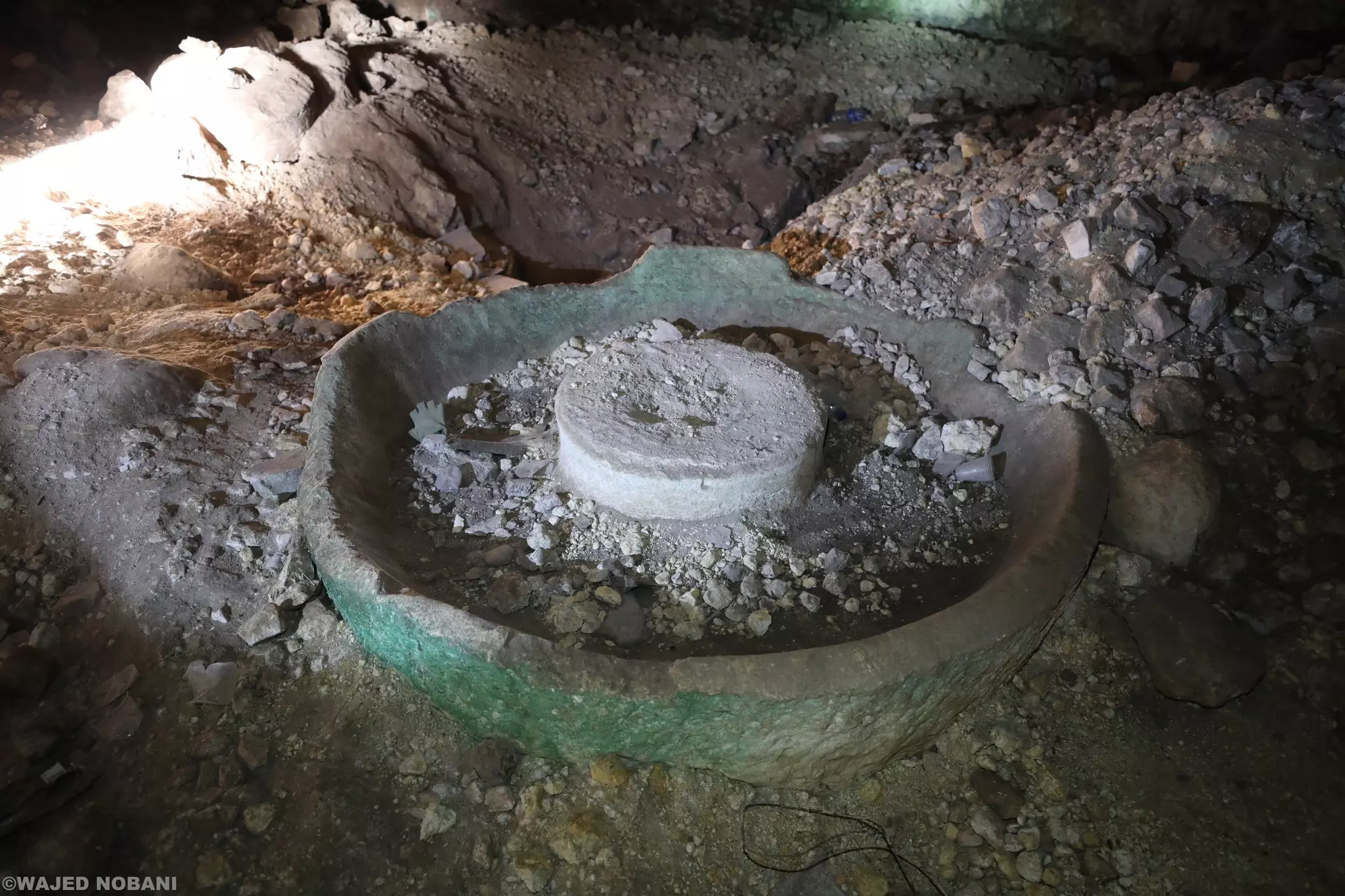
Posted by nathmi hassan 6 - shuqba cave
Posted by nathmi hassan 4 - البلدة القديمة
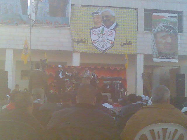
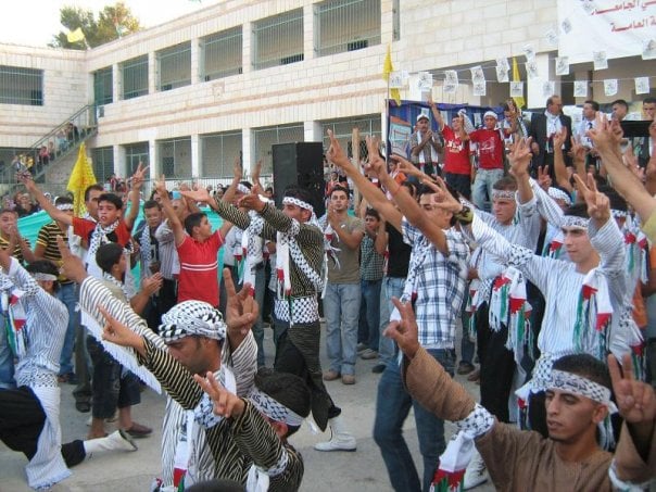
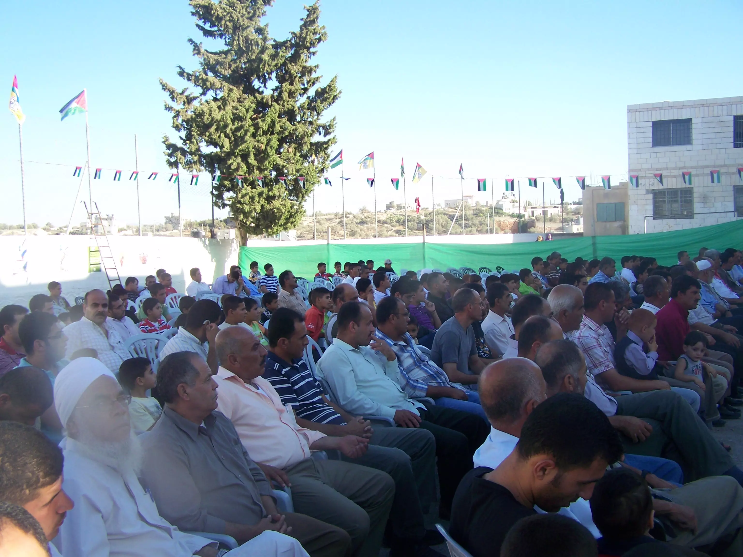
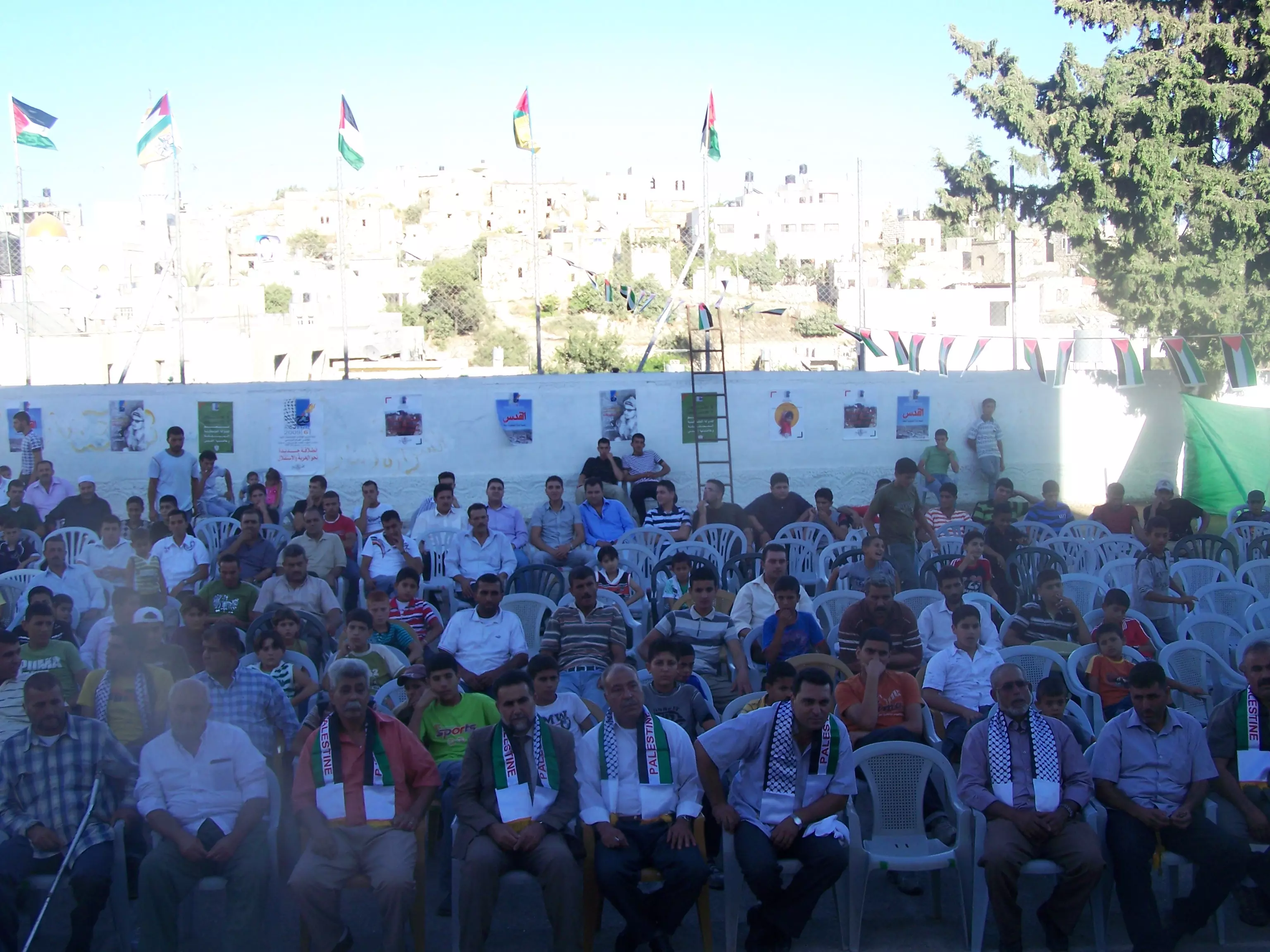
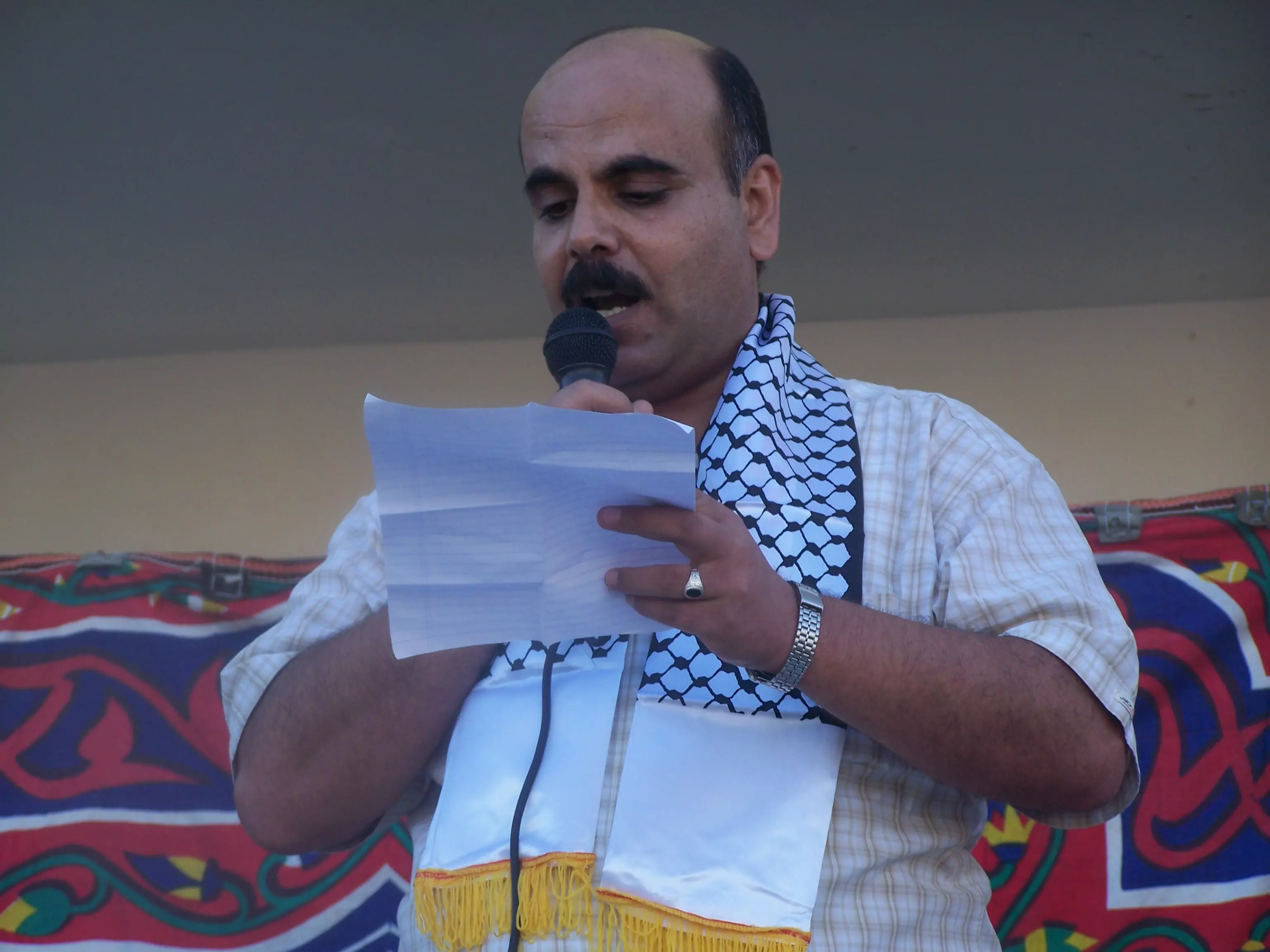
Posted by bilal yahya shalash 1 - مهرجان ذكرى انطلاقة فتح 43 في شقبا
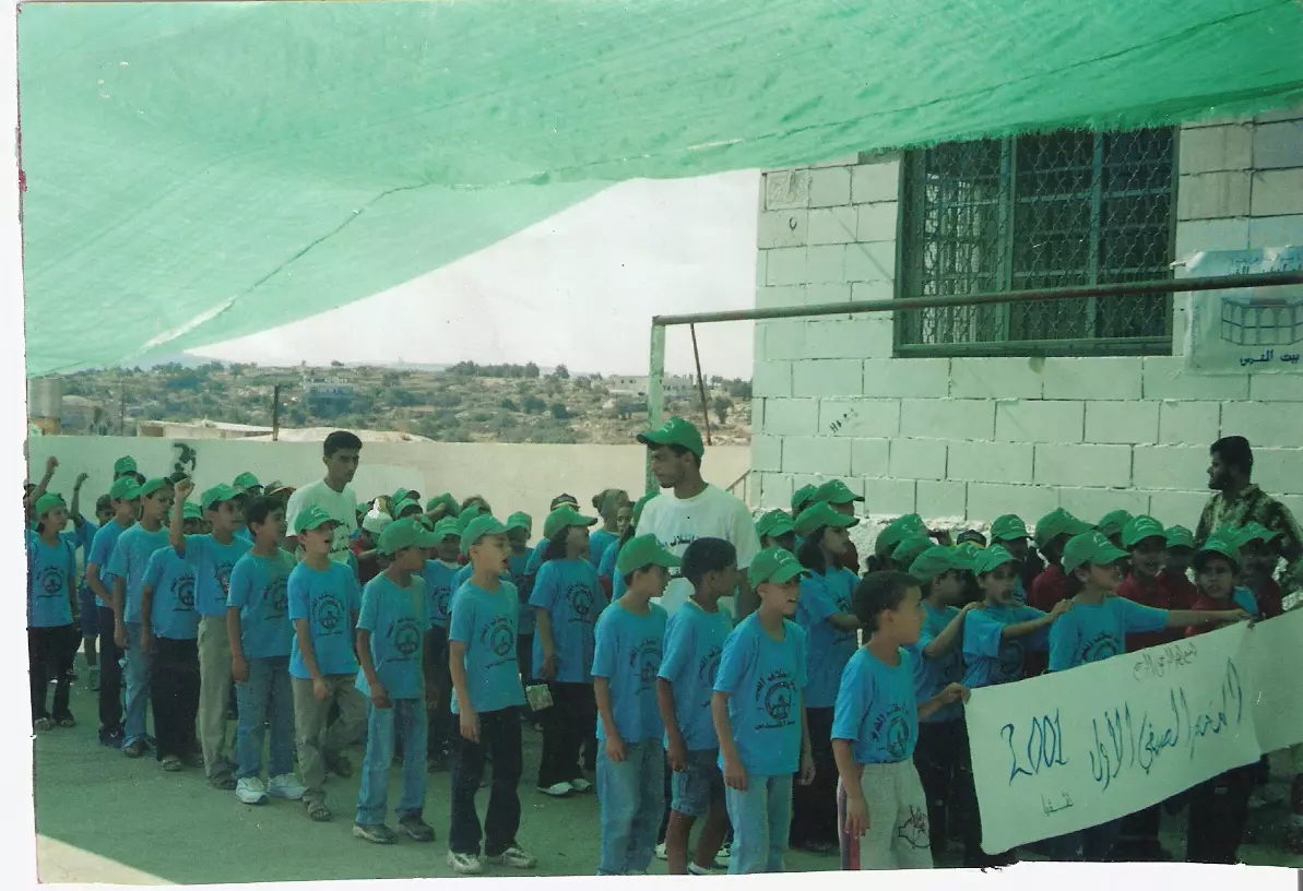
Posted by bilal yahya shalash - المخيم الصيفي شقبا سنة 2001
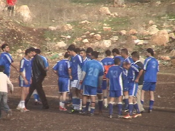
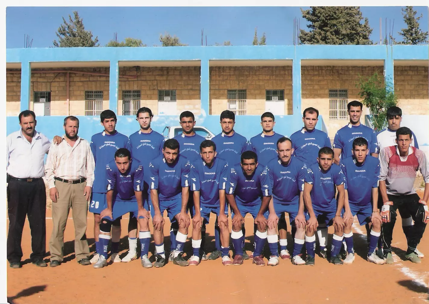
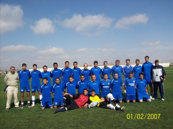
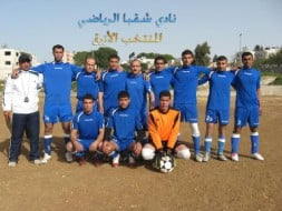
Posted by bilal yahya shalash - نادي شقبا الرياضي
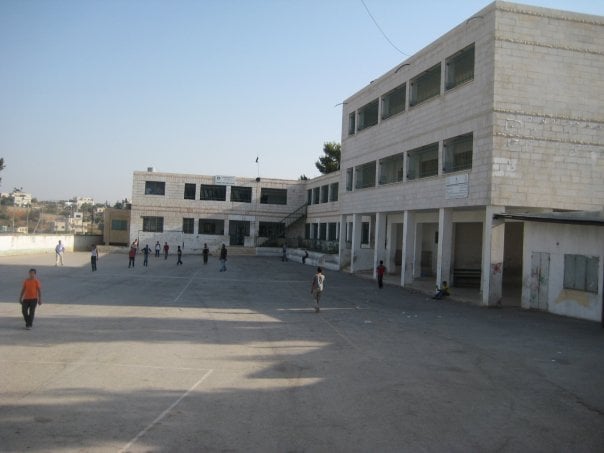
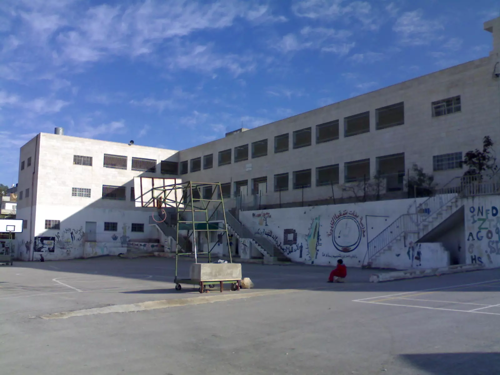
Posted by bilal yahya shalash 3 - مدرسة ذكور شقبا الثانويه
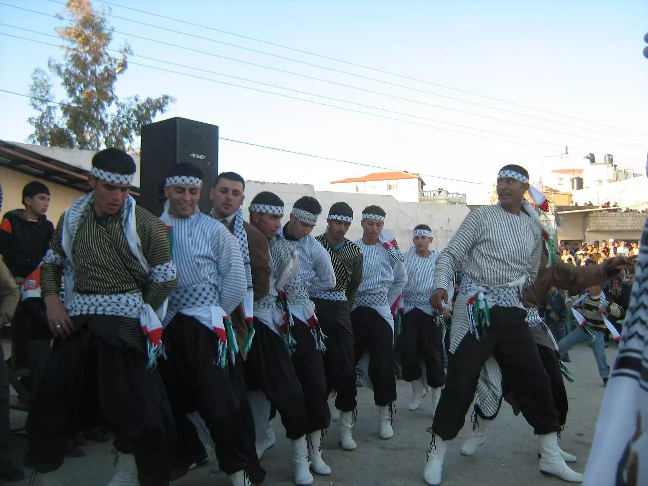
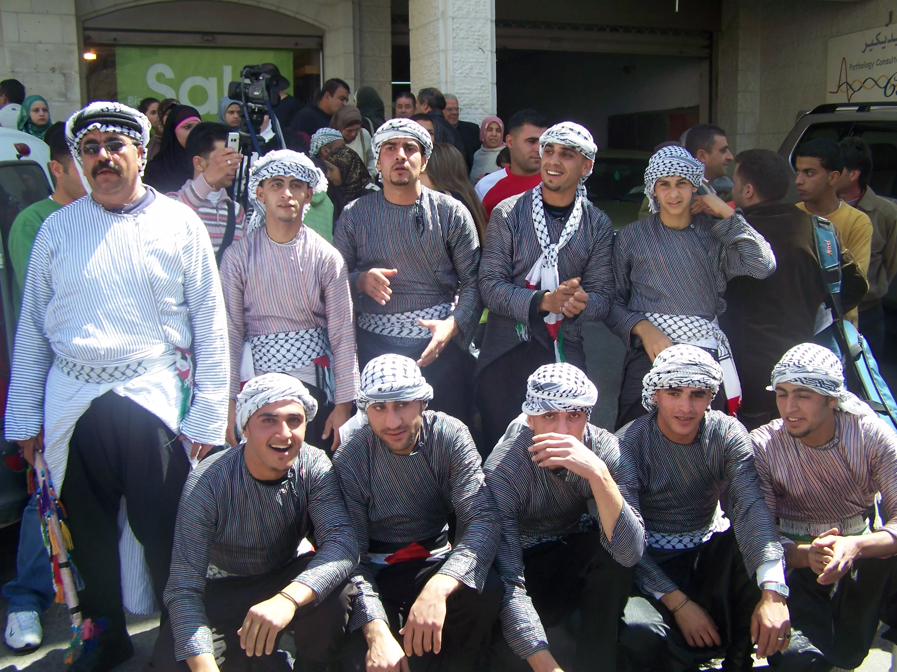
Posted by bilal yahya shalash - فرقة بلادي للدبكة الشعبية - شقبا
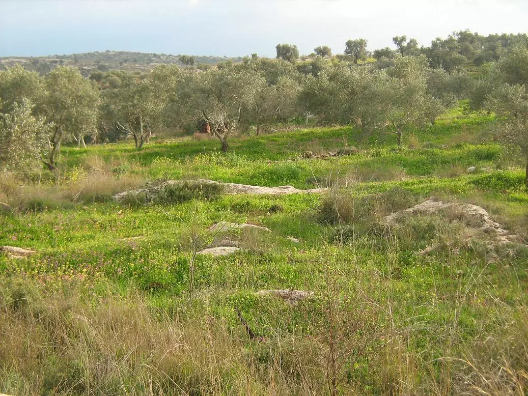
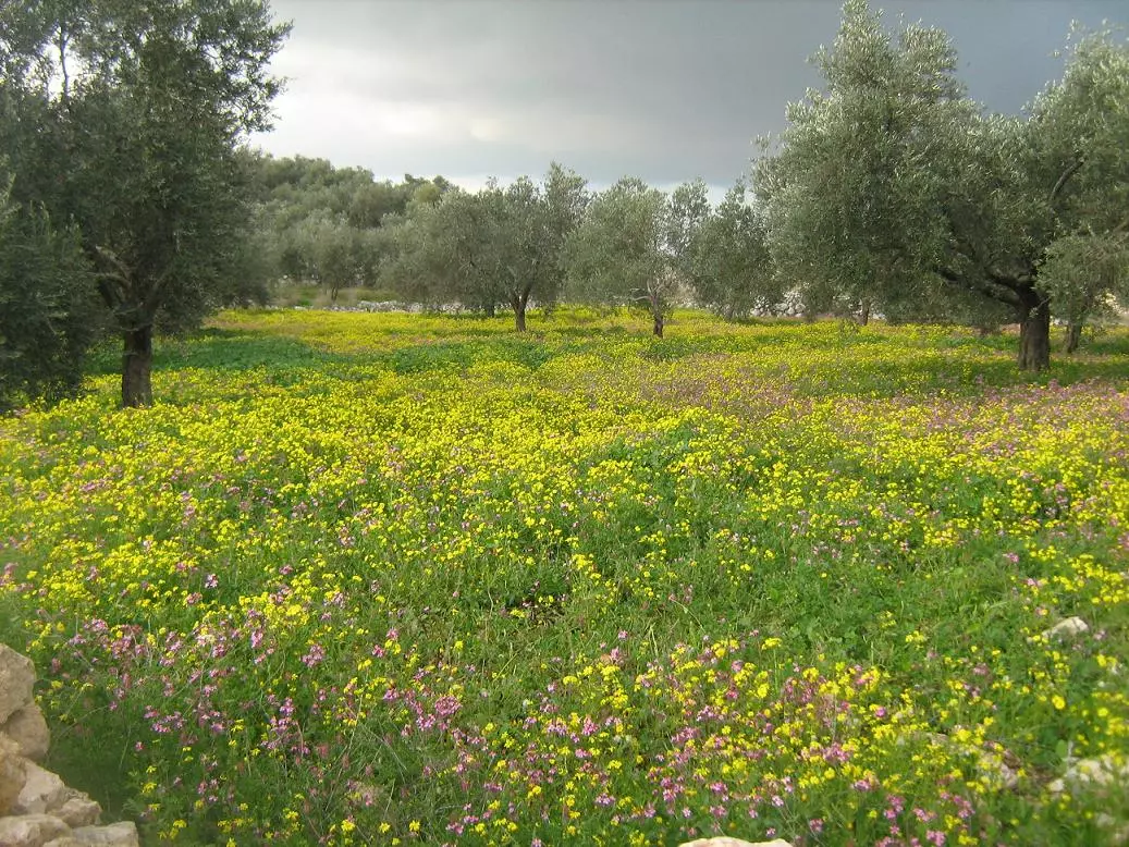
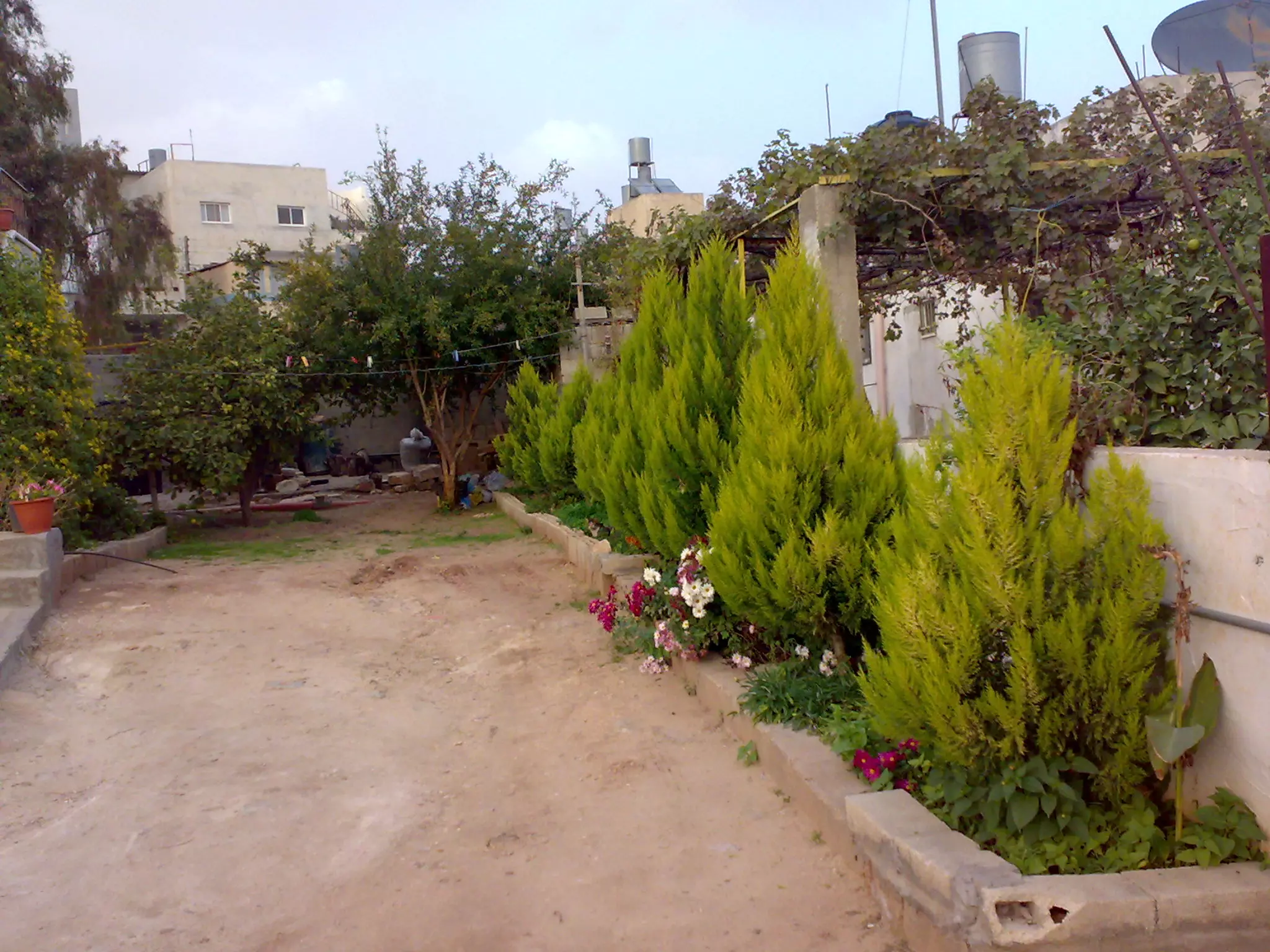
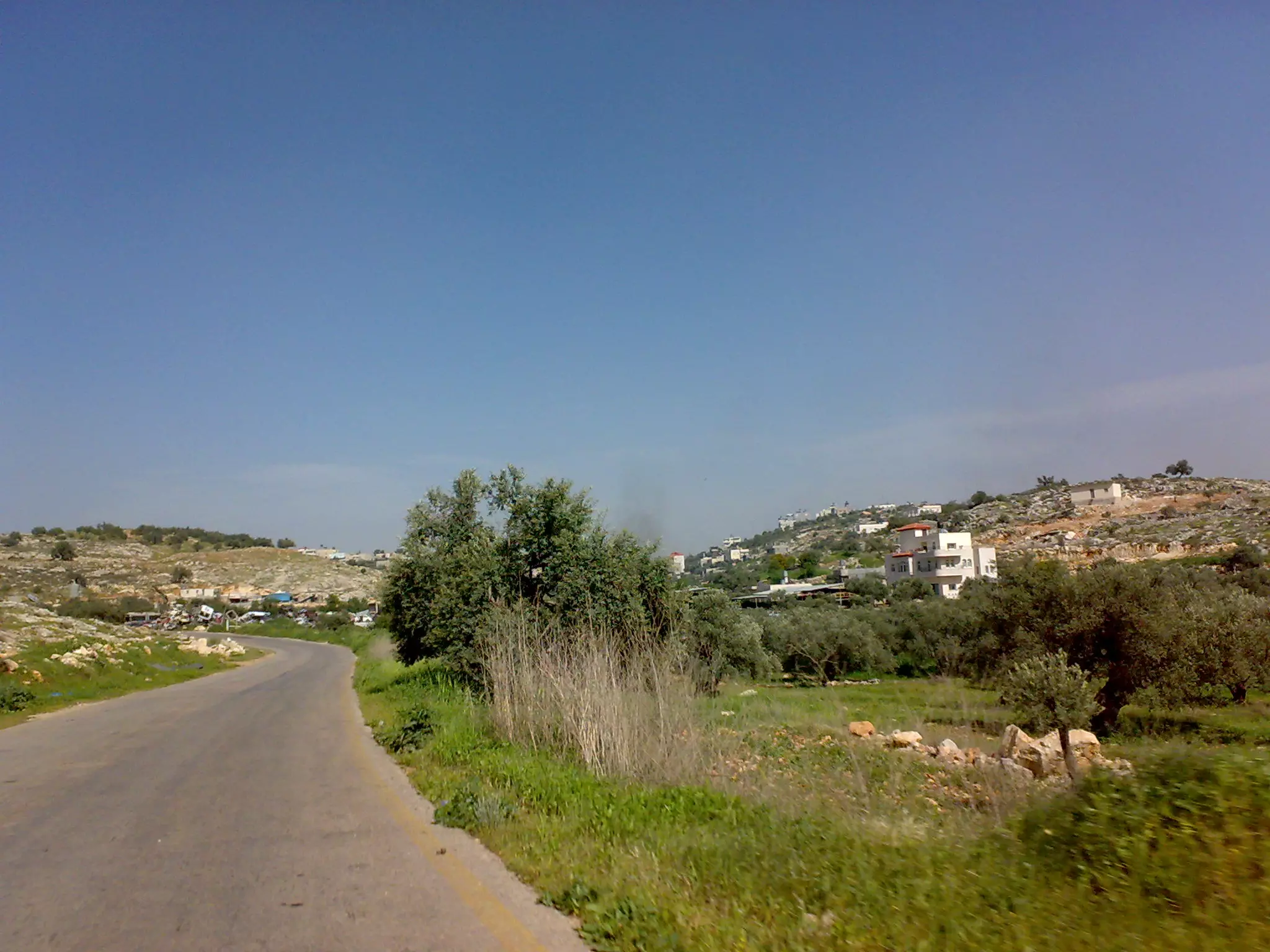
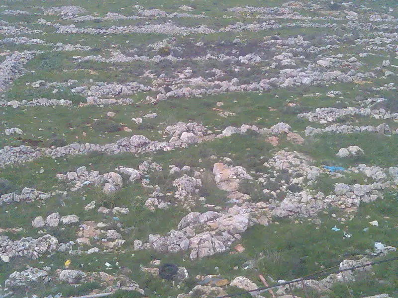
Posted by bilal yahya shalash 8 - منظر طبيعي بالقرية
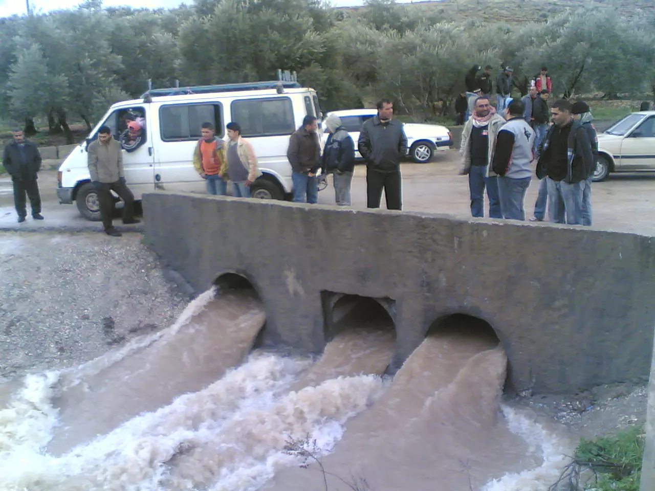
Posted by bilal yahya shalash 2 - دسرة
Posted by bilal yahya shalash 6 - منظر جميل
Posted by bilal yahya shalash - منظر جميل
Posted by bilal yahya shalash - منظر جميل
Posted by bilal yahya shalash 1 - منظر جميل
Posted by bilal yahya shalash 1 - مدخل القريه من جهة قبيا
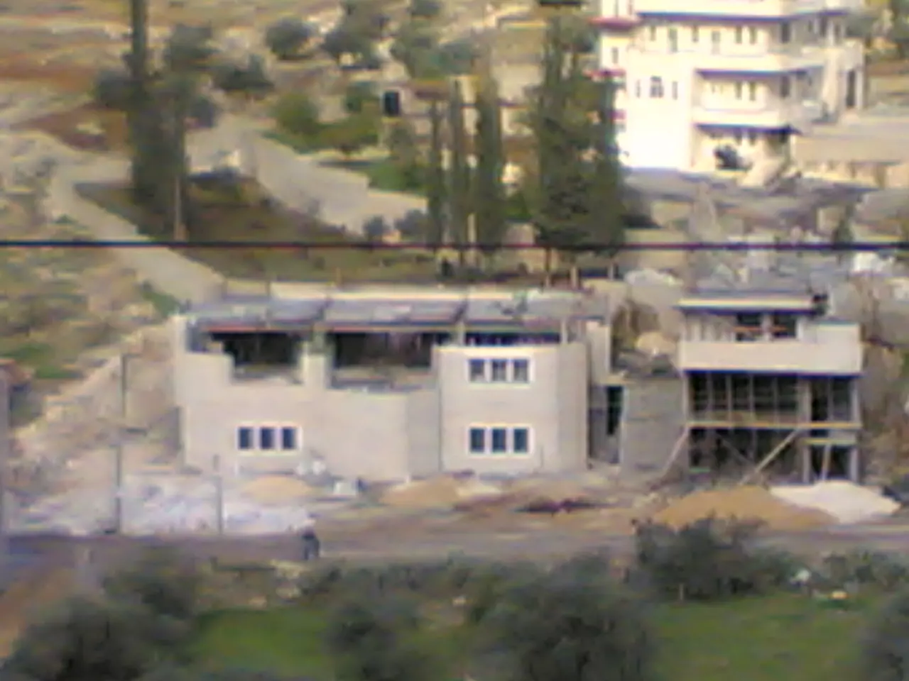
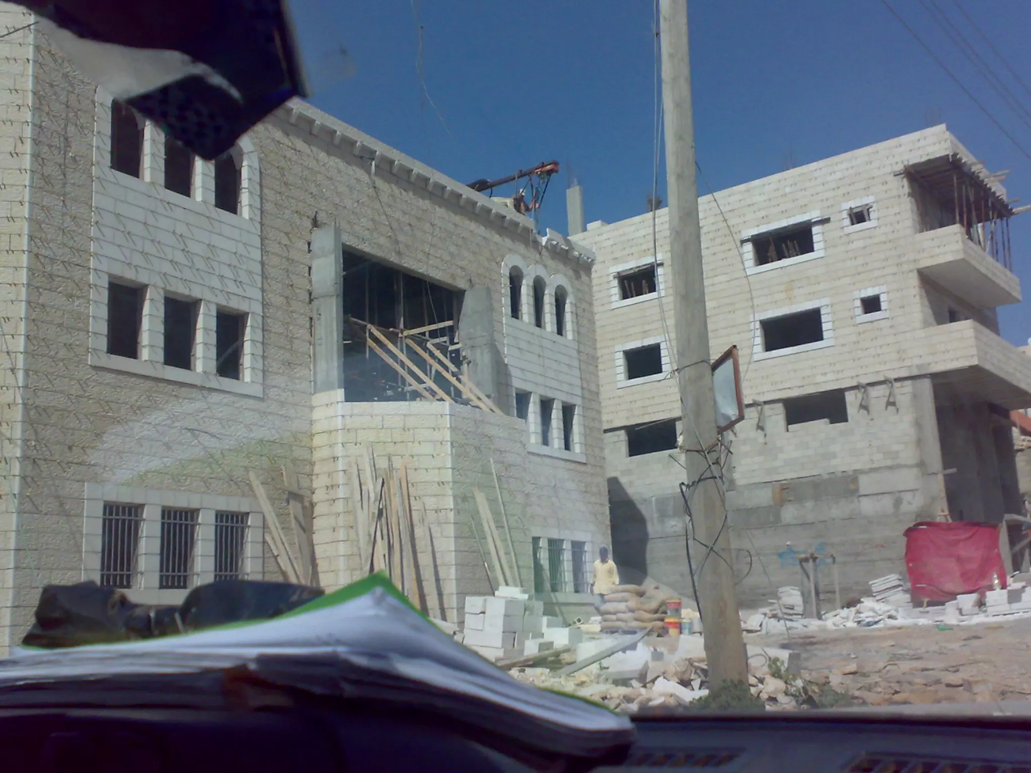
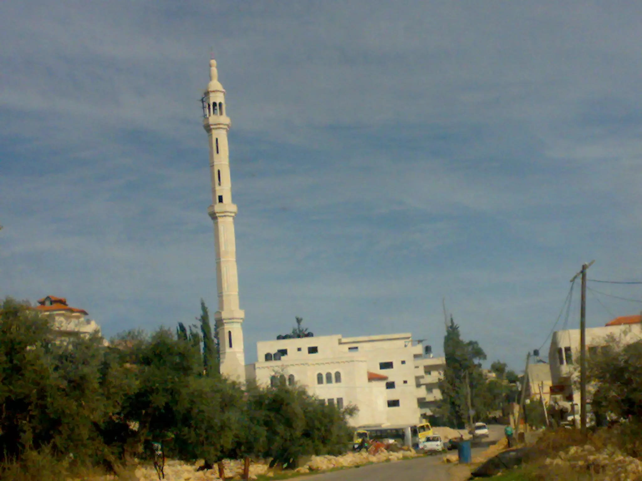
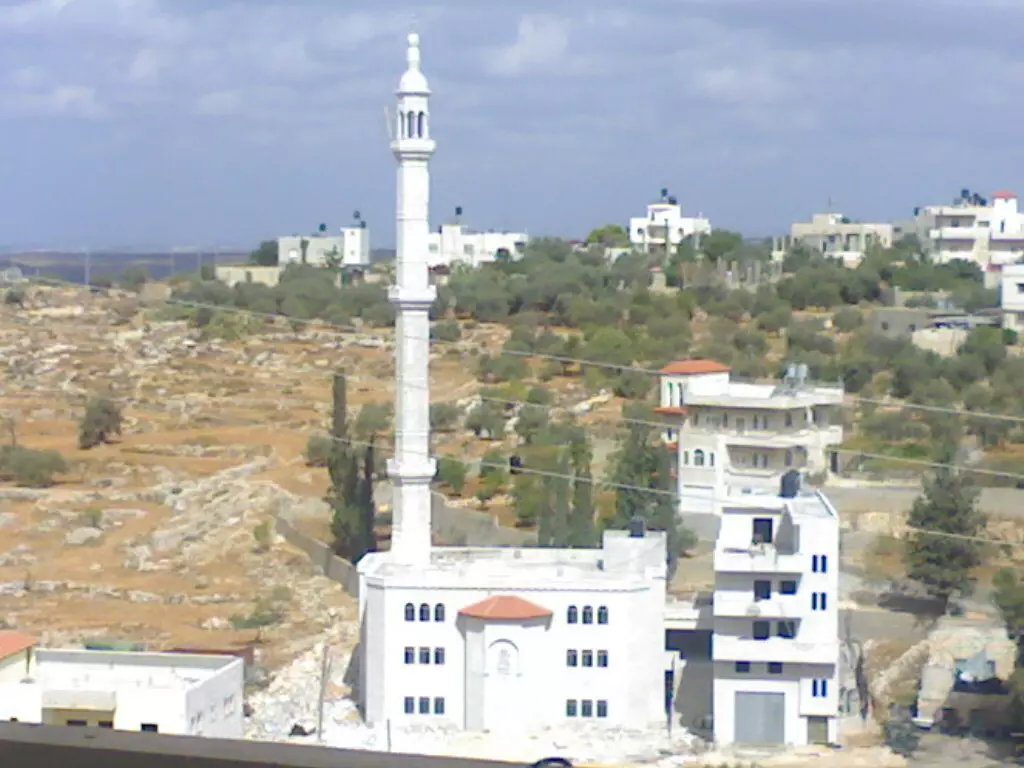
Posted by bilal yahya shalash - مسجد شقبا الجديد قيد الانشاء
Posted by bilal yahya shalash 2 - مسجد شقبا في الليل
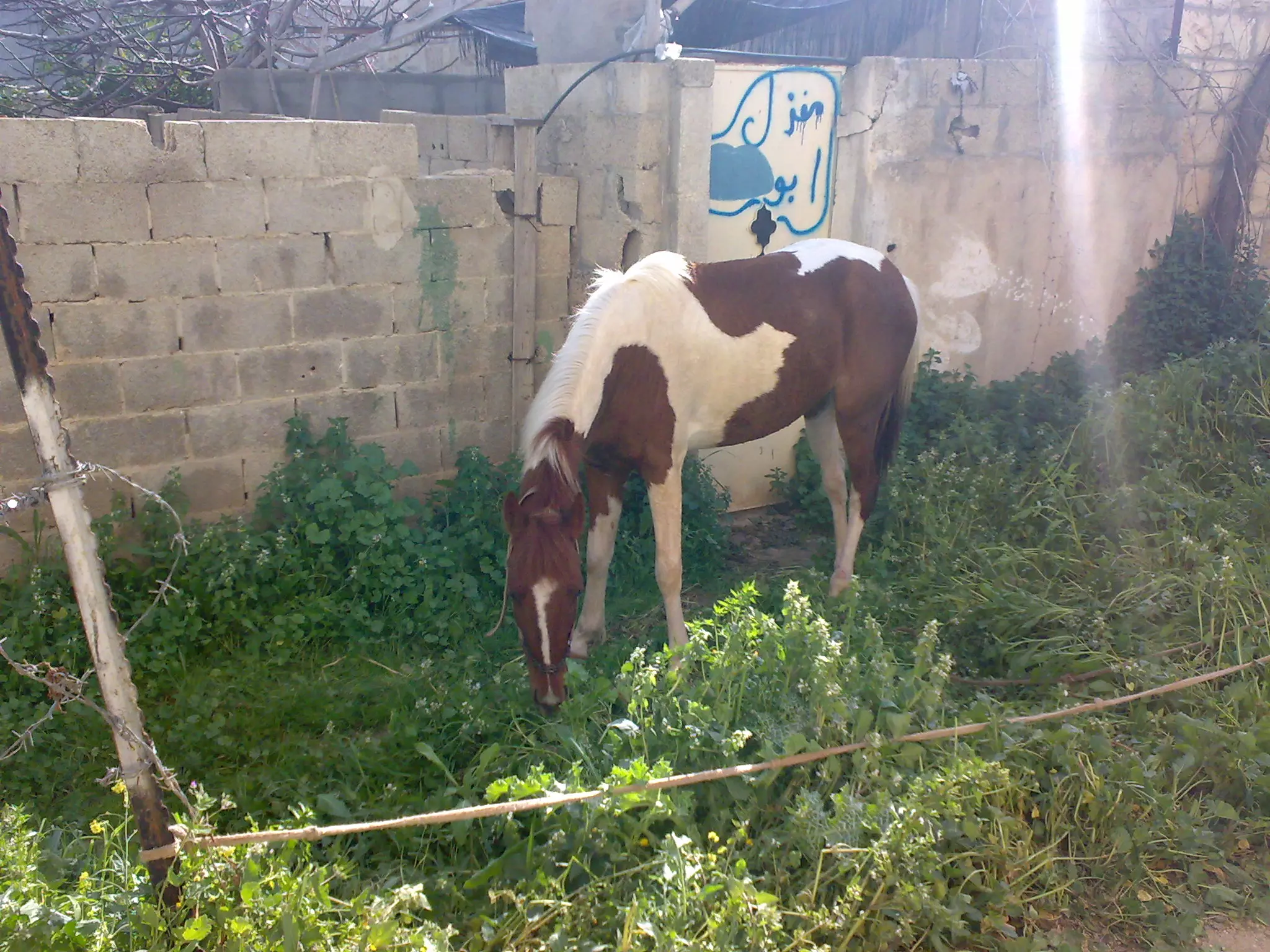
Posted by bilal yahya shalash - احد الحيوانات التي يربيها السكان في القرية
Posted by bilal yahya shalash 3 - شقبا
Posted by bilal yahya shalash 11 - شقبا
Posted by bilal yahya shalash 18 - waad shuqba
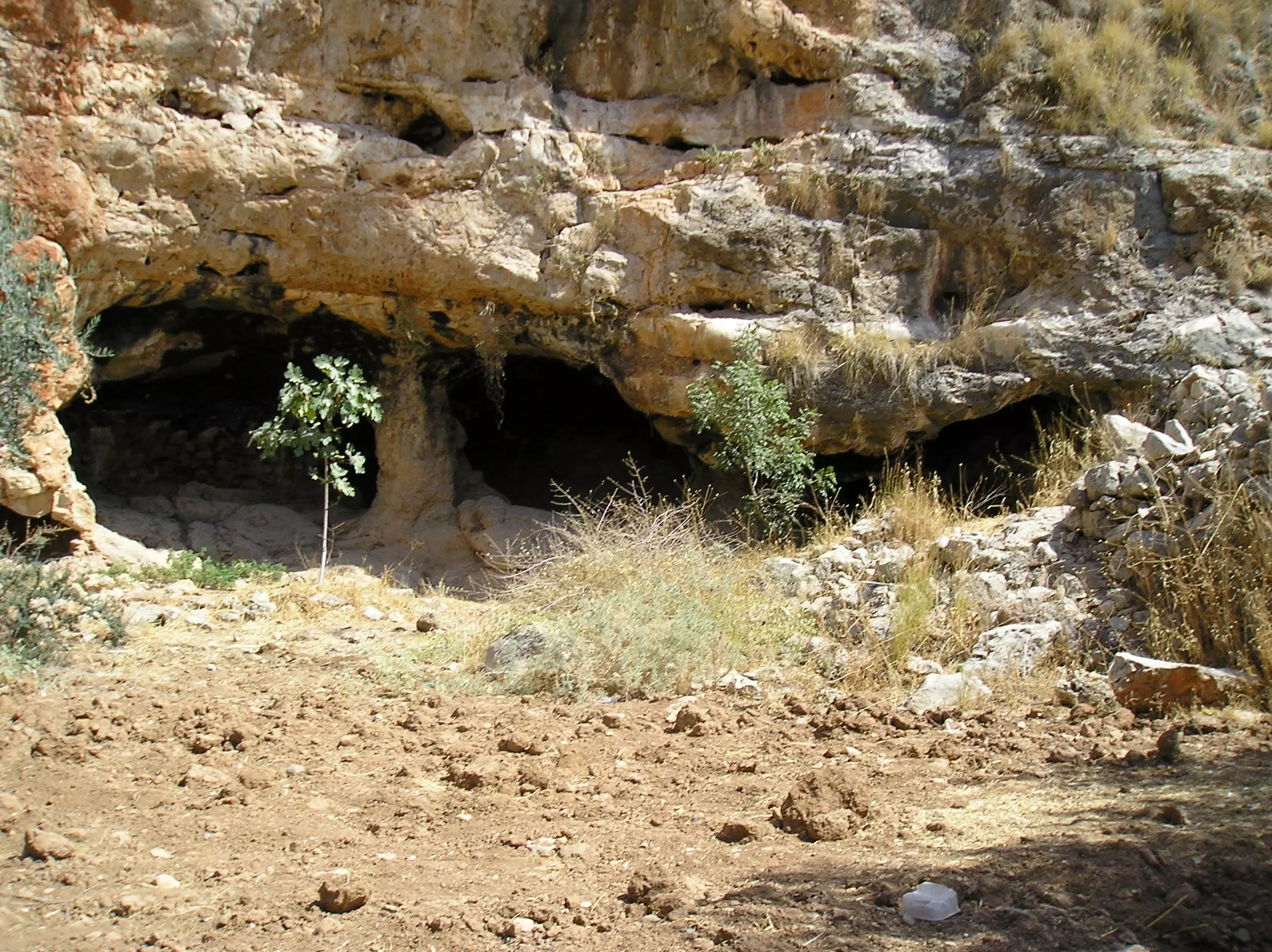
Posted by nathmi hassan 2 - اكبر مدخل لمغارة شقبا
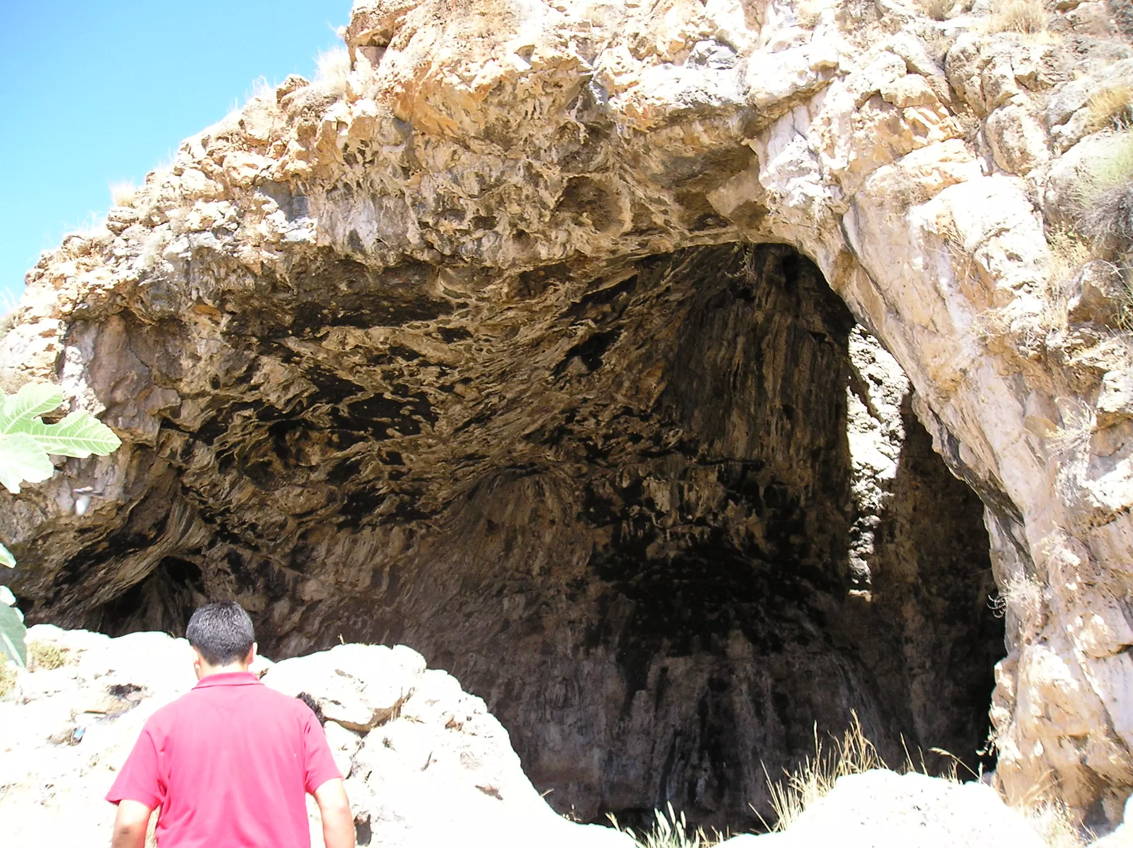
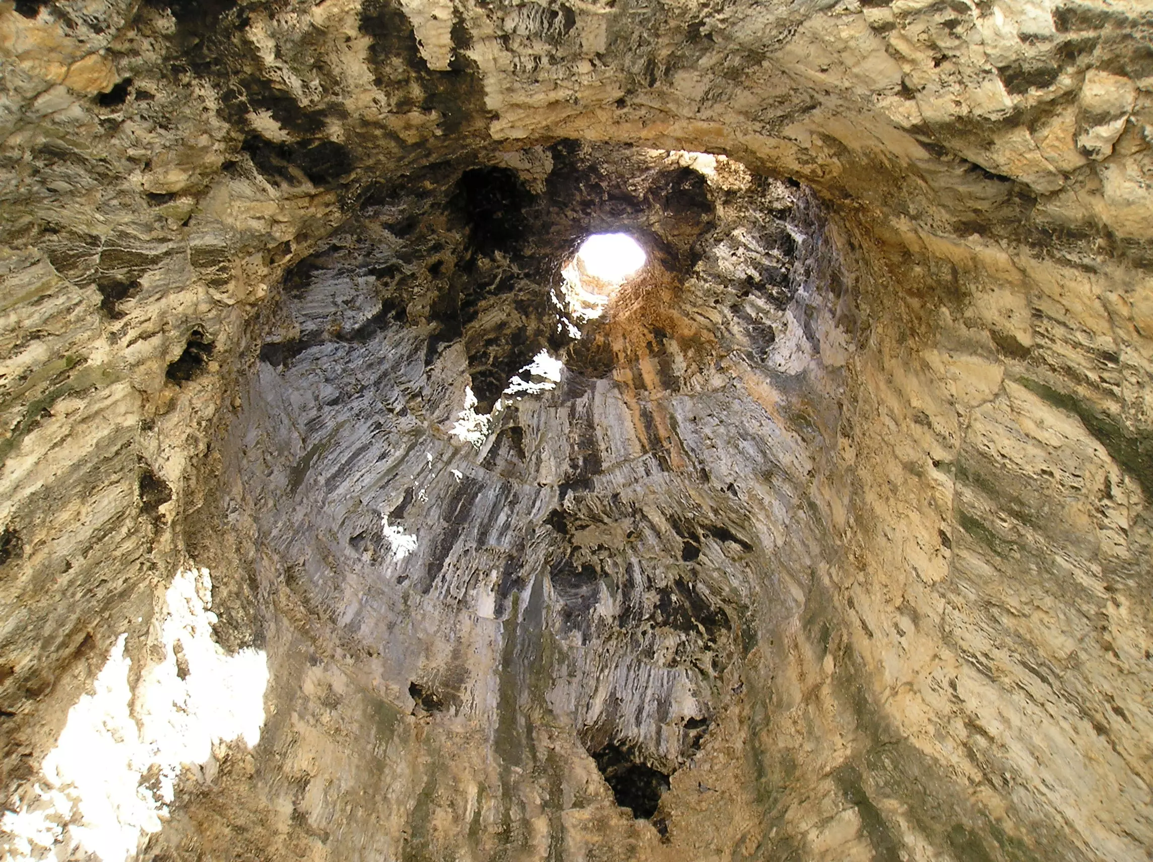
Posted by bilal yahya shalash 2 - الروزنة في مغارة شقبا
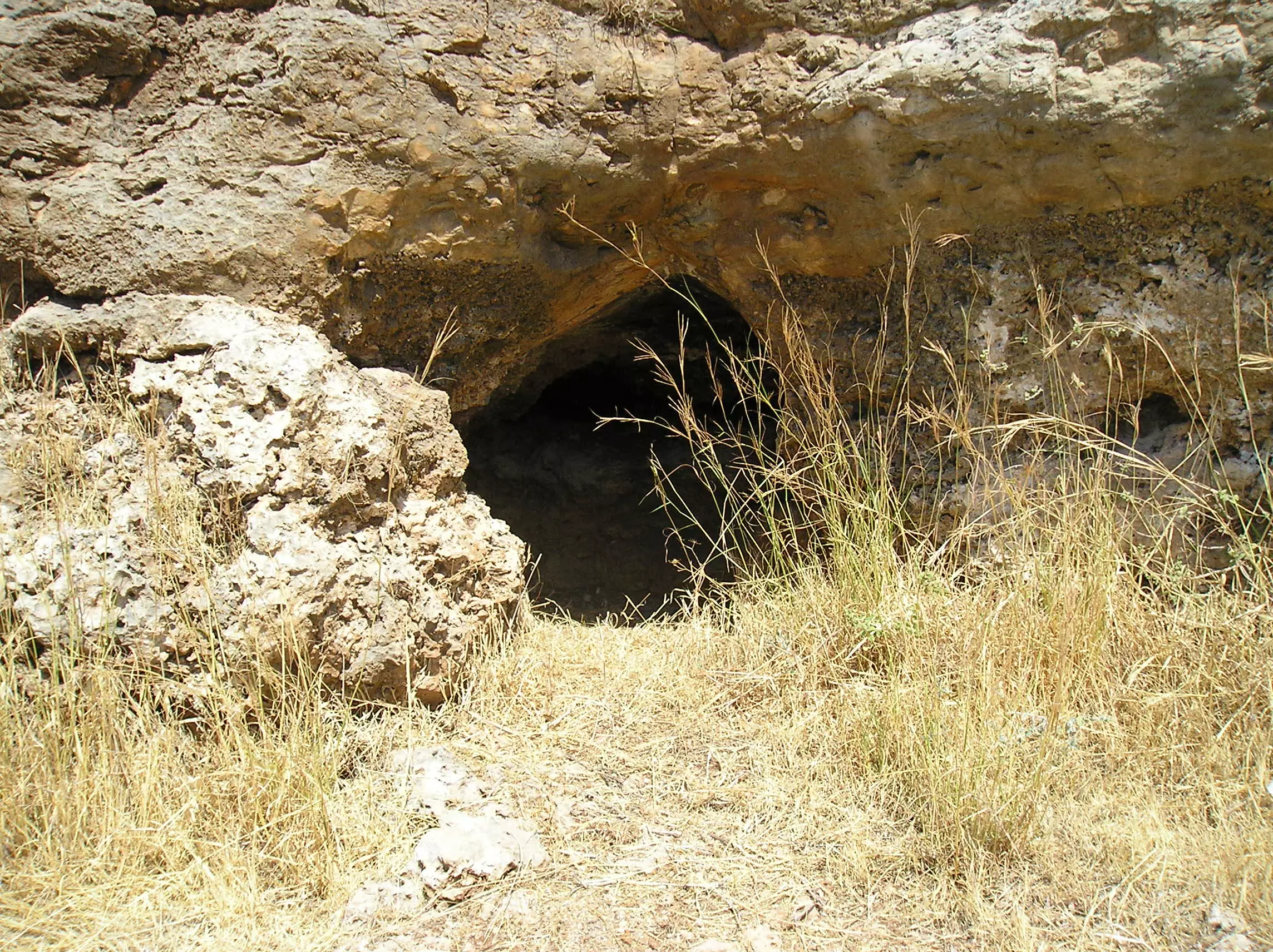
Posted by bilal yahya shalash 2 - احد مداخل مغارة شقبا
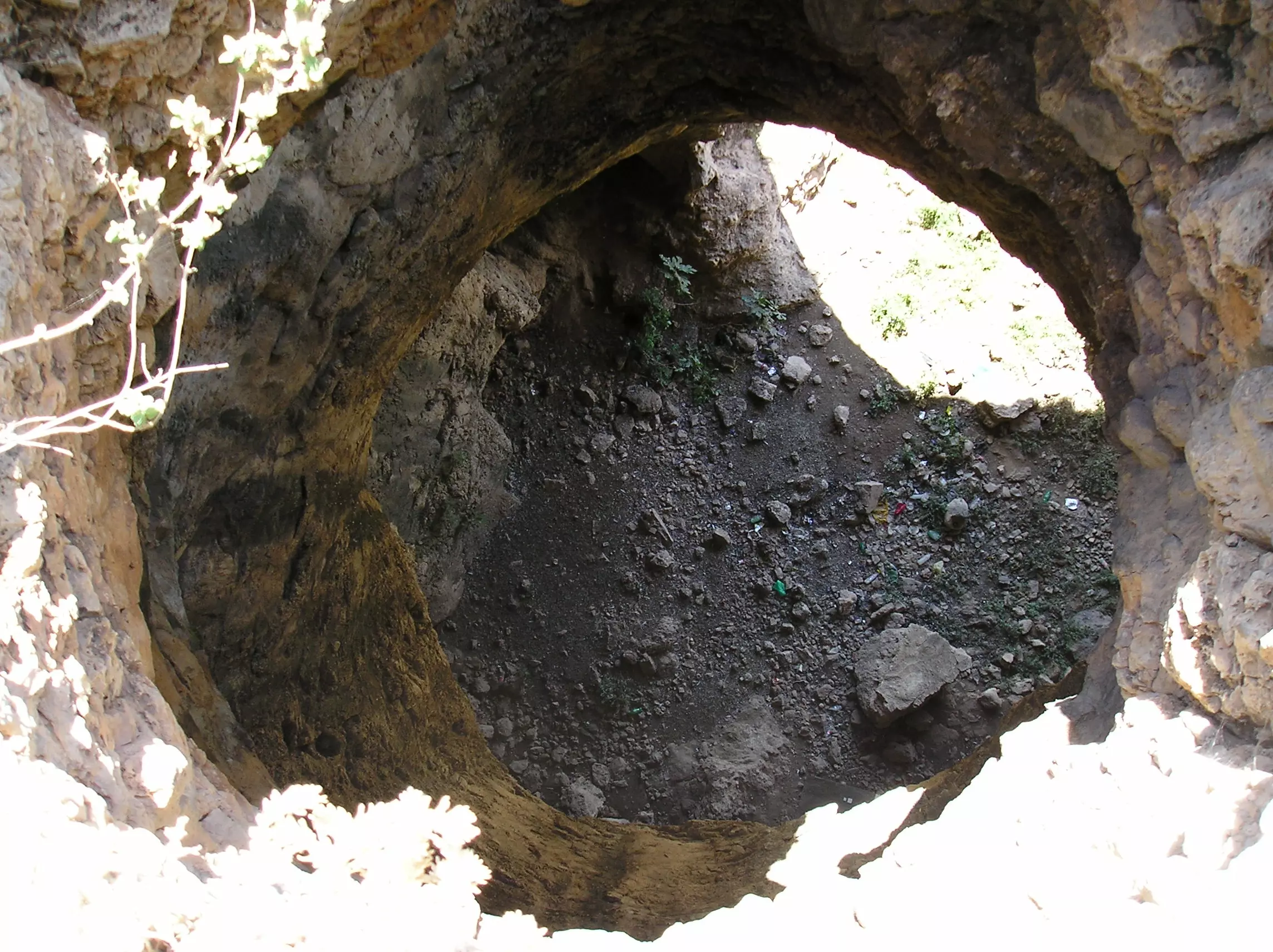
Posted by bilal yahya shalash - الروزنة من الاعلى مغارة شقبا
Posted by bilal yahya shalash 1 - احد مداخل مغارة شقبا
Posted by bilal yahya shalash - مغارة شقبا من الاعلى
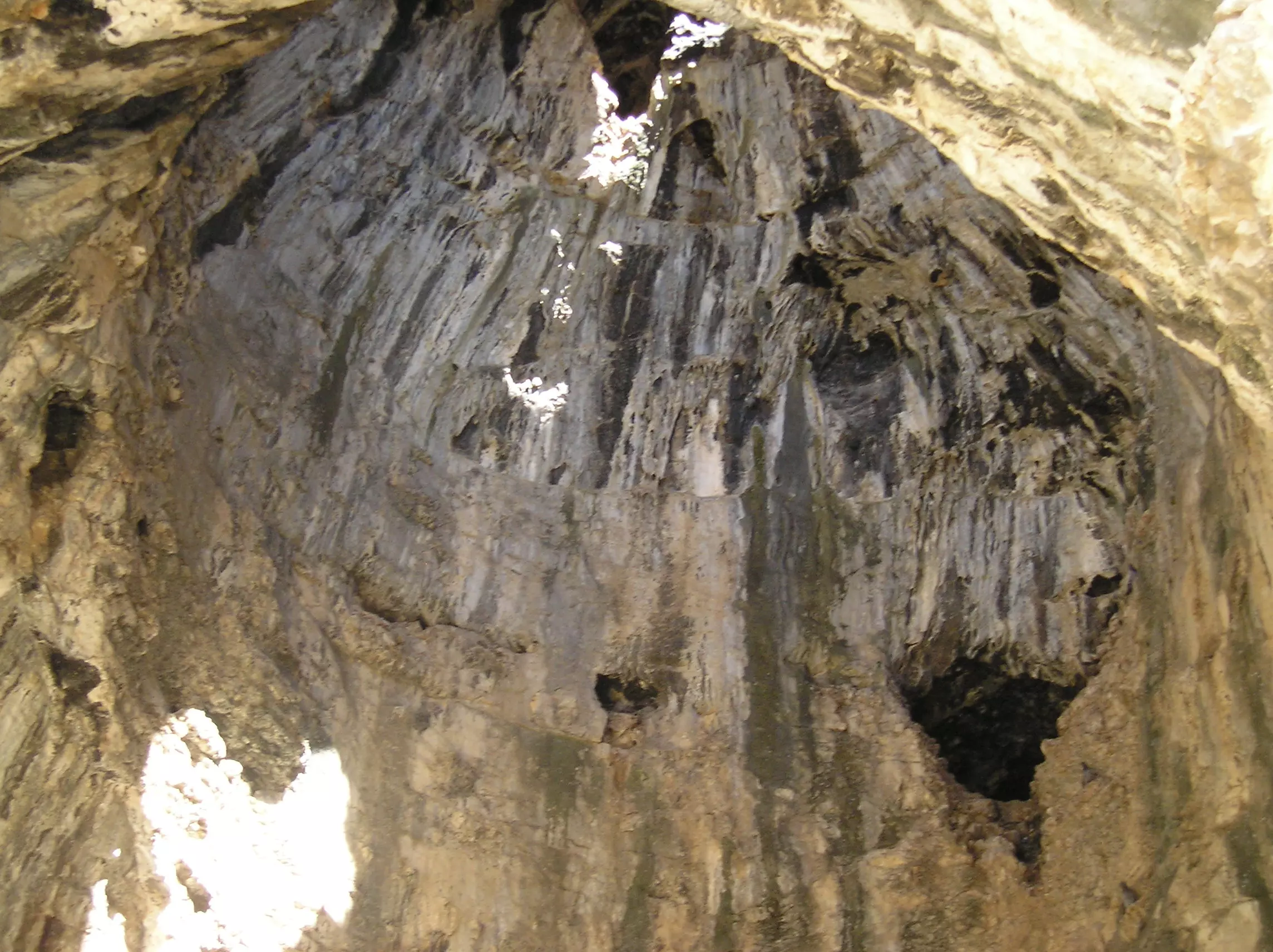
Posted by bilal yahya shalash - مغارة شقبا من الداخل
Posted by bilal yahya shalash - masjid al-saberen

Posted by nathmi hassan 1 - al-atary
Posted by nathmi hassan 3 - al-sokya
Posted by nathmi hassan - al_marj
Posted by nathmi hassan - old vellag
Posted by nathmi hassan - shuqba1
Posted by nathmi hassan 2 - west shuqba
Posted by nathmi hassan 1 - shuqba2
Posted by nathmi hassan 2 - مسجد الصابرين
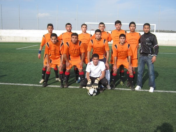
Posted by bilal yahya shalash 1 - فريق شقبا لكرة القدم
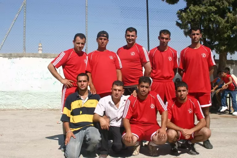
Posted by bilal yahya shalash 3 - فريق نادي شقبا لكرة الطائرة
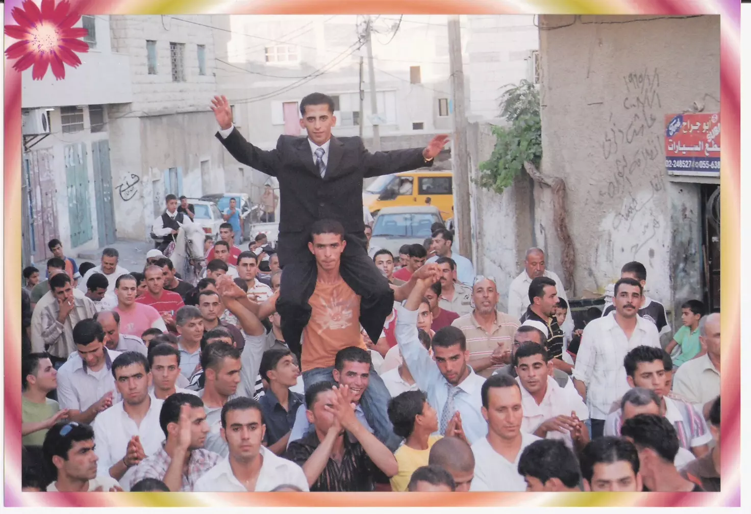
Posted by bilal yahya shalash 1 - احــــــــــــدى الزفــــــــــــــات الشـــــــــــــــــــعبية في القـــــــــــــــرية (1)
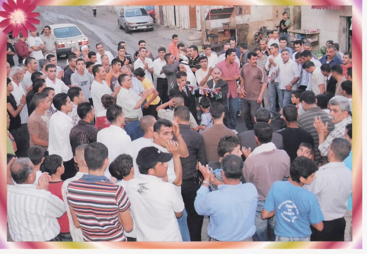
Posted by bilal yahya shalash 1 - احــــــــــــدى الزفــــــــــــــات الشـــــــــــــــــــعبية في القـــــــــــــــرية (2)
Posted by bilal yahya shalash 1 - فرقــــــــــــة بــــــــــــــلادي للـــــــــــدبكة الشــــــــــــــــعبية
Posted by bilal yahya shalash - شـــــــــــــــــــقبا
Posted by bilal yahya shalash - shuqba girls school
Posted by nathmi hassan 2 - منظر اخر لشقبا
Posted by sam73 - ماأحلاكي يا شقبا
Posted by sam73 - نادي شقبا الرياضي على ملعب ماجد اسعد
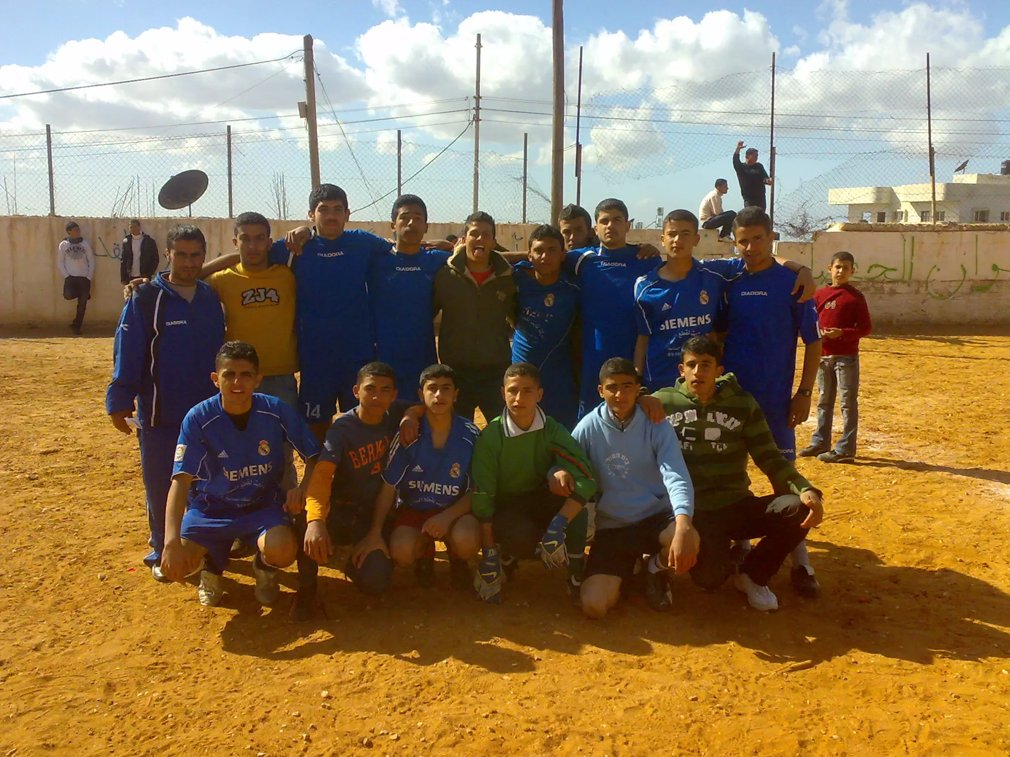
Posted by bilal yahya shalash 1 - فريق مدرسة ذكور شقبا الثانوية لكرة القدم
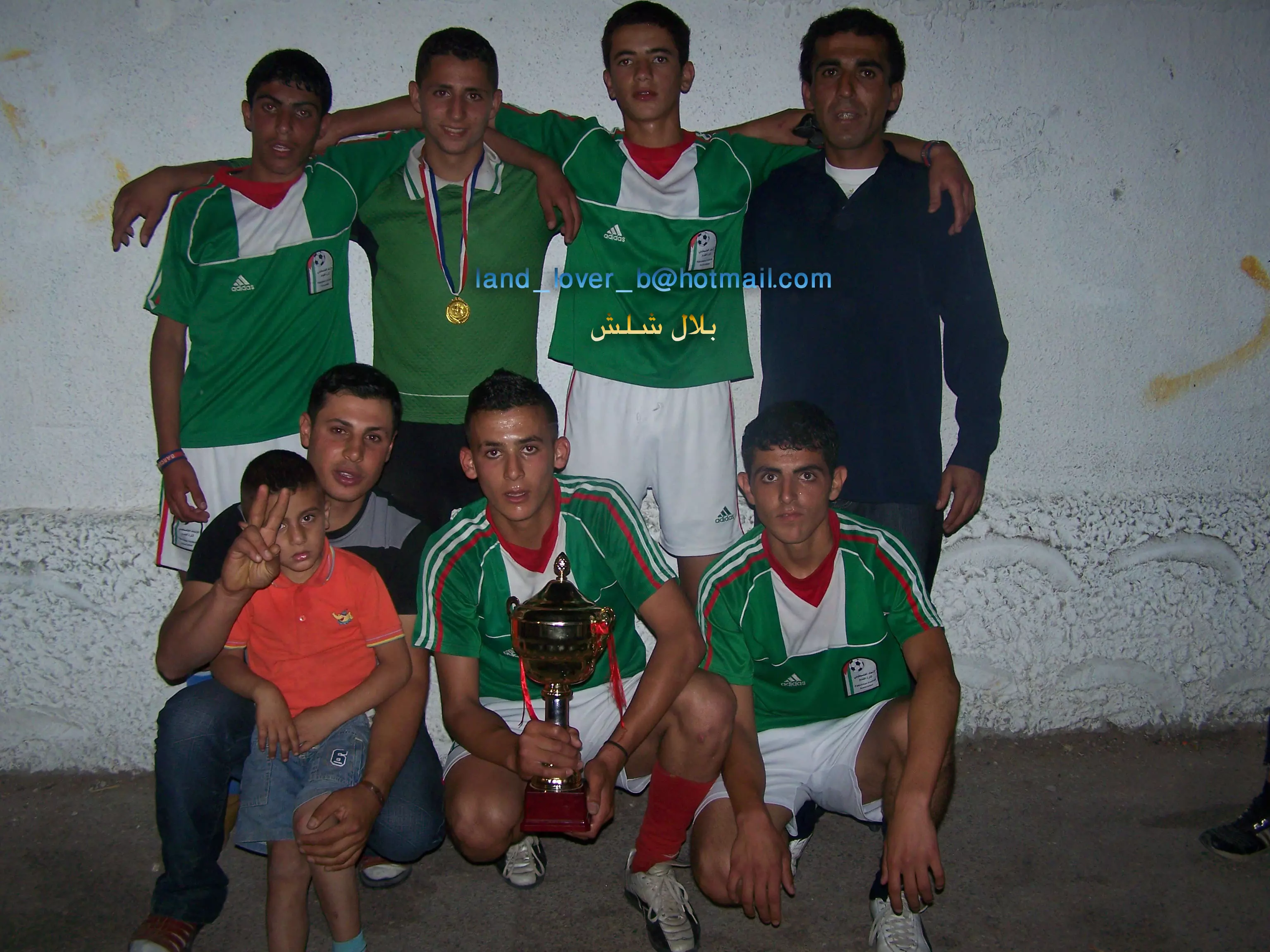
Posted by bilal yahya shalash 2 - اسود نادي شقبا

Posted by زيزو شقبا 5 - نادي شقبا (المنتخب الازرق) على ملعب سلفيت
Posted by bilal yahya shalash - أشبال نادي شقبا لكرة القدم
Posted by bilal yahya shalash 2 - فرقة بلادي للدبكة الشعبية
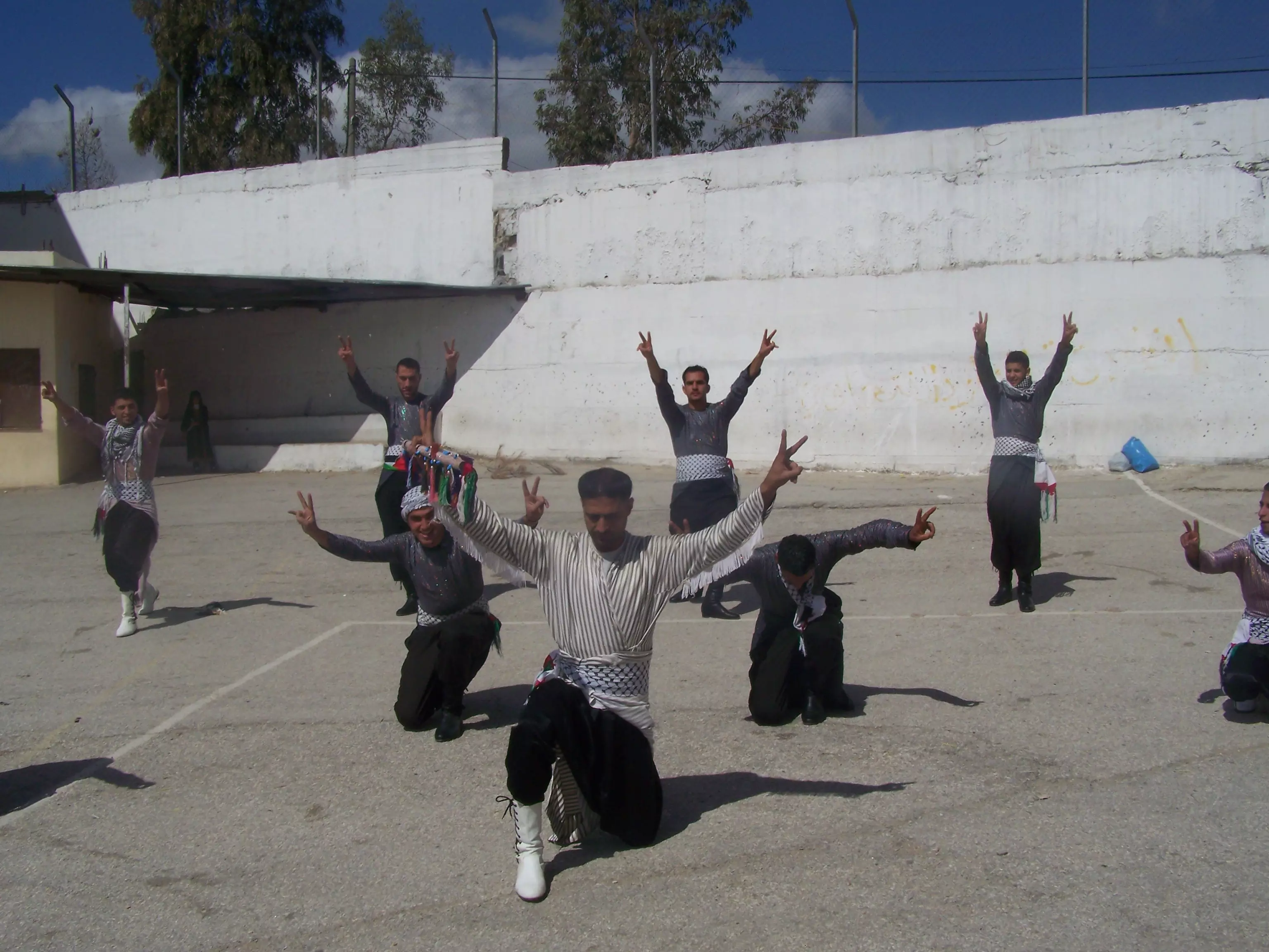
Posted by bilal yahya shalash - فرقة بلادي للدبكة الشعبية في مهرجان القدس عاصمة الثقافة العربية
Posted by bilal yahya shalash 2 - (1)حفل تكريم طلبة التوجيهي وخريجي الجامعات لعام 2009
Posted by bilal yahya shalash - (2)حفل تكريم طلبة التوجيهي وخريجي الجامعات لعام 2009
Posted by bilal yahya shalash 2 - (3)حفل تكريم طلبة التوجيهي وخريجي الجامعات لعام 2009 (كلمة مدير المدرسة)
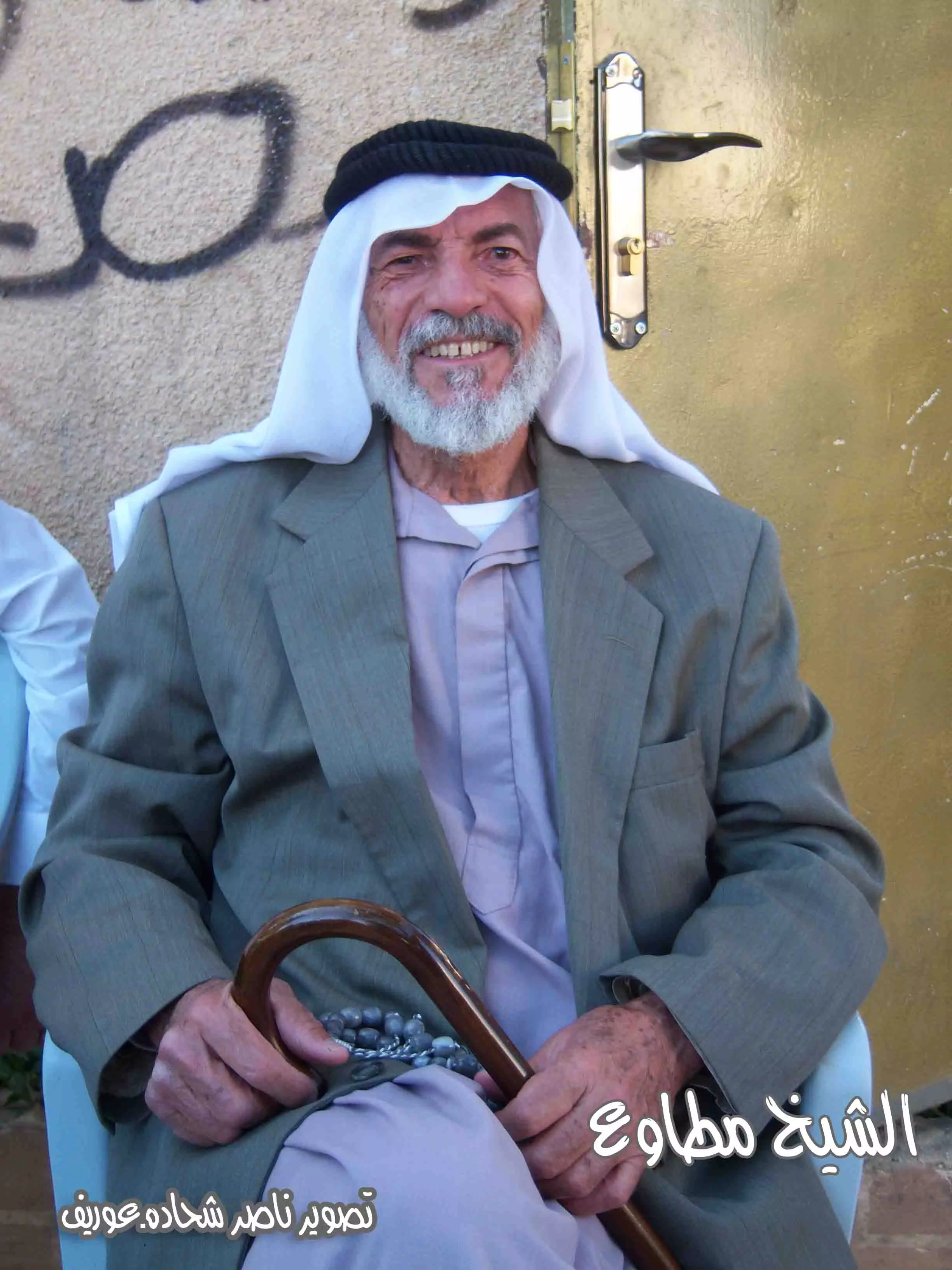
Posted by bilal yahya shalash 1 - الشيخ مطاوع من قرية شقبا تصوير ناصر شحاده
Posted by naser abed 3 - shuqba
Posted by shuqbamail. 2 - شقبا المسجد الجديد
Posted by mohamed motawe3 1 - منظر عام
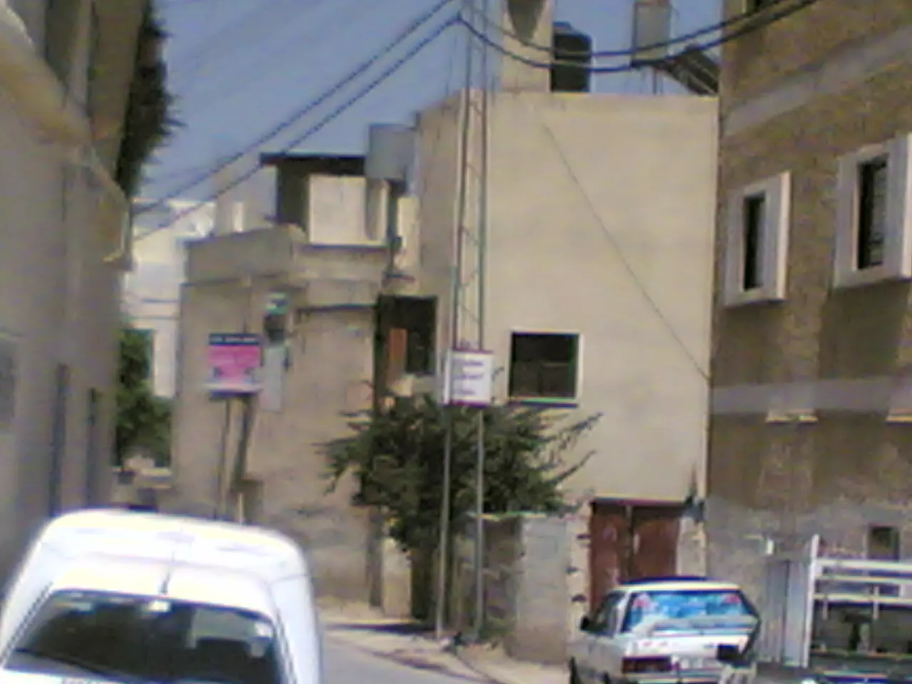
- البيوت القديمة بقرية شقبا \محافظة رام الله

- البيوت القديمة بقرية شقبا \محافظة رام الله #2

- البيوت القديمة بقرية شقبا \محافظة رام الله #3

- البيوت القديمة بقرية شقبا \محافظة رام الله #4

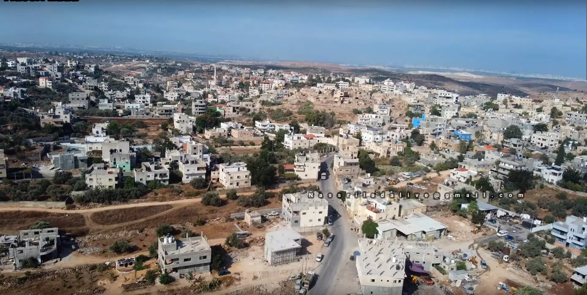
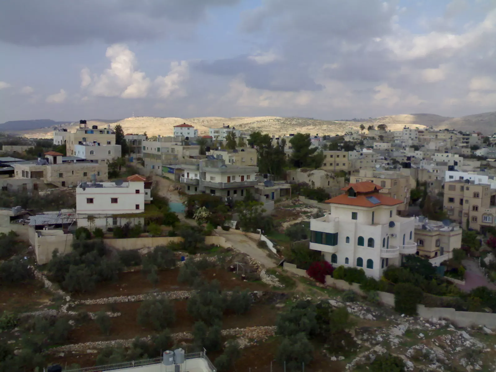
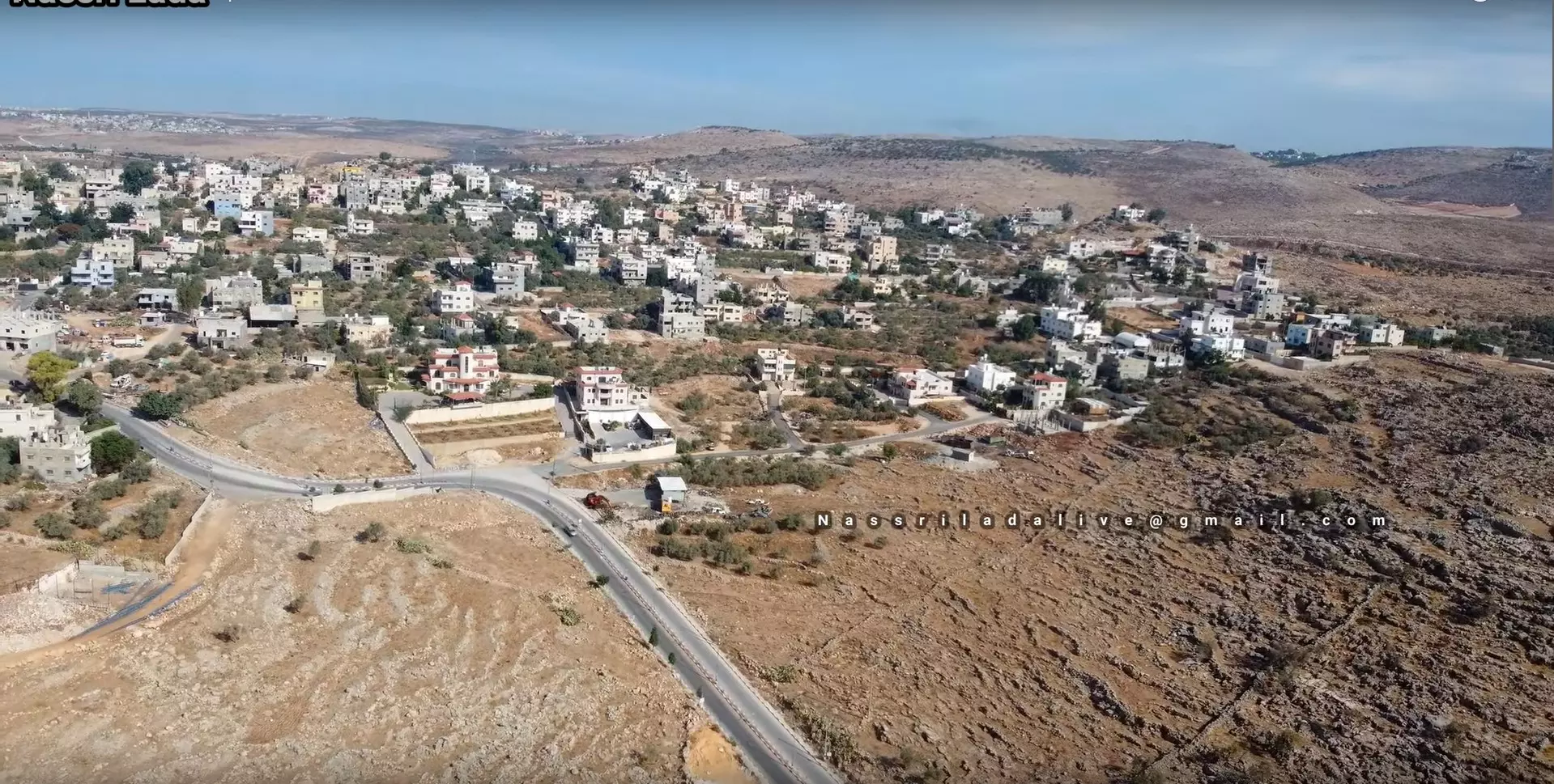
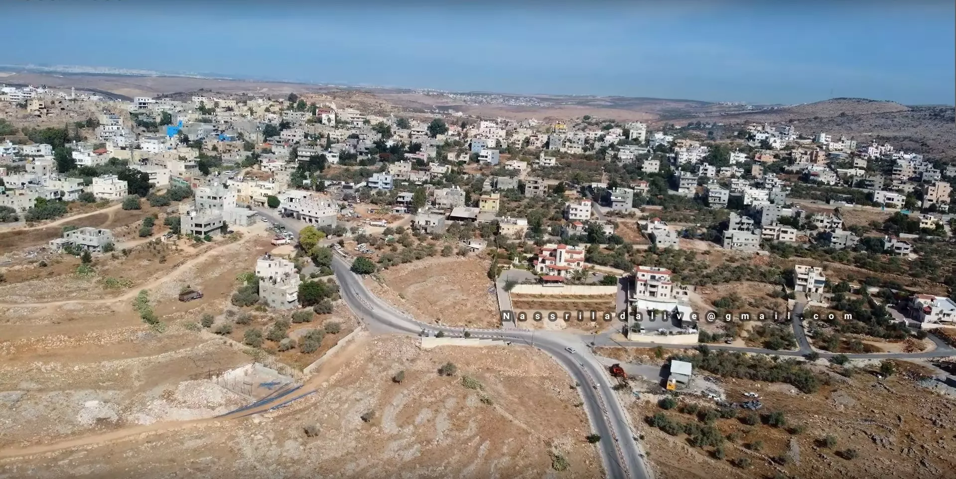
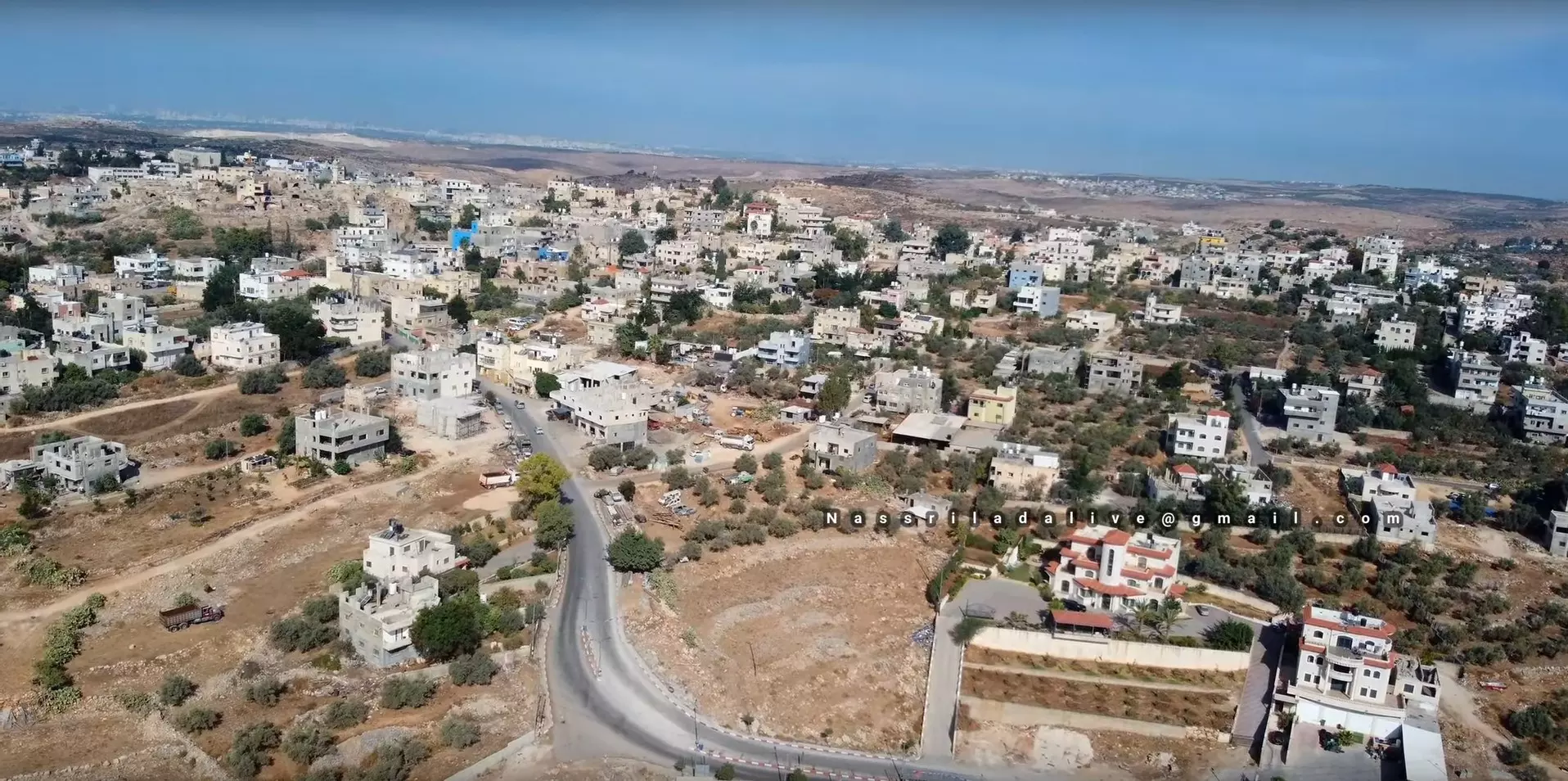
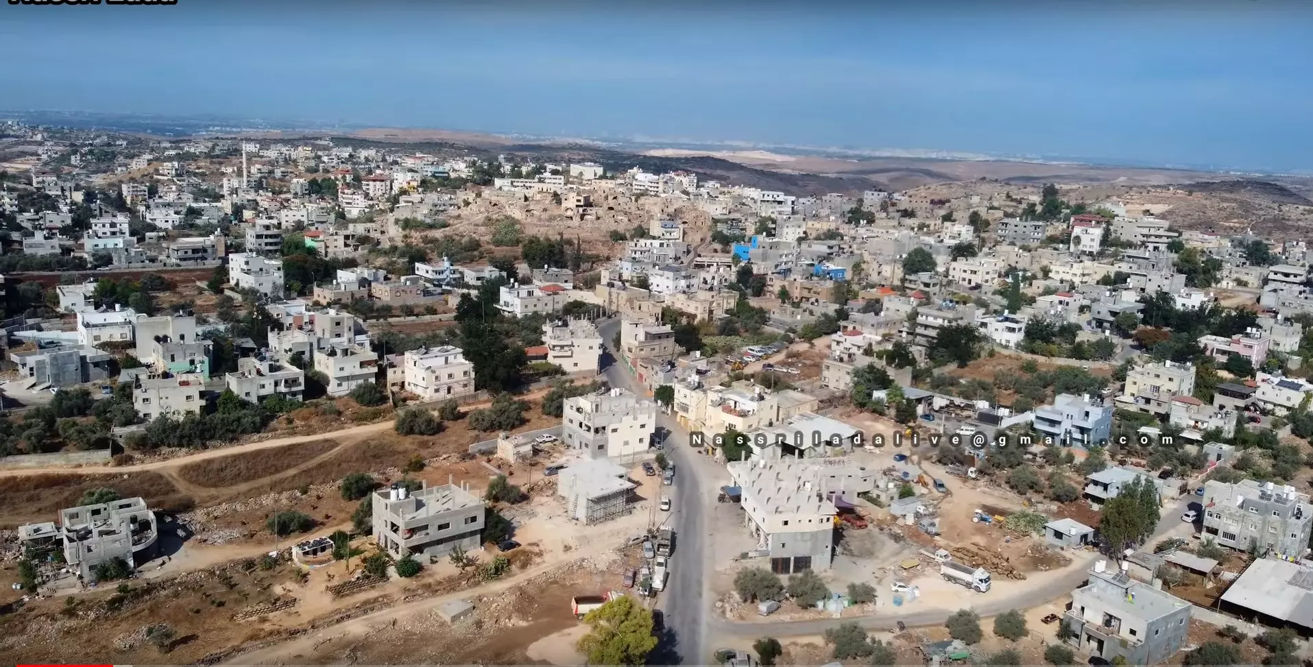
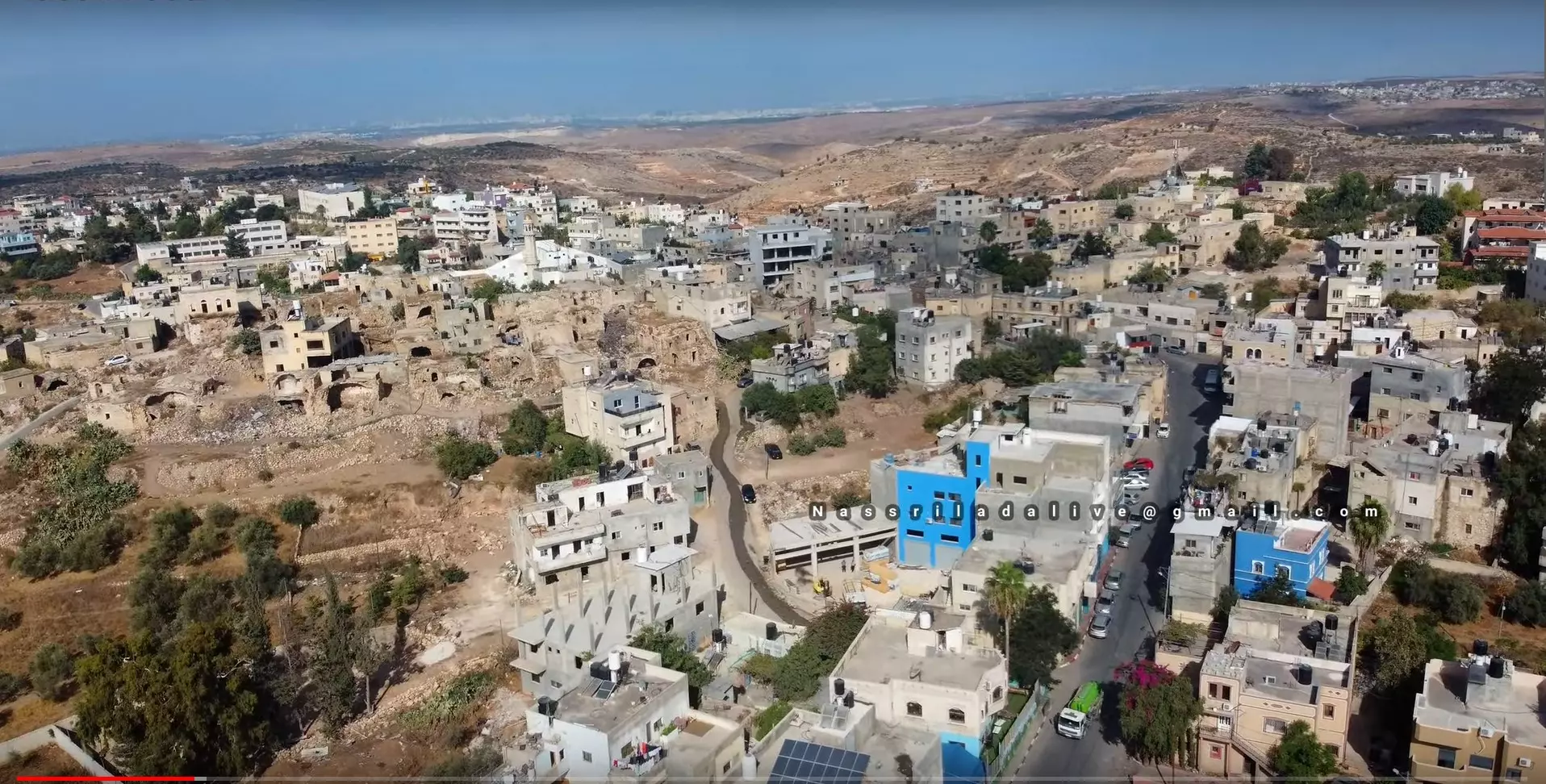
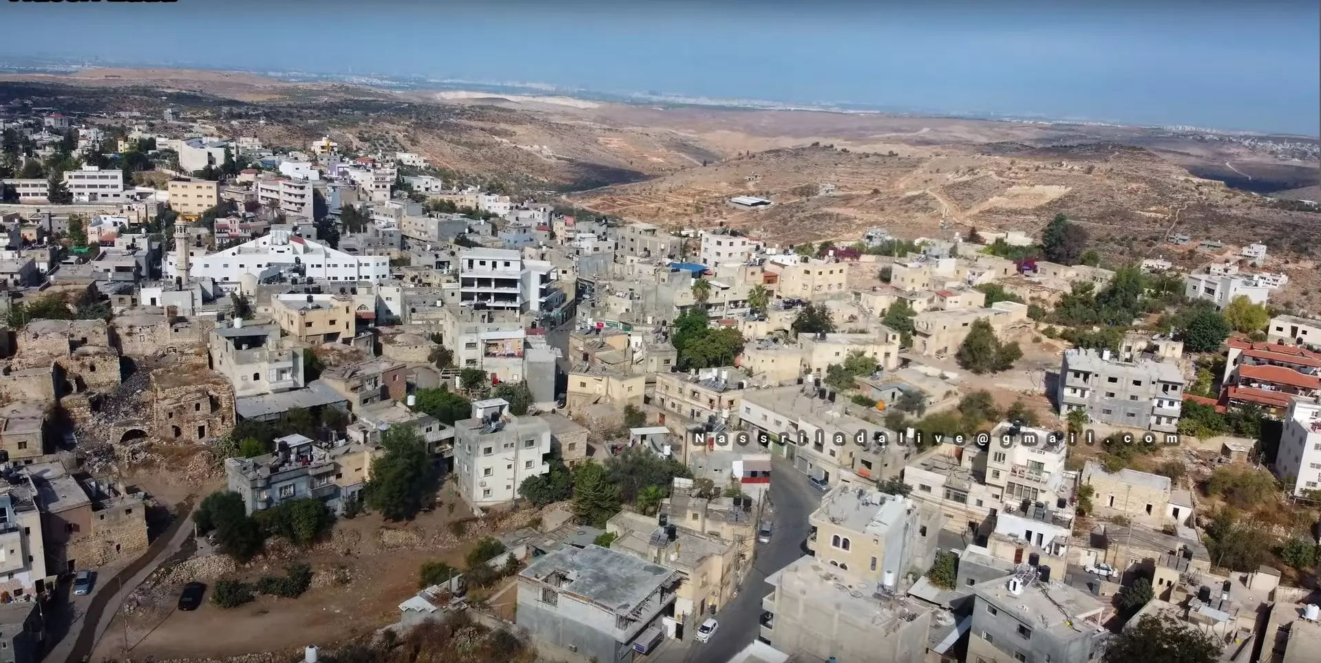
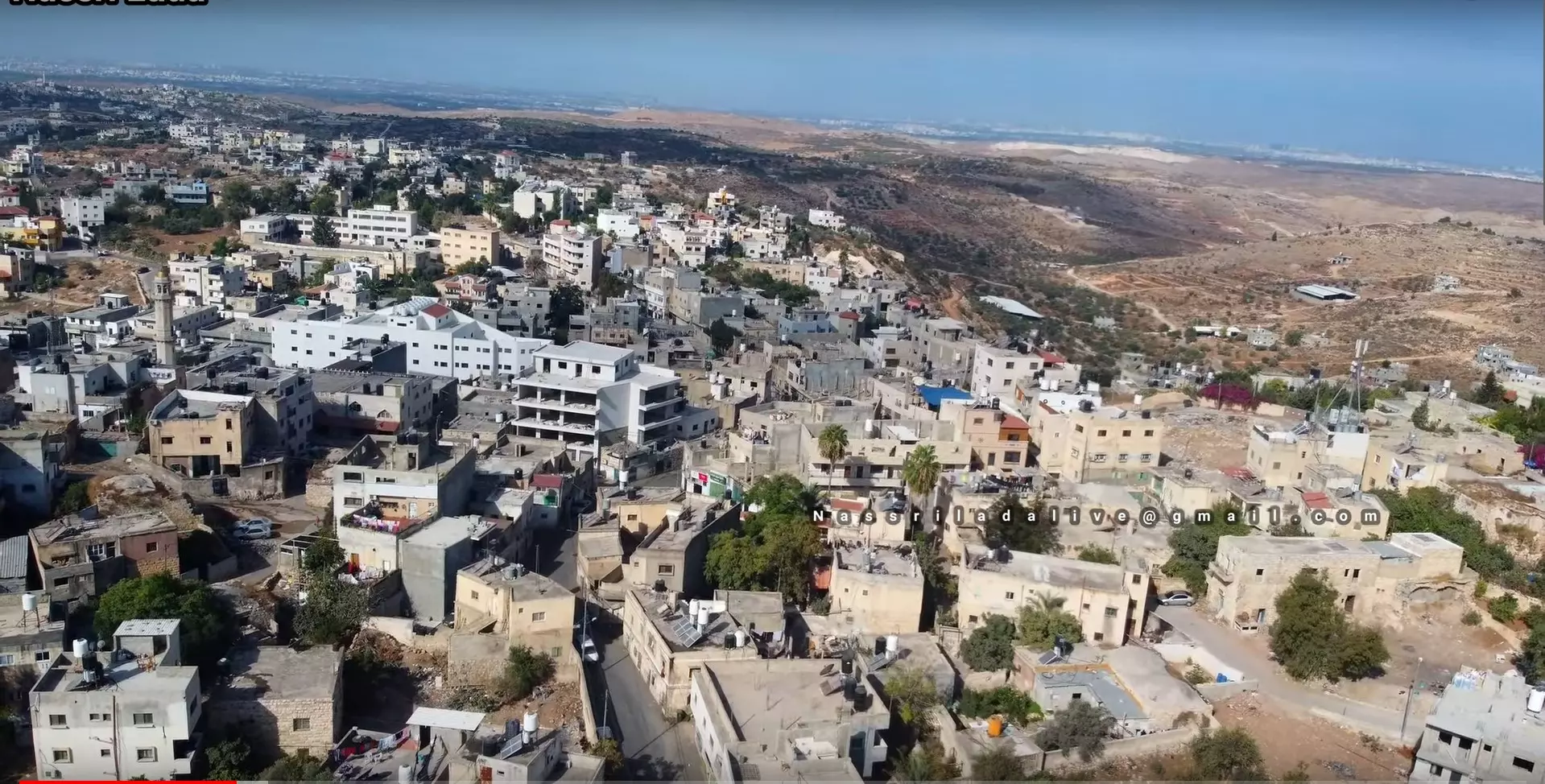
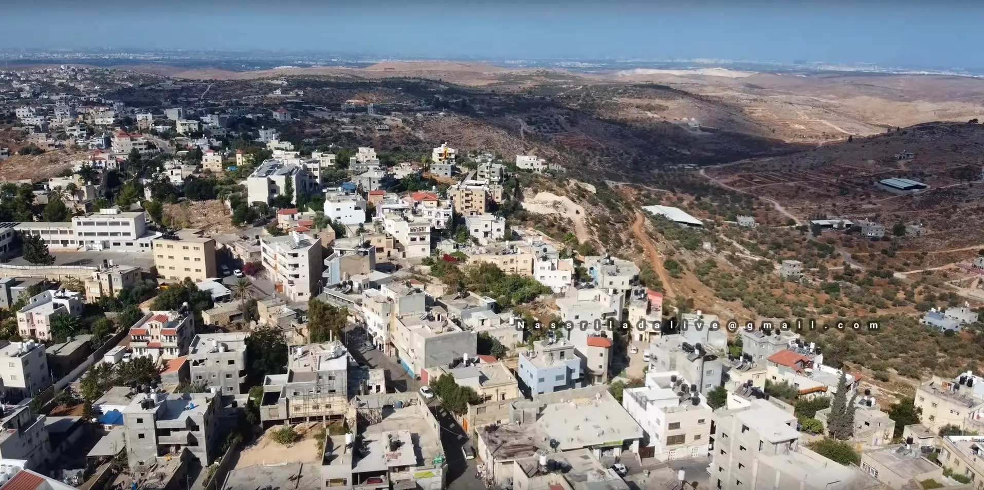
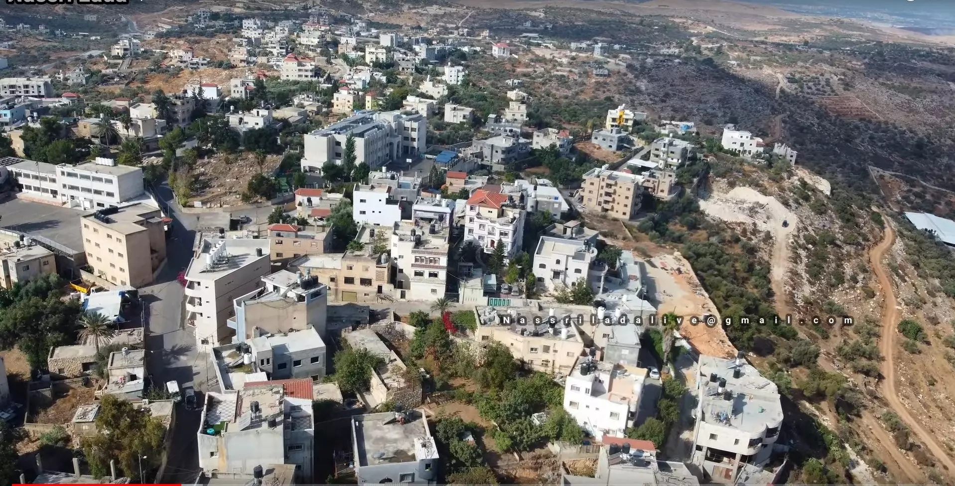
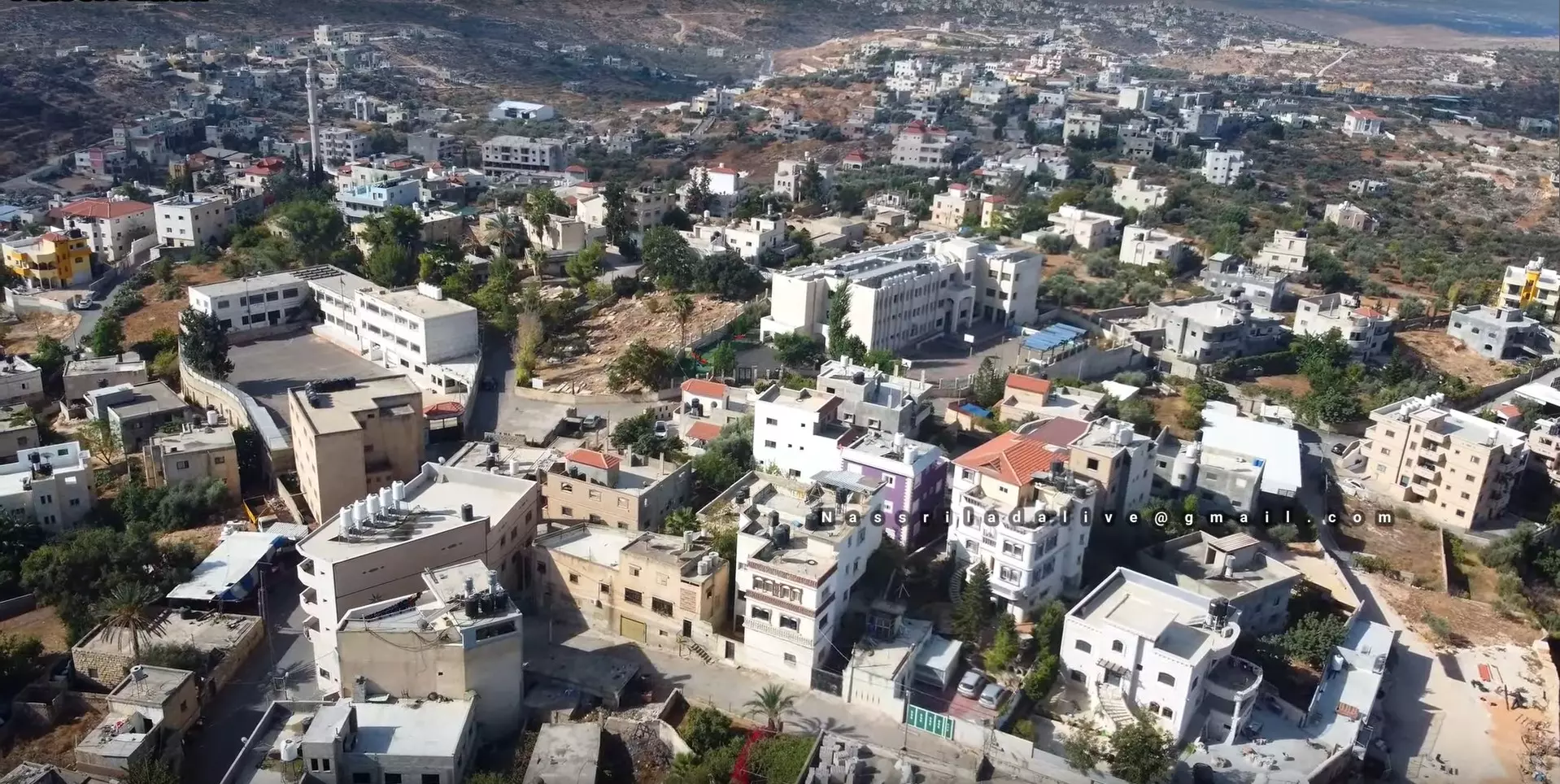
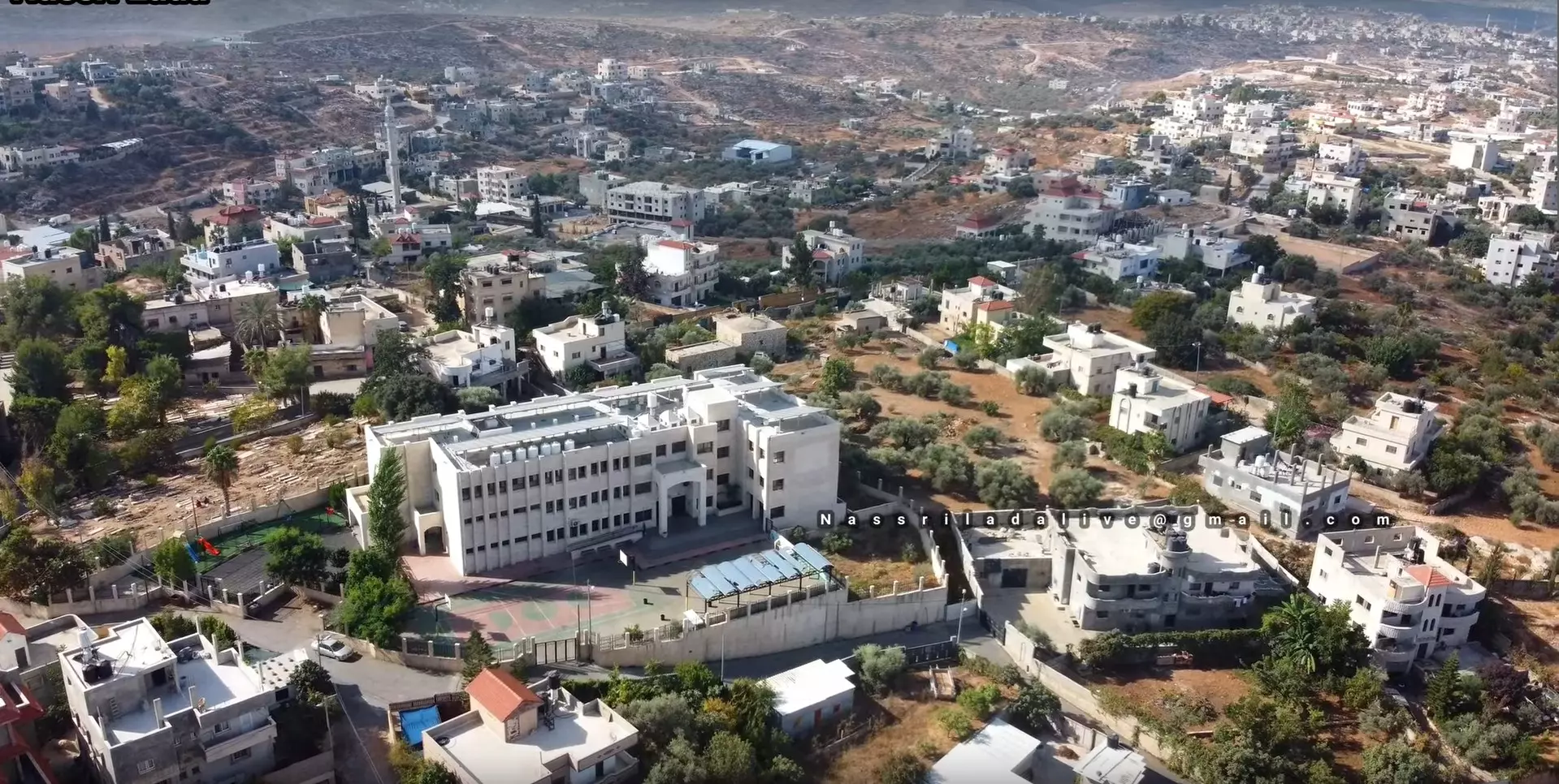
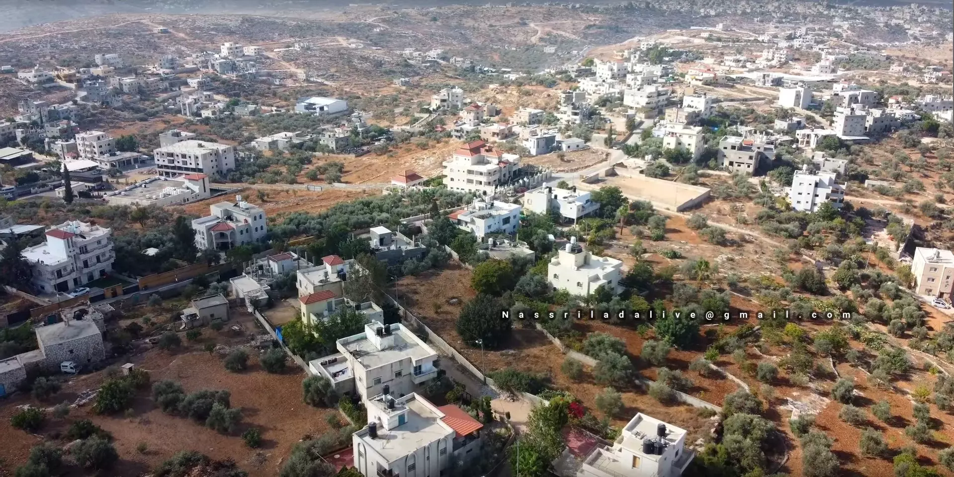
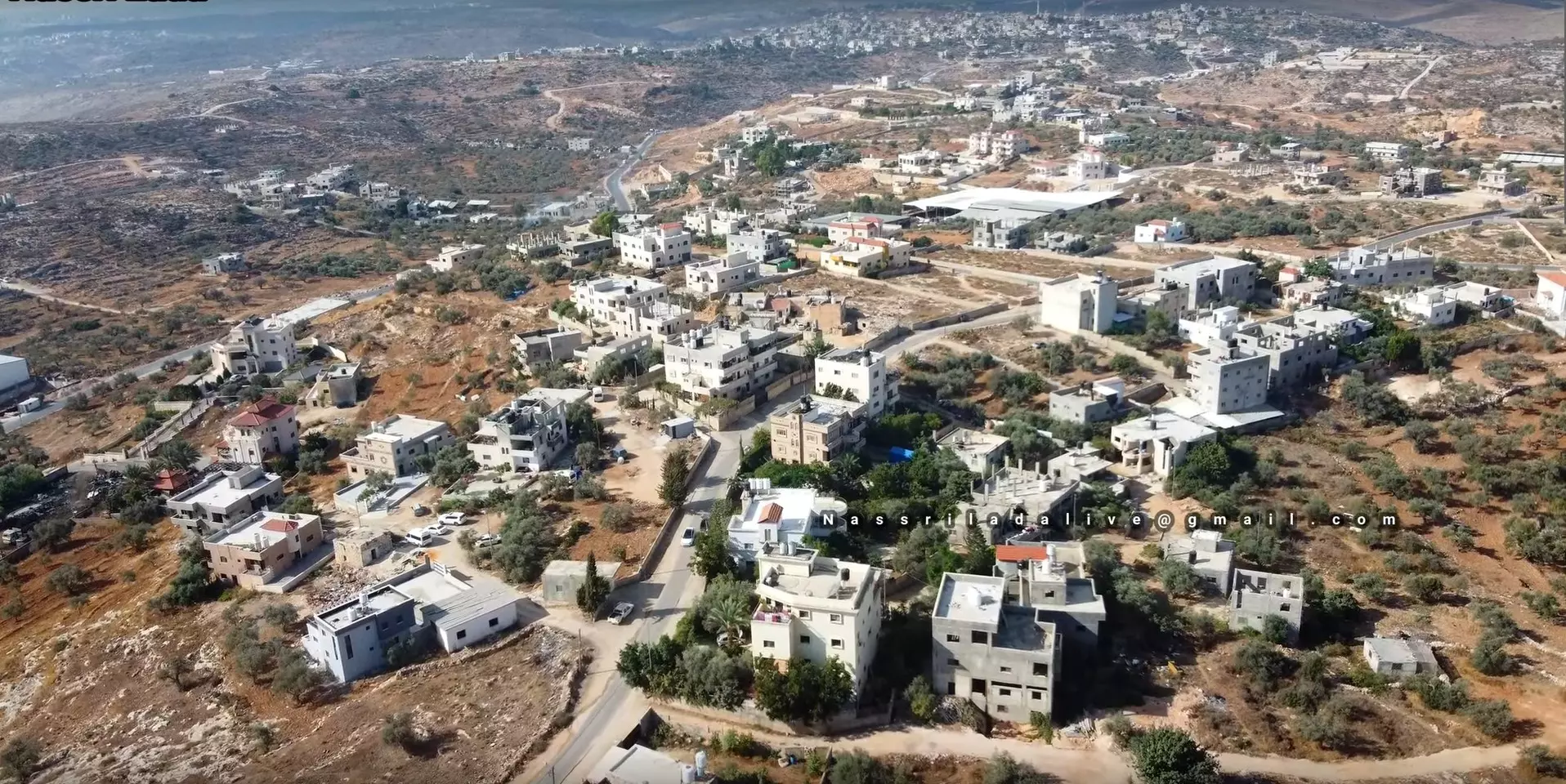
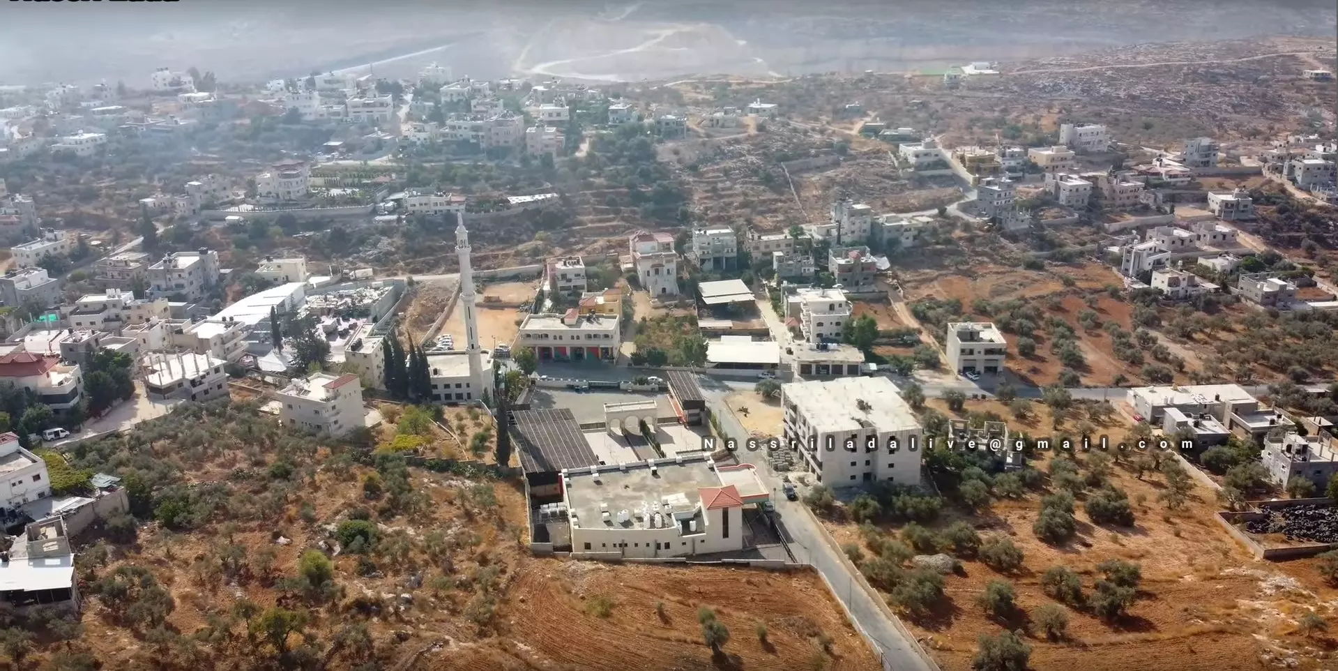
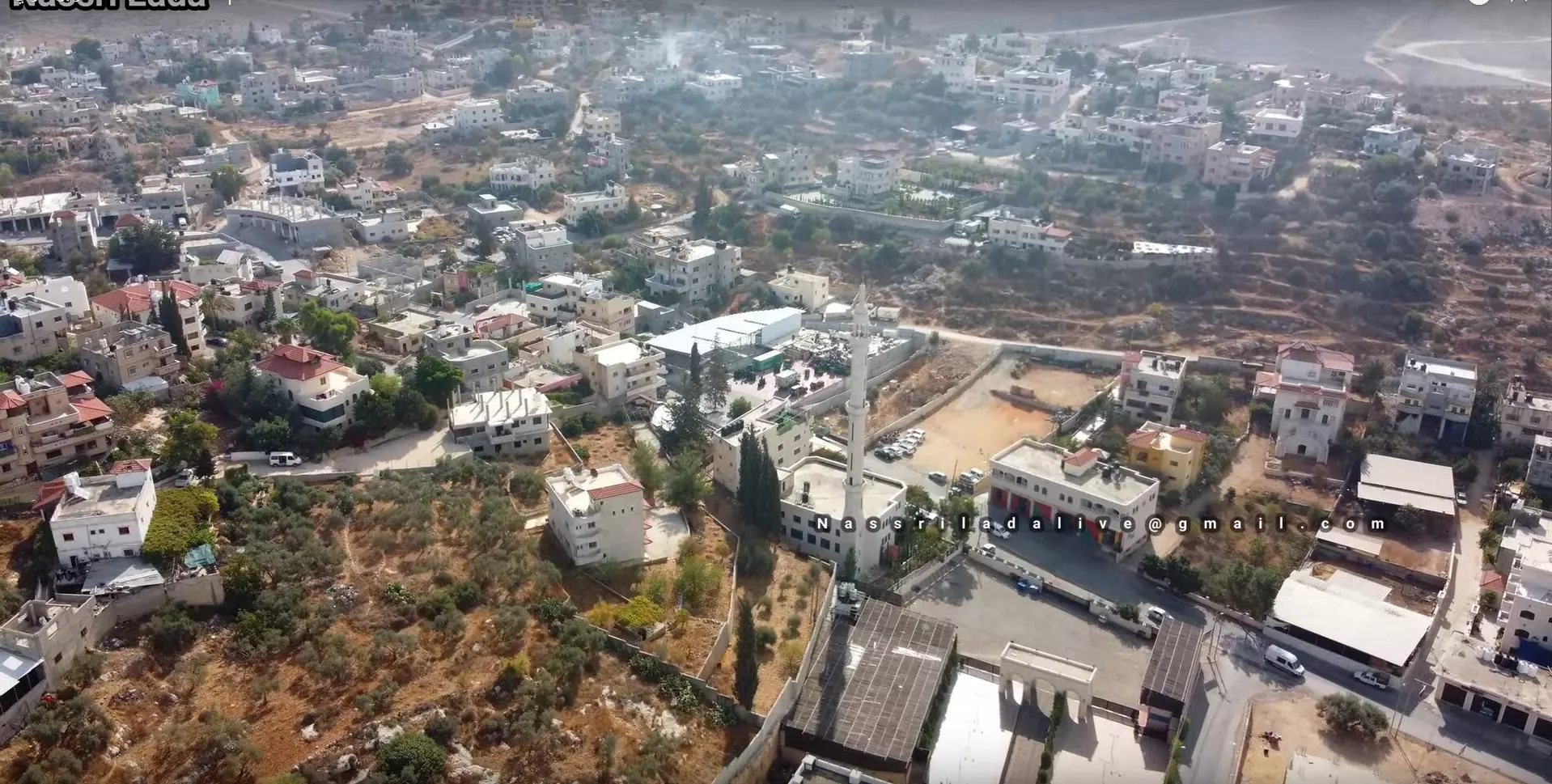
- بلدة شقبا - تصوير جوي ----- Shuqba Town in Ramallah District -- Palestine-Aerial view --- Nassri Lada نصري لدعة
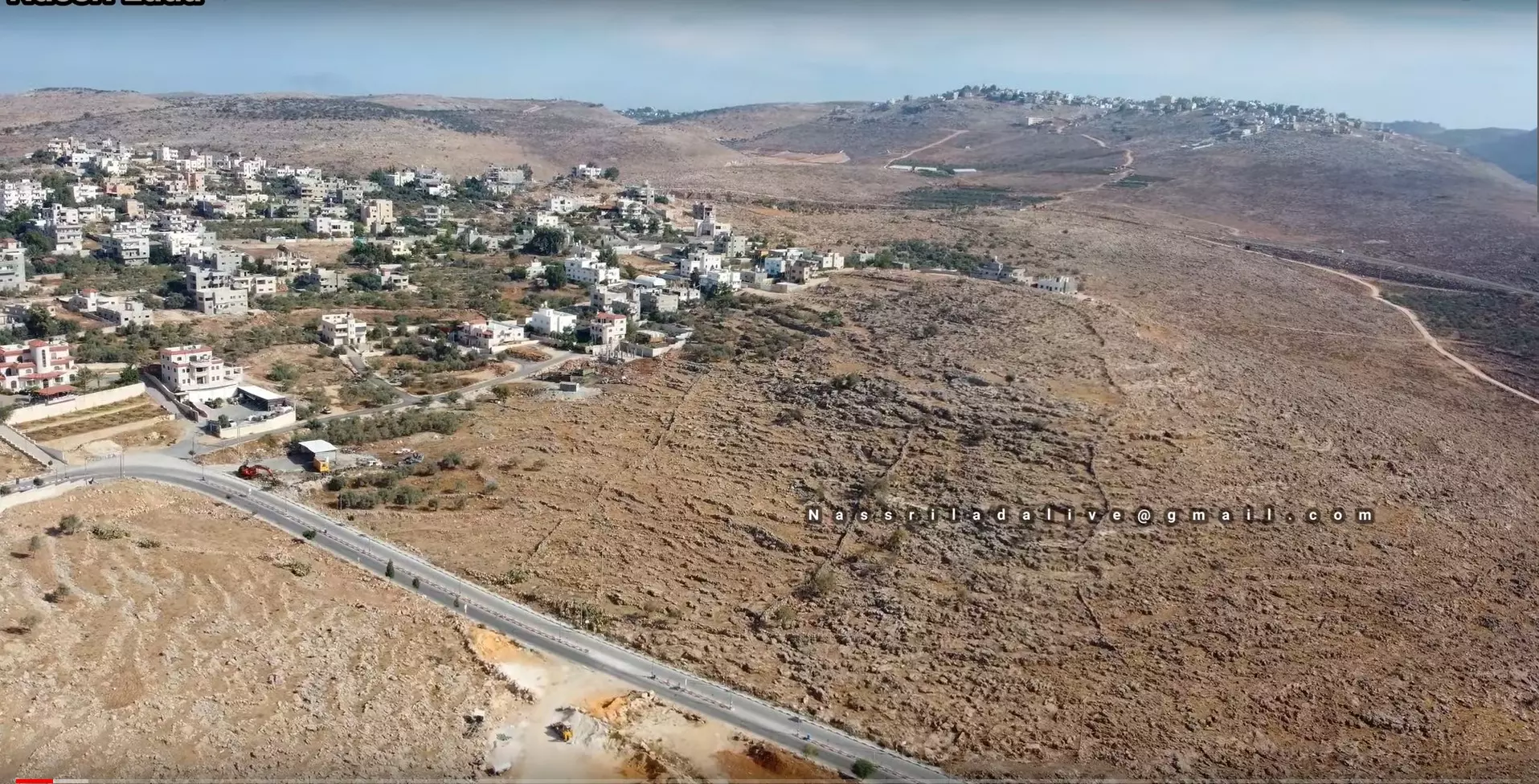
- بلدة شقبا - تصوير جوي ----- Shuqba Town in Ramallah District -- Palestine-Aerial view --- Nassri Lada نصري لدعة
#2
- بلدة شقبا - تصوير جوي ----- Shuqba Town in Ramallah District -- Palestine-Aerial view --- Nassri Lada نصري لدعة
#3
- بلدة شقبا - تصوير جوي ----- Shuqba Town in Ramallah District -- Palestine-Aerial view --- Nassri Lada نصري لدعة
#4
- بلدة شقبا - تصوير جوي ----- Shuqba Town in Ramallah District -- Palestine-Aerial view --- Nassri Lada نصري لدعة
#5
- بلدة شقبا - تصوير جوي ----- Shuqba Town in Ramallah District -- Palestine-Aerial view --- Nassri Lada نصري لدعة
#6
- بلدة شقبا - تصوير جوي ----- Shuqba Town in Ramallah District -- Palestine-Aerial view --- Nassri Lada نصري لدعة
- بلدة شقبا - تصوير جوي ----- Shuqba Town in Ramallah District -- Palestine-Aerial view --- Nassri Lada نصري لدعة #2
- بلدة شقبا - تصوير جوي ----- Shuqba Town in Ramallah District -- Palestine-Aerial view --- Nassri Lada نصري لدعة #3
- بلدة شقبا - تصوير جوي ----- Shuqba Town in Ramallah District -- Palestine-Aerial view --- Nassri Lada نصري لدعة #4
- بلدة شقبا - تصوير جوي ----- Shuqba Town in Ramallah District -- Palestine-Aerial view --- Nassri Lada نصري لدعة #5
- بلدة شقبا - تصوير جوي ----- Shuqba Town in Ramallah District -- Palestine-Aerial view --- Nassri Lada نصري لدعة #6
- بلدة شقبا - تصوير جوي ----- Shuqba Town in Ramallah District -- Palestine-Aerial view --- Nassri Lada نصري لدعة #7
- بلدة شقبا - تصوير جوي ----- Shuqba Town in Ramallah District -- Palestine-Aerial view --- Nassri Lada نصري لدعة #8
- بلدة شقبا - تصوير جوي ----- Shuqba Town in Ramallah District -- Palestine-Aerial view --- Nassri Lada نصري لدعة #9
- بلدة شقبا - تصوير جوي ----- Shuqba Town in Ramallah District -- Palestine-Aerial view --- Nassri Lada نصري لدعة #10
- بلدة شقبا - تصوير جوي ----- Shuqba Town in Ramallah District -- Palestine-Aerial view --- Nassri Lada نصري لدعة #11
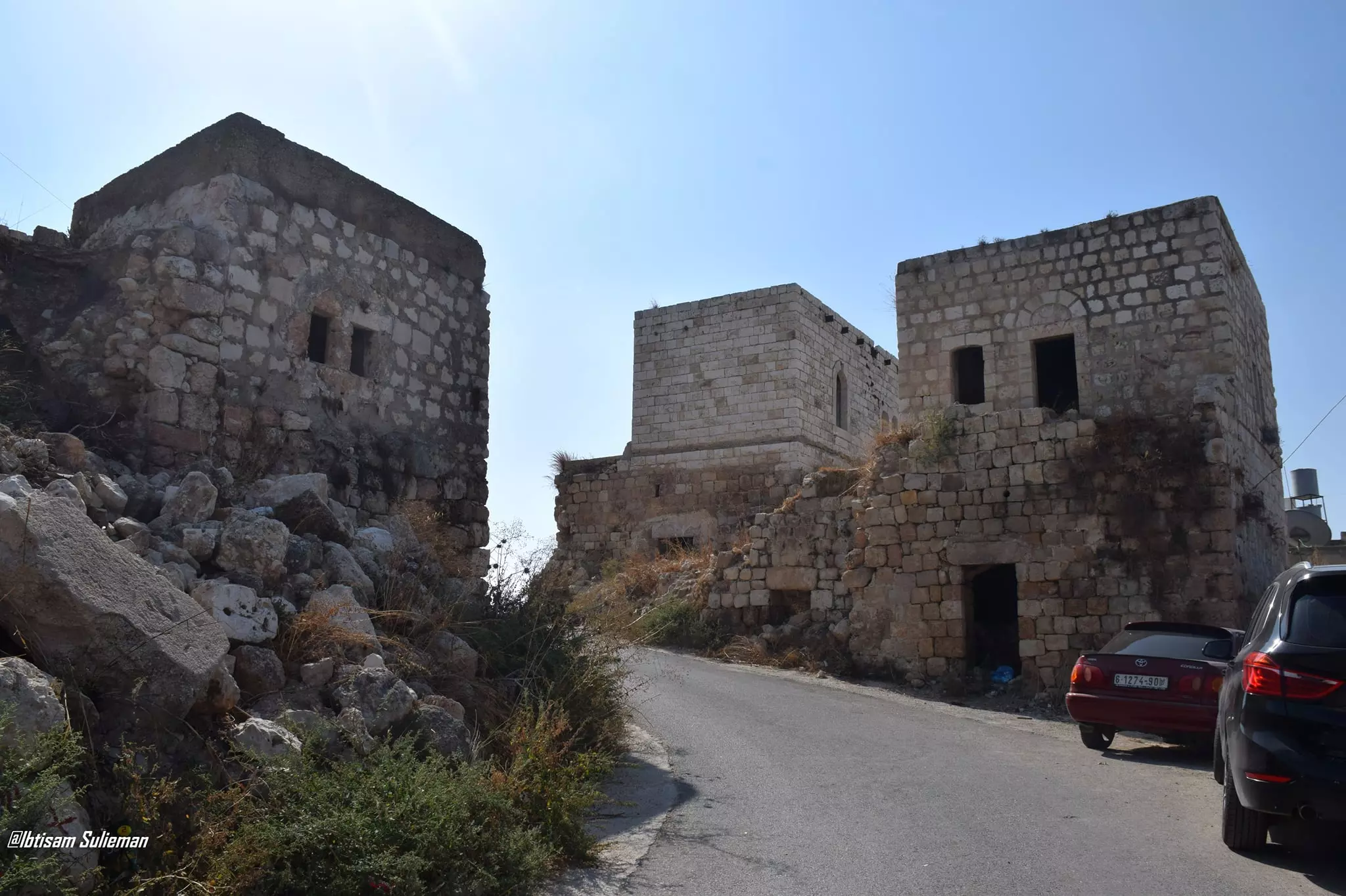
- جولة بين بيوت القرية القديمة--Ibtisam Sulieman
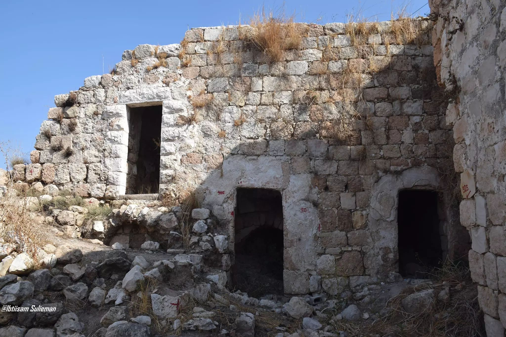
- جولة بين بيوت القرية القديمة--Ibtisam Sulieman #2
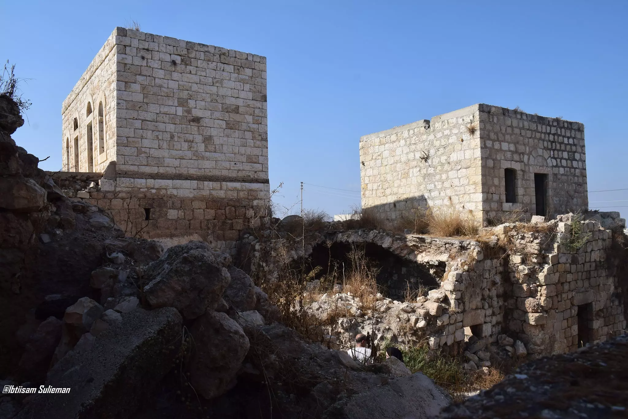
- جولة بين بيوت القرية القديمة--Ibtisam Sulieman #3
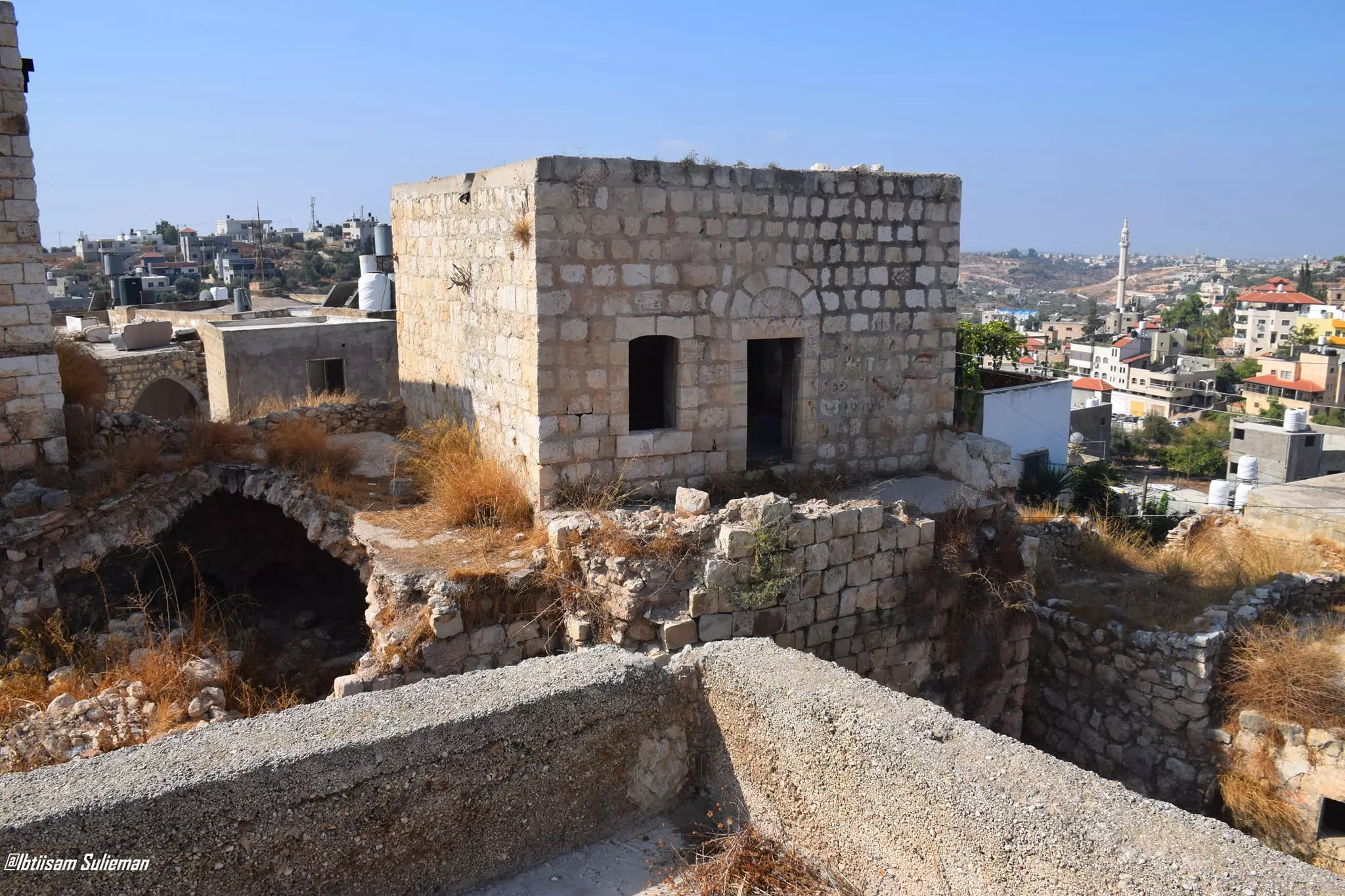
- جولة بين بيوت القرية القديمة--Ibtisam Sulieman #4
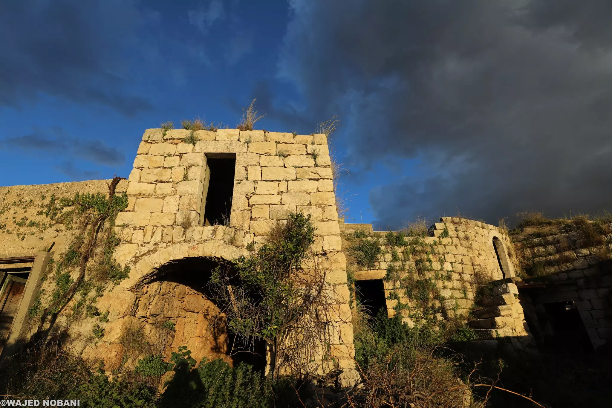
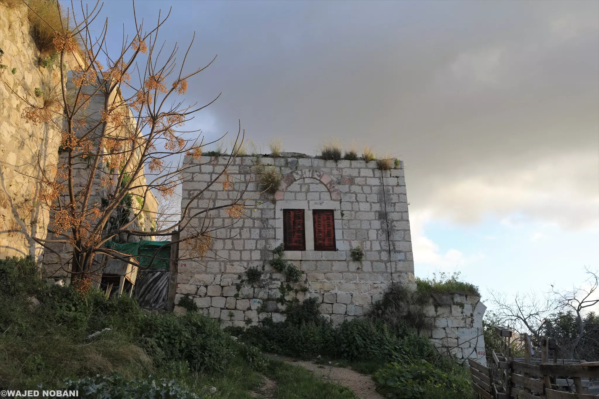
- جولة بين بيوت شقبه القديمة -- واجد النوباني
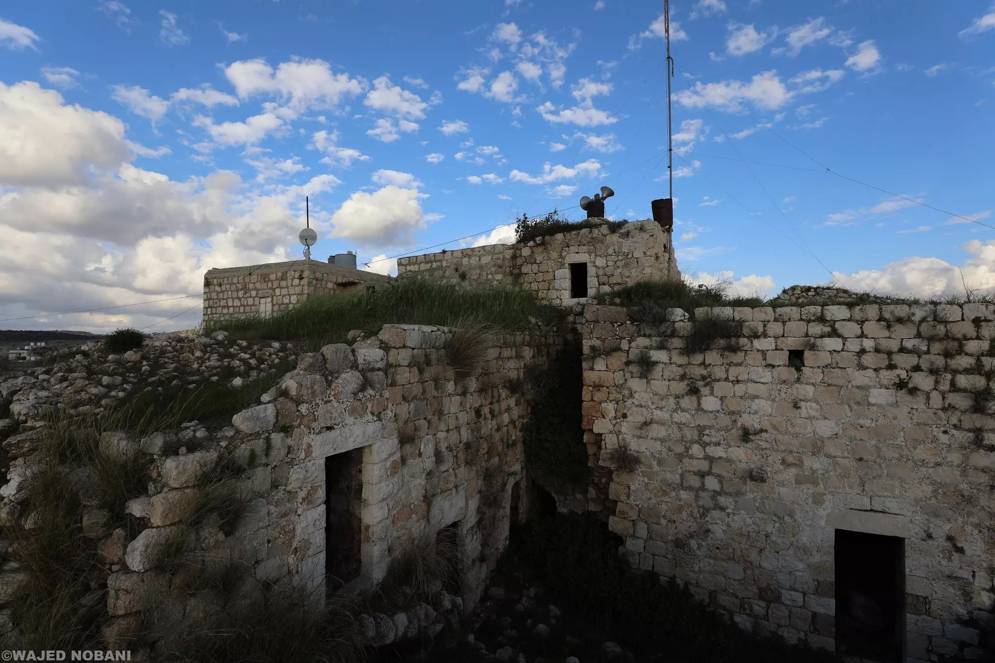
- جولة بين بيوت شقبه القديمة -- واجد النوباني #2
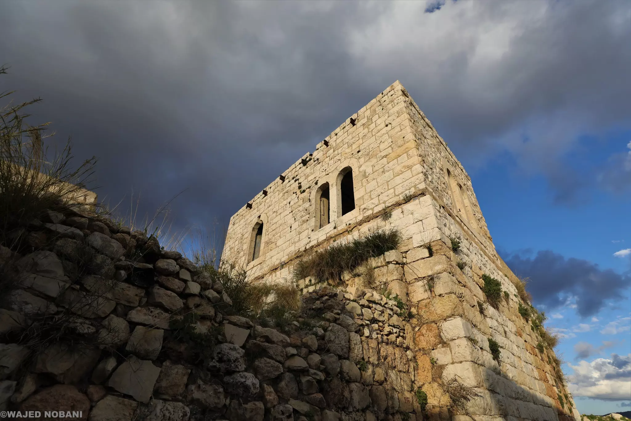
- جولة بين بيوت شقبه القديمة -- واجد النوباني #3
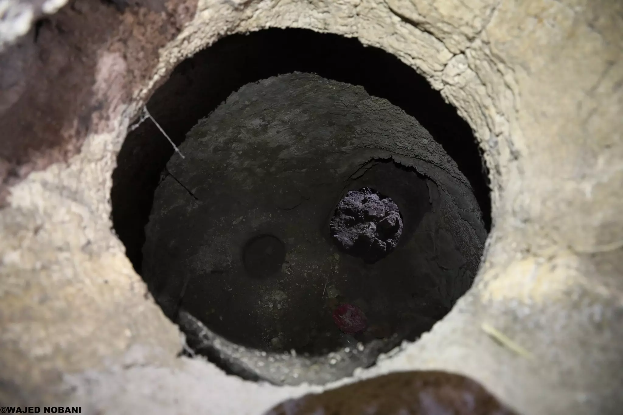
- جولة بين بيوت شقبه القديمة -- واجد النوباني #4
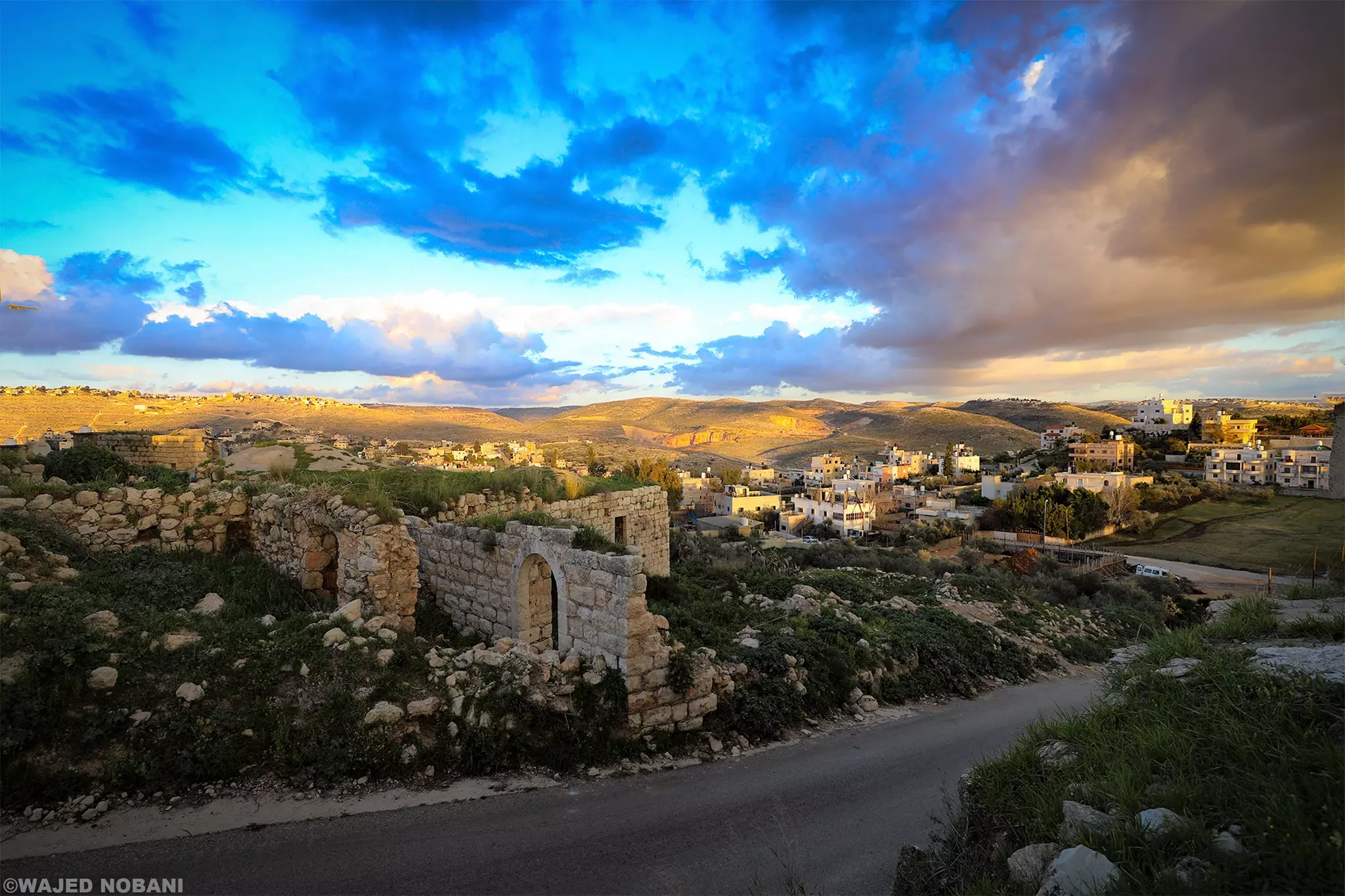
- جولة بين بيوت شقبه القديمة -- واجد النوباني #5
- جولة بين بيوت شقبه القديمة -- واجد النوباني #6
- جولة بين بيوت شقبه القديمة -- واجد النوباني #7
- جولة بين بيوت شقبه القديمة -- واجد النوباني #8
- جولة بين بيوت شقبه القديمة -- واجد النوباني #9
- جولة بين بيوت شقبه القديمة -- واجد النوباني #10

Want to browse more? 80,000 pictures were grouped in these gallaries:
| Display Name | Clan/Hamolah | Country of Residence |
| ثابت | - | - |
| abo omar | shalash | OH, usa |
| Naim Al-Masri | Al-Masri | IN, IN |
| احمد المصري | - | الفروانية, الكويت |
| خالد الشقباوي ( شلش ) | - | az zarqa, jordan |
| ABDEL RAHMAN ABU HWAS | ABU HWAS | rio drande do sul, BRASIL |
| Ahmed Fathi Habeeb | قدح/حوه/جبيب | Saudia Arabia, Shoqba |
| lamia al-masri | almasri | jordan, jordan |
| anexiaty | المصري | الزرقاء, الاردن |
| طارق حسان | - | رام الله, شقبا |
| ثائر المصري | المصري | - |
| sam73 | شلش | الزرقاء, الأردن |
| بنت رام الله | المصري | عمان, الاردن |
| azzam (qadah)habib | قدح | العقبة, الاردن |
| ايمن حامد | - | - |
| adoon | - | - |
| abo khalid | abdel jaber | ohio, ohio |
| abdalah | shalash | kentucky, usa |
| أبوكنعان | المصري | - |
| ابو مسلم شلش | شلش | ohio, columbus,ohio,u.s.a |
| NICK شلش | SHALASH | OHIO, U.S.A |
| omar shalash | shalash | usa |
| saeed shalash | shalash | ky, usa |
| linda | shalash | -, shukba |
| basem thabet | ثابت | farwaniya, kuwait |
| الحج محمض | شلش | - |
| asadshalash | - | - |
| moath qadah | - | - |
| ahmad shalash | shalash | - |
| raed nakhlah | nakhla | chicago-illinois, chicago-illinois |
| bilal yahya shalash | shalash | palestine, shuqba - ramallah |
| abuyousef | abdallah mohamed | ill, chicago |
| nathmi hassan | hassan | ramallah , palestine |
- بلدة شقبا - تصوير جوي ----- Shuqba Town in Ramallah District -- Palestine-Aerial view Duration: 22 min 10 sec
- بعض منازل واماكن عامة في القرية
- منظر عام للفرية Duration: min 21 sec
- shuqba cave (مغارة شقبا )
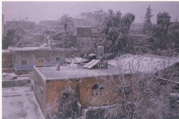
- قرية شقبا عام 1995 اي قبل حوالي 14سنة
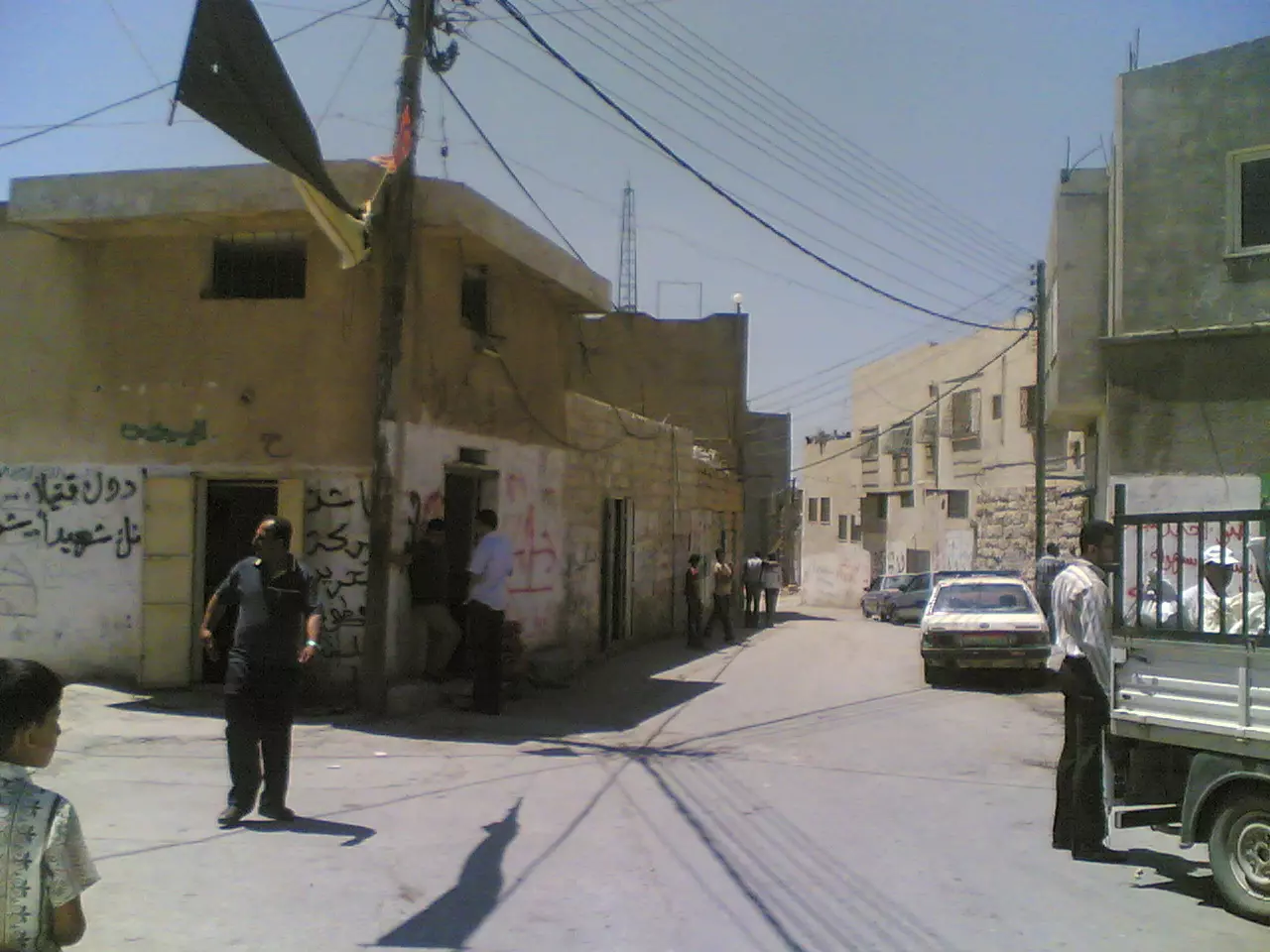
- احدى شوارع شقبا
- قرية شقبا قضاد رام الله من السماء Duration: min 27 sec
- قرية شقبا - فلسطين - حلوة يا دنيا Duration: 12 min 10 sec
- بعد سماح الاحتلال بإقامة مقلع صخري.. مغارة شقبا التاريخية في الضفة الغربية مهددة بالانهيار Duration: 2 min 36 sec
 Fake Valor: Why Did Zionist Jews Hoist Nazis Flag on Their Ships in the 1930s?
What is new?
-
Facts About Oct. 7th Gaza Raid
-
Remined Us Please:: Who Did Rape Who? Palestinians Raped Israelis? Or, was the other way around?
-
When Prof. Edward Said was invited to debate Bibi Netanyahu in the 1980s, watch what happened!
-
Abusing Blood Libel!
-
Zionist FAQ: Isn't it true that Palestinians don't want peace? Palestinians never accepted the two-state solution
- Facts about Haavara (Transfer) Agreement between Ben-Gurion & Hitler
-
Haavara FAQs: Why Did Zionist Jews Hoist Nazis' Flags on Their Ships in the 1930s?
-
Dear ChatGPT: Why did the Jewish Agency suppress news of the Holocaust during WWII?
-
Video Playlist: Jews share their DNA tests to end the conflict for good.
-
A Tale of Two Conflicts: Examining the Definition of Genocide
-
Prof. Abraham Polak And The Suppressed History of the Khazars and European Jewry
-
How Ronald Reagan would have framed the genocide in Gaza if he were still alive?
-
Haavara FAQs: Let us do the math: how many German Jews did The Haavara Agreement save?
-
Zionist FAQs: The Hebron Massacre of 1929, "clearly proves" that Palestinians are antisemitic, how could you deny it?
-
Zionist FAQs: Why Anti-Zionist Is Not Antisemitism?
-
Zionist FAQs: Isn't it true that the KGB create Palestinian Nationalism in the early 1960s?
- Zionist FAQs: Muslims are killing Muslims all the time; why are Israeli Jews being singled out in the media?
- Zionist FAQs: How is Israel an apartheid state when 20% of its citizens are Arabs who enjoy full rights?
-
Haavara FAQs: Analysis of Herzl's Uganda Scheme and how it could have saved millions of Jews.
-
Haavara FAQs: Why did Hayim Greenberg describe American Jewry as "morally bankrupt" in early 1943?
-
Haavara FAQs: What if the Evian Conference was a resounding success? What would have been the impact of saving European Jewry on Zionism?
- Haavara FAQs: What if the six million were saved, how that would have impacted the Zionist project?
-
Haavara FAQs: How did Zionist leaders react when Europe's Jews lingered in the DP camps after WWII ended?
-
Why does the American Jewish community repeat lies that David Ben-Gurion had debunked before he died?
-
Who has the power to rename the Tatar/Khazar Gene Marker to Jewish IV?
-
Zionist FAQs: Why won't Egypt, Syria, and Jordan take their people back? Jews are indigenous to Palestine, and Arabs immigrated after Jews developed the country. Arabs should leave.
-
Haavara FAQs: Did Hitler and the Nazis conflate between Judaism and Zionist? If that wasn't case, then why?
-
Haavara FAQs: Winston Churchill and antisemitism, a collection of articles written Churchill.
-
Haavara FAQs: Broken by country, how many Jews survived vs. killed during the Holocaust?
-
Haavara FAQs: Why did European Jews vote with their feet and to immigrated to the Americas, not Palestine, after WWII?
-
Watch this American Jewish Girl describing Israeli Jews' cognitive dissonance like no other in under two minutes
-
Haavara FAQs: When the Nazis went out of their way to hide the Holocaust, Israeli Jews did the exact opposite by broadcasting their genocide of Gazans. But why?
-
Haavara FAQs: How Zionist Jews went out of their to show their appreciation to Nazism and Fascism?
- Haavara FAQs: Why Zionist leaders were against bombing the death camps & the Railroads leading to them?
-
Haavara FAQs: Hitler's message to the British and American people: If Jews are such noble citizens and you care about them, how come you're not letting them in? I will gladly ship them to you at my expense, even on luxury liners!
-
A shortlist of Zionist and Israeli false flag operations in the name Jews.
-
The Most Moral Army
- The Land of Kapos (Israel): Where the brave are boycotted and Kapos walk free.
- Why did early Zionists often named their communal enterprises "colonial"?
- Zionist Relations with Nazi Germany by Faris Glubb
-
Two NY Times advertisements by Zionists in the early 1943 that exposes Zionists' treason at the height of the calamity
- Facts Not Lies about the Palestinian-Israeli Conflict.
- Site's pictures have been categorized
- Campgain Against Lice
- A Survey of Palestine, the official source about Palestine before Nakba produced by the British Mandate; over 1200 pages.
- Satellite View & Google Earth: Over 6,000 placemarks identifying all destroyed towns, W. Bank & Gaza Strip Towns, & refugee camps.
- PalestineRemembered.com and its Nakba Oral History Project were featured on al-Jazeera Satellite TV.
- Nakba Oral History Video Podcast:
 Over 700 Oral History interviews (including 3,500+ hours of recording) can be viewed online.
 - Palestine Village Statistics Project
- Gaza Jail Break
- النسخة العربية للموقع الان متوفرة
- Videos: Documenting the destroyed villages in video: Tracing all that remains since Nakba.
- Videos: Responding to Zionist Propaganda
- Interview: The ethnic cleansing of Palestine: George Galloway interviews Israeli Historian Ilan Pappe.
- For Palestinians, memory matters. It provides a blueprint for their future By George Bisharat.
- Zionist FAQ now available in Hebrew שאלות שציונים שואלים, עכשיו בעברית
- Video: The Stephen Walt and John Mearsheimer report on the influence of the Israel Lobby on U.S. Foreign Policy
- The Palestinian-Israeli conflict for beginners
