| PalestineRemembered | About Us | Oral History | العربية | |
| Pictures | Zionist FAQs | Haavara | Maps | |
| Search |
| Camps |
| Districts |
| Acre |
| Baysan |
| Beersheba |
| Bethlehem |
| Gaza |
| Haifa |
| Hebron |
| Jaffa |
| Jericho |
| Jerusalem |
| Jinin |
| Nablus |
| Nazareth |
| Ramallah |
| al-Ramla |
| Safad |
| Tiberias |
| Tulkarm |
| Donate |
| Contact |
| Profile |
| Videos |
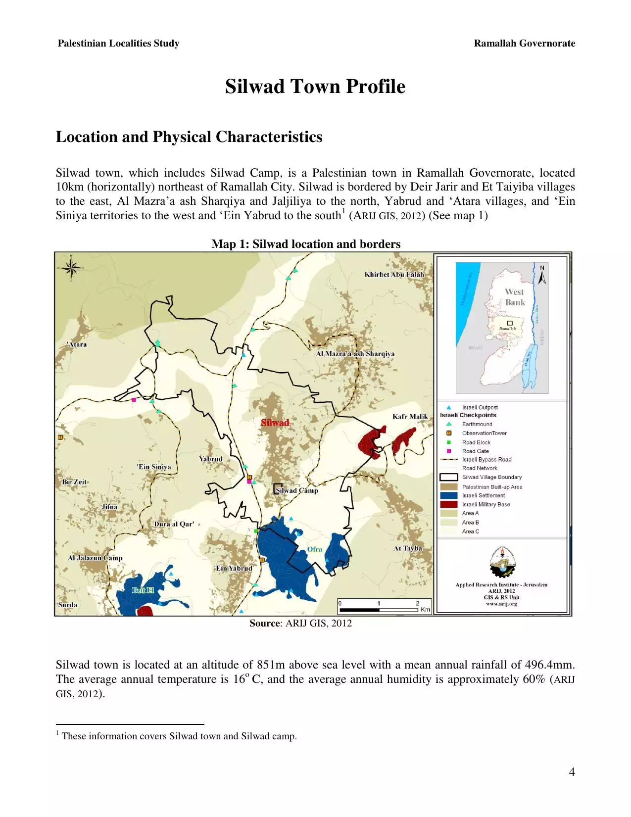
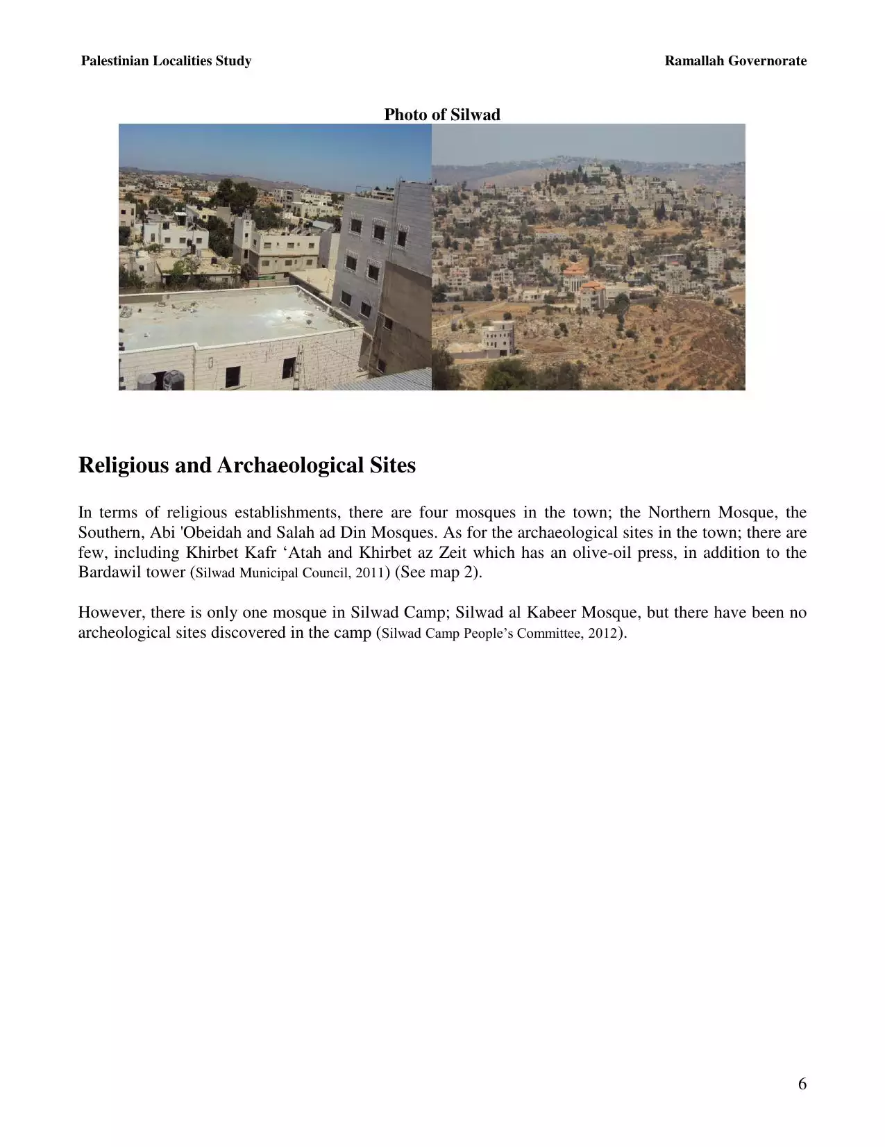
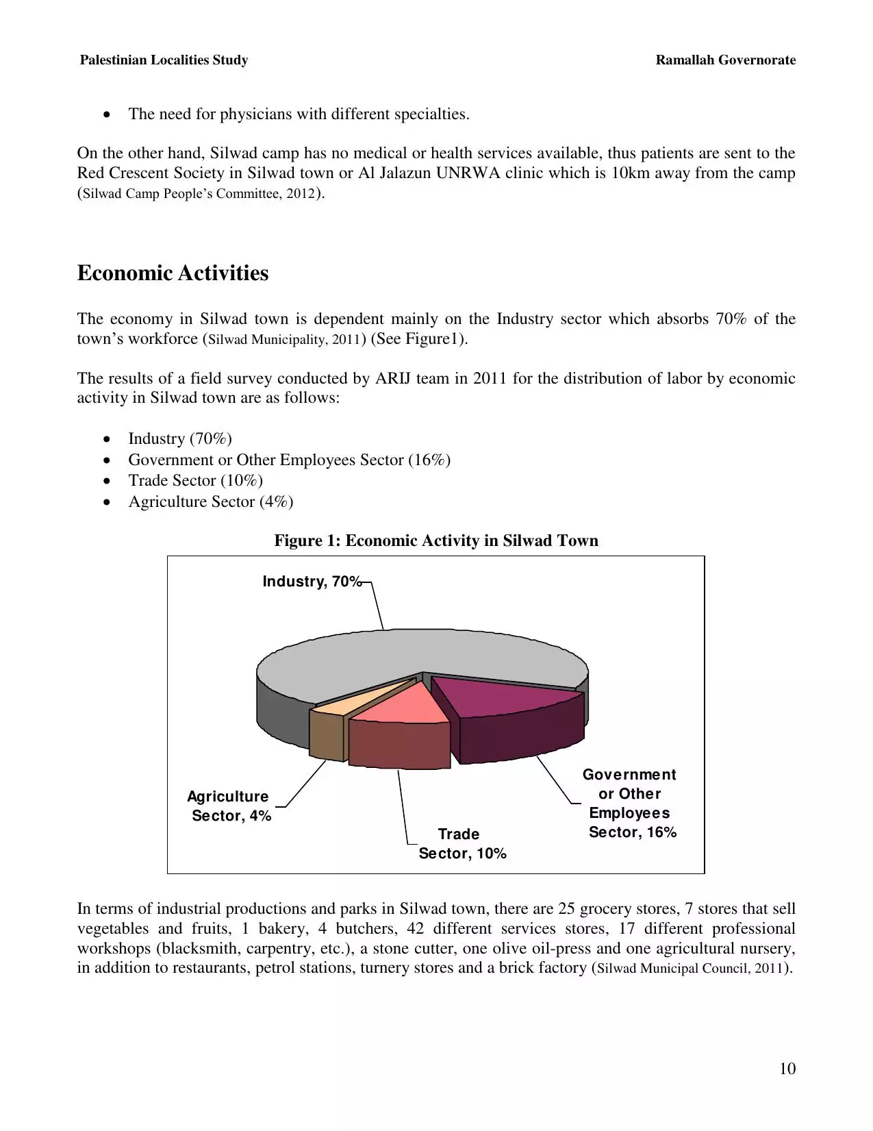
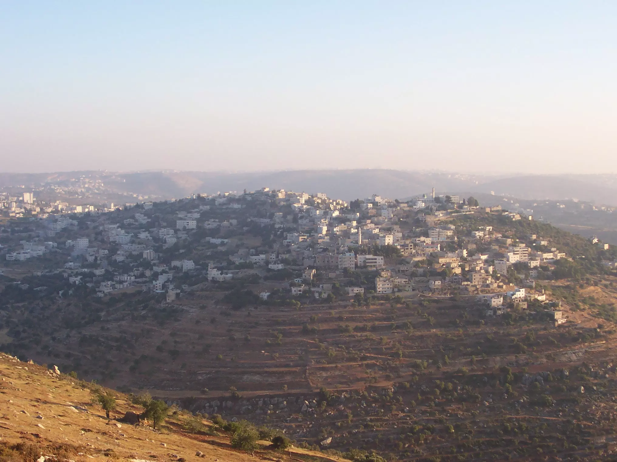
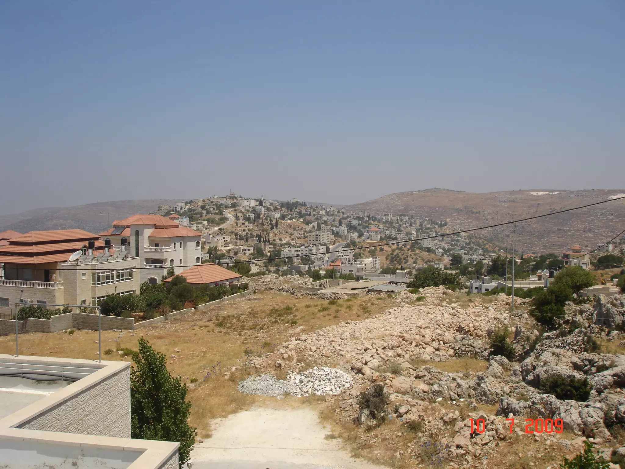
Welcome To Silwad - سلواد (סילואד)
|
District of Ramallah
Occupied days ago |
العربية Google Earth |
 |
Gallery (166) |
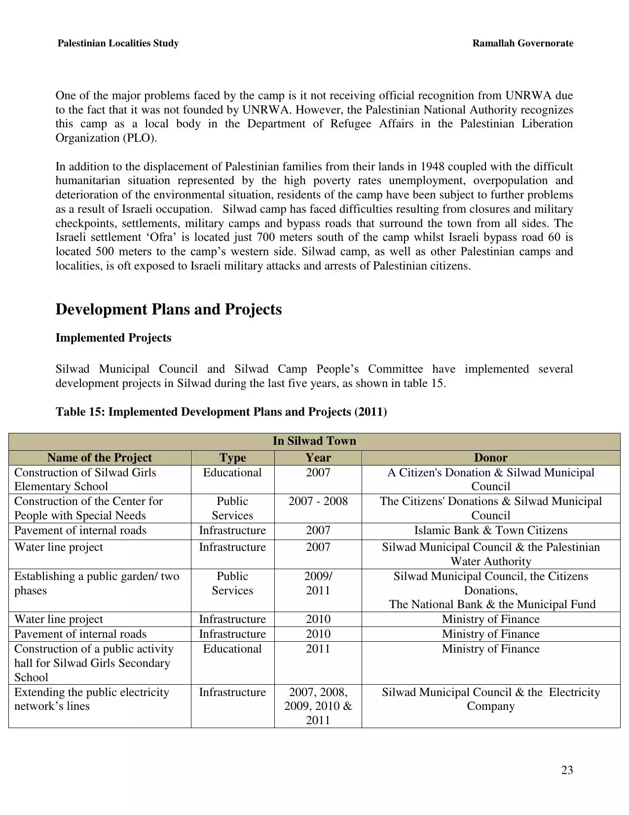
- Statistics & Facts
-
Before & After

- Satellite View
- Articles 5
- Pictures 166
- Mayrters & Prisoners 2
- Members 31
- Families
- Wikipedia
- ARIJ Guide
- Videos 3
- Guest Book 34
- Links 2
| Statistic & Fact | Value | ||||||||||||||||||||
| Distance From District | 14 km northeast of Ramallah | ||||||||||||||||||||
| Elevation | 880 meters | ||||||||||||||||||||
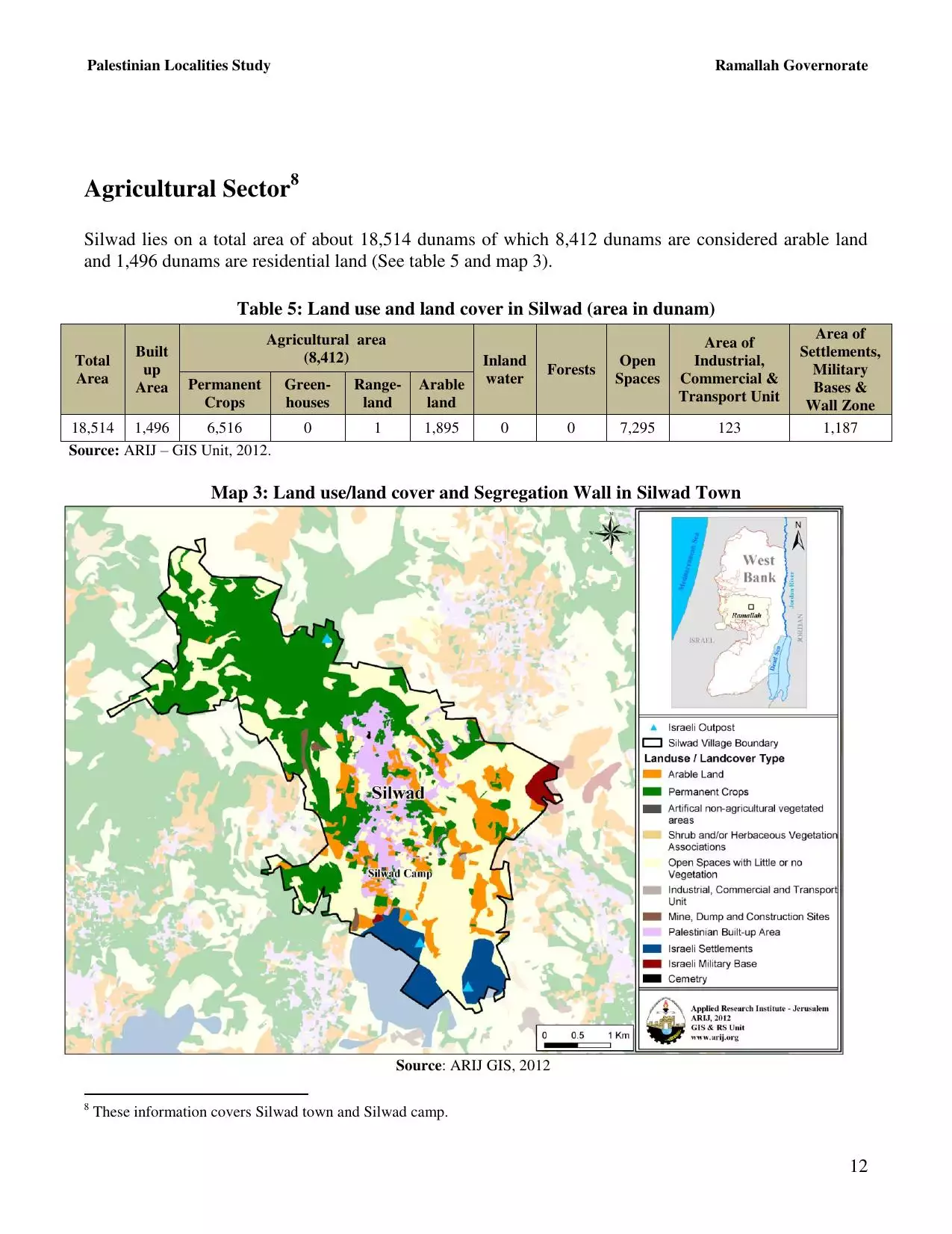
| Before & After Nakba, Click Map For Details |
|||||||||||||||||||||

|
|||||||||||||||||||||
| Land Ownership |
**Town Lands' Demarcation Maps |
||||||||||||||||||||
| Land Usage As of 1945 |
|
||||||||||||||||||||
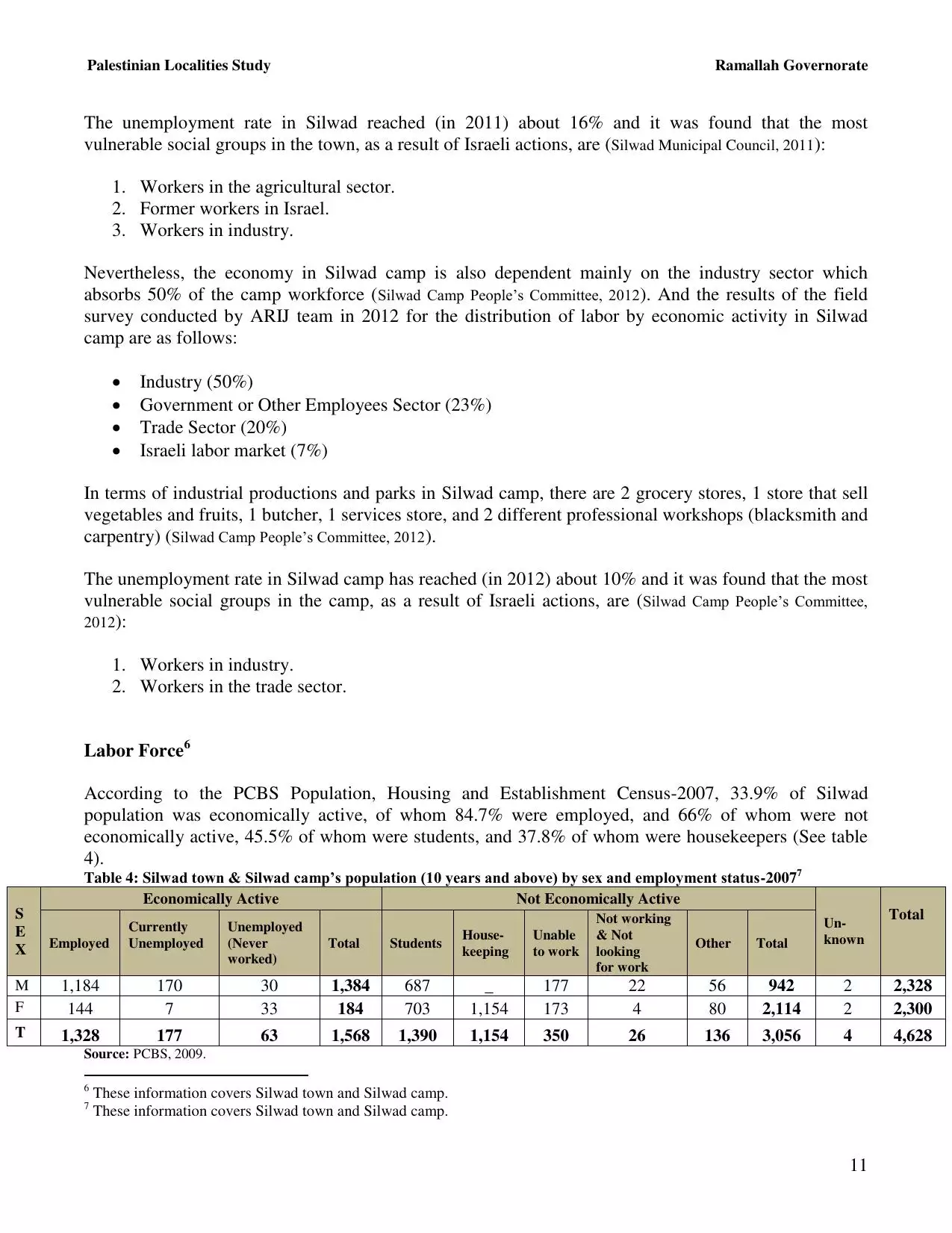
| Population |
|
||||||||||||||||||||
| Near By Towns |
|||||||||||||||||||||
|
|||||||||||||||||||||
| Featured Video | |||||||||||||||||||||
| ARIJ Guide | |||||||||||||||||||||
3.
4. 
5. 
6. 
7. 
8. 
9. 
10. 
11. 
12. 
13. 
14. 
15. 
16. 
17. 
18. 
19. 
20. 
21. 
22. 
23. 
24. 
25. 
26. 
27. 
Click here to browse online. |
|||||||||||||||||||||
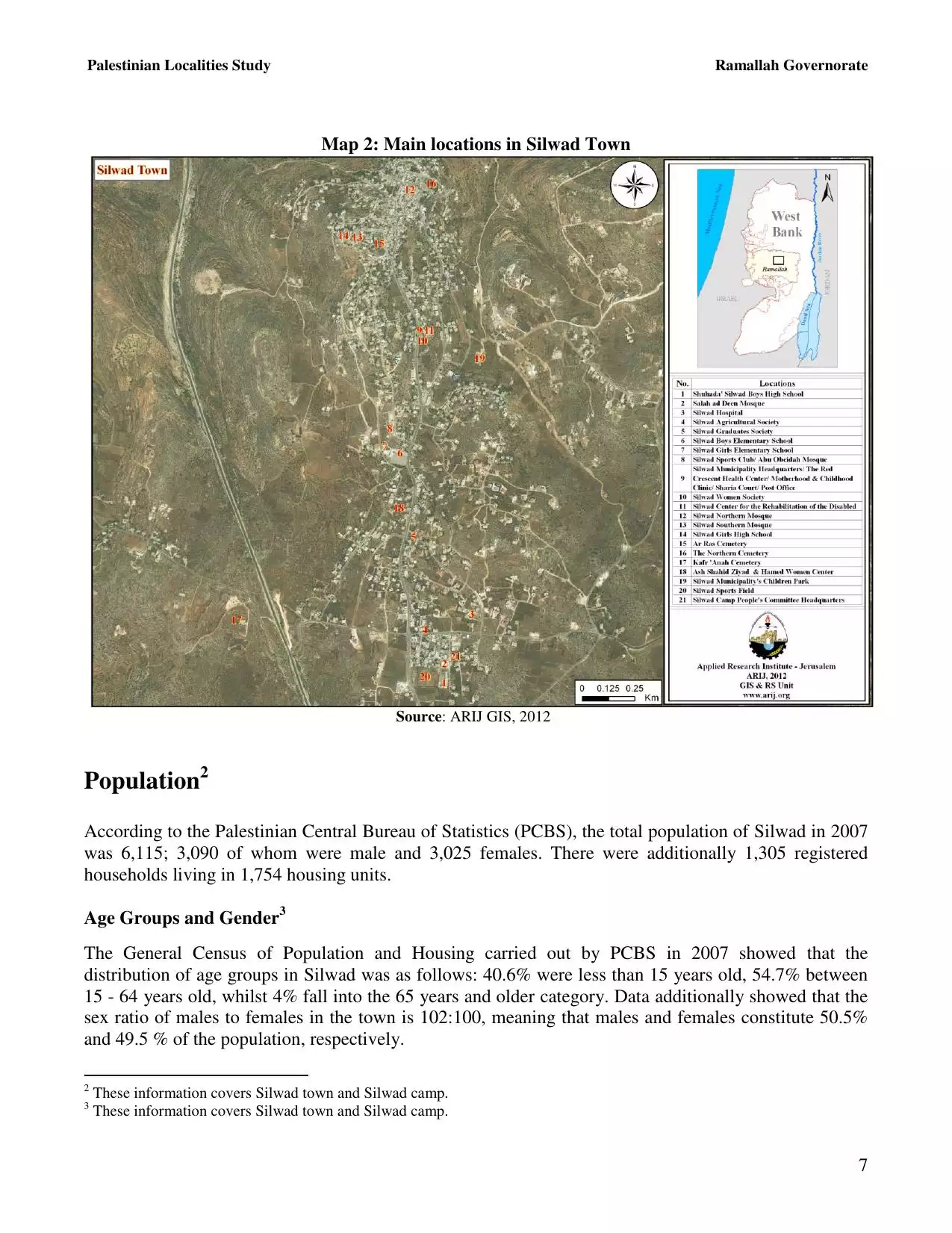
| Related Maps | Town Lands' Demarcation Maps خرائط للقضاء توضح حدود القرى والاودية View from satellite Town's map on MapQuest Help us map this town at WikiMapia |
||||||||||||||||||||
| Related Links | Wikipedia's Page Facebook Page ARIJ Guide Google Search Google For Images Google For Videos في كتاب بلادنا فلسطين دليل أريج المزيد من موقع هوية |
||||||||||||||||||||
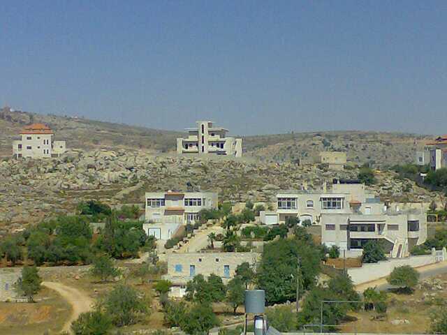
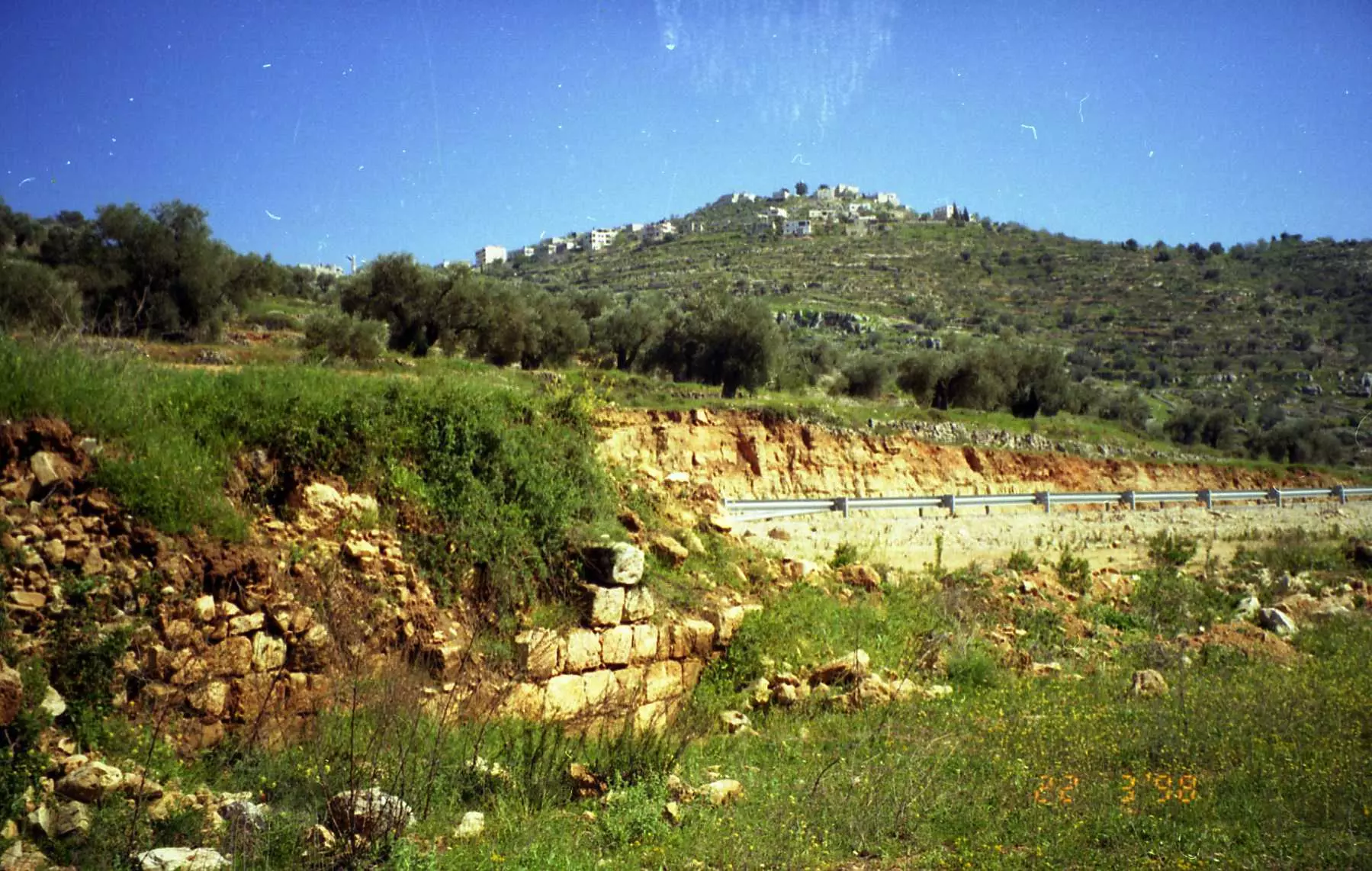
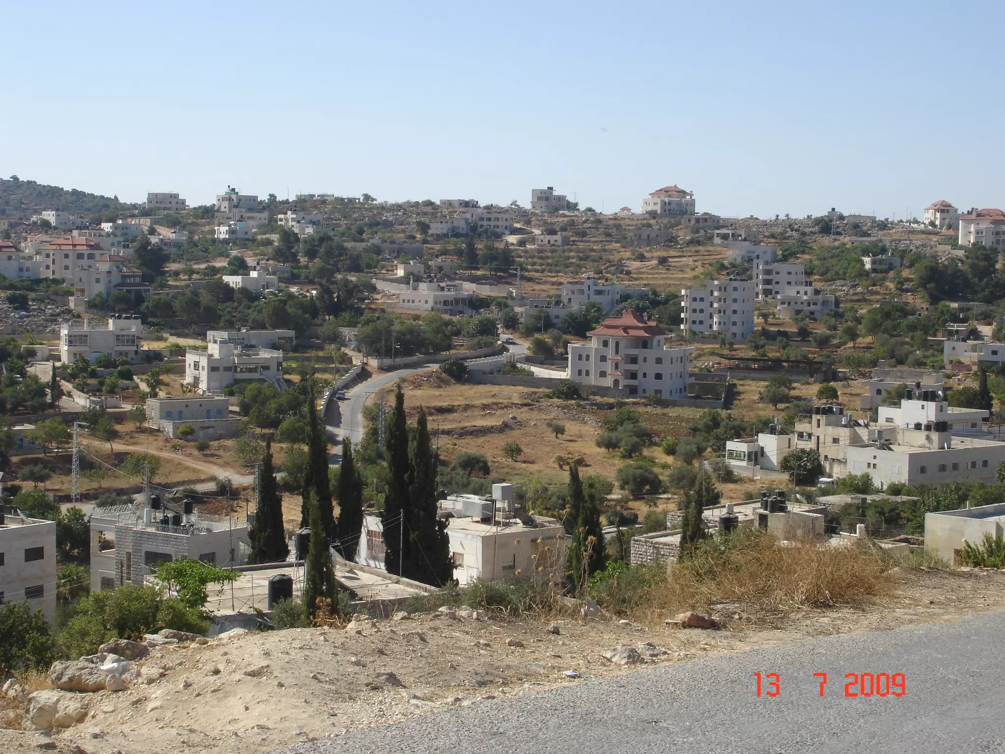
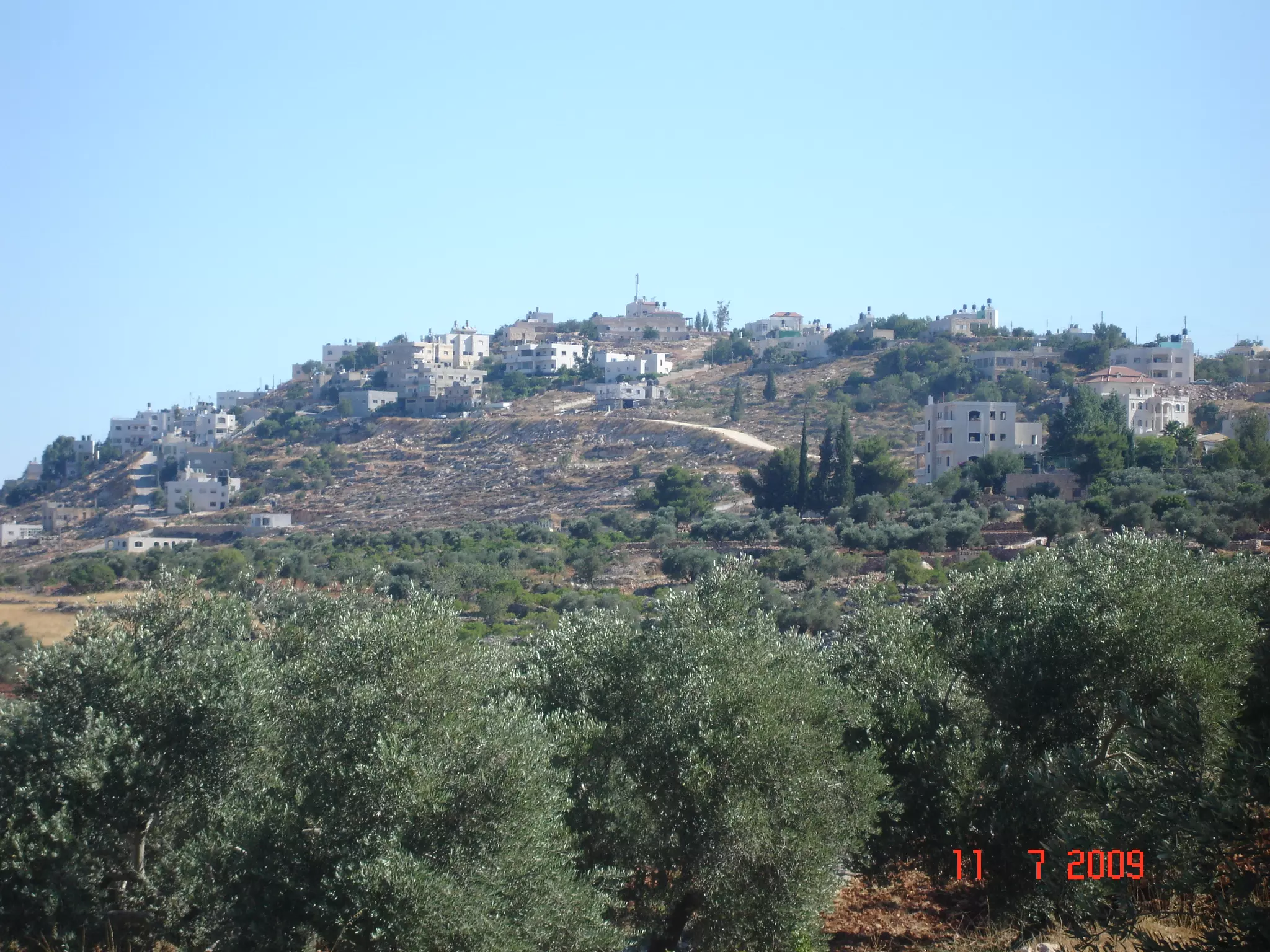
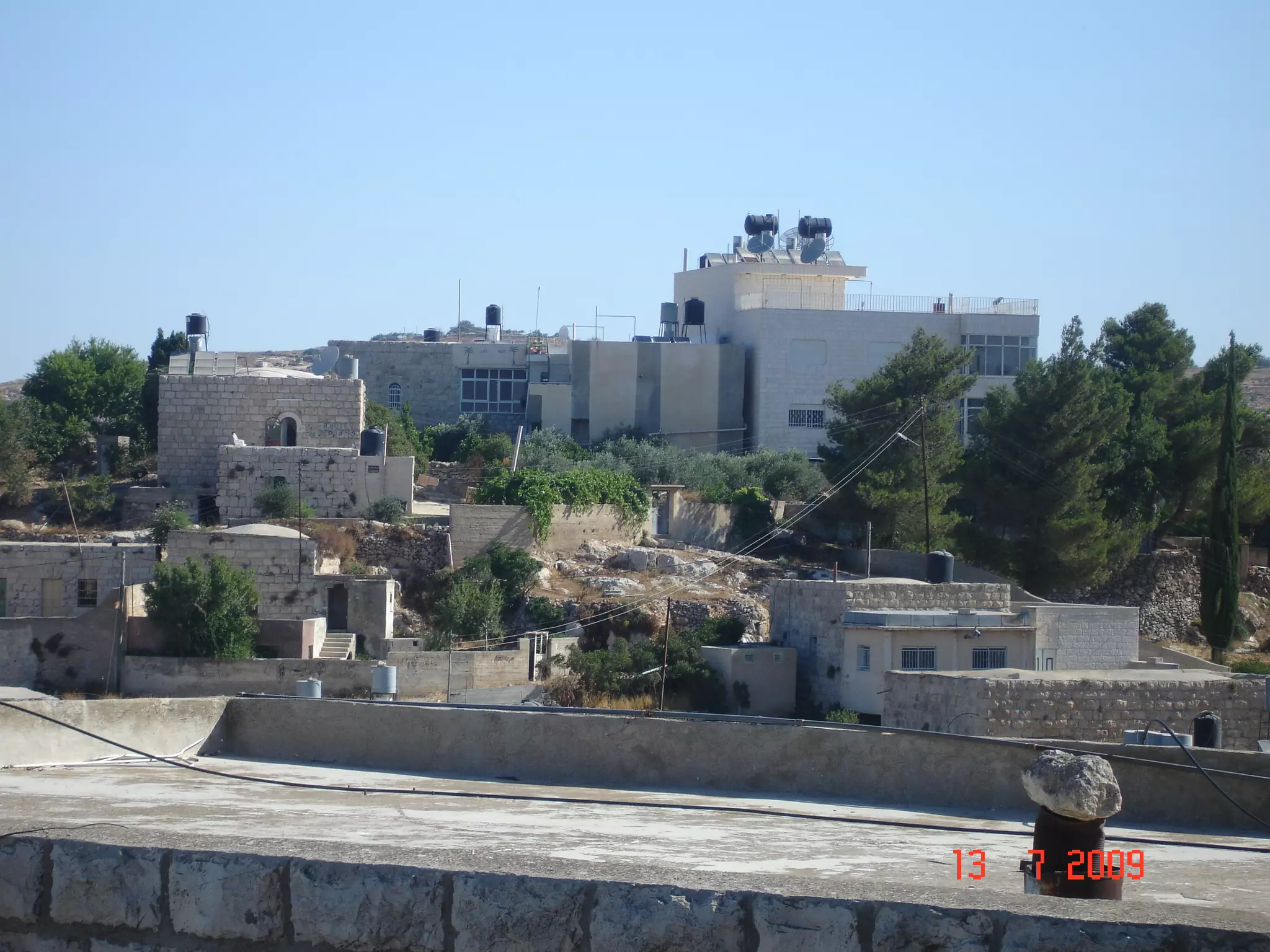
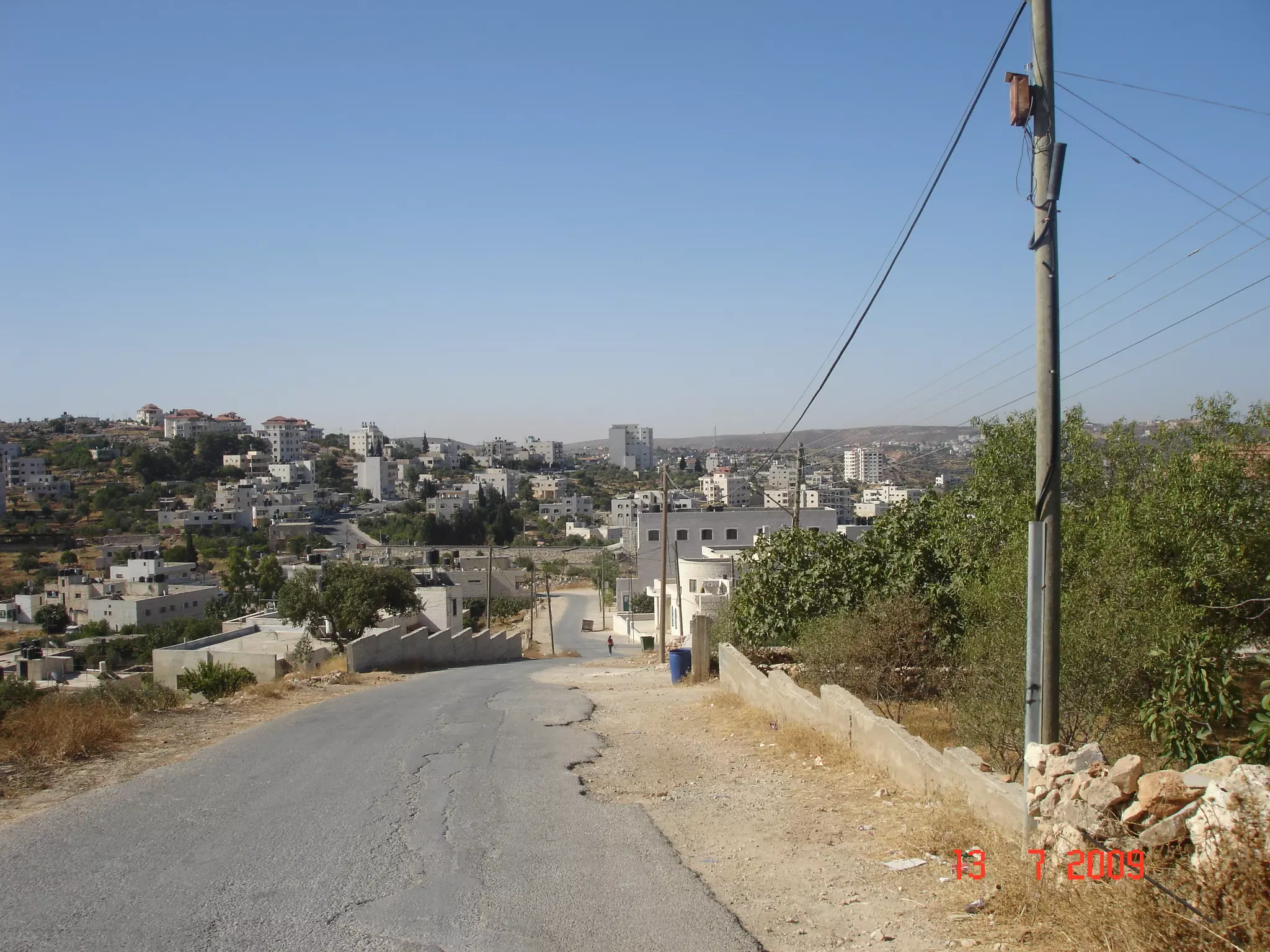
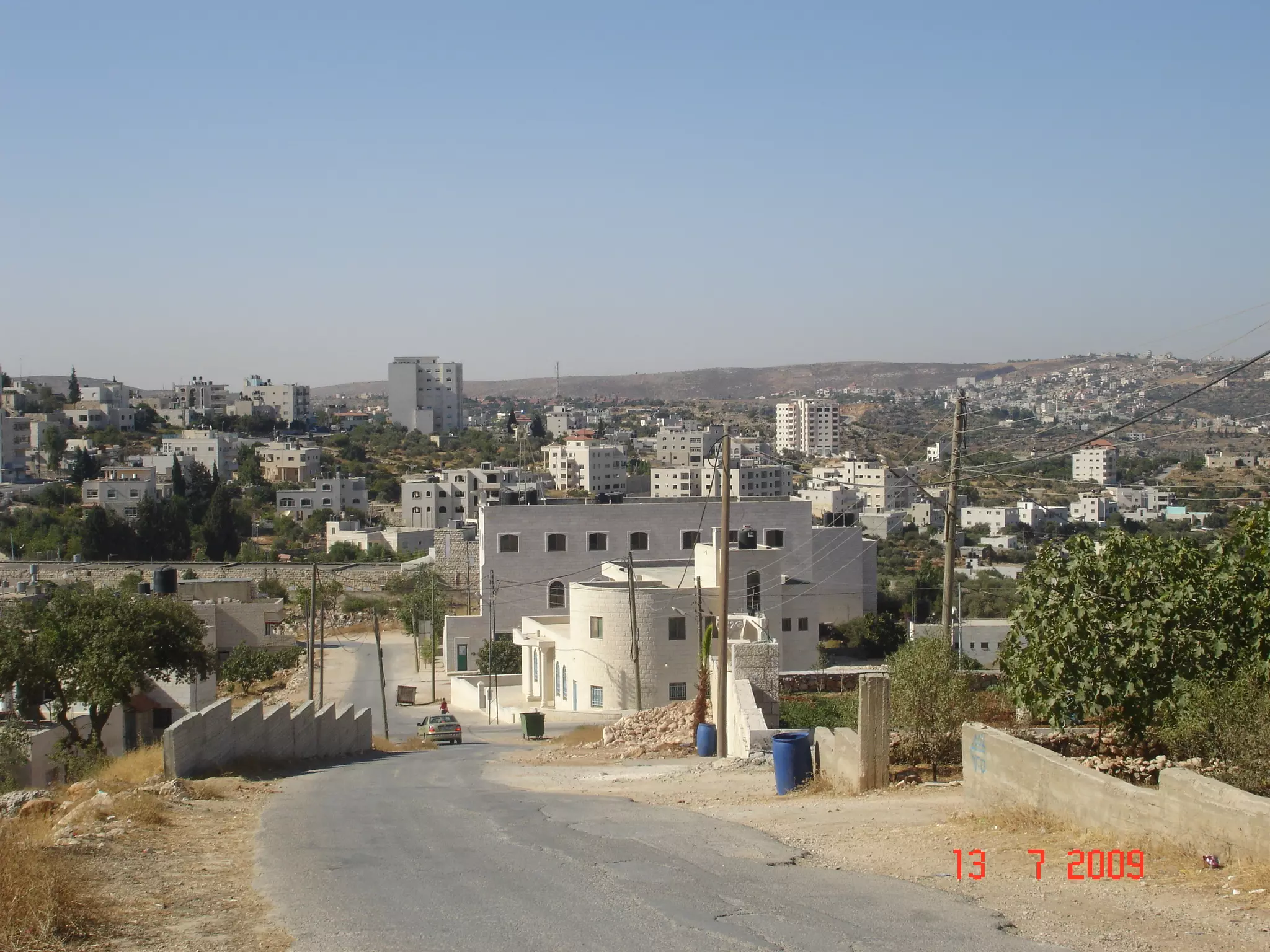
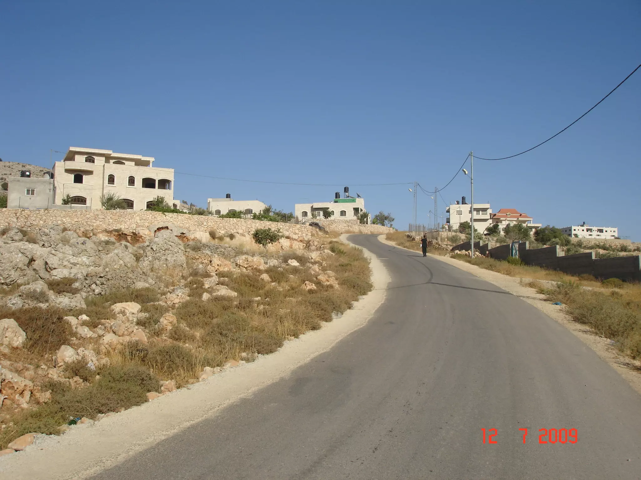
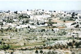
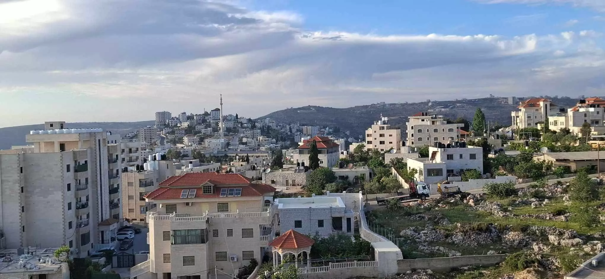
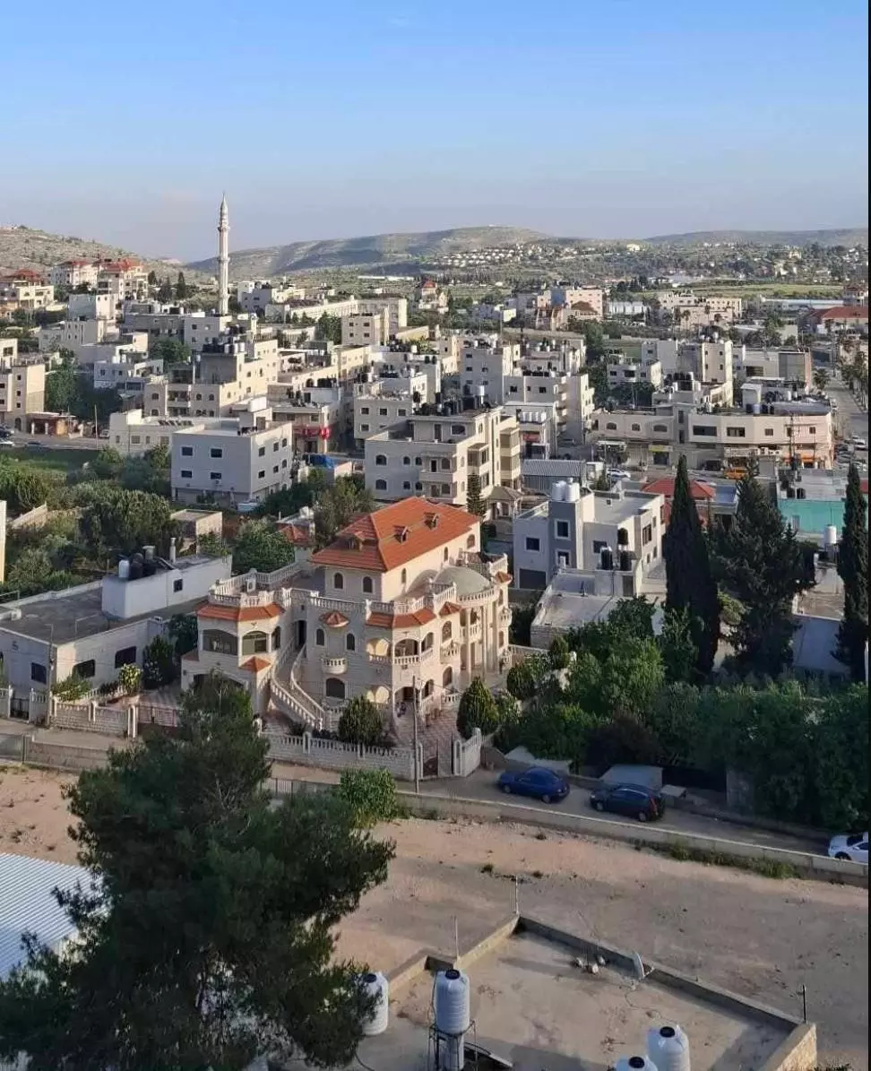
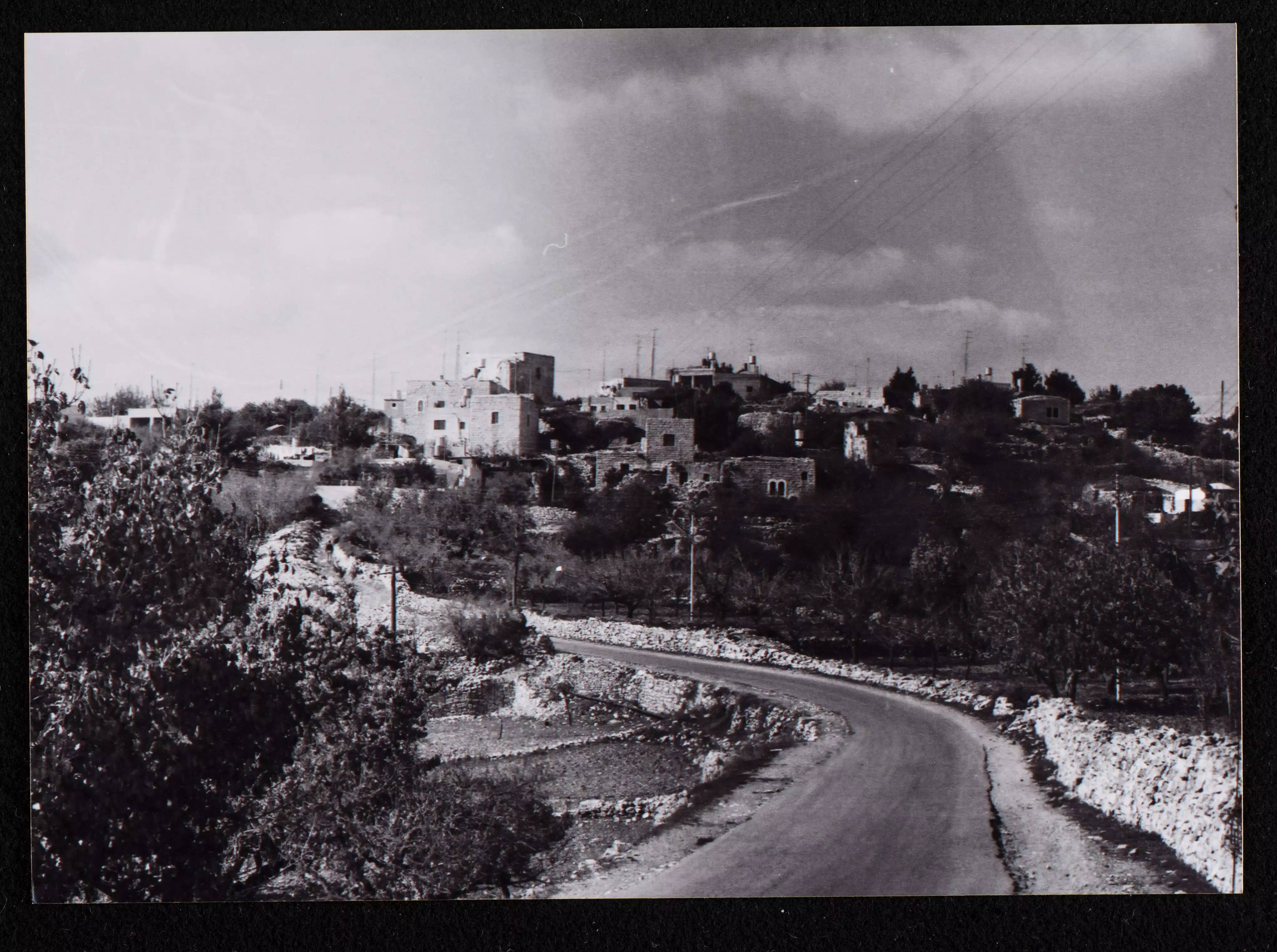
- منظر عام
Posted by Mohammed Mubarak 12 - منظر عام من على سطح منزل / ابراهيم تايه
Posted by Isam Silwadi 4 - Dewan AL-Hamed
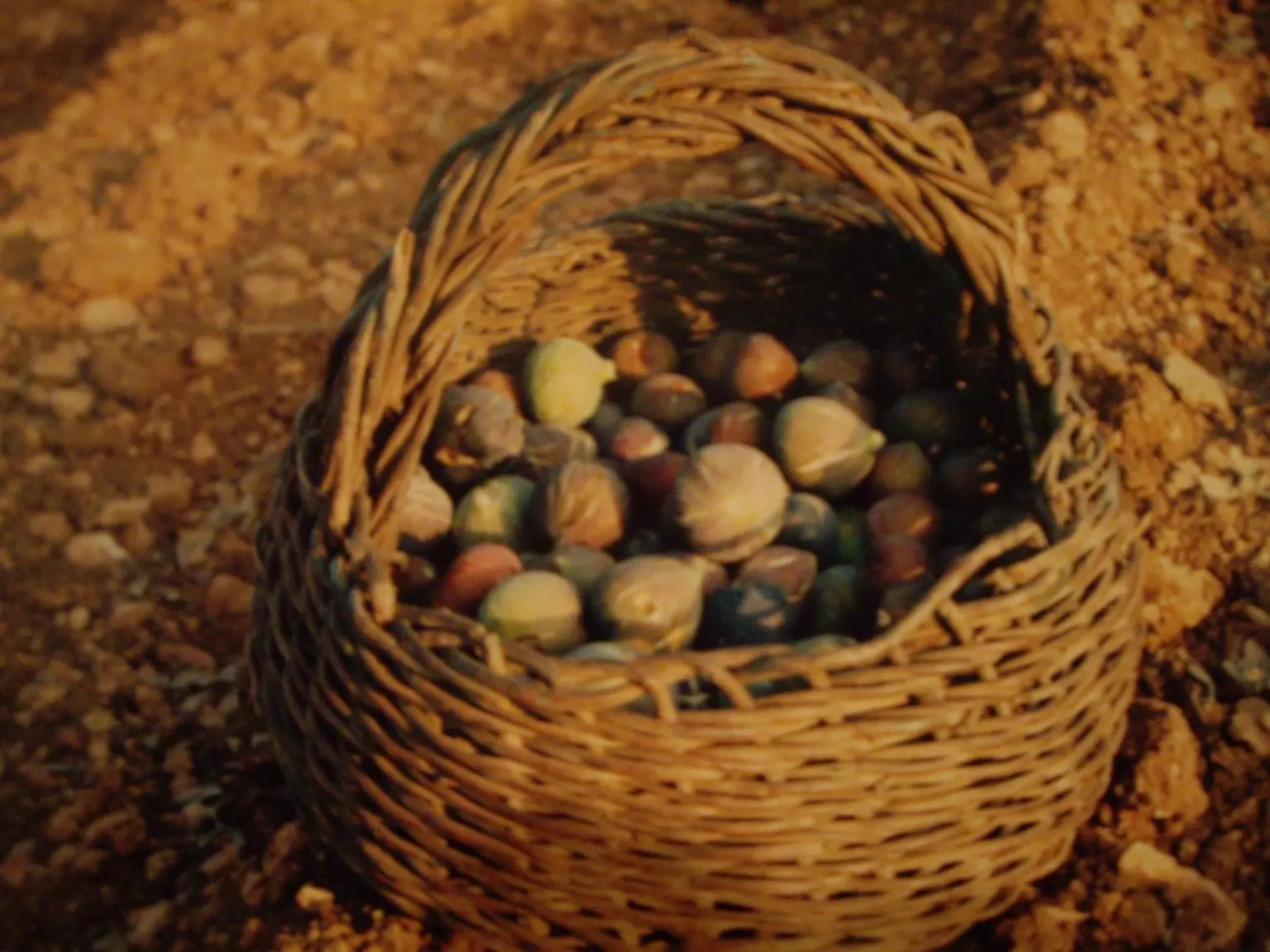
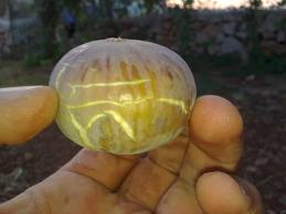
Posted by ABU KHALID 3 - A Basket made from the branches of olive trees filled with figs both products of silwad
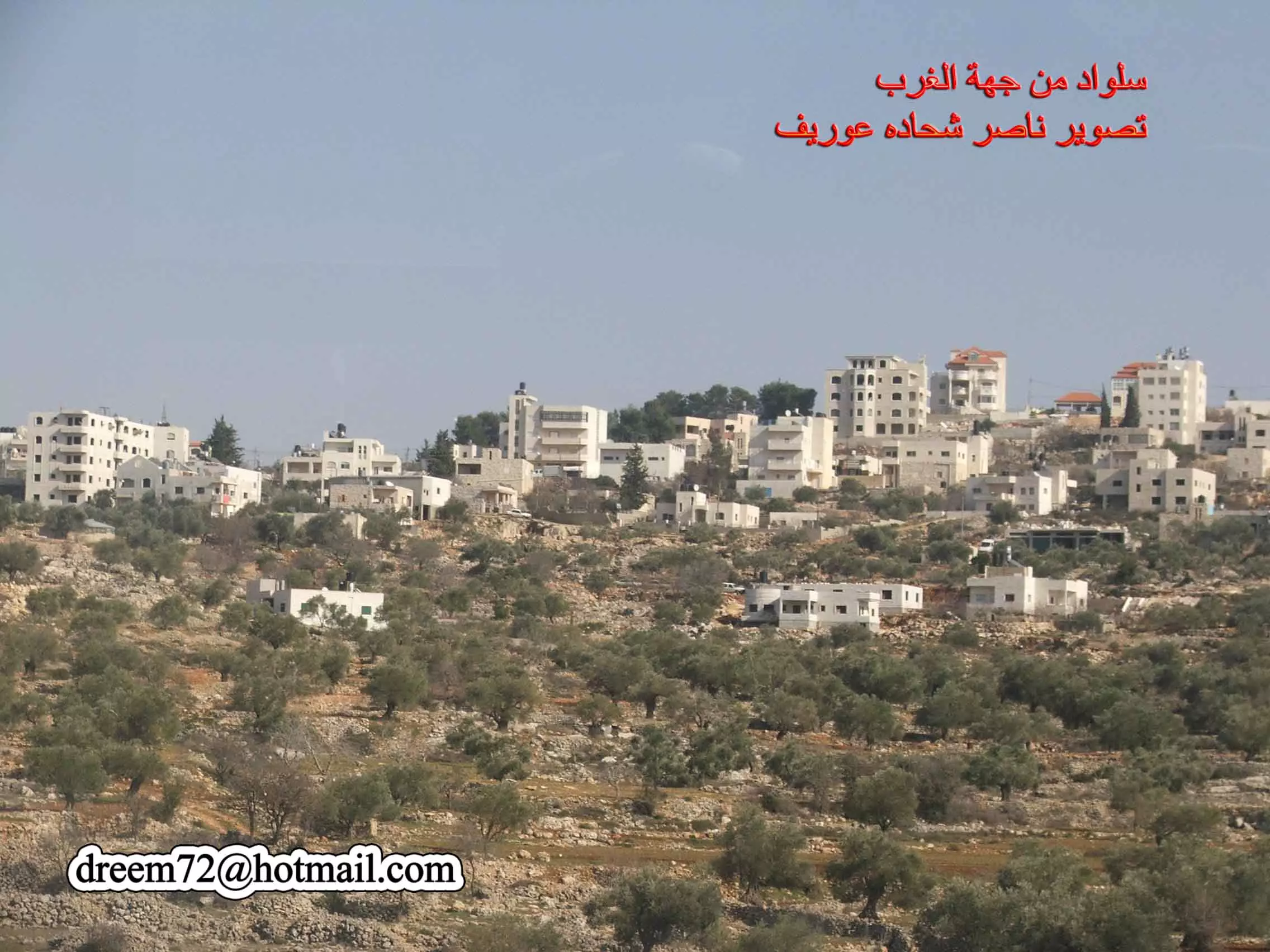
Posted by ABU KHALID 4 - سلواد من جهة الغرب تصوير ناصر شحاده عوريف 0507559901
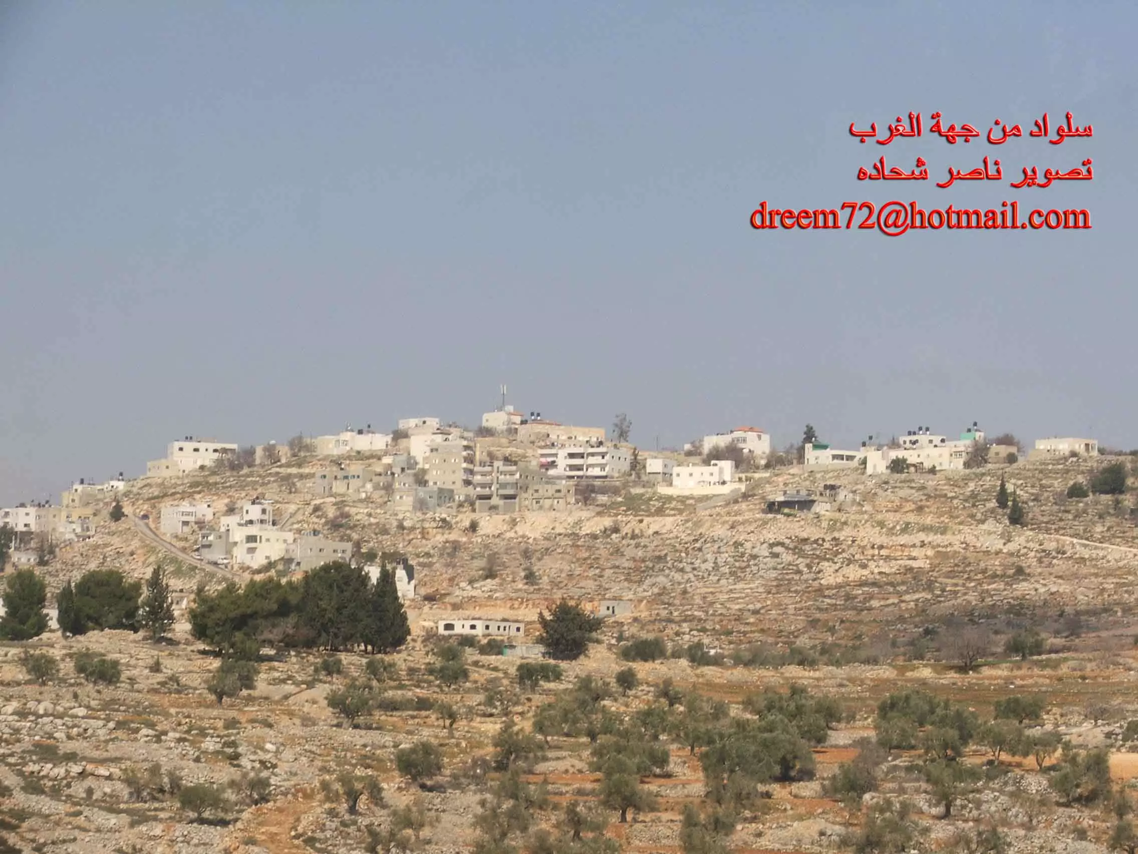
Posted by naser abed 7 - سلواد من جهة الغرب تصوير ناصر شحاده عوريف 0507559901
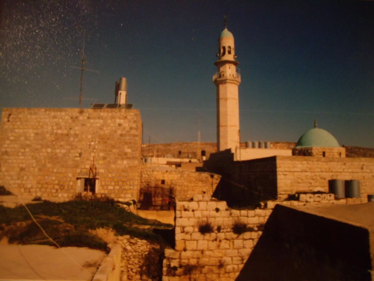
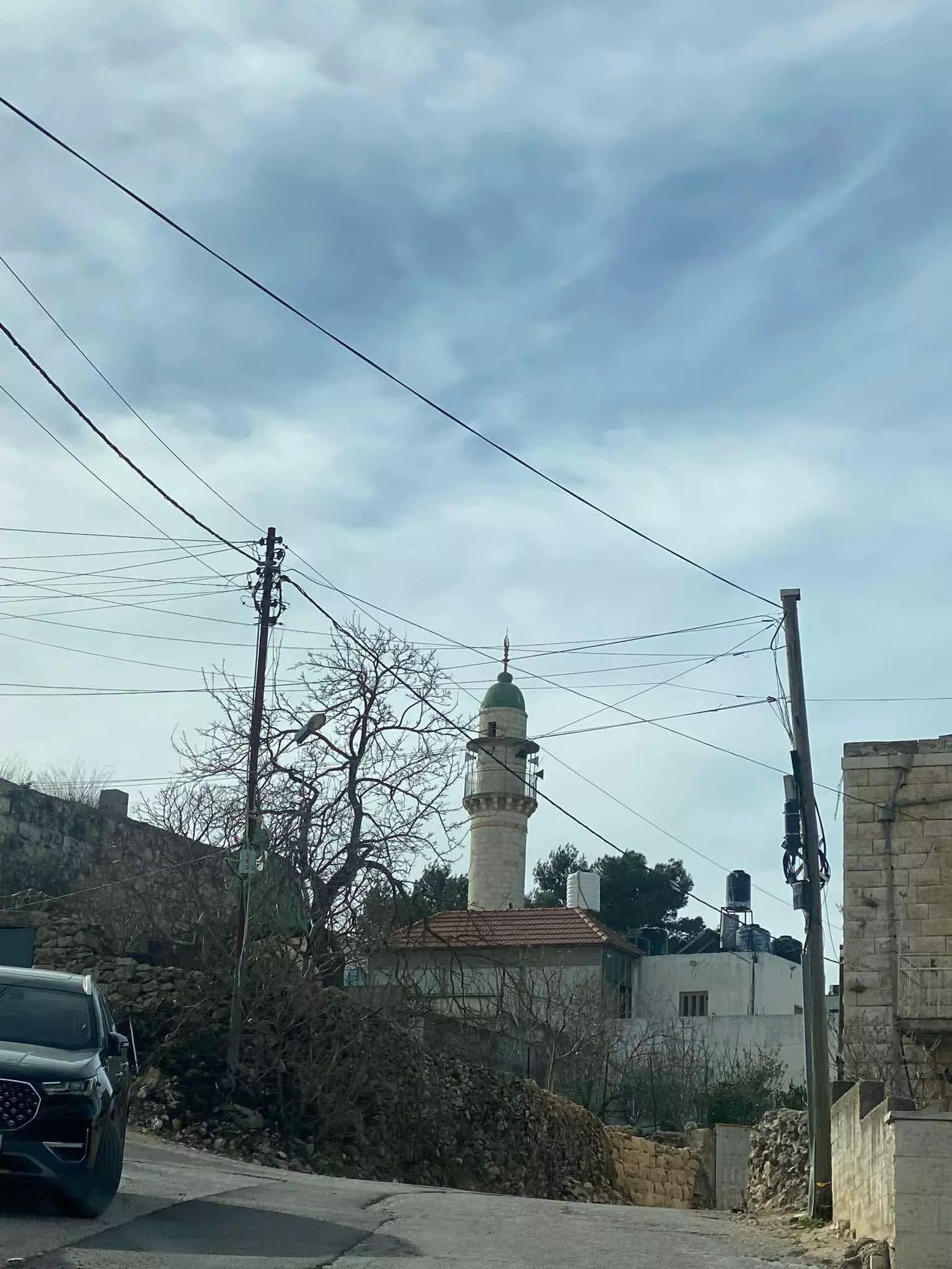
Posted by naser abed 3 - The Masjid Al_Shamaly (The mosque of the North)
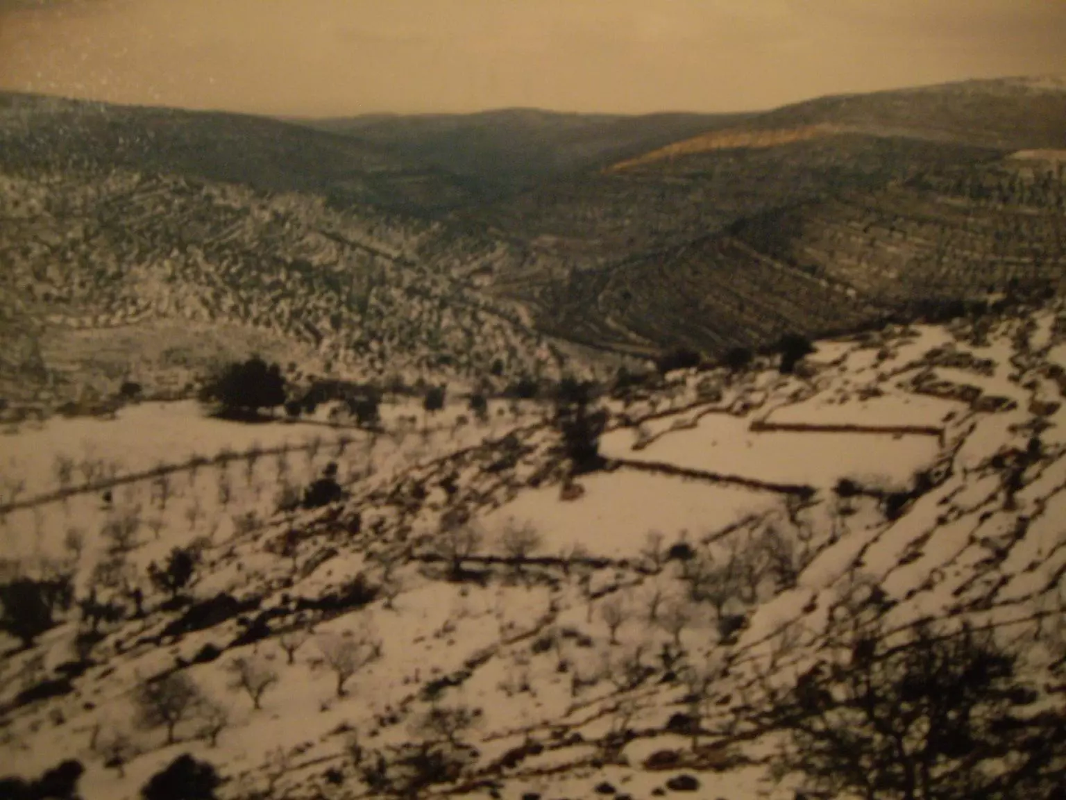
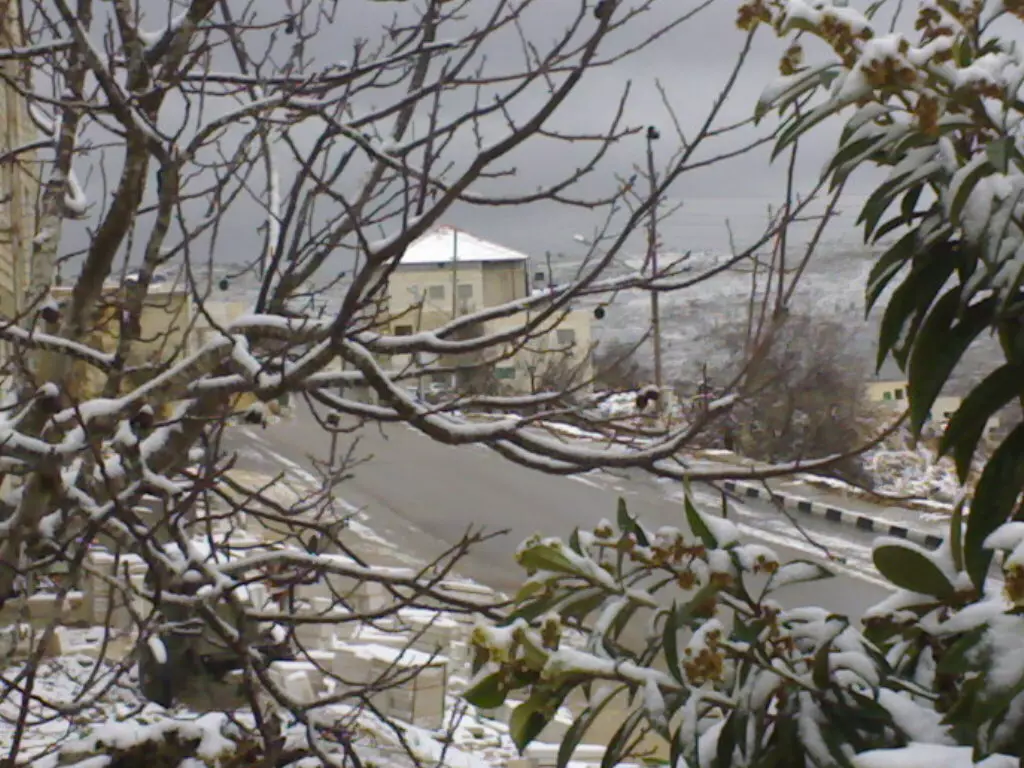
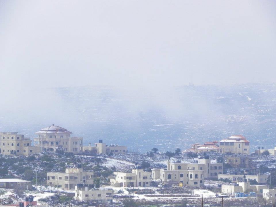
Posted by ABU KHALID 10 - Silwad in the snow
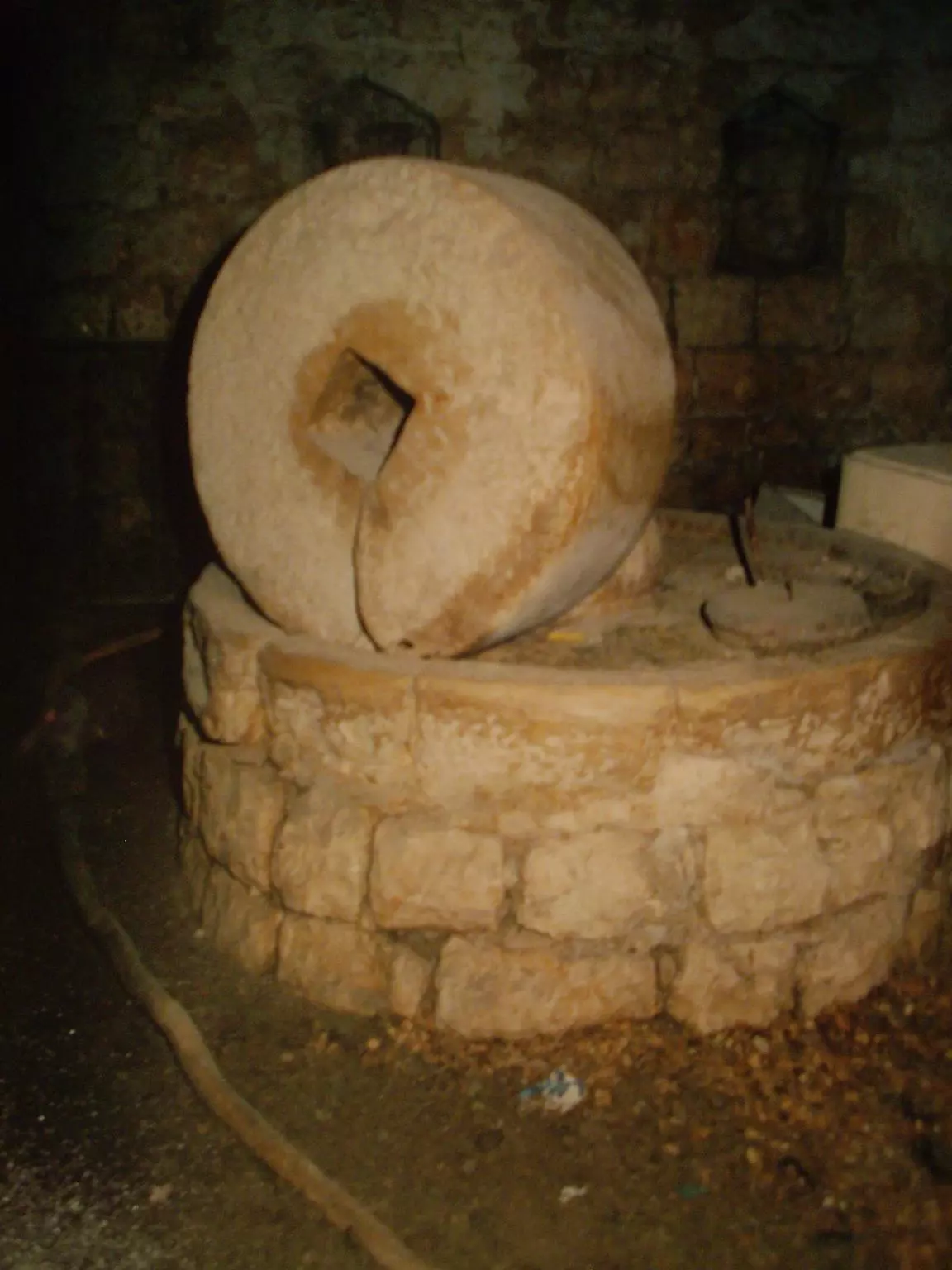
Posted by ABU KHALID 5 - What the people used to crush olives to make olive oil
Posted by ABU KHALID 7 - Diwan AL-Ayad
Posted by ABU KHALID 4 - Front view of Diwan AL-Hamed
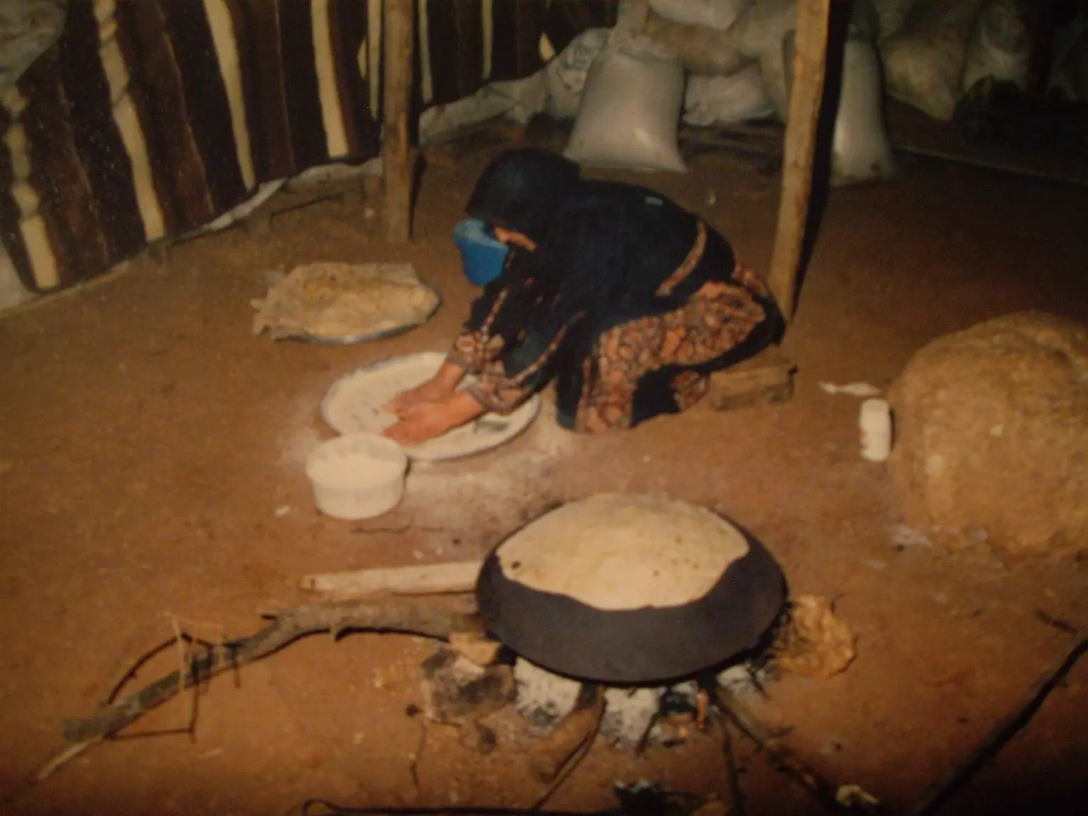
Posted by ABU KHALID 4 - Khubiz Ala Ill Saj (Shirak)
Posted by ABU KHALID 3 - Eraq Ill Kharouf
Posted by ABU KHALID 4 - Diwan AL-Hamad
Posted by ABU KHALID 3 - Taboon Khubiz Silwad
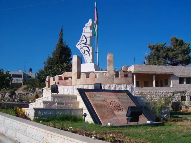
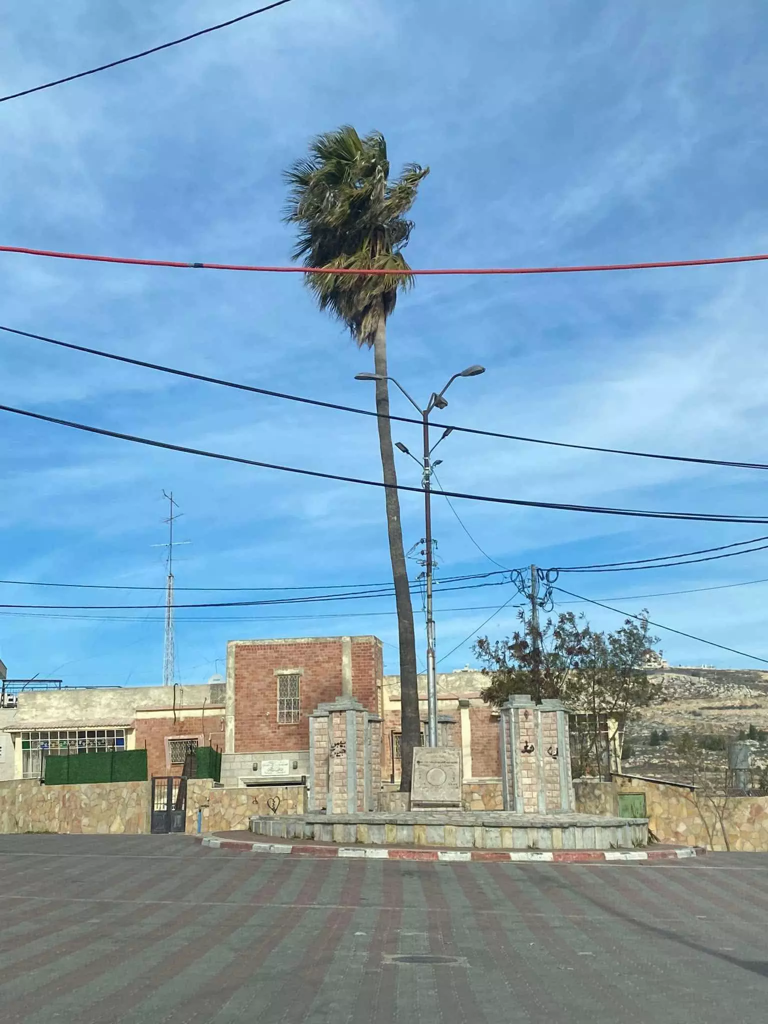
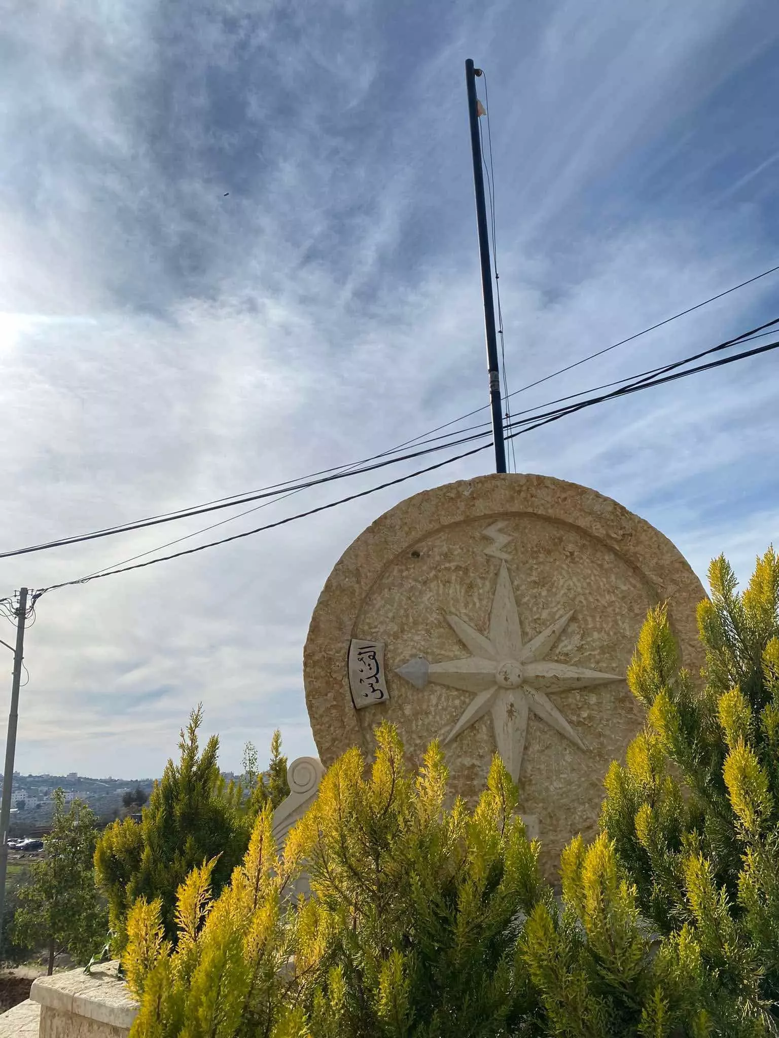
Posted by ABU KHALID 2 - نصب تذكاري
Posted by jamil atsha 4 - منظر عام
Posted by lana 1 - منظر عام
Posted by lana 5 - منظر عام
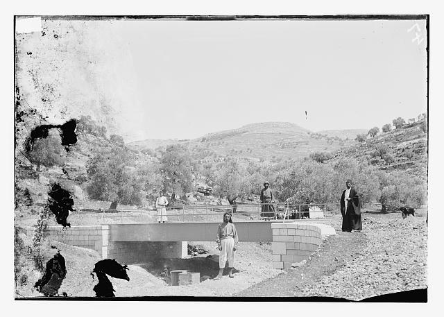
Posted by lana 1 - جسر في عيون الحرامية - واد البلاط
Posted by ابو عمر 2 - Silwad
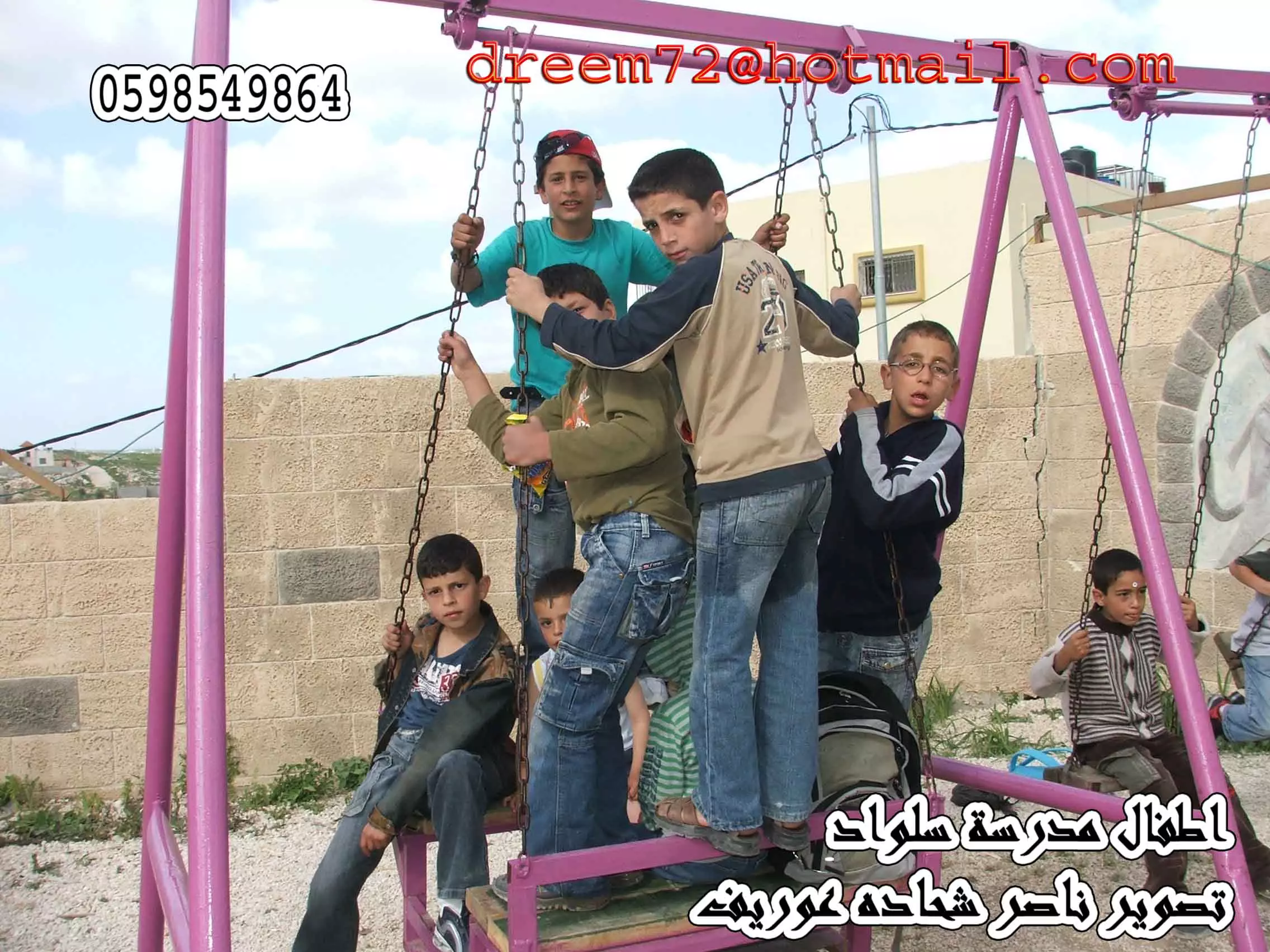
Posted by Hamid Mubarak 4 - اطفال سلواد تصوير ناصر شحاده عوريف
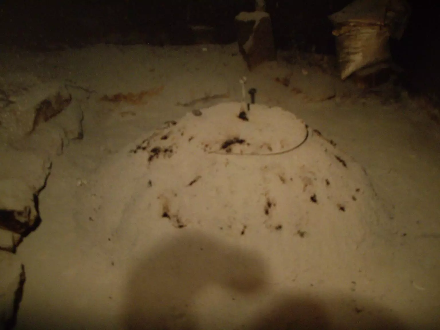
Posted by naser abed 1 - البلدية في الثلج
Posted by فلسطينية 1 - اه عاى أيام تينك يا سلواد أم القطين
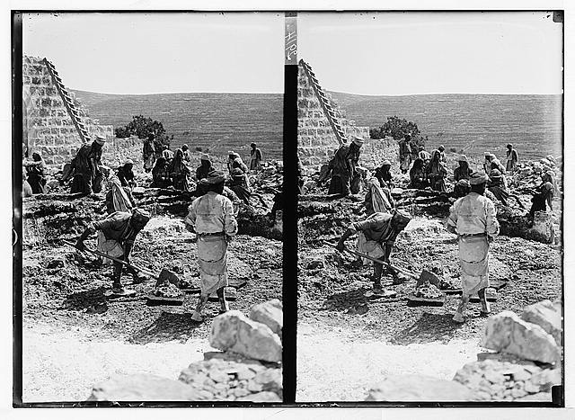
Posted by ابو عمر 2 - العونة في بناء الدور ايام الأصالة
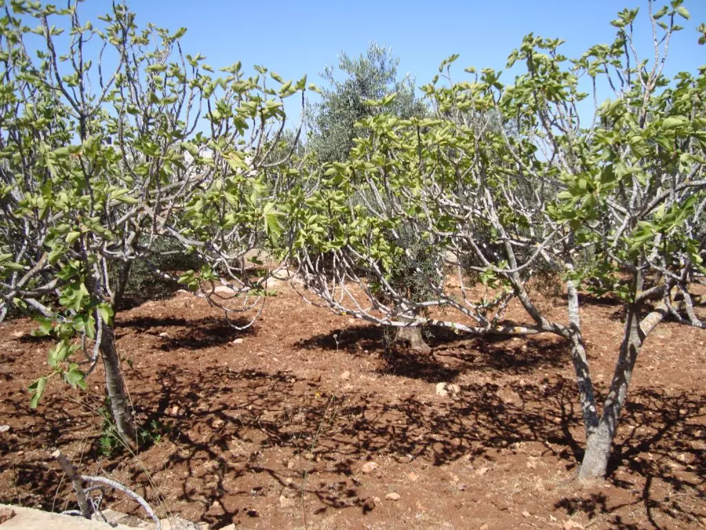
Posted by ابو عمر 6 - Silwad Grown Teen Trees
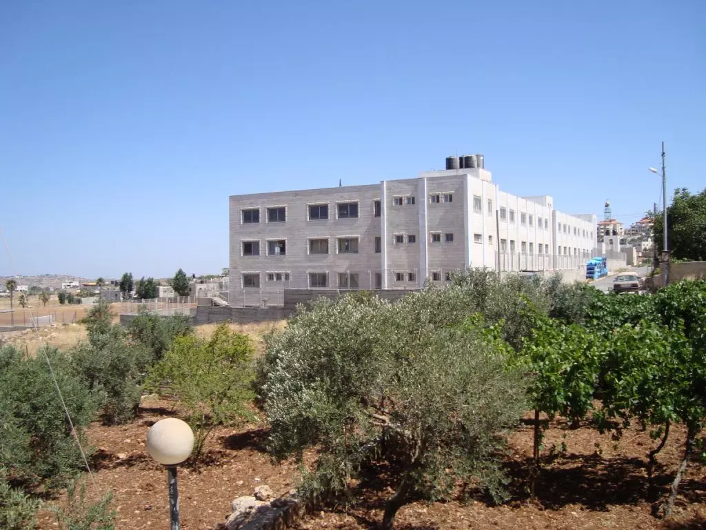
Posted by AbuKhalid - Silwad New Highschool
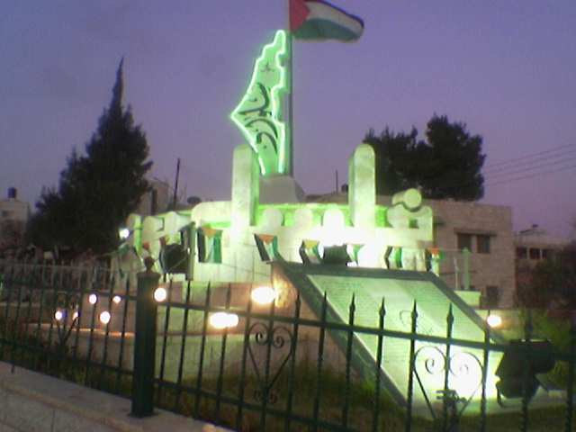
Posted by AbuKhalid 2 - Silwad Marters Memorial

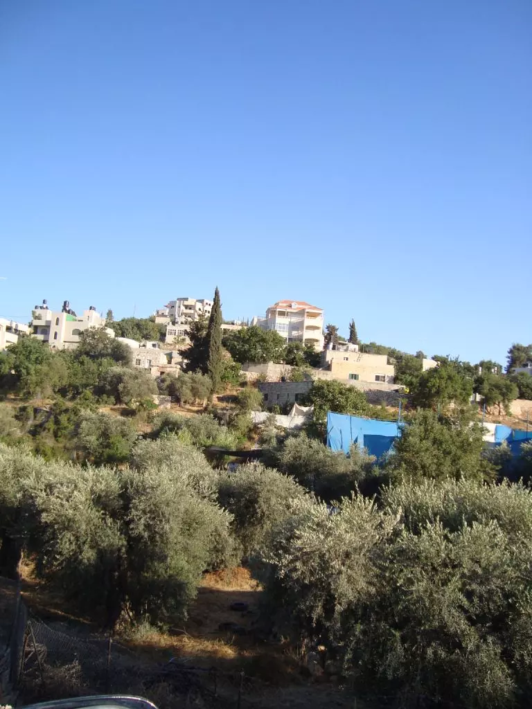
Posted by AbuKhalid 2 - View of Silwad
Posted by AbuKhalid 2 - Bayuth 3abid
Posted by AbuKhalid - A View of Al-3asoor from Bayuth 3abid
Posted by AbuKhalid - Our Casir In Bayuth 3abid
Posted by AbuKhalid 4 - View from DuhMessa House in SIlwad
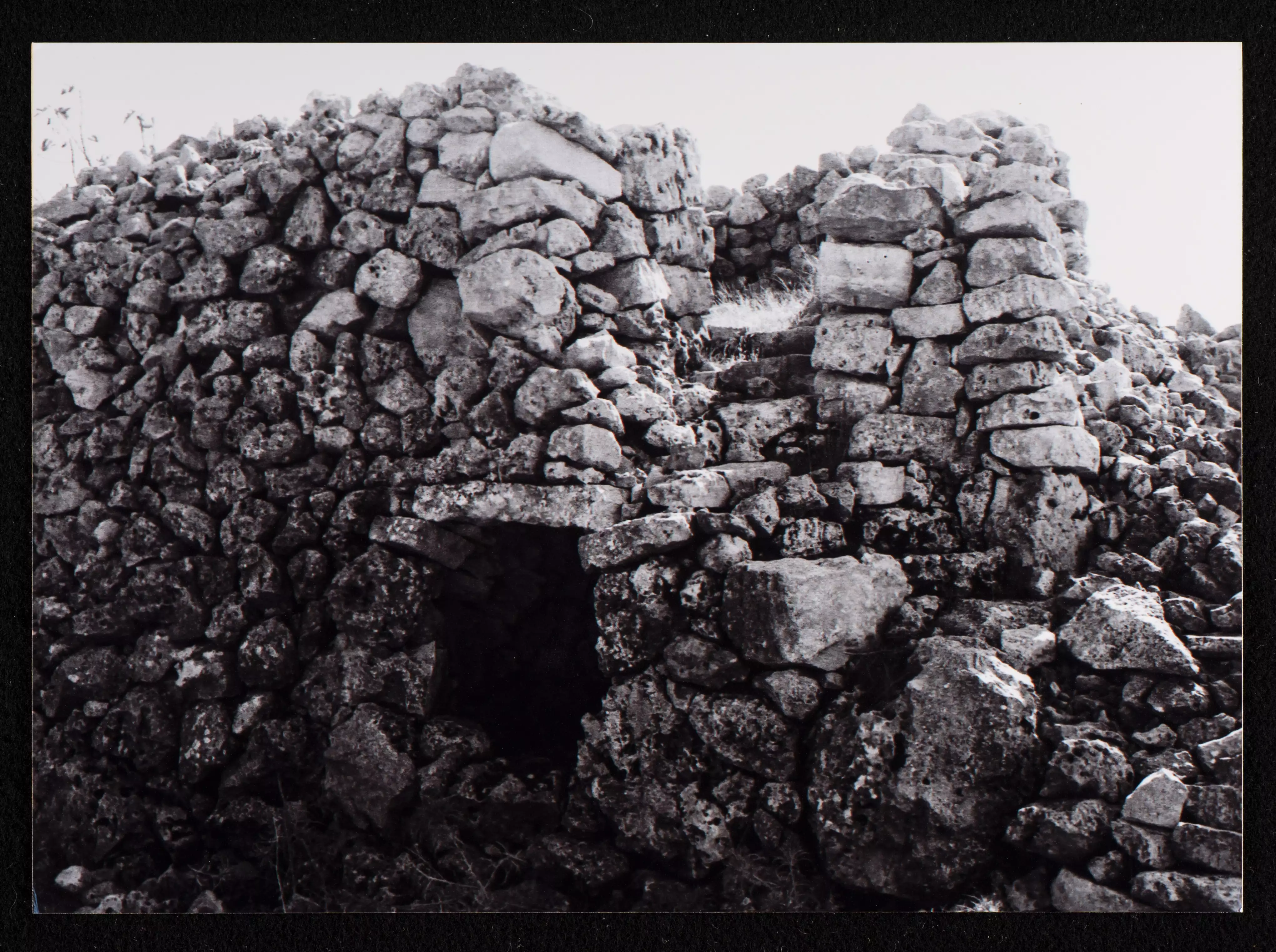
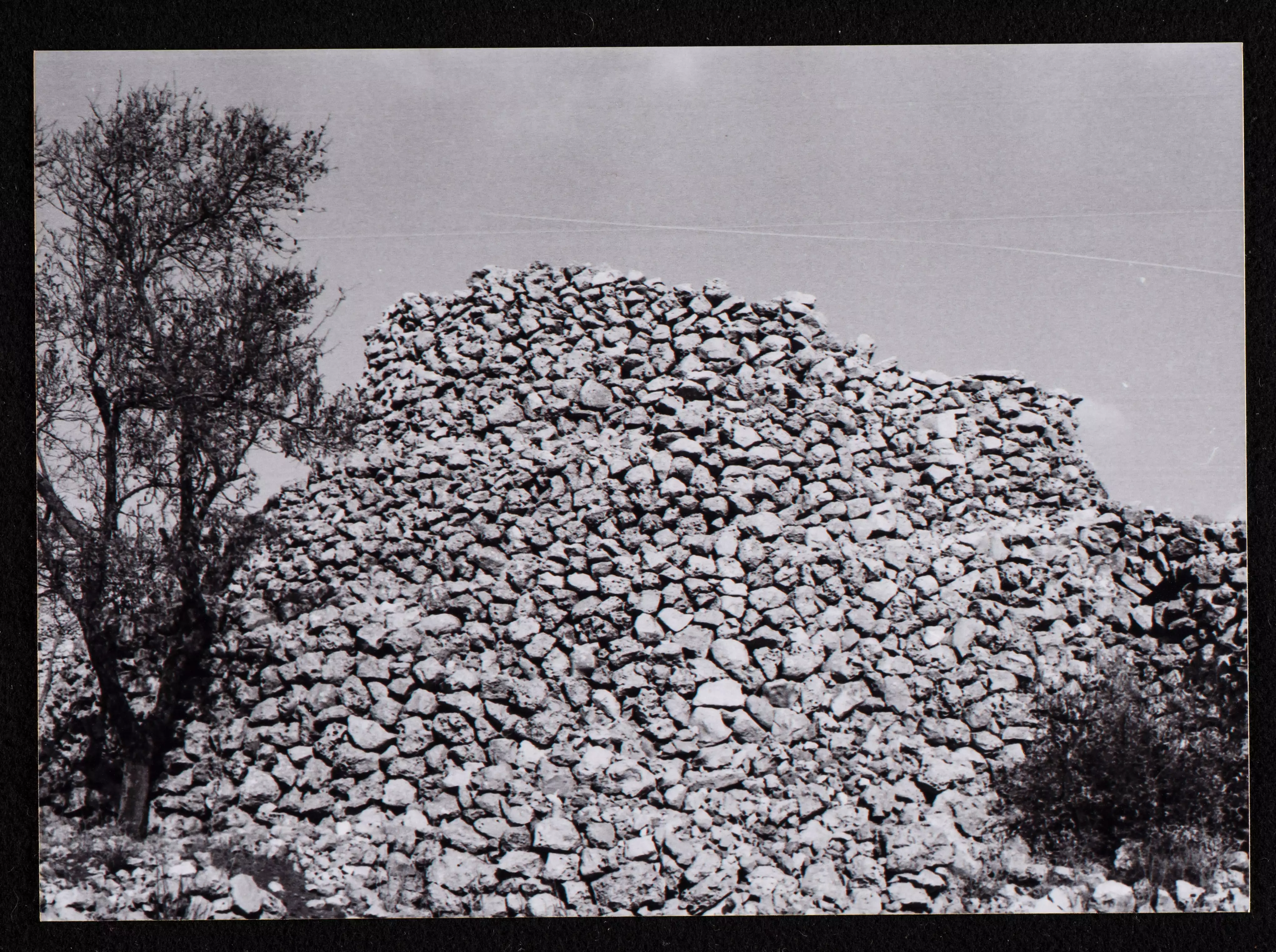
Posted by Tarek Abdalla - silwad ruins 1
Posted by Abdullah Hamed 2 - Silwad ruins 2
Posted by Abdullah Hamed 1 - Silwad ruins 3
Posted by Abdullah Hamed 1 - Silwad ruins 4

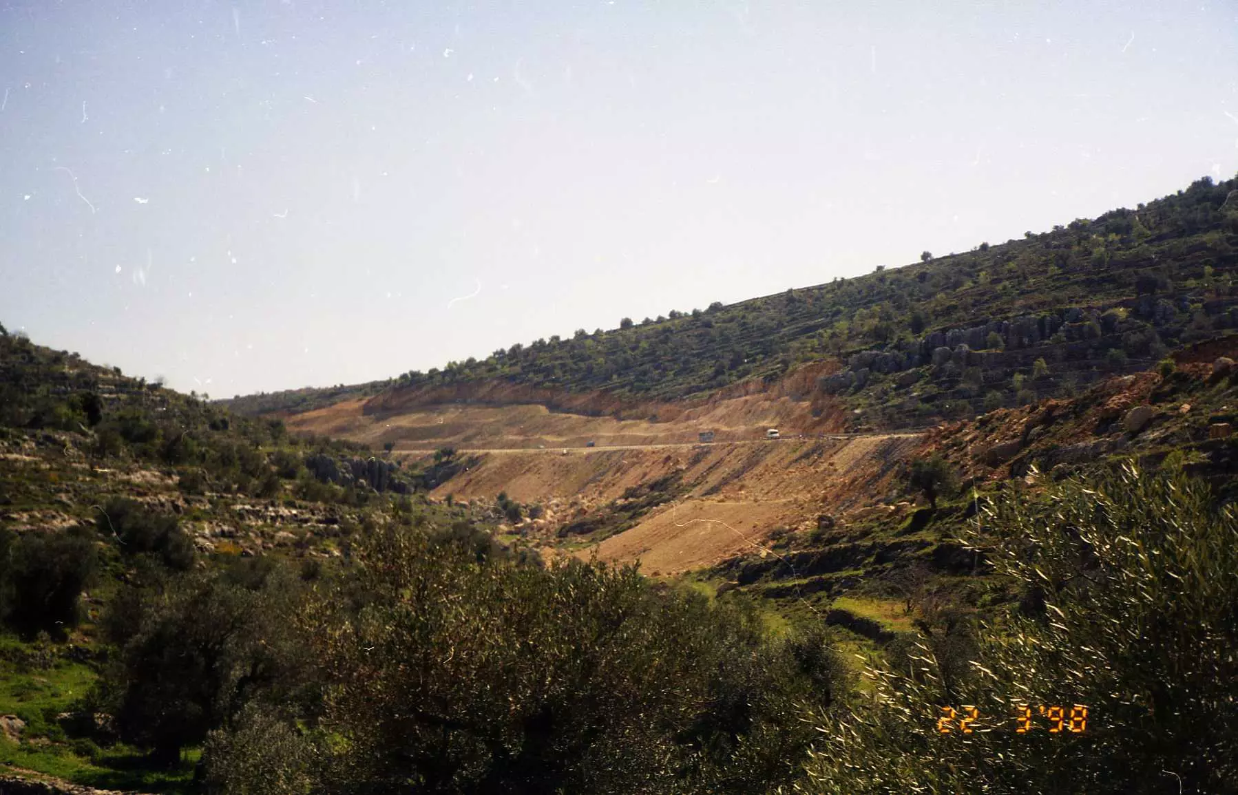
Posted by Abdullah Hamed - The bypass road
Posted by Abdullah Hamed 1 - Silwad old men
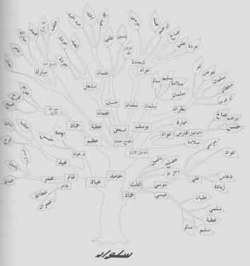
Posted by Abdullah Hamed 4 - شجرة حمايل وعائلات سلواد
Posted by ABU ZUHAIR 1 - west silwad alta_meerah
Posted by Mohammed Mubarak 2 - وردة الساعة موجودة في جبال سلواد
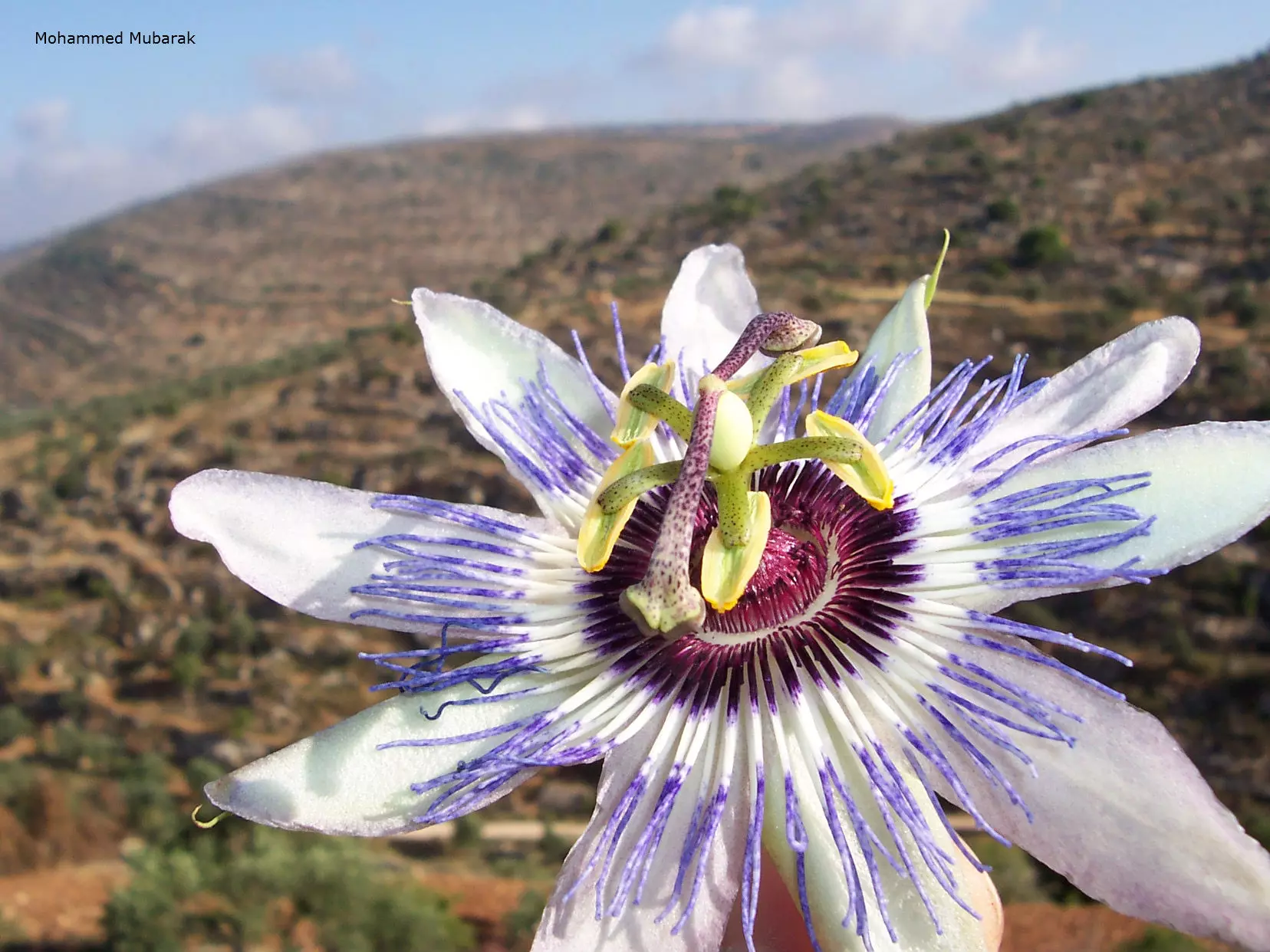
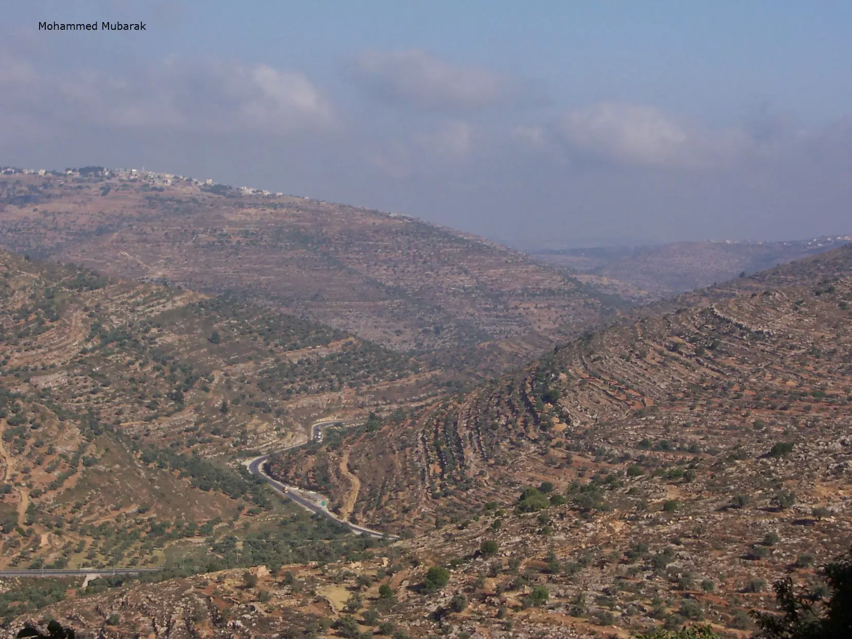
Posted by Mohammed Mubarak 6 - mountain west of silwad
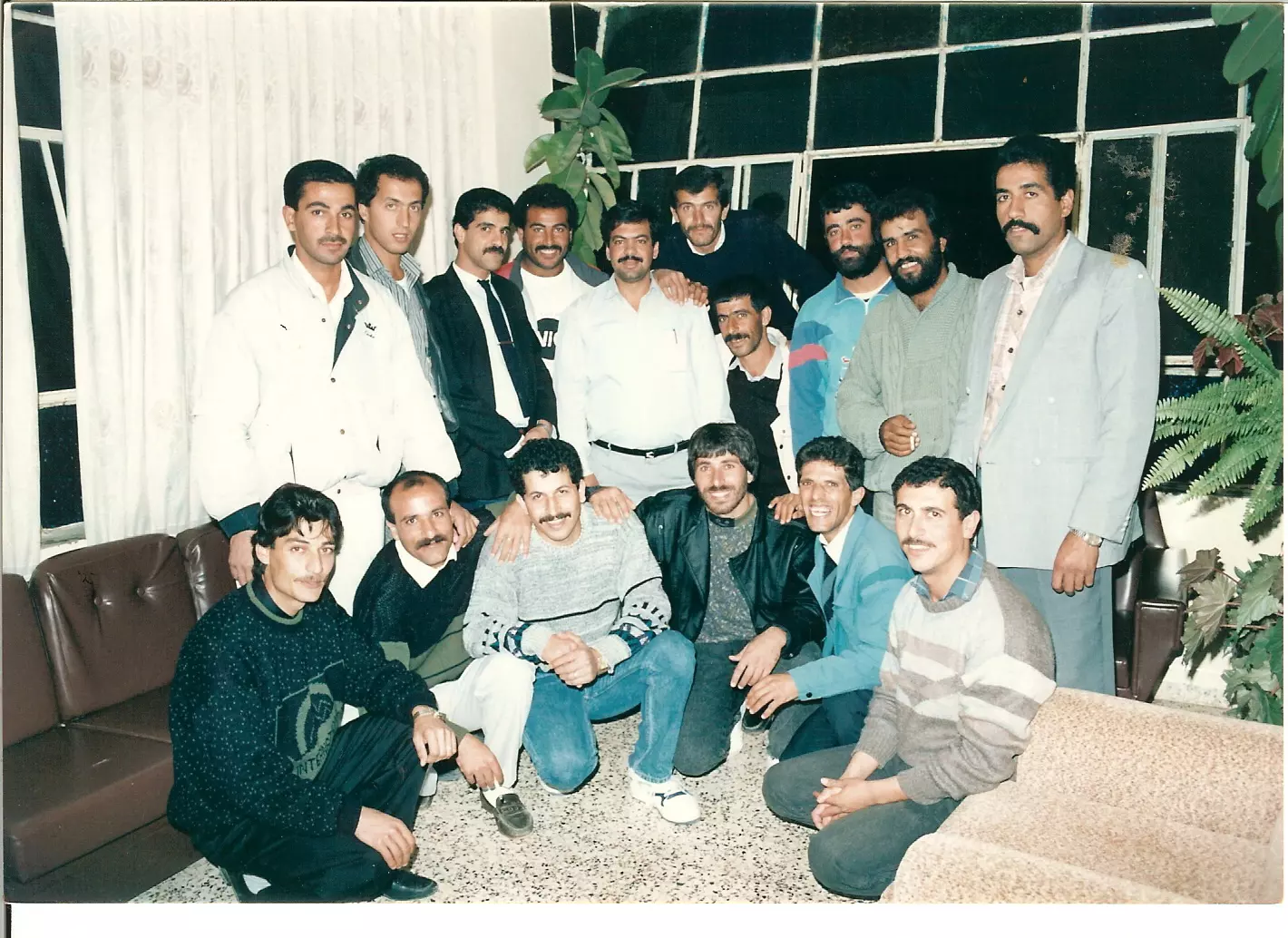
Posted by Mohammed Mubarak 2 - سلواد - طلاب التوجيهي سنة 1982 - اخذت الصورة عام 1991 بضيافة عصام الاول جلوسا من اليسار.
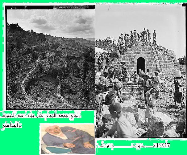
Posted by Isam Silwadi 3 - الحاج جمعة النجار خلال بناء احد البيوت والمناظير
Posted by ahmad hamed 2 - shbab silwad in indiana
Posted by ابراهيم فارس - منظر عام من على سطح منزل / ابراهيم تايه ويظهر فيه اسكان الباشا
Posted by Isam Silwadi 1 - منظقة الظهرة
Posted by Isam Silwadi - منظر عام
Posted by Isam Silwadi 1 - جانب من منطقة راس علي كما تظهر من منزل / عمر موسى
Posted by Isam Silwadi - منظر عام
Posted by Isam Silwadi - نزول راس علي باتجاه النادي ومدرسة ذكور سلواد
Posted by Isam Silwadi - ديوان دار يوسف ثم النادي - وسط الصورة -
Posted by Isam Silwadi - من الاحياء الجديدة تحت العاصور - الظهرة
Posted by Isam Silwadi - ولك يا سلواد المشايخ والأبطال هدية العهد والوفاء -ابو عمر الصفافي-
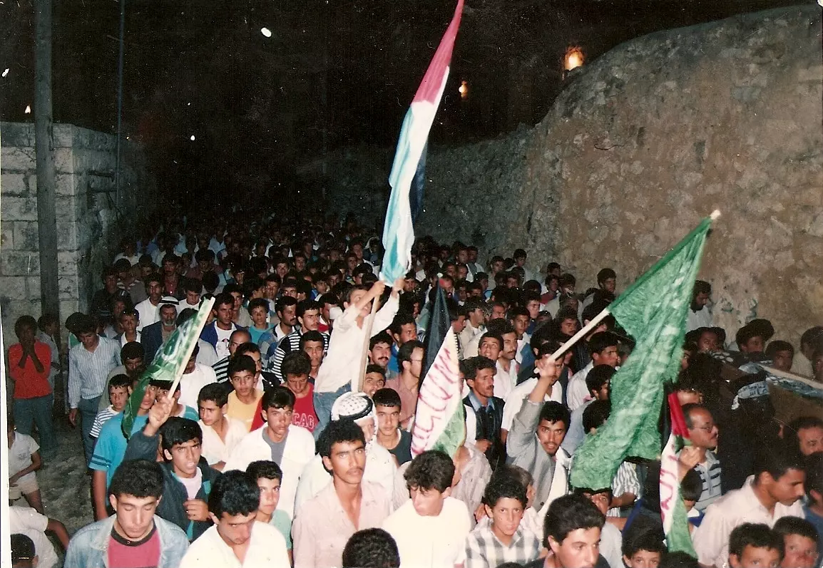
Posted by ابو عمر - تشييع احد الشهداء في سلواد
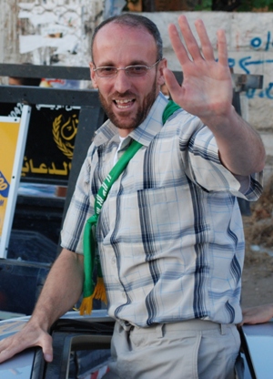
Posted by سلوادي مغترب - الاسير المحرر البطل ربحي خزنه اثناء الافراج عنه من قبل الصهاينه
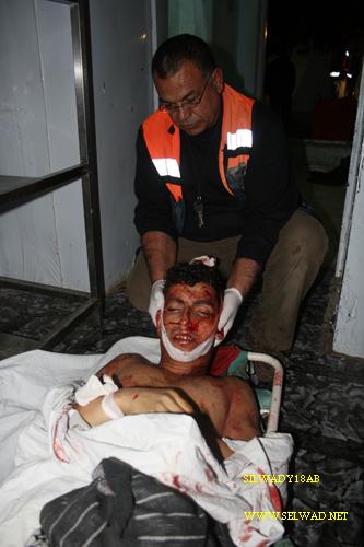
Posted by سلوادي مغترب - الشهيد البطل محمد هيطل
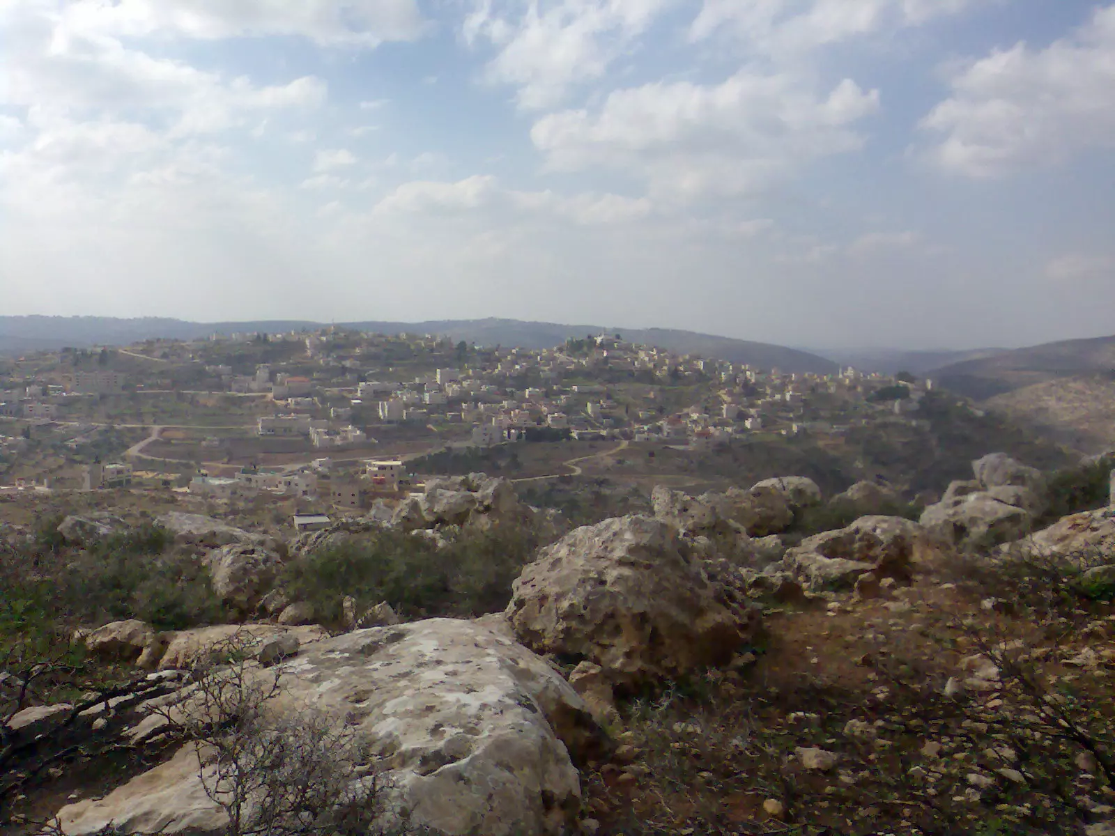
Posted by سلوادي مغترب - منظر عام للبلده من جهة الظهرة
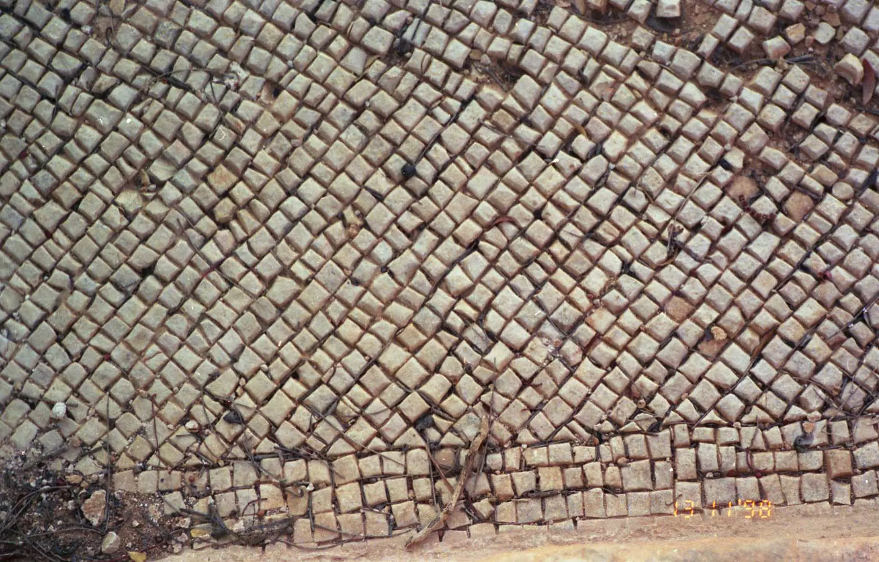
Posted by سلوادي مغترب - Mosaic near the bypass road
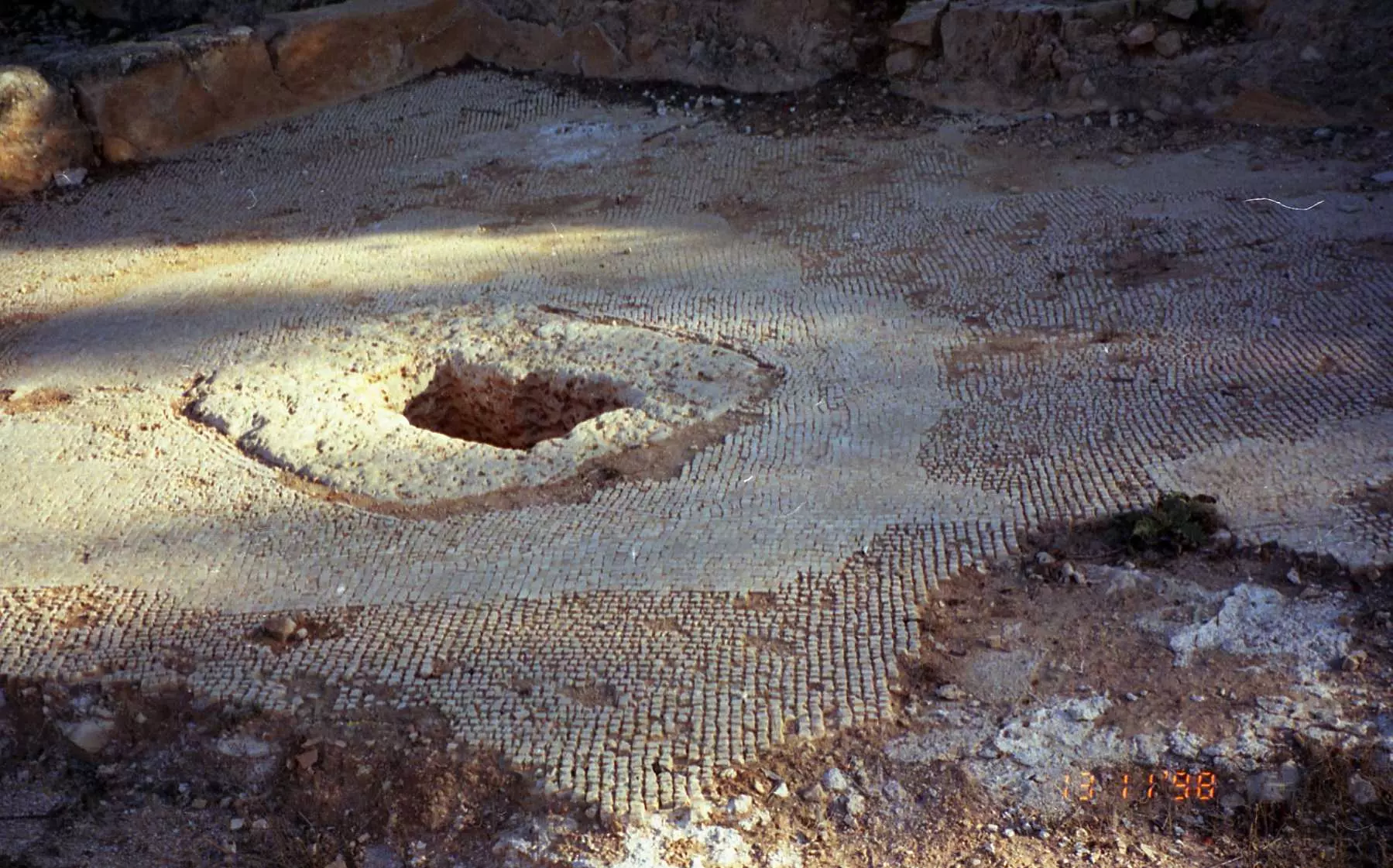
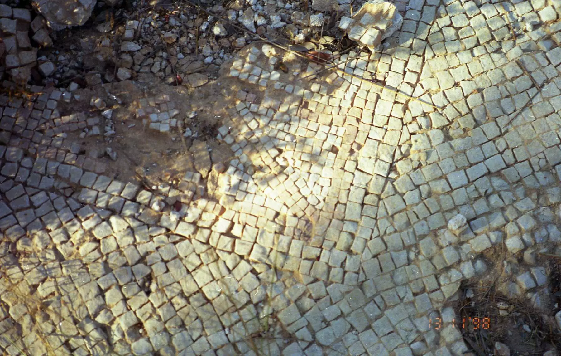
Posted by Abdullah Hamed - Mosaic near the bypass road 2
Posted by Abdullah Hamed - Mosaic near the bypass road 3
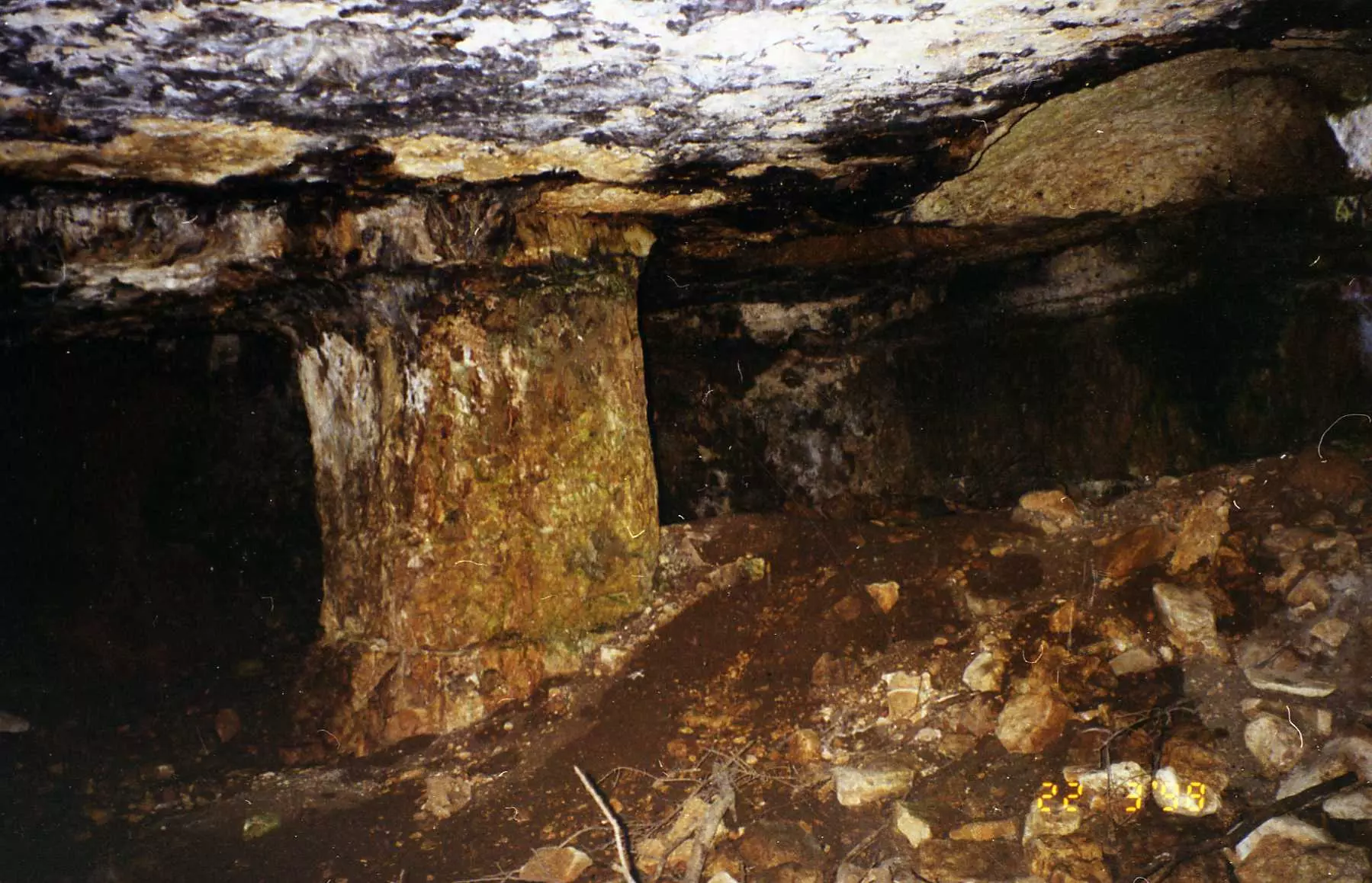
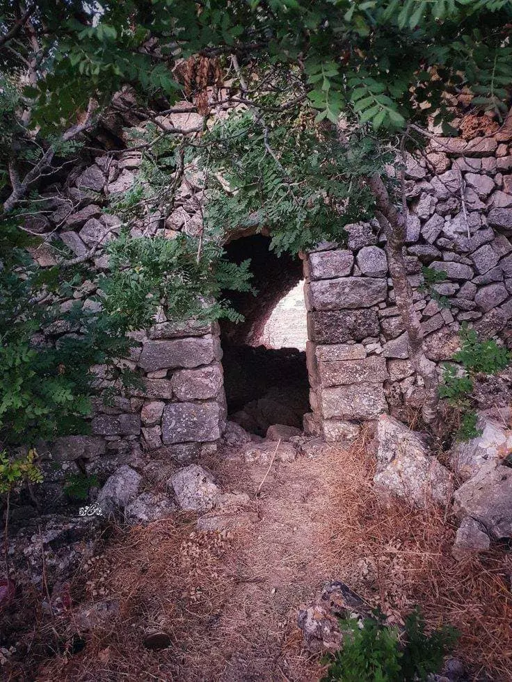
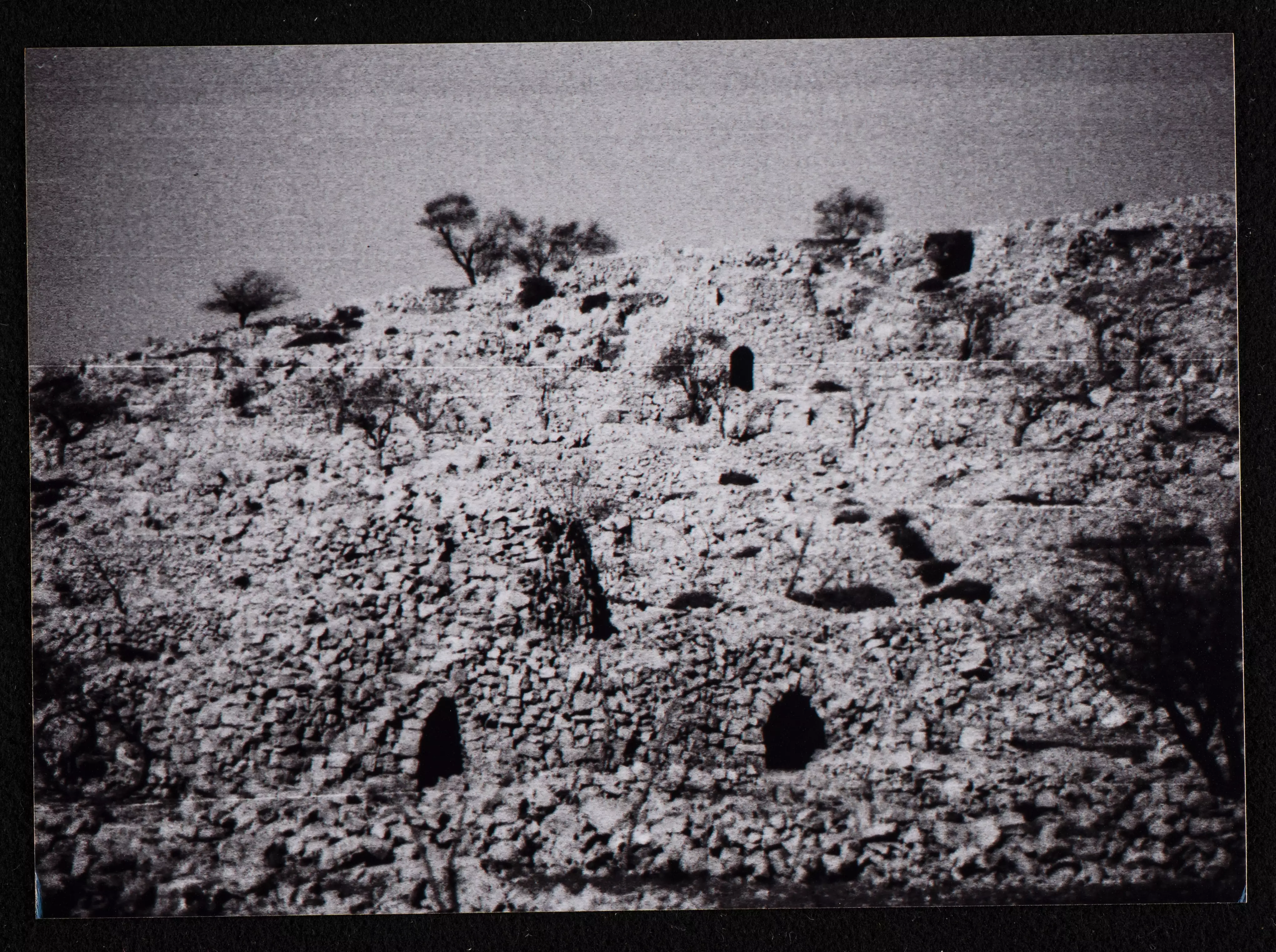
Posted by Abdullah Hamed - Very old cave in Silwad 1/2
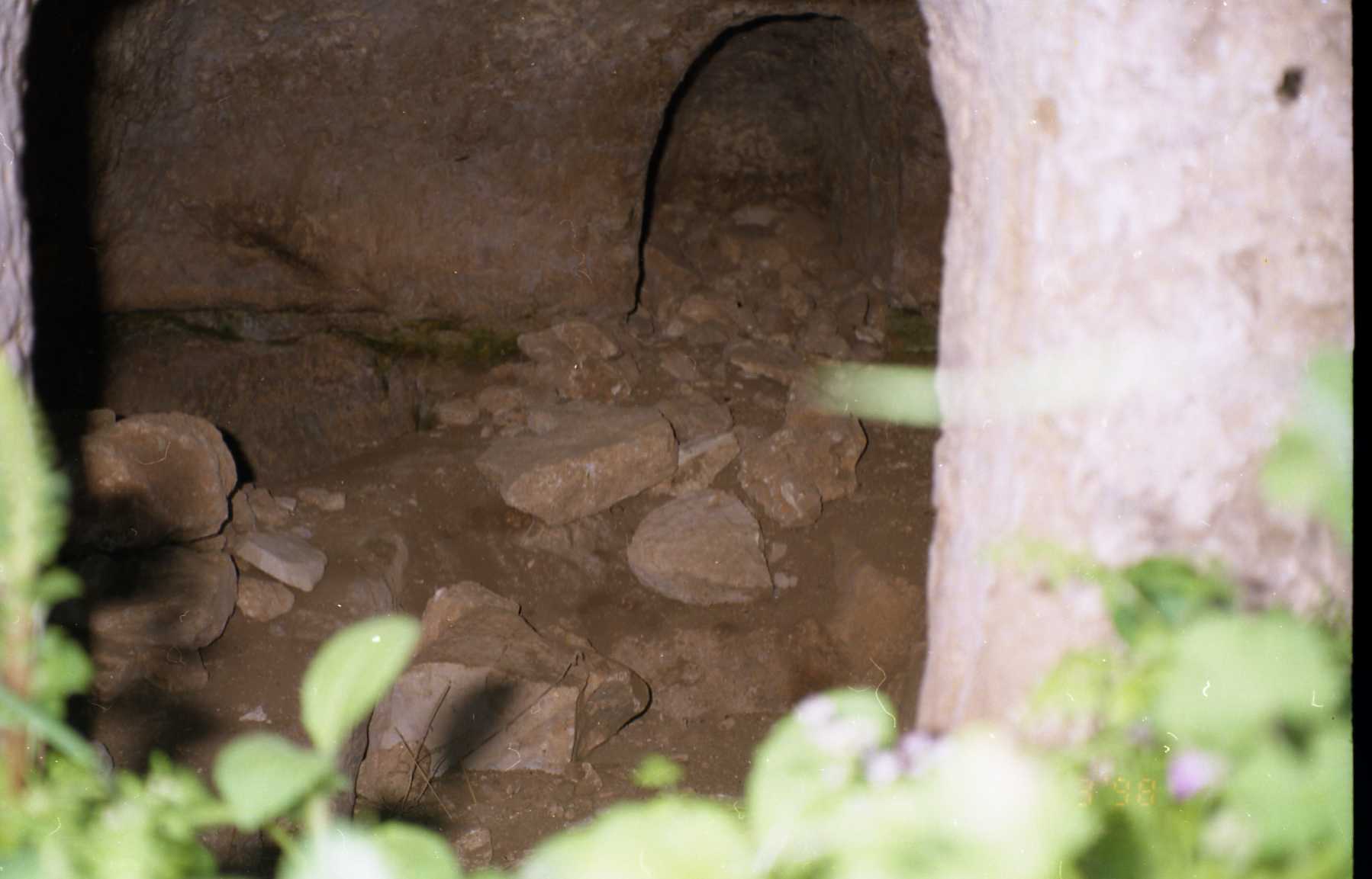
Posted by Abdullah Hamed - Very old cave in Silwad 2/2
Posted by Abdullah Hamed 1 - شجرة عائلات سلواد
Posted by ابـ السعيد ـو 2 - سلواد في ثلج
Posted by ابو سلواد - سلواد ام قطين
Posted by ابو سلواد 1 - منظر عام للبلدة
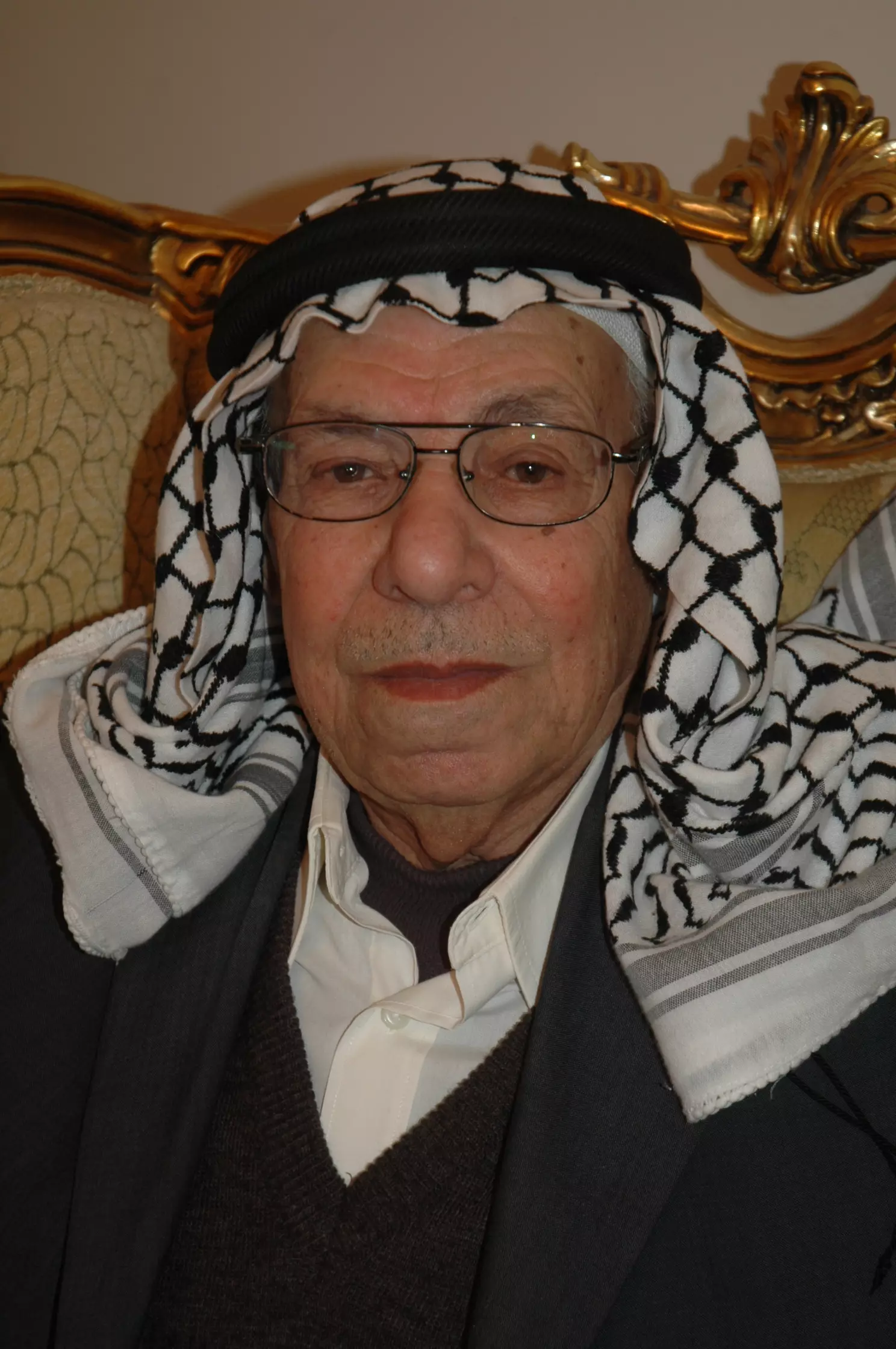
Posted by jamil atsha - من المعمرين في سلواد تاريخ في النضال
Posted by يحيى مبارك - منظر عام
- منظر عام #2
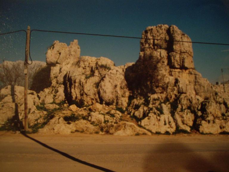
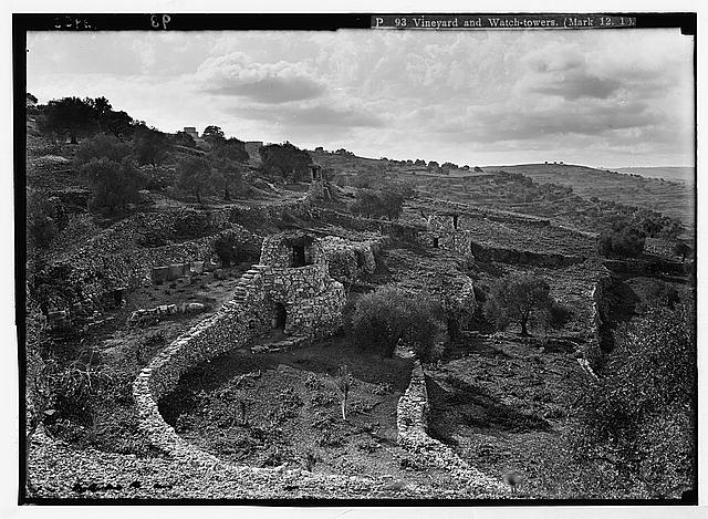
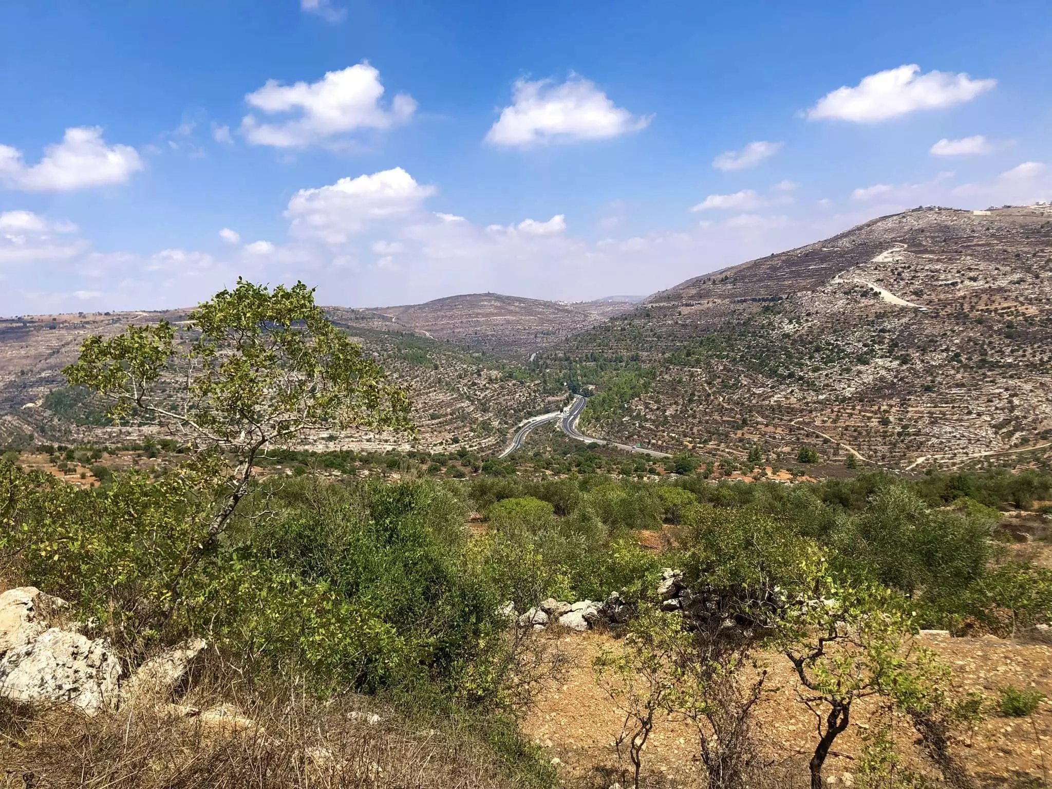
- المناطير الزراعية وجبال سلواد
- المناطير الزراعية وجبال سلواد #2
- المناطير الزراعية وجبال سلواد #3
- المناطير الزراعية وجبال سلواد #4

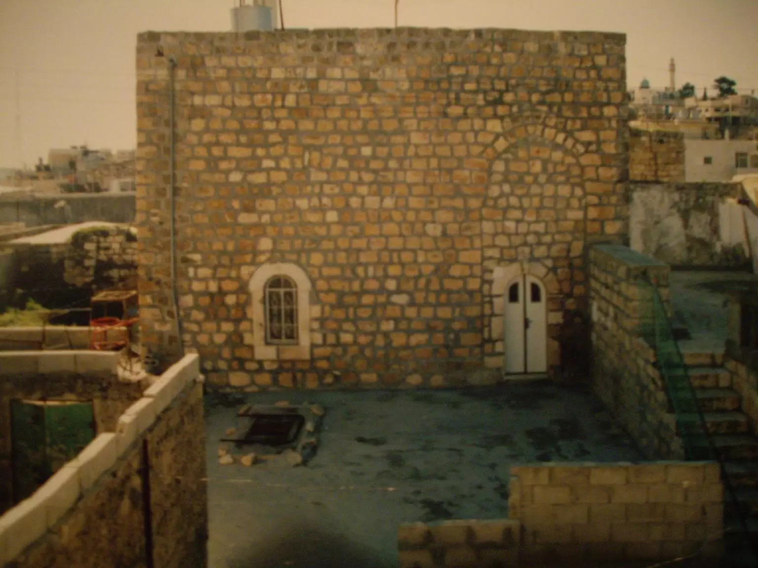
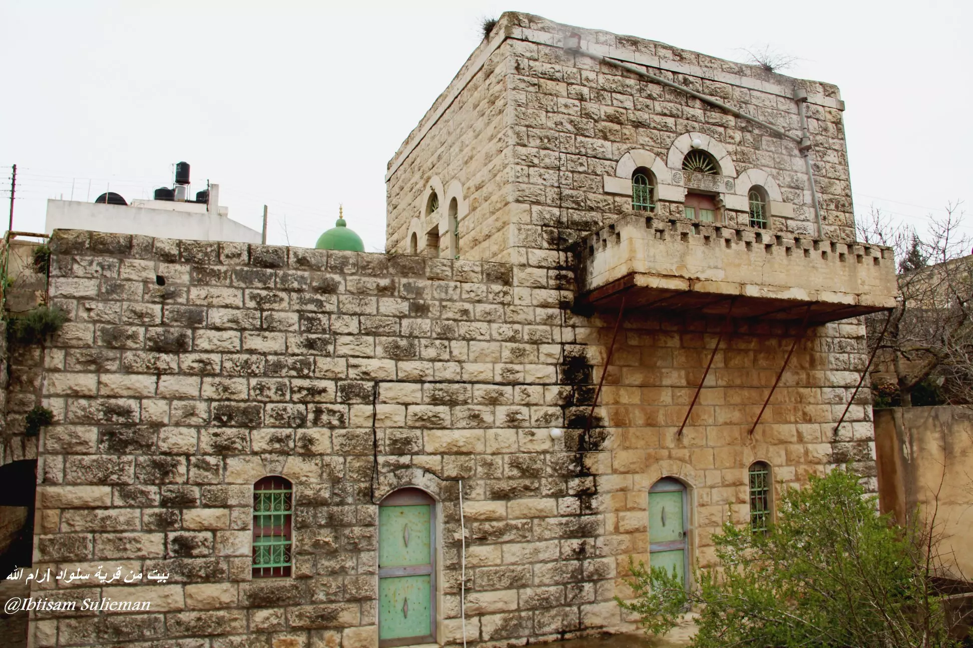
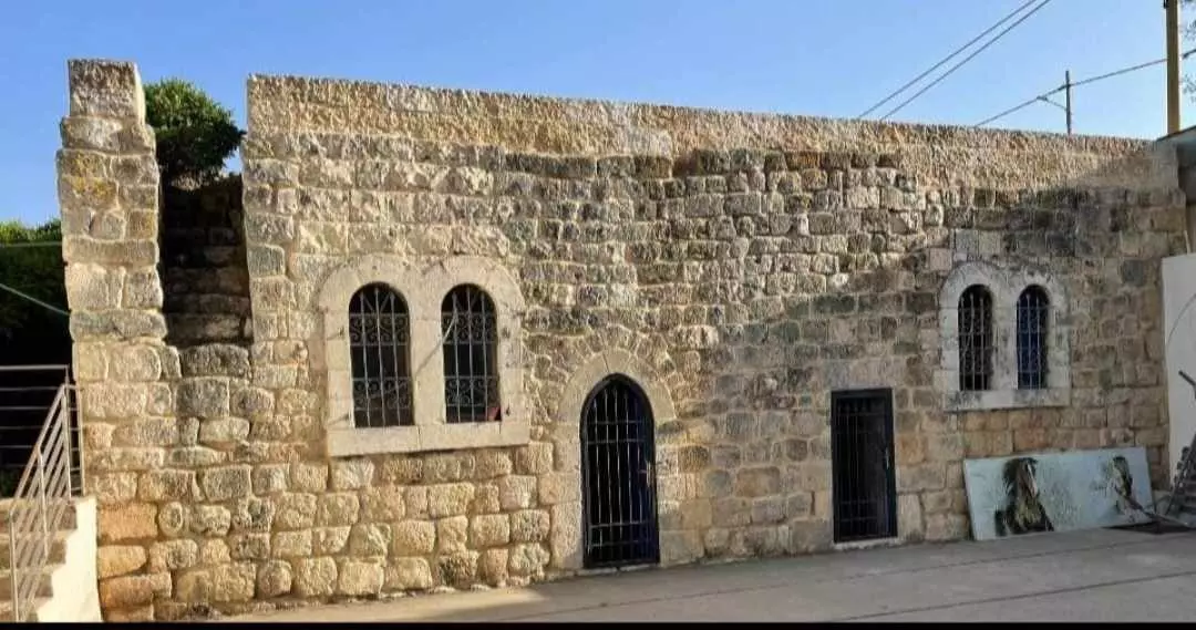
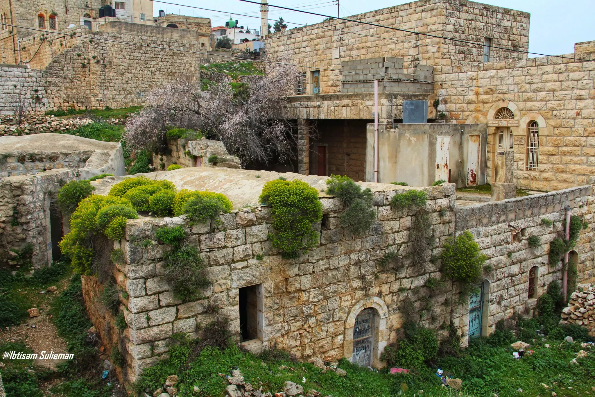
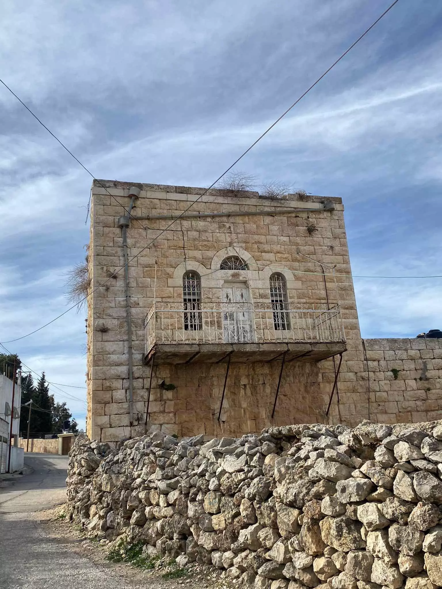
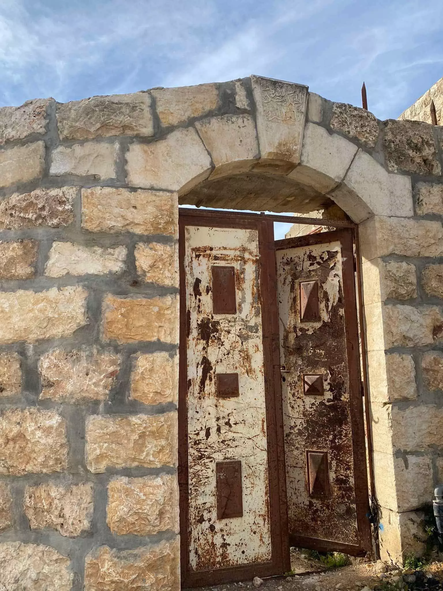
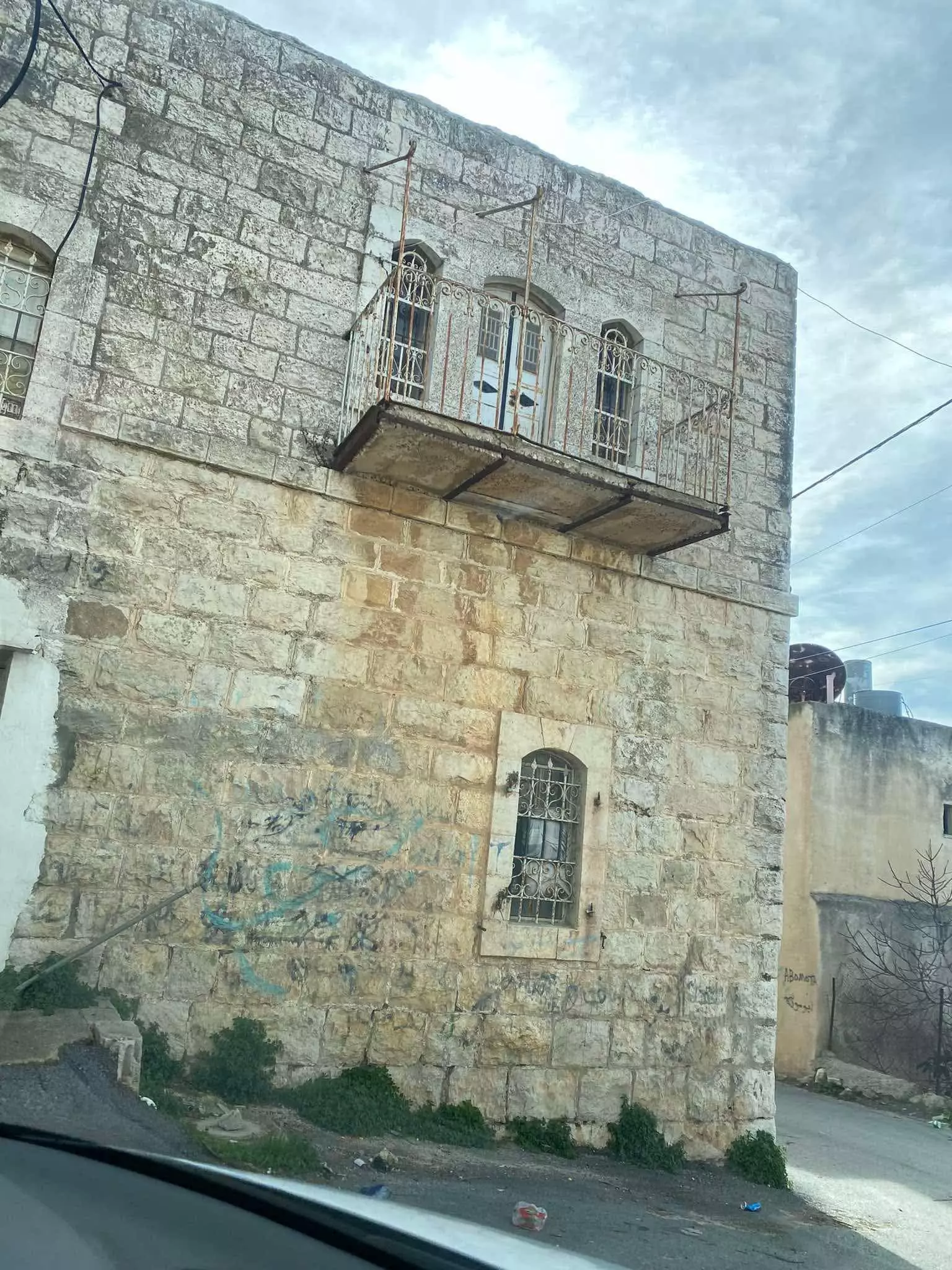
- بيت قديم
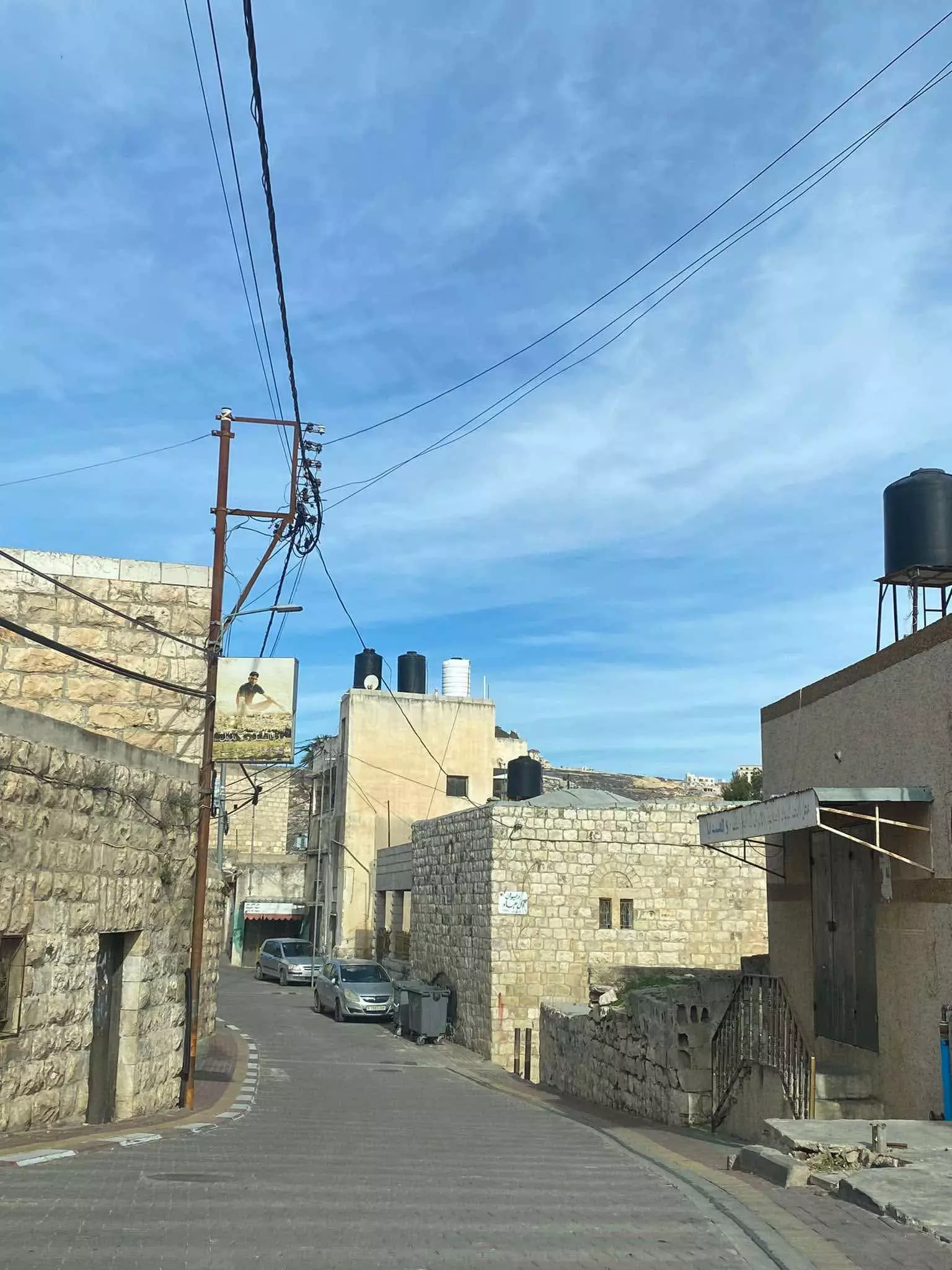
- جولة بين بيوت القرية القديمةفي بلدة سلواد قضاء رام الله والبيرة--تصوير ماهر الثلجي
- جولة بين بيوت القرية القديمةفي بلدة سلواد قضاء رام الله والبيرة--تصوير ماهر الثلجي #2
- جولة بين بيوت القرية القديمةفي بلدة سلواد قضاء رام الله والبيرة--تصوير ماهر الثلجي #3
- جولة بين بيوت القرية القديمةفي بلدة سلواد قضاء رام الله والبيرة--تصوير ماهر الثلجي #4
- جولة بين بيوت القرية القديمةفي بلدة سلواد قضاء رام الله والبيرة--تصوير ماهر الثلجي #5
- جولة بين بيوت القرية القديمةفي بلدة سلواد قضاء رام الله والبيرة--تصوير ماهر الثلجي #6
- البيوت القديمة ذاكرة مكان وهوية ///من قرية سلواد /رام الله Ibtisam Sulieman
- المناطير الزراعية وجبال سلواد--Ibtisam Sulieman

- المناطير الزراعية وجبال سلواد--Ibtisam Sulieman #2

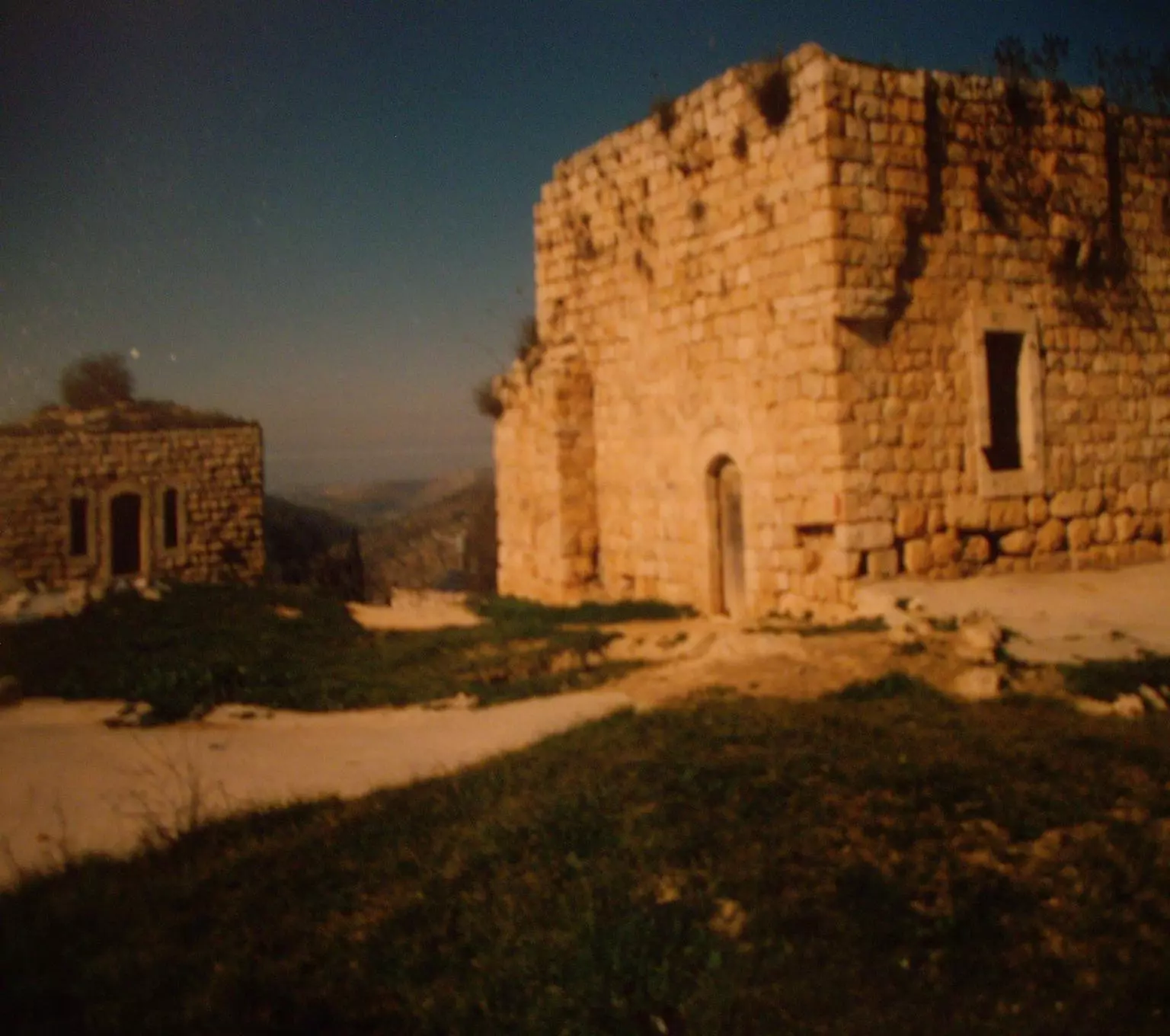
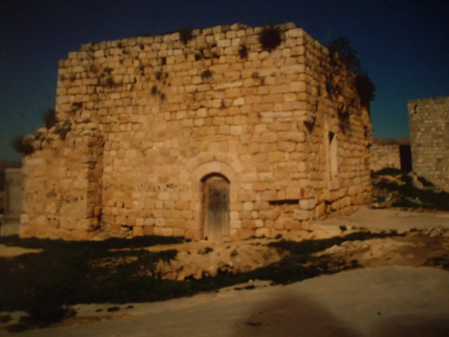
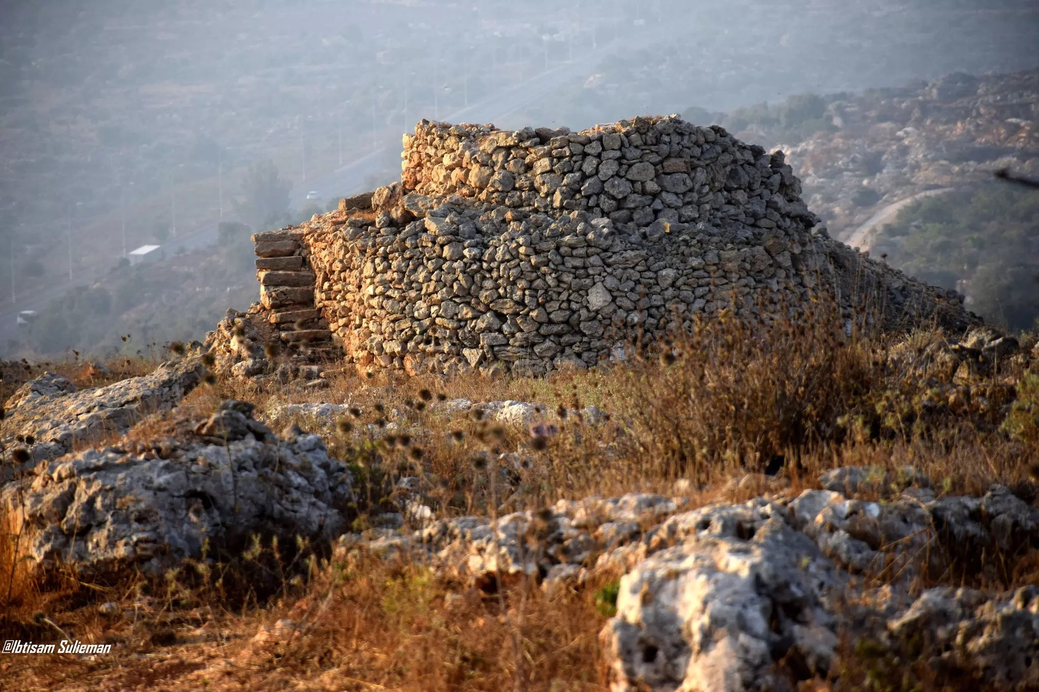
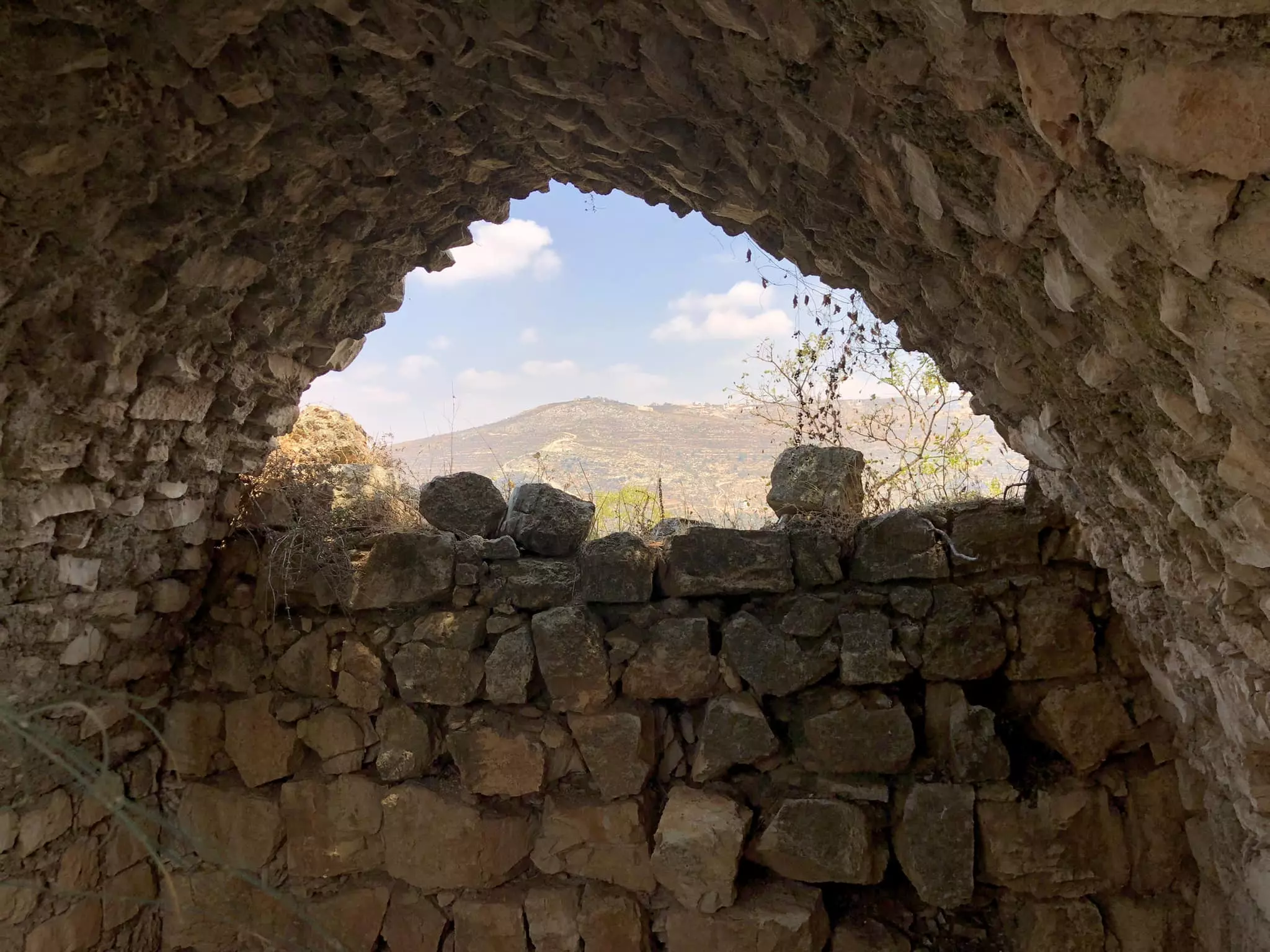
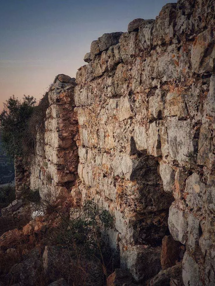
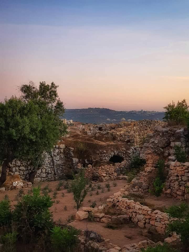
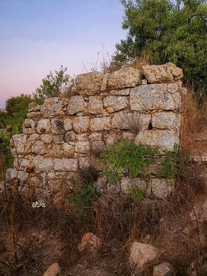
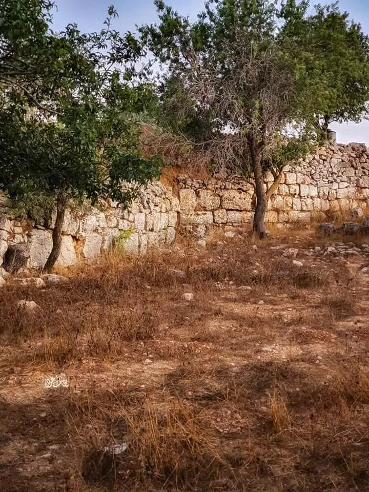
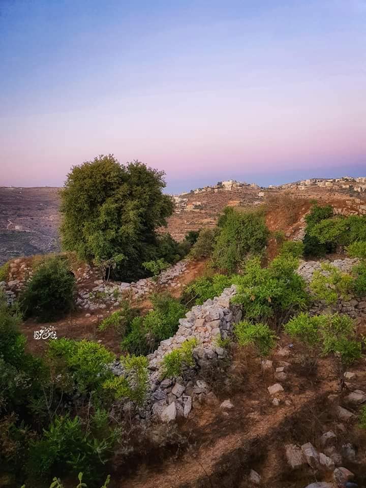
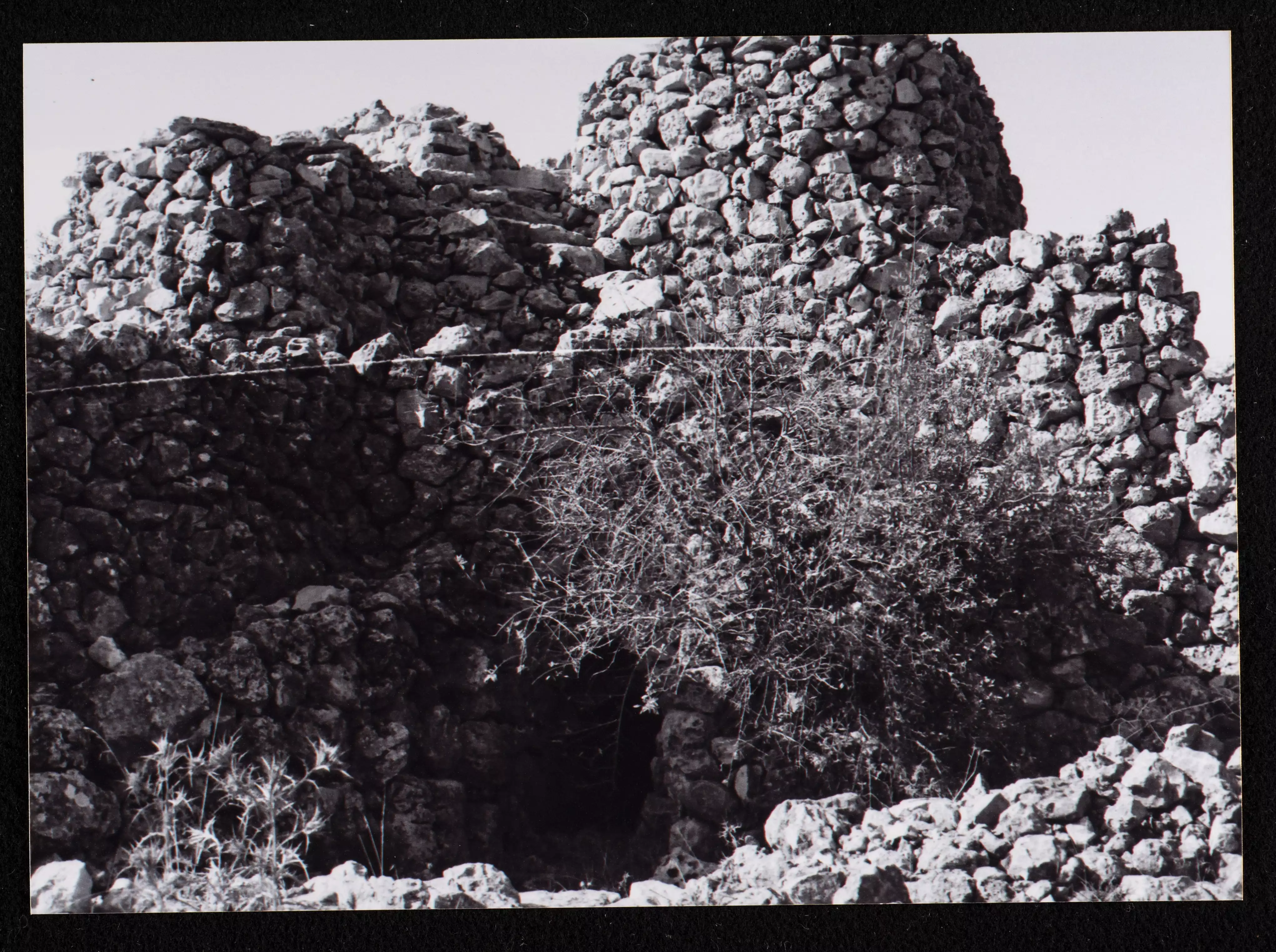
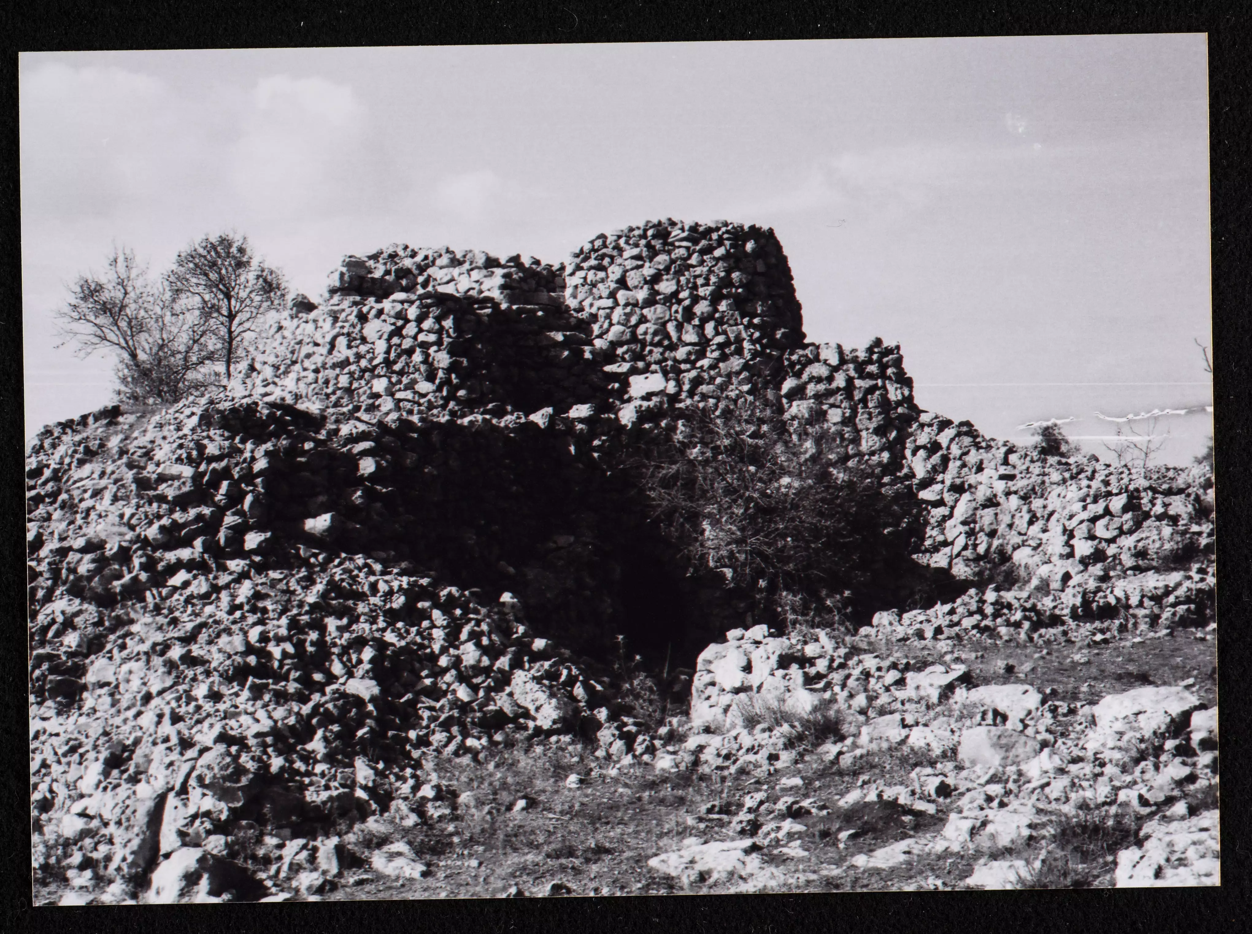
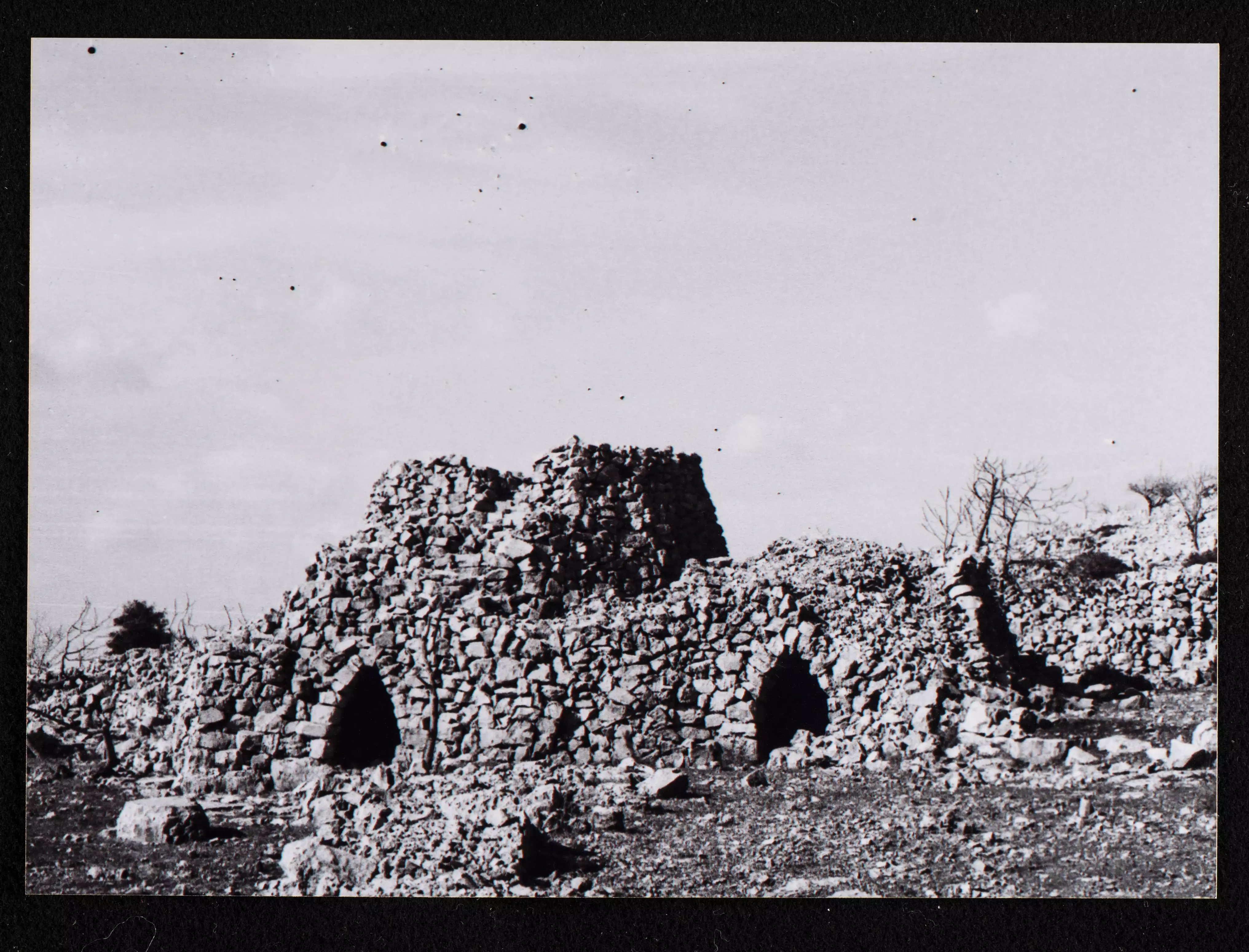
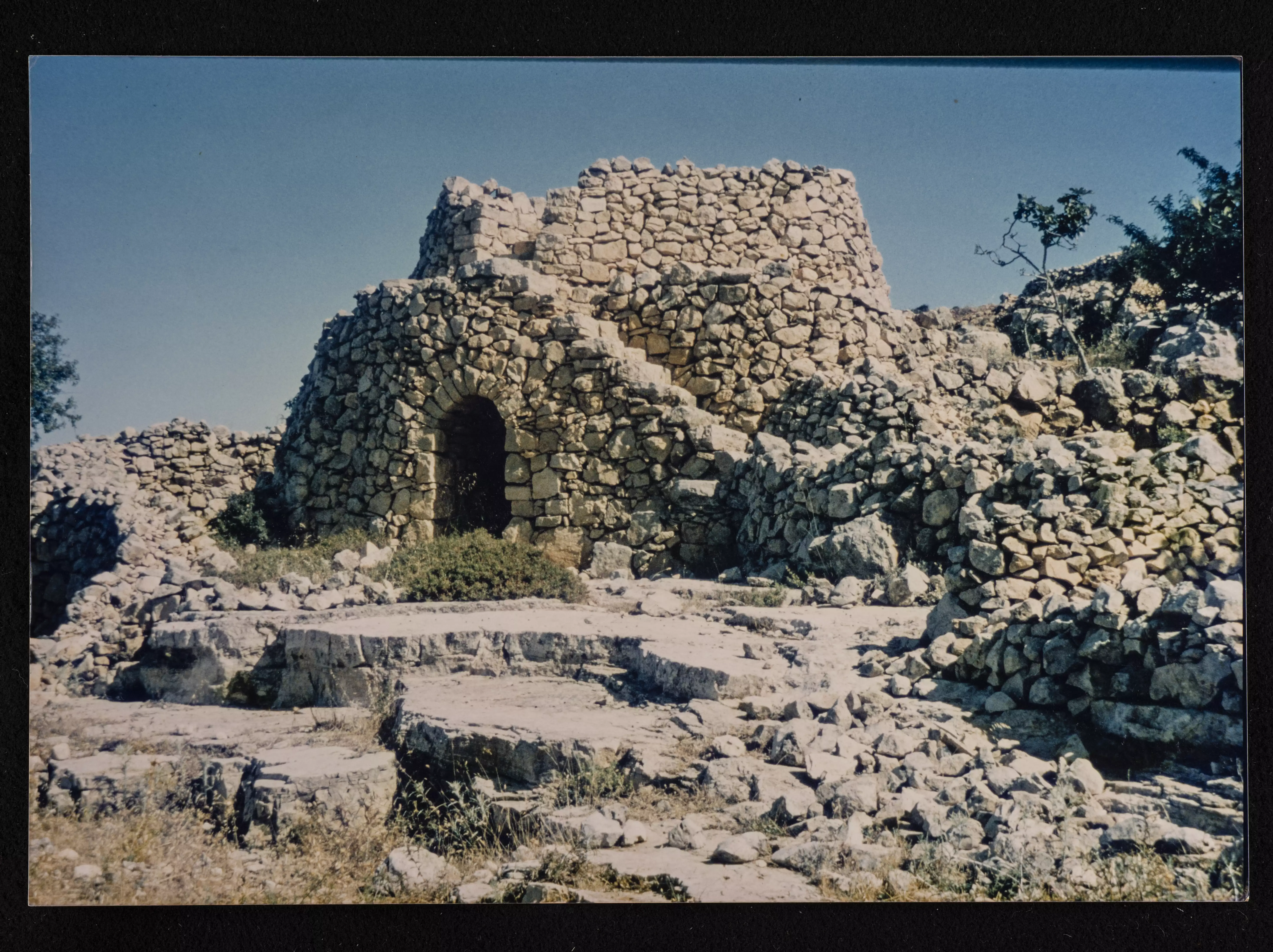
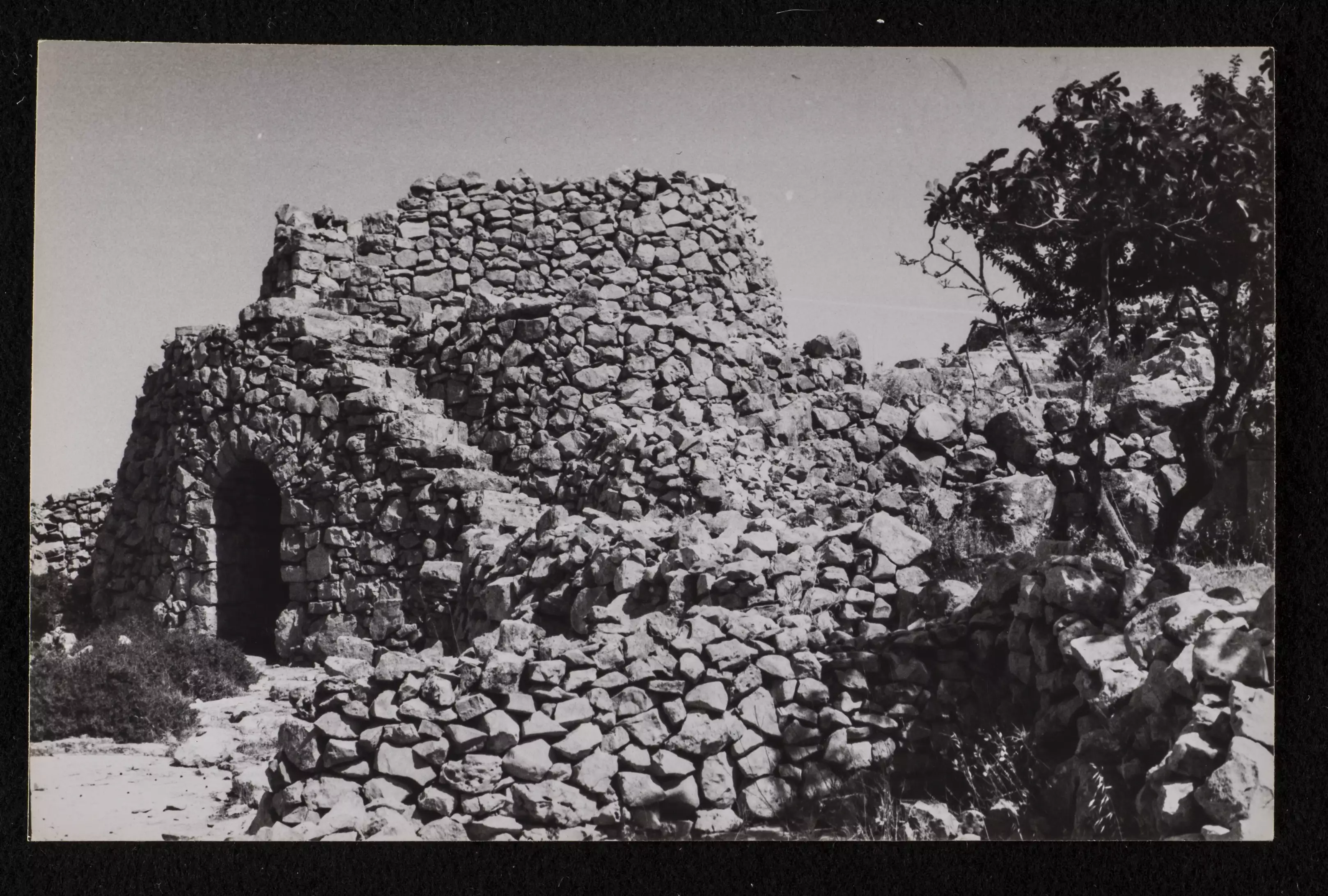
- قلعة صليبية وتشرف على طريق عيون الحرامية. تقع بالقرب من قرى سلواد ويبرود -- واجد النوباني
- قلعة صليبية وتشرف على طريق عيون الحرامية. تقع بالقرب من قرى سلواد ويبرود -- واجد النوباني #2
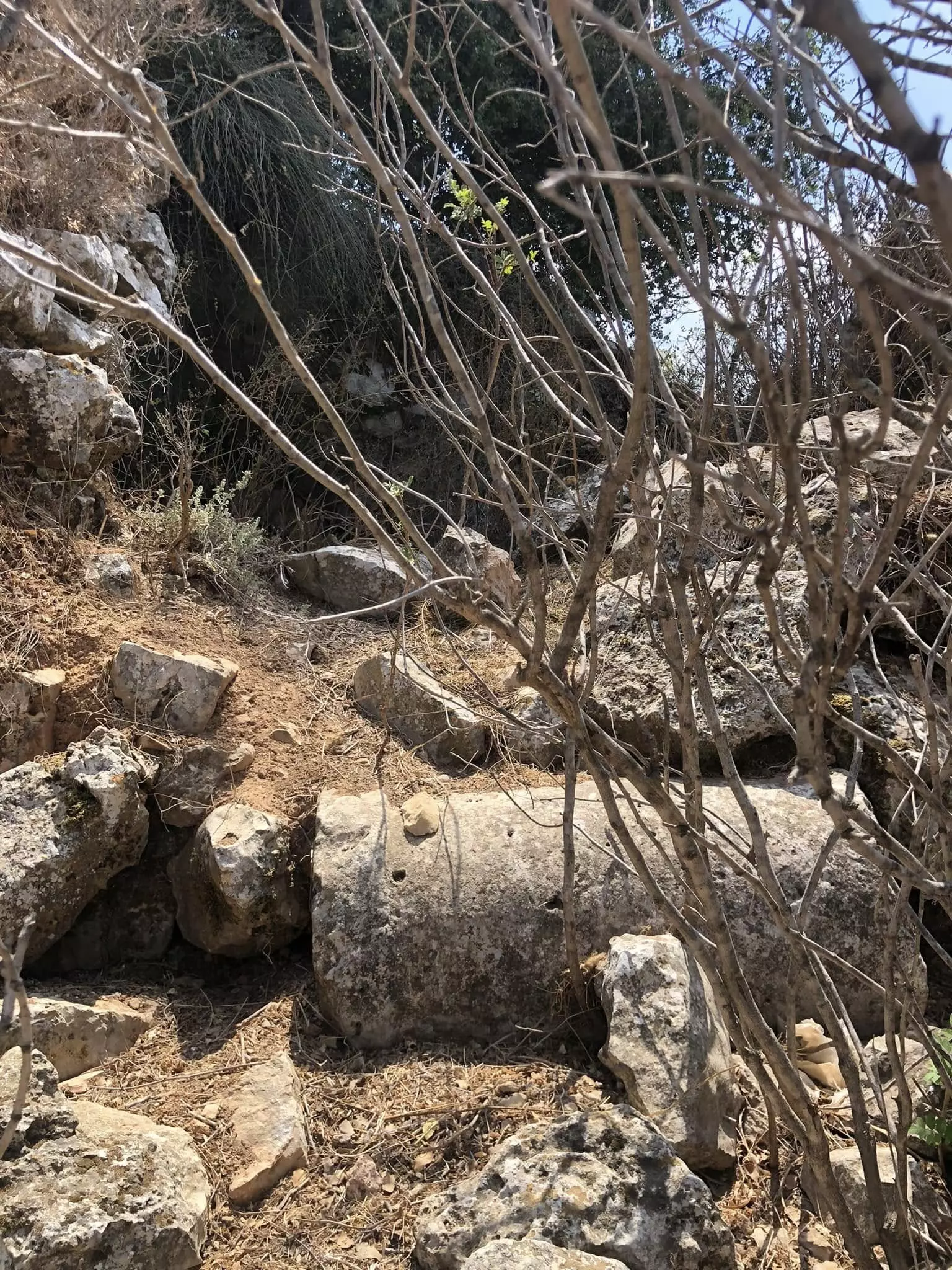
- قلعة صليبية وتشرف على طريق عيون الحرامية. تقع بالقرب من قرى سلواد ويبرود -- واجد النوباني #3
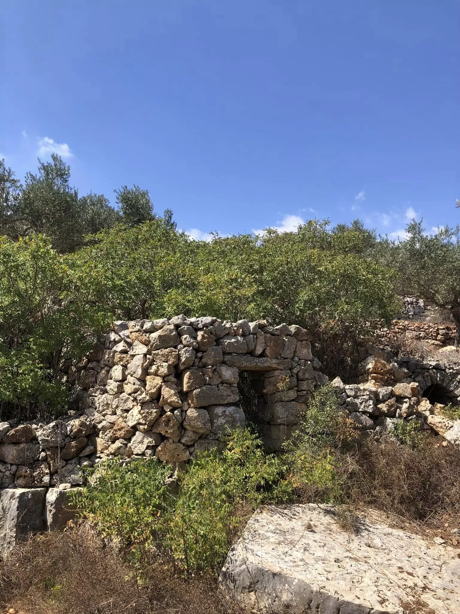
- قلعة صليبية وتشرف على طريق عيون الحرامية. تقع بالقرب من قرى سلواد ويبرود -- واجد النوباني #4
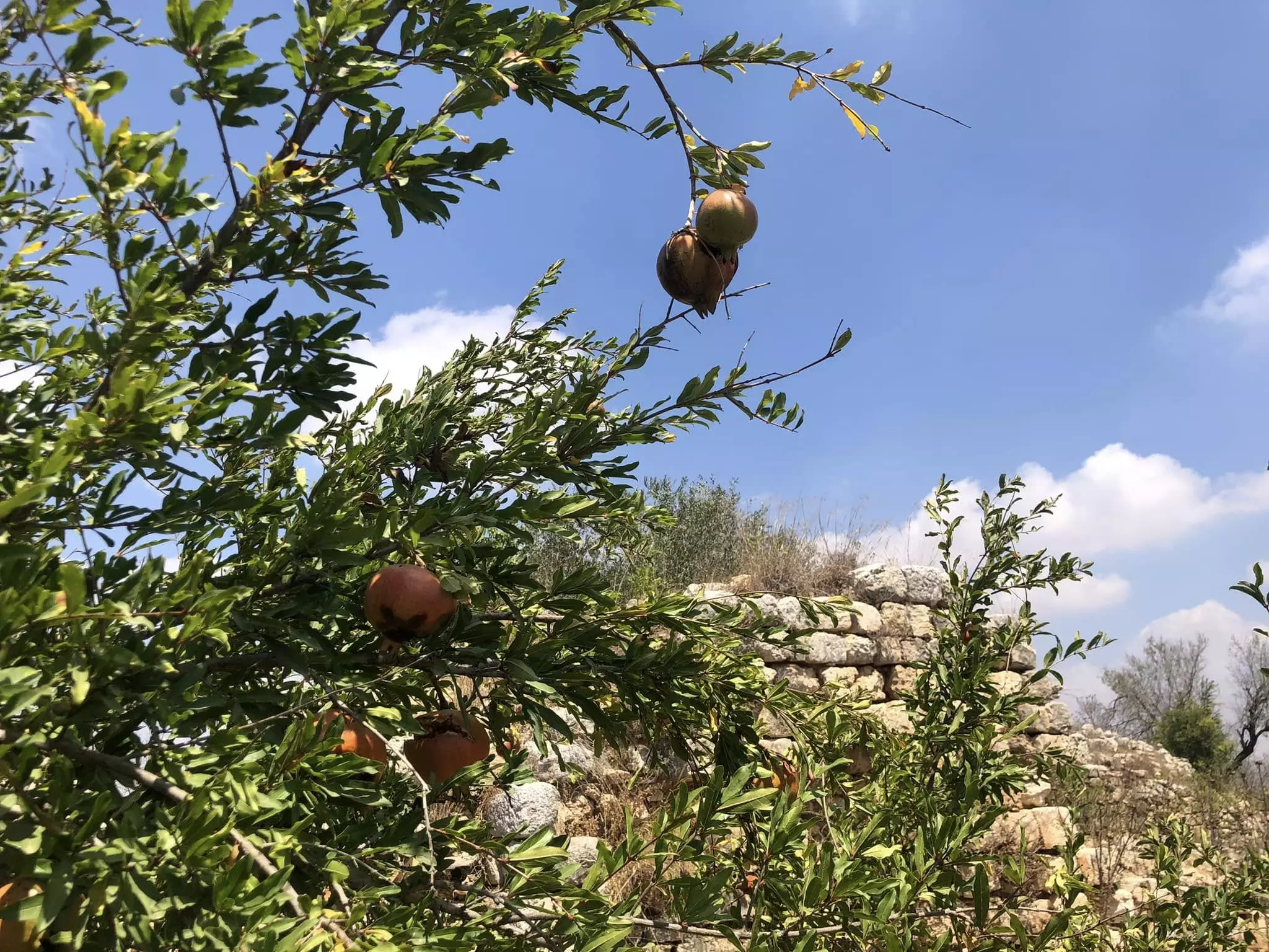
- قلعة صليبية وتشرف على طريق عيون الحرامية. تقع بالقرب من قرى سلواد ويبرود -- واجد النوباني #5
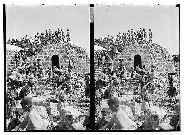
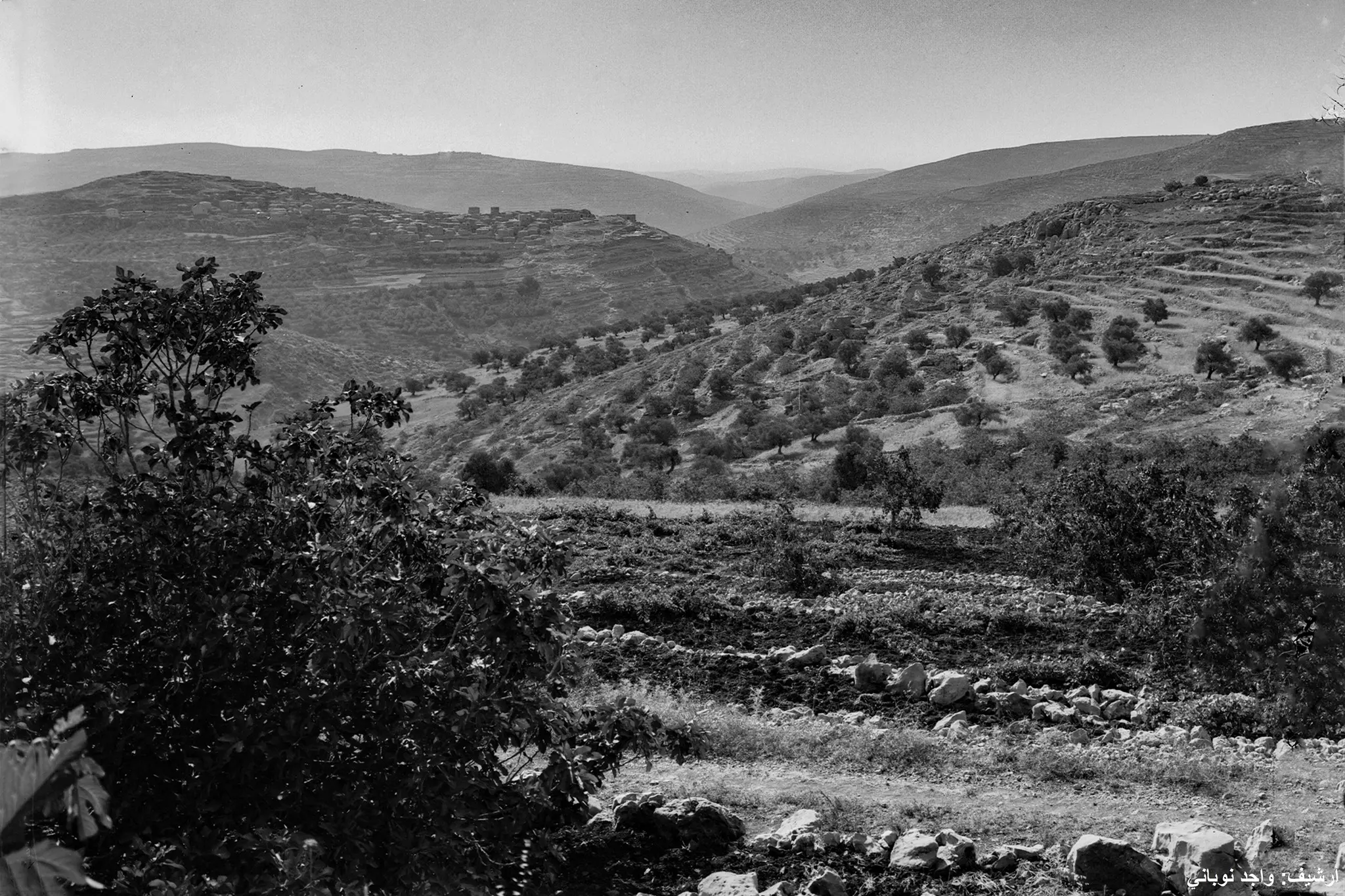
- قرية سلواد في سنة 1898م
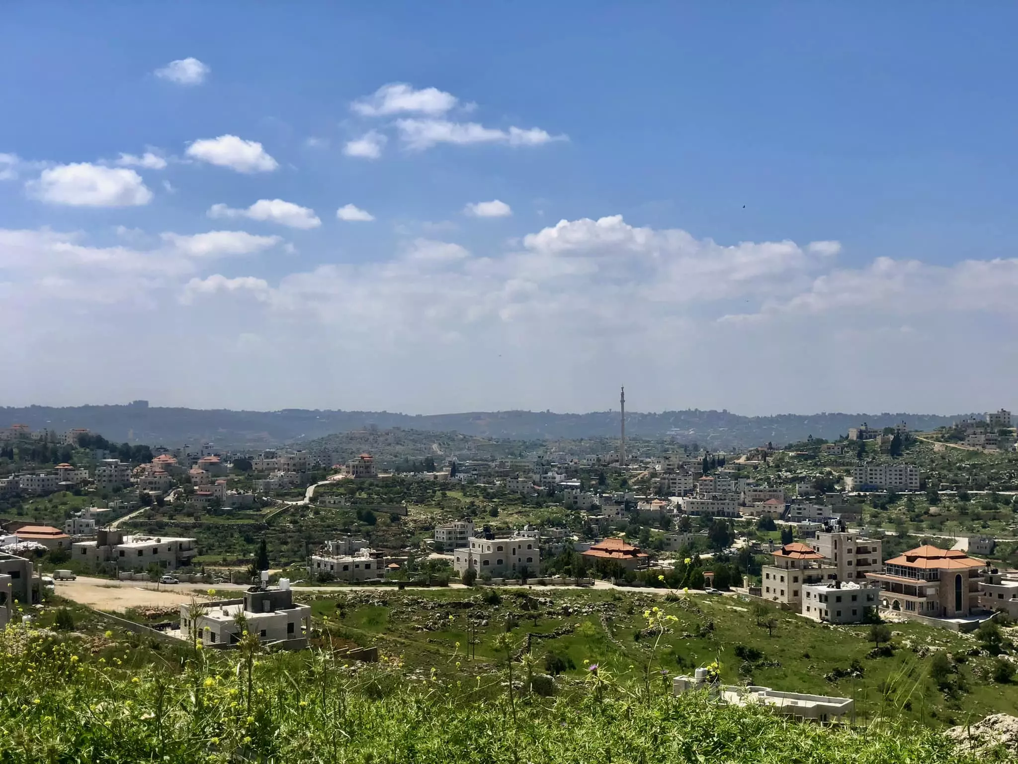
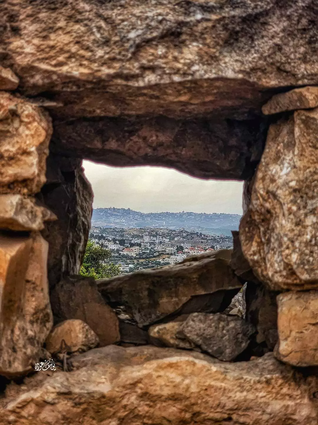
- منظر عام -- واجد النوباني
- منظر عام -- واجد النوباني
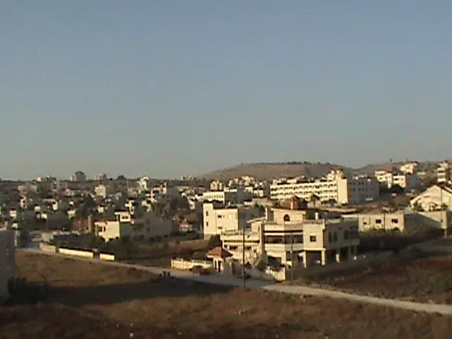
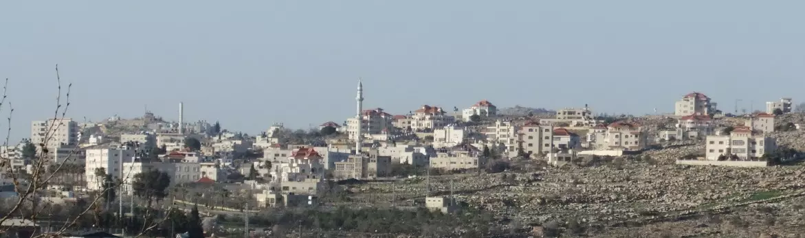
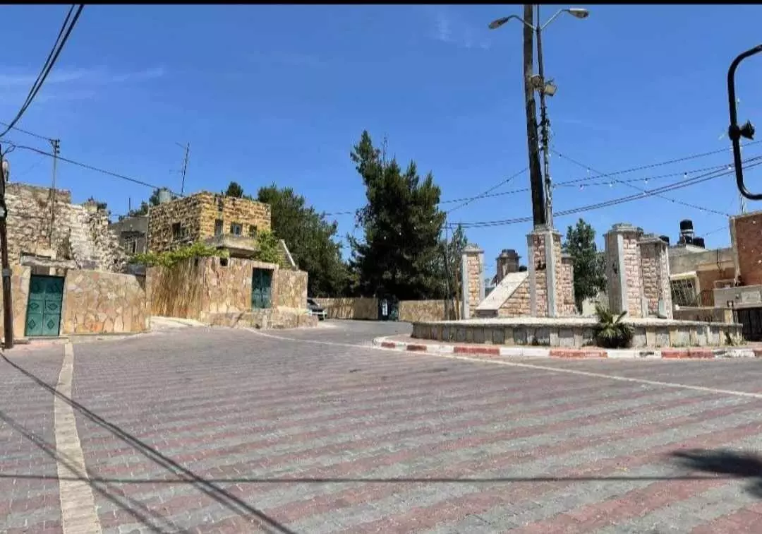
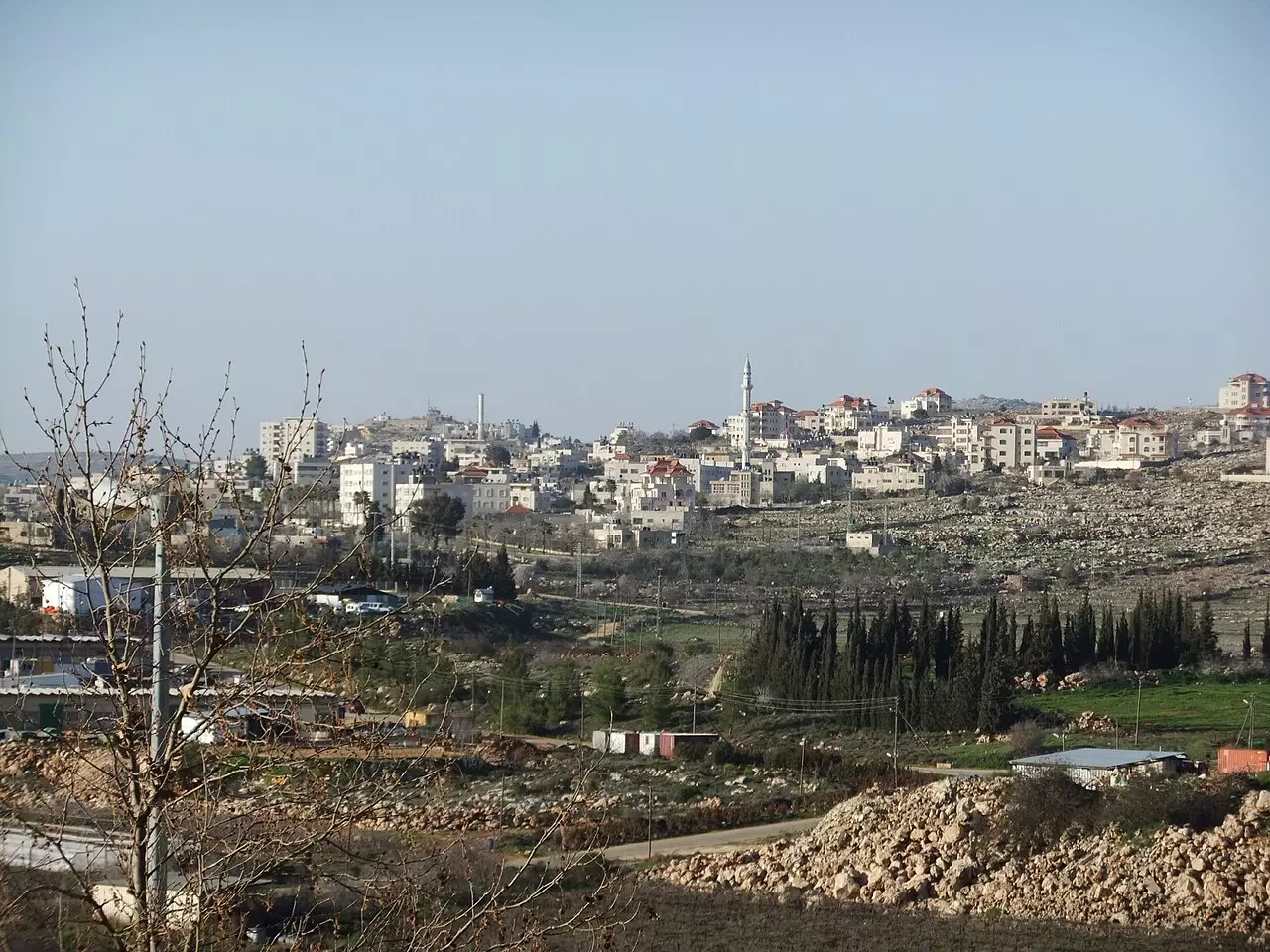
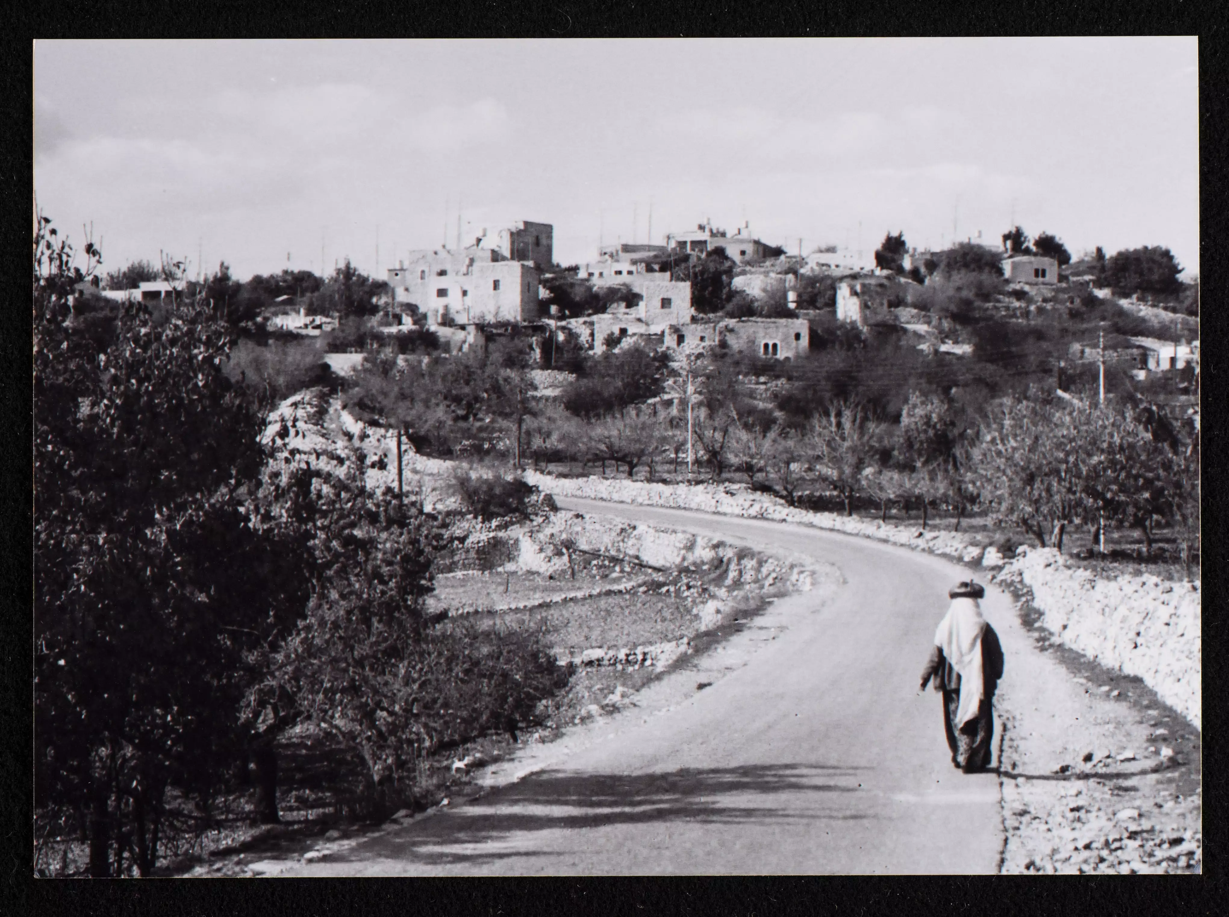
- بلده سلواد شرق رام الله
تصوير : ماهر ثلجي،،
- بلده سلواد شرق رام الله
تصوير : ماهر ثلجي،، #2
- بلده سلواد شرق رام الله
تصوير : ماهر ثلجي،، #3
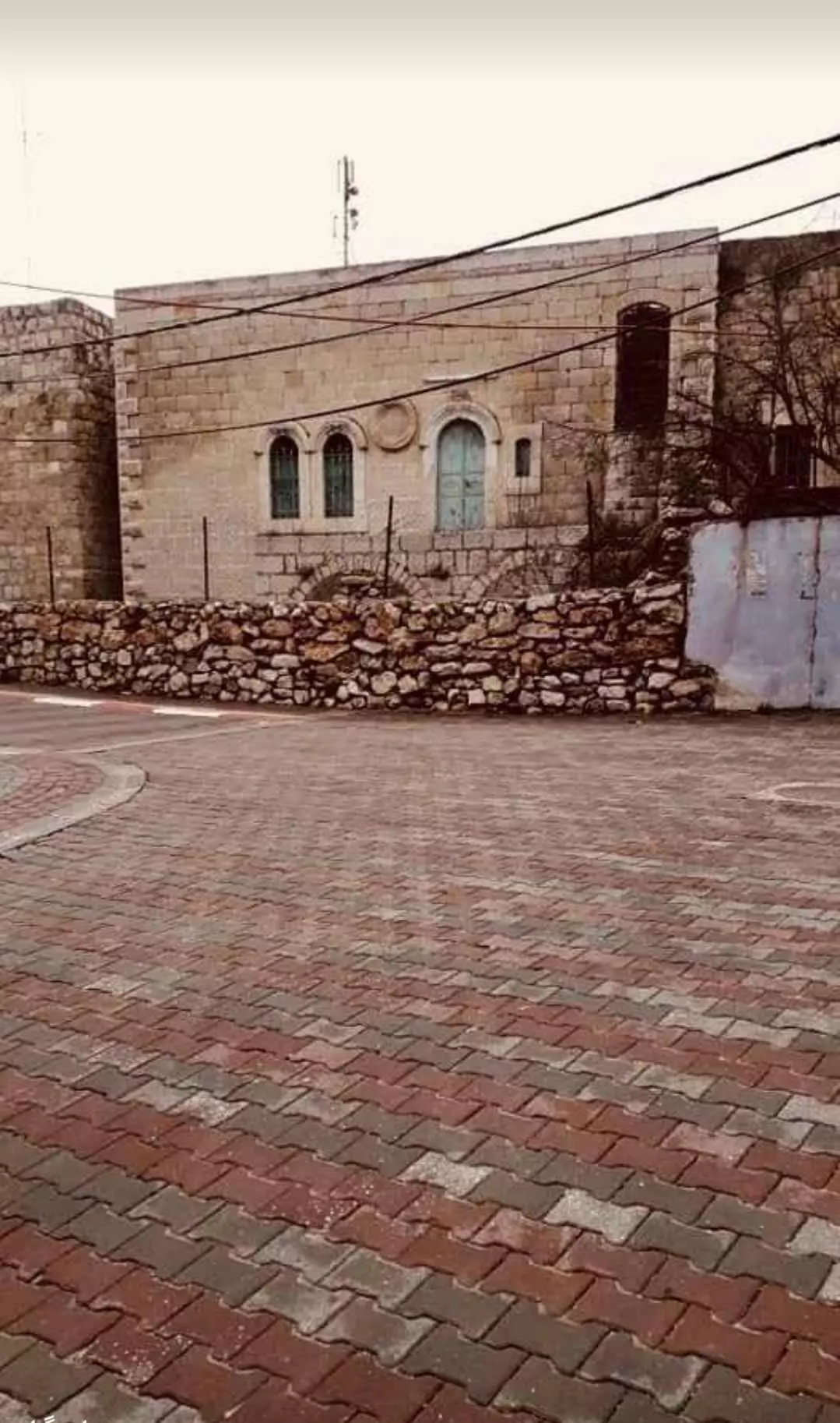
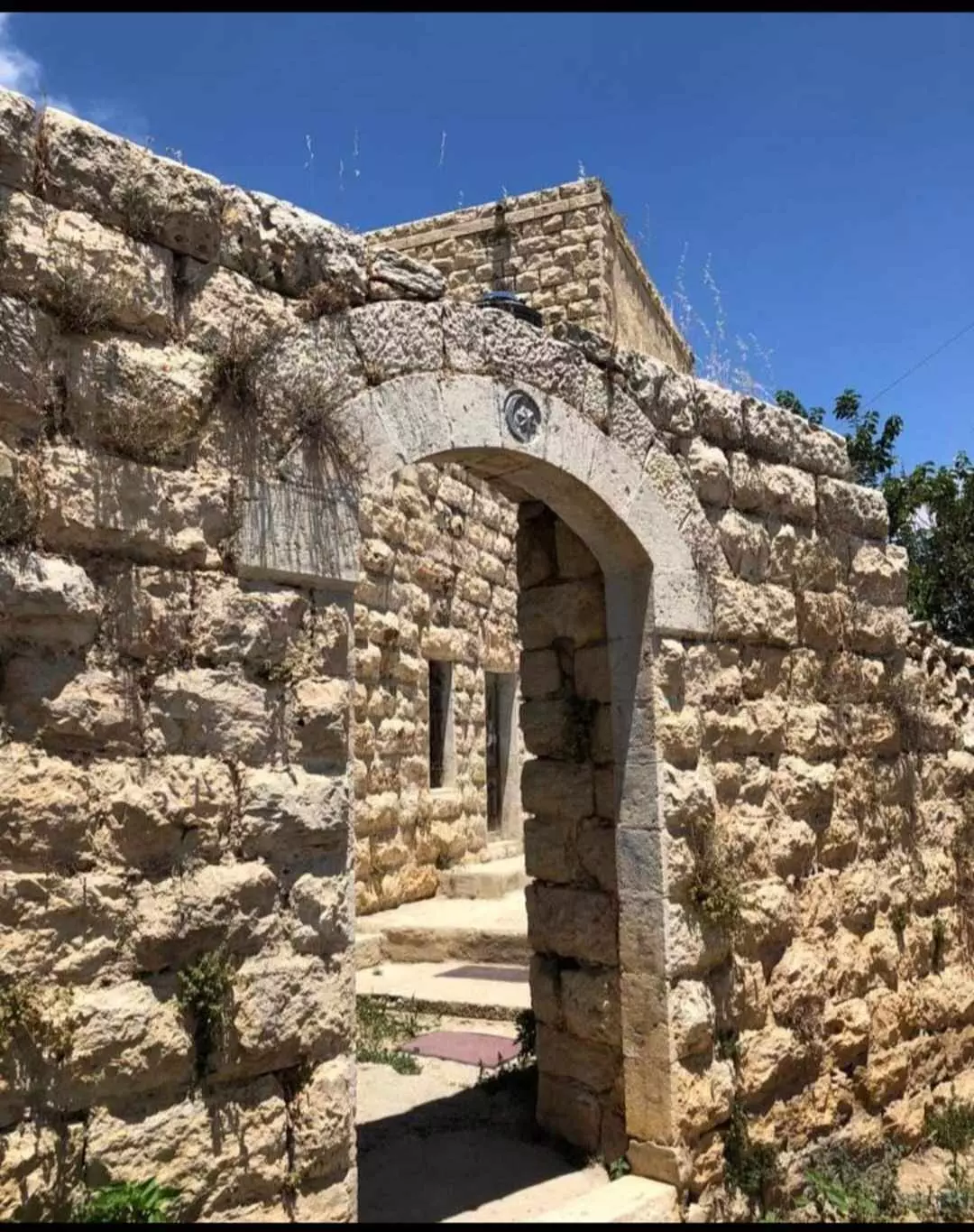
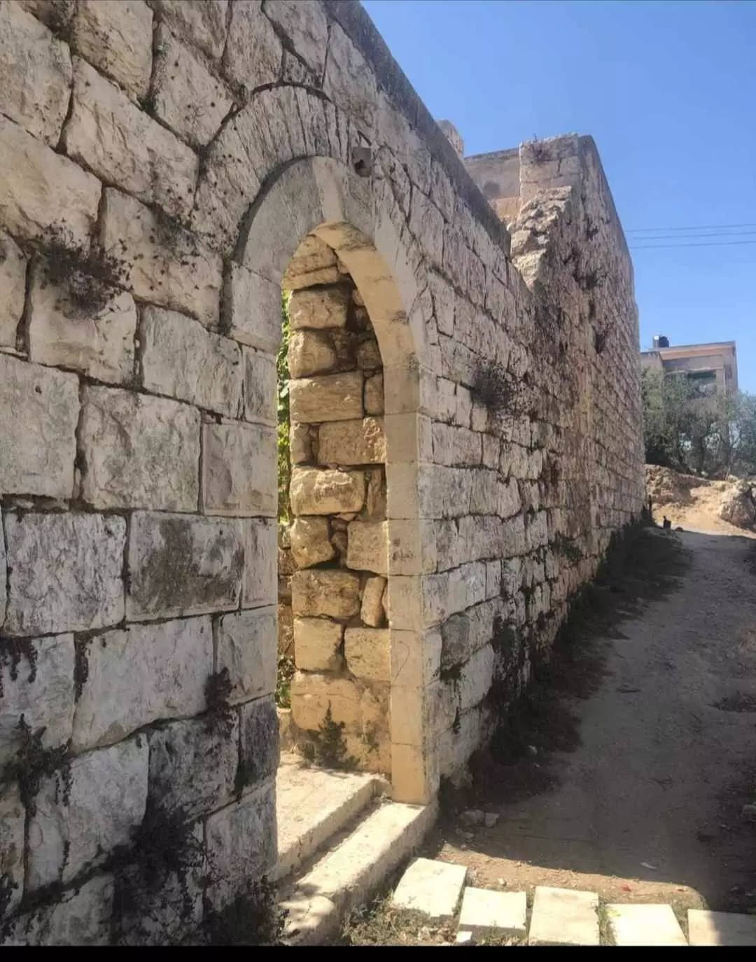
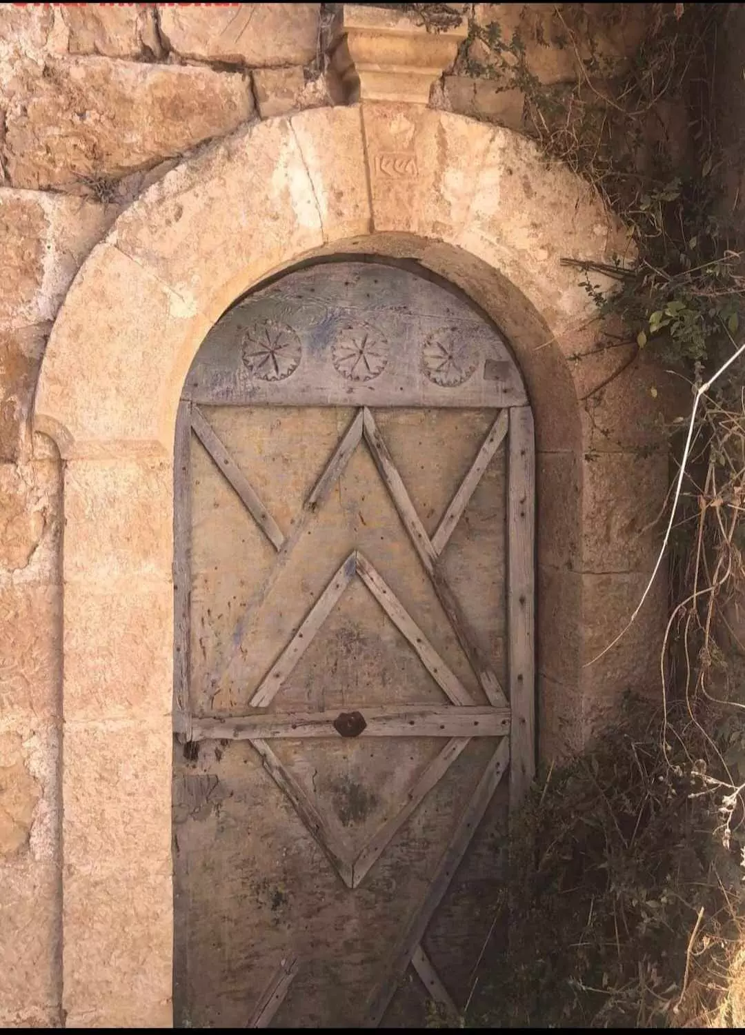
- جولة بين البيوت القديمة
- جولة بين البيوت القديمة #2
- جولة بين البيوت القديمة #3
- جولة بين البيوت القديمة #4
- جولة بين البيوت القديمة #5
- جولة بين البيوت القديمة #6
- جولة بين البيوت القديمة #7
- منظر عام رائع للبلدة-- يوسف عودة
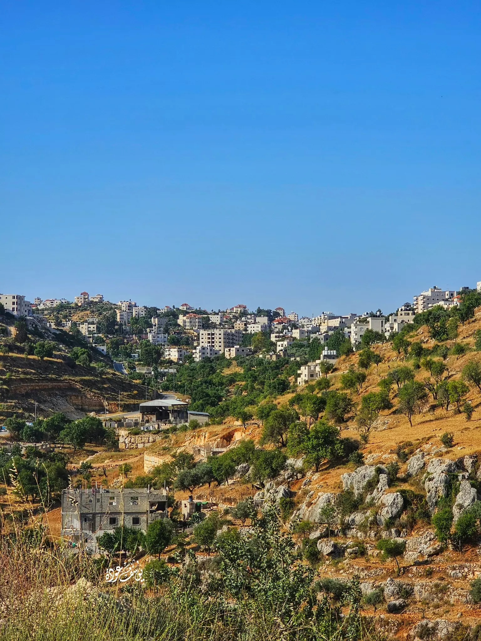
- منظر عام
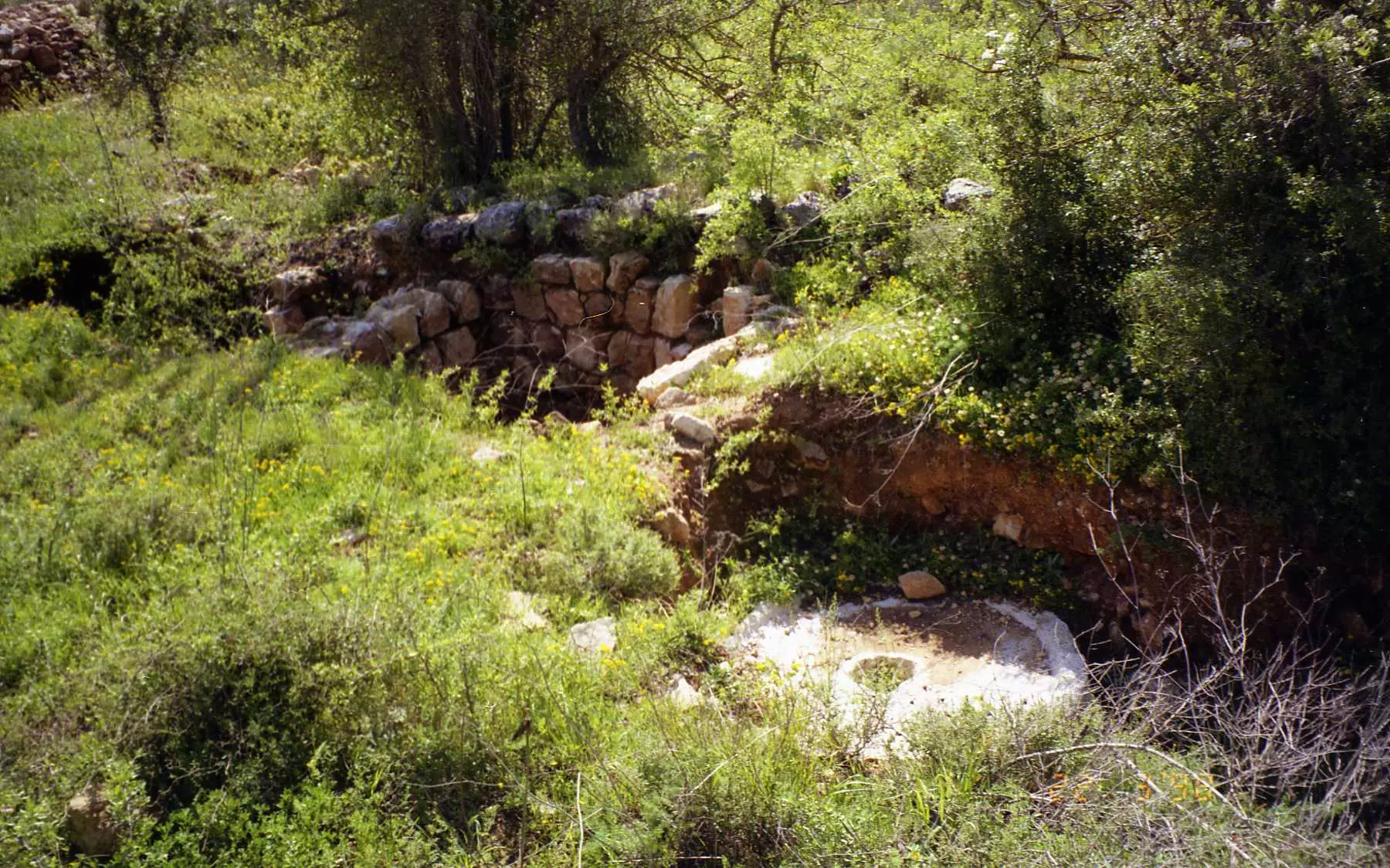
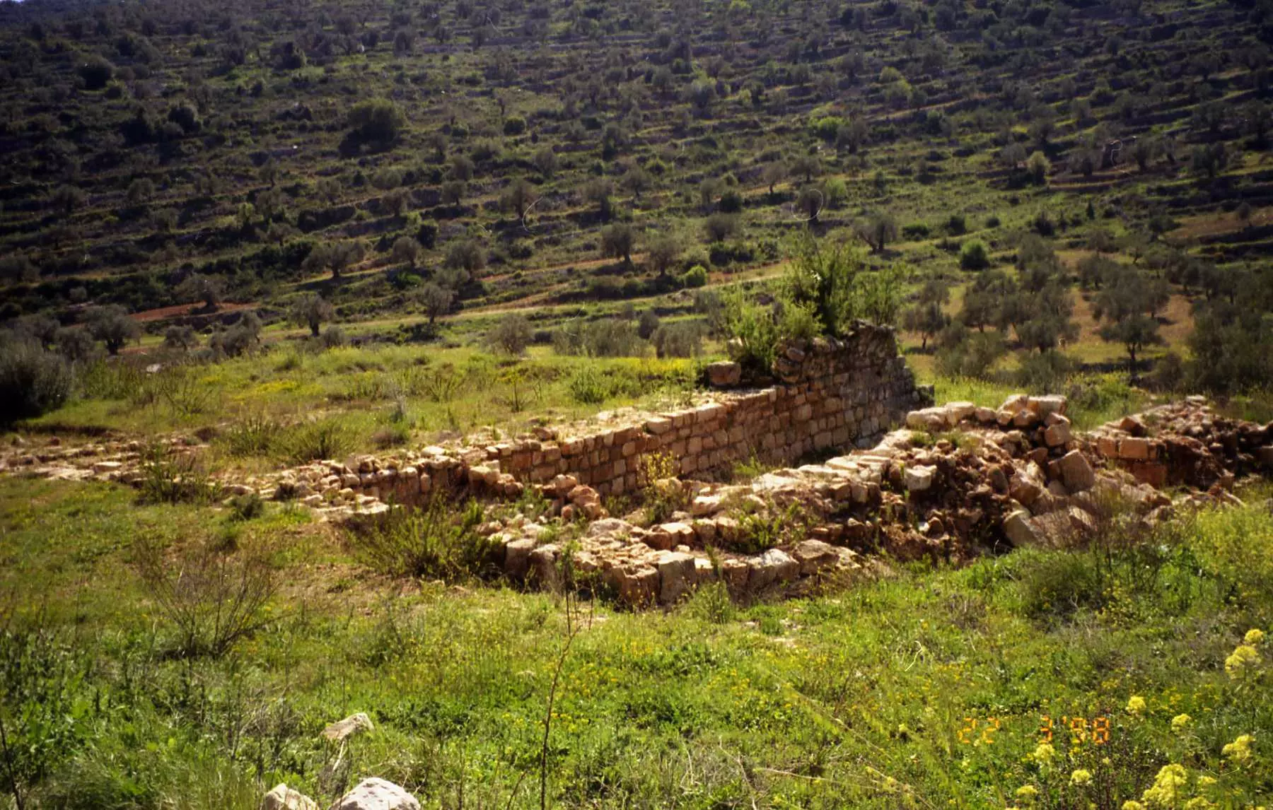
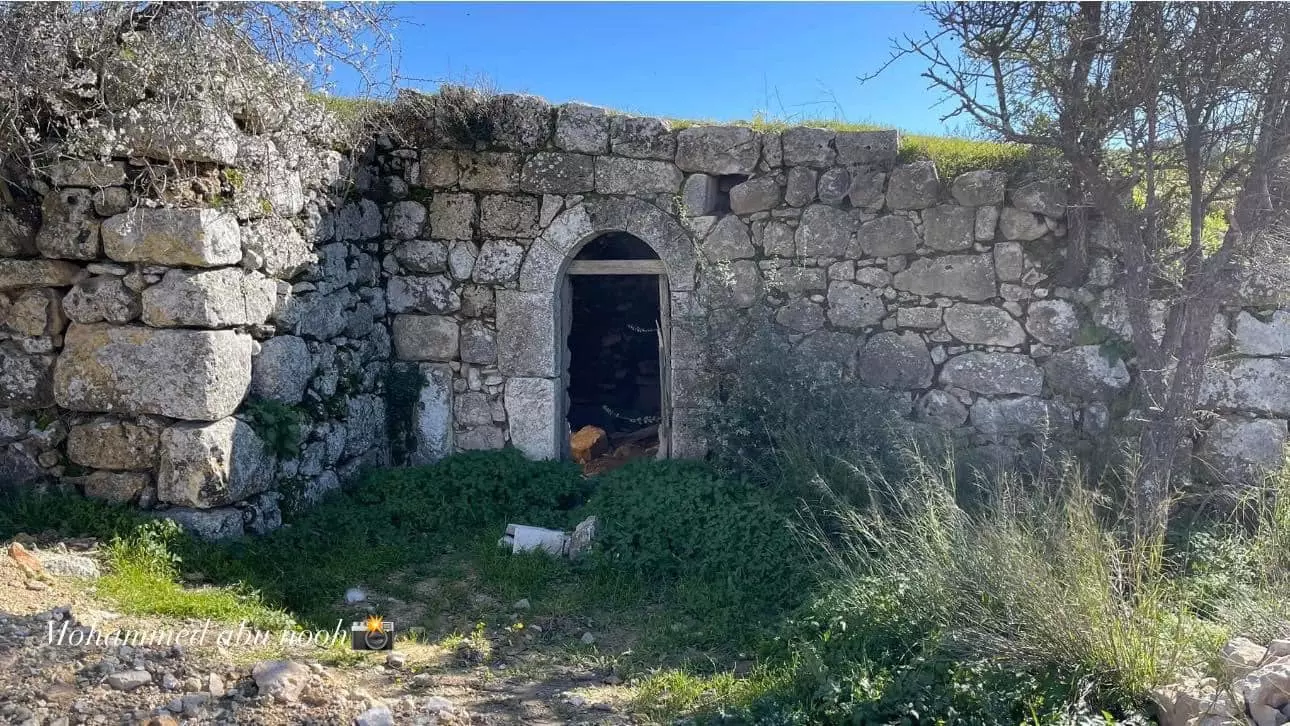
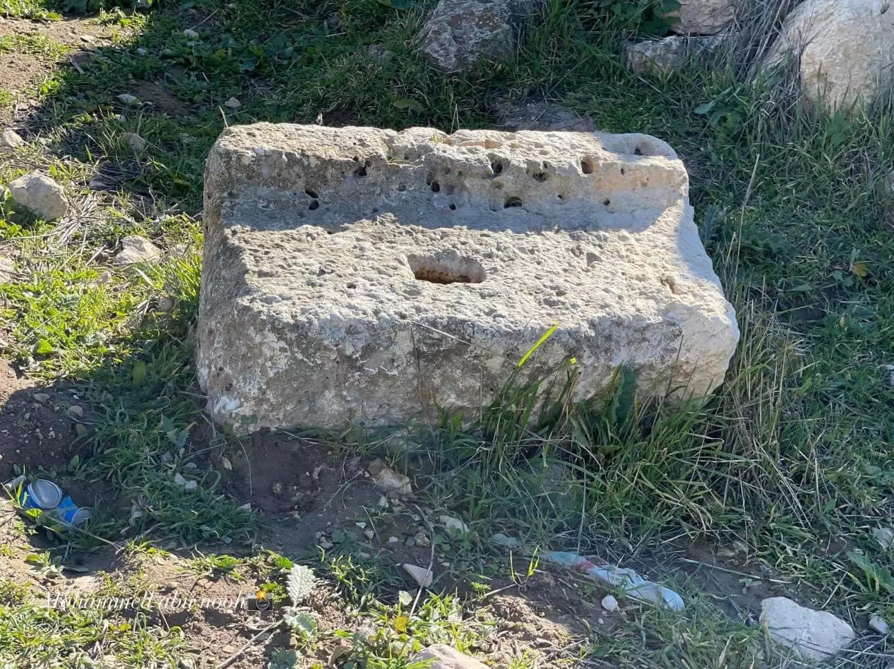
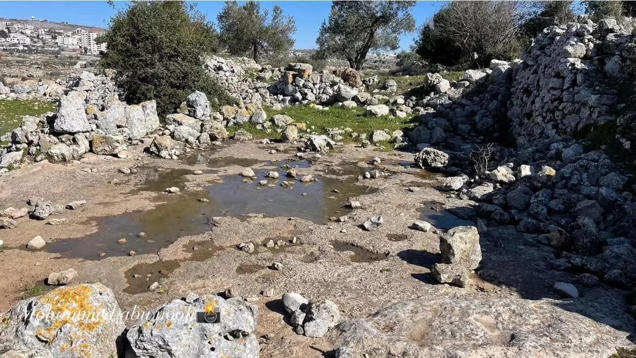
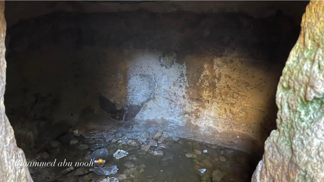
- جولة في خربة كفر عانة وهي ضمن أراضي سلواد الجنوبية -- المزيد عنها بقسم التعليقات -- محمد ابو نوح
1 - جولة في خربة كفر عانة وهي ضمن أراضي سلواد الجنوبية -- المزيد عنها بقسم التعليقات -- محمد ابو نوح #2
- جولة في خربة كفر عانة وهي ضمن أراضي سلواد الجنوبية -- المزيد عنها بقسم التعليقات -- محمد ابو نوح #3
- جولة في خربة كفر عانة وهي ضمن أراضي سلواد الجنوبية -- المزيد عنها بقسم التعليقات -- محمد ابو نوح #4
- جولة في خربة كفر عانة وهي ضمن أراضي سلواد الجنوبية -- المزيد عنها بقسم التعليقات -- محمد ابو نوح #5
- جولة في خربة كفر عانة وهي ضمن أراضي سلواد الجنوبية -- المزيد عنها بقسم التعليقات -- محمد ابو نوح #6
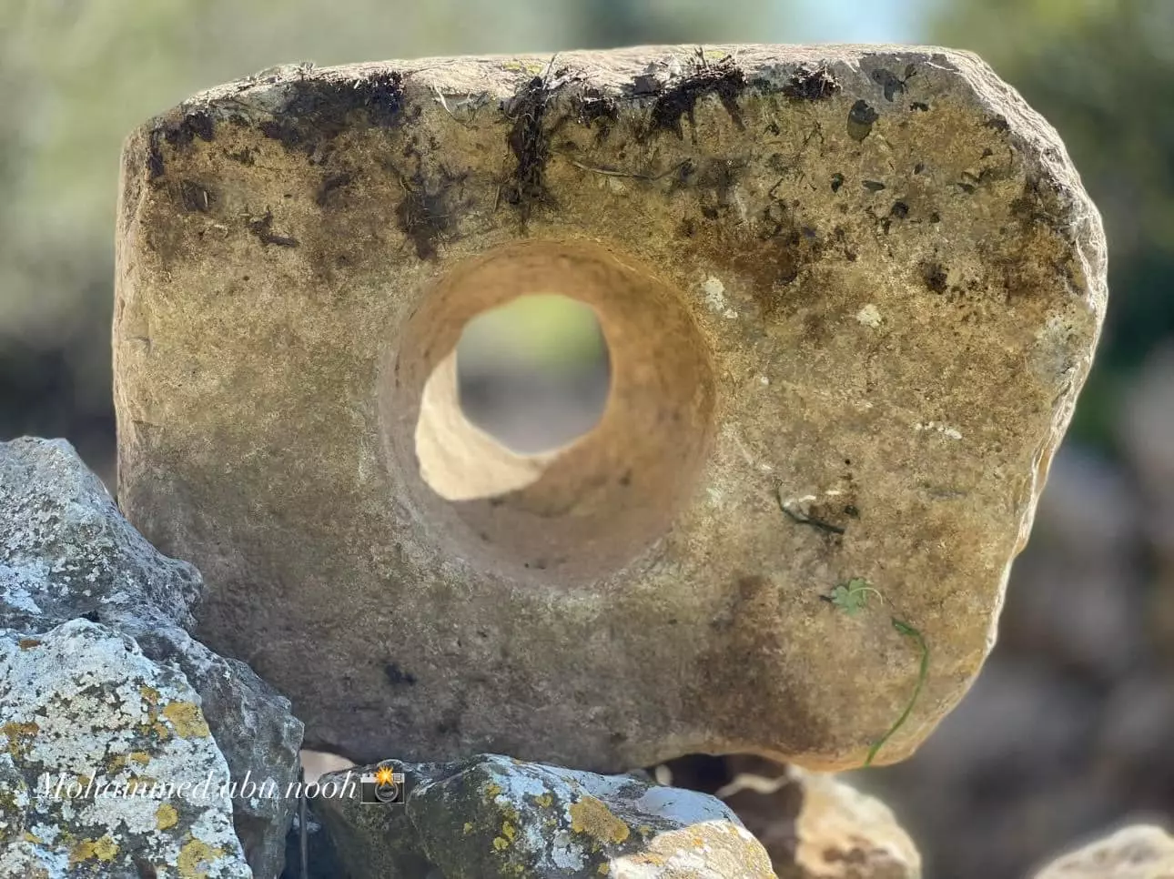
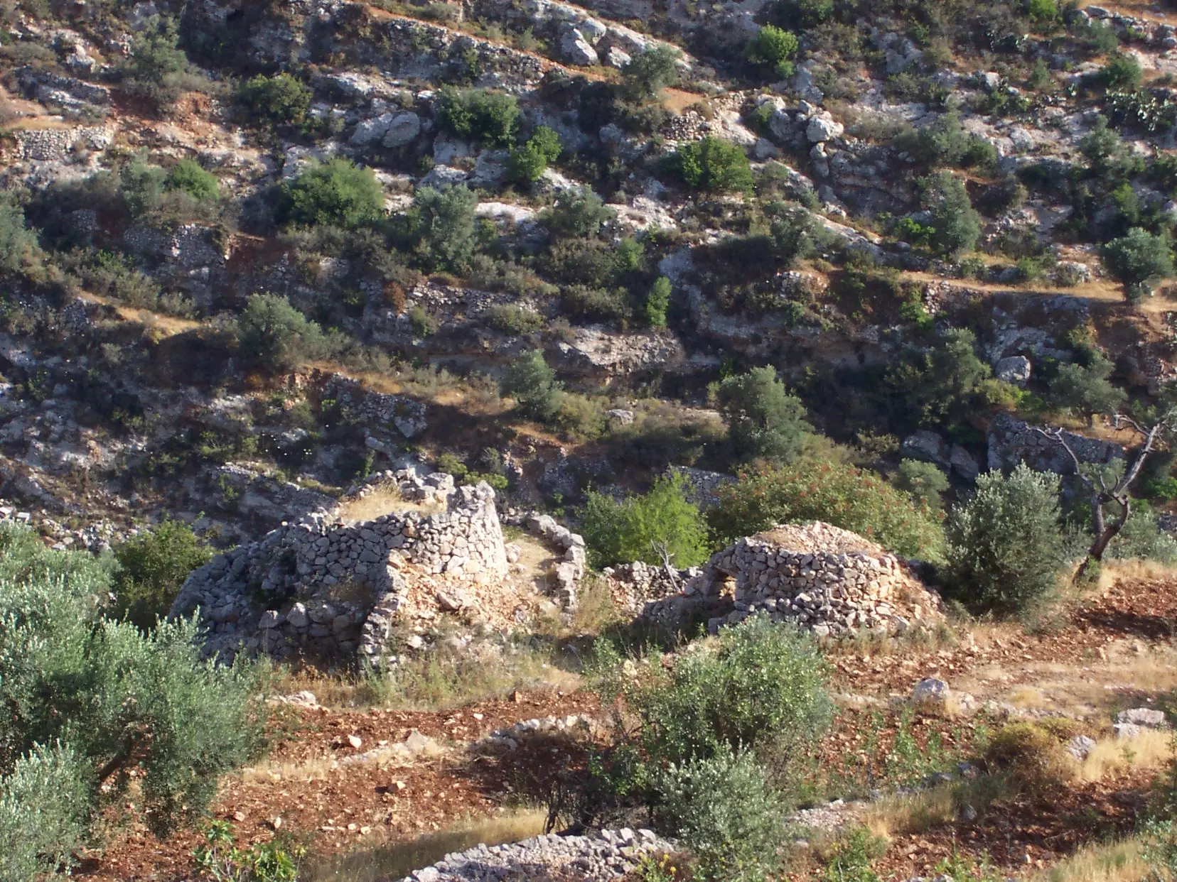
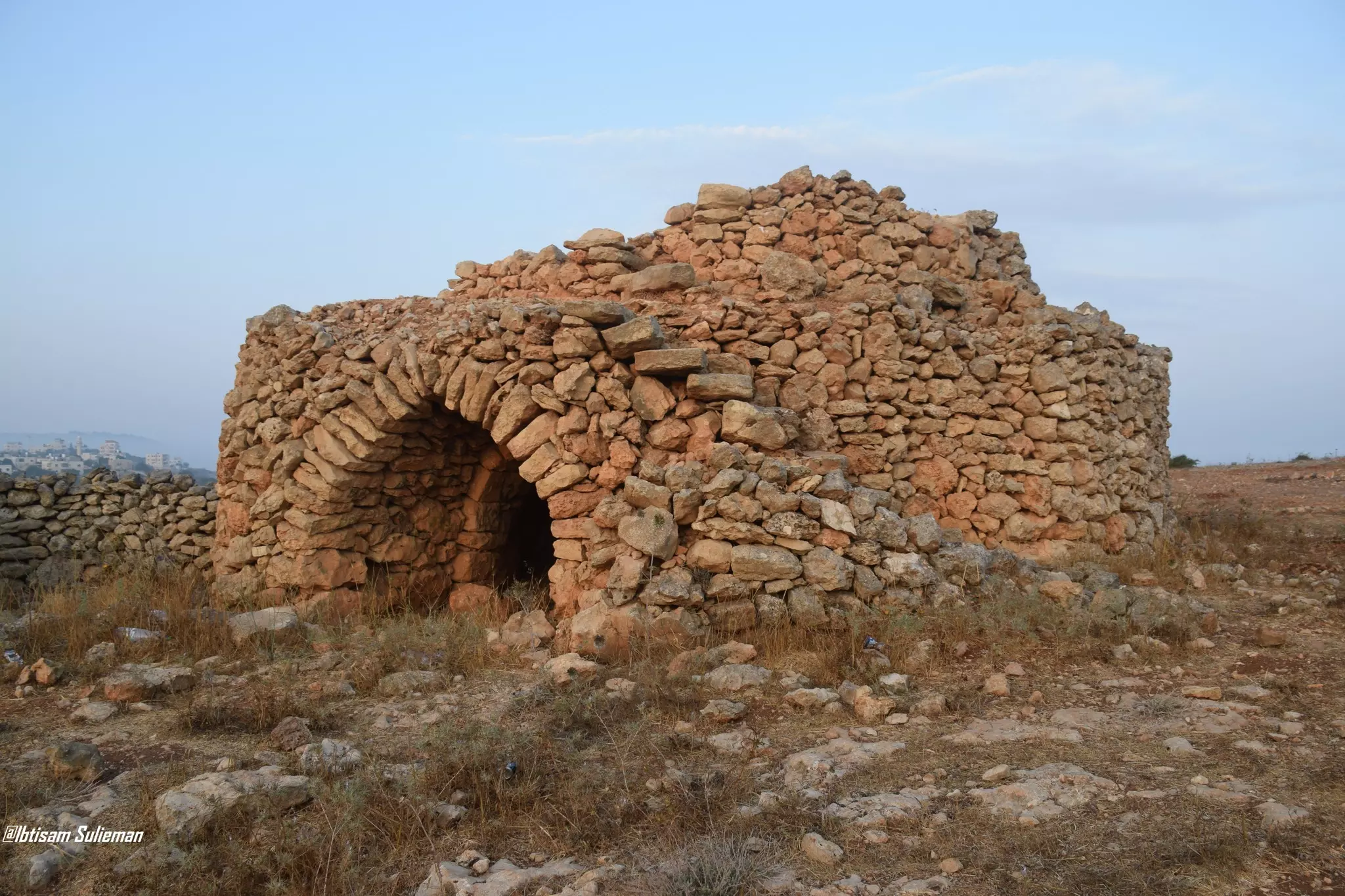
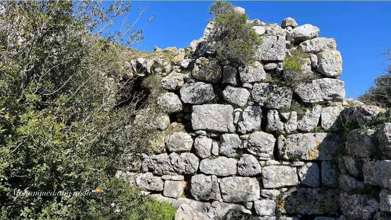
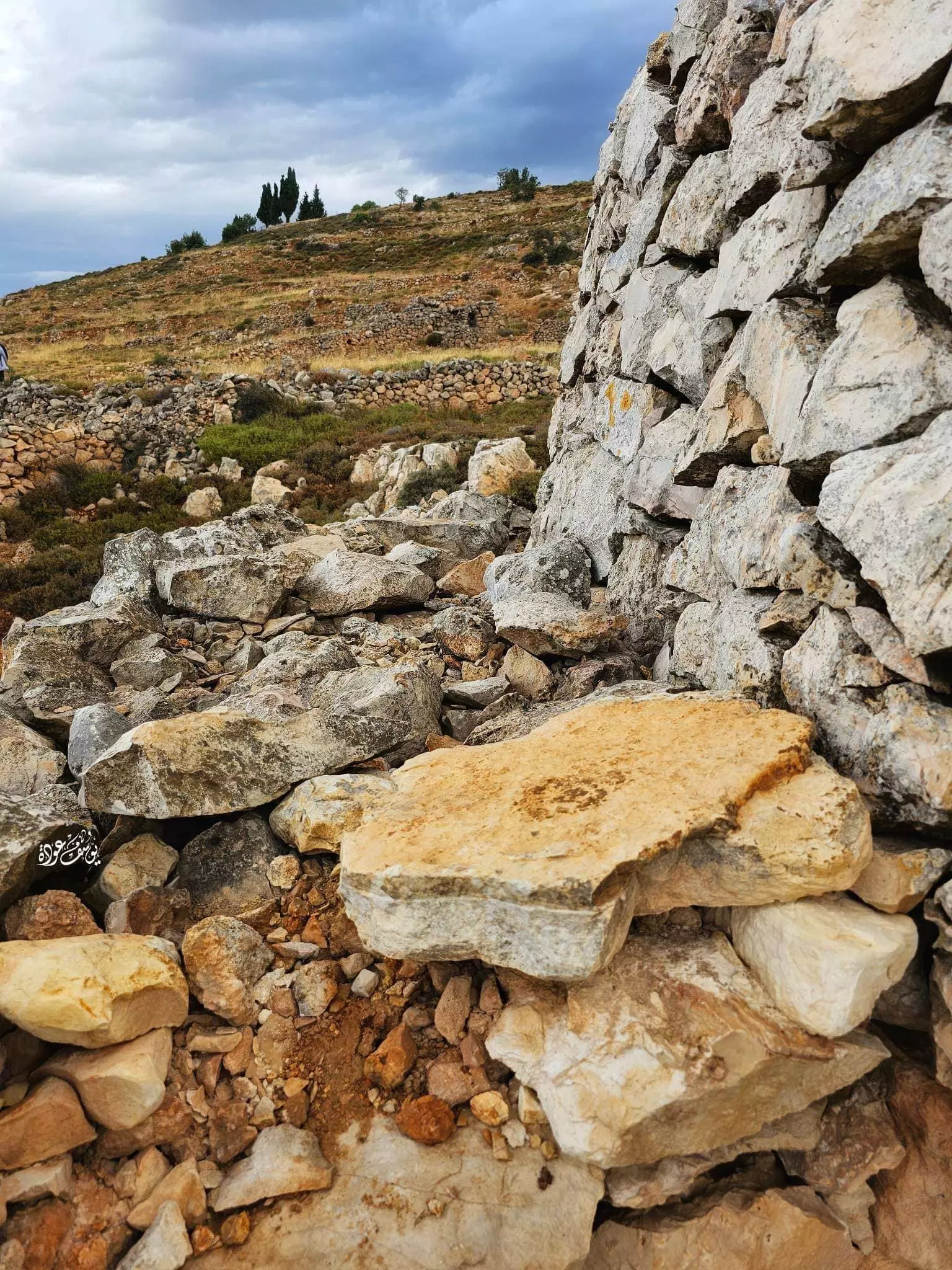
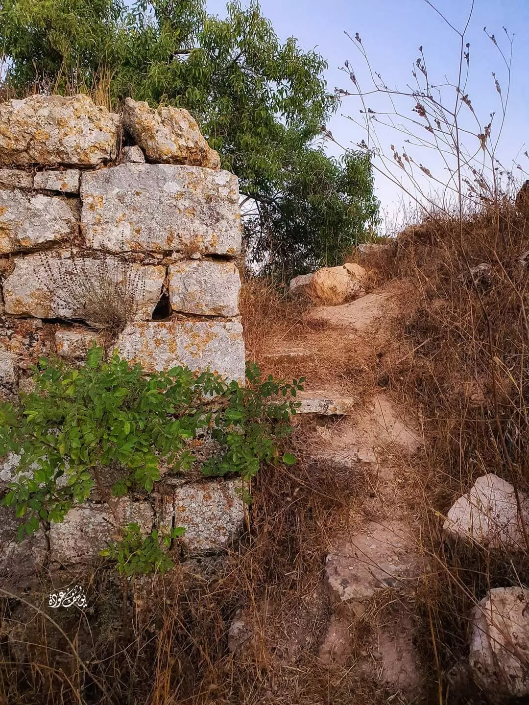
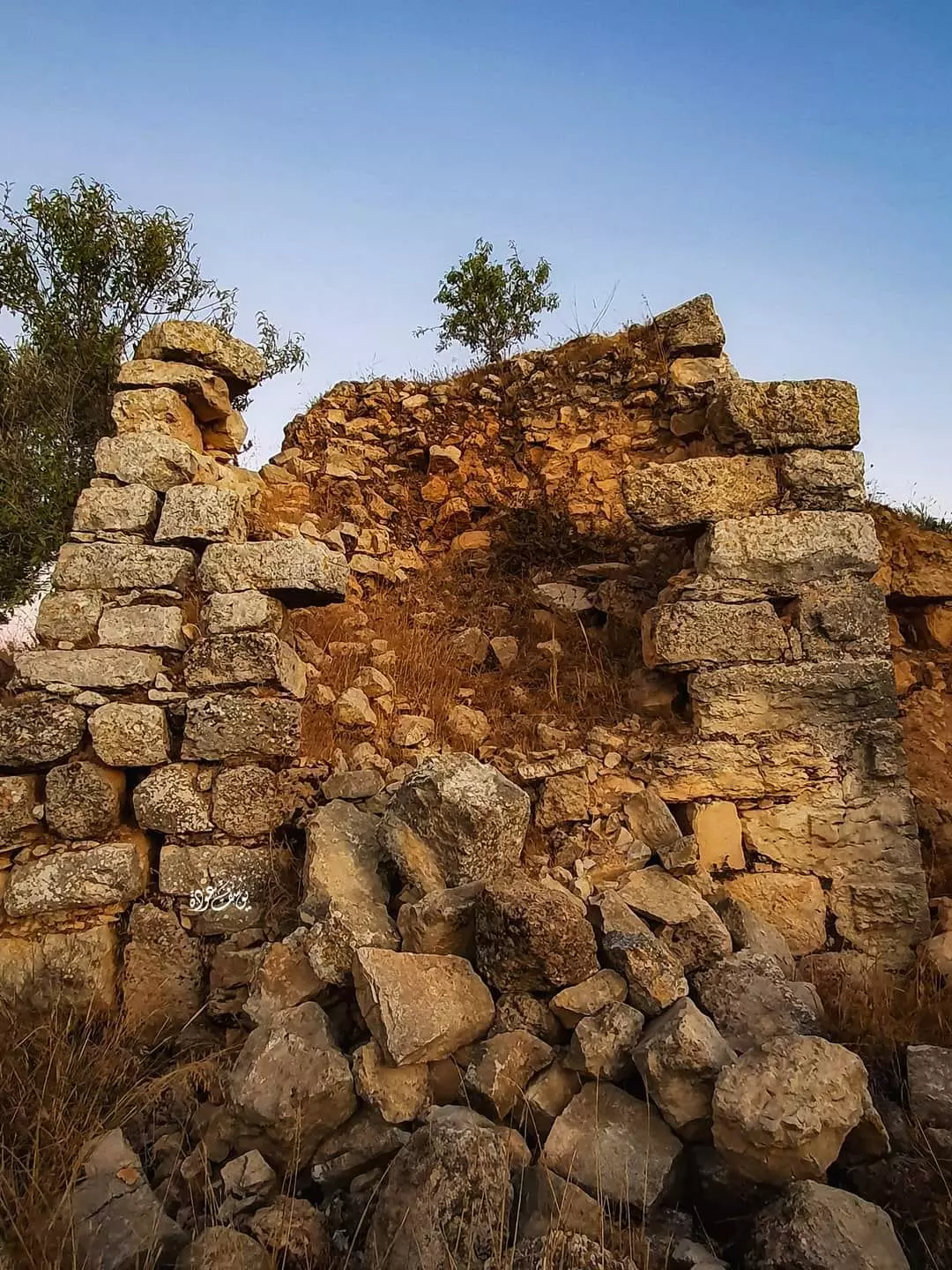
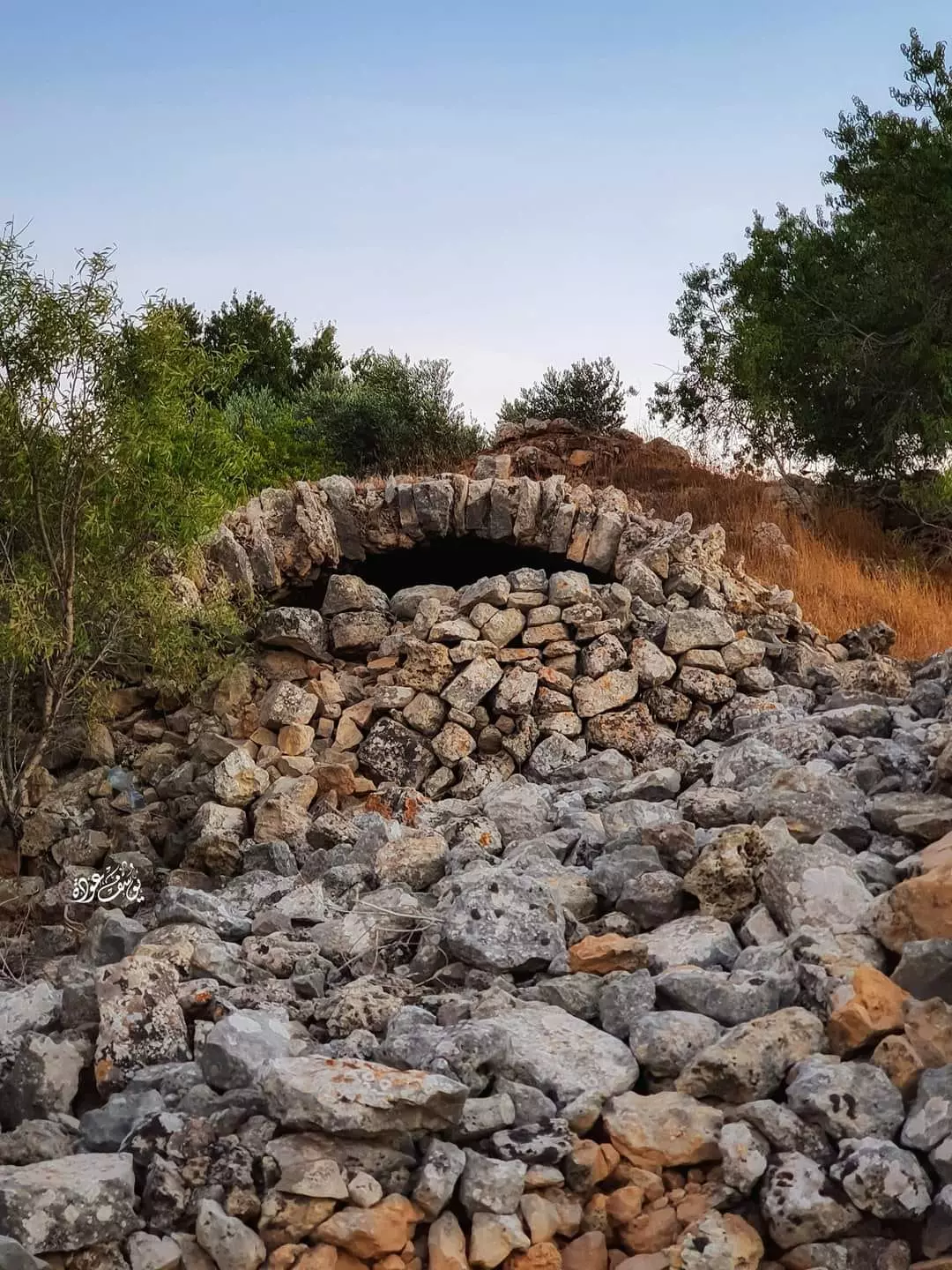
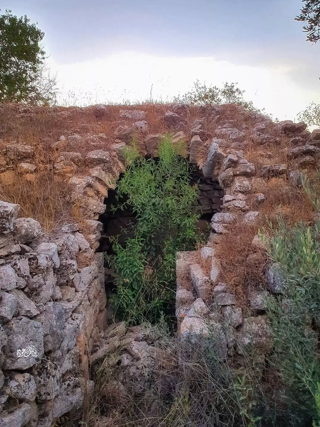
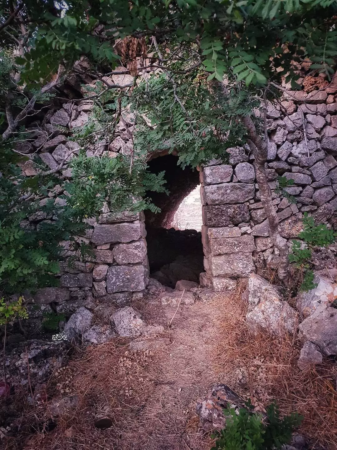
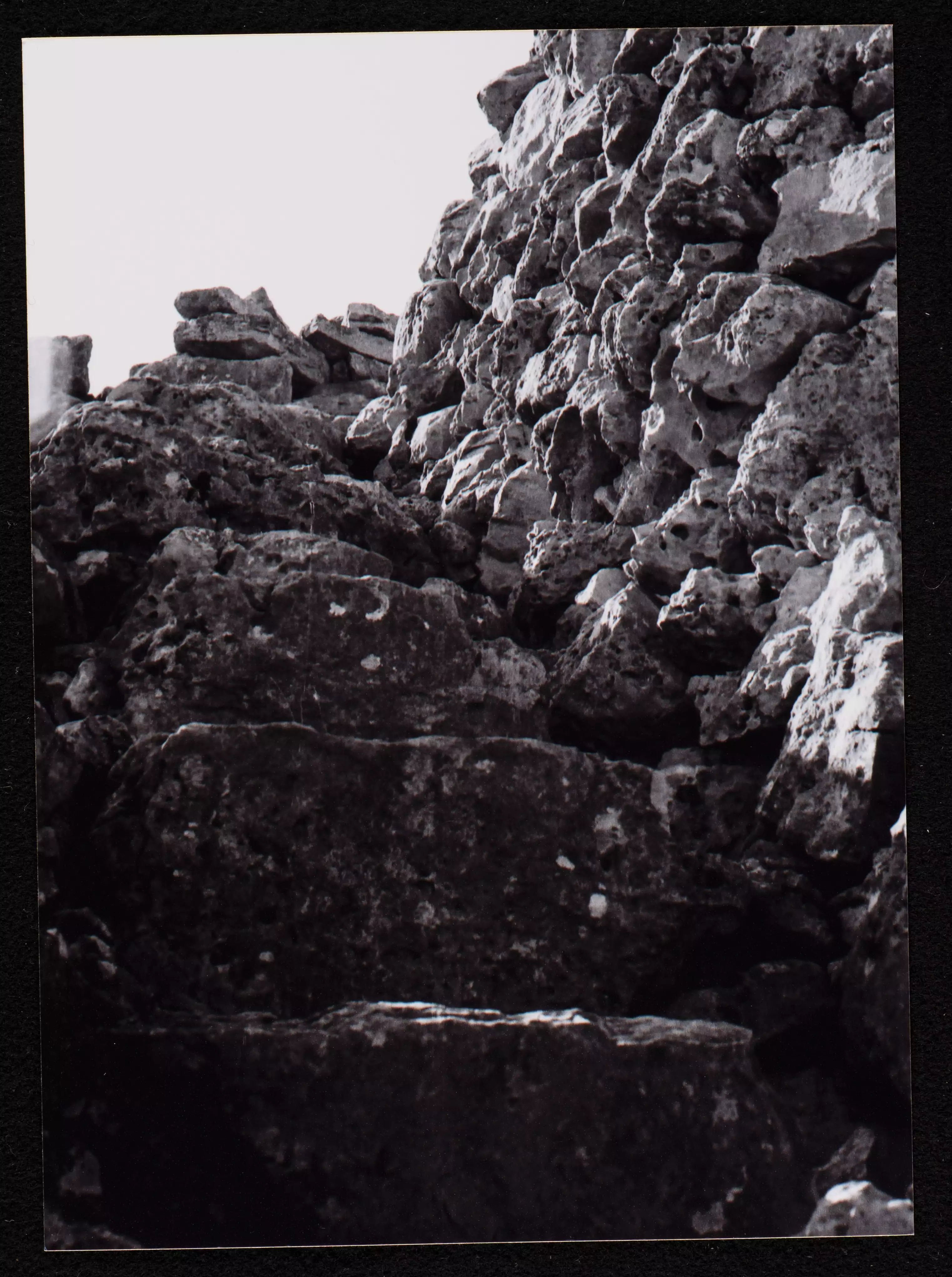
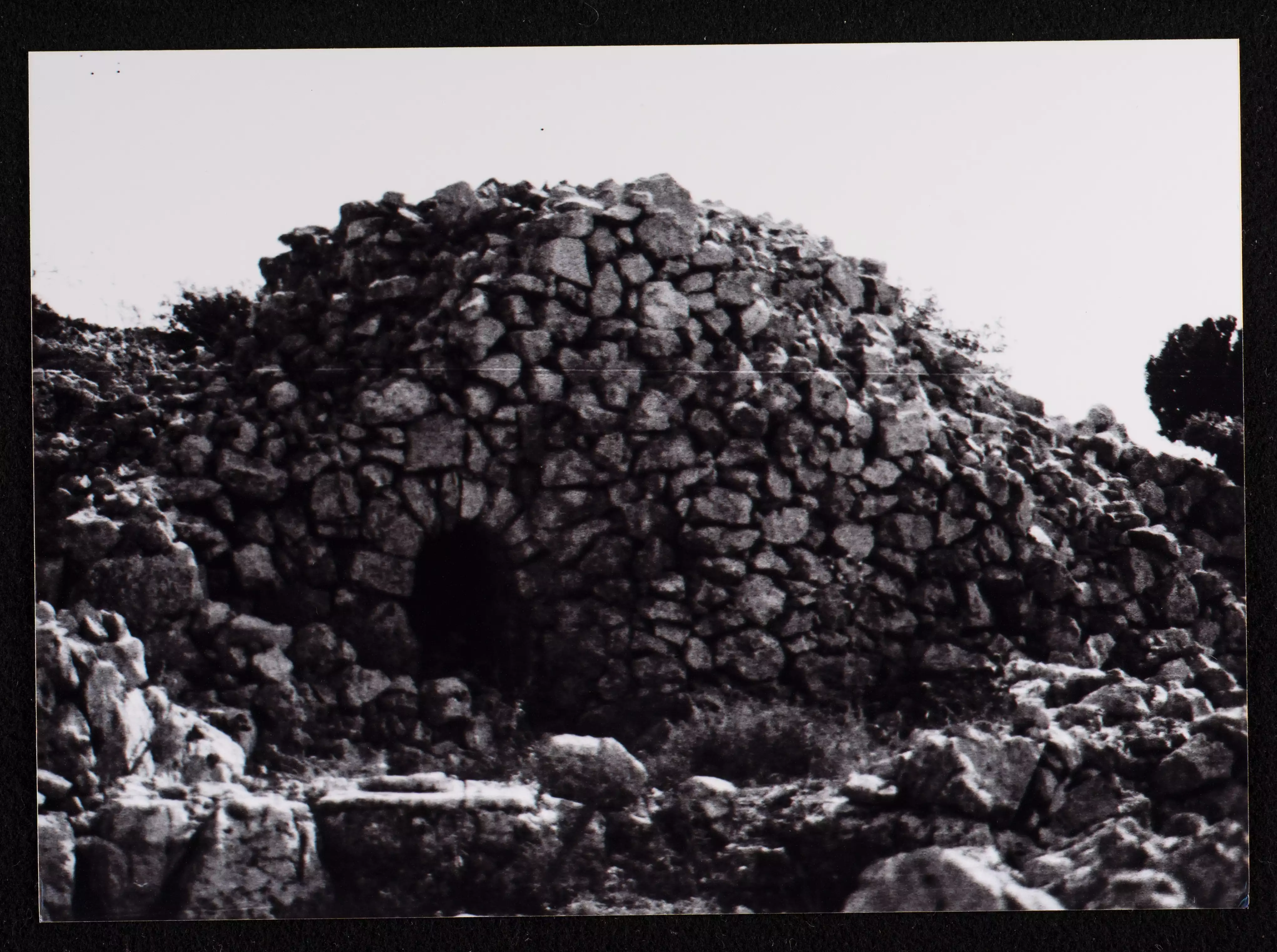
- جولة بين المناطير أو القصور الفلاحية الزراعية المدهشة المقامة على الأراضي الواقعة ما بين دير جرير وسلواد-- يوسف عوده -- 2023
- جولة بين المناطير أو القصور الفلاحية الزراعية المدهشة المقامة على الأراضي الواقعة ما بين دير جرير وسلواد-- يوسف عوده -- 2023 #2
- جولة بين المناطير أو القصور الفلاحية الزراعية المدهشة المقامة على الأراضي الواقعة ما بين دير جرير وسلواد-- يوسف عوده -- 2023 #3
- جولة بين المناطير أو القصور الفلاحية الزراعية المدهشة المقامة على الأراضي الواقعة ما بين دير جرير وسلواد-- يوسف عوده -- 2023 #4
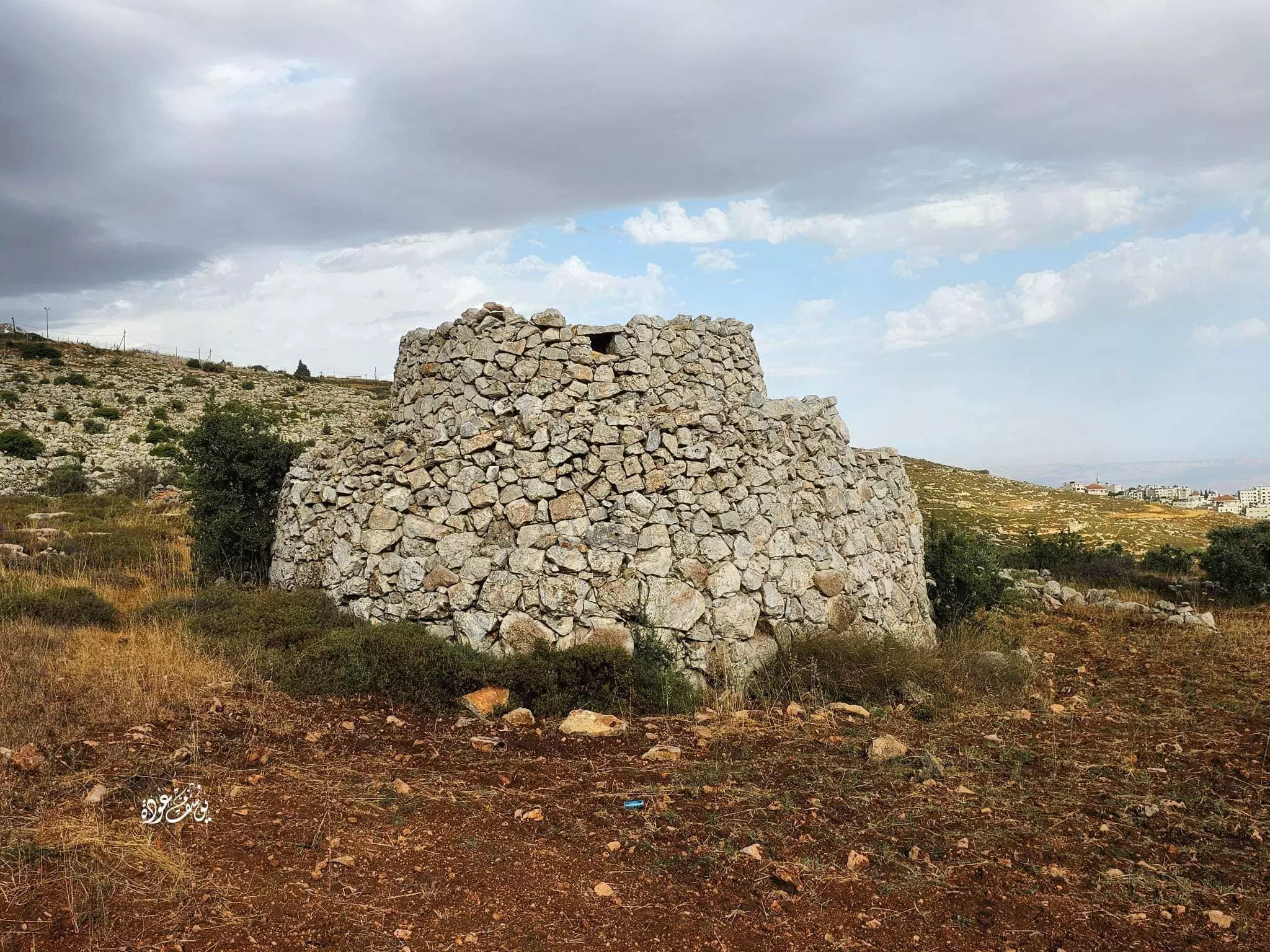
- جولة بين المناطير أو القصور الفلاحية الزراعية المدهشة المقامة على الأراضي الواقعة ما بين دير جرير وسلواد-- يوسف عوده -- 2023 #6
- جولة بين المناطير أو القصور الفلاحية الزراعية المدهشة المقامة على الأراضي الواقعة ما بين دير جرير وسلواد-- يوسف عوده -- 2023 #7
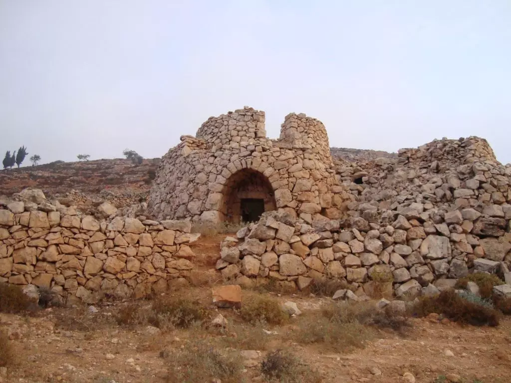
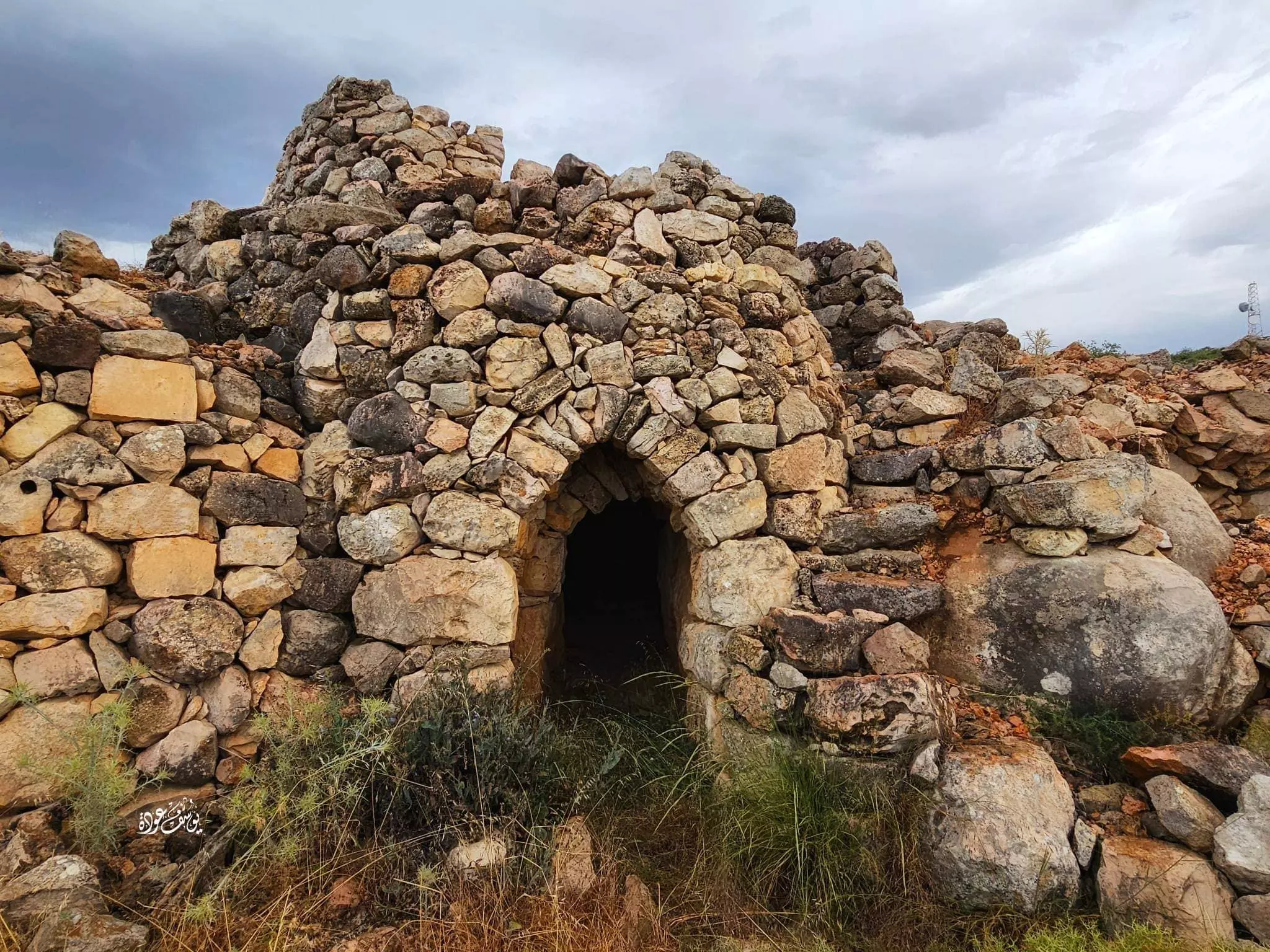
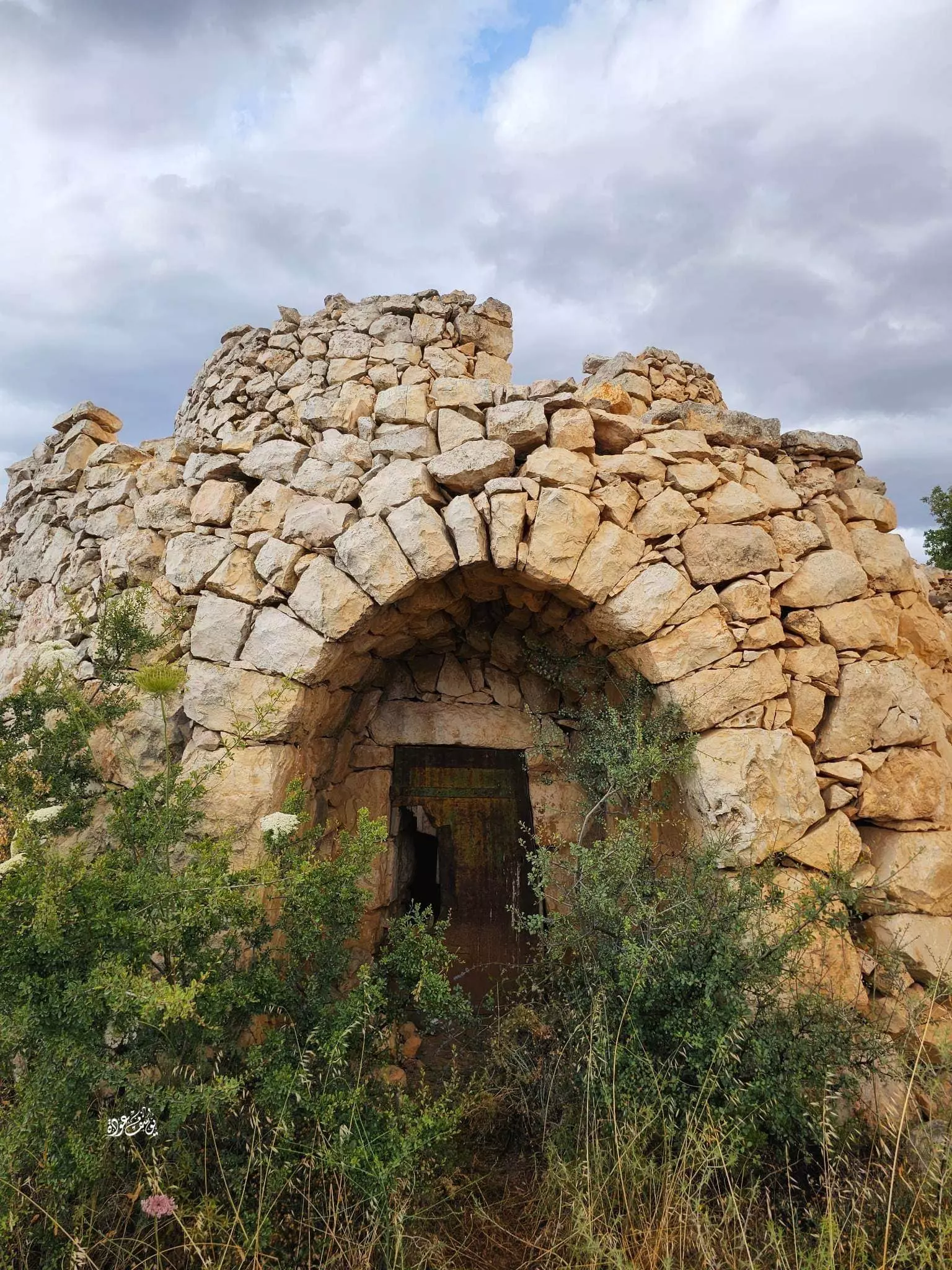
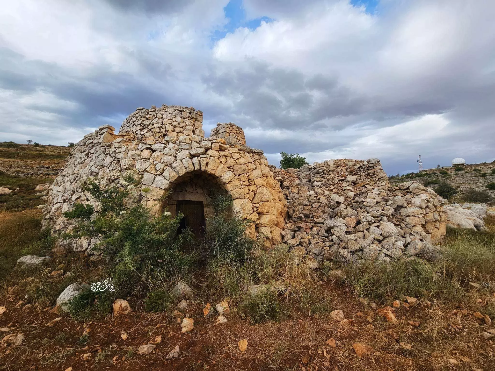
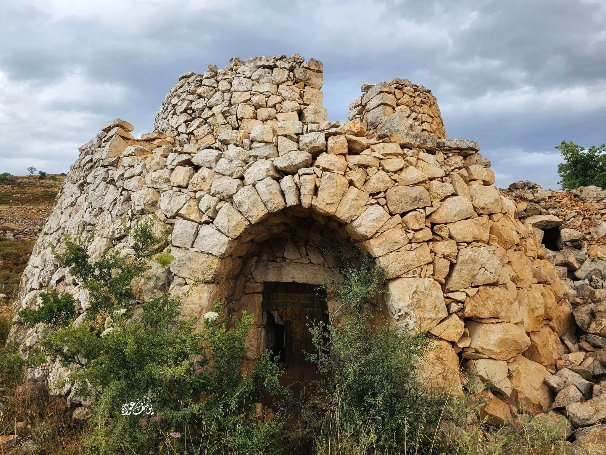
- برج البردويل : يقع غرب بلدة سلواد -- المزيد عنه في قسم التعليقات --- Yousif Odeh
1 - برج البردويل : يقع غرب بلدة سلواد -- المزيد عنه في قسم التعليقات --- Yousif Odeh #2
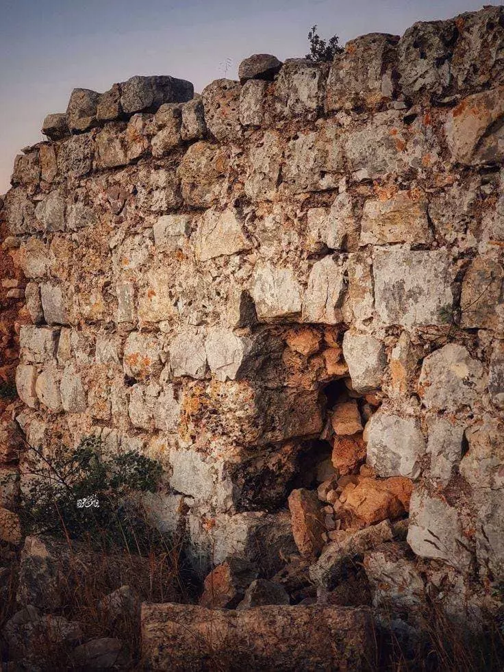
- برج البردويل : يقع غرب بلدة سلواد -- المزيد عنه في قسم التعليقات --- Yousif Odeh #3
- برج البردويل : يقع غرب بلدة سلواد -- المزيد عنه في قسم التعليقات --- Yousif Odeh #4
- برج البردويل : يقع غرب بلدة سلواد -- المزيد عنه في قسم التعليقات --- Yousif Odeh #5
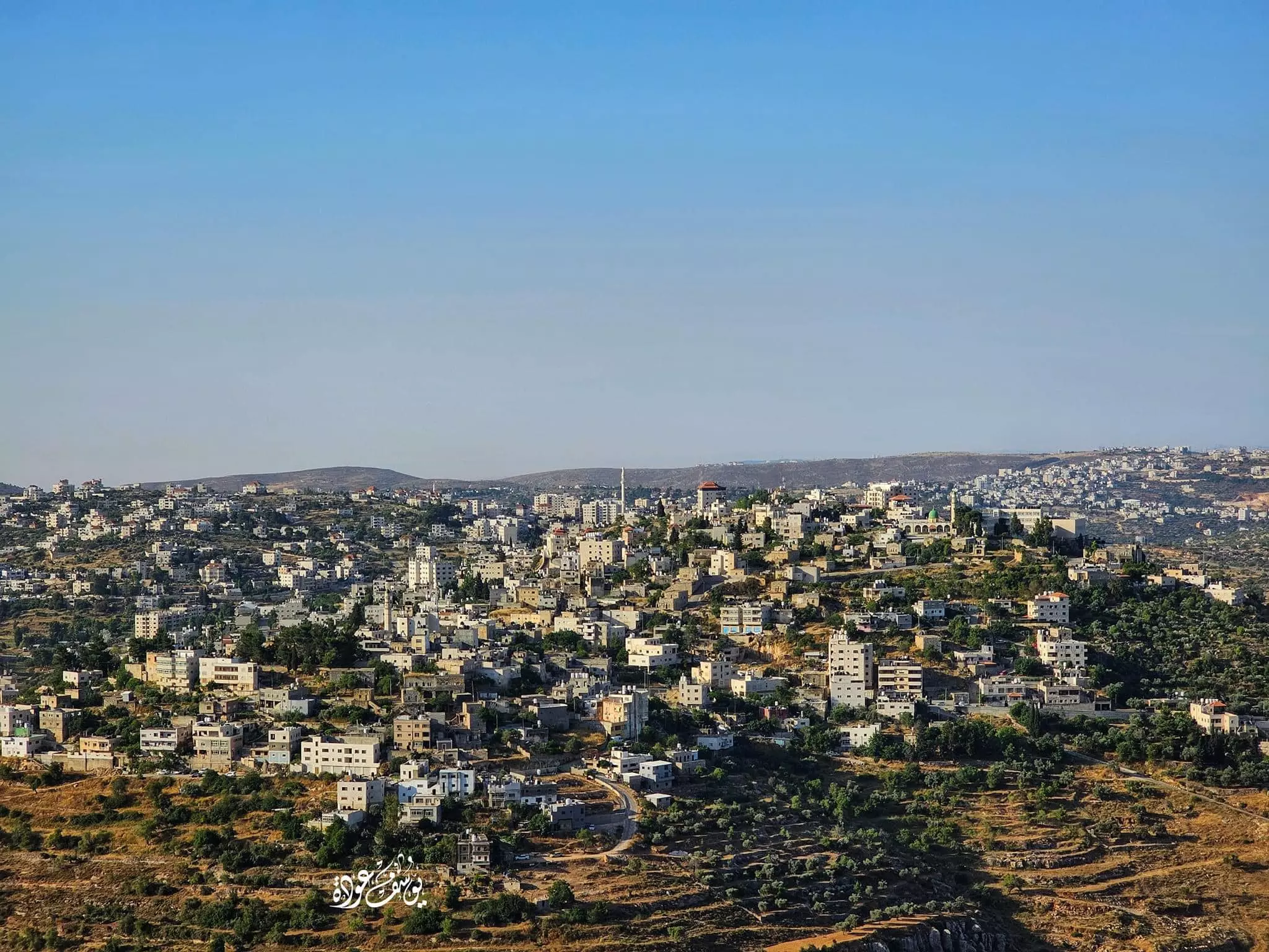
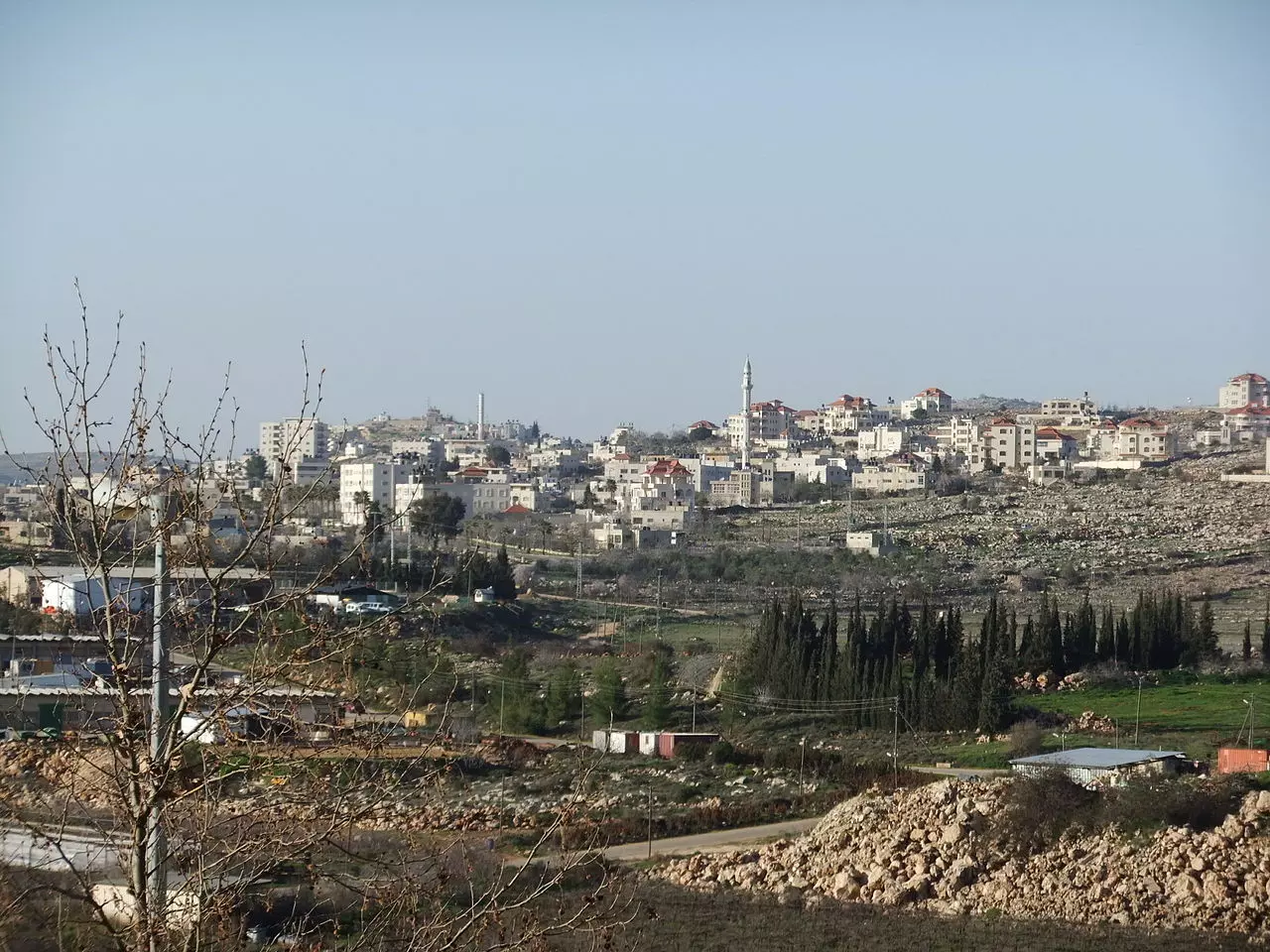
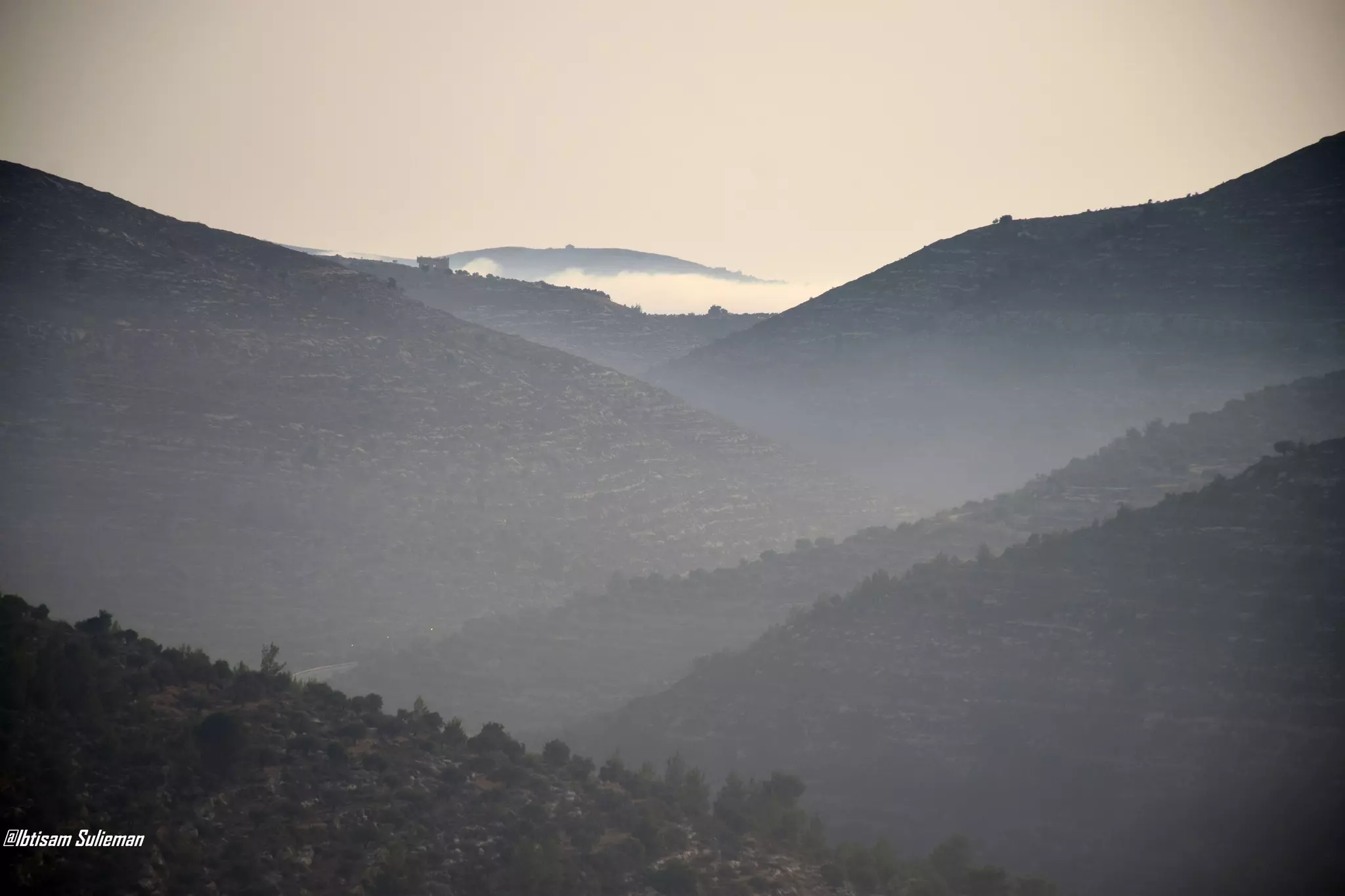
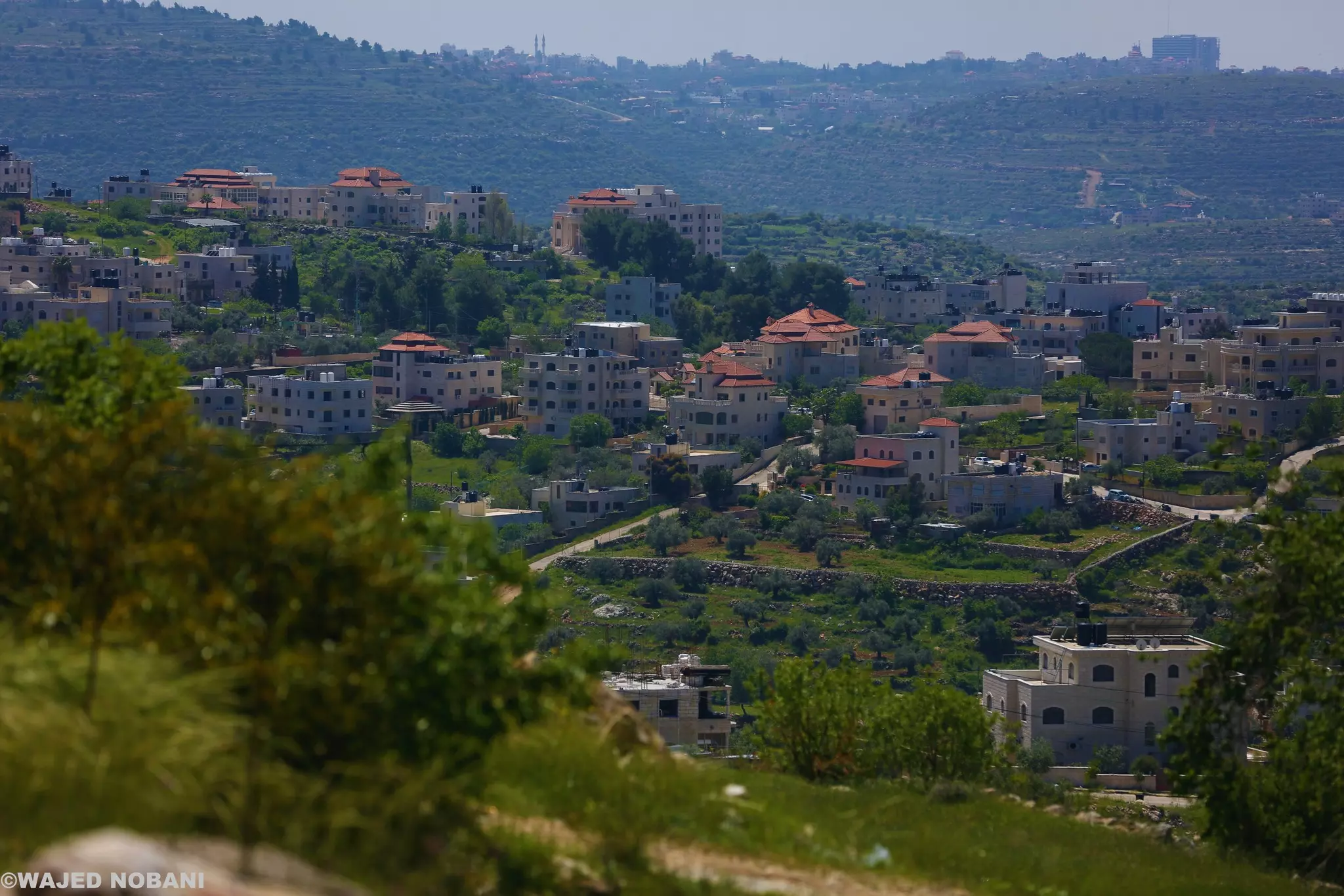
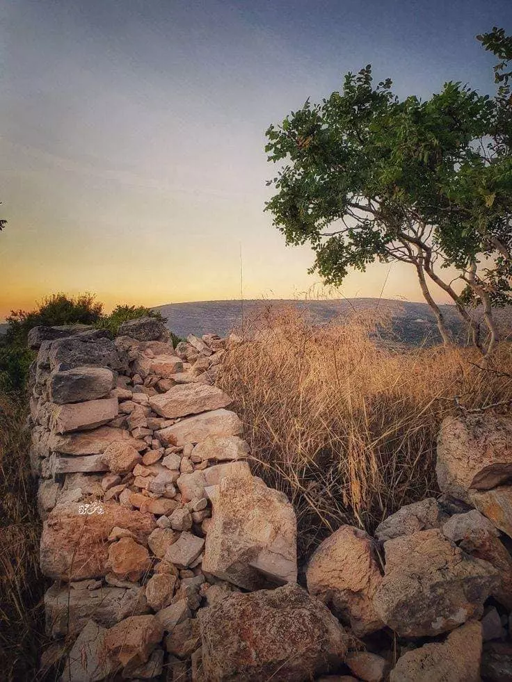
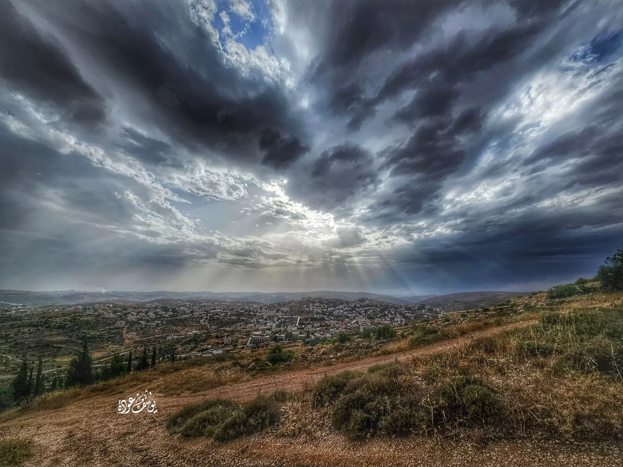
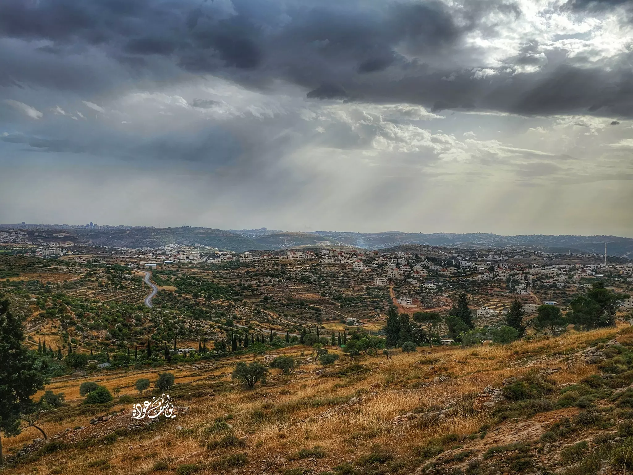
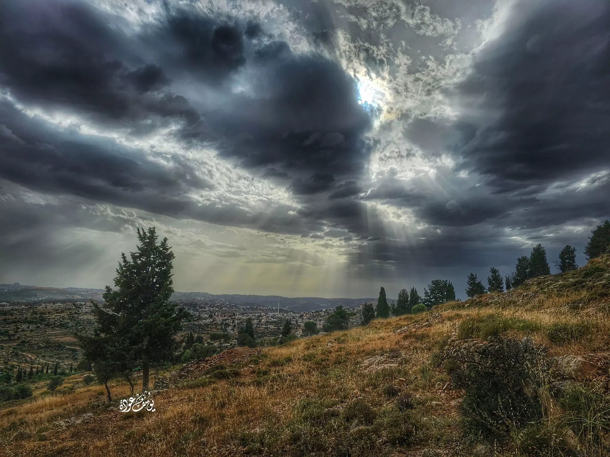
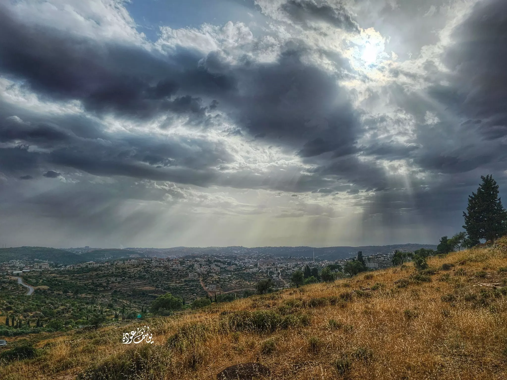
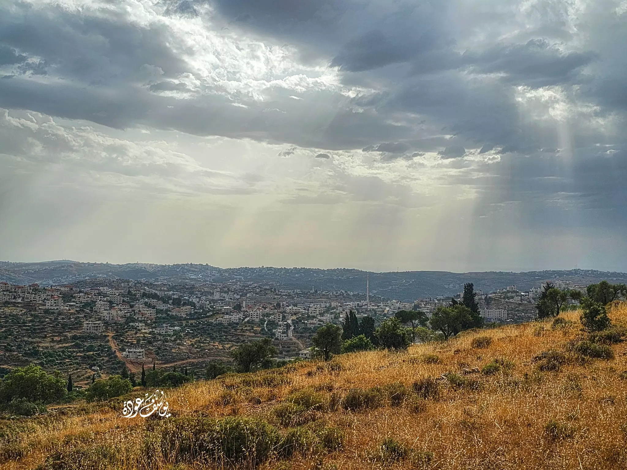
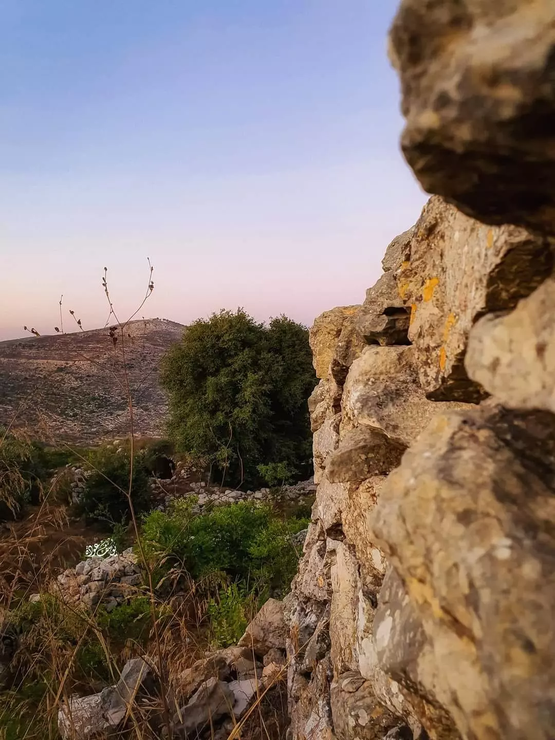
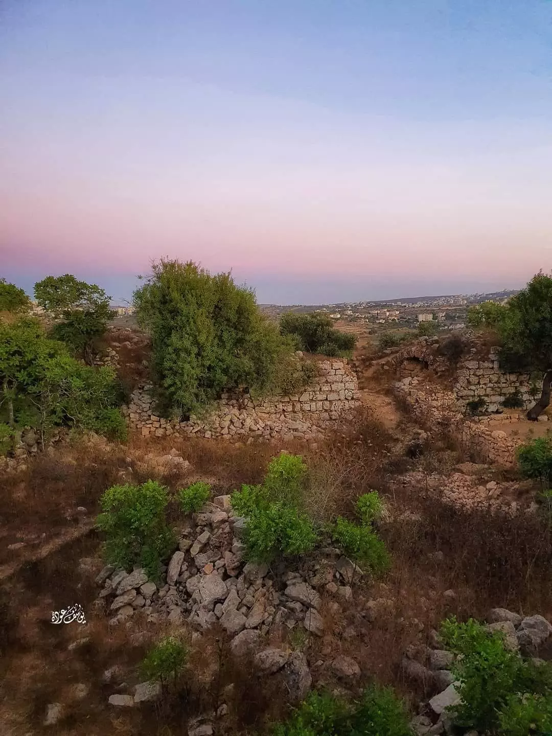
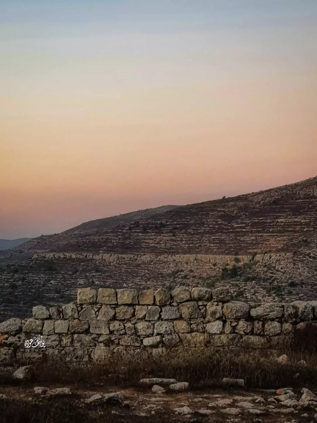
- منظرعام خلاب للبلدة من التلال الشرقية لسلواد بتجاه الغرب -- يوسف عودة. نقر الصورة لتكبيرها فالصورة عالية الجودة
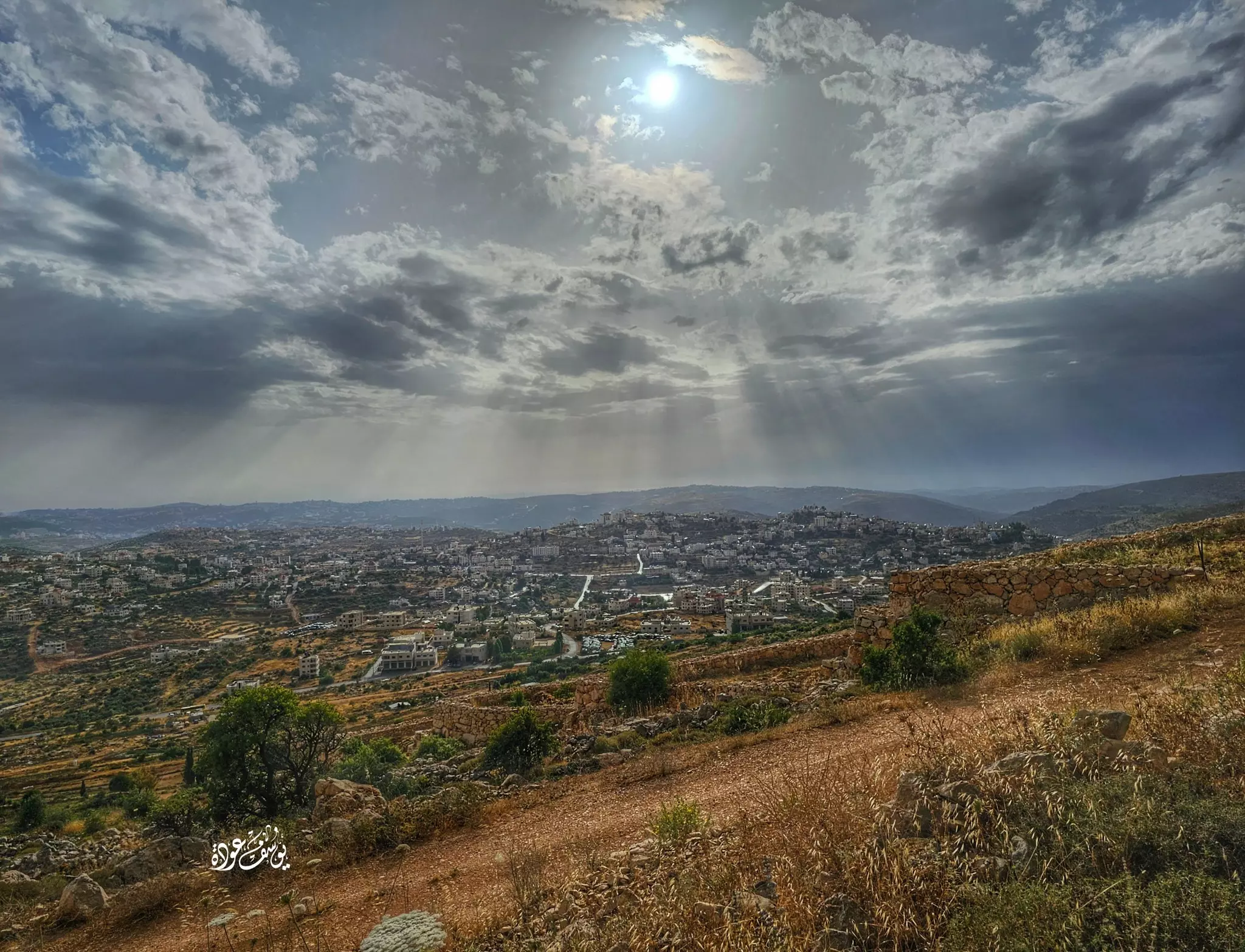
- منظرعام خلاب للبلدة من التلال الشرقية لسلواد بتجاه الغرب -- يوسف عودة. نقر الصورة لتكبيرها فالصورة عالية الجودة #2
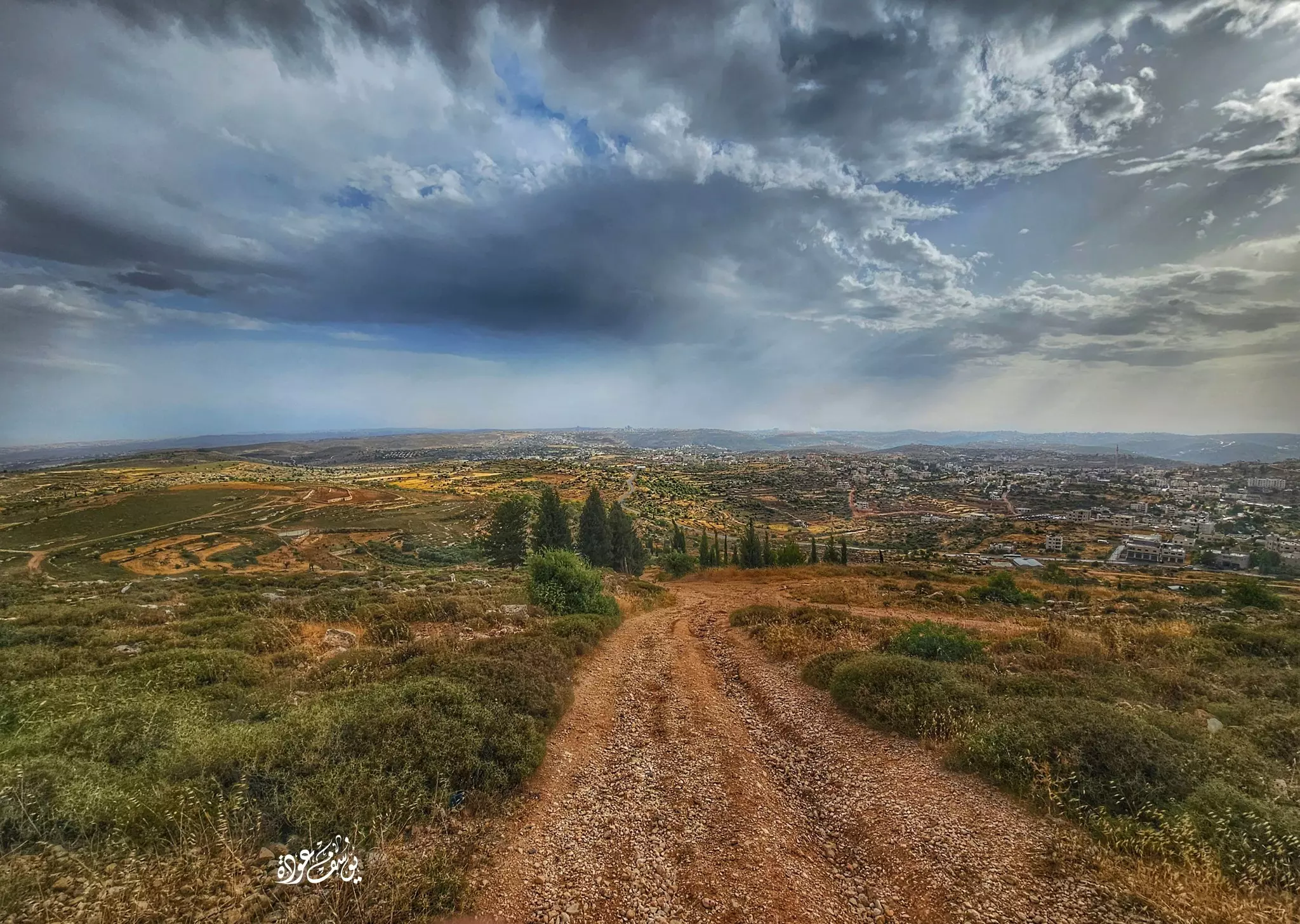
- منظرعام خلاب للبلدة من التلال الشرقية لسلواد بتجاه الغرب -- يوسف عودة. نقر الصورة لتكبيرها فالصورة عالية الجودة #3
- منظرعام خلاب للبلدة من التلال الشرقية لسلواد بتجاه الغرب -- يوسف عودة. نقر الصورة لتكبيرها فالصورة عالية الجودة #4
- منظرعام خلاب للبلدة من التلال الشرقية لسلواد بتجاه الغرب -- يوسف عودة. نقر الصورة لتكبيرها فالصورة عالية الجودة #5
- منظرعام خلاب للبلدة من التلال الشرقية لسلواد بتجاه الغرب -- يوسف عودة. نقر الصورة لتكبيرها فالصورة عالية الجودة #6
- منظرعام خلاب للبلدة من التلال الشرقية لسلواد بتجاه الغرب -- يوسف عودة. نقر الصورة لتكبيرها فالصورة عالية الجودة #7
- منظر عام -- يوسف عودة
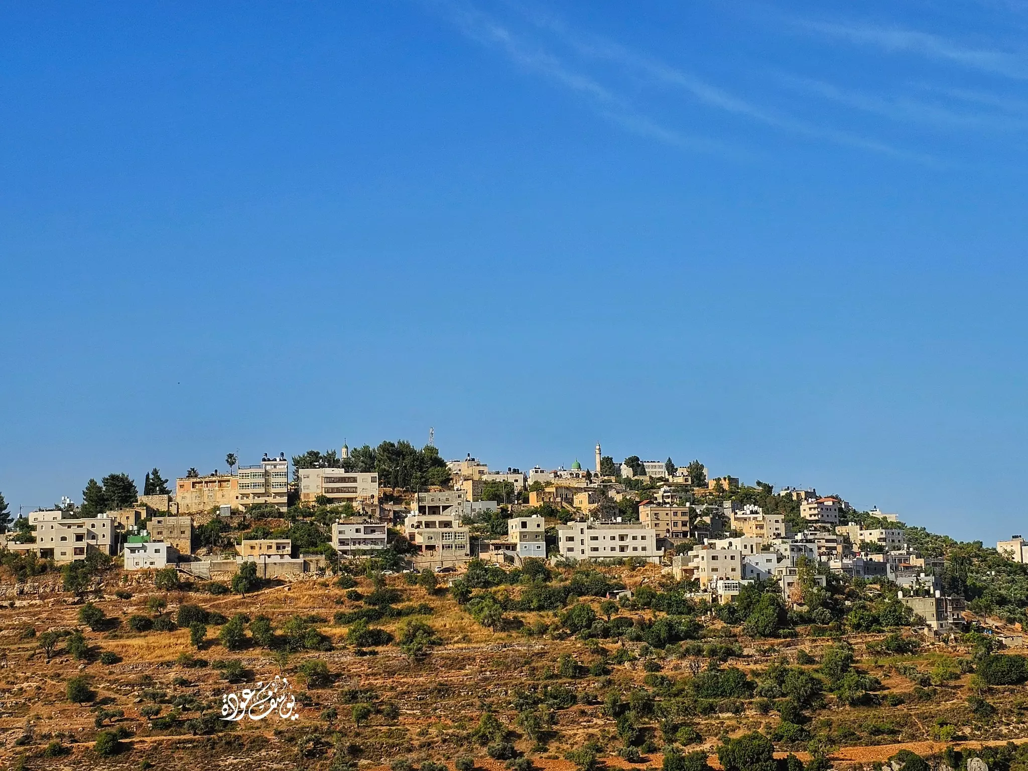
- منظر عام -- يوسف عودة #2
- منظر عام -- يوسف عودة
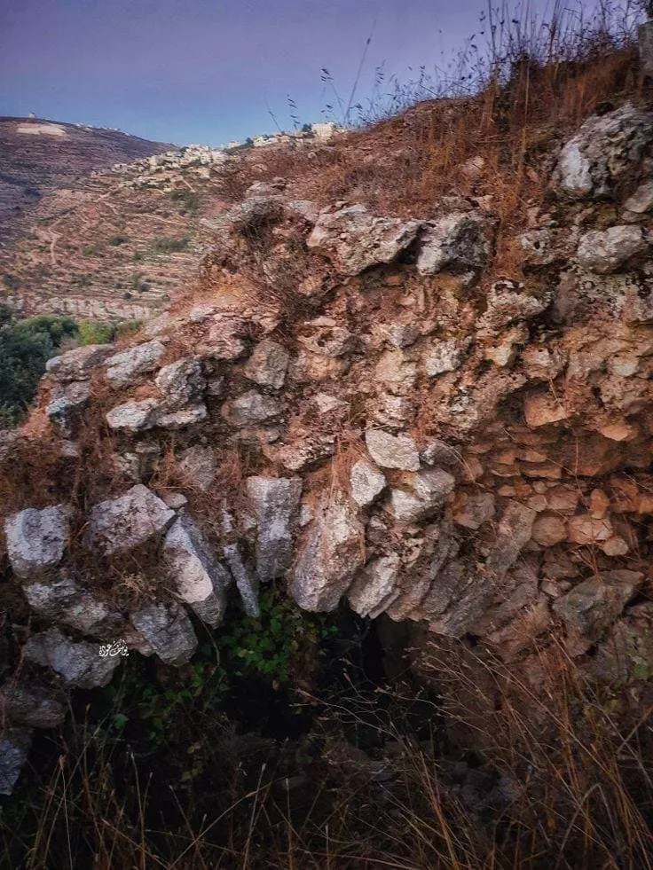
- برج البردويل ...يقع غرب بلدة سلواد -- يوسف عودة
1 - برج البردويل ...يقع غرب بلدة سلواد -- يوسف عودة #2
- برج البردويل ...يقع غرب بلدة سلواد -- يوسف عودة #3
- برج البردويل ...يقع غرب بلدة سلواد -- يوسف عودة #4
- برج البردويل ...يقع غرب بلدة سلواد -- يوسف عودة #5
- برج البردويل ...يقع غرب بلدة سلواد -- يوسف عودة #6
- برج البردويل ...يقع غرب بلدة سلواد -- يوسف عودة #7
- برج البردويل ...يقع غرب بلدة سلواد -- يوسف عودة #8
- برج البردويل ...يقع غرب بلدة سلواد -- يوسف عودة #9
- برج البردويل ...يقع غرب بلدة سلواد -- يوسف عودة #10
- برج البردويل ...يقع غرب بلدة سلواد -- يوسف عودة #11
- "برج البردويل" -- يوسف عودة
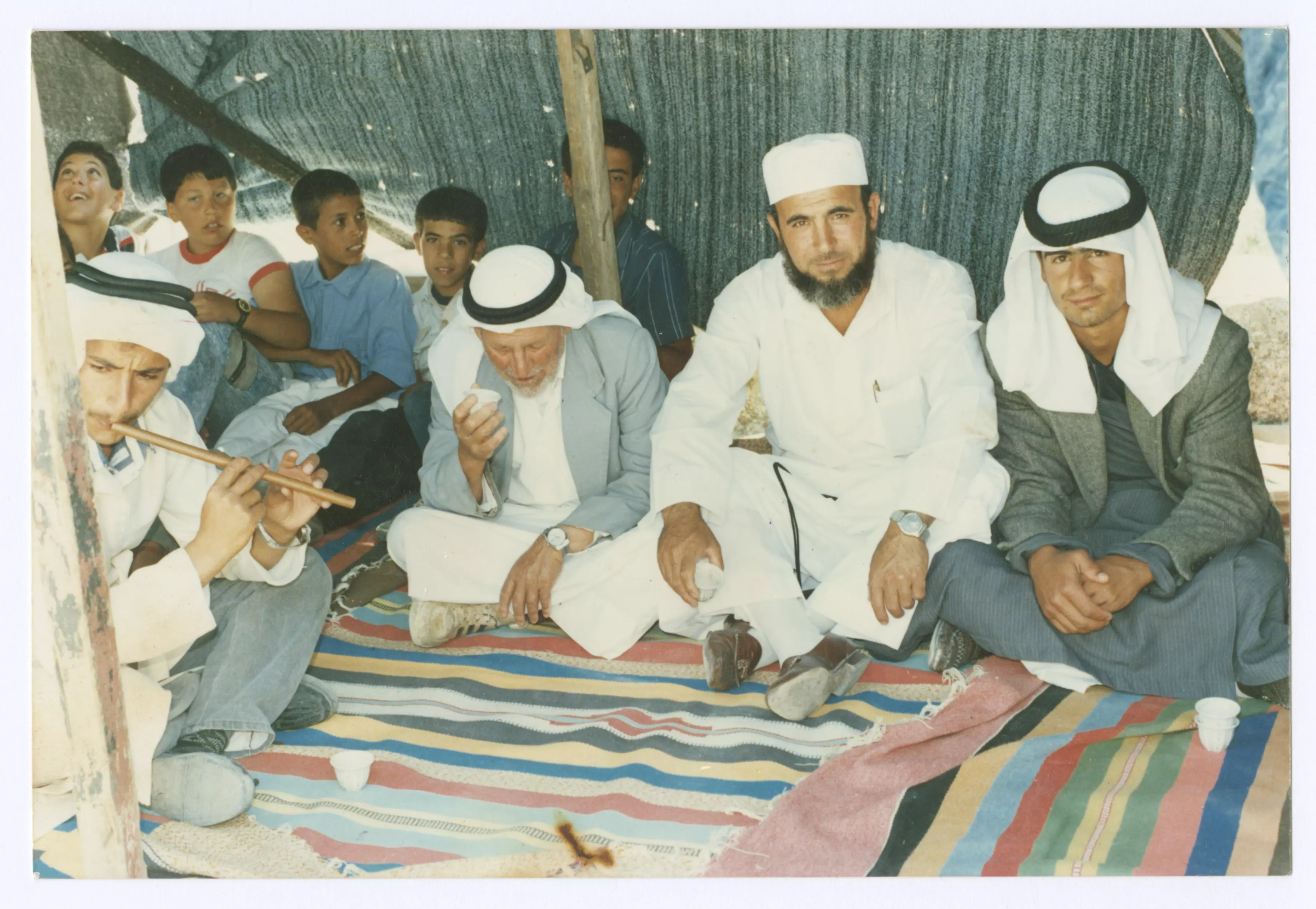
- رجال وأطفال داخل خيمة نصبت في بلدة سلواد خلال فعالية ما اقامتها جمعية انعاش الاسرة: عُرف من اللقطة:نظام الدين عوض، عز الدين النجار، حسنين عياد، والأطفال، عمر سعد عوض، عبد الرحمن نظام الدين عوض، جهاد نظام عوض -- 1990s
- جولة رائعة في مناطير القرية في ثمانينيات القرن الماضي -- مؤسسة رواق
- جولة رائعة في مناطير القرية في ثمانينيات القرن الماضي -- مؤسسة رواق #2
- جولة رائعة في مناطير القرية في ثمانينيات القرن الماضي -- مؤسسة رواق #3
- جولة رائعة في مناطير القرية في ثمانينيات القرن الماضي -- مؤسسة رواق #4
- جولة رائعة في مناطير القرية في ثمانينيات القرن الماضي -- مؤسسة رواق #5
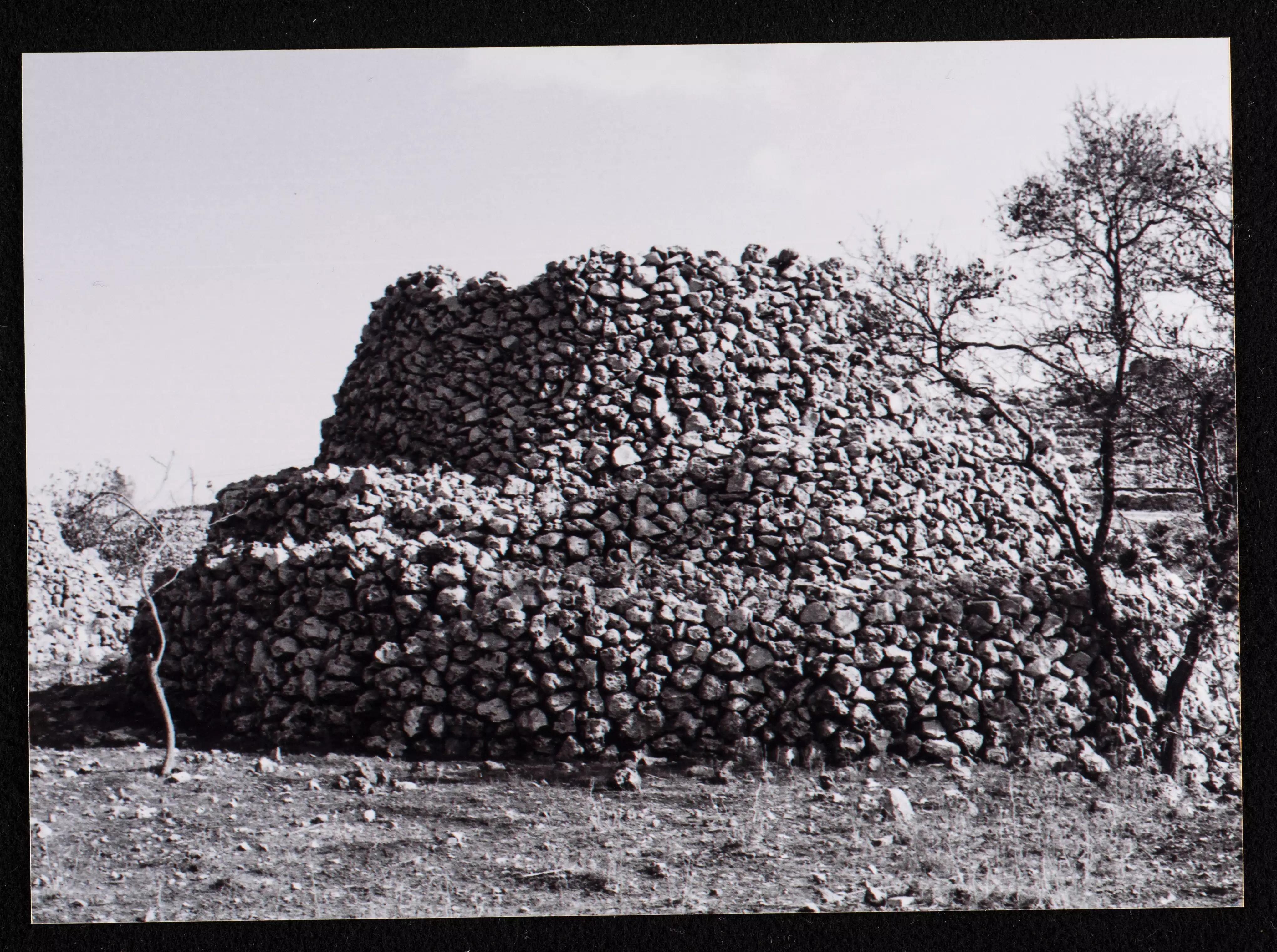
- جولة رائعة في مناطير القرية في ثمانينيات القرن الماضي -- مؤسسة رواق #6
- جولة رائعة في مناطير القرية في ثمانينيات القرن الماضي -- مؤسسة رواق #7
- جولة رائعة في مناطير القرية في ثمانينيات القرن الماضي -- مؤسسة رواق #8
- جولة رائعة في مناطير القرية في ثمانينيات القرن الماضي -- مؤسسة رواق #9
- جولة رائعة في مناطير القرية في ثمانينيات القرن الماضي -- مؤسسة رواق #10
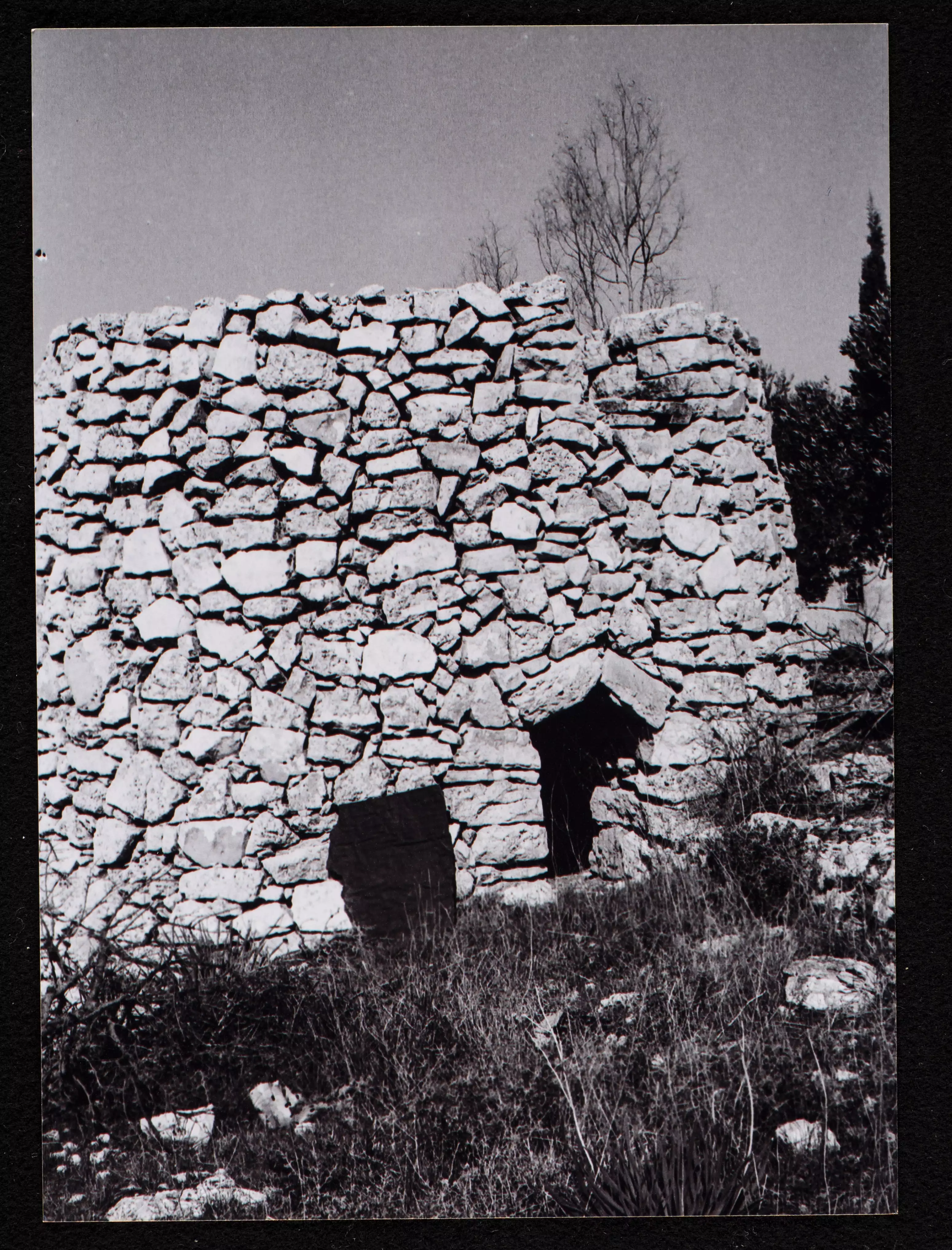
- جولة رائعة في مناطير القرية في ثمانينيات القرن الماضي -- مؤسسة رواق #11
- جولة رائعة في مناطير القرية في ثمانينيات القرن الماضي -- مؤسسة رواق #12
- جولة رائعة في مناطير القرية في ثمانينيات القرن الماضي -- مؤسسة رواق #13
- جولة رائعة في مناطير القرية في ثمانينيات القرن الماضي -- مؤسسة رواق #14
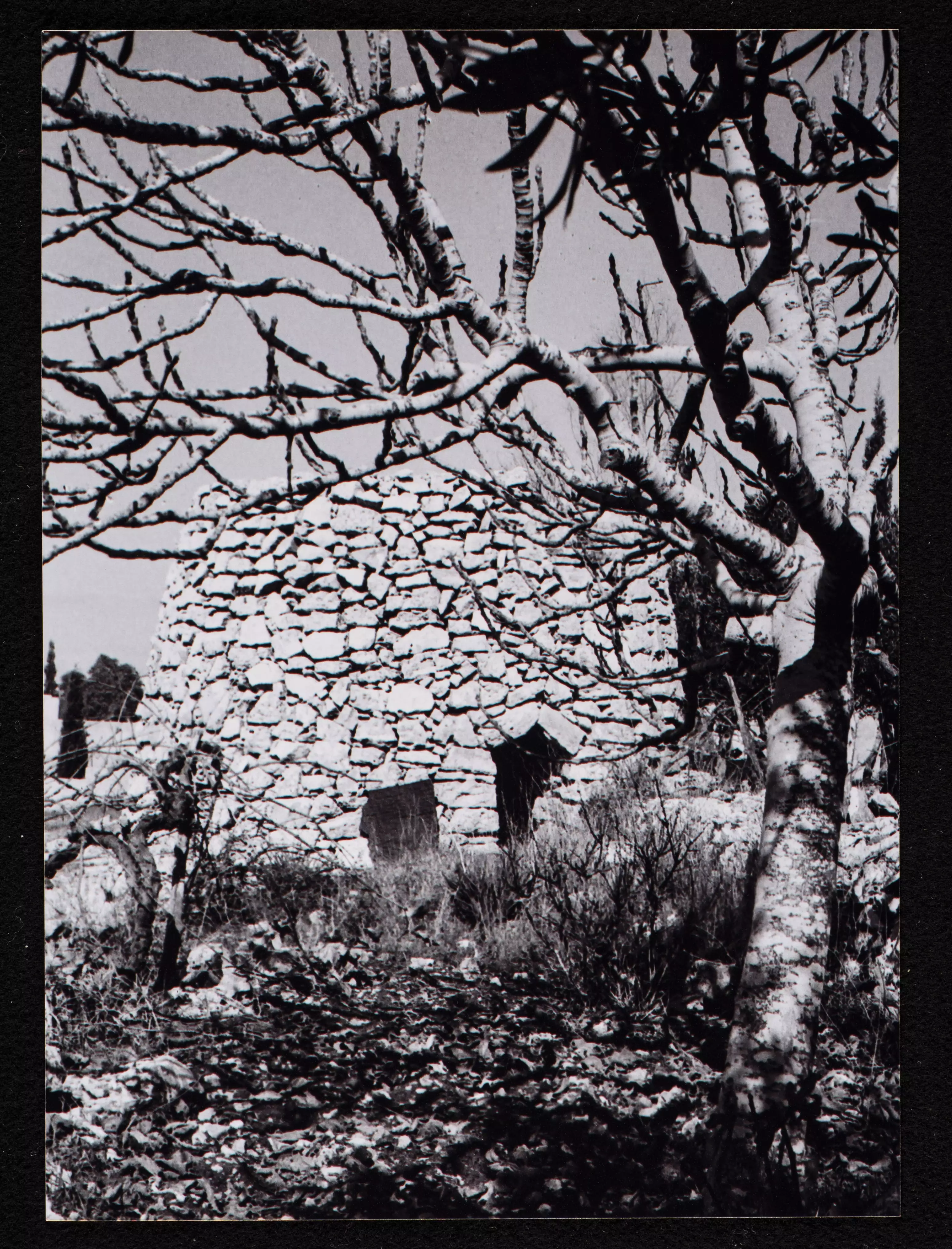
- General view taken in the 1980s by Riwaq Center
- General view taken in the 1980s by Riwaq Center #2
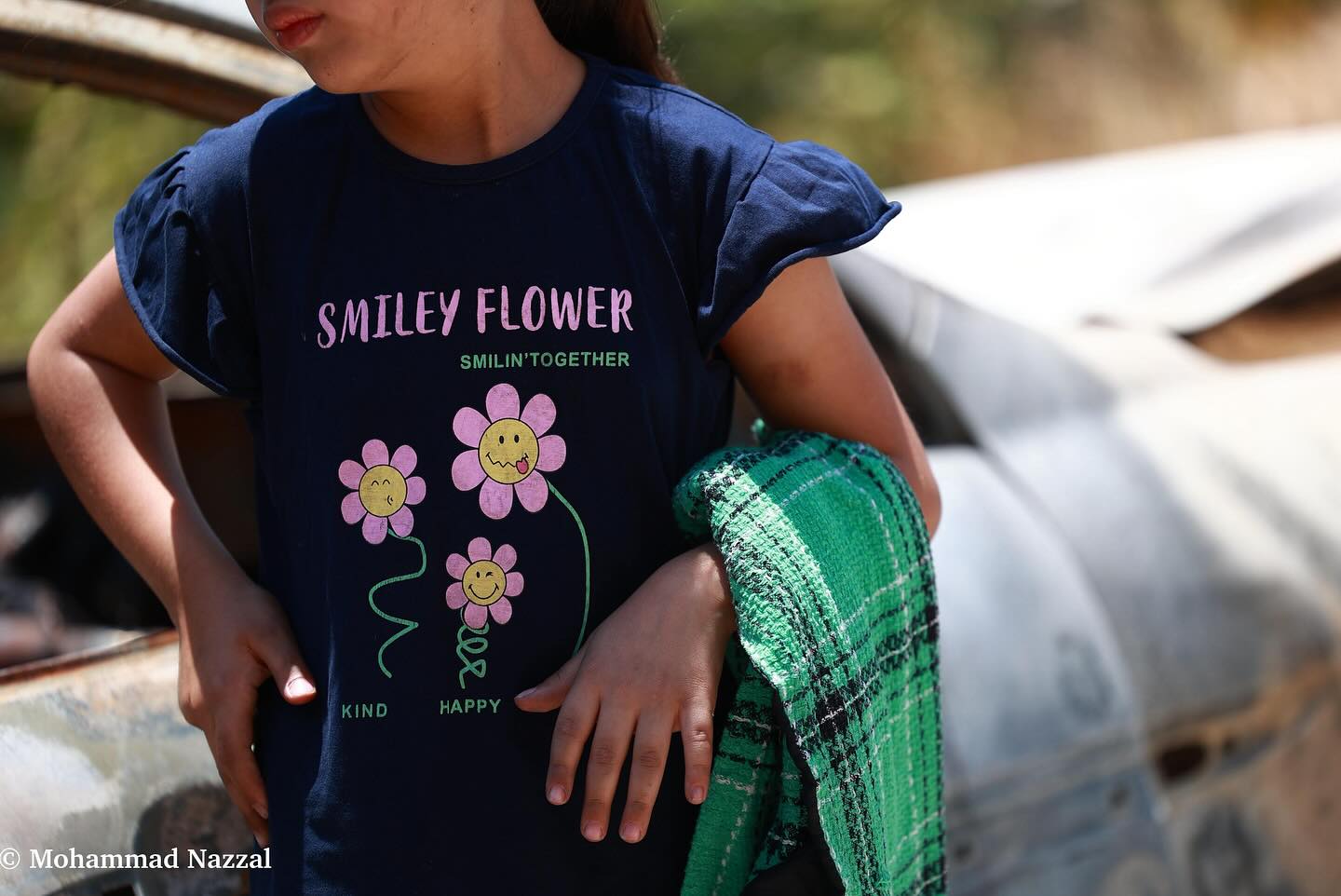
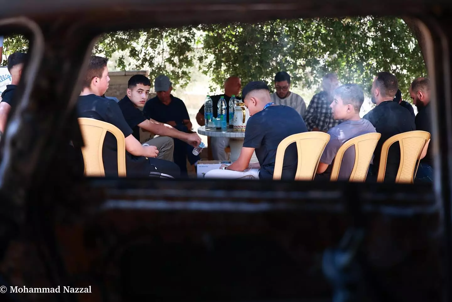
- The scene soon after the colonial settlers withdrew from our village -- Mohammad Nazza
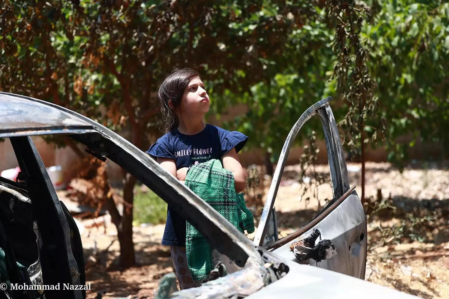
- The scene soon after the colonial settlers withdrew from our village -- Mohammad Nazza #2
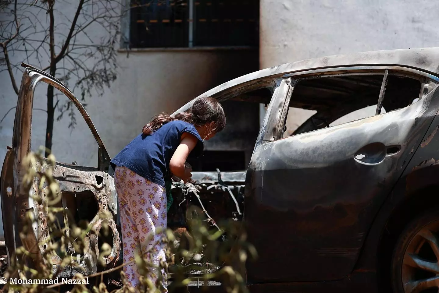
- The scene soon after the colonial settlers withdrew from our village -- Mohammad Nazza #3
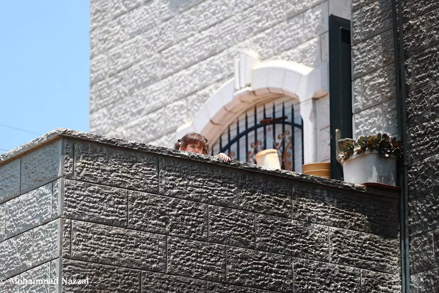
- The scene soon after the colonial settlers withdrew from our village -- Mohammad Nazza #4
- The scene soon after the colonial settlers withdrew from our village -- Mohammad Nazza #5
Want to browse more? 80,000 pictures were grouped in these gallaries:
| Display Name | Clan/Hamolah | Country of Residence |
| Hamed Abedaljawad | - | Amman, Jordan |
| Ibrahim Hamed | - | LA, USA |
| اسامه حامد | - | - |
| ahmad alhendy | - | - |
| عوني مسعود | حماد | قطر, قطر |
| bilal ayyad | ayyad | amman capital, jordan |
| خالد إدريس | عياد | - |
| ام خالد | حامد | الشارقه, الشارقه |
| يحيى مبارك | حماد | LA, LA |
| سلوادي | - | عمان, الاردن |
| Mohammed Mubarak | Hamad | fl, united states |
| Nidal Ghalyoun | - | DE, USA, usa |
| ABU ZUHAIR | hamed | sharjah, united arab emirates |
| Abdullah Hamed | - | UAE, UAE |
| maryam silwadi | Hamed | amman, jordan |
| محمود زياده | - | - |
| abdelqaderissa issa | hamed | amman |
| سلوادي | - | - |
| Amal | Hamed | Amman, Jordan |
| HANI SALEM | AYYAD | AMMAN , JORDAN |
| Taqi Salem | Ayyad | amman, Jordan |
| imad saleh | HAMED | KSA |
| wolf | - | بيت لحم, الجبعه |
| Oqab | Ayyad | - |
| eman al silwadi | - | - |
| Waleed Hamed | Hamed | Virginia, United States |
| SAMER OKAB | ayyad | - |
| lana | hammad | NJ, u.s.a |
| abo haitham | hamed | - |
| Ibrahem hamed | hamed | - |
| ABU KHALID | Hammad | - |
- حيى رجالك يا سلواد _silwad
- سلواد هو في مثلوا_silwad
- جولة في بلدة سلواد شرق مدينة رام الله Duration: 45 min 27 sec
 Fake Valor: Why Did Zionist Jews Hoist Nazis Flag on Their Ships in the 1930s?
What is new?
-
Facts About Oct. 7th Gaza Raid
-
Remined Us Please:: Who Did Rape Who? Palestinians Raped Israelis? Or, was the other way around?
-
When Prof. Edward Said was invited to debate Bibi Netanyahu in the 1980s, watch what happened!
-
Ezra Klein of the NY Times on the "Jewish Race".
-
Abusing Blood Libel!
-
Zionist FAQ: Isn't it true that Palestinians don't want peace? Palestinians never accepted the two-state solution
- Facts about Haavara (Transfer) Agreement between Ben-Gurion & Hitler
-
Haavara FAQs: Why Did Zionist Jews Hoist Nazis' Flags on Their Ships in the 1930s?
- Haavara FAQs: When Chaim Weizmann met FDR in mid-1943, why was he silent about rescuing European Jewry?
-
Dear ChatGPT: How did Palestinians resist Napoleon's invasion of their country in 1799?
-
Dear ChatGPT: Gaza had a vibrant Jewish community in the mid-17th century. What happened to them?
-
Dear ChatGPT: Why did the Jewish Agency suppress news of the Holocaust during WWII?
-
Video Playlist: Jews share their DNA tests to end the conflict for good.
-
A Tale of Two Conflicts: Examining the Definition of Genocide
-
Prof. Abraham Polak And The Suppressed History of the Khazars and European Jewry
-
How Ronald Reagan would have framed the genocide in Gaza if he were still alive?
-
Haavara FAQs: Let us do the math: how many German Jews did The Haavara Agreement save?
-
Zionist FAQs: The Hebron Massacre of 1929, "clearly proves" that Palestinians are antisemitic, how could you deny it?
-
Zionist FAQs: Why Anti-Zionist Is Not Antisemitism?
-
Zionist FAQs: Isn't it true that the KGB create Palestinian Nationalism in the early 1960s?
- Zionist FAQs: Muslims are killing Muslims all the time; why are Israeli Jews being singled out in the media?
- Zionist FAQs: How is Israel an apartheid state when 20% of its citizens are Arabs who enjoy full rights?
-
Haavara FAQs: Analysis of Herzl's Uganda Scheme and how it could have saved millions of Jews.
-
Haavara FAQs: Why did Hayim Greenberg describe American Jewry as "morally bankrupt" in early 1943?
-
Haavara FAQs: What if the Evian Conference was a resounding success? What would have been the impact of saving European Jewry on Zionism?
- Haavara FAQs: What if the six million were saved, how that would have impacted the Zionist project?
-
Haavara FAQs: How did Zionist leaders react when Europe's Jews lingered in the DP camps after WWII ended?
-
Why does the American Jewish community repeat lies that David Ben-Gurion had debunked before he died?
-
Who has the power to rename the Tatar/Khazar Gene Marker to Jewish IV?
-
Zionist FAQs: Why won't Egypt, Syria, and Jordan take their people back? Jews are indigenous to Palestine, and Arabs immigrated after Jews developed the country. Arabs should leave.
-
Haavara FAQs: Did Hitler and the Nazis conflate between Judaism and Zionist? If that wasn't case, then why?
-
Haavara FAQs: Winston Churchill and antisemitism, a collection of articles written Churchill.
-
Haavara FAQs: Broken by country, how many Jews survived vs. killed during the Holocaust?
-
Haavara FAQs: Why did European Jews vote with their feet and to immigrated to the Americas, not Palestine, after WWII?
-
Watch this American Jewish Girl describing Israeli Jews' cognitive dissonance like no other in under two minutes
-
Haavara FAQs: When the Nazis went out of their way to hide the Holocaust, Israeli Jews did the exact opposite by broadcasting their genocide of Gazans. But why?
-
Haavara FAQs: How Zionist Jews went out of their to show their appreciation to Nazism and Fascism?
- Haavara FAQs: Why Zionist leaders were against bombing the death camps & the Railroads leading to them?
-
Haavara FAQs: Hitler's message to the British and American people: If Jews are such noble citizens and you care about them, how come you're not letting them in? I will gladly ship them to you at my expense, even on luxury liners!
-
A shortlist of Zionist and Israeli false flag operations in the name Jews.
-
The Most Moral Army
- The Land of Kapos (Israel): Where the brave are boycotted and Kapos walk free.
- Why did early Zionists often named their communal enterprises "colonial"?
- Zionist Relations with Nazi Germany by Faris Glubb
-
Two NY Times advertisements by Zionists in the early 1943 that exposes Zionists' treason at the height of the calamity
- Facts Not Lies about the Palestinian-Israeli Conflict.
- Site's pictures have been categorized
- Campgain Against Lice
- A Survey of Palestine, the official source about Palestine before Nakba produced by the British Mandate; over 1200 pages.
- Satellite View & Google Earth: Over 6,000 placemarks identifying all destroyed towns, W. Bank & Gaza Strip Towns, & refugee camps.
- PalestineRemembered.com and its Nakba Oral History Project were featured on al-Jazeera Satellite TV.
- Nakba Oral History Video Podcast:
 Over 700 Oral History interviews (including 3,500+ hours of recording) can be viewed online.
 - Palestine Village Statistics Project
- Gaza Jail Break
- النسخة العربية للموقع الان متوفرة
- Videos: Documenting the destroyed villages in video: Tracing all that remains since Nakba.
- Videos: Responding to Zionist Propaganda
- Interview: The ethnic cleansing of Palestine: George Galloway interviews Israeli Historian Ilan Pappe.
- For Palestinians, memory matters. It provides a blueprint for their future By George Bisharat.
- Zionist FAQ now available in Hebrew שאלות שציונים שואלים, עכשיו בעברית
- Video: The Stephen Walt and John Mearsheimer report on the influence of the Israel Lobby on U.S. Foreign Policy
- The Palestinian-Israeli conflict for beginners
