| PalestineRemembered | About Us | Oral History | العربية | |
| Pictures | Zionist FAQs | Haavara | Maps | |
| Search |
| Camps |
| Districts |
| Acre |
| Baysan |
| Beersheba |
| Bethlehem |
| Gaza |
| Haifa |
| Hebron |
| Jaffa |
| Jericho |
| Jerusalem |
| Jinin |
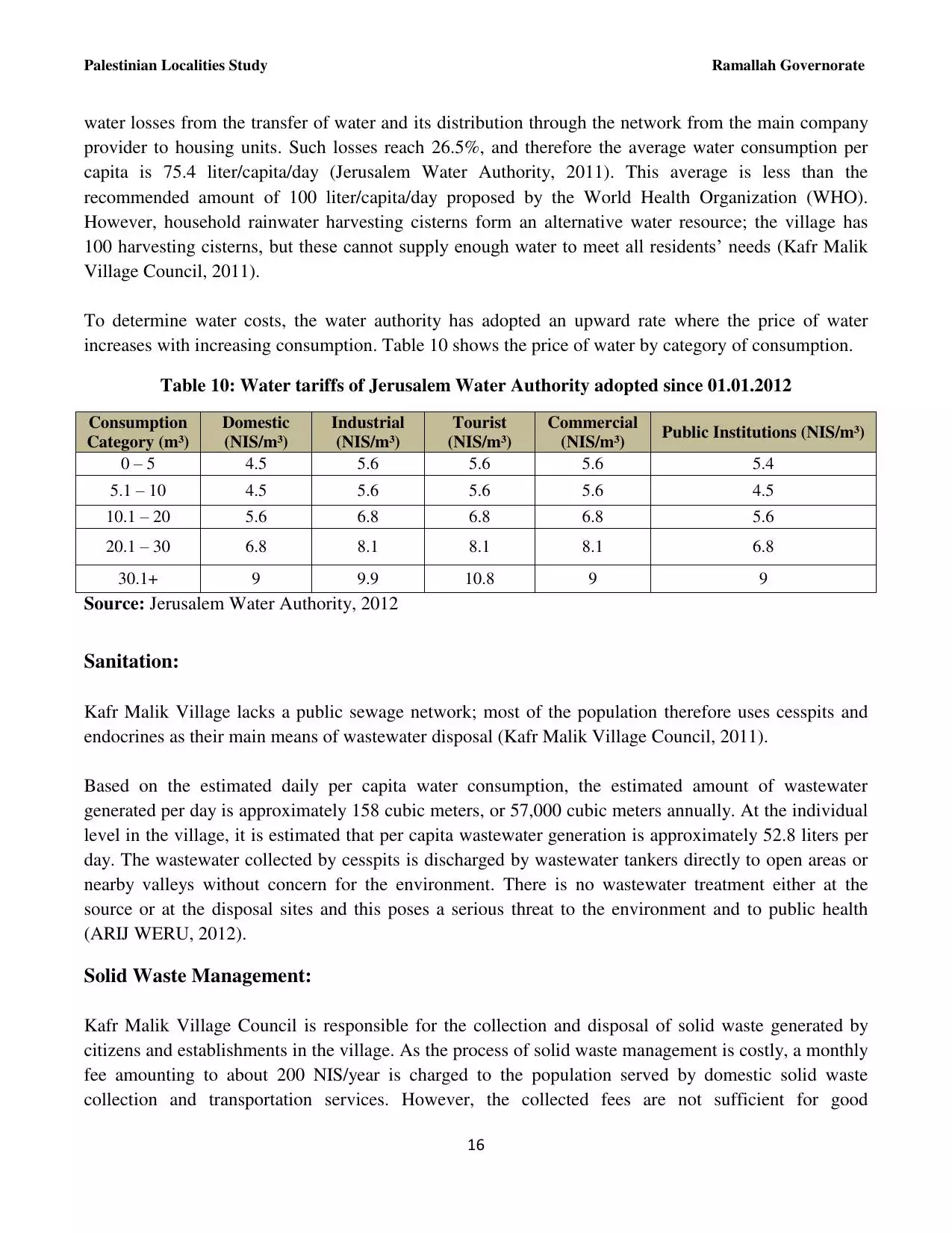
| Nablus |
| Nazareth |
| Ramallah |
| al-Ramla |
| Safad |
| Tiberias |
| Tulkarm |
| Donate |
| Contact |
| Profile |
| Videos |
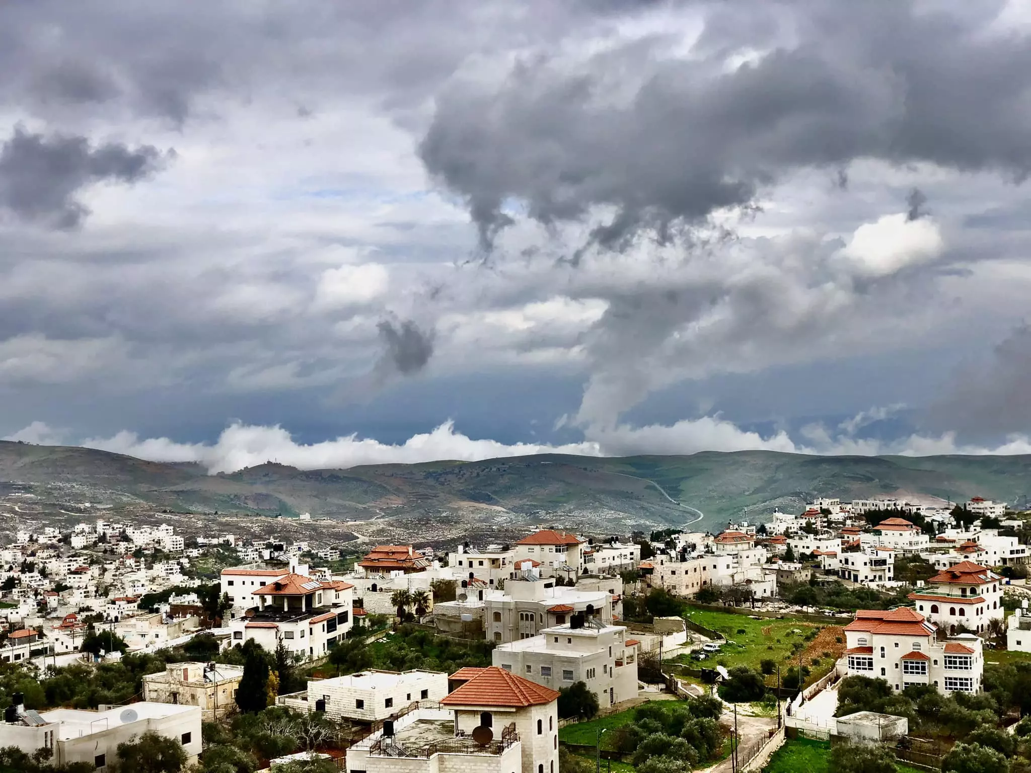
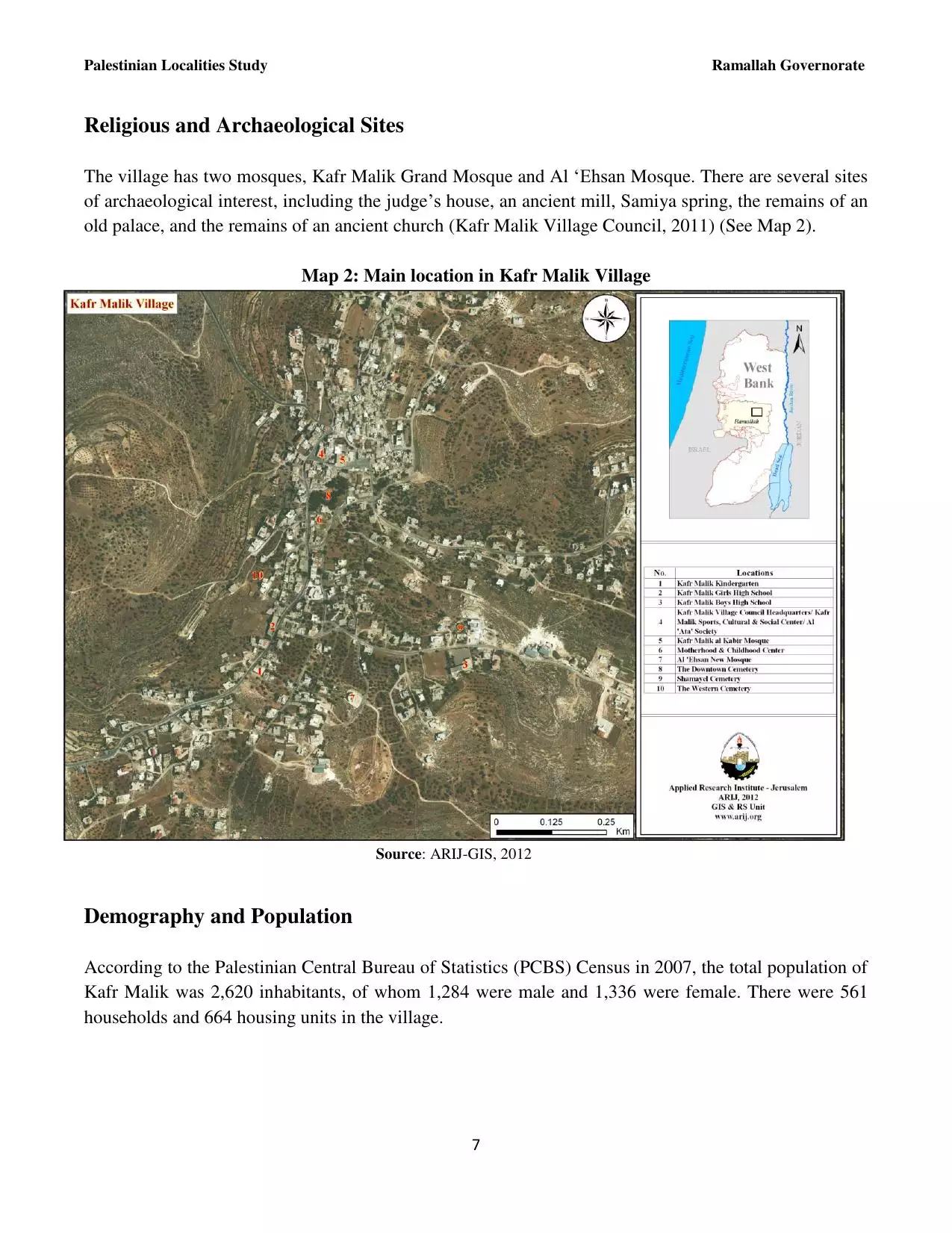
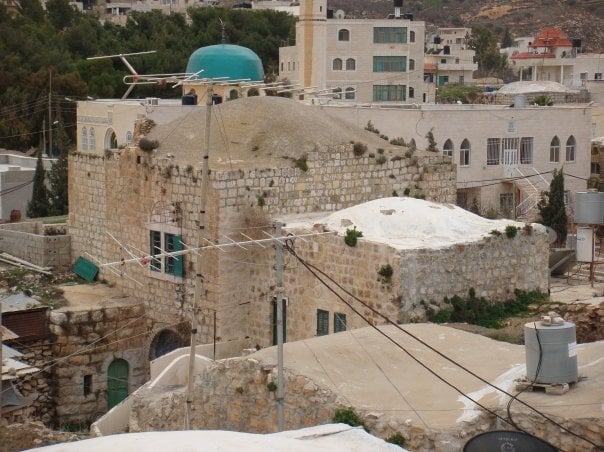
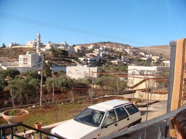
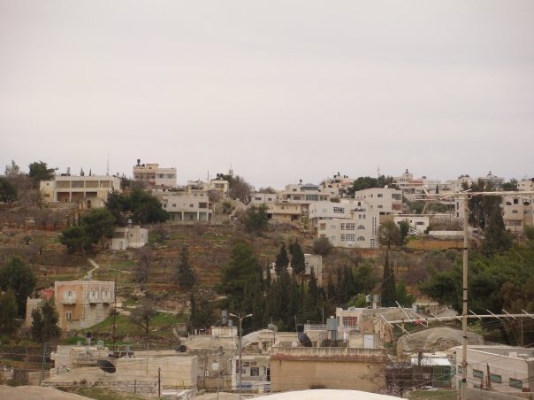
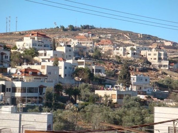
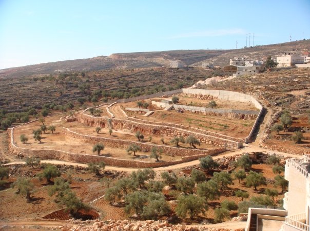
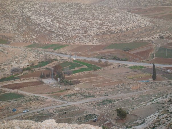
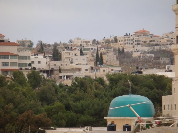
Welcome To Kafr Malik - كفر مالك (כפר מאליכ)
|
District of Ramallah
Occupied days ago |
العربية Google Earth |
 |
Gallery (174) |
- Statistics & Facts
-
Before & After

- Satellite View
- Articles 4
- Pictures 174
- Mayrters & Prisoners 1
- Members 12
- Families
- Wikipedia
- ARIJ Guide
- Videos 5
- Guest Book 14
- Links 1
| Statistic & Fact | Value | ||||||||||||||||||||
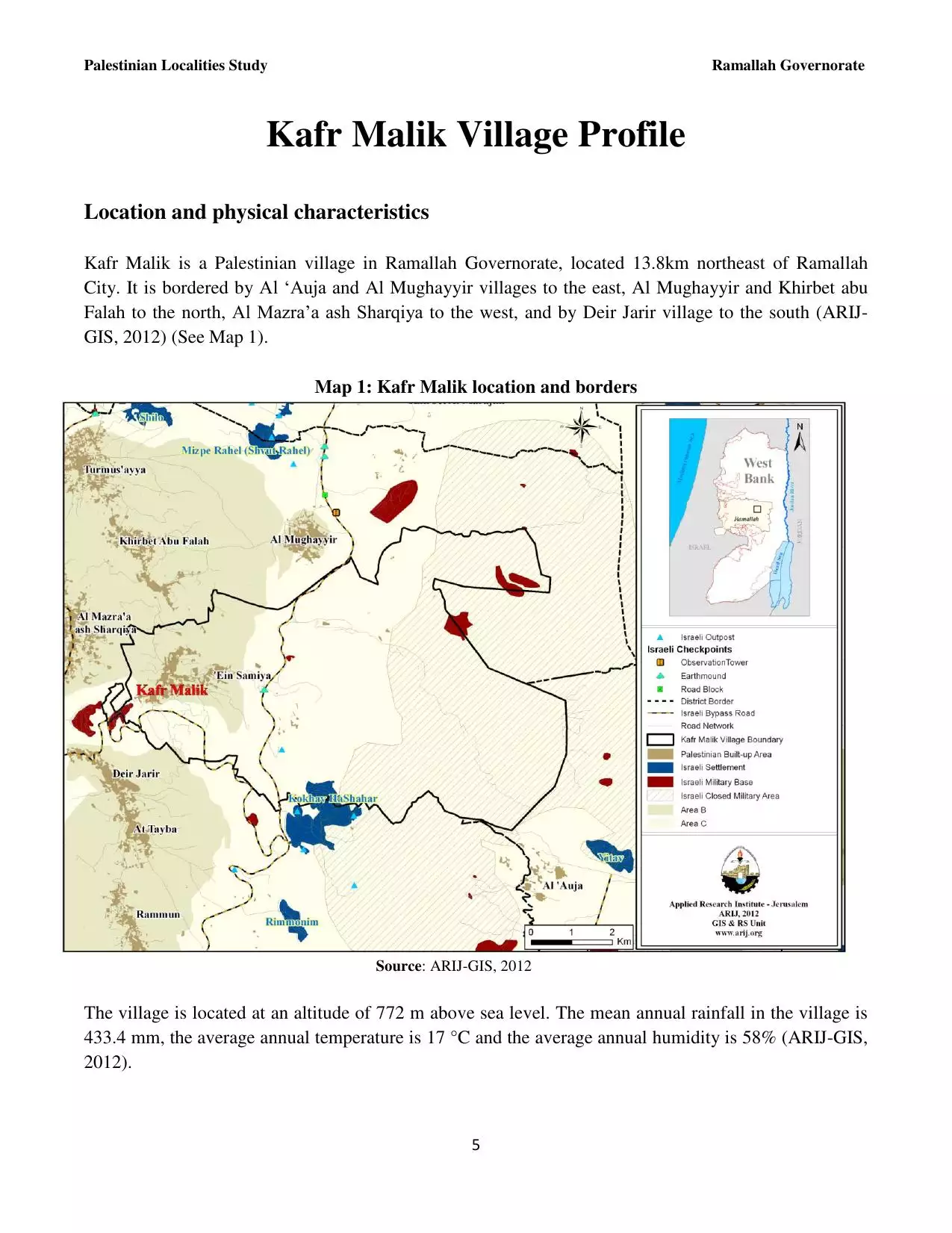
| Distance From District | 17 km northeast of Ramallah | ||||||||||||||||||||
| Elevation | 780 meters | ||||||||||||||||||||
| Before & After Nakba, Click Map For Details |
|||||||||||||||||||||
|
|||||||||||||||||||||
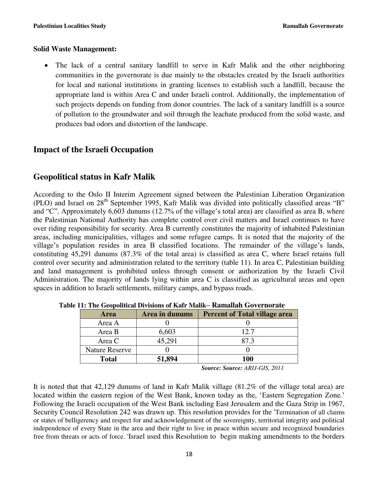
| Land Ownership |
**Town Lands' Demarcation Maps |
||||||||||||||||||||
| Land Usage As of 1945 |
|
||||||||||||||||||||
| Population |
|
||||||||||||||||||||
| Near By Towns |
|||||||||||||||||||||
|
|||||||||||||||||||||
| Featured Video | |||||||||||||||||||||
| ARIJ Guide | |||||||||||||||||||||
3.

4. 
5. 
6. 
7. 
8. 
9. 
10. 
11. 
12. 
13. 
14. 
15. 
16. 
17. 
18. 
19. 
20. 
21. 
22. 
Click here to browse online. |
|||||||||||||||||||||
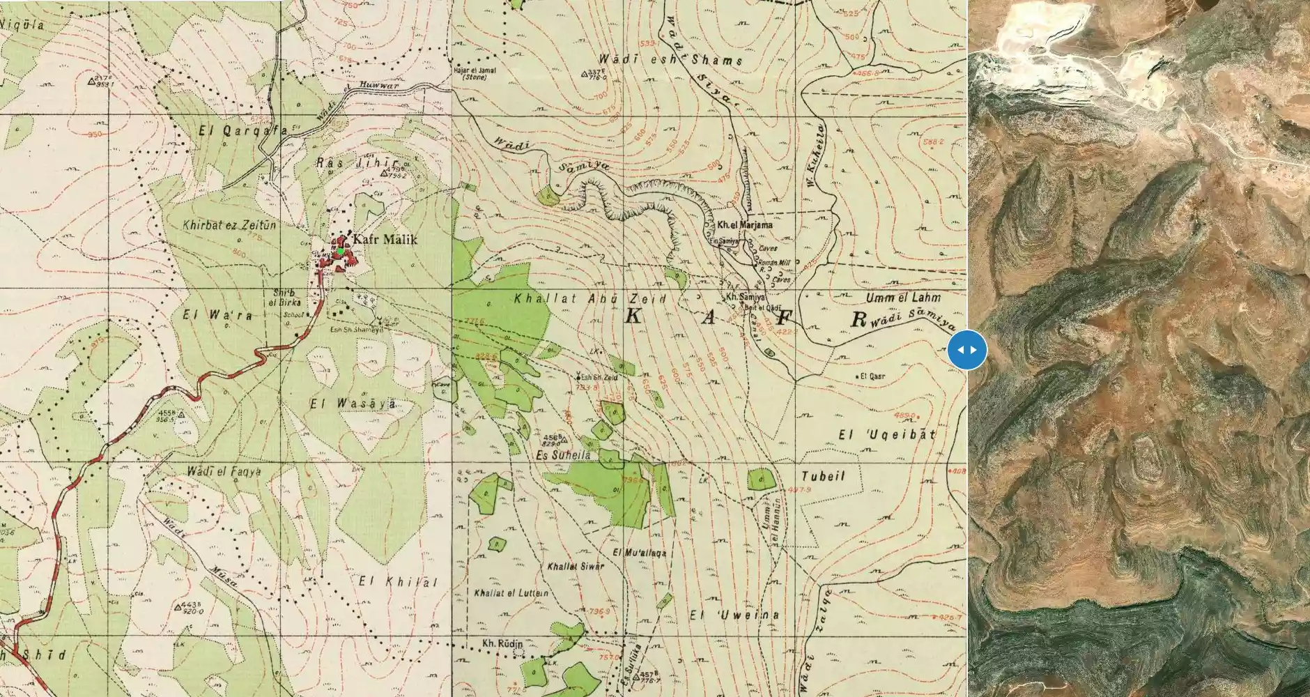
| Related Maps | Town Lands' Demarcation Maps خرائط للقضاء توضح حدود القرى والاودية View from satellite Town's map on MapQuest Help us map this town at WikiMapia |
||||||||||||||||||||
| Related Links | Wikipedia's Page Facebook Page ARIJ Guide Google Search Google For Images Google For Videos في كتاب بلادنا فلسطين دليل أريج المزيد من موقع هوية |
||||||||||||||||||||
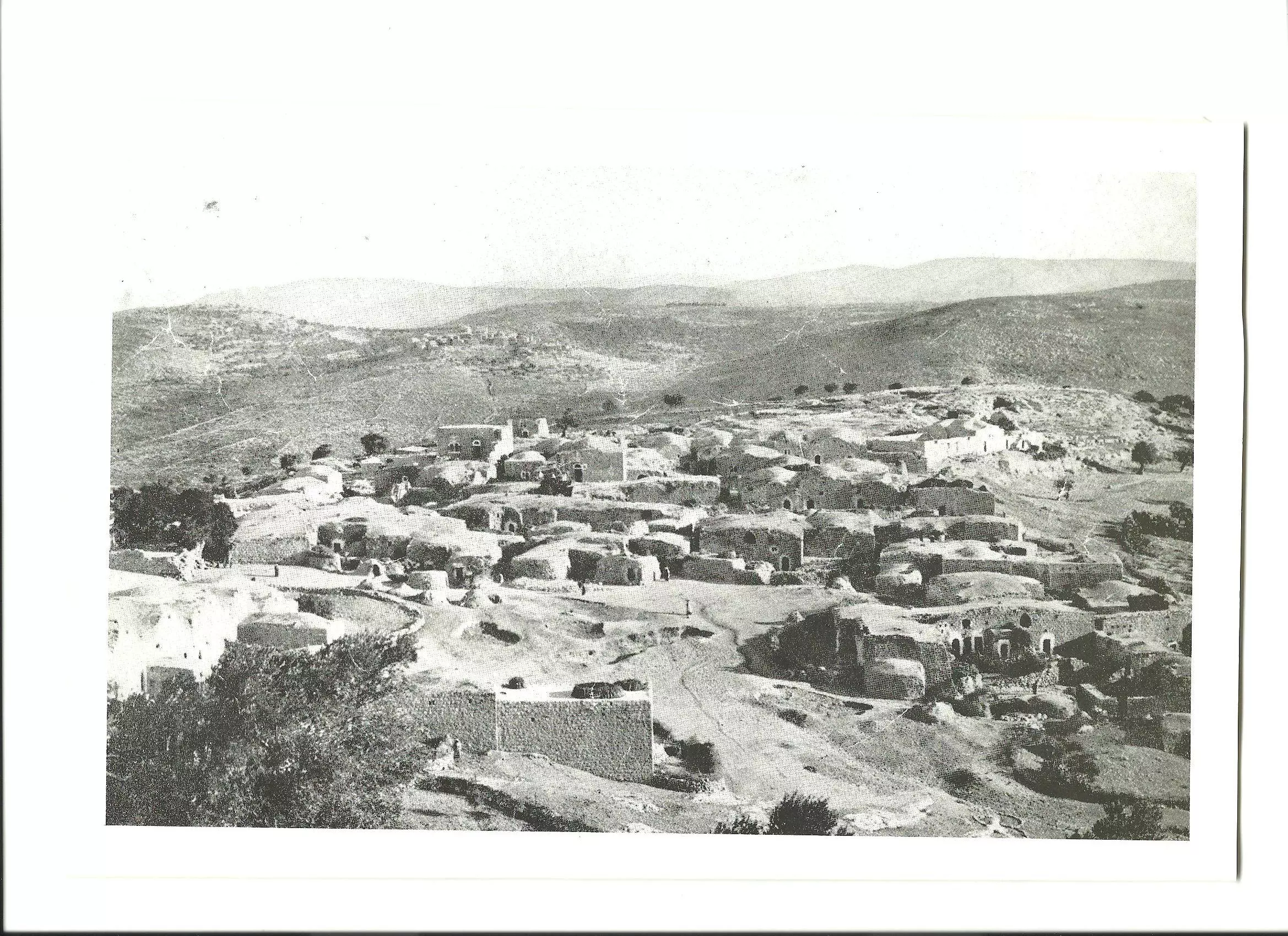
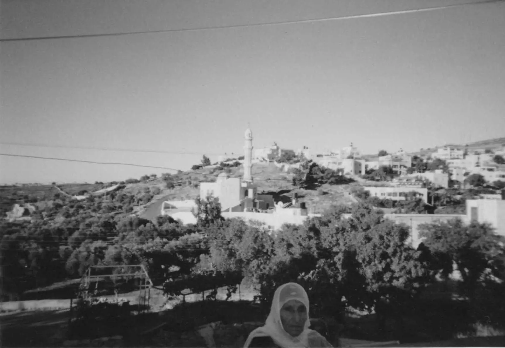
- كفرمالك عام 1920 من مجلة ناشيونال جيوكرافك
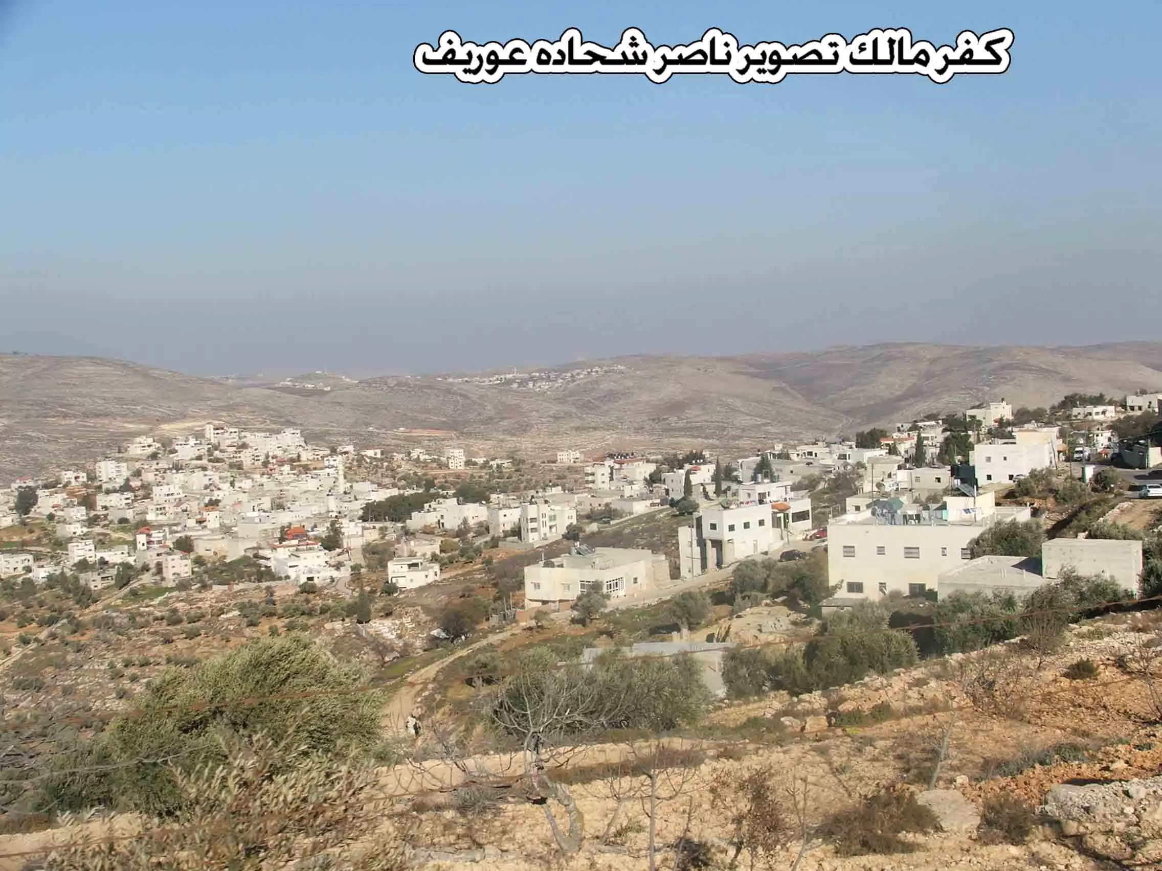
Posted by أبو غيث 2 - قرية كفر مالك تصوير ناصر شحاده عوريف 0507559901
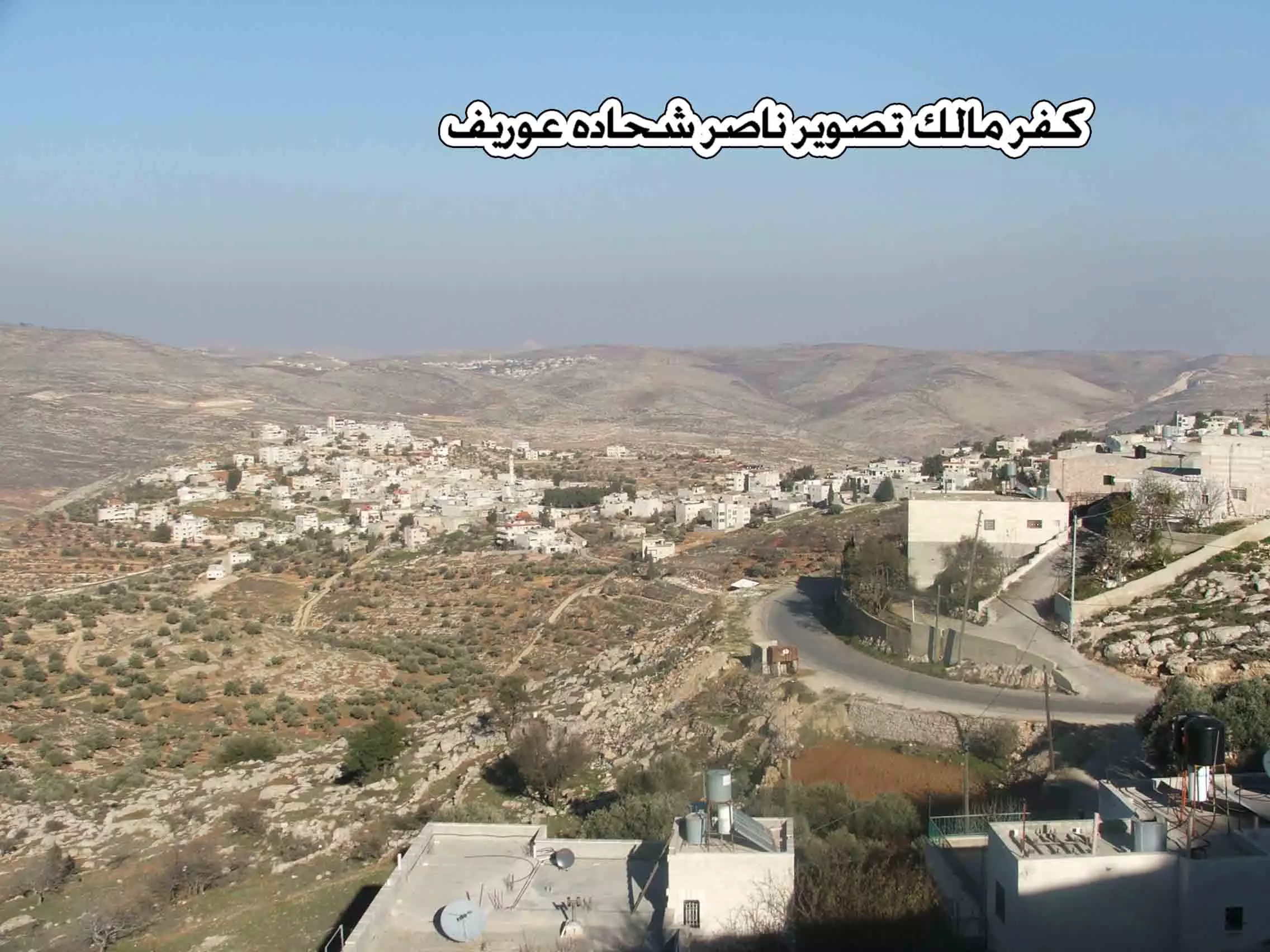
Posted by naser abed 6 - قرية كفر مالك تصوير ناصر شحاده عوريف 0507559901
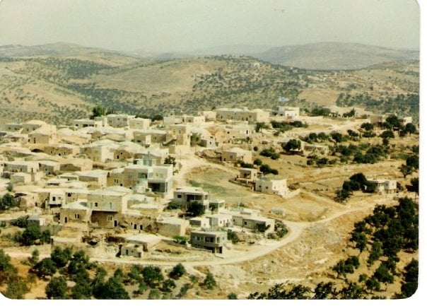
Posted by naser abed 1 - كفرمالك قديما
Posted by احمد المالكي 2 - قرية كفر مالك تصوير ناصر شحاده عوريف 0507559901

Posted by naser abed 1 - قرية كفر مالك تصوير ناصر شحاده عوريف 0507559901
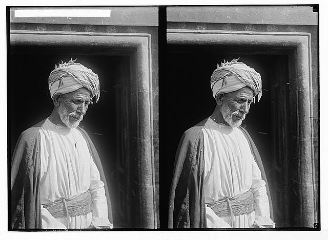
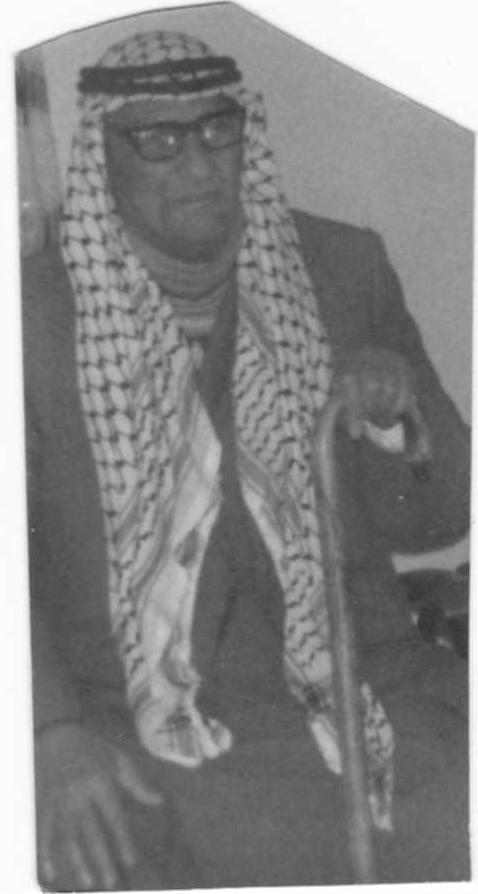
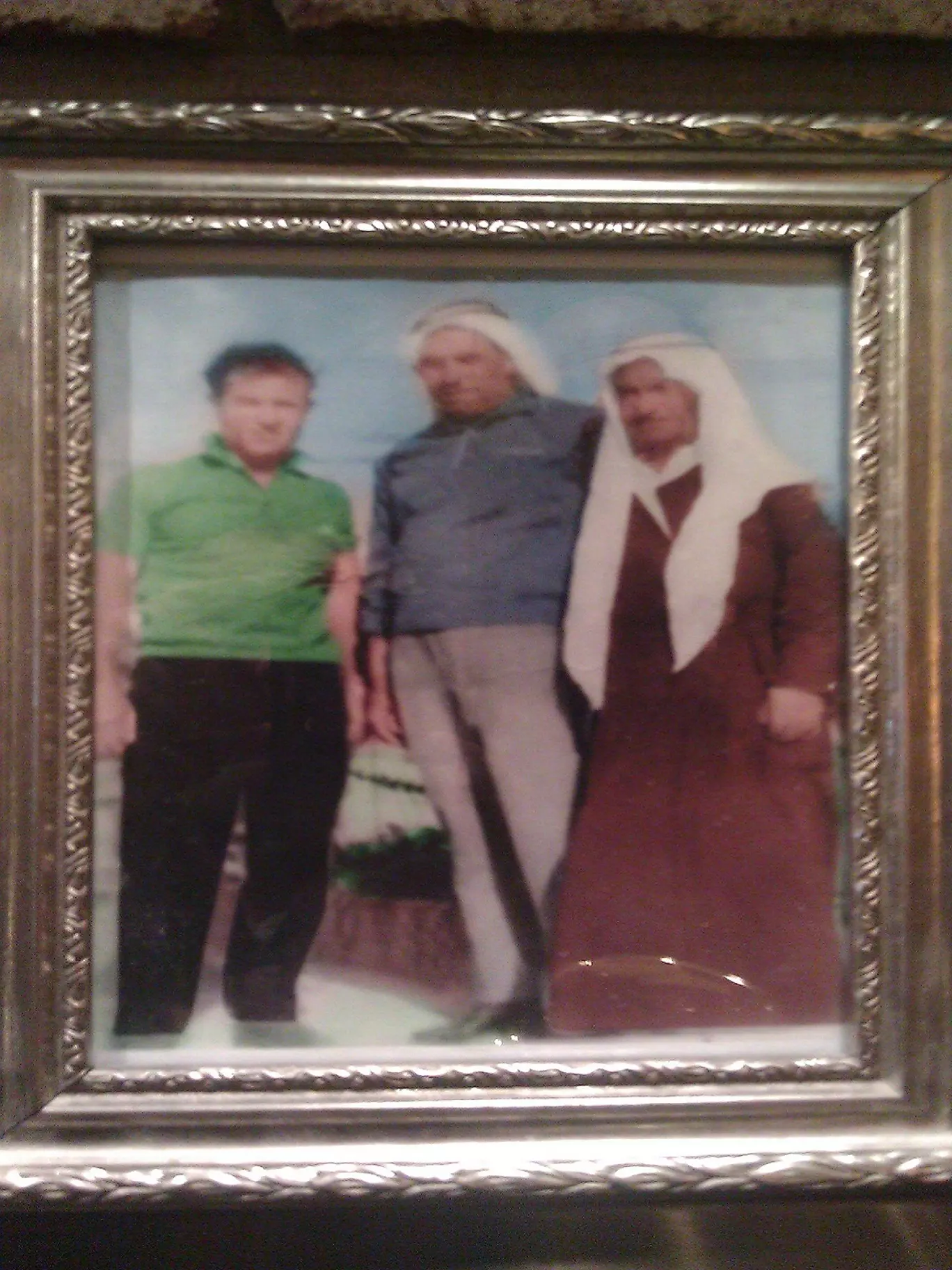
Posted by naser abed 5 - أحد شيوخ كفر مالك
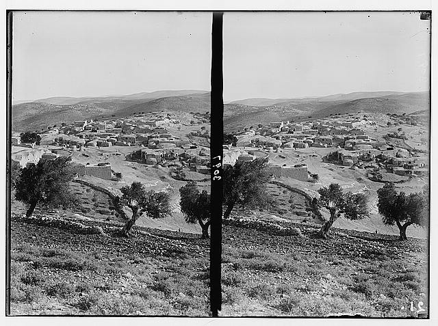
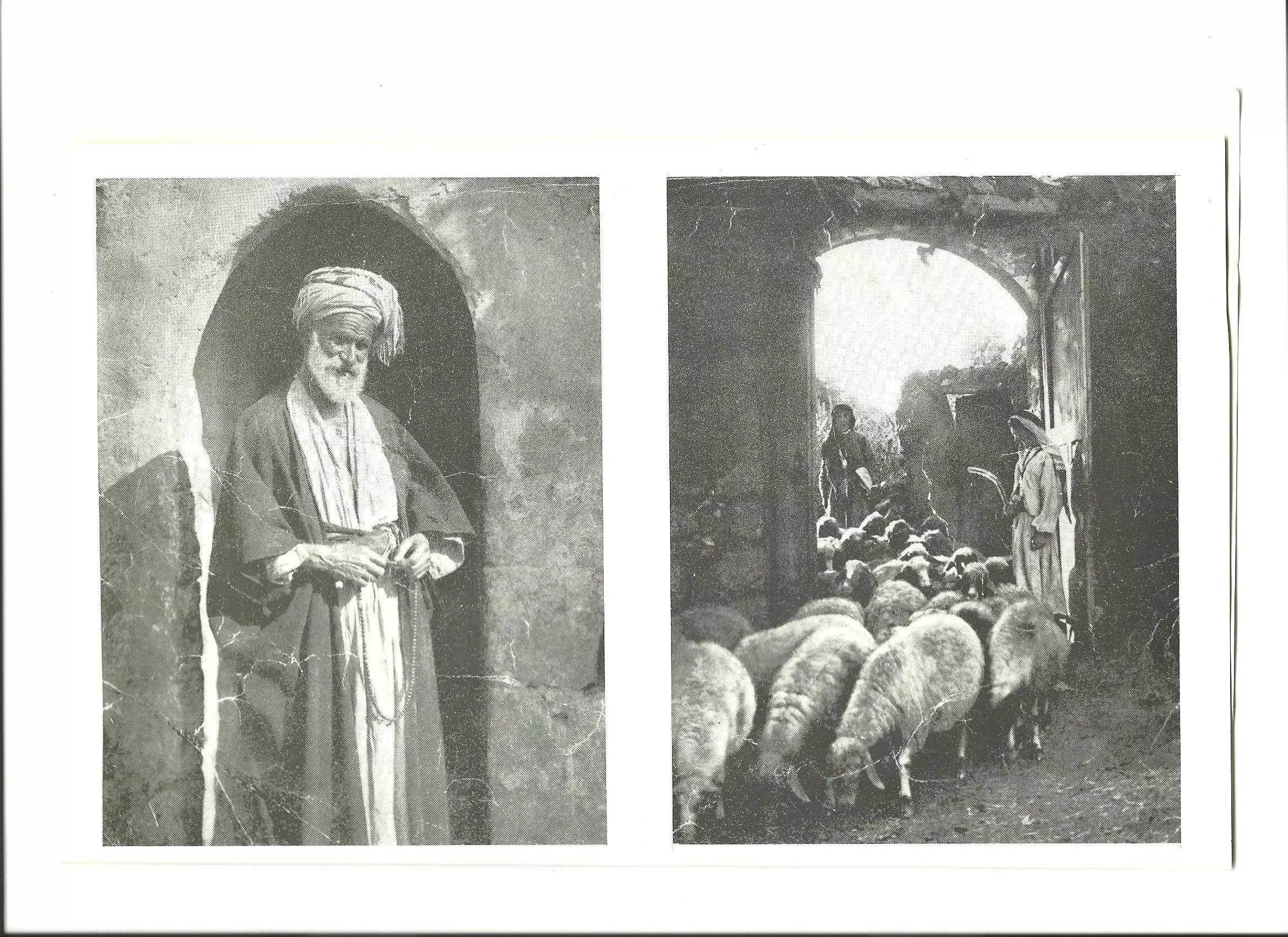
Posted by ابو عمر 1 - كفر مالك في عشرينيات القرن العشرين -هدية من صفافي
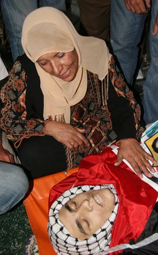
Posted by ابو عمر 7 - الشهيد عبد العزيز بعيرات
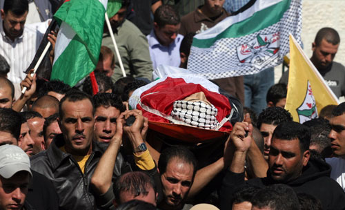
Posted by جابر ابورستم 4 - الشهيد عبد العزيز بعيرات 2
Posted by جابر ابورستم 1 - كفرمالك
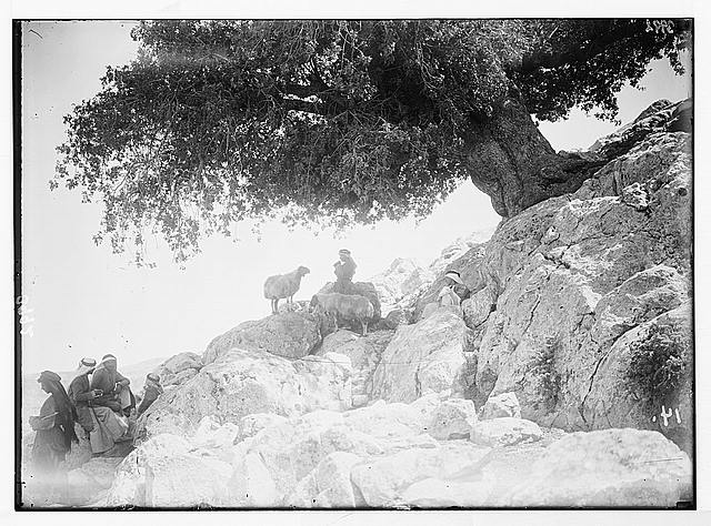
Posted by فؤاد النيص 2 - رعاة الغنم في قيلولة تحت ظل بلوطة قرب عين سامية -هدية من صفافي-
Posted by ابو عمر 2 - Kafr Malik
Posted by Ahmad Saeed 1 - Kafr Malik
Posted by Ahmad Saeed - kafr malik
Posted by Ahmad Saeed - kafr Malik
Posted by Ahmad Saeed - Montaz3 3bdalla
Posted by Ahmad Saeed - AlBayadill
Posted by Ahmad Saeed 1 - Al mahami
Posted by Ahmad Saeed 1 - Alhara Afork
Posted by Ahmad Saeed - Alhara al wasta

Posted by Ahmad Saeed - Innagama
Posted by Ahmad Saeed 2 - Ras Alimtar 2
Posted by Ahmad Saeed 1 - Sa7r Samiya
Posted by Ahmad Saeed - Madlasit Kafr Malik Aljadeda
Posted by Ahmad Saeed 1 - Al-Jam3 aljaded
Posted by Ahmad Saeed - كفرمالك
Posted by احمد المالكي 1 - كفرمالك من الجهة الغربية
Posted by احمد المالكي 1 - كفرمالك الحارة الشرقية
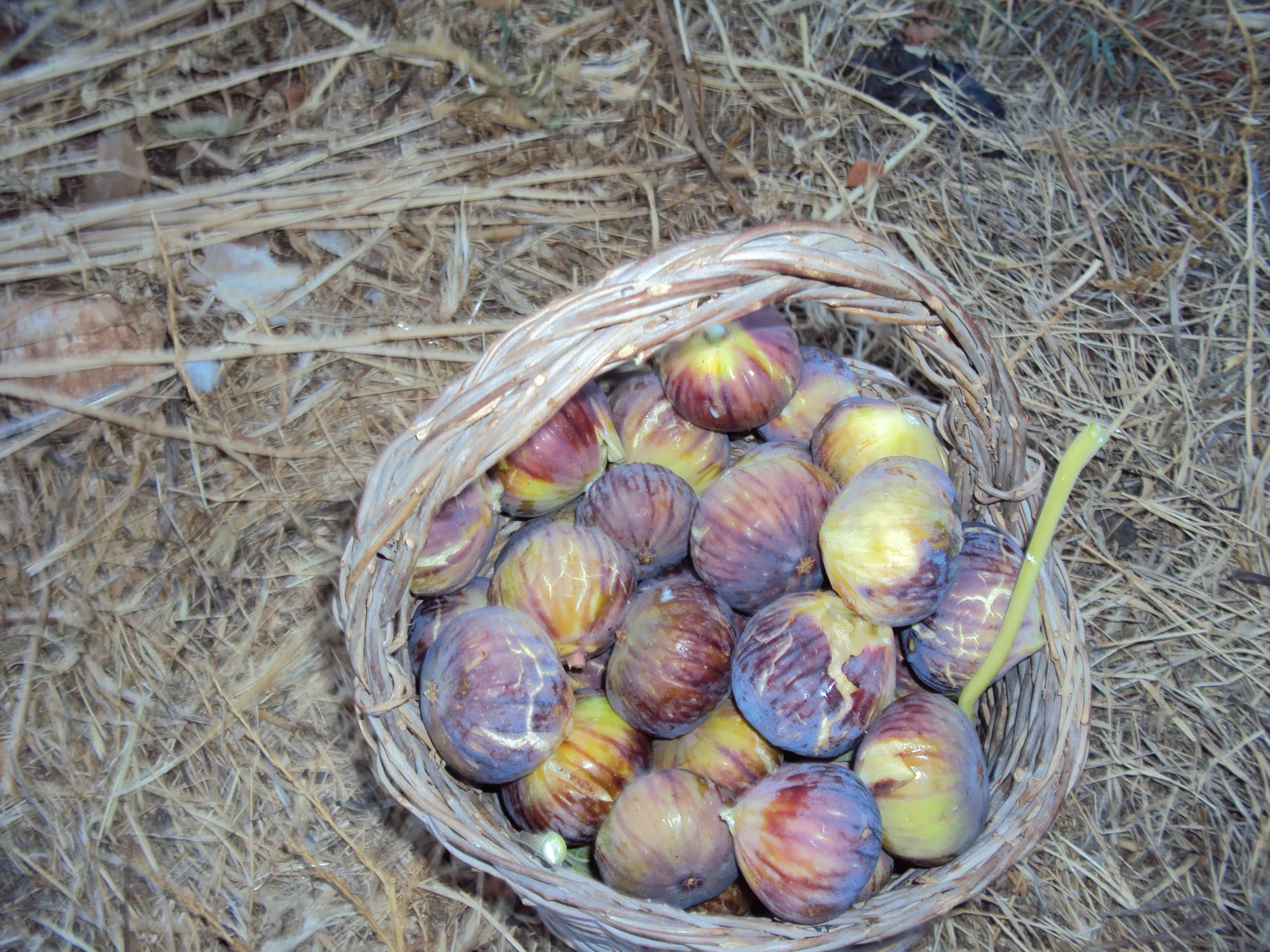
Posted by احمد المالكي 1 - كفرمالك الكرم
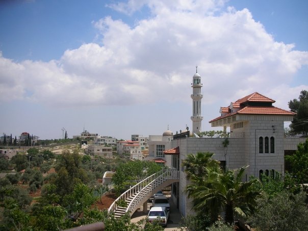
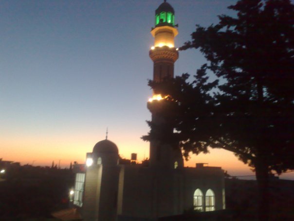
Posted by احمد المالكي 1 - المسجد الجديد
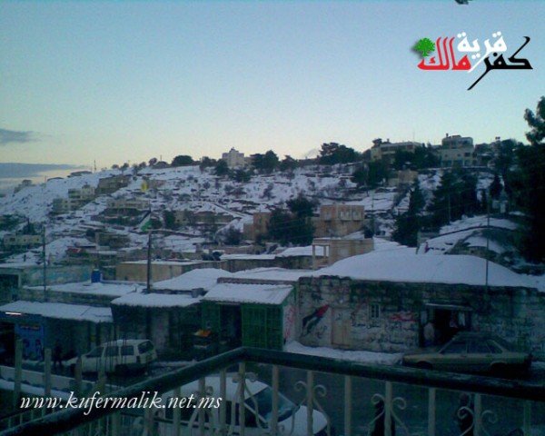
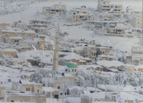
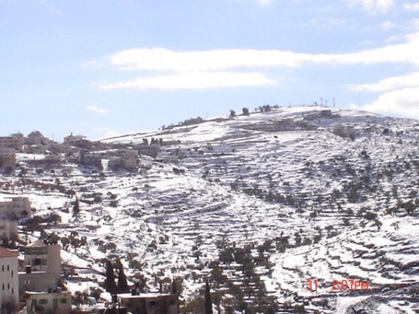
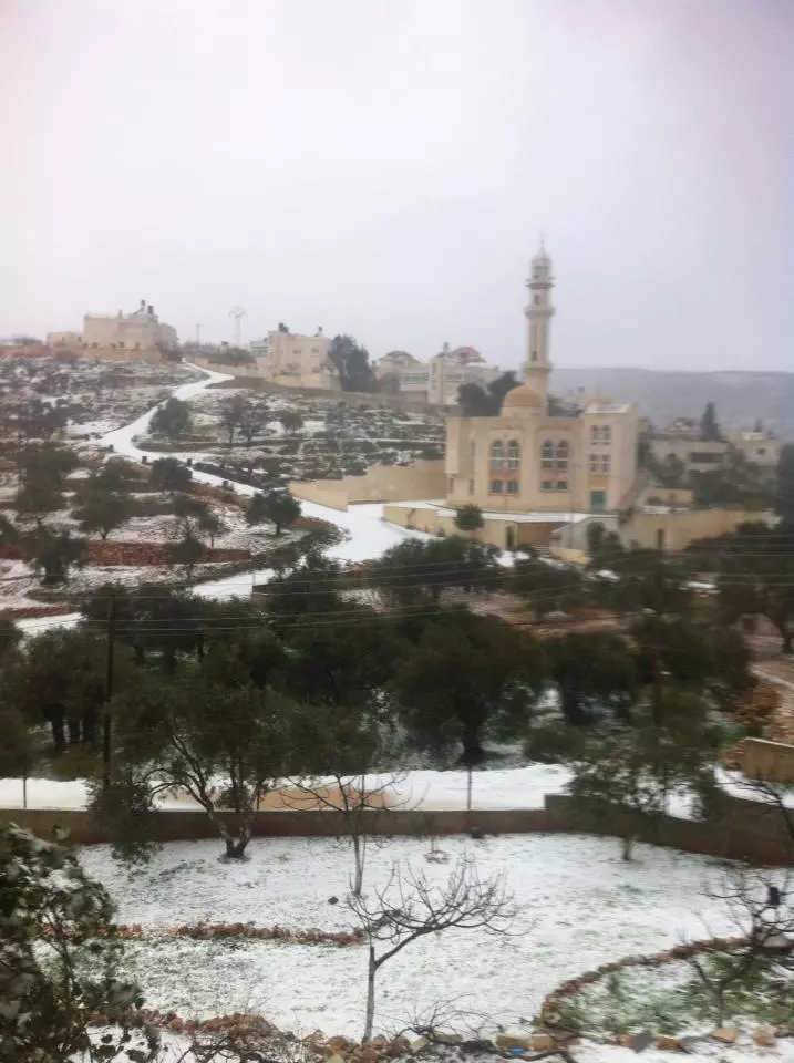
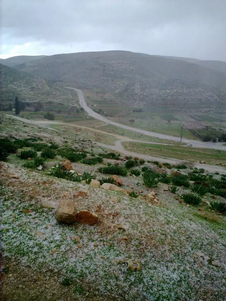
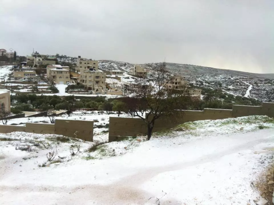
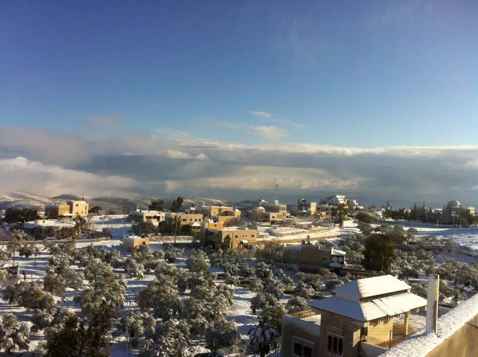
Posted by احمد المالكي 3 - شتاء كفرمالك
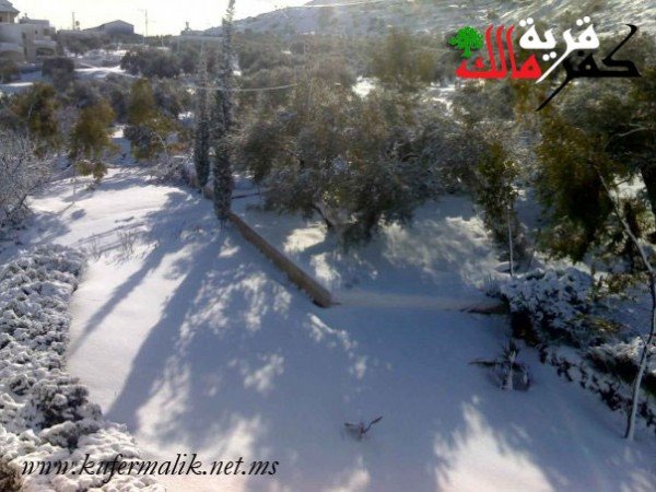
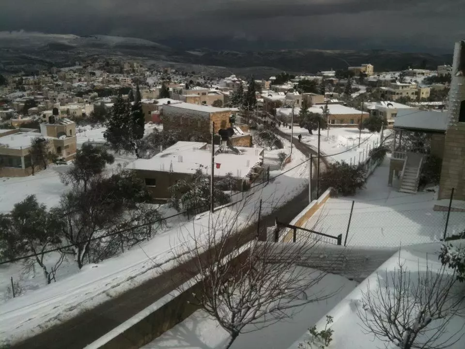
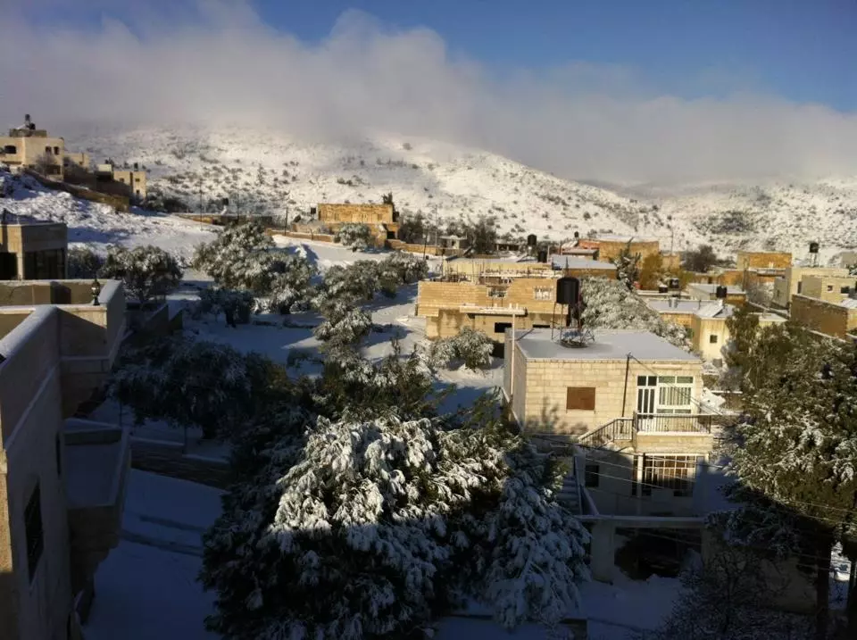
Posted by احمد المالكي 1 - شتاء كفرمالك
Posted by احمد المالكي 1 - كفرمالك2
Posted by احمد المالكي - كفرمالك راس الجهير
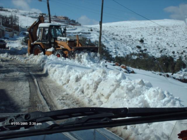
Posted by احمد المالكي - snow
Posted by احمد المالكي - snow
Posted by احمد المالكي - حارت الكرم
Posted by Ahmad Saeed - kafermalik 1995 snow
Posted by احمد المالكي 1 - عين سامية
Posted by احمد المالكي - عين سامية 2
Posted by احمد المالكي - عين سامية 3
Posted by احمد المالكي 1 - المسجد الجديد 2
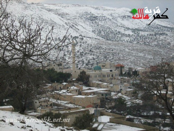
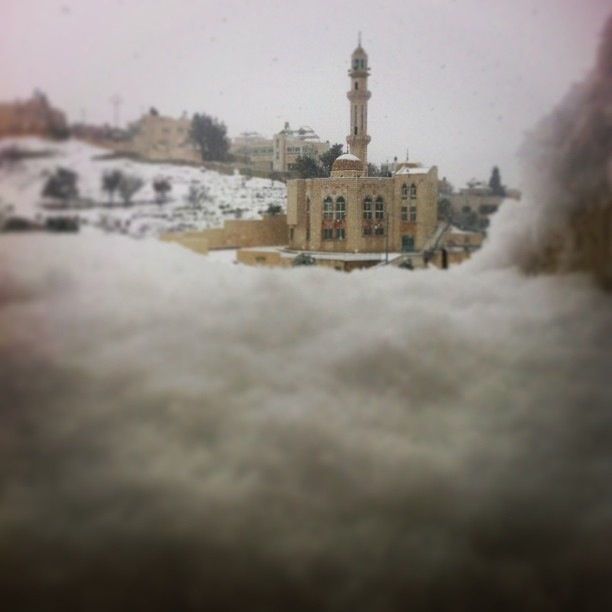
Posted by احمد المالكي 1 - كفرمالك مكسوة بالتلج
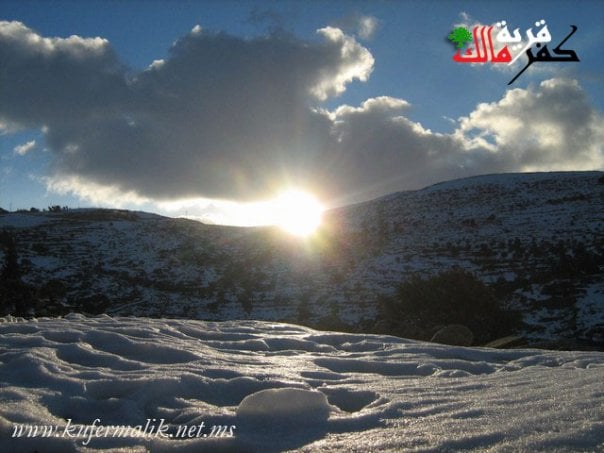
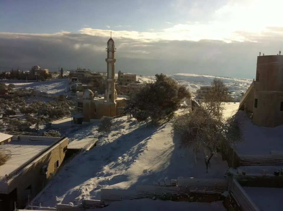
Posted by احمد المالكي - غروب الشمس مع التلج
Posted by احمد المالكي - من ريجال كفر مالك
Posted by Ahmad Saeed 1 - كفرمالك المنطقة الشركيرة قبل ٢٥ سنه
Posted by Ahmad Saeed - راس المطل قبل ٢٤ سنه
Posted by Ahmad Saeed - الشيخ أبو داود صورة من عام 1920
Posted by أبو غيث - Alm3lak 2
Posted by Ahmad Saeed - Alm3lak
Posted by Ahmad Saeed - Alsayafer 2
Posted by Ahmad Saeed - Harat Altalbi3
Posted by Ahmad Saeed - Ras Almital
Posted by Ahmad Saeed 1 - Ras Aljel
Posted by Ahmad Saeed - الخطاط عبد الرحمان صالح ٢
Posted by Ahmad Saeed - الخطاط عبد الرحمان صالح
Posted by Ahmad Saeed 1 - حارت شمايل ٢
Posted by Ahmad Saeed - حريكة عقبة ٢
Posted by Ahmad Saeed - حارت شمايل
Posted by Ahmad Saeed - حريكة عقبة ٢

Posted by Ahmad Saeed - خامع البلاد القديم
Posted by Ahmad Saeed - دار البياع
Posted by Ahmad Saeed - راس الجهير ٢
Posted by Ahmad Saeed - عان ساميا بيت القاضي
Posted by Ahmad Saeed - علية البعيرات
Posted by Ahmad Saeed - علية الحمايل
Posted by Ahmad Saeed - عين سامية ٣
Posted by Ahmad Saeed - عين سامية الطحونه
Posted by Ahmad Saeed - عين سامية المرجمه
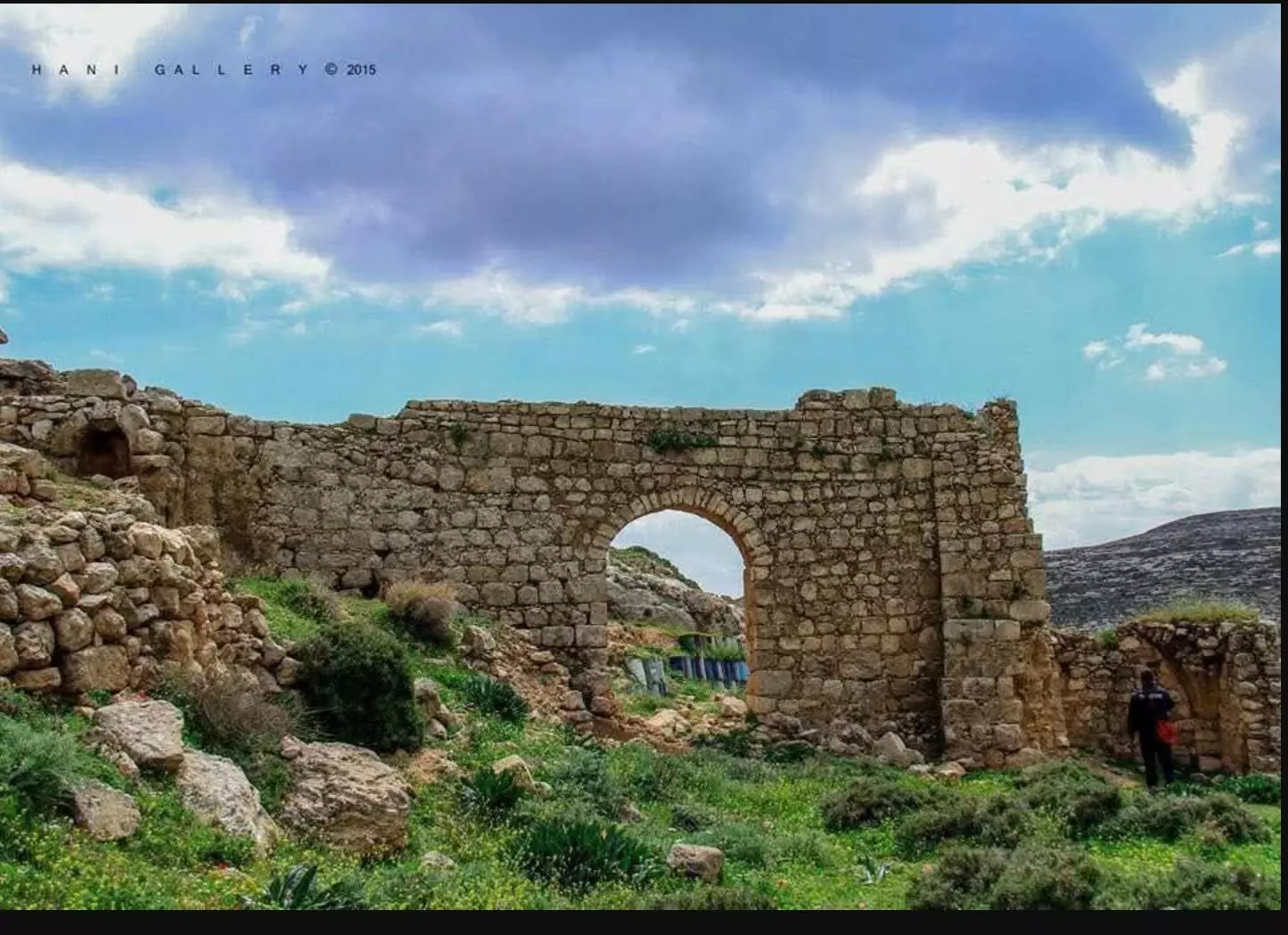
Posted by Ahmad Saeed - البلدة القديمة
Posted by احمد المالكي - المسجد القديم
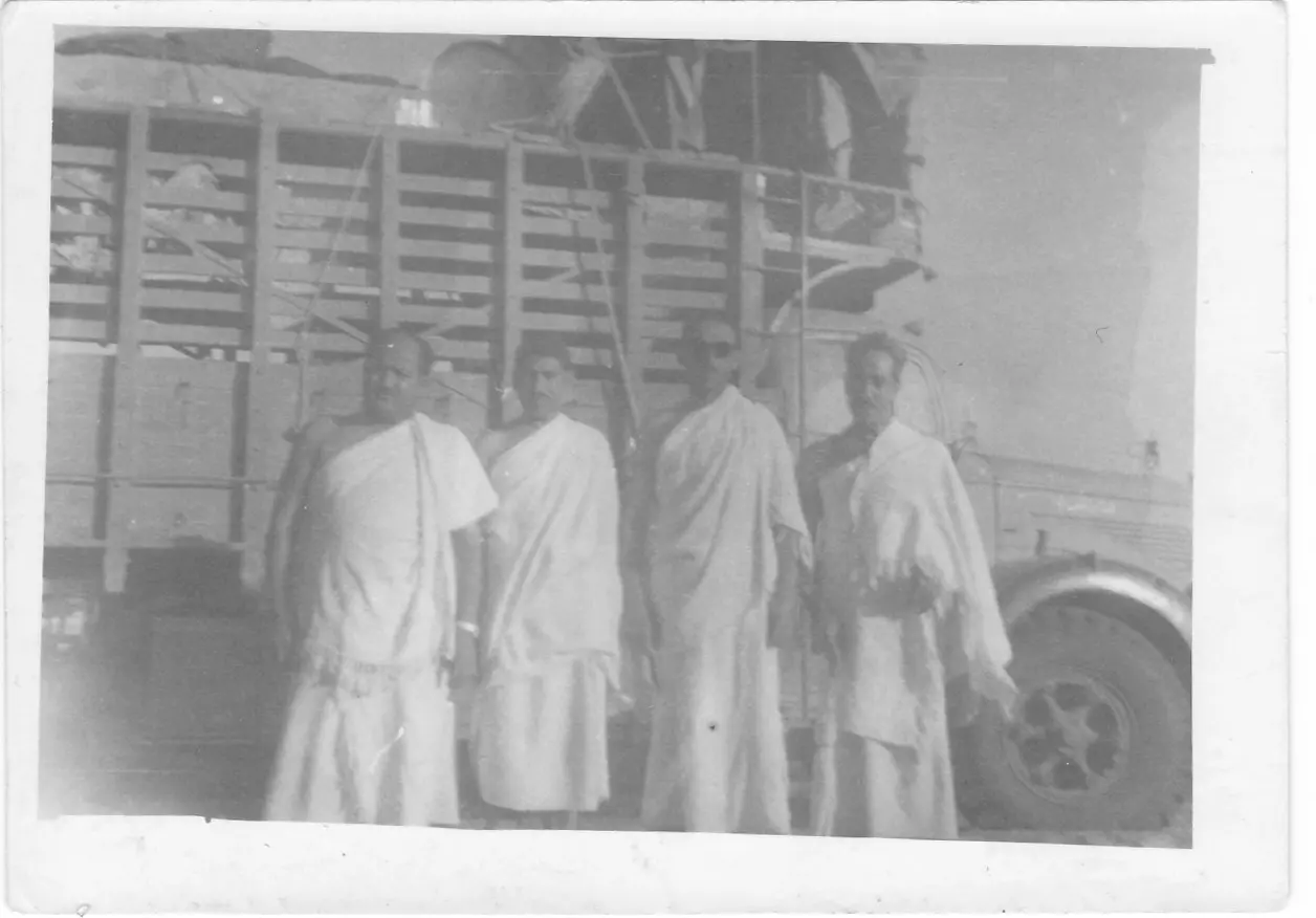
Posted by احمد المالكي - رجال كفرمالك تؤفي سنة ١٩٧٣
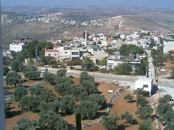
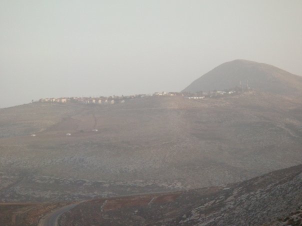
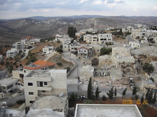
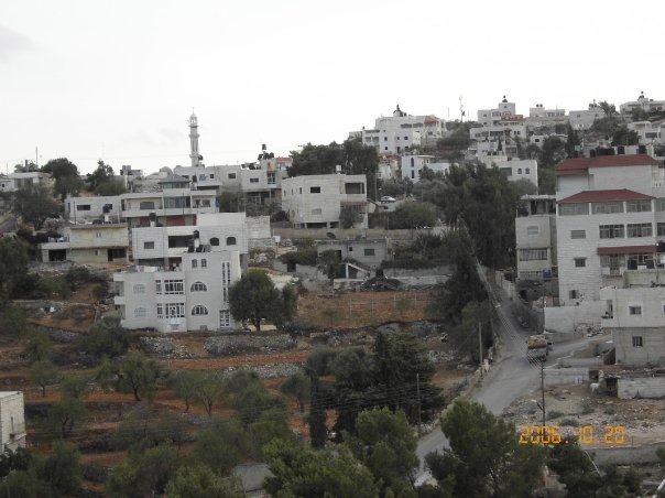
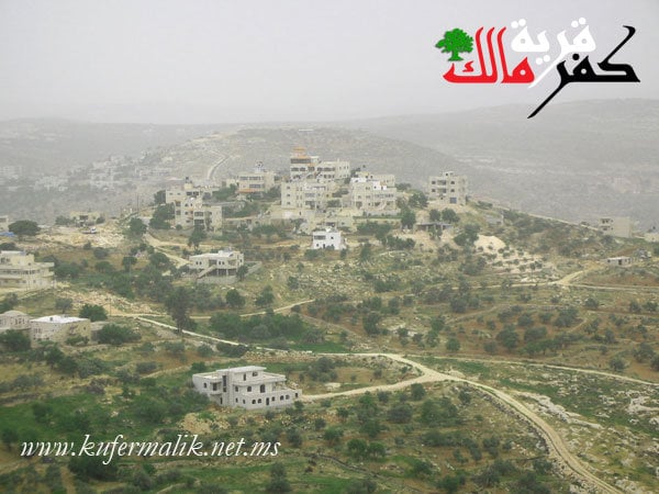
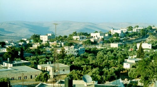
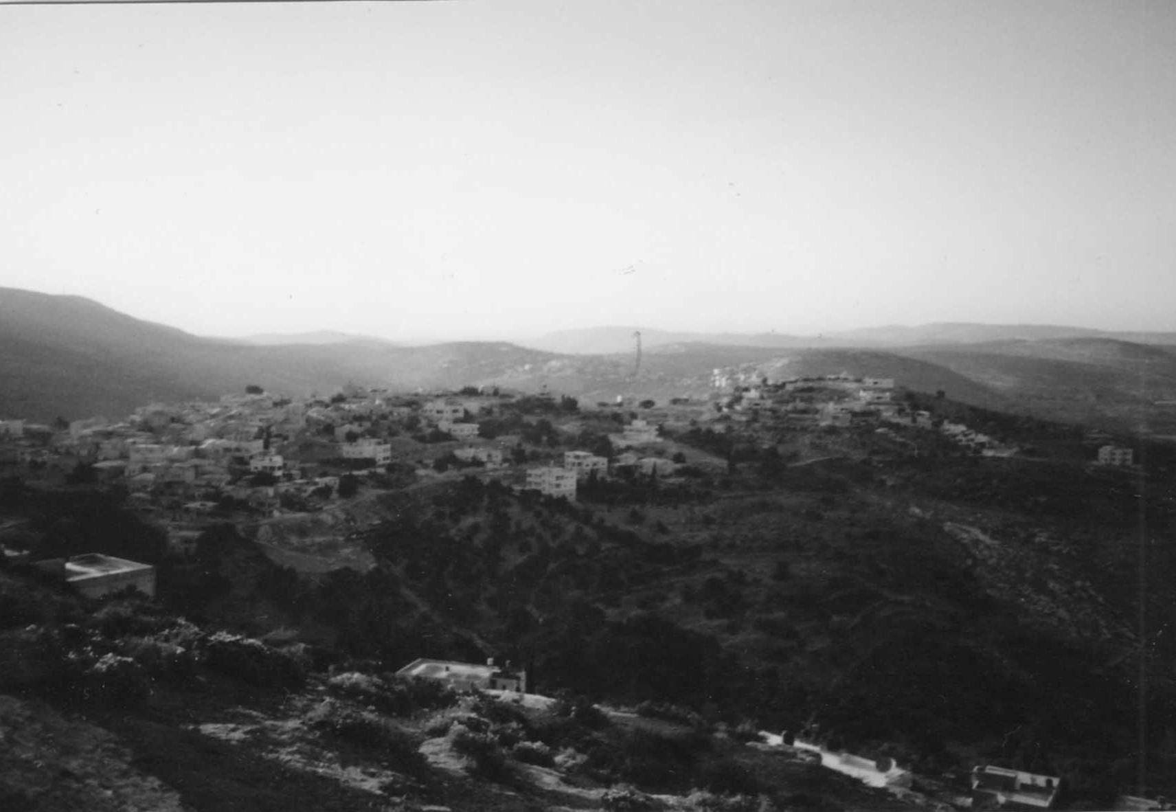
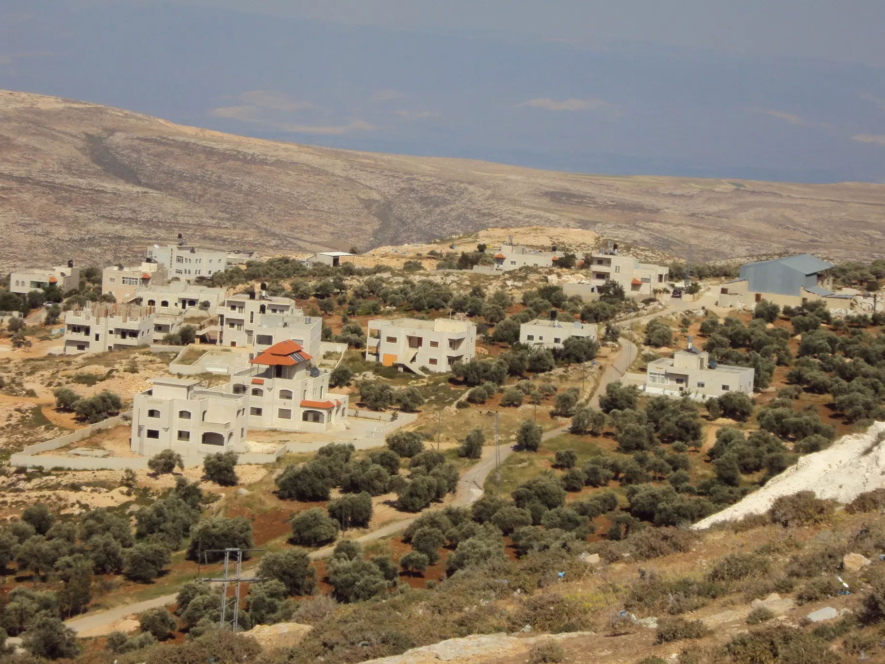
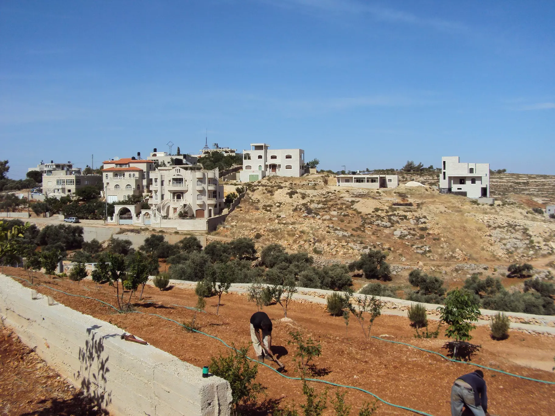
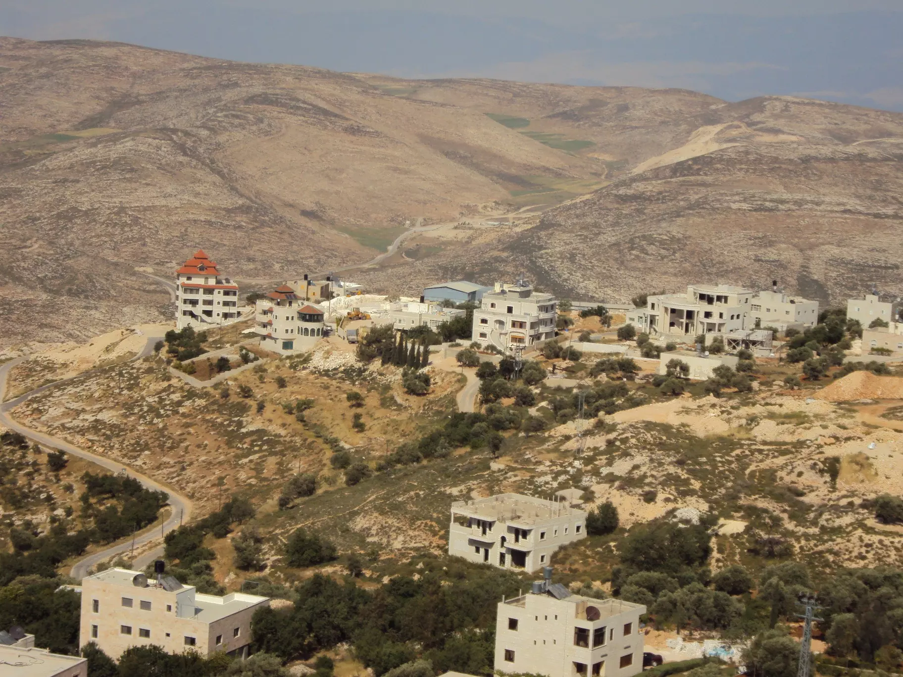
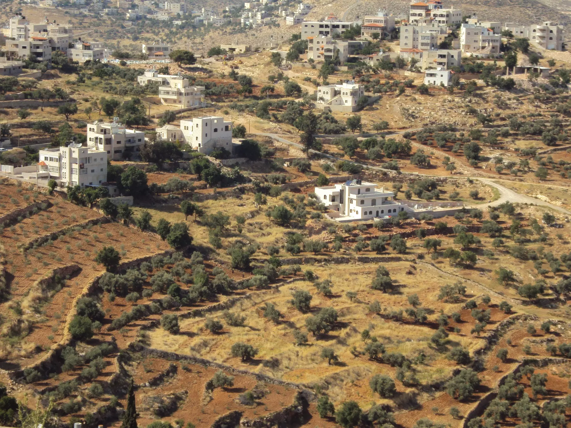
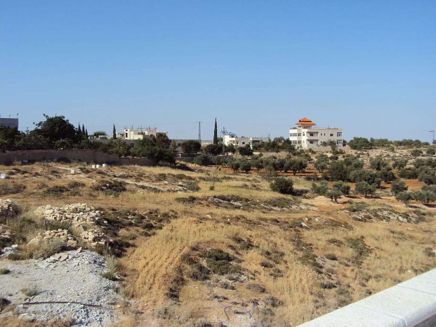
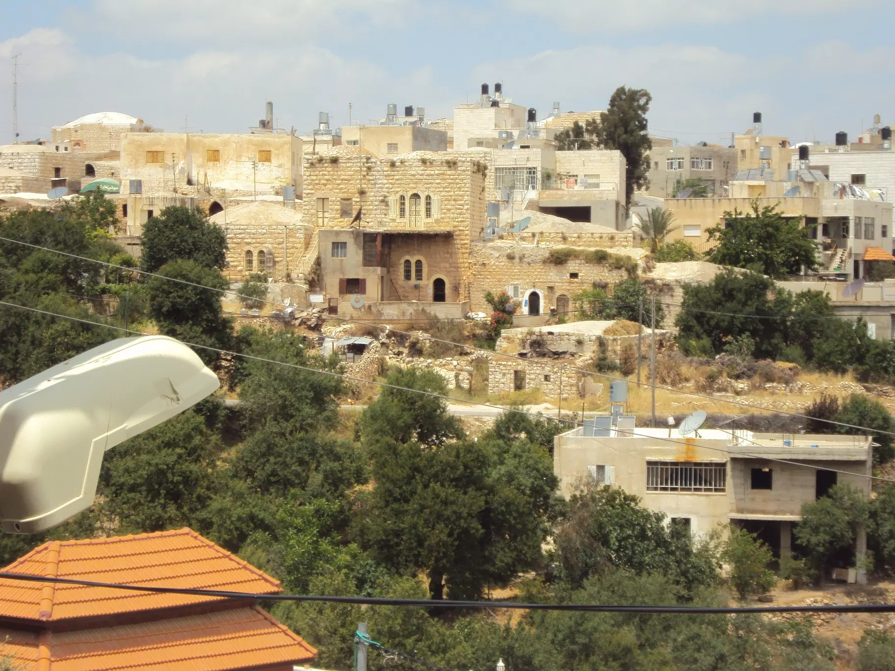
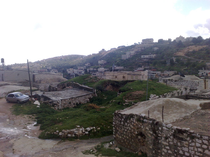
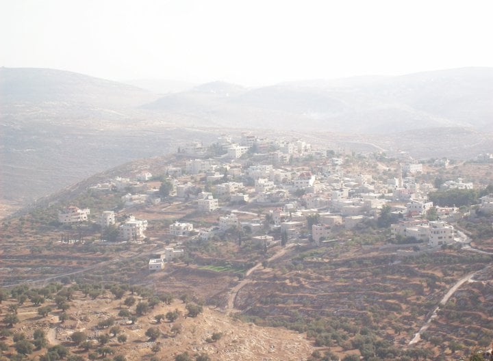
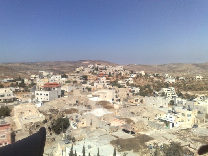
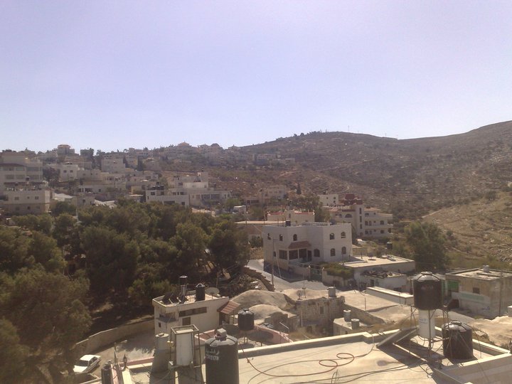
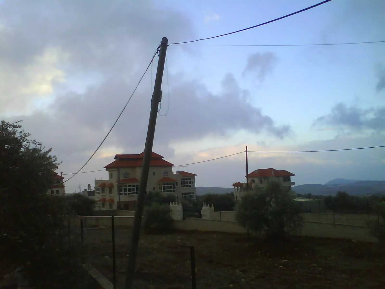
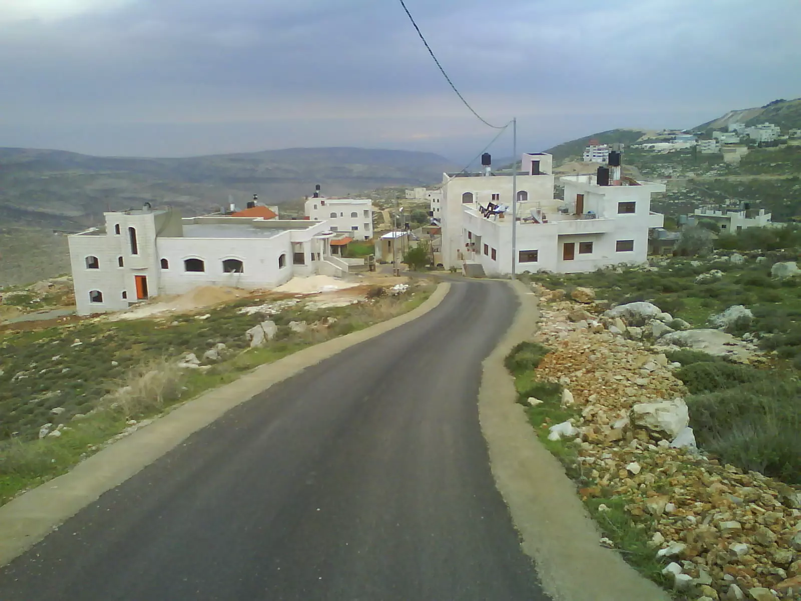
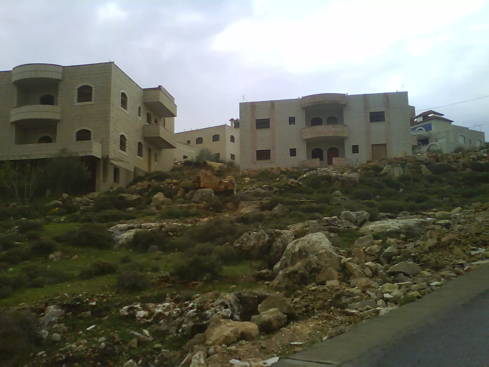
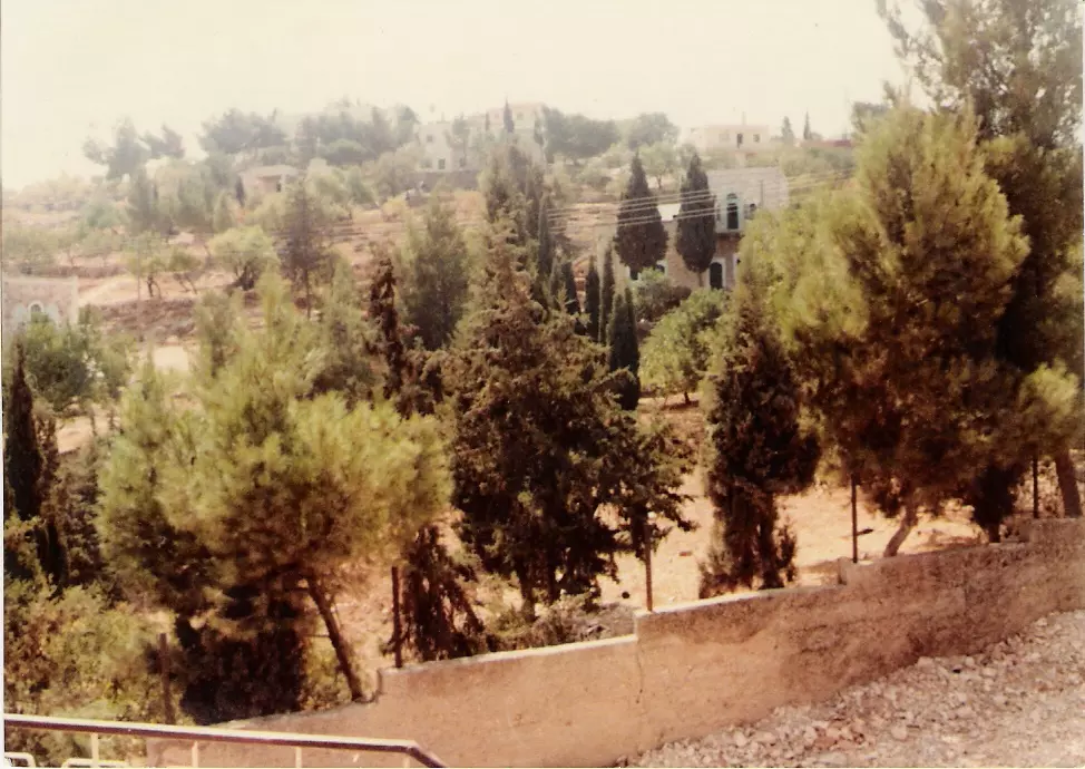
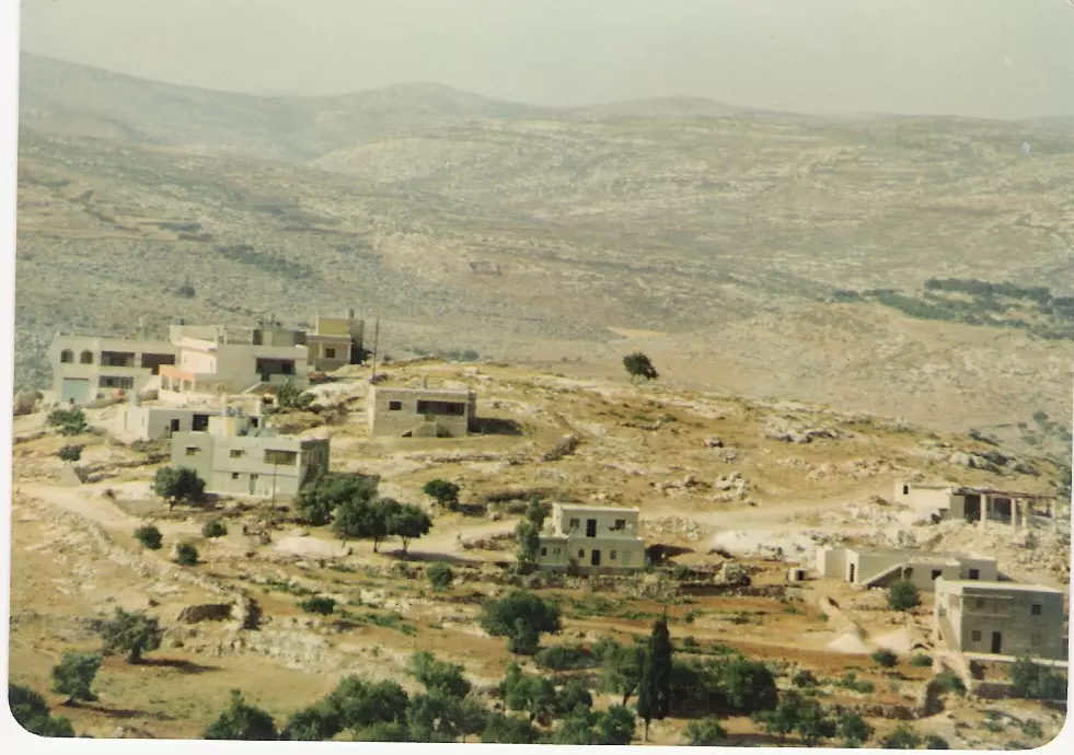
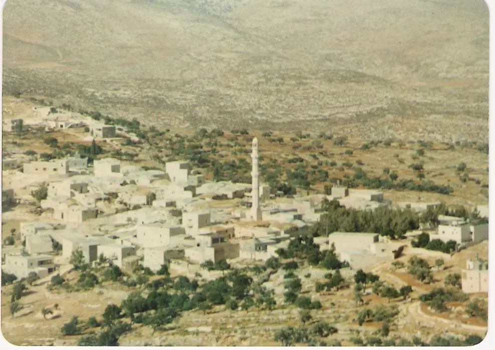
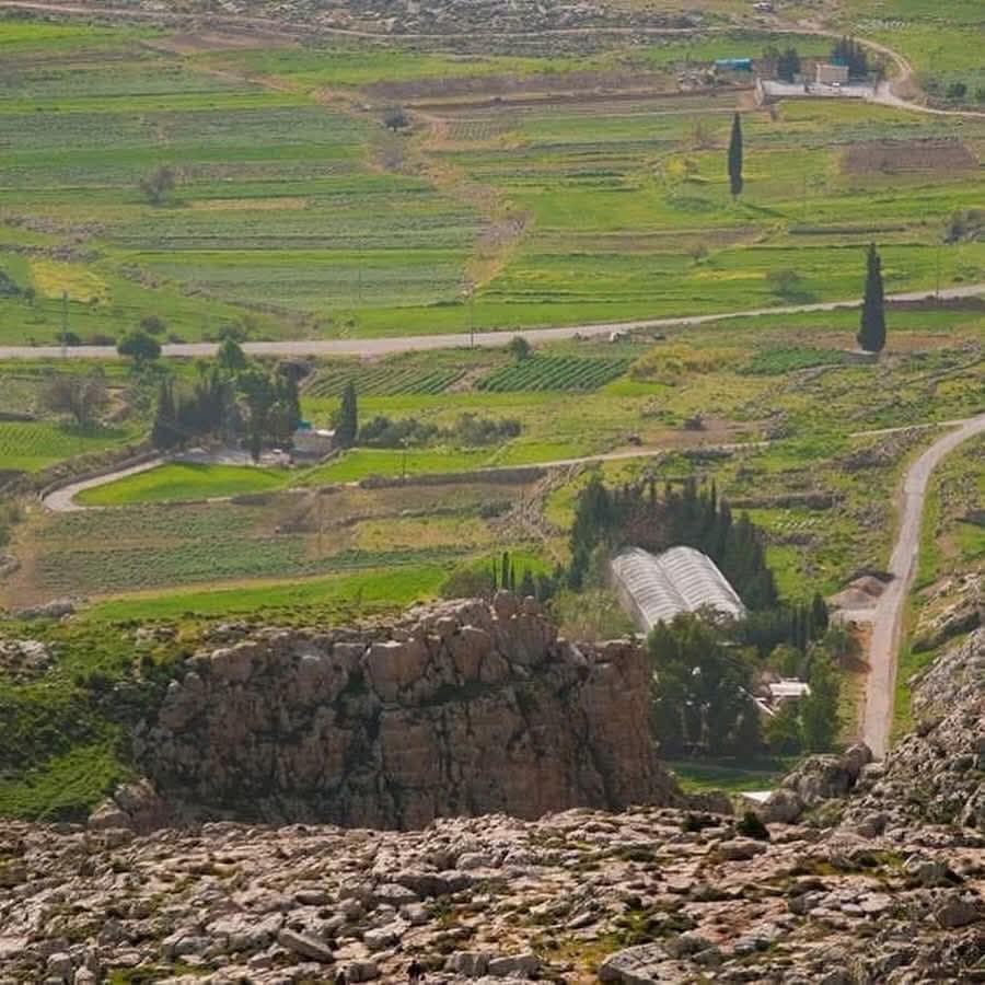
Posted by Ahmad Saeed 1 - كفرمالك منظر عام
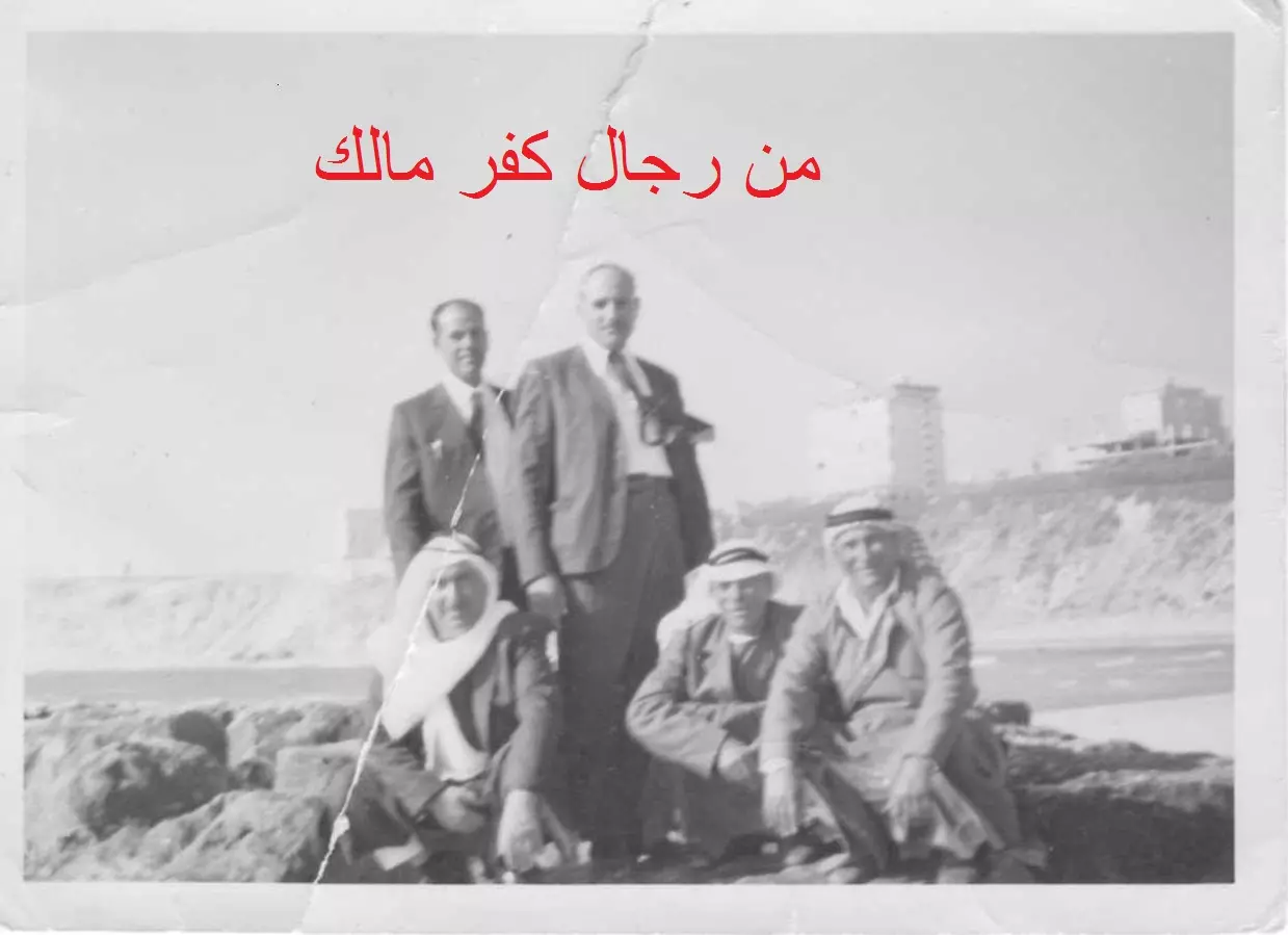
Posted by احمد المالكي - من رجال كفر مالك
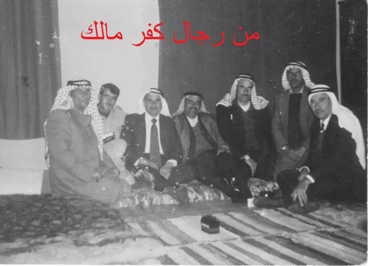
Posted by Ahmad Saeed - من رجال كفر مالك2
Posted by Ahmad Saeed - من رجال كفر مالك3
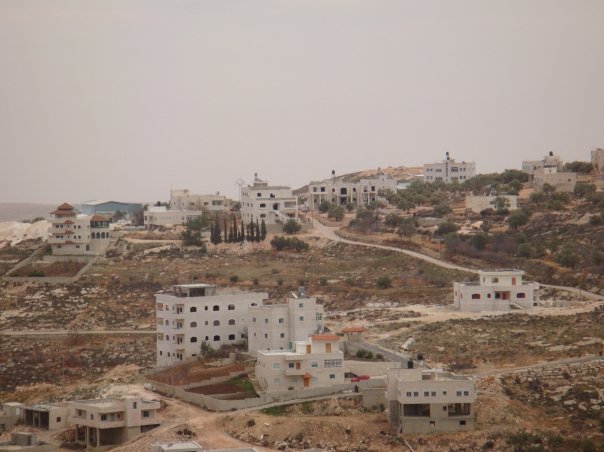
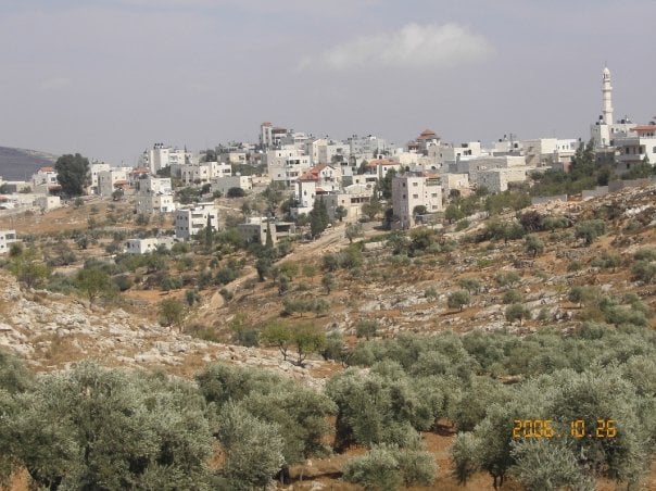
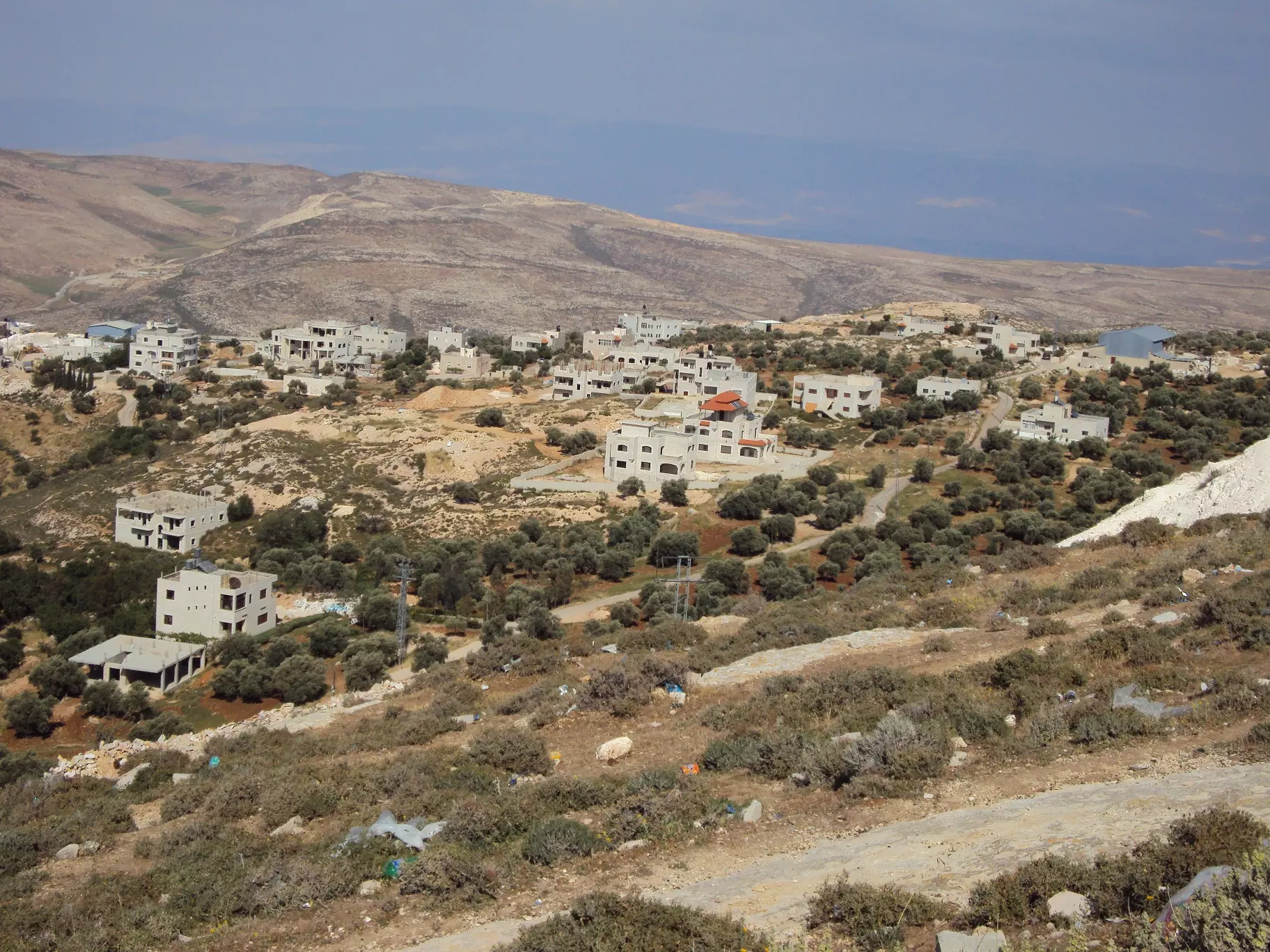
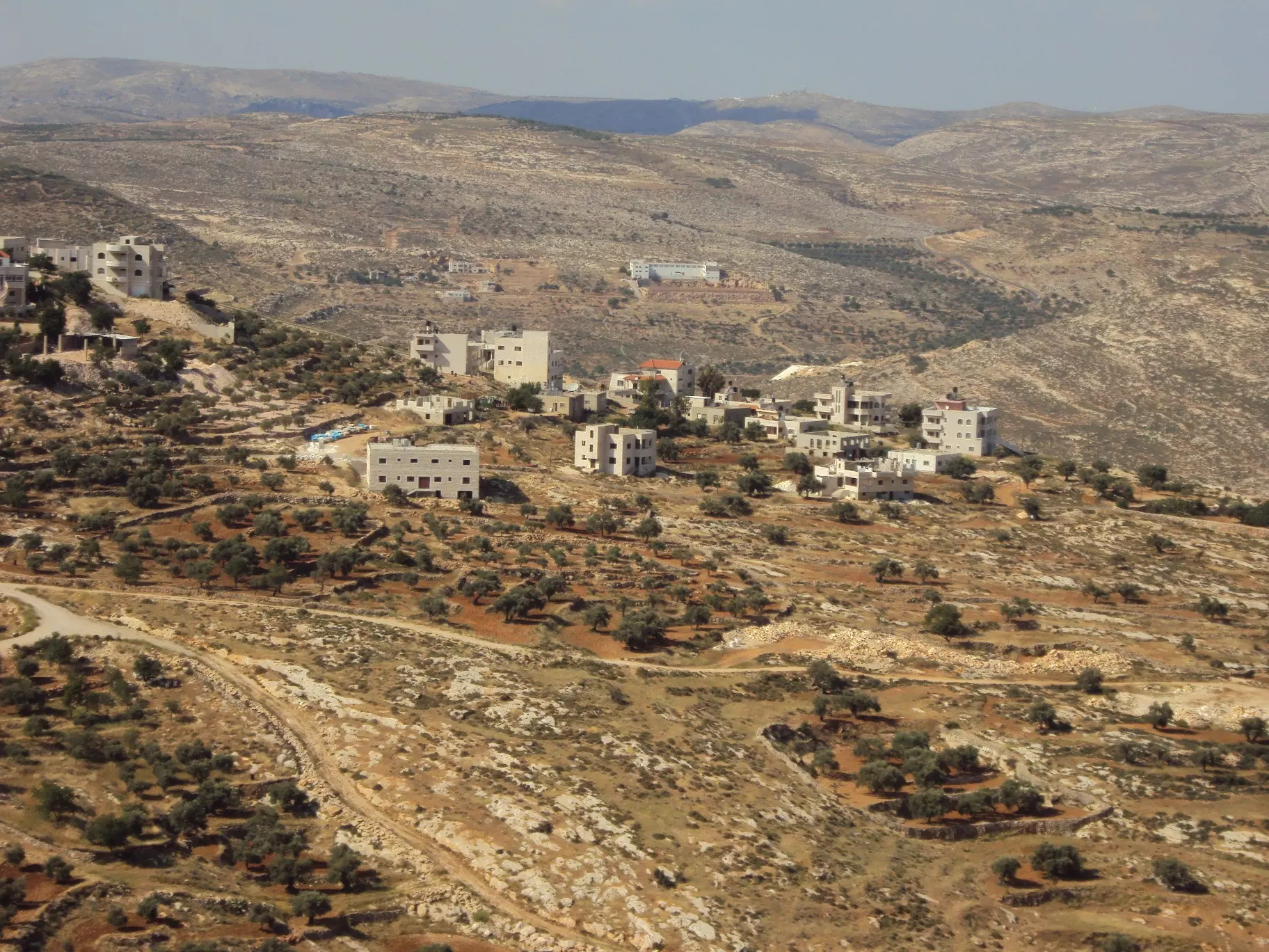
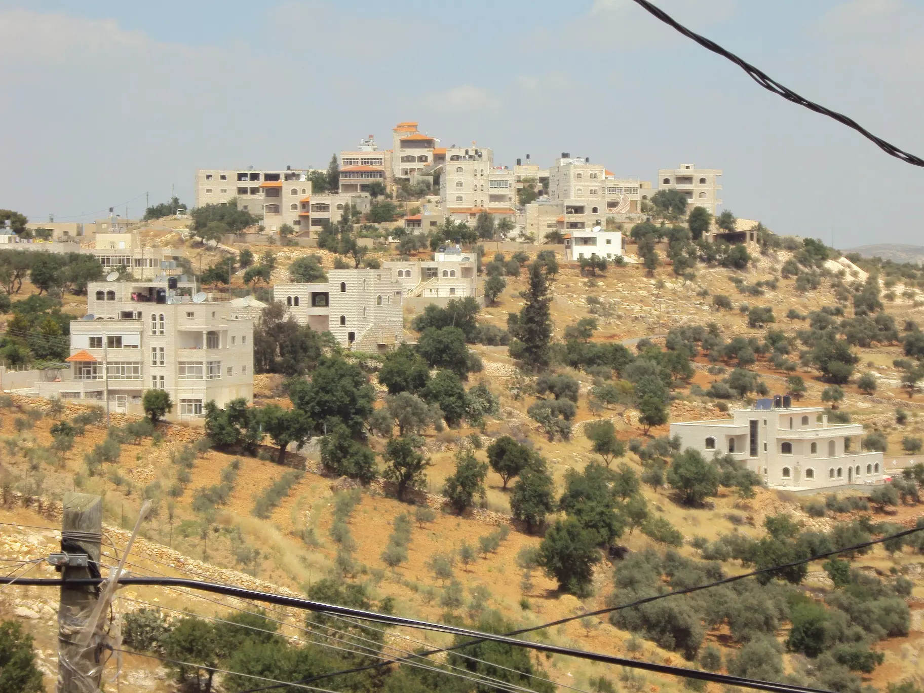
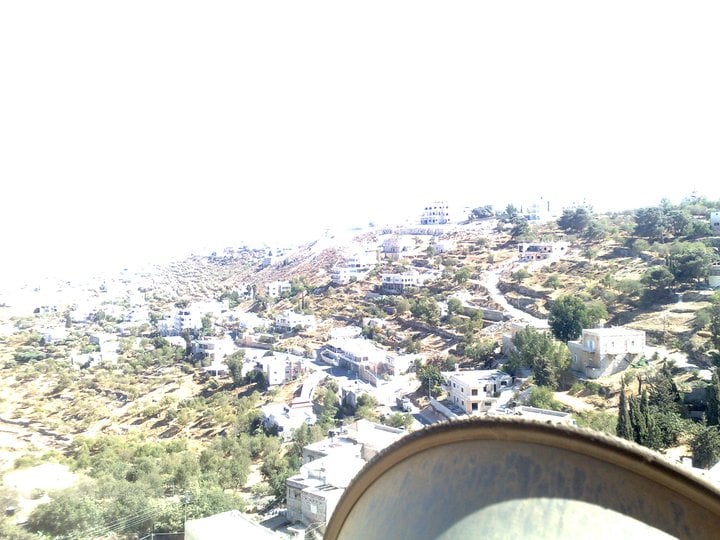
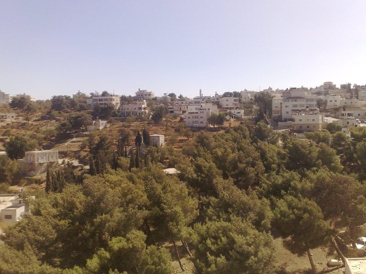
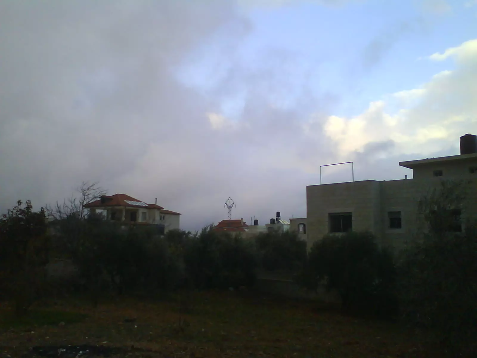
Posted by Ahmad Saeed - صورة عامة كفرمالك
Posted by احمد المالكي - كفرمالك البلدة القديمة
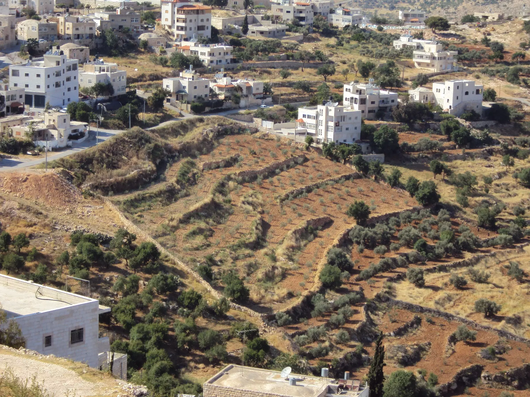
Posted by احمد المالكي - كفرمالك منظر عام للحارة الشرقية
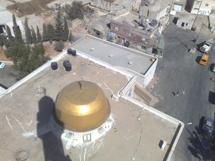
Posted by احمد المالكي - مسجد كفرمالك القديم
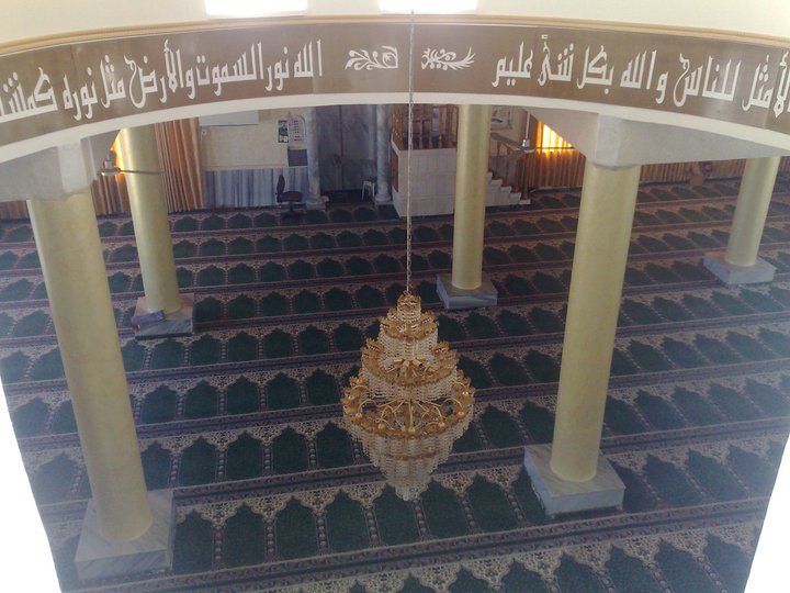
Posted by احمد المالكي - مسجد كفرمالك القديم من الداخل
Posted by احمد المالكي - كفرمالك
Posted by احمد المالكي - كفرمالك
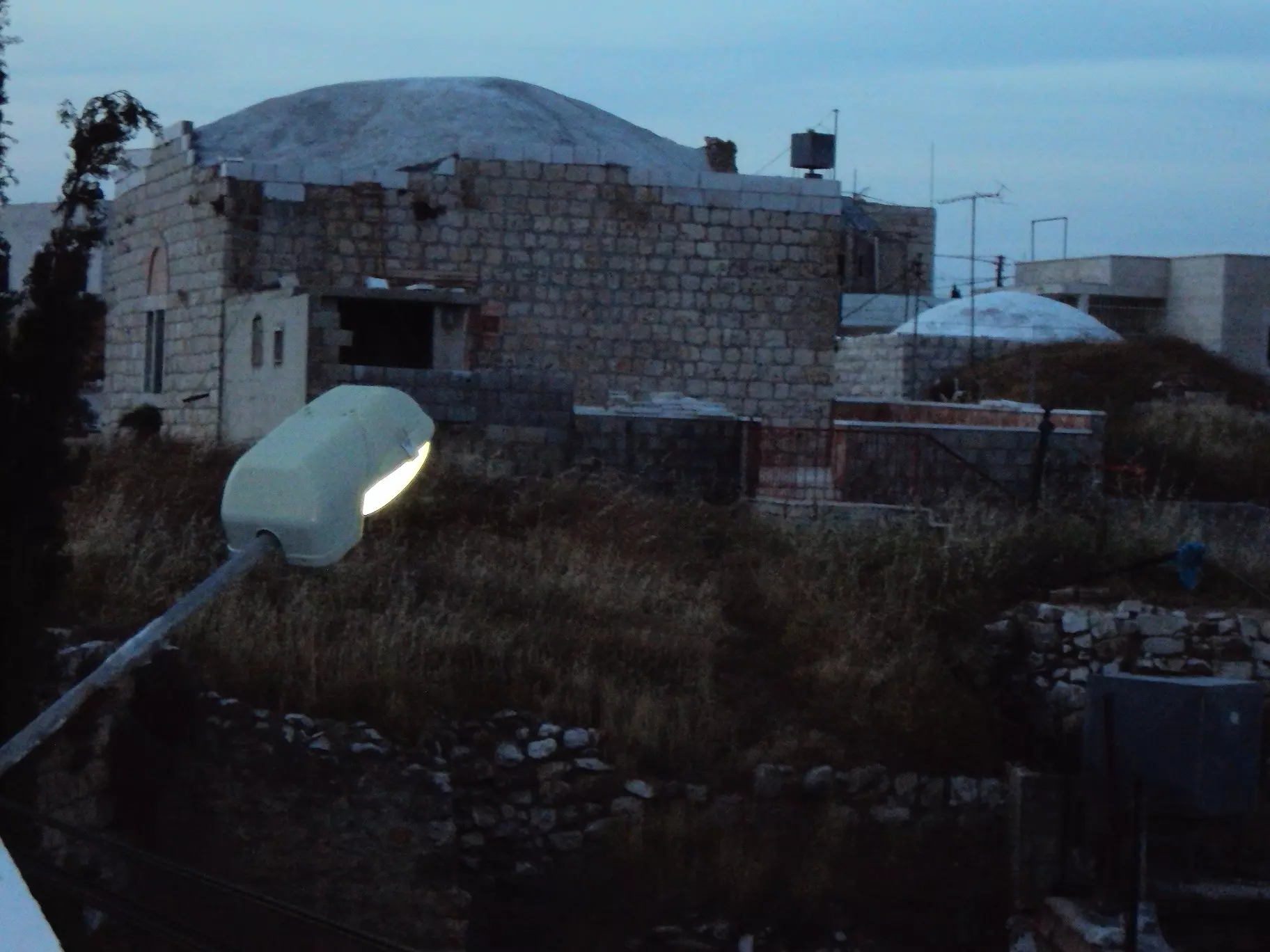
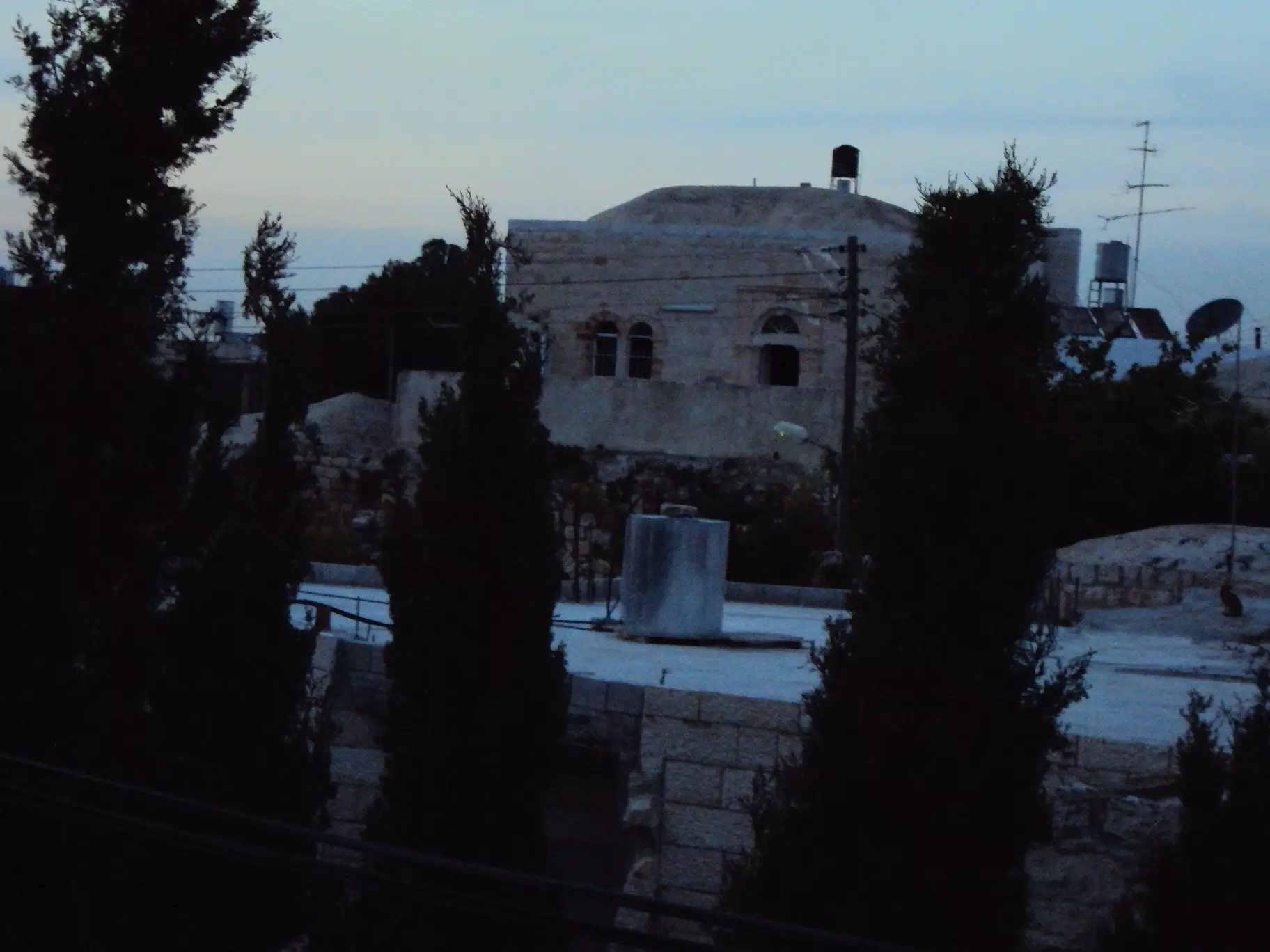
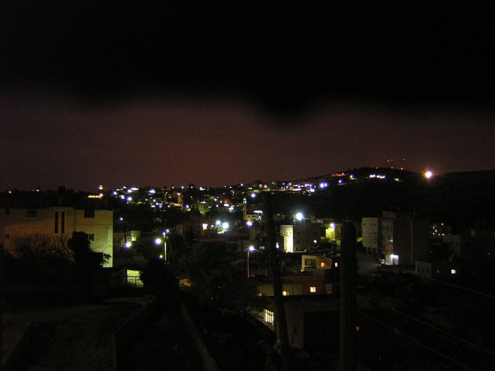
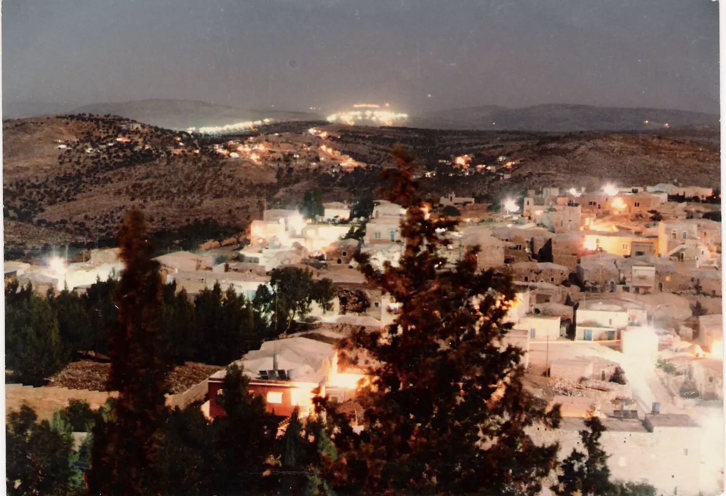
Posted by احمد المالكي - كفرمالك بالليل
Posted by احمد المالكي - كفرمالك الكرم
Posted by احمد المالكي - كفر مالك
Posted by احمد المالكي - كفرمالك
Posted by احمد المالكي - كفر مالك راس الجهير
Posted by احمد المالكي - كفر مالك حريقة عقبا
Posted by احمد المالكي - راس الجهير من الجهة الشرقية
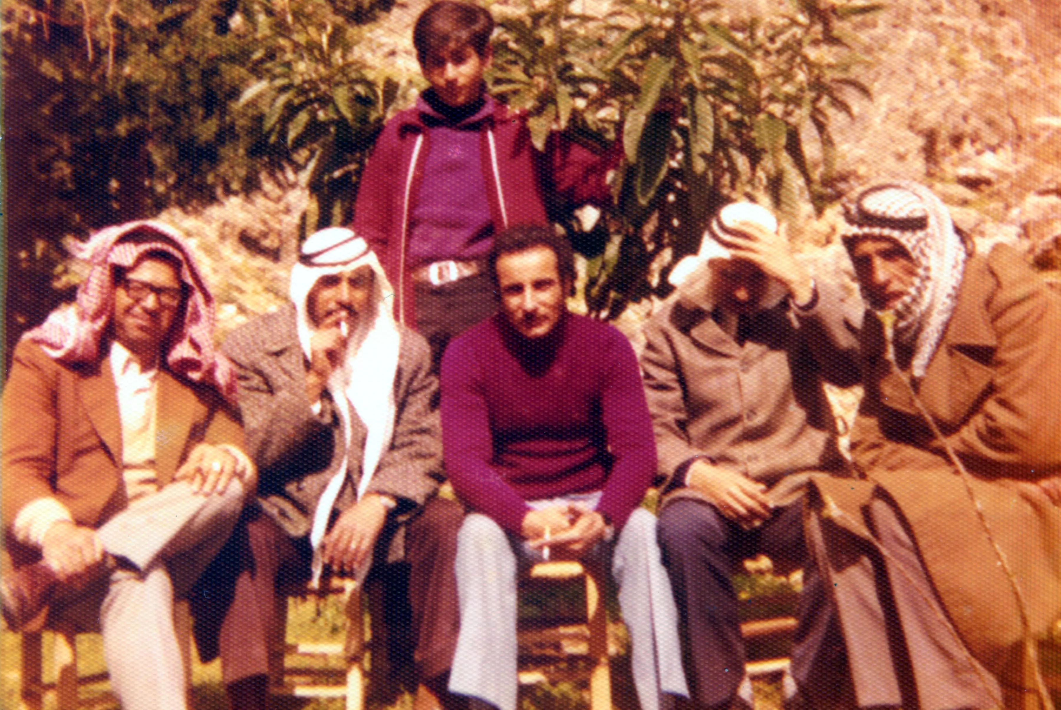
Posted by احمد المالكي - رجال من كفرمالك
Posted by Ahmad Saeed - حارة شمايل
Posted by Ahmad Saeed - حاره الدعيكي
Posted by Ahmad Saeed - دار ا لحاج أمحمد
Posted by Ahmad Saeed - دار ابو عبدالحي
Posted by Ahmad Saeed - دار الحج عبدالماجد
Posted by Ahmad Saeed - راس الجهير
Posted by Ahmad Saeed - كفرمالك سنه 1980
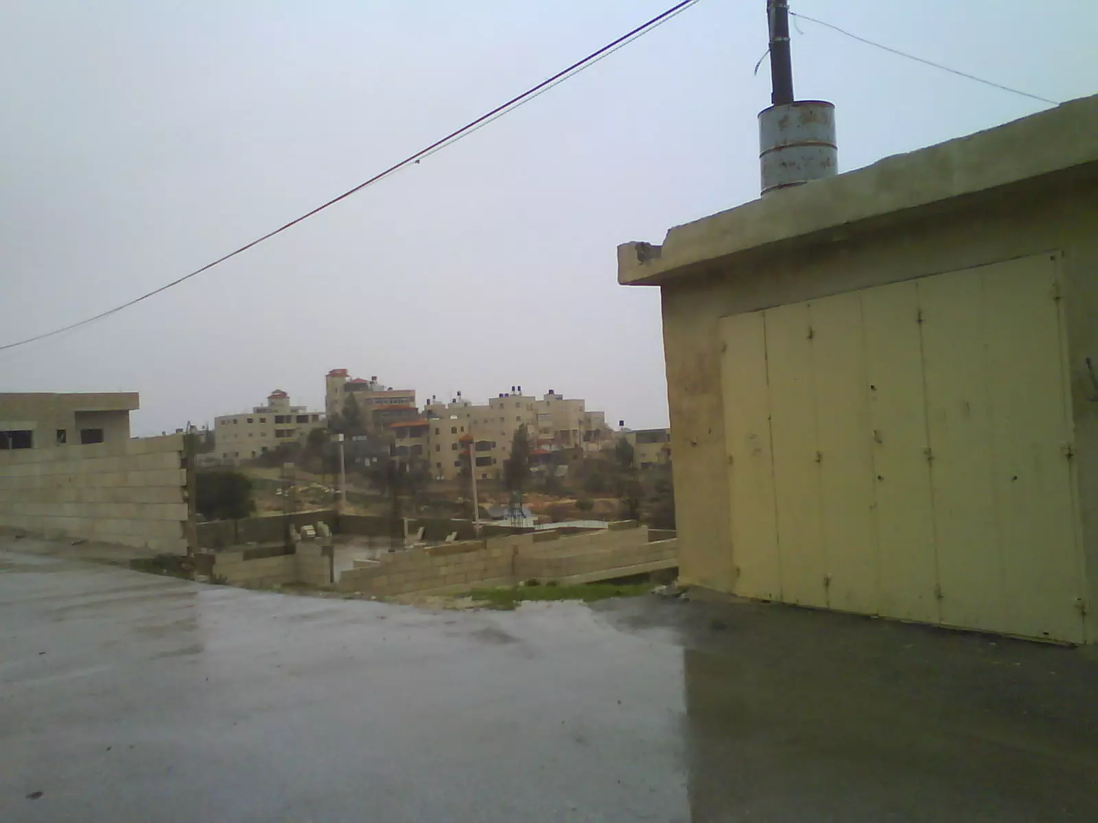
Posted by Ahmad Saeed - كفرمالك في الليل
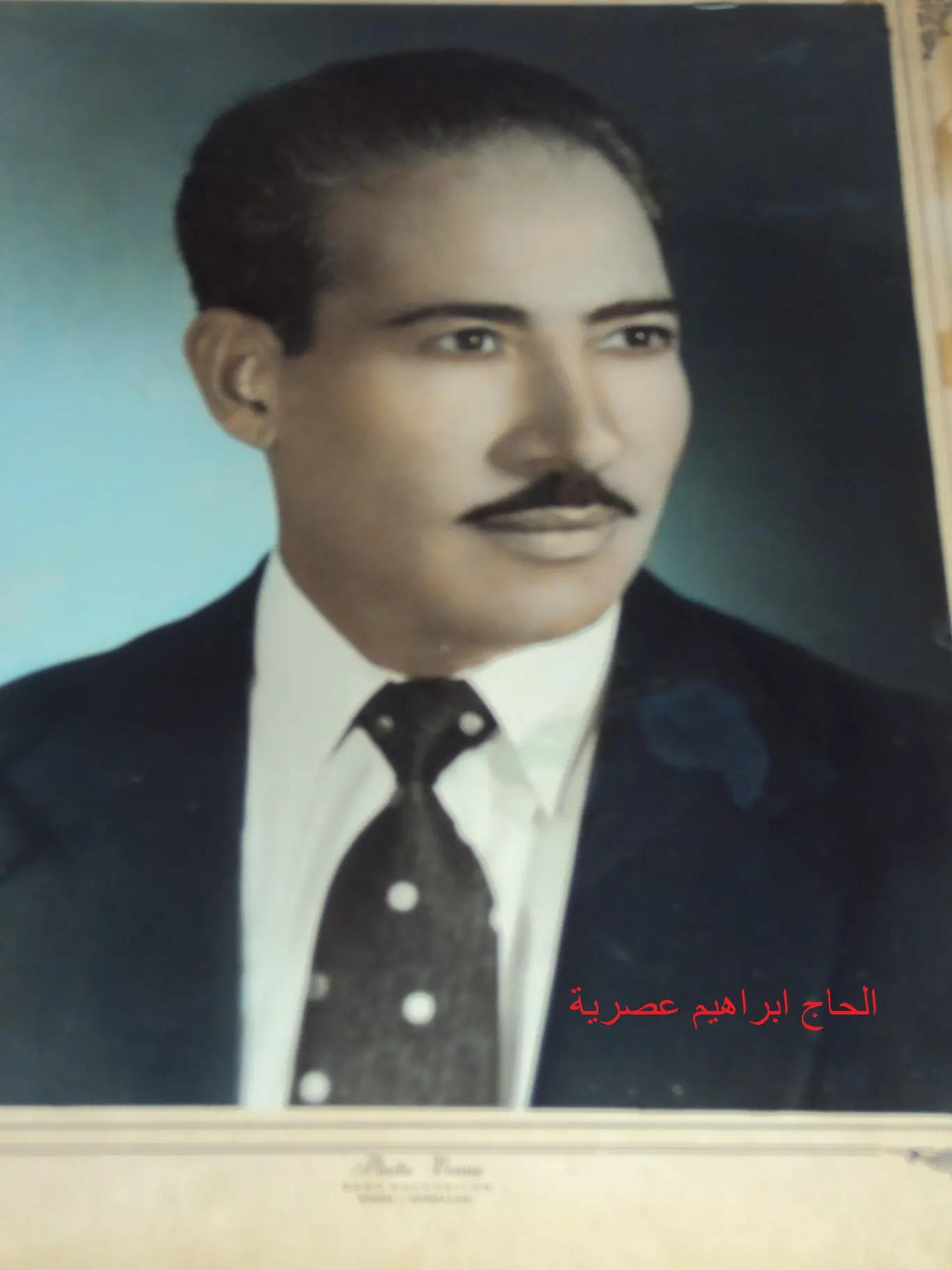
Posted by Ahmad Saeed - الحاج ابراهيم عصريه سنه 1964
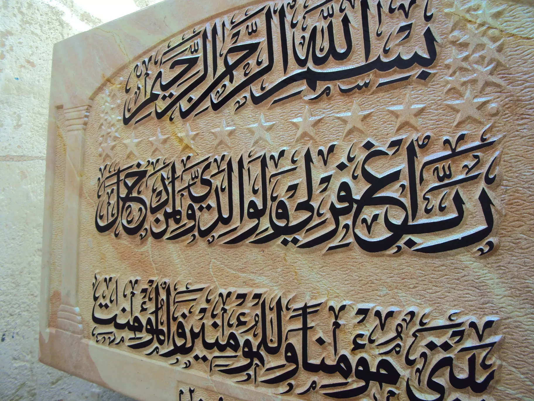
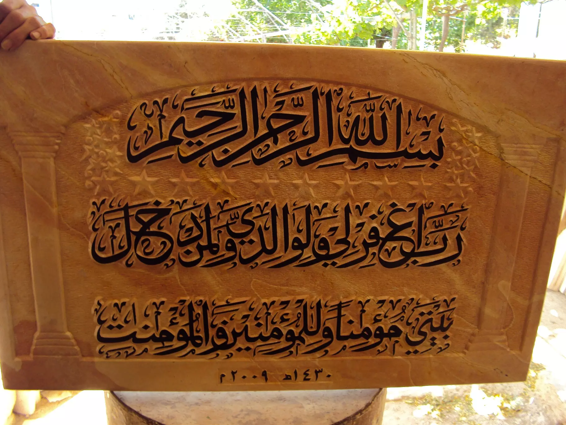
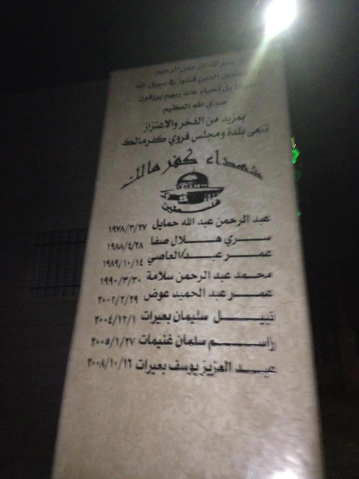
Posted by Ahmad Saeed - تكريماً لشهدائنا الابرار وتخليداً لذكراهم الطيبة وتحت رعاية مجلس قروي كفرمالك تم انشاء هذا الصرح التذكاري
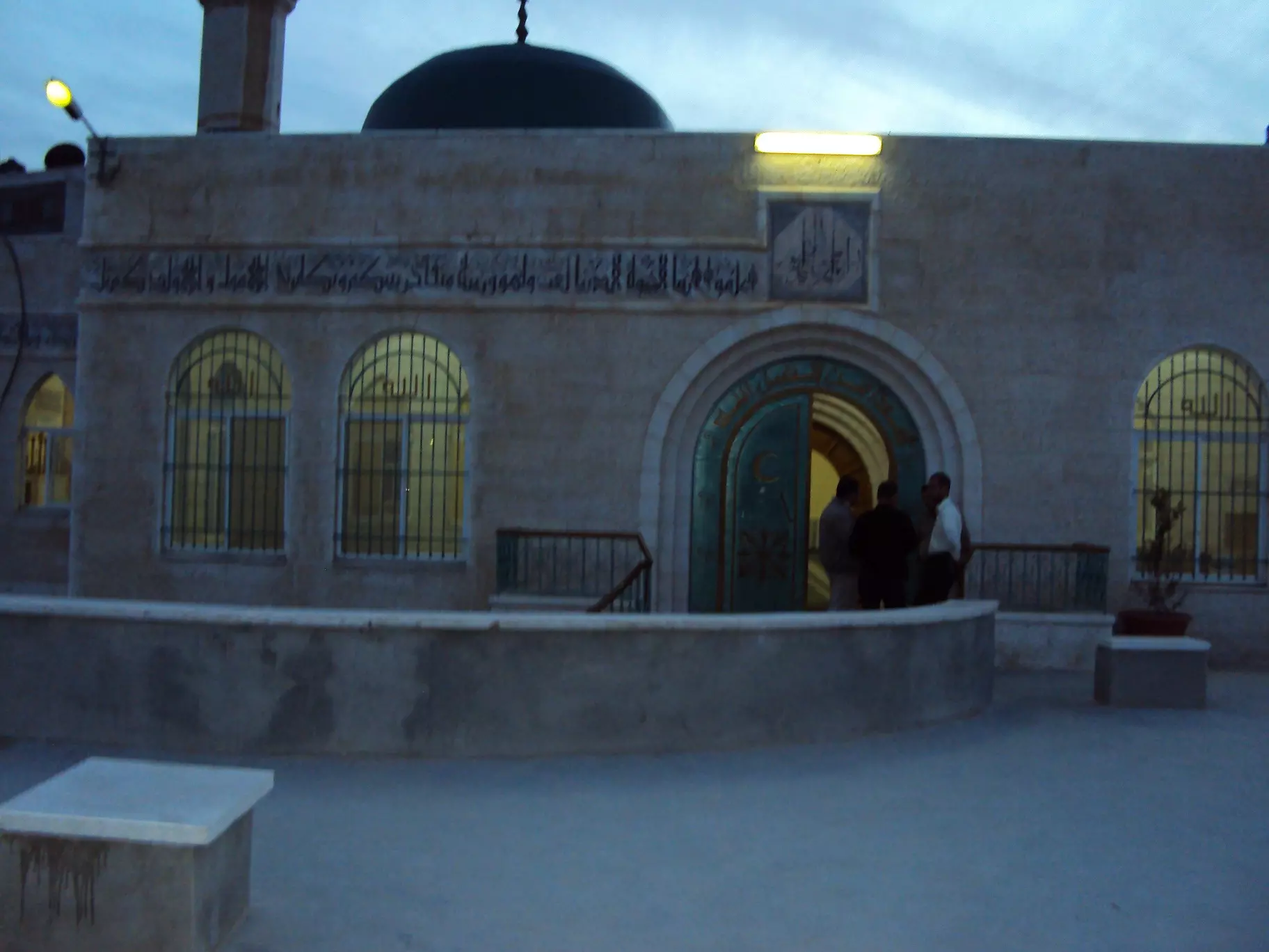
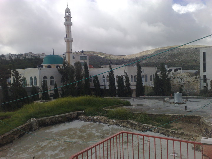
- الجامع الجديد
Posted by احمد معدي - 1974 guy
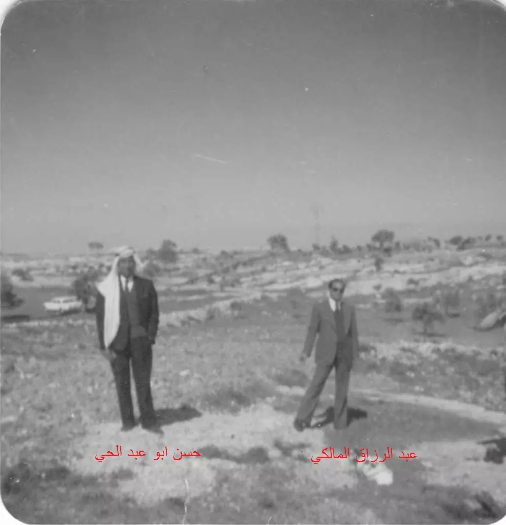
Posted by احمد معدي - ابو معدى وزكي ابو عماد وعبد الرزاق وحسن ابو باسم
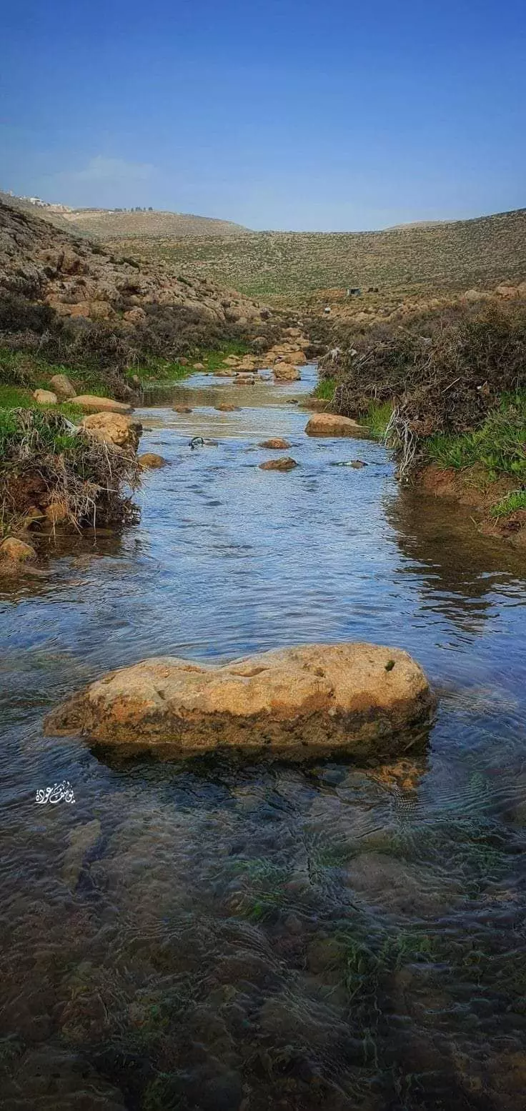
Posted by احمد معدي - عين ساميه 1
Posted by احمد معدي 1 - عين ساميه 2
Posted by احمد معدي - عين ساميه 3
Posted by احمد معدي - عين ساميه 4
Posted by احمد معدي - عين ساميه 5
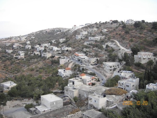
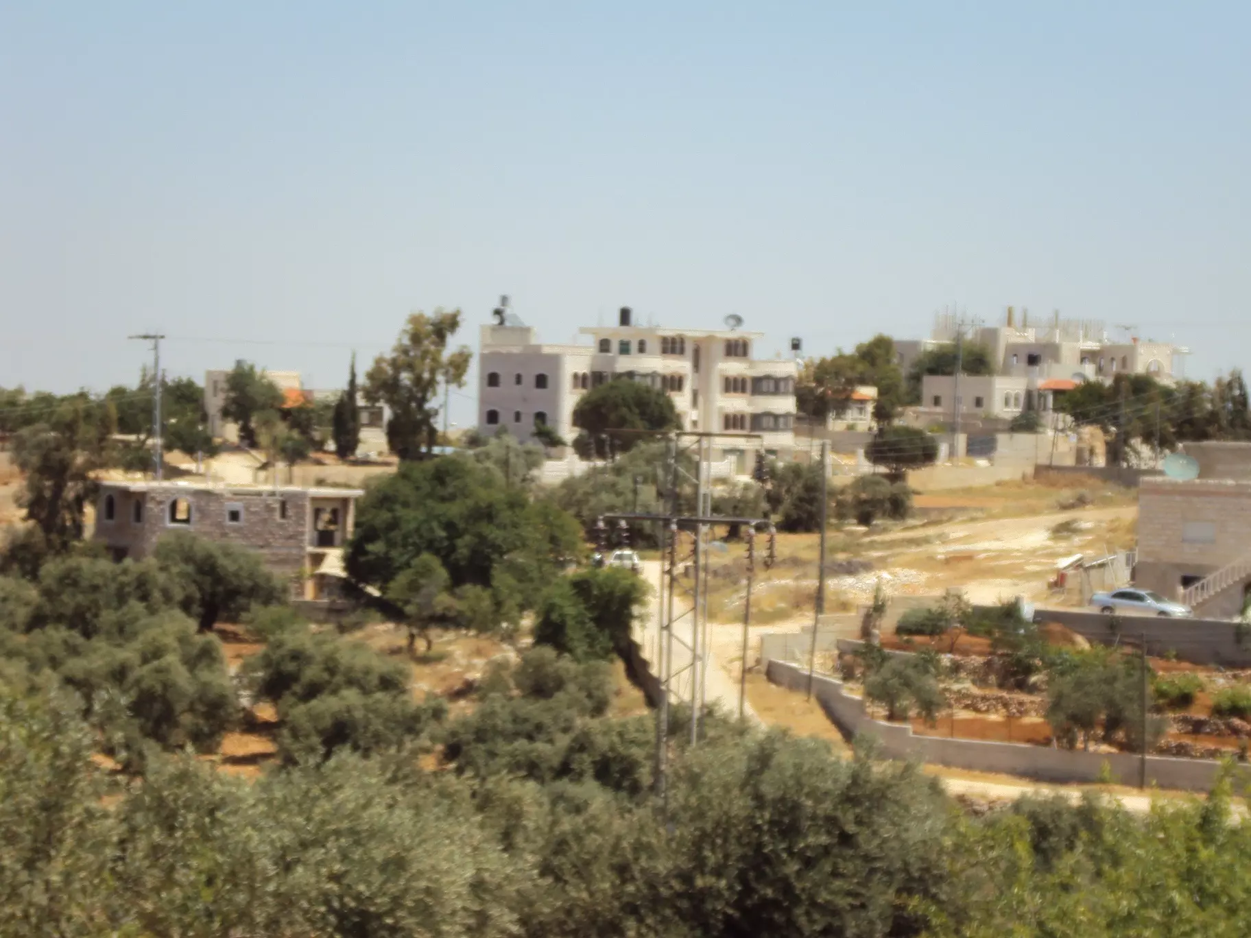
Posted by احمد معدي - كفر مالك 1
Posted by احمد معدي - كفر مالك 2
Posted by احمد معدي - كفر مالك 3
Posted by احمد معدي - كفر مالك 4
Posted by احمد معدي - كفر مالك 5
Posted by احمد معدي - كفر مالك 6
Posted by احمد معدي - كفر مالك 7
Posted by احمد معدي - رئيس نادي كفر مالك 1974
Posted by احمد معدي - تينات ابو معدي
Posted by احمد معدي 1 - قريه كفر مالك قبل سنه 1948
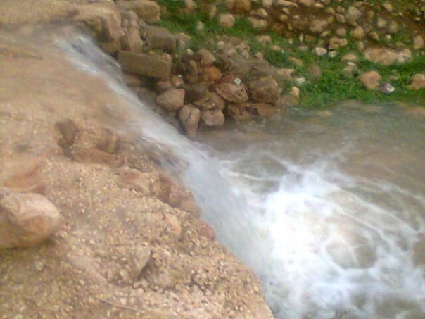
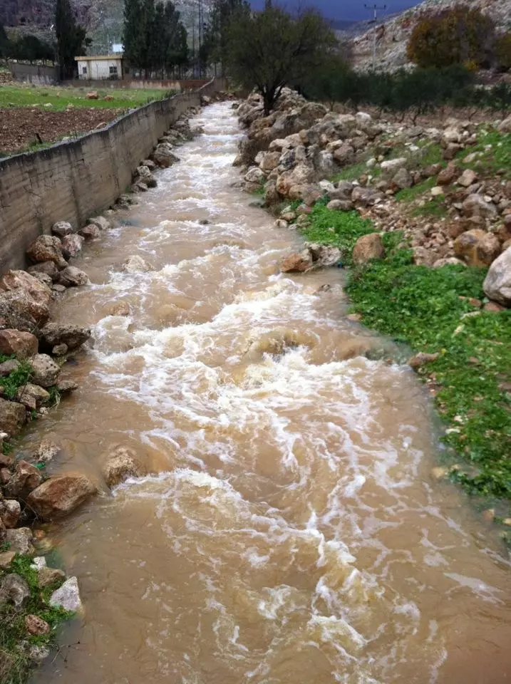
Posted by abu raya - الطاحونة - عين ساميه كفر مالك
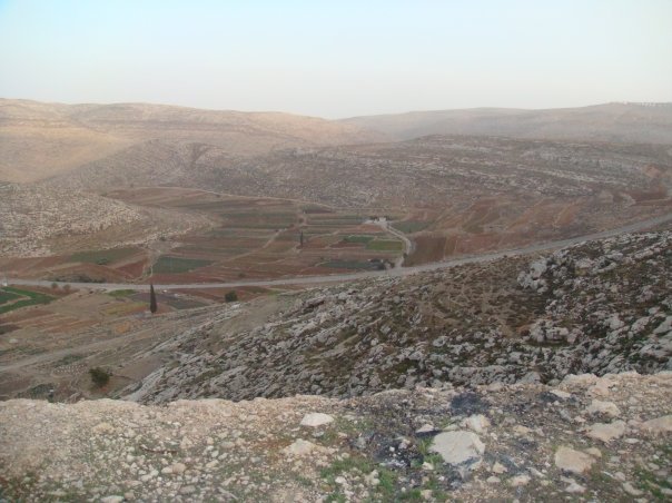
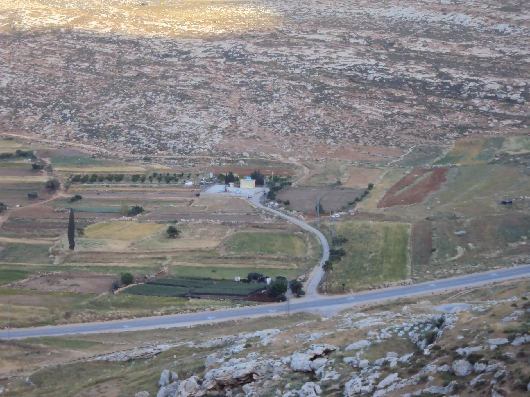
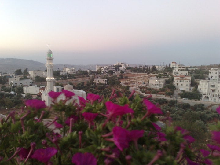
- إطلالة من كفرمالك -- واجد النوباني
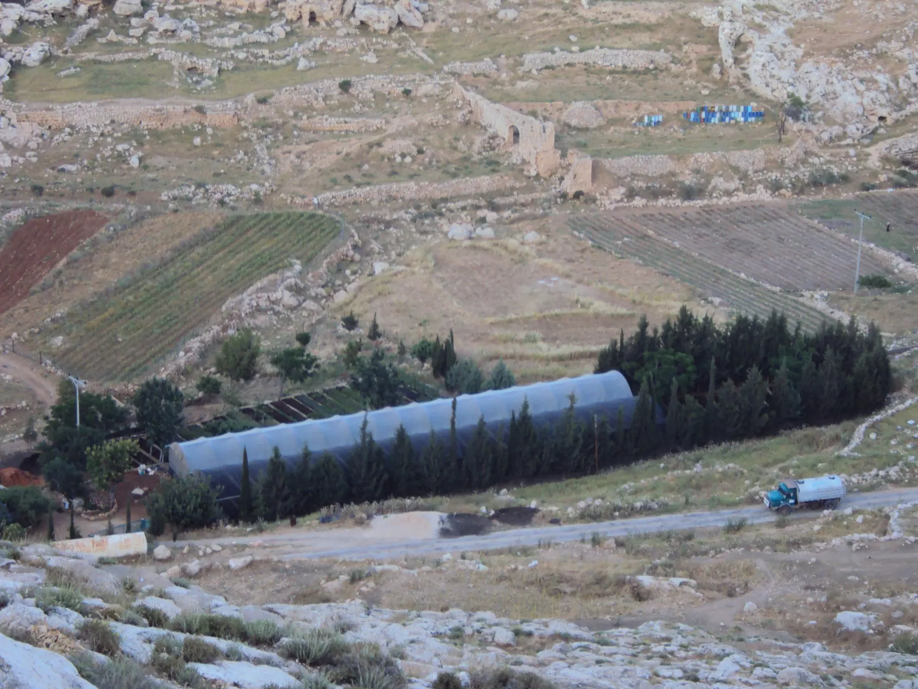
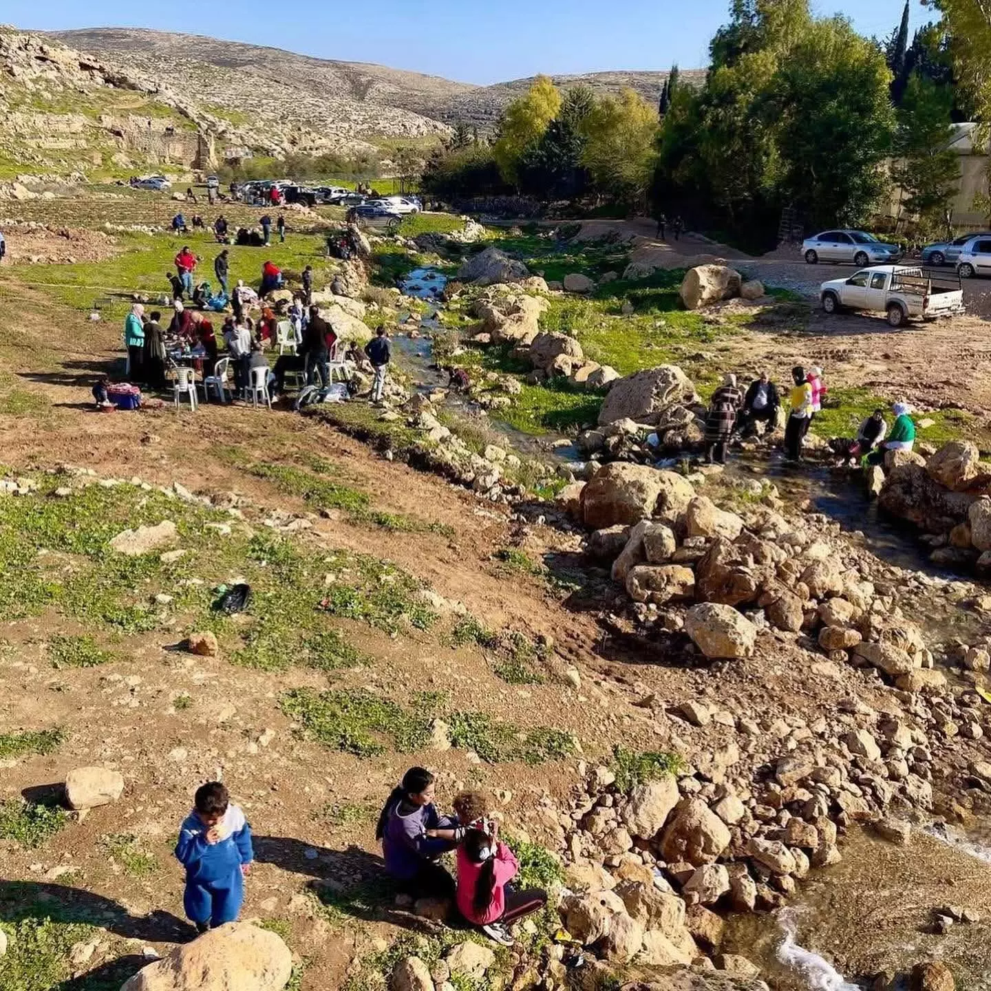
- صورة من عين سامية -- يوسف عودة
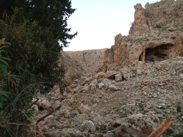
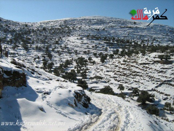
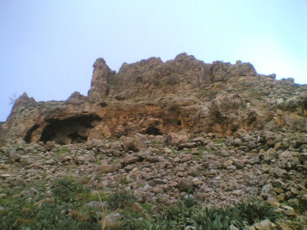
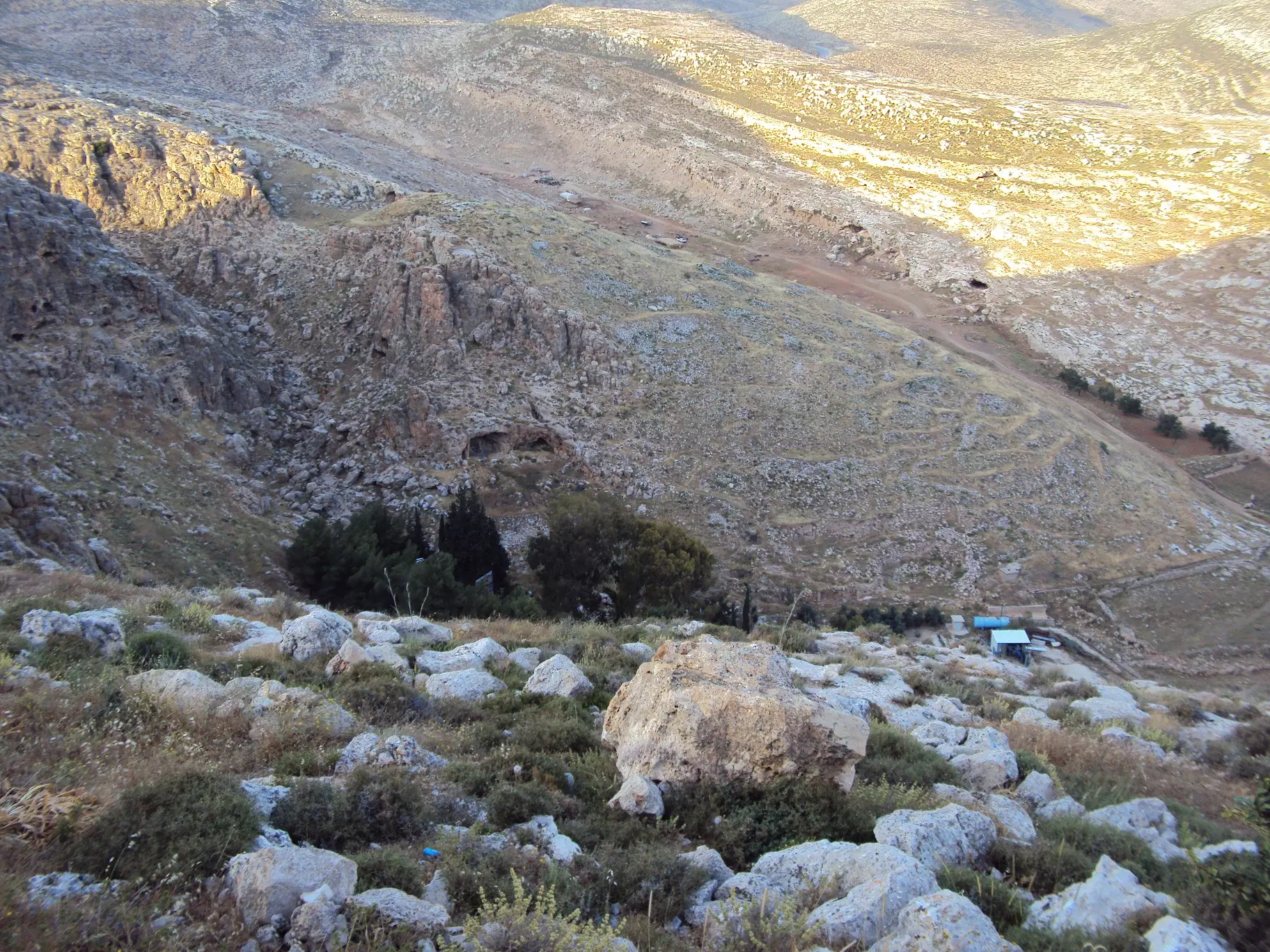
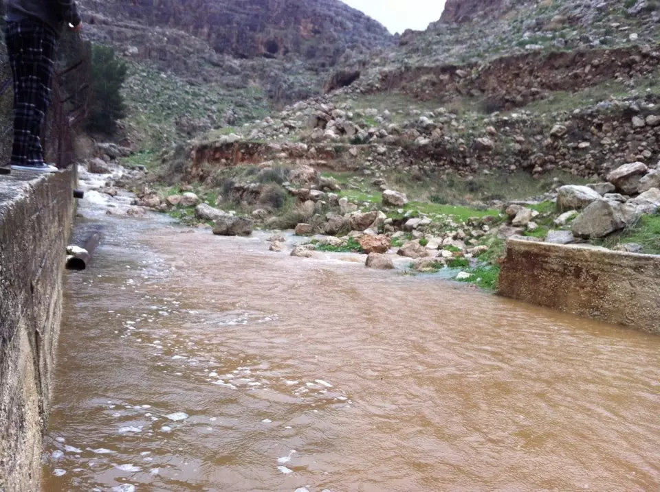
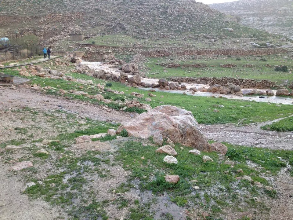
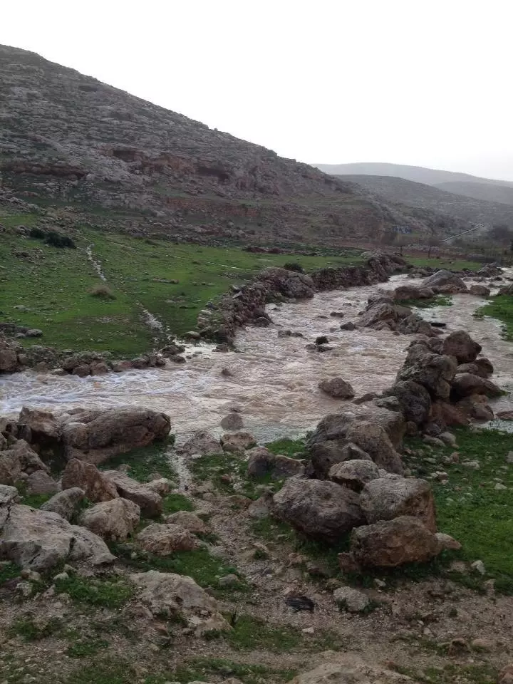
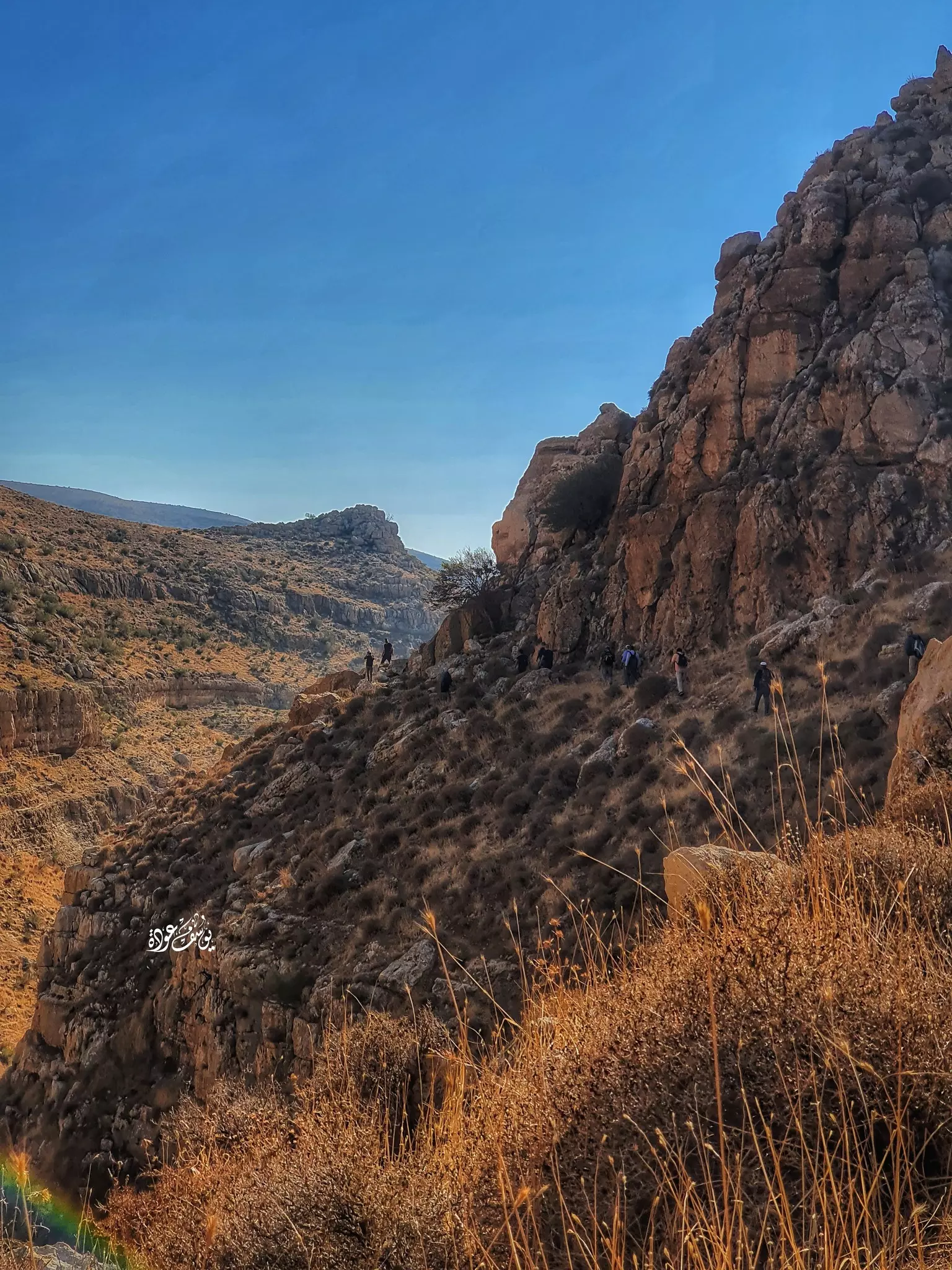
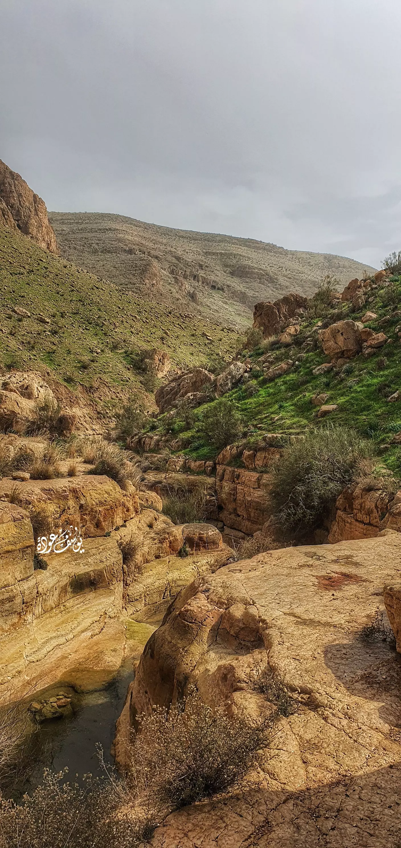
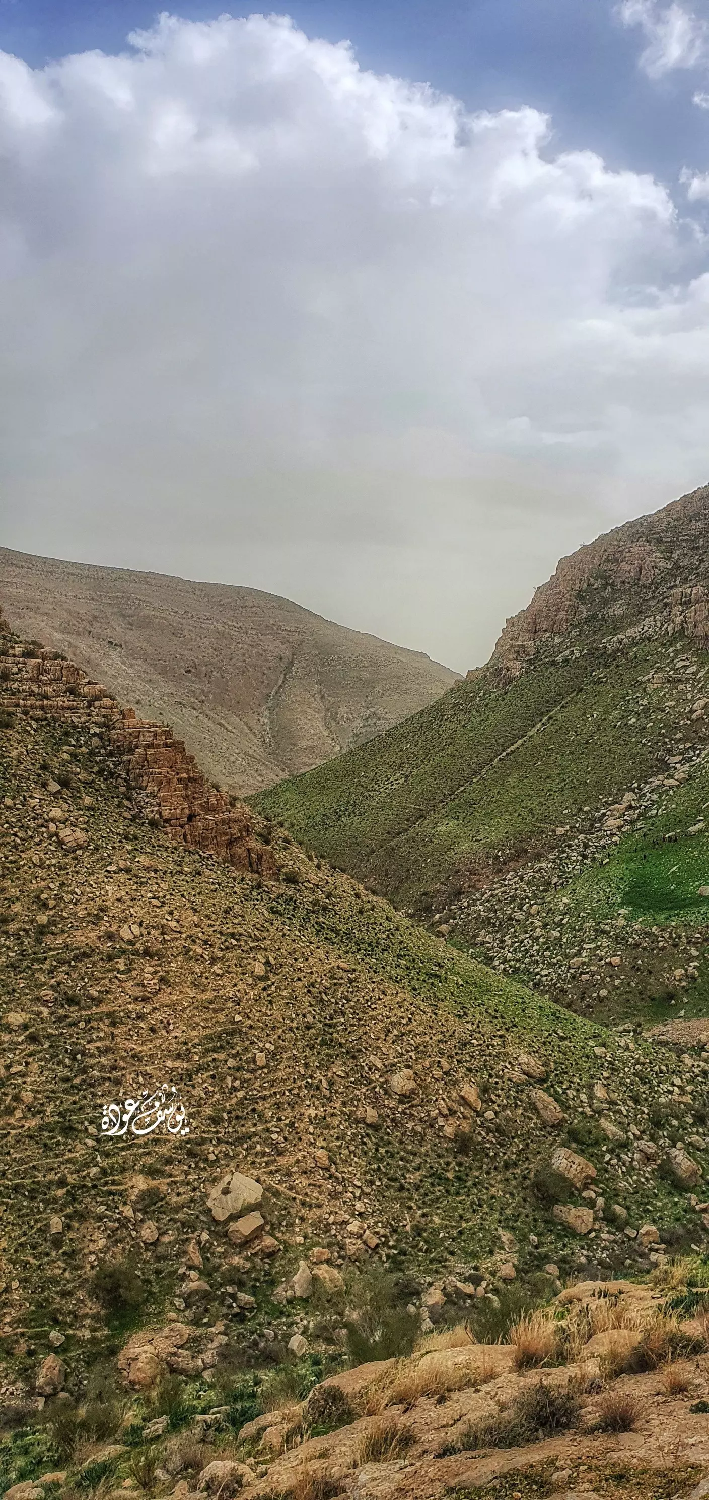
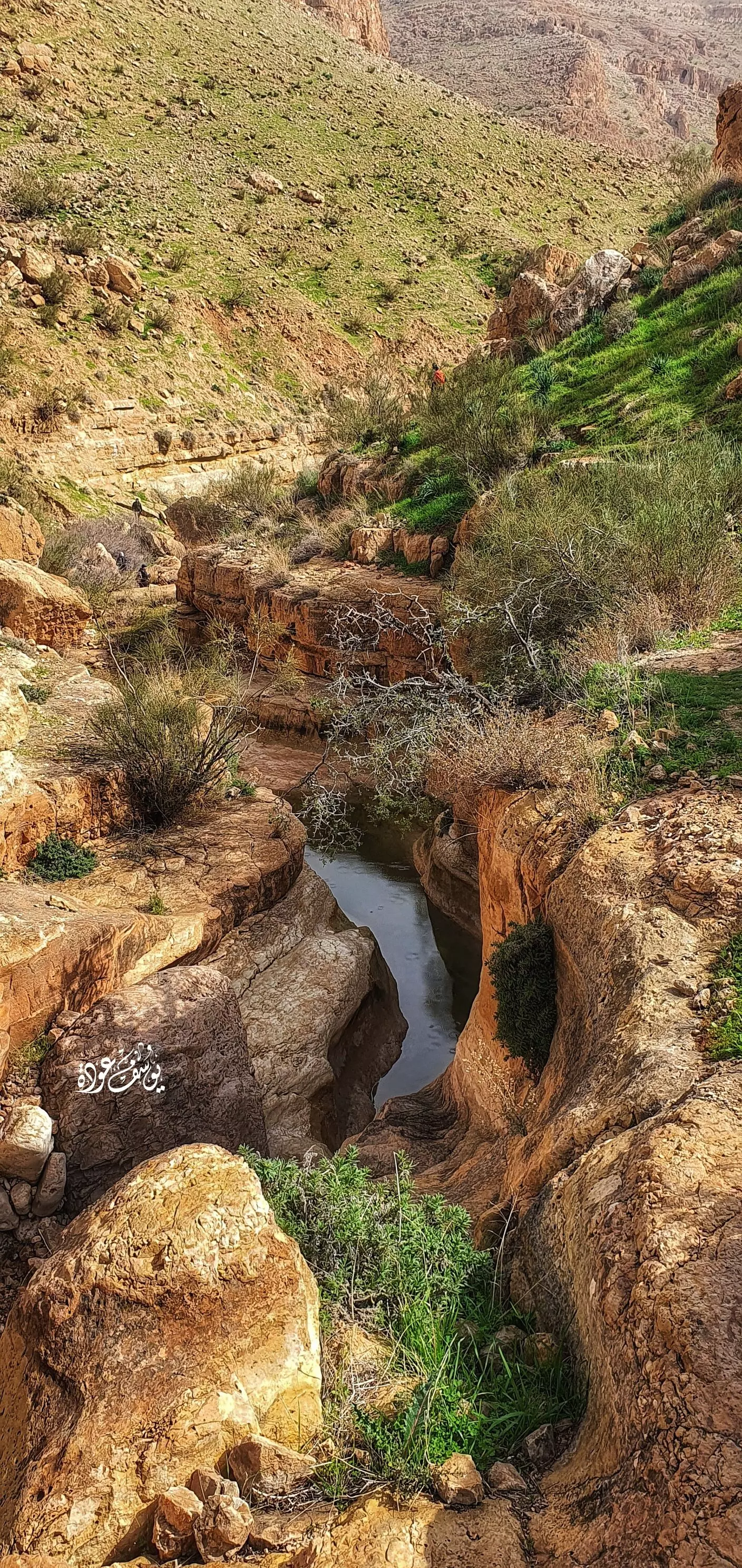
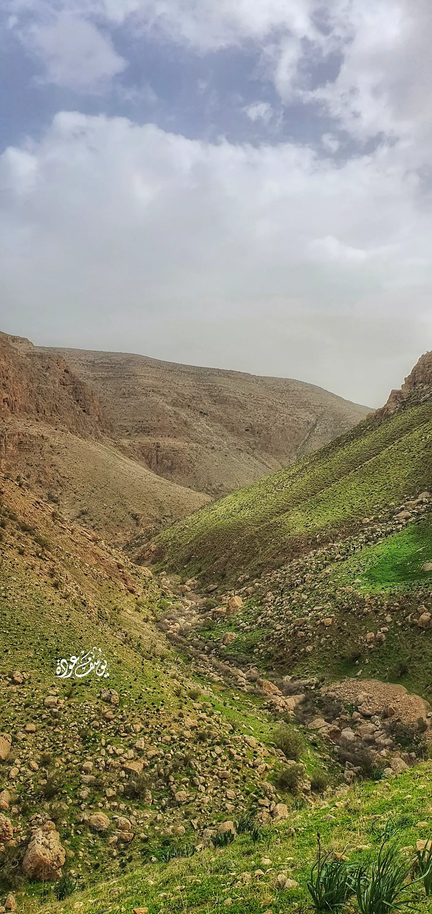
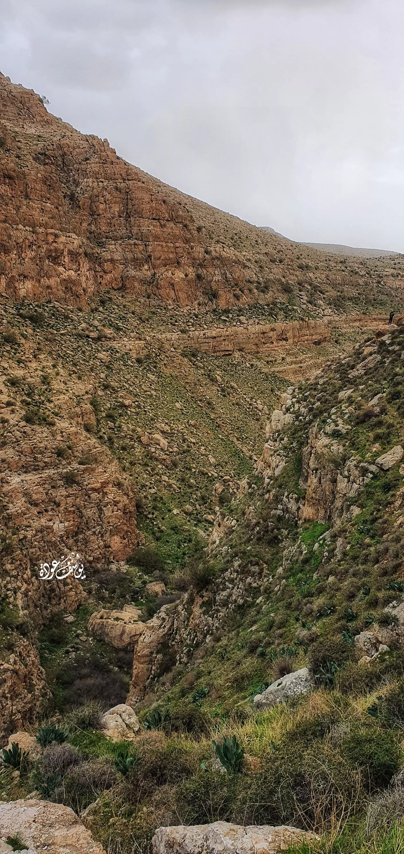
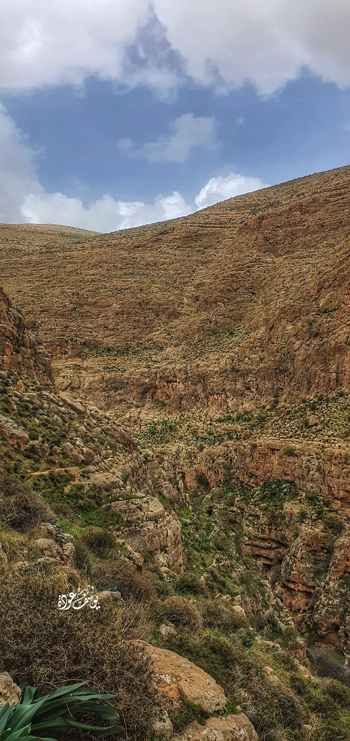
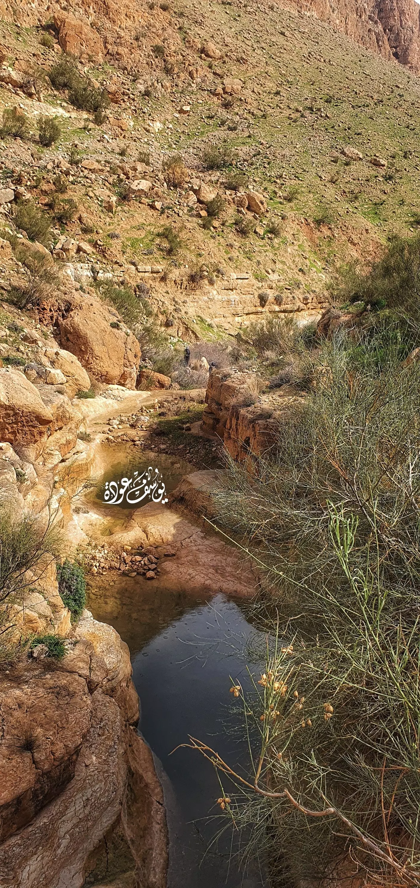
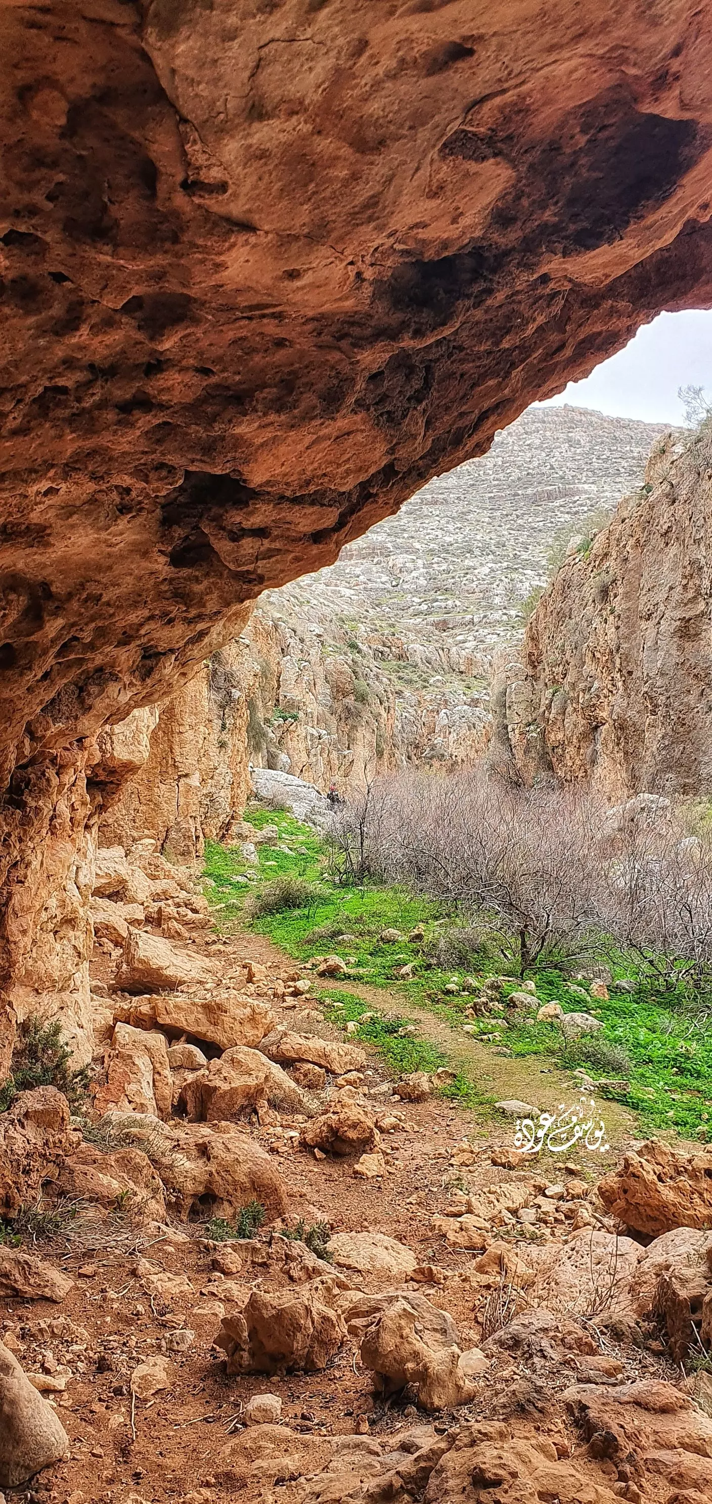
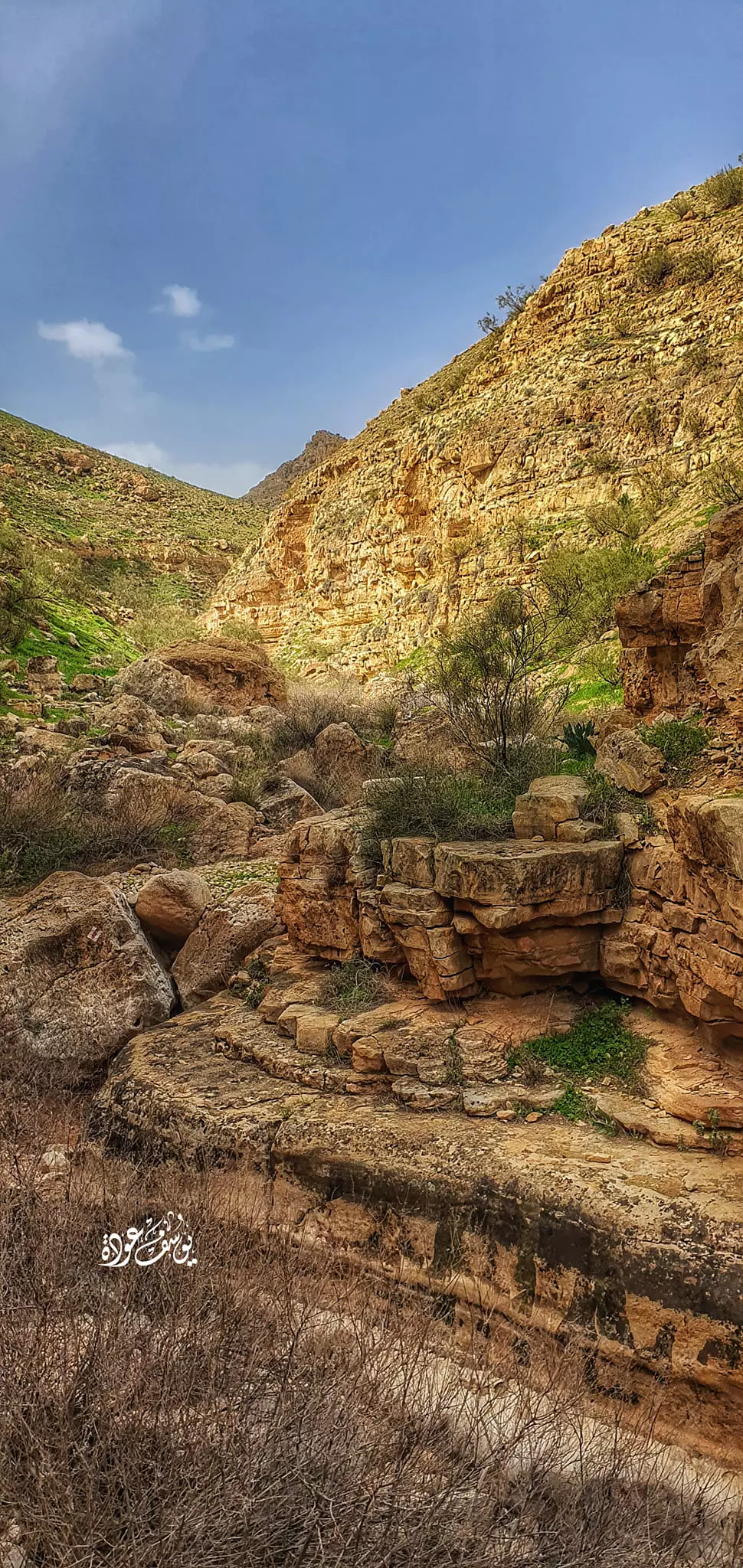
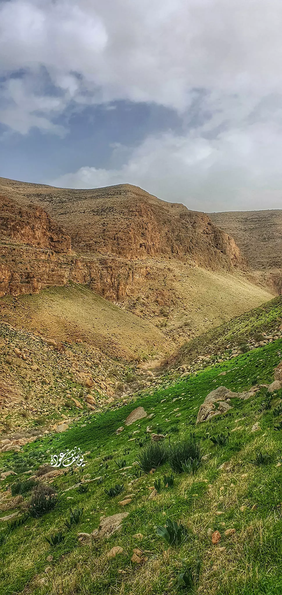
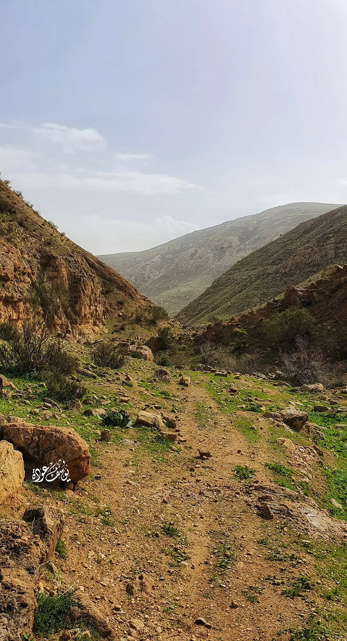
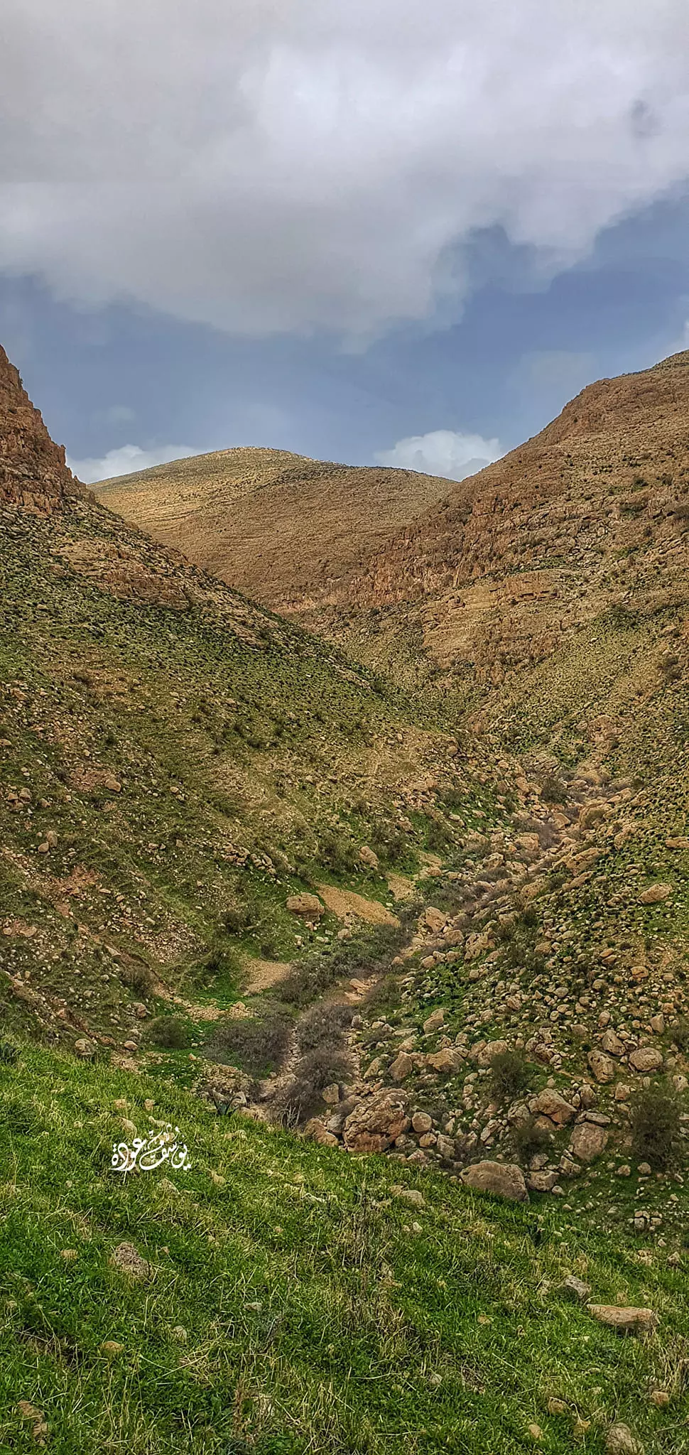
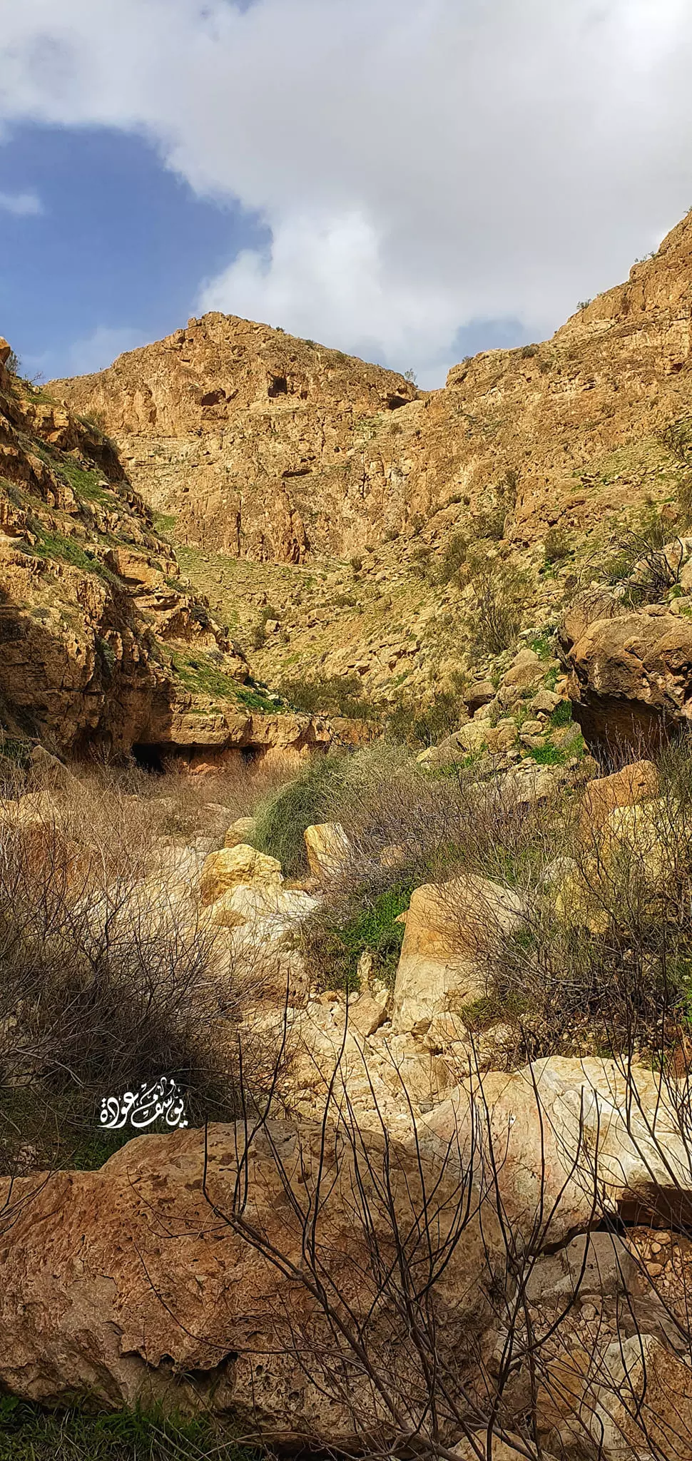
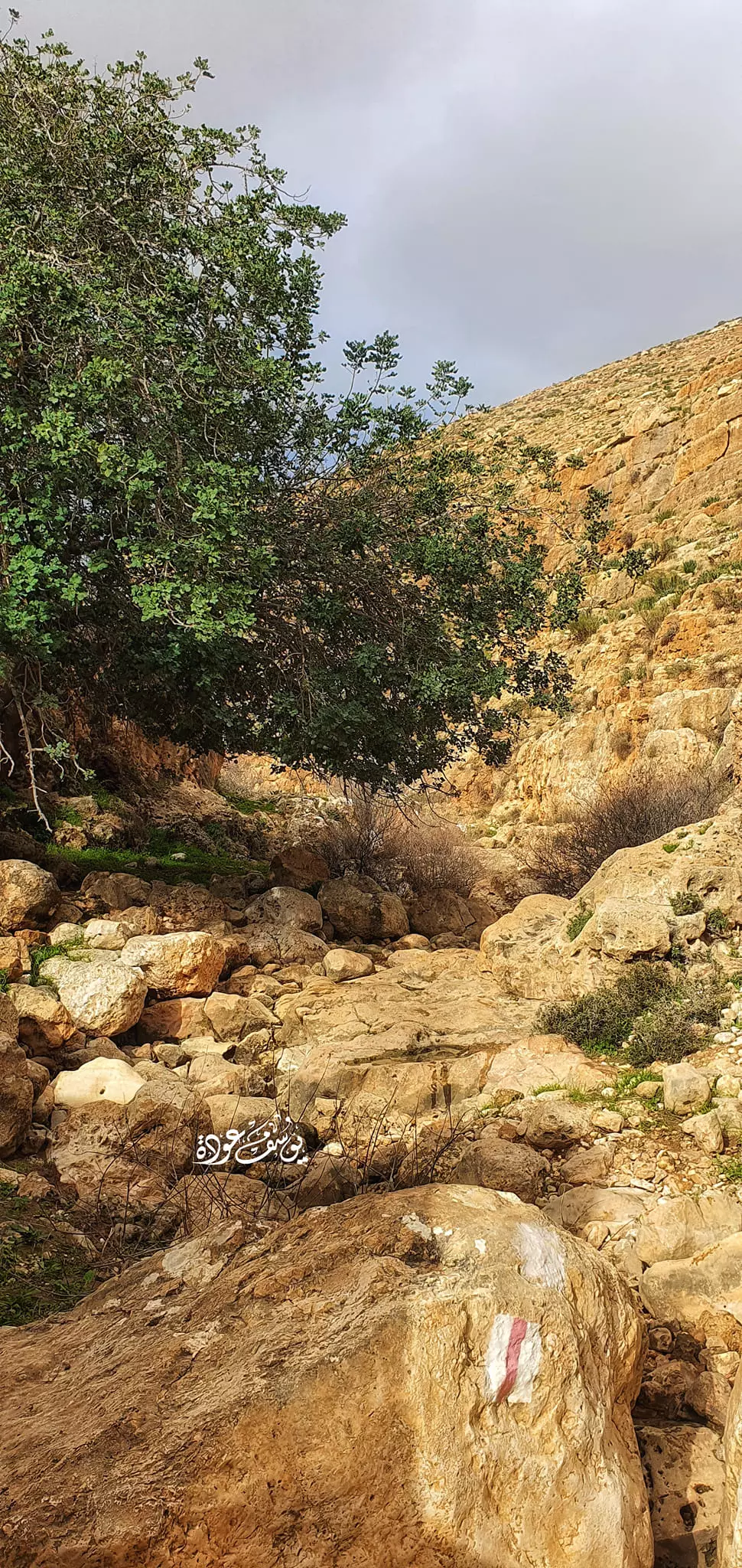
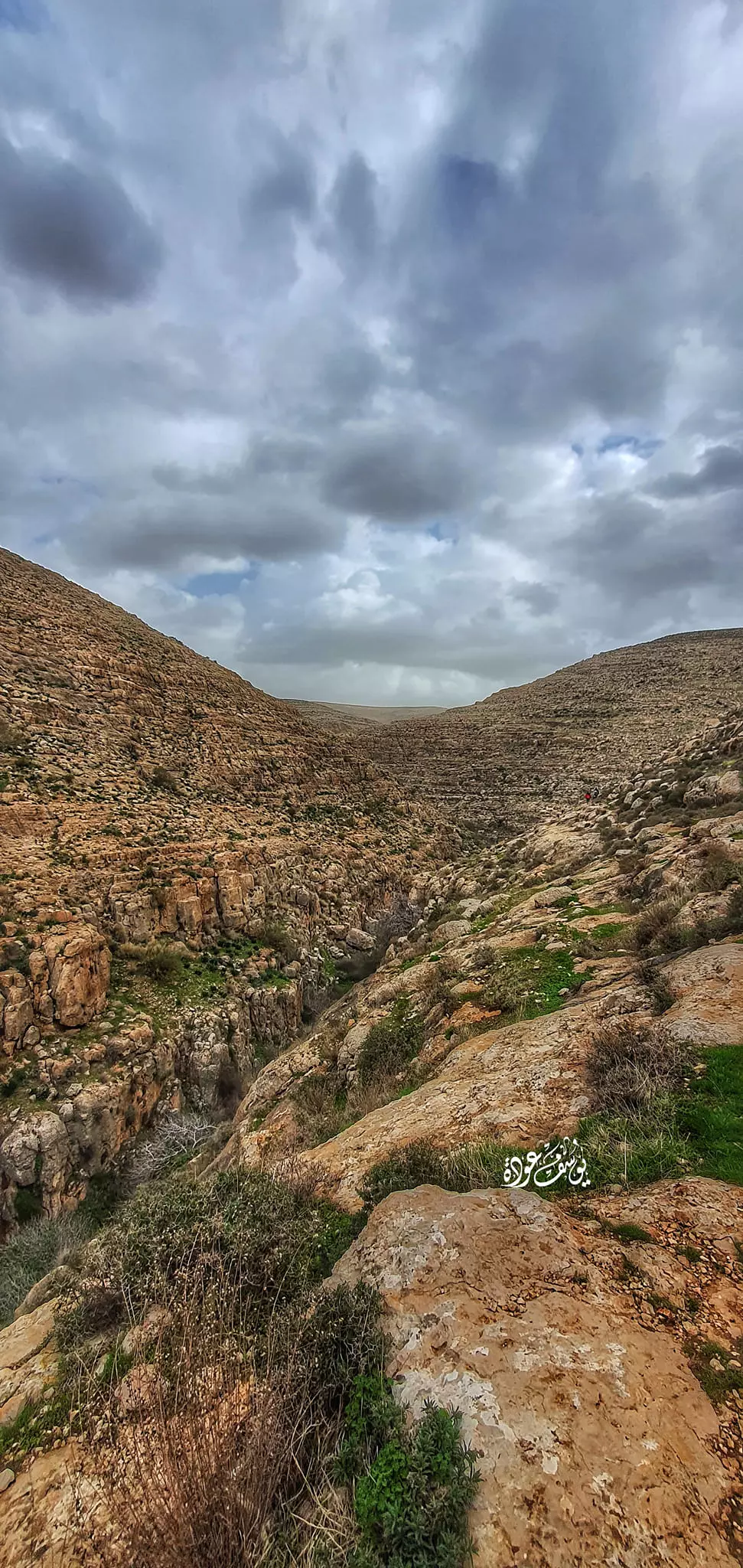
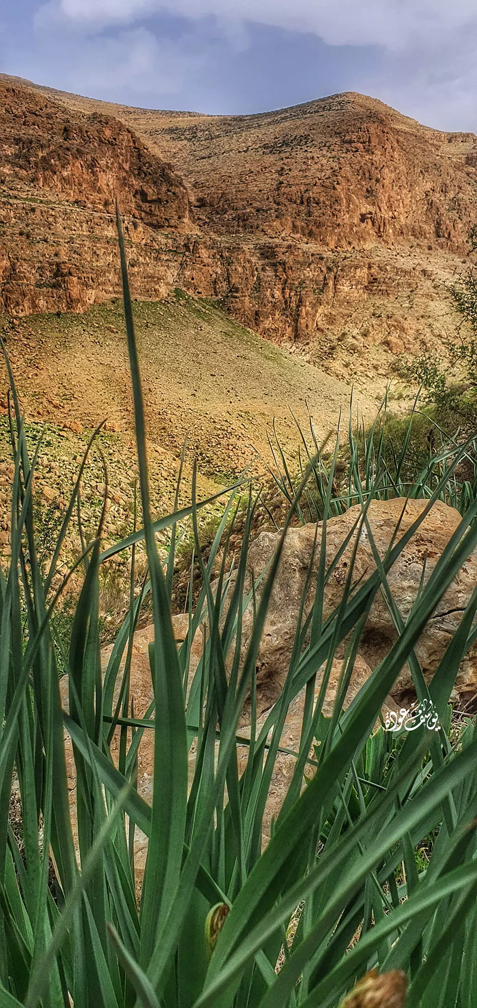
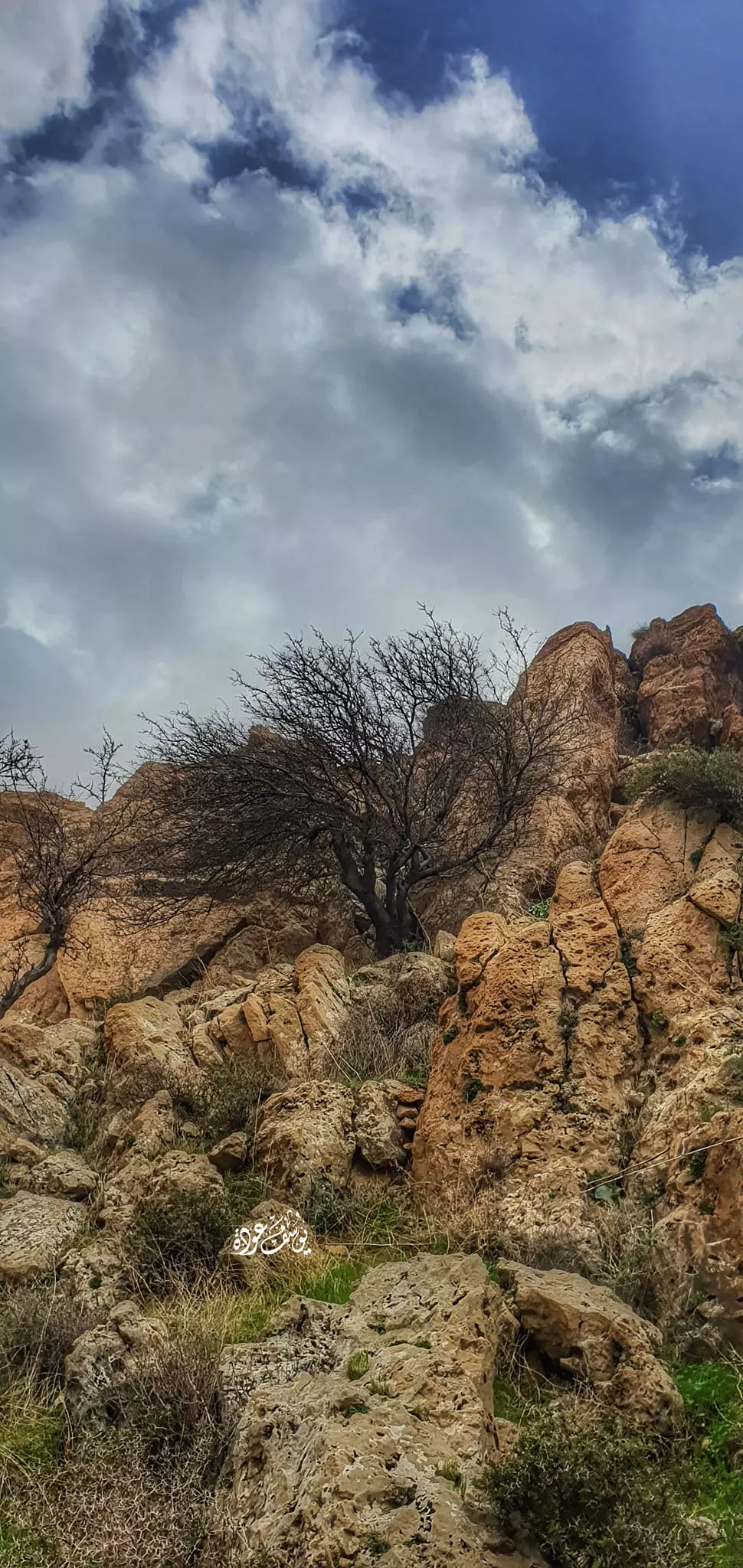
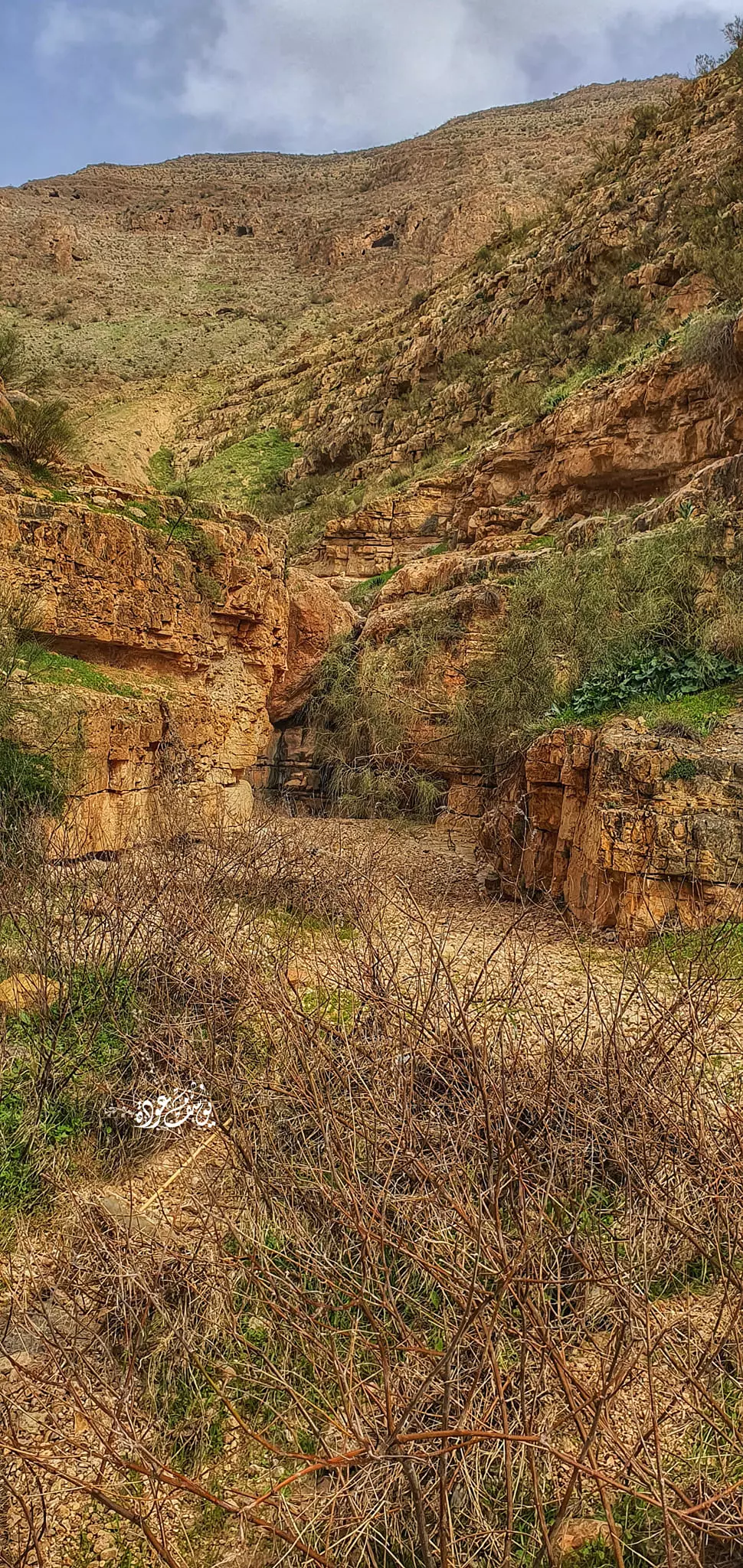
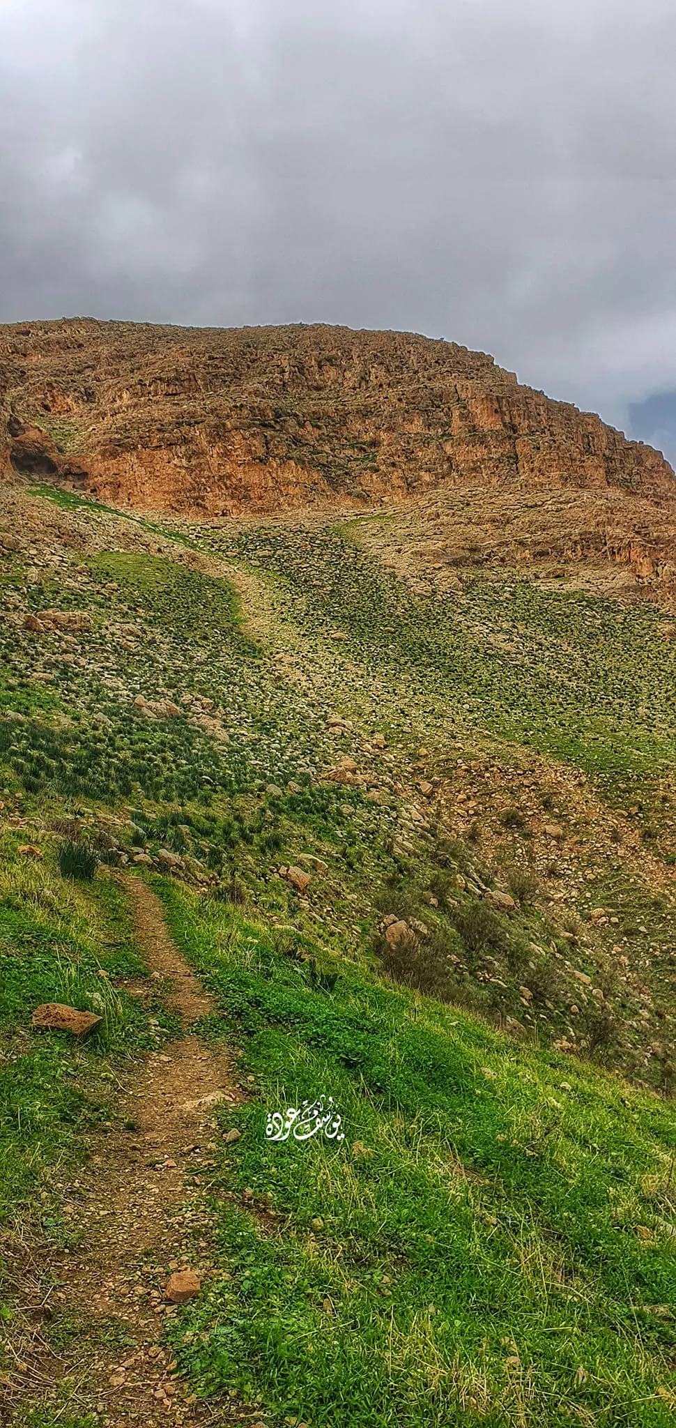
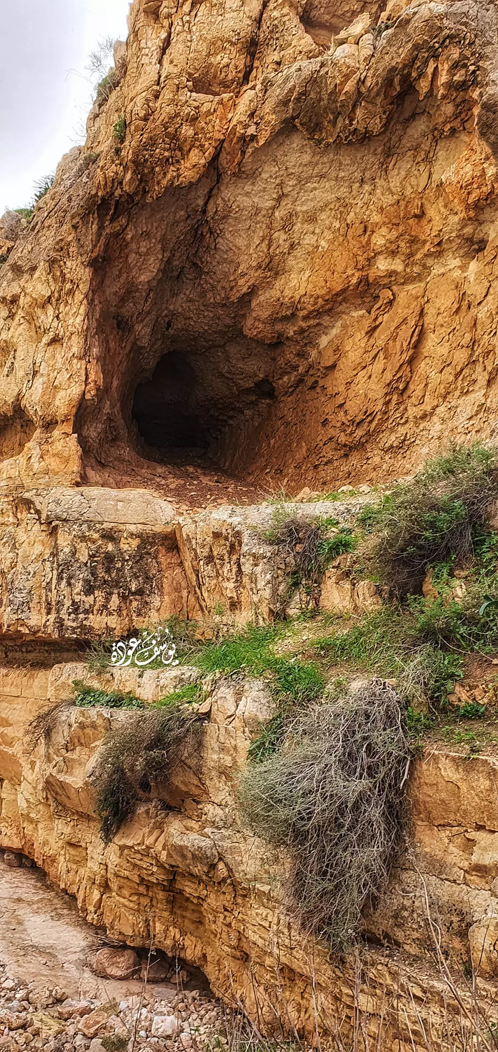
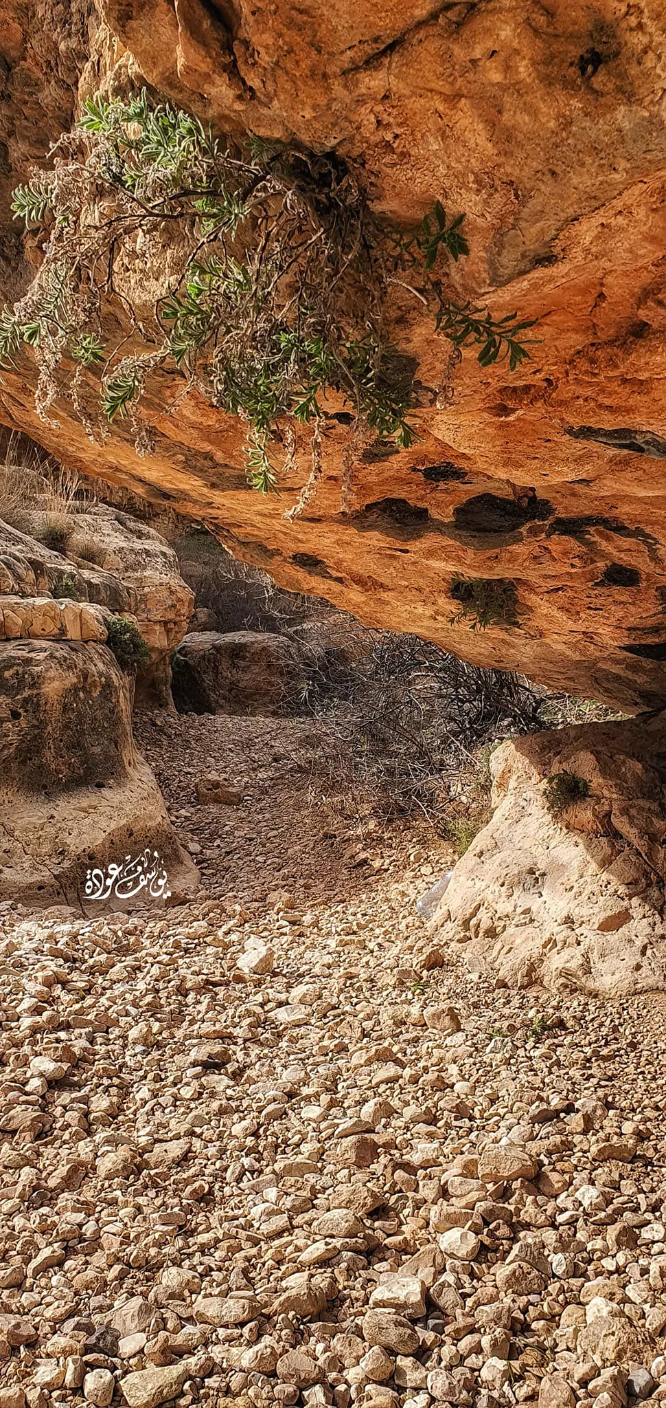
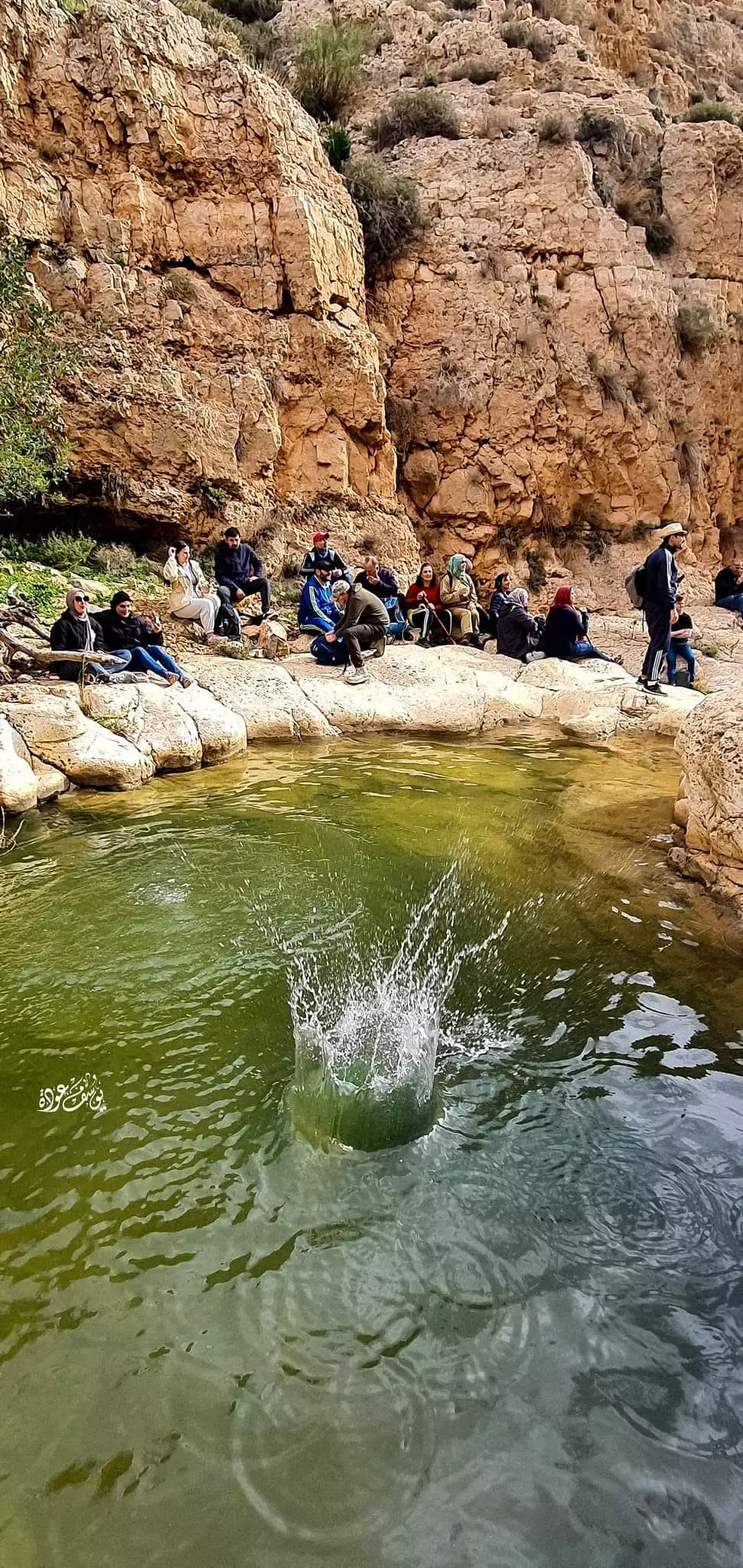
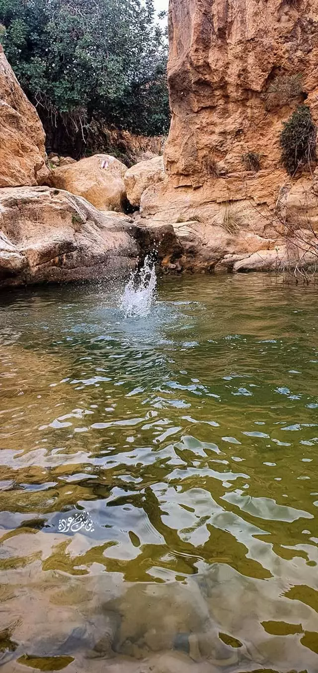
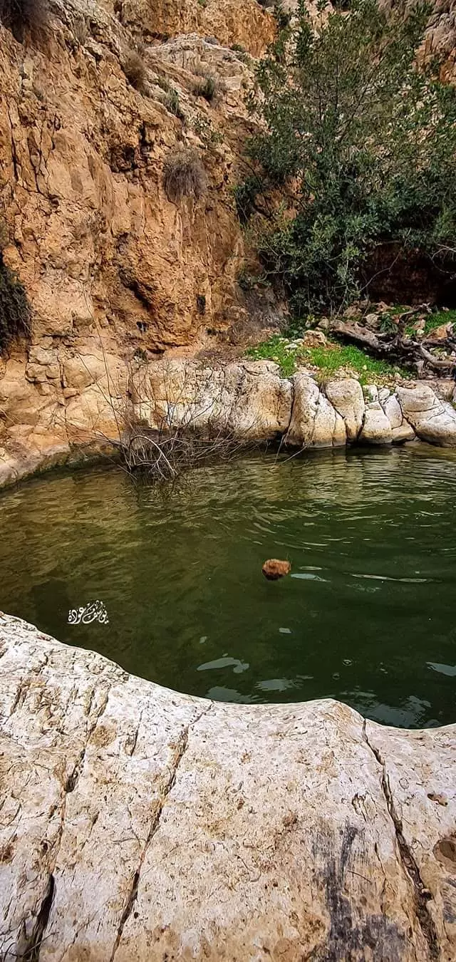
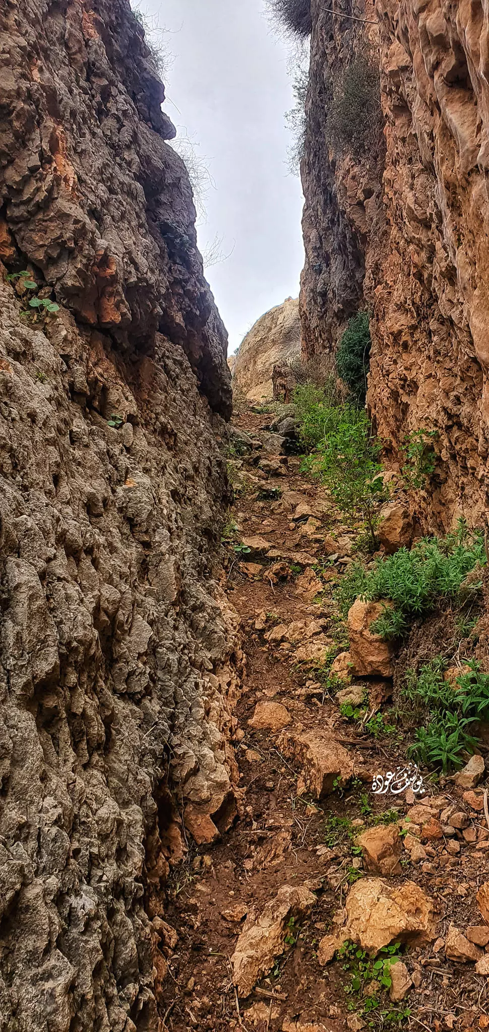
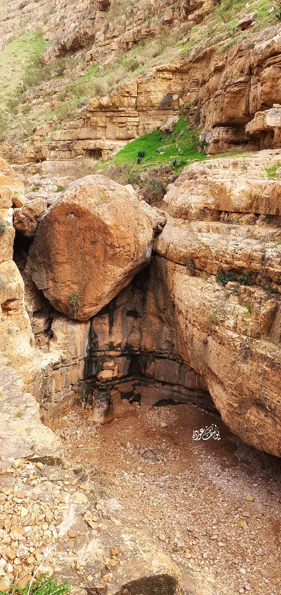
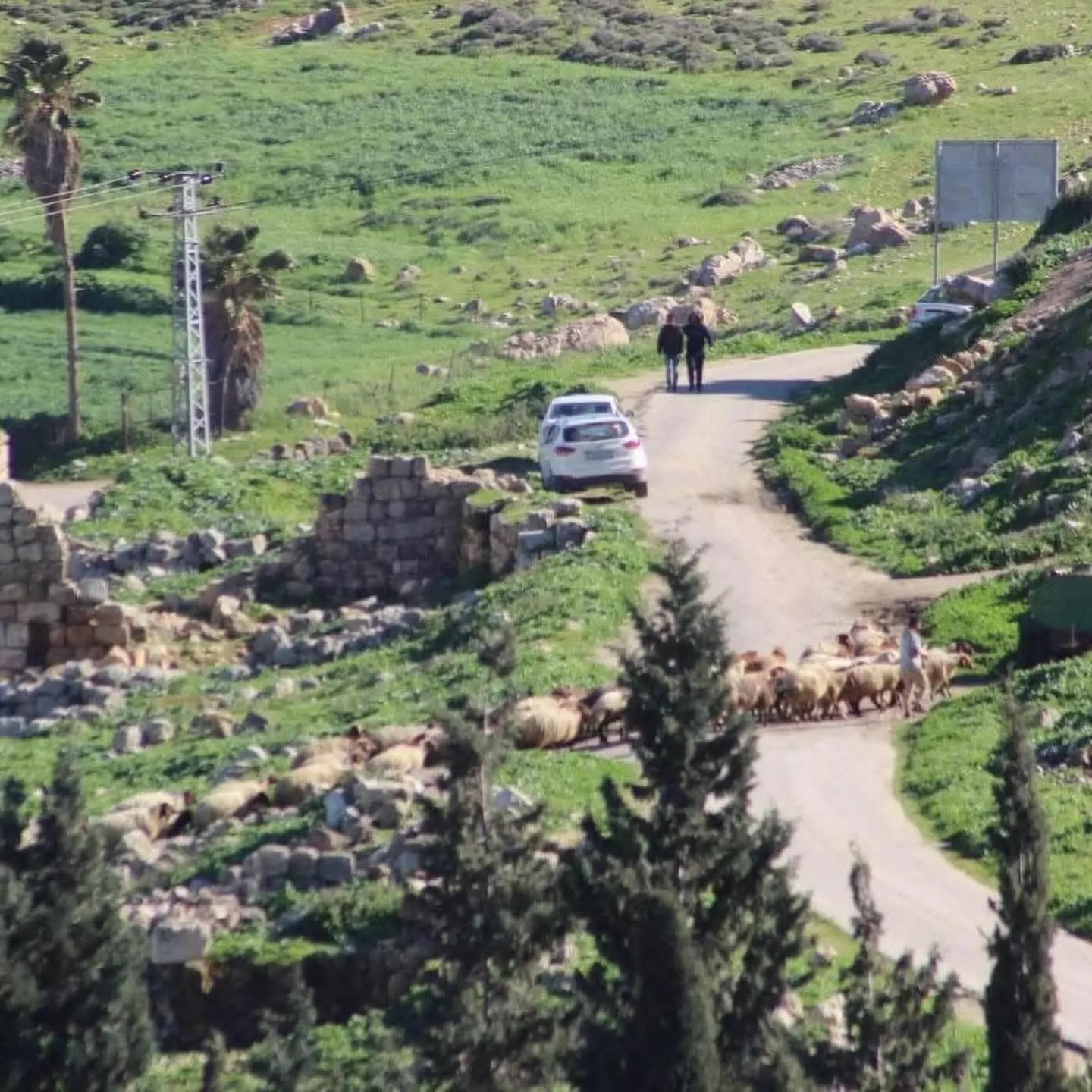
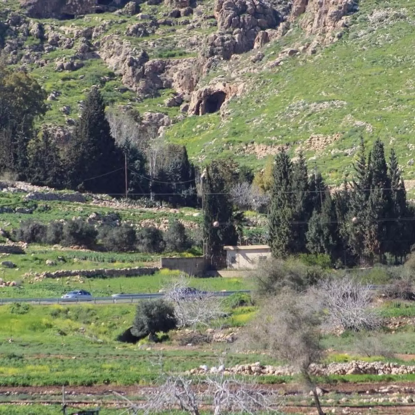
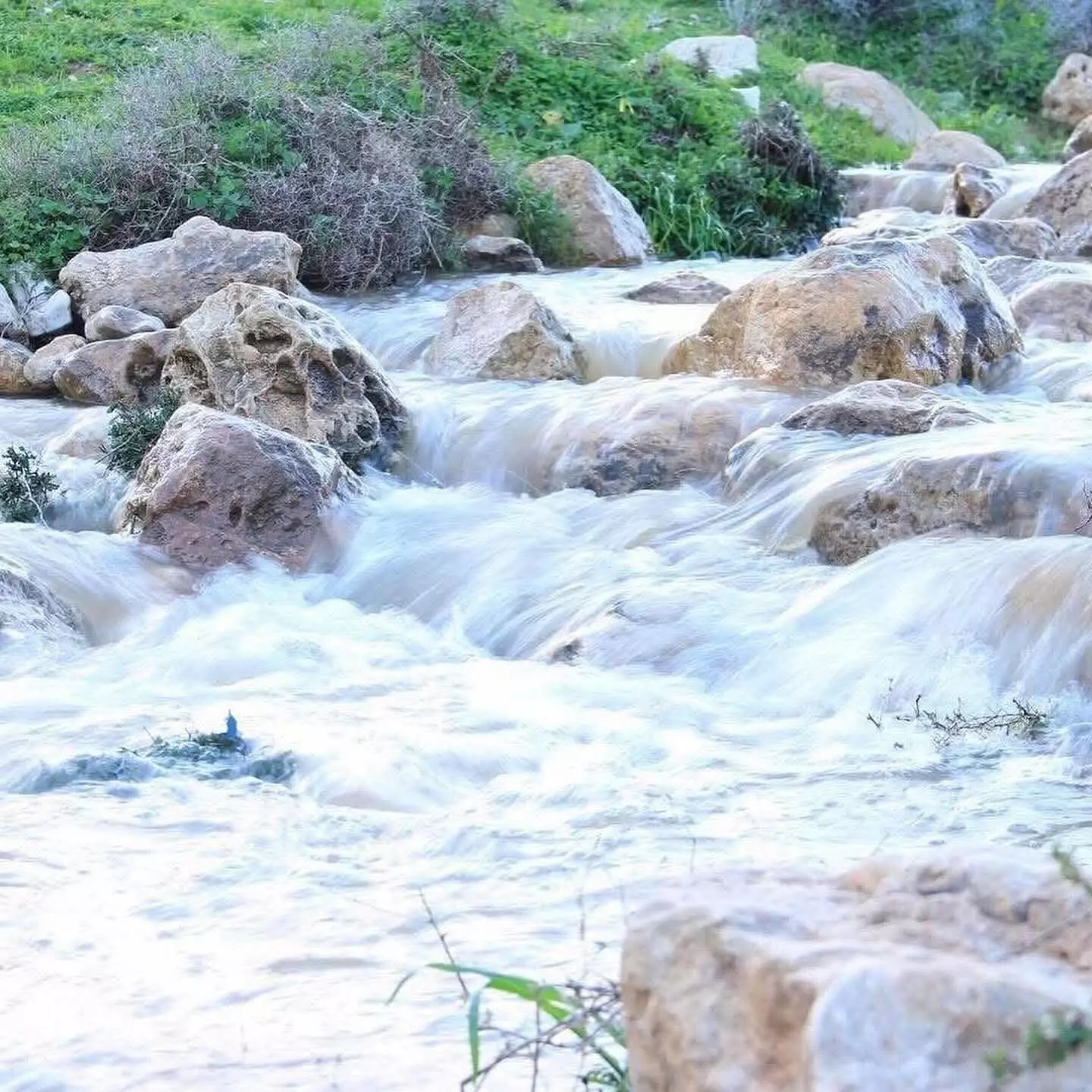
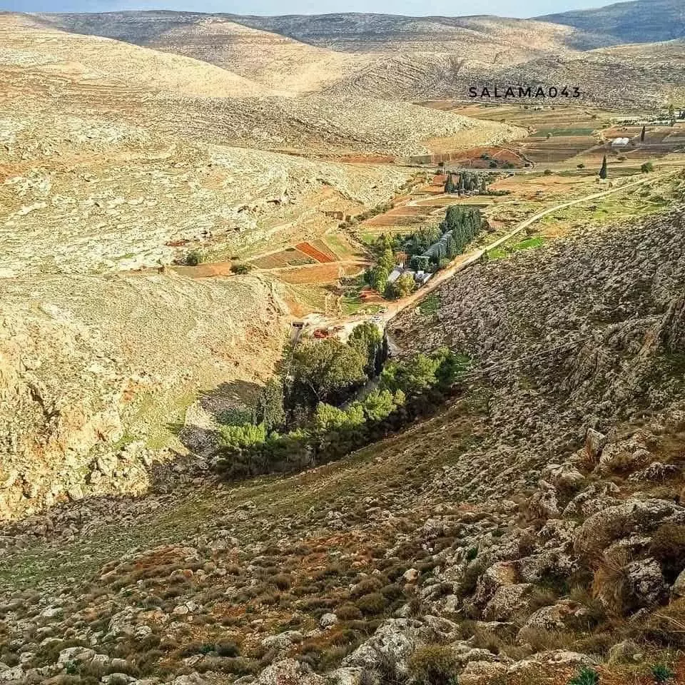
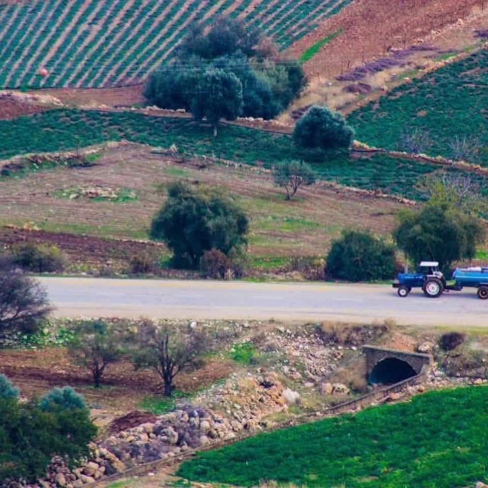
- جولة في واد اللصم الذي يبتداء من عين سامية الأراضي الشرقية ل كفر مالك باتجاة العوجا -- يوسف عودة
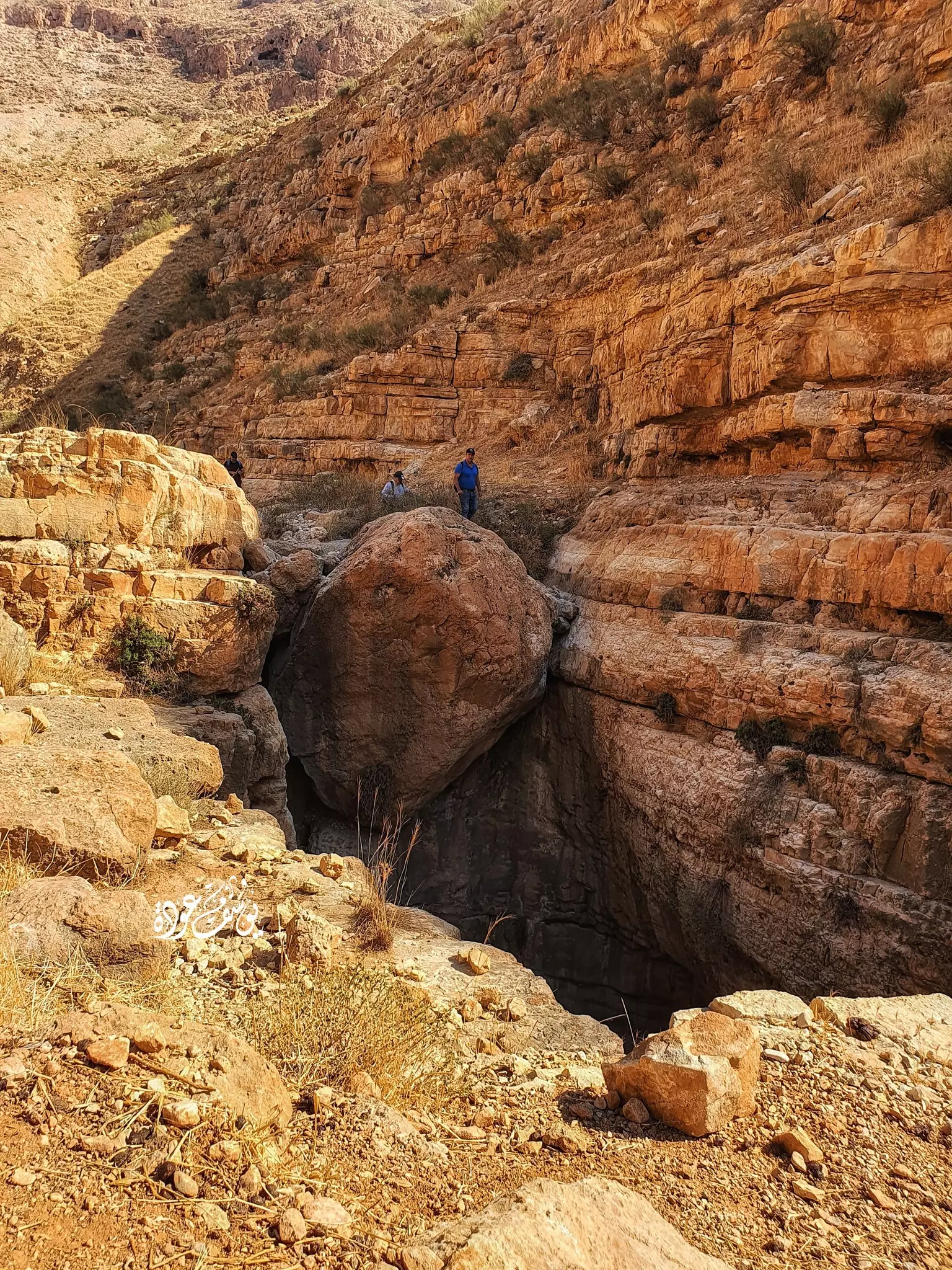
- جولة في واد اللصم الذي يبتداء من عين سامية الأراضي الشرقية ل كفر مالك باتجاة العوجا -- يوسف عودة #2
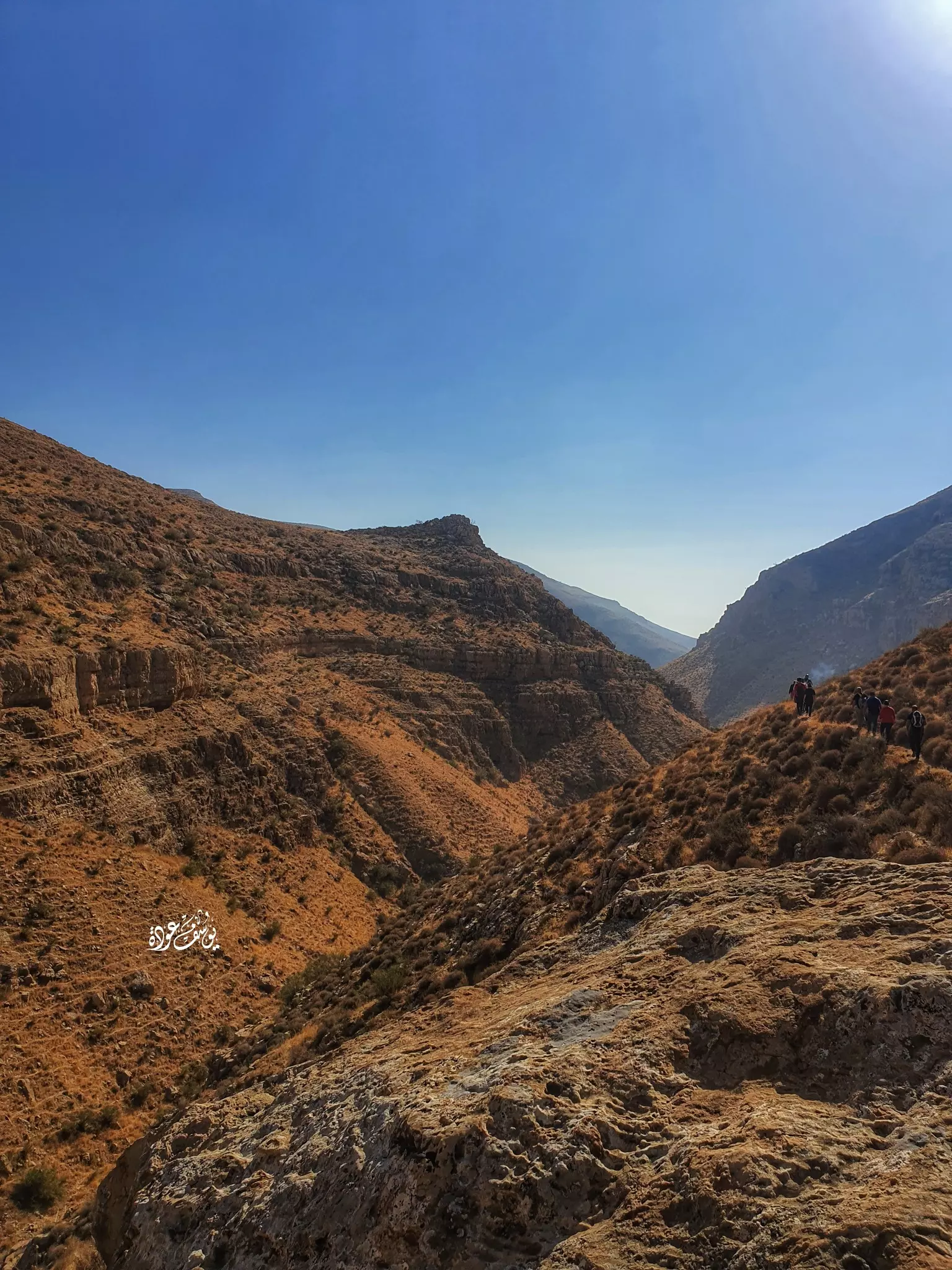
- جولة في واد اللصم الذي يبتداء من عين سامية الأراضي الشرقية ل كفر مالك باتجاة العوجا -- يوسف عودة #3
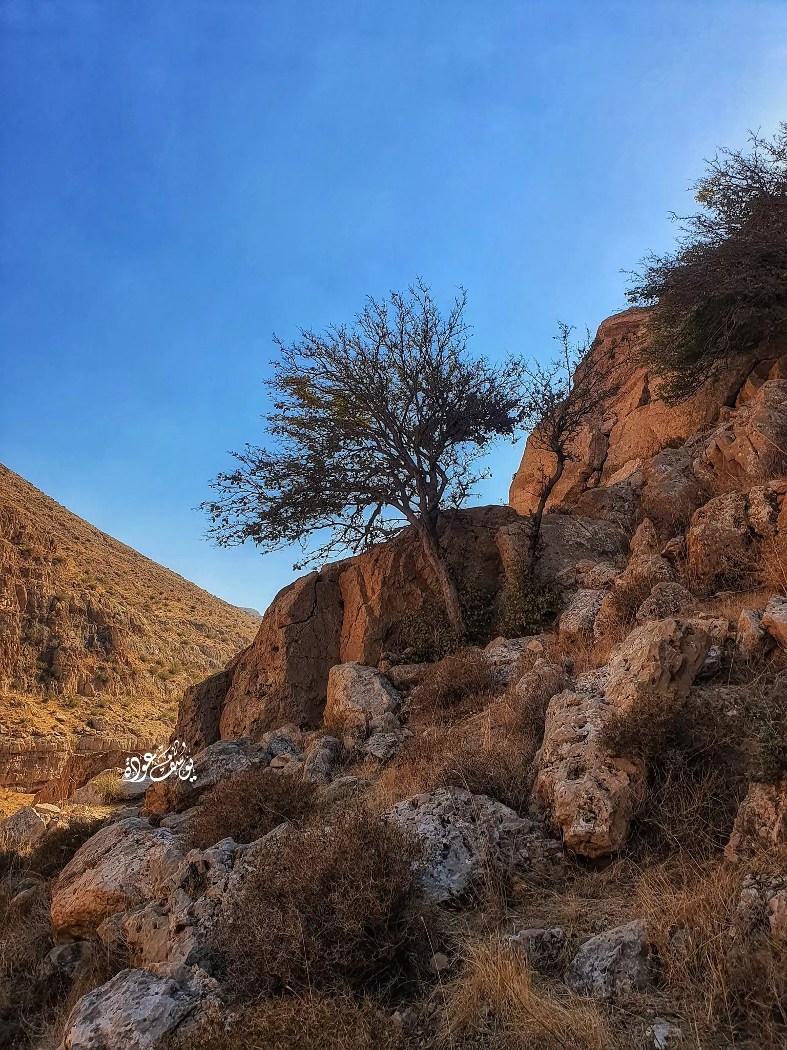
- جولة في واد اللصم الذي يبتداء من عين سامية الأراضي الشرقية ل كفر مالك باتجاة العوجا -- يوسف عودة #4
- جولة في واد اللصم الذي يبتداء من عين سامية الأراضي الشرقية ل كفر مالك باتجاة العوجا -- يوسف عودة #5
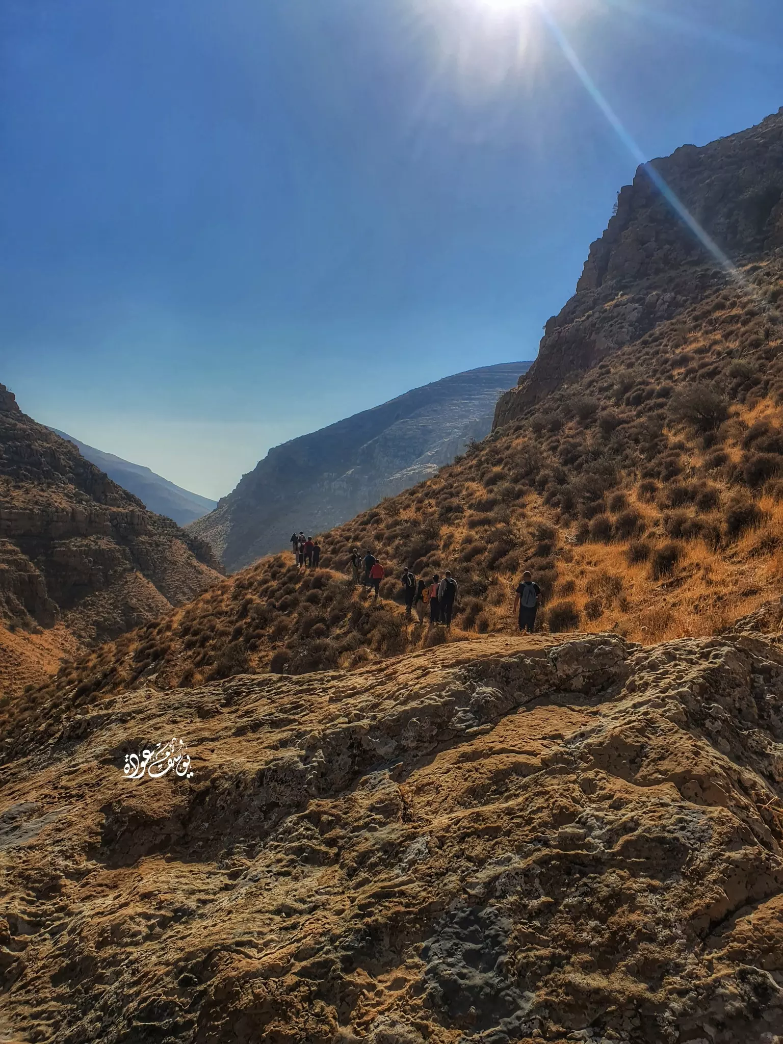
- جولة في واد اللصم الذي يبتداء من عين سامية الأراضي الشرقية ل كفر مالك باتجاة العوجا -- يوسف عودة #6
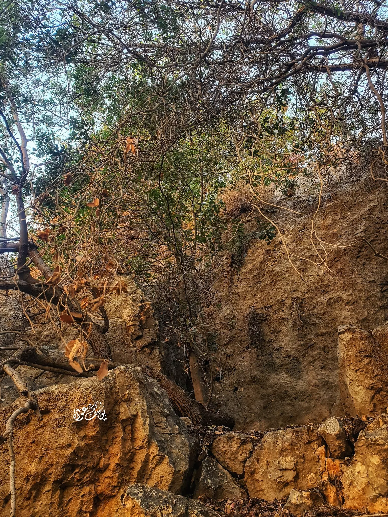
- جولة في واد اللصم الذي يبتداء من عين سامية الأراضي الشرقية ل كفر مالك باتجاة العوجا -- يوسف عودة #7
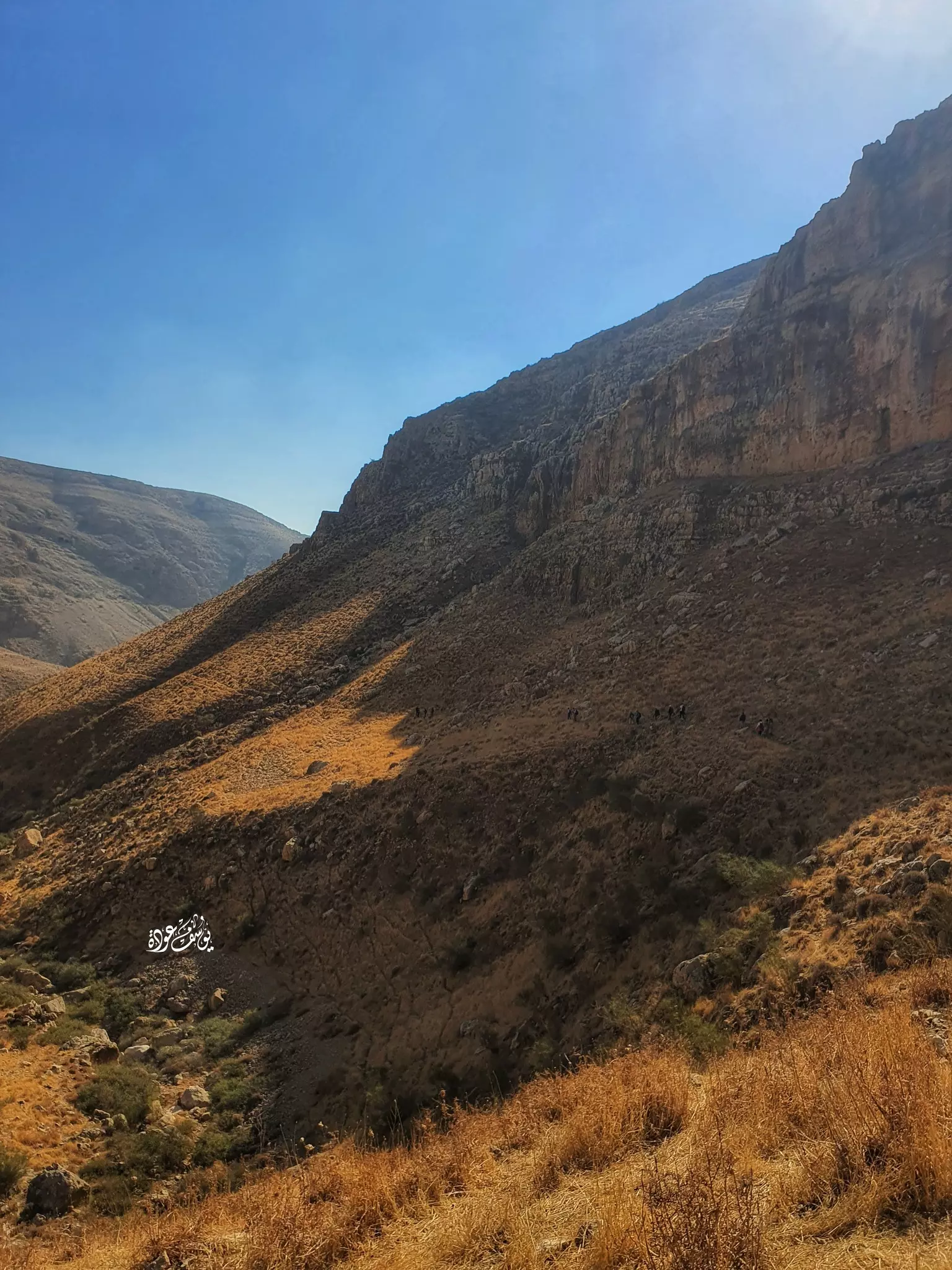
- جولة في واد اللصم الذي يبتداء من عين سامية الأراضي الشرقية ل كفر مالك باتجاة العوجا -- يوسف عودة #8
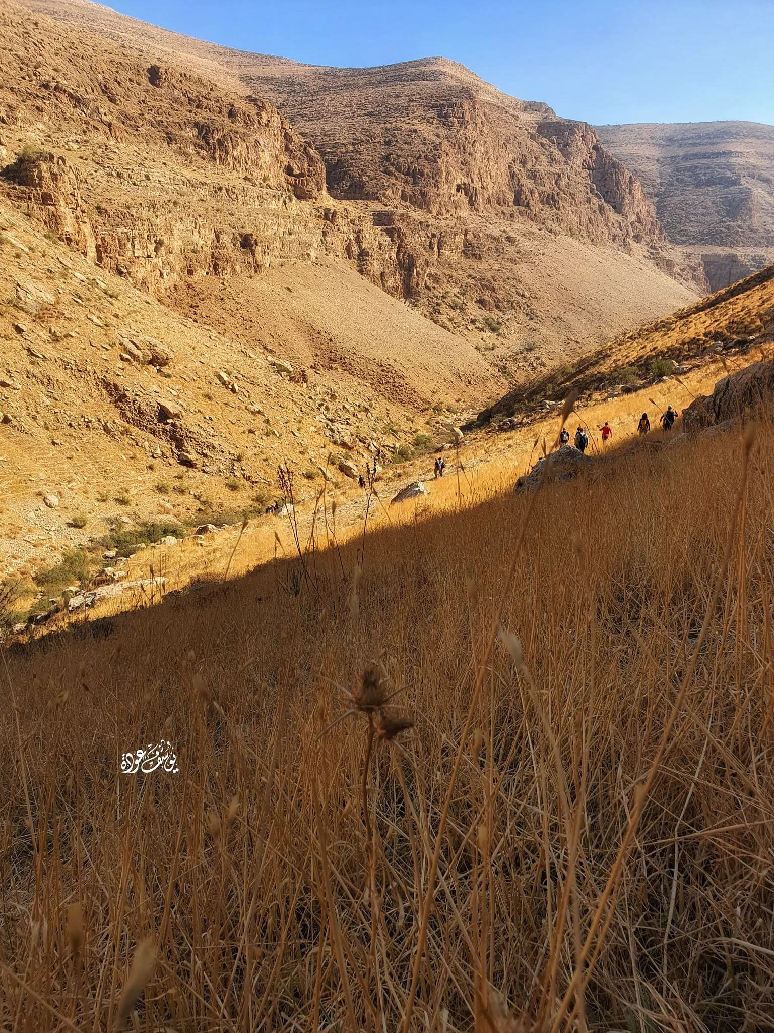
- جولة في واد اللصم الذي يبتداء من عين سامية الأراضي الشرقية ل كفر مالك باتجاة العوجا -- يوسف عودة #9
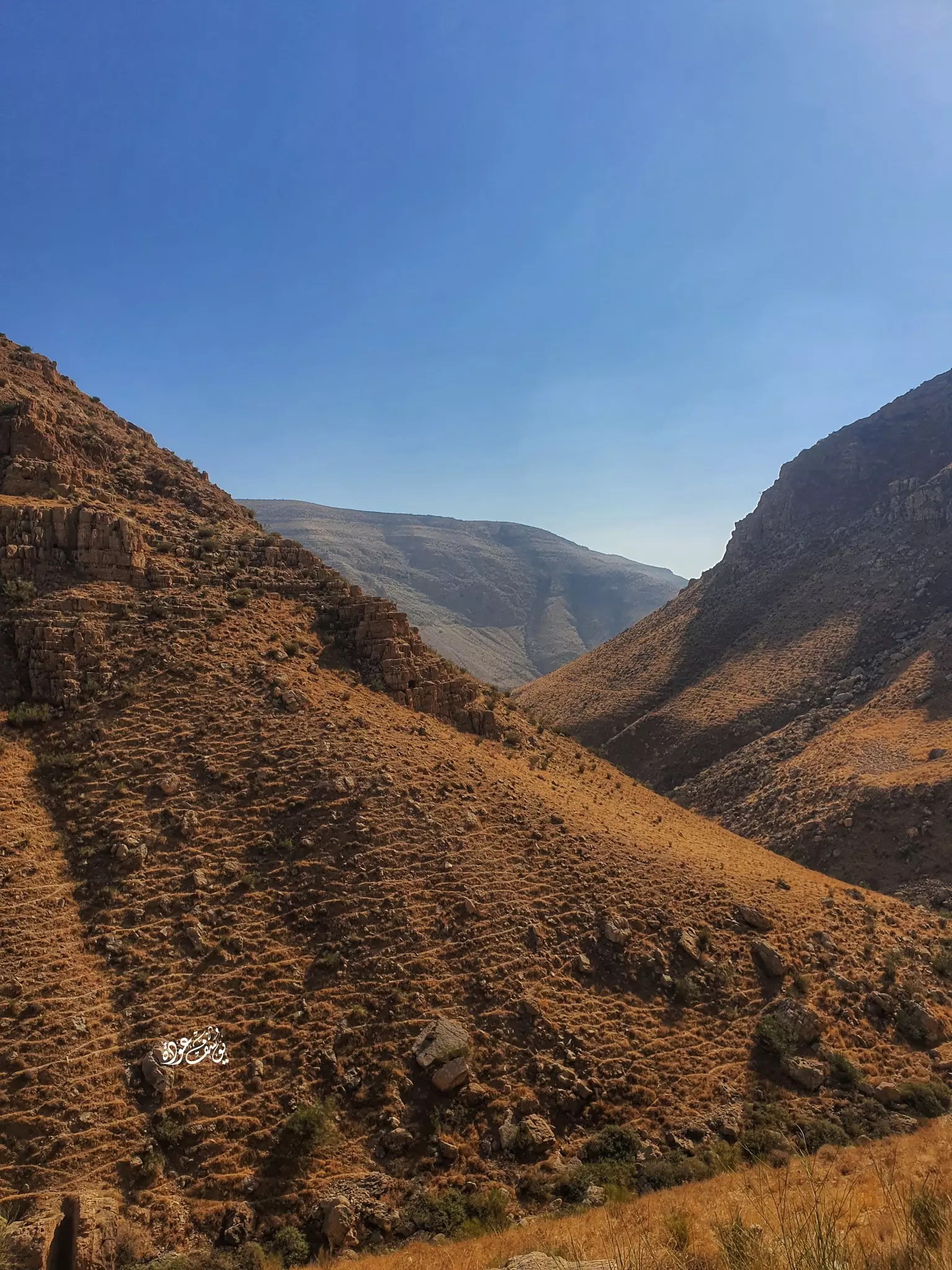
- جولة في واد اللصم الذي يبتداء من عين سامية الأراضي الشرقية ل كفر مالك باتجاة العوجا -- يوسف عودة #10
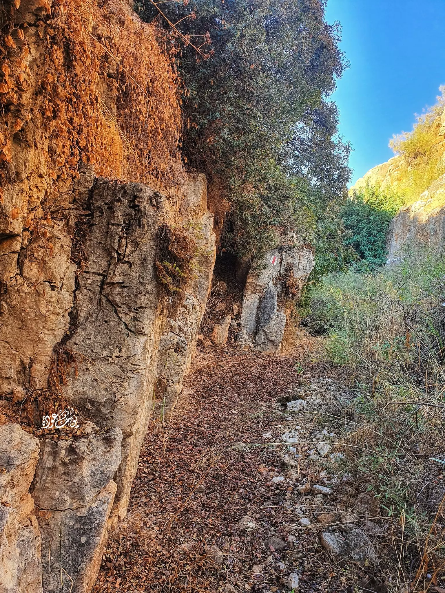
- جولة في واد اللصم الذي يبتداء من عين سامية الأراضي الشرقية ل كفر مالك باتجاة العوجا -- يوسف عودة #11
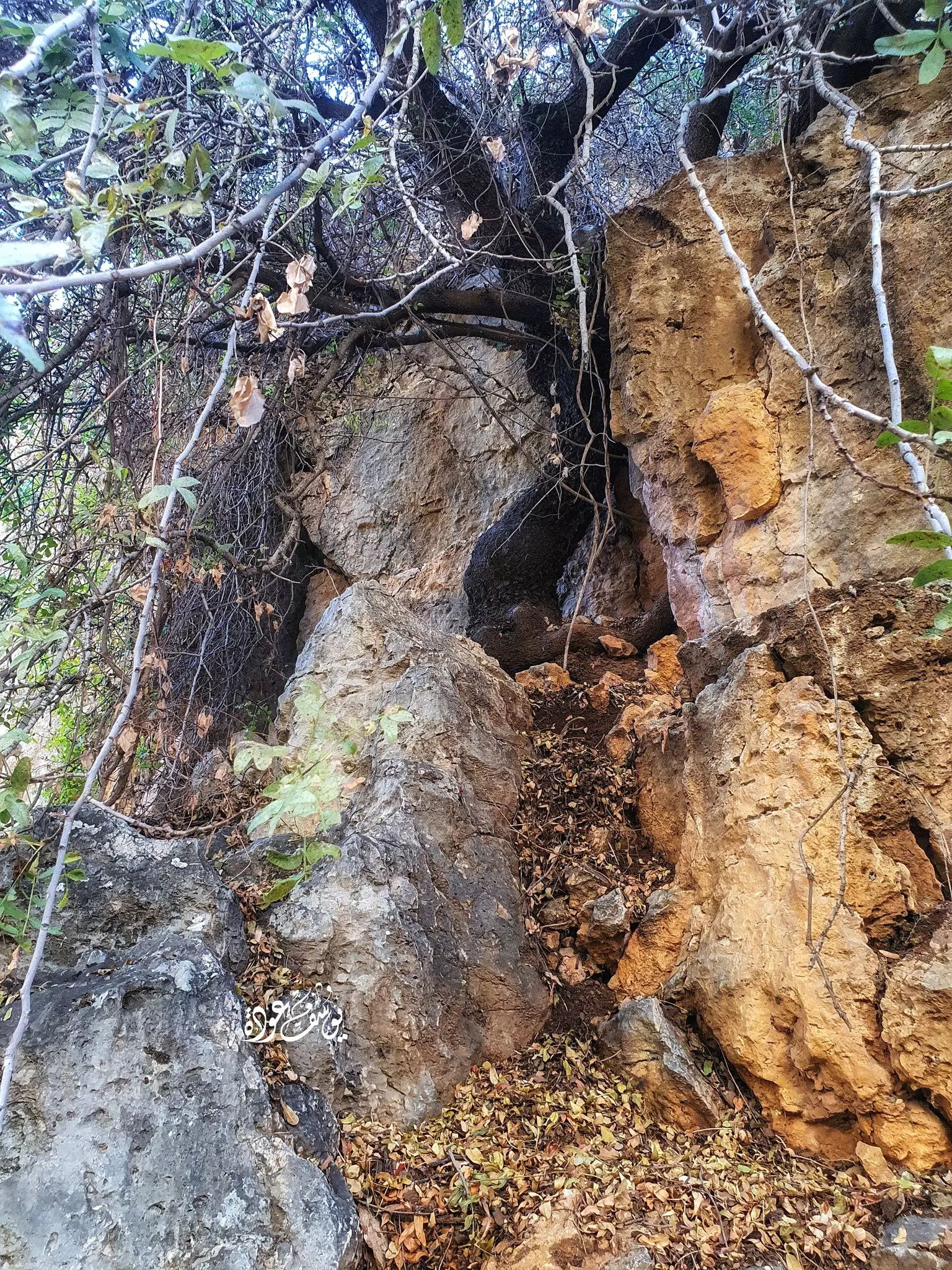
- جولة في واد اللصم الذي يبتداء من عين سامية الأراضي الشرقية ل كفر مالك باتجاة العوجا
- جولة في واد اللصم الذي يبتداء من عين سامية الأراضي الشرقية ل كفر مالك باتجاة العوجا #2
- جولة في واد اللصم الذي يبتداء من عين سامية الأراضي الشرقية ل كفر مالك باتجاة العوجا #3
- جولة في واد اللصم الذي يبتداء من عين سامية الأراضي الشرقية ل كفر مالك باتجاة العوجا #4
- جولة في واد اللصم الذي يبتداء من عين سامية الأراضي الشرقية ل كفر مالك باتجاة العوجا #5
- جولة في واد اللصم الذي يبتداء من عين سامية الأراضي الشرقية ل كفر مالك باتجاة العوجا #6
- جولة في واد اللصم الذي يبتداء من عين سامية الأراضي الشرقية ل كفر مالك باتجاة العوجا #7
- جولة في واد اللصم الذي يبتداء من عين سامية الأراضي الشرقية ل كفر مالك باتجاة العوجا #8
- جولة في واد اللصم الذي يبتداء من عين سامية الأراضي الشرقية ل كفر مالك باتجاة العوجا #9
- جولة في واد اللصم الذي يبتداء من عين سامية الأراضي الشرقية ل كفر مالك باتجاة العوجا #10
- جولة في واد اللصم الذي يبتداء من عين سامية الأراضي الشرقية ل كفر مالك باتجاة العوجا #11
- جولة في واد اللصم الذي يبتداء من عين سامية الأراضي الشرقية ل كفر مالك باتجاة العوجا #12
- جولة في واد اللصم الذي يبتداء من عين سامية الأراضي الشرقية ل كفر مالك باتجاة العوجا #13
- جولة في واد اللصم الذي يبتداء من عين سامية الأراضي الشرقية ل كفر مالك باتجاة العوجا #14

- جولة في واد اللصم الذي يبتداء من عين سامية الأراضي الشرقية ل كفر مالك باتجاة العوجا #15
- جولة في واد اللصم الذي يبتداء من عين سامية الأراضي الشرقية ل كفر مالك باتجاة العوجا #16
- جولة في واد اللصم الذي يبتداء من عين سامية الأراضي الشرقية ل كفر مالك باتجاة العوجا #17
- جولة في واد اللصم الذي يبتداء من عين سامية الأراضي الشرقية ل كفر مالك باتجاة العوجا #18
- جولة في واد اللصم الذي يبتداء من عين سامية الأراضي الشرقية ل كفر مالك باتجاة العوجا #19
- جولة في واد اللصم الذي يبتداء من عين سامية الأراضي الشرقية ل كفر مالك باتجاة العوجا #20
- جولة في واد اللصم الذي يبتداء من عين سامية الأراضي الشرقية ل كفر مالك باتجاة العوجا #21
- جولة في واد اللصم الذي يبتداء من عين سامية الأراضي الشرقية ل كفر مالك باتجاة العوجا #22
- جولة في واد اللصم الذي يبتداء من عين سامية الأراضي الشرقية ل كفر مالك باتجاة العوجا #23
- جولة في واد اللصم الذي يبتداء من عين سامية الأراضي الشرقية ل كفر مالك باتجاة العوجا #24
- جولة في واد اللصم الذي يبتداء من عين سامية الأراضي الشرقية ل كفر مالك باتجاة العوجا #25
- جولة في واد اللصم الذي يبتداء من عين سامية الأراضي الشرقية ل كفر مالك باتجاة العوجا #26
- جولة في واد اللصم الذي يبتداء من عين سامية الأراضي الشرقية ل كفر مالك باتجاة العوجا #27
- جولة في منطقة عين سامية شرق القرية

- جولة في منطقة عين سامية شرق القرية #2
- جولة في منطقة عين سامية شرق القرية #3
- جولة في منطقة عين سامية شرق القرية #4
- جولة في منطقة عين سامية شرق القرية #5
- جولة في منطقة عين سامية شرق القرية #6
- جولة في منطقة عين سامية شرق القرية #7
- جولة في منطقة عين سامية شرق القرية #8
- جولة في منطقة عين سامية شرق القرية #9
-
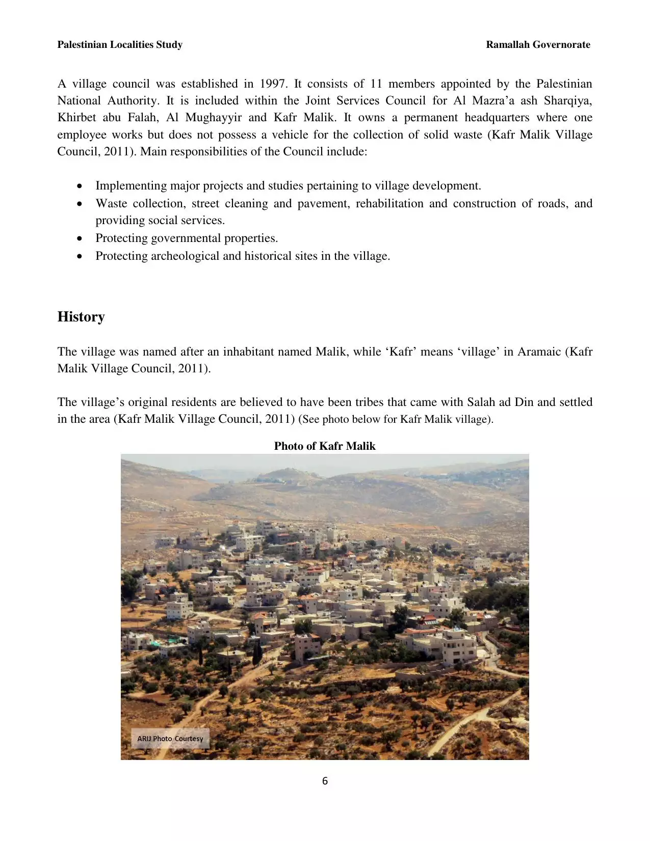
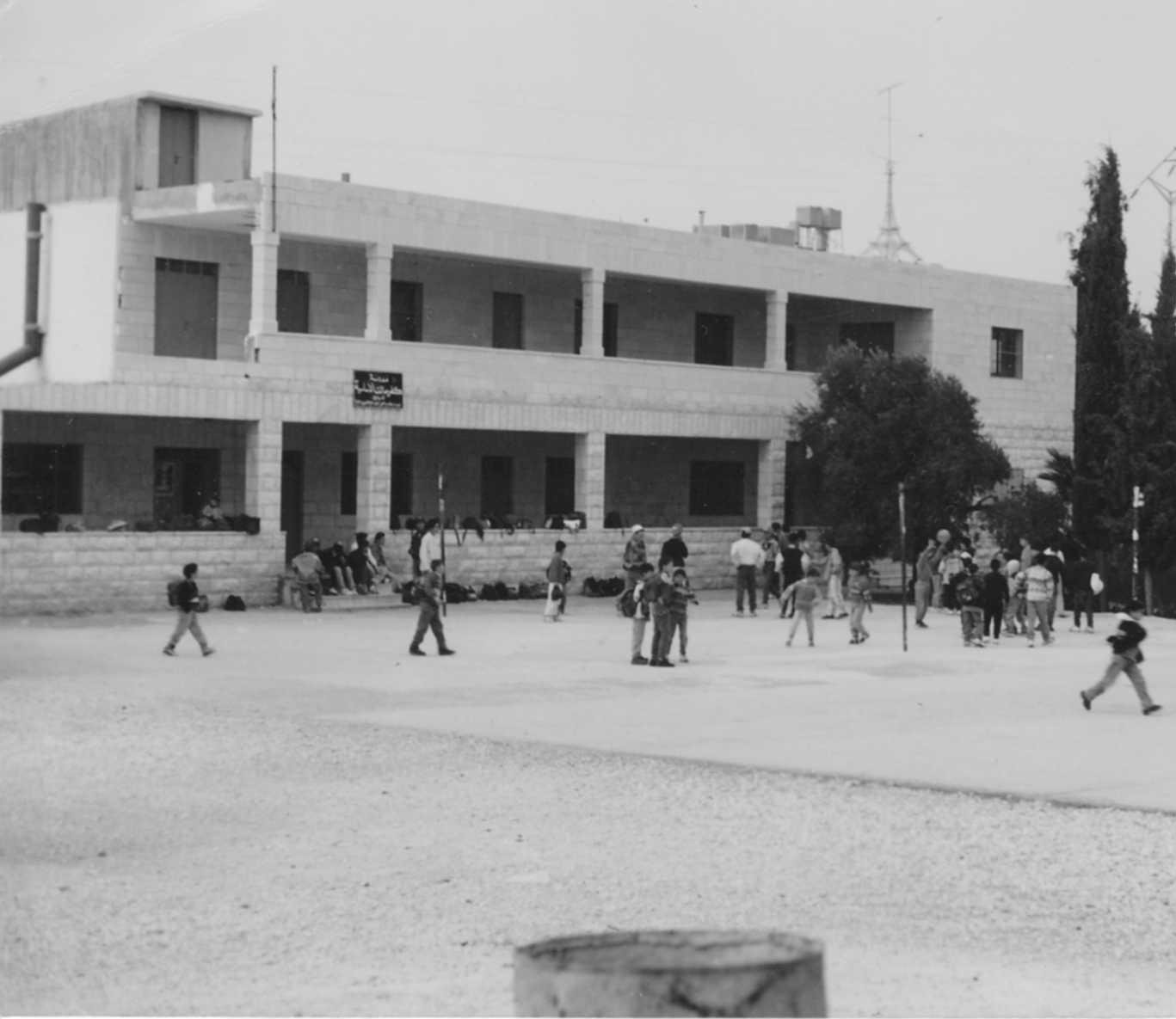
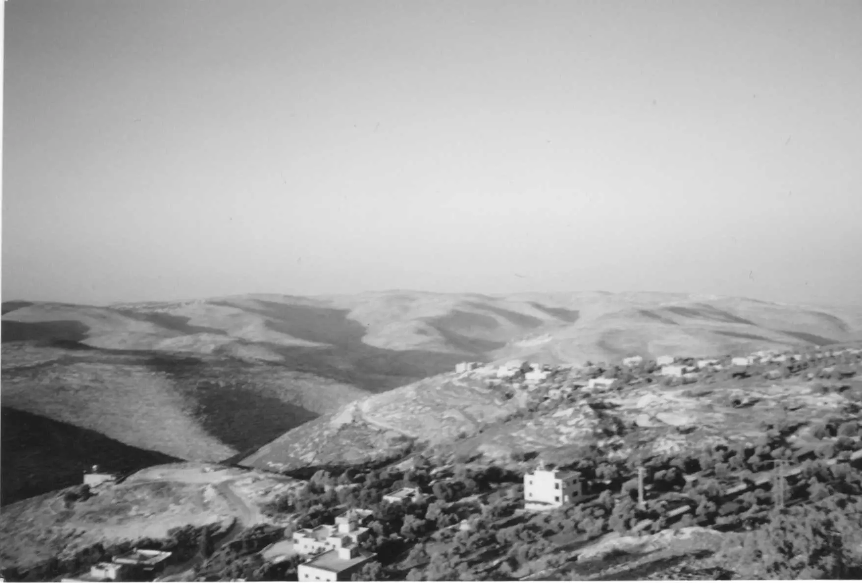
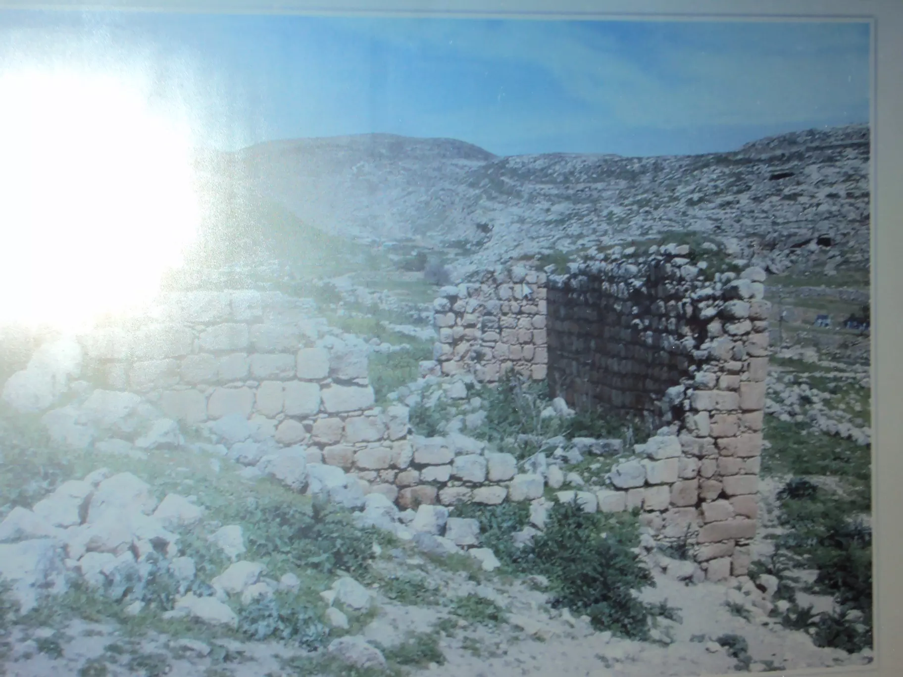
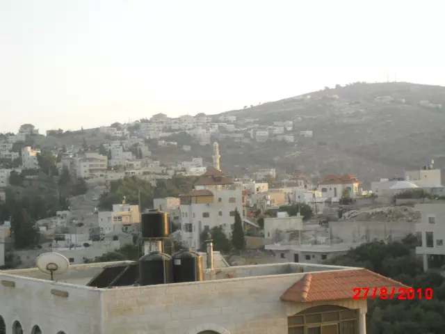
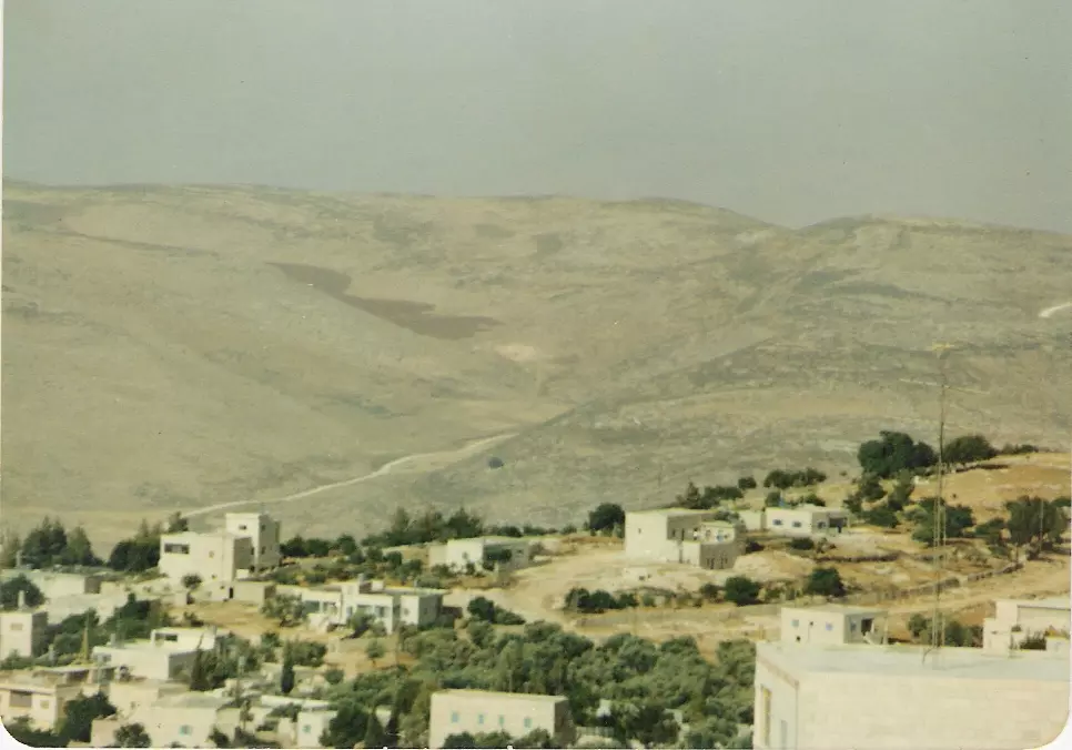
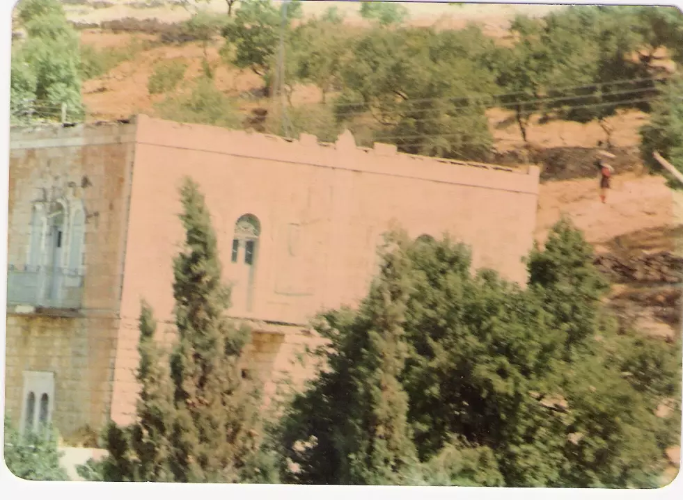
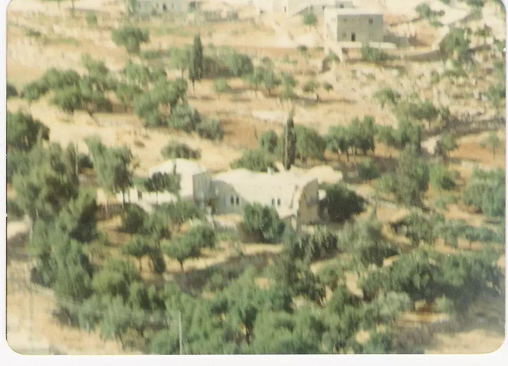
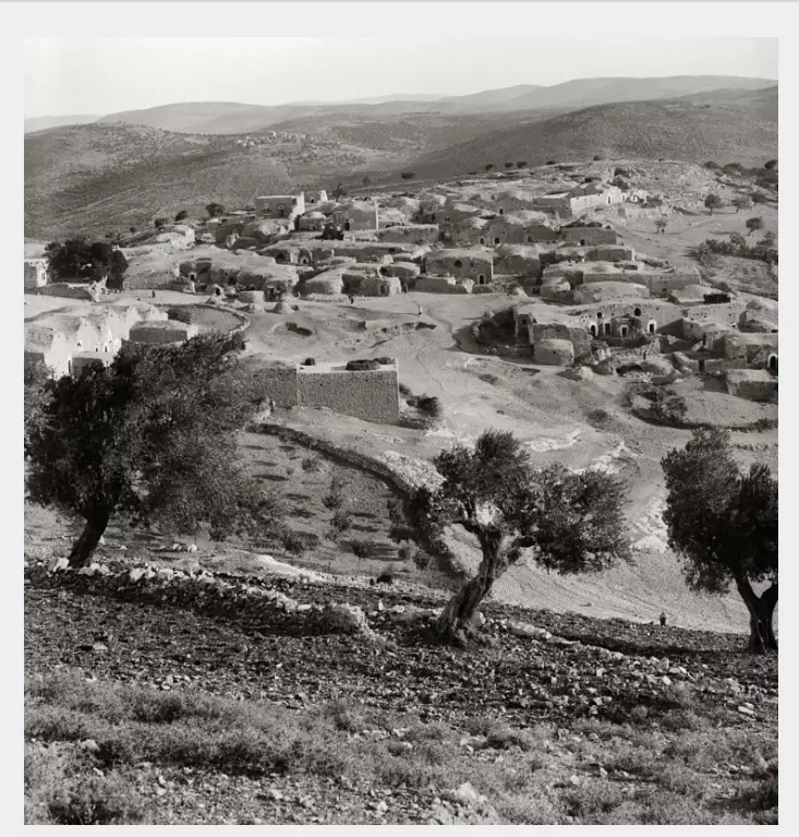
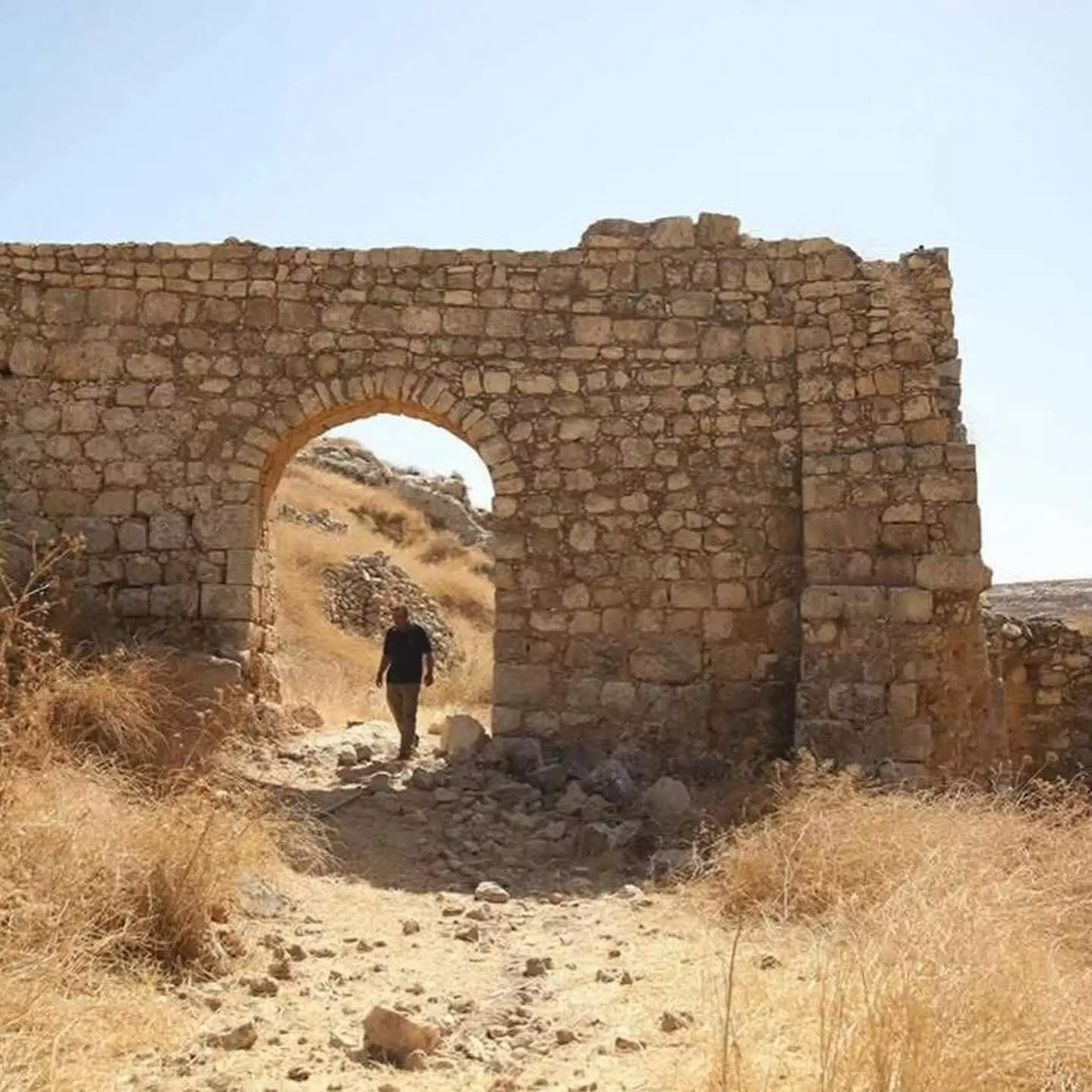
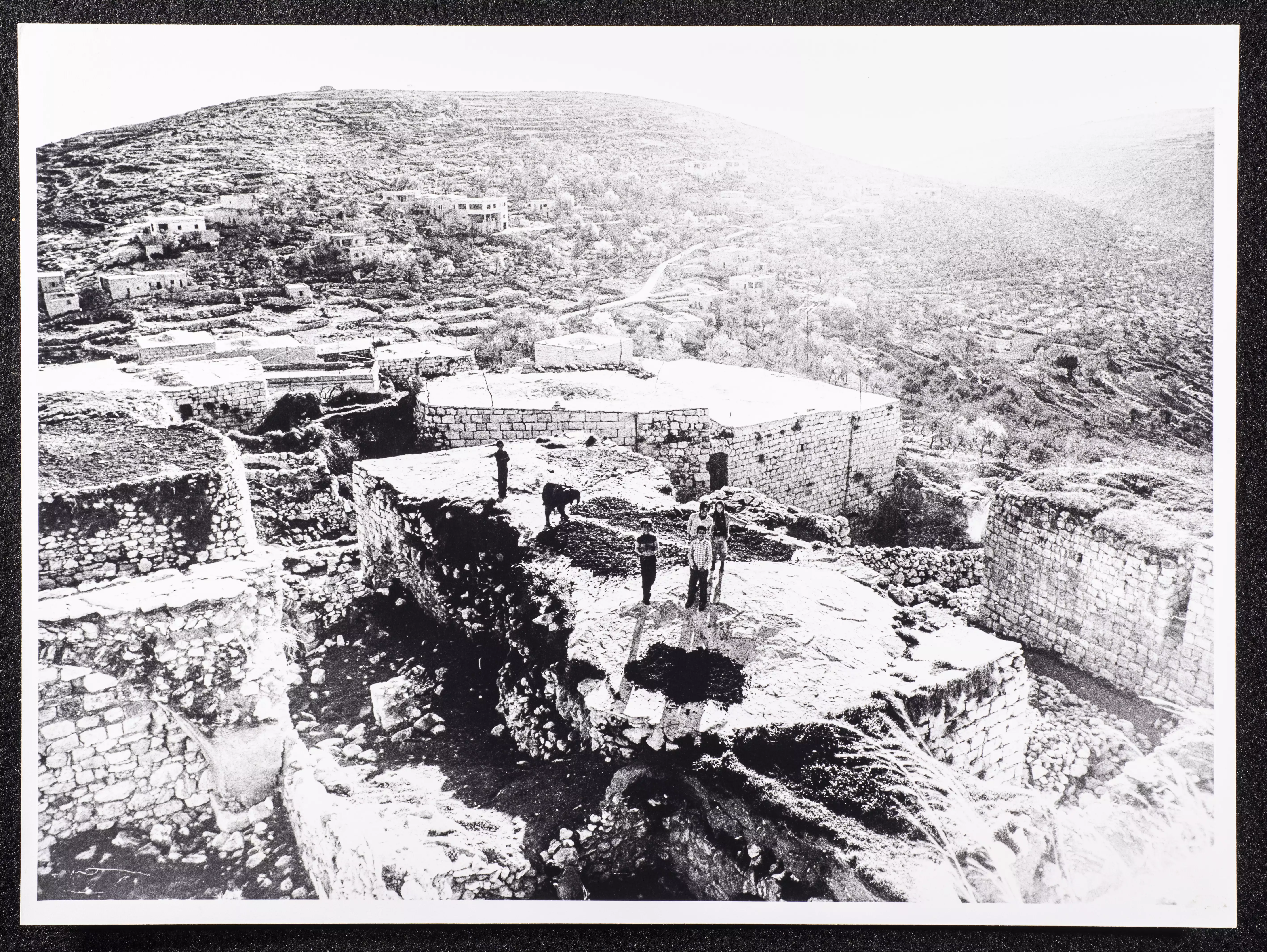
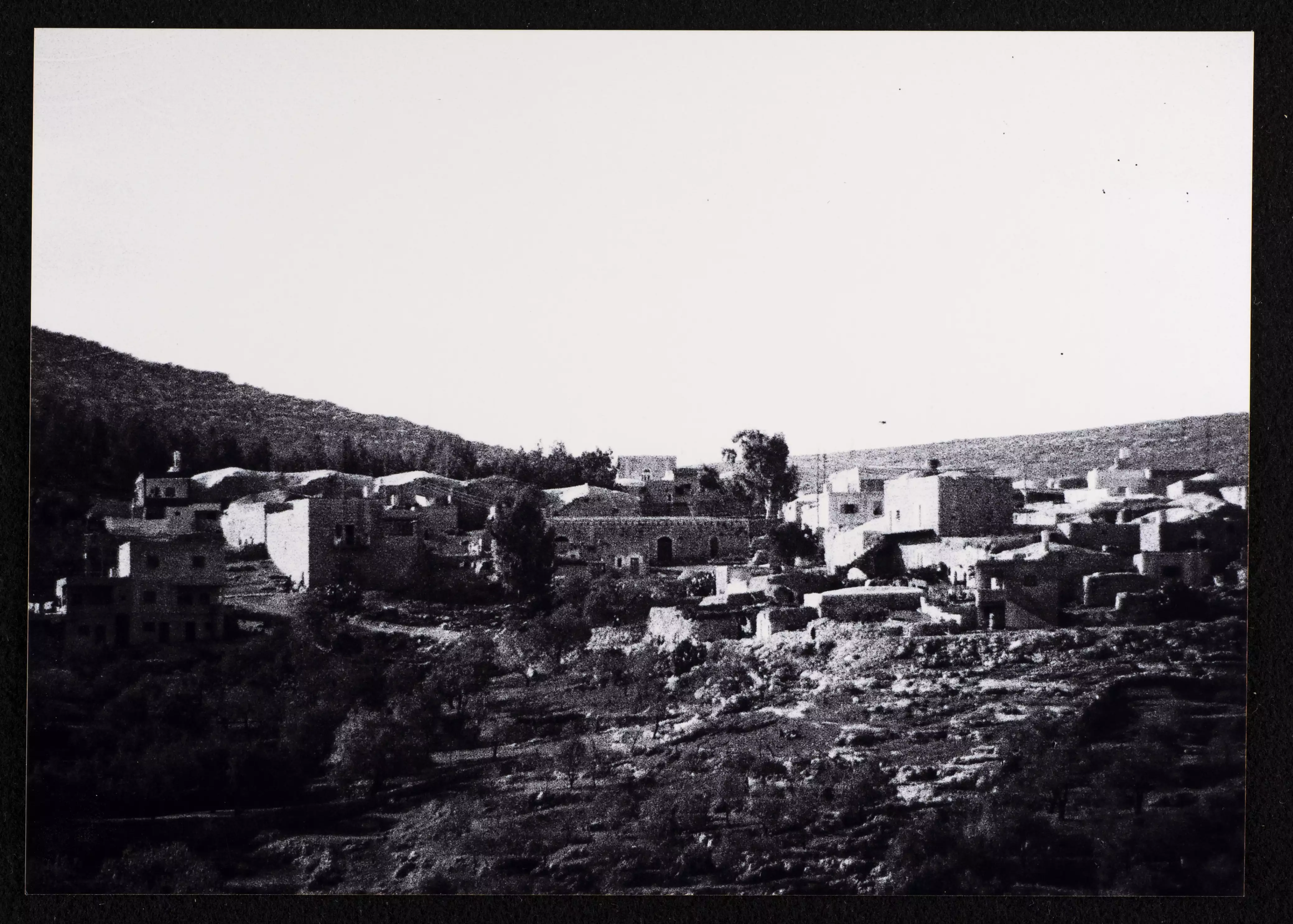
General view taken in the 1980s by Riwaq Center
-
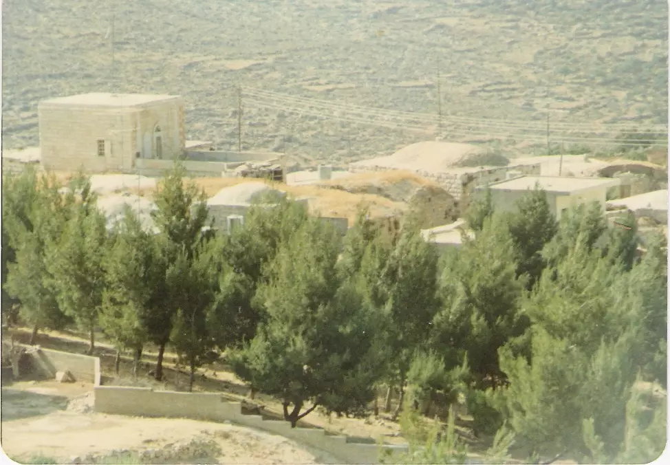
General view taken in the 1980s by Riwaq Center #2
-
General view taken in the 1980s by Riwaq Center #3
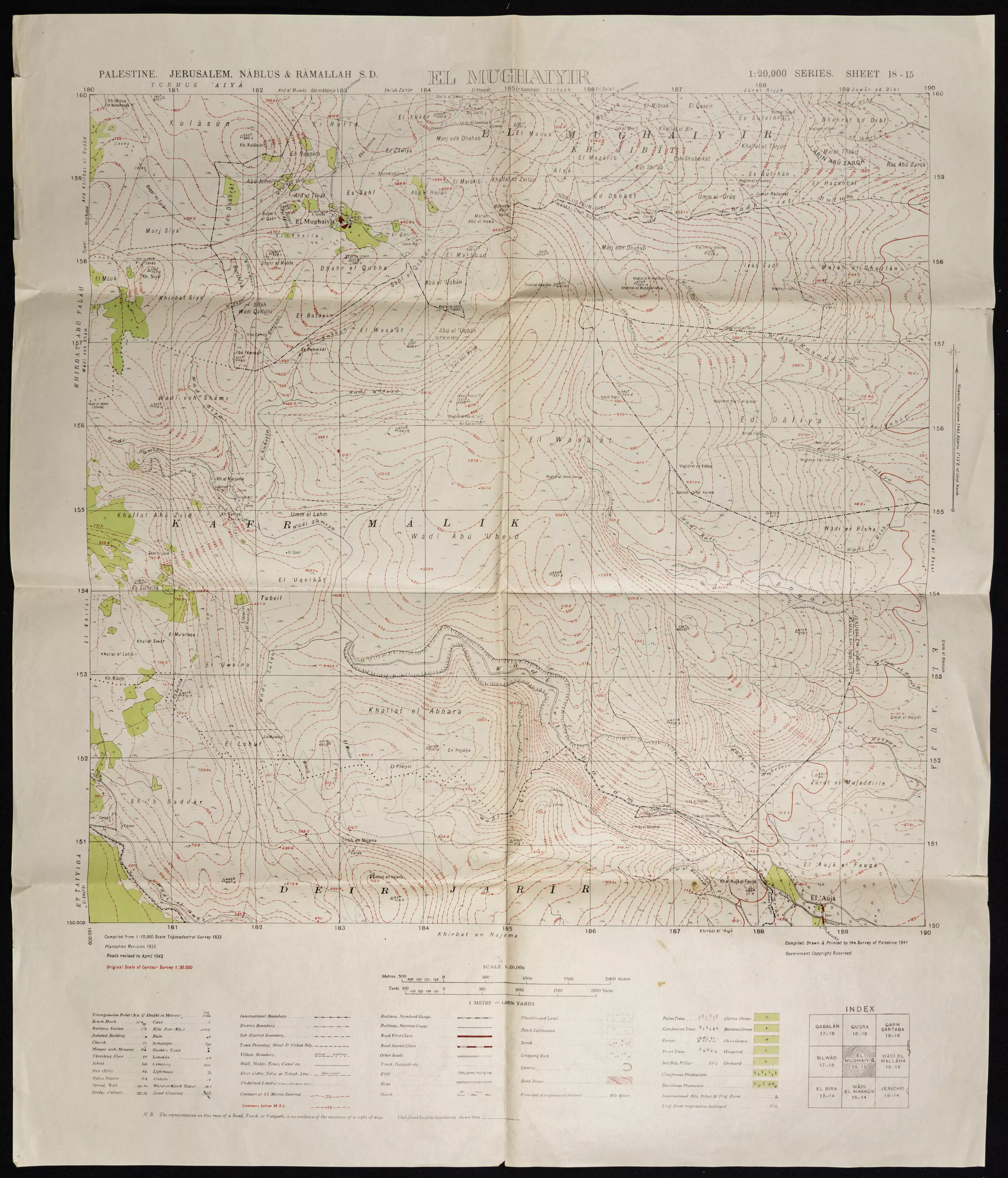
- خارطة الاراضي والاودية بين المغير وكفر مالك ودير جرير
Want to browse more? 80,000 pictures were grouped in these gallaries:
| Display Name | Clan/Hamolah | Country of Residence |
| Mahmoud Abdalla Almalki | بعيرات | - |
| samer amin | - | new york, new york |
| فادي عبدالله حسين | طرشان | رام الله |
| Sulaiman Mohammad Al-Baya'a | Al-Baya'a | - |
| Sabha Travel | - | CA, , Orange County |
| abuzinab | baerat | chiriqui, panama |
| mohamed | baerat | david, david |
| fatima bierat | bierat | kafr malik |
| tnt.tnt | abu ali(alderabane)1 | ramallah |
| jawad salama | - | C.A, C.A |
| oruba hamayel | hamayel | ramallah, kufer malik |
| sami malki | malki | - |
- حلوة يا دنيا كفر مالك
- برنامج ارض وذكريات - الجزء الثاني - كفر مالك - رام الله Duration: 53 min 45 sec
- الطريق بين قرية كفر مالك ..وقرية ابو_فلاح Duration: 3 min 48 sec
- مرورا من قرية كفر مالك Duration: 3 min 42 sec
- اجمل بابور زيت في الضفة الغربية. Duration: 4 min 30 sec
 Fake Valor: Why Did Zionist Jews Hoist Nazis Flag on Their Ships in the 1930s?
What is new?
-
Facts About Oct. 7th Gaza Raid
-
Remined Us Please:: Who Did Rape Who? Palestinians Raped Israelis? Or, was the other way around?
-
When Prof. Edward Said was invited to debate Bibi Netanyahu in the 1980s, watch what happened!
-
Ezra Klein of the NY Times on the "Jewish Race".
-
Abusing Blood Libel!
-
Did Israeli Soldiers Activate The Hanniba Direective On Oct. 7th? You Be The Judge
-
Zionist FAQ: Isn't it true that Palestinians don't want peace? Palestinians never accepted the two-state solution
- Facts about Haavara (Transfer) Agreement between Ben-Gurion & Hitler
-
Haavara FAQs: Why Did Zionist Jews Hoist Nazis' Flags on Their Ships in the 1930s?
- Haavara FAQs: When Chaim Weizmann met FDR in mid-1943, why was he silent about rescuing European Jewry?
-
Dear ChatGPT: How did Palestinians resist Napoleon's invasion of their country in 1799?
-
Dear ChatGPT: Gaza had a vibrant Jewish community in the mid-17th century. What happened to them?
-
Dear ChatGPT: Why did the Jewish Agency suppress news of the Holocaust during WWII?
-
Video Playlist: Jews share their DNA tests to end the conflict for good.
-
A Tale of Two Conflicts: Examining the Definition of Genocide
-
Prof. Abraham Polak And The Suppressed History of the Khazars and European Jewry
-
How Ronald Reagan would have framed the genocide in Gaza if he were still alive?
-
Haavara FAQs: Let us do the math: how many German Jews did The Haavara Agreement save?
-
Zionist FAQs: The Hebron Massacre of 1929, "clearly proves" that Palestinians are antisemitic, how could you deny it?
-
Zionist FAQs: Why Anti-Zionist Is Not Antisemitism?
-
Zionist FAQs: Isn't it true that the KGB created Palestinian Nationalism in the early 1960s?
- Zionist FAQs: Muslims are killing Muslims all the time; why are Israeli Jews being singled out in the media?
- Zionist FAQs: How is Israel an apartheid state when 20% of its citizens are Arabs who enjoy full rights?
-
Haavara FAQs: Why Did Dorothy Thompson Flip From A Zionist Advocate to A Silenced Dissenter?
-
Haavara FAQs: Analysis of Herzl's Uganda Scheme and how it could have saved millions of Jews.
-
Haavara FAQs: Why did Hayim Greenberg describe American Jewry as "morally bankrupt" in early 1943?
-
Haavara FAQs: What if the Evian Conference was a resounding success? What would have been the impact of saving European Jewry on Zionism?
- Haavara FAQs: What if the six million were saved, how that would have impacted the Zionist project?
-
Haavara FAQs: How did Zionist leaders react when Europe's Jews lingered in the DP camps after WWII ended?
-
Why does the American Jewish community repeat lies that David Ben-Gurion had debunked before he died?
-
Who has the power to rename the Tatar/Khazar Gene Marker to Jewish IV?
-
Zionist FAQs: Why won't Egypt, Syria, and Jordan take their people back? Jews are indigenous to Palestine, and Arabs immigrated after Jews developed the country. Arabs should leave.
-
Haavara FAQs: Did Hitler and the Nazis conflate between Judaism and Zionist? If that wasn't case, then why?
-
Haavara FAQs: Winston Churchill and antisemitism, a collection of articles written Churchill.
-
Haavara FAQs: Broken by country, how many Jews survived vs. killed during the Holocaust?
-
Haavara FAQs: Why did European Jews vote with their feet and to immigrated to the Americas, not Palestine, after WWII?
-
Watch this American Jewish Girl describing Israeli Jews' cognitive dissonance like no other in under two minutes
-
Haavara FAQs: When the Nazis went out of their way to hide the Holocaust, Israeli Jews did the exact opposite by broadcasting their genocide of Gazans. But why?
-
Haavara FAQs: How Zionist Jews went out of their to show their appreciation to Nazism and Fascism?
- Haavara FAQs: Why Zionist leaders were against bombing the death camps & the Railroads leading to them?
-
Haavara FAQs: Hitler's message to the British and American people: If Jews are such noble citizens and you care about them, how come you're not letting them in? I will gladly ship them to you at my expense, even on luxury liners!
-
A shortlist of Zionist and Israeli false flag operations in the name Jews.
-
The Most Moral Army
- The Land of Kapos (Israel): Where the brave are boycotted and Kapos walk free.
- Why did early Zionists often named their communal enterprises "colonial"?
- Zionist Relations with Nazi Germany by Faris Glubb
-
Two NY Times advertisements by Zionists in the early 1943 that exposes Zionists' treason at the height of the calamity
- Facts Not Lies about the Palestinian-Israeli Conflict.
- Site's pictures have been categorized
- Campgain Against Lice
- A Survey of Palestine, the official source about Palestine before Nakba produced by the British Mandate; over 1200 pages.
- Satellite View & Google Earth: Over 6,000 placemarks identifying all destroyed towns, W. Bank & Gaza Strip Towns, & refugee camps.
- PalestineRemembered.com and its Nakba Oral History Project were featured on al-Jazeera Satellite TV.
- Nakba Oral History Video Podcast:
 Over 700 Oral History interviews (including 3,500+ hours of recording) can be viewed online.
 - Palestine Village Statistics Project
- Gaza Jail Break
- النسخة العربية للموقع الان متوفرة
- Videos: Documenting the destroyed villages in video: Tracing all that remains since Nakba.
- Videos: Responding to Zionist Propaganda
- Interview: The ethnic cleansing of Palestine: George Galloway interviews Israeli Historian Ilan Pappe.
- For Palestinians, memory matters. It provides a blueprint for their future By George Bisharat.
- Zionist FAQ now available in Hebrew שאלות שציונים שואלים, עכשיו בעברית
- Video: The Stephen Walt and John Mearsheimer report on the influence of the Israel Lobby on U.S. Foreign Policy
- The Palestinian-Israeli conflict for beginners
